2.6Km
2.6Km


Note
 550m
600m
600m
650m
2Km
2.5Km
2.5Km
2.5Km
550m
600m
600m
650m
2Km
2.5Km
2.5Km
2.5Km
2.6Km
6Km
6Km
6.2Km
6.9Km
7.3Km
7.6Km
7.6Km
7.6Km
8.2Km
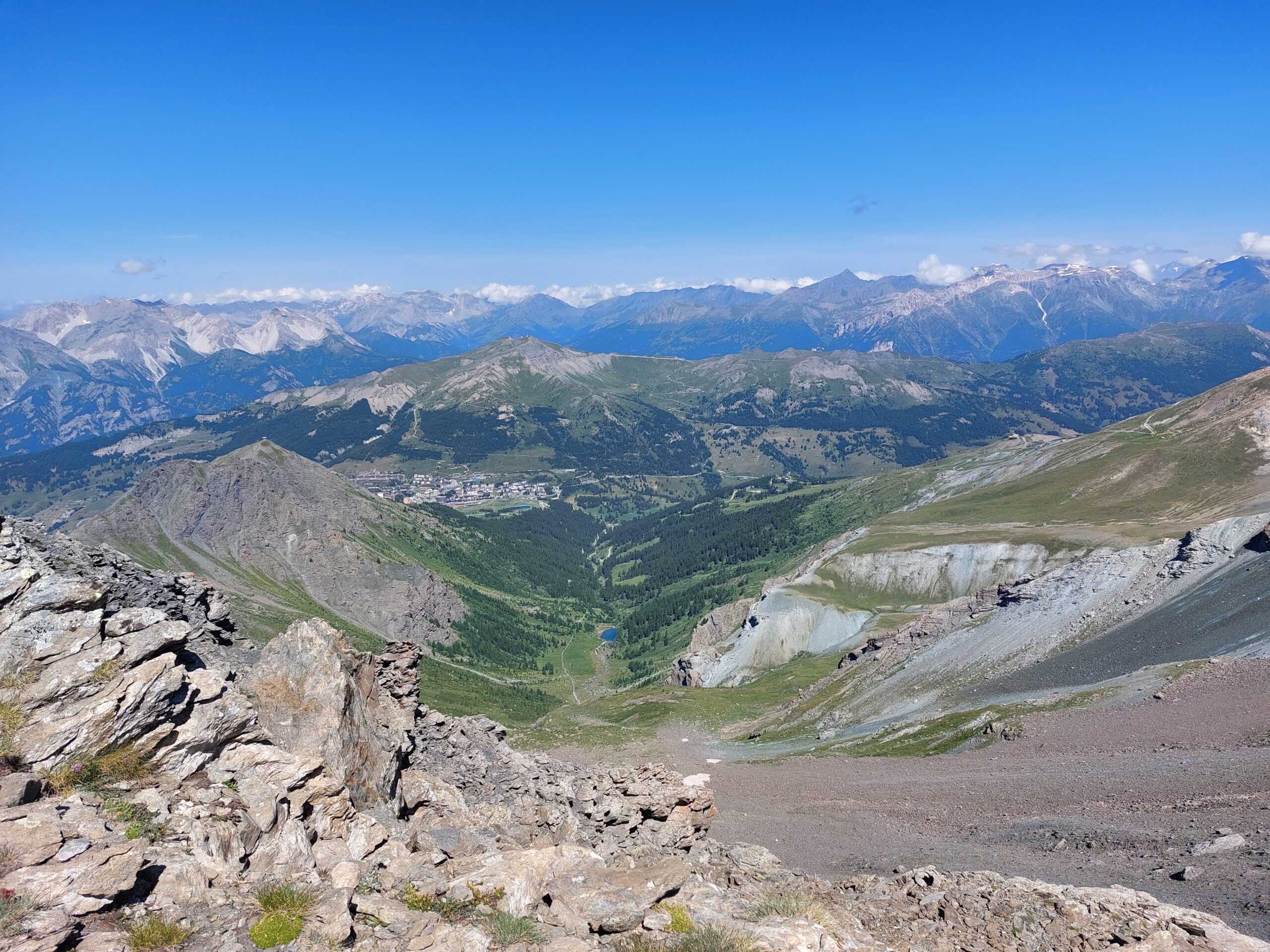
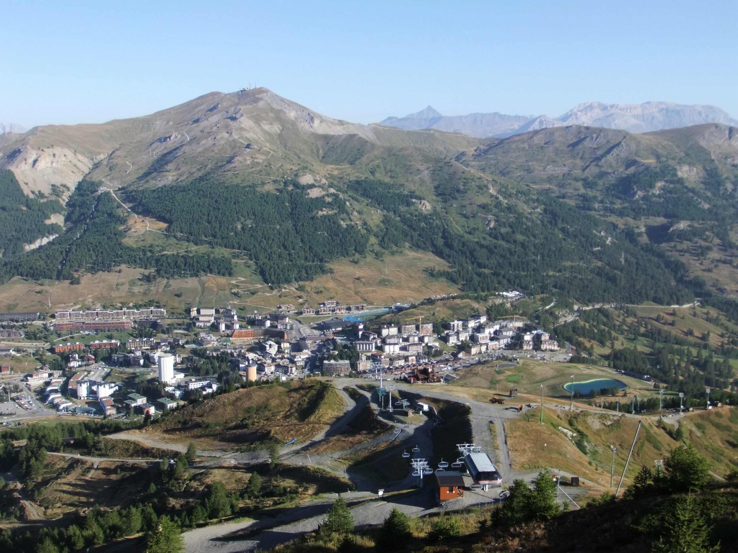
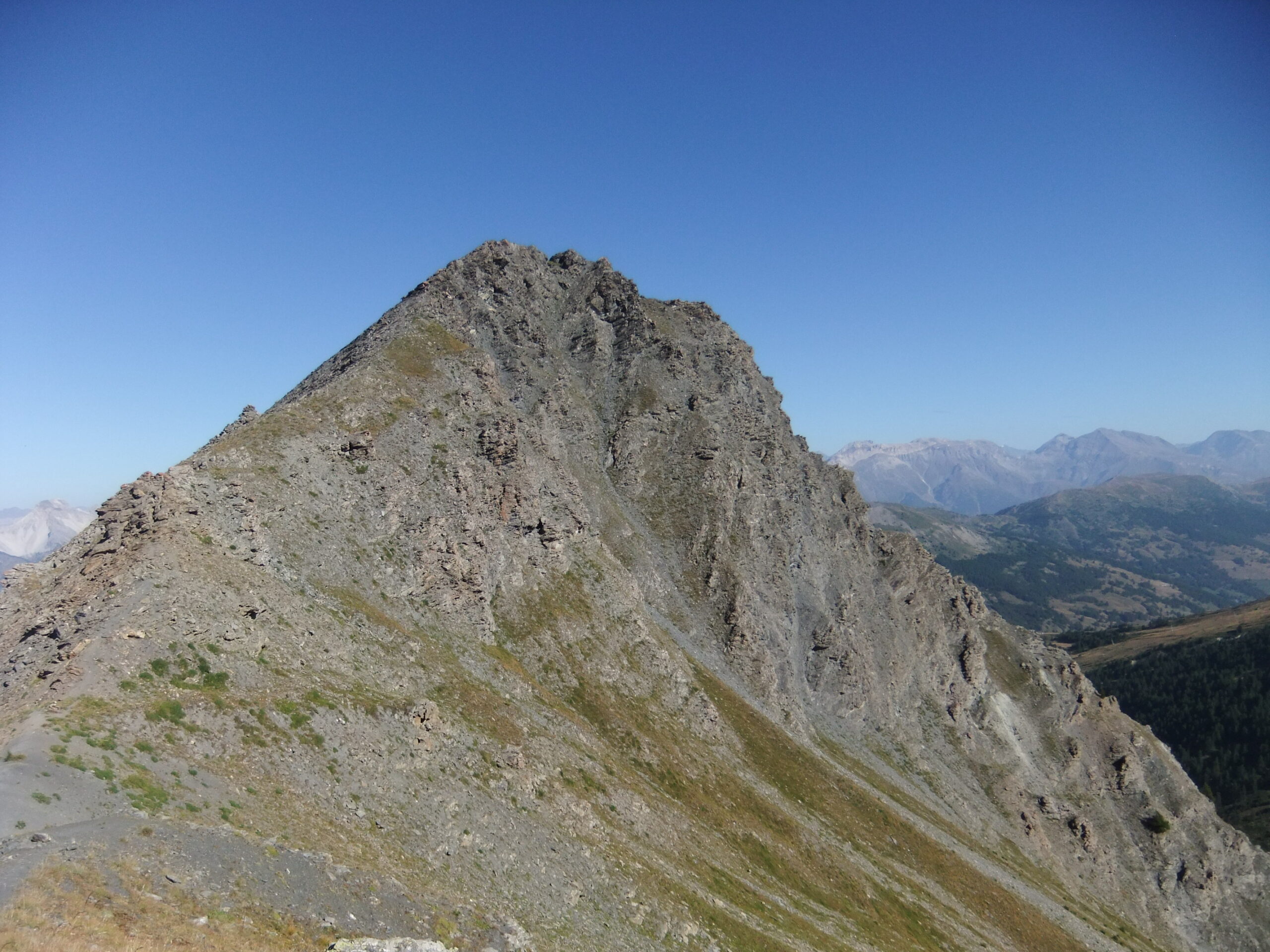
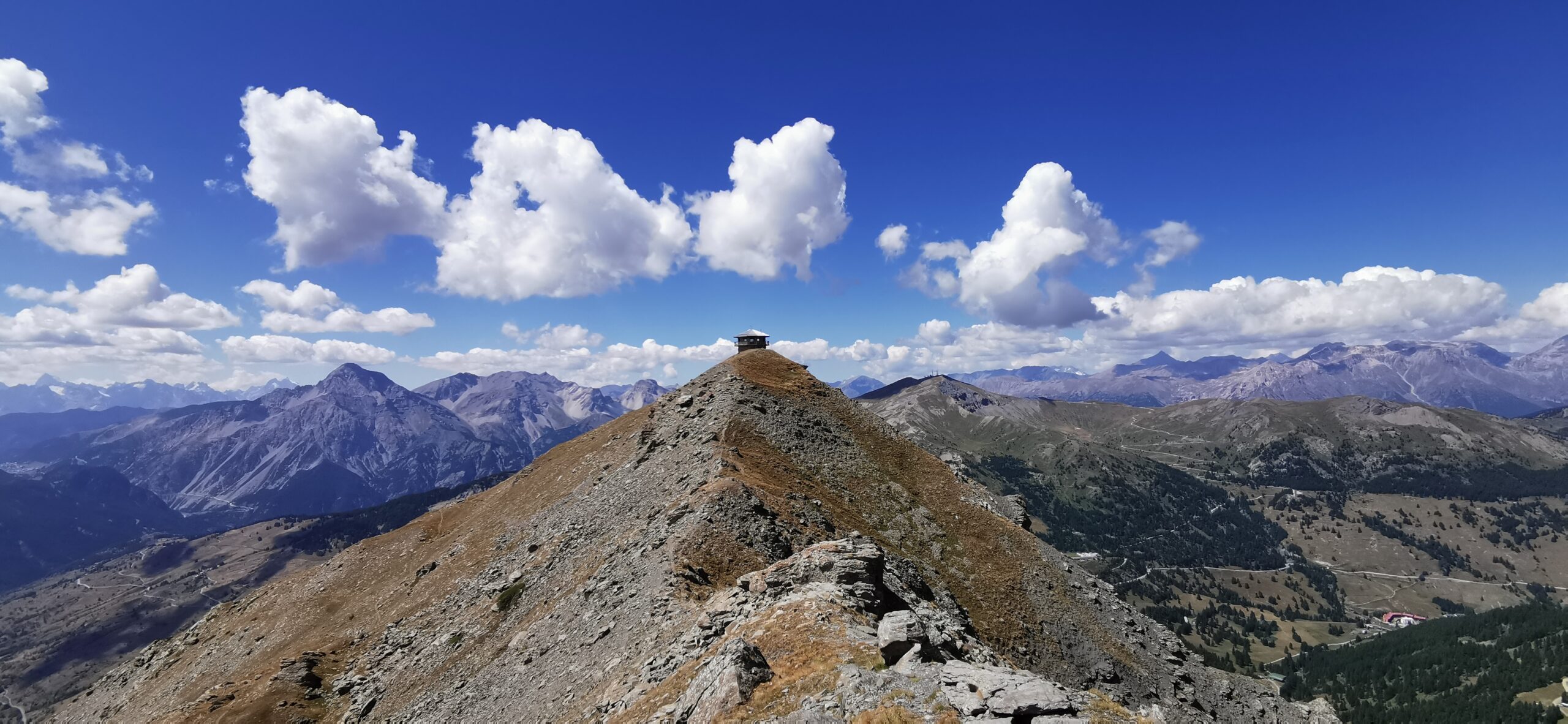
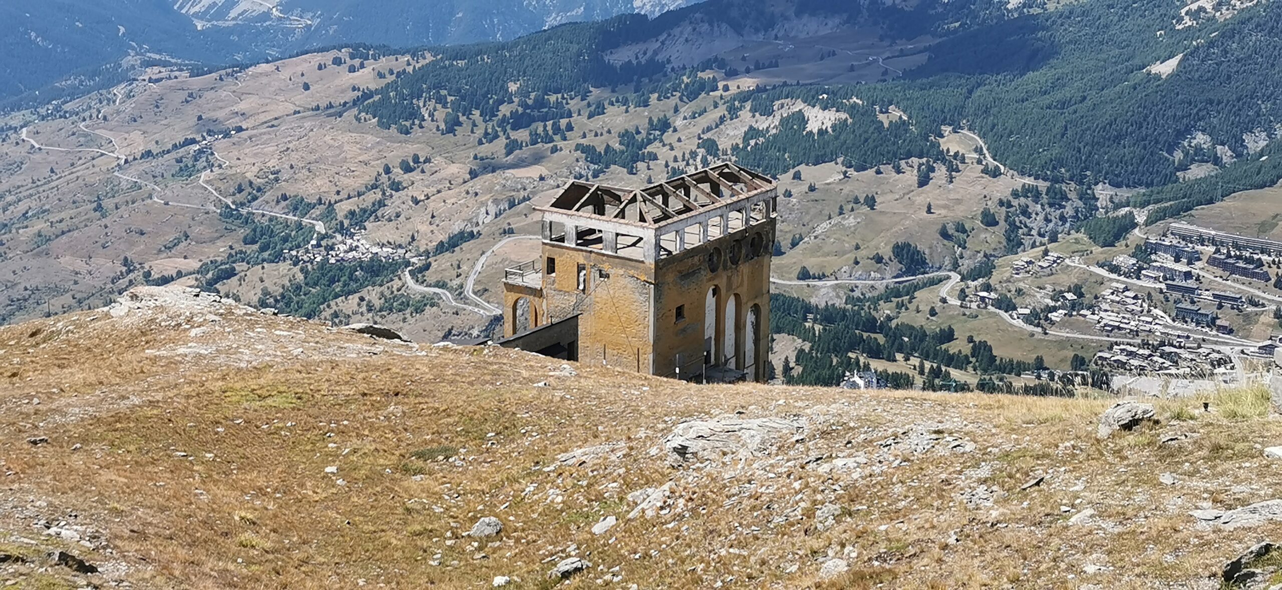
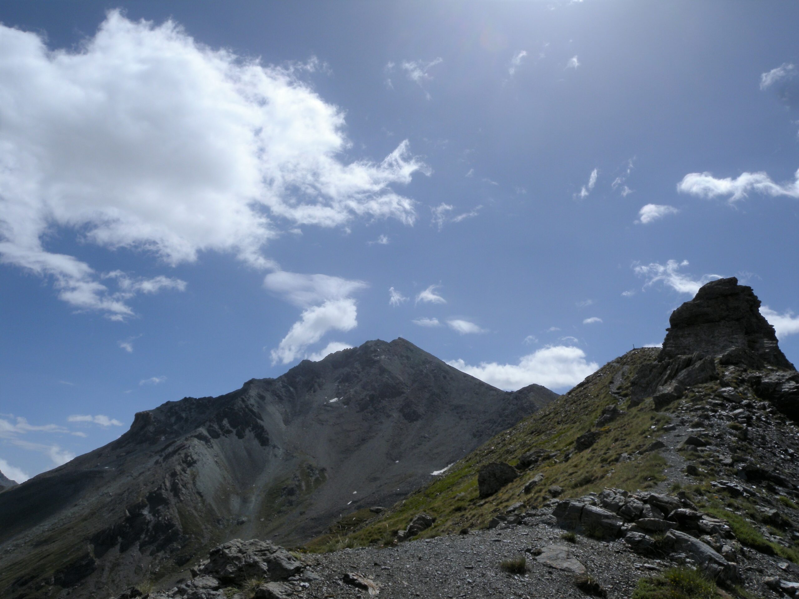
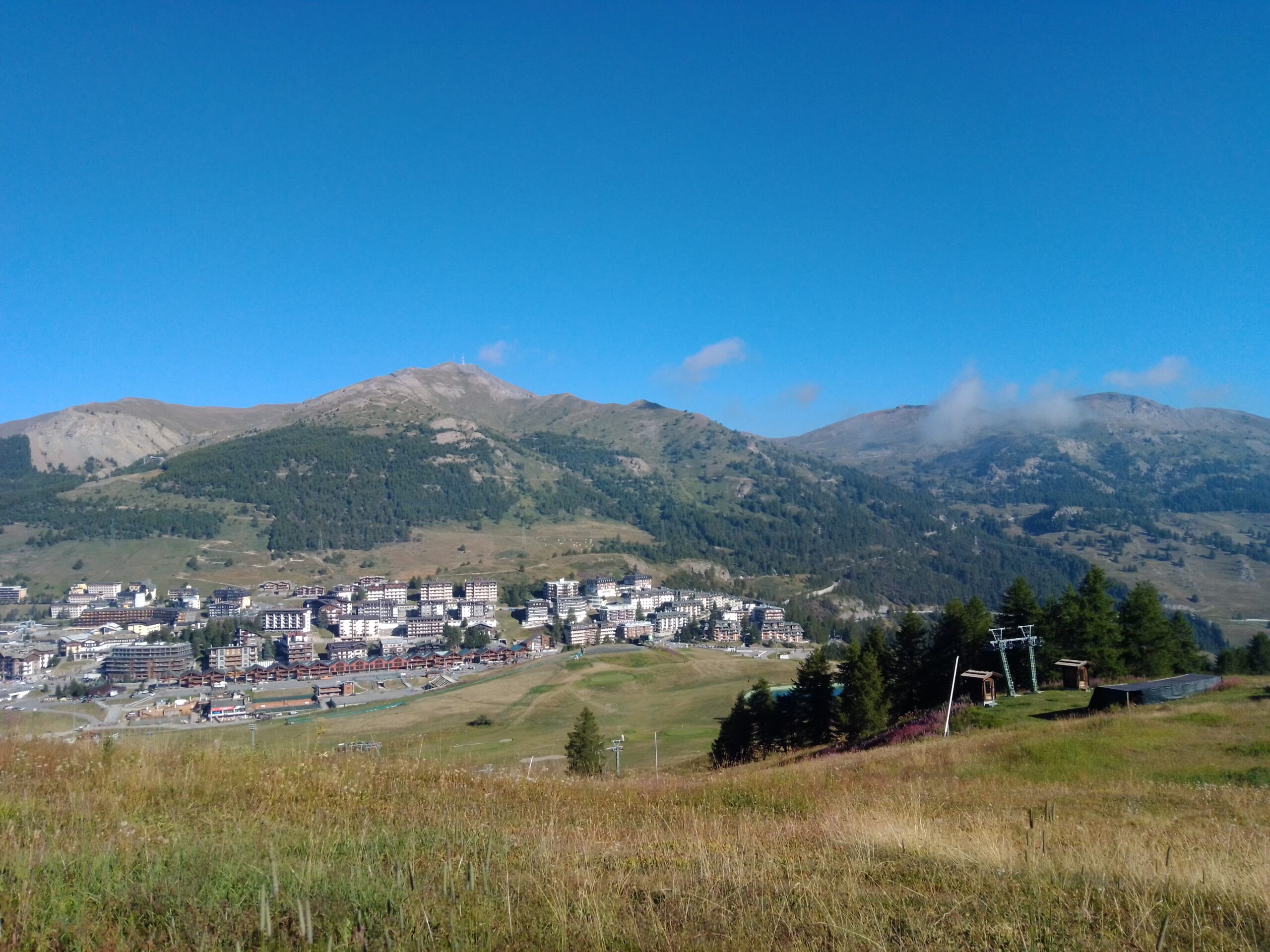
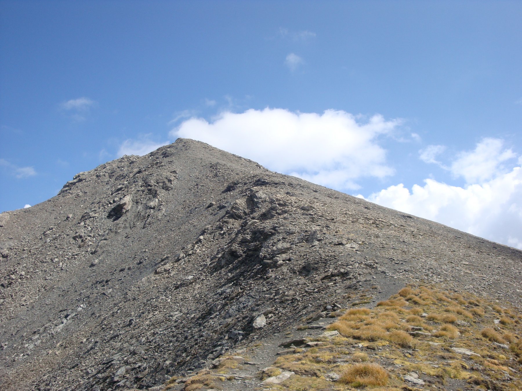
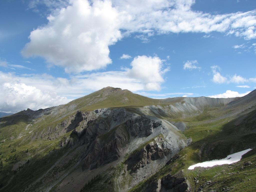
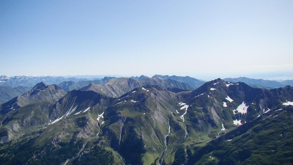
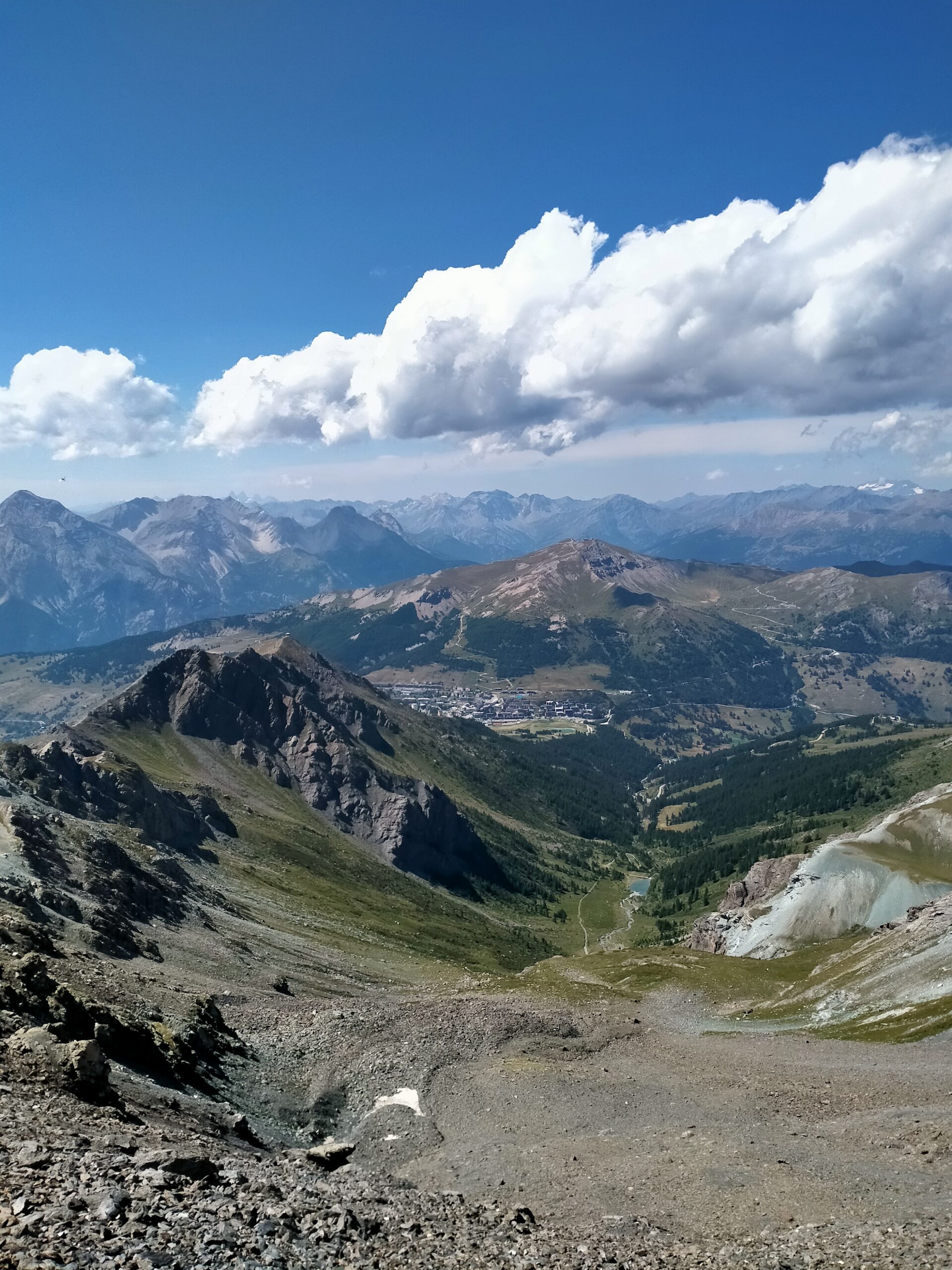
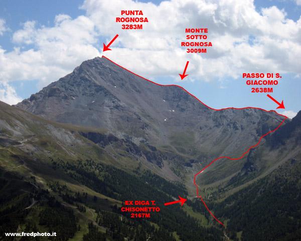
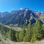
Bella montagna che domina Sestriere.
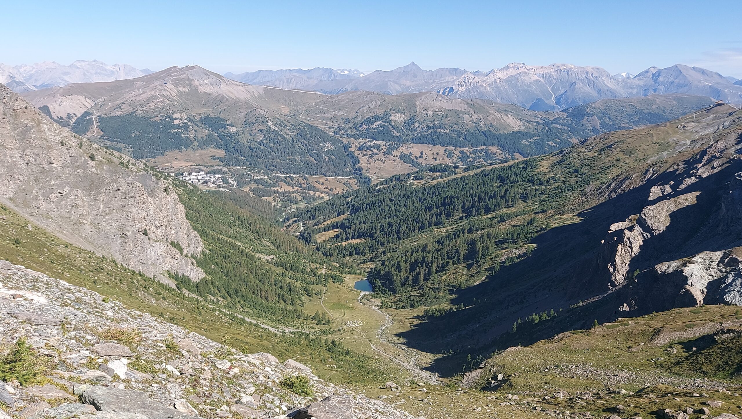
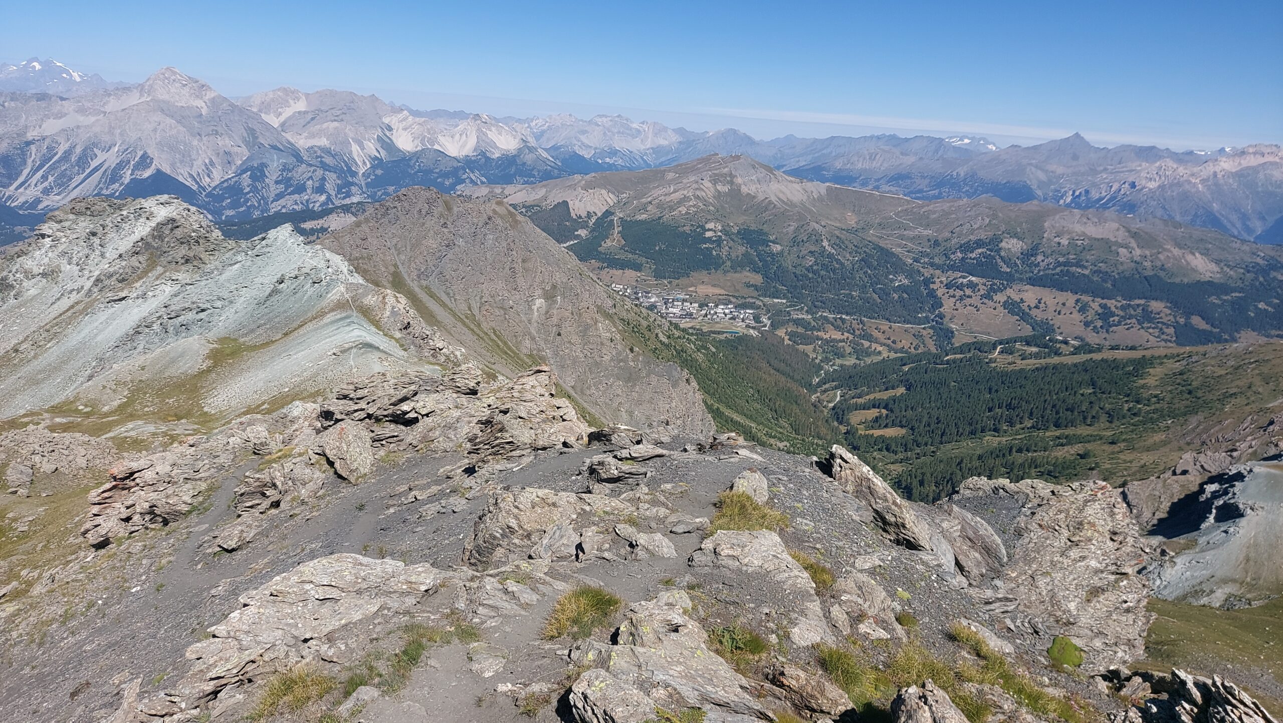
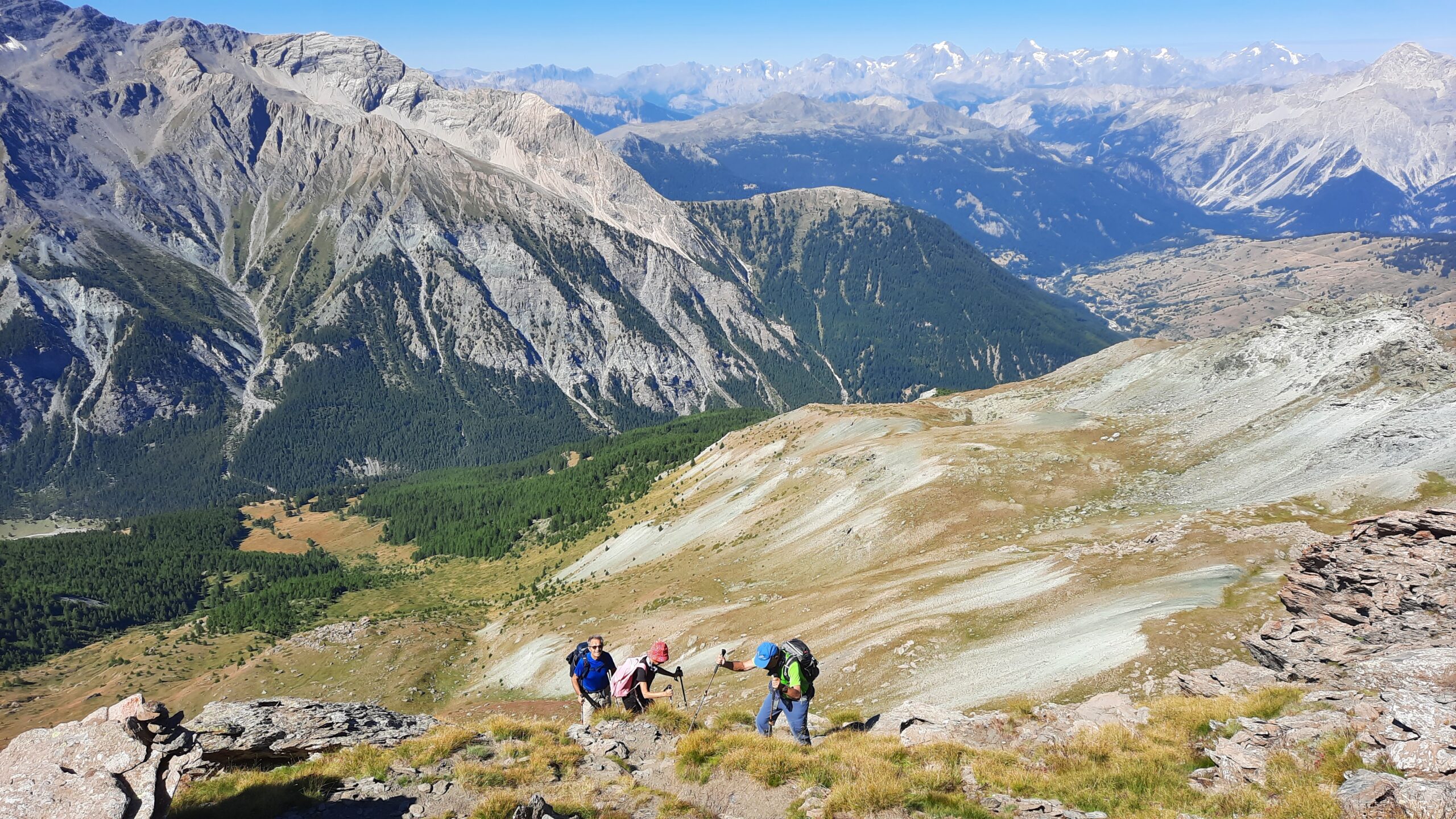
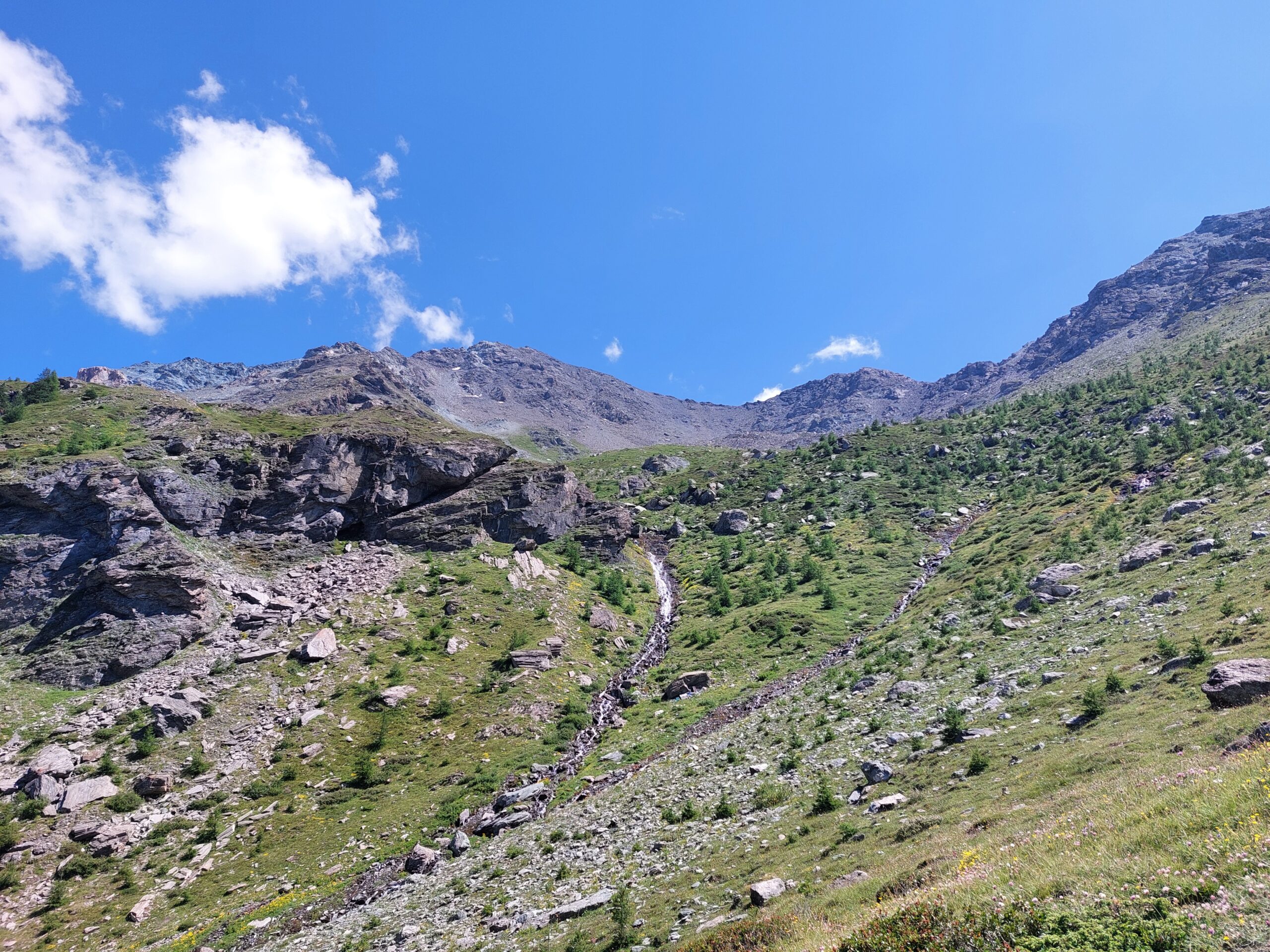
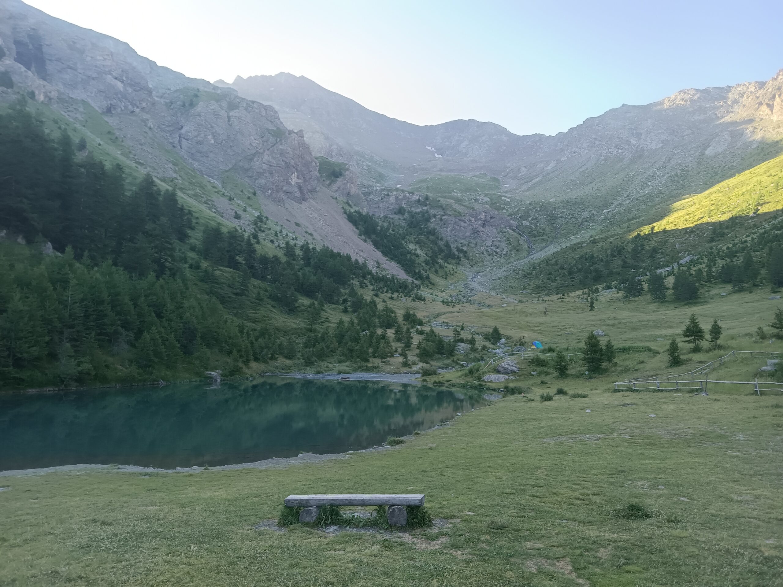
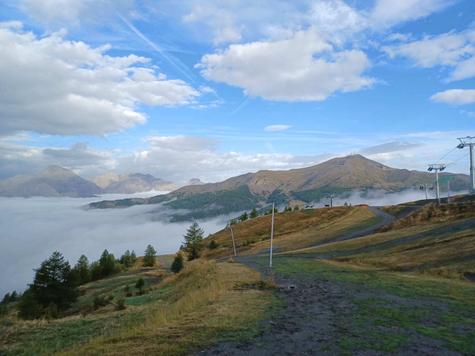
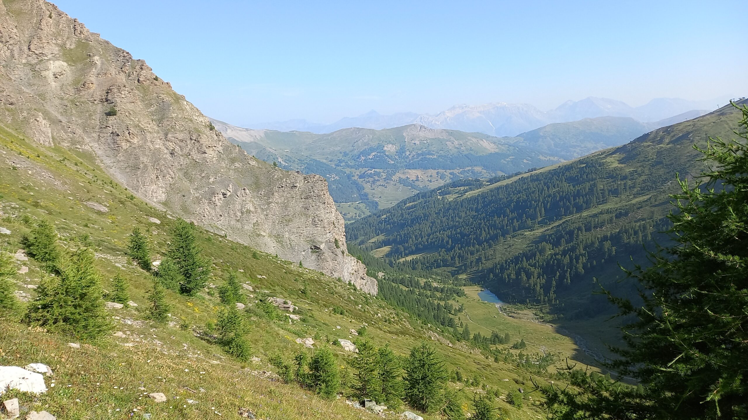
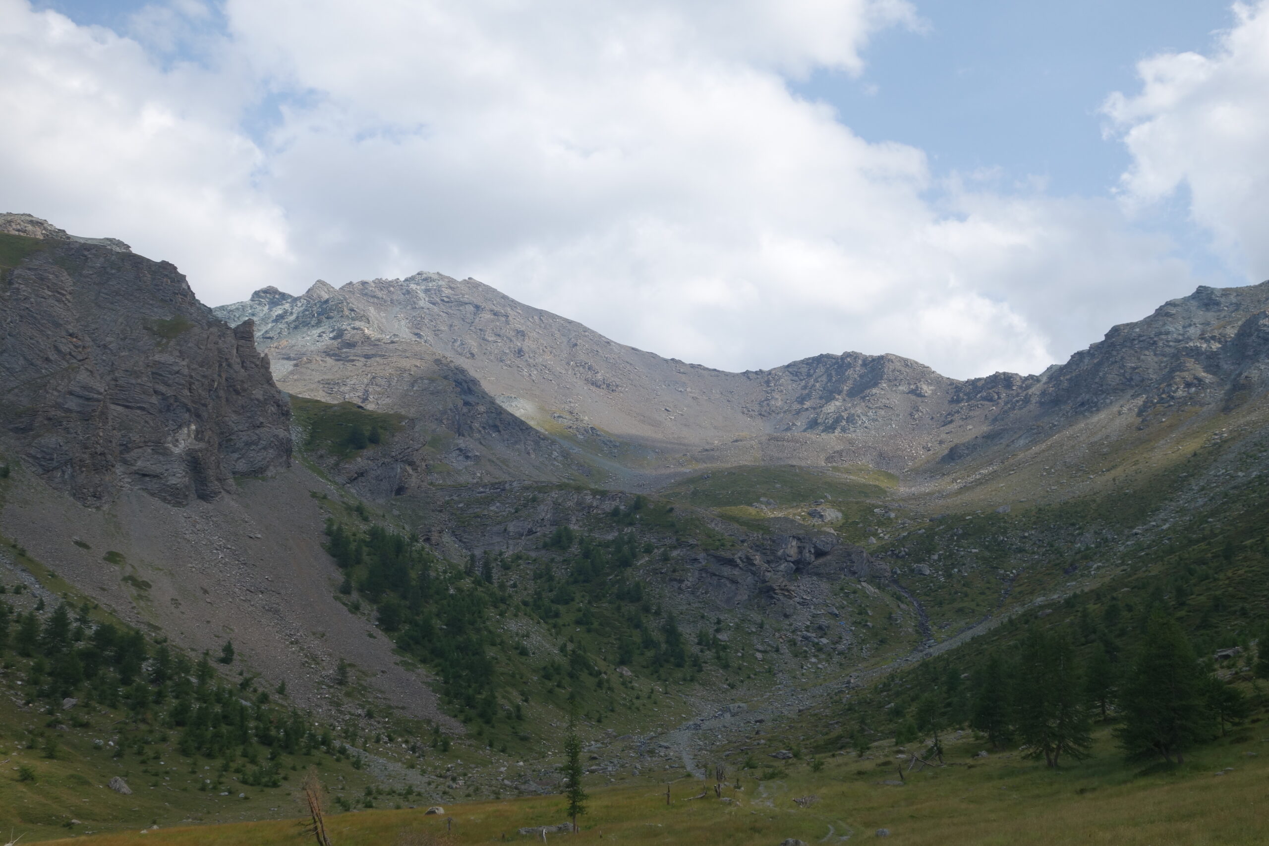
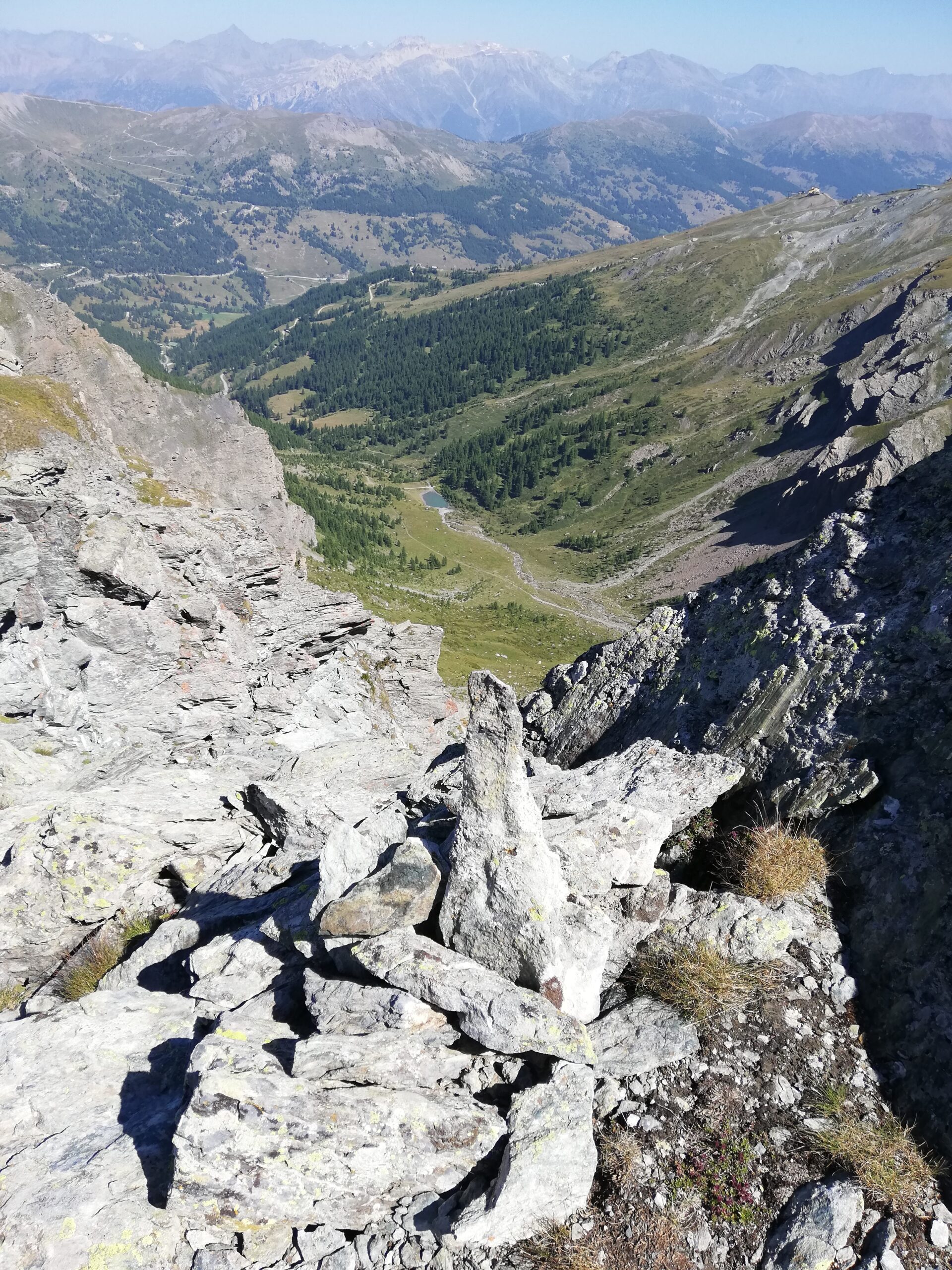
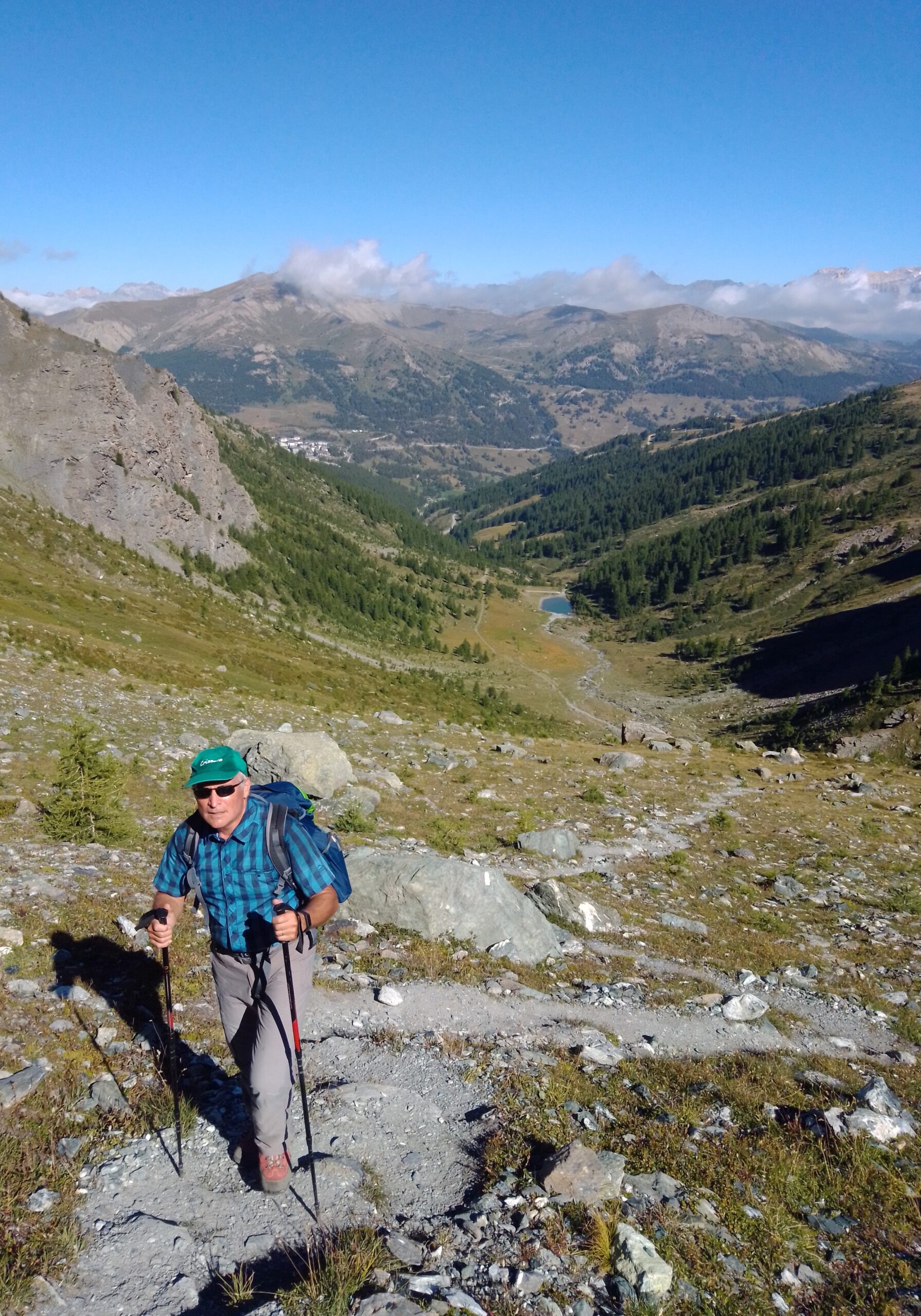
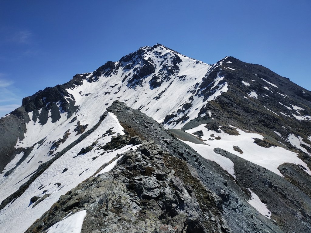
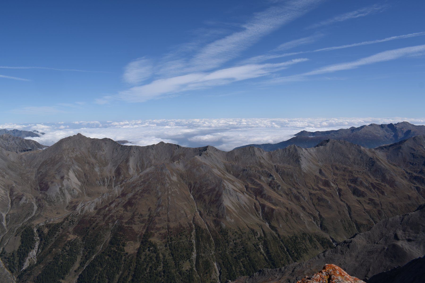
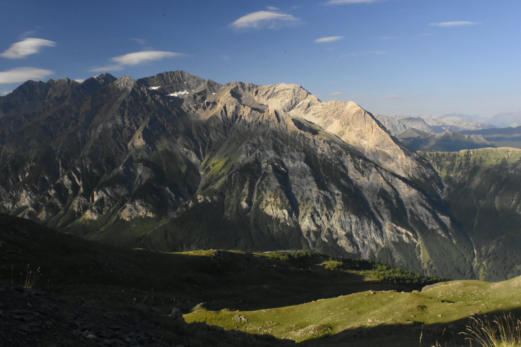
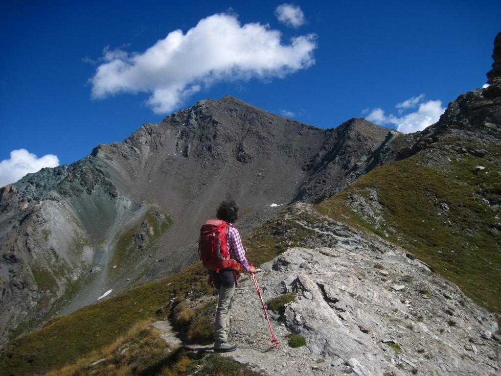
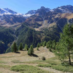
Nonostante la vicinanza a questo, la salita si svolge, a parte il primo tratto, in un bellissimo ambiente di montagna.
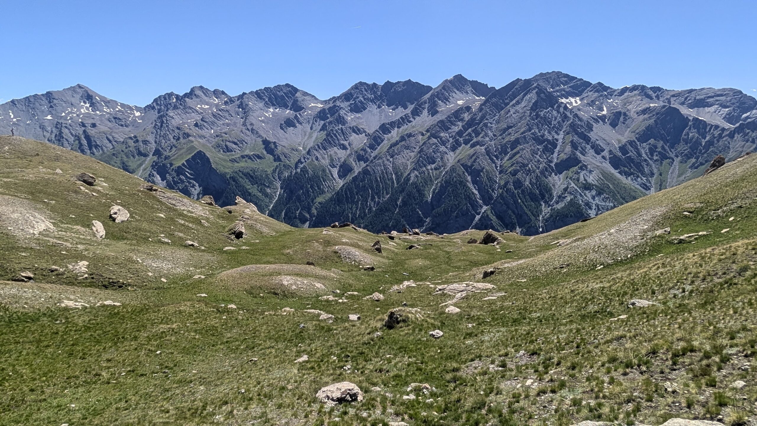
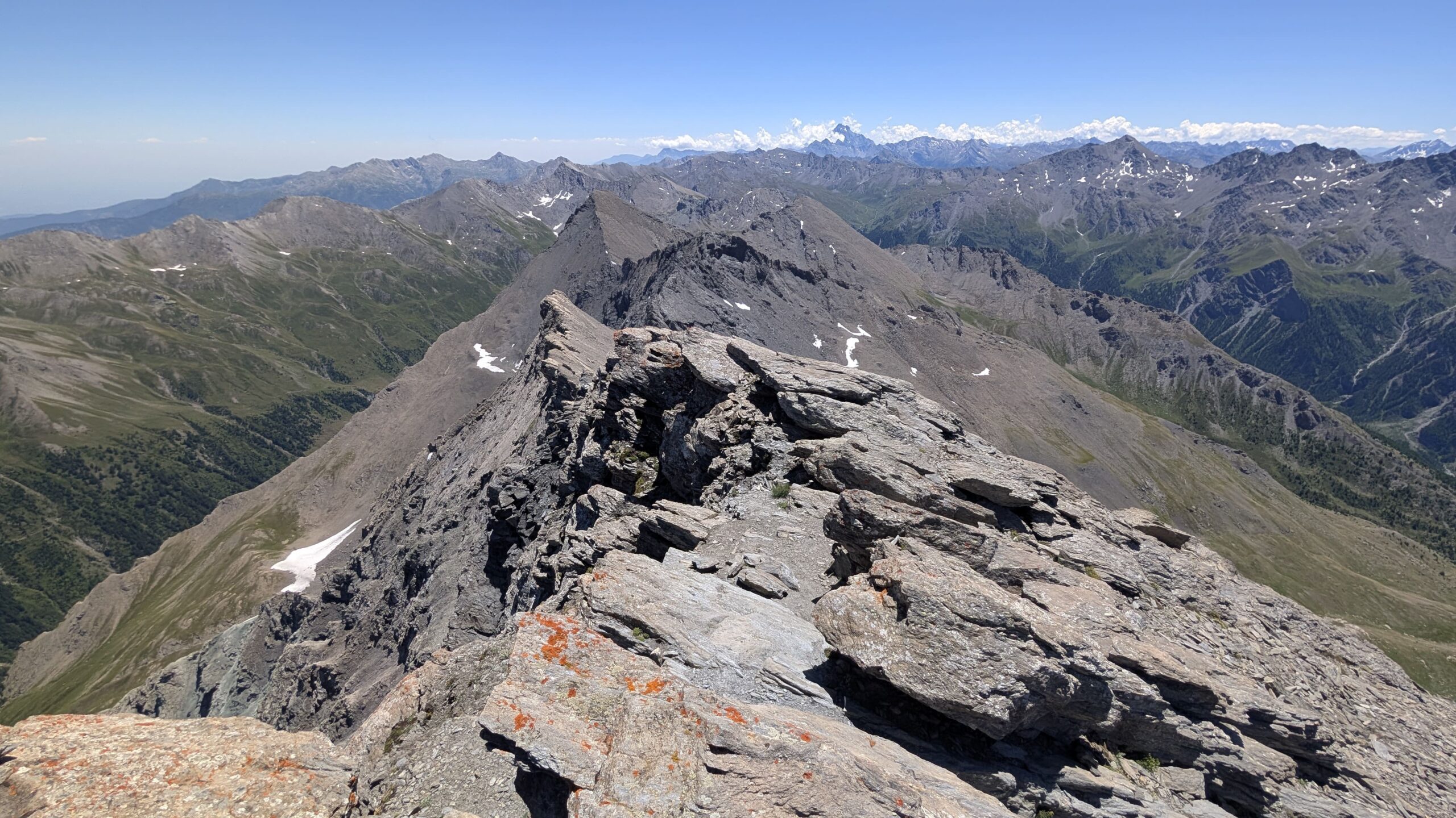
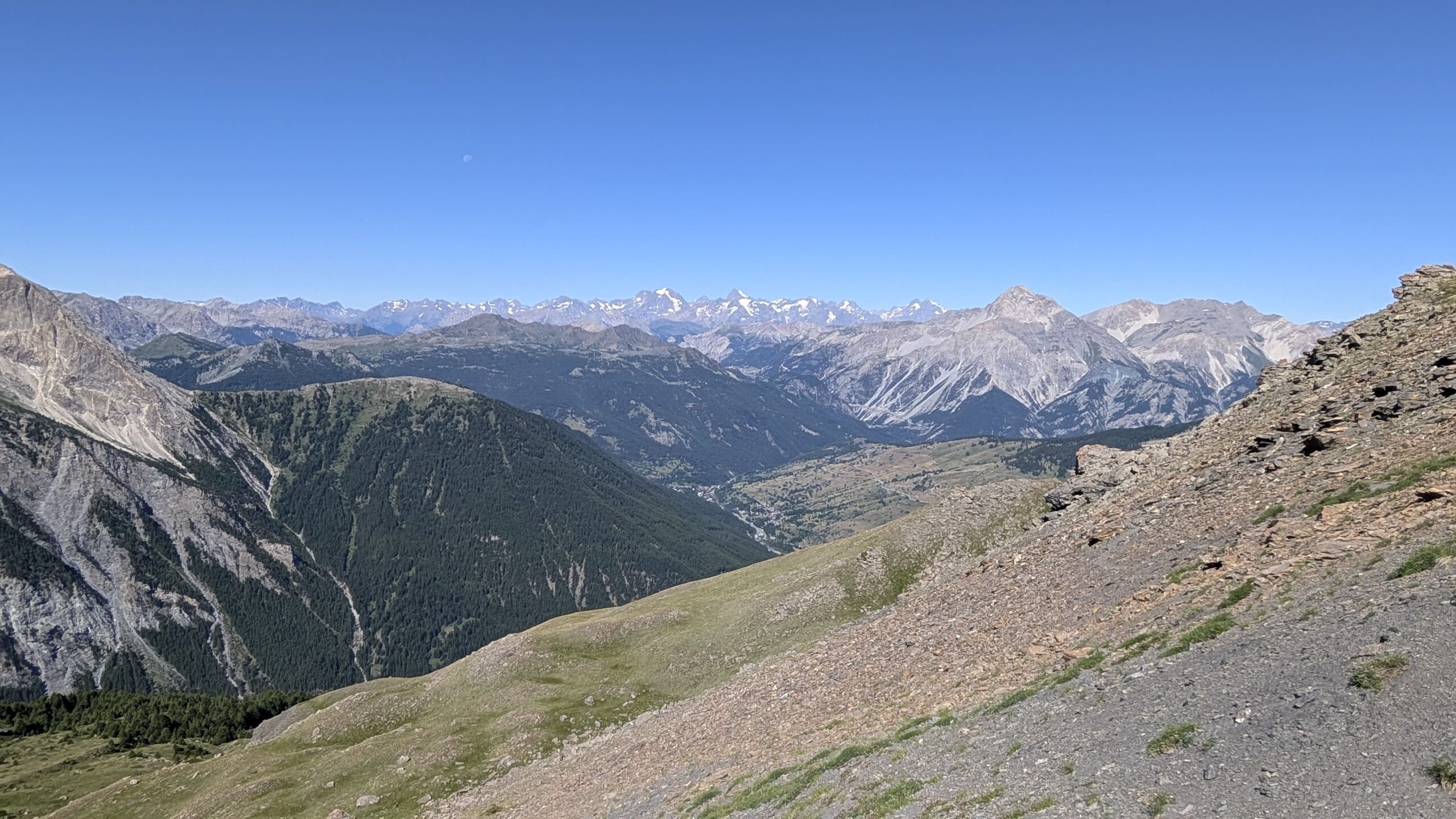
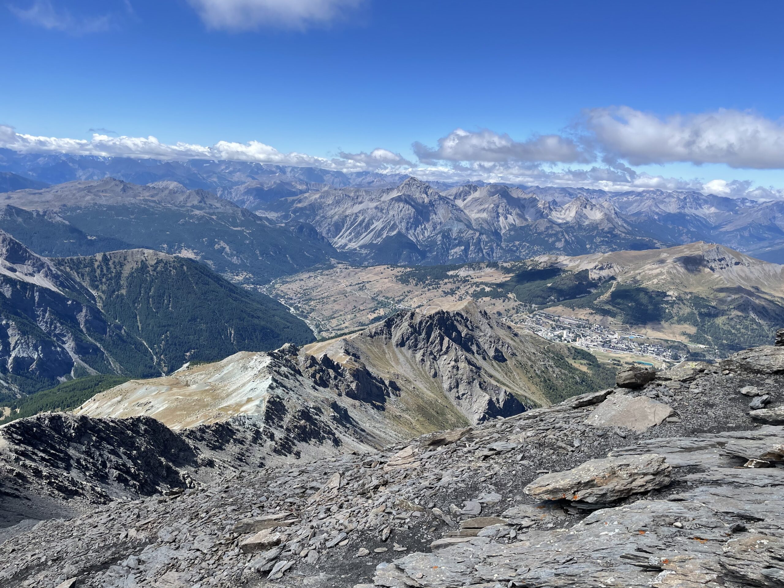
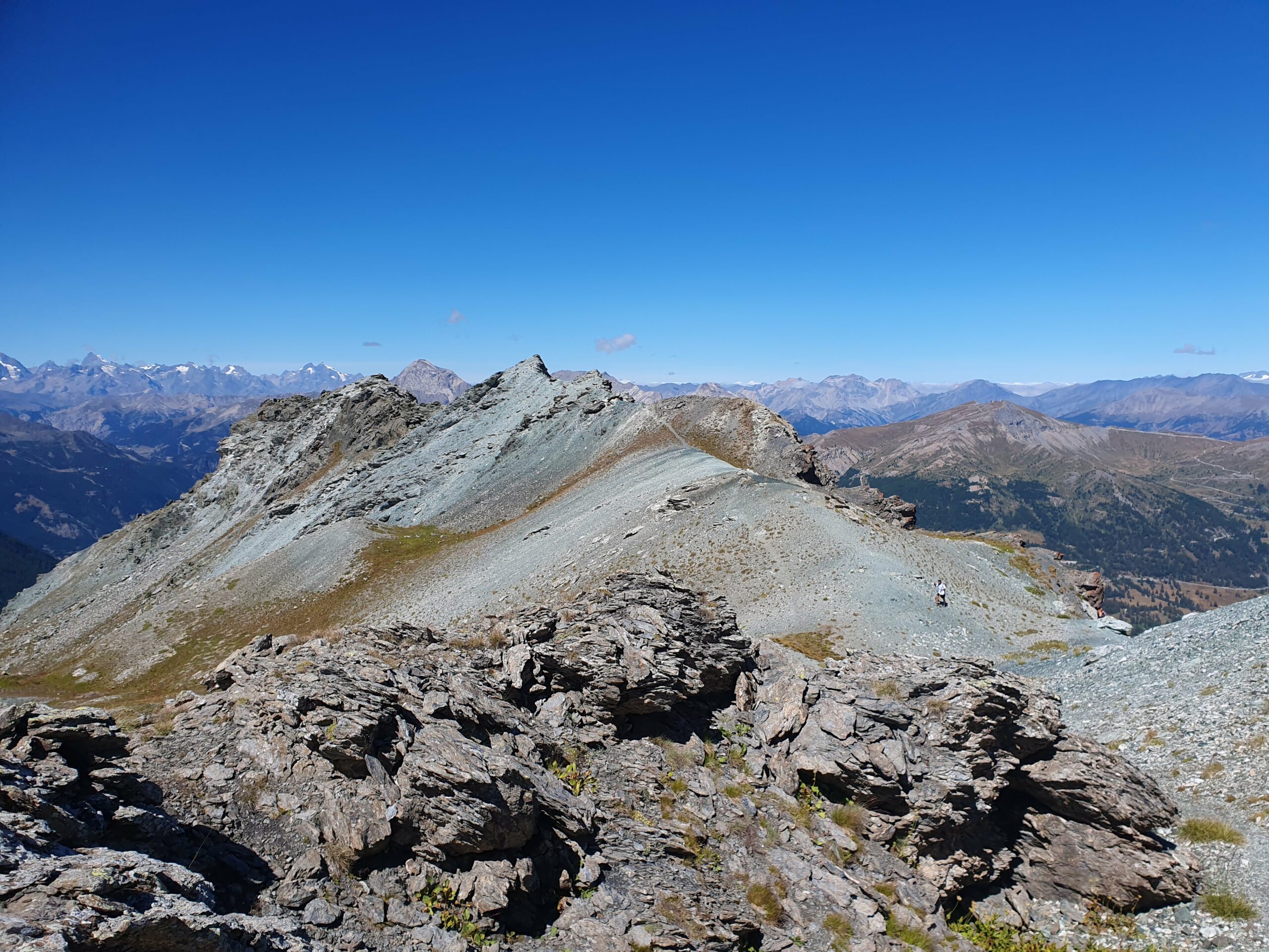
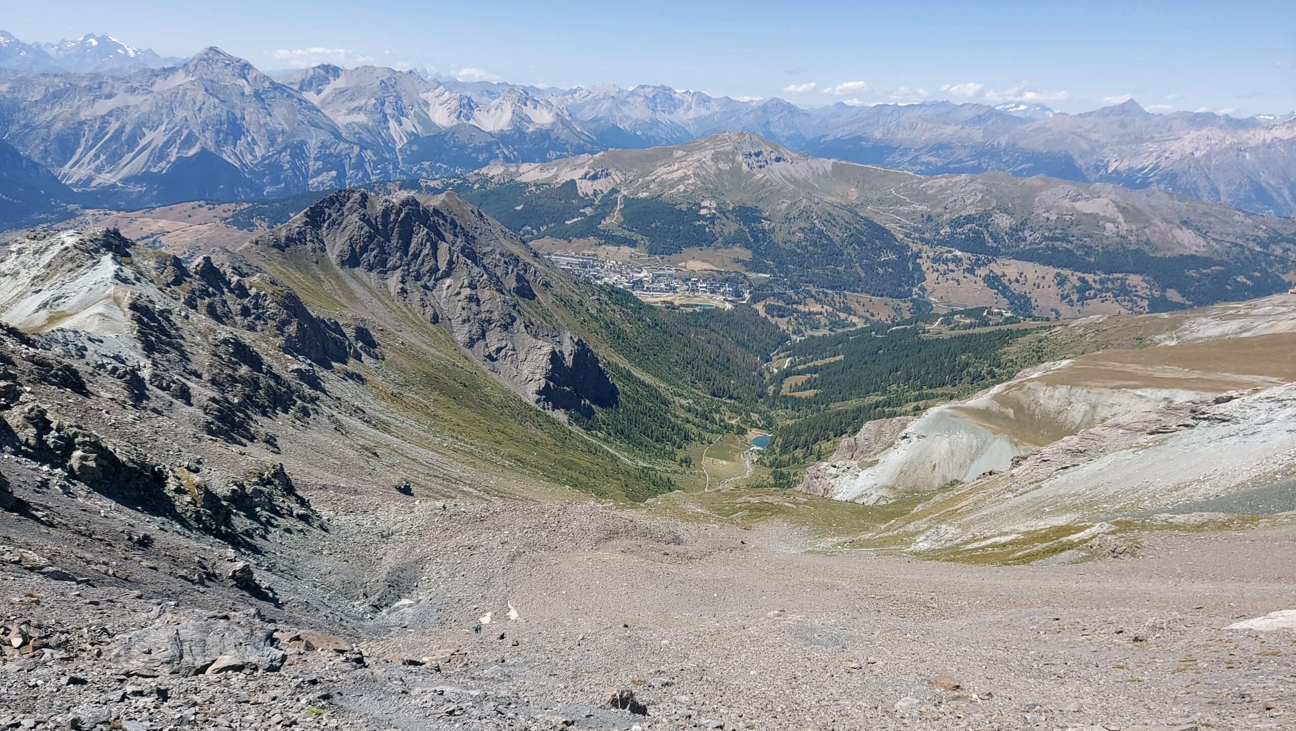
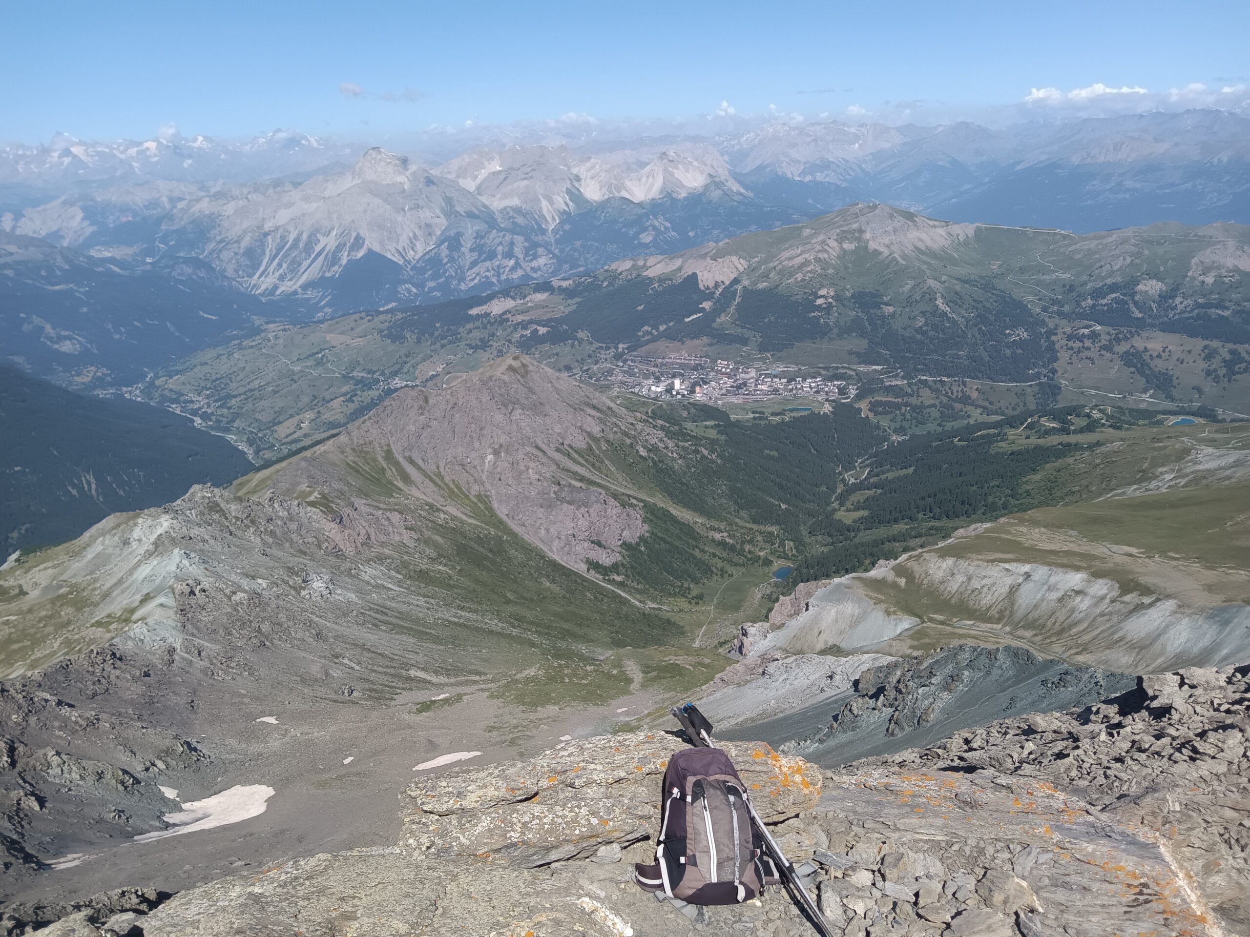
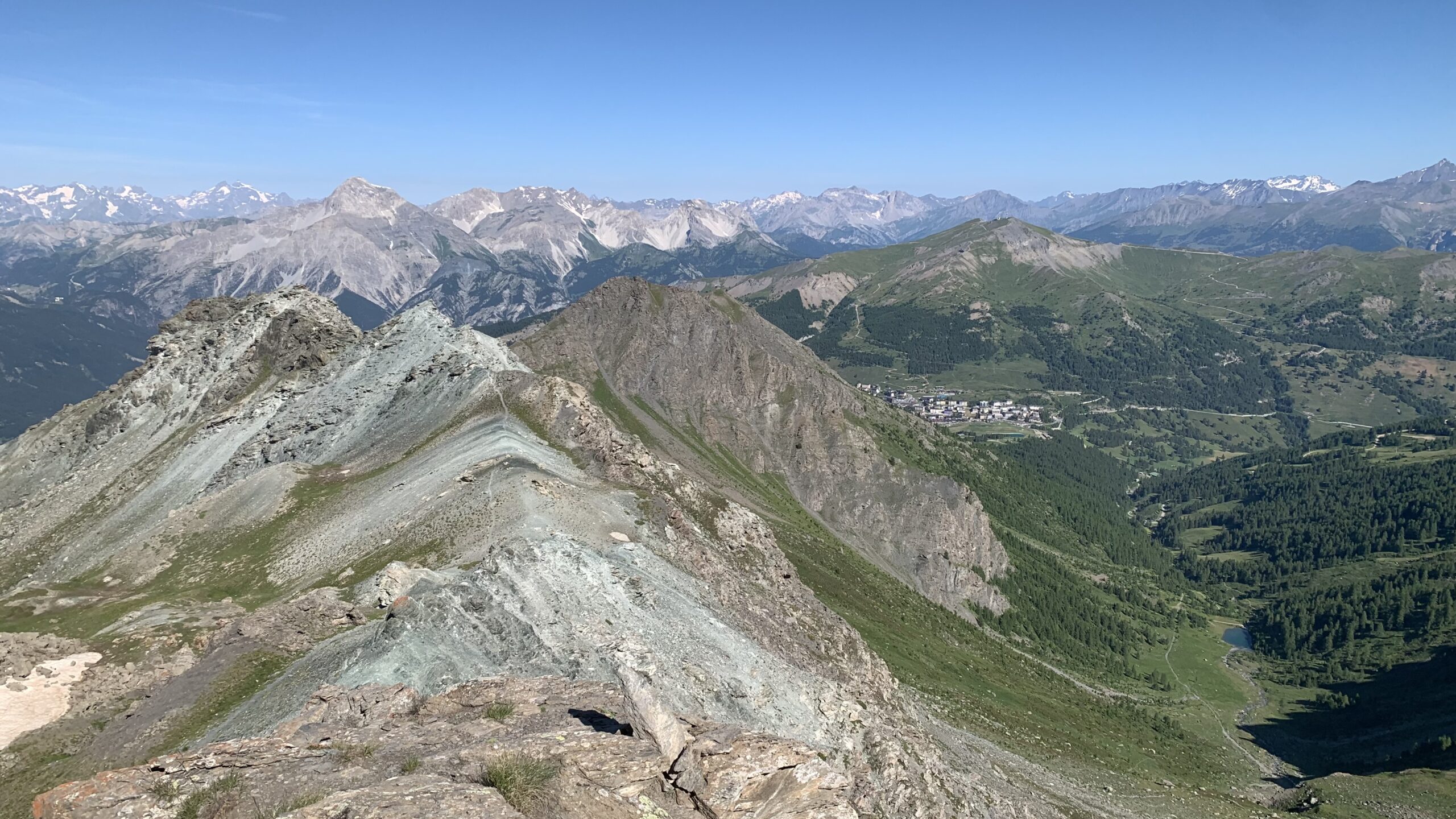
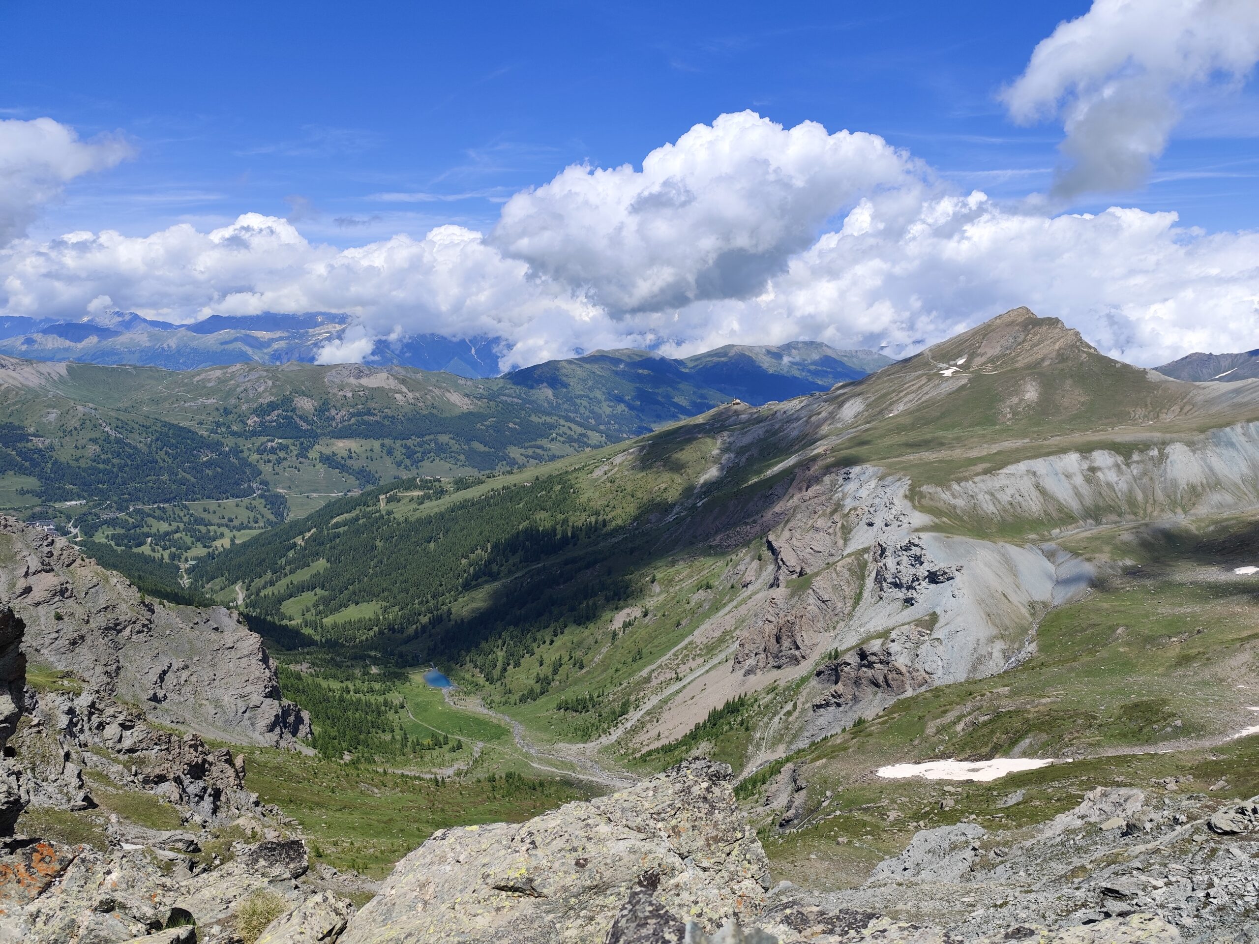
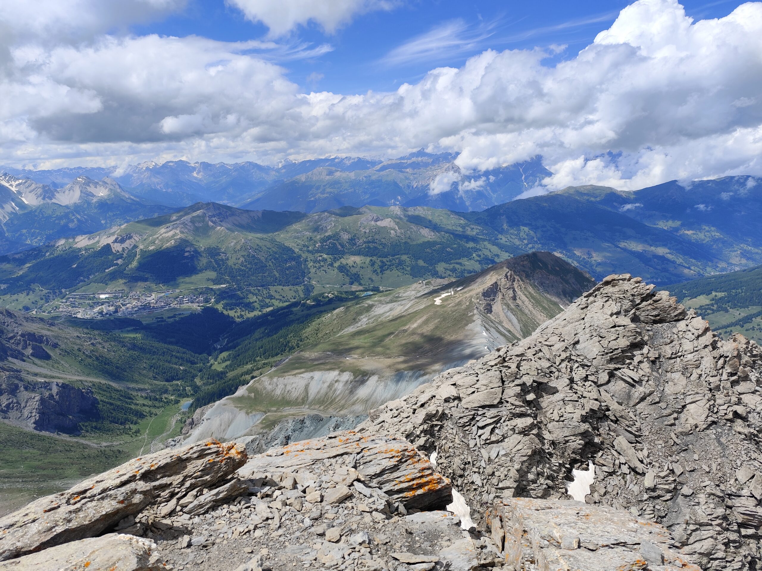
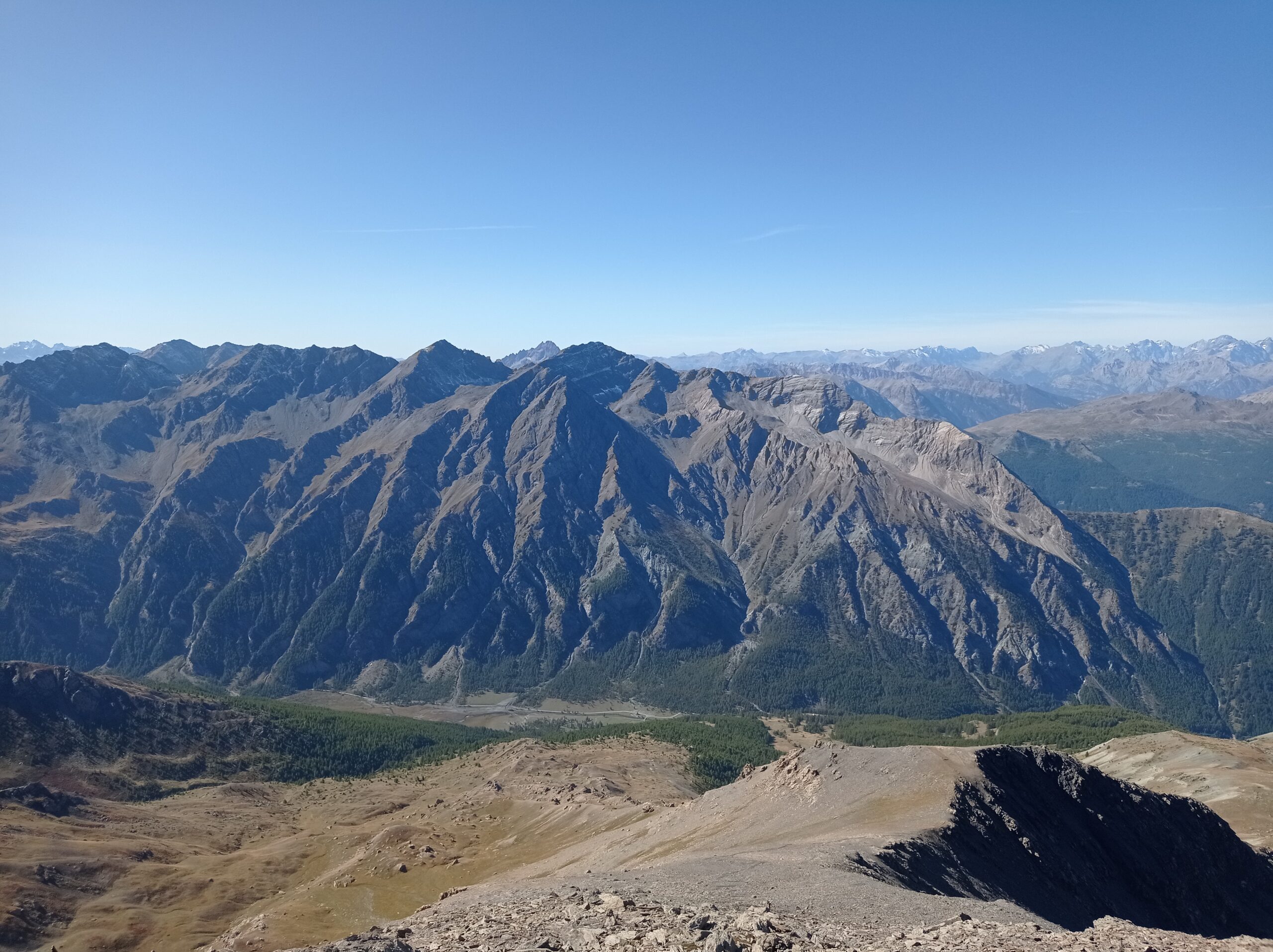
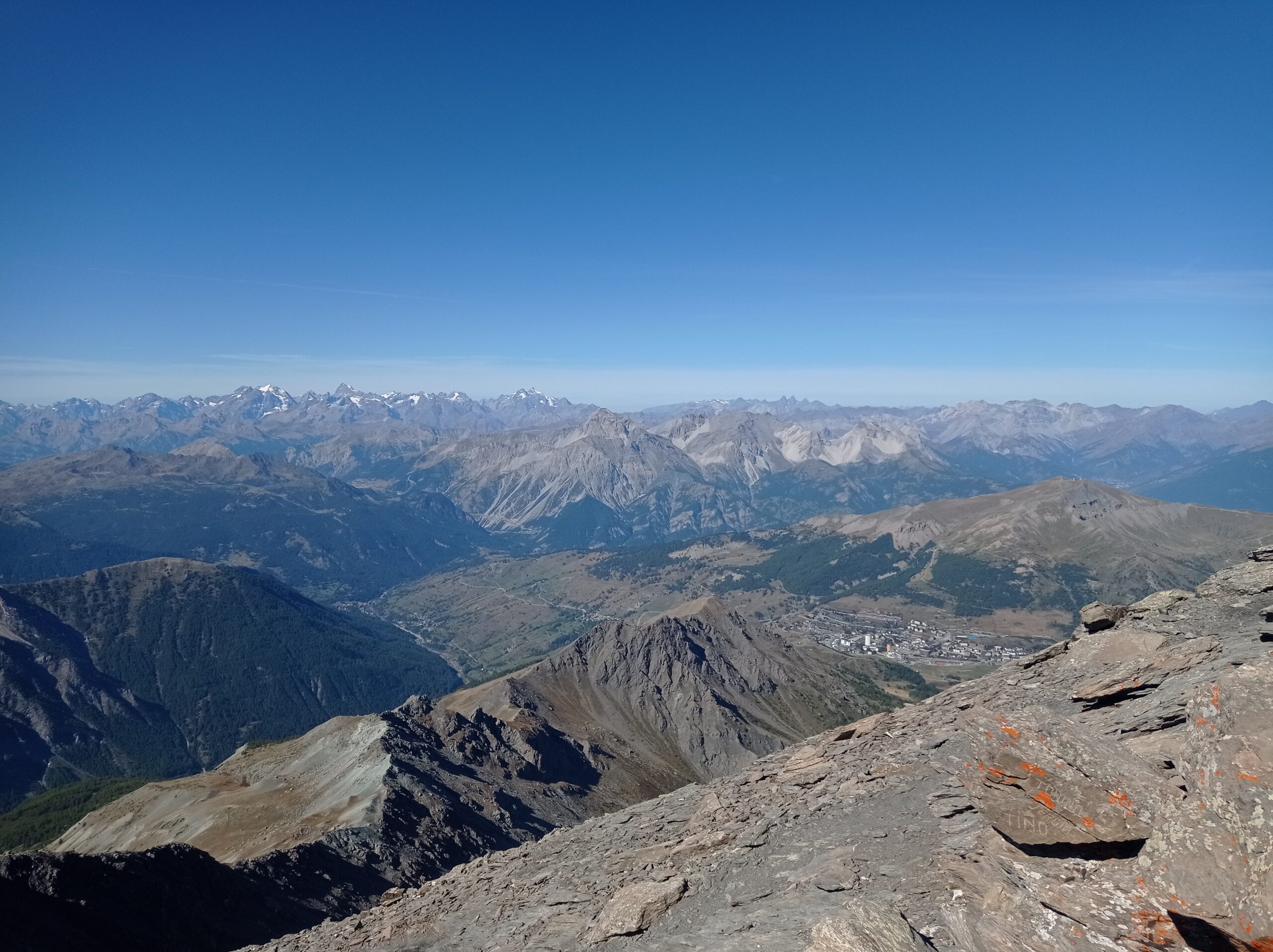
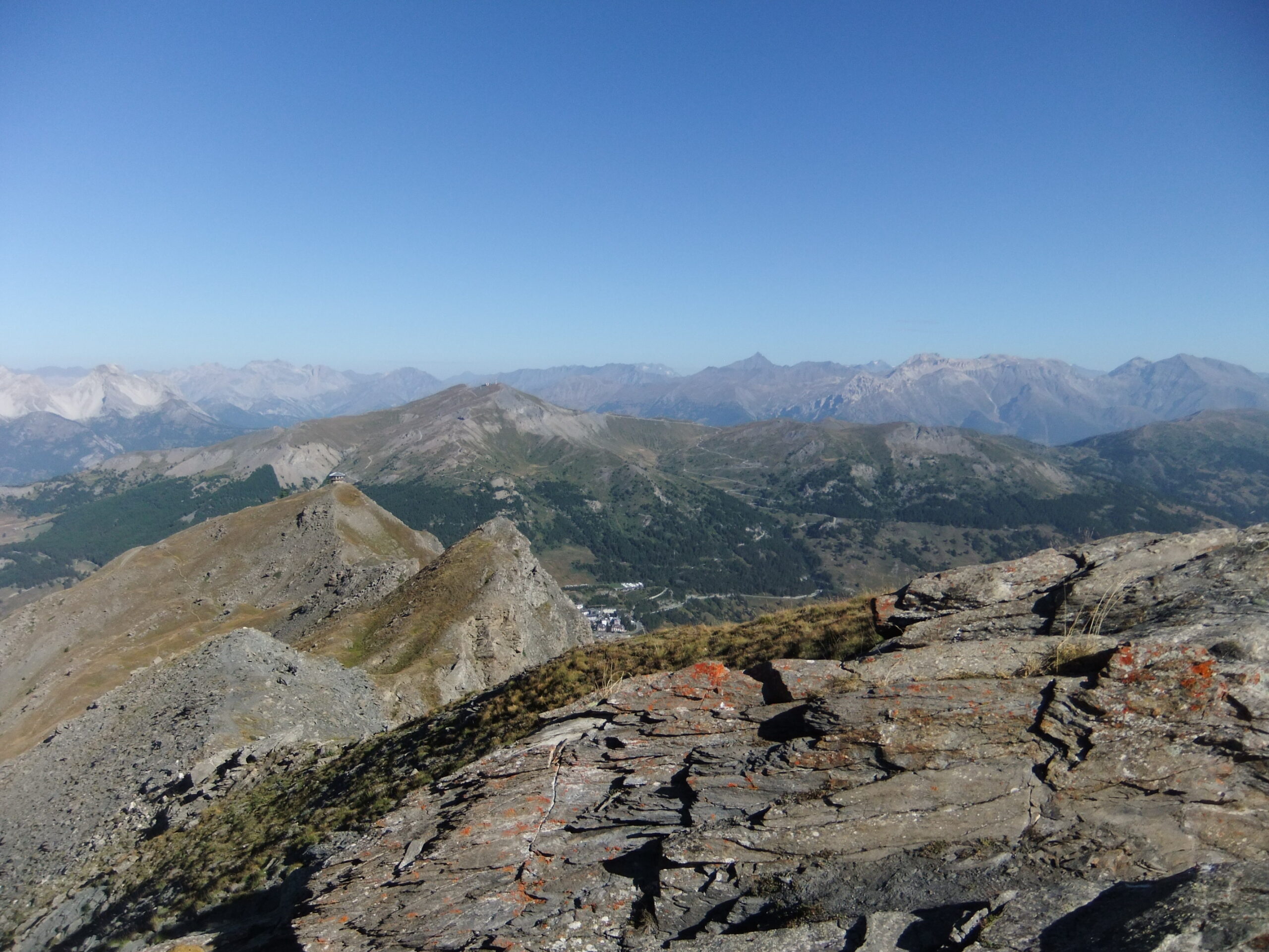
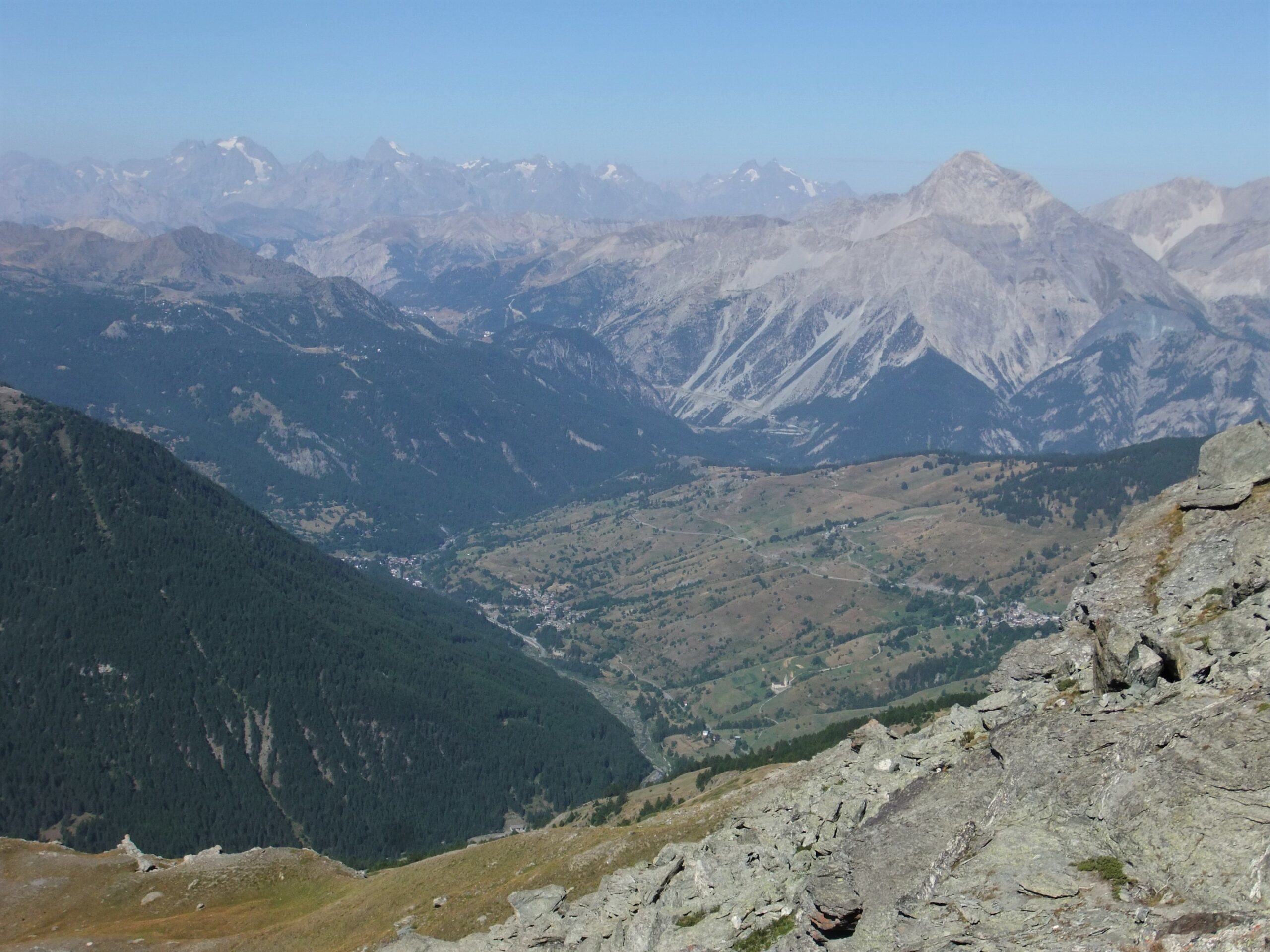
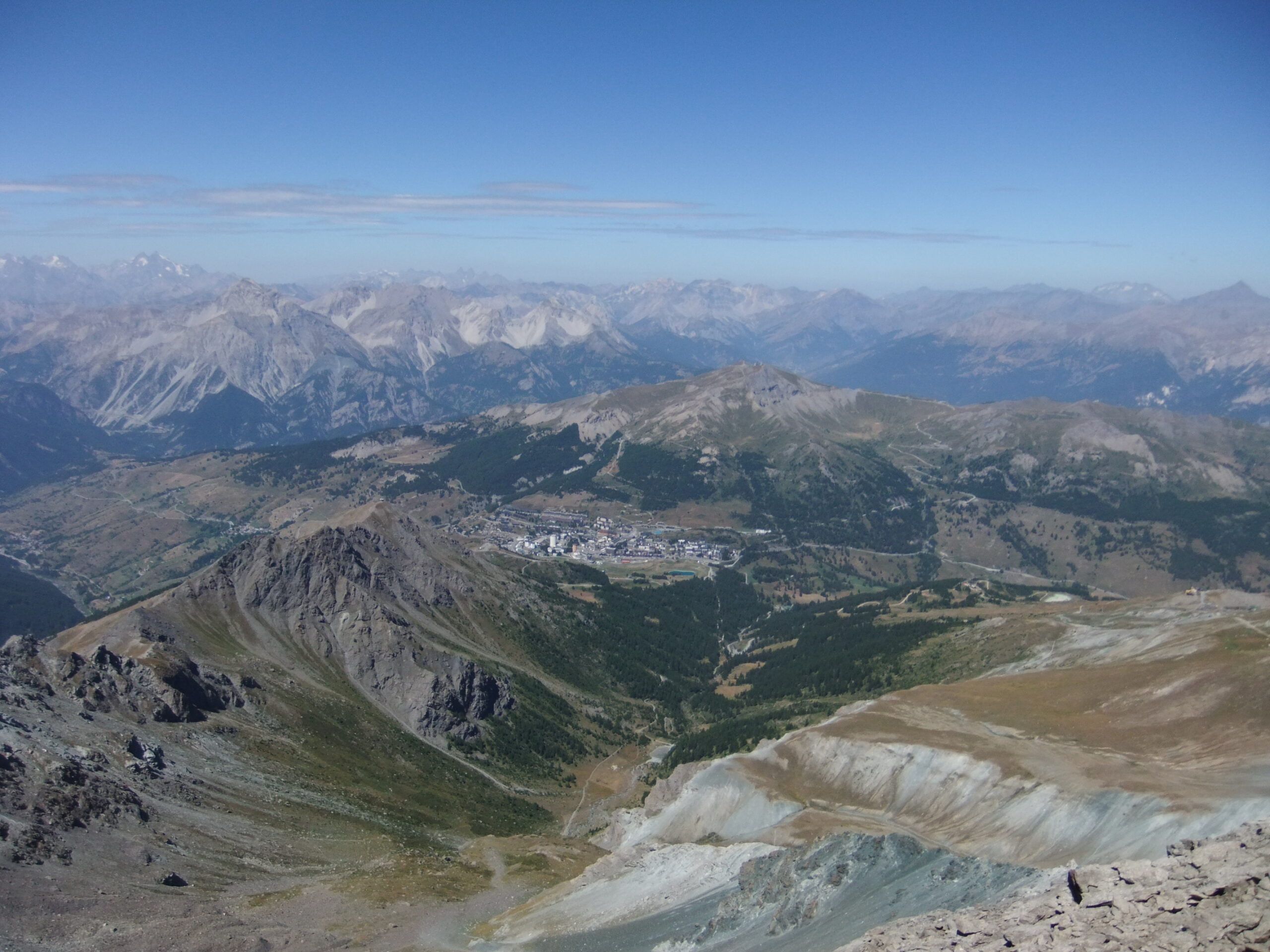
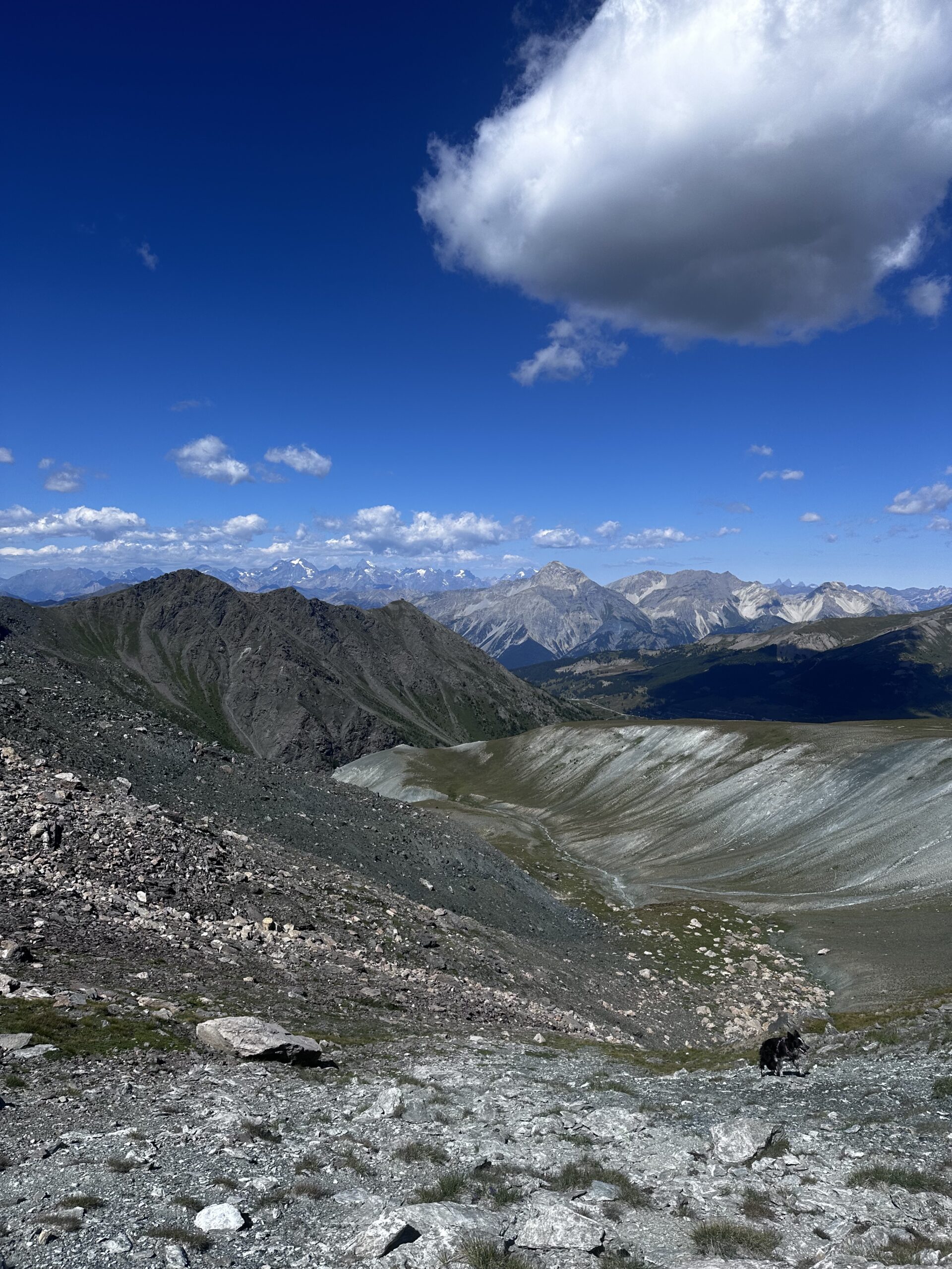
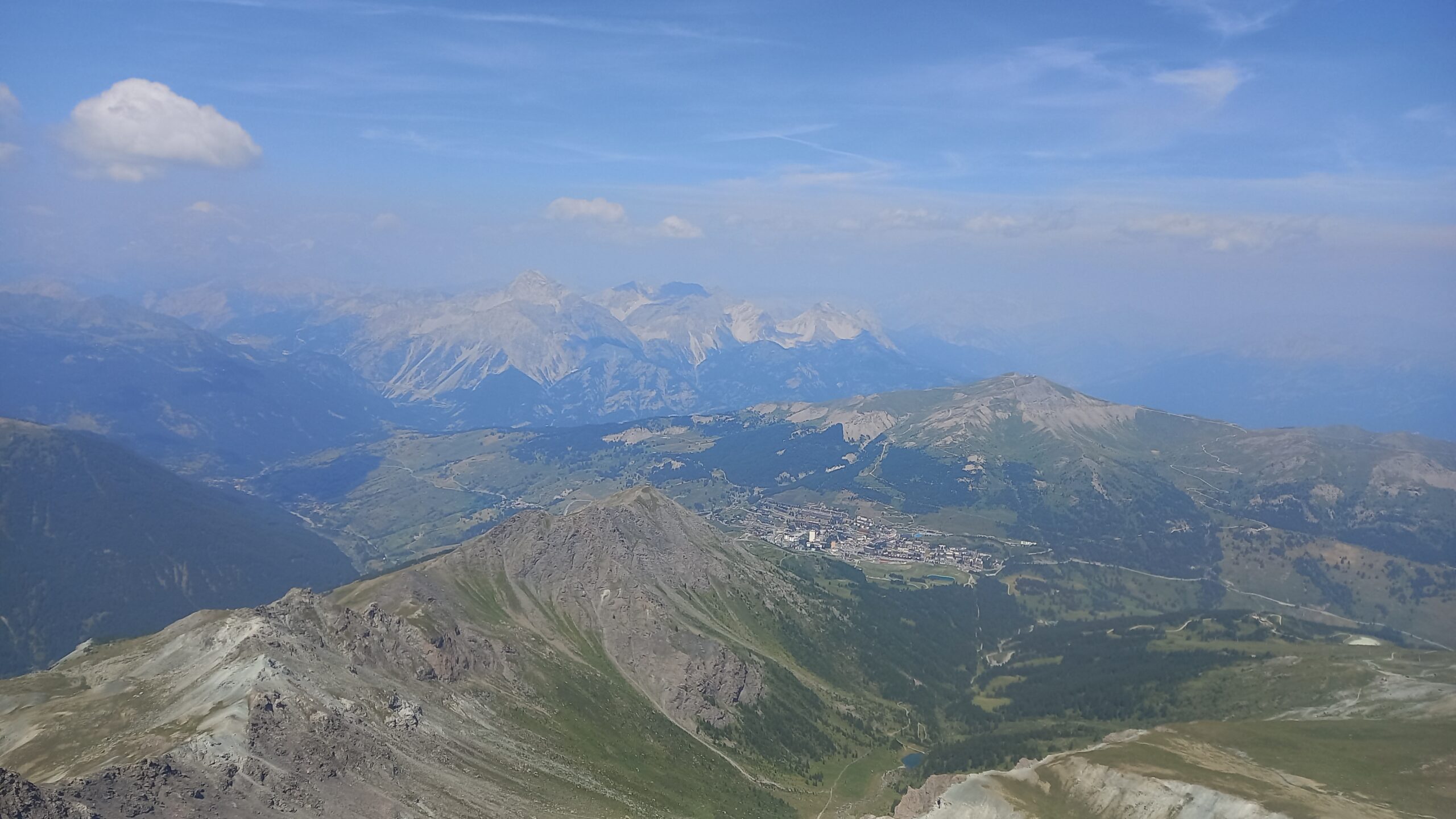
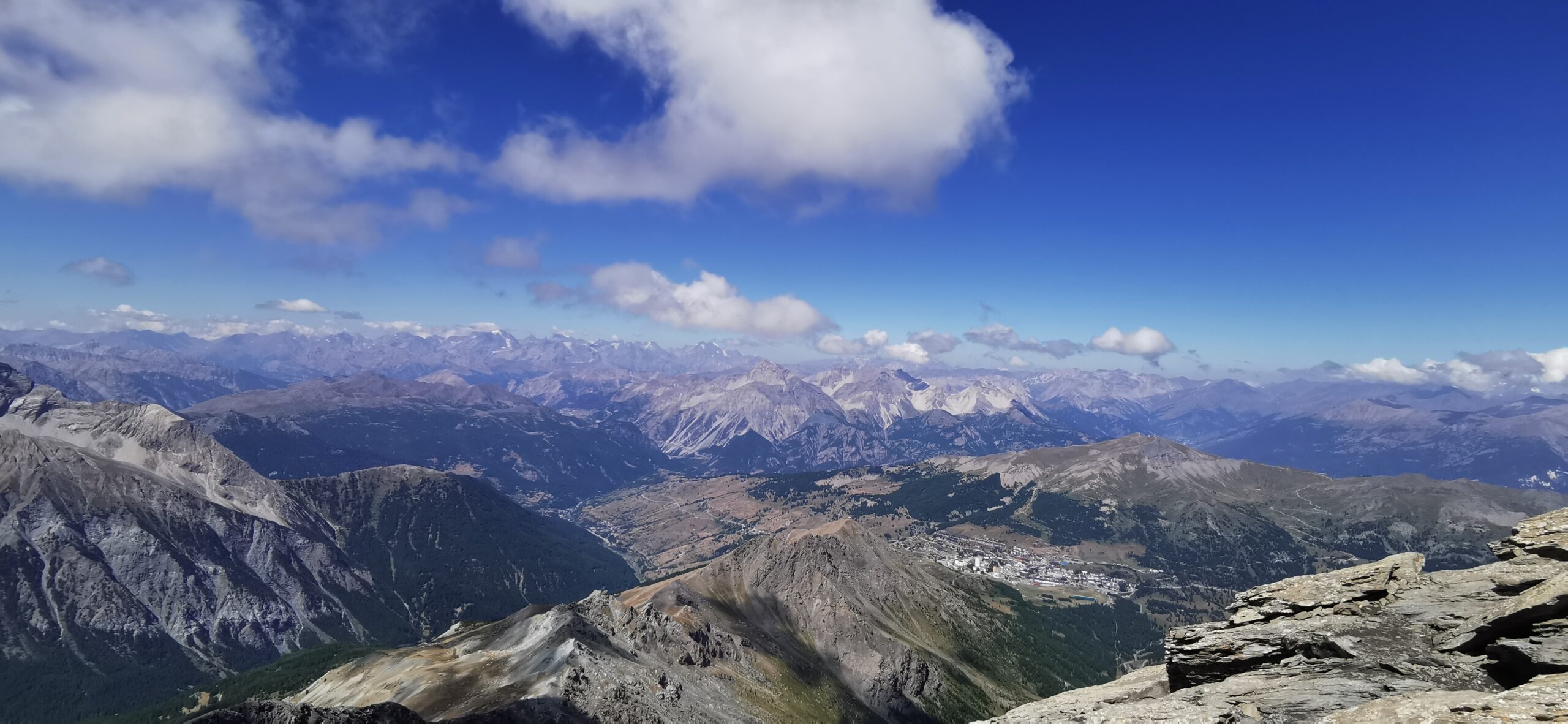
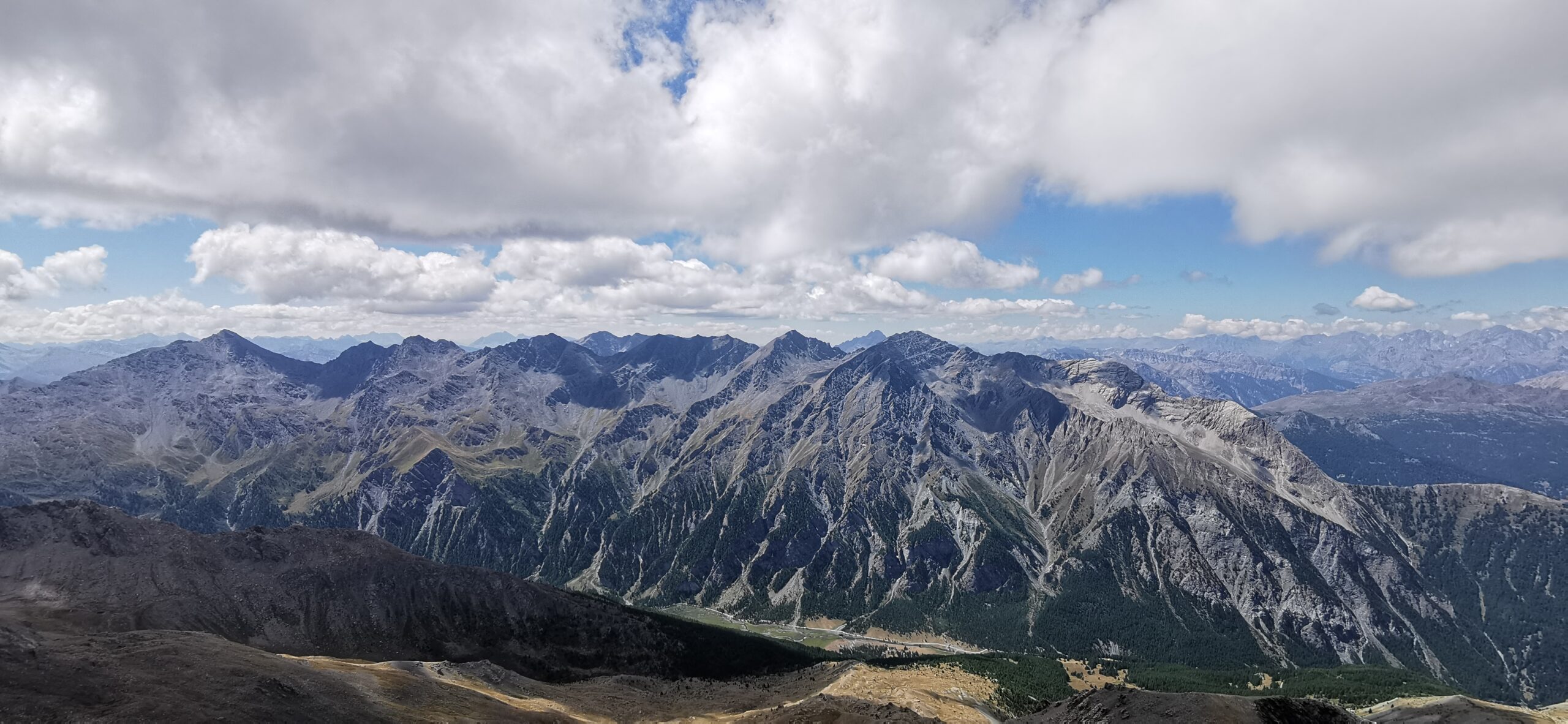
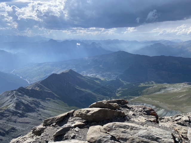
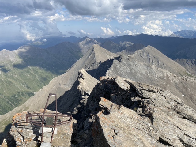
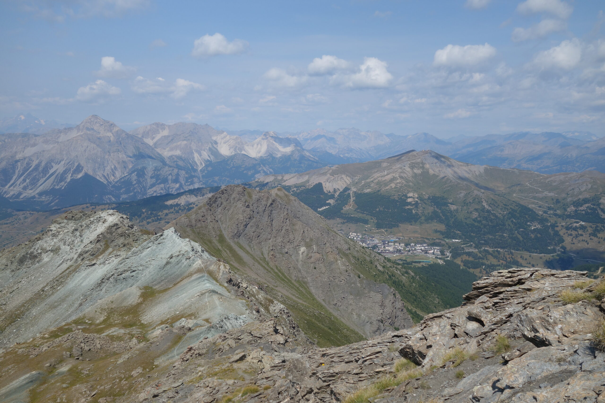
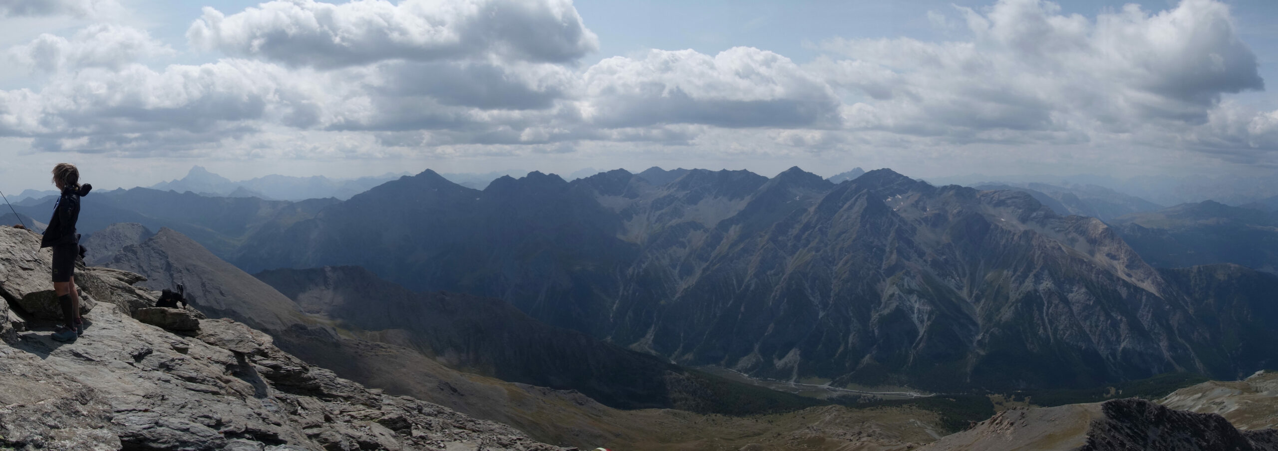
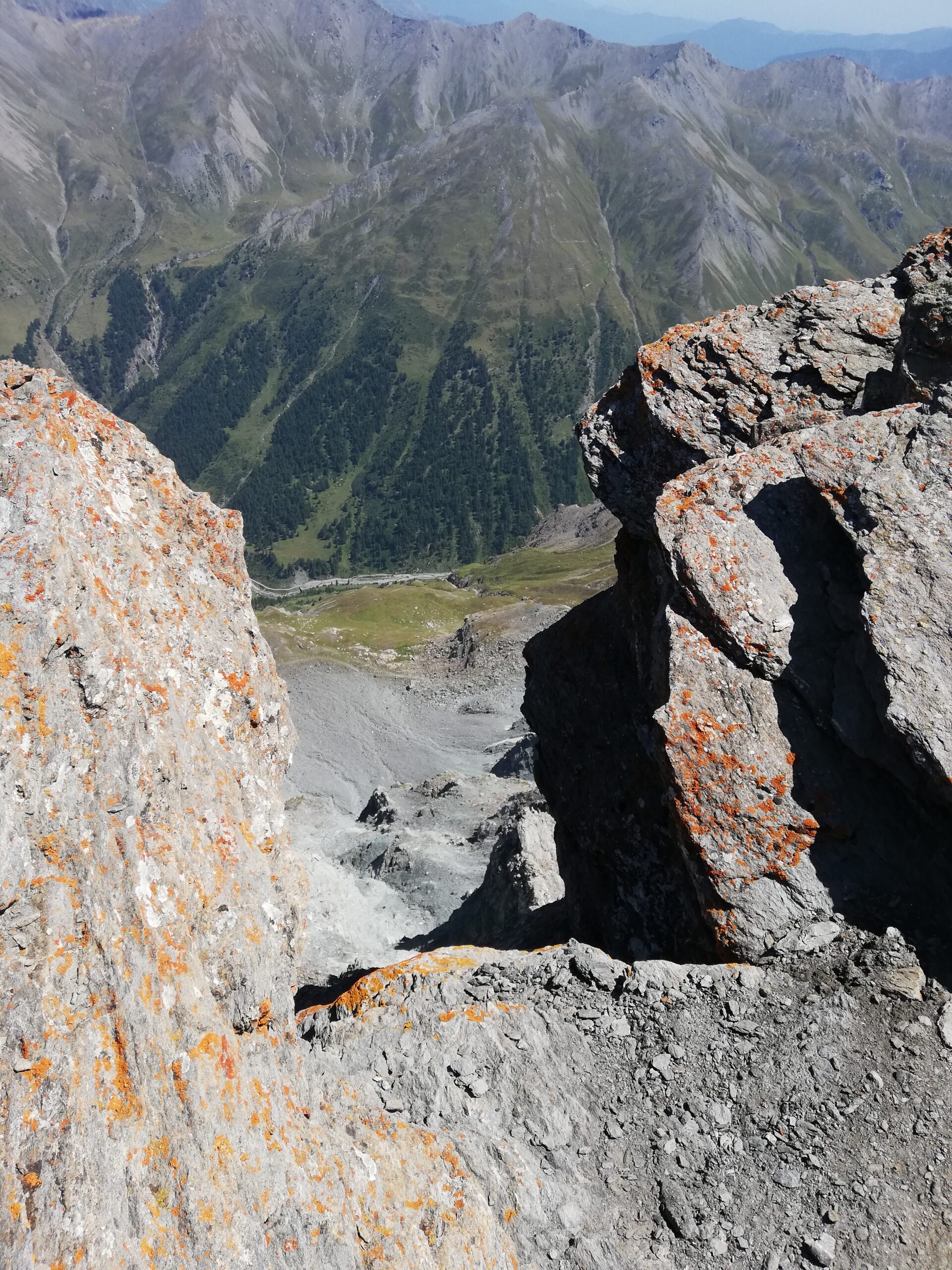
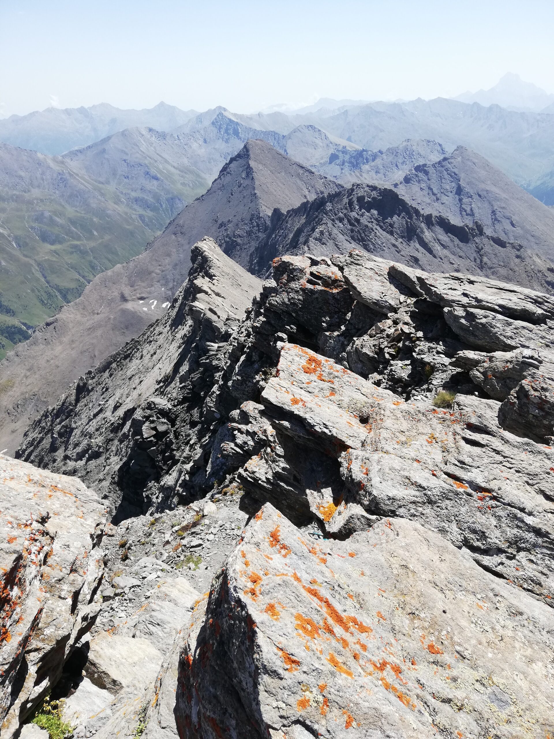
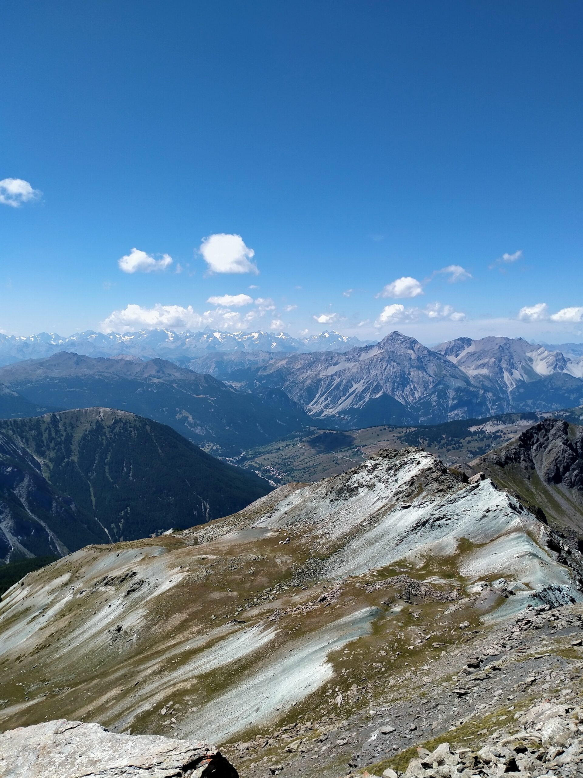
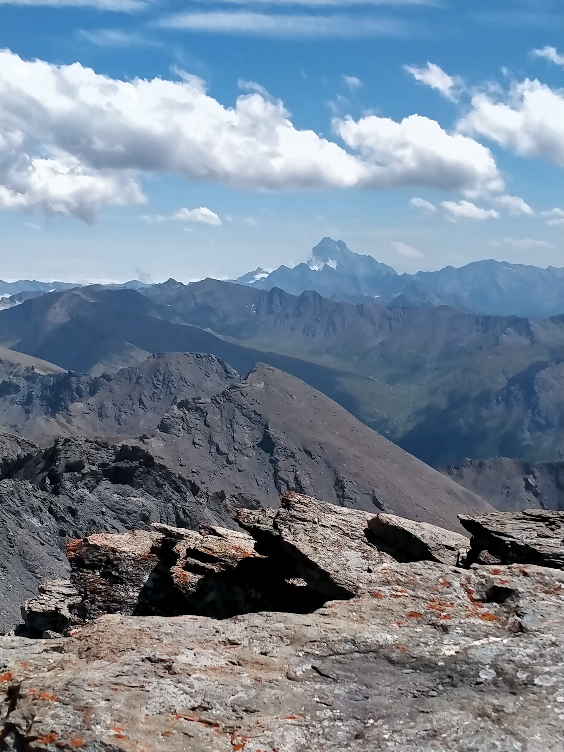
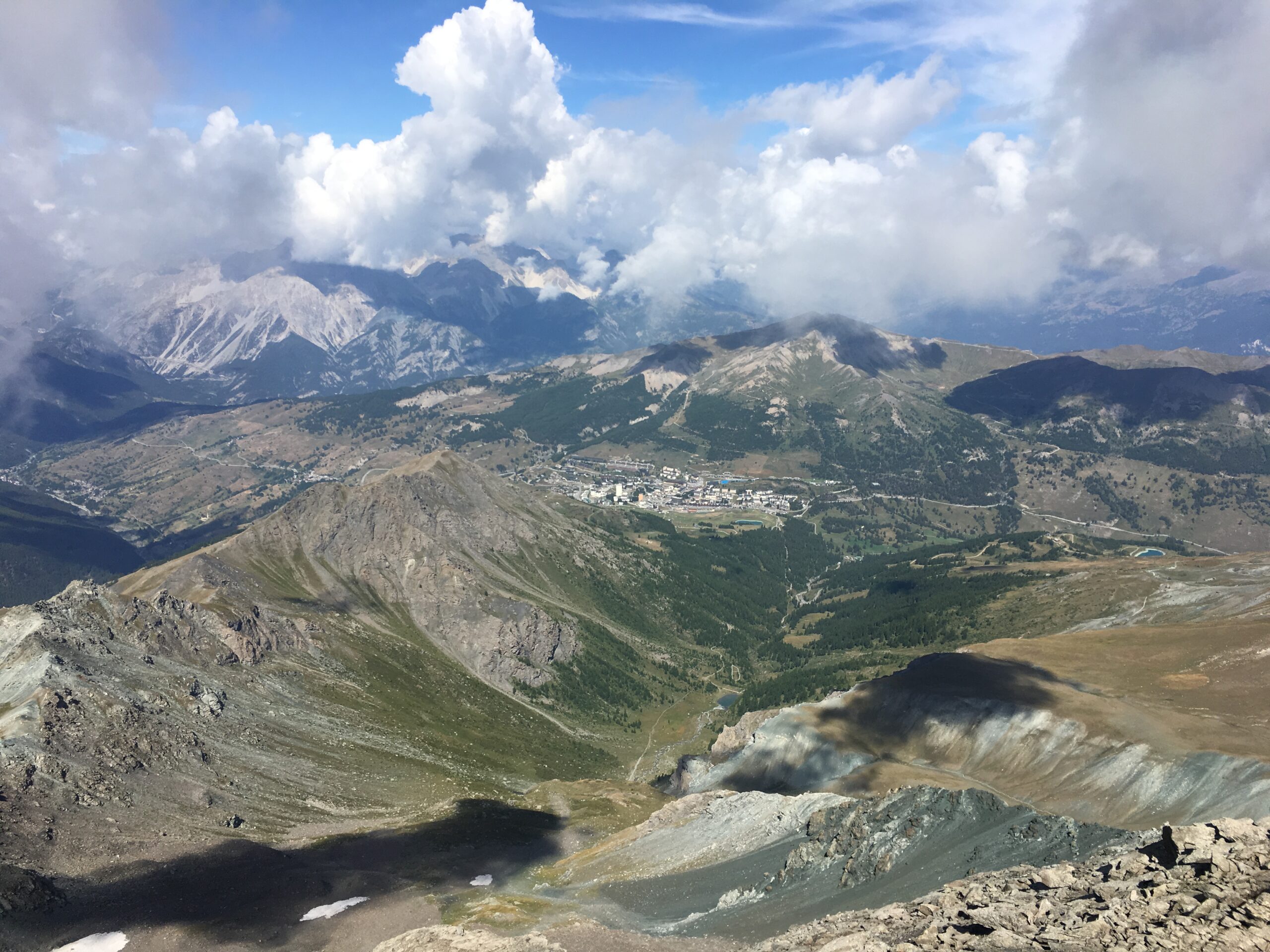
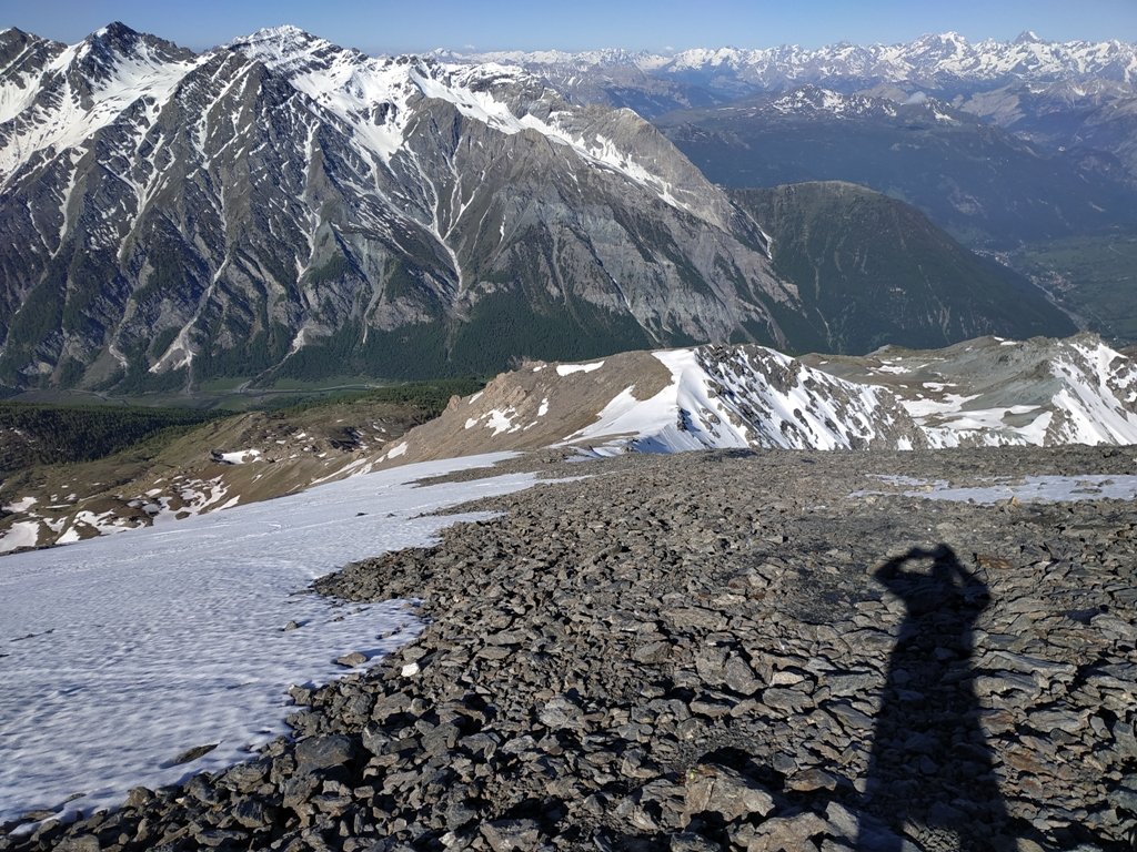
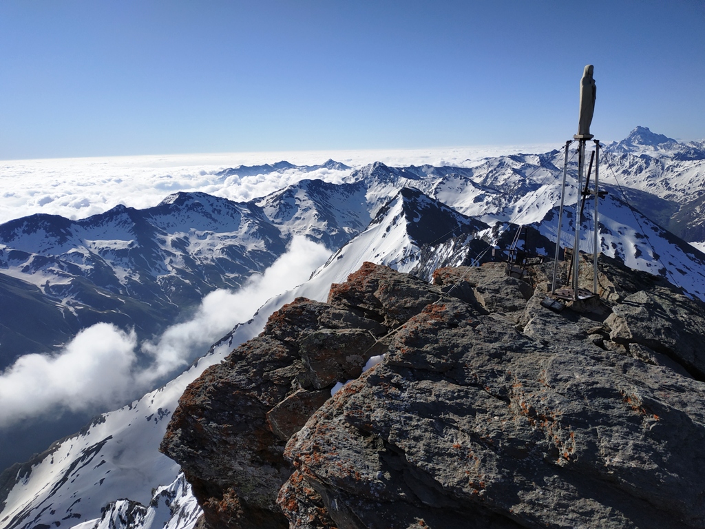
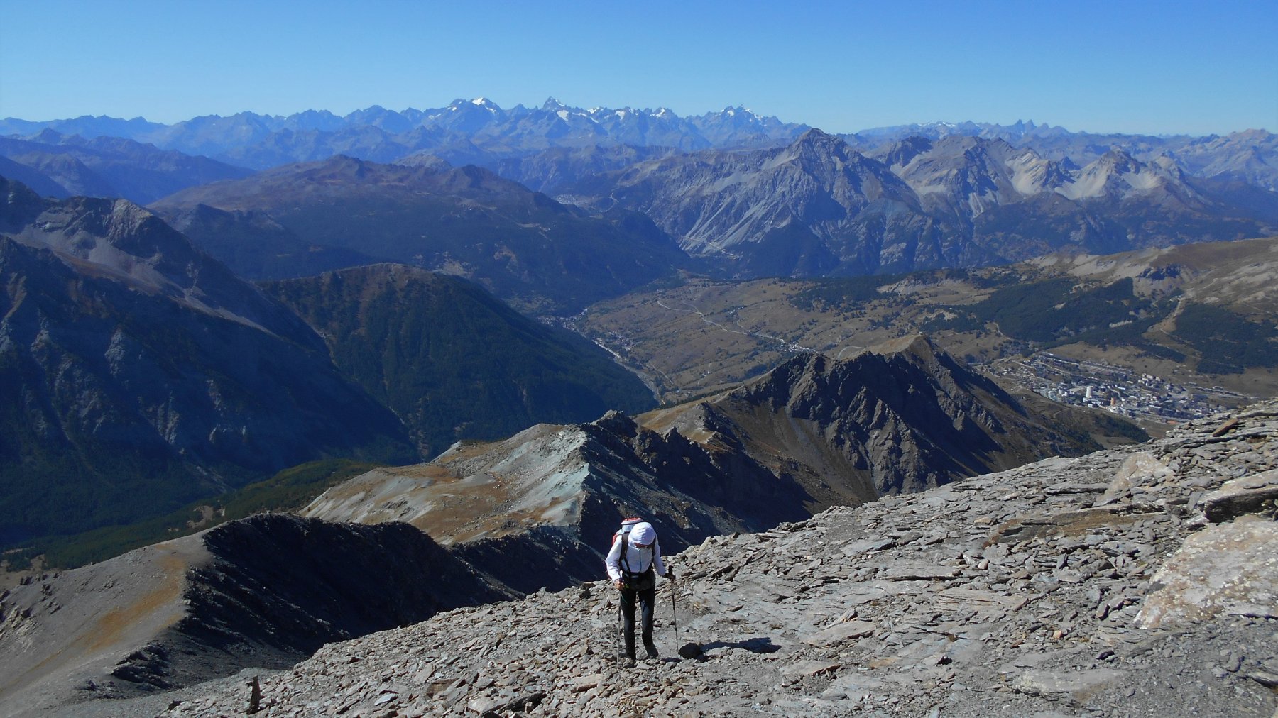
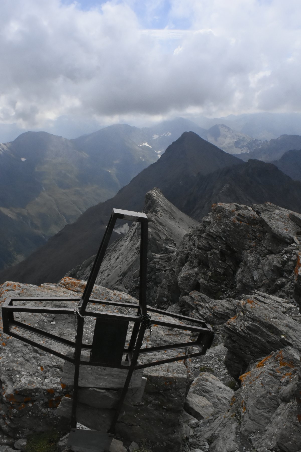
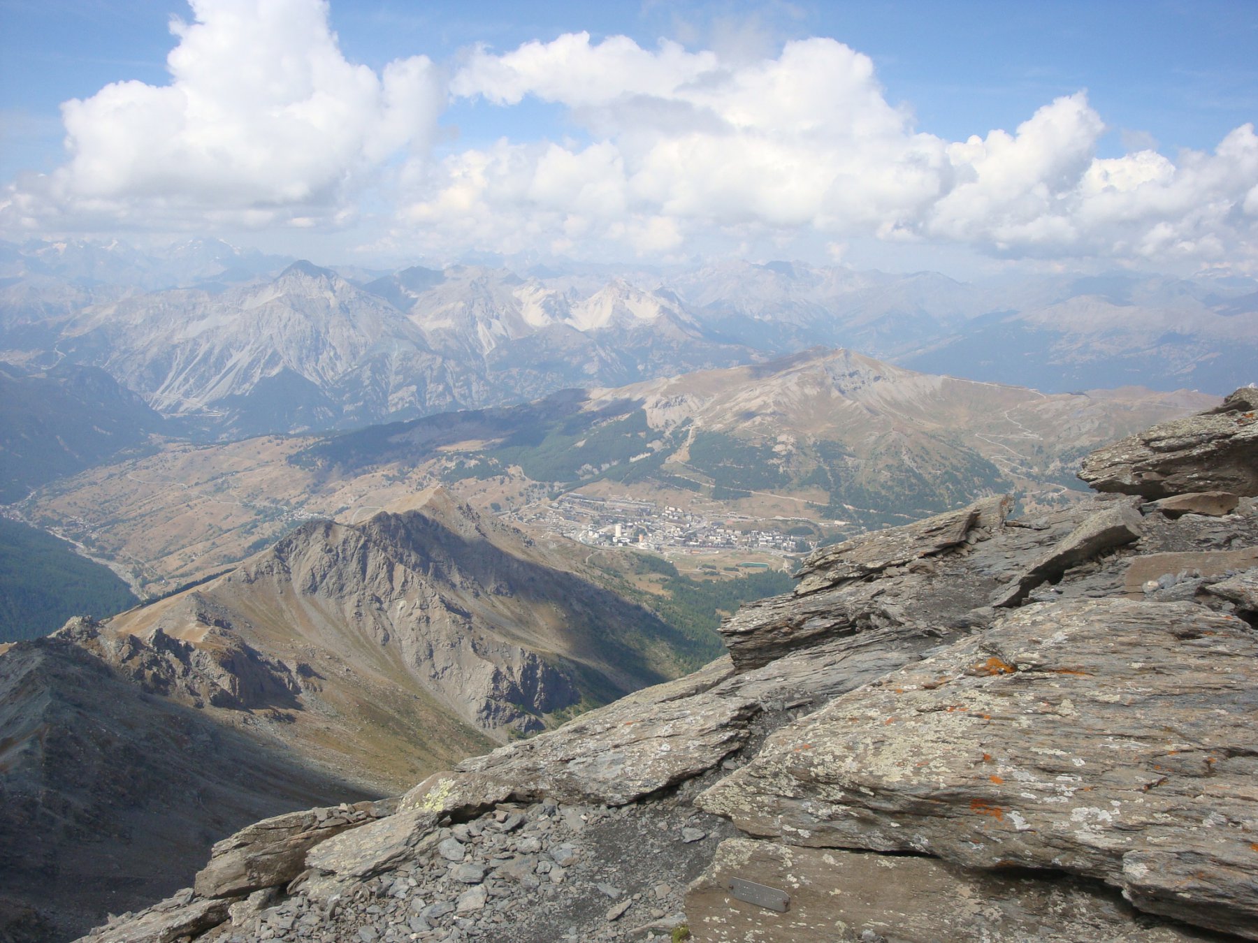
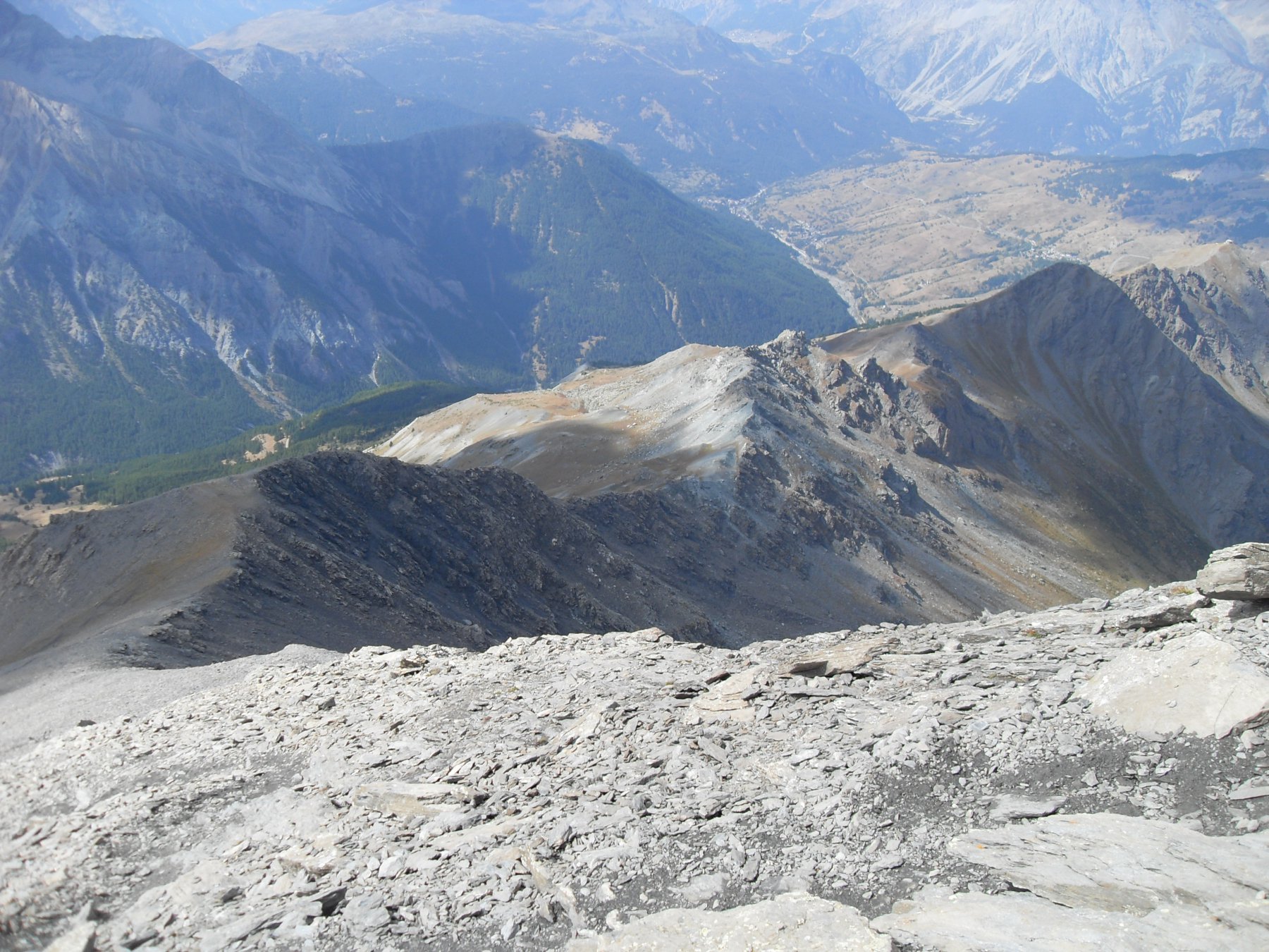
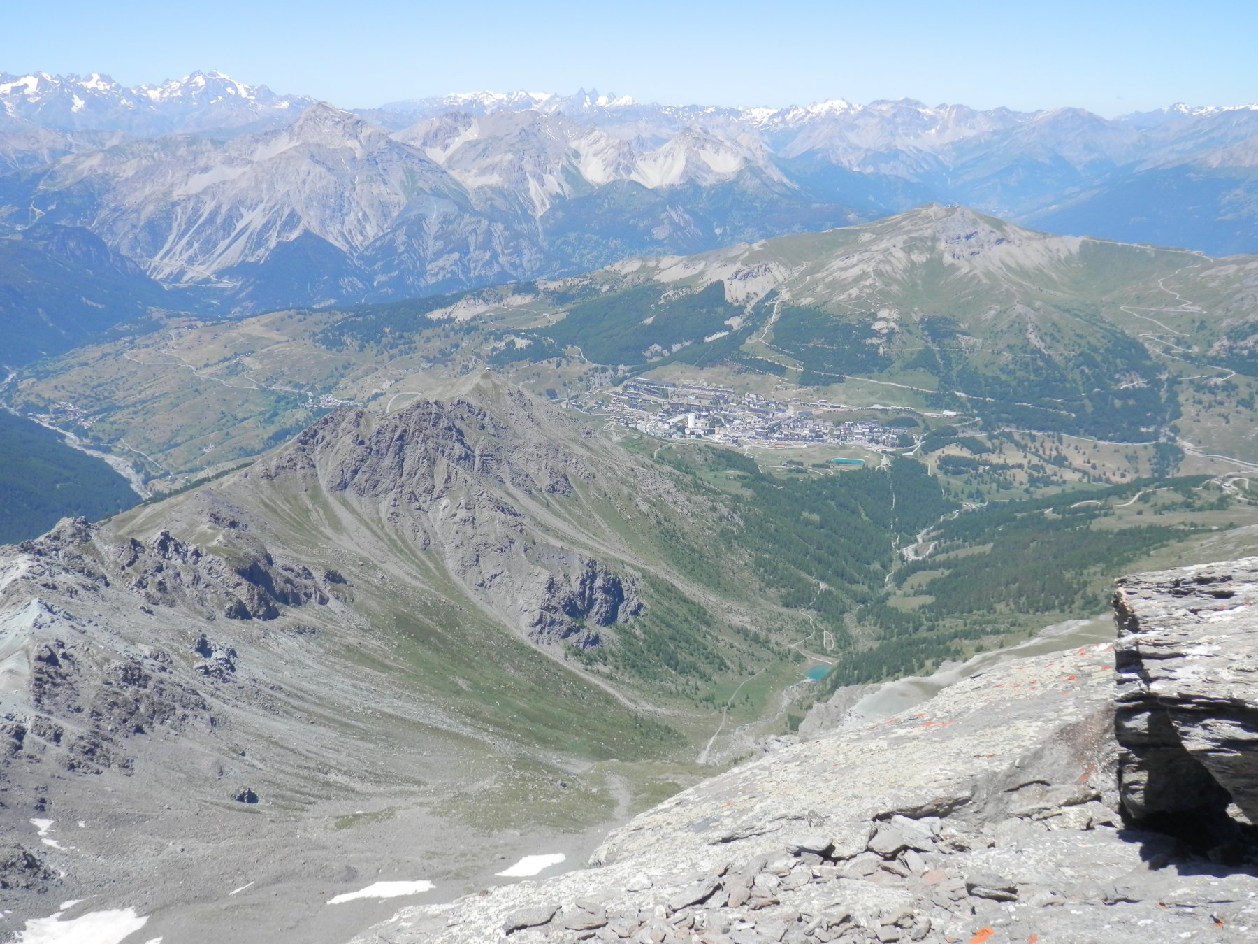
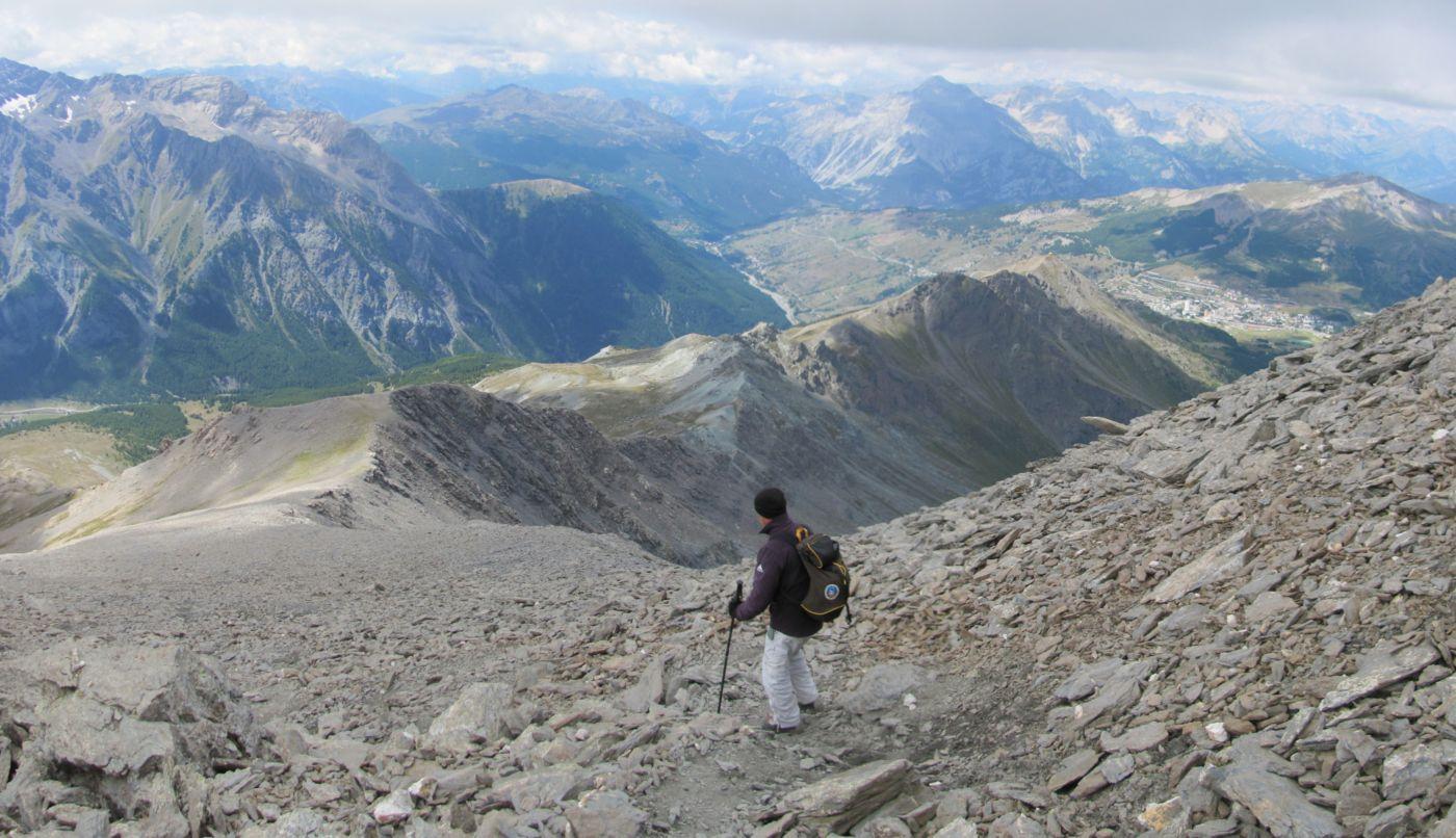
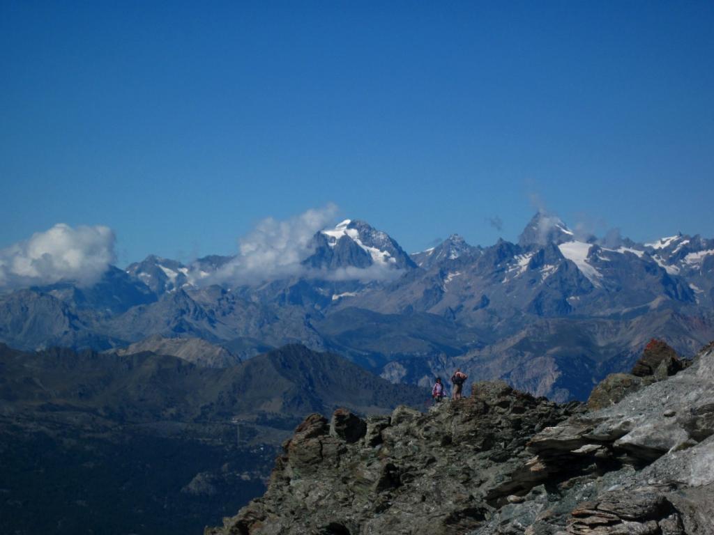
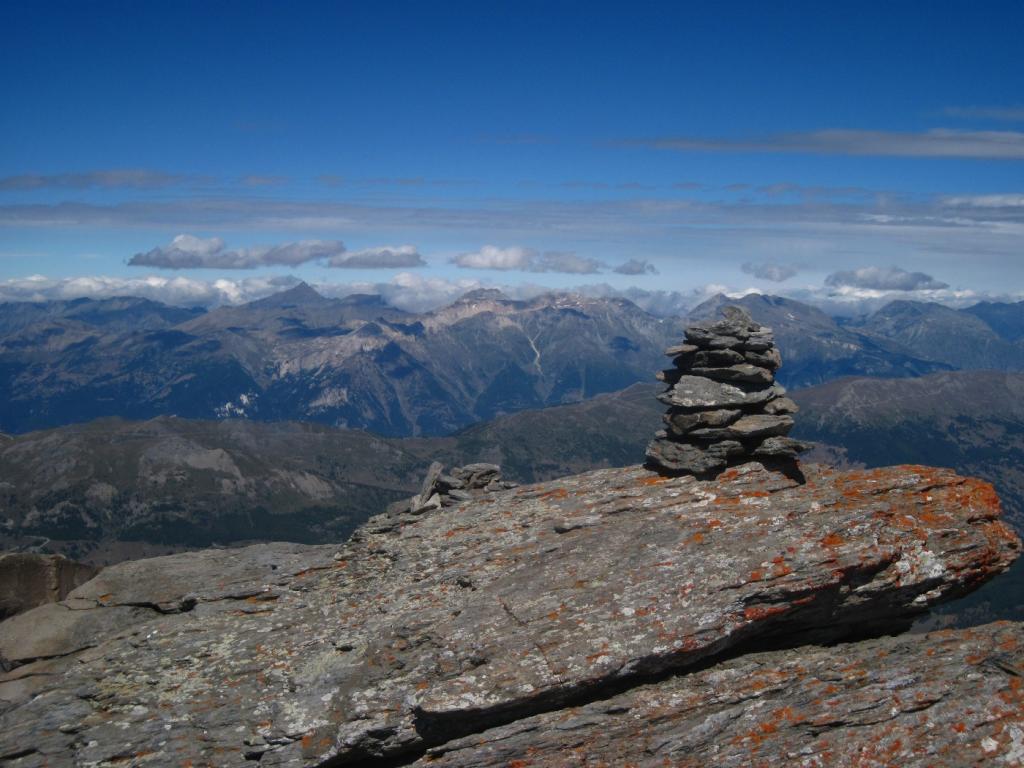
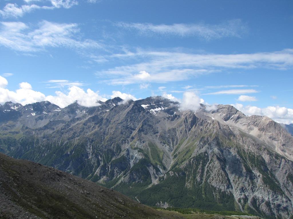
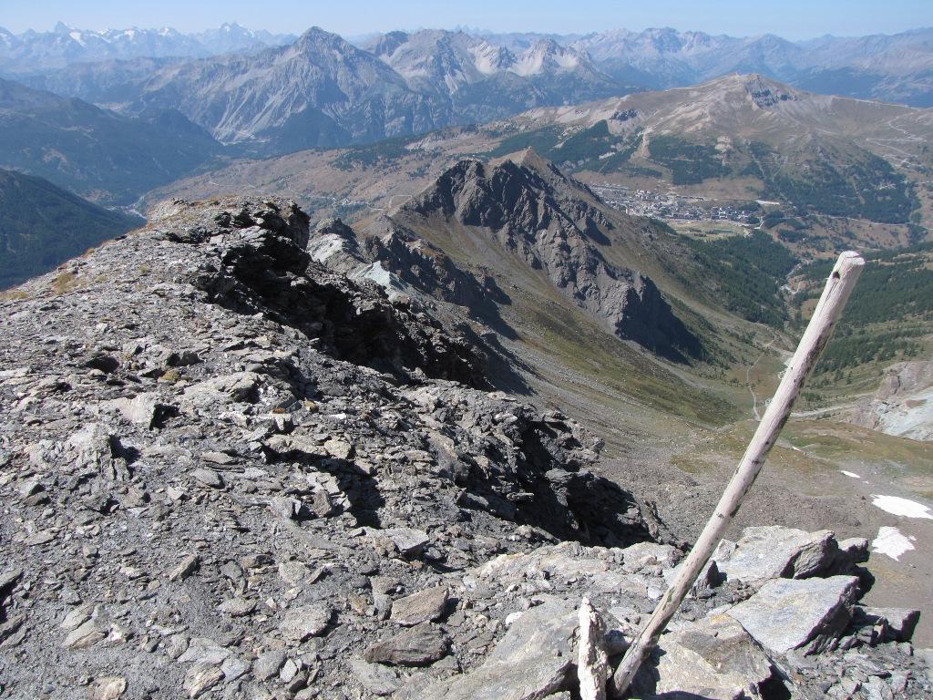
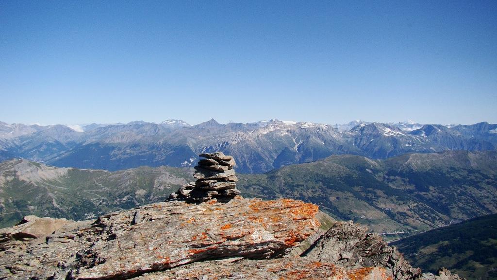
Dalla vetta esteso panorama su tutte le Alpi piemontesi e francesi.
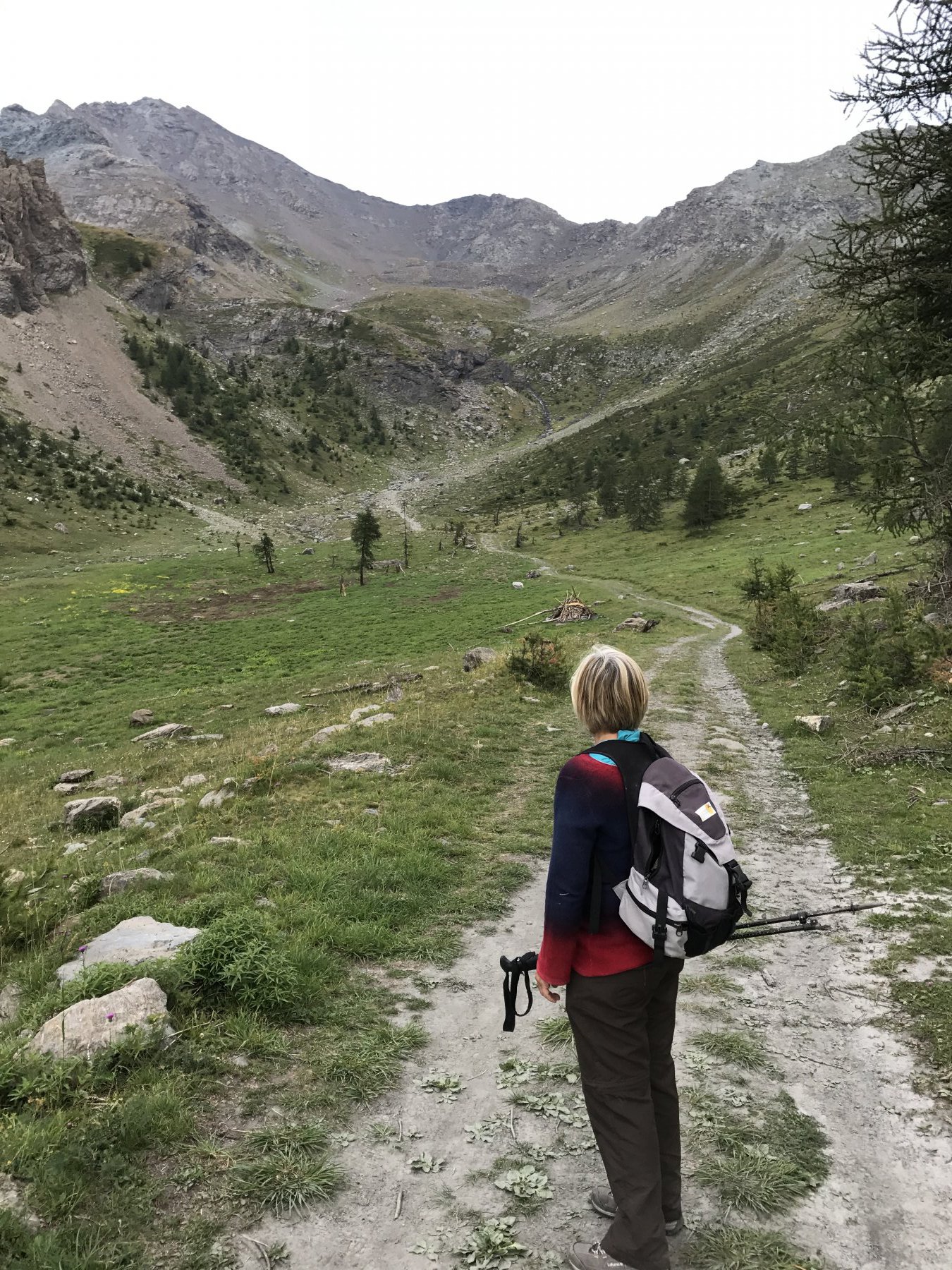
Avvicinamento
Nonostante la vicinanza a questo, la salita si svolge, a parte il primo tratto, in un bellissimo ambiente di montagna.
Dalla vetta esteso panorama su tutte le Alpi piemontesi e francesi.
.
Descrizione
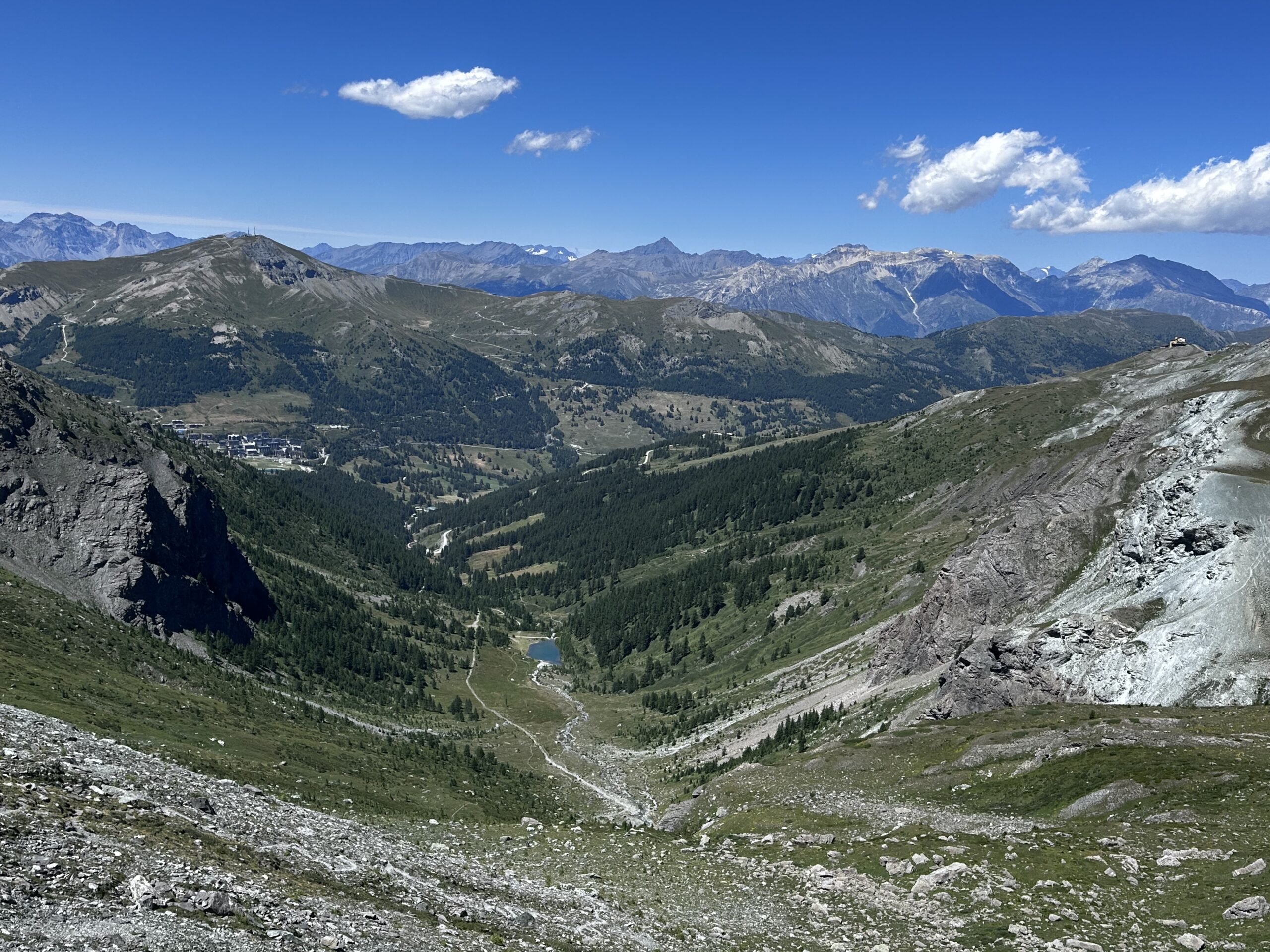
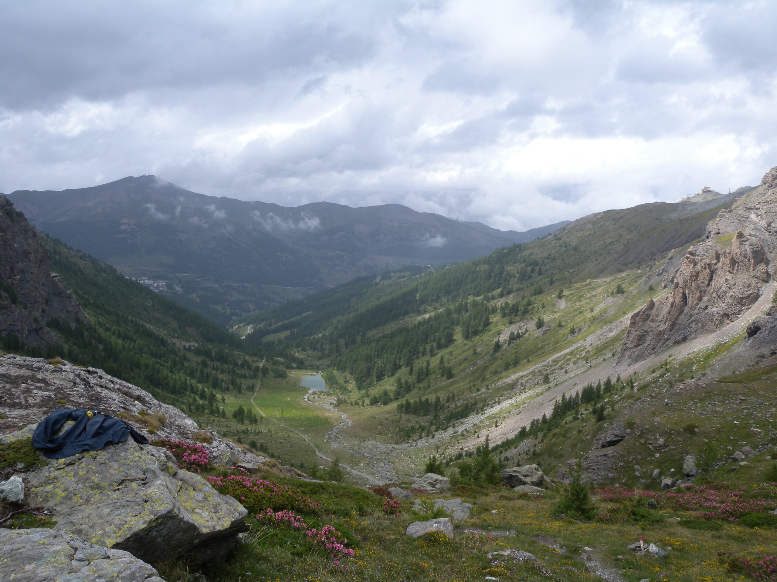
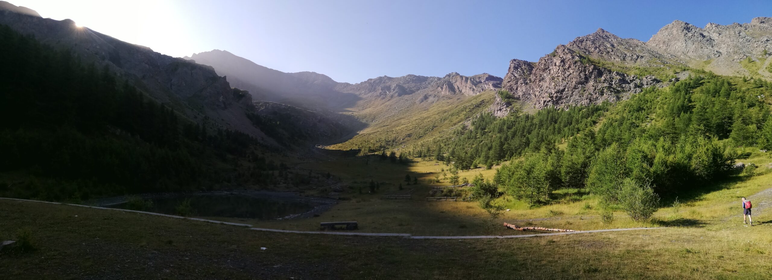
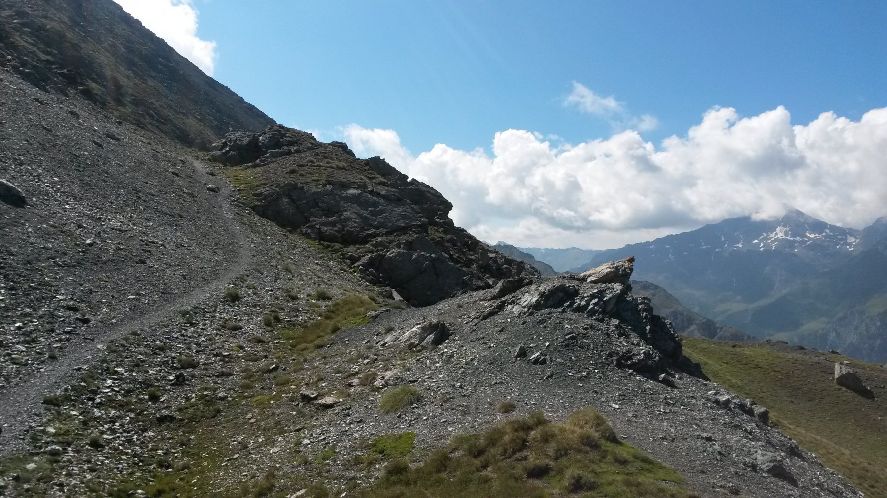
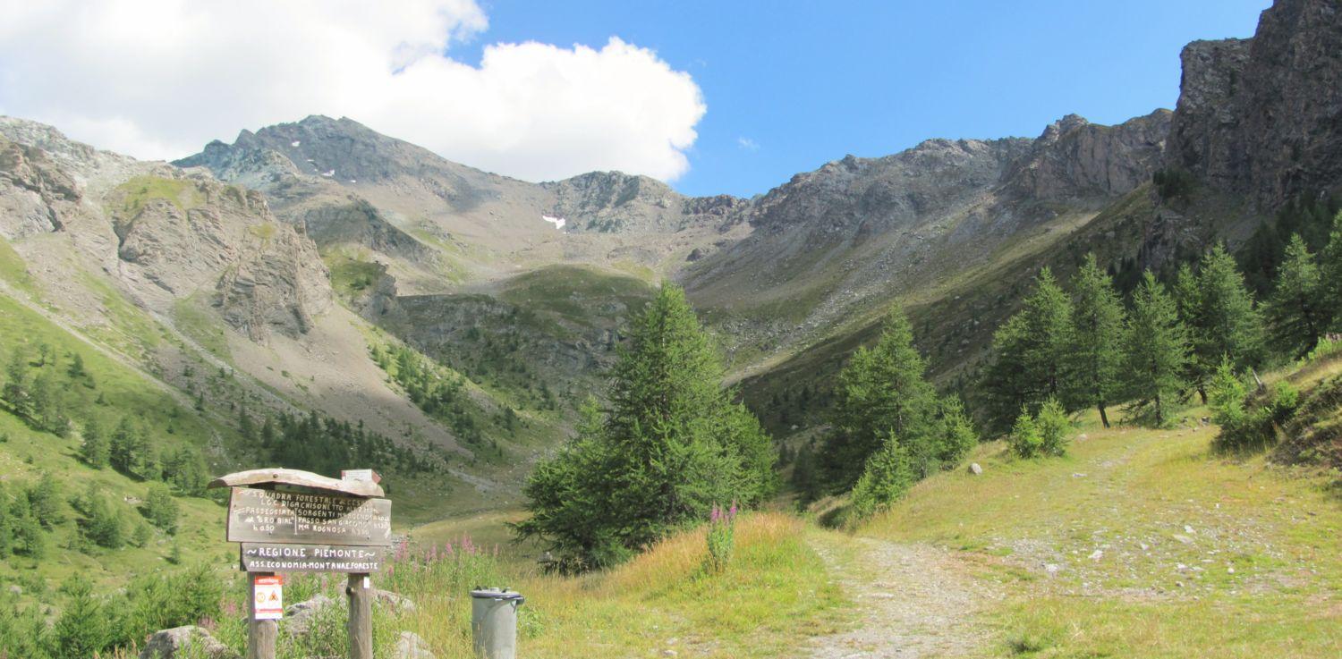
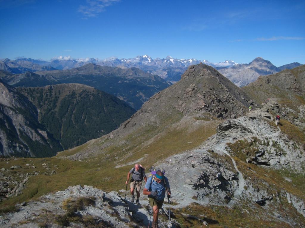
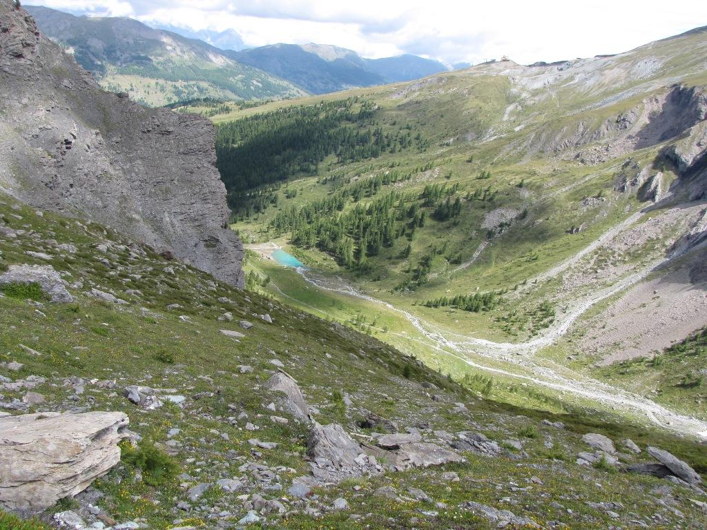
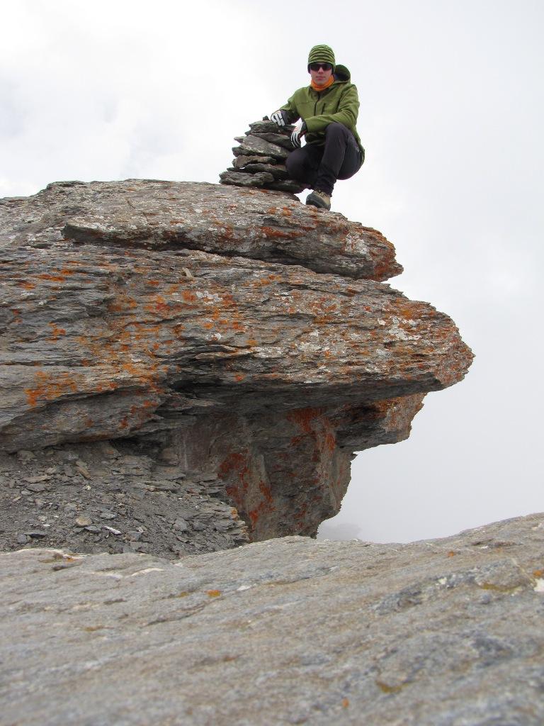
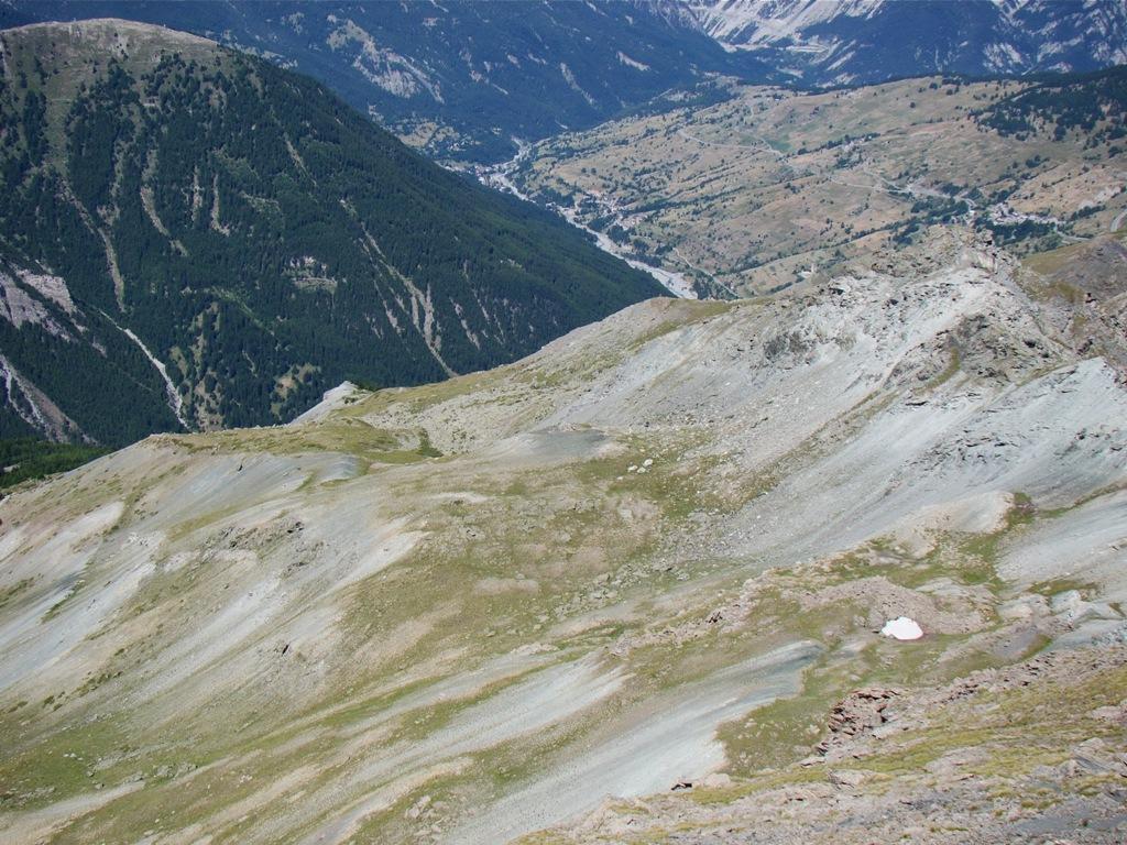
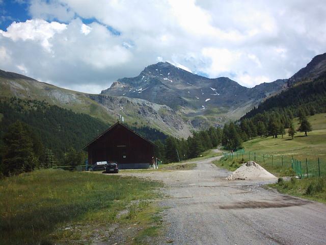
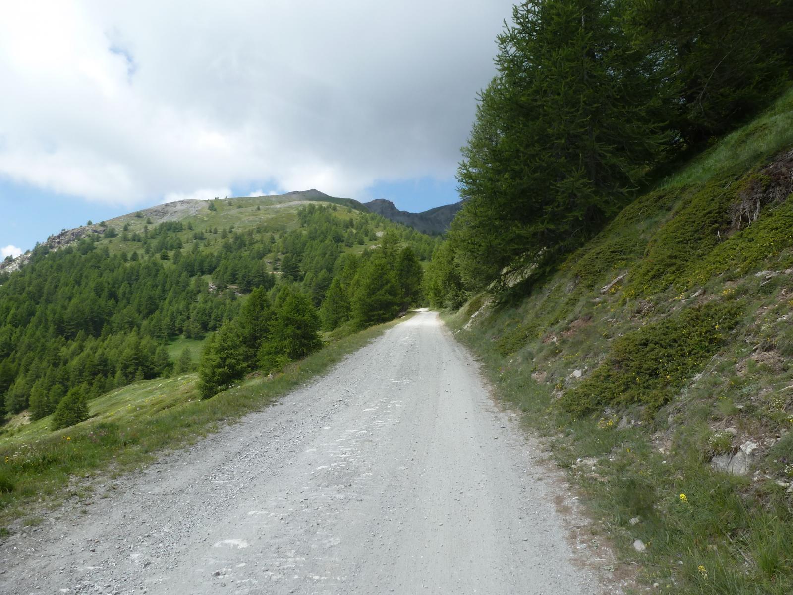
Dal Colle del Sestriere, dal piazzale principale, si sale su una sterrata (vietata alle auto) verso il monte Alpette, sede di impianti sciistici, da cui si imbocca un sentiero (abbondanti tacche gialle) che, tenendosi sul versante SO del Monte Sises, raggiunge il passo San Giacomo (2.639 m).
In alternativa si può raggiungere il passo di San Giacomo passando dalla diga del Chisonetto, raggiungibile con una comoda stradina in piano vietata alle auto.
Da qui proseguire sulla sterrata che si diparte a destra, proseguendo poi su sentierino segnato con tacche gialle e segni bianco/rossi. Giunti a un bivio prendere a destra prima quasi in piano, poi su decisa salita fino al passo.
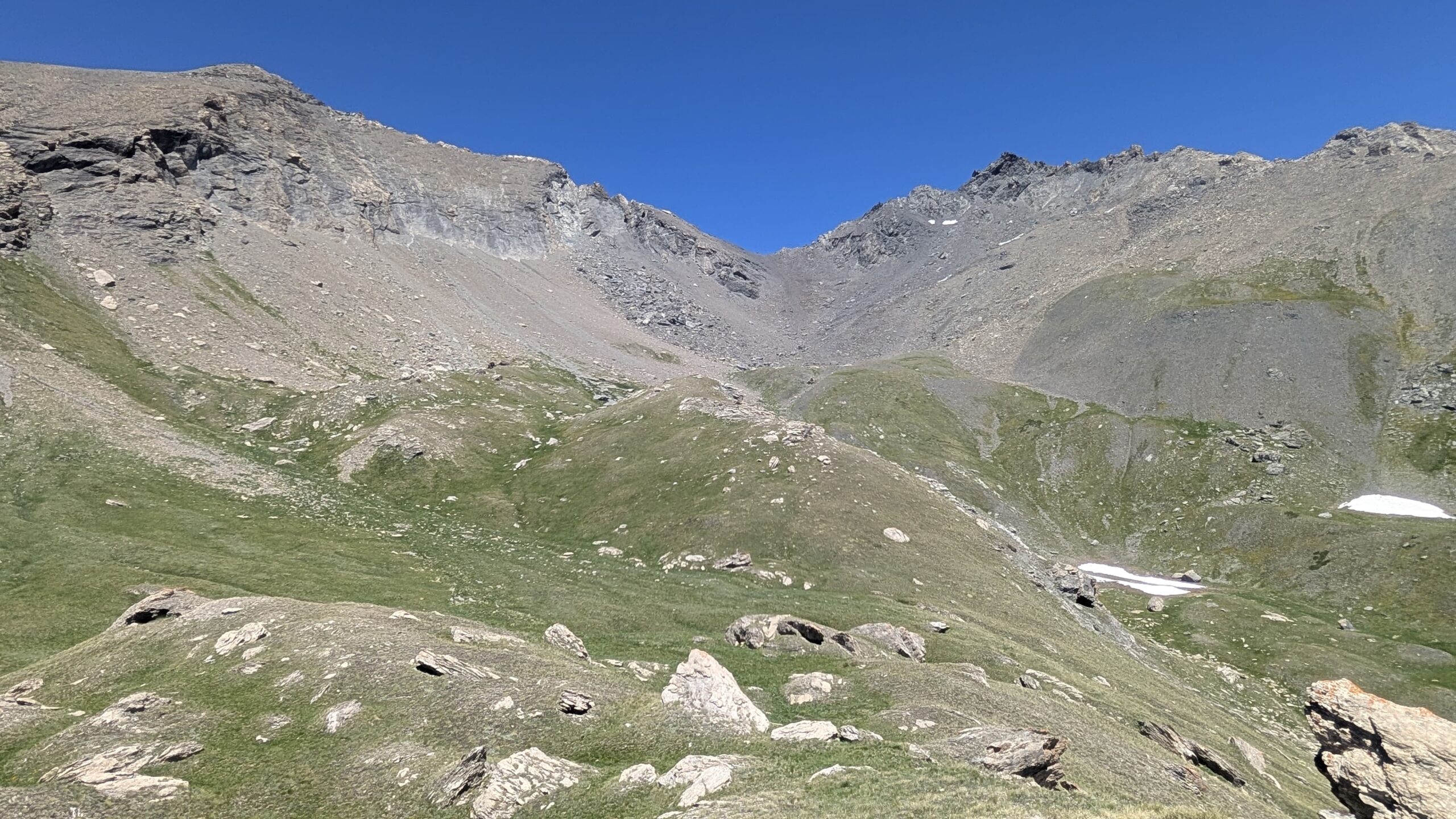
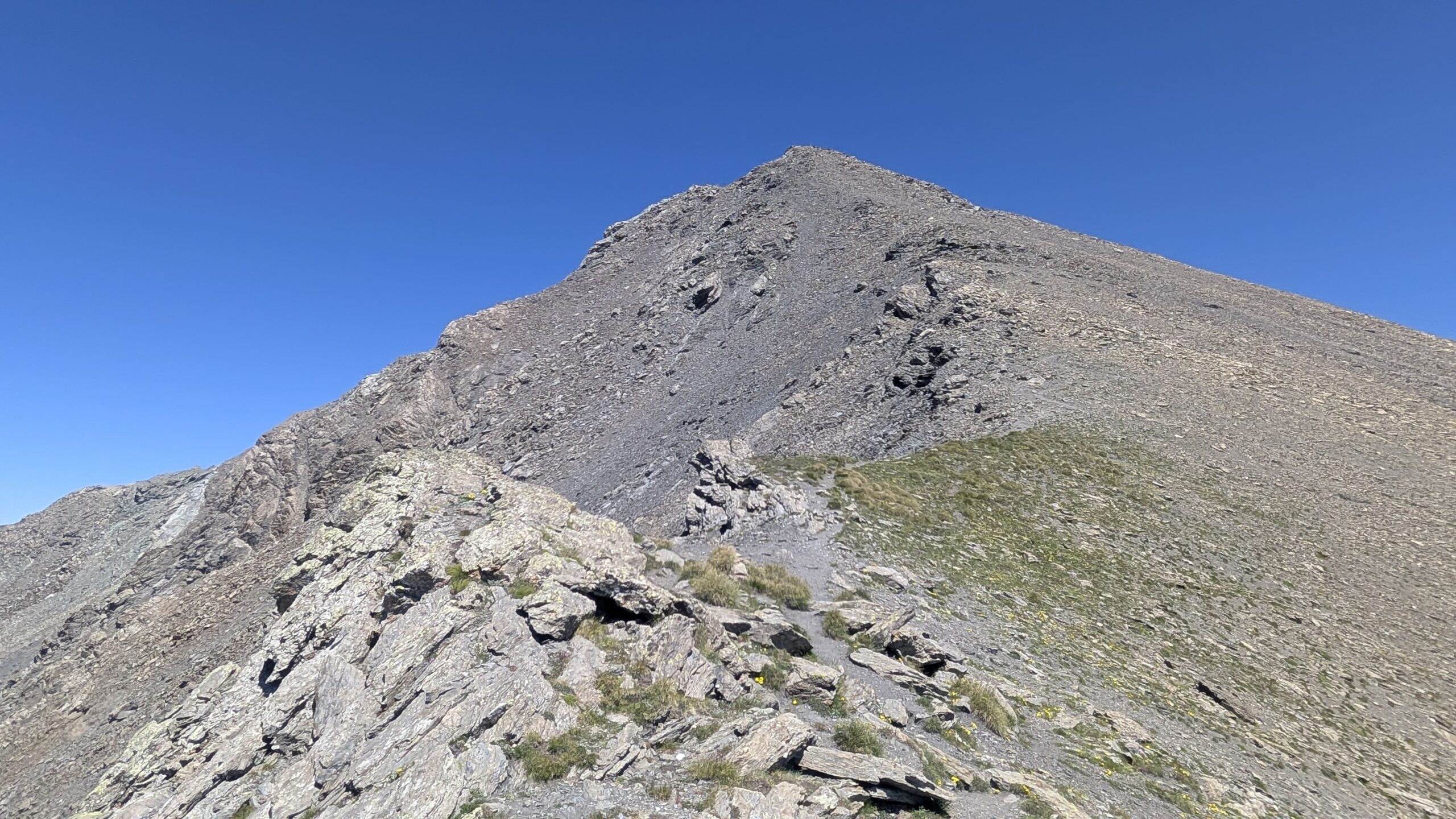
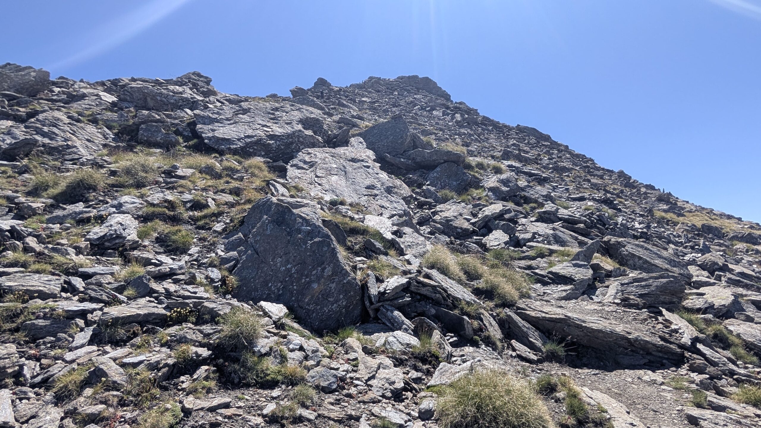
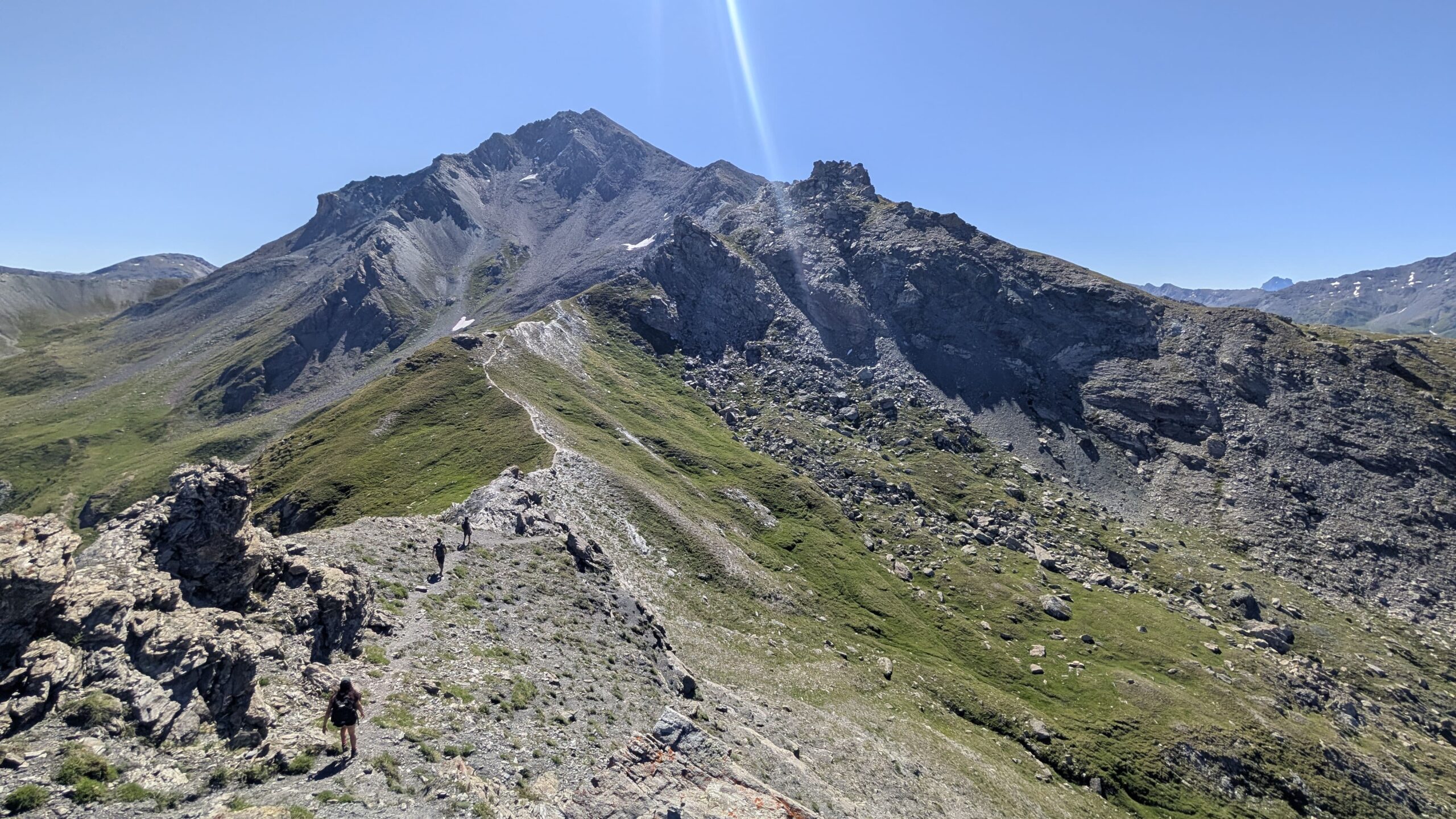
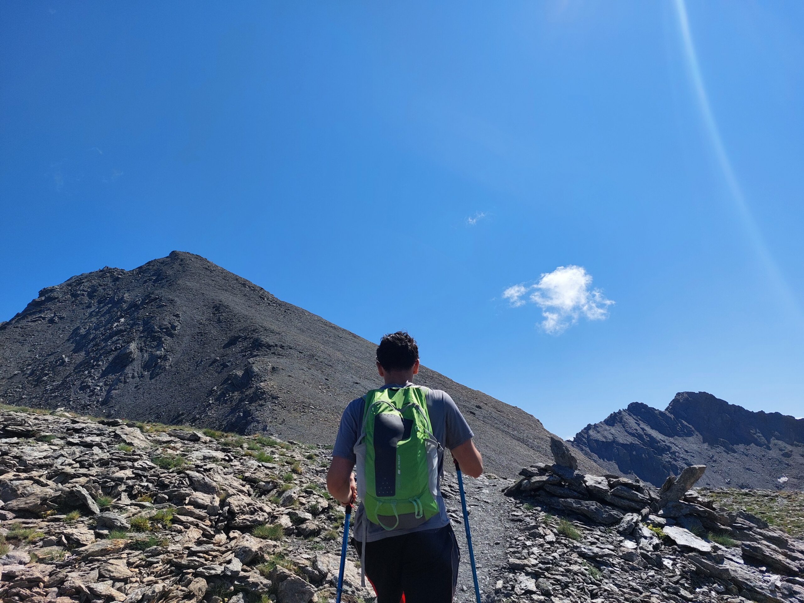
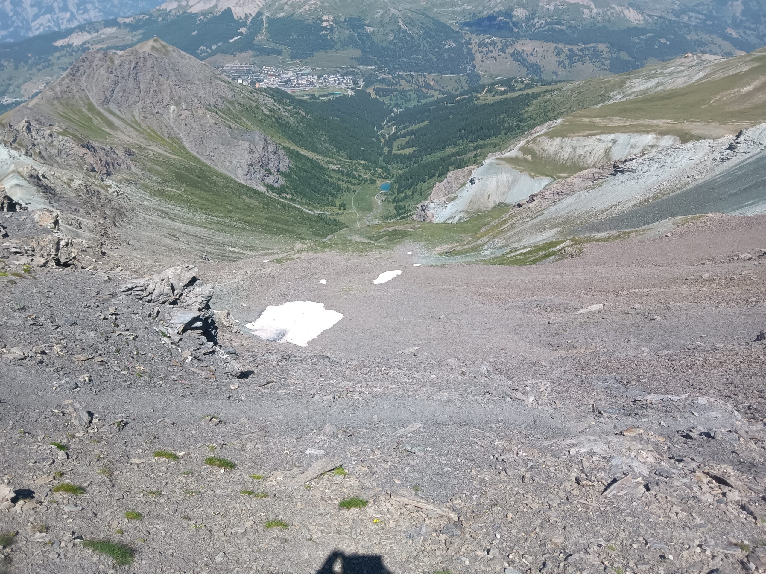
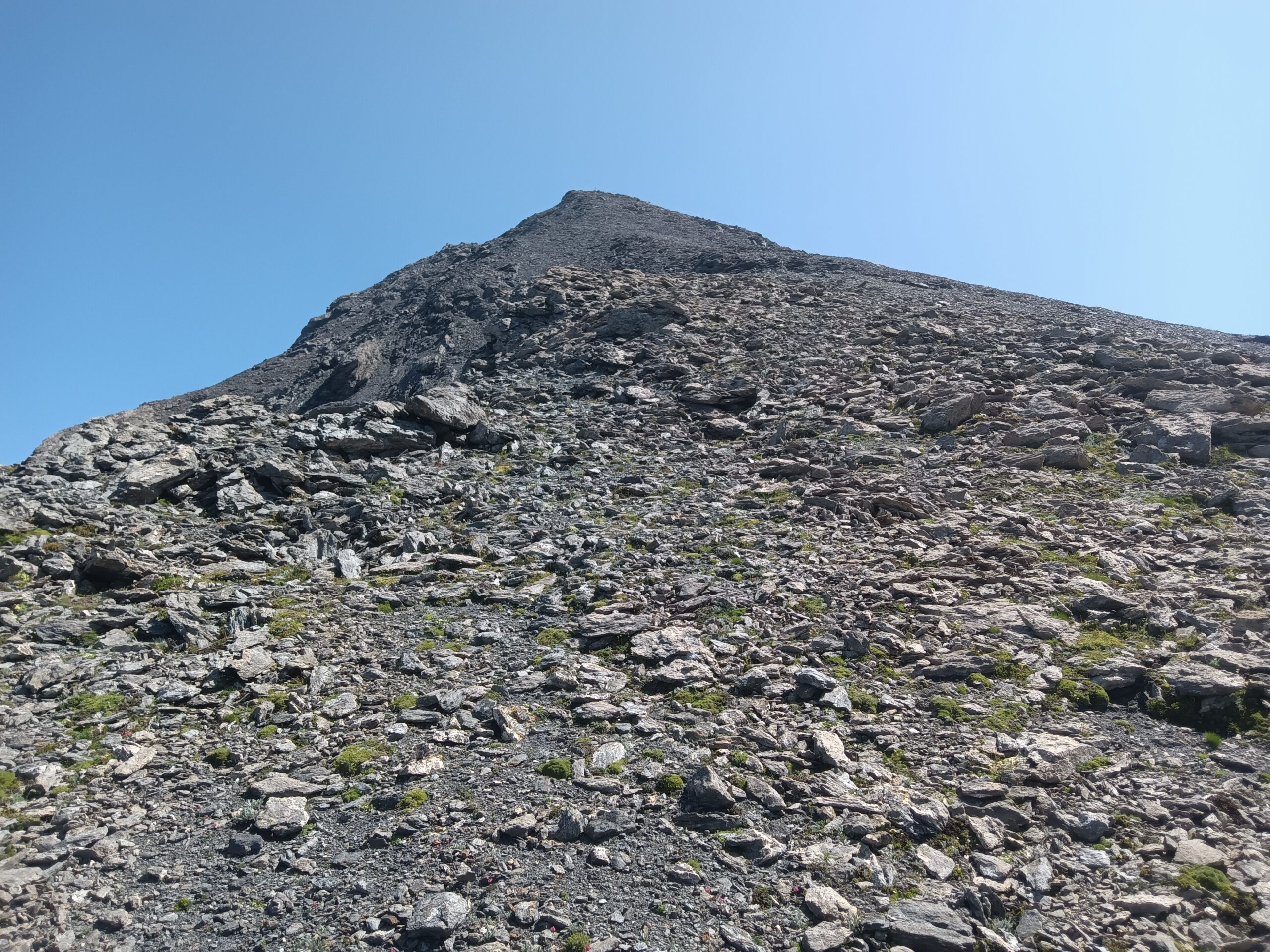
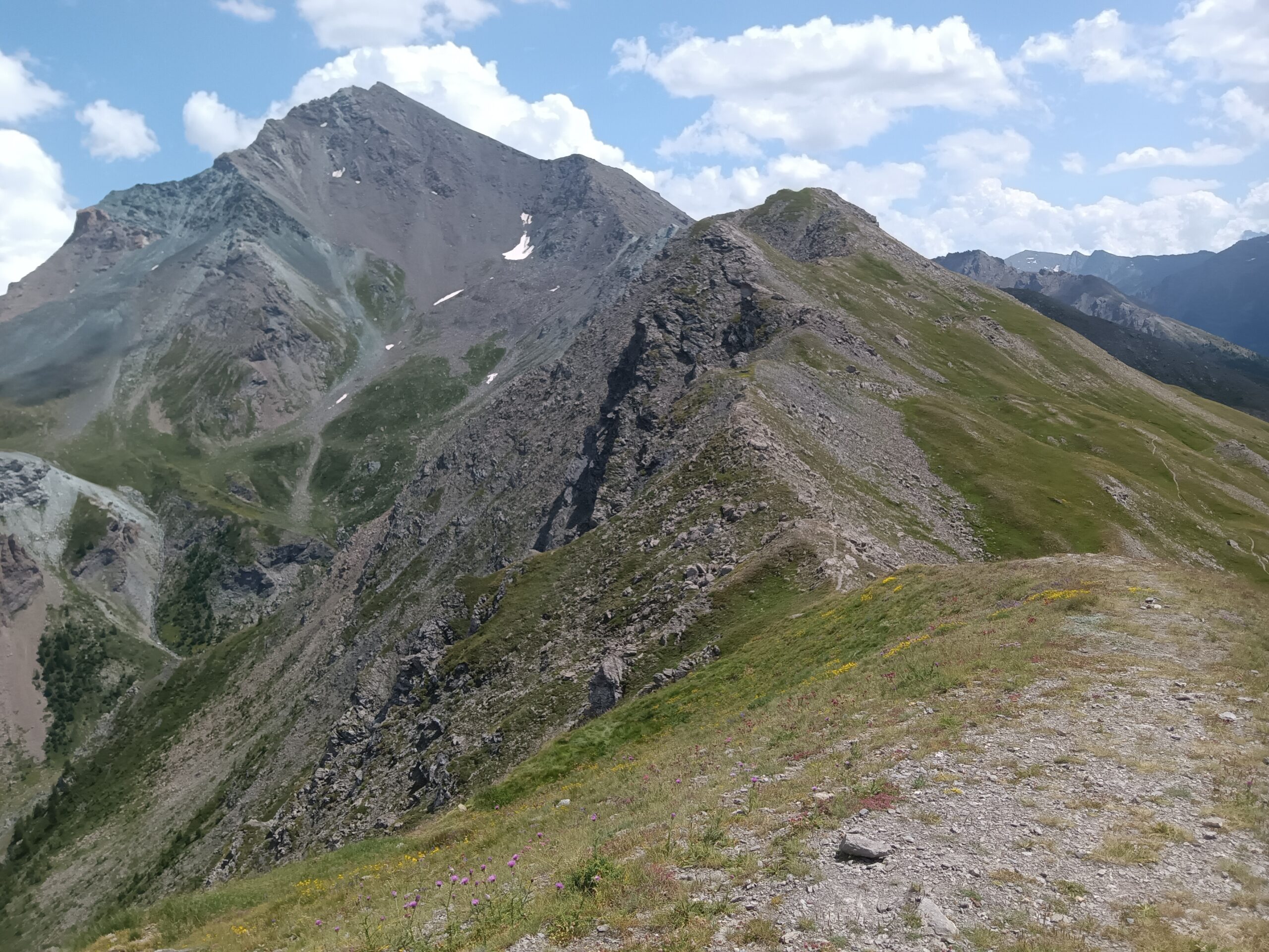
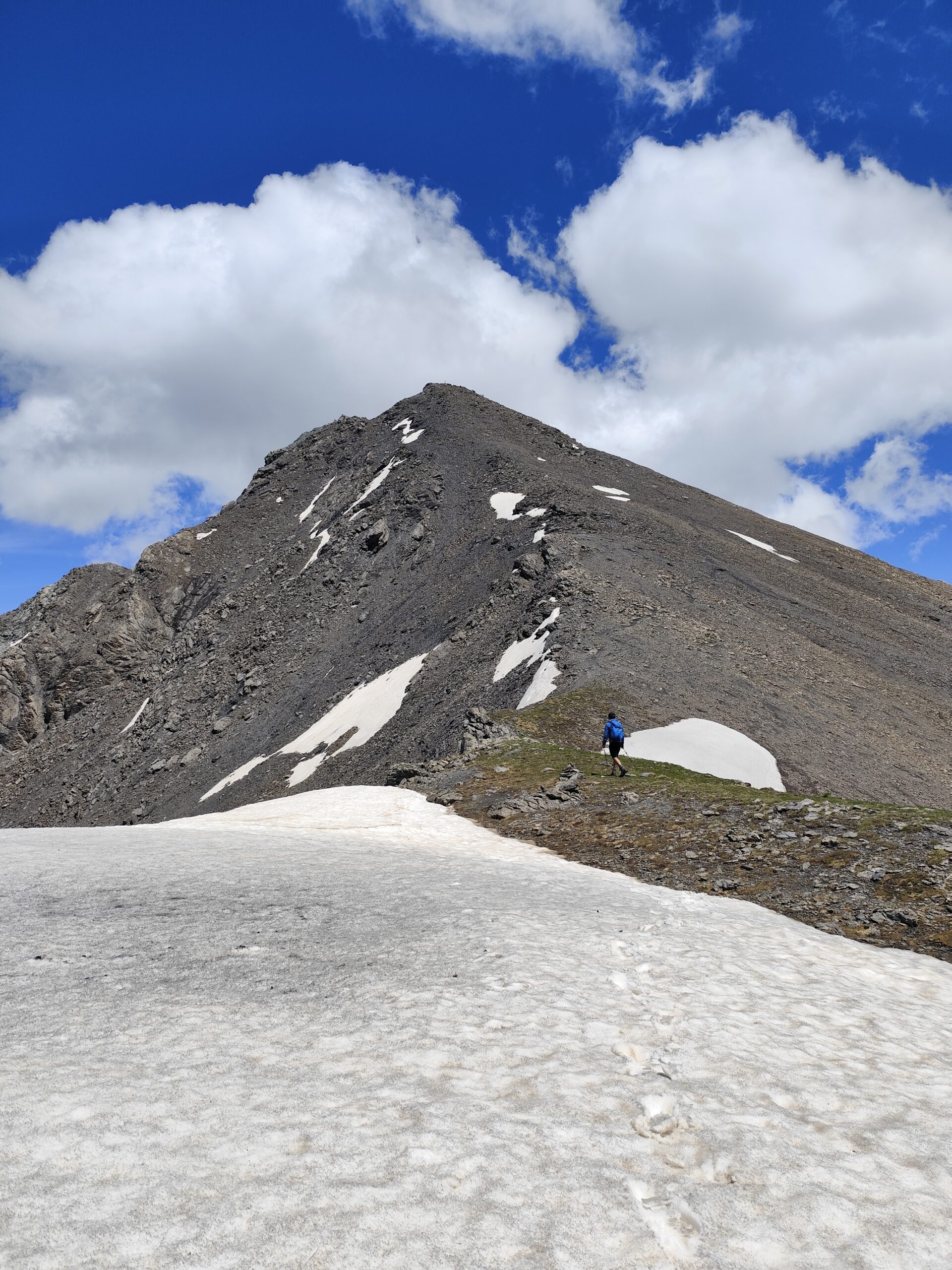
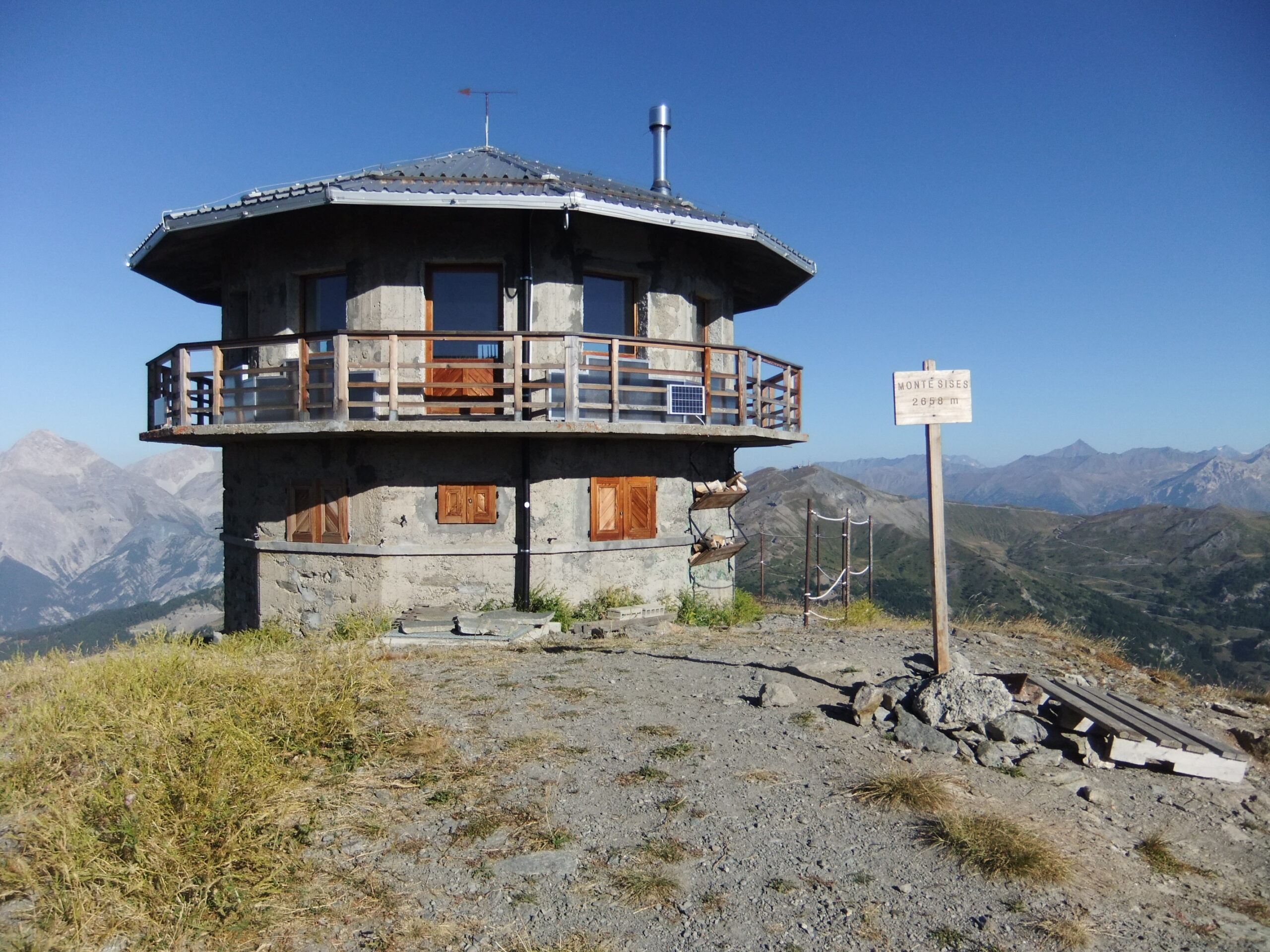
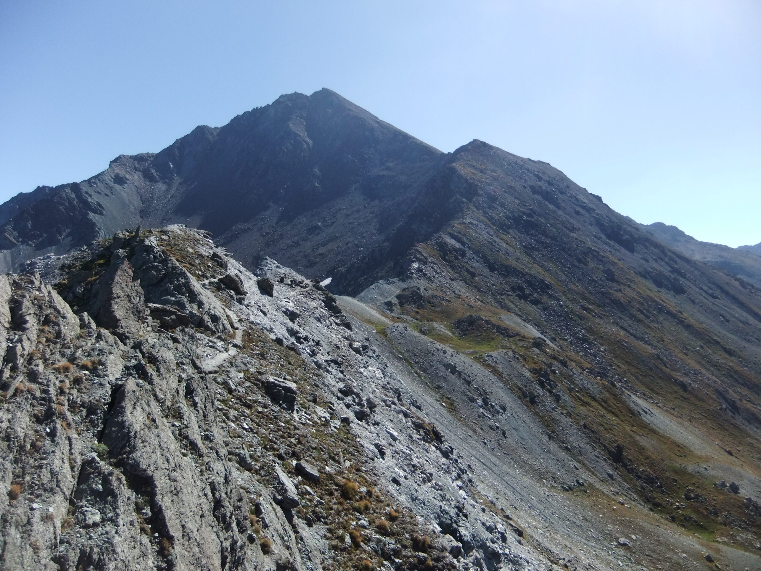
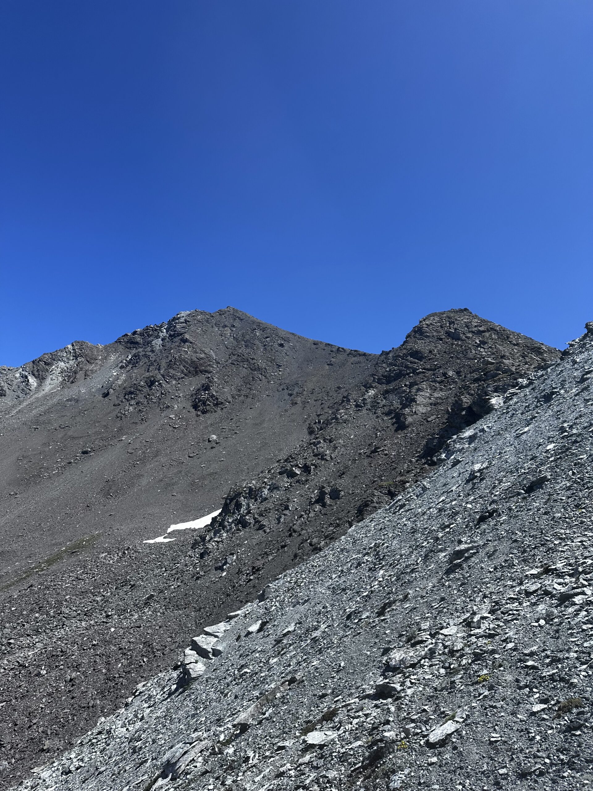
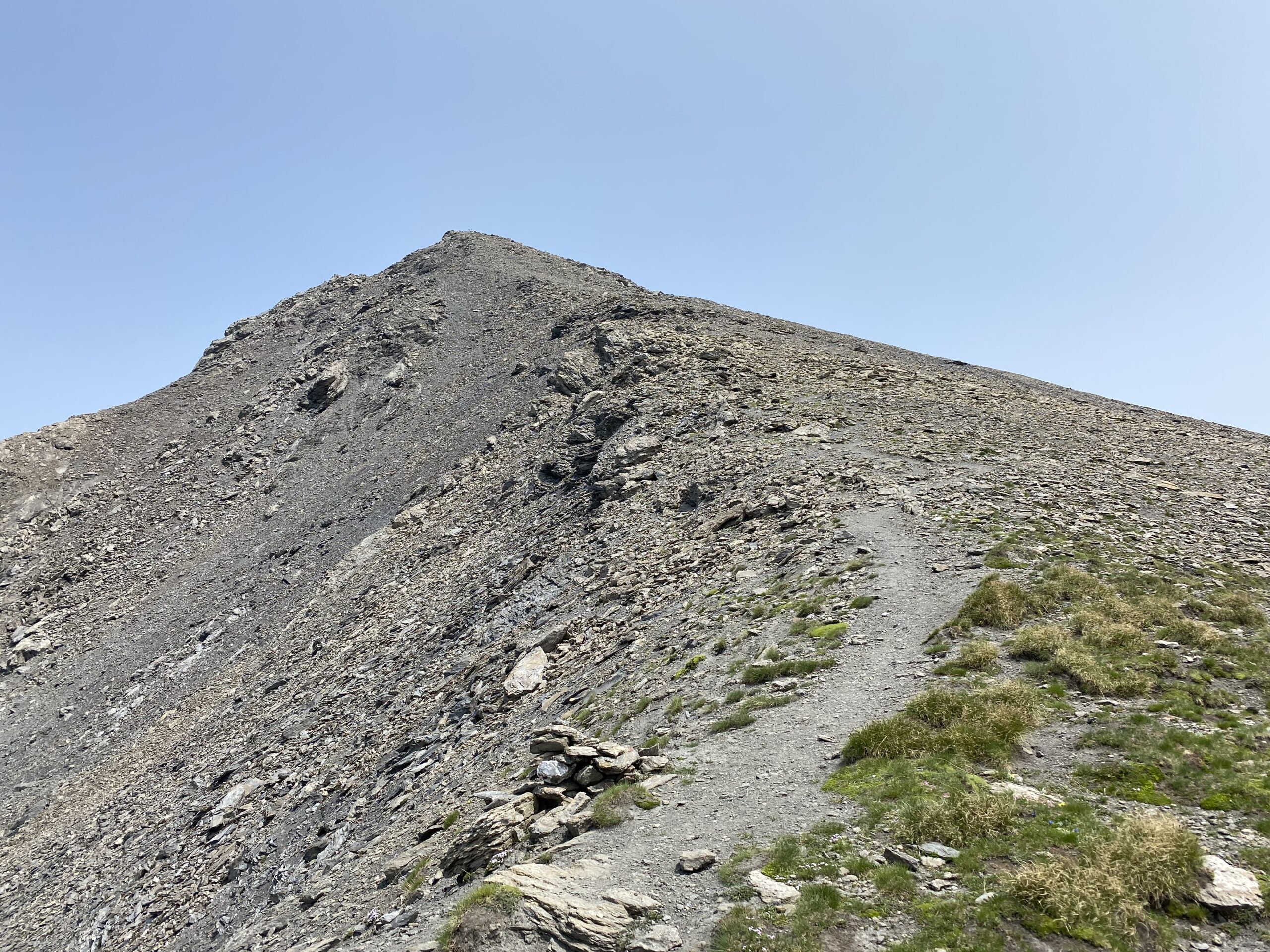
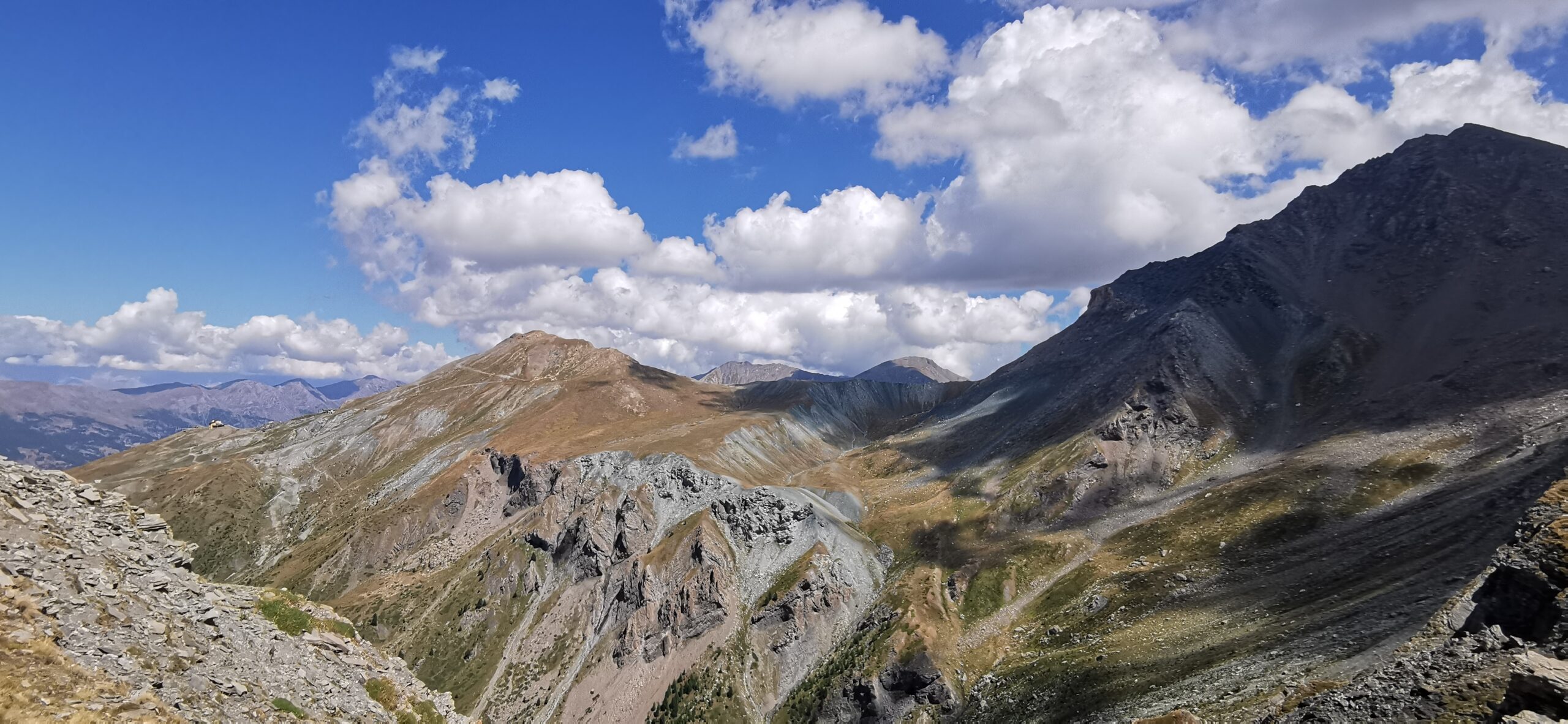
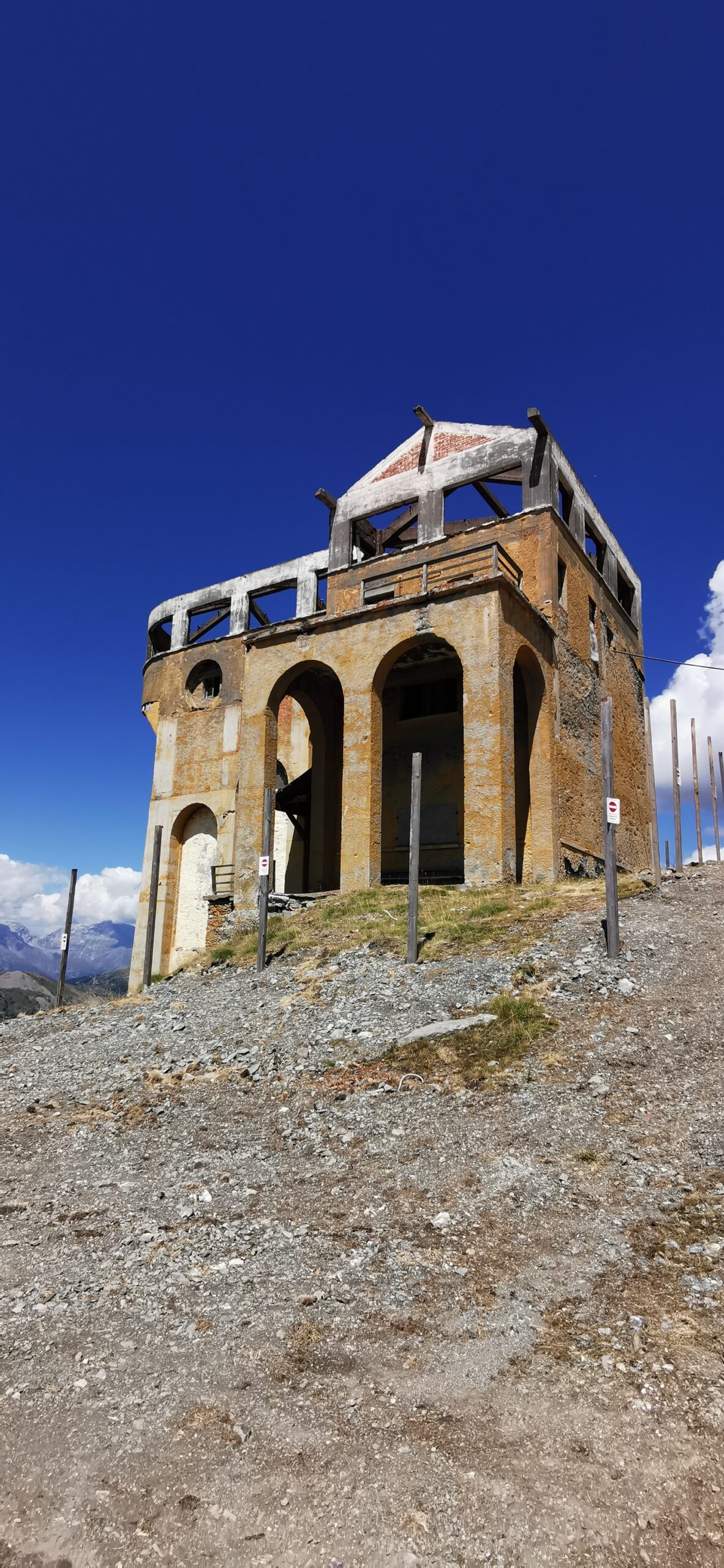
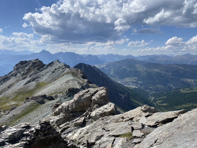
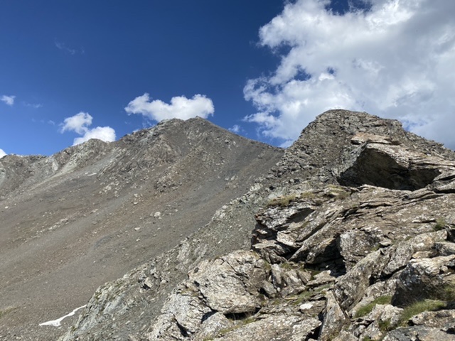
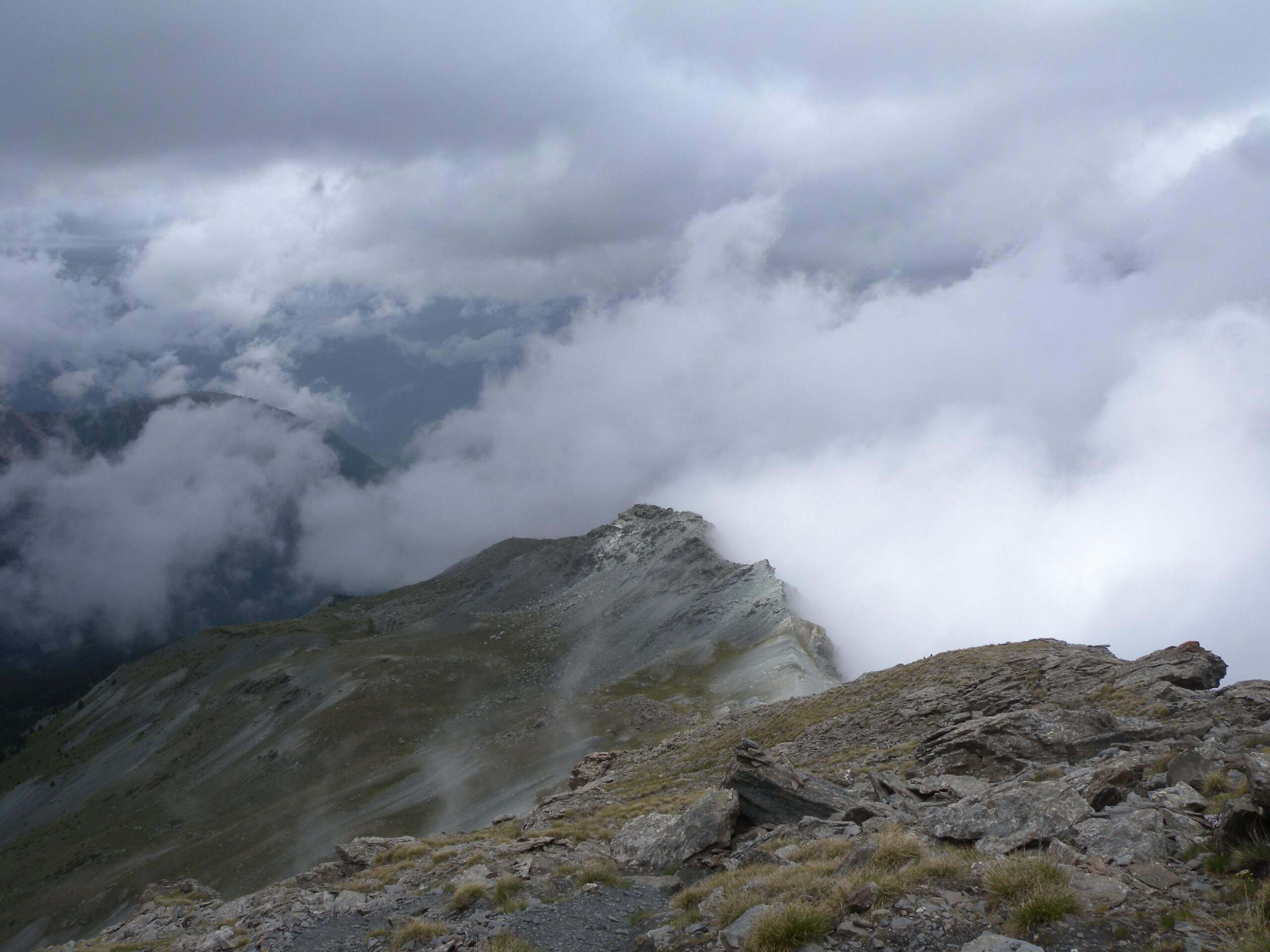
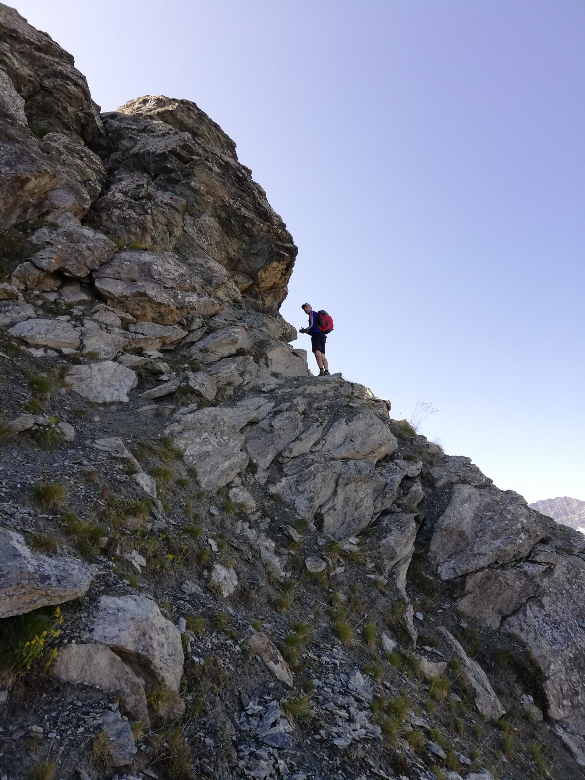
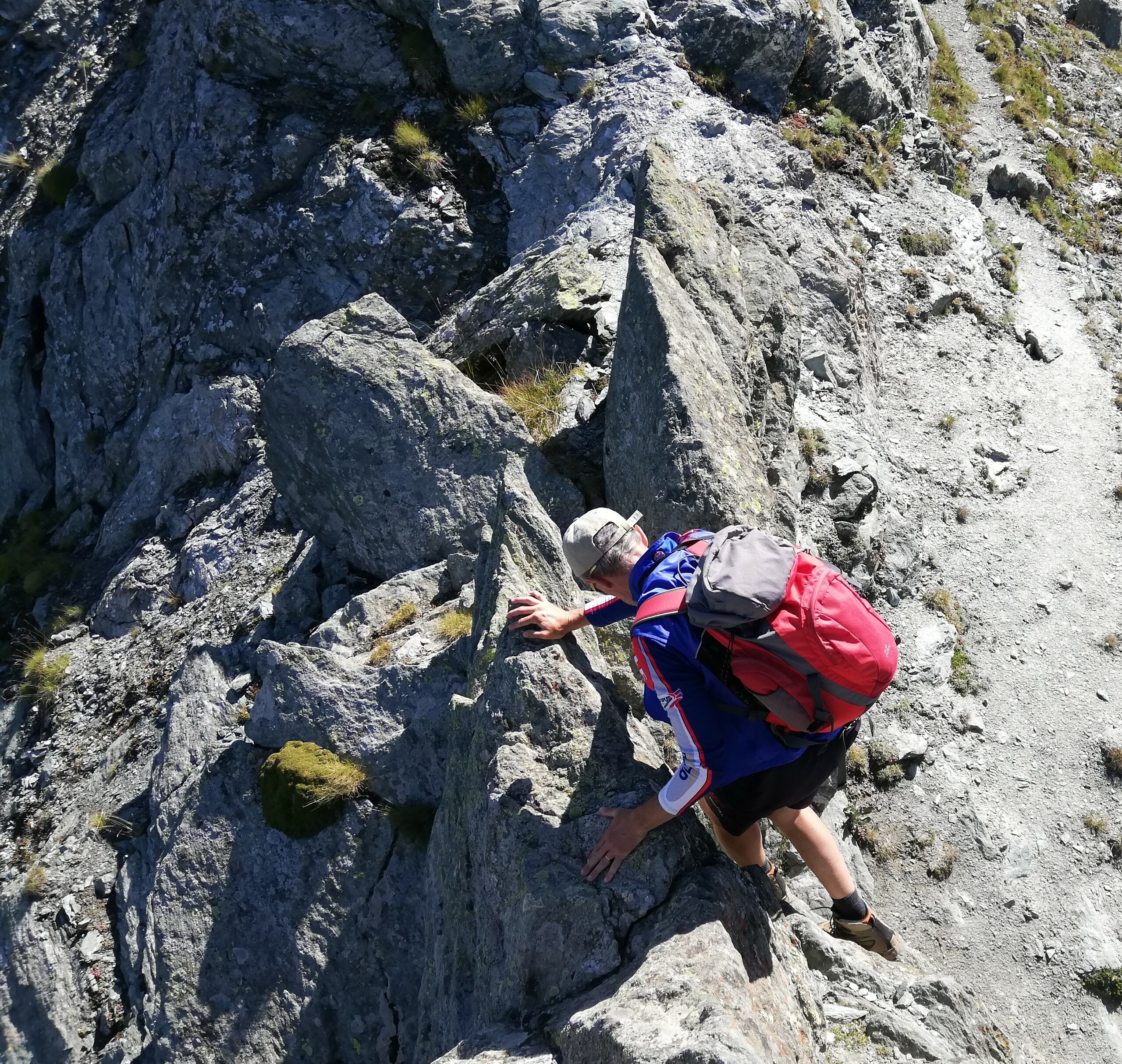
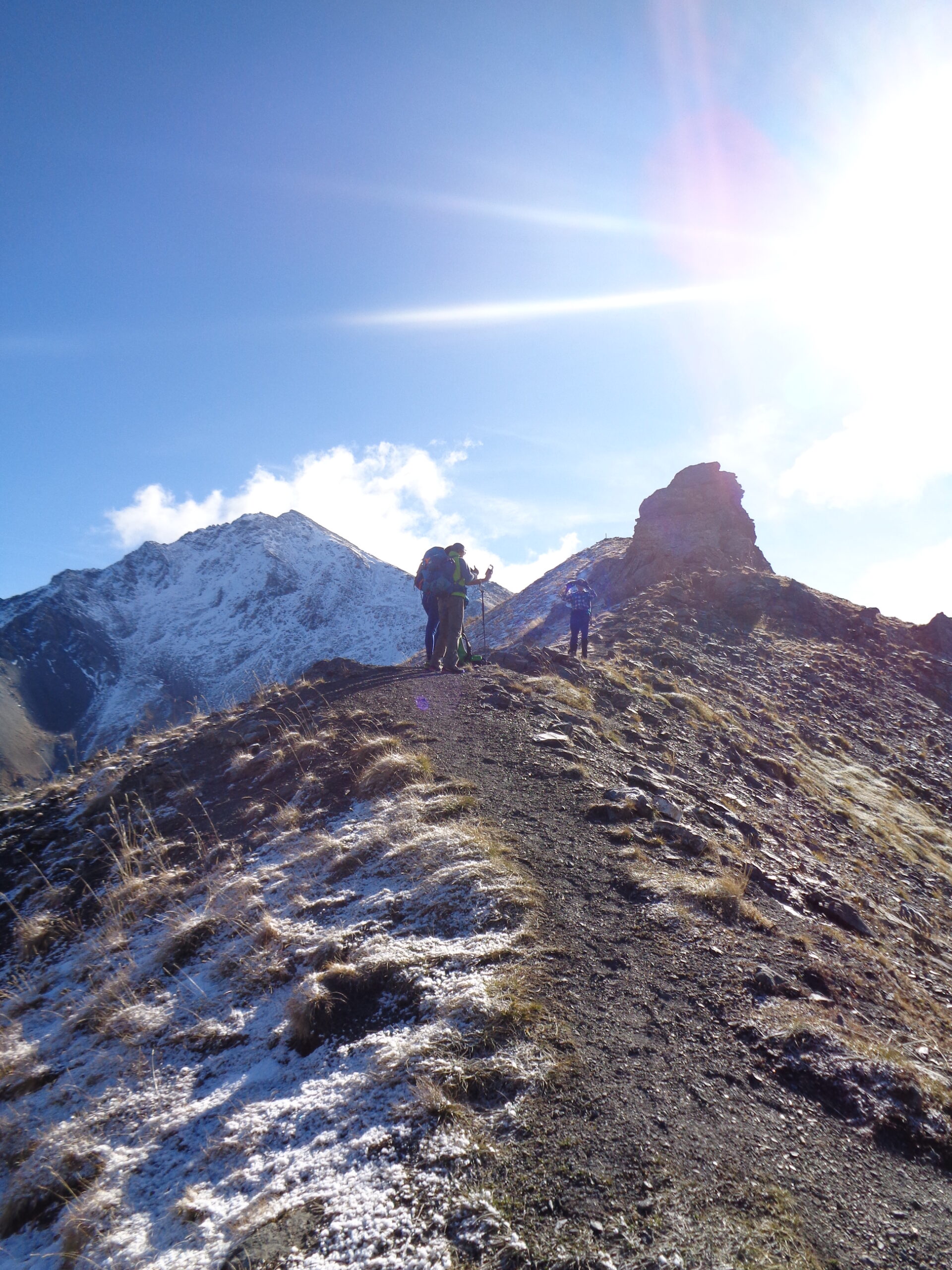
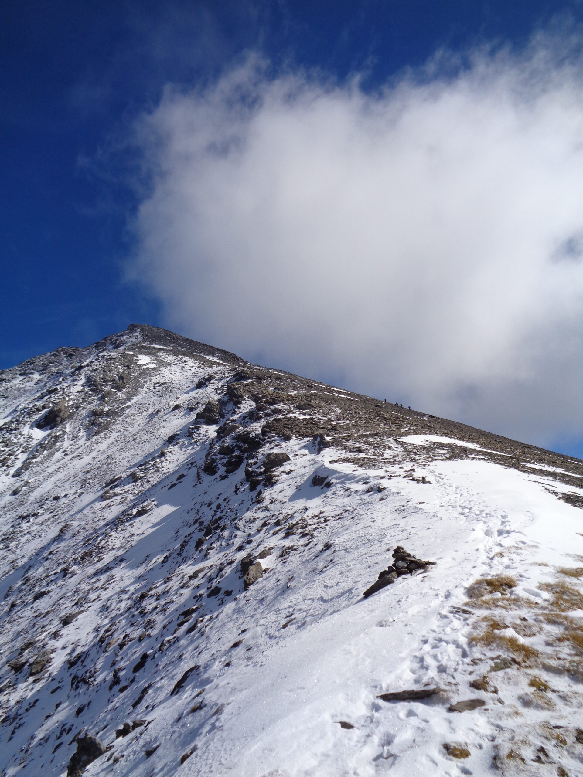
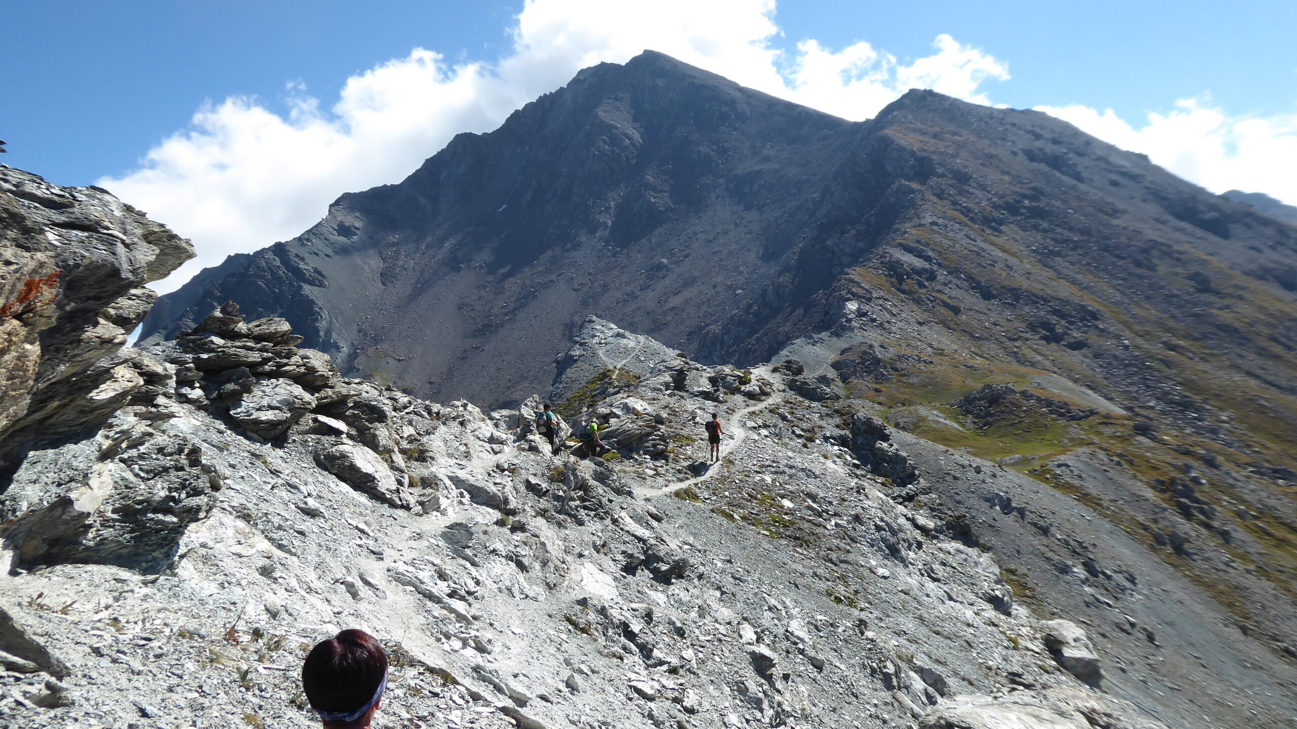
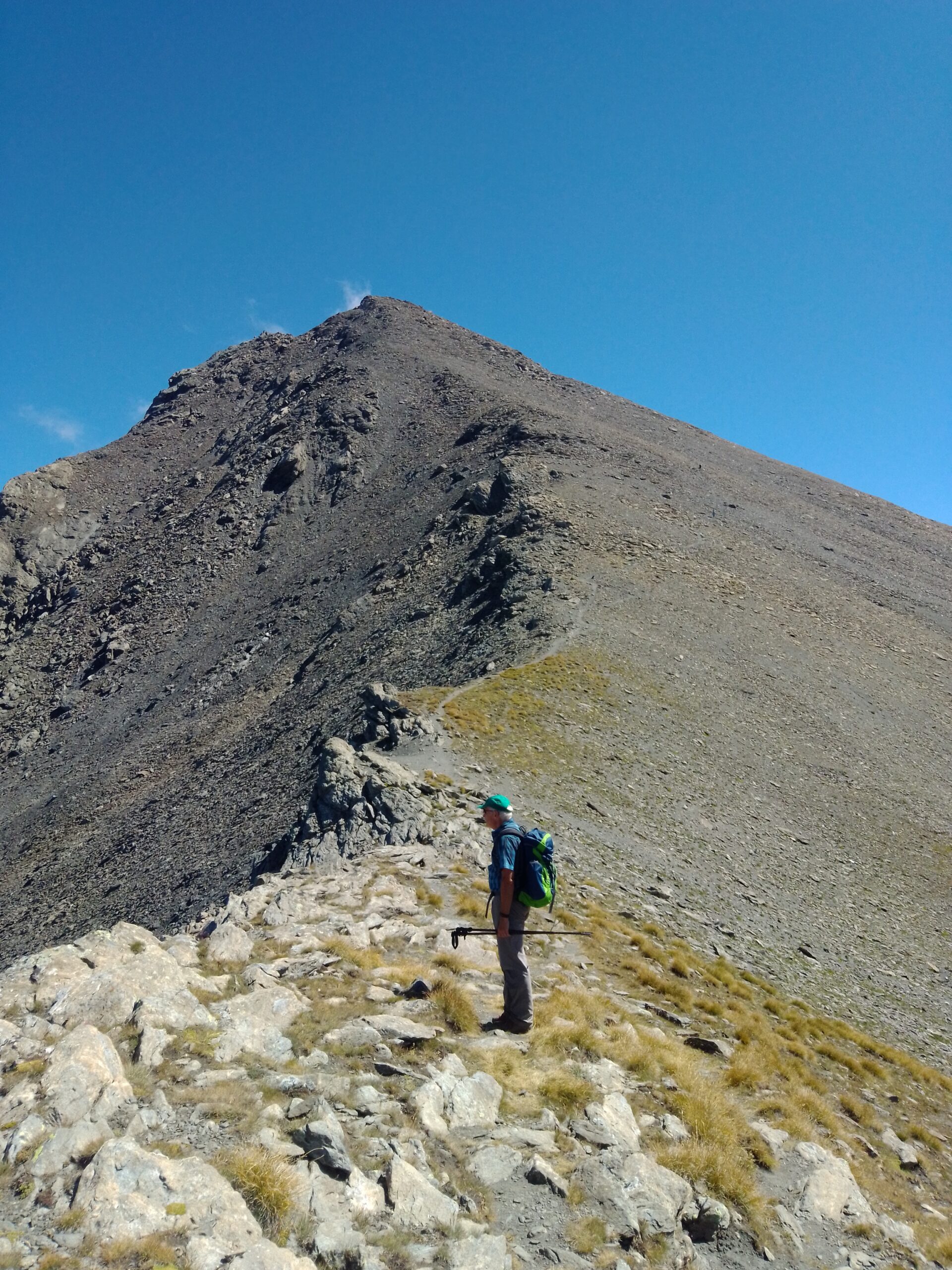
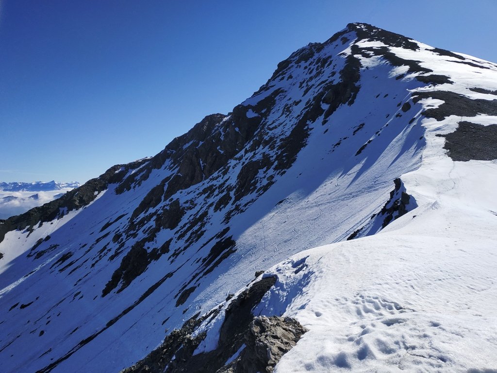
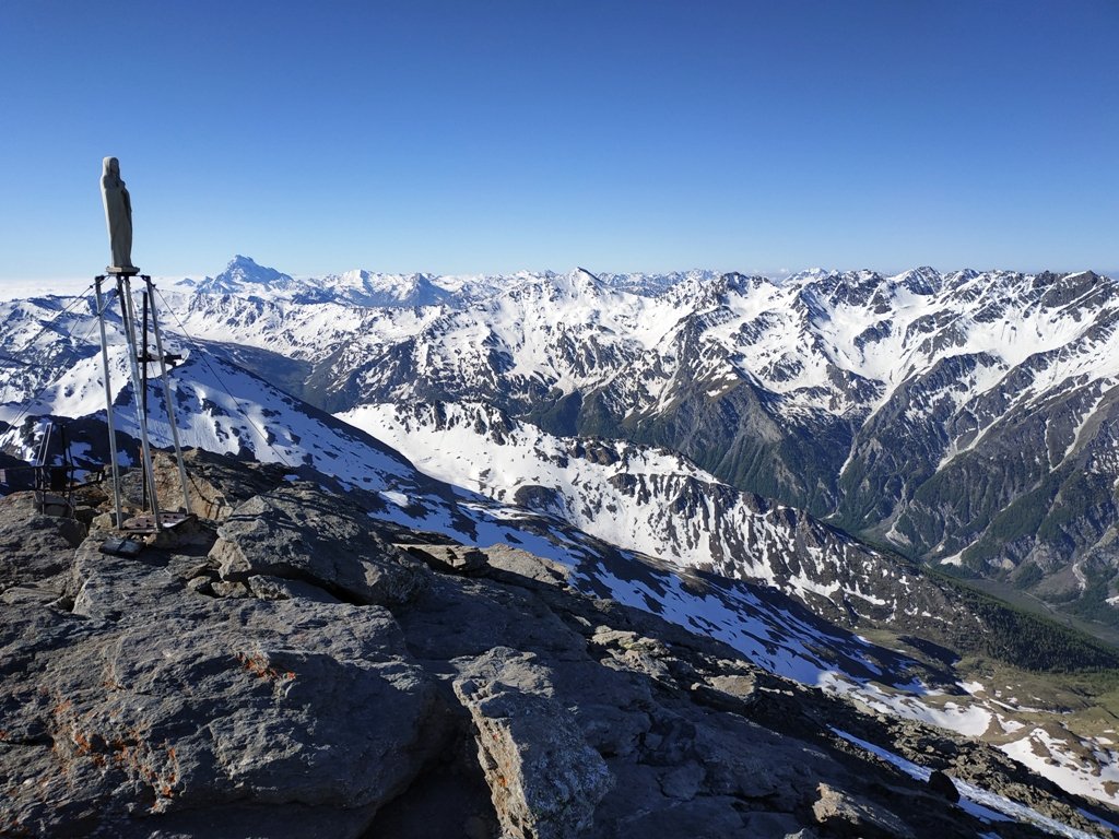
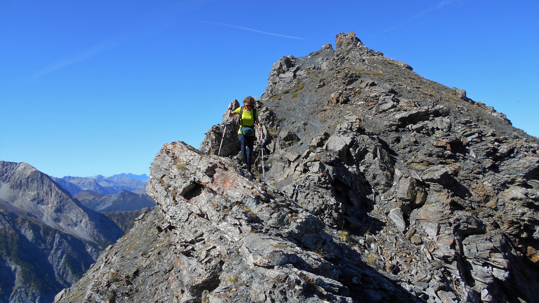
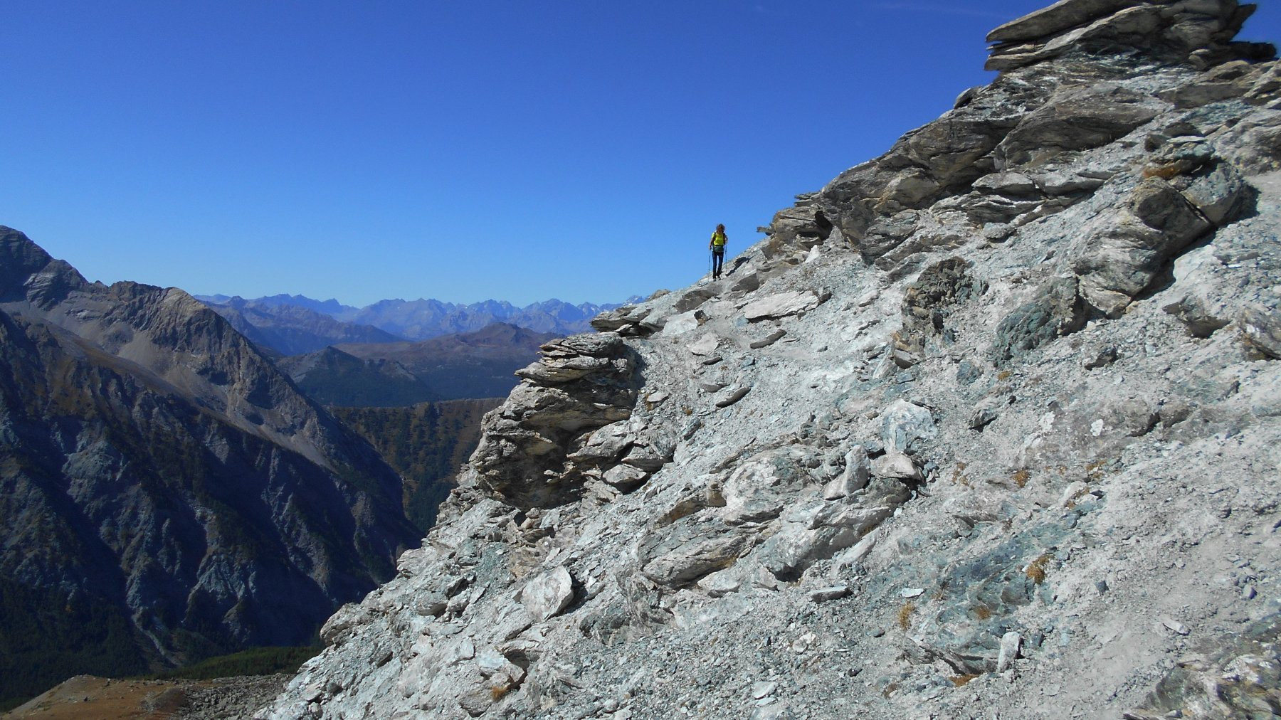
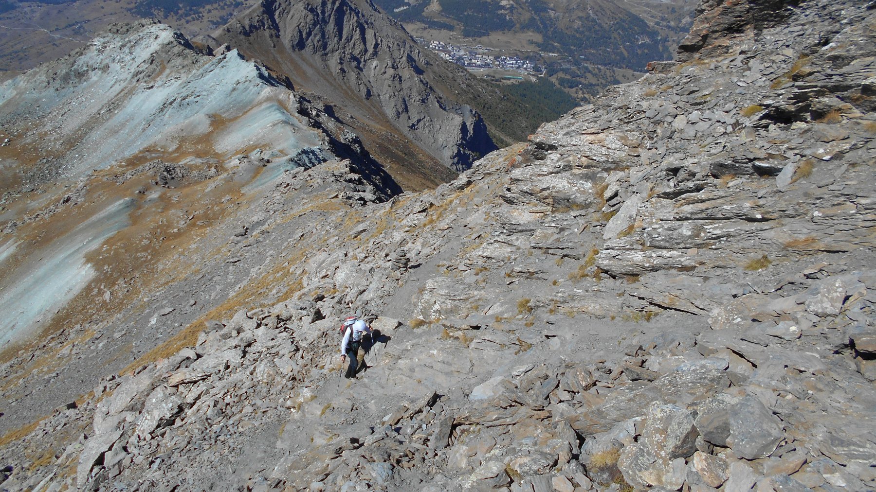
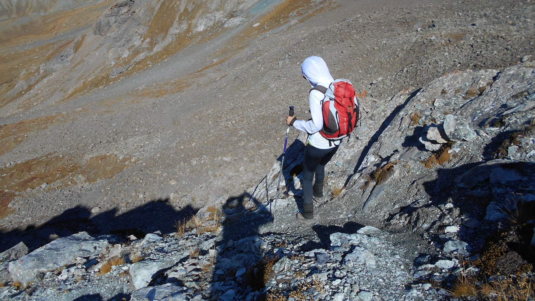
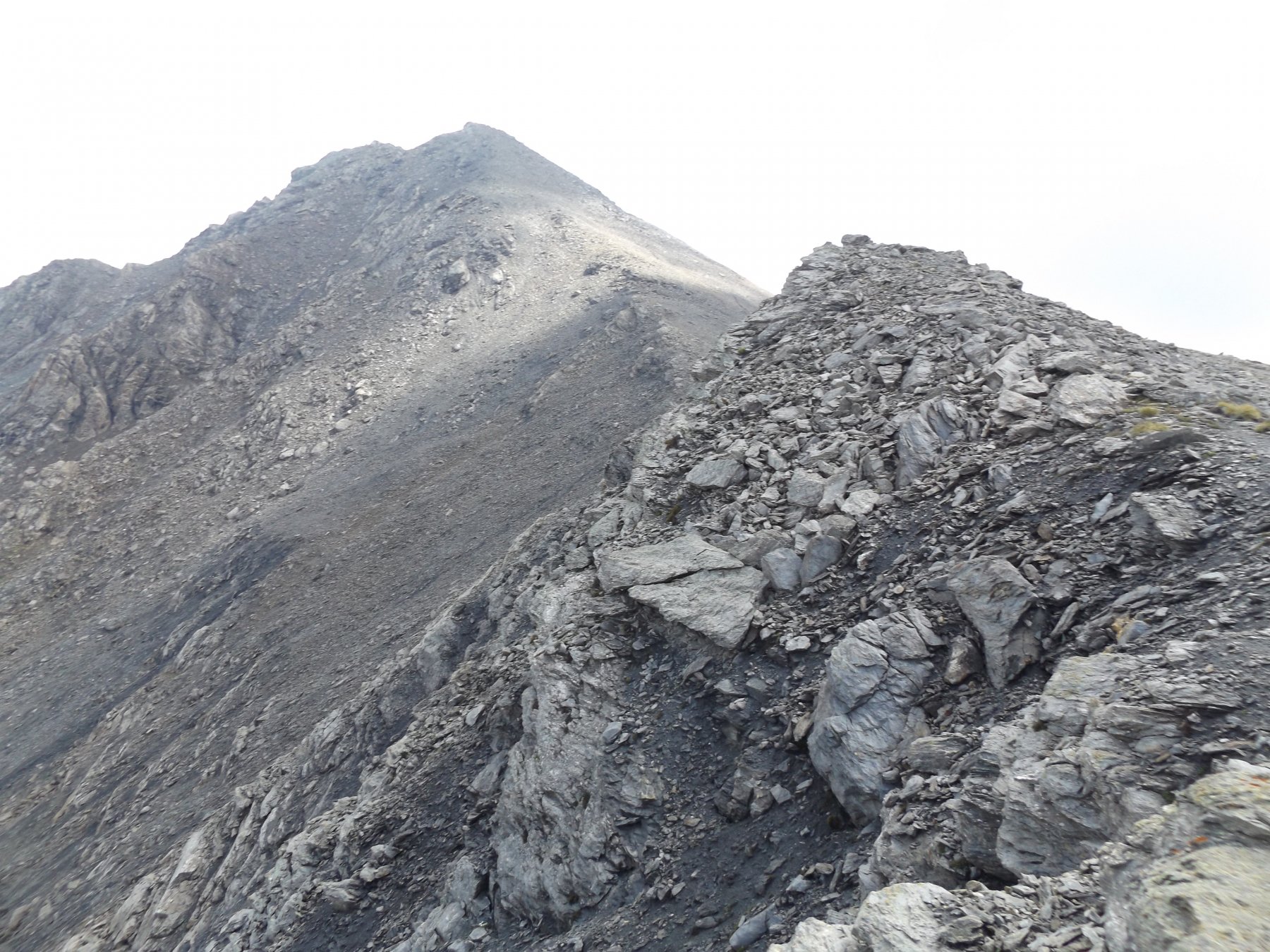
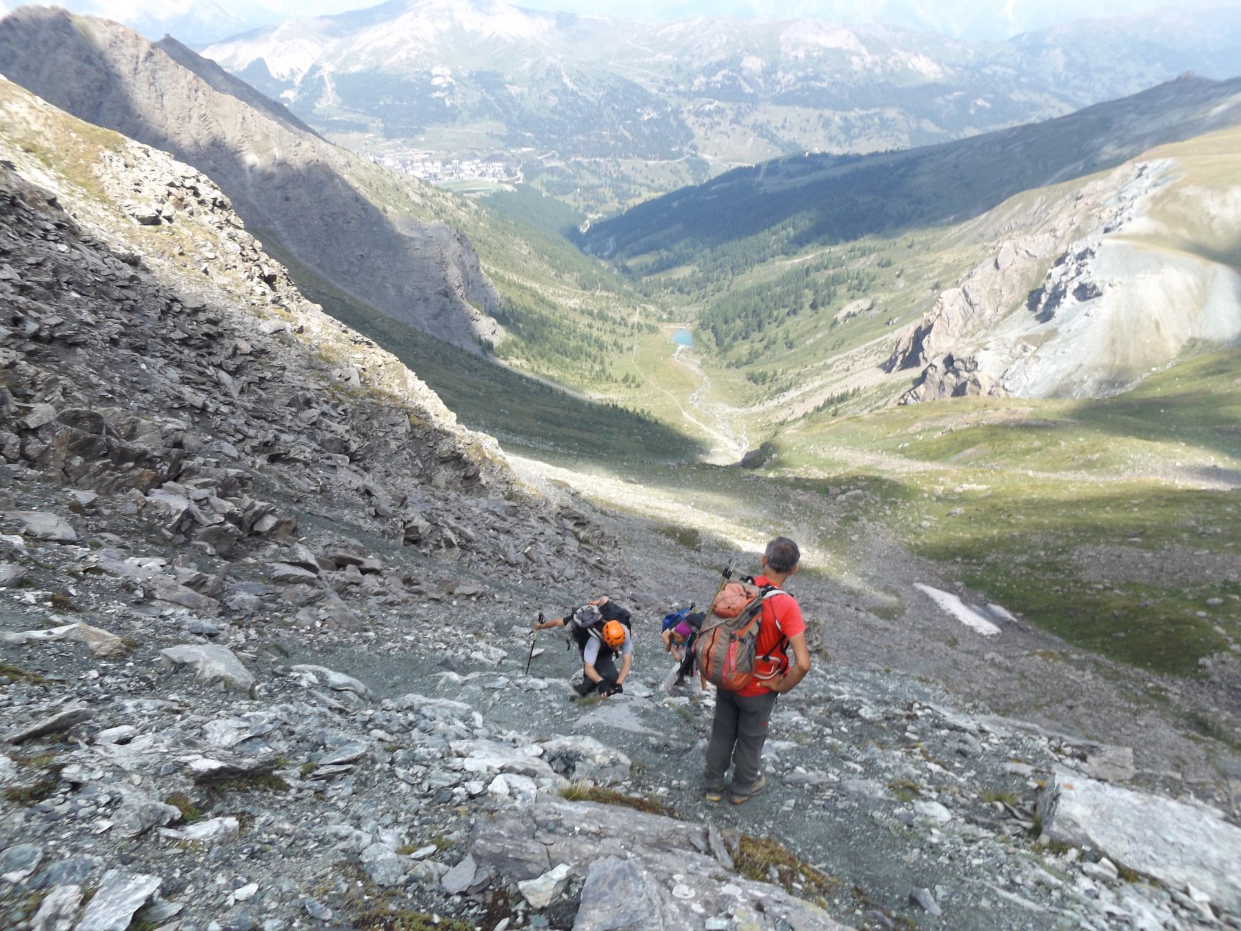
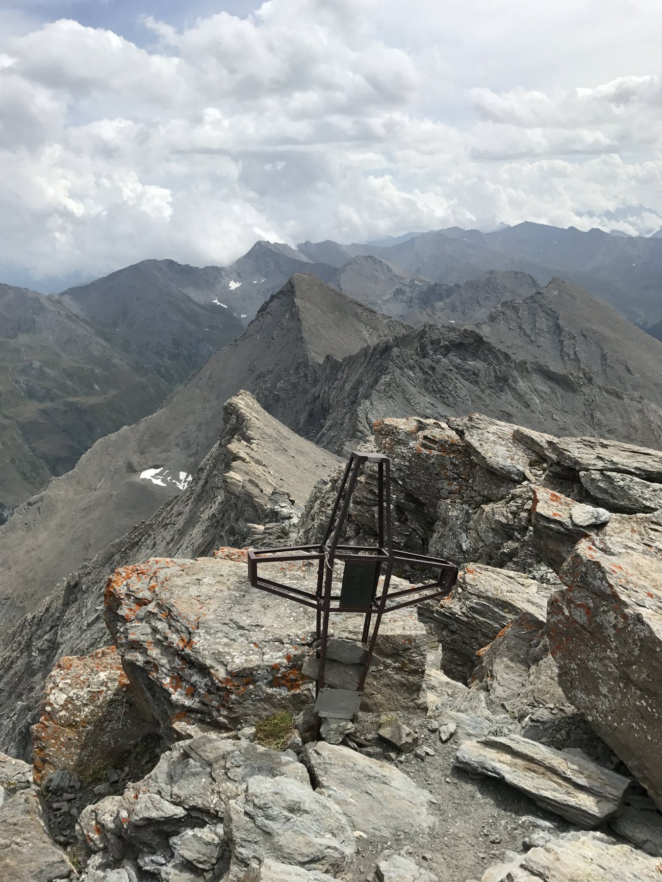
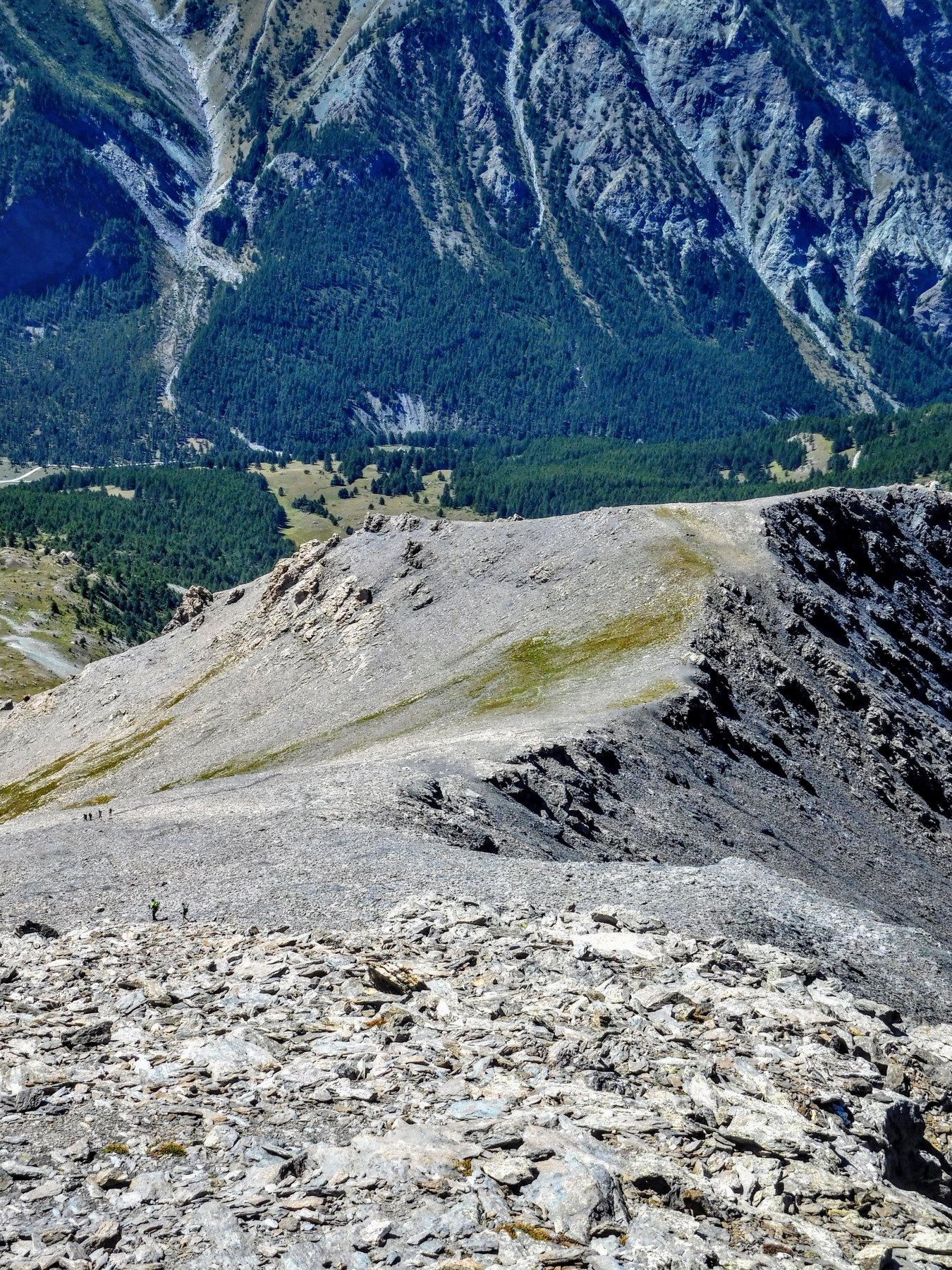
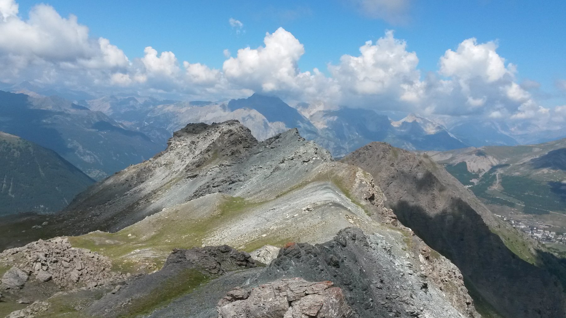
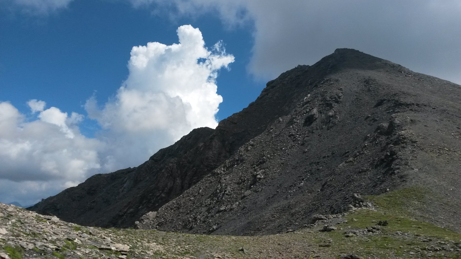
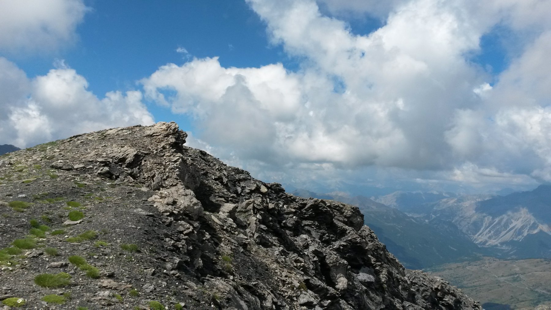
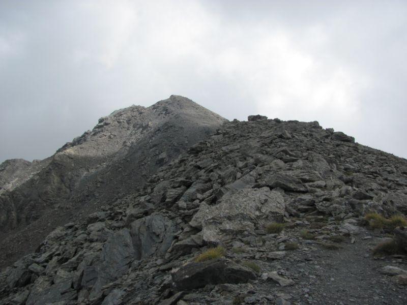
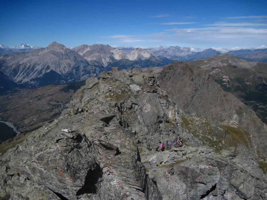
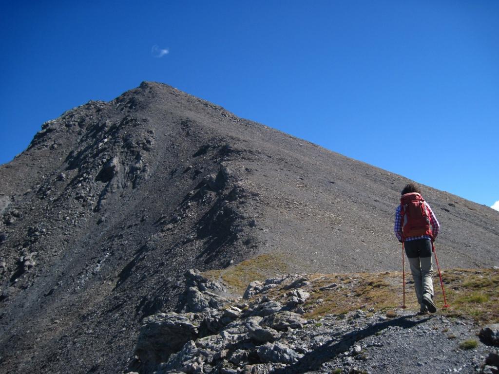
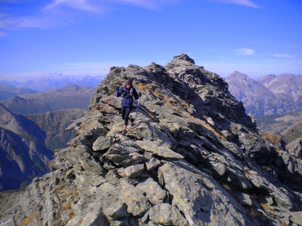
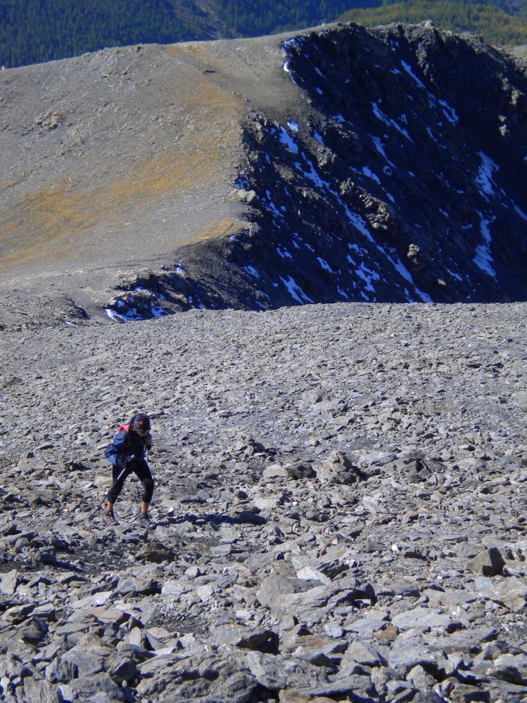
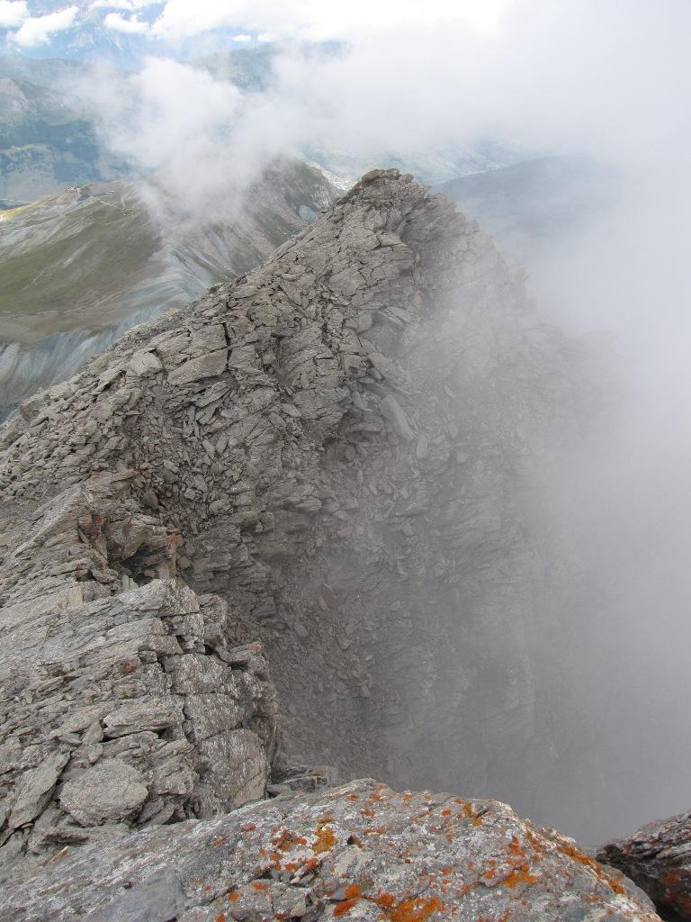
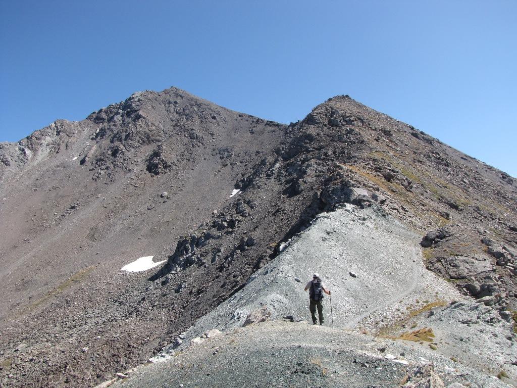
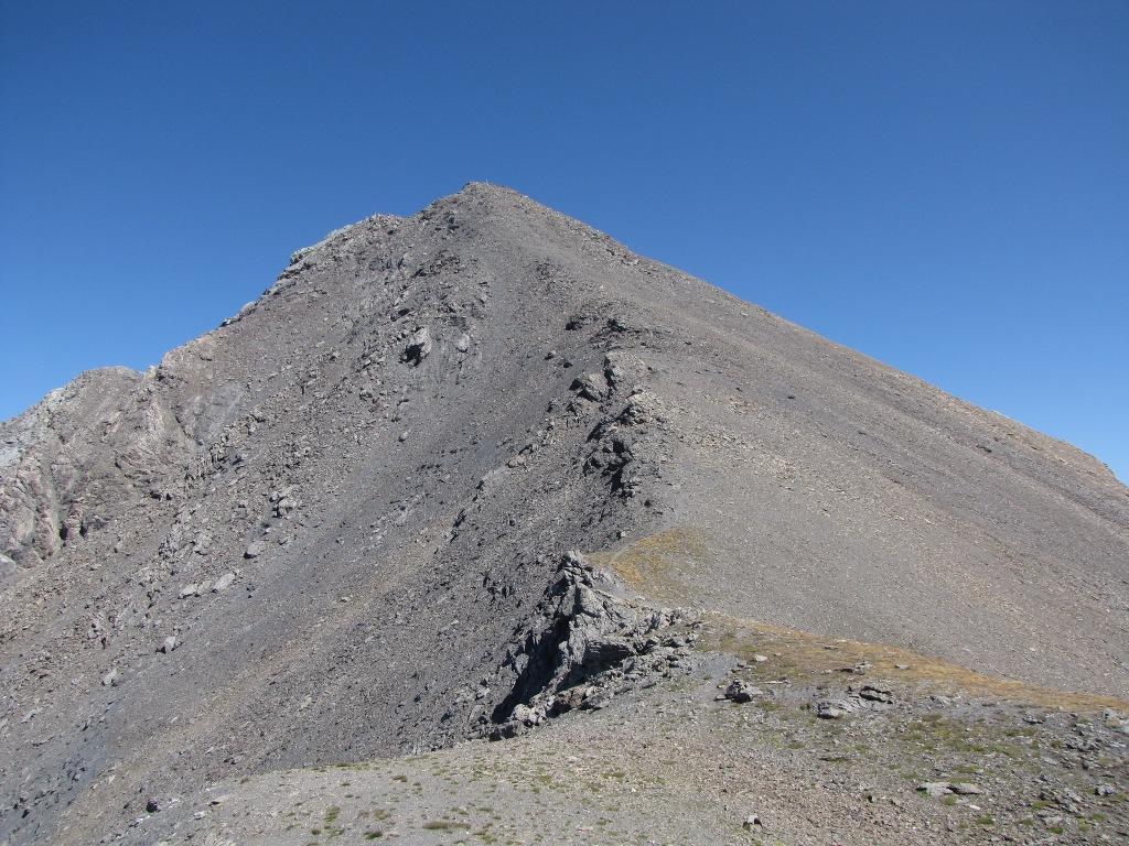
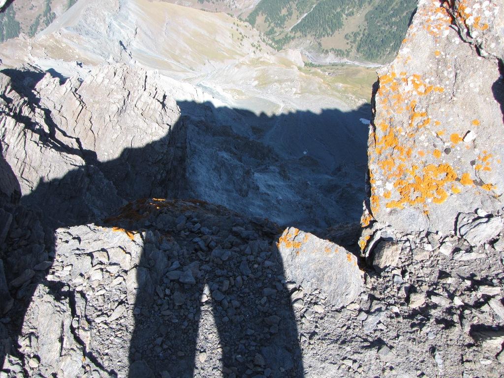
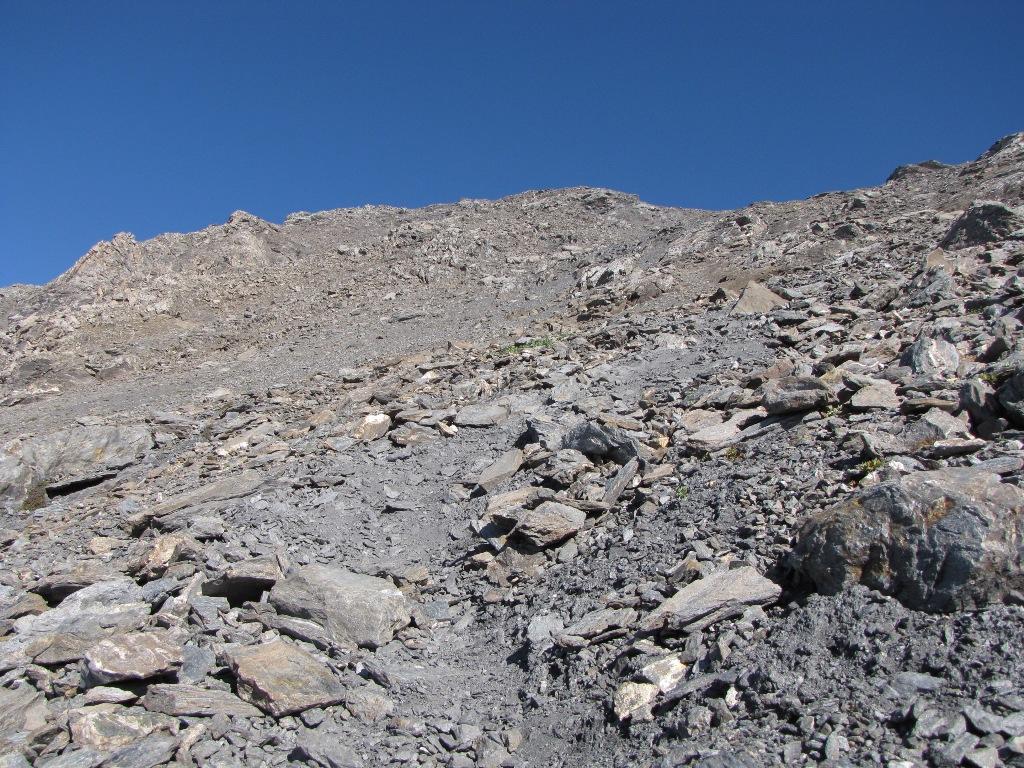
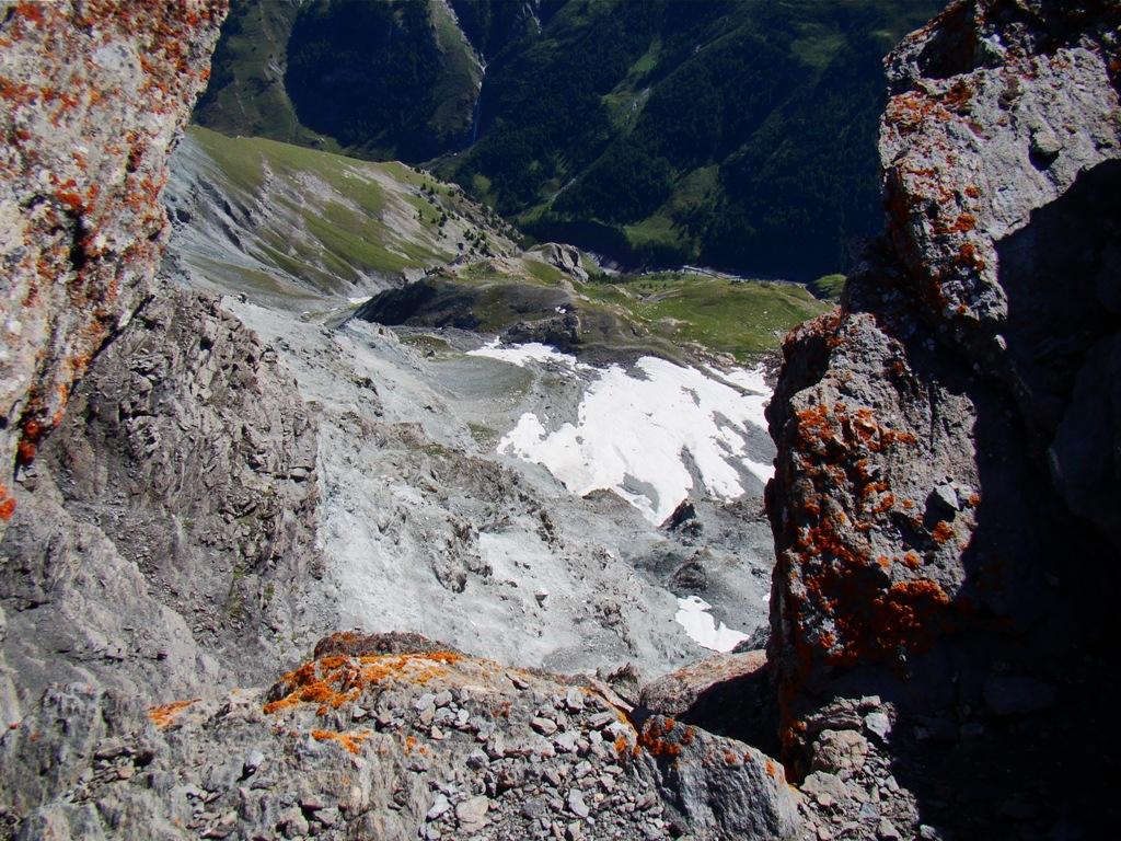
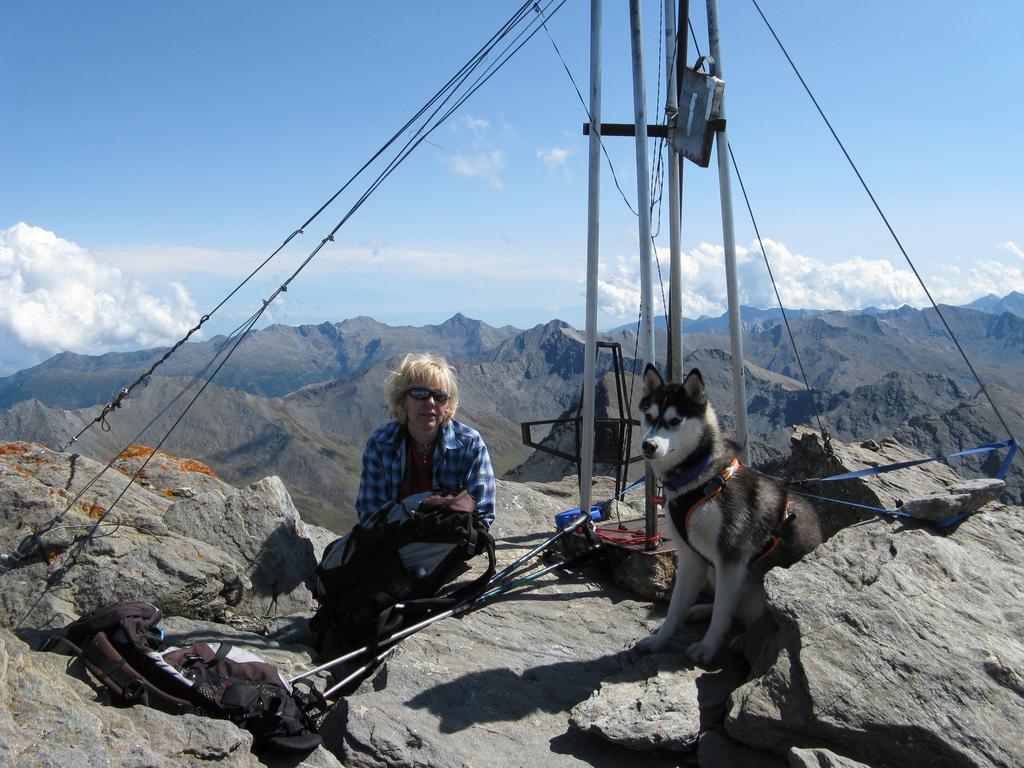
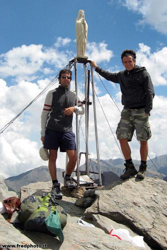
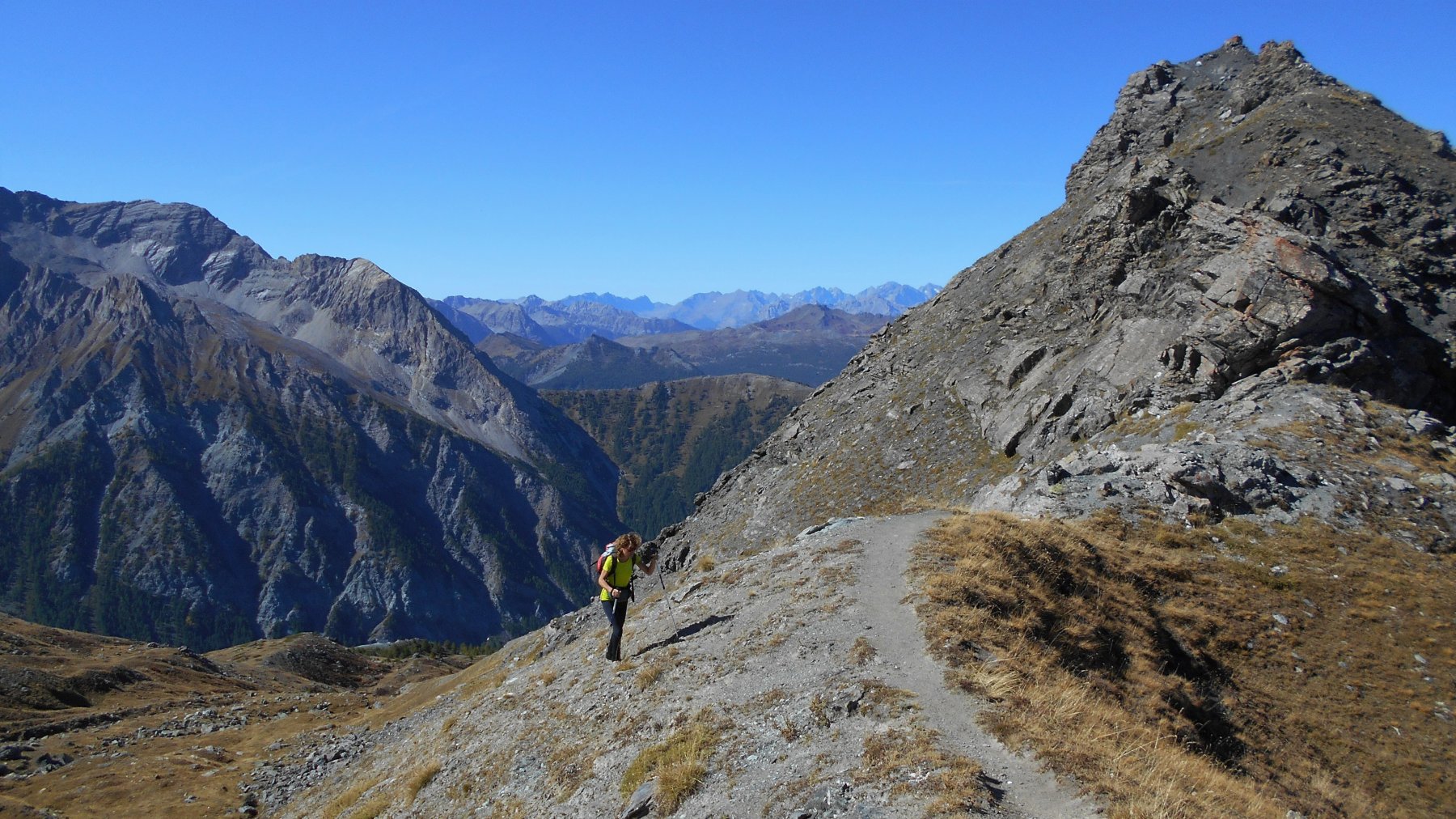
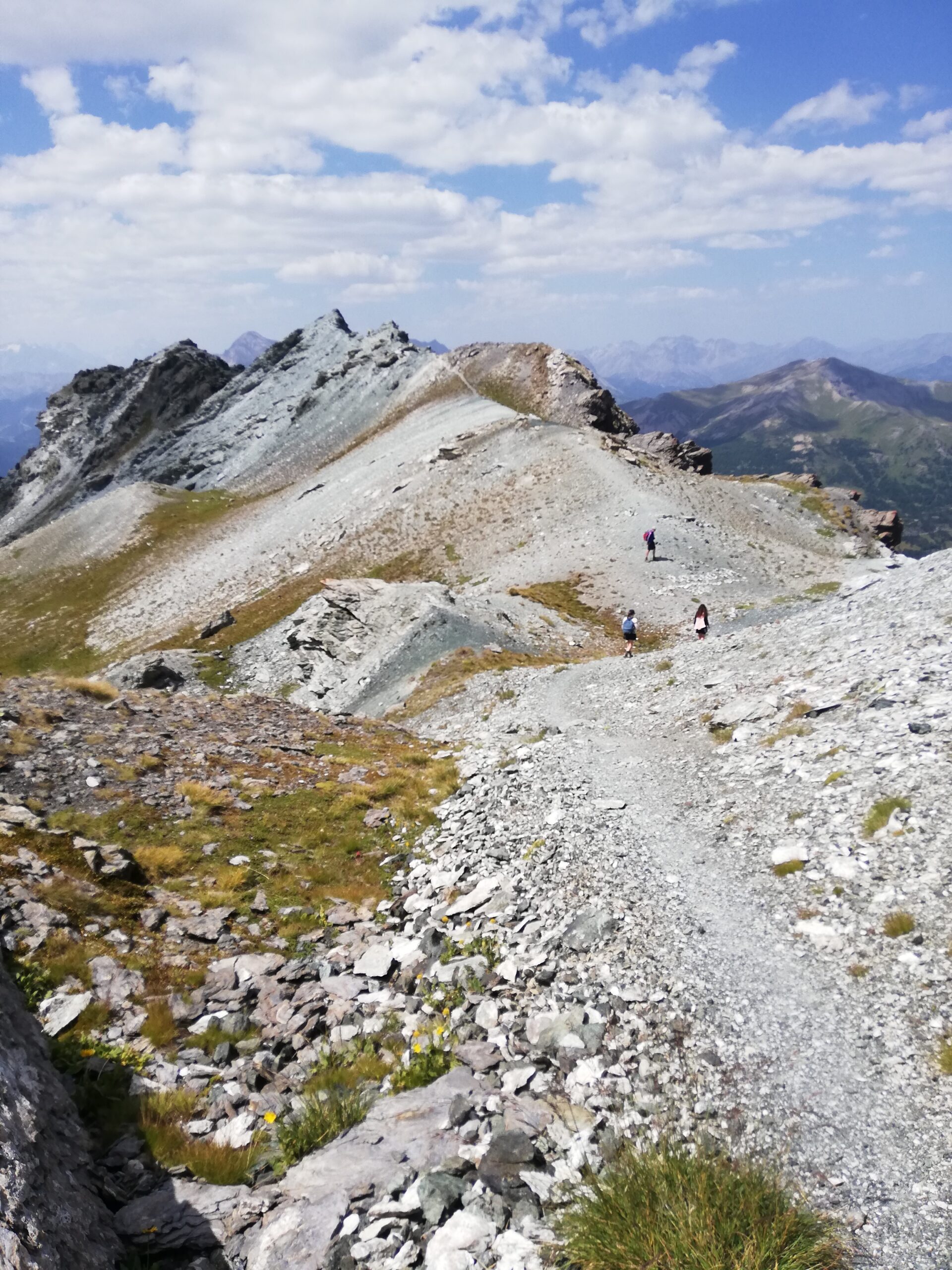
Dal passo seguire la cresta, mantenendosi di massima sul filo della stessa (a tratti lievemente esposto), aggirando le Rocce San Giacomo (2.787 m) e giungendo ad un colletto. Da qui il sentiero, ora ben marcato, mantenendosi a destra del filo di cresta, raggiunge il poco rilevato monte Sotto Rognosa(3.016 m) e quindi su buona traccia con numerosi tornanti su sfasciumi la vetta, contraddistinda da una madonnina e una croce dalla forma inusitata .
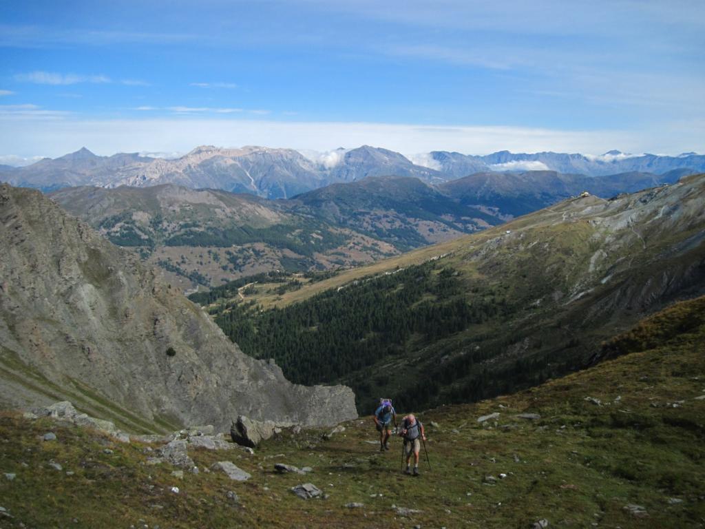
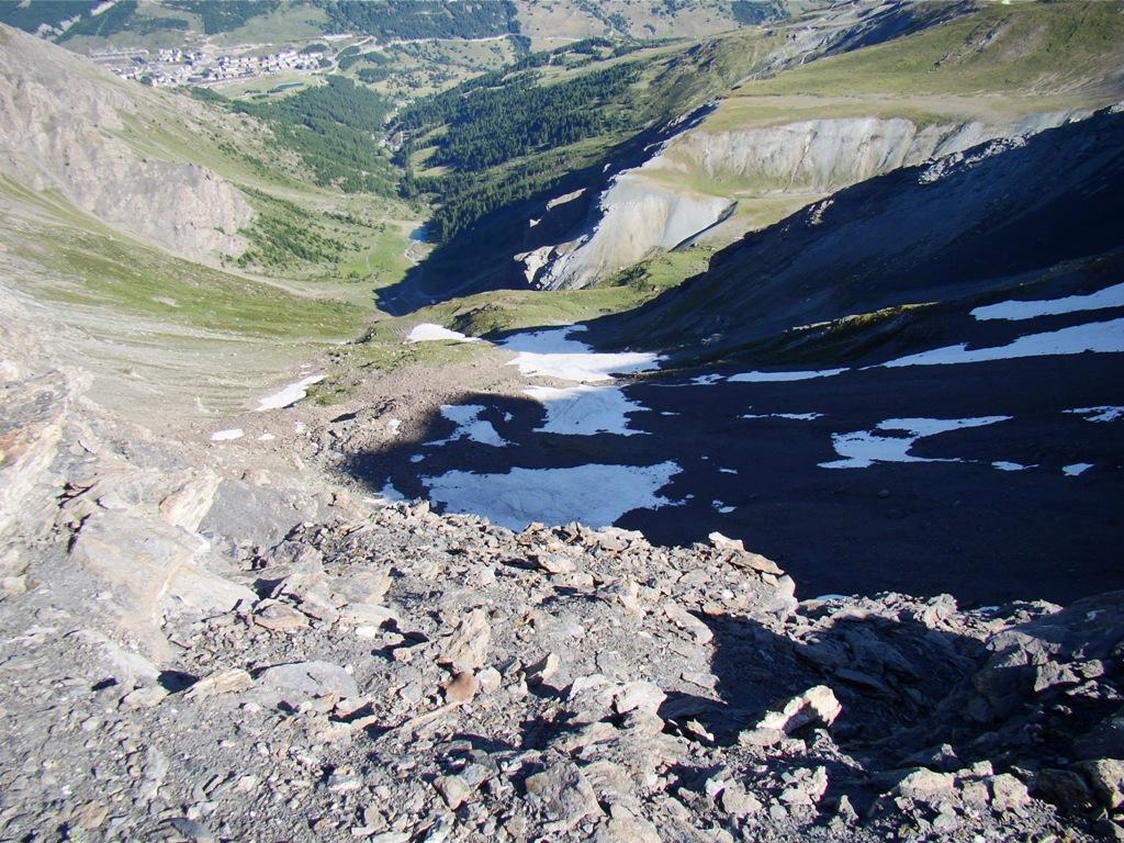
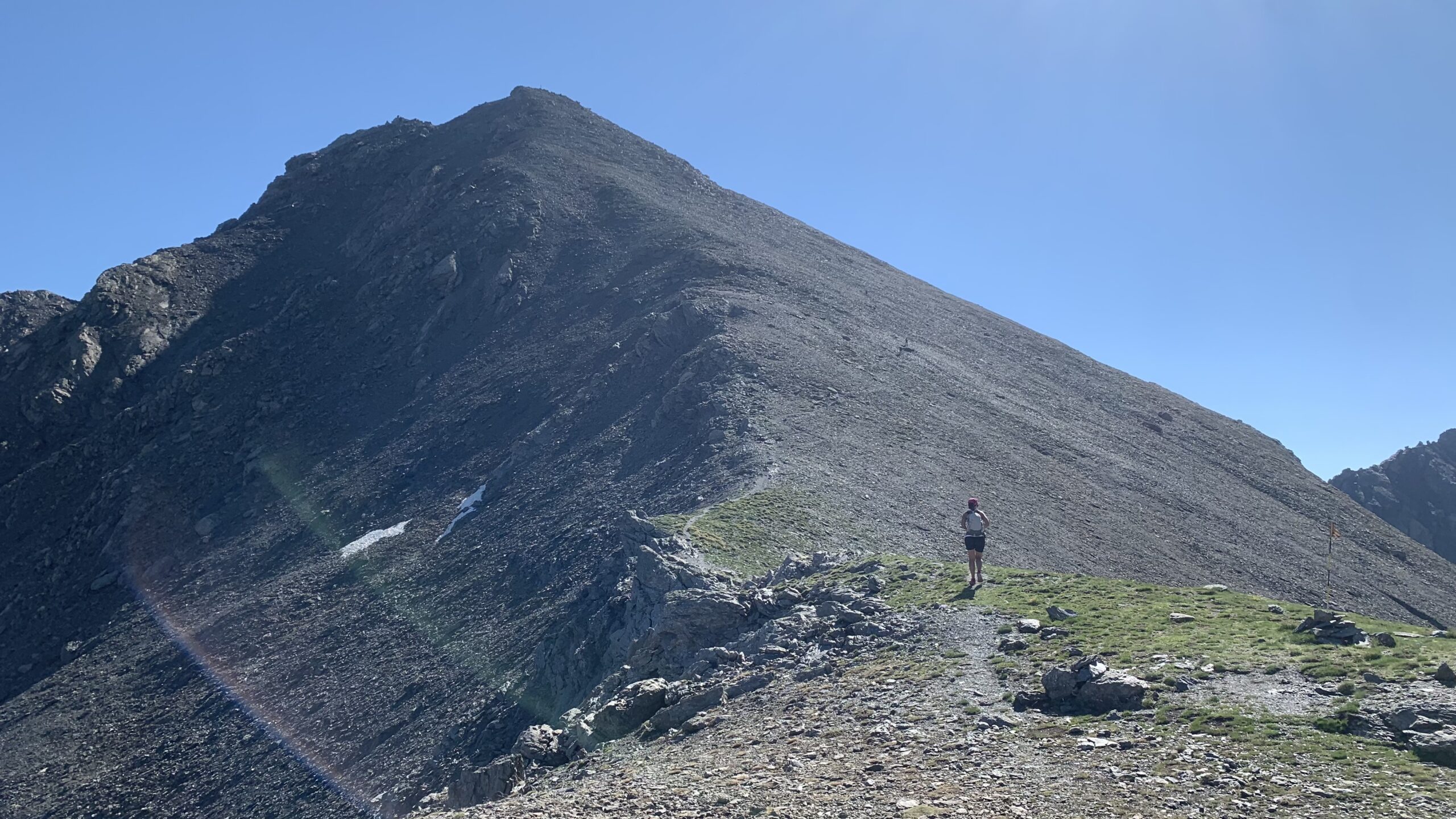
Per la discesa è possibile dal colletto della Rognosa (3009 m) appena ad ovest del monte Sotto Rognosa scendere molto rapidamente (e ripidamente) nella conca del Chisonetto su discreta traccia.
Nelle vicinanze Mappa
Itinerari
01/05/2026 TO, Sestriere D+ 692 m EE Ovest
Querellet (Monte) e Monte Sises da Sestriere, anello per il Passo di San Giacomo
 550m
550m
12/11/2025 TO, Sestriere D+ 530 m E Sud
Fraiteve (Monte) e Pitre de l’Aigle da Sestriere
 600m
600m
04/01/2026 TO, Sestriere D+ 390 m E Sud
Basset (Col) da Sestriere
 600m
600m
06/10/2024 TO, Sestriere D+ 631 m E Sud-Est
Fraiteve (Monte) da Sestriere
600m
13/12/2015 TO, Sestriere D+ 182 m E Est
Rotta (Monte) da Sestriere
 650m
650m
29/06/2025 TO, Sestriere D+ 930 m E Nord-Ovest
Banchetta (Passo della) da Sestriere Borgata per il vallone del Chisonetto
 2Km
2Km
29/09/2024 TO, Sauze di Cesana D+ 650 m E Sud
Argentera (Grange) da Bessen Haut, anello della Valle Argentera per il sentiero Balcone e Brusà del Plan
 2.5Km
2.5Km
29/09/2024 TO, Sauze di Cesana D+ 1150 m EE Sud-Ovest
Giornalet (Monte) da Bessen Haut per il versante SO
 2.5Km
2.5Km
28/07/2025 TO, Sauze di Cesana D+ 1200 m EE Ovest
Fauri Sud (Punta) da Bessen Haut
2.5Km
01/11/2023 TO, Sauze di Cesana D+ 380 m T Varie
Ratazzo Ugo (Bivacco) da Bessen Haut
 2.5Km
2.5Km
Servizi
2.6Km
6Km
Al Mulino Ristorante
Pragelato
6Km
La capanna del sole Ristorante
Pragelato
6.2Km
Mulino di Laval Rifugio
Pragelato
6.9Km
Centro Ristorante
Cesana Torinese
7.3Km
La Fontana del Thures Rifugio
Cesana Torinese
7.6Km
da Carlo Rifugio
Cesana Torinese
7.6Km
La Tana degli Orsi B&B
Cesana Torinese
7.6Km
La Crota B&B
Cesana Torinese
8.2Km