800m
800m
Note
Descrizione
 0m
0m
0m
50m
50m
50m
50m
50m
50m
50m
0m
0m
0m
50m
50m
50m
50m
50m
50m
50m
800m
1.3Km
1.3Km
3Km
4.2Km
4.3Km
4.3Km
4.6Km
5.8Km
7.1Km
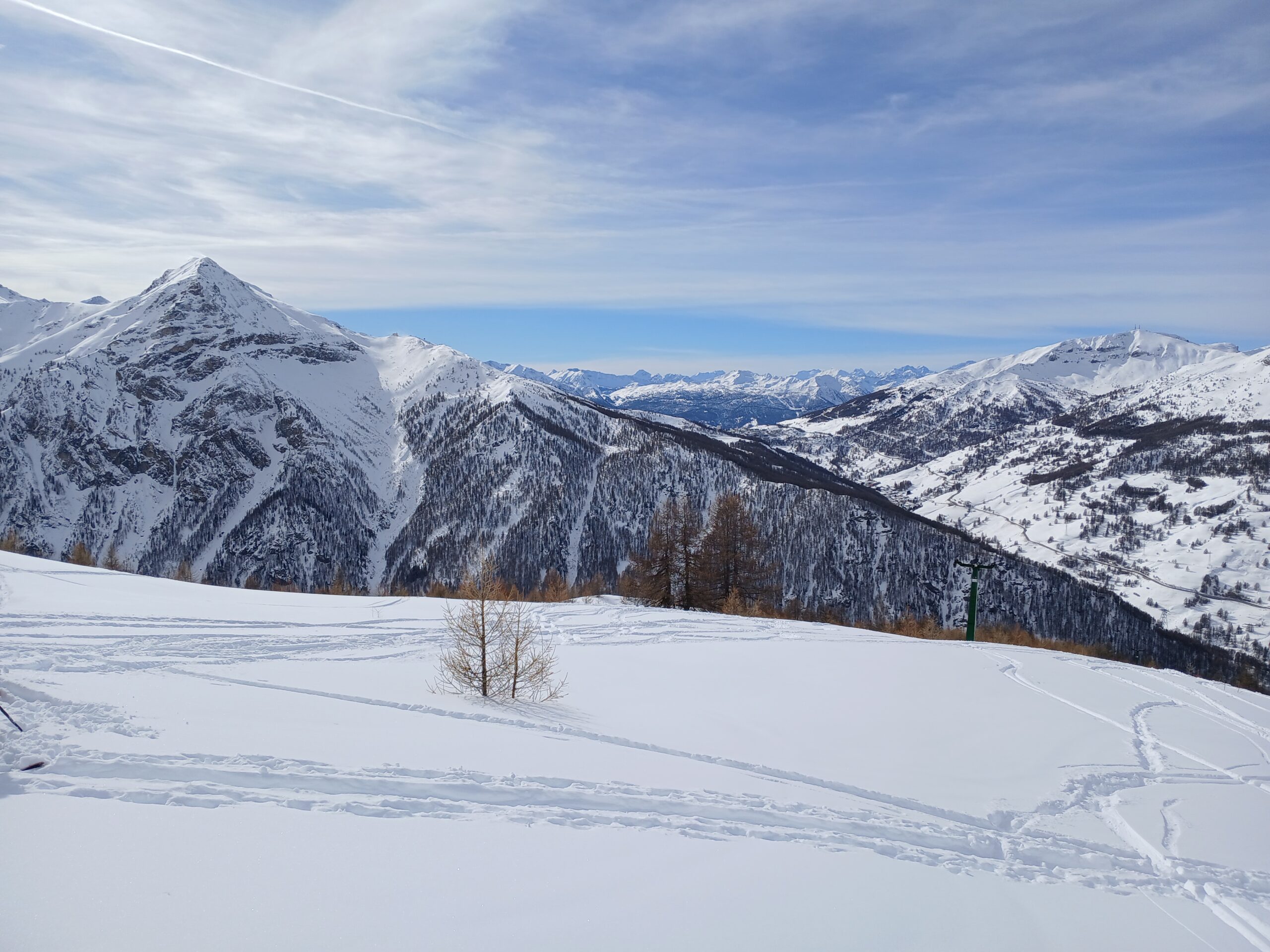
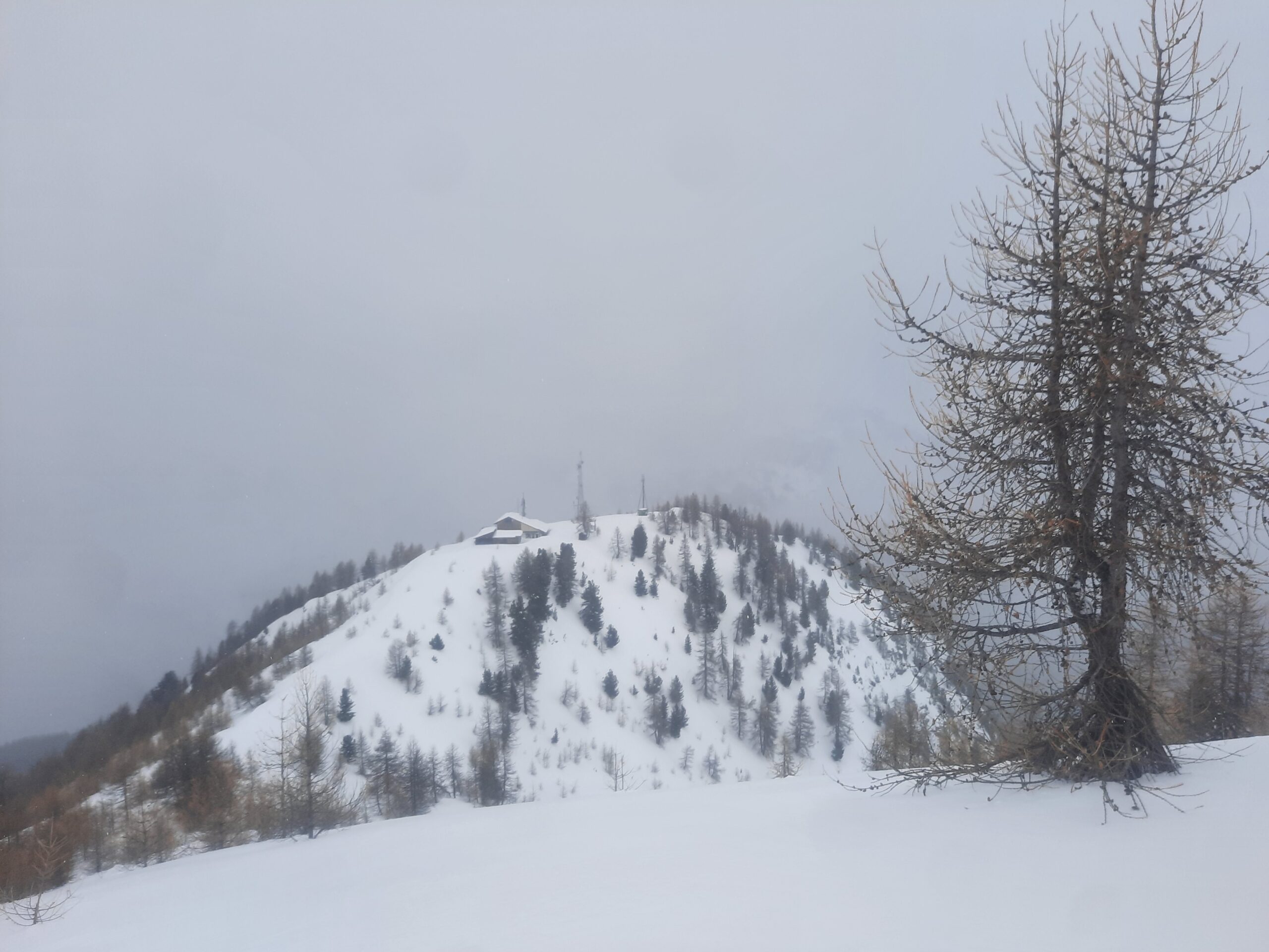
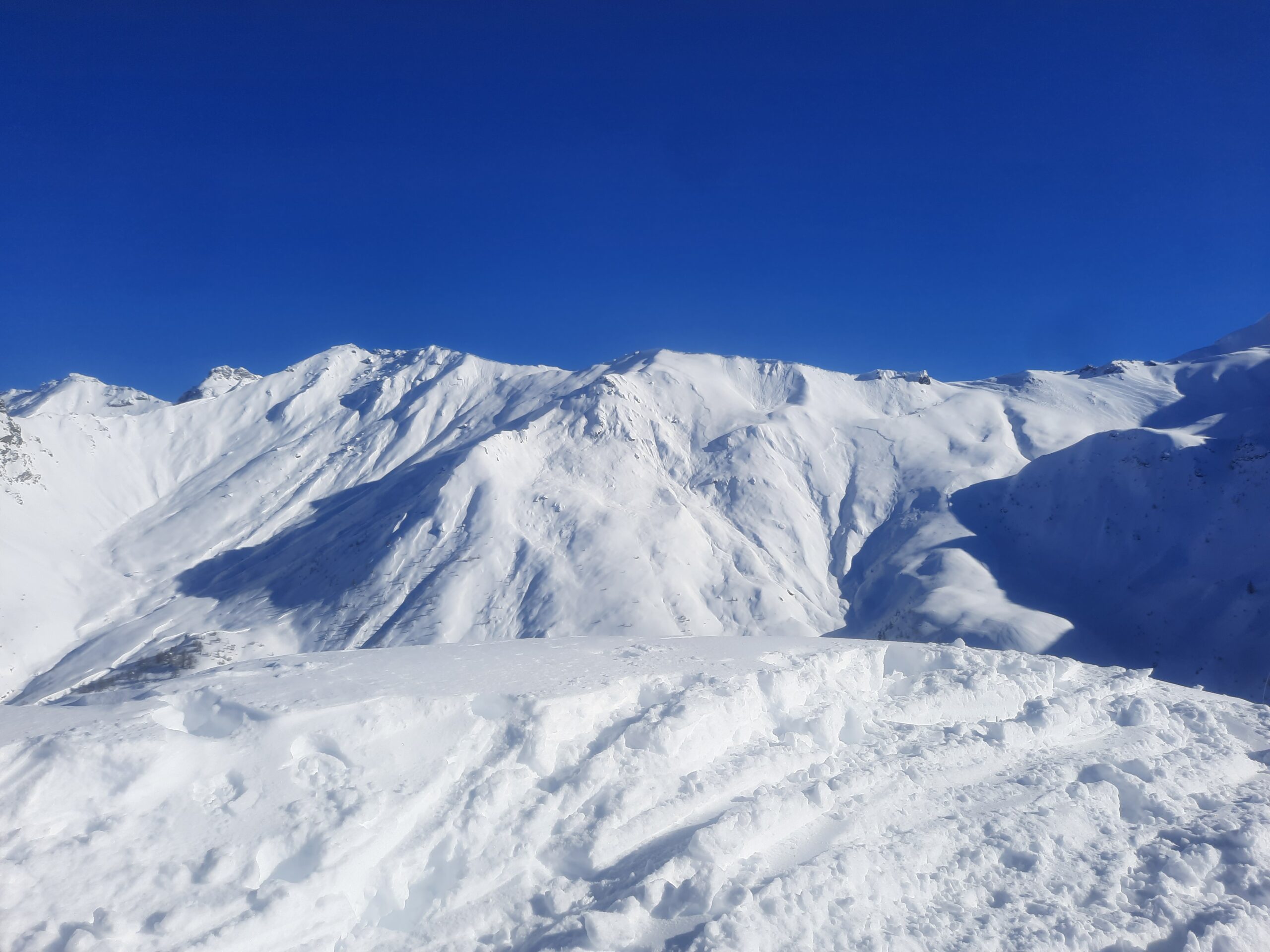
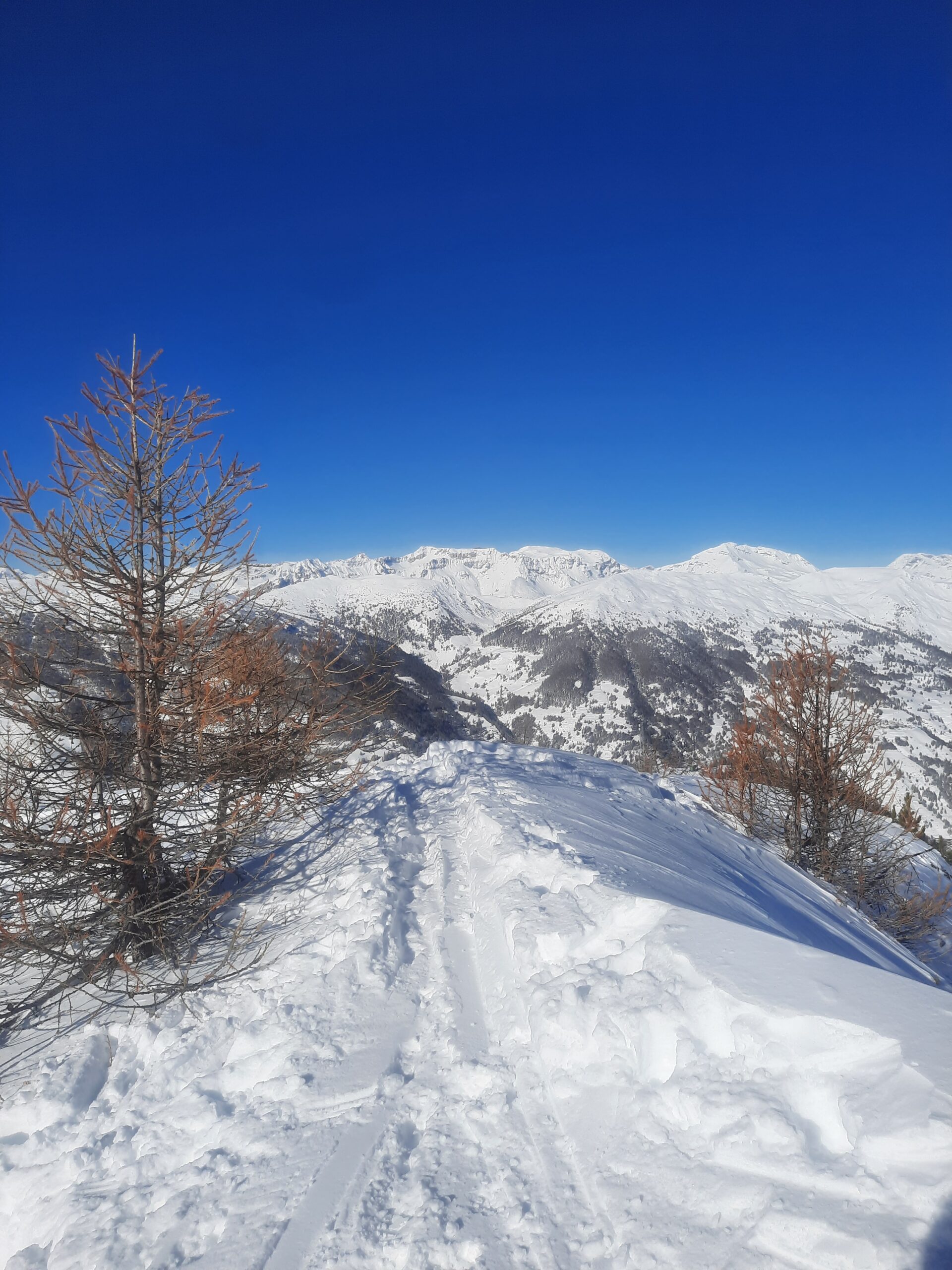
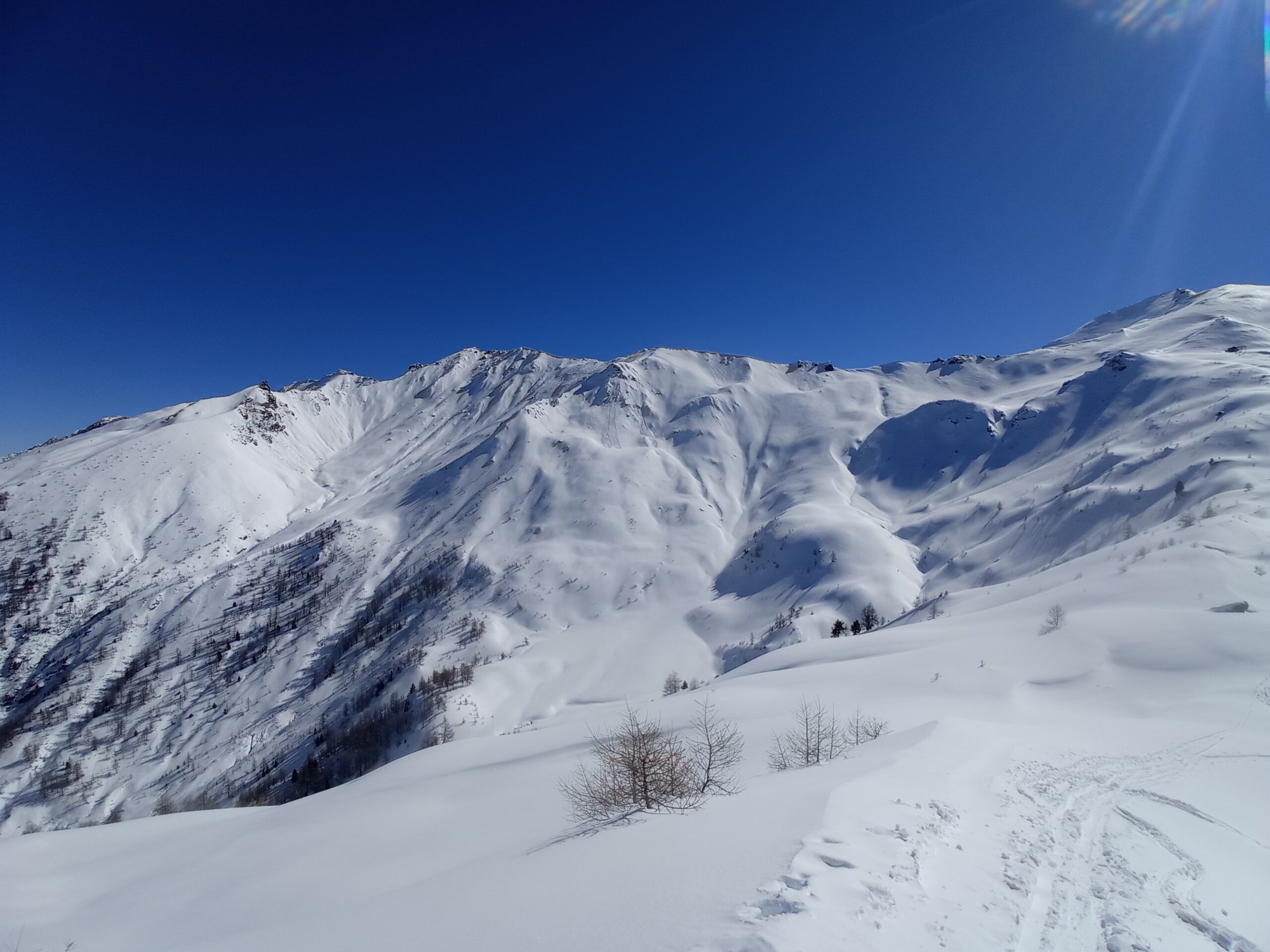
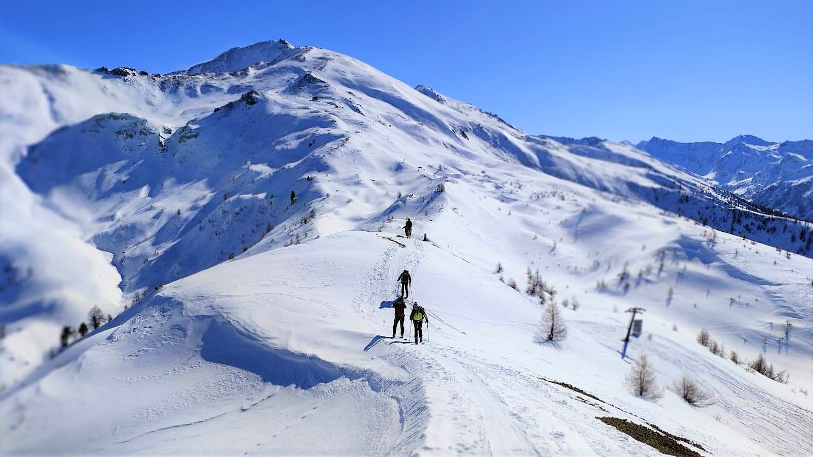
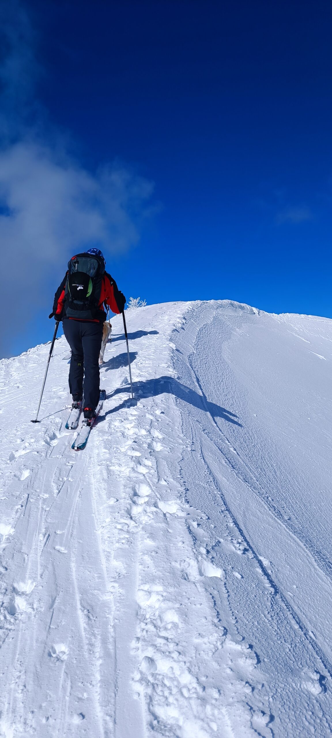
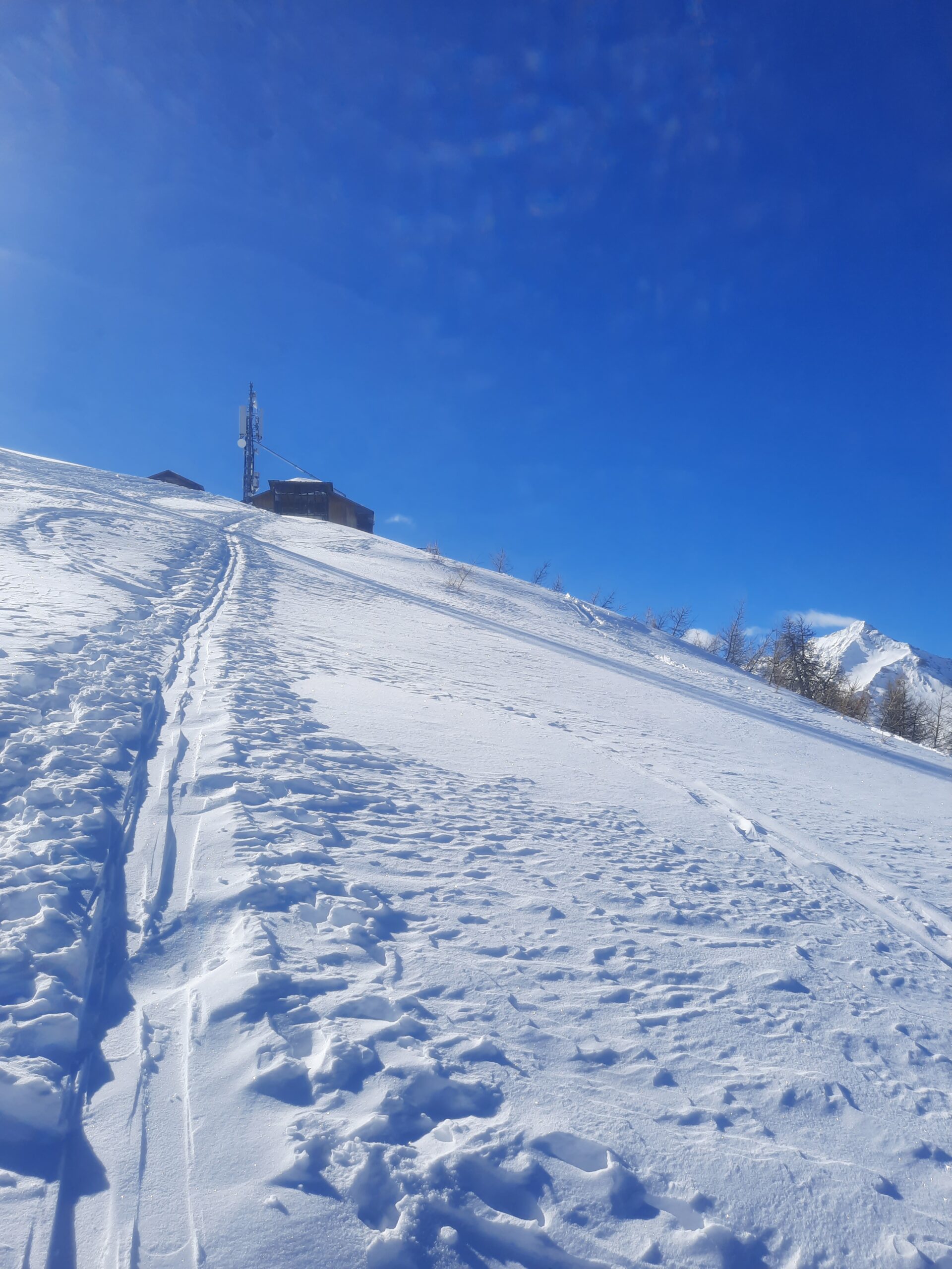
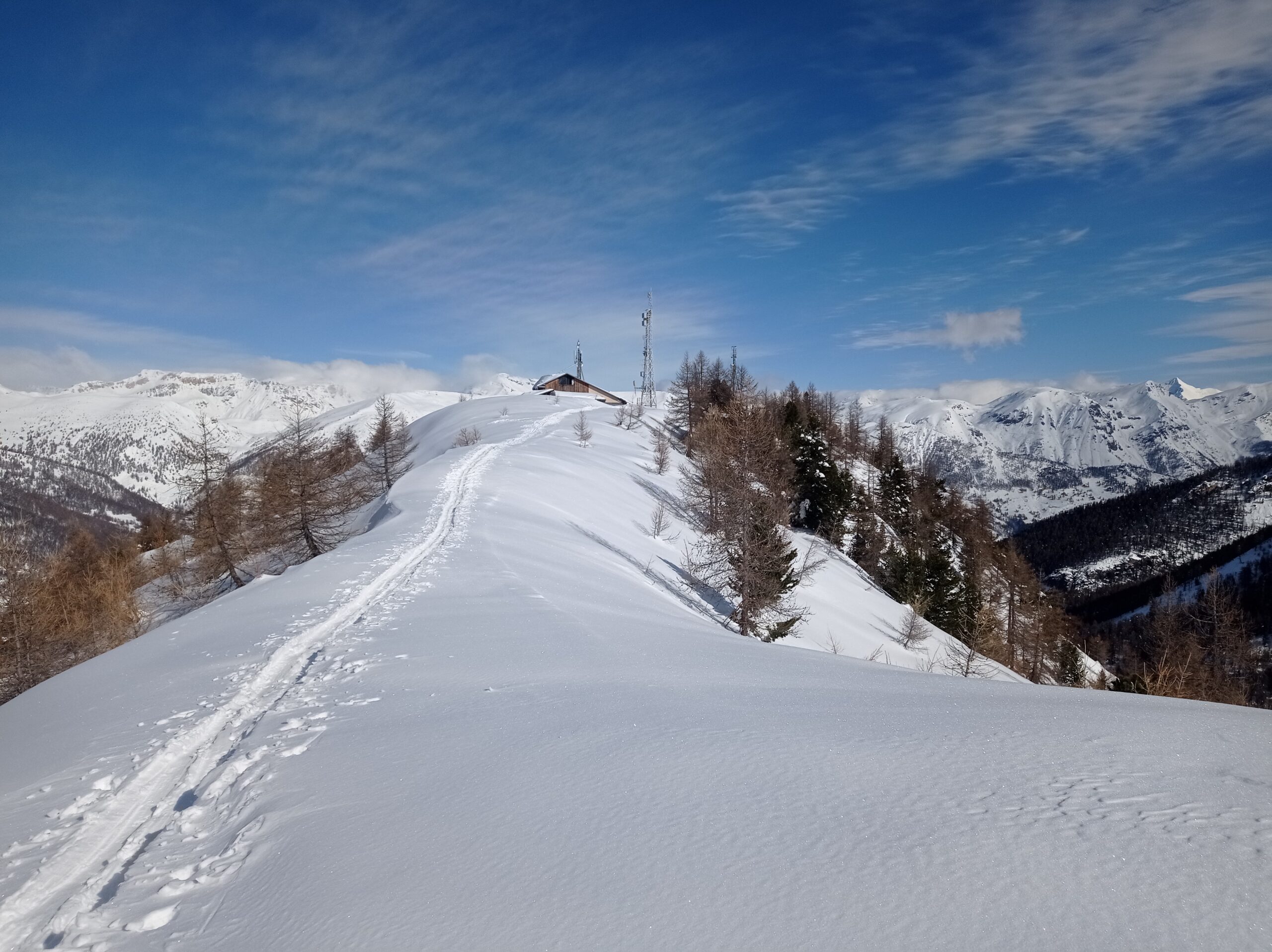
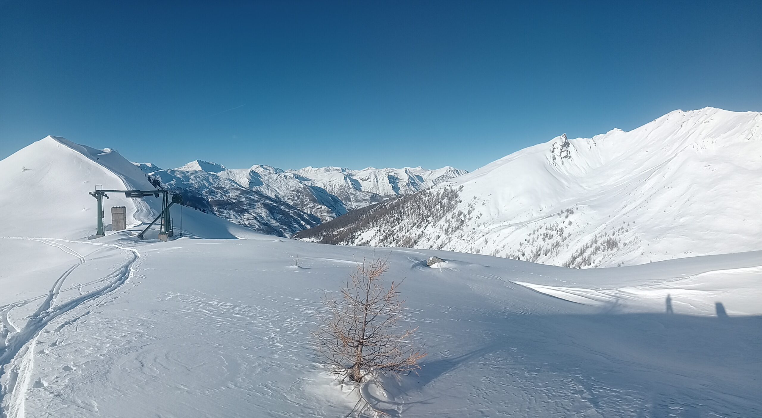
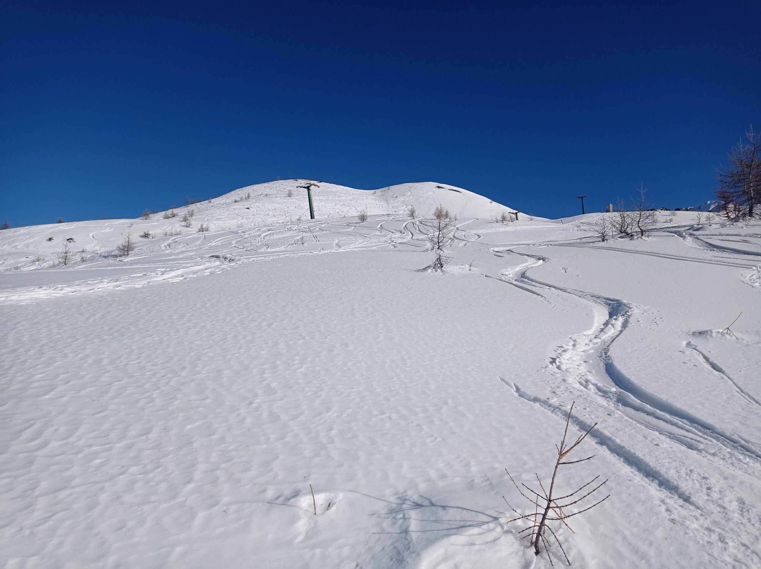
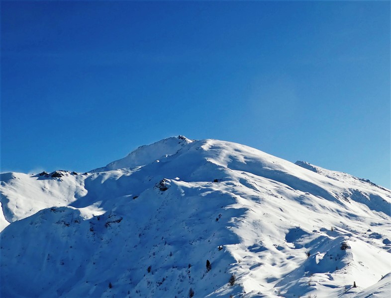
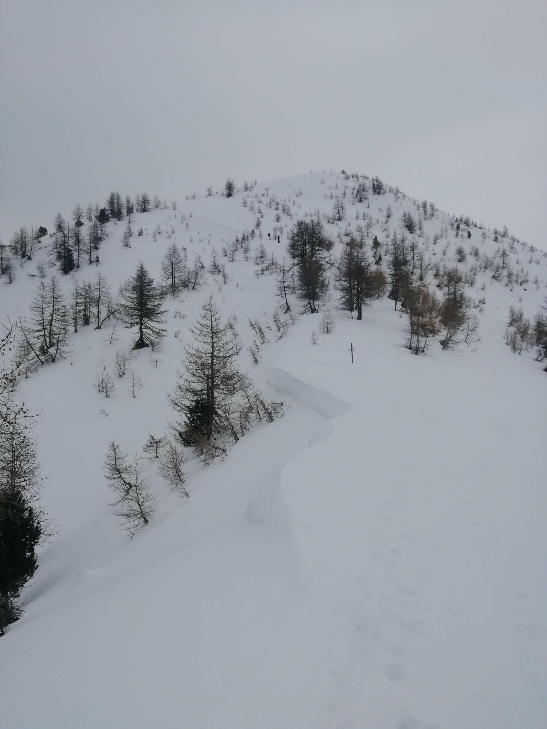
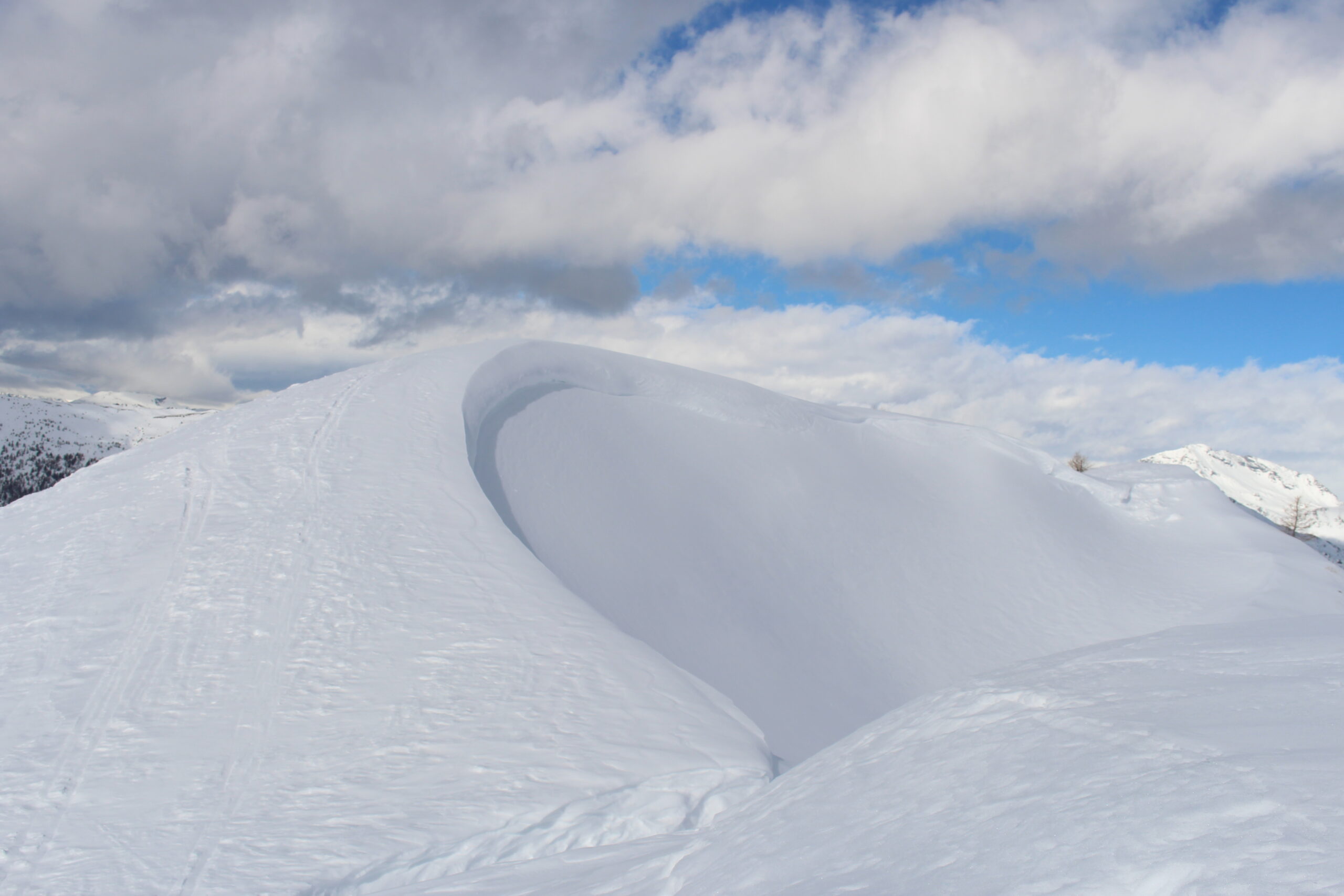
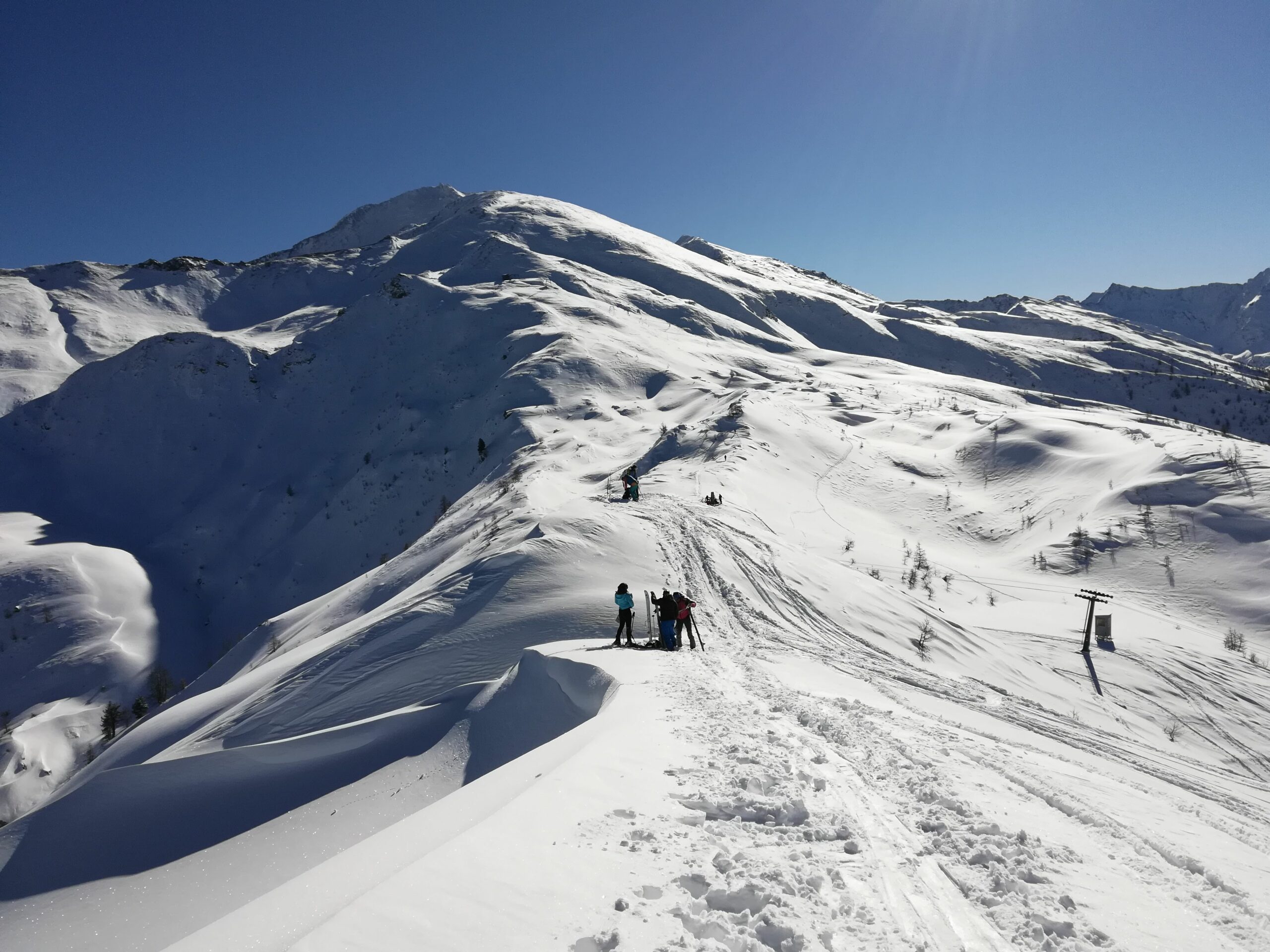
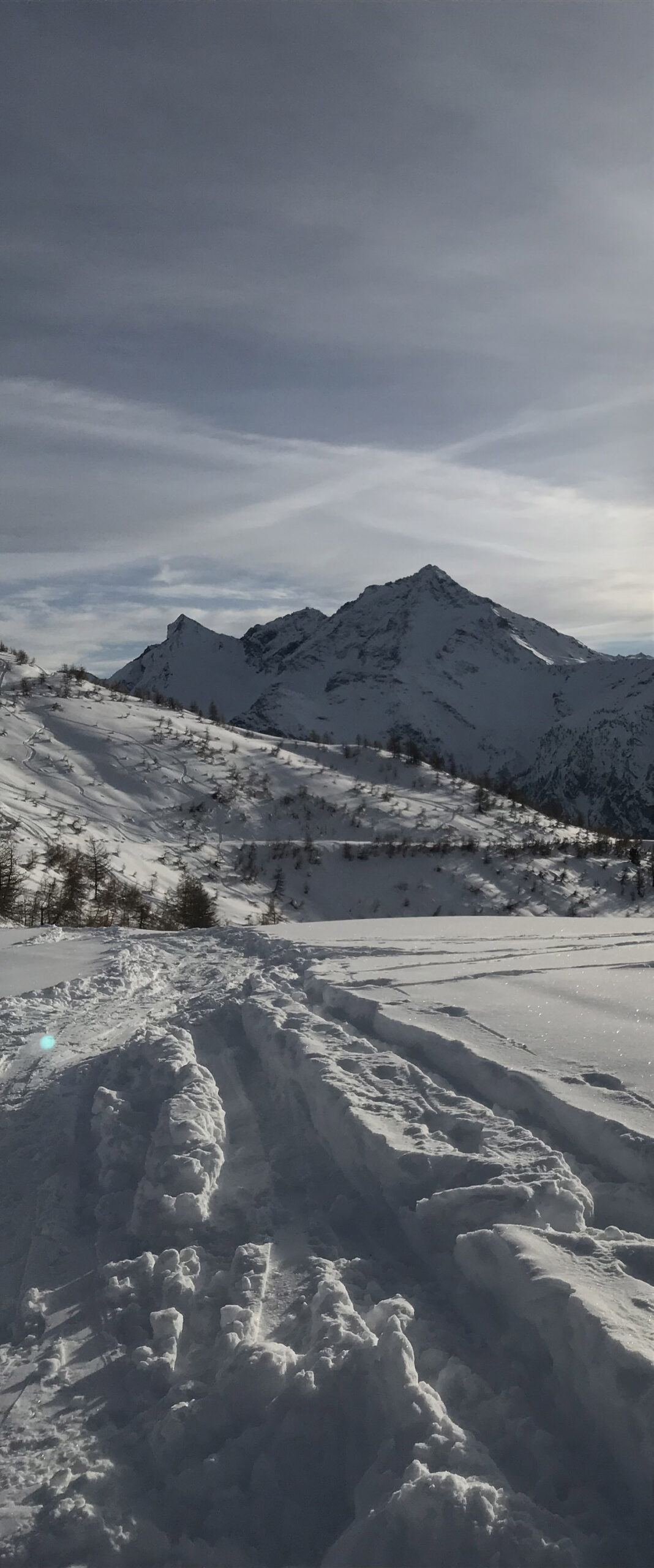
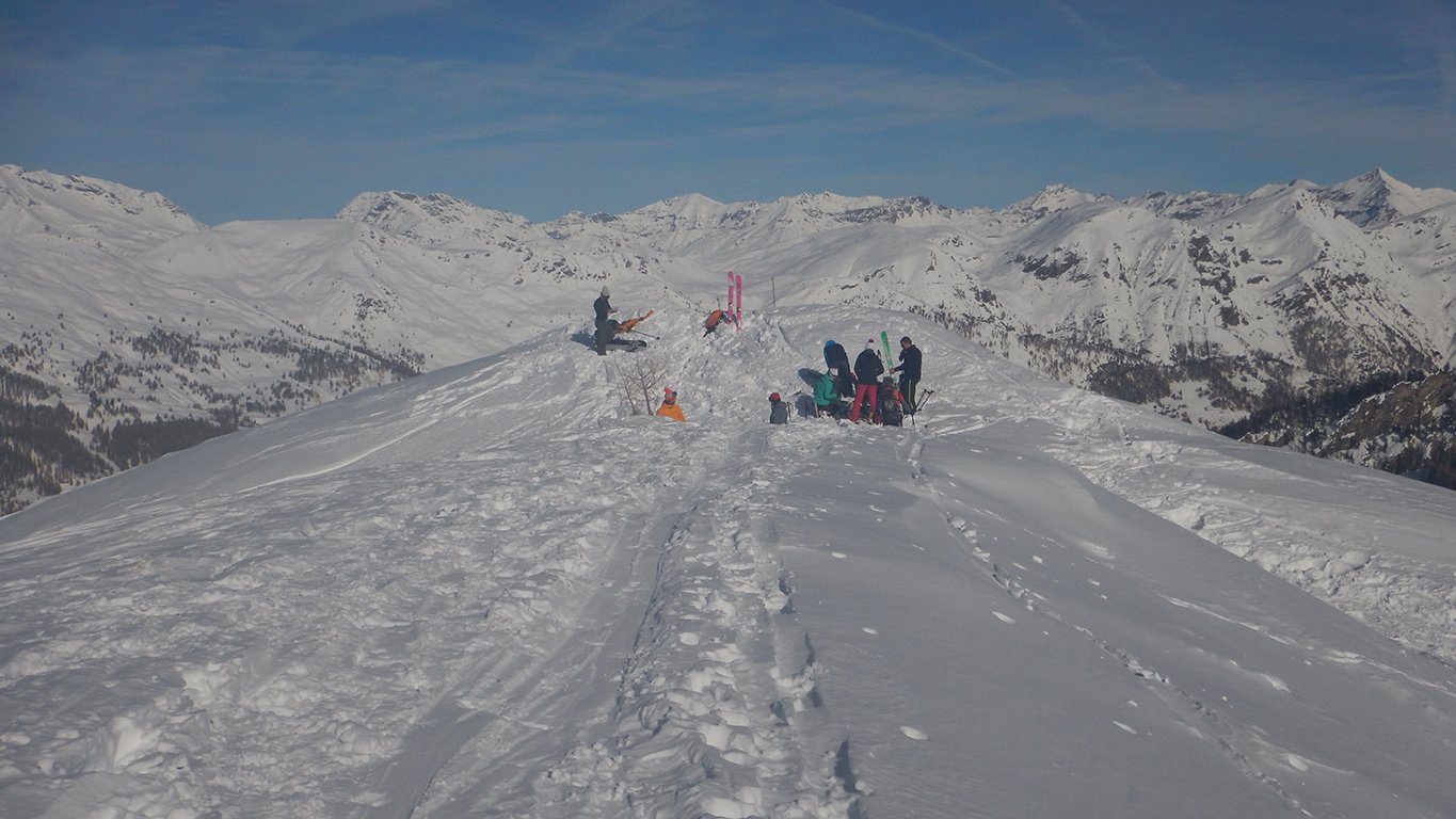
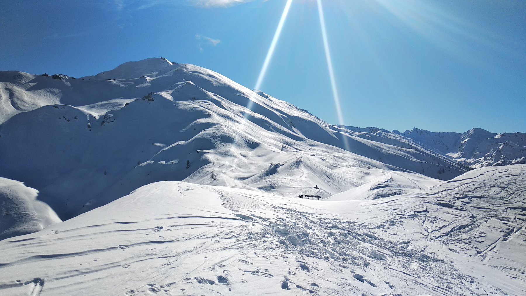
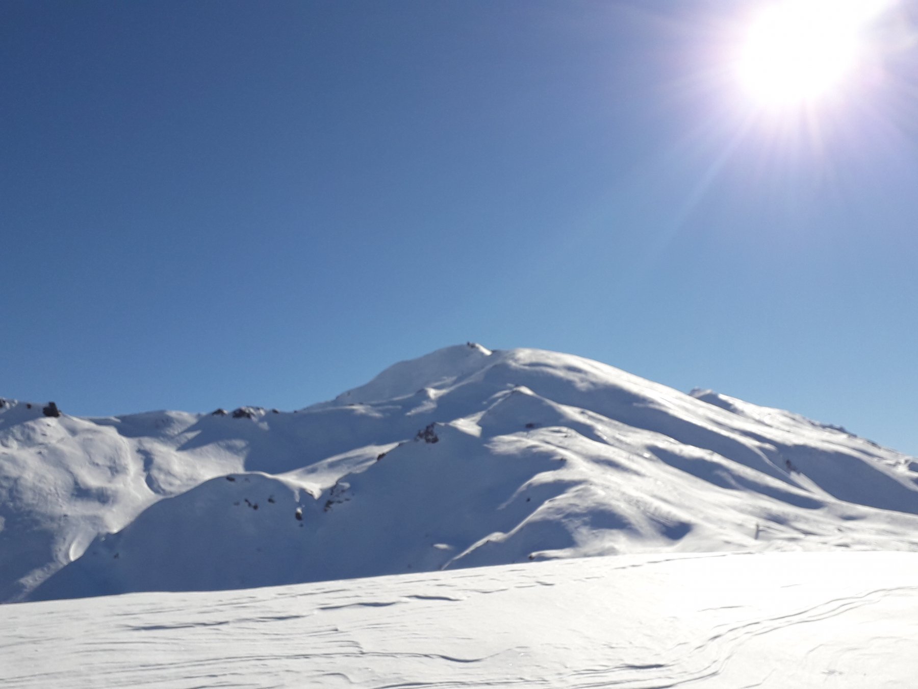
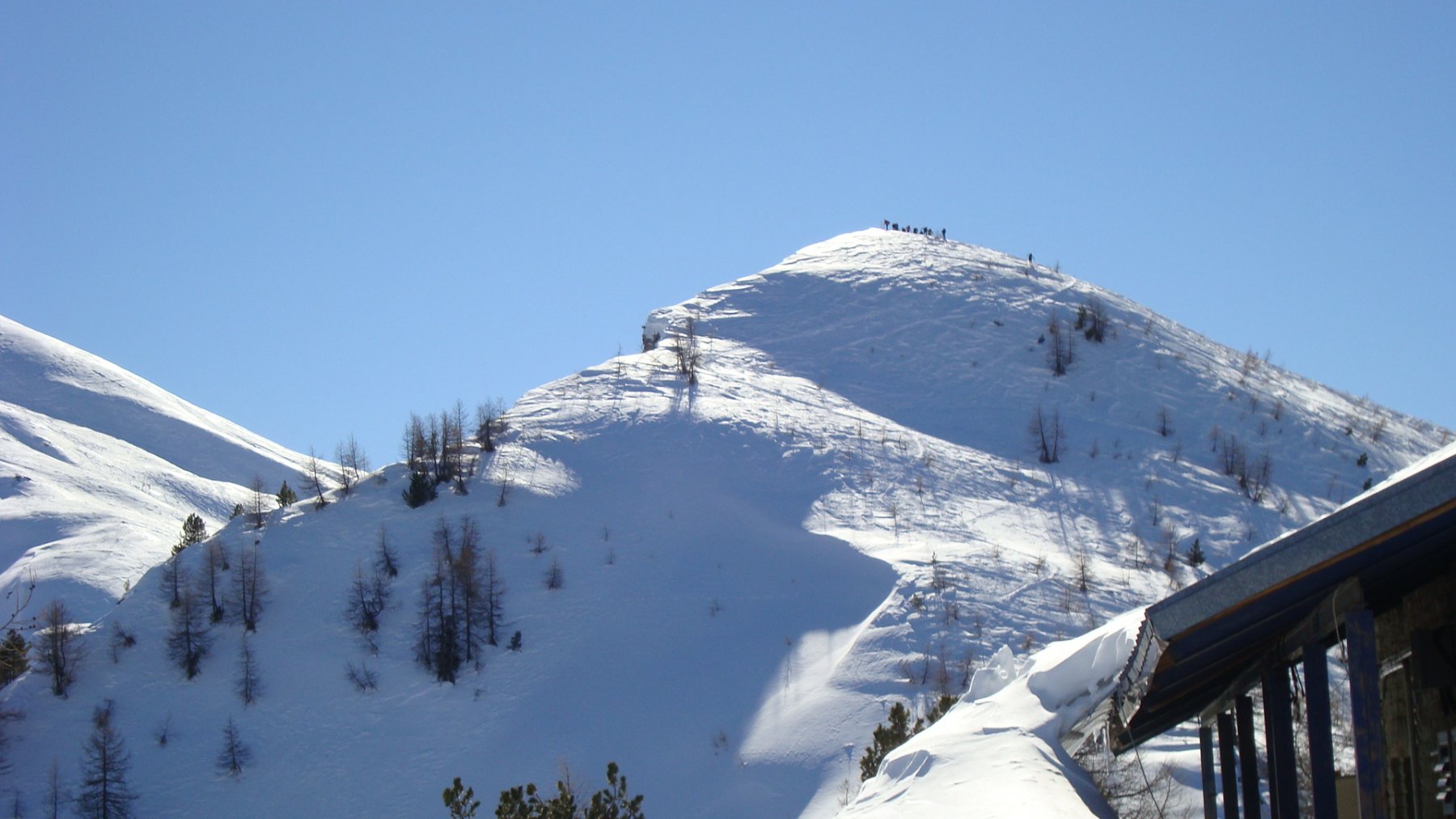
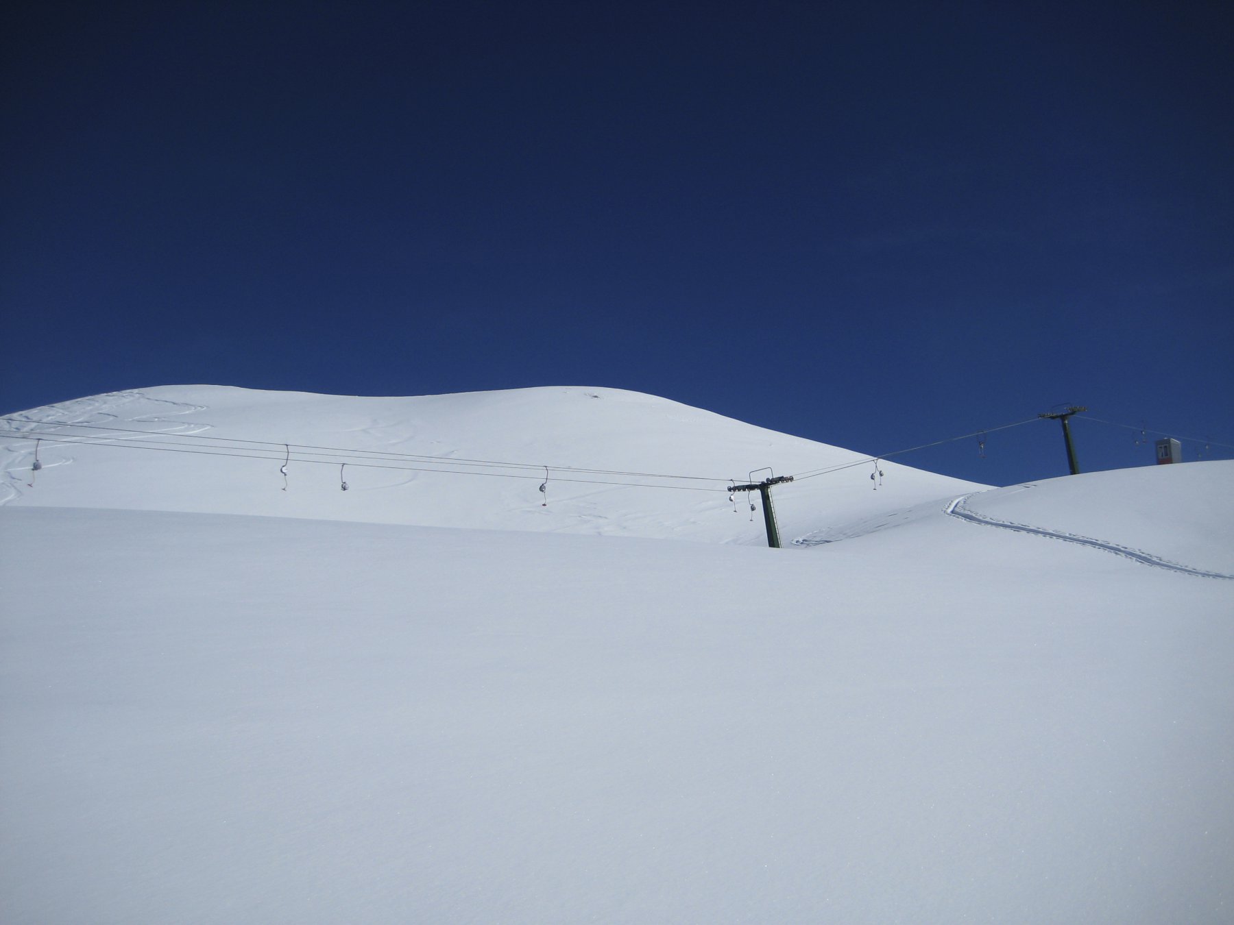
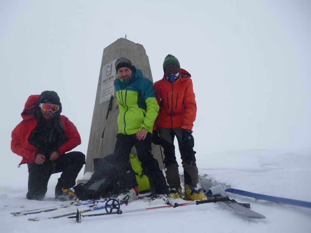
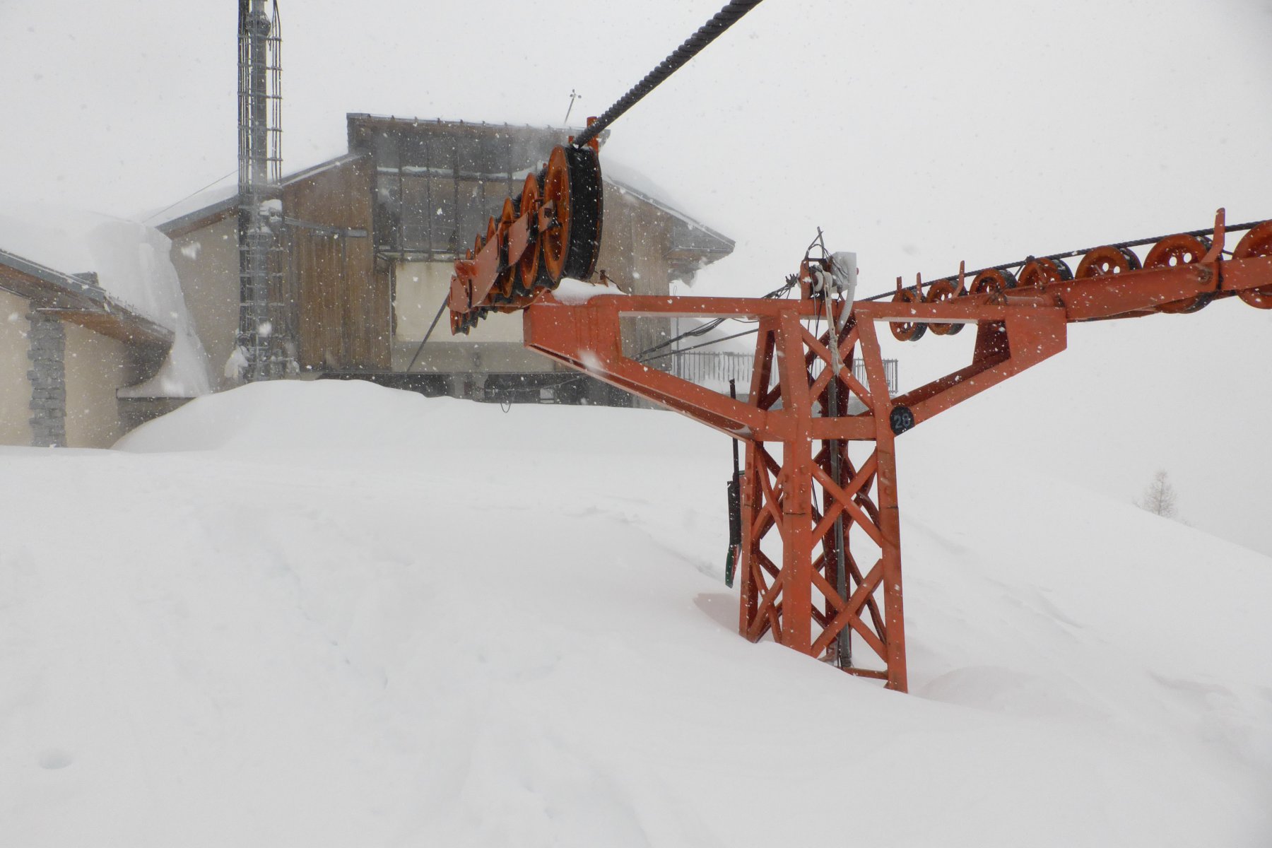
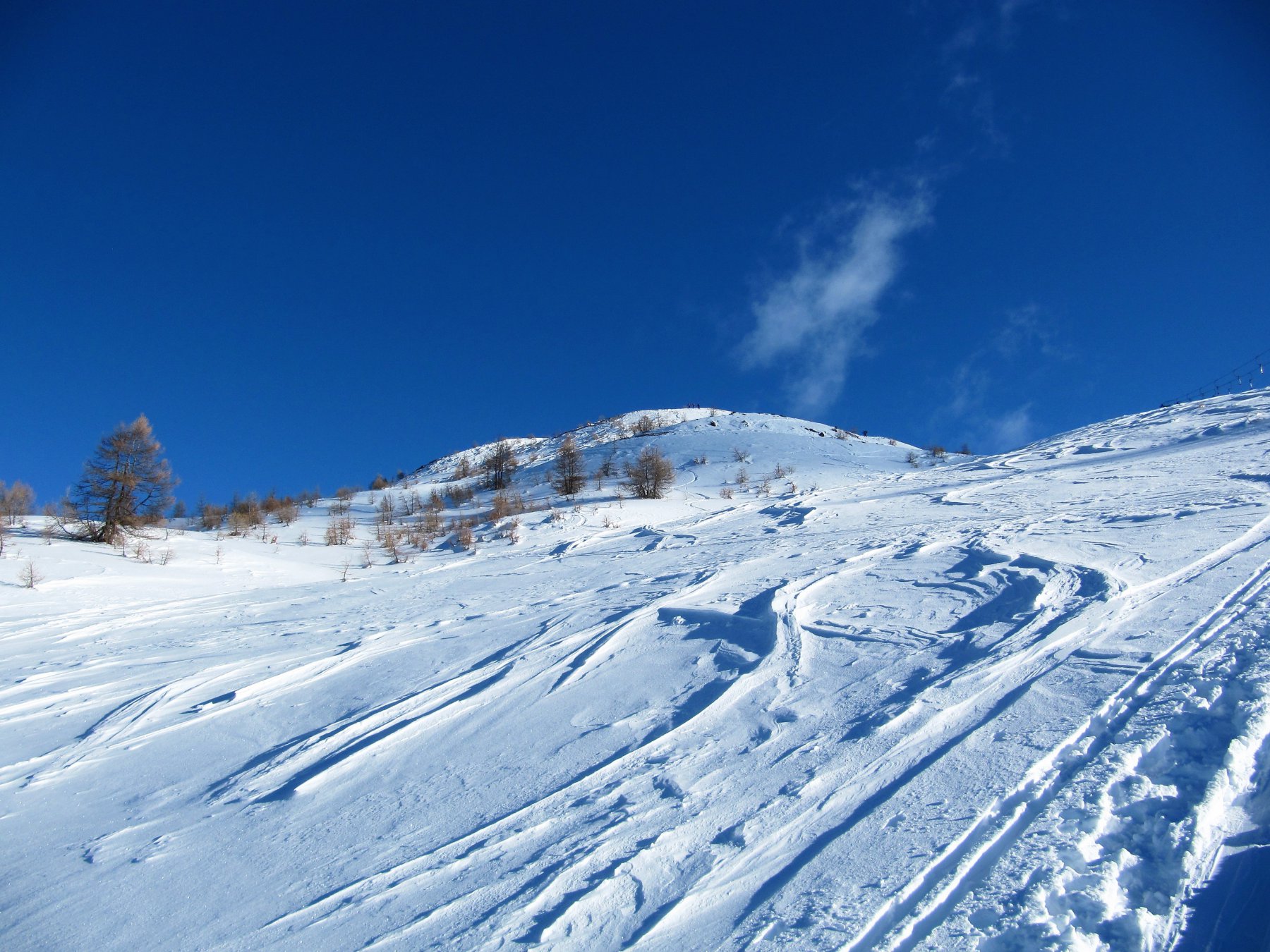
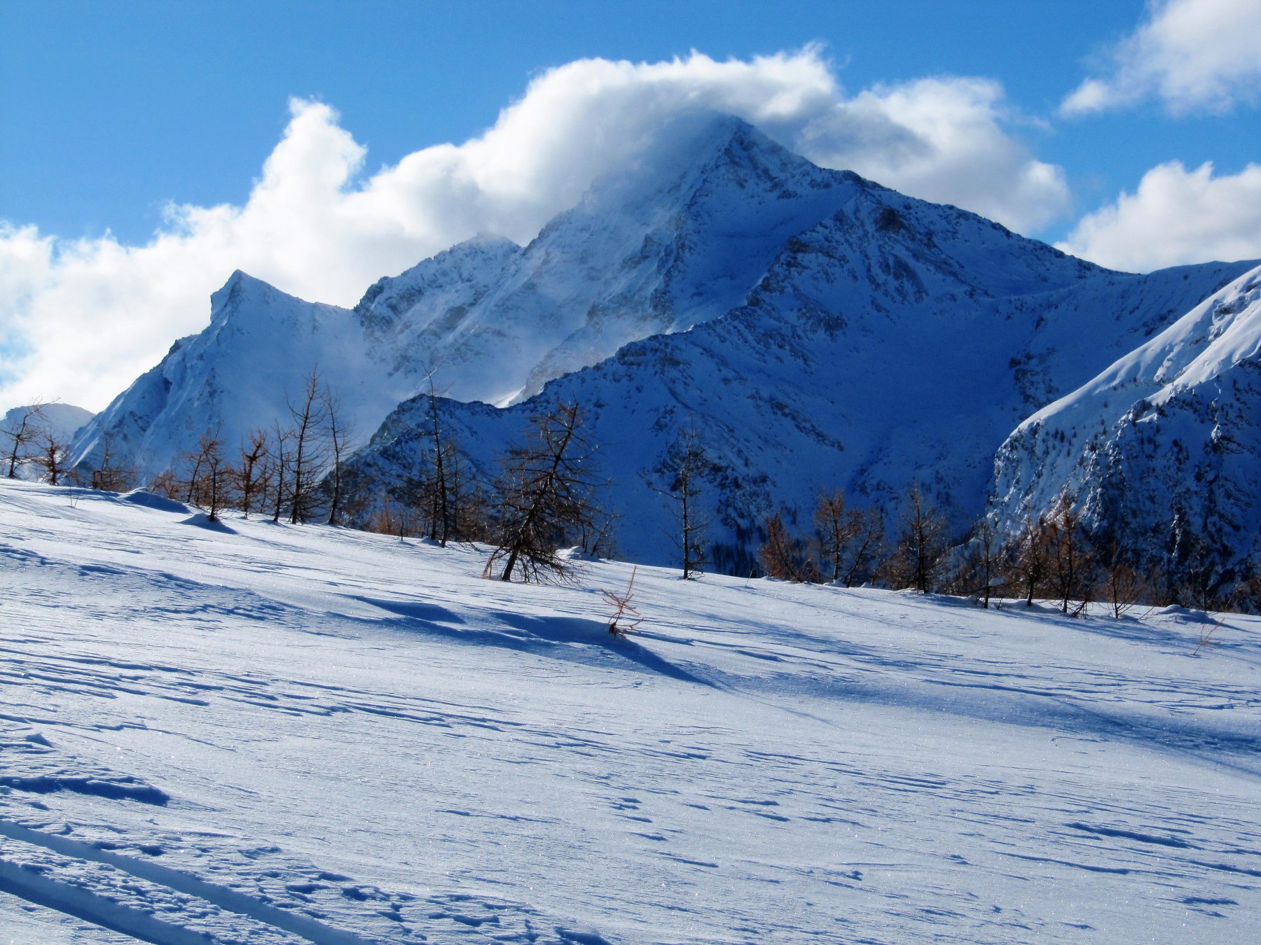
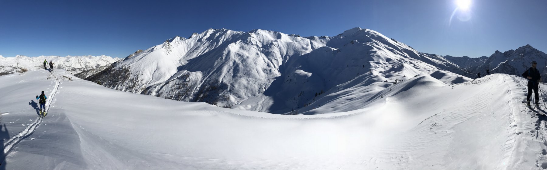
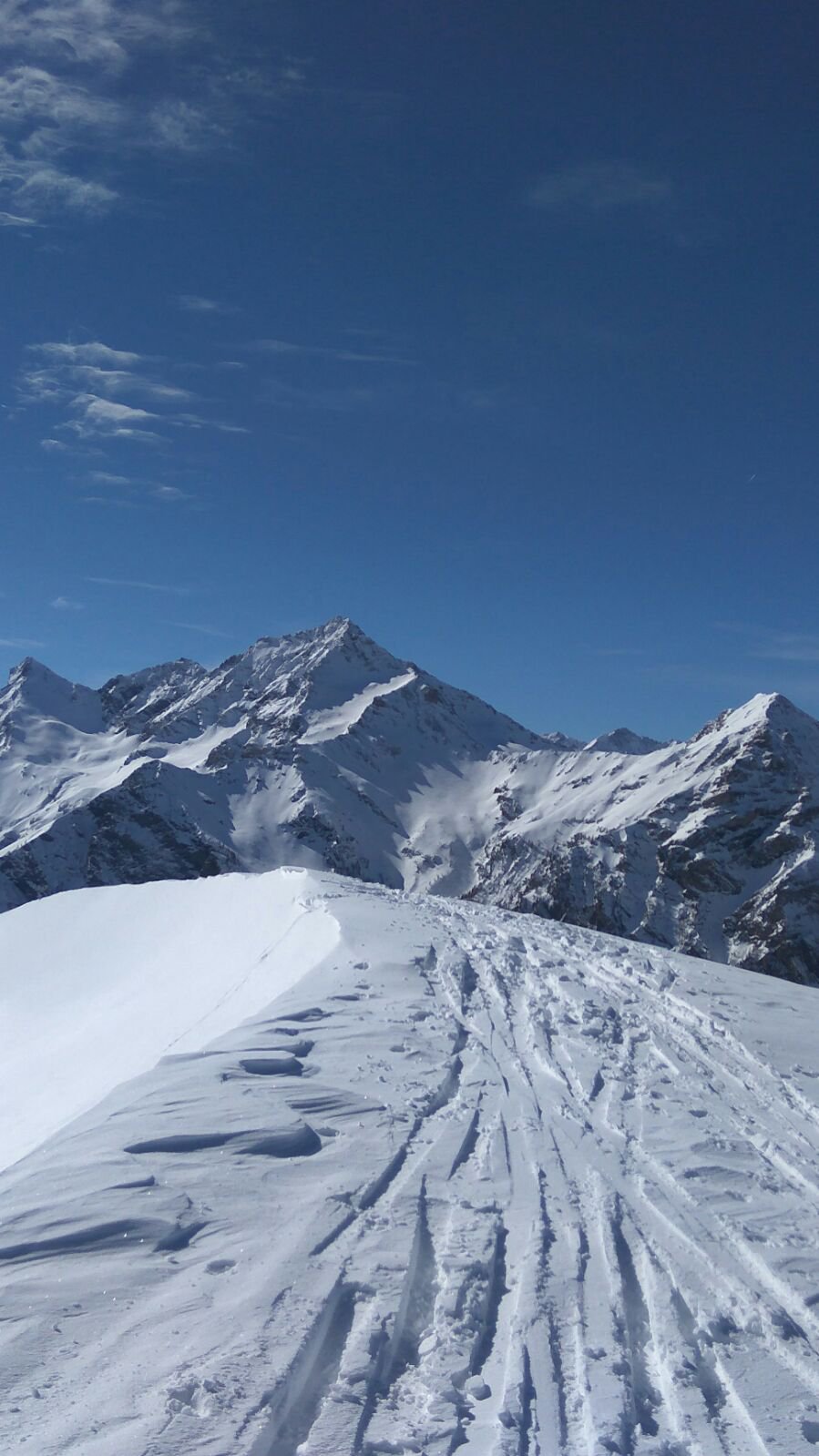
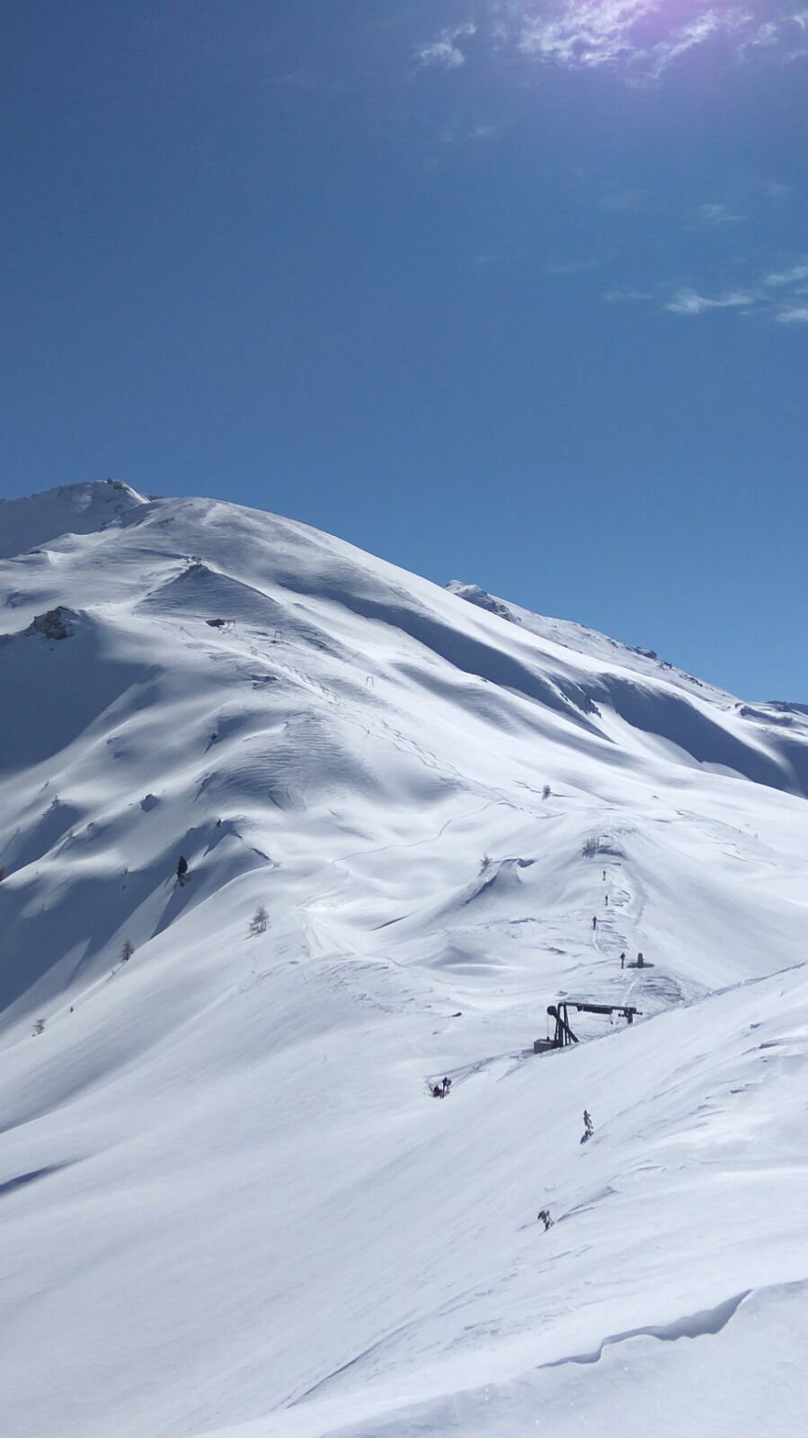
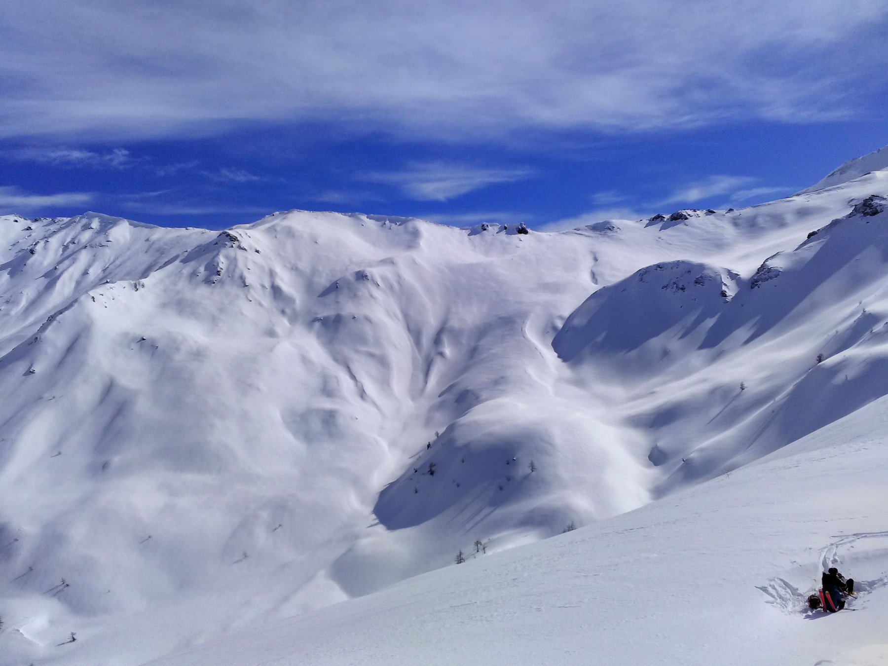
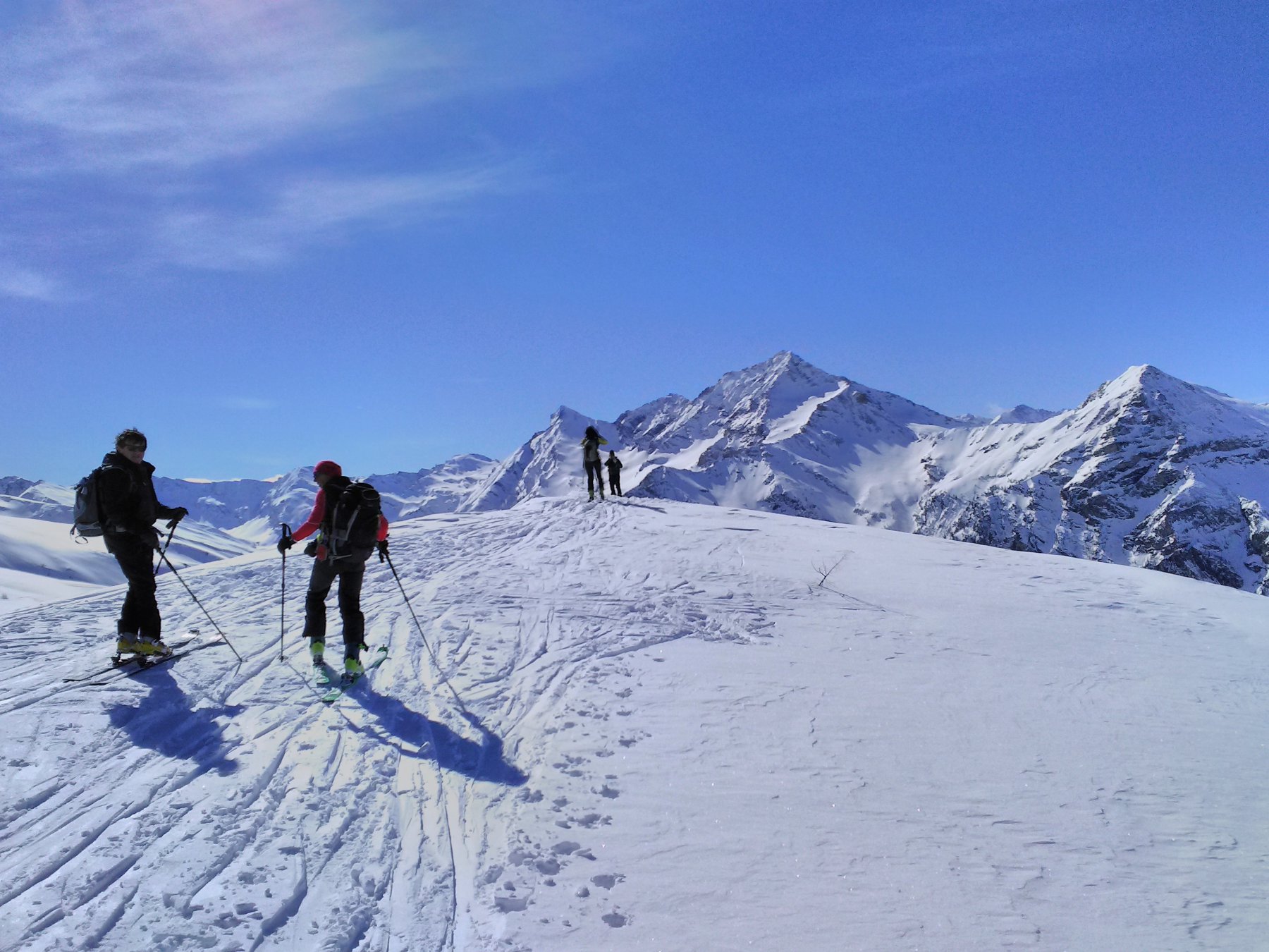
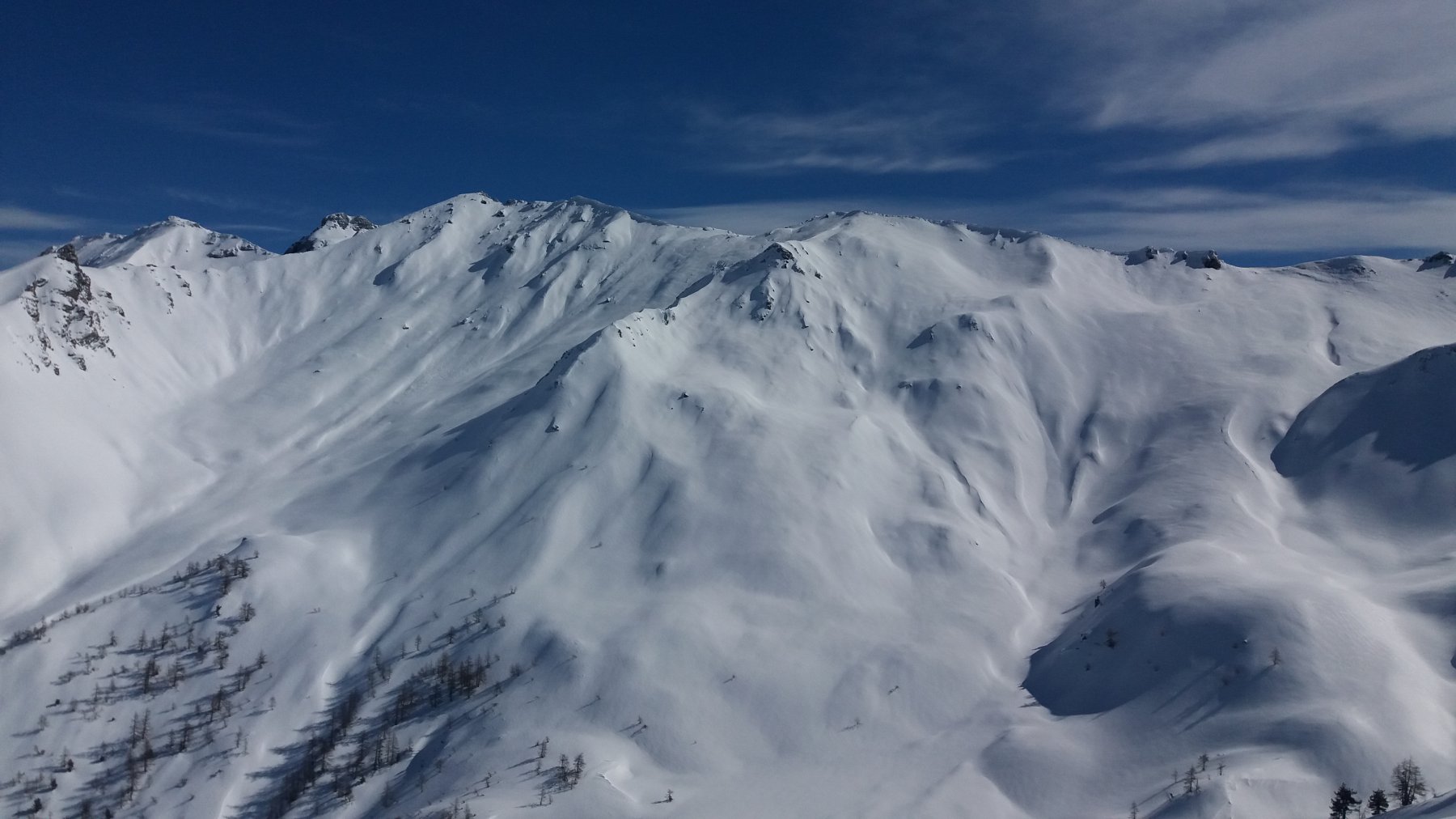
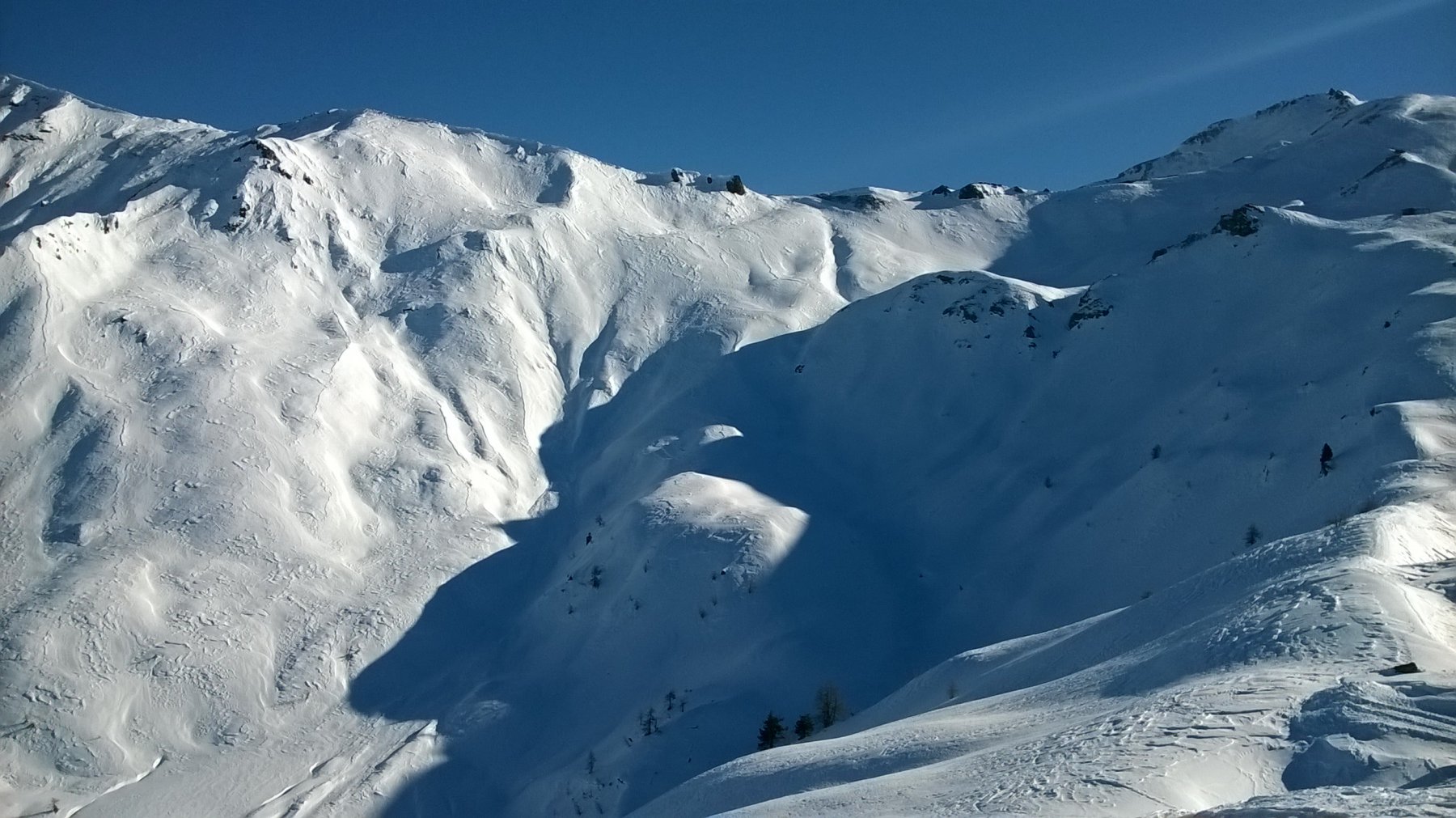
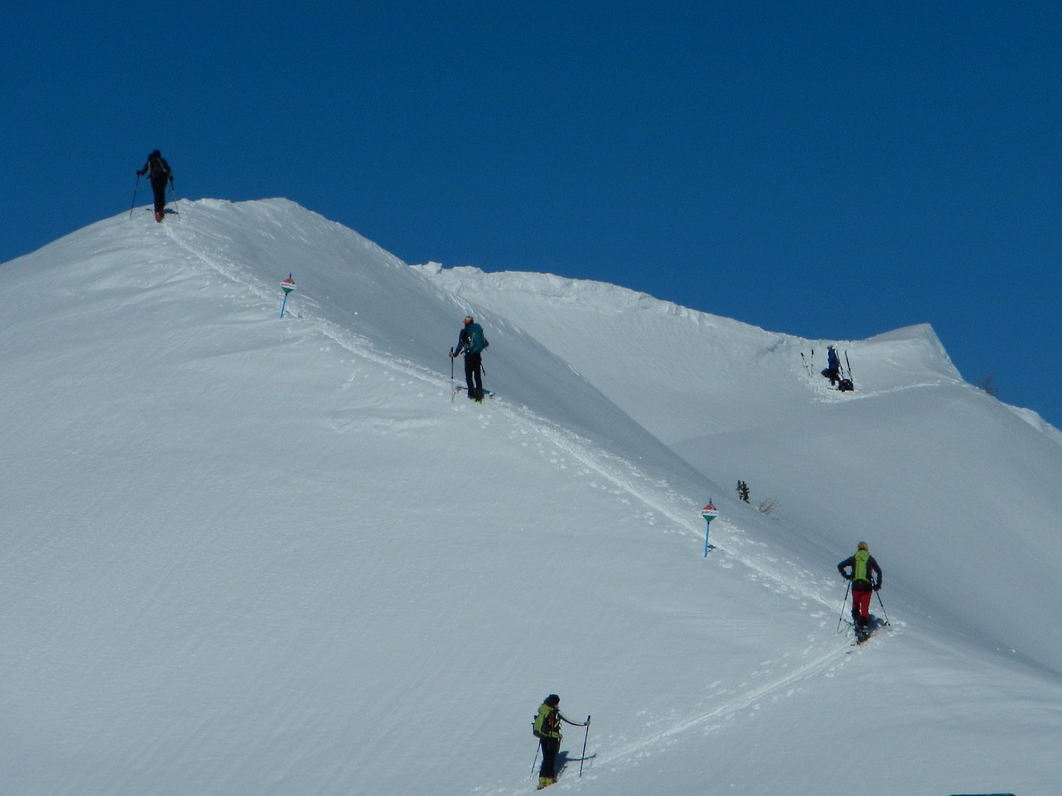
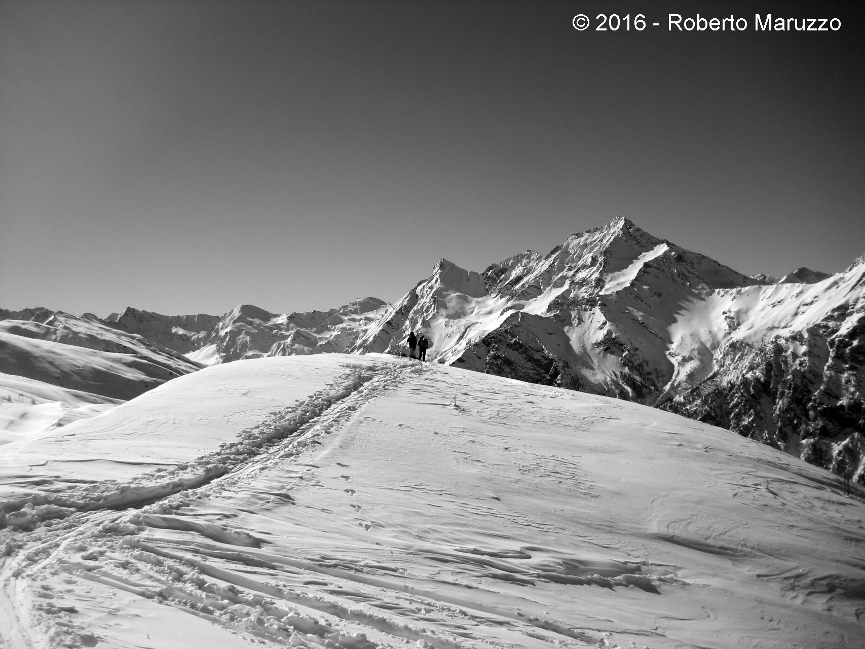
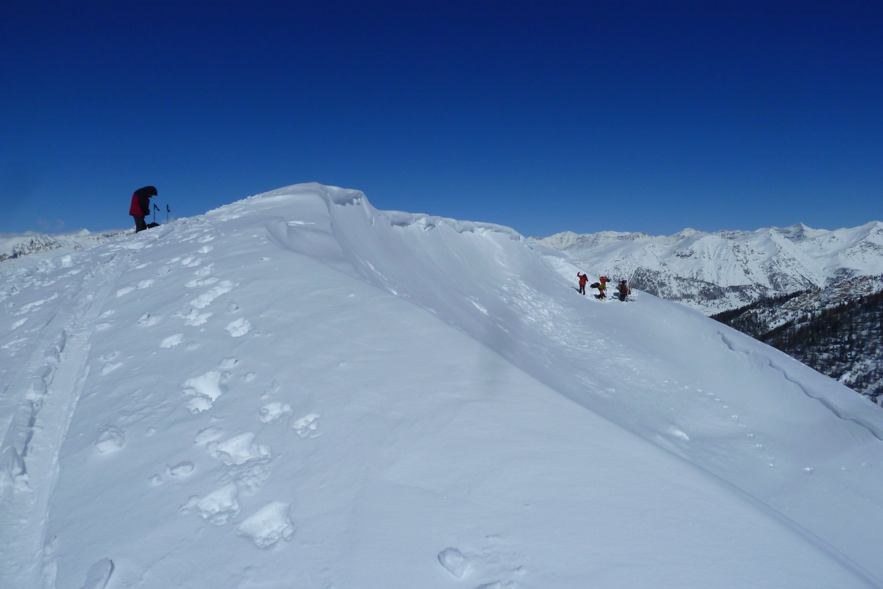
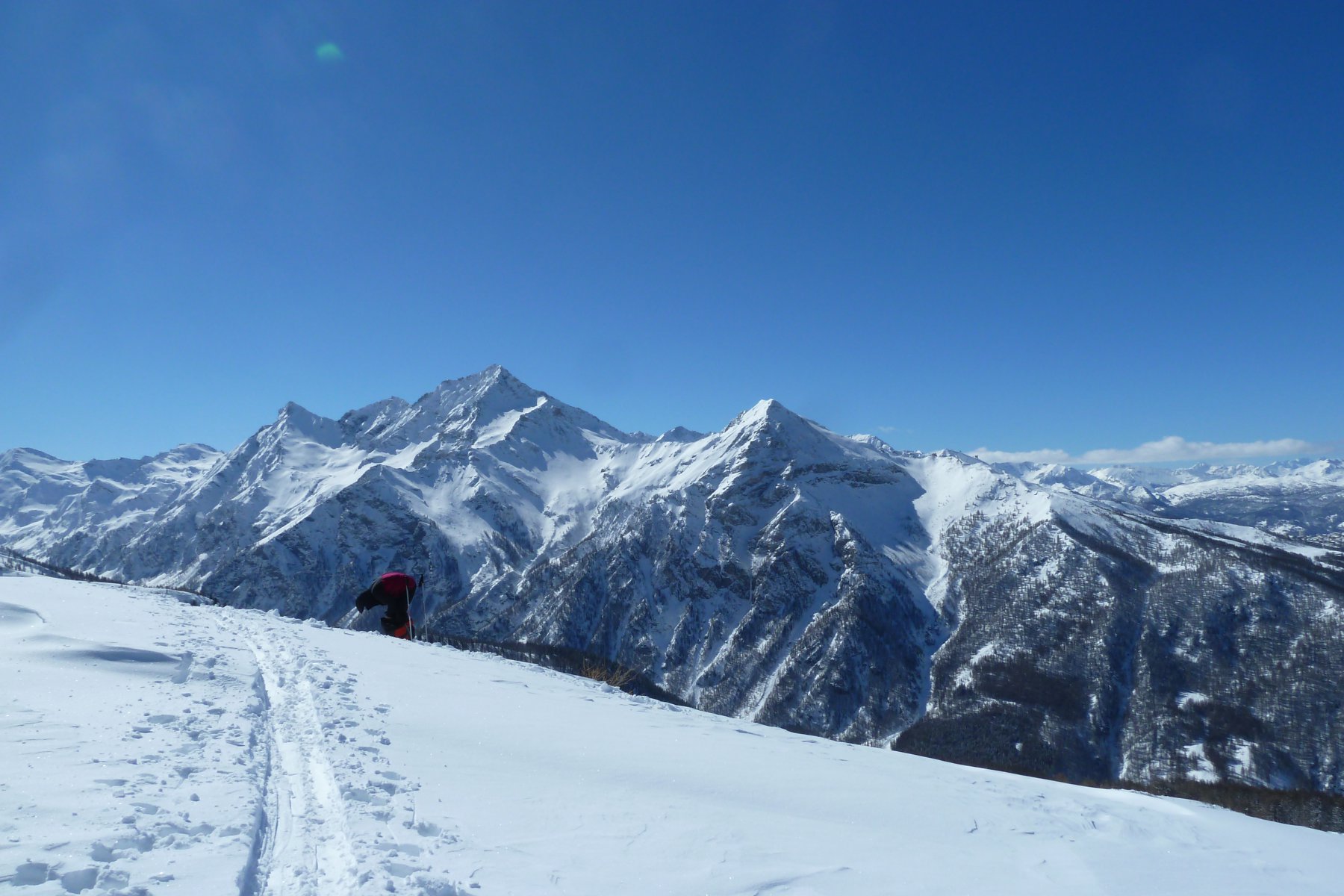
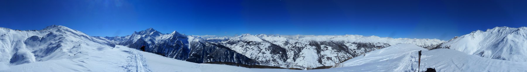
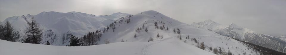
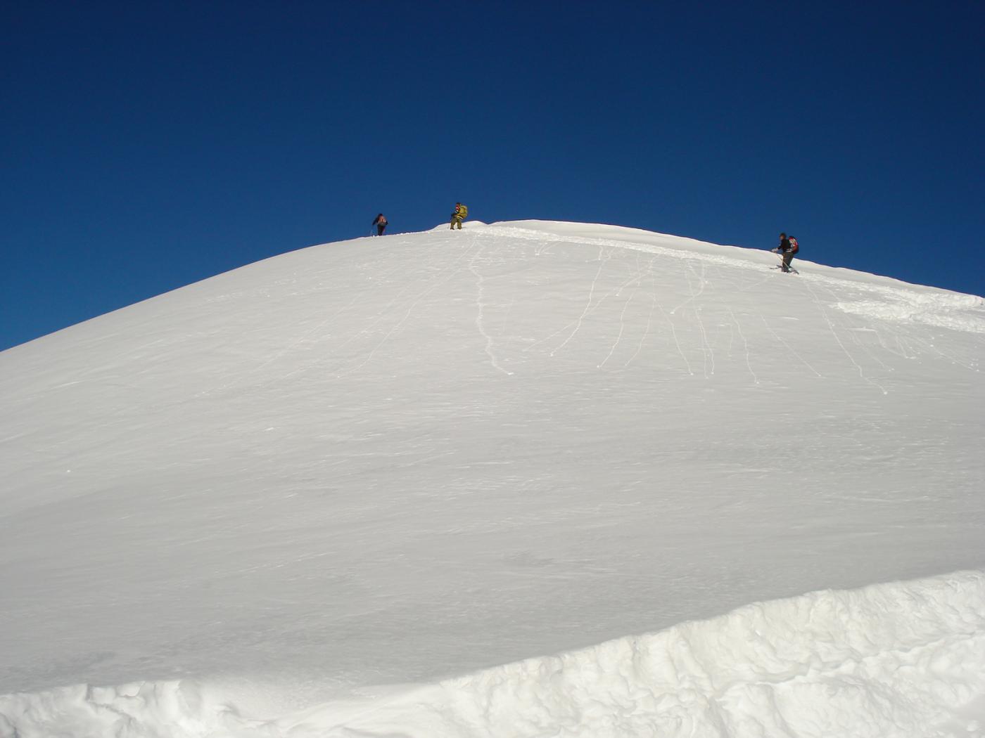
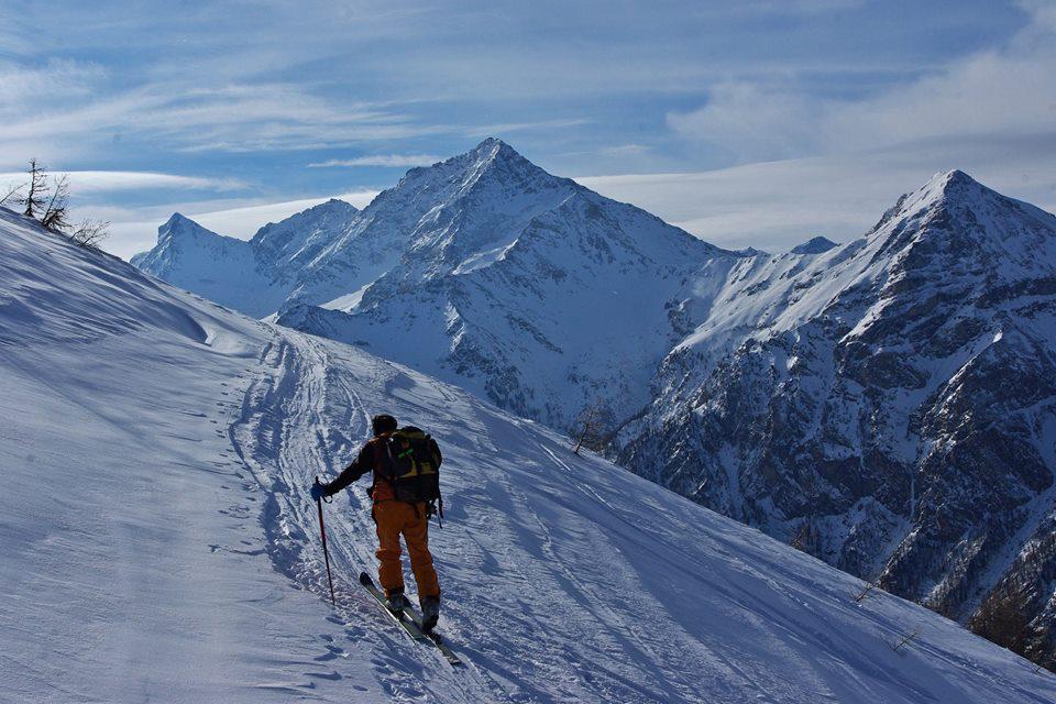
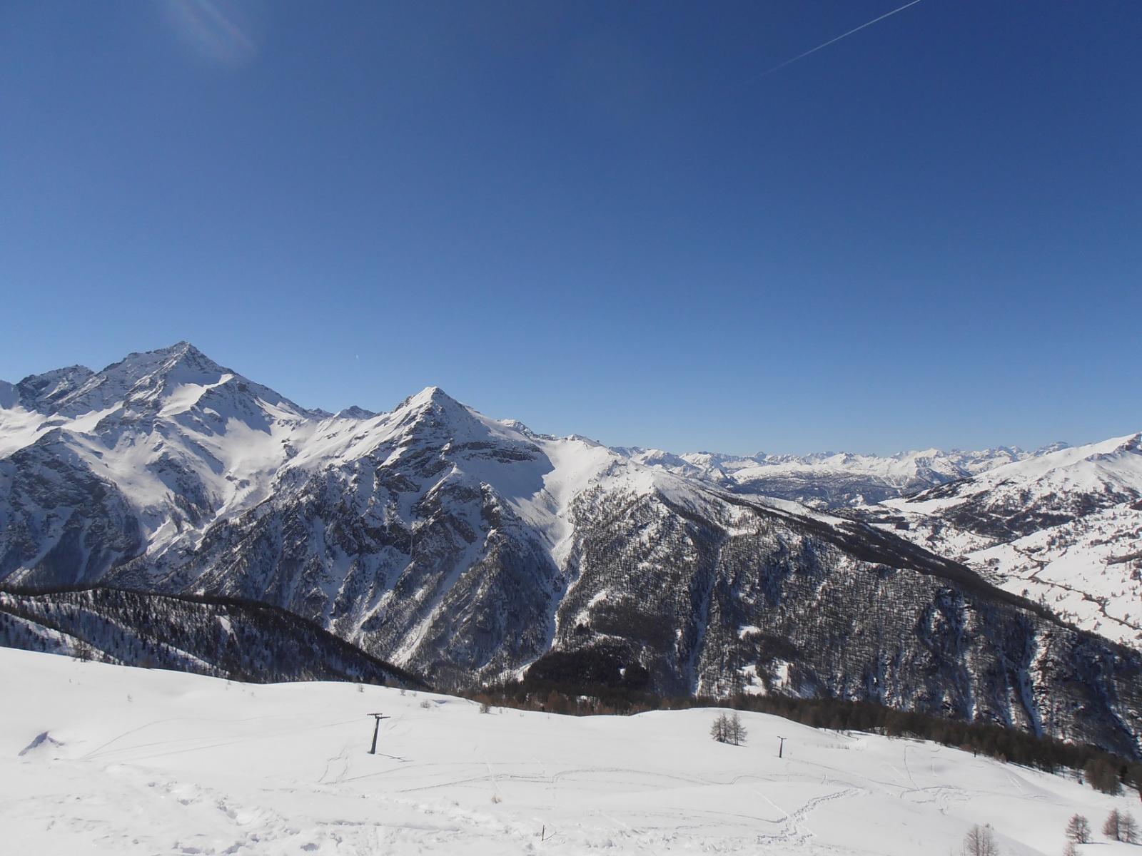
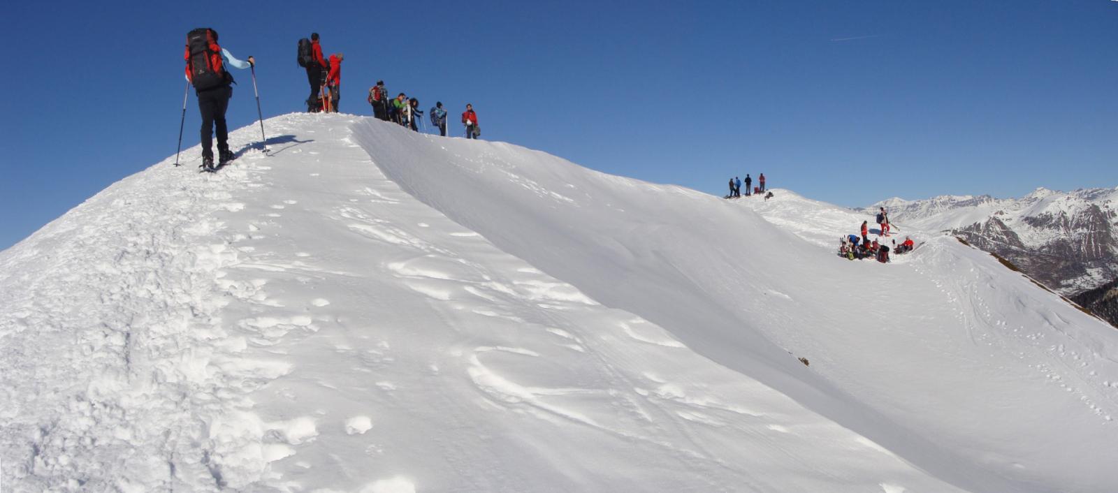
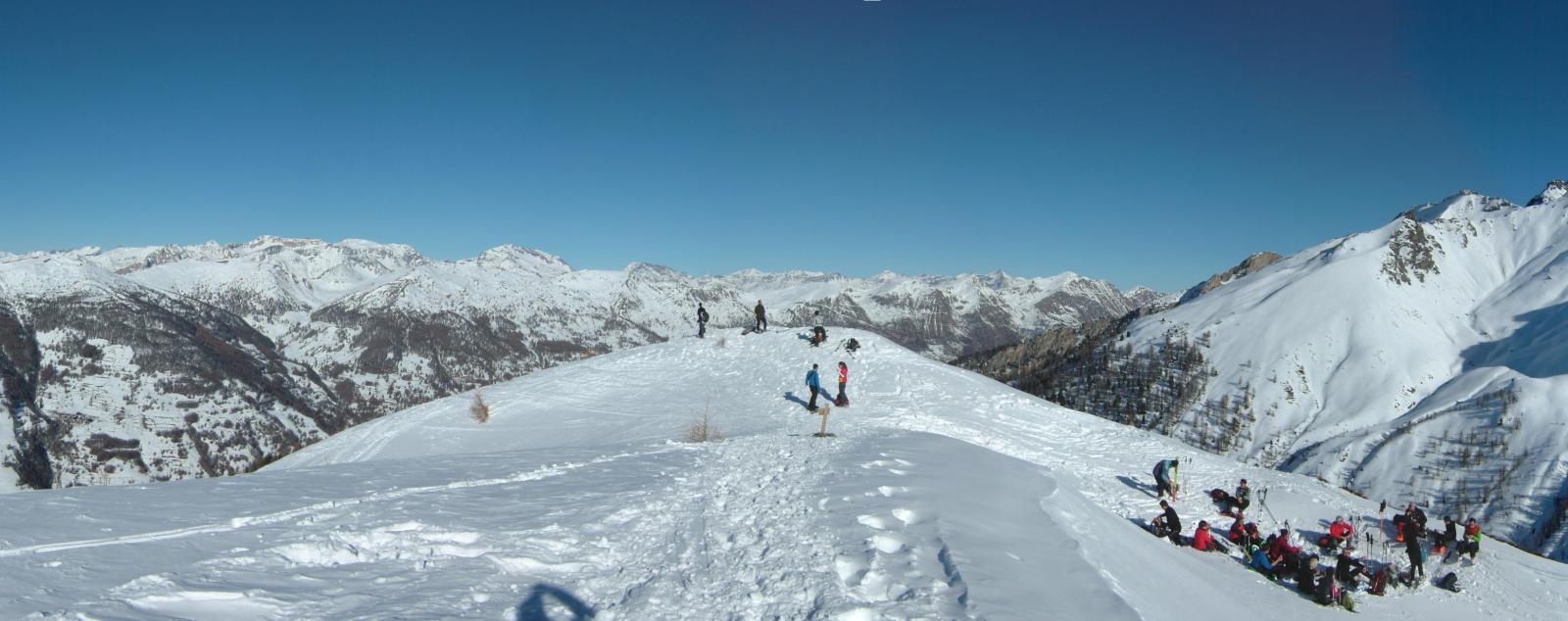
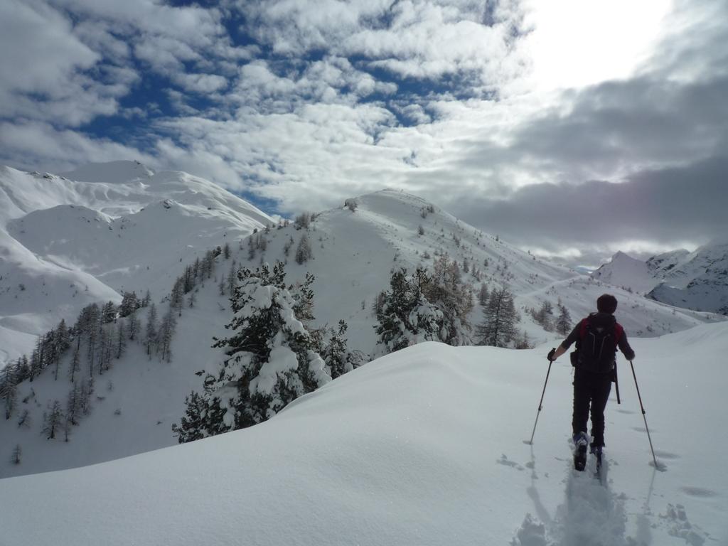
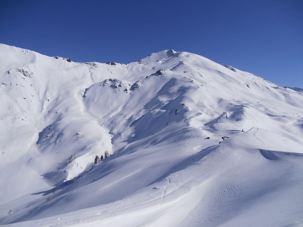
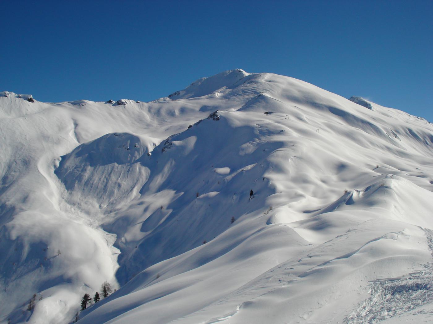
La vera punta del Clot della Soma quota 2417m ed è raggiungibile dall' arrivo della (ex) monoseggiovia (meta di questo percorso).
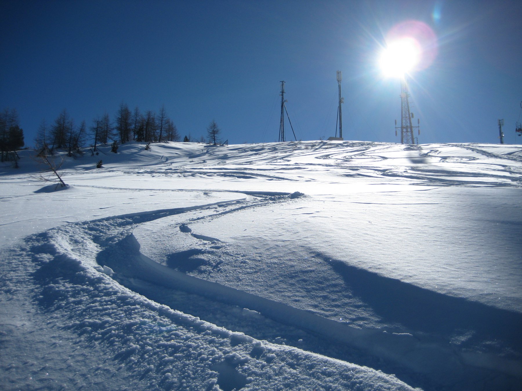
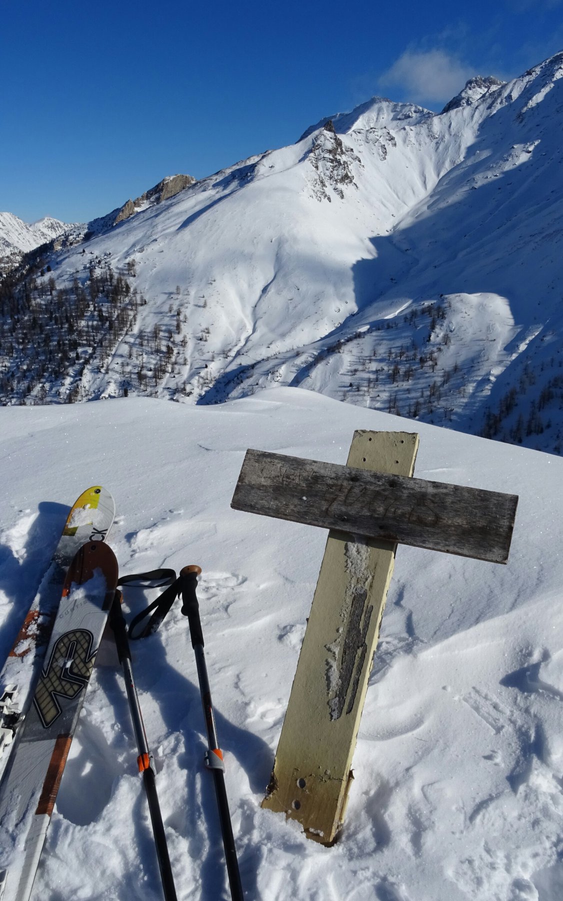
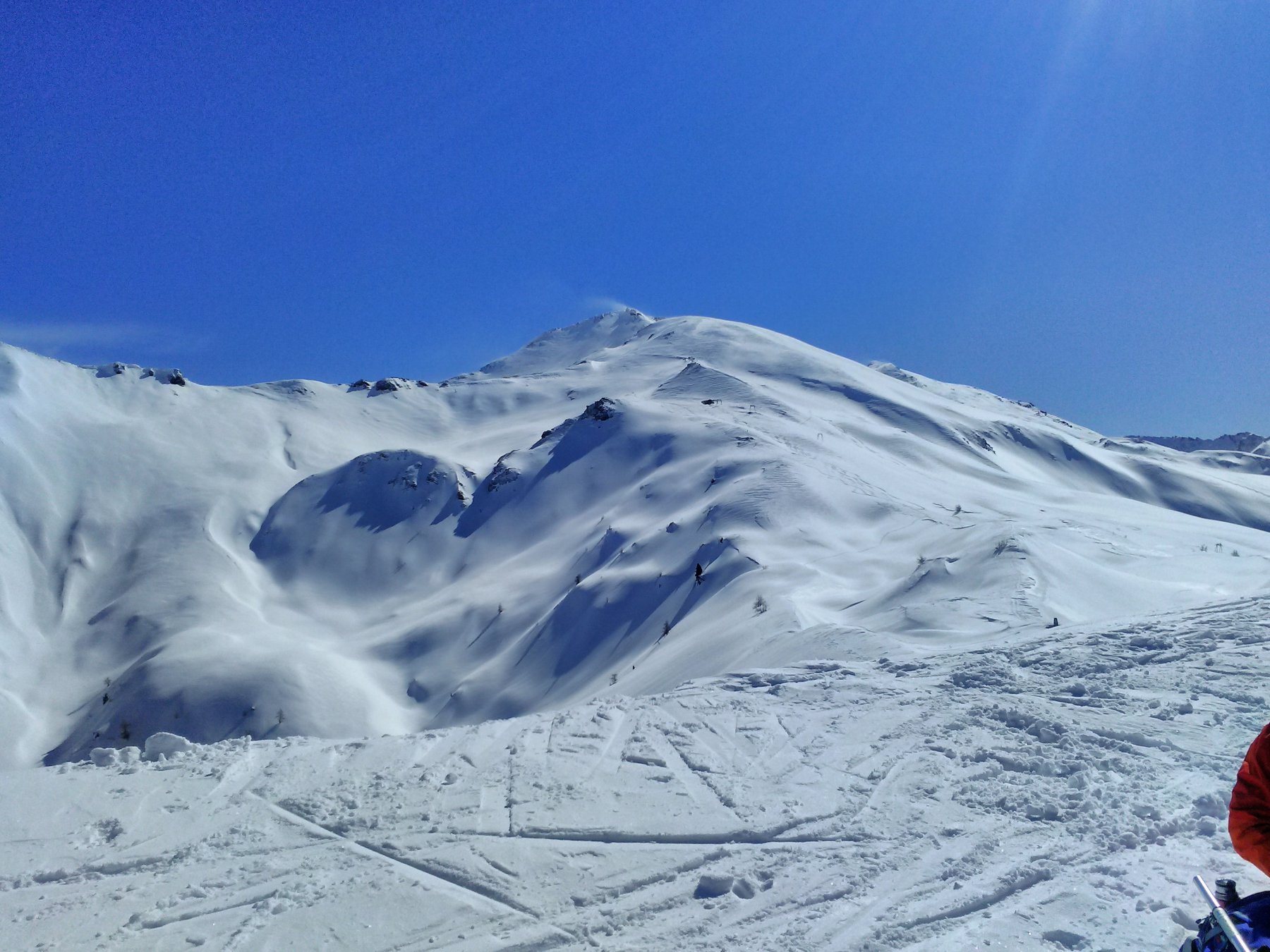
Dalla punta, sulla dorsale in leggera discesa (20m) vi è l'arrivo della sciovia Smeraldo con lapide dedicata a M.Enrietto.
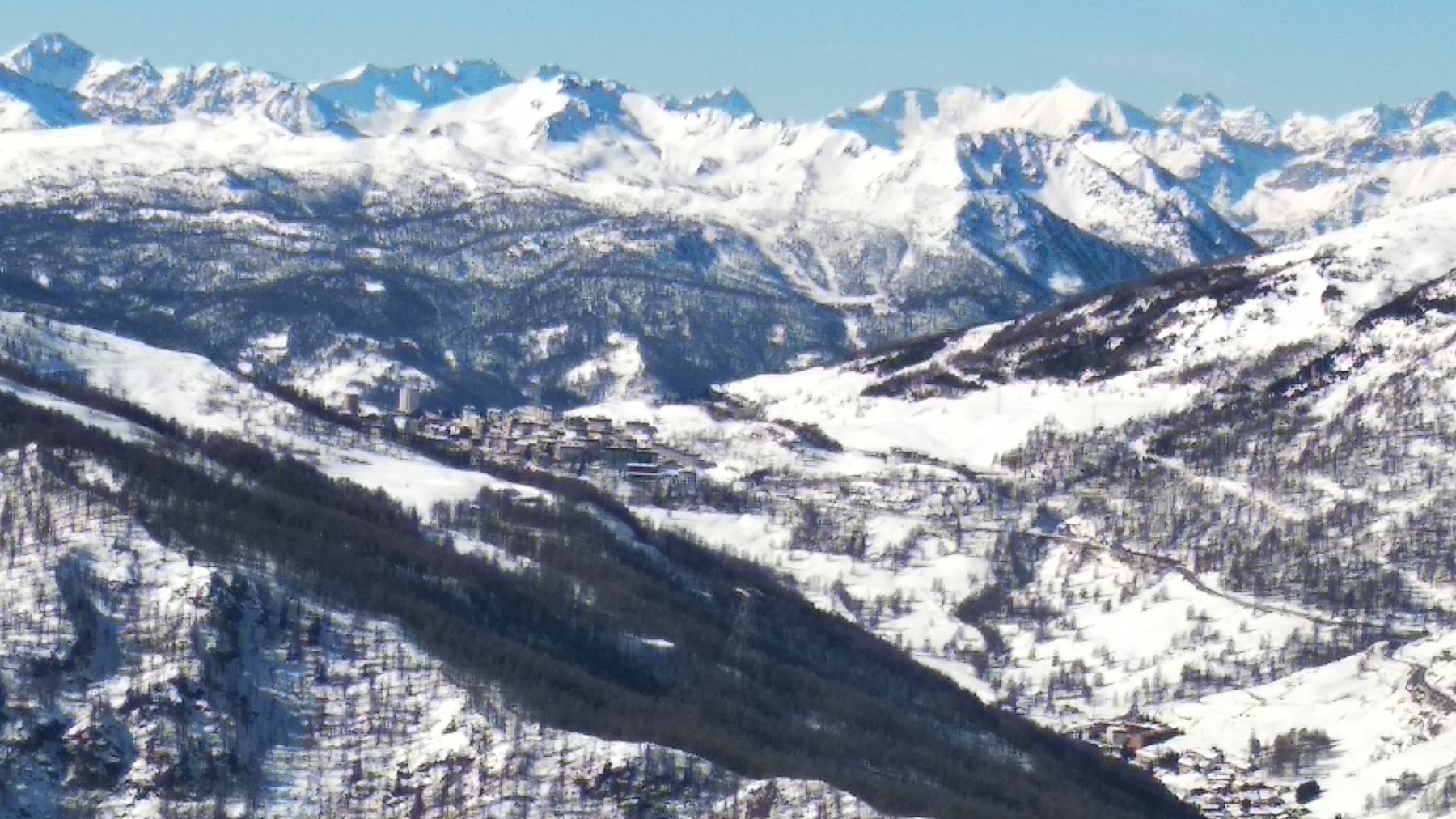
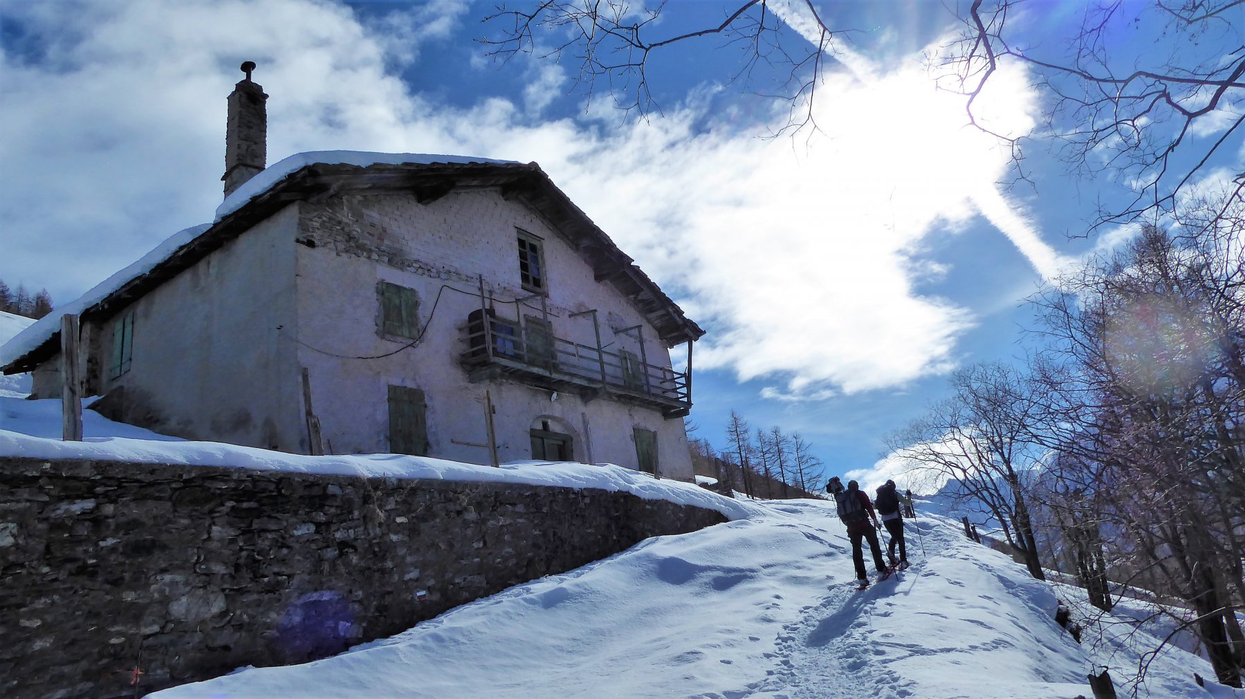
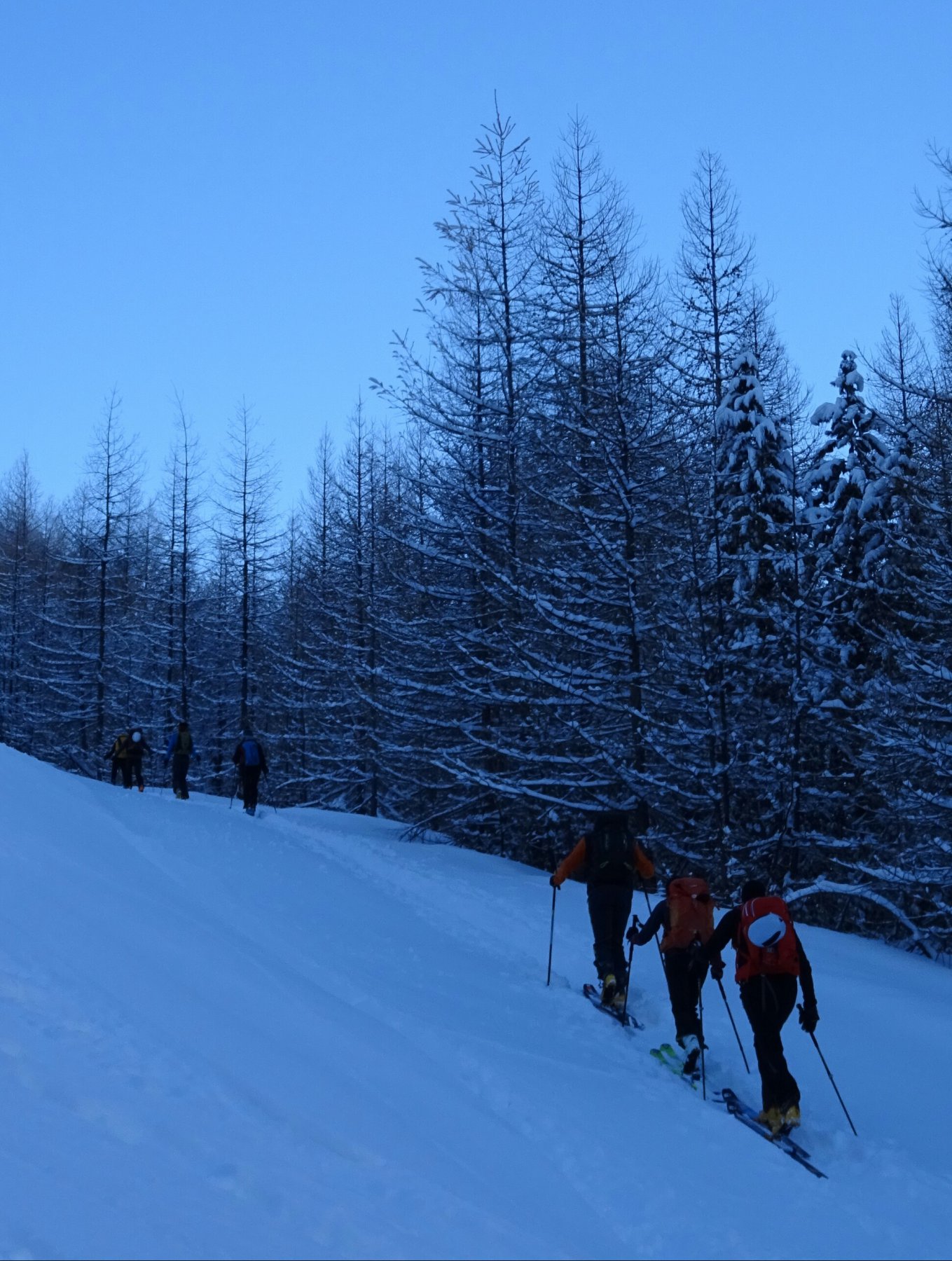
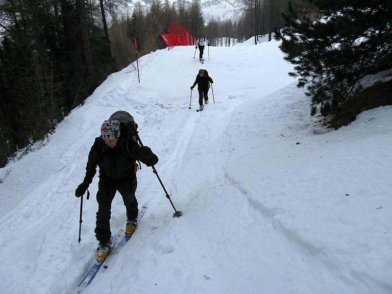
E' possibile effettuare il percorso partendo da Pattemouche (Val Troncea) in due modi:
a) *diretta* intorno alla seggiovia "Conca del Sole" e poi sciovia "Smeraldo"
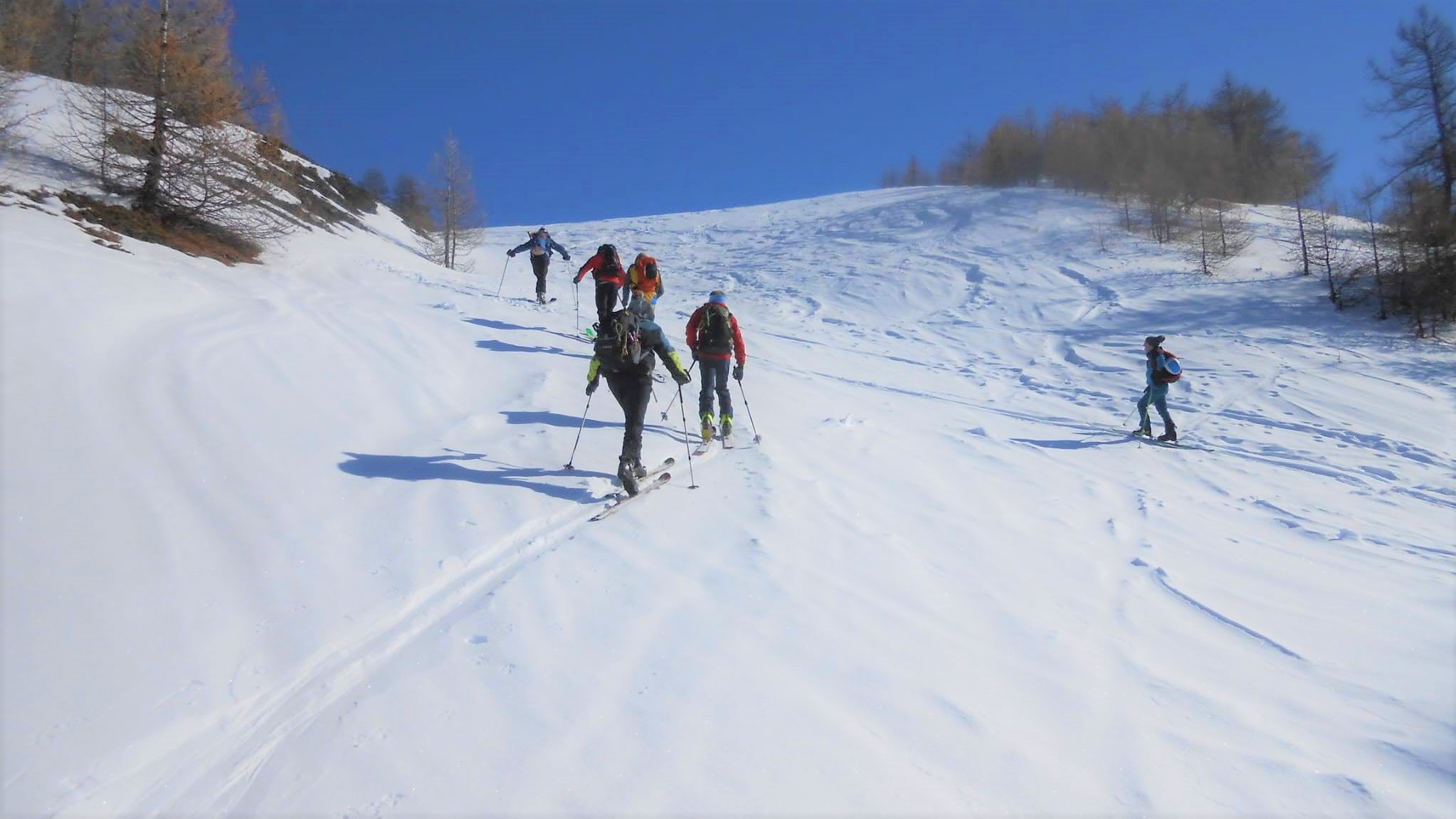
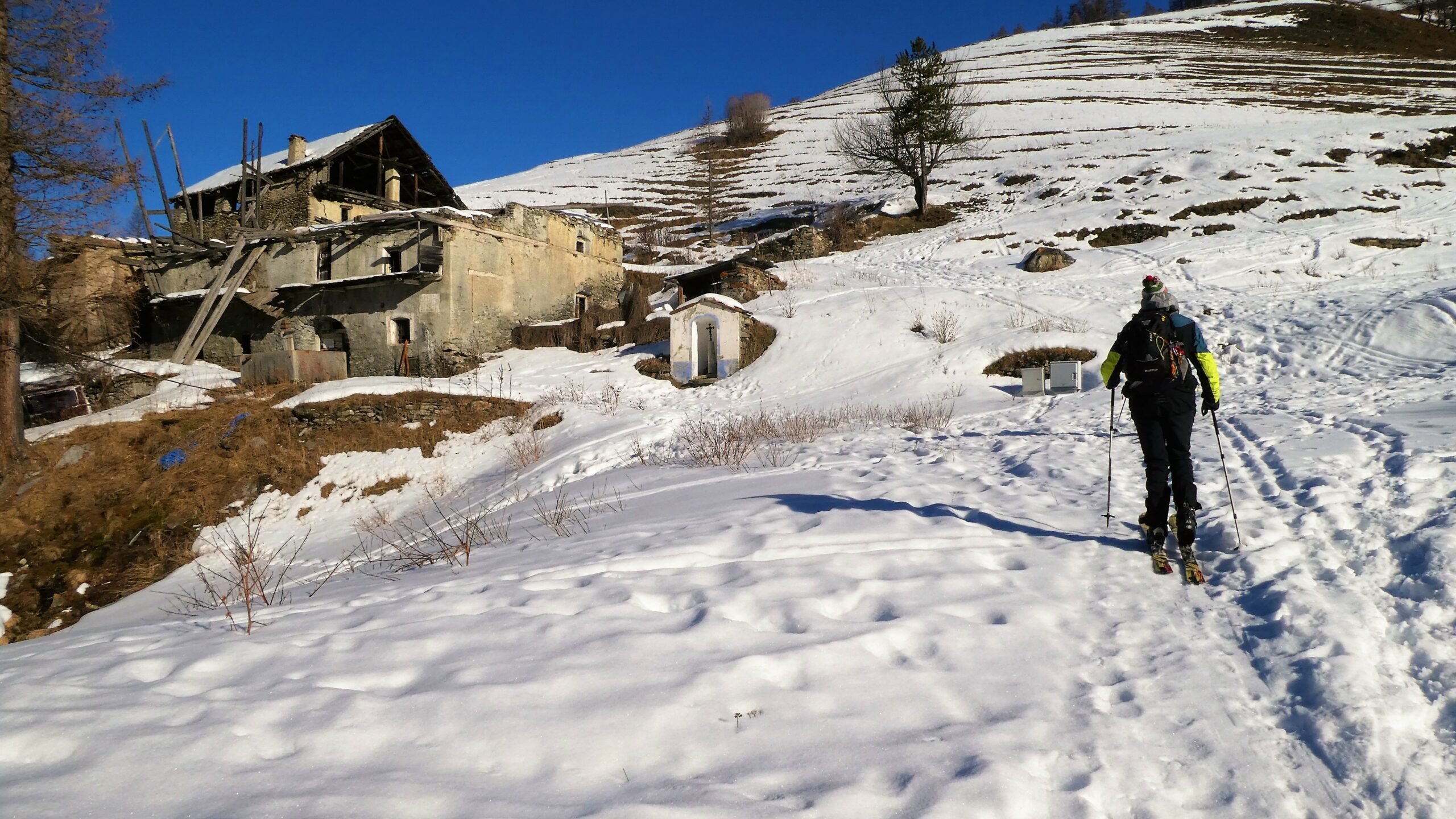
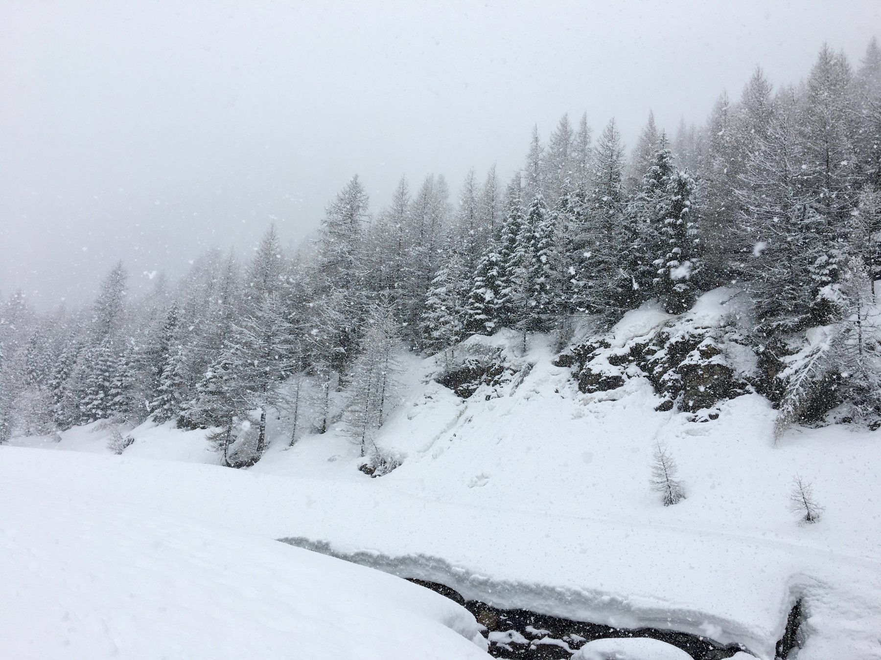
b) seguendo la pista di fondo per circa 3.5 Km. dal Ponte Das Itreit (ex campeggio) per il Baracot e le B.te Laval e Joussaud e risalendo per la strada di servizio degli impianti. In caso di nebbia discesa possibile sulle piste dei suddetti impianti.
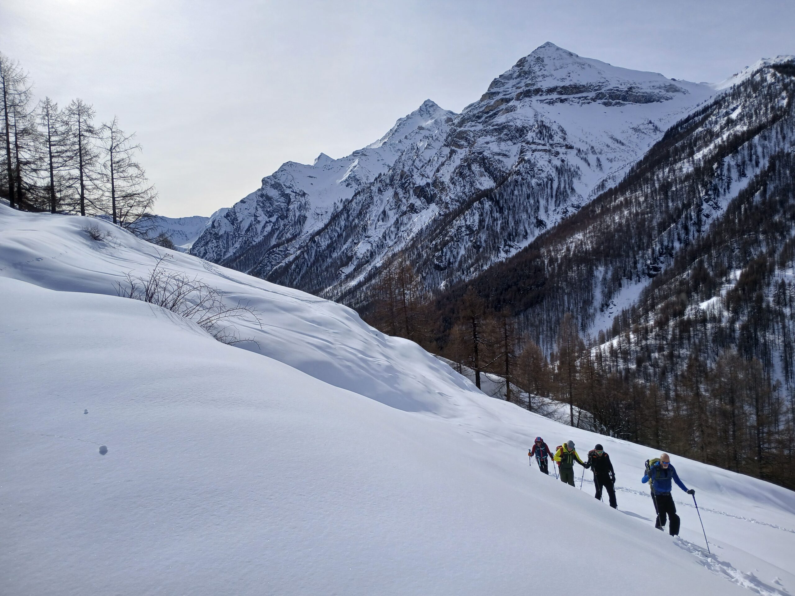
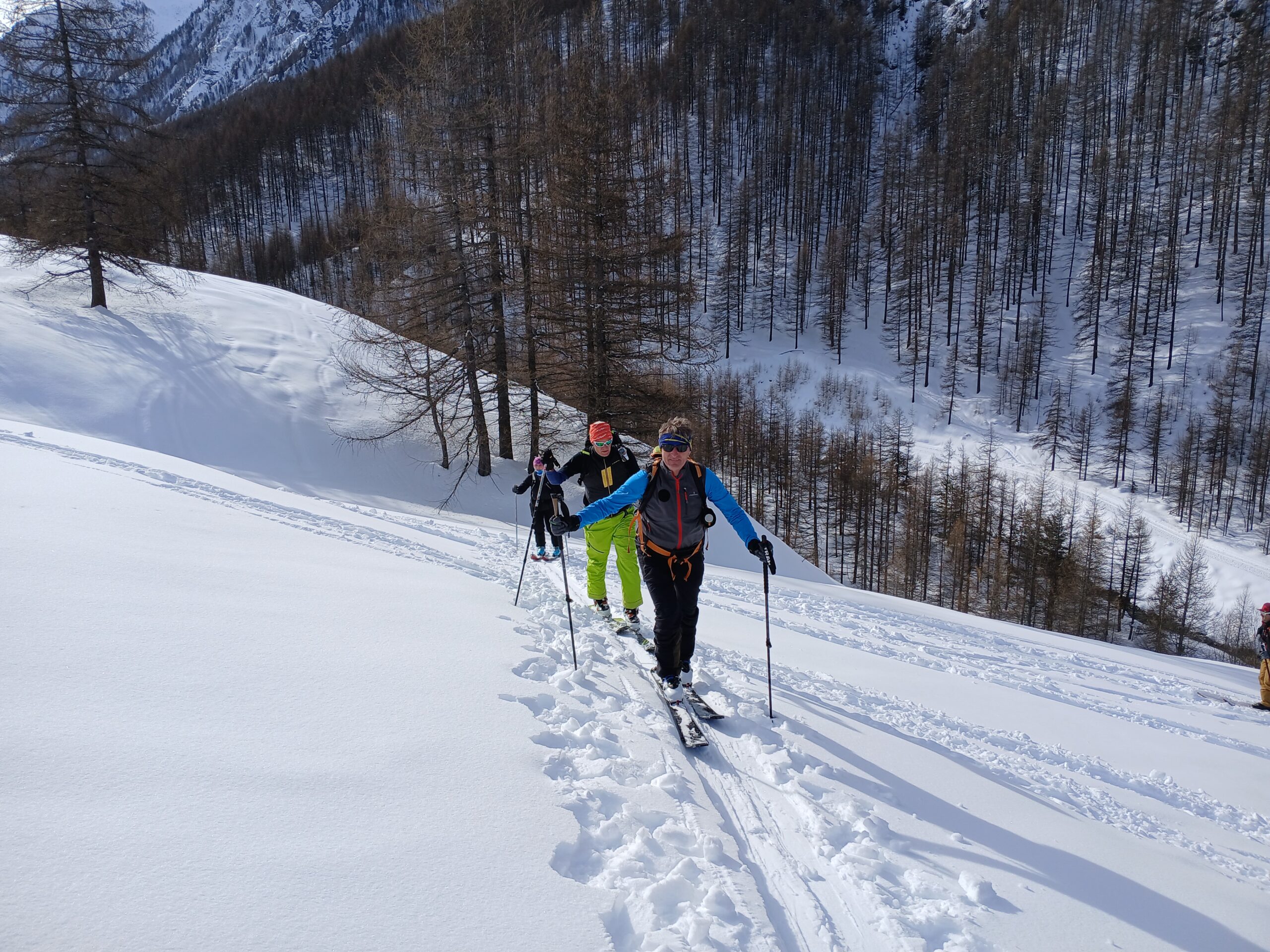
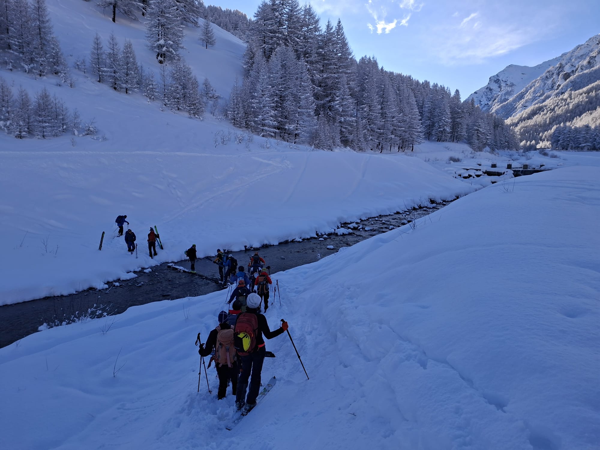
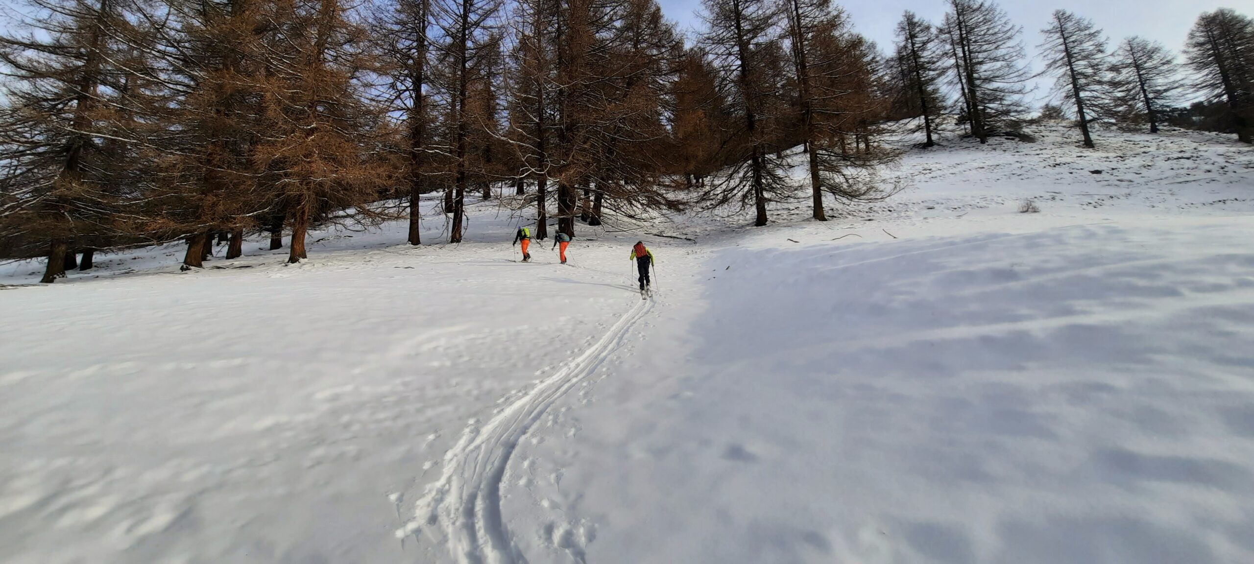
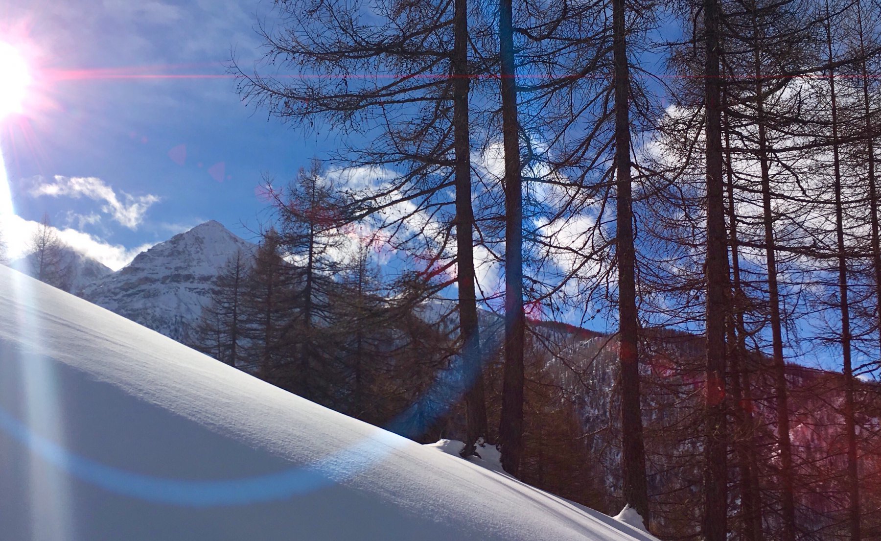
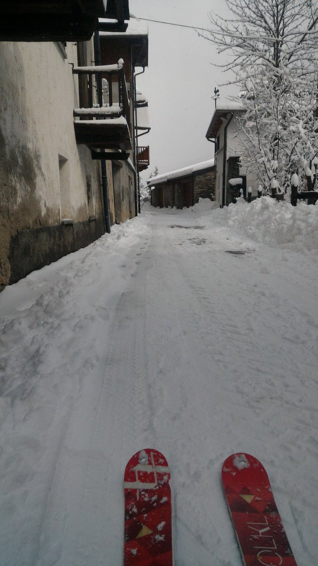
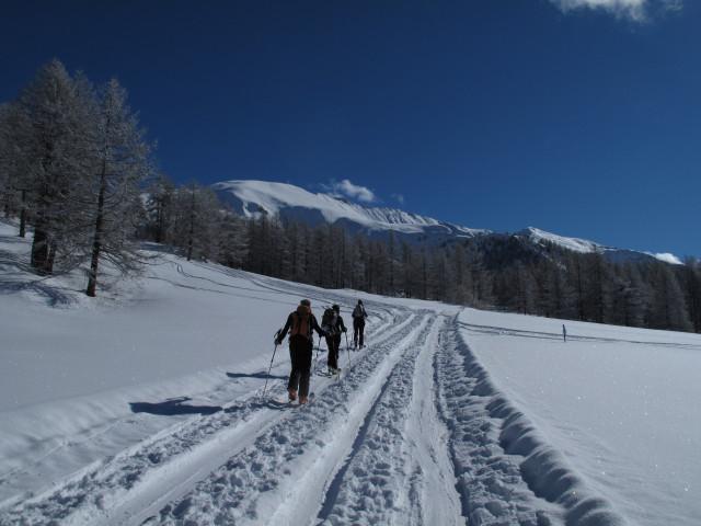
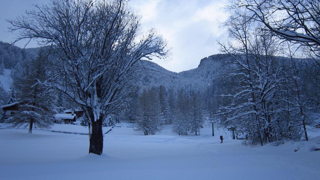
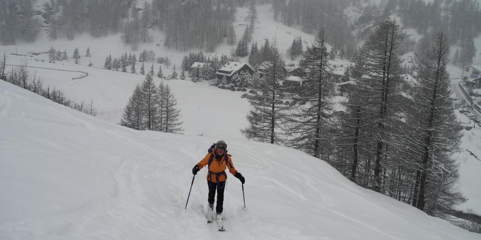
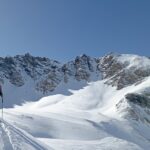
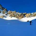
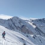
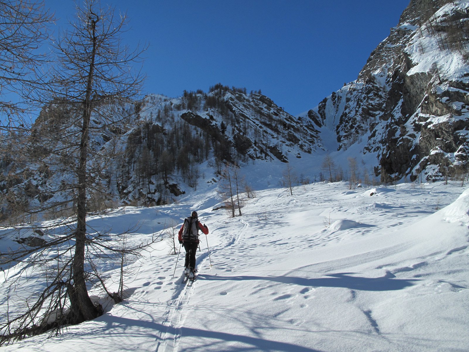
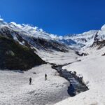
Avvicinamento
Dalla punta, sulla dorsale in leggera discesa (20m) vi è l'arrivo della sciovia Smeraldo con lapide dedicata a M.Enrietto.
E' possibile effettuare il percorso partendo da Pattemouche (Val Troncea) in due modi:
a) *diretta* intorno alla seggiovia "Conca del Sole" e poi sciovia "Smeraldo"
b) seguendo la pista di fondo per circa 3.5 Km. dal Ponte Das Itreit (ex campeggio) per il Baracot e le B.te Laval e Joussaud e risalendo per la strada di servizio degli impianti. In caso di nebbia discesa possibile sulle piste dei suddetti impianti.
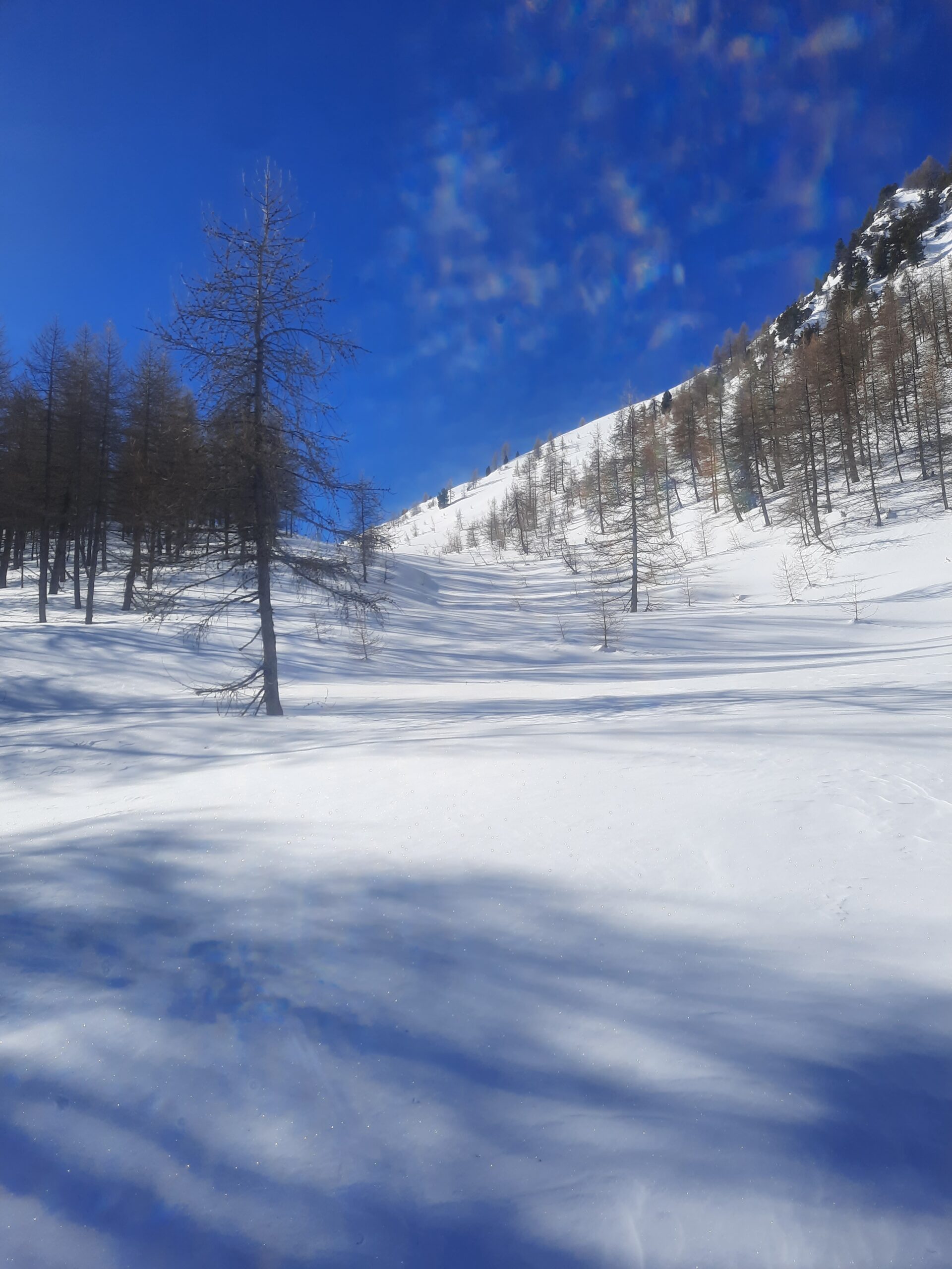
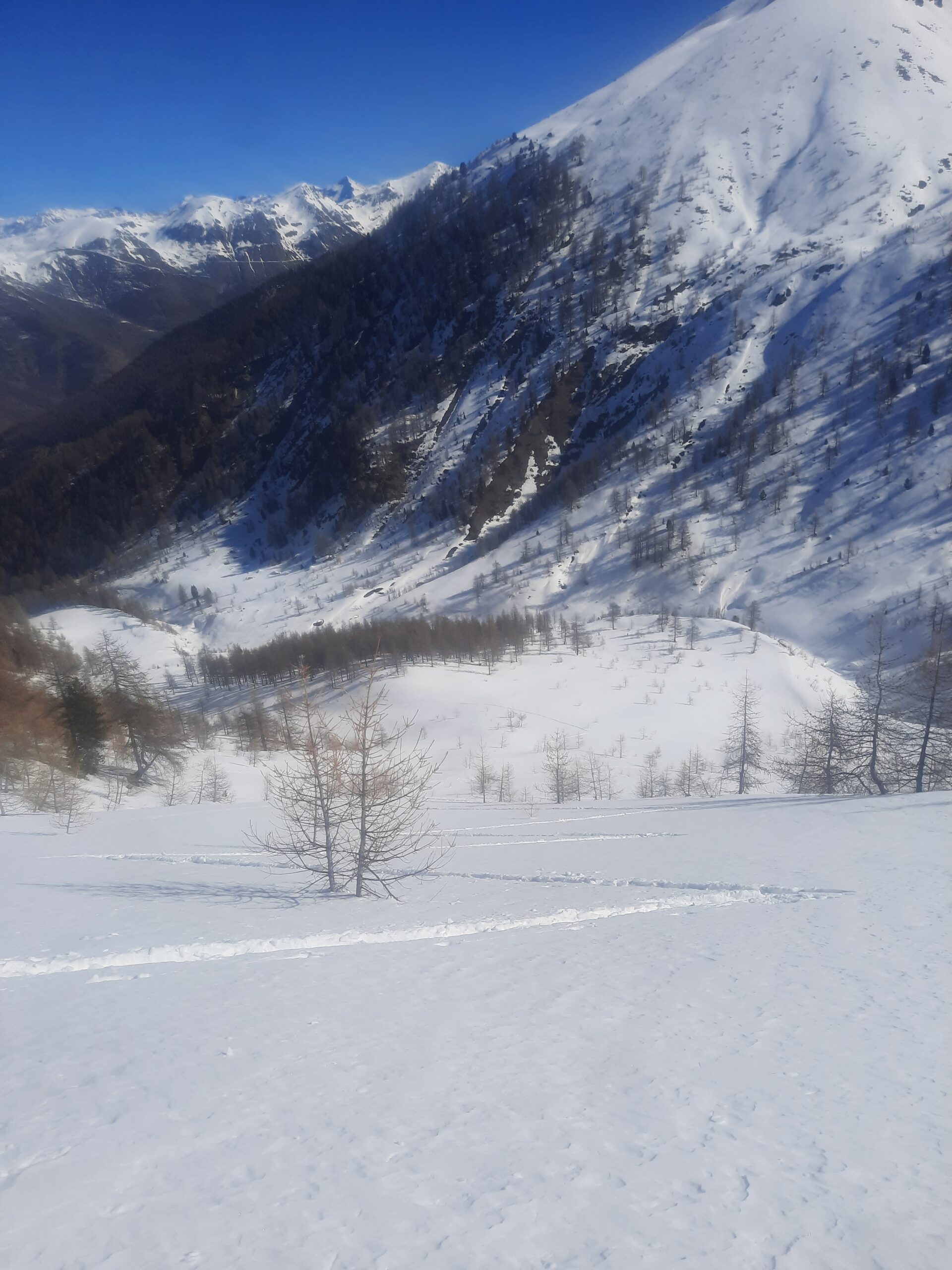
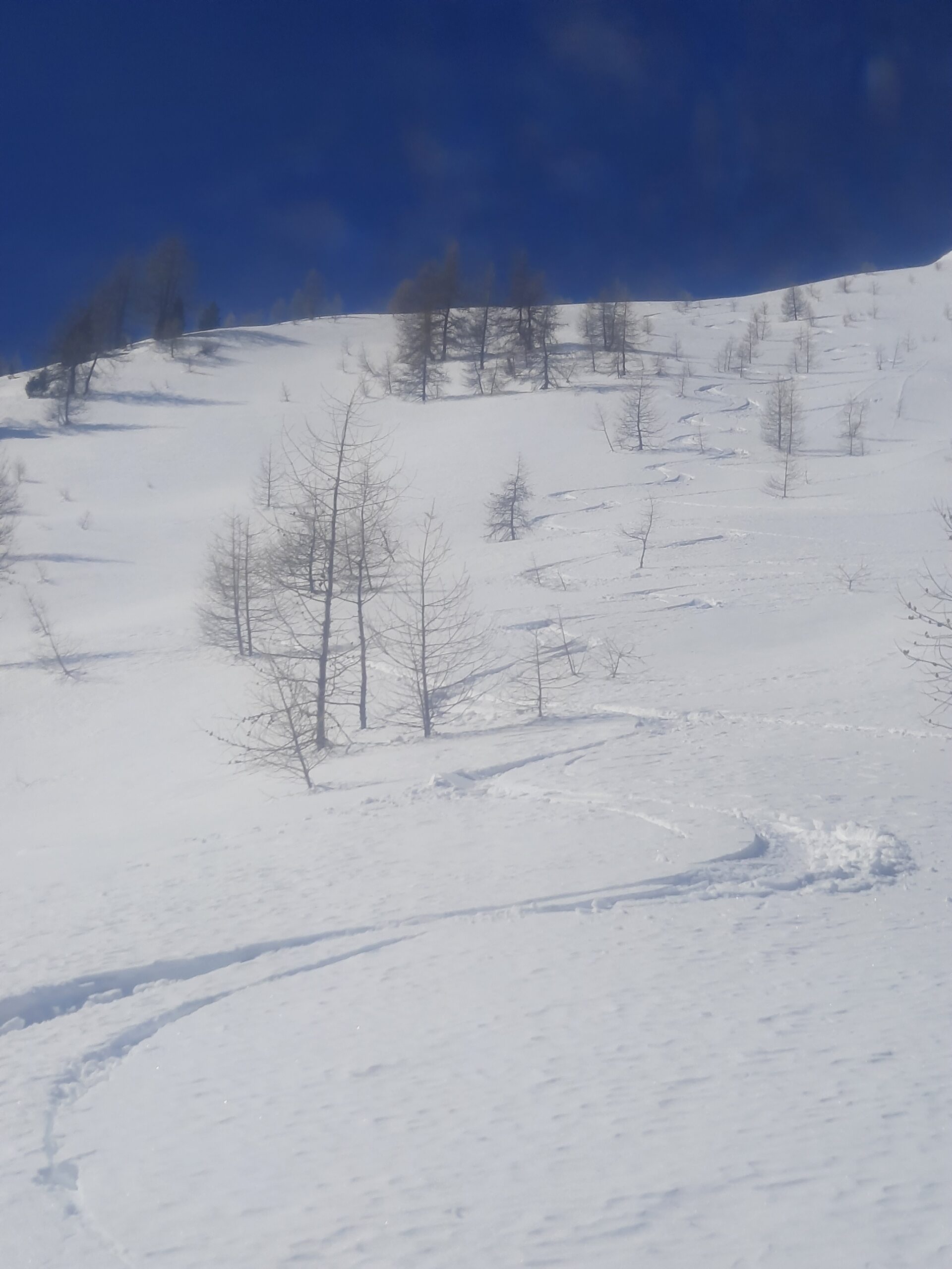
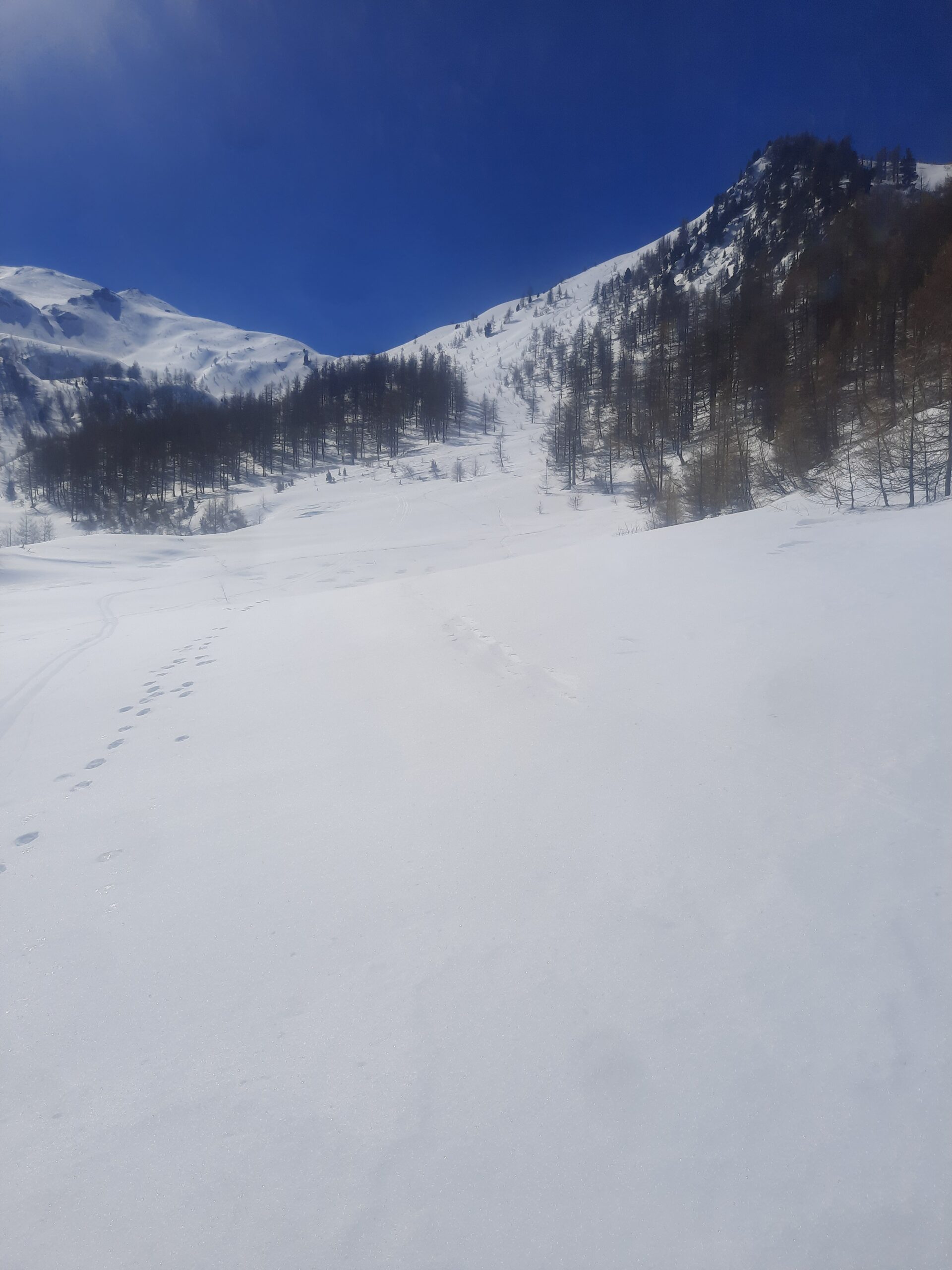
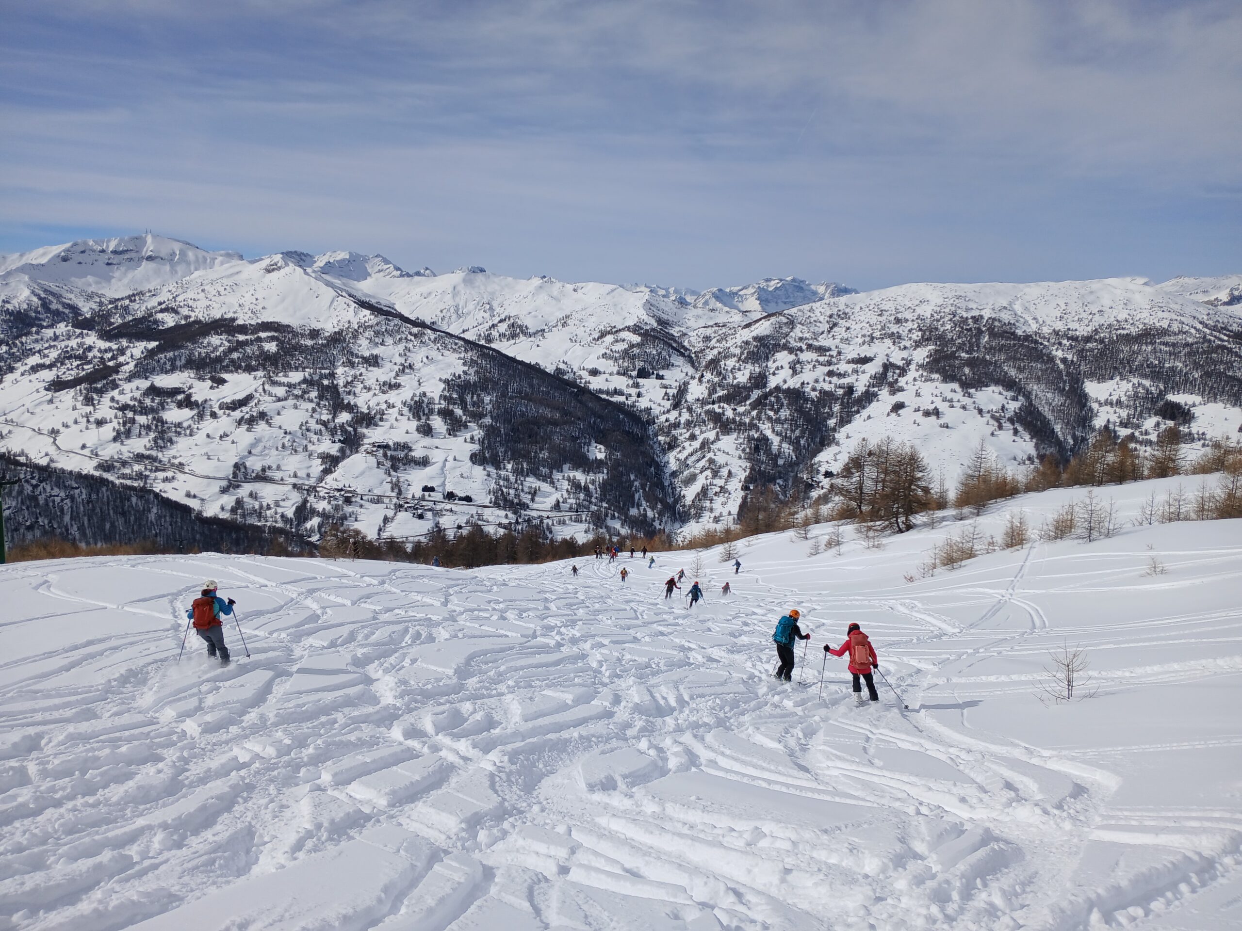
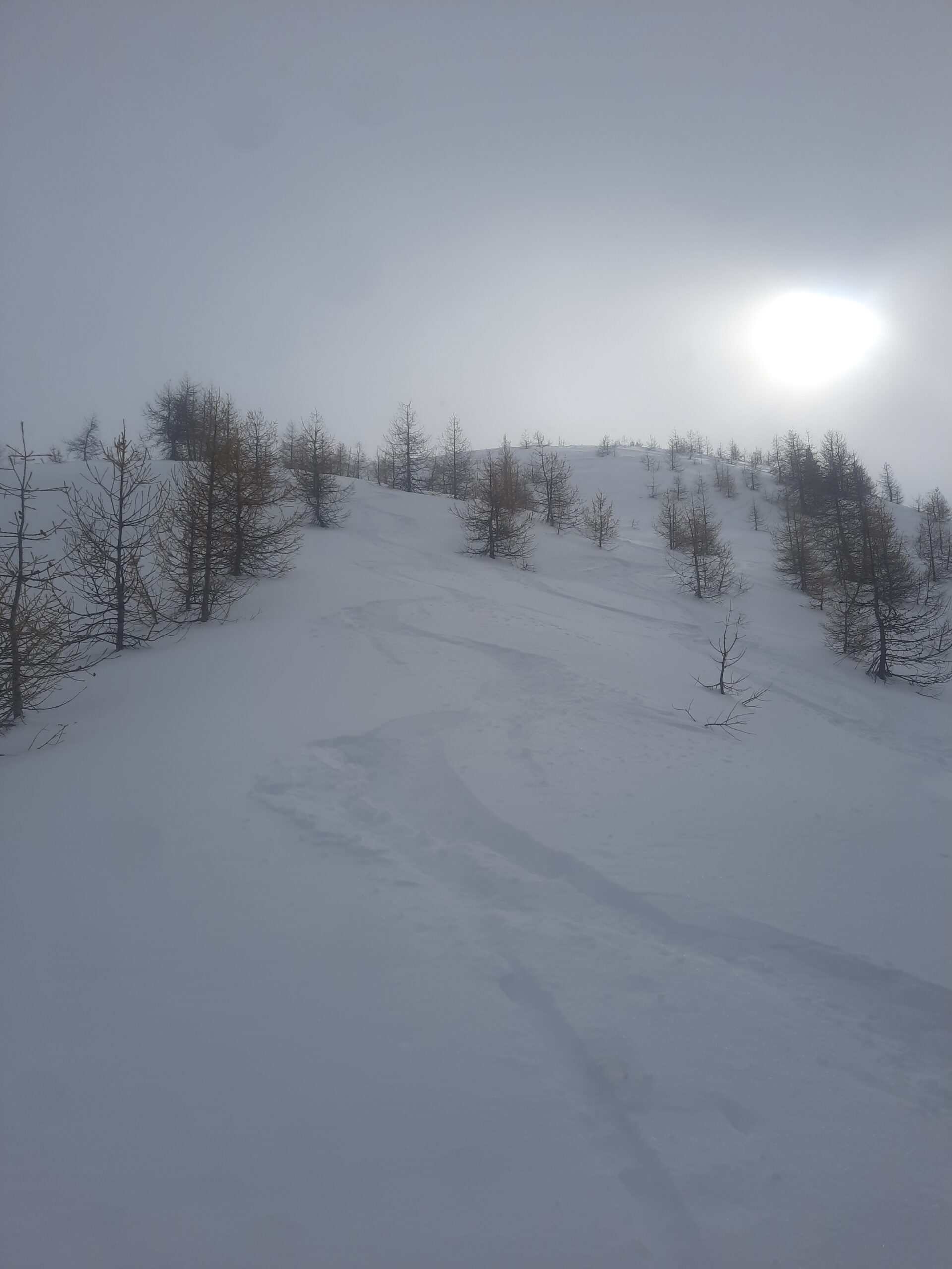
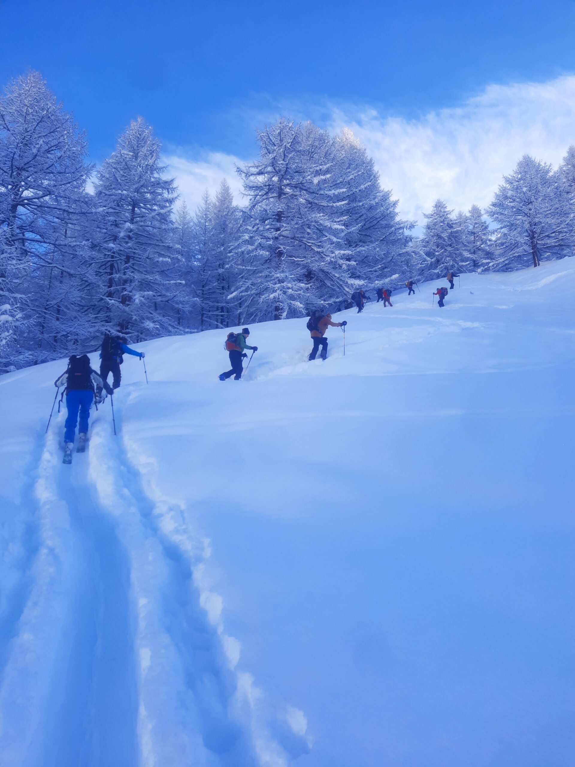
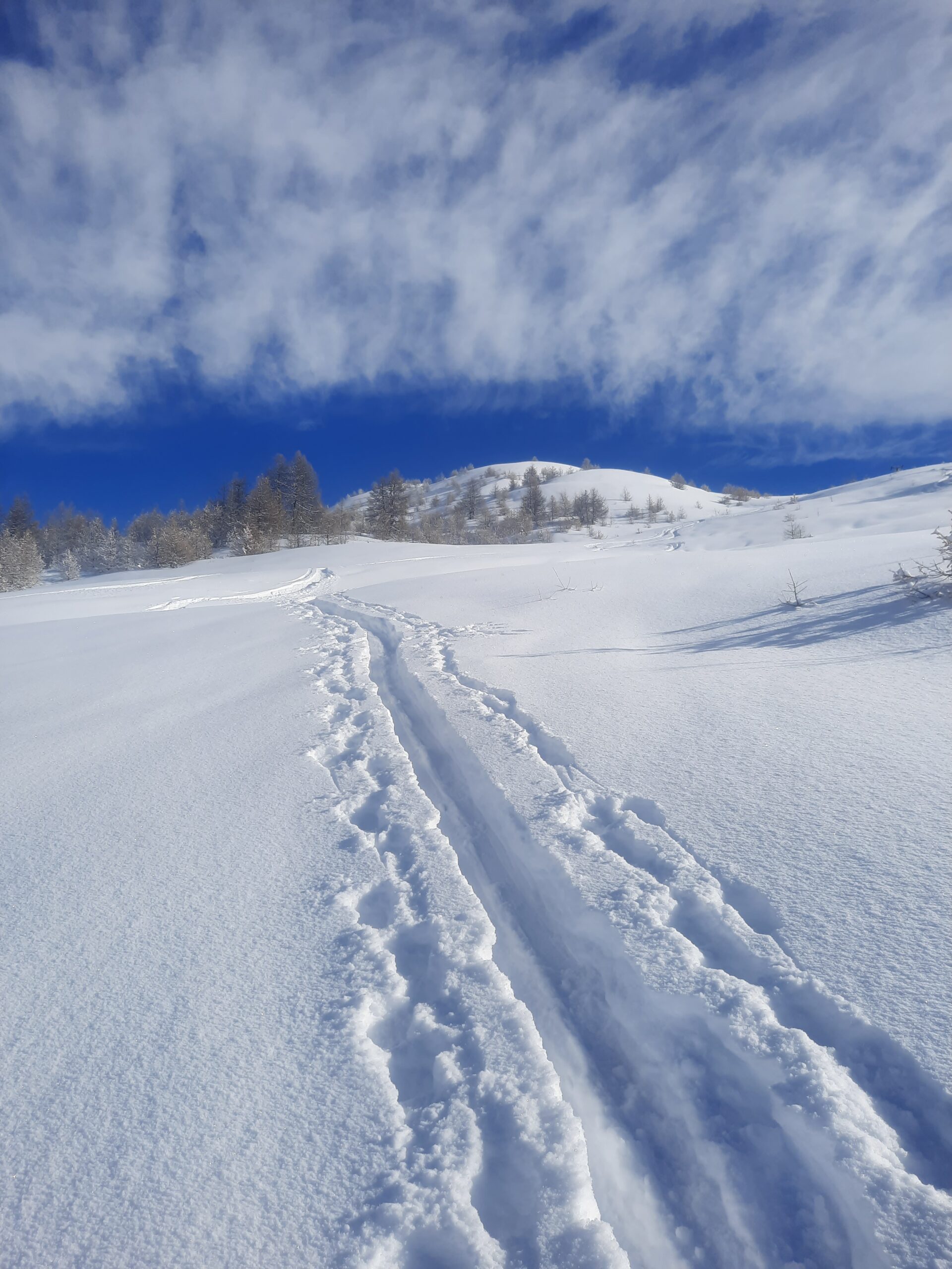
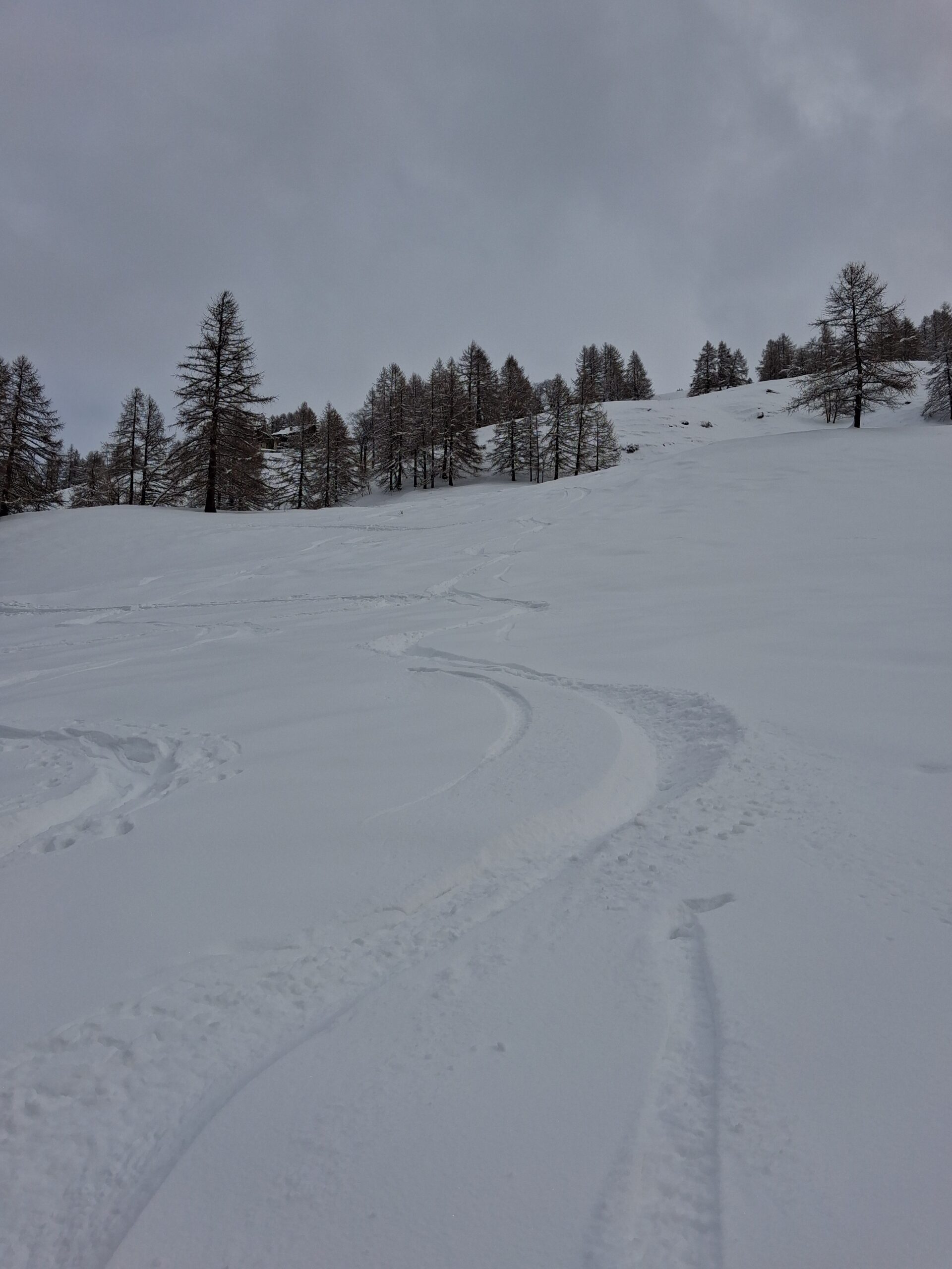
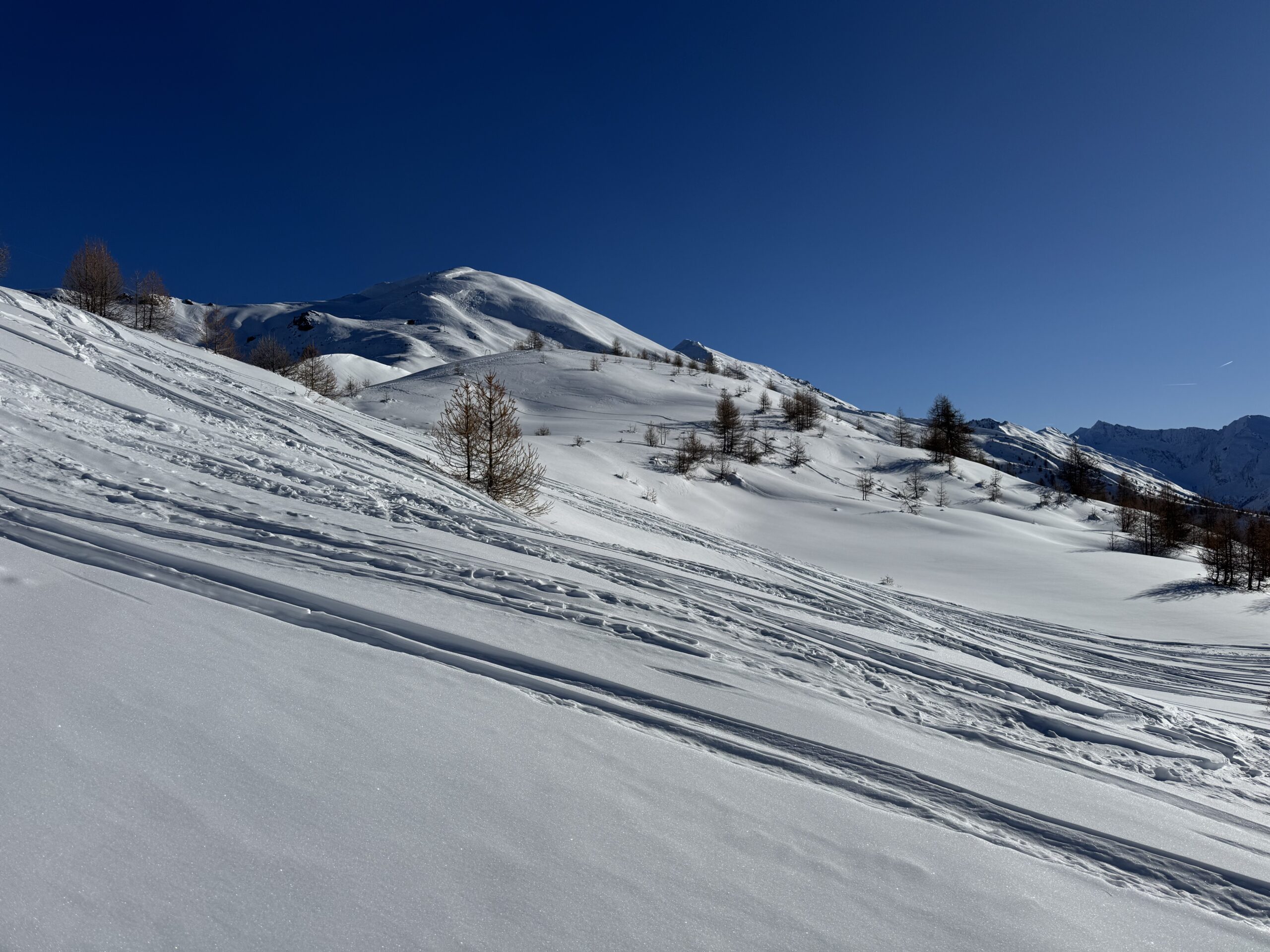
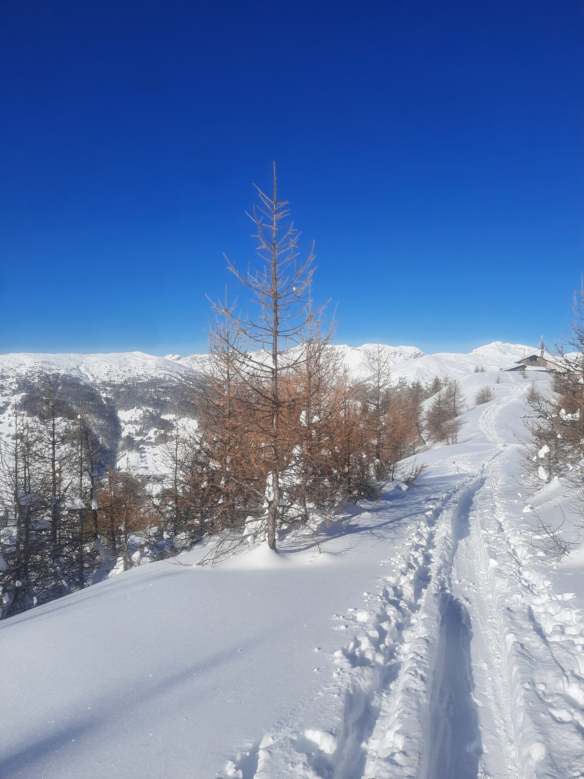
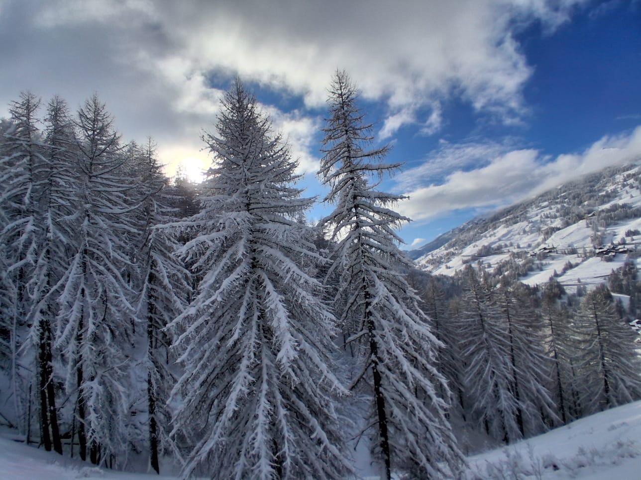
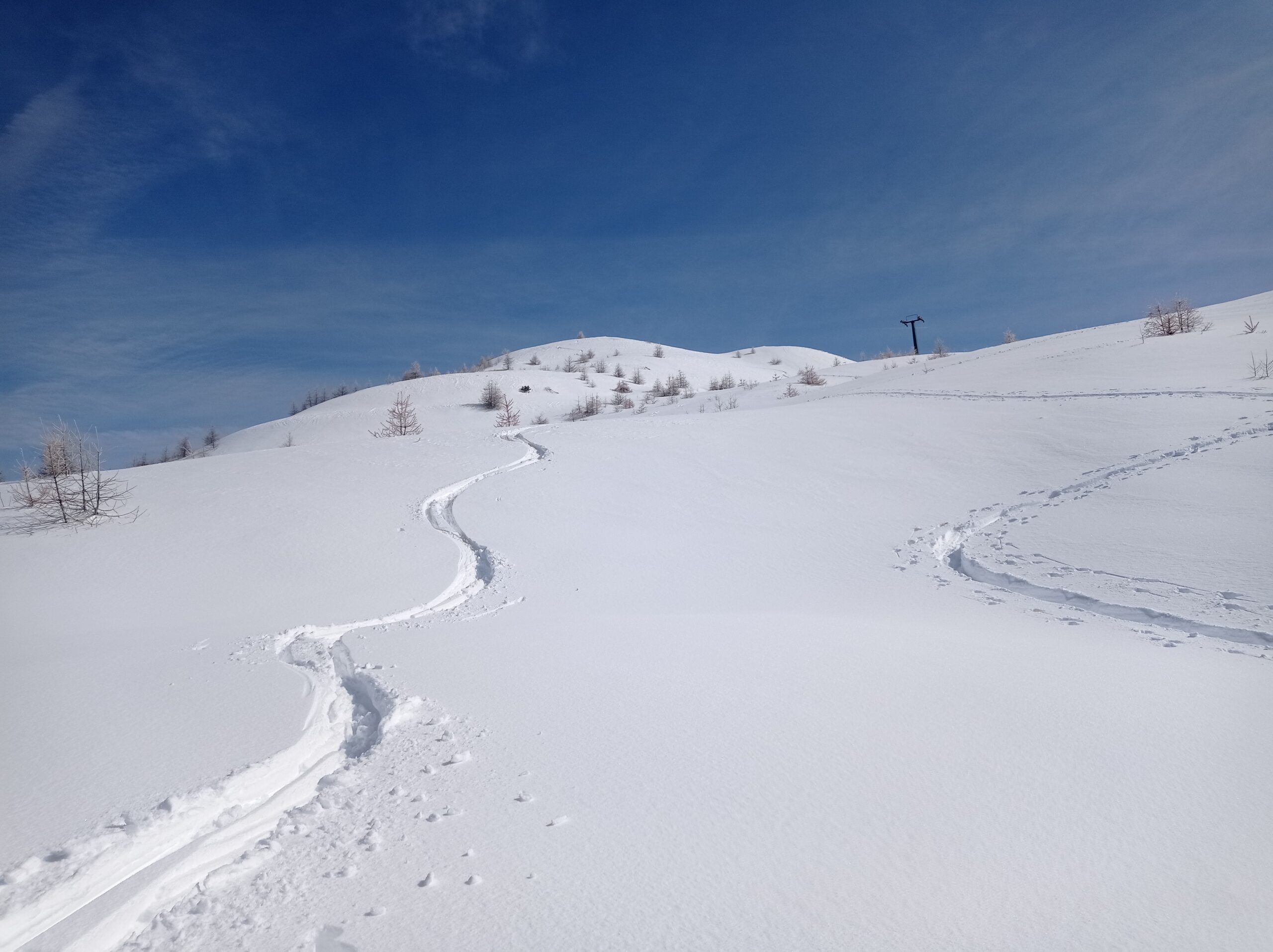
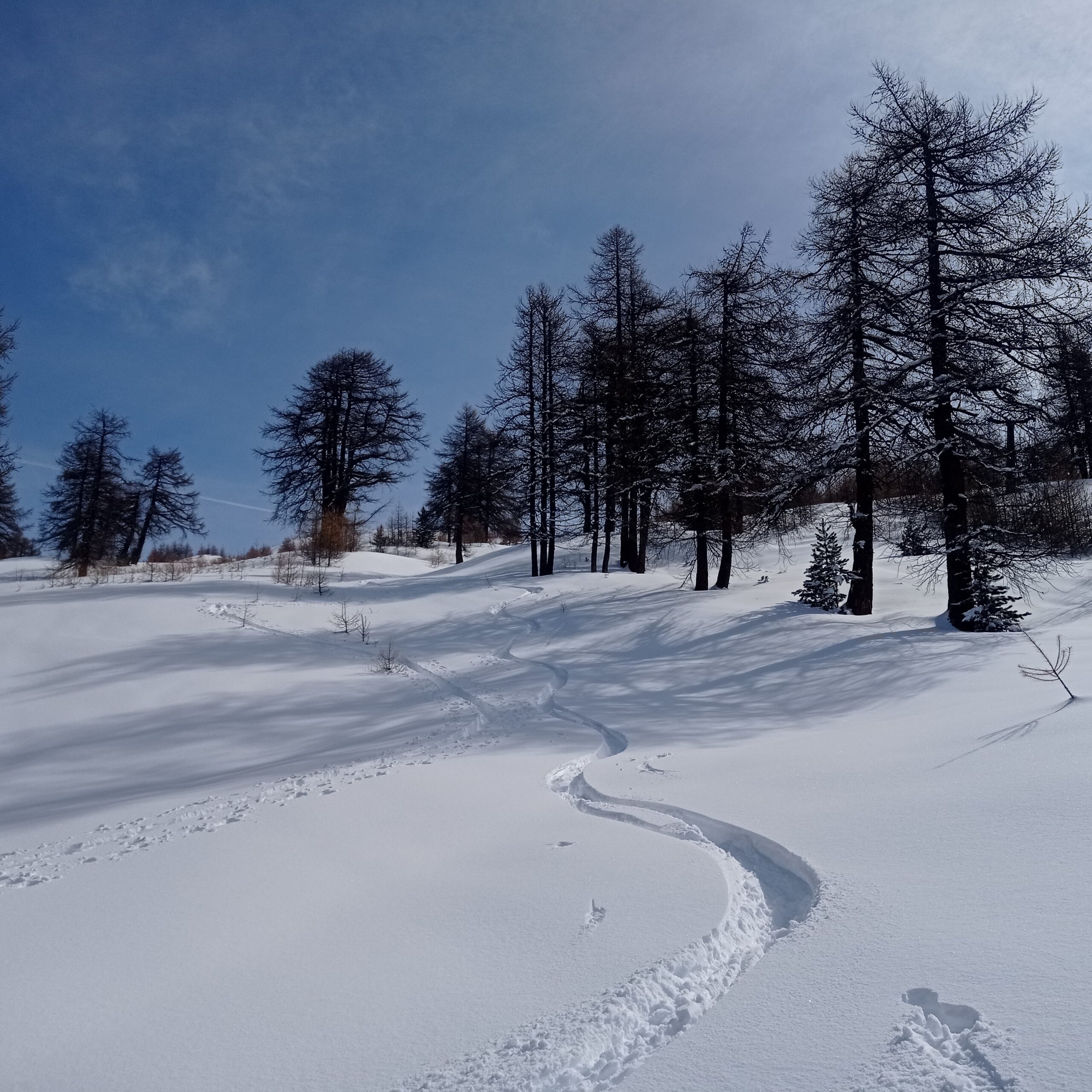
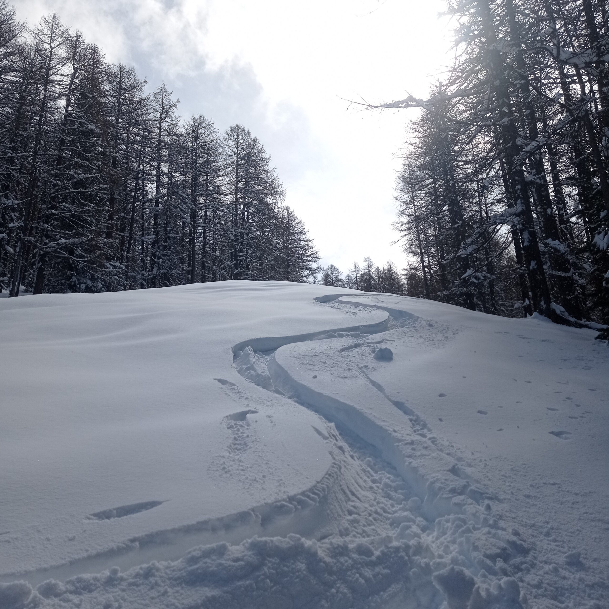
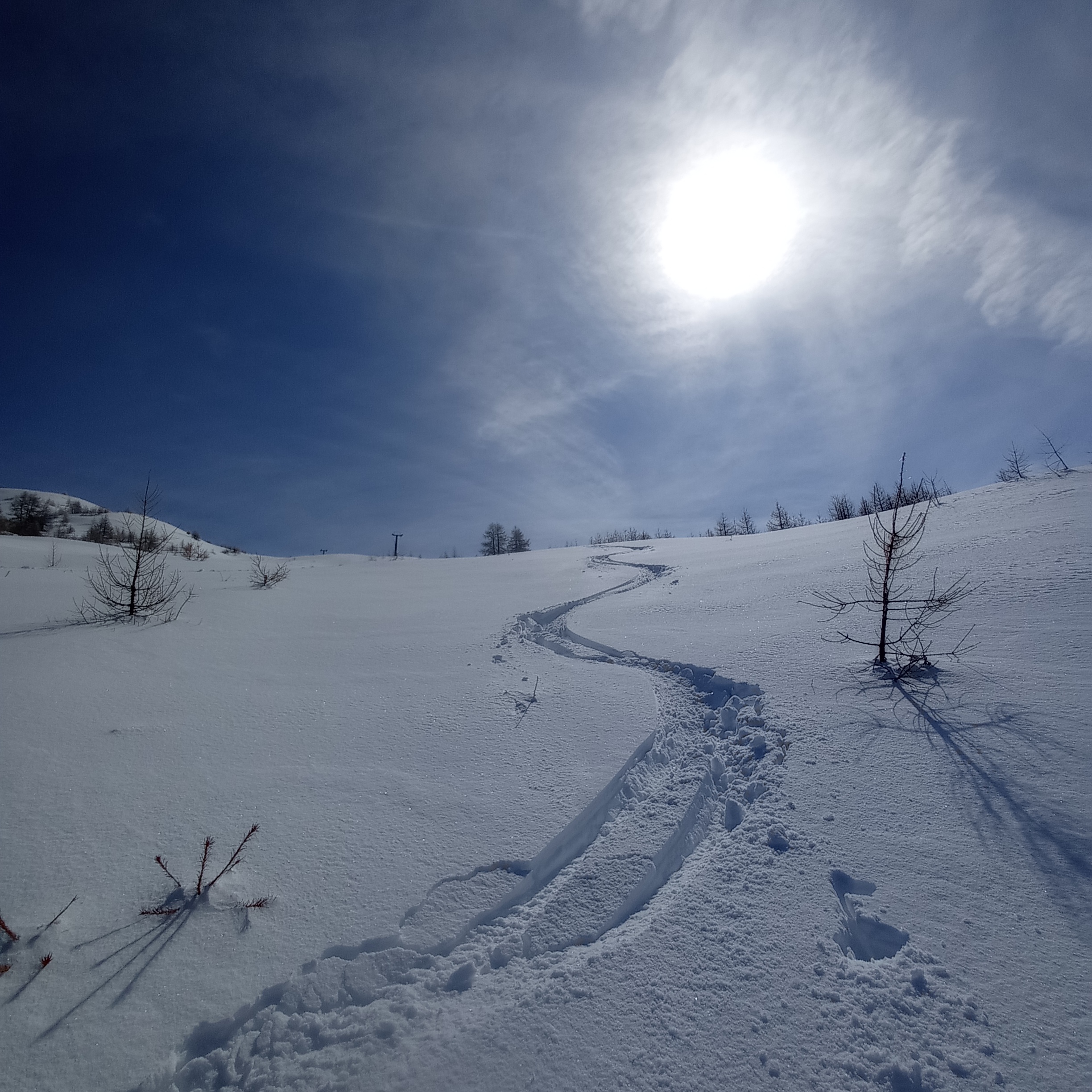
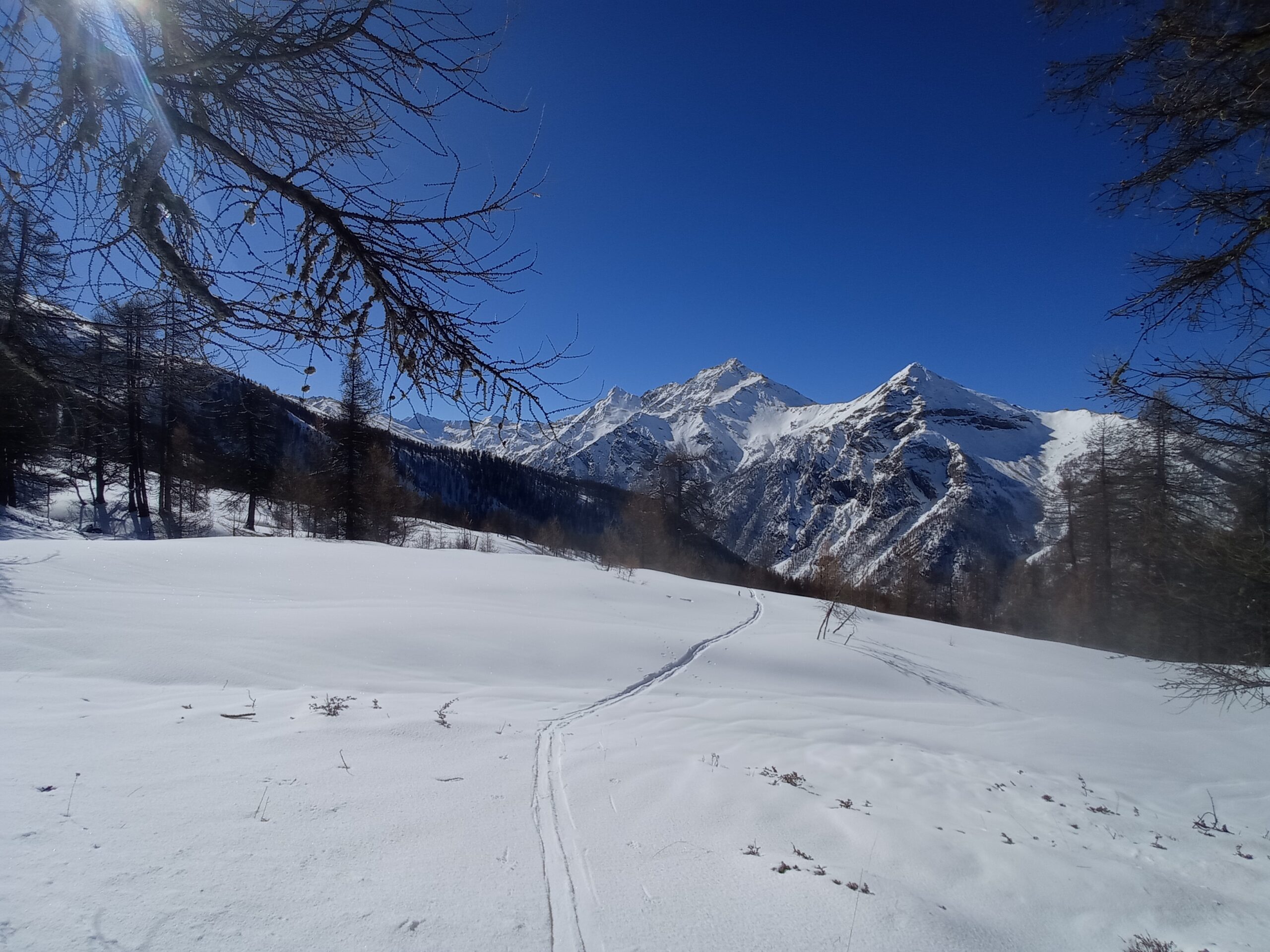
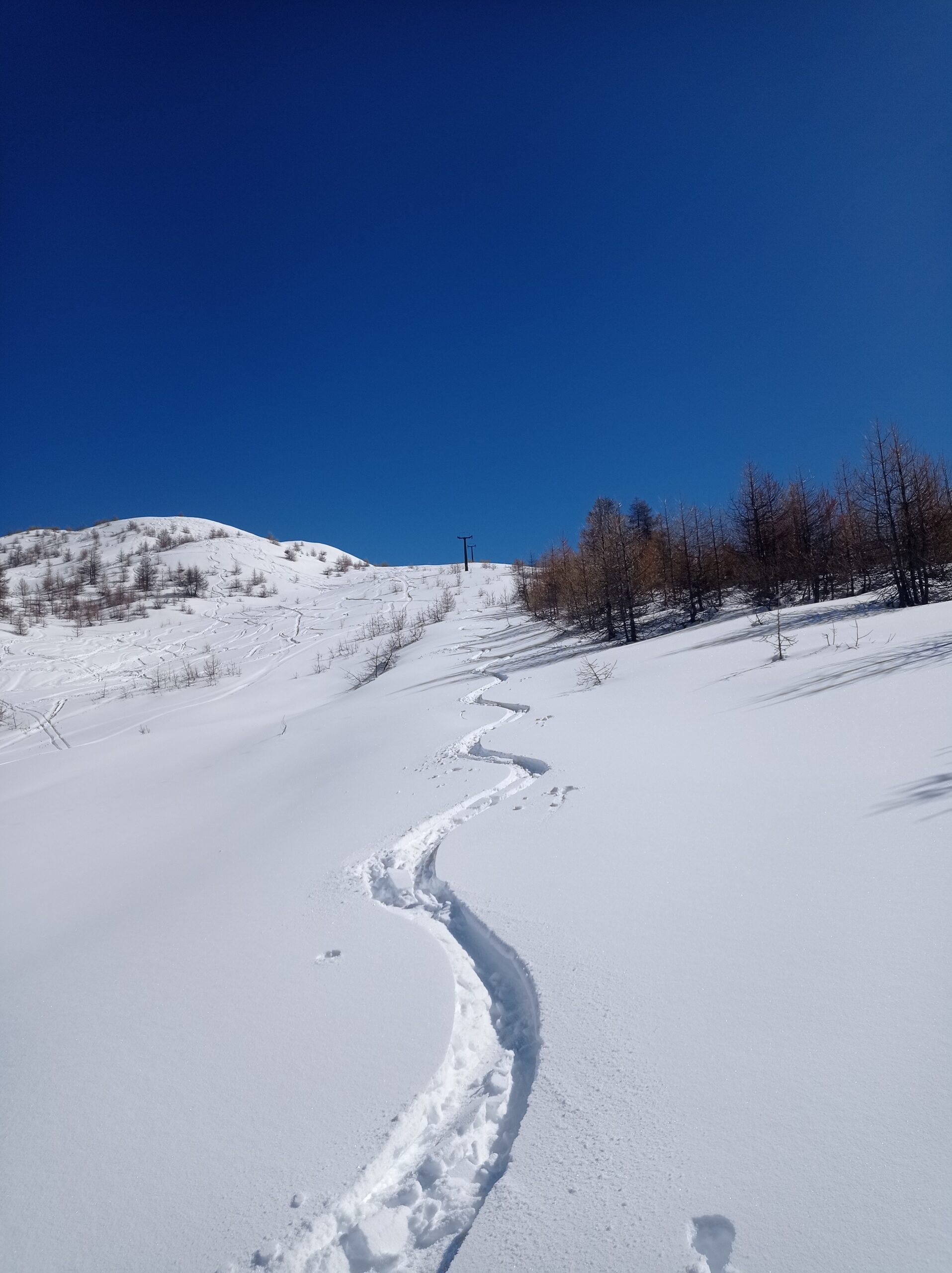
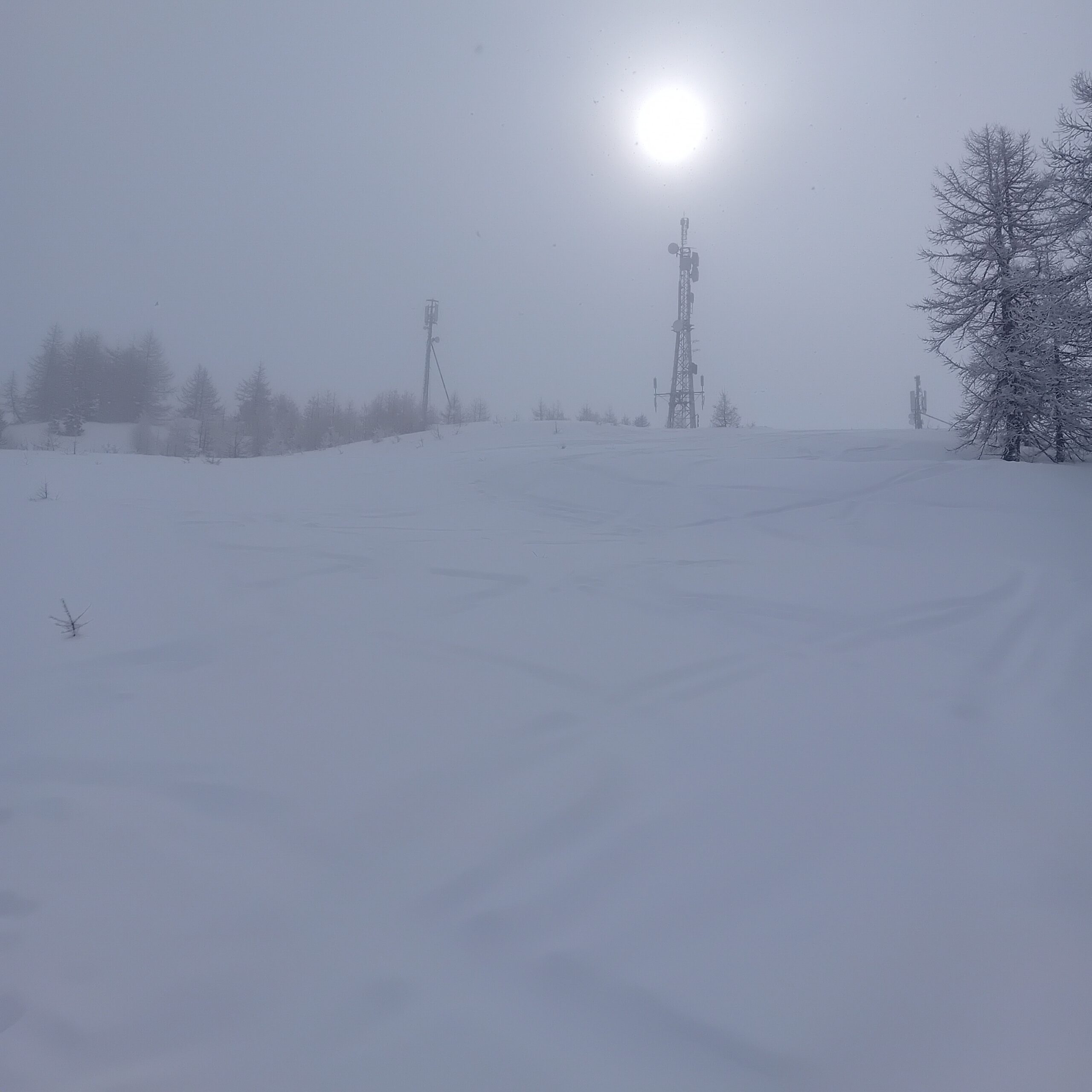
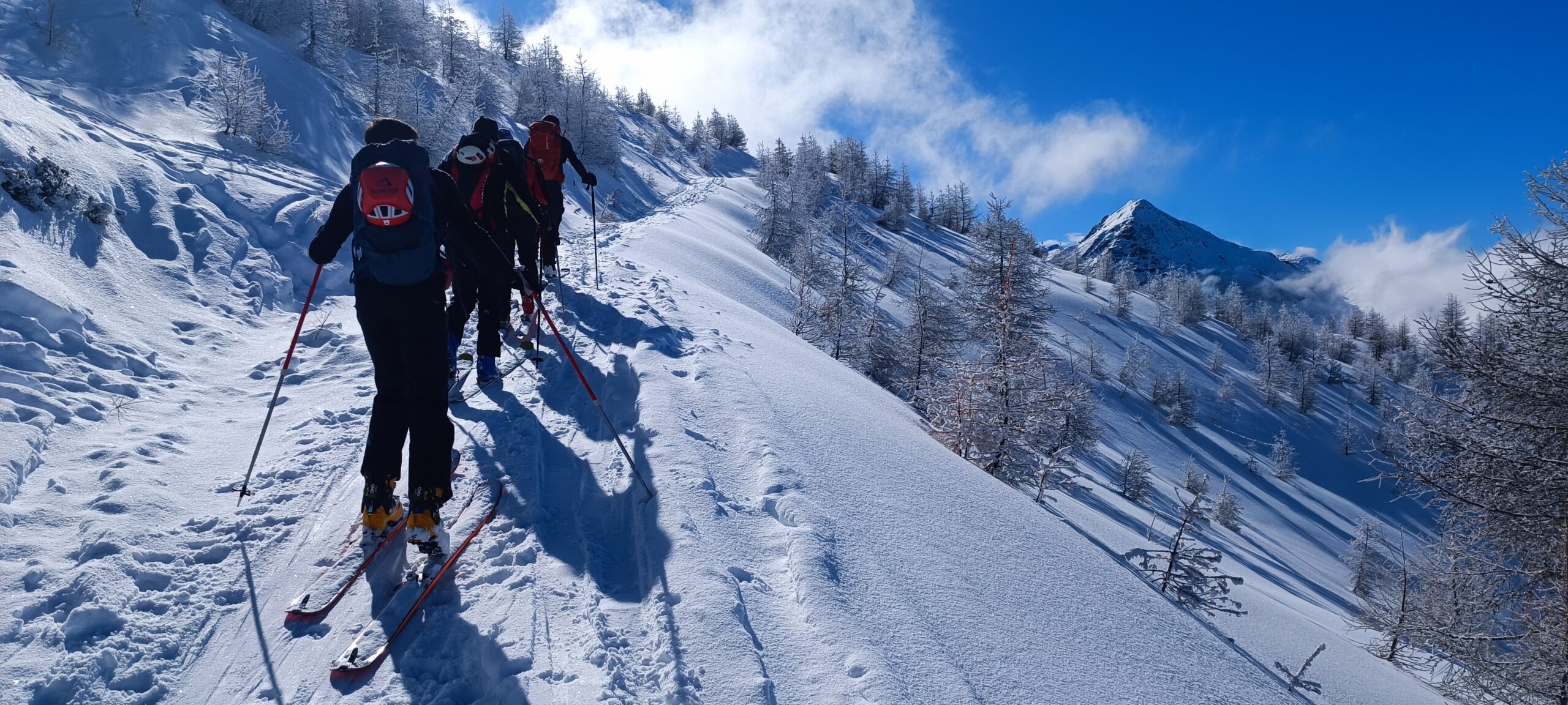
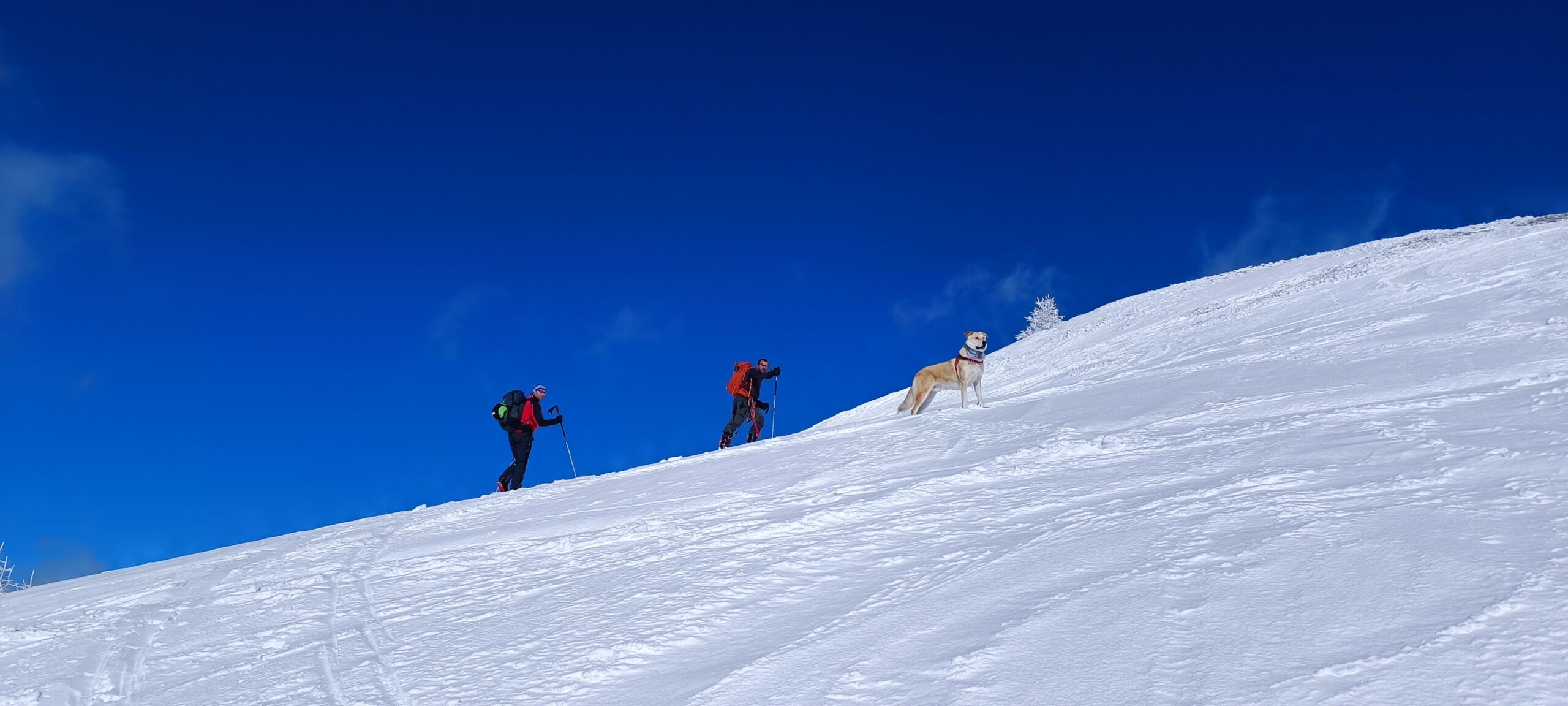
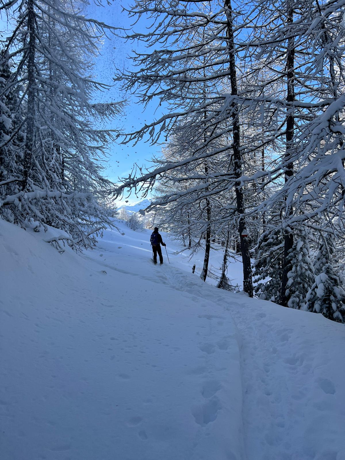
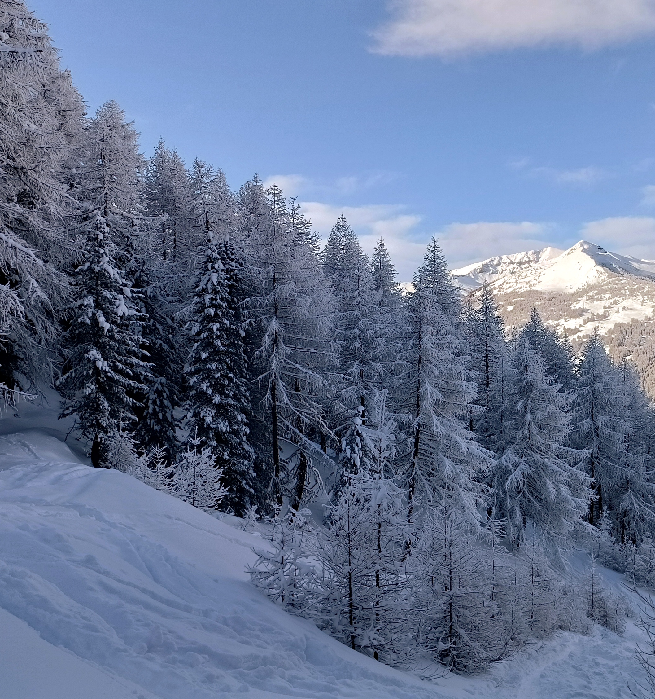
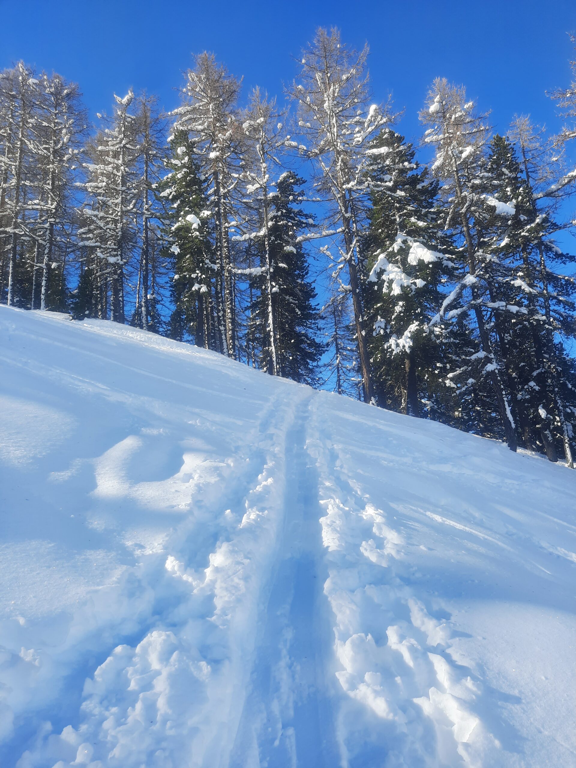
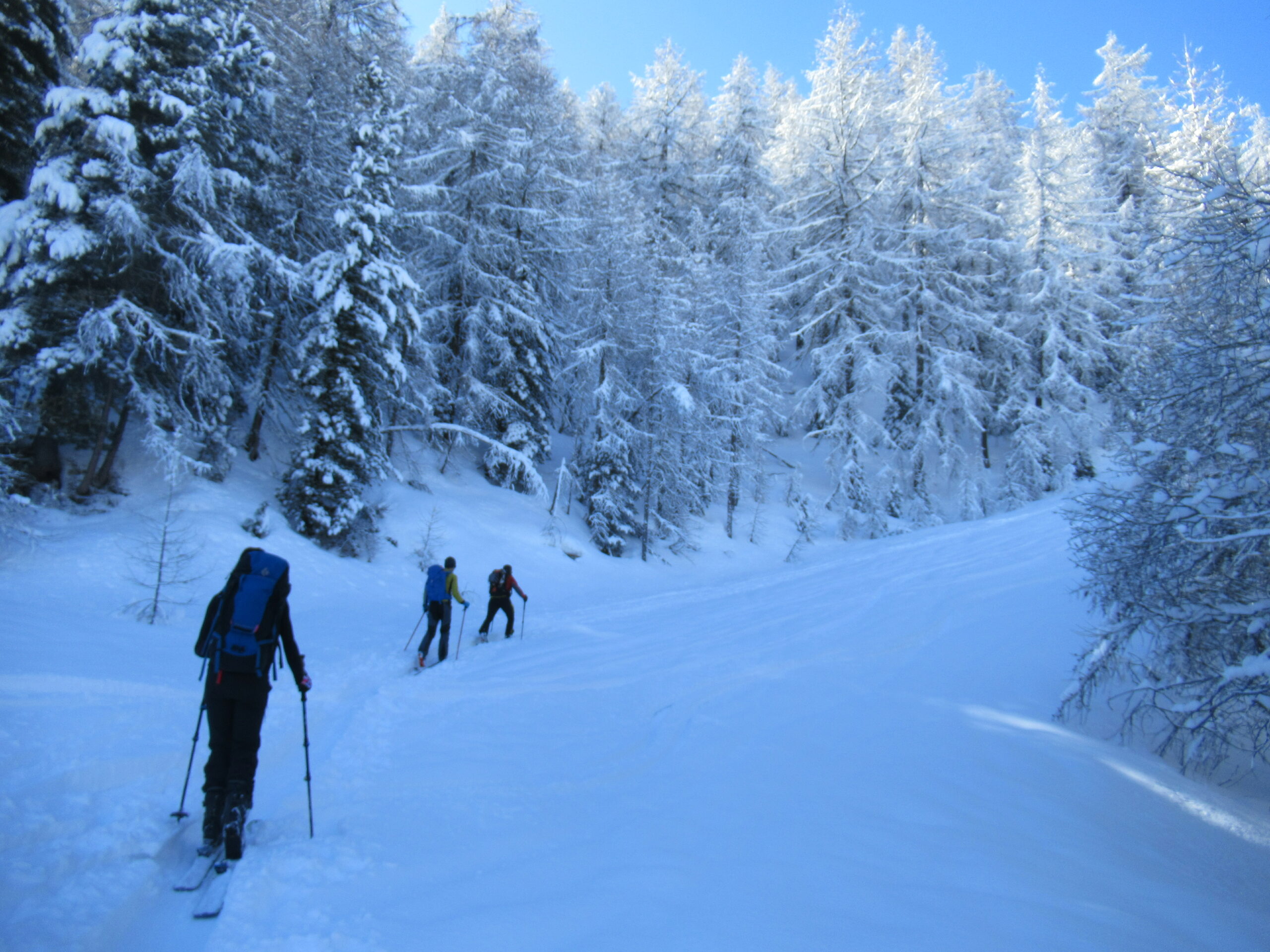
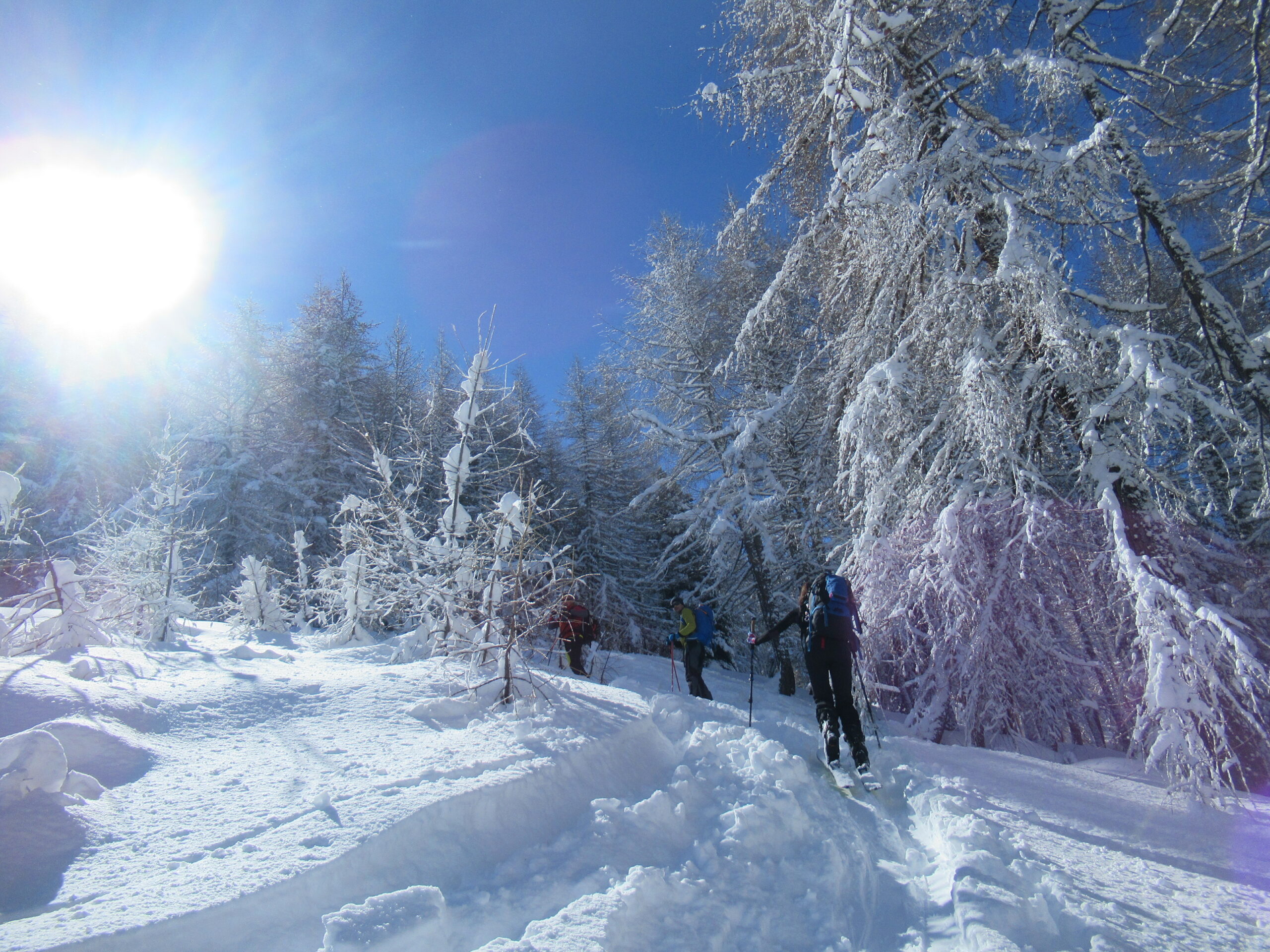
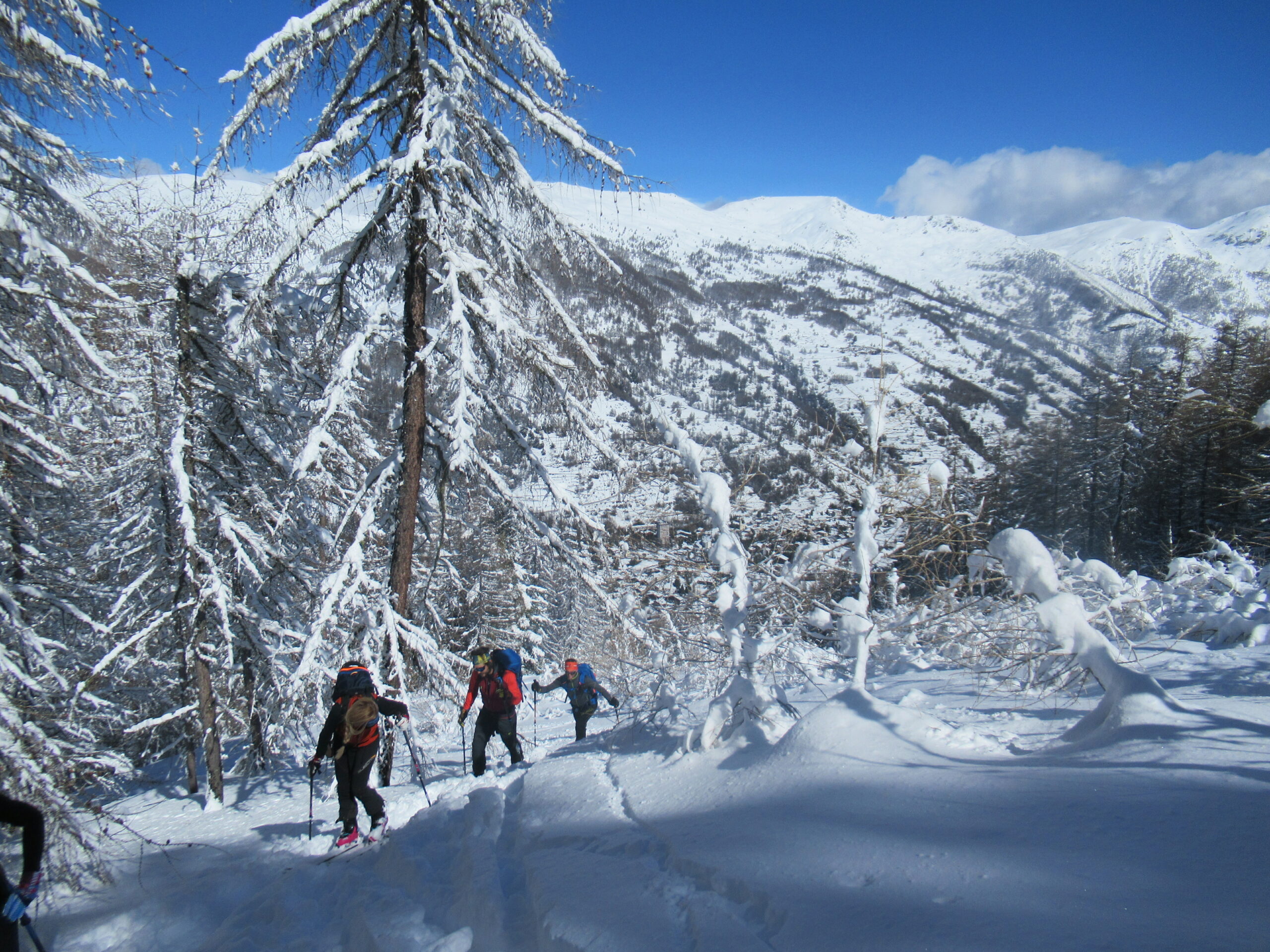
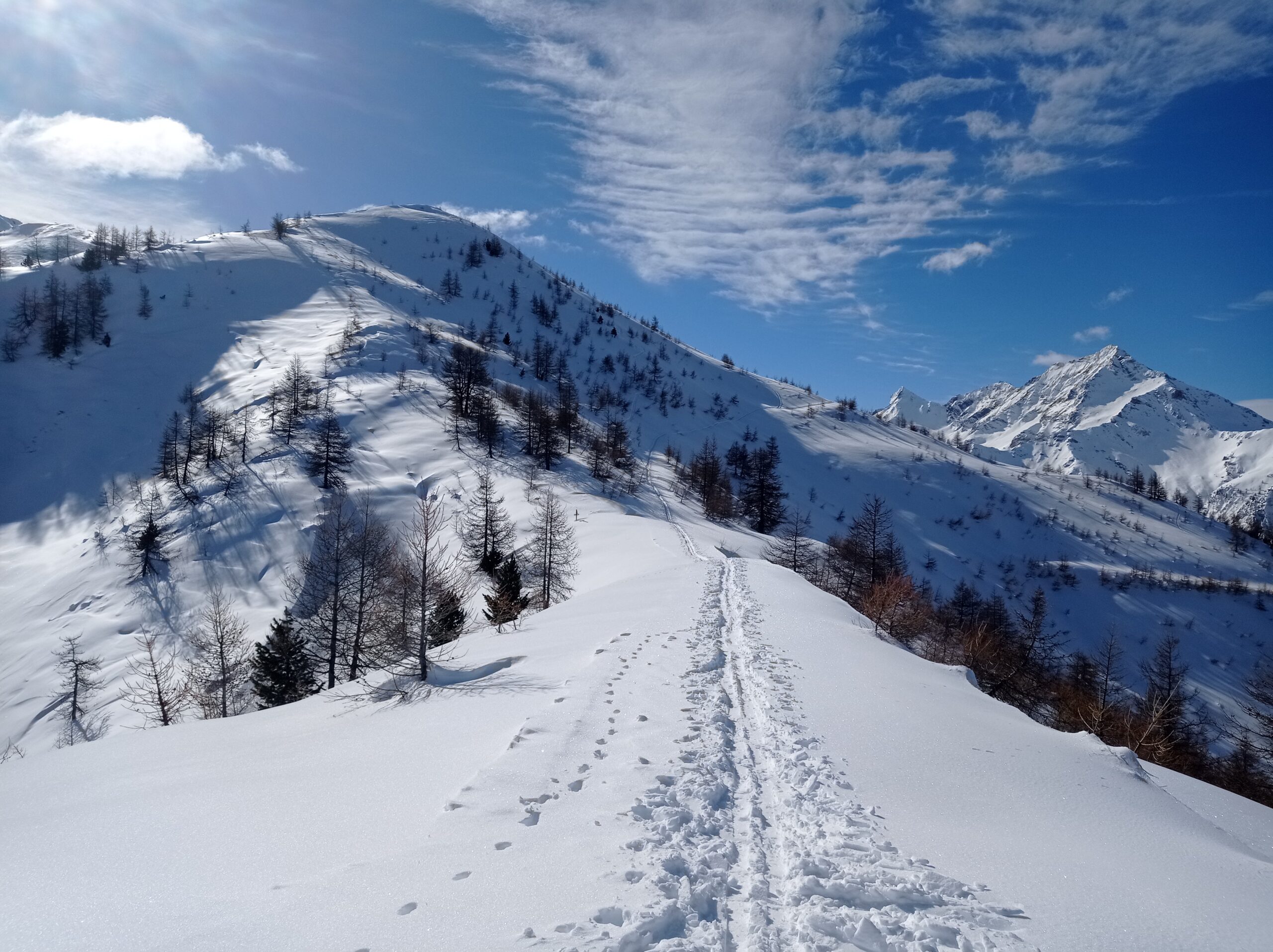
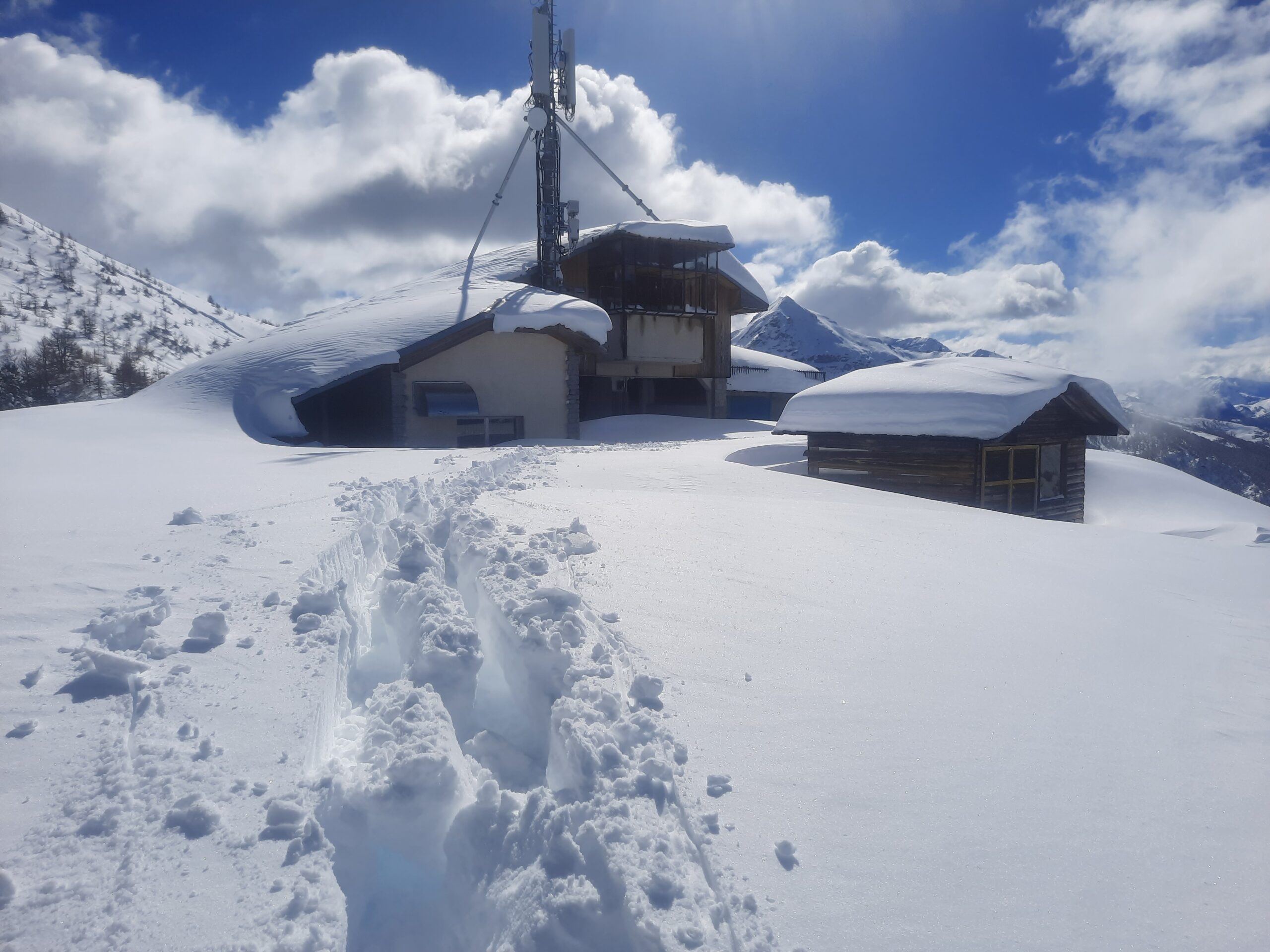
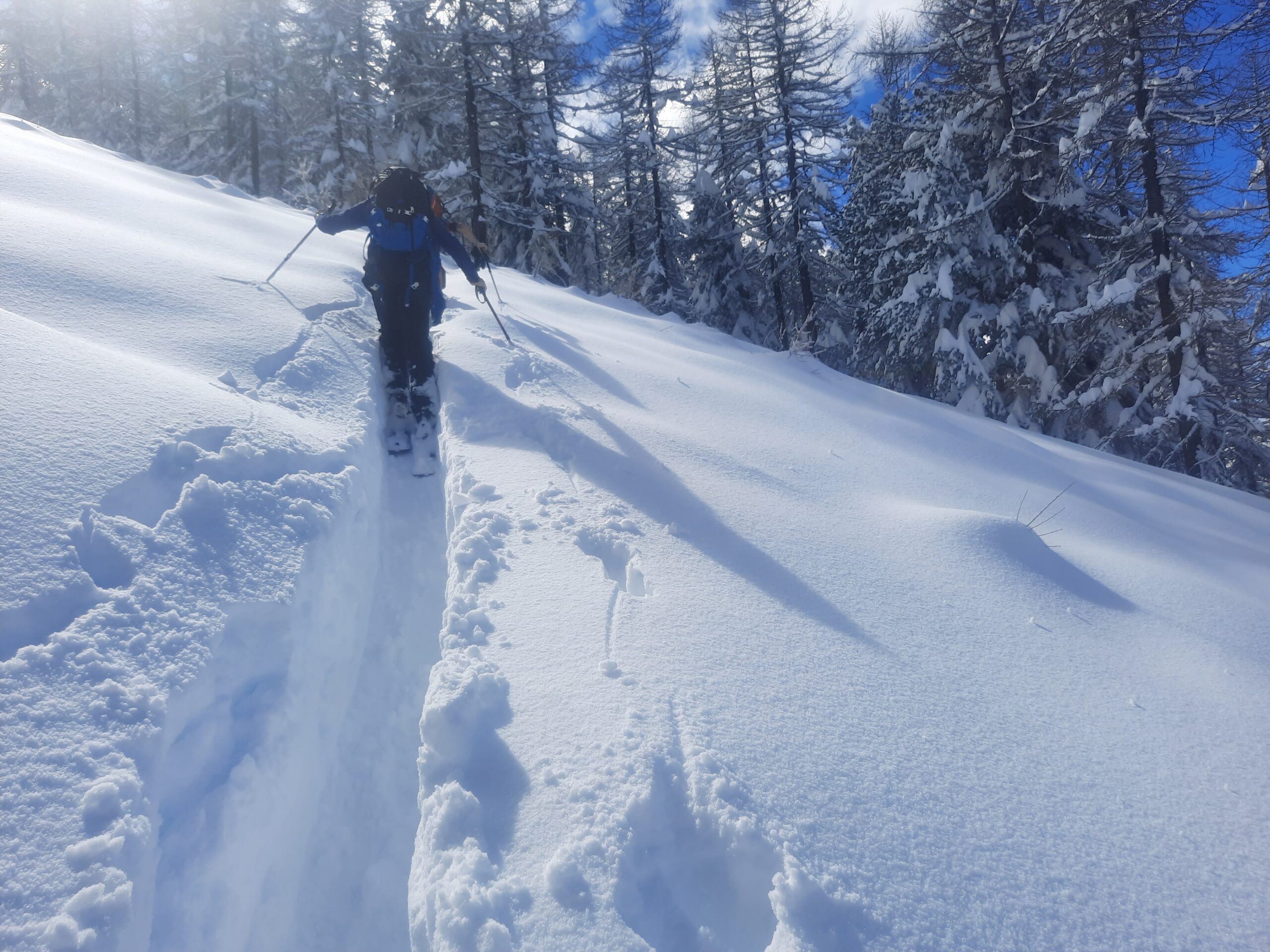
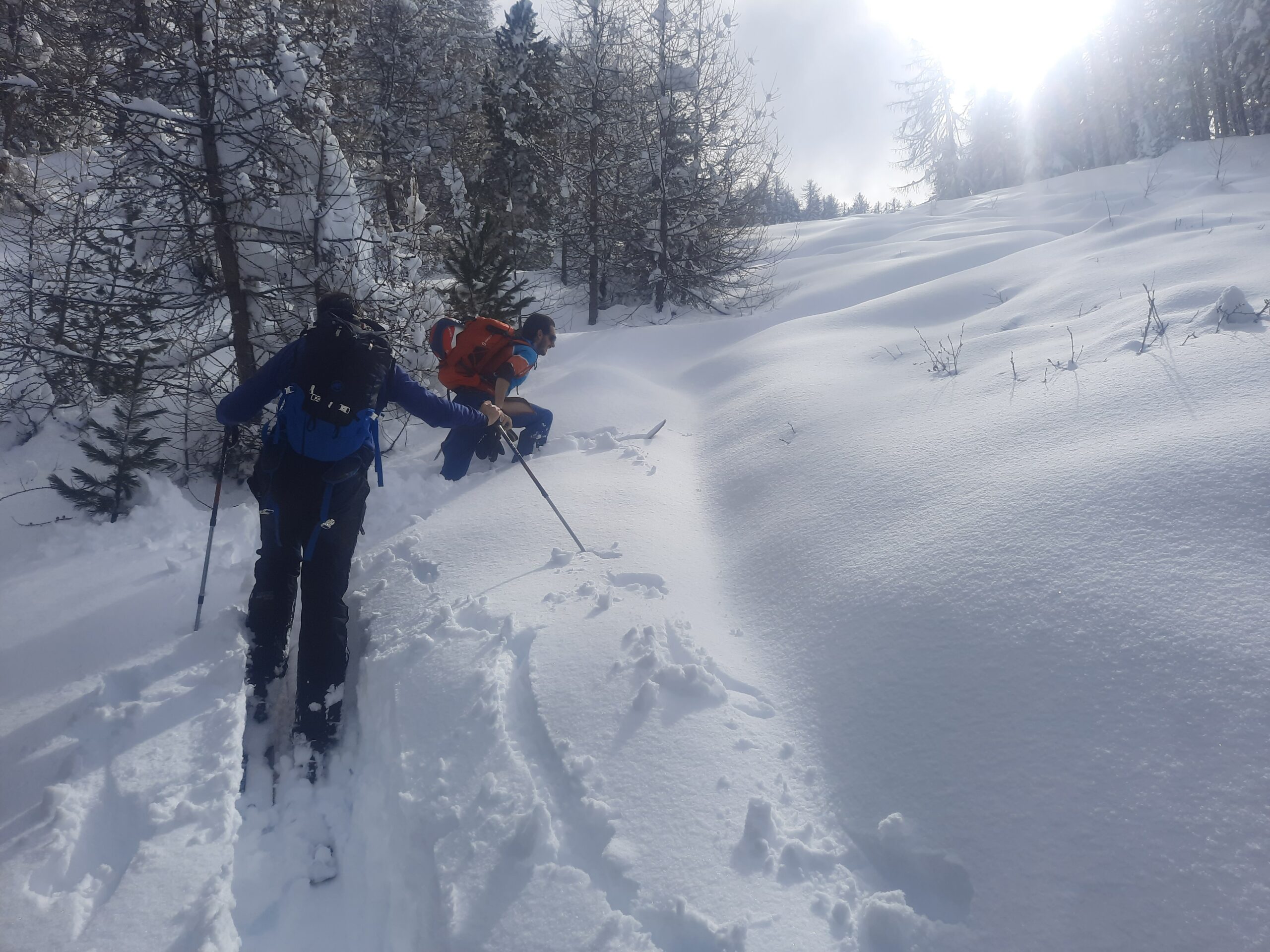
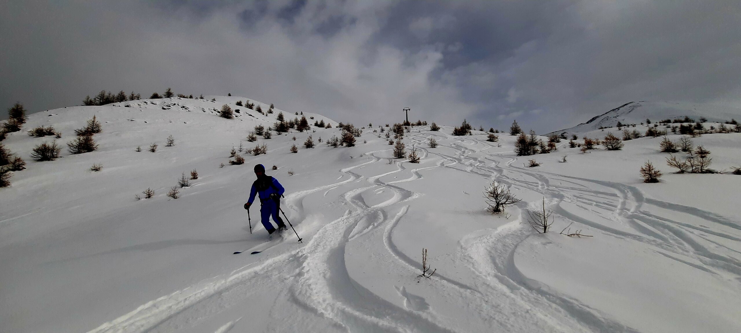
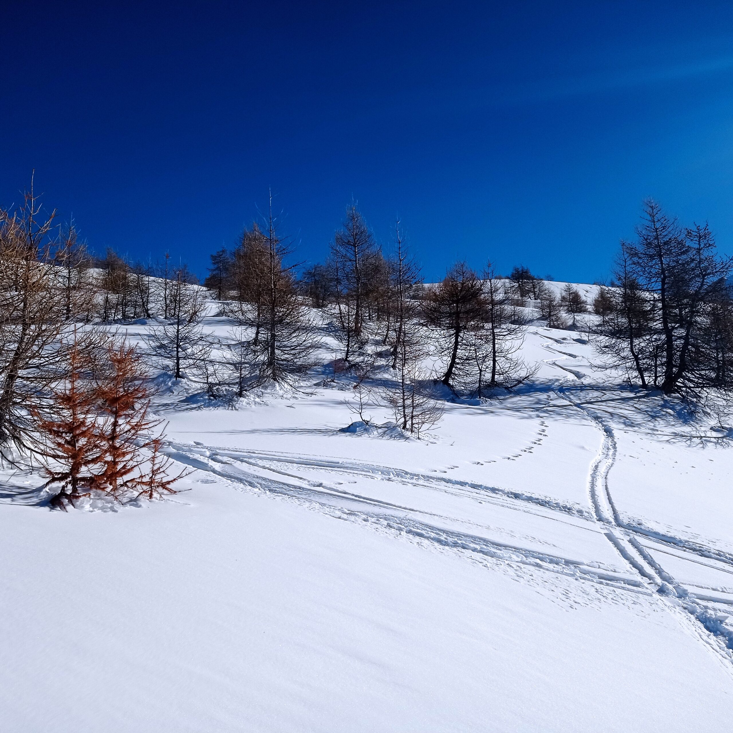
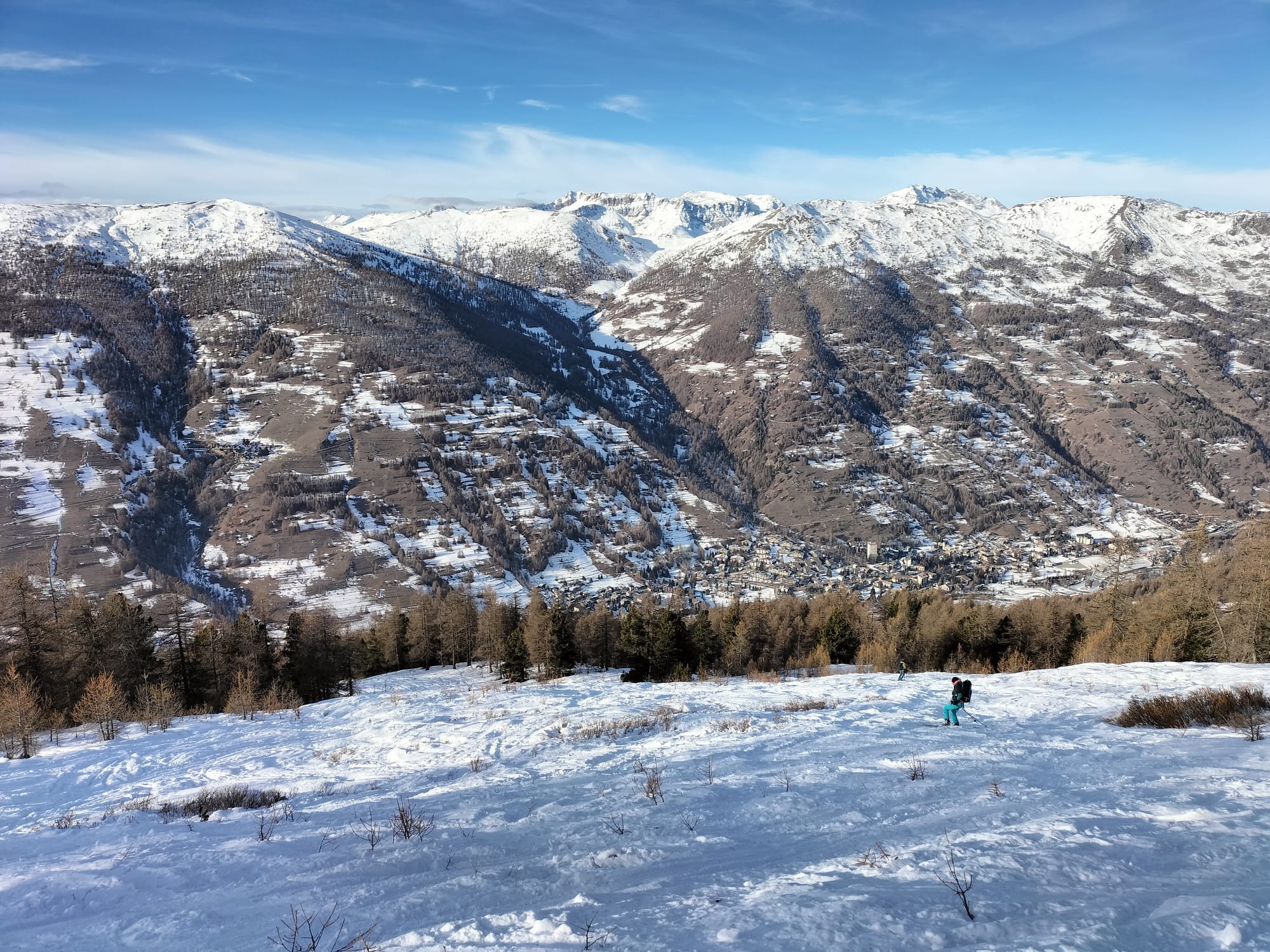
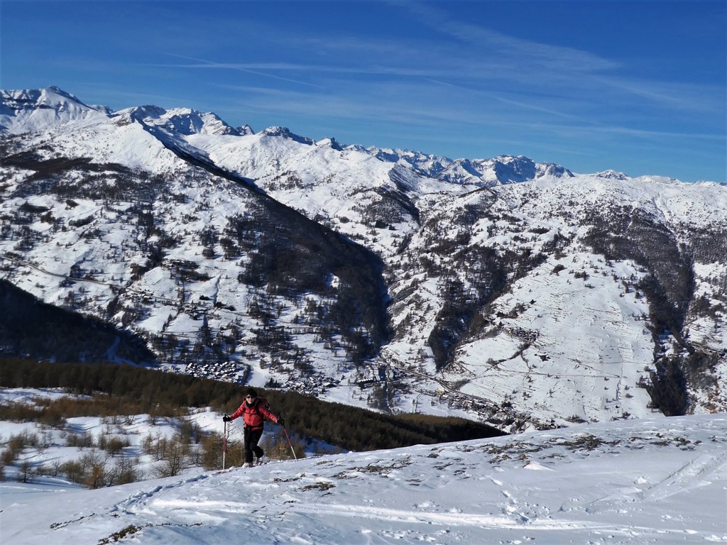
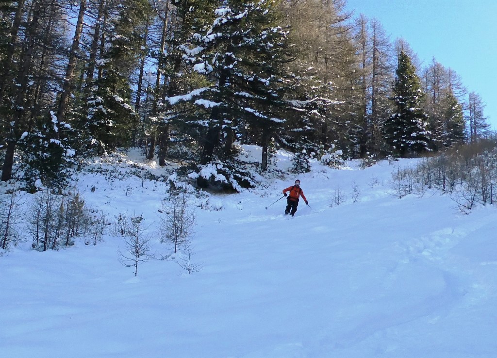
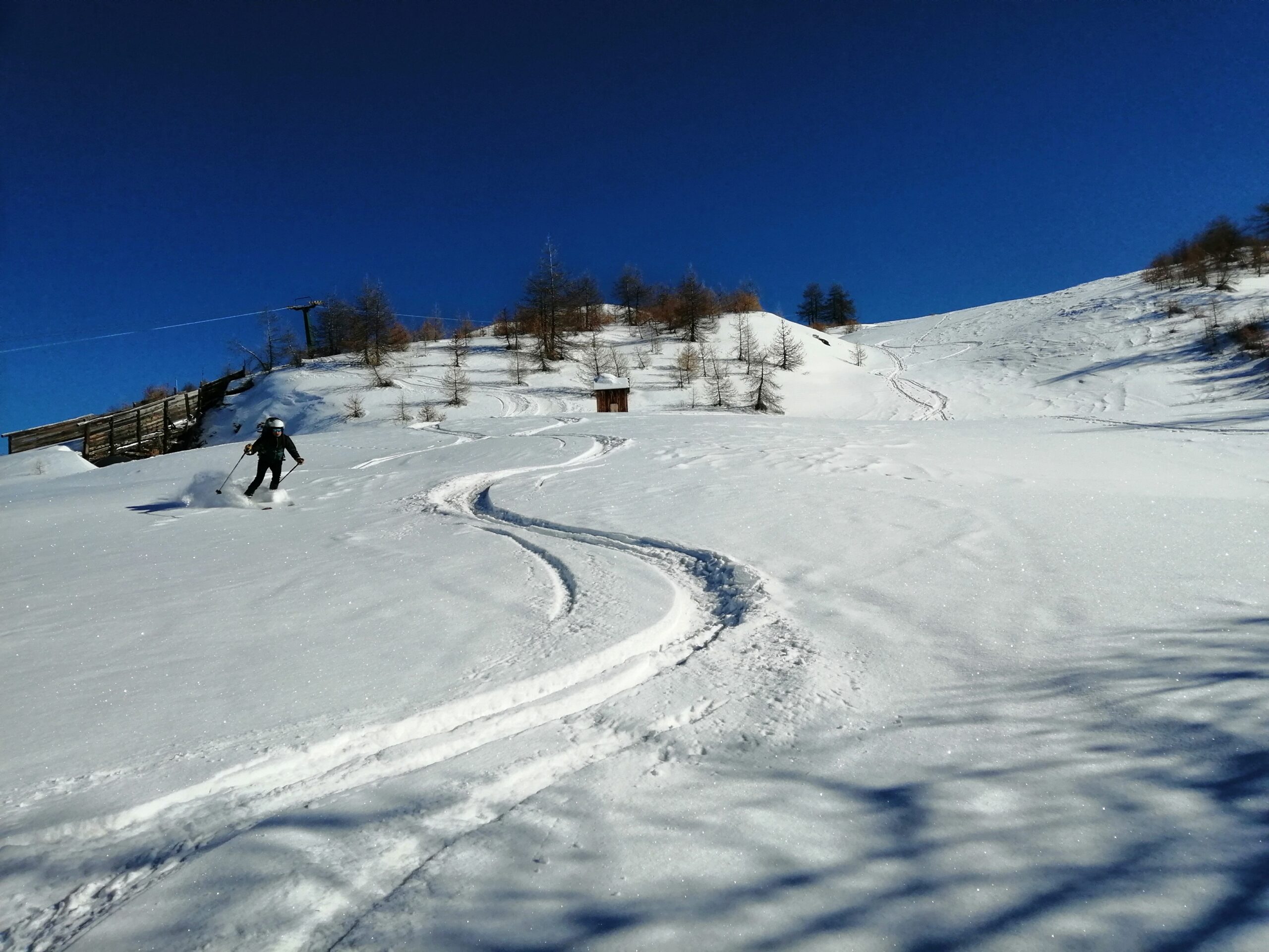
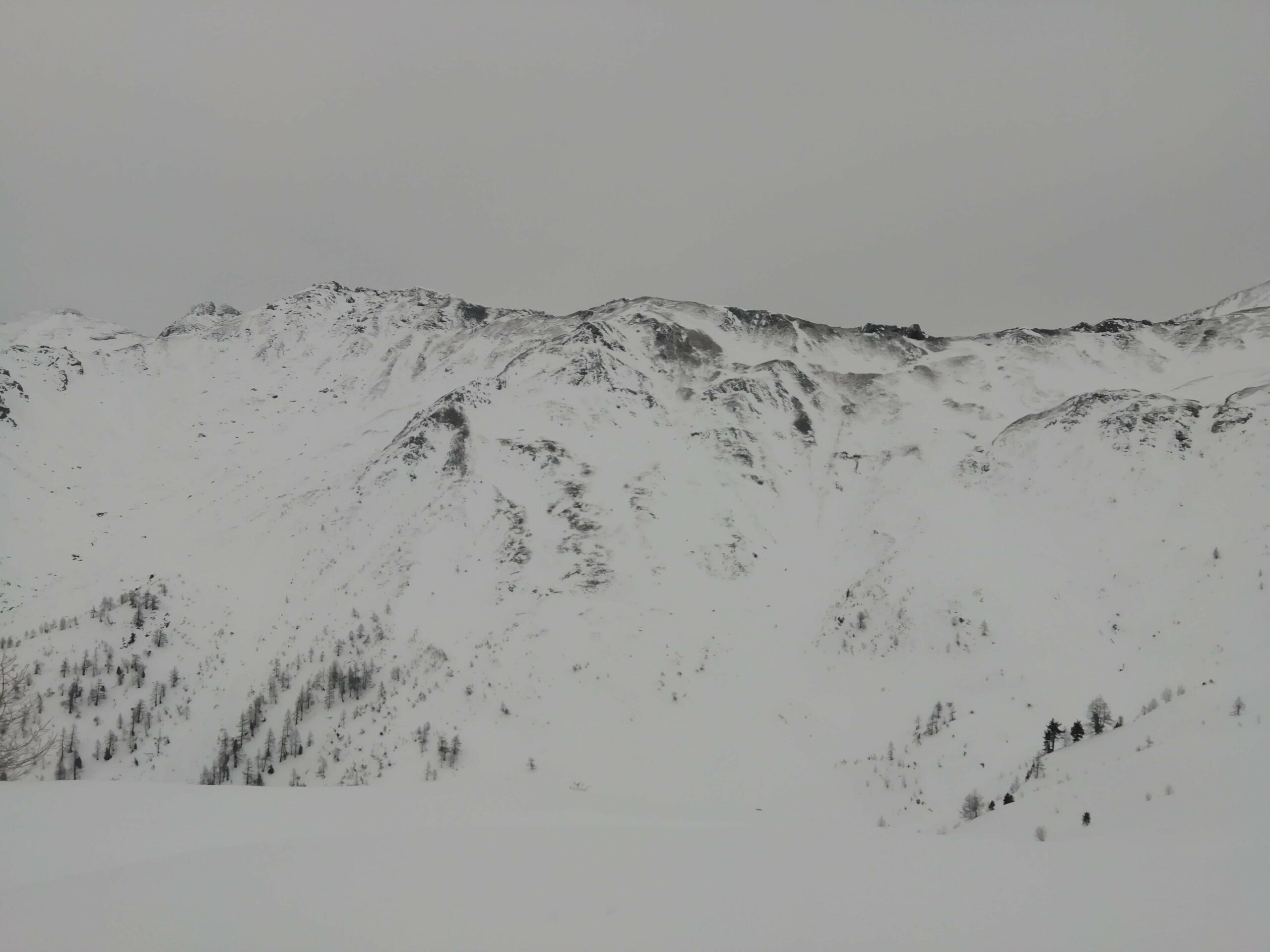
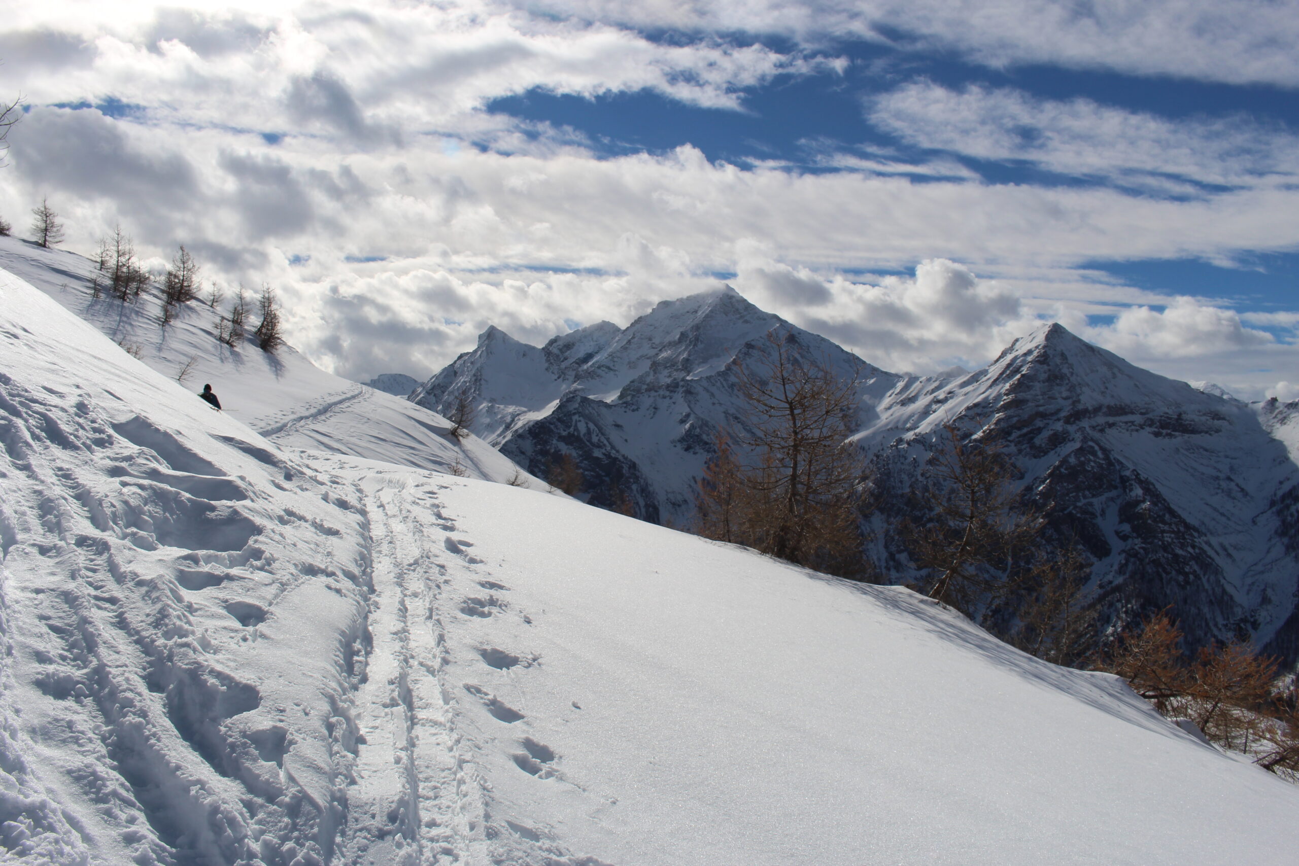
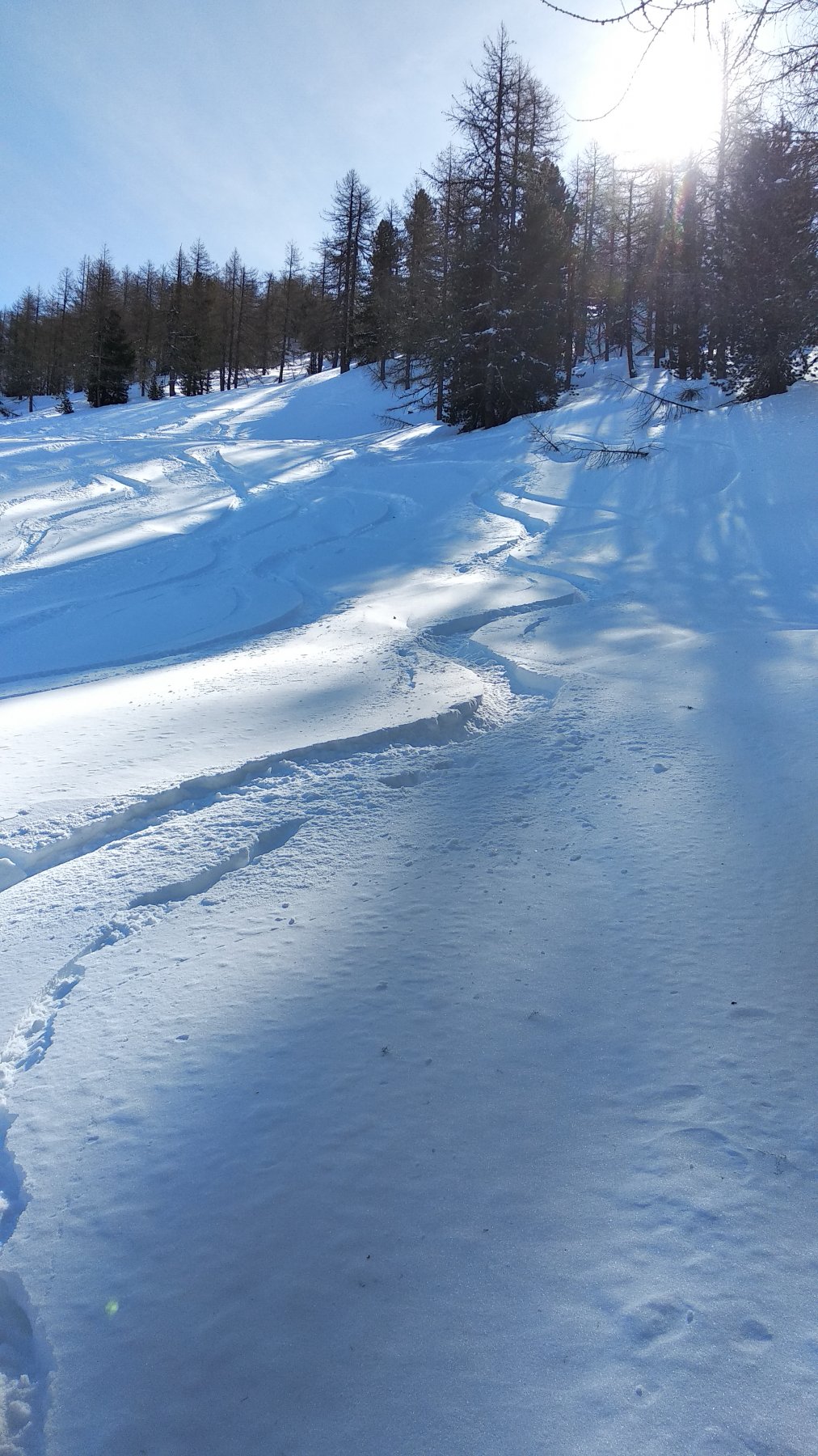
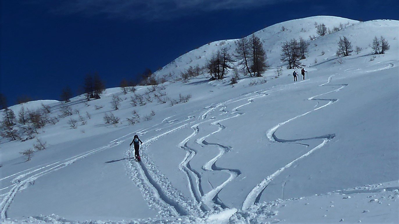
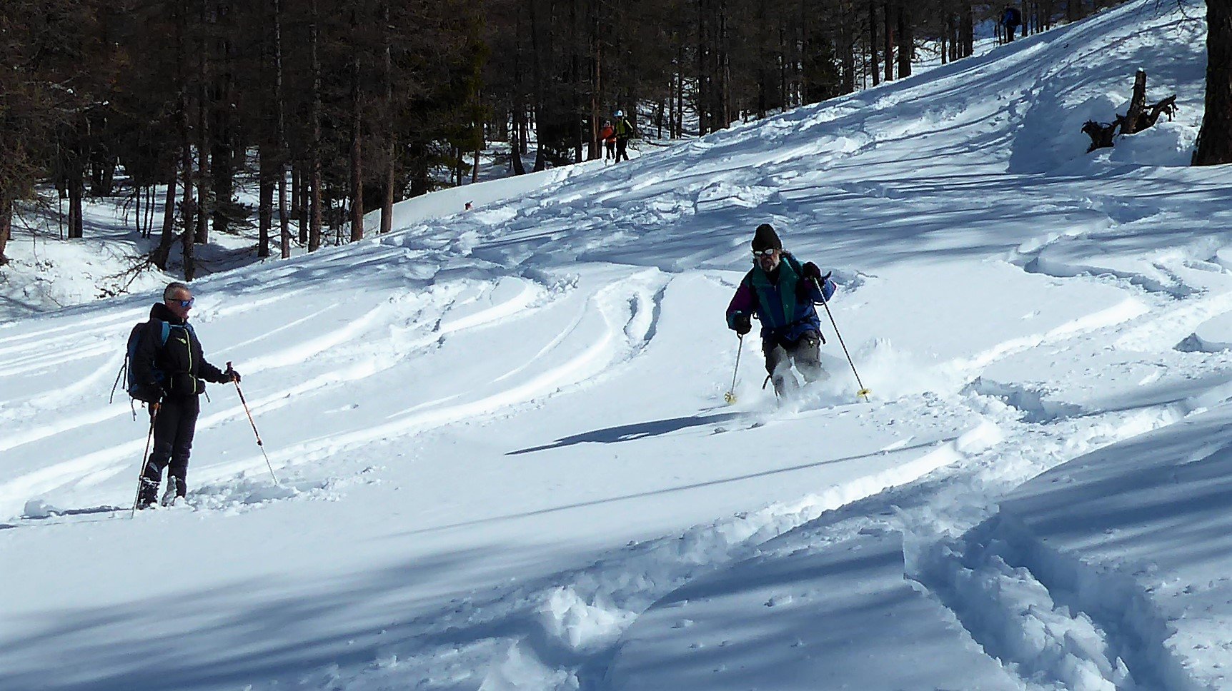
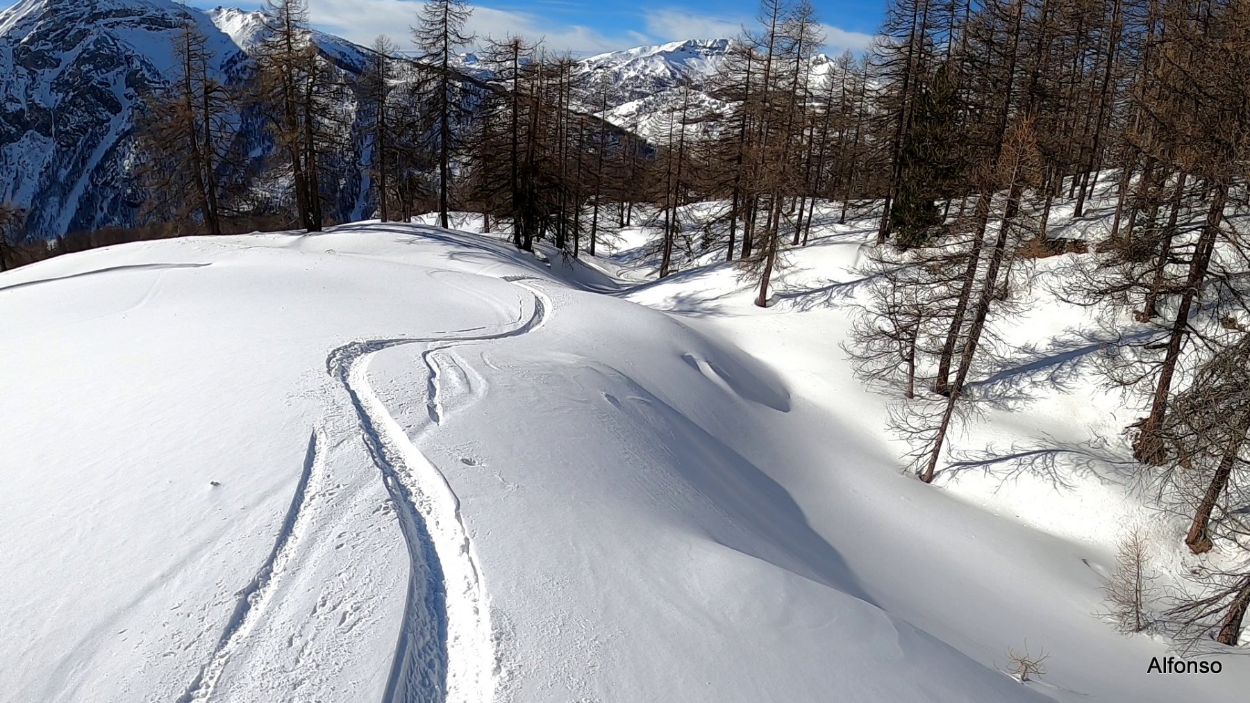
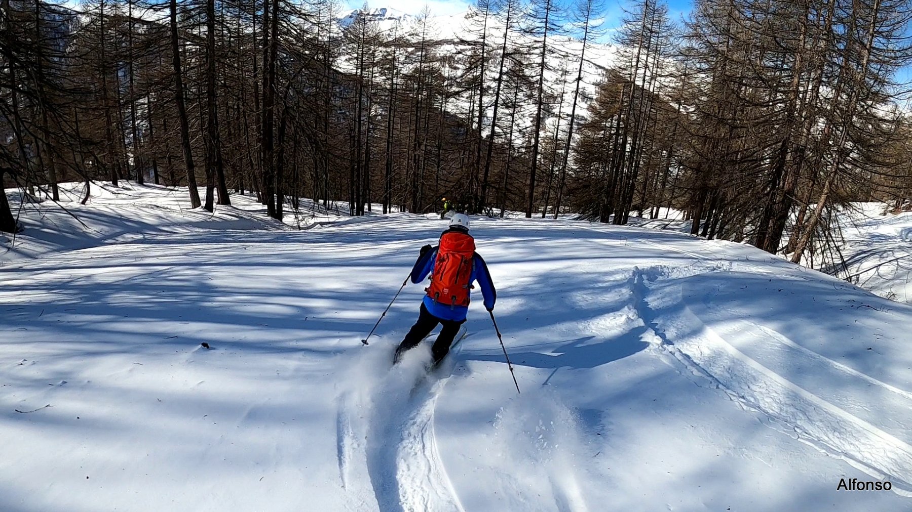
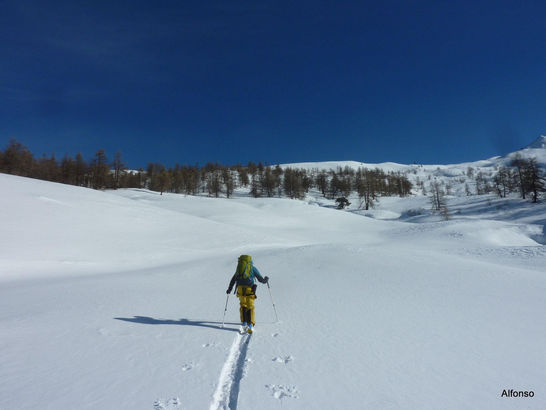
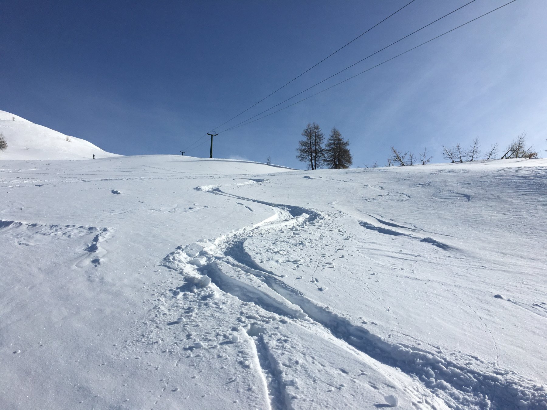
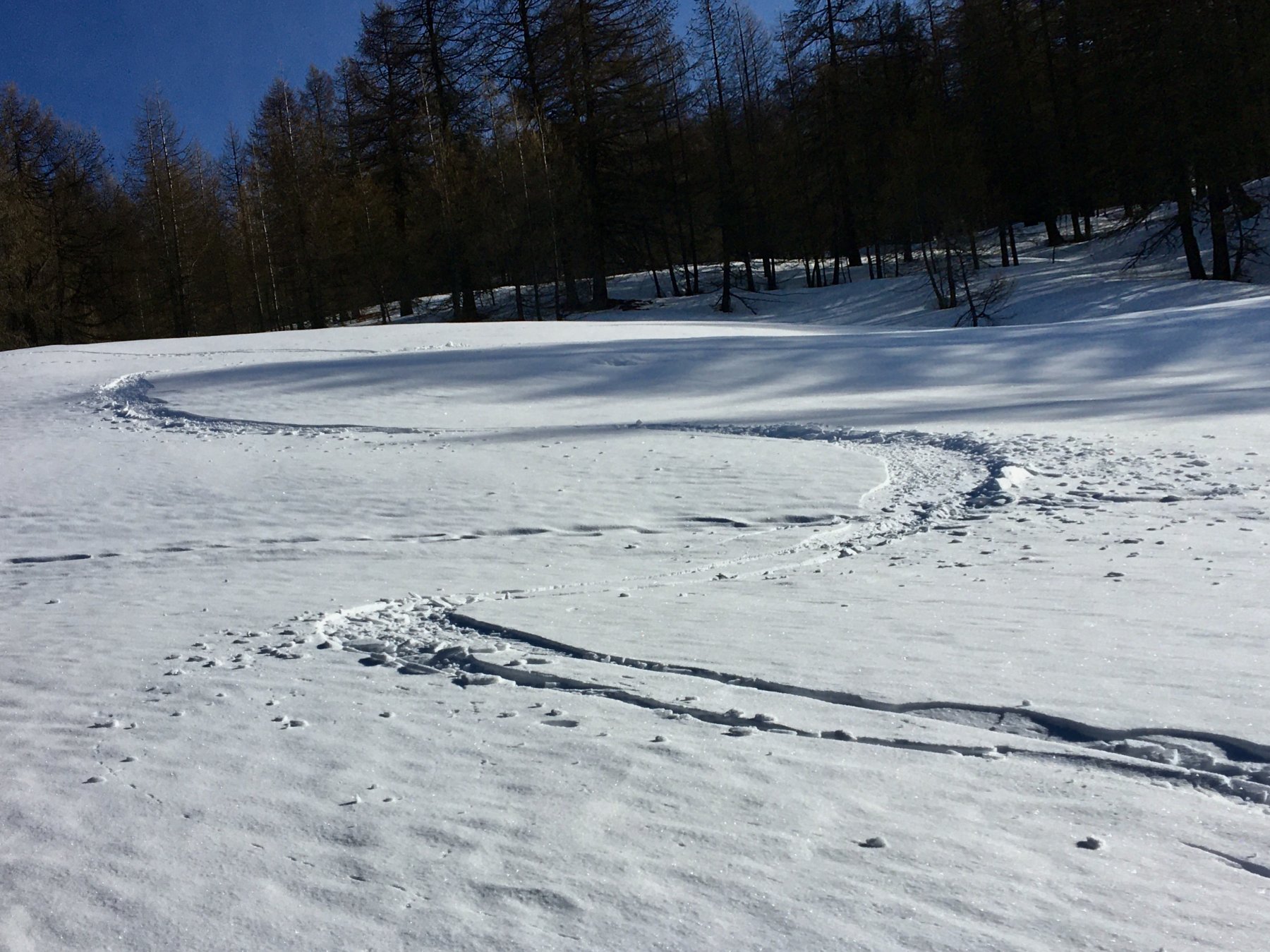
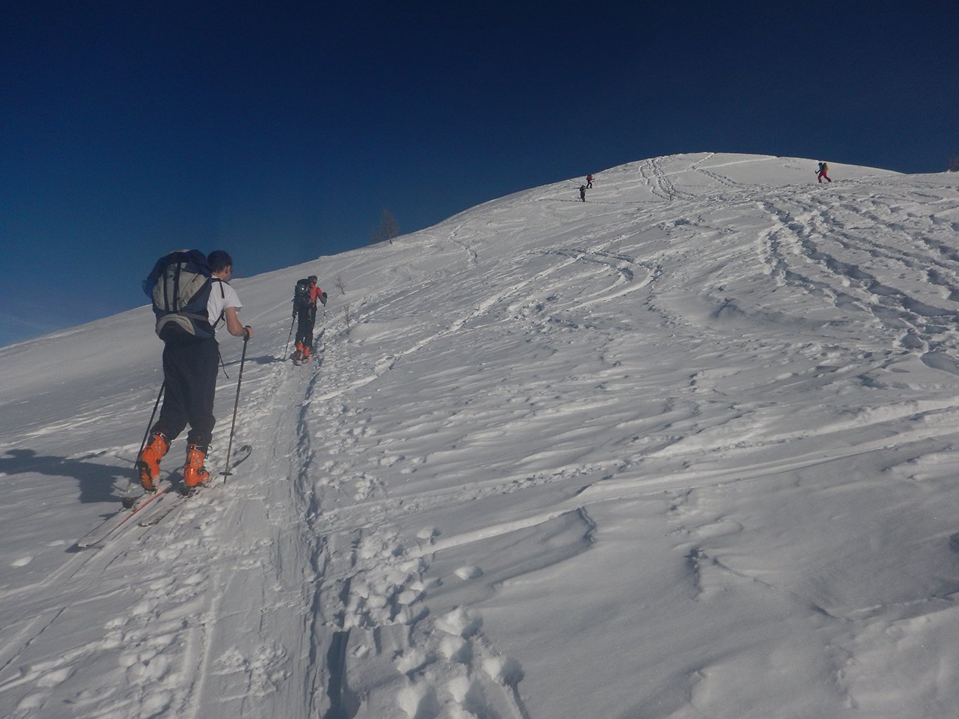
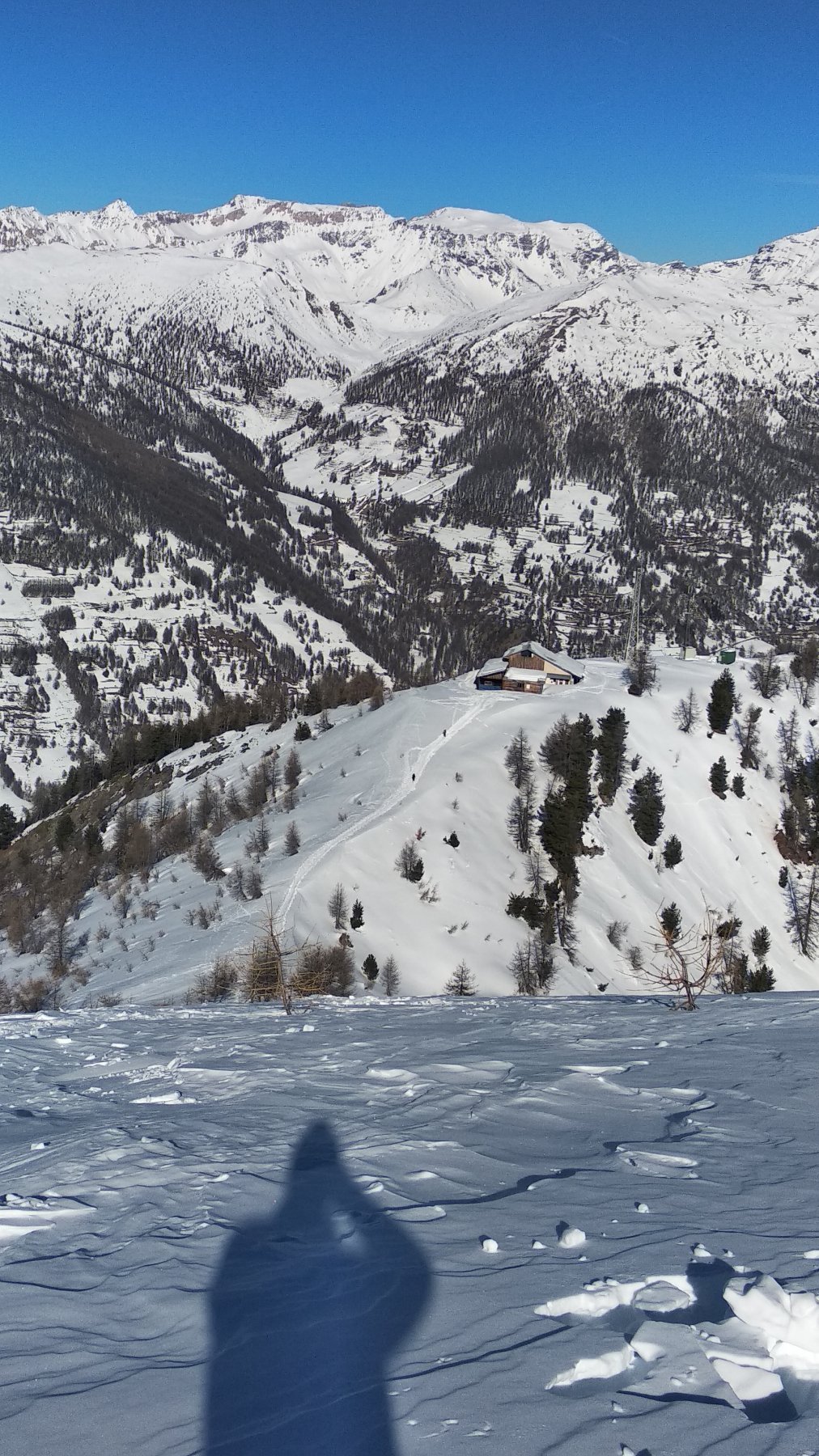
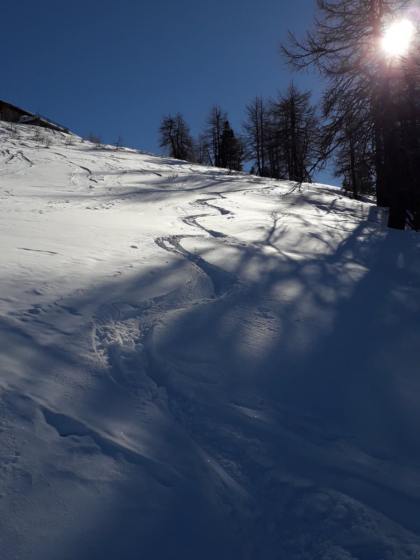
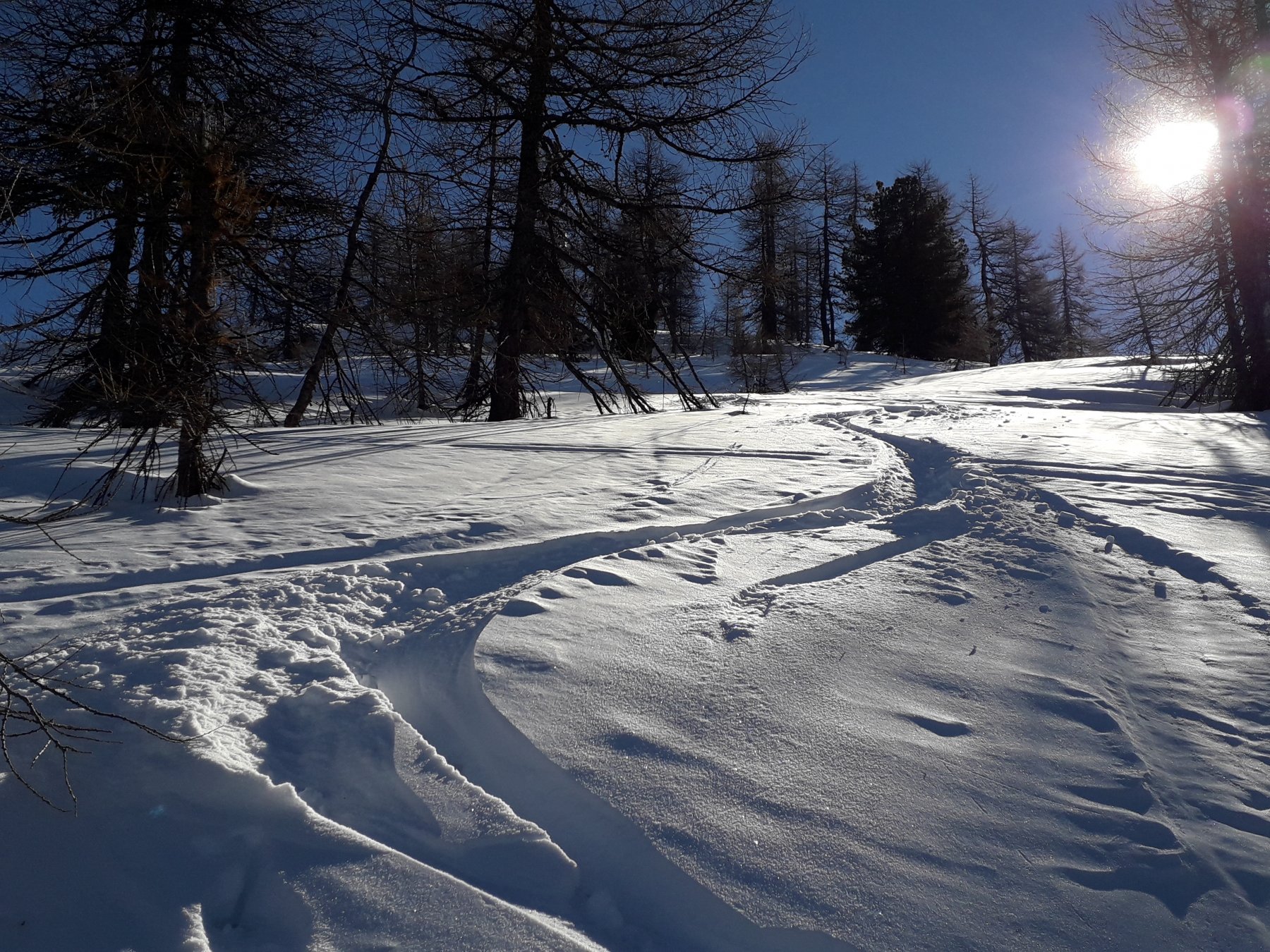
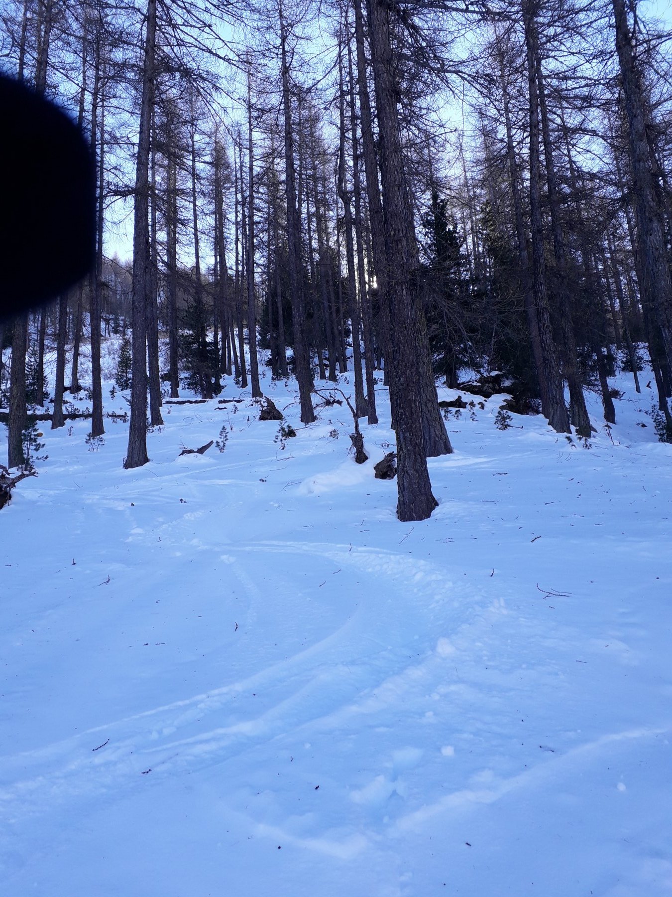
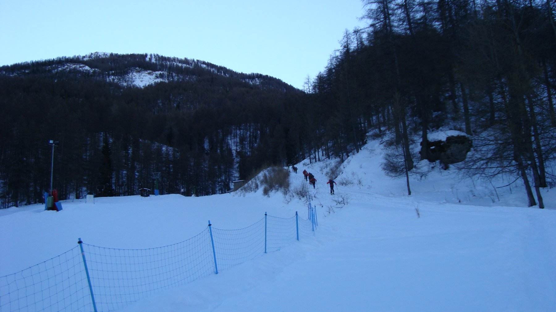
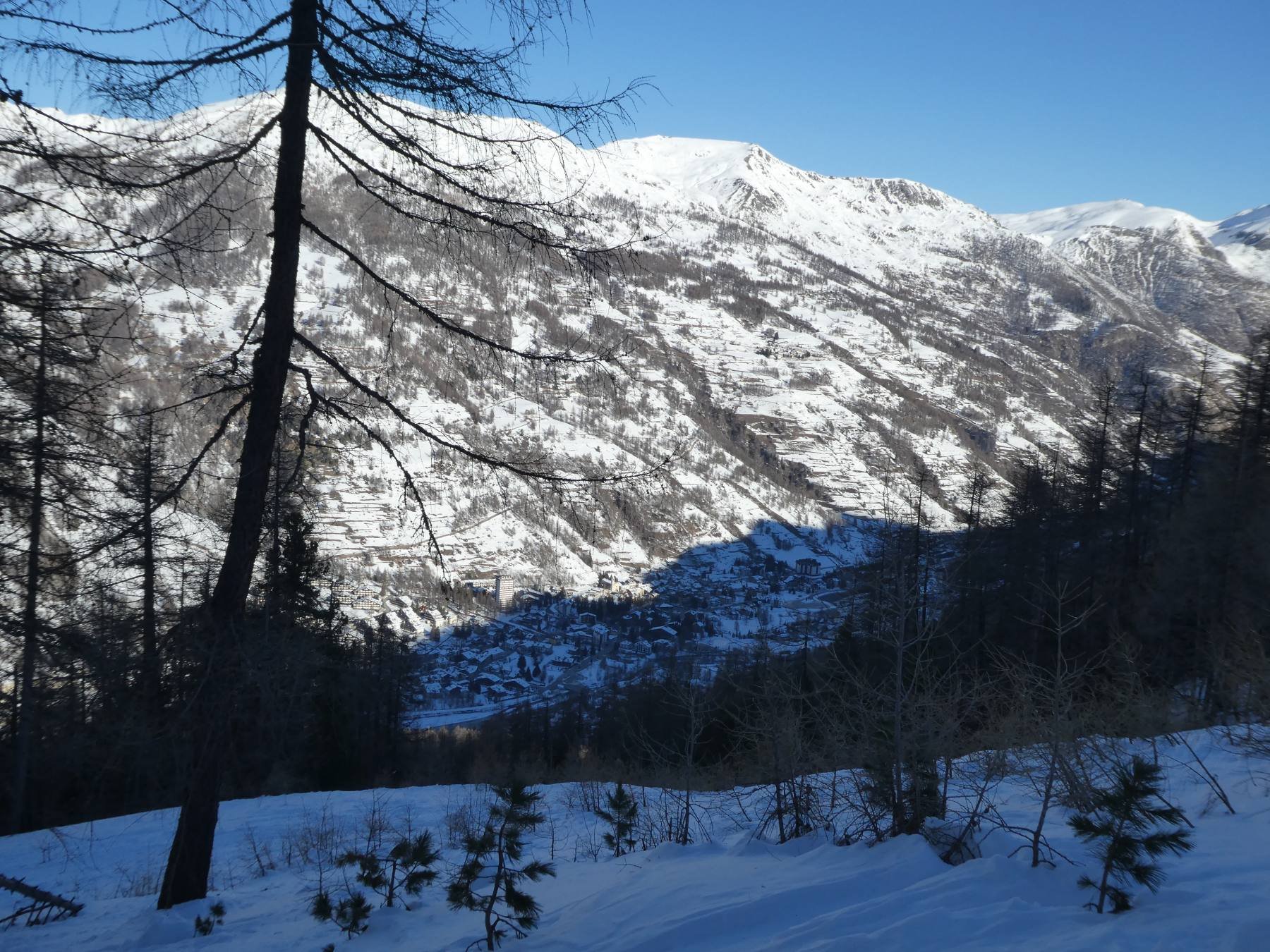
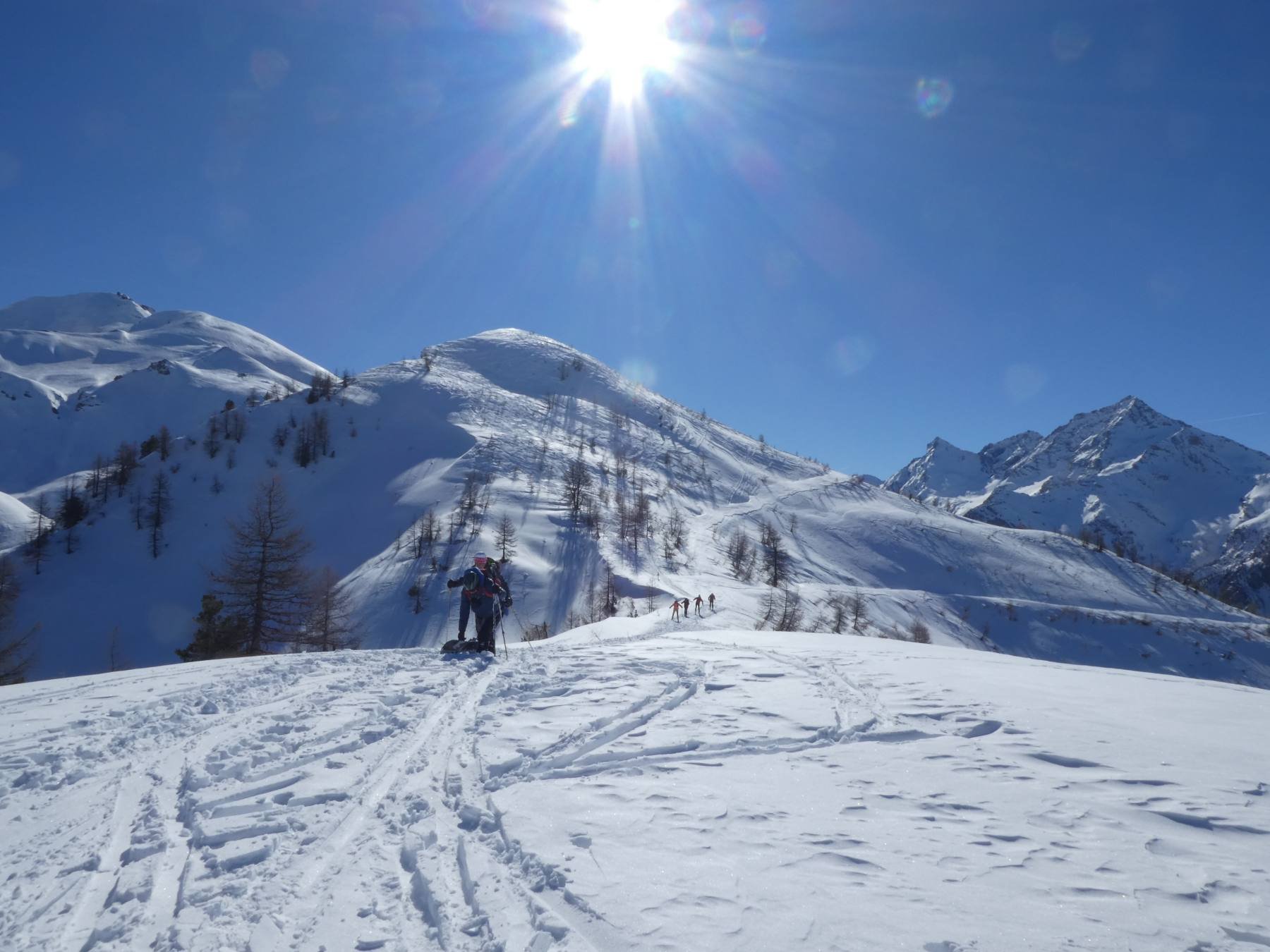
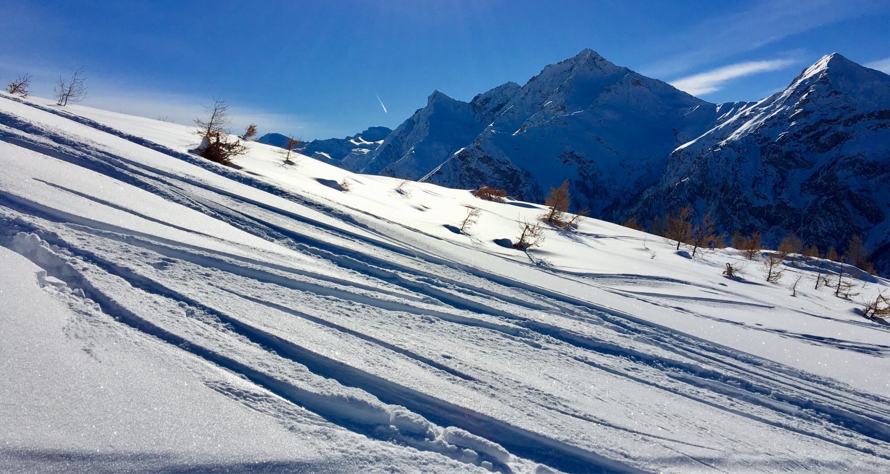
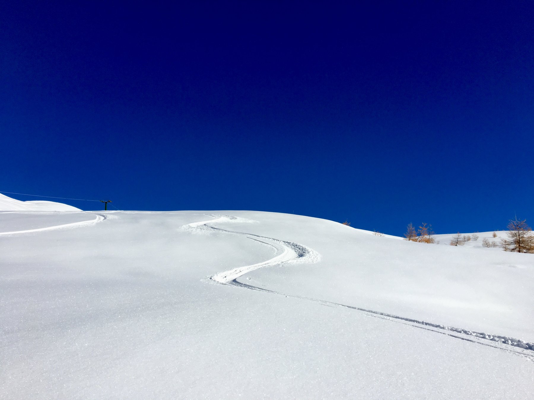
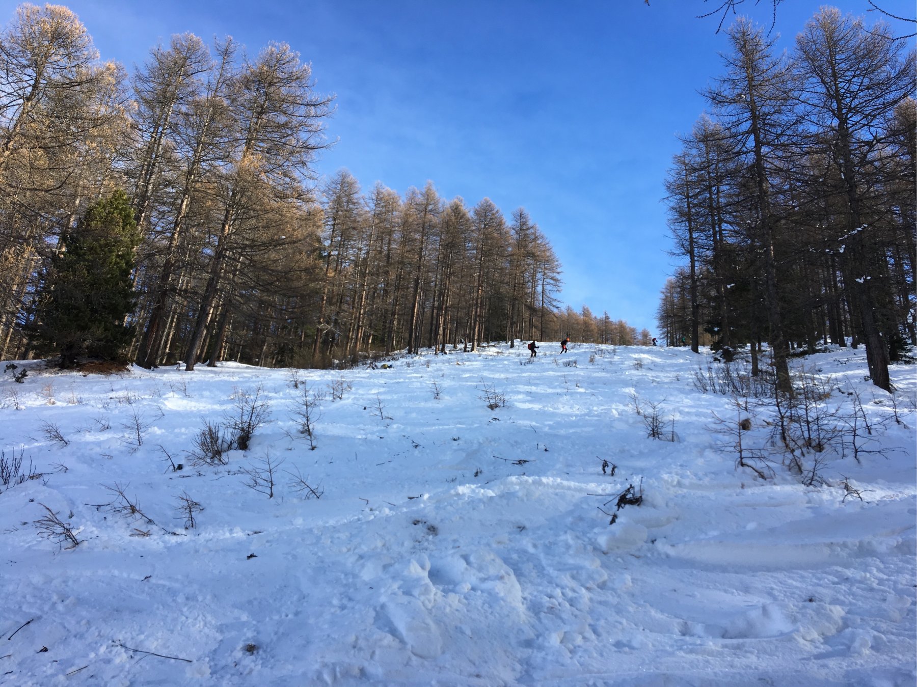
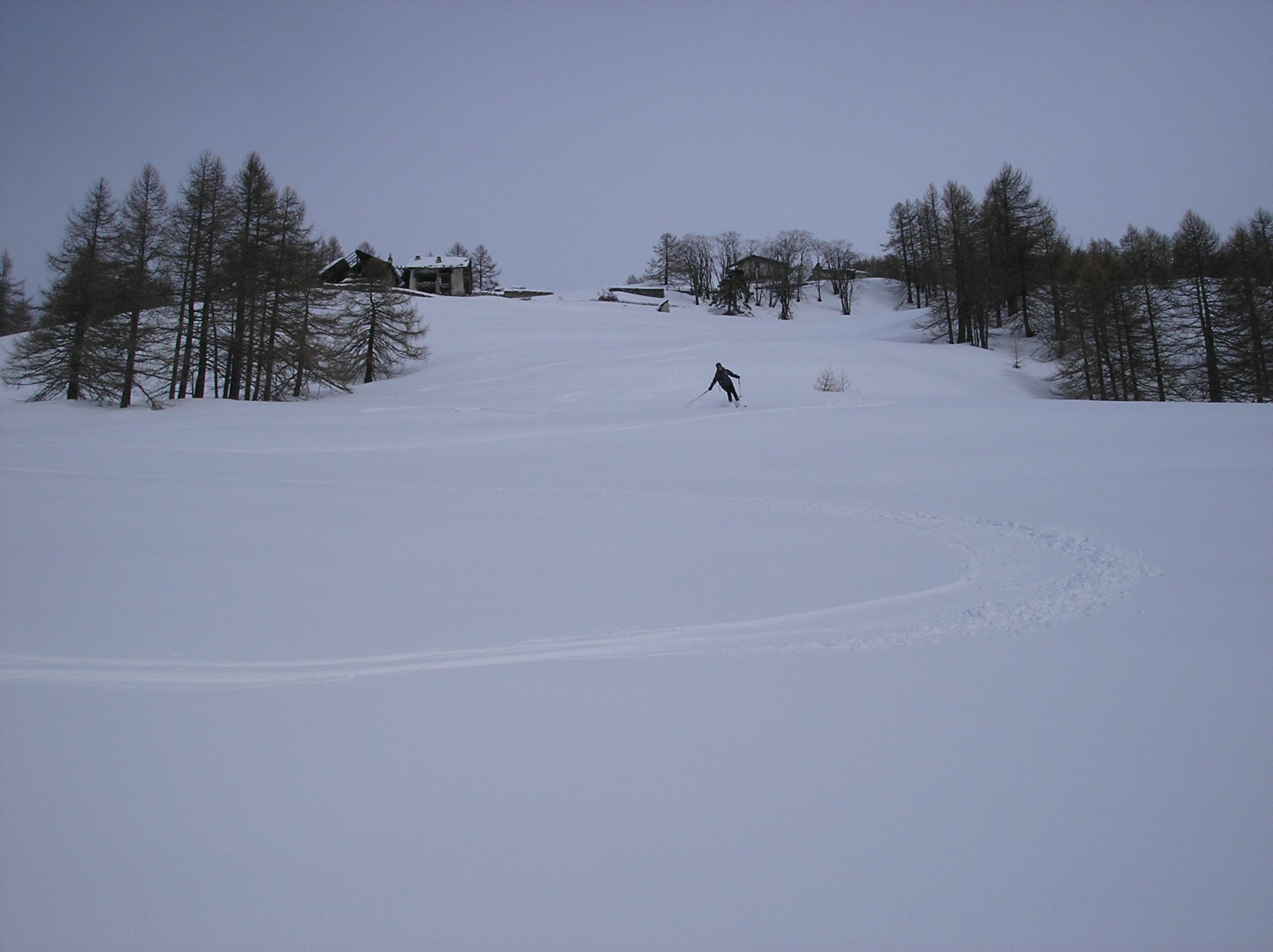
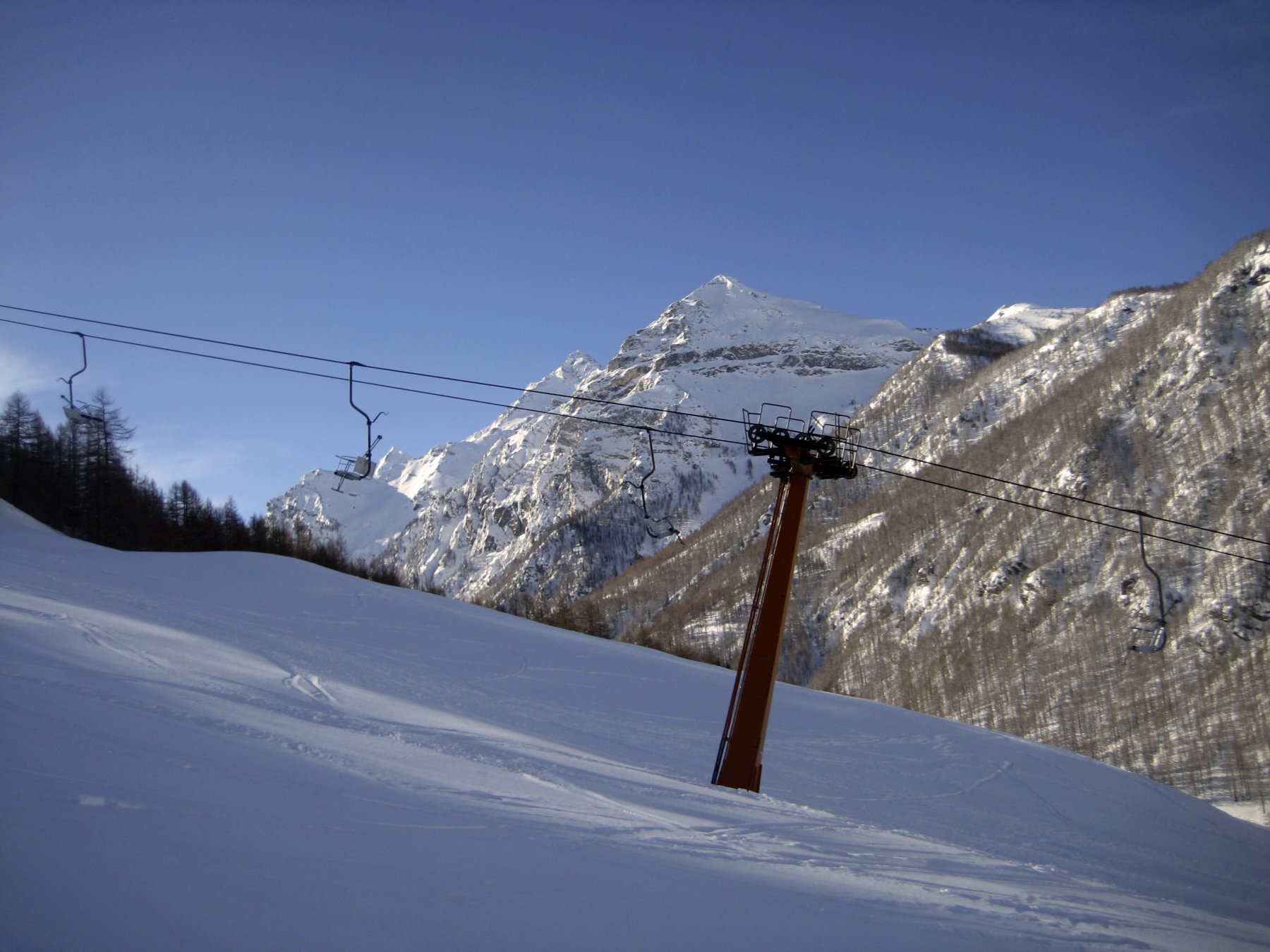
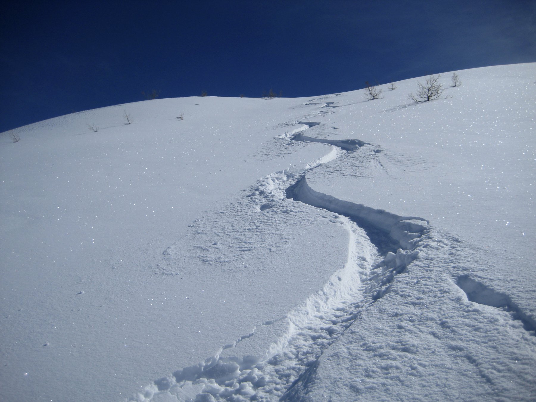
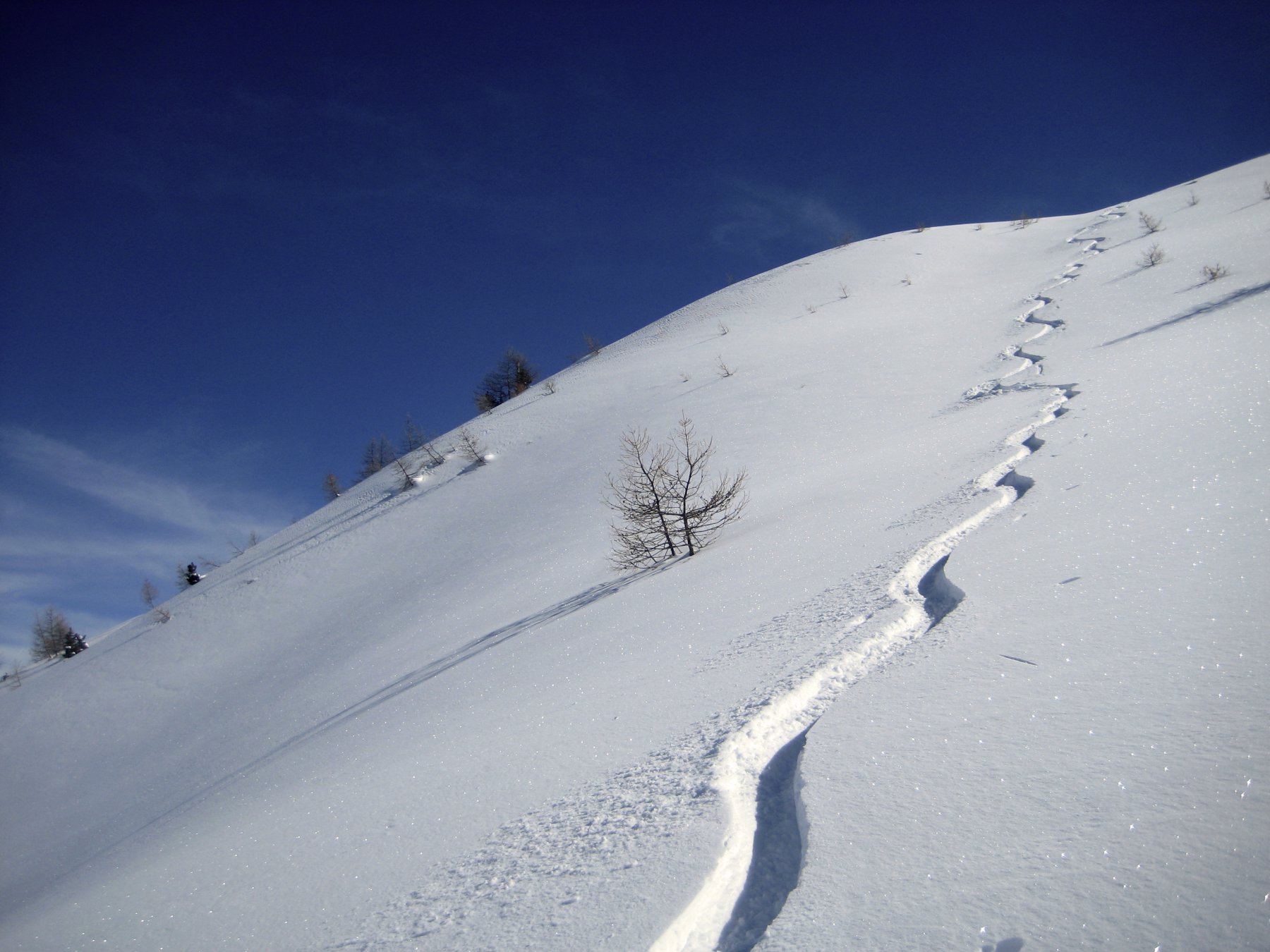
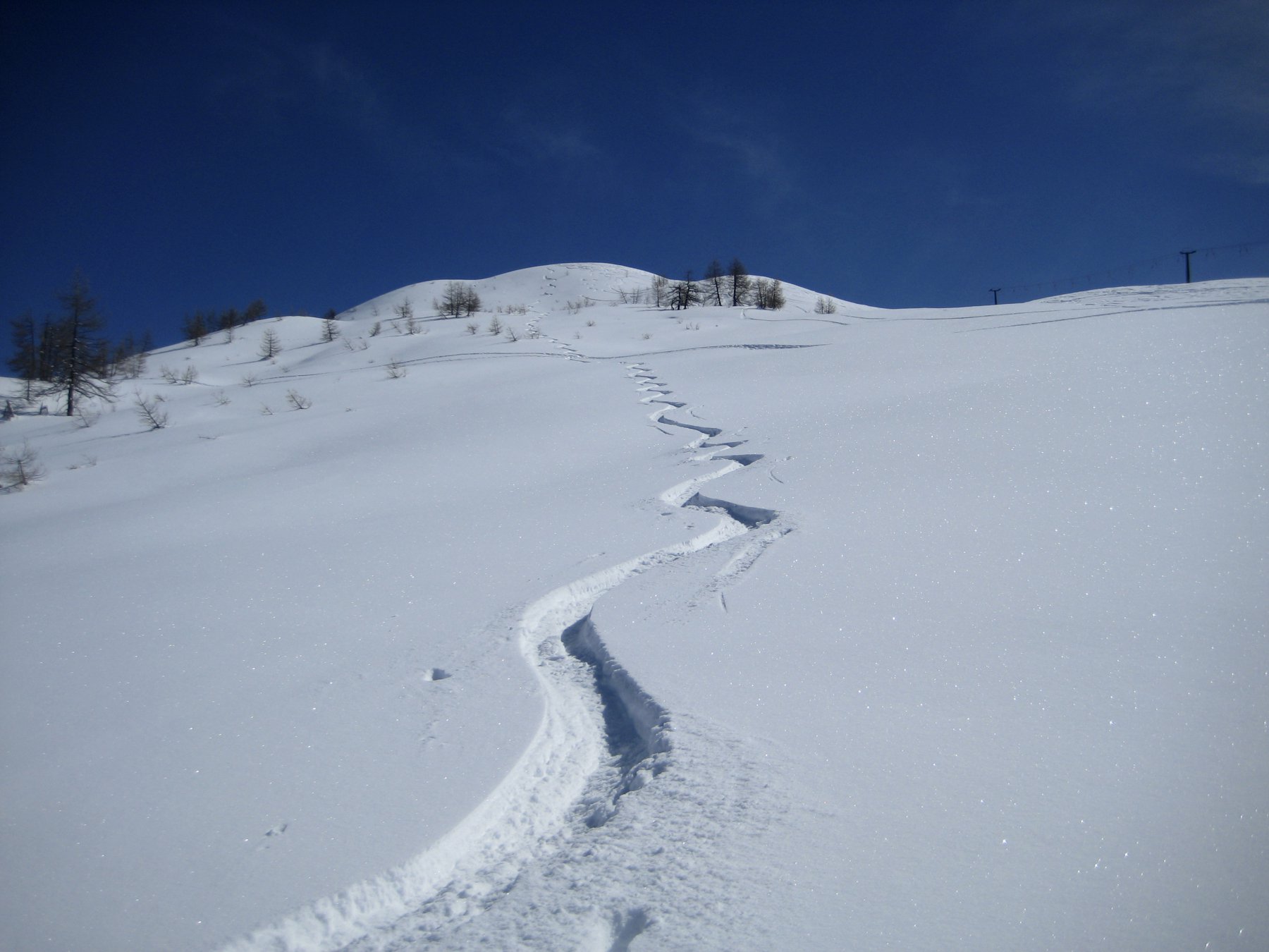
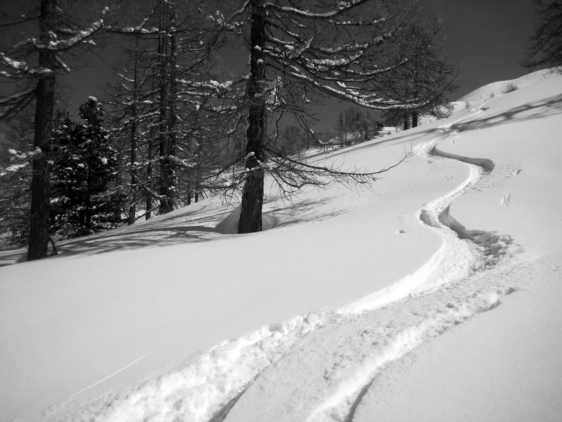
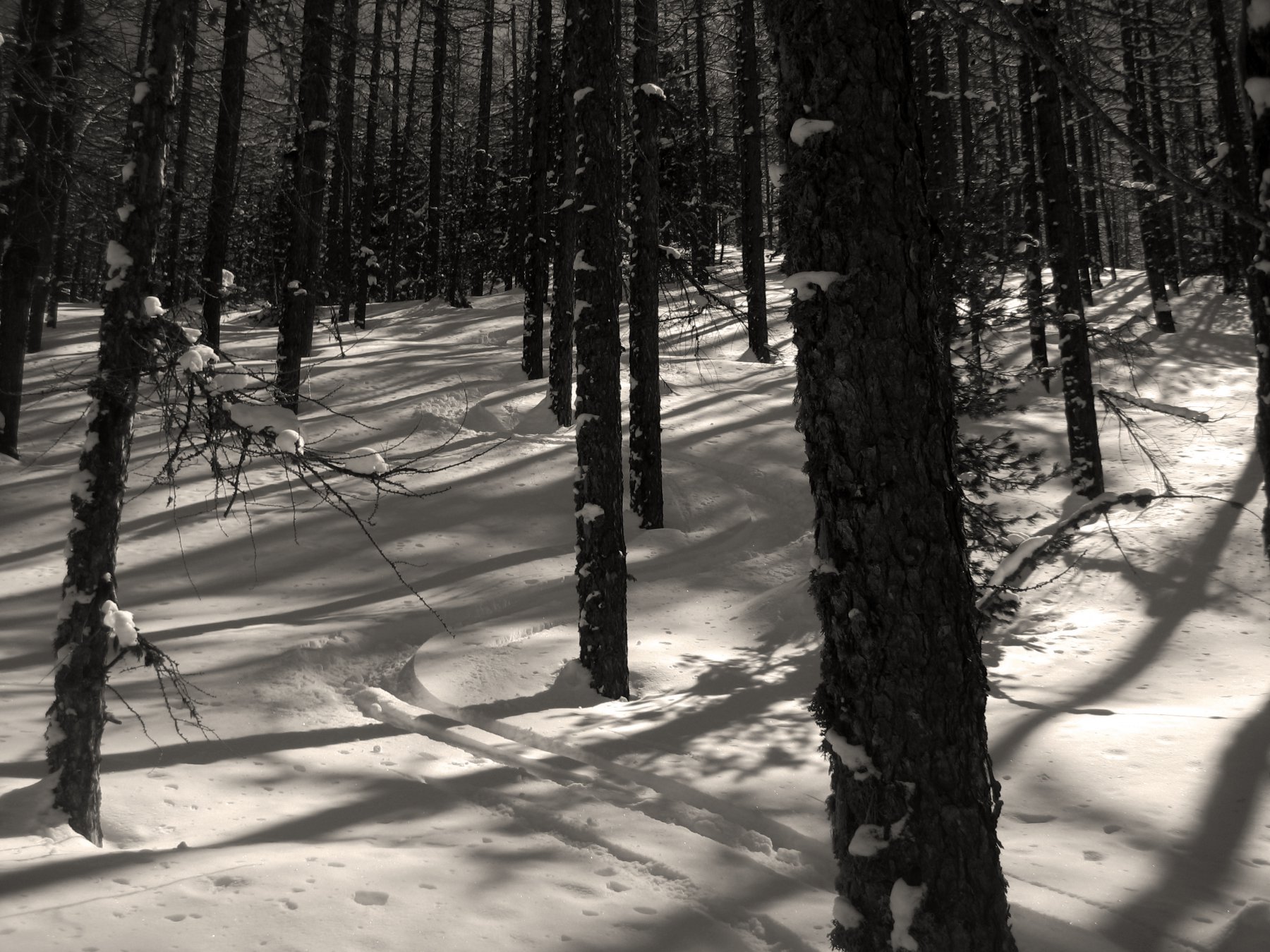
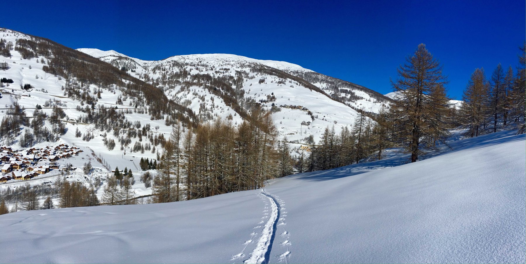
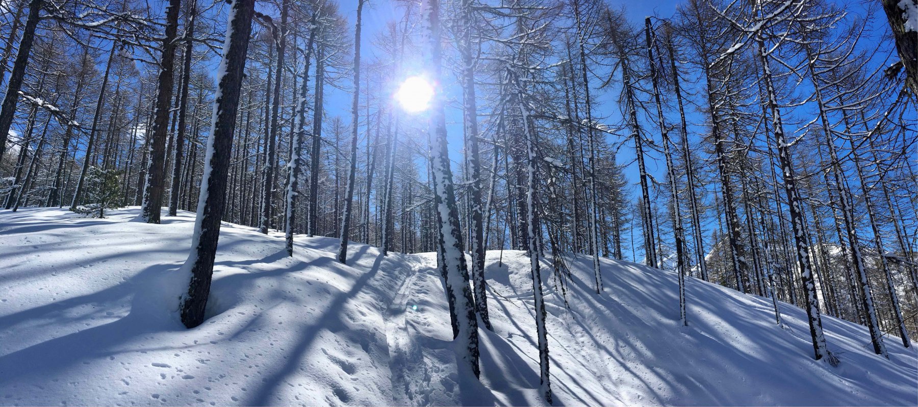
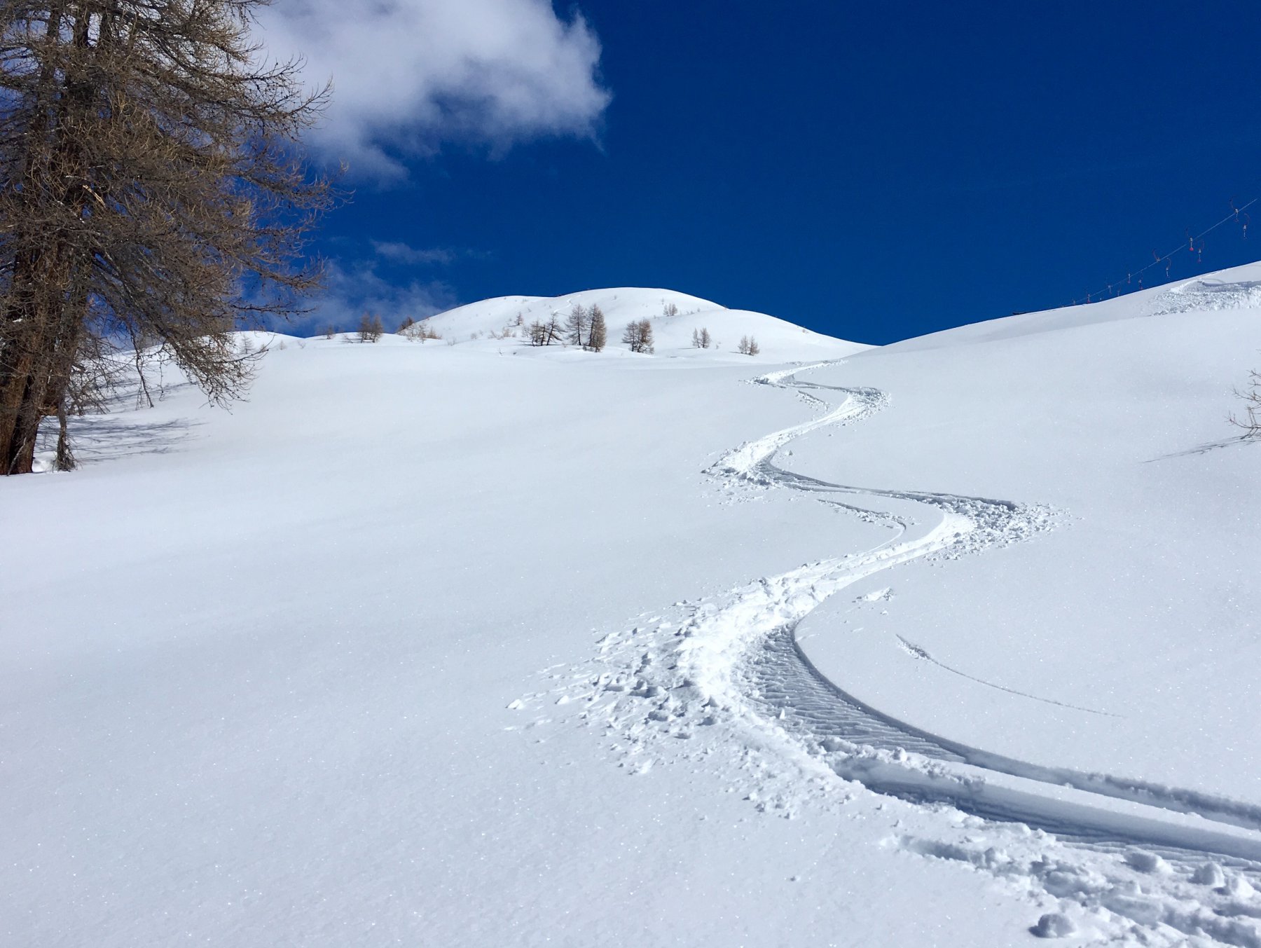
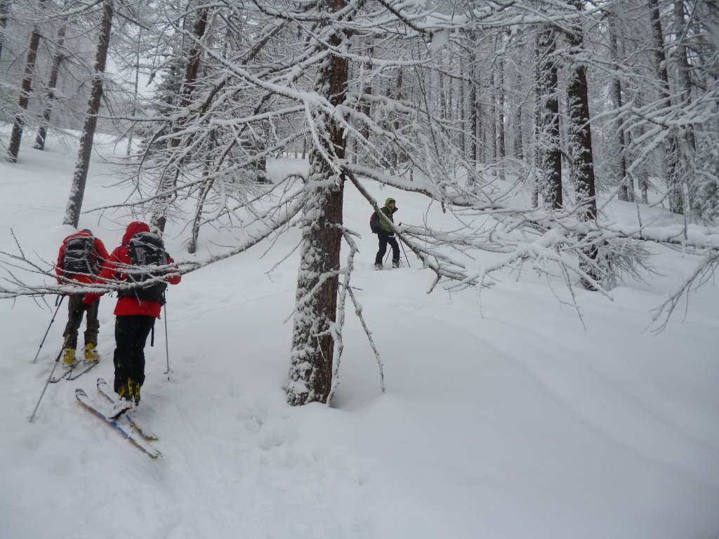
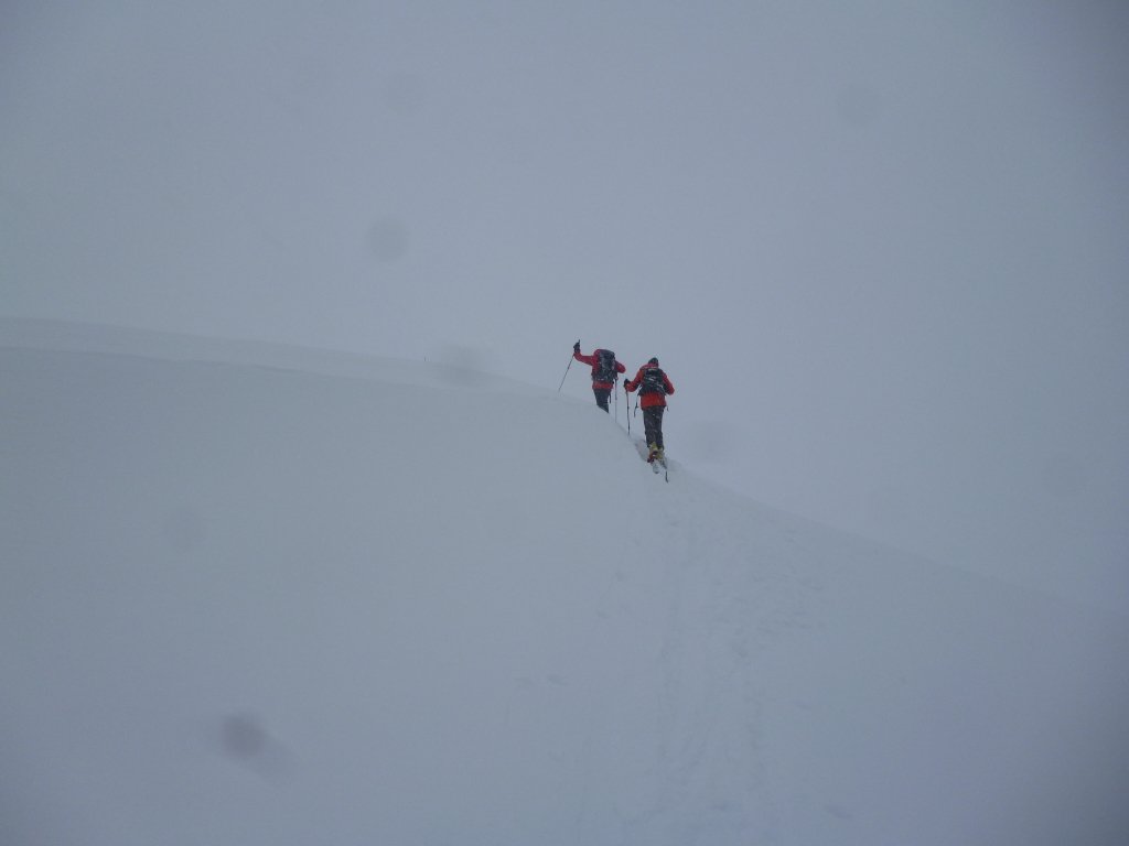
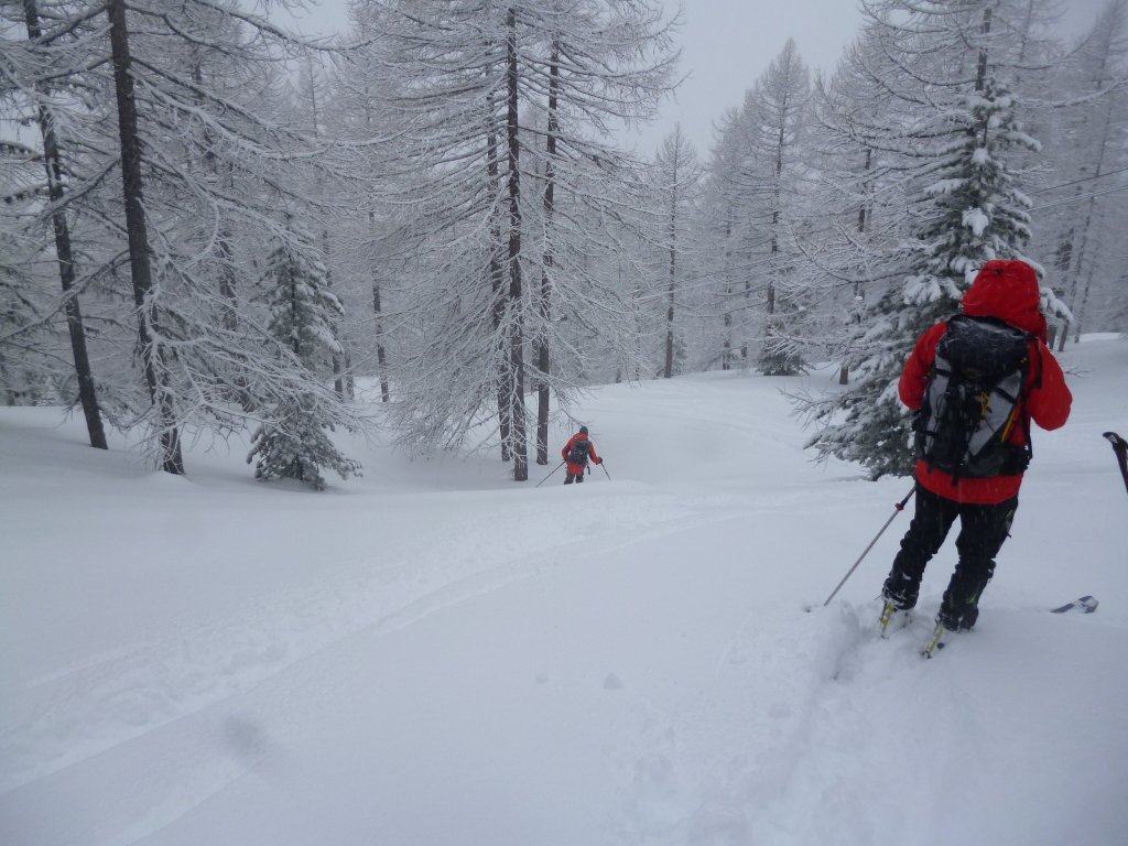
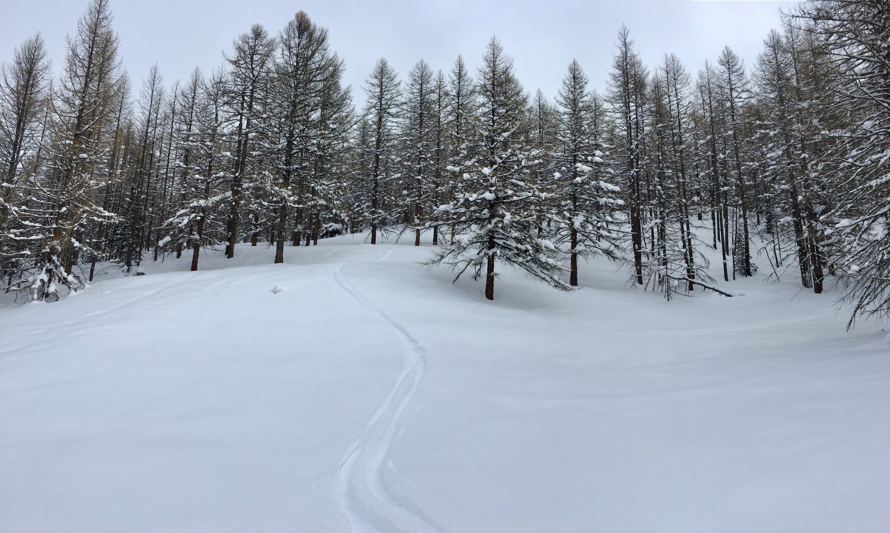
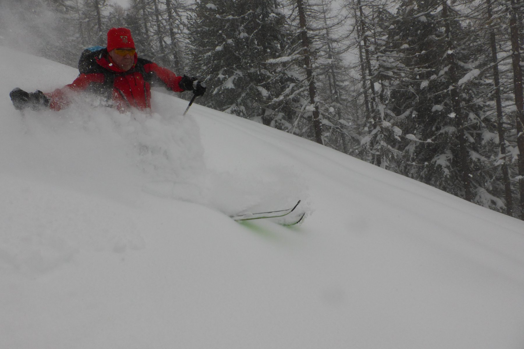
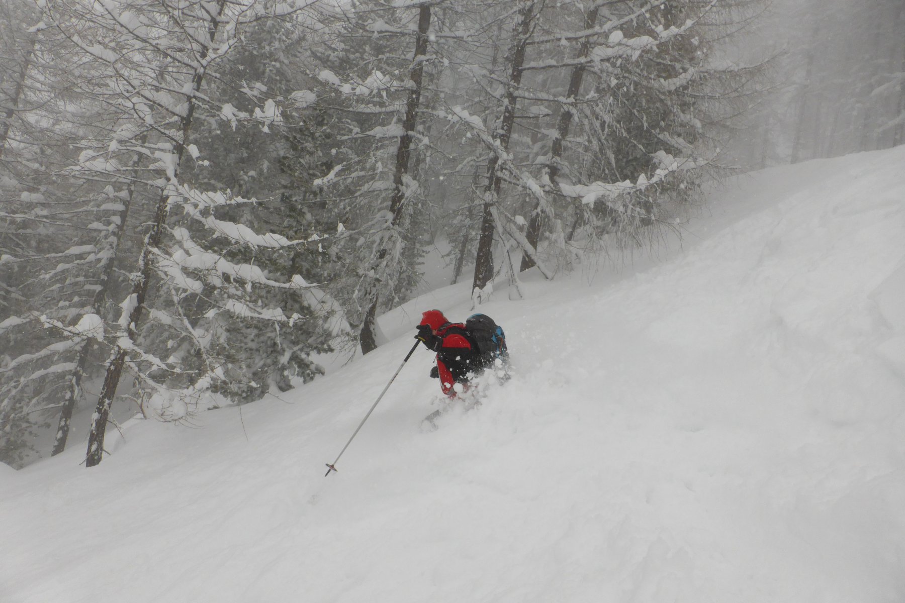
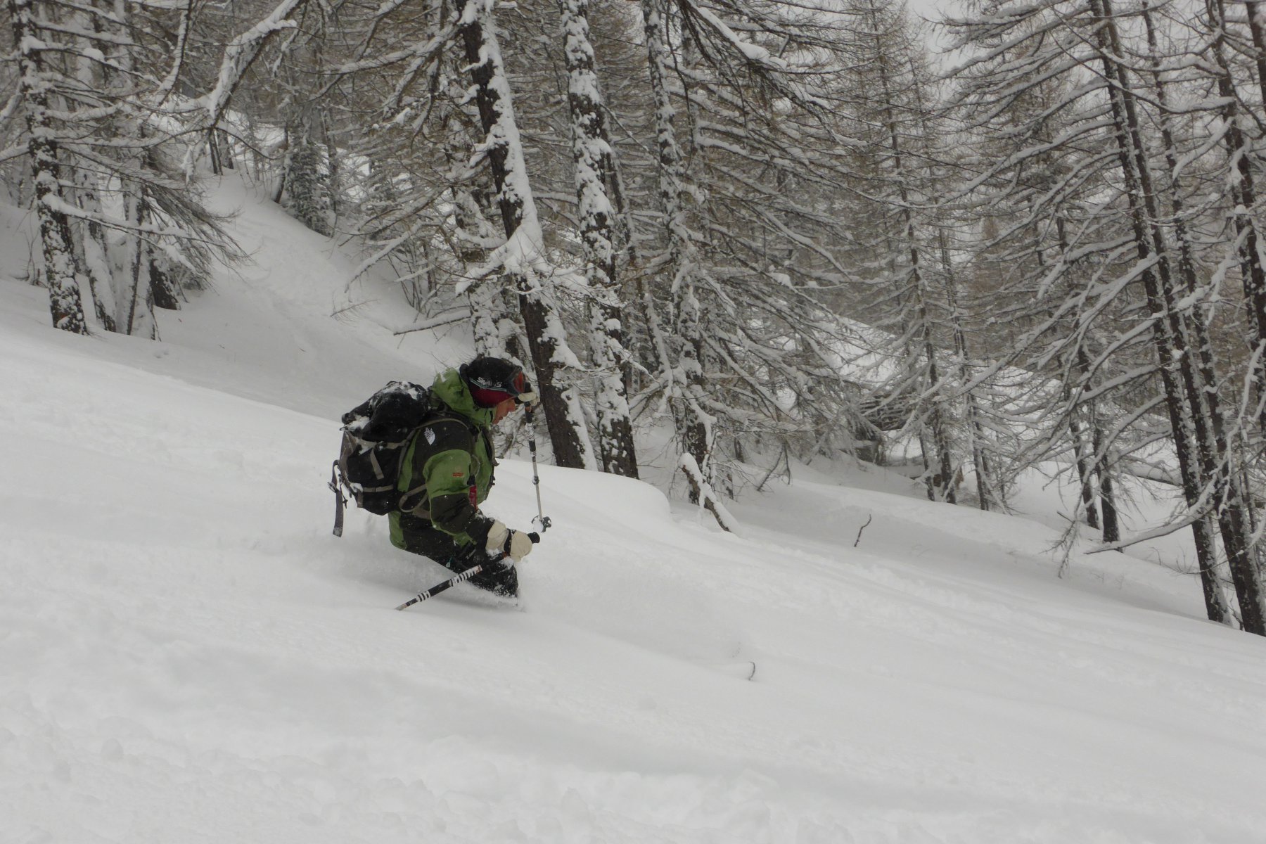
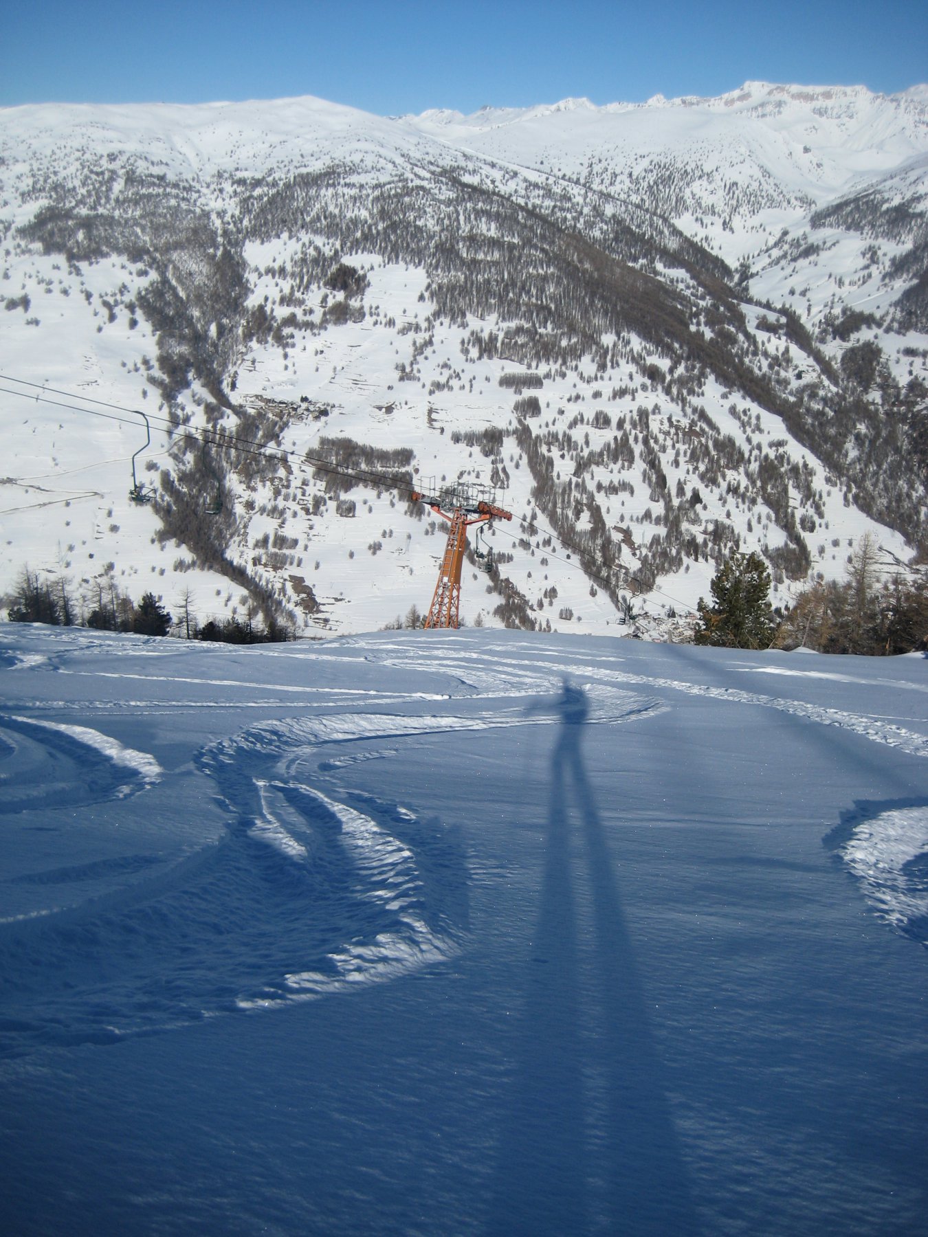
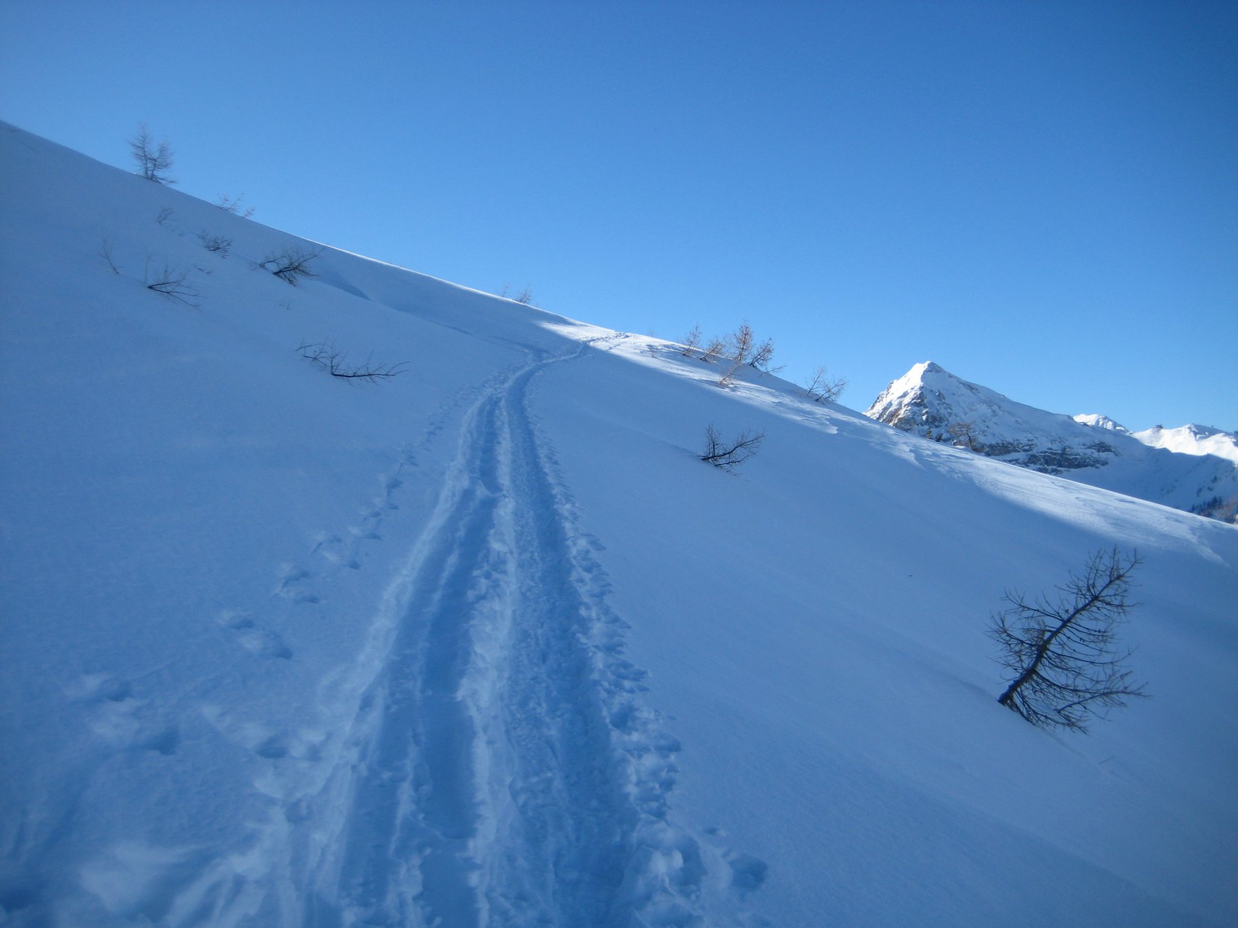
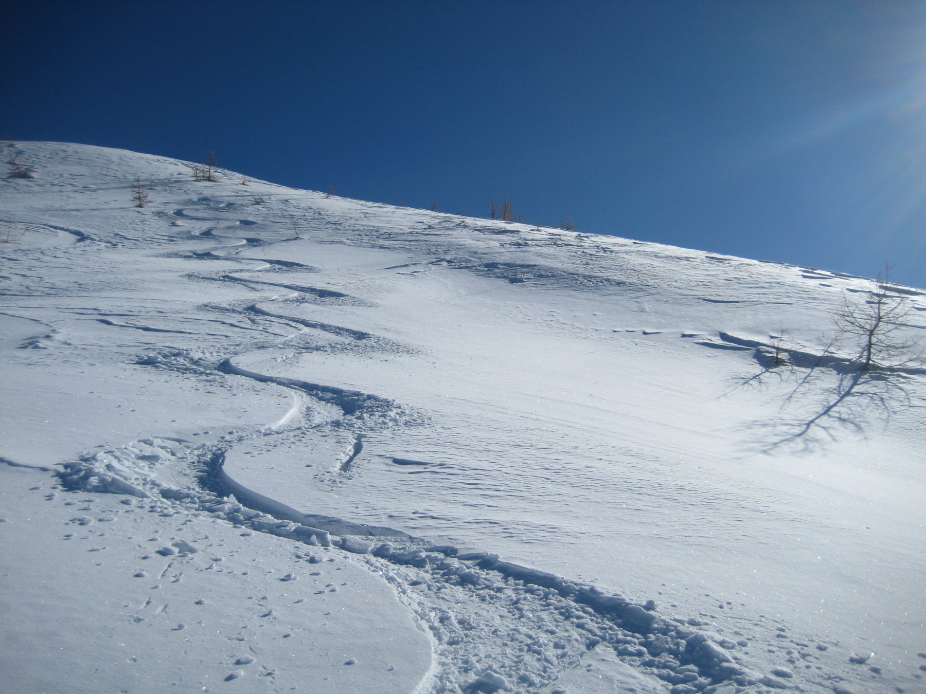
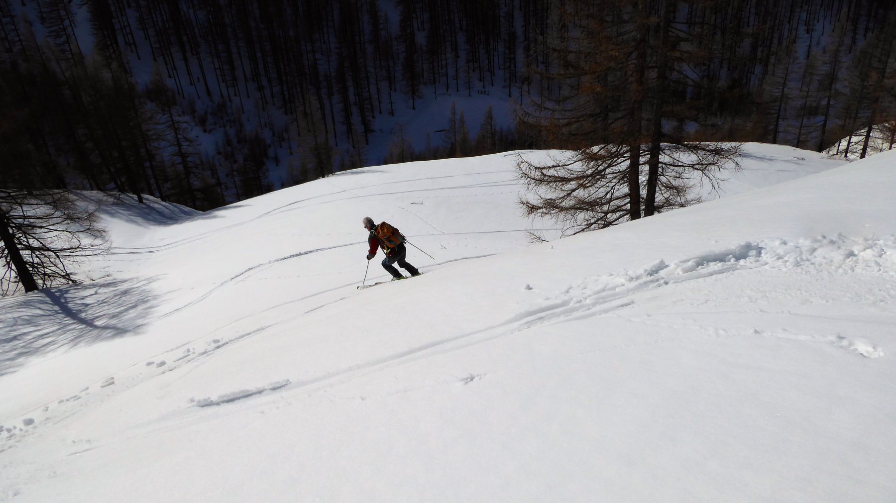
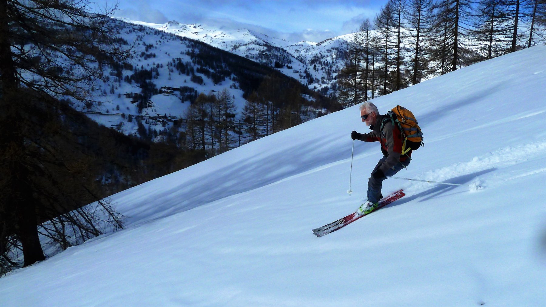
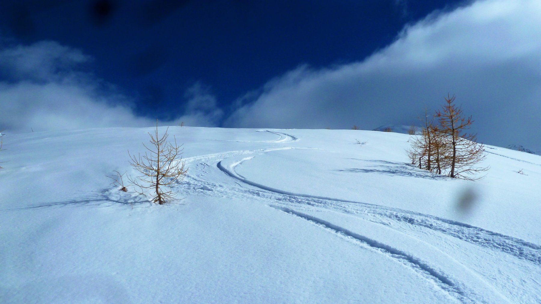
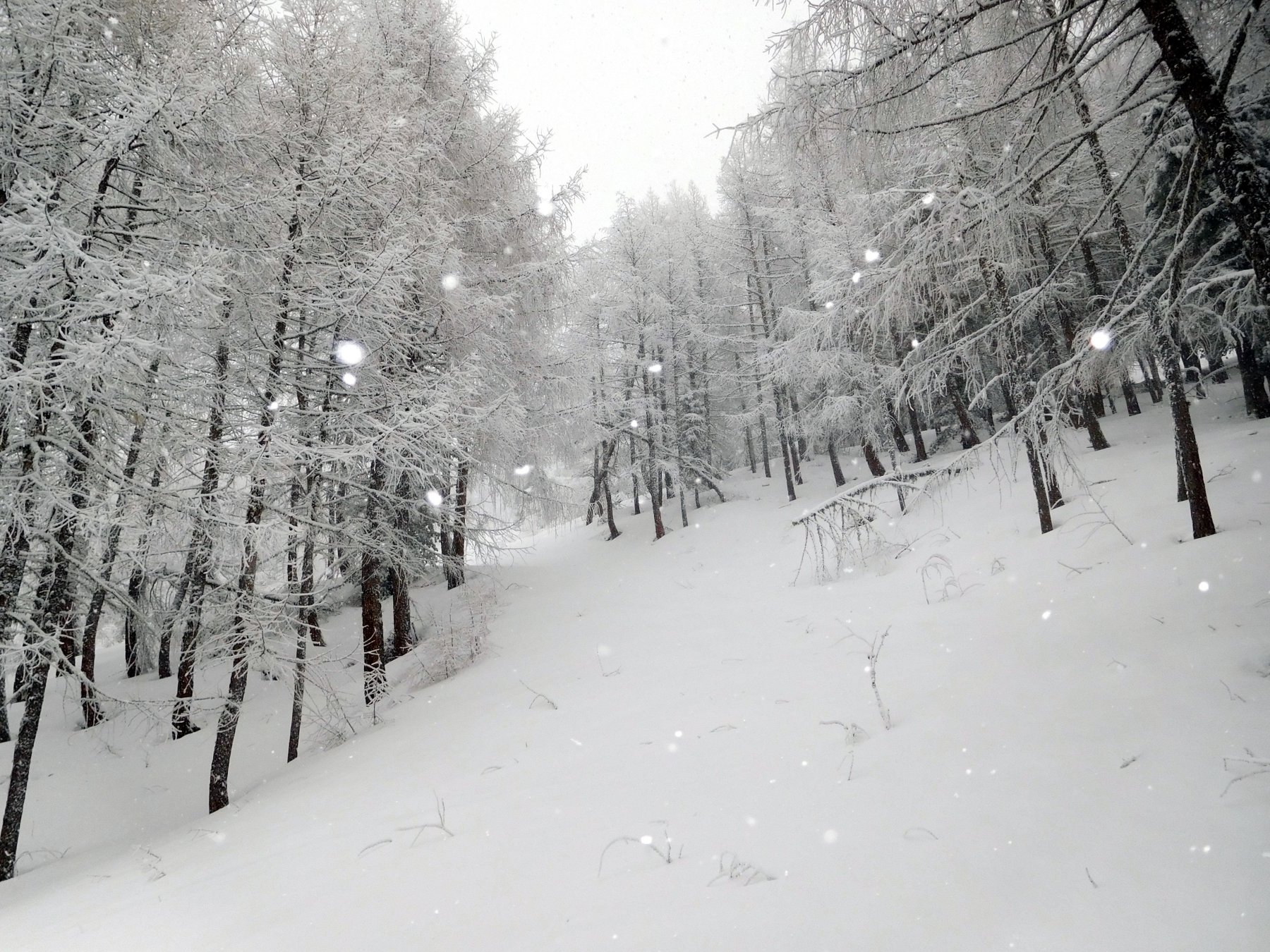
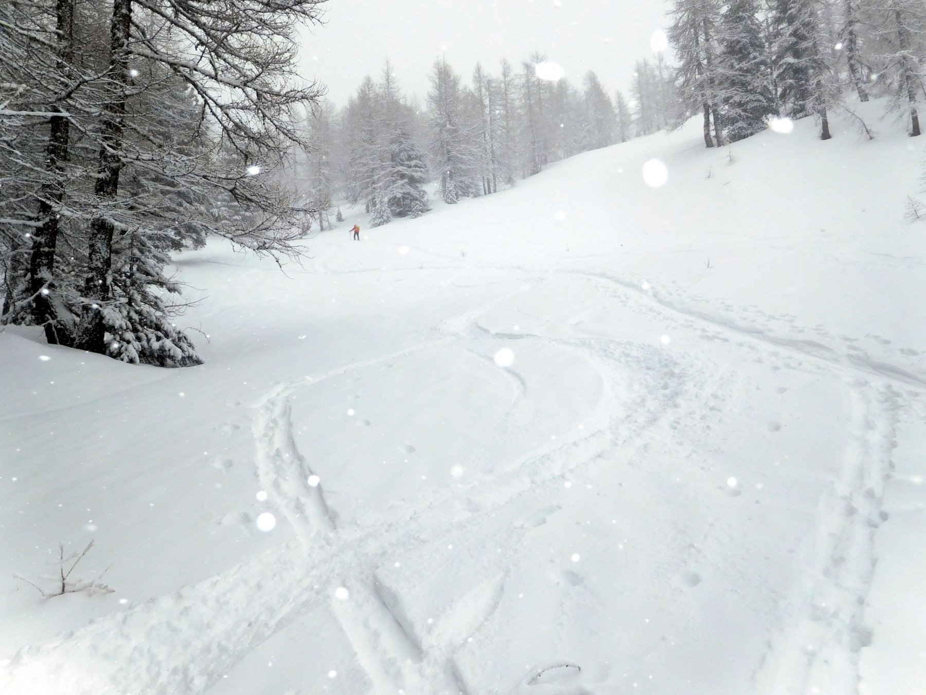
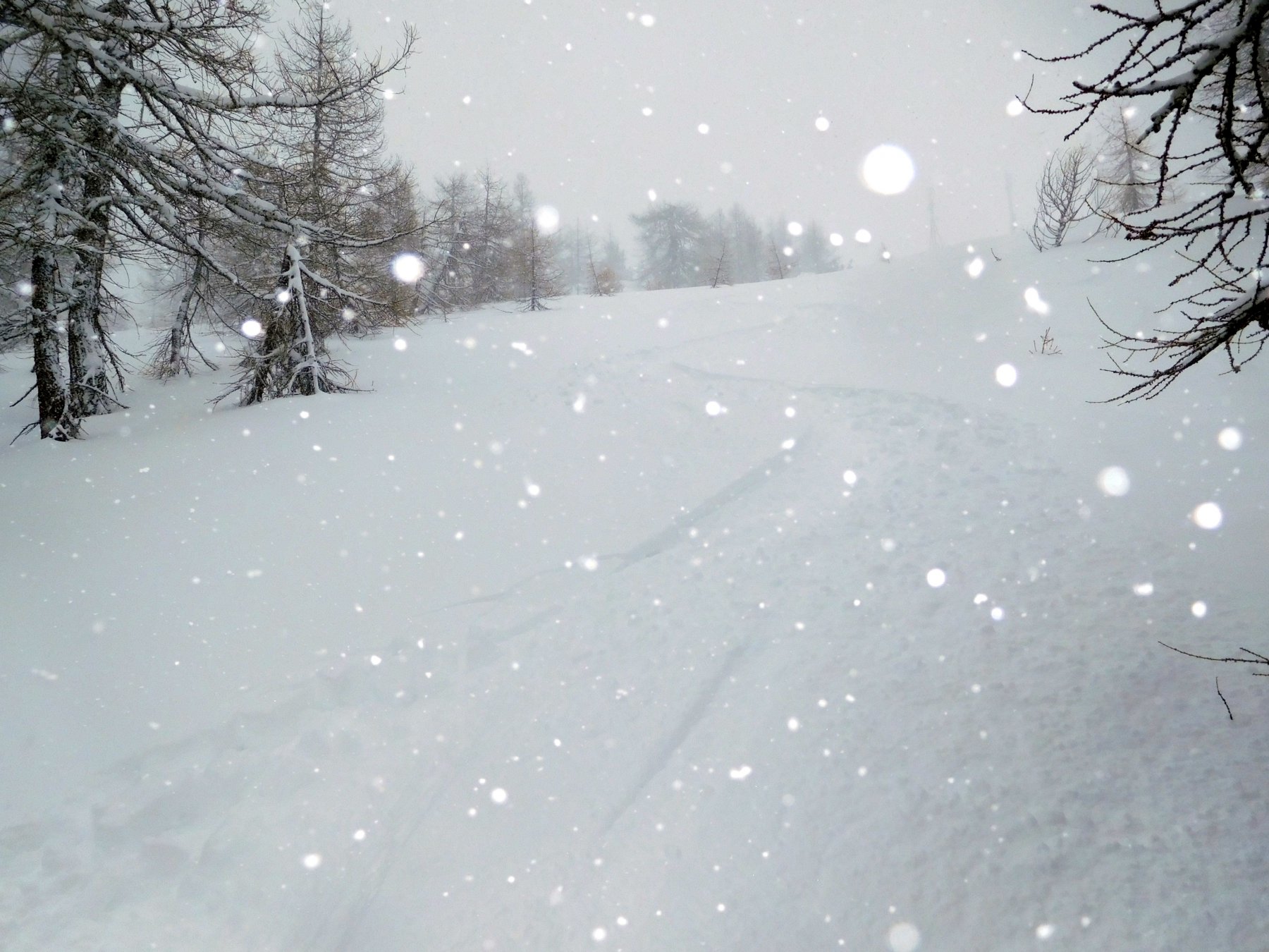
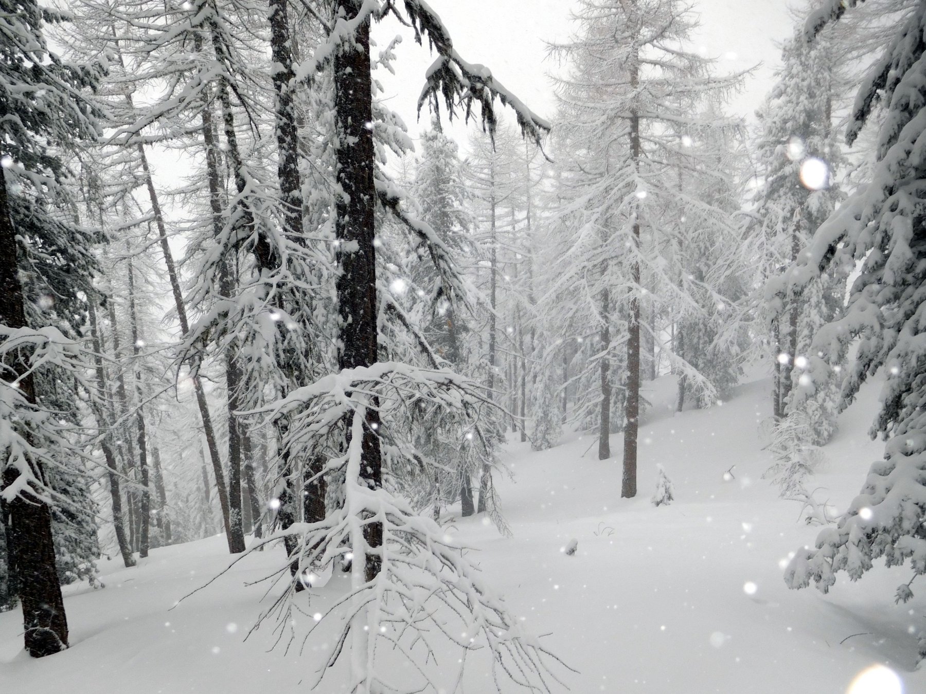
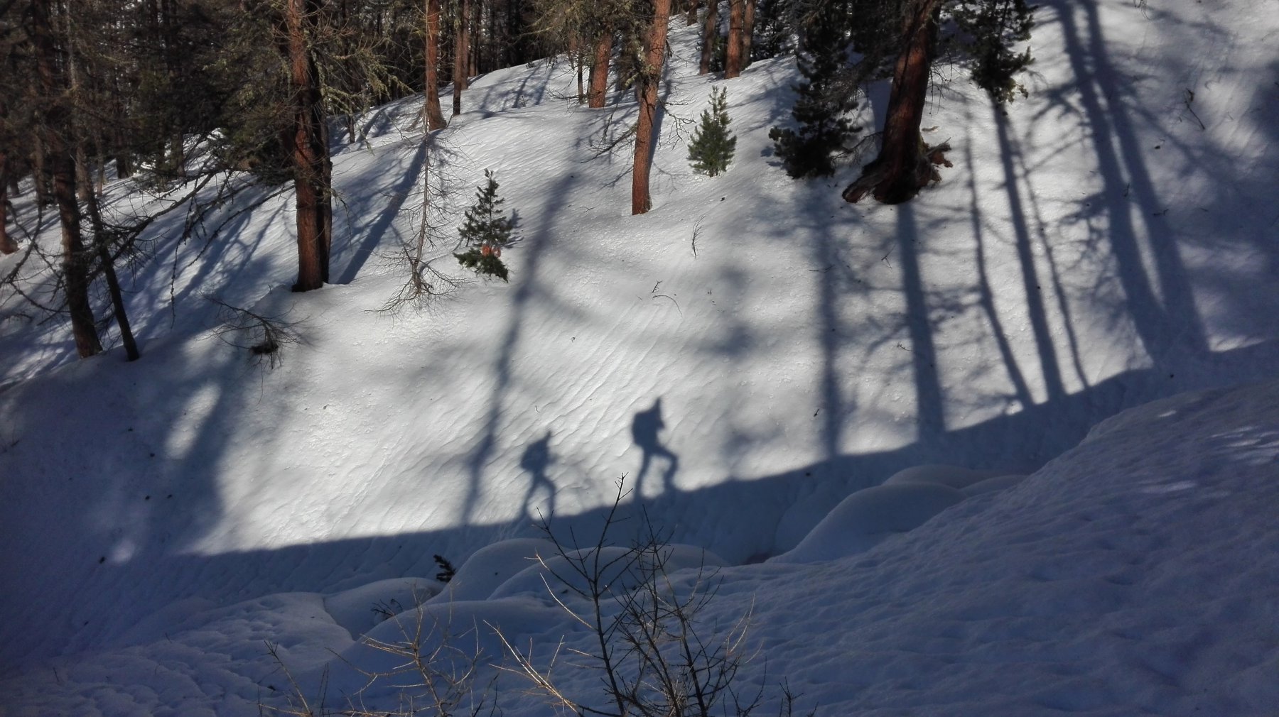
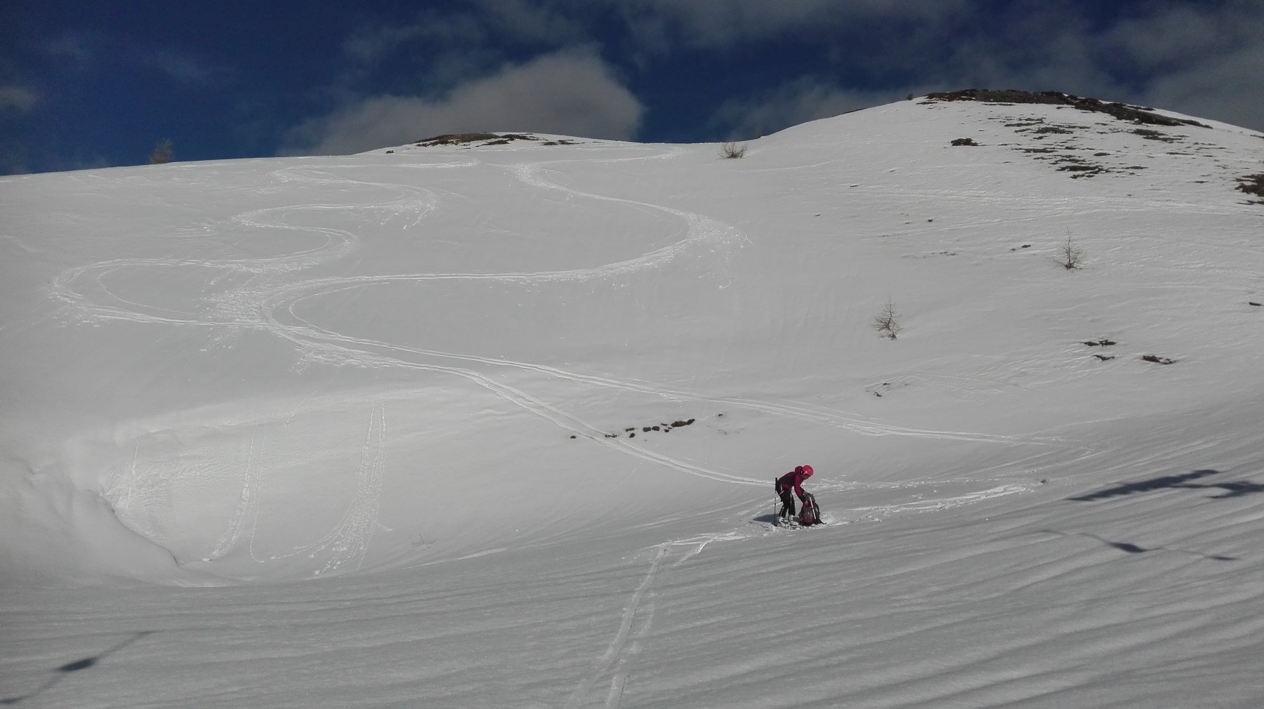
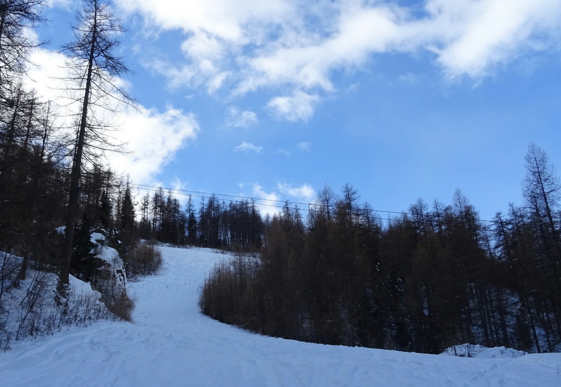
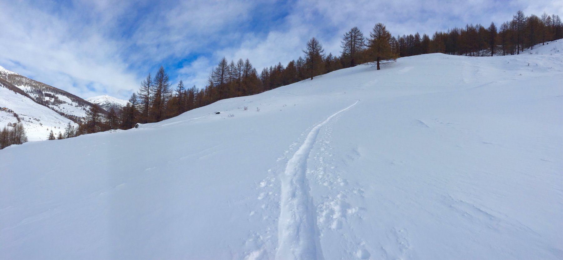
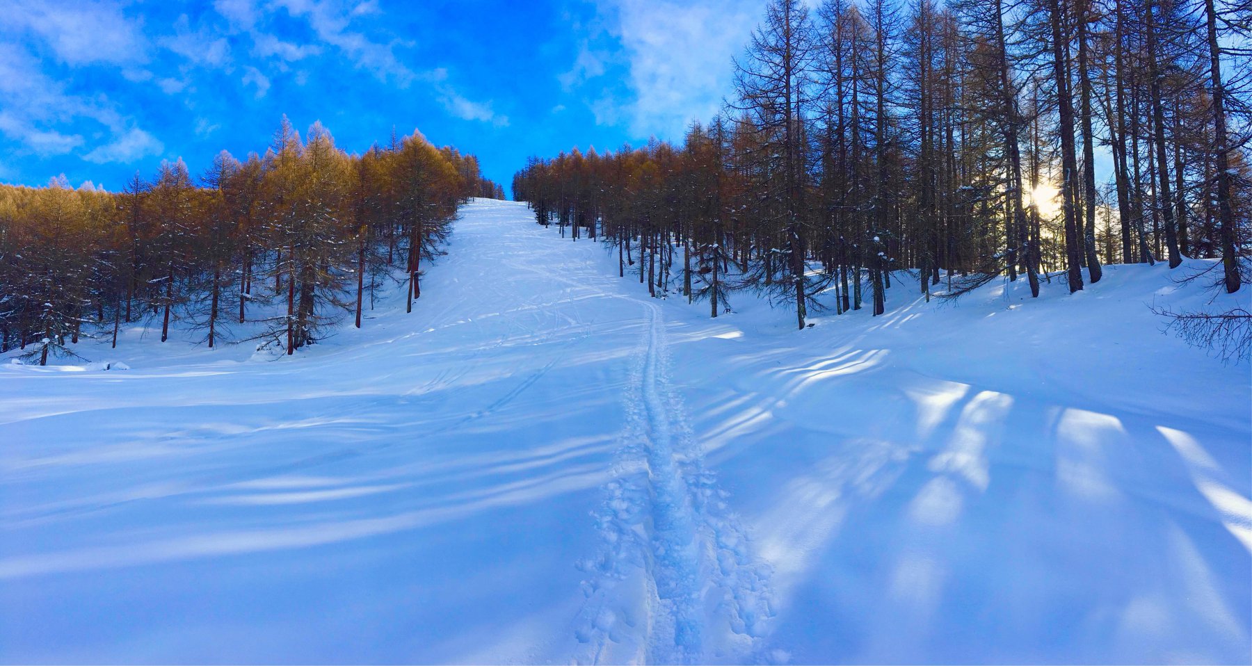
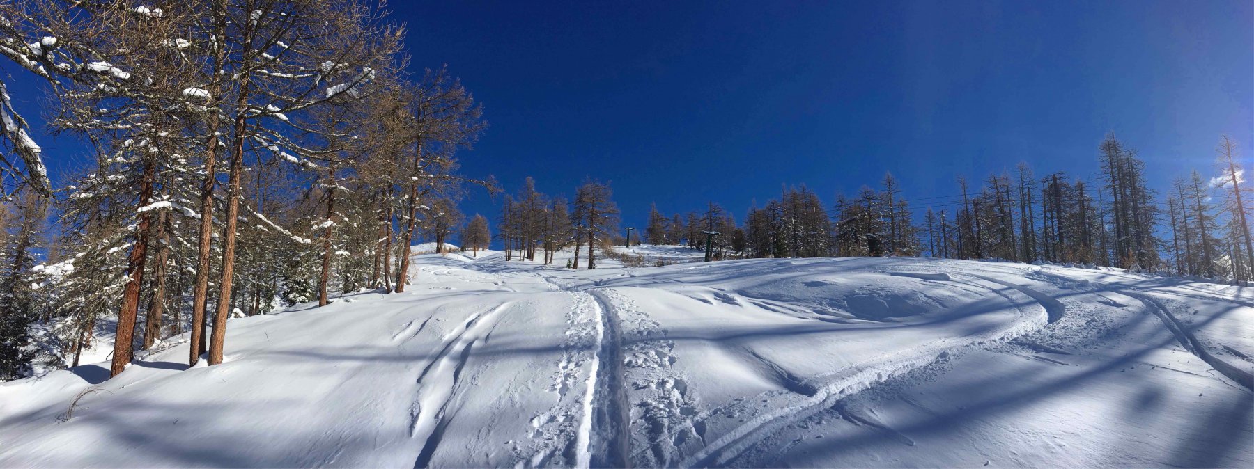
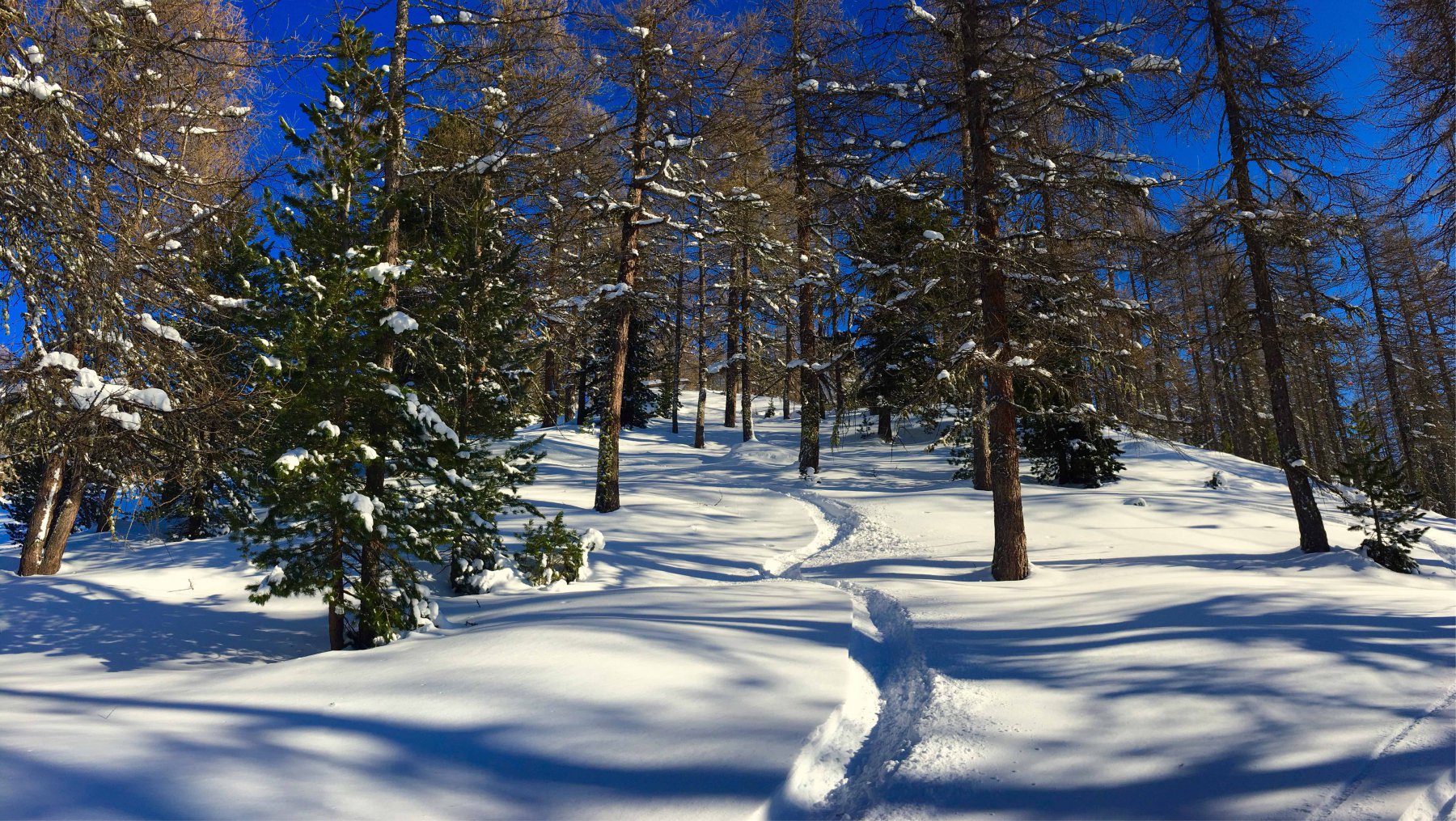
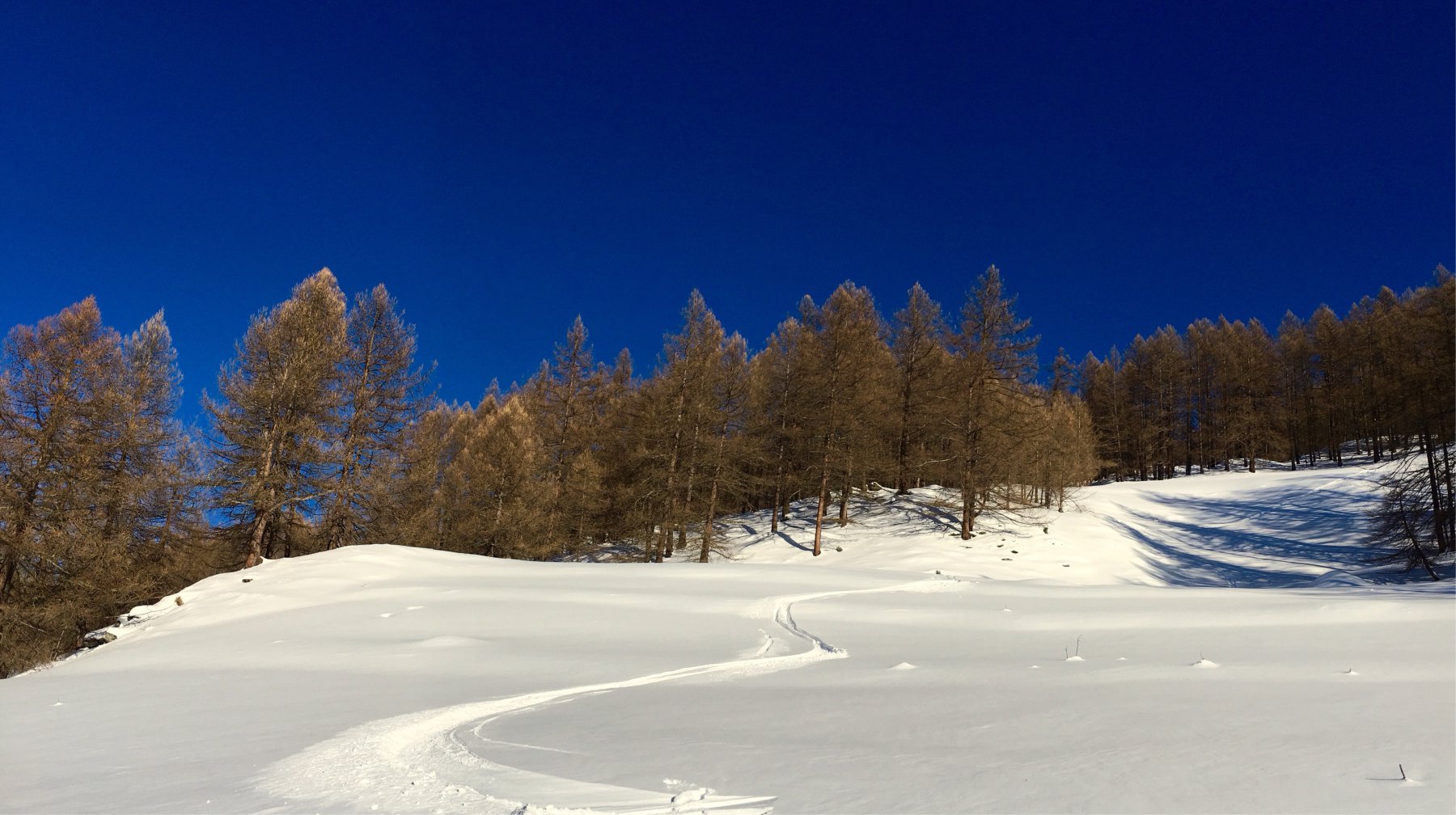
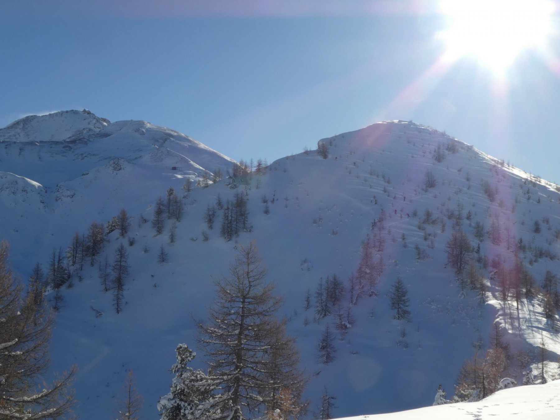
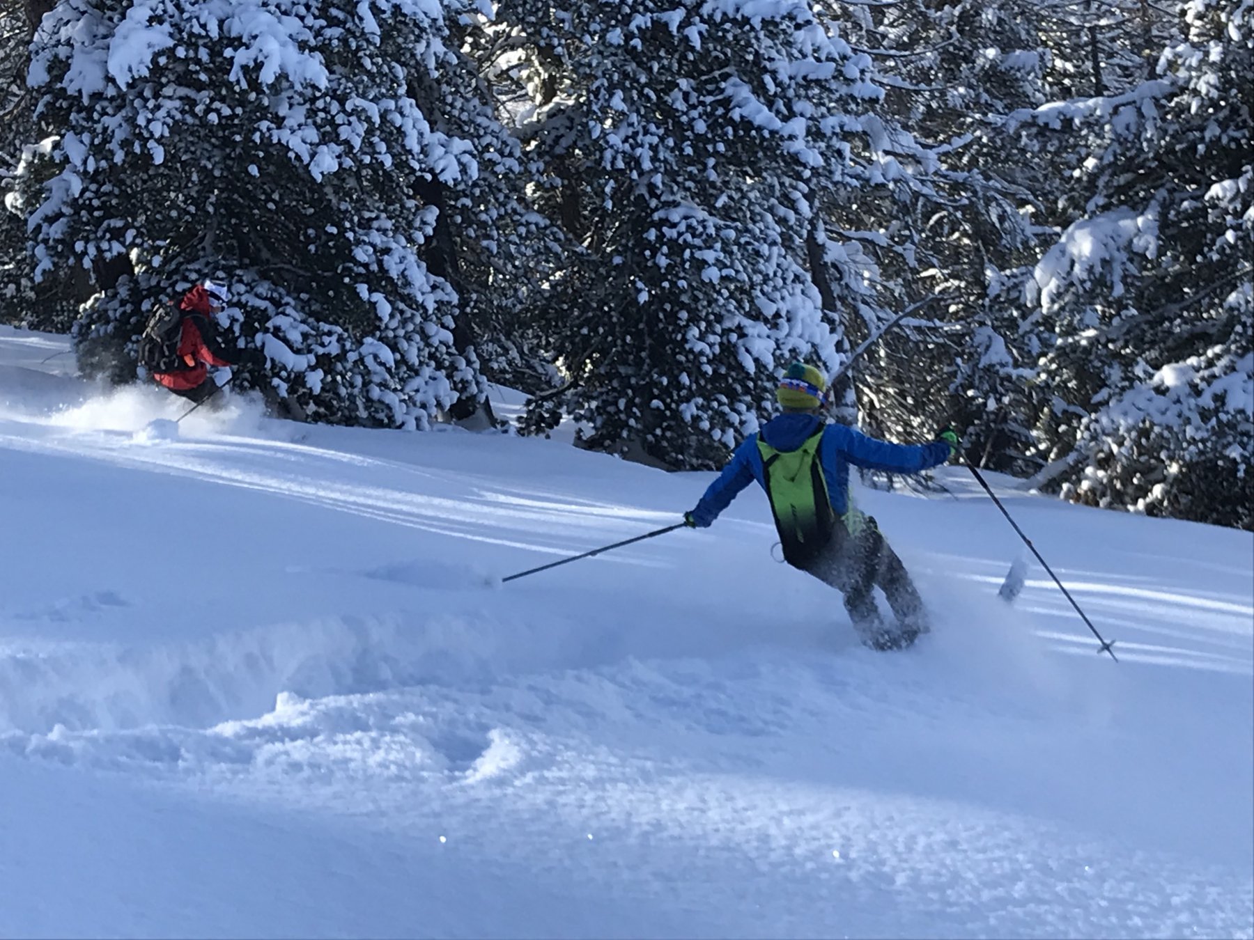
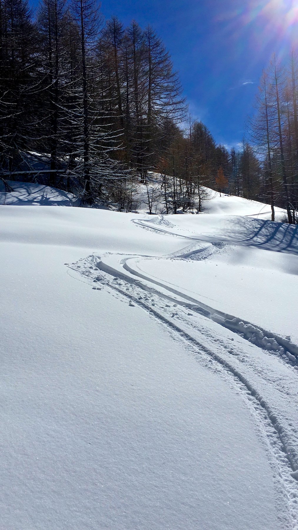
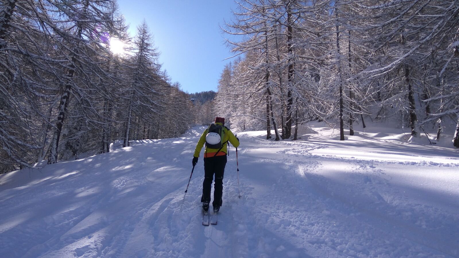
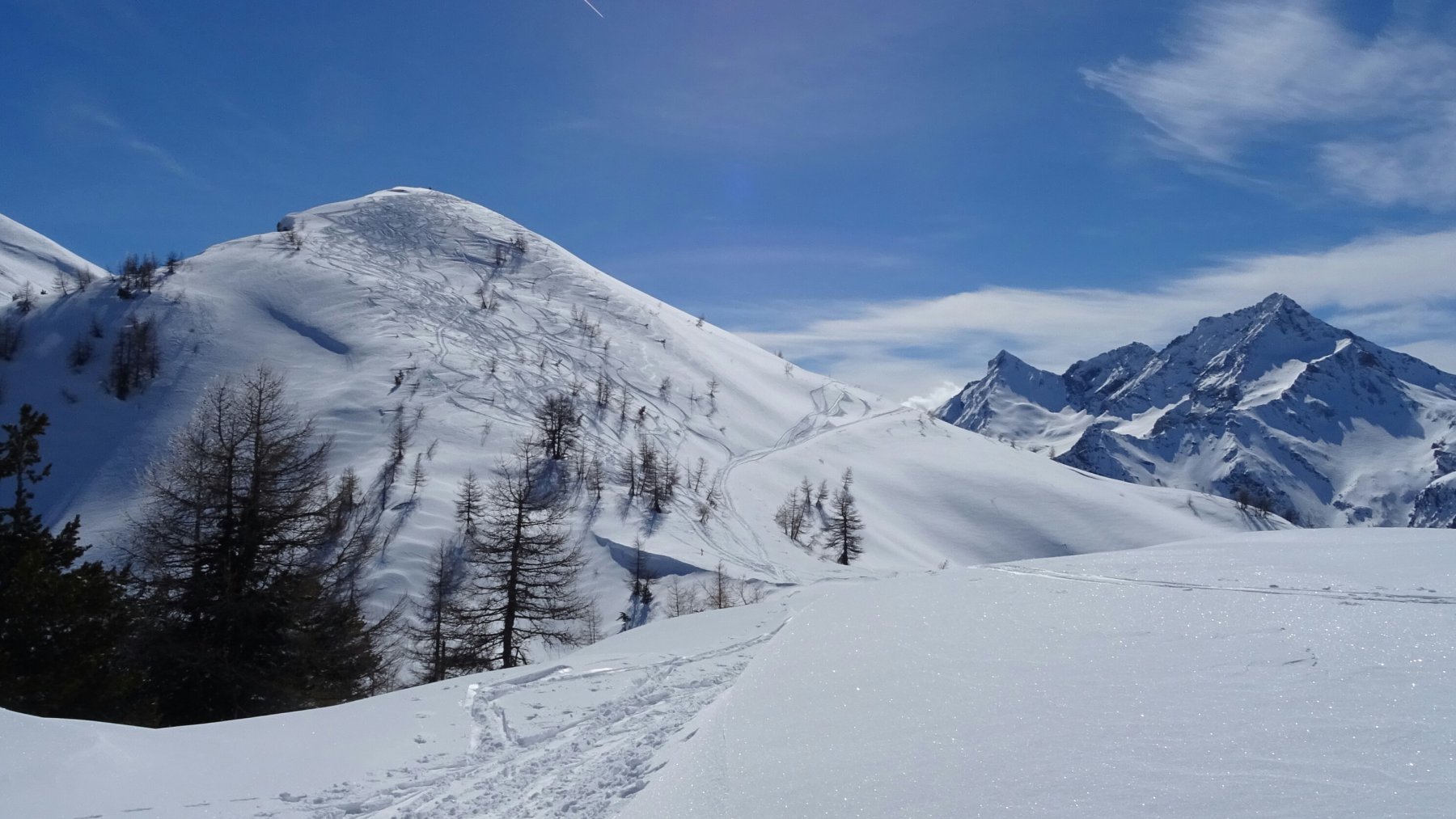
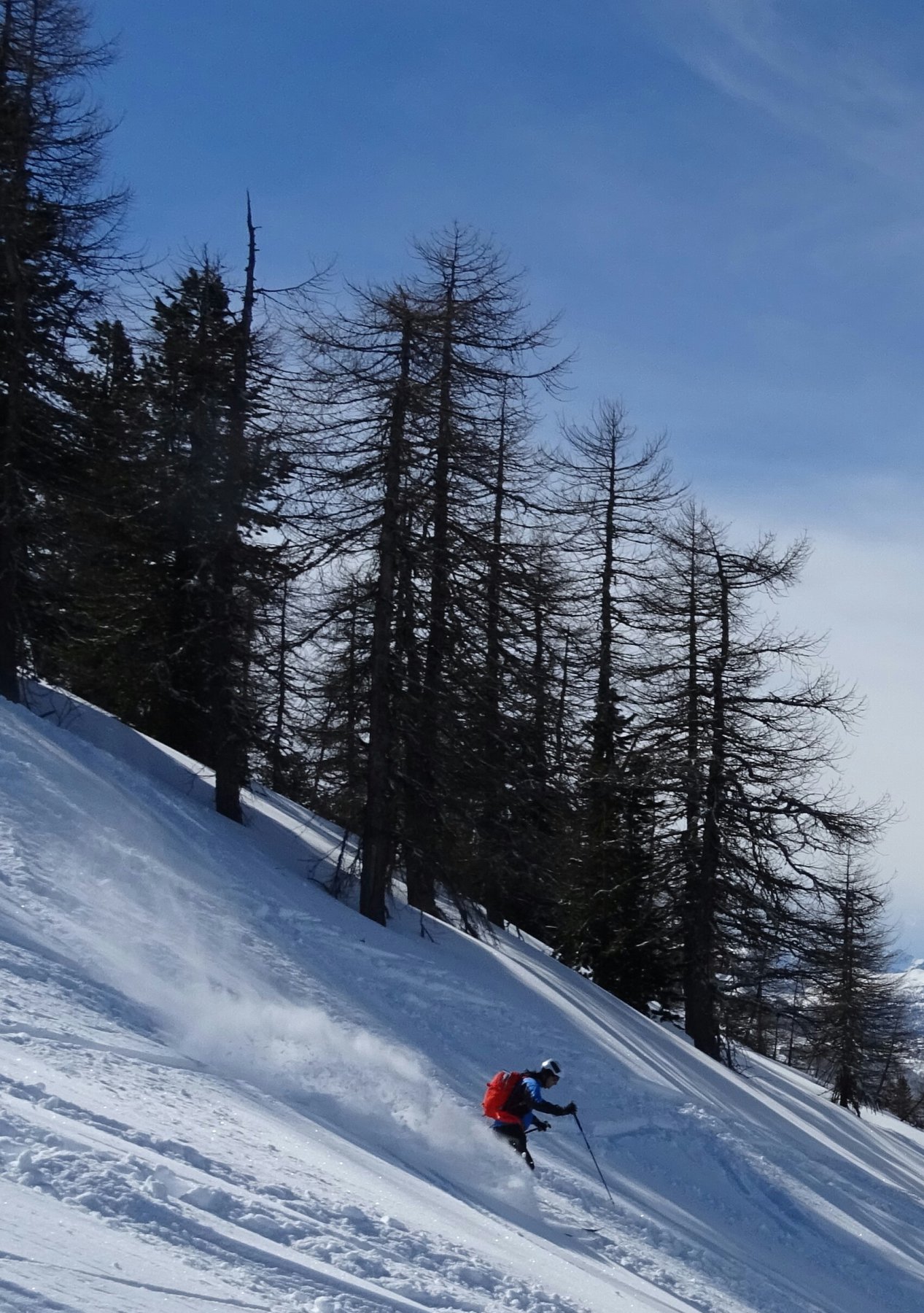
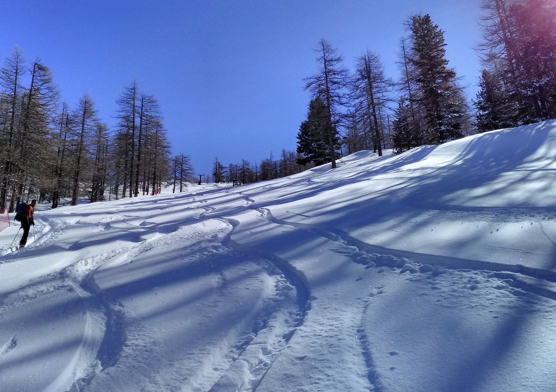
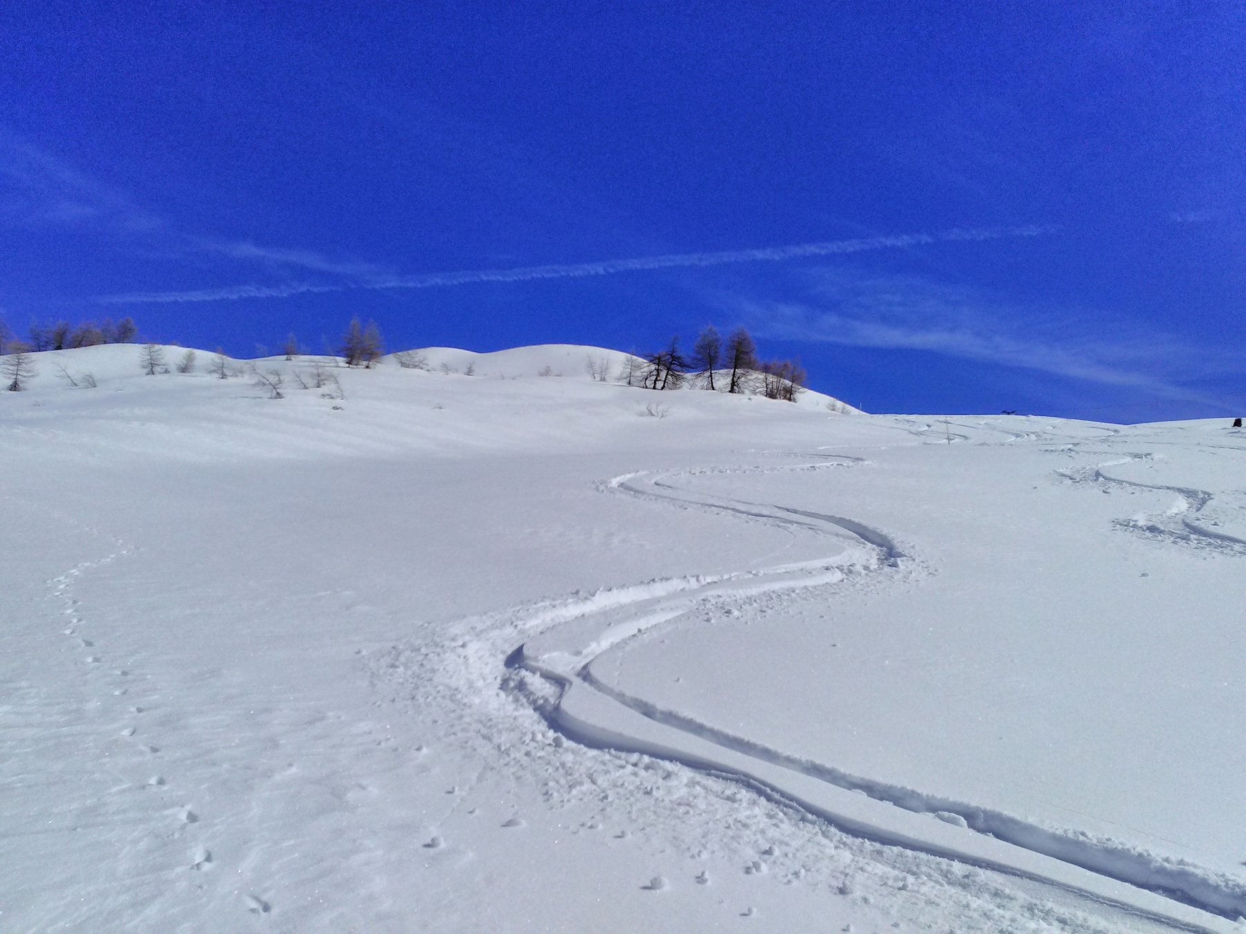
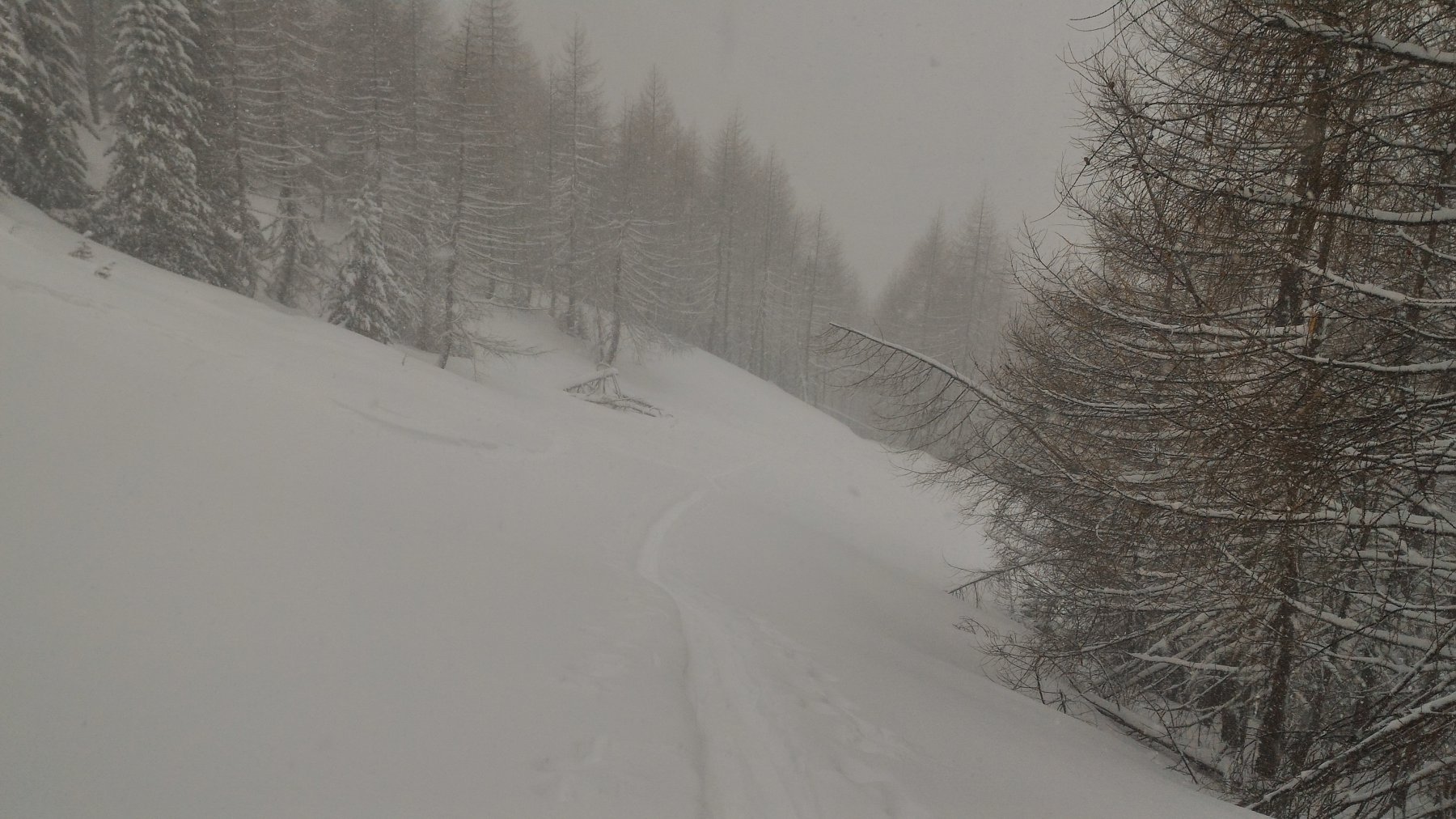
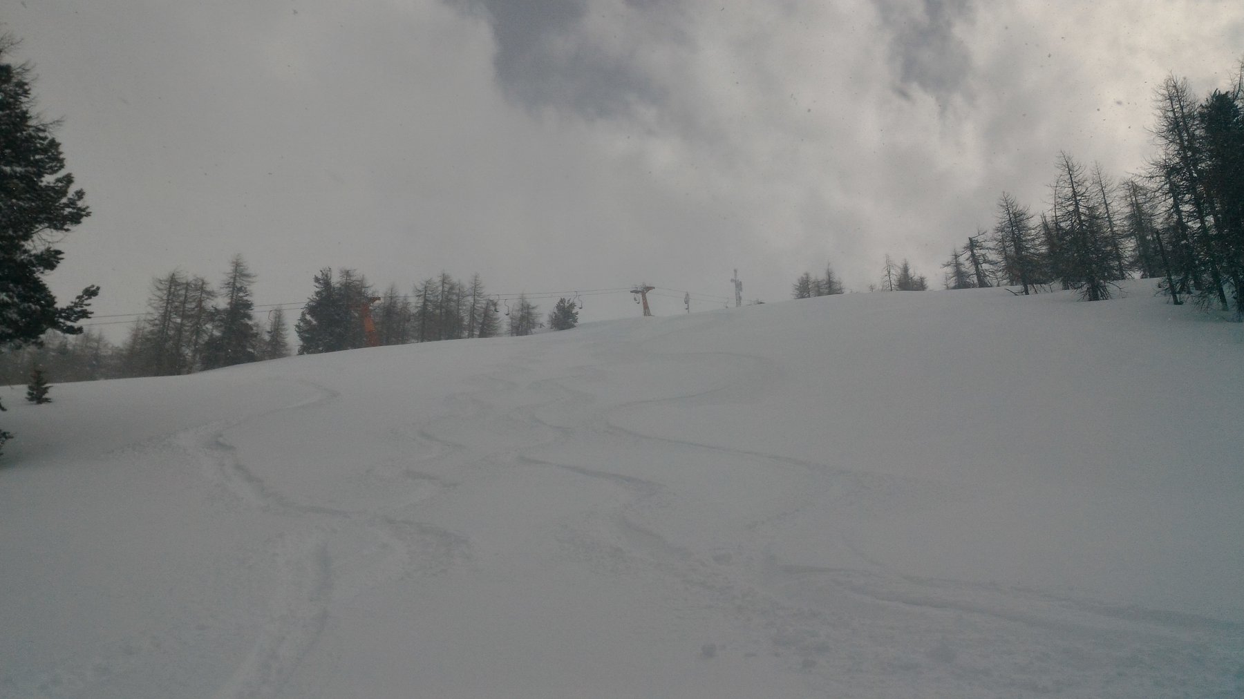
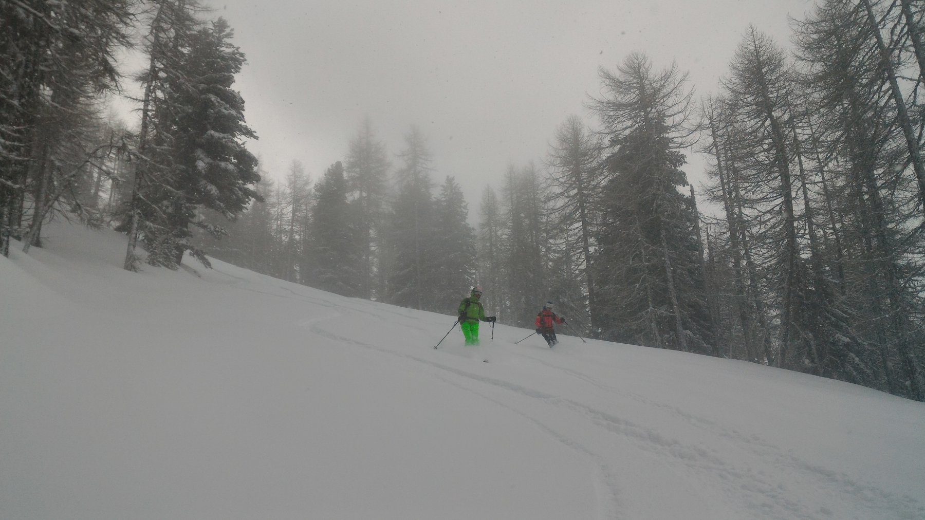
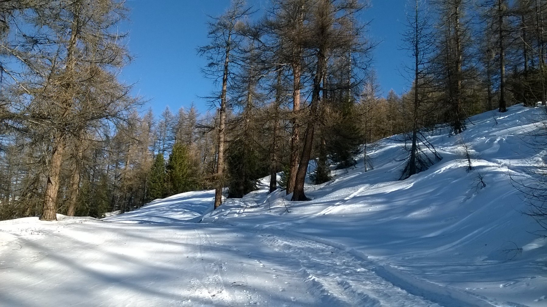
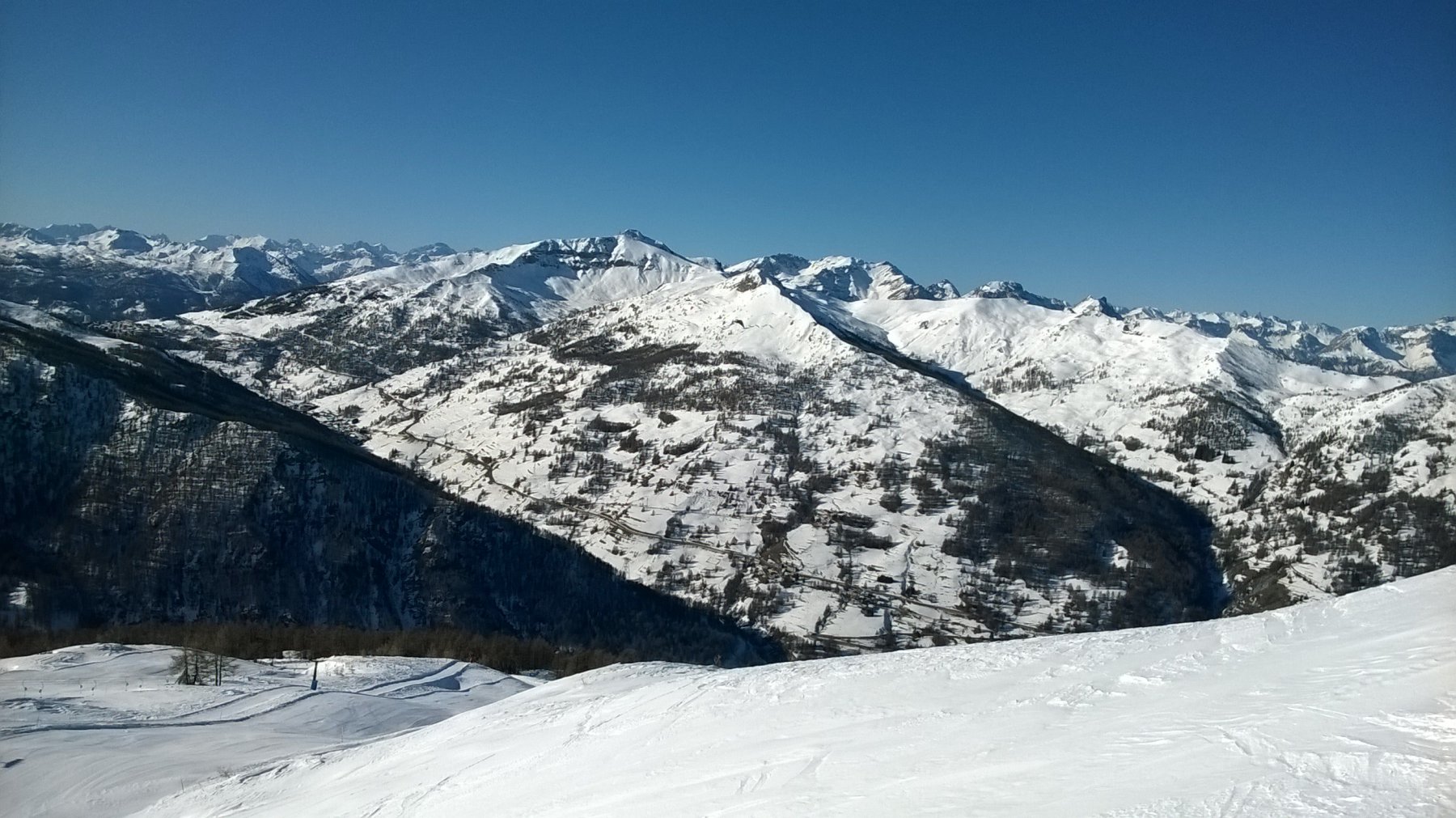
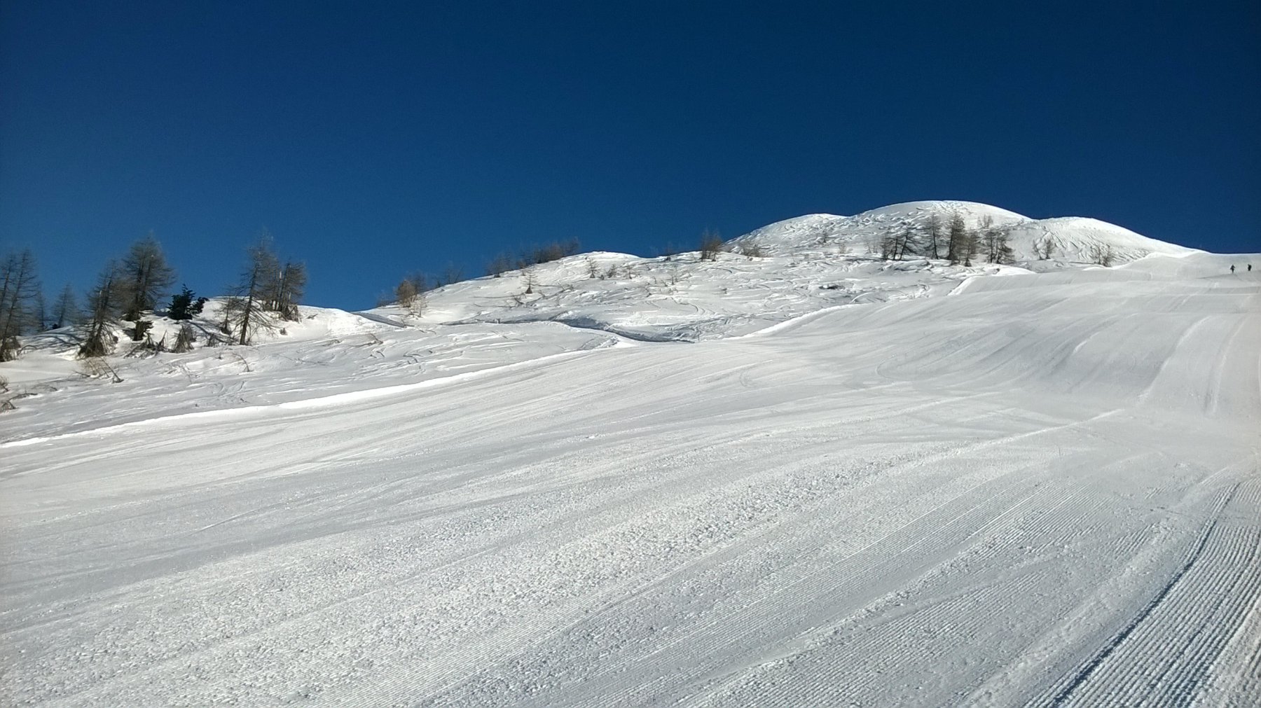
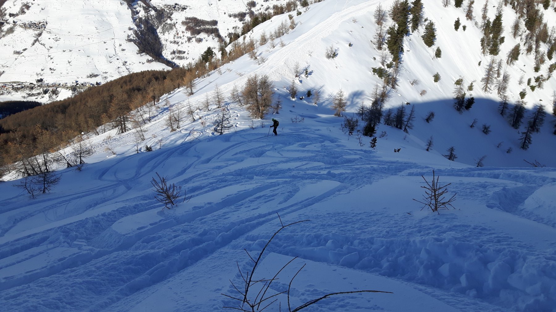
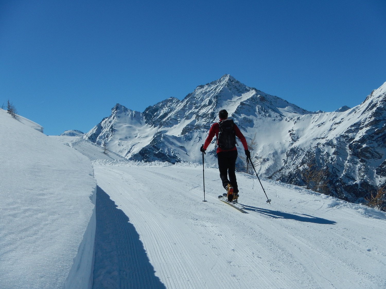
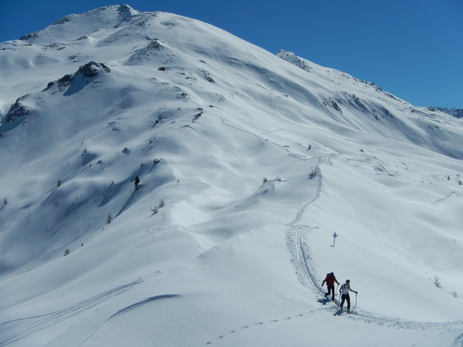
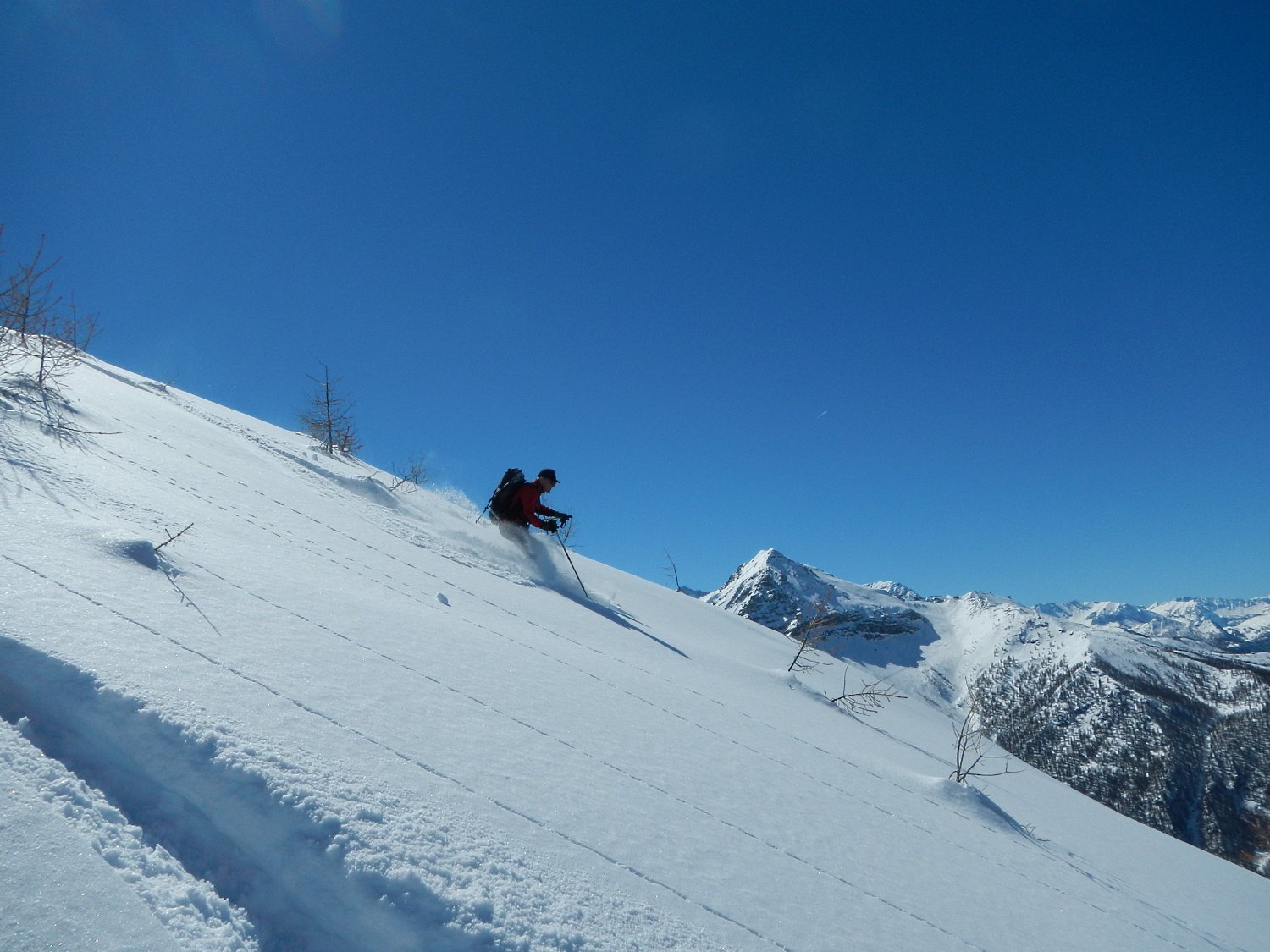
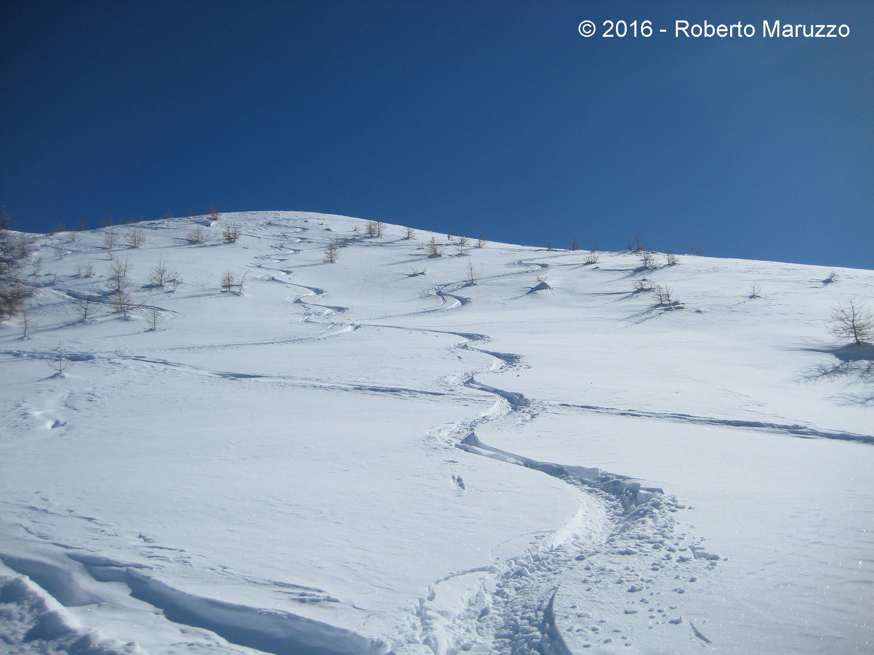
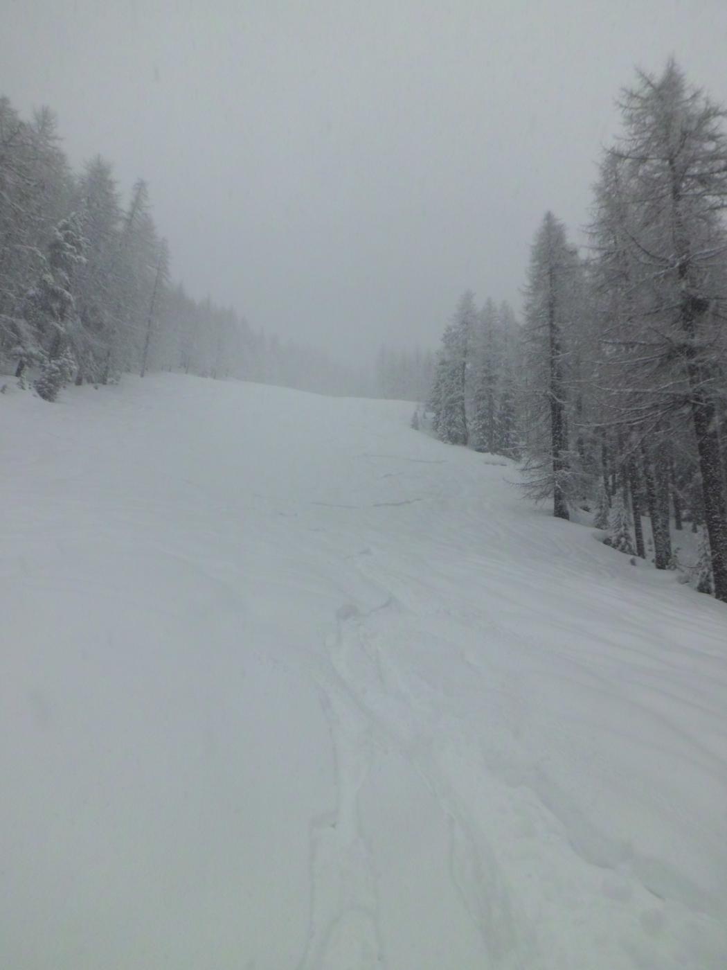
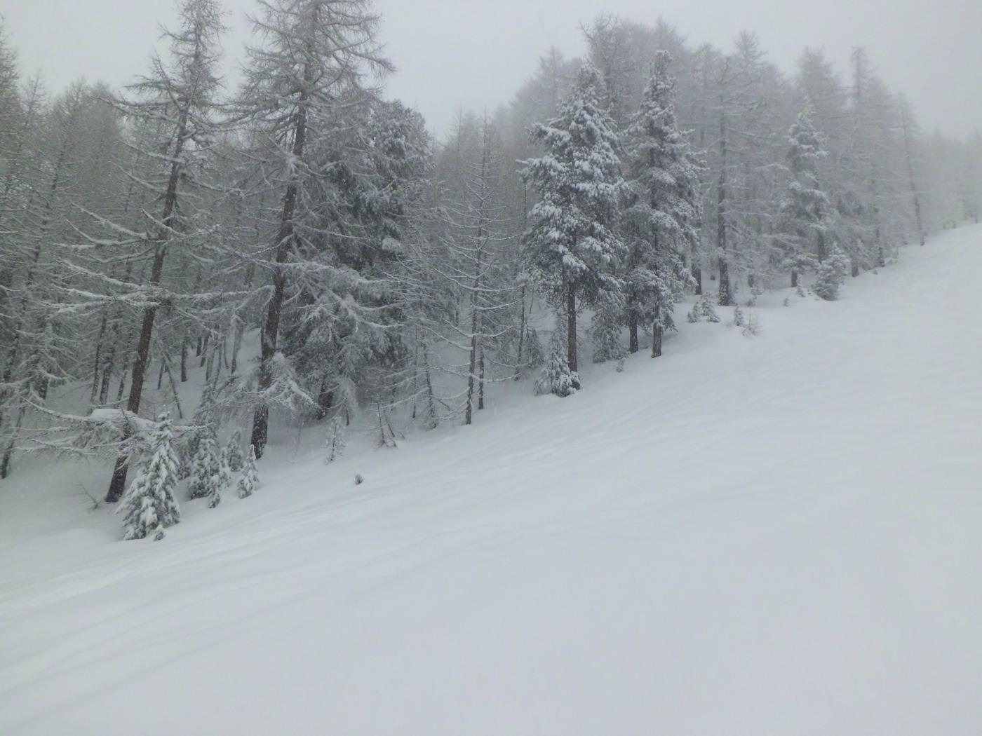
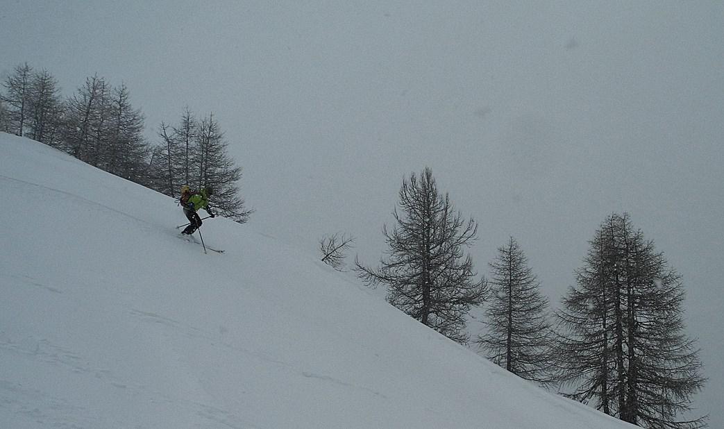
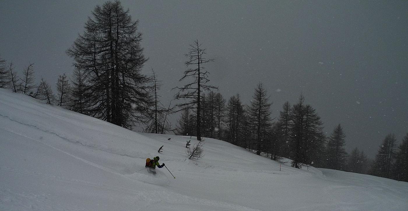
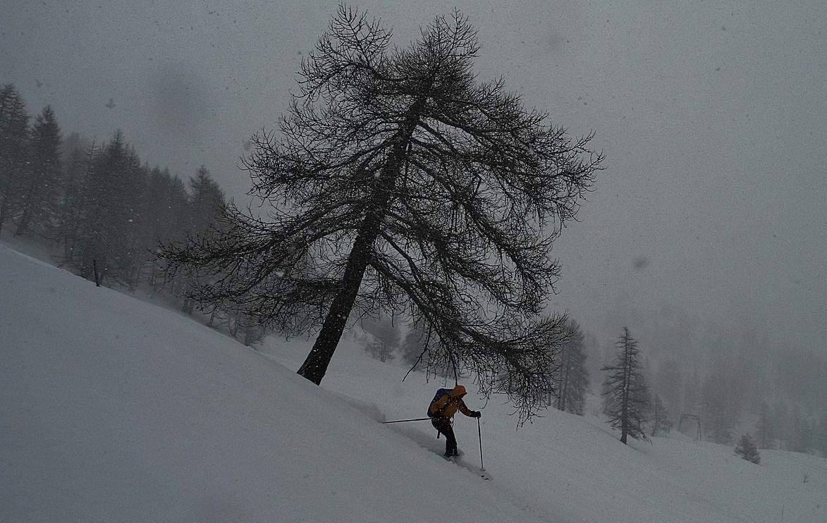
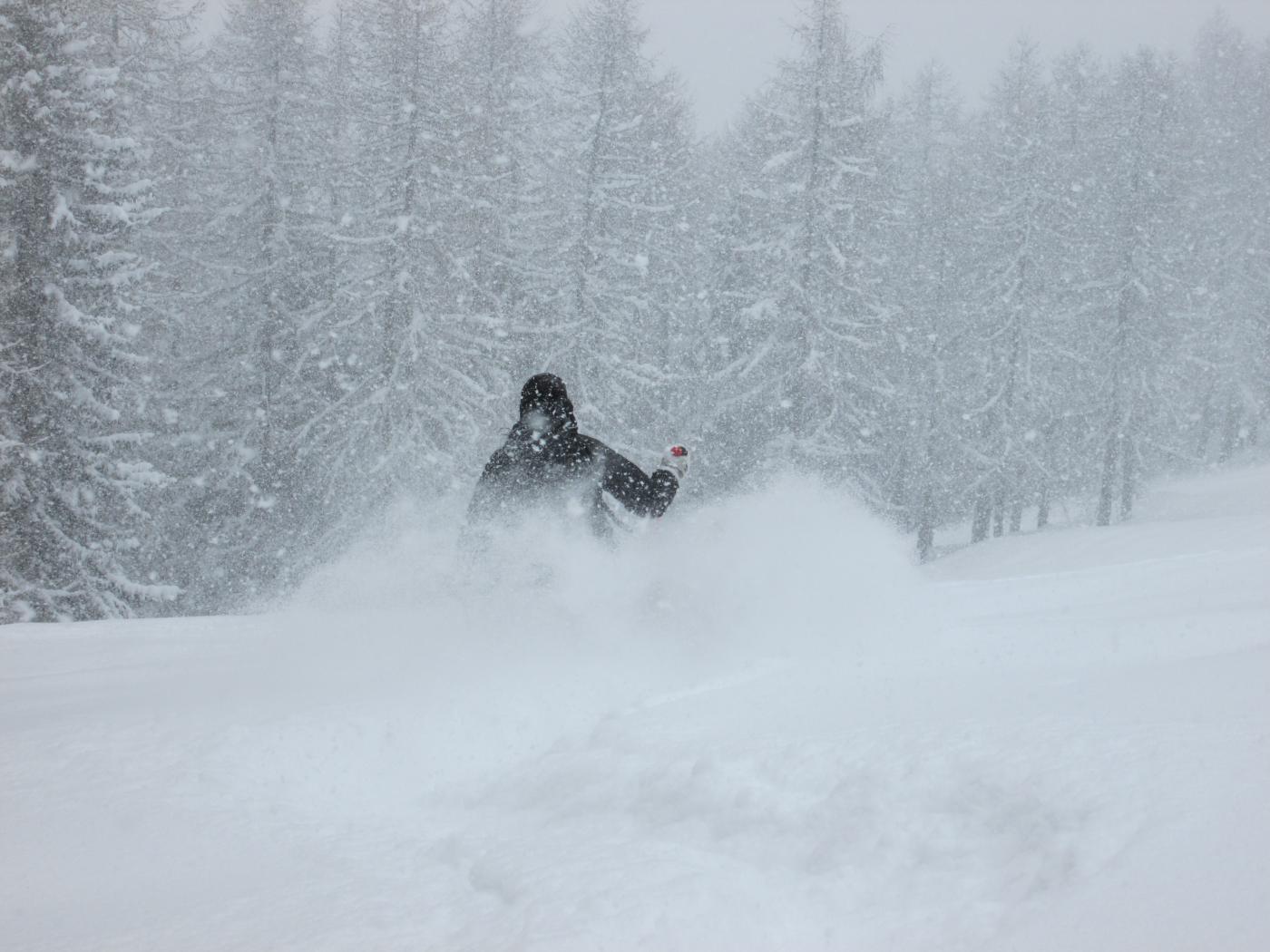
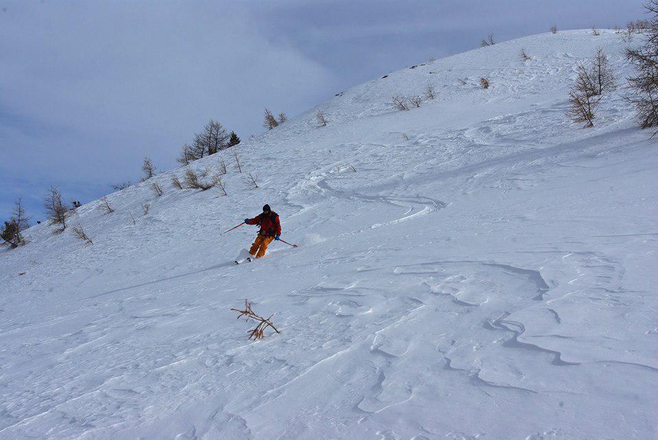
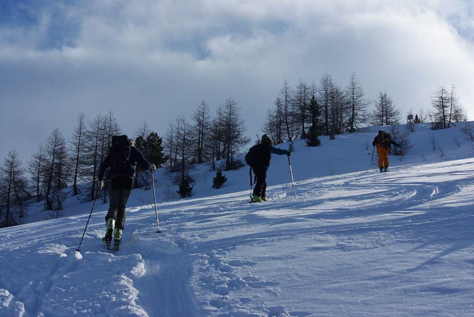
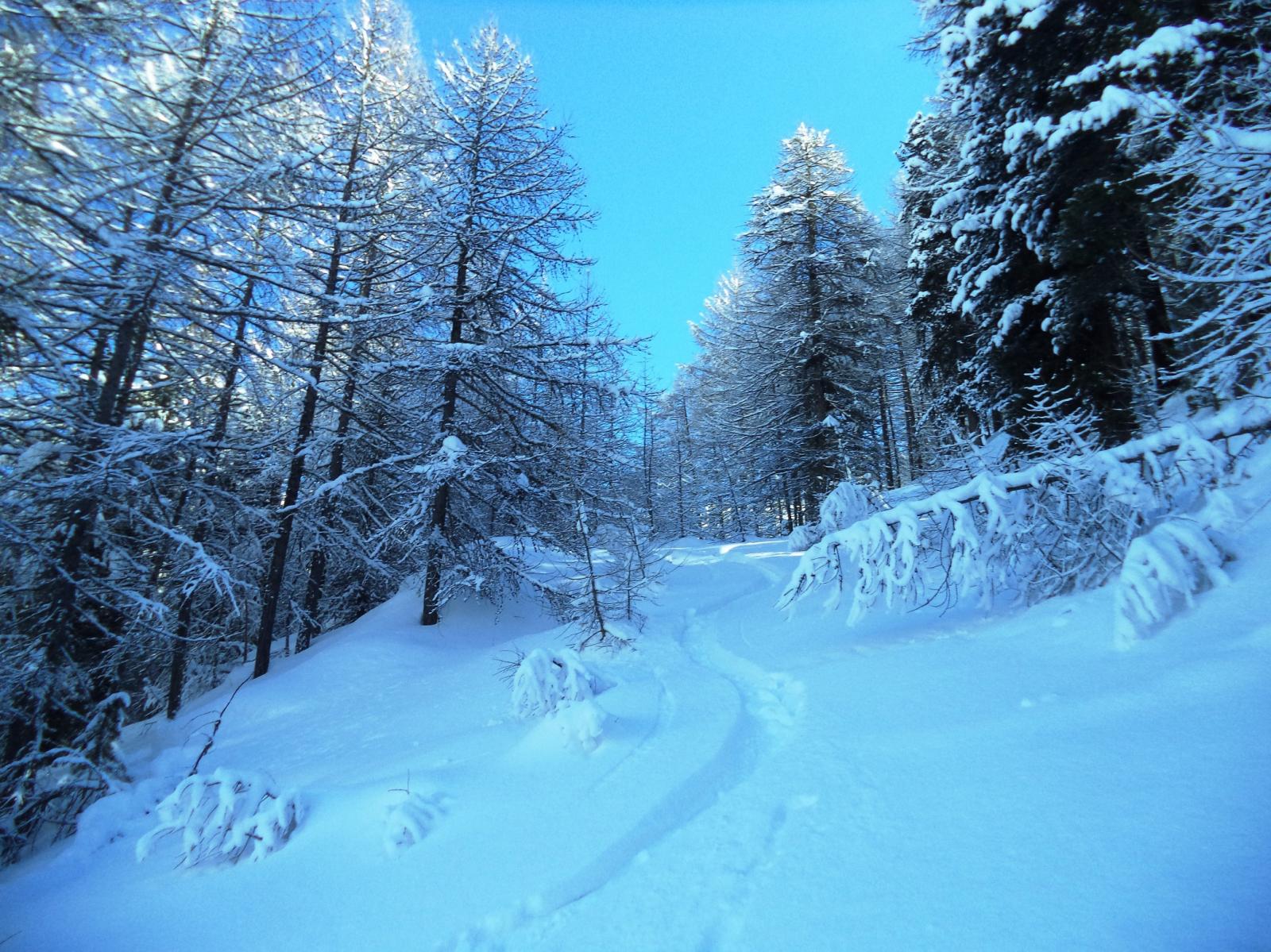
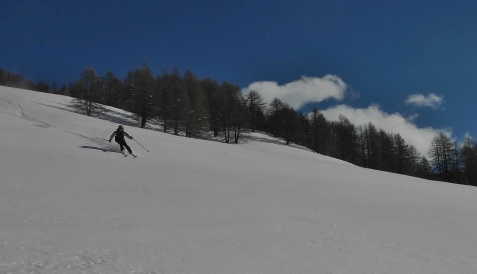
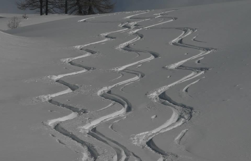
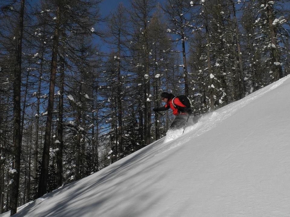
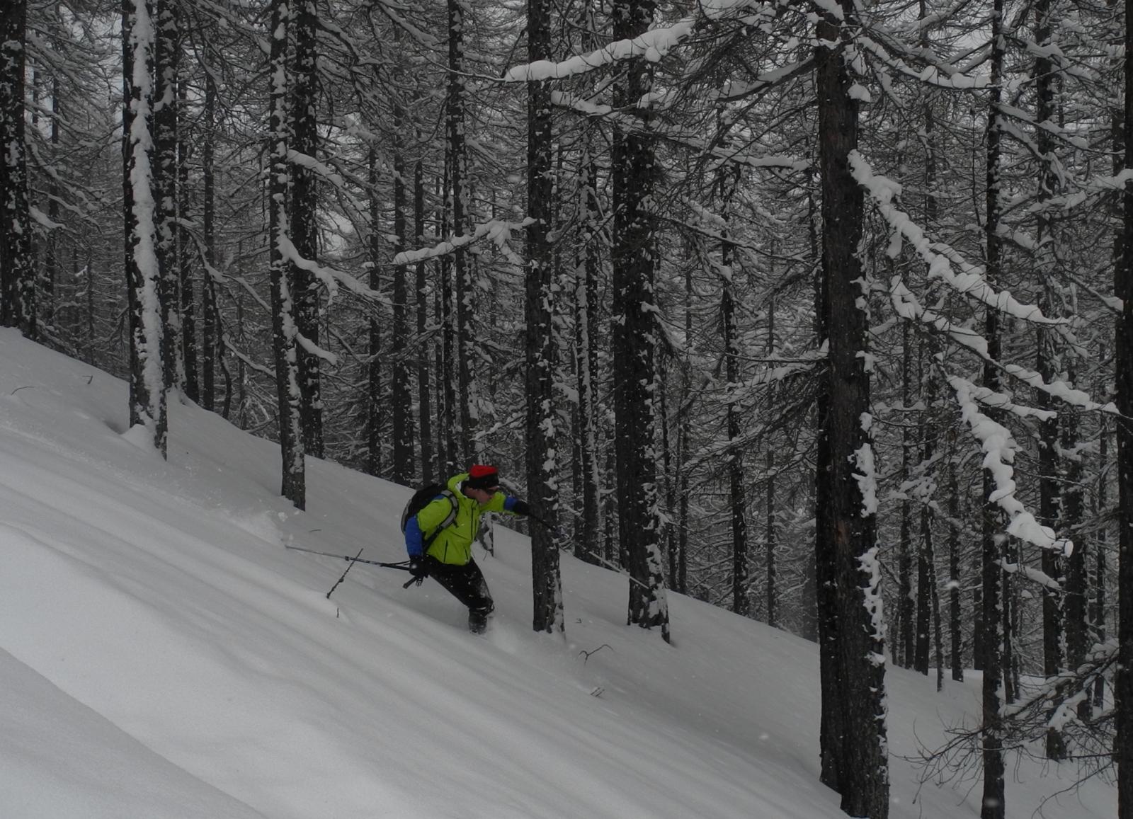
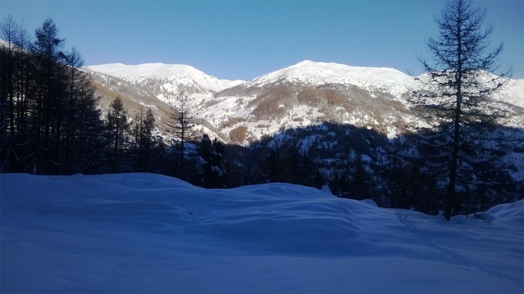
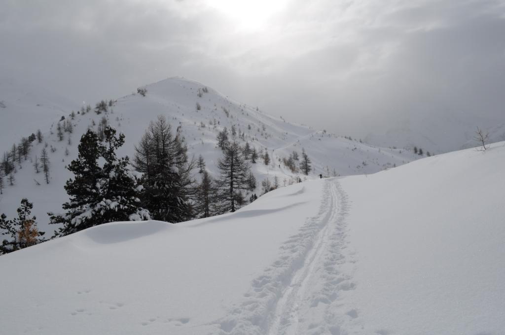
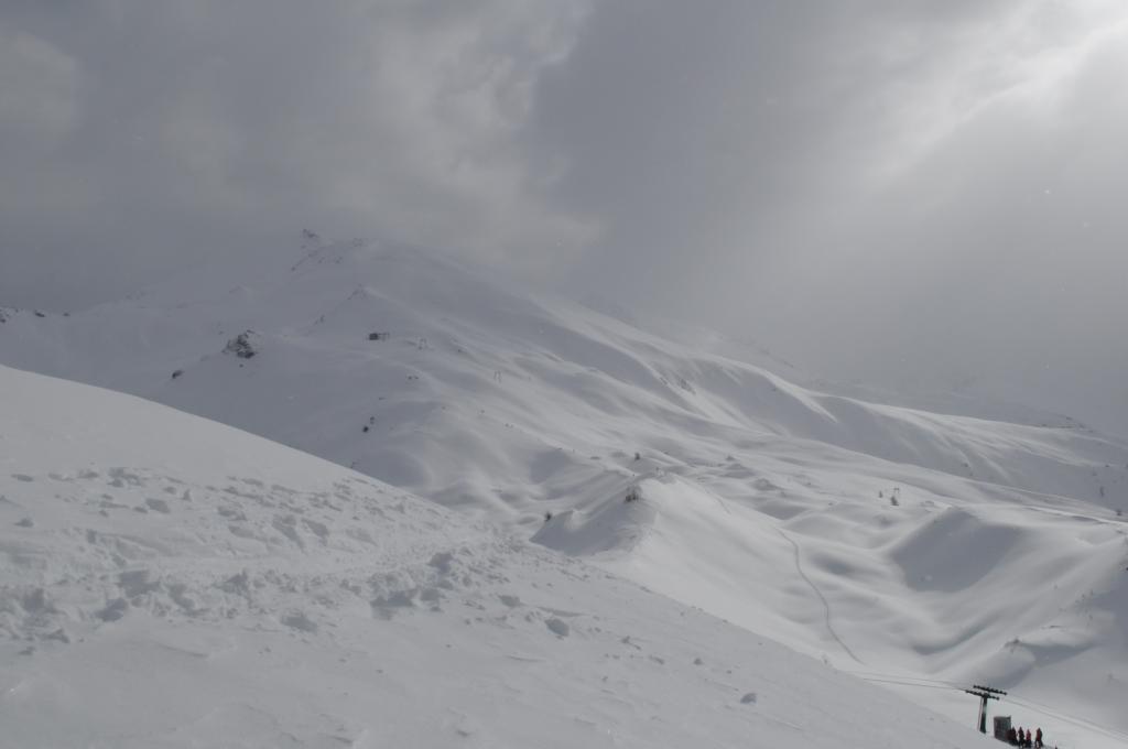
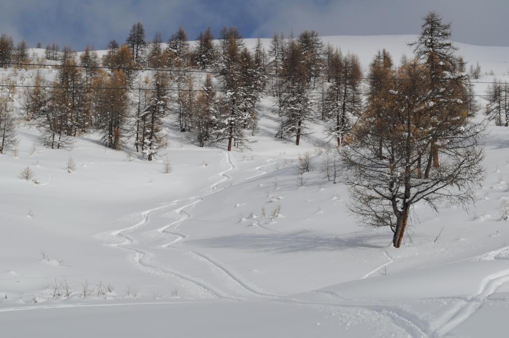
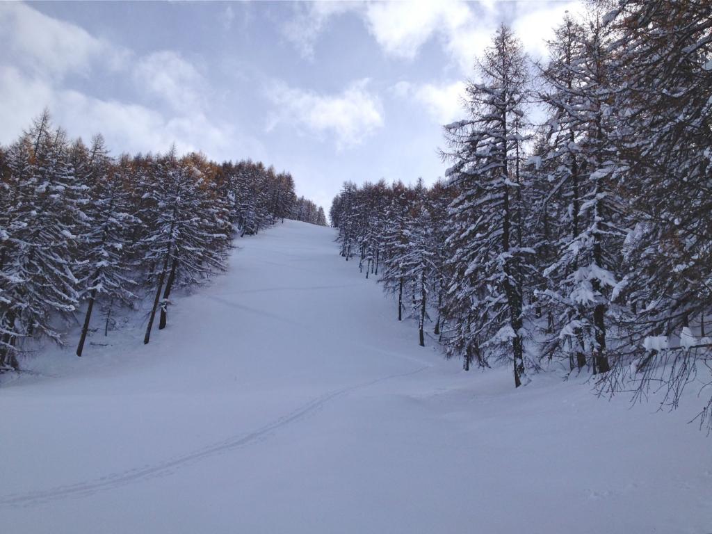
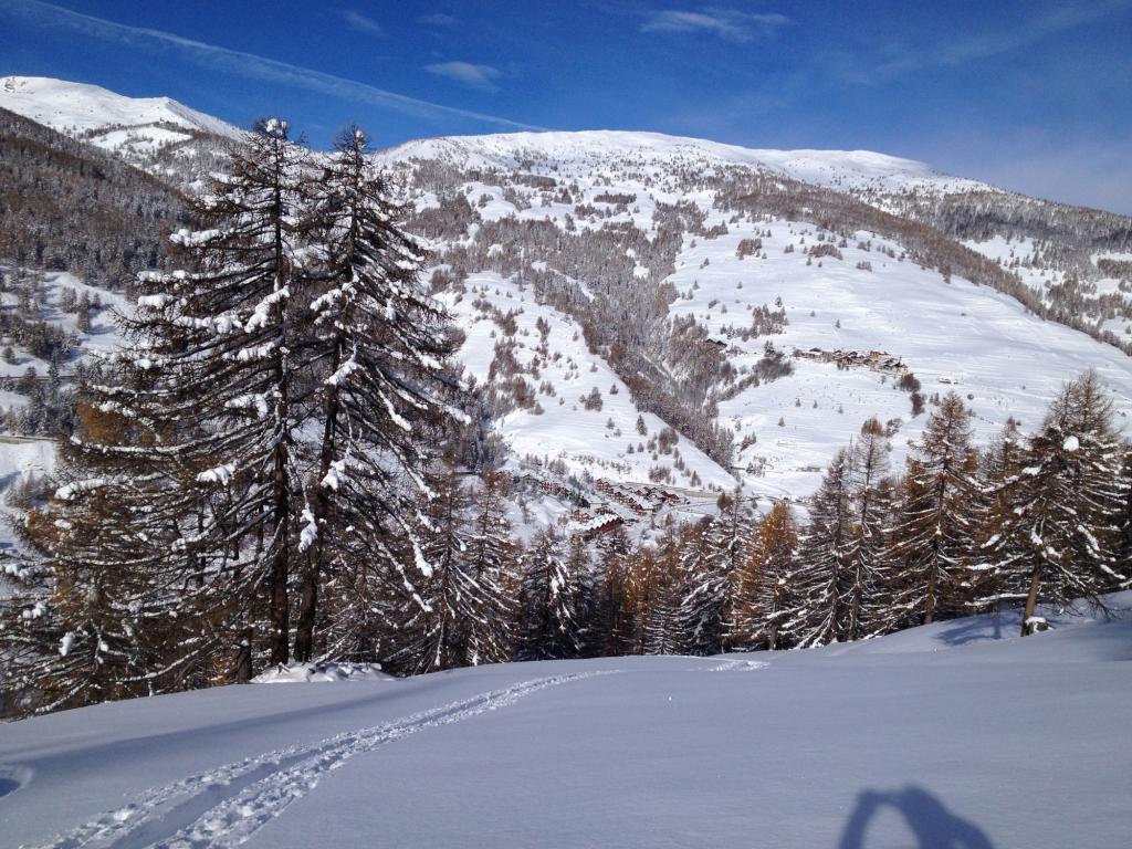
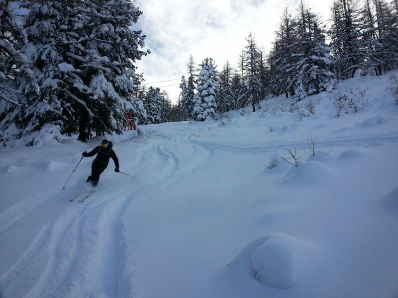
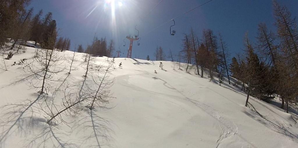
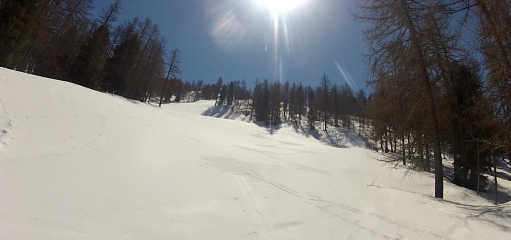
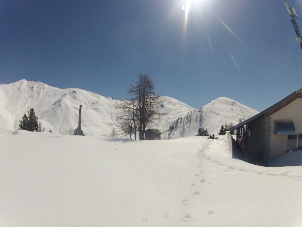
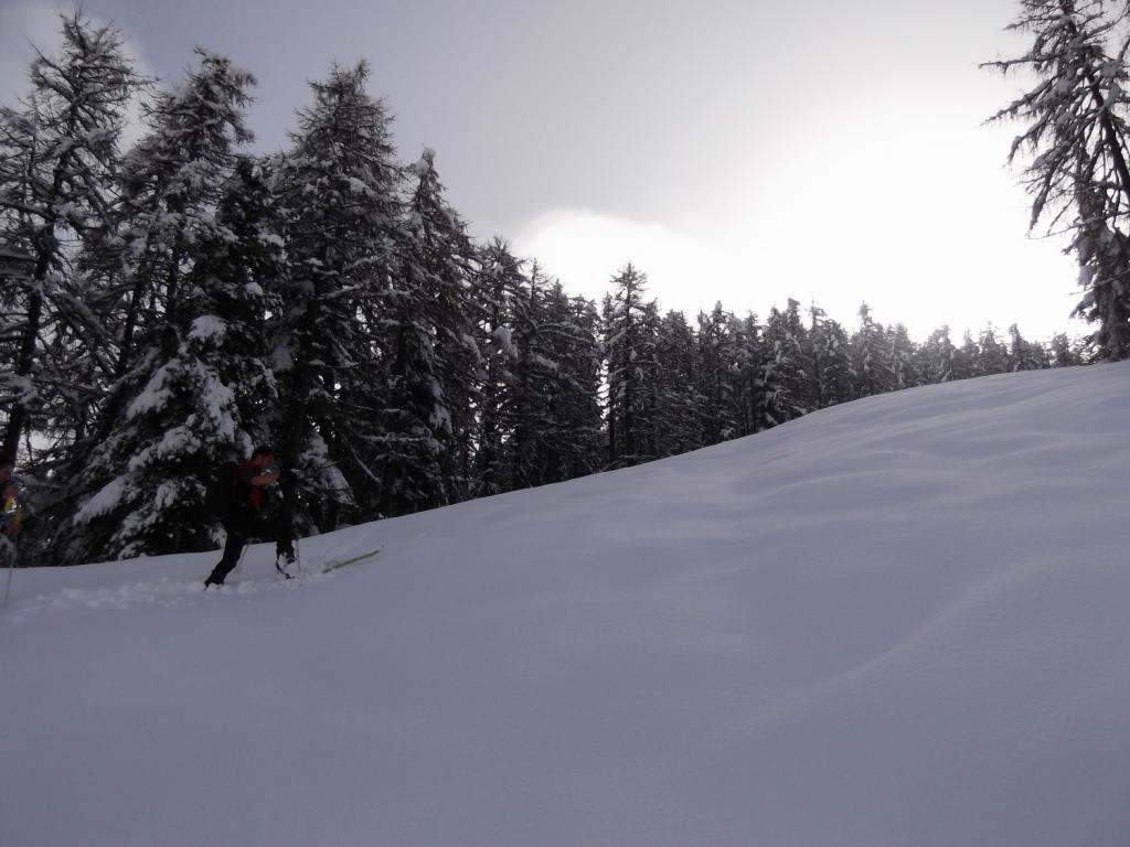
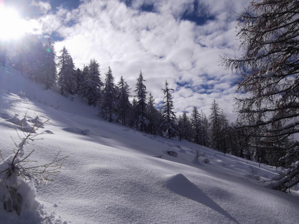
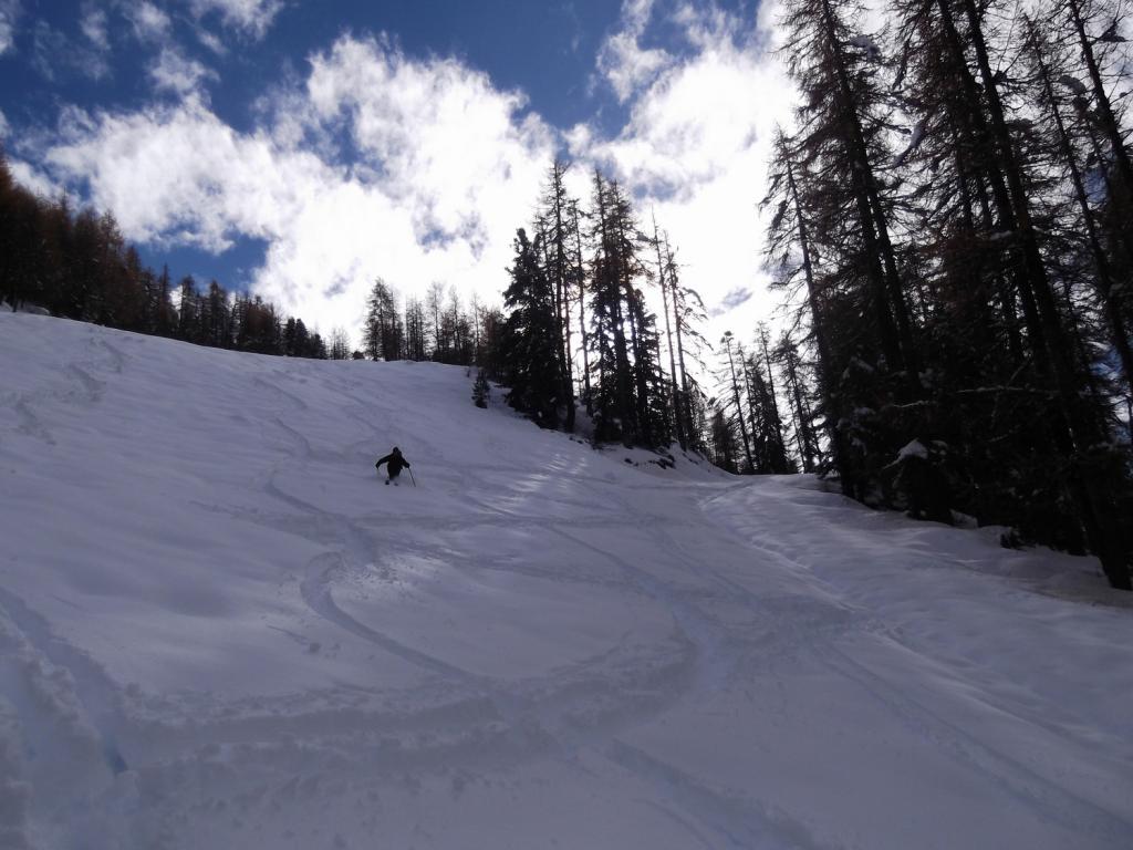
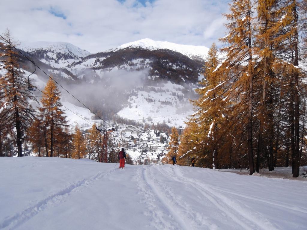
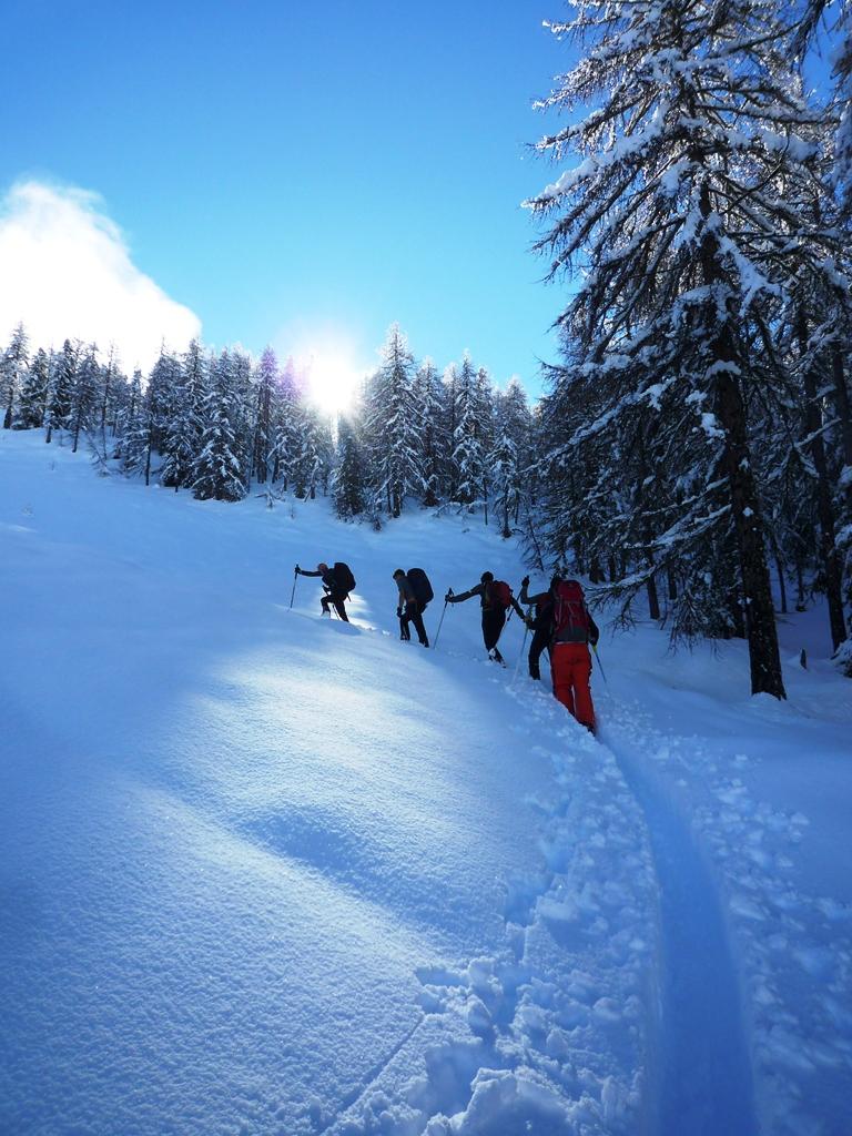
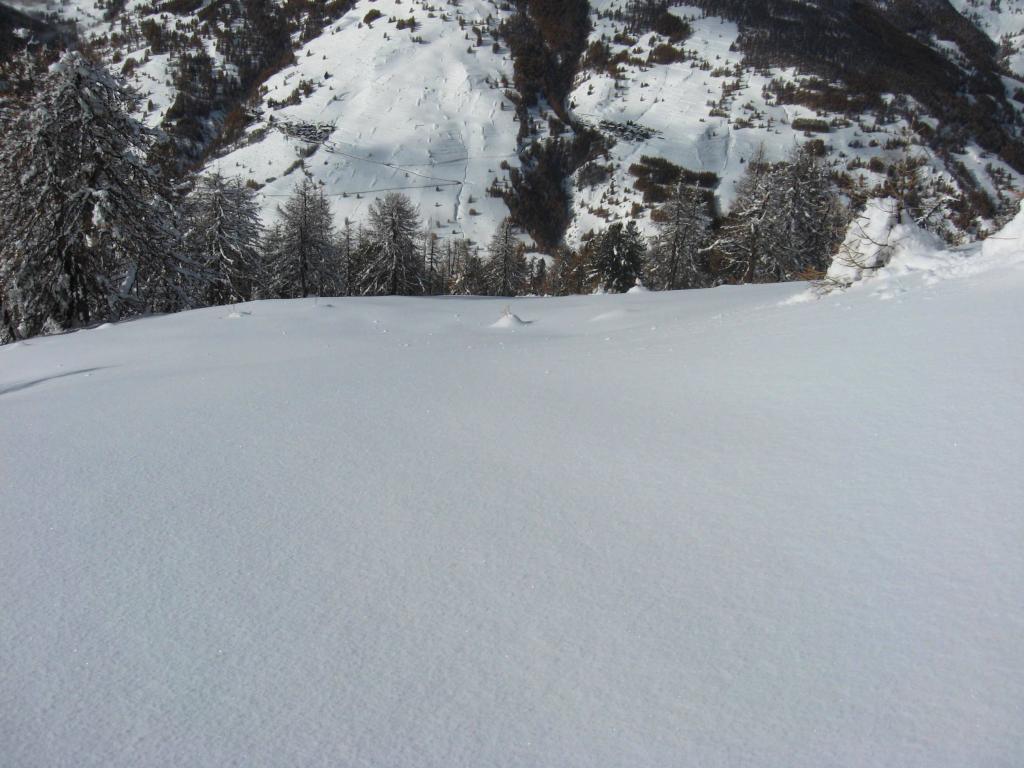
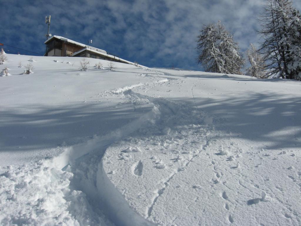
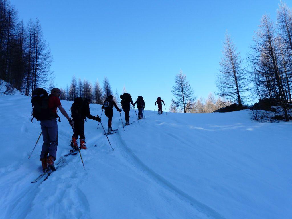
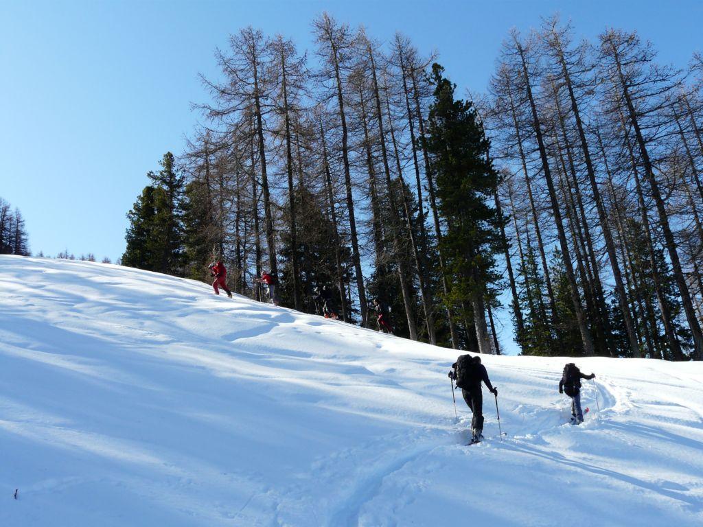
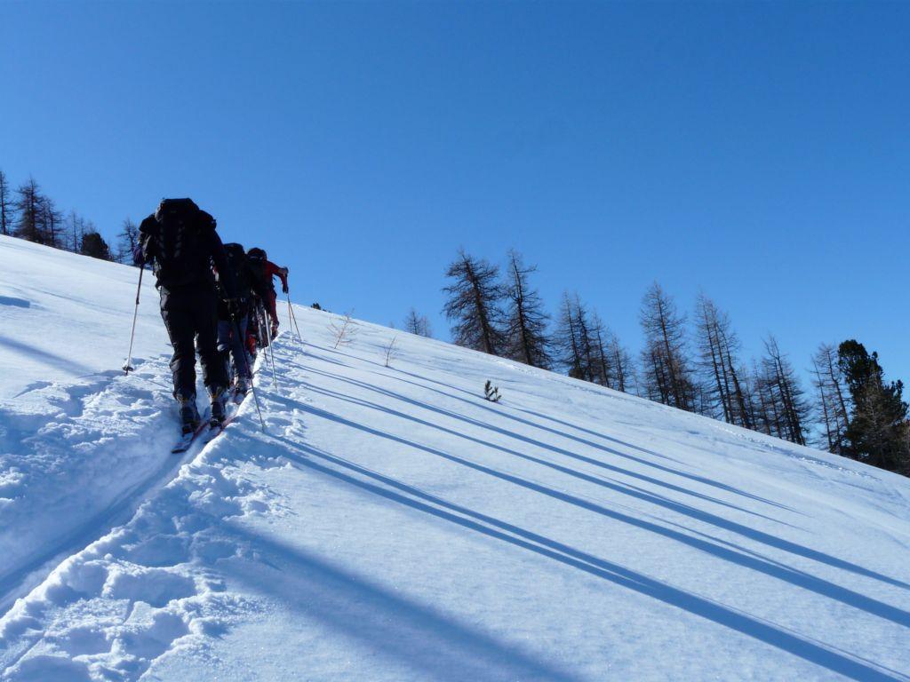
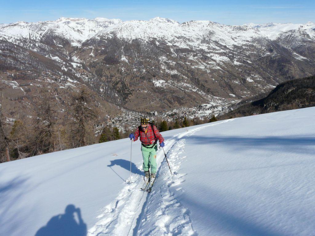
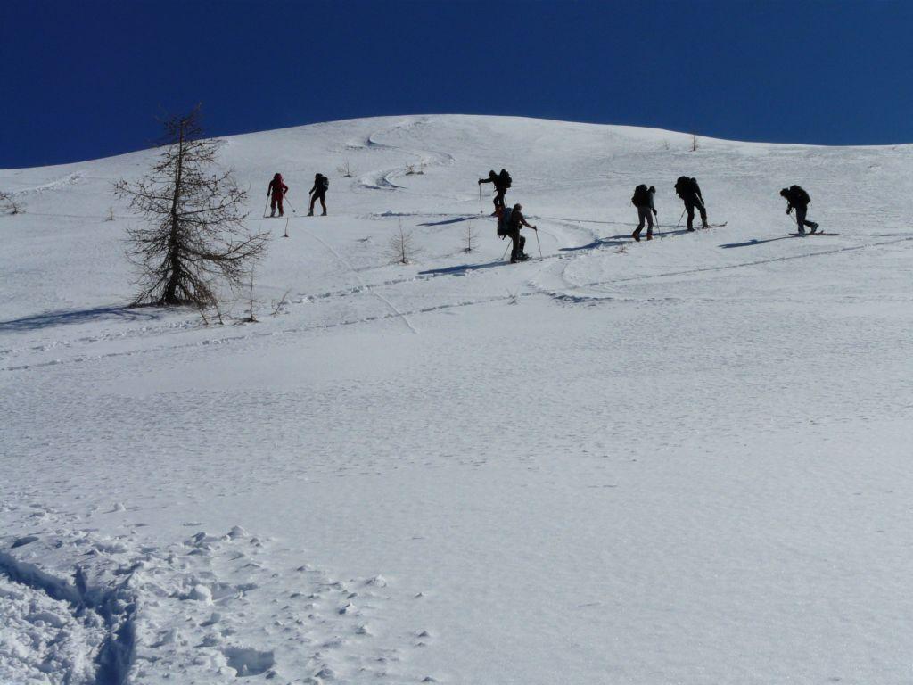
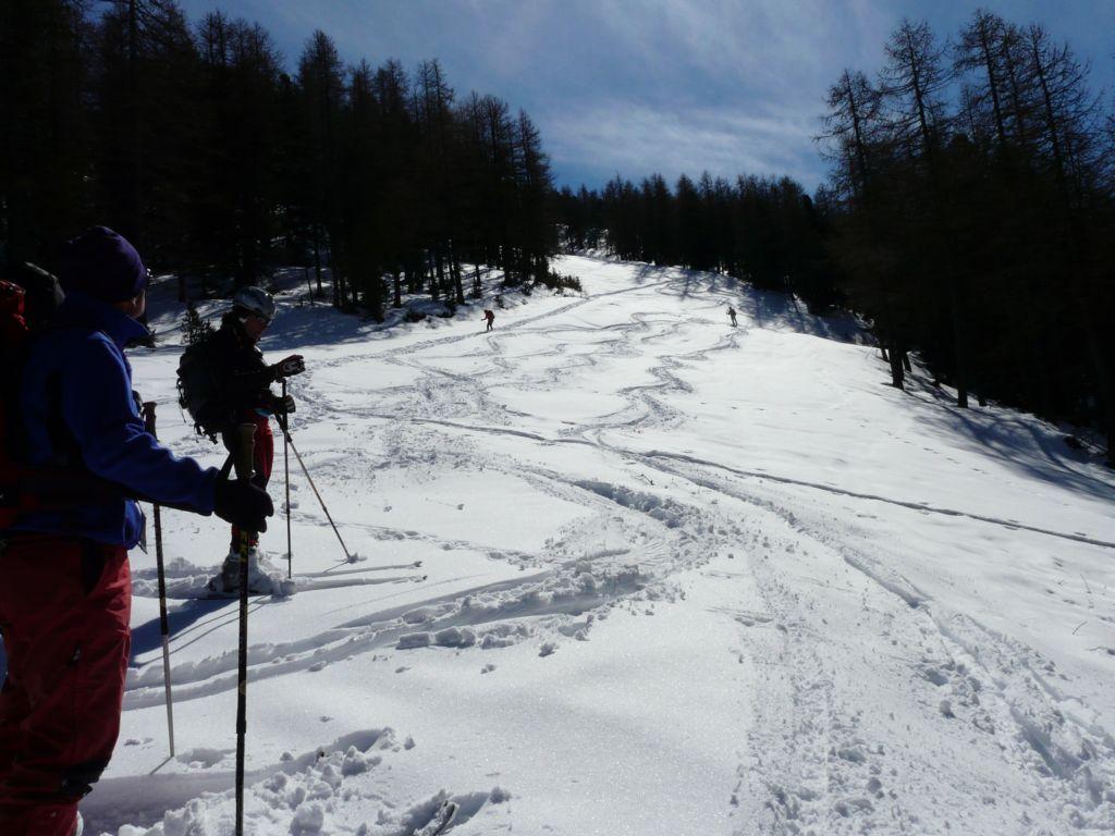
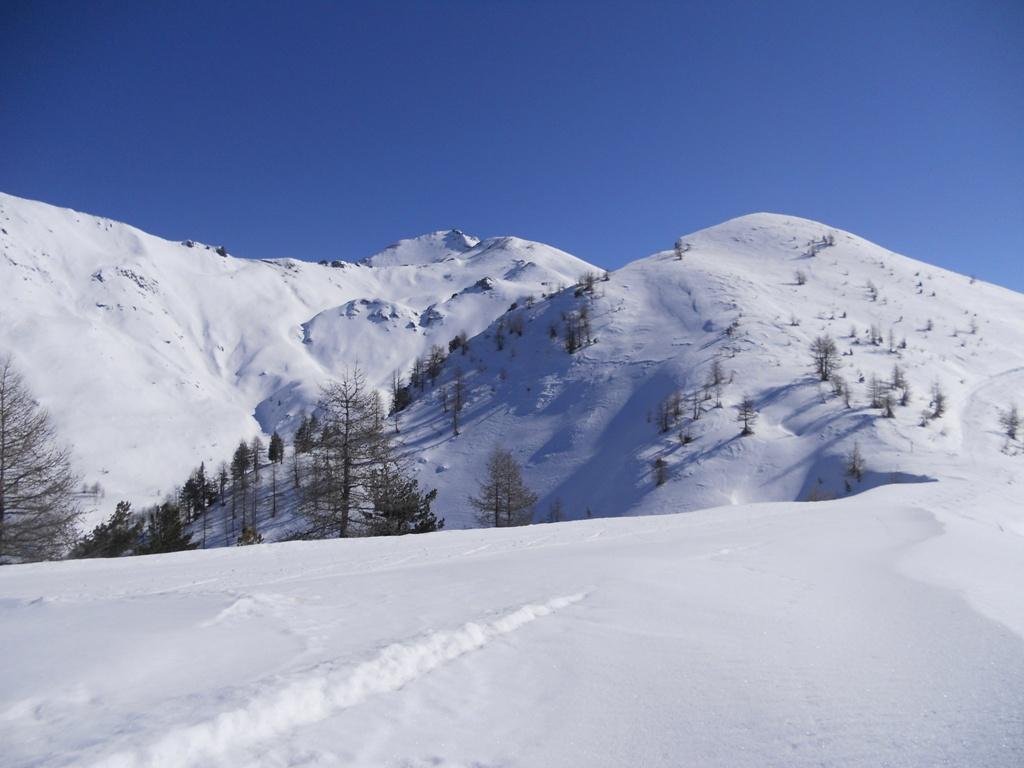
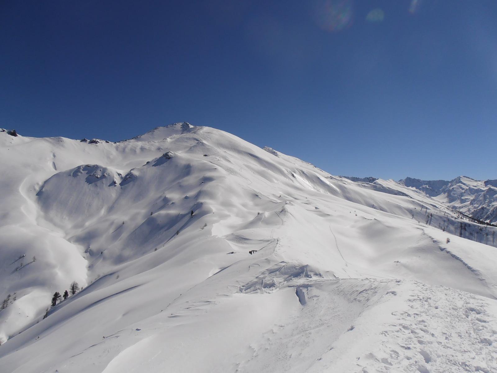
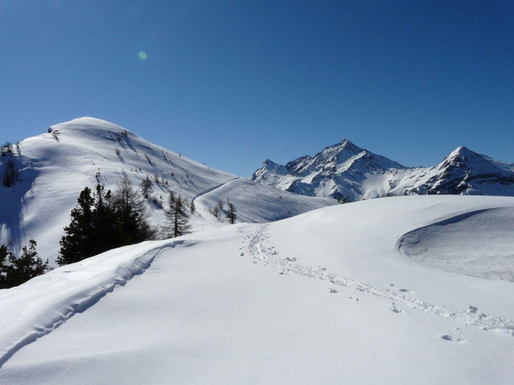
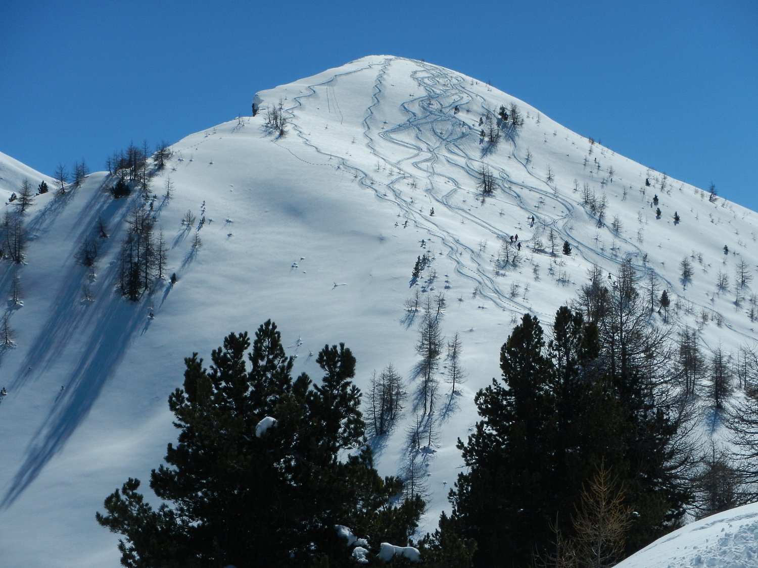
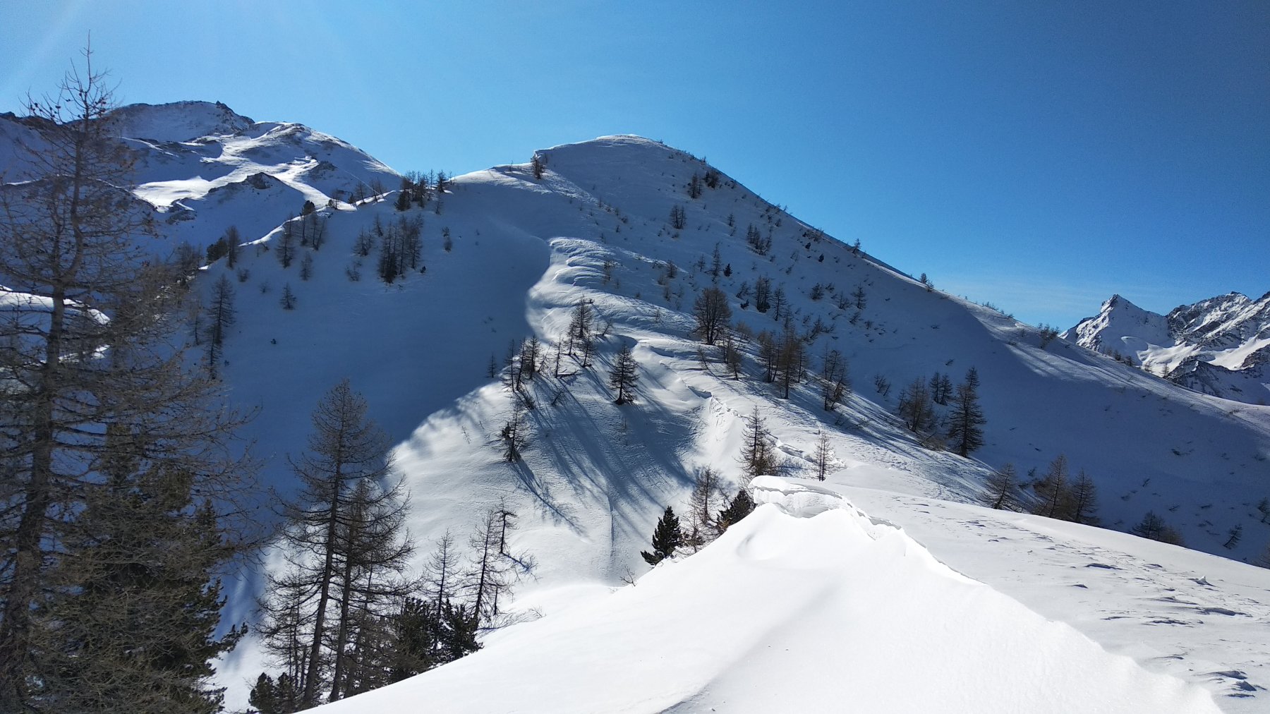
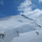
Dal piazzale della ex seggiovia “Clot della Soma” si passa a dx dello skilift Baby di Pragelato seguendo (a lato! in quanto da questo anno è nuovamente battuta) la pista di discesa del Clot senza possibilità di errori. Diversi sono i punti in cui è possibile tracciare fuori dalla pista stessa. I diversi ‘muri’ di questa splendida pista nera impegneranno fisicamente gli skialpers in salita. Discesa sulla stessa via dell’andata in fuori pista in splendido bosco misto larice-abete a tratti possibilmente anche fitto o piuttosto sulla bella pista di discesa in caso di nebbia.
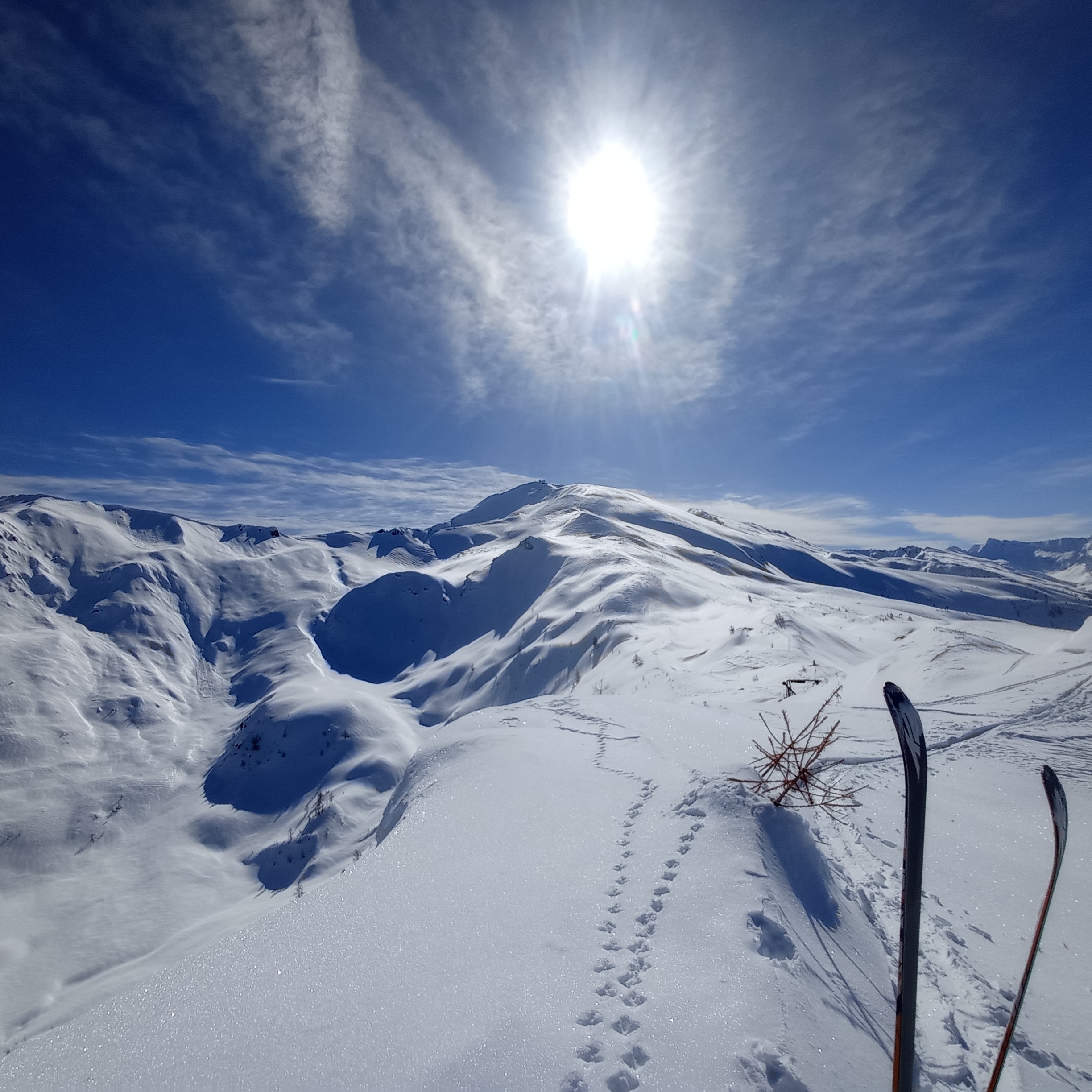
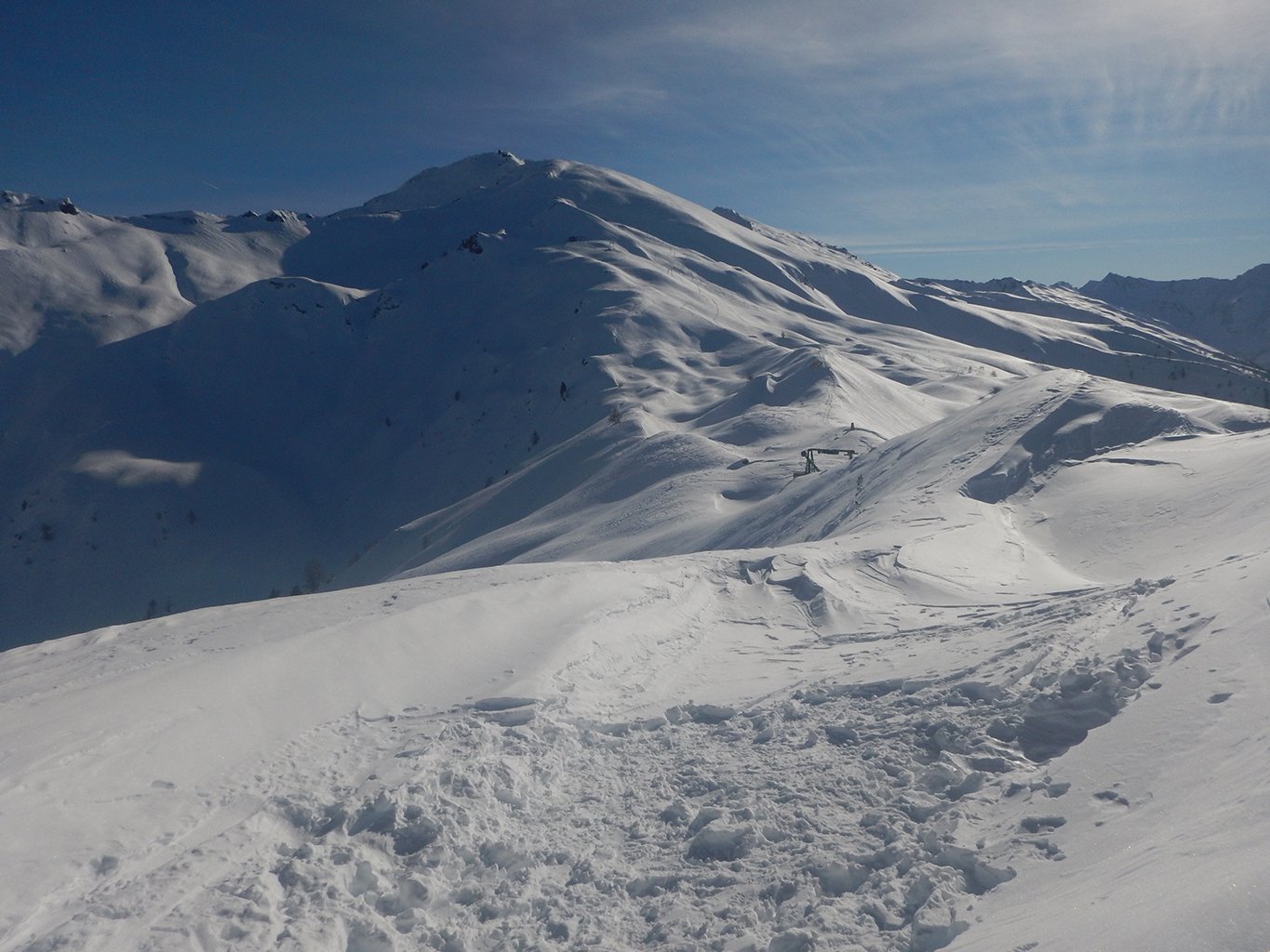
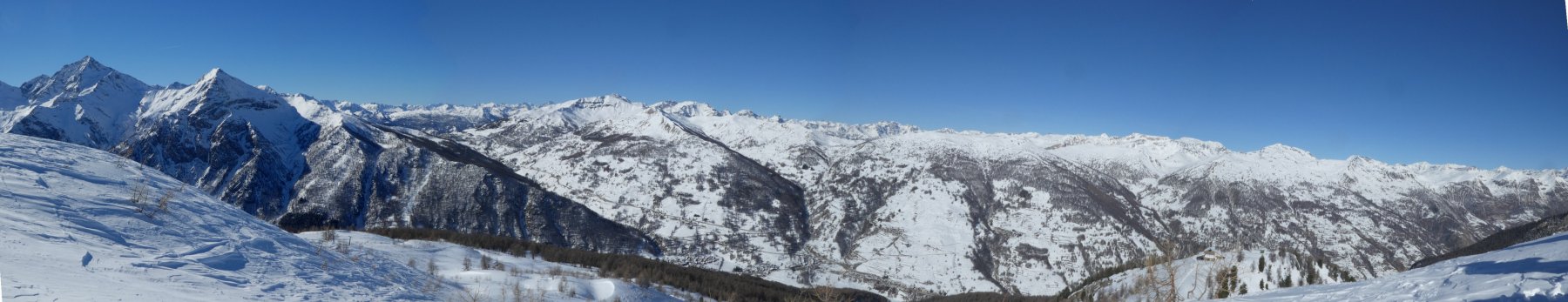
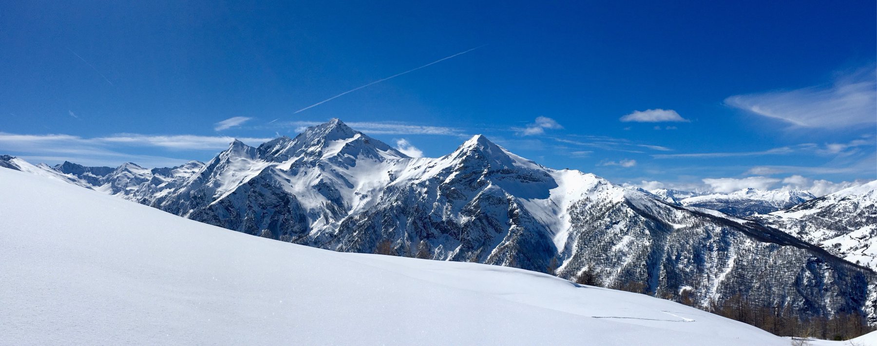
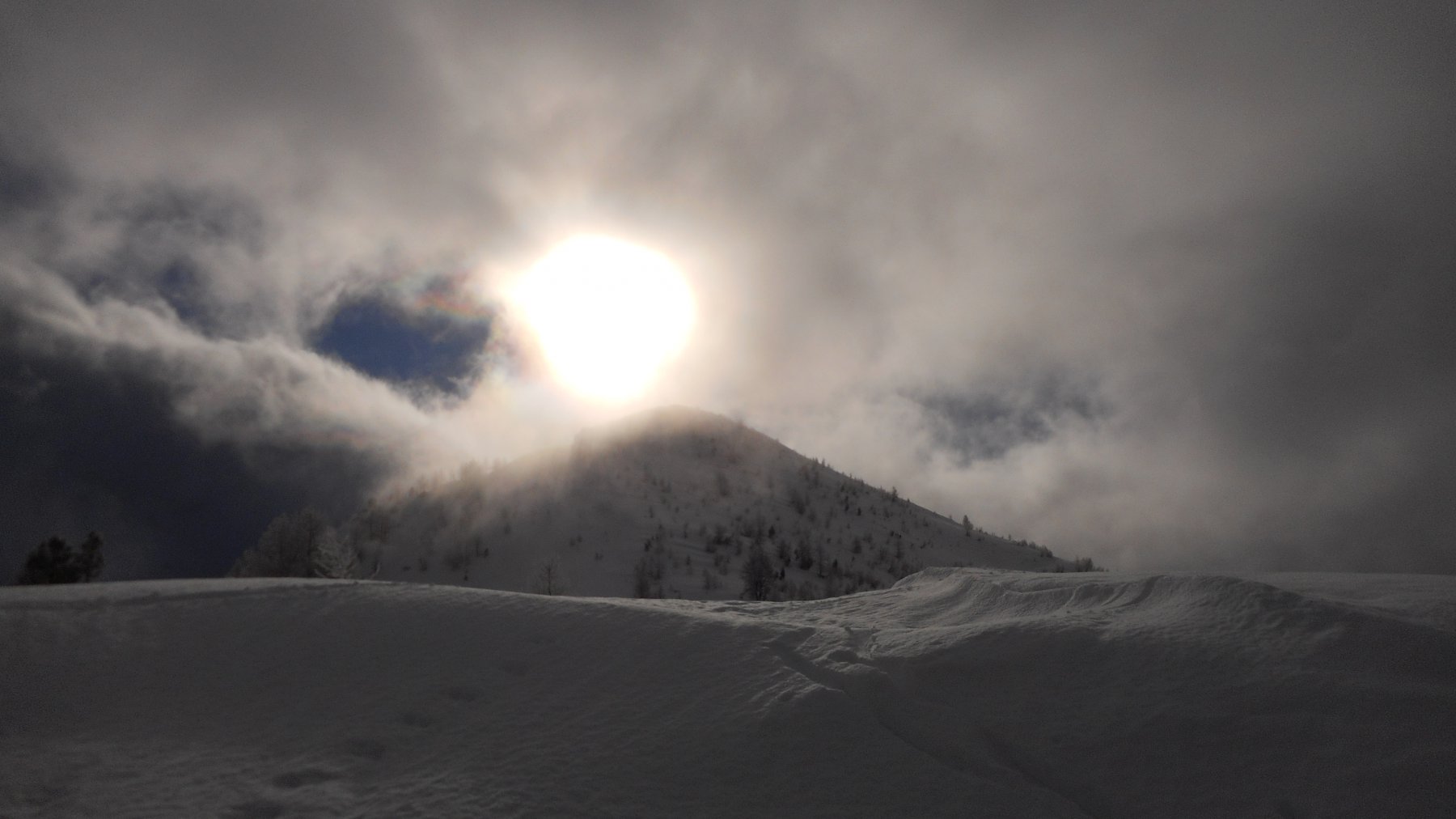
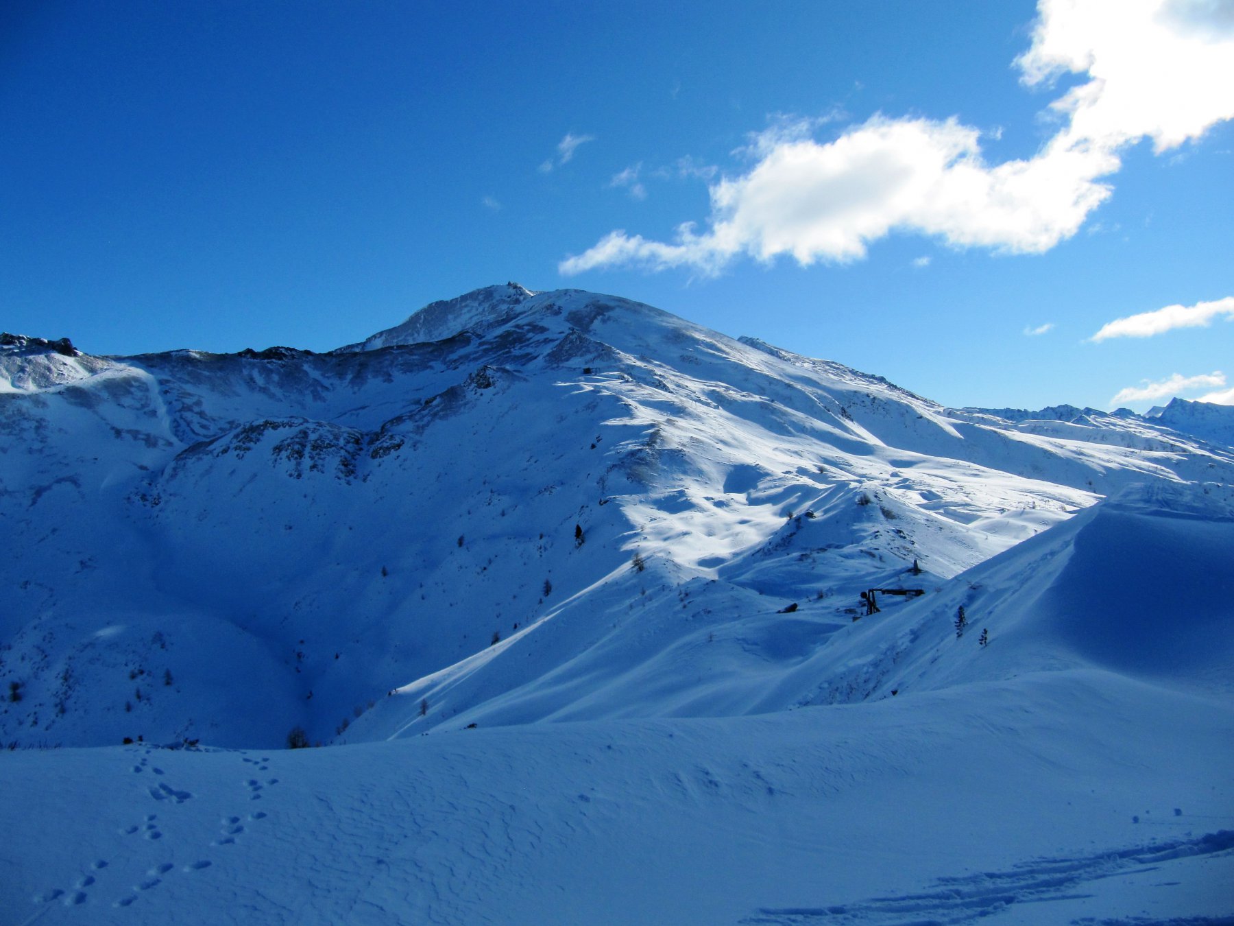
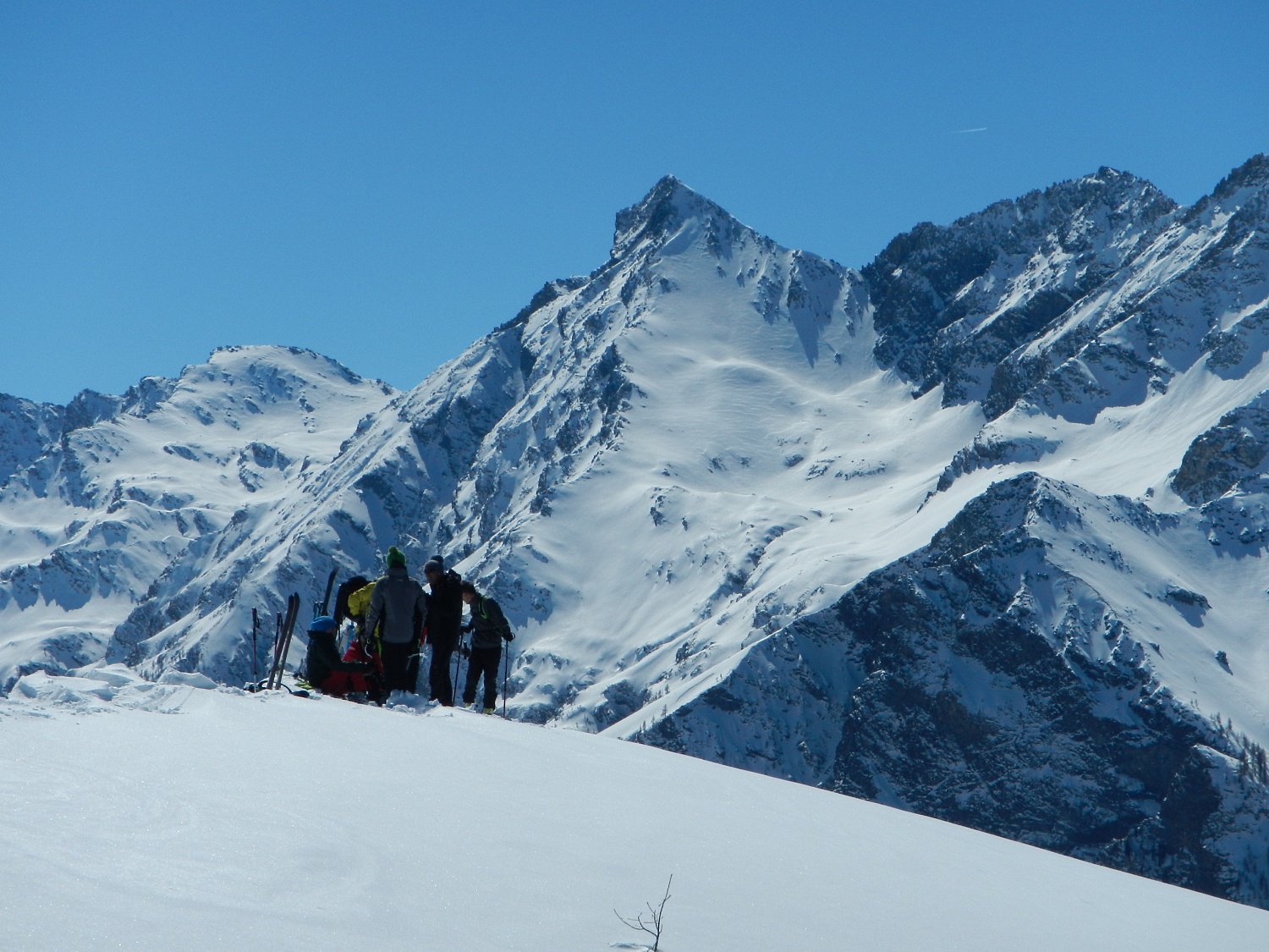
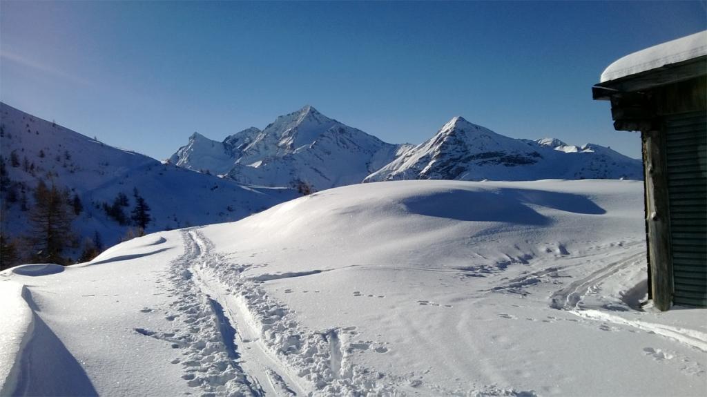
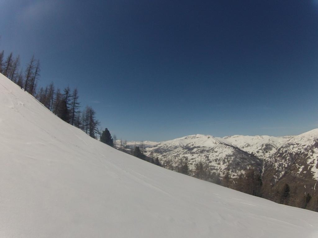
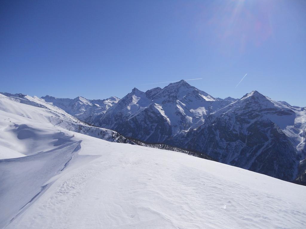
Possibili ulteriori mete dal Clot della Soma: Colle del Pis (2610m) e Morefreddo (2770m).
- Cartografia:
- Fraternali 1:25000 n.2 Alta Val di Susa Val Chisone
Nelle vicinanze Mappa
Itinerari
18/02/2023 TO, Pragelato D+ 1396 m BS Sud-Ovest
Beth (Punta del) o Bric di Mezzogiorno da Pattemouche
 0m
0m
28/03/2026 TO, Pragelato D+ 1164 m MS Ovest
Morefreddo (Monte) da Pattemouche
 0m
0m
21/03/2026 TO, Pragelato D+ 1250 m BS Nord-Est
Pra Crò (Punta) da Pattemouche
 0m
0m
12/01/2015 TO, Pragelato D+ 1485 m OS Sud-Ovest
Fea Nera da Pattemouche per il Versante SO dal Colle del Pis
 50m
50m
21/03/2026 TO, Pragelato D+ 1335 m OS Varie
Ruetas (Monte) da Pattemouche per il Colle del Morefreddo e il versante N/NO
 50m
50m
20/01/2022 TO, Pragelato D+ 1350 m OS Varie
Rognosa del Sestriere (Punta) spalla nord 2990 m da Pattemouche
 50m
50m
11/02/2023 TO, Pragelato D+ 1289 m BS Nord-Ovest
Pignerol (Monte) da Pattemouche
 50m
50m
07/01/2026 TO, Pragelato D+ 1400 m BS Nord-Est
Fauri Sud (Punta) da Pattemouche per la Val Troncea
 50m
50m
24/03/2026 TO, Pragelato D+ 1820 m BS Nord
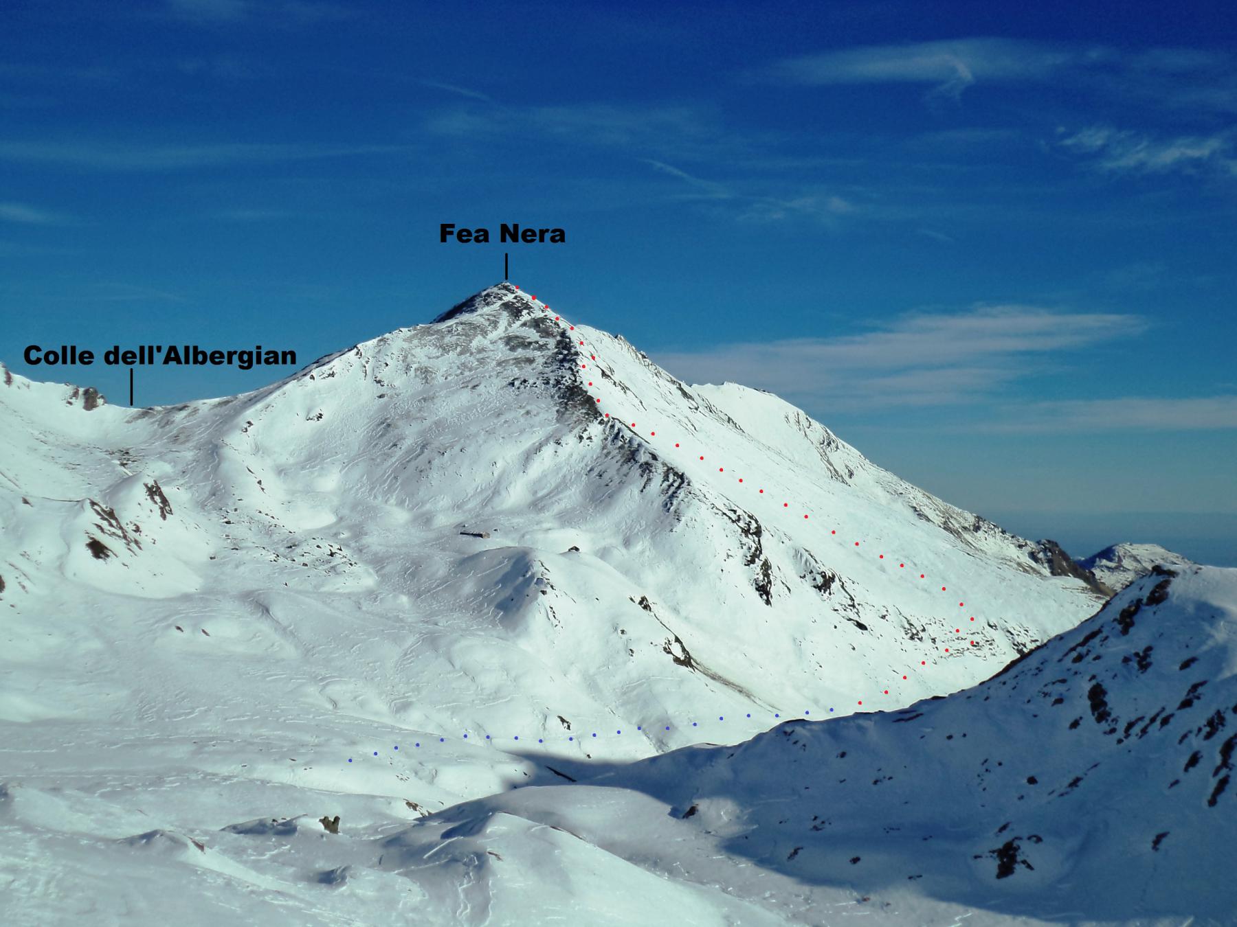
Fea Nera da Pattemouche, traversata a Fenestrelle per il Colle dell’Albergian
 50m
50m
19/05/2024 TO, Pragelato D+ 1350 m BS Nord
Lungin (Monte) da Pattemouche
 50m
50m
Servizi
800m
1.3Km
La capanna del sole Ristorante
Pragelato
1.3Km
Al Mulino Ristorante
Pragelato
3Km
Refugium – ex. Rif. Belotte Rifugio
Pragelato
4.2Km
Casa degli Escartons Alex Berton B&B
Pragelato
4.3Km
Casa Alpina Rifugio
Pragelato
4.3Km
Passet Ristorante
Pragelato
4.6Km
Troncea Rifugio
Pragelato
5.8Km
L’itialette Ristorante
Pragelato
7.1Km