8.5Km
8.5Km


Note
 50m
50m
350m
450m
450m
500m
500m
700m
1.5Km
1.5Km
50m
50m
350m
450m
450m
500m
500m
700m
1.5Km
1.5Km
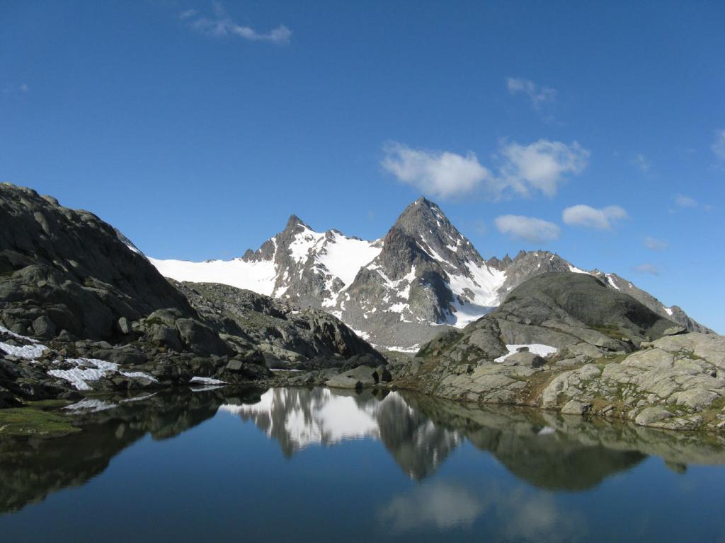
Bell'itinerario su facile ghiacciaio e cresta di sfasciumi. Il dislivello tiene conto dei numerosi saliscendi.
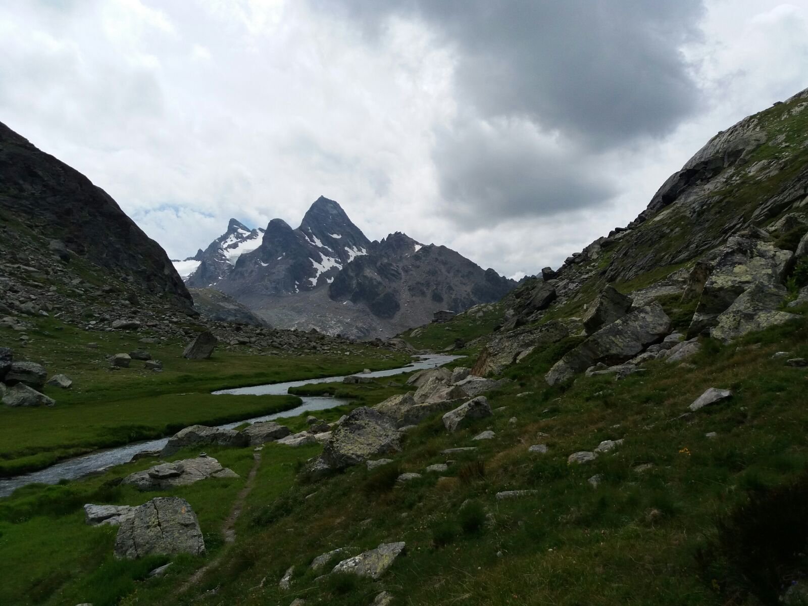
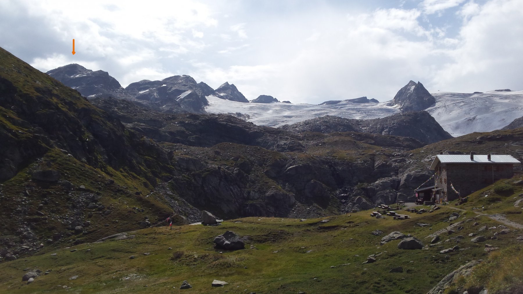
Avvicinamento
Parcheggio limitato a La Joux. Disponibile un servizio navetta nei periodi di maggiore affollamento.
Descrizione
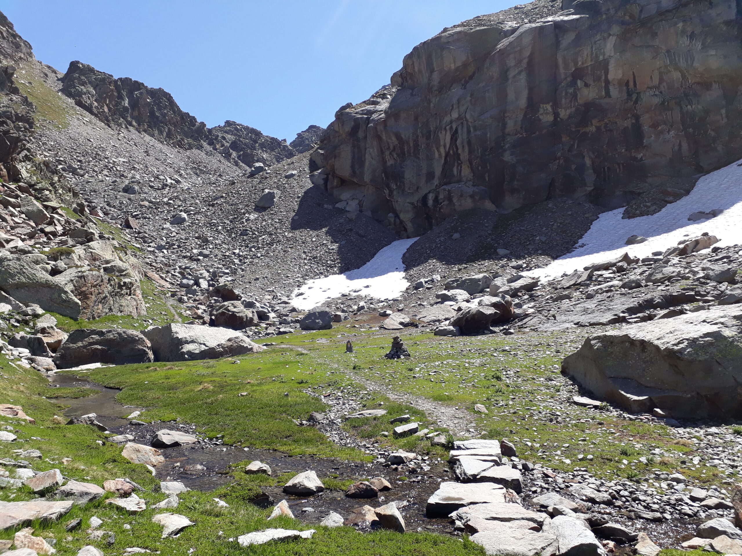
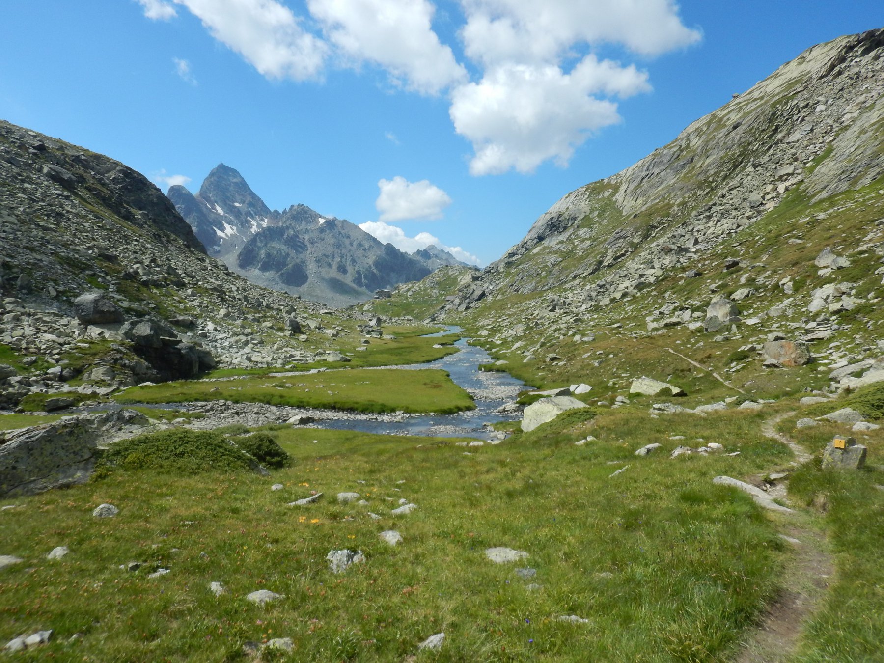
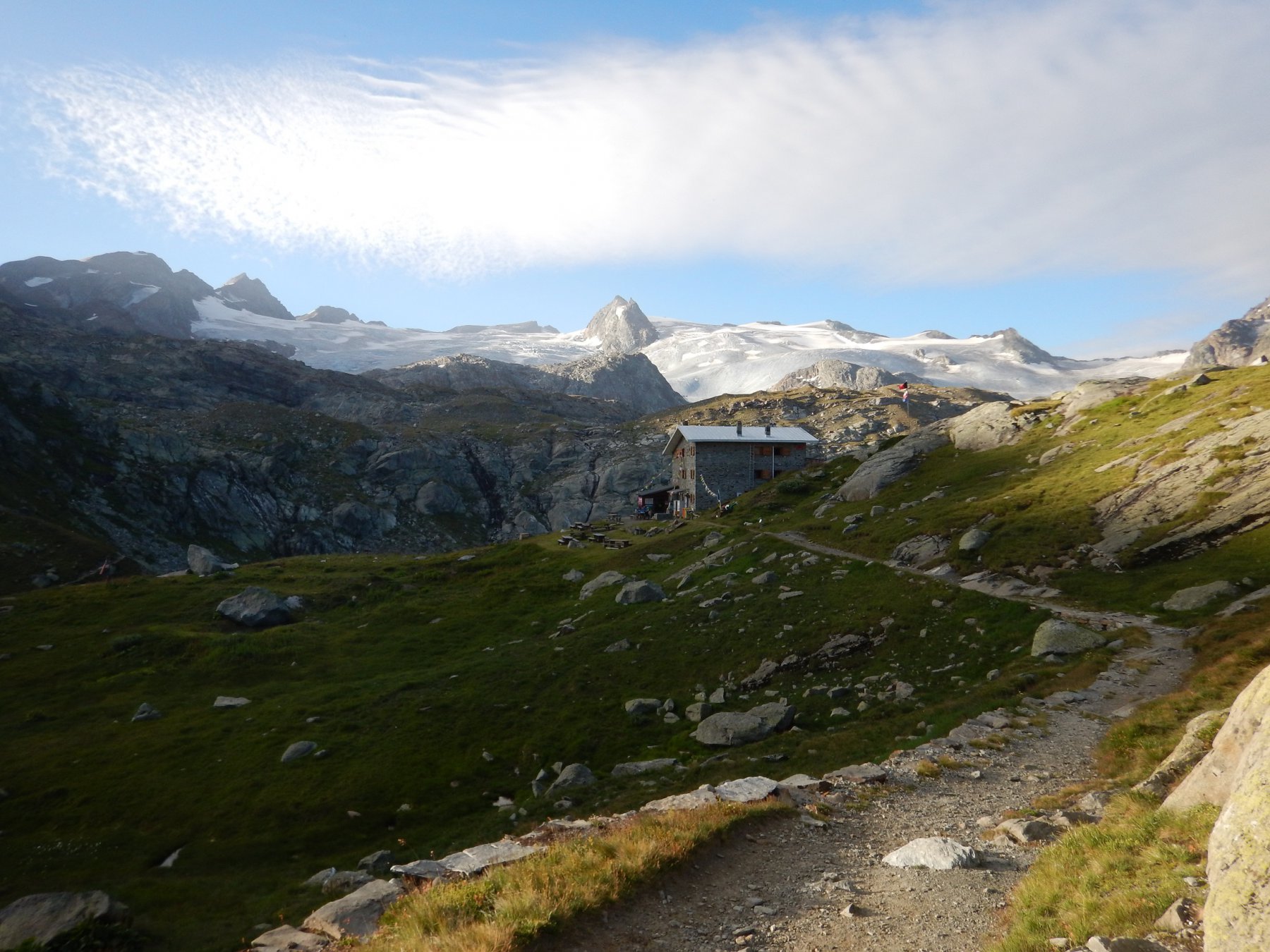
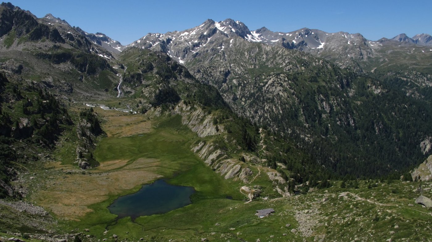
Da La Joux seguire il ben segnalato sentiero che, con percorso piuttosto lungo ma panoramico, porta al Rifugio Deffeyes.
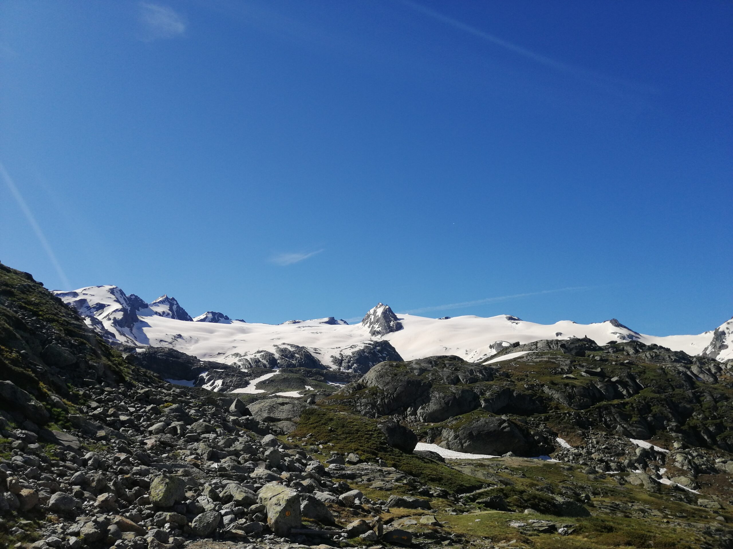
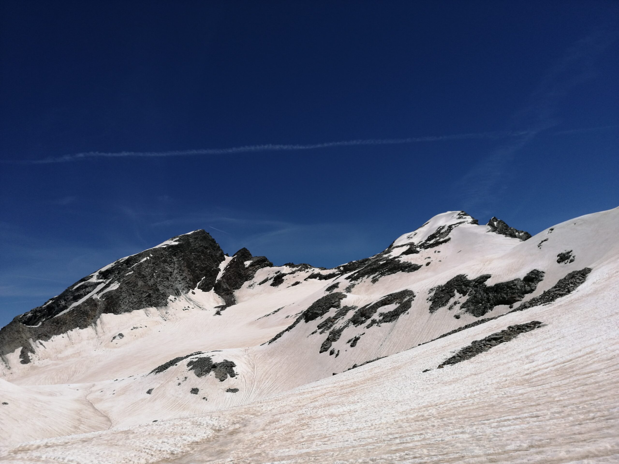
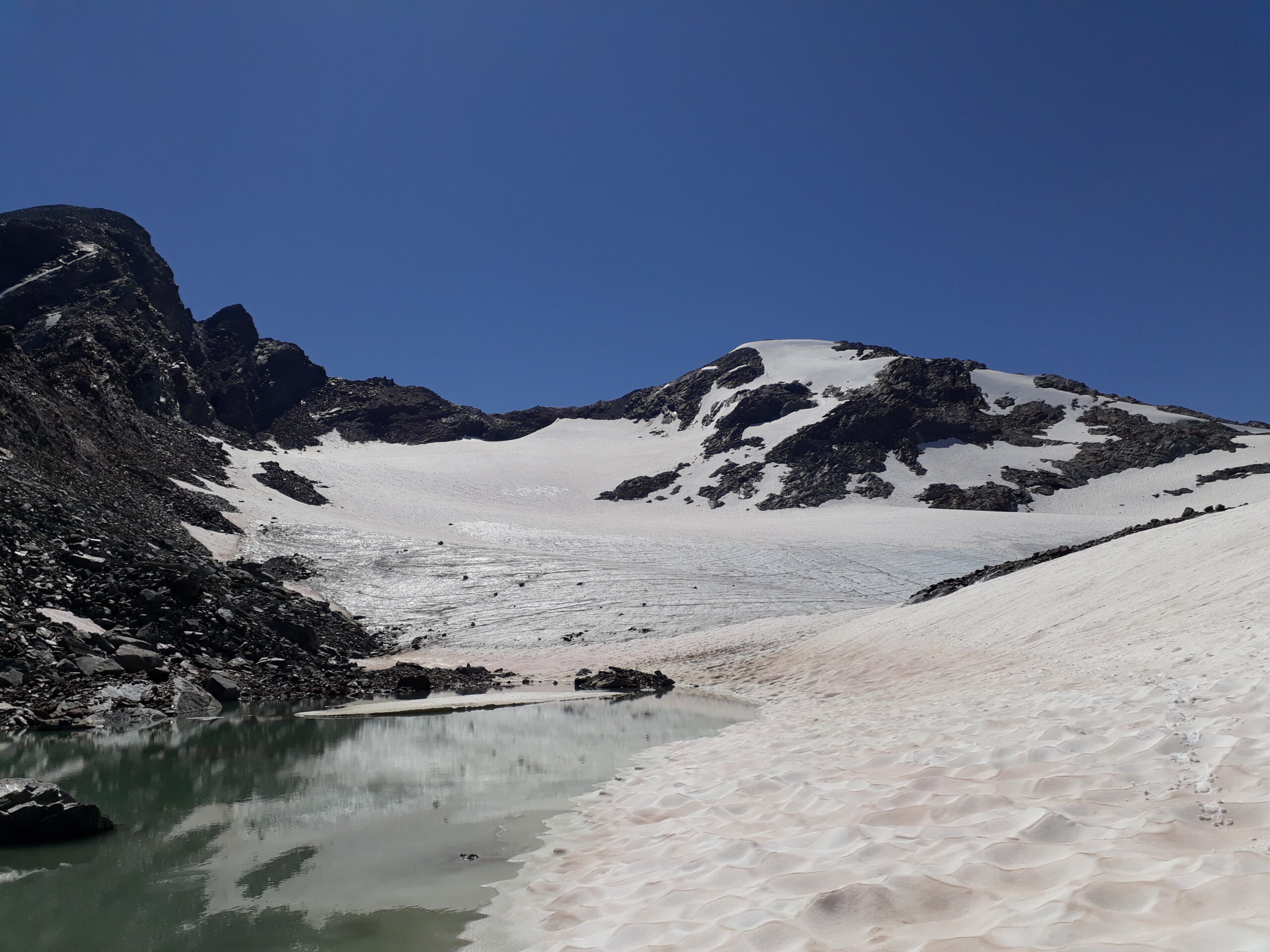
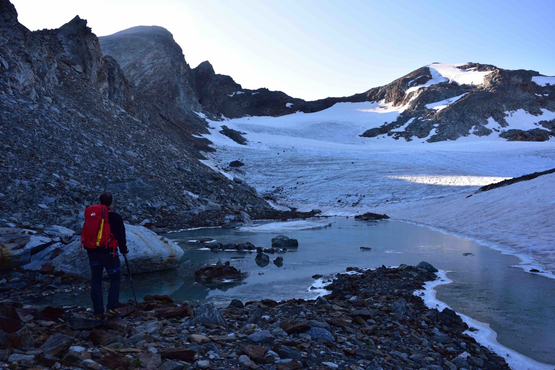
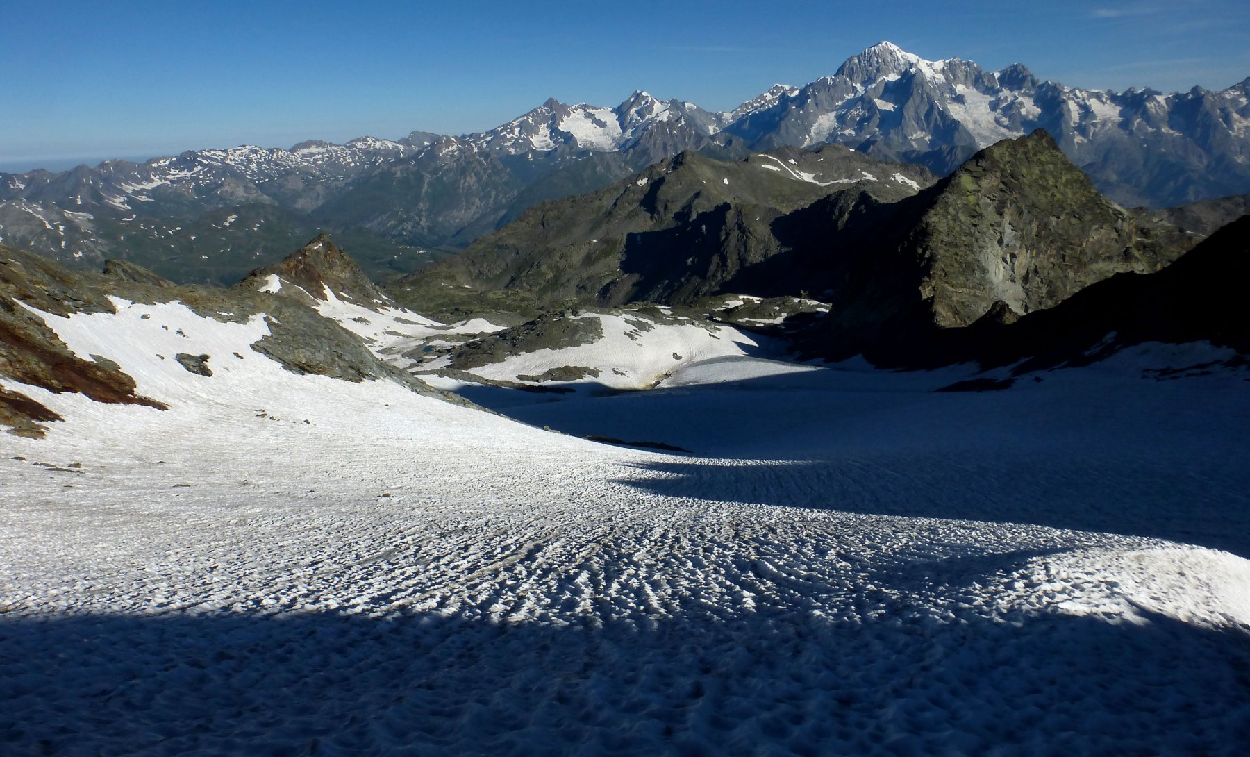
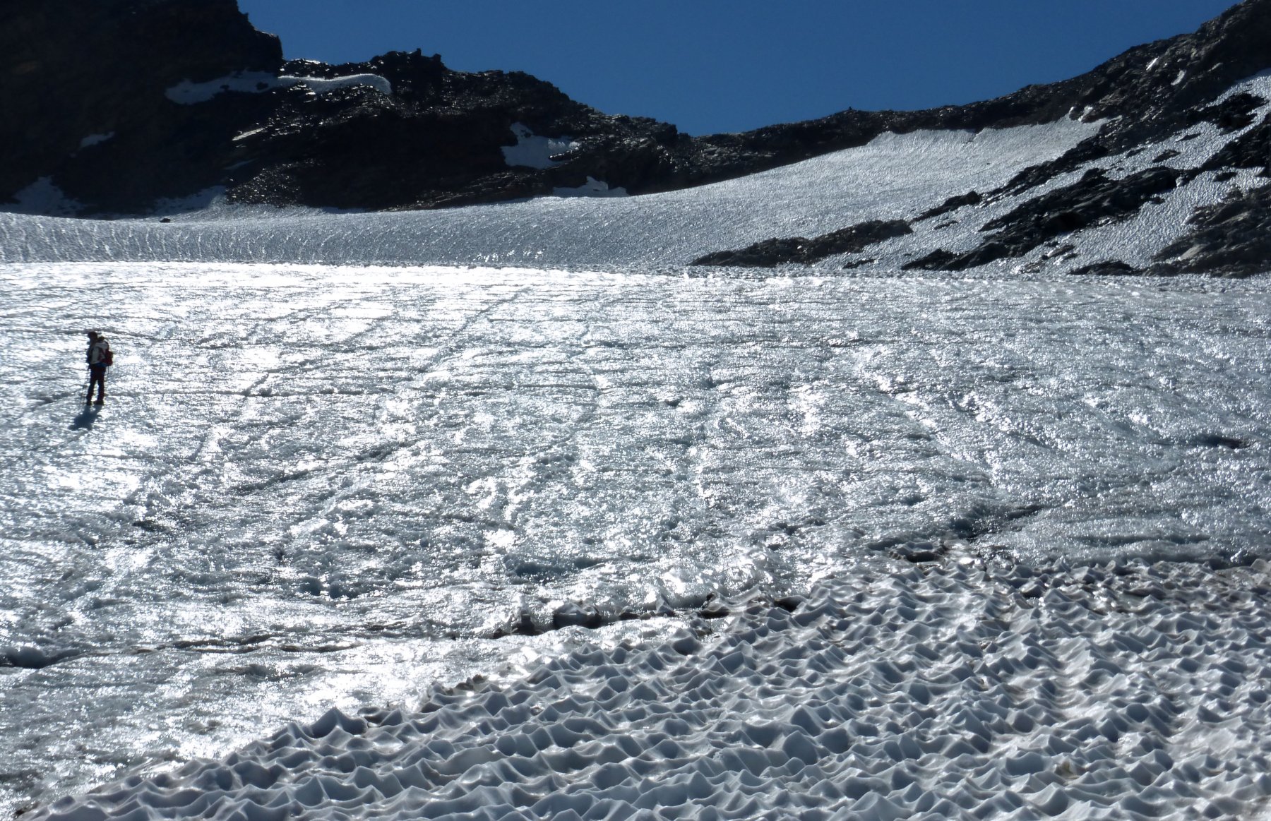
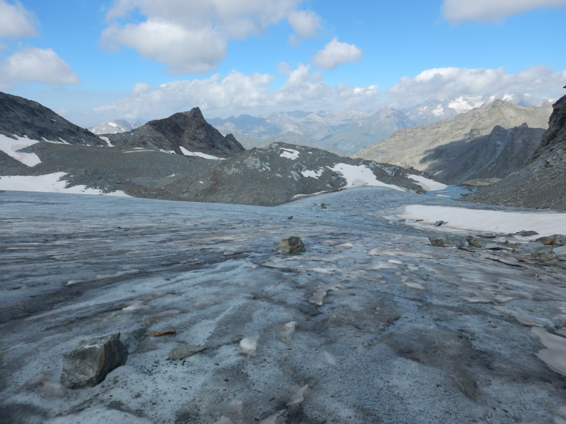
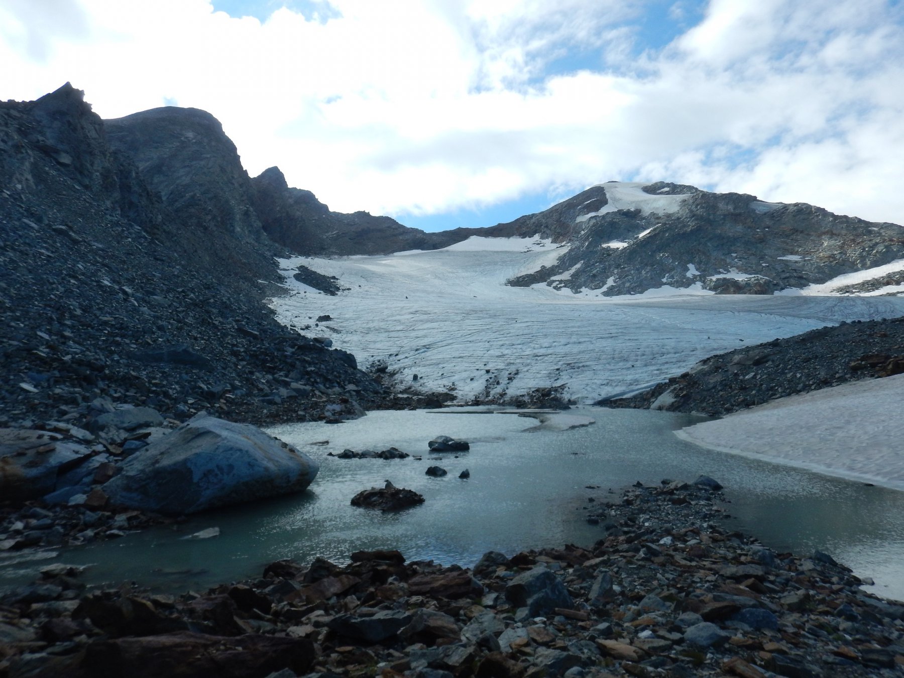
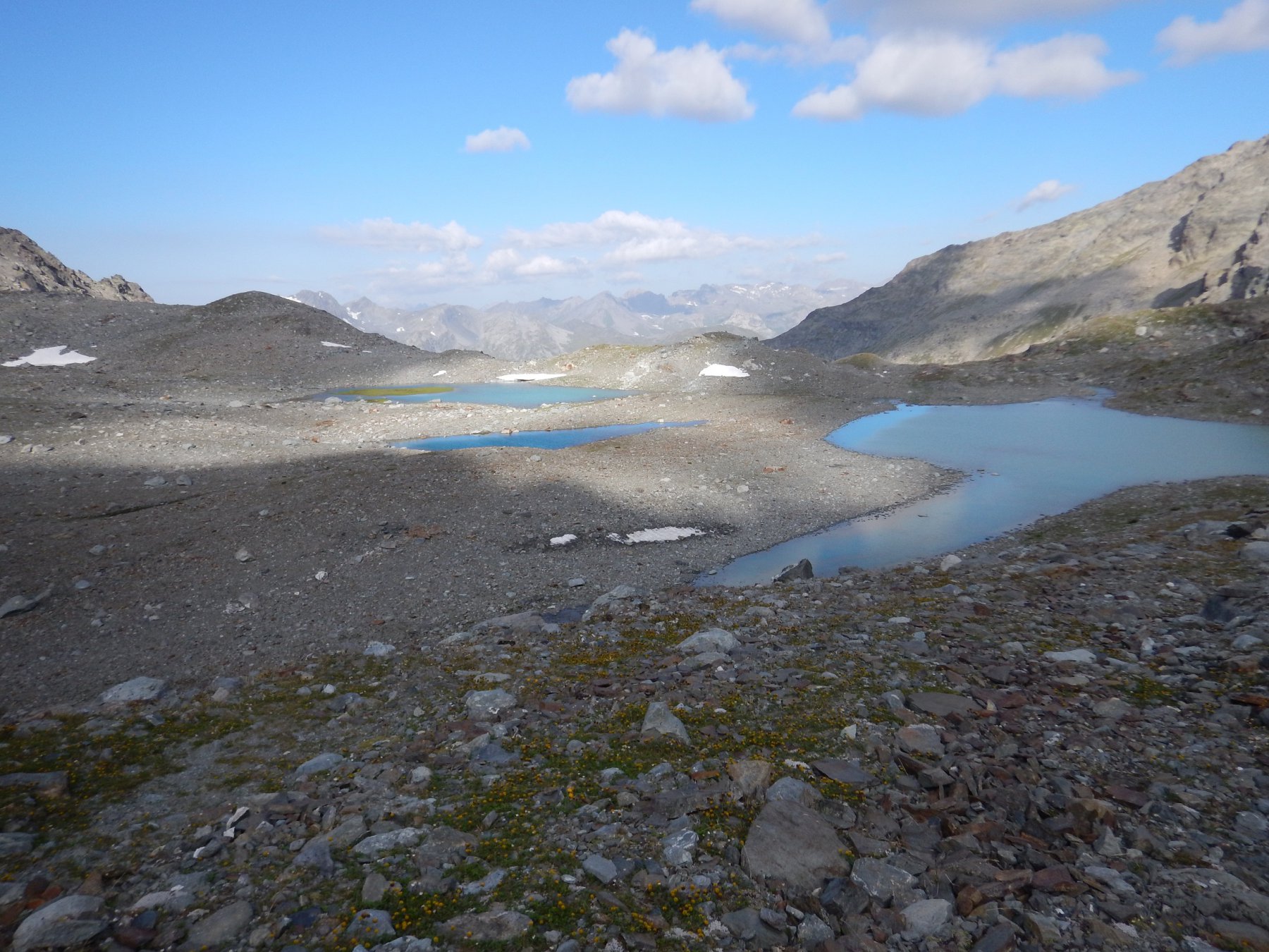
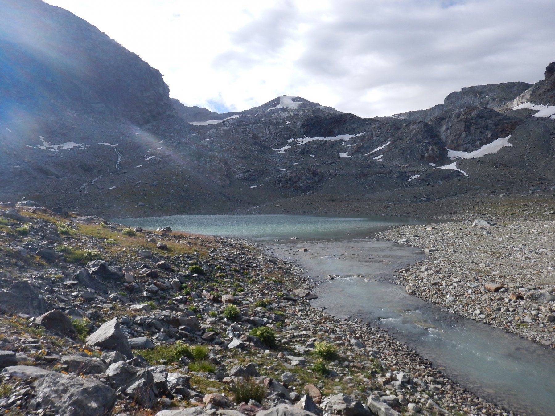
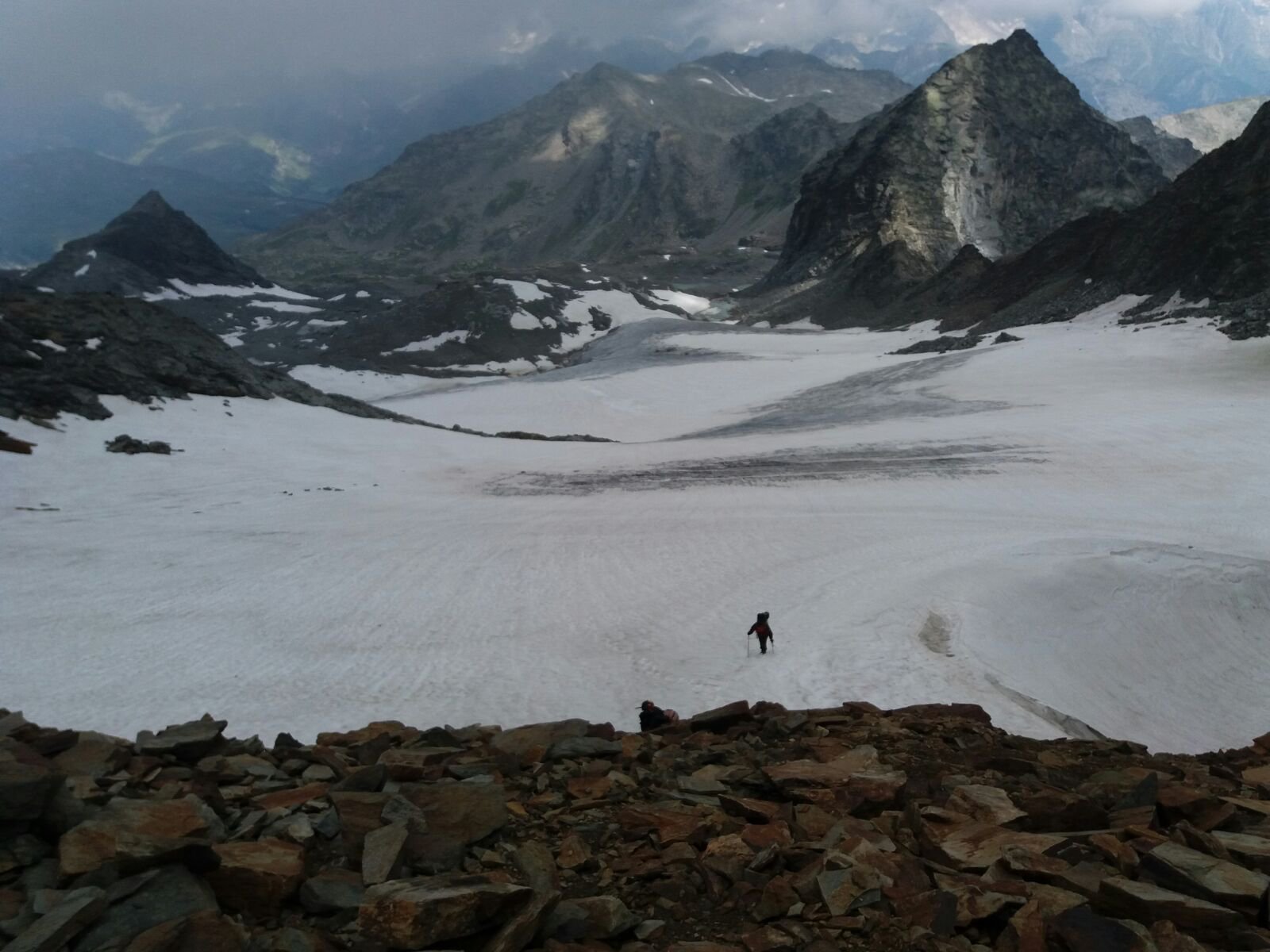
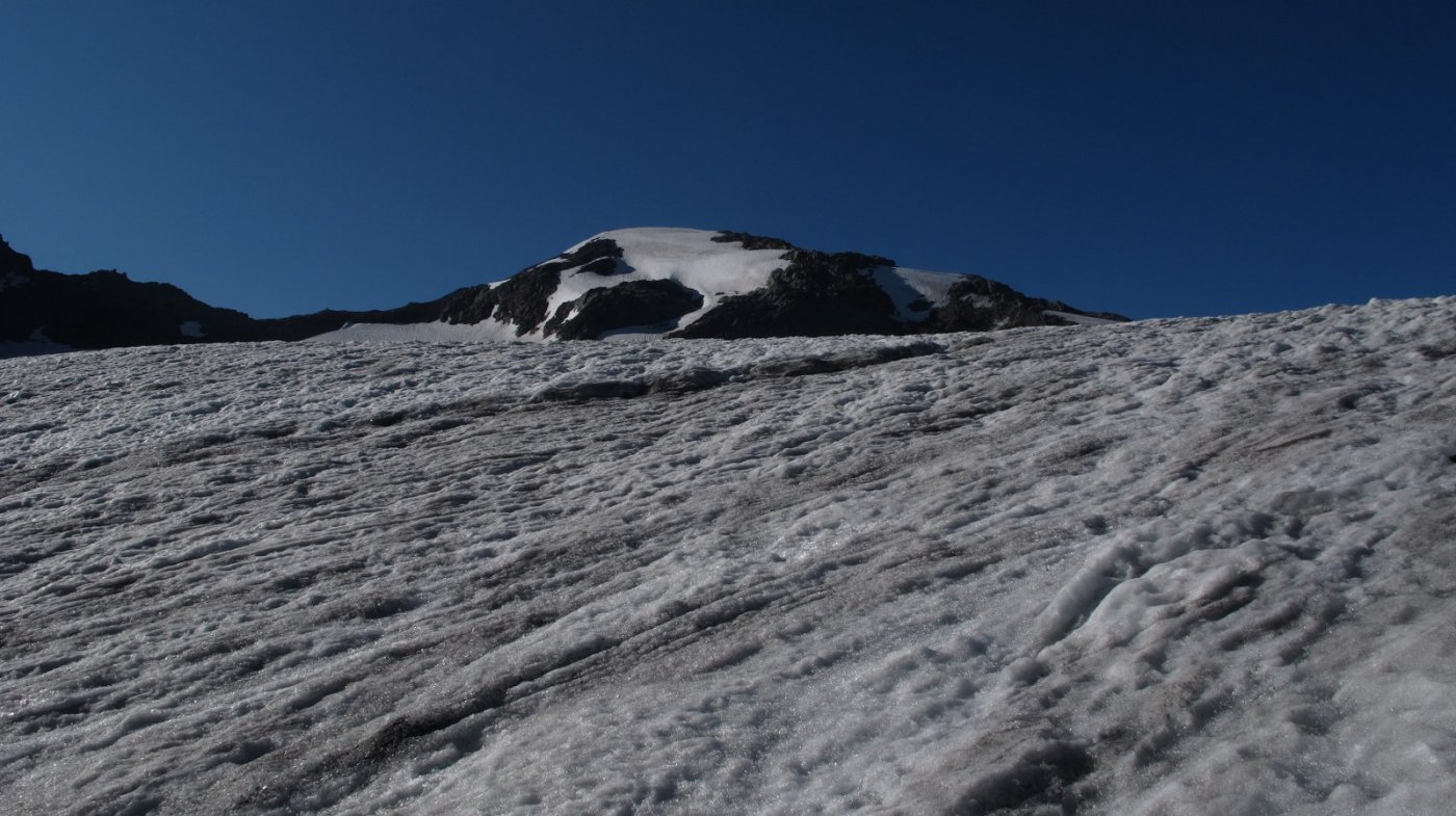
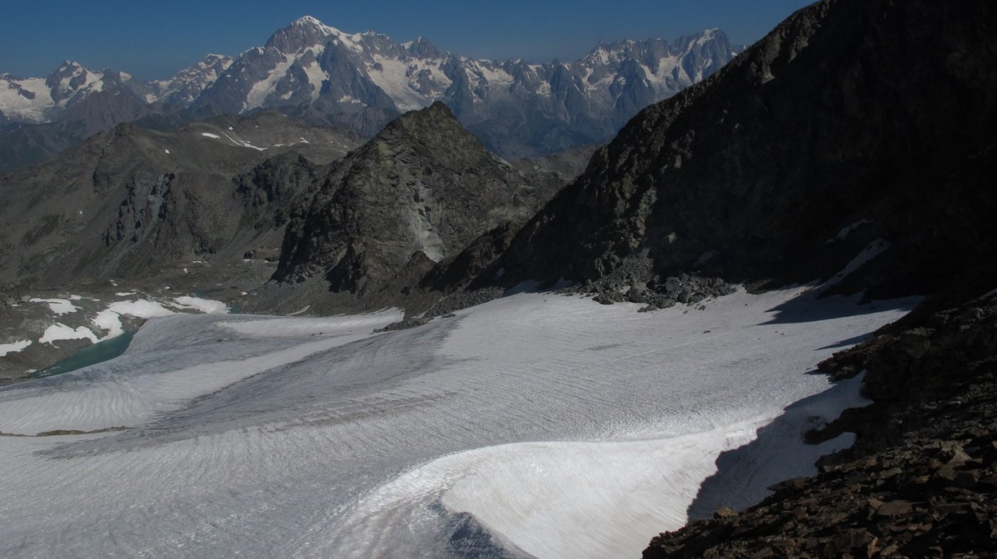
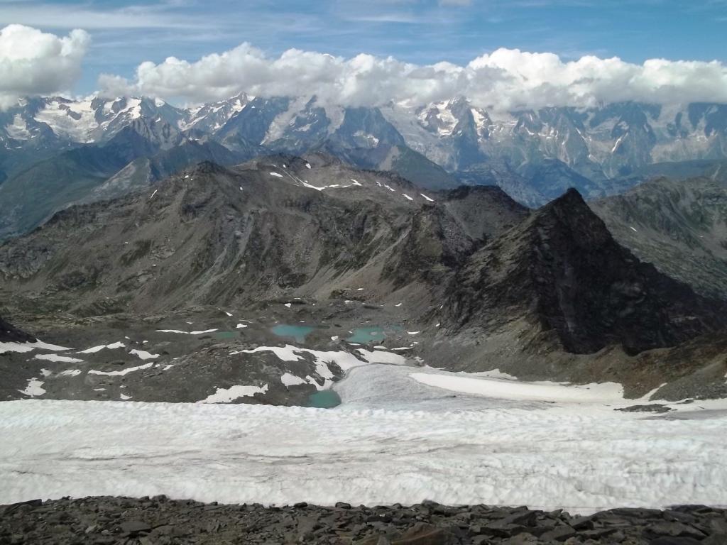
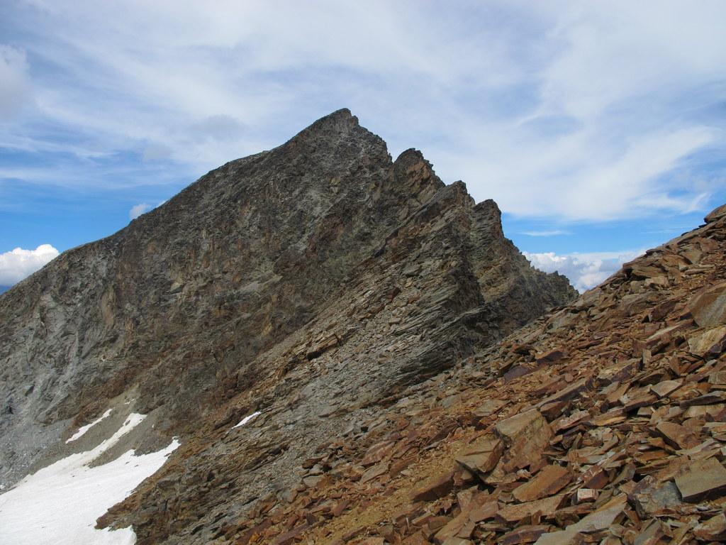
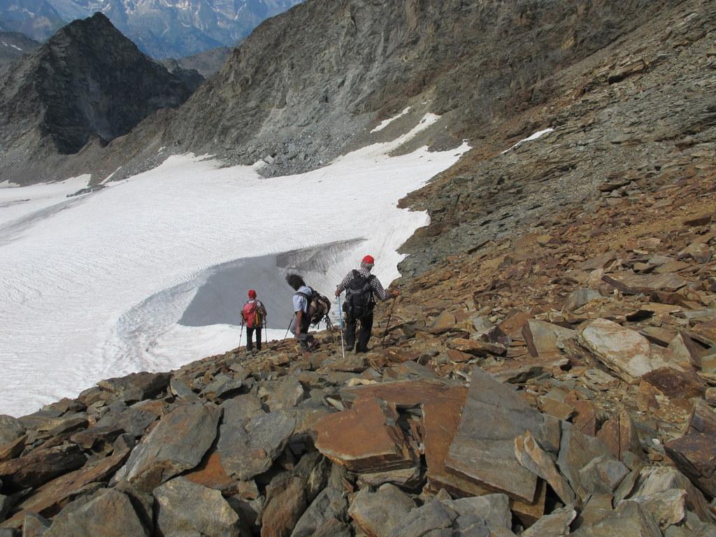
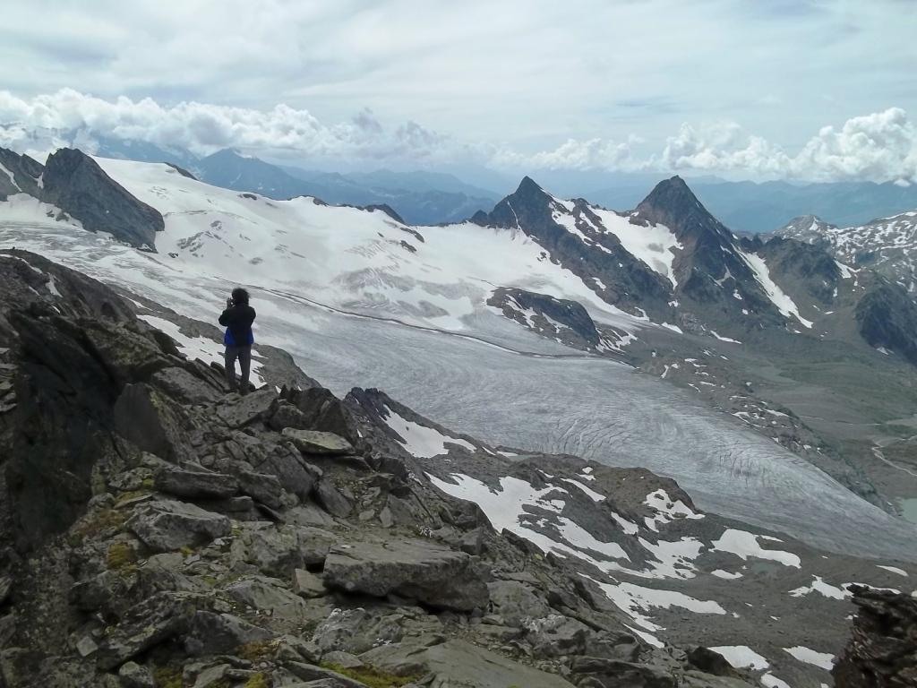
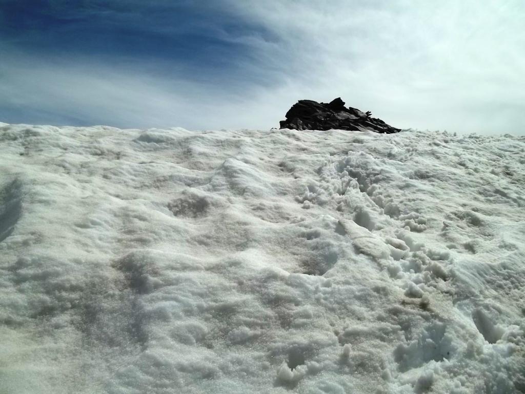
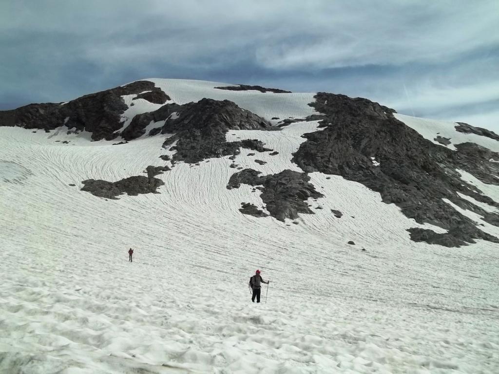
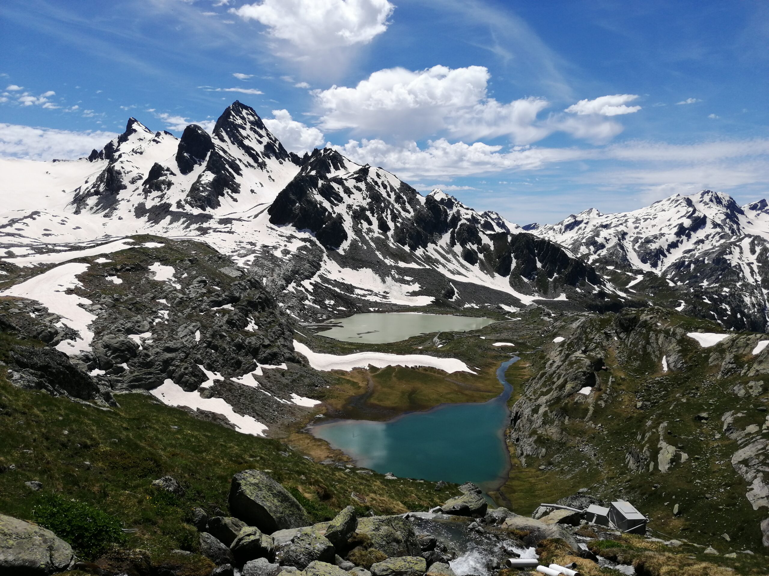
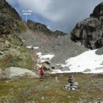
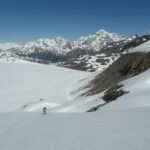
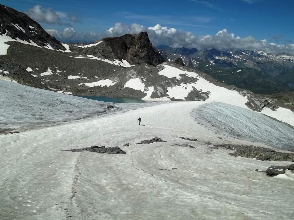
Dal Rifugio seguire il sentiero Alta Via N. 2 per il Passo Alto che, in direzione Nord Est, entra nella Comba di Ussellettes. Giunti a quota 2700m circa, in corrispondenza di un grosso ometto, si svolta a destra in un valloncello ascendente che conduce ai Laghi di Ussellettes, m 2800. Dai laghi salire sulle morene soprastanti e raggiungere il pianeggiante Glacier des Ussellettes.
Qui vi sono più possibilità:
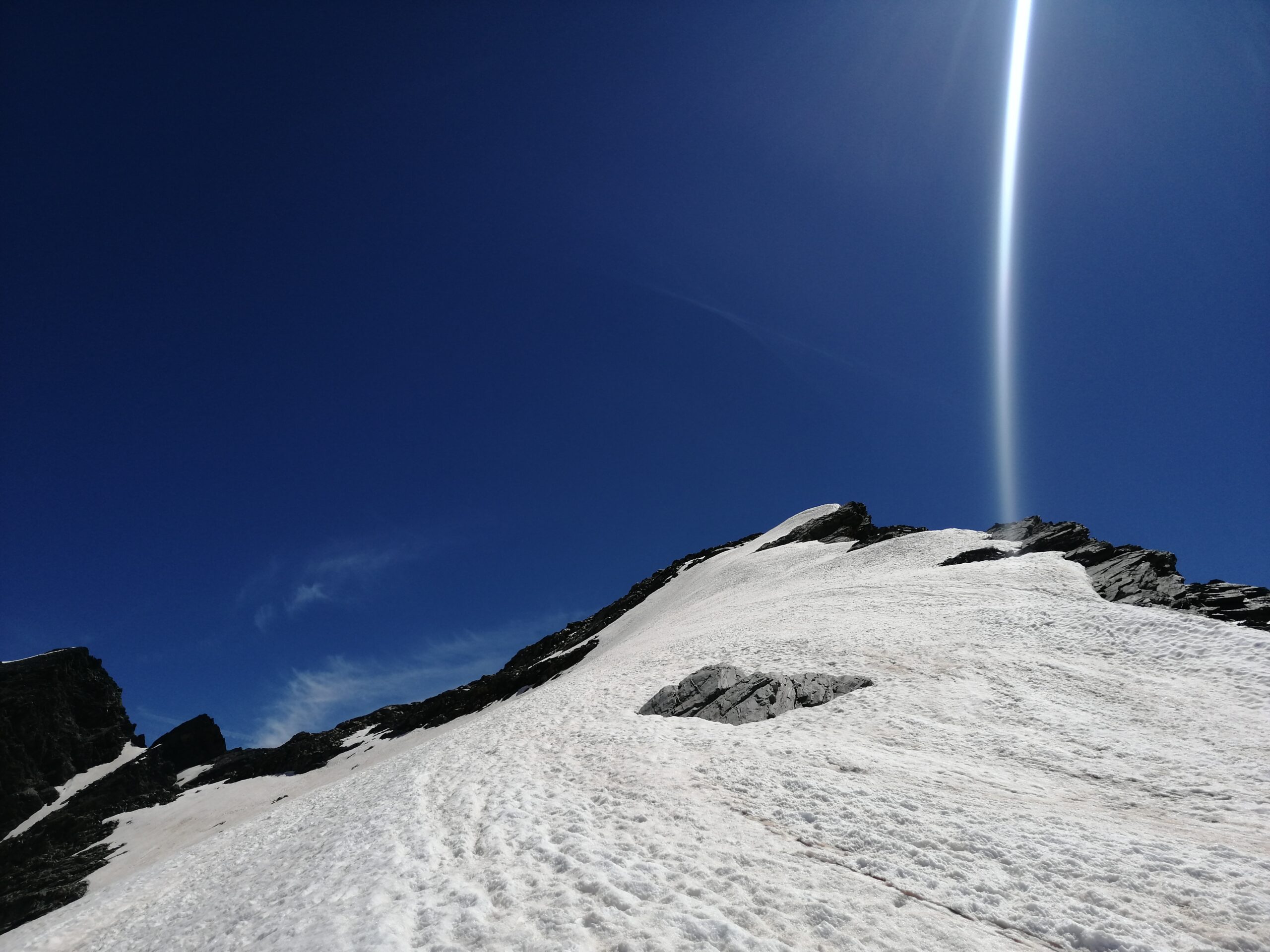
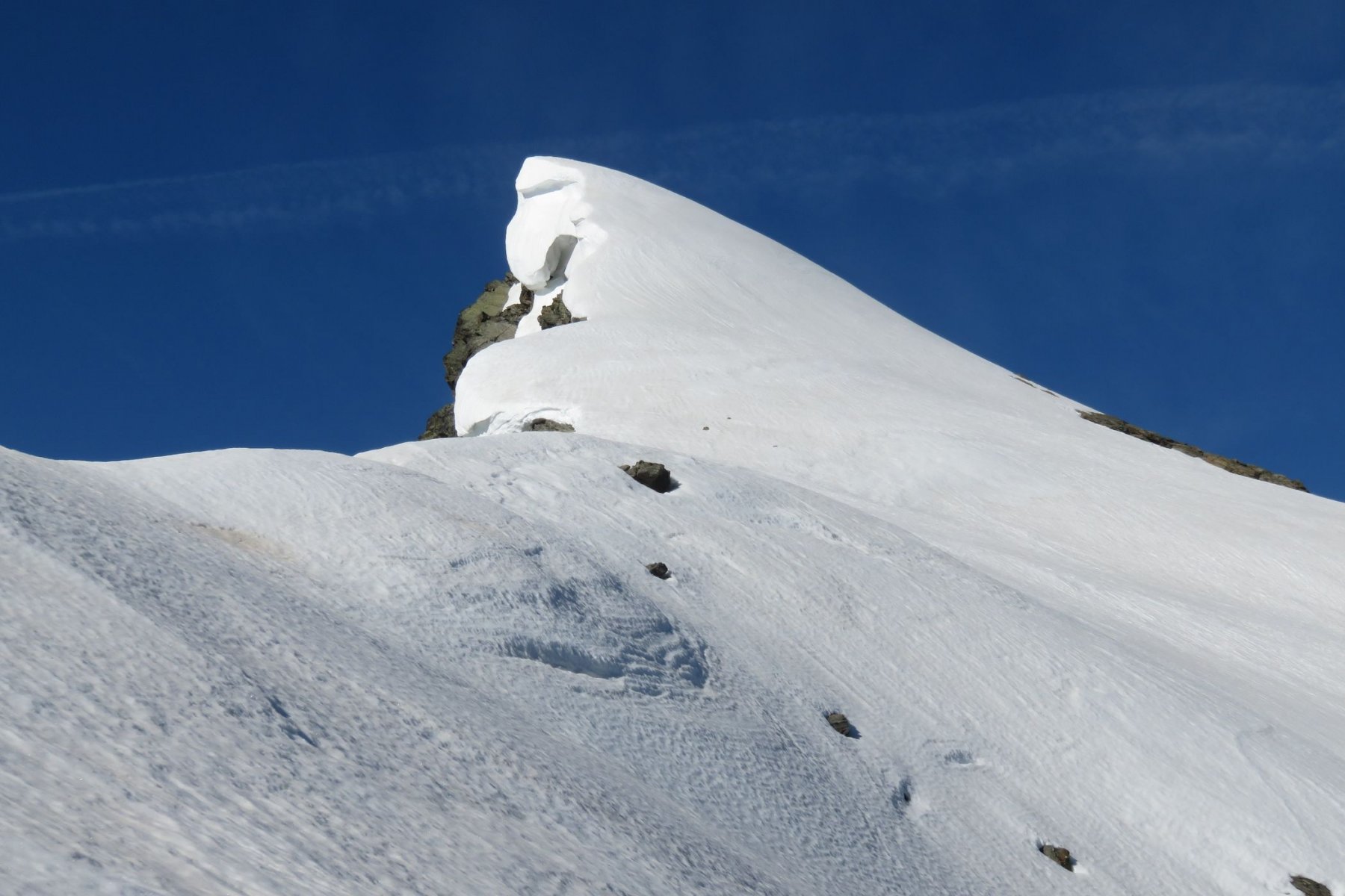
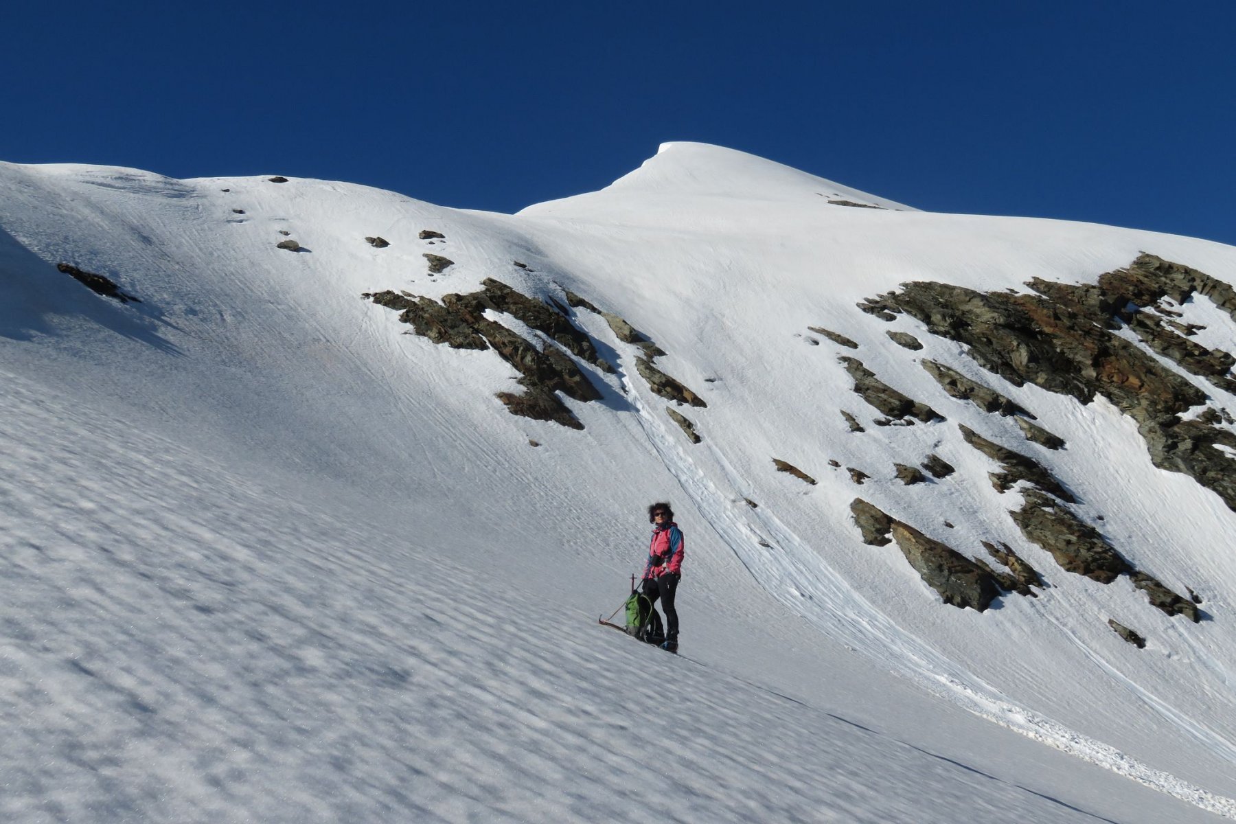
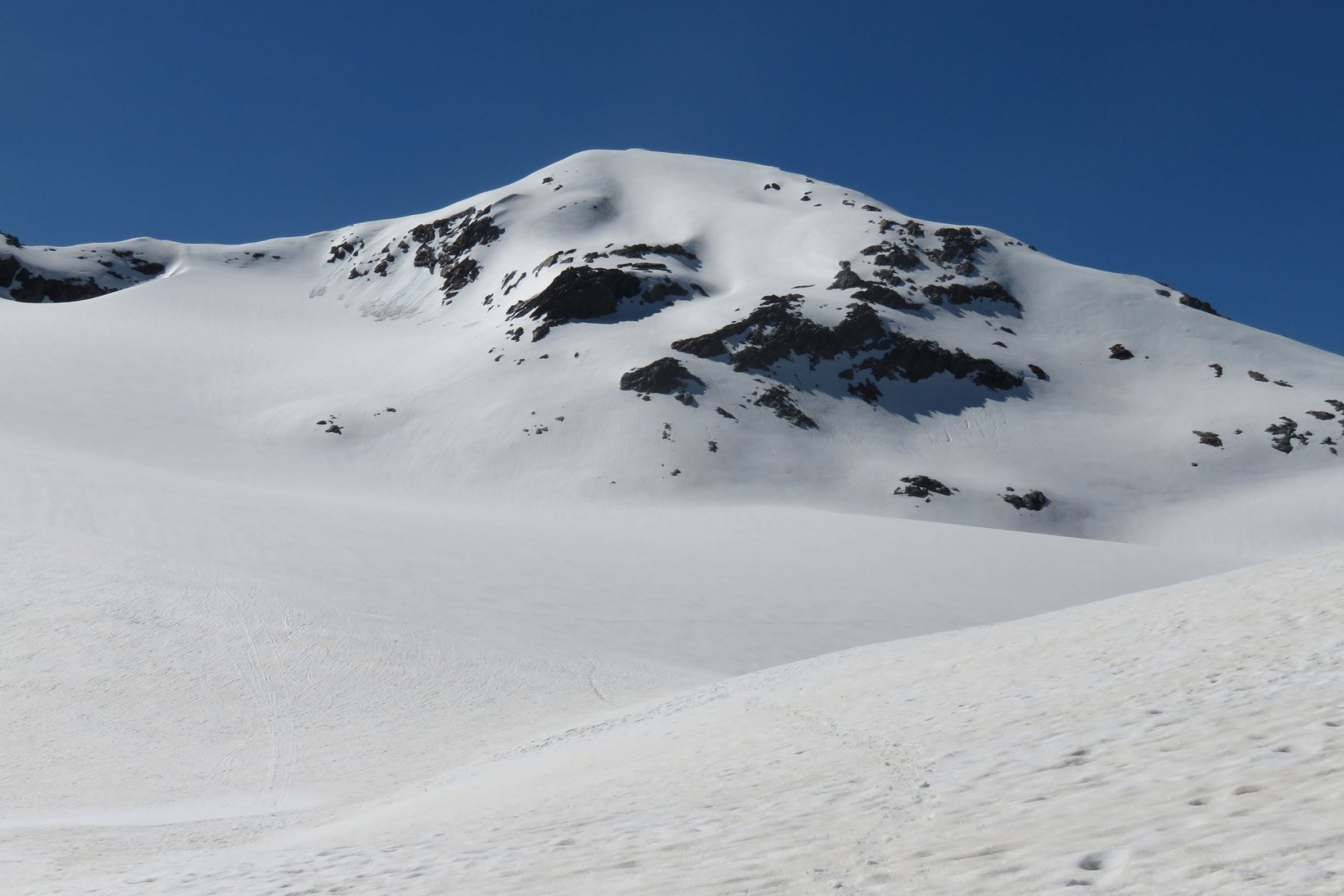
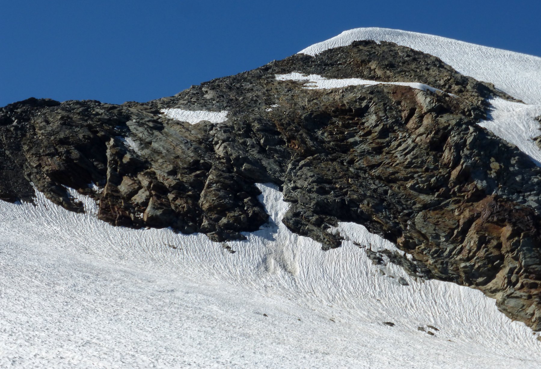
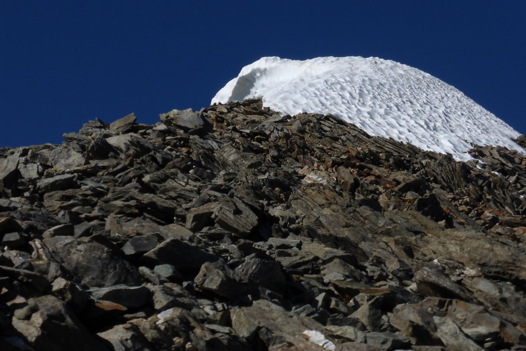
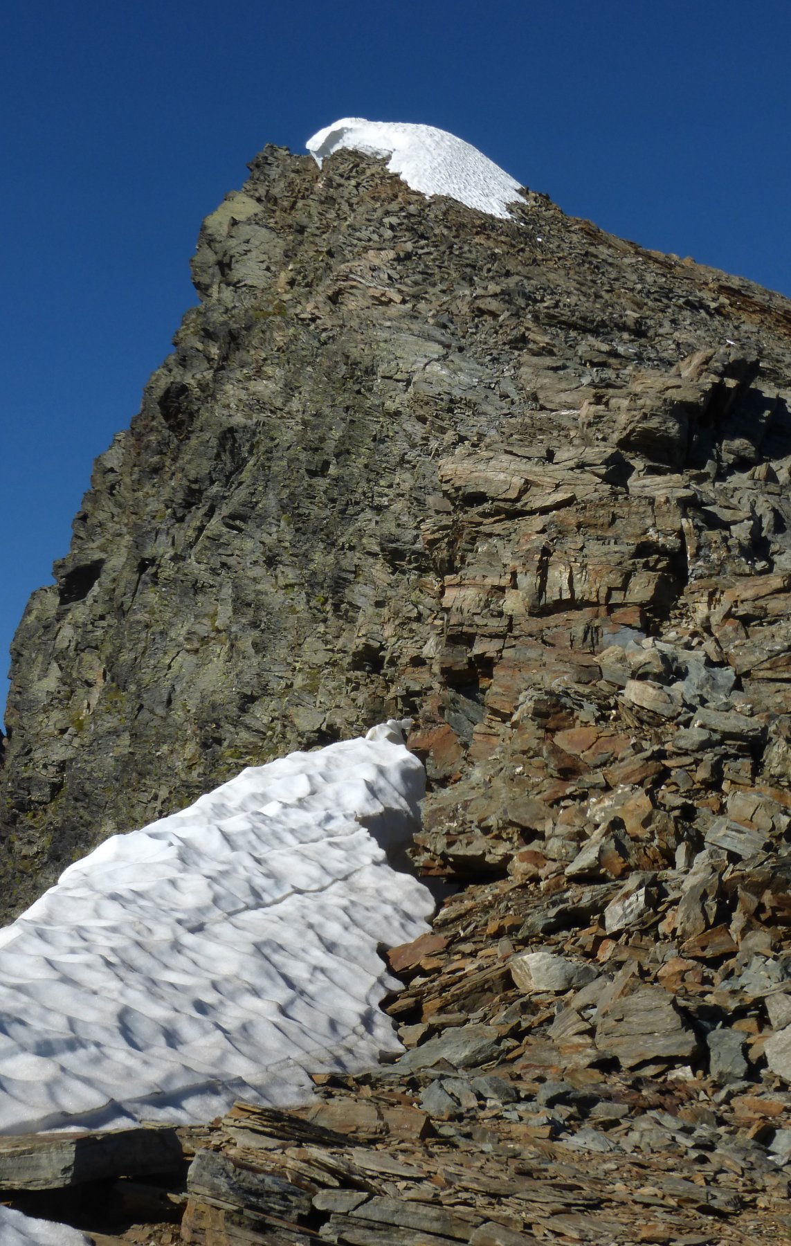
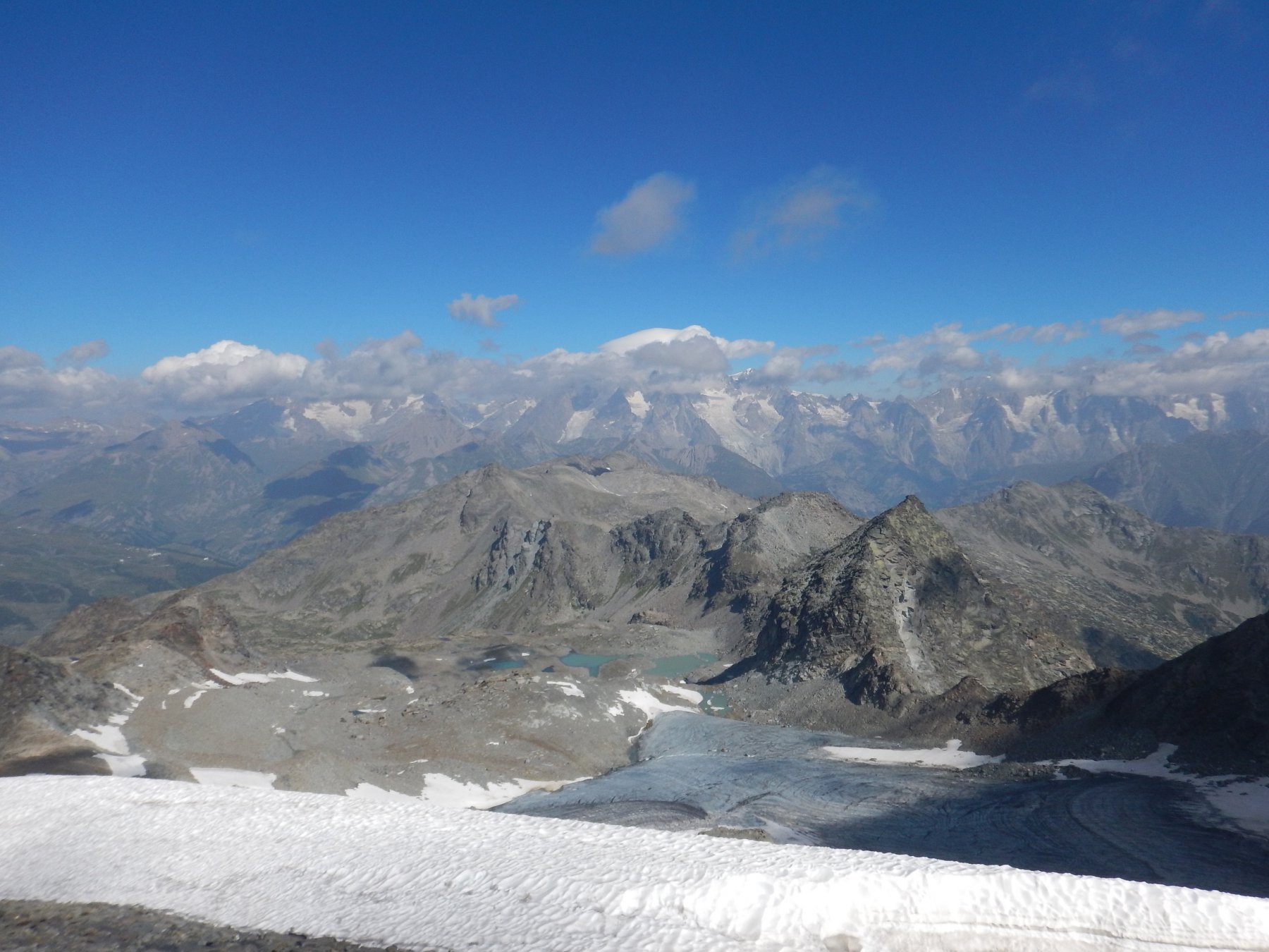
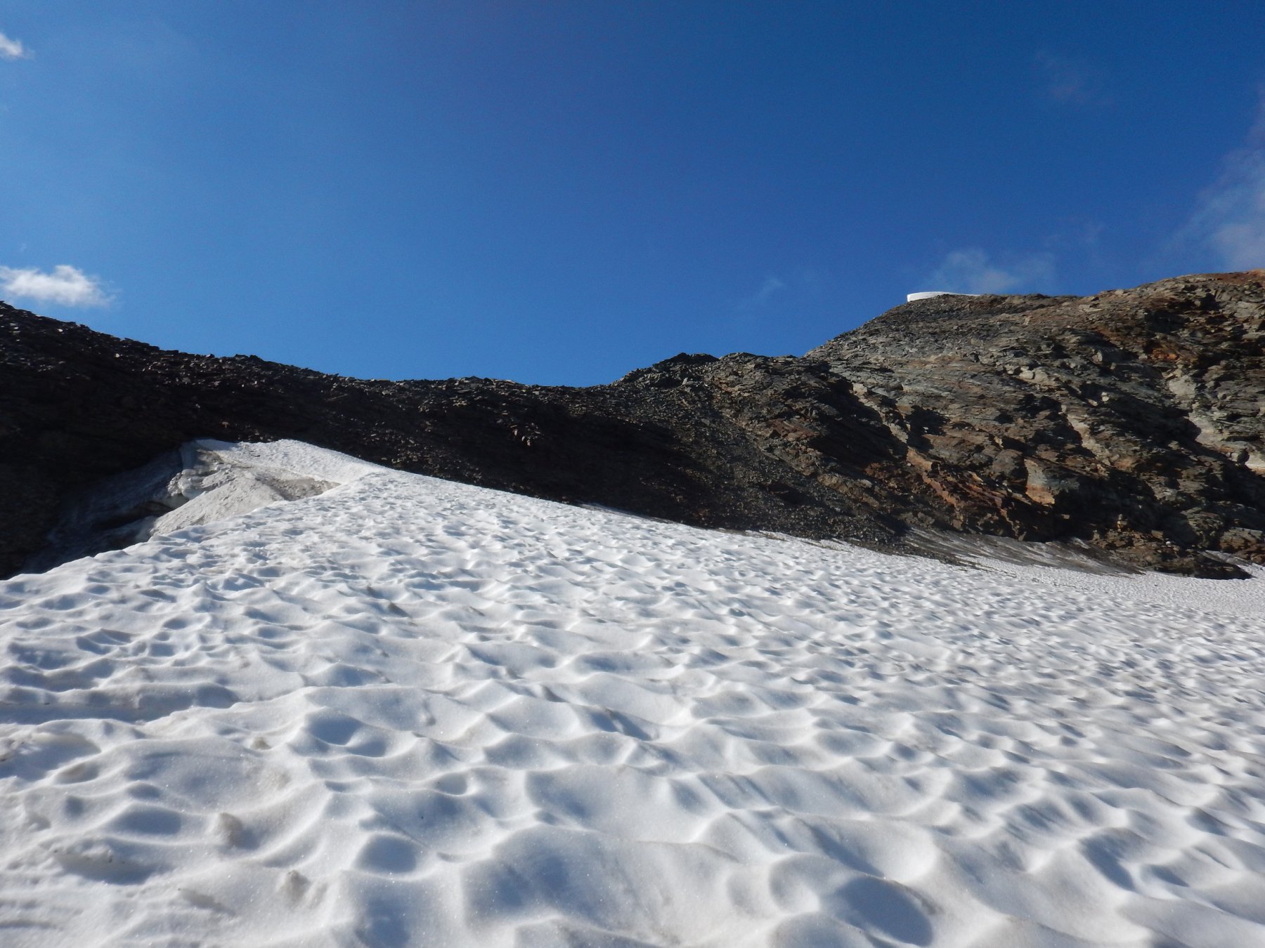
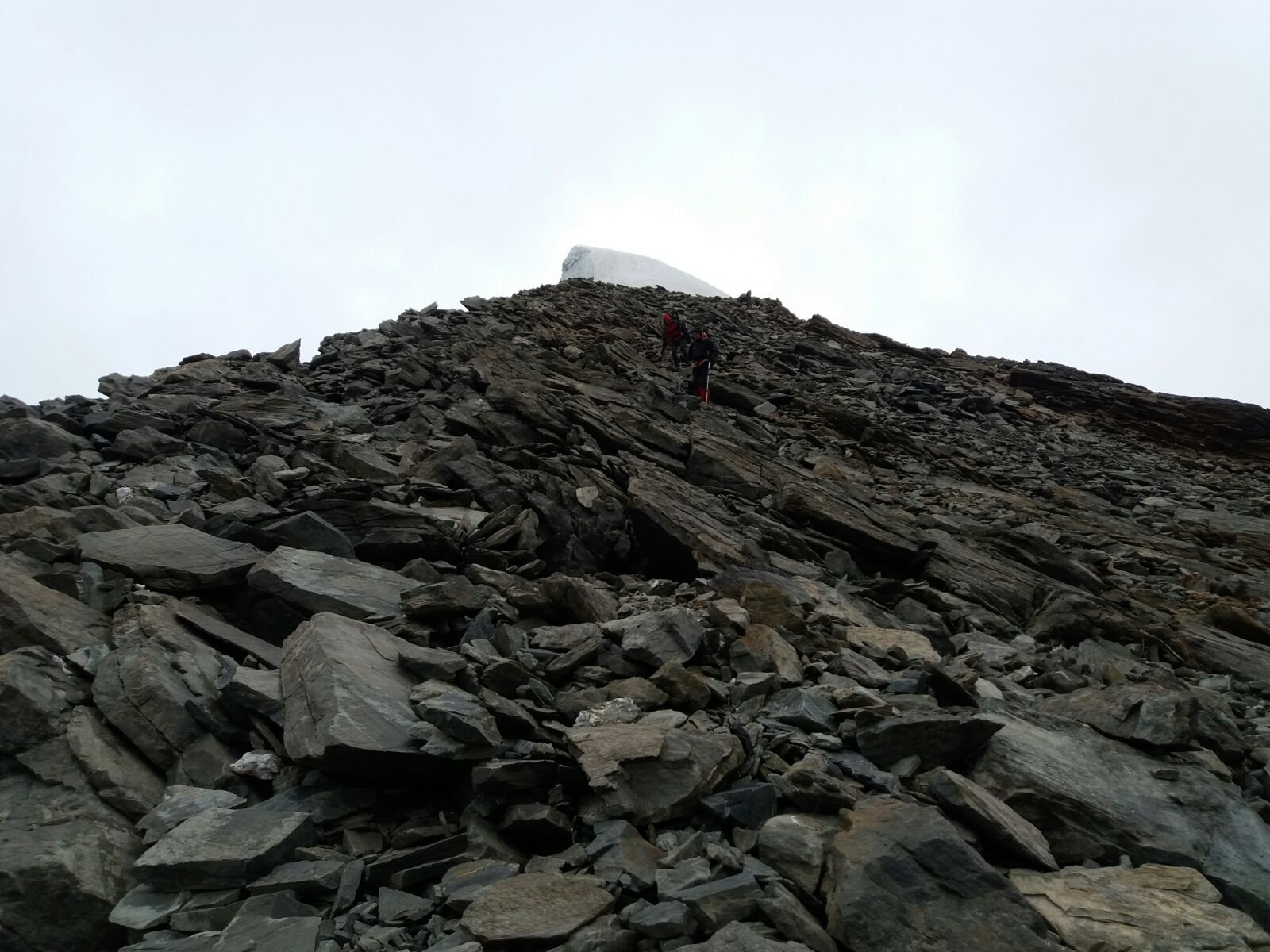
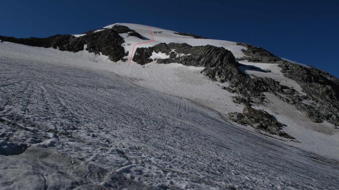
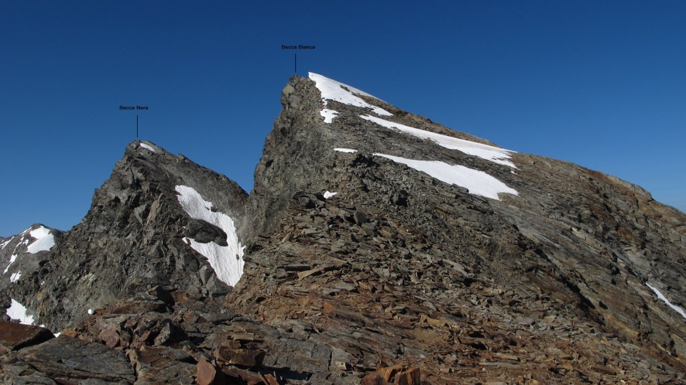
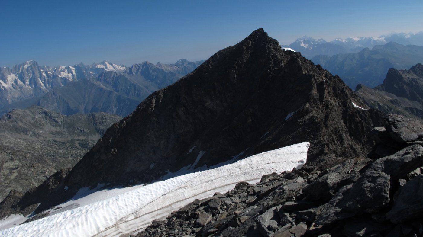
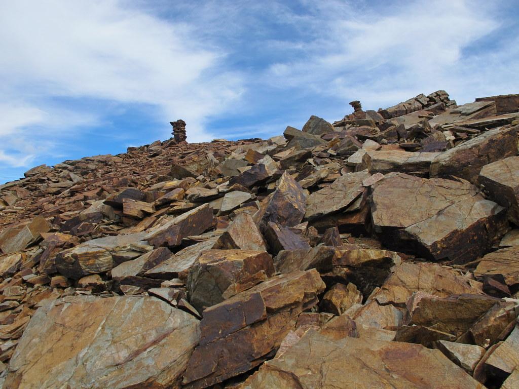
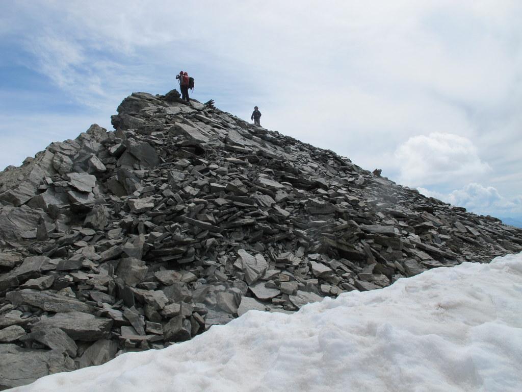
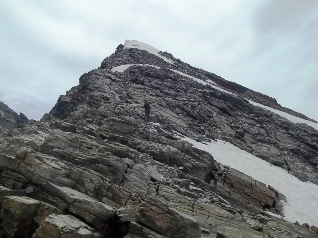
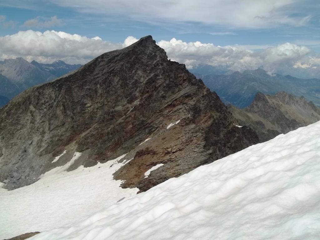
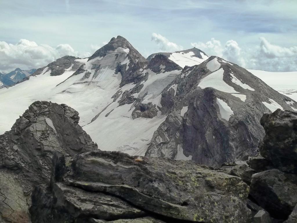
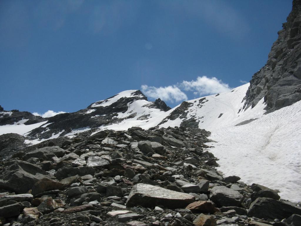
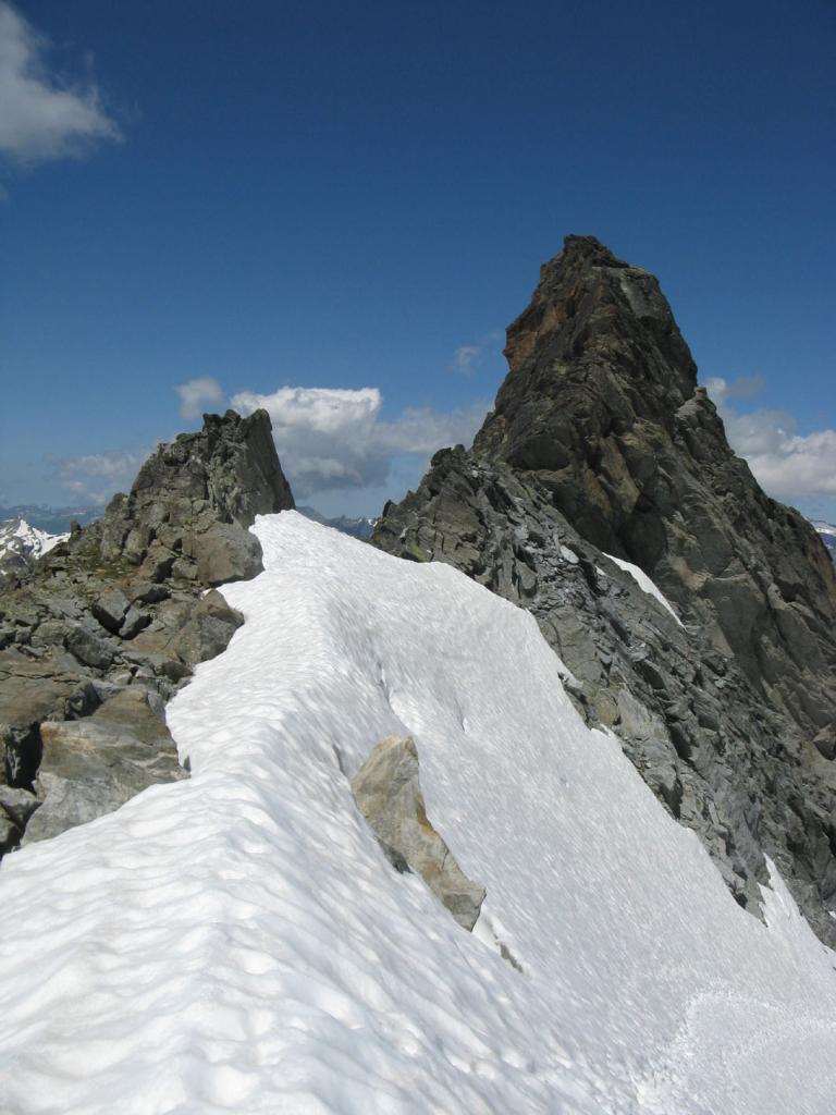
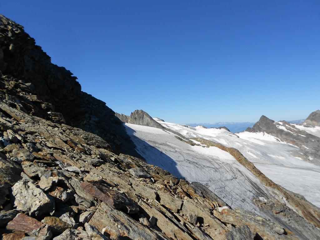
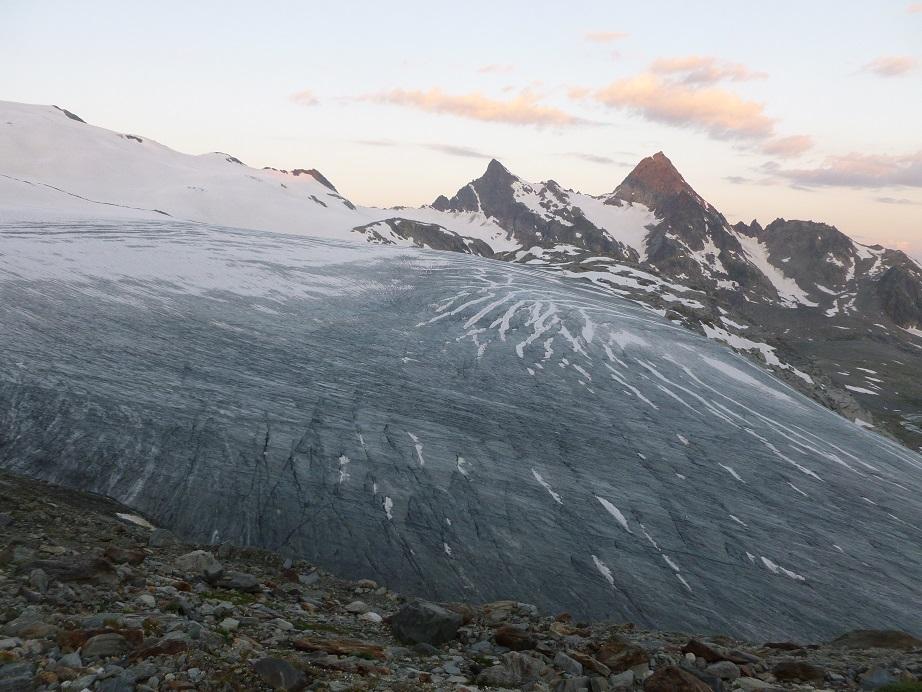
1) tenendosi sulla sinistra (destra orografica) risalire tutto il ghiacciaio puntando a raggiungere il colletto tra il Monte Paramont e la Becca Bianca del Paramont. Sempre con pendenza moderata si arriva sotto al colletto che si raggiunge con un ultimo tratto più ripido (di sfasciumi e detriti a fine stagione). Seguire ora la cresta Nord-Est tenendosi a debita distanza delle enormi cornici sul lato orientale, o a fine stagione su rocce e sfasciumi, senza difficoltà, in direzione della vetta fino a raggiungerla. La vetta può essere preceduta da un breve tratto nevoso anche a stagione inoltrata.
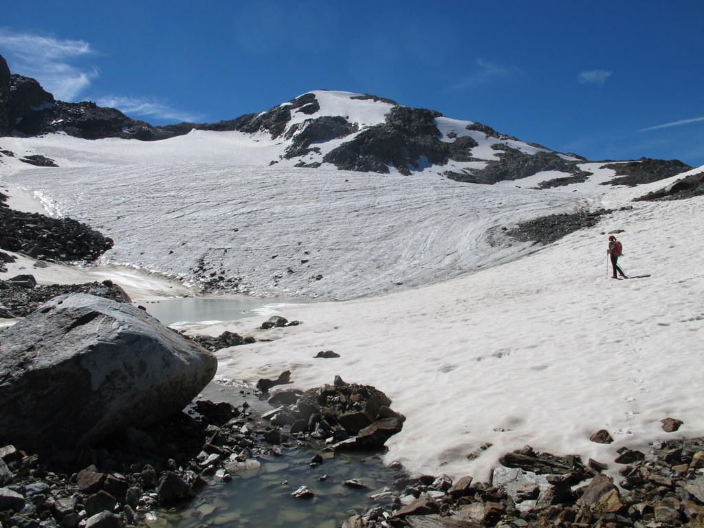
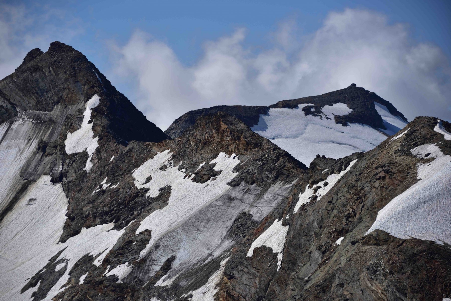
2) giunti al Glacier des Ussellettes ci si porta sul suo lato destro (sinistra orografica) e si sale un ripido pendio tipicamente nevoso poco a monte delle due vette di Les Invergneures. Raggiunta la cresta Nord-Ovest la si segue su neve aggirando alcuni tratti rocciosi sul versante del Glacier des Ussellettes su ripidi pendii innevati. A stagione inoltrata o in mancanza di neve è necessario superare le varie fasce rocciose con passi di arrampicata abbastanza facili (itinerario più impegnativo del precedente).
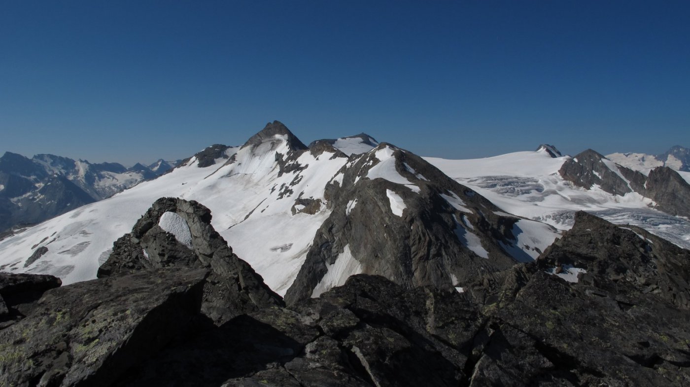
3) si sale direttamente il ripido versante Nord, compiendo una sorta di “S”. Con un primo traverso da sx a dx ci si porta al centro del versante, quindi lo si risale seguendo un vago canale, piegando leggermente verso sx. Consigliabile sono ad inizio stagione o con copertura nevosa completa (PD-, pendii fino a 40°).
- Cartografia:
- L'Escursionista Editore Carta dei sentieri 1:25000 n. 2 La Thuile
- Bibliografia:
- Guida C.A.I. - T.C.I. Alpi Graie Centrali
Nelle vicinanze Mappa
Itinerari
09/08/2011 AO, La Thuile D+ 1800 m PD- Nord-Ovest
Flambeau per il versante Nord-Ovest
 50m
50m
24/09/2023 AO, La Thuile D+ 1650 m F Nord-Est
Chenal (Punta) da la Joux per il Rifugio Deffeyes
 50m
50m
10/08/2012 AO, La Thuile D+ 306 m F+ Nord-Est
Flambeau Via delle Lose
 350m
350m
21/07/2019 AO, La Thuile D+ 2000 m PD Varie
Doravidi (Monte, Punta Nord) e Flambeau traversata sud/nord
 450m
450m
14/08/2025 AO, La Thuile D+ 1580 m F Varie
Paramont (Testa del) da La Joux per il Rifugio Deffeyes
 450m
450m
17/08/2018 AO, La Thuile D+ 1900 m F+ Nord-Ovest
Doravidi (Monte, Punta Nord) da La Joux
 500m
500m
16/08/2023 AO, La Thuile D+ 1800 m F+ Varie
Paramont (Monte) Via Normale da la Joux
 500m
500m
16/08/2024 AO, La Thuile D+ 1600 m F+ Varie
Loydon (Pointe) da La Joux per il Rifugio Deffeyes
 700m
700m
28/07/2024 AO, La Thuile D+ 2000 m F Nord
Rutor (Testa del) Via Normale da La Joux per il Rifugio Deffejes
 1.5Km
1.5Km
06/08/2024 AO, La Thuile D+ 1700 m PD- Tutte
Grand Assaly Via Normale da La Joux
 1.5Km
1.5Km