8.4Km
8.4Km


Note
 0m
50m
50m
50m
50m
50m
50m
50m
50m
50m
0m
50m
50m
50m
50m
50m
50m
50m
50m
50m
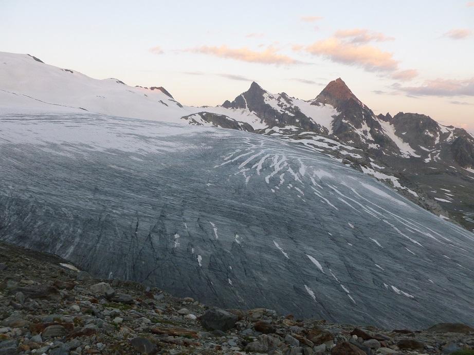
Bella e facile salita con panorami assicurati sul gruppo del M.Bianco, il comprensorio di cime della Testa del Rutor e dell'omonimo ghiacciaio. Salita a sé stante, oppure caldamente consigliata con il concatenamento del Grand Assaly.
Avvicinamento
In Valle d'Aosta raggiungendo il paese di La Thuile alla frazione di La Joux 1596mt.
Descrizione
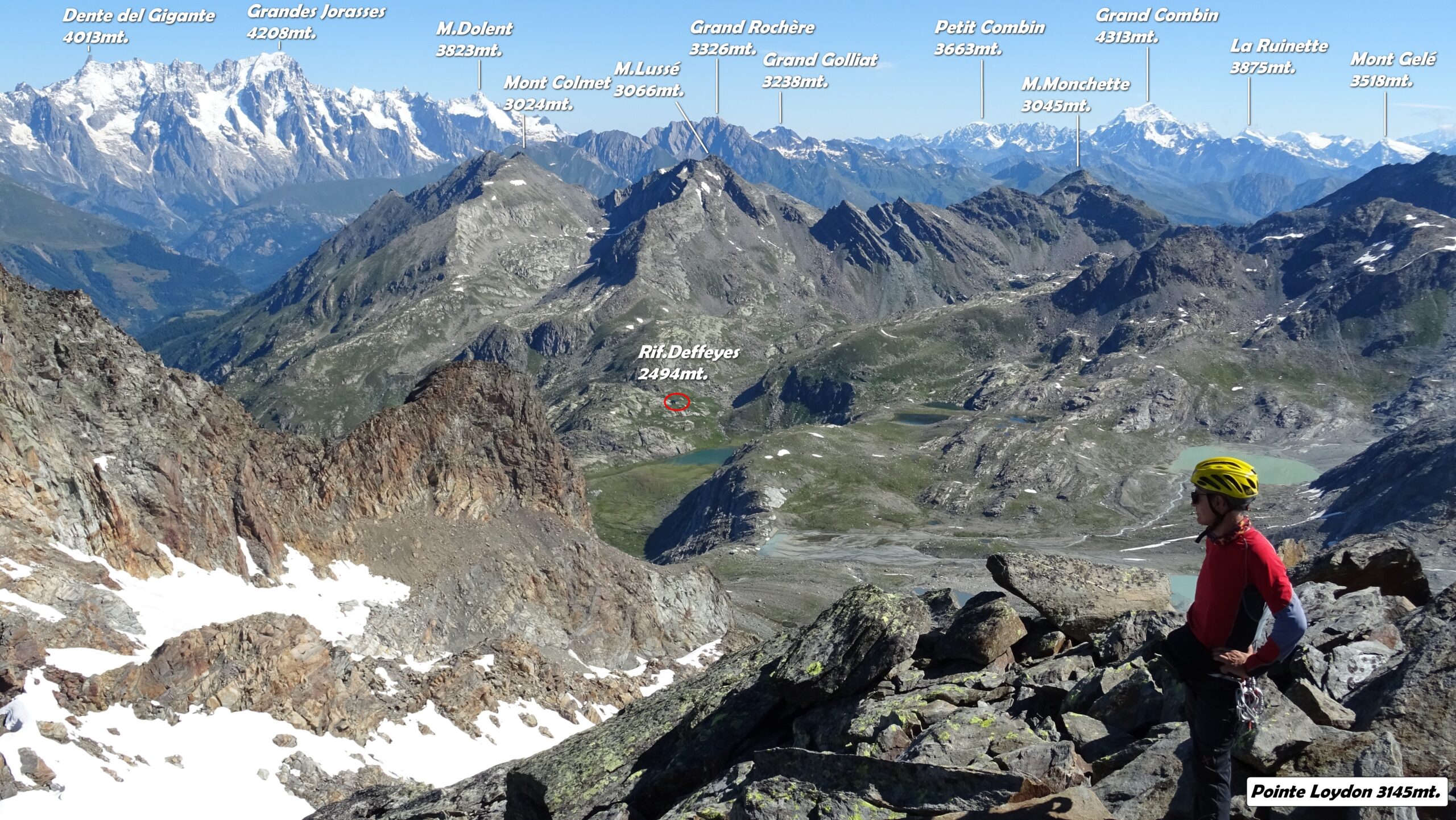
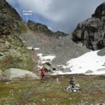
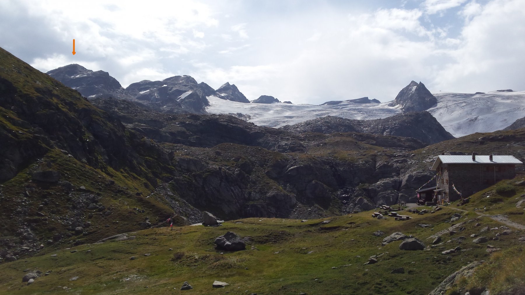
Da La Joux si prende il piacevole sentiero che sale tra boschi passando vicino cascate che porta al Rif.Deffeyes 2496mt.
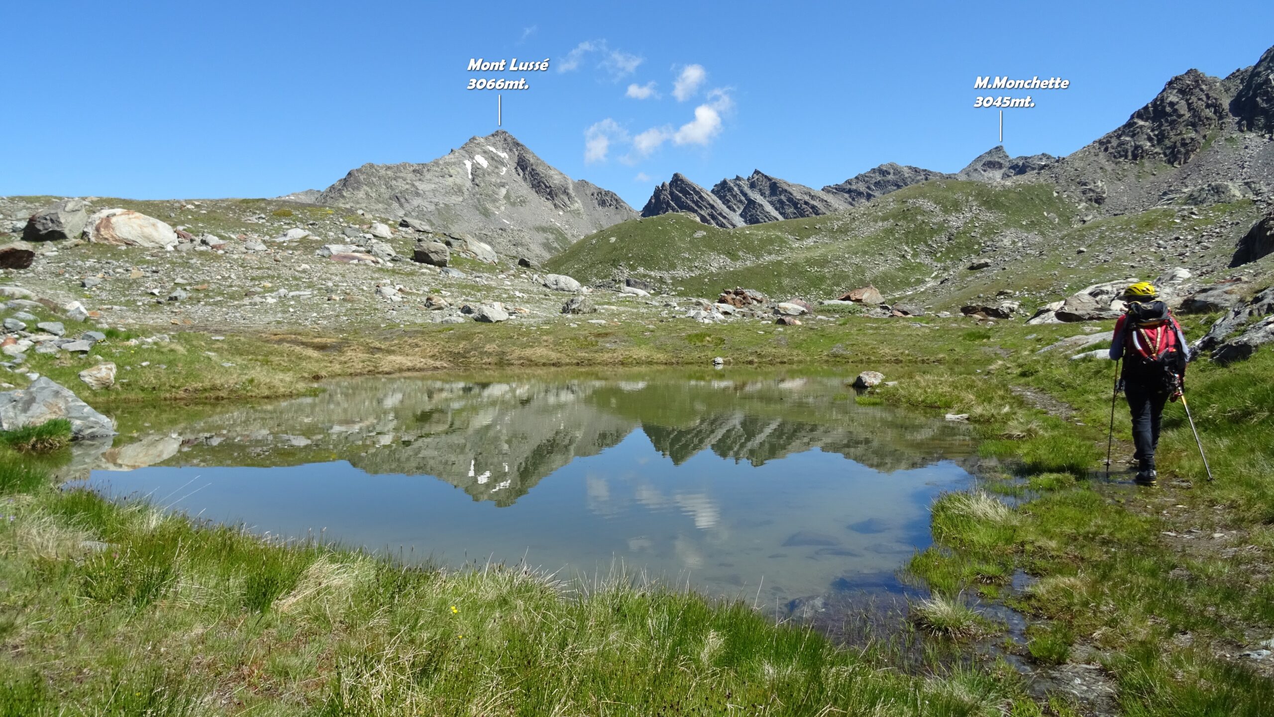
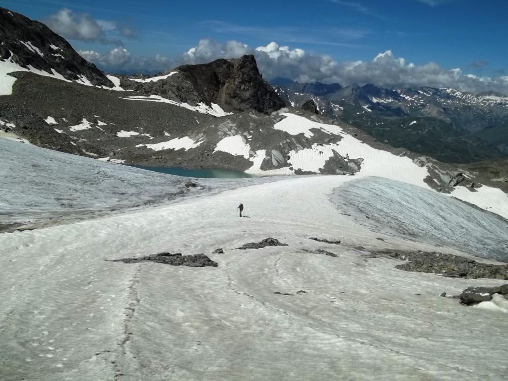
Davanti al rifugio si prende il sentiero in discesa con indicazione Passo di Planaval, risalendo brevemente sull’altro versante si incontra una seconda palina che indica il passo, qui si abbandona il sentiero principale e ci si dirige a dx su una traccia non segnalata che taglia in piano passando accanto al Lago Grigio 2531m e al Lago Glaciale che si contorna sulla dx giungendo alla forra dove scende la cascata, qui sulle rocce montonate è allestito il passaggio con due cavi metallici (utile longe e moschettone per sicura) che consente di attraversare il torrente glaciale.
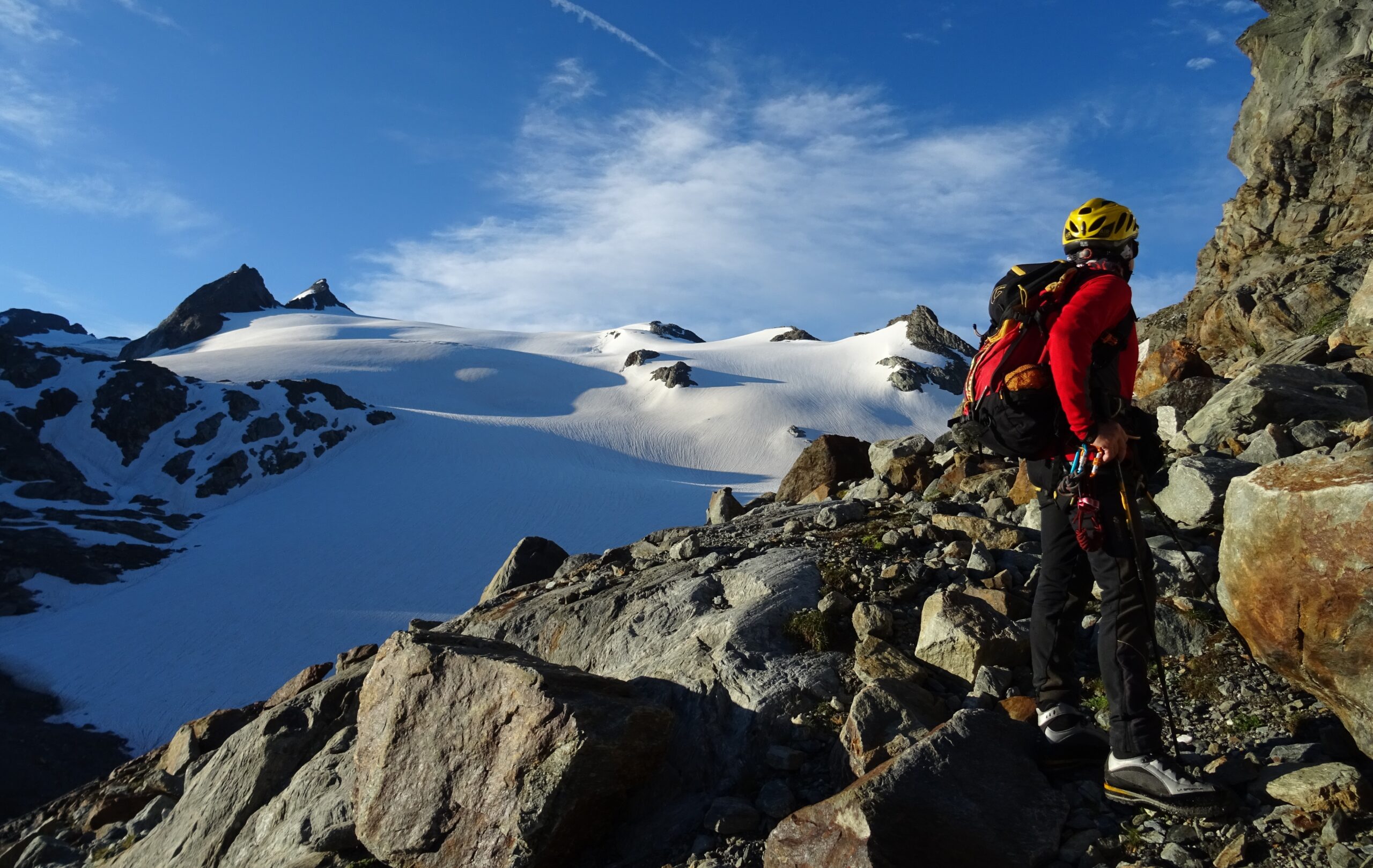
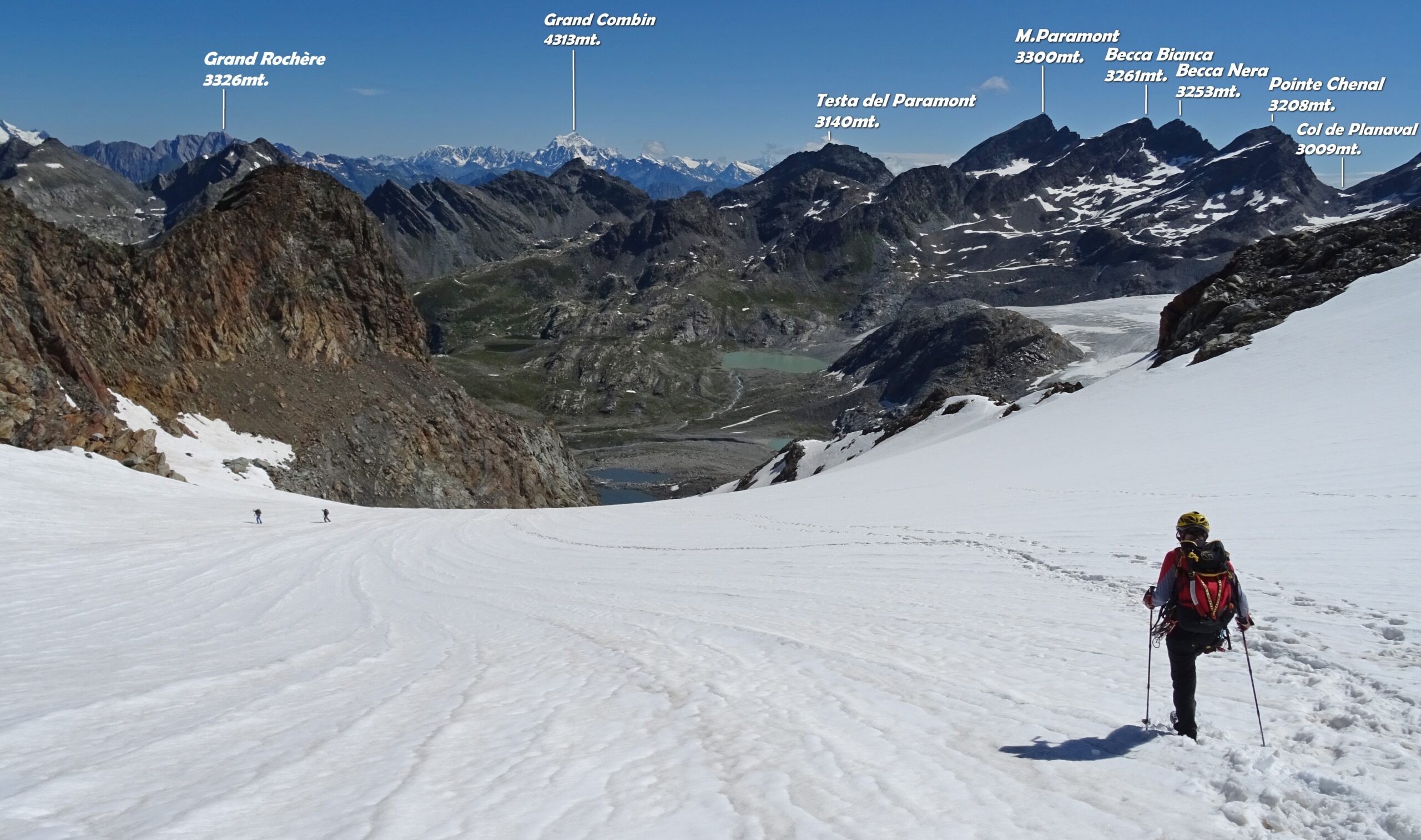
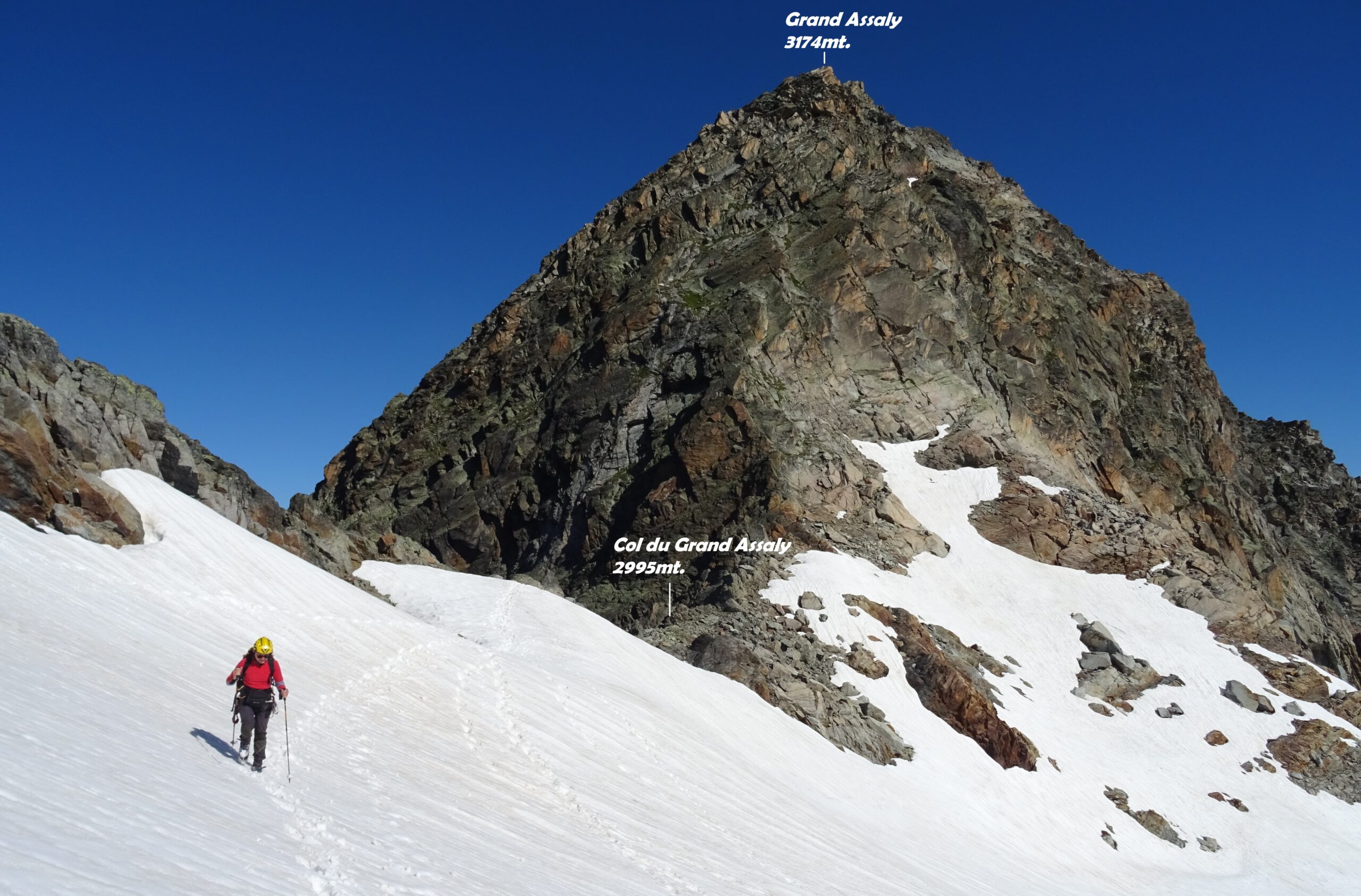
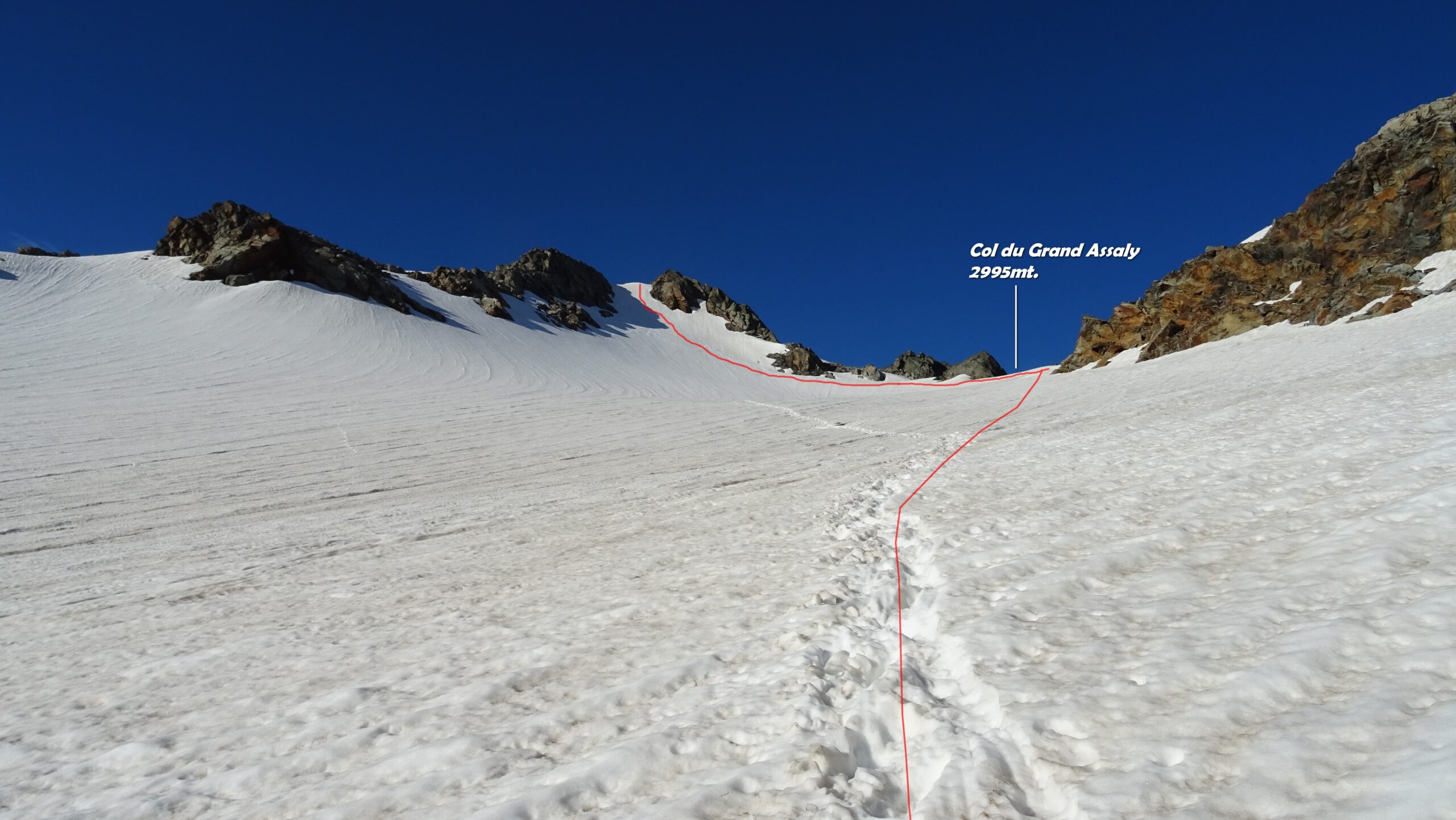
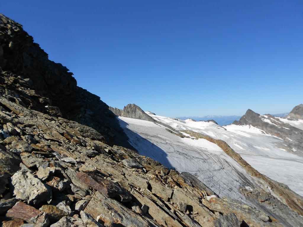
Giunti sull’altra sponda si sale su terreno morenico e pietraia fino a portarsi sotto il ripido pendio che immette verso l’ingresso del piccolo ghiacciaio risalendolo senza problemi puntando dritti all’insellatura del Colle d’Assaly 2995mt.
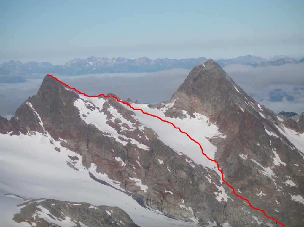
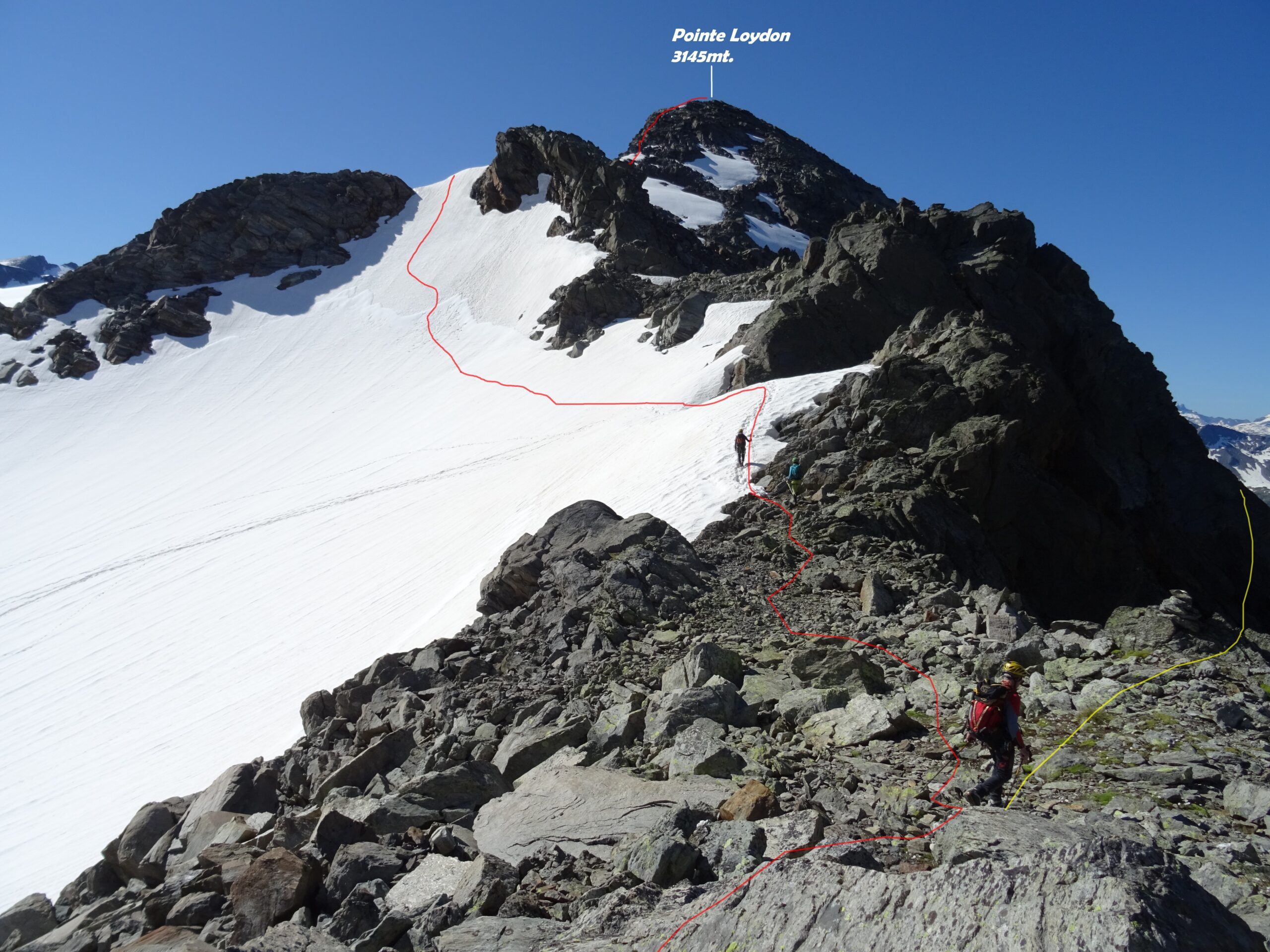
Dal colle ci si avvia in direzione sud lungo la cresta arrivando ad un primo spuntone roccioso, qui si hanno varie opzioni. La prima più facile, aggira sulla dx il roccione per il versante francese su rocce un po’ marce.
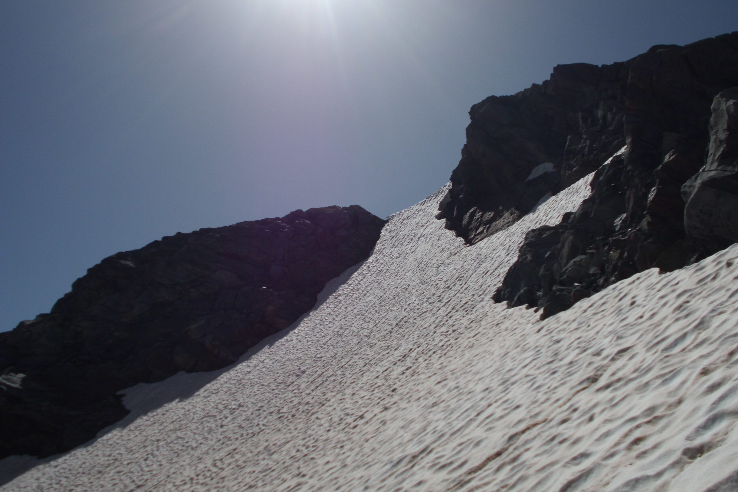
La seconda un po’ più difficile ed anche variabile in base alle condizioni della neve che passa sulla sx versante Italiano su un visibile e breve pendio nevoso che si impenna con pendenza max.45° uscendo ad una selletta, da qui si traversa tra rocce rotte sotto cresta.
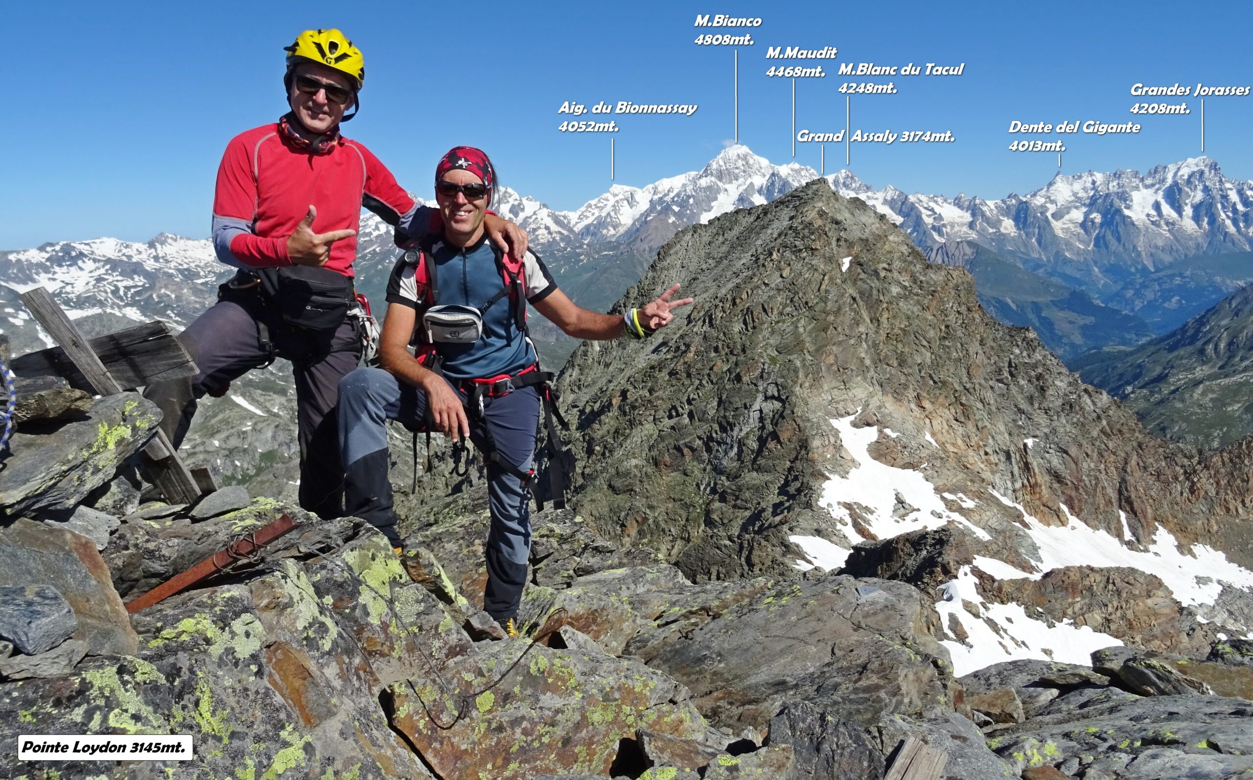
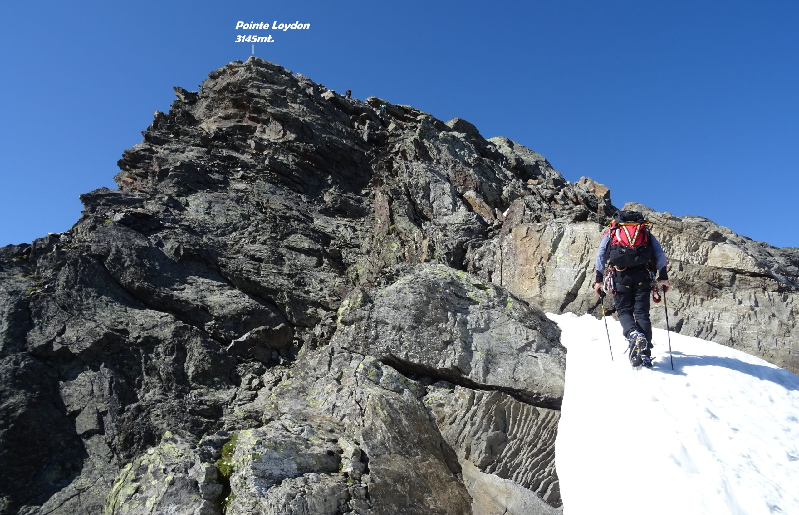
La terza consiste di salire lo spuntone roccioso stando in cresta cercando i passaggi migliori. Tutte le tre opzioni si congiungono poco dopo continuando sul nevaio che porta in breve alle roccette sotto la vetta. Da qui si mette mano sulle facili rocce che in breve portano sulla panoramica cima.
Nelle vicinanze Mappa
Itinerari
17/08/2018 AO, La Thuile D+ 1900 m F+ Nord-Ovest
Doravidi (Monte, Punta Nord) da La Joux
 0m
0m
21/07/2019 AO, La Thuile D+ 2000 m PD Varie
Doravidi (Monte, Punta Nord) e Flambeau traversata sud/nord
 50m
50m
21/08/2025 AO, La Thuile D+ 1750 m F Nord-Ovest
Paramont (Becca Bianca del) Via Normale da La Joux per il Rifugio Deffeyes
 50m
50m
10/08/2012 AO, La Thuile D+ 306 m F+ Nord-Est
Flambeau Via delle Lose
 50m
50m
06/08/2024 AO, La Thuile D+ 1700 m PD- Tutte
Grand Assaly Via Normale da La Joux
 50m
50m
16/08/2023 AO, La Thuile D+ 1800 m F+ Varie
Paramont (Mont) Via Normale da la Joux
 50m
50m
05/07/2026 AO, La Thuile D+ 2000 m F Nord
Rutor (Testa del) Via Normale da La Joux per il Rifugio Deffejes
 50m
50m
14/08/2025 AO, La Thuile D+ 1580 m F Varie
Paramont (Testa del) da La Joux per il Rifugio Deffeyes
 50m
50m
09/08/2011 AO, La Thuile D+ 1800 m PD- Nord-Ovest
Flambeau per il versante Nord-Ovest
 50m
50m
24/09/2023 AO, La Thuile D+ 1650 m F Nord-Est
Chenal (Punta) da la Joux per il Rifugio Deffeyes
 50m
50m