2.2Km
2.2Km

Note
 50m
50m
50m
50m
50m
50m
50m
50m
50m
50m
50m
50m
50m
50m
50m
50m
50m
50m
50m
50m
Itinerario con notevole spostamento (più di 9km solo andata), che presenta una salita discontinua, con tre pianori alternati a tre strappi decisamente più ripidi e faticosi. Sconsigliato in caso di neve/ghiaccio il tratto di sentiero che dal termine della piana dopo Ecules porta a Bonalex (terreno ripido e scosceso, percorso incassato che quindi si presta alla formazione di ghiaccio).
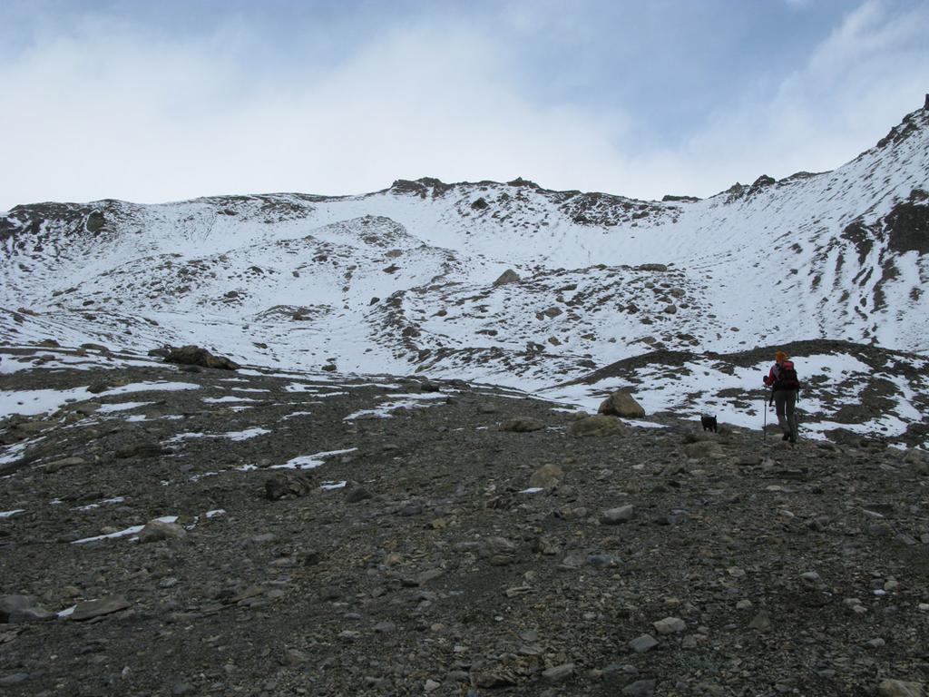
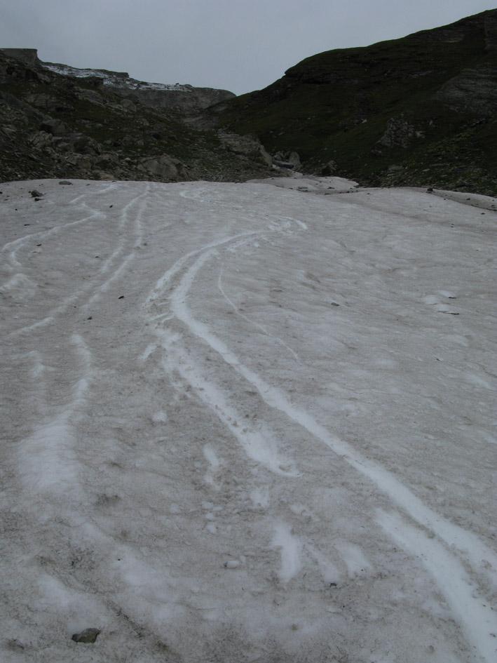
A inizio stagione (giugno) la parte alta si presenta ancora nevosa e più affascinante, ma non presenta alcuna difficolà per le scarse pendenze. In caso invece di neve dura già nel canale dopo Bonalex, potrebbero essere utili i ramponi.
Avvicinamento
A inizio stagione (giugno) la parte alta si presenta ancora nevosa e più affascinante, ma non presenta alcuna difficolà per le scarse pendenze. In caso invece di neve dura già nel canale dopo Bonalex, potrebbero essere utili i ramponi.
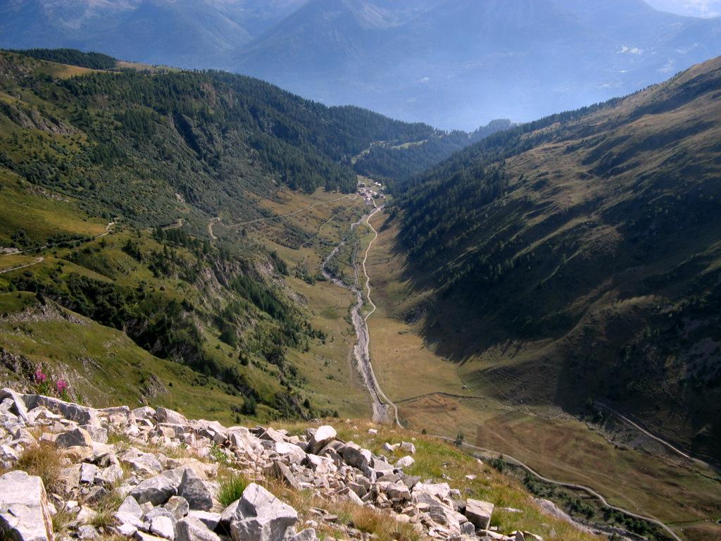
Autostrada A5 Torino-Aosta, uscita Morgex. Si torna indietro verso la Salle, fino alla rotonda dove si prende la terza uscita, e si inizia a salire per le frazioni della collina. Si seguono indicazioni per Morge, e superata questa si prosegue a sinistra per Planaval, dove si parcheggia oltre le ultime case, oppure nel pianoro lungo la sterrata che si inoltra nel vallone sottostante.
Descrizione
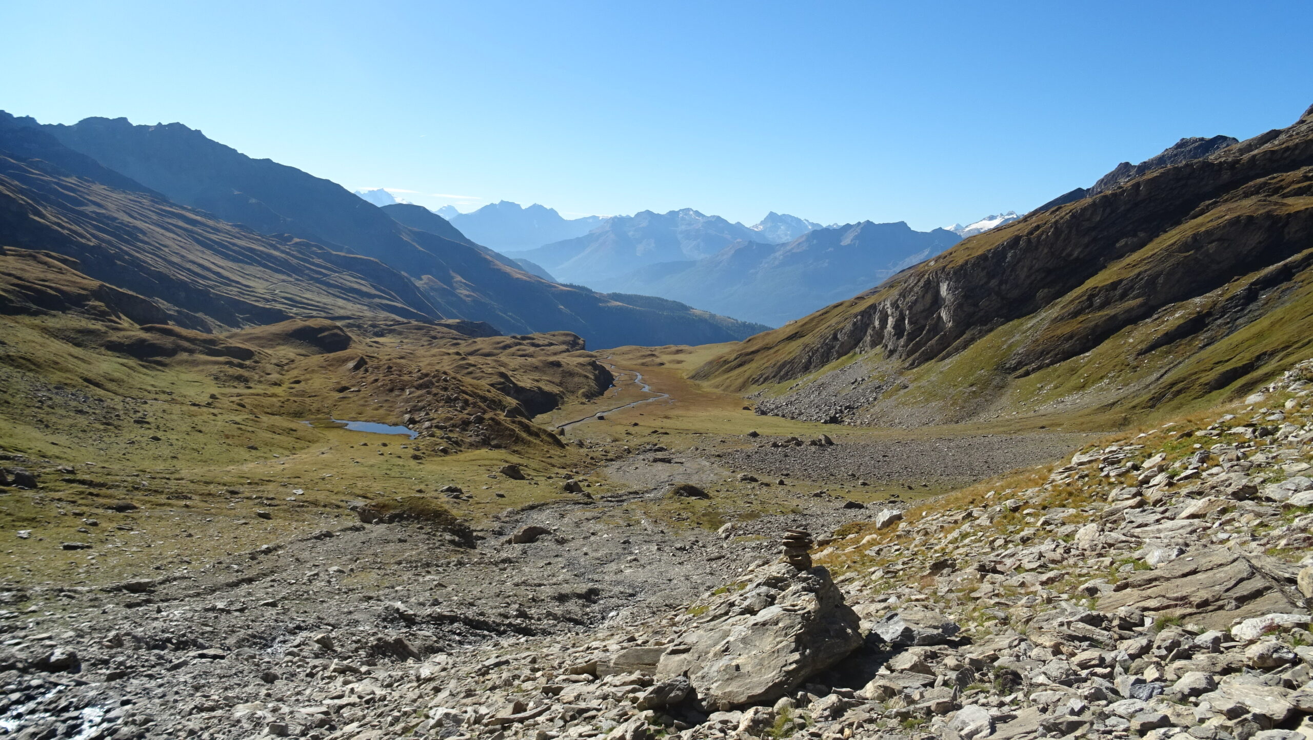
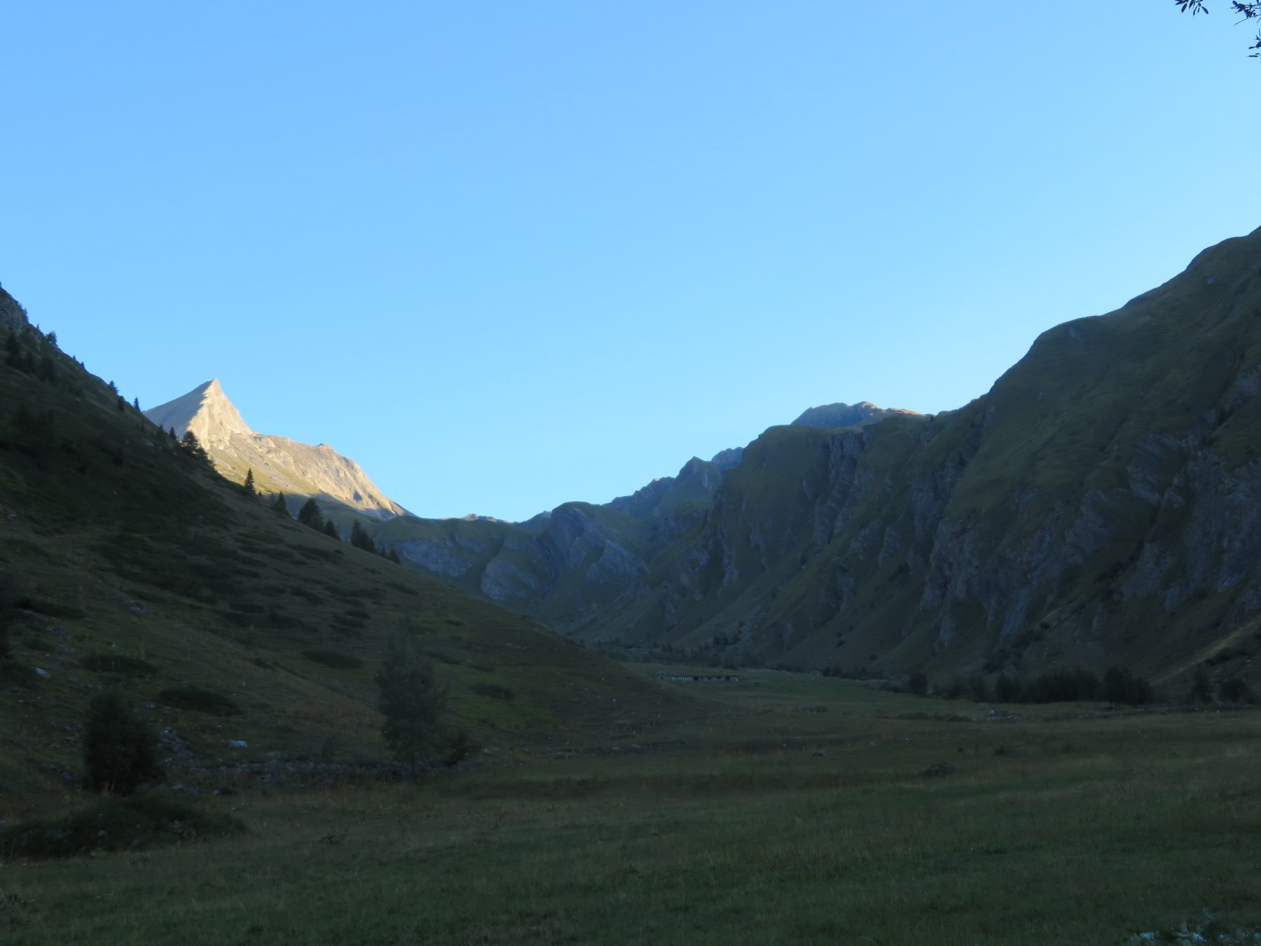
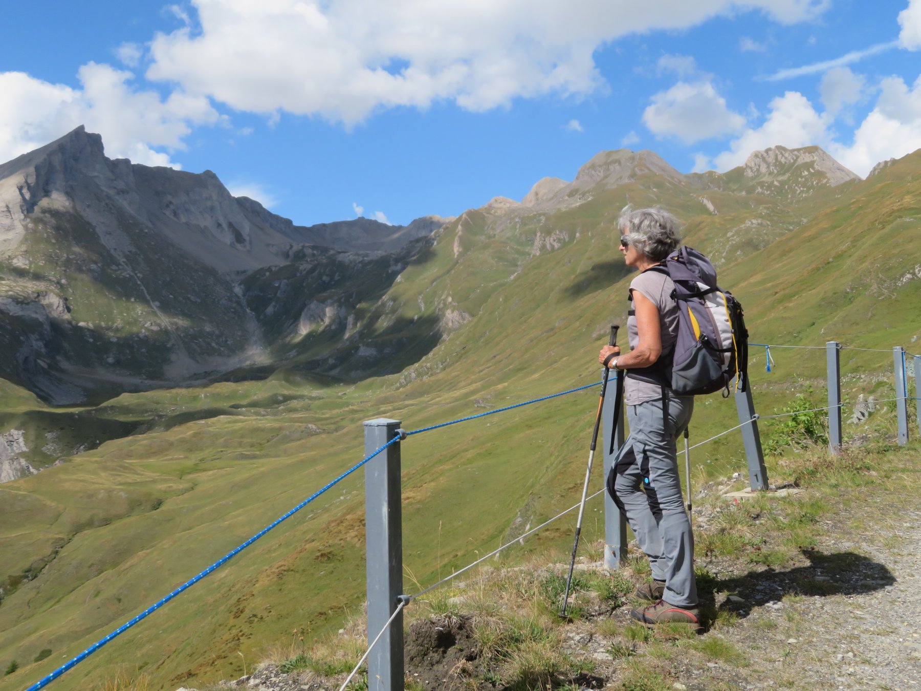
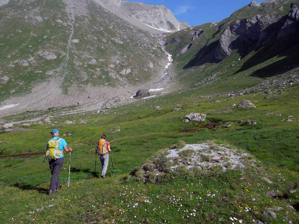
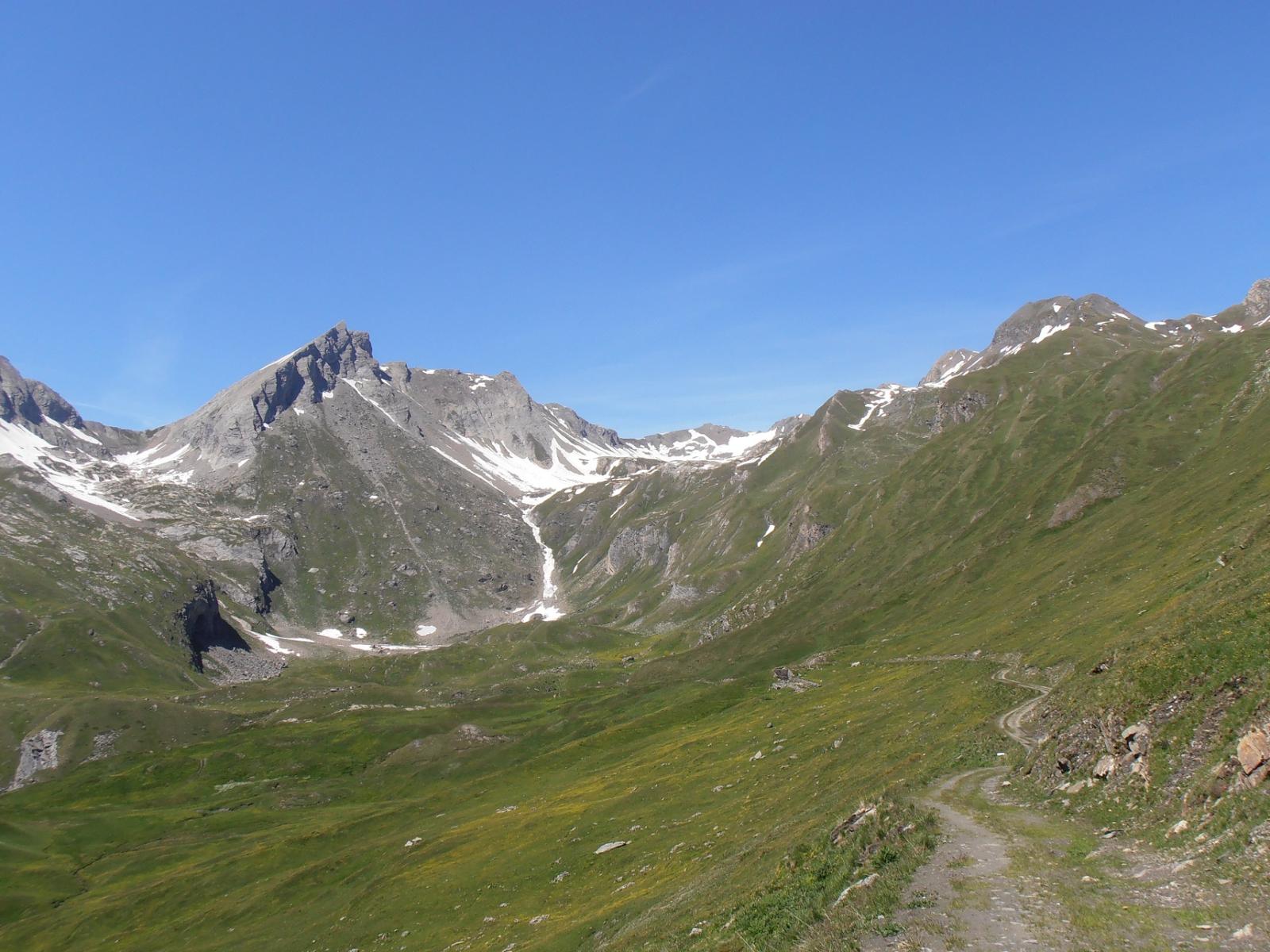
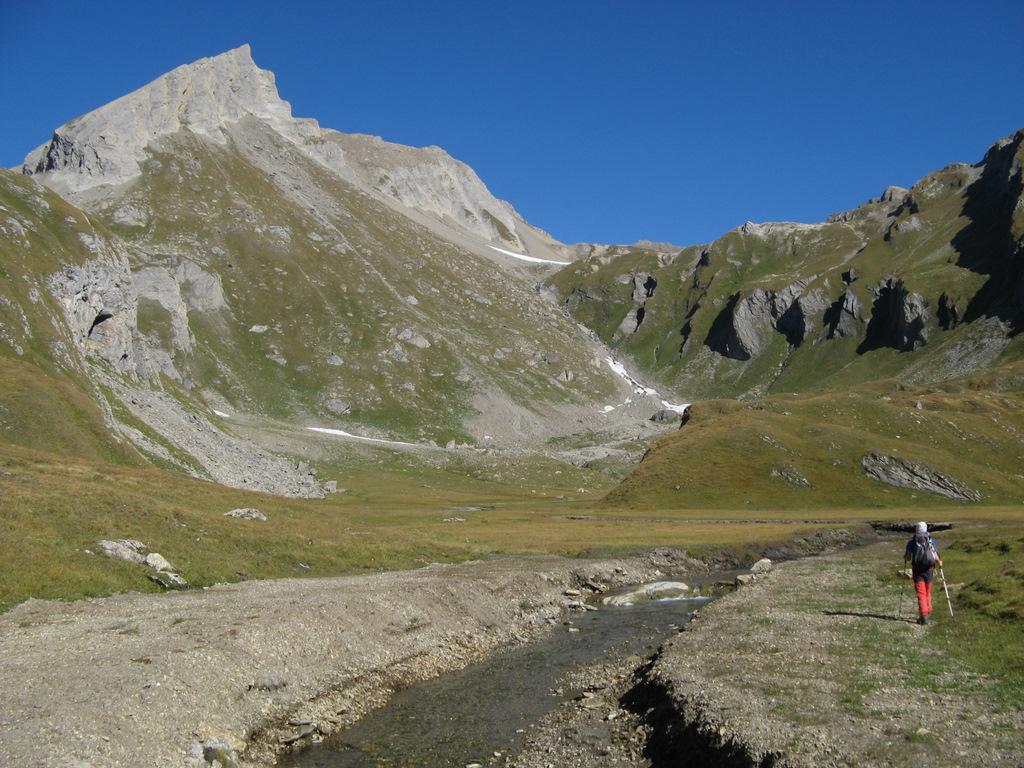
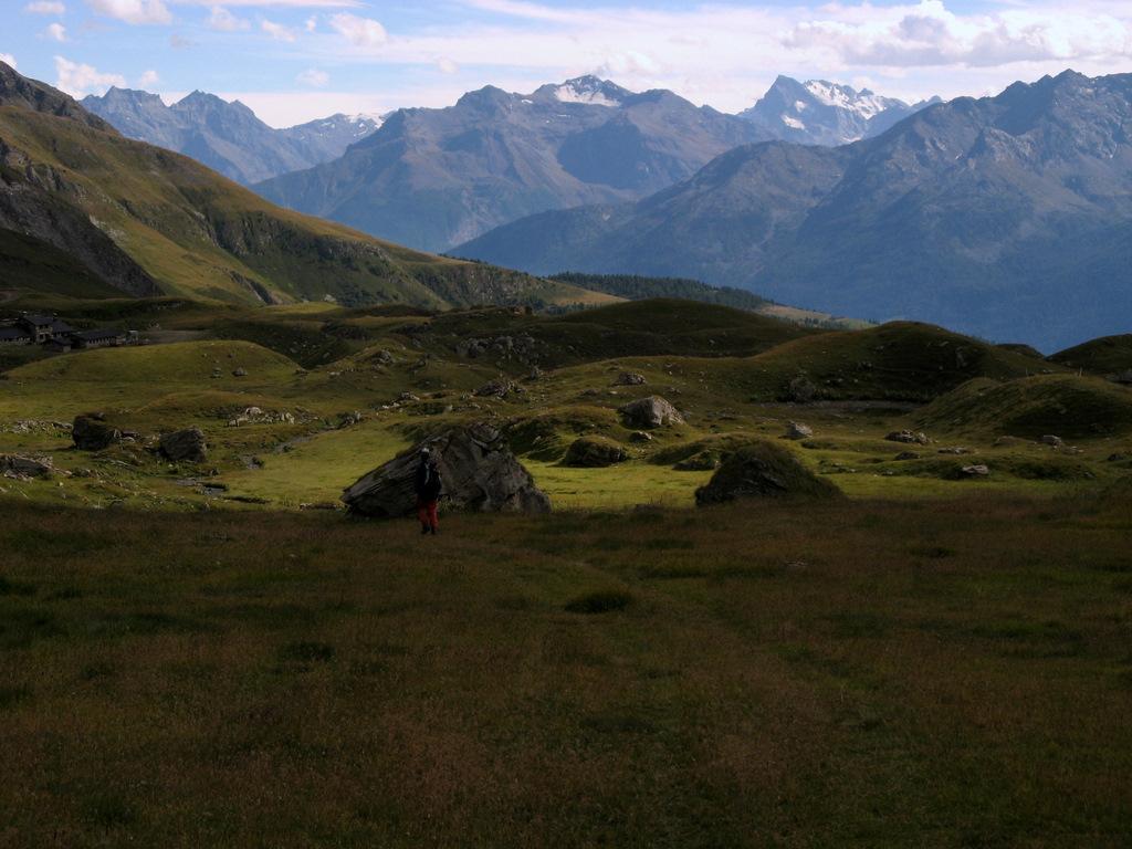
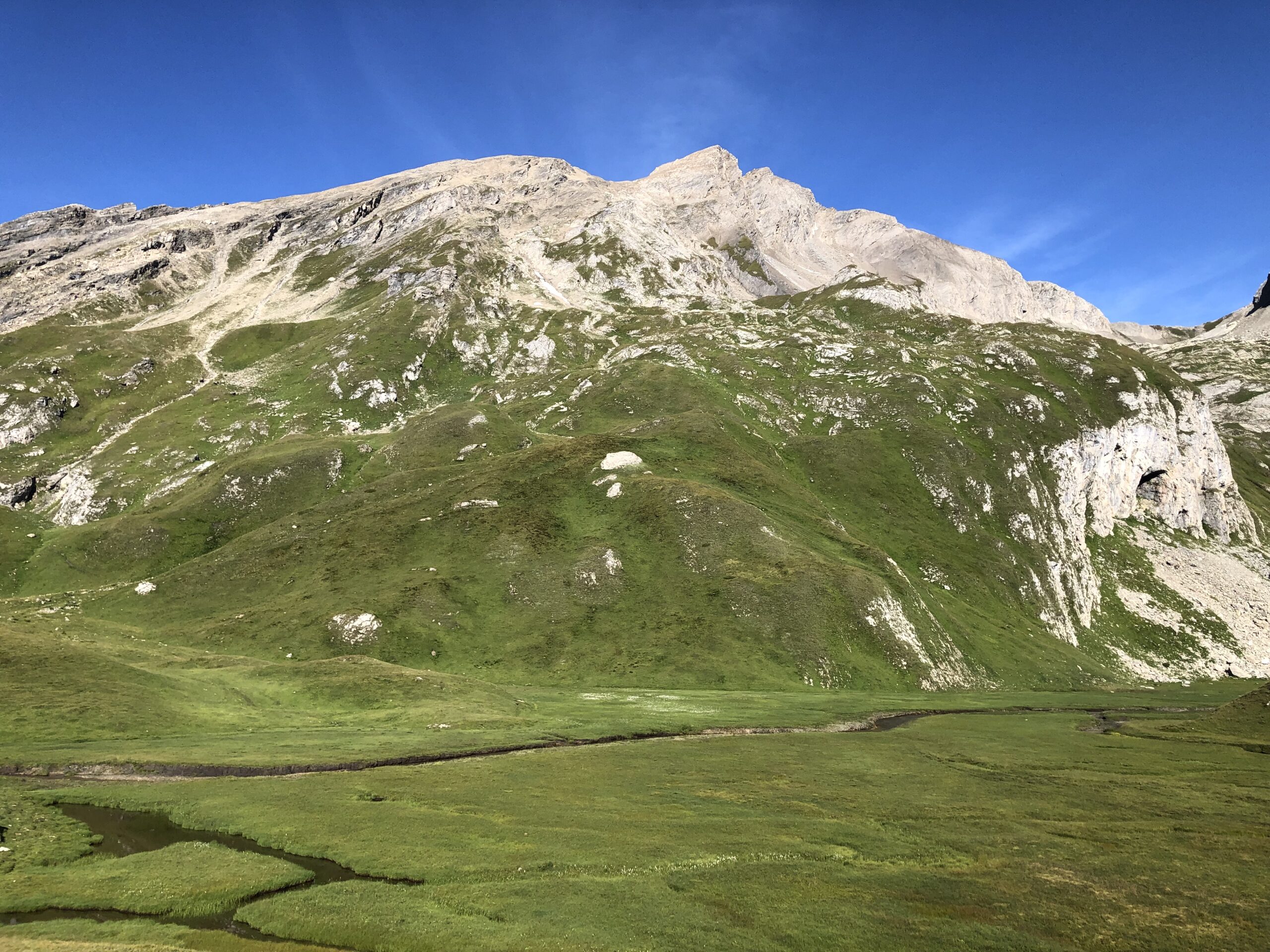
Da Planaval si prosegue lungo la Comba di Planaval, seguendo la strada sterrata vietata al transito, che con scarsa pendenza conduce all’alpeggio Ecules 1887 m.
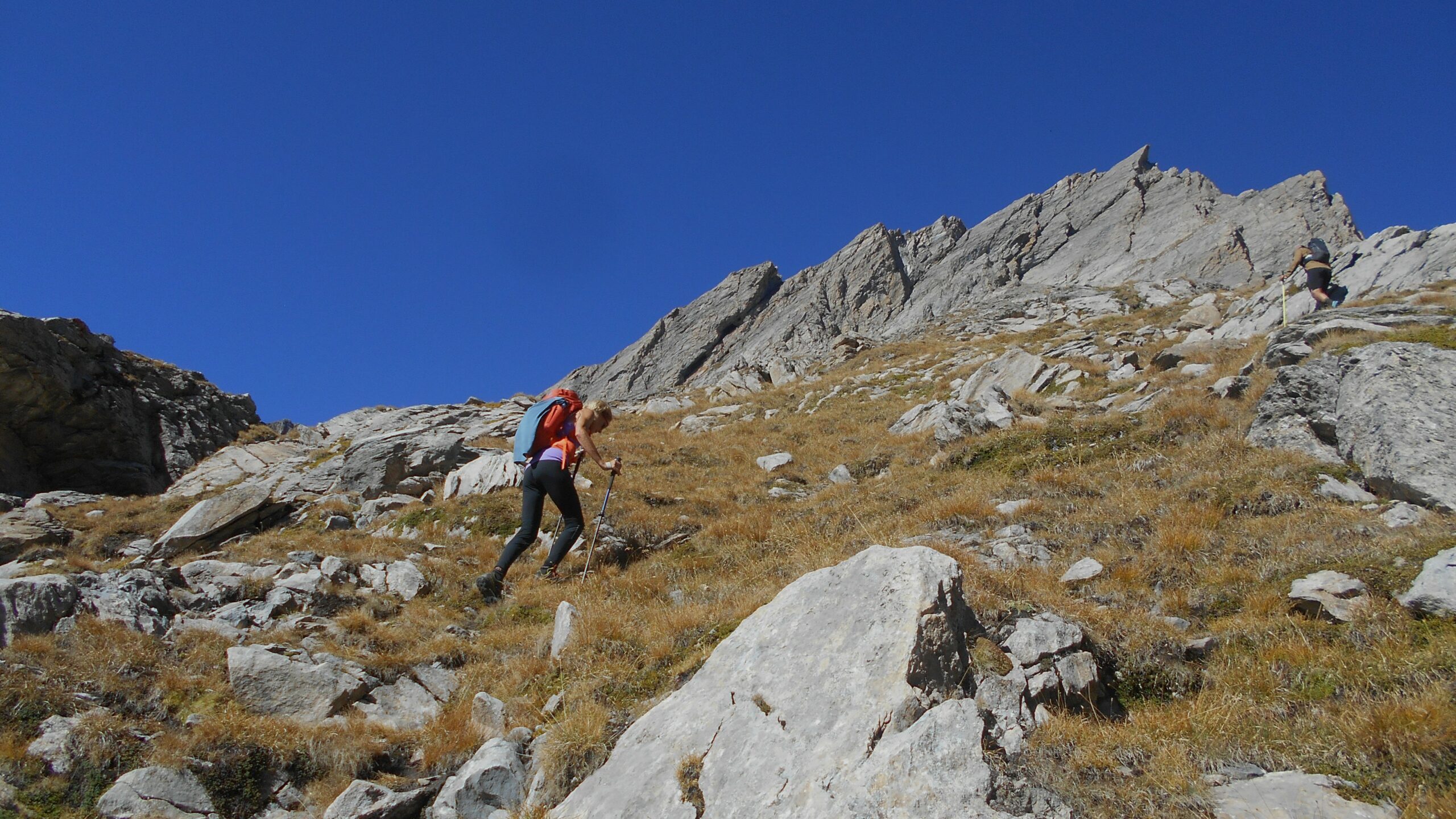
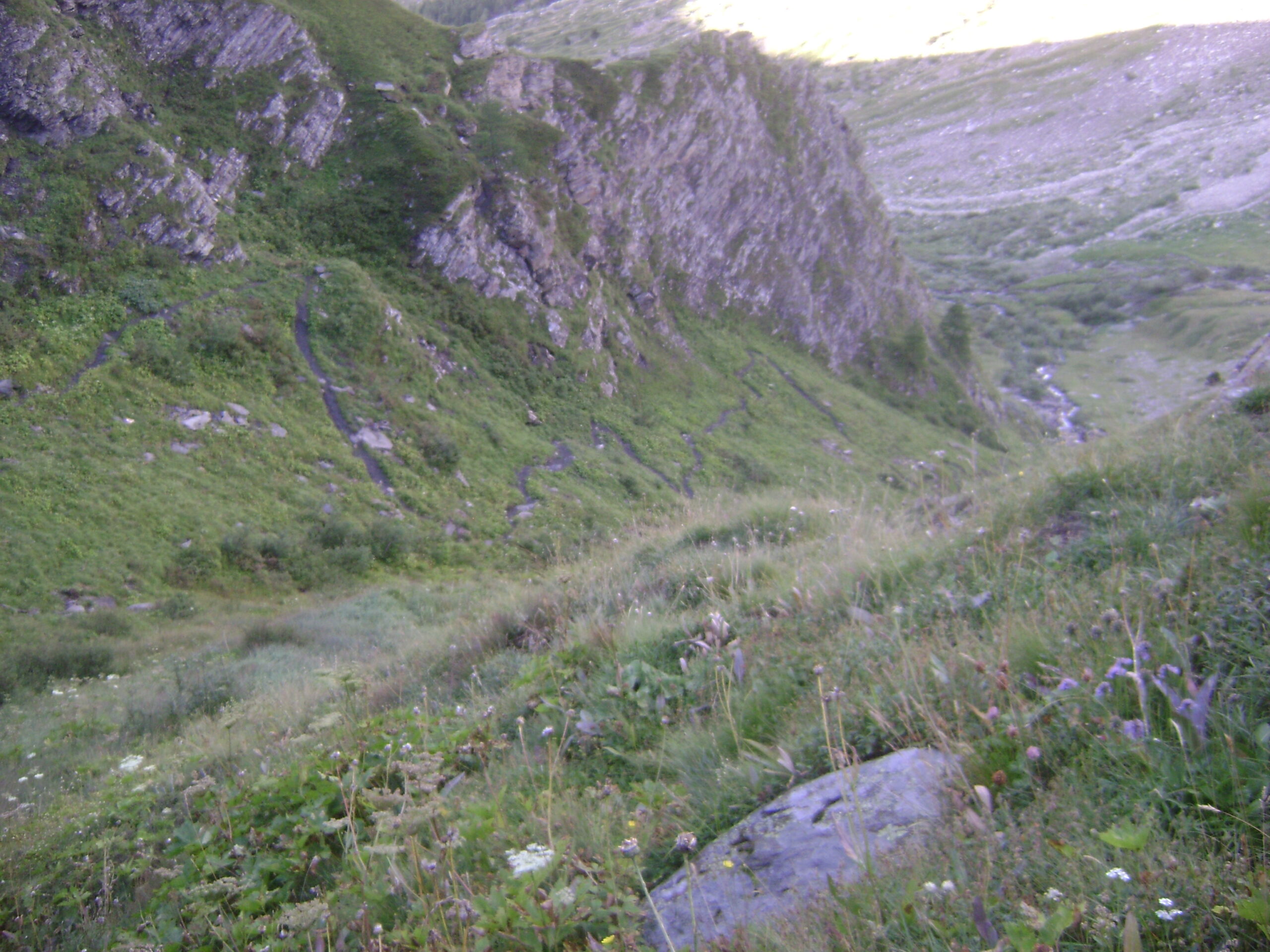
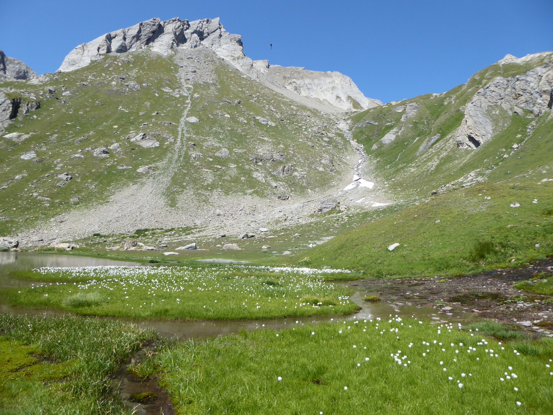
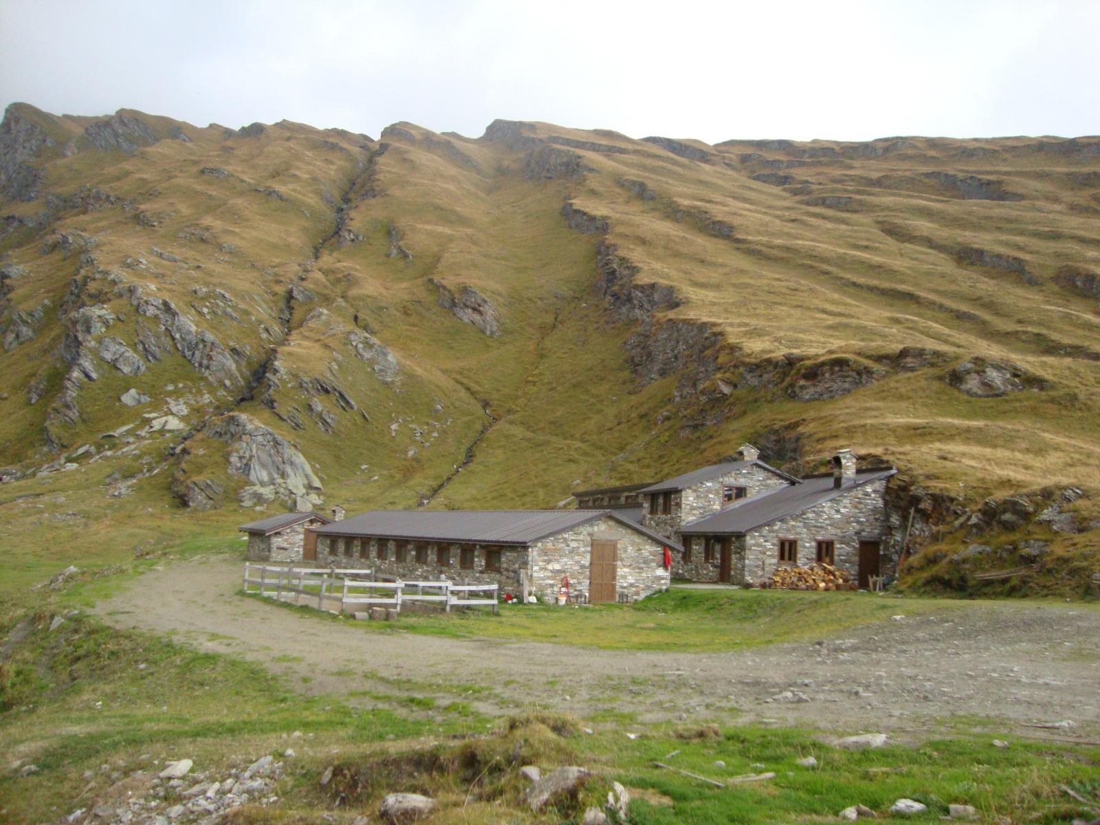
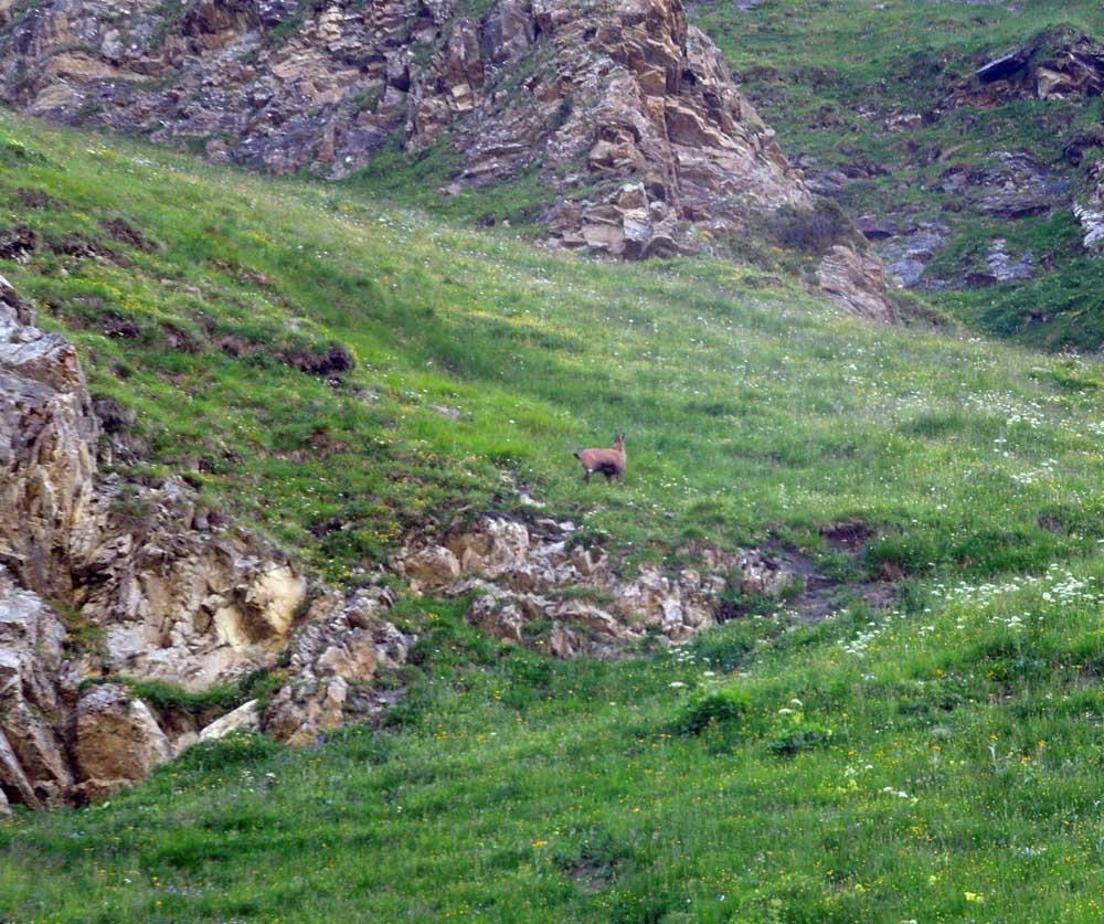
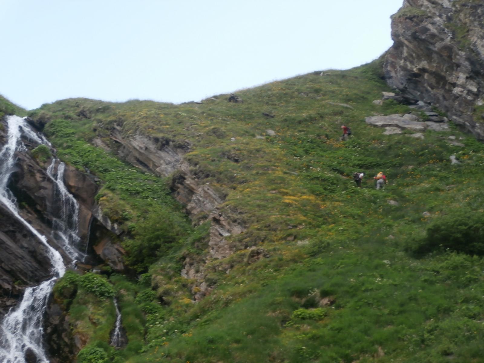
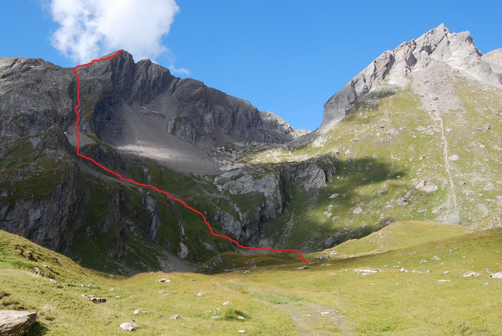
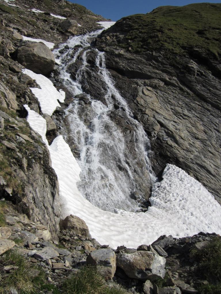
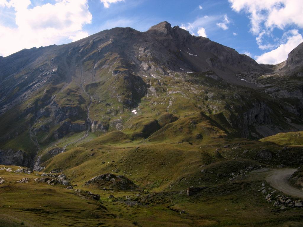
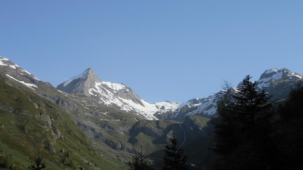
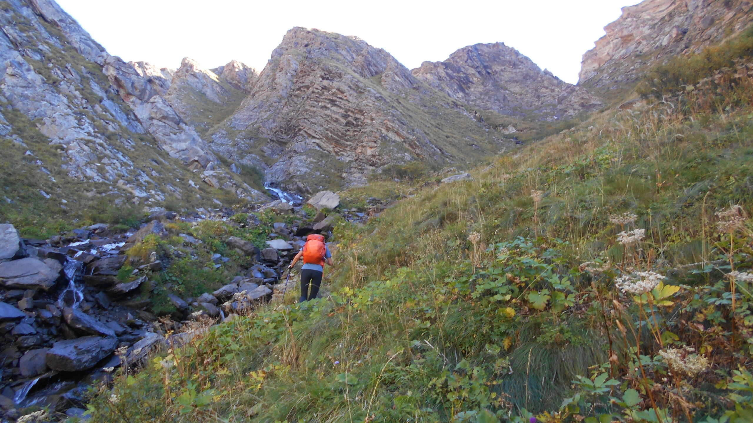
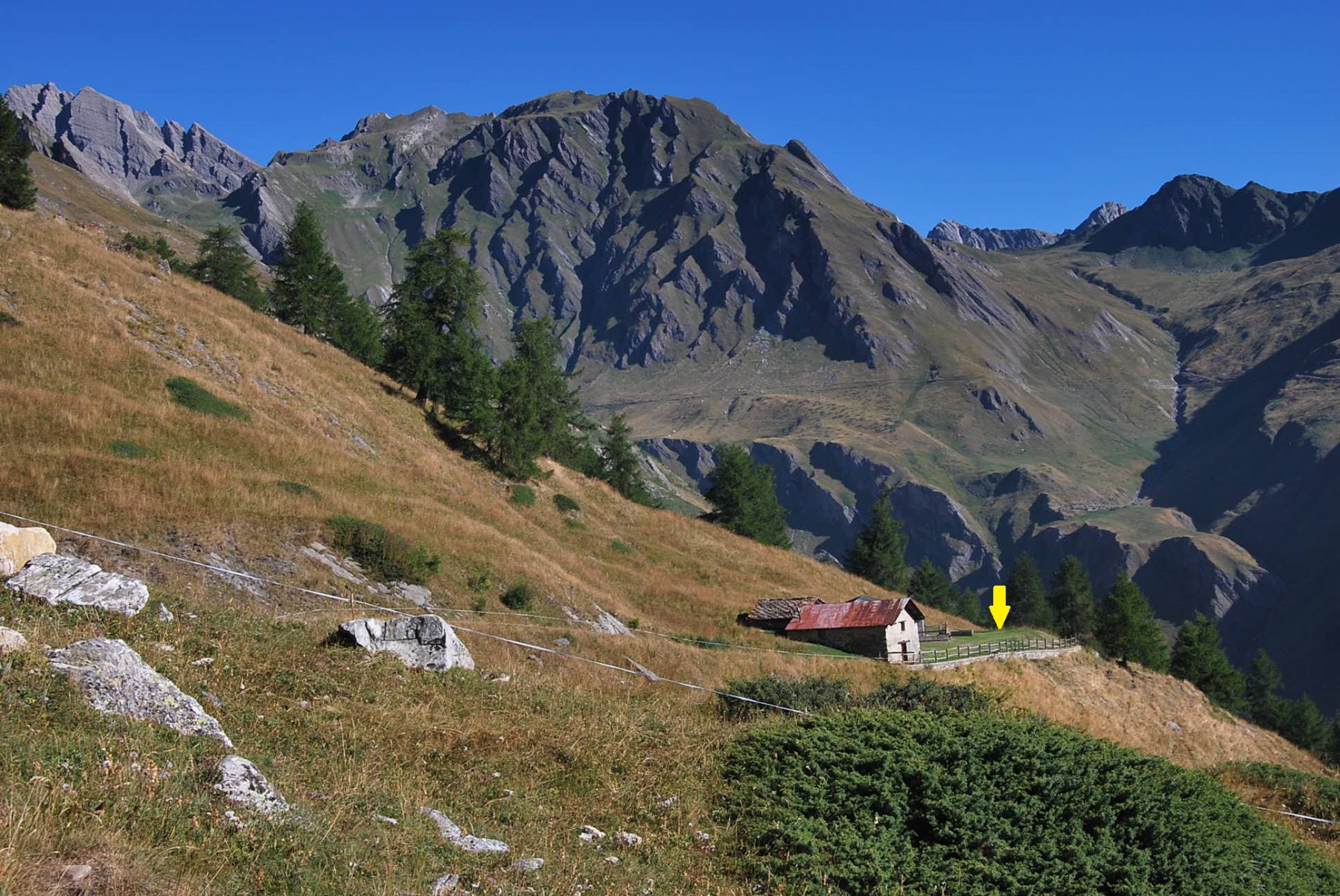
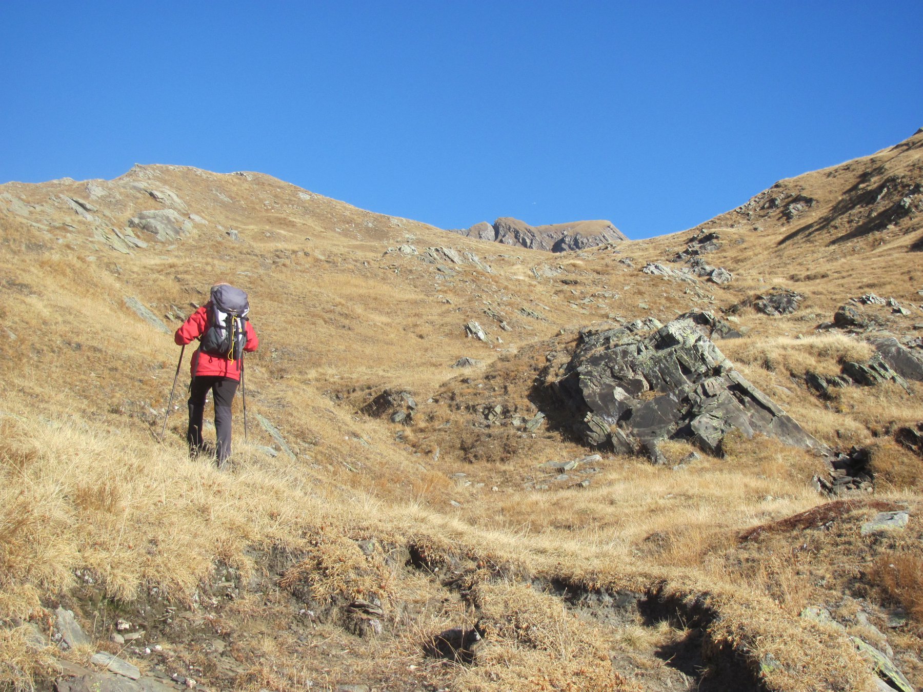
Qui si attraversa il torrente sul ponticello di assi, passando sulla sponda idrografica sinistra. Si continua seguendo il sentiero, abbastanza evidente anche se non molto curato (segnavia gialli un po’ sbiaditi), raggiungendo il termine del vallone, che sembra sbarrato in tutte le direzioni da ripide pareti erbose solcate da numerosi ruscelli. Su un grosso masso c’è l’indicazione per Bonalex, quindi si continua sempre seguendo il sentiero (rimesso recentemente a nuovo con numerosi scalini realizzati con tronchetti), che inaspettatamente risale una ripida china erbosa sulla sinistra, prima con serpentine e poi si infila a fianco di un ruscello; questo tratto è molto faticoso per la forte pendenza. Di colpo il pendio termina, e ci si affaccia su bellissimi pascoli, che poco oltre a sinistra conducono all’Alpe Bonalex 2349 m.
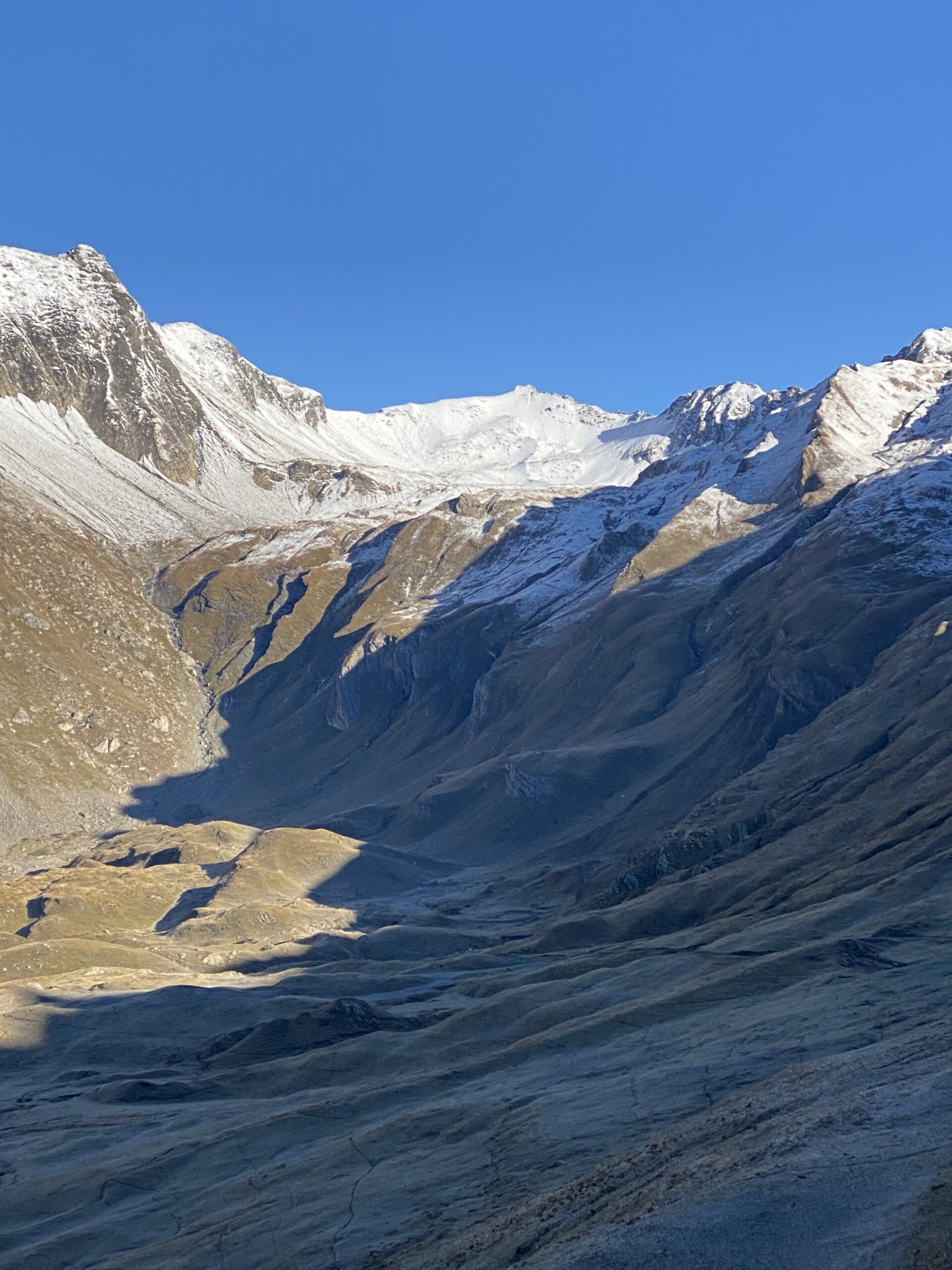
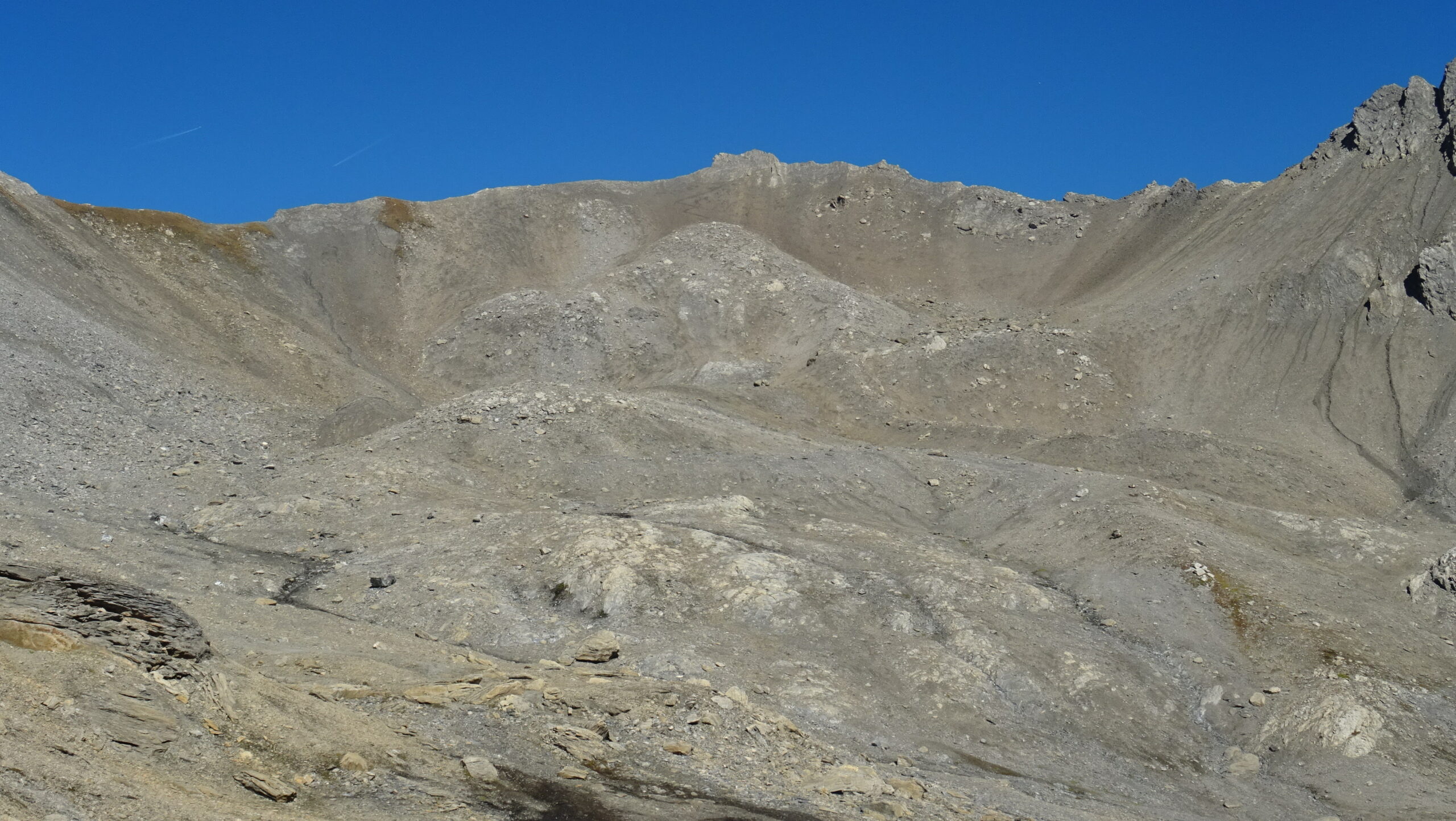
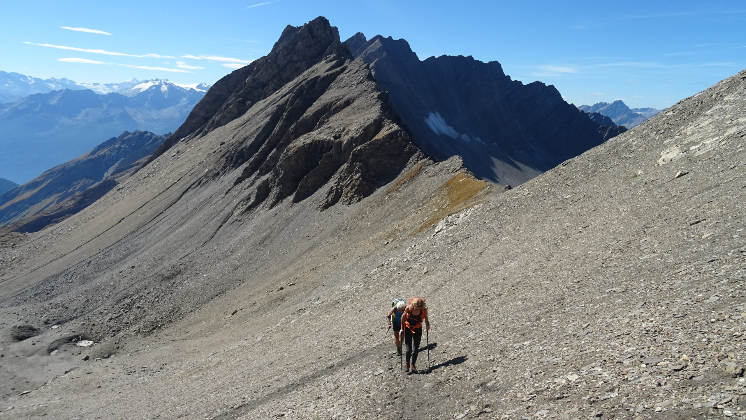
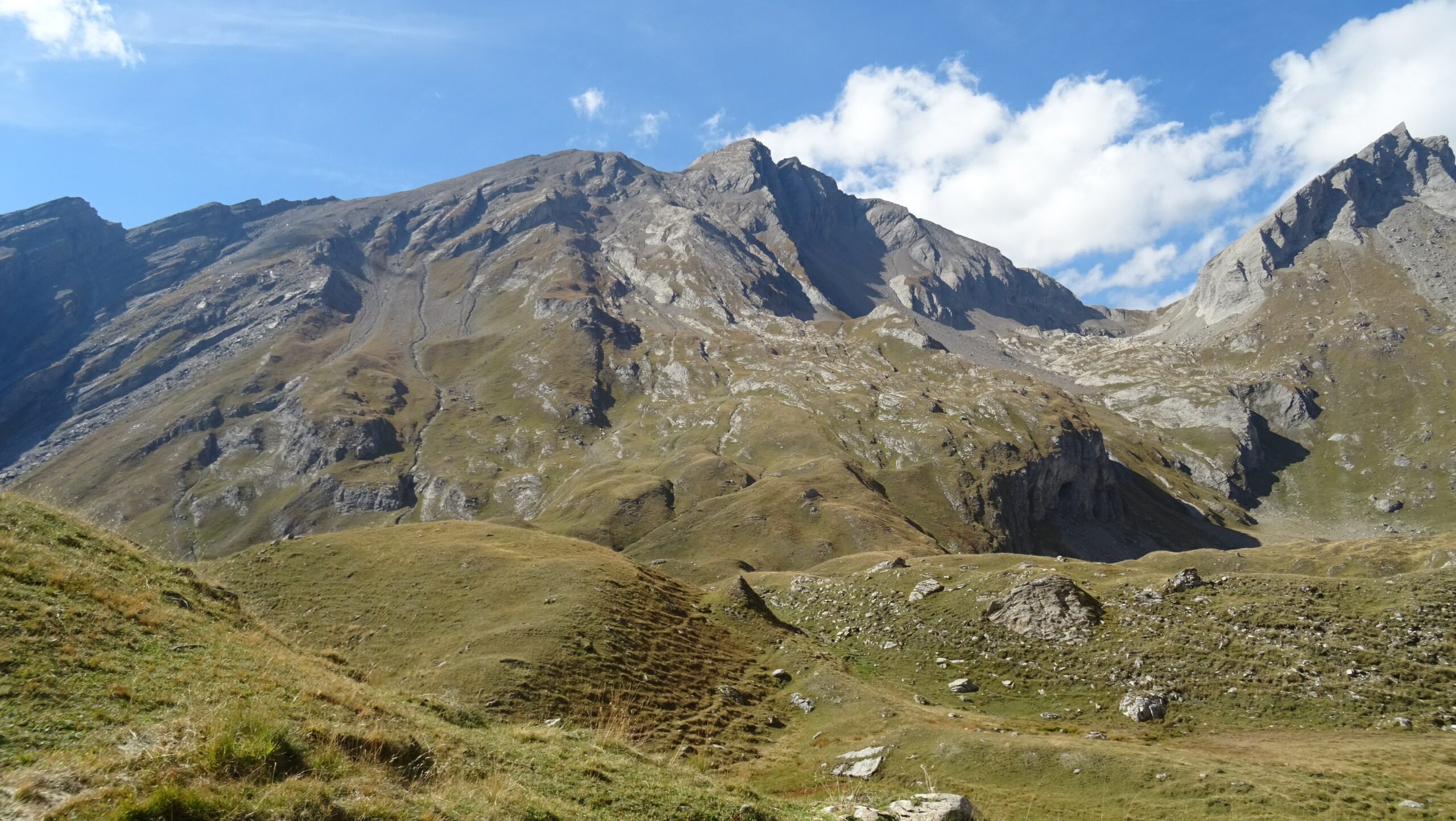
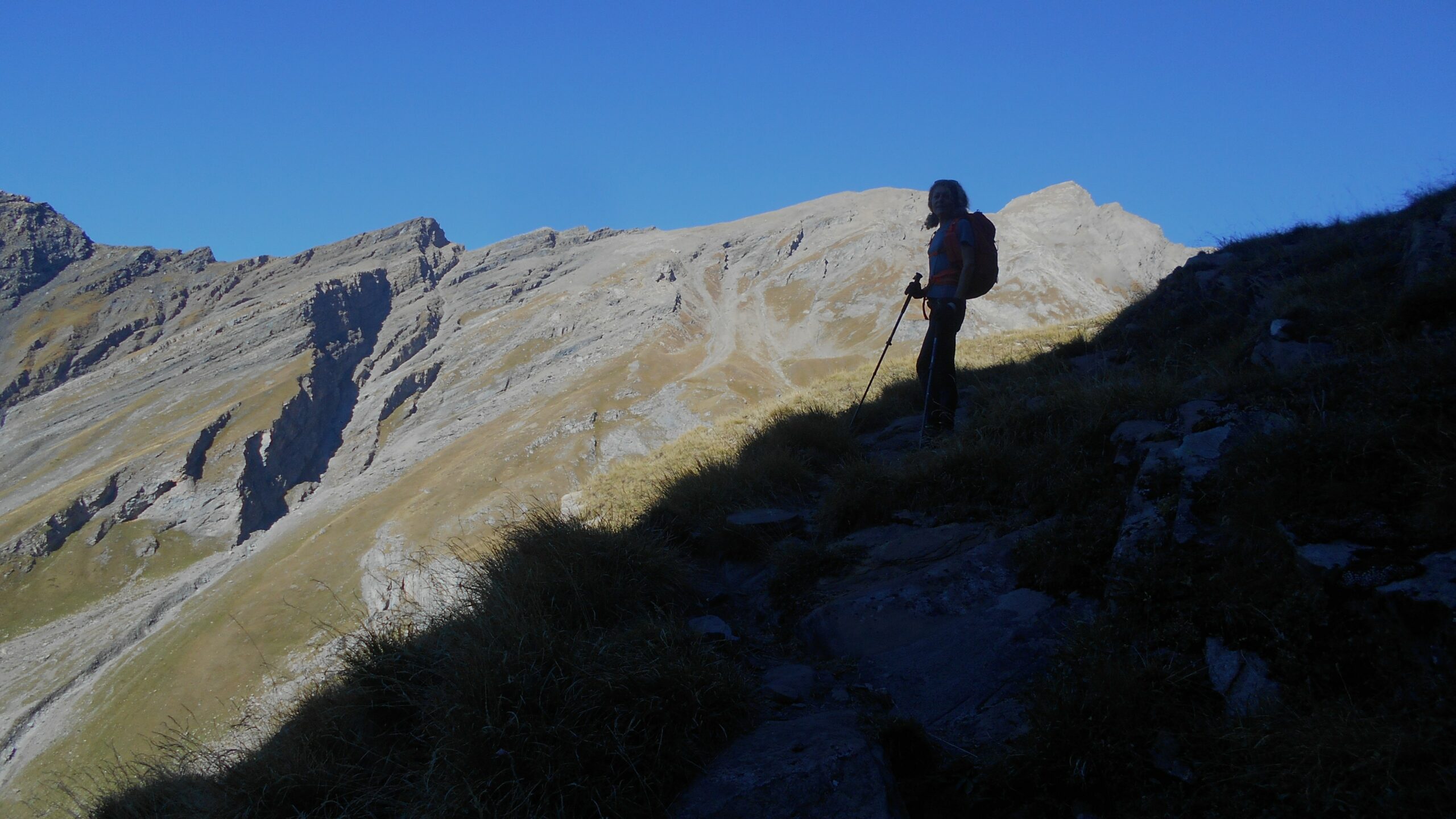
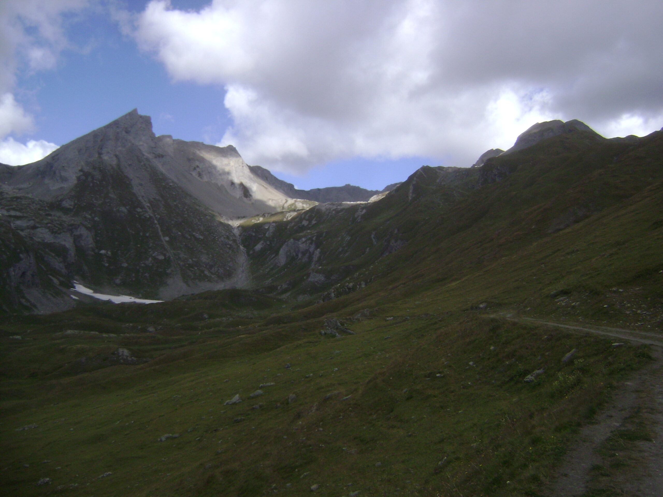
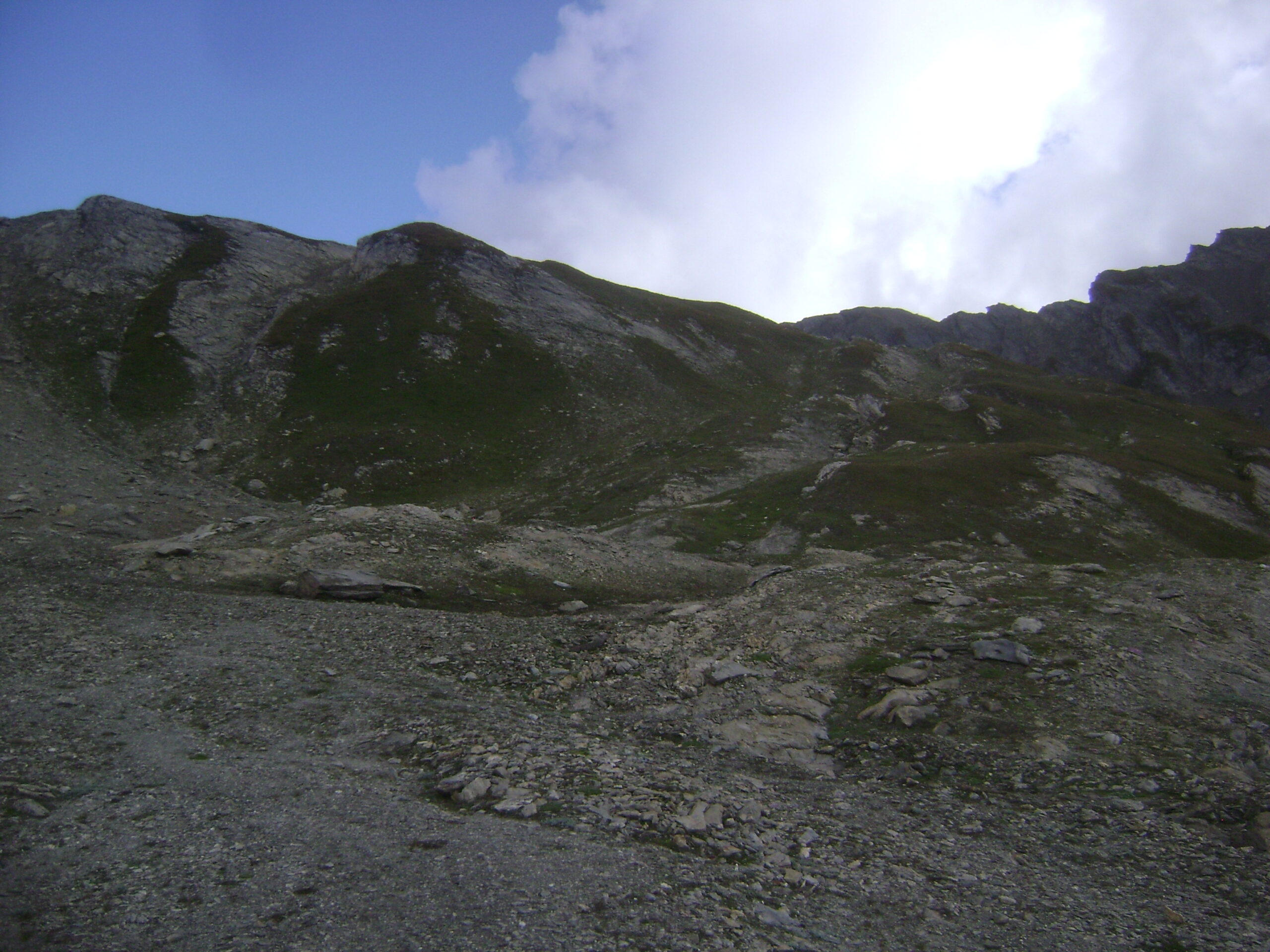
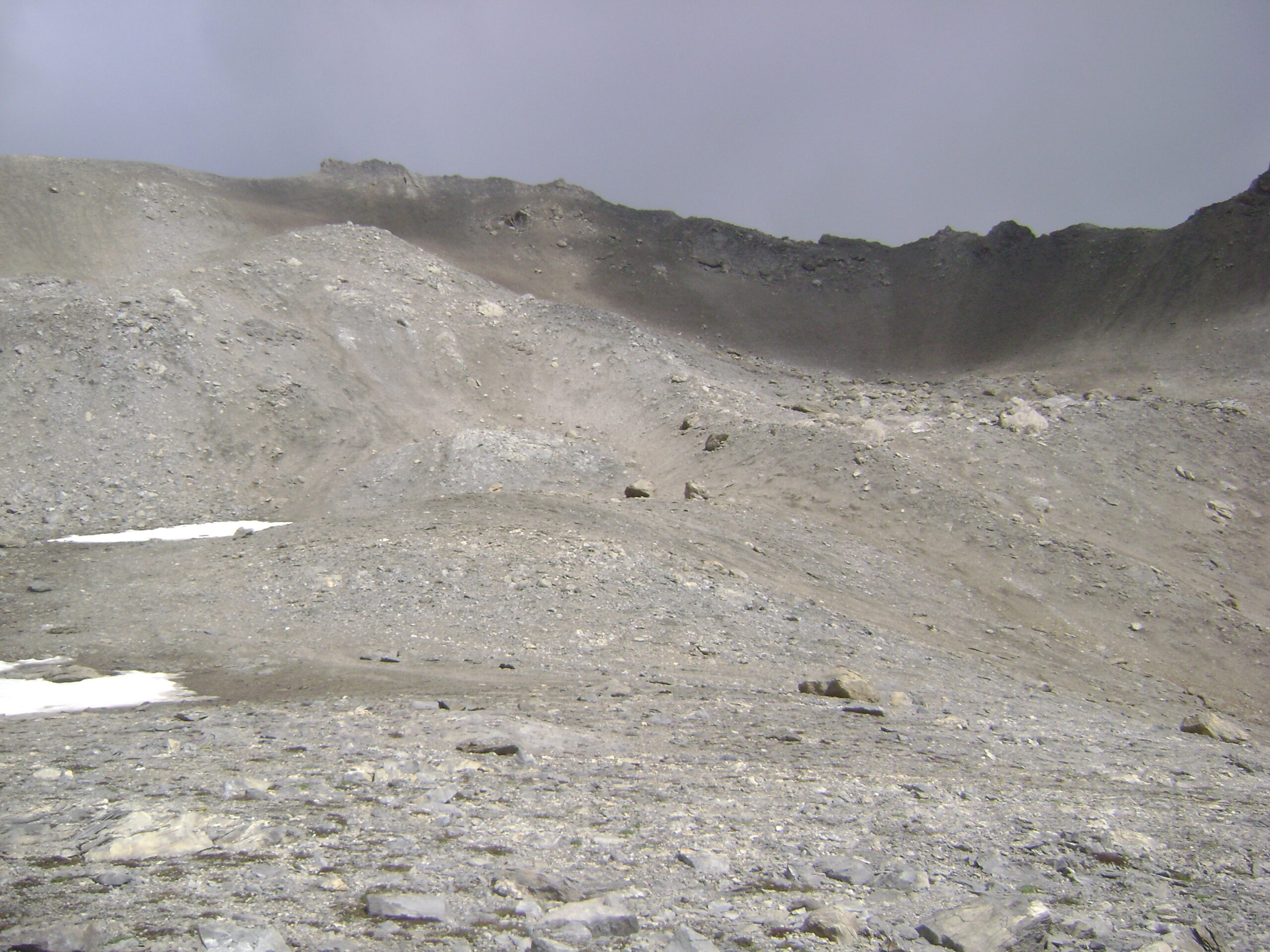
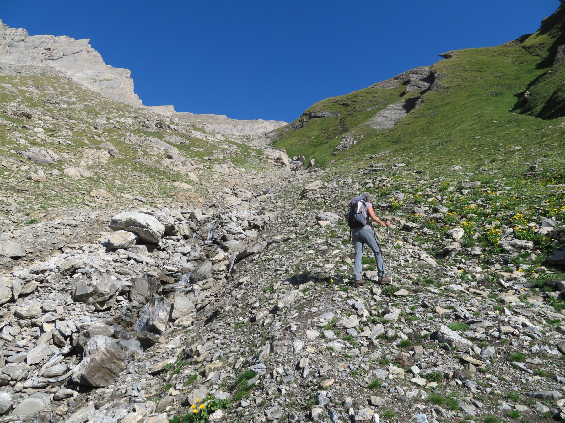
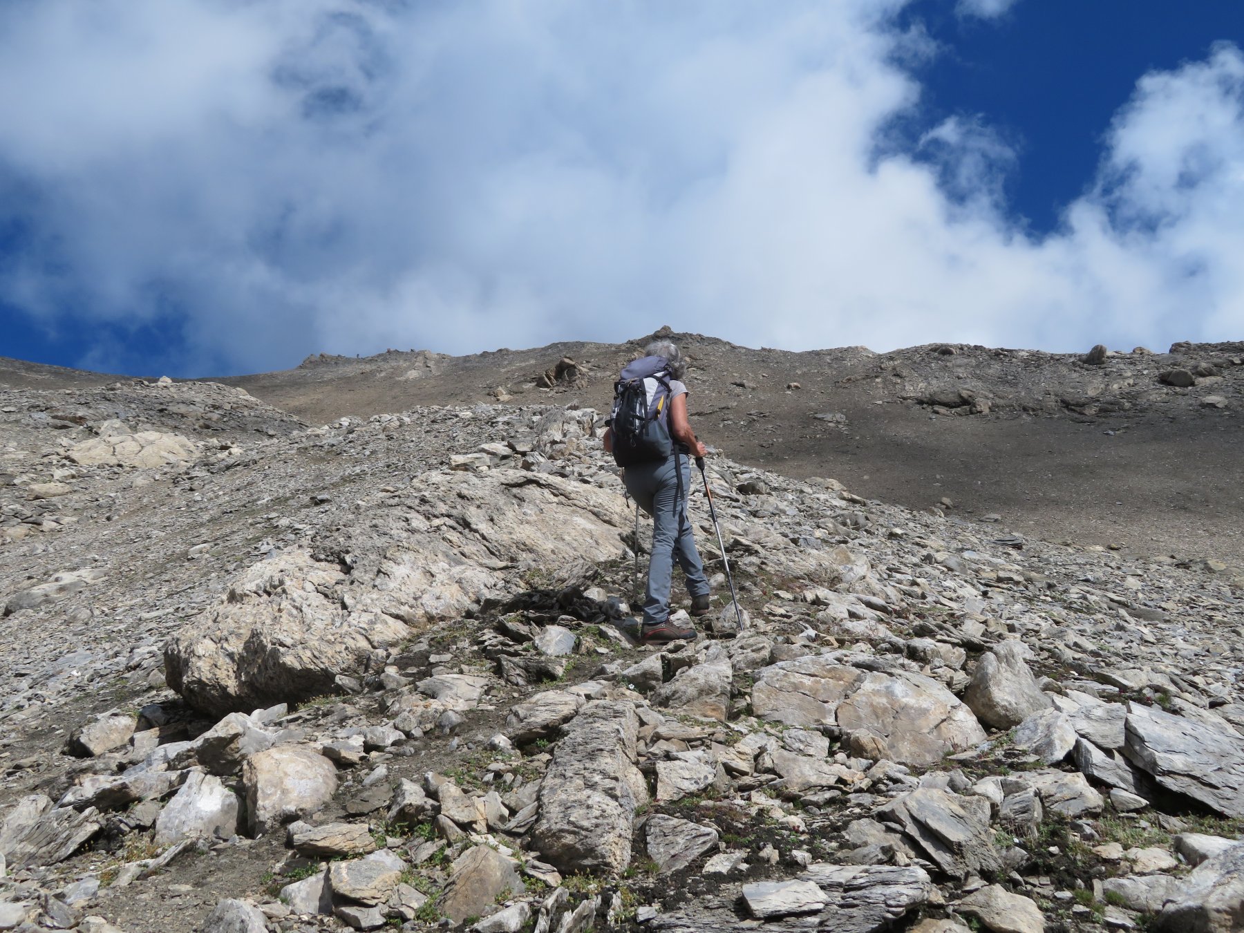
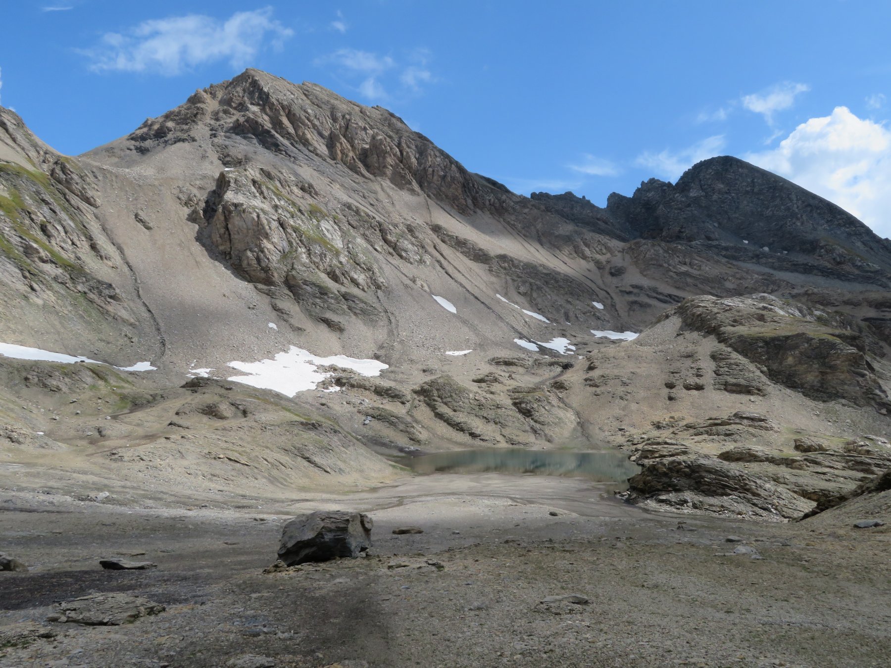
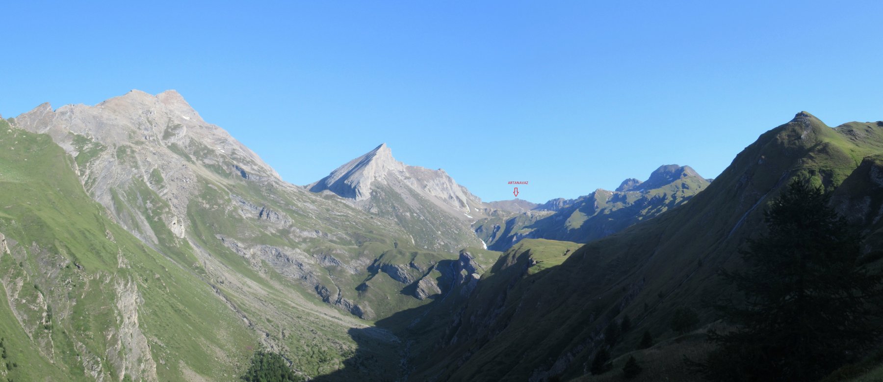
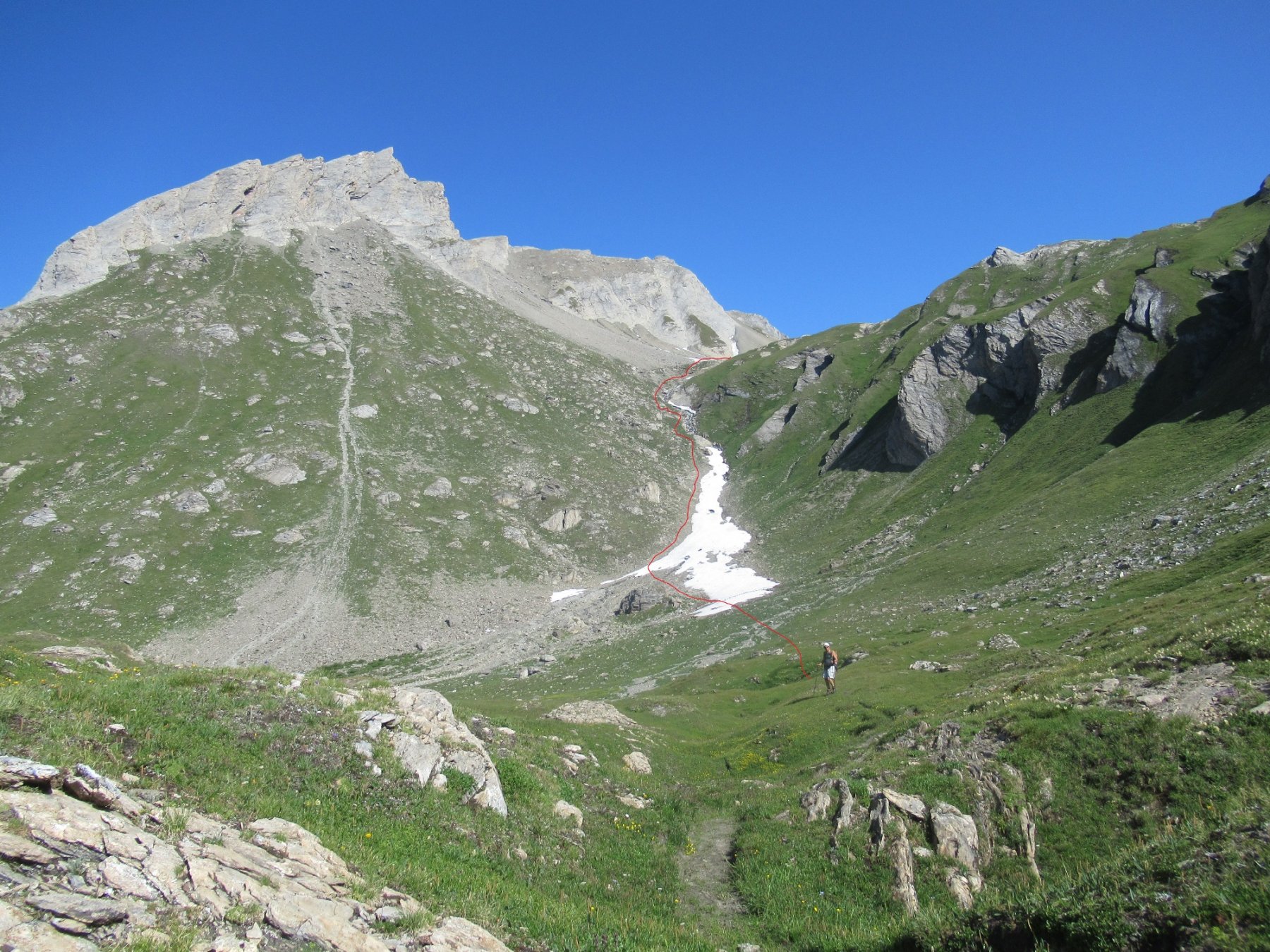
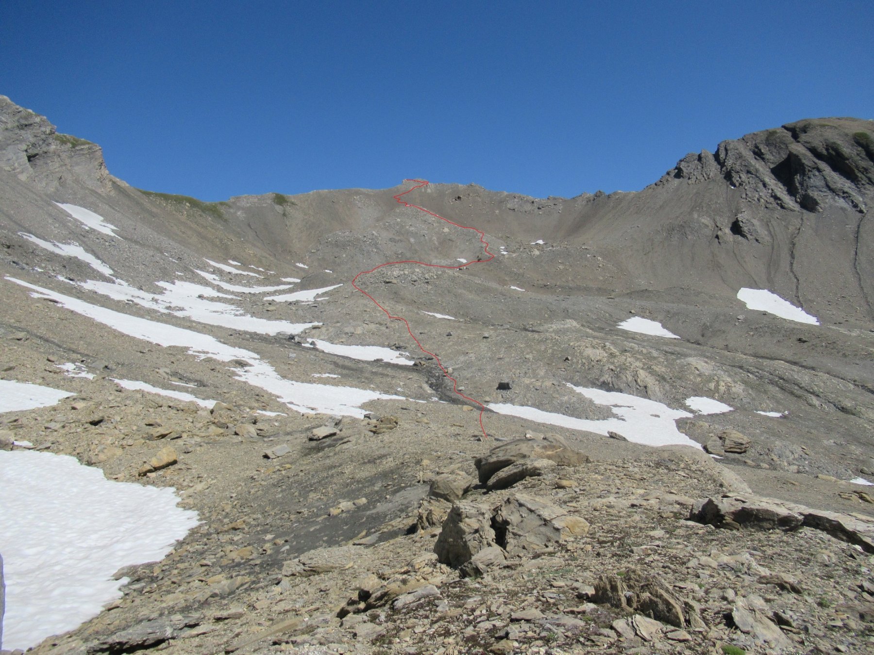
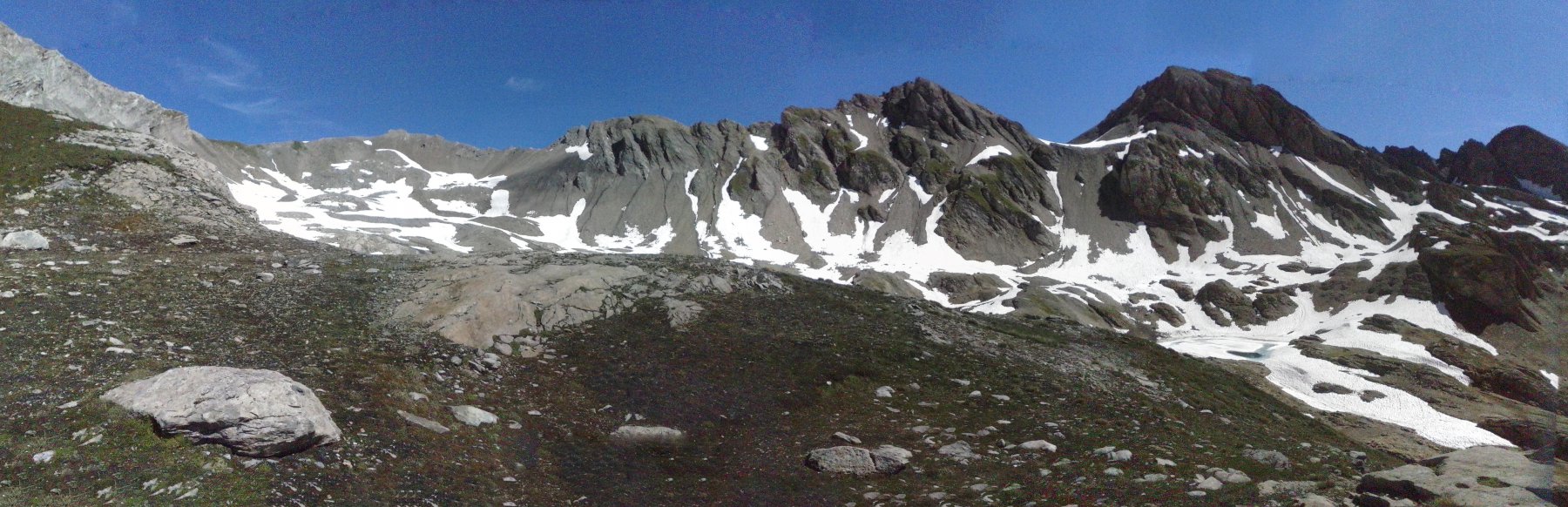
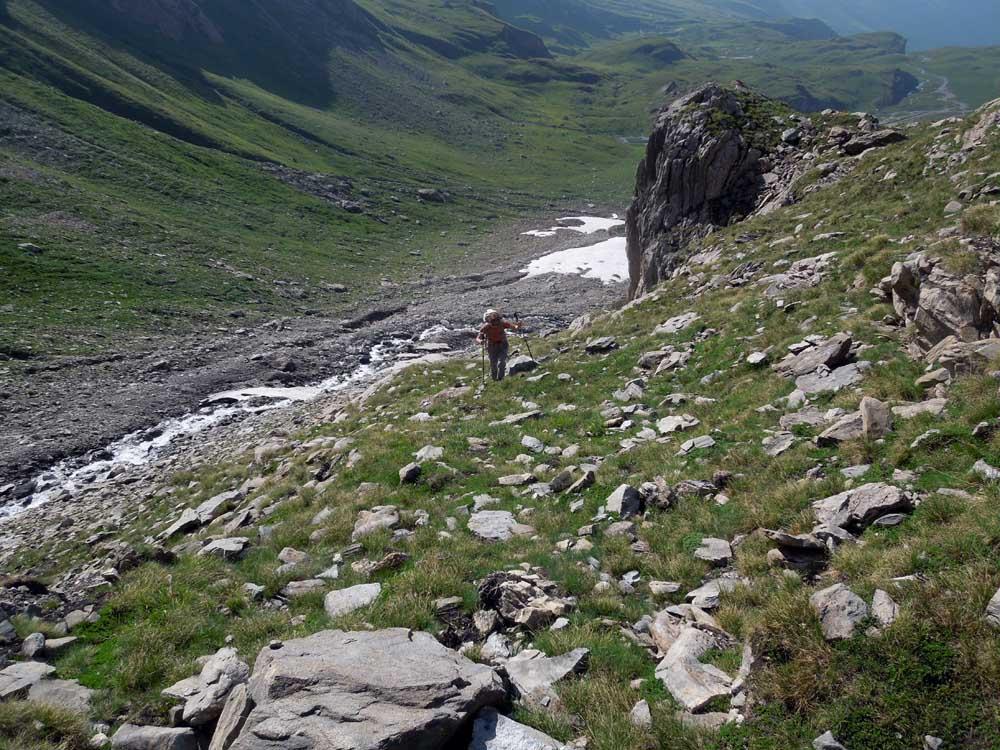
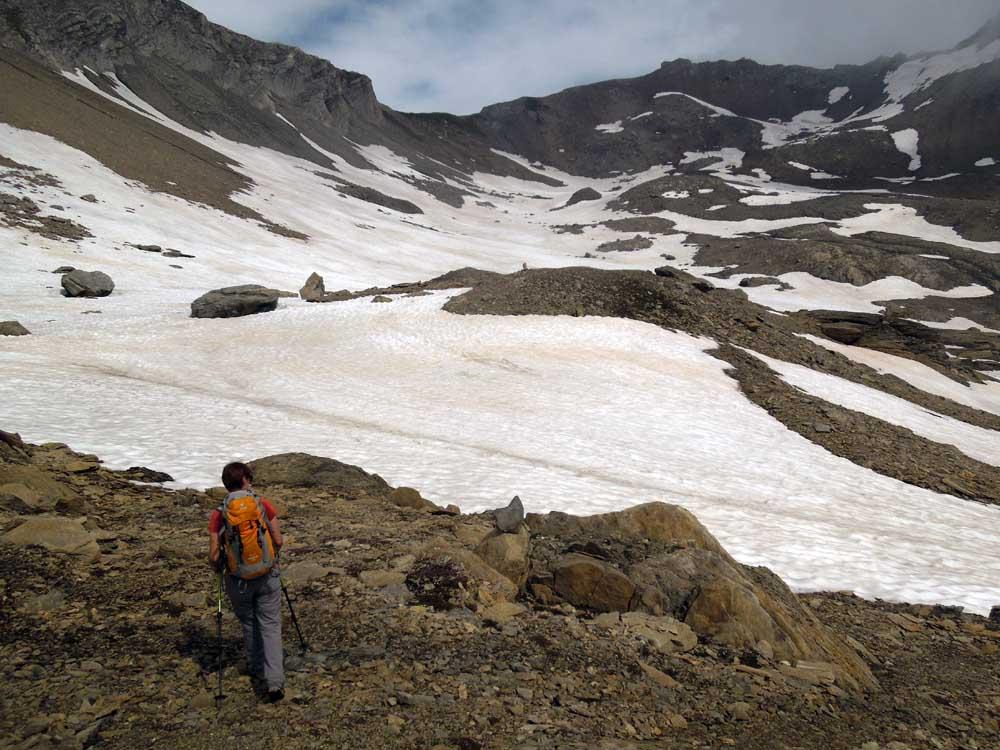
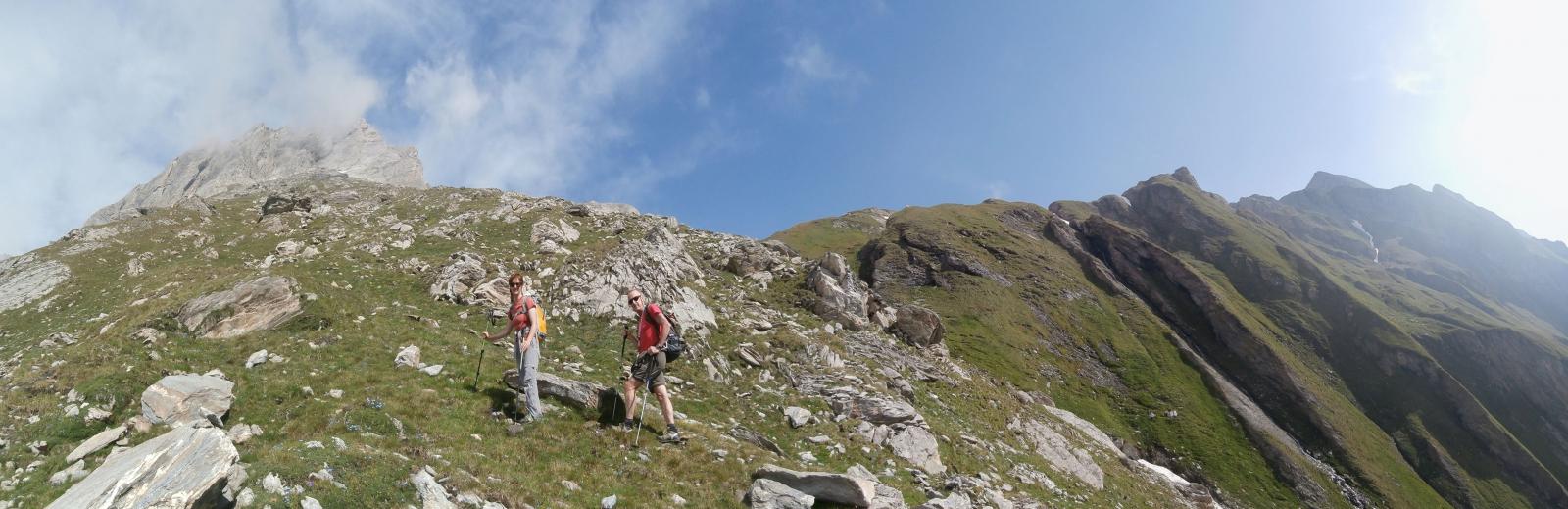
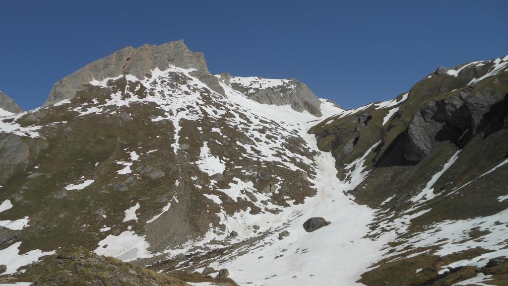
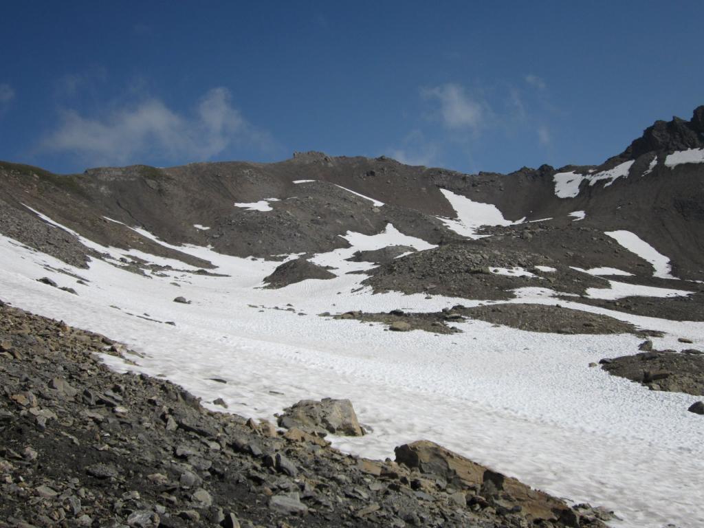
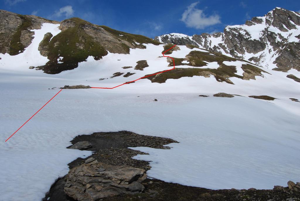
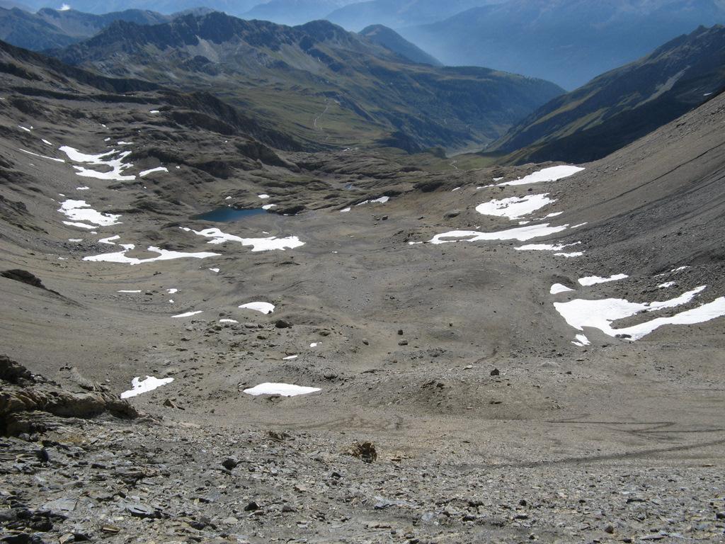
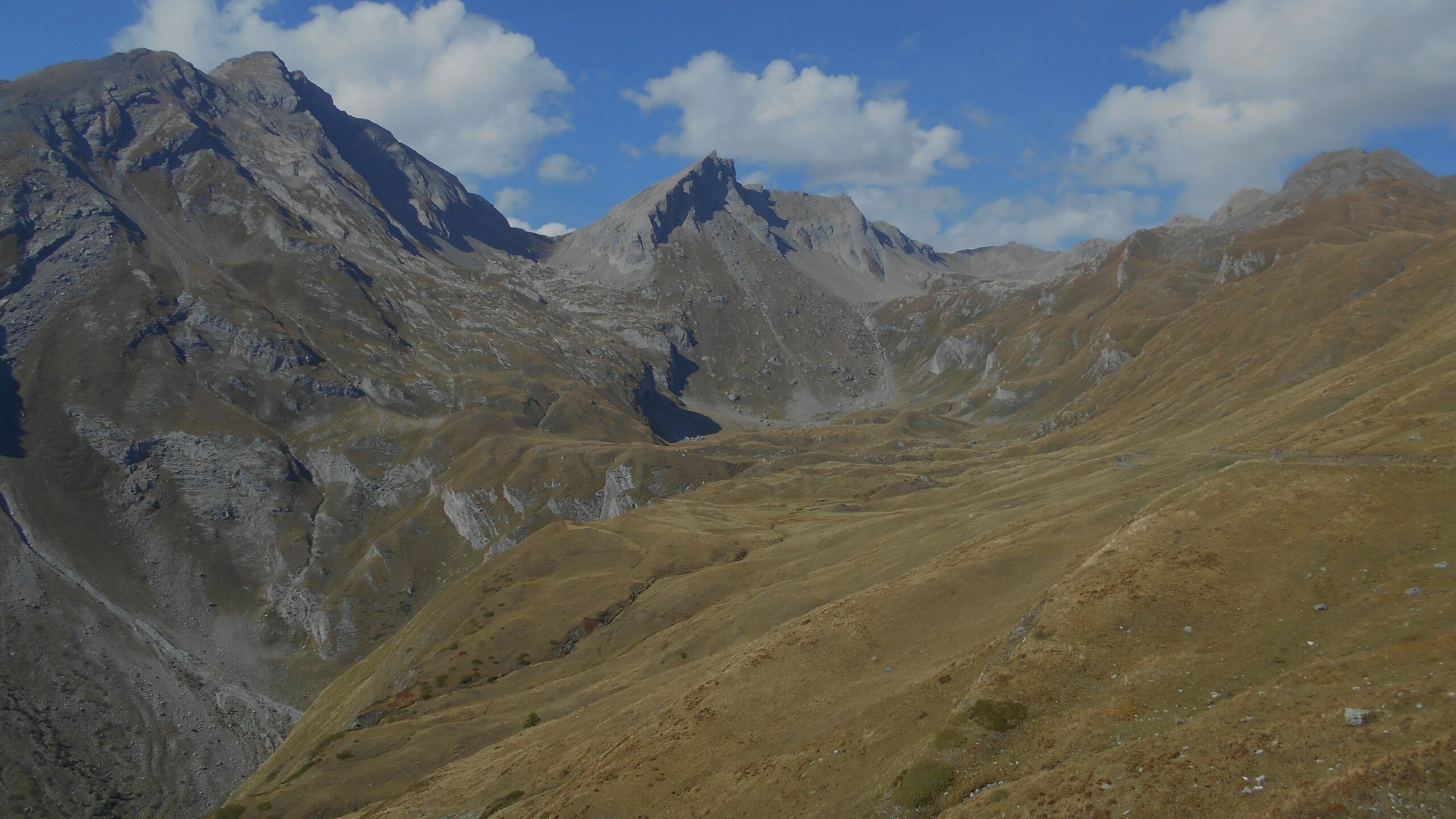
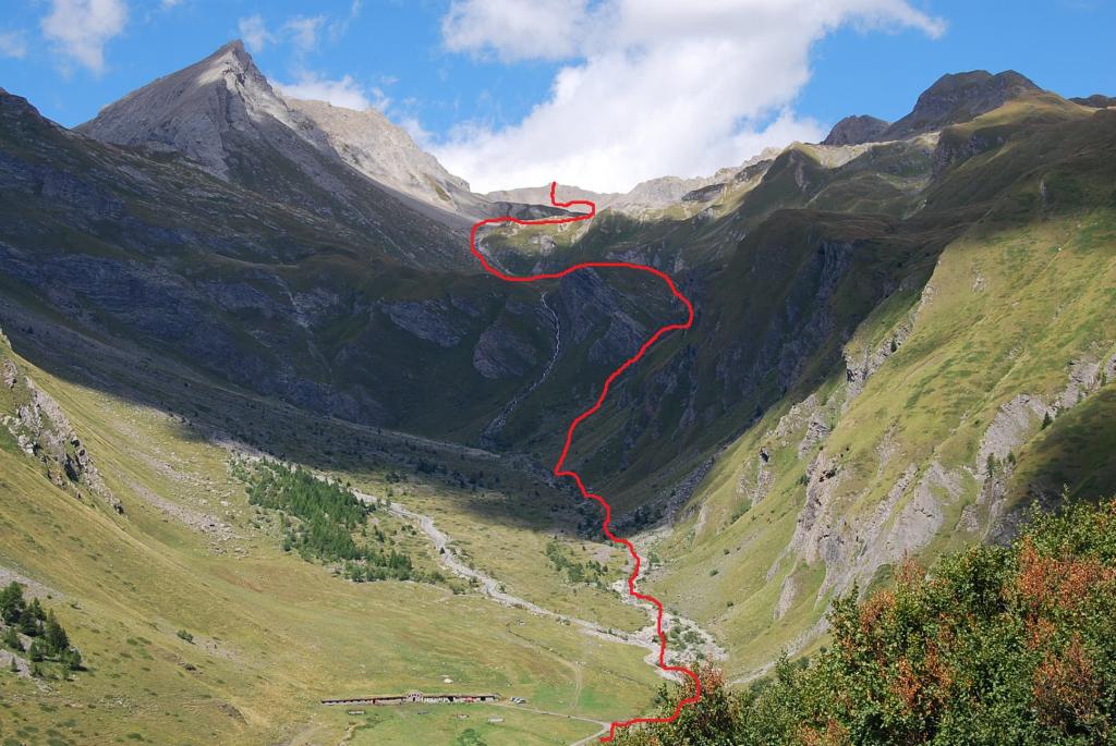
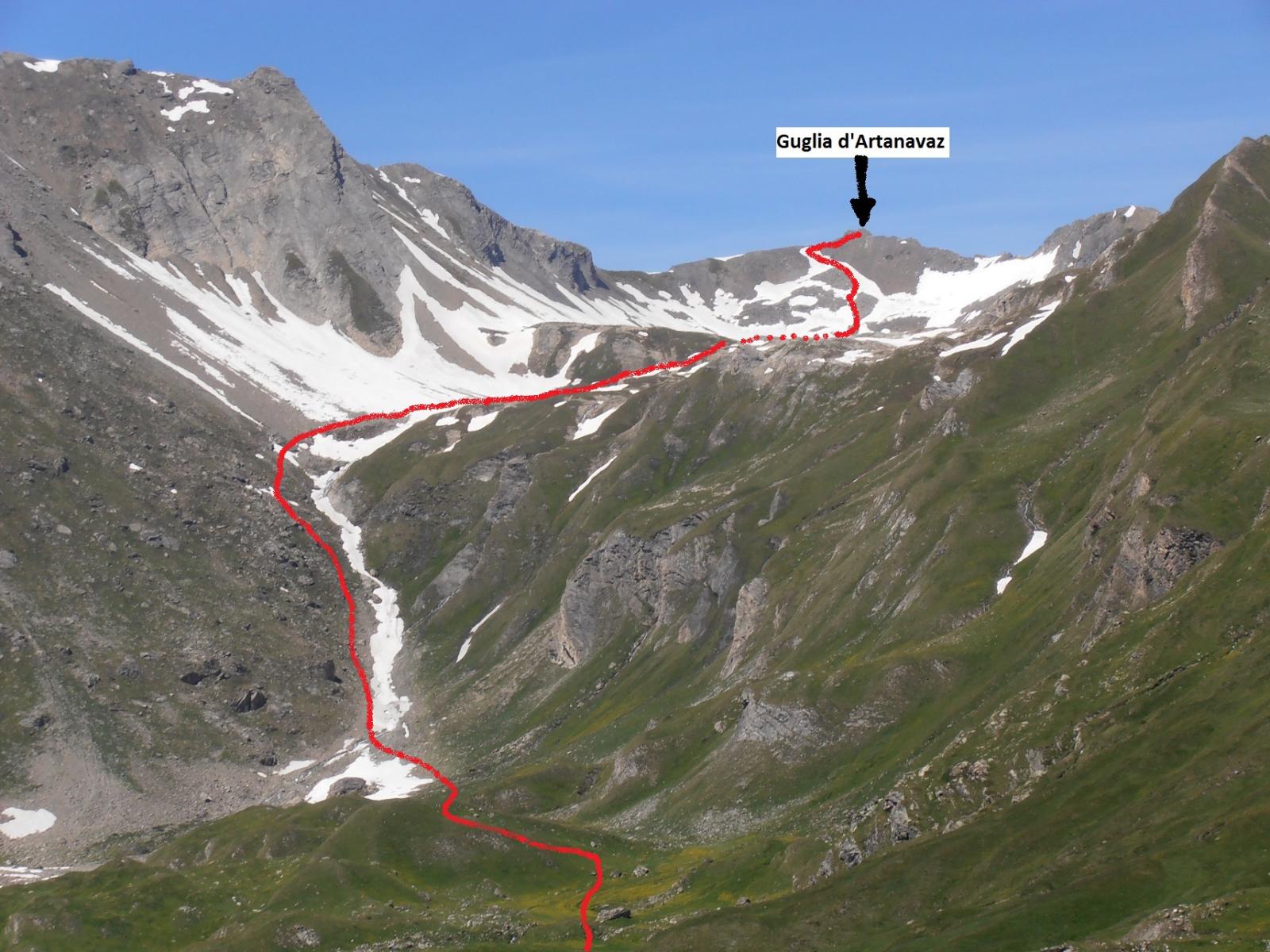
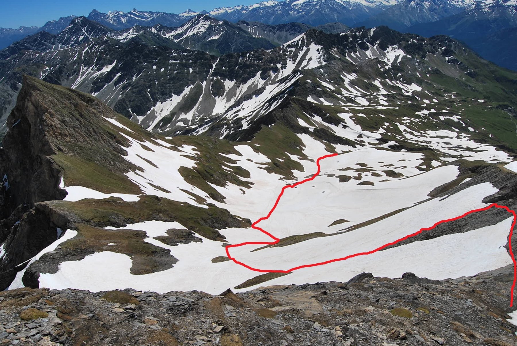
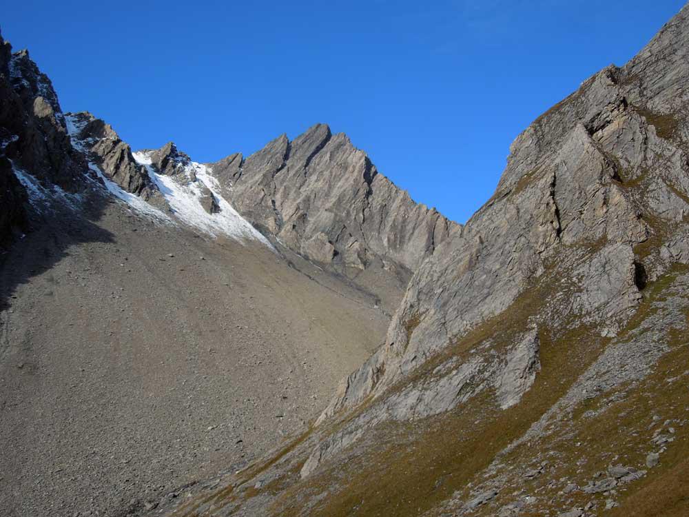
Si continua in direzione nord, seguendo l’andamento del pianoro perdendo leggermente dislivello, puntando all’evidente canalone con torrente (o neve se a inizio stagione) posto all’estrema sinistra del pianoro seguente). Seguendo la traccia di sentiero, si sale il canalone per ripide balze erbose e di terra, fino a sbucare sul ripiano delimitato a sinitra dall’imponente Aiguille de Bonalè. Si continua a destra con semicerchio, aggirando o superando il dosso a 2753 m.
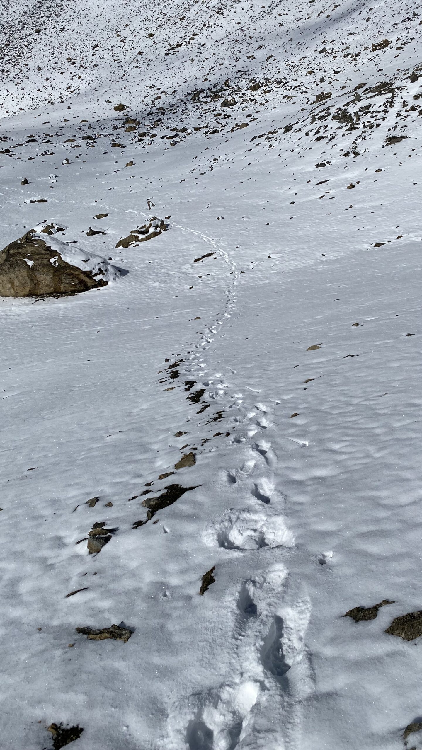
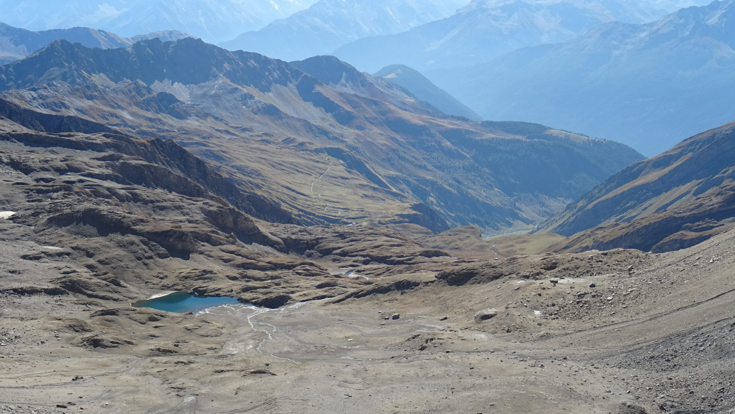
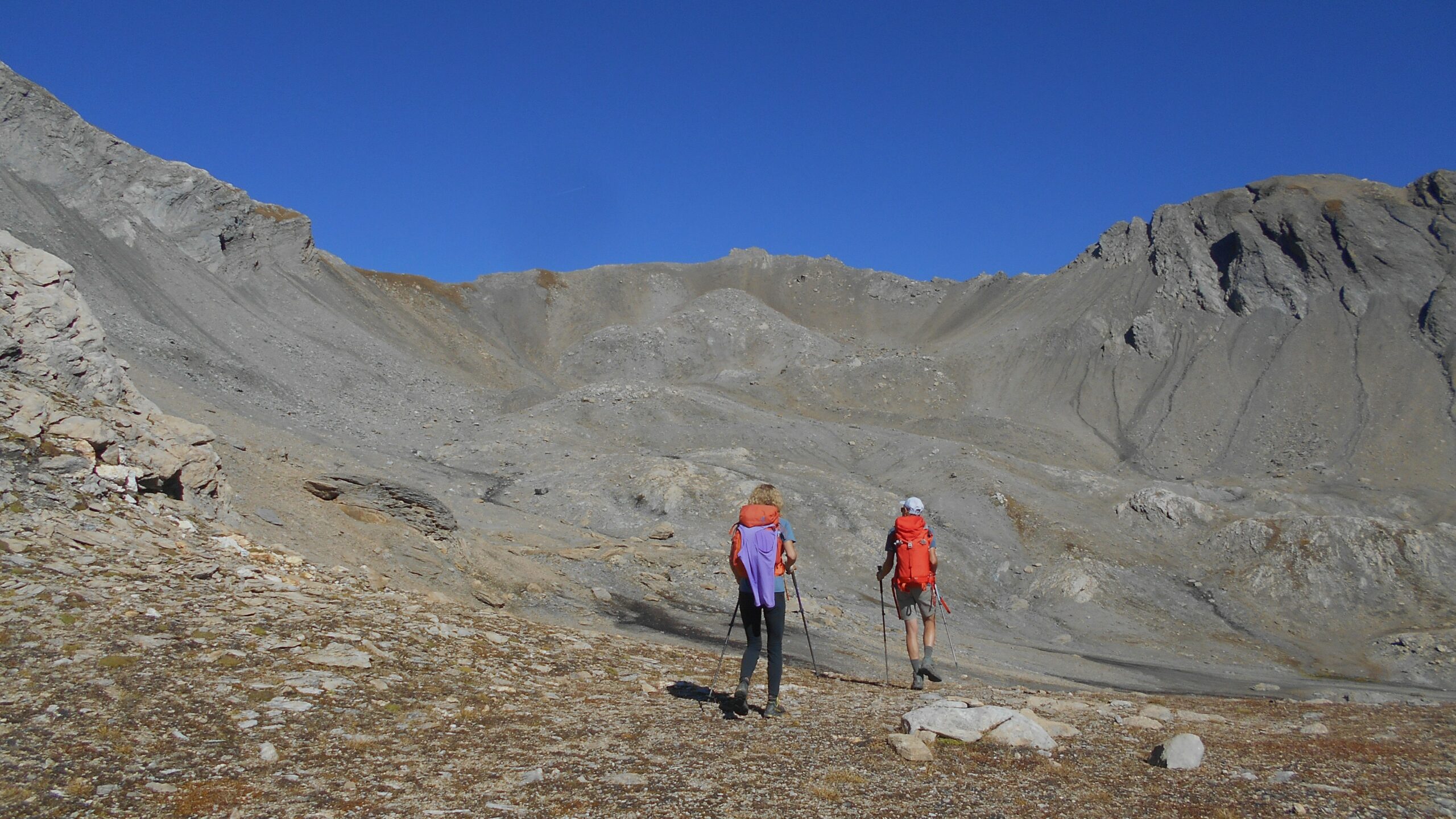
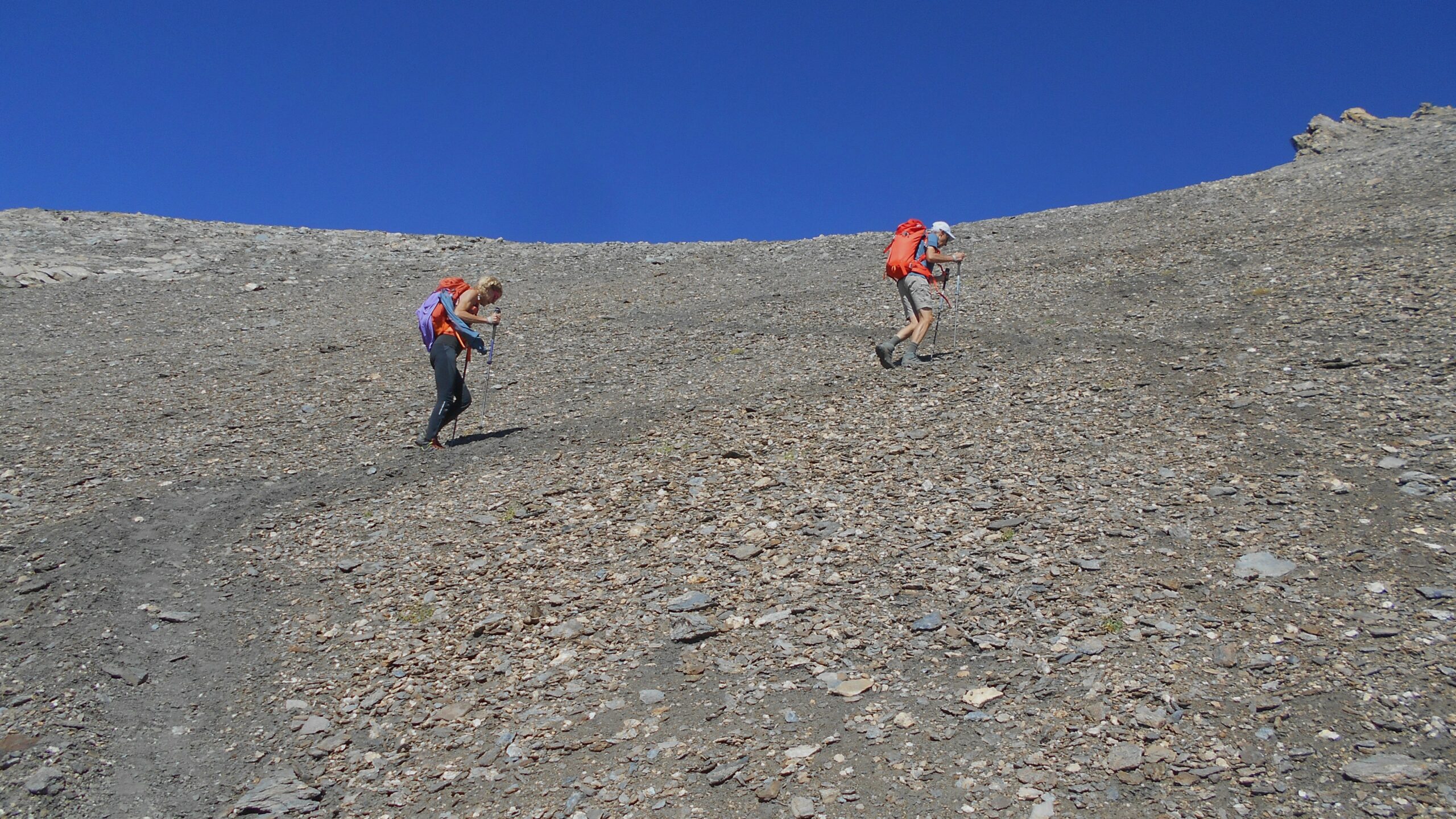
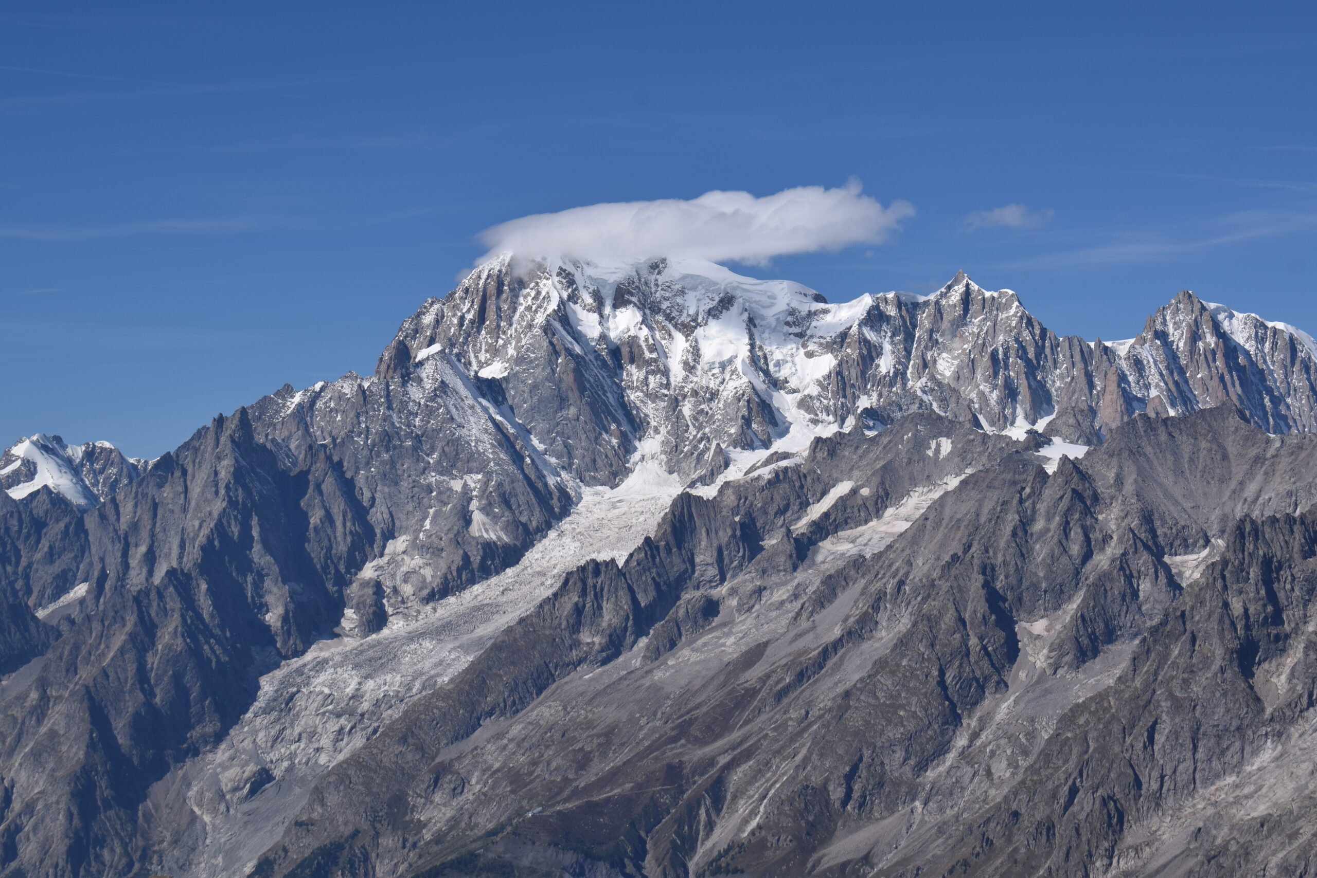
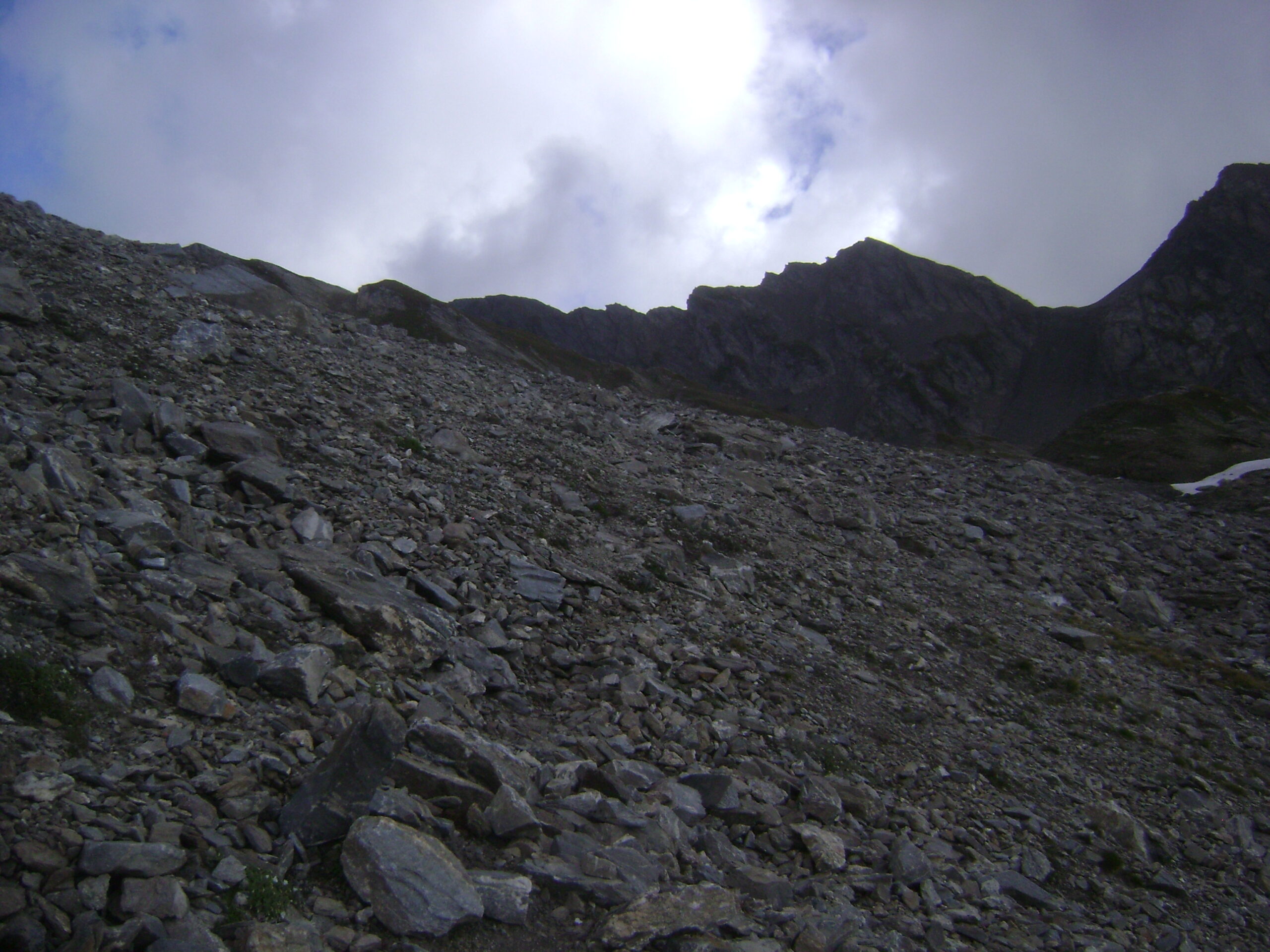
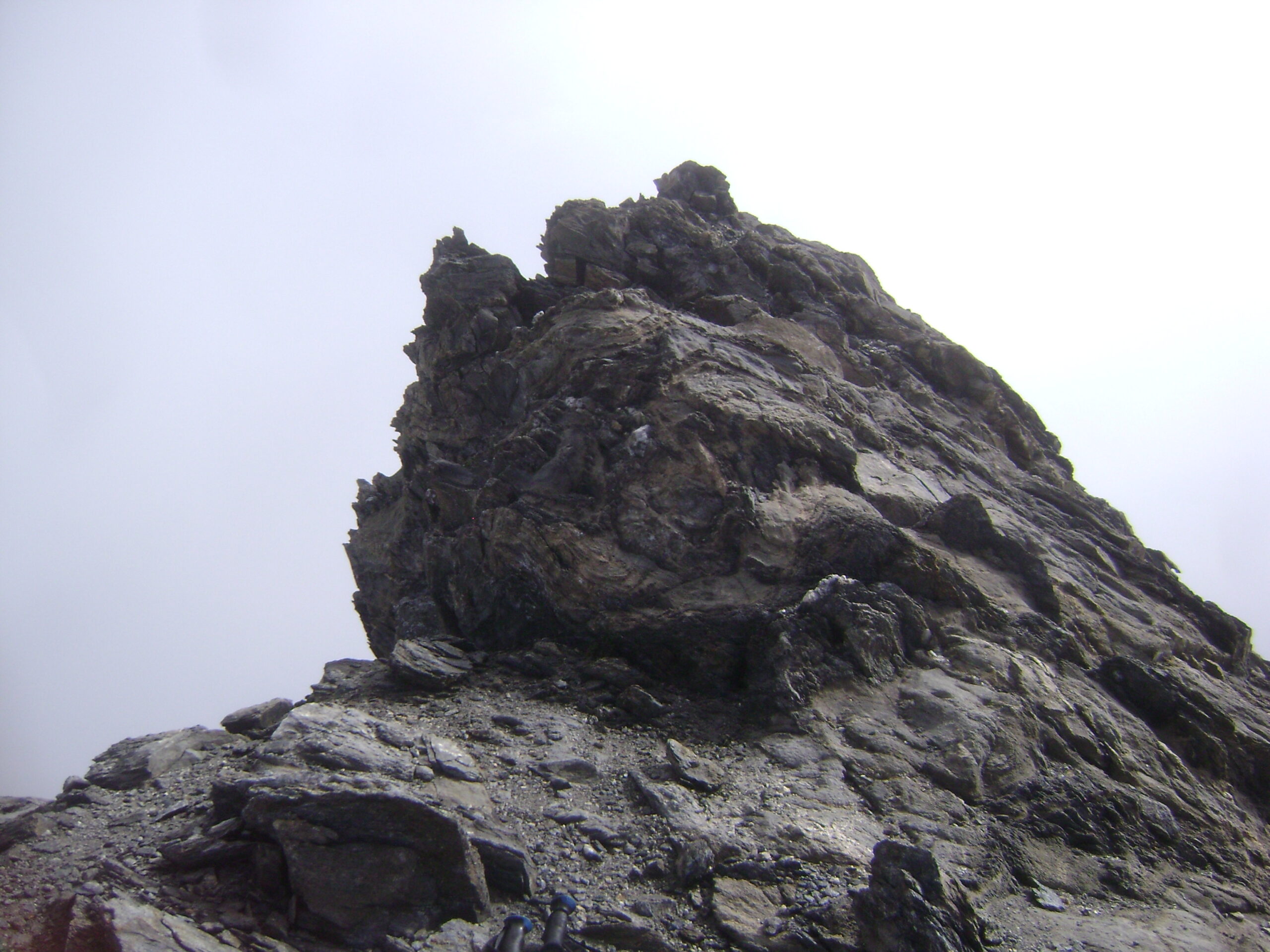
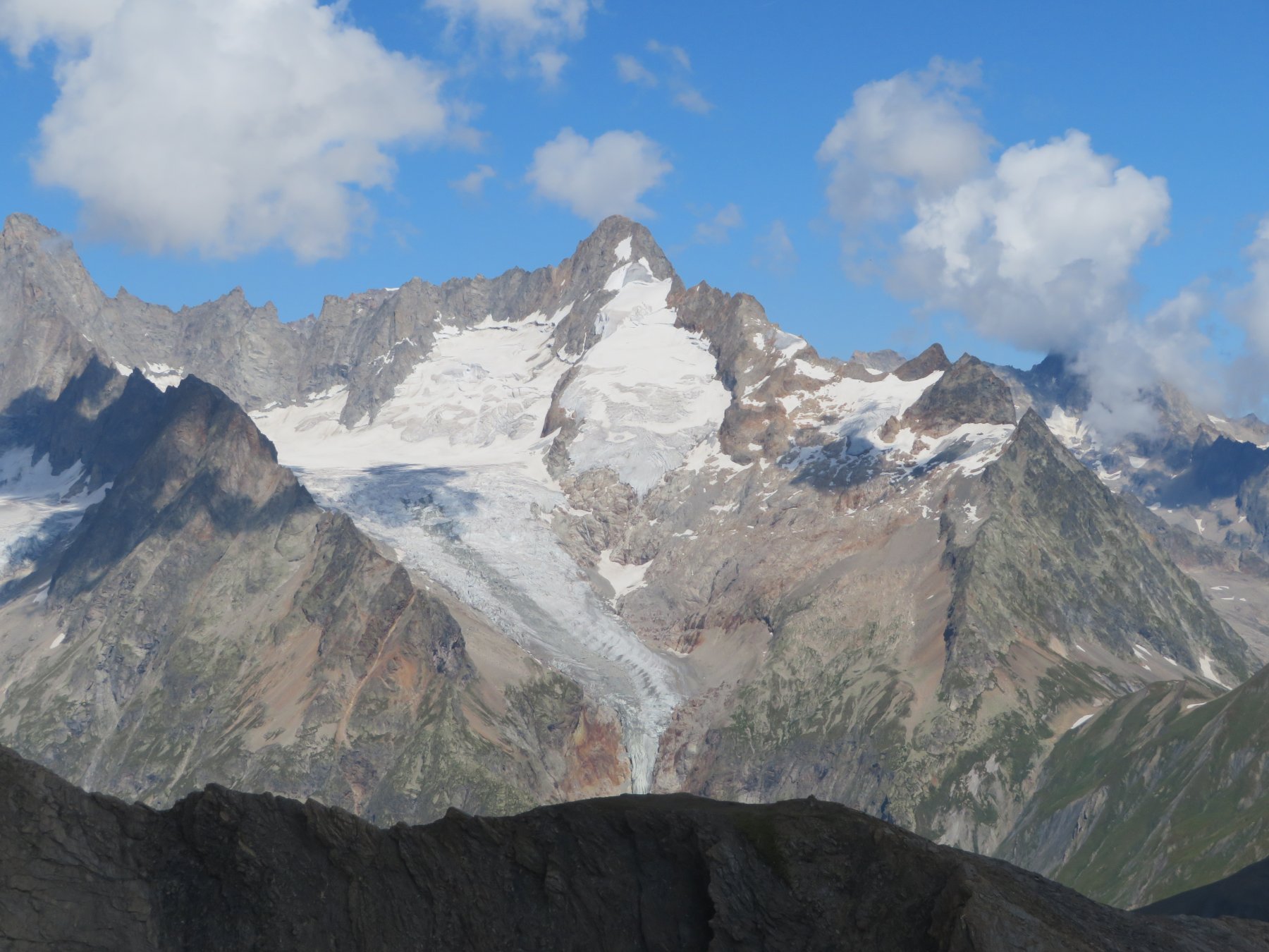
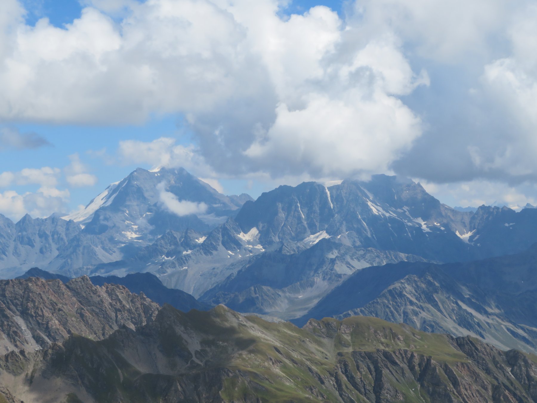
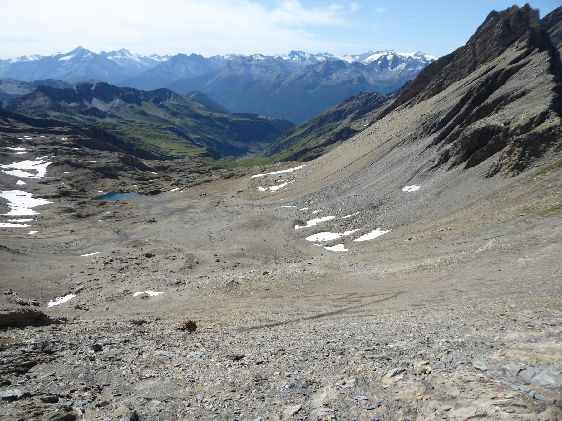
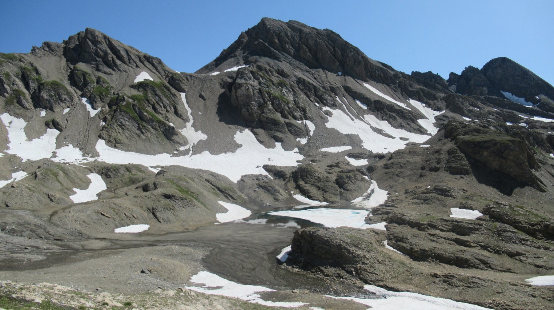
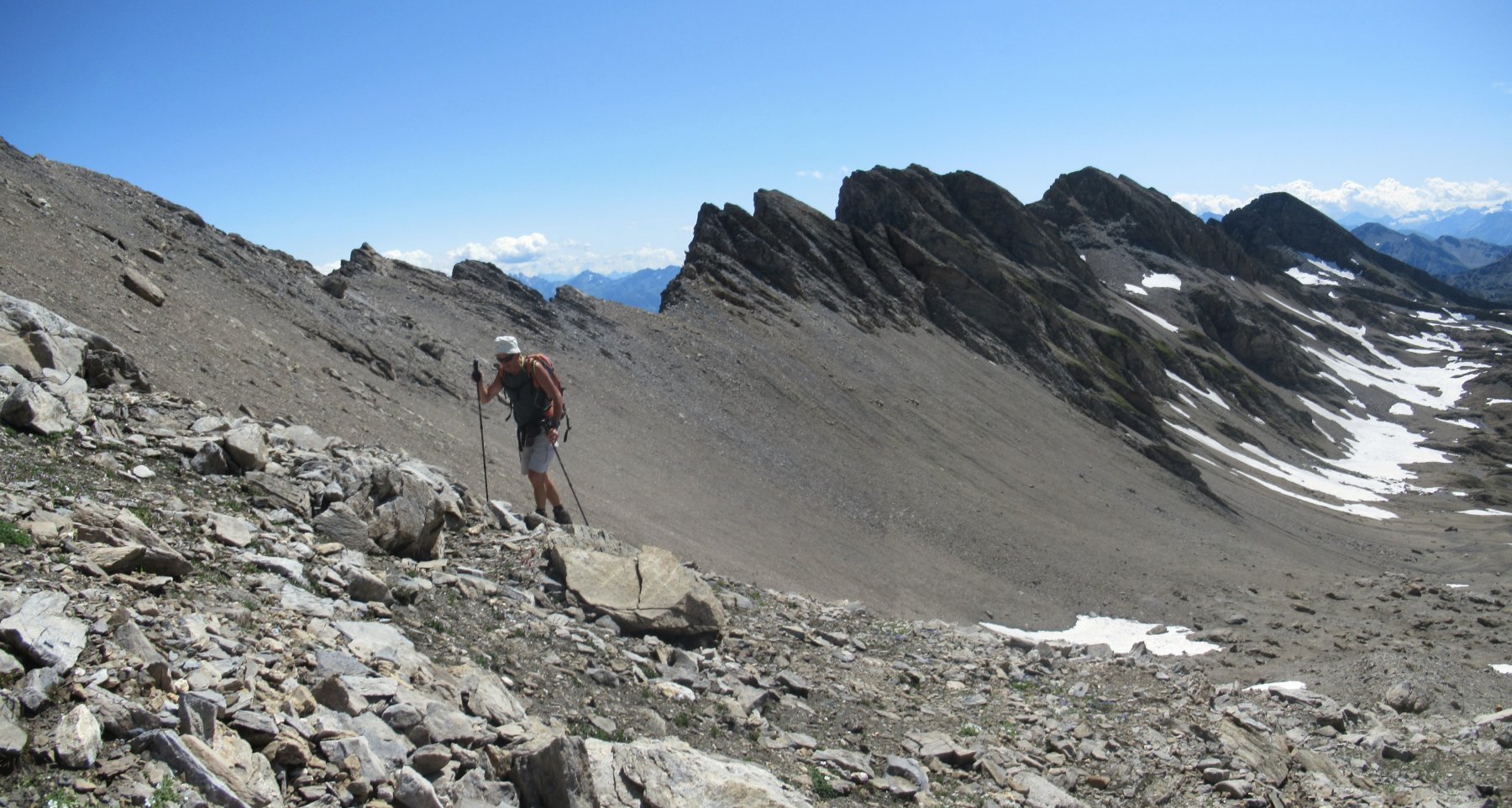
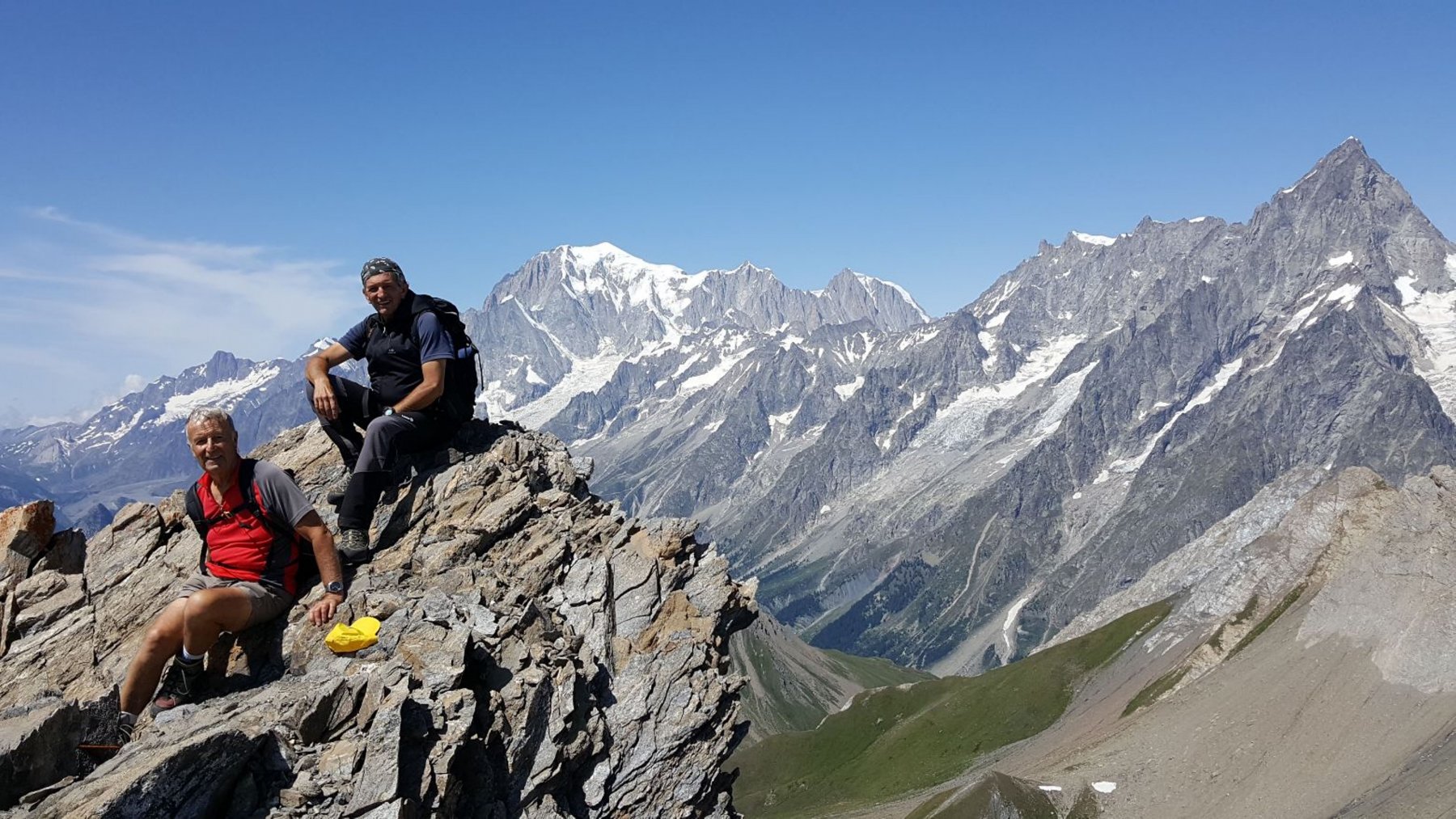
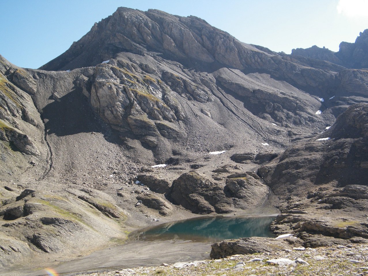
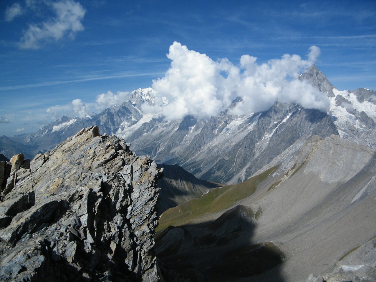
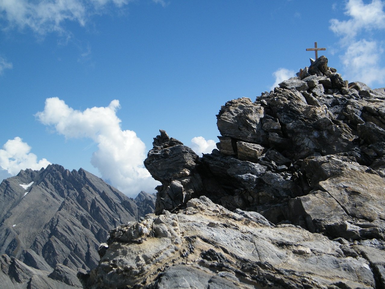
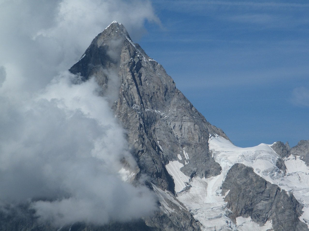
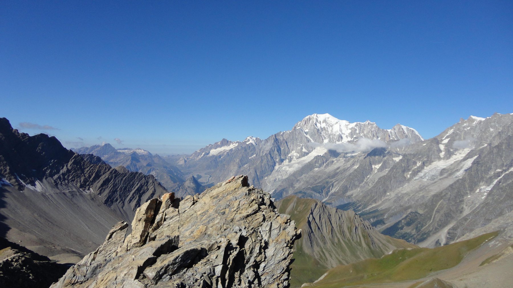
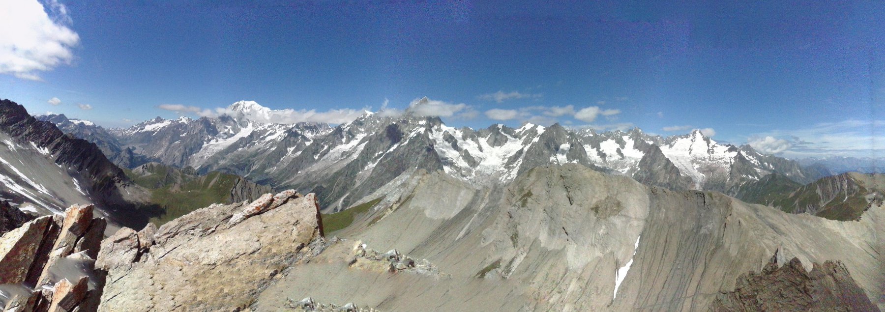
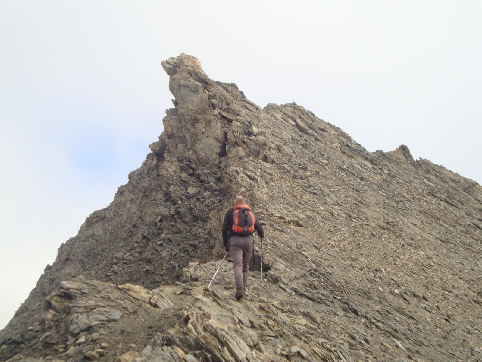
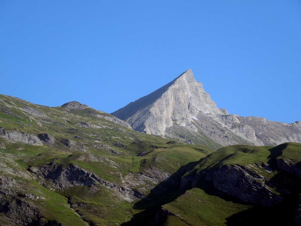
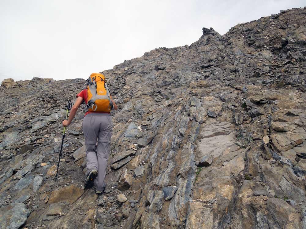
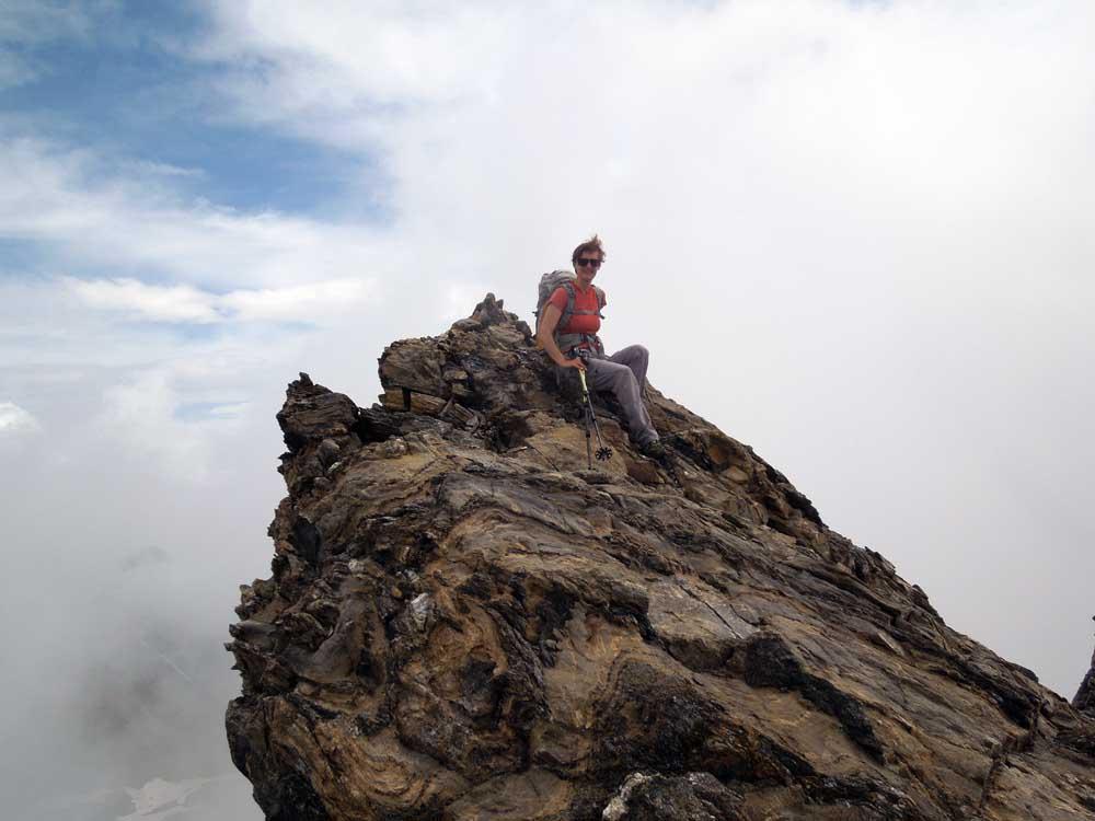
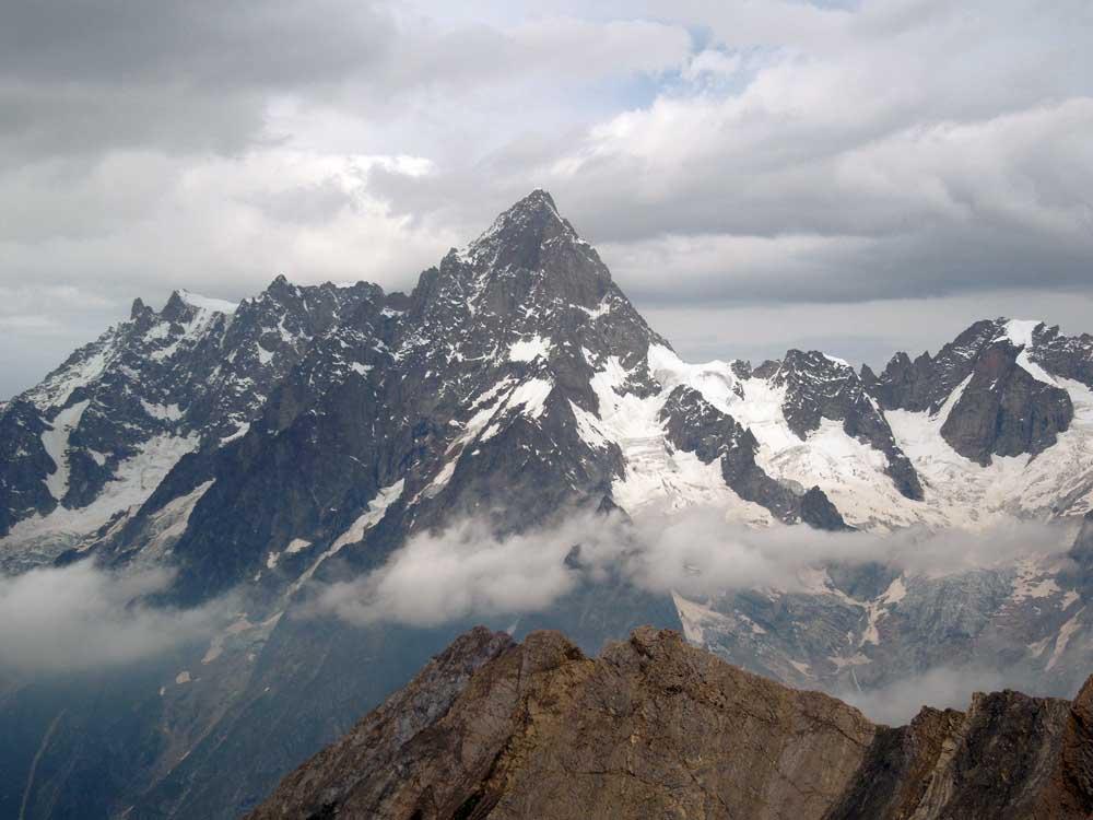
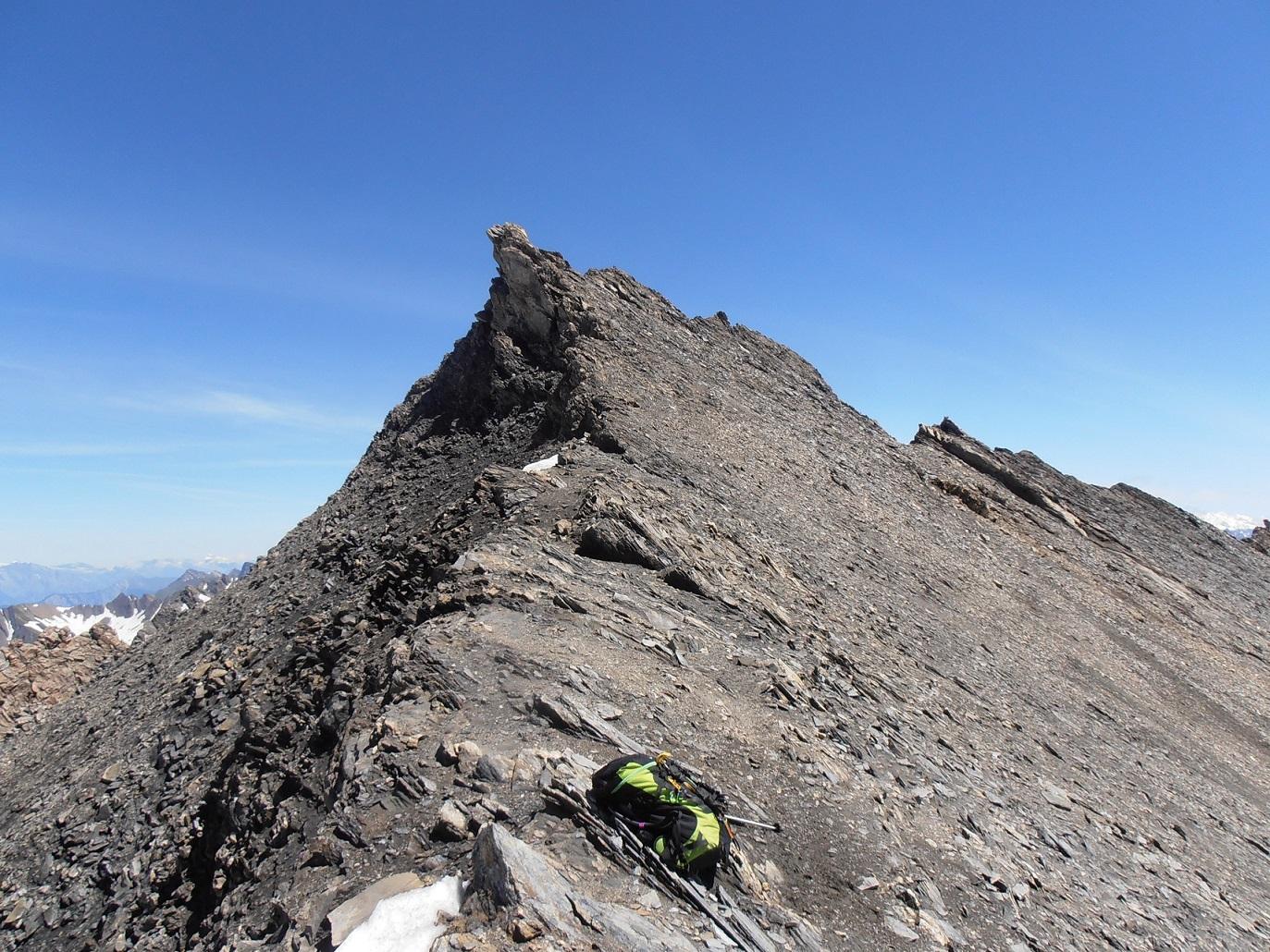
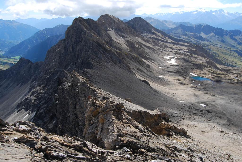
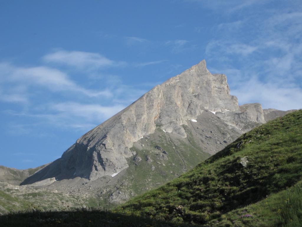
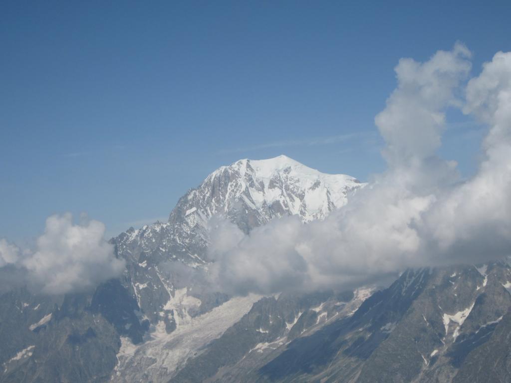
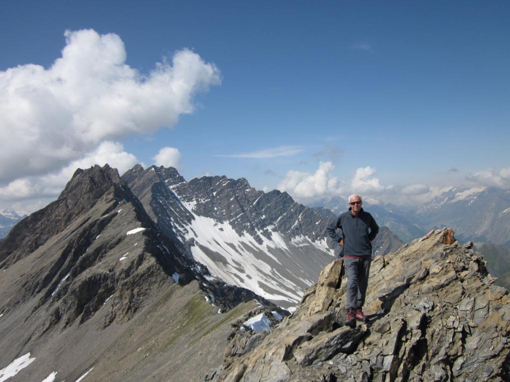
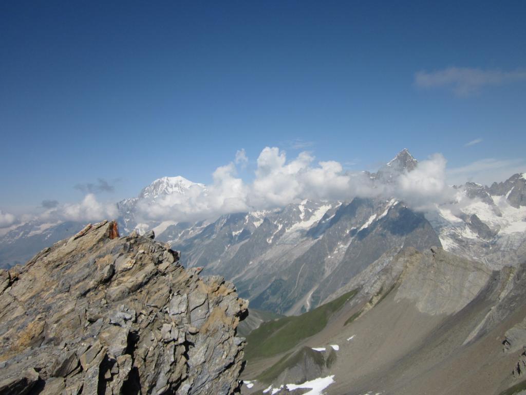
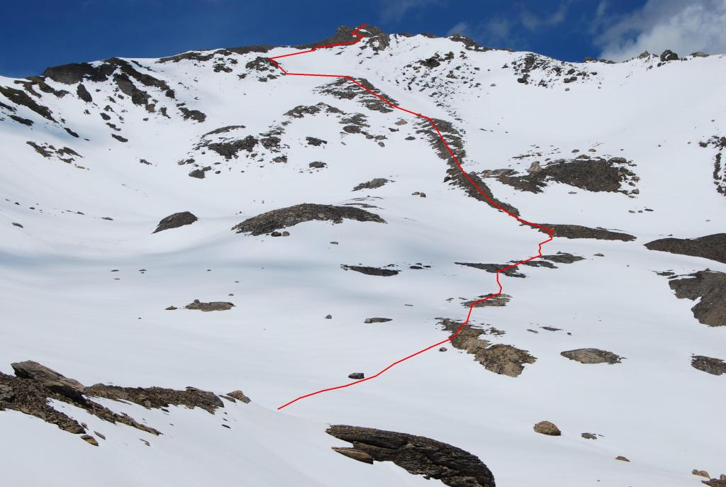
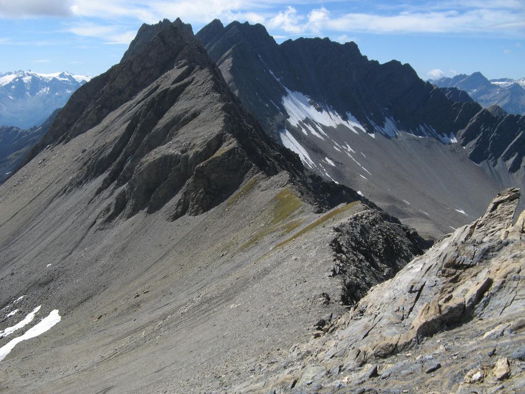
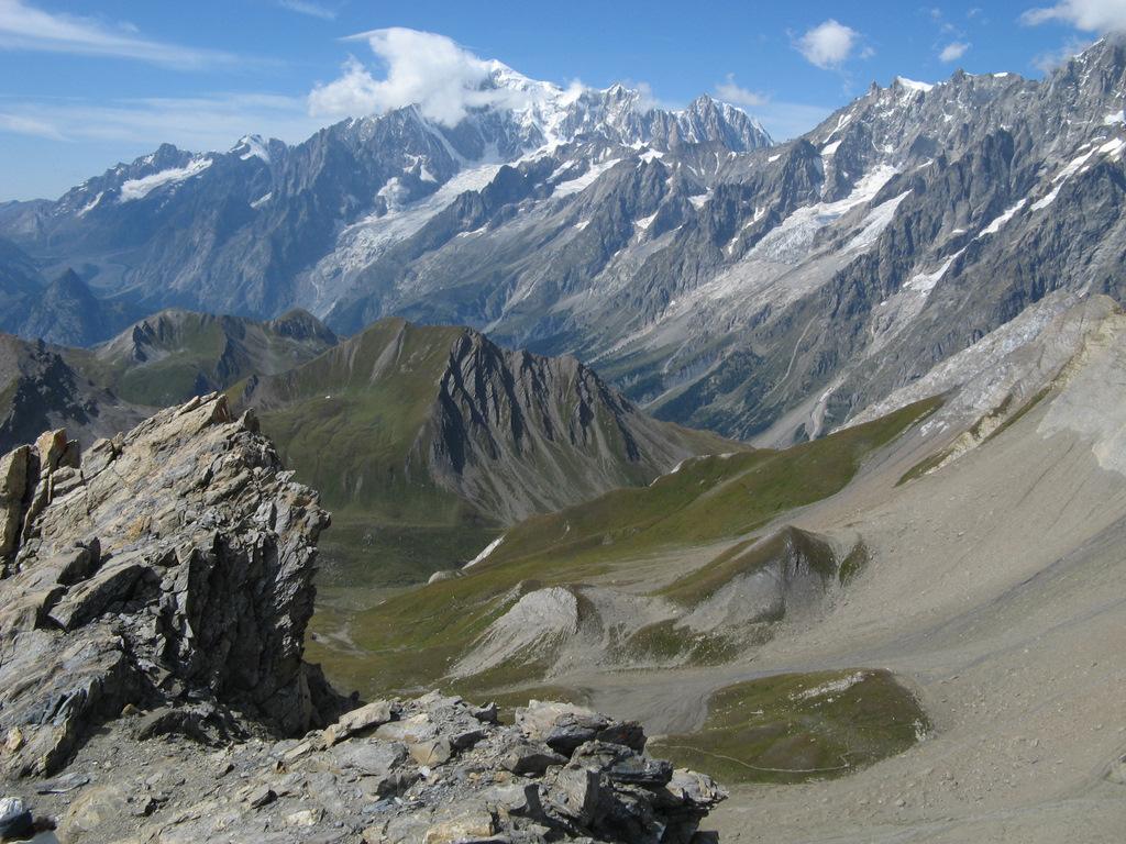
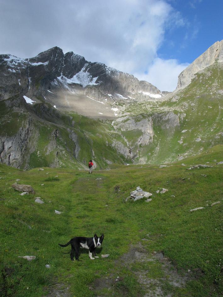
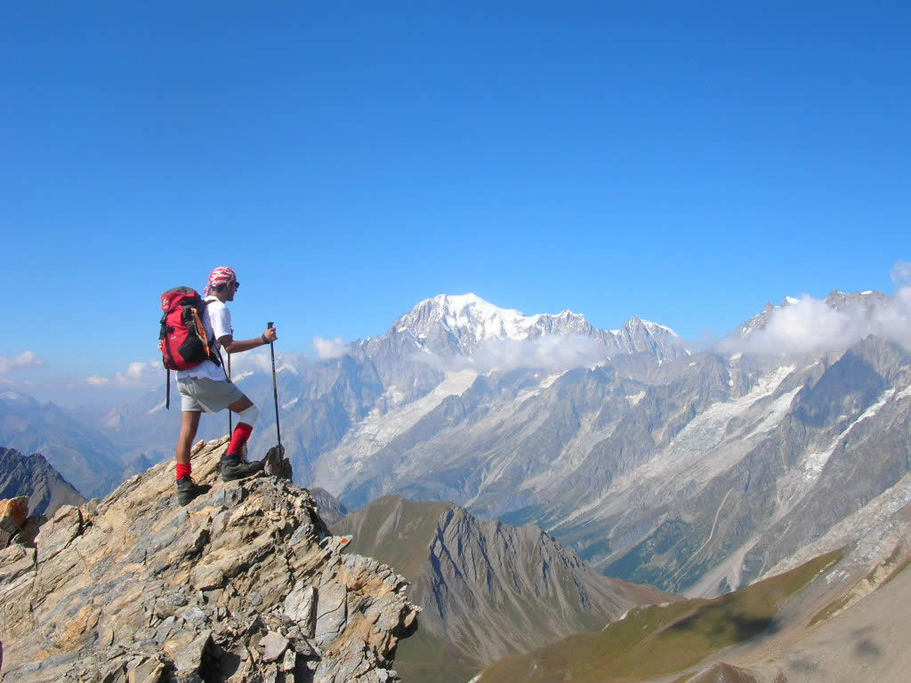
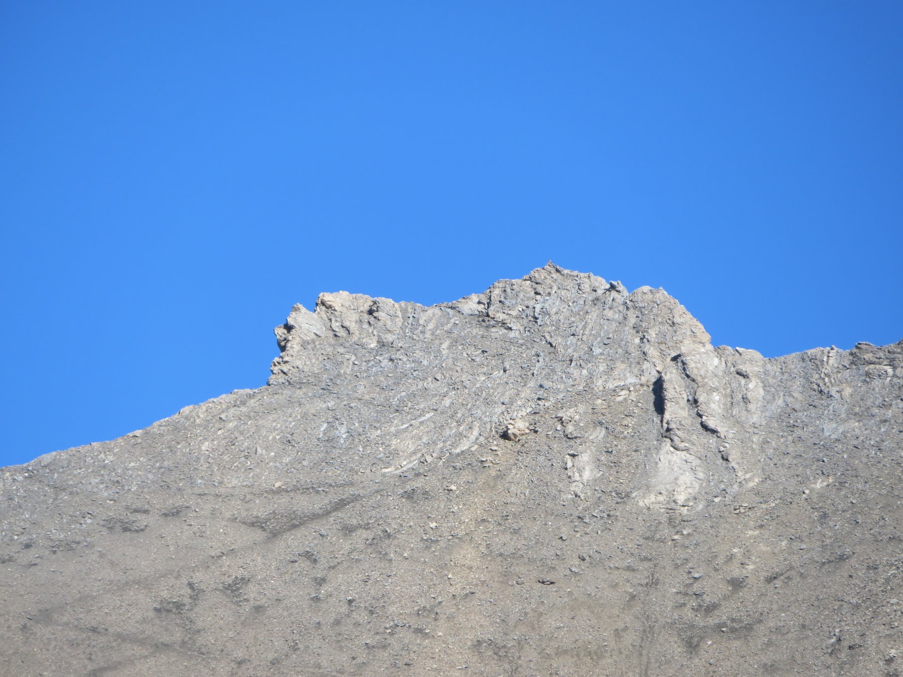
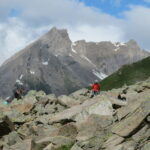
Da qui finalmente si vede la nostra cima, non lontana, con il restante percorso da seguire. Ci si mantiene al centro della valletta, lasciando sulla destra poco più basso il Lago di Bonalex 2781 m, e continuando seguendo vaghe tracce o per nevai (sono presenti ometti utili in caso di scarsa visibilità) , salendo alla meglio un costone di detriti che proviene direttamente dalla cima, che si raggiunge senza alcuna difficoltà (attenzione alla vetta piuttosto aerea, davvero una guglia!). Gran panorama sul massiccio del Monte Bianco, e non solo.
Discesa per lo stesso percorso di salita, volendo dall’Alpe Bonalex si può seguire la poderale che con percorso più dolce e lungo, riporta a Planaval (segnavia n.7). Facendo questa stradina bisogna aggiungere 50 metri di dislivello all’andata e 50 al ritorno.
- Cartografia:
- L’Escursionista Editore 1/25.000 n.1 Monte Bianco - Courmayeur
- Bibliografia:
- www.vdaoutdoor.it
Nelle vicinanze Mappa
Itinerari
07/07/2018 AO, La Salle D+ 1956 m EE Varie
Crevacol (Testa di) da Planaval, traversata a Pra Farcoz per i colli Serena, Ceingles, Saint Rhemy
 50m
50m
06/08/2022 AO, La Salle D+ 1321 m EE Ovest
Grand Creton da Planaval per il Lago di Bonalex
 50m
50m
29/07/2025 AO, La salle D+ 1195 m EE Varie
Creton du Midi da Planaval
 50m
50m
15/07/2012 AO, La Salle D+ 1050 m E Sud
Fetita (Punta) o Falita da Planaval, anello per il Col Serena
 50m
50m
09/08/2022 AO, La Salle D+ 1700 m EE/F Sud-Est
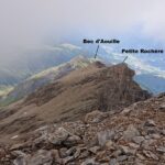
Grande Rochere e Petite Rochere da Planaval per la Cresta Sud dal Bec d’Aouille
 50m
50m
13/06/2025 AO, La Salle D+ 1035 m EE Varie
Serena (Costa di) quota 2785 m da Planaval
 50m
50m
03/08/2022 AO, La Salle D+ 1300 m E Nord
Battaglione Aosta (Colle) da Planaval
 50m
50m
31/08/2025 AO, La Salle D+ 1600 m EE/F Sud-Est
Grande Rochere e Petite Rochere da Planaval
 50m
50m
14/07/2026 AO, La Salle D+ 817 m E Varie
Serena (Col e Lago di) da Planaval
 50m
50m
21/10/2018 AO, La Salle D+ 1035 m EE Varie
Noire (Tete) da Planaval
 50m
50m