6.2Km
6.2Km
Note
 50m
50m
50m
50m
50m
50m
50m
50m
50m
50m
50m
50m
50m
50m
50m
50m
Itinerario completo, elegante e impegnativo per la lunghezza considerevole.
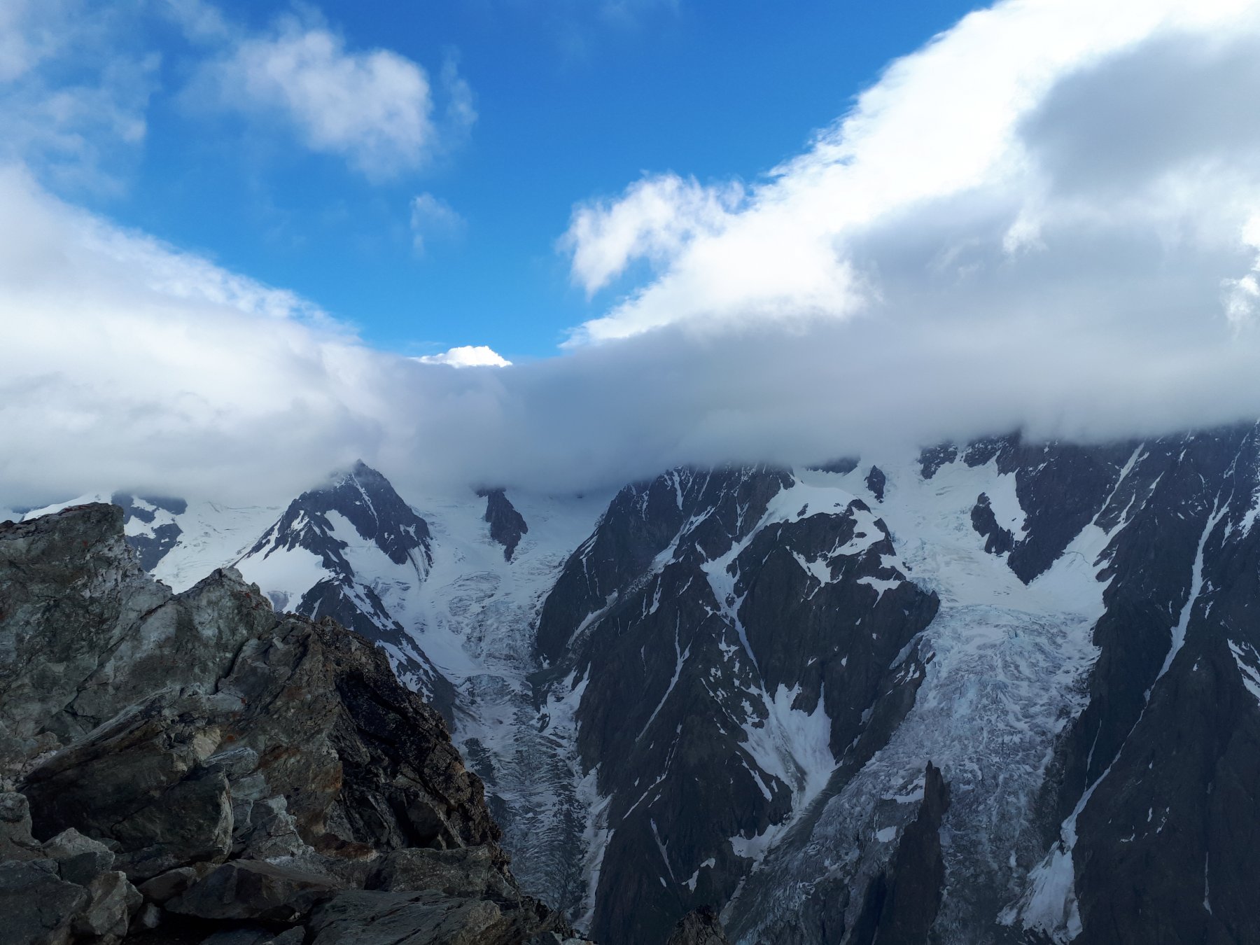
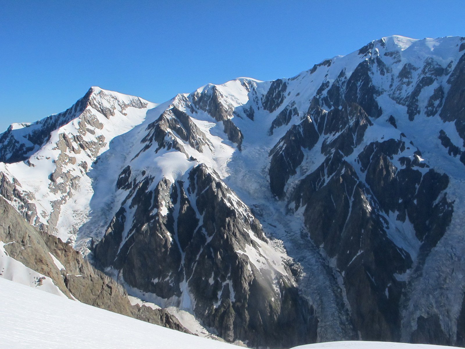
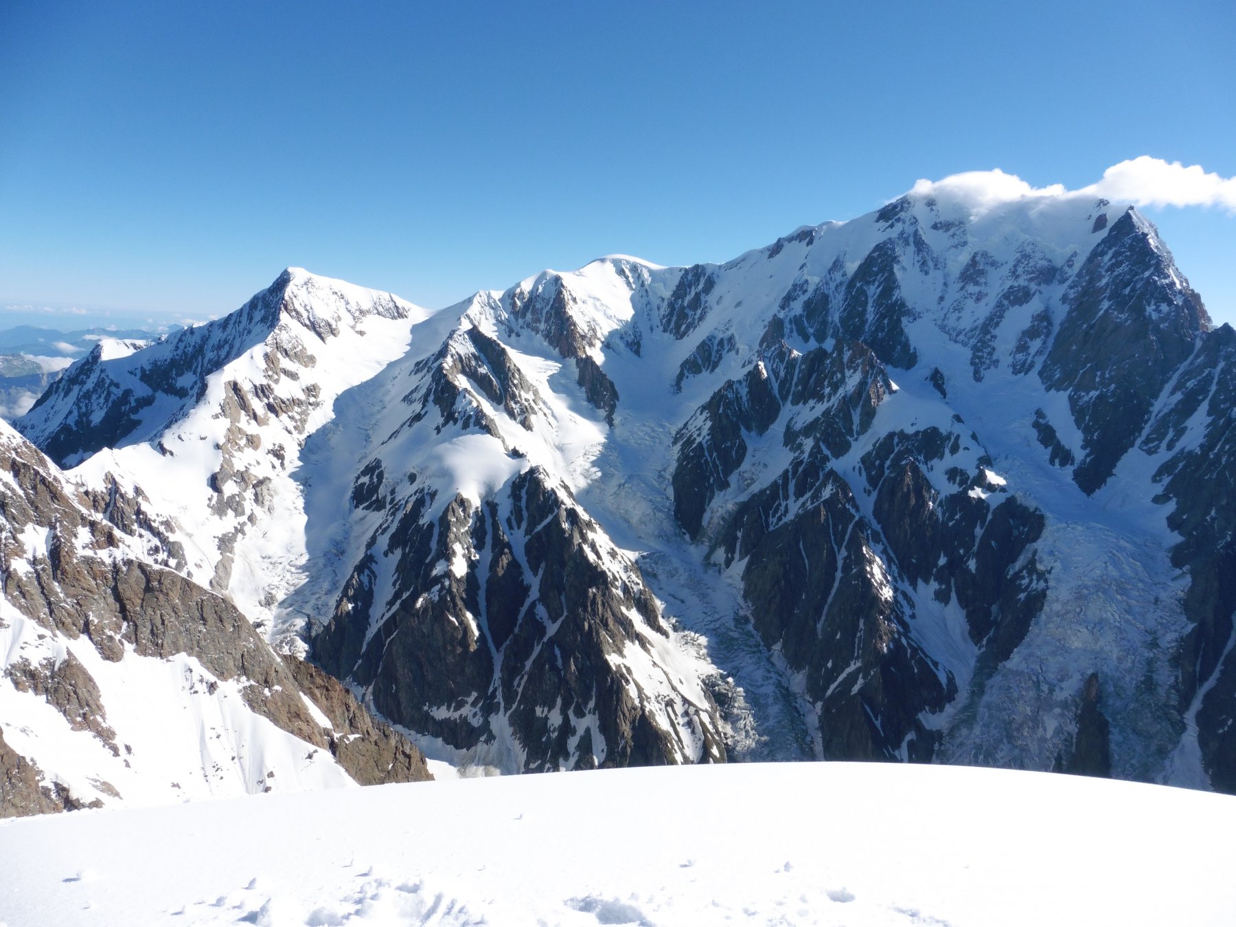
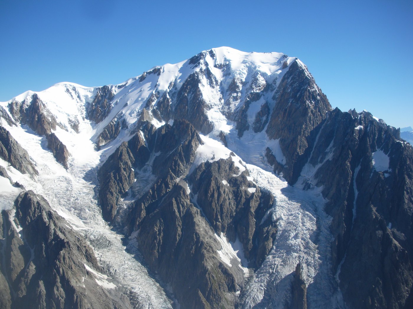
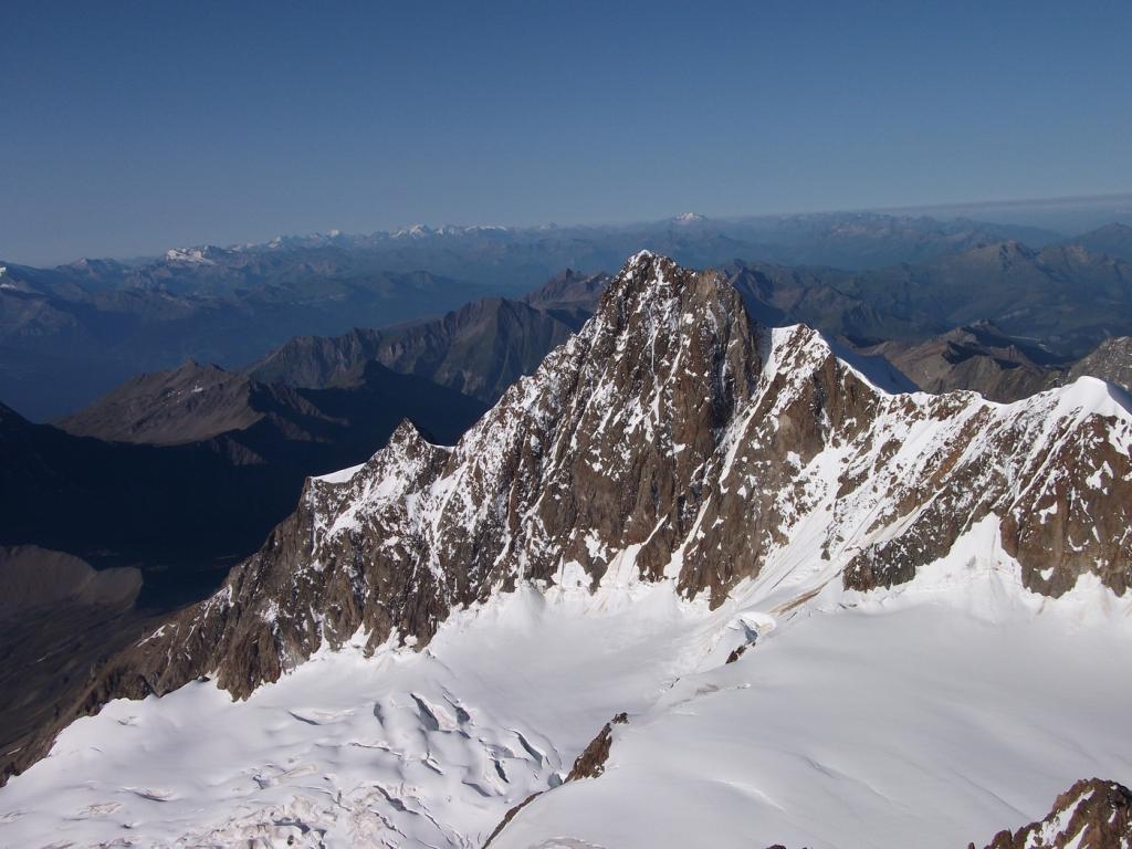
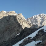
Le Aiguilles de Trelatele sono un complesso di 4 punte: la punta orientale (3893 m), quella centrale SE (punto culminante con resti di un ripetitore, 3930 m), quella centrale NO (rocciosa 3917 m) e quella nord (o Tete Blanche m 3892), posta sul confine con la Francia.
Avvicinamento
Le Aiguilles de Trelatele sono un complesso di 4 punte: la punta orientale (3893 m), quella centrale SE (punto culminante con resti di un ripetitore, 3930 m), quella centrale NO (rocciosa 3917 m) e quella nord (o Tete Blanche m 3892), posta sul confine con la Francia.
Da Courmayeur verso la Val Veny fino al ponte di La Visaille (m. 1670) dove la strada asfaltata è interdetta tramite una prima sbarra al traffico automobilistico dopo una certa ora del mattino e da una seconda sempre presente qualche centinaio di metri oltre.
Descrizione
Si segue per quasi 3 km la strada asfaltata (un sentierino permette di tagliare i due tornanti) fino allo sbocco della piana acquitrinosa di Combal.
Arrivati a un ponte, si prosegue sulla destra per strada sterrata fino allo spiazzo erboso del bar Combal (m. 1970).
Vicino al bar, subito dietro un evidente grafico delle cime intorno, si prende un sentiero che attraversa a mezza costa (lato piana acquitrinosa) la morena del ghiacciaio Miage fino ai pendii del Petit Mont Blanc.
Qui inizia la salita vera e propria: seguendo i bolli gialli, si sale obliquamente fino ad un torrente che scende dal vallone compreso tra l’Aiguille de Combal ed il Mont Suc.
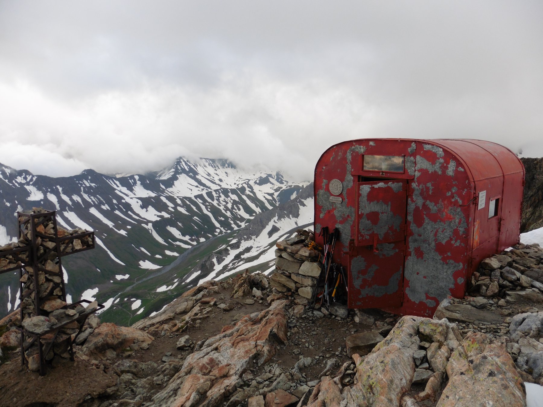
Traversato il torrente (alcuni facili passaggi su roccette) si sale direttamente entrando in un largo vallone ghiaioso molto faticoso. A seconda della stagione, è possibile incontrare alcune ripide lingue di neve. In alto la pendenza diminuisce ed alcuni ometti indicano la direzione. Si superano in questo tratto alcuni lastroni di roccia con divertenti e facili passaggi di arrampicata (I°) alternati eventualmente ad altri nevai. Su un ripiano infine si raggiunge il bivacco Rainetto 3047 m.
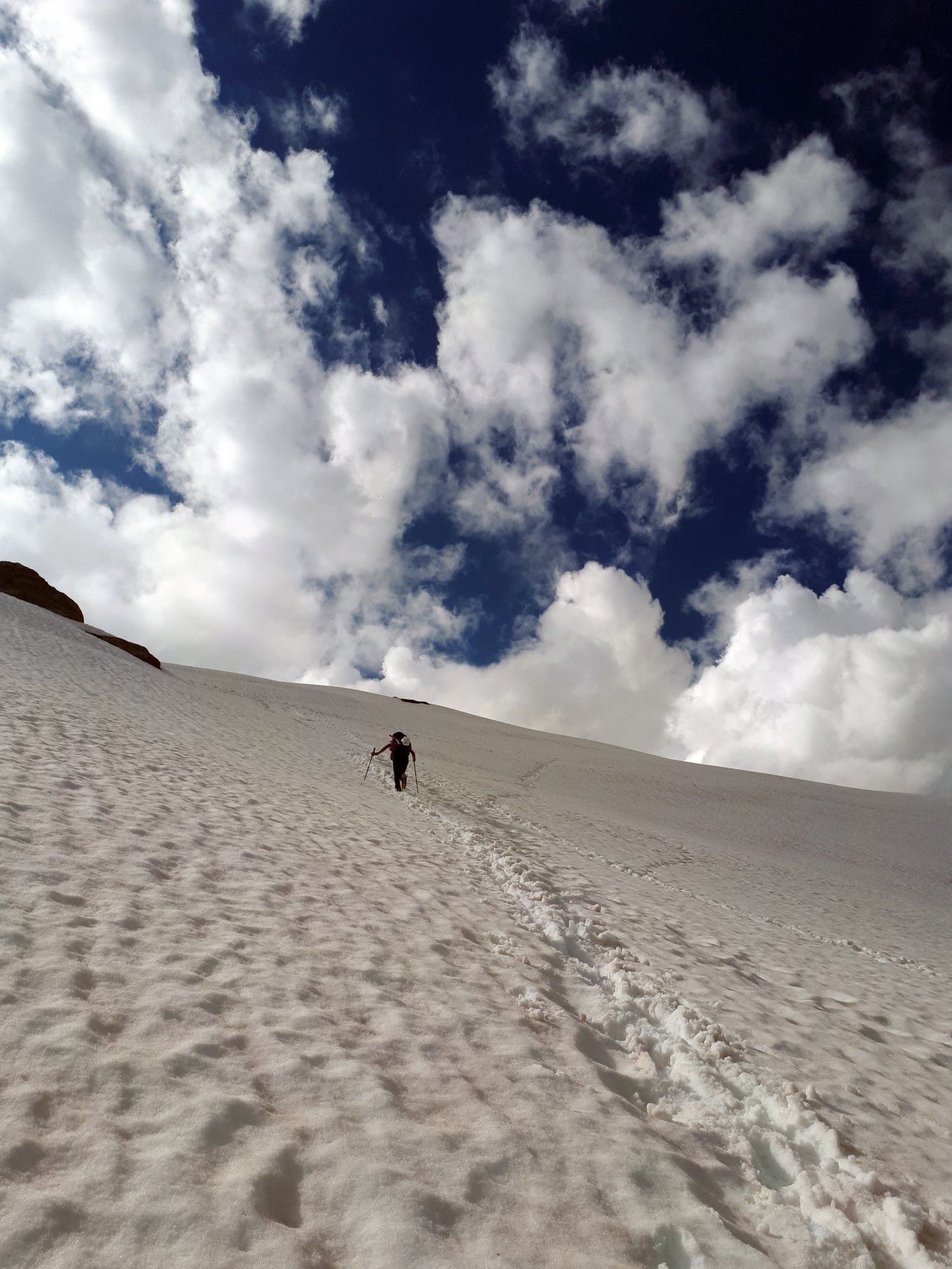
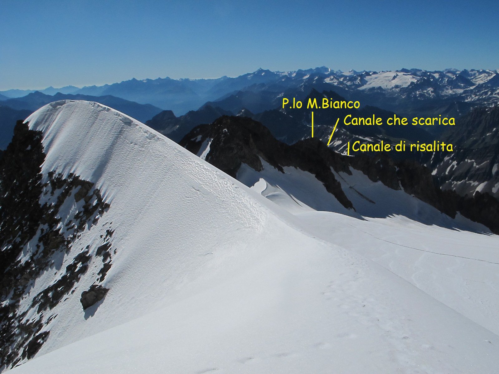
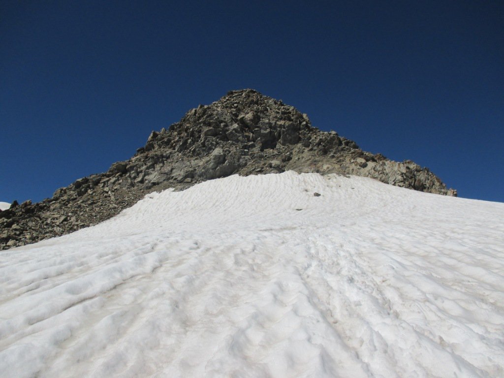
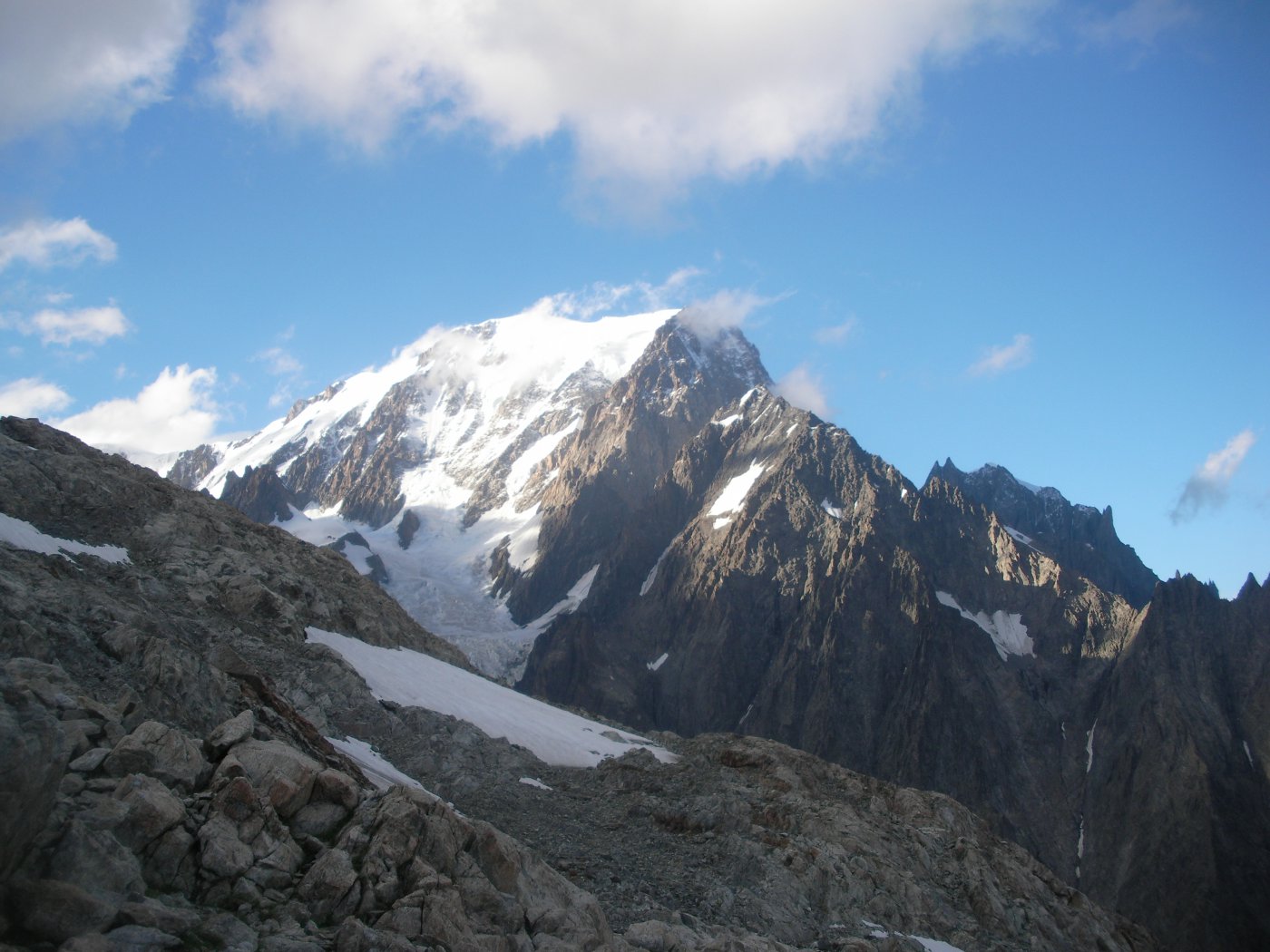
Dal bivacco salire l’ampia dorsale glaciale fino alla base delle rocce che costituiscono la cima del Petit Mont Blanc (1.30 h).
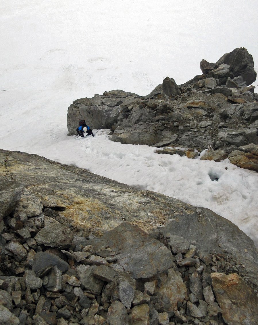
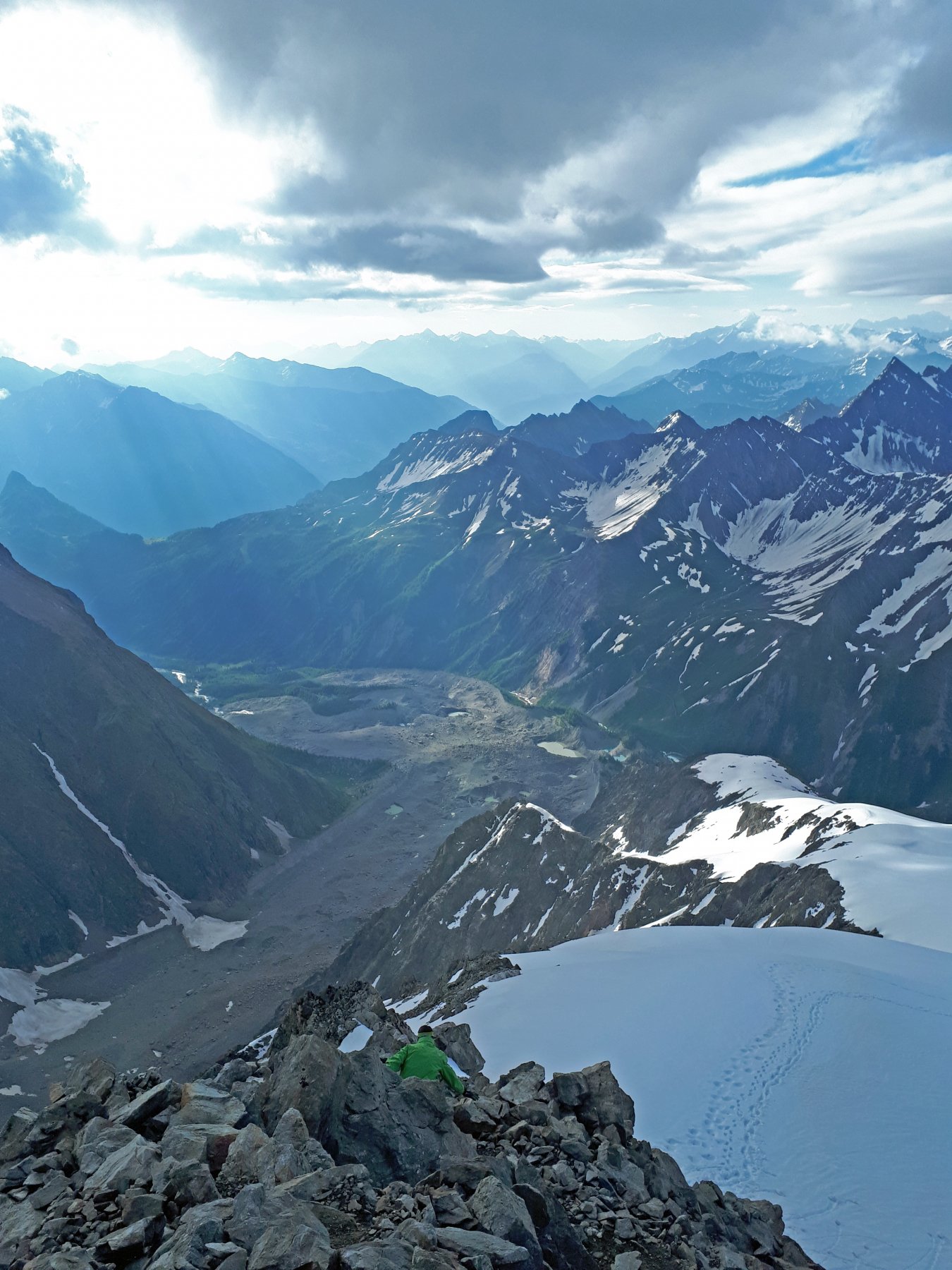
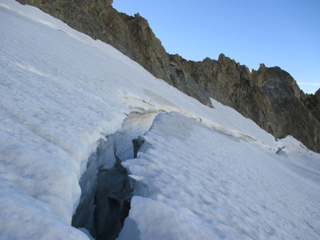
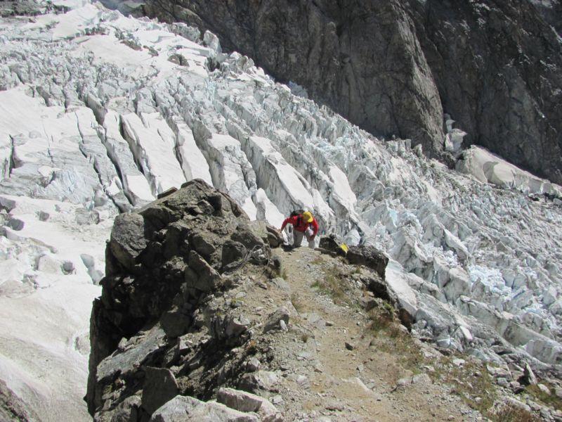
Sulla sinistra un ometto di pietre segna l’ingresso al canalone detritico che porta direttamente al ghiacciaio sottostante. Alcune tracce di sentiero portano a due corde fisse che permettono di raggiungere il ghiacciaio. Nella discesa di perdono circa 50 m di dislivello da recuperare al ritorno.
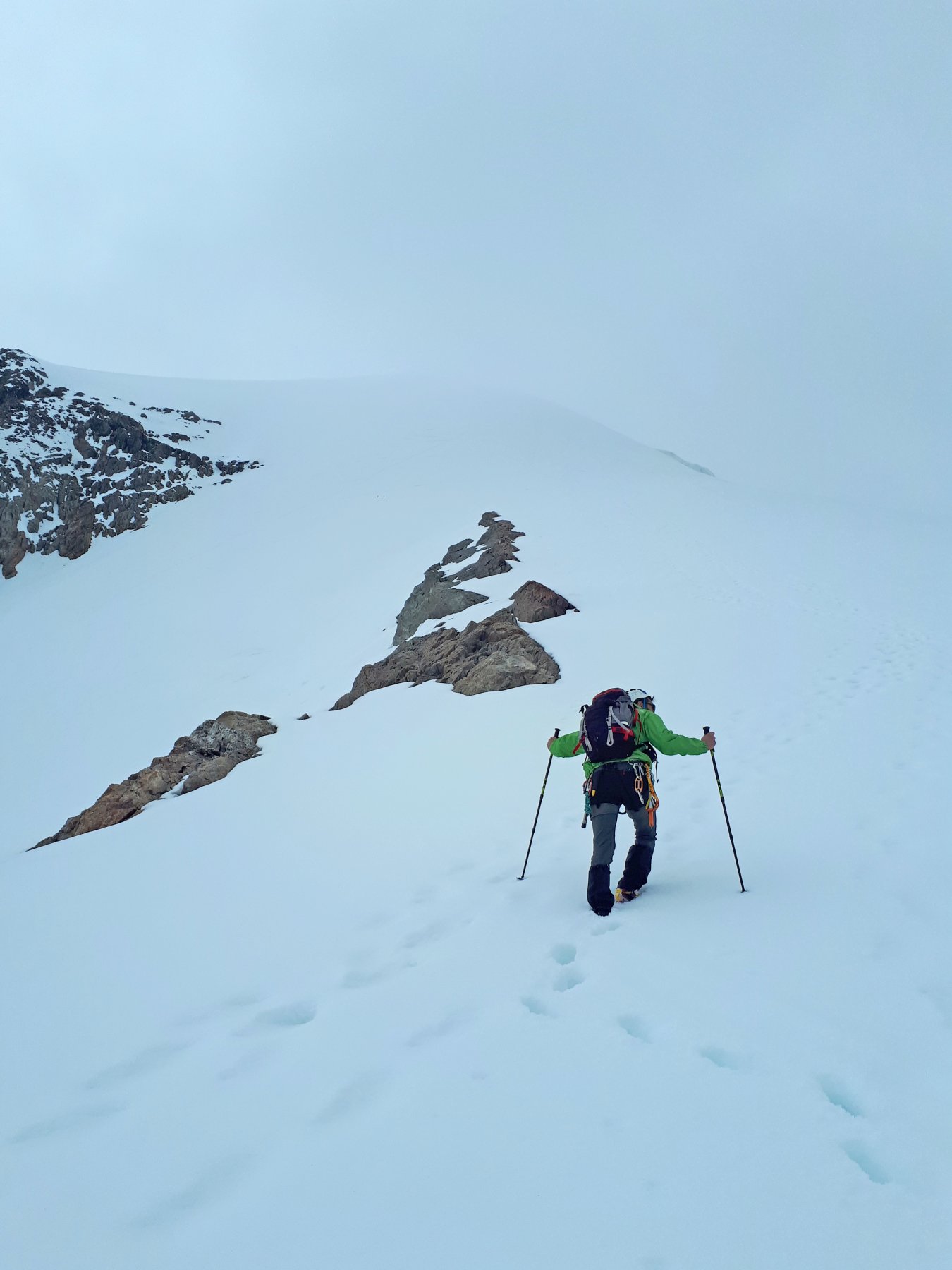
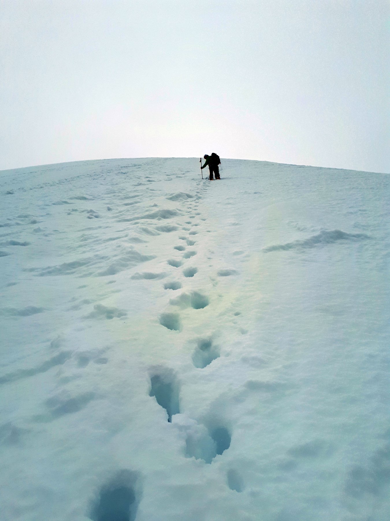
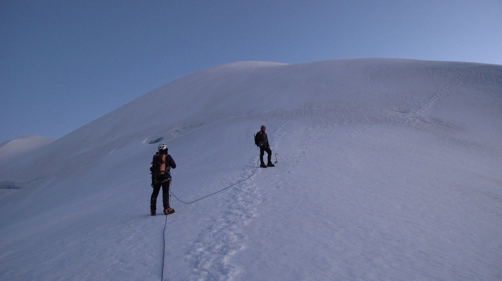
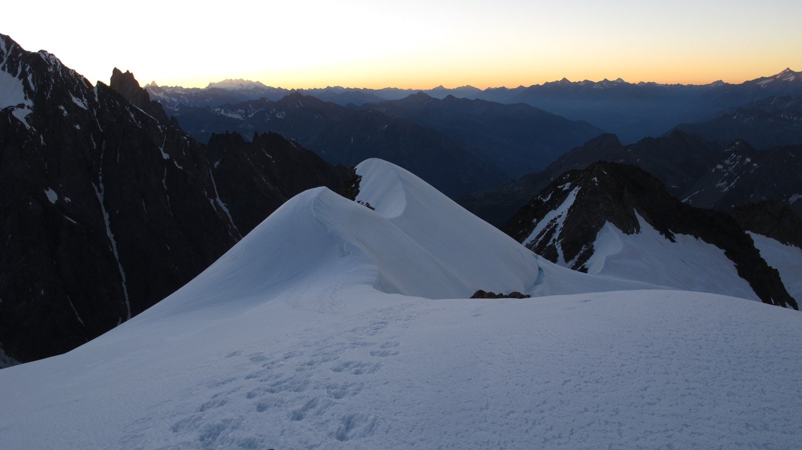
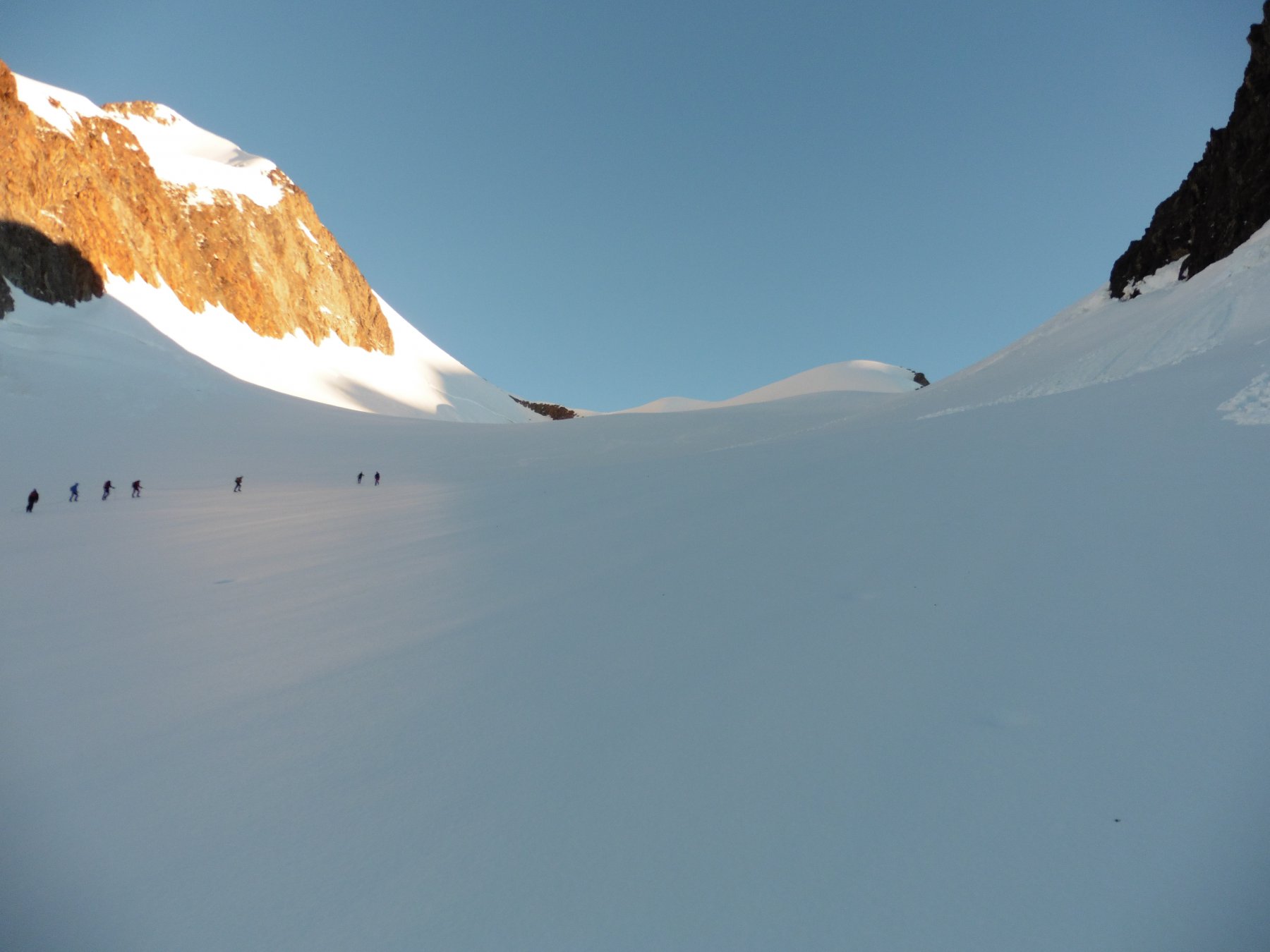
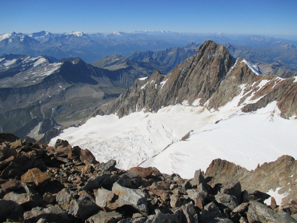
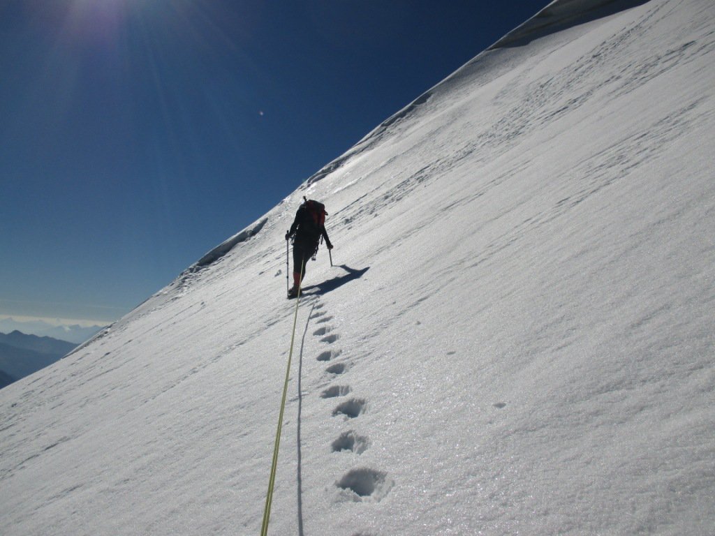
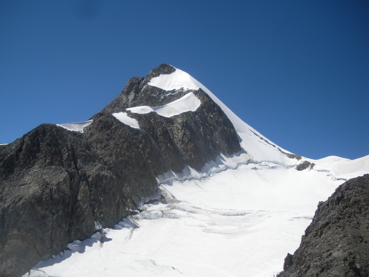
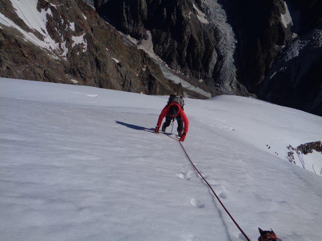
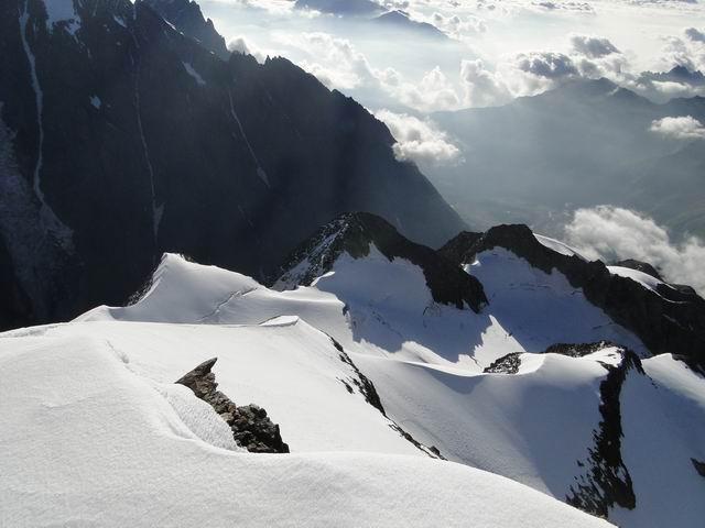
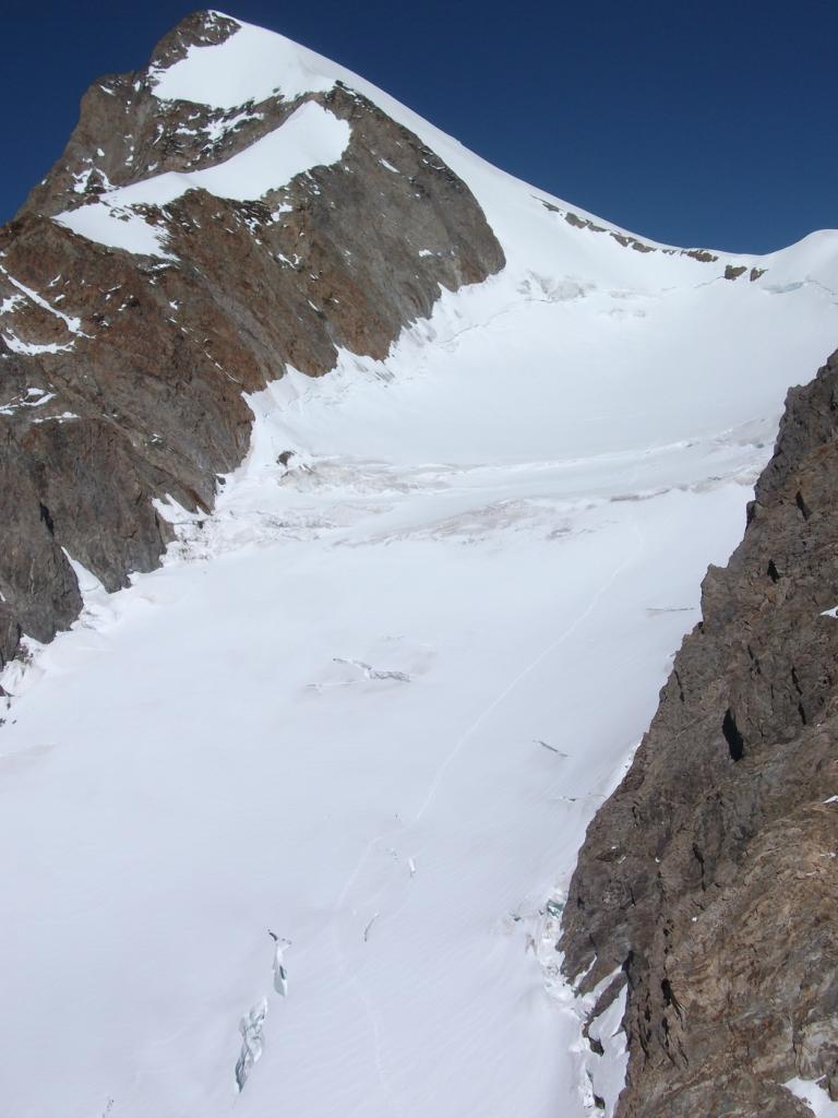
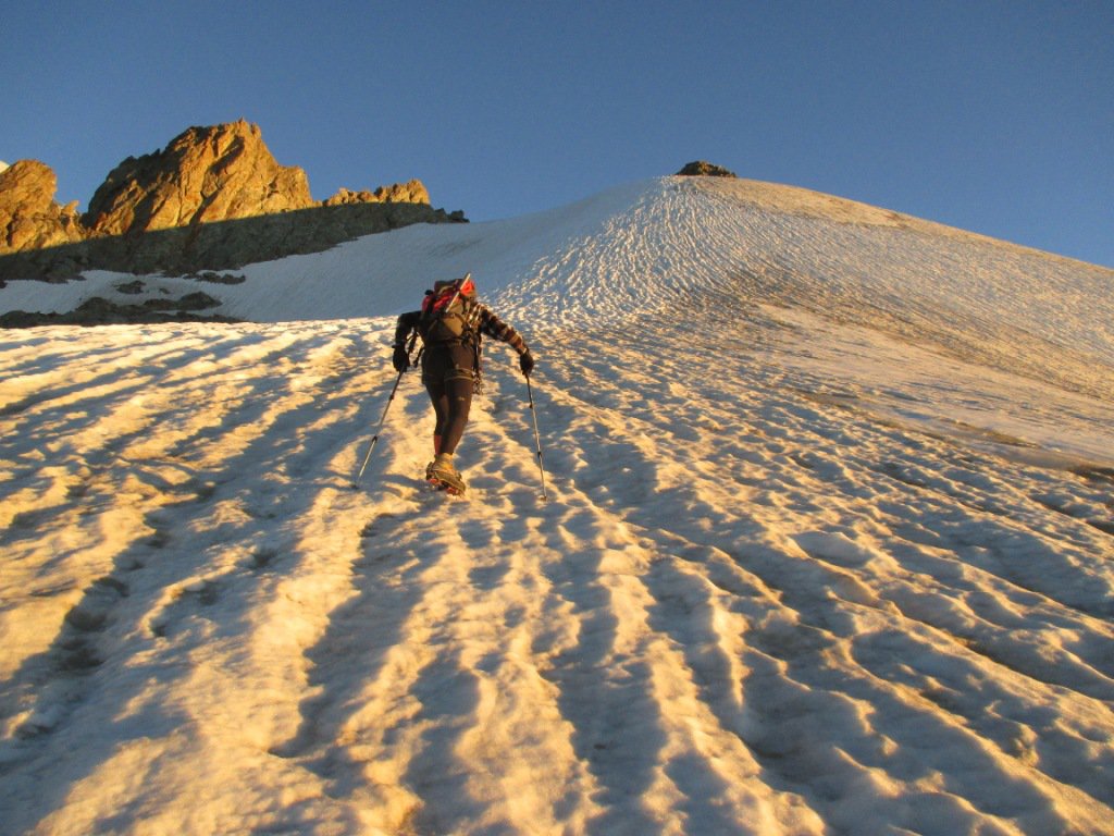
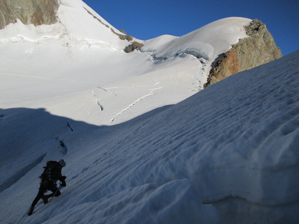
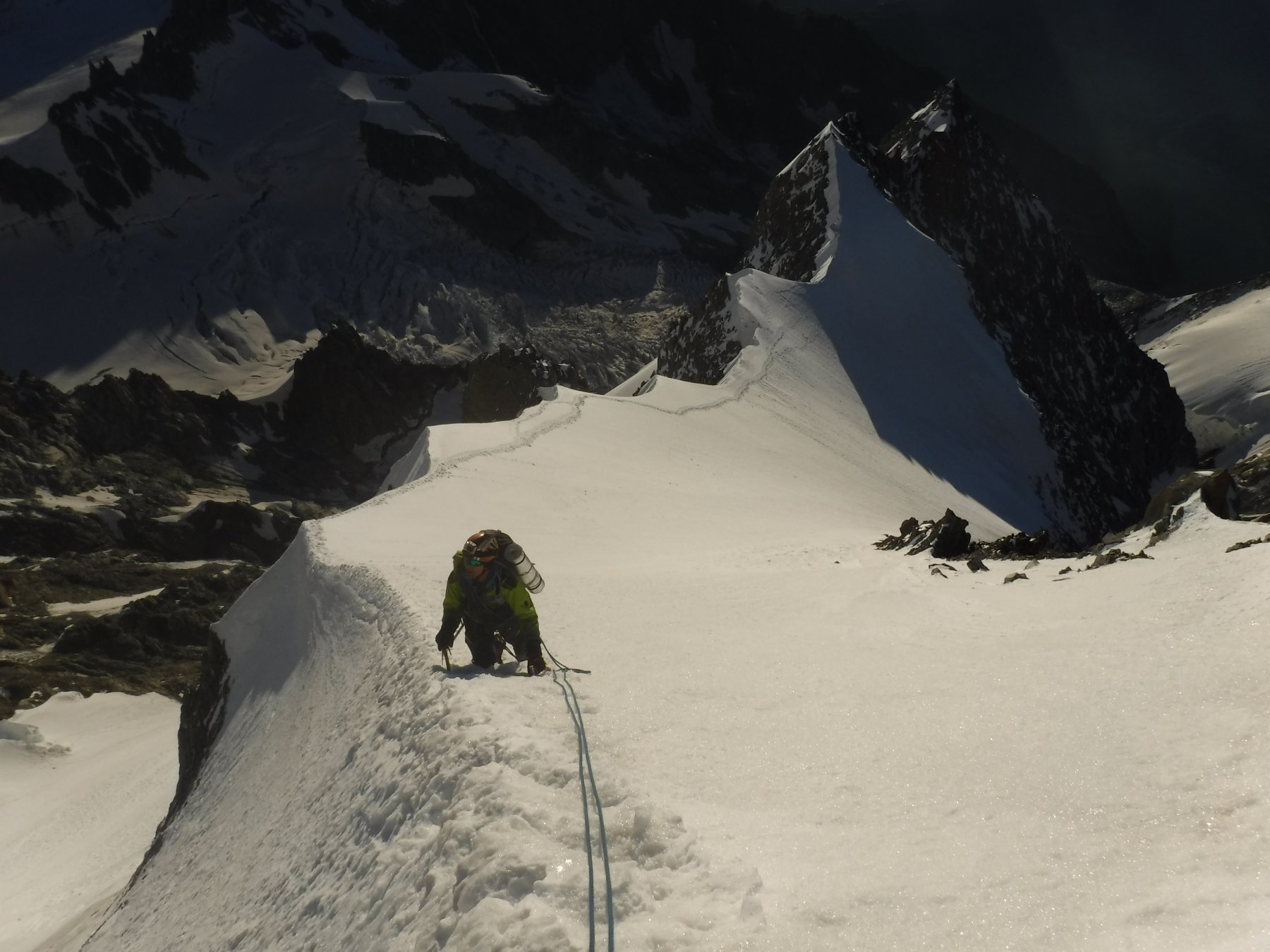
Risalire i ghiacciaio facendo attenzione ai crepacci tenendo la destra e raggiungendo con un tratto più ripido un promontorio innevato.
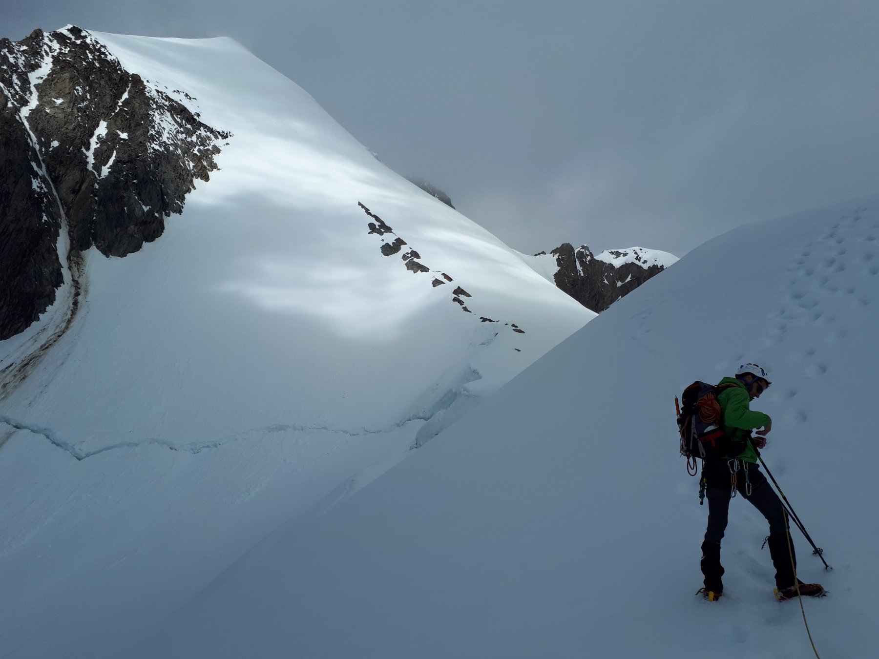
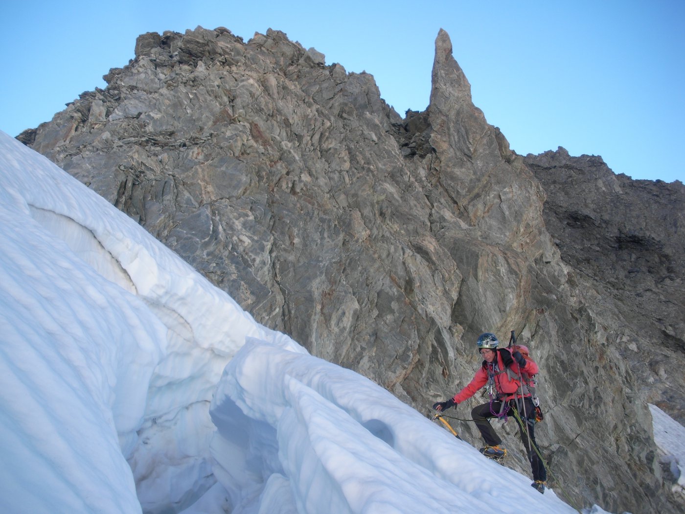
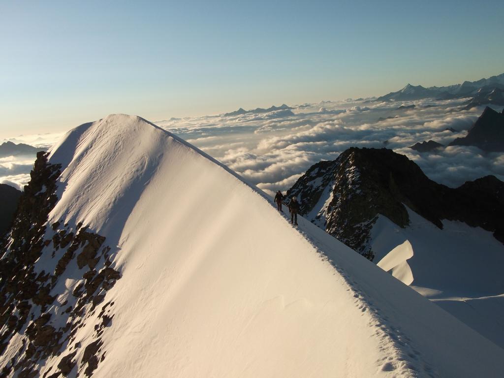
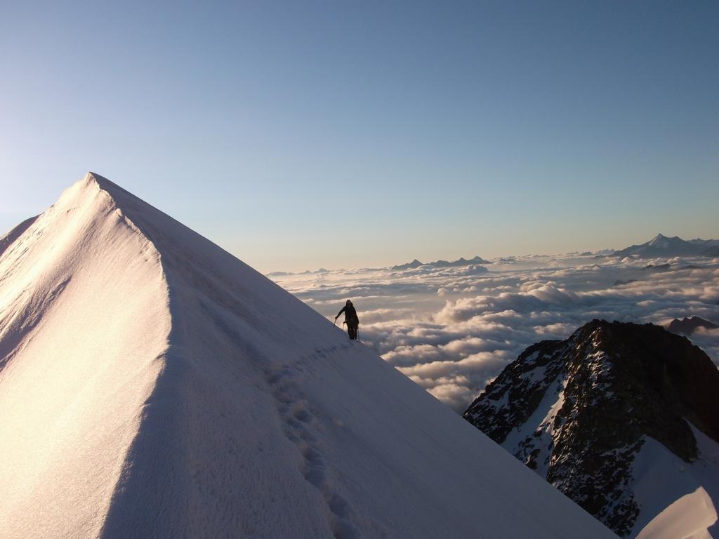
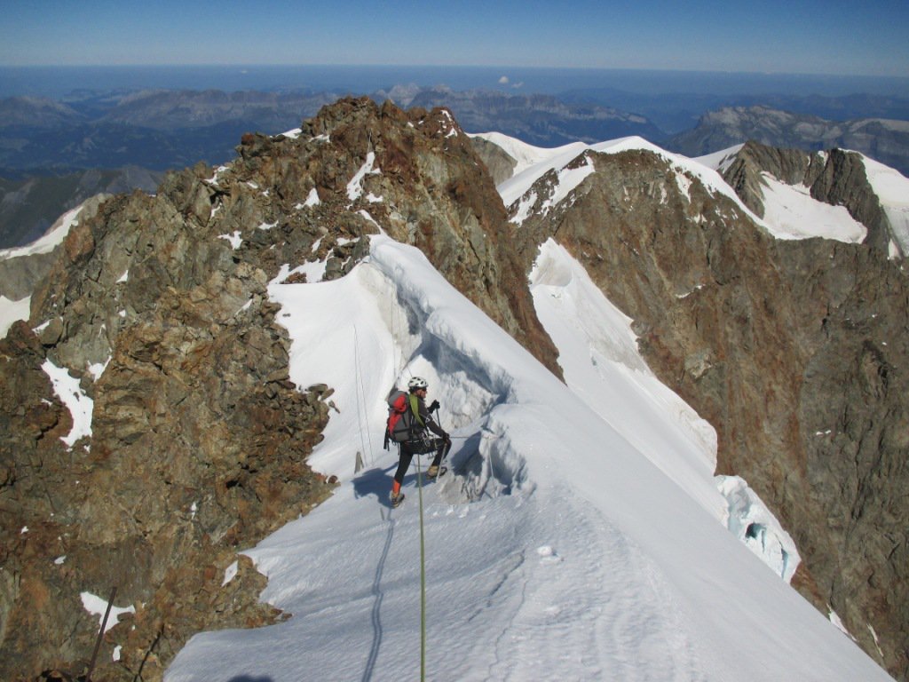
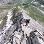
Da qui sulla sinistra una cresta affilata in pochi minuti porta alla base della cresta finale.
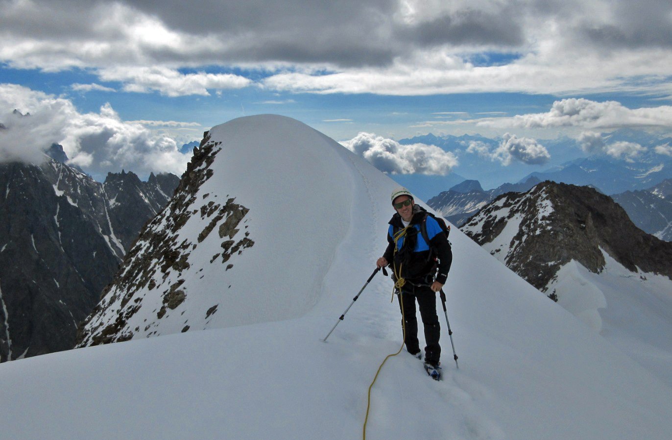
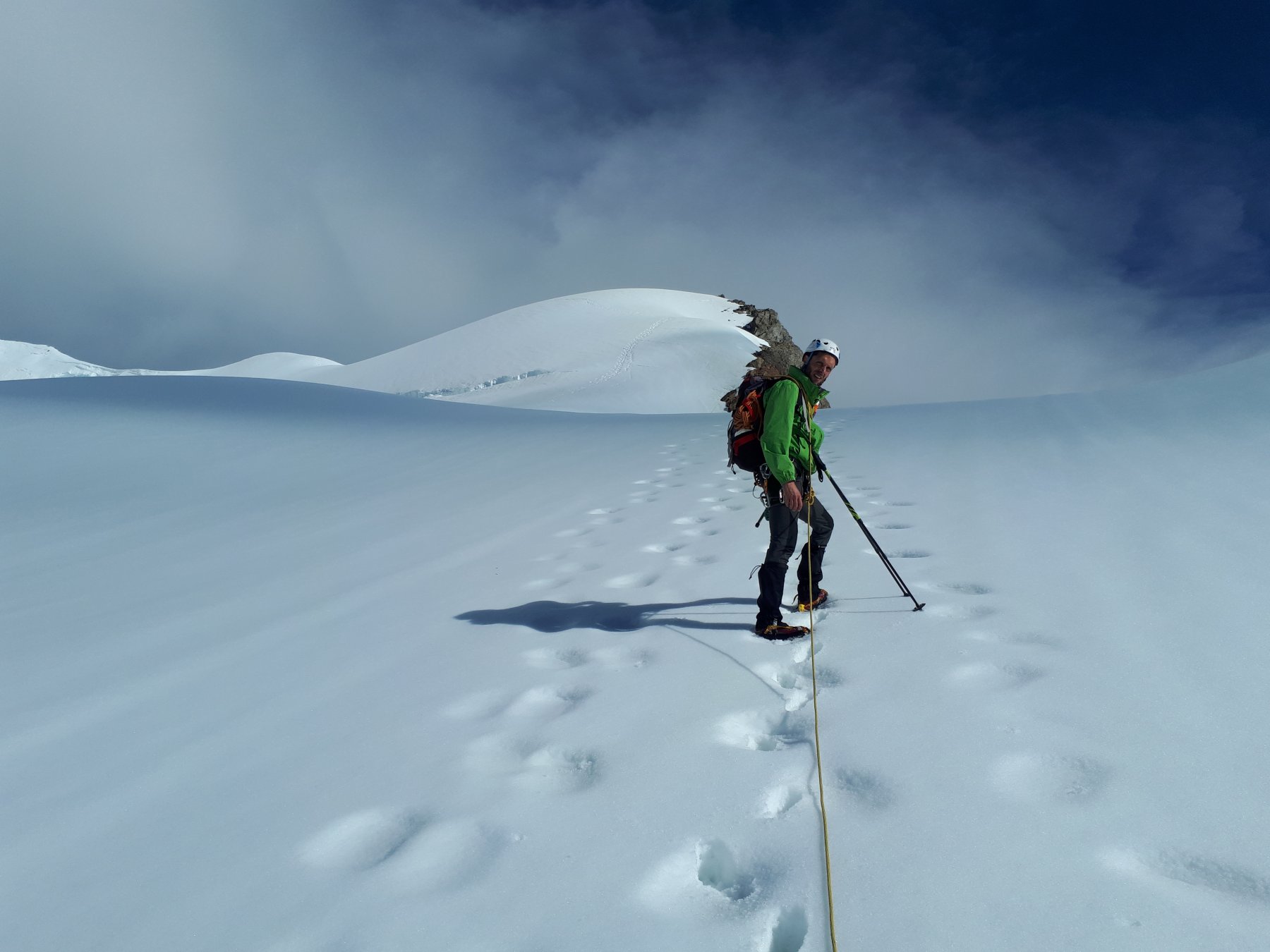
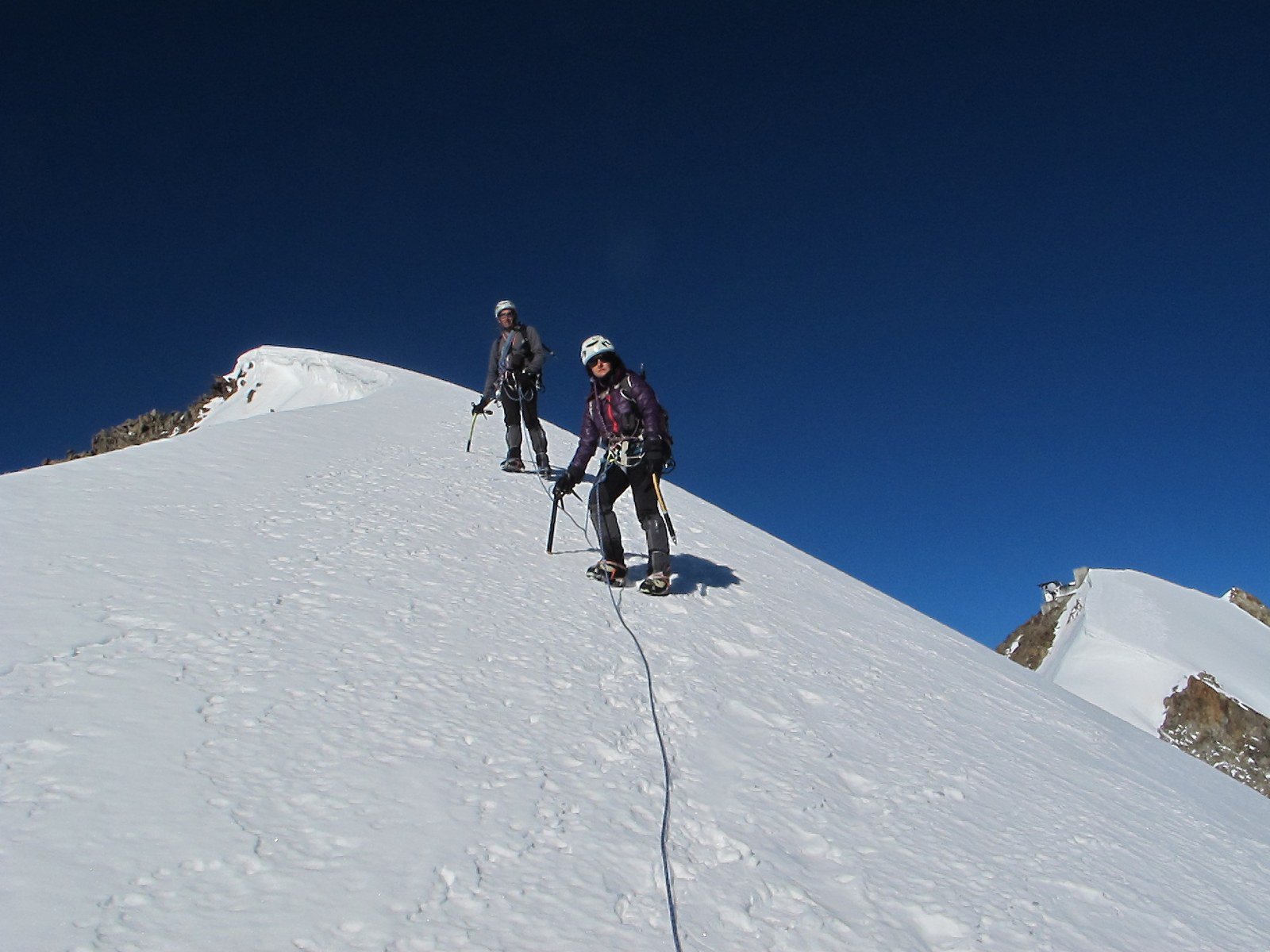
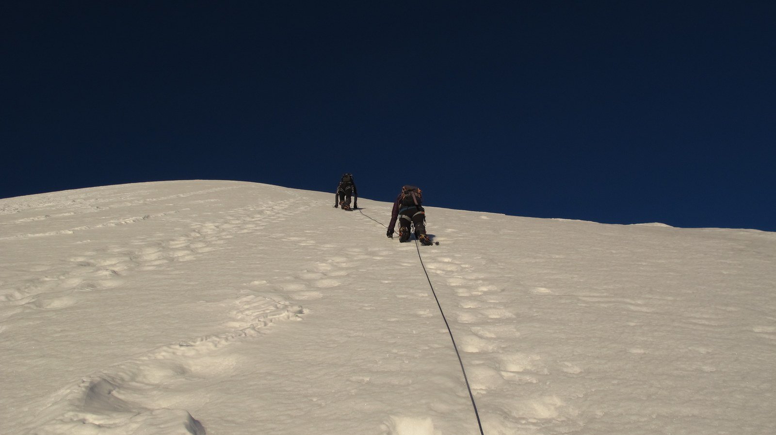
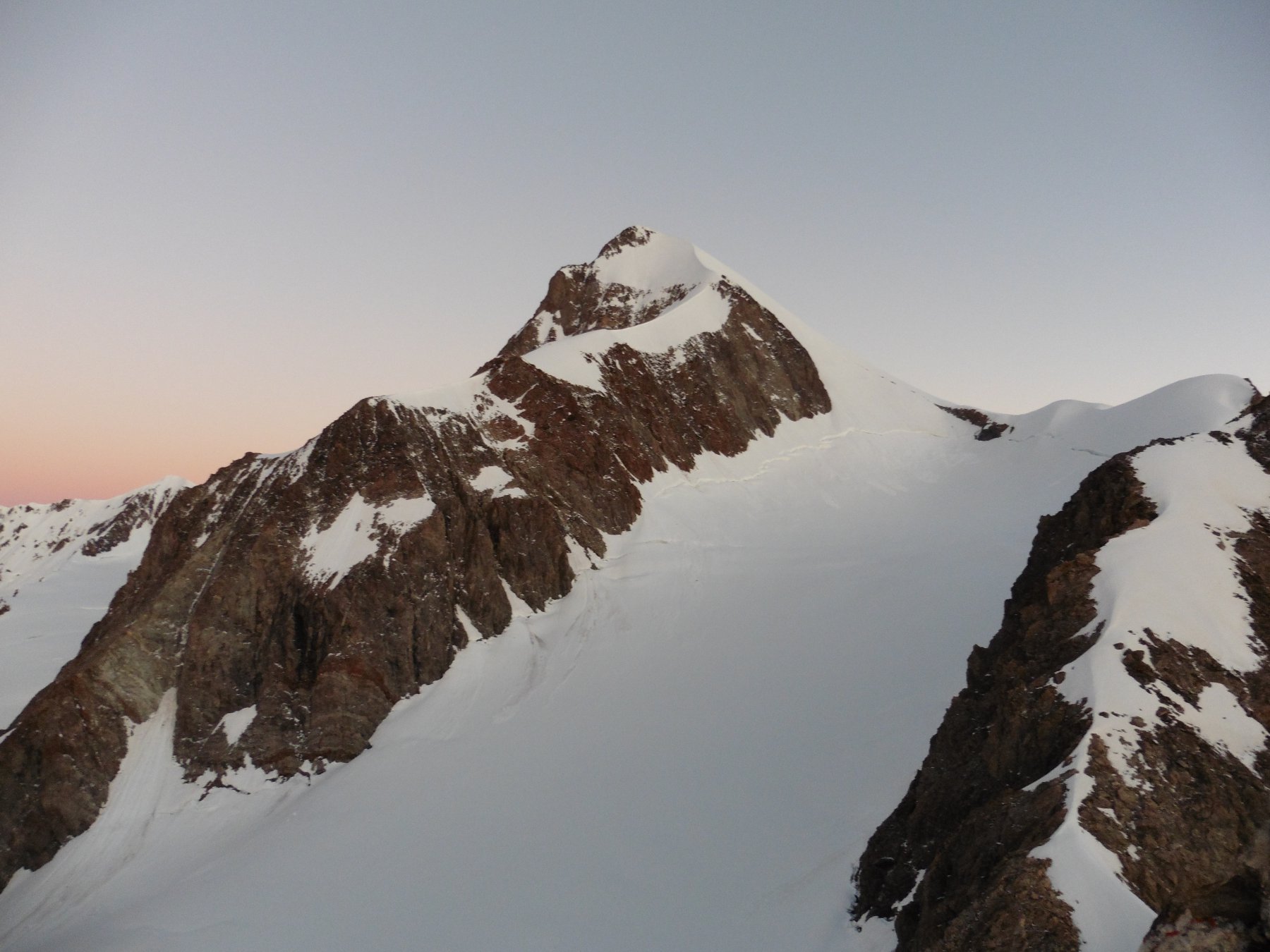
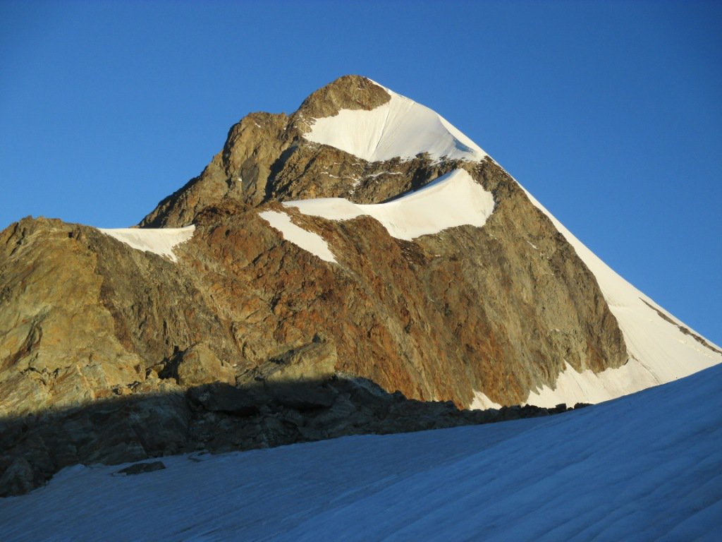
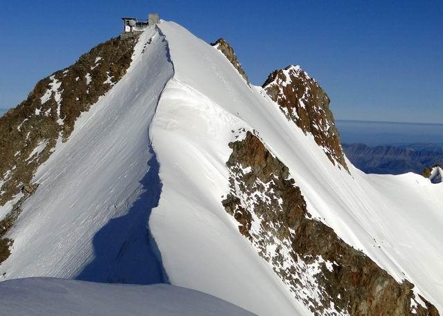
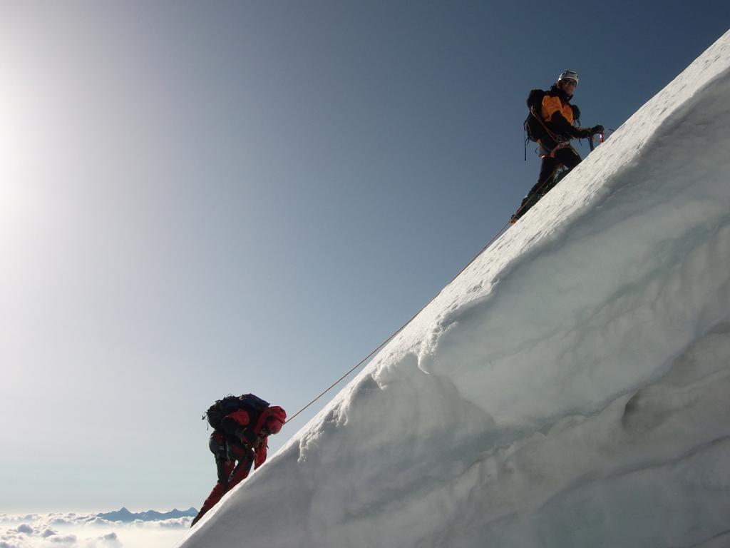
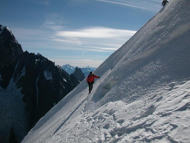
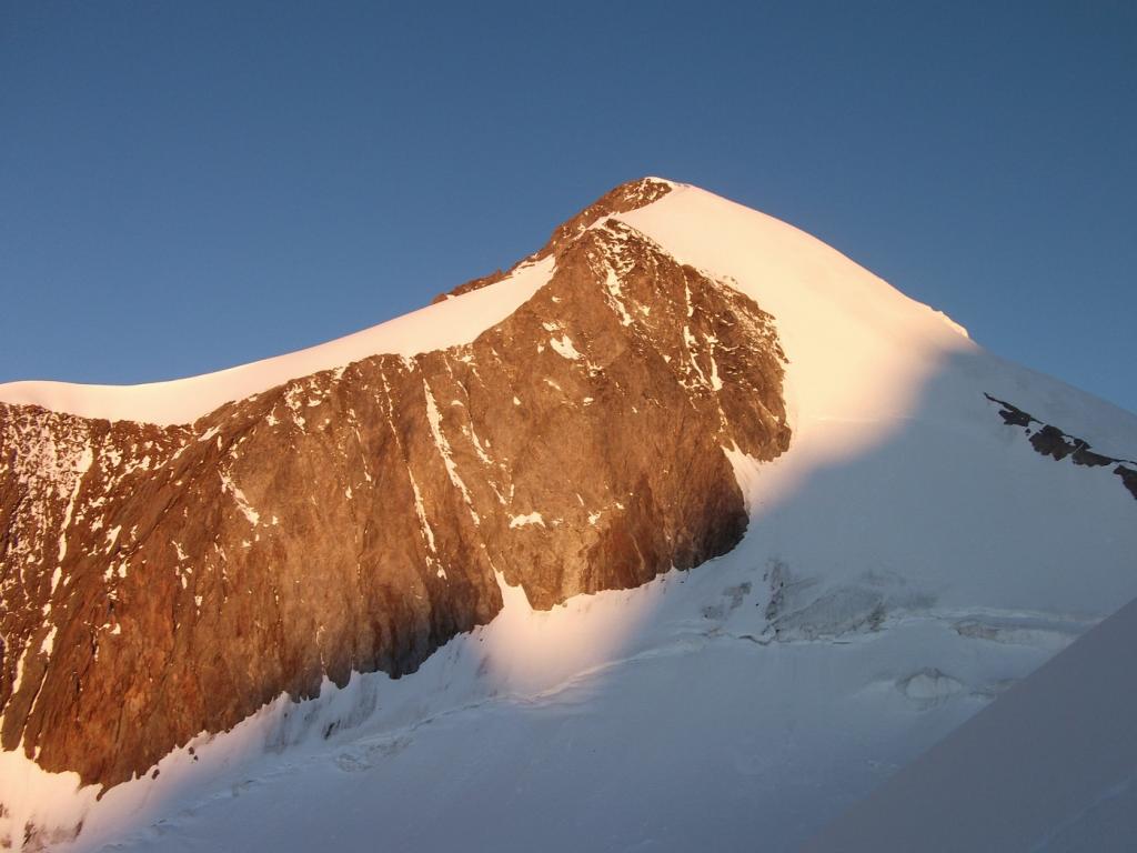
Inizialmente seguire la cresta, poi quando si impenna tenere a destra verso il centro della parete. Riportasi verso la cresta (quota 3780 m) e in cento metri piuttosto ripidi (40/45°) si raggiunge la vetta orientale (3893 m).
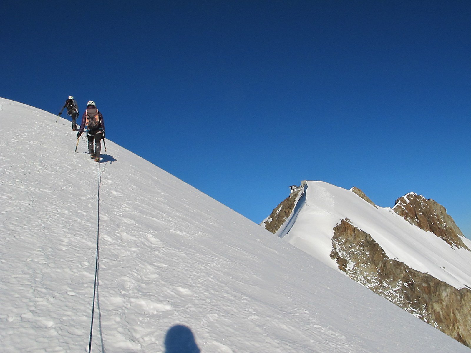
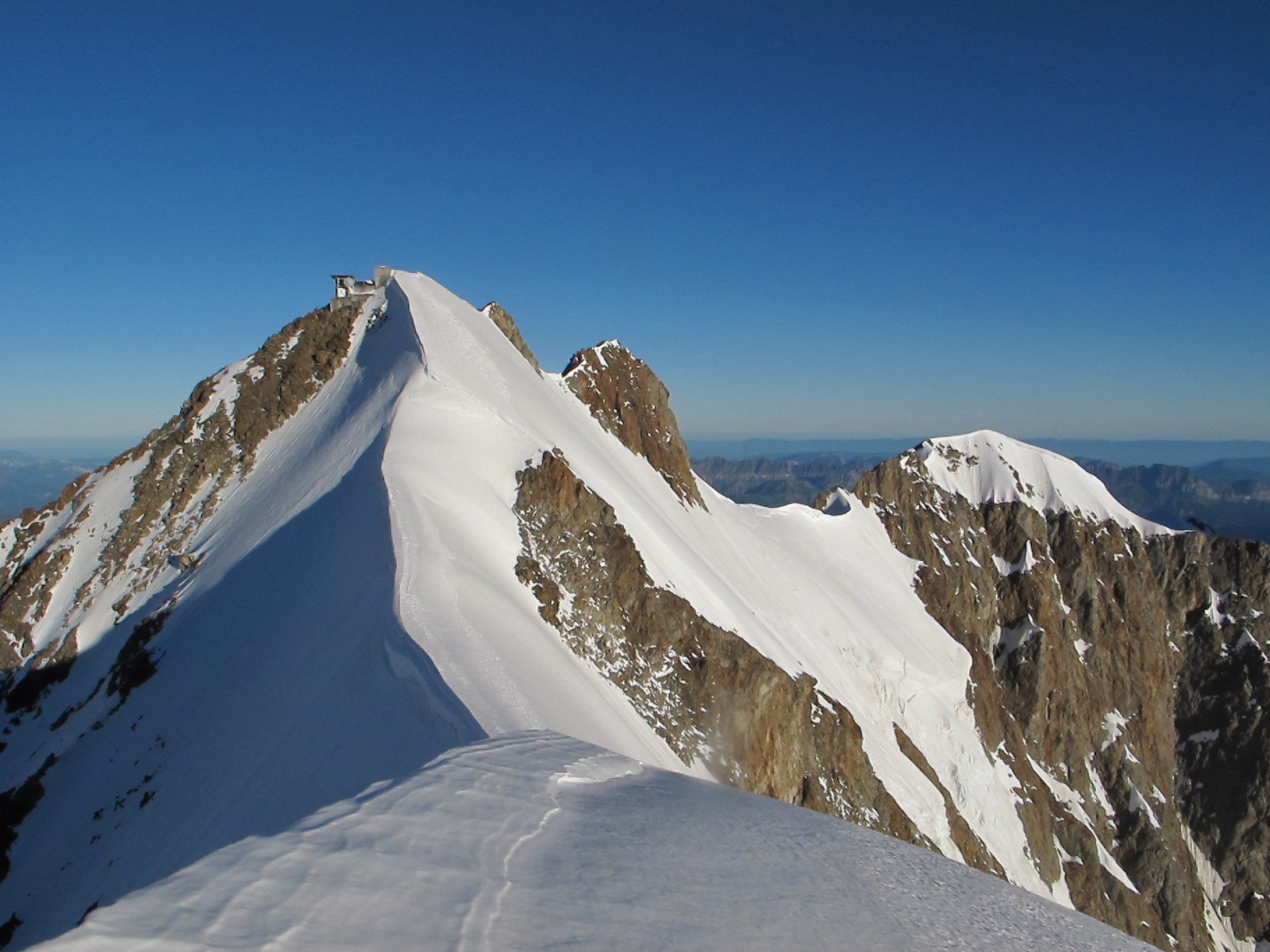
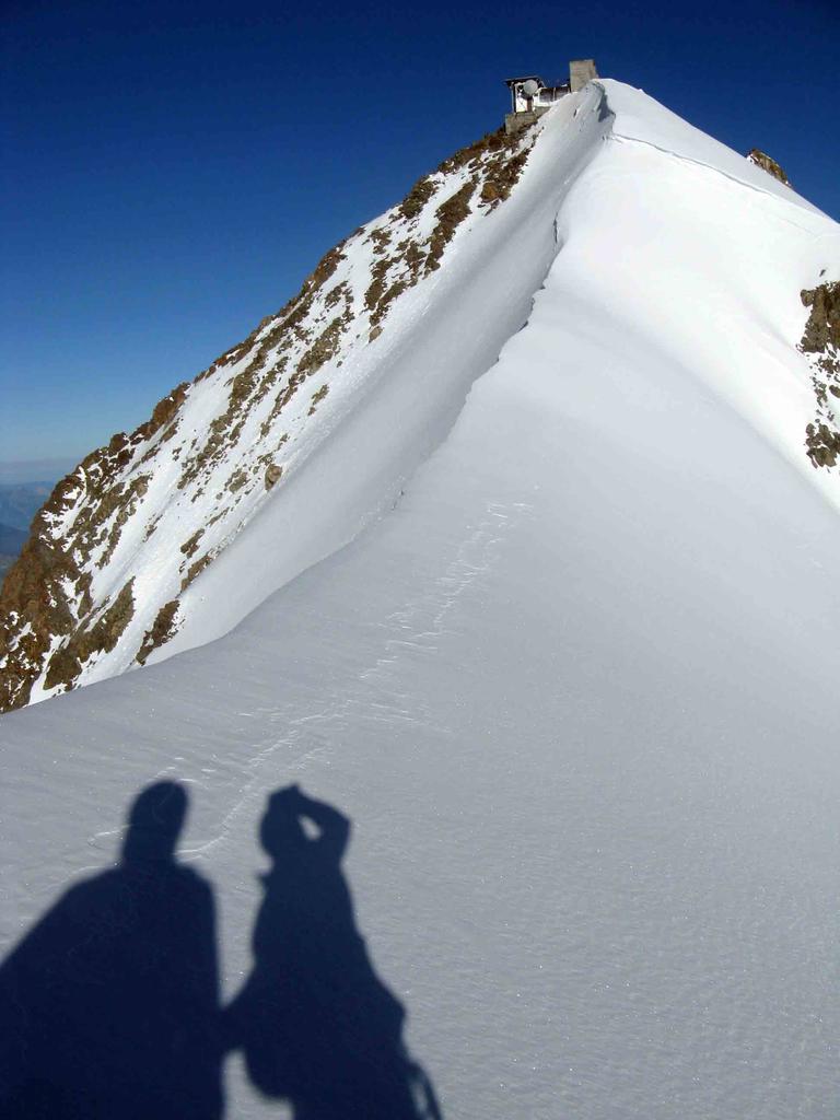
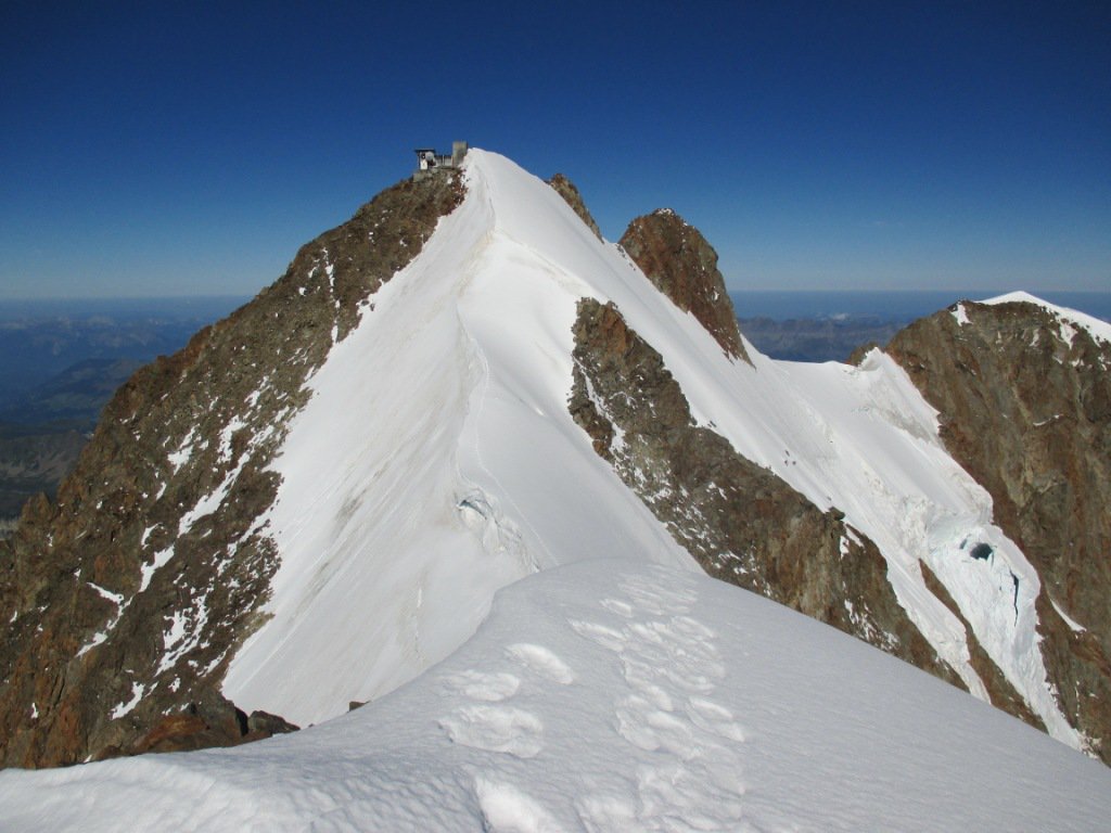
Per il punto culminante (la punta centrale o centrale sud-est, per distinguerla dalla rocciosa centrale nord-ovest), occorre ridiscendere brevemente ad un colletto e risalire la cresta di cornici fino ai resti del caratteristico ripetitore (3930 m). Considerare 20/30 min e altri 100 m di dislivello fra andata e ritorno.
Discesa dall’itinerario di salita.
- Bibliografia:
- Guide Vallot - Monte Bianco
Nelle vicinanze Mappa
Itinerari
22/07/2021 AO, Courmayeur D+ 3210 m D+ Sud-Est
Bianco (Monte) – Cresta di Peuterey per l’Aiguille Blanche
 50m
50m
05/08/2025 AO, Courmayeur D+ 2200 m D Sud
Glaciers (Aiguille des) Cresta SE via Kuffner
 50m
50m
30/07/1978 AO, Courmayeur D+ 2300 m AD Nord
Trelatete orientale (Aiguille de) dal versante Sud per il ghiacciaio sospeso
50m
20/09/2025 AO, Courmayeur D+ 1754 m F Sud-Est
Piccolo Monte Bianco o Petit Mont Blanc da La Visaille
 50m
50m
18/06/2026 AO, Courmayeur D+ 2162 m AD Sud-Est
Innominata (Punta) Cresta Est
 50m
50m
08/07/2022 AO, Courmayeur D+ 1600 m PD Sud
Croux (Aiguille) Cresta Sud
 50m
50m
22/08/2008 AO, Courmayeur D+ 1300 m TD+ Sud-Ovest
Gugliermina (Pic) Via Gervasutti – Boccalatte
50m
18/08/2021 AO, Courmayeur D+ 1300 m F+ Sud
Gonella Francesco (Rifugio) al Dome da La Visaille
 50m
50m
30/07/2017 AO, Courmayeur D+ 1922 m F Varie
Glaciers (Dome des) da La Visaille per il Rifugio Elisabetta
 50m
50m
10/08/2025 AO, Courmayeur D+ 1000 m PD Nord-Est
Pyramides Calcaires, cima SE – Cresta NE
 50m
50m