3Km
3Km

Note
 0m
0m
0m
2.8Km
2.8Km
3.5Km
0m
0m
0m
2.8Km
2.8Km
3.5Km
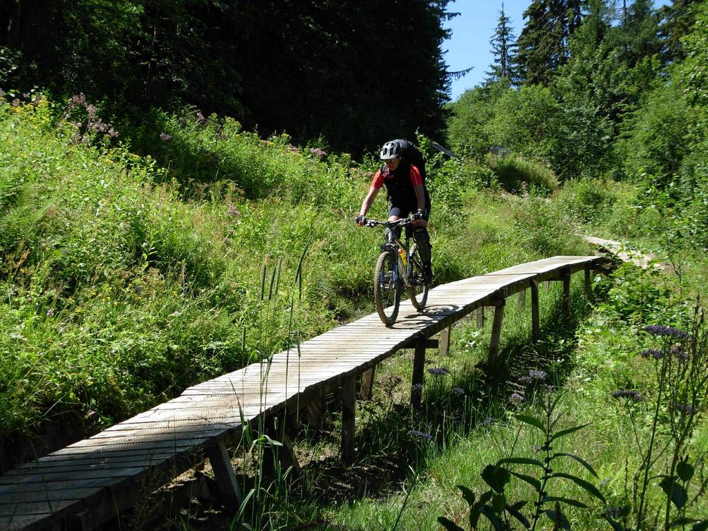
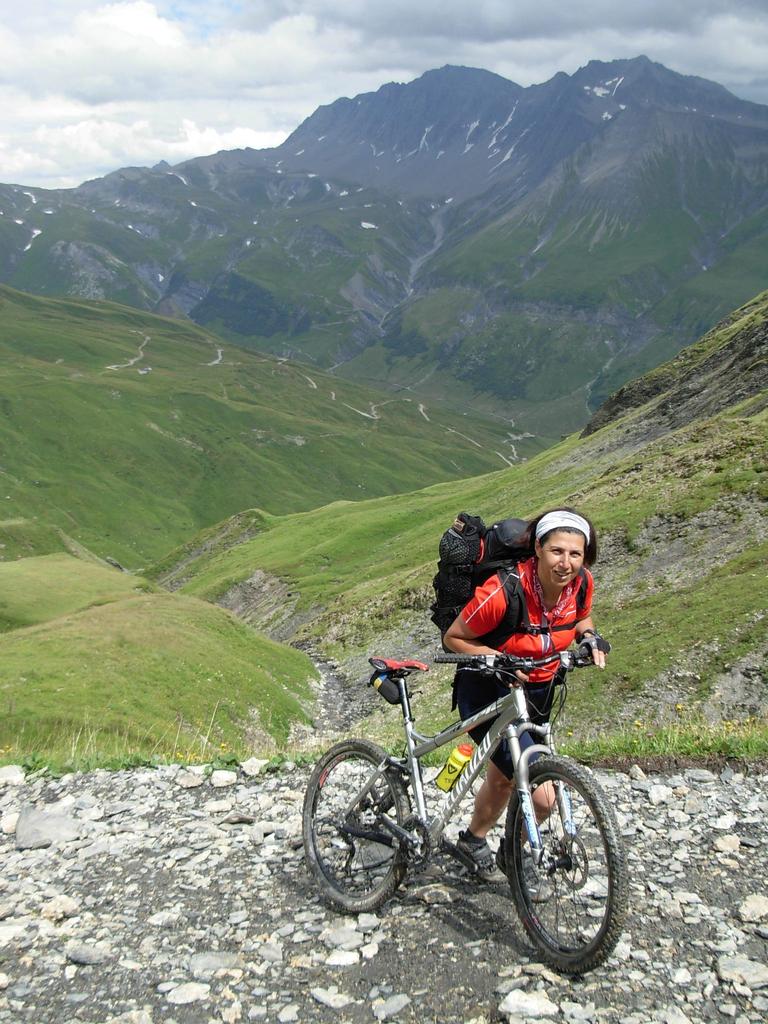
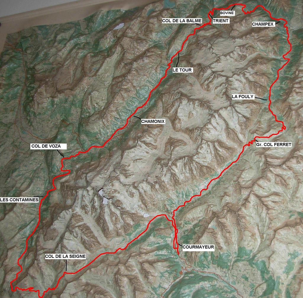
Questa proposta si sviluppa in 5 tappe, attraverso 3 Nazioni, Italia – Svizzera – Francia, lungo 5 grandi vallate principali, con sviluppi altimetrici abbastanza significativi, dove ad una buona tecnica di discesa, necessita una perfetta preparazione fisica. Indispensabile, una bike in perfette condizioni - accessori per la riparazione - indumenti e ricambi di vestiario adatti all’alta quota. Alla fine di ogni tappa, ottime possibilità di un alloggio presso alberghi e gli accoglienti rifugi –alberghetti chiamati (Gìtes d’ètape).
Periodo consigliato – da metà Giugno a metà Settembre – accertandosi se necessario della percorribilità dei passi di alta quota.
Informazioni dettagliate in parte sono state raccolte in www.tourmontebianco.it e www.gites-refuges.com.
Cartografia utile:
1:50.000 n. 4 Massiccio del Monte Bianco Istituto Geografico Centrale – con riferimenti alle Gitè d’etape
1:50.000 n. 282S Martigny Cartina nazionale Svizzera - T.C.I. 1:50.000 n. D61 Gruppo del Monte Bianco
Avvicinamento
Periodo consigliato – da metà Giugno a metà Settembre – accertandosi se necessario della percorribilità dei passi di alta quota.
Informazioni dettagliate in parte sono state raccolte in www.tourmontebianco.it e www.gites-refuges.com.
Cartografia utile:
1:50.000 n. 4 Massiccio del Monte Bianco Istituto Geografico Centrale – con riferimenti alle Gitè d’etape
1:50.000 n. 282S Martigny Cartina nazionale Svizzera - T.C.I. 1:50.000 n. D61 Gruppo del Monte Bianco
.
Descrizione
Km. 46 Dislivello salita m. 1700 Dislivello discesa m. 1550 Tempo Ore 8
Entreves – al Prè de Bar – Rif. Elena (ore 3) – Rif. Elena – C.du Grand Ferret (1,30) – bivio per- Champex (ore 1,45) – Champex (ore 1)
Descrizione
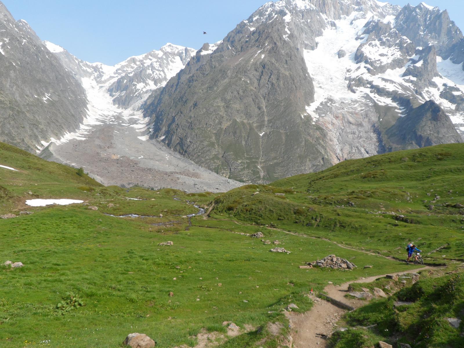
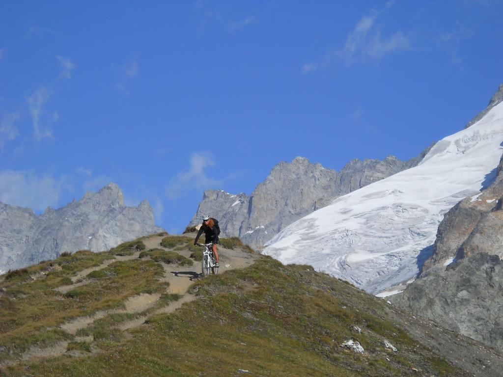
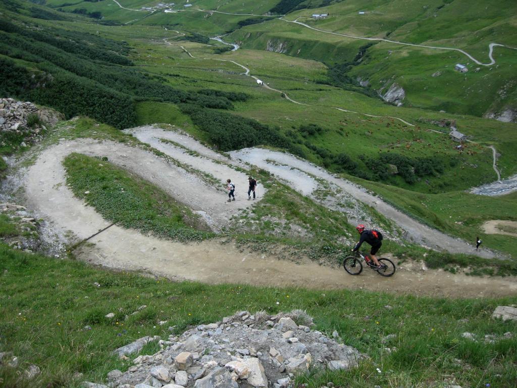
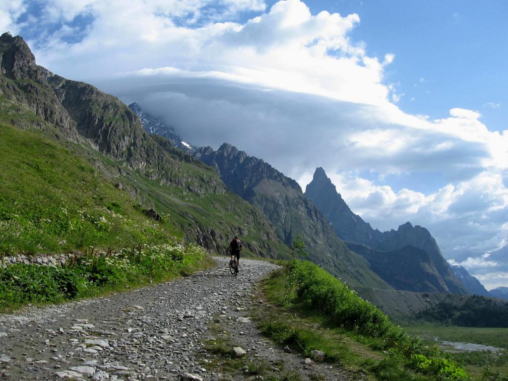
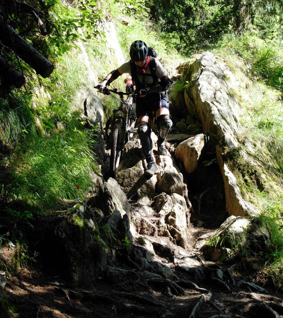
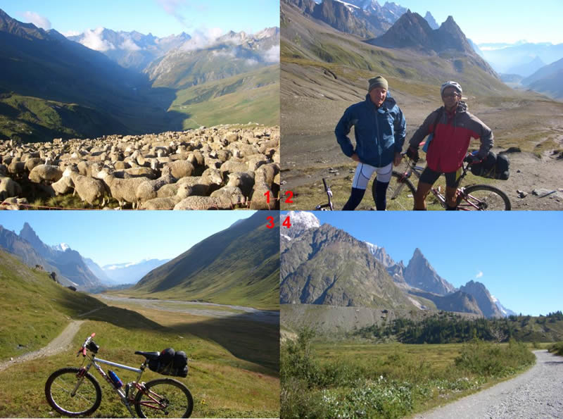
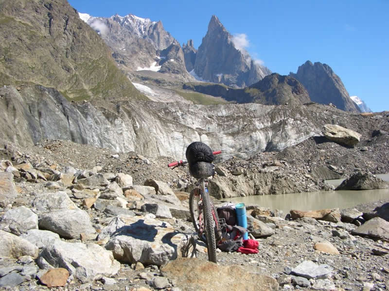
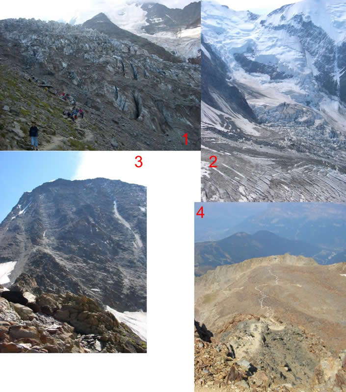
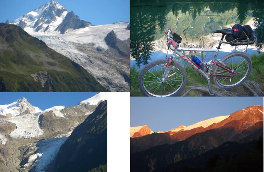
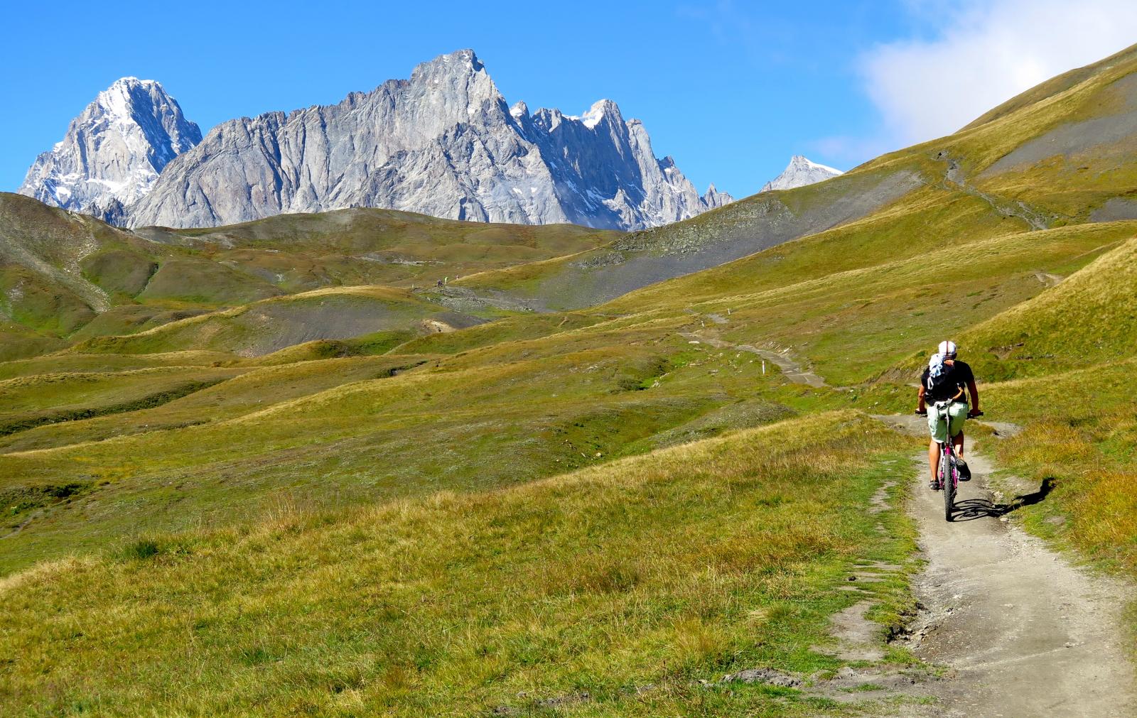
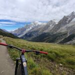
Da Entreves m.1333, lungo la strada asfaltata della Val Ferret, ci si addentra in alta valle e arrivati nel tratto in falso piano, lunghi tratti sono percorribili al lato strada su sterrato al riparo dal traffico che scompare completamente in località La Vachey. Si giunge poi ad Arnuva e per larga sterrata tutta ciclabile si arriva a Prè de Bar dove è collocato il Rifugio Elena m. 2066.
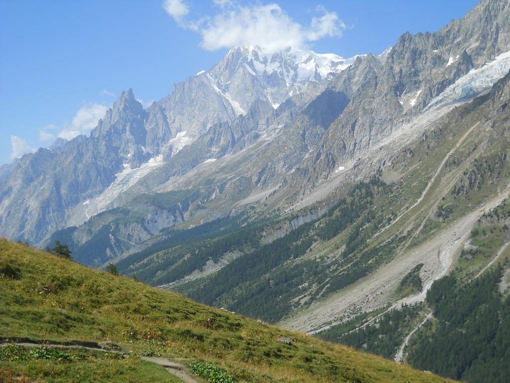
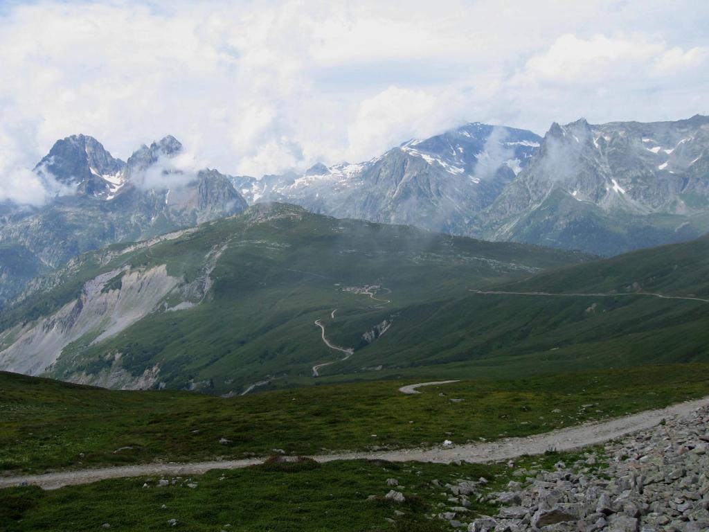
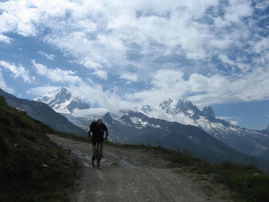
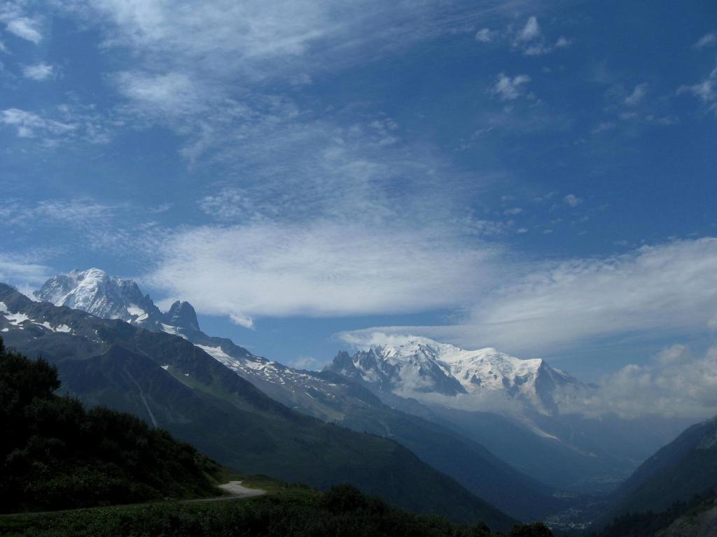
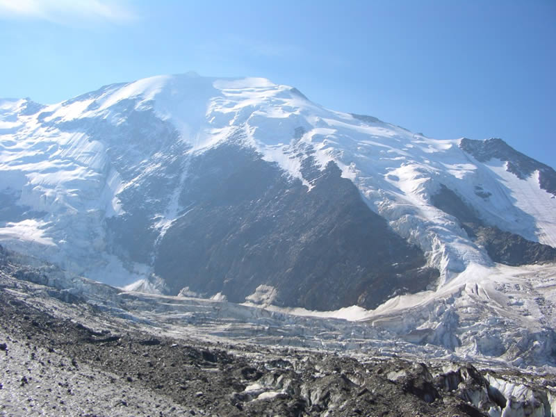
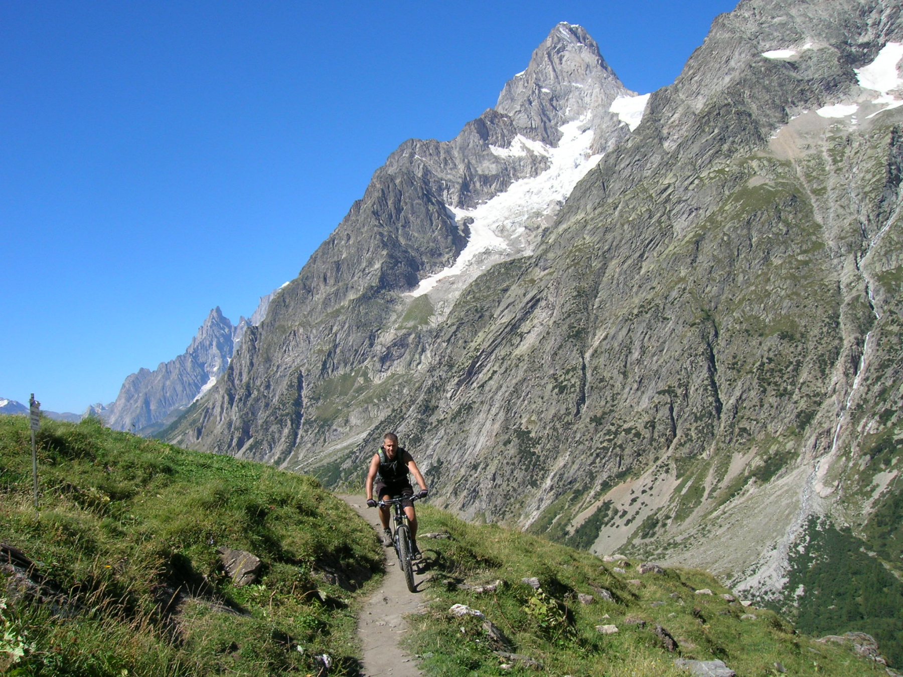
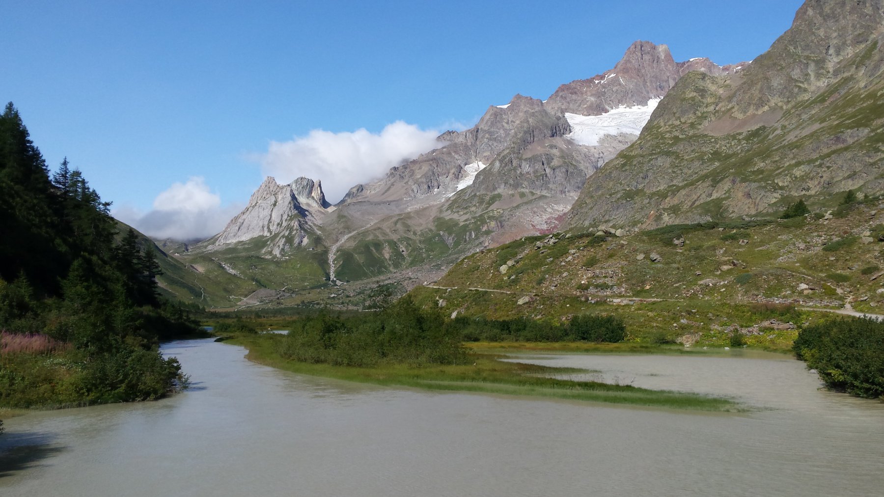
Lungo tutto il trasferimento, splendide osservazioni sul Dente del Gigante e Gran Jorasses, in corrispondenza del rifugio, sulle lingue glaciali del Triolet e Ghiacciaio di Prè de Bar e M. Dolent.
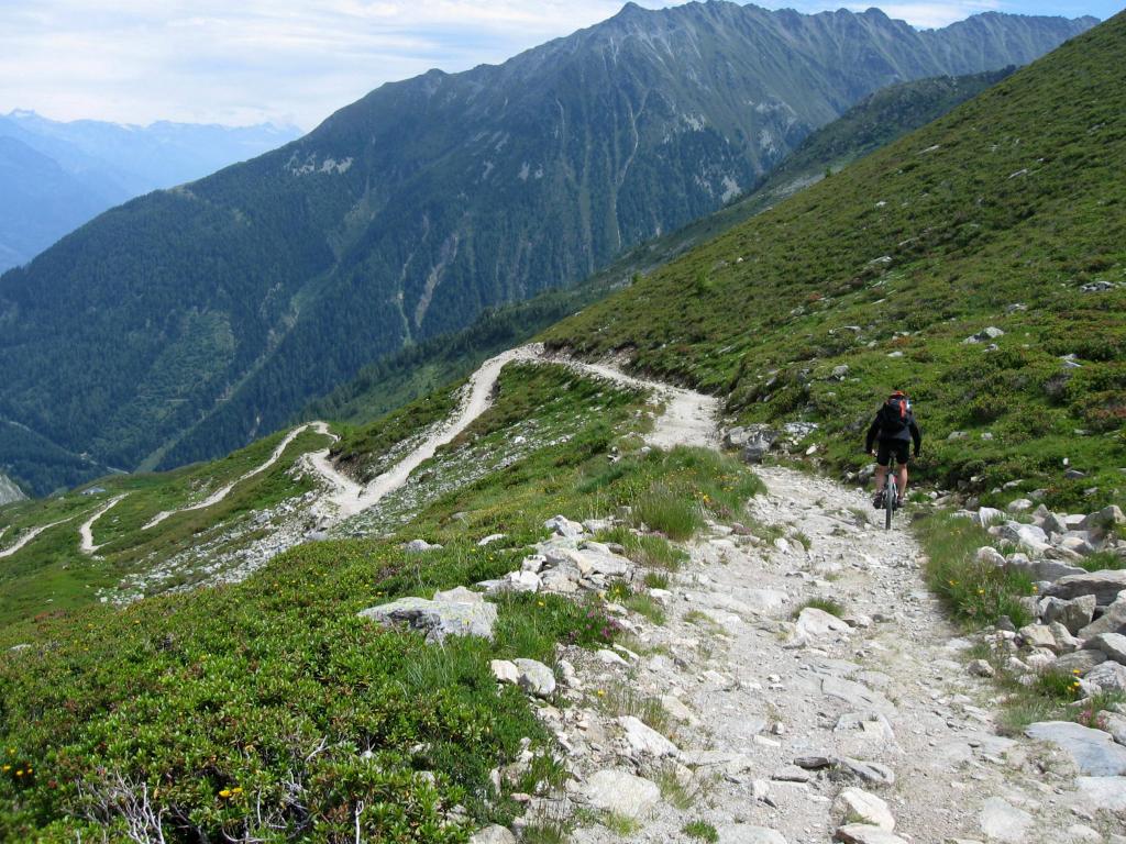
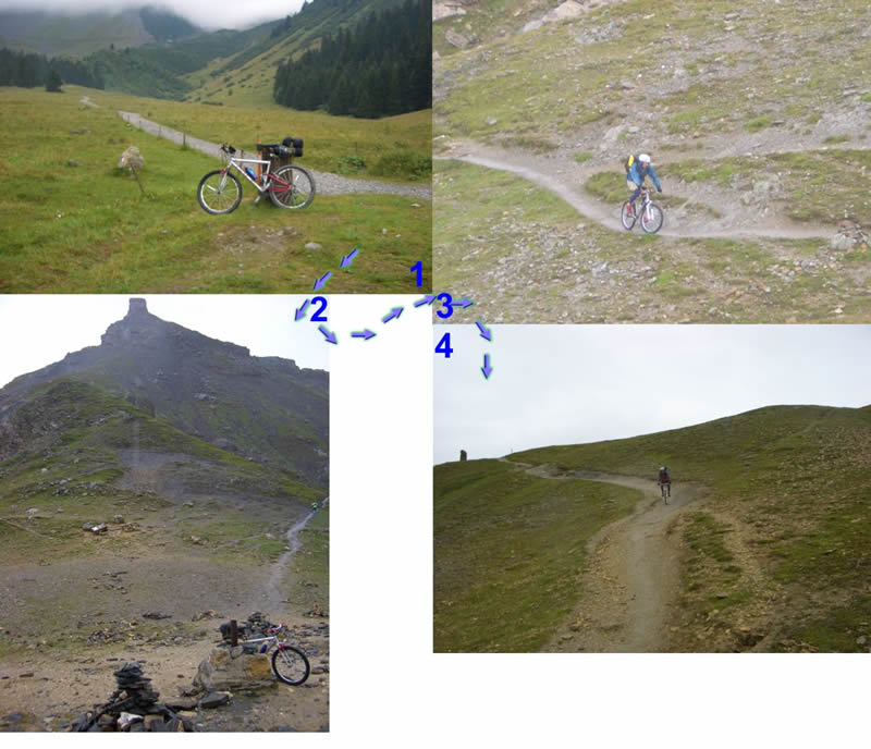
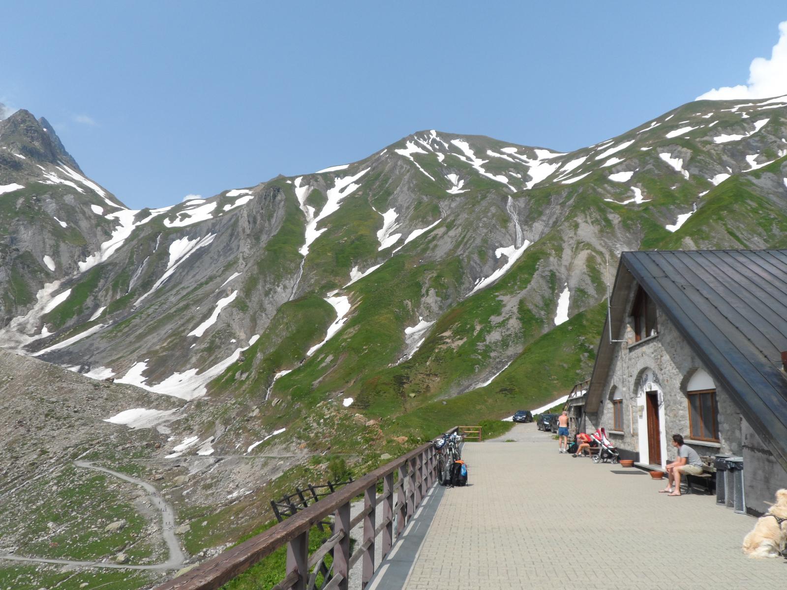
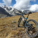
Alla ripartenza dal rifugio al Colle Ferret m. 2537, bike a spinta, su per un lungo sentiero che non presenta insidie di rilievo, ma con bellissime vedute sul fondo valle.
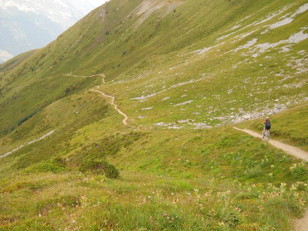
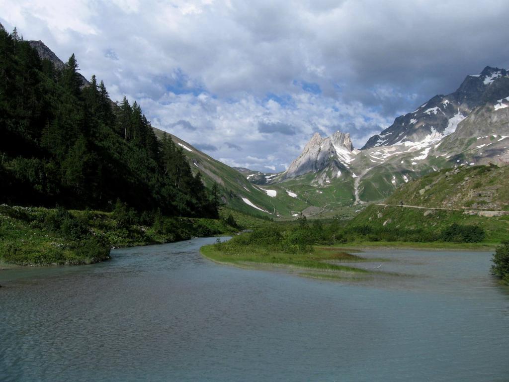
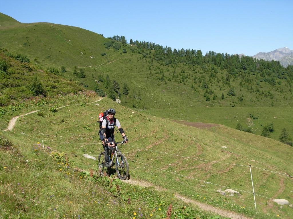
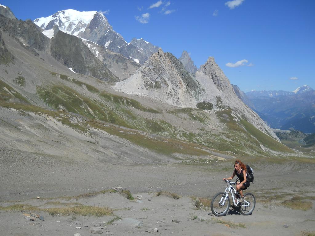
Dal colle è molto chiara ed evidente la traccia di sentiero che scende nella Val Ferret Svizzera. Con ciclabilità al 100% si scende velocemente passando dal punto di ristoro Le Peule, per poi arrivare sul fondo valle a Les Ars Dessous m. 1802.
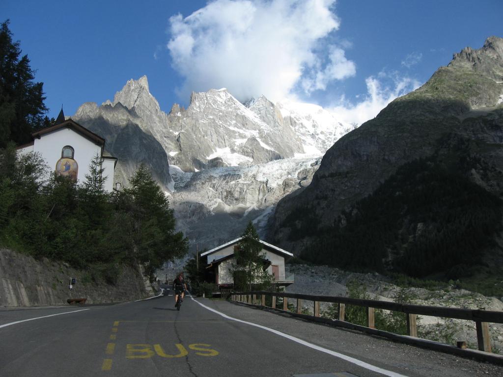
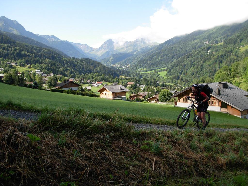
Da qui, per strada asfaltata si scende fino il località Son la Proz m. 968. Si abbandona in questo punto la strada principale che prosegue verso Orsieres e alla sinistra si riprende a salire verso Champex m. 1466, Punto di arrivo di questa prima tappa. (Una alternativa a questa ultima salita è la variante che si prende sulla sinistra in uscita da Isser m. 1055, prima del bivio, ma per informazioni raccolte la ciclabilità è sotto il 50%). Siamo solo al primo giorno e forse è meglio andare cauti.
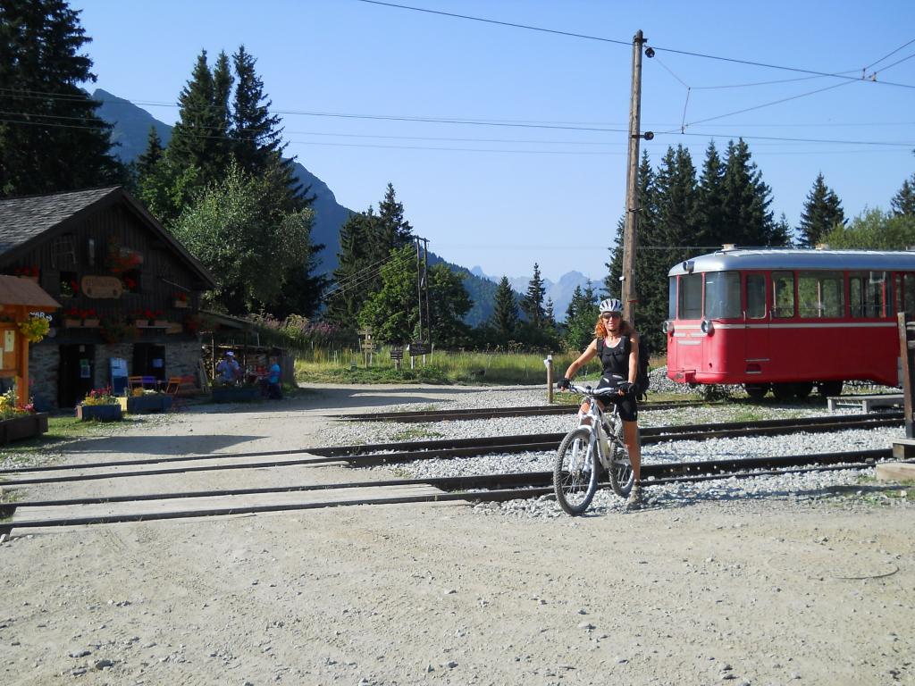
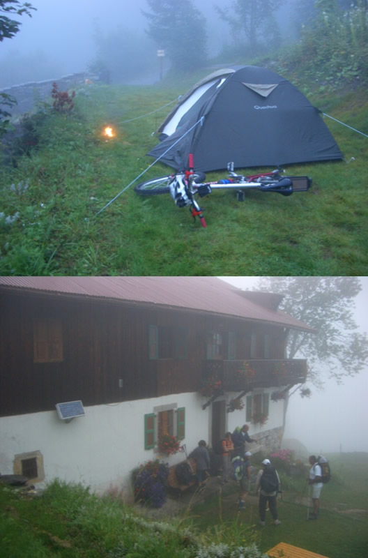
Informazioni e alloggi
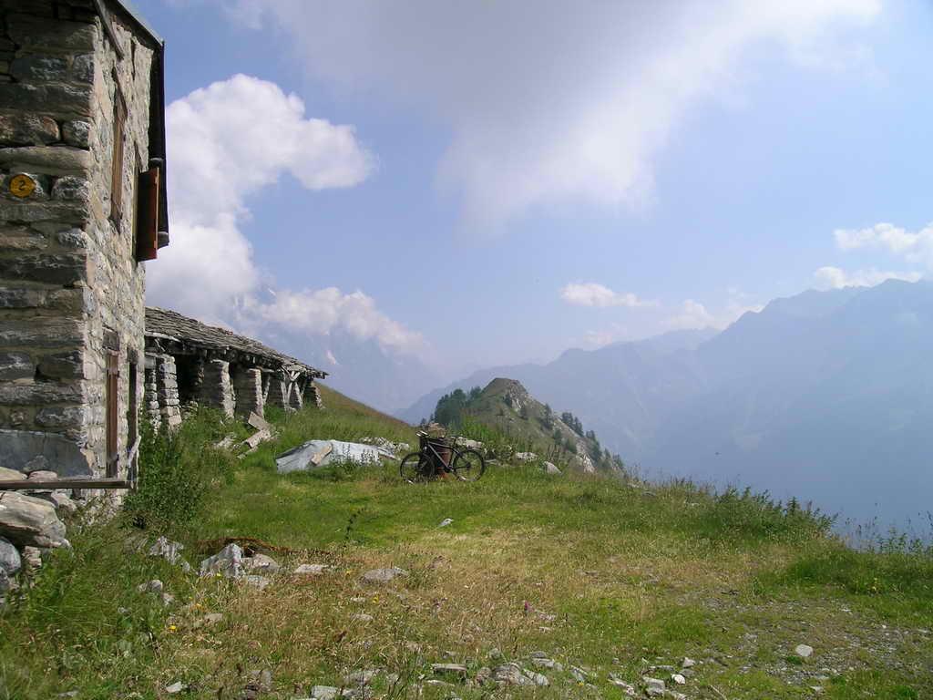
Rifugio Elena 0039 0165844688 www.rifugioelena.it – Buvette De La Peule 0041 27.7831041 www.lapeulaz.skyrock.com – A Champex ottime possibilità per un alloggio. ( Gites d’etape – Pension En Plein Air 0041 27.7832350 www.pensionenpleinar.ch – Club Alpin 0041 27.7831161) – Au Rendez-Vous 0041 27.7831640
- Cartografia:
- 1:50.000 n. 4 Massiccio del Monte Bianco Istituto Geografico Centrale – con riferimenti alle Gitè d’etape 1:50.000 n. 2
Nelle vicinanze Mappa
Itinerari
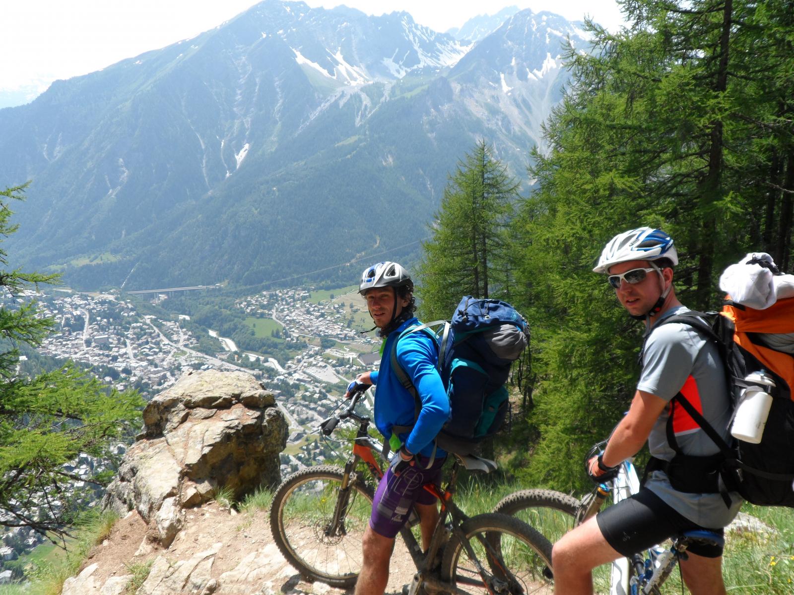
23/08/2004 AO, Courmayeur D+ 1600 m BC, BC, S1 Varie
Fortin (Mont) da Courmayeur, giro
0m
15/09/2019 AO, Courmayeur D+ 1040 m BC, BC, S2 Est
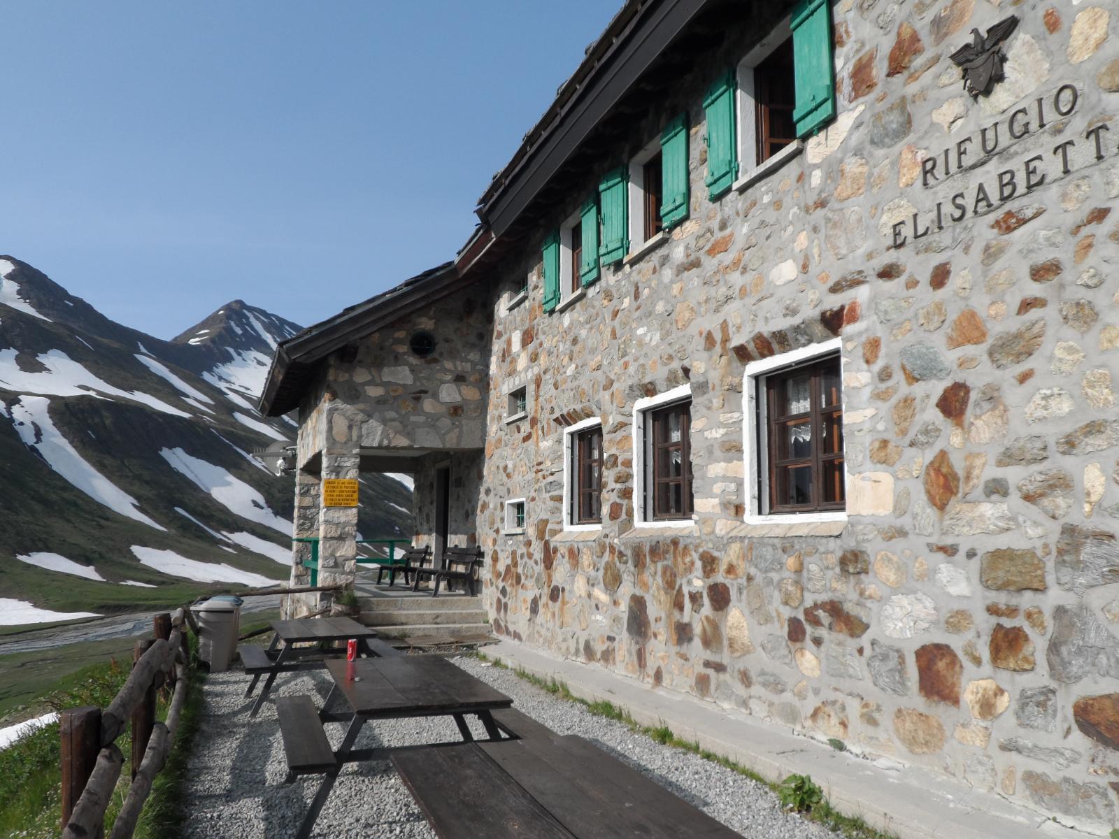
Seigne (Col de la) e Rifugio Elisabetta Soldini da Courmayeur per il lac Combal
 0m
0m
25/08/2016 AO, Courmayeur D+ 1940 m BC, BC+, S2 Varie
Entre Deux Sauts (Tète) da Courmayeur, giro
 0m
0m
08/09/2024 AO, Courmayeur D+ 10000 m OC+, OC+, S5 Tutte
Tor des Geants in MTB
 0m
0m
01/08/2009 AO, Pré-Saint-Didier D+ 1100 m MC, MC, S0 Est
Arp (Alpe) da Pre Saint Didier
 2.8Km
2.8Km
19/08/2023 AO, Pré-Saint-Didier D+ 2800 m BC, OC, S3 Tutte
Arp e Chavannes (Colli) da Pré Saint Didier, giro
 2.8Km
2.8Km
03/08/2018 AO, Pré-Saint-Didier D+ 3500 m OC, BC+, S3 Varie
Bard, Citrin, Malatrà (Colli) da Prè Saint Didier, giro della Valdigne
3.5Km
19/08/2018 AO, Pré-Saint-Didier D+ 2000 m OC, OC, S3 Tutte
Liconi (Testa di) da Prè Saint Didier, giro
3.5Km
04/08/2018 AO, Pré-Saint-Didier D+ 2900 m MC, TC, S1 Tutte
Seigne (Col de la) da Pré Saint Didier, giro per Bourg Saint Maurice e Colle del Piccolo San Bernardo
 3.5Km
3.5Km
18/07/2025 AO, Pré-Saint-Didier D+ 1650 m BC, BC+, S1 Tutte
Chavannes (Col de) da Prè Saint Didier, discesa in Val Veny
3.5Km