 3Km
3Km
Note
 0m
0m
0m
0m
2.8Km
2.8Km
3.5Km
0m
0m
0m
0m
2.8Km
2.8Km
3.5Km
Itinerario al limite del ciclo-alpinismo per la discesa dal m fortin verso alpe sup del'arp vielle che si svolge prima su sfasciume, poi per un sentiero solo a tratti ciclabile..Volendo si può evitare il tutto scendendo per la via di salita fino al lago Combal ,ma per chiudere il giro occorre risalire di altri 350m.
Il primo tratto dal Fortin non é assolutamente ciclabile e può diventare delicato se risultano presenti residue lingue di neve.
Avvicinamento
Il primo tratto dal Fortin non é assolutamente ciclabile e può diventare delicato se risultano presenti residue lingue di neve.
.
Descrizione
La partenza può avvenire indistintamente dalla sbarra che blocca il traffico privato in loc Visaille come dal precedente pianoro dotato di più ampi parcheggi anche in funzione del ritorno..
Si percorre la strada asfaltata che risale il fondovalle affrontando i primi 350mt
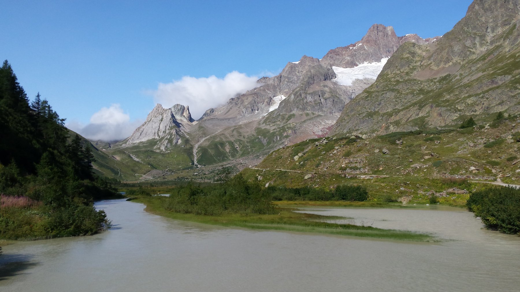
di disilivello fino al ponte-diga che forma il lago di Combal da quì si può sceglire se imboccare direttamente il sentiero del TMB in direzione del col Chécrouit e quindi ridurre di molto le fatiche future o continuare in direzione del rif Elisabetta…
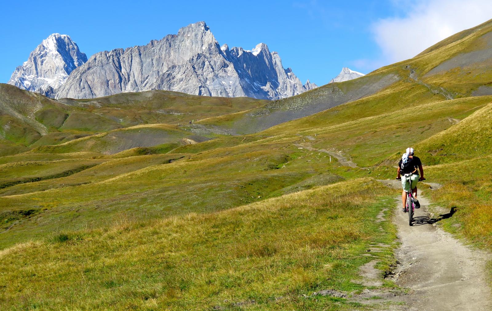
In questo caso si prosegue sulla sterrata che porta in direzione del col de la Seigne fino al pianoro sottostante il rif.(2156m)da quì seguendo i segni gialli dell’altavia n°2 sulla sx in direzione del colle di Chavannes (2603m)
La salita al colle purtoppo è quasi interamente con la bici a spalle ma l’ambiente riesce a distrarre la mente..(un oretta di fatica)
Dal colle per la sterrata che scende verso La Thuile , dopo un centinaio di metri di disilivello negativi a sx per il sentiero che porta al m Fortin (2758m).
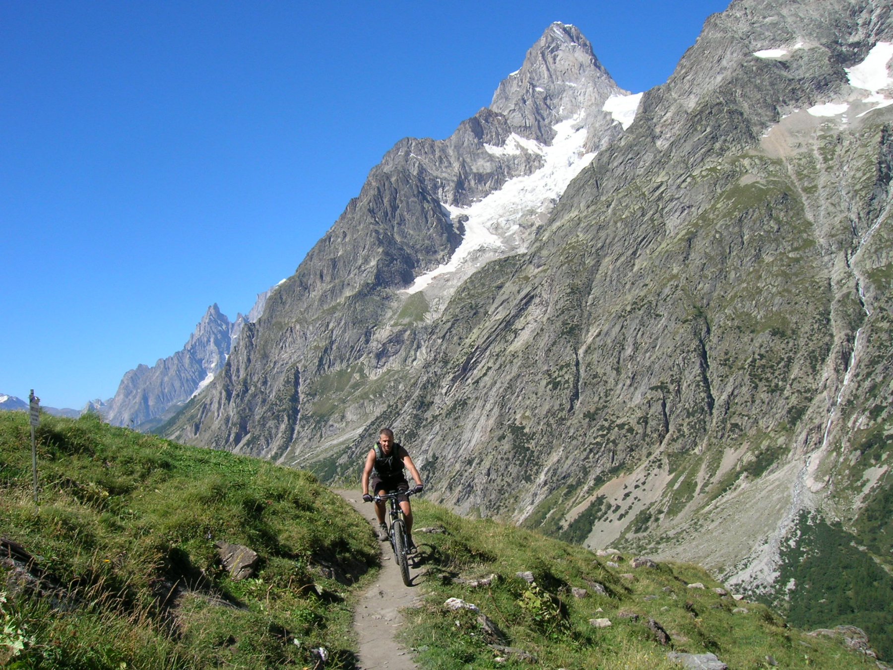
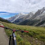
Il sentiero é interamente ciclabile oltre che panoramico.
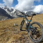
Dal M Fortin si ha una vista esagerata sia sul massiccio del Bianco che sulla val Veny e la val Ferret.(da sola ripaga la salita)
I primi 100-150m di discesa sono decisamente impraticabili per gli oggettivi rischi dato il fondo instabile e la mancanza di una traccia vera di sentiero quindi da un colletto si iniziano ad intravedere i tornantini di quella che sarà la via di discesa non sempre agevole.
Ad un certo punto il sentiero si biforca ( 2380m) prendiamo a dx in direzione dell’alpeggio sup dell’Arp Vieille(2356m)
Seguendo il TBM si scollina (100m scarsi di risalita) ed iniziamo la libidinosa discesa verso il col Checrouit (1956m)
Quindi a sx in direz del rif Monte Bianco(1700m) per un divertente sentierino nel sottobosco fino al piazzale del rif ,quindi sempre a sx per sentiero in direzione della Visaille e seguendo le indicazioni non sempre evidenti ma in logica direzione per sterrato semipianeggiante si giunge alla Cantina della Visaille (1659m) da dove andremo a riprender l’auto.
- Cartografia:
- igc n°107 monte bianco 1:25.000
Nelle vicinanze Mappa
Itinerari
25/08/2016 AO, Courmayeur D+ 1940 m BC, BC+, S2 Varie
Entre Deux Sauts (Tète) da Courmayeur, giro
 0m
0m
15/07/2015 AO, Courmayeur D+ 1700 m BC, BC, S0 Tutte
Tour del Monte Bianco (CCW) Tappa 1: Courmayeur – Champex
 0m
0m
08/09/2024 AO, Courmayeur D+ 10000 m OC+, OC+, S5 Tutte
Tor des Geants in MTB
 0m
0m
15/09/2019 AO, Courmayeur D+ 1040 m BC, BC, S2 Est
Seigne (Col de la) e Rifugio Elisabetta Soldini da Courmayeur per il lac Combal
 0m
0m
01/08/2009 AO, Pré-Saint-Didier D+ 1100 m MC, MC, S0 Est
Arp (Alpe) da Pre Saint Didier
 2.8Km
2.8Km
19/08/2023 AO, Pré-Saint-Didier D+ 2800 m BC, OC, S3 Tutte
Arp e Chavannes (Colli) da Pré Saint Didier, giro
 2.8Km
2.8Km
04/08/2018 AO, Pré-Saint-Didier D+ 2900 m MC, TC, S1 Tutte
Seigne (Col de la) da Pré Saint Didier, giro per Bourg Saint Maurice e Colle del Piccolo San Bernardo
 3.5Km
3.5Km
03/08/2018 AO, Pré-Saint-Didier D+ 3500 m OC, BC+, S3 Varie
Bard, Citrin, Malatrà (Colli) da Prè Saint Didier, giro della Valdigne
3.5Km
19/08/2018 AO, Pré-Saint-Didier D+ 2000 m OC, OC, S3 Tutte
Liconi (Testa di) da Prè Saint Didier, giro
3.5Km
18/07/2025 AO, Pré-Saint-Didier D+ 1650 m BC, BC+, S1 Tutte
Chavannes (Col de) da Prè Saint Didier, discesa in Val Veny
3.5Km