3Km
3Km
Note
 0m
0m
0m
2.8Km
2.8Km
3.5Km
0m
0m
0m
2.8Km
2.8Km
3.5Km
Lungo giro molto impegnativo fisicamente che alterna tratti pedalati ad altri di spintage e di portage che sono all'incirca sui 900mt misti.
Le discese sono per lo più molto scorrevoli fatta eccezione per la discesa dalla vetta e la Val Sapin,vera chicca della giornata.
Avvicinamento
Le discese sono per lo più molto scorrevoli fatta eccezione per la discesa dalla vetta e la Val Sapin,vera chicca della giornata.
Lasciare l'auto nei pressi dell'area pic-nic appena usciti sulla sx dalla sopraelevata che conduce al Tunnel.
Descrizione
Dal parcheggio dell’area pic-nic di Entreves si risale fino a La Palud ed in seguito si percorre tutta la Val Ferret fino ad Arnouva m.1775 dove comincia il sentiero che ci porterà al Rif.Bonatti.
I primi 200mt si faranno tutti a spinta in quanto il sentiero tra ripidità e ostacoli vari risulta non ciclabile.
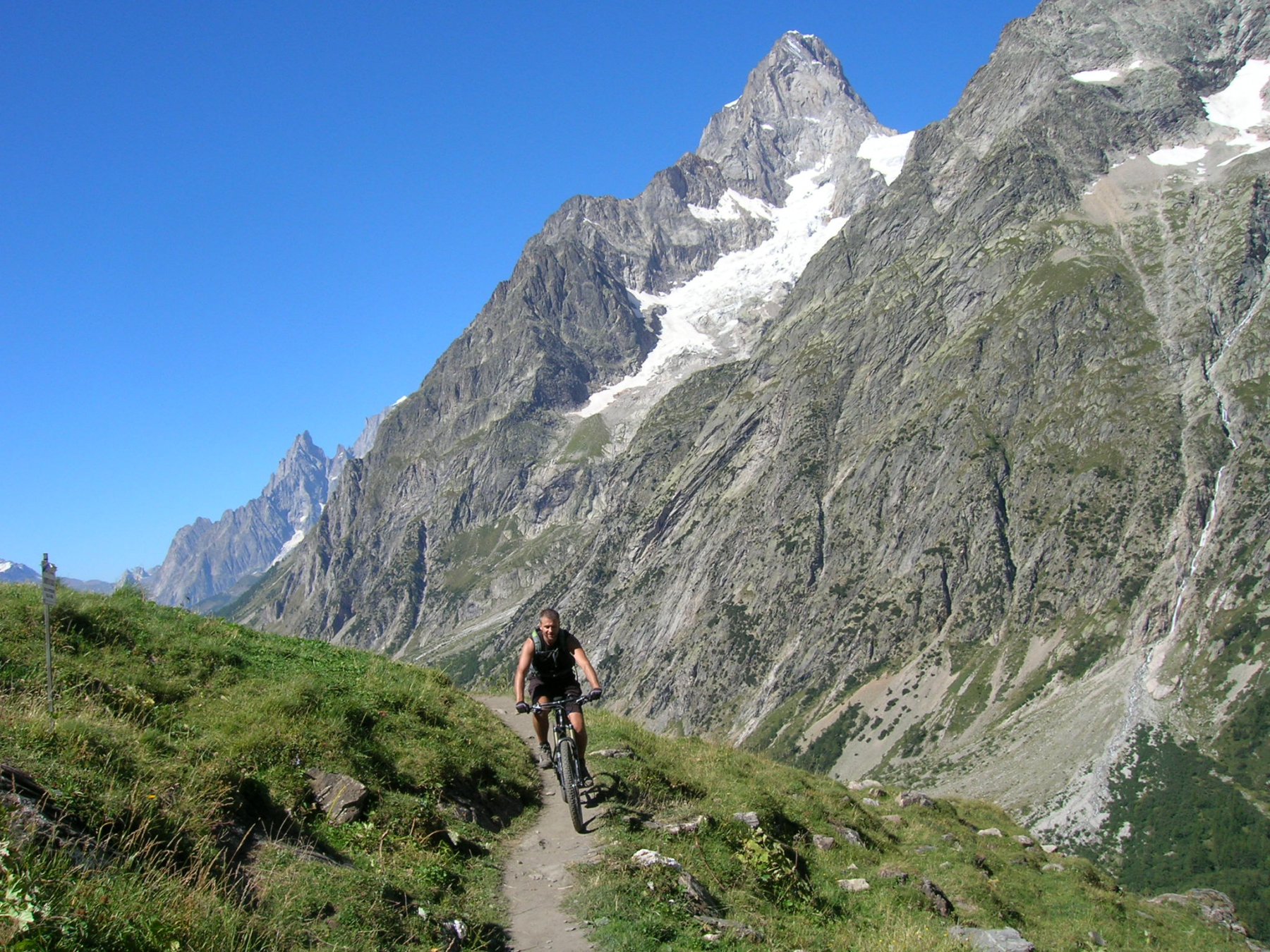
Nei pressi di Arnouva di Mezzo m.1990 si può tornare in sella alternando tratti pedalati ad altri brevi a spinta su splendido sentiero fino al bivio sopra il Rif.Bonatti dove una breve deviazione è vivamente consigliata.
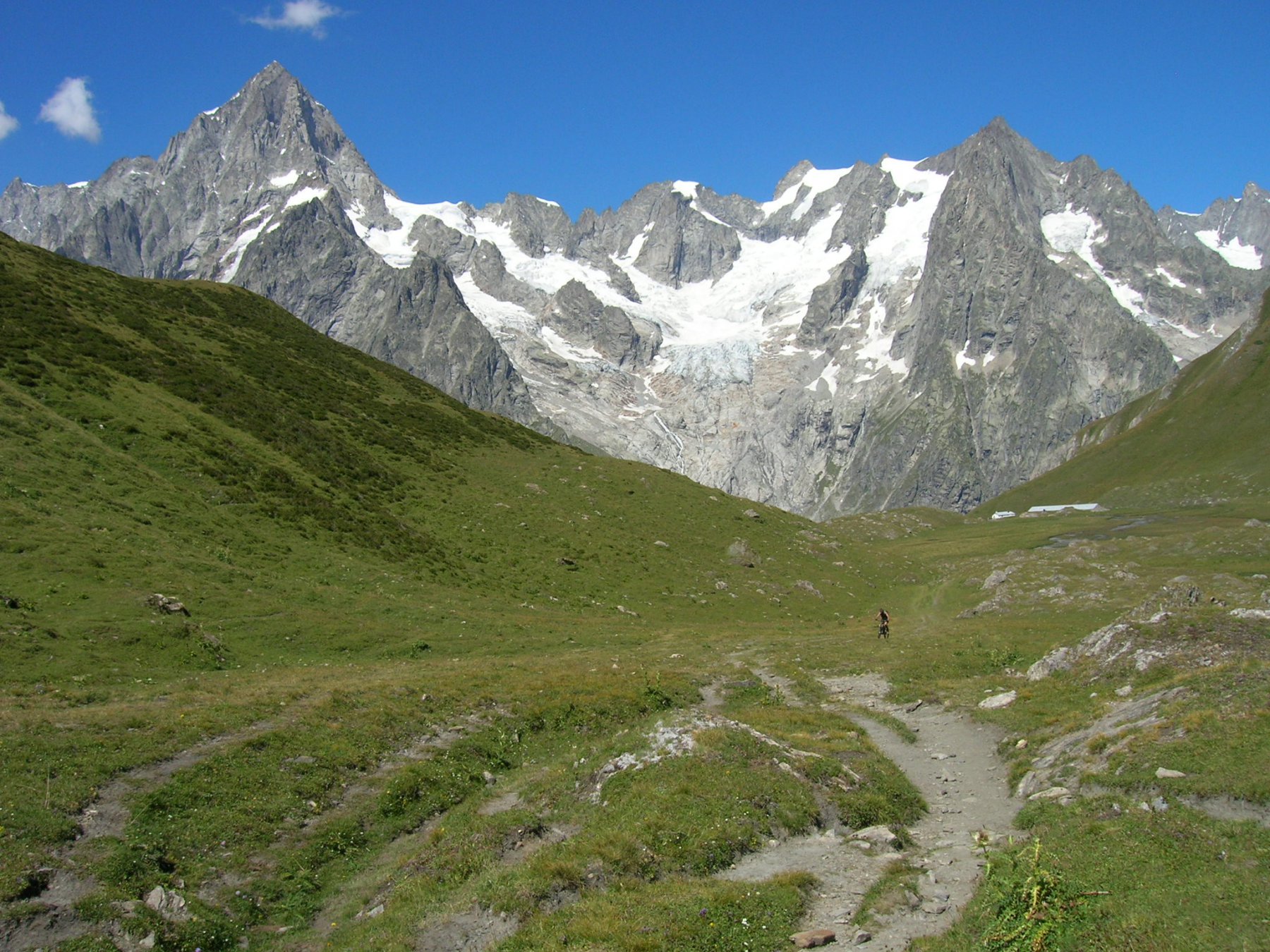
Si percorre ora il Vallone di Malatrà con un primo tratto da fare in spintage/portage fino al pianoro dove si ritorna in sella e si tiene la dx (indicazioni Col Entre deux Sauts).
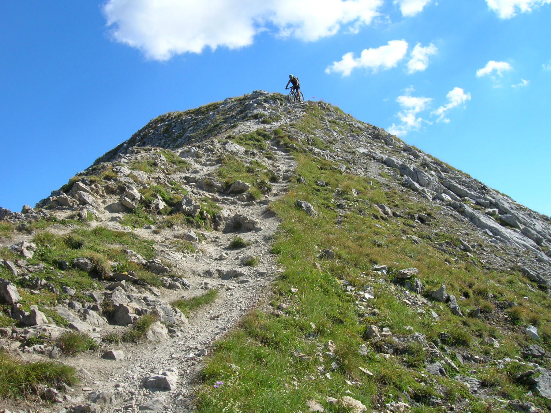
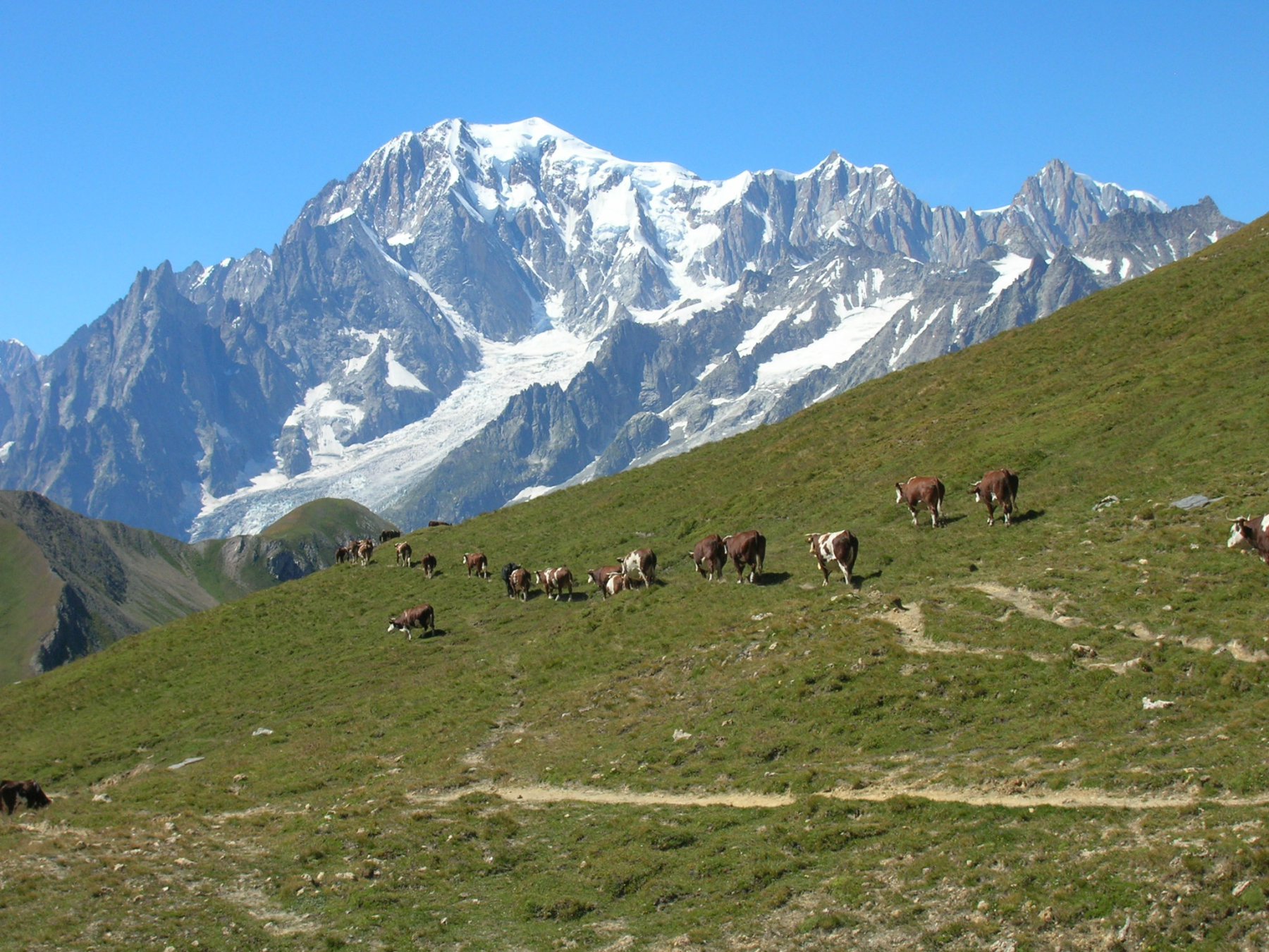
Un nuovo tratto di portage conduce finalmente al Colle a m.2524;piegando a dx e nuovamente con portage si risale il ripido sentiero che porta all’ometto di vetta della Tête Entre Deux Sauts m.2728. Vista spettacolare e ravvicinata di tutto il Massiccio del Bianco
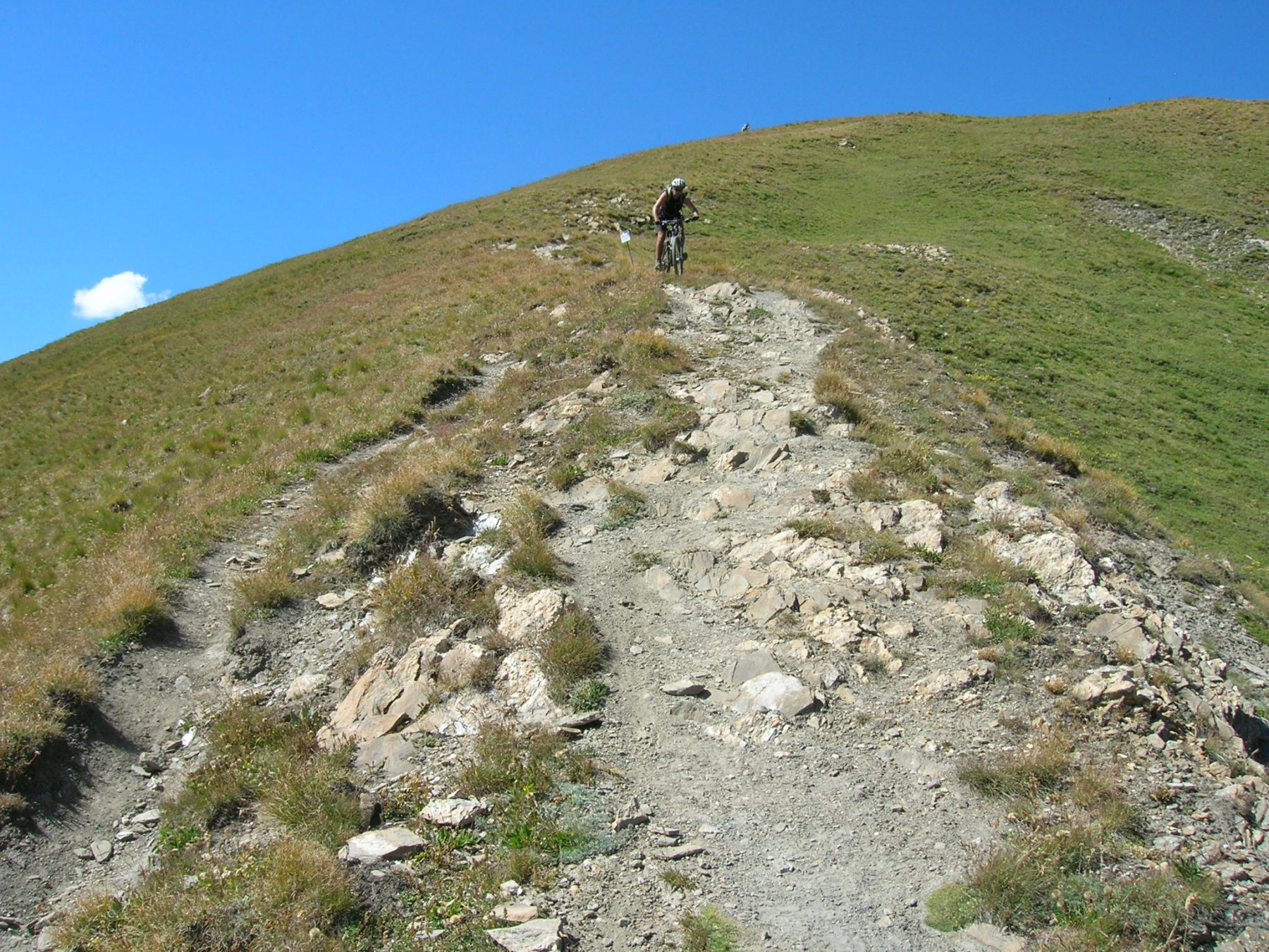
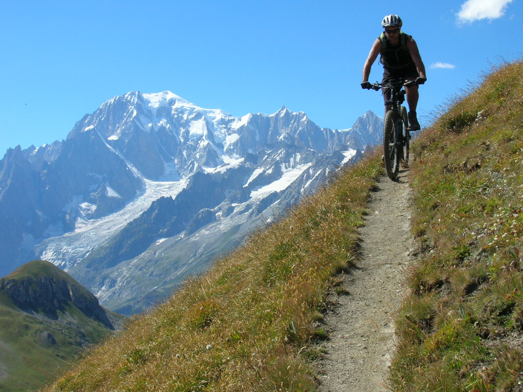
La discesa si svolge su stretto sentiero,ripido con gradini e dal grip non molto buono (S3, 2 tratti S4) fino al colle.
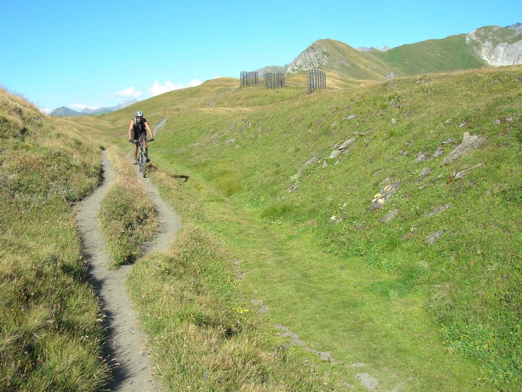
Al Colle prendere ora il sentiero dal fondo compatto di dx che scende fino a quota 2275 (S1, tratti S2 sul finale).
Si prosegue un po’ a spinta e un po’ a portage fino al Col Sapin m.2435,si devia a dx su ripidissimo sentiero e si raggiunge la vetta della Tête de la Troche m.2581.
Comincia ora una lunghissima discesa che ci porterà fino al Rif.Bertone con prevalenza di fondo compatto e liscissimo (S1); la parte finale presenta un tratto più difficile, ripido con tornanti (S2-S3).
Dal rifugio svoltando a sx si percorre la tecnica discesa fatta di lunghe scalinate,gradoni e tornanti stretti con ostacoli (S2-S3) che ci condurre al fondovalle lungo la splendida Val Sapin.
Giunti su asfalto si scende verso Villair Dessot e La Saxe dove su strade secondarie si risale fino al parcheggio.
Nelle vicinanze Mappa
Itinerari
23/08/2004 AO, Courmayeur D+ 1600 m BC, BC, S1 Varie
Fortin (Mont) da Courmayeur, giro
0m
15/09/2019 AO, Courmayeur D+ 1040 m BC, BC, S2 Est
Seigne (Col de la) e Rifugio Elisabetta Soldini da Courmayeur per il lac Combal
 0m
0m
15/07/2015 AO, Courmayeur D+ 1700 m BC, BC, S0 Tutte
Tour del Monte Bianco (CCW) Tappa 1: Courmayeur – Champex
 0m
0m
08/09/2024 AO, Courmayeur D+ 10000 m OC+, OC+, S5 Tutte
Tor des Geants in MTB
 0m
0m
01/08/2009 AO, Pré-Saint-Didier D+ 1100 m MC, MC, S0 Est
Arp (Alpe) da Pre Saint Didier
 2.8Km
2.8Km
19/08/2023 AO, Pré-Saint-Didier D+ 2800 m BC, OC, S3 Tutte
Arp e Chavannes (Colli) da Pré Saint Didier, giro
 2.8Km
2.8Km
04/08/2018 AO, Pré-Saint-Didier D+ 2900 m MC, TC, S1 Tutte
Seigne (Col de la) da Pré Saint Didier, giro per Bourg Saint Maurice e Colle del Piccolo San Bernardo
 3.5Km
3.5Km
19/08/2018 AO, Pré-Saint-Didier D+ 2000 m OC, OC, S3 Tutte
Liconi (Testa di) da Prè Saint Didier, giro
3.5Km
03/08/2018 AO, Pré-Saint-Didier D+ 3500 m OC, BC+, S3 Varie
Bard, Citrin, Malatrà (Colli) da Prè Saint Didier, giro della Valdigne
3.5Km
18/07/2025 AO, Pré-Saint-Didier D+ 1650 m BC, BC+, S1 Tutte
Chavannes (Col de) da Prè Saint Didier, discesa in Val Veny
3.5Km