2.6Km
2.6Km
Note
Storico
 50m
2.2Km
2.2Km
2.2Km
2.2Km
2.2Km
2.2Km
5.8Km
5.8Km
7.6Km
50m
2.2Km
2.2Km
2.2Km
2.2Km
2.2Km
2.2Km
5.8Km
5.8Km
7.6Km
2.6Km
4.3Km
4.3Km
4.3Km
4.4Km
7Km
7.4Km
8Km
8.9Km
9.3Km
La via è stata sostanzialmente sostituita dalla Ferrata Mario Perona, che ne ricalca il percorso quasi integralmente.
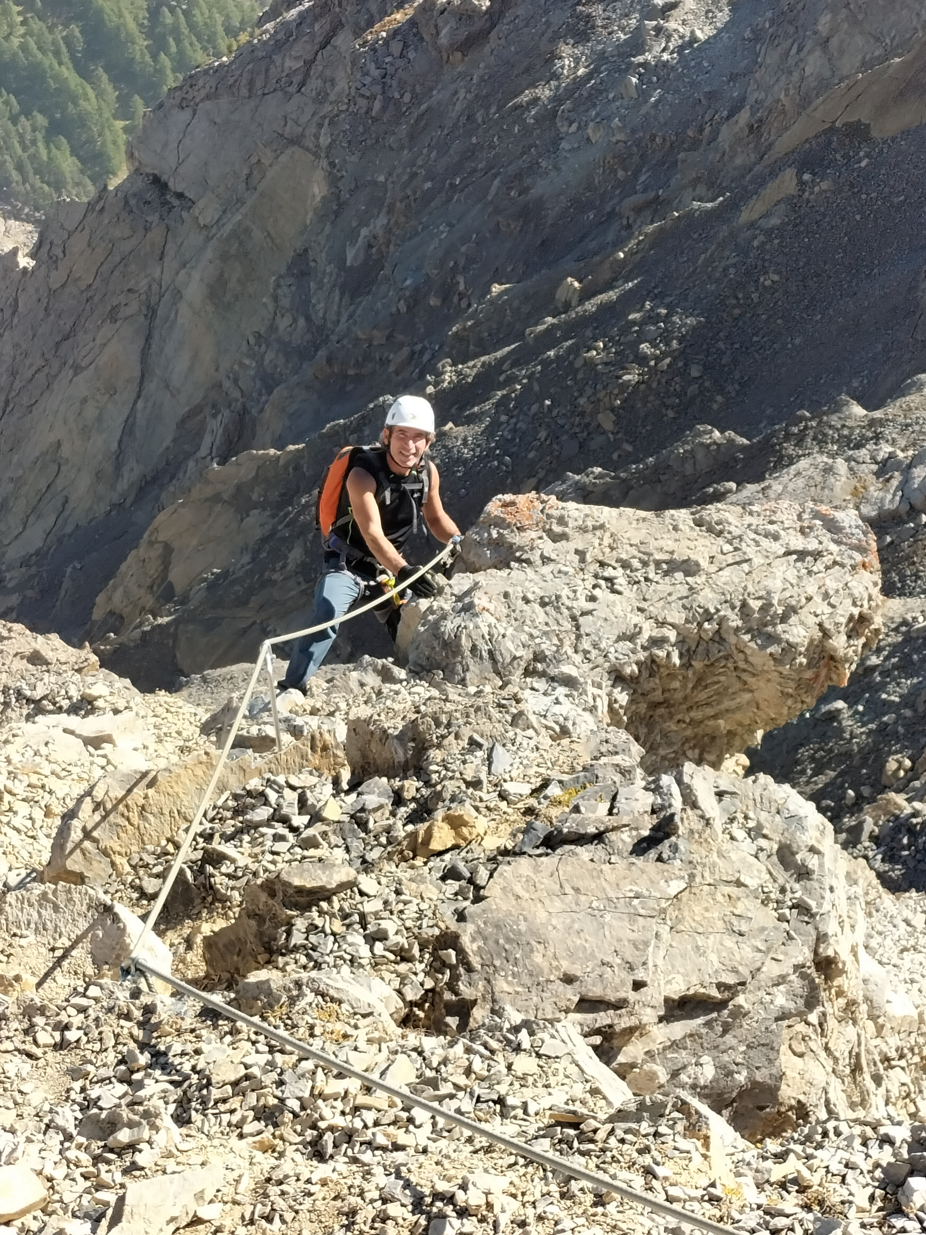
Pertanto non è più necessaria attrezzatura alpinistica ma set da ferrata per assicurarsi al cavo.
https://www.gulliver.it/itinerari/chaberton-monte-vie-ferrate-batteria-bassa-batteria-alta-mario-perona/
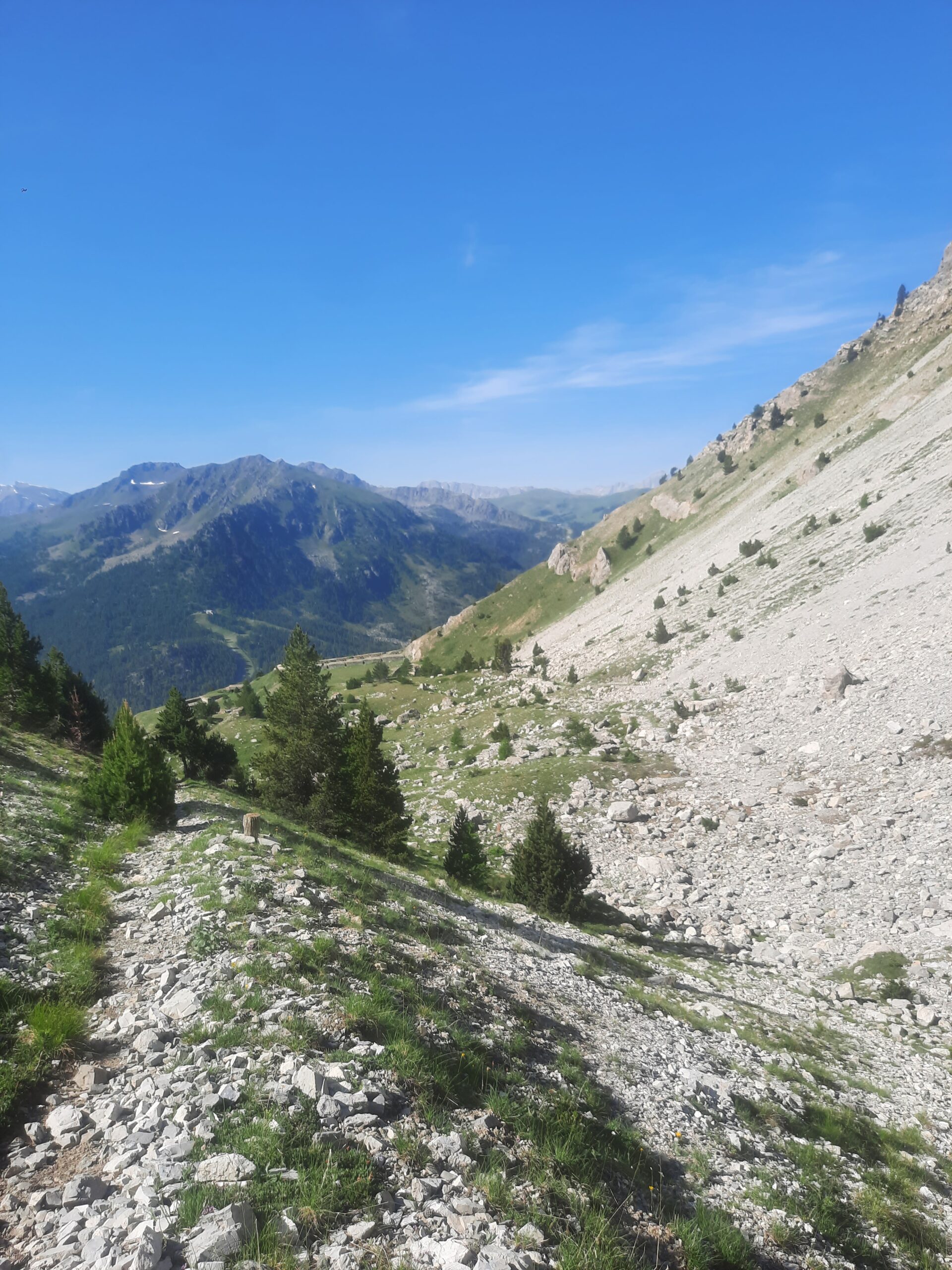
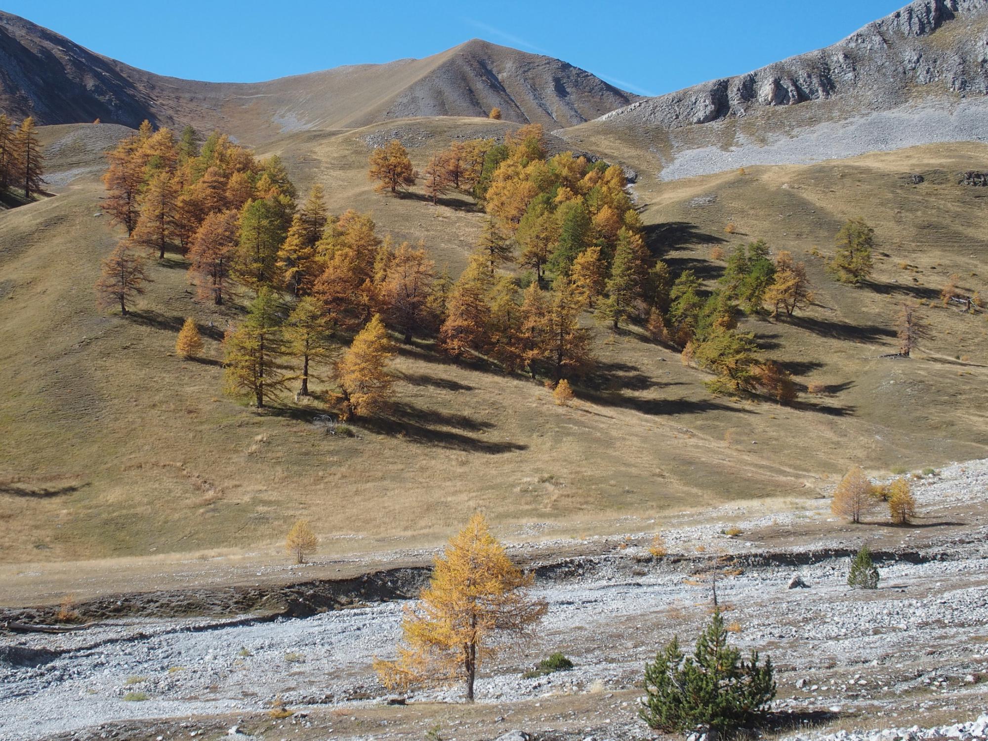
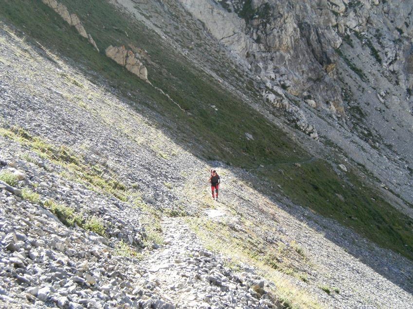
Avvicinamento
Pertanto non è più necessaria attrezzatura alpinistica ma set da ferrata per assicurarsi al cavo.
https://www.gulliver.it/itinerari/chaberton-monte-vie-ferrate-batteria-bassa-batteria-alta-mario-perona/
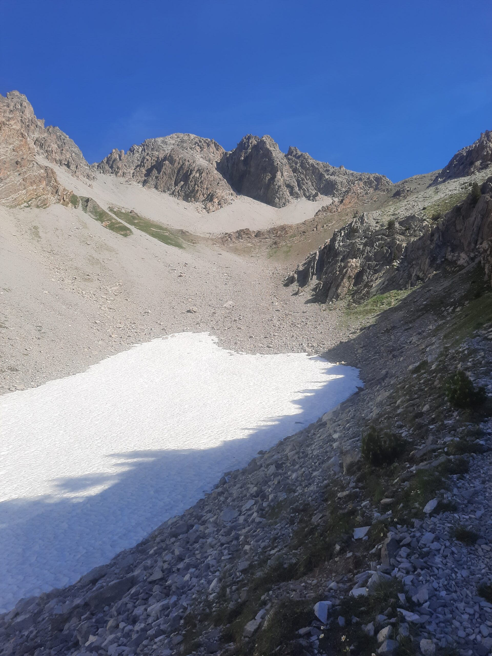
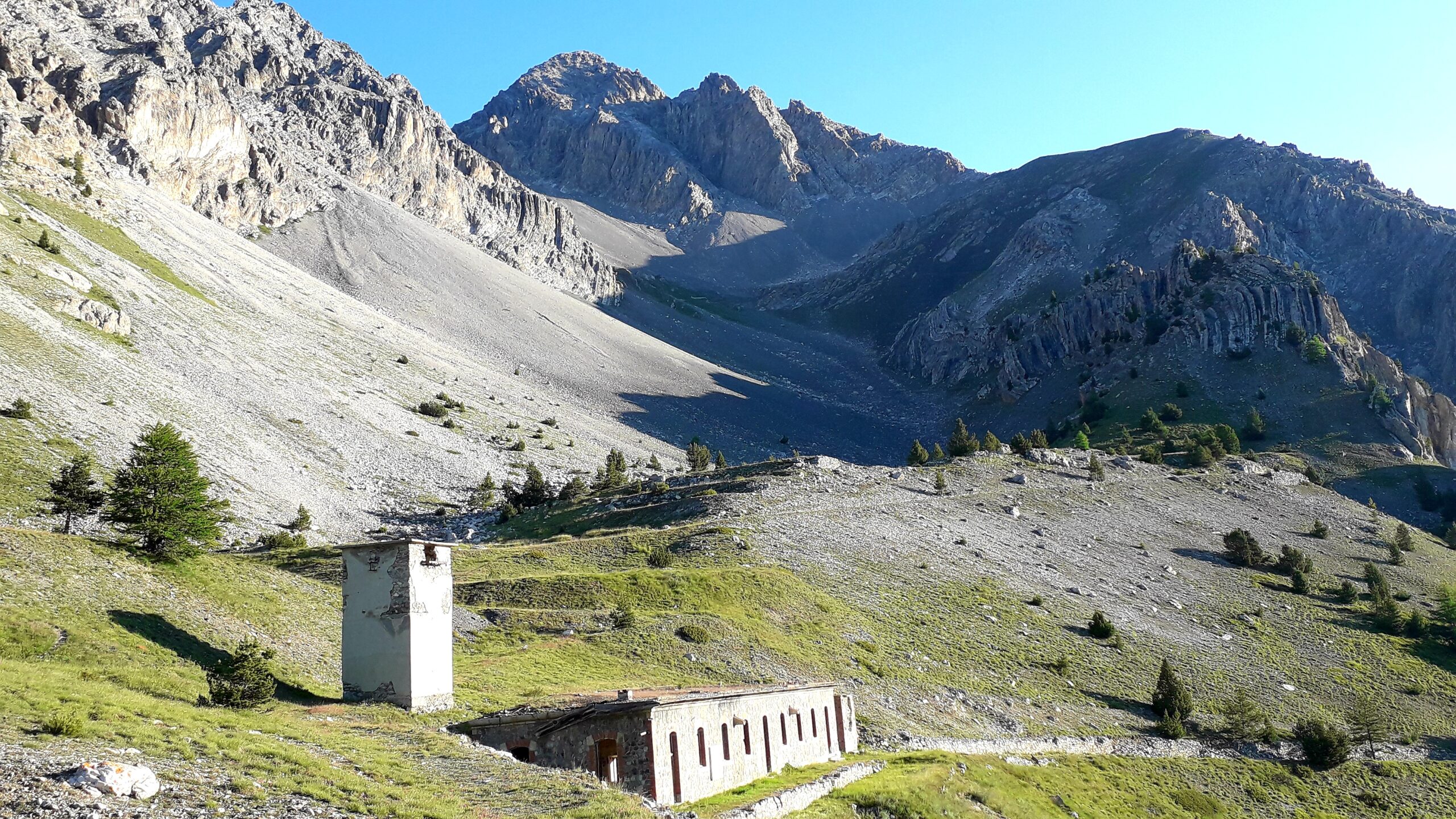
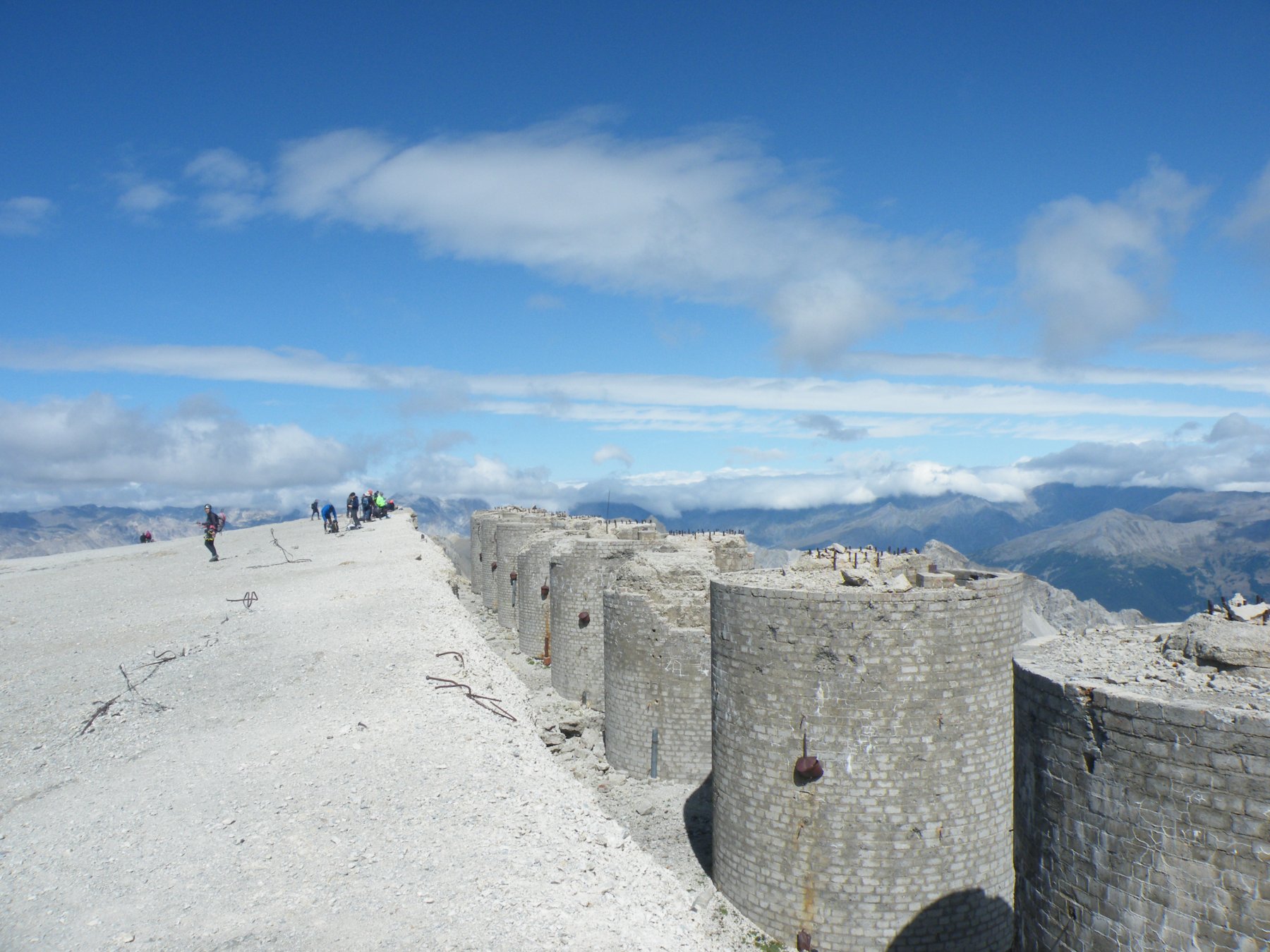
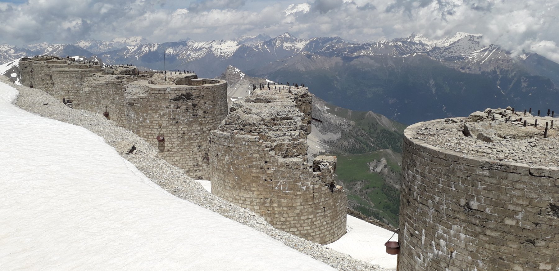
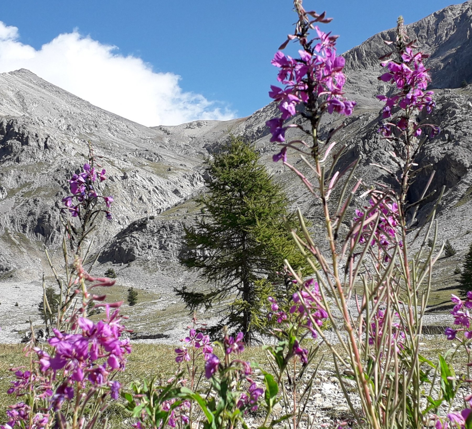
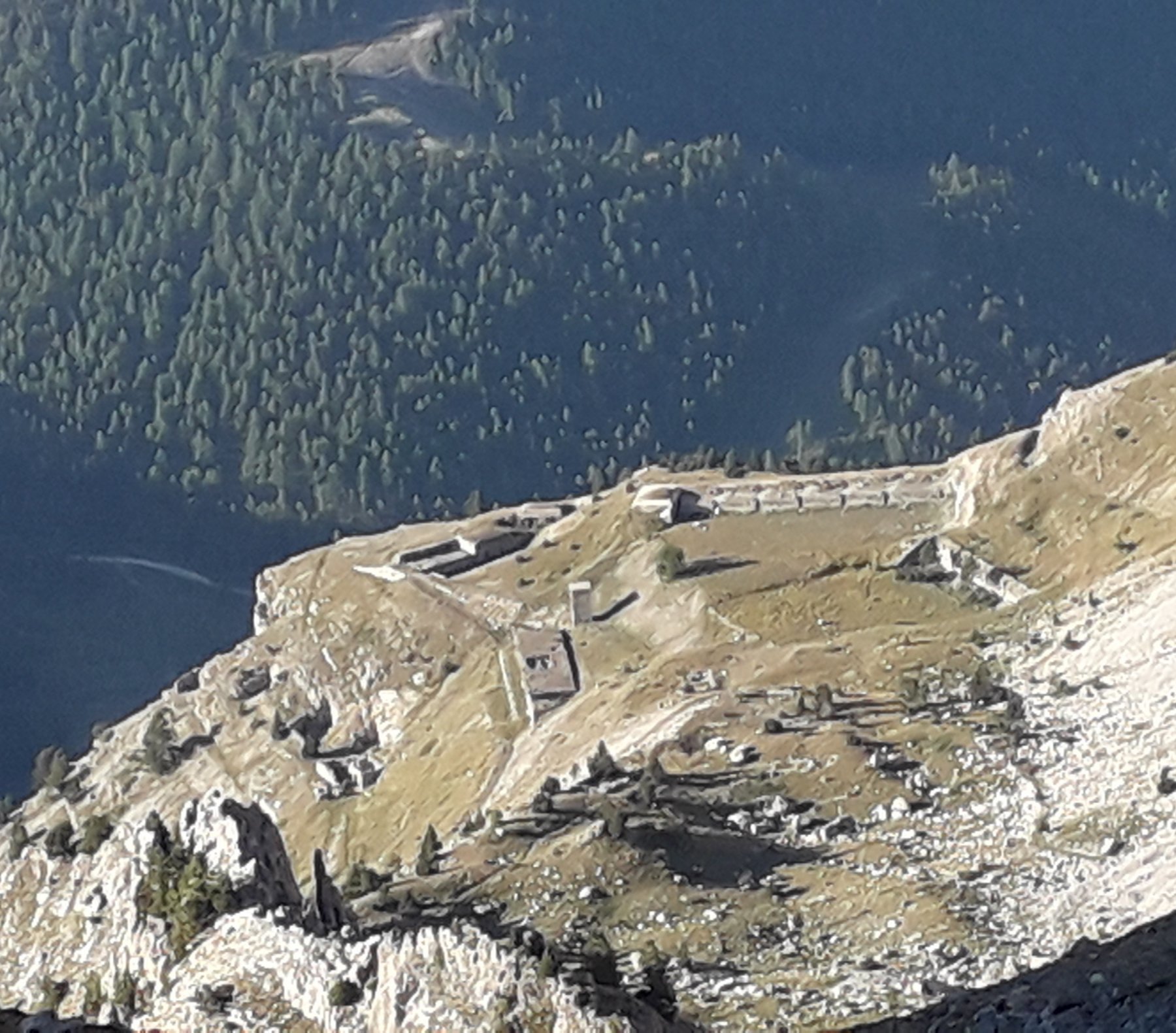
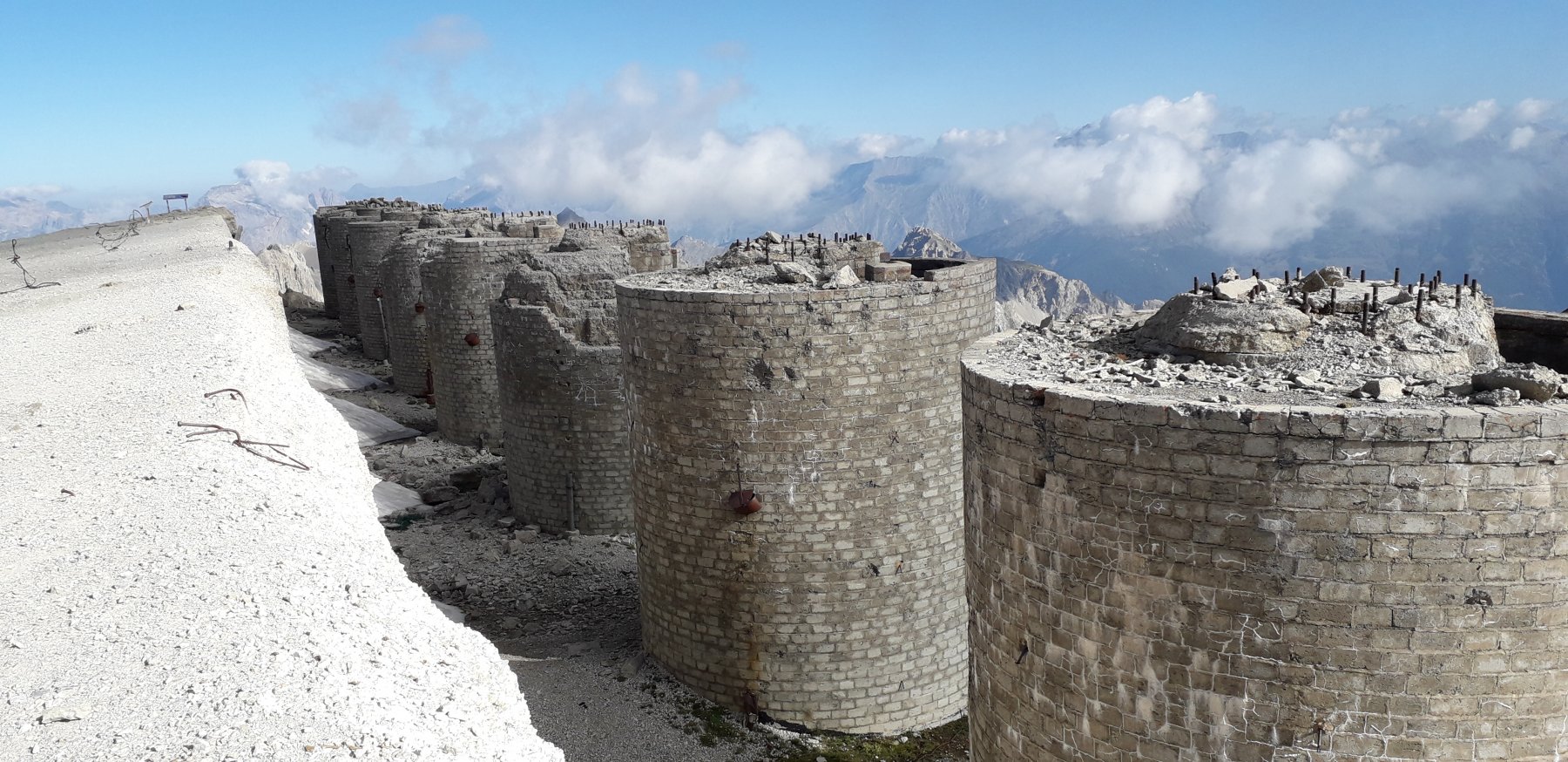
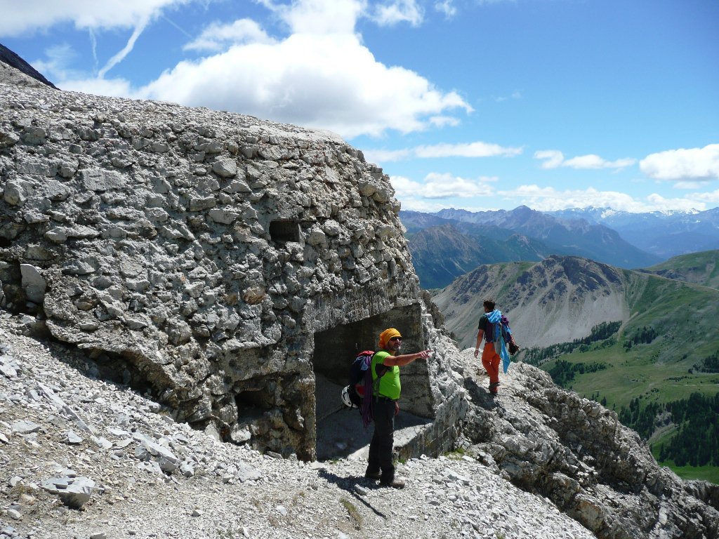
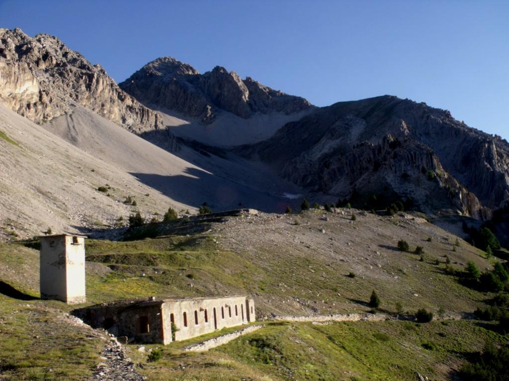
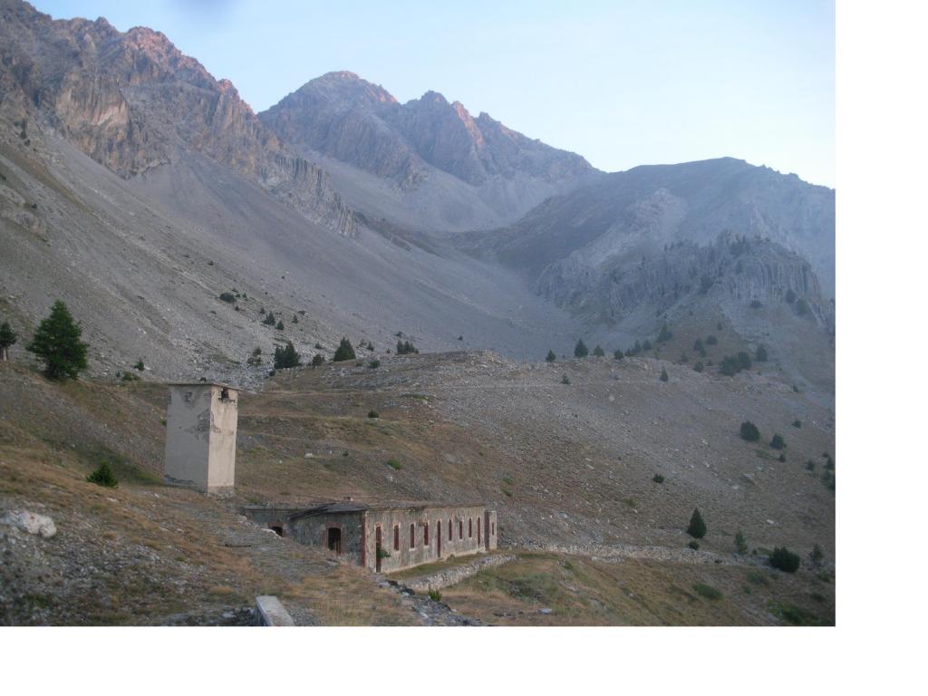
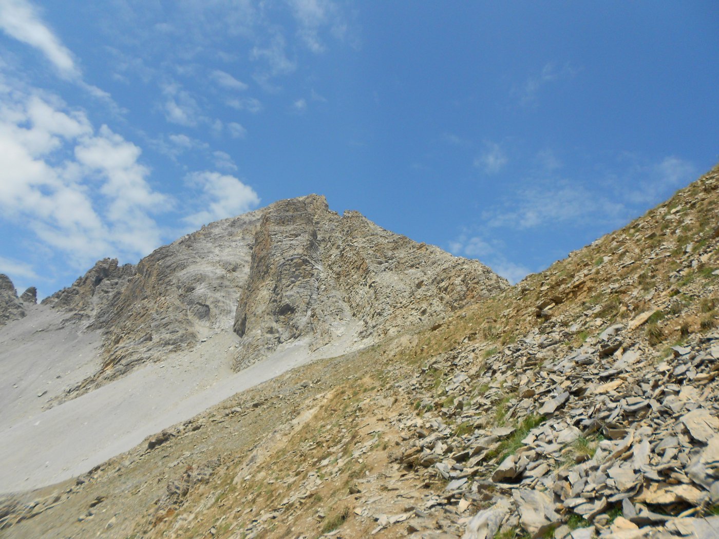
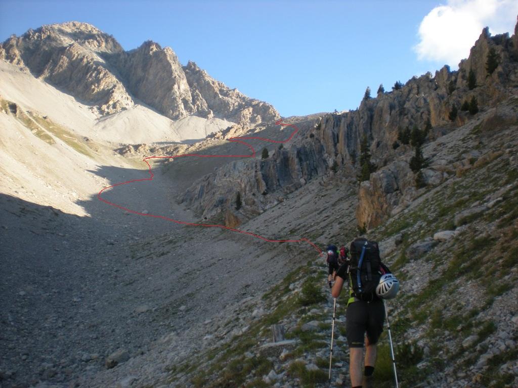
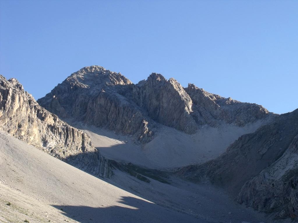
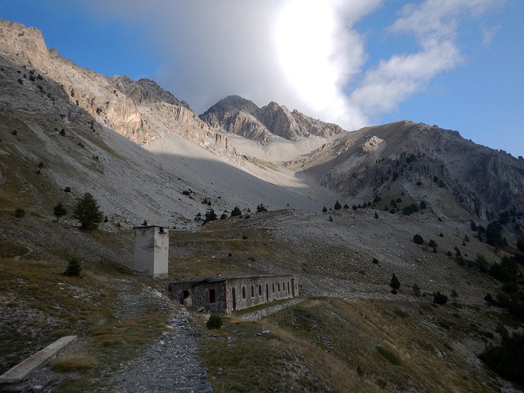
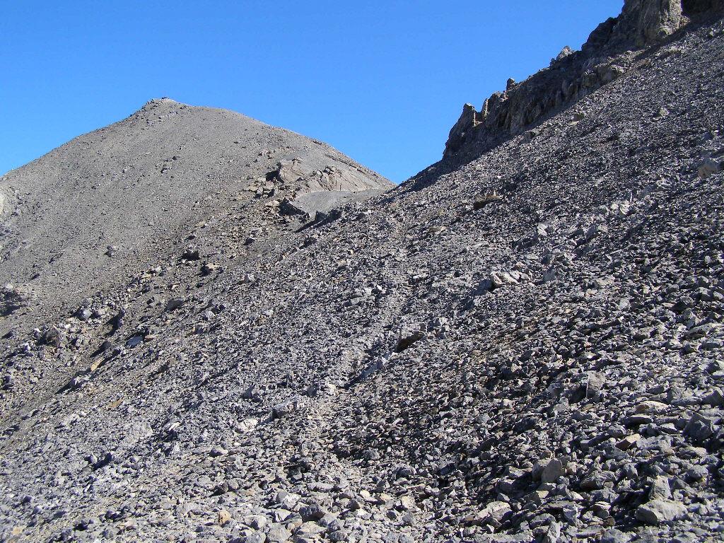
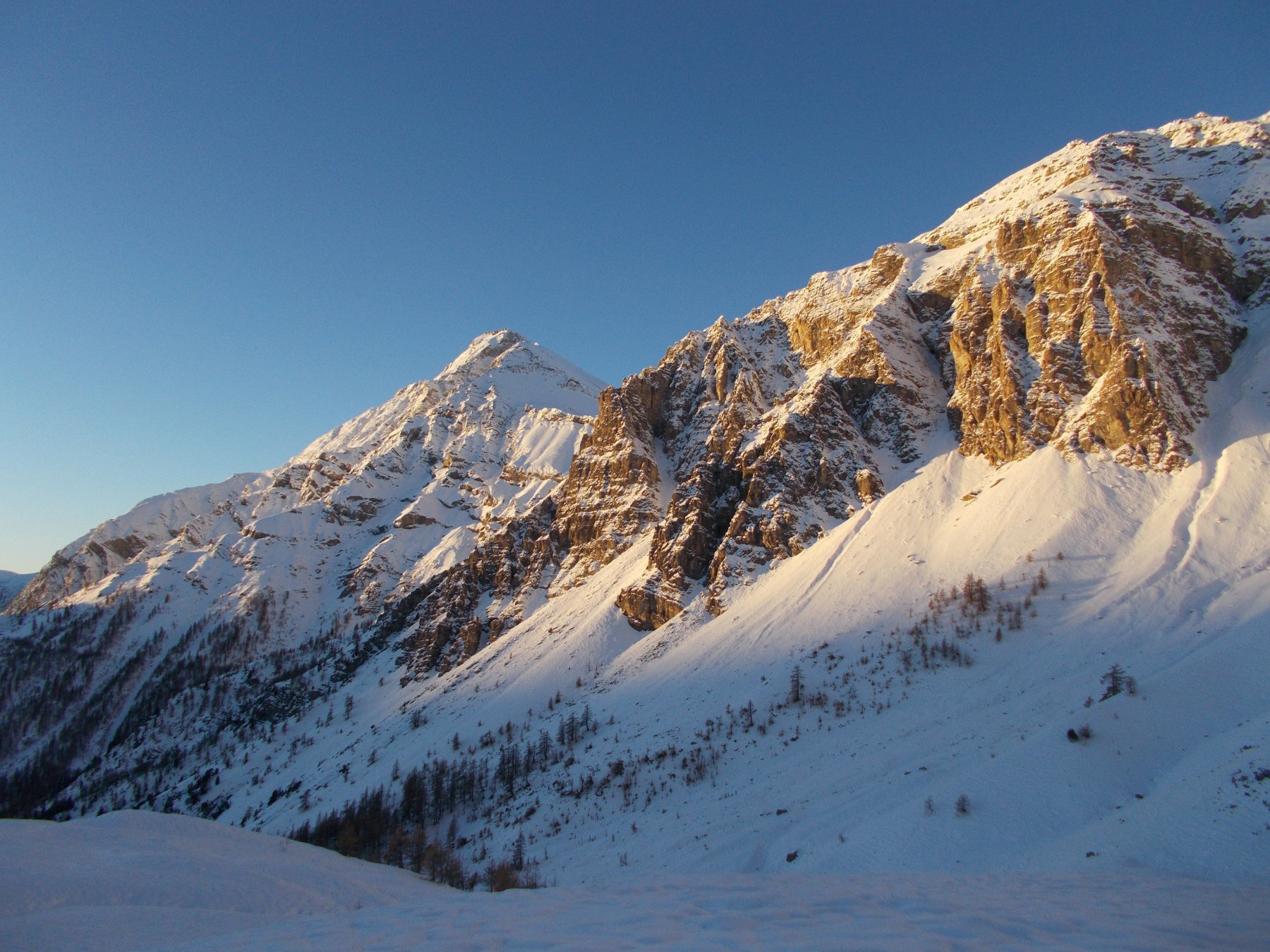
Dalle prime case di Claviere in corrispondenza di una stradina indicazioni per "Batteria Alta" si segue brevemente la stradina che diventa sentiero e supera le barriere paravalanghe salendo con percorso ripido ma ben tracciato verso destra e giungendo alle fortificazioni abbandonate di Batteria Alta 2228 m.
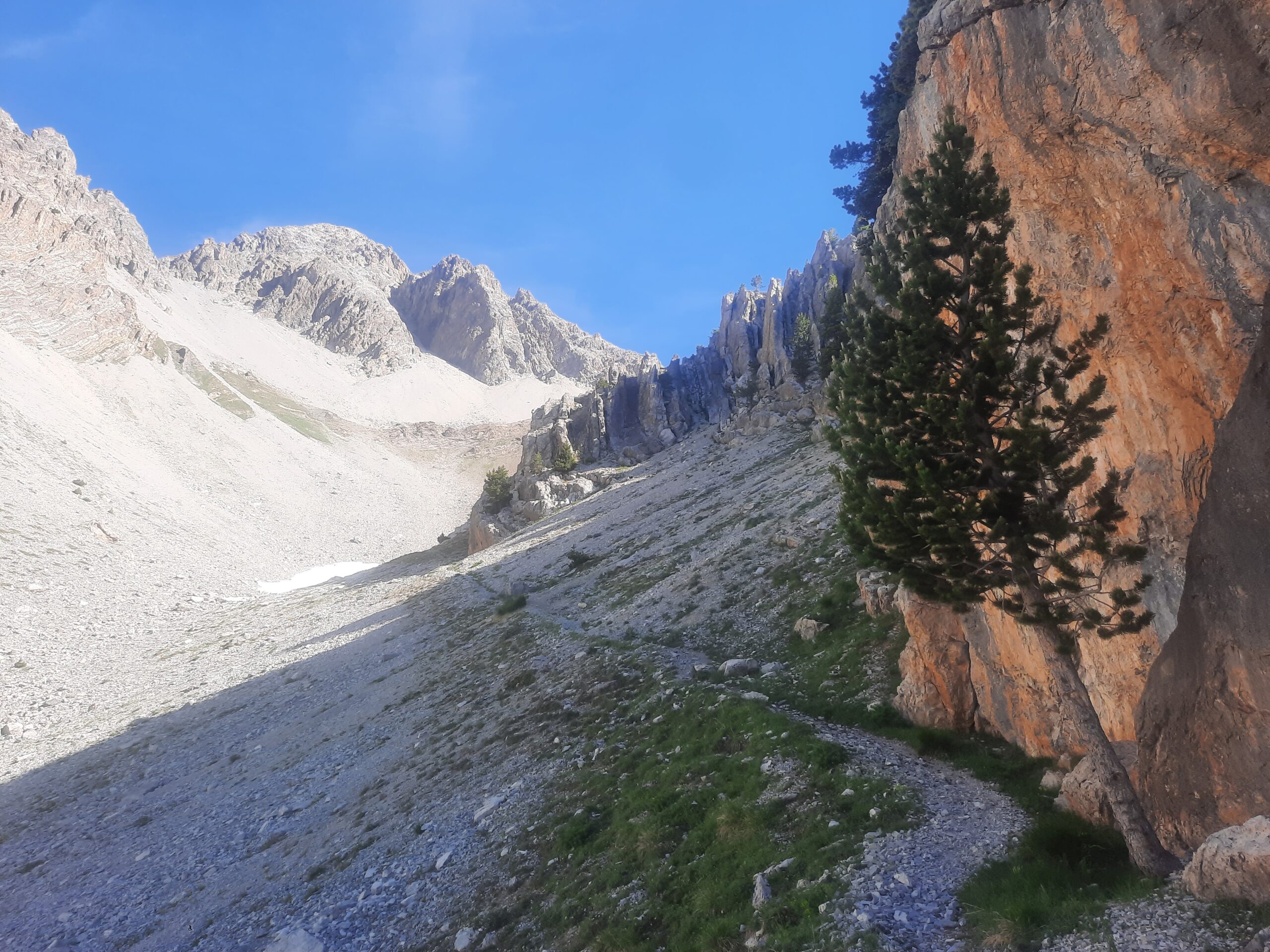
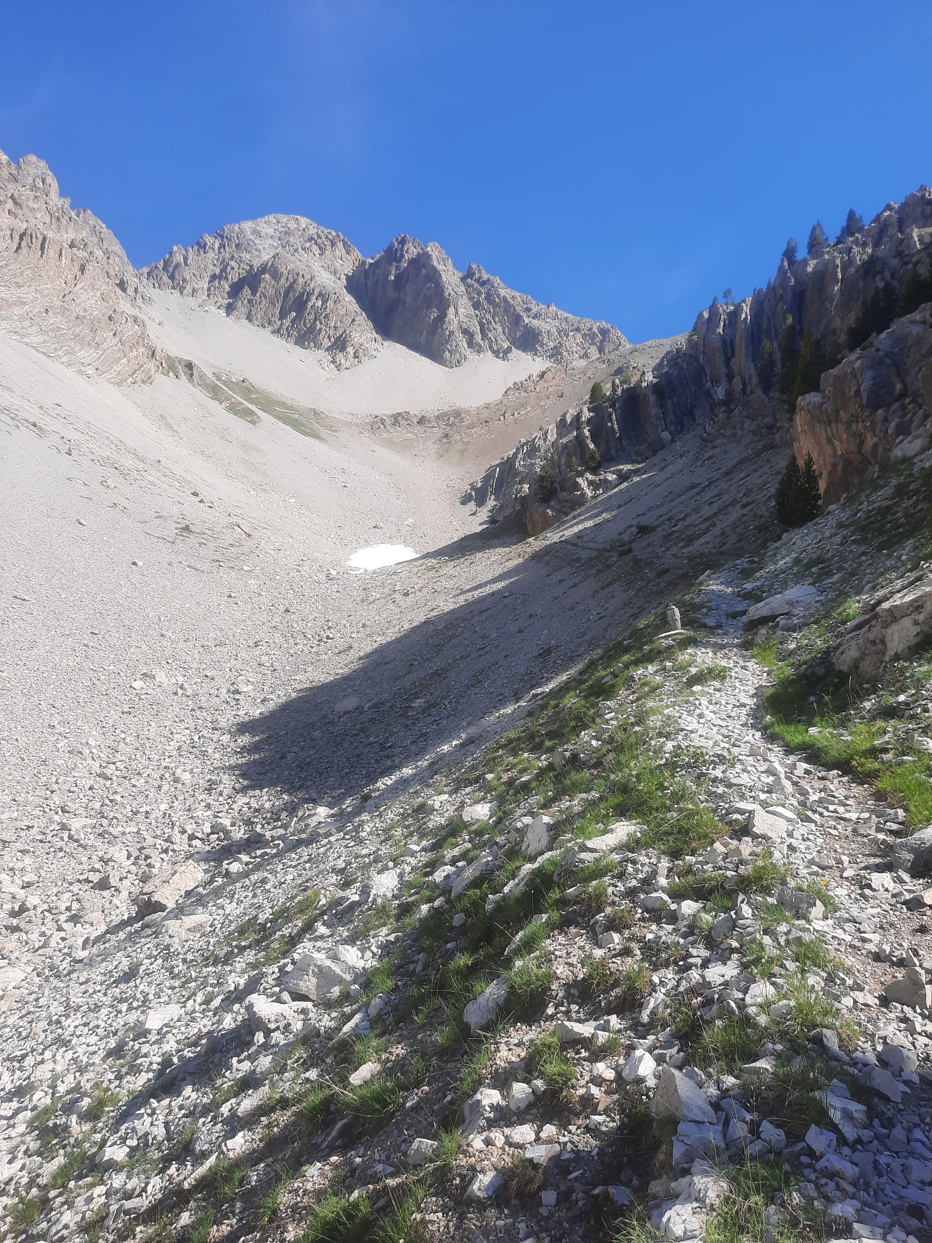
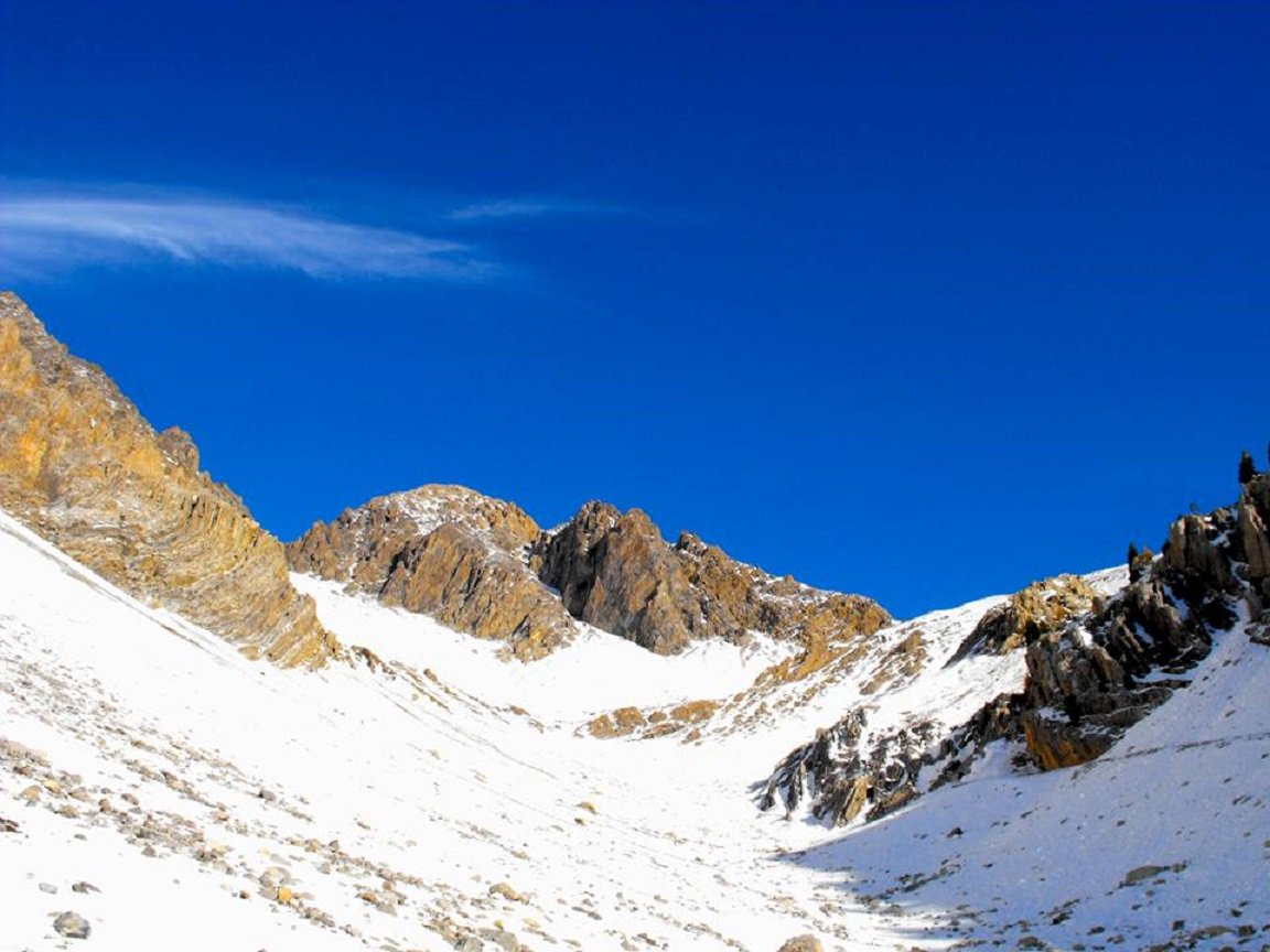
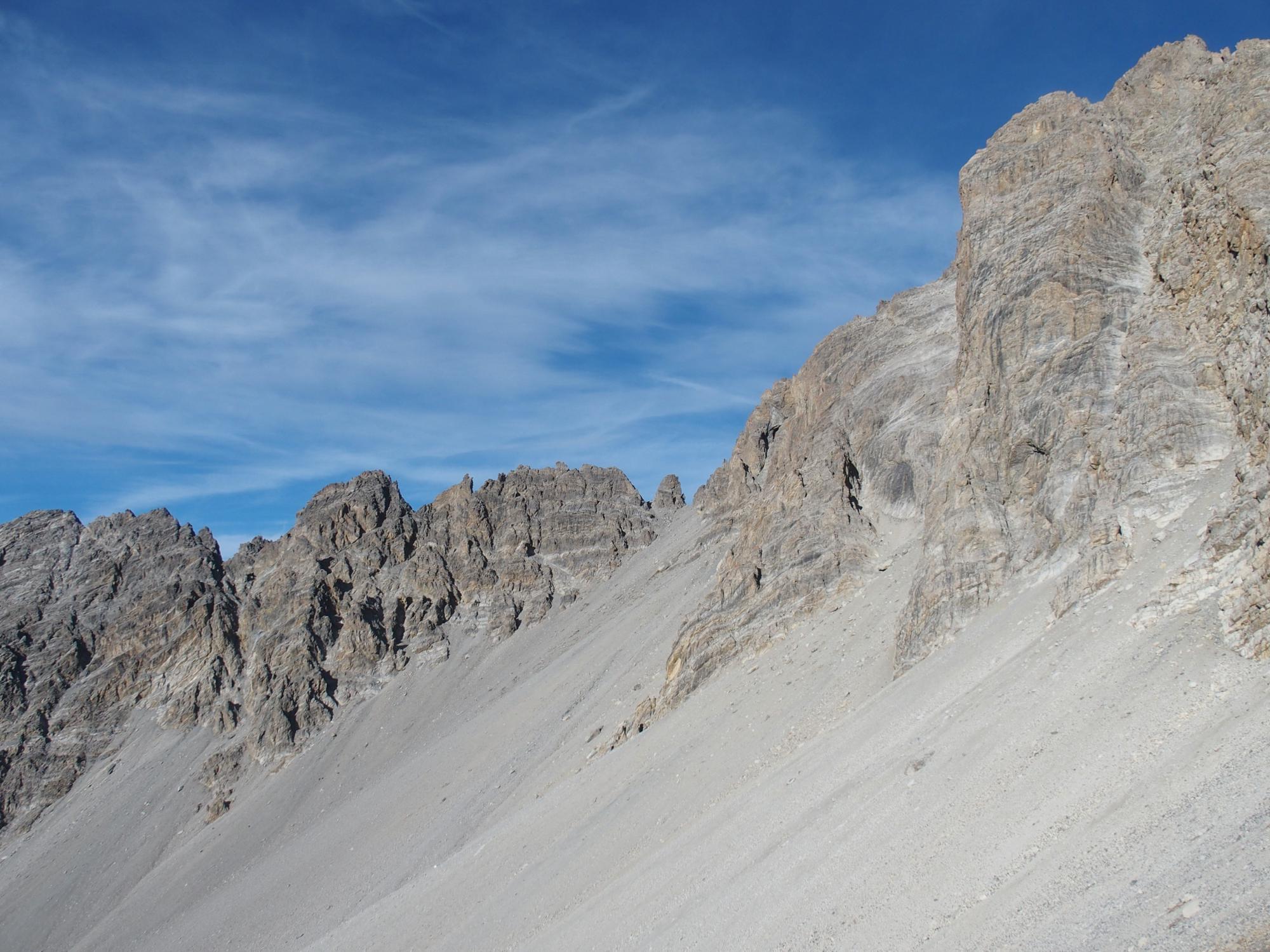
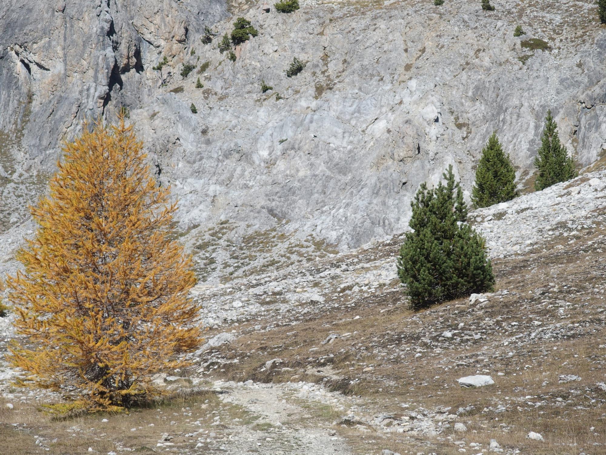
Di qui il sentiero prosegue nel vallone detto Petit Vallon.
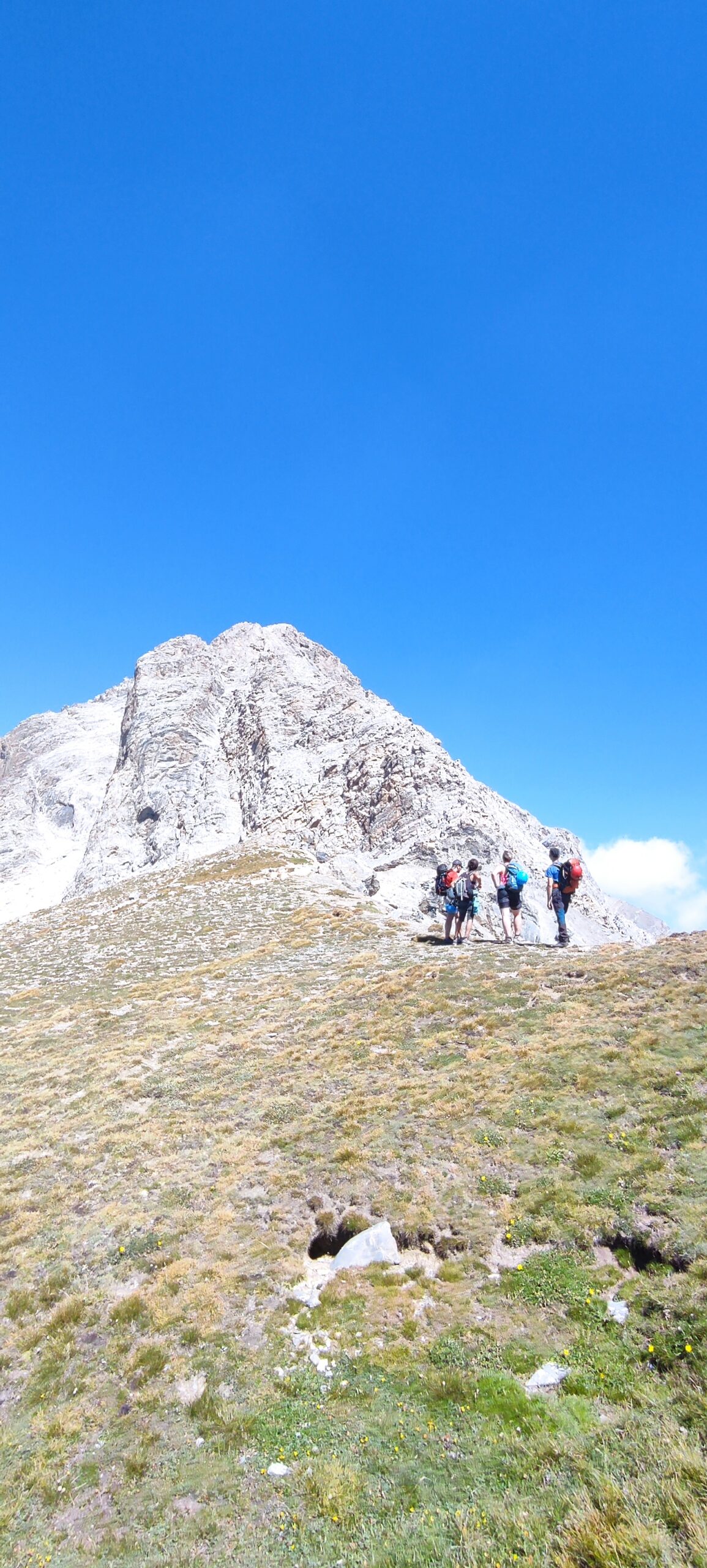
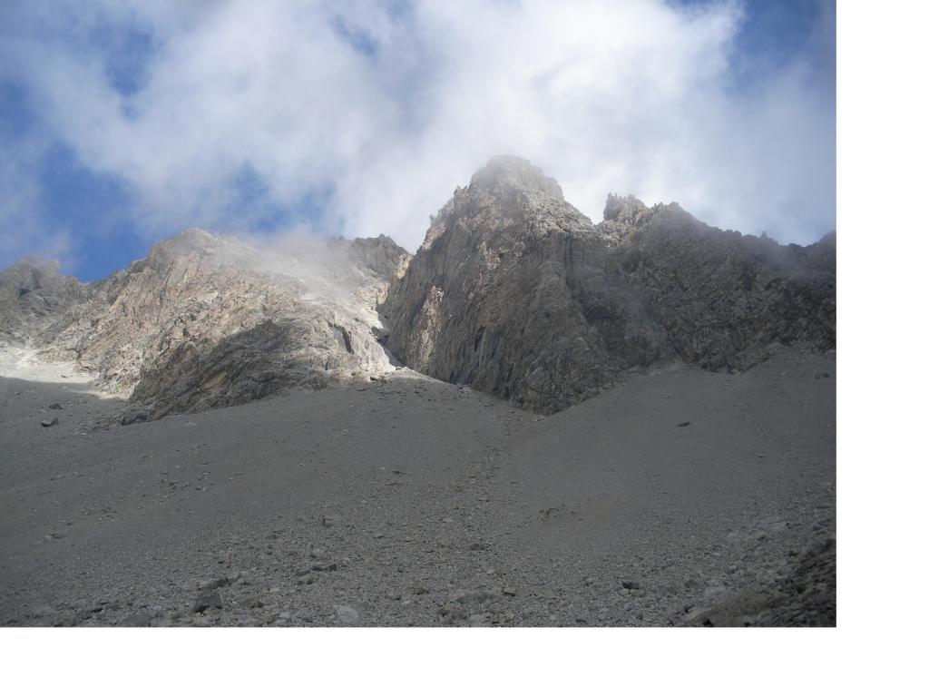
Si deve raggiungere il colletto erboso alla base della cresta SE, poco al di sotto della quota 2700 m.
Descrizione
Di qui il sentiero prosegue nel vallone detto Petit Vallon.
Si deve raggiungere il colletto erboso alla base della cresta SE, poco al di sotto della quota 2700 m.
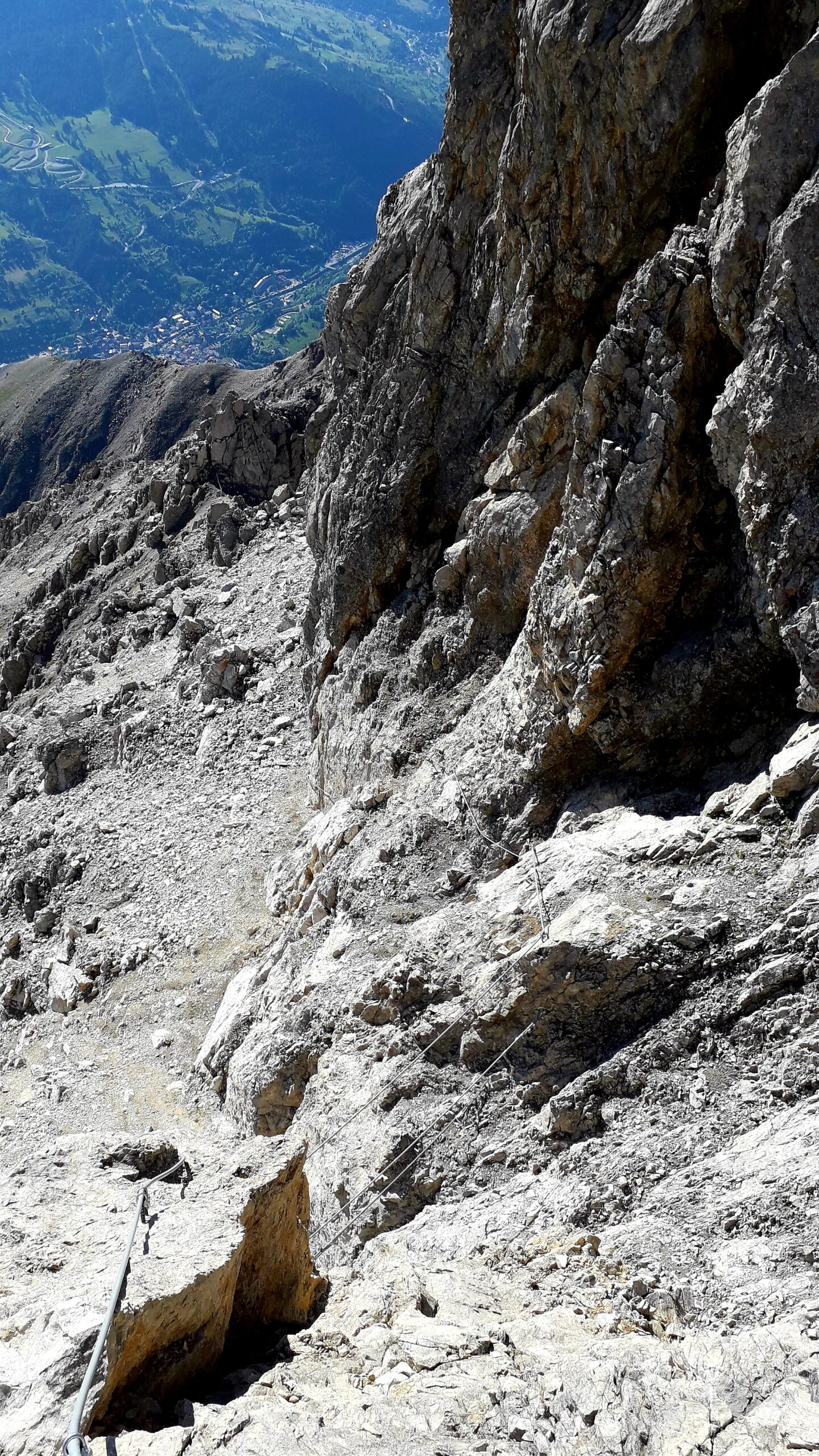
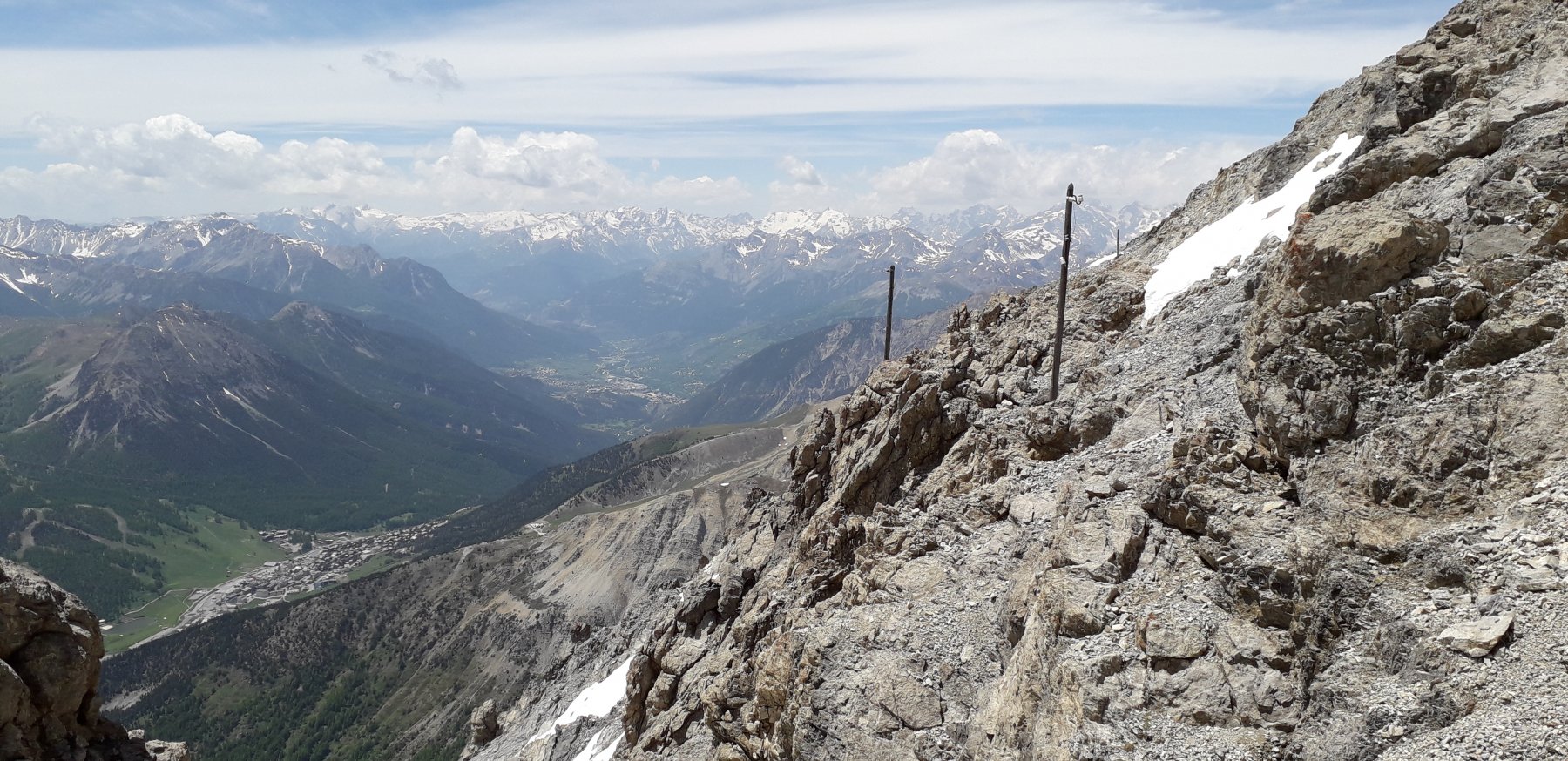
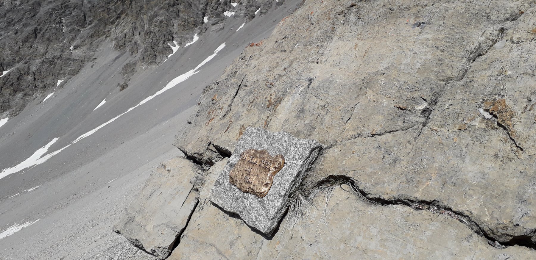
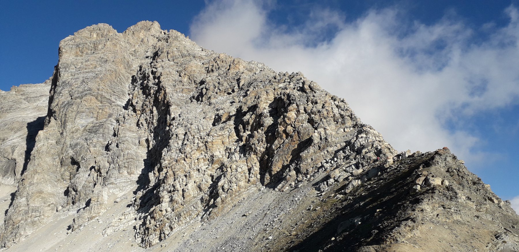
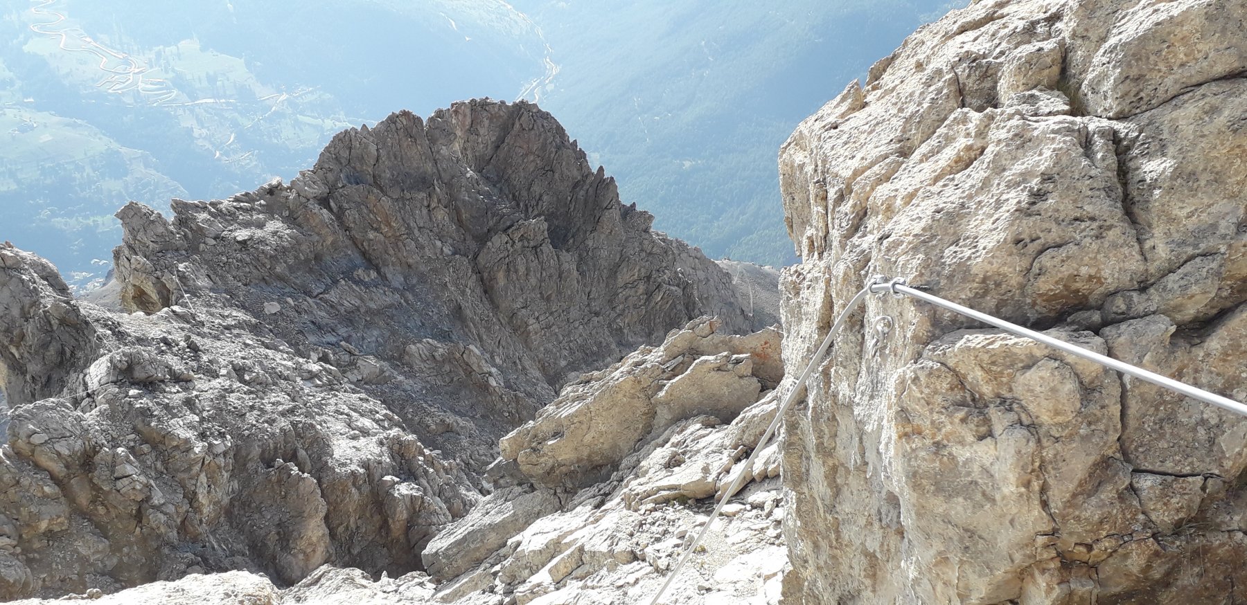
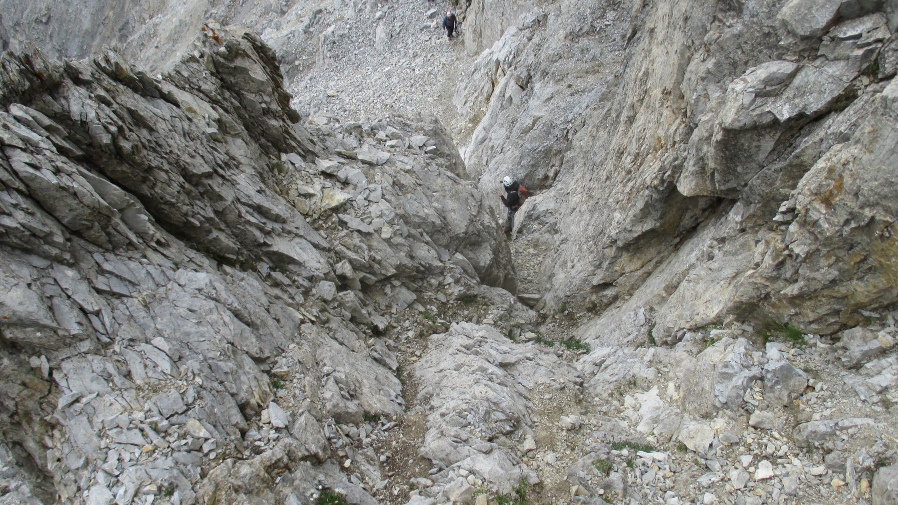
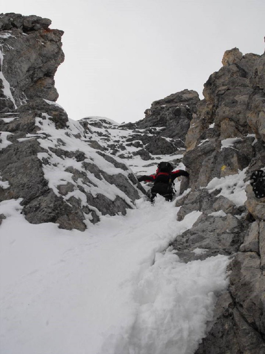
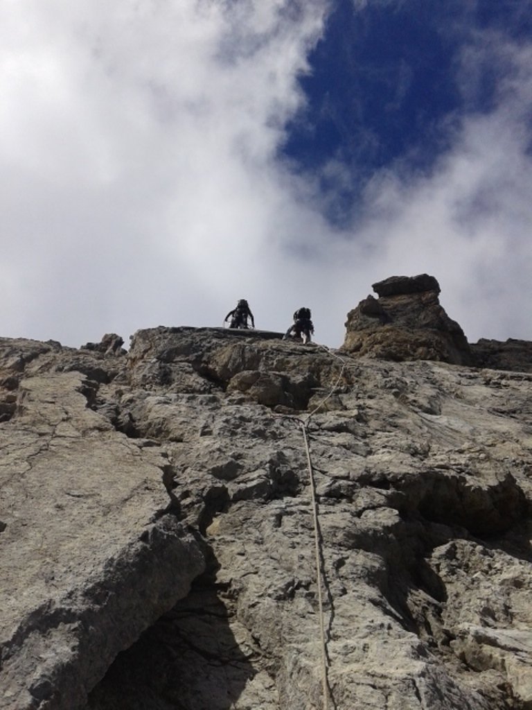
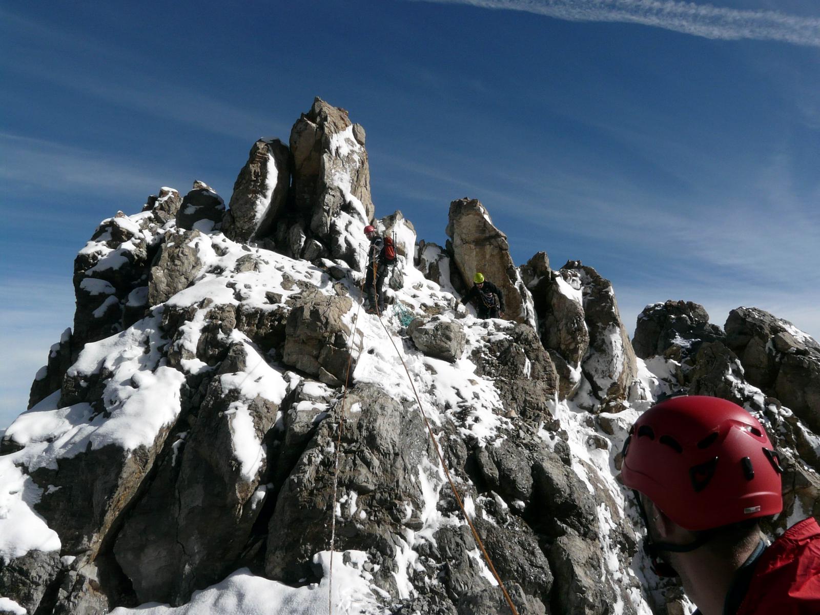
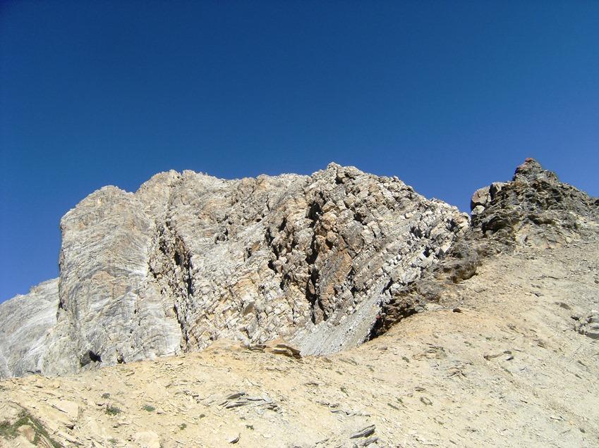
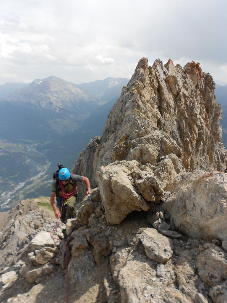
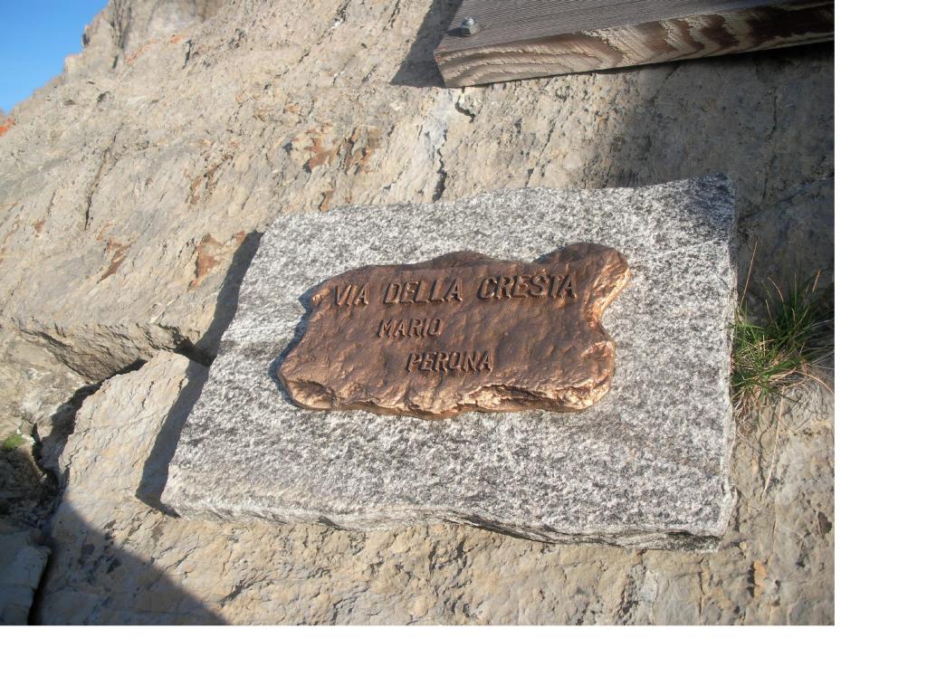
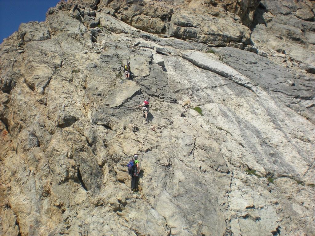
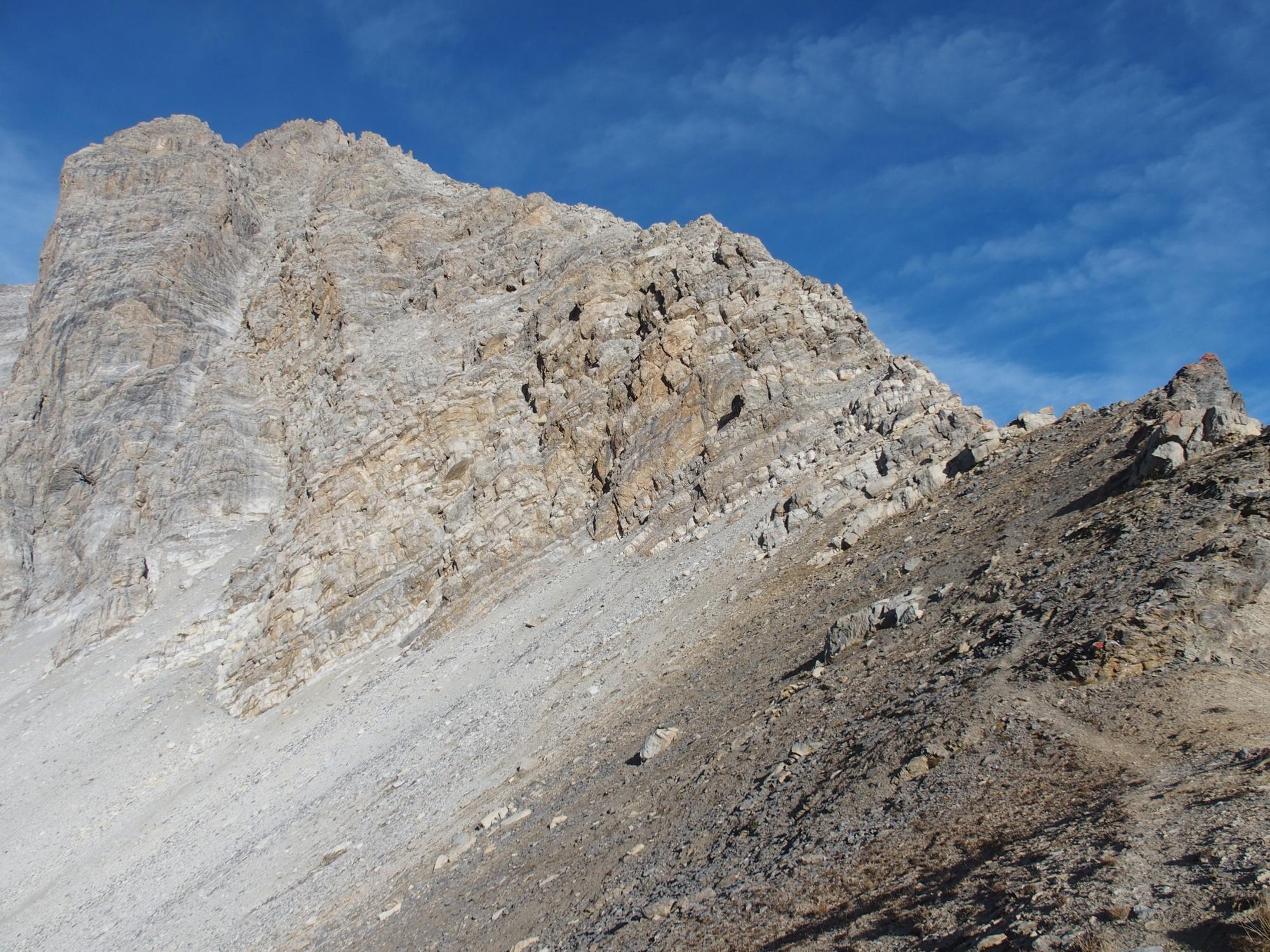
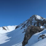
Si attacca il filo di cresta che fa da spartiacque tra il Petit Vallon e la Valle della Ripa, punto iniziale individuabile da una targa commemorativa.
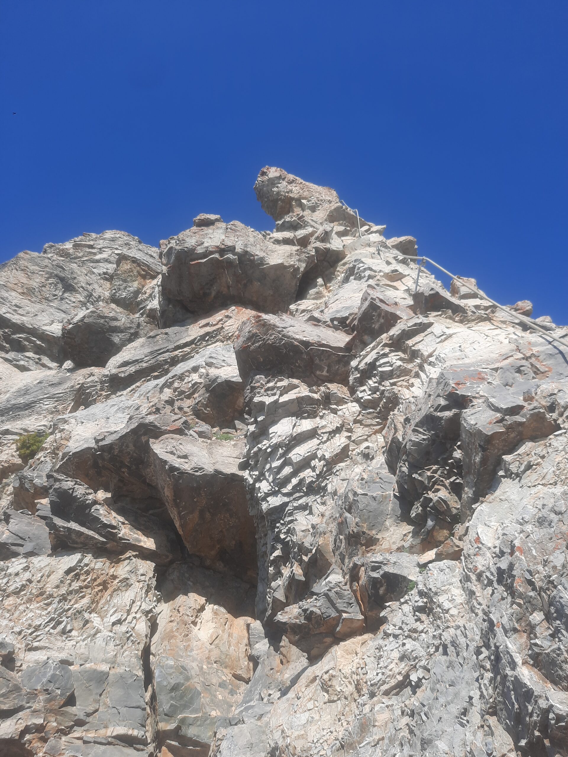
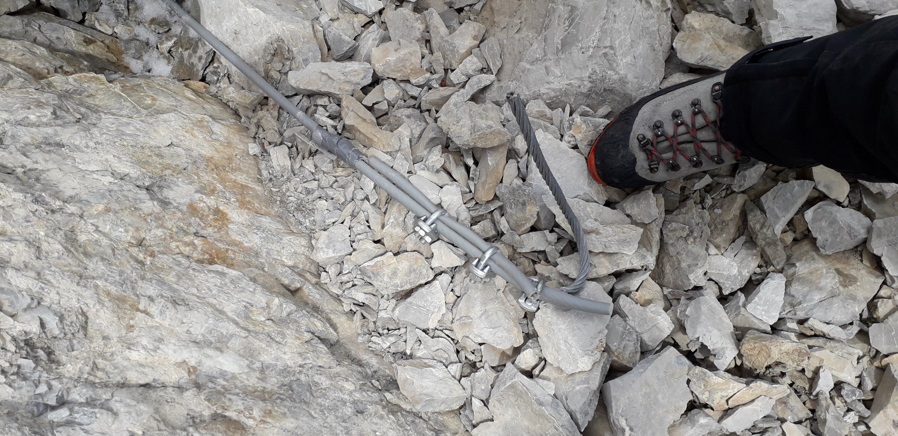
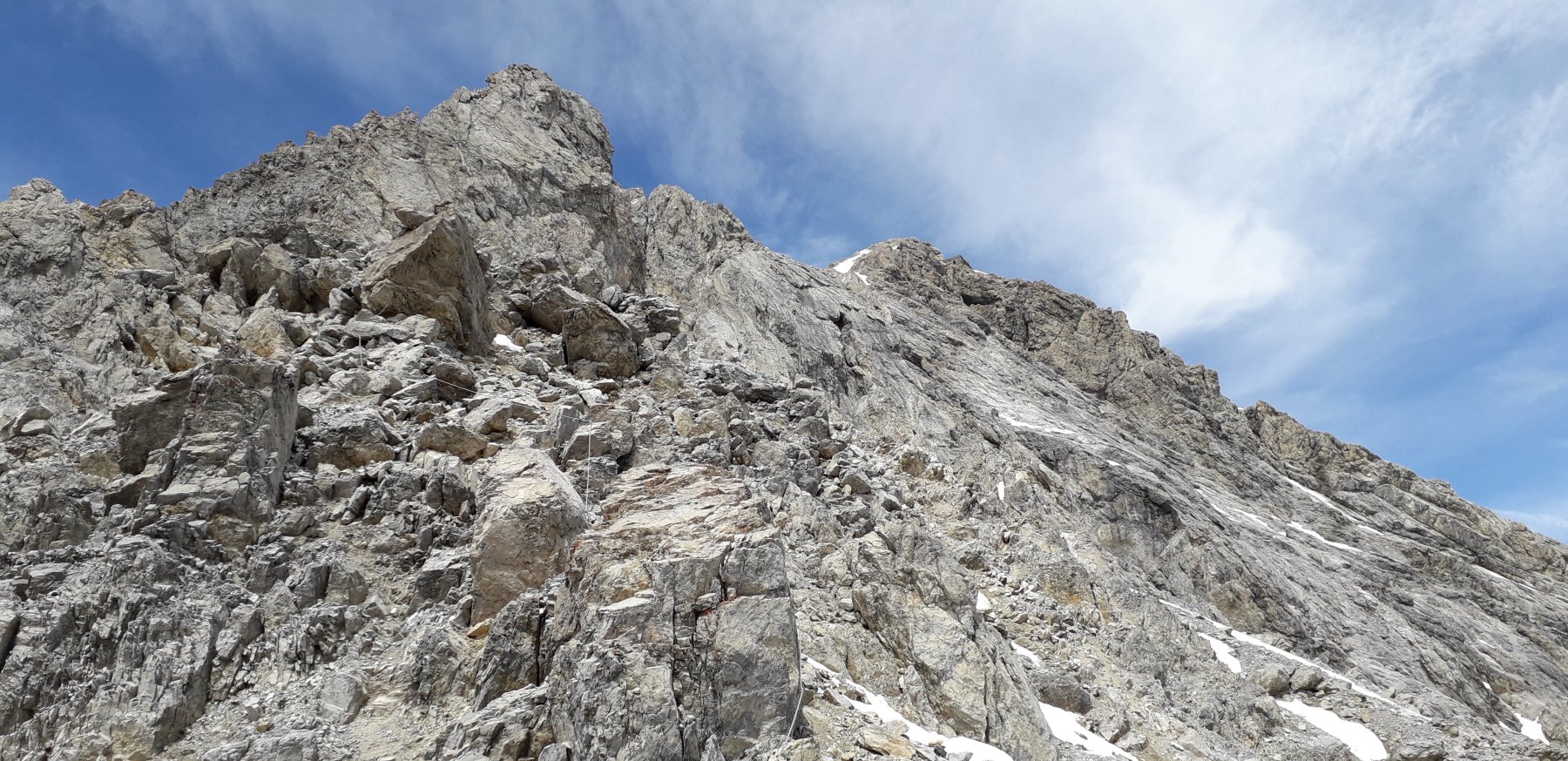
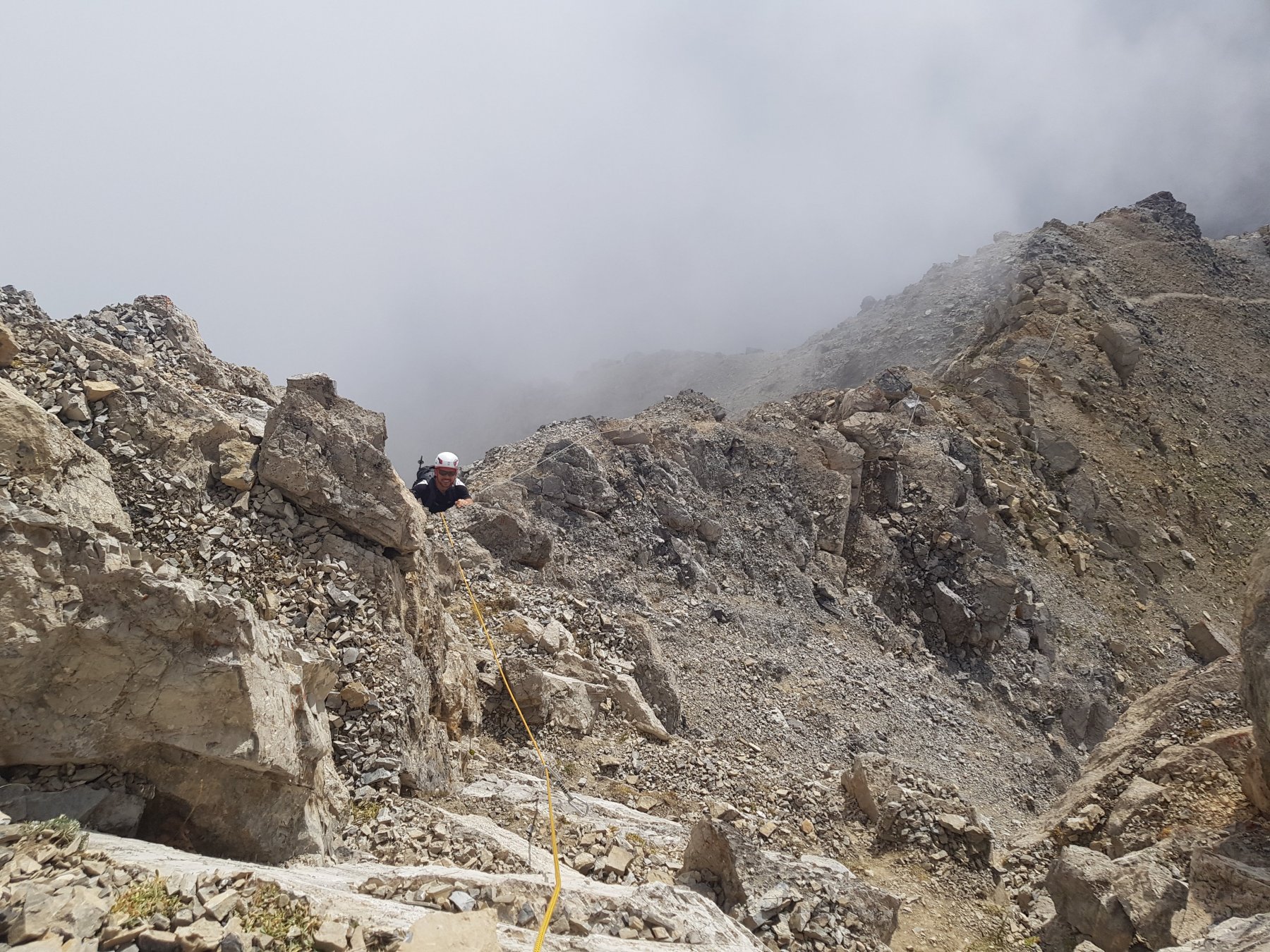
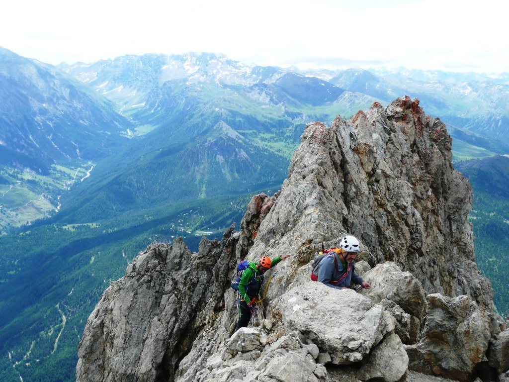
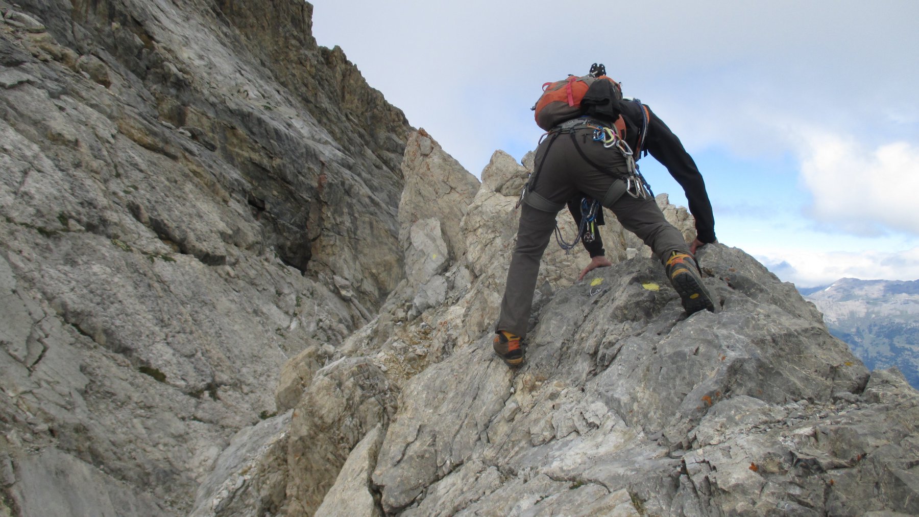
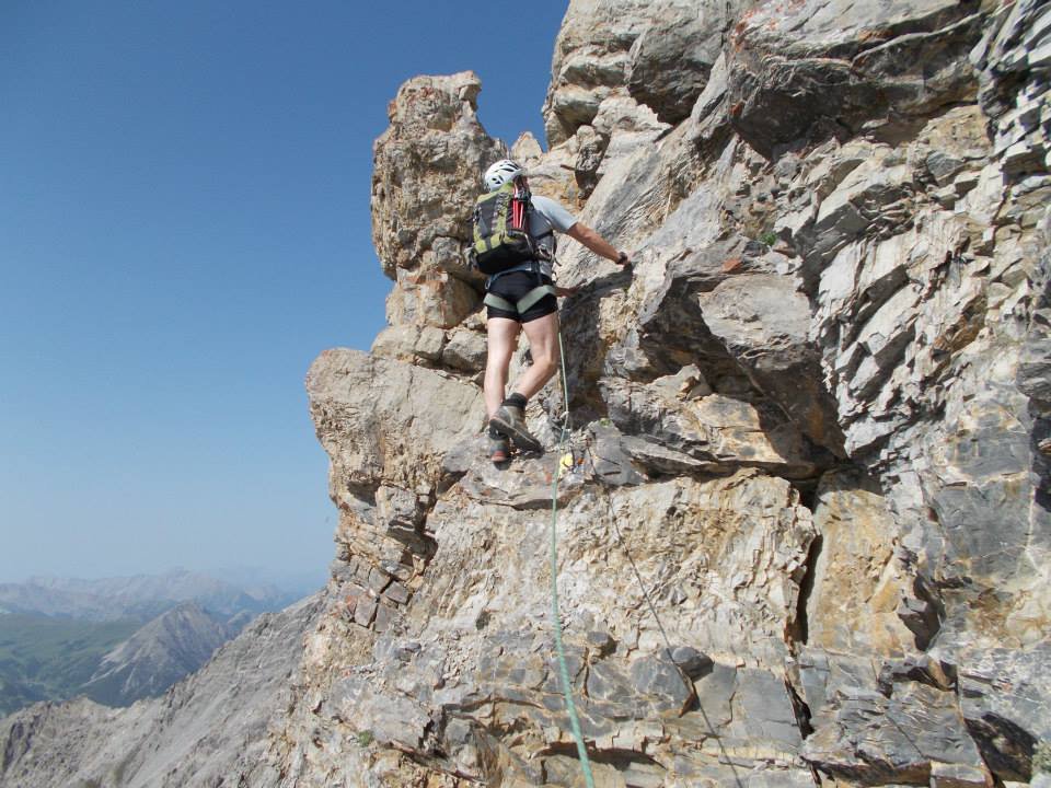
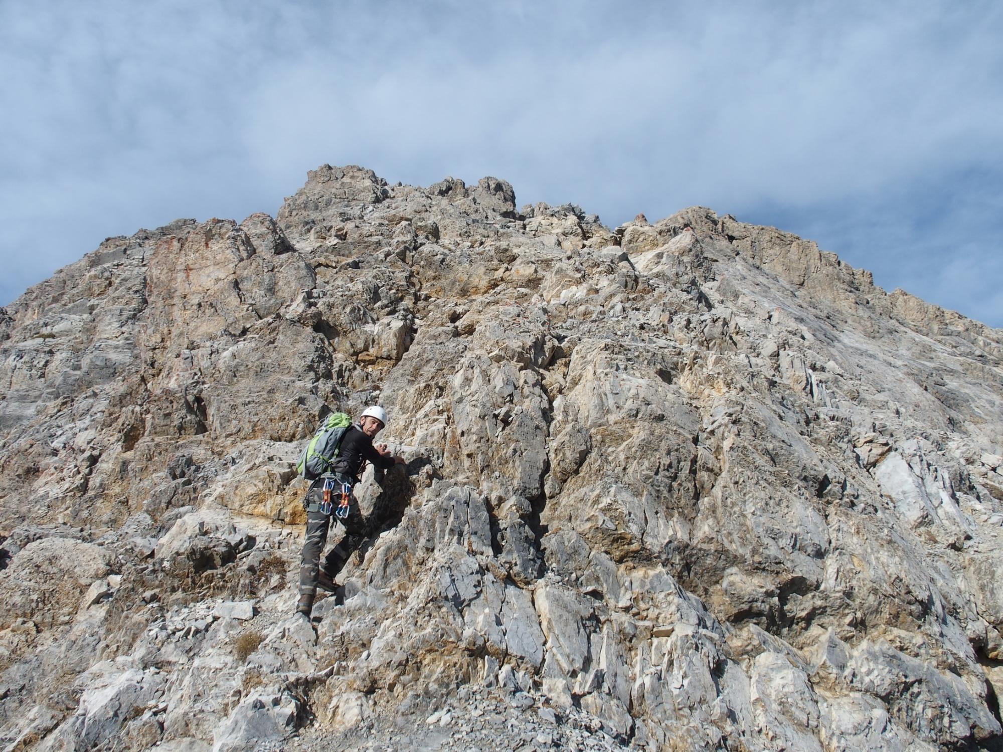
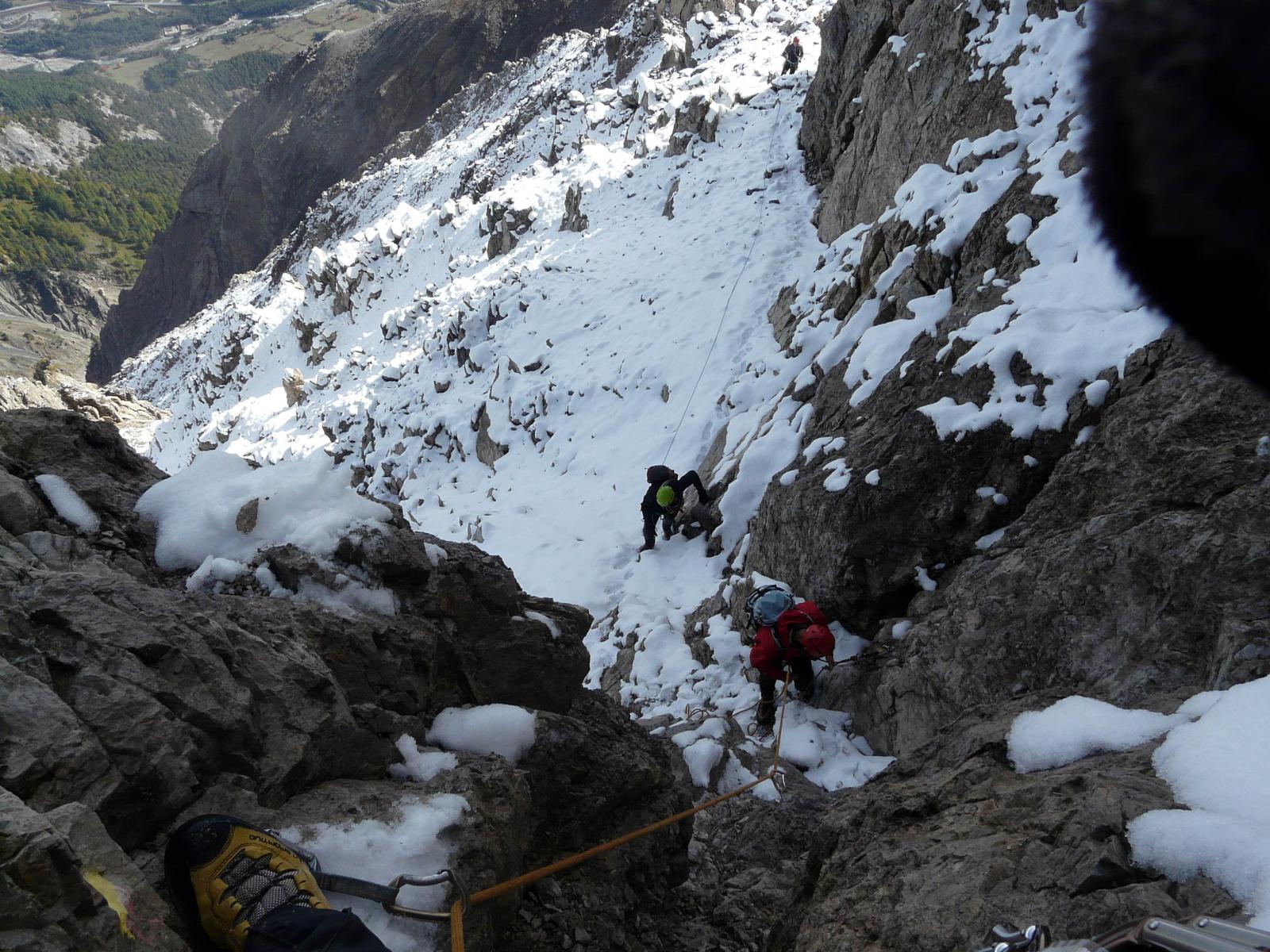
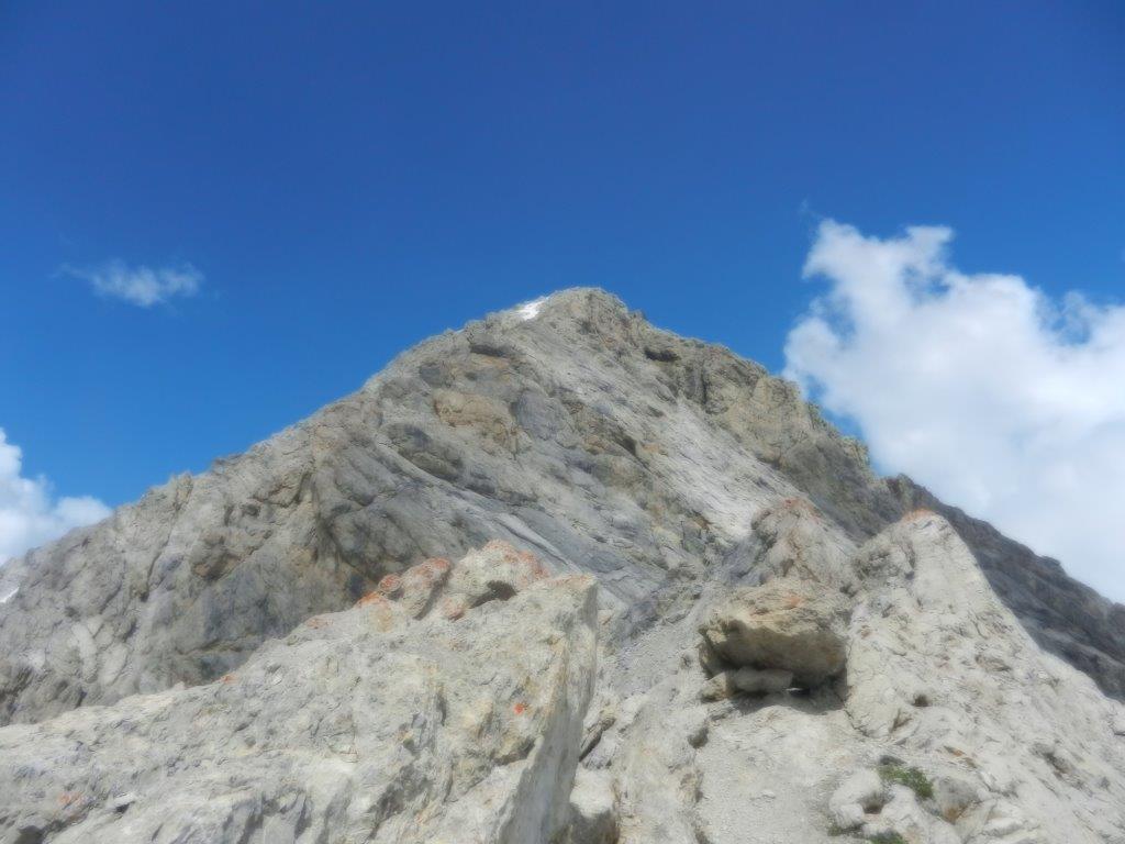
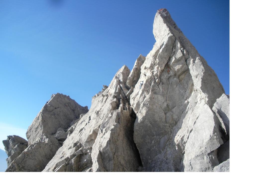
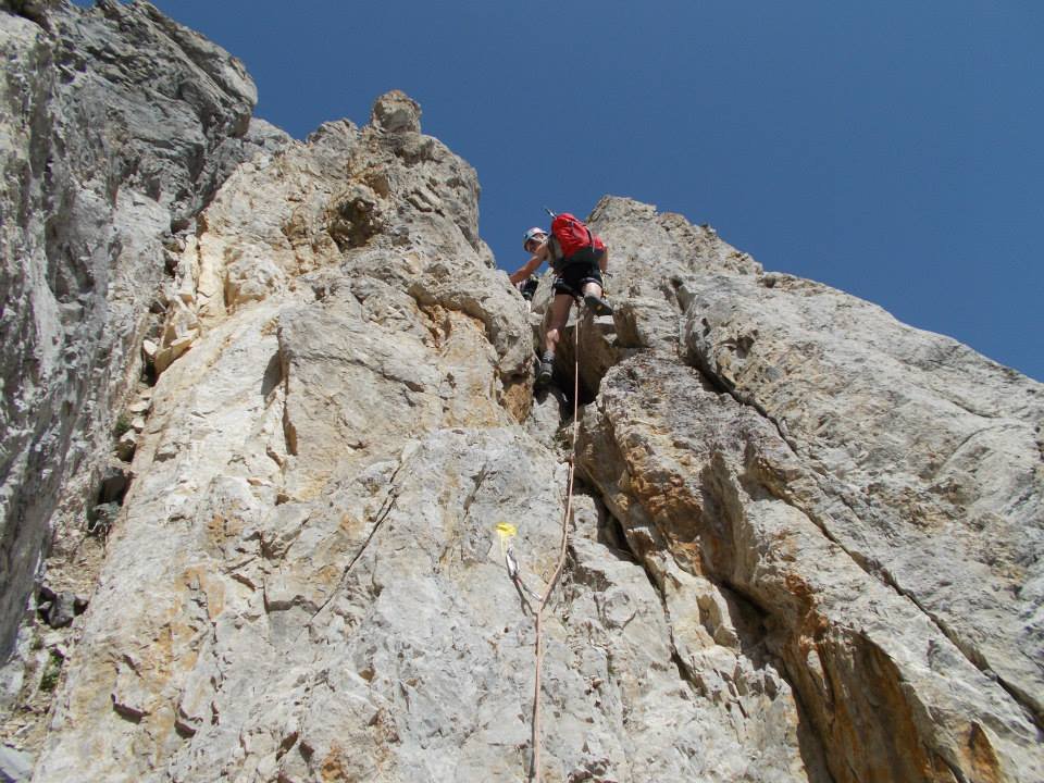
Si devono affrontare quasi da subito passi di III e IV per circa 60 m, poi per 3/4 tiri le difficoltà diminuiscono, ma il terreno friabile richiede la massima attenzione.
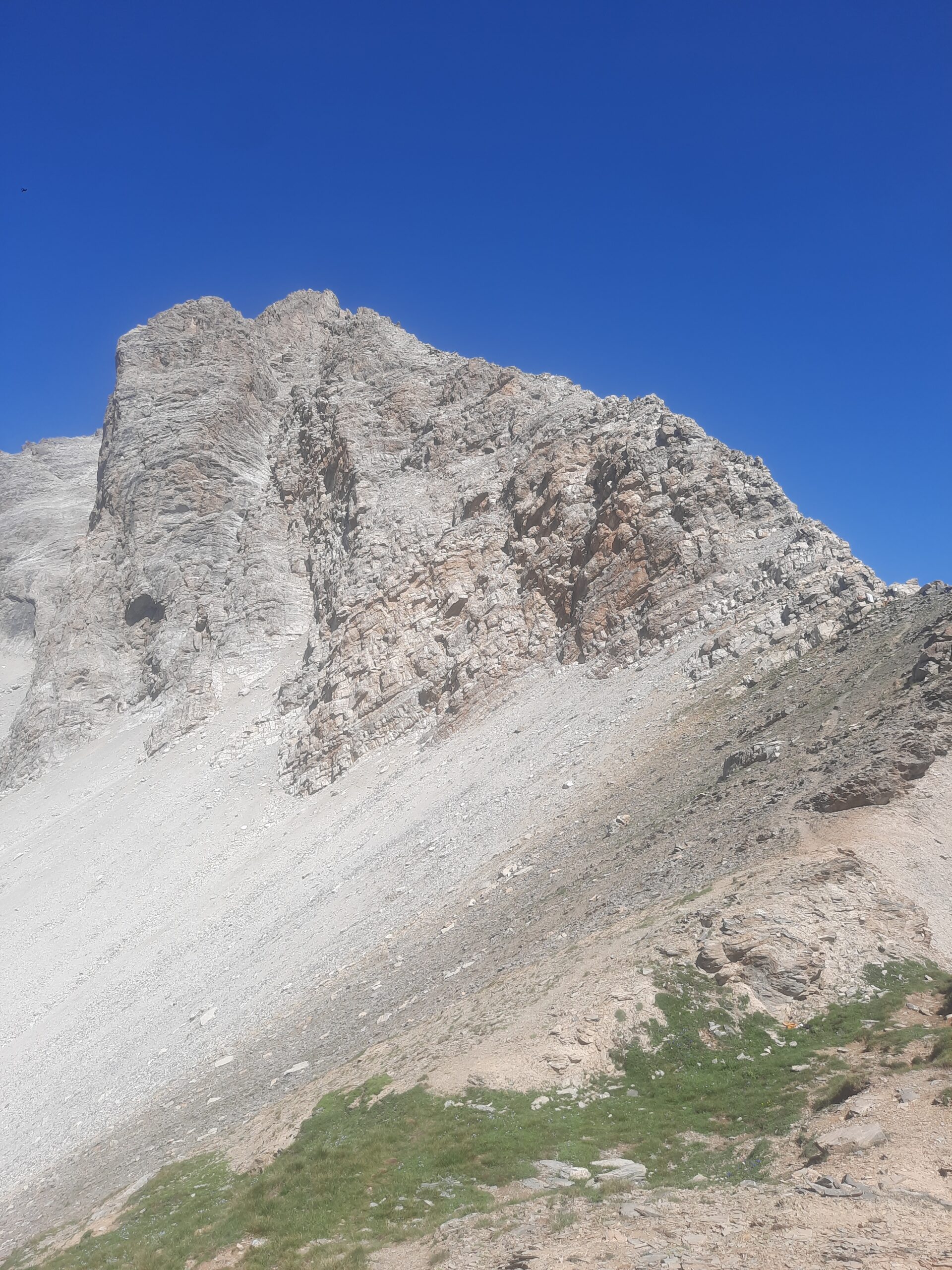
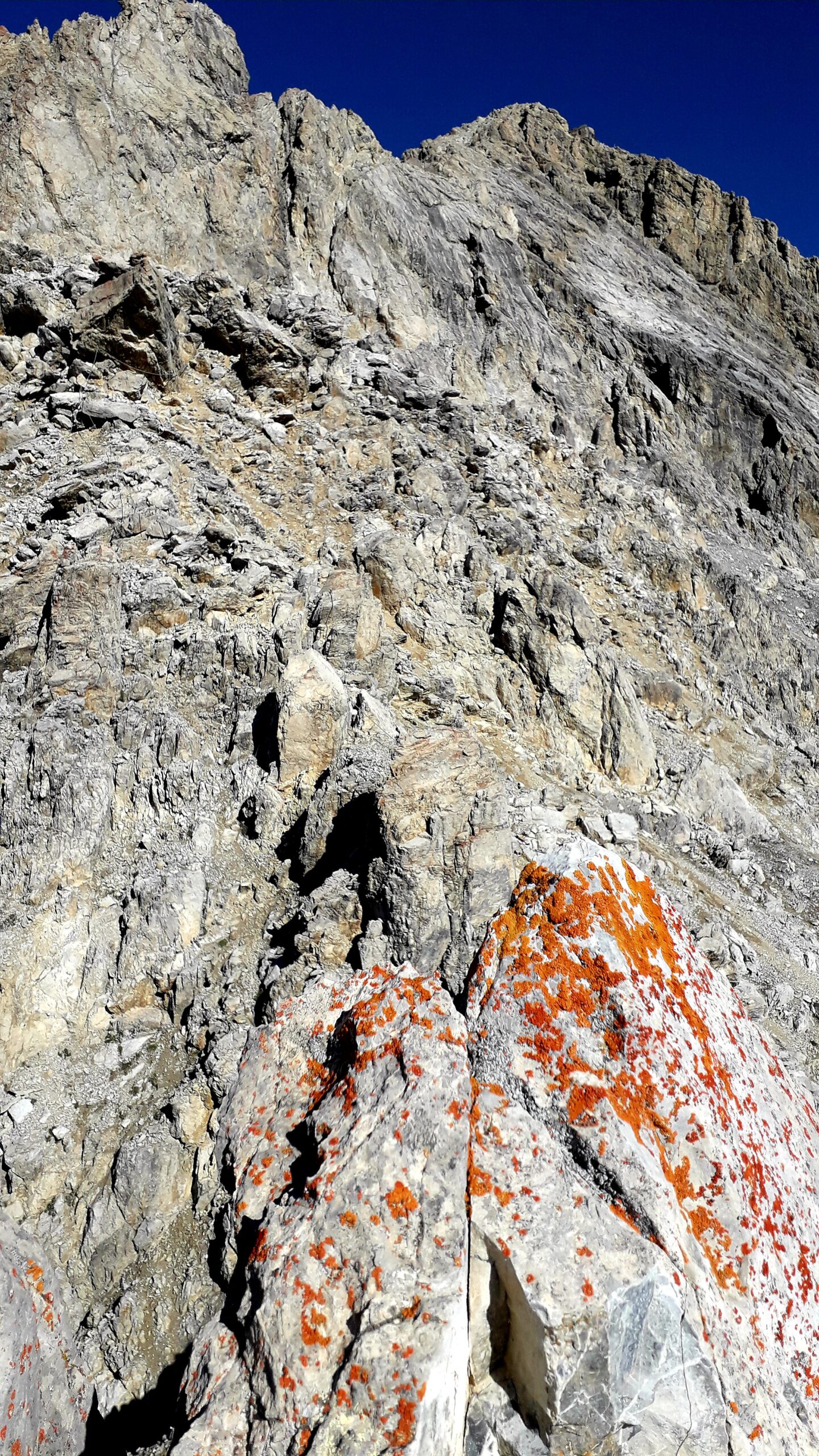
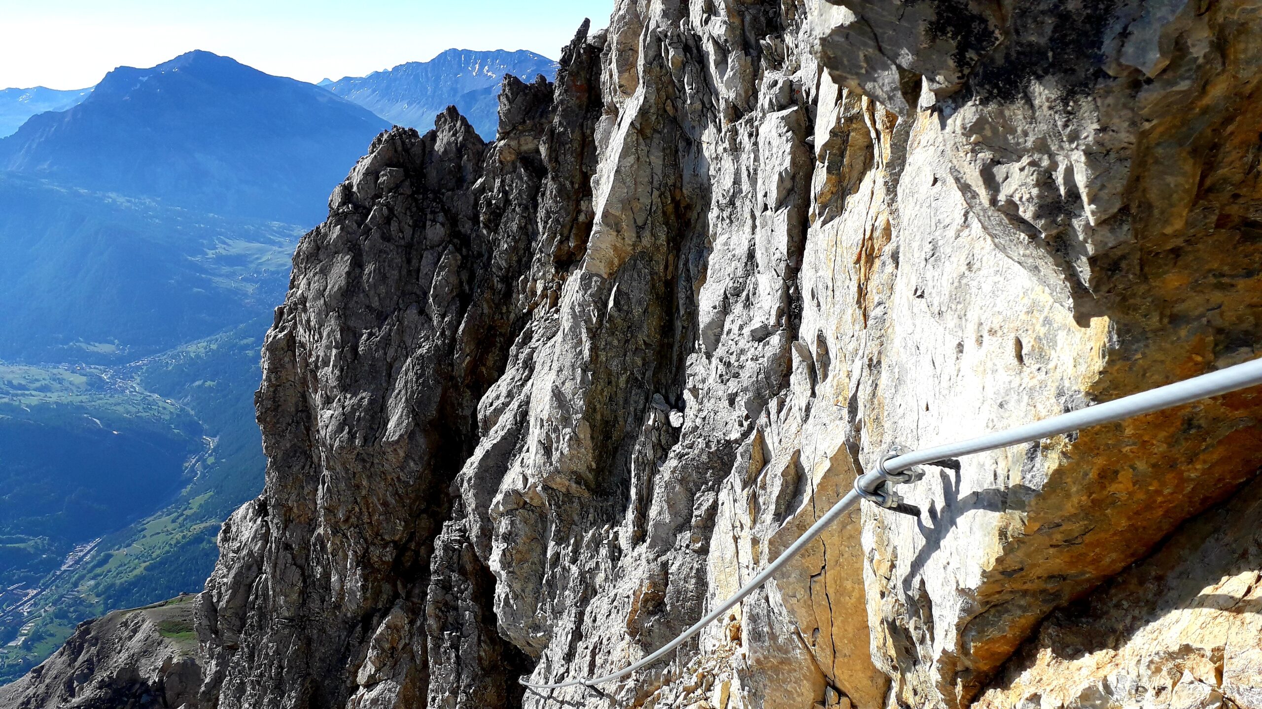
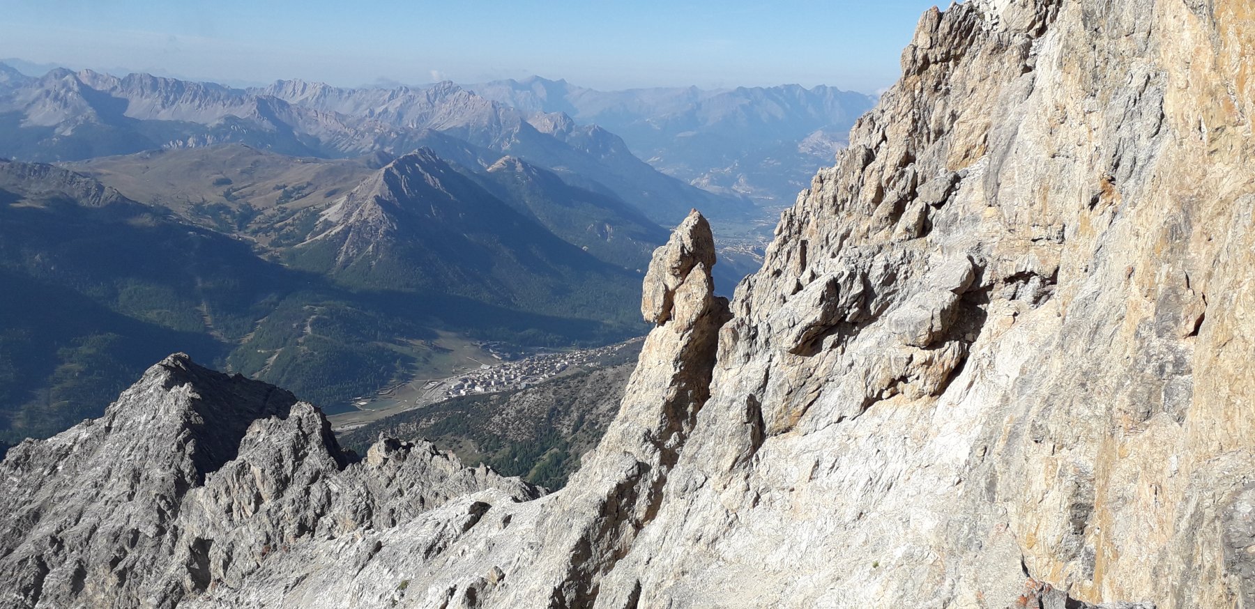
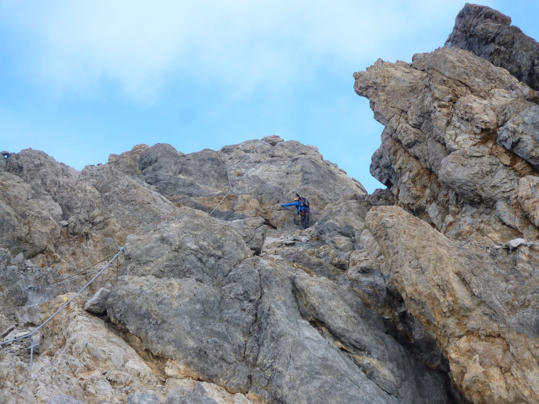
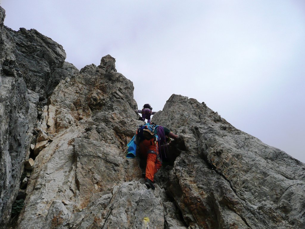
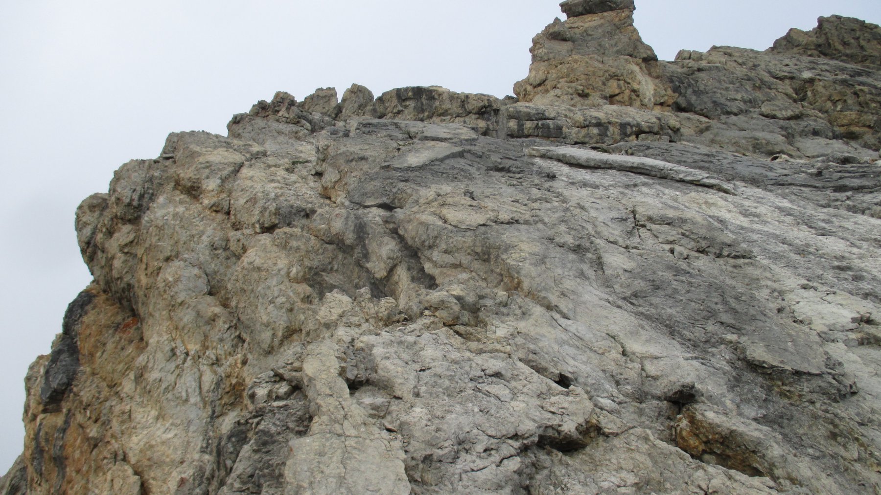
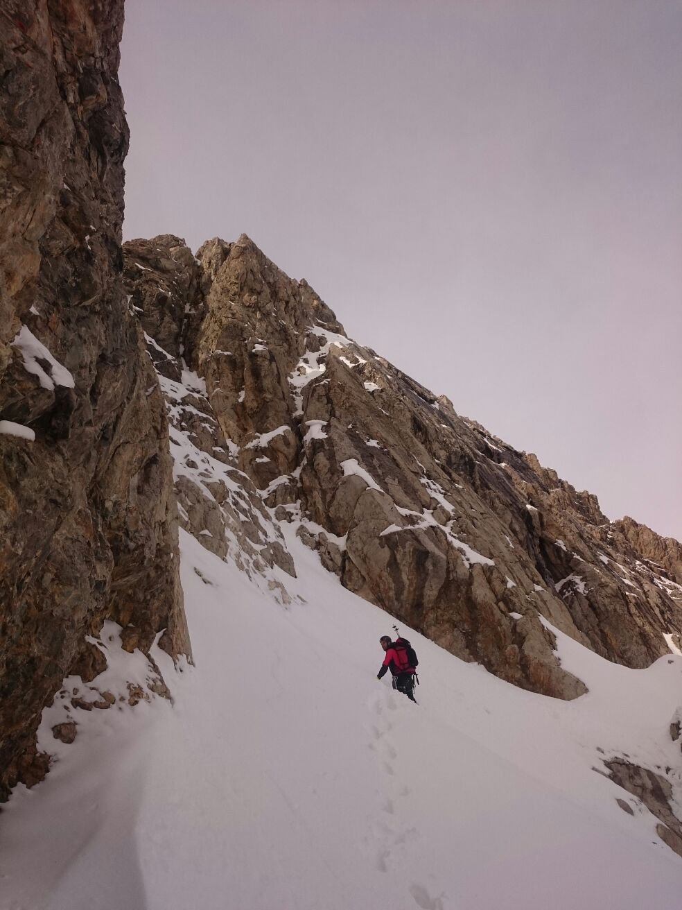
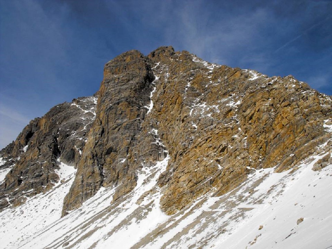
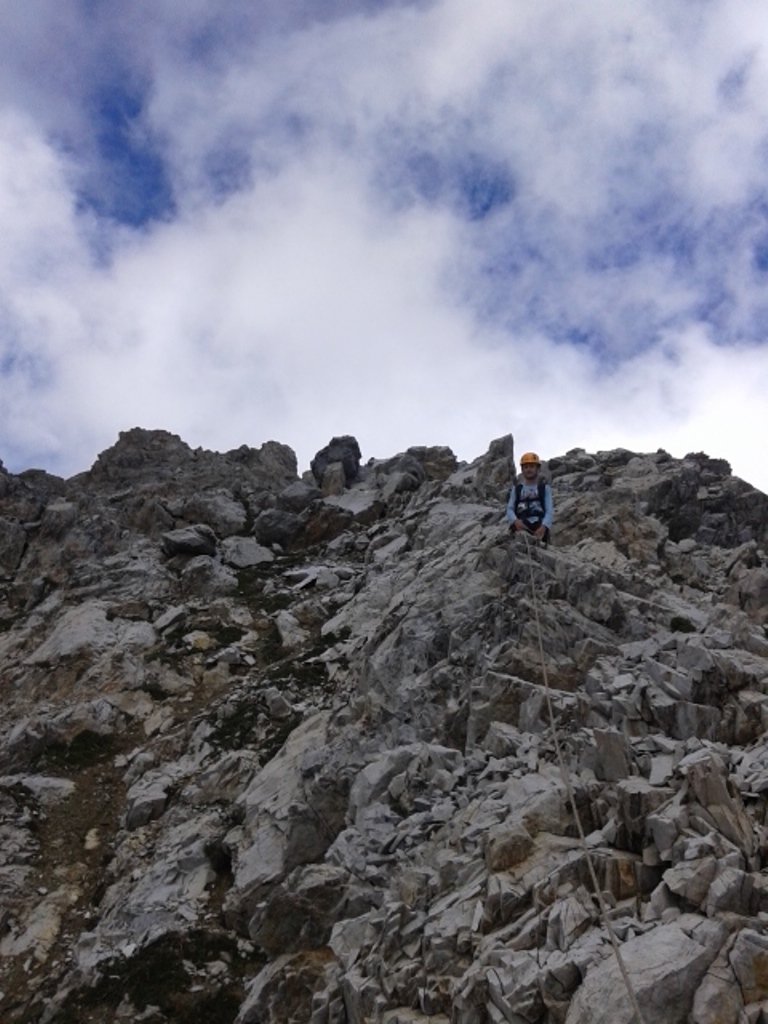
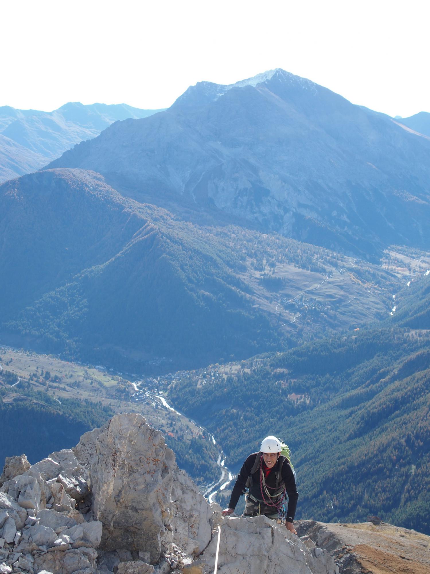
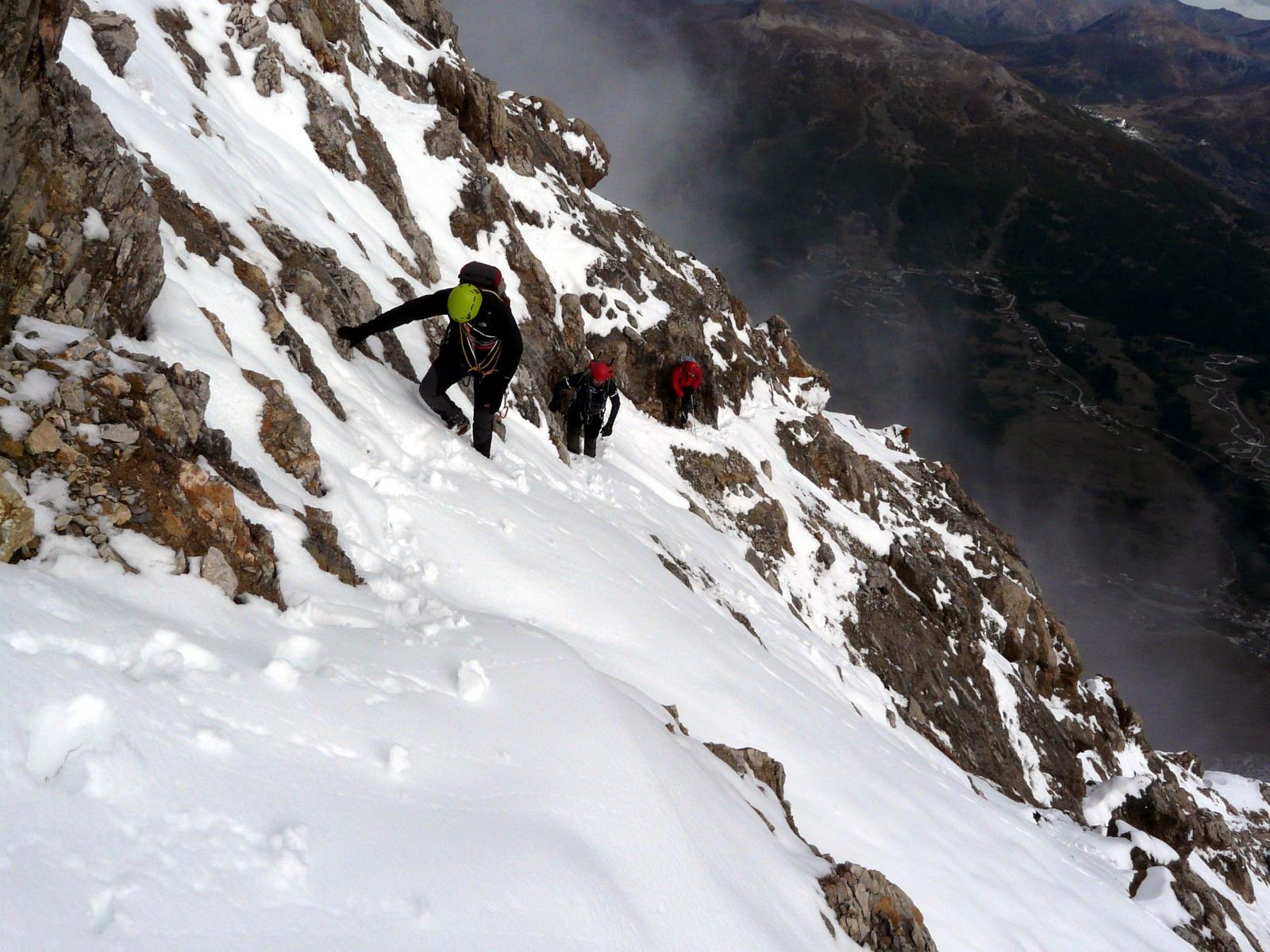
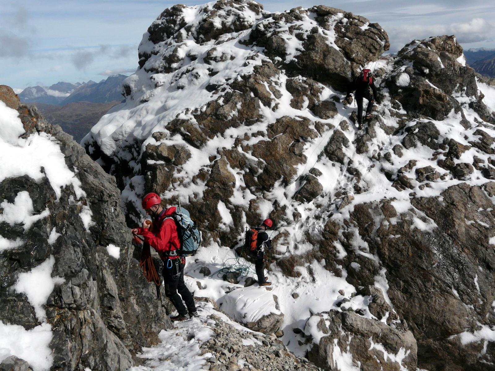
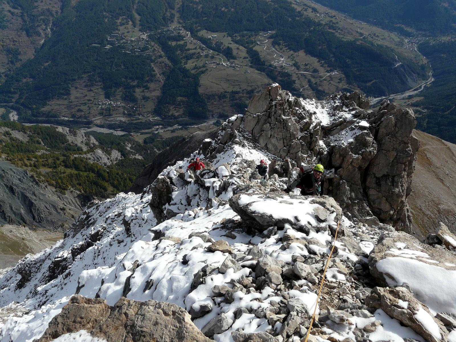
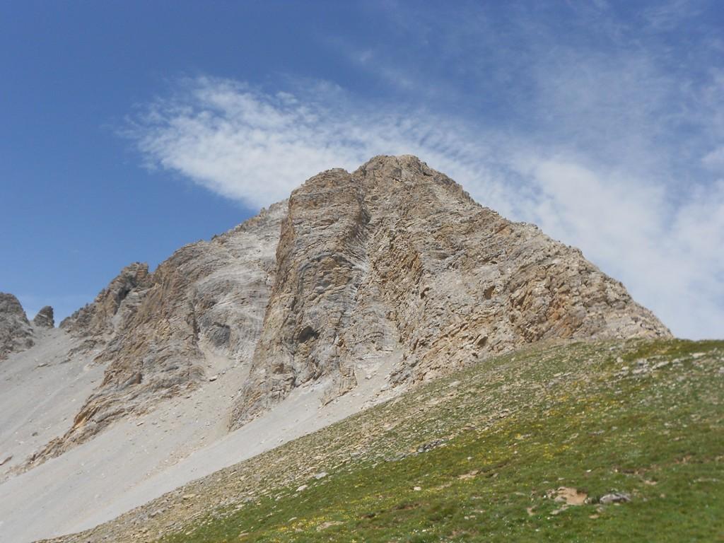
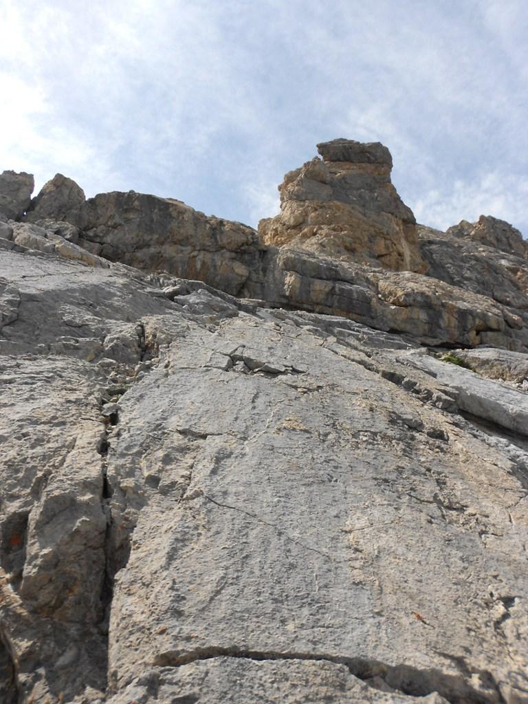
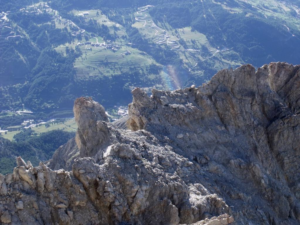
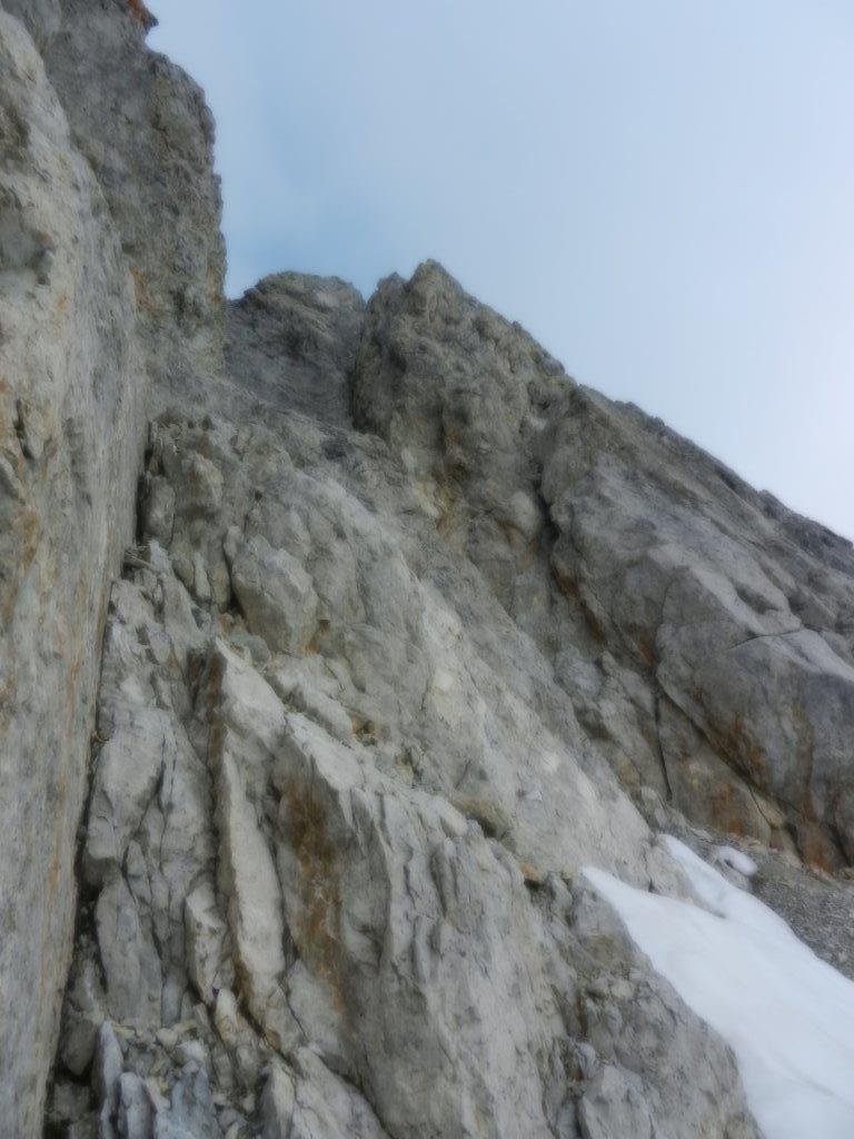
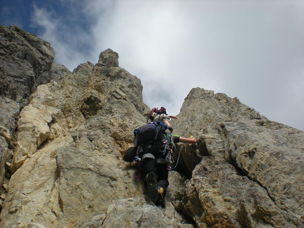
Si prosegue su una cresta molto aerea superando passaggi di III, raggiungendo una guglia, che si aggira sulla destra percorrendo una pietraia pianeggiante, giungendo alla base di un canale roccioso sul lato della Ripa. Lo si risale con passi di III e IV, dopodichè si continua sulla sottile cresta con passi un po’ più facili (II e III) fino alla cima di una forcella.
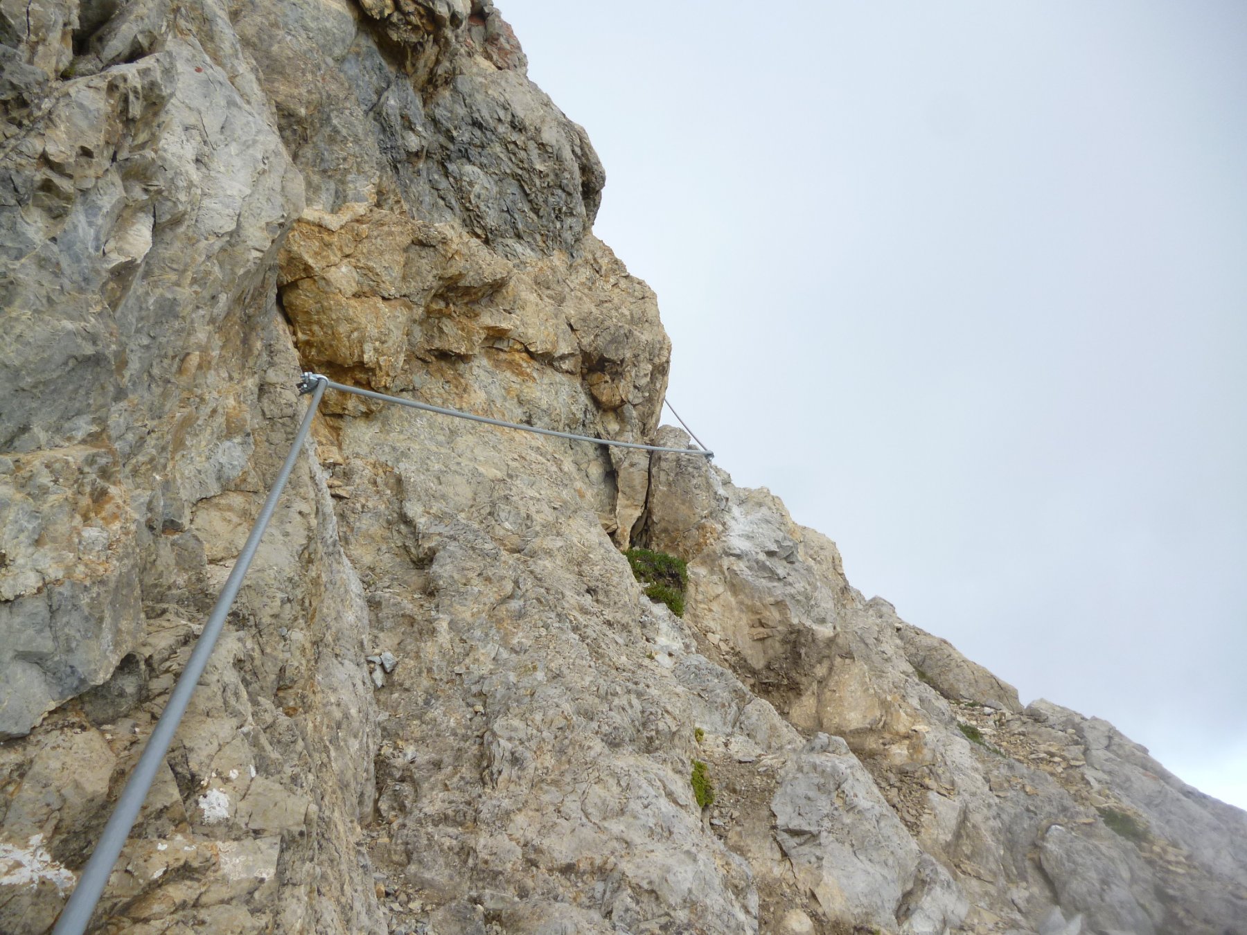
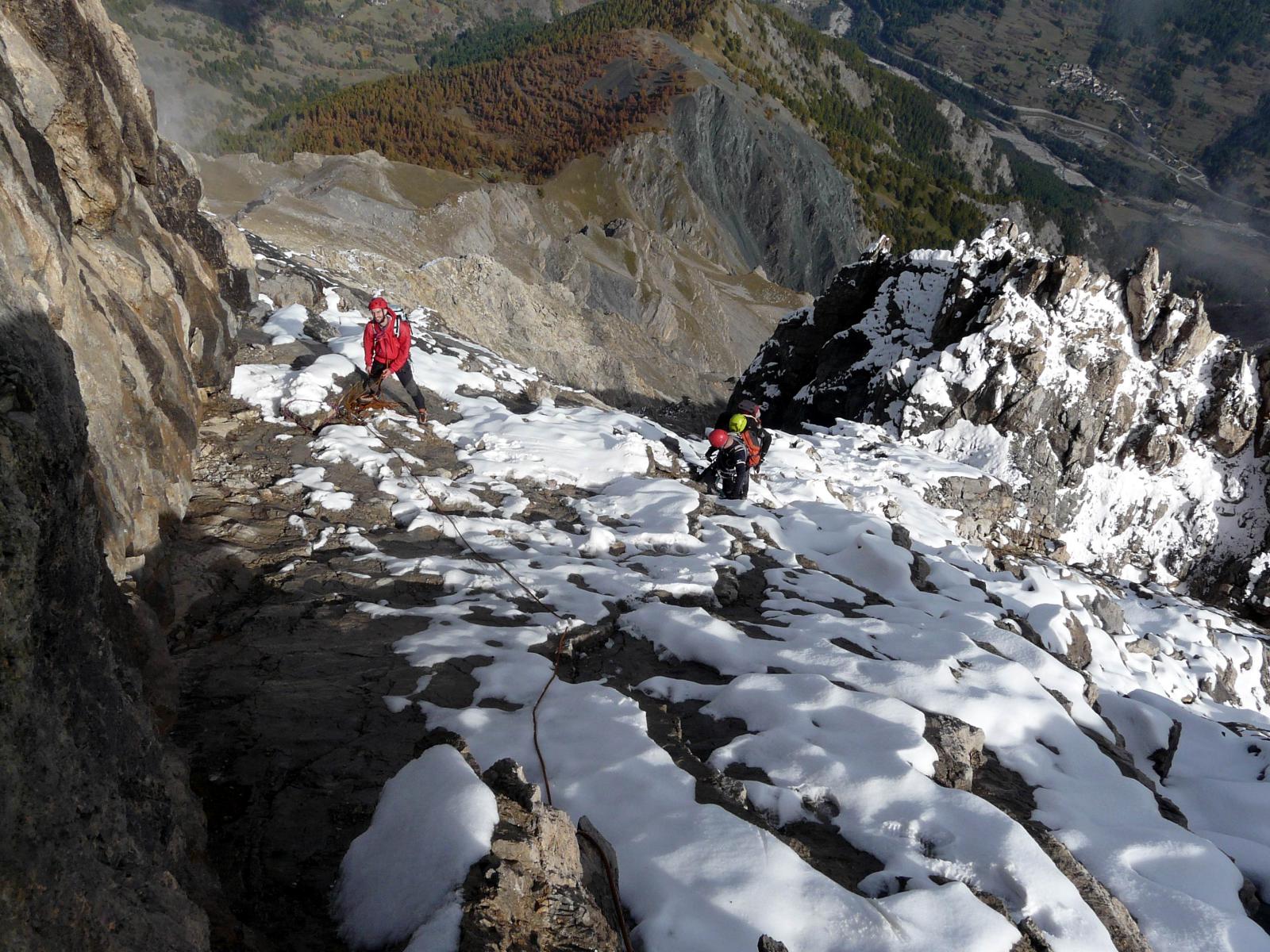
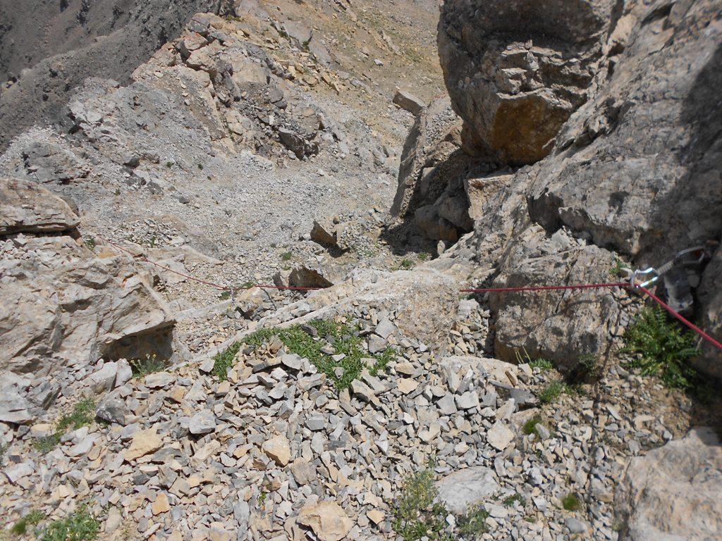
Qui ci si deve calare per 10 m (sosta); si risale una placca di IV per 70 m fino ad una sella rocciosa. Con un facile traverso ascendente ora si va ad incontrare la via classica e più facile (F/F+) che sale dalla Batteria Alta contrassegnata da bolli rossi che seguiva il percorso di una antica linea telegrafica, , a circa 100 m di dislivello dalla vetta.
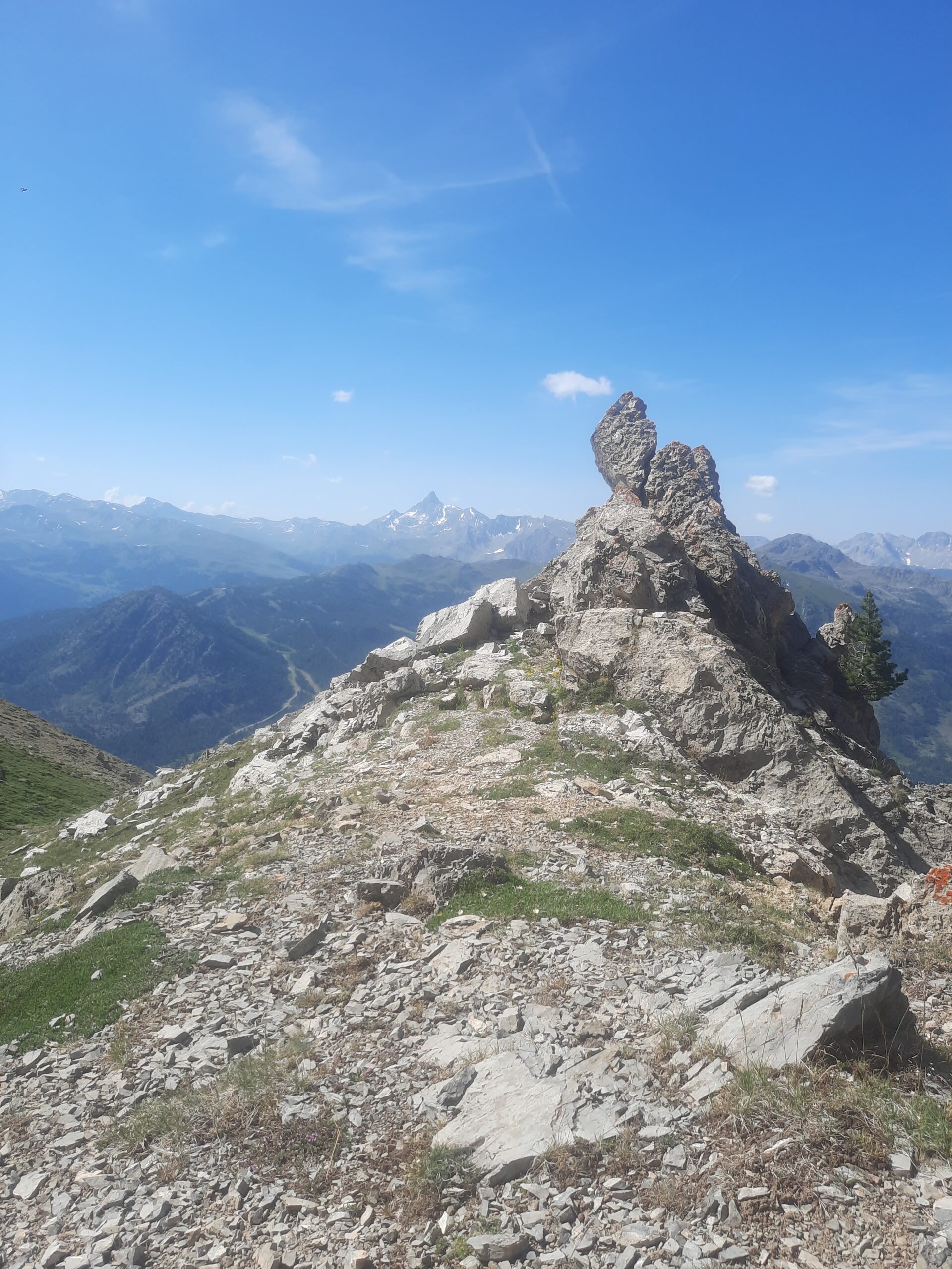
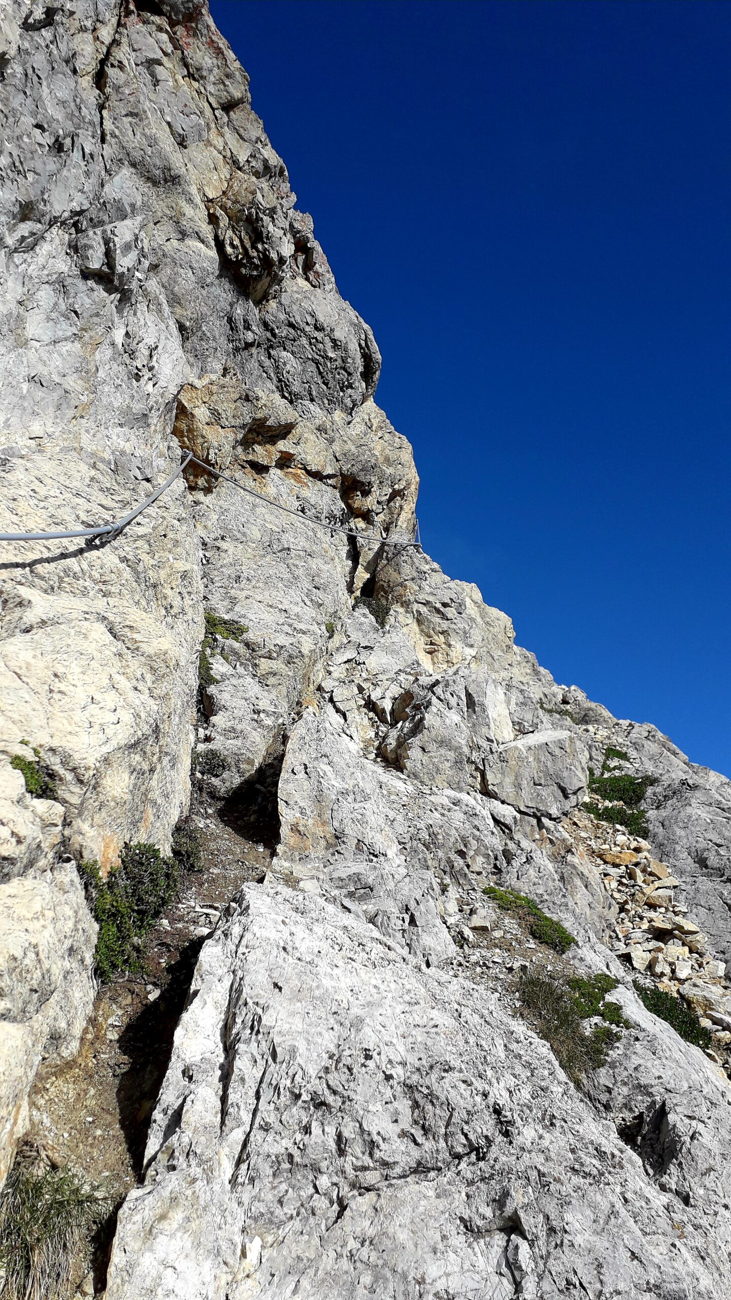
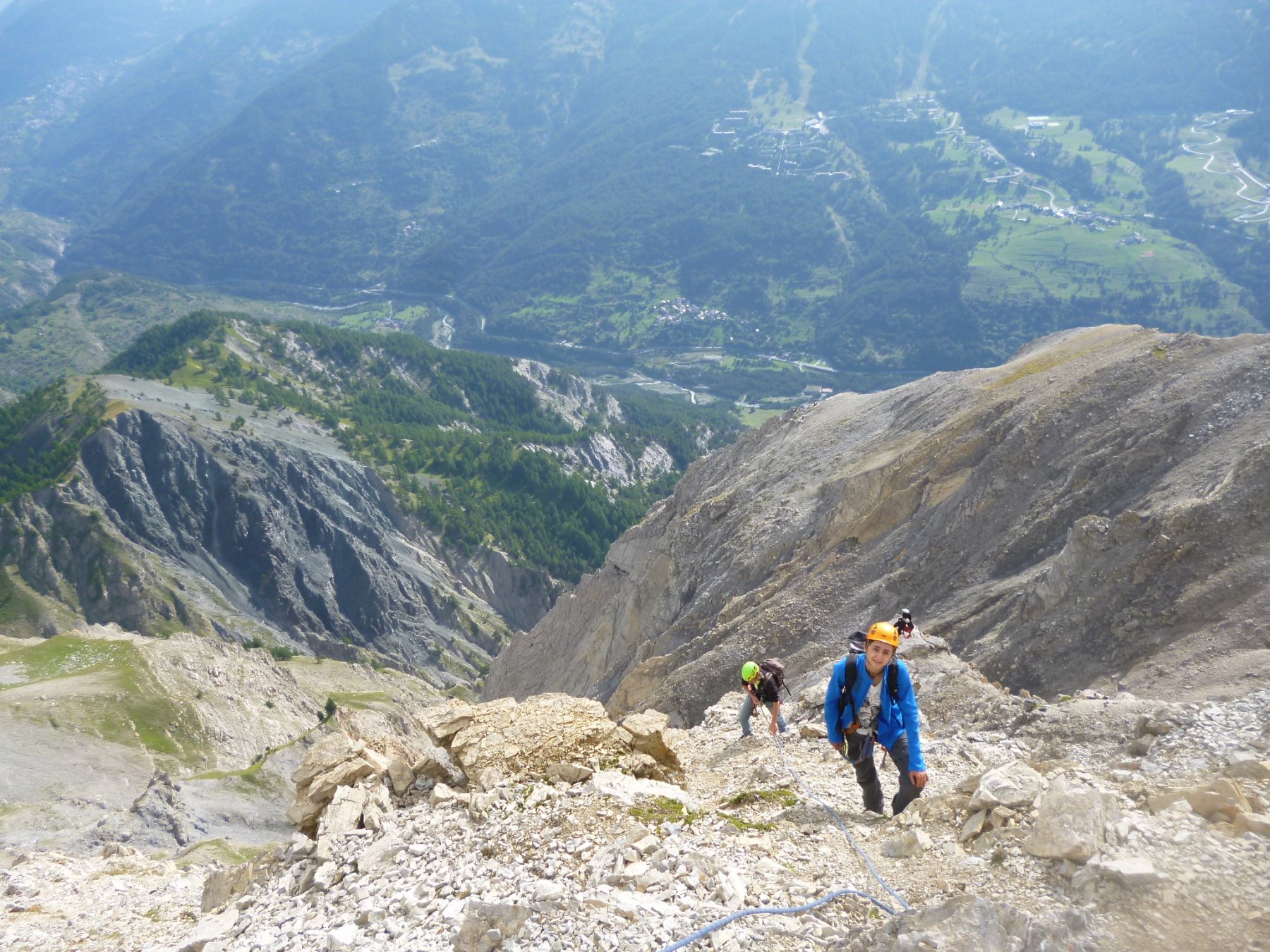
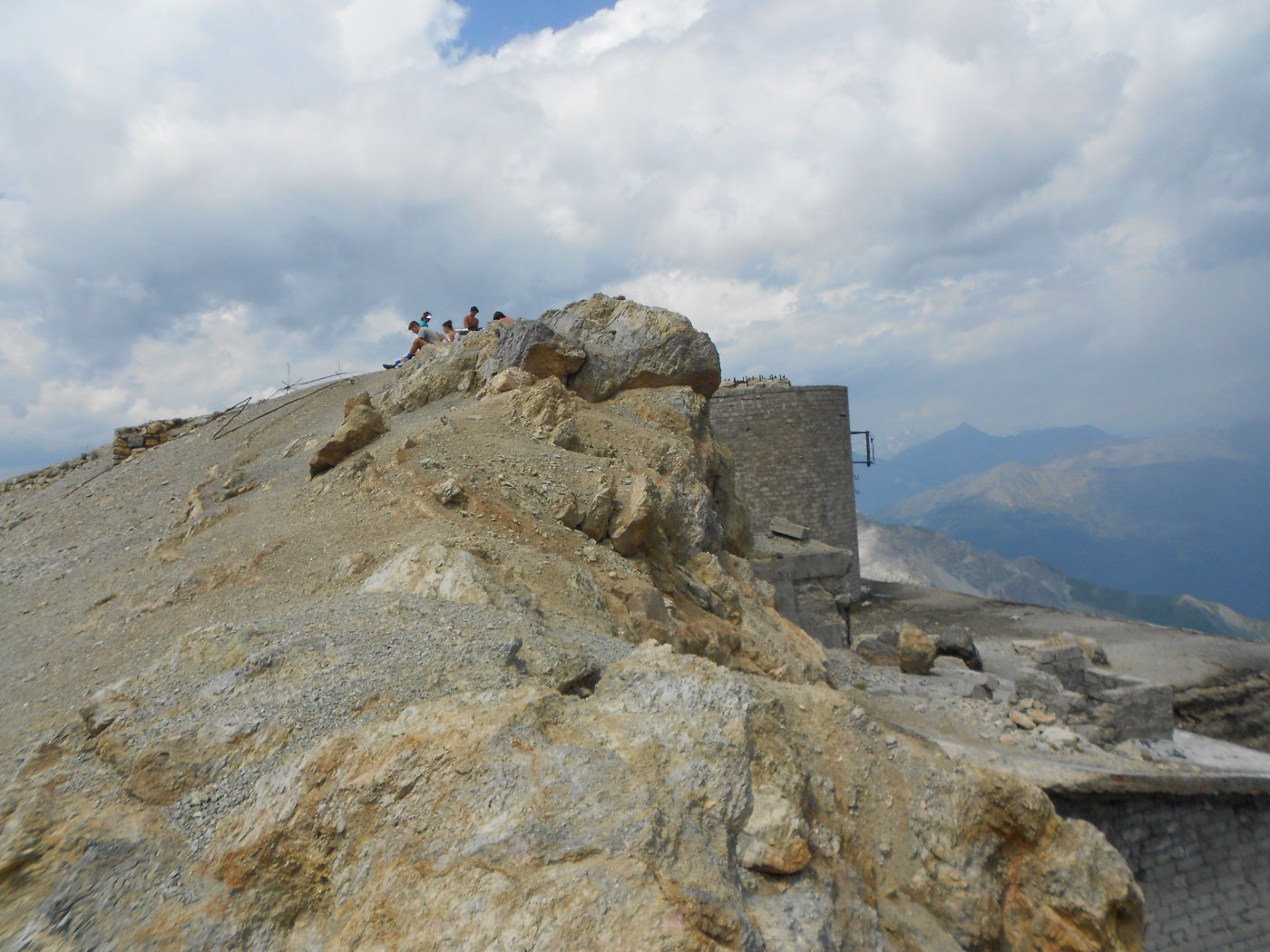
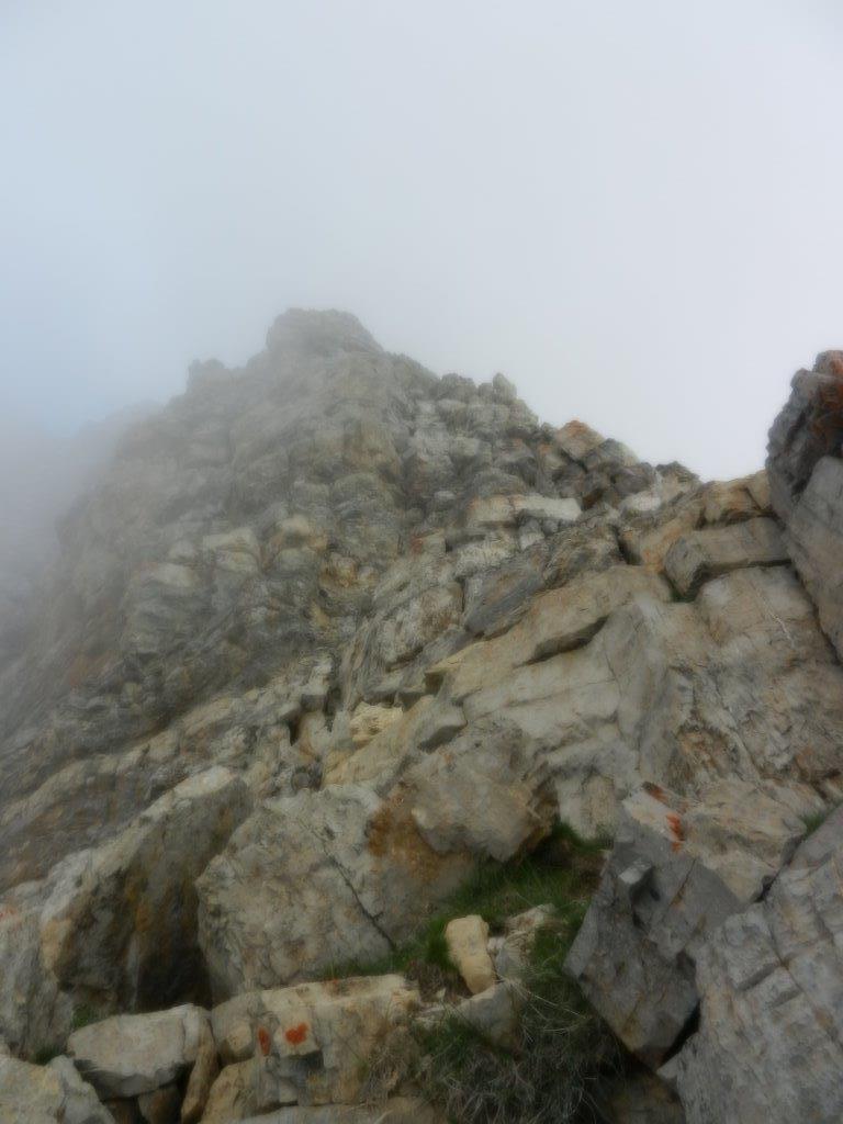
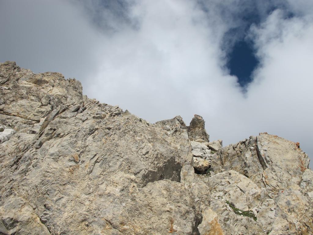
Per facili roccette si giunge sulla vetta.
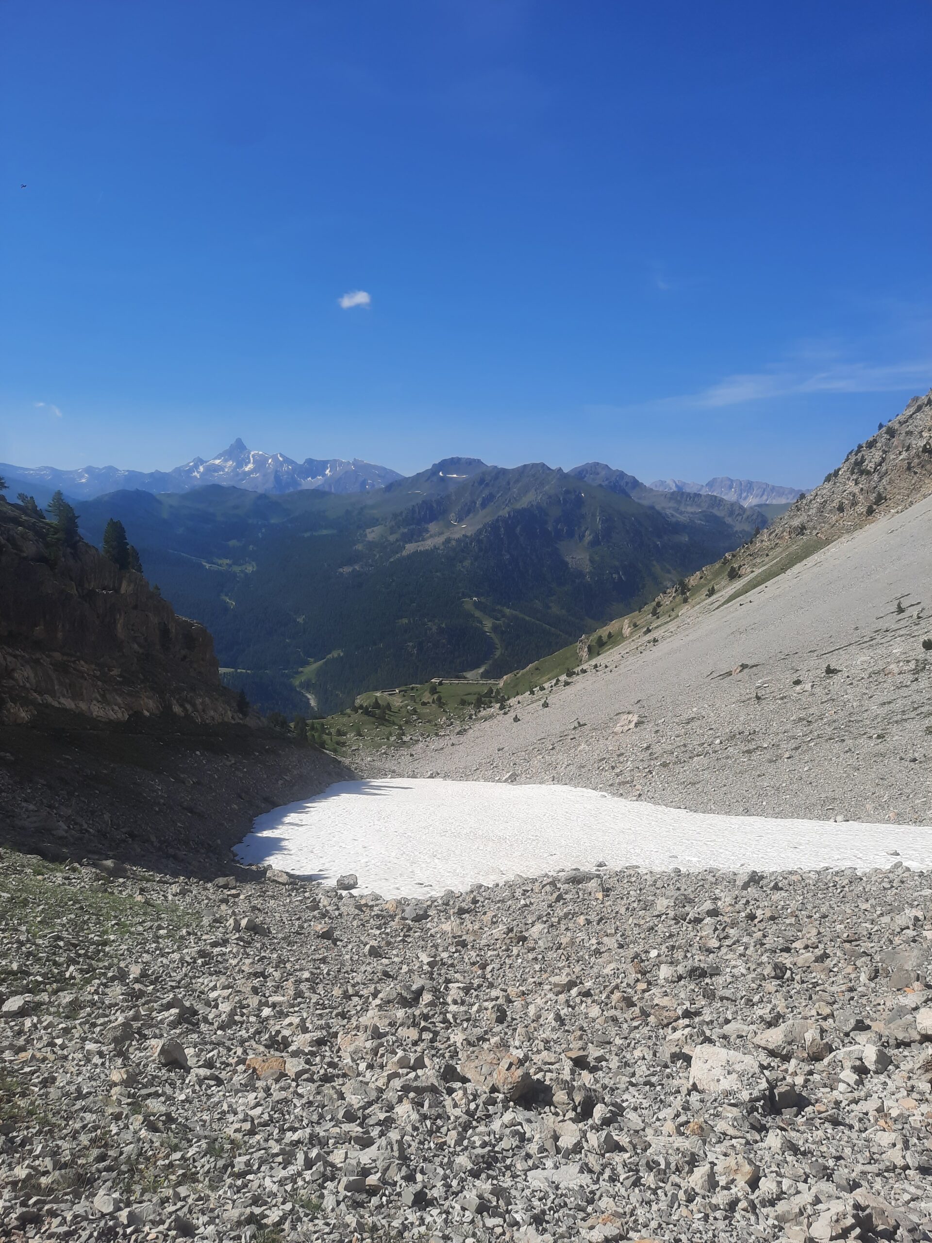
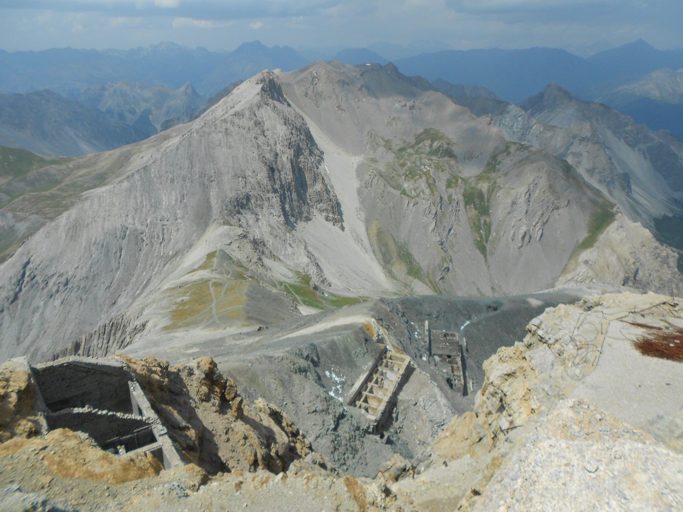
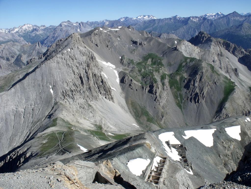
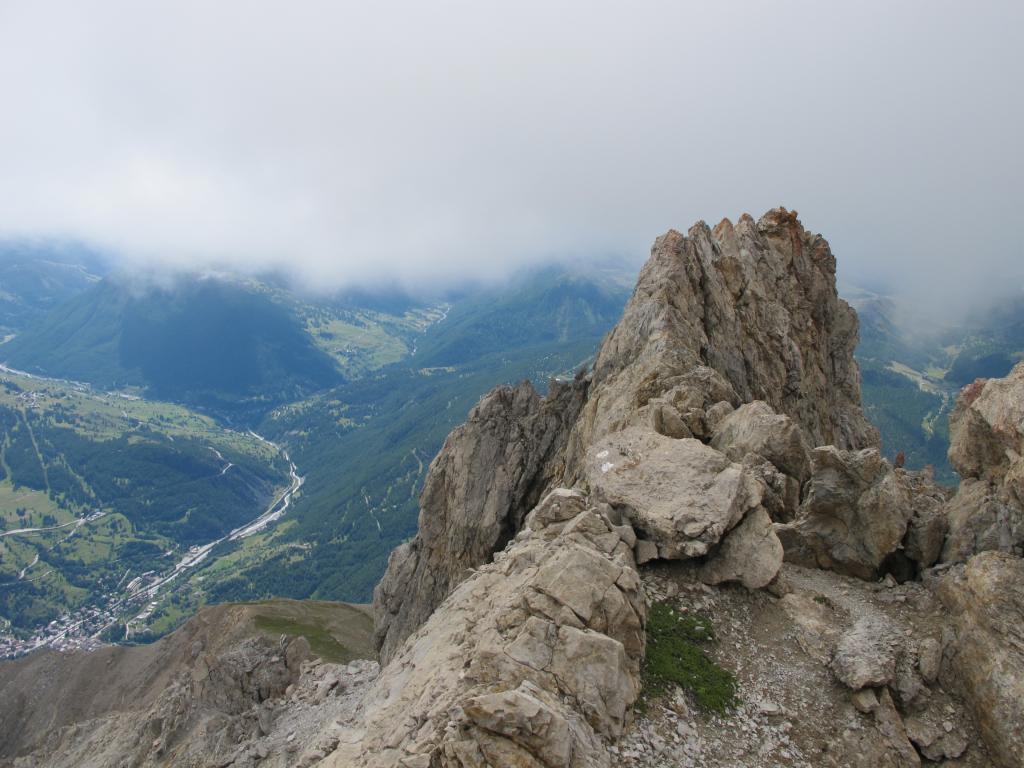
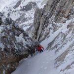
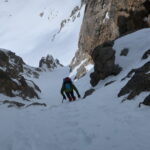
Discesa per la via normale dal Vallon des Baisses passando dal Colle dello Chaberton
Via riattrezzata nel 2003 dagli Alpini di Bousson a ricordo della Guida Alpina di Cesana Mario Perona, scomparso in un incidente in elicottero sulla Punta Ciatagnera.
- Cartografia:
- Guida Monti d'Italia TCI CAI
- Bibliografia:
- Guida Monti d'Italia TCI CAI
Nelle vicinanze Mappa
Itinerari
21/06/2026 TO, Claviere D+ 1371 m F+ Sud
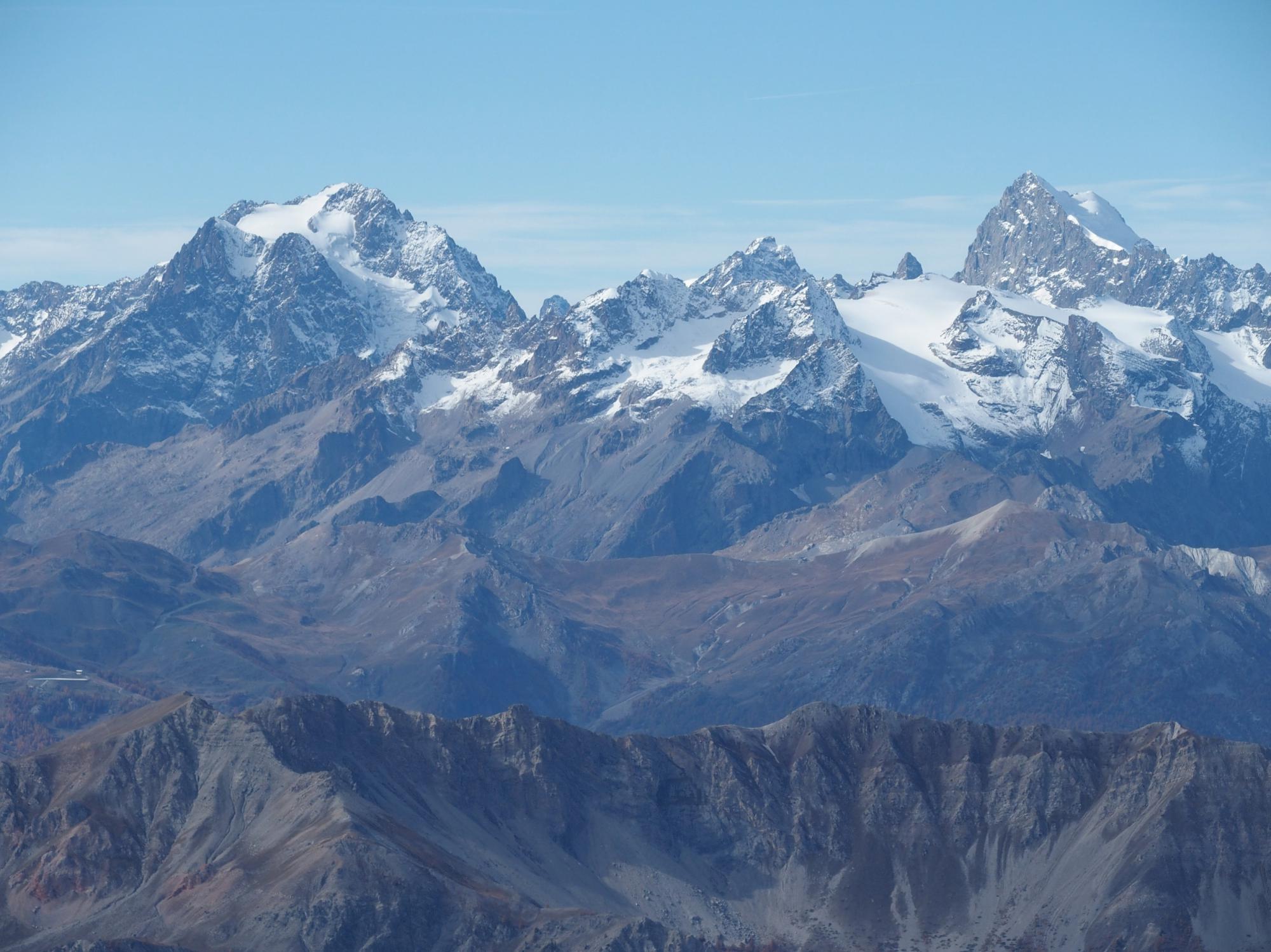
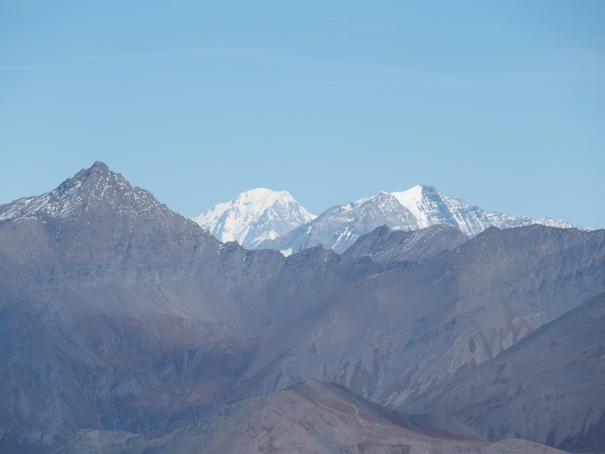
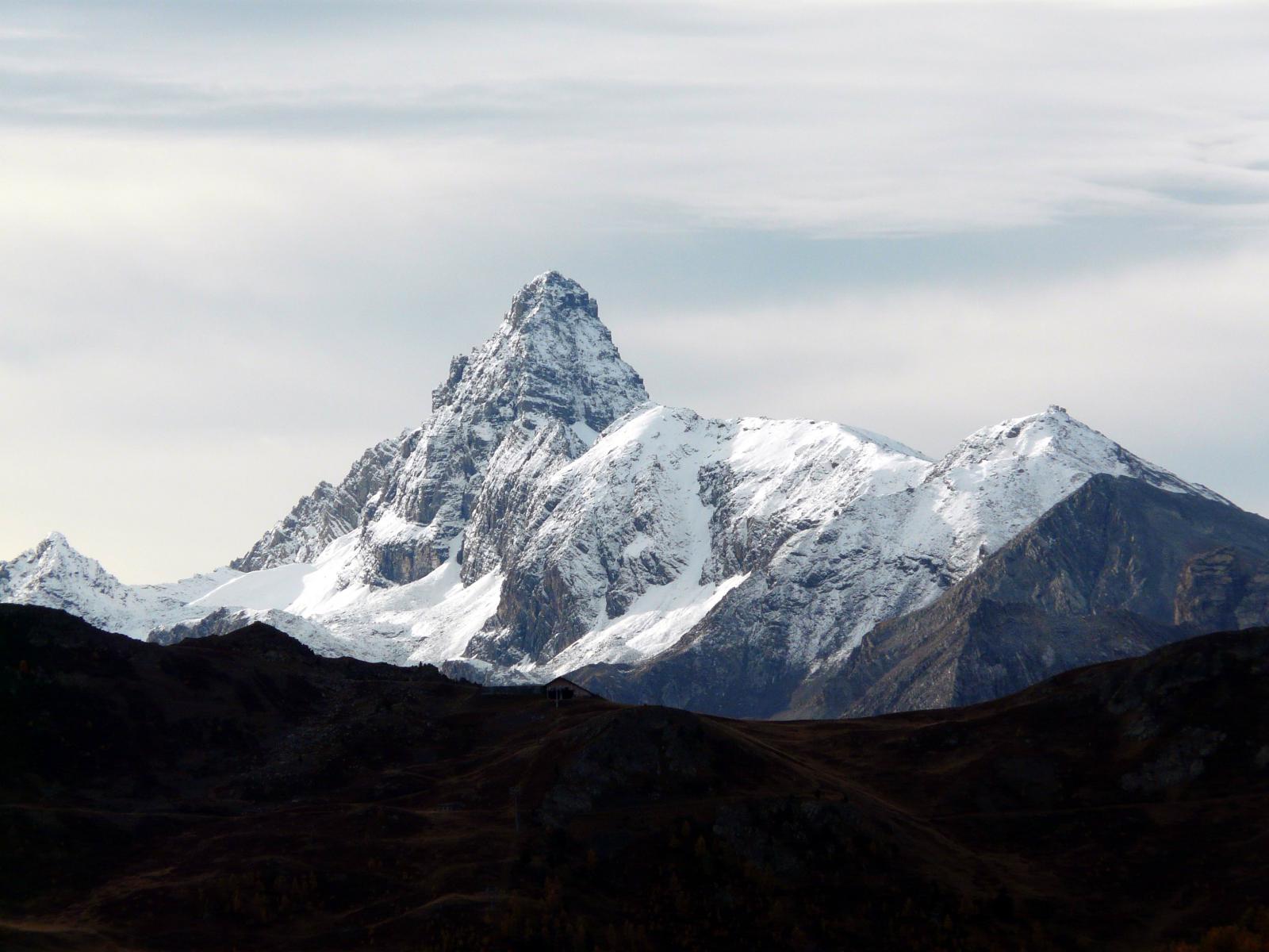
Chaberton (Monte) da Claviere per la Batteria Alta
 50m
50m
30/08/2017 Hautes-Alpes, Montgenèvre D+ 1250 m F Sud-Est
Malapas o Marapa (Rochers de) da Montgenèvre
 2.2Km
2.2Km
22/04/2018 Hautes-Alpes, Montgenèvre D+ 1261 m PD Ovest
Chaberton (Monte) Versante/Canale Ovest
 2.2Km
2.2Km
31/08/2013 TO, Cesana Torinese D+ 1444 m D+ Est
Trois Scies (Pointe des) Sperone Est – Via Elisa
 2.2Km
2.2Km
24/03/2024 Hautes-Alpes, Montgenèvre D+ 1200 m PD Ovest
Trois Scies (Pointe des) canalino e pendio ovest
 2.2Km
2.2Km
22/08/2008 Hautes-Alpes, Montgenèvre D+ 1500 m F+ Tutte
Chalance Ronde (Pointe de) da Montgenèvre traversata di cresta per Rochers Charniers e Pointe des Trois Scies e Colle dello Chaberton
 2.2Km
2.2Km
06/04/2025 Hautes-Alpes, Montgenèvre D+ 1300 m PD+ Sud-Ovest
Rochers Charniers (Pointe des) Canale SO
 2.2Km
2.2Km
25/08/2019 TO, Cesana Torinese D+ 840 m AD Nord-Est
Lago (Rocca del) Cresta N/NE
 5.8Km
5.8Km
26/04/2026 TO, Cesana Torinese D+ 1542 m AD- Nord-Est
Chaberton (Monte) Canale NE
 5.8Km
5.8Km
08/11/2016 TO, Cesana Torinese D+ 1330 m PD Nord
Chalanche Ronde (Pointe de) Parete Nord
 7.6Km
7.6Km
Servizi
2.6Km
4.3Km
Casa Cesana Bar
Cesana Torinese
4.3Km
L’Ibarus Rifugio
Cesana Torinese
4.3Km
Piergiorgio Frassati B&B
Cesana Torinese
4.4Km
Ottima Scelta Ristorante
Cesana Torinese
7Km
La vachette Bar
Montgenèvre
7.4Km
Centro Ristorante
Cesana Torinese
8Km
La Fontana del Thures Rifugio
Cesana Torinese
8.9Km
Terre Rouge Rifugio
Cervières
9.3Km