2.9Km
2.9Km


Avvicinamento
 50m
50m
50m
50m
50m
50m
50m
50m
50m
50m
50m
50m
50m
50m
50m
50m
2.9Km
2.9Km
2.9Km
4.6Km
6.1Km
6.6Km
9.6Km
9.6Km
9.6Km
9.7Km
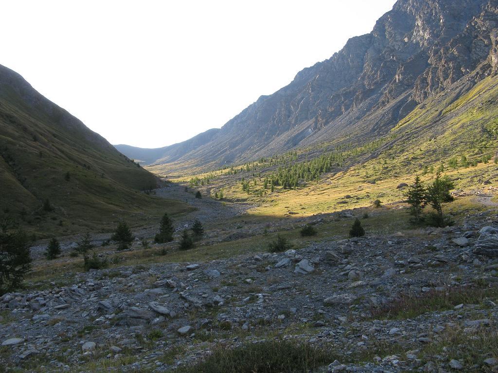
SS24 del Monginevro fino a Cesana Torinese, oppure A32 uscita Oulx circonvallazione quindi Cesana. Da Cesana si sale verso Sauze di Cesana fino a trovare a destra, poco oltre Bousson, la deviazione per Thures. Giunti a Thures proseguire sullo sterrato senza entrare nell'abitato, in direzione di Rhuilles, quindi proseguire fino al fondo della piana dove si prosegue, con autovetture adatte ed a seconda delle condizioni del fondo, sulla ex strada militare che con tratti ripidi conduce alle grange Thuras inferiori, dove si posteggia poco prima del ponte.
ATTENZIONE: dal 2025 non è possibile proseguire oltre Rhuilles, a causa dell'inagibilità del Ponte Ciatagnera. Occorre pertanto salire alla a Thures, e proseguire sulla sterrata che passa per la località Gorlier, per poi scendere a Rhuilles già oltre il ponte e ricollegarsi con l'accesso normale al vallone. Questo percorso alternativo è consigliabile con 4x4 o vetture alte.
Descrizione
ATTENZIONE: dal 2025 non è possibile proseguire oltre Rhuilles, a causa dell'inagibilità del Ponte Ciatagnera. Occorre pertanto salire alla a Thures, e proseguire sulla sterrata che passa per la località Gorlier, per poi scendere a Rhuilles già oltre il ponte e ricollegarsi con l'accesso normale al vallone. Questo percorso alternativo è consigliabile con 4x4 o vetture alte.
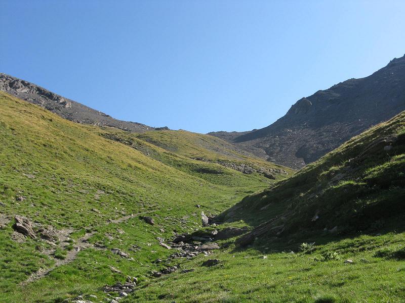
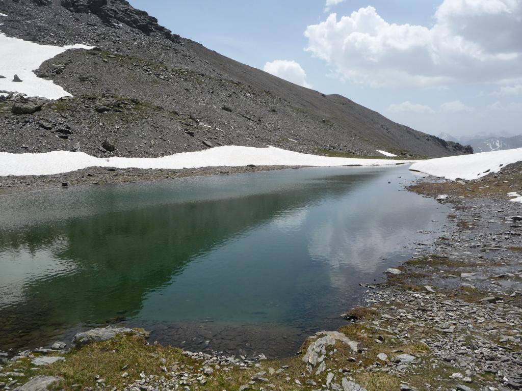
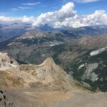
Si prosegue lungo la sterrata fino alle Grange Thuras Superiori (2071 m). Si segue ancora la strada per un tratto per poi piegare a sx (indicazioni, segnavia 621) in corrispondenza della piccola valletta che risale il rio Serpentiera.
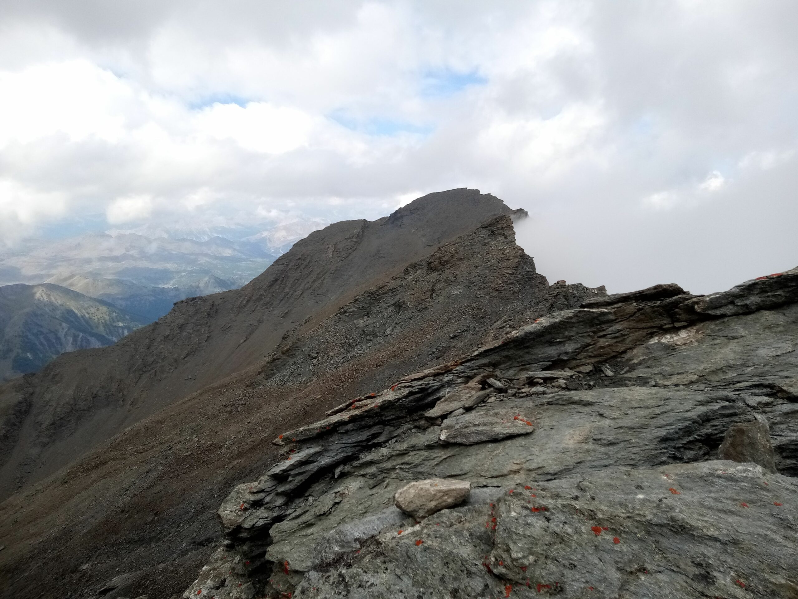
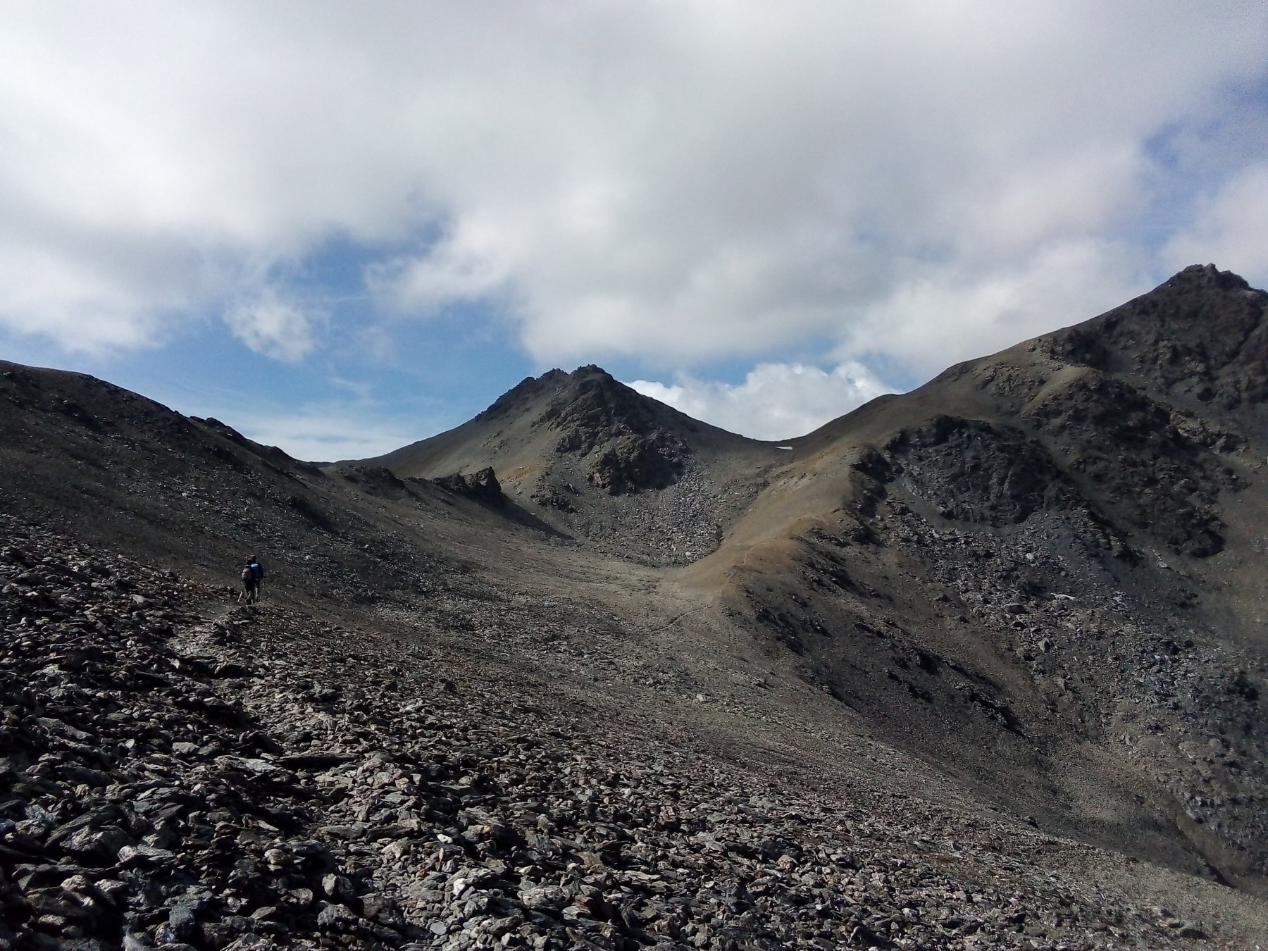
La traccia risale a tornanti l’erboso pendio tenendosi dapprima sulla sinistra idrografica del rio e passando poi sulla sua destra idrografica. Per pendii di sfasciumi e rocce rotte si raggiunge quindi l’evidente Colle del Pelvo (3060 m).
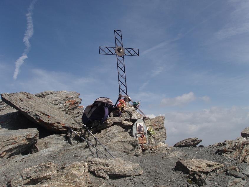
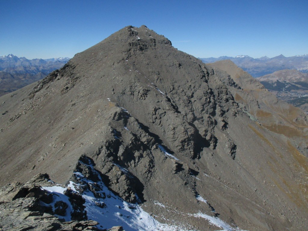
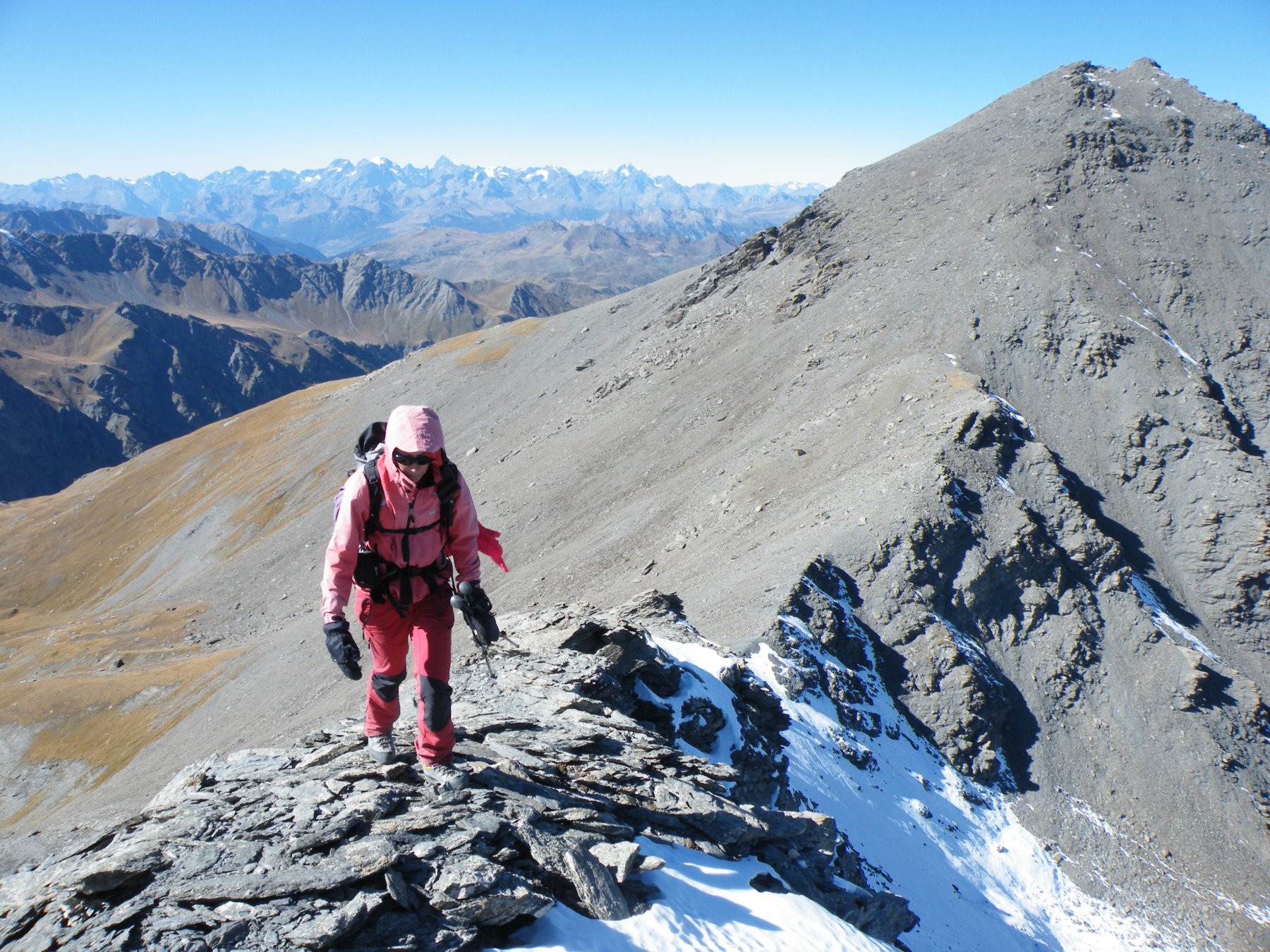
Dal colle si risale verso sinistra lungo il crestone per una evidente traccia di sentiero che porta sulla cima del Pelvo 3266 m.
Discesa seguendo l’itinerario di salita.
- Cartografia:
- Fraternali 1:25000 n.2 Alta Valle di Susa, Alta Val Chisone
Nelle vicinanze Mappa
Itinerari
17/09/2022 TO, Cesana Torinese D+ 1500 m EE Varie
Merciantaira (Punta) o Grand Glaiza dalla Val Thuras per il Col Rasis
 50m
50m
29/08/2025 TO, Cesana Torinese D+ 1125 m E Nord
Berline (Crete de) dalla Val Thuras
50m
11/06/2022 TO, Cesana Torinese D+ 1370 m EE Sud-Ovest
Serpentiera (Punta) da Grange Thuras Inferiori per il Colle del Pelvo
 50m
50m
05/08/2023 TO, Cesana Torinese D+ 1350 m EE Sud-Ovest
Ciatagnera (Punta) dalla Val Thuras
 50m
50m
05/10/2017 TO, Cesana Torinese D+ 1600 m EE Varie
Clausi (Cima) o Cime de Clausis e Monte Terra Nera dalla Val Thuras
50m
02/07/2023 TO, Cesana Torinese D+ 1100 m E Nord-Est
Rasis (Punta) e Rocher de Thures dalla Val Thuras per il Colle di Thures
 50m
50m
07/06/2026 TO, Cesana Torinese D+ 1350 m EE Sud-Ovest
Boucher (Roc del) da Grange Thuras Inferiori per il versante S/SO
 50m
50m
02/07/2023 TO, Cesana Torinese D+ 1250 m EE Ovest
Marin (Punta) dalla Val Thuras
 50m
50m
09/08/2013 TO, Cesana Torinese D+ 1948 m E Nord
Gran Barà (Monte) dalla Val Thuras per il Colletto e Monte Clausis
 50m
50m
20/06/2022 TO, Cesana Torinese D+ 1700 m EE Sud-Ovest
Clapiera (Punta) dalla Val Thuras
 50m
50m
Servizi
2.9Km
2.9Km
La Tana degli Orsi B&B
Cesana Torinese
2.9Km
La Crota B&B
Cesana Torinese
4.6Km
La Fontana del Thures Rifugio
Cesana Torinese
6.1Km
Centro Ristorante
Cesana Torinese
6.6Km
Misun La Font Ristorante
Sauze di Cesana
9.6Km
L’Ibarus Rifugio
Cesana Torinese
9.6Km
Piergiorgio Frassati B&B
Cesana Torinese
9.6Km
Casa Cesana Bar
Cesana Torinese
9.7Km