2.9Km
2.9Km


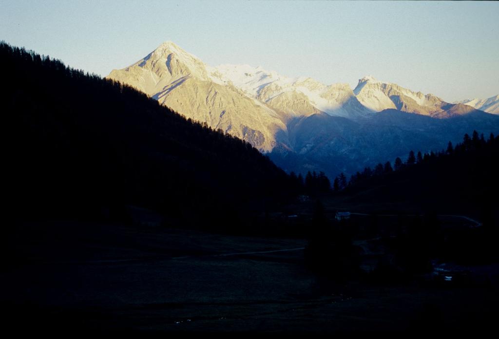
Avvicinamento
 50m
50m
50m
50m
50m
50m
50m
50m
50m
50m
50m
50m
50m
50m
50m
50m
50m
50m
2.9Km
2.9Km
2.9Km
4.6Km
6.1Km
6.6Km
9.6Km
9.6Km
9.6Km
9.7Km
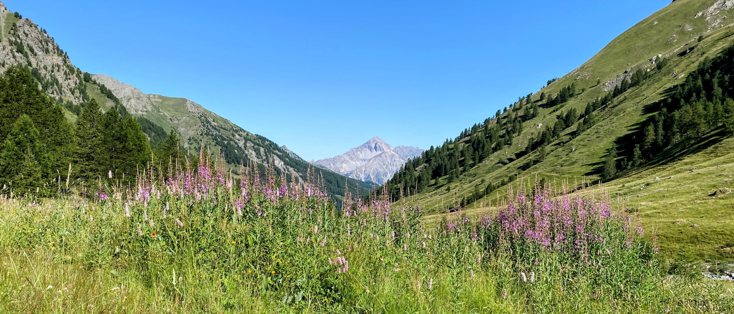
SS24 del Monginevro fino a Cesana Torinese, oppure A32 uscita Oulx circonvallazione quindi Cesana. Da Cesana si sale verso Sauze di Cesana fino a trovare a destra, poco oltre Bousson, la deviazione per Thures. Giunti a Thures proseguire sullo sterrato senza entrare nell'abitato, in direzione di Rhuilles, quindi proseguire fino al fondo della piana dove si prosegue, con autovetture adatte ed a seconda delle condizioni del fondo, sulla ex strada militare che con tratti ripidi conduce alle grange Thuras inferiori, dove si posteggia poco prima del ponte.
ATTENZIONE: dal 2025 non è possibile proseguire oltre Rhuilles, a causa dell'inagibilità del Ponte Ciatagnera. Occorre pertanto salire alla a Thures, e proseguire sulla sterrata che passa per la località Gorlier, per poi scendere a Rhuilles già oltre il ponte e ricollegarsi con l'accesso normale al vallone. Questo percorso alternativo è consigliabile con 4x4 o vetture alte.
Descrizione
ATTENZIONE: dal 2025 non è possibile proseguire oltre Rhuilles, a causa dell'inagibilità del Ponte Ciatagnera. Occorre pertanto salire alla a Thures, e proseguire sulla sterrata che passa per la località Gorlier, per poi scendere a Rhuilles già oltre il ponte e ricollegarsi con l'accesso normale al vallone. Questo percorso alternativo è consigliabile con 4x4 o vetture alte.
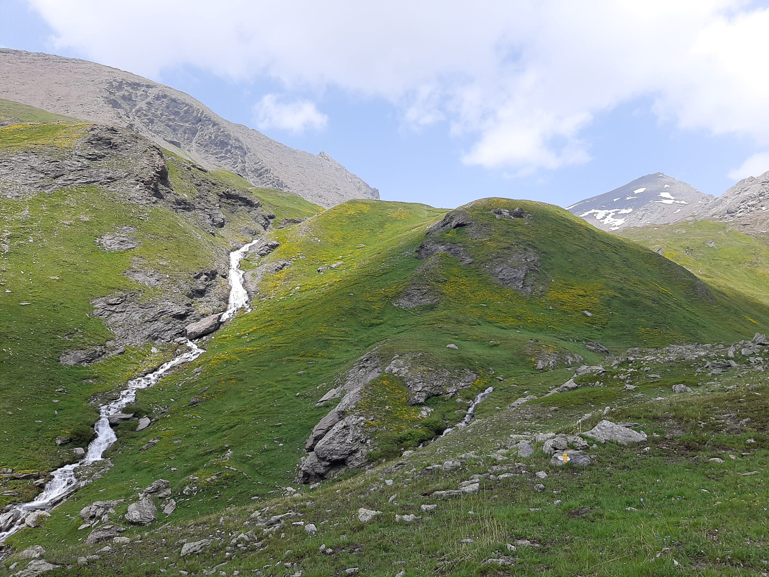
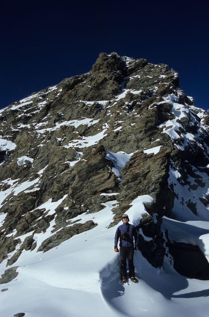
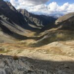
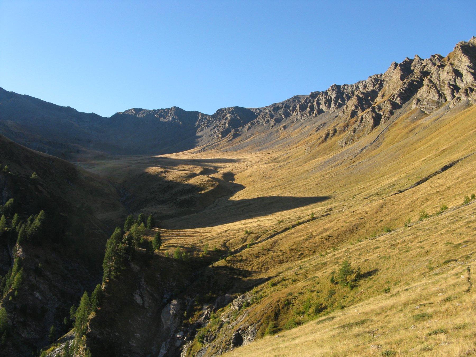
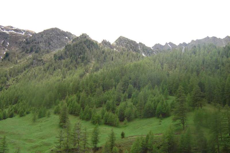
Attraversare il ponte sul torrente e salire alla grange Thuras superiori, poi continuare a risalire la valle seguendo la strada e poi il sentiero per il colle di Thuras.
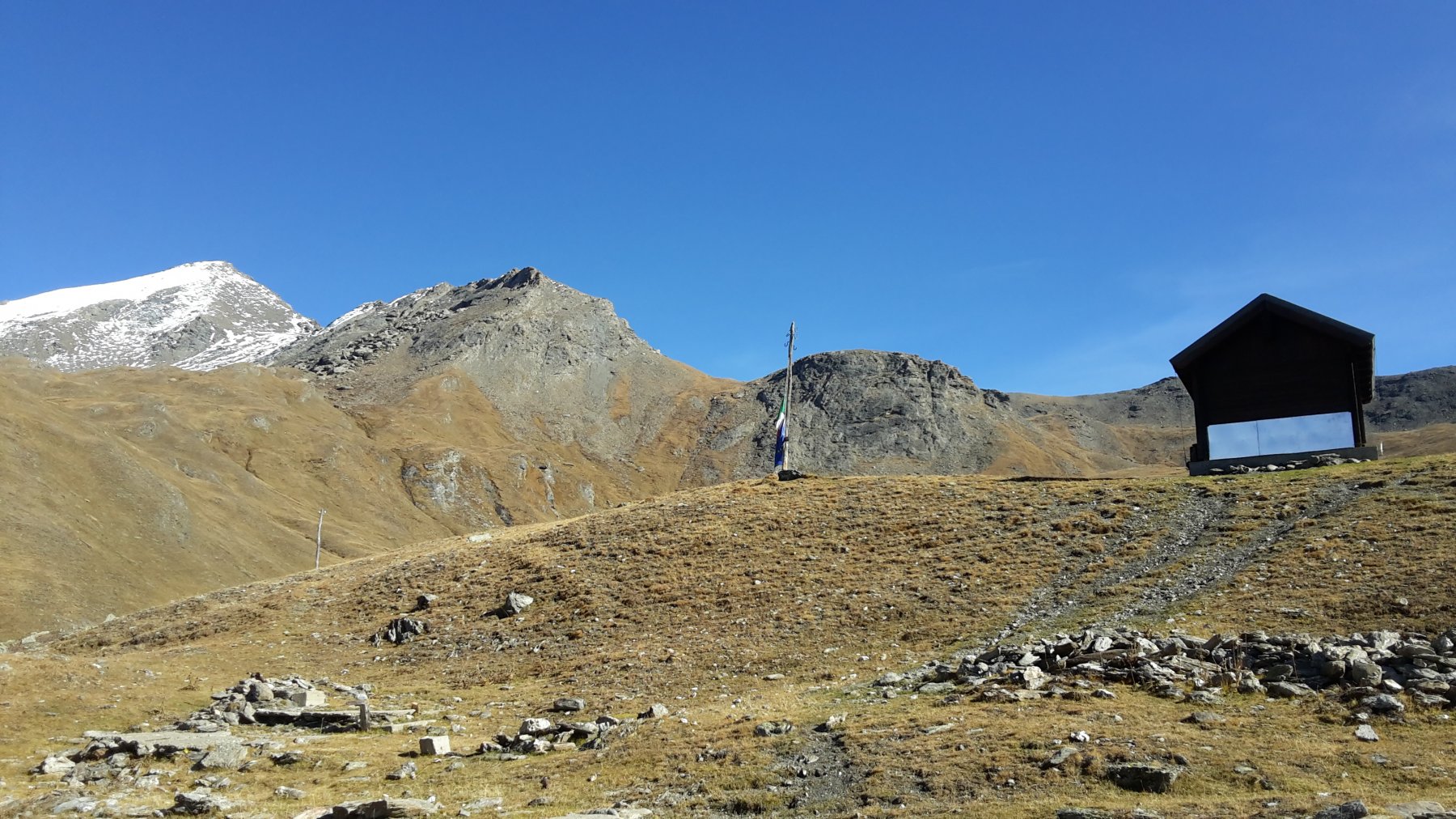
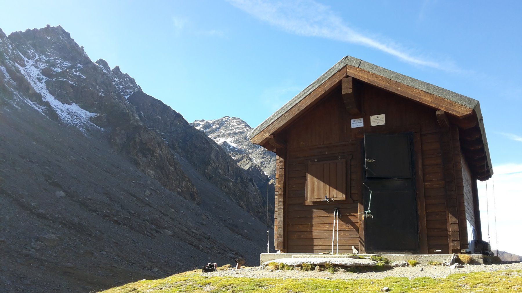
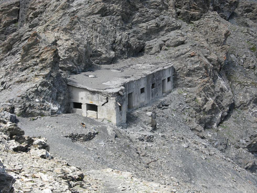
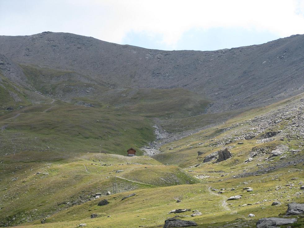
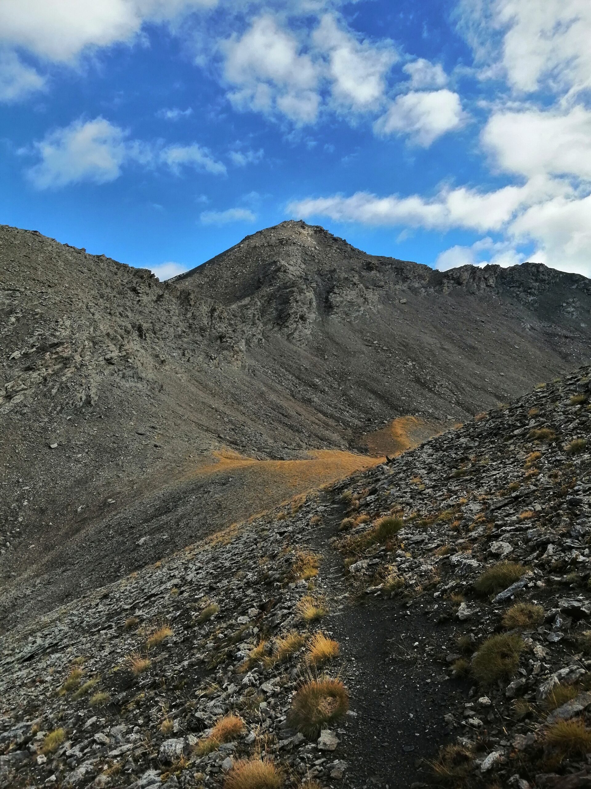
Giunti quasi alla testata, si apre a sinistra la valletta che porta al colle ed alla Ramiere. Si può prendere a sinistra direttamente sotto il bivacco o passare dall’accogliente Bivacco Tornior 2552 m (costruito nel 2008).
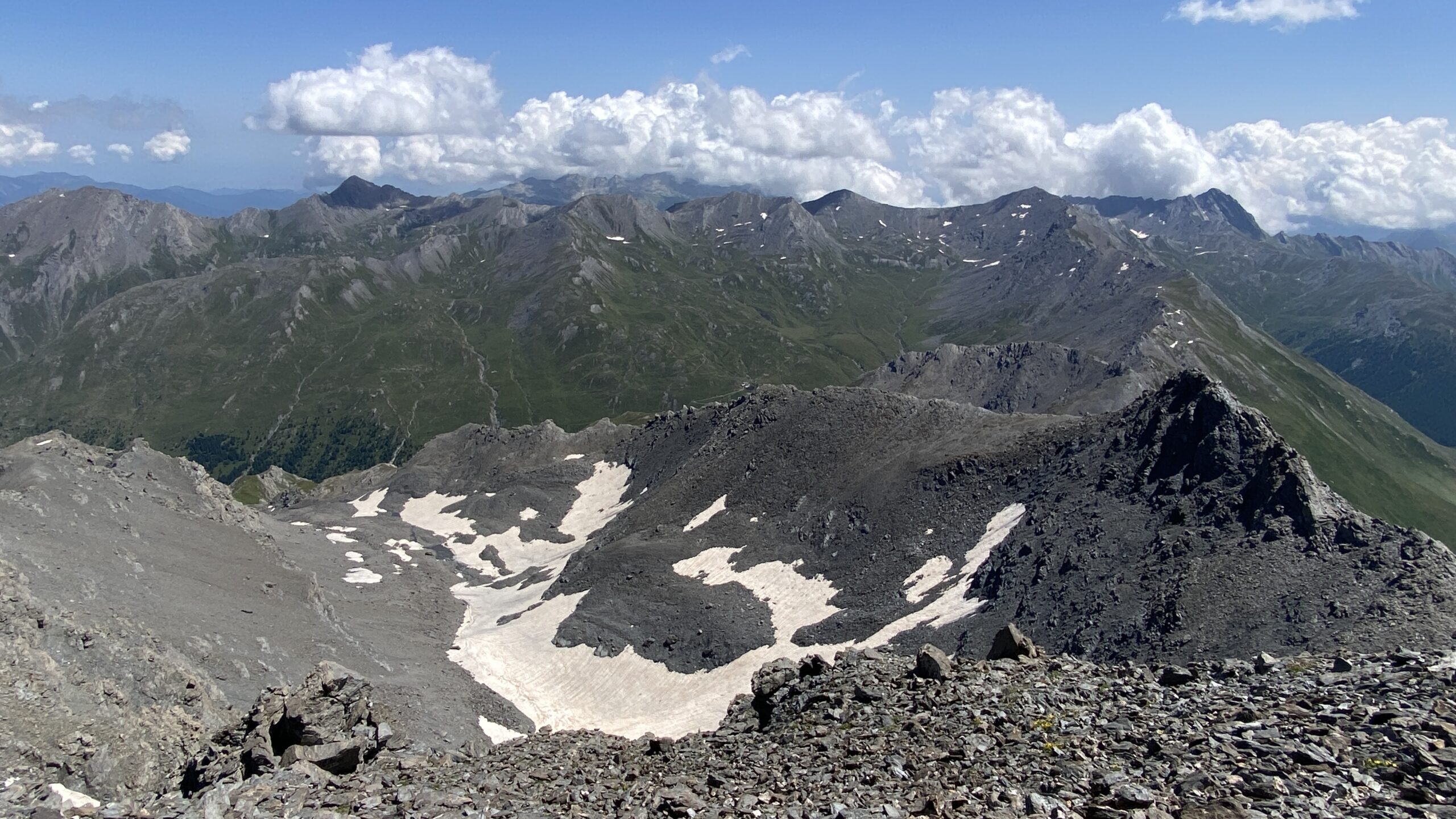
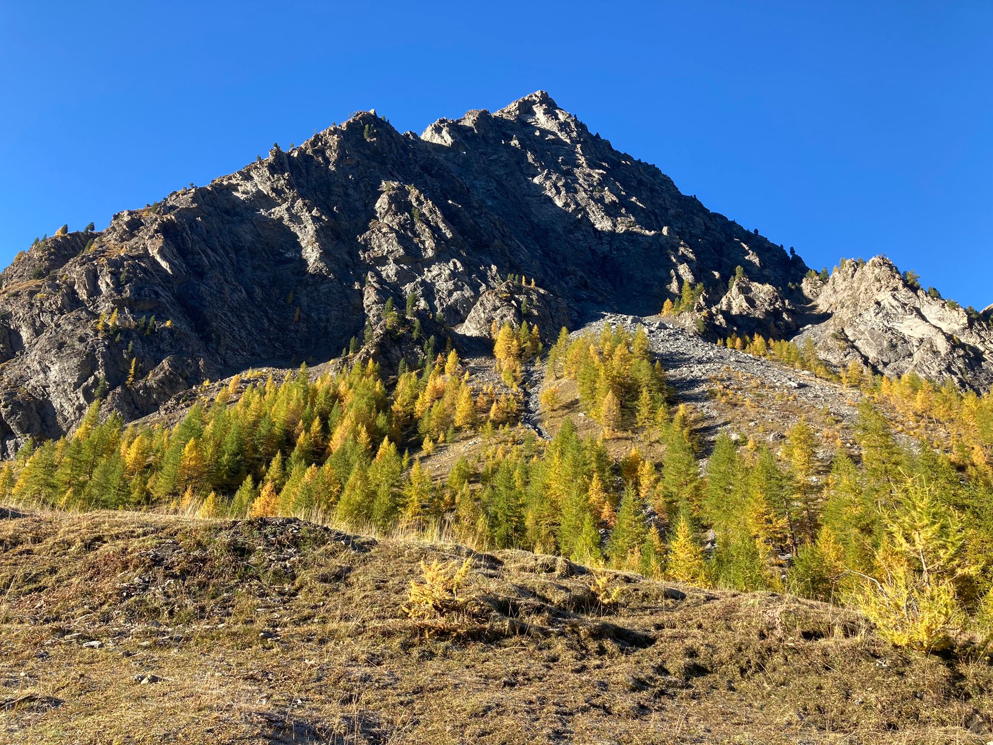
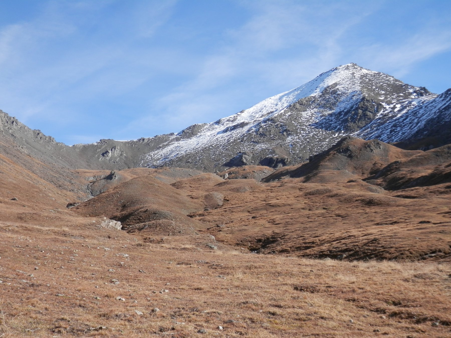
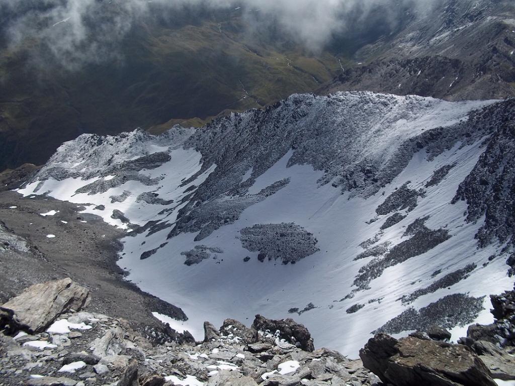
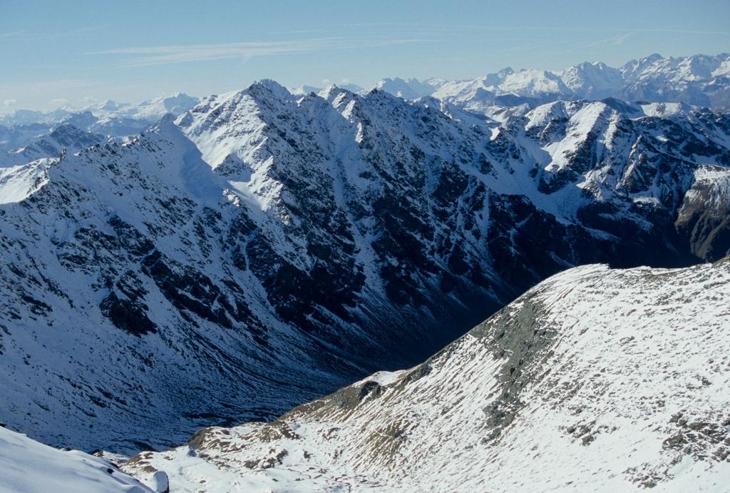
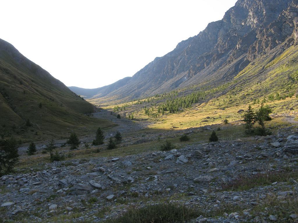
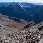
Da qui parte un sentiero che traversa il torrente e risale un costone, diventando una traccia non sempre evidente con ometti ogni tanto. Dirigendosi verso il colle della Ramiere, il sentiero diventa più continuo e anche segnalato con bollini gialli. Raggiunti gli sfasciumi sotto il colle, il sentiero diventa più ripido e rapidamente si raggiunge il colle della Ramiere 3007 m (casermetta nei pressi).
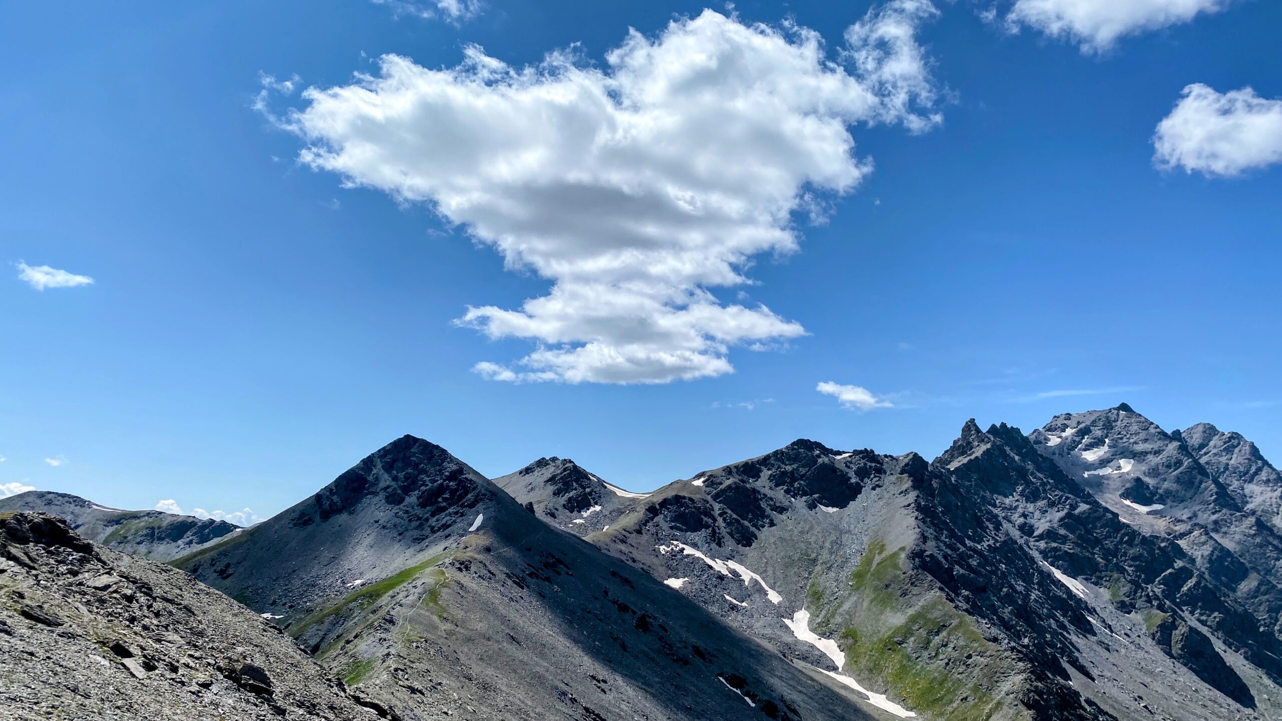
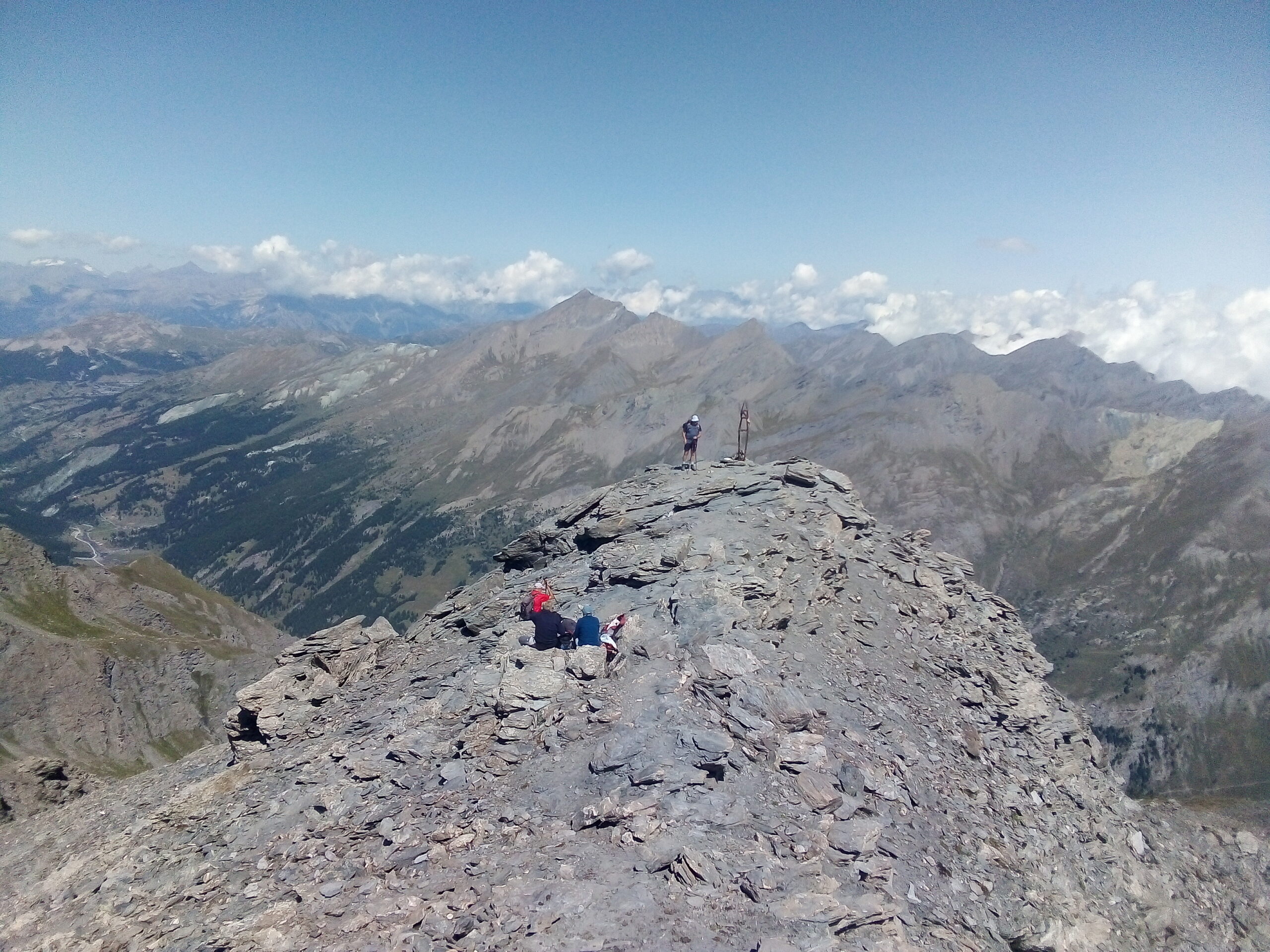
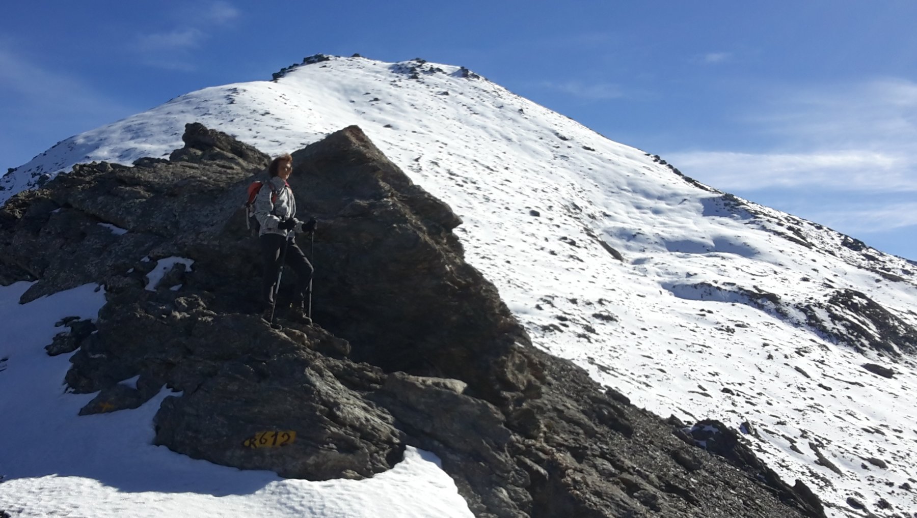
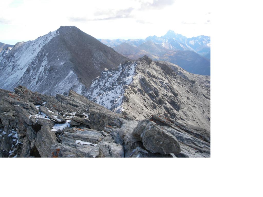
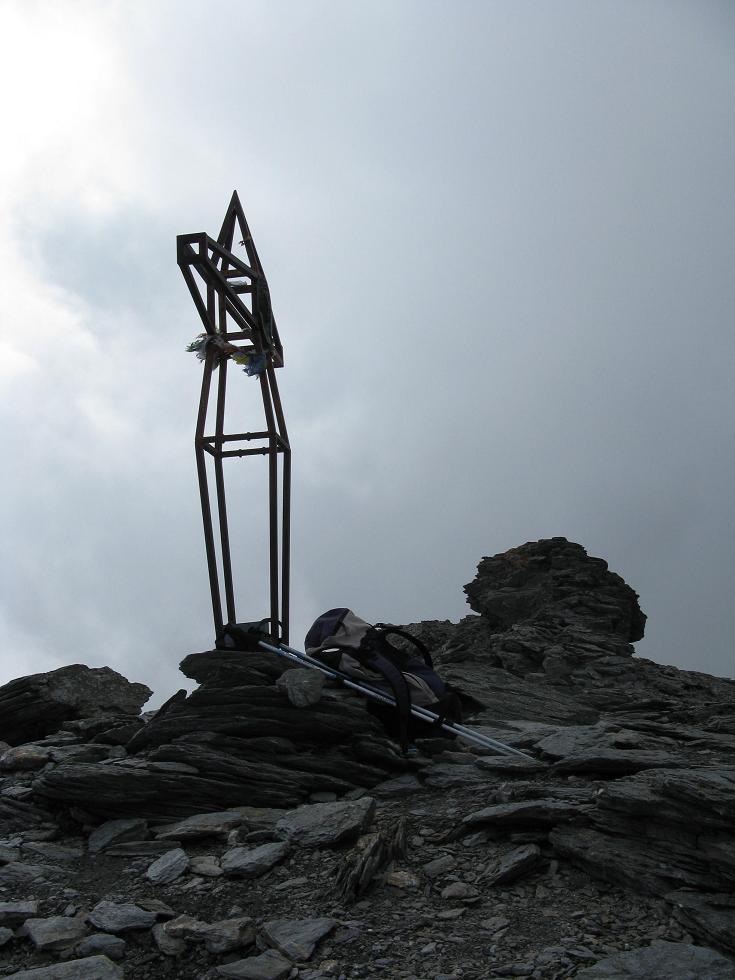
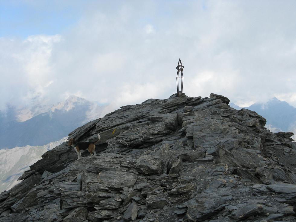
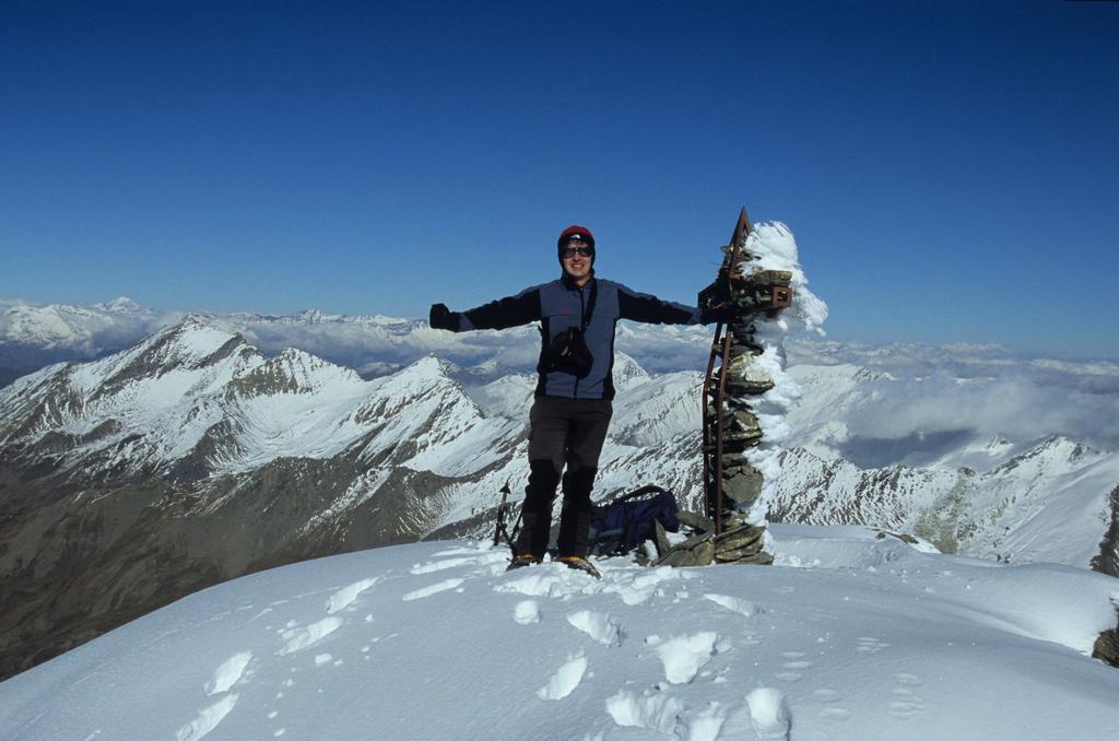
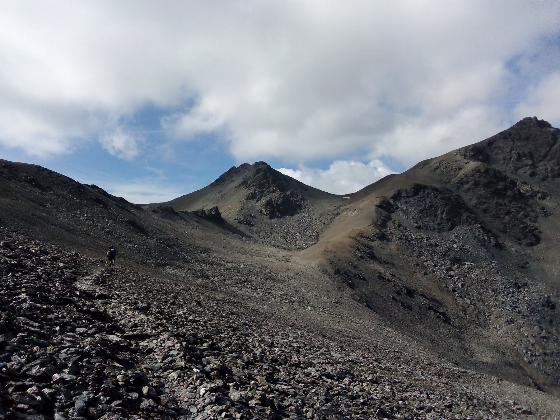
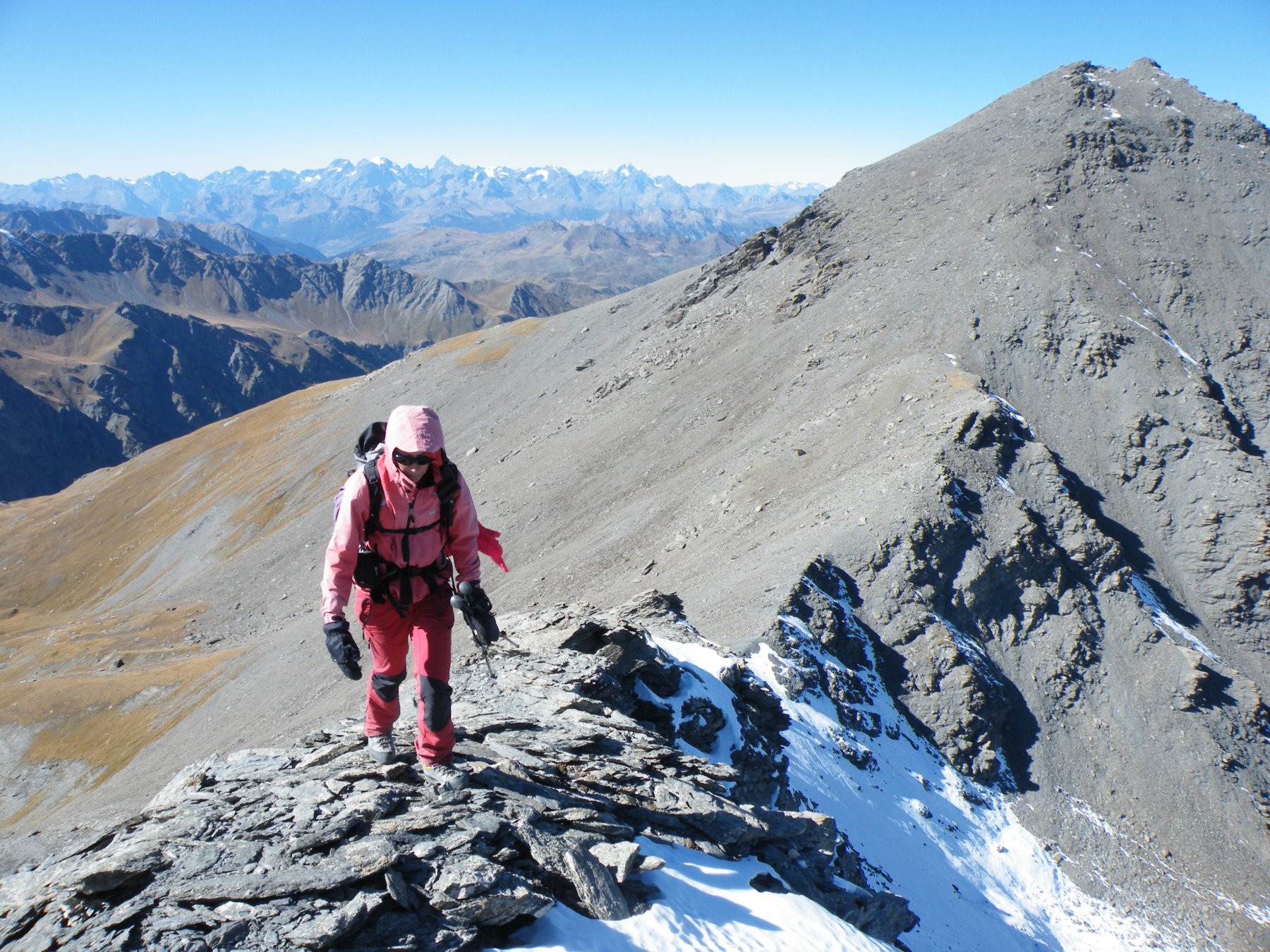
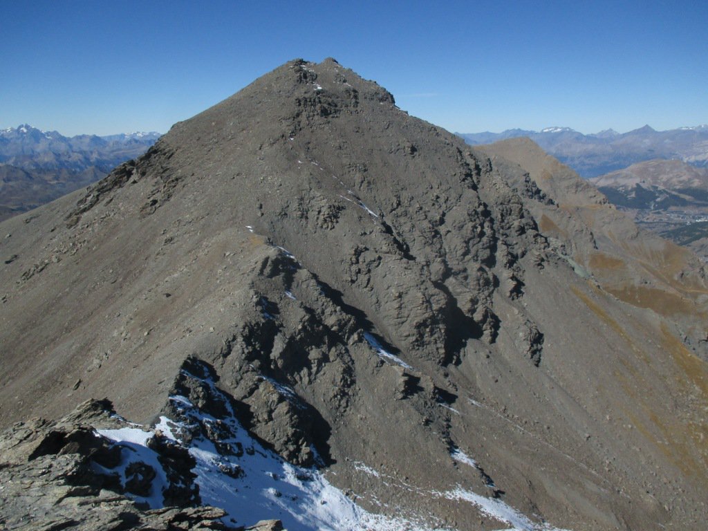
Da qui, sempre percorrendo un evidente sentiero prendere a destra e salire prima per cresta, poi per sfasciumi di varia grandezza fino a raggiungere la vetta, costituita da una lunga cresta, con una croce ad una estremità.
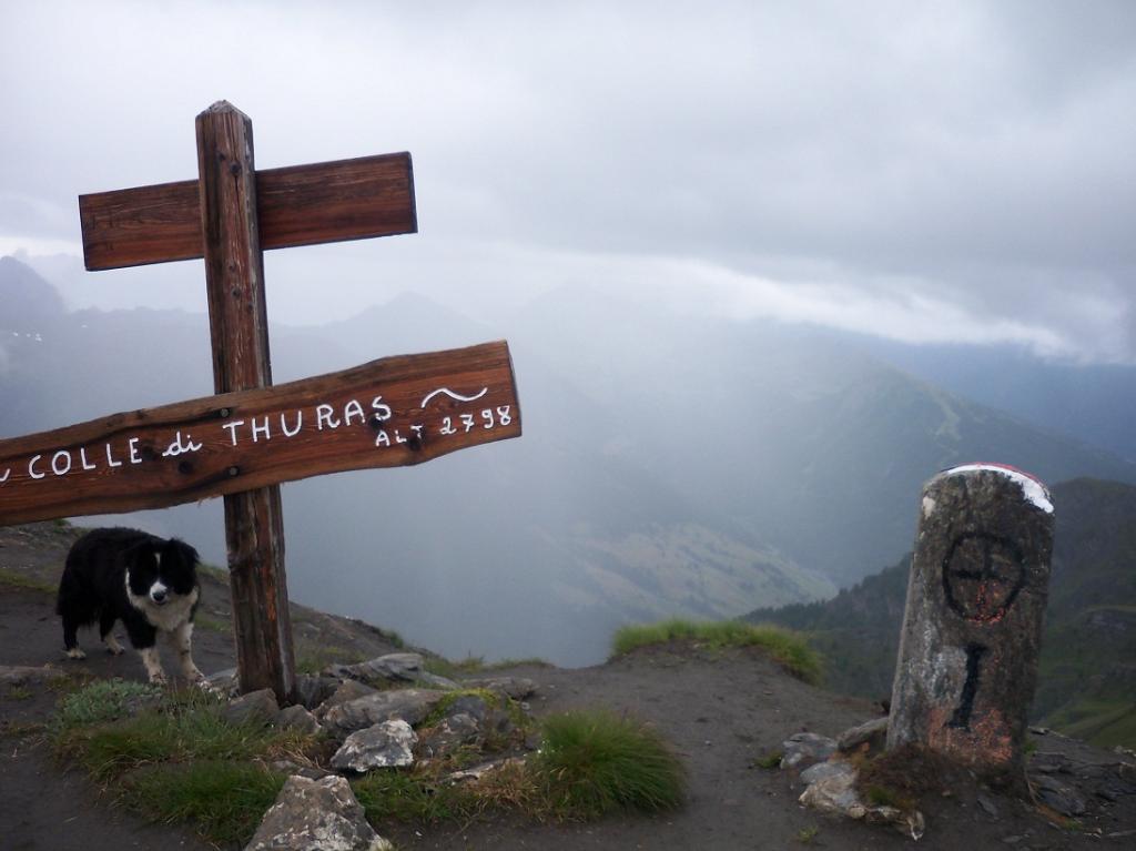
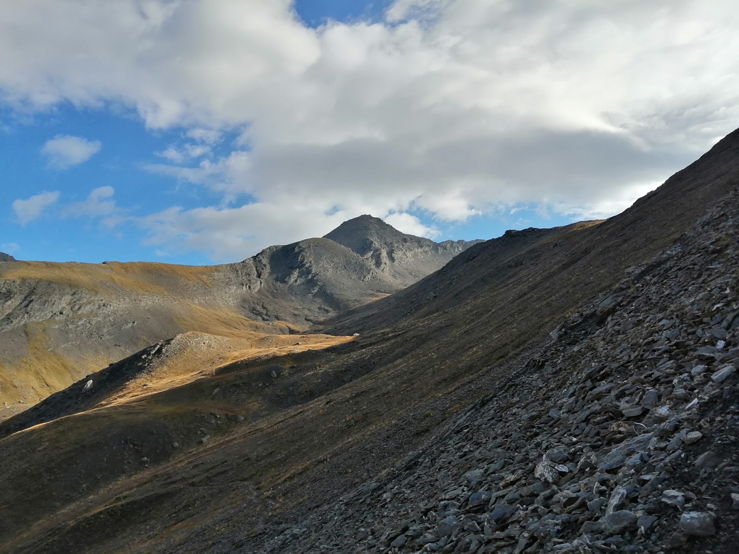
Variante di salita per il Colle di Thures (o Thuras su carta Fraternali)
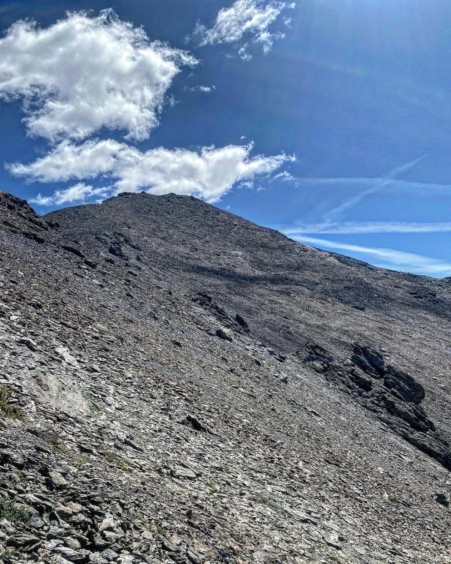
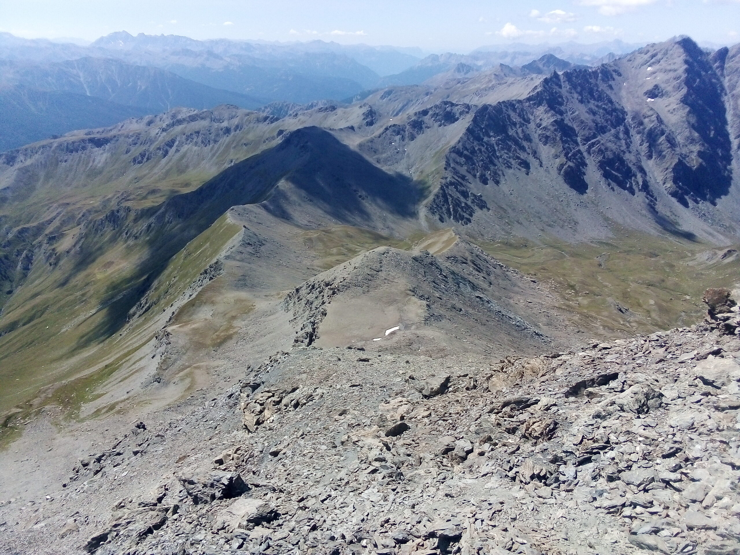
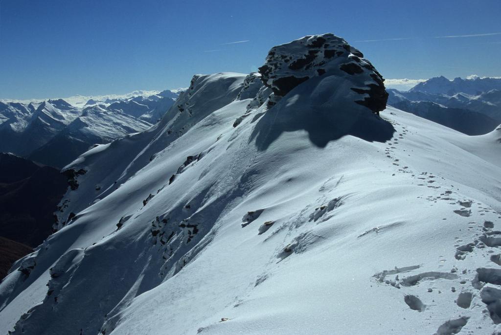
Si raggiunge e si supera il Bivacco Tornior continuando fino al termine della Val Thuras al colle di Thures. Qui si prende a sinistra il sentiero che risale dolcemente il primo tratto di crestone verso nordovest. Nel punto in cui questo si impenna (2920 m circa) si segue verso sinistra la traccia, che prende a salire ripida su un terreno un po’ scomodo, tra brevi svolte. Si arriva così a un tratto in piano (3.060 m circa) e poi alla base del lungo, immenso pendio sommitale. Anche qui si procede puntando all’inizio un poco a sinistra (sempre seguendo traccia e ometti) per guadagnare quota fra rocce rotte, massi e sfasciumi, fino a raggiungere il tratto di crinale quasi pianeggiante che costituisce la vetta.
- Cartografia:
- Berutto Val dSusa
- Bibliografia:
- Berutto Val dSusa
Nelle vicinanze Mappa
Itinerari
07/08/2023 TO, Cesana Torinese D+ 850 m E Nord-Est
Thures (Colle di) e Bivacco Andrea Tornior dalla Val Thuras
 50m
50m
07/09/2023 TO, Cesana Torinese D+ 1152 m EE Nord-Est
Terra Nera (Monte) dalla Val Thuras
 50m
50m
20/06/2022 TO, Cesana Torinese D+ 1700 m EE Sud-Ovest
Clapiera (Punta) dalla Val Thuras
 50m
50m
09/08/2013 TO, Cesana Torinese D+ 1948 m E Nord
Gran Barà (Monte) dalla Val Thuras per il Colletto e Monte Clausis
 50m
50m
02/07/2023 TO, Cesana Torinese D+ 1250 m EE Ovest
Marin (Punta) dalla Val Thuras
 50m
50m
02/07/2023 TO, Cesana Torinese D+ 1100 m E Nord-Est
Rasis (Punta) e Rocher de Thures dalla Val Thuras per il Colle di Thures
 50m
50m
11/06/2022 TO, Cesana Torinese D+ 1370 m EE Sud-Ovest
Serpentiera (Punta) da Grange Thuras Inferiori per il Colle del Pelvo
 50m
50m
05/08/2023 TO, Cesana Torinese D+ 1350 m EE Sud-Ovest
Ciatagnera (Punta) dalla Val Thuras
 50m
50m
12/09/2021 TO, Cesana Torinese D+ 1400 m EE Est
Pelvo (Cima del) dalla Val Thuras per il Colle del Pelvo
 50m
50m
29/08/2025 TO, Cesana Torinese D+ 1125 m E Nord
Berline (Crete de) dalla Val Thuras
50m
Servizi
2.9Km
2.9Km
La Tana degli Orsi B&B
Cesana Torinese
2.9Km
La Crota B&B
Cesana Torinese
4.6Km
La Fontana del Thures Rifugio
Cesana Torinese
6.1Km
Centro Ristorante
Cesana Torinese
6.6Km
Misun La Font Ristorante
Sauze di Cesana
9.6Km
L’Ibarus Rifugio
Cesana Torinese
9.6Km
Piergiorgio Frassati B&B
Cesana Torinese
9.6Km
Casa Cesana Bar
Cesana Torinese
9.7Km