200m
200m


Note
 50m
50m
50m
50m
1Km
2Km
2.5Km
2.9Km
3.1Km
50m
50m
50m
50m
1Km
2Km
2.5Km
2.9Km
3.1Km
200m
6.1Km
6.1Km
6.1Km
6.3Km
6.5Km
7.6Km
7.9Km
7.9Km
8.4Km
Montagna poco frequentata, presenta un itinerario facilmente accessibile e senza particolari difficoltà, però la segnaletica sul terreno è quasi del tutto inesistente, salvo alcuni ometti presenti sul pendio finale del versante ovest, però ci sono vari cartelli indicatori utili per mantenere la direzione corretta, almeno fino alla località 7 fontane e al Bivacco Ratazzo (che non si trova indicato sulle cartine topografiche). Per usufruire del bivacco occorre richiedere le chiavi
Avvicinamento
Da Pinerolo si inizia a risalire la Val Chisone SP23R seguendo sempre le indicazioni per il Sestrière. Si inizia a scendere sul versante opposto (direzione Cesana) per un breve tratto fino a raggiungere un bivio nei pressi dell’Hotel Principi di Piemonte (cartello indicatore per Bessen Haut) dove occorre svoltare a sinistra. Si segue la stretta stradina asfaltata fino a raggiungere infine Bessen Haut, dove si trovano un piccolo parcheggio prima del paese e uno più grande in fondo, circa 100 metri più in basso.
Da Susa tramite la SS24 o l'autostrada A32 si raggiunge Cesana Torinese. Si volge a sinistra lungo la SP23R (indicazioni per Sestrière e Pinerolo) salendo decisamente, trascurata una diramazione per le Grange Sises, si prosegue fino a raggiungere l’inizio del centro abitato del Sestrière, dove si incontra la diramazione a destra (cartello indicatore) che va seguita come da itinerario precedente raggiungendo infine Bessen Haut.
Descrizione
Da Susa tramite la SS24 o l'autostrada A32 si raggiunge Cesana Torinese. Si volge a sinistra lungo la SP23R (indicazioni per Sestrière e Pinerolo) salendo decisamente, trascurata una diramazione per le Grange Sises, si prosegue fino a raggiungere l’inizio del centro abitato del Sestrière, dove si incontra la diramazione a destra (cartello indicatore) che va seguita come da itinerario precedente raggiungendo infine Bessen Haut.
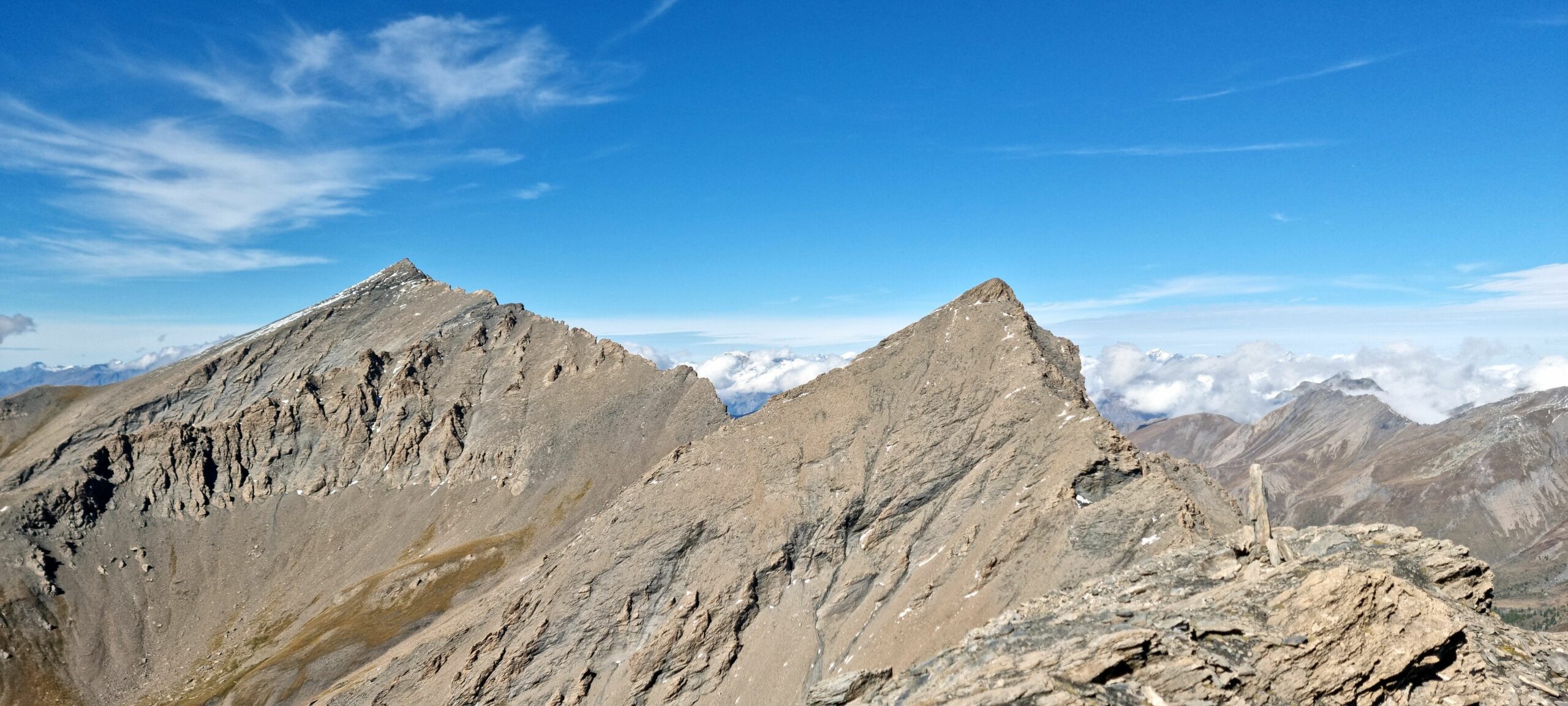
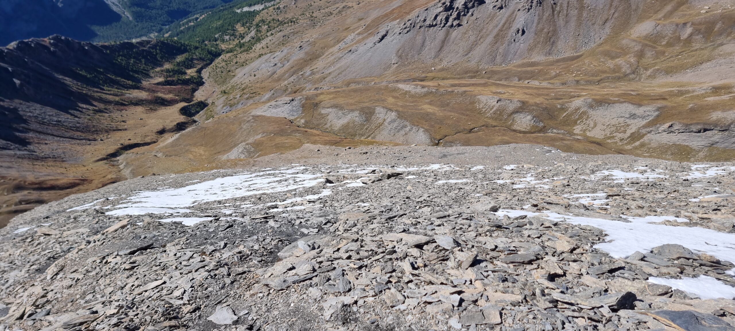
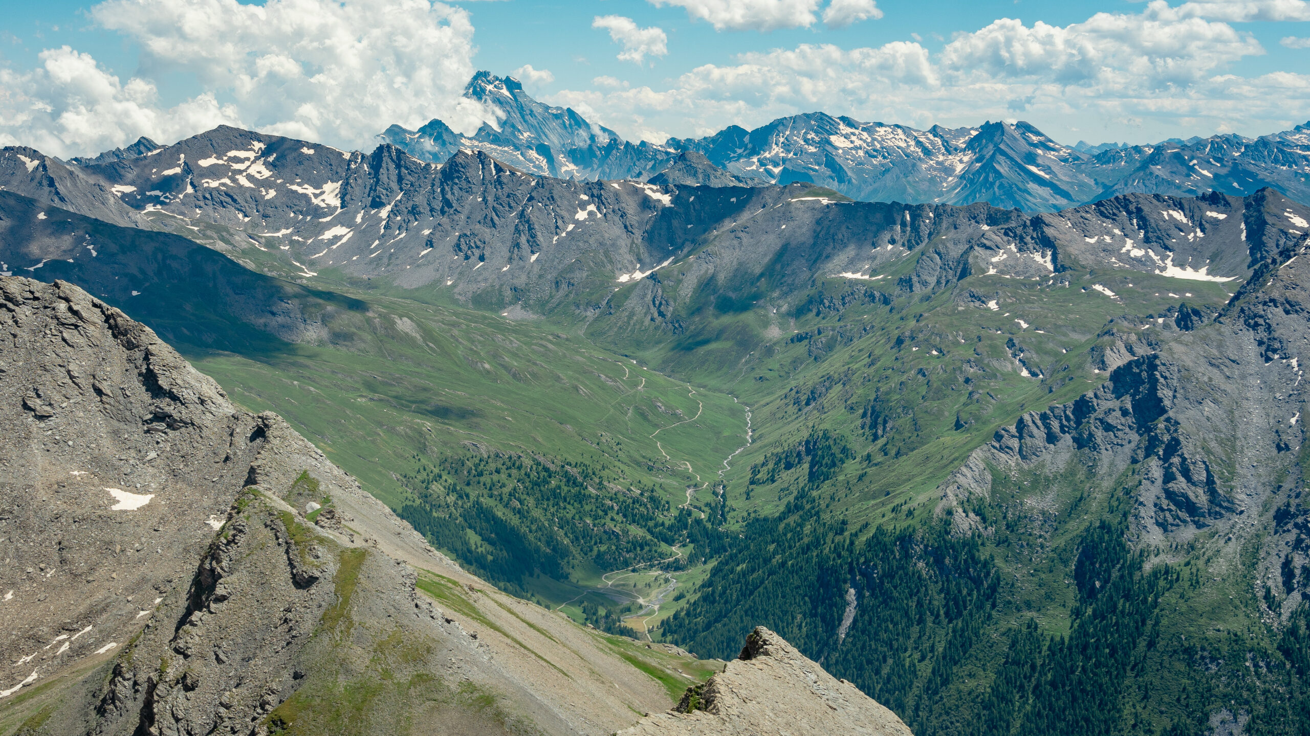
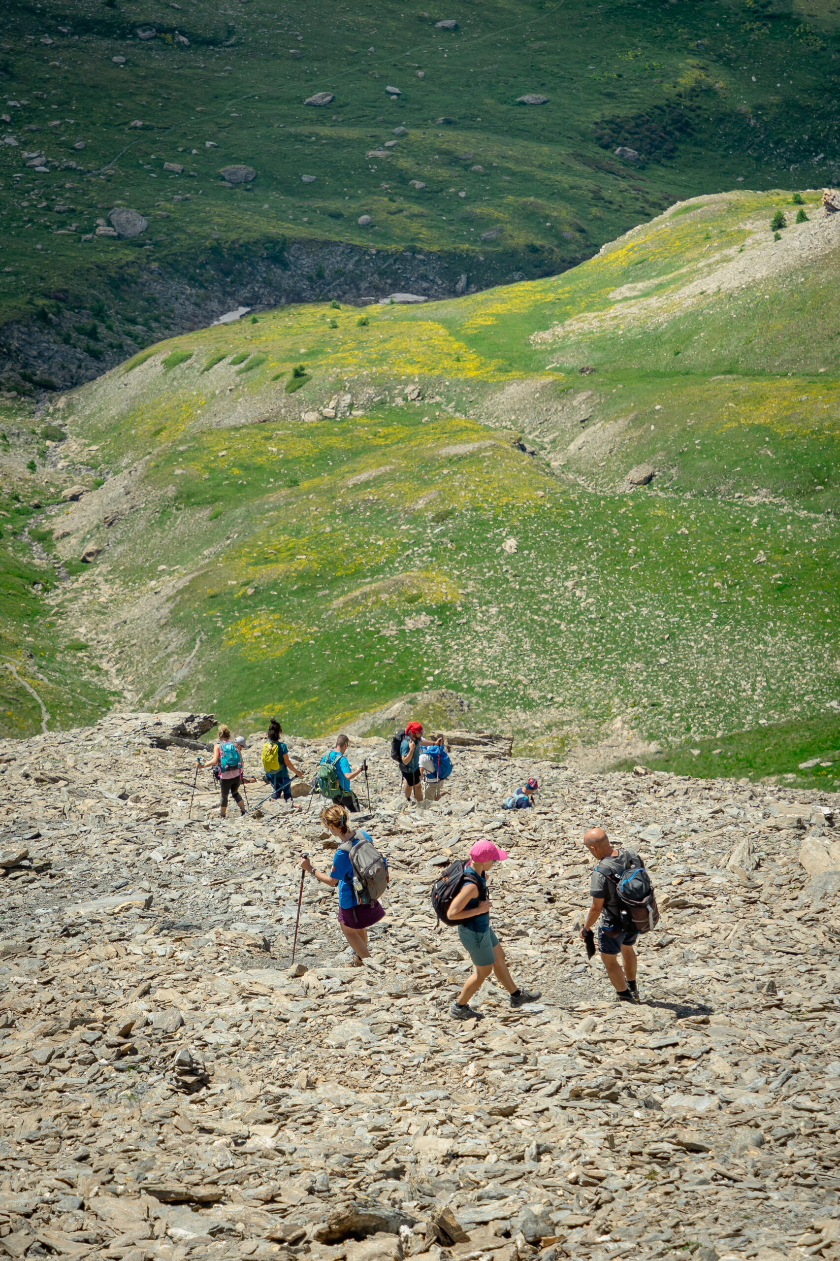
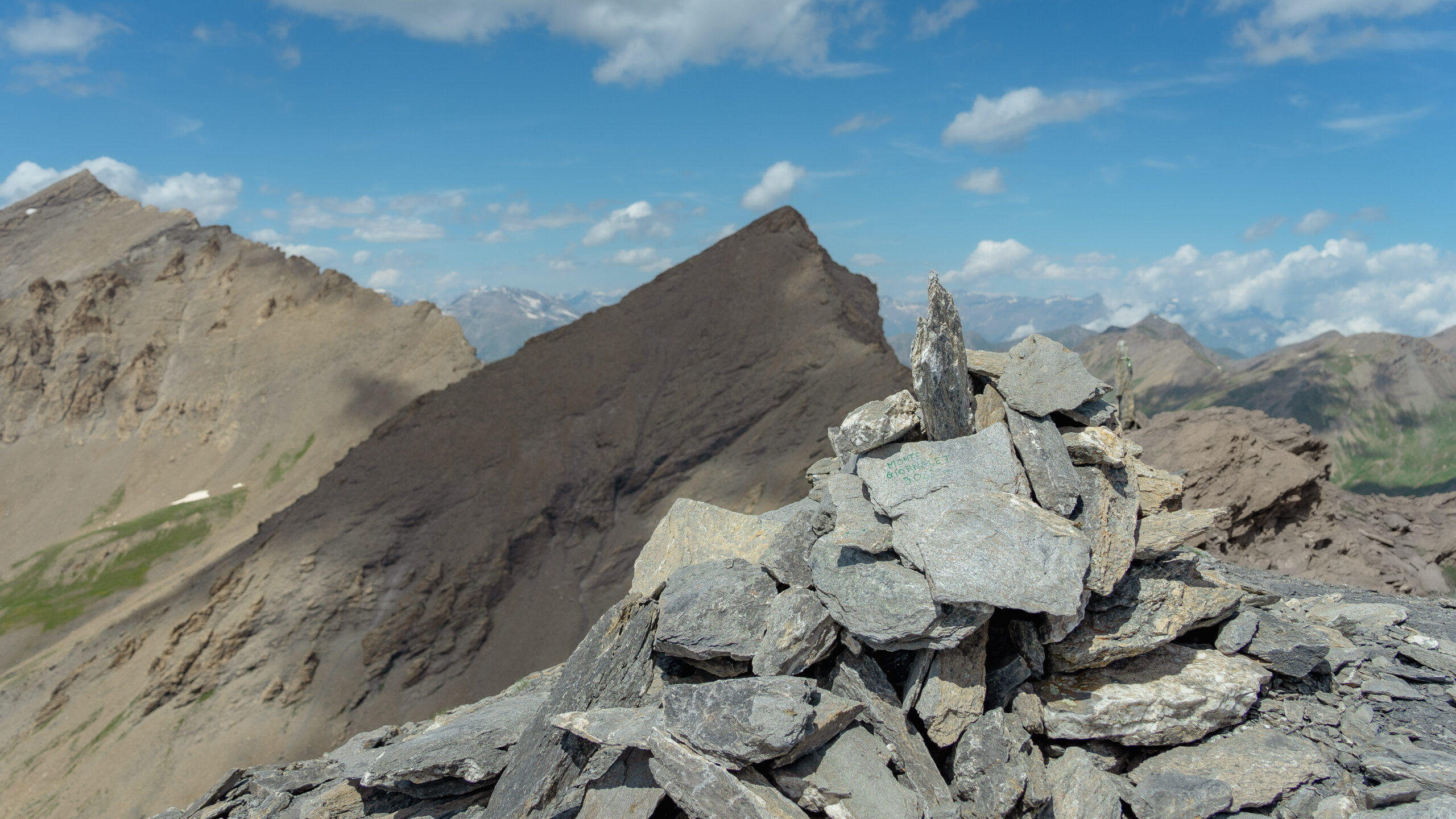
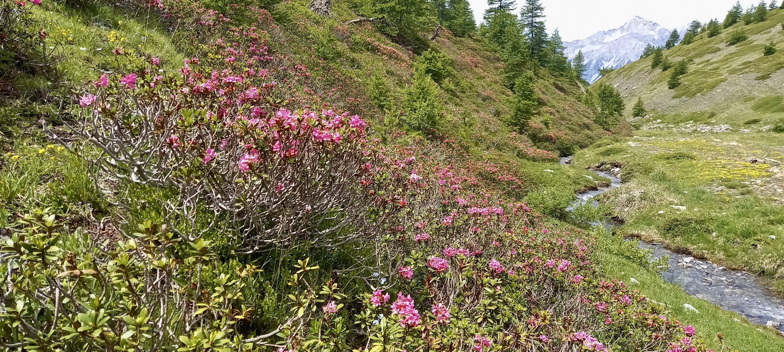
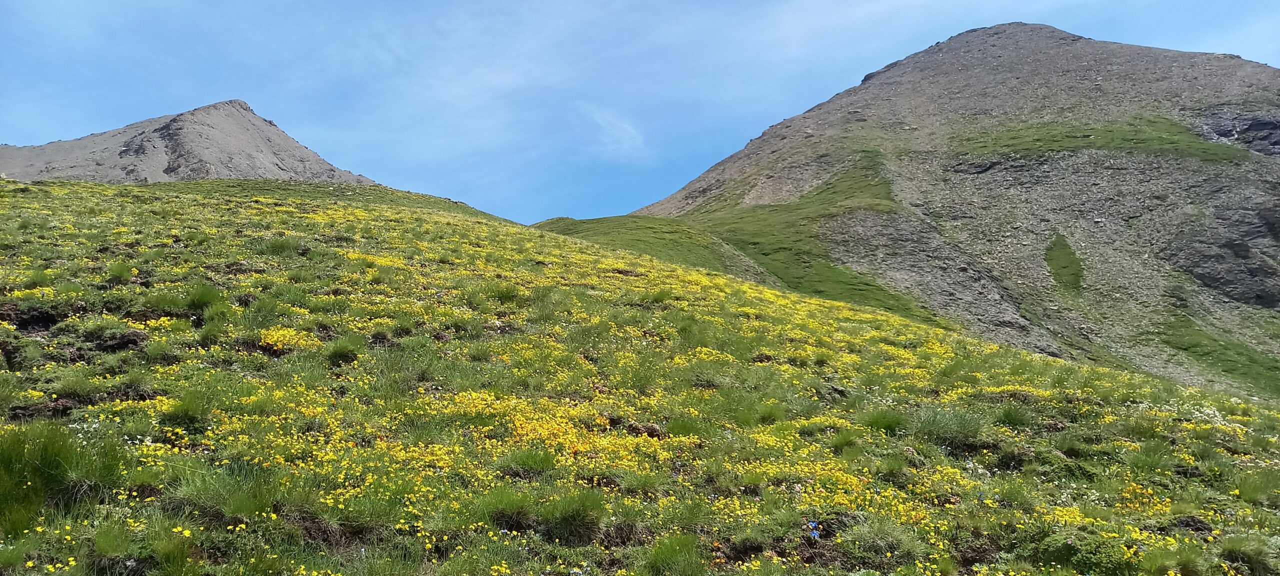
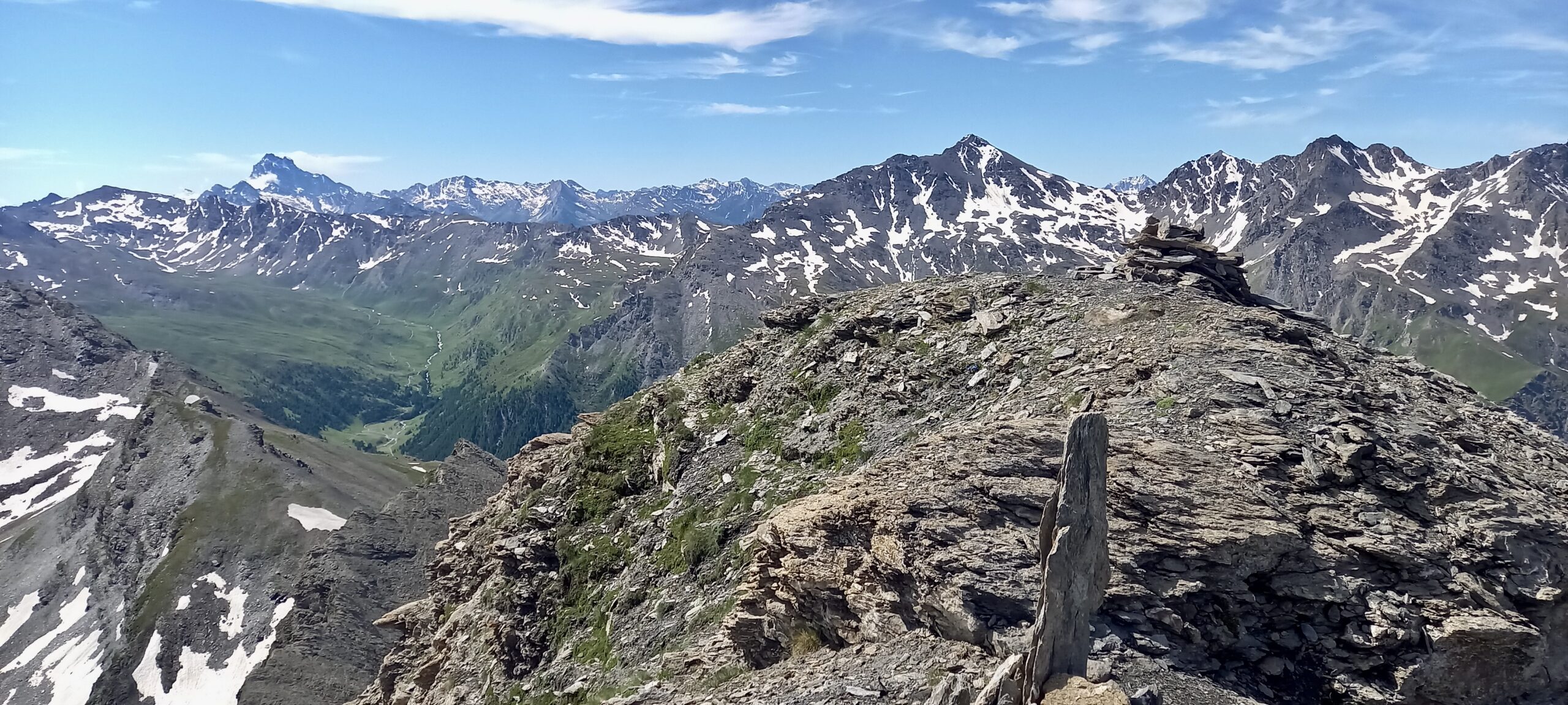
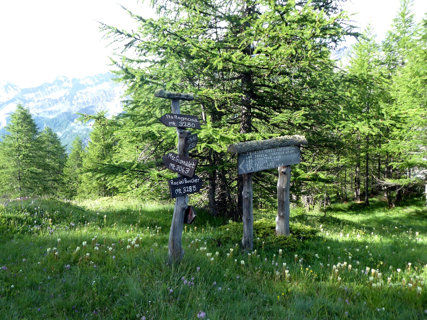
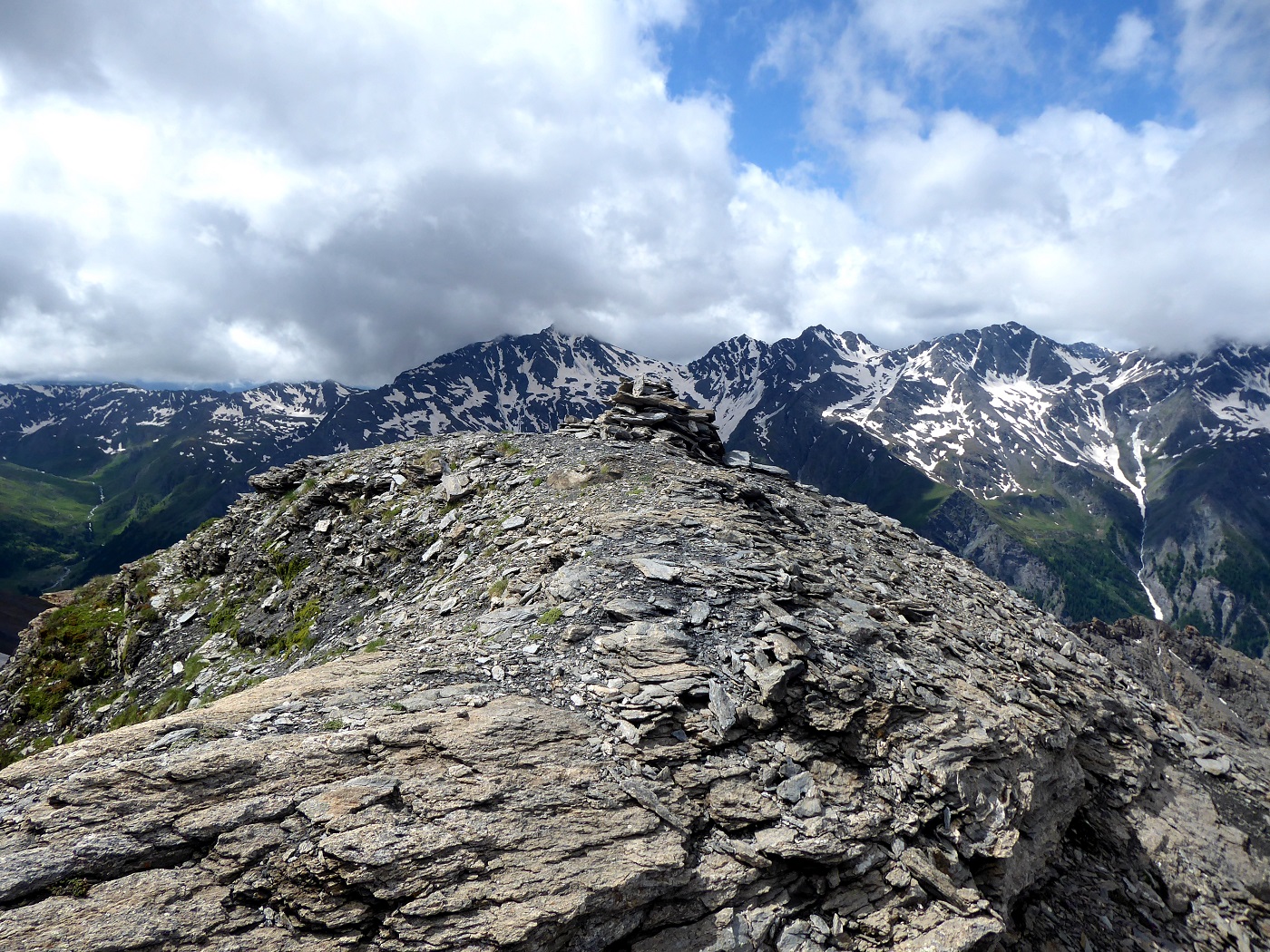
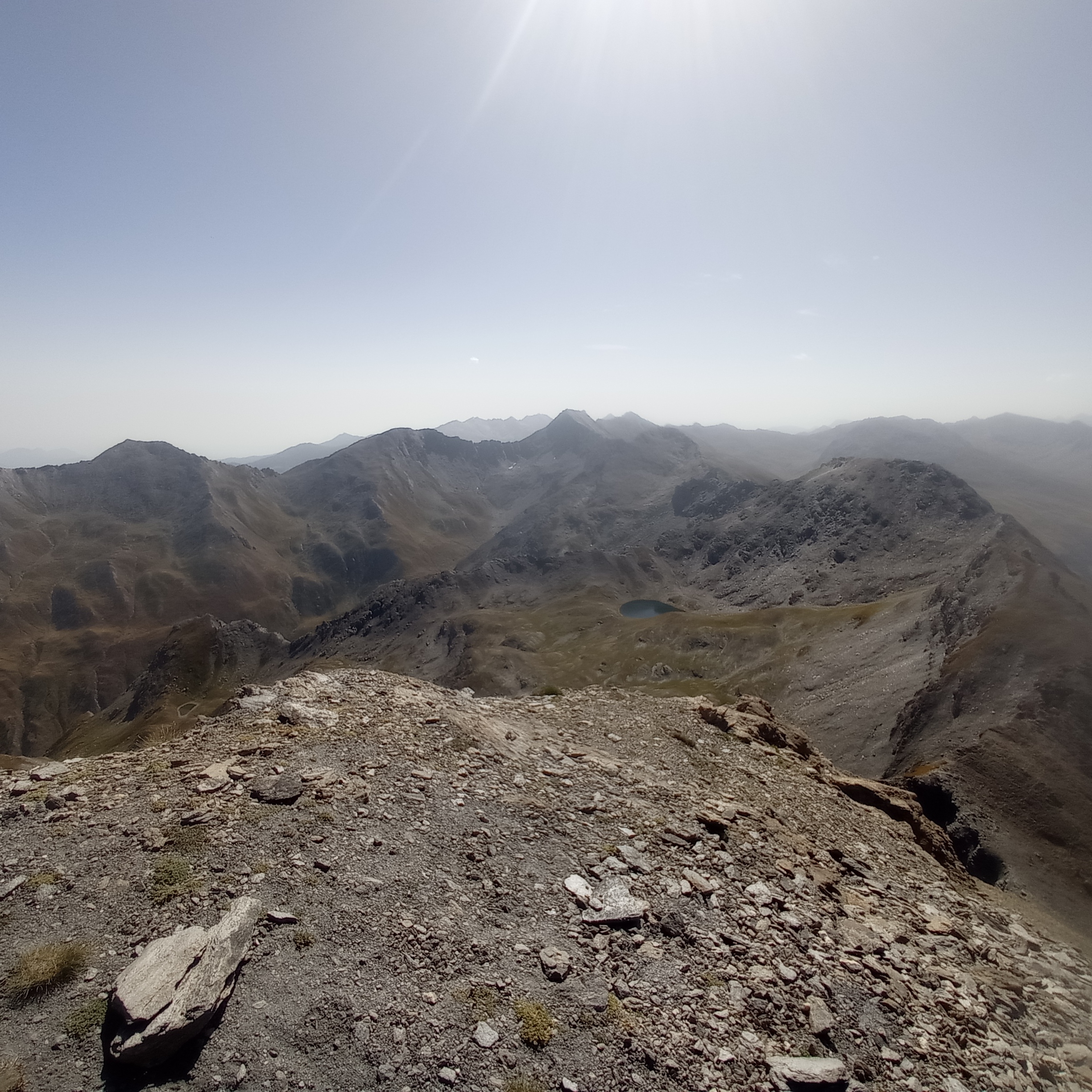
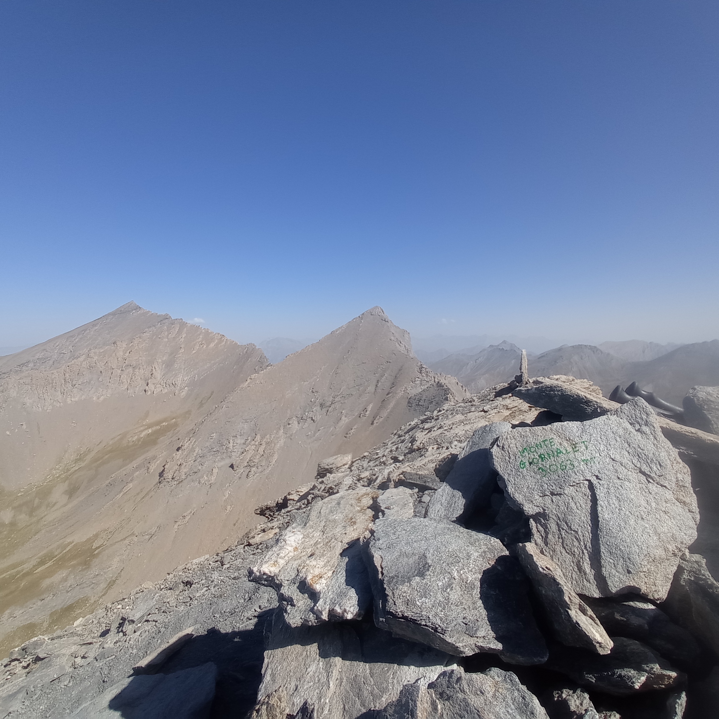
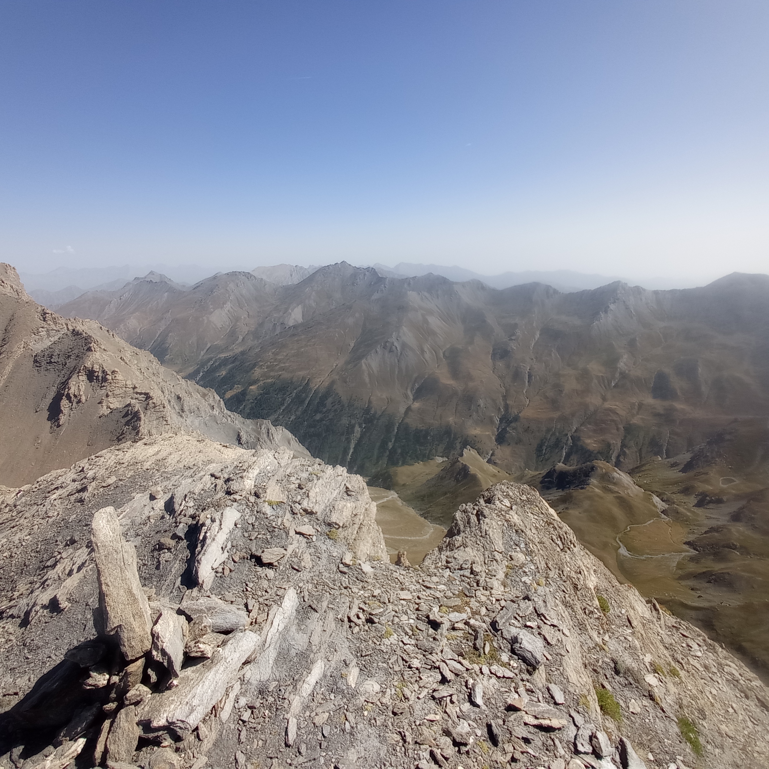
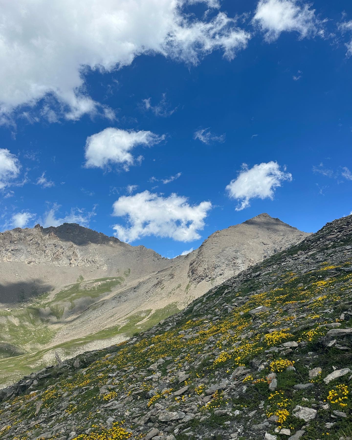
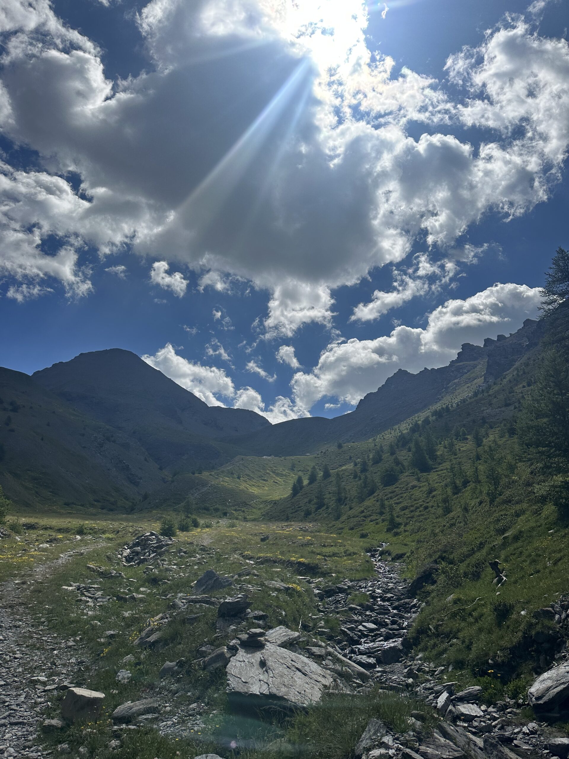
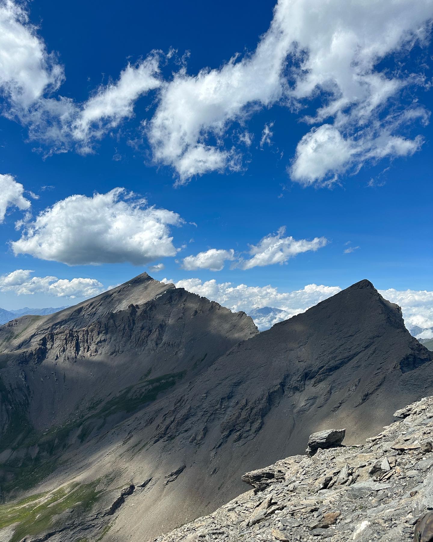
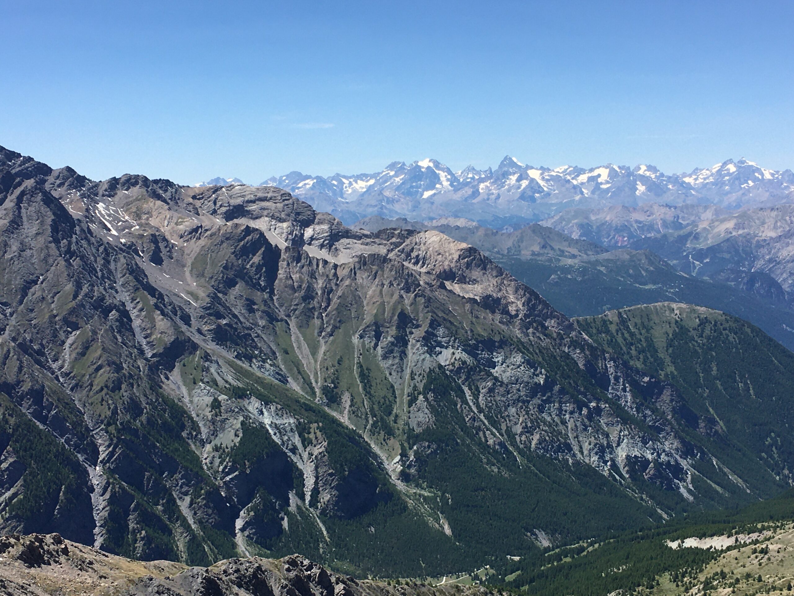
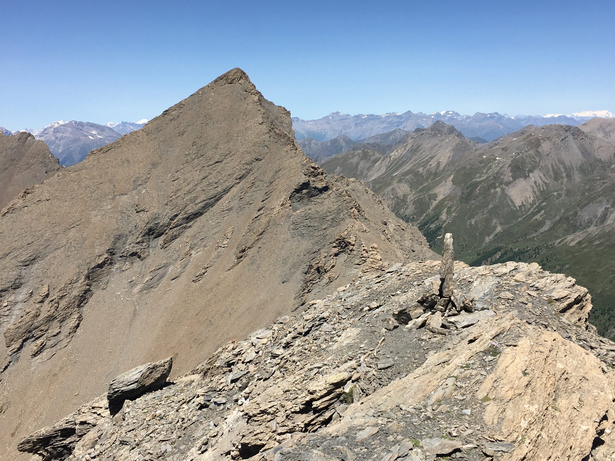
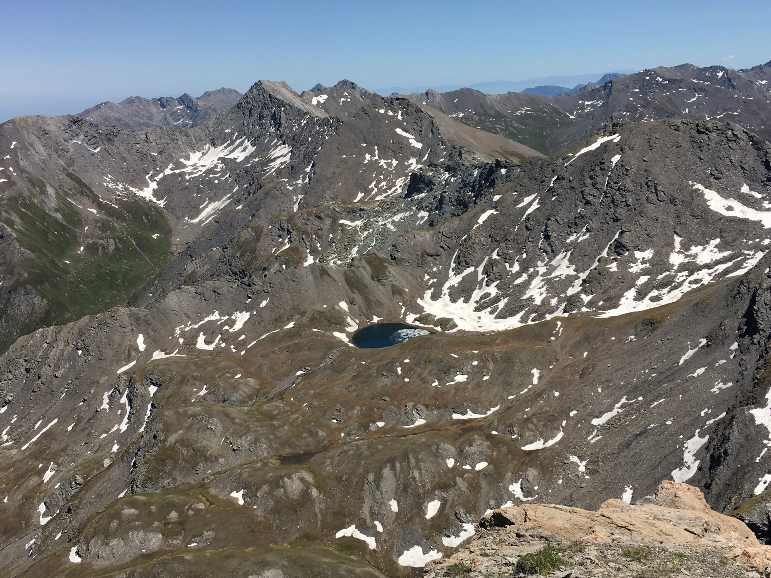
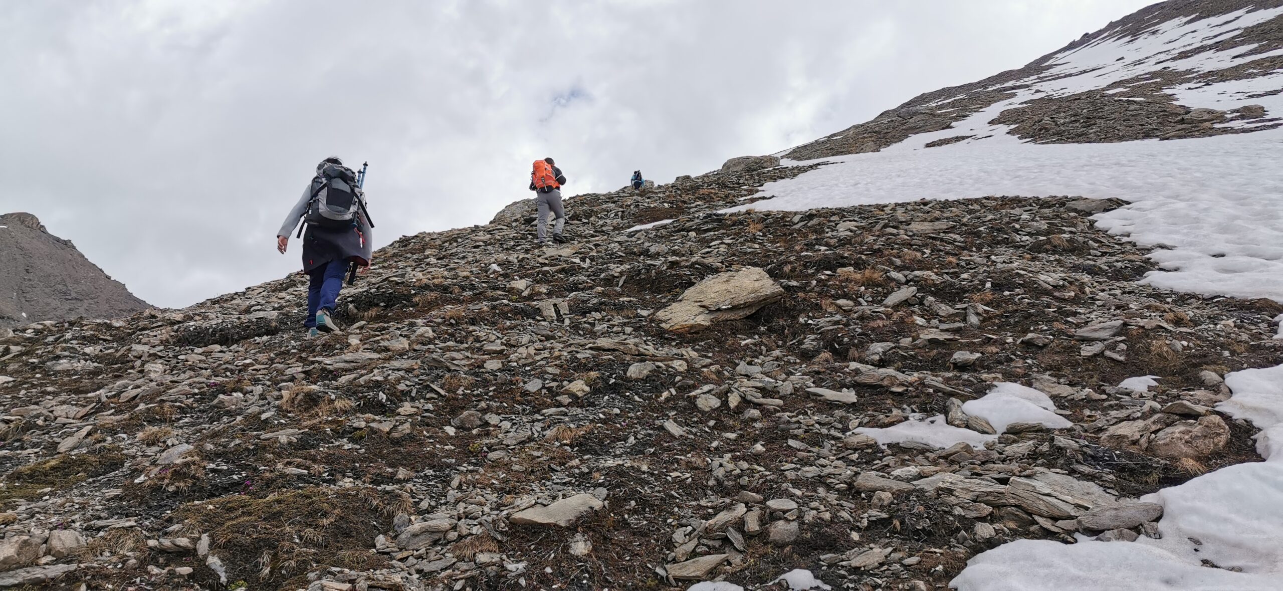
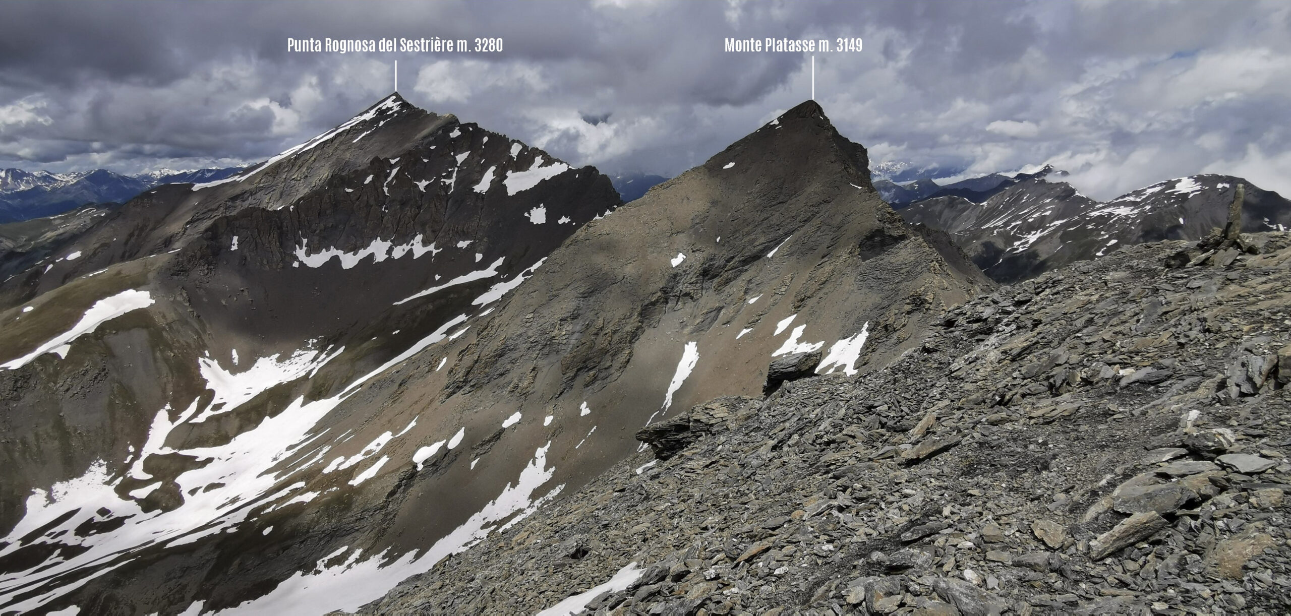
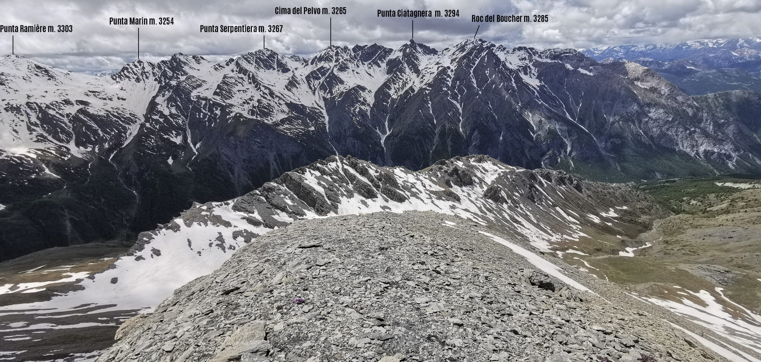
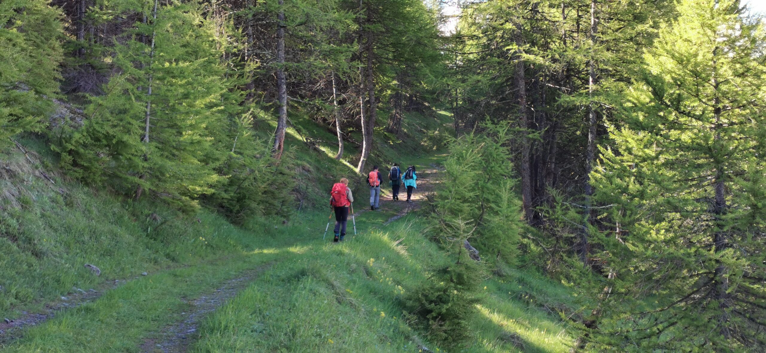
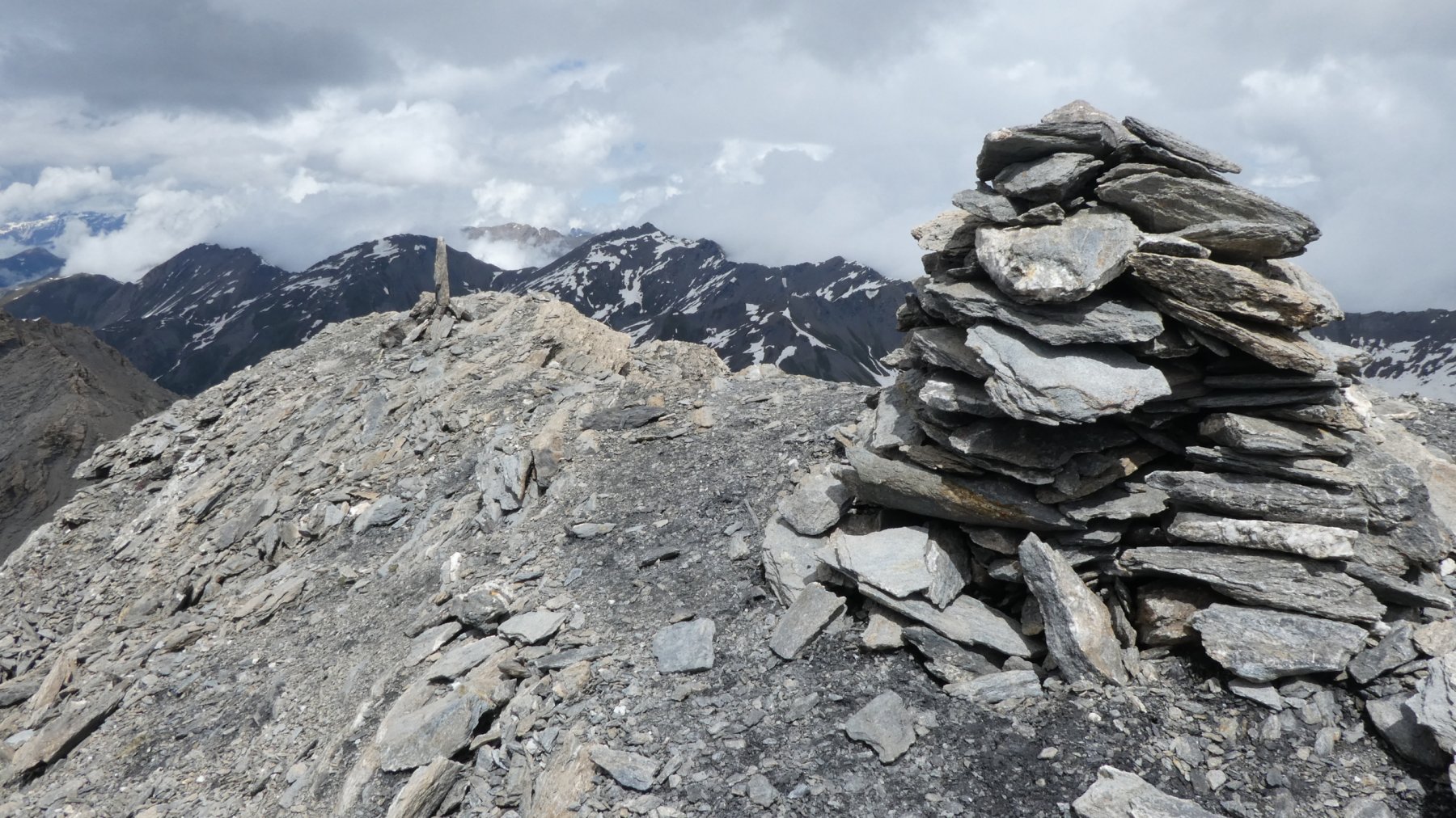
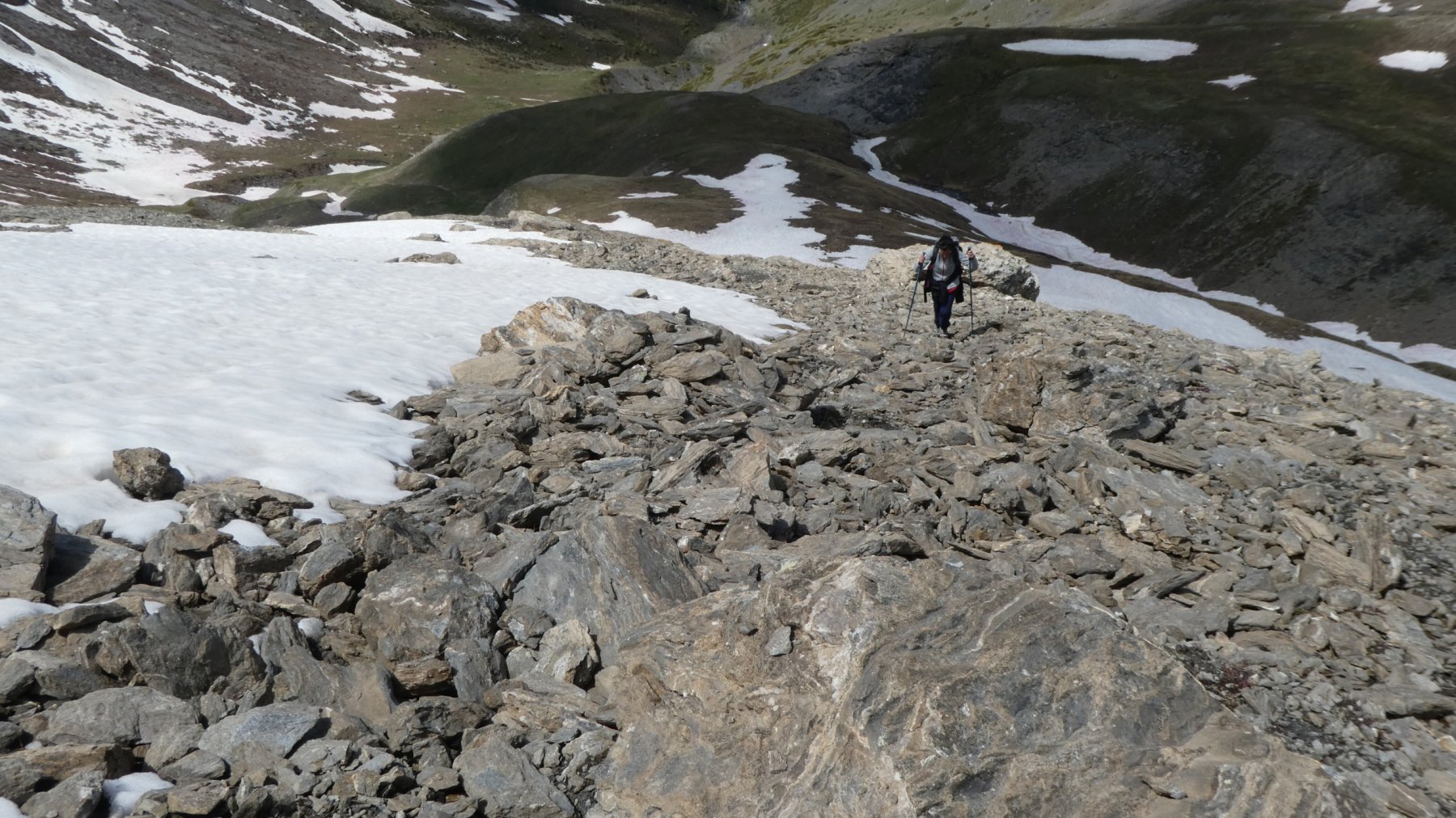
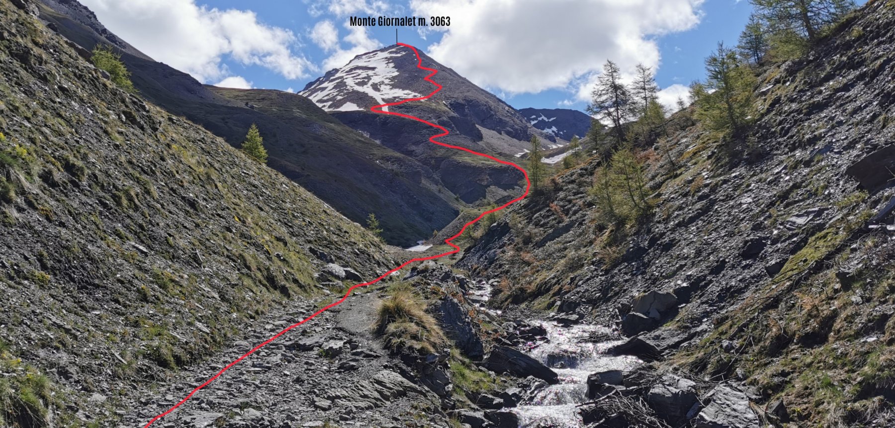
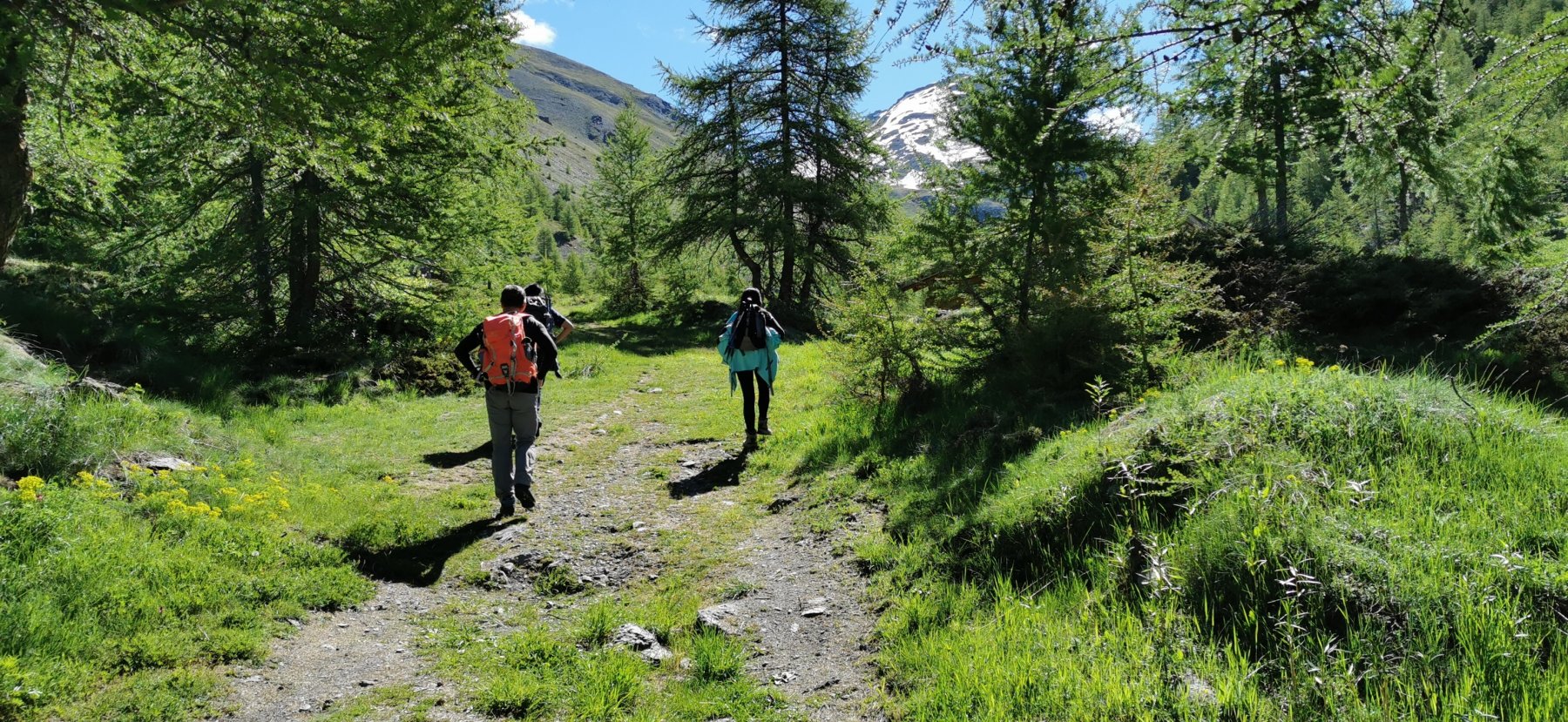
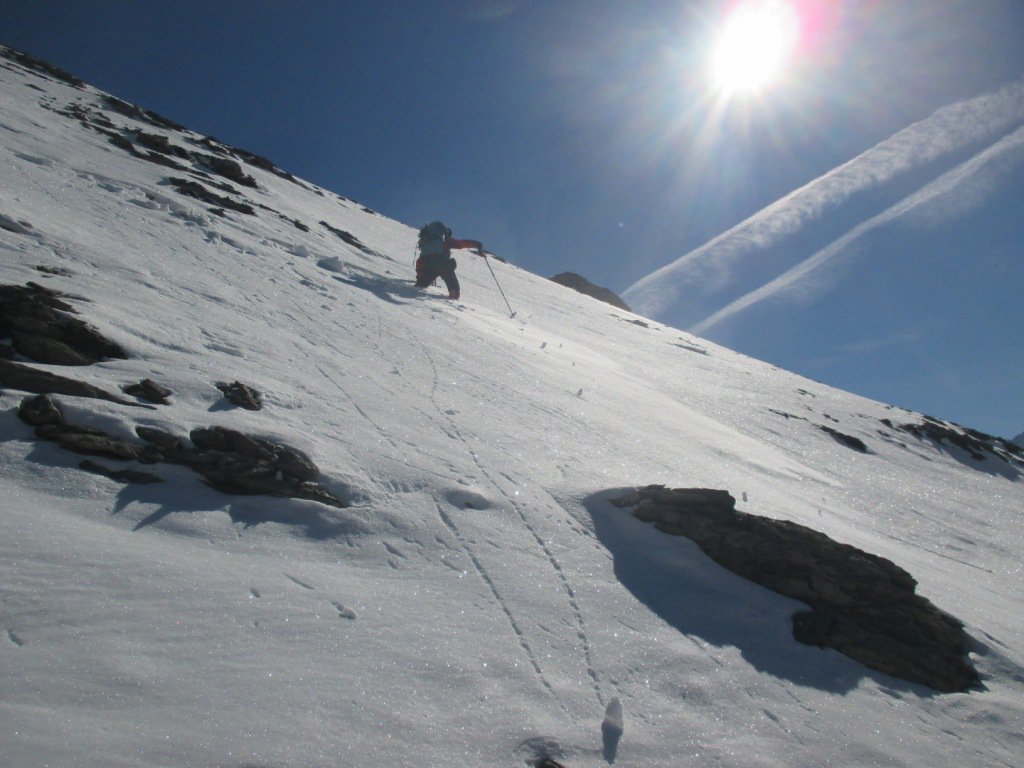
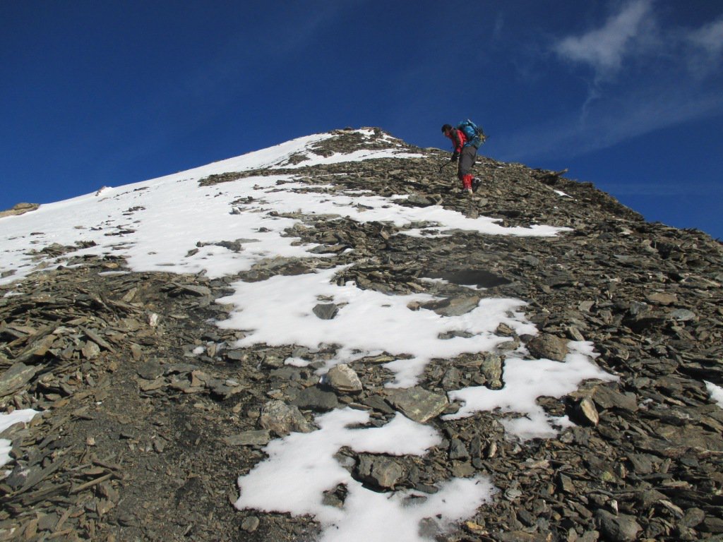
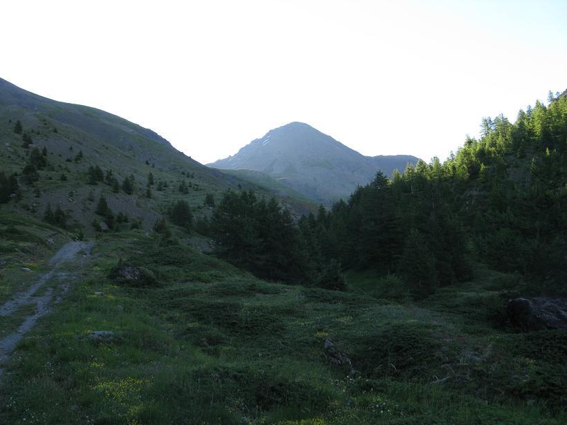
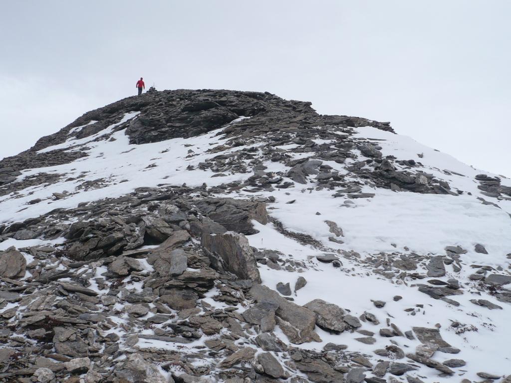
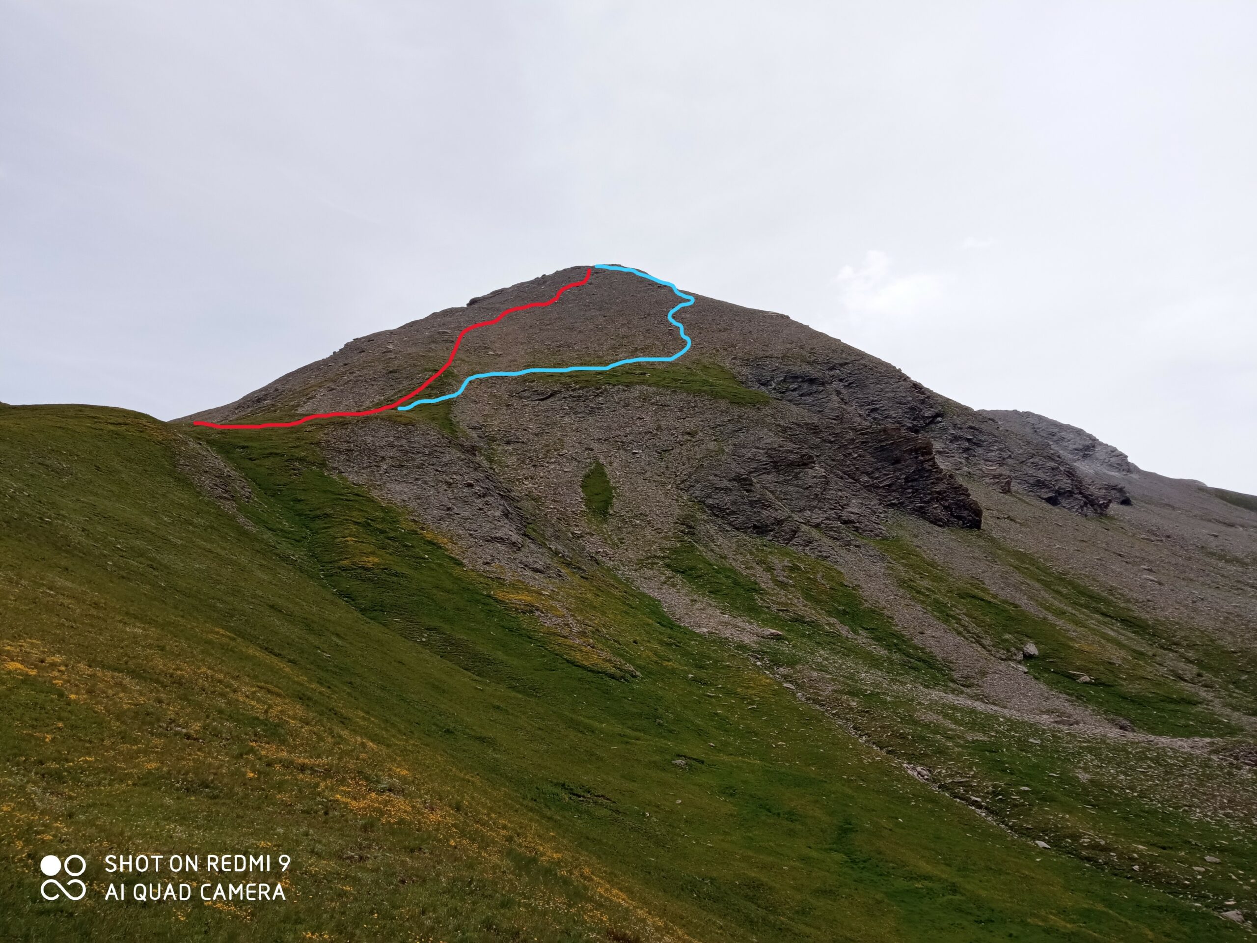
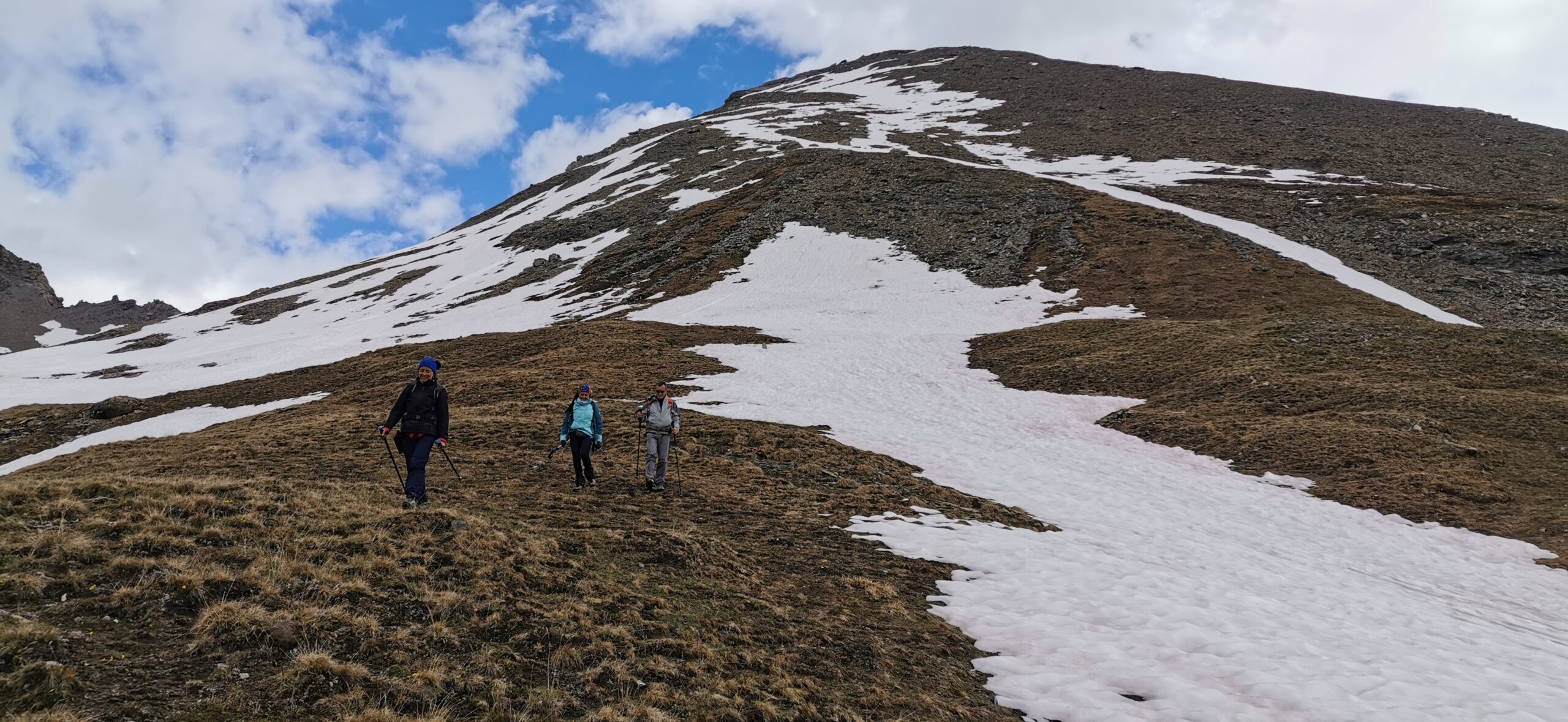
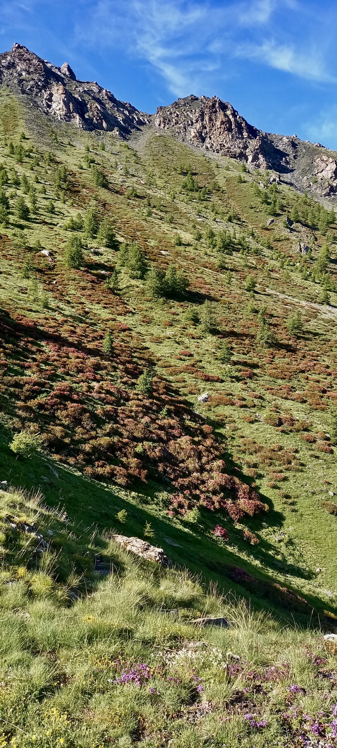
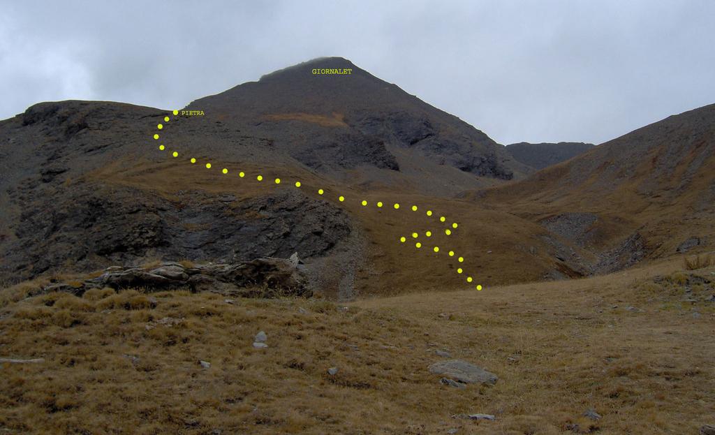
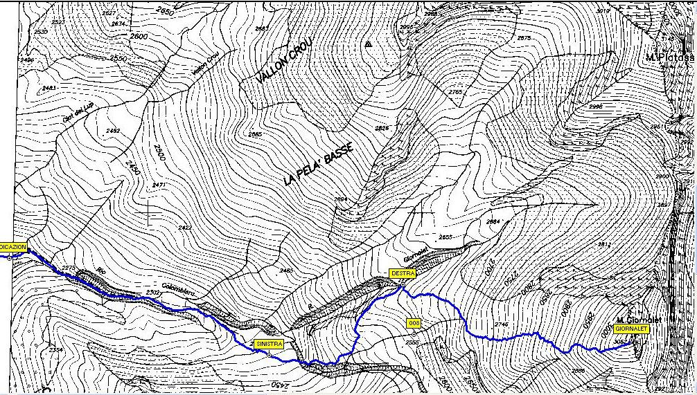
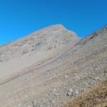
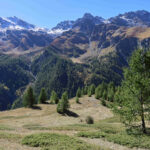
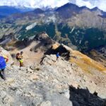
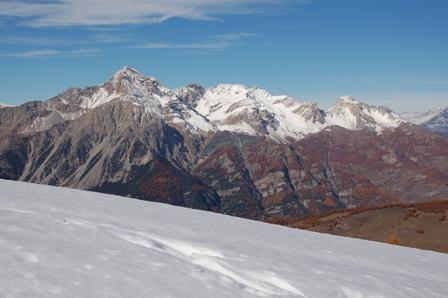
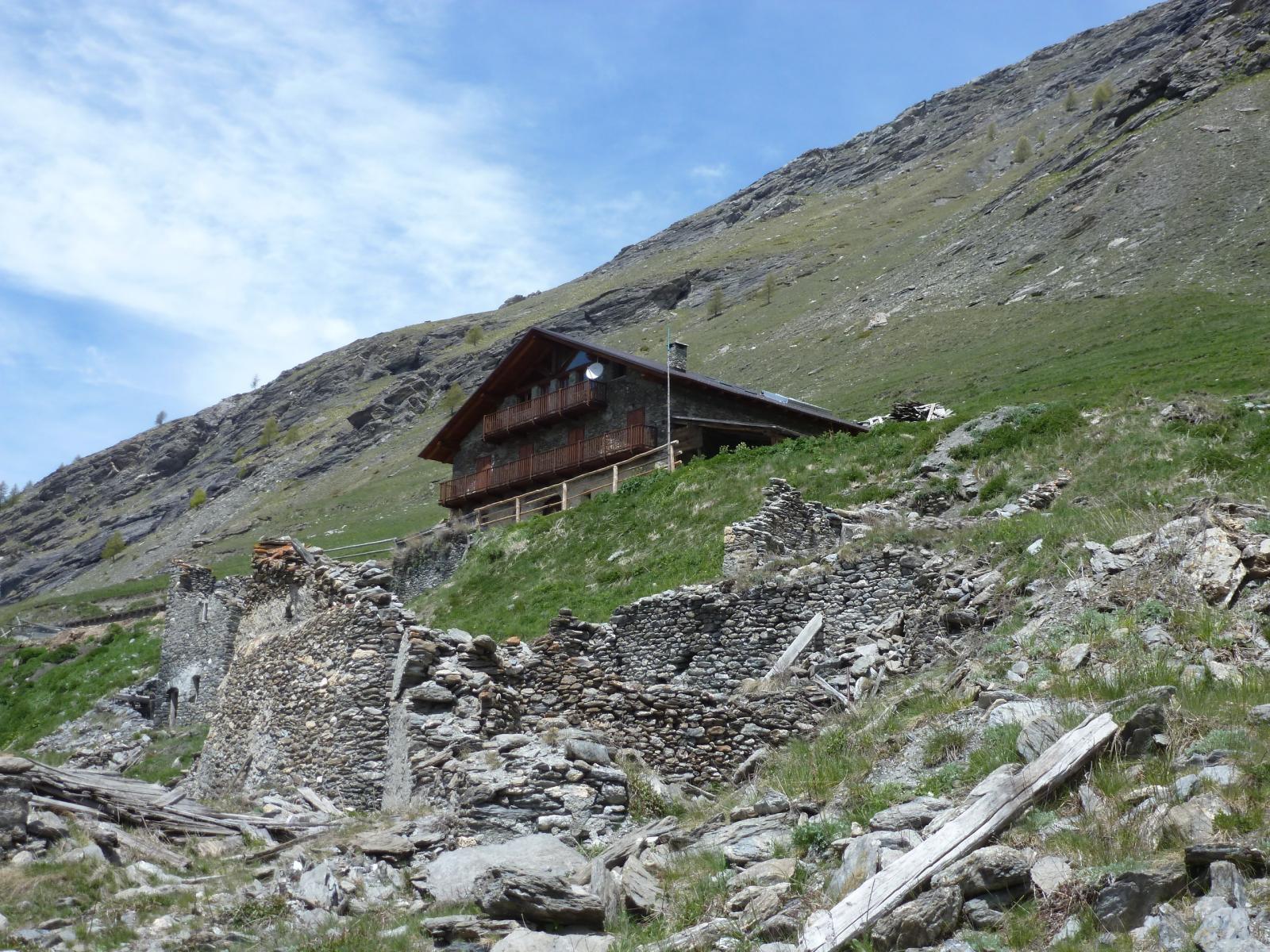
Da Bessen Haut, si oltrepassa la borgata e si inizia a seguire la stradina sterrata (nota come Strada della Lombarda sulla carta Fraternali) con percorso inizialmente pianeggiante e poi in leggera salita, superando a quota 2042 un bel pianoro erboso (Piano del Bue) e volgendo a sinistra, si oltrepassa un secondo pianoro erboso (Serre Ciagrassa m. 2101), poco oltre si intercetta il sentiero che sale da Brusà del Plan, e si raggiunge in breve la Località Sette Fontane (palina con cartelli indicatori), dove si trova anche il Bivacco Ugo Ratazzo (a quota 2240 m). Superato il bivacco ci si inoltra nel valloncello (Vallone del Rio Colombiere) che sale in direzione del soprastante Monte Giornalet (sempre ben visibile, e utile come preciso punto di riferimento), si sale gradualmente fino ad una piccola conca a quota 2530 m sotto il Giornalet, da qui è già visibile il vicino Colle di Rocce Platasse. Si deve individuare una labile traccia di sentiero (nessun segnavia, zero indicazioni) che volge a sinistra per superare un pendio erboso e raggiungere un primo spallone, si prosegue per un tratto lungo il sentierino che prosegue a sinistra (sale al Monte Platasse, cartello a terra) e poi si piega a destra, risalendo la dorsale erbosa che porta alla base del pendio terminale. Non c’è un itinerario ben preciso, si può salire con percorso libero direttamente lungo la ripida china detritica (o innevata a seconda del periodo) fino alla cima, oppure spostarsi gradualmente a destra fino a reperire una piccola traccia (qui indicata finalmente da diversi ometti) che sale con alcune diagonali prima e direttamente poi fino a raggiungere l’ampia cima, dove si trova un grande ometto di pietre (dove non c’è più la piccola croce di legno) e un altro ometto di pietre distanziato di pochi metri dal principale. (ore 3.30 indicative, da Bessen Haut alla cima). In discesa si percorre a ritroso lo stesso itinerario di salita.
- Cartografia:
- IGC foglio 105 – Sestriere, Claviere, San Sicario, Prali. Scala 1:25000; Fraternali Editore foglio 2 – Alta Val Chisone, Alta Valle Susa. Scala 1:25000
- Bibliografia:
- Guida dei Monti d’Italia CAI-TCI Alpi Cozie Centrali
Nelle vicinanze Mappa
Itinerari
15/07/2024 TO, Sauze di Cesana D+ 1050 m EE Nord-Ovest
Fauri Nord (Punta) da Bessen Haut
 50m
50m
20/06/2026 TO, Sauze di Cesana D+ 1315 m EE Sud-Ovest
Rognosa del Sestriere (Punta) da Bessen Haut per il versante SO
 50m
50m
01/11/2023 TO, Sauze di Cesana D+ 380 m T Varie
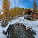
Ratazzo Ugo (Bivacco) da Bessen Haut
 50m
50m
28/07/2025 TO, Sauze di Cesana D+ 1200 m EE Ovest
Fauri Sud (Punta) da Bessen Haut
50m
29/09/2024 TO, Sauze di Cesana D+ 650 m E Sud
Argentera (Grange) da Bessen Haut, anello della Valle Argentera per il sentiero Balcone e Brusà del Plan
 50m
50m
04/09/2022 TO, Sauze di Cesana D+ 1500 m EE/F Nord
Gran Roc (Monte) da Ponte Terribile
 1Km
1Km
24/06/2022 TO, Sauze di Cesana D+ 836 m E Nord
Bosco (Cima del) da Sauze di Cesana
 2Km
2Km
05/07/2026 TO, Sestriere D+ 1246 m EE Nord-Ovest
Rognosa del Sestriere (Punta) da Sestriere per il Passo di San Giacomo
 2.5Km
2.5Km
01/05/2026 TO, Sestriere D+ 692 m EE Ovest
Querellet (Monte) e Monte Sises da Sestriere, anello per il Passo di San Giacomo
 2.9Km
2.9Km
20/07/2016 TO, Sauze di Cesana D+ 280 m T Nord-Ovest
Alpe Plane (Rifugio) da Brusà del Plan
 3.1Km
3.1Km
Servizi
200m
6.1Km
da Carlo Rifugio
Cesana Torinese
6.1Km
La Tana degli Orsi B&B
Cesana Torinese
6.1Km
La Crota B&B
Cesana Torinese
6.3Km
La Fontana del Thures Rifugio
Cesana Torinese
6.5Km
Centro Ristorante
Cesana Torinese
7.6Km
Mulino di Laval Rifugio
Pragelato
7.9Km
La capanna del sole Ristorante
Pragelato
7.9Km
Al Mulino Ristorante
Pragelato
8.4Km