2.6Km
2.6Km
Note
 50m
50m
2.5Km
2.5Km
3.4Km
3.4Km
4.3Km
5.6Km
5.6Km
50m
50m
2.5Km
2.5Km
3.4Km
3.4Km
4.3Km
5.6Km
5.6Km
2.6Km
6Km
6Km
6.2Km
6.9Km
7.3Km
7.6Km
7.6Km
7.6Km
8.2Km
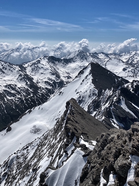
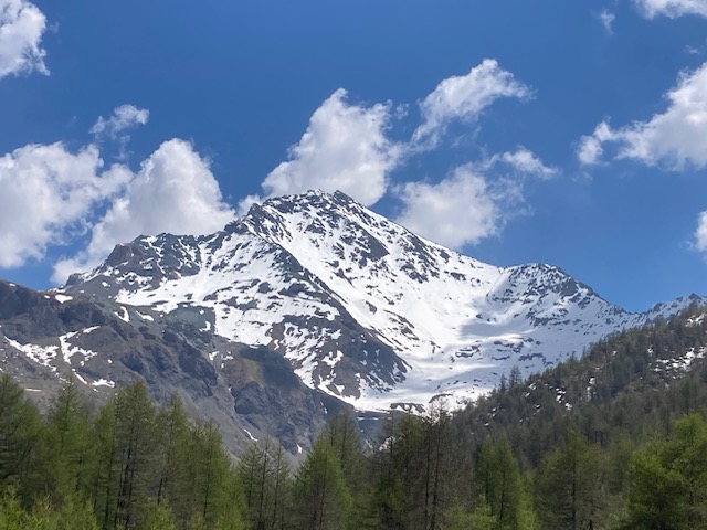
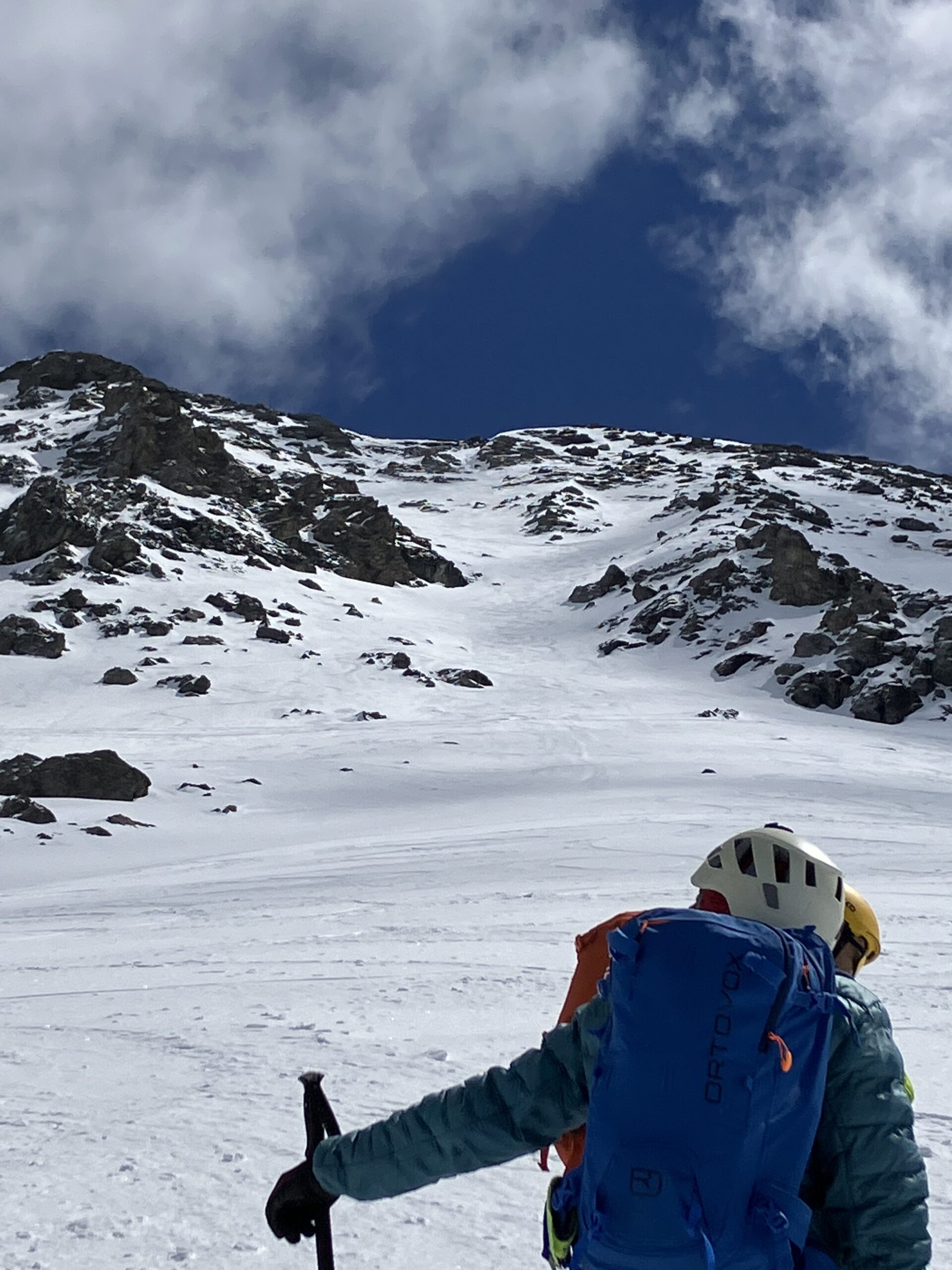
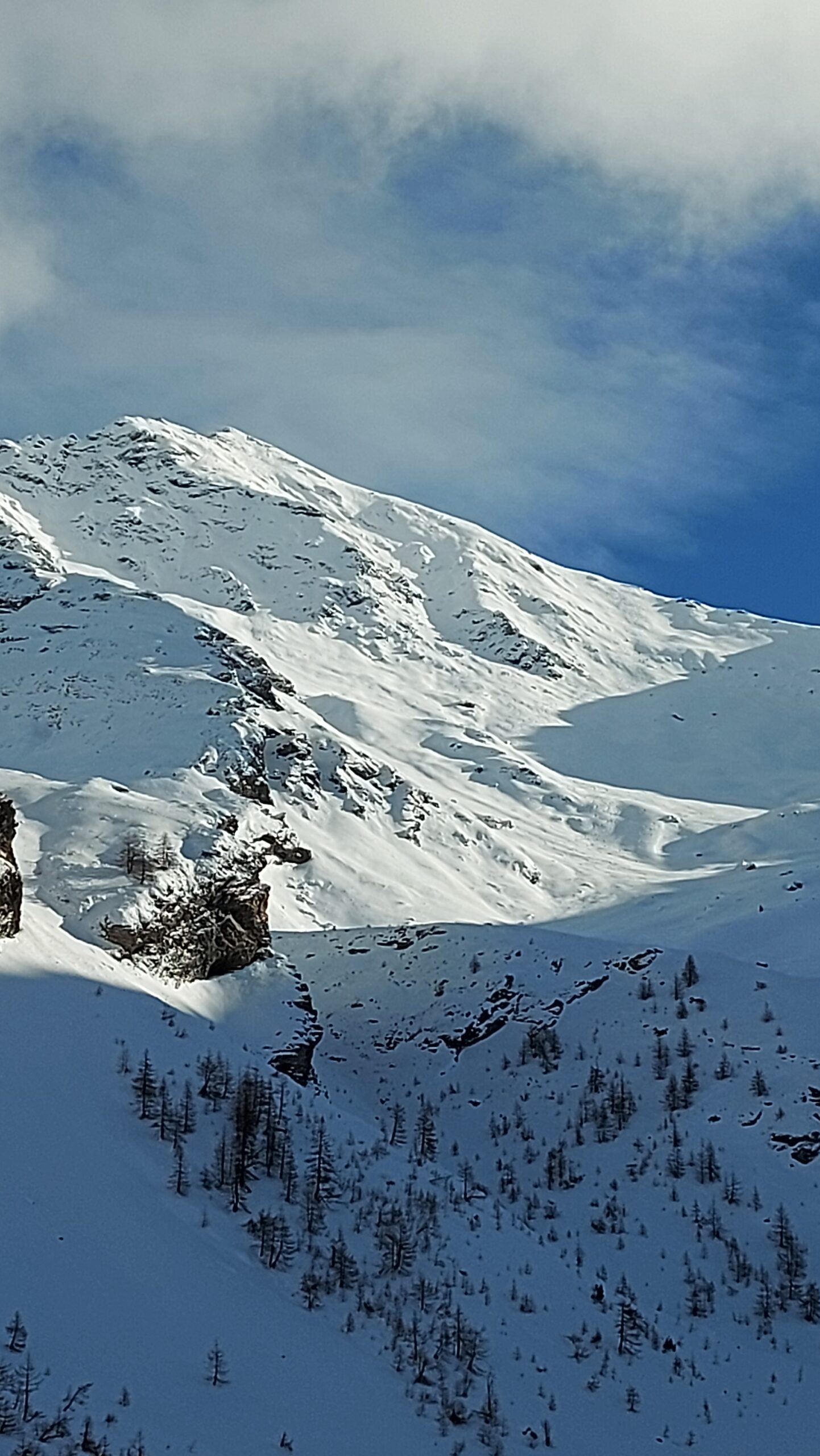
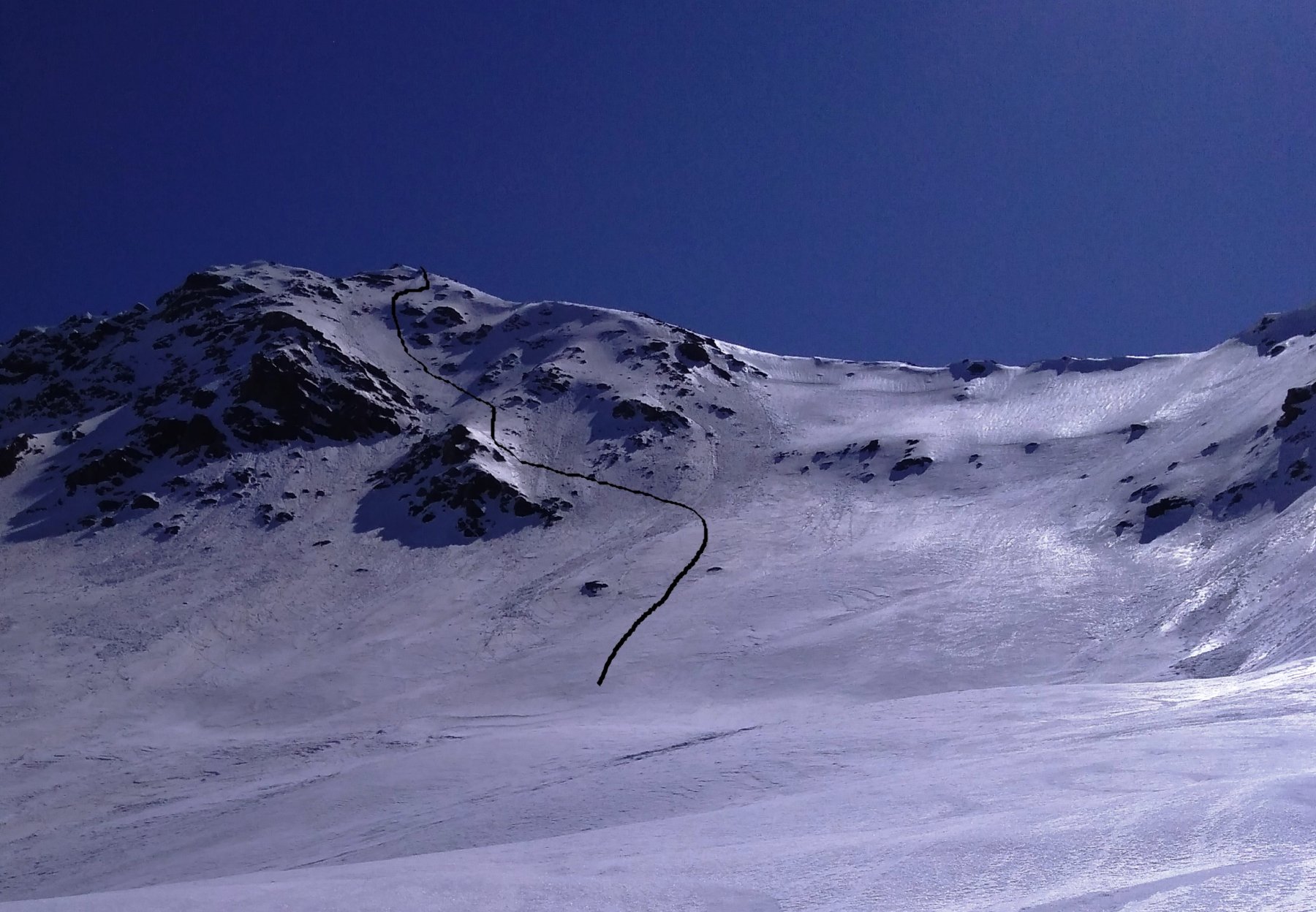
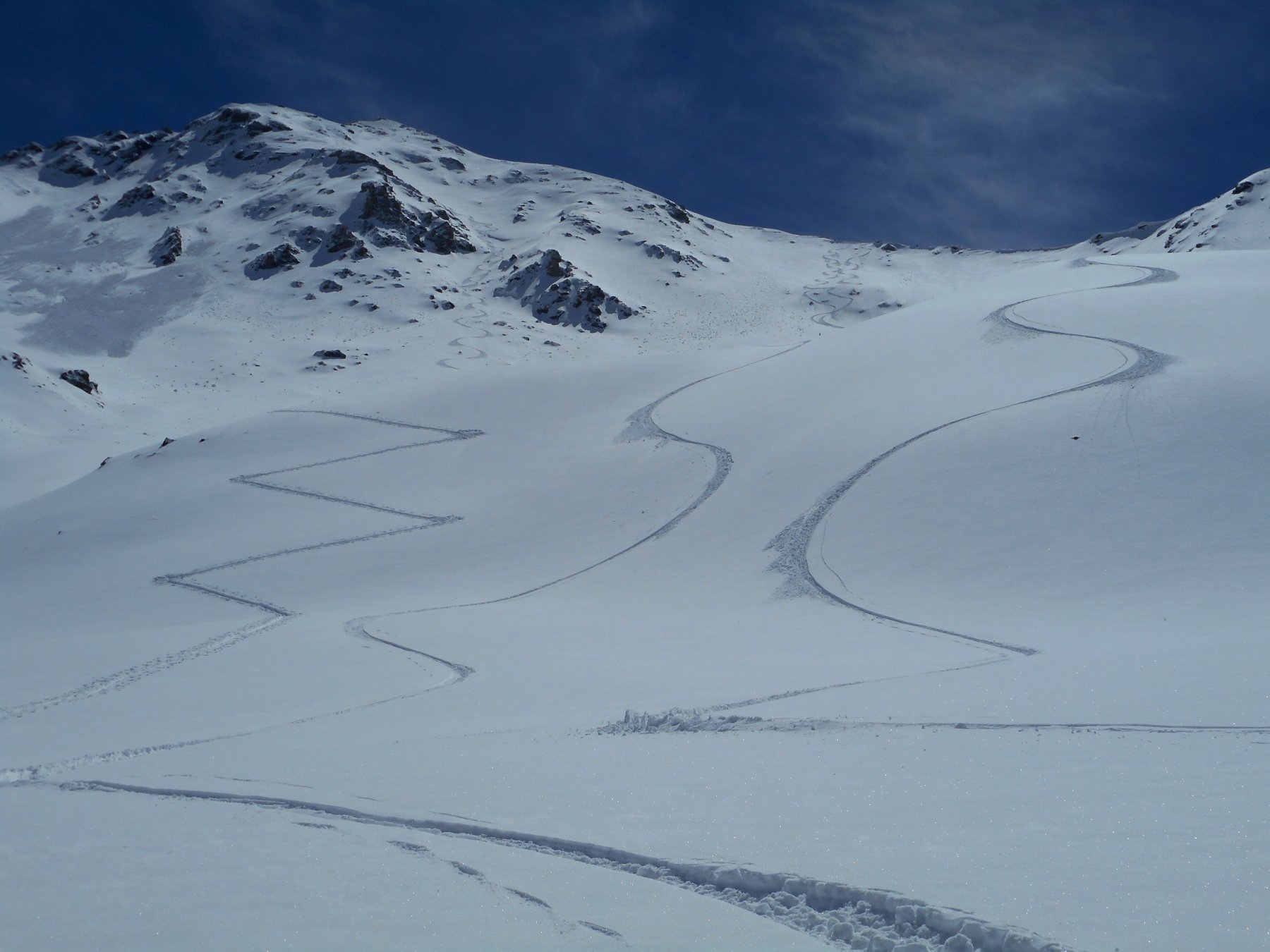
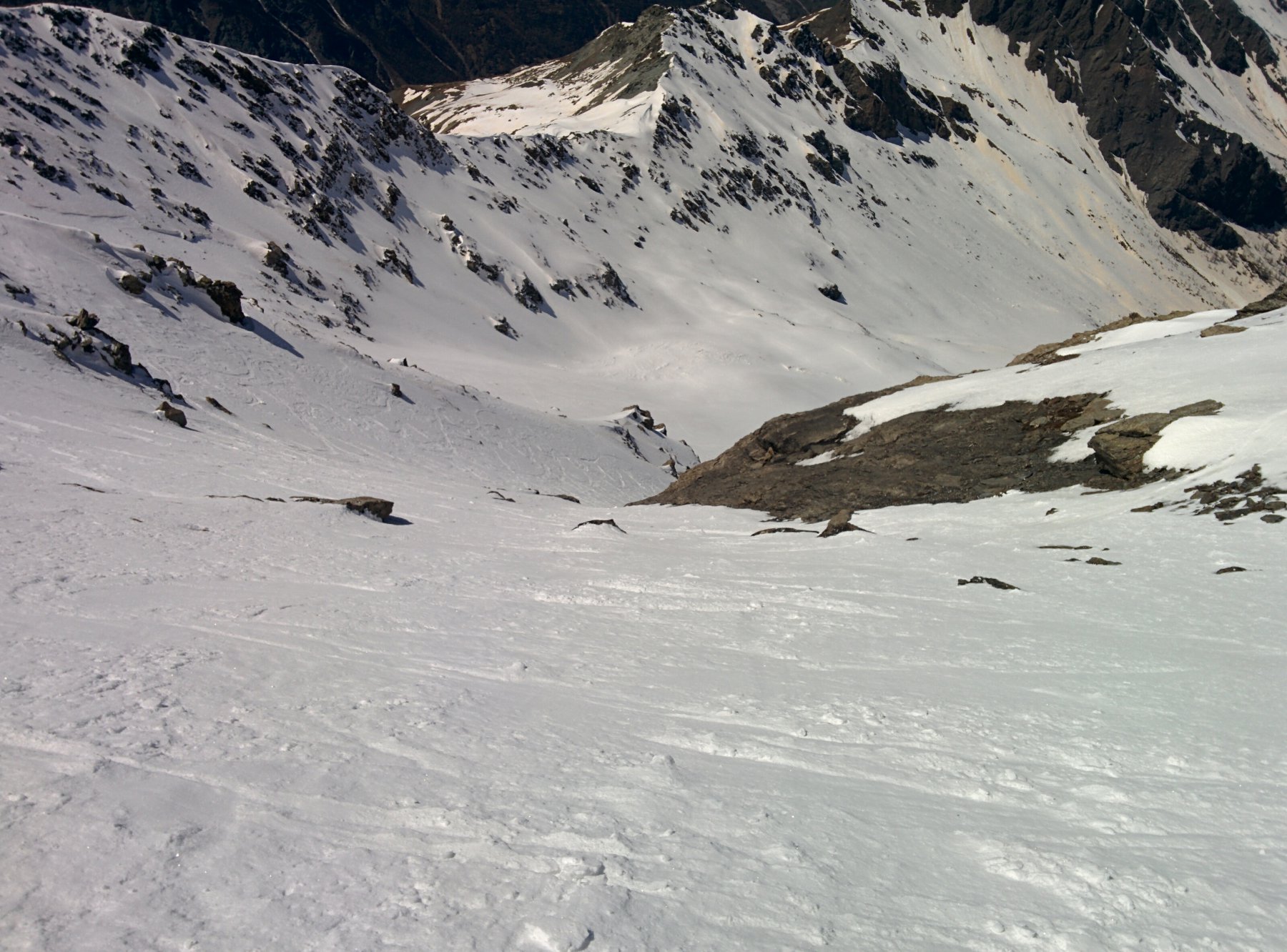
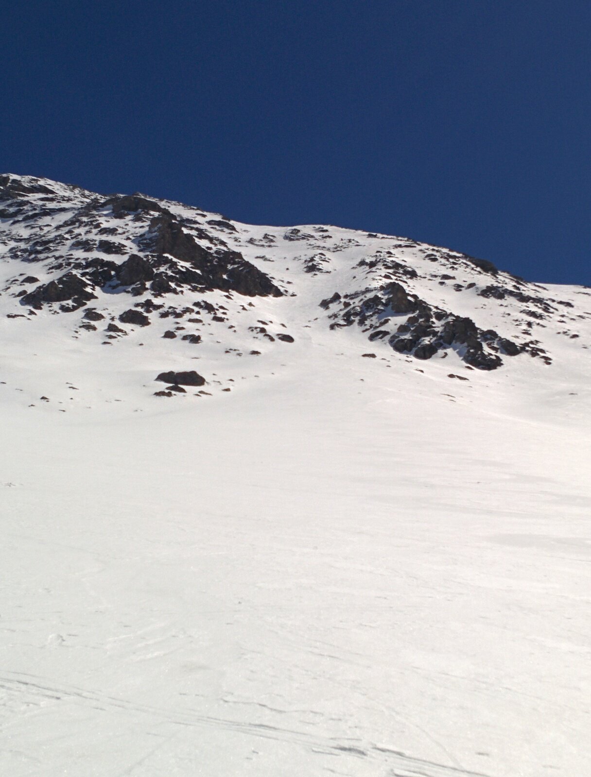
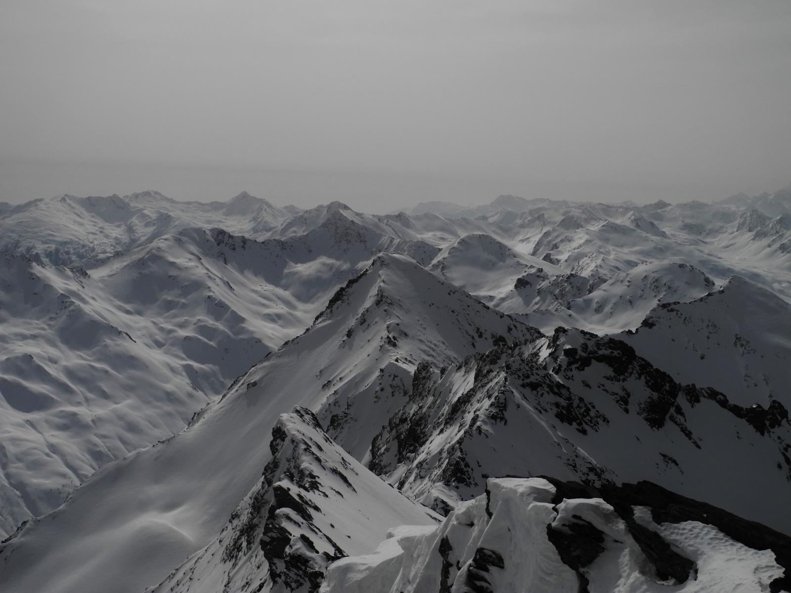
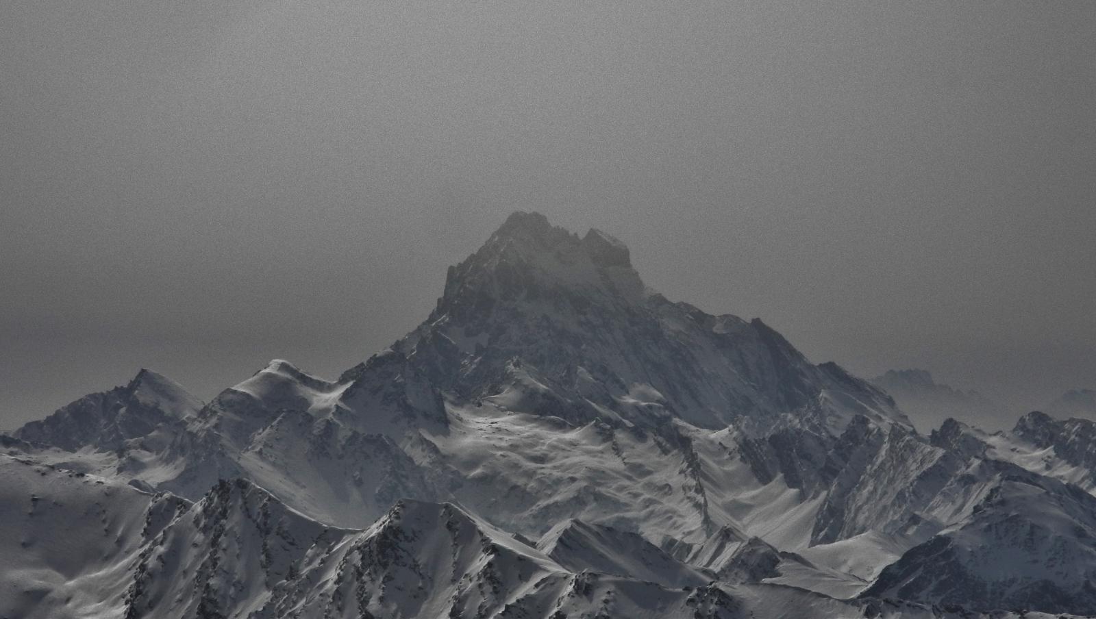
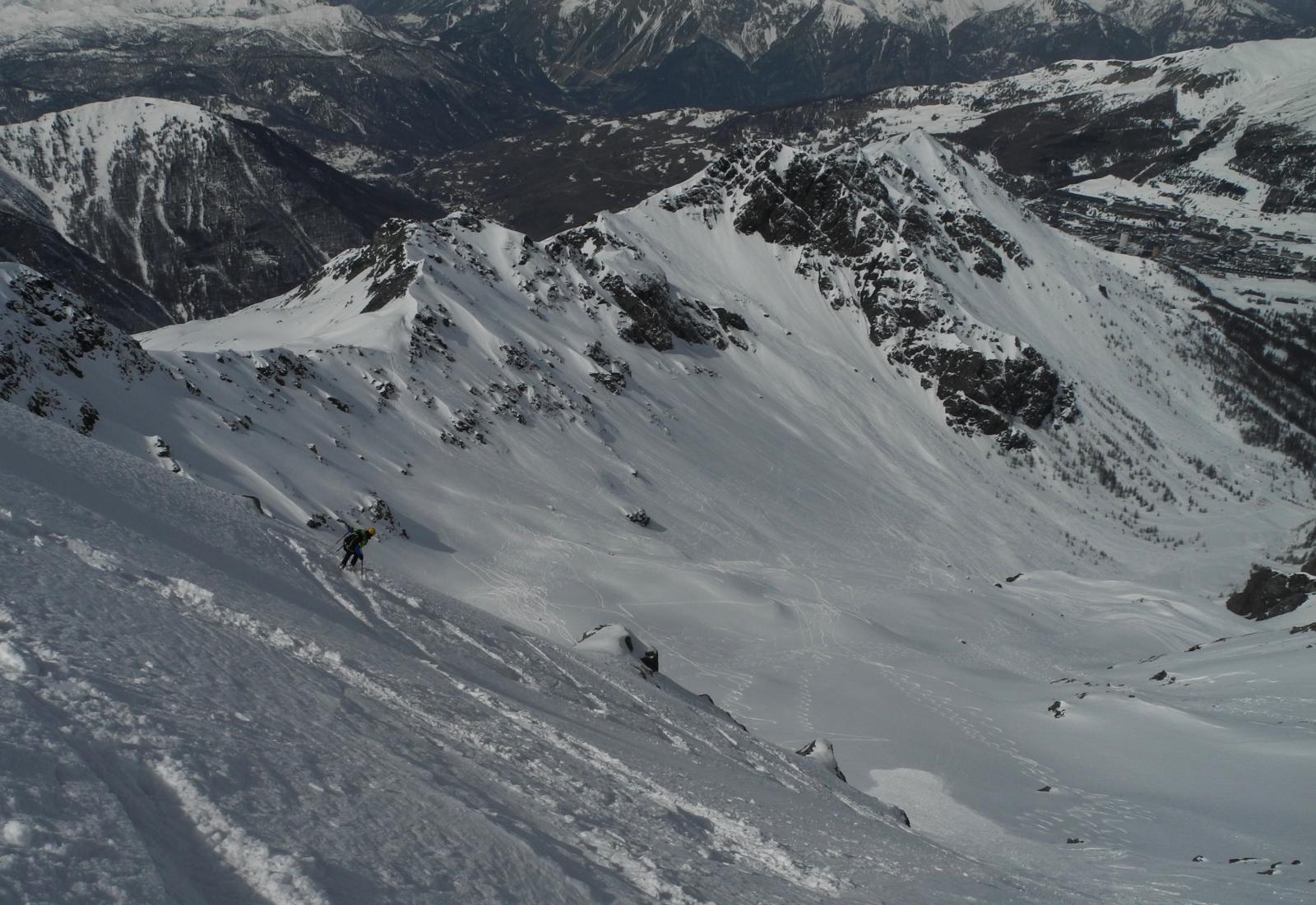
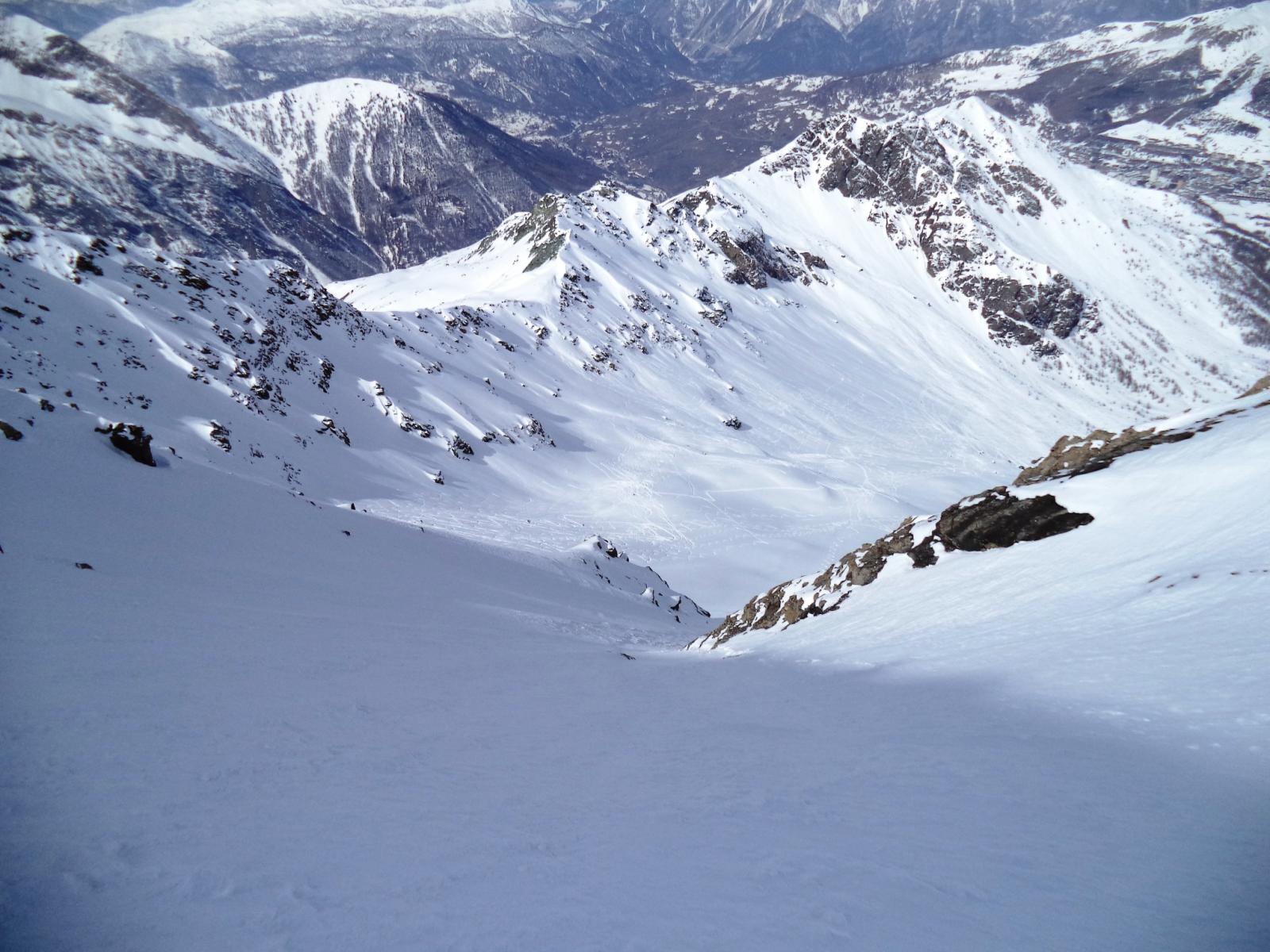
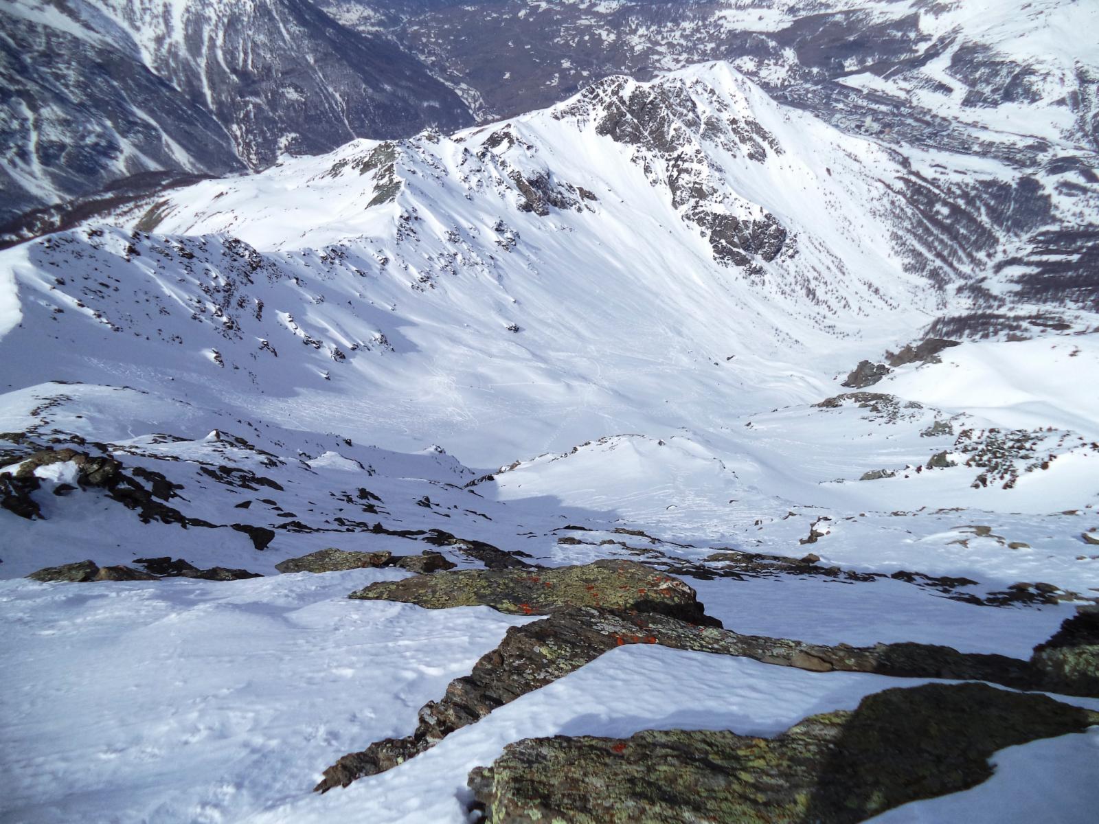
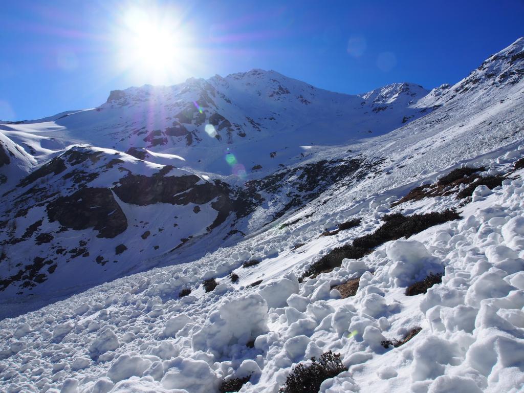
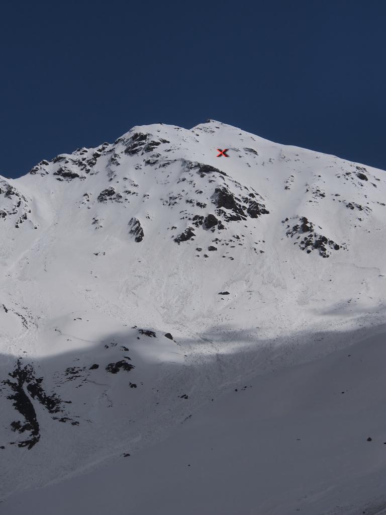
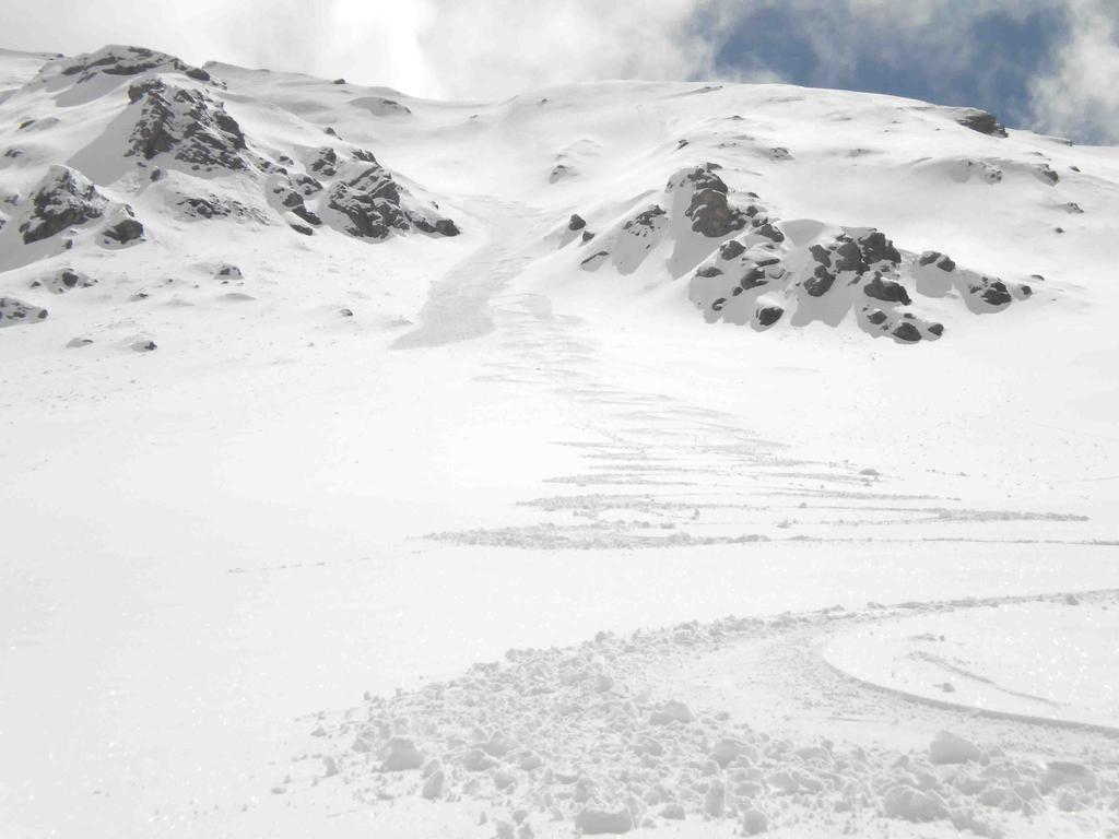
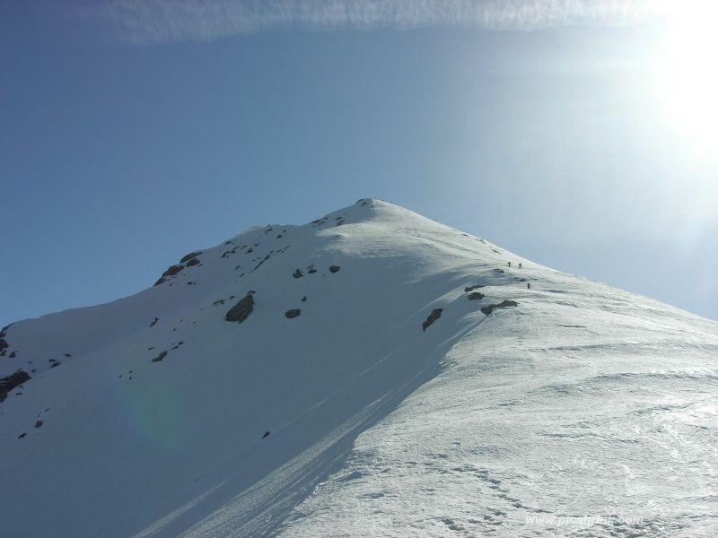
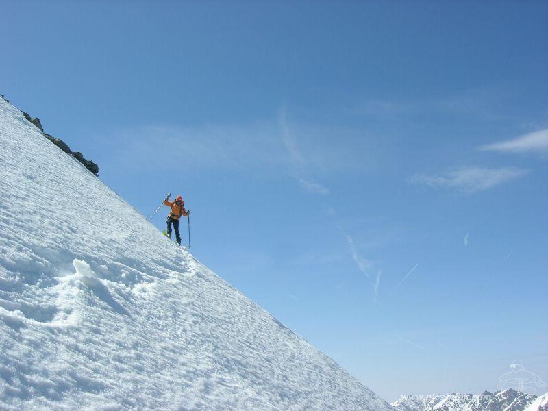
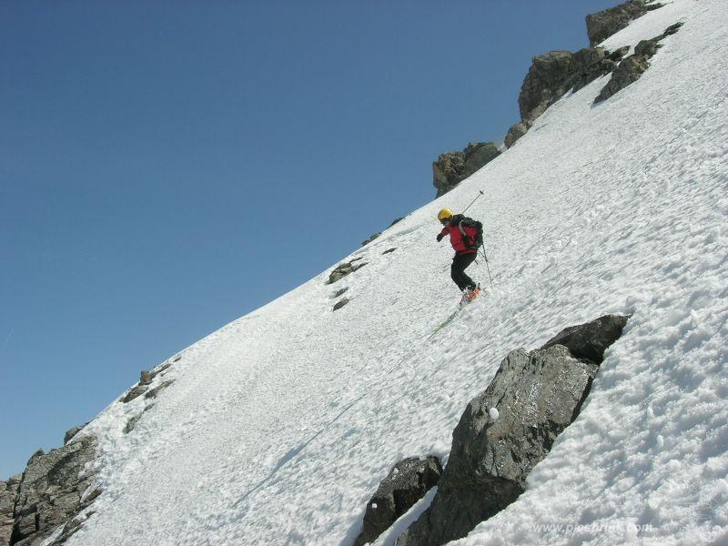
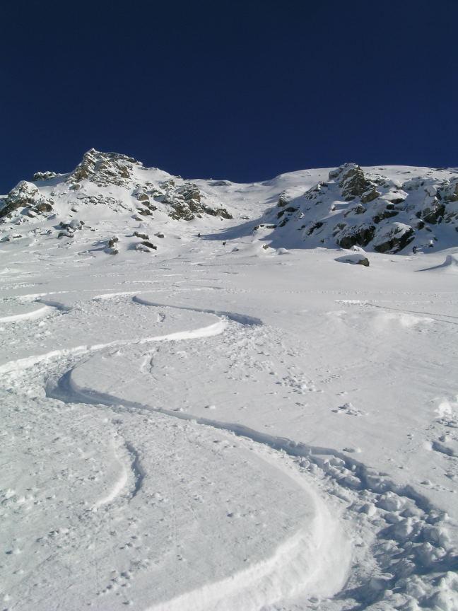
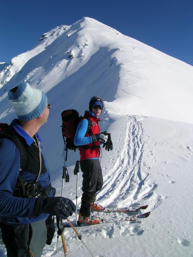
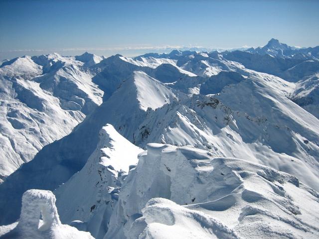
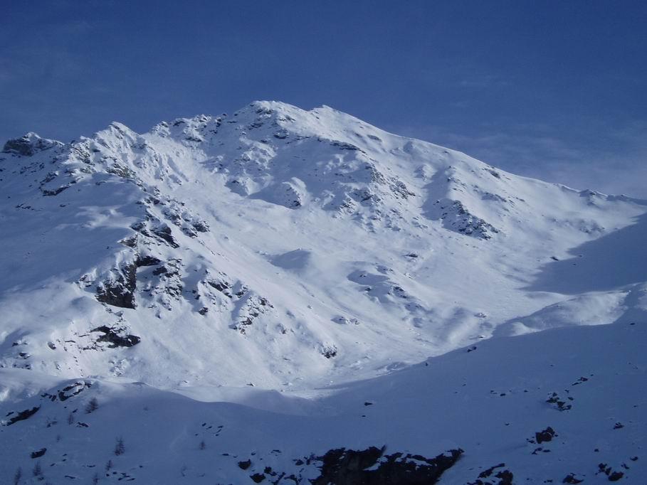
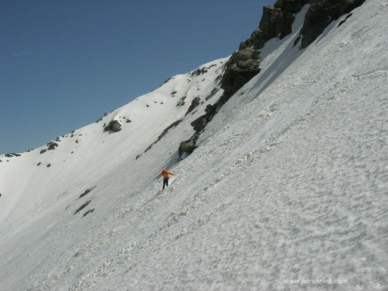
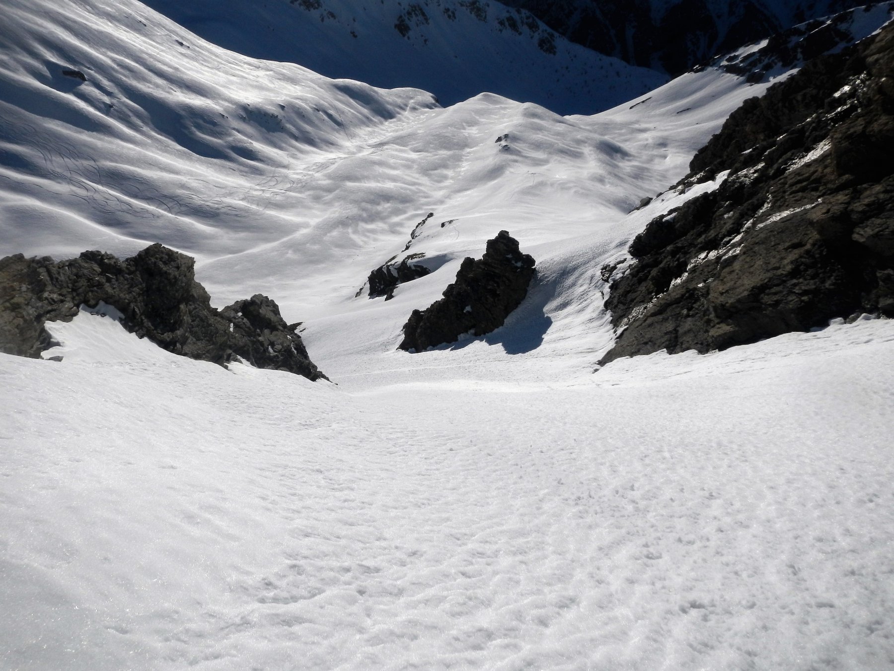
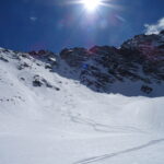
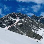
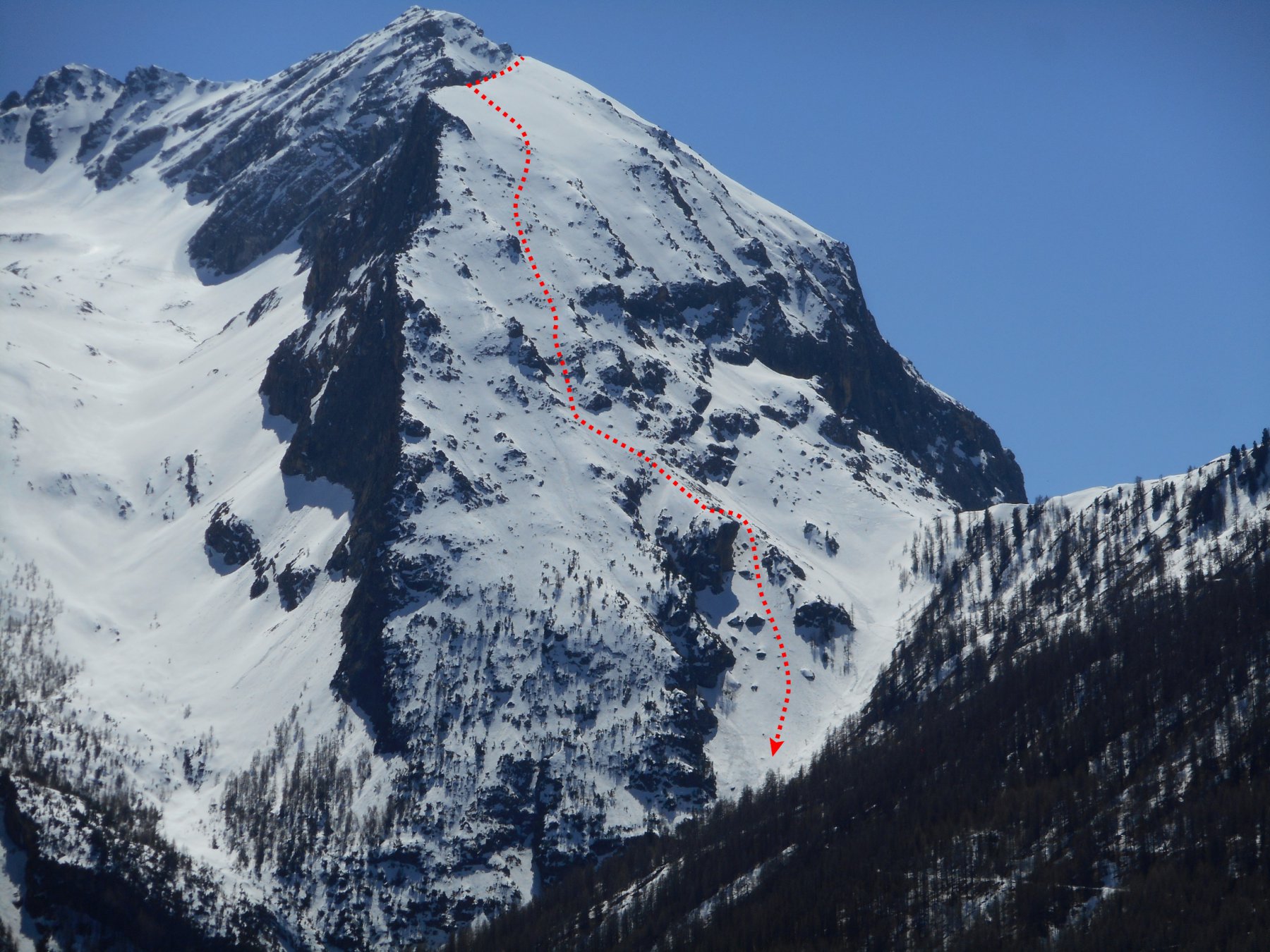
Bel triangolone sopra gli impianti di Sestriere tagliato da un evidente, largo canale a esse che parte dalla punta. E' possibile scendere direttamente dalla cima, soluzione più estetica o circa 150 metri più in basso, dalla cresta che unisce il M. Sotto Rognosa alla punta (3.3/E1 su 300 m. - max. 35-40°).
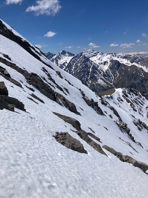
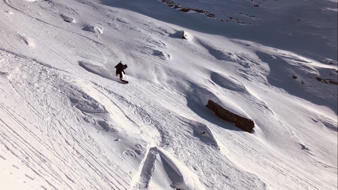
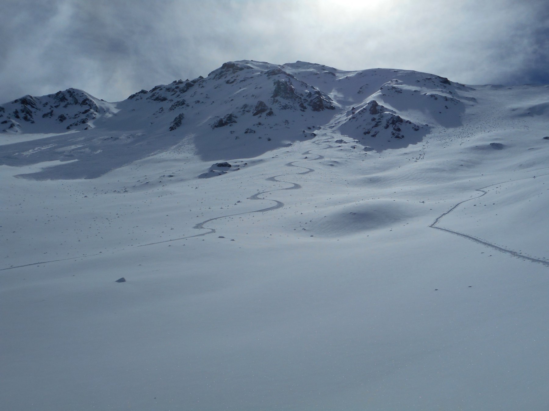
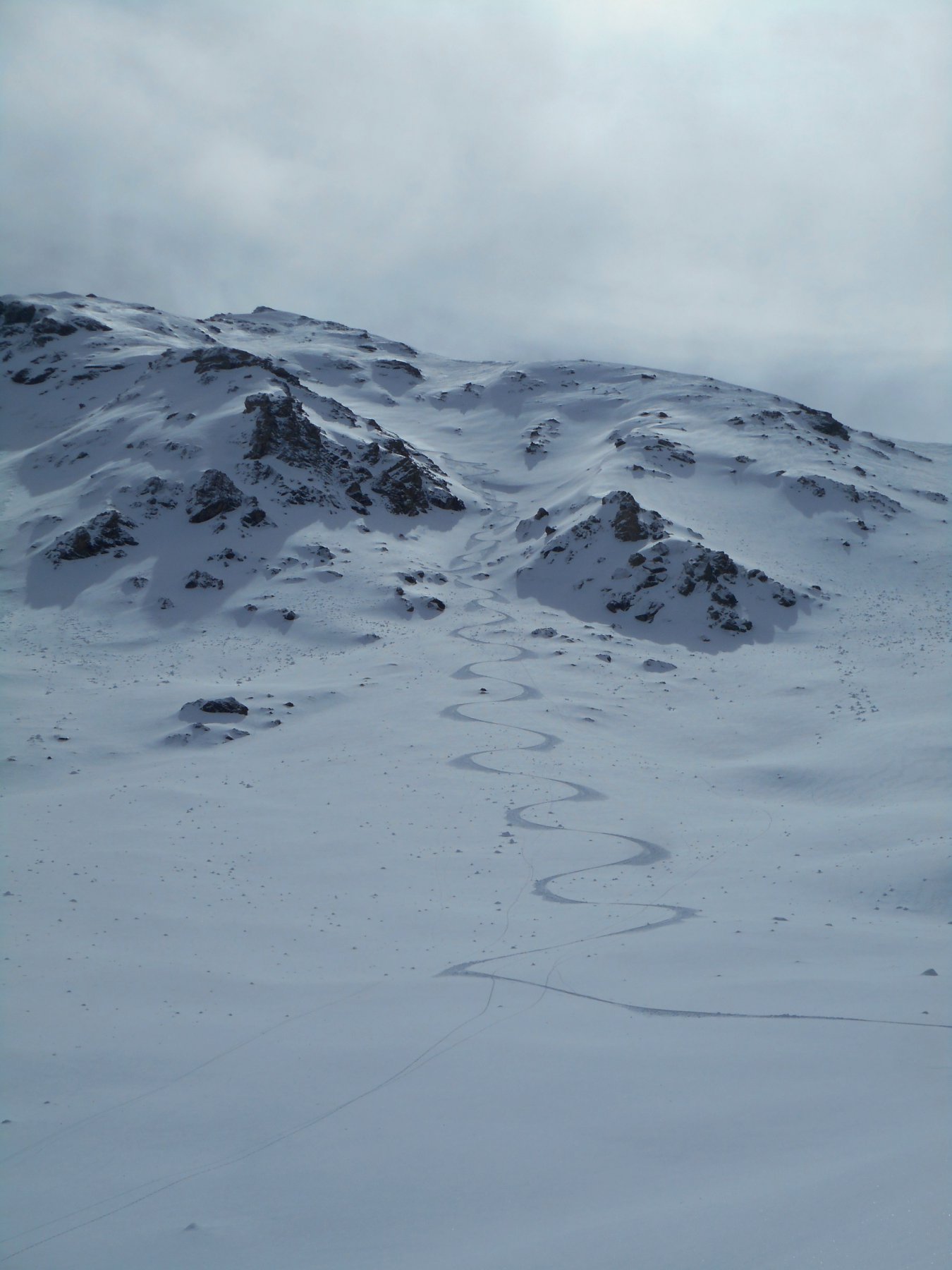
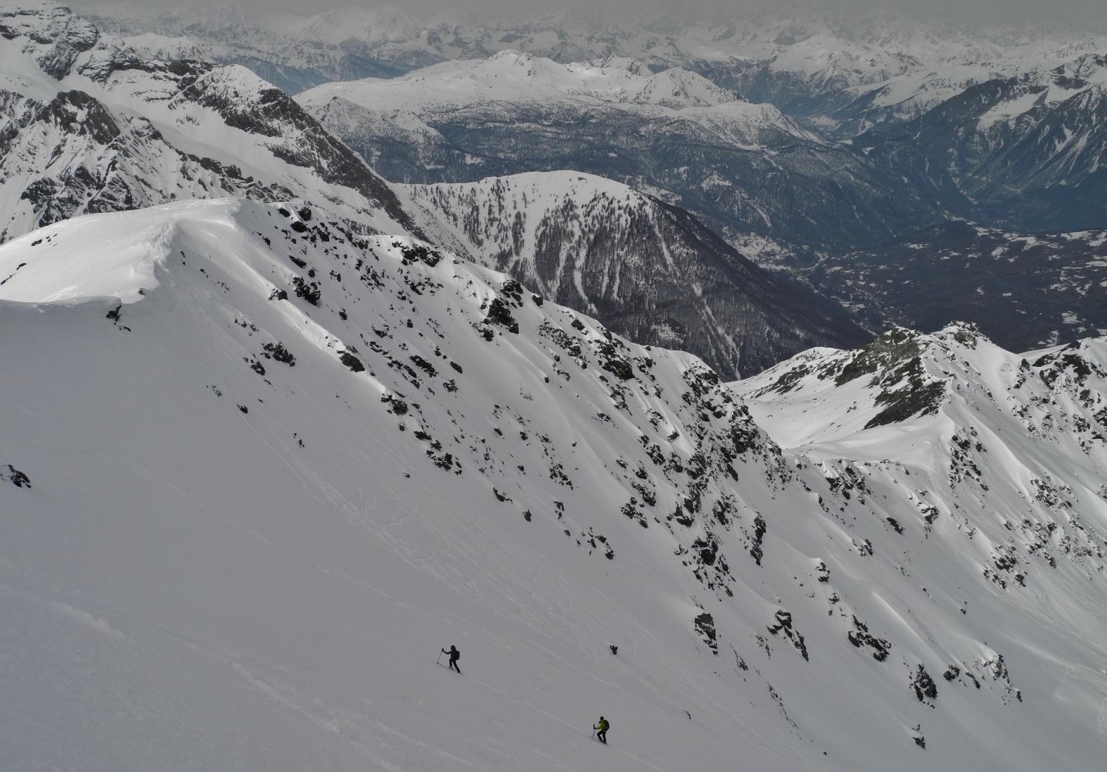
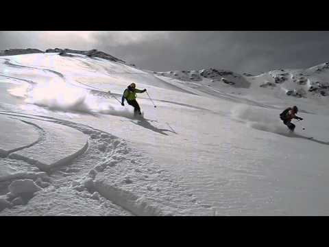
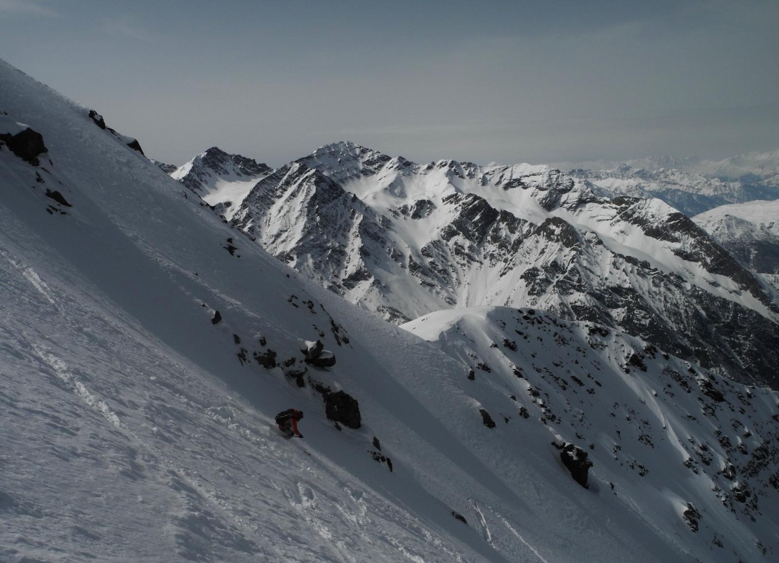
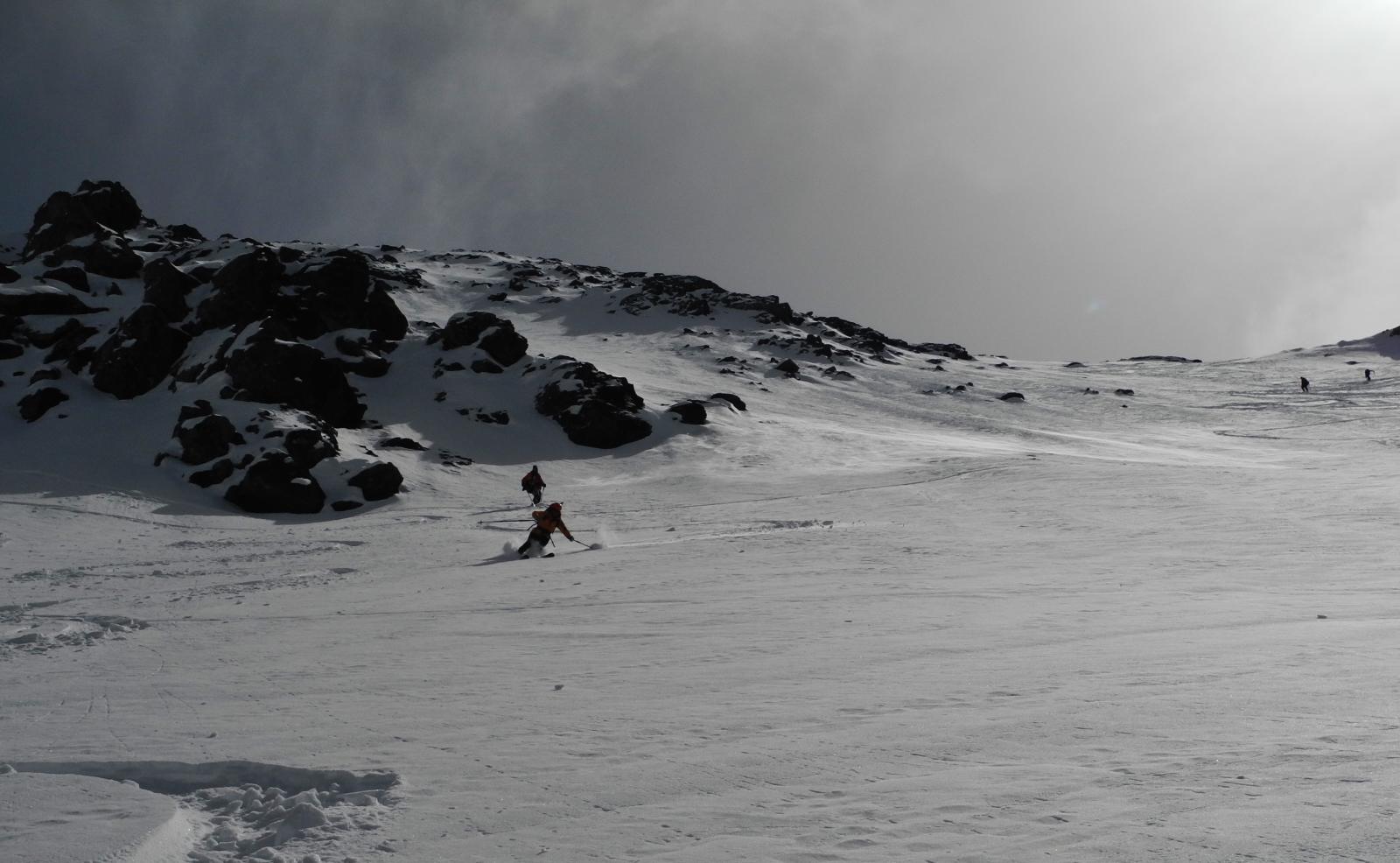
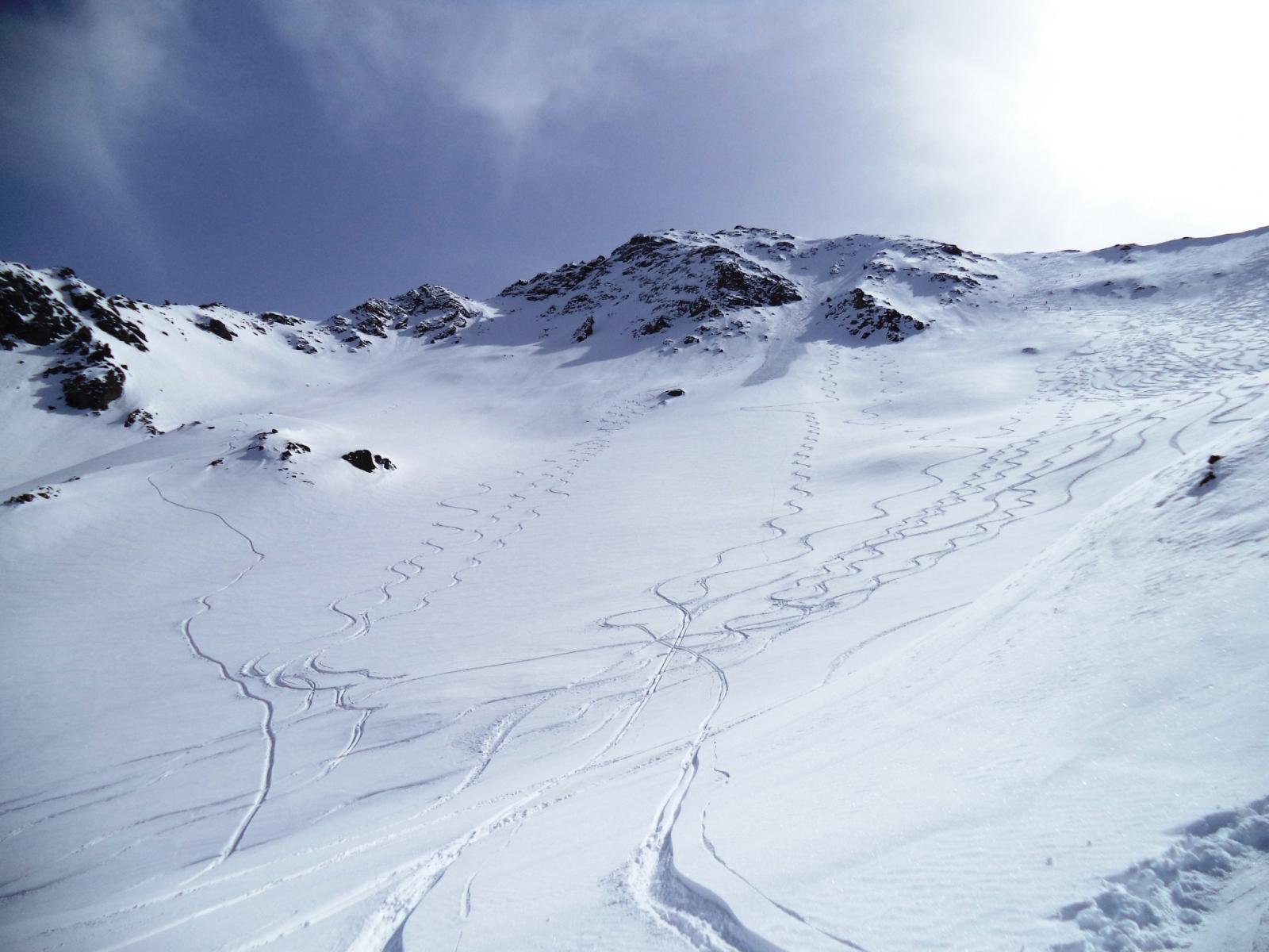
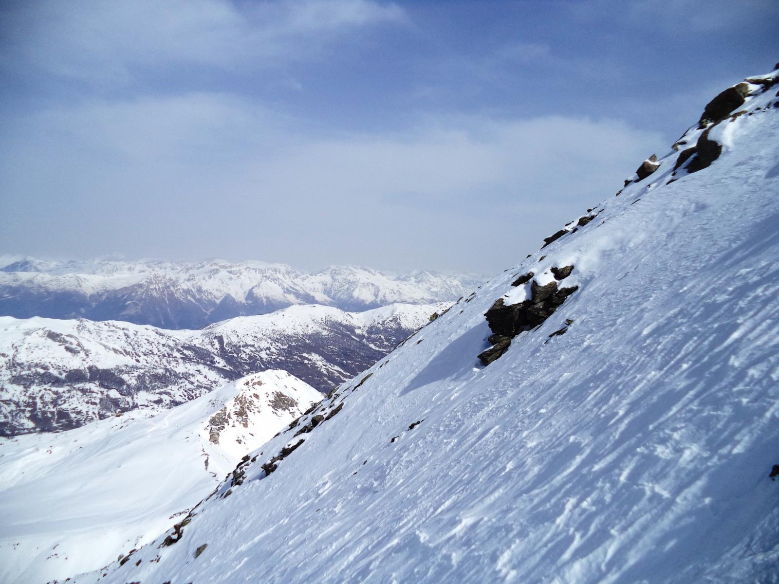
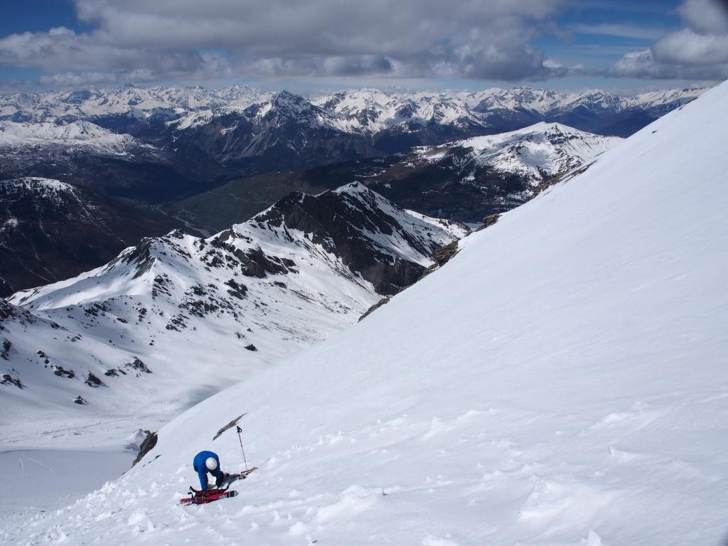
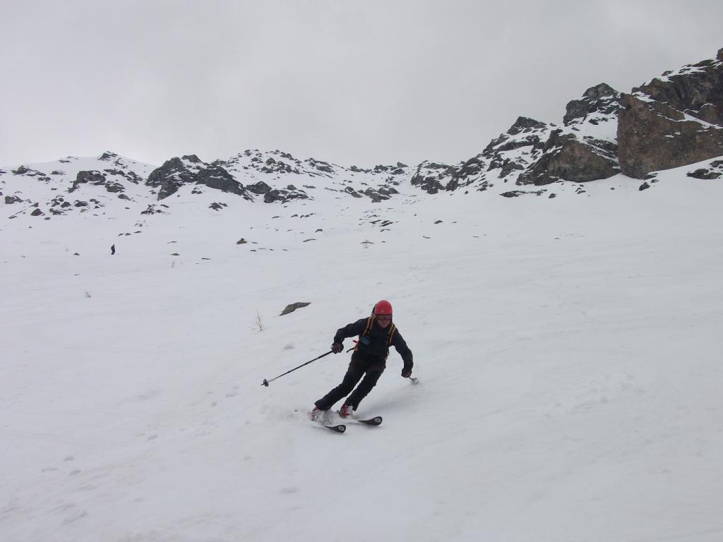
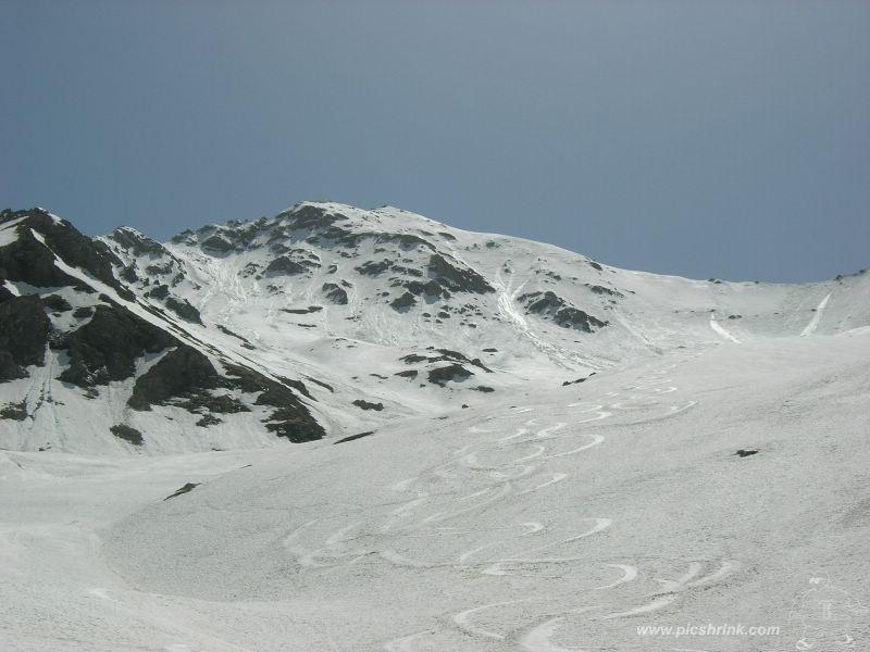
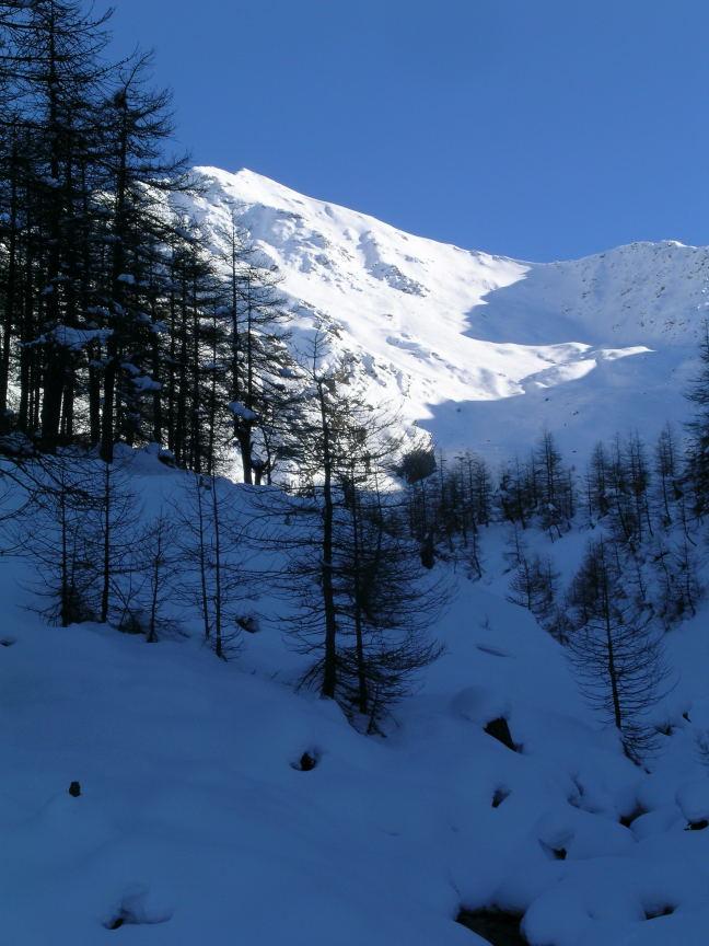
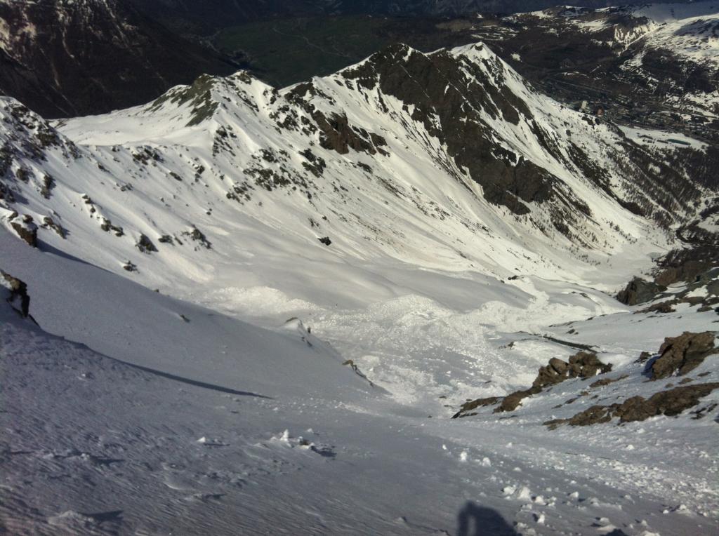
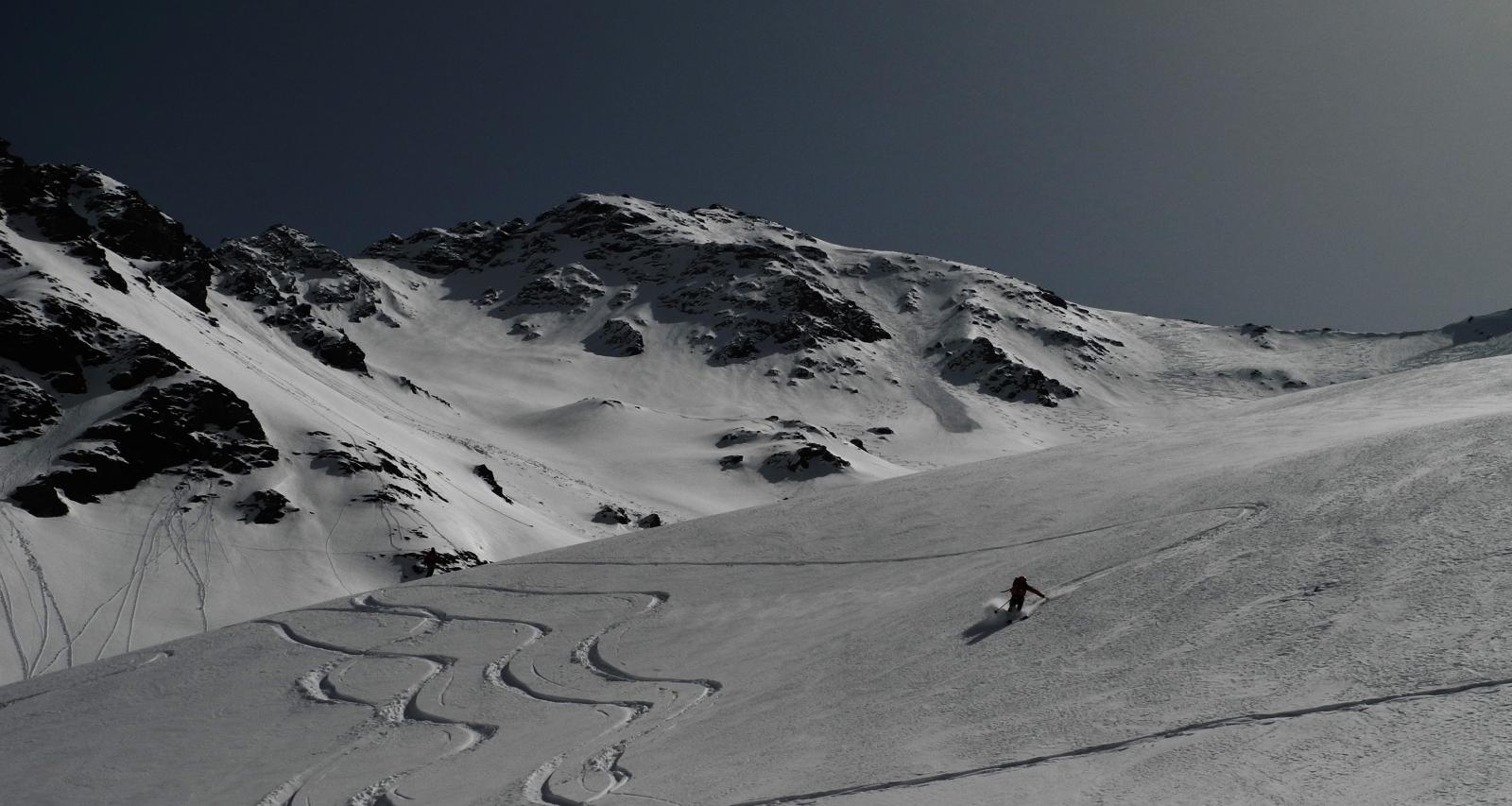
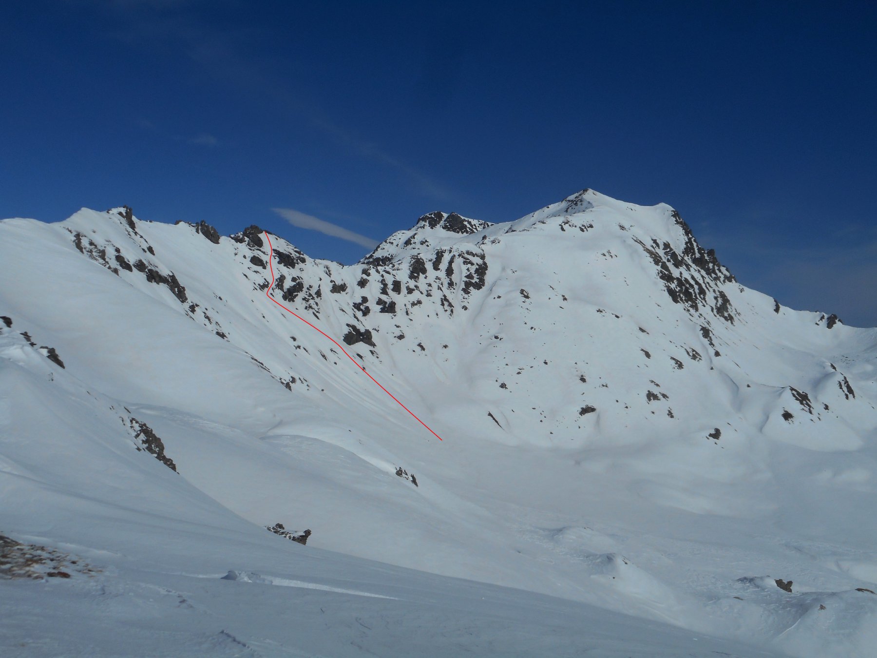
Sciata divertente e continua fino alla diga del Chisonetto, per oltre 100 m. di dislivello.
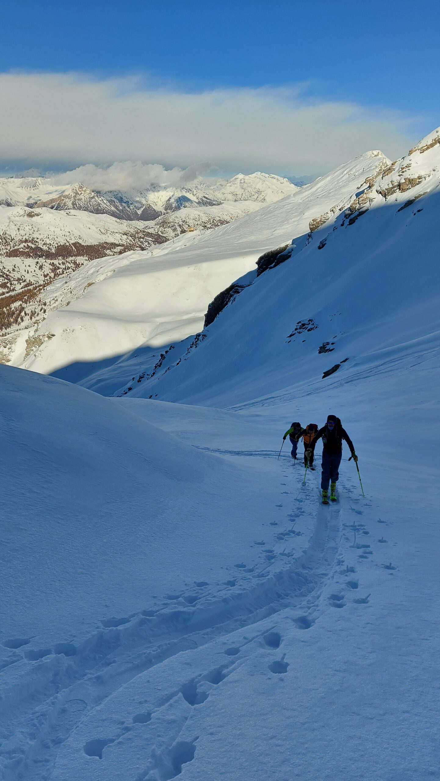
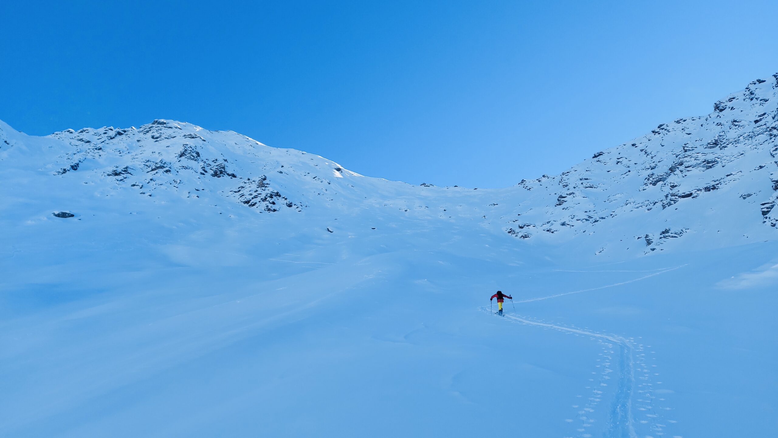
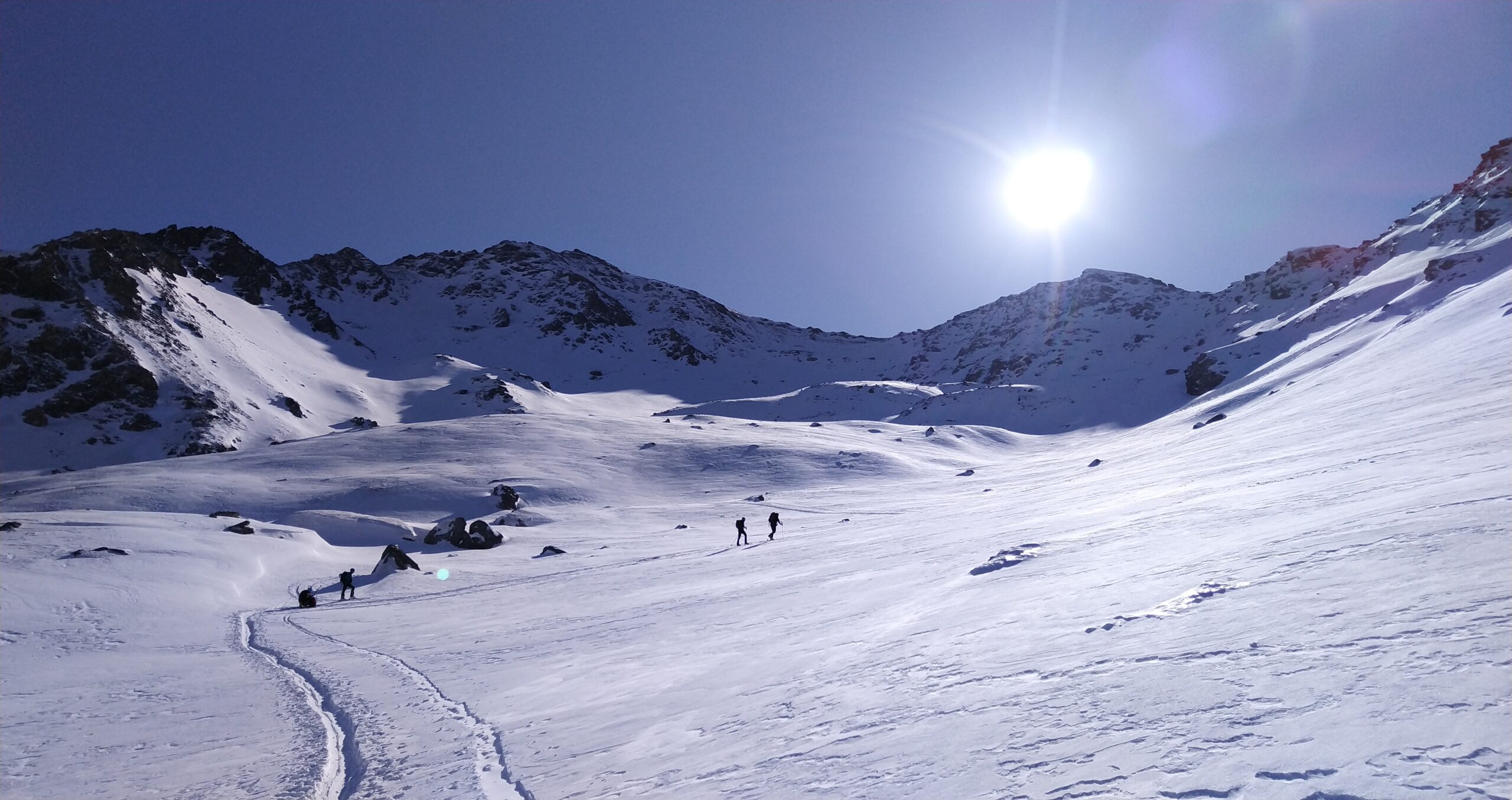
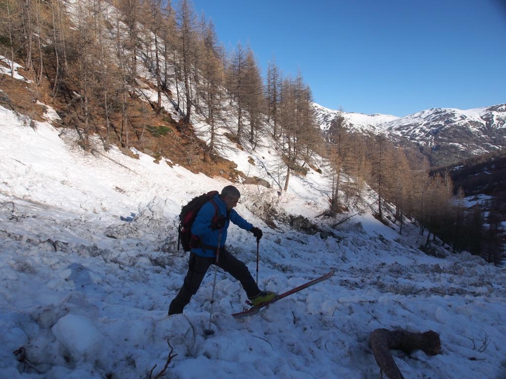
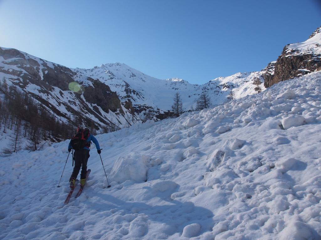
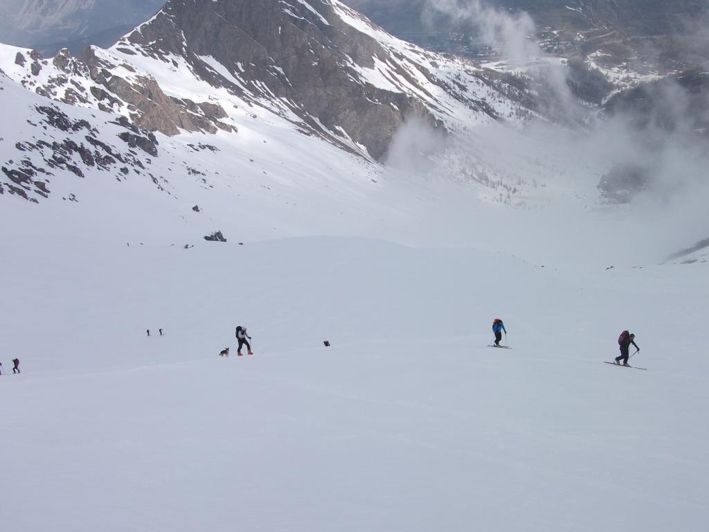
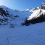
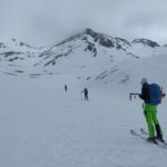
Avvicinamento
Sciata divertente e continua fino alla diga del Chisonetto, per oltre 100 m. di dislivello.
.
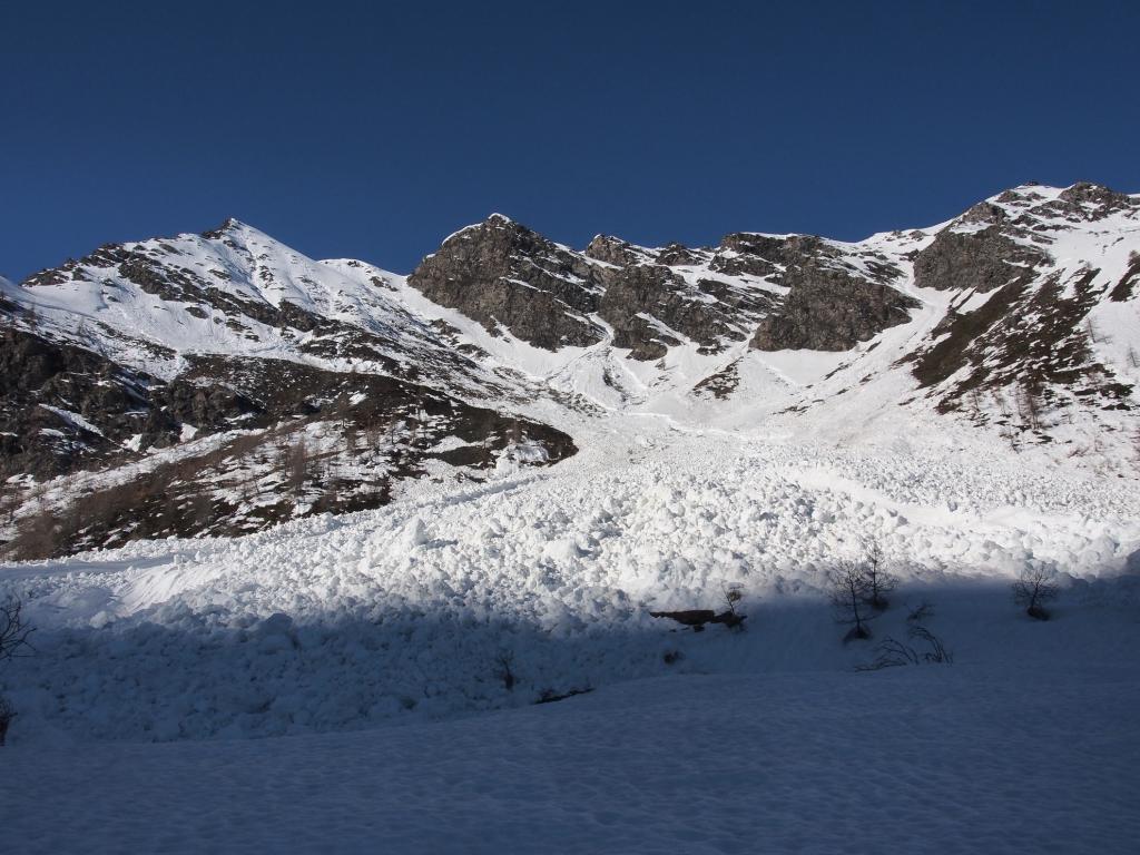
Descrizione
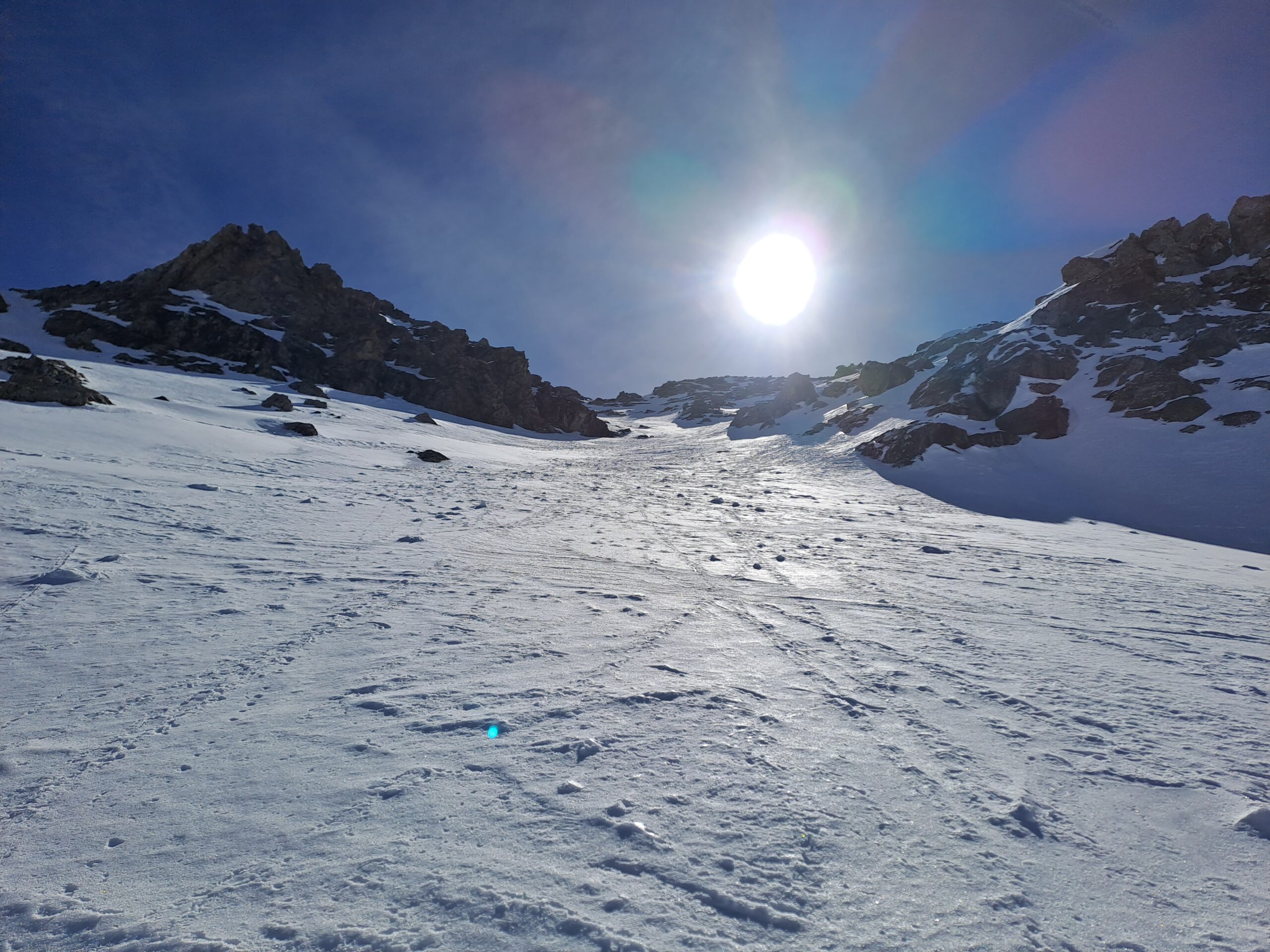
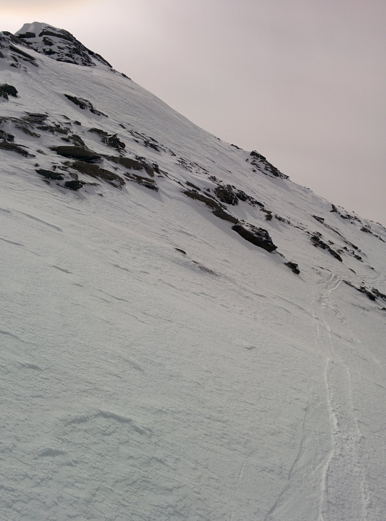
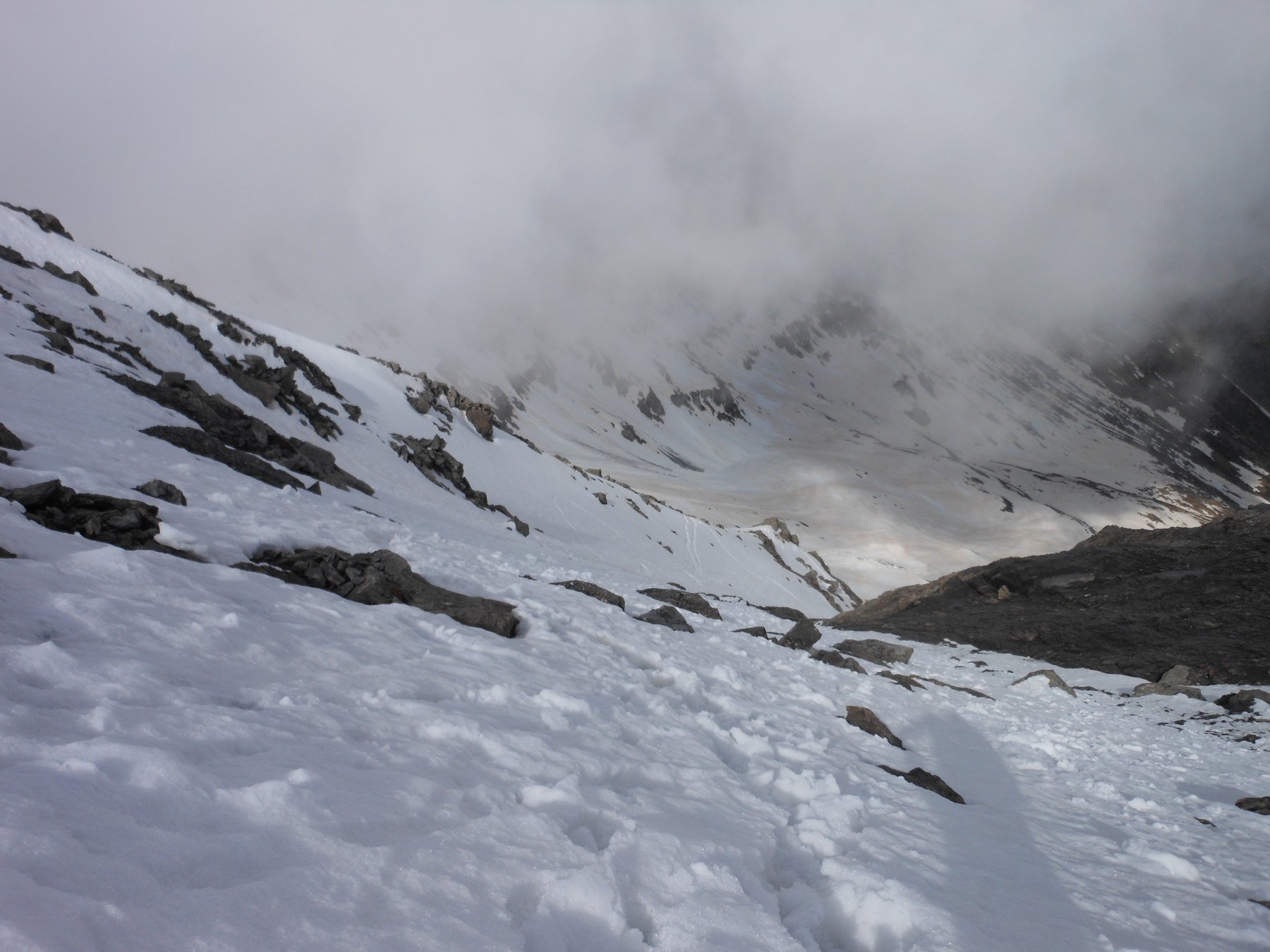
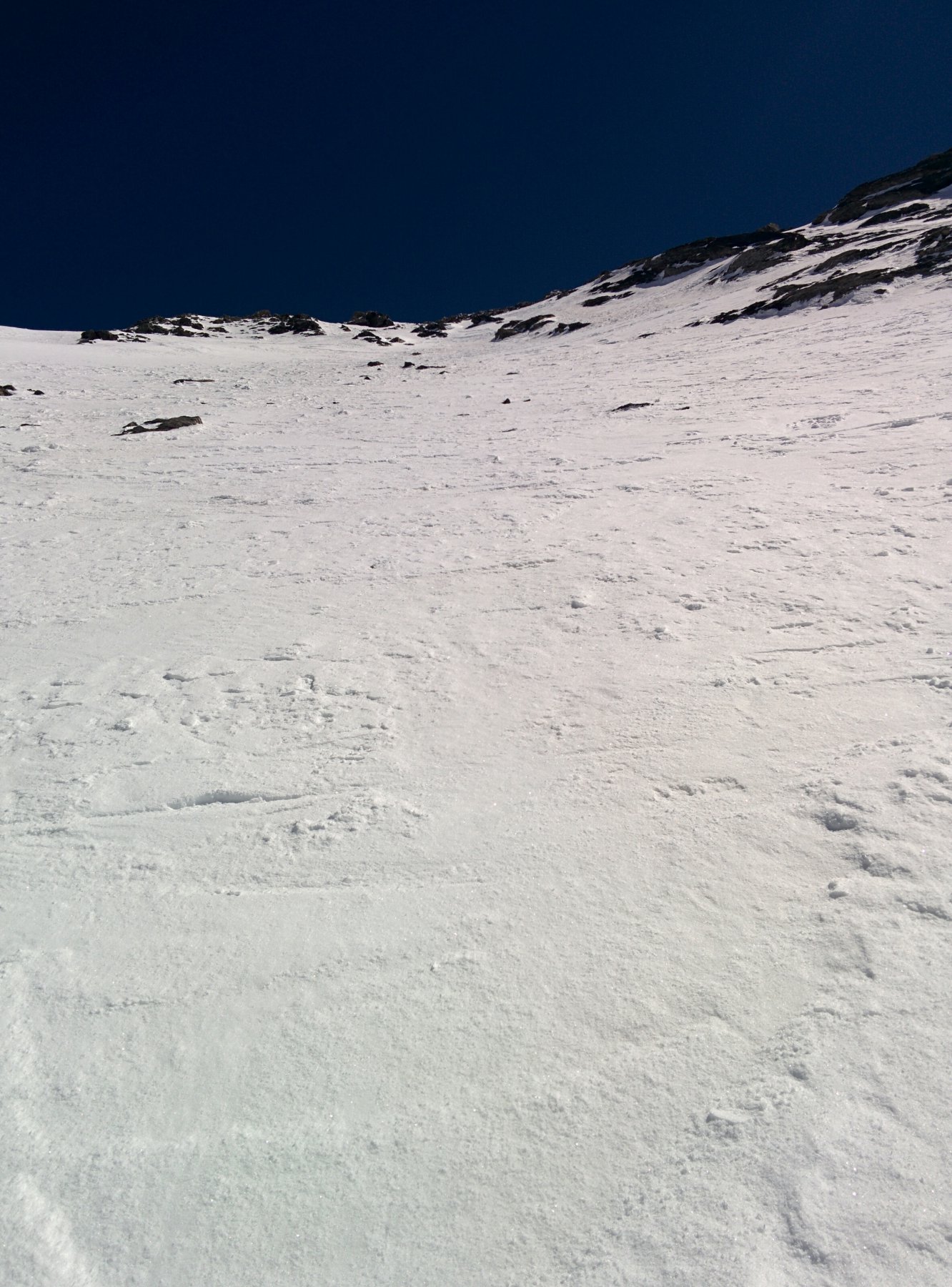
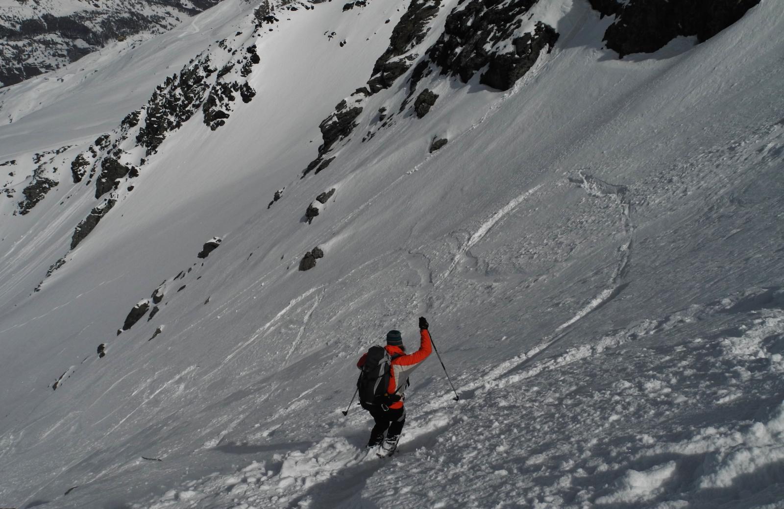
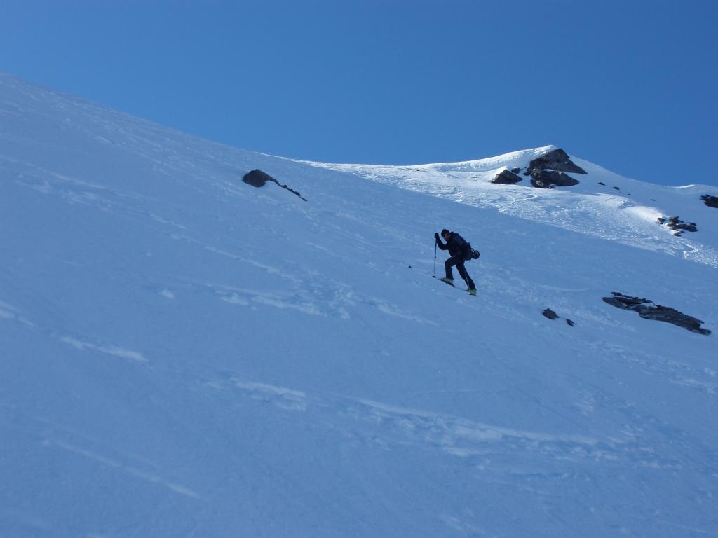
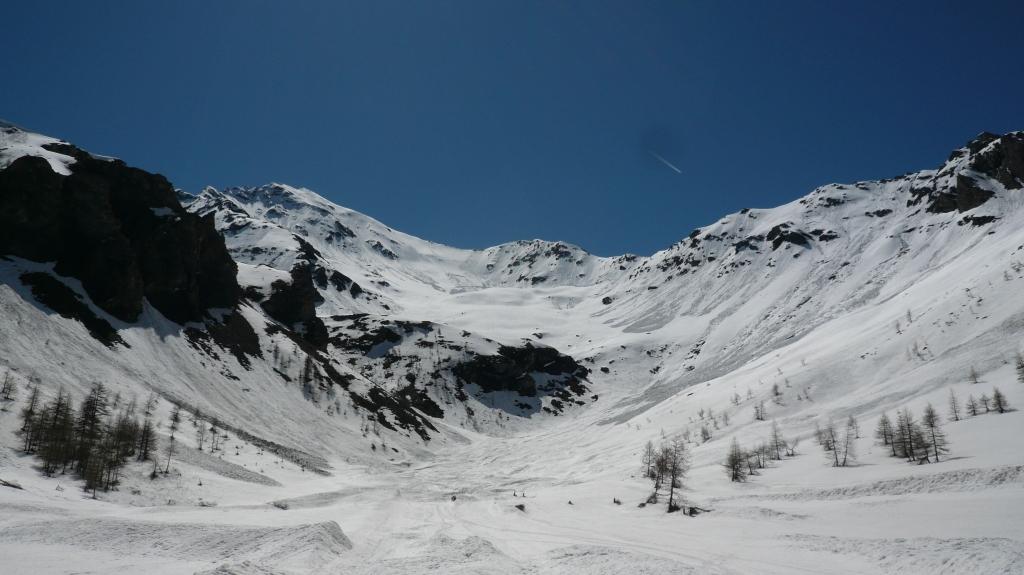
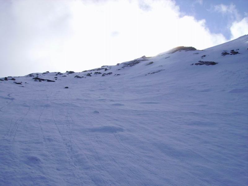
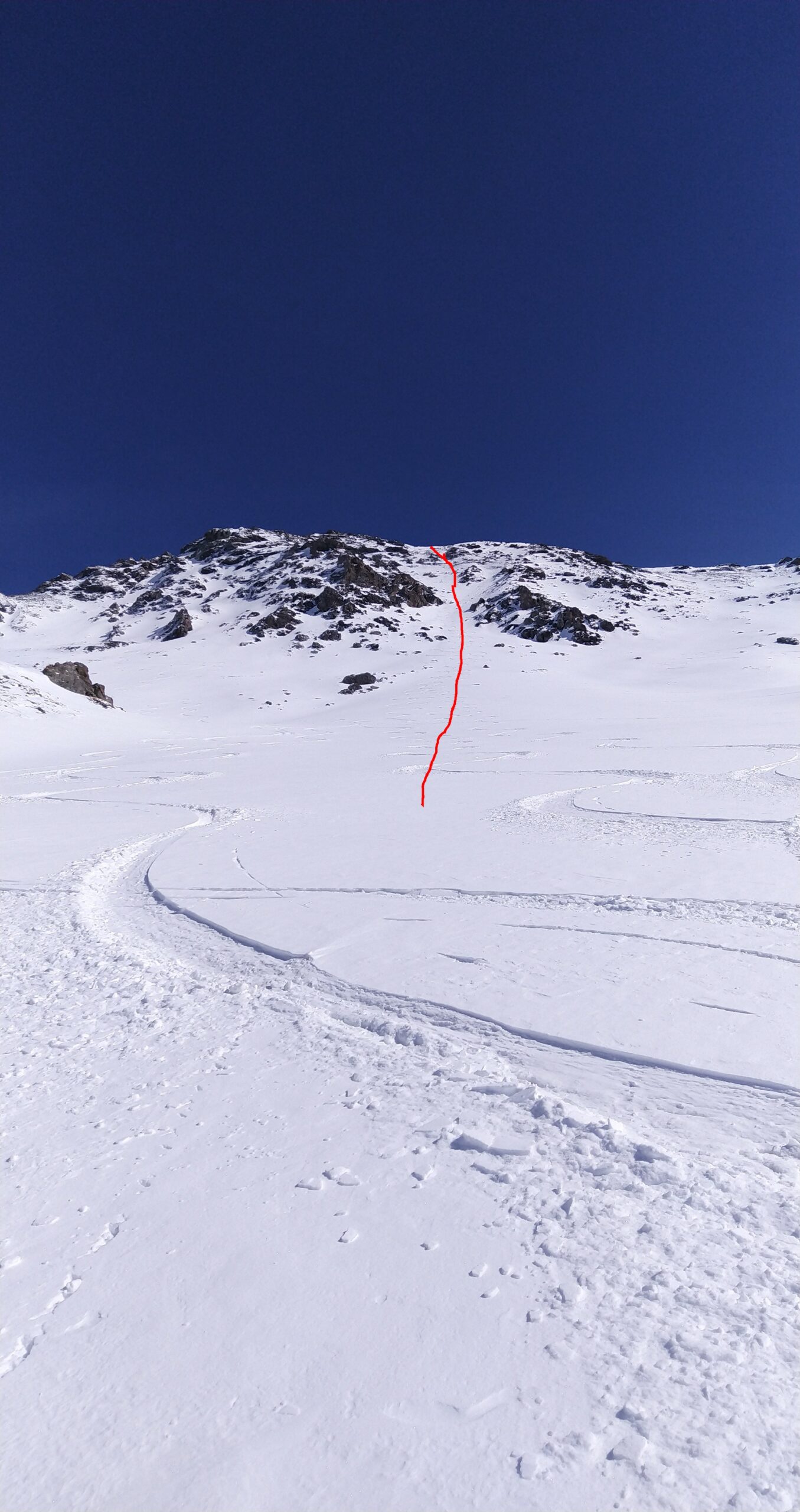
Dalla diga del Chisonetto seguire il vallone fino alla base del canale parete a forma di S.
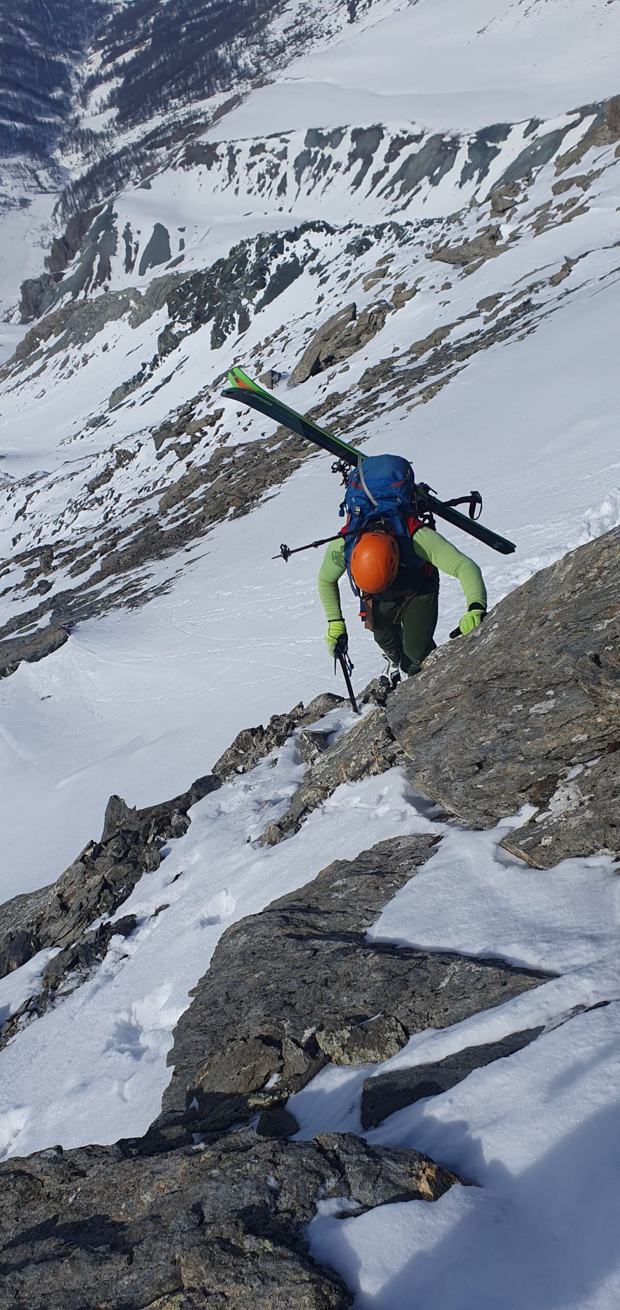
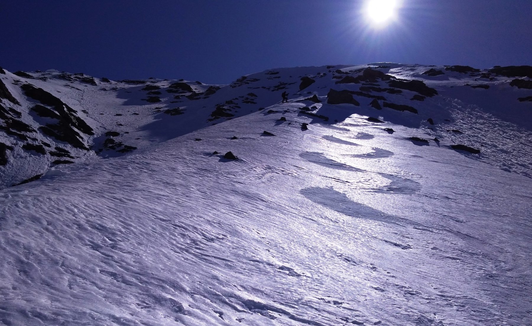
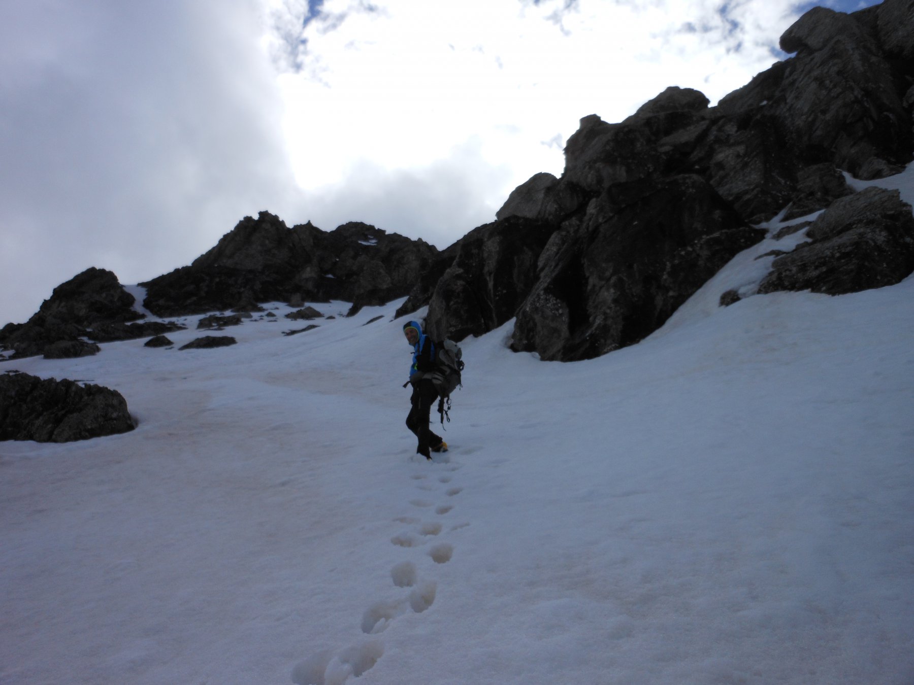
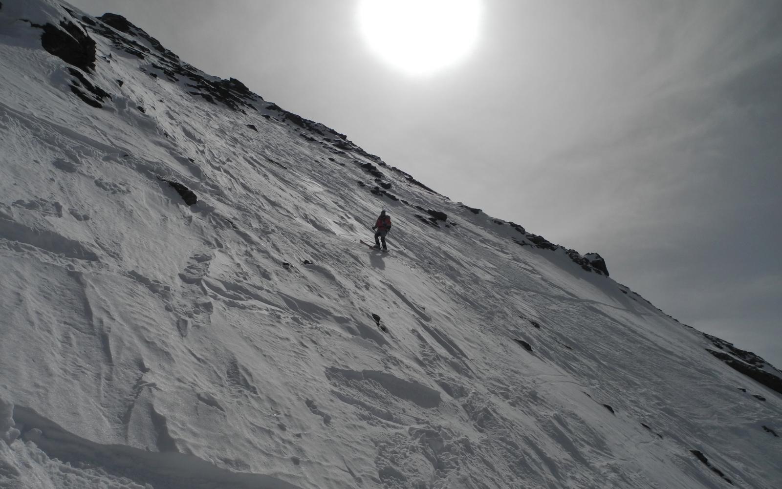
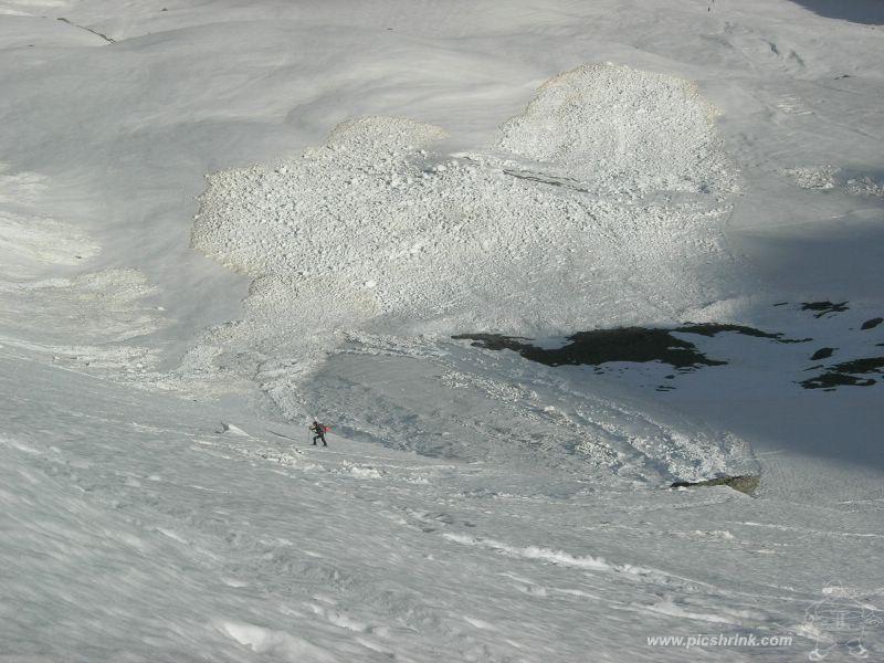
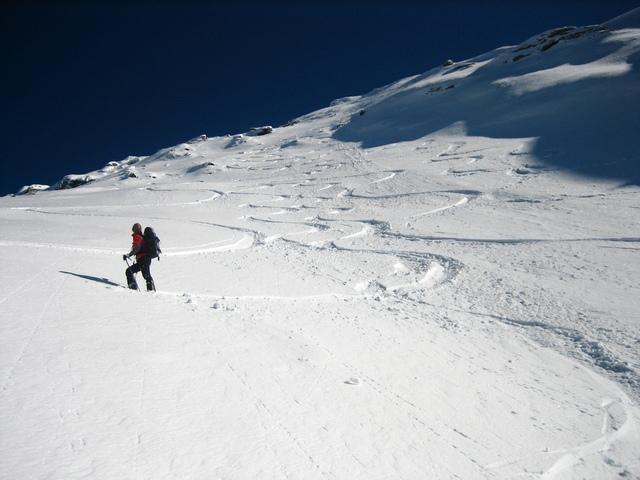
Da qui risalire gli ultimi 400 m. con pendenze mai oltre i 40°, tranne gli ultimi 10 m. sotto la punta (45°).
Nelle vicinanze Mappa
Itinerari
01/05/2022 TO, Sestriere D+ 800 m II, 3.3, E1 Nord-Est
San Giacomo (Rocce di) da Sestriere per il vallone del Chisonetto
 50m
50m
13/03/2015 TO, Sestriere D+ 1280 m III, 5.1, E3 Est
Rognosa del Sestriere (Punta) Parete Est
50m
23/02/2025 TO, Sestriere D+ 620 m I, 4.1, E1 Nord-Est
Querellet (Monte) – Monte Sises, itinerari vari della dorsale
 50m
50m
08/03/2026 TO, Sestriere D+ 1170 m I, 3.3, E2 Sud-Ovest
Rouit (Rocce del) Paretina Sud
 2.5Km
2.5Km
03/01/2022 TO, Sauze di Cesana D+ 1179 m II, 3.3, E2 Sud-Ovest
Platasse (Monte) da Bessen Haut per la Paretina Sud
 2.5Km
2.5Km
08/04/2023 TO, Sauze di Cesana D+ 1625 m III, 5.1, E2 Nord-Est
Serpentiera (Punta) Canale NE
 3.4Km
3.4Km
23/05/2025 TO, Sauze di Cesana D+ 1620 m II, 4.2, E2 Nord-Est
Pelvo (Cima del) Canale Morandini
 3.4Km
3.4Km
16/04/2017 TO, Sauze di Cesana D+ 1230 m 4.3, E3 Nord-Ovest
Furgon (Monte) Parete NO
 4.3Km
4.3Km
24/02/2017 TO, Pragelato D+ 1430 m II, 4.2, E2 Sud
Vallonetto (Punta) Pendio Sud
 5.6Km
5.6Km
15/02/2025 TO, Pragelato D+ 1580 m III, 4.3, E4 Est
Pignerol (Monte) Canalino SE (l’Eiclapeuiro) dalla Val Troncea
 5.6Km
5.6Km
Servizi
2.6Km
6Km
Al Mulino Ristorante
Pragelato
6Km
La capanna del sole Ristorante
Pragelato
6.2Km
Mulino di Laval Rifugio
Pragelato
6.9Km
Centro Ristorante
Cesana Torinese
7.3Km
La Fontana del Thures Rifugio
Cesana Torinese
7.6Km
da Carlo Rifugio
Cesana Torinese
7.6Km
La Tana degli Orsi B&B
Cesana Torinese
7.6Km
La Crota B&B
Cesana Torinese
8.2Km