2.9Km
2.9Km
Note
 2.2Km
2.2Km
2.8Km
2.8Km
3.5Km
3.6Km
3.7Km
3.7Km
3.7Km
3.7Km
2.2Km
2.2Km
2.8Km
2.8Km
3.5Km
3.6Km
3.7Km
3.7Km
3.7Km
3.7Km
2.9Km
3.5Km
3.5Km
3.5Km
3.6Km
4Km
7.7Km
7.7Km
7.8Km
7.8Km
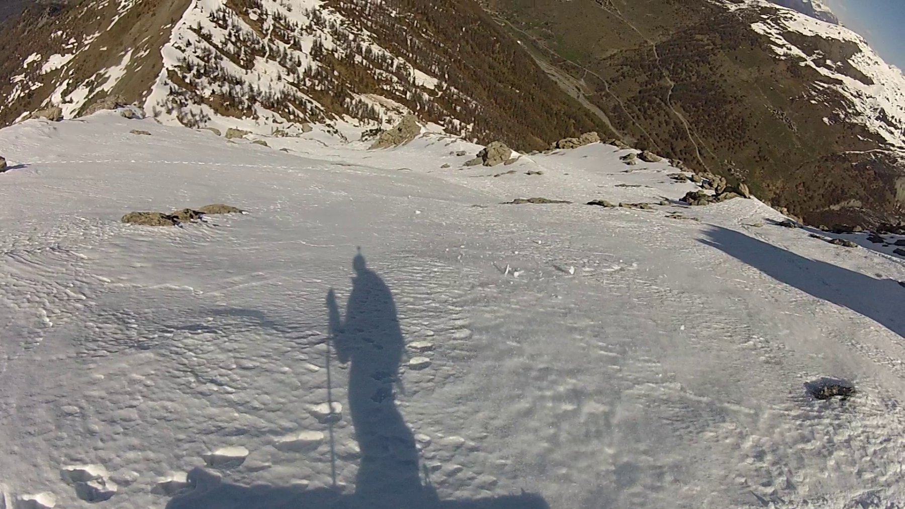
Itinerario di circa 550m di dislivello, raramente in buone condizioni a causa dei venti che lo battono per tutto l'inverno e dell'esposizione nei confronti dell'avvicinamento (quando la neve trasforma sulla pala sommitale i 2 avvicinamenti potrebbero essere già privi di neve). Pendenze di 40-45° (qualche breve tratto eventualmente più ripido).
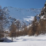
Avvicinamento
Sono possibili due partenze: da Pont Terrible all'imbocco della valle Argentera (consigliato a stagione inoltrata) e da Thures, in val Thuras.
Pont Terrible:
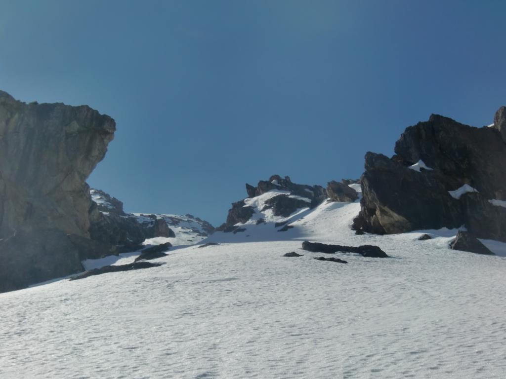
dal ponte prendere la mulattiera sulla dx e quindi dopo poco prendere il sentiero sulla sx (indicazioni Cima Bosco) che porta alla grotta con sorgente e madoninna lungo il percorso del classico Gran Roc. Risalire il bosco ripido in direzione ovest e quindi intorno a q. 1800m scavallare nell'impluvio del Rio di Pont Terrible. Superare la grotta a q. 1900 e proseguire lungo il corso del torrente fino a raggiungere i pendii aperti (2250-2300m) che precedono il Col Chalvet.
Thures:
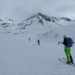
seguire la classicissima salita di Cima Bosco, obliquando nell'ultima parte via via verso dx (est), transitando sotto i bei pendii della Coppa e la parete rocciosa NW del Furgon, fino a raggiungere il Col Chalvet.
Descrizione
Pont Terrible:
dal ponte prendere la mulattiera sulla dx e quindi dopo poco prendere il sentiero sulla sx (indicazioni Cima Bosco) che porta alla grotta con sorgente e madoninna lungo il percorso del classico Gran Roc. Risalire il bosco ripido in direzione ovest e quindi intorno a q. 1800m scavallare nell'impluvio del Rio di Pont Terrible. Superare la grotta a q. 1900 e proseguire lungo il corso del torrente fino a raggiungere i pendii aperti (2250-2300m) che precedono il Col Chalvet.
Thures:
seguire la classicissima salita di Cima Bosco, obliquando nell'ultima parte via via verso dx (est), transitando sotto i bei pendii della Coppa e la parete rocciosa NW del Furgon, fino a raggiungere il Col Chalvet.
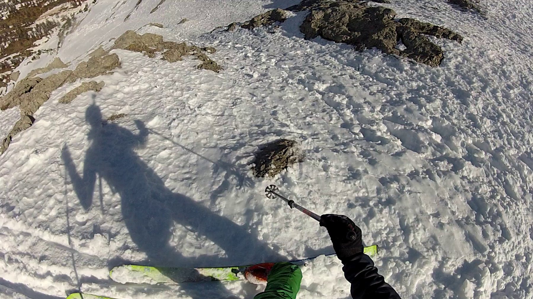
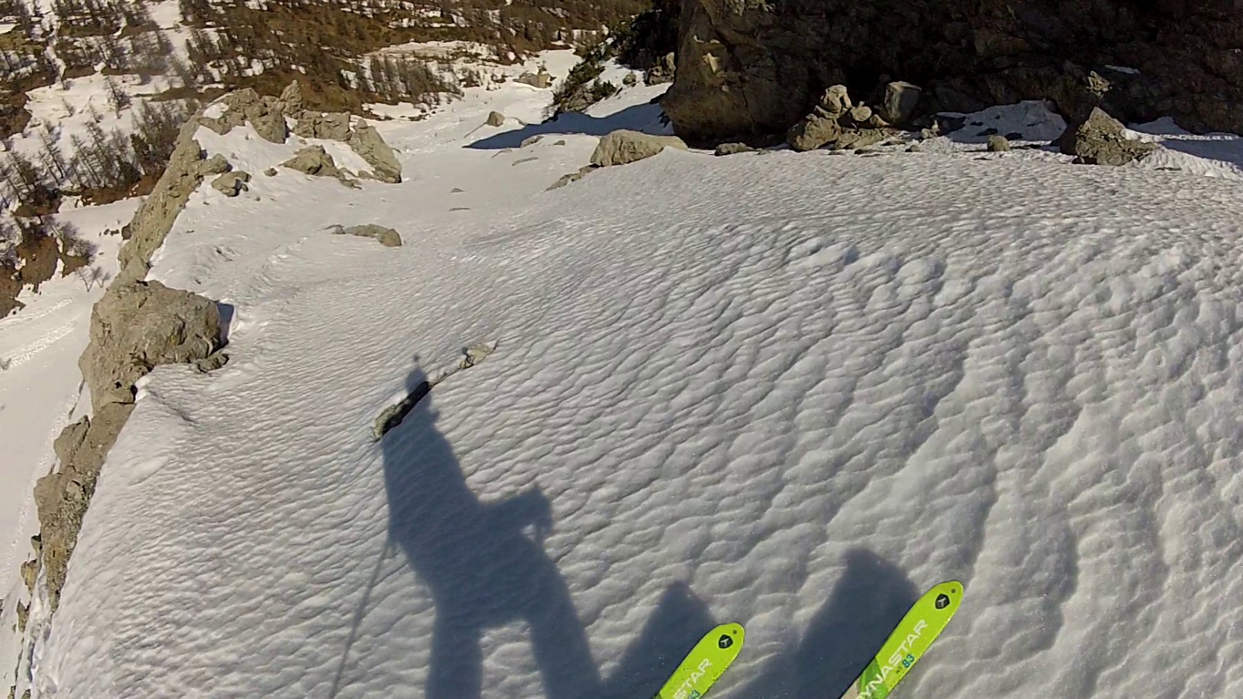
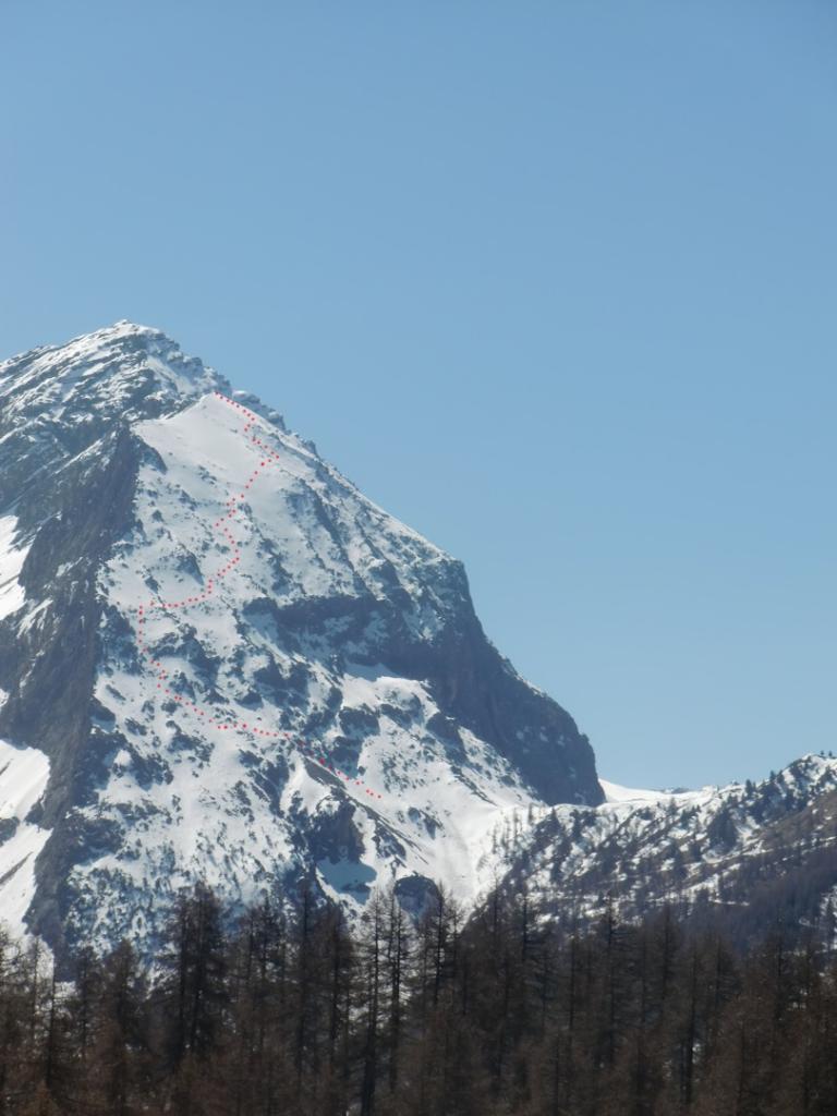
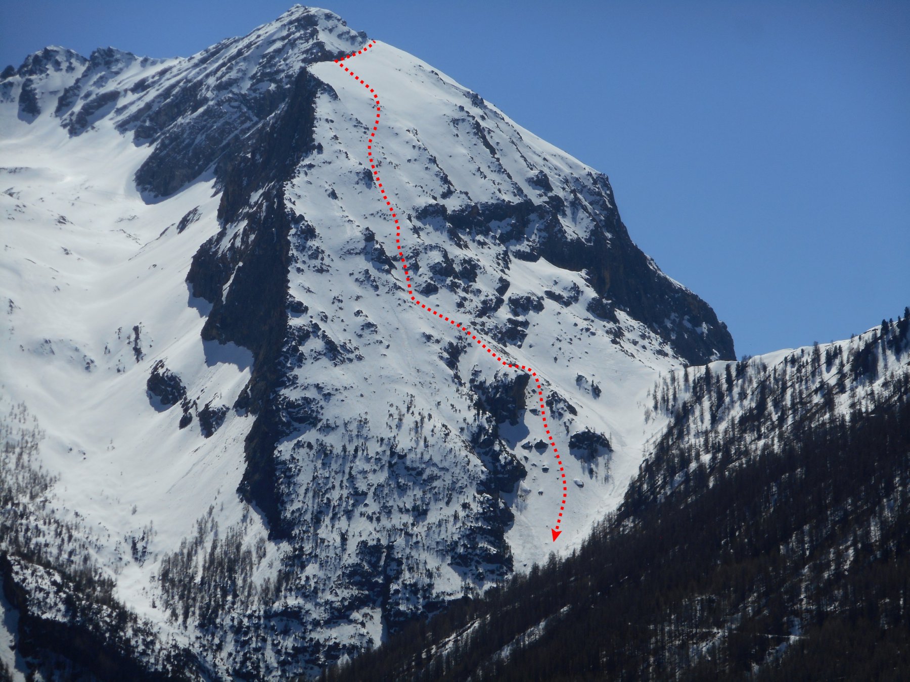
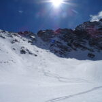
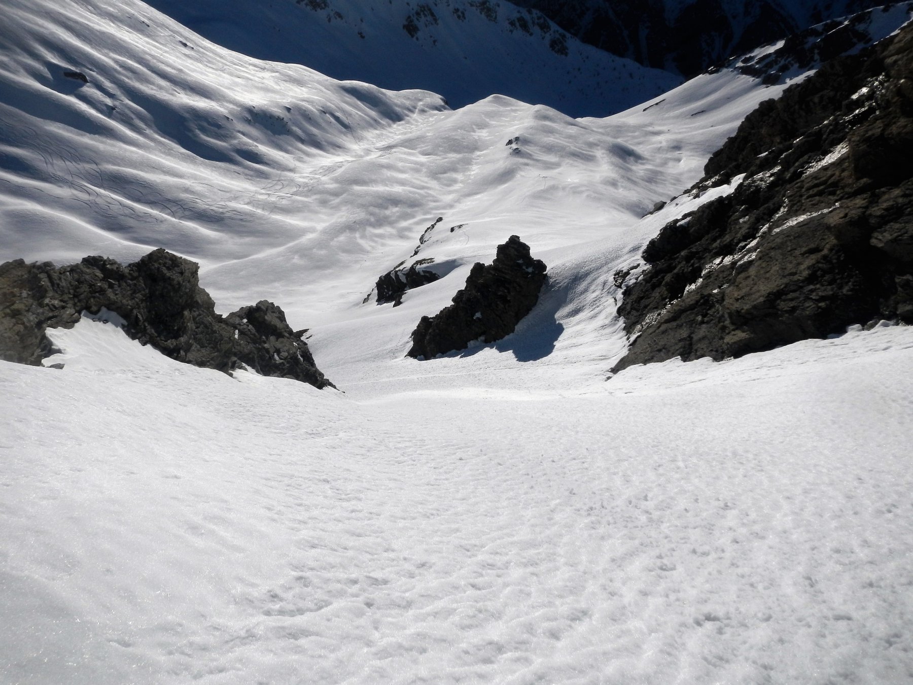
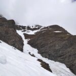
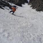
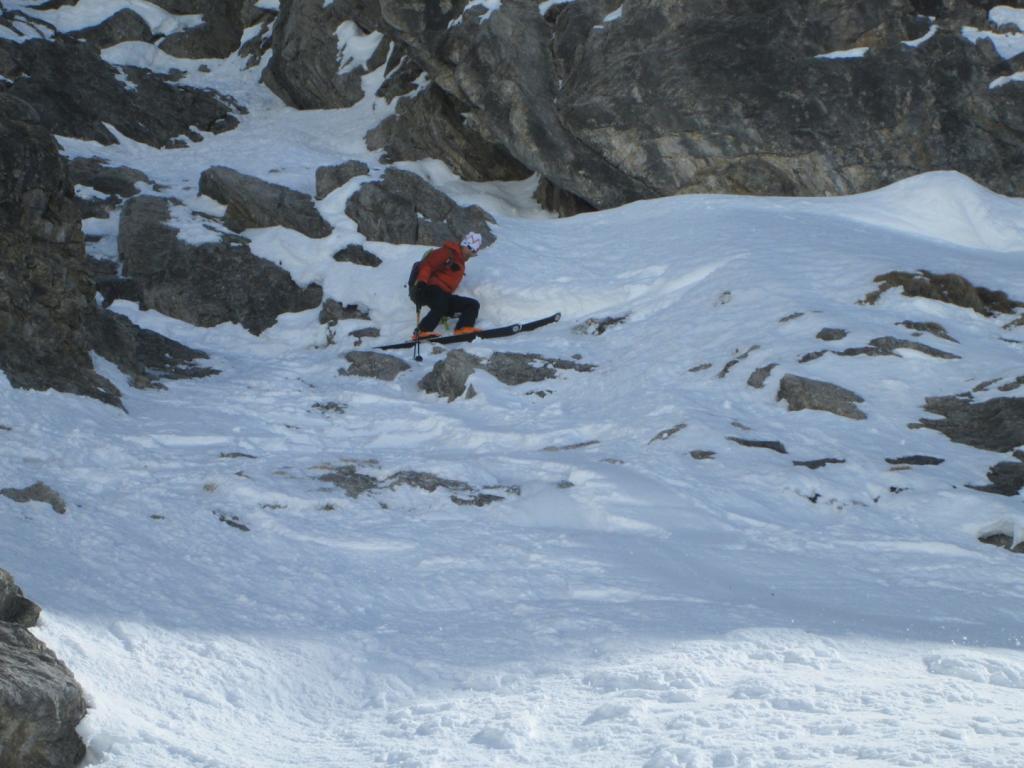
Dal Col Chalvet procedere verso est puntando ad una spalletta sospesa (spesso sguarnita di neve). Da qui obliquare ancora verso sx fino ad entrare in parete dove si riesce ad imboccare il secondo di 3 canalini presenti (meglio avere una foto). Percorrere il vago canale fino ad una strettoia più ripida (qualche metro a 50°), una volta oltrepassato questo tratto iniziare ad obliquare via via verso dx fino a raggiungere la pala sommitale sospesa e da lì in breve l’anticima del M. Furgon (la vera cima è spostata verso sud ed è raggiungibile tramite una esposta e delicata crestina).
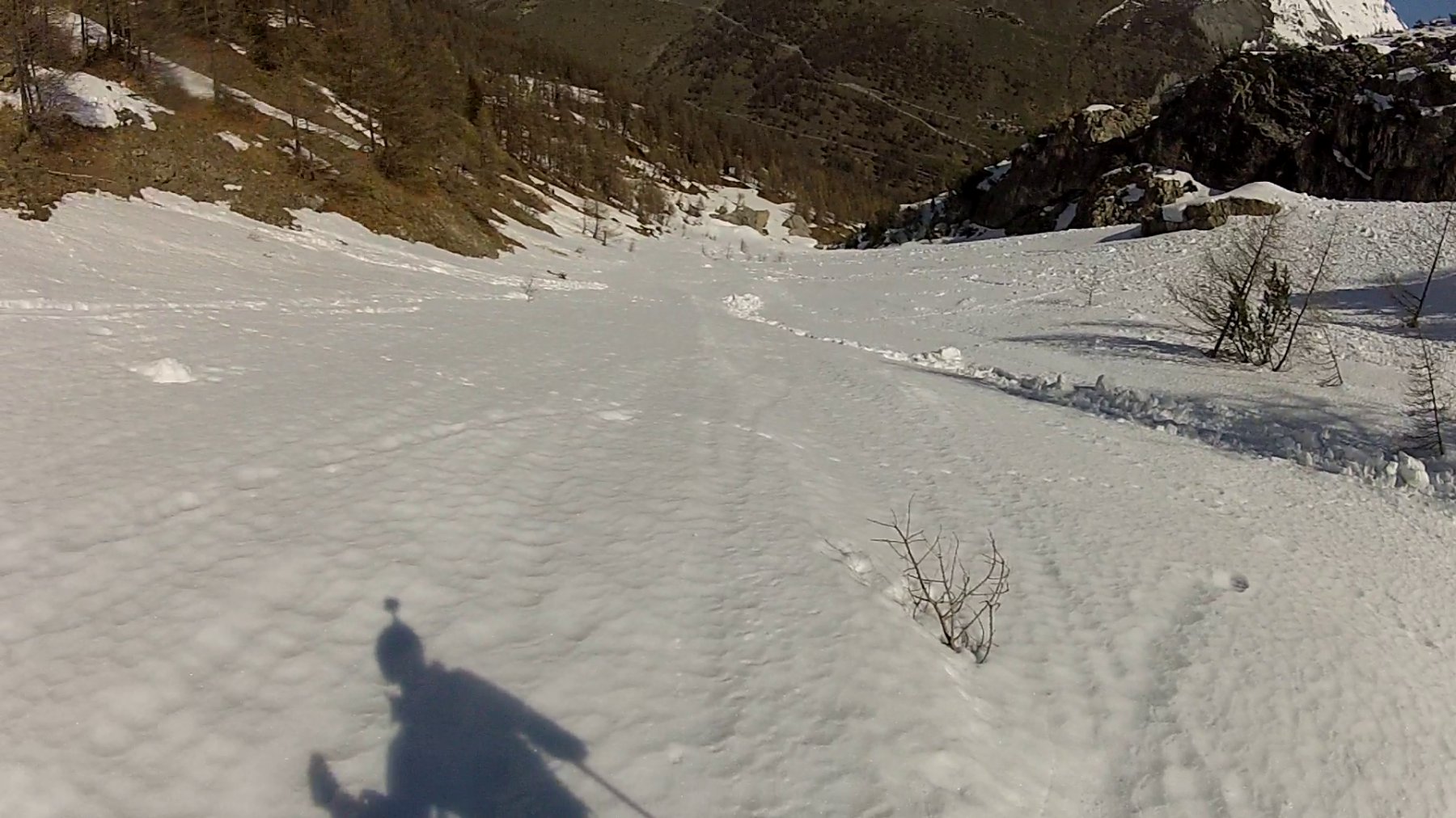
Discesa lungo l’itinerario di salita.
- Bibliografia:
- Ripido!
Nelle vicinanze Mappa
Itinerari
23/05/2025 TO, Sauze di Cesana D+ 1620 m II, 4.2, E2 Nord-Est
Pelvo (Cima del) Canale Morandini
 2.2Km
2.2Km
08/04/2023 TO, Sauze di Cesana D+ 1625 m III, 5.1, E2 Nord-Est
Serpentiera (Punta) Canale NE
 2.2Km
2.2Km
03/01/2022 TO, Sauze di Cesana D+ 1179 m II, 3.3, E2 Sud-Ovest
Platasse (Monte) da Bessen Haut per la Paretina Sud
 2.8Km
2.8Km
08/03/2026 TO, Sestriere D+ 1170 m I, 3.3, E2 Sud-Ovest
Rouit (Rocce del) Paretina Sud
 2.8Km
2.8Km
24/04/2024 TO, Cesana Torinese D+ 1500 m II, 3.3, E1 Sud
Terra Nera (Monte) versante Sud
 3.5Km
3.5Km
26/04/2026 TO, Cesana Torinese D+ 1565 m II, 4.2, E2 Nord-Est
Merciantaira (Punta) o Grand Glaiza Canale obliquo E/NE
 3.6Km
3.6Km
18/12/2016 TO, Cesana Torinese D+ 1650 m III, 4.2, E3 Ovest
Boucher (Roc del) Versante O/NO
 3.7Km
3.7Km
26/12/2021 TO, Cesana Torinese D+ 1200 m 4.2, E2 Varie
Furgon (Monte) Canale SO
 3.7Km
3.7Km
06/04/2023 TO, Cesana Torinese D+ 1650 m II, 4.3, E4 Ovest
Boucher (Roc del) versante Ovest
 3.7Km
3.7Km
19/03/2026 TO, Cesana Torinese D+ 1317 m II, 4.1, E1 Nord
Clausi (Cima) o Cime de Clausis Parete Nord
 3.7Km
3.7Km
Servizi
2.9Km
3.5Km
da Carlo Rifugio
Cesana Torinese
3.5Km
La Tana degli Orsi B&B
Cesana Torinese
3.5Km
La Crota B&B
Cesana Torinese
3.6Km
La Fontana del Thures Rifugio
Cesana Torinese
4Km
Centro Ristorante
Cesana Torinese
7.7Km
L’Ibarus Rifugio
Cesana Torinese
7.7Km
Piergiorgio Frassati B&B
Cesana Torinese
7.8Km
Casa Cesana Bar
Cesana Torinese
7.8Km