1Km
1Km
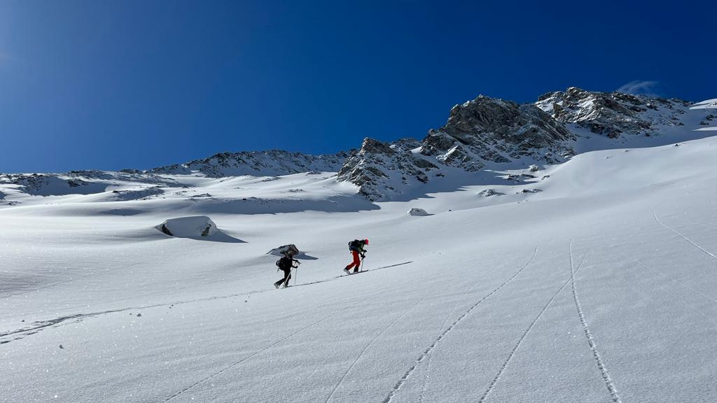

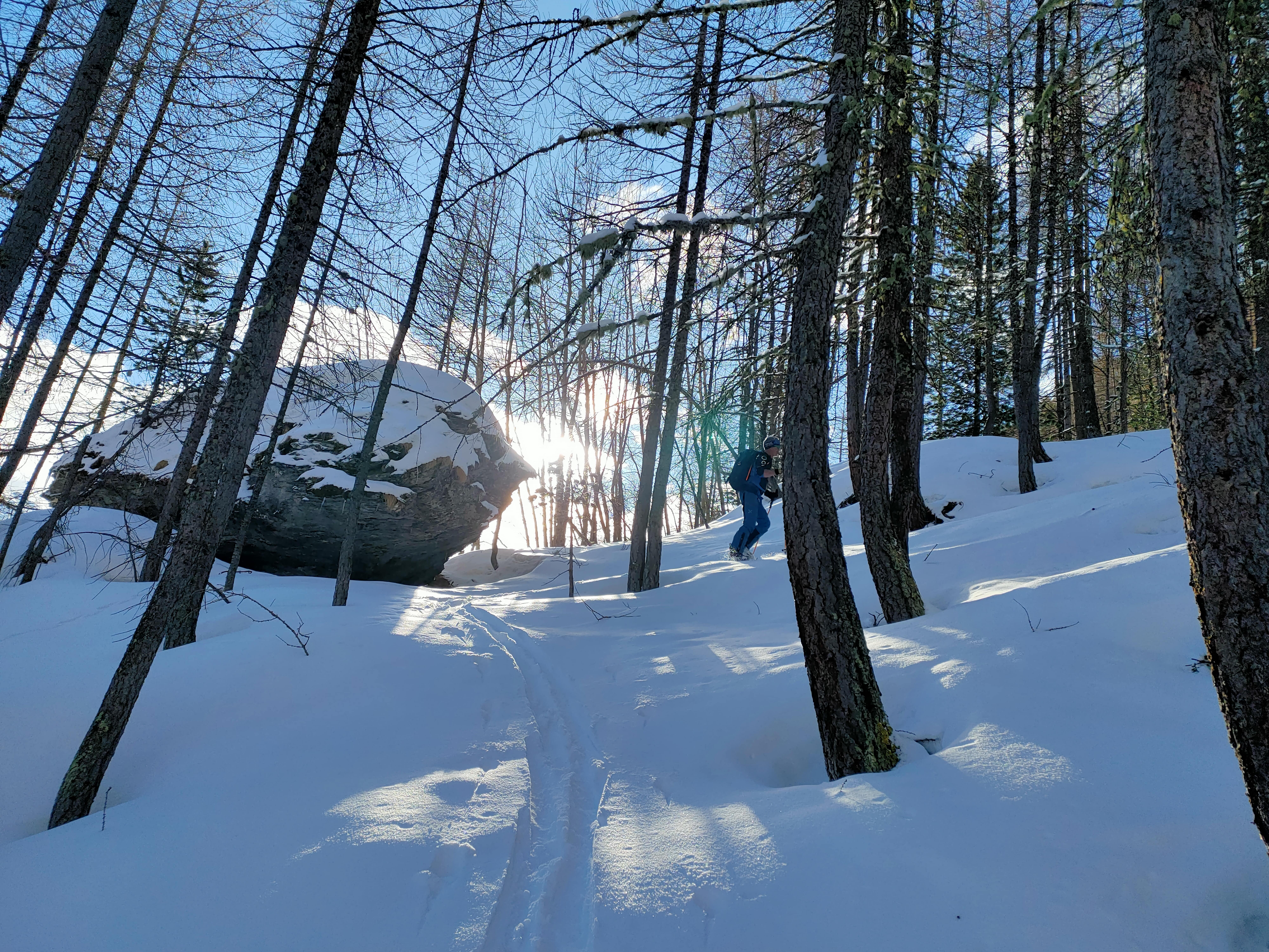
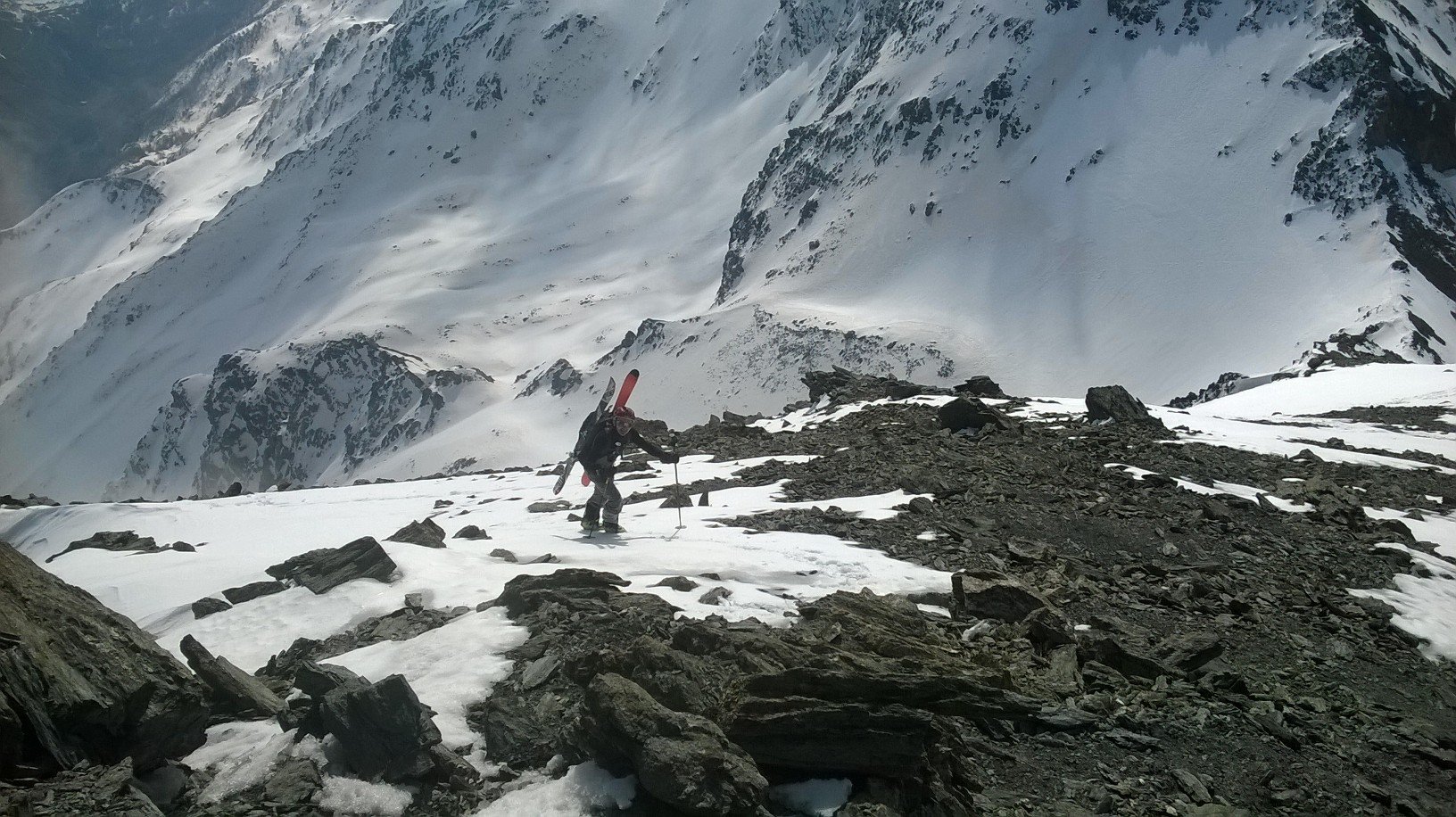
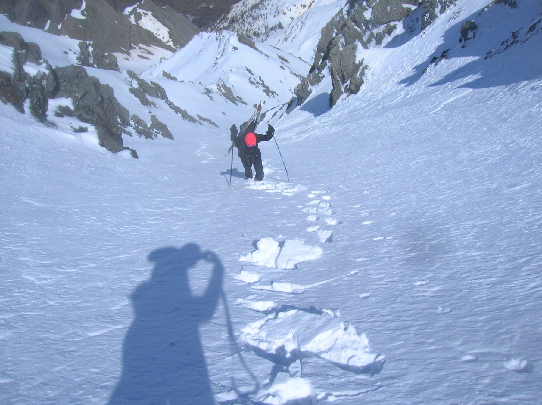
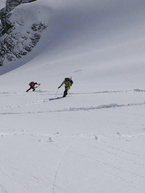
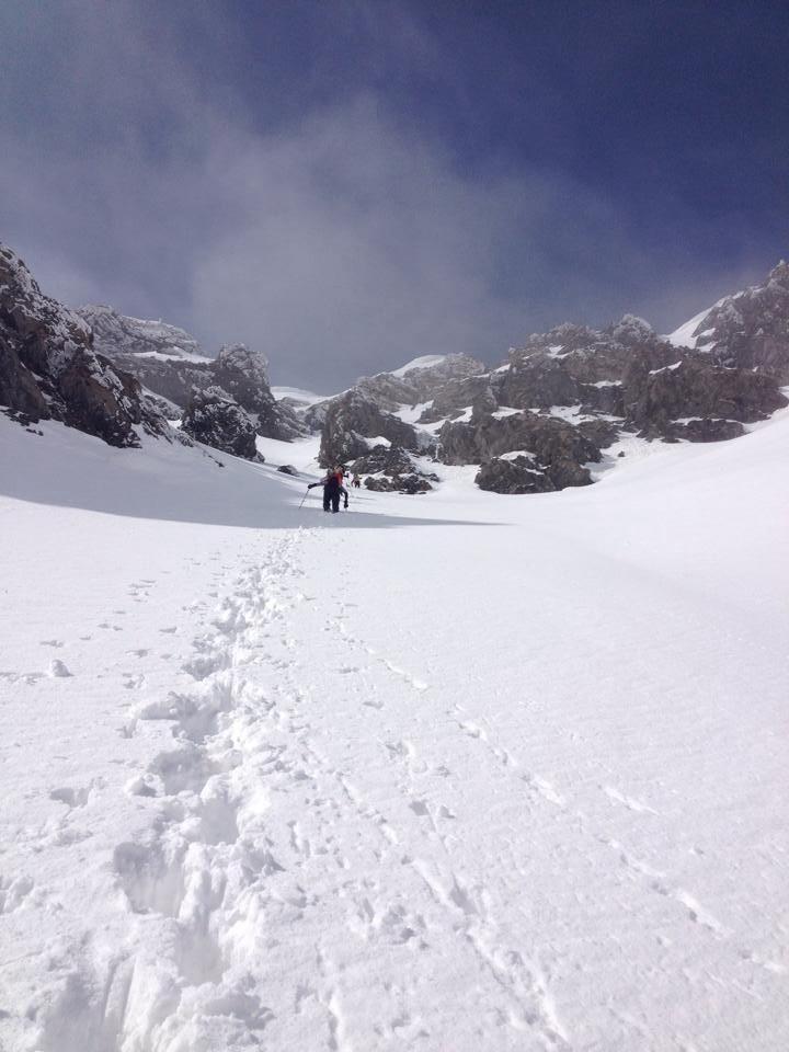
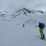
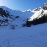
Avvicinamento
Storico
 50m
1Km
1.1Km
2.2Km
3.4Km
3.4Km
3.4Km
5.1Km
5.4Km
50m
1Km
1.1Km
2.2Km
3.4Km
3.4Km
3.4Km
5.1Km
5.4Km
1Km
5.4Km
5.4Km
5.4Km
5.8Km
6.2Km
8.4Km
8.8Km
8.8Km
9Km
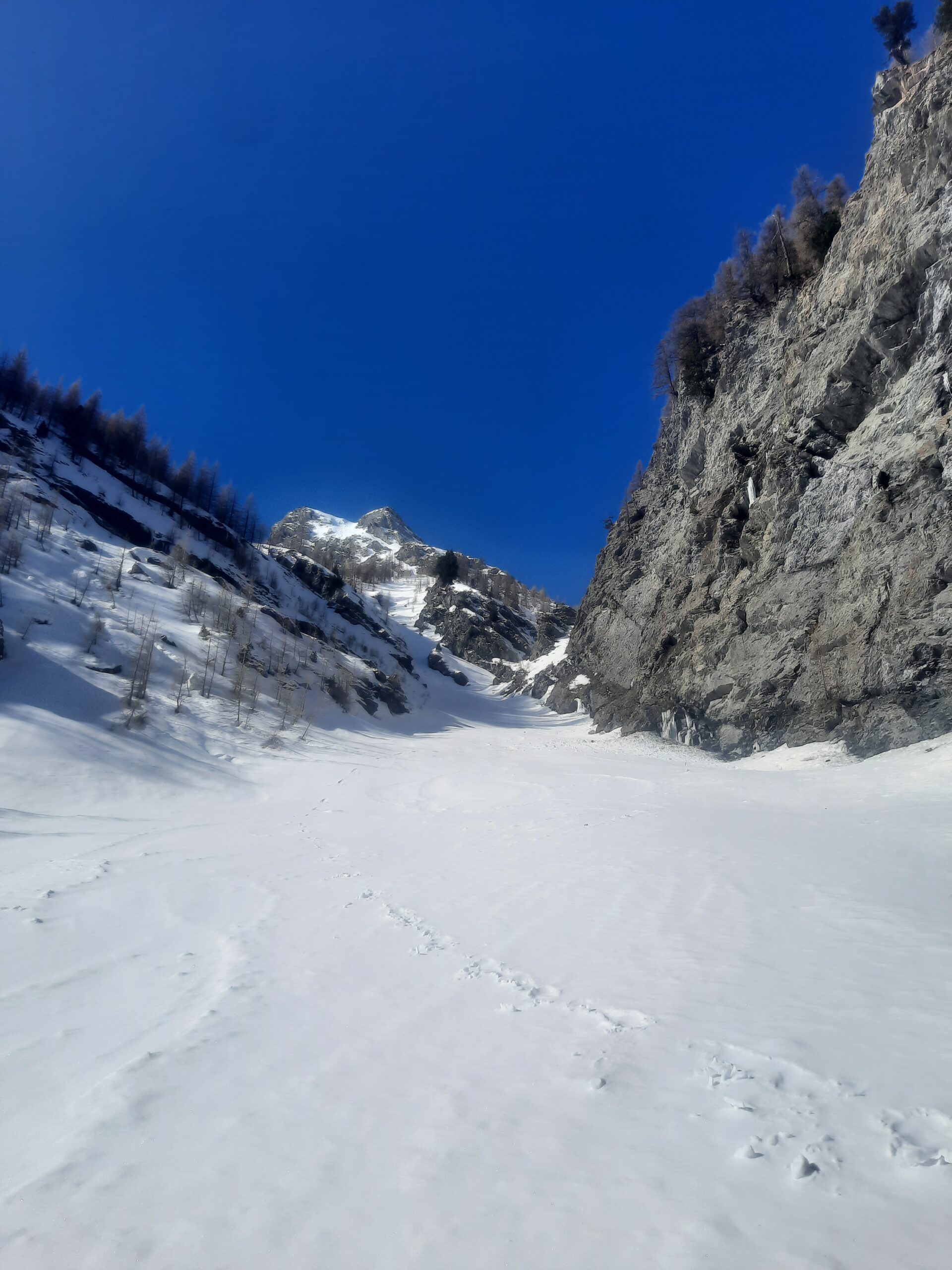
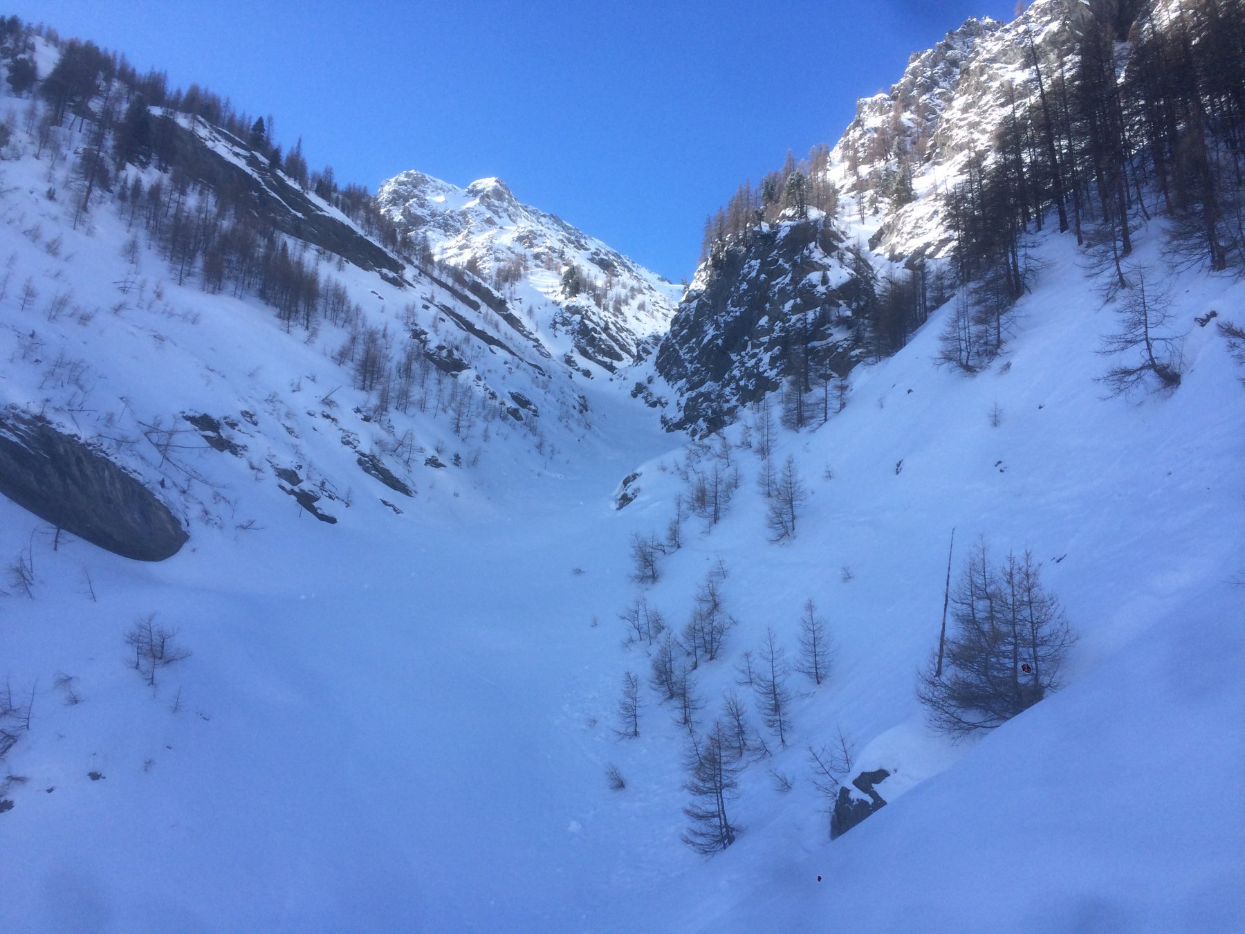
Parcheggiare a Pont Terrible o, se la strada della valle Argentera e' aperta, proseguire sino al parcheggio del sentiero del Pelvo
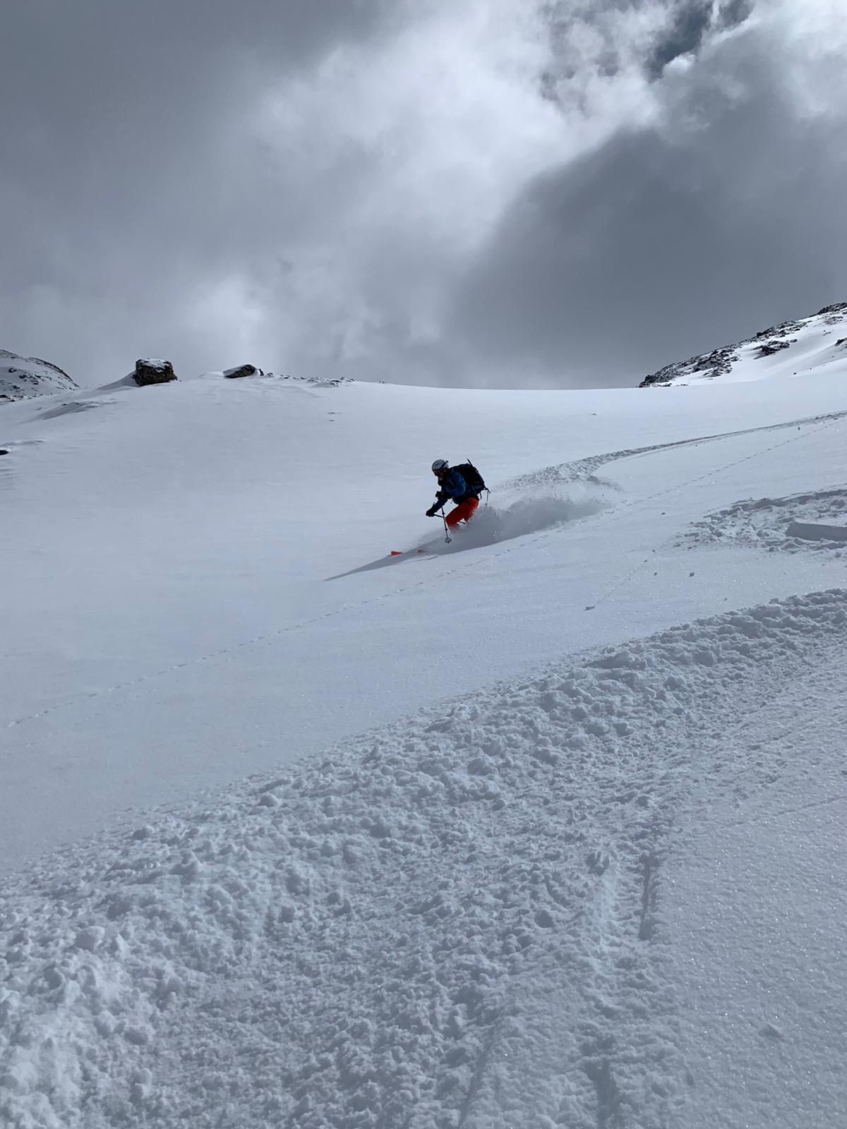
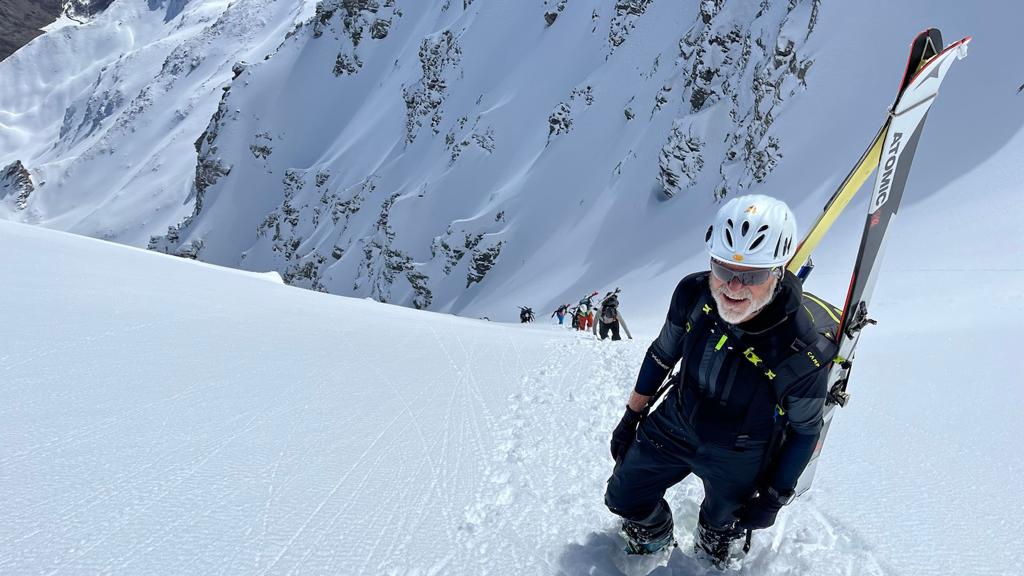
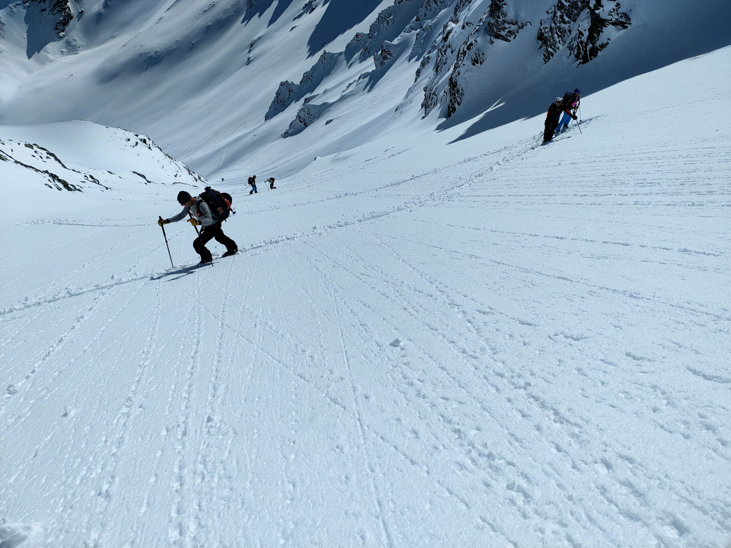
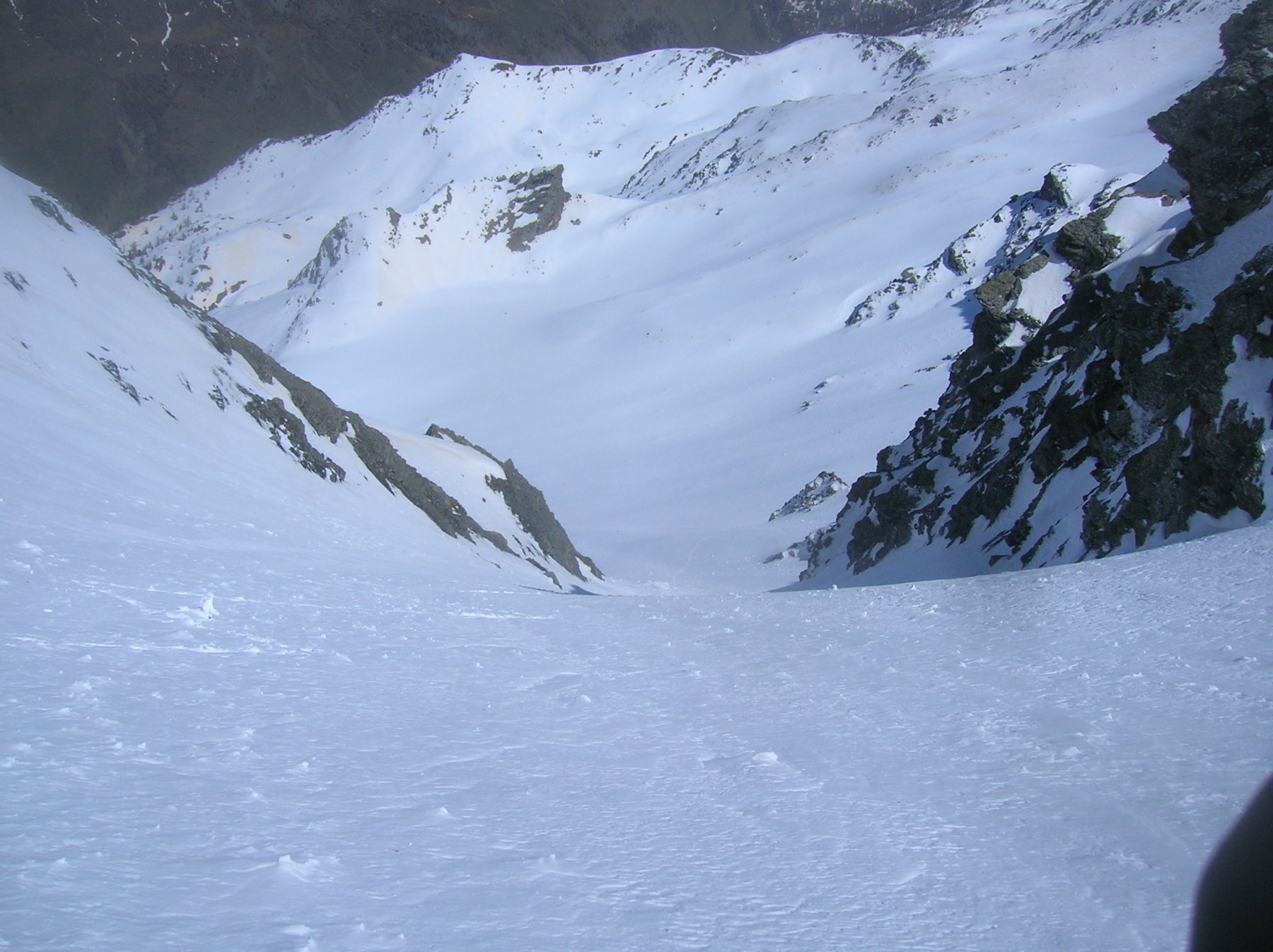
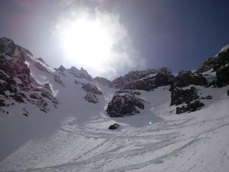
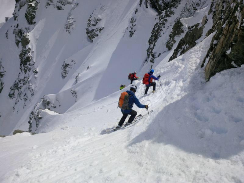
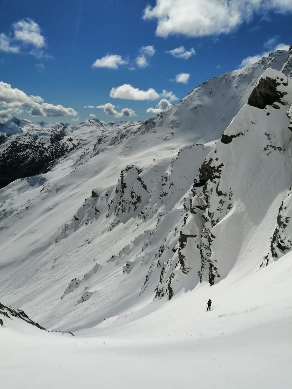
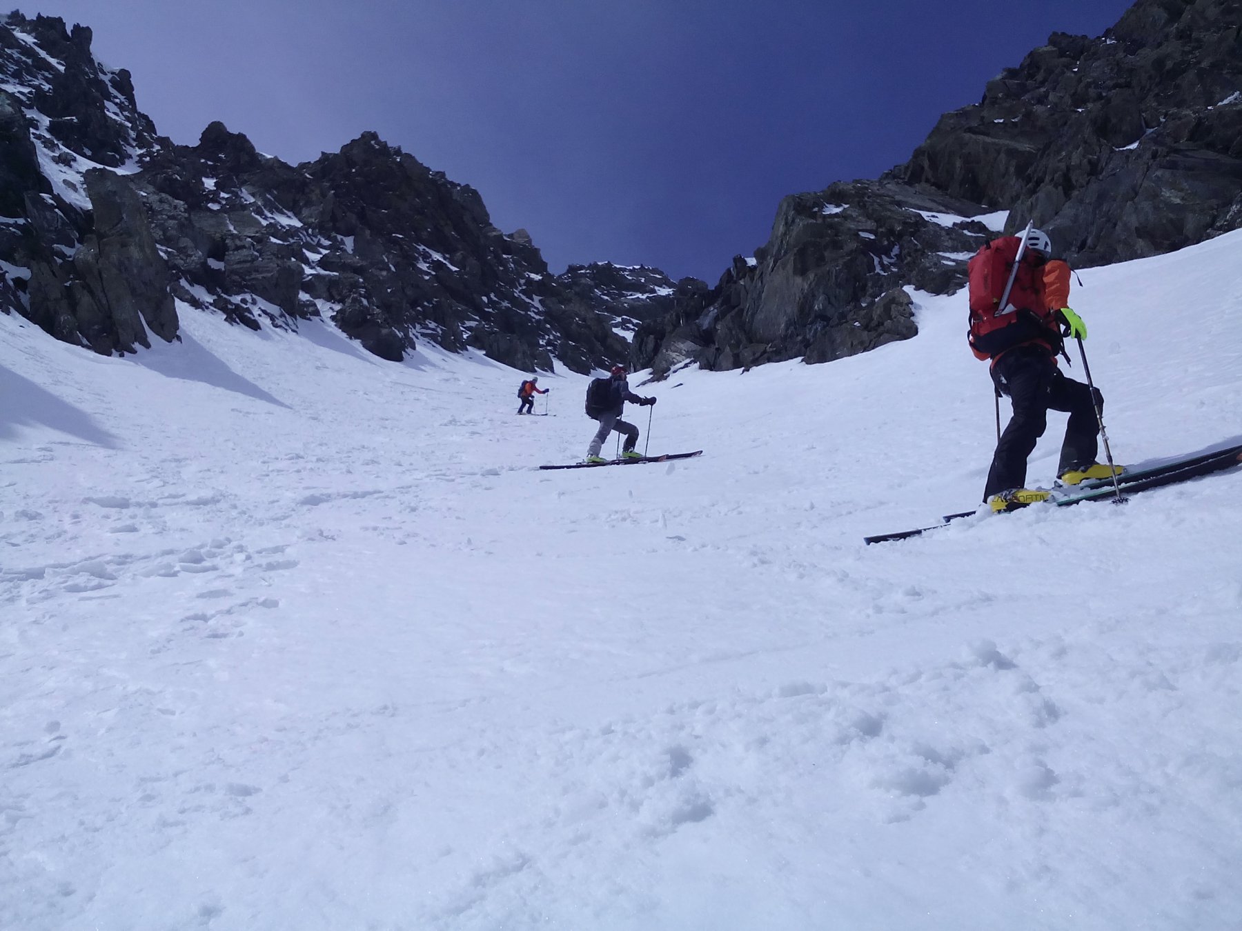
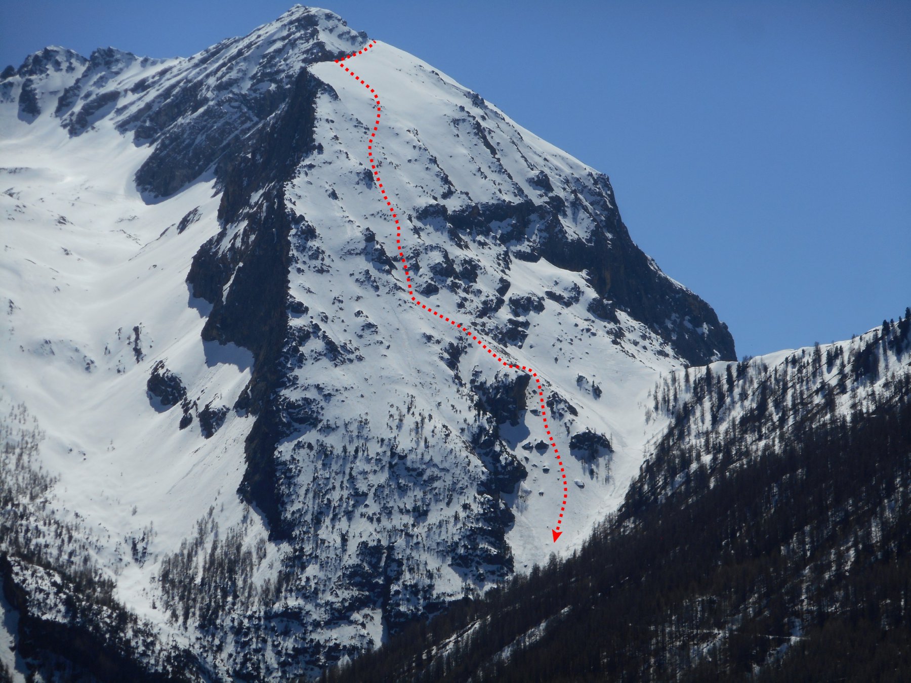
Descrizione
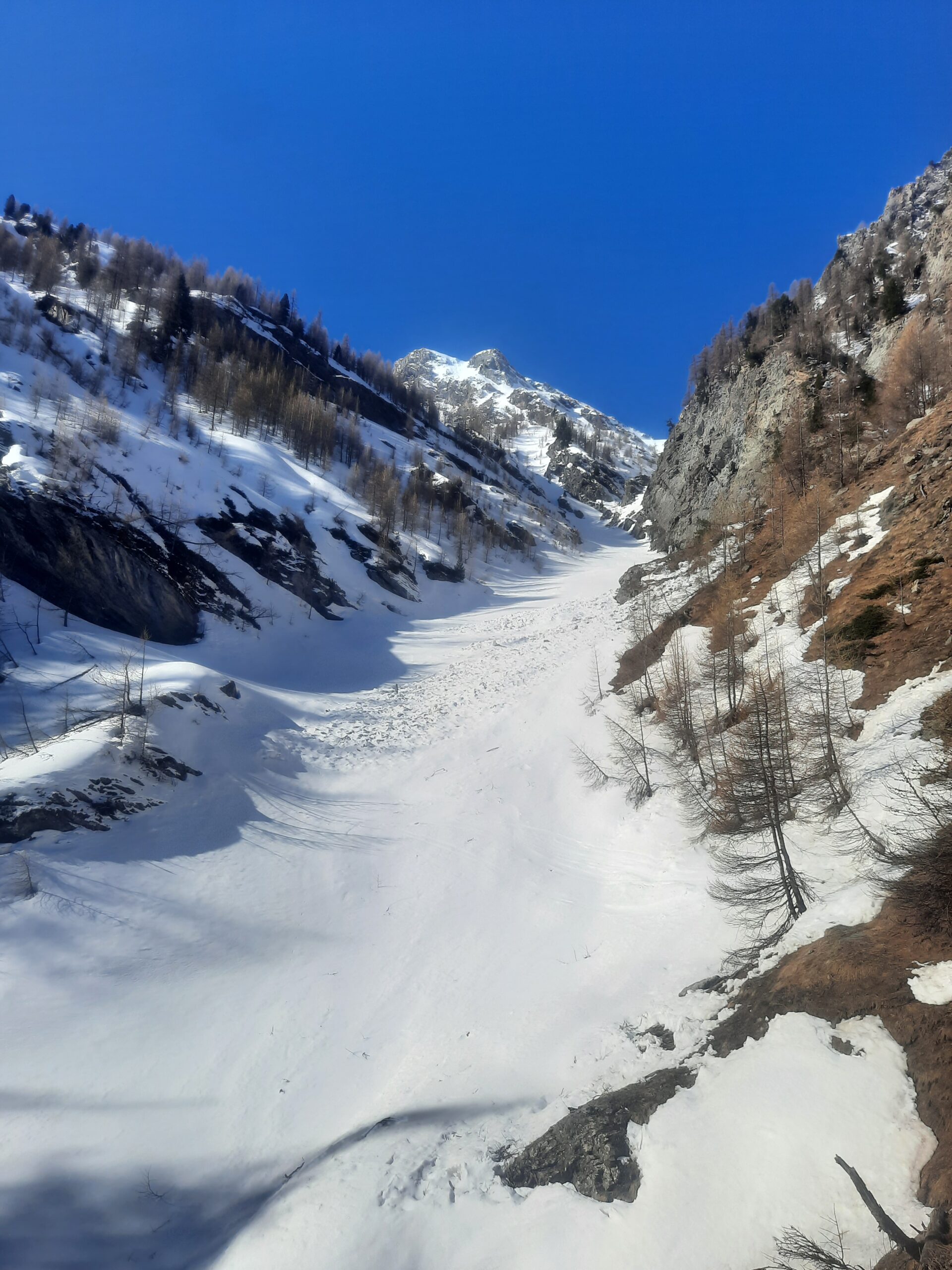
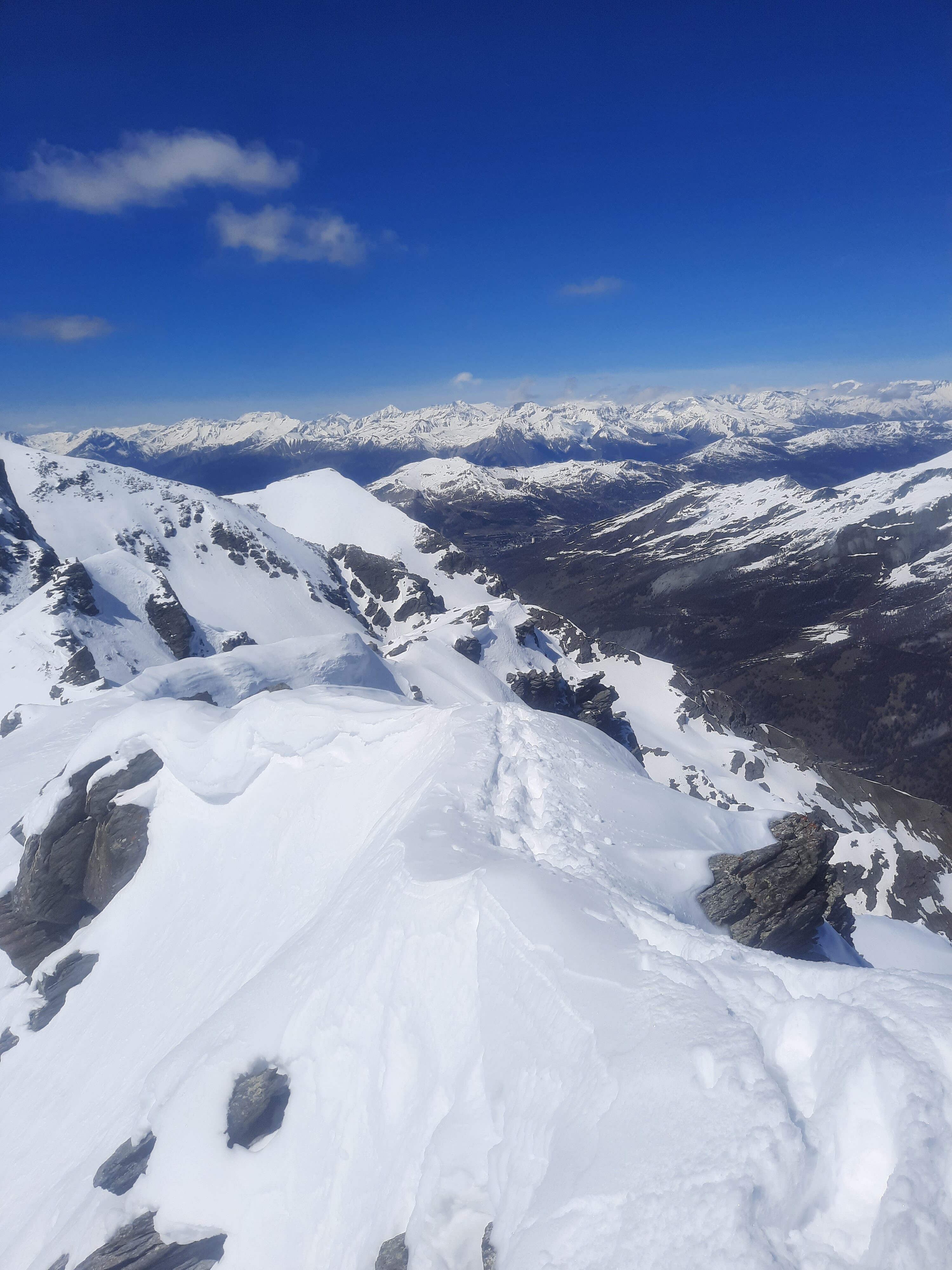
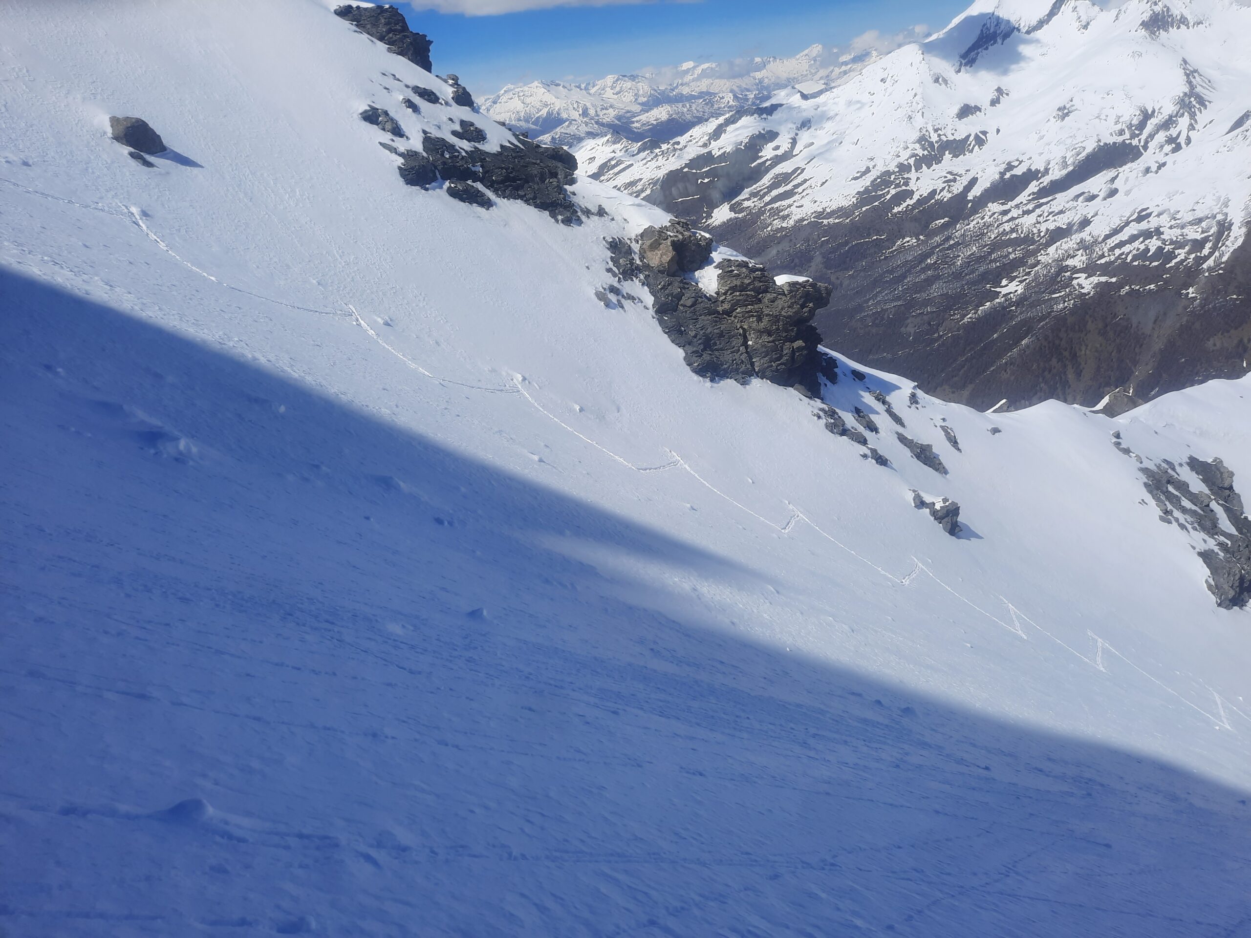
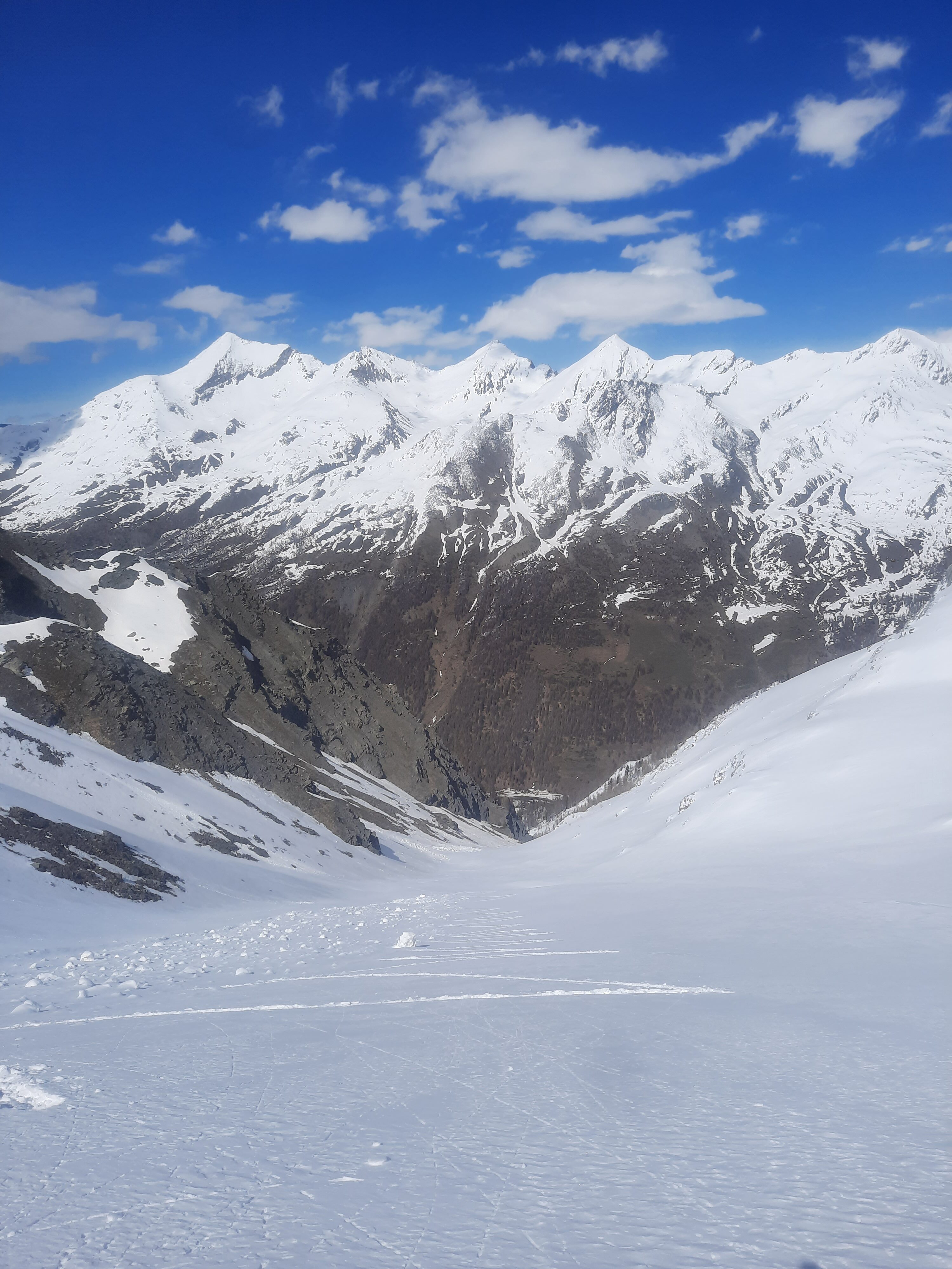
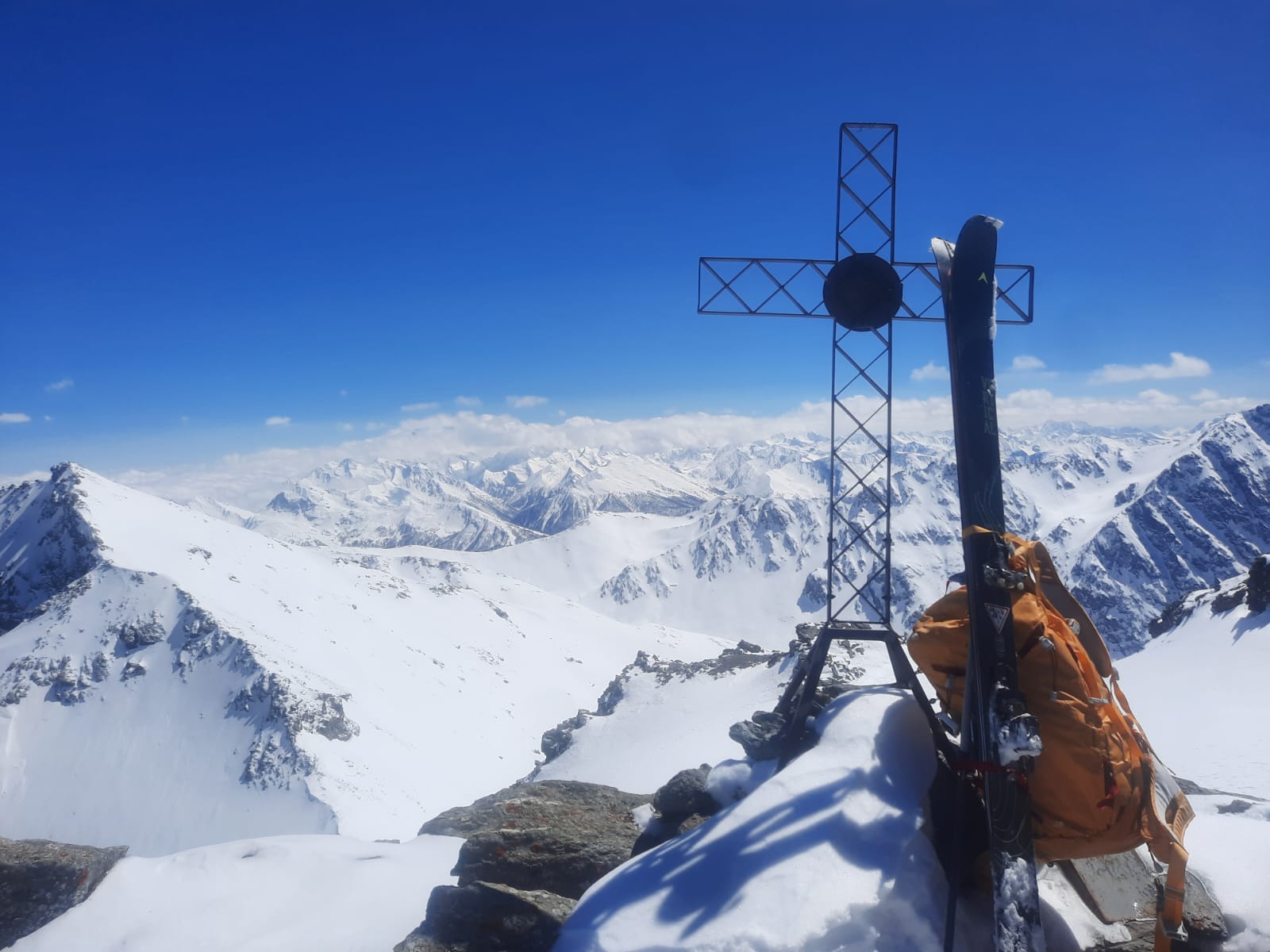
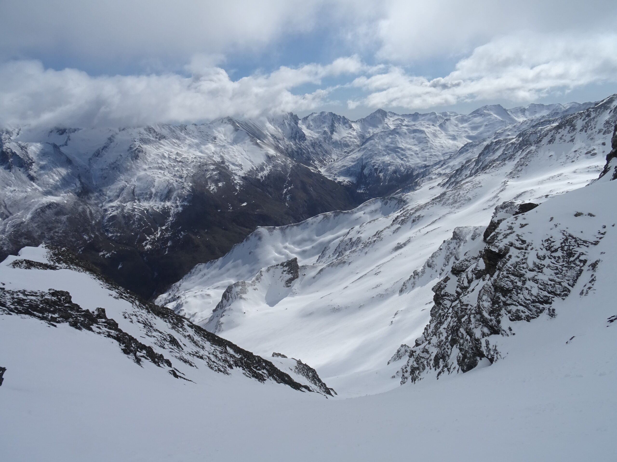
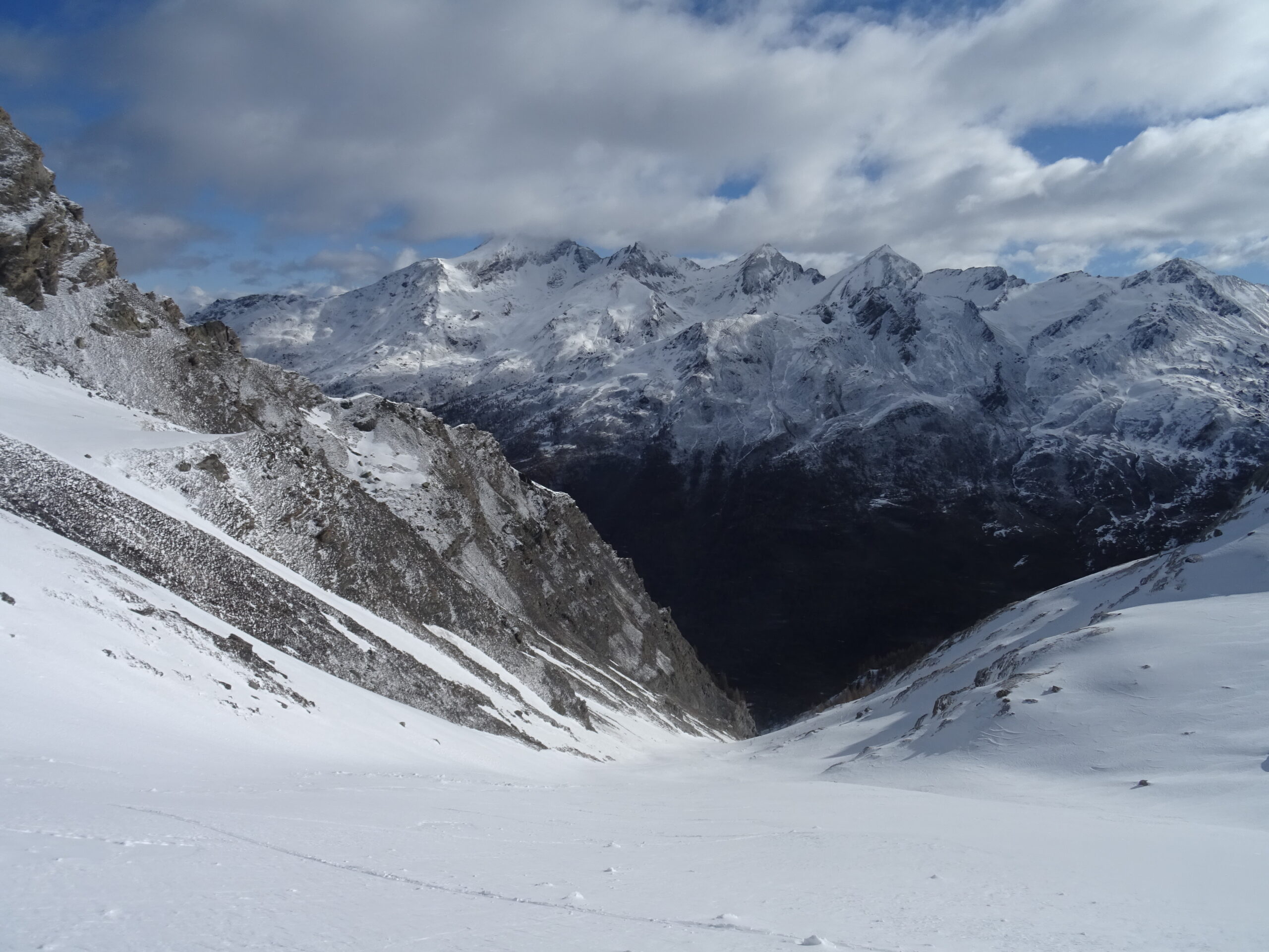
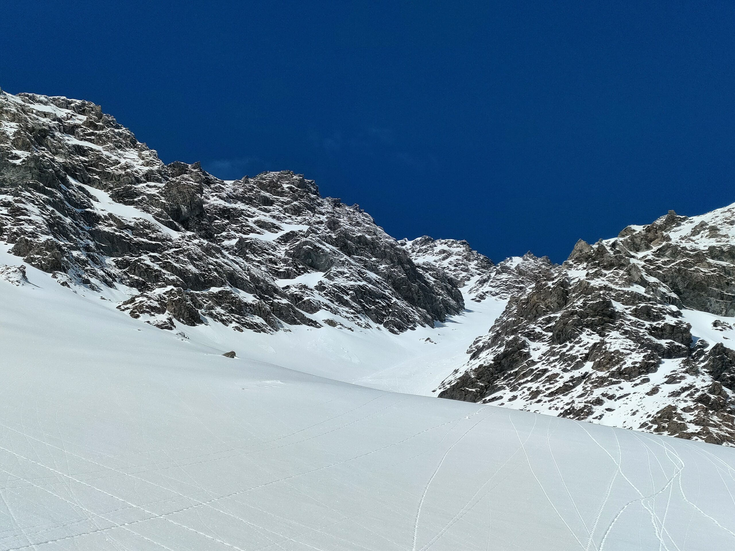
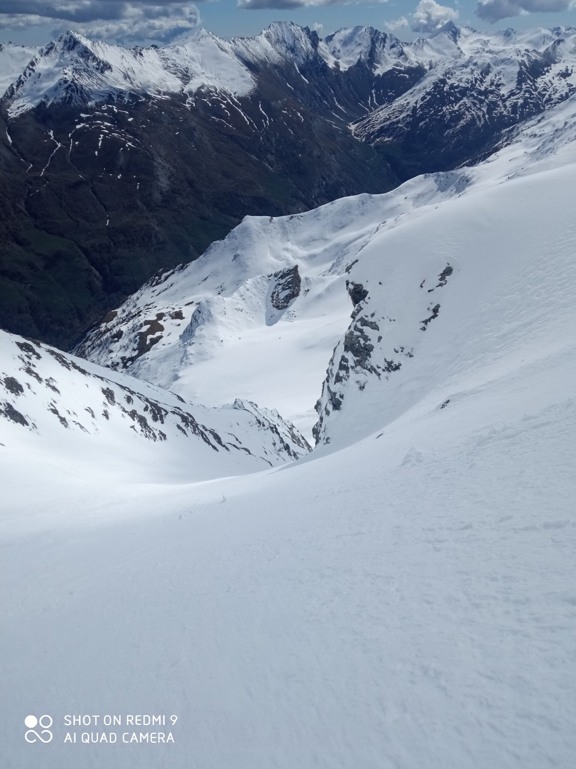
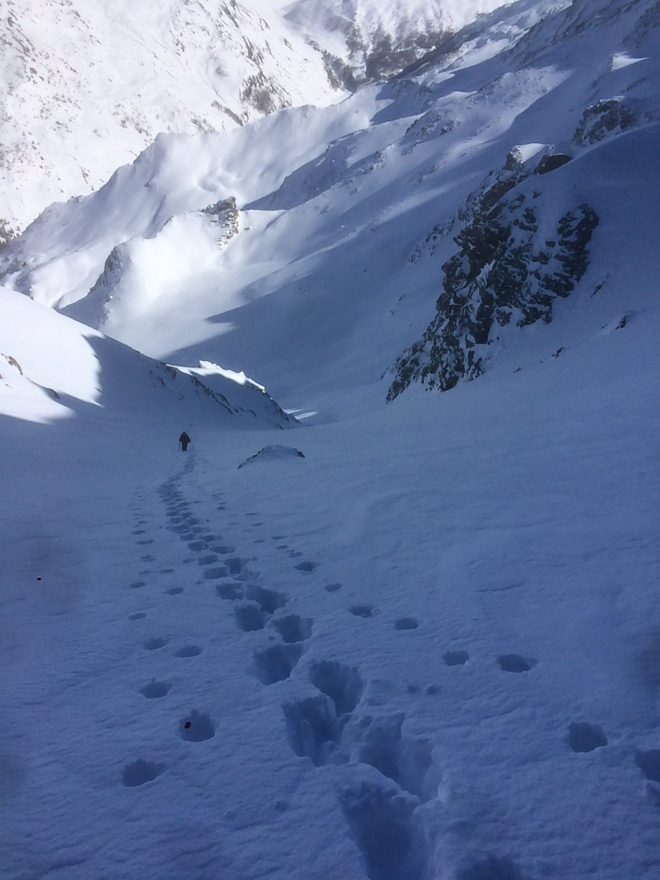
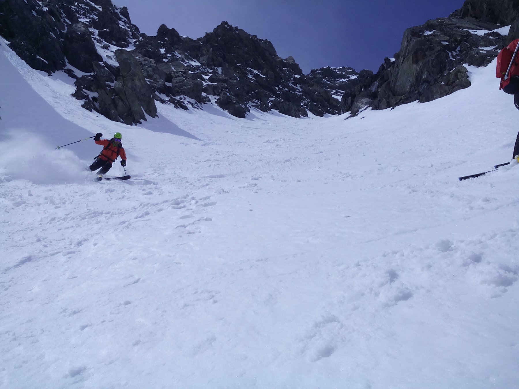
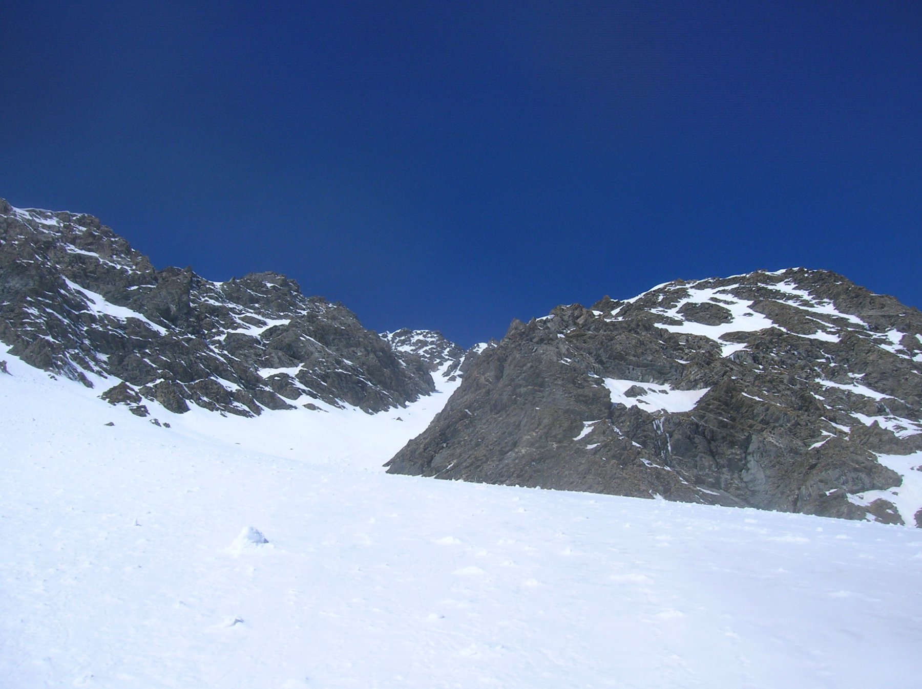
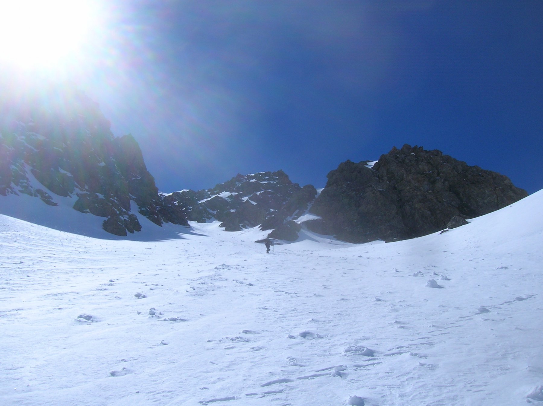
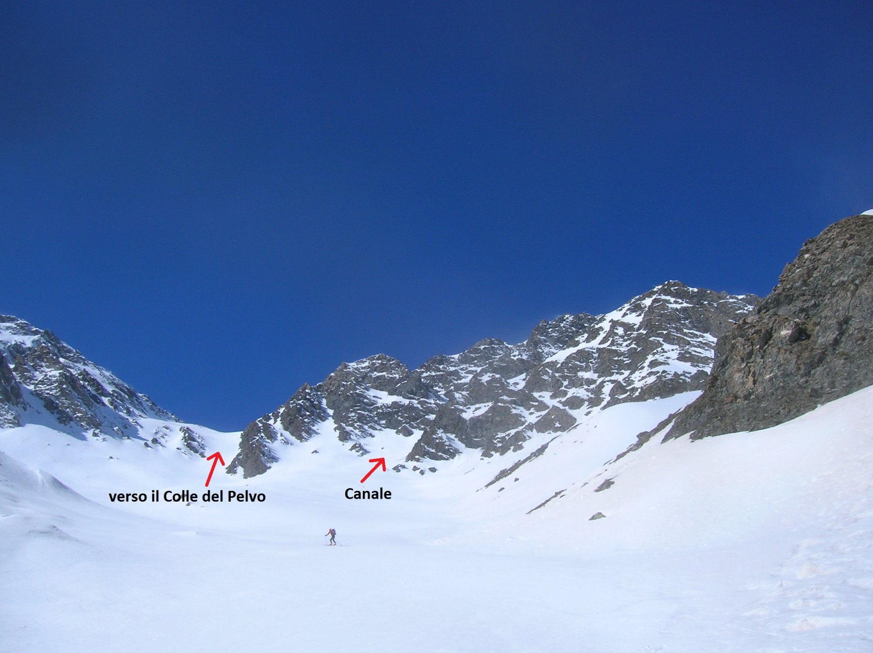
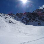
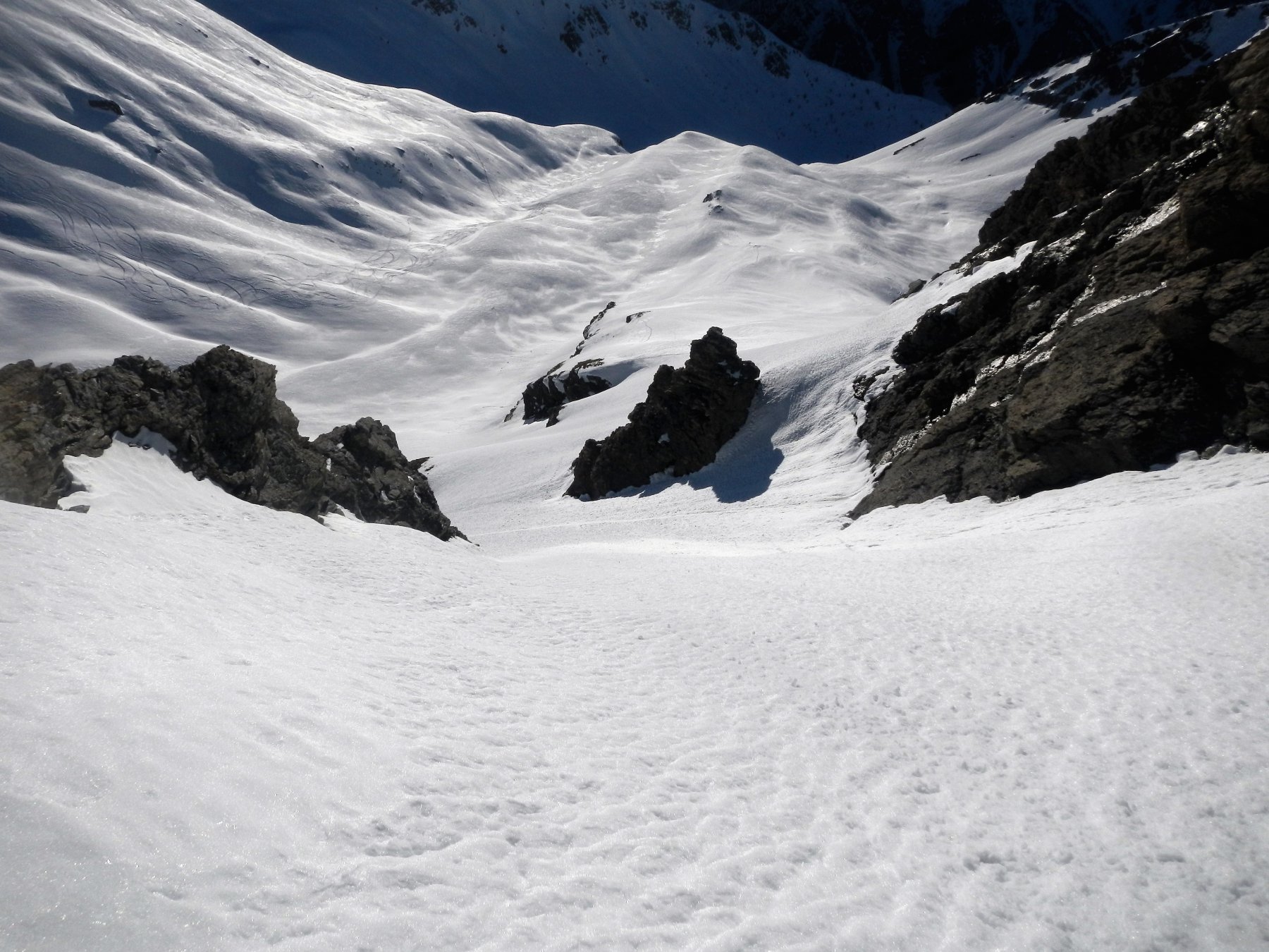
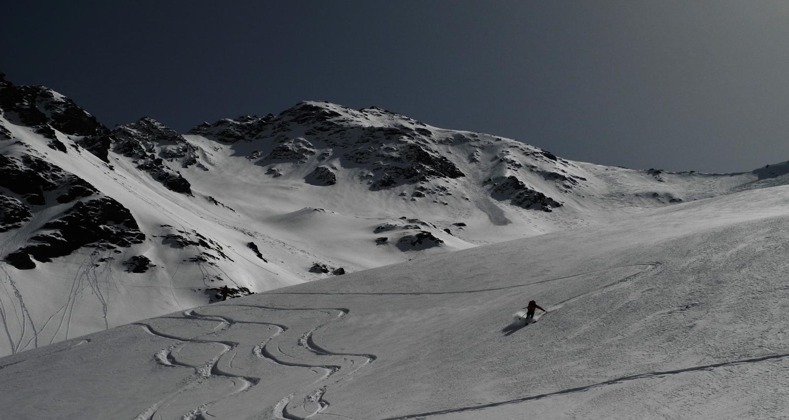
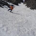
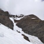
Si segue l’itinerario normale del Pelvo fino a quota 2600. A questo punto risulta evidente a dx l’ampio pendio canale che sale verso ovest. Negli ultimi 300 m la pendenza aumenta fino a superare di poco i 40° verso l’uscita che è a dx. Dalla selletta, andando a sinistra, si arriva alla croce di vetta dopo 100 m. in traverso.
Canale già salito nel 2008 per la prima volta da Corradin, Savoja, Chiesa, Vagnone, Casalegno e Morandini (da cui il nome) e mai recensito.
Nelle vicinanze Mappa
Itinerari
08/04/2023 TO, Sauze di Cesana D+ 1625 m III, 5.1, E2 Nord-Est
Serpentiera (Punta) Canale NE
 50m
50m
03/01/2022 TO, Sauze di Cesana D+ 1179 m II, 3.3, E2 Sud-Ovest
Platasse (Monte) da Bessen Haut per la Paretina Sud
 1Km
1Km
08/03/2026 TO, Sestriere D+ 1170 m I, 3.3, E2 Sud-Ovest
Rouit (Rocce del) Paretina Sud
 1.1Km
1.1Km
16/04/2017 TO, Sauze di Cesana D+ 1230 m 4.3, E3 Nord-Ovest
Furgon (Monte) Parete NO
 2.2Km
2.2Km
01/05/2022 TO, Sestriere D+ 800 m II, 3.3, E1 Nord-Est
San Giacomo (Rocce di) da Sestriere per il vallone del Chisonetto
 3.4Km
3.4Km
23/02/2025 TO, Sestriere D+ 620 m I, 4.1, E1 Nord-Est
Querellet (Monte) – Monte Sises, itinerari vari della dorsale
 3.4Km
3.4Km
13/03/2015 TO, Sestriere D+ 1280 m III, 5.1, E3 Est
Rognosa del Sestriere (Punta) Parete Est
3.4Km
24/05/2026 TO, Sestriere D+ 1235 m I, 4.1, E2 Nord-Ovest
Rognosa del Sestriere (Punta) Canale e Parete NO
 3.4Km
3.4Km
26/04/2026 TO, Cesana Torinese D+ 1565 m II, 4.2, E2 Nord-Est
Merciantaira (Punta) o Grand Glaiza Canale obliquo E/NE
 5.1Km
5.1Km
24/04/2024 TO, Cesana Torinese D+ 1500 m II, 3.3, E1 Sud
Terra Nera (Monte) versante Sud
 5.4Km
5.4Km
Servizi
1Km
5.4Km
da Carlo Rifugio
Cesana Torinese
5.4Km
La Tana degli Orsi B&B
Cesana Torinese
5.4Km
La Crota B&B
Cesana Torinese
5.8Km
La Fontana del Thures Rifugio
Cesana Torinese
6.2Km
Centro Ristorante
Cesana Torinese
8.4Km
Mulino di Laval Rifugio
Pragelato
8.8Km
La capanna del sole Ristorante
Pragelato
8.8Km
Al Mulino Ristorante
Pragelato
9Km