400m
400m

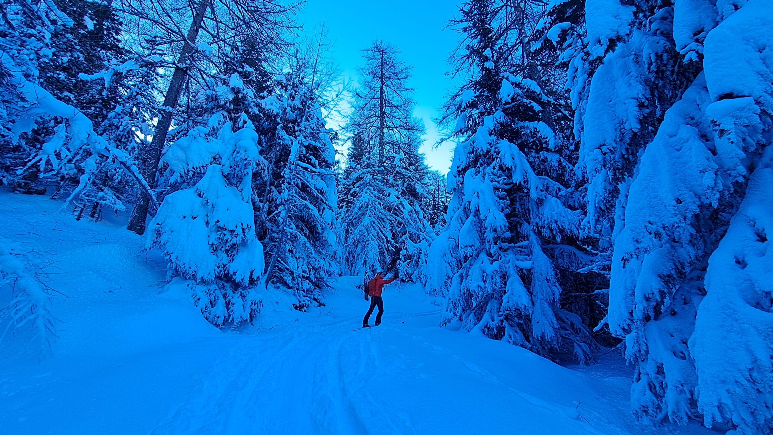
Avvicinamento
 1.5Km
1.8Km
2.2Km
2.6Km
2.6Km
2.6Km
3Km
3Km
1.5Km
1.8Km
2.2Km
2.6Km
2.6Km
2.6Km
3Km
3Km
400m
1.9Km
2.6Km
2.6Km
2.8Km
4.3Km
4.5Km
6.2Km
6.2Km
6.5Km
.
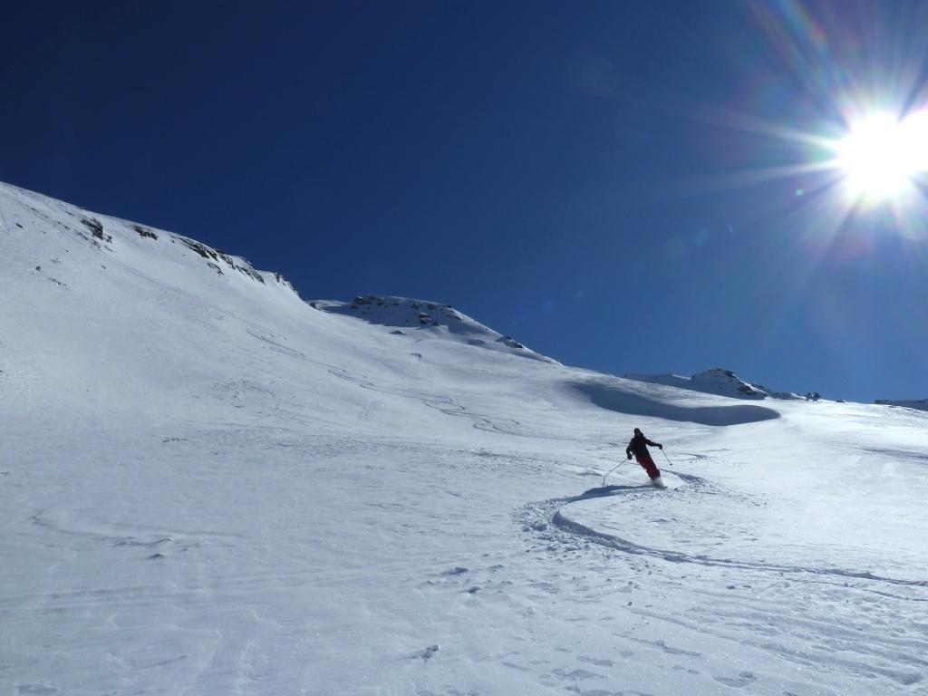
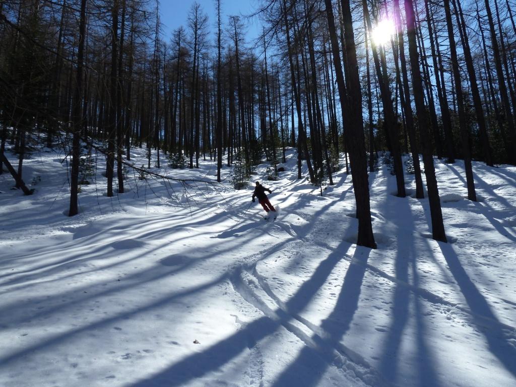
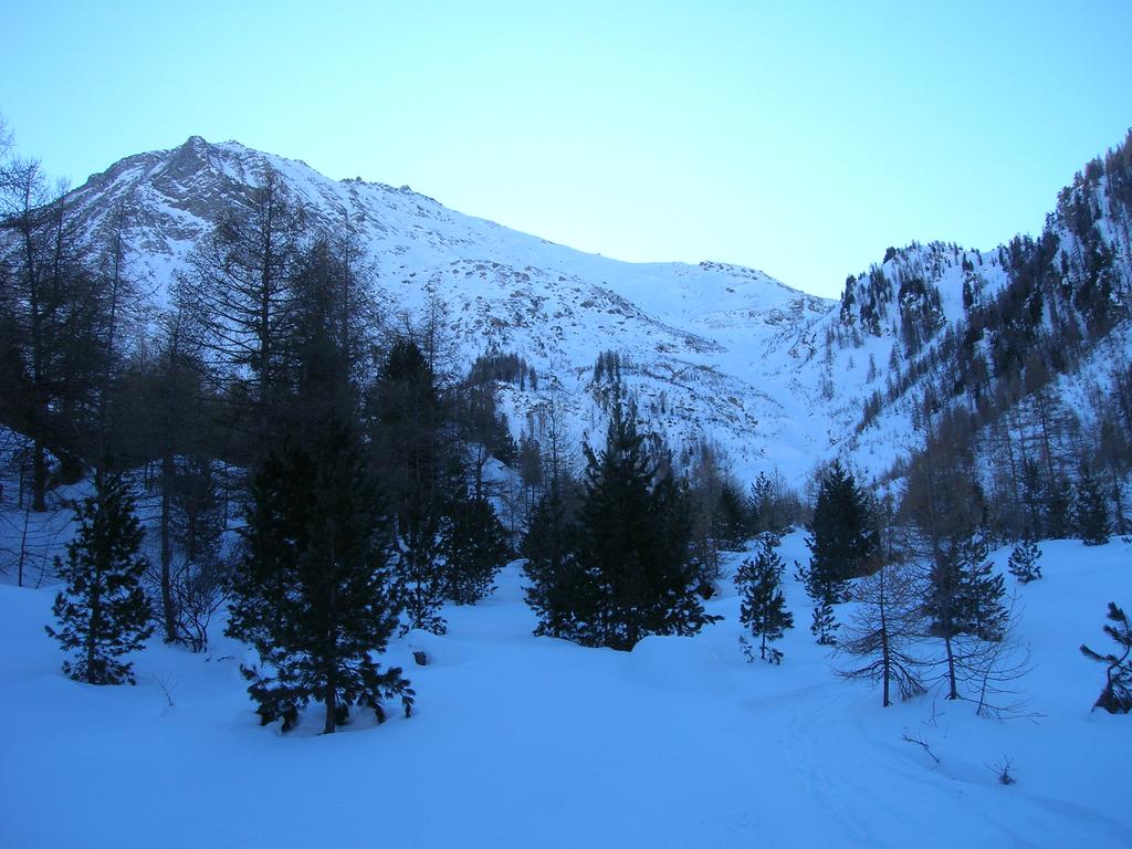
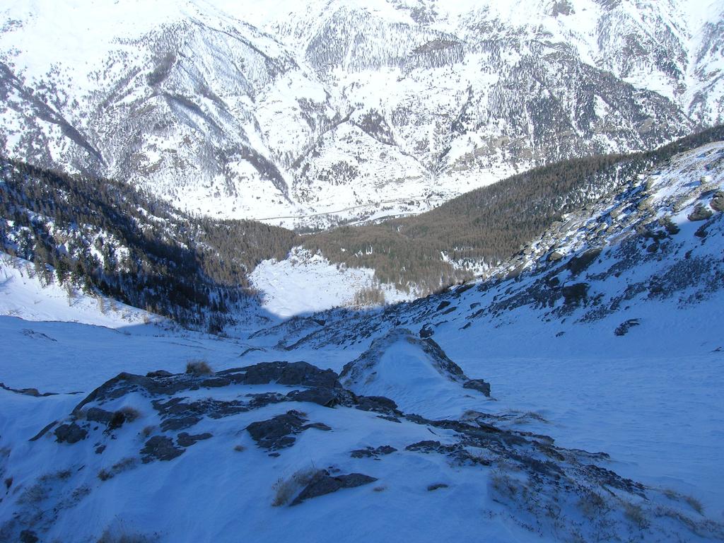
Descrizione
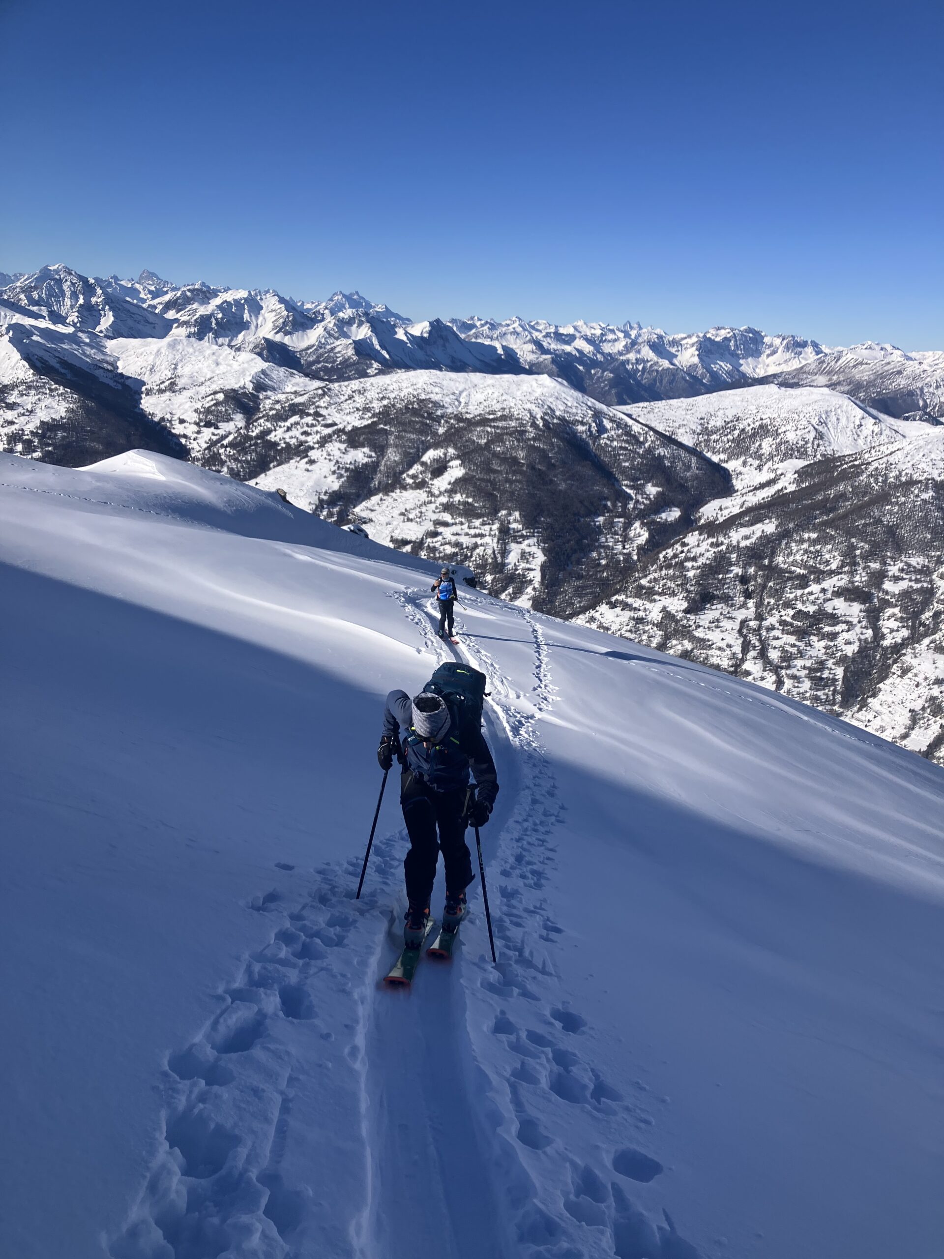
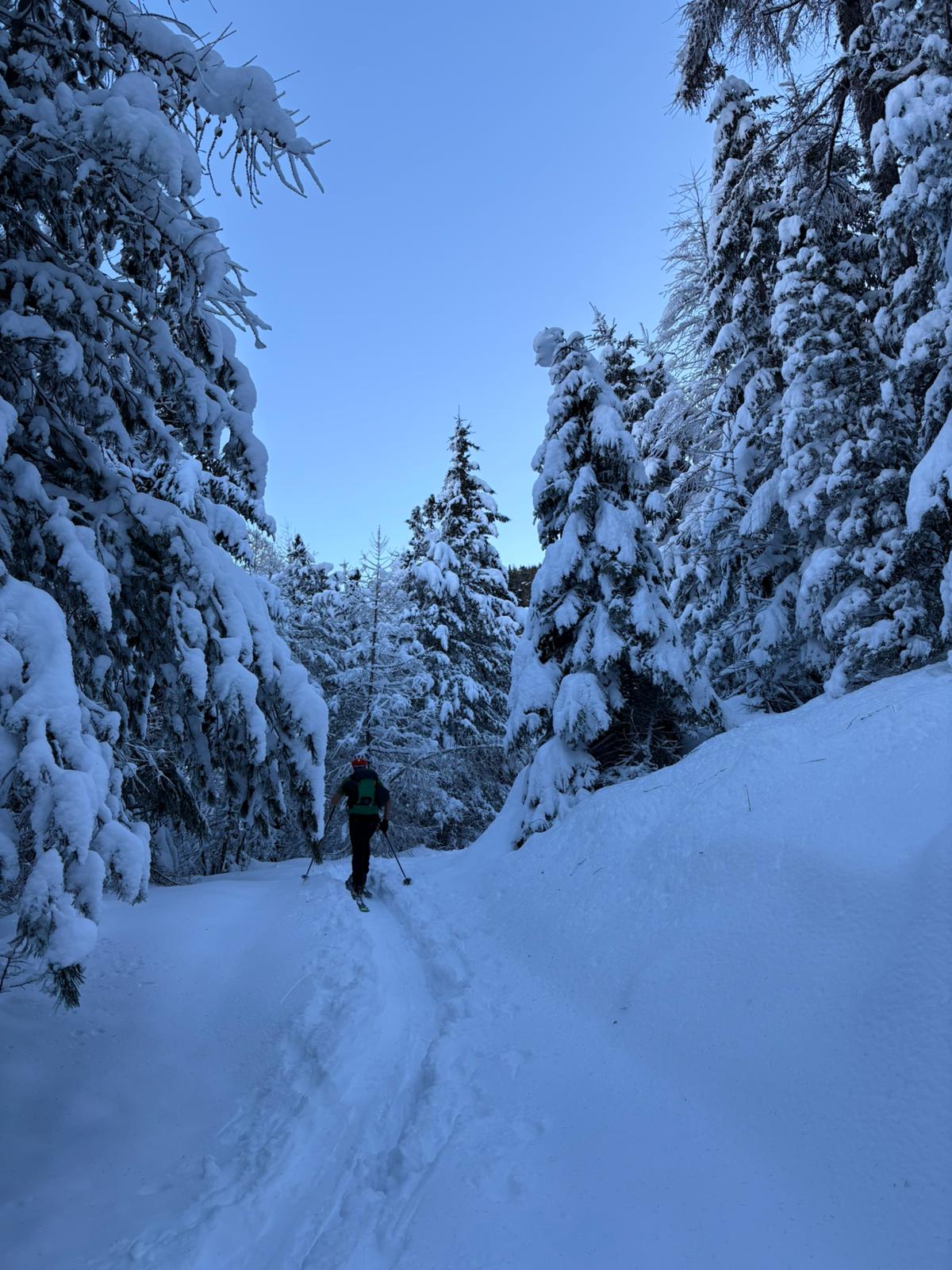
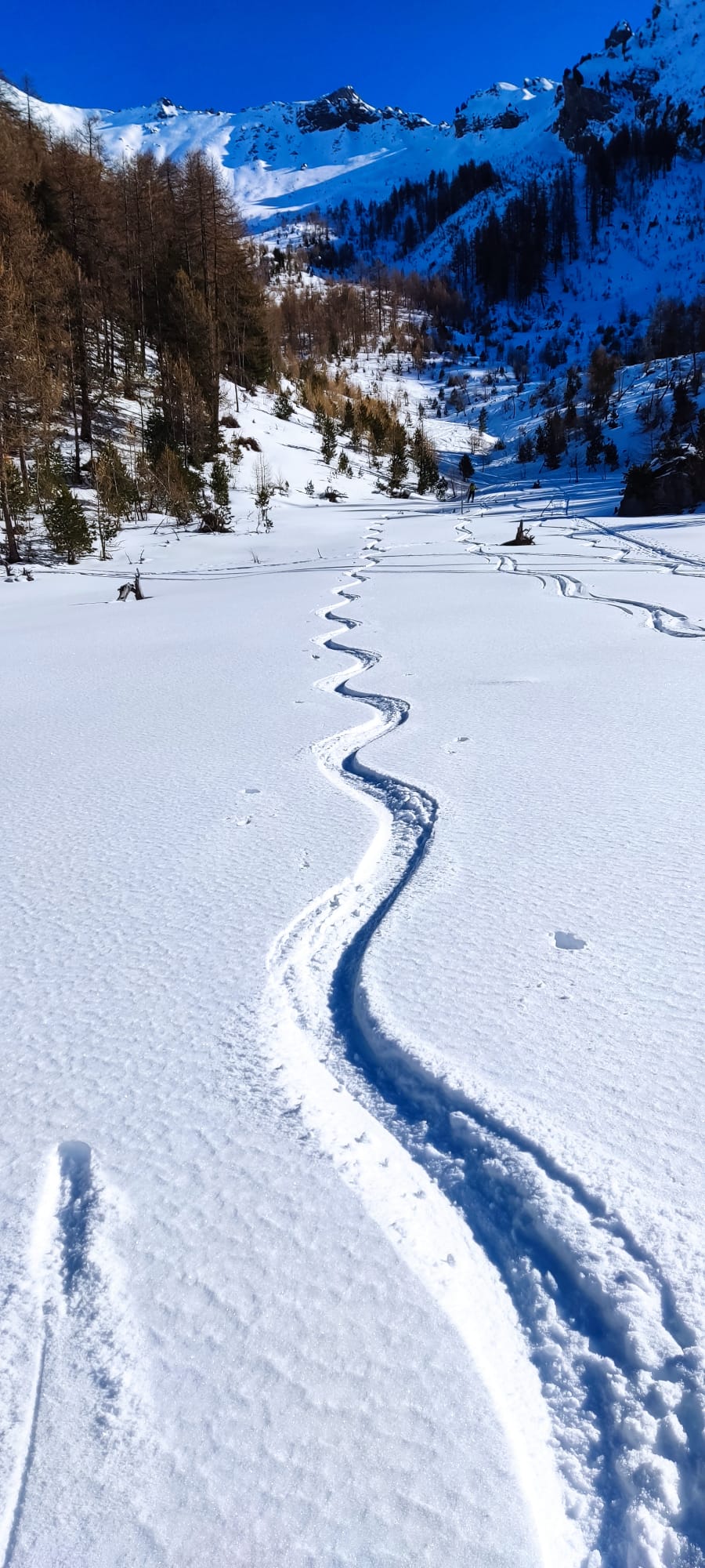
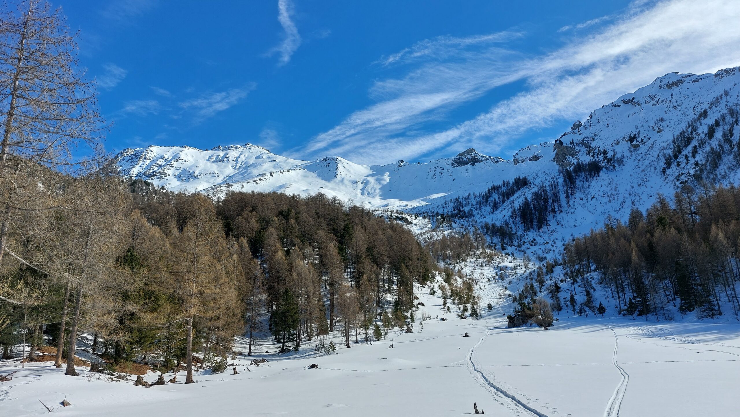
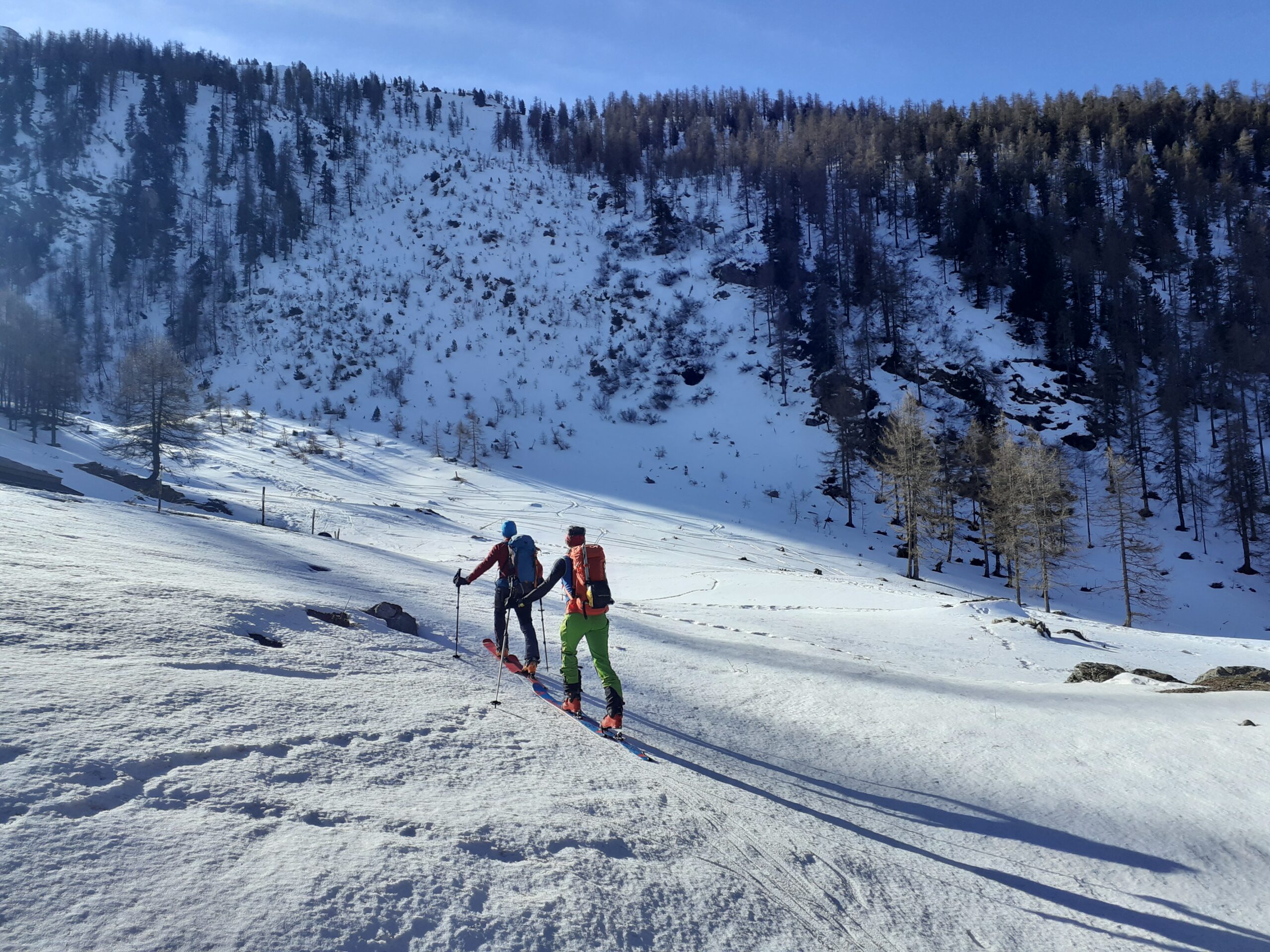
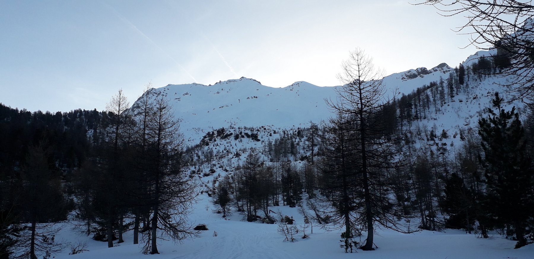
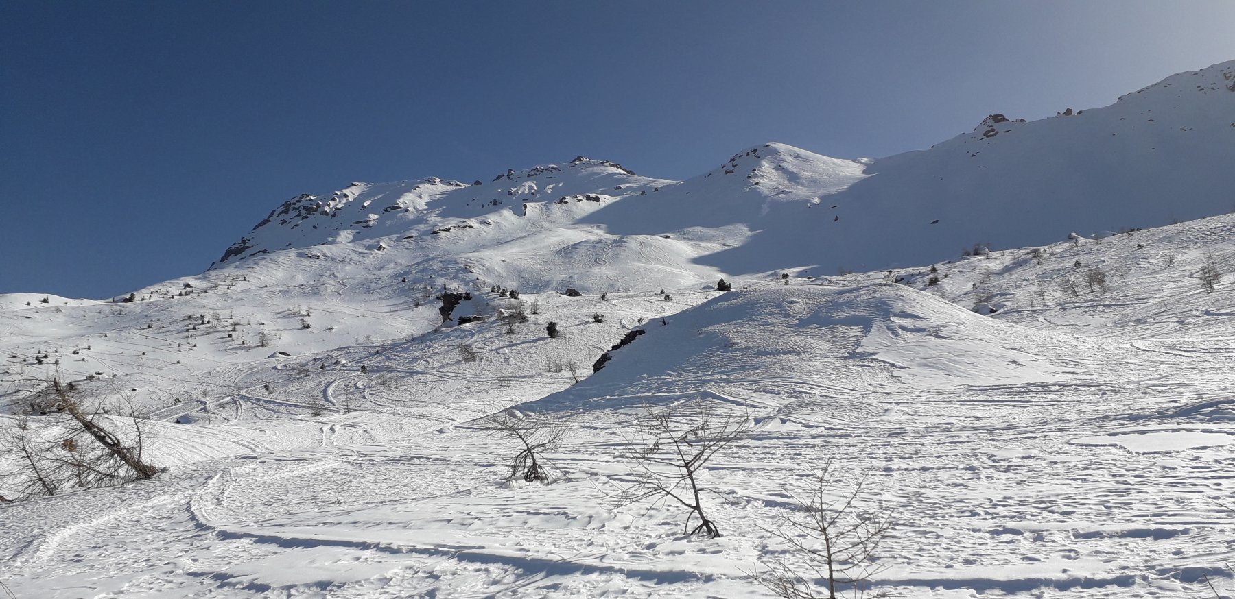
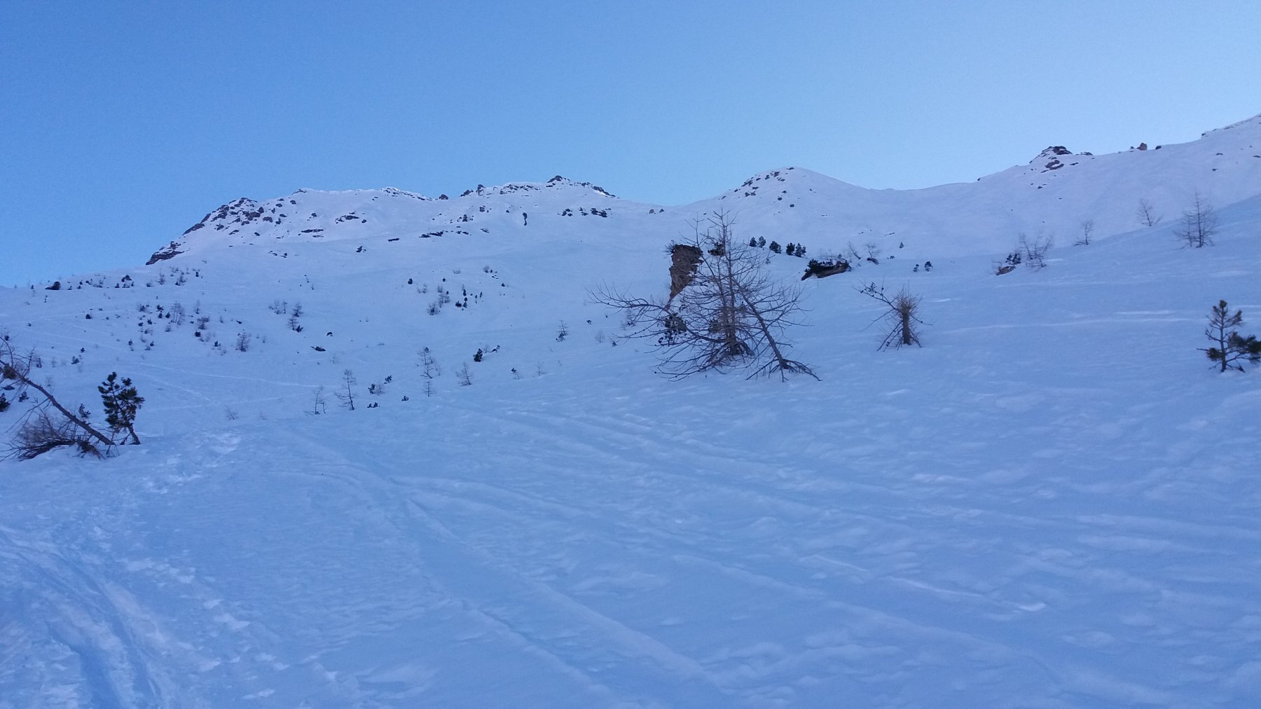
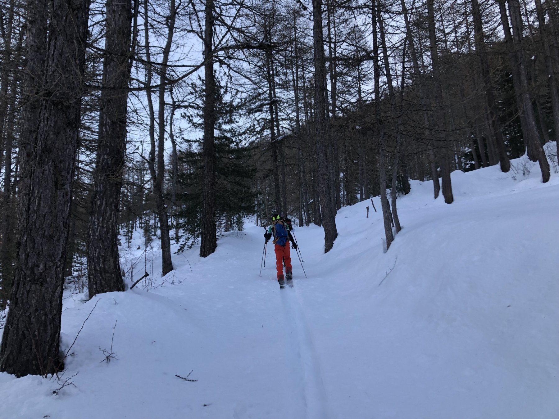
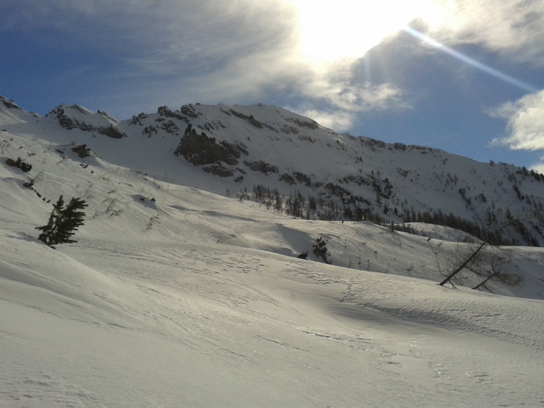
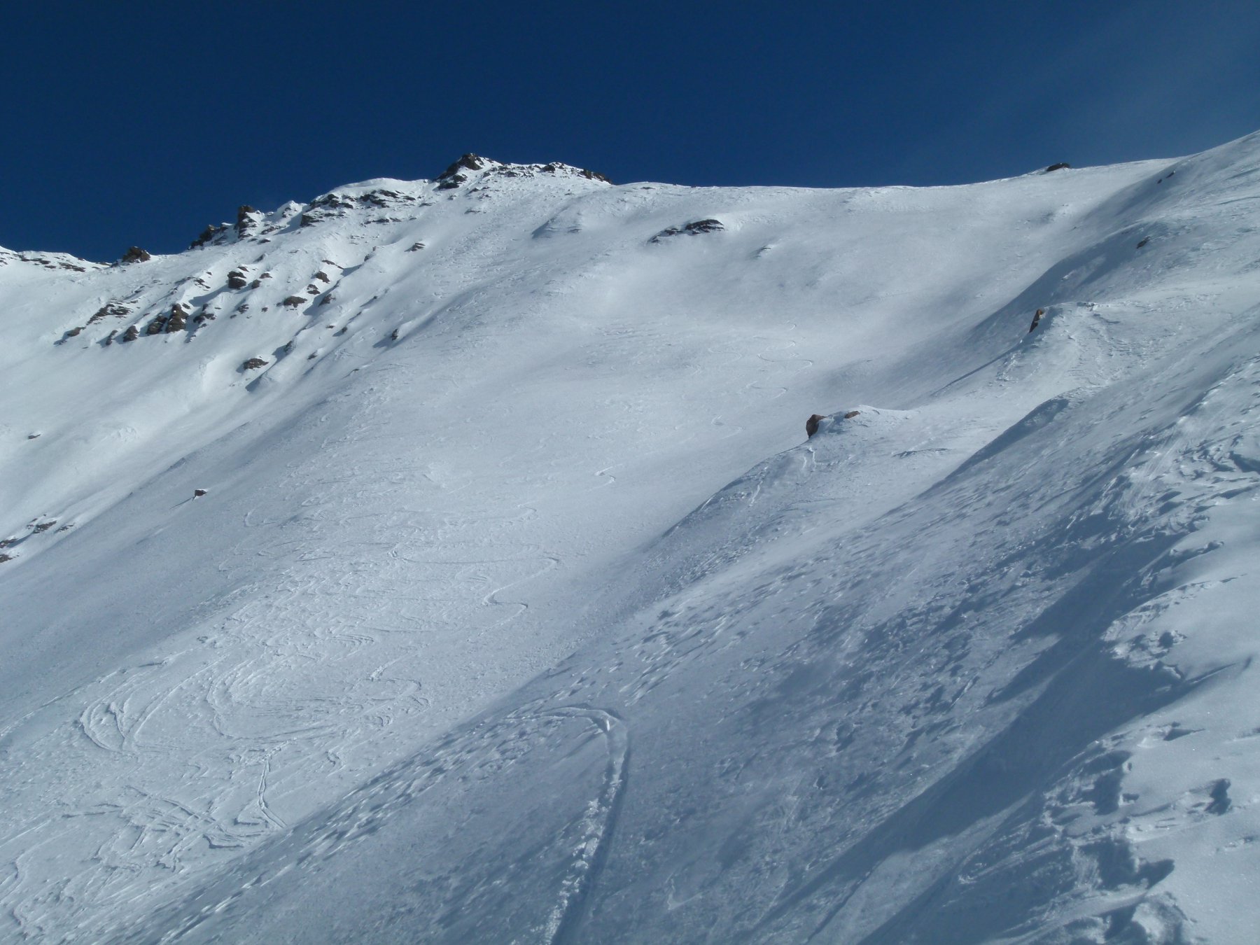
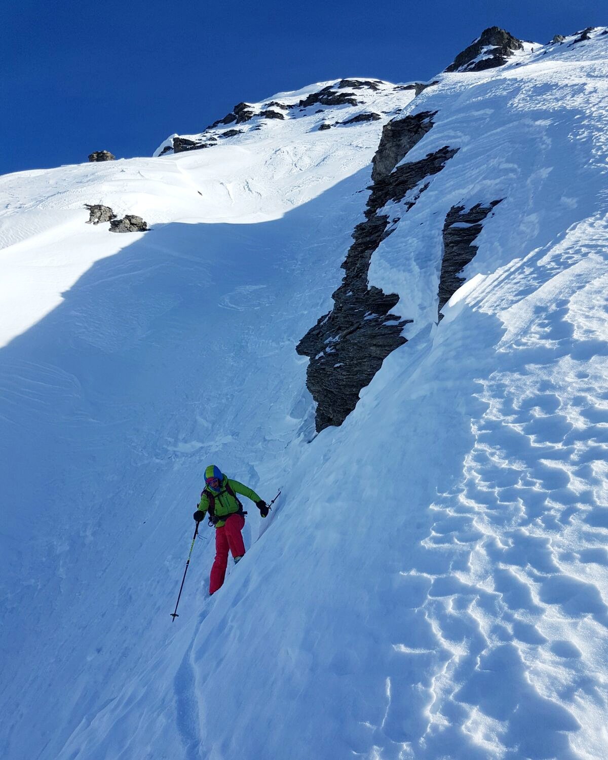
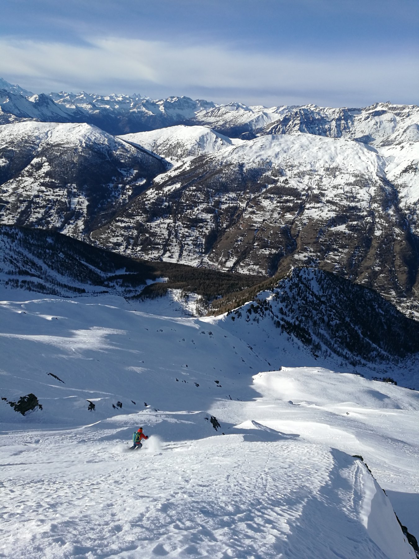
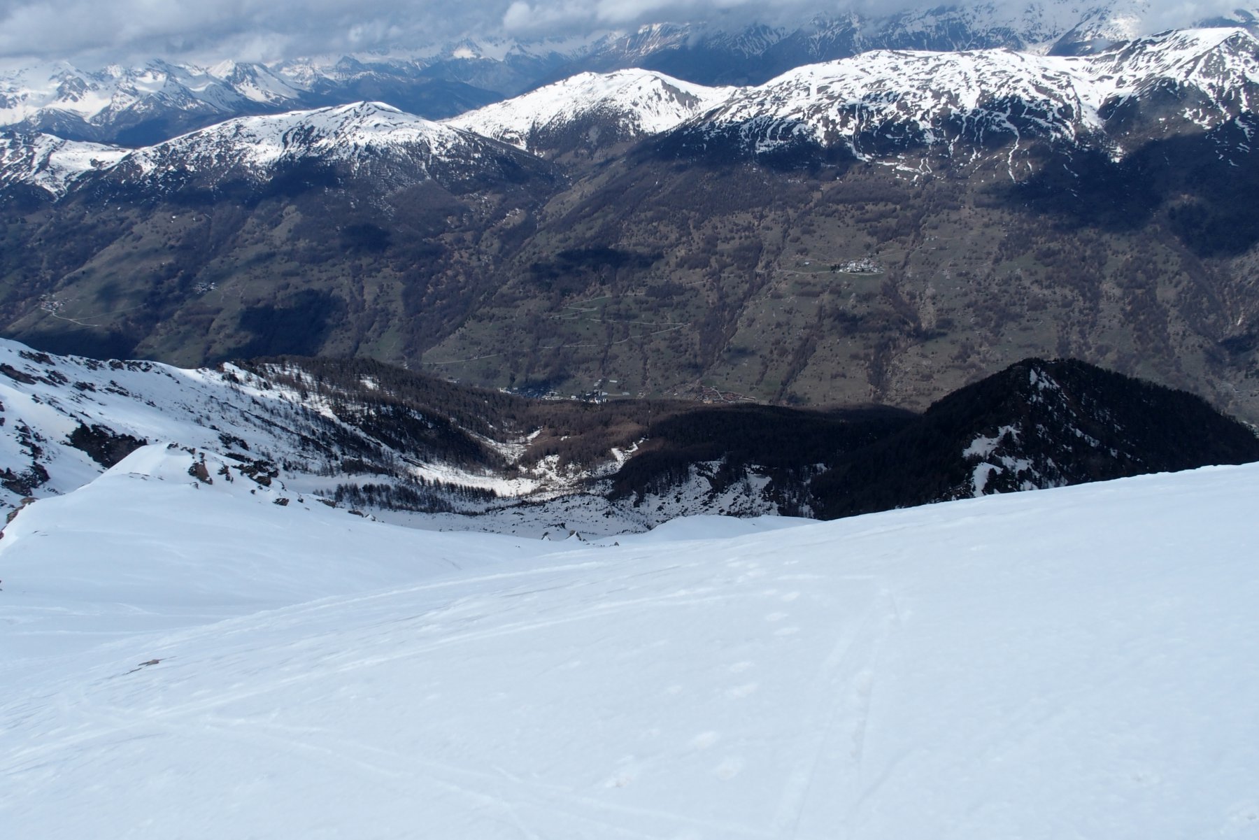
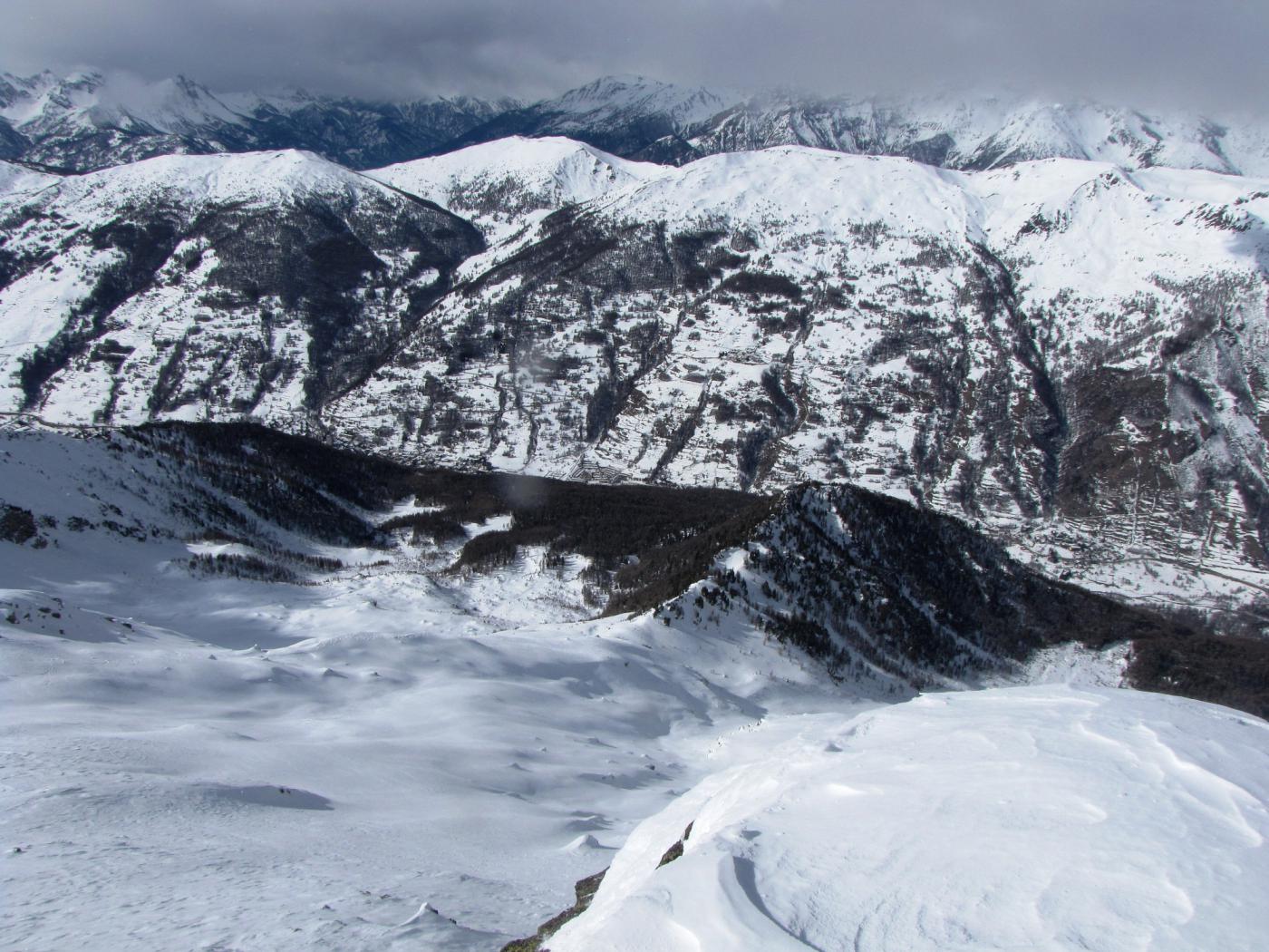
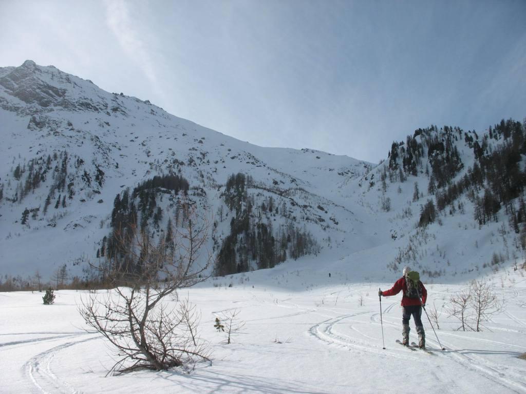
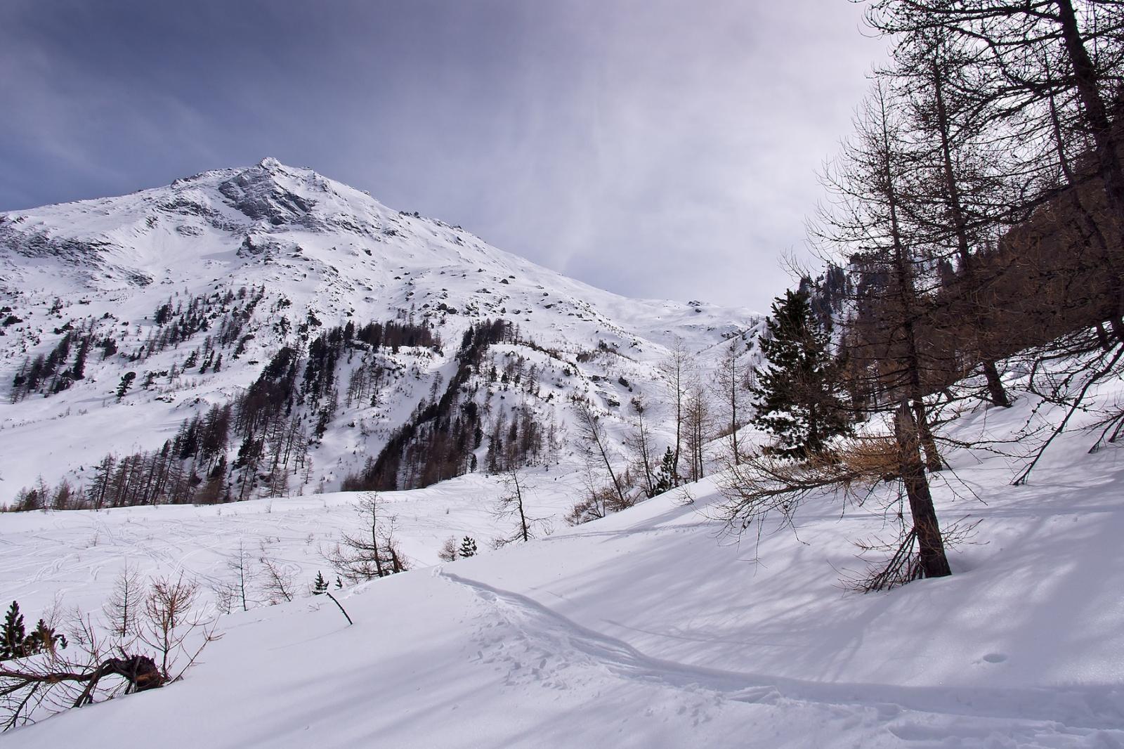
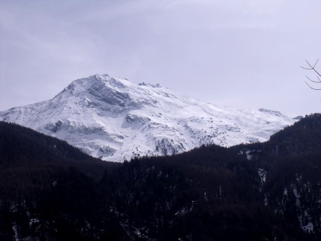
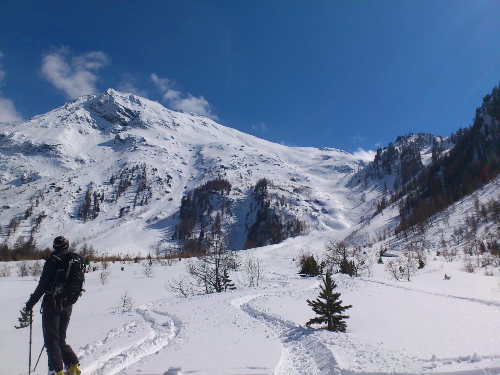
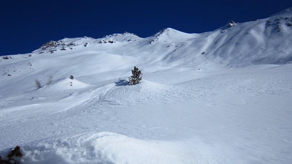
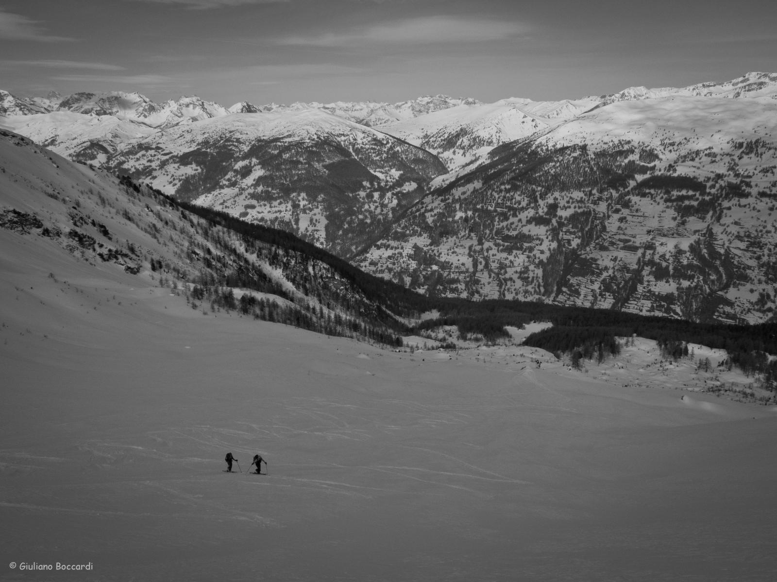
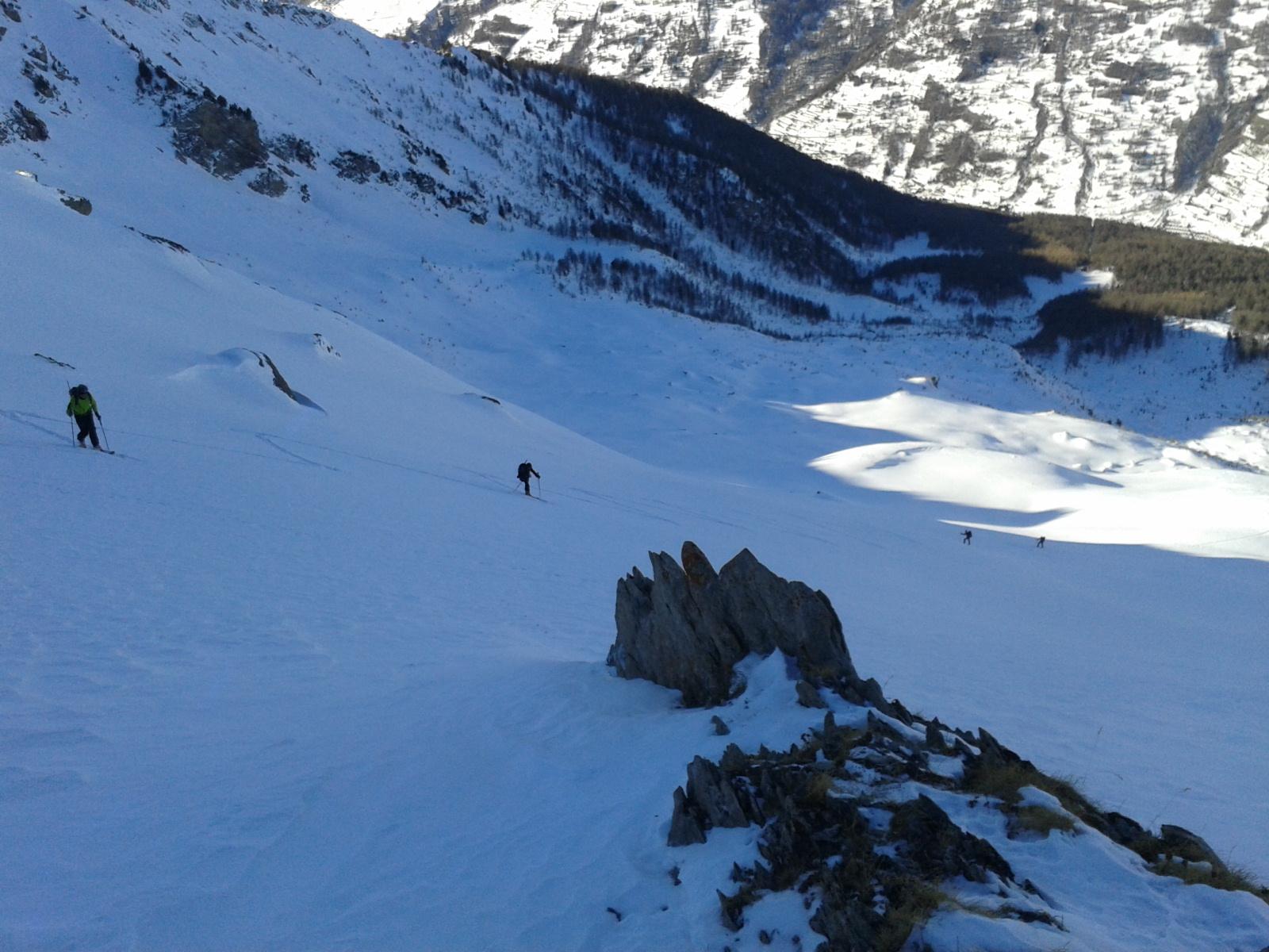
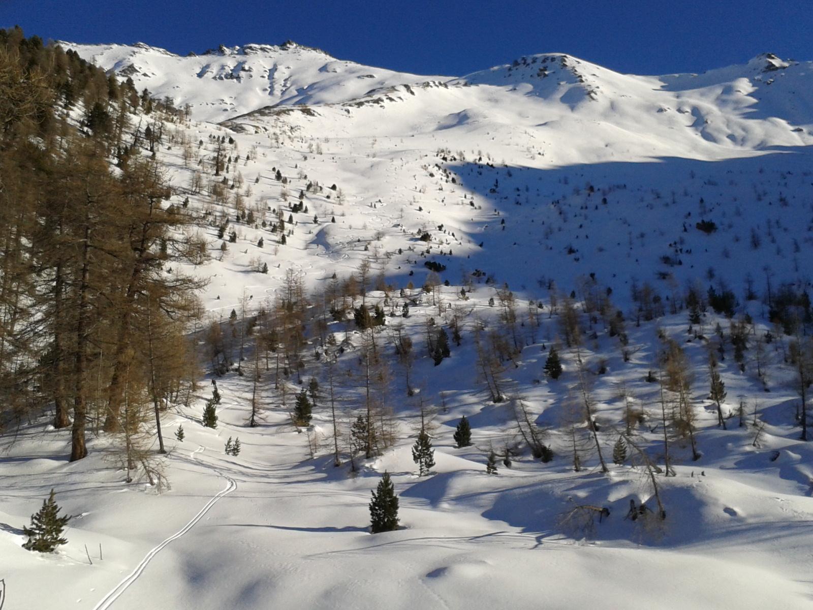
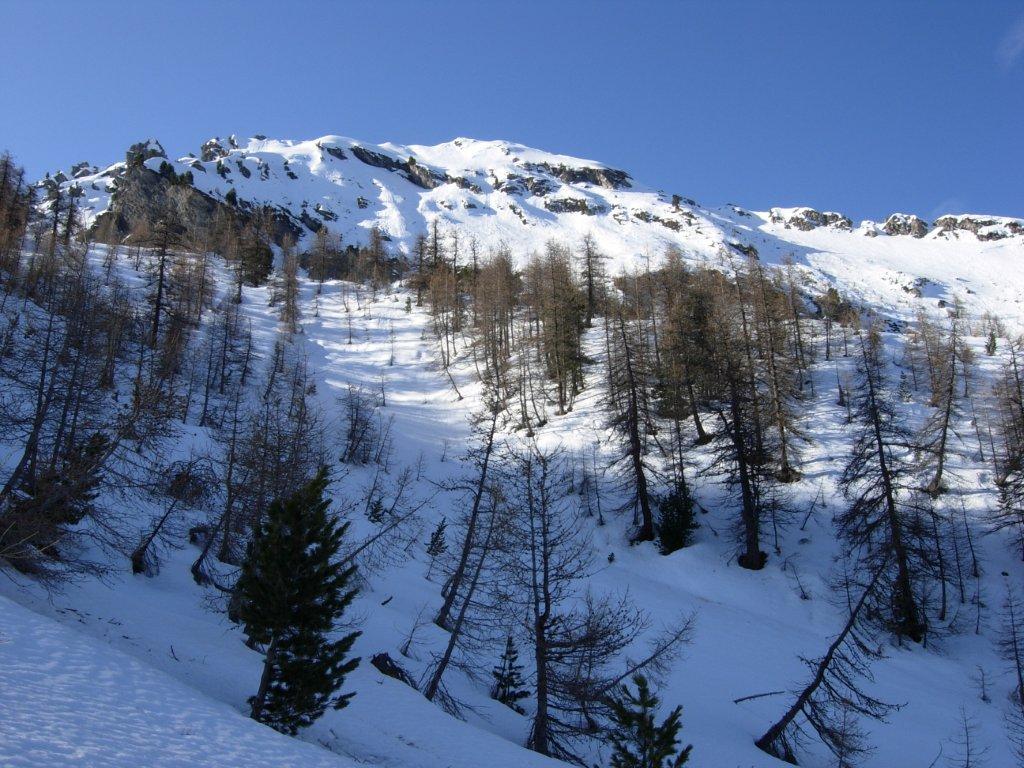
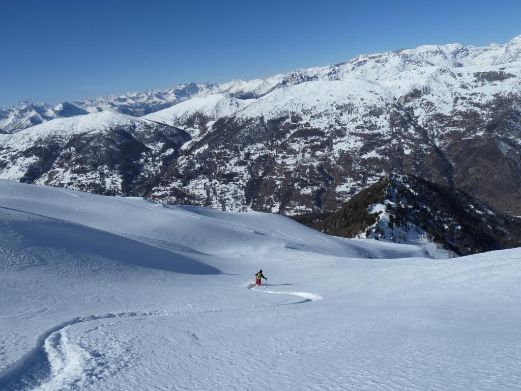
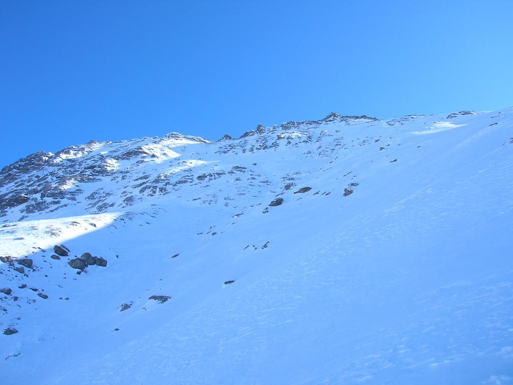
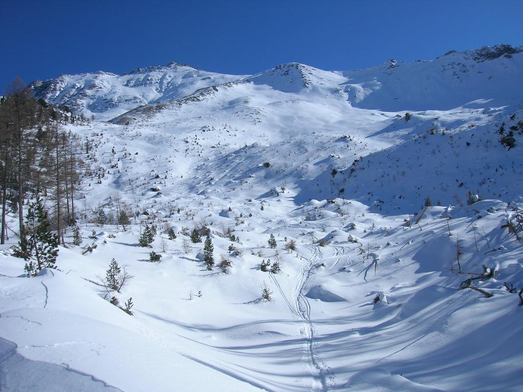
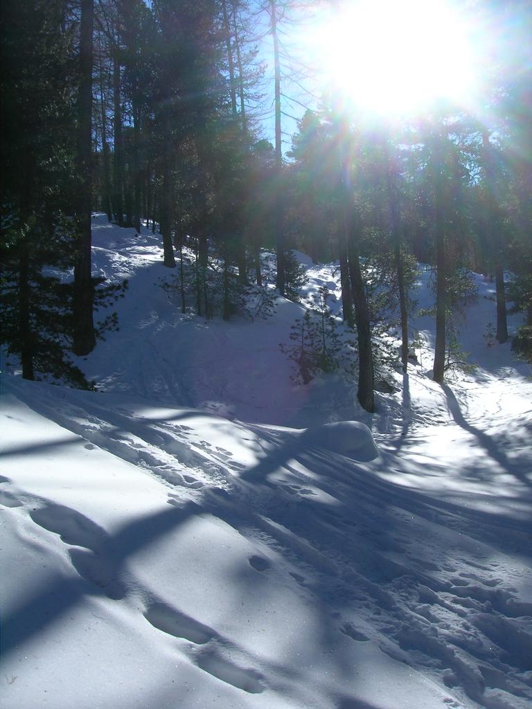
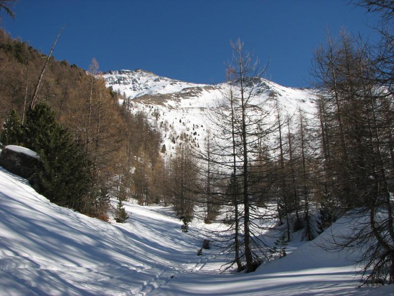
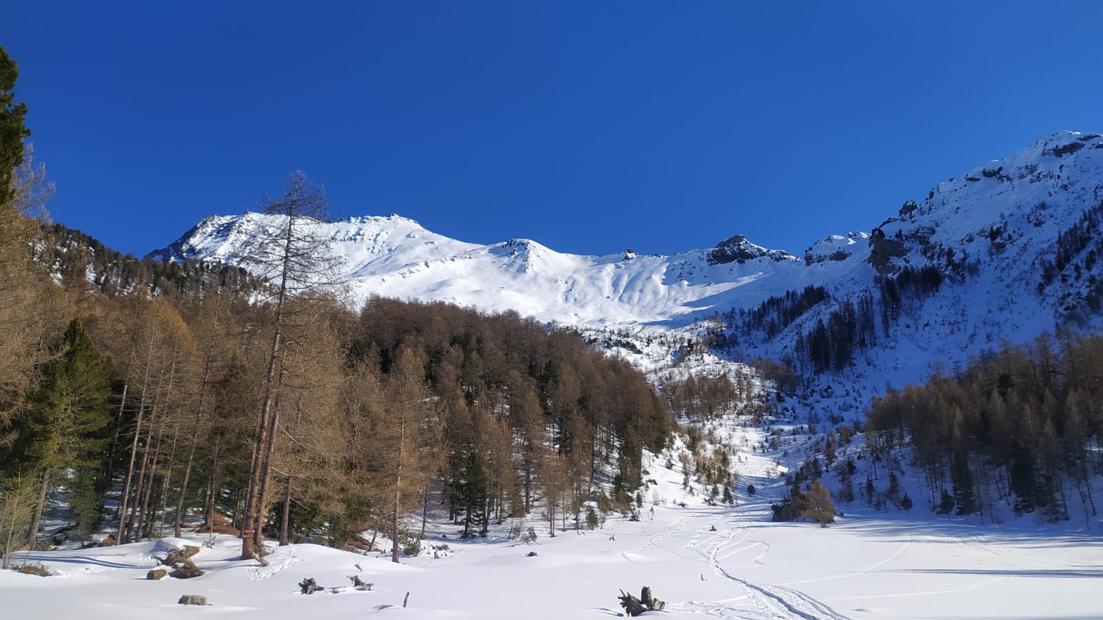
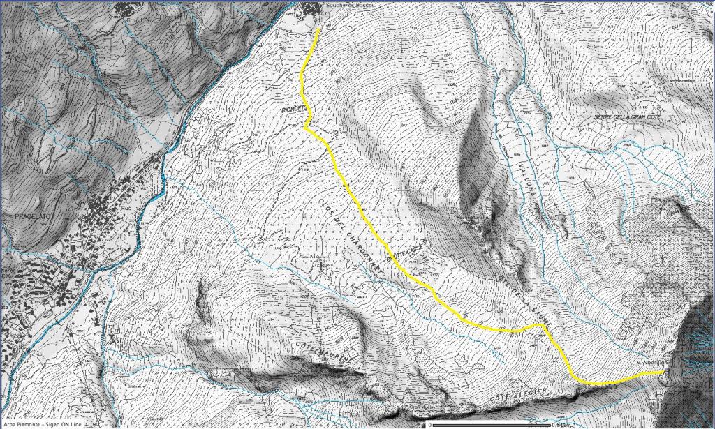
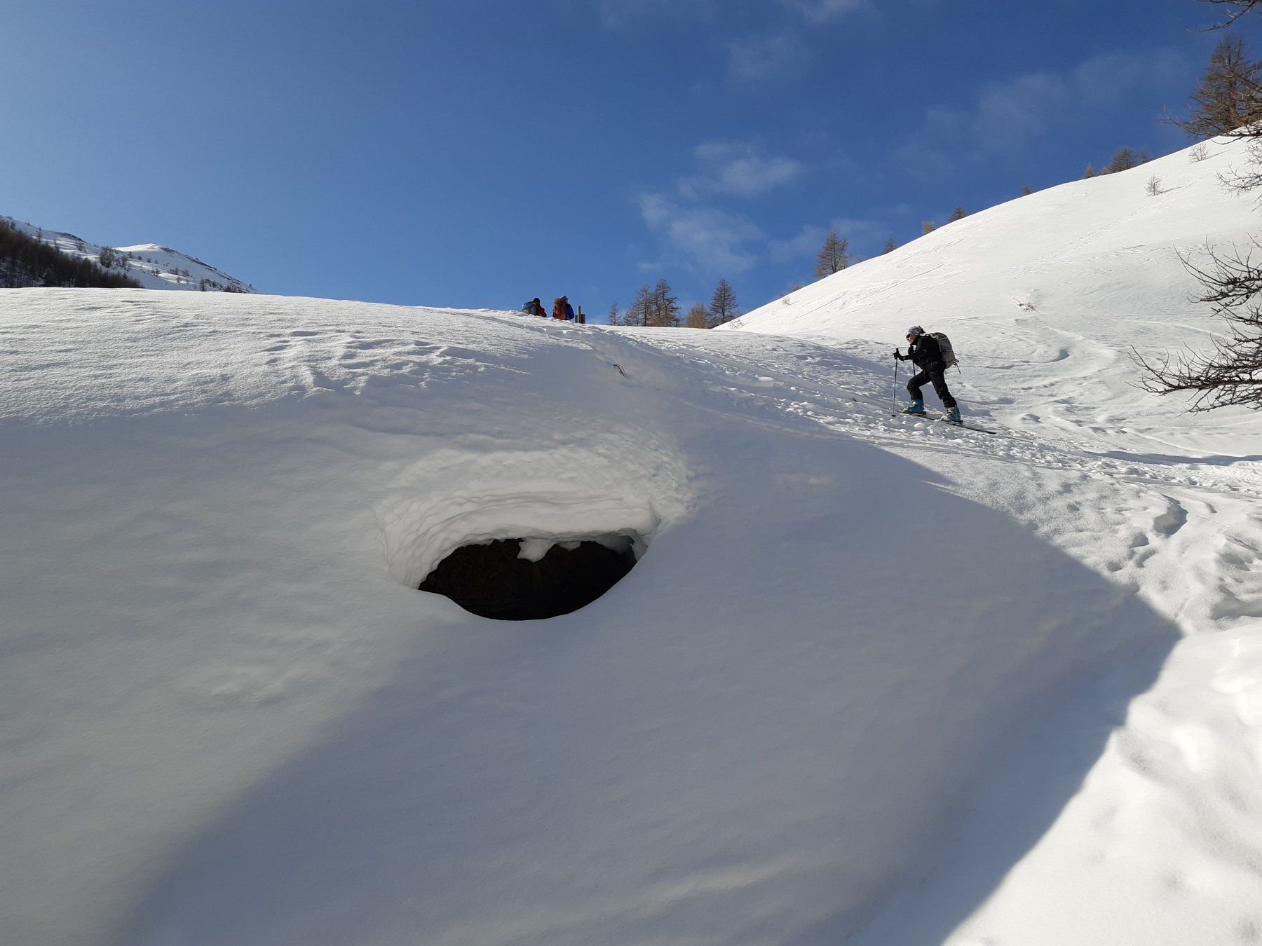
Si parte dal paese di Soucheres Basses salendo per la strada forestale che porta a Capanna d’Amont.
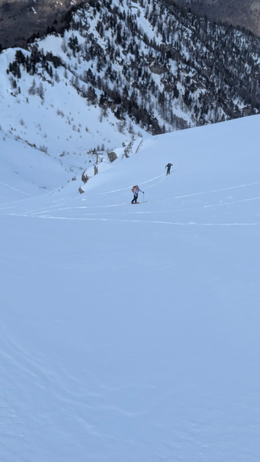
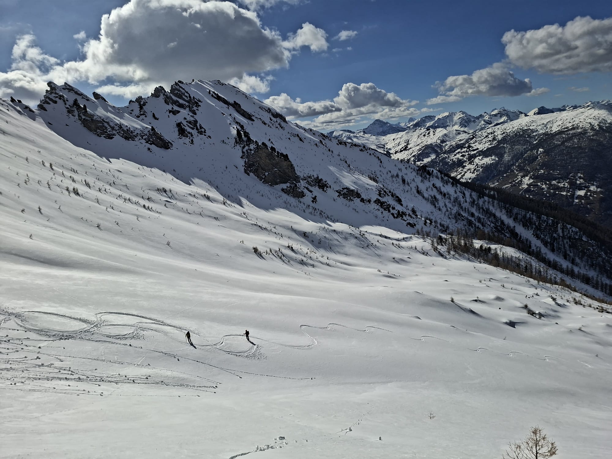
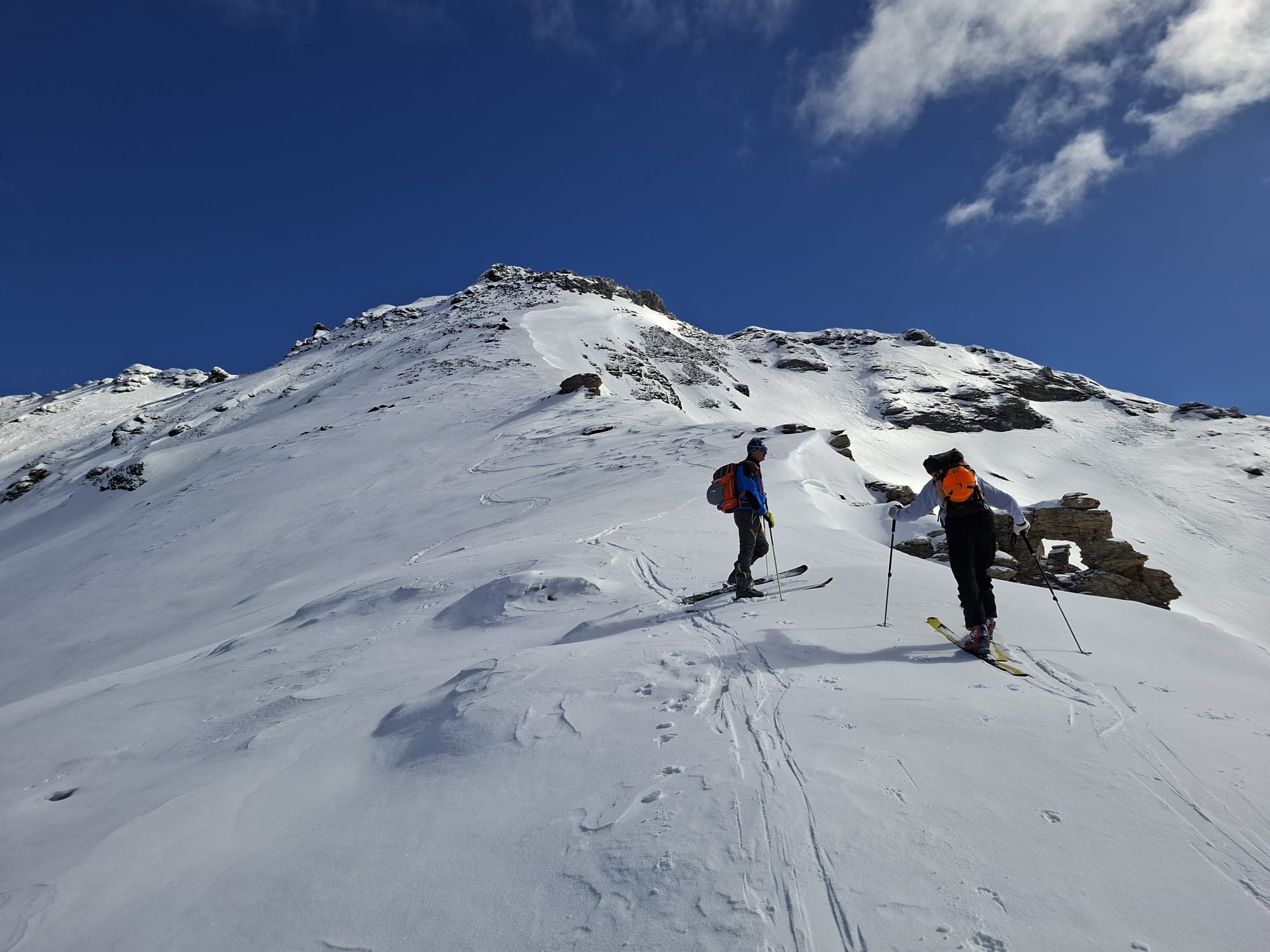
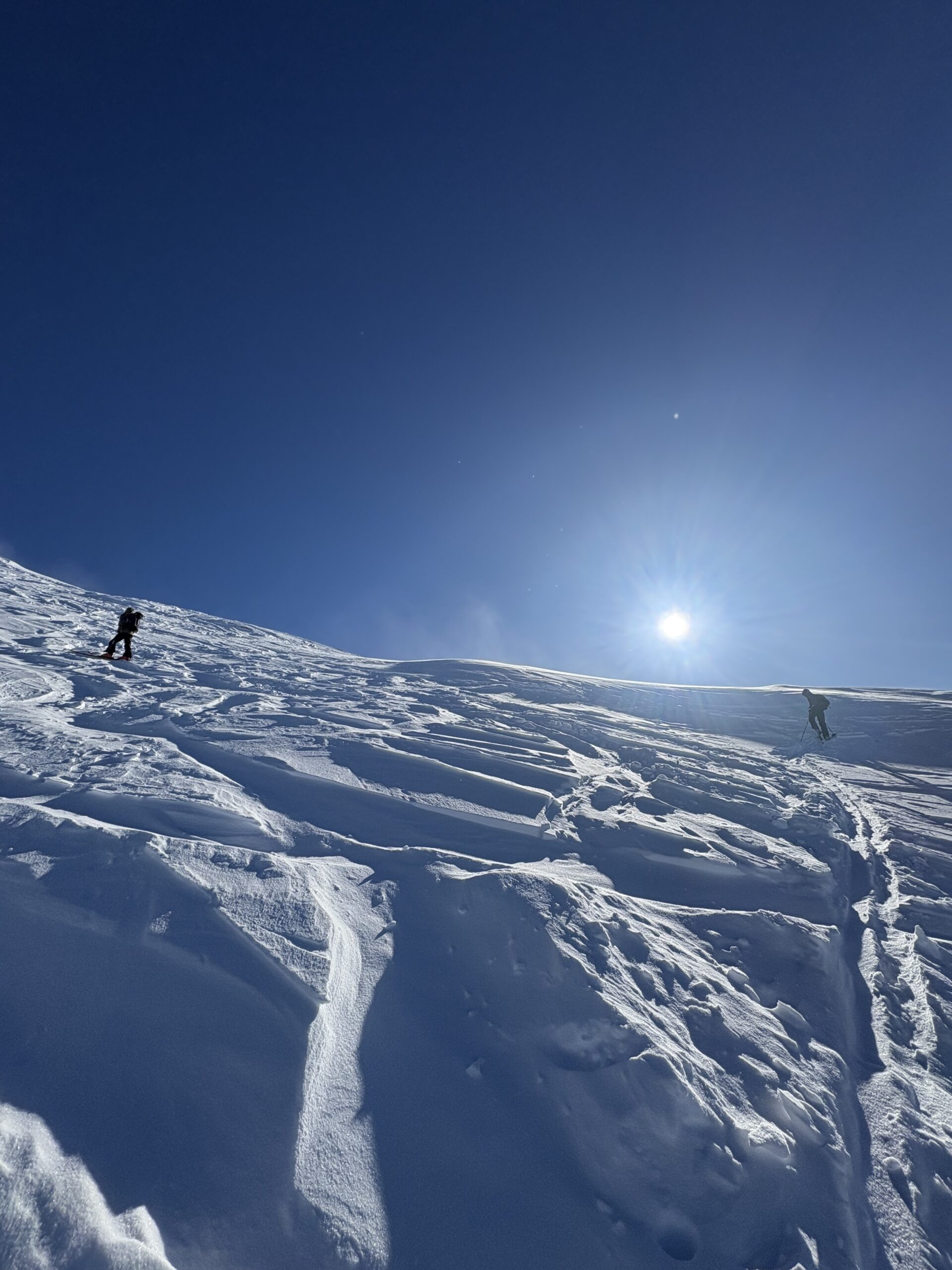
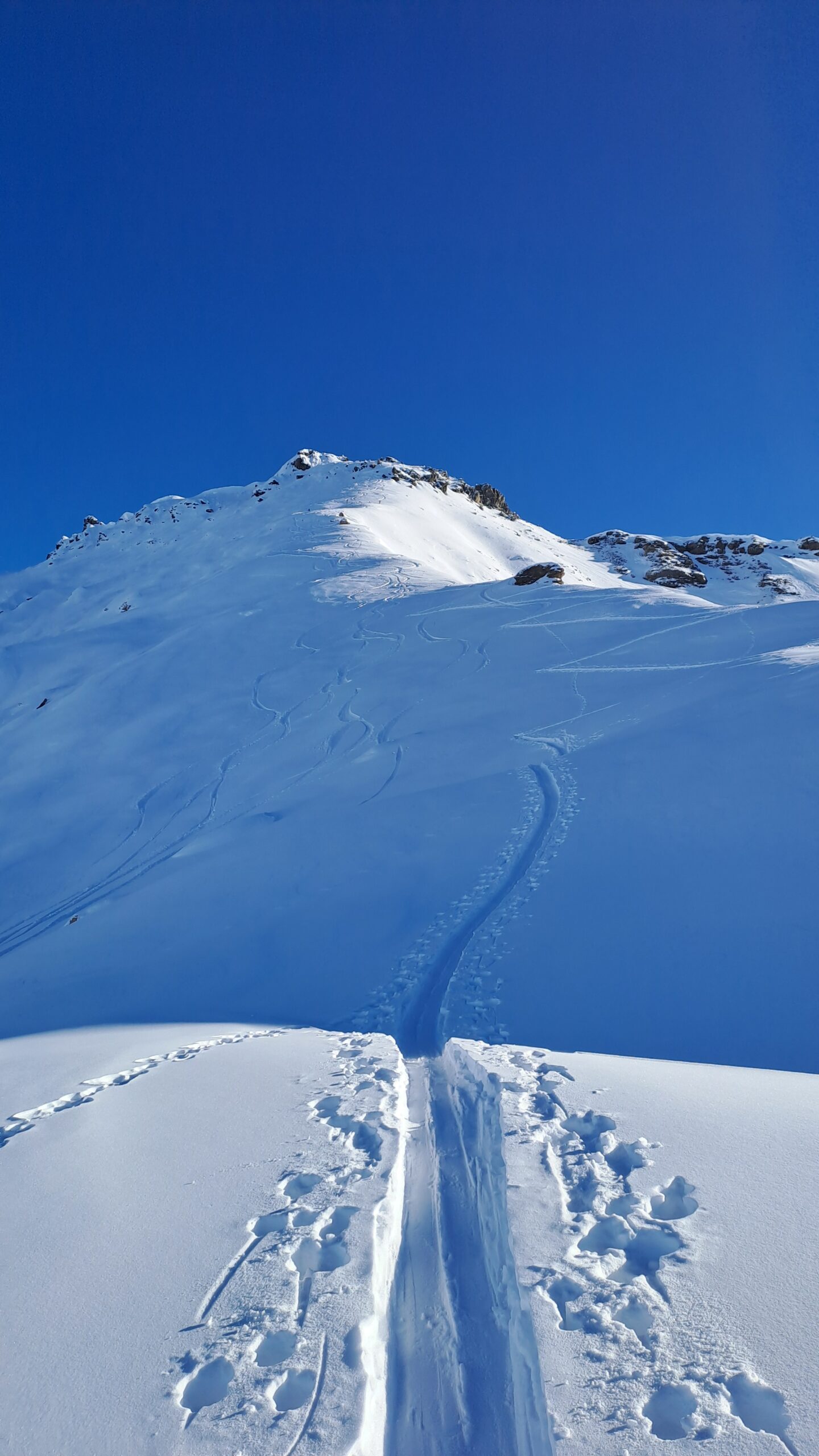
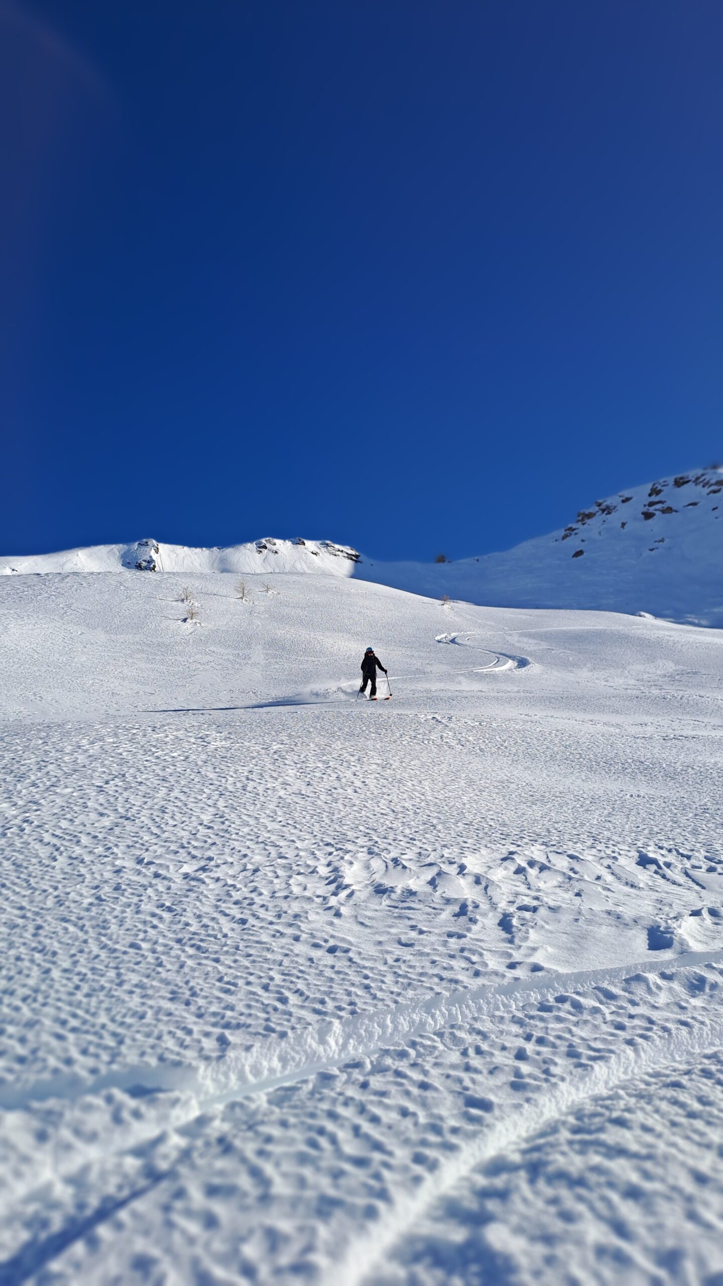
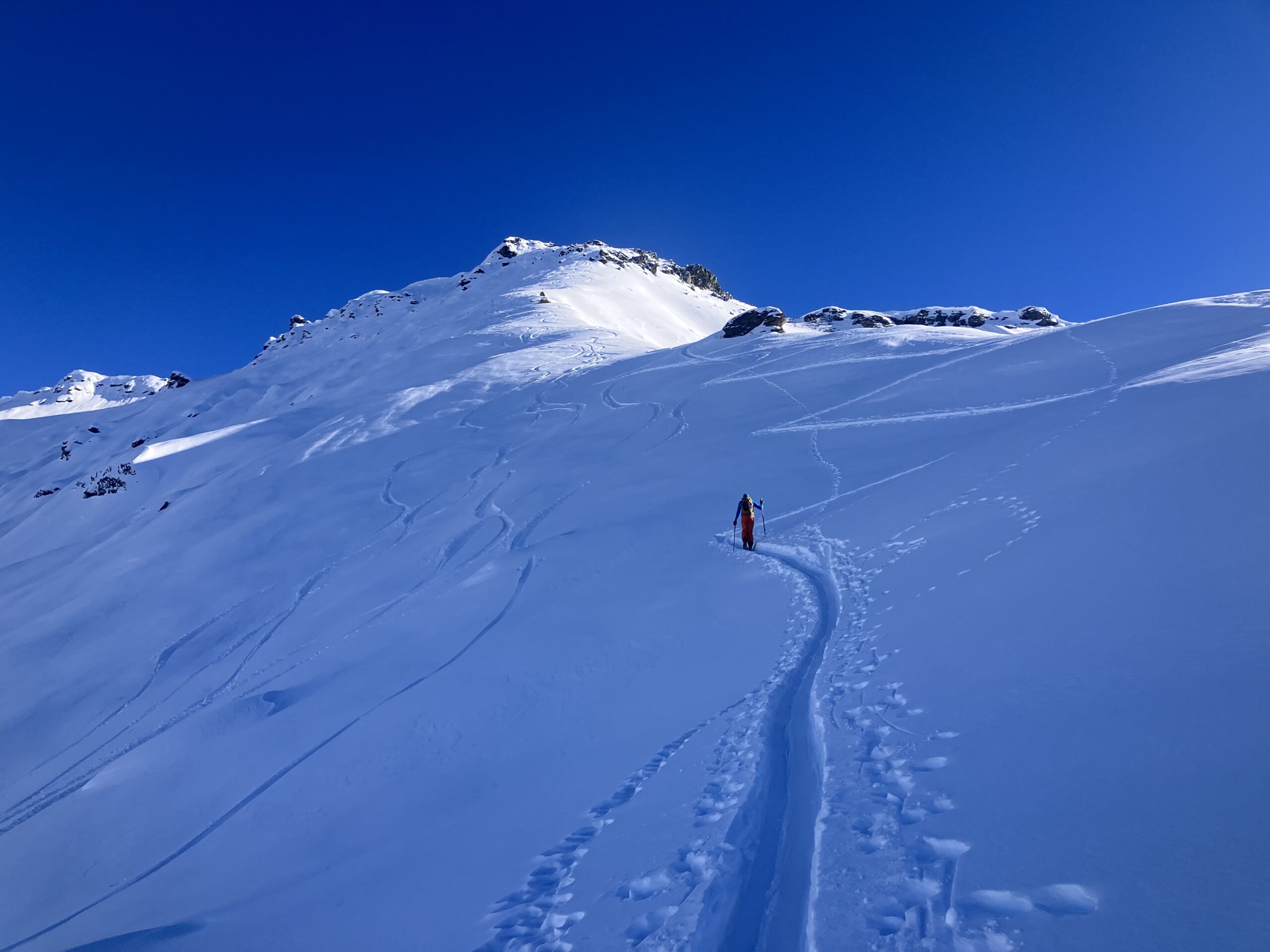
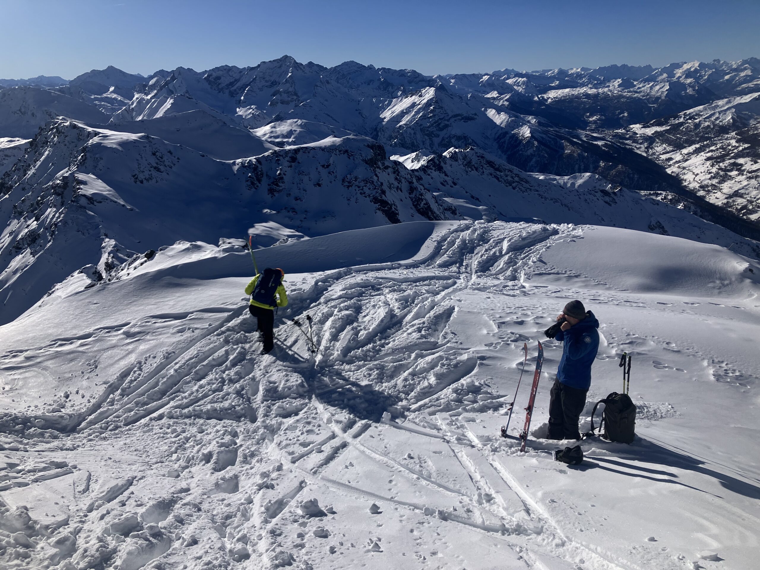
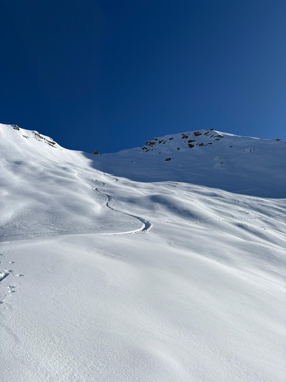
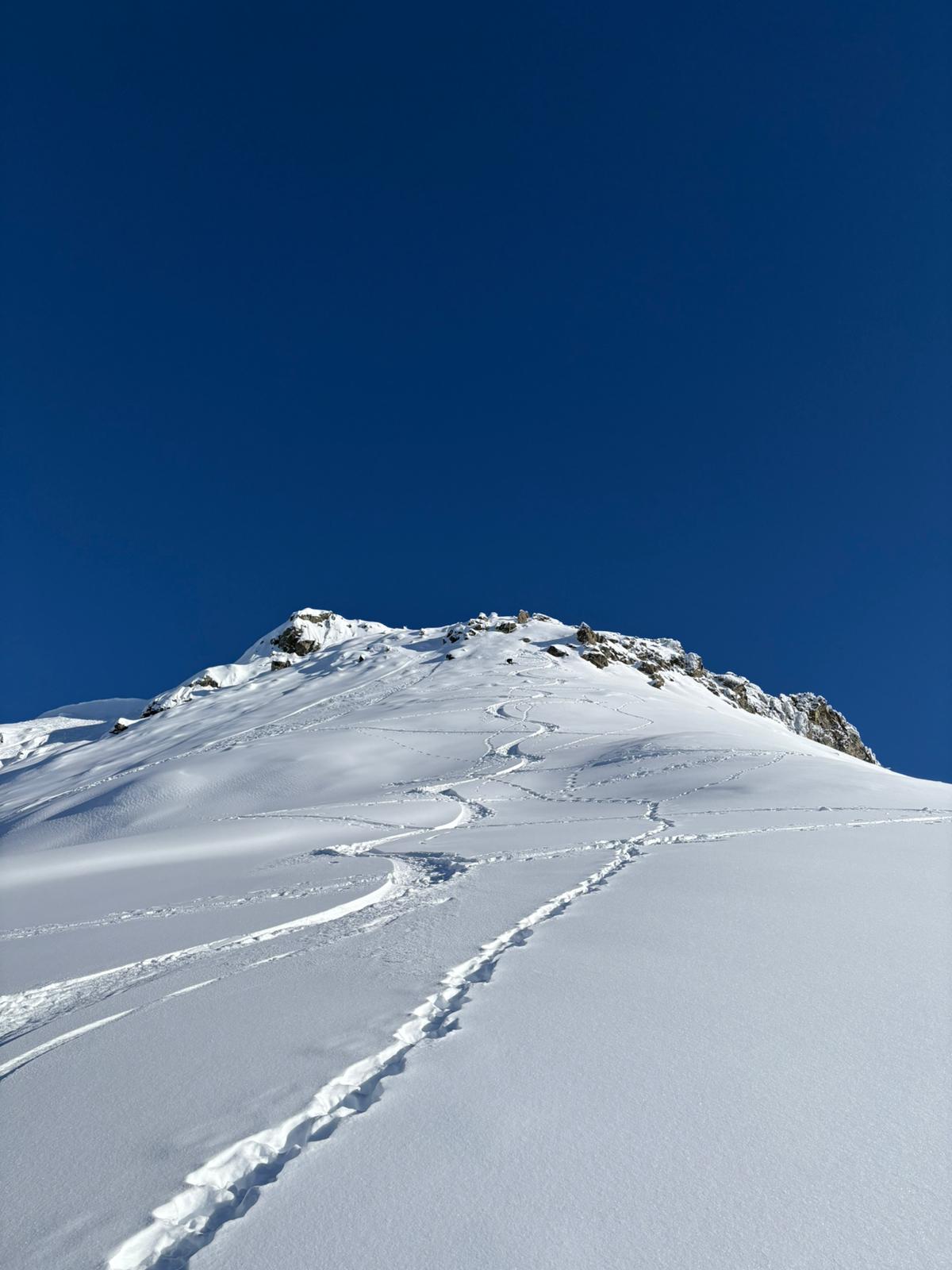
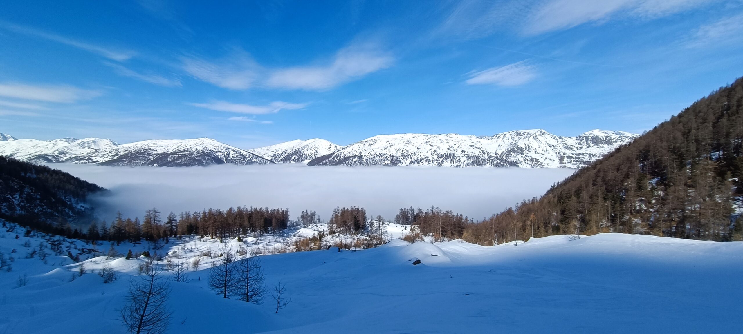
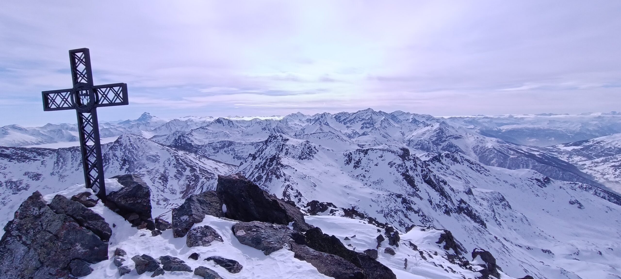
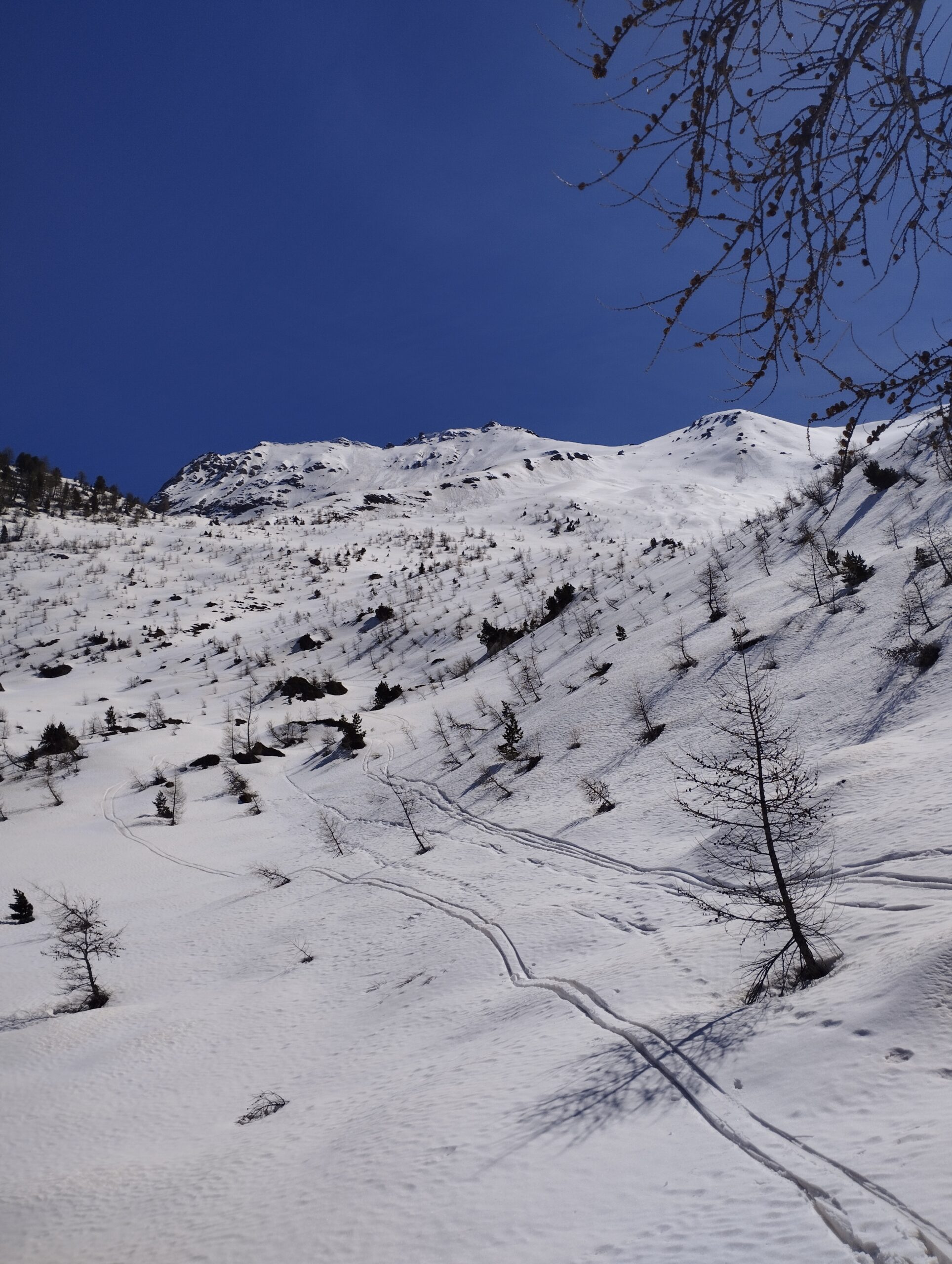
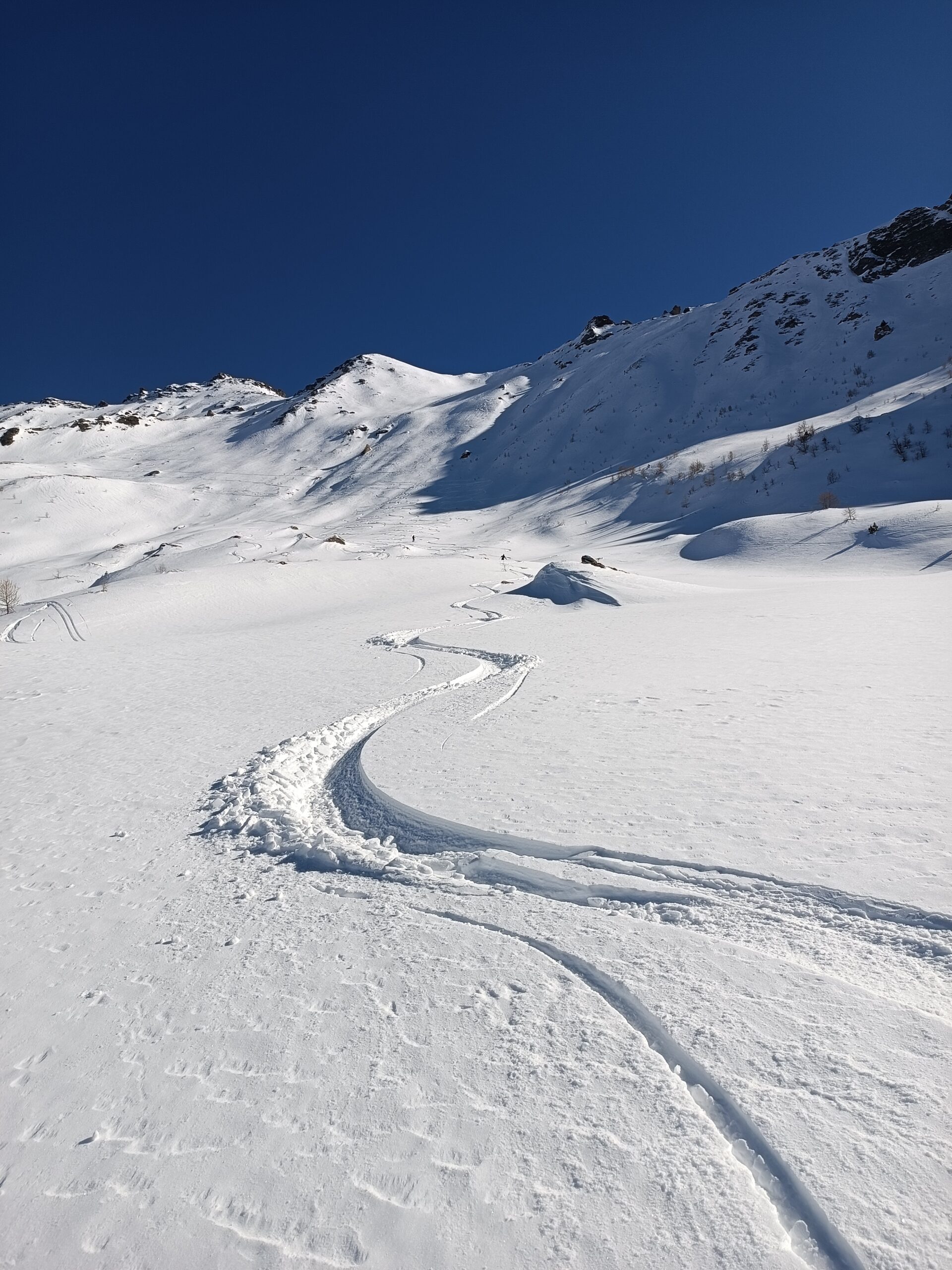
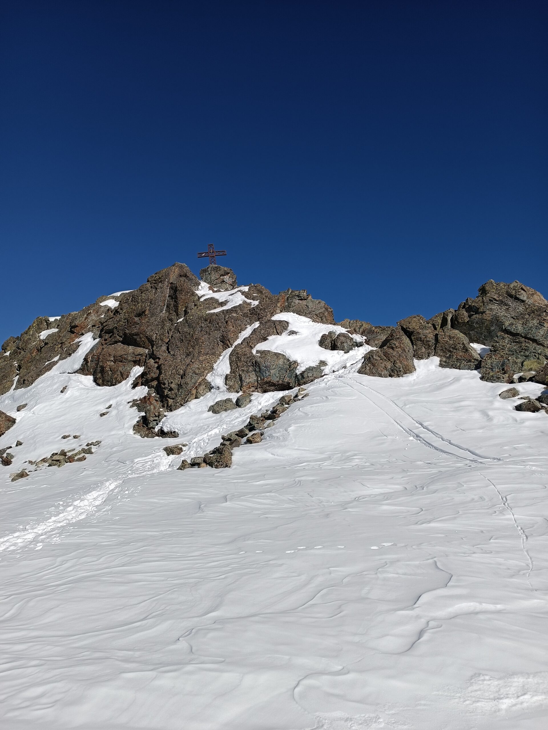
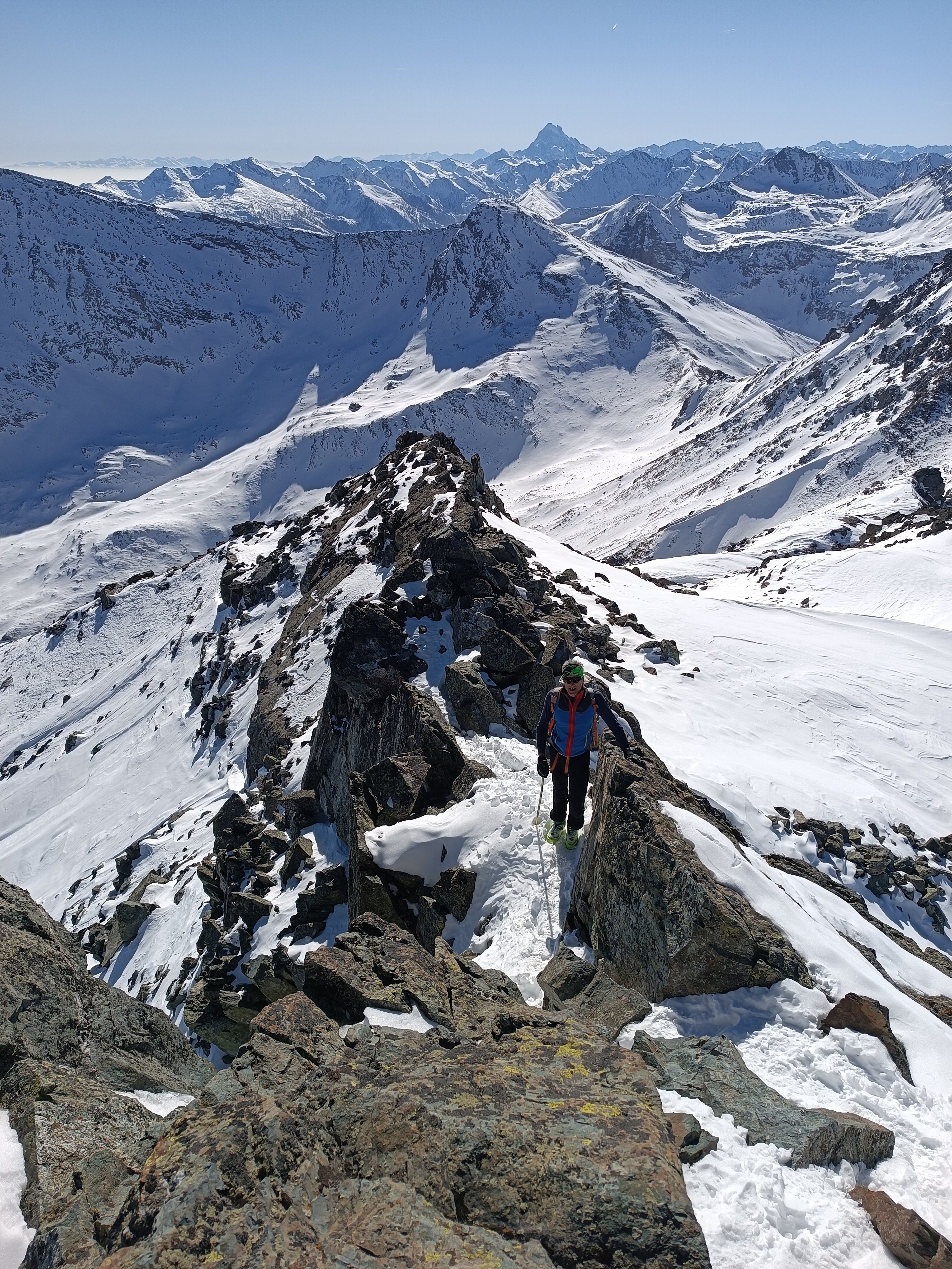
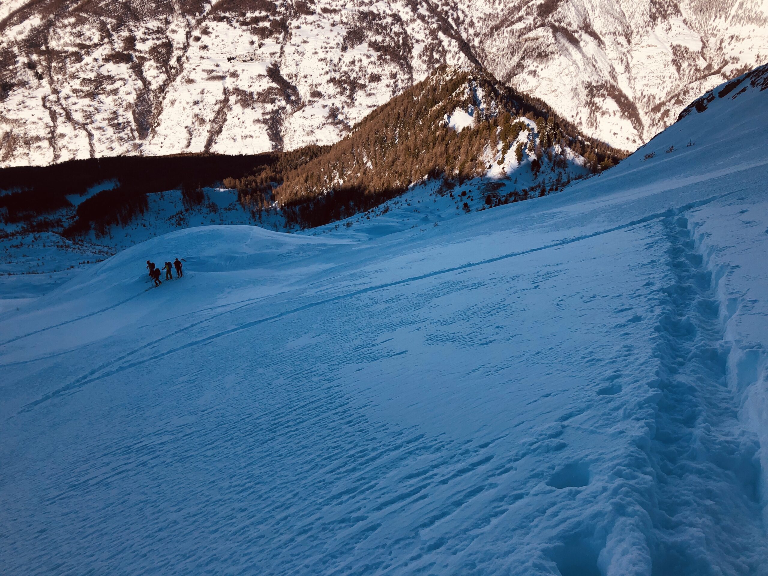
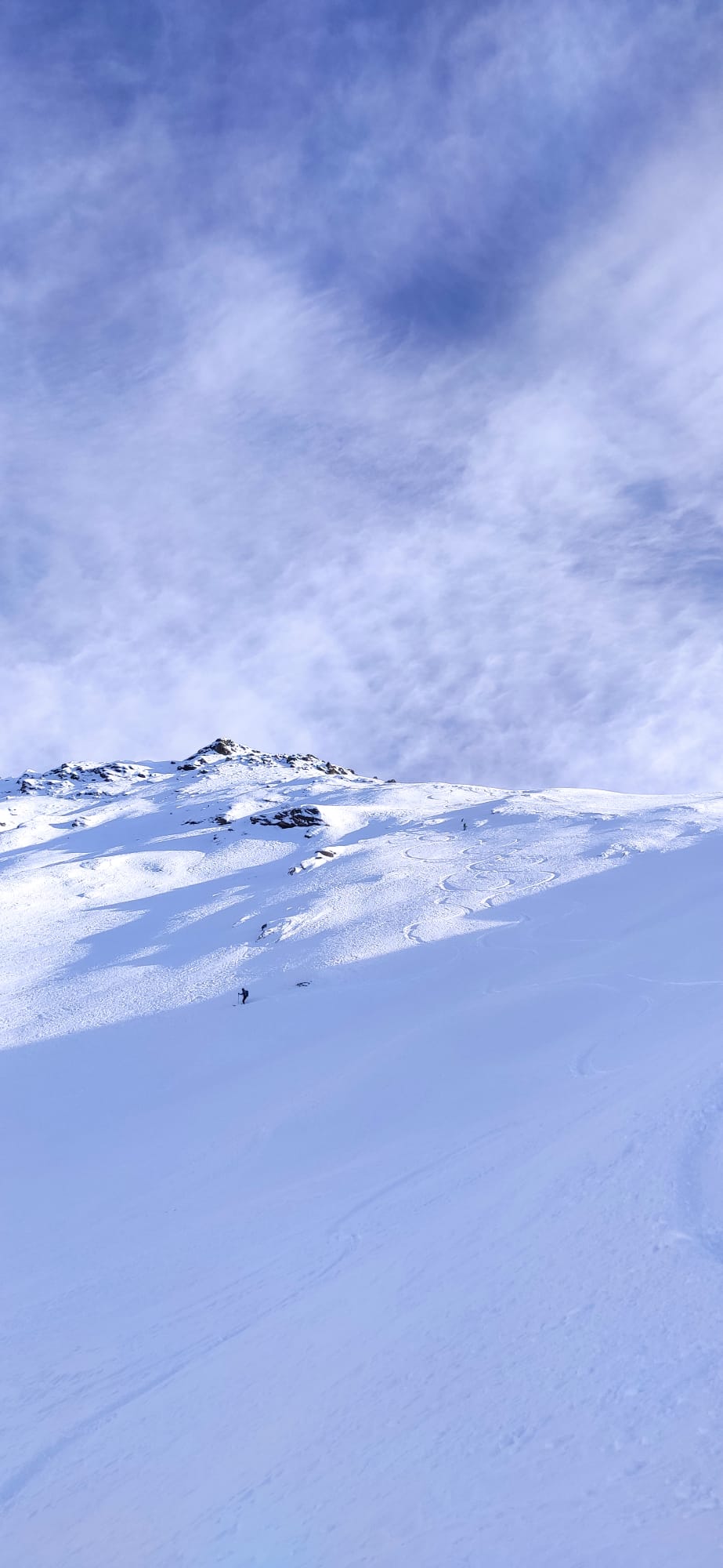
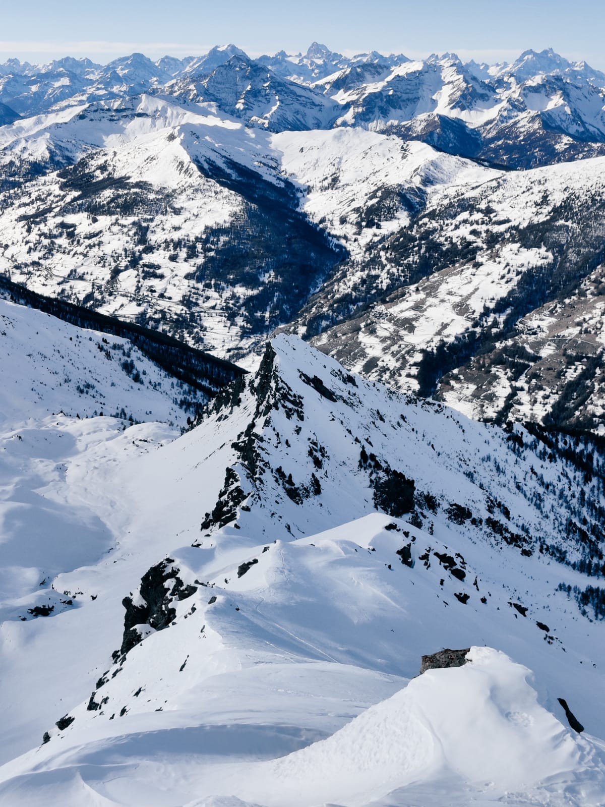
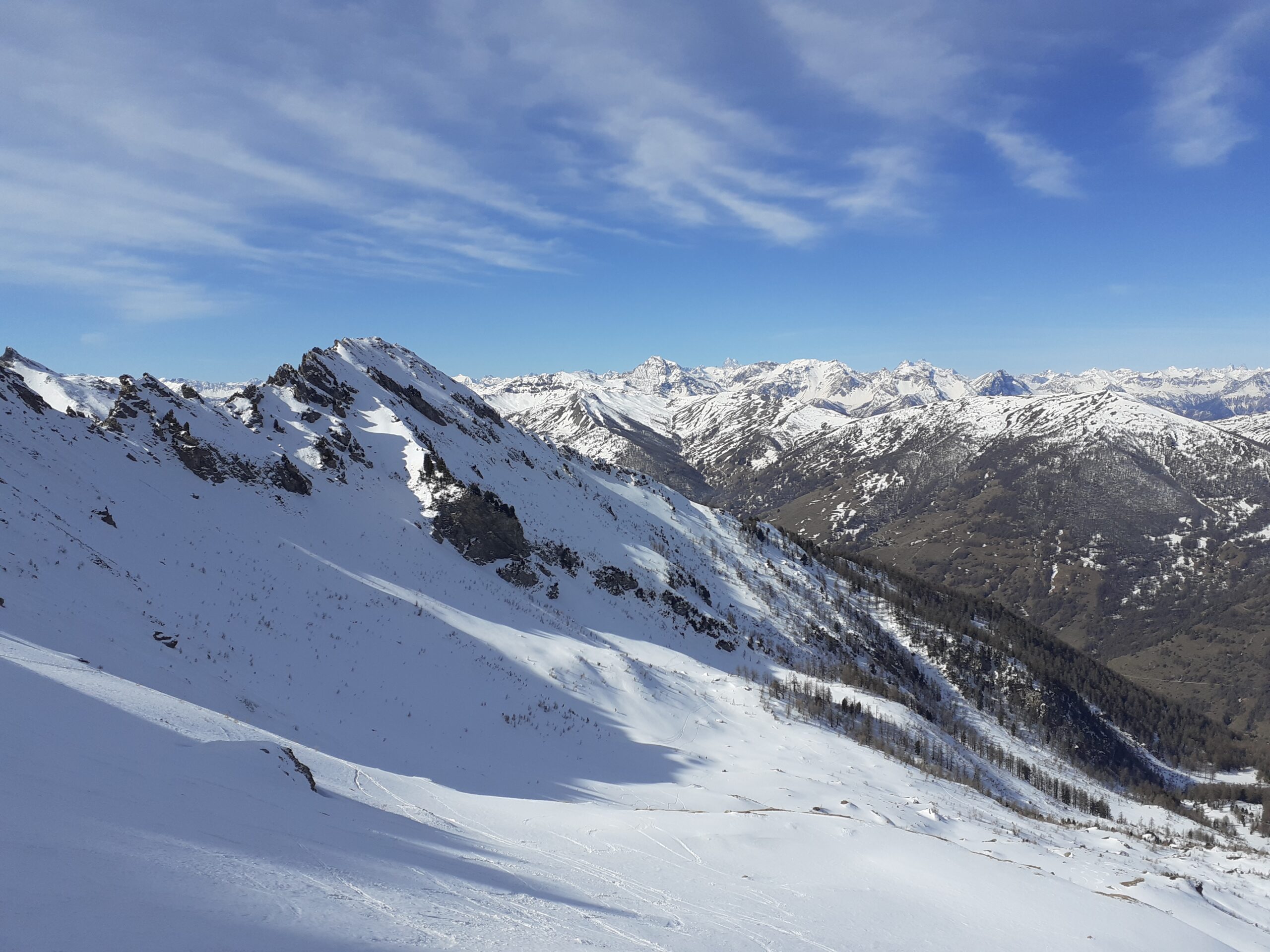
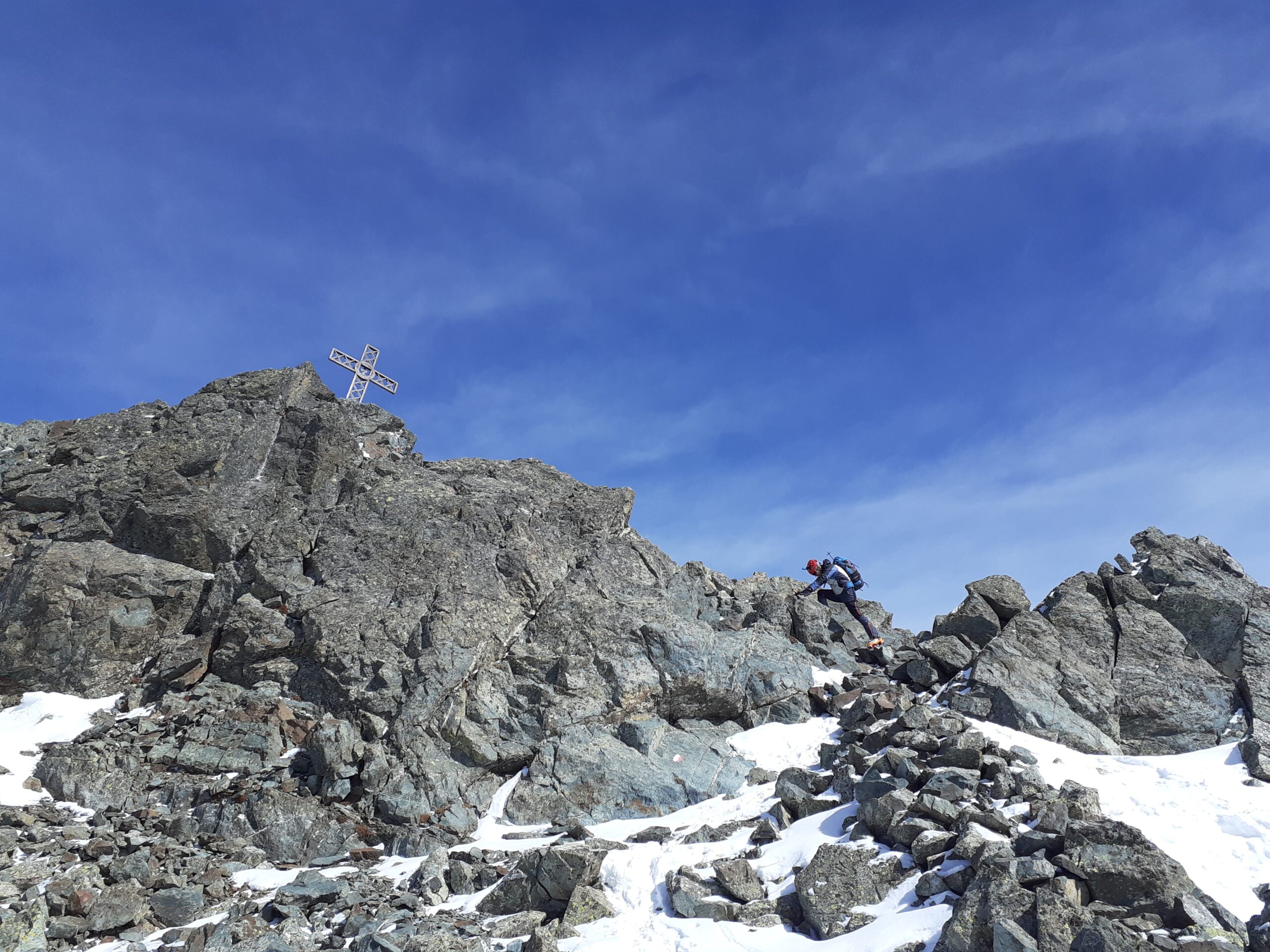
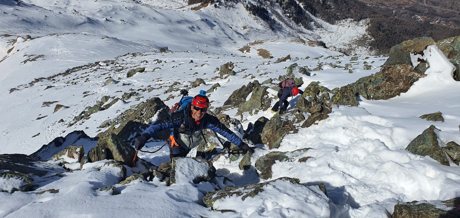
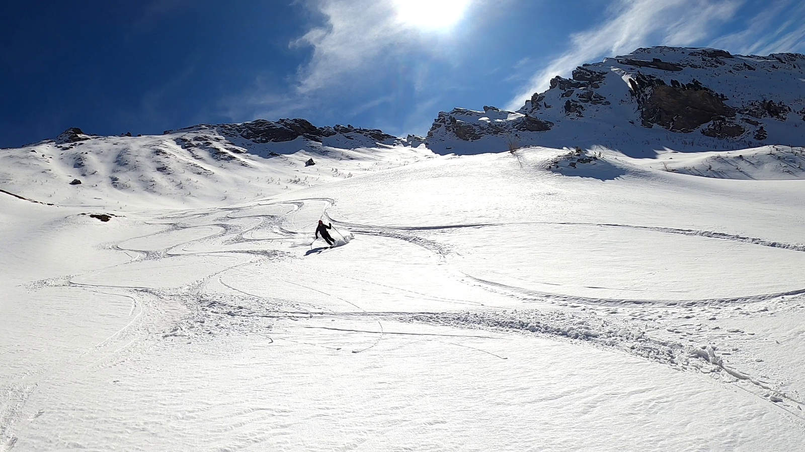
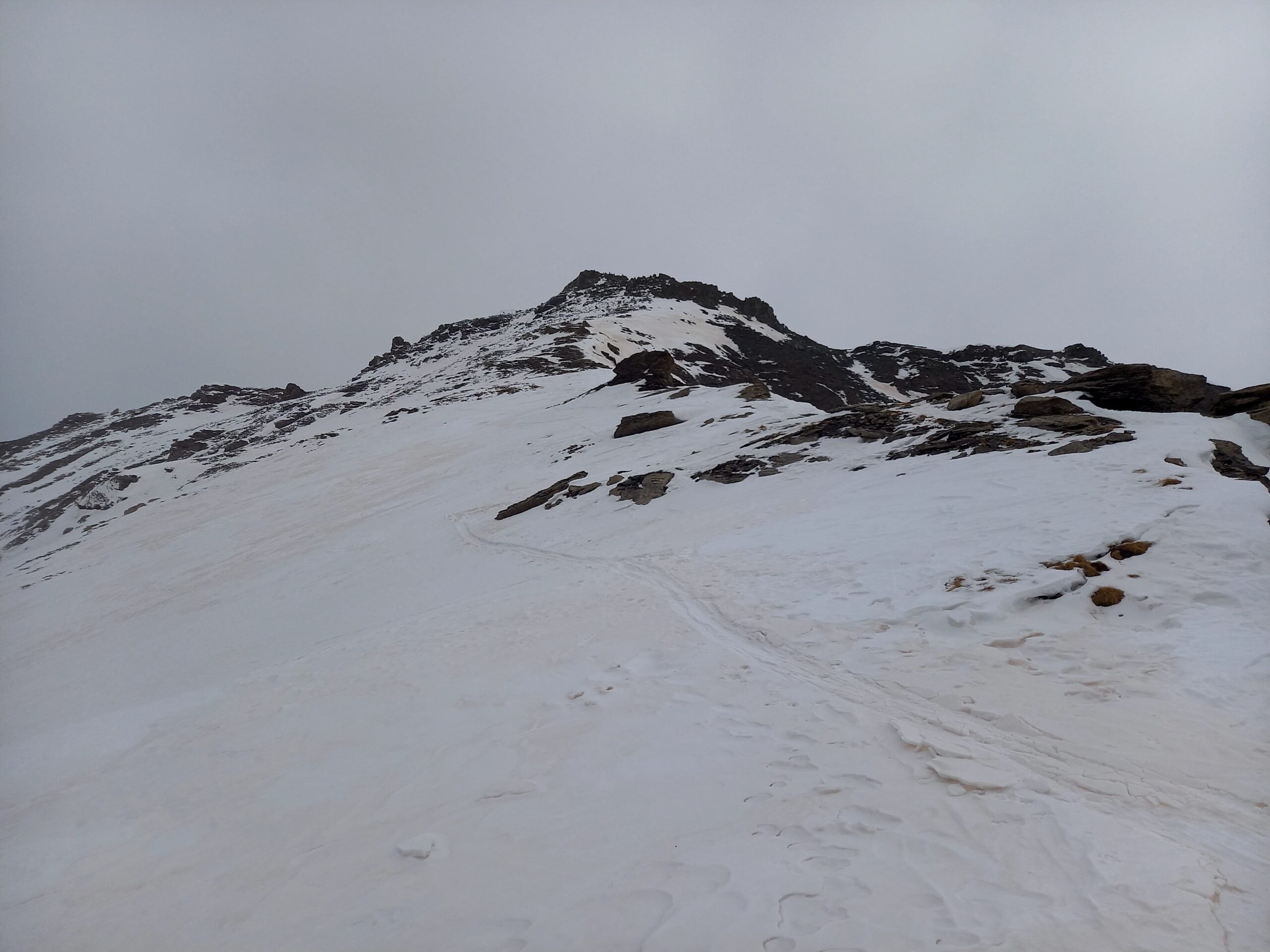
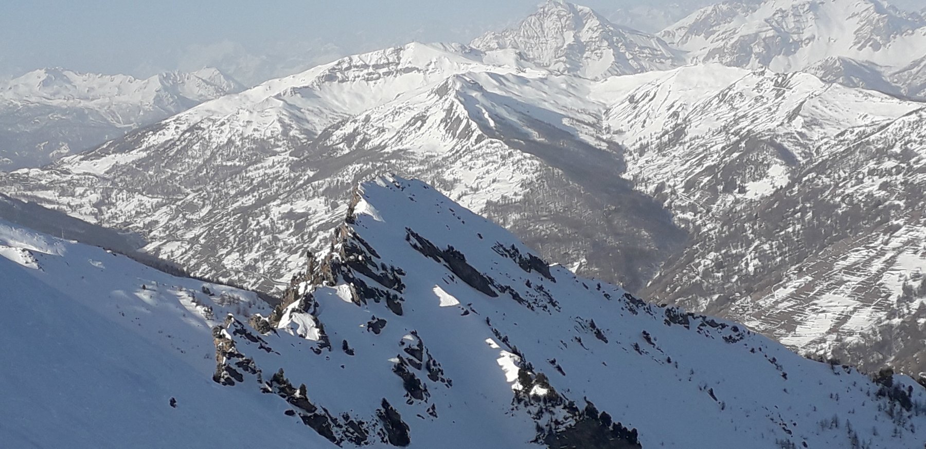
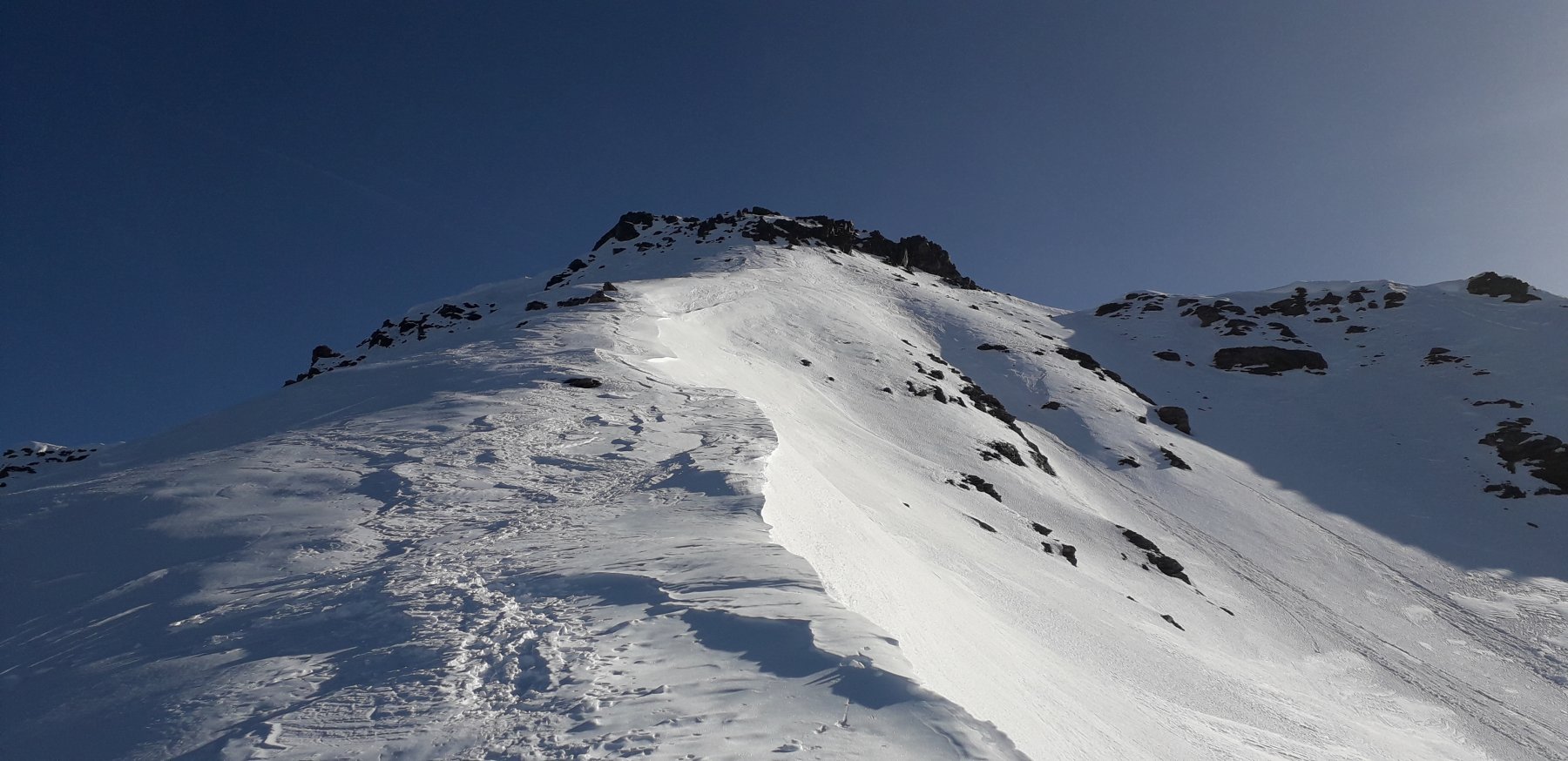
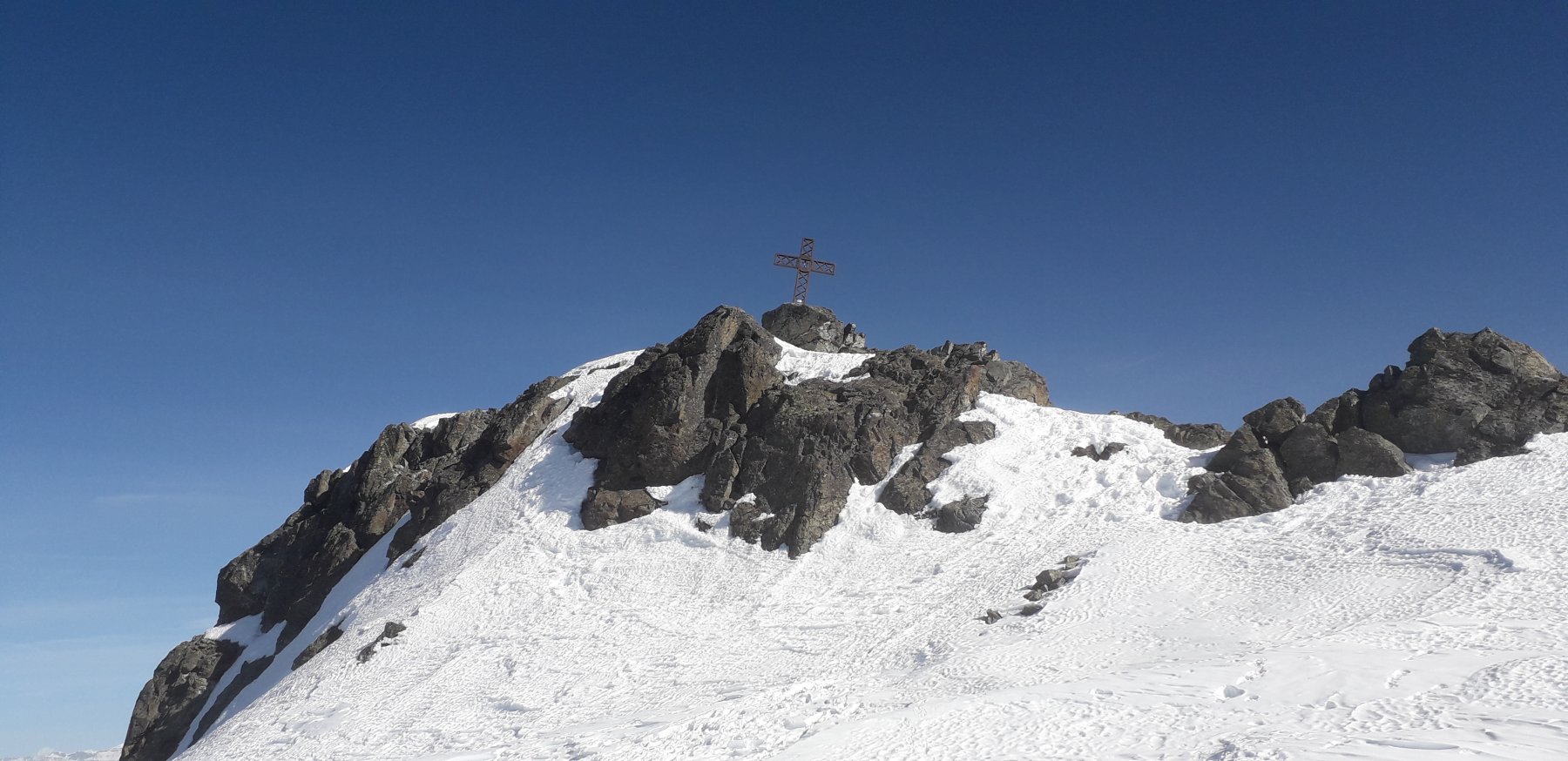
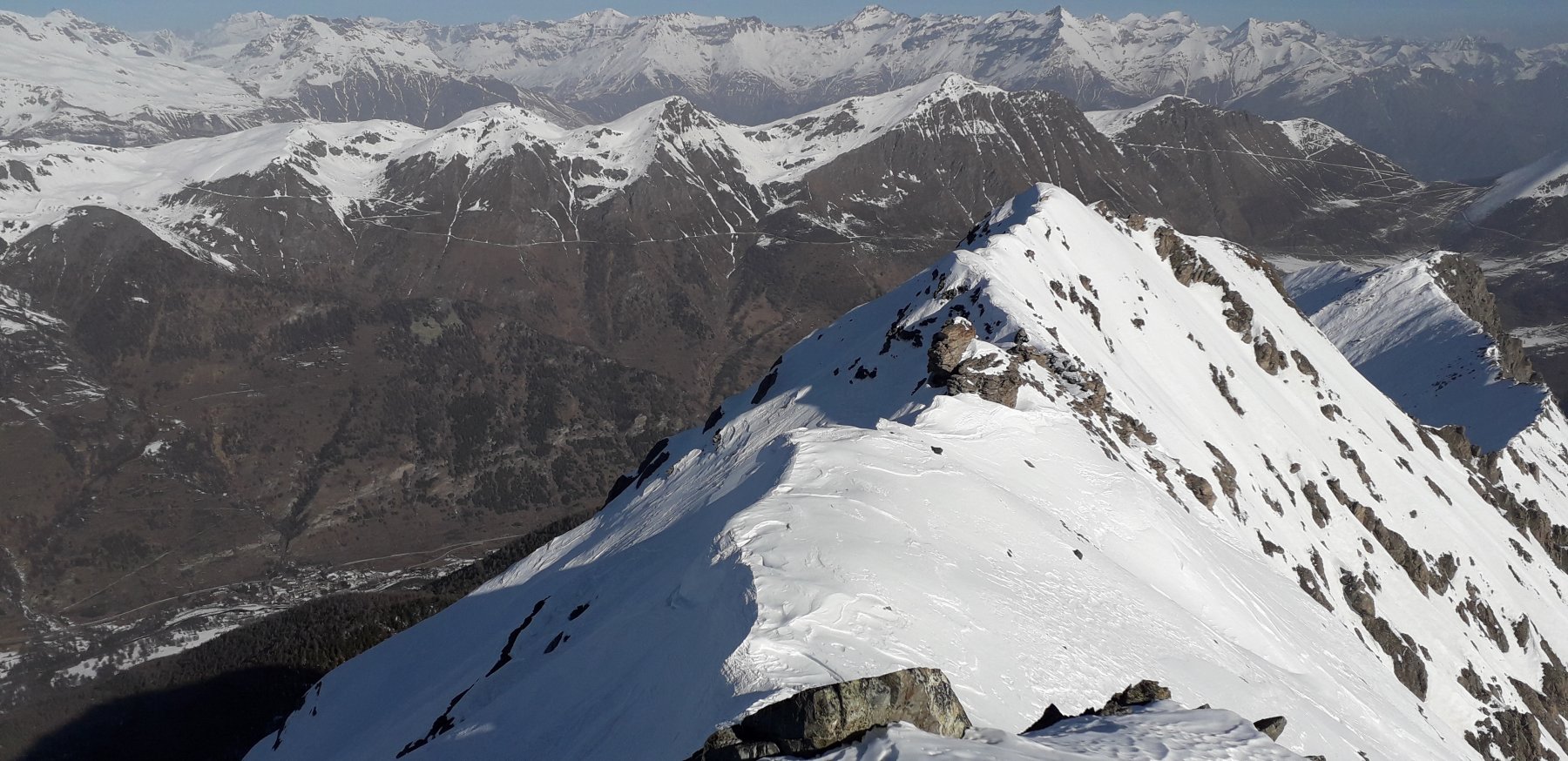
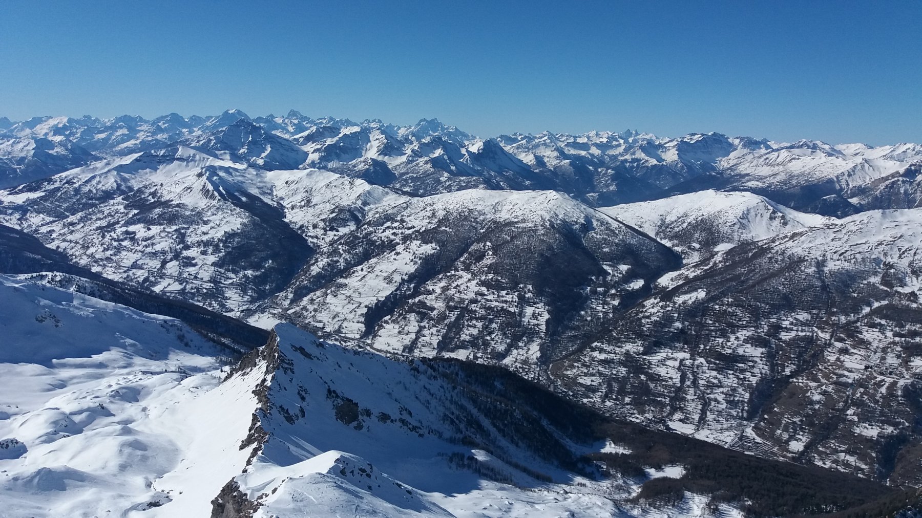
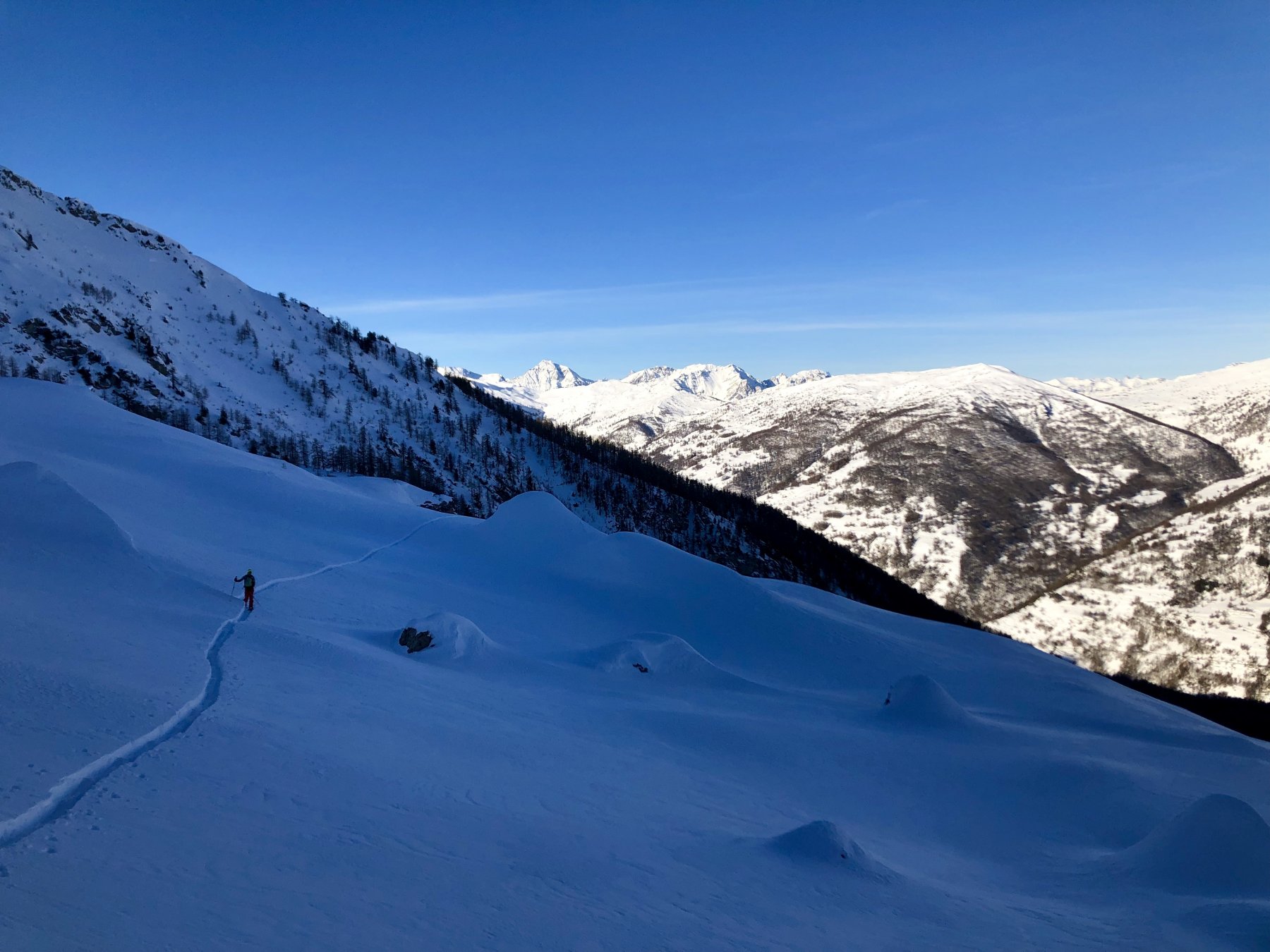
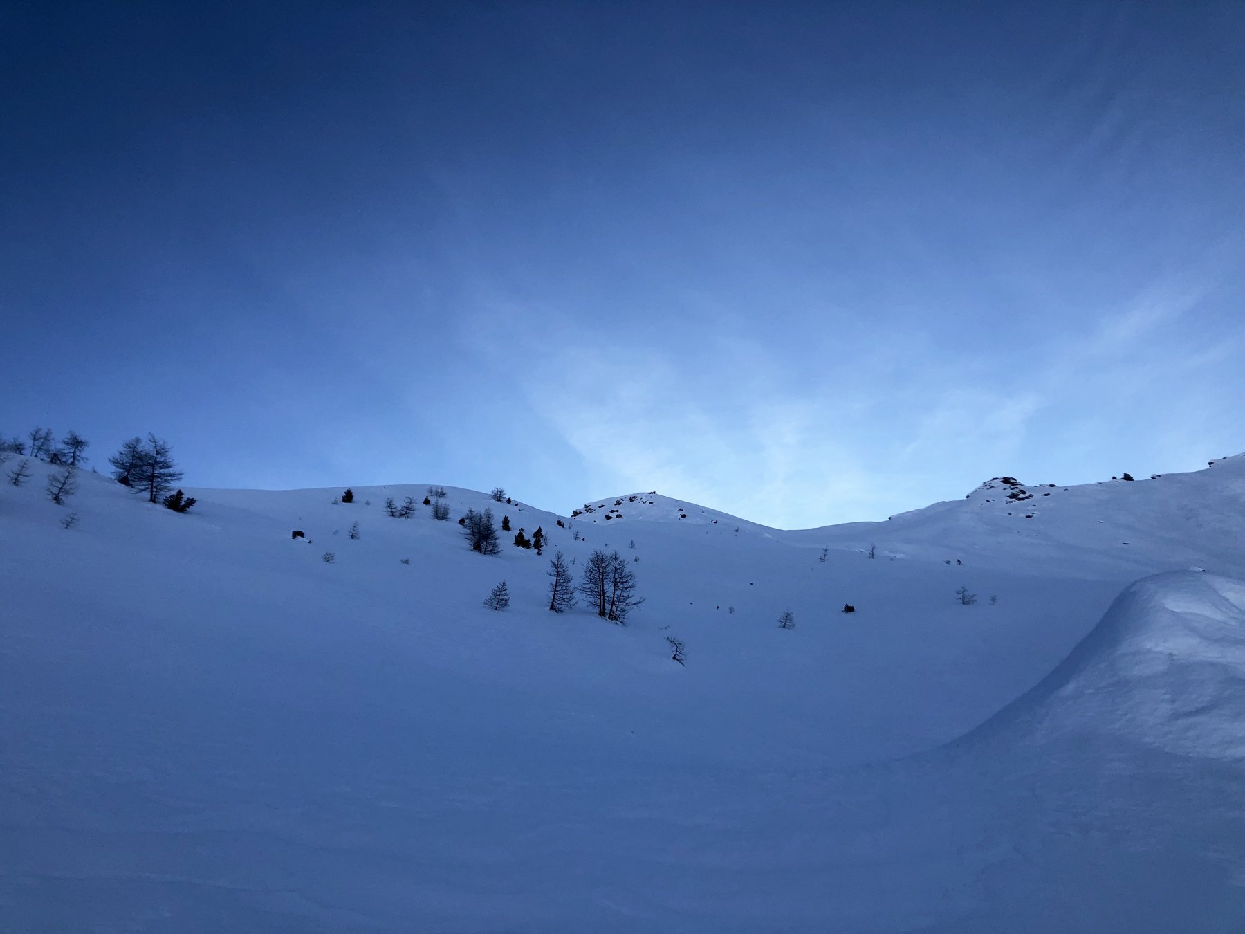
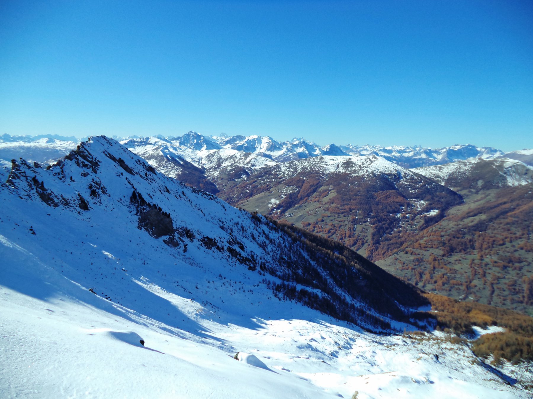
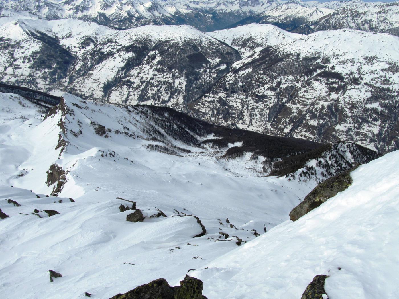
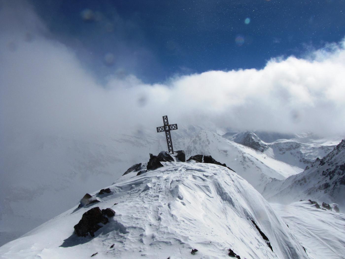
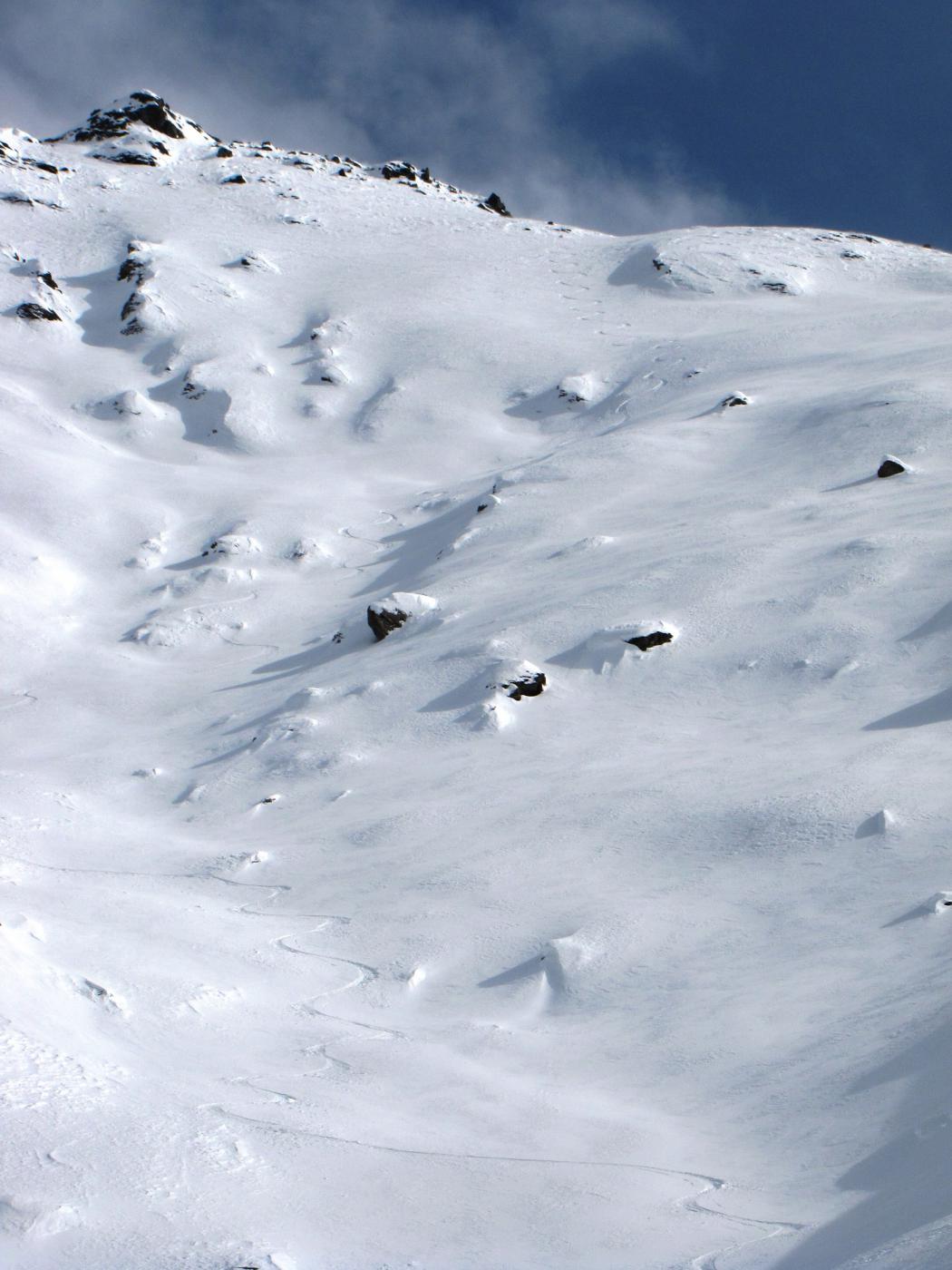
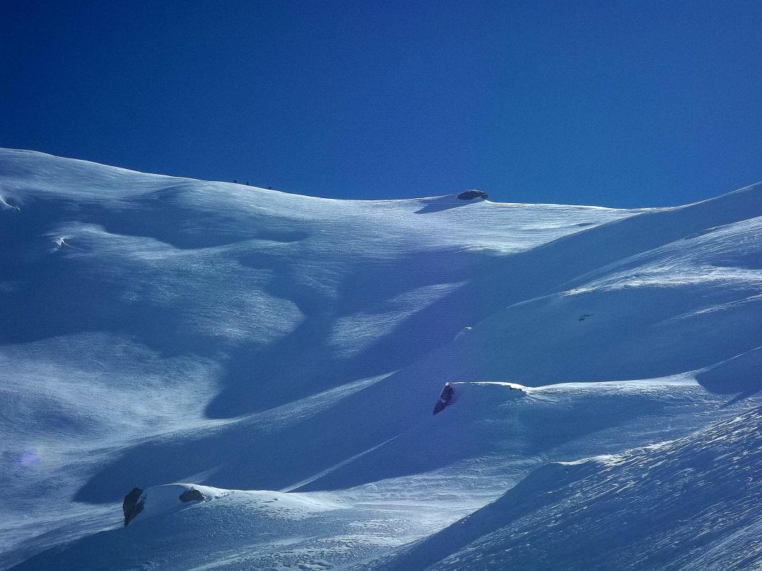
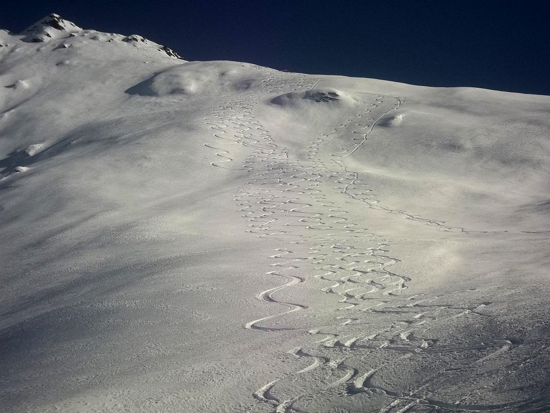
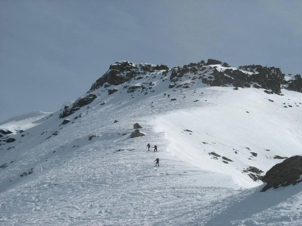
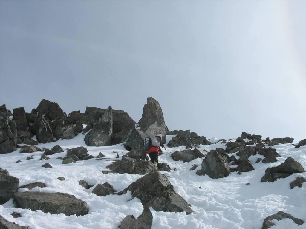
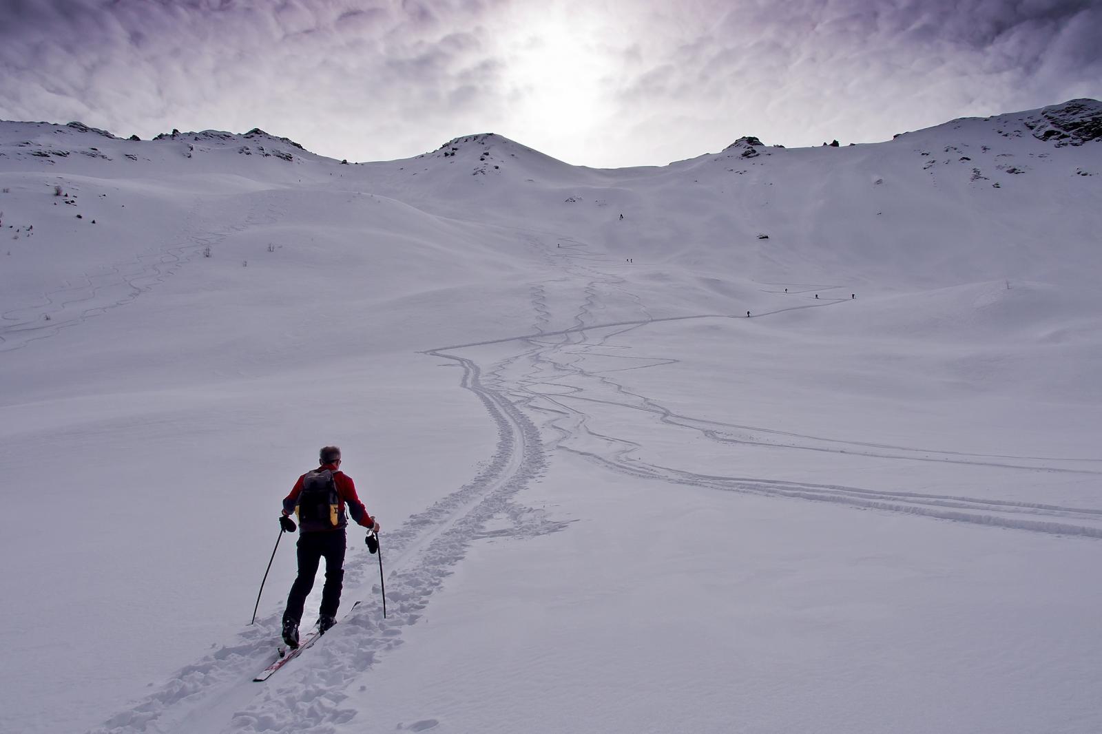
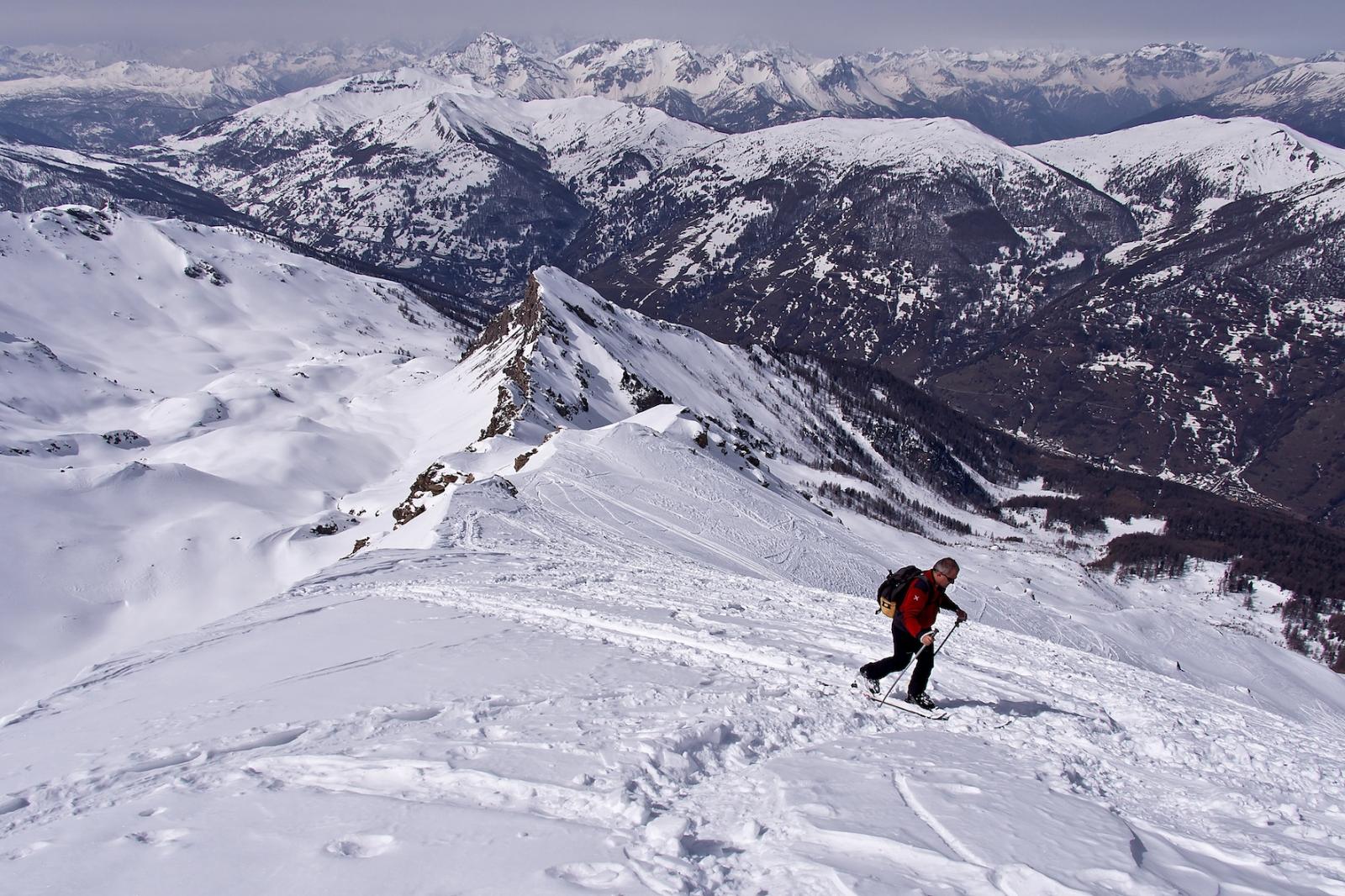
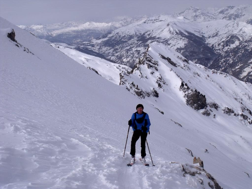
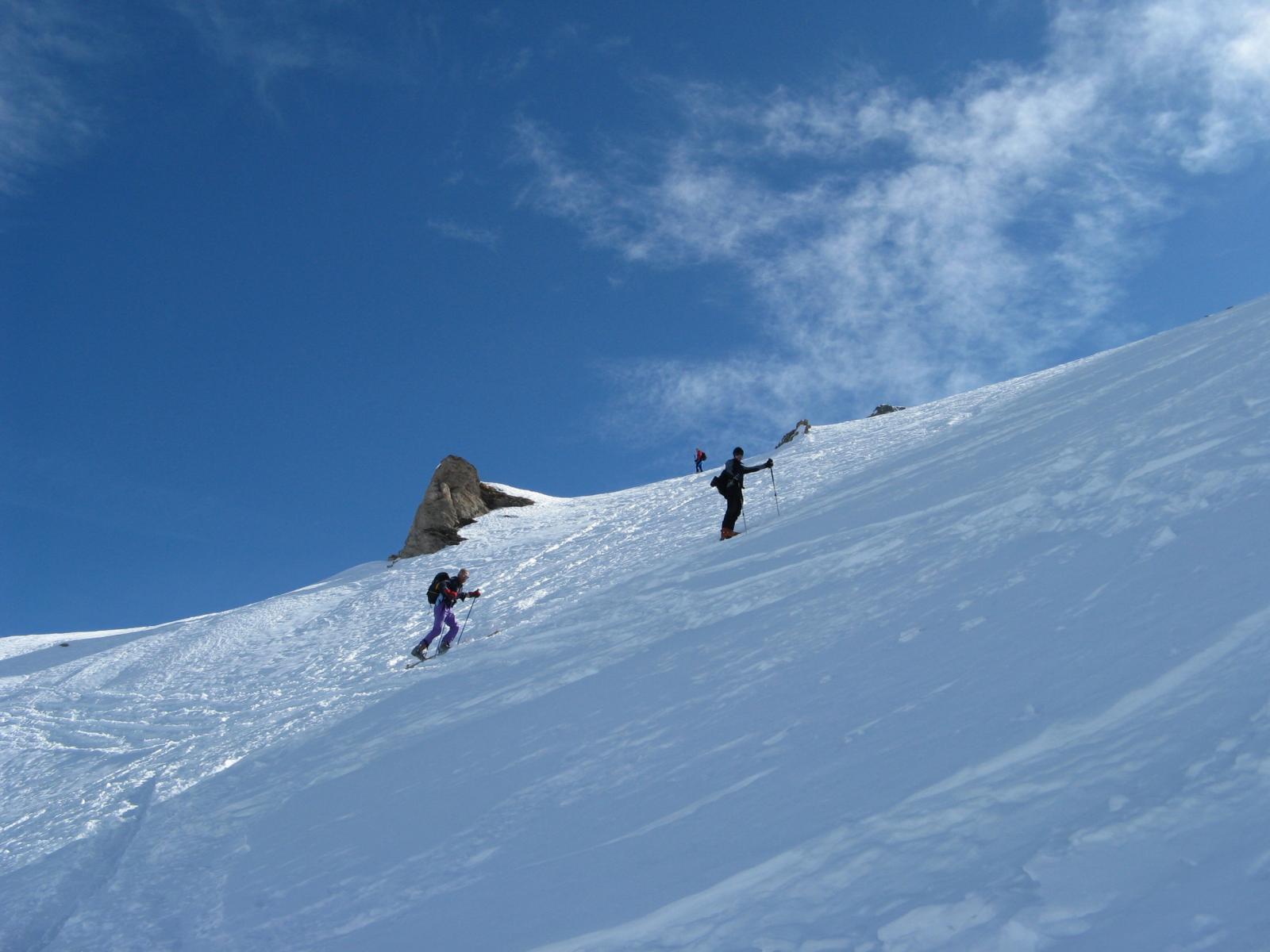
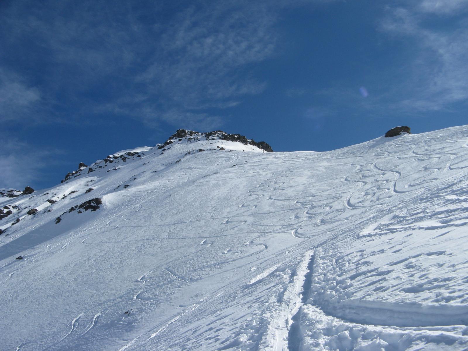
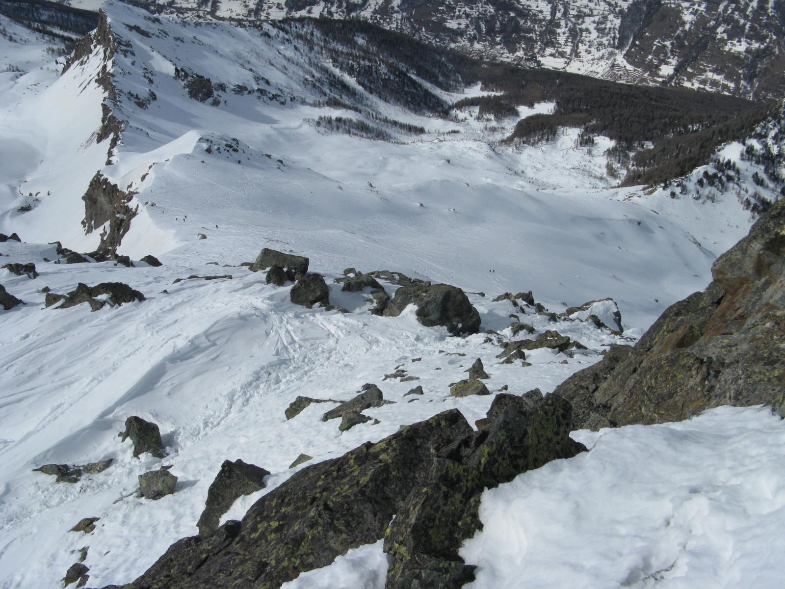
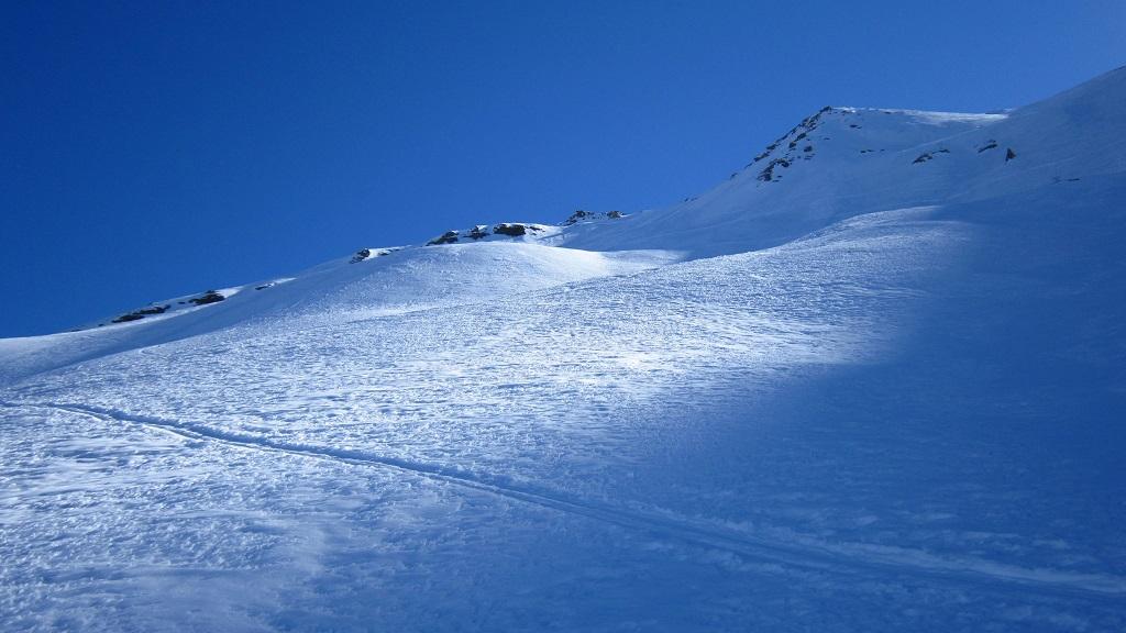
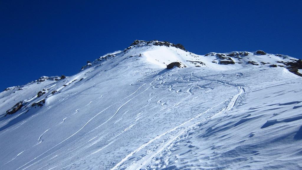
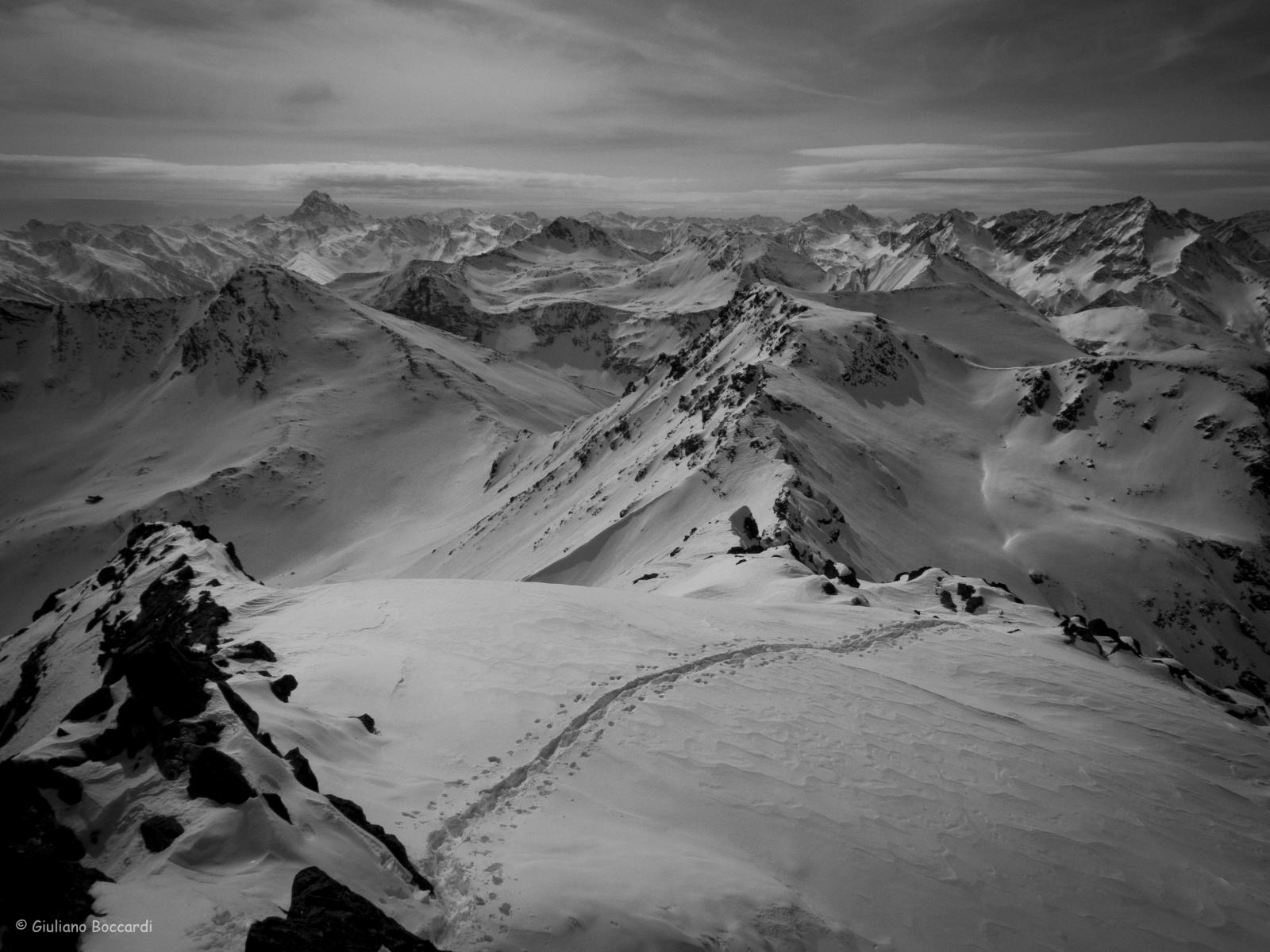
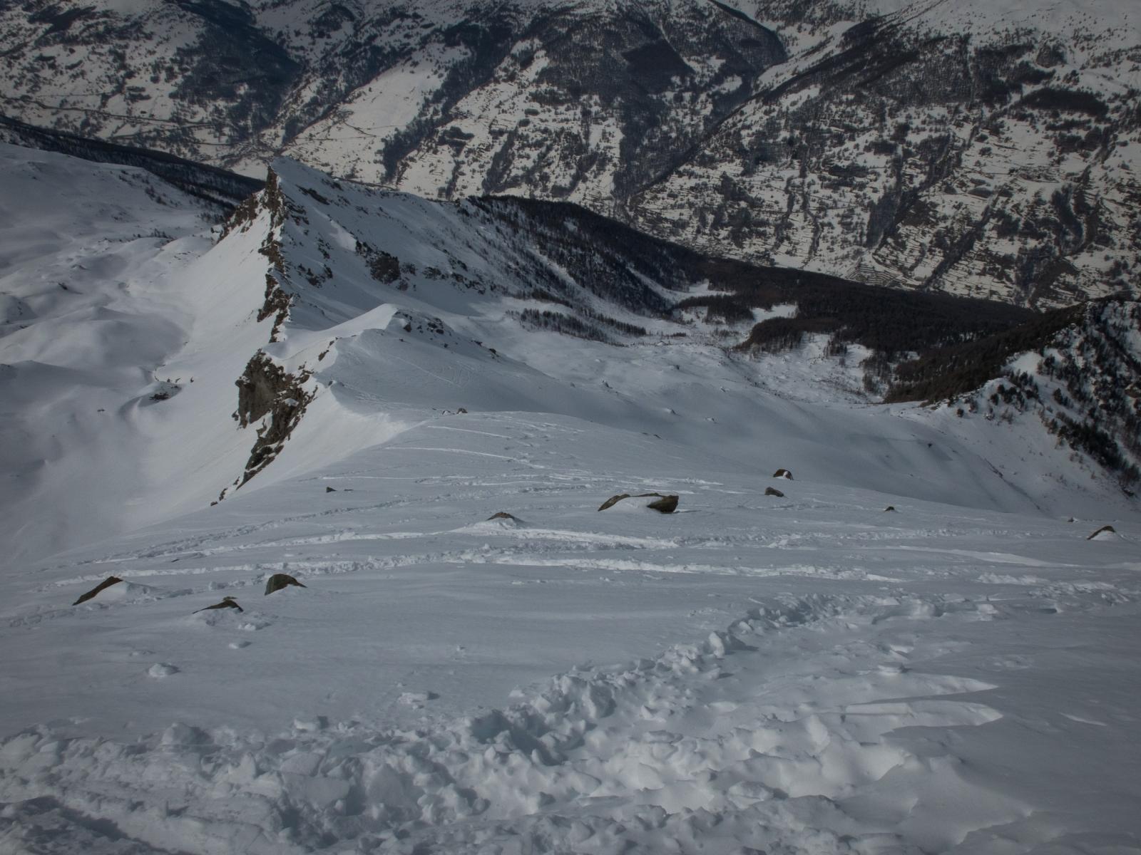
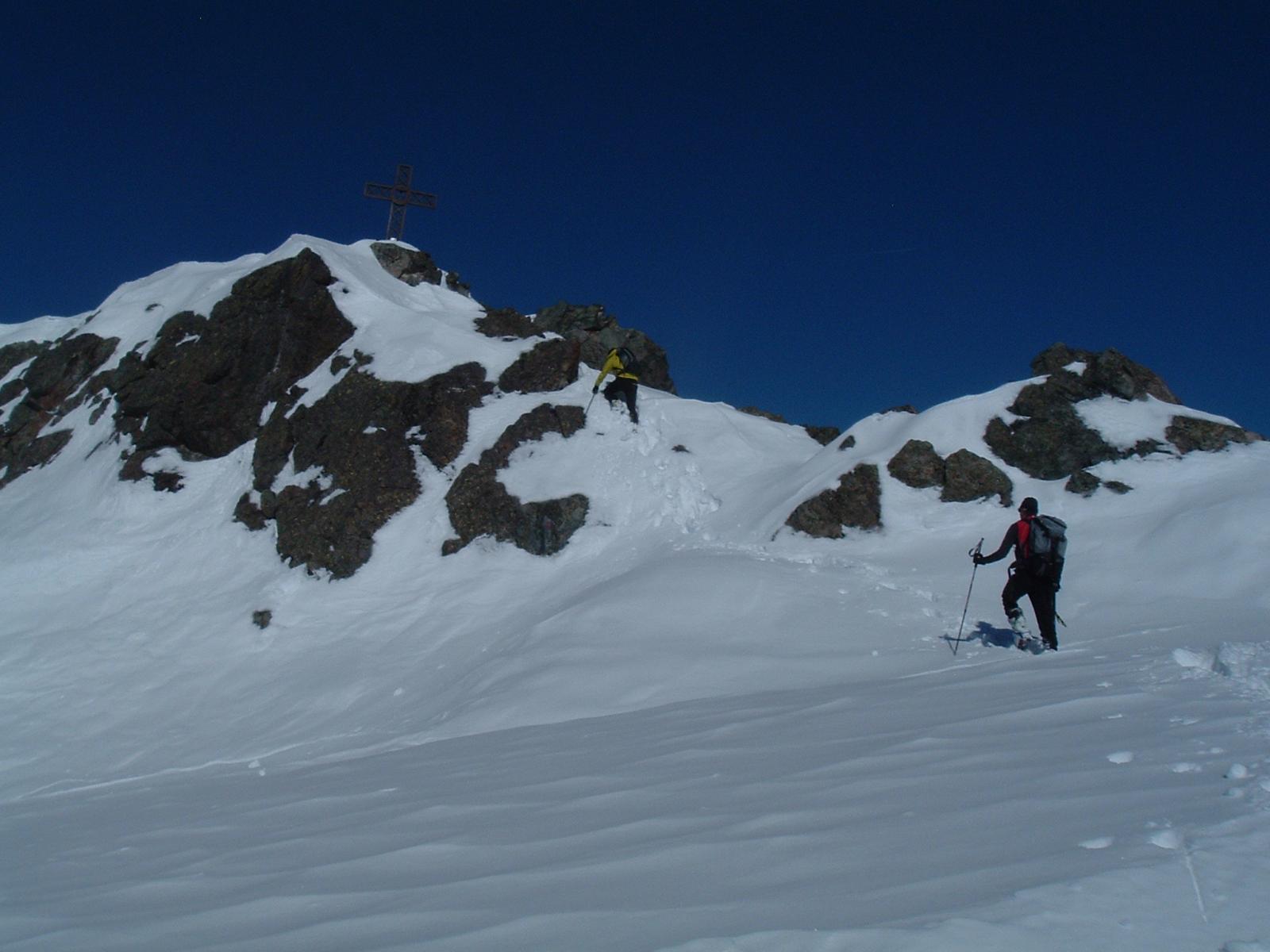
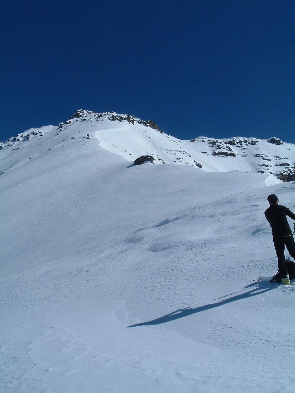
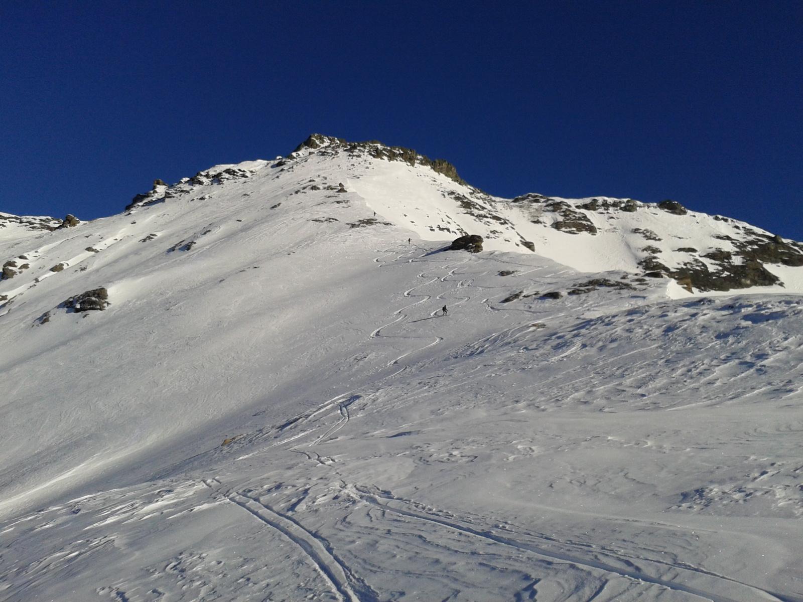
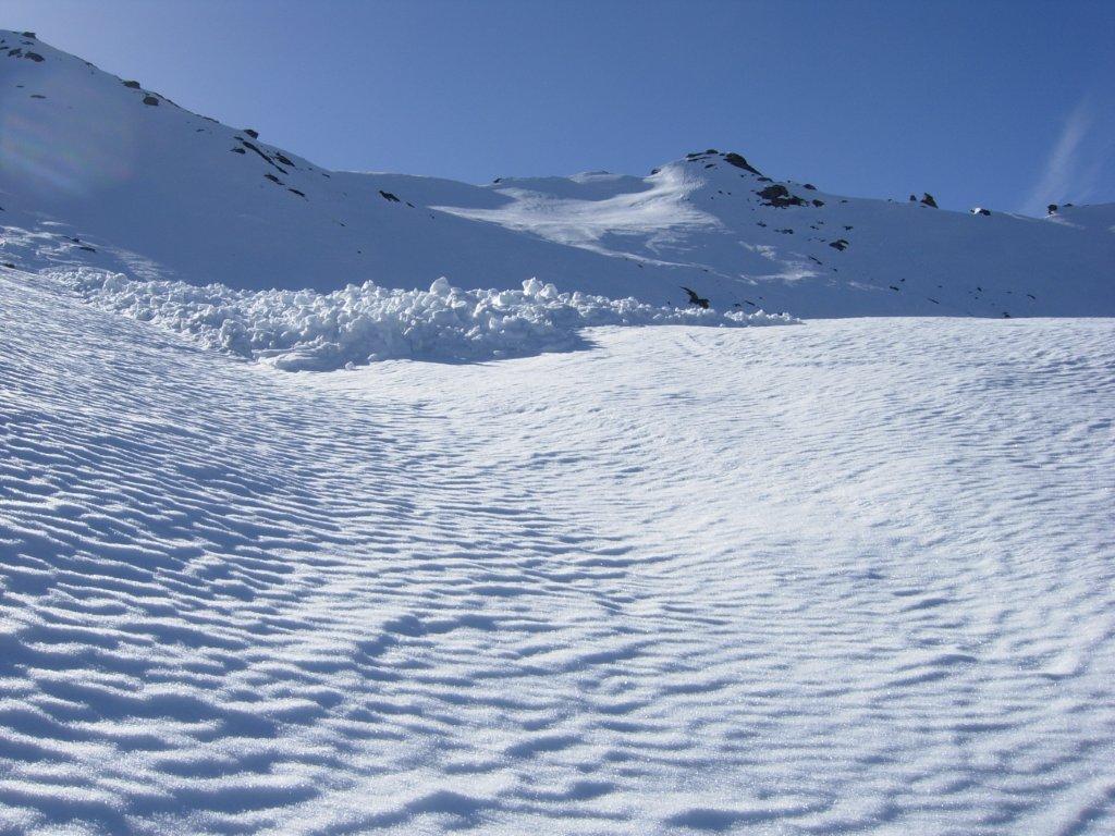
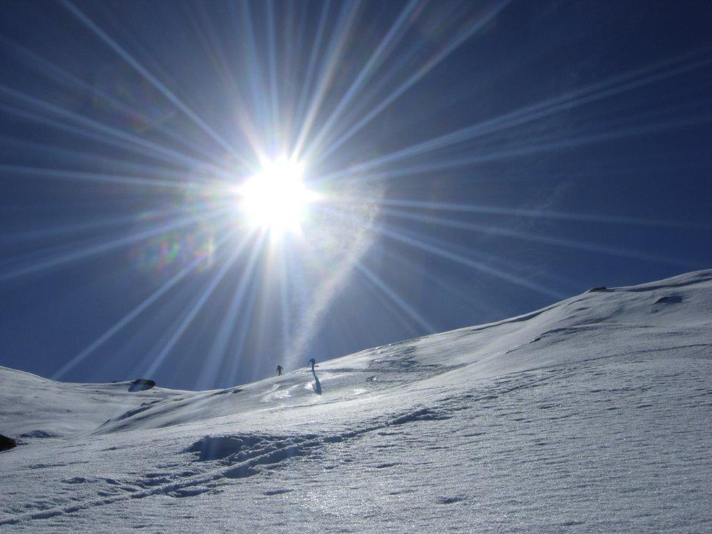
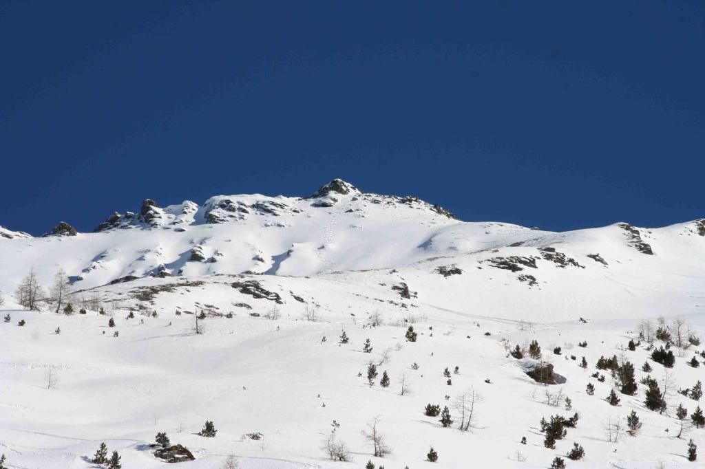
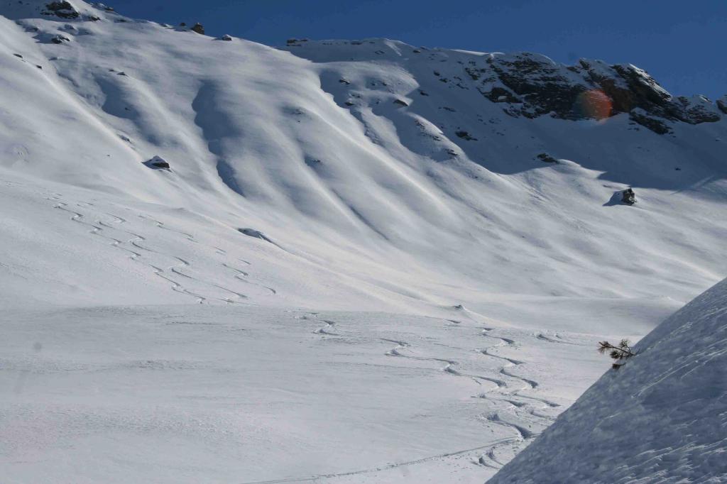
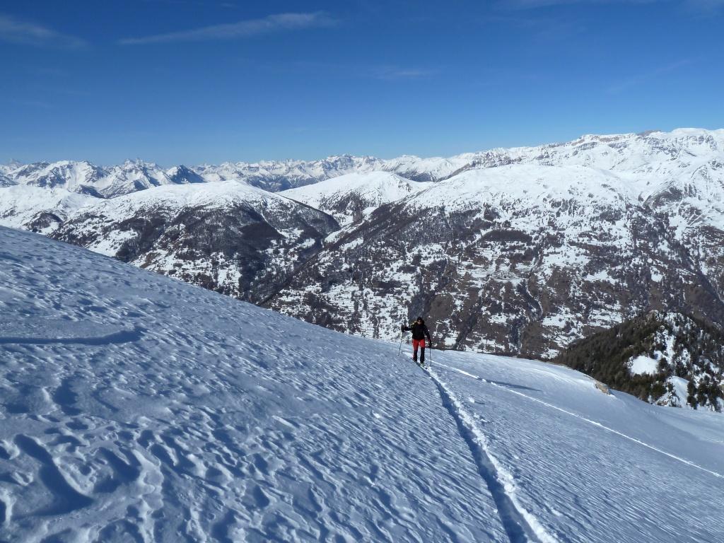
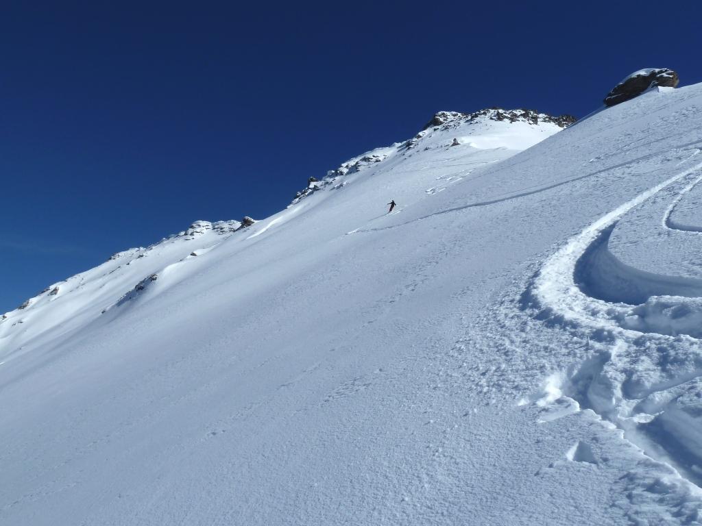
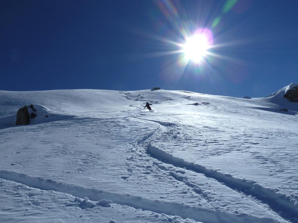
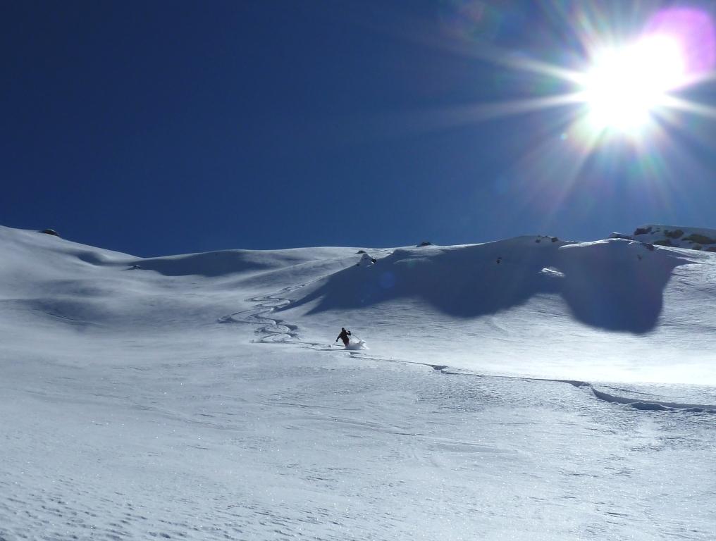
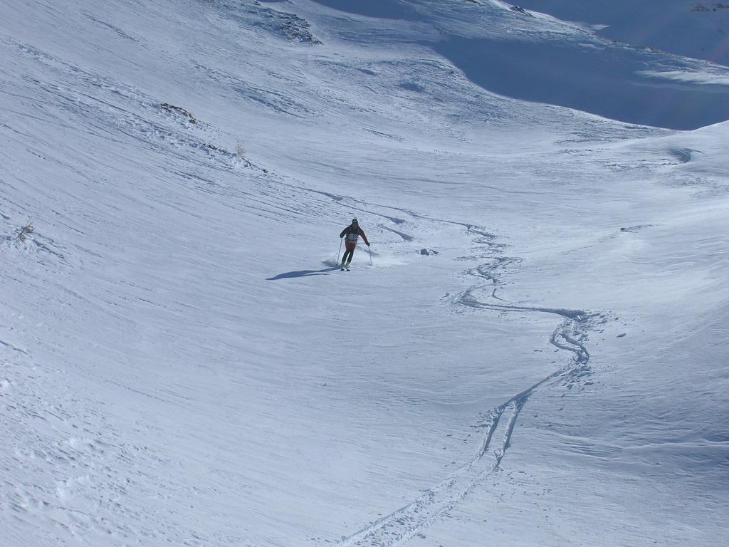
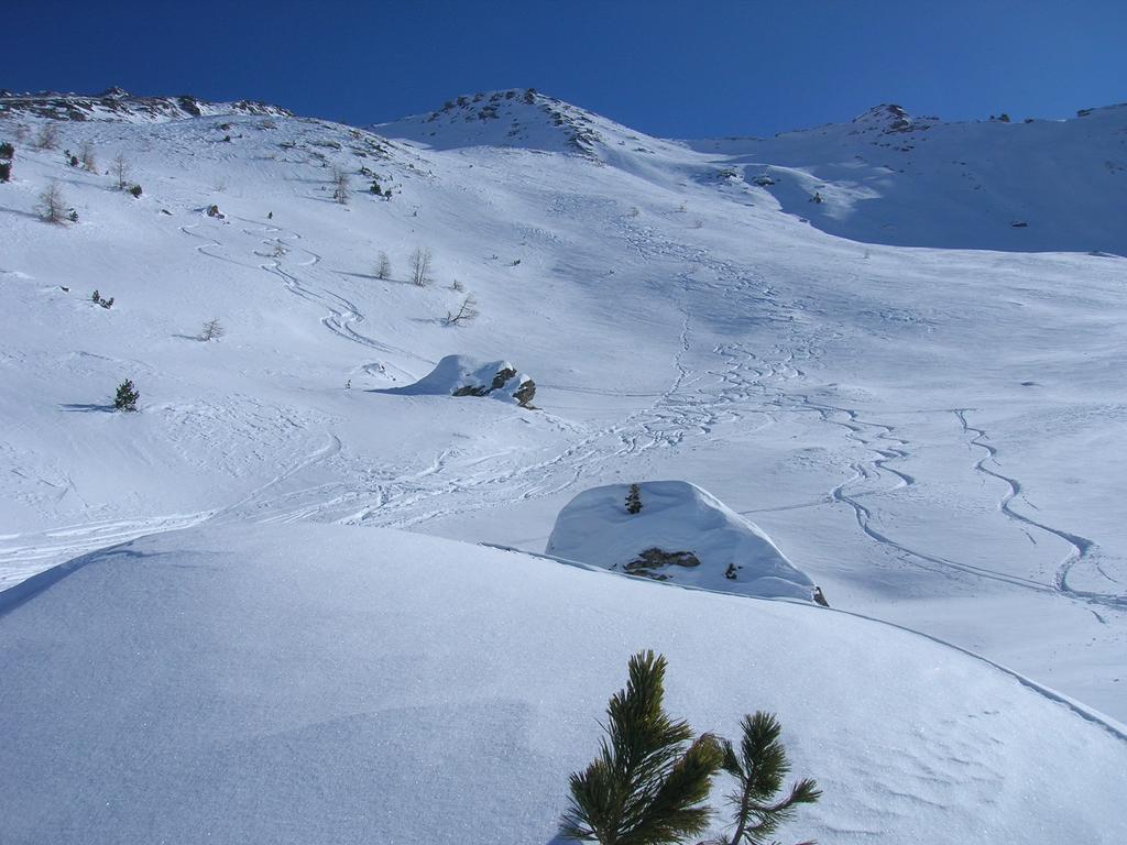
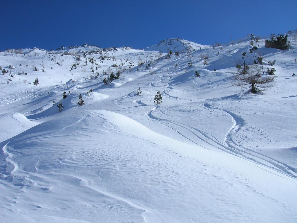
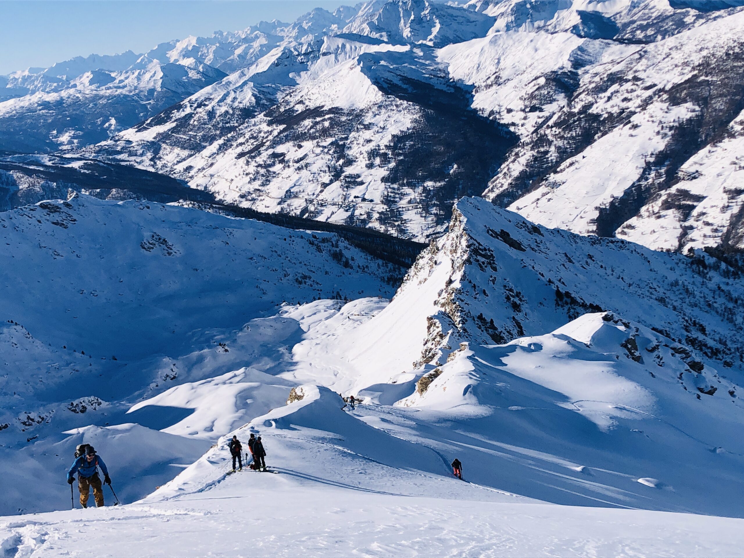
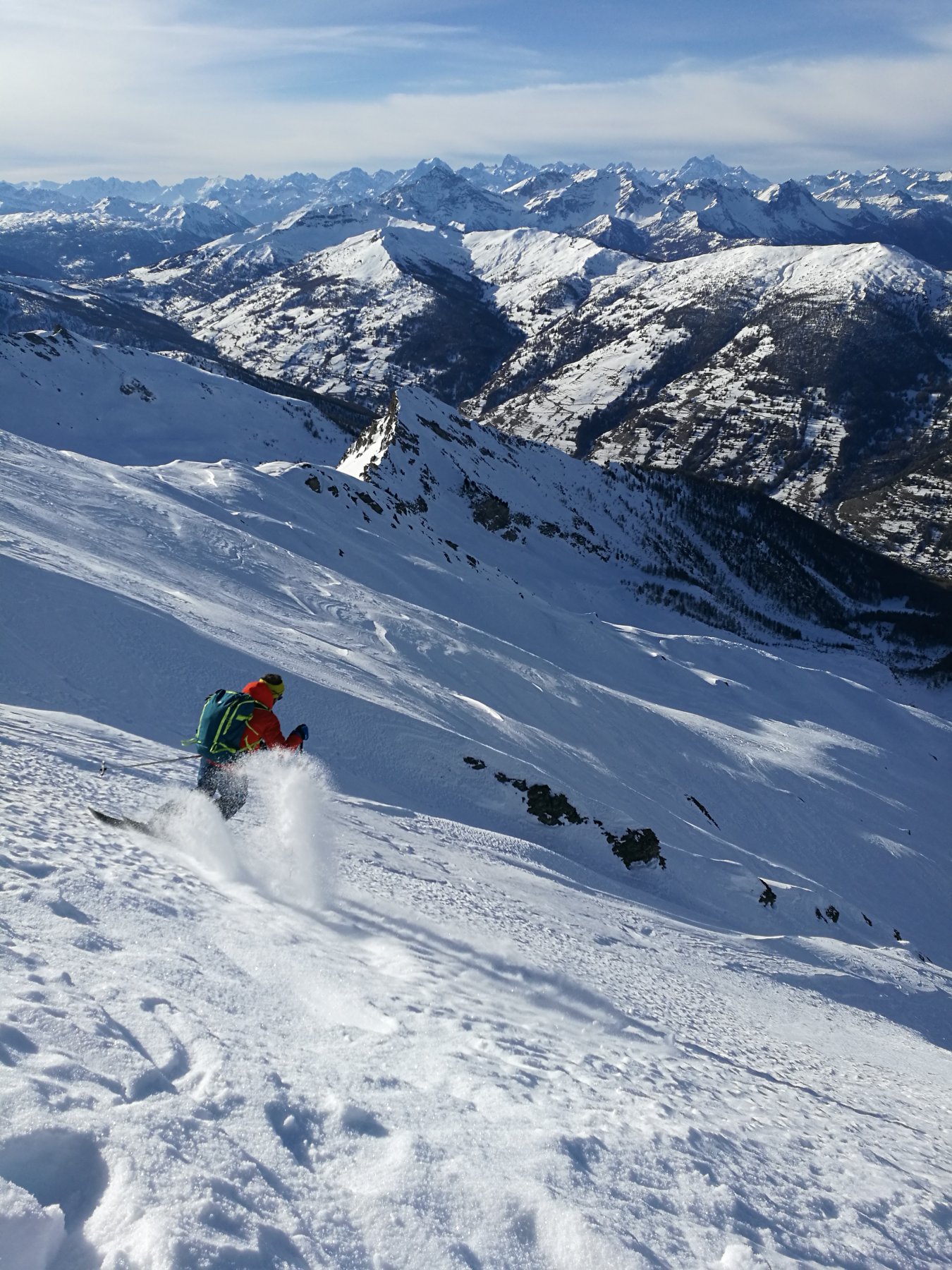
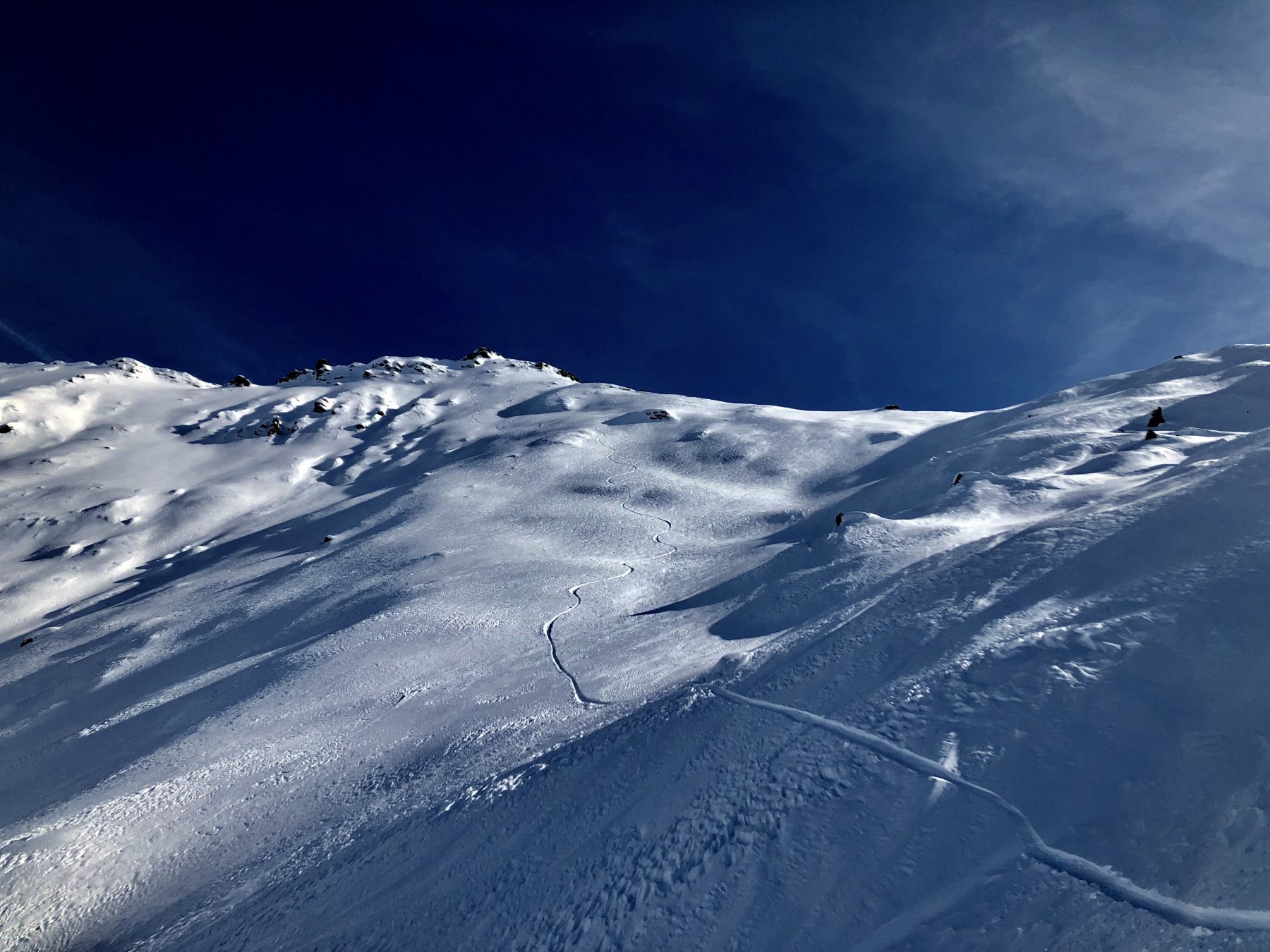
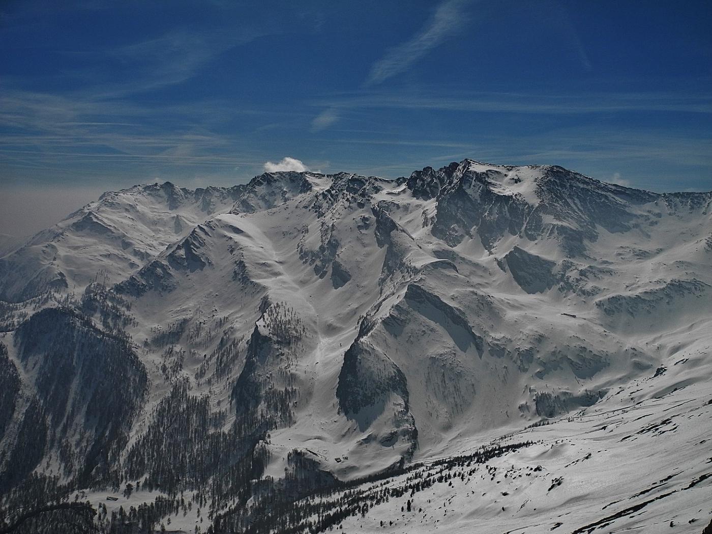
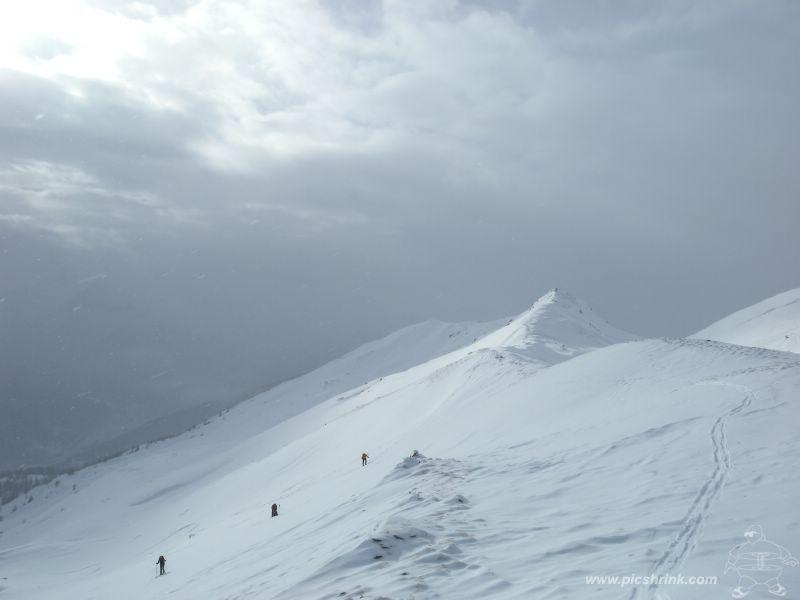
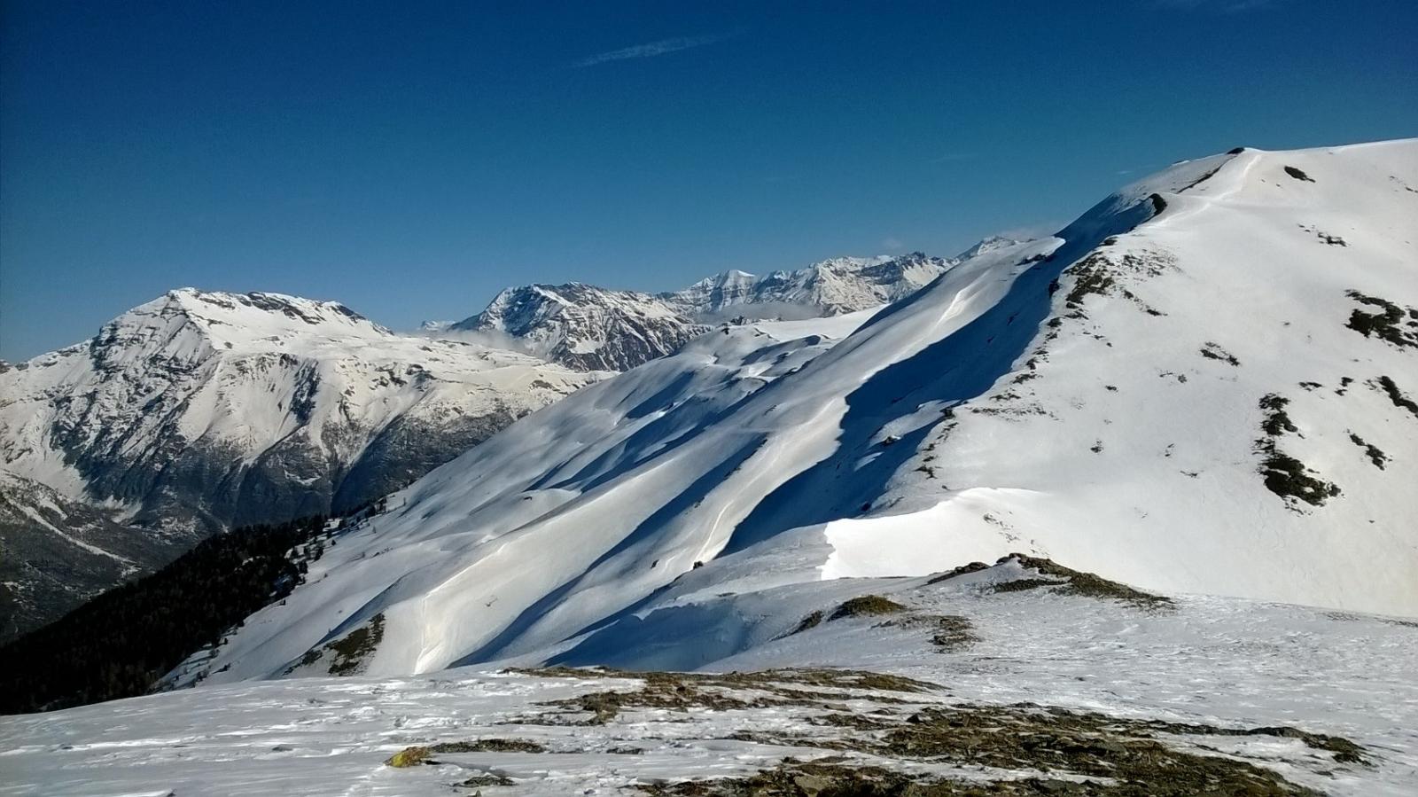
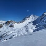
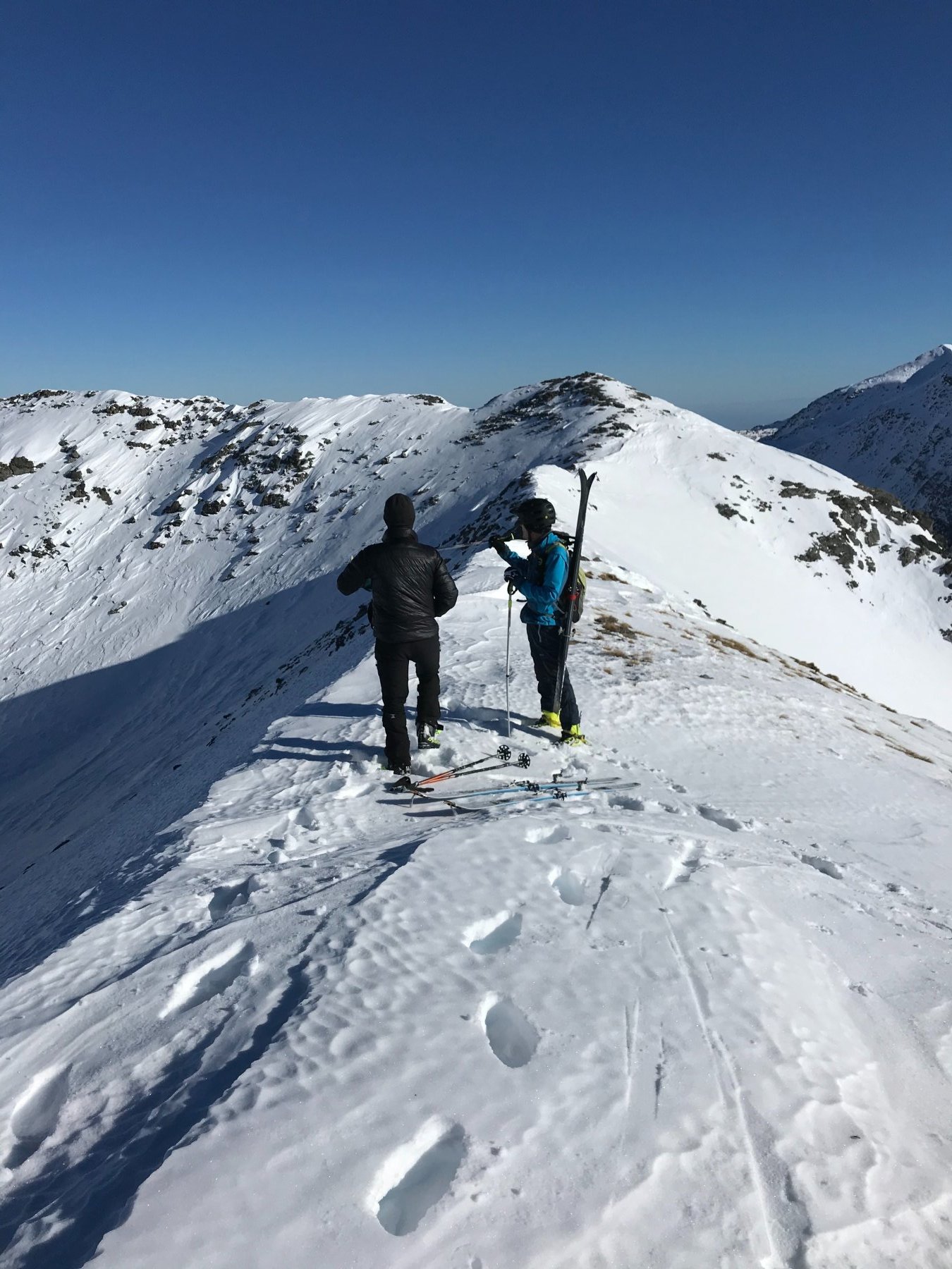
Usciti dai pini l’itinerario si presenta evidente, risalendo l’ampio vallone, si guadagna dapprima la cote de la saume, e risalendola si percorre il pendio adducente all’evidente colletto a monte de la cote blegier. Per cresta si arriva con gli sci fin sotto la Croce.
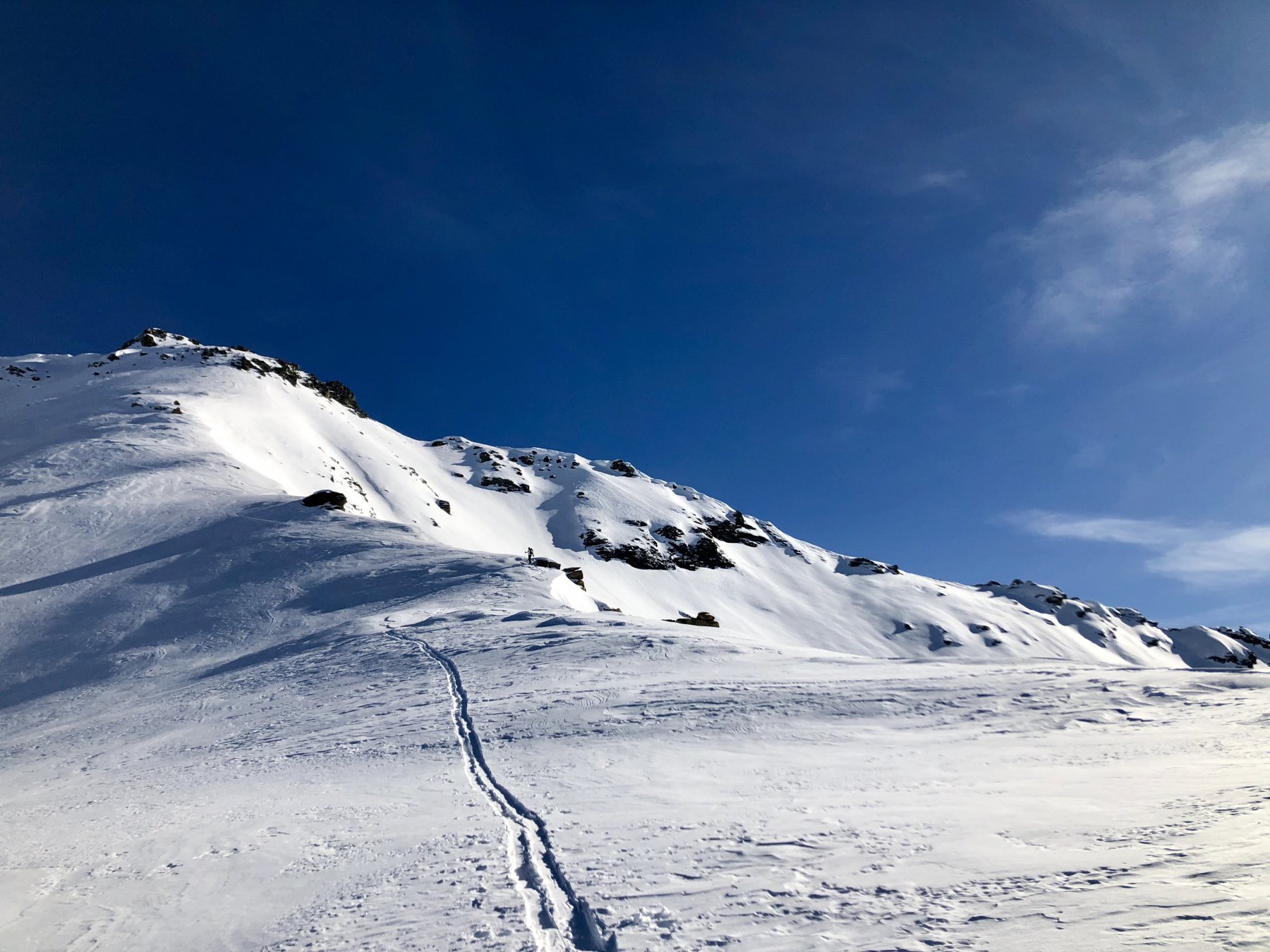
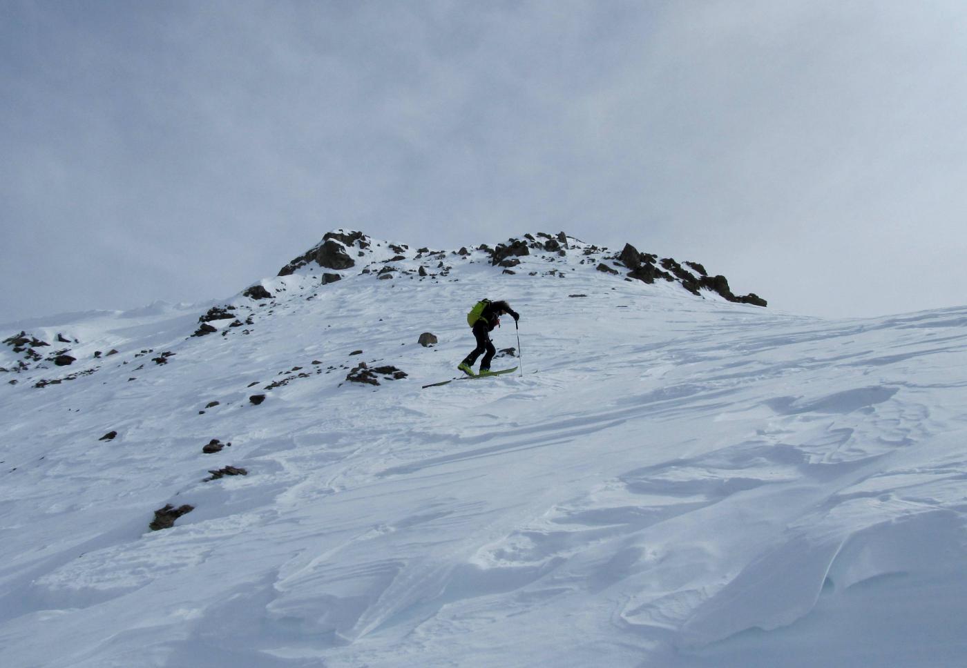
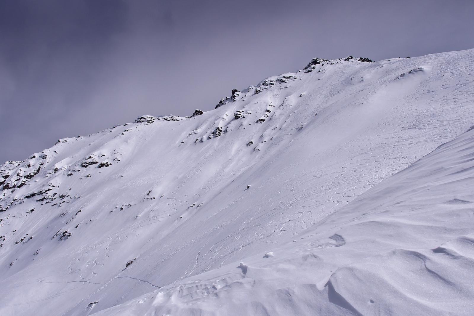
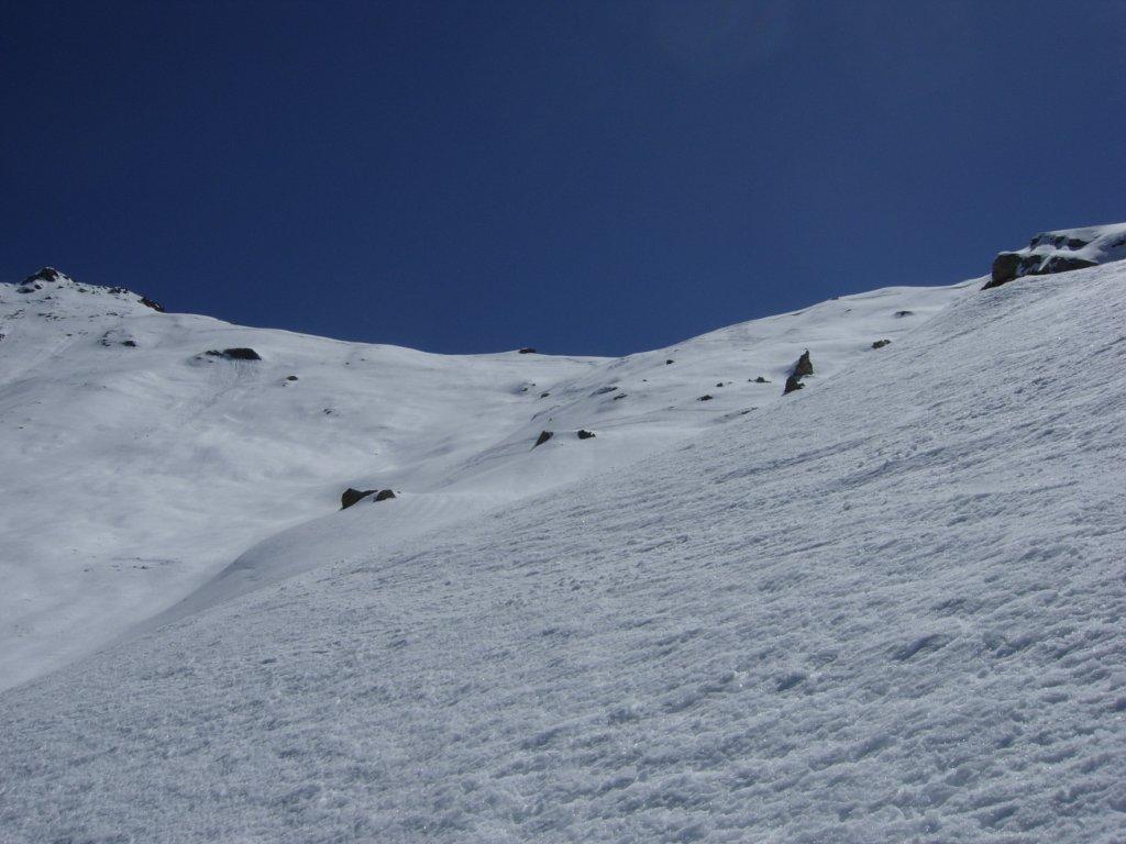
In caso di neve dura nell’ultimo ripido pendio a quota 2.900 si può procedere in sicurezza con ramponi e, eventualmente, piccozza.
- Bibliografia:
- E.Quero, CDA, Valli Pinerolesi, n° 58
Ultima revisione 24/06/2024
Nelle vicinanze Mappa
Itinerari
04/02/2023 TO, Pragelato D+ 1600 m BS Varie
Gran Miuls (Monte) da Soucheres Basses
50m
28/10/2012 TO, Usseaux D+ 650 m MS Sud
Colle (Roc del) da Fraisse
 1.5Km
1.5Km
07/04/2026 TO, Pragelato D+ 754 m MS Sud
Blegier (Monte) da Grand Puy
 1.8Km
1.8Km
06/01/2026 TO, Pragelato D+ 735 m BS Sud
Assietta (Testa dell’) da Gran Puy
1.8Km
12/04/2025 TO, Usseaux D+ 1317 m OS Ovest
Ciabertas (Monte) da Fraisse per il versante ovest
 2.2Km
2.2Km
08/03/2026 TO, Pragelato D+ 1074 m MS Sud
Blegier (Monte) da Pragelato
 2.6Km
2.6Km
12/03/2026 TO, Pragelato D+ 975 m MS Varie
Genevris (Monte) da Pragelato
 2.6Km
2.6Km
08/04/2026 TO, Pragelato D+ 1094 m MS Varie
Gran Costa (Monte) da Pragelato
 2.6Km
2.6Km
16/03/2026 TO, Pragelato D+ 1065 m BS Nord-Ovest
Ciapel (Punta) da Pragelato
 3Km
3Km
05/01/2020 TO, Pragelato D+ 1600 m BS Nord
Gran Miuls (Monte) da Pragelato, anello Colle del Pis – vallone del Gran Muels
 3Km
3Km
Servizi
400m
1.9Km
L’itialette Ristorante
Pragelato
2.6Km
Casa Alpina Rifugio
Pragelato
2.6Km
Passet Ristorante
Pragelato
2.8Km
Casa degli Escartons Alex Berton B&B
Pragelato
4.3Km
Casa Assietta Rifugio
Pragelato
4.5Km
Refugium – ex. Rif. Belotte Rifugio
Pragelato
6.2Km
Al Mulino Ristorante
Pragelato
6.2Km
La capanna del sole Ristorante
Pragelato
6.5Km