200m
200m

Note
 1.7Km
1.7Km
1.7Km
1.8Km
2.2Km
2.2Km
2.2Km
2.2Km
1.7Km
1.7Km
1.7Km
1.8Km
2.2Km
2.2Km
2.2Km
2.2Km
200m
1.7Km
1.7Km
1.8Km
1.8Km
3.6Km
4.4Km
5.1Km
5.1Km
5.3Km
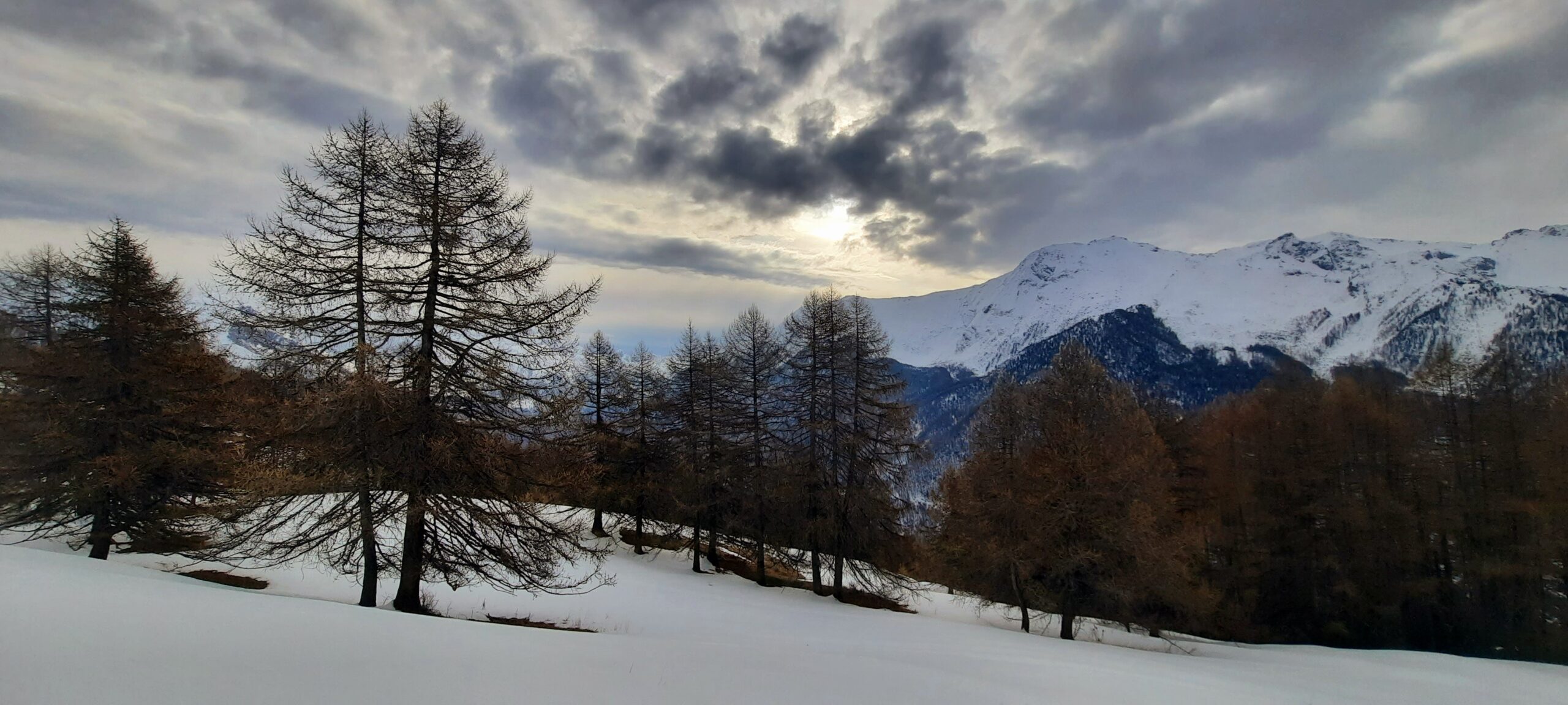
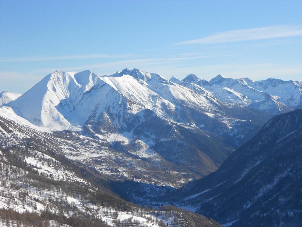
Classico itinerario invernale-primaverile, è una buona alternativa alla partenza da Pragelato (che richiede innevamento abbondante).
Avvicinamento
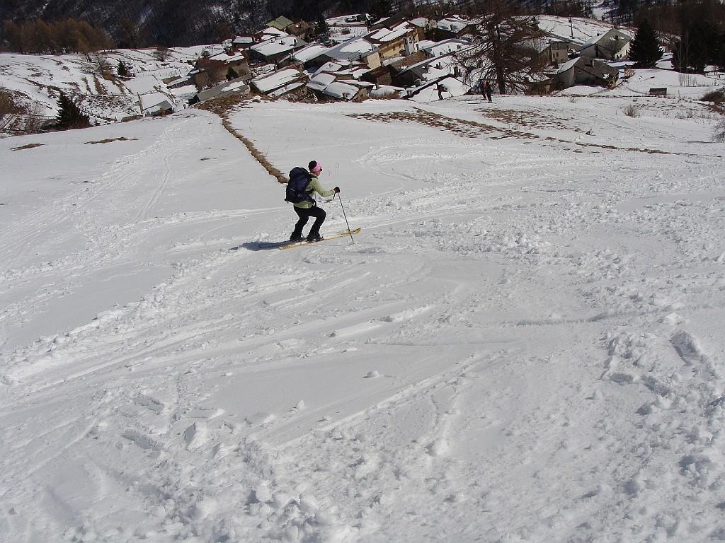
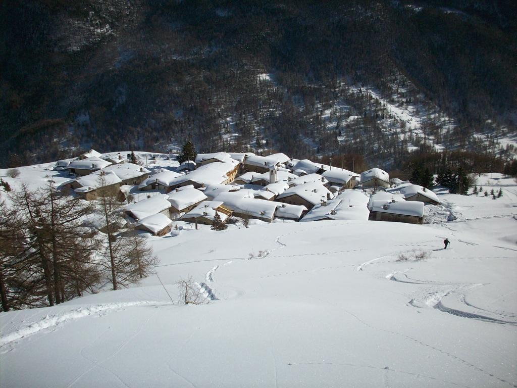
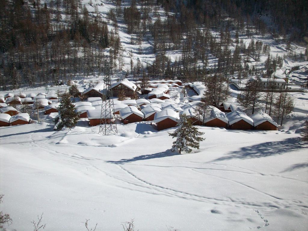
Da Pragelato, passata piazza Lantelmente e la banca sulla sx, prendere la strada sulla dx in salita che costeggia il Rio Pomerol (indicazioni per Grand Puy). Seguire la strada in salita senza possibilità di errore fino a raggiungere la frazione, parcheggio spazioso di fronte alla frazione.
Descrizione
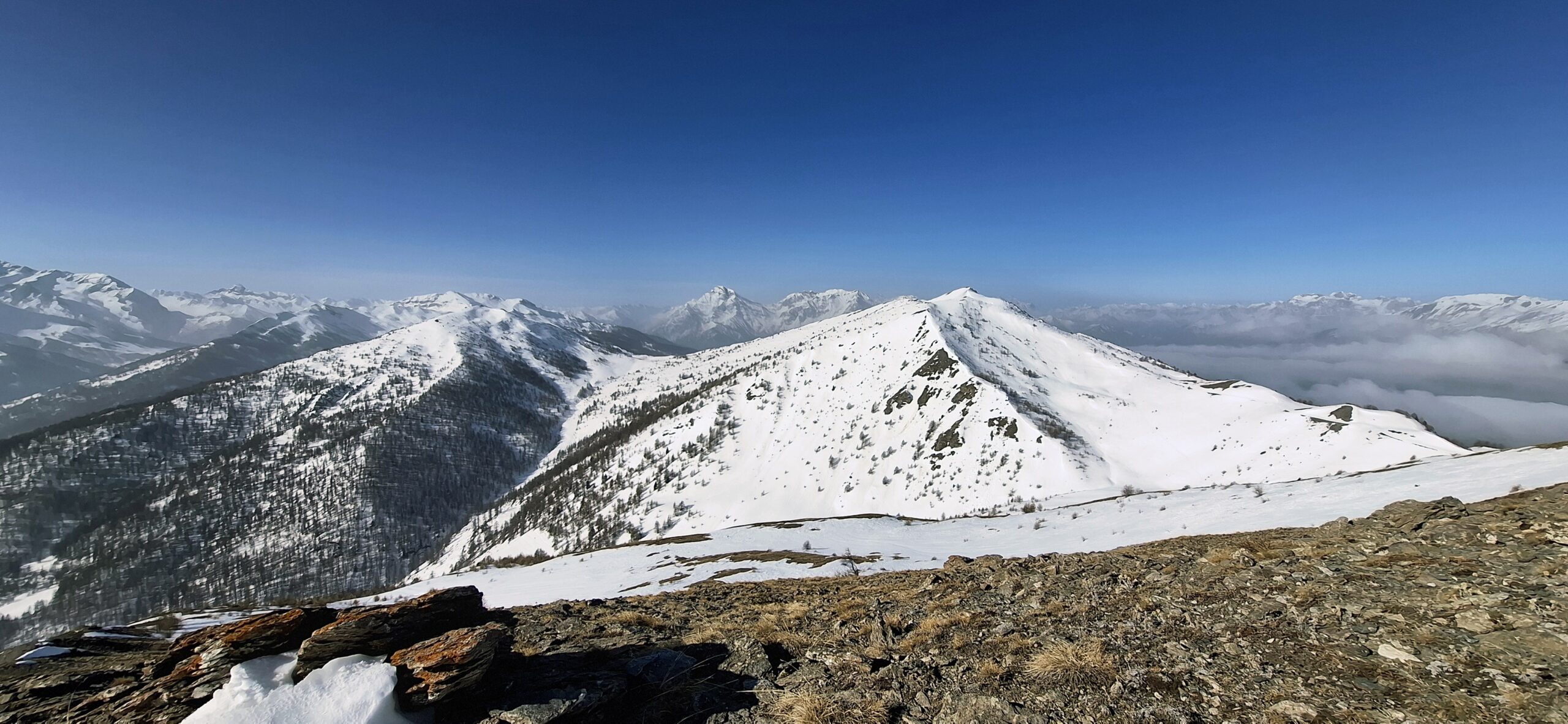
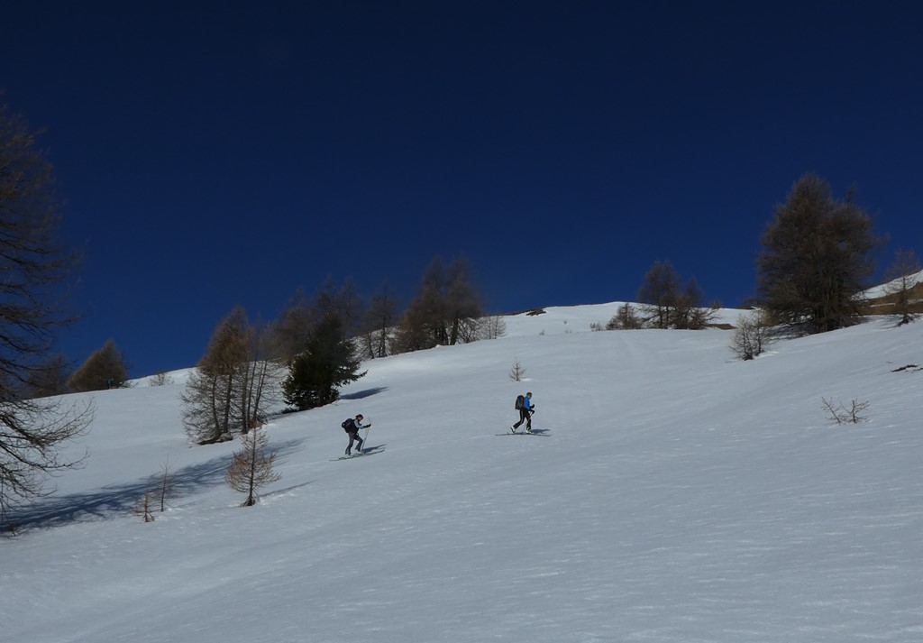
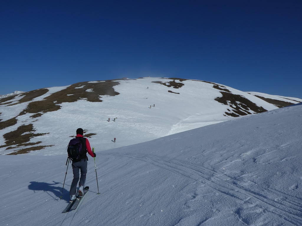
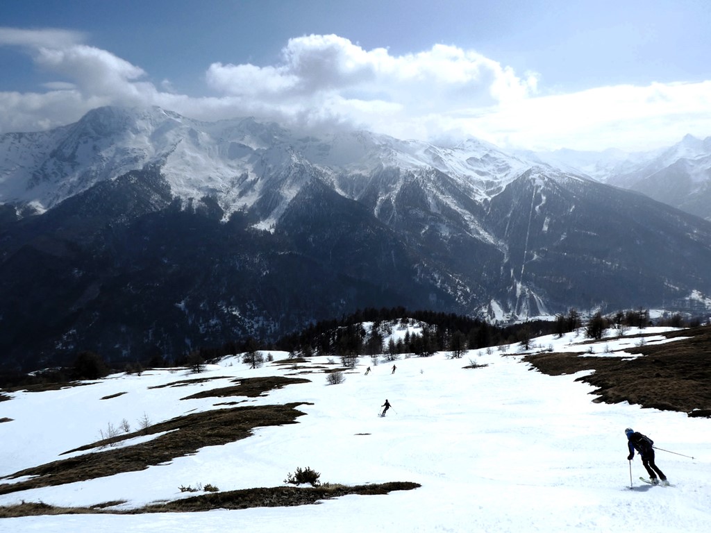
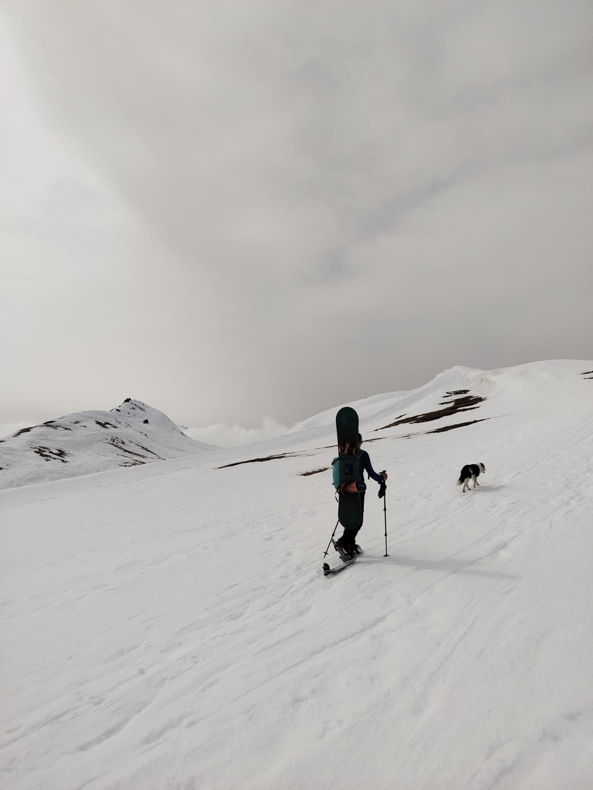
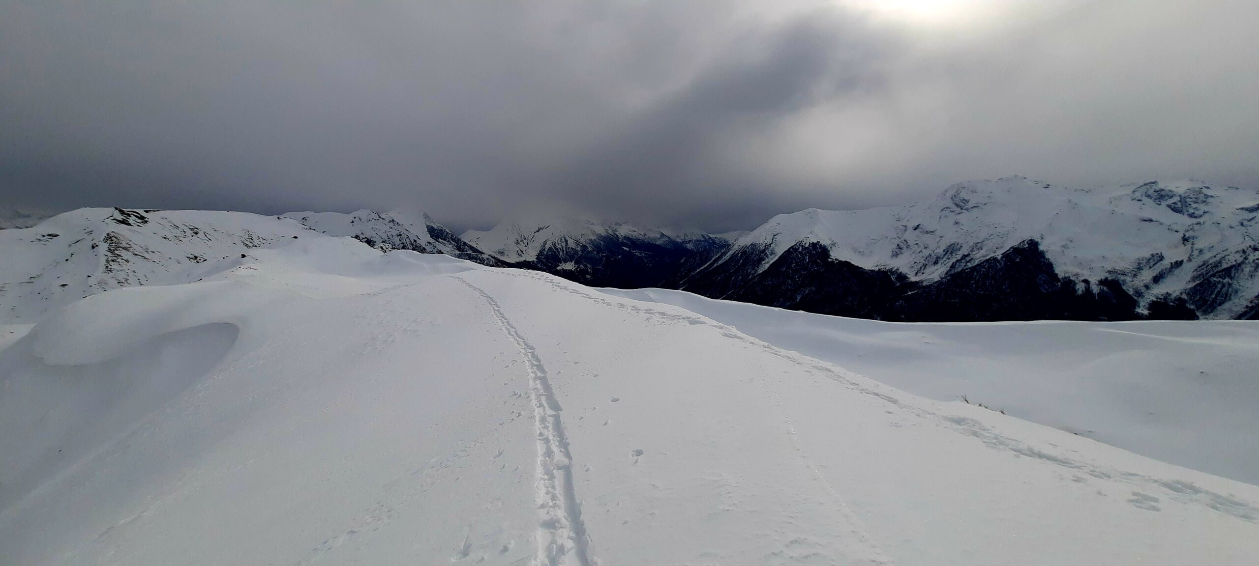
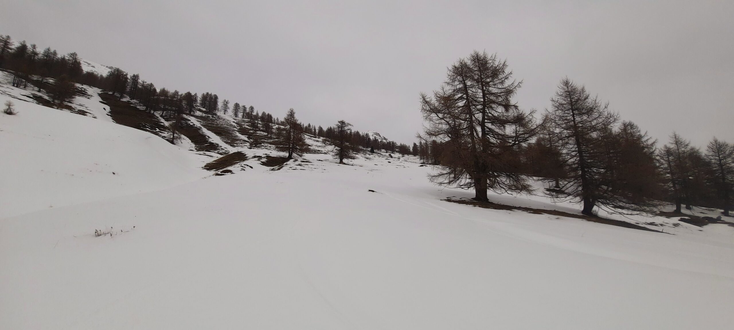
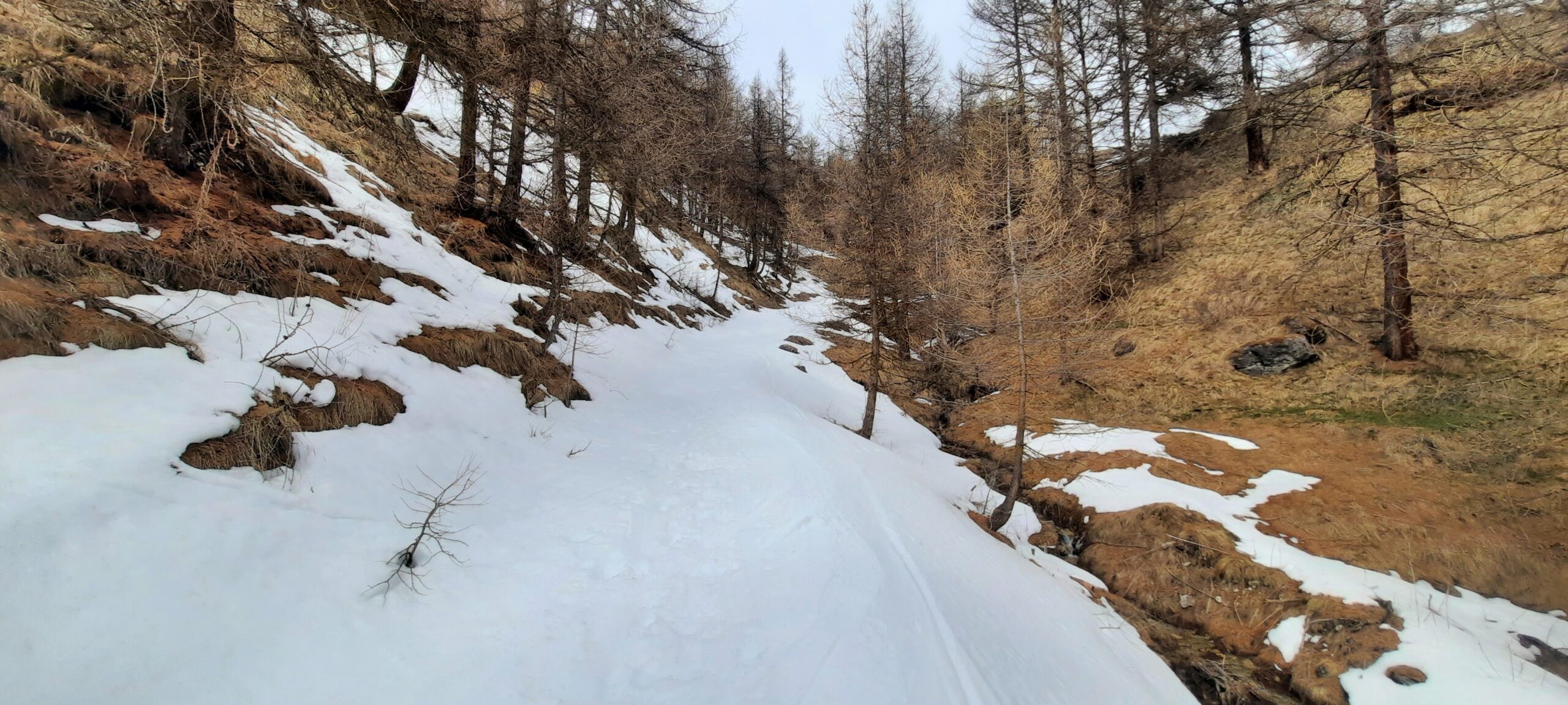
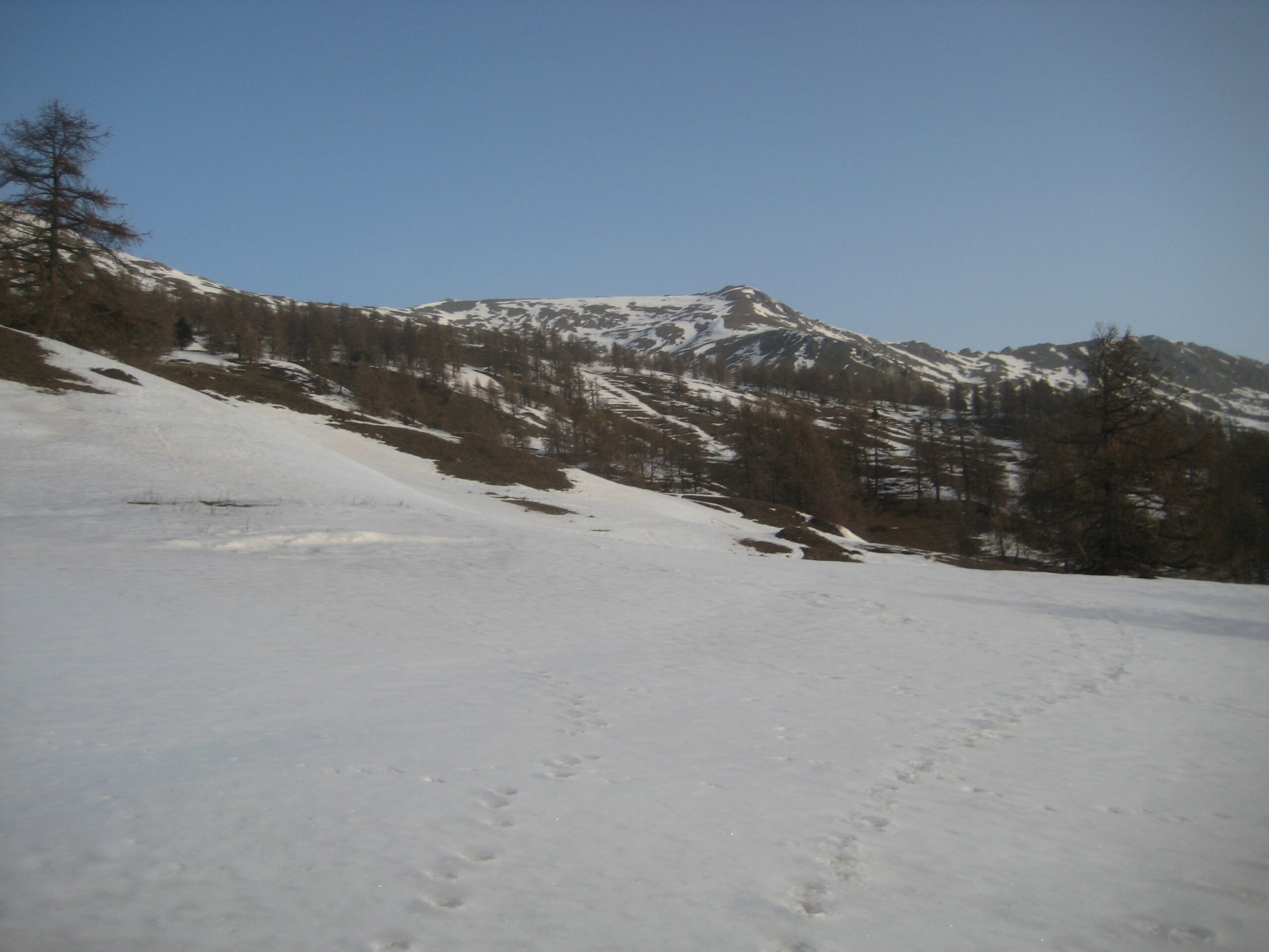
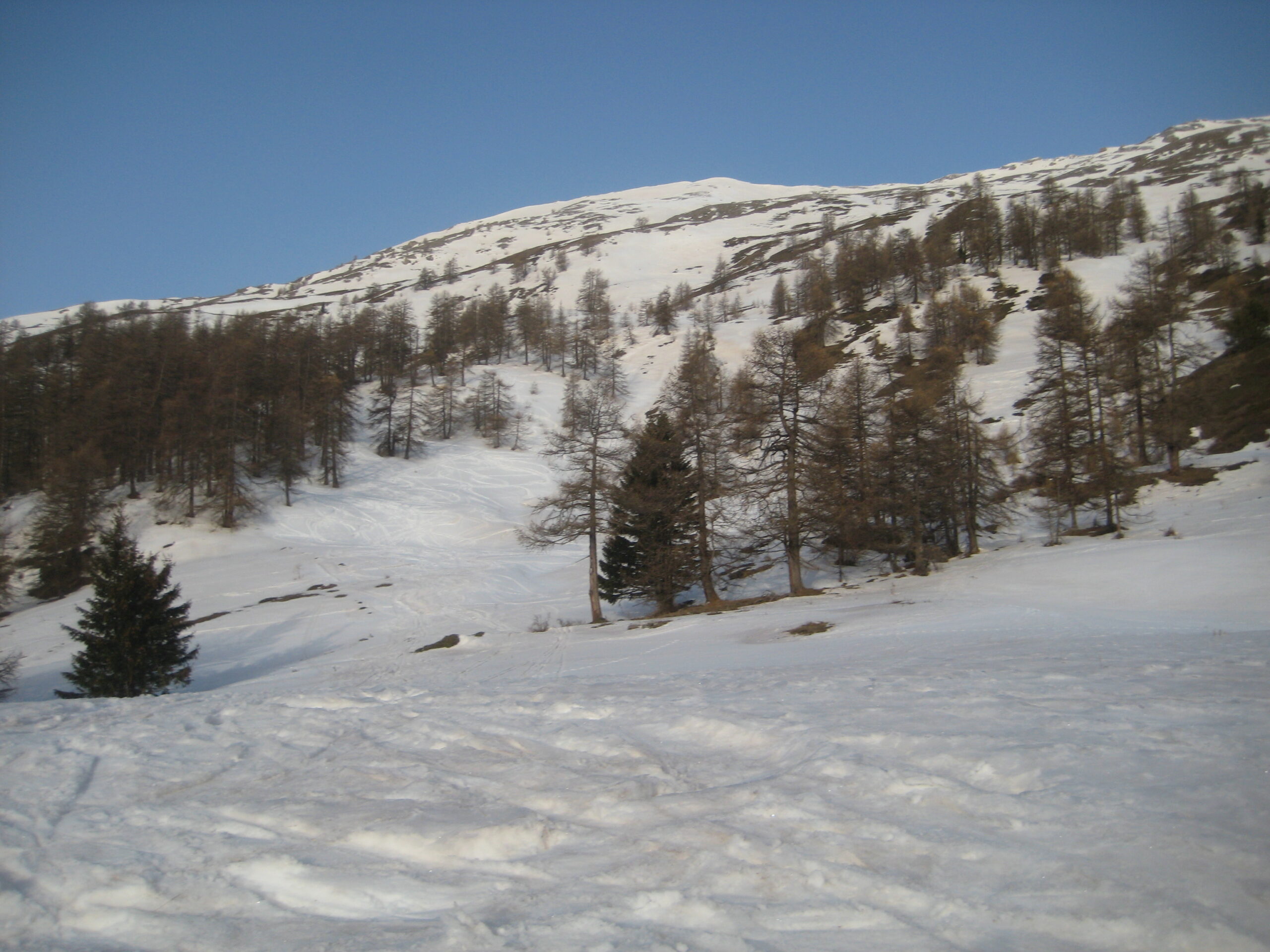
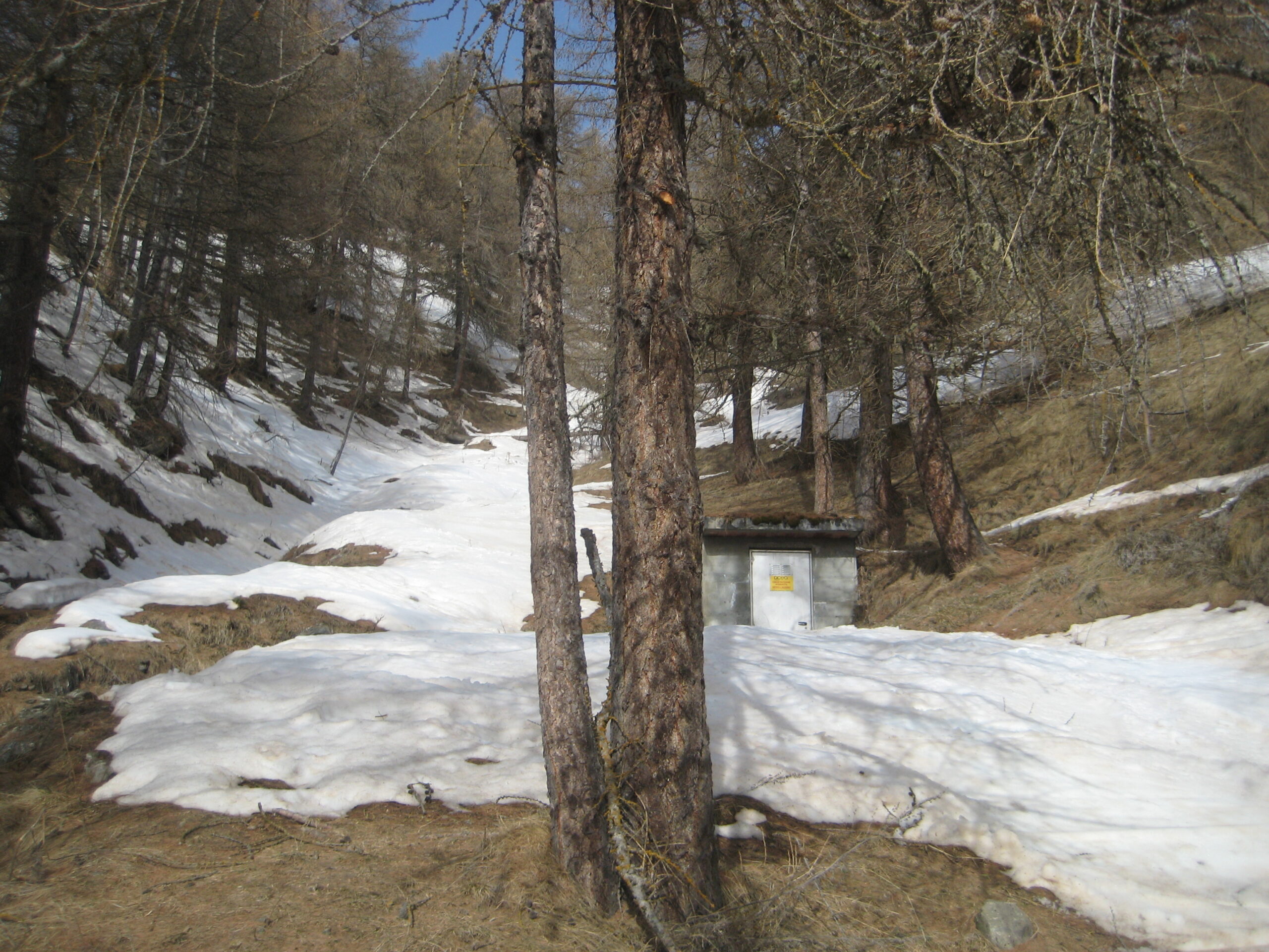
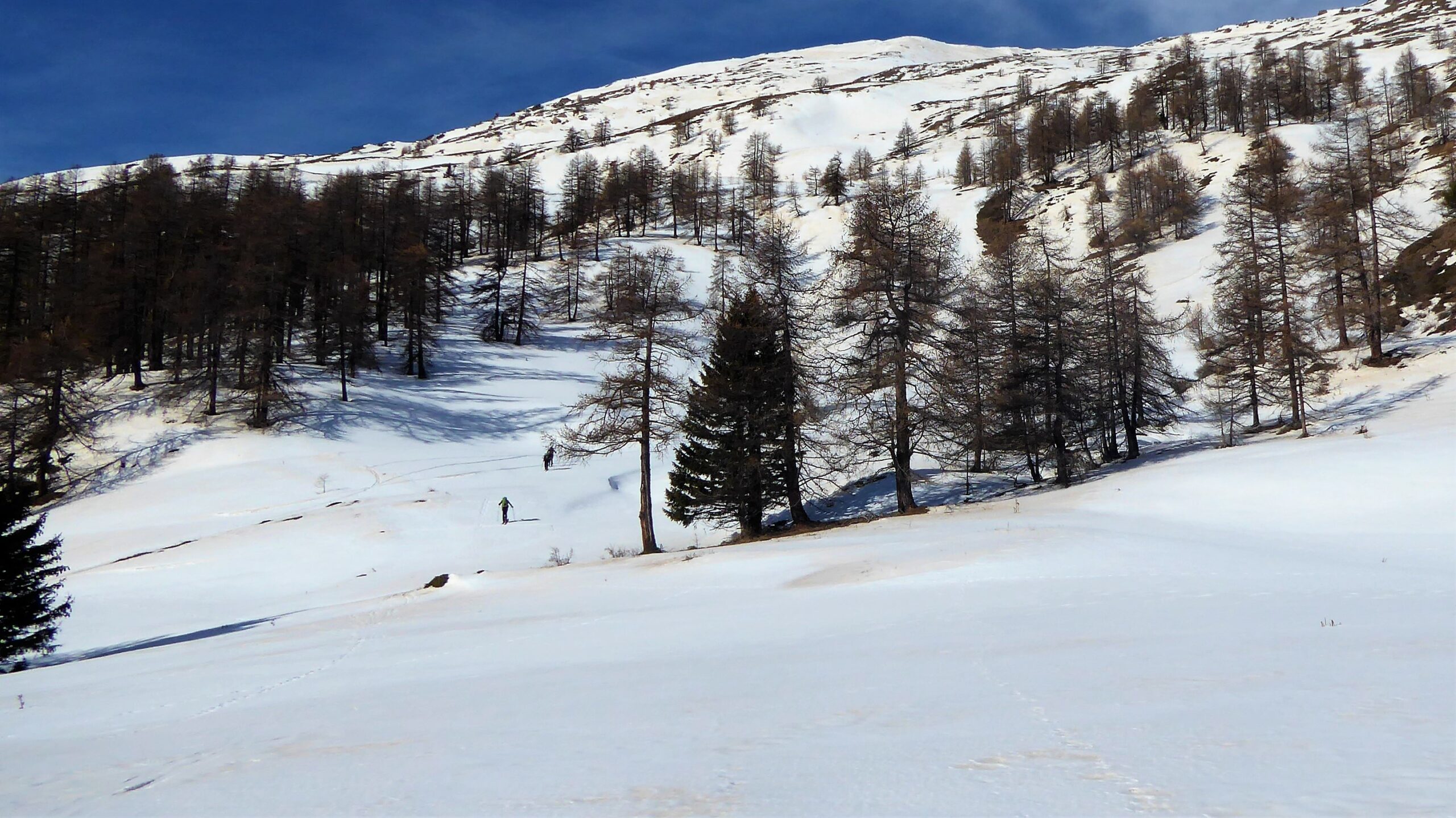
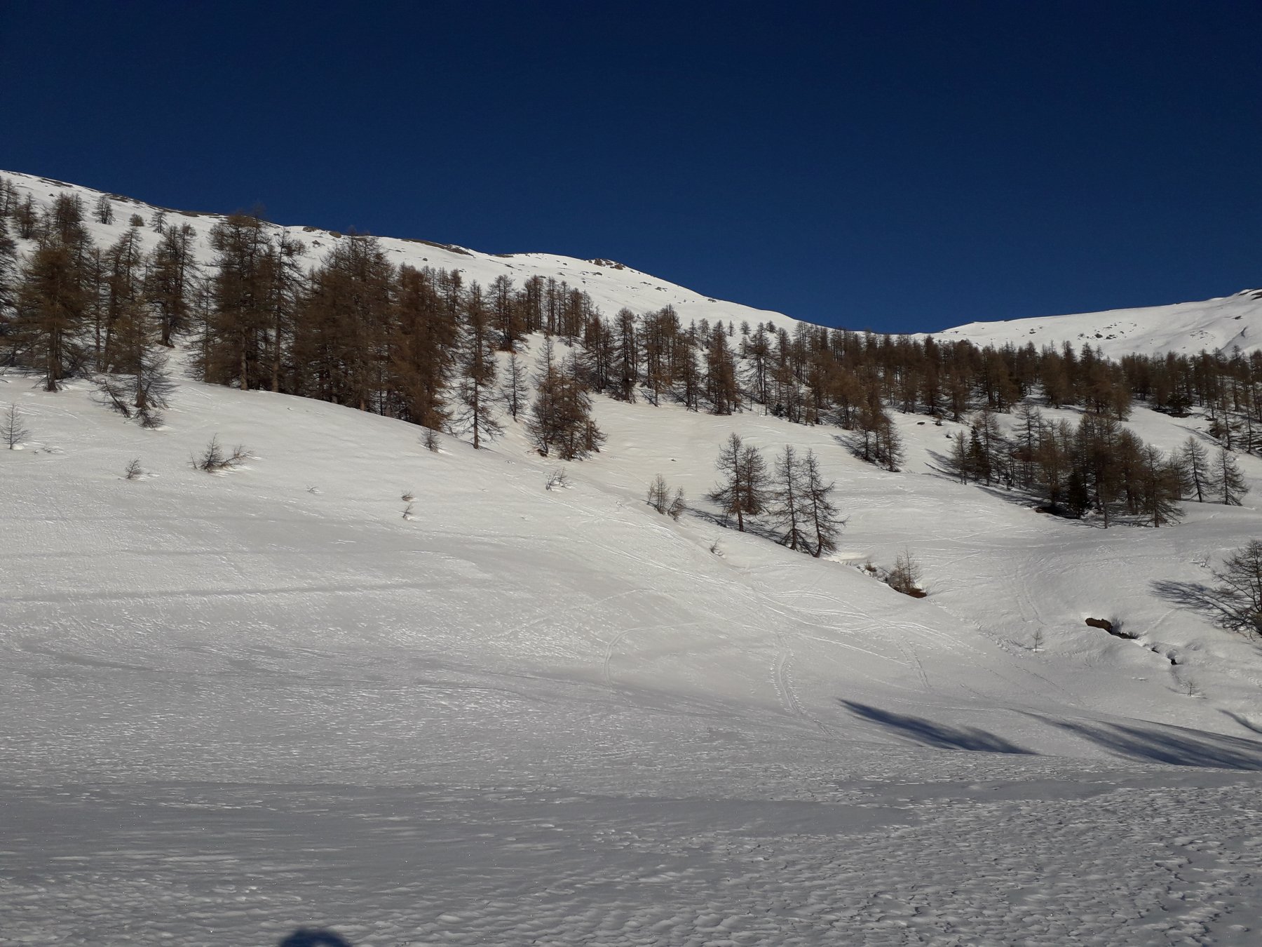
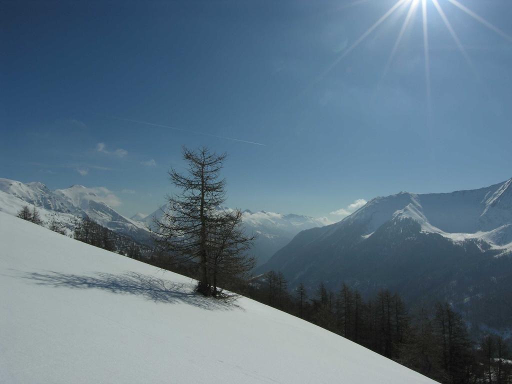
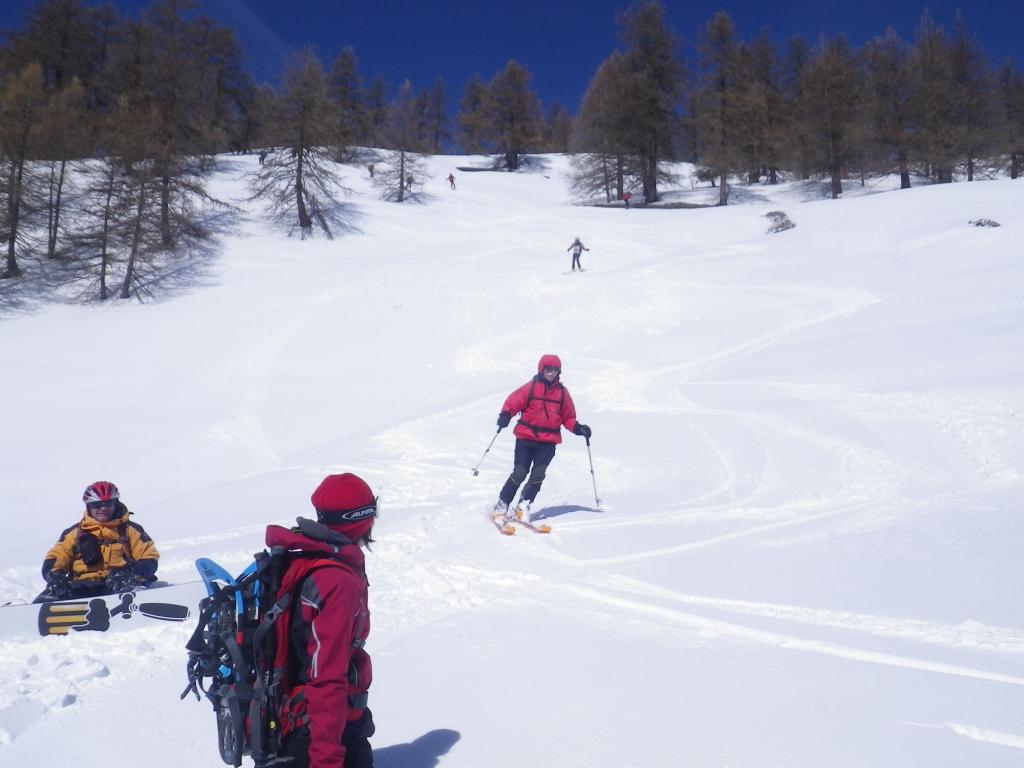
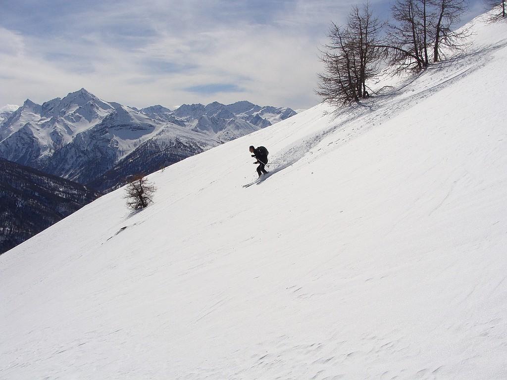
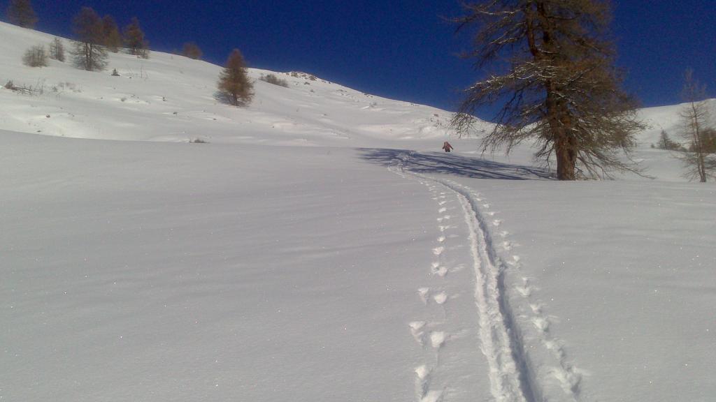
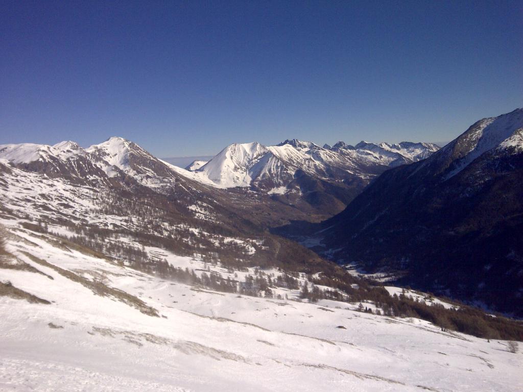
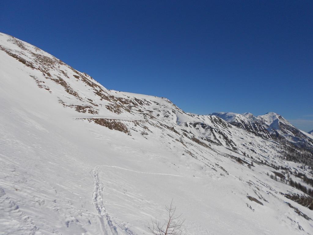
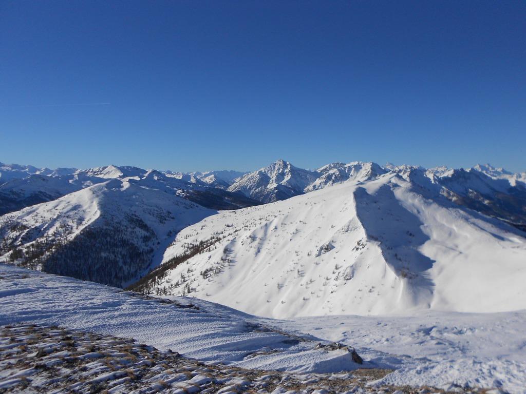
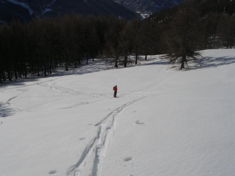
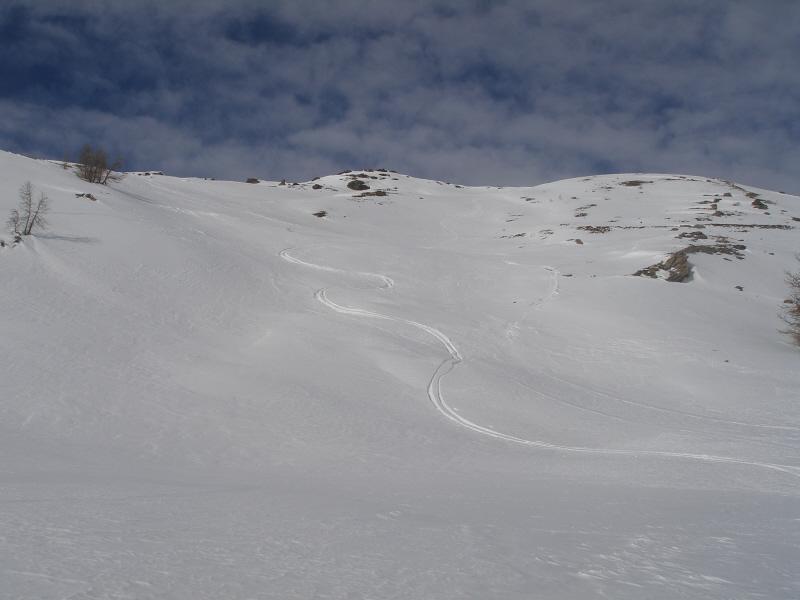
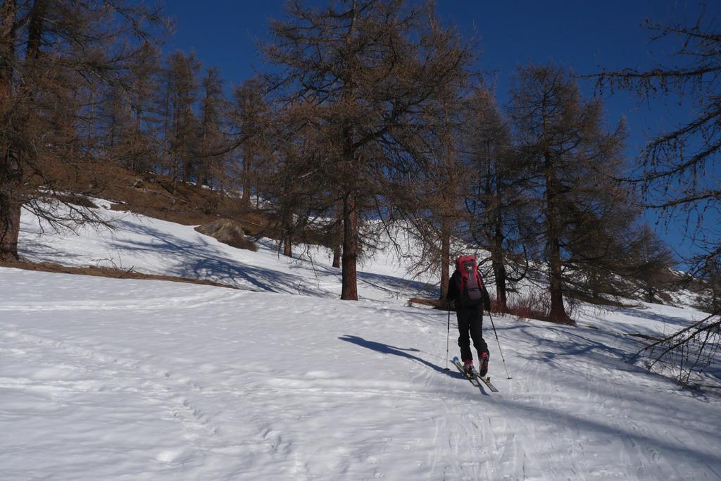
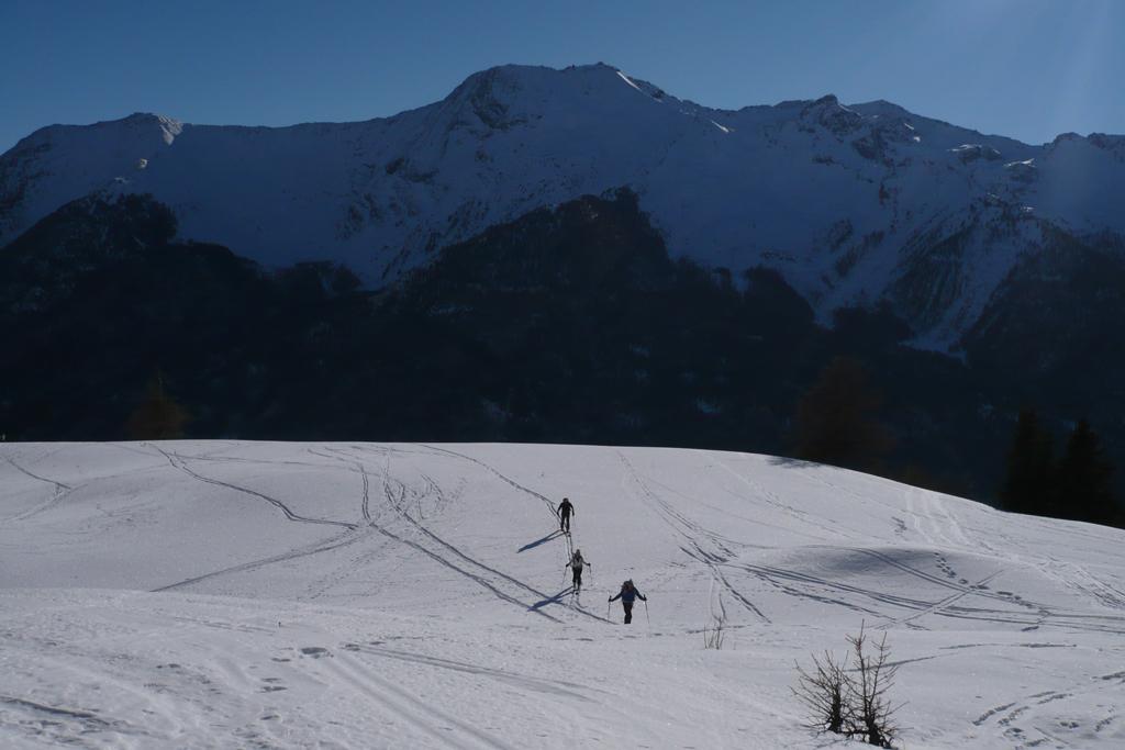
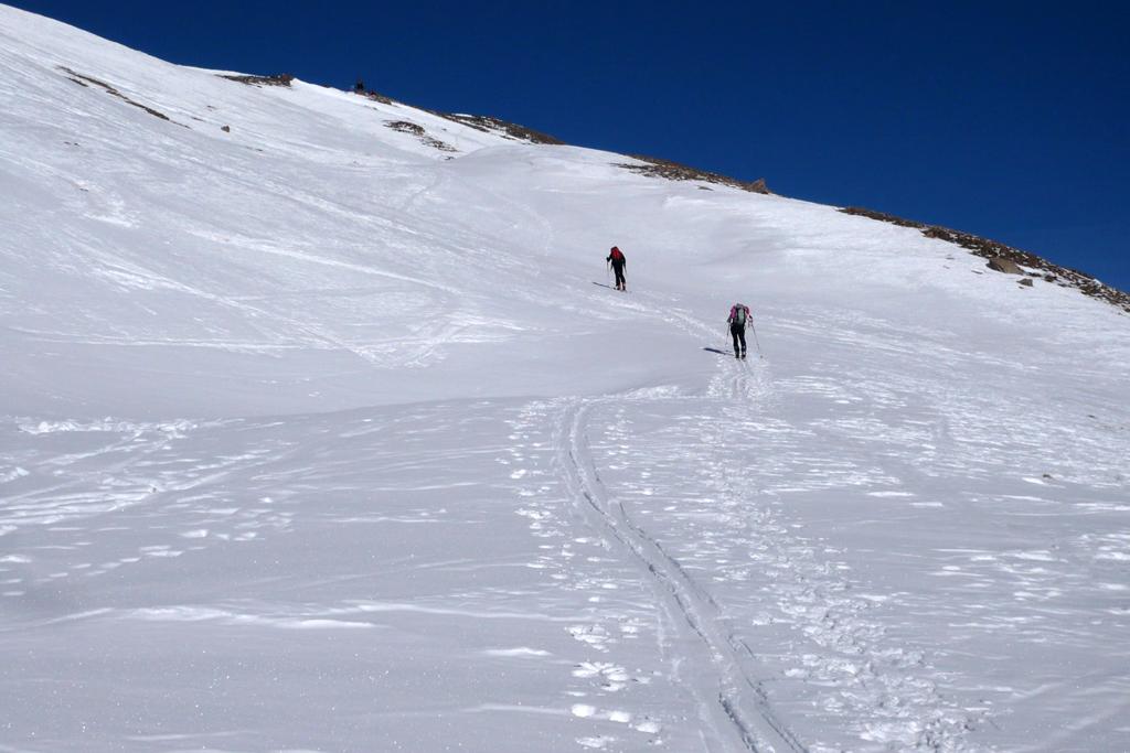
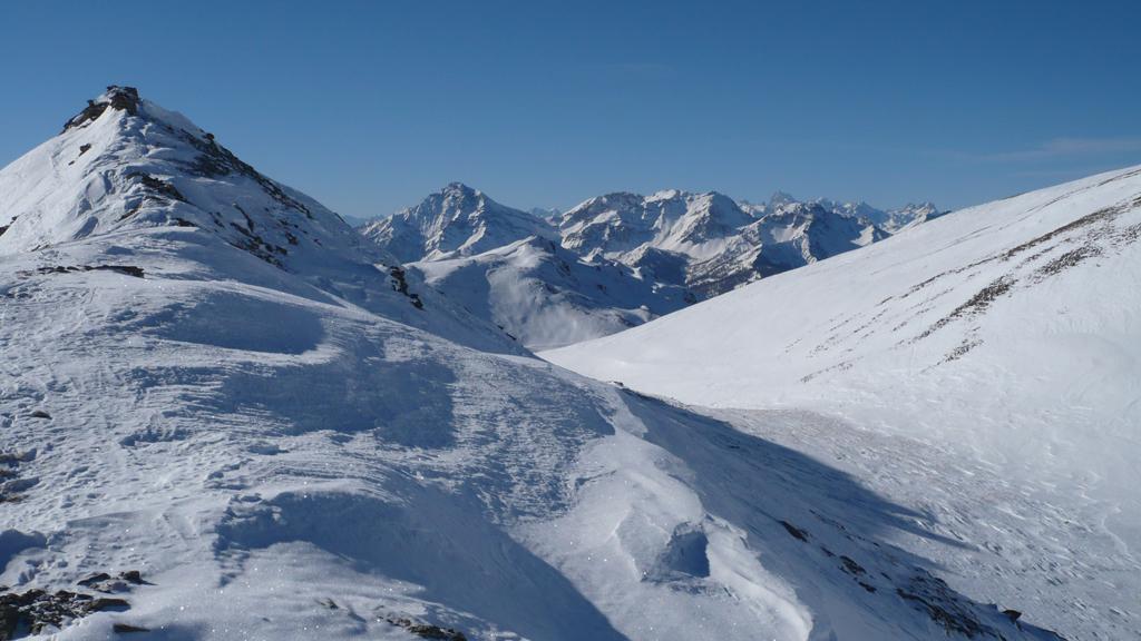
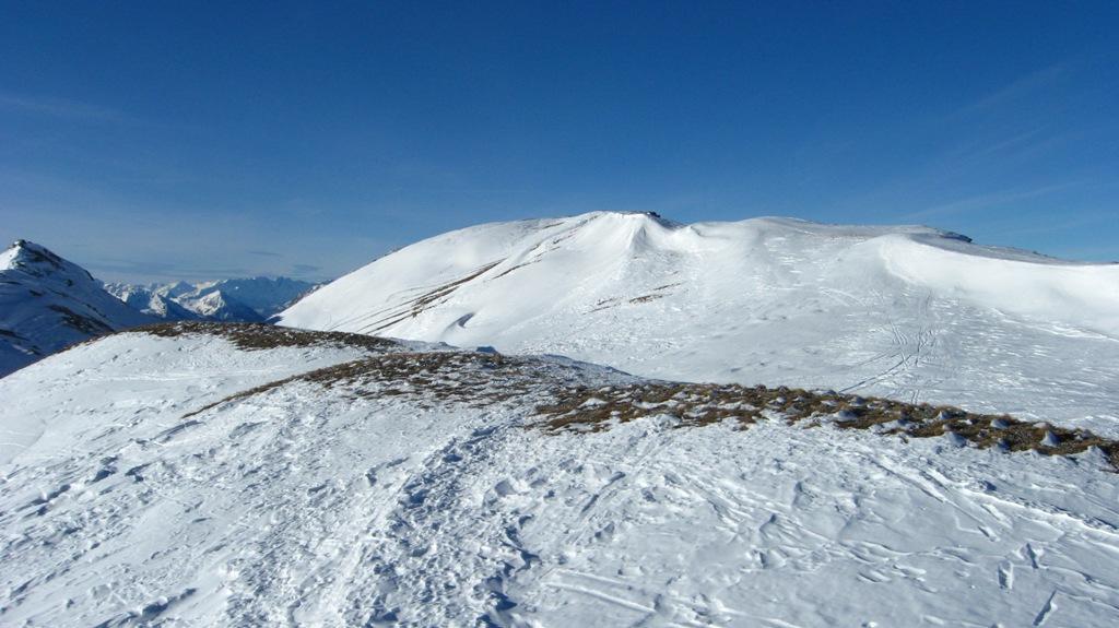
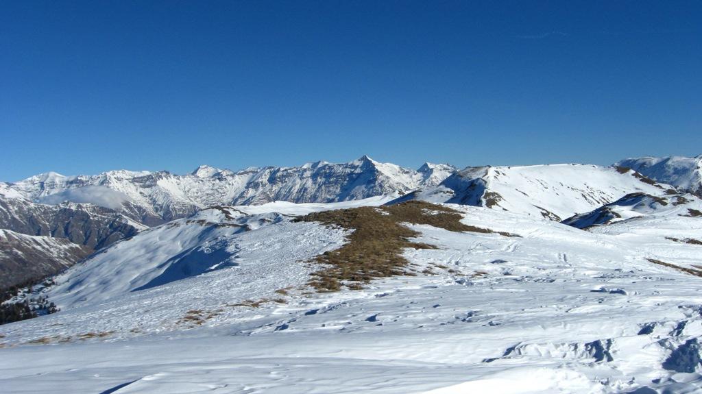
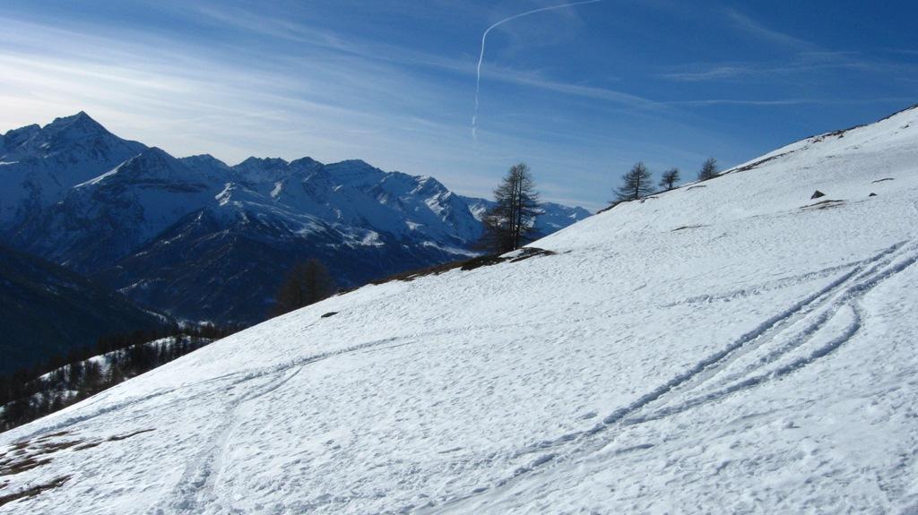
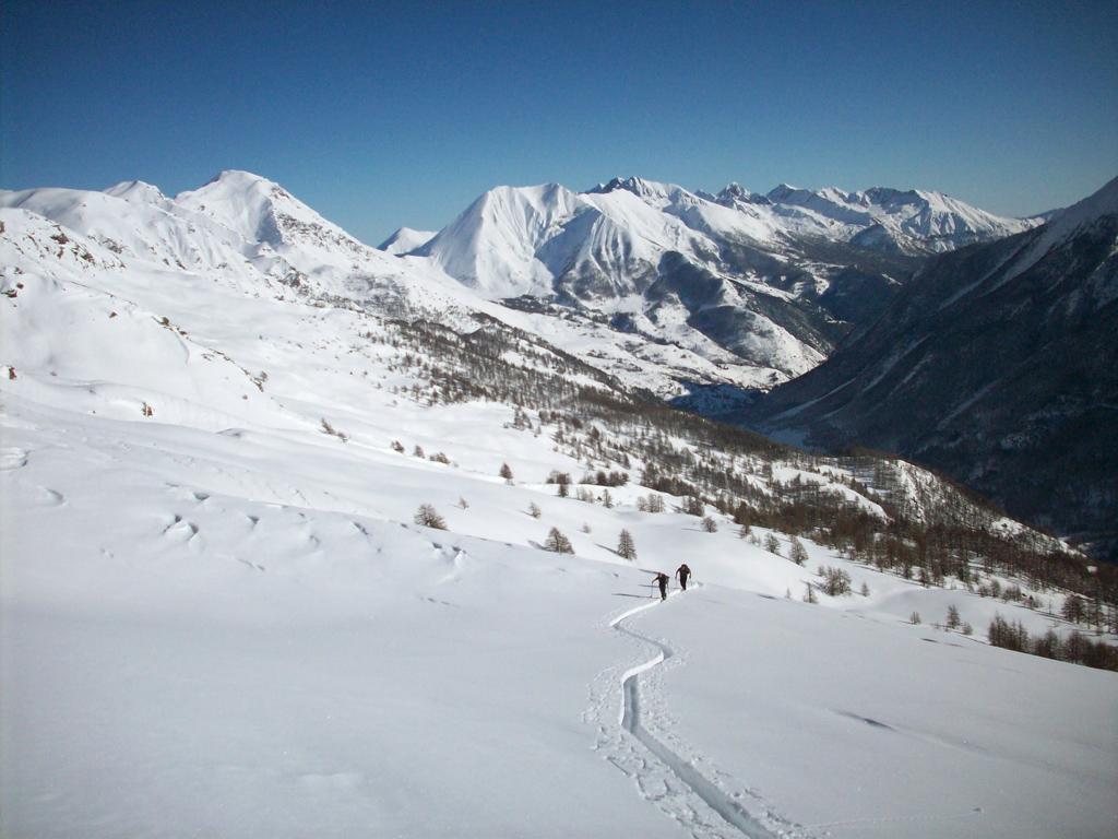
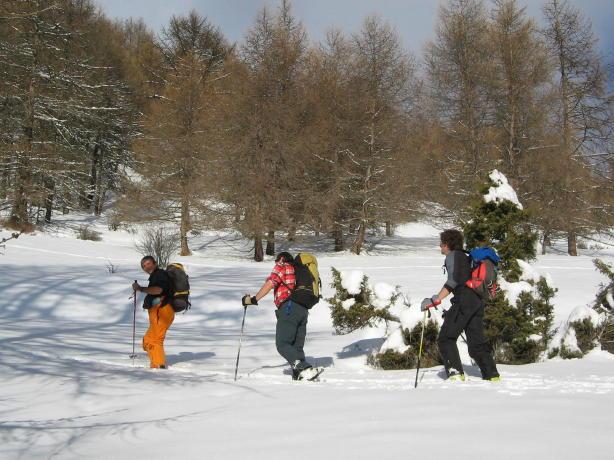
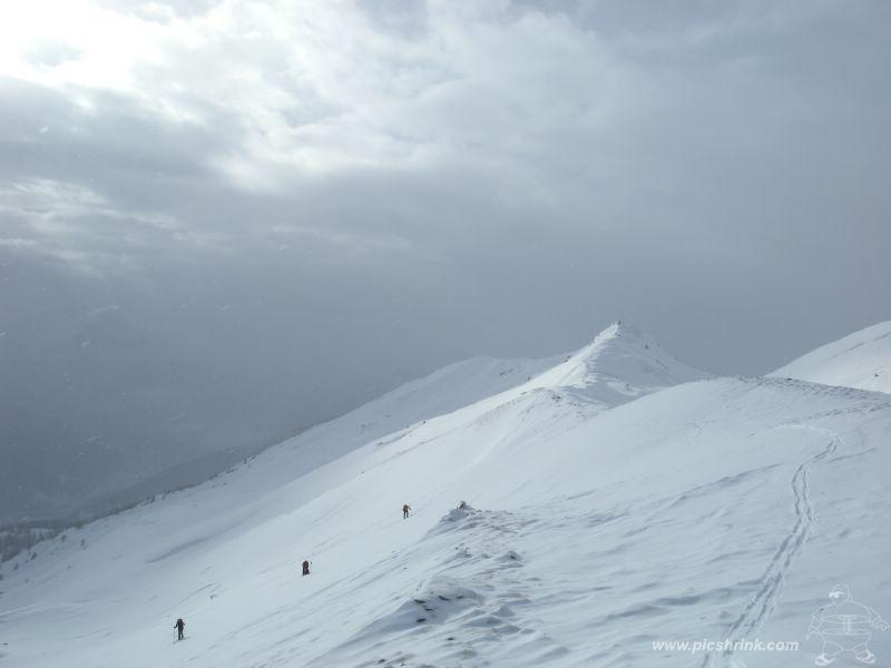
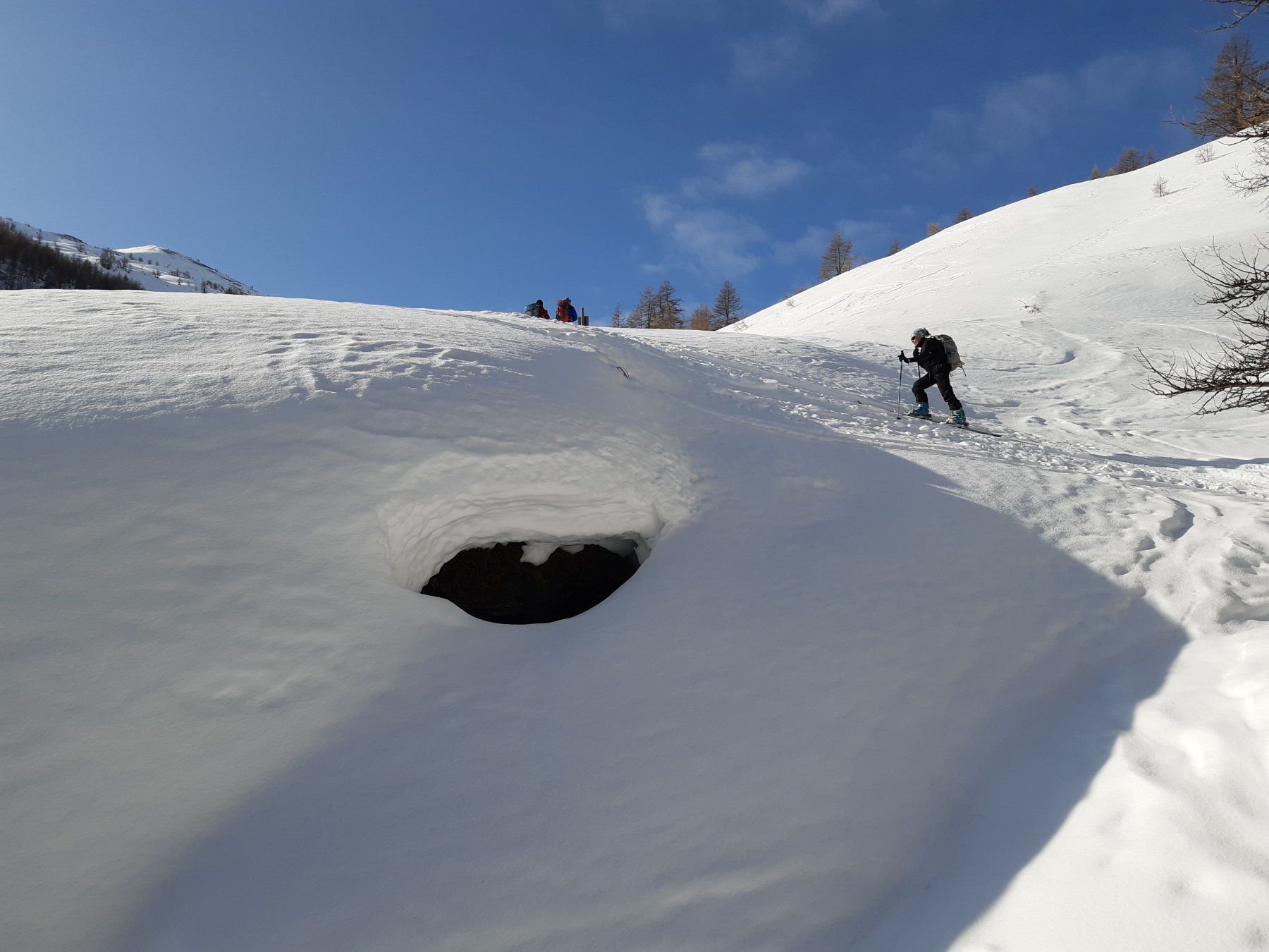
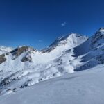
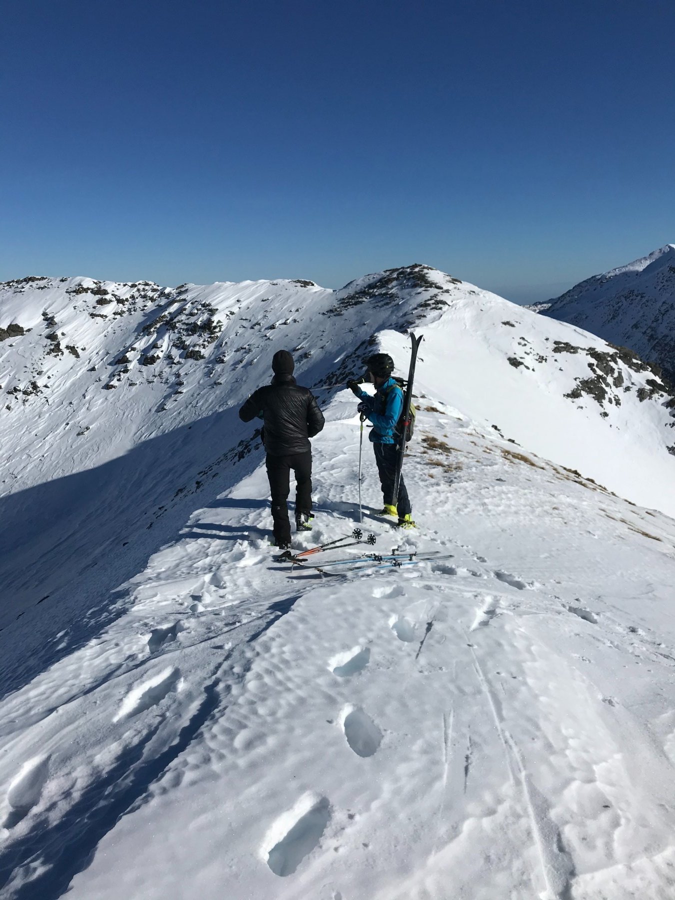
Attraversare la frazione seguendo la strada in salita, oltrepassare l’agriturismo l’Itialette e quindi imboccare la mulattiera panoramica in direzione nord. Proseguire lungo i pendii aperti cercando di seguire il percorso della mulattiera. Intorno a q. 2000m si raggiunge un pianoro con roulotte del pastore, si prosegue ancora brevemente verso nord fino ad una indicazione su albero per il Col Lauson. Piegare quindi verso sx (ovest) risalendo prima un boschetto e quindi costeggiando un rio. Usciti in una zona un po’ più aperta si prosegue verso sx su pendii poco ripidi. Con innevamento stabile è possibile puntare quindi direttamente al pendio sud-est della montagna, raggiungendo direttamente la dorsale di vetta.
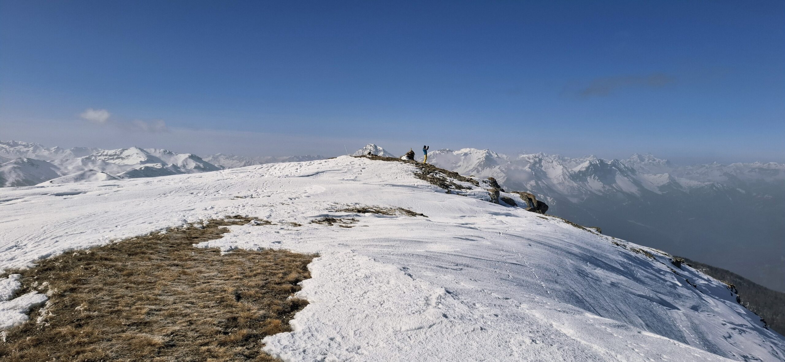
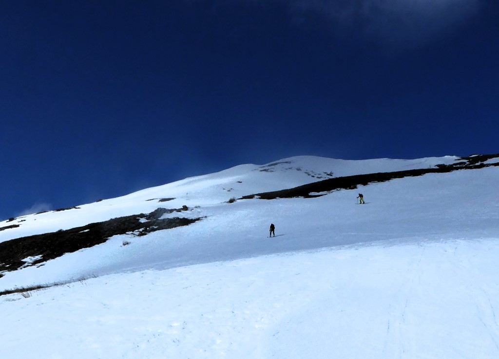
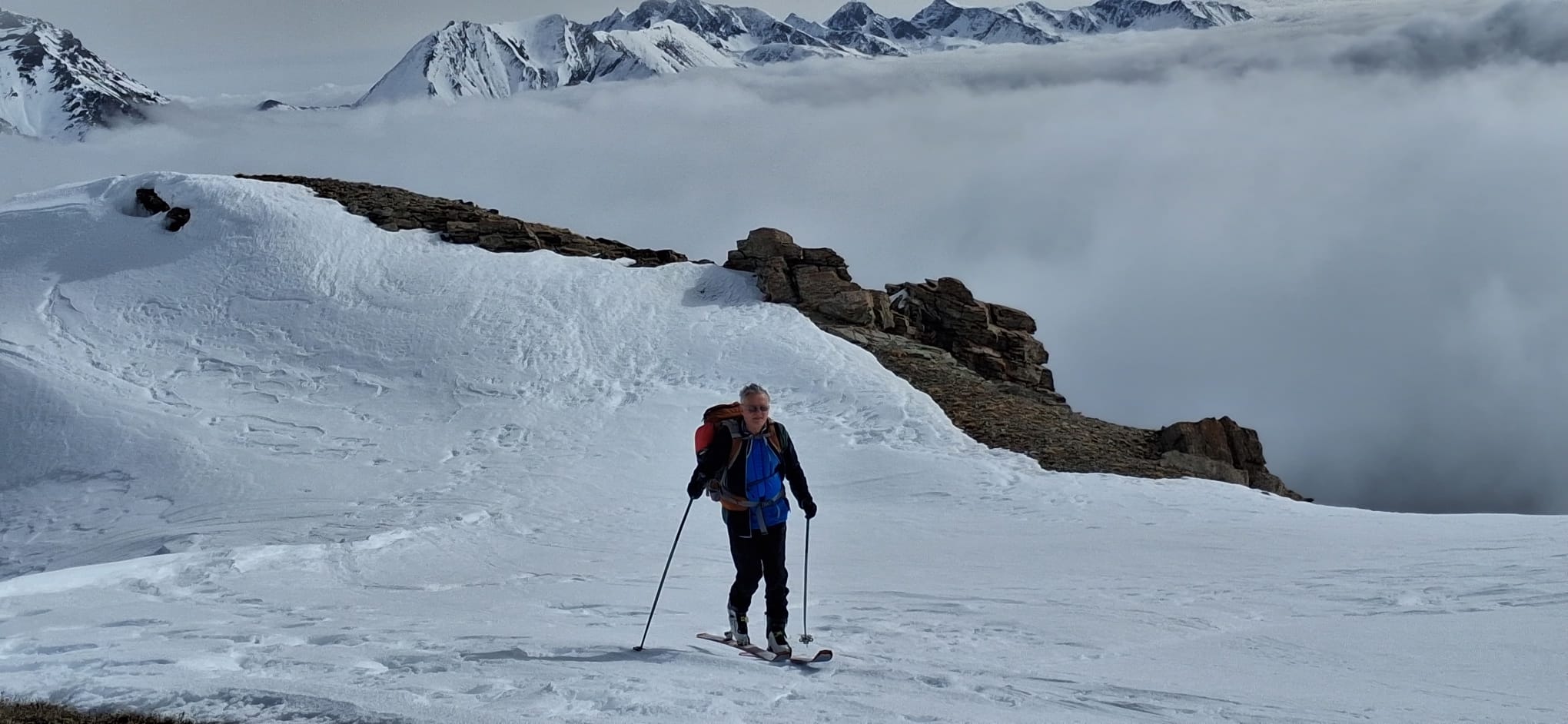
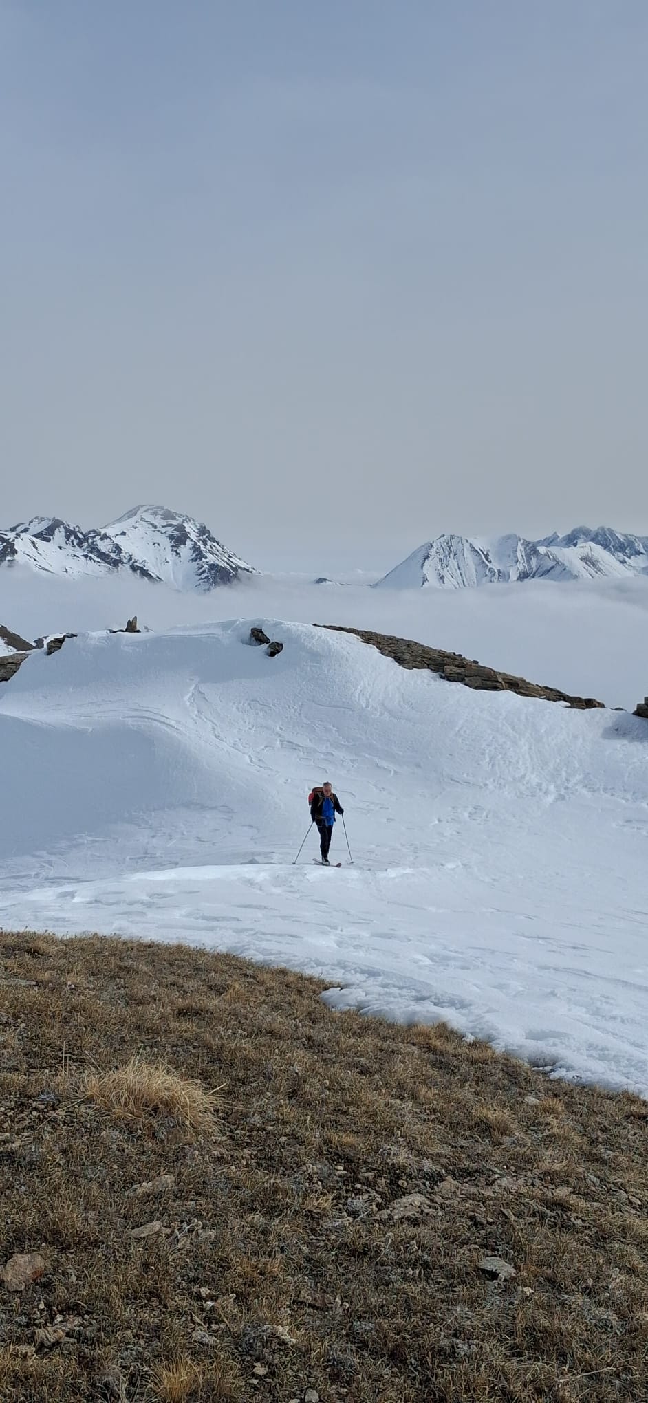
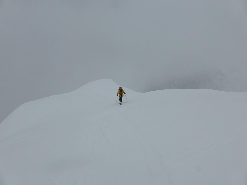
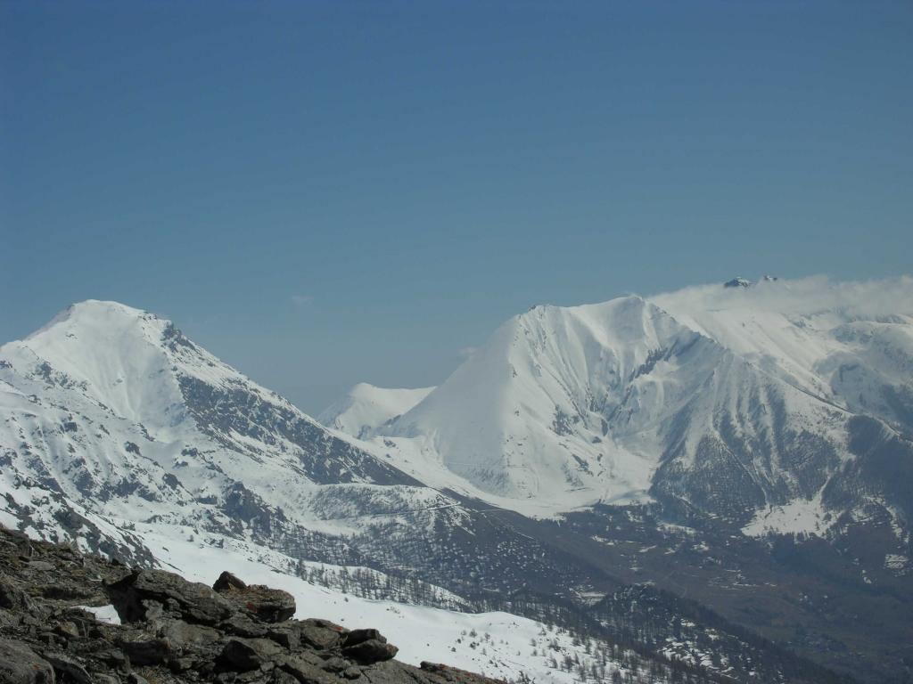
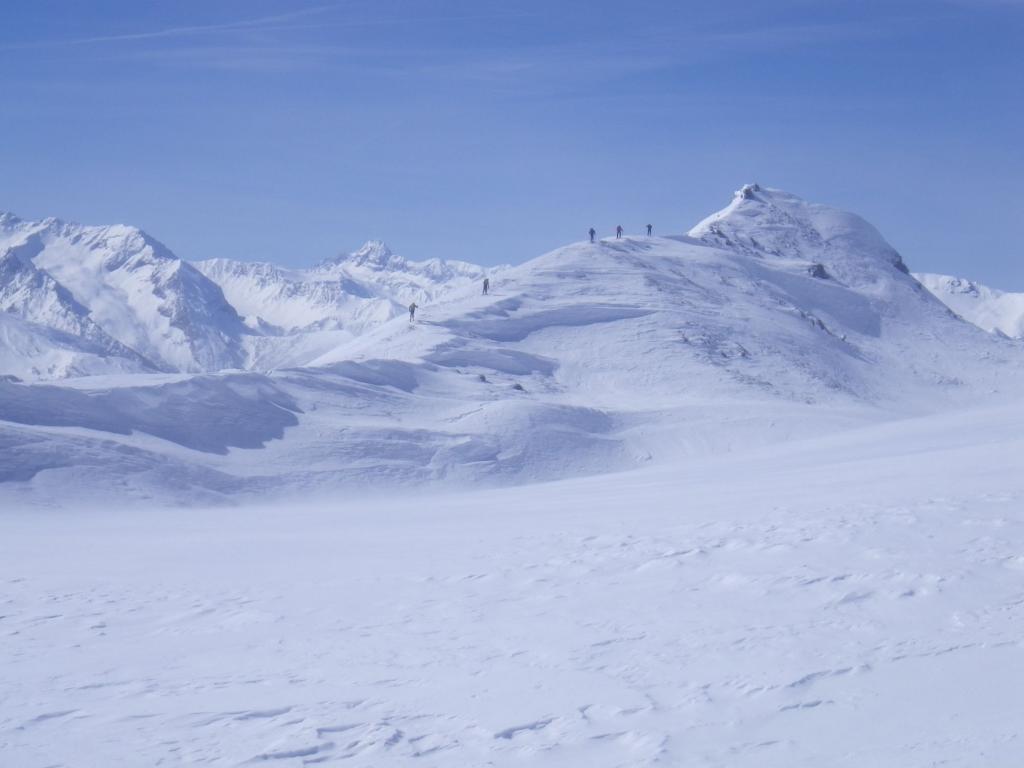
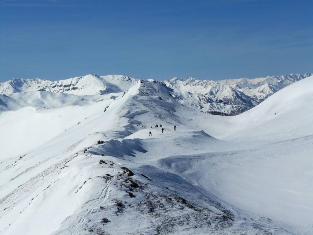
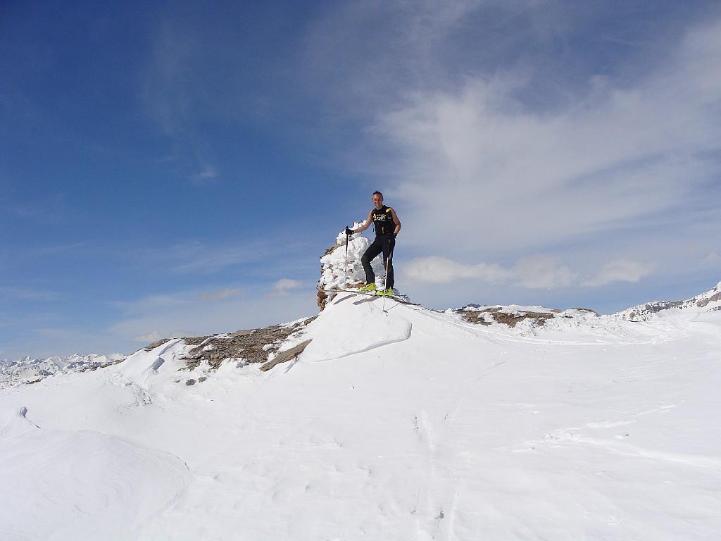
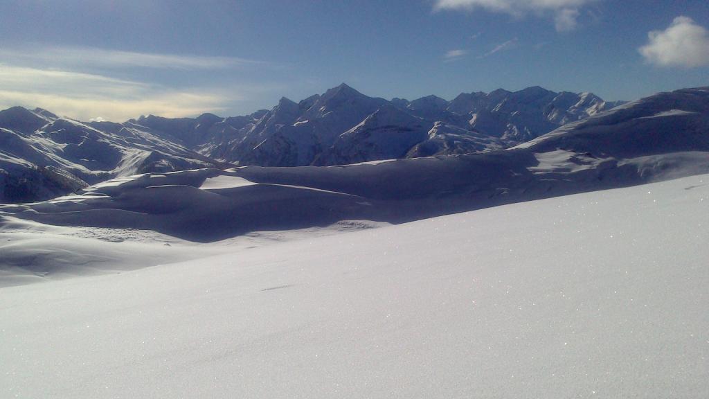
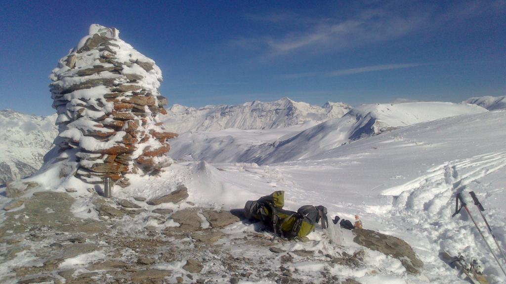
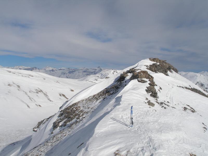
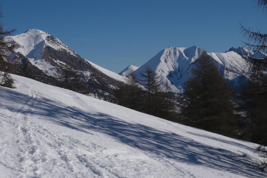
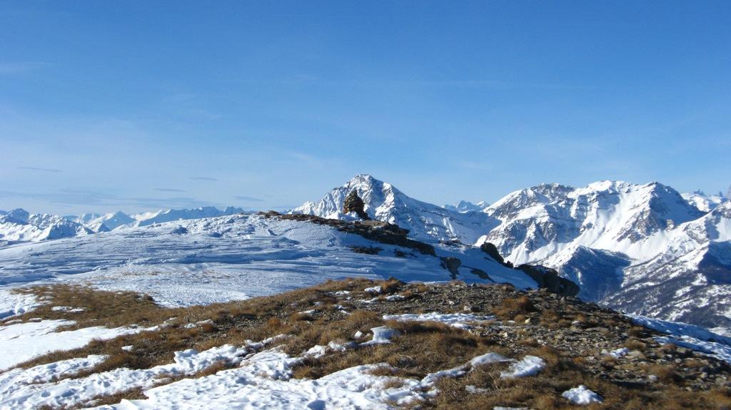
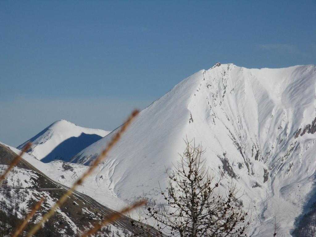
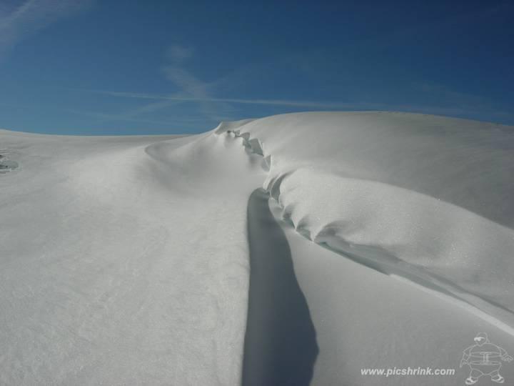
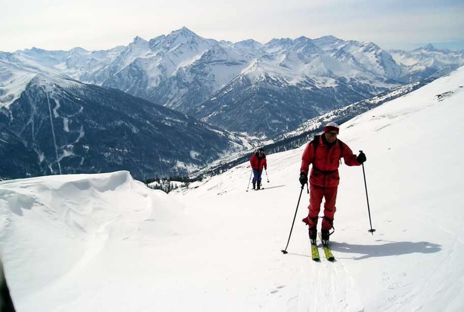
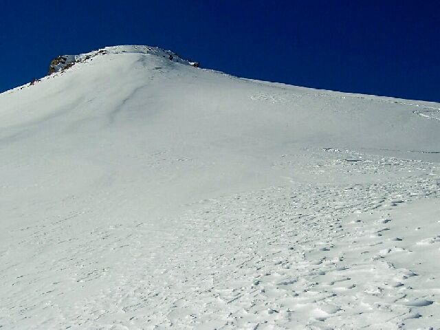
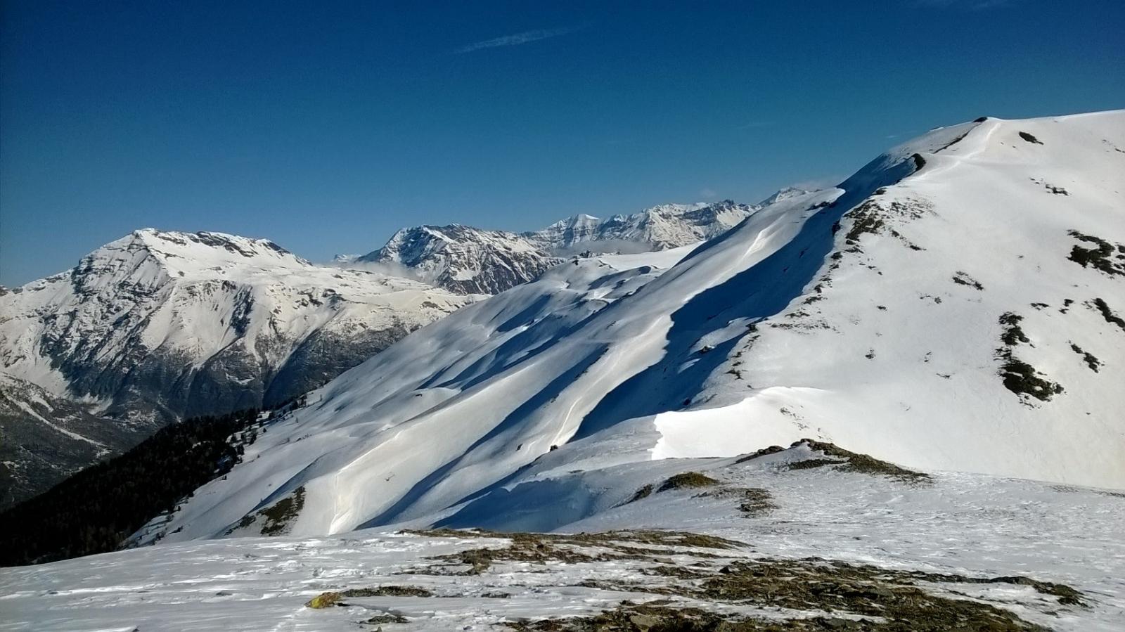
In alternativa è consigliabile proseguire verso nord verso il Col Lauson e la conca del lago omonimo, raggiungibile per vallette e dorsaline. Dal lago si piega decisamente verso sx lungo una dorsale fino a raggiungere la strada dell’Assietta e quindi la q. 2566m. Si scende quindi per una decina di metri nella valletta retrostante e si risale brevemente alla vera cima del M. Blegier (ometto).
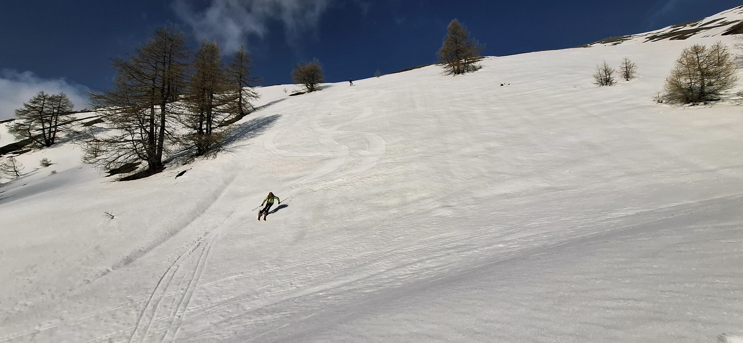
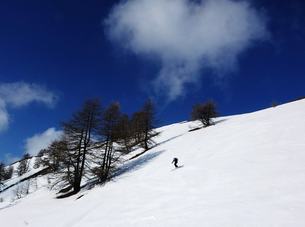
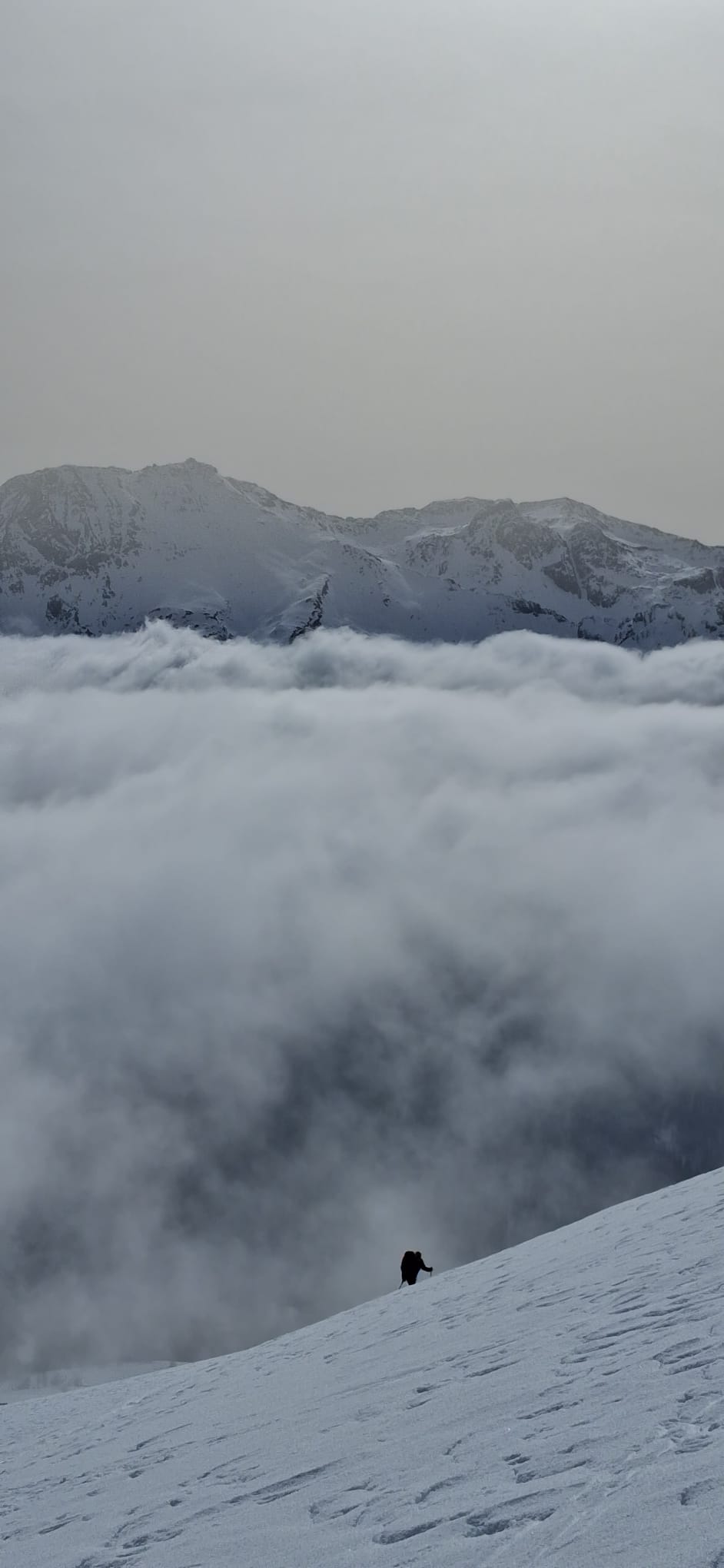
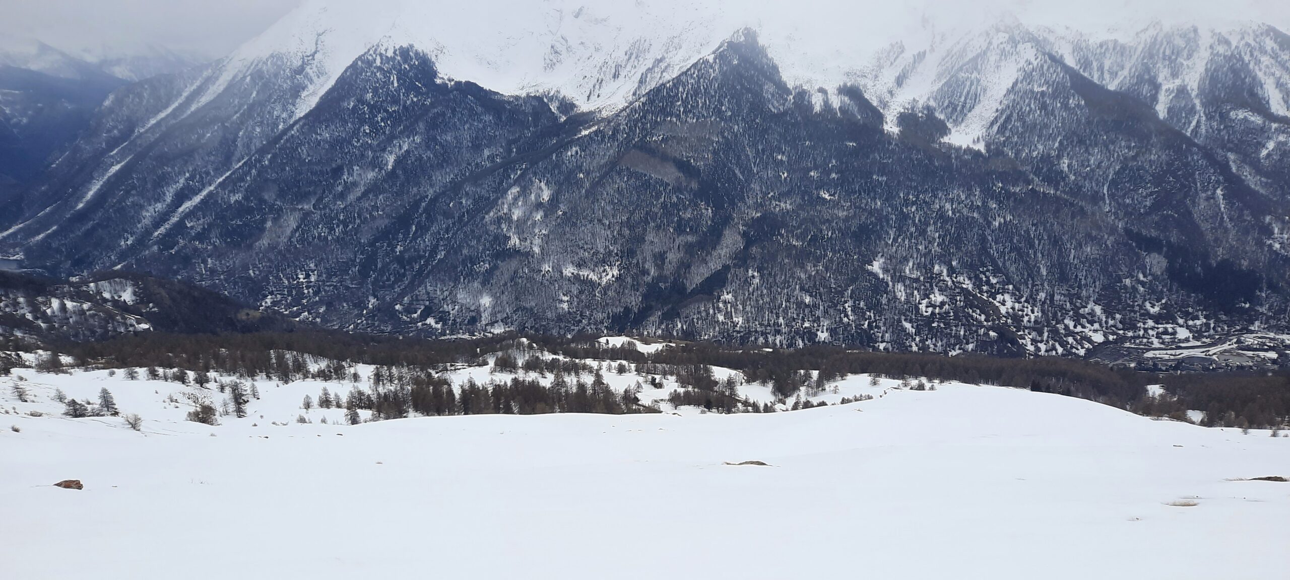
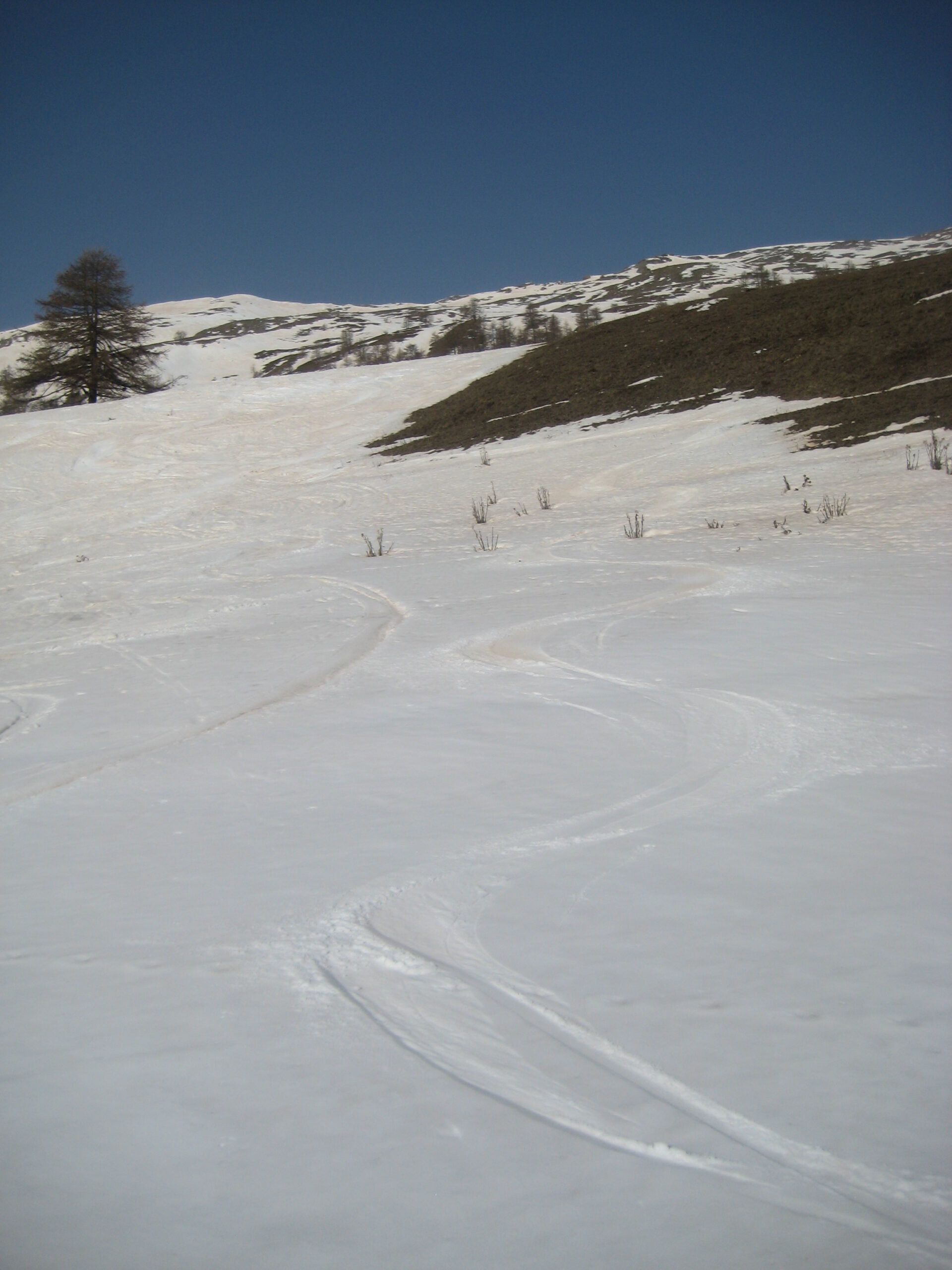
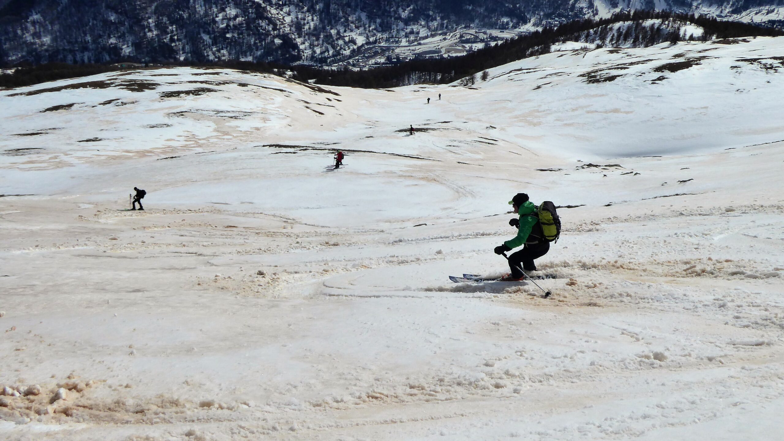
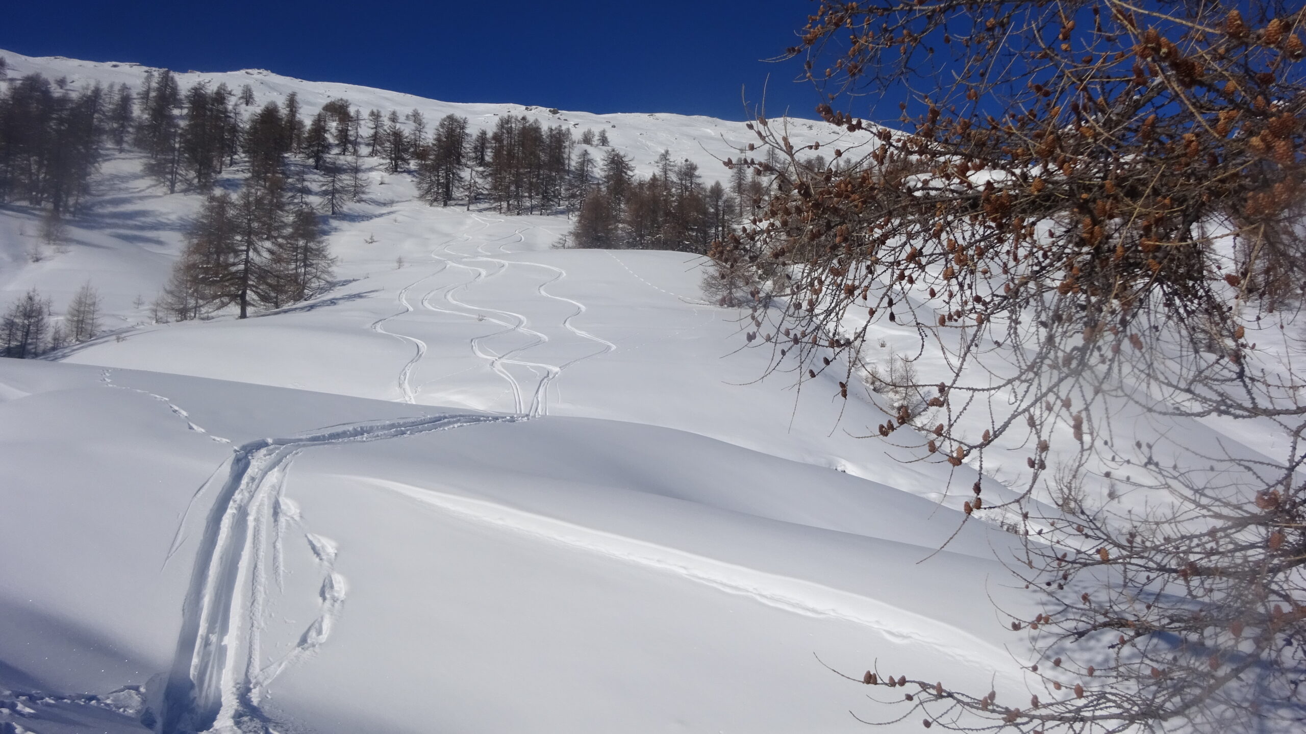
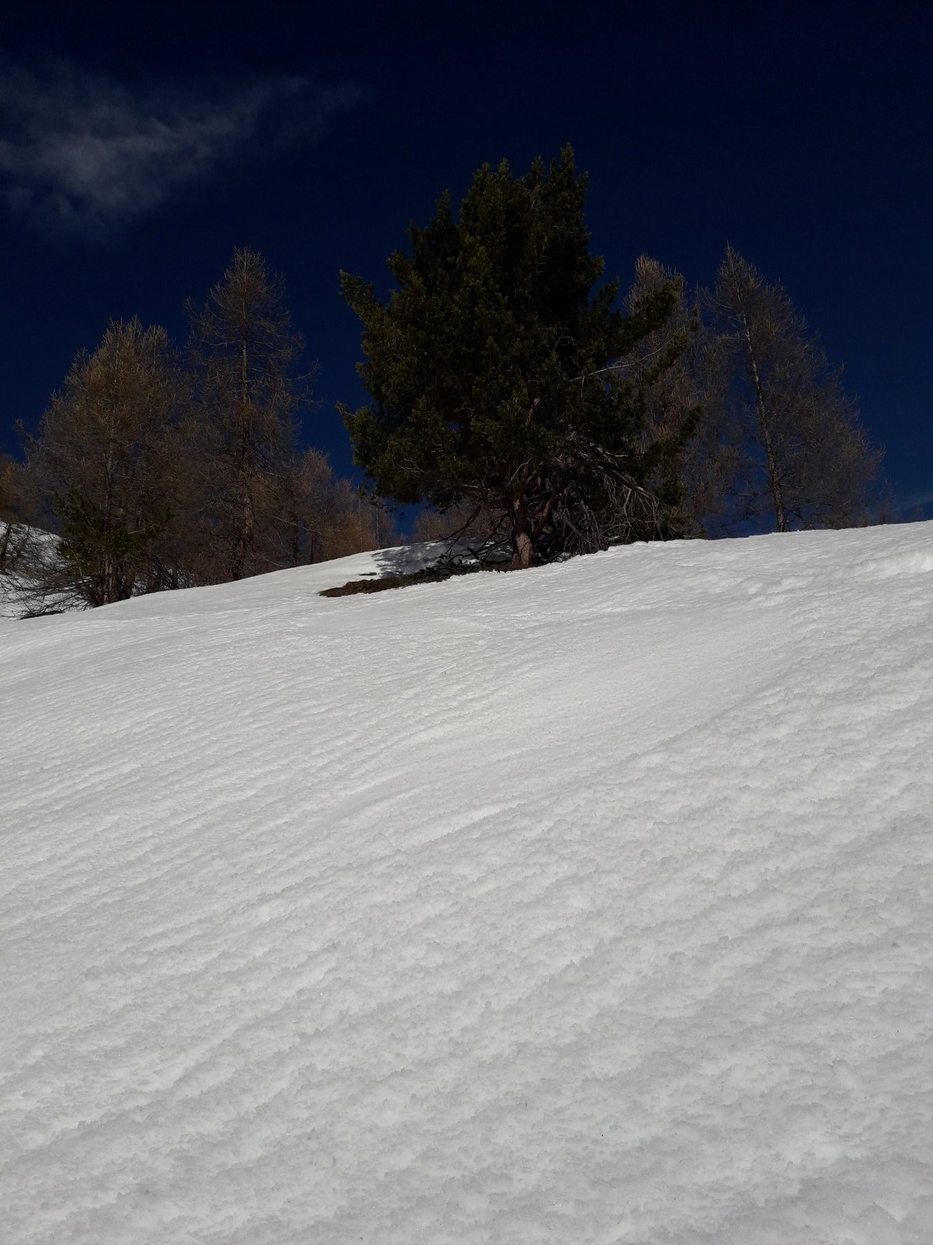
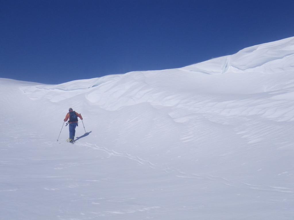
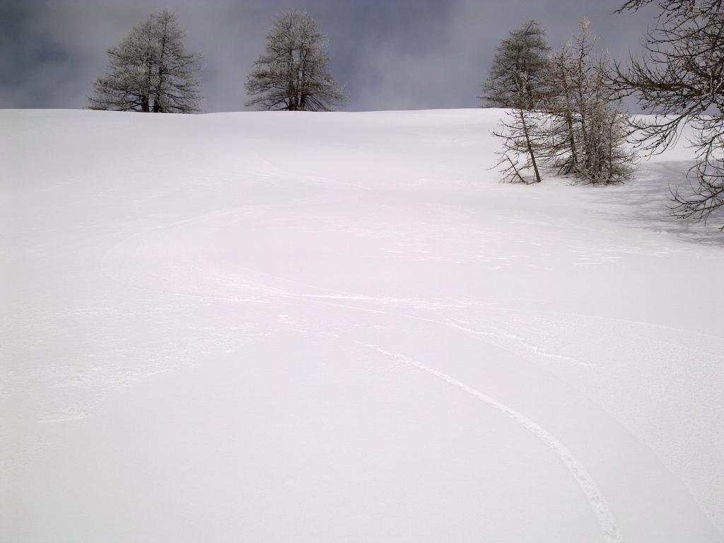
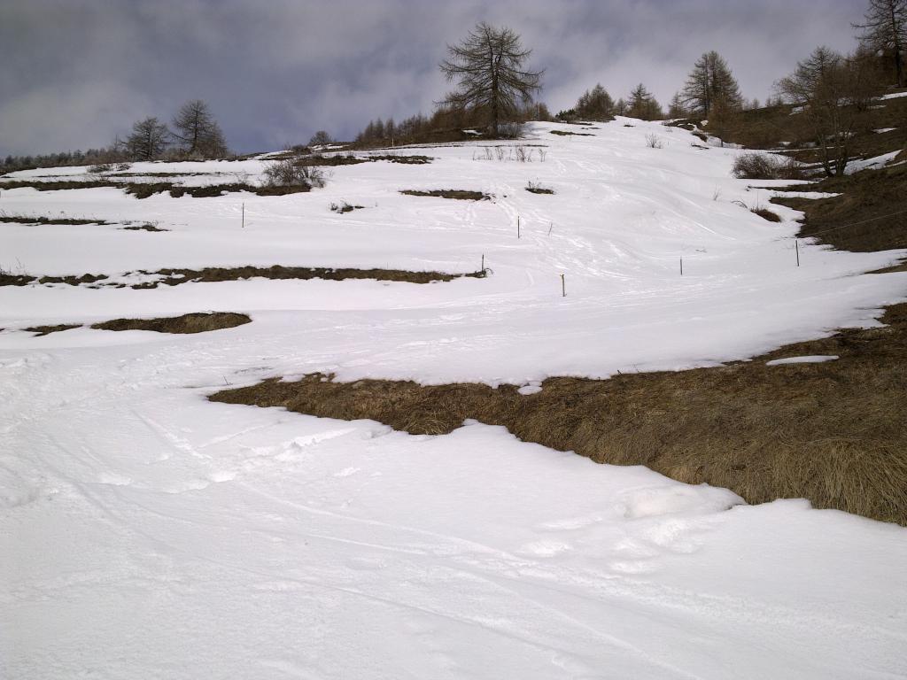
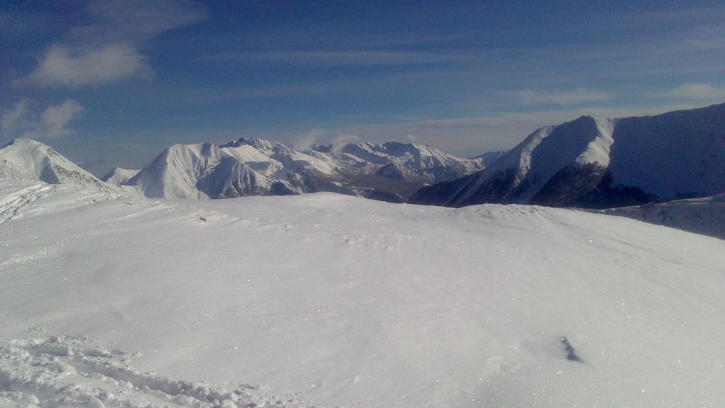
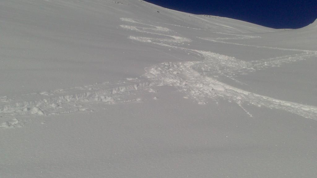
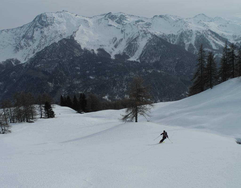
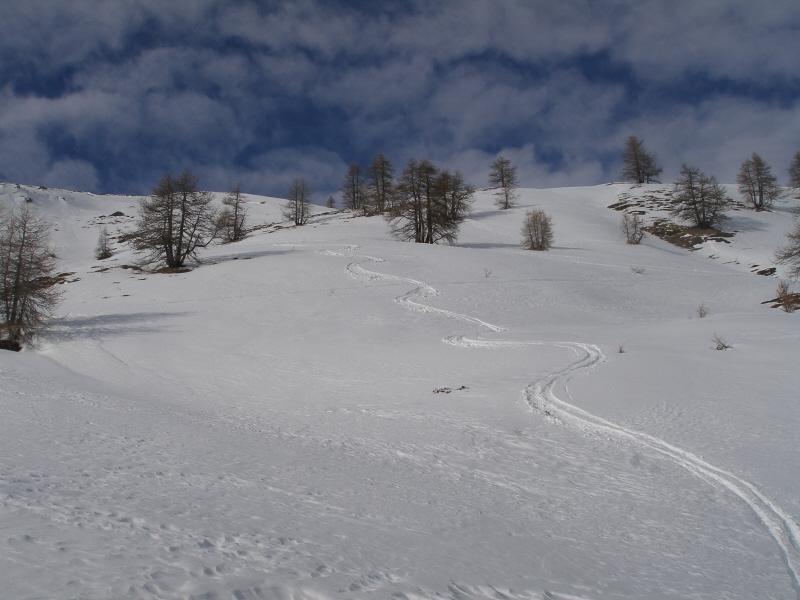
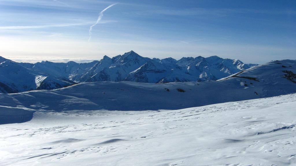
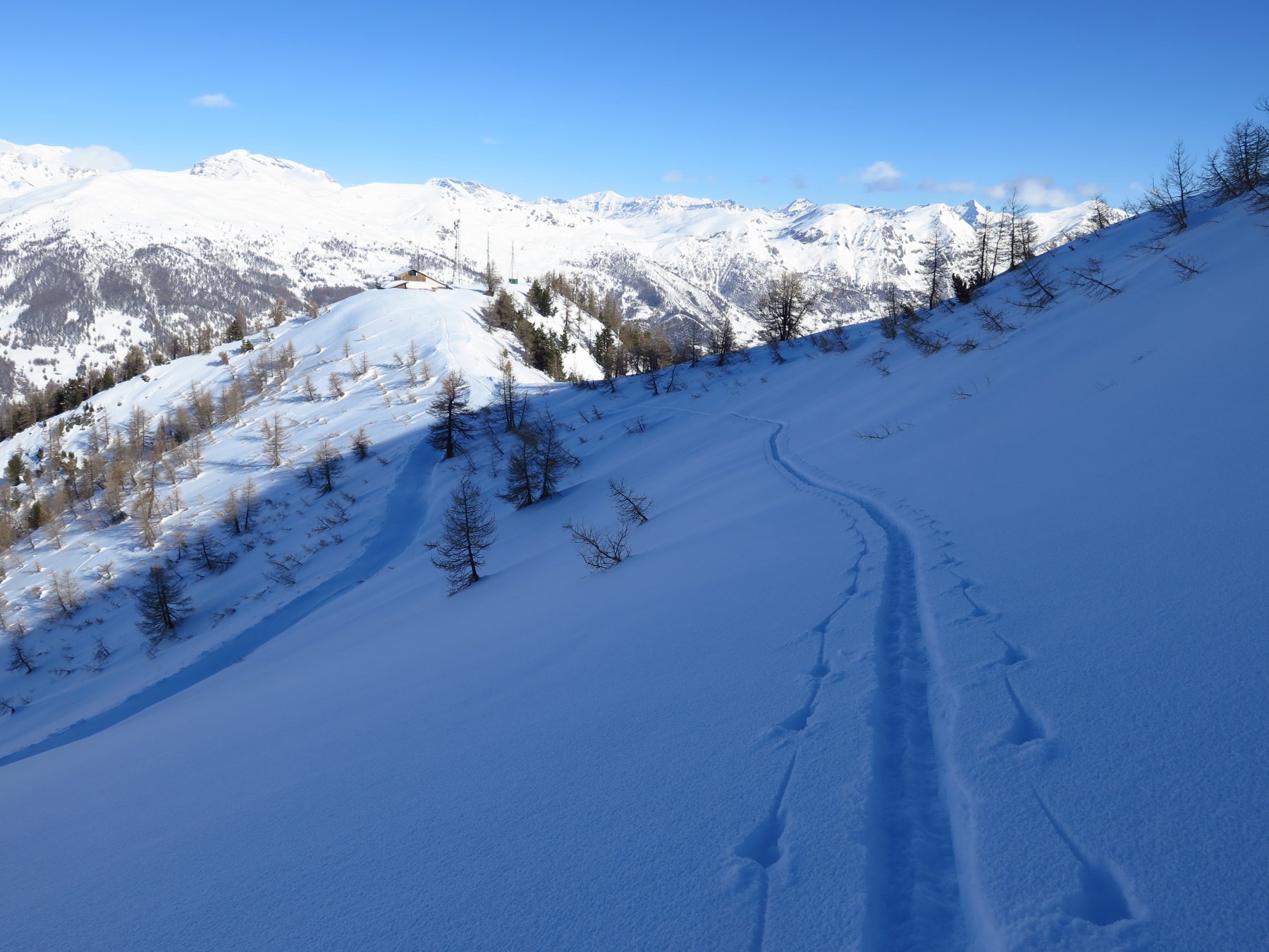
Discesa lungo l’itinerario di salita. Con innevamento sicuro è consigliabile scendere verso sud-est lungo gli aperti pendii sommitali, evitando di tornare verso la mulattiera ma scendendo direttamente, tra zone aperte e boschetti, su Grand Puy.
- Bibliografia:
- E.Quero. CDA. Valli Pinerolesi. N°62
Nelle vicinanze Mappa
Itinerari
06/01/2026 TO, Pragelato D+ 735 m BS Sud
Assietta (Testa dell’) da Gran Puy
50m
08/03/2026 TO, Pragelato D+ 1074 m MS Sud
Blegier (Monte) da Pragelato
 1.7Km
1.7Km
12/03/2026 TO, Pragelato D+ 975 m MS Varie
Genevris (Monte) da Pragelato
 1.7Km
1.7Km
08/04/2026 TO, Pragelato D+ 1094 m MS Varie
Gran Costa (Monte) da Pragelato
 1.7Km
1.7Km
12/03/2026 TO, Pragelato D+ 1565 m BS Nord-Ovest
Albergian (Monte) da Soucheres Basses
 1.8Km
1.8Km
04/02/2023 TO, Pragelato D+ 1600 m BS Varie
Gran Miuls (Monte) da Soucheres Basses
1.8Km
16/03/2026 TO, Pragelato D+ 1065 m BS Nord-Ovest
Ciapel (Punta) da Pragelato
 2.2Km
2.2Km
26/01/2014 TO, Pragelato D+ 940 m MS Nord-Ovest
Saume (Cote de la) quota 2412 m da Soucheres Basses per il vallone del Chardonnet
 2.2Km
2.2Km
05/01/2020 TO, Pragelato D+ 1600 m BS Nord
Gran Miuls (Monte) da Pragelato, anello Colle del Pis – vallone del Gran Muels
 2.2Km
2.2Km
28/01/2023 TO, Pragelato D+ 1250 m MS Nord-Ovest
Morefreddo (Monte) da Pragelato per il Clot de la Soma e discesa su Seytes
 2.2Km
2.2Km
Servizi
200m
1.7Km
Casa Alpina Rifugio
Pragelato
1.7Km
Passet Ristorante
Pragelato
1.8Km
1898 Ristorante
Soucheres-basses
1.8Km
Casa degli Escartons Alex Berton B&B
Pragelato
3.6Km
Casa Assietta Rifugio
Pragelato
4.4Km
Refugium – ex. Rif. Belotte Rifugio
Pragelato
5.1Km
Al Mulino Ristorante
Pragelato
5.1Km
La capanna del sole Ristorante
Pragelato
5.3Km