200m
200m
Avvicinamento
 50m
50m
50m
1.8Km
2.2Km
2.2Km
2.2Km
2.2Km
2.2Km
50m
50m
50m
1.8Km
2.2Km
2.2Km
2.2Km
2.2Km
2.2Km
200m
1.7Km
1.7Km
1.8Km
1.8Km
3.6Km
4.4Km
5.1Km
5.1Km
5.3Km
.
Descrizione
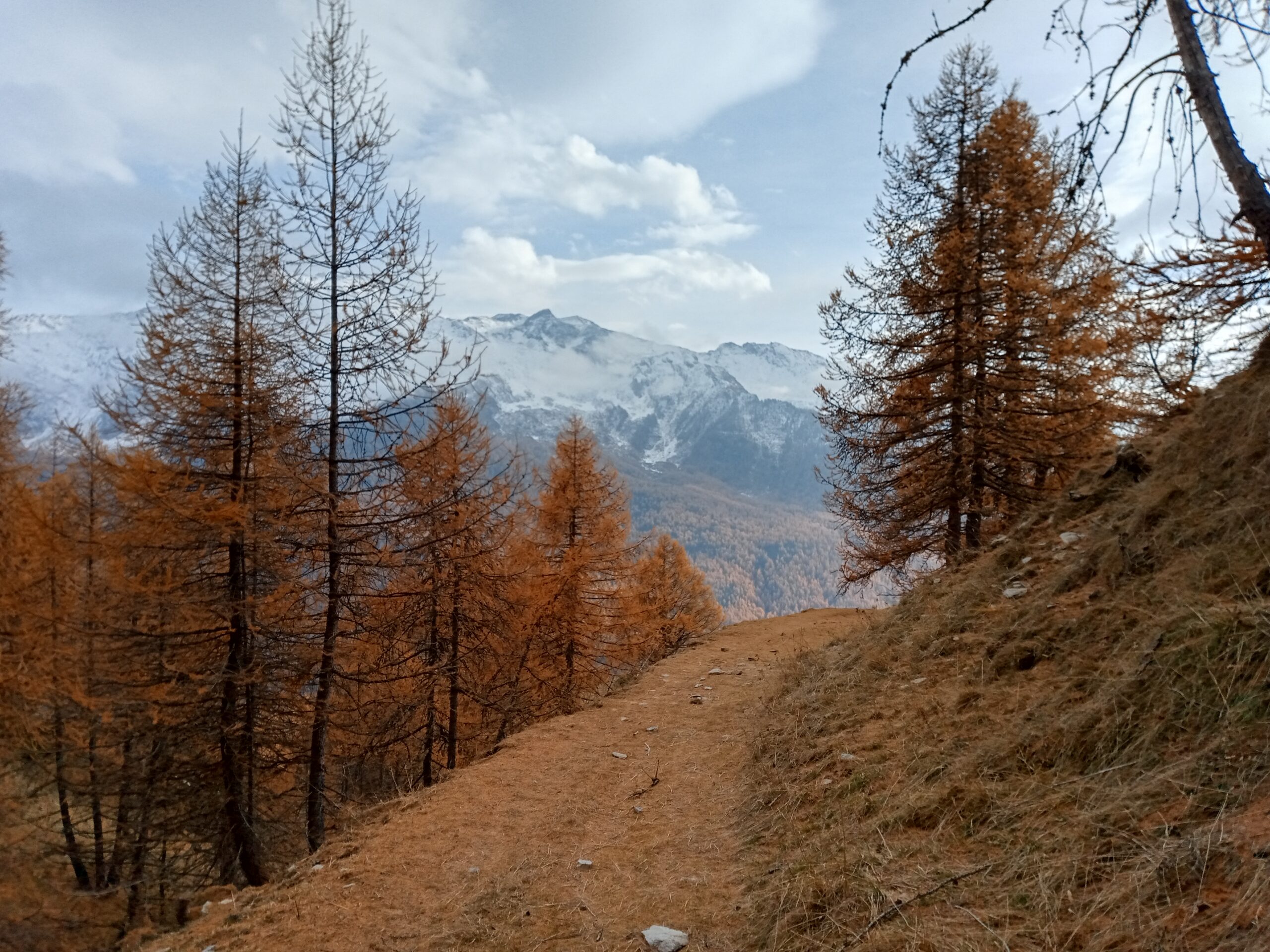
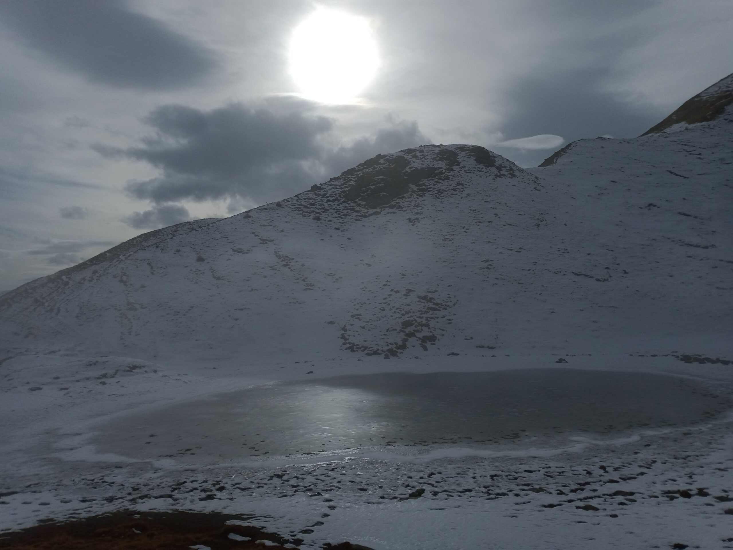
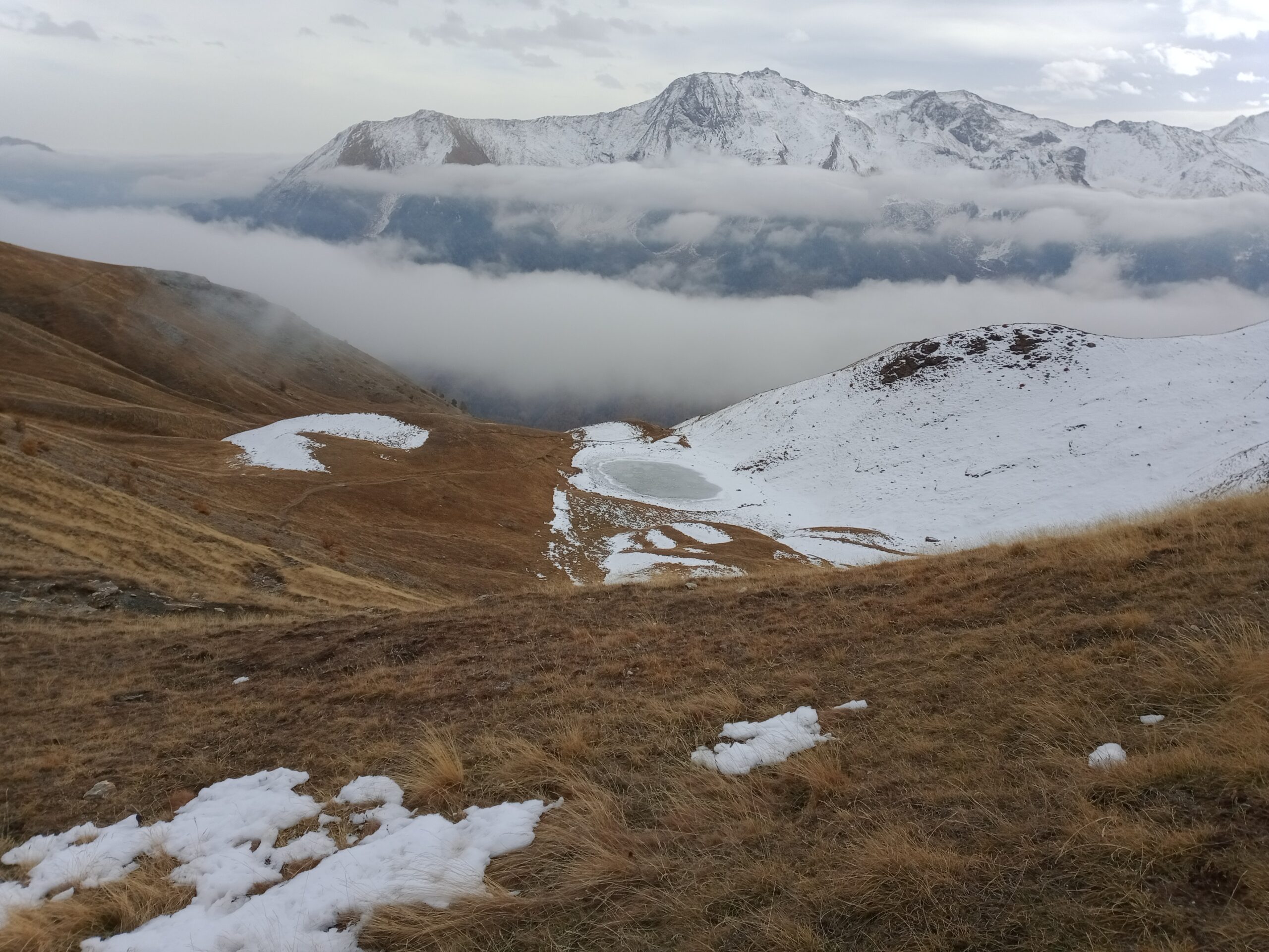
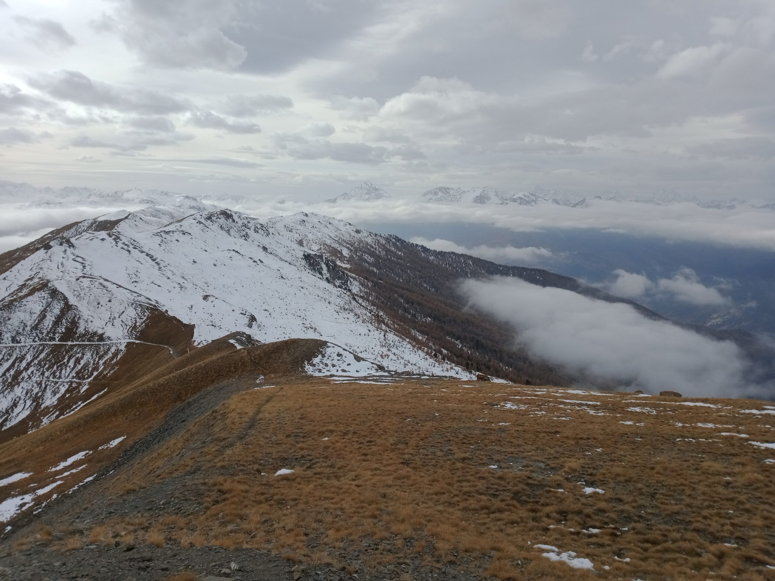
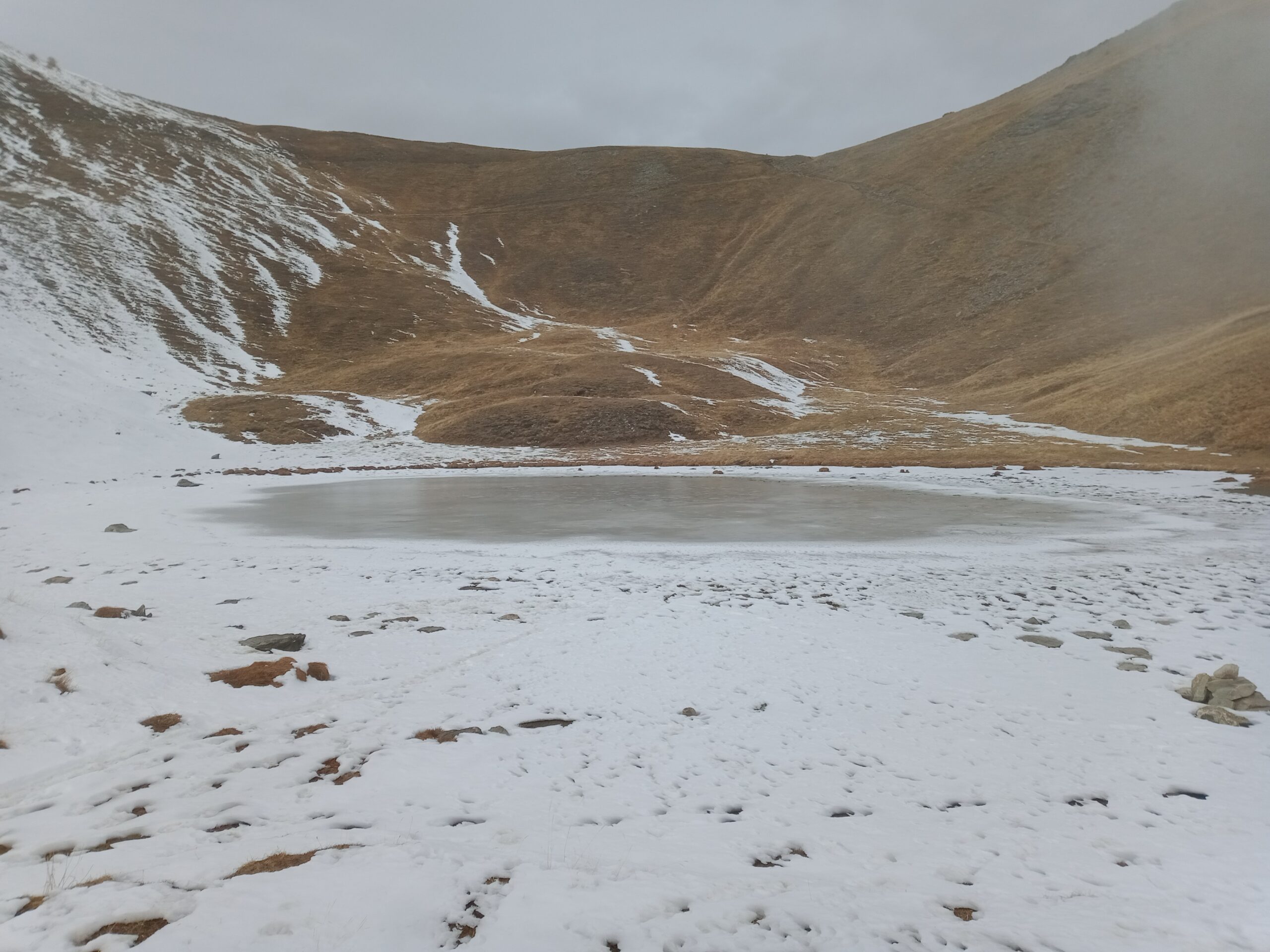
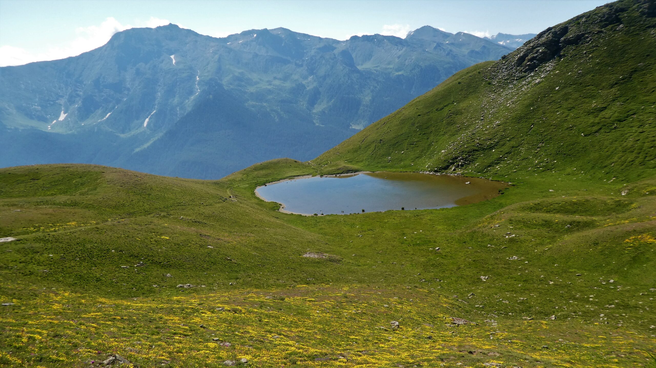
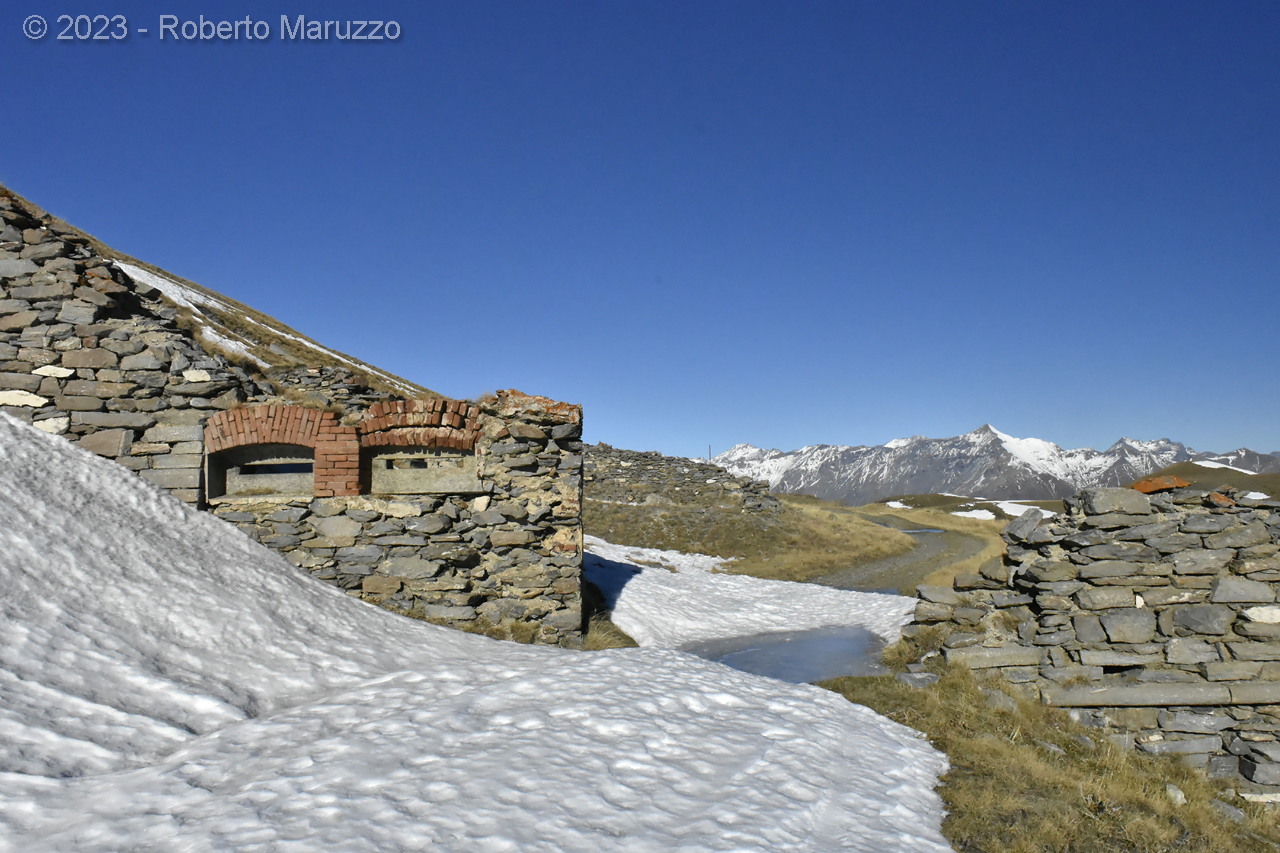
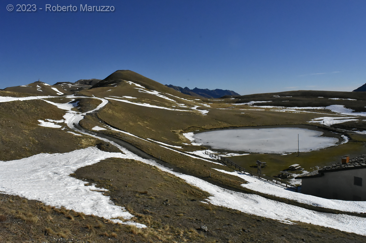
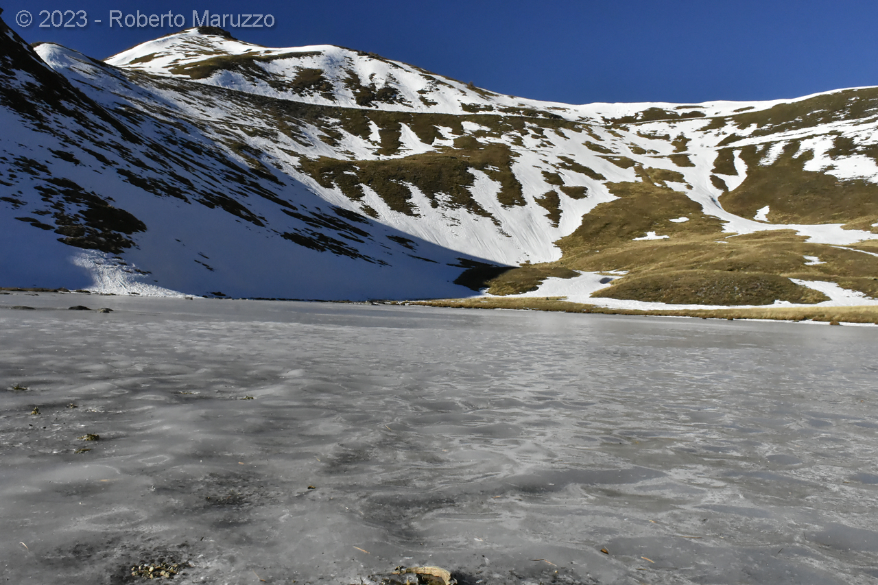
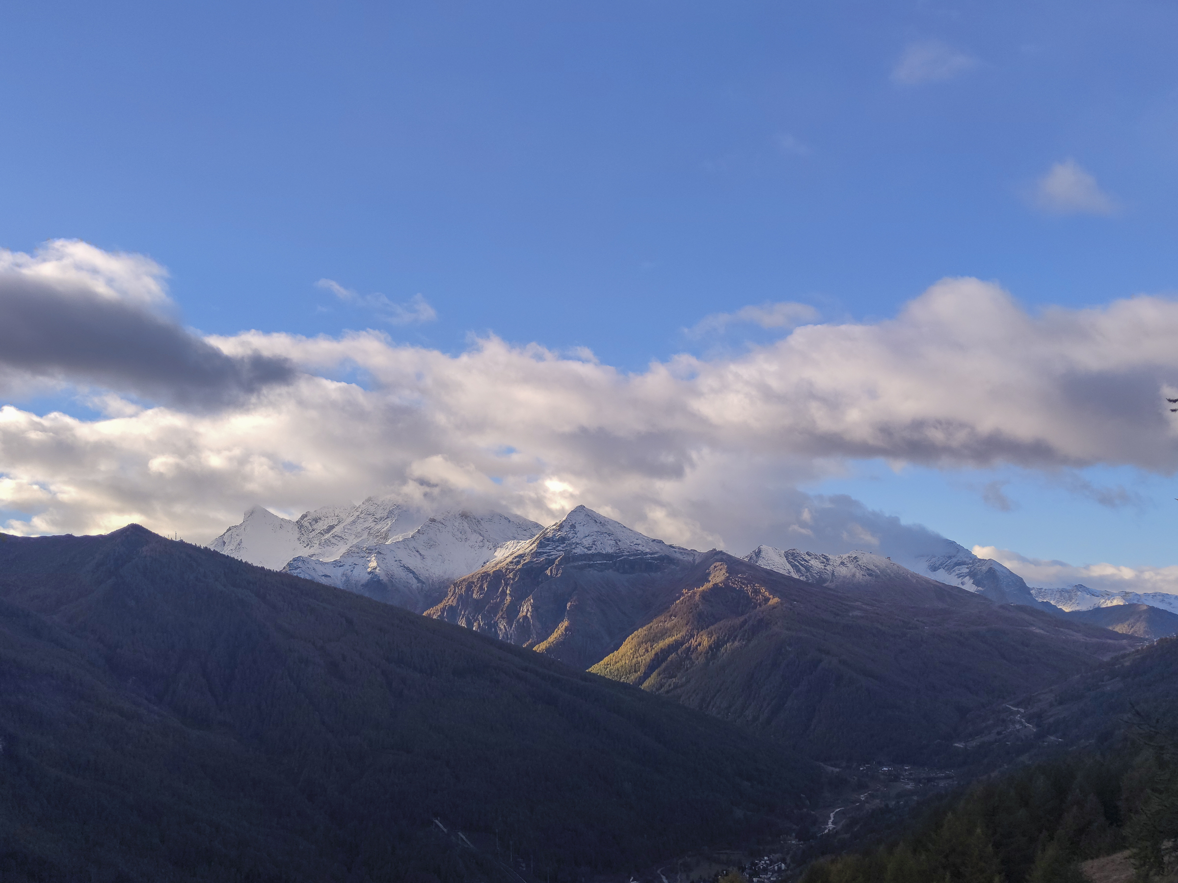
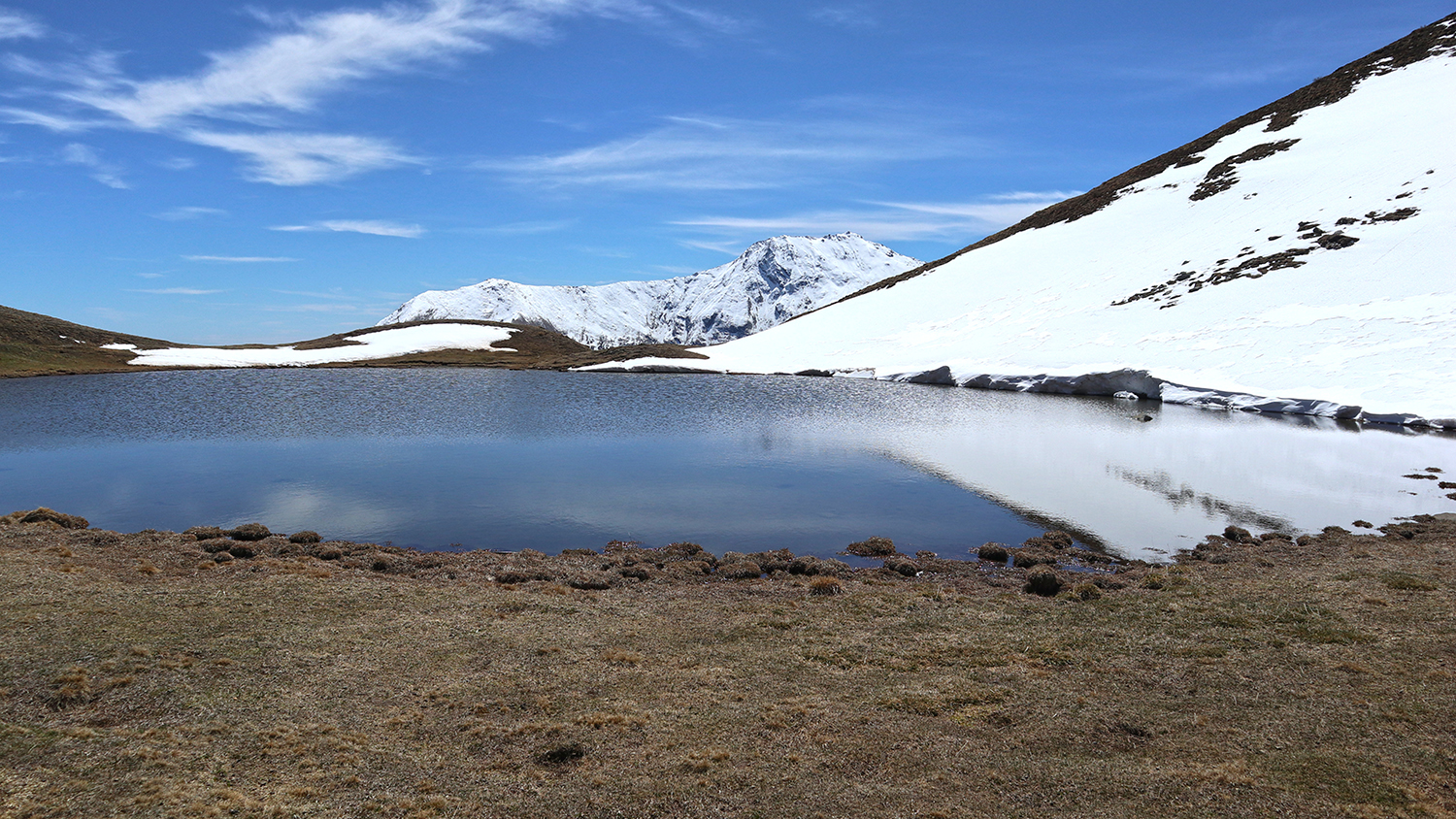
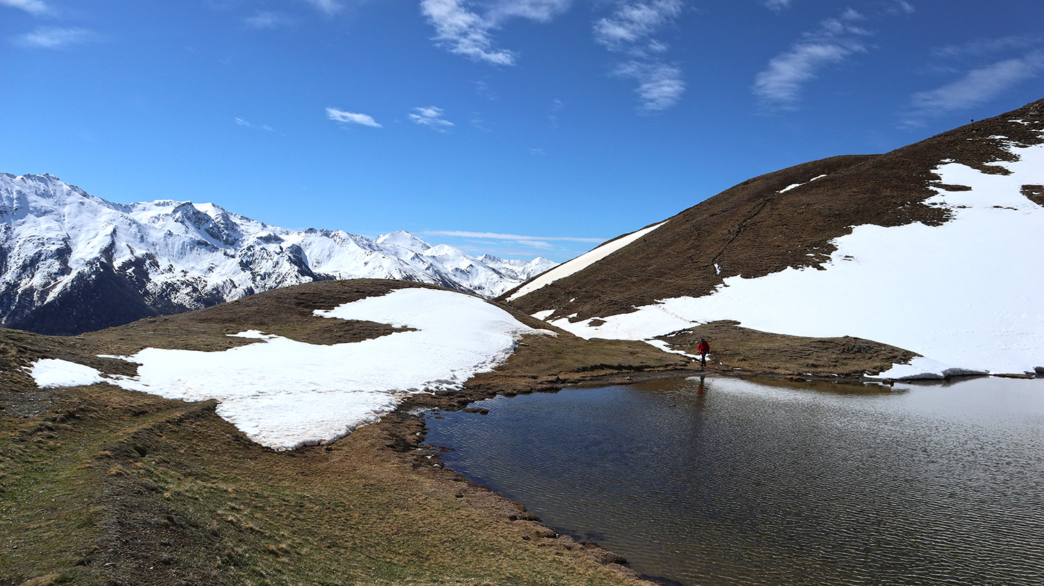
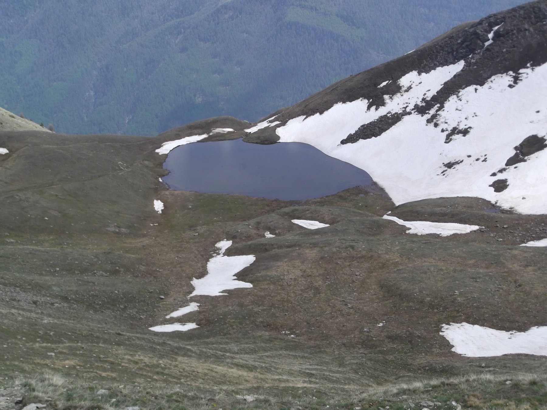
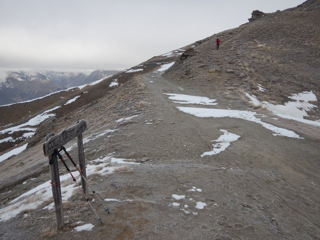
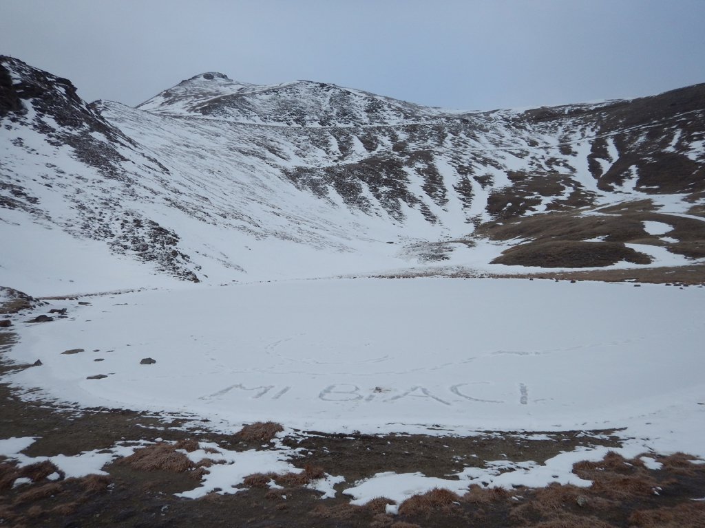
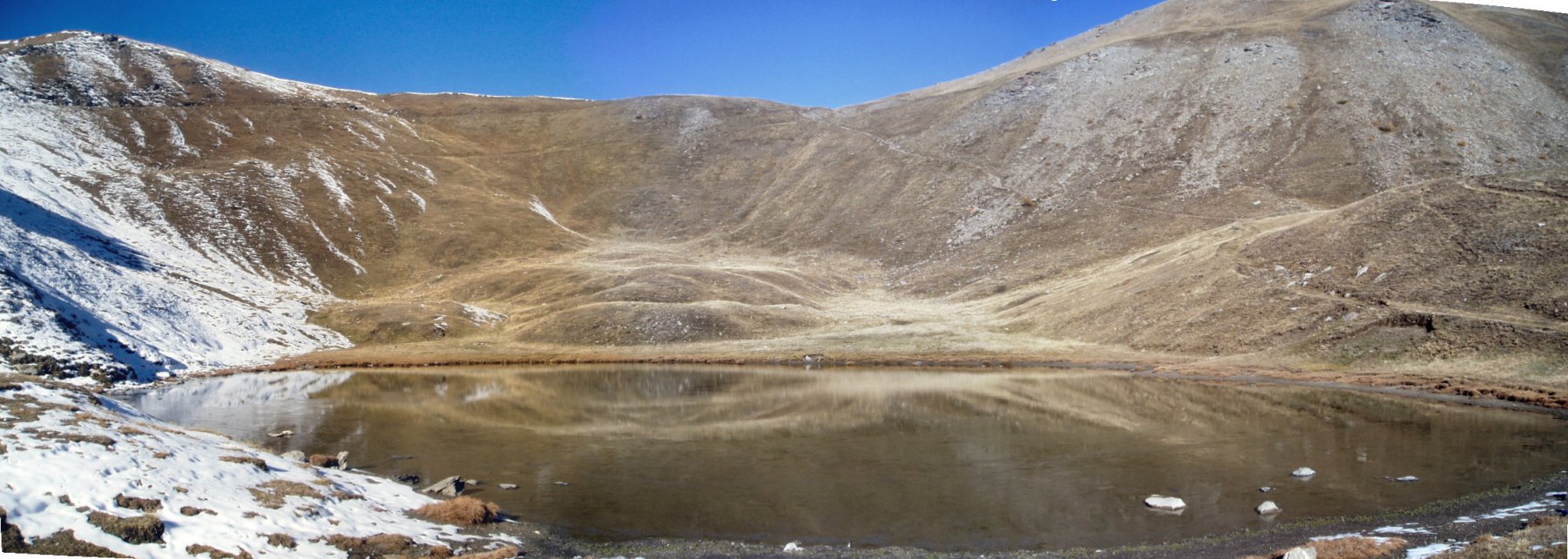
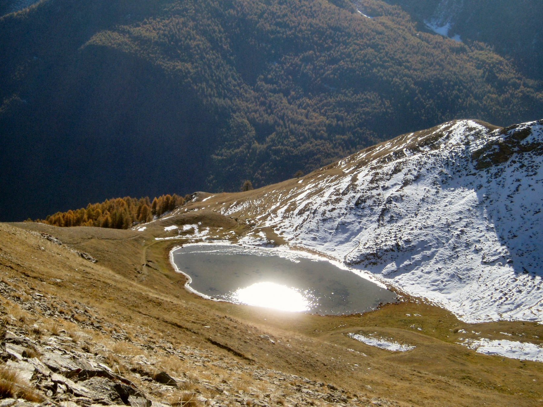
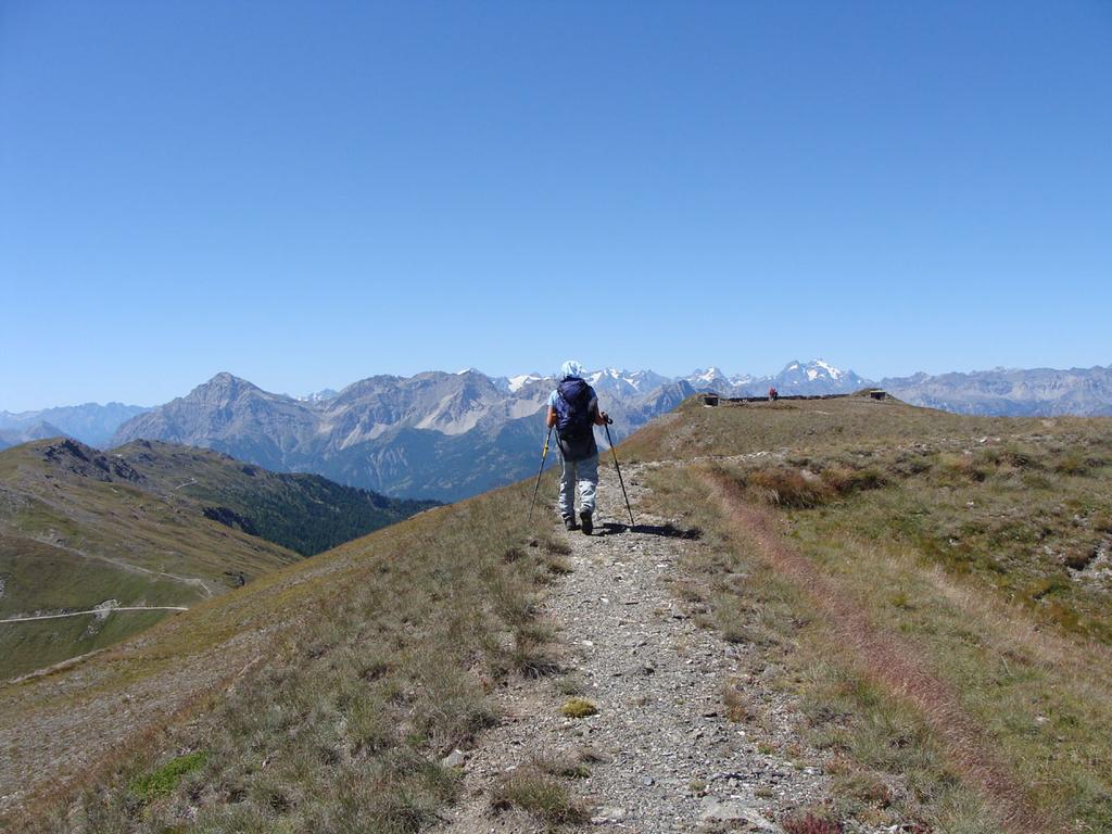
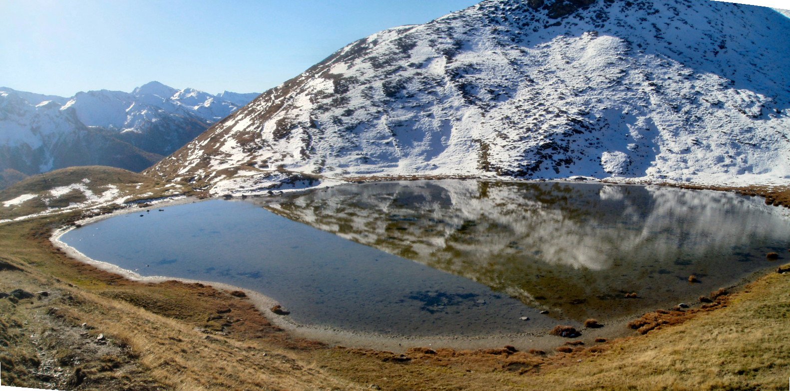
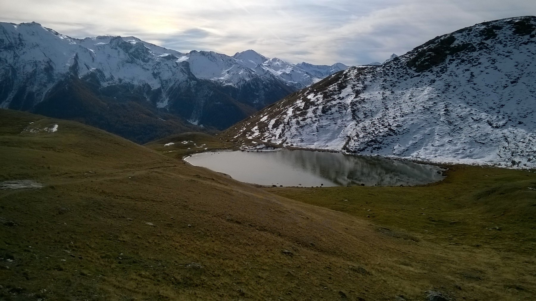
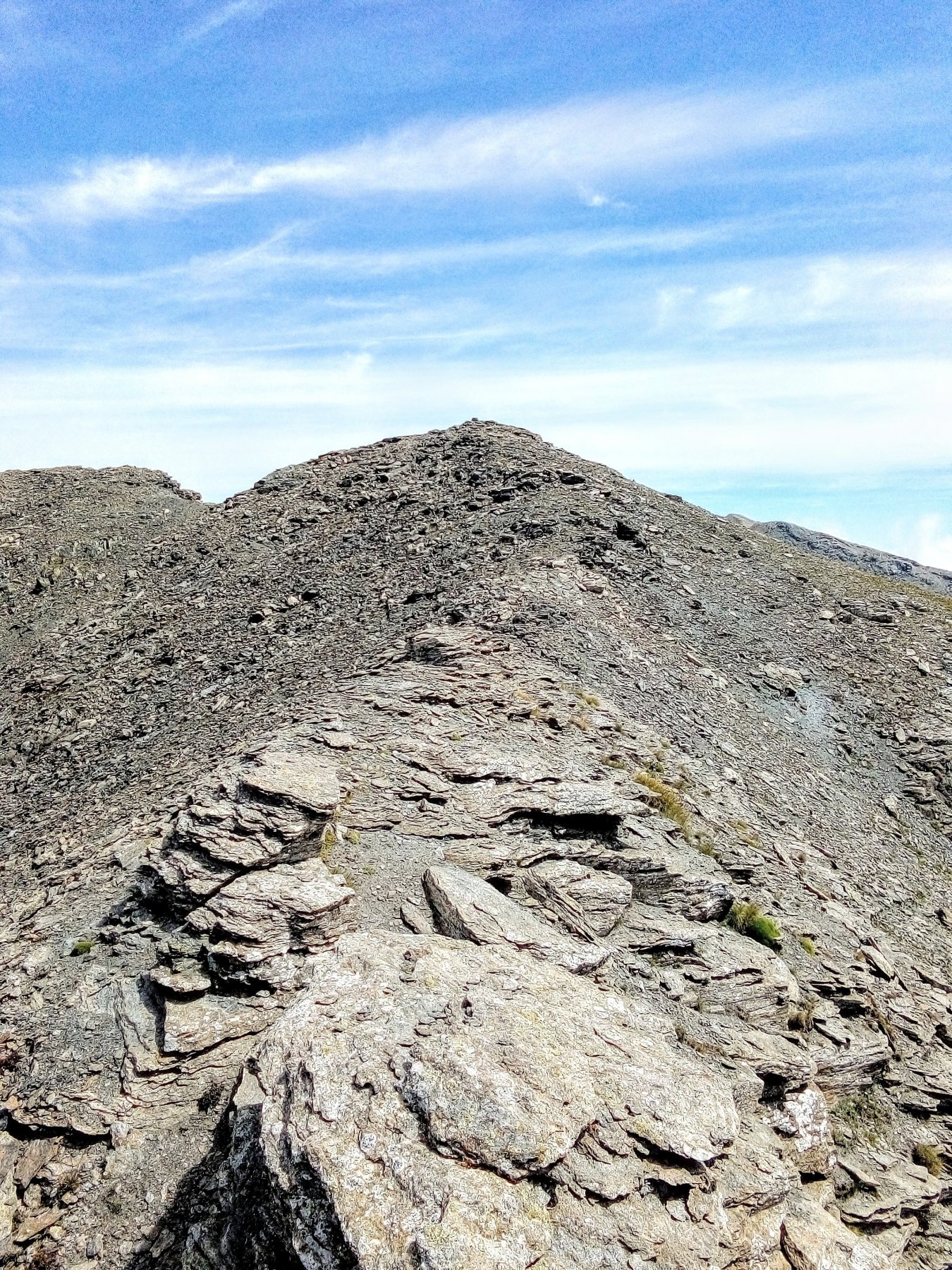
Dal centro dell’abitato, nei pressi della chiesa (indicazioni) si prende il sentiero che porta al Colle Lauson, passando nei pressi del lago ononimo.
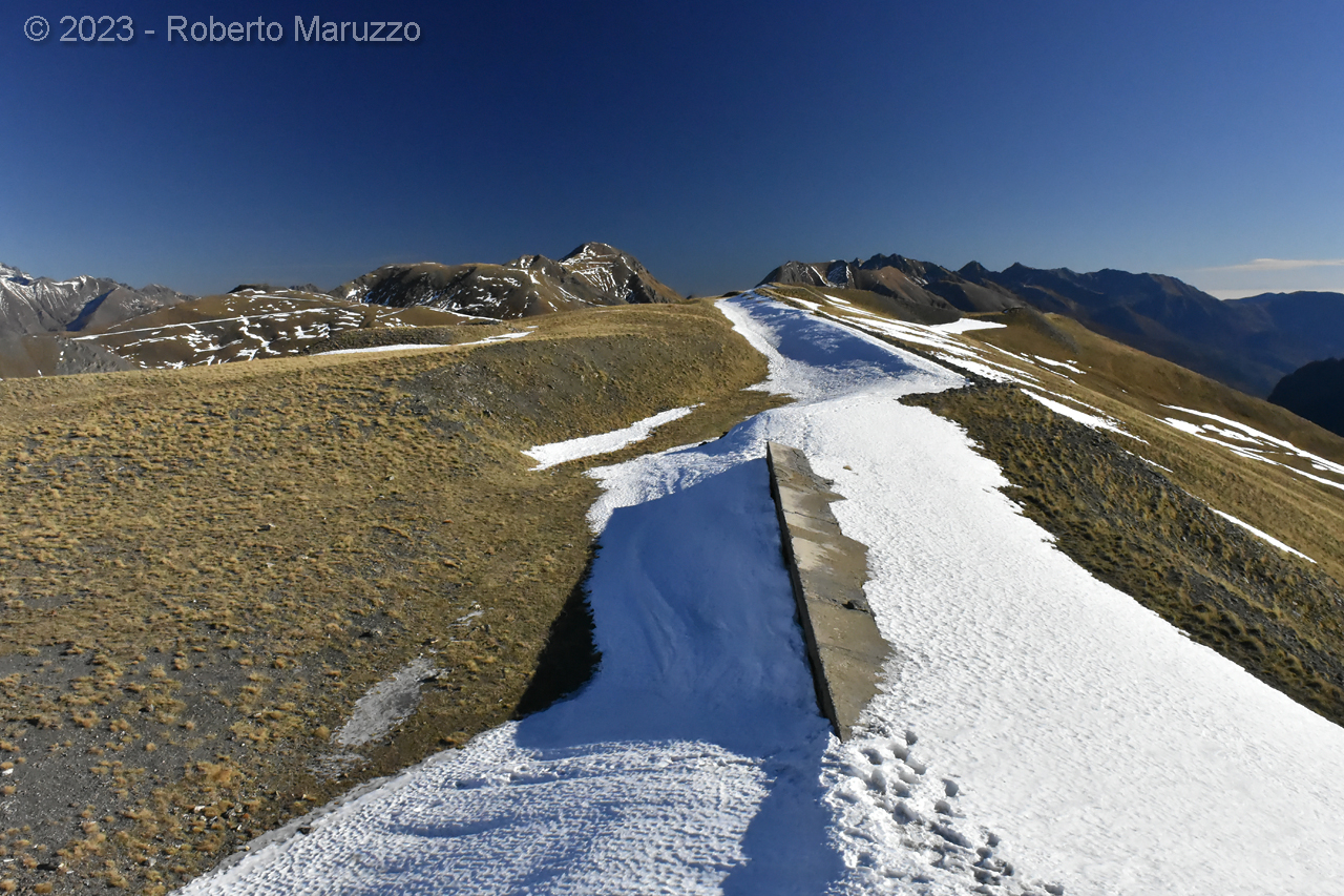
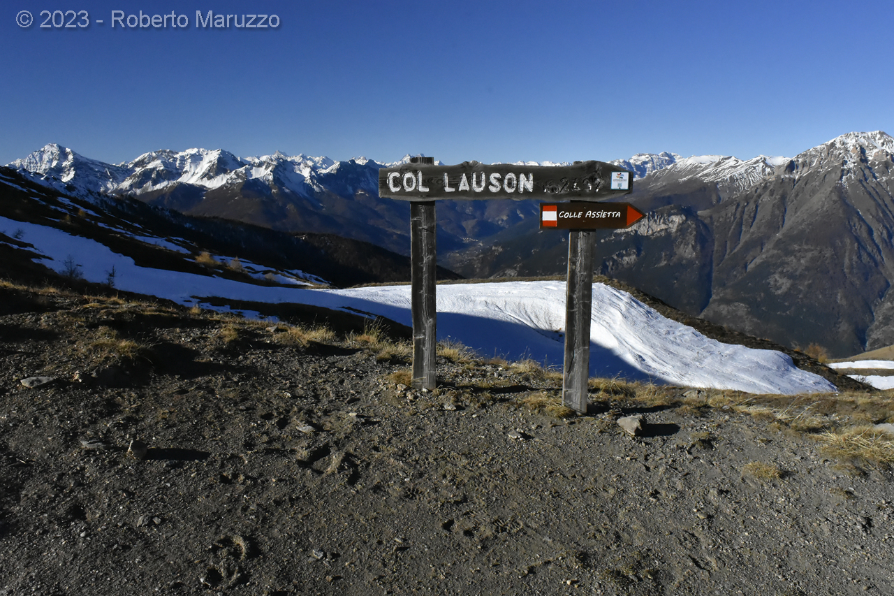
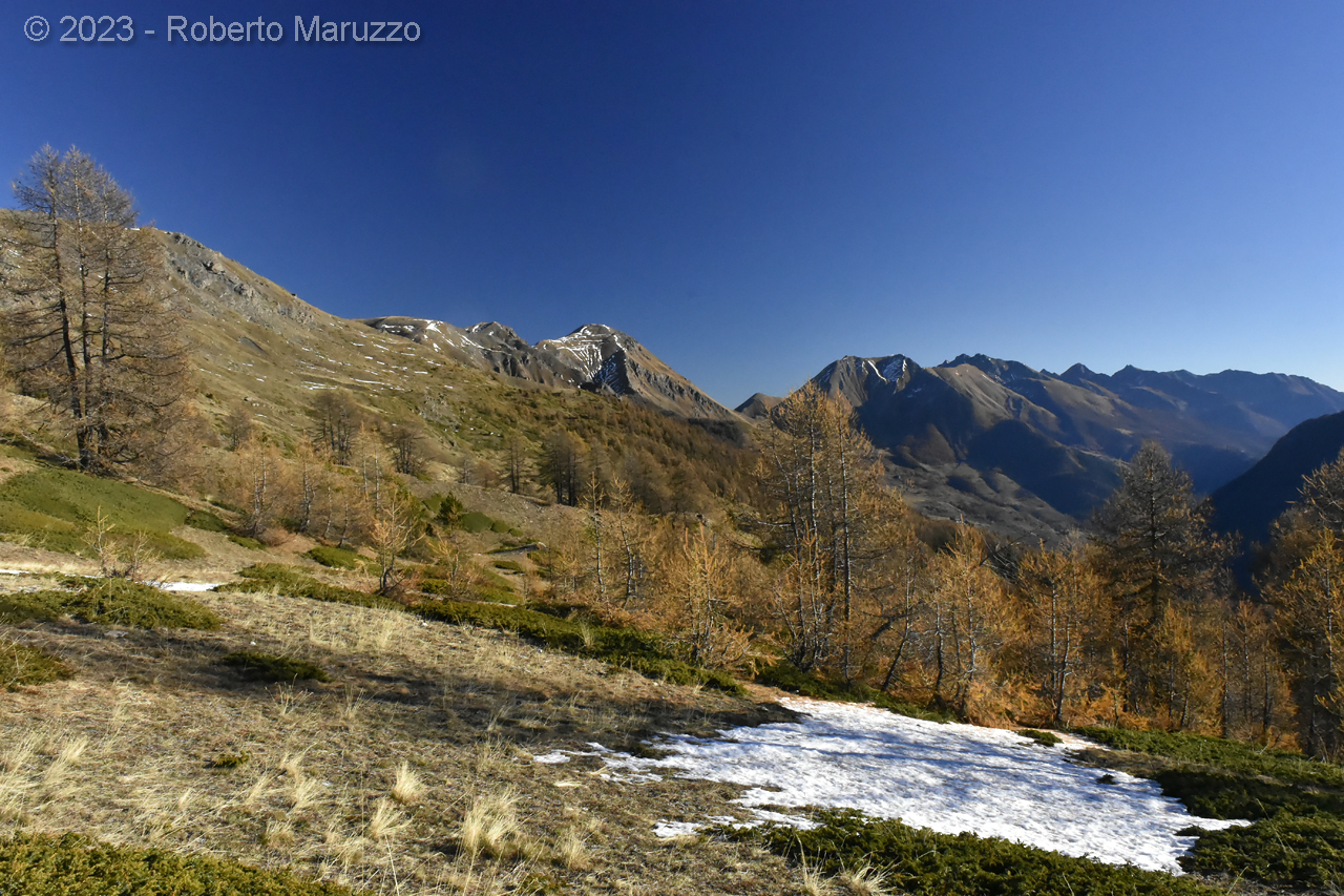
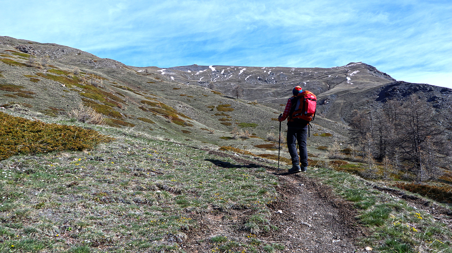
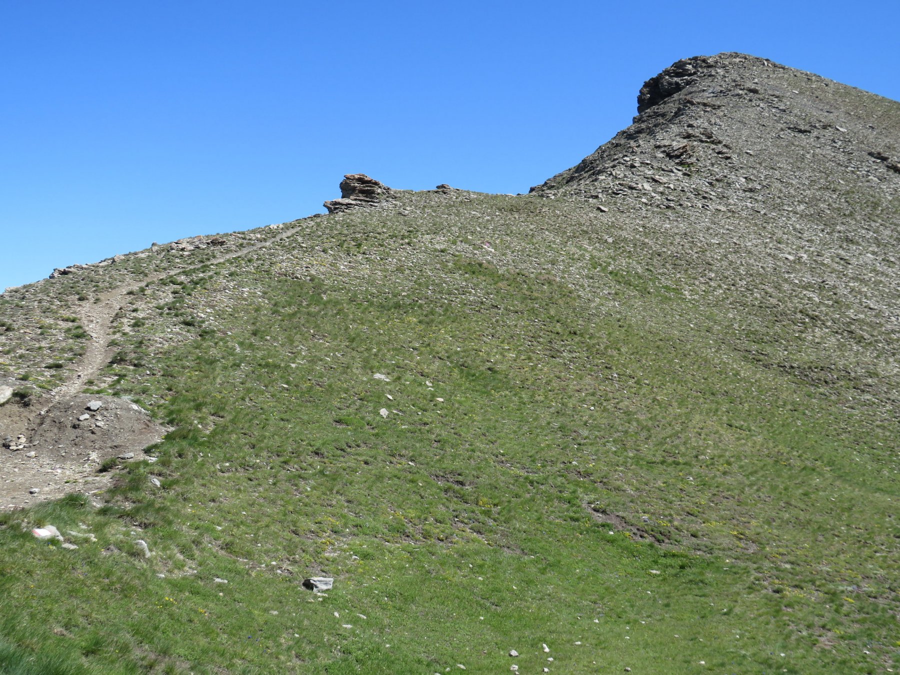
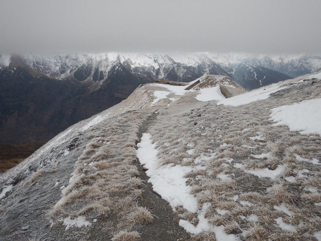
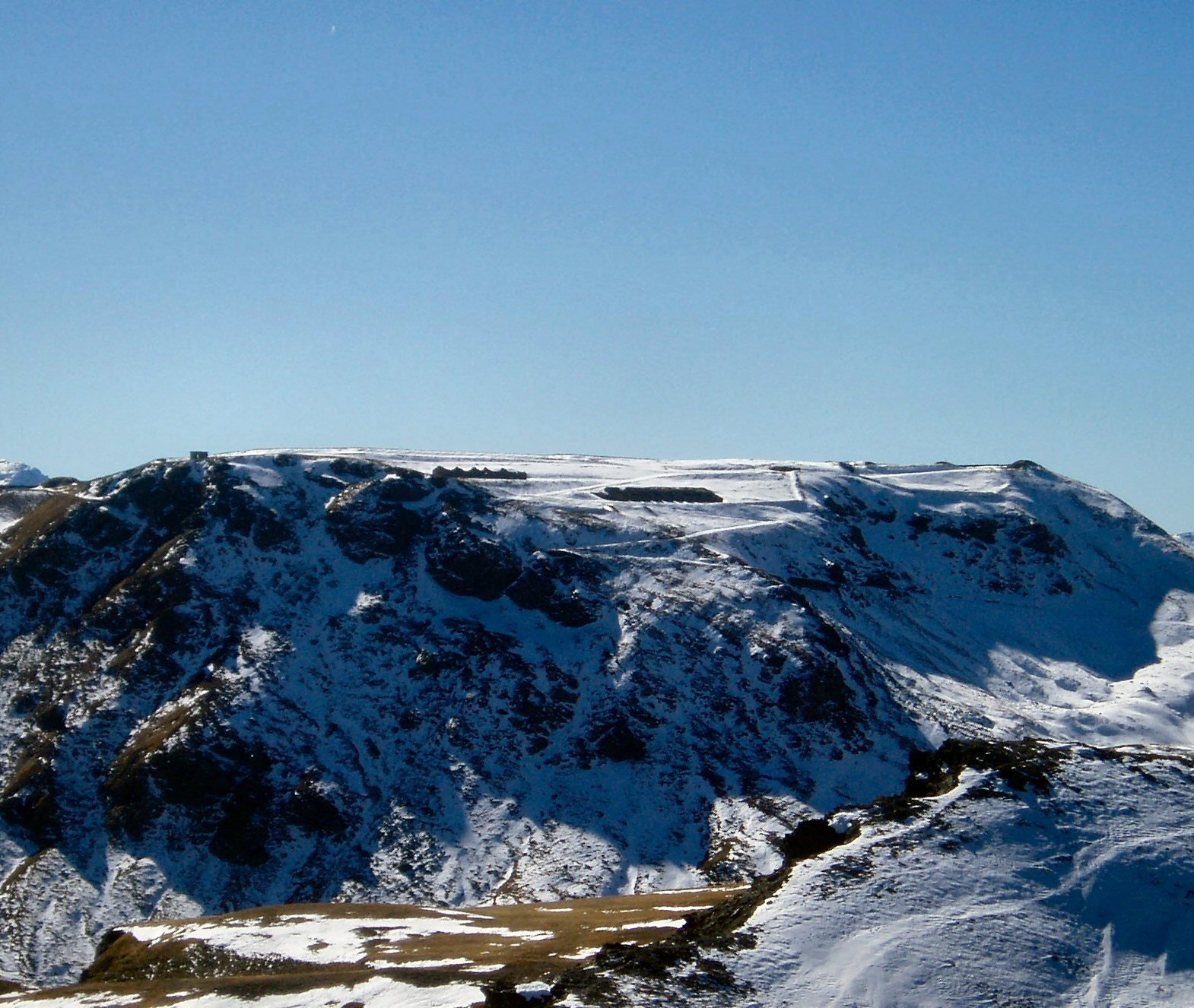
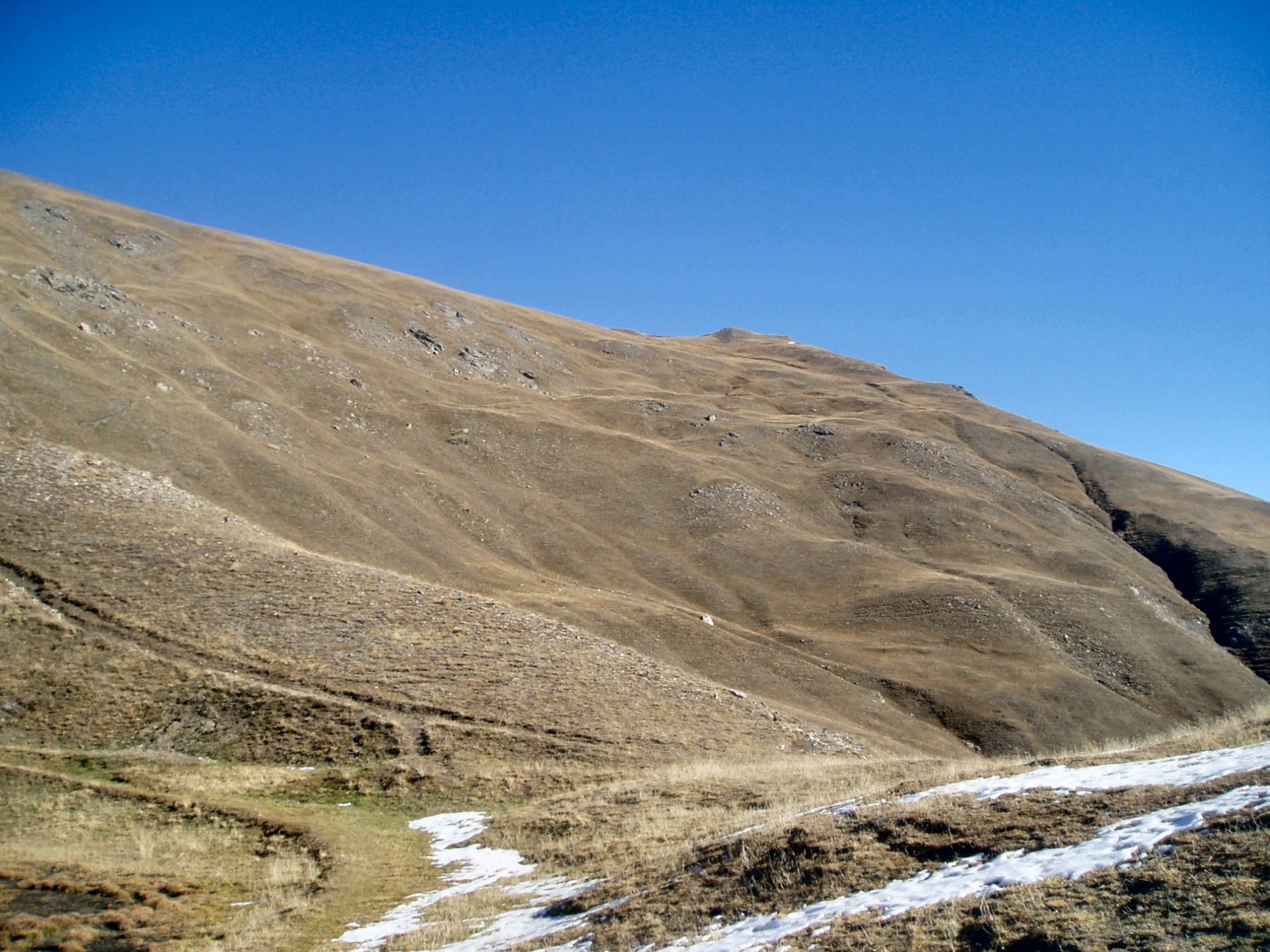
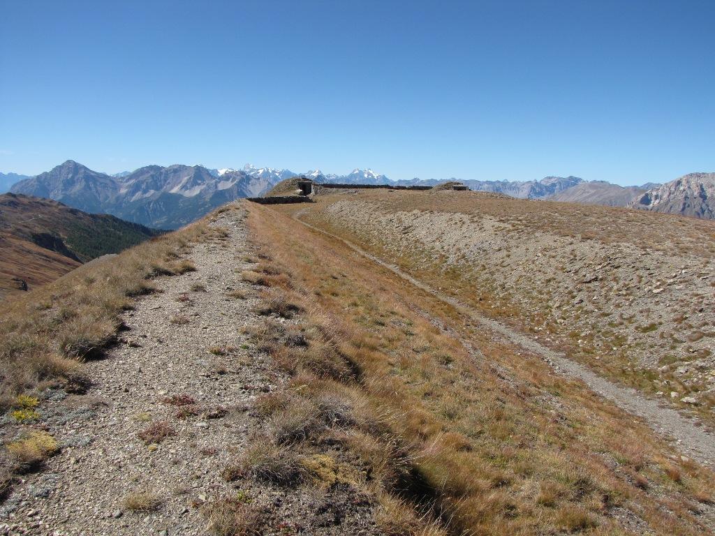
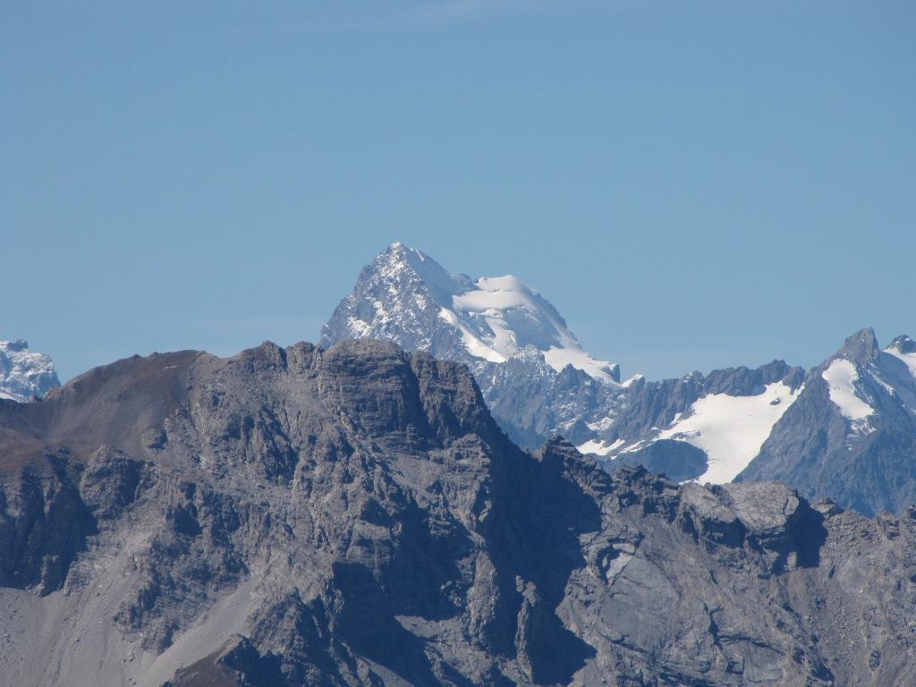
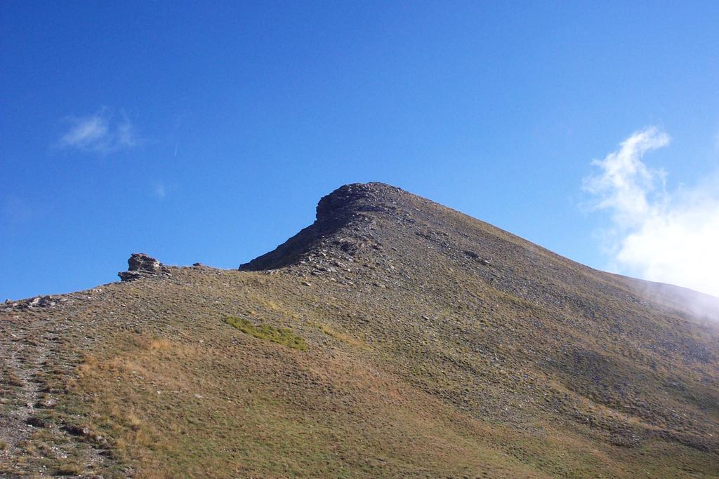
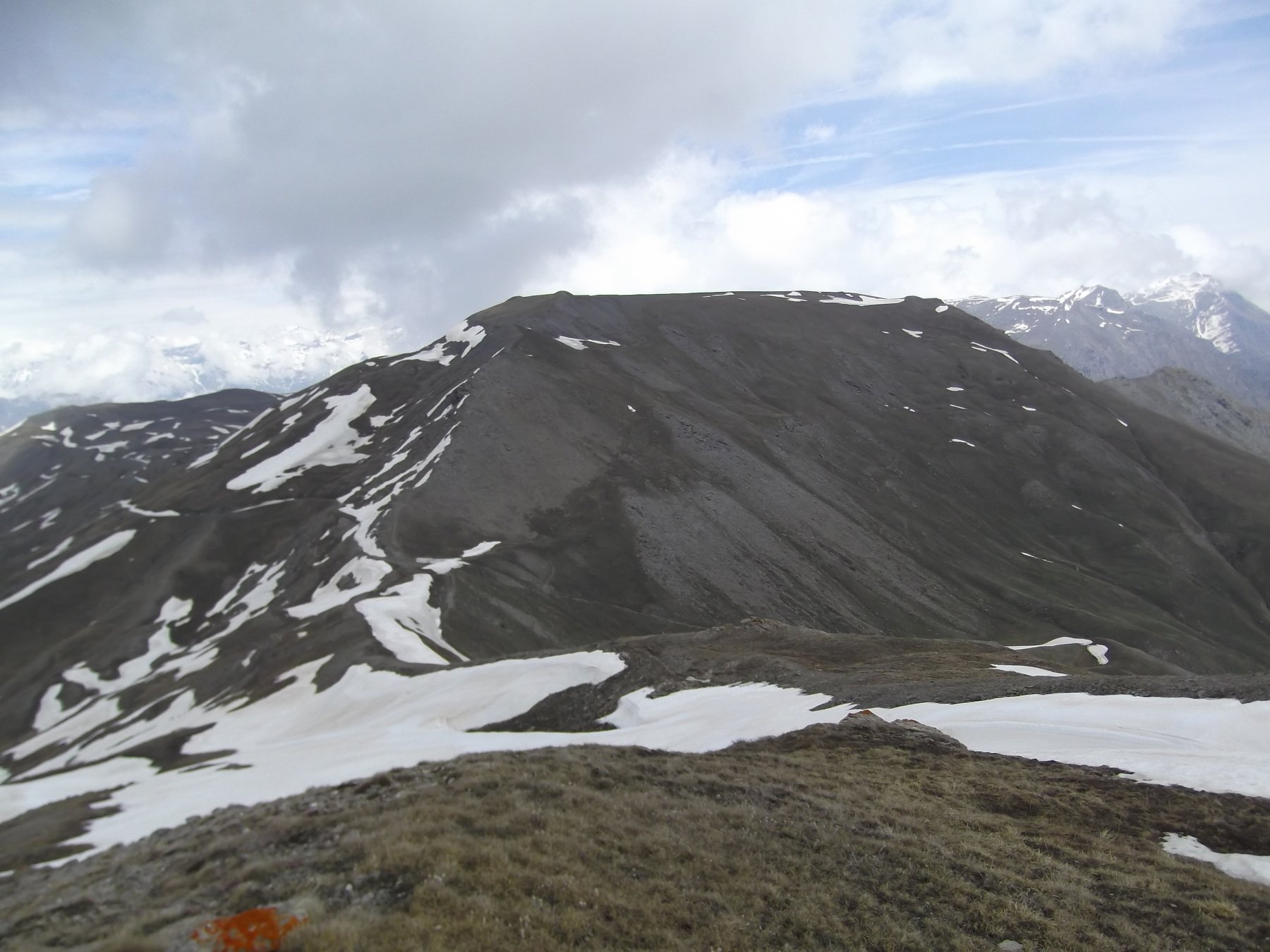
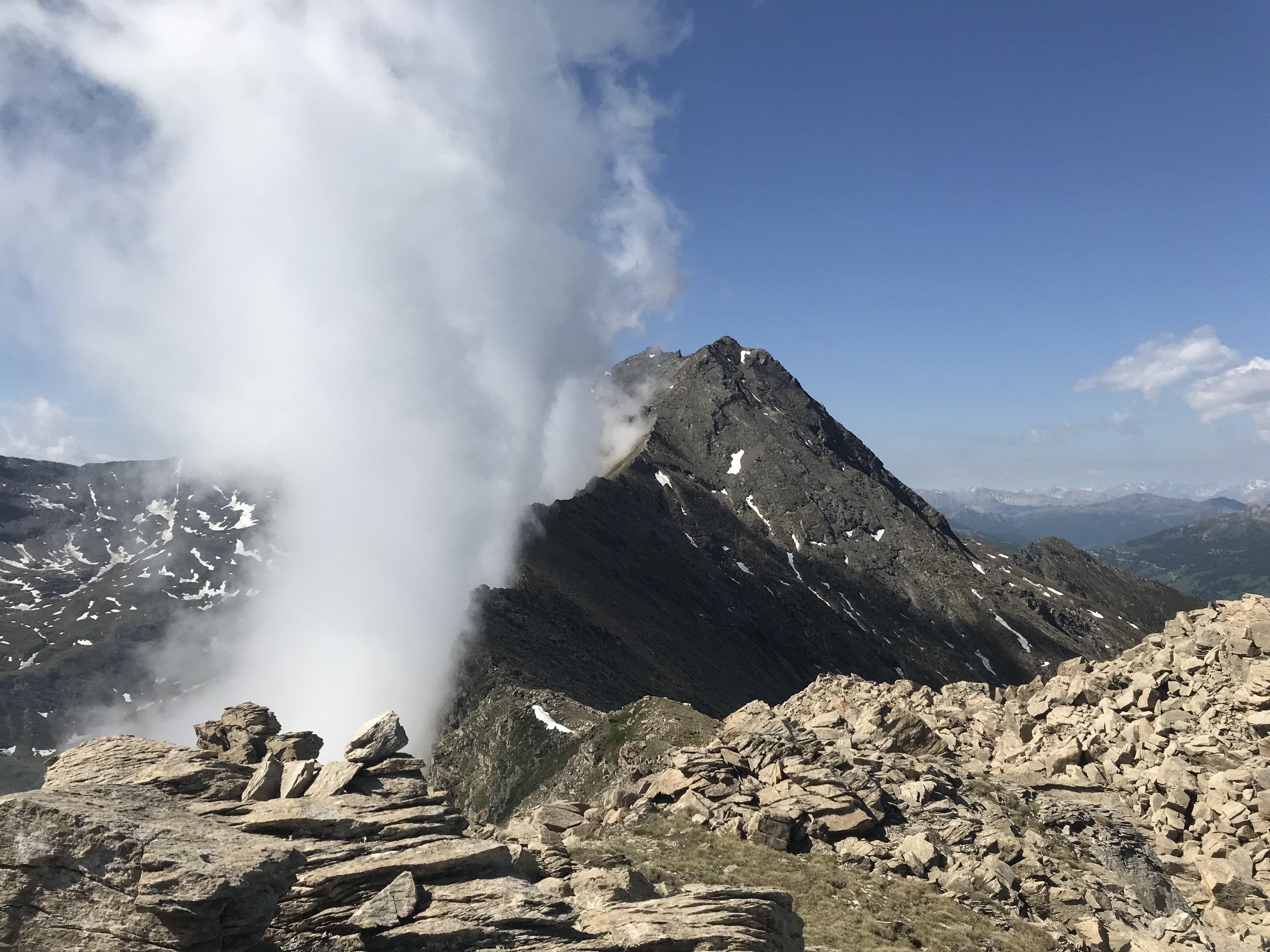
Dal colle si sale a dx per tracce di sentiero sul Monte Gran Costa (2615 m). Si scende sull’opposto versante (carrareccia) raggiungendo velocemente la strada sterrata che corre lungo il crinale Val di Susa-Chisone. Si sale quindi in pochi minuti alla Testa di Mottas (2550 m) e si prosegue sul crinale in direzione E riportandosi sulla strada sterrata.
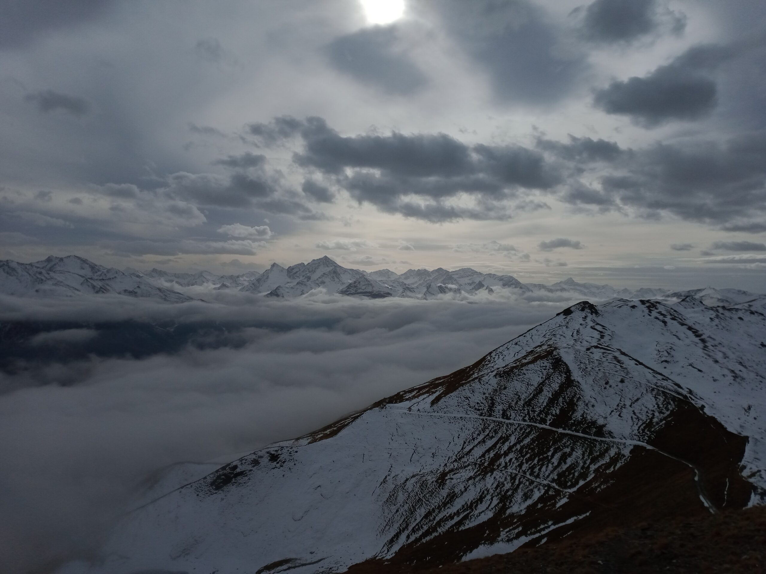
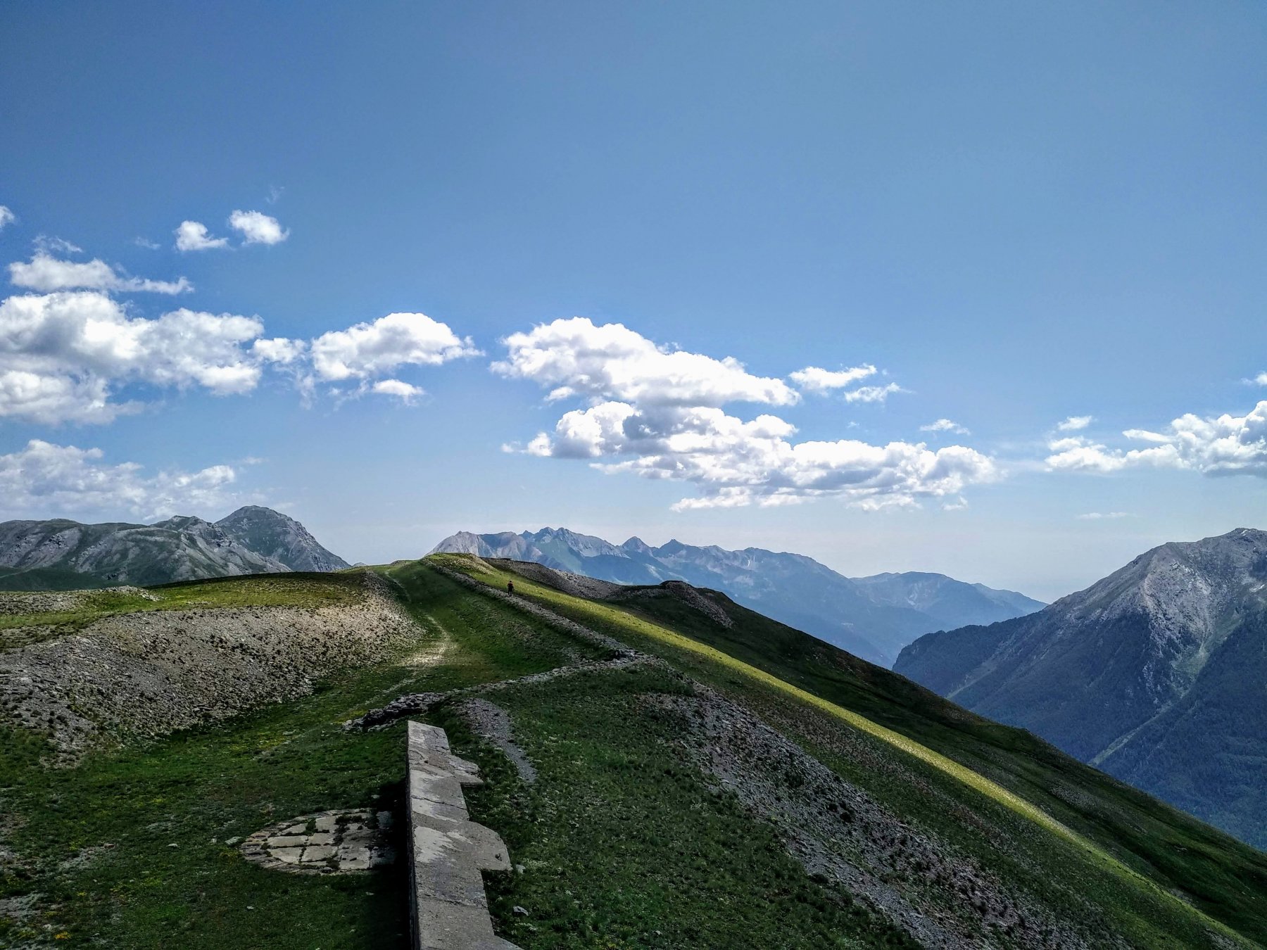
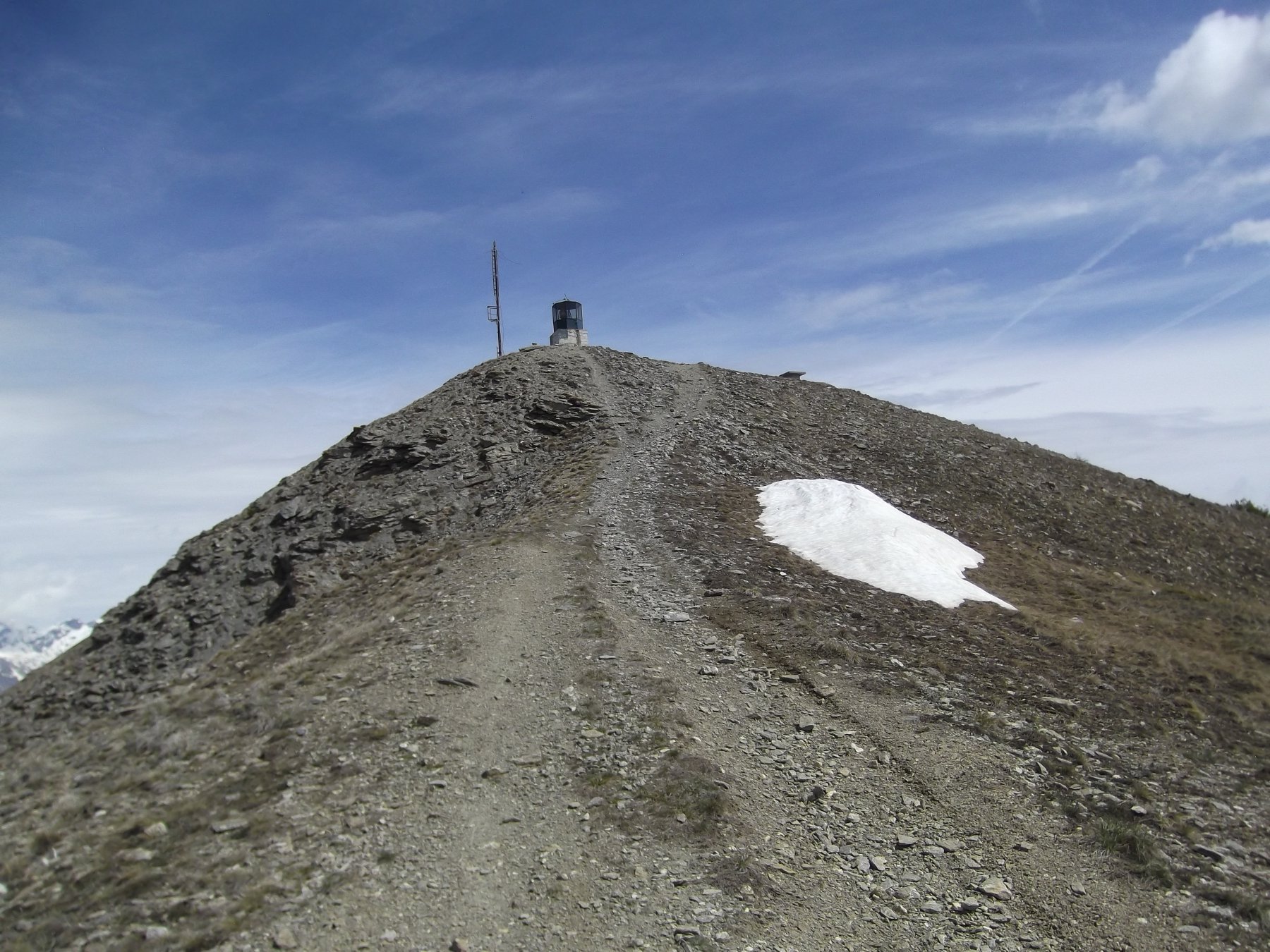
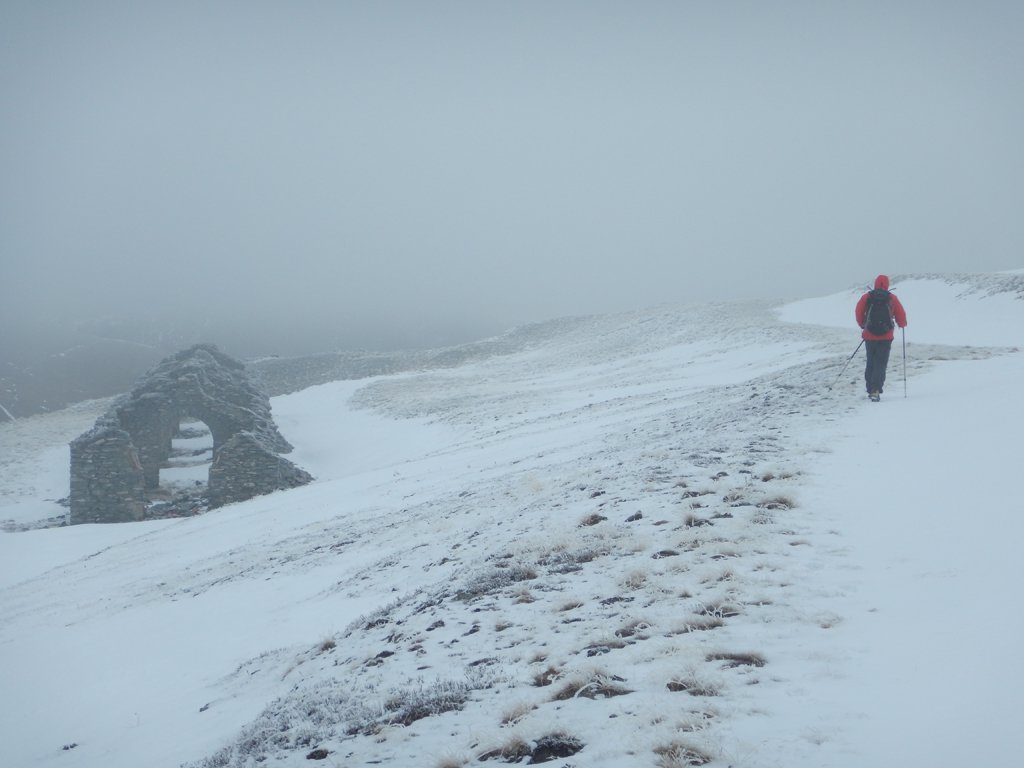
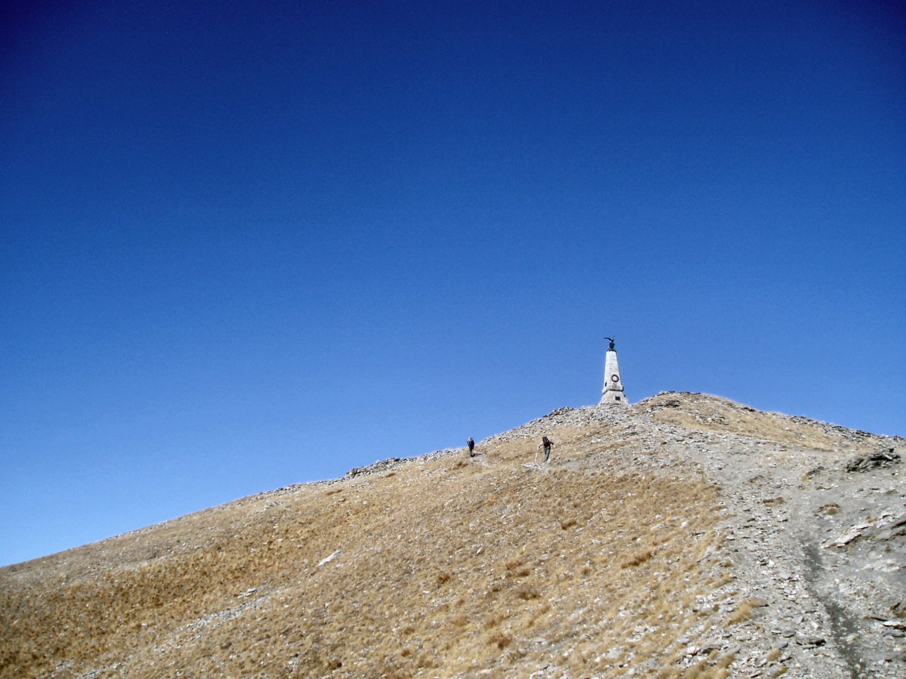
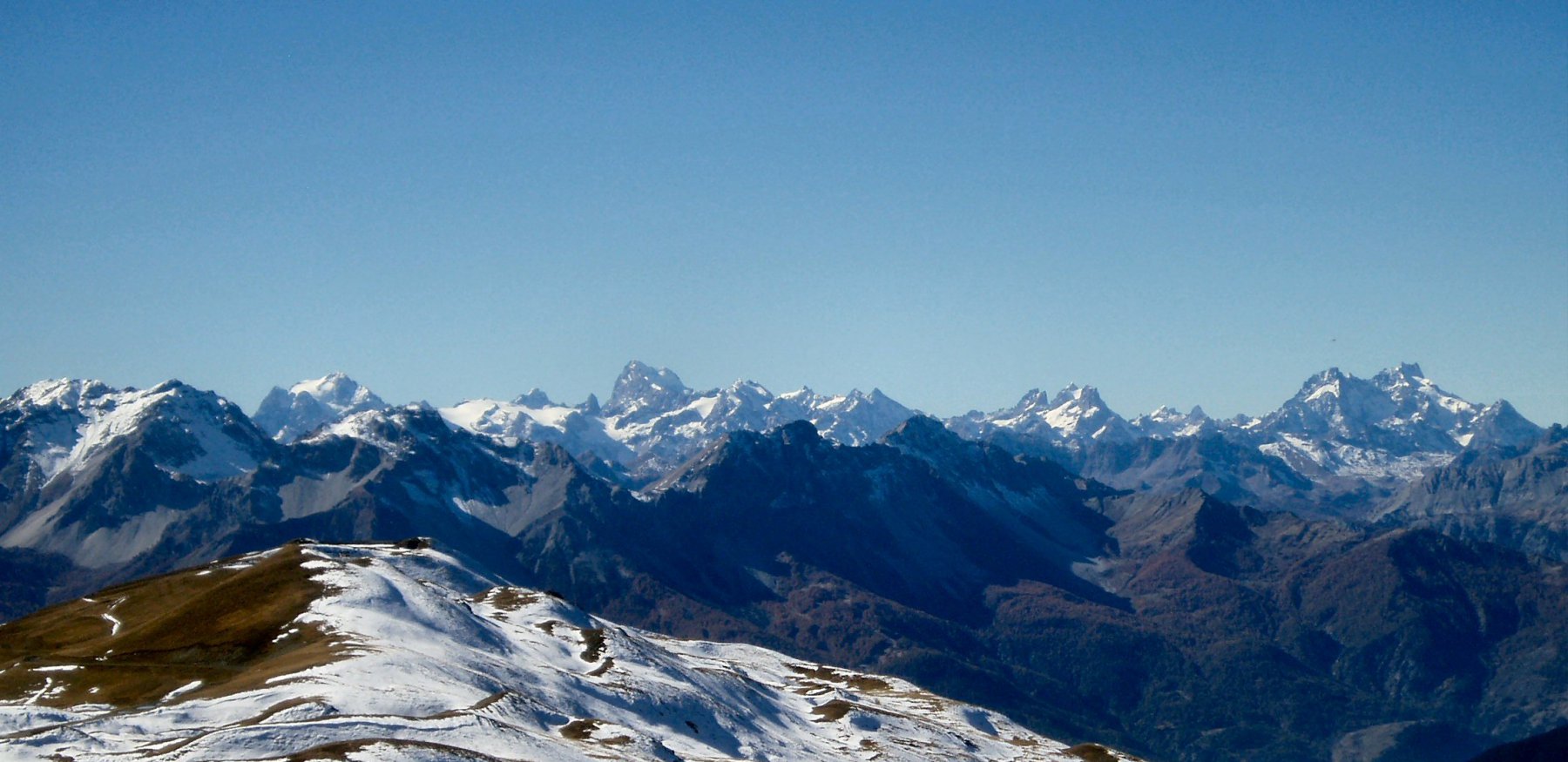
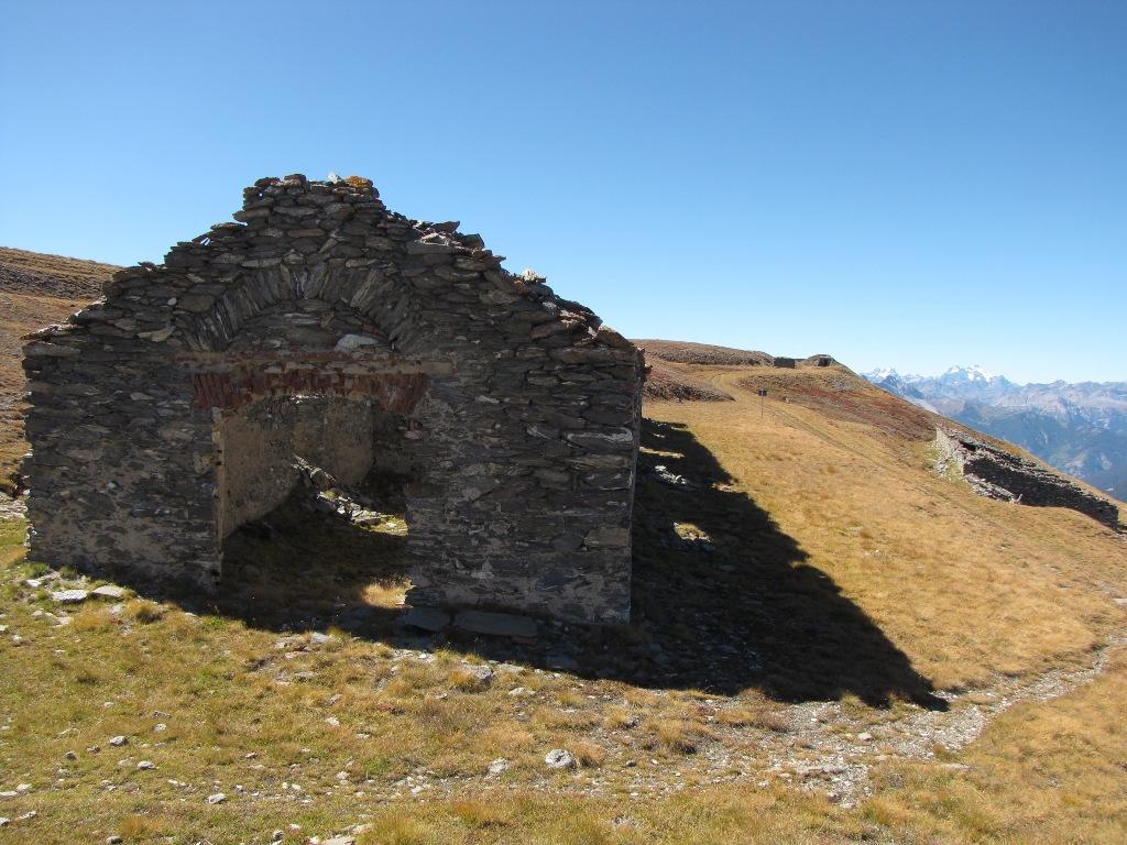
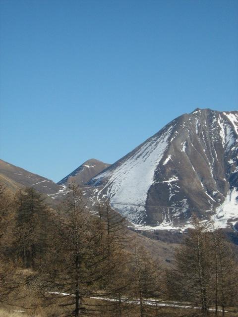
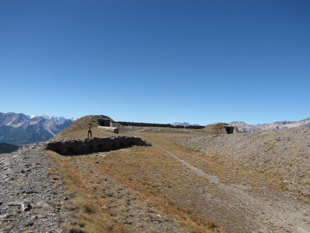
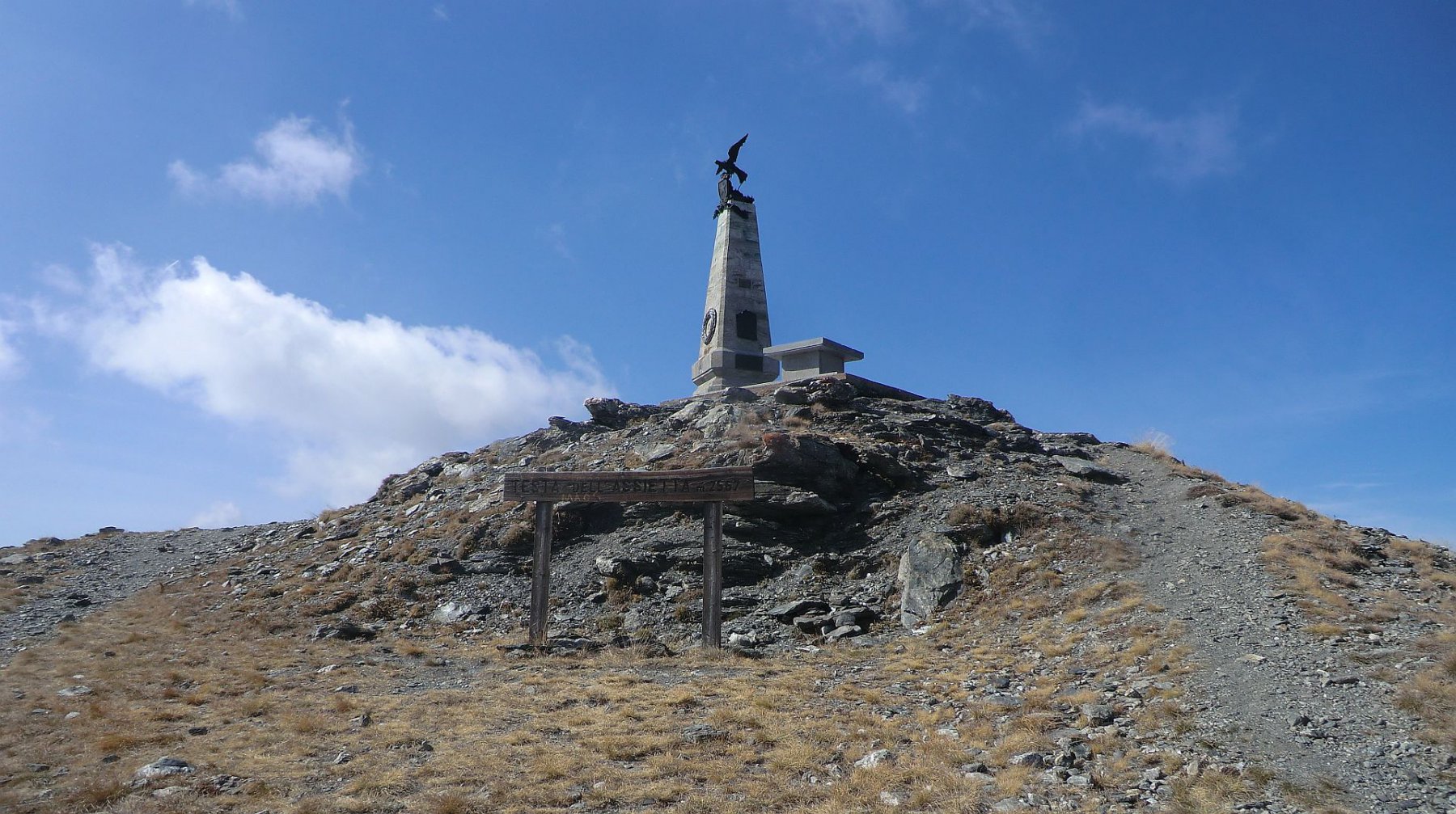
Si prosegue sulla strada fin sotto la Testa dell’Assietta (2567 m) che si risale in pochi minuti (monumento). Si ritorna indietro lungo la strada fino al Colle Lauson.
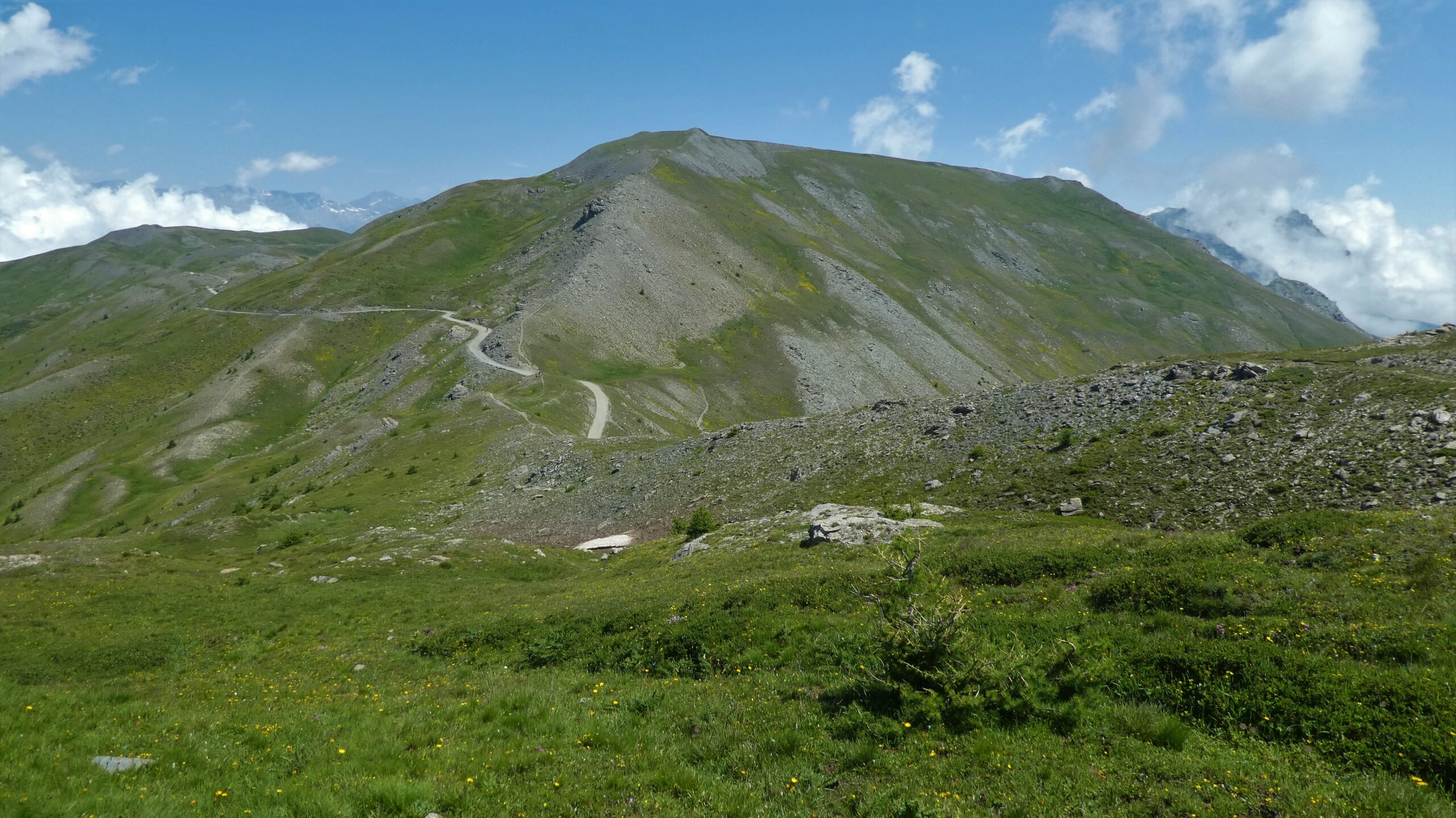
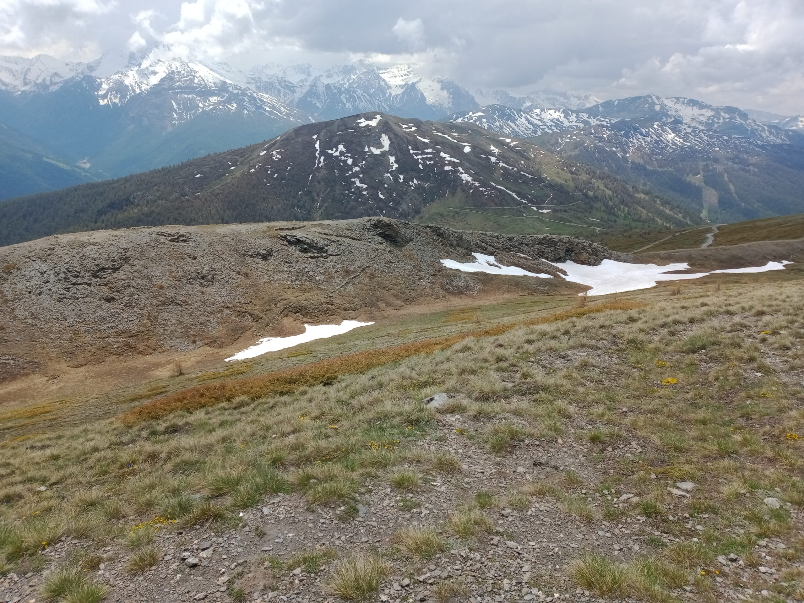
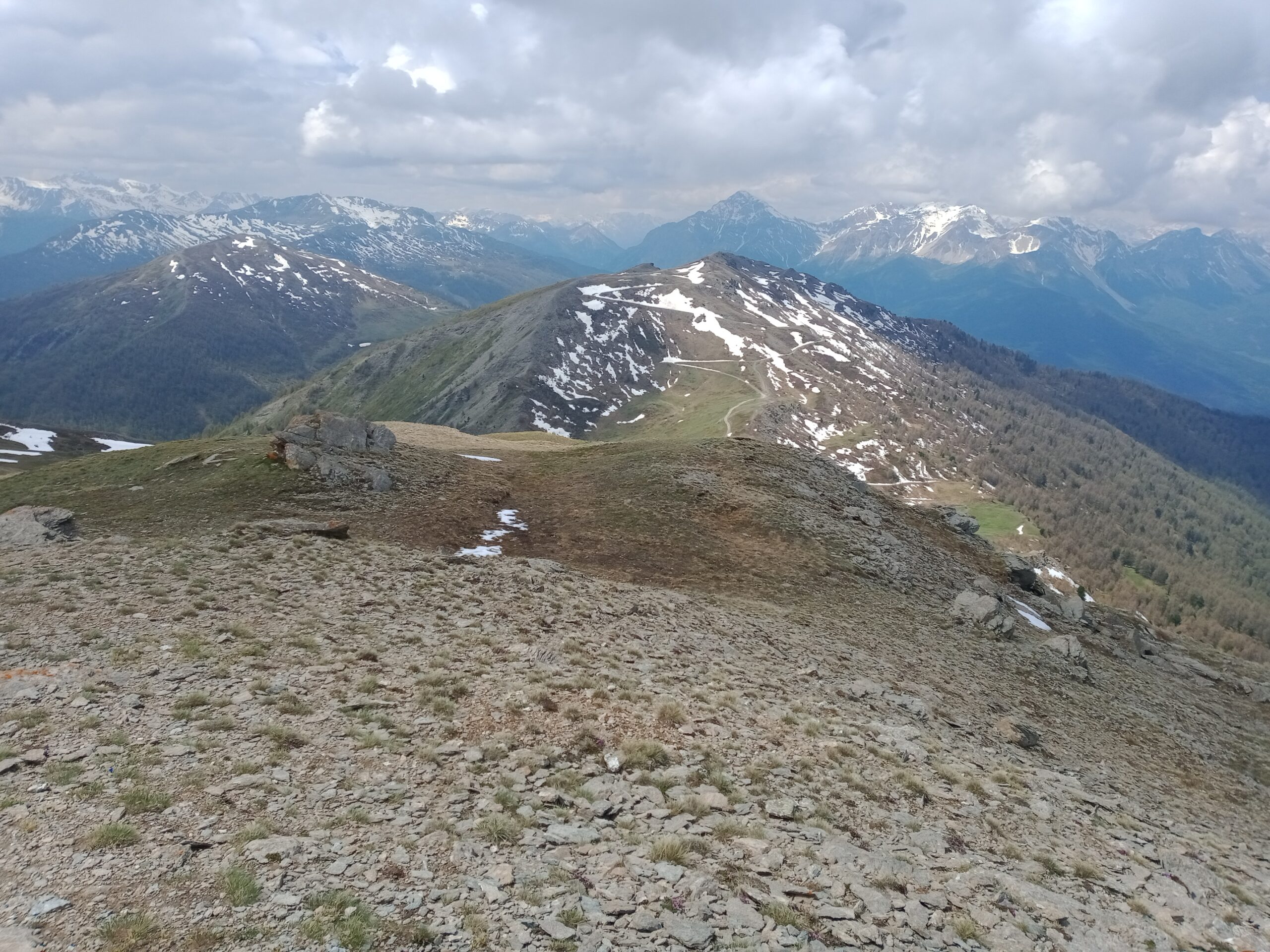
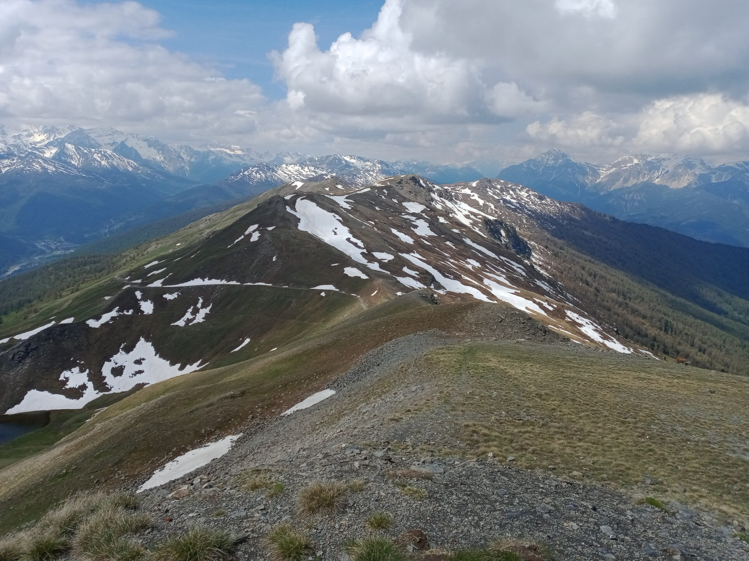
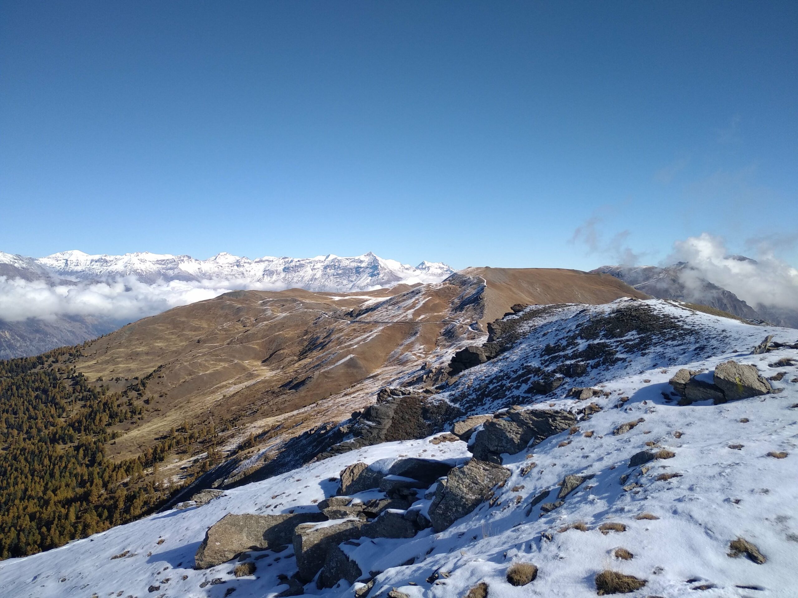
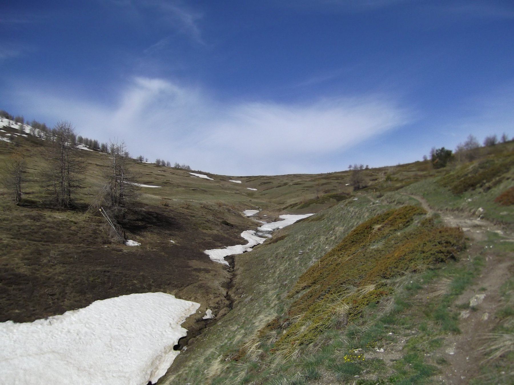
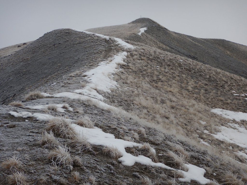
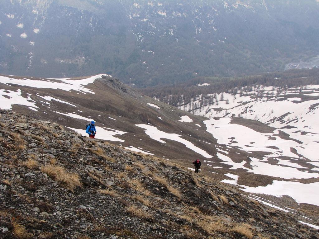
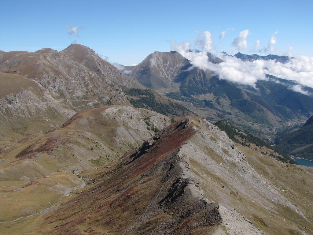
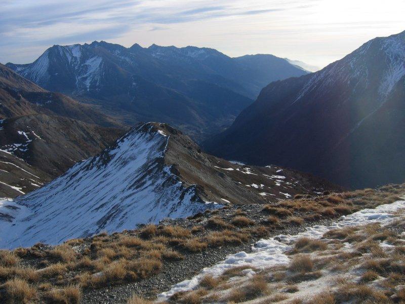
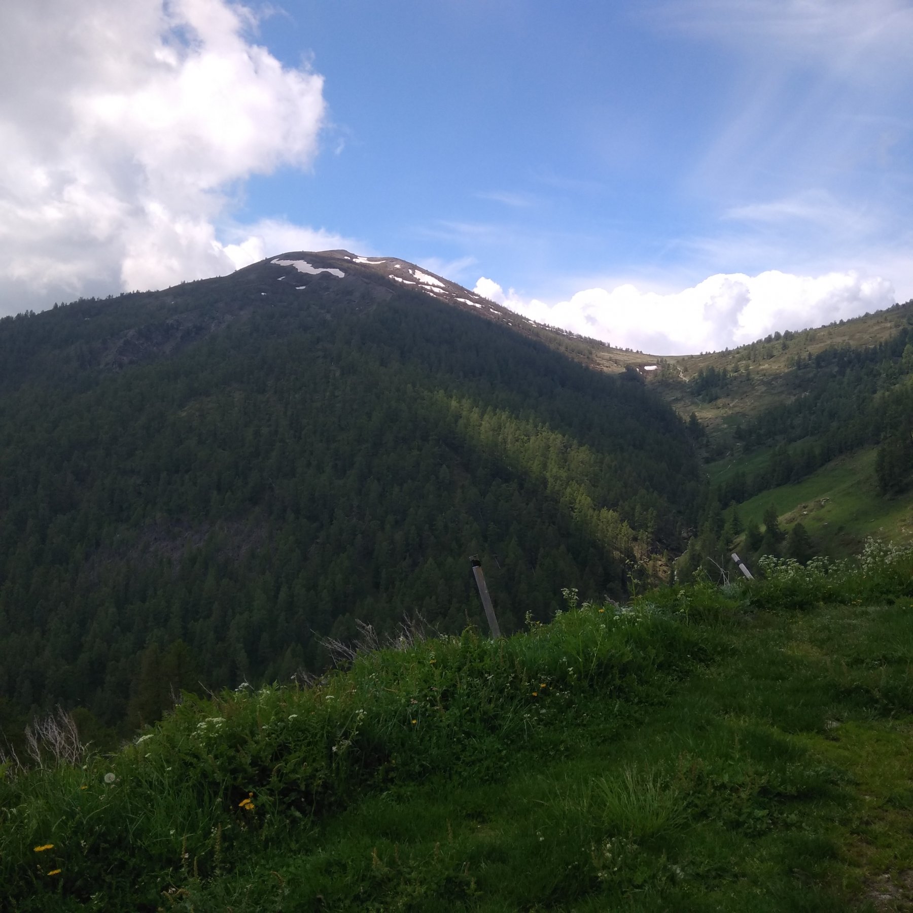
Da qui si risale (sentiero) fino alla sommità del Monte Blegier. Si scende quindi dall’opposto versante, per pendii erbosi e senza percorso obbligato puntando al Colle Blegier.
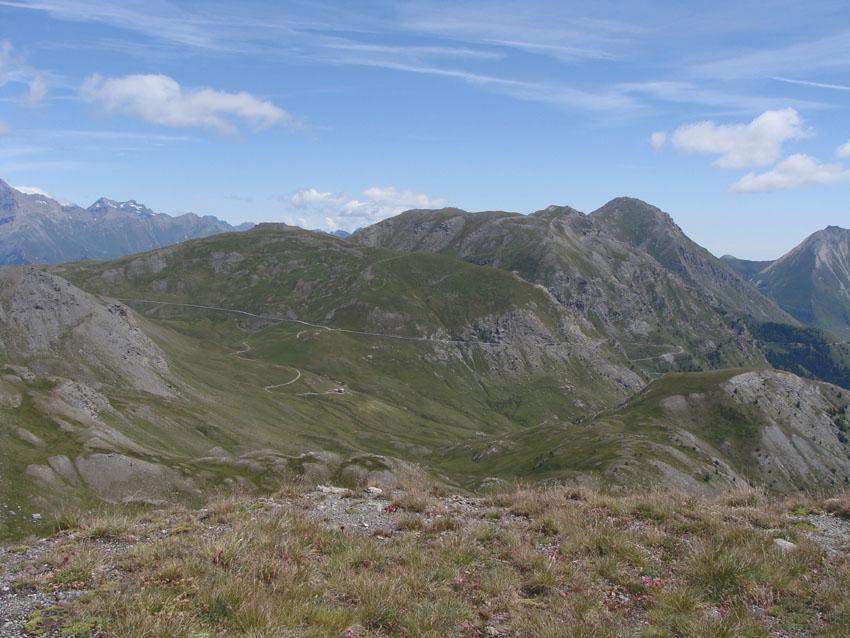
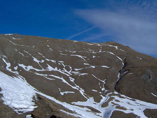
Senza raggiungere il colle, tenendosi sulla sx, si prende il sentiero che contornando il Monte Blegier permette molto velocemente di ritornare a Gran Puy ricongiungendosi al percorso di andata.
- Cartografia:
- IGC n°1 - Valli di Susa, Chisone e Germanasca
Nelle vicinanze Mappa
Itinerari
03/09/2017 TO, Pragelato D+ 740 m E Sud
Assietta (Testa dell’) da Grand Puy
 50m
50m
01/06/2020 TO, Pragelato D+ 977 m E Sud-Est
Moncrons (Punta di) da Grand Puy
 50m
50m
16/06/2018 TO, Pragelato D+ 1120 m E Sud
Gran Serin (Punta del) da Grand Puy per Col Lauson e Colle dell’Assietta
 50m
50m
06/08/2004 TO, Pragelato D+ 1050 m E Sud-Est
Triplex (Monte) e Roc Noir da Pragelato
1.7Km
15/08/2025 TO, Pragelato D+ 1270 m EE Ovest
Ciabertas (Monte) da Soucheres Basses
 1.8Km
1.8Km
03/08/2025 TO, Pragelato D+ 1600 m EE Varie
Politri (Monte) o Bric Rosso e Fea Nera da Pragelato per il Colle del Pis e Colle dell’Albergian
 2.2Km
2.2Km
16/06/2022 TO, Pragelato D+ 1070 m EE Nord-Est
Gran Muels (Monte) da Pragelato
 2.2Km
2.2Km
03/08/2025 TO, Pragelato D+ 1455 m EE Nord
Gran Miuls (Monte) da Pragelato
 2.2Km
2.2Km
29/07/2019 TO, Pragelato D+ 1200 m EE/F Nord-Ovest
Vallonetto (Punta) da Pragelato
 2.2Km
2.2Km
05/07/2026 TO, Pragelato D+ 1523 m E Nord
Albergian (Monte) da Pragelato
 2.2Km
2.2Km
Servizi
200m
1.7Km
Casa Alpina Rifugio
Pragelato
1.7Km
Passet Ristorante
Pragelato
1.8Km
Casa degli Escartons Alex Berton B&B
Pragelato
1.8Km
1898 Ristorante
Soucheres-basses
3.6Km
Casa Assietta Rifugio
Pragelato
4.4Km
Refugium – ex. Rif. Belotte Rifugio
Pragelato
5.1Km
Al Mulino Ristorante
Pragelato
5.1Km
La capanna del sole Ristorante
Pragelato
5.3Km