2.9Km
2.9Km


Note
 50m
50m
50m
50m
50m
3.7Km
3.7Km
3.7Km
3.7Km
50m
50m
50m
50m
50m
3.7Km
3.7Km
3.7Km
3.7Km
2.9Km
3.9Km
8Km
8.4Km
8.6Km
8.6Km
8.8Km
8.8Km
8.8Km
8.8Km
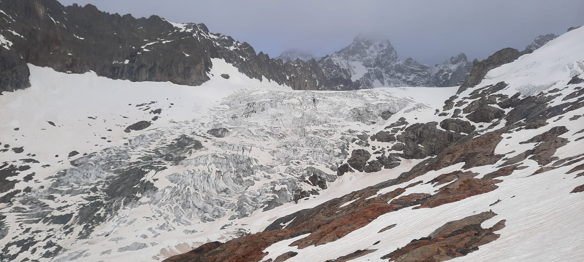
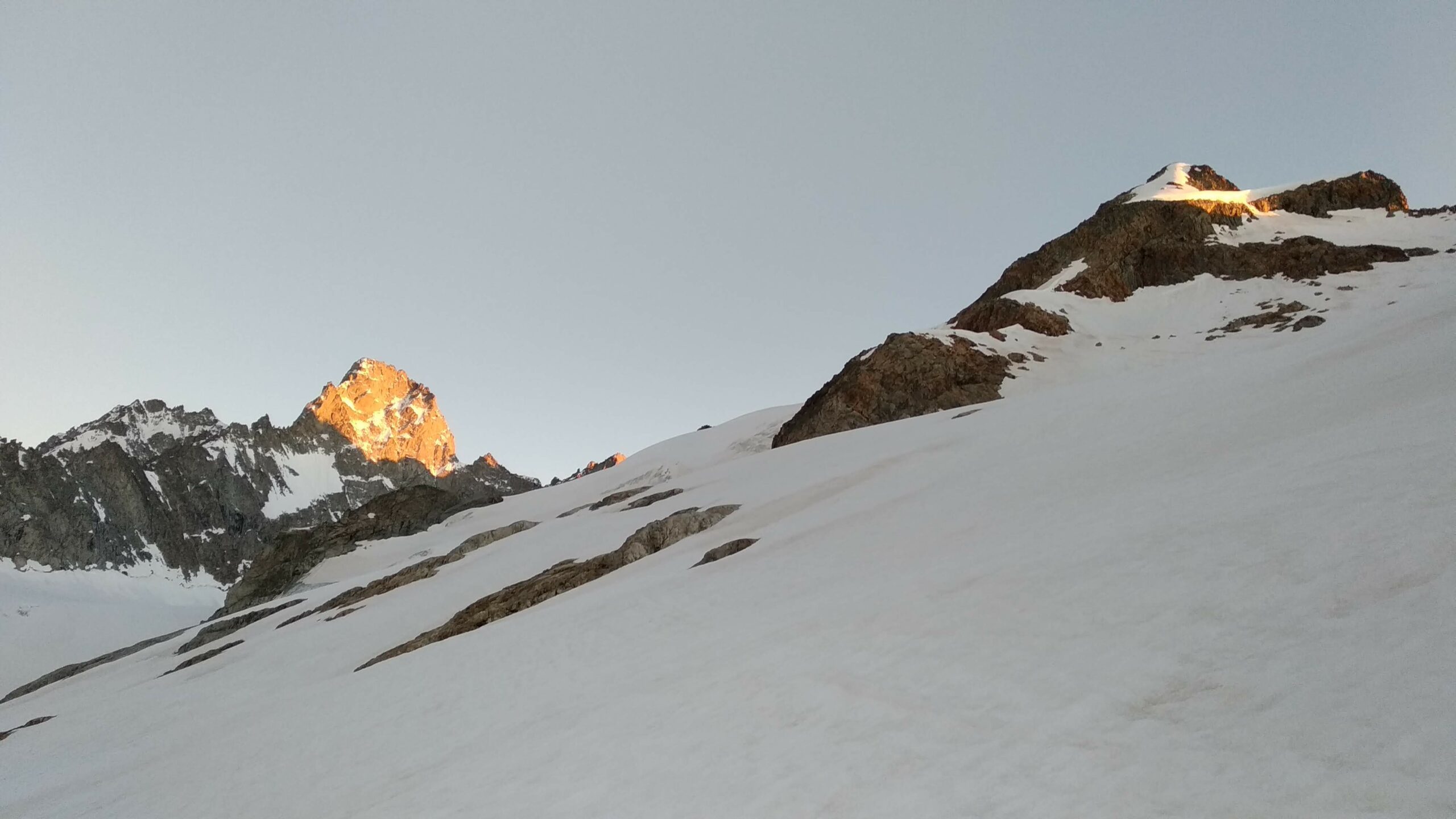
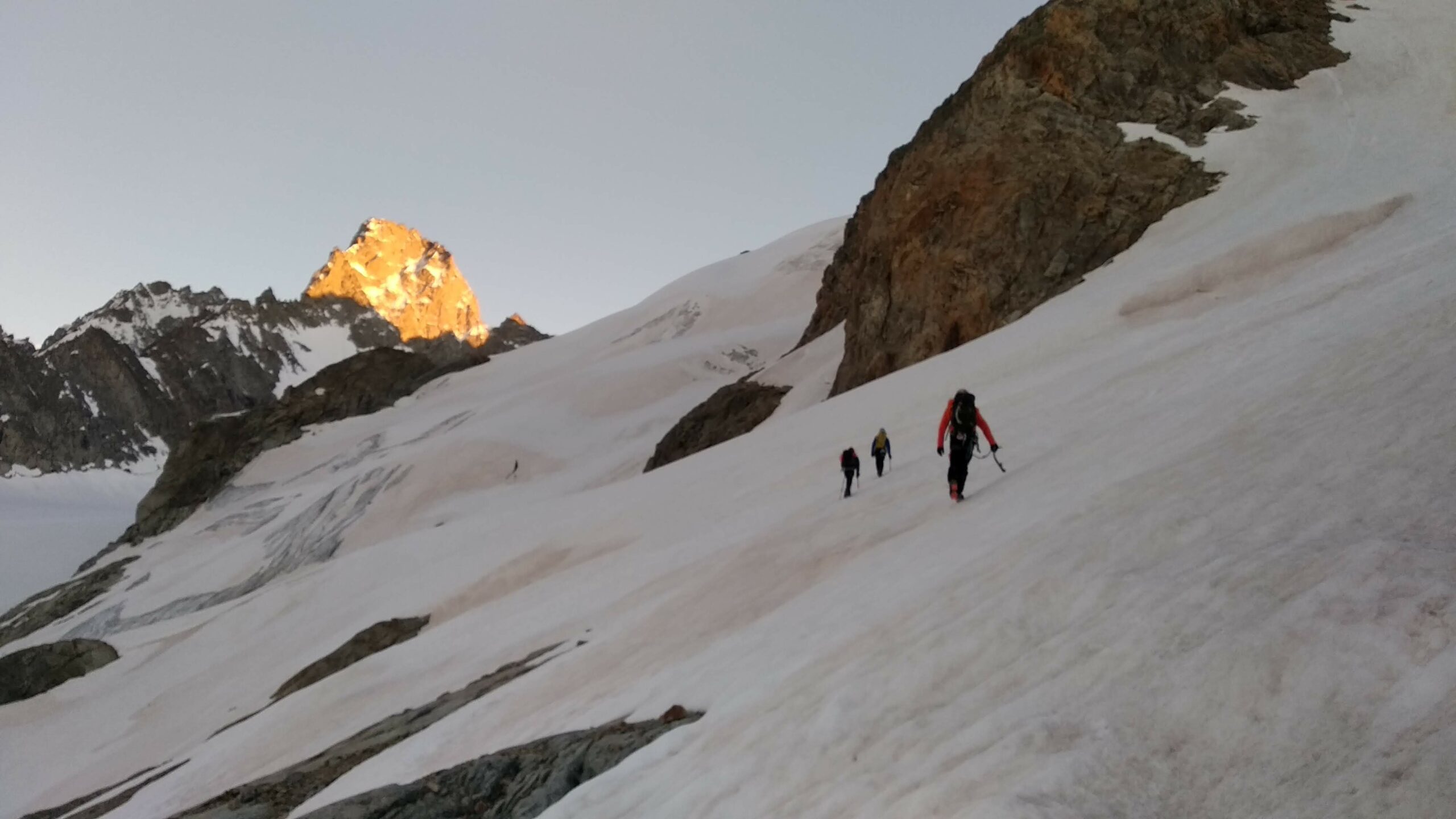
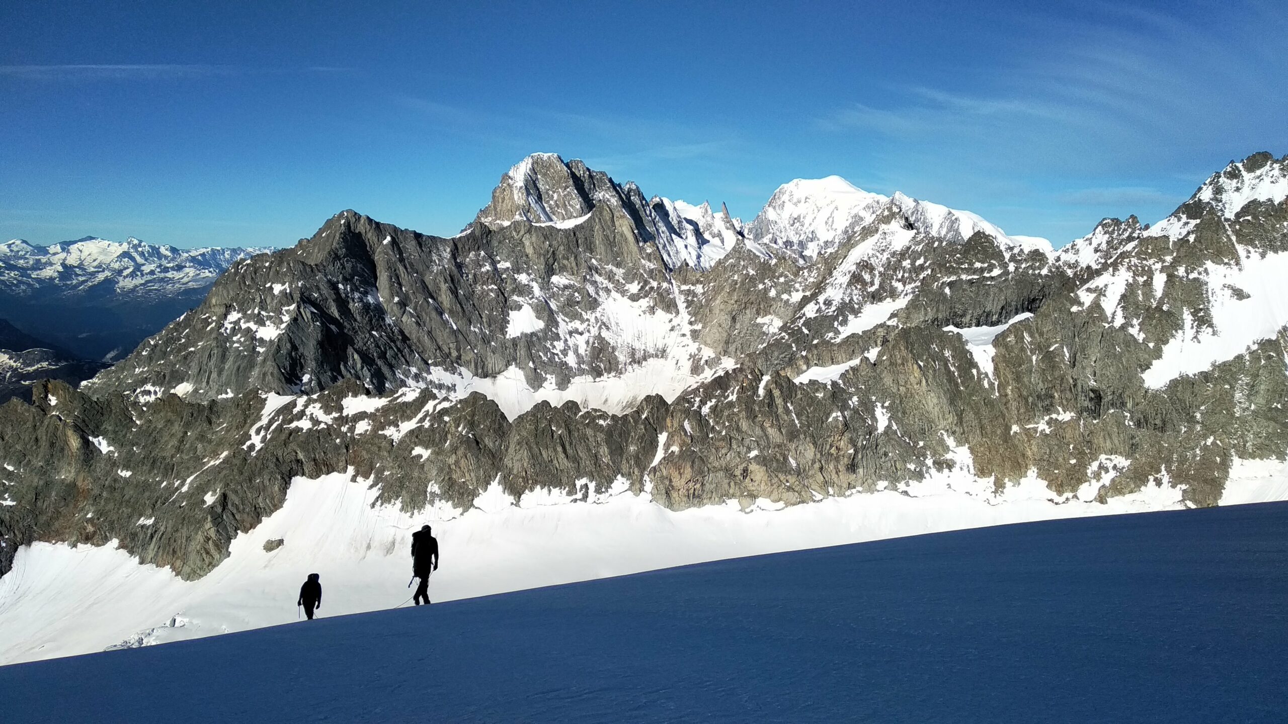
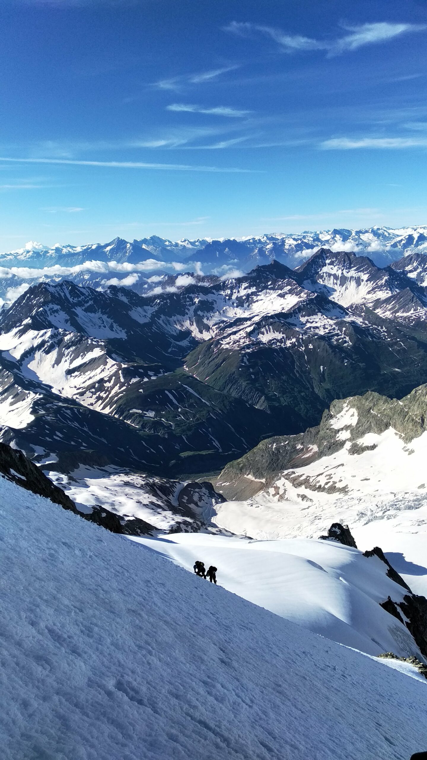
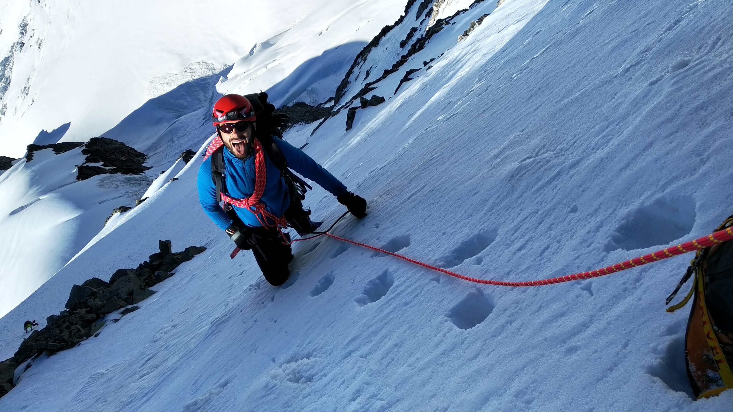
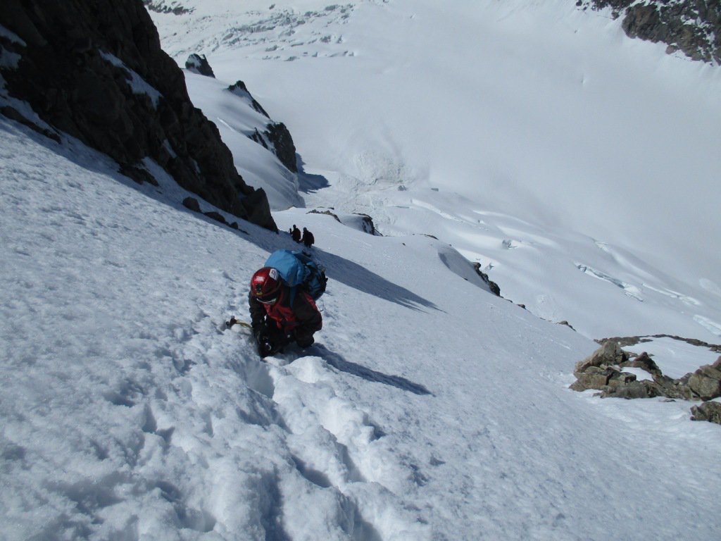
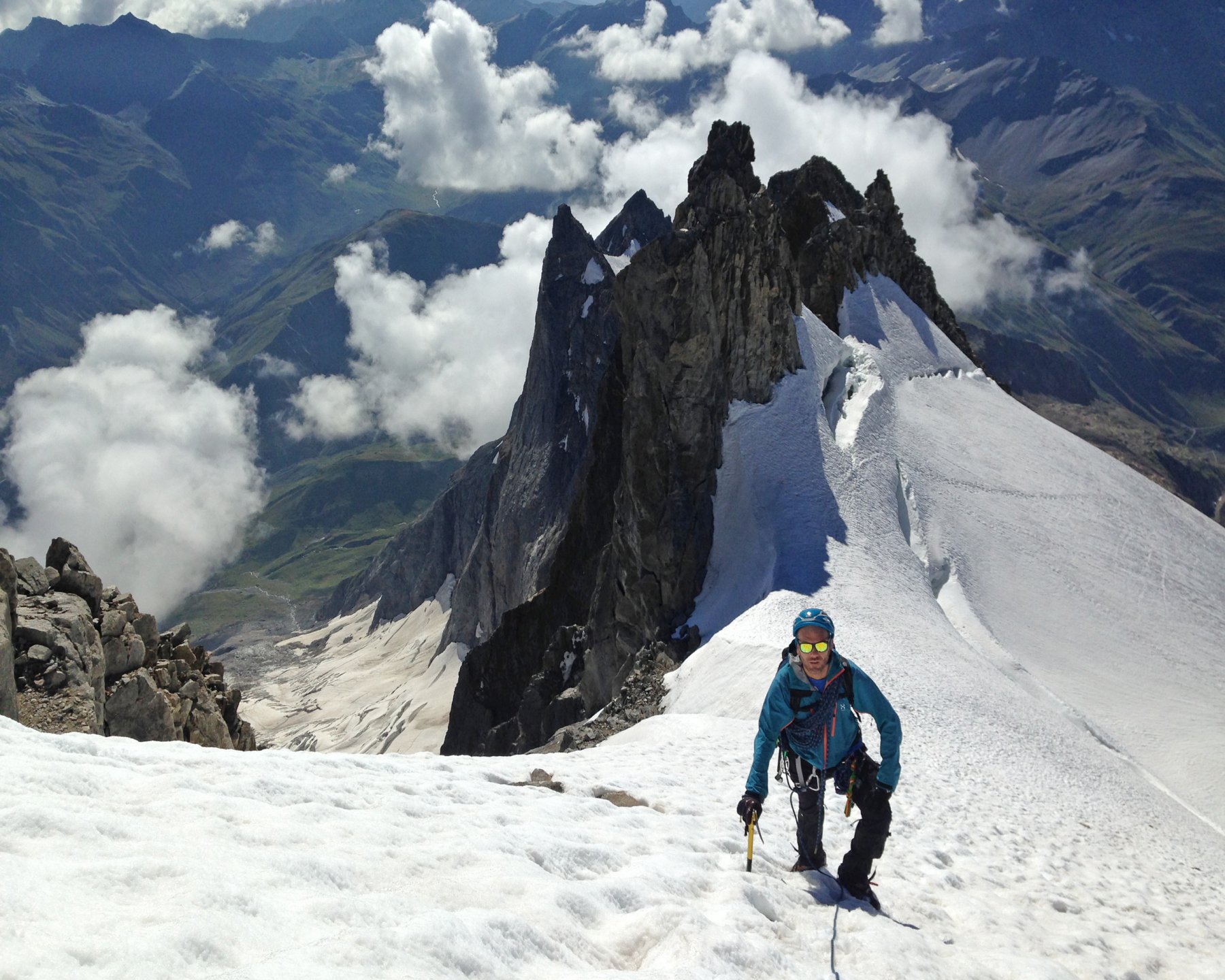
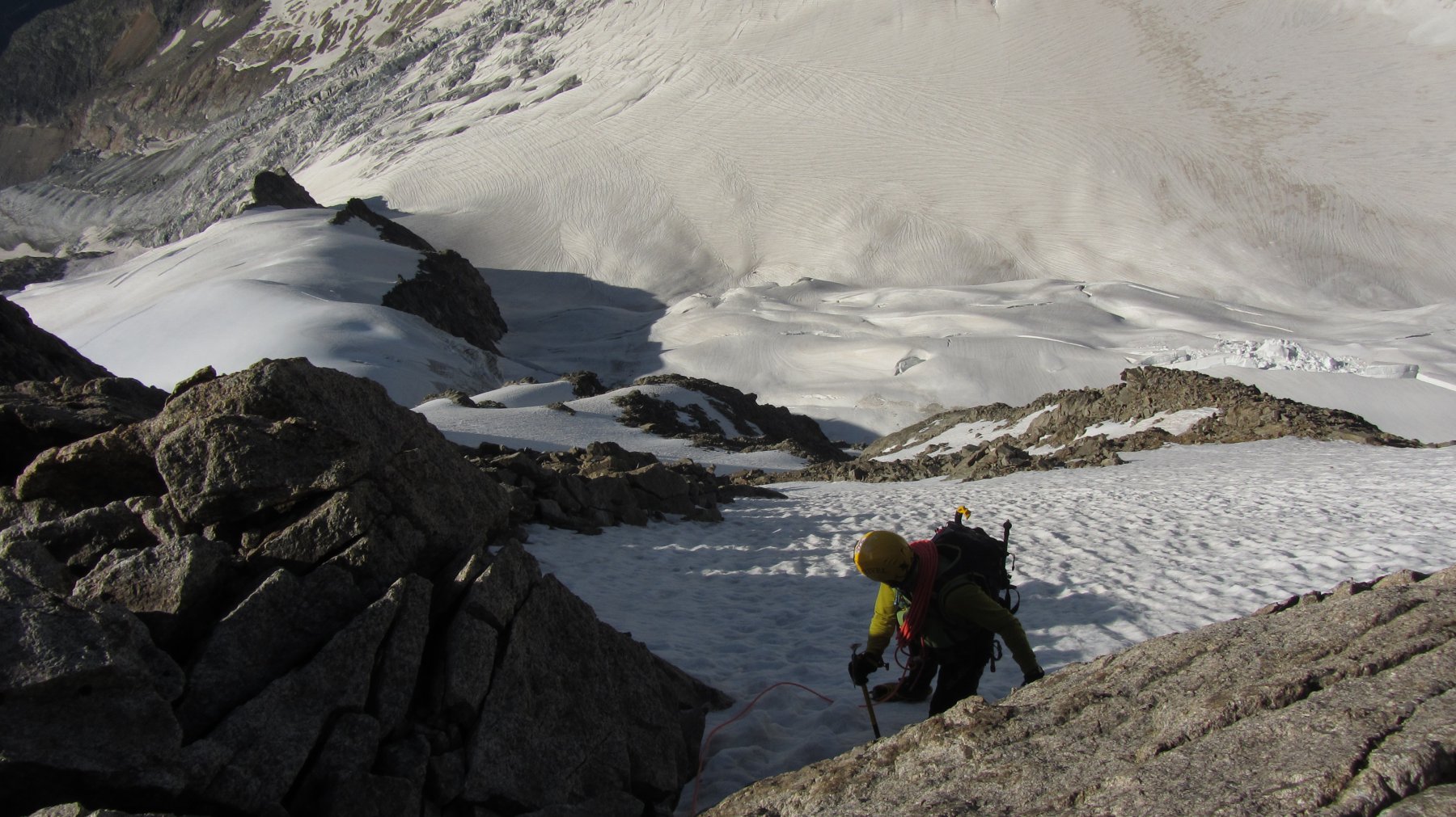
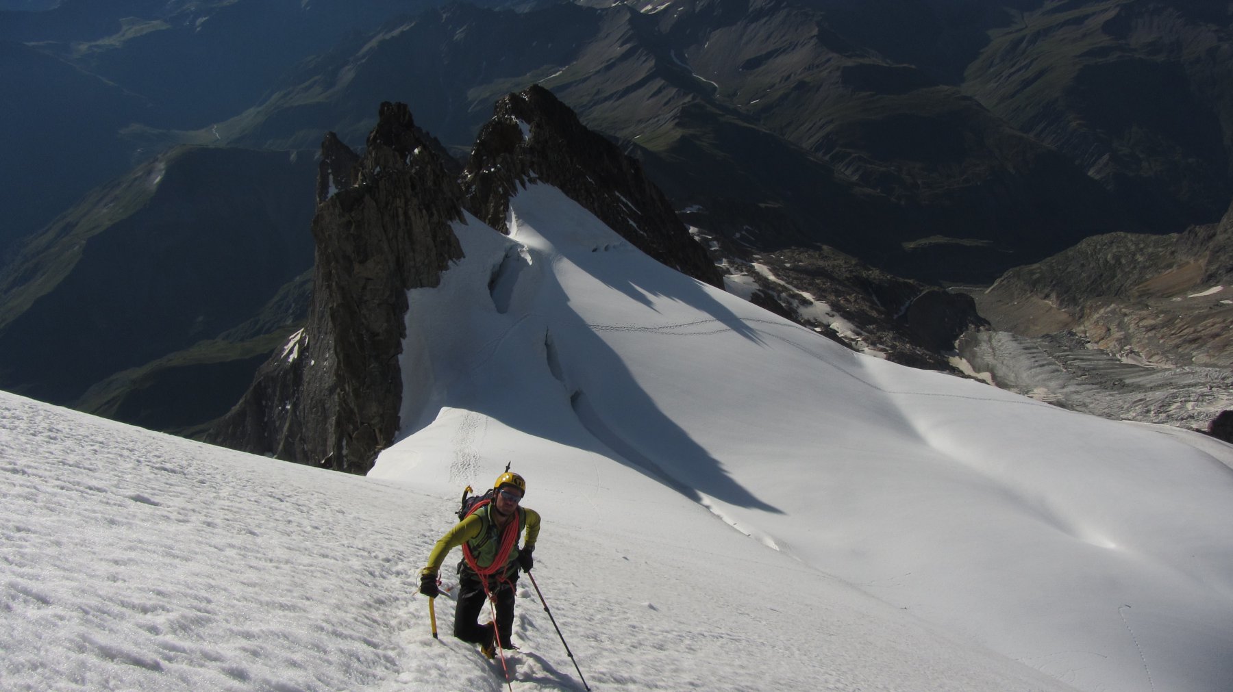
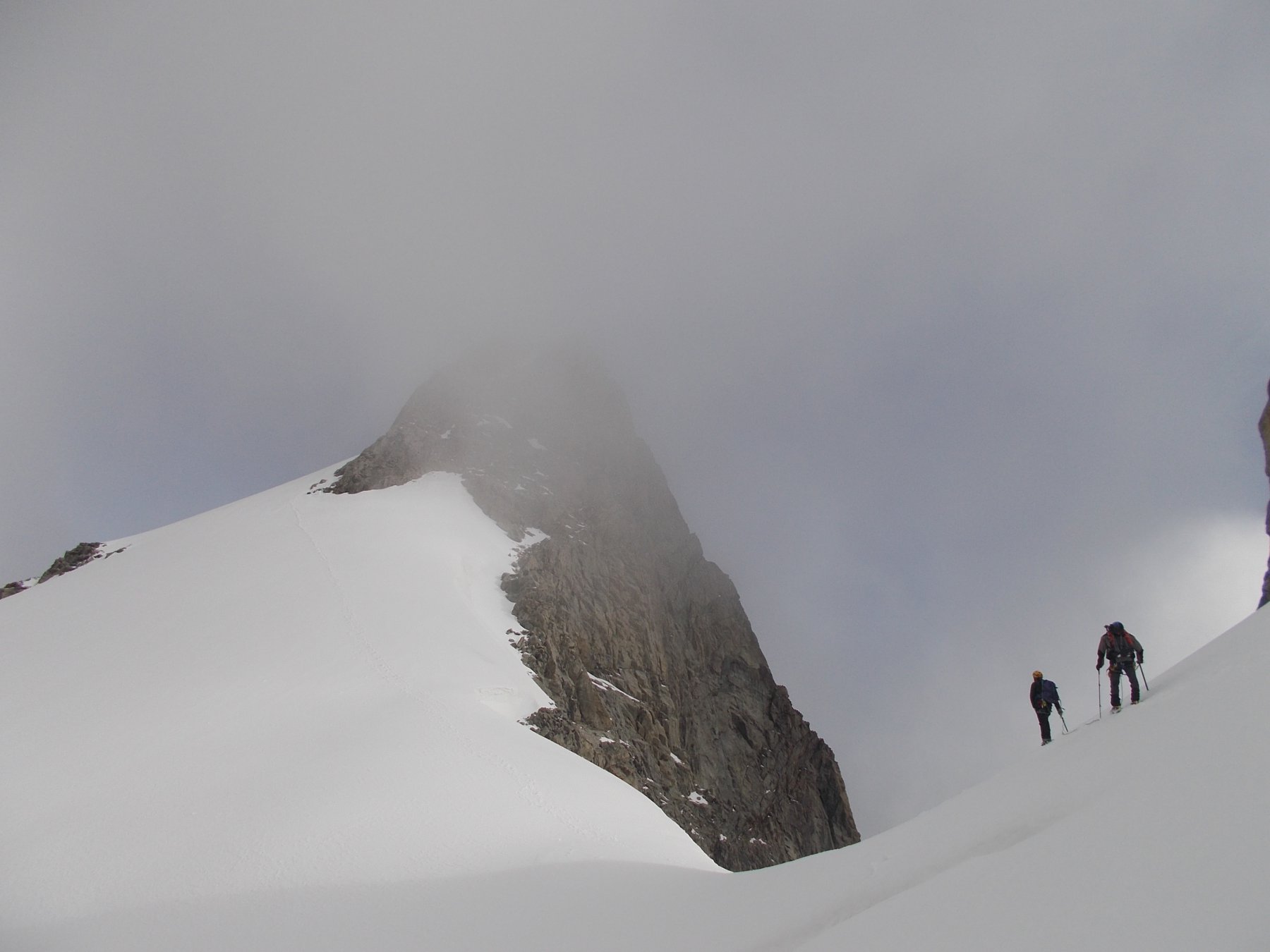
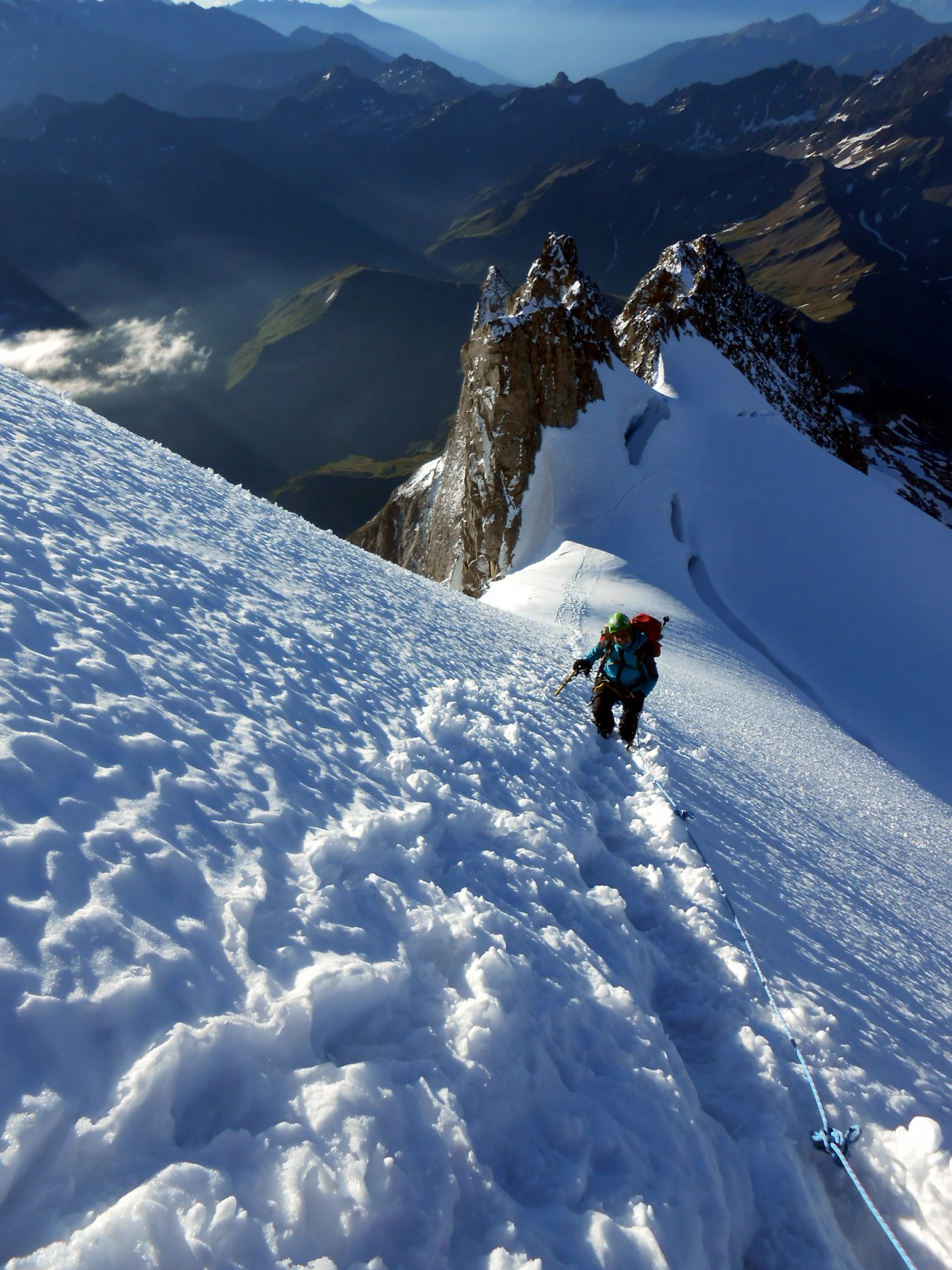
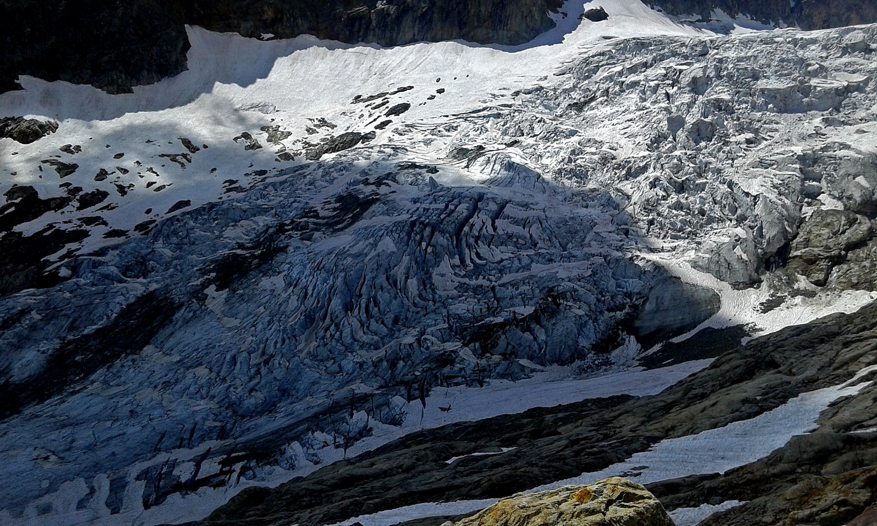
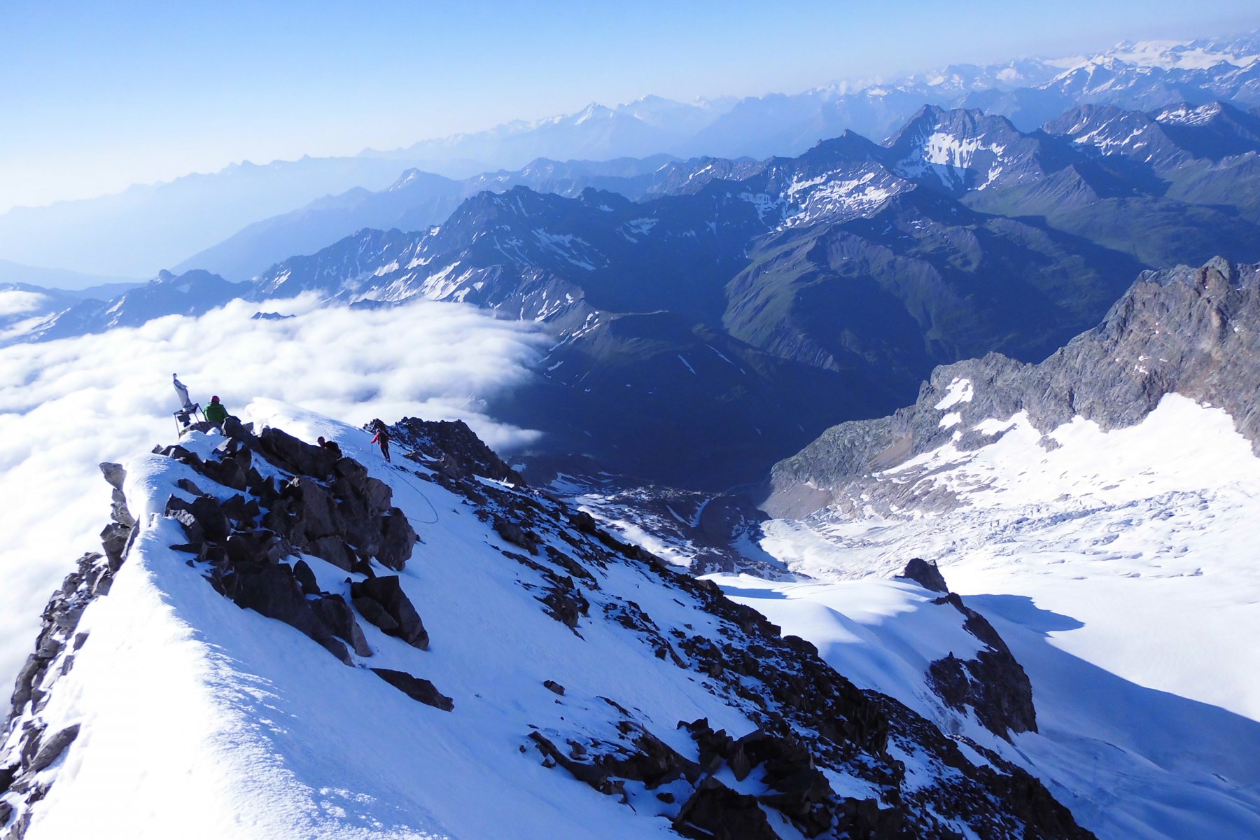
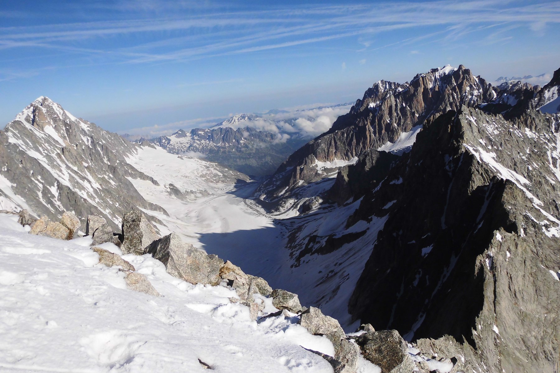
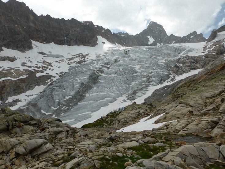
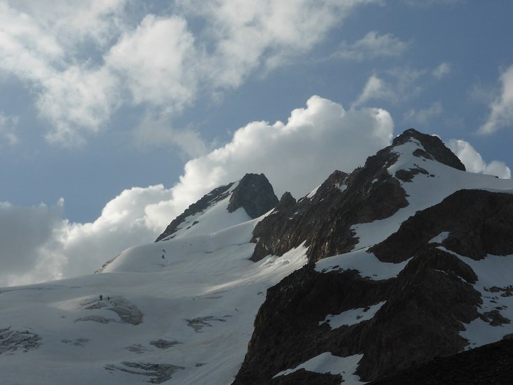
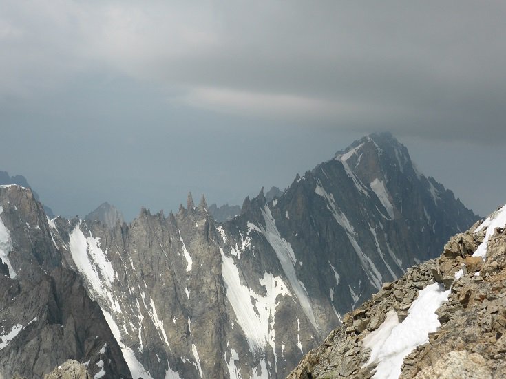
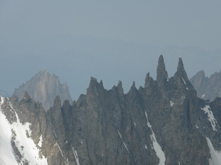
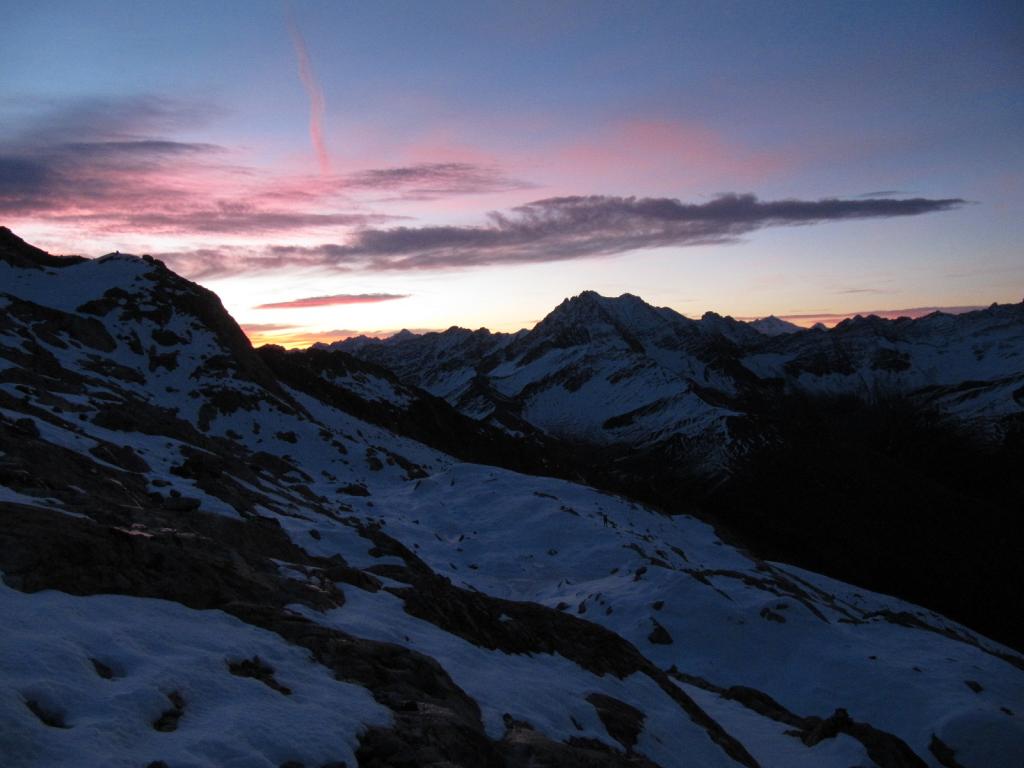
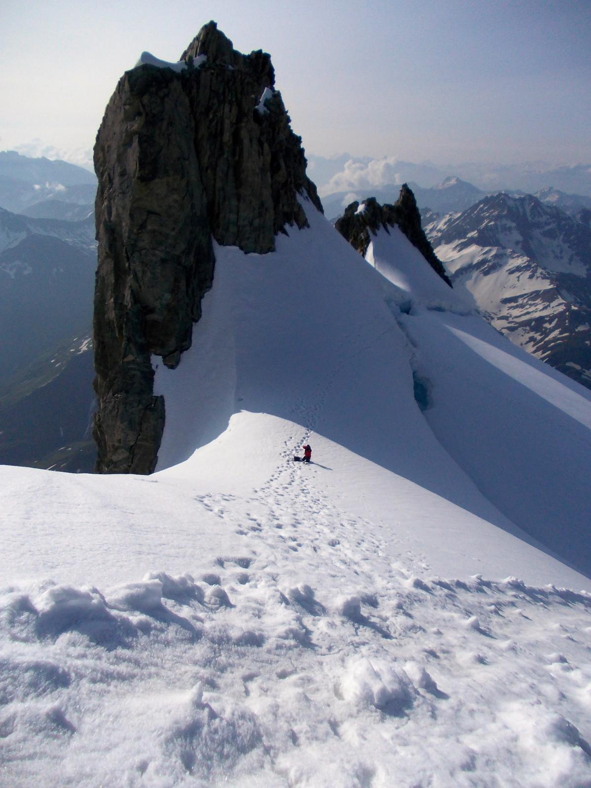
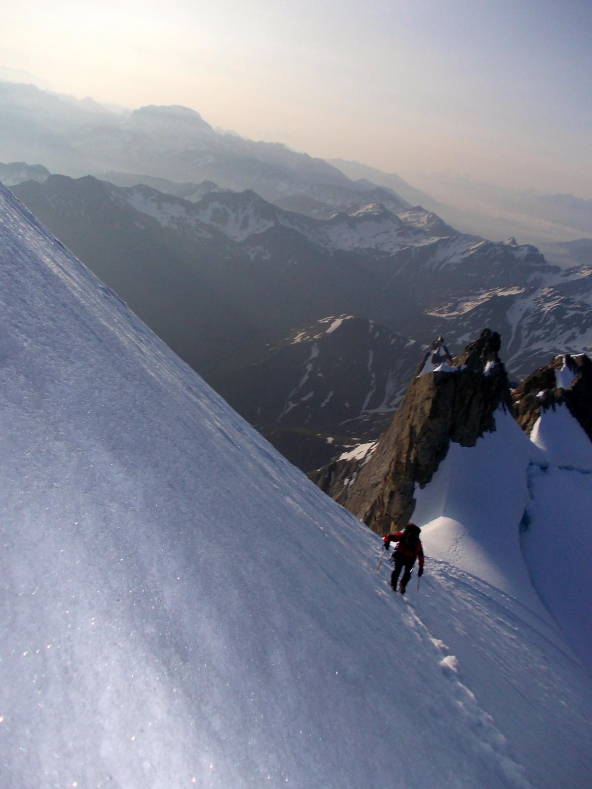
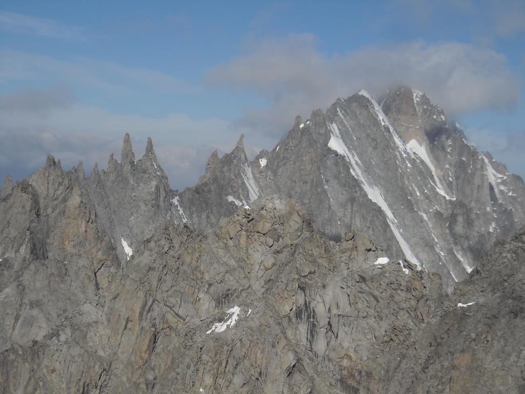
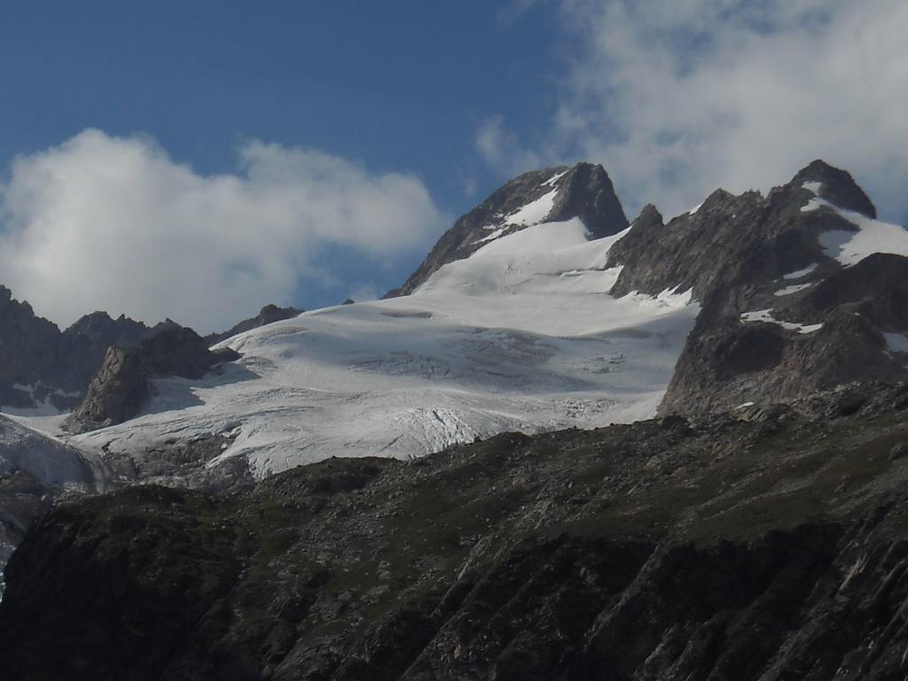
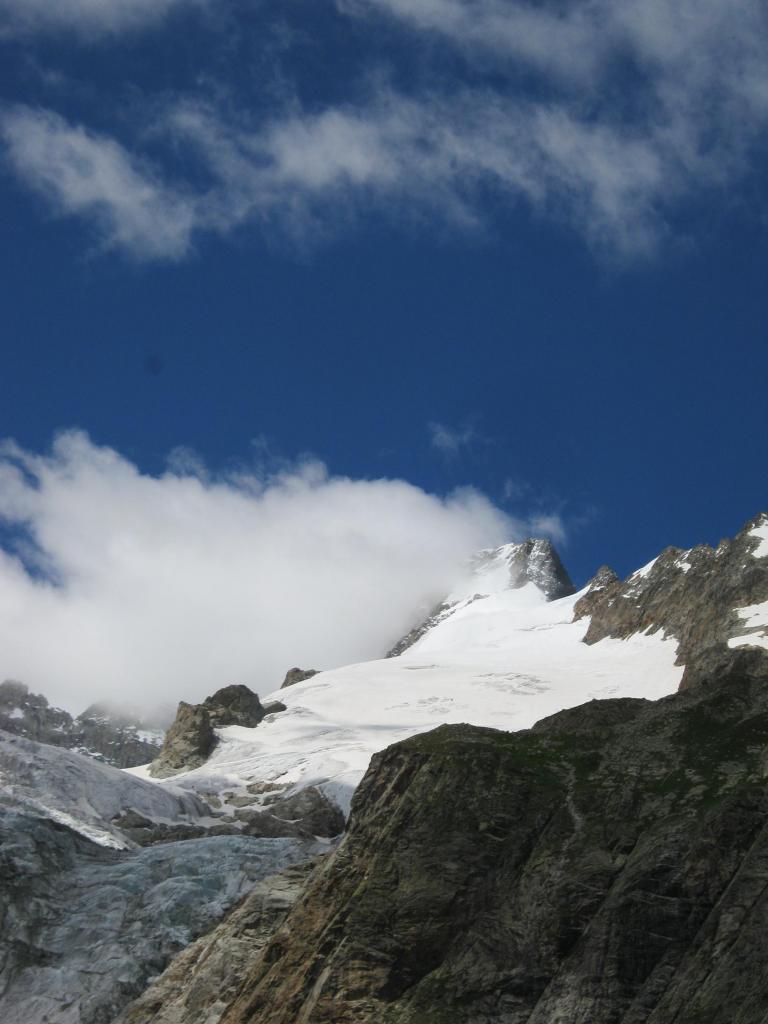
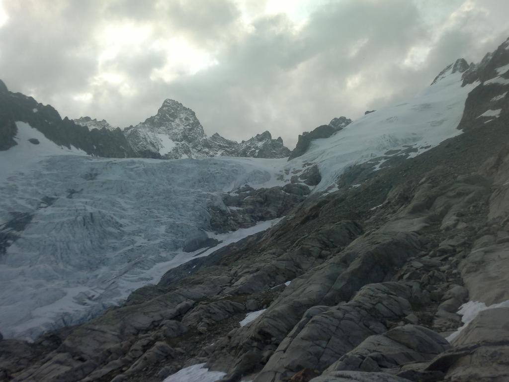
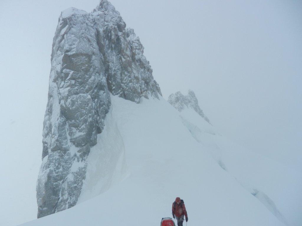
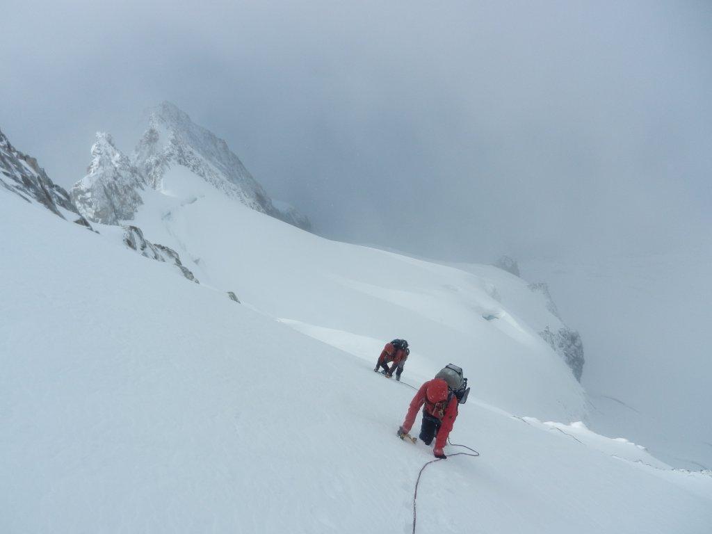
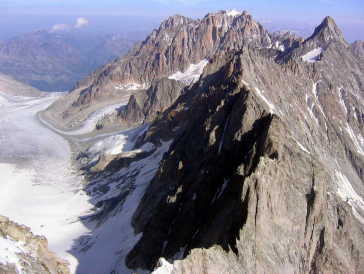
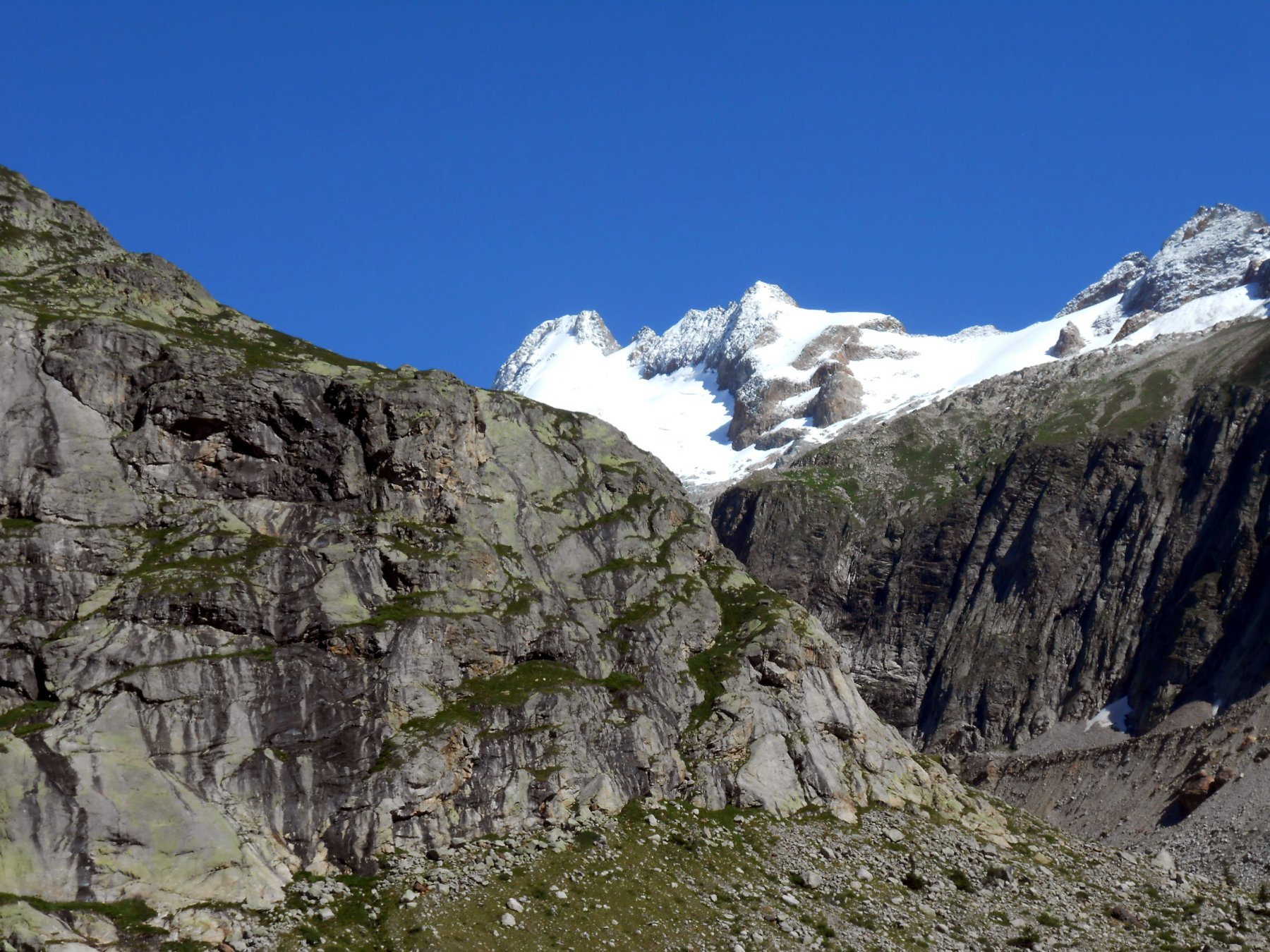
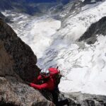
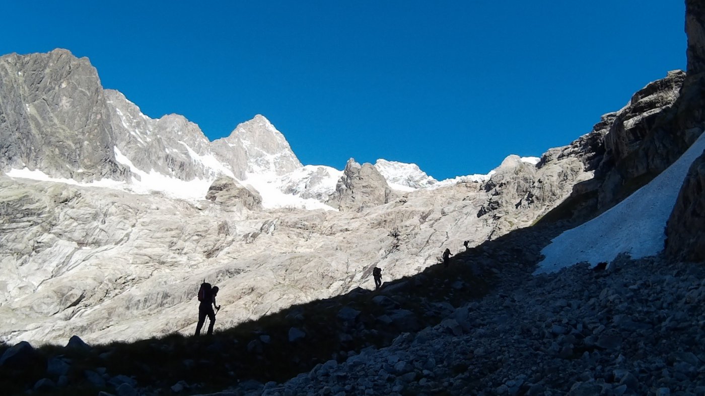
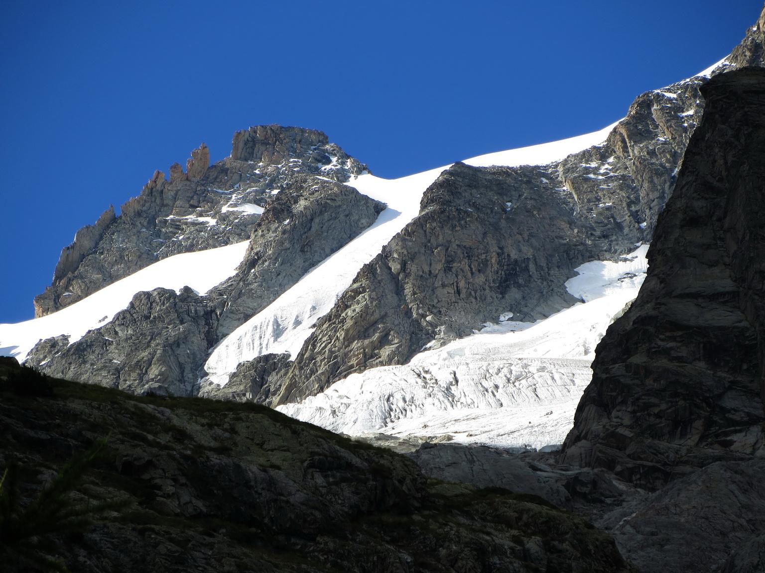
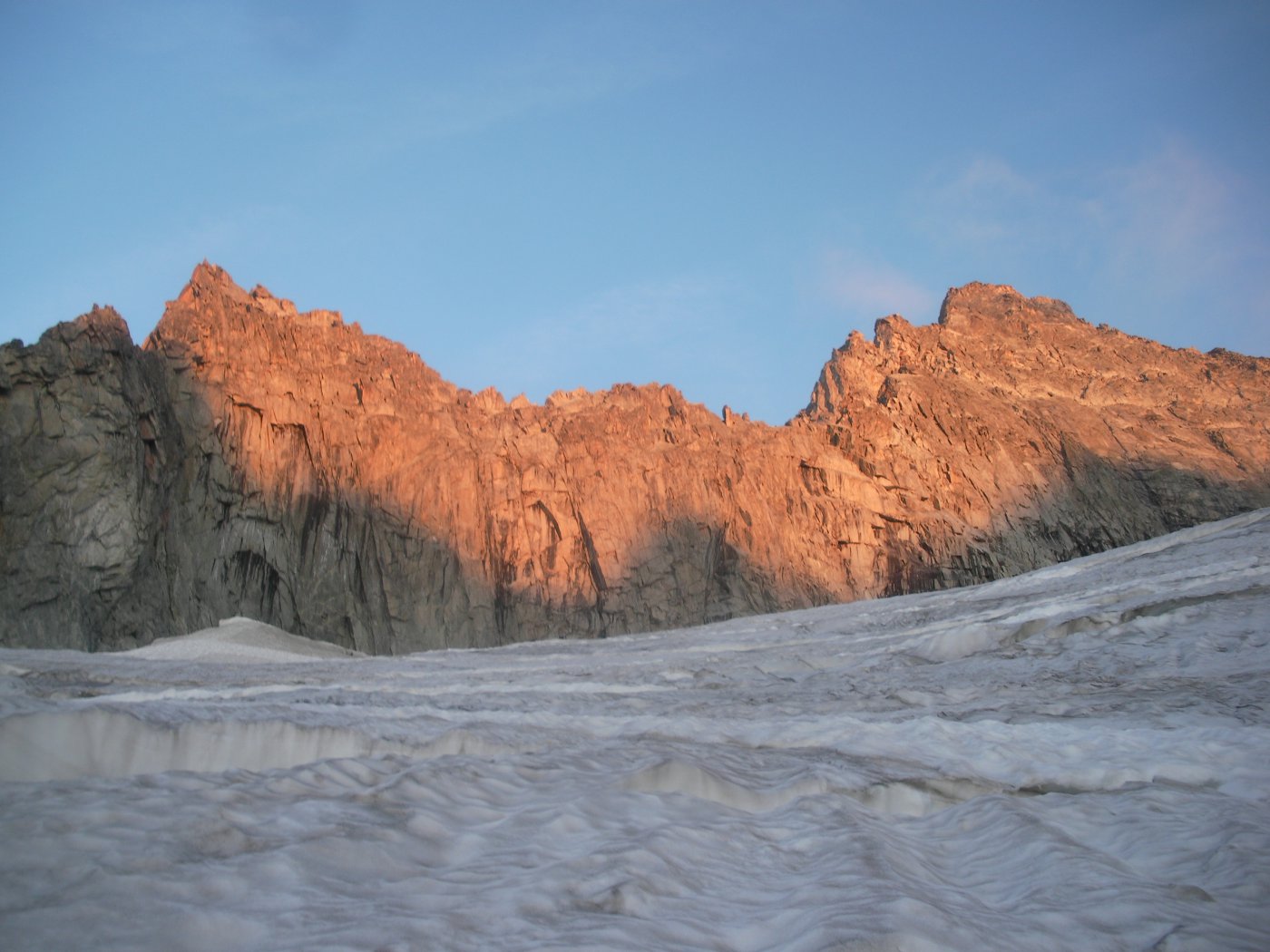
Stupenda salita in ambiente glaciale d'alta quota su un bellissimo e poderoso ghiacciaio.
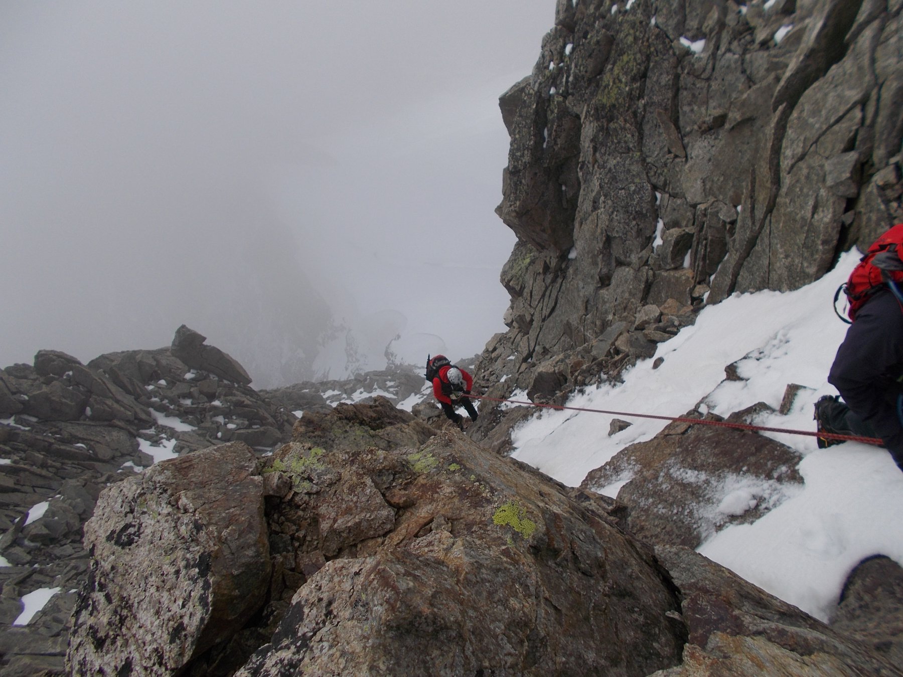
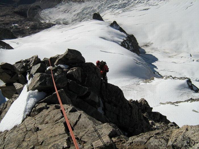
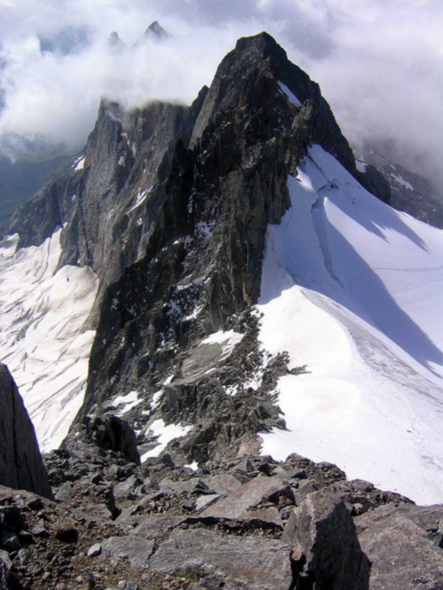
Da non sottovalutare per la presenza di grossi crepacci e qualche bel seracco.
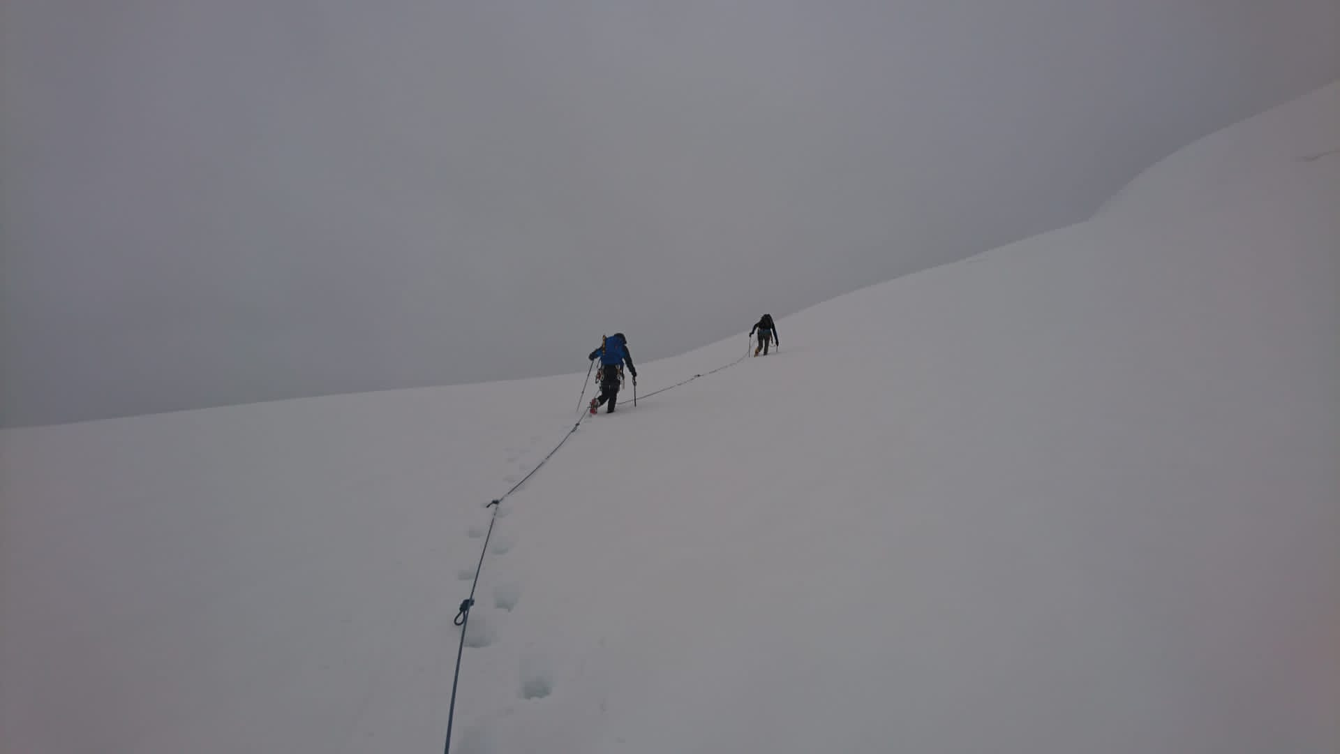
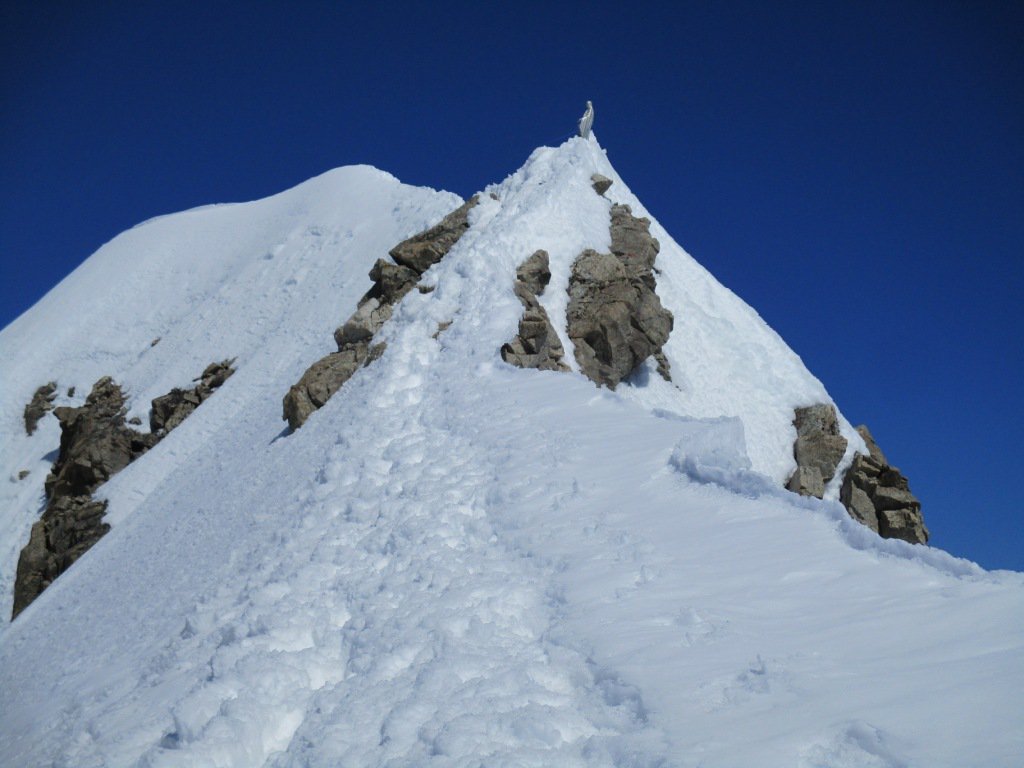
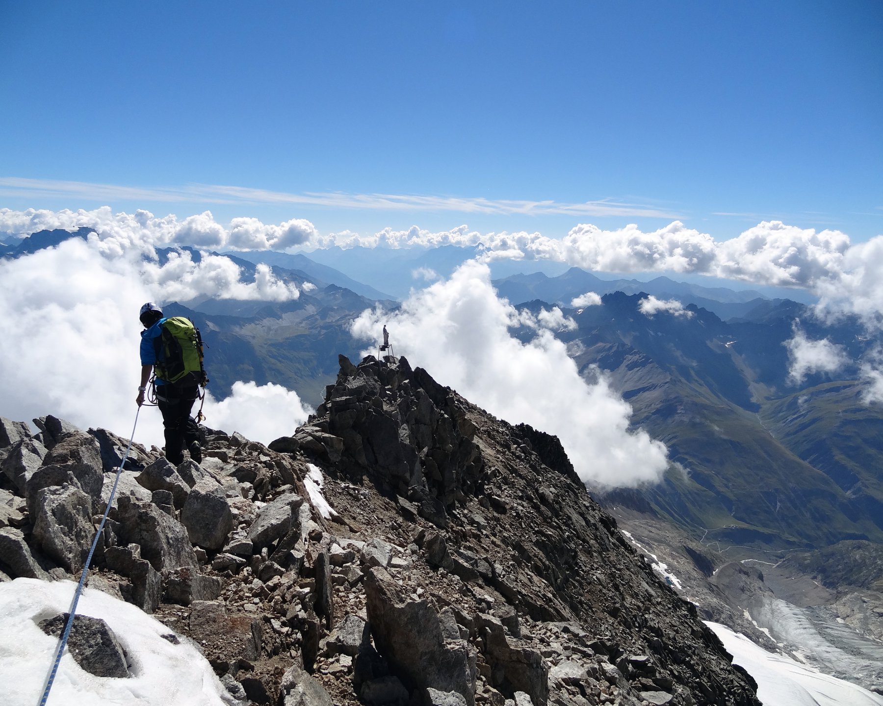
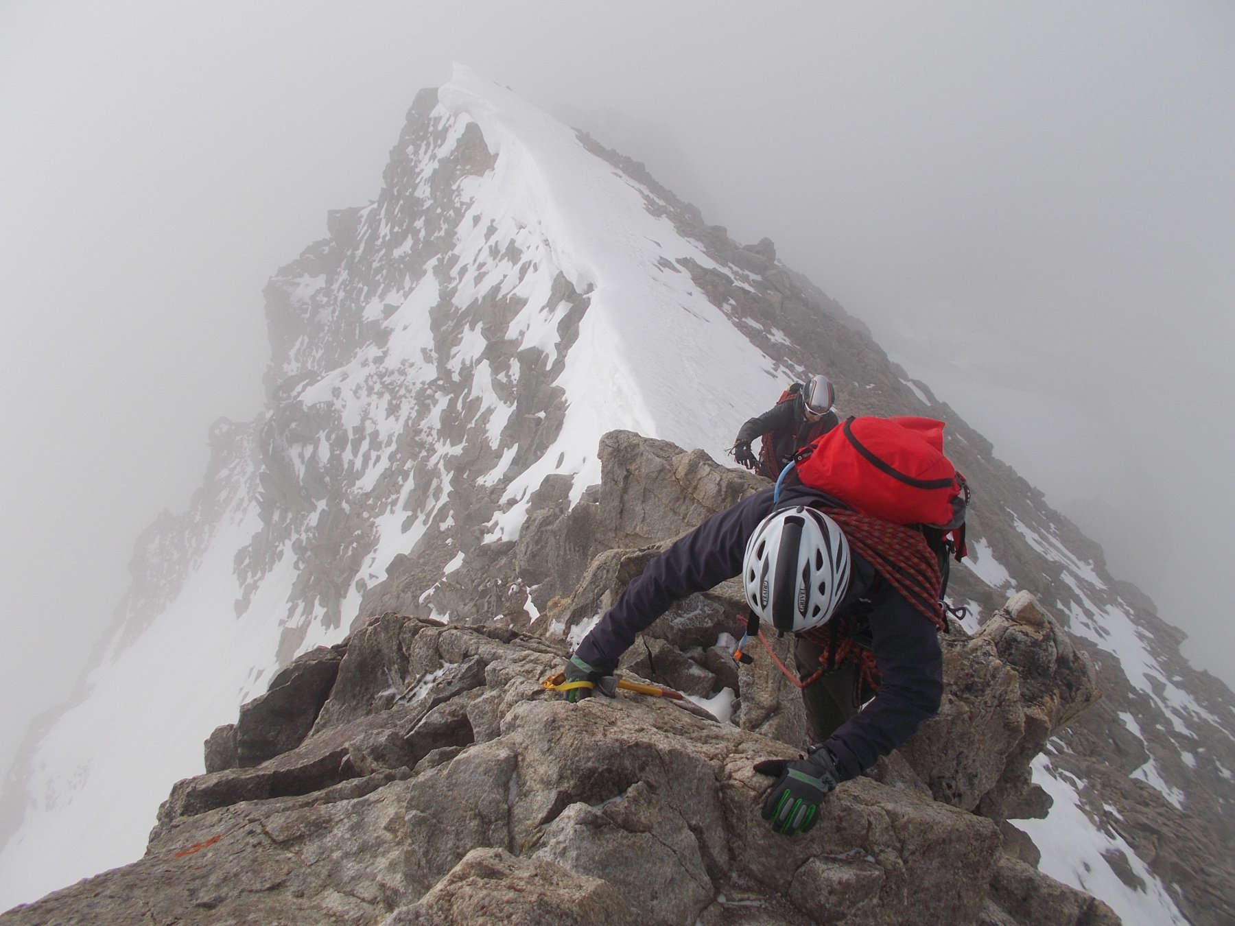
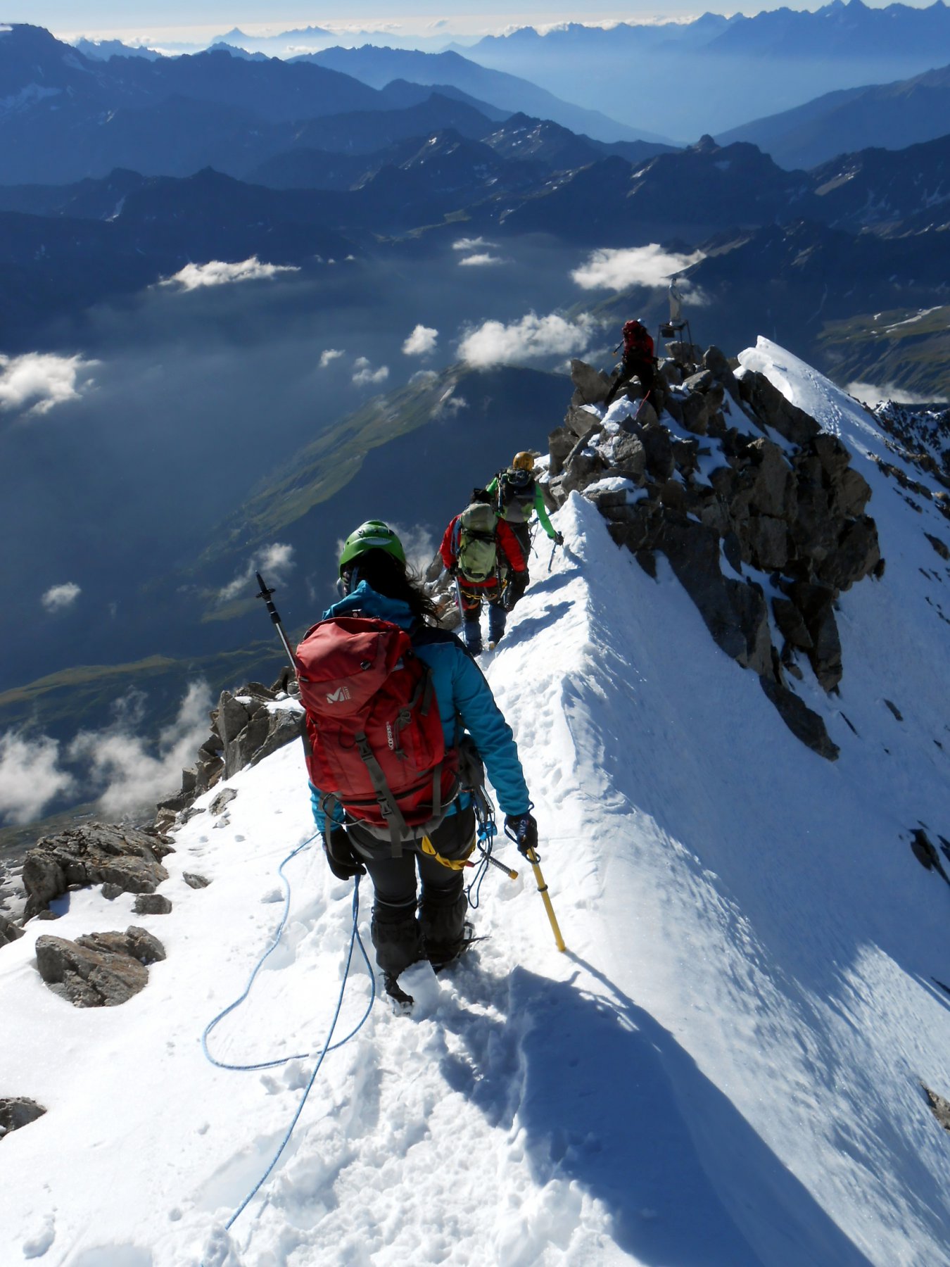
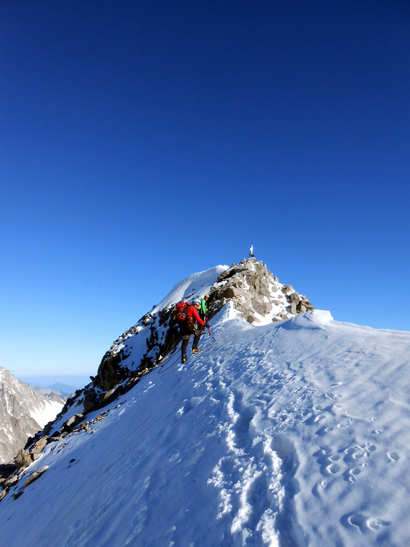
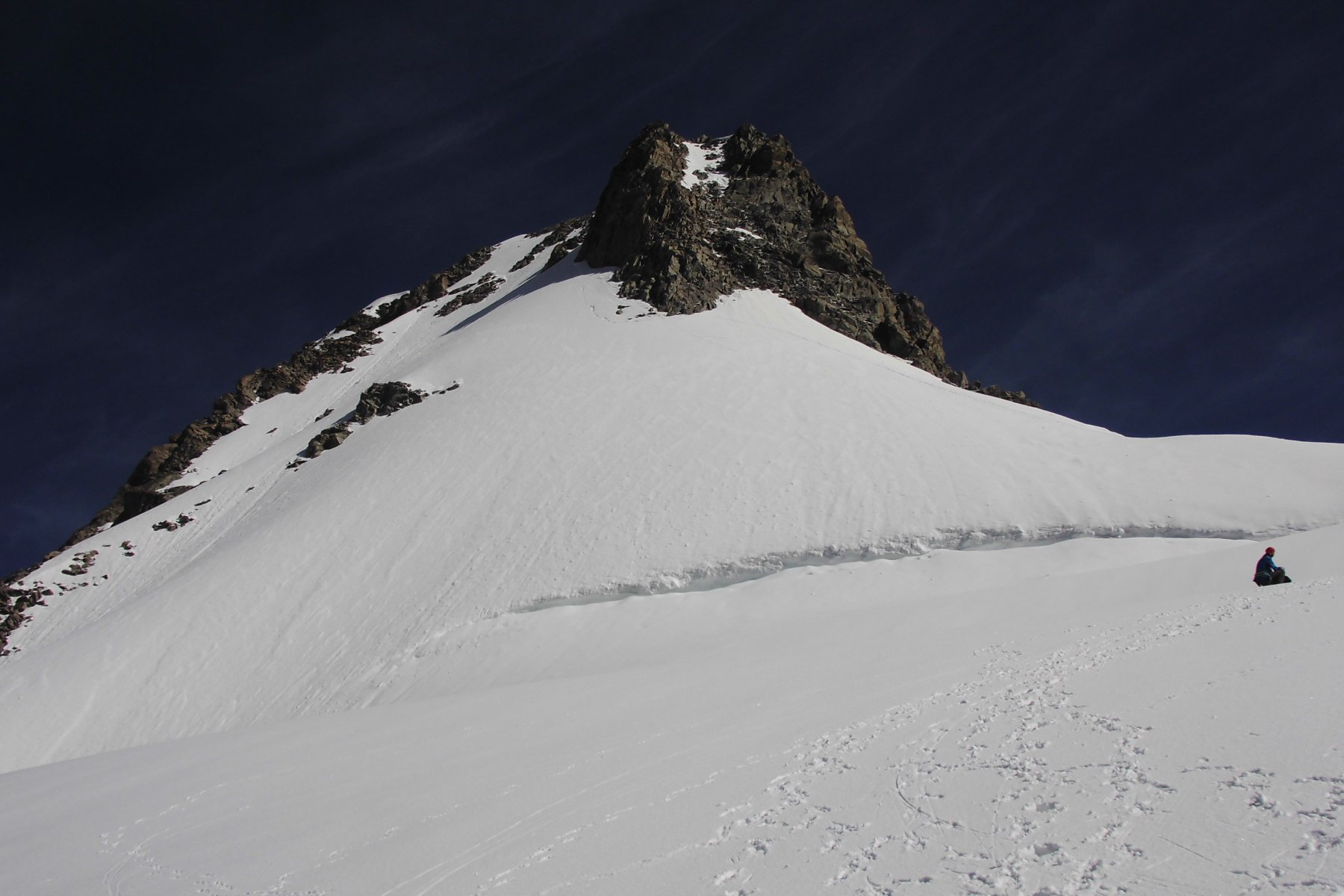
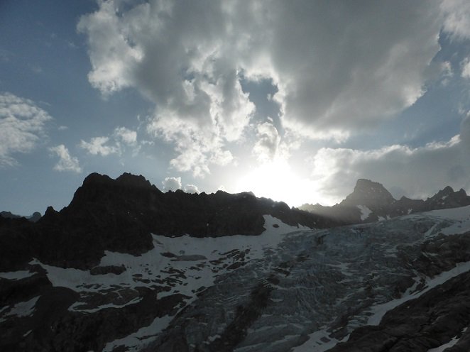
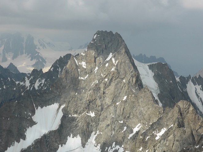
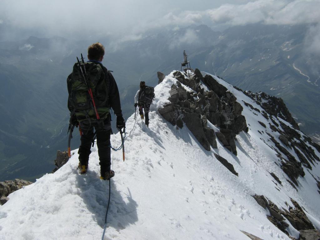
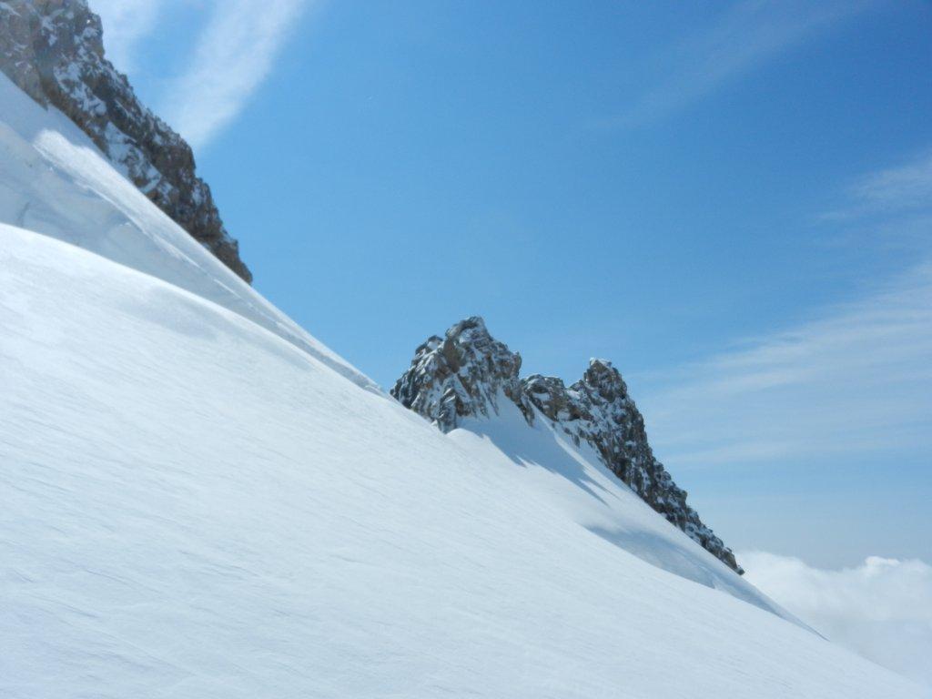
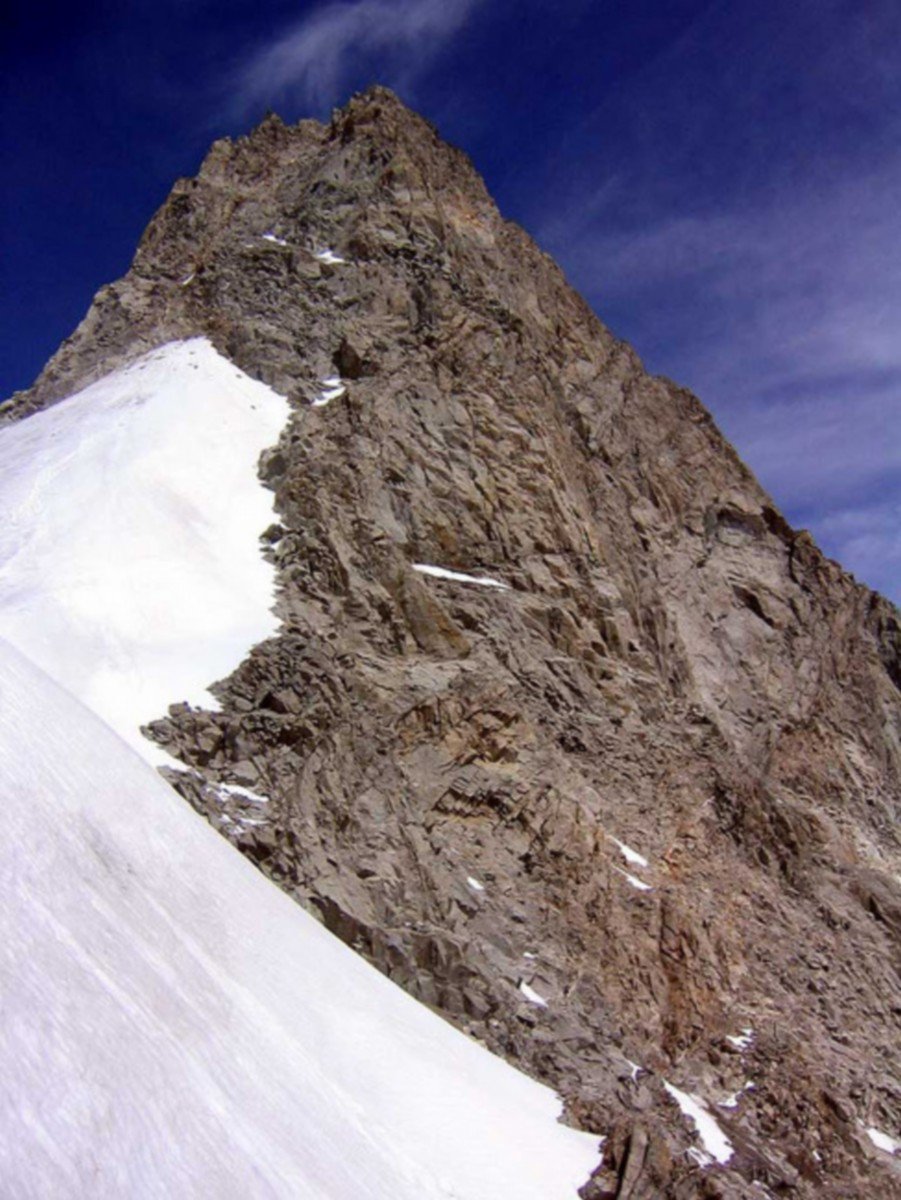
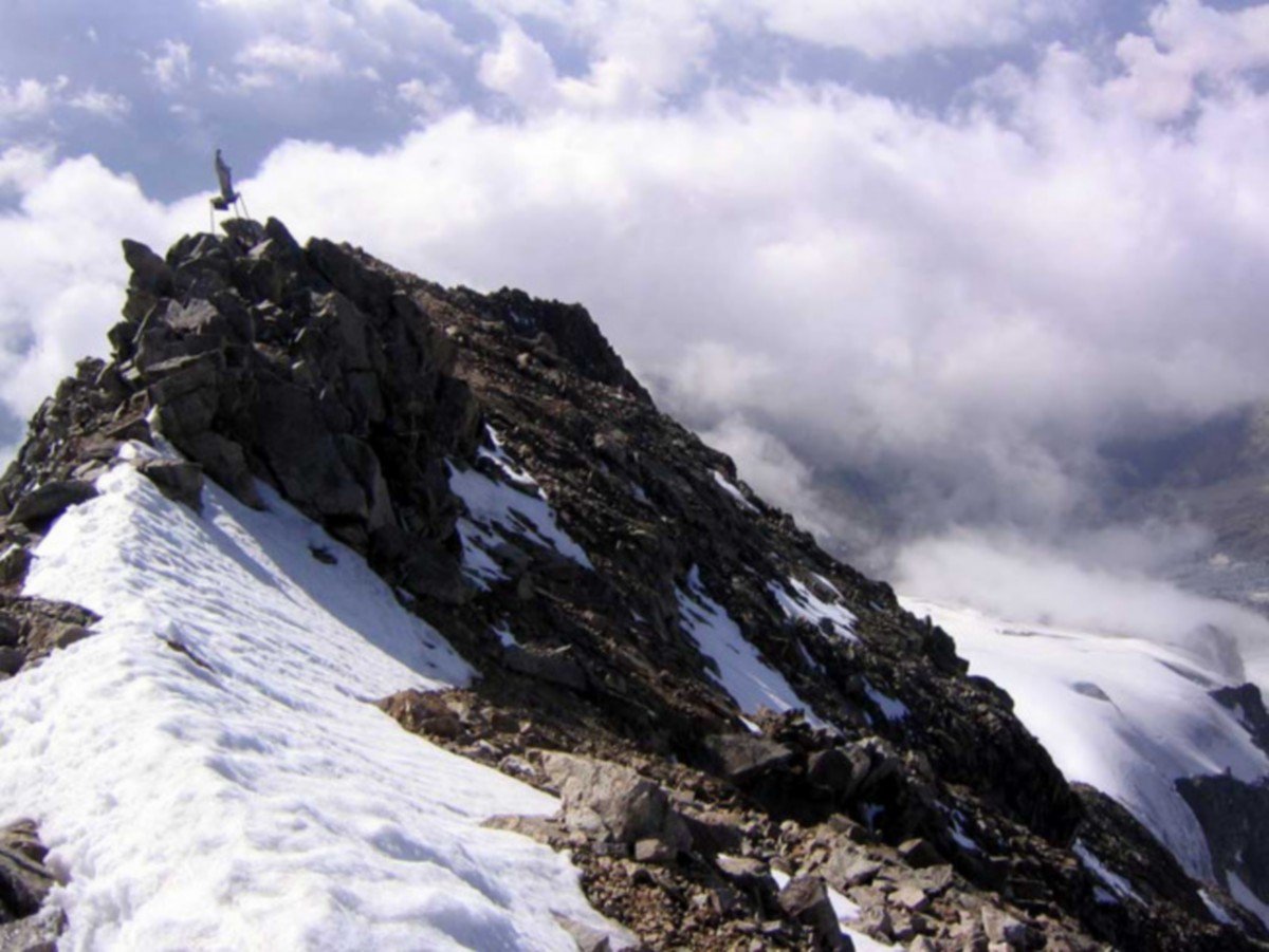
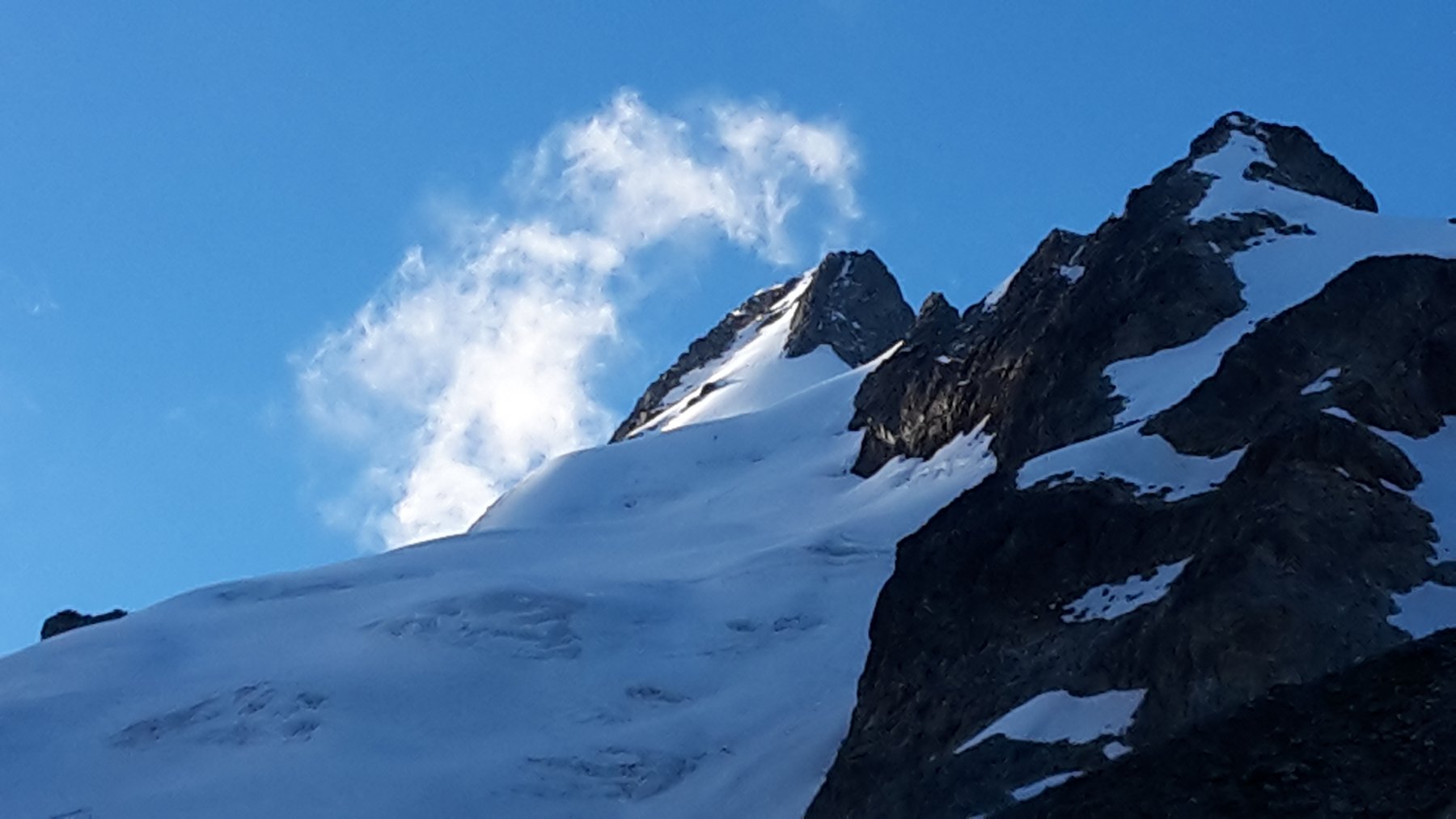
Fantastico l'ultimo pendio che raggiunge i 45° e la cresta terminale.
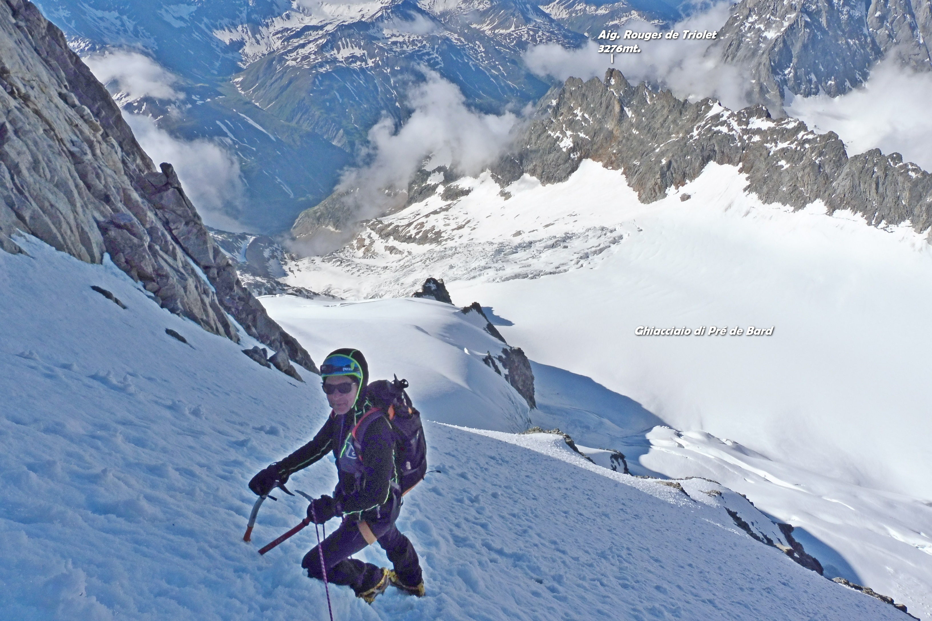
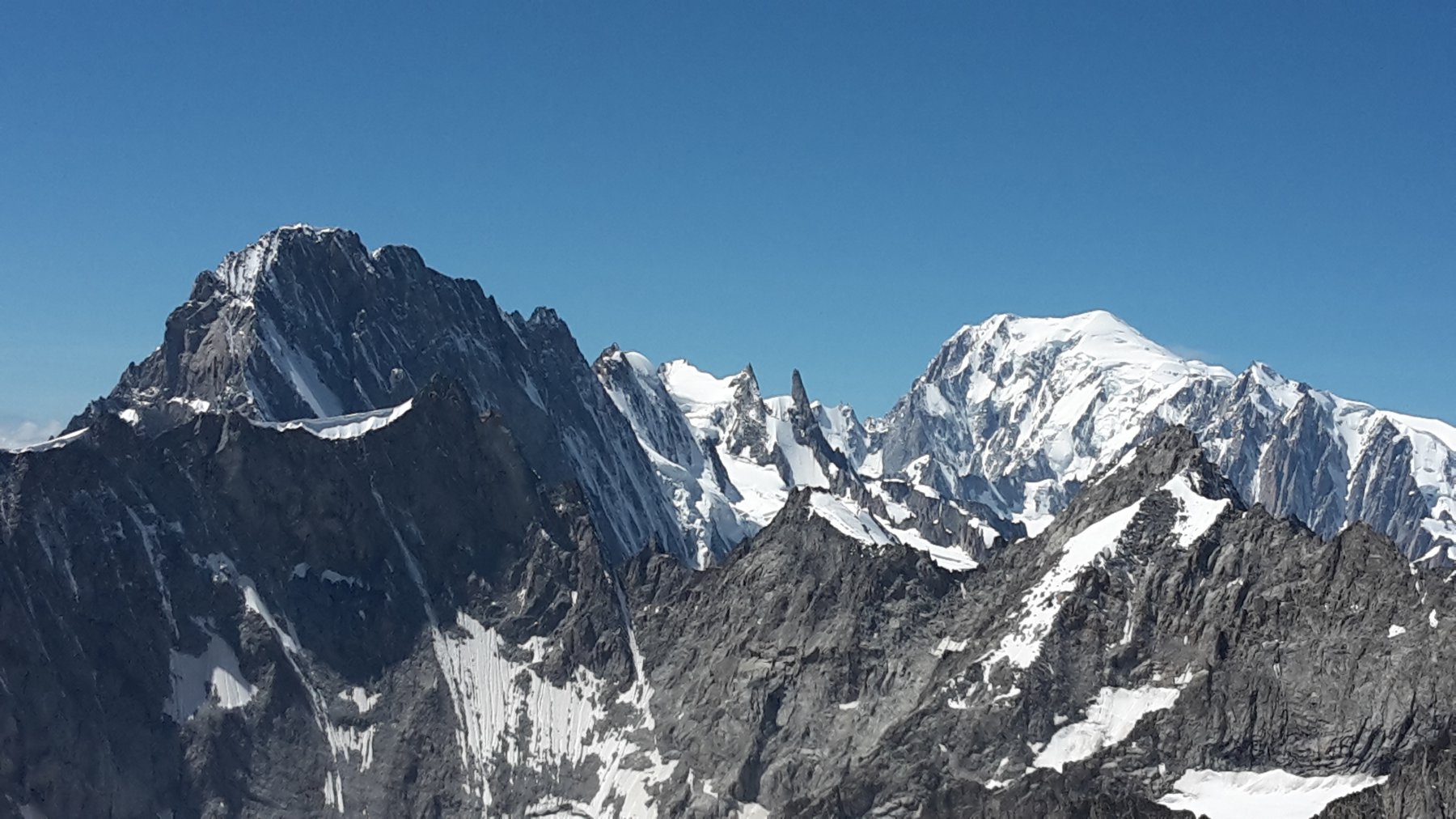
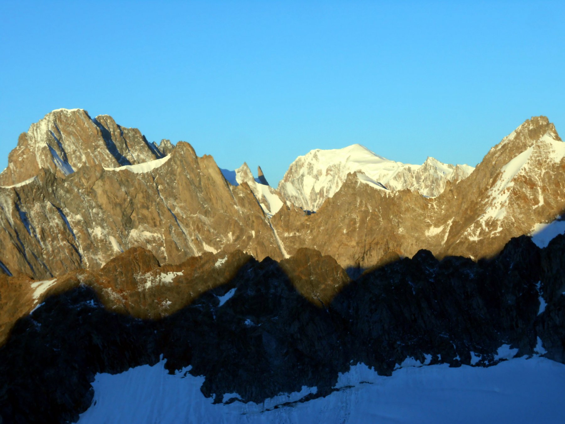
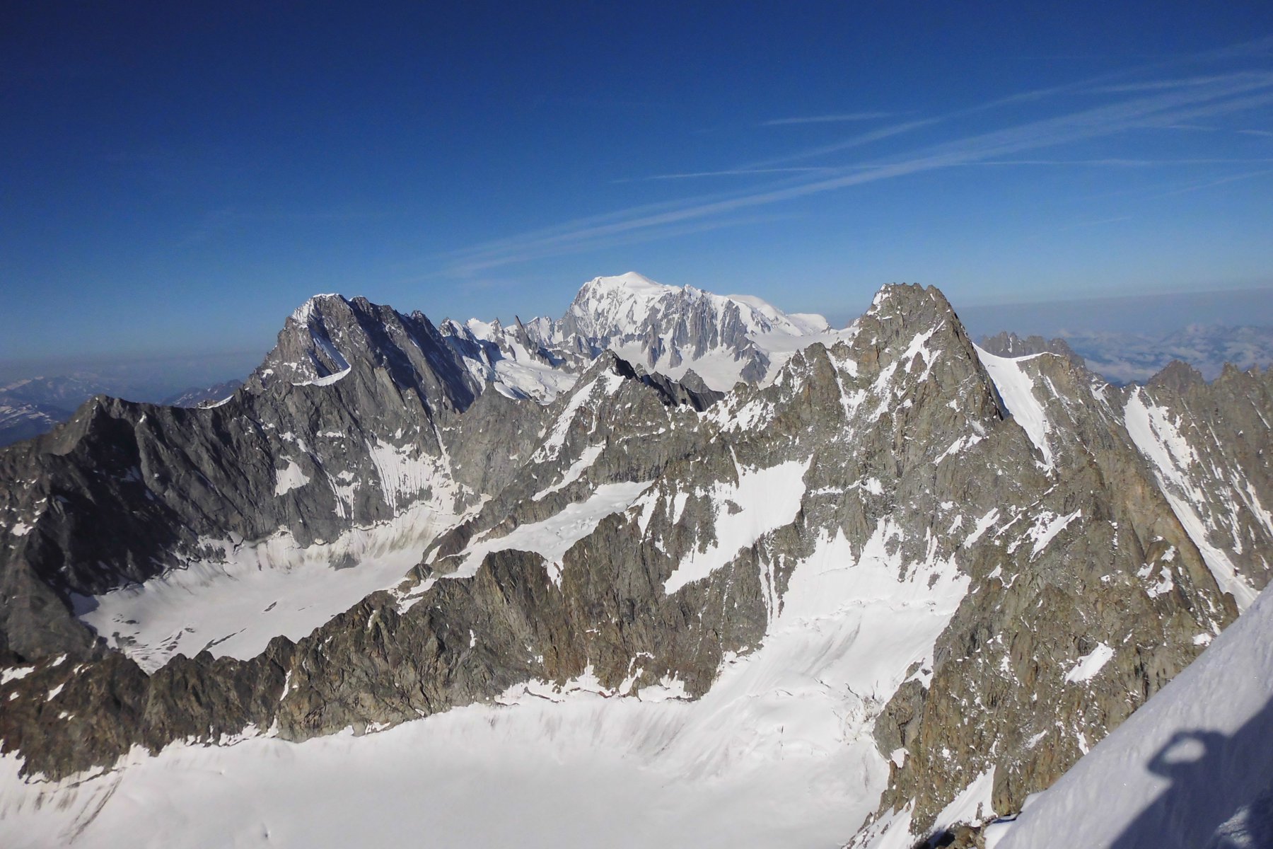
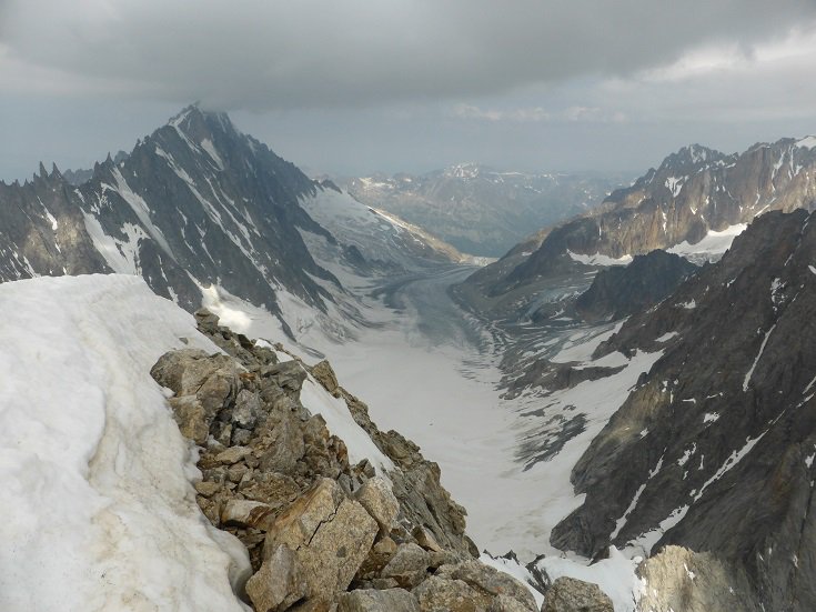
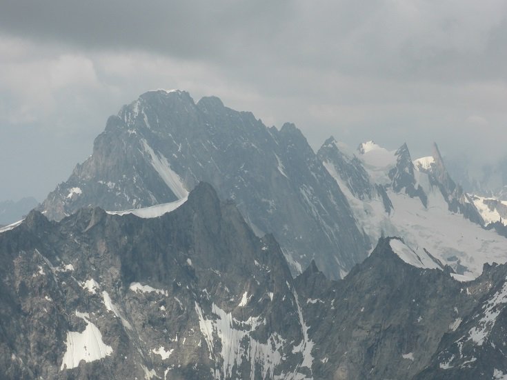
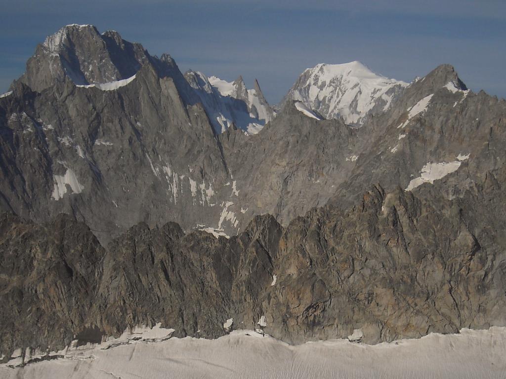
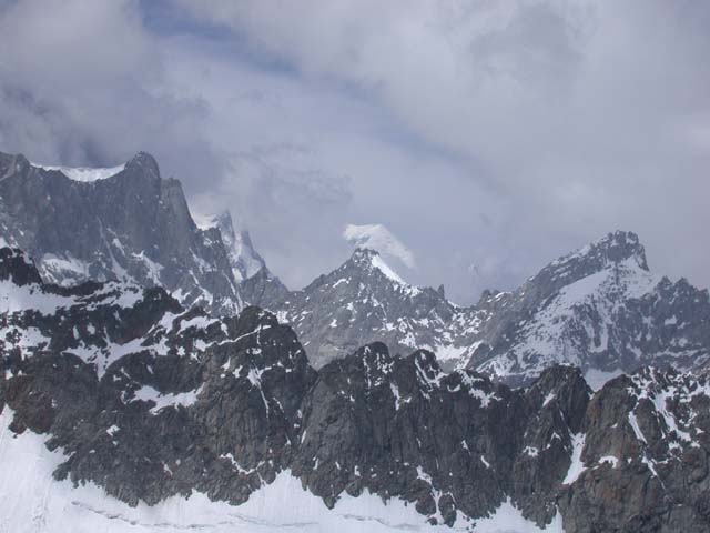
Godetevi il panorama che spazia su tutte le più belle montagne di Italia, Francia e Svizzera..visto che la vetta è il punto di incontro dei tre confini..
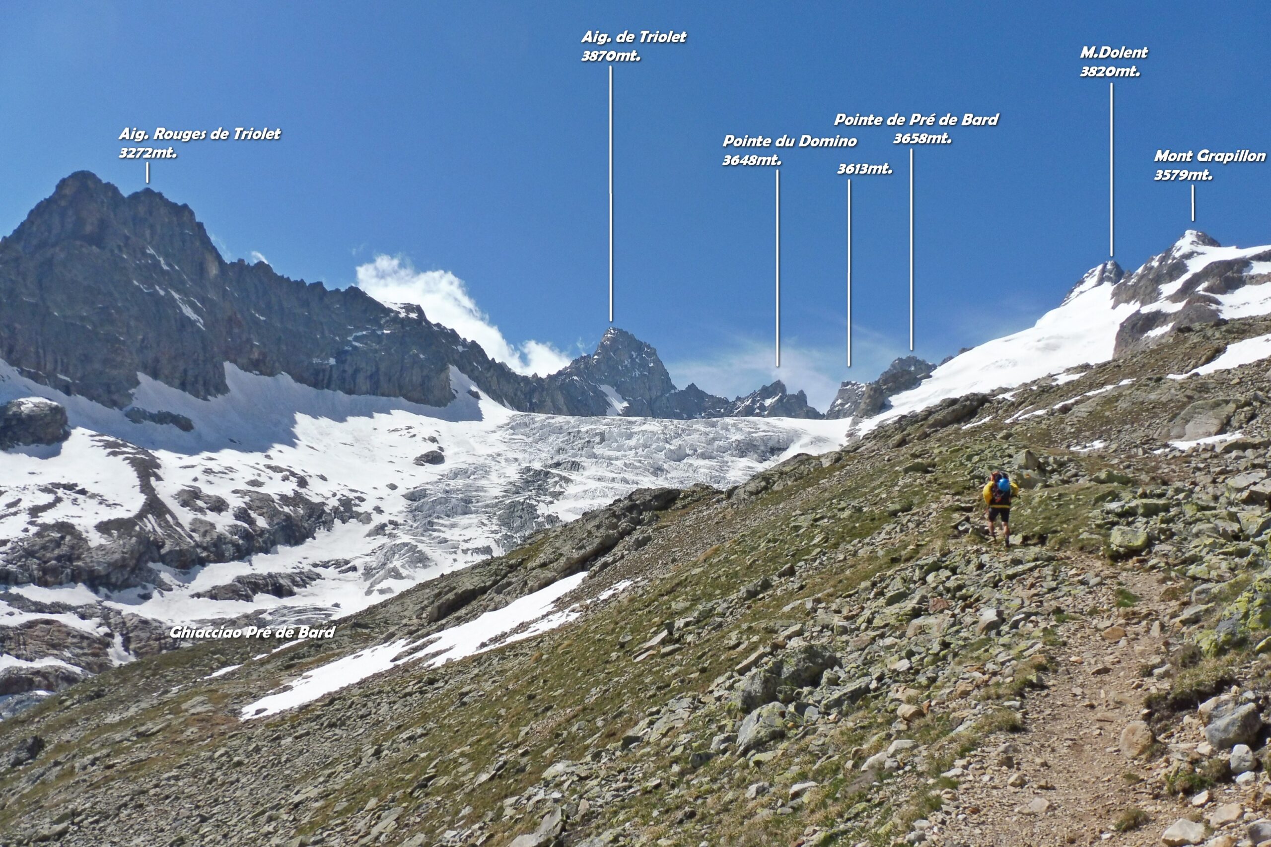
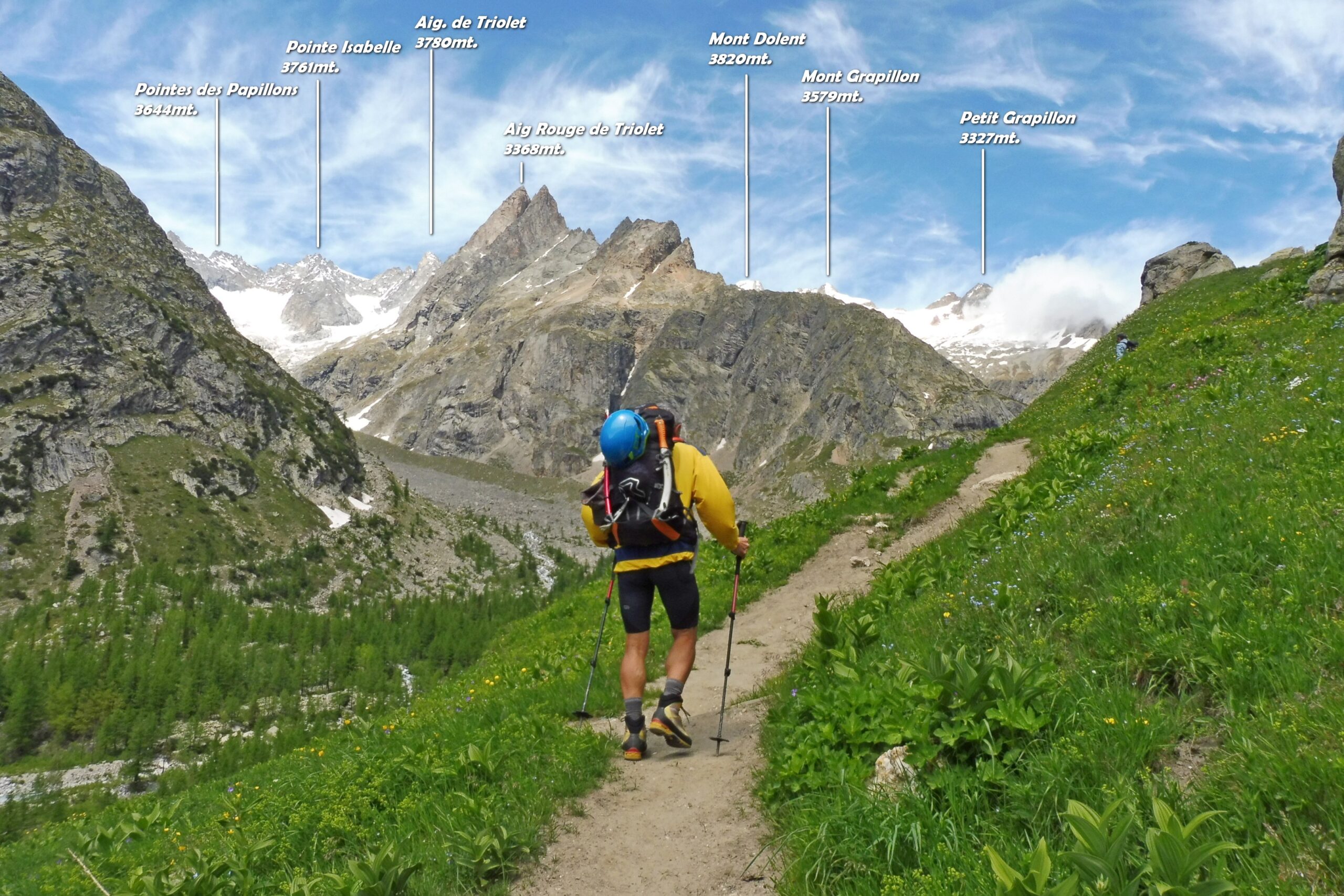
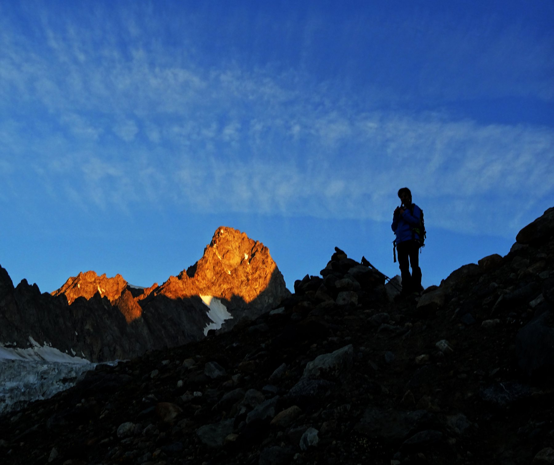
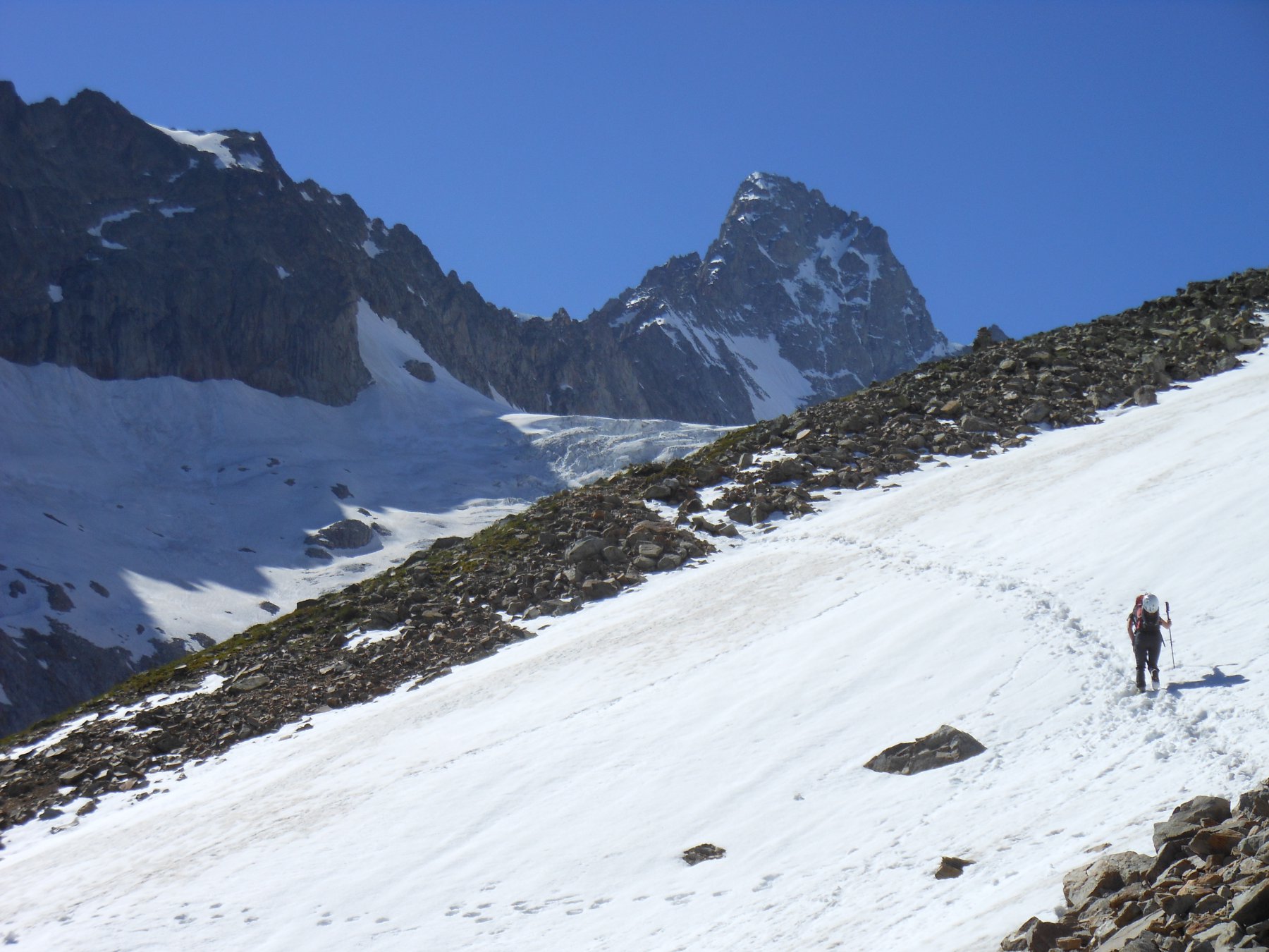
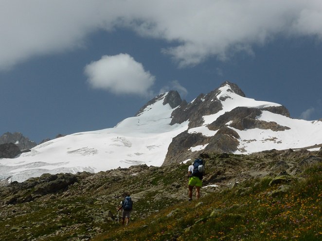
Avvicinamento
Da non sottovalutare per la presenza di grossi crepacci e qualche bel seracco.
Fantastico l'ultimo pendio che raggiunge i 45° e la cresta terminale.
Godetevi il panorama che spazia su tutte le più belle montagne di Italia, Francia e Svizzera..visto che la vetta è il punto di incontro dei tre confini..
Aosta, Cormayeur, Val Ferret Fino al fondo.
Descrizione
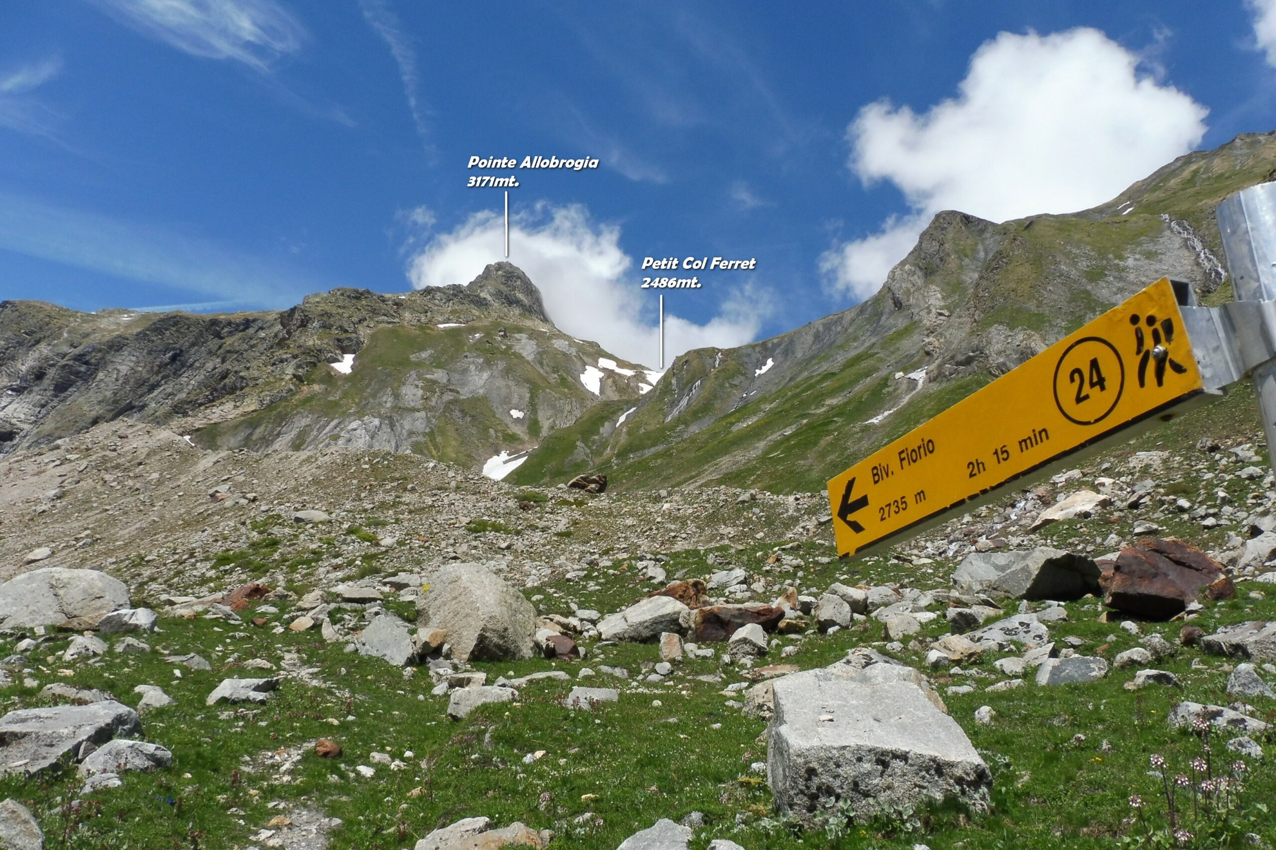
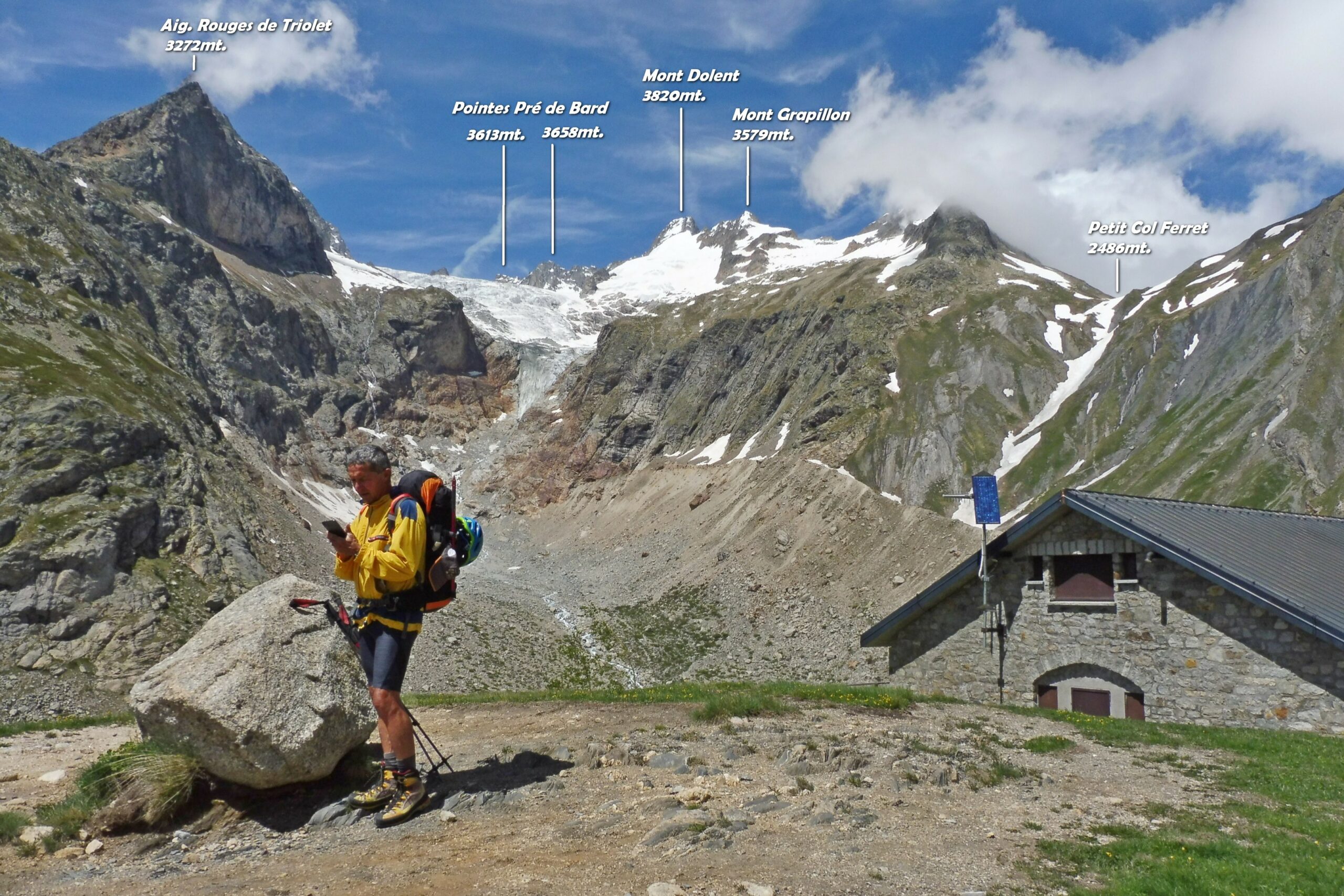
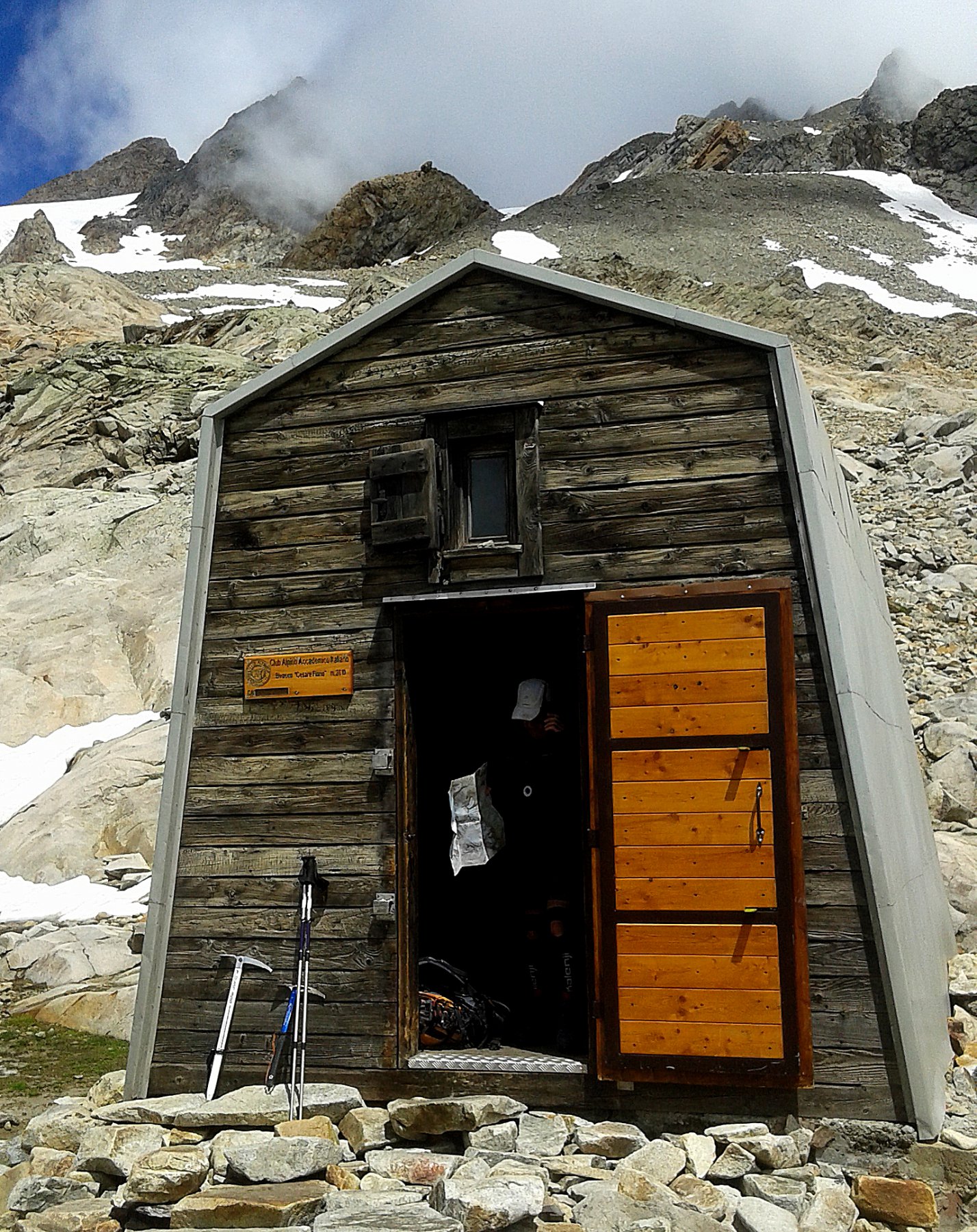
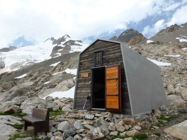
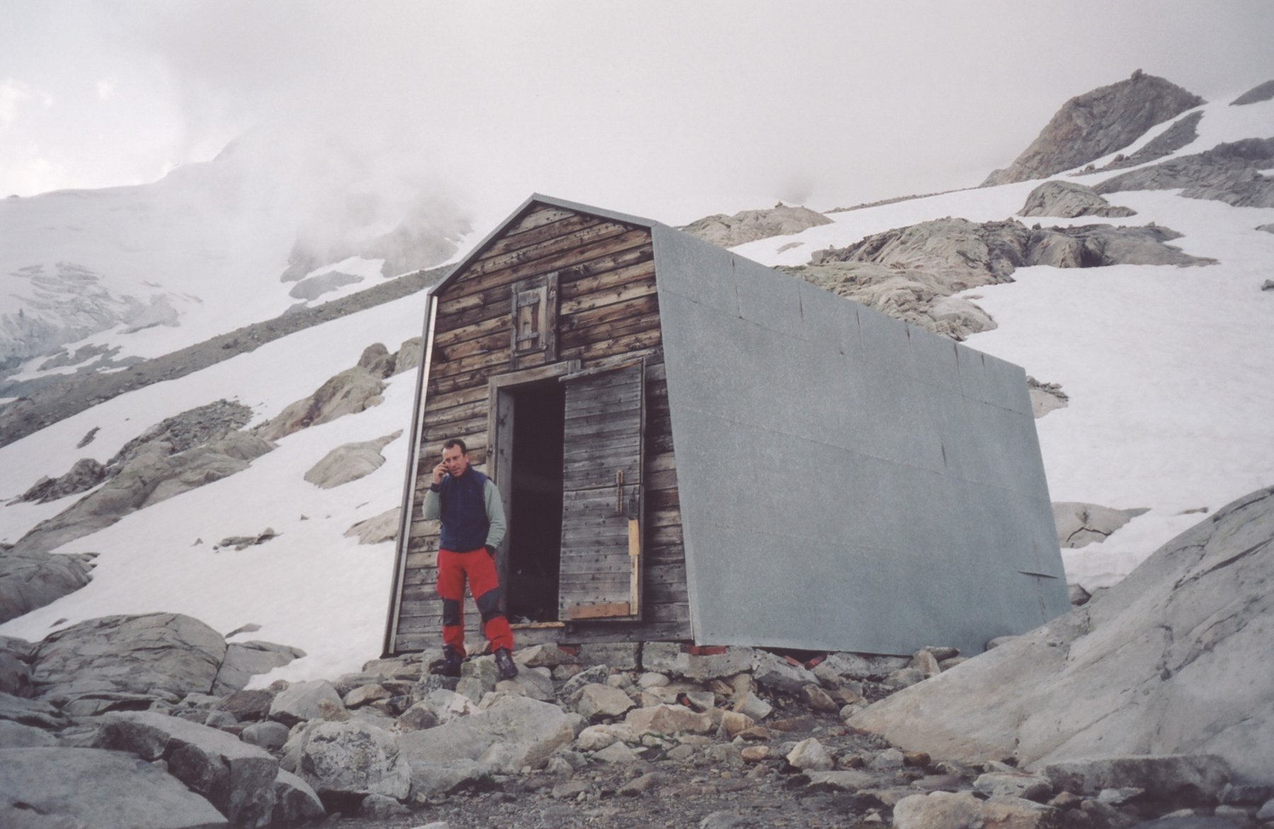
Salita al Biv. Fiorio:
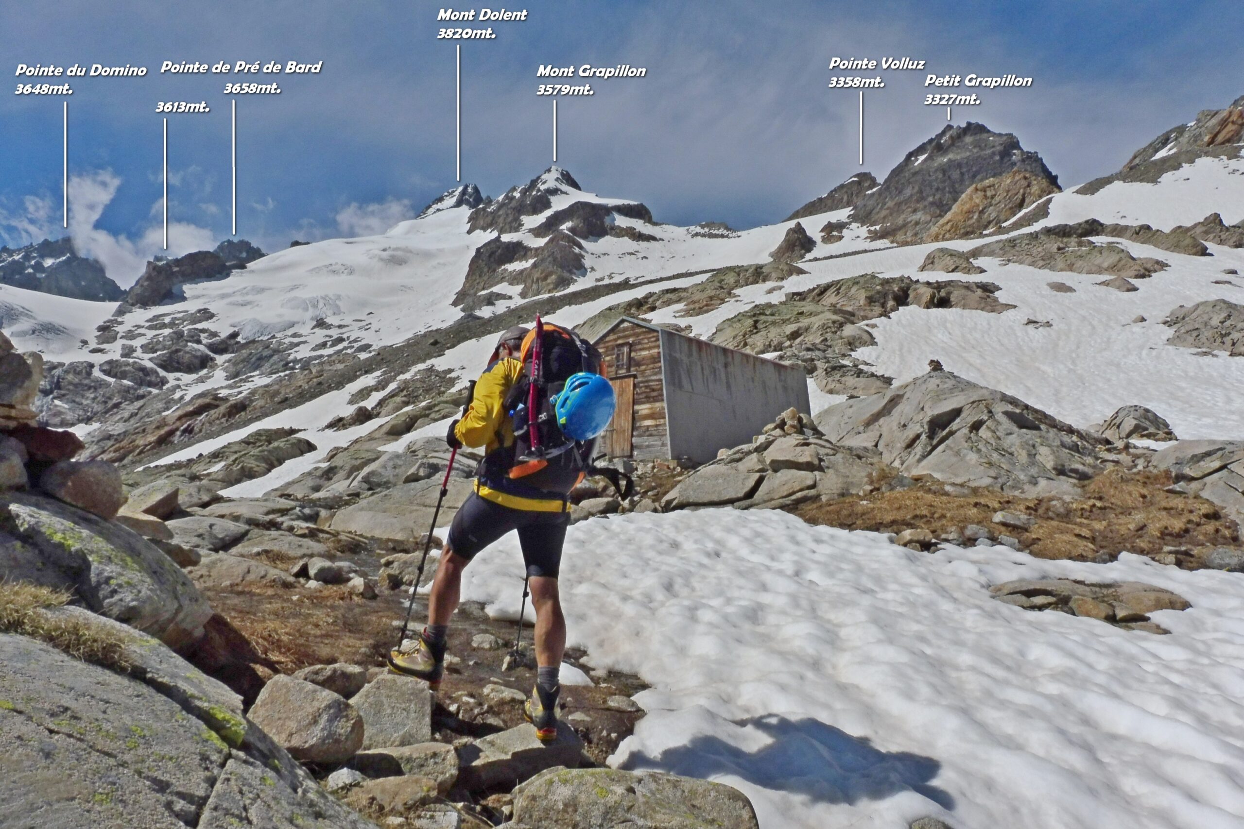
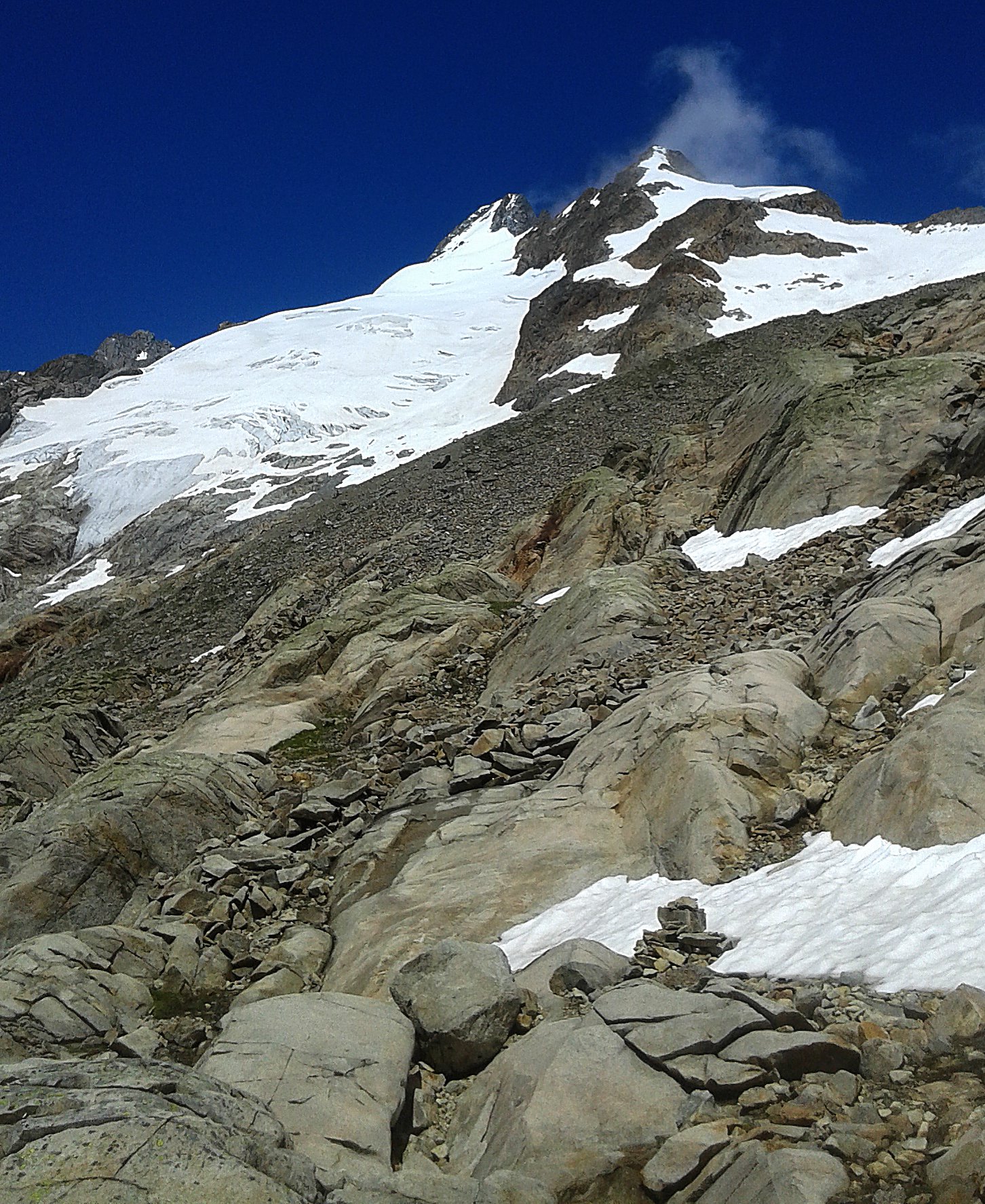
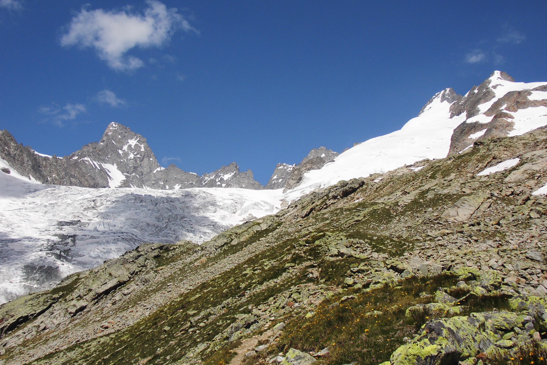
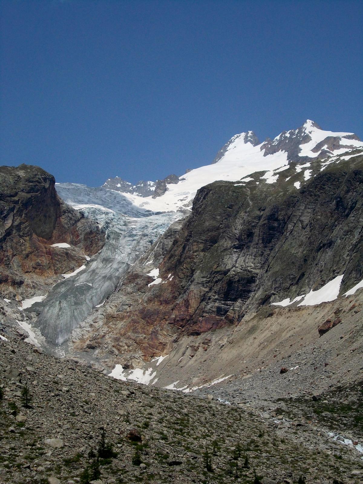
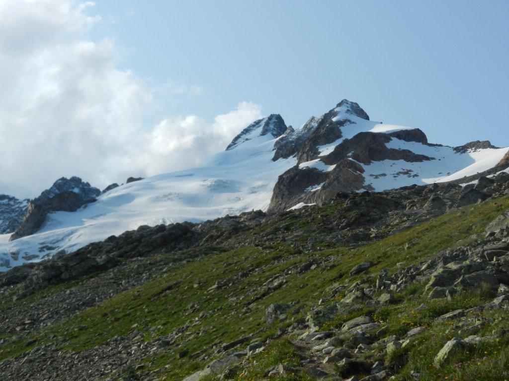
si risale la Val Ferret italiana tenendo conto delle limitazioni al traffico veicolare in vigore. Giunti alle baite di Prè de Bard a circa 2060m si punta verso il Petit col Ferret. Raggiuntolo, si svolta a sx in direzione della lunga cresta sud della punta Allobrogia a 2517m. Si prosegue poi verso NNW in direzione del Mont Dolent e si raggiunge il bivacco.
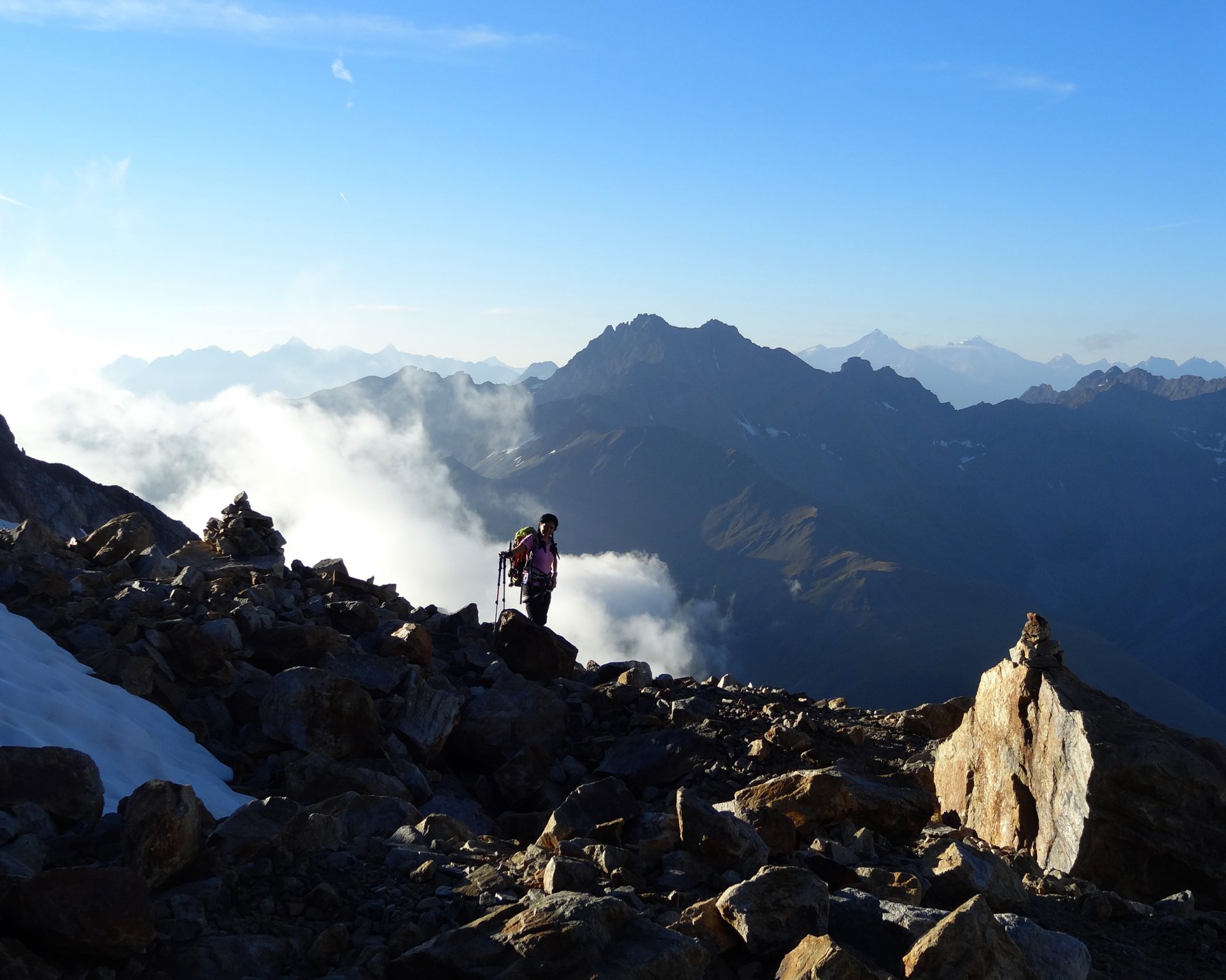
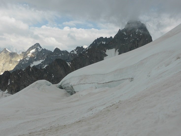
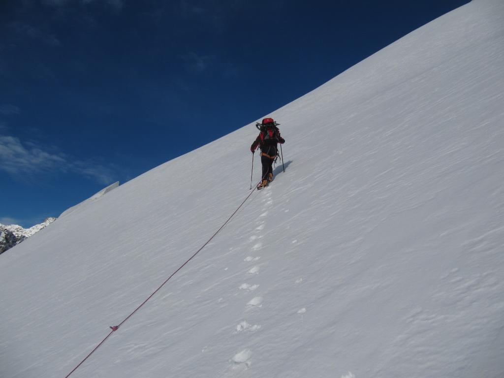
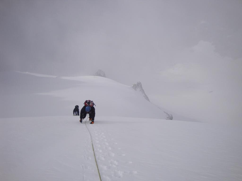
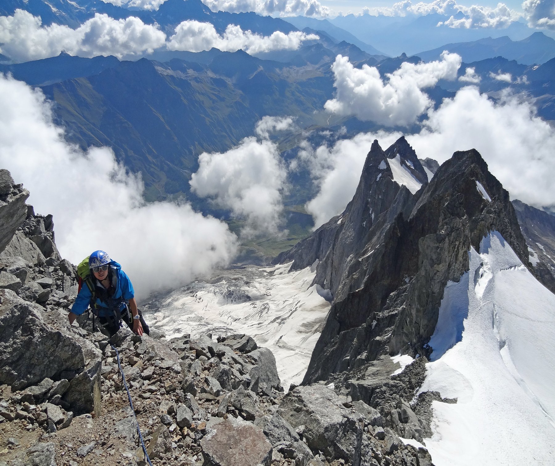
Salita alla vetta:
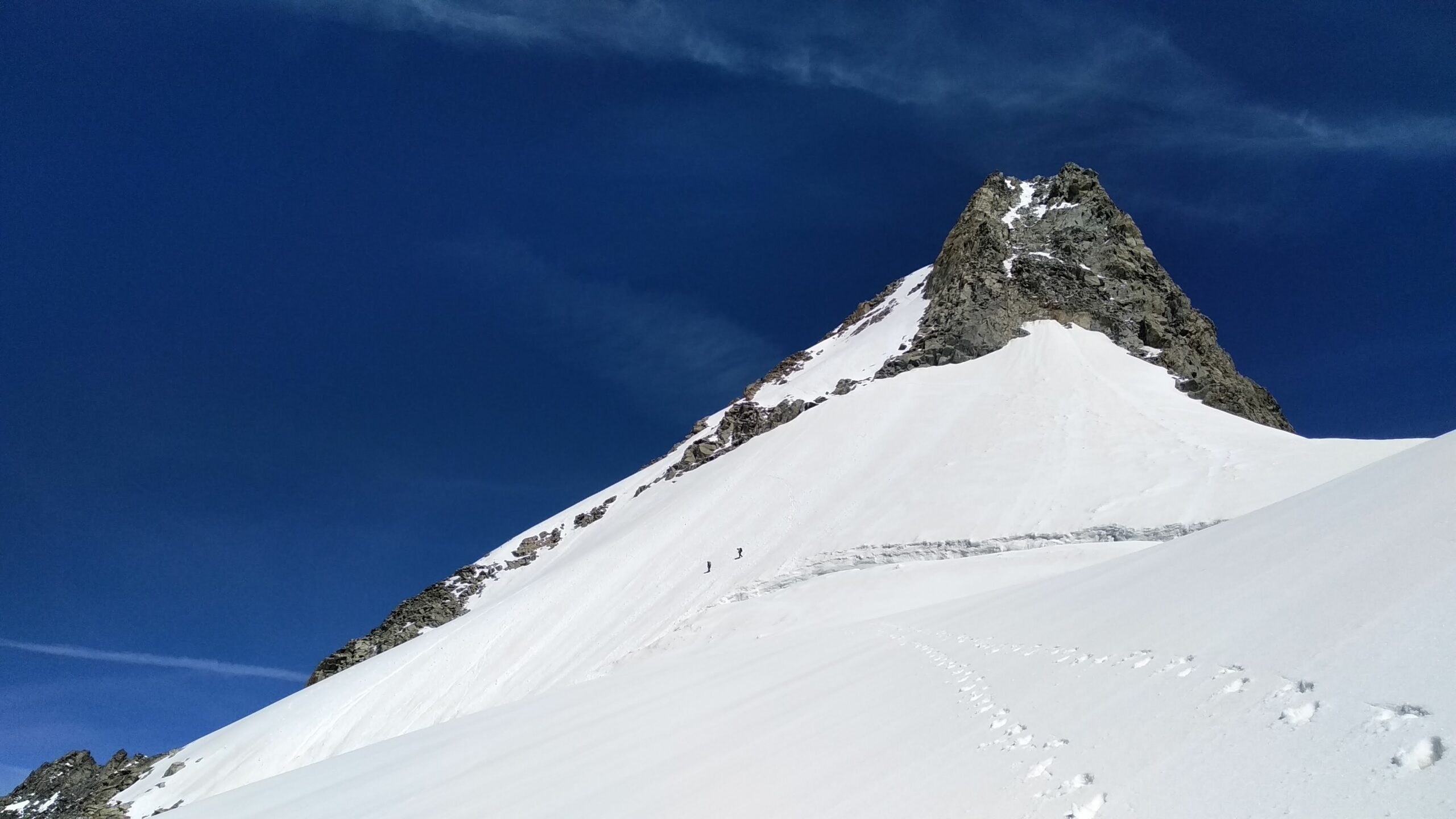
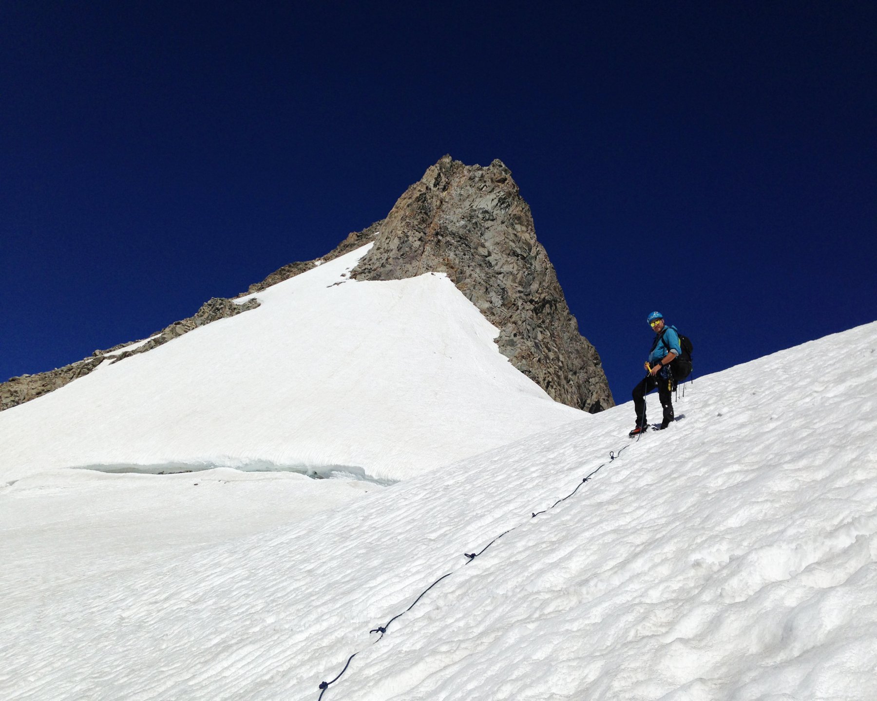
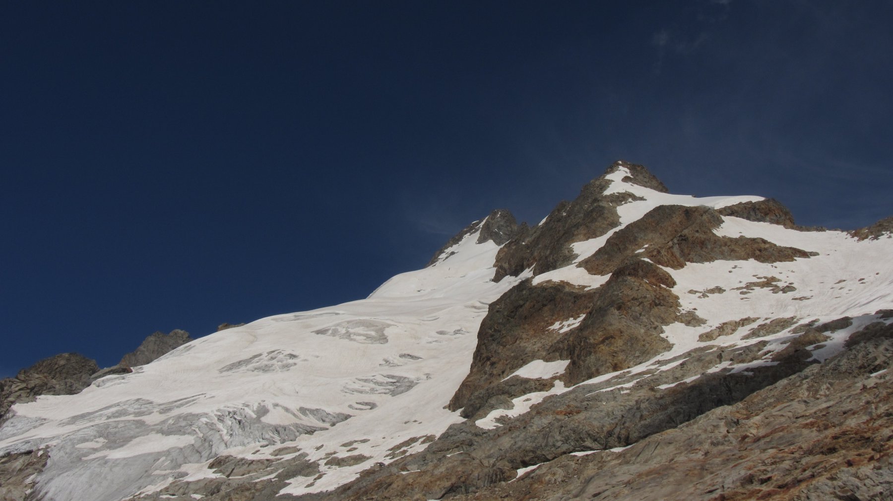
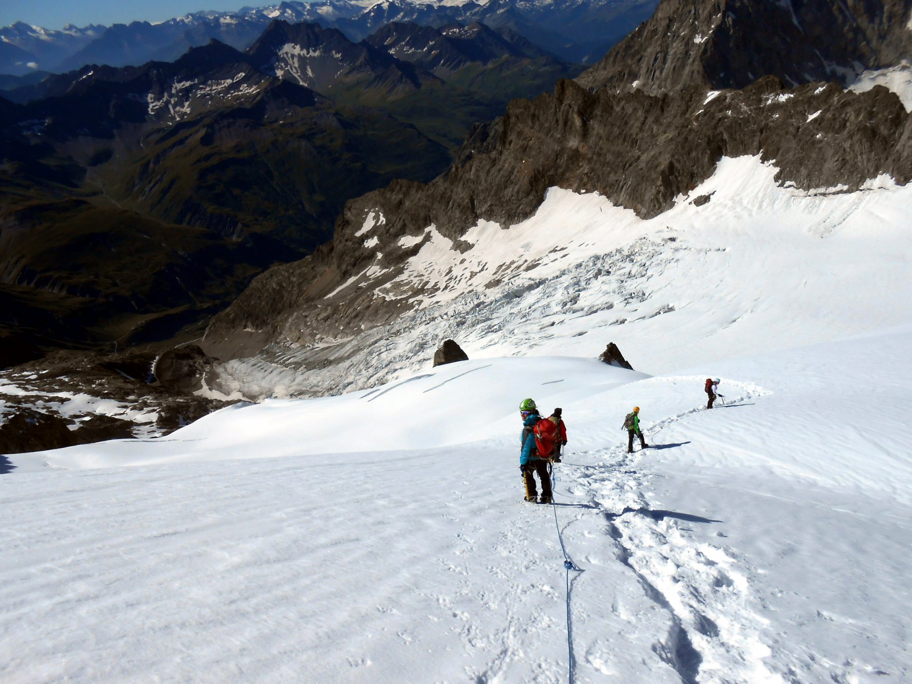
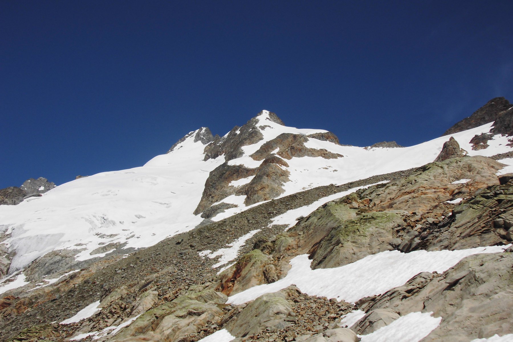
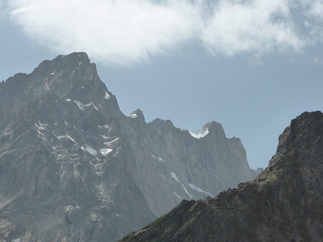
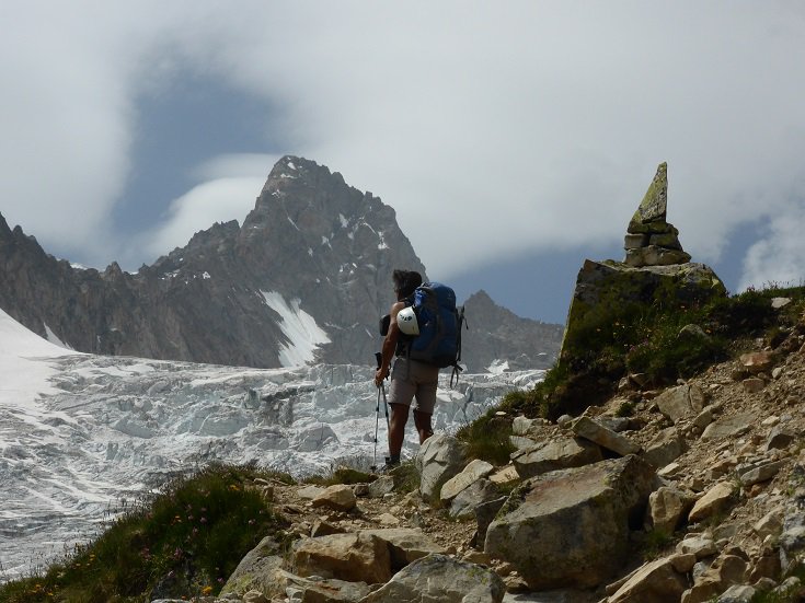
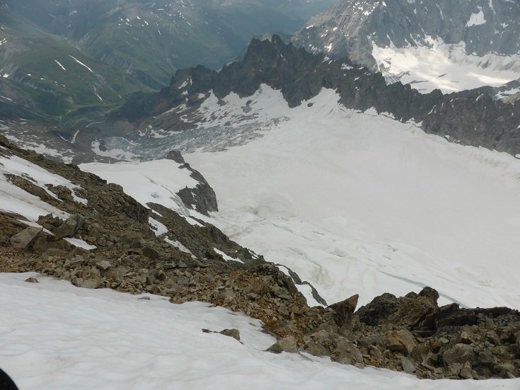
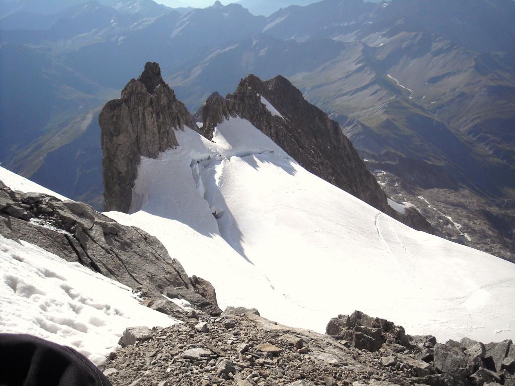
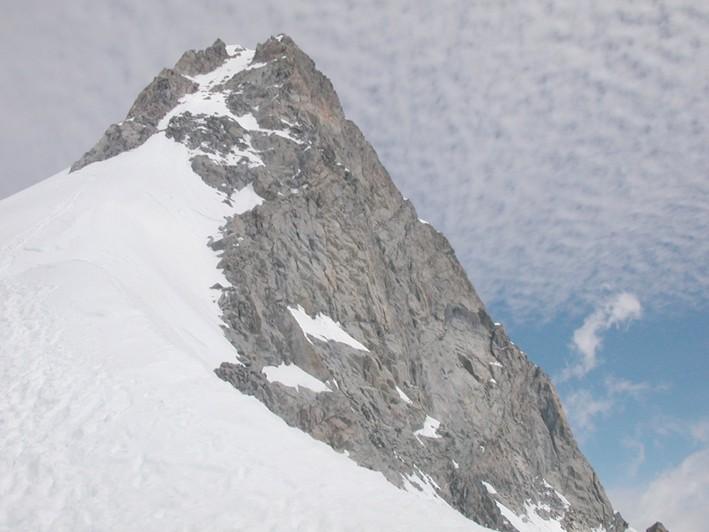
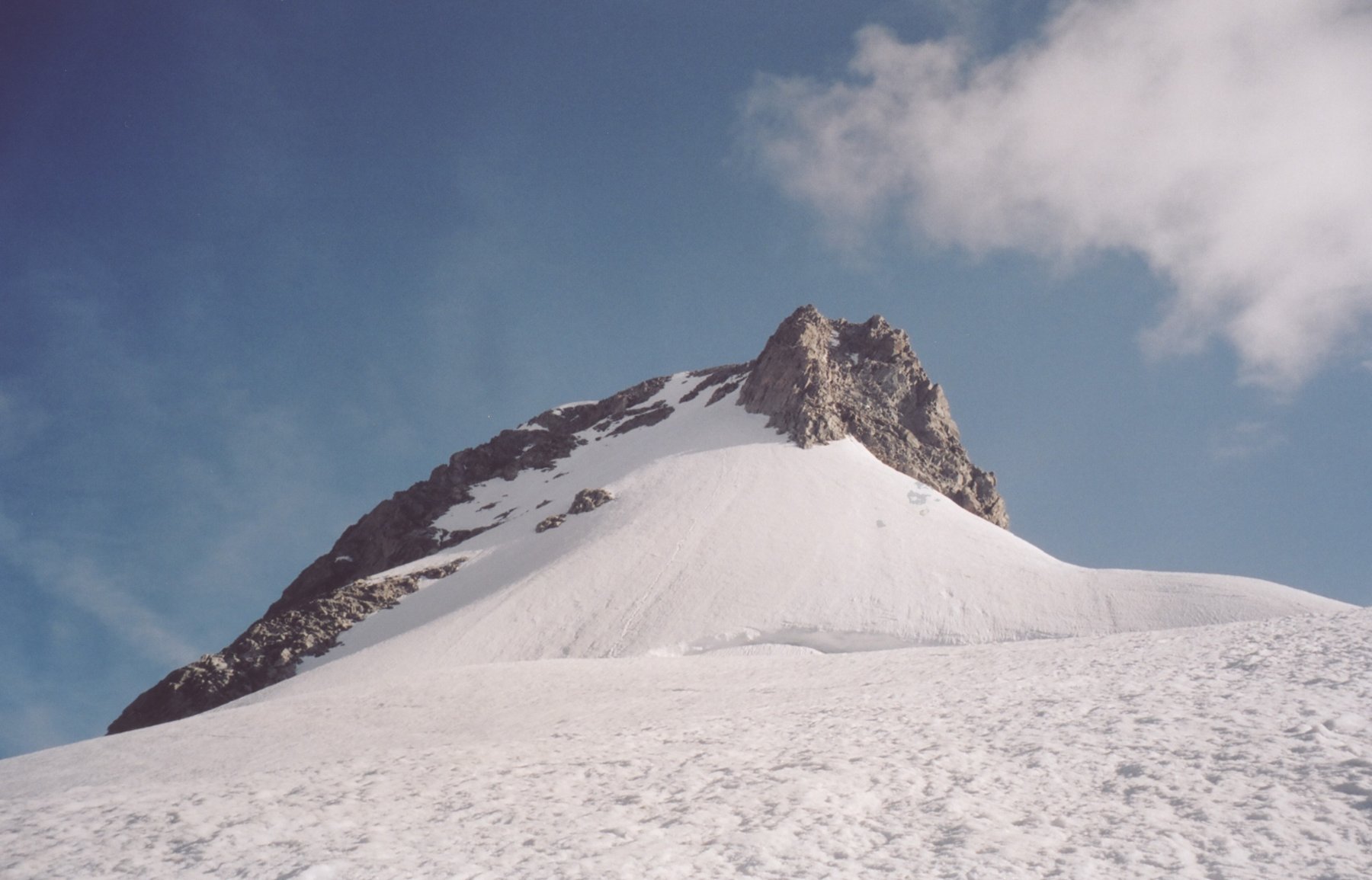
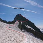
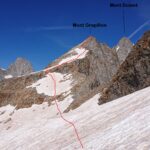
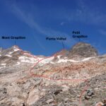
dal bivacco si raggiunge il plateau del ghiacciaio di Prè de Bard. Si aggira sulla dx un isolotto roccioso a quota 3187m e si prosegue verso una larga sella nevosa a NW della quota 3580m della cresta SE.
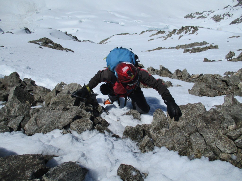
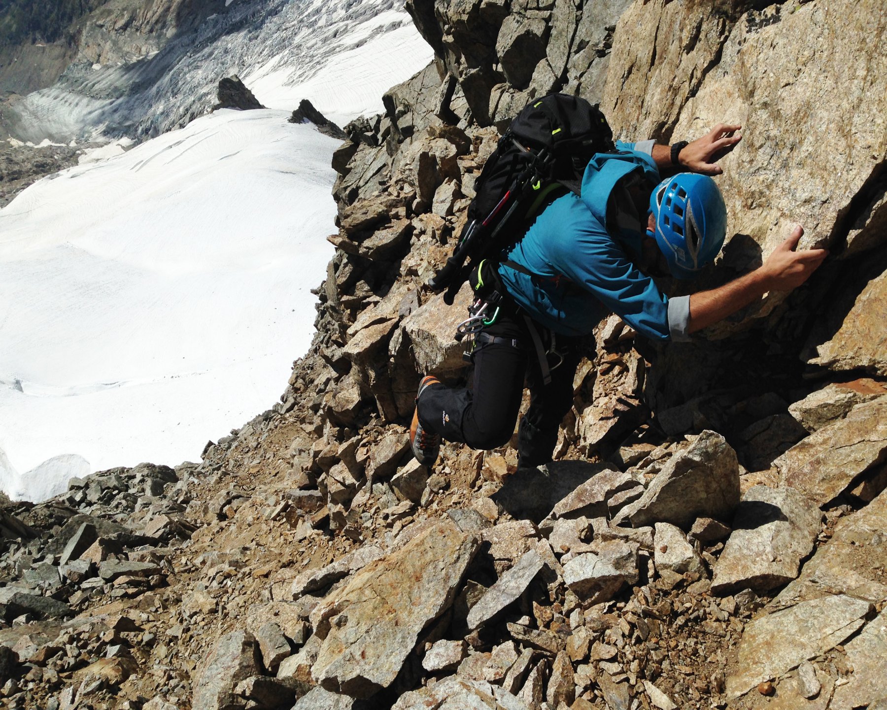
Si passa la crepaccia terminale e ci si porta sul colle alla base di uno sperone.
Si risale il canale a sx che dopo una crestina porta alla vetta.
Nelle vicinanze Mappa
Itinerari
27/09/2013 AO, Courmayeur D+ 1500 m AD Sud-Est
Bouteille de Triolet (la) da Arpnouva per il ghiacciaio del Triolet e la cresta E
 50m
50m
24/06/2012 Entremont, Orsières D+ 1175 m AD Nord-Ovest
Dolent (Mont) Cresta del Grapillon
50m
21/08/2024 AO, Courmayeur D+ 1558 m F+ Sud-Ovest
Petit Grapillon da Arnouva
 50m
50m
21/08/2024 AO, Courmayeur D+ 1779 m PD Sud-Ovest
Grapillon (Monte) da Arnouva
 50m
50m
21/08/2024 AO, Courmayeur D+ 1608 m F+ Ovest
Volluz (Pointe) da Arnouva
 50m
50m
27/08/2012 AO, Courmayeur D+ 1980 m AD Est
Talefre (Aiguille de) dalla Val Ferret per la cresta Est
 50m
50m
12/08/2023 AO, Courmayeur D+ 816 m D Sud
Petites Jorasses, Cresta Sud – Via Rivero
 3.7Km
3.7Km
12/07/2026 AO, Courmayeur D+ 1230 m F+ Est
Gervasutti Giusto (Bivacco) da Lavachey
 3.7Km
3.7Km
11/07/2020 AO, Courmayeur D+ 2119 m AD Sud
Leschaux (Aiguille de) da Lavachey
 3.7Km
3.7Km
10/07/2026 AO, Courmayeur D+ 1900 m AD+ Sud-Est
Savoie (Aiguille de) Cresta Preuss
 3.7Km
3.7Km
Servizi
2.9Km
3.9Km
Lavachey Albergo
Courmayeur 8Km
8Km
Hôtel du Col de Fenêtre Albergo
La Fouly 8.4Km
8.4Km
Chalet le Dolent B&B
La Fouly 8.6Km
8.6Km
Majya-Joie Ristorante
La Fouly 8.6Km
8.6Km
Auberge de Maya Joie Albergo
La Fouly 8.8Km
8.8Km
Zanskar Sport Servizi
La Fouly 8.8Km
8.8Km
Auberge des Glaciers Albergo
La Fouly 8.8Km
8.8Km
Supermarché de La Fouly Servizi
La Fouly 8.8Km
8.8Km