2.9Km
2.9Km


Note
 50m
50m
50m
50m
50m
50m
50m
50m
50m
50m
50m
50m
50m
50m
50m
50m
50m
50m
2.9Km
2.9Km
2.9Km
4.6Km
6.1Km
6.6Km
9.6Km
9.6Km
9.6Km
9.7Km
Itinerario più breve per raggiungere il Monte Terra Nera, rispetto all'altra possibilità ovvero la traversata di cresta per la Cima Dormillouse, dove questo itinerario viene utilizzato in discesa.
Con due auto, una lasciata a Rhuilles, è però possibile compiere la traversata in senso contrario, riducendo il dislivello in salita.
Avvicinamento
Con due auto, una lasciata a Rhuilles, è però possibile compiere la traversata in senso contrario, riducendo il dislivello in salita.
SS24 del Monginevro fino a Cesana Torinese, oppure A32 uscita Oulx circonvallazione quindi Cesana. Da Cesana si sale verso Sauze di Cesana fino a trovare a destra, poco oltre Bousson, la deviazione per Thures. Giunti a Thures proseguire sullo sterrato senza entrare nell'abitato, in direzione di Rhuilles, quindi proseguire fino al fondo della piana dove si prosegue, con autovetture adatte ed a seconda delle condizioni del fondo, sulla ex strada militare che con tratti ripidi conduce alle grange Thuras inferiori, dove si posteggia poco prima del ponte.
ATTENZIONE: dal 2025 non è possibile proseguire oltre Rhuilles, a causa dell'inagibilità del Ponte Ciatagnera. Occorre pertanto salire alla a Thures, e proseguire sulla sterrata che passa per la località Gorlier, per poi scendere a Rhuilles già oltre il ponte e ricollegarsi con l'accesso normale al vallone. Questo percorso alternativo è consigliabile con 4x4 o vetture alte.
Descrizione
ATTENZIONE: dal 2025 non è possibile proseguire oltre Rhuilles, a causa dell'inagibilità del Ponte Ciatagnera. Occorre pertanto salire alla a Thures, e proseguire sulla sterrata che passa per la località Gorlier, per poi scendere a Rhuilles già oltre il ponte e ricollegarsi con l'accesso normale al vallone. Questo percorso alternativo è consigliabile con 4x4 o vetture alte.
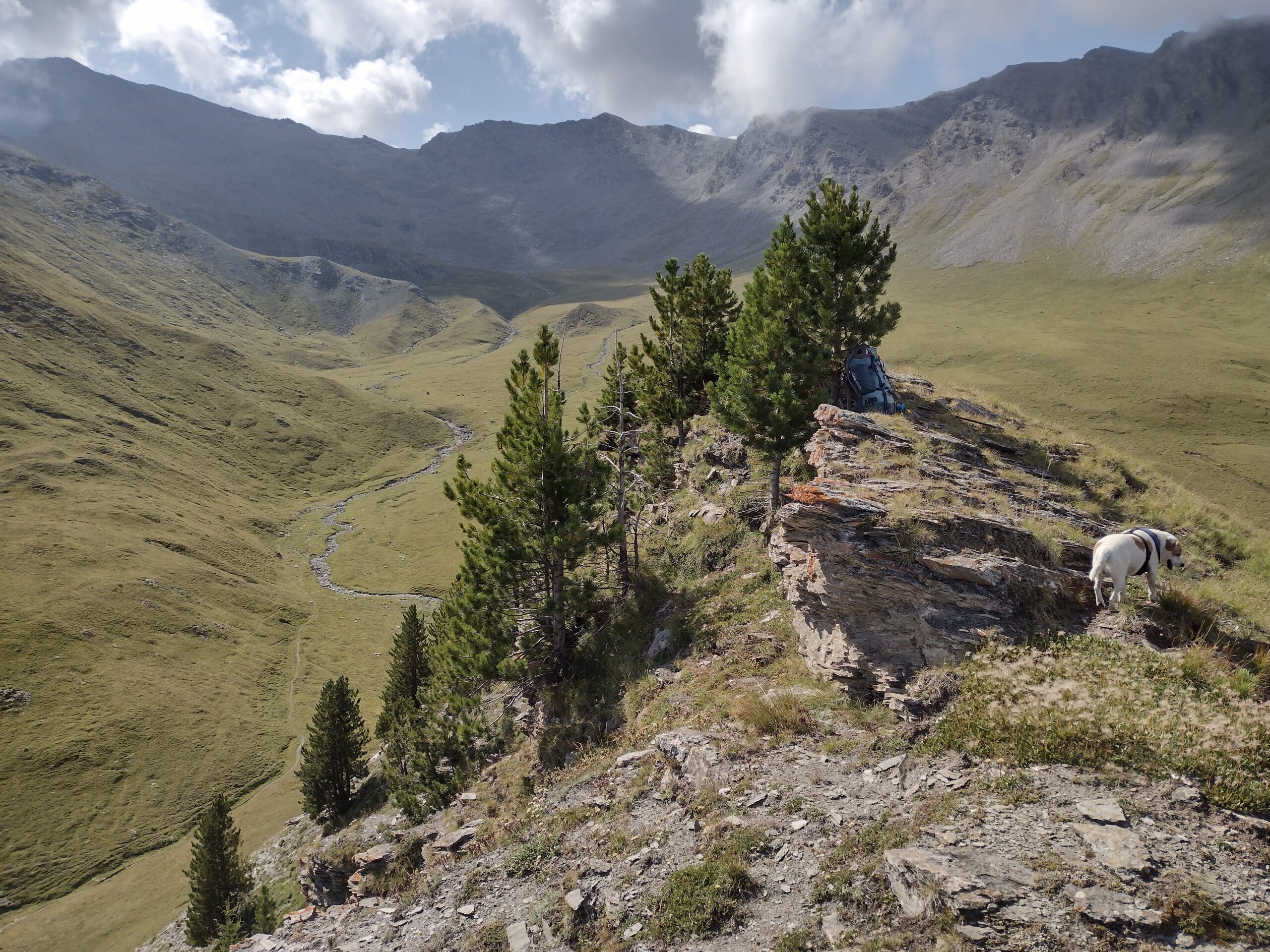
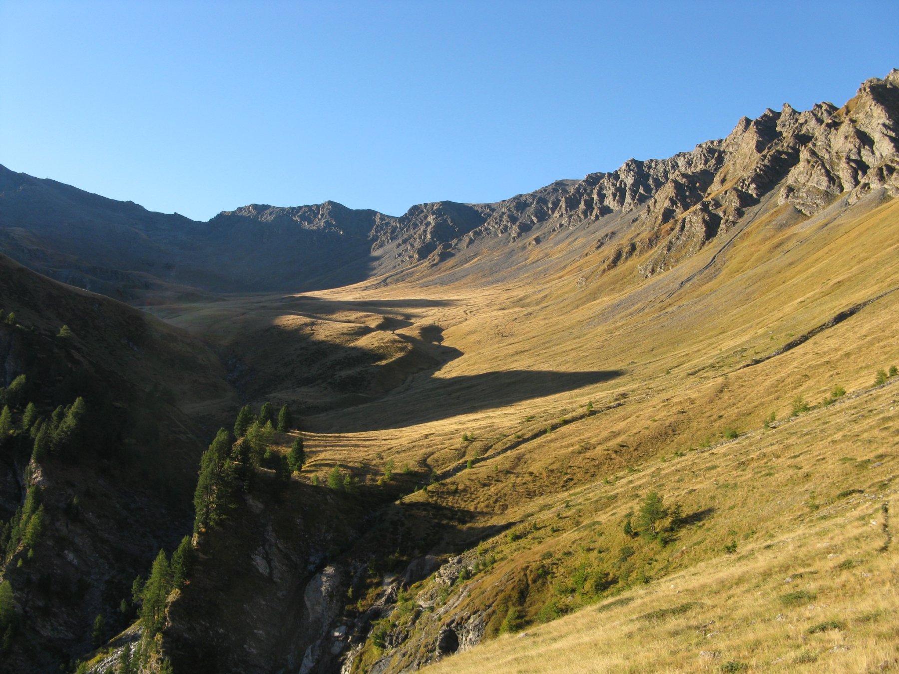
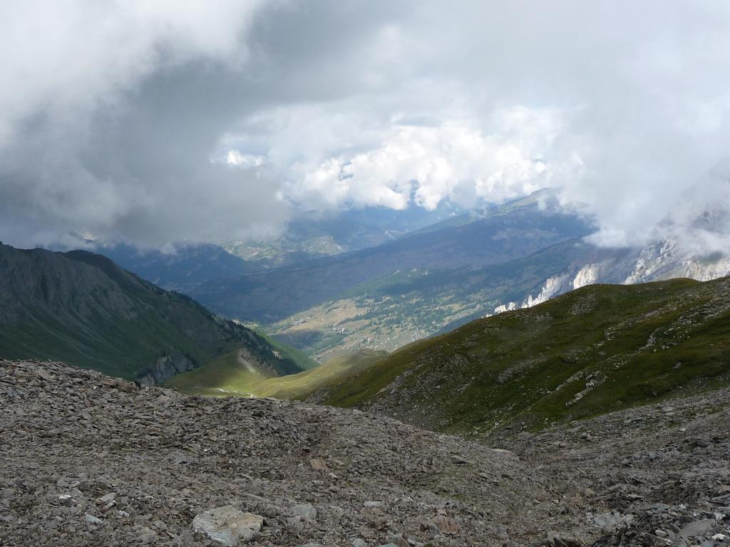
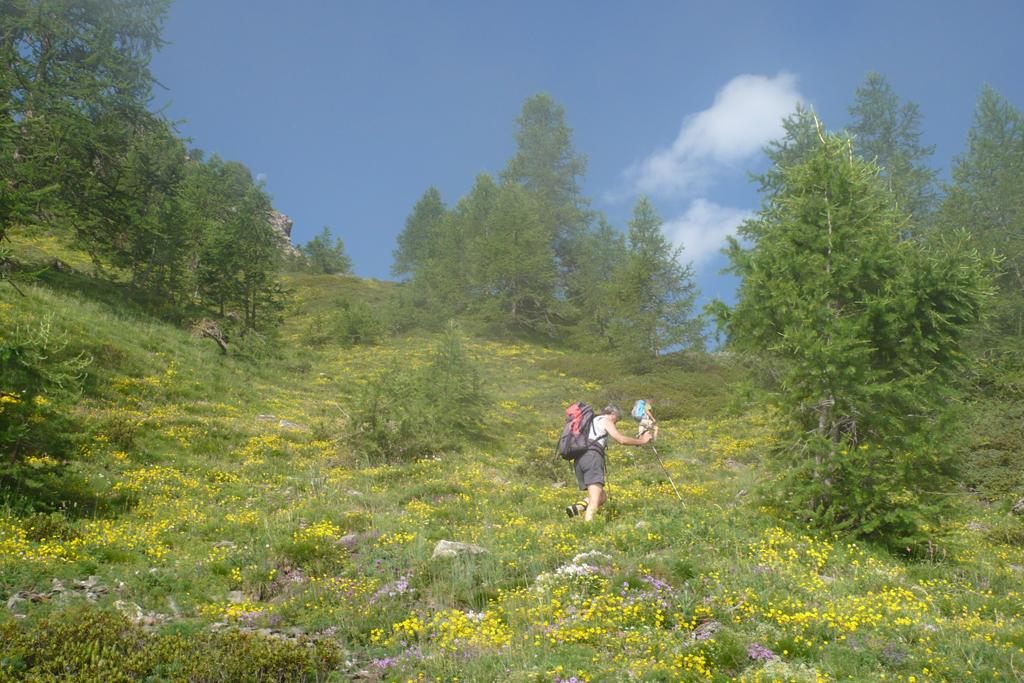
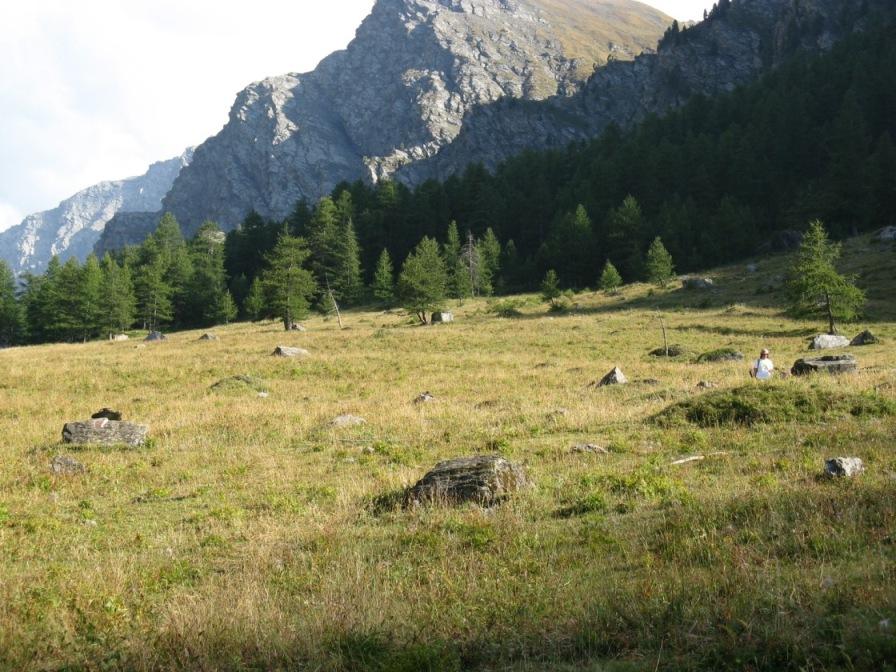
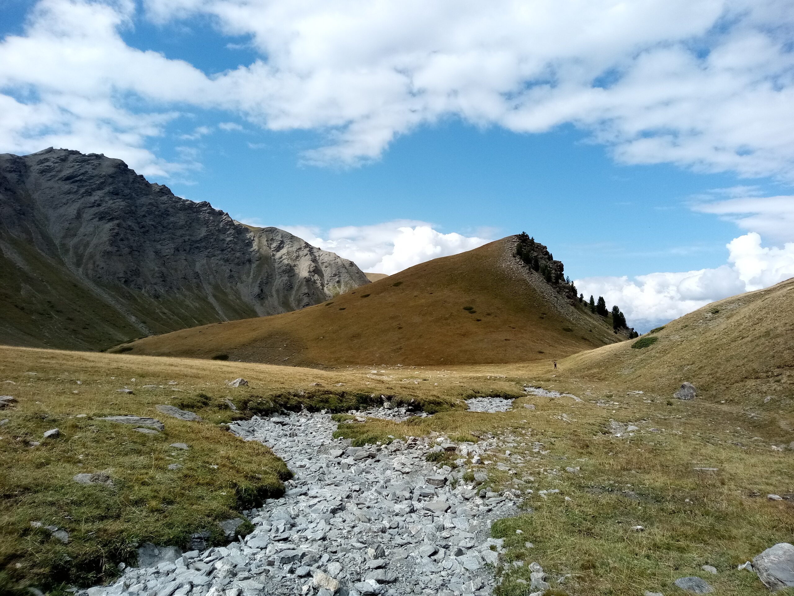
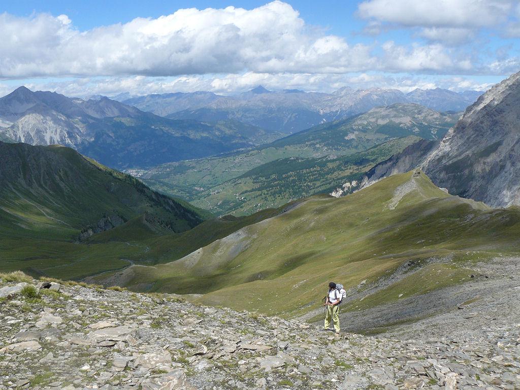
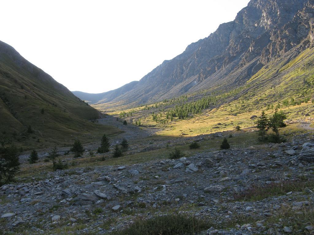
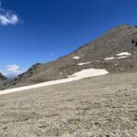
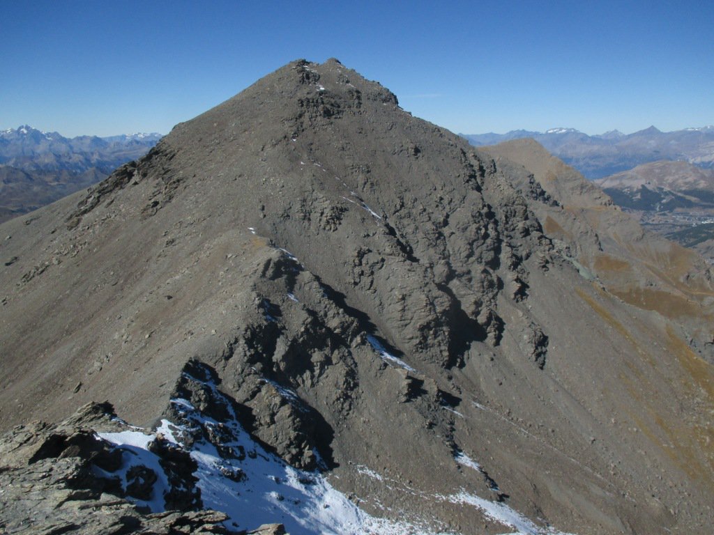
Dalle Grange Thuras Inferiori, si attraversa il ponte e si prosegue lungo la strada sterrata della Val Thuras per circa 700 m sino ad imboccare il sentiero sulla destra che, attraversato un pascolo, si porta in un bosco di conifere. La traccia in questo tratto è veramente molto debole e occorre prestare particolare attenzione alle tacche rosse bianche presenti su alcuni massi. Il sentiero entrato nel bosco diventa più evidente anche se un po’ invaso a tratti dalla vegetazione, e dopo un primo tratto di salita diretta, si compie un lungo traverso verso destra, per poi proseguire verso ovest entrando in una stretta valletta sotto il Monte Clausis. Si esce al colletto Clausis a quota 2436 m, da dove si apre il bellissimo vallone sospeso con al centro sullo sfondo il Monte Terra Nerai.
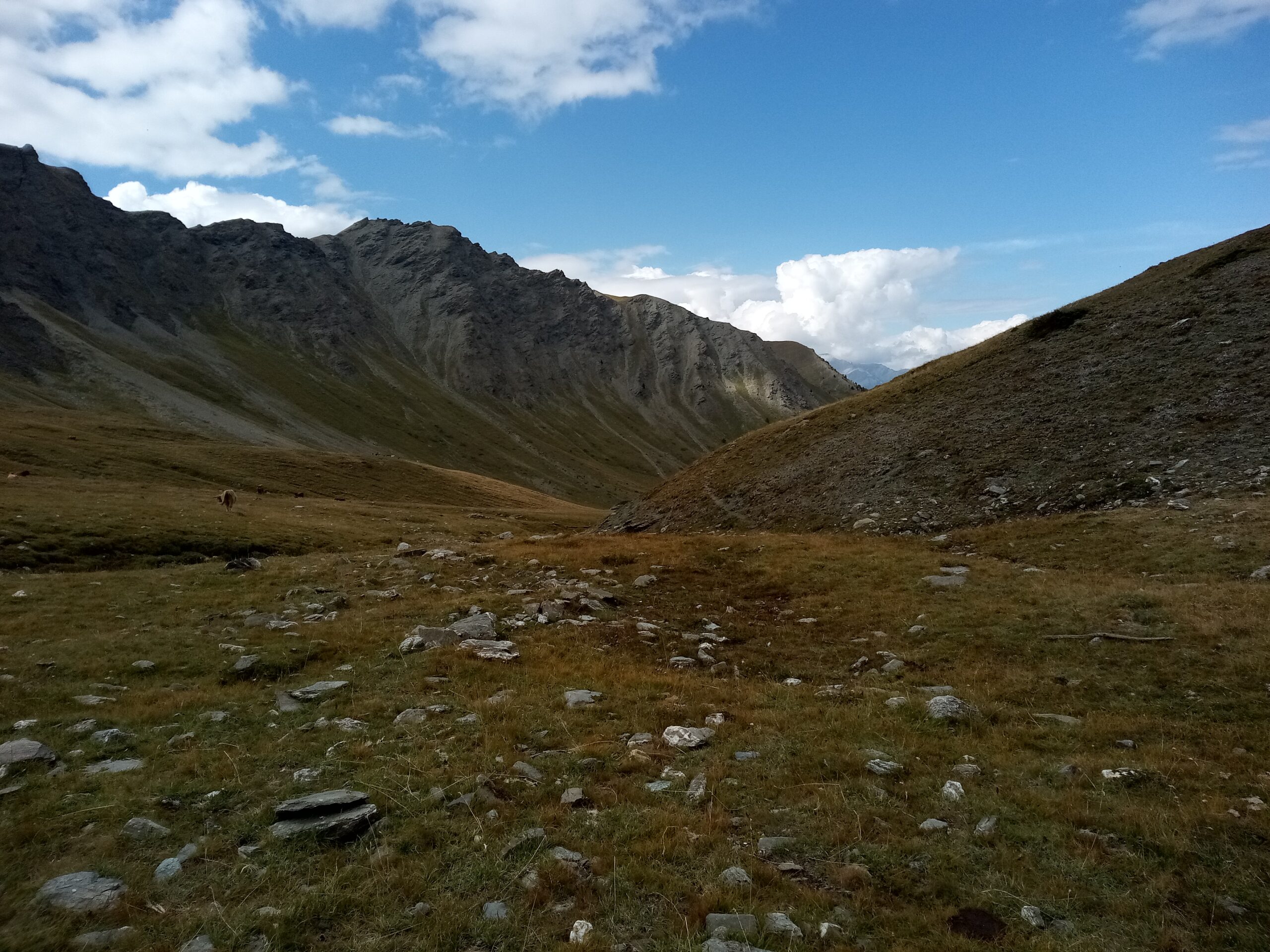
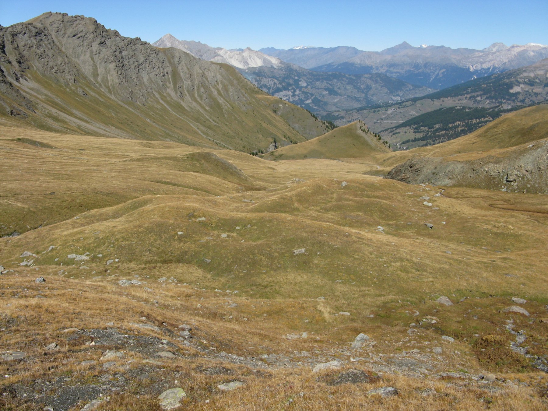
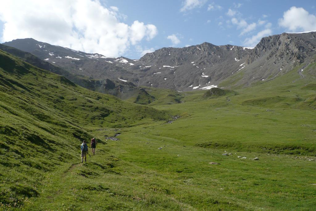
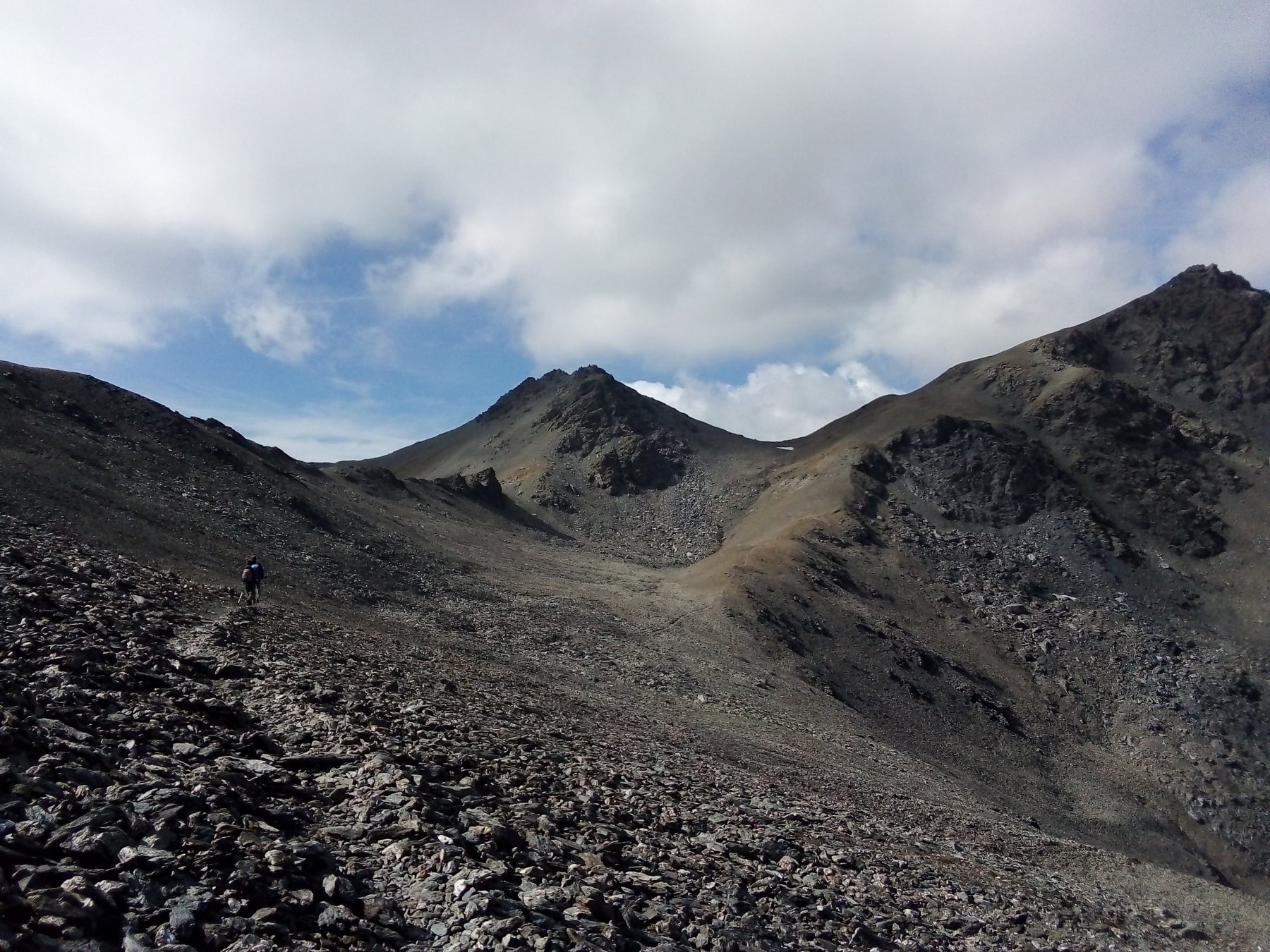
si prosegue sul fondo del pianoro solcato da un paio di ruscelli, per qualche centinaia di metri. Poi, per evitare un leggero rilievo, si attraversa temporaneamente il torrente e quindi si ritorna sulla sua sinistra orografica (le tracce di sentiero sono nuovamente poco marcate e bisogna fare affidamento alle rade indicazioni segnavia sulle pietre e ometti). Percorre l’ultimo tratto del pianoro tenendosi nei pressi del torrente. Risalite sul filo di cresta una collinetta erbosa ed al suo termine mantenere la stessa direzione fino a qualche decina di metri dalla pietraia per poi deviare leggermente a sinistra.
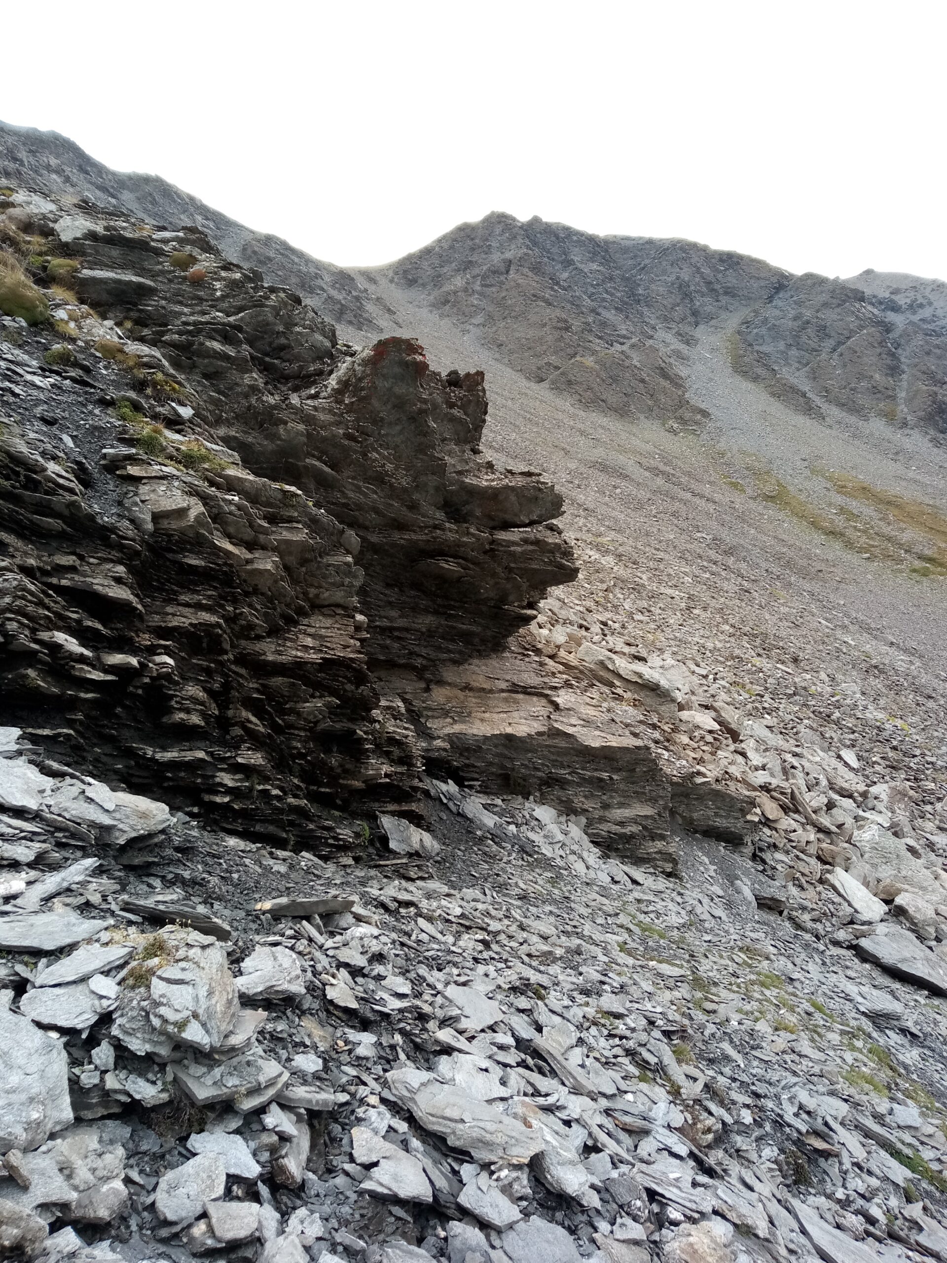
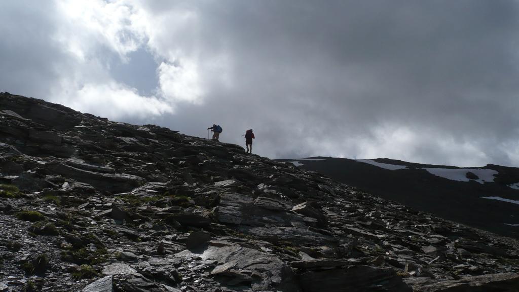
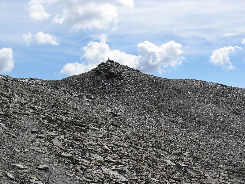
Si risale la pietraia portandosi fino in cresta, utilizzando per orientarsi le indicazioni segnavia e gli ometti.
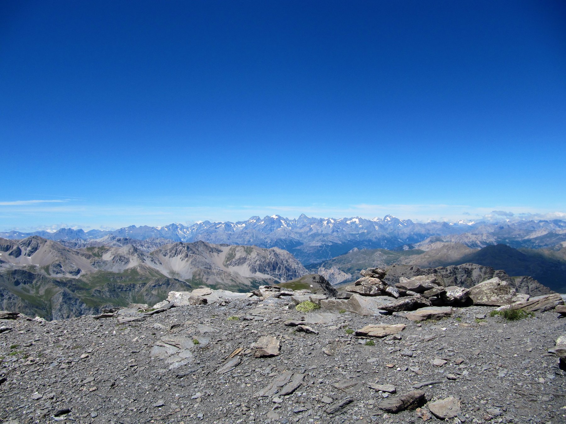
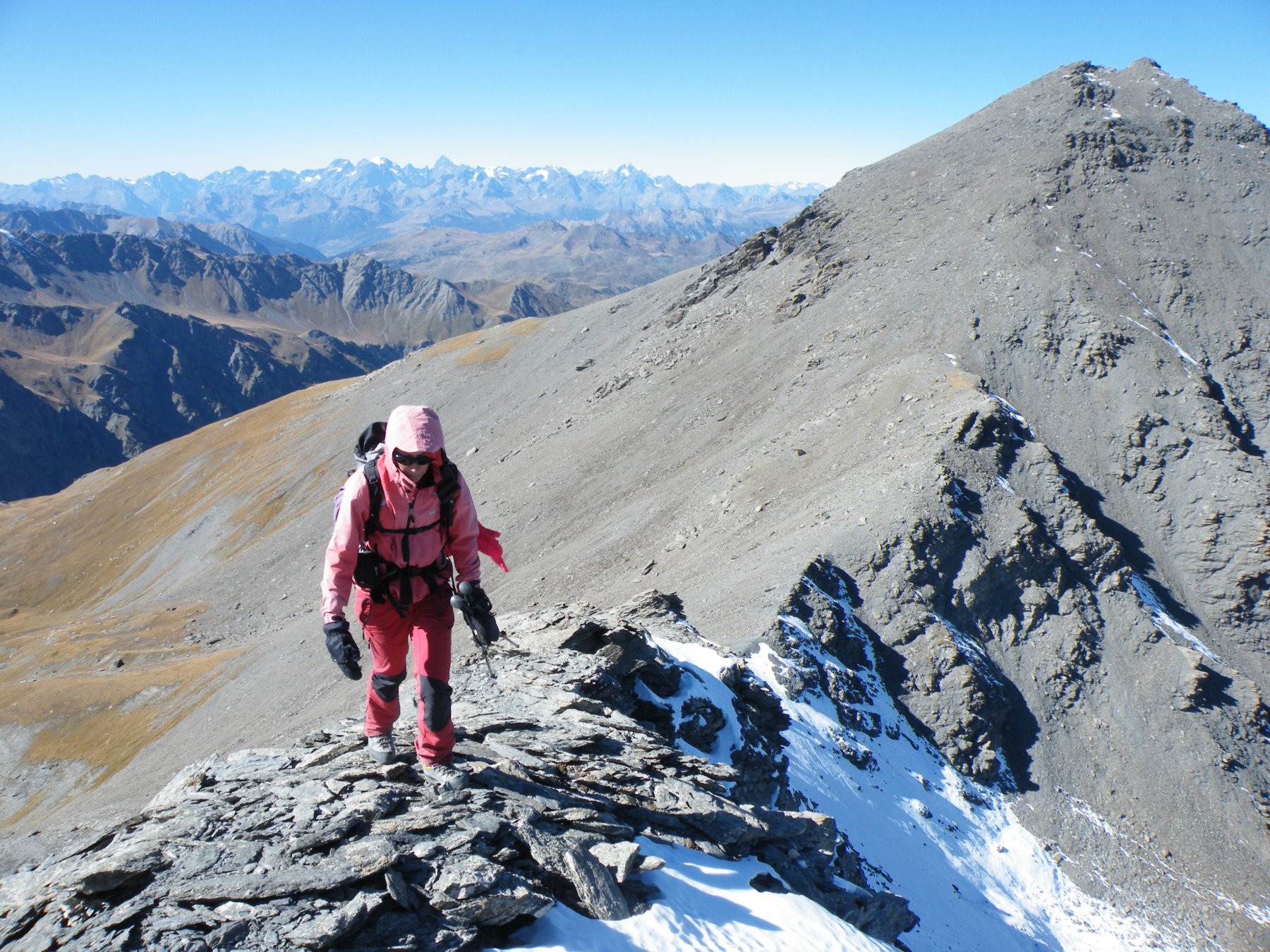
Tenetevi sulla cresta per poi spostarsi decisamente a destra per superare uno sbalzo di roccia che da l’impressione del termine della salita. Giunti su di un breve pianoro, percorretelo con una leggera diagonale a sinistra e salite mantenendo la stessa direzione ma senza raggiungere la cresta. A questo punto la croce di vetta è ben visibile e si raggiunge in breve seguendo alcune tracce.
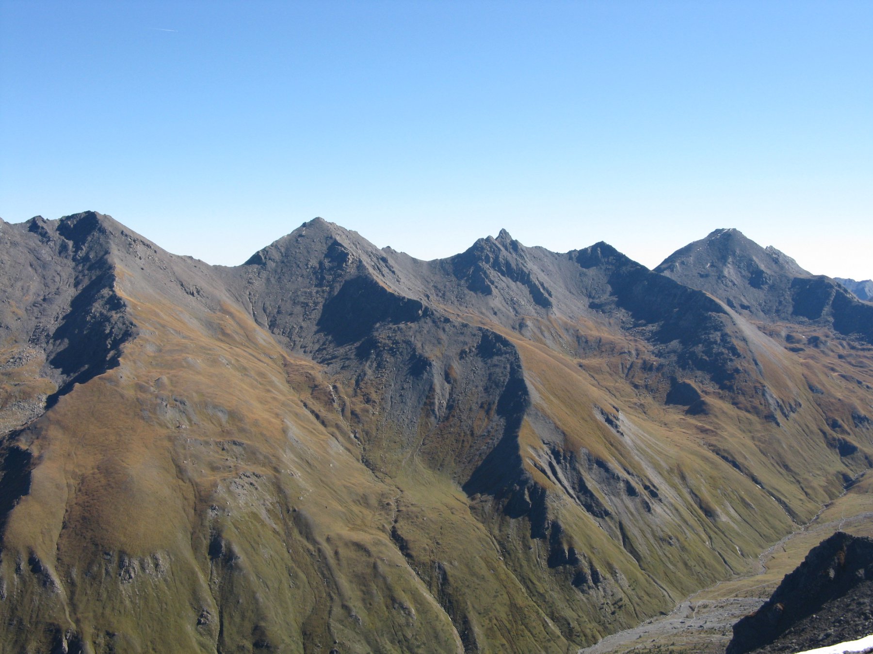
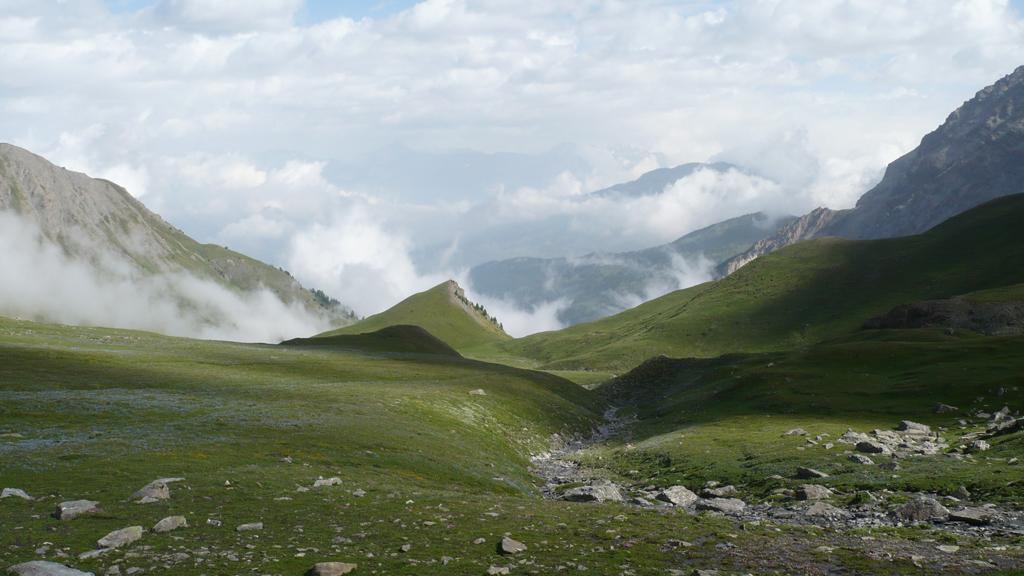
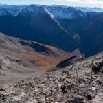
Per la discesa è possibile mantenersi sulla dorsale dapprima detritica, poi erbosa, sul bordo destro della conca, in modo da toccare il Monte Gran Barà 2728 m; da questo continuando senza traccia su terreno erboso, si fa ritorno al colletto Clausis dove si ritrova il sentiero già percorso all’andata.
- Cartografia:
- Fraternali 1:25000 n.2 Alta Valle di Susa, Alta Val Chisone
- Bibliografia:
Nelle vicinanze Mappa
Itinerari
20/06/2022 TO, Cesana Torinese D+ 1700 m EE Sud-Ovest
Clapiera (Punta) dalla Val Thuras
 50m
50m
02/07/2023 TO, Cesana Torinese D+ 1250 m EE Ovest
Marin (Punta) dalla Val Thuras
 50m
50m
07/08/2023 TO, Cesana Torinese D+ 850 m E Nord-Est
Thures (Colle di) e Bivacco Andrea Tornior dalla Val Thuras
 50m
50m
09/08/2013 TO, Cesana Torinese D+ 1948 m E Nord
Gran Barà (Monte) dalla Val Thuras per il Colletto e Monte Clausis
 50m
50m
03/08/2024 TO, Cesana Torinese D+ 1452 m EE Sud-Ovest
Ramière (Punta) o Bric Froid dalla Val Thuras
 50m
50m
02/07/2023 TO, Cesana Torinese D+ 1100 m E Nord-Est
Rasis (Punta) e Rocher de Thures dalla Val Thuras per il Colle di Thures
 50m
50m
11/06/2022 TO, Cesana Torinese D+ 1370 m EE Sud-Ovest
Serpentiera (Punta) da Grange Thuras Inferiori per il Colle del Pelvo
 50m
50m
05/08/2023 TO, Cesana Torinese D+ 1350 m EE Sud-Ovest
Ciatagnera (Punta) dalla Val Thuras
 50m
50m
12/09/2021 TO, Cesana Torinese D+ 1400 m EE Est
Pelvo (Cima del) dalla Val Thuras per il Colle del Pelvo
 50m
50m
29/08/2025 TO, Cesana Torinese D+ 1125 m E Nord
Berline (Crete de) dalla Val Thuras
50m
Servizi
2.9Km
2.9Km
La Tana degli Orsi B&B
Cesana Torinese
2.9Km
La Crota B&B
Cesana Torinese
4.6Km
La Fontana del Thures Rifugio
Cesana Torinese
6.1Km
Centro Ristorante
Cesana Torinese
6.6Km
Misun La Font Ristorante
Sauze di Cesana
9.6Km
L’Ibarus Rifugio
Cesana Torinese
9.6Km
Piergiorgio Frassati B&B
Cesana Torinese
9.6Km
Casa Cesana Bar
Cesana Torinese
9.7Km