5.3Km
5.3Km


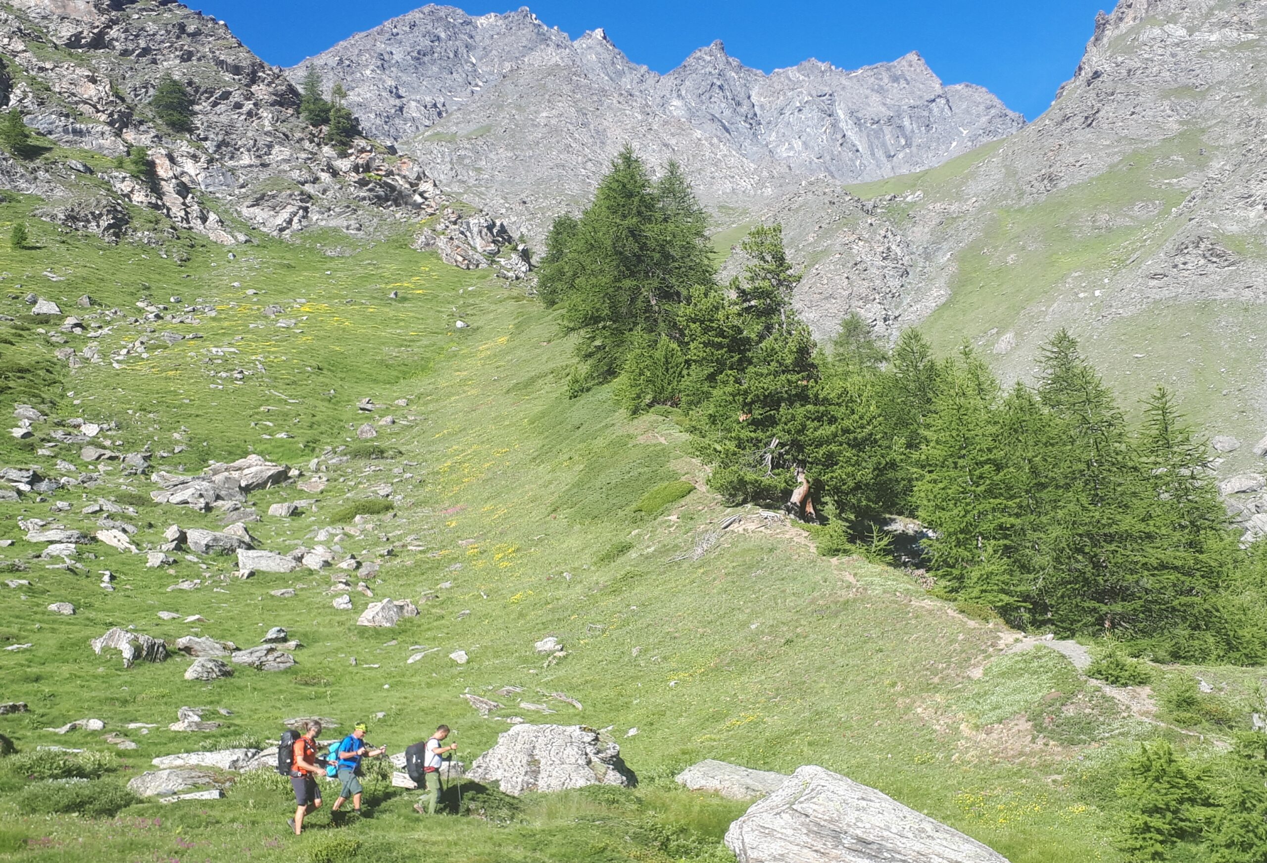
Avvicinamento
 50m
2.5Km
2.5Km
2.5Km
2.5Km
2.5Km
2.5Km
2.5Km
2.5Km
3.1Km
50m
2.5Km
2.5Km
2.5Km
2.5Km
2.5Km
2.5Km
2.5Km
2.5Km
3.1Km
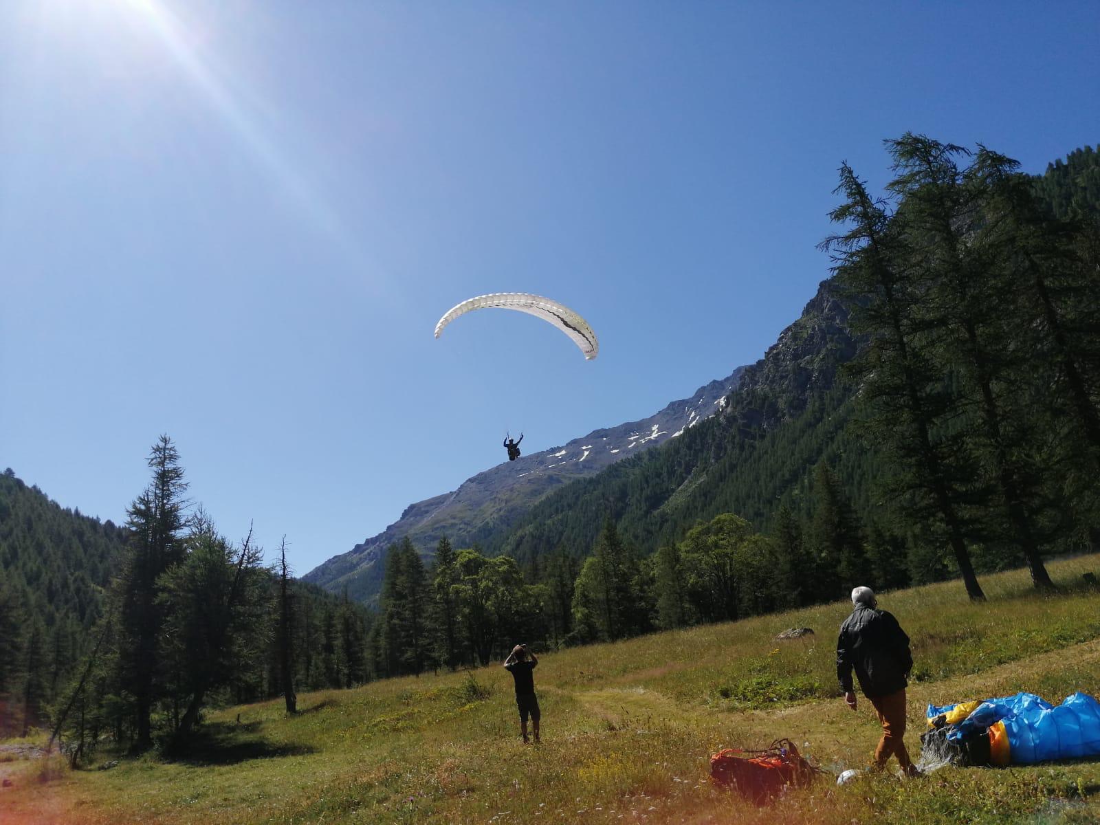
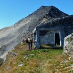
Da Sauze di Cesana seguire la strada per Sestriere fino al bivio per la Valle Argentera. Imboccare sulla destra la stretta stradina asfaltata che scende a passare il Torrente Ripa al Ponte Terribile. La strada diventa quasi subito a fondo naturale ma, a perte qualche cunetta, è abbastanza buona. Seguirla fino al parcheggio Pelvo (molti cartelli indicatori) dove si trova il segnavia 614 per il Colle del Pelvo.
Descrizione
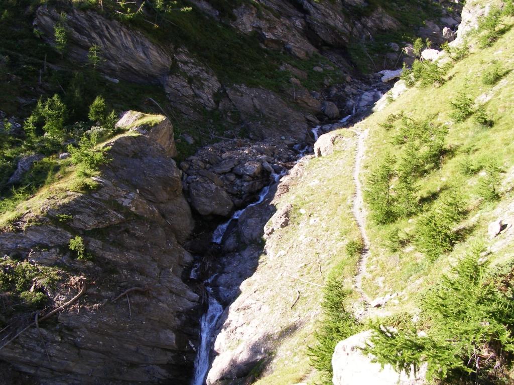
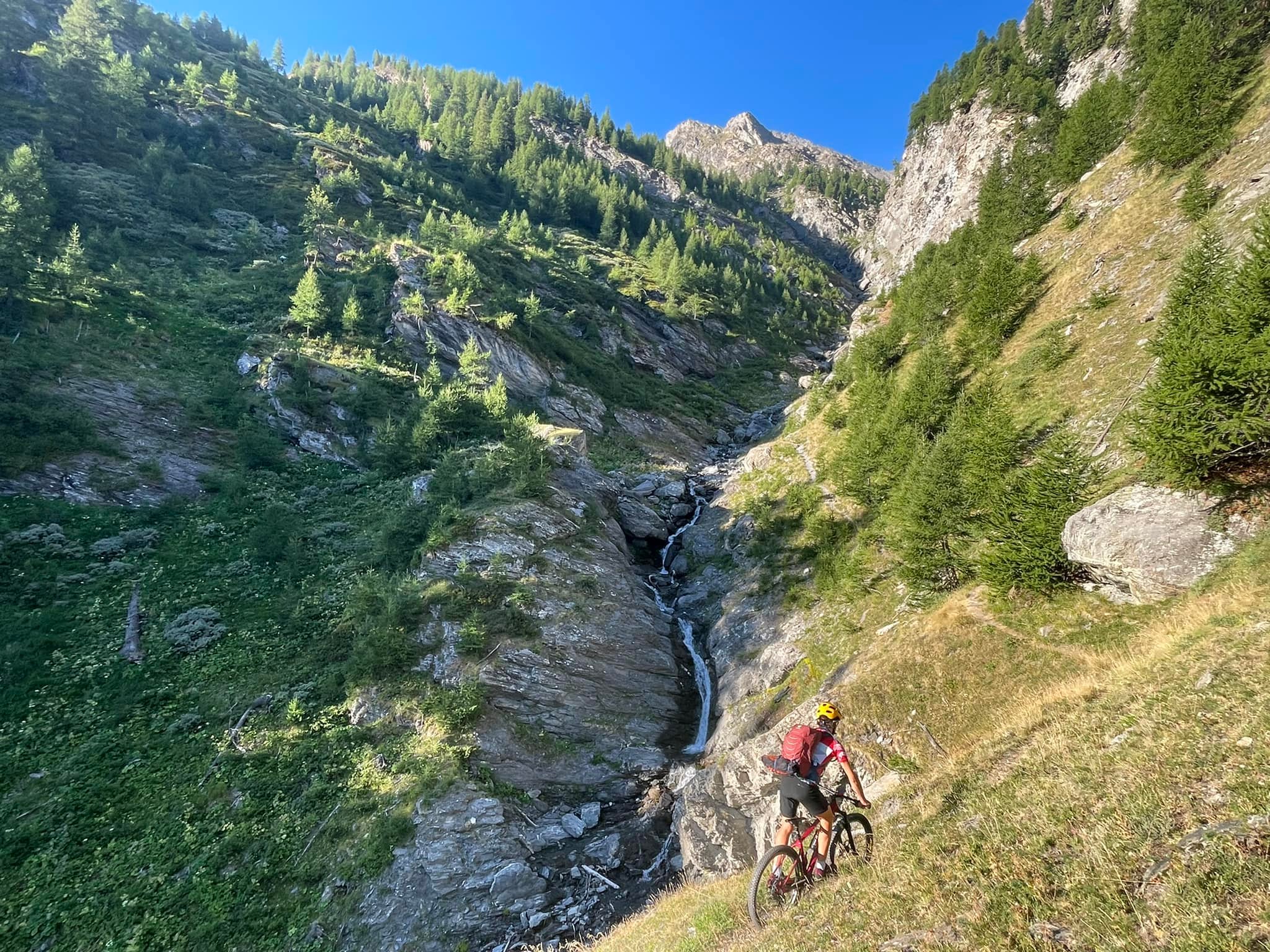
Il sentiero, dopo un breve tratto quasi pianeggiante, inizia a salire molto ripido nel bosco. Si ignora il cartello per Madonna delle Balme e si prosegue sulla traccia di sinistra che esce brevemente dal bosco per abbassarsi leggermente sul torrente, lo attraversa e riprende a salire con percorso ripido sul costone boscoso del versante opposto.
Finite le serpentine un breve rettilineo verso destra conduce a circa 2380 m, in corrispondenza di un torrentello (ottima acqua).
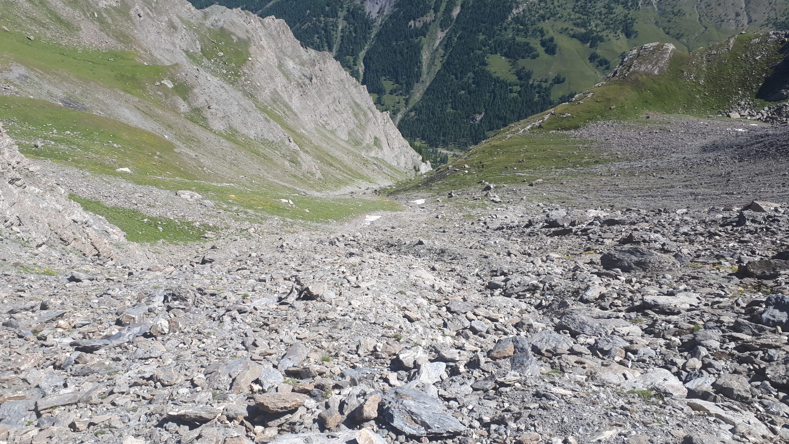
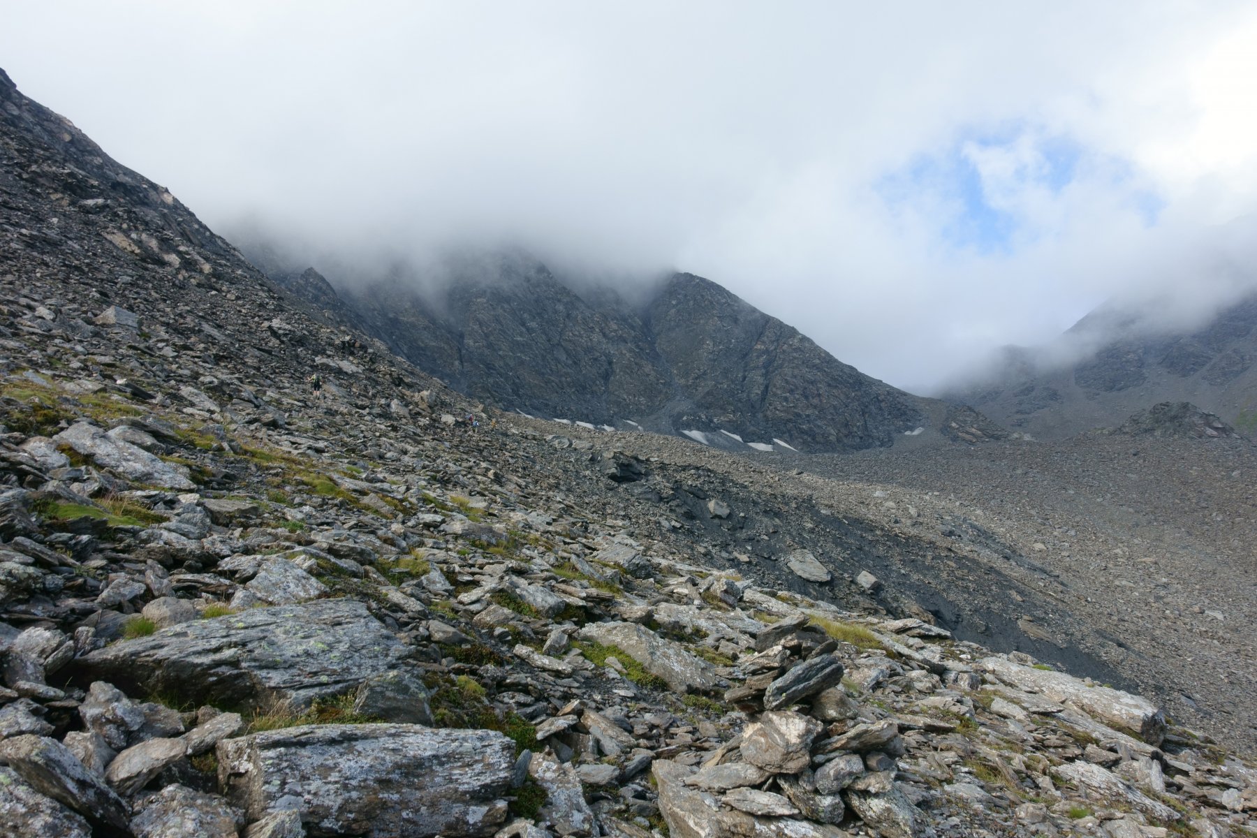
Si vedono sulla destra dei bolli rossi ed arancio, con un marcato sentiero che sale su una sorta di dosso morenico. NON SEGUIRLI, ma cercare sulla sinistra una traccia (due piccole linee rosse su un masso) che si alza ripida per sbucare su un vasto pianoro erboso. Lo si attraversa procedendo verso Sud ed aiutandosi con rari ometti e segni rossi, passando sotto una piccola paretina rocciosa che sostiene un prato superiore. Ci si innalza su un costone erboso fino ad una quota di circa 2730 metri.
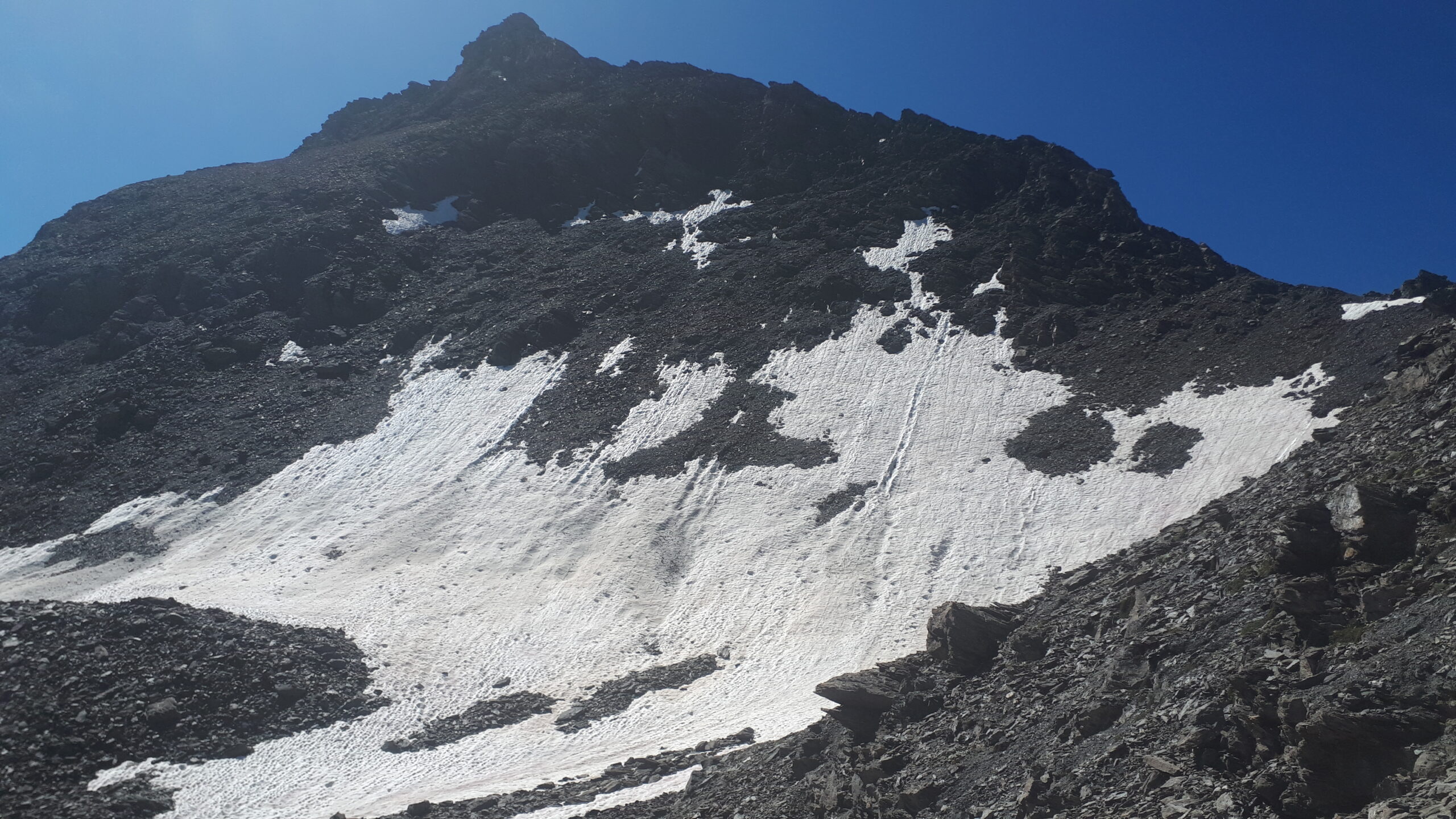
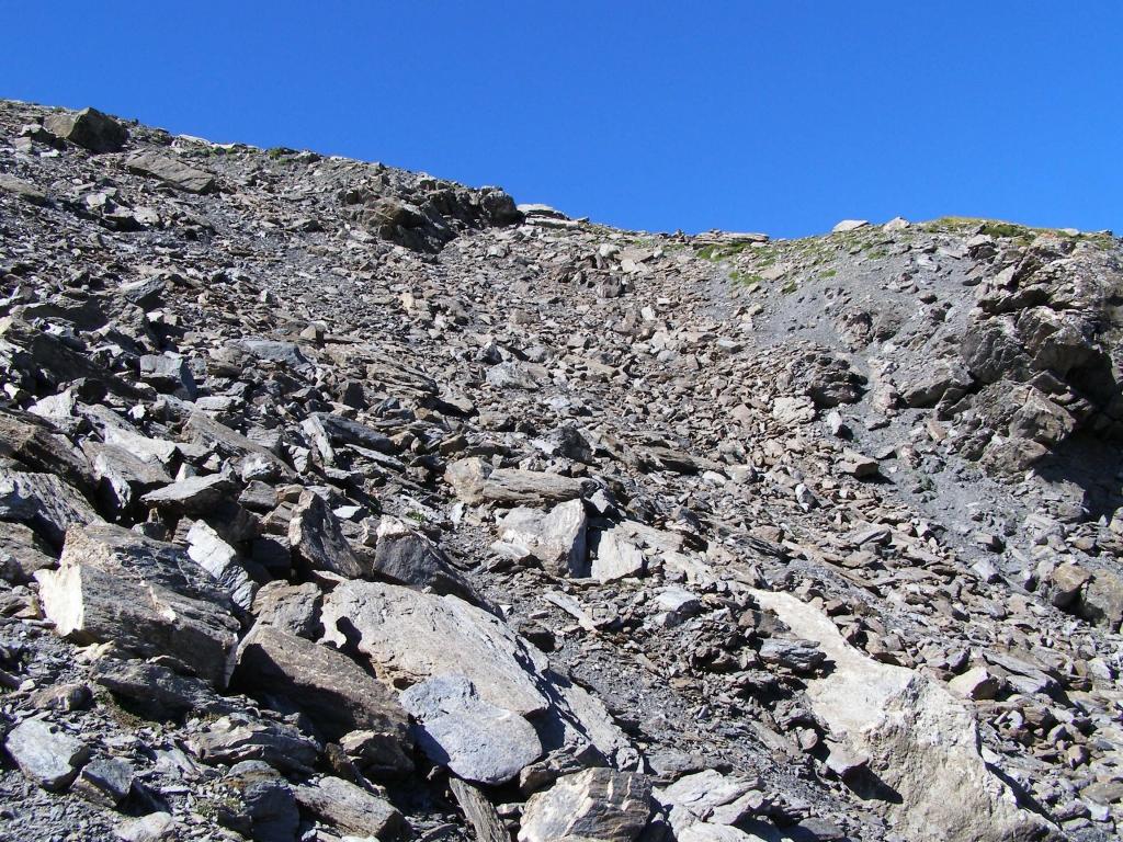
Da questo punto, sempre seguendo i numerosi ometti ed i segni rossi anche essi frequenti ma un po’ sbiaditi, si inizia a percorrere, dapprima su terreno piuttosto ripido, poi con una lunga traversata verso destra e poi ancora su terreno ripido, una pietraia “infinita” che termina poco sotto il Colle del Pelvo.
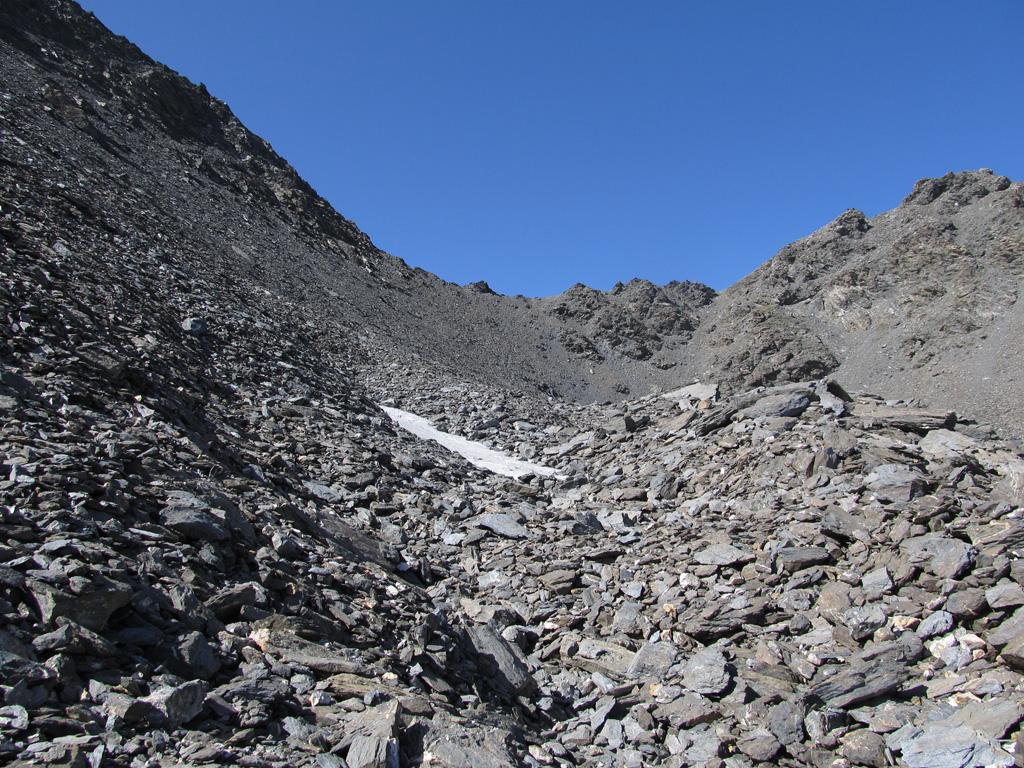
Il consiglio è di tenersi il più possibile a destra (senza esagerare troppo però) parallelamente ad una poco marcata cresta erbosa che separa il pendio alto da quello più in basso, in modo tale da evitare la fascia di pietraia più ostica e con qualche saliscendi. Se si ha la fortuna di individuarlo (è più facile in discesa) il sentiero è tutto sommato non male, anche se a tratti si perde e bisogna saltare tra i massi.
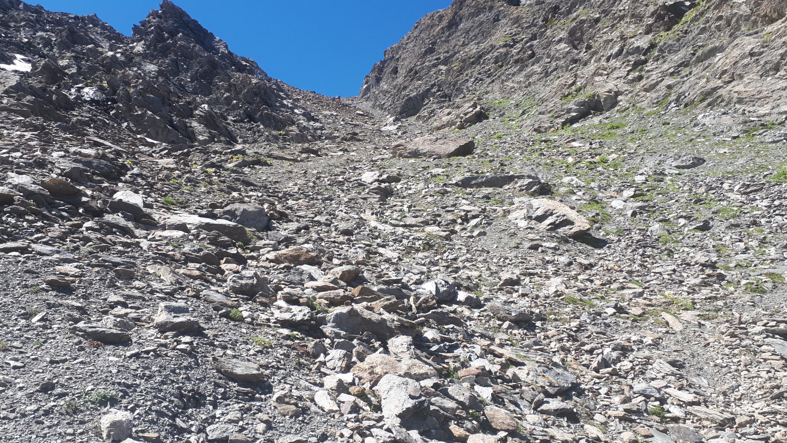
Si raggiunge un primo colletto, che dà accesso al tratto finale prima del colle vero e proprio. Qui non conviene tenersi alti con un traverso, ma è meglio andare sul fondo del ghiaione fino alla verticale del colle, e risalire questo ripido pendio alla meglio (si muove tutto). Pochi metri prima del colle riappare la traccia.
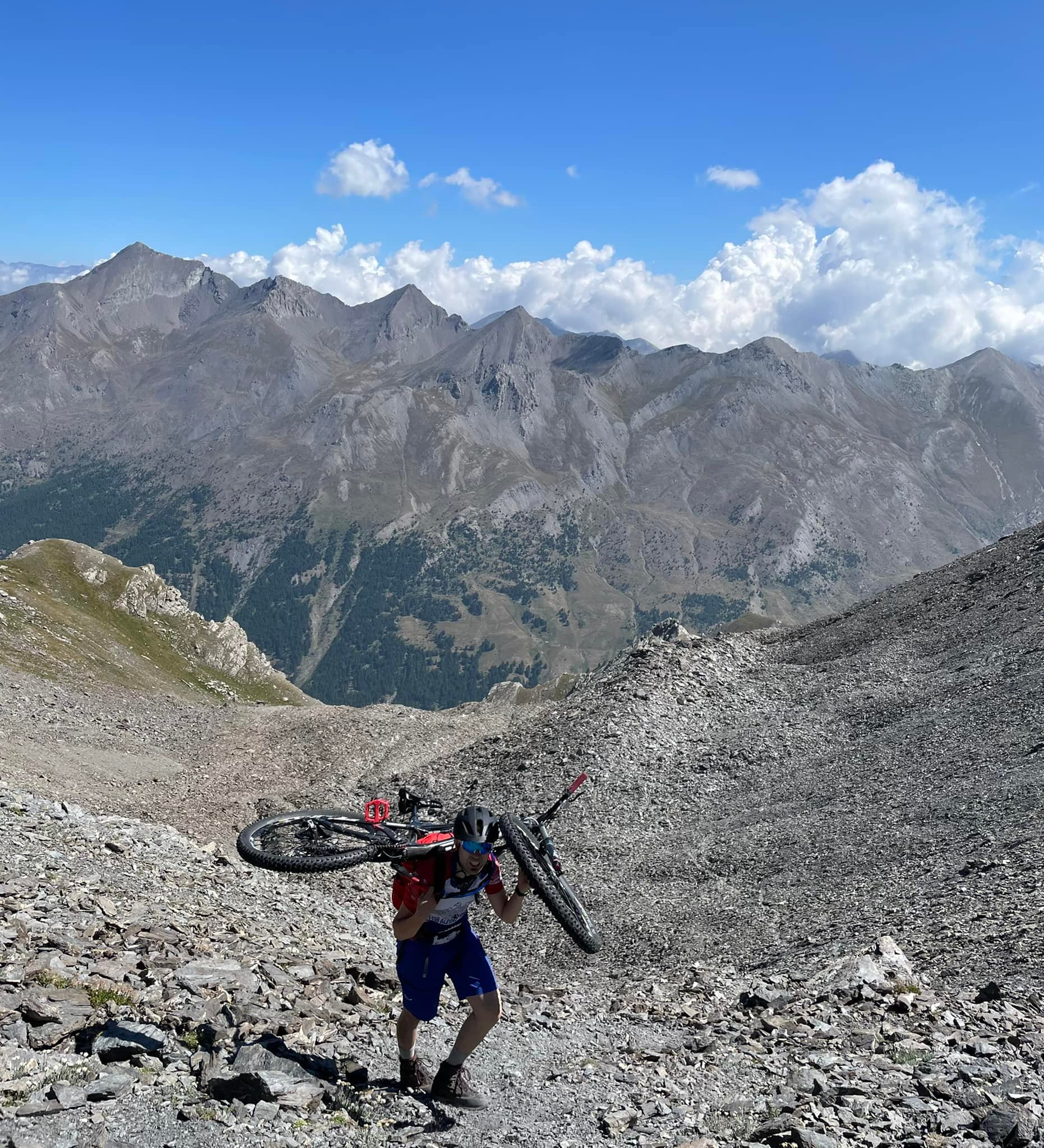
Da questo punto, su traccia ripida ma comodamente camminabile che percorre l’ampio crestone detritico, si raggiunge la cima del Pelvo (croce metallica).
- Cartografia:
- IGC 1:50000 n° 1 Valli Susa Chisone e Germanasca
Nelle vicinanze Mappa
Itinerari
01/08/2022 TO, Sauze di Cesana D+ 1500 m EE Varie
Serpentiera (Punta) dalla Valle Argentera per il Colle del Pelvo
 50m
50m
03/08/2024 TO, Sauze di Cesana D+ 1330 m EE/F Sud-Ovest
Rouit (Rocce del) da Brusà del Plan
 2.5Km
2.5Km
18/10/2025 TO, Sauze di Cesana D+ 1350 m EE Sud-Ovest
Platasse (Monte) da Brusà del Plan
 2.5Km
2.5Km
22/10/2016 TO, Sauze di Cesana D+ 1250 m EE Ovest
Giornalet (Monte) da Brusà del Plan
 2.5Km
2.5Km
20/07/2016 TO, Sauze di Cesana D+ 280 m T Nord-Ovest
Alpe Plane (Rifugio) da Brusà del Plan
 2.5Km
2.5Km
11/08/2022 TO, Sauze di Cesana D+ 1090 m EE/F Nord-Ovest
Vergia (Punta) dalla Valle Argentera
 2.5Km
2.5Km
22/08/2025 TO, Sauze di Cesana D+ 1150 m EE Sud-Est
Gran Queyron e Cima Frappier dalla Valle Argentera
 2.5Km
2.5Km
27/07/2025 TO, Sauze di Cesana D+ 1150 m E Sud-Ovest
Appenna (Monte) dalla Valle Argentera
 2.5Km
2.5Km
01/07/2021 TO, Sauze di Cesana D+ 1300 m EE Sud-Ovest
Barifreddo (Monte) da Argentera per il Monte Appenna
 2.5Km
2.5Km
07/09/2025 TO, Sauze di Cesana D+ 1400 m EE Nord-Ovest
Ramière (Punta) o Bric Froid dalla Valle Argentera
 3.1Km
3.1Km