250m
250m
Note
Storico
 50m
50m
50m
3.7Km
3.7Km
3.7Km
3.7Km
50m
50m
50m
3.7Km
3.7Km
3.7Km
3.7Km
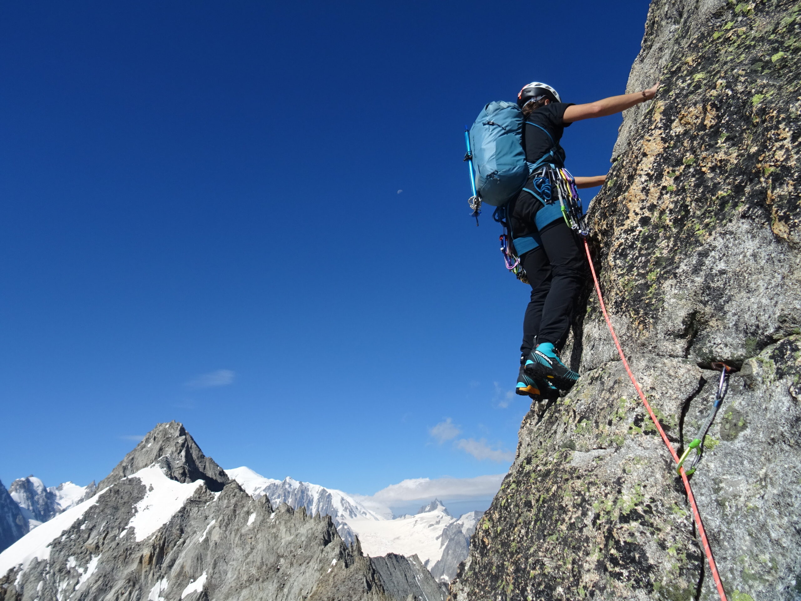
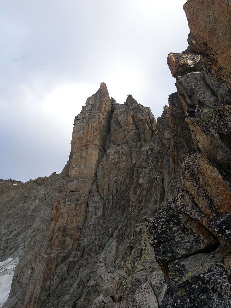
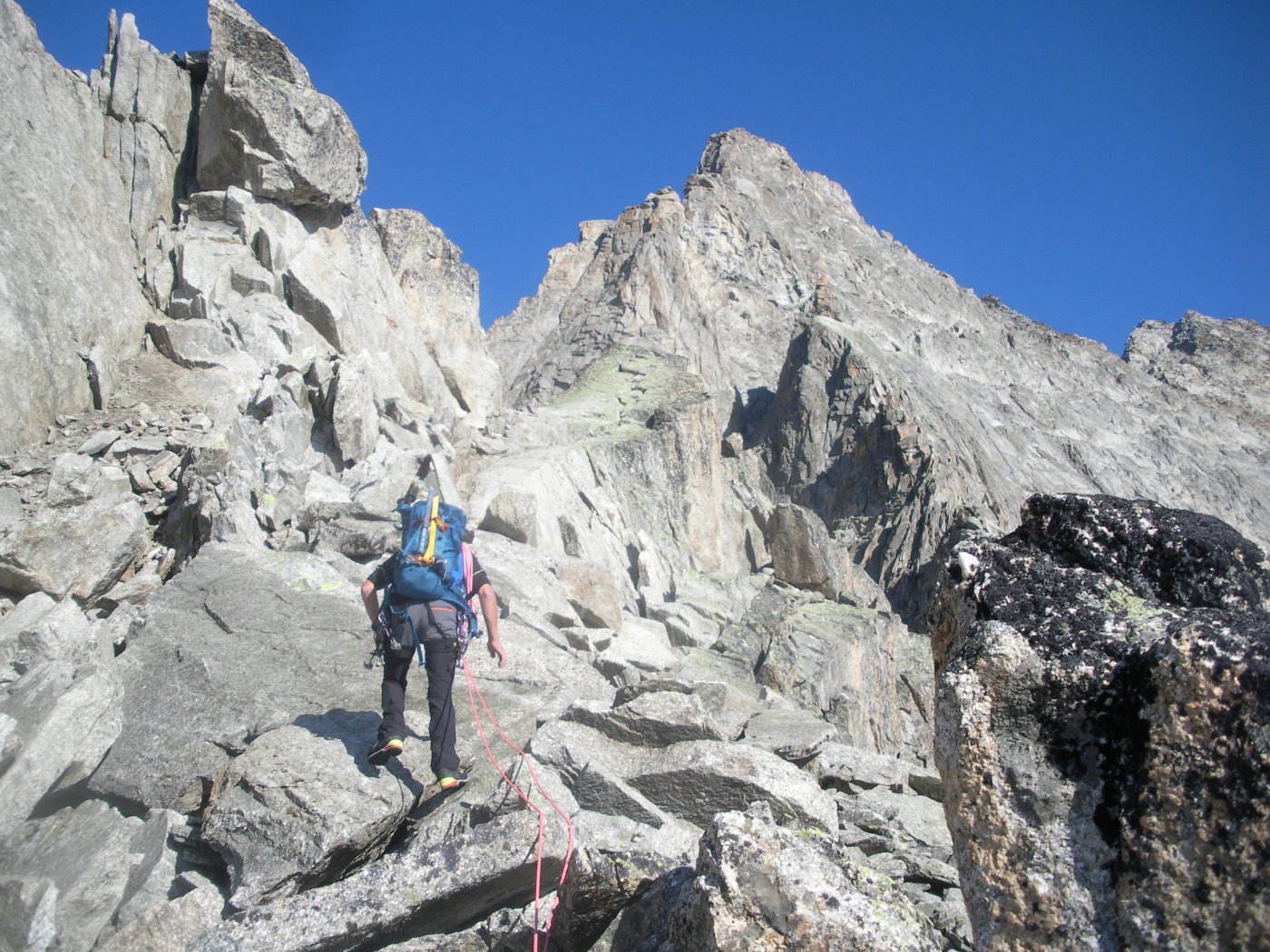
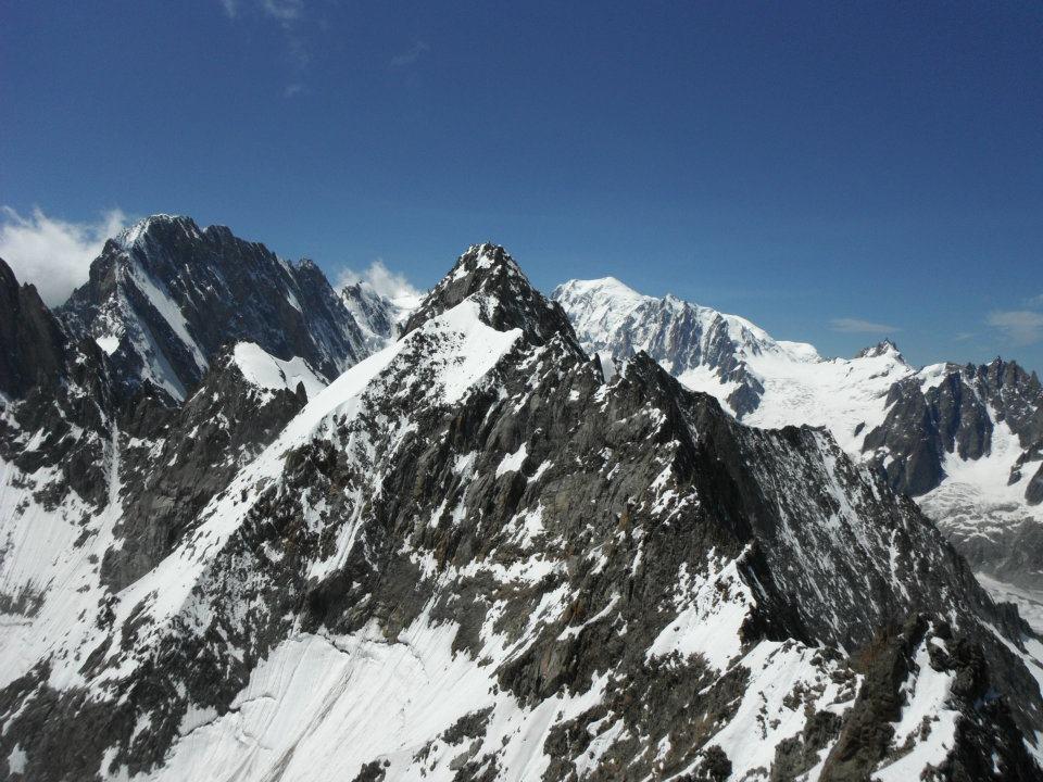
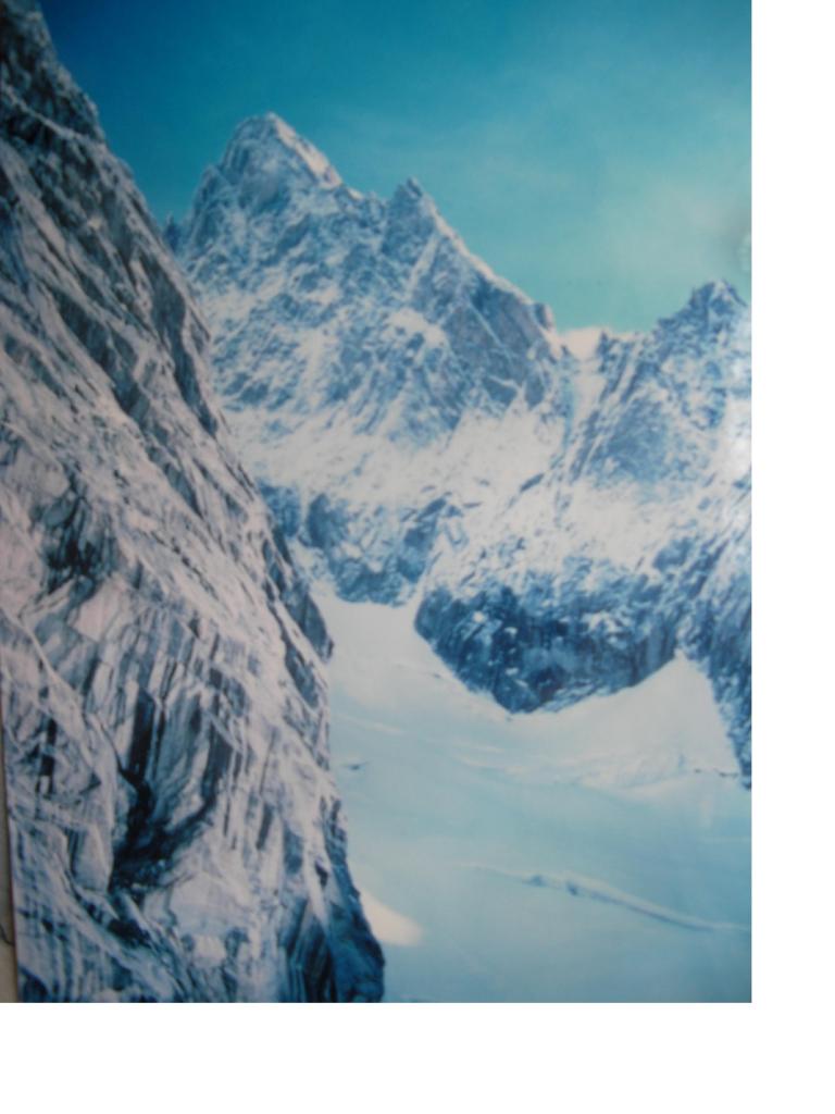
Bella cresta su granito solido, benché facile richiede capacità di trovare l'itinerario specialmente per le parti di conserva. Itinerario lungo (400m di cresta) e molto vario, panoramico e divertente.
Avvicinamento
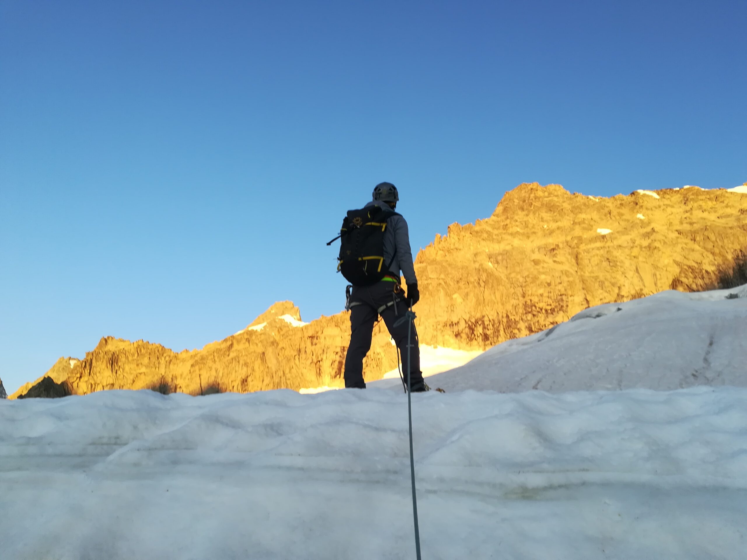
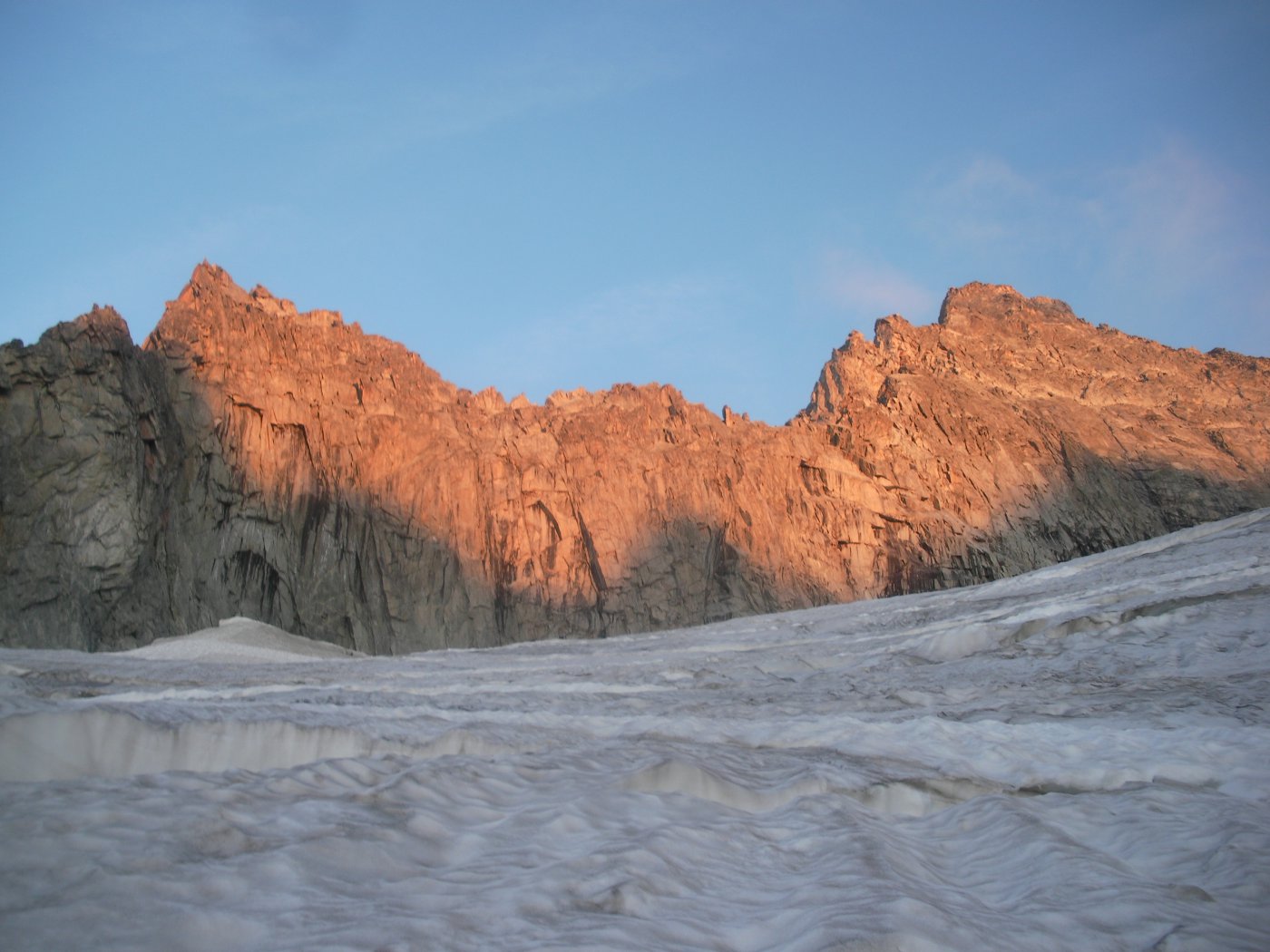
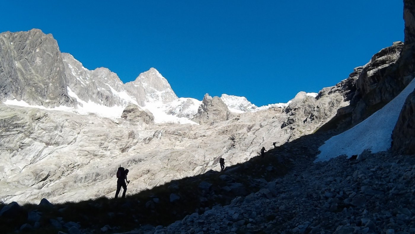
Da Arnouva Desot (raggiungibile solo in navetta o a piedi da Lavachey) seguire prima la poderale e poi il sentiero per il rifugio Dalmazzi. Seguire il sentiero lungo la morena e poi, dopo un breve nevaio, salire la ferrata (facile) che porta al rifugio.
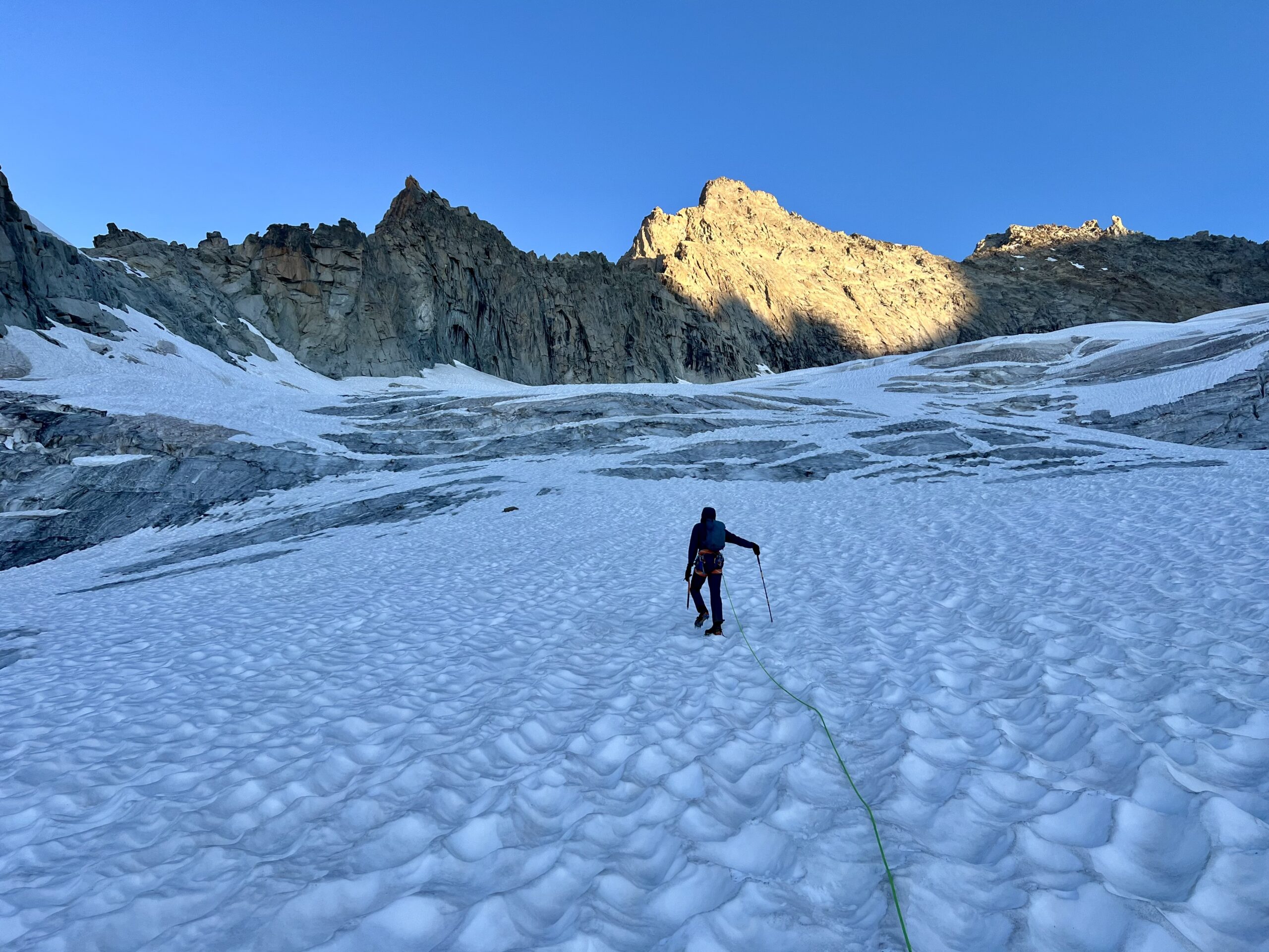
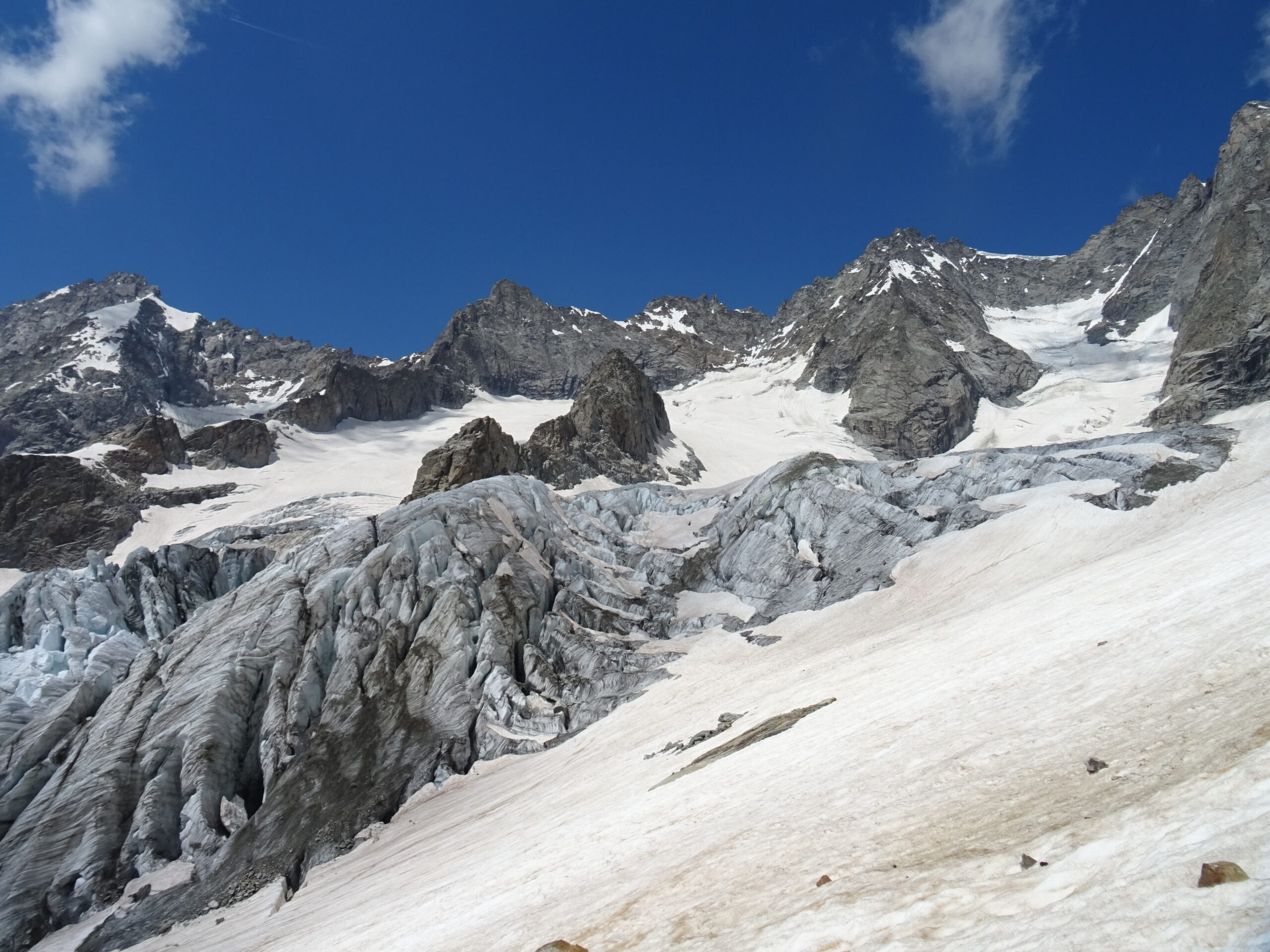
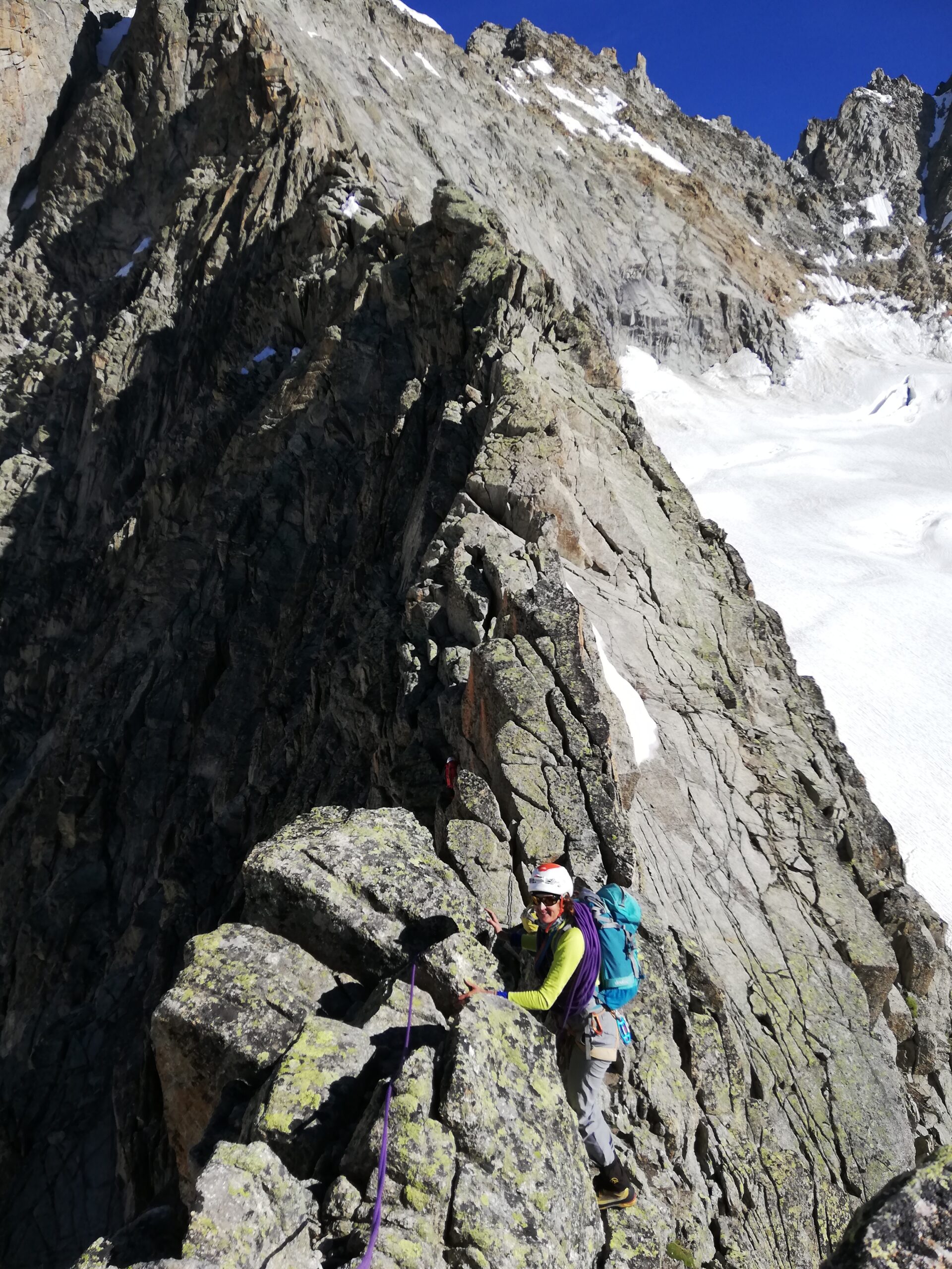
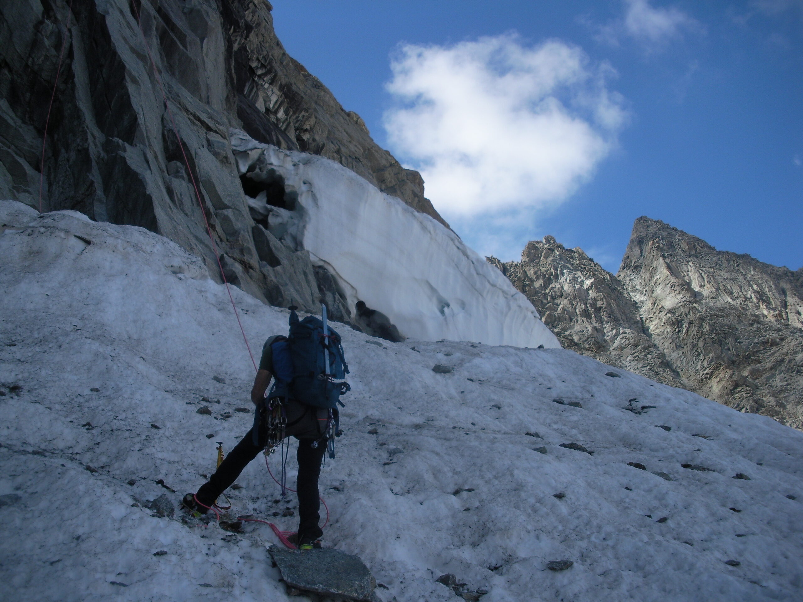
Dal rifugio, seguire la traccia ben segnata da ometti che parte dietro i bagni e si dirige verso il ghiacciaio, seguendo sempre il tubo dell'acqua fino alla morena (circa 2680m).
Da qui 2 alternative:
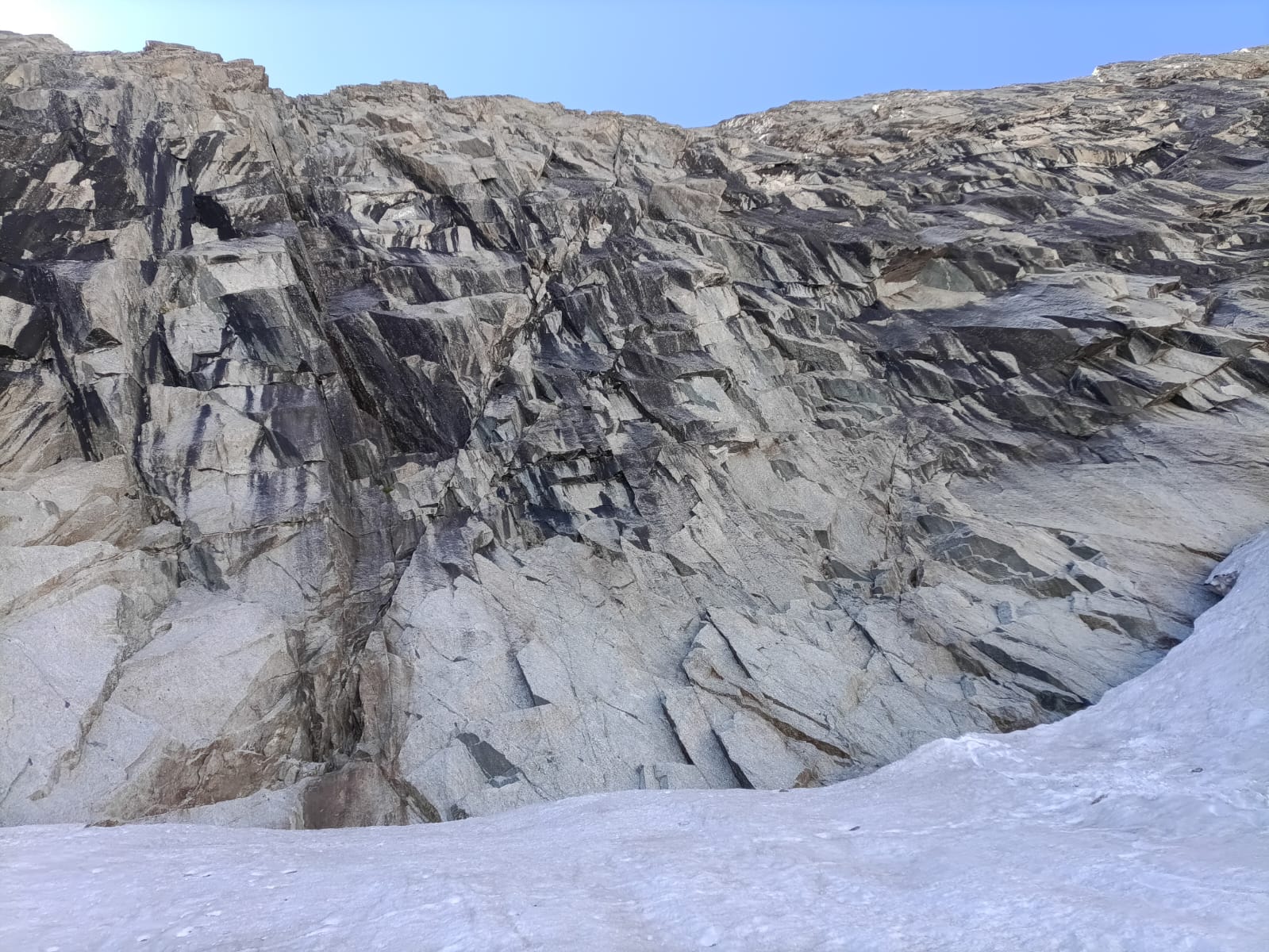
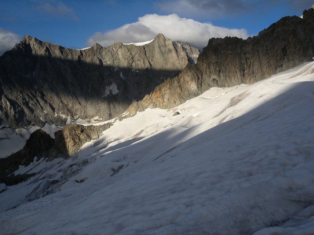
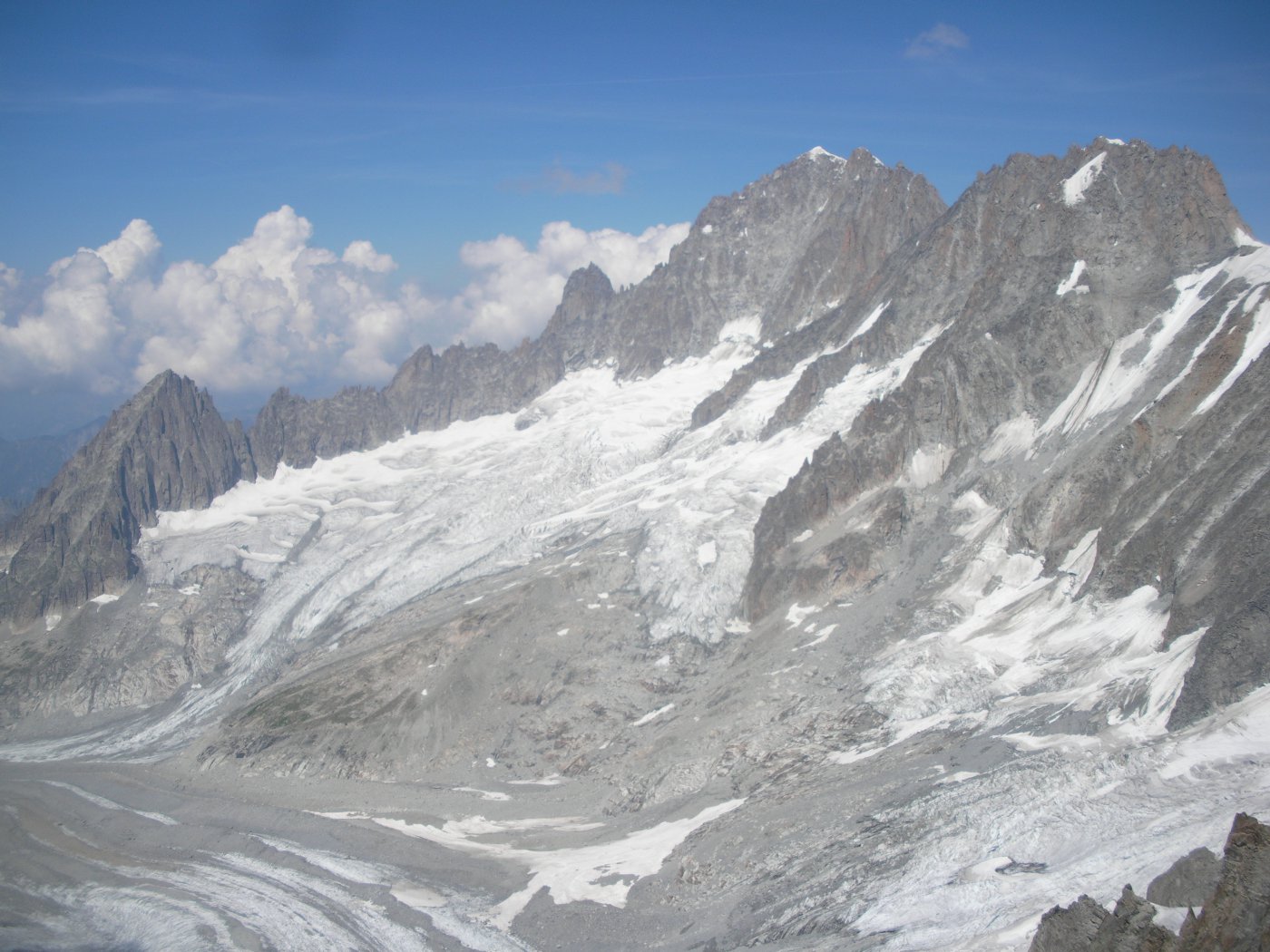
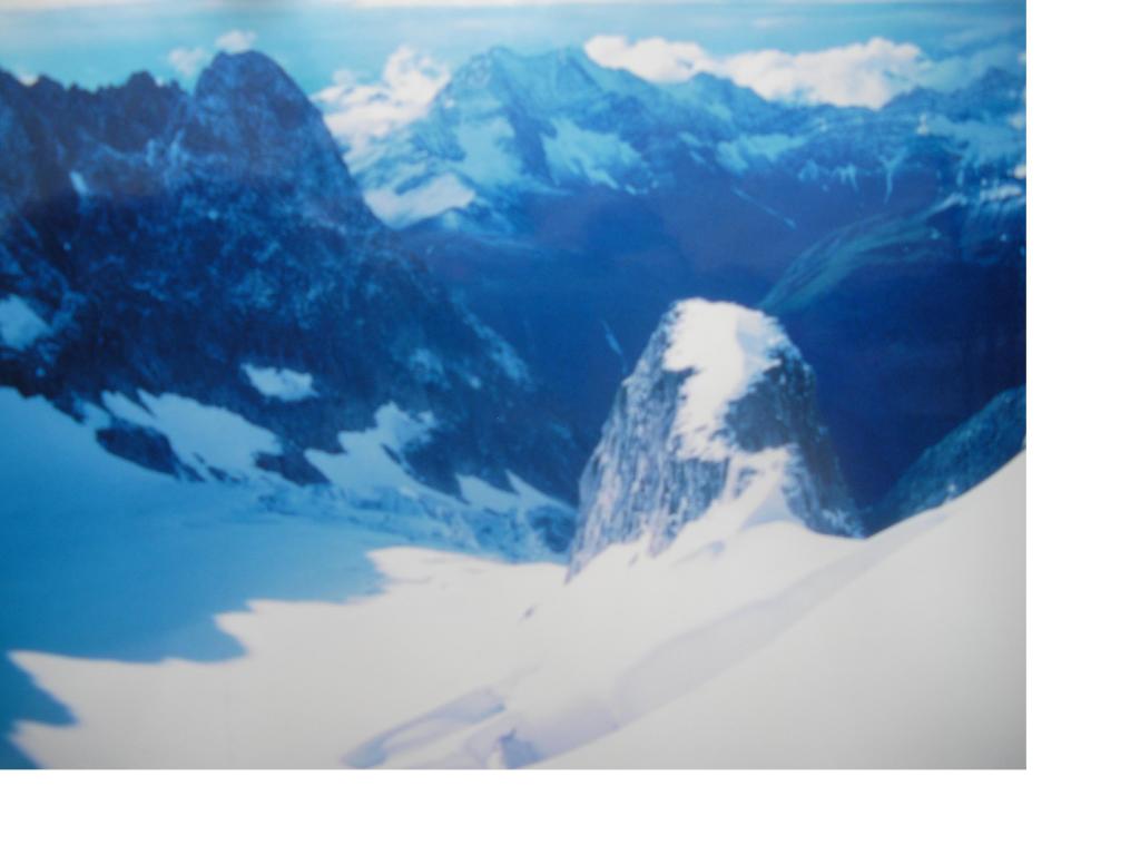
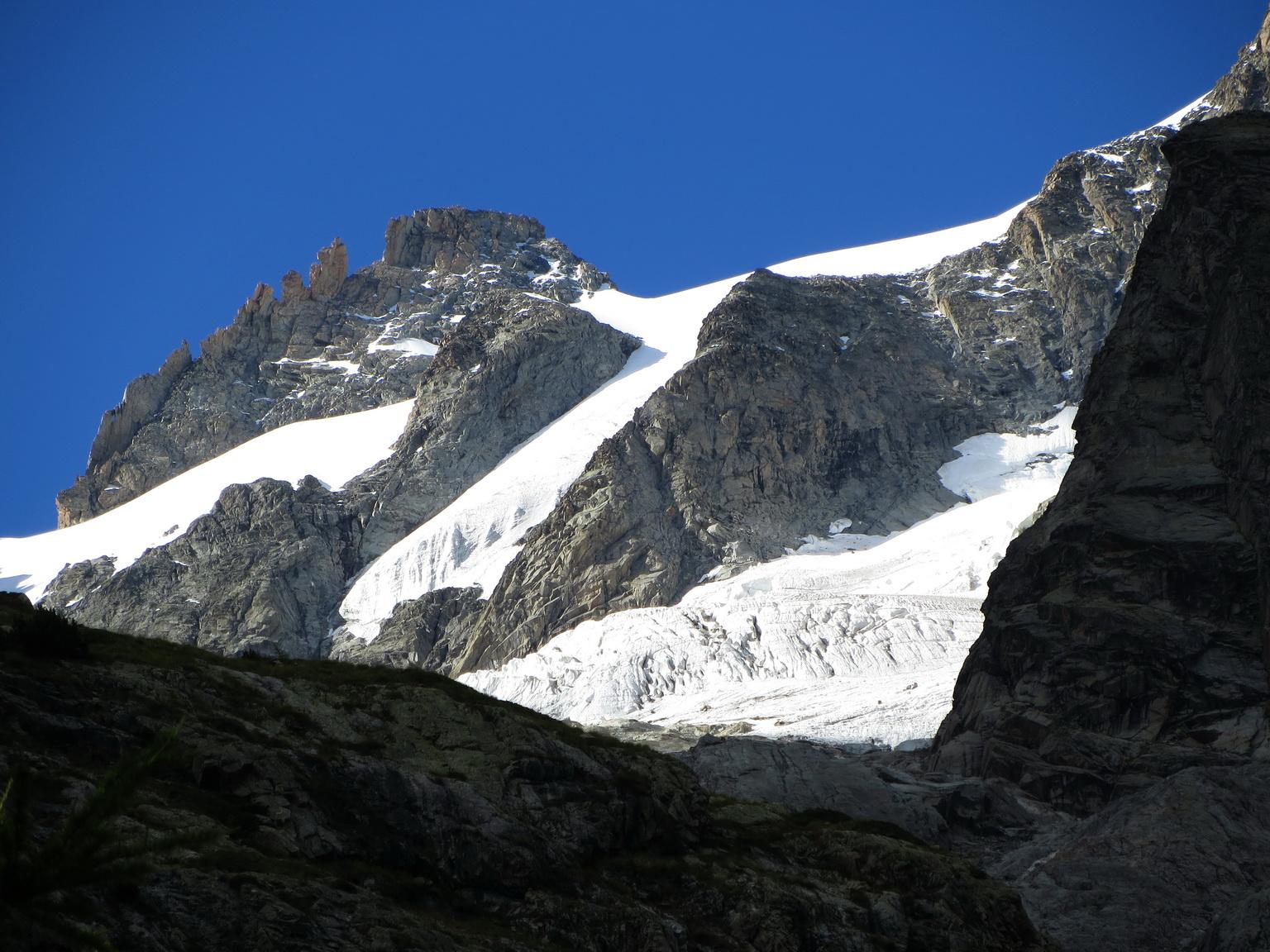
- con abbondante innevamento deviare a sx lungo una traccia appena accennata che si dirige per roccette e pietraie verso il ripiano glaciale a monte del laghetto a q. 2700m circa. Attraversare completamente il ripiano e arrivare sull'altra sponda, quindi risalire per nevai tra i dossi montonati e raggiungere la parte inferiore del ghiacciaio, che si risale sul lato sx (faccia a monte) fino alla sella di partenza 3170m
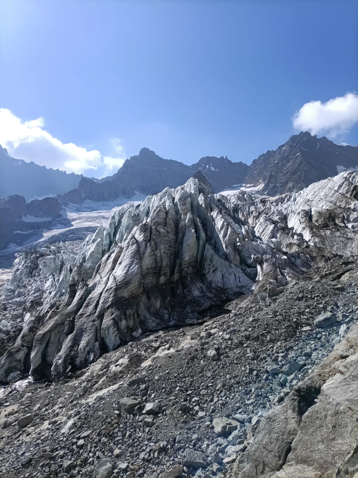
- con innevamento più scarso o molta acqua continuare a seguire senza possibilità di errore il filo della morena fino a raggiungere la propaggine meridionale del ghiacciaio intorno a q. 2900m. Seguire il ghiacciaio in diagonale verso sinistra, puntando alla sella q. 3200m a monte dei Gemelli (breve tratto ripido). Dalla sella, obliquare in leggera discesa verso l'evidente sella di partenza della cresta.
Descrizione
Dal rifugio, seguire la traccia ben segnata da ometti che parte dietro i bagni e si dirige verso il ghiacciaio, seguendo sempre il tubo dell'acqua fino alla morena (circa 2680m).
Da qui 2 alternative:
- con abbondante innevamento deviare a sx lungo una traccia appena accennata che si dirige per roccette e pietraie verso il ripiano glaciale a monte del laghetto a q. 2700m circa. Attraversare completamente il ripiano e arrivare sull'altra sponda, quindi risalire per nevai tra i dossi montonati e raggiungere la parte inferiore del ghiacciaio, che si risale sul lato sx (faccia a monte) fino alla sella di partenza 3170m
- con innevamento più scarso o molta acqua continuare a seguire senza possibilità di errore il filo della morena fino a raggiungere la propaggine meridionale del ghiacciaio intorno a q. 2900m. Seguire il ghiacciaio in diagonale verso sinistra, puntando alla sella q. 3200m a monte dei Gemelli (breve tratto ripido). Dalla sella, obliquare in leggera discesa verso l'evidente sella di partenza della cresta.
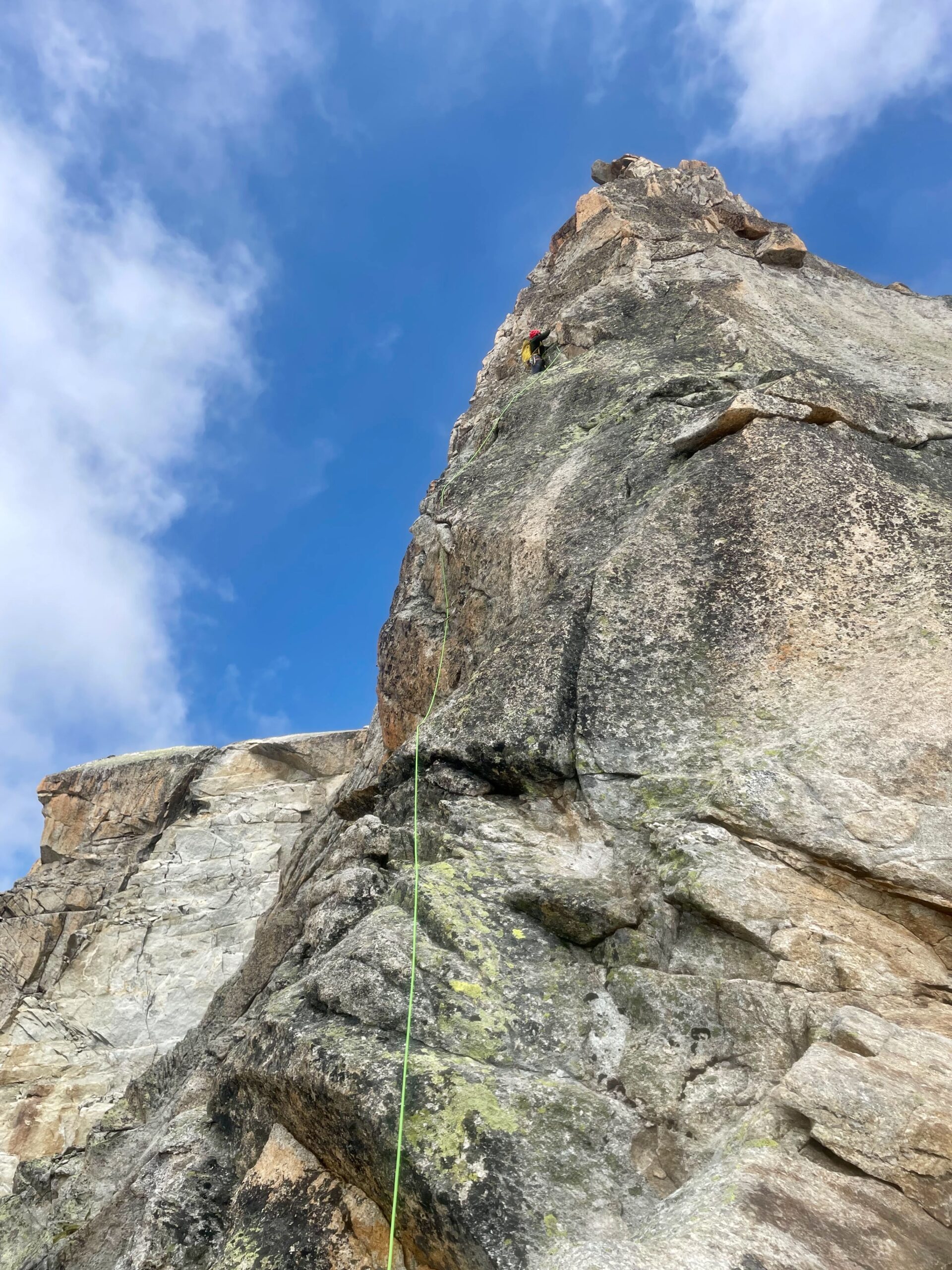
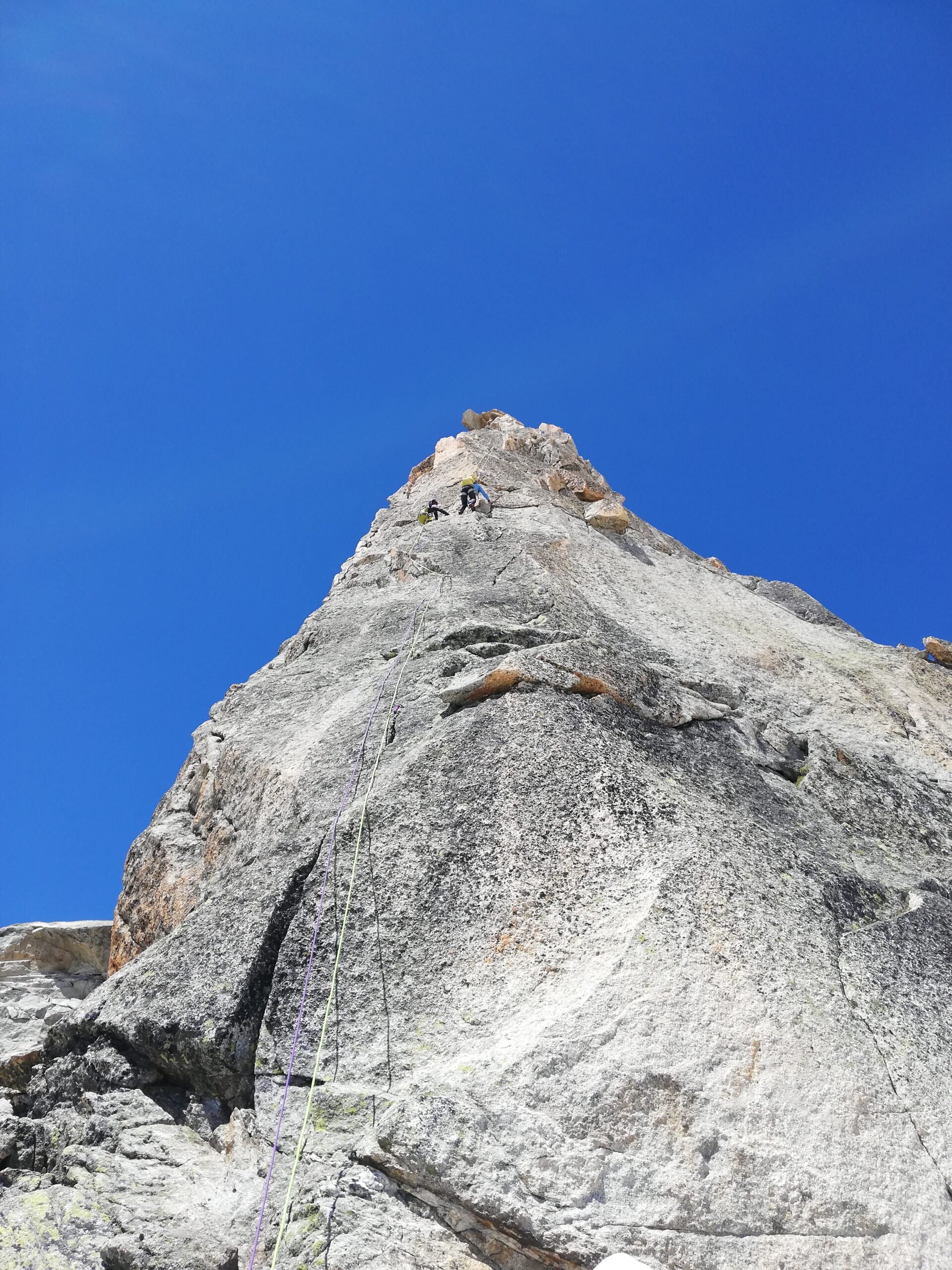
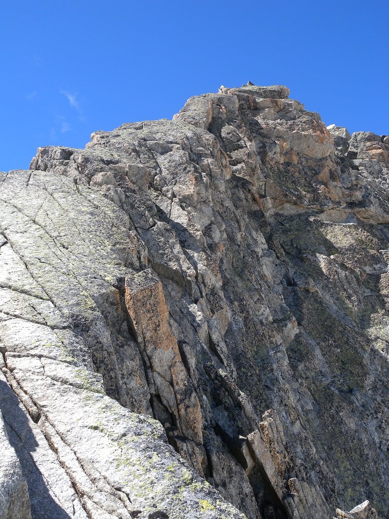
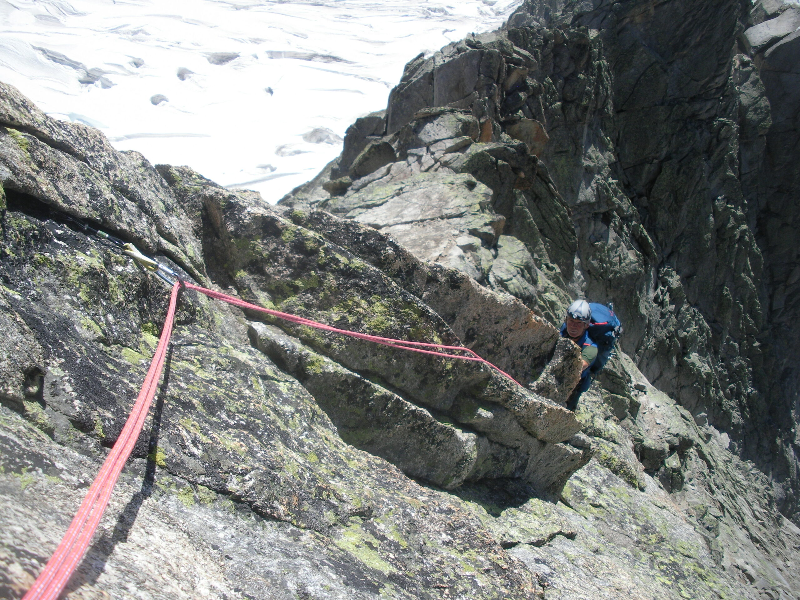
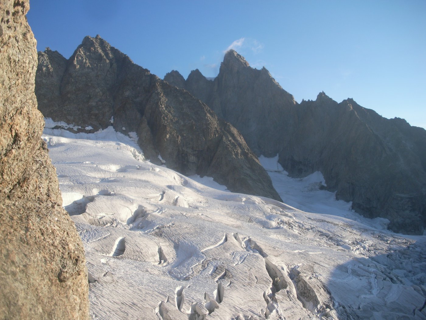
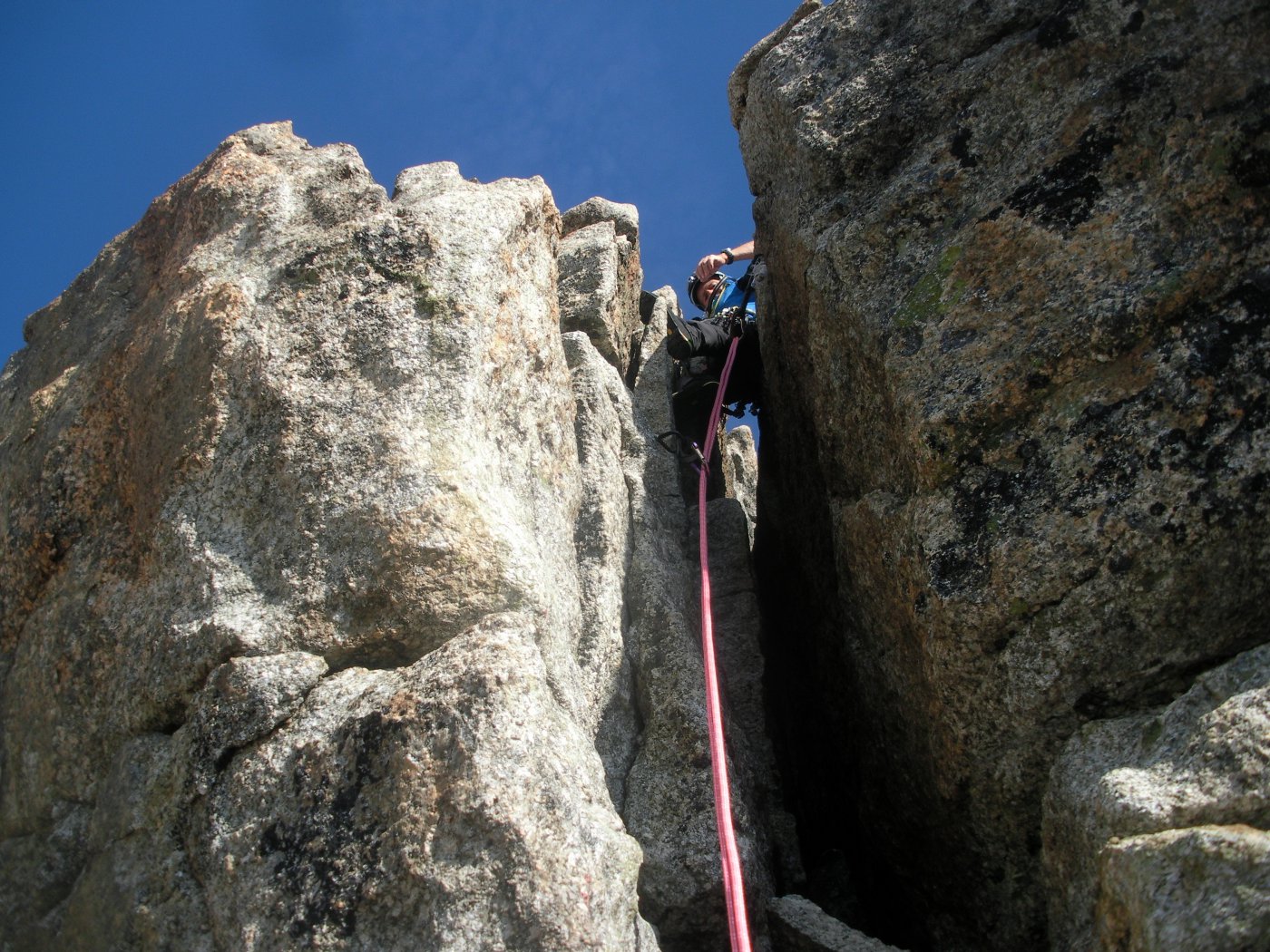
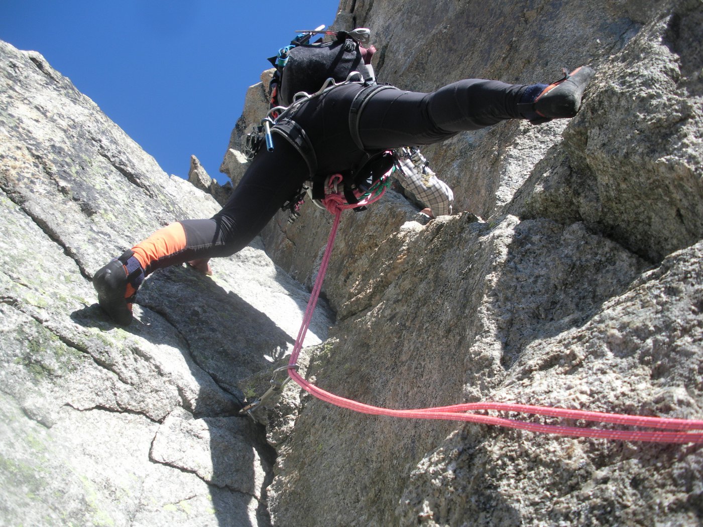
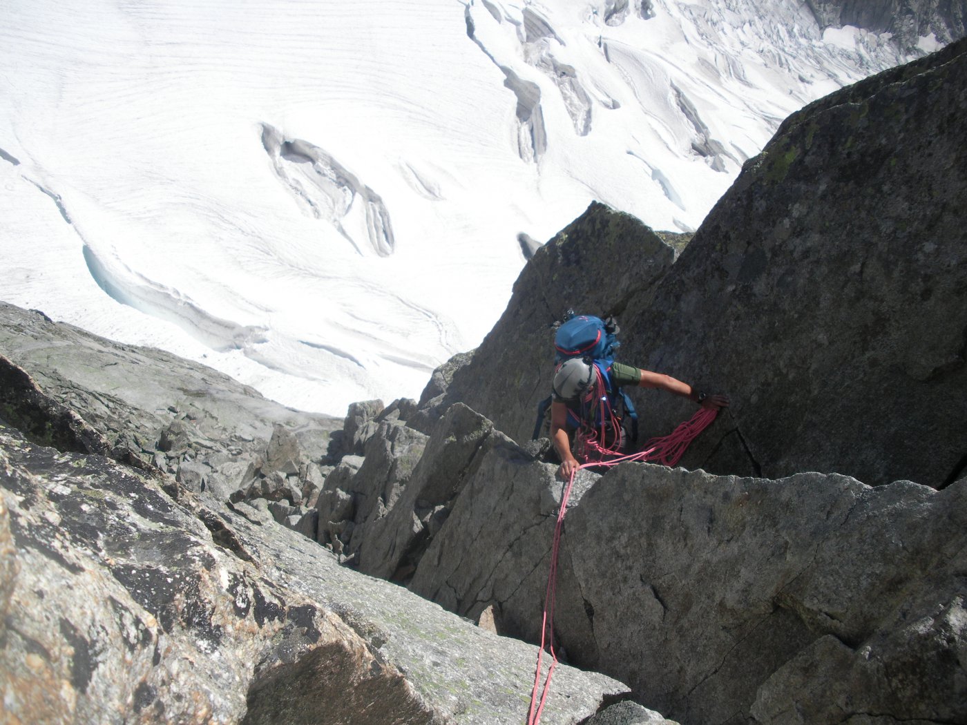
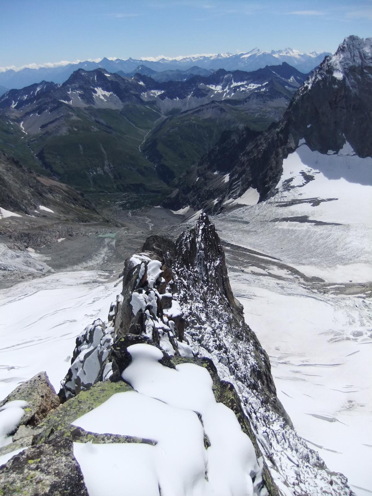
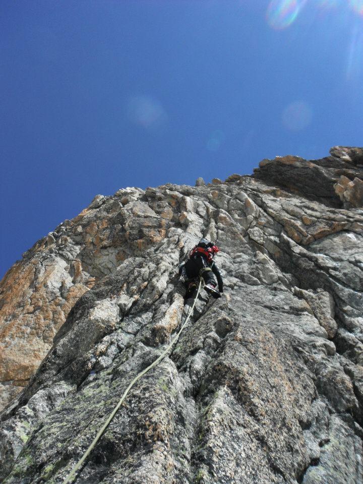
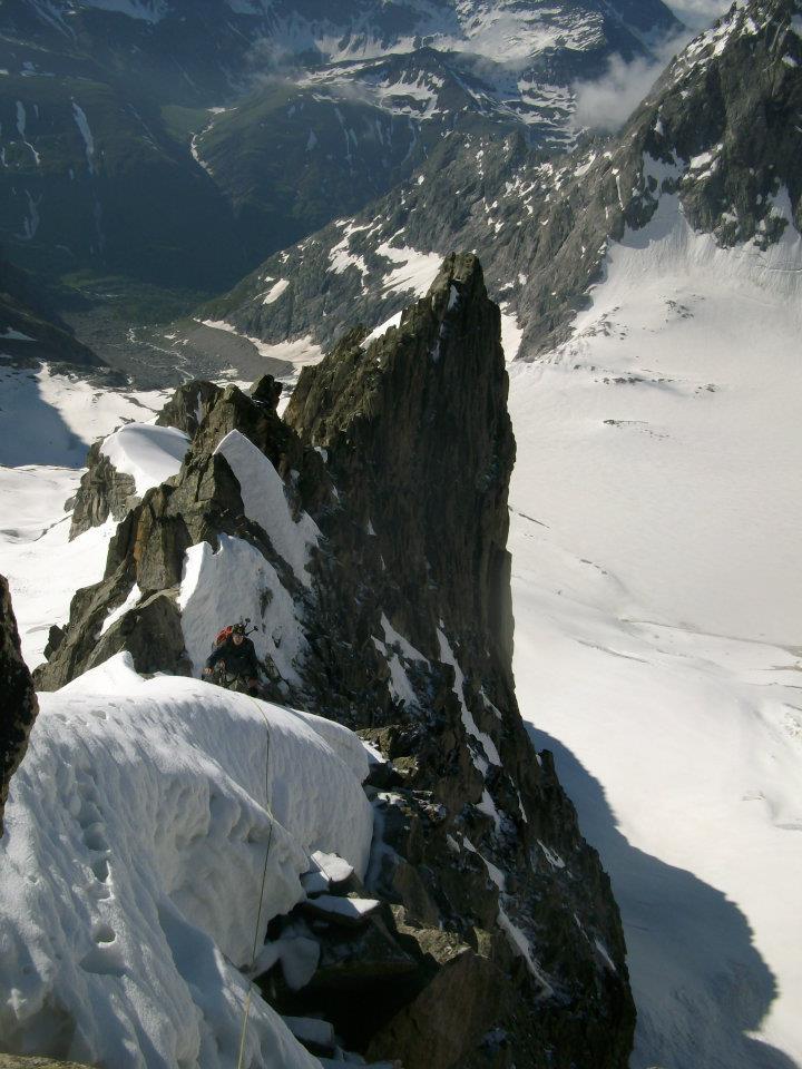
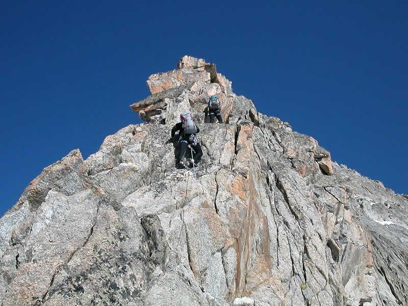
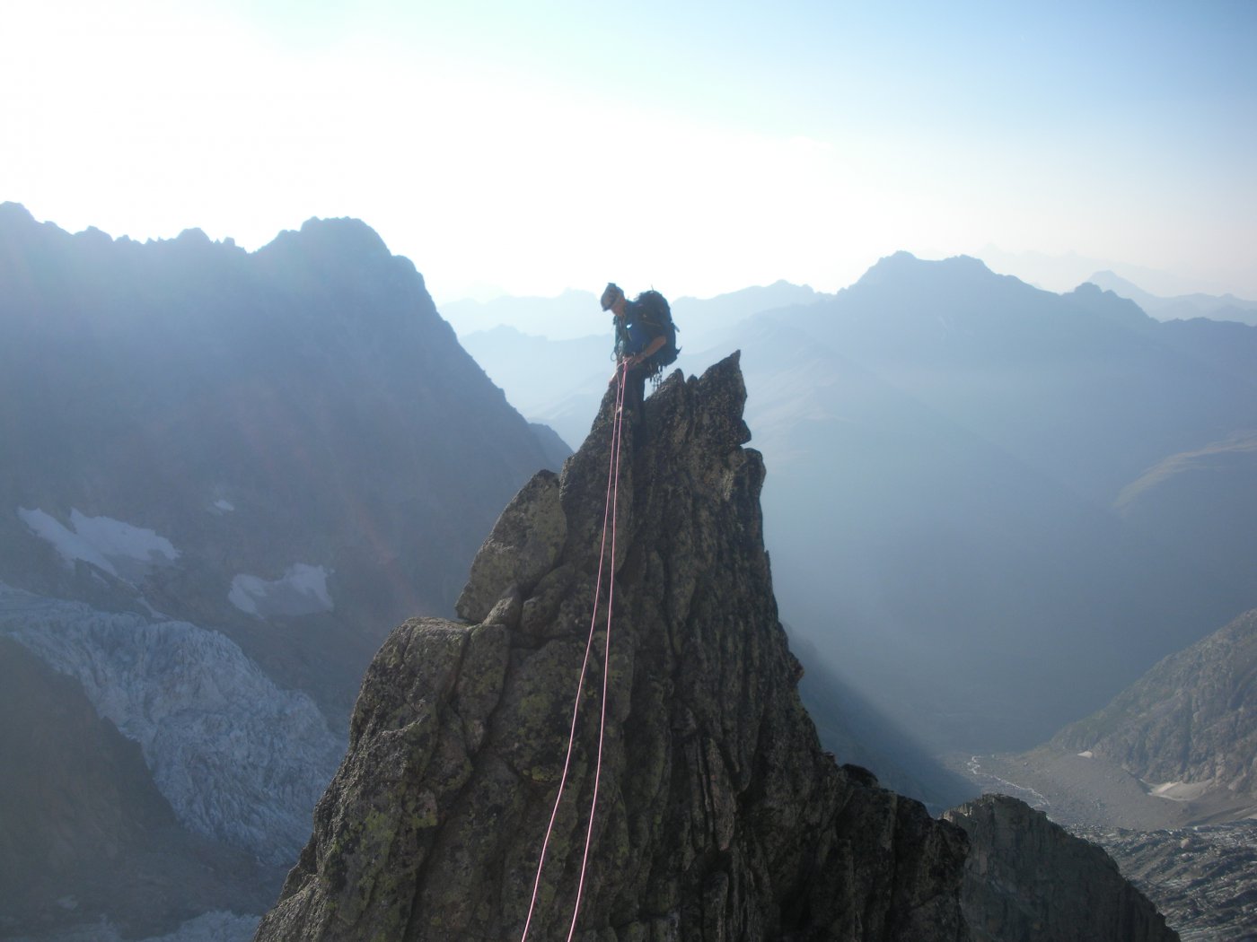
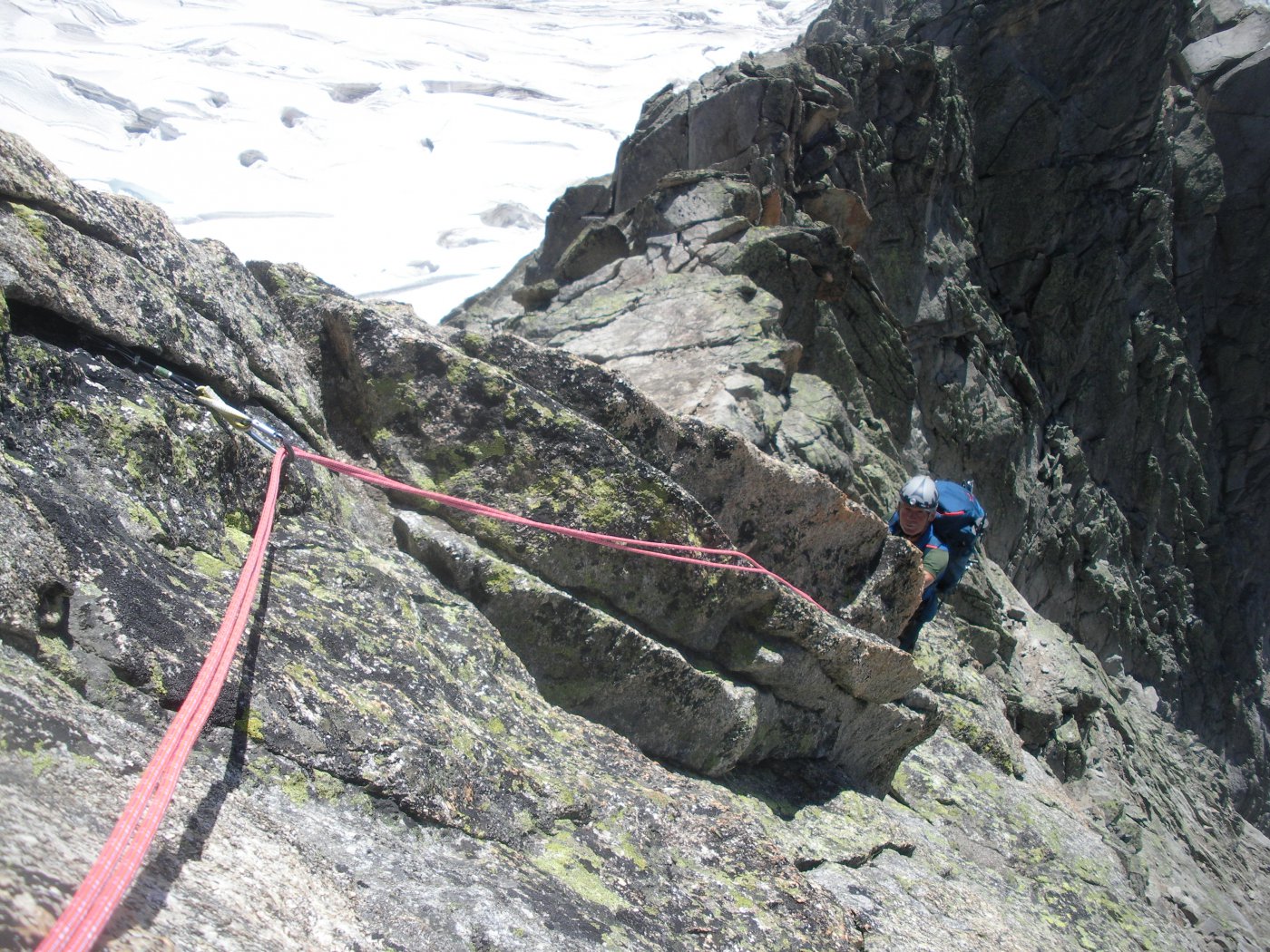
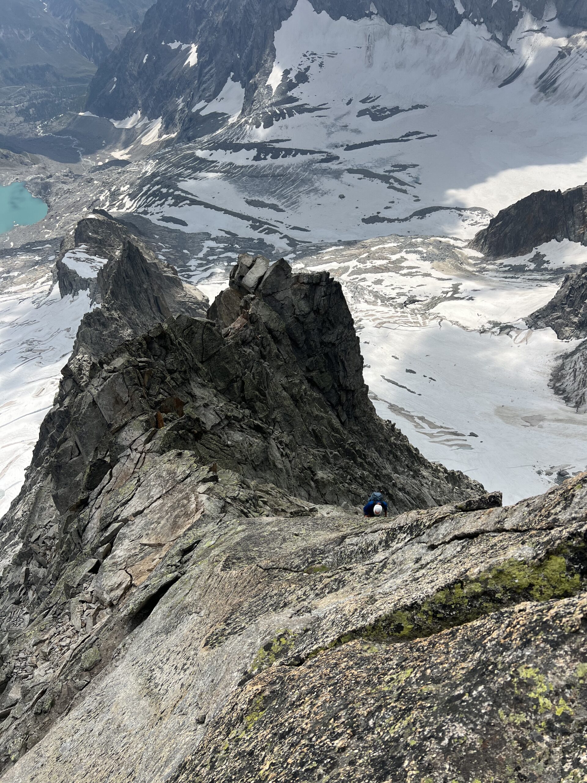
Dalla sella di partenza q.3170m si sale su difficoltà classiche (max III+), evitando le maggiori difficoltà a sx. Si raggiunge così dopo un enjambement un camino molto stretto (ch. di assicurazione alla base). Risalire il camino (IV, 2 ch.), stretto e scomodo, e sostare al suo termine (2 ch. con cordino), oppure salire un gradino ripido sulla dx e poi piegando decisamente a sx per placche verticali (passo di IV+) raggiungere la medesima sosta con cordino. Proseguire in cresta lungamente, evitando la difficoltà maggiori un po’ a sx e un po’ a dx (passi di III+ seguendo l’itinerario migliore).
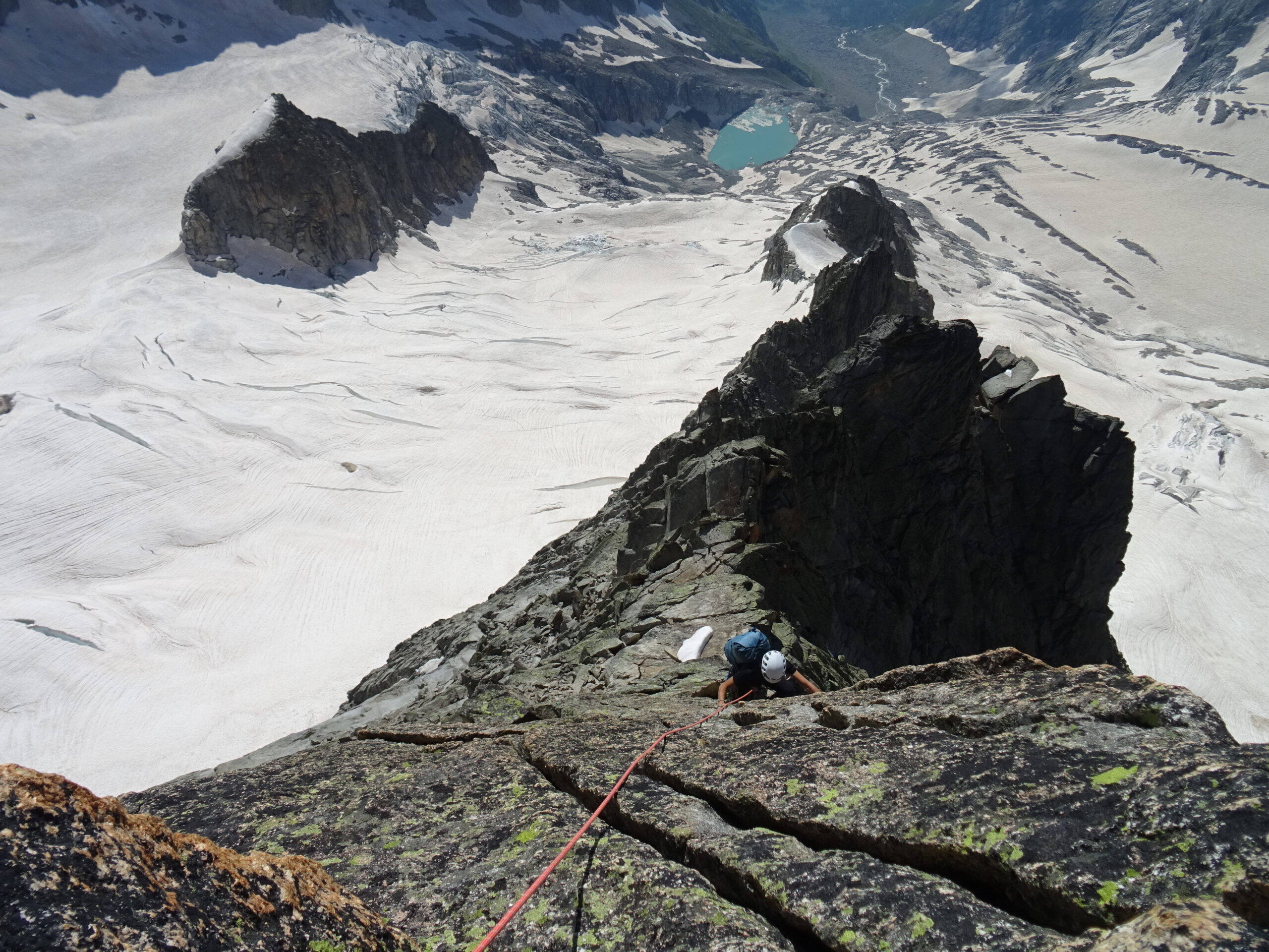
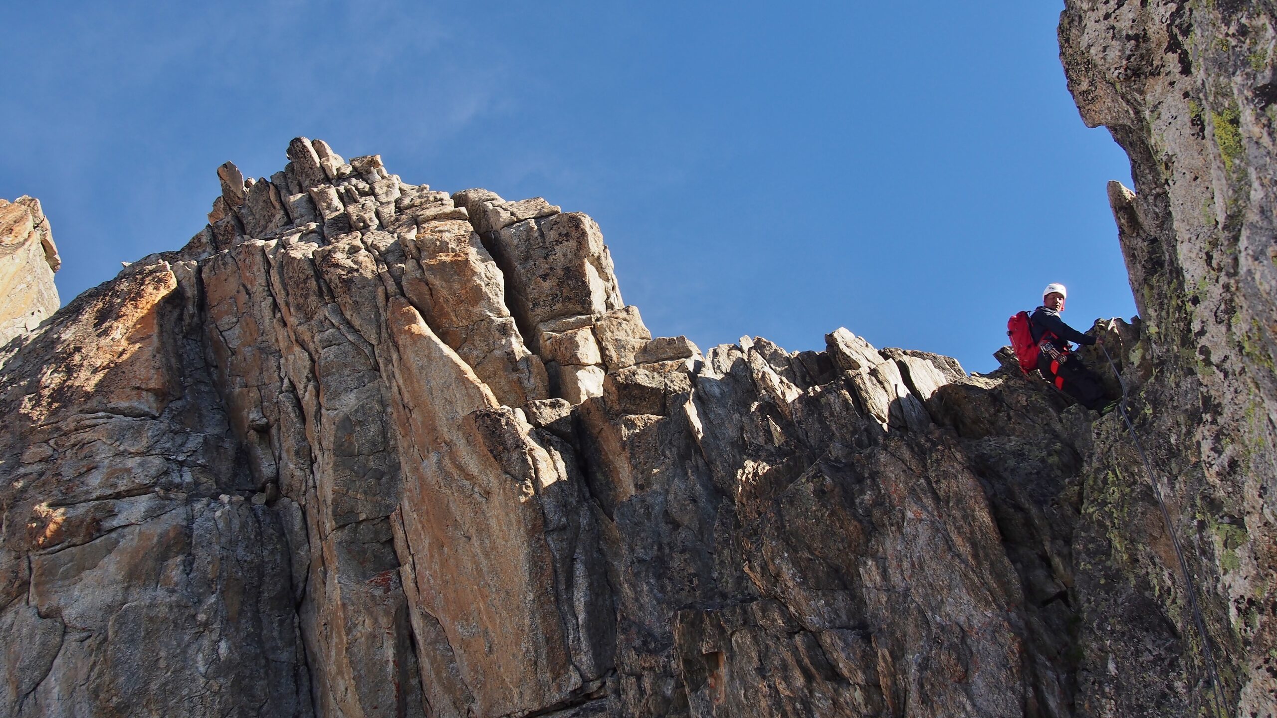
Si raggiunge una specie di sella a valle dell’ultimo tratto ripido della cresta (possibile scappatoia in doppia sulla dx). Qui si piega sul lato destro della cresta per cenge, tornando poi sul filo tramite una serie di divertenti camini e diedri (passi di III+).
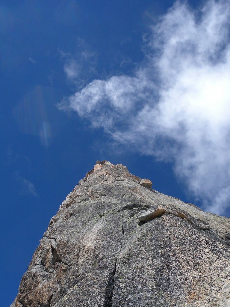
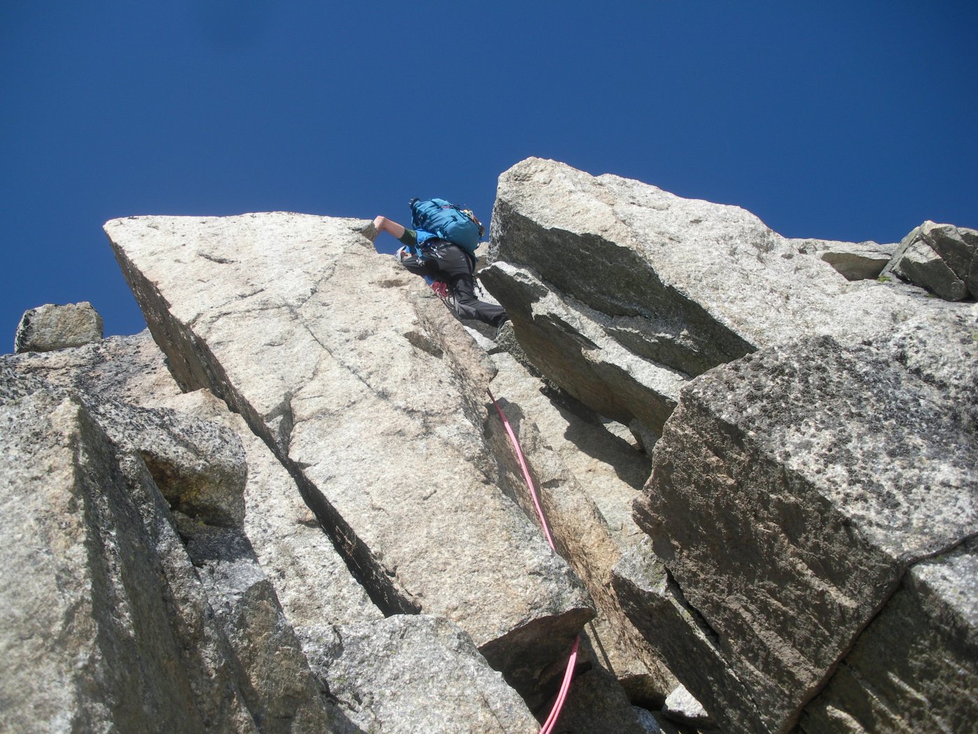
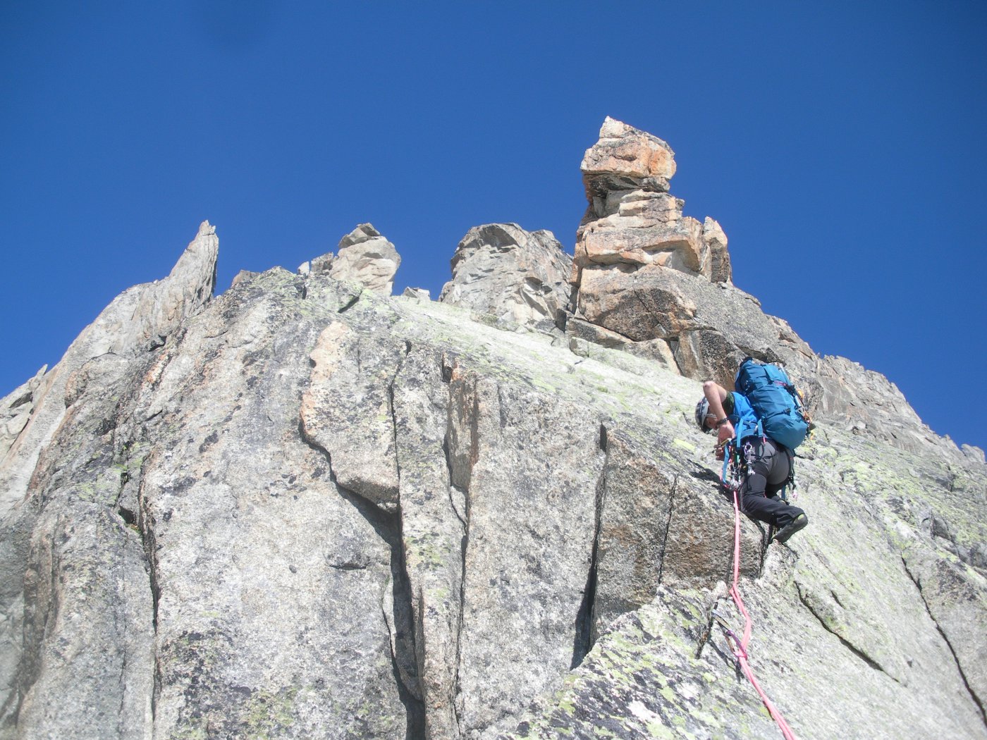
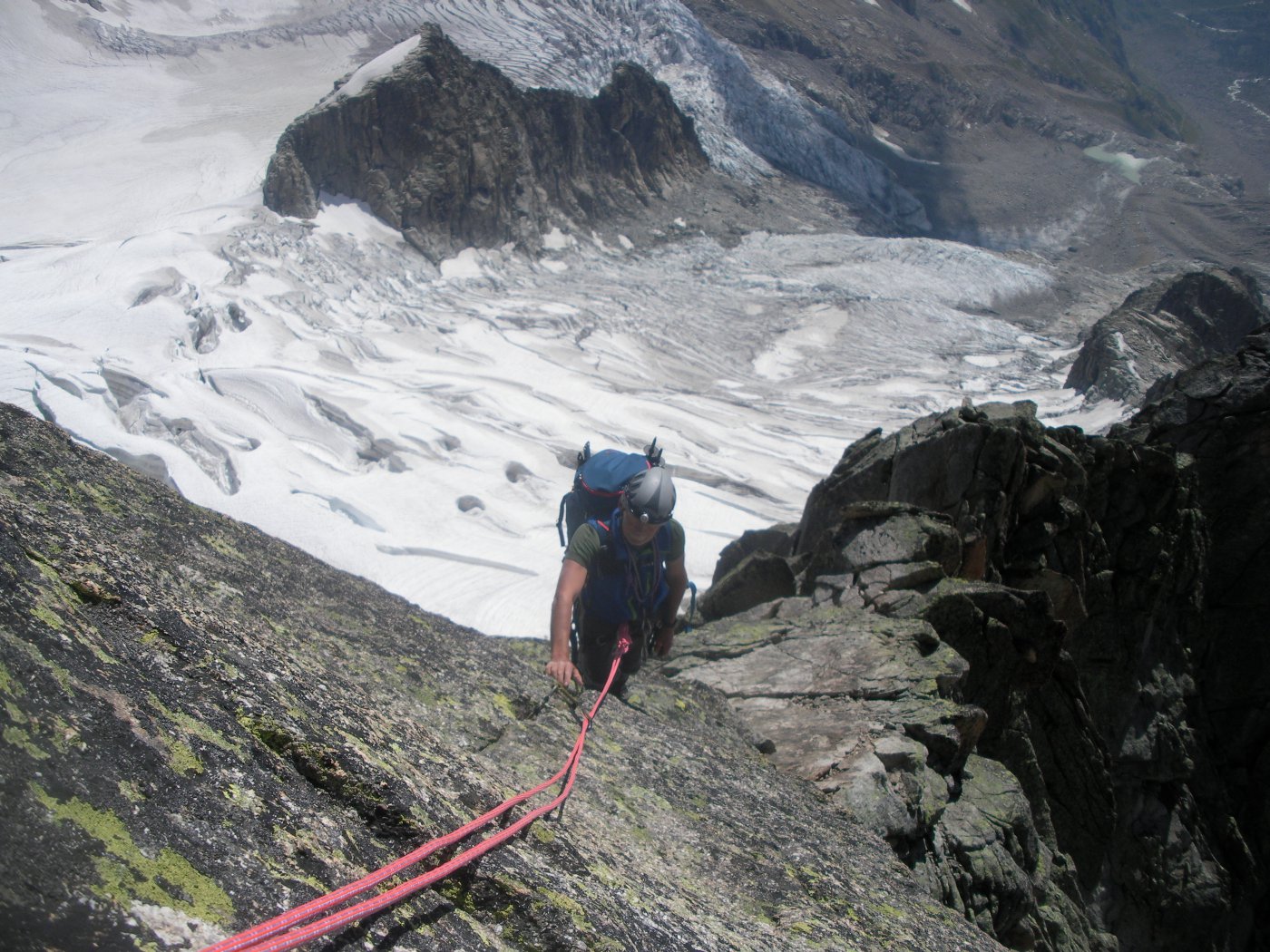
Si raggiunge così la terrazza a monte del pilastro finale, che si sale in due tiri da circa 35-40m. Il primo tiro offre una partenza delicata (IV+) e quindi prosegue su belle placche fessurate (2ch.), sosta su 2ch. su evidente terrazzo. Il secondo tiro inizia con una panoramica traversata a sx e prosegue per placche di solido granito (1ch.) fino ad un terrazzo, da quale con 30m di conserva si è in vetta.
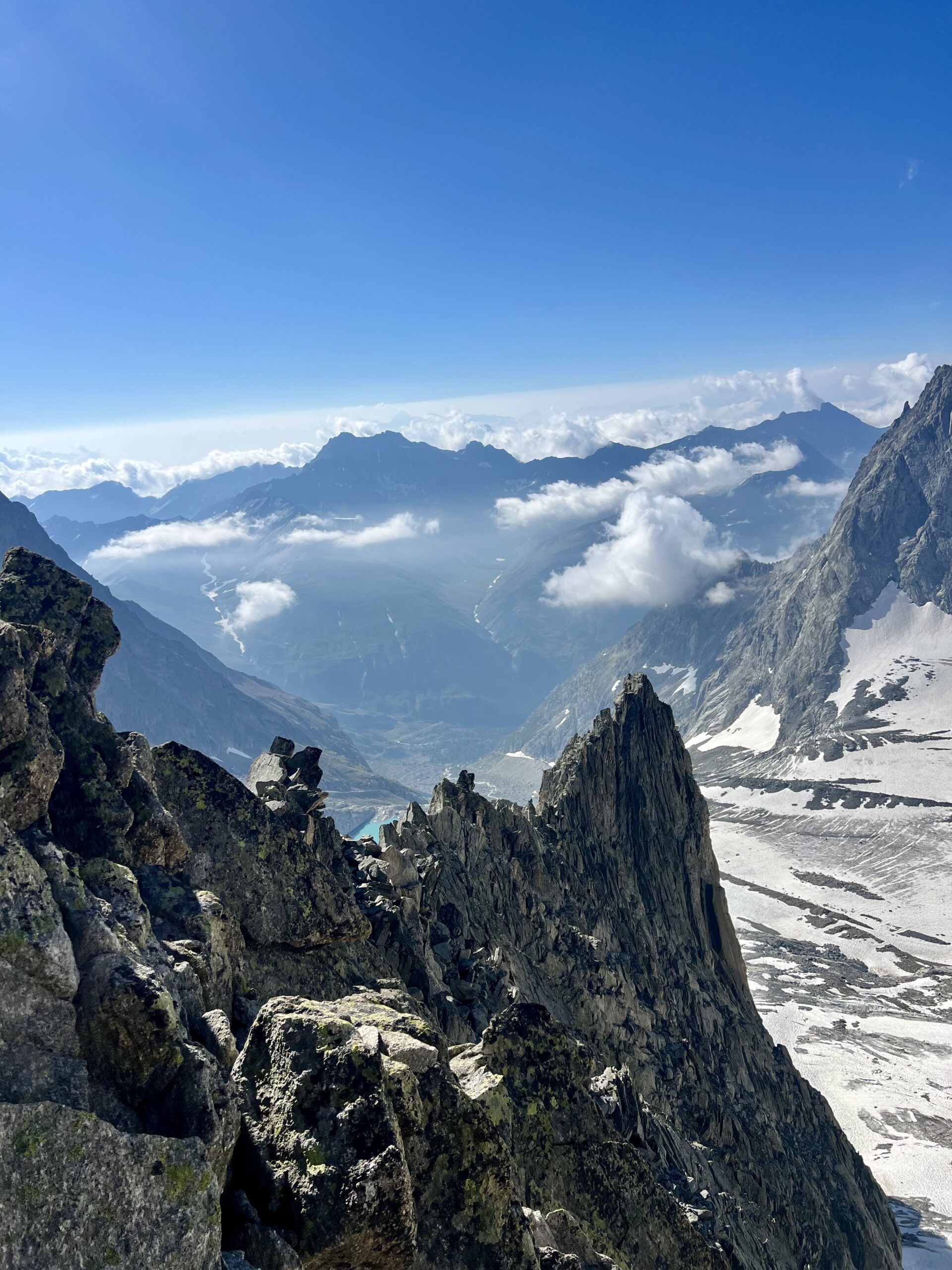
Discesa: consigliata in doppia dalla via “Favola d’Amore”. 13 doppie da 25-30m, le prime un po’ a sx (faccia a valle) e quindi in diagonale a dx (faccia a valle) fino a raggiungere uno sperone a picco sul ghiaccio.
Paul Preuss in solitaria il 17 agosto 1913
- Bibliografia:
- Bassanini - Monte Bianco - Le classiche
Nelle vicinanze Mappa
Itinerari
11/07/2020 AO, Courmayeur D+ 2119 m AD Sud
Leschaux (Aiguille de) da Lavachey
 50m
50m
12/07/2026 AO, Courmayeur D+ 1230 m F+ Est
Gervasutti Giusto (Bivacco) da Lavachey
 50m
50m
12/08/2023 AO, Courmayeur D+ 816 m D Sud
Petites Jorasses, Cresta Sud – Via Rivero
 50m
50m
26/06/2018 AO, Courmayeur TD- Sud-Est
Grandes Jorasses, Punta Walker – Cresta Tronchey
2.7Km
20/11/2005 AO, Courmayeur ED Sud-Est
Grandes Jorasses – Ipercouloir
3.2Km
21/08/2024 AO, Courmayeur D+ 1608 m F+ Ovest
Volluz (Pointe) da Arnouva
 3.7Km
3.7Km
27/08/2012 AO, Courmayeur D+ 1980 m AD Est
Talefre (Aiguille de) dalla Val Ferret per la cresta Est
 3.7Km
3.7Km
21/08/2024 AO, Courmayeur D+ 1779 m PD Sud-Ovest
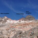
Grapillon (Monte) da Arnouva
 3.7Km
3.7Km
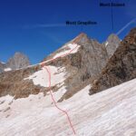
24/06/2012 Entremont, Orsières D+ 1175 m AD Nord-Ovest
Dolent (Mont) Cresta del Grapillon
3.7Km
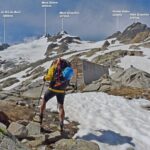
01/09/2024 AO, Courmayeur D+ 2050 m PD+ Sud
Dolent (Mont) Via Normale da Arnouva
 3.7Km
3.7Km