750m
750m


Note
 900m
1.5Km
1.5Km
1.5Km
1.5Km
1.5Km
1.5Km
1.5Km
900m
1.5Km
1.5Km
1.5Km
1.5Km
1.5Km
1.5Km
1.5Km
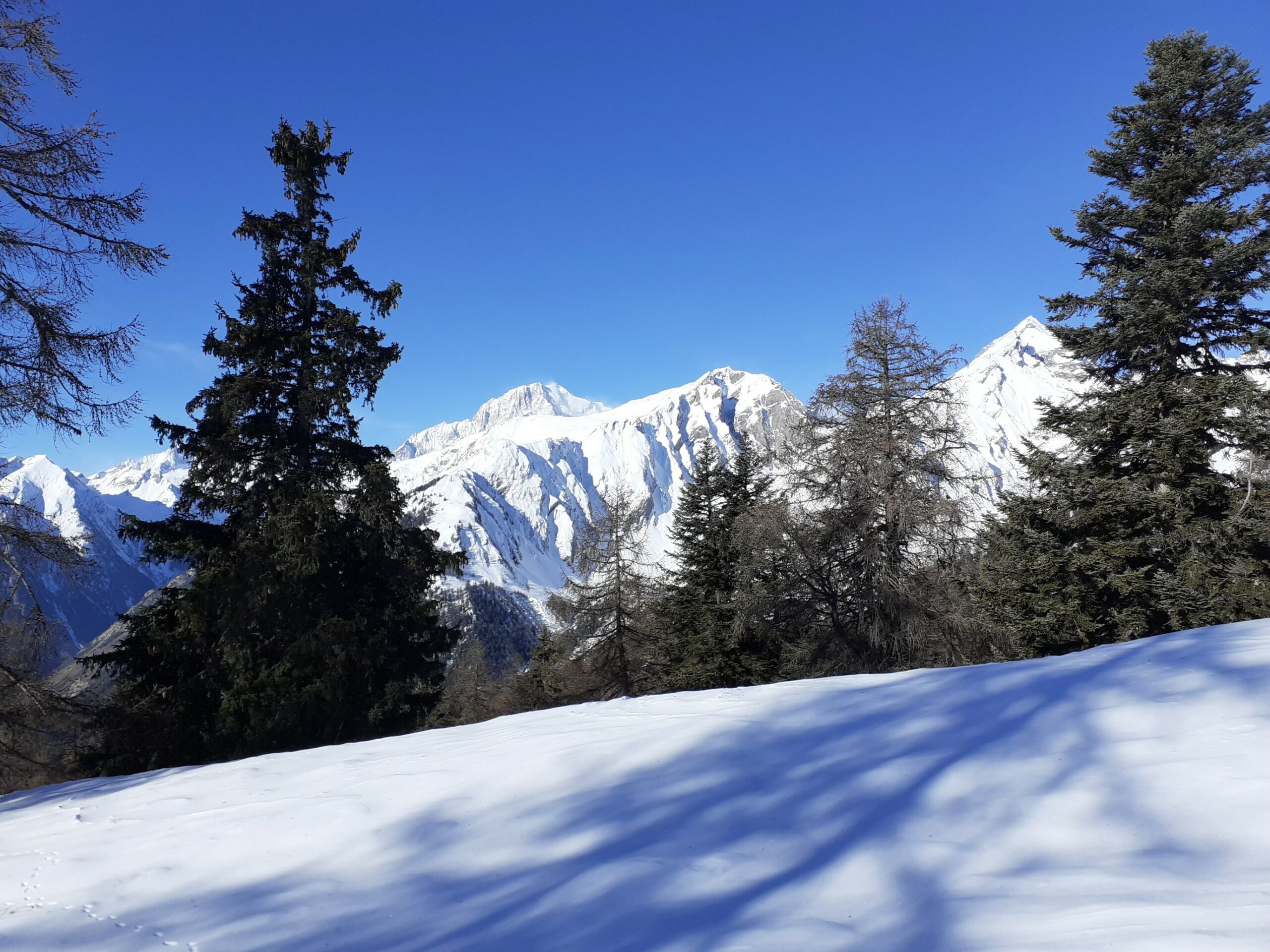
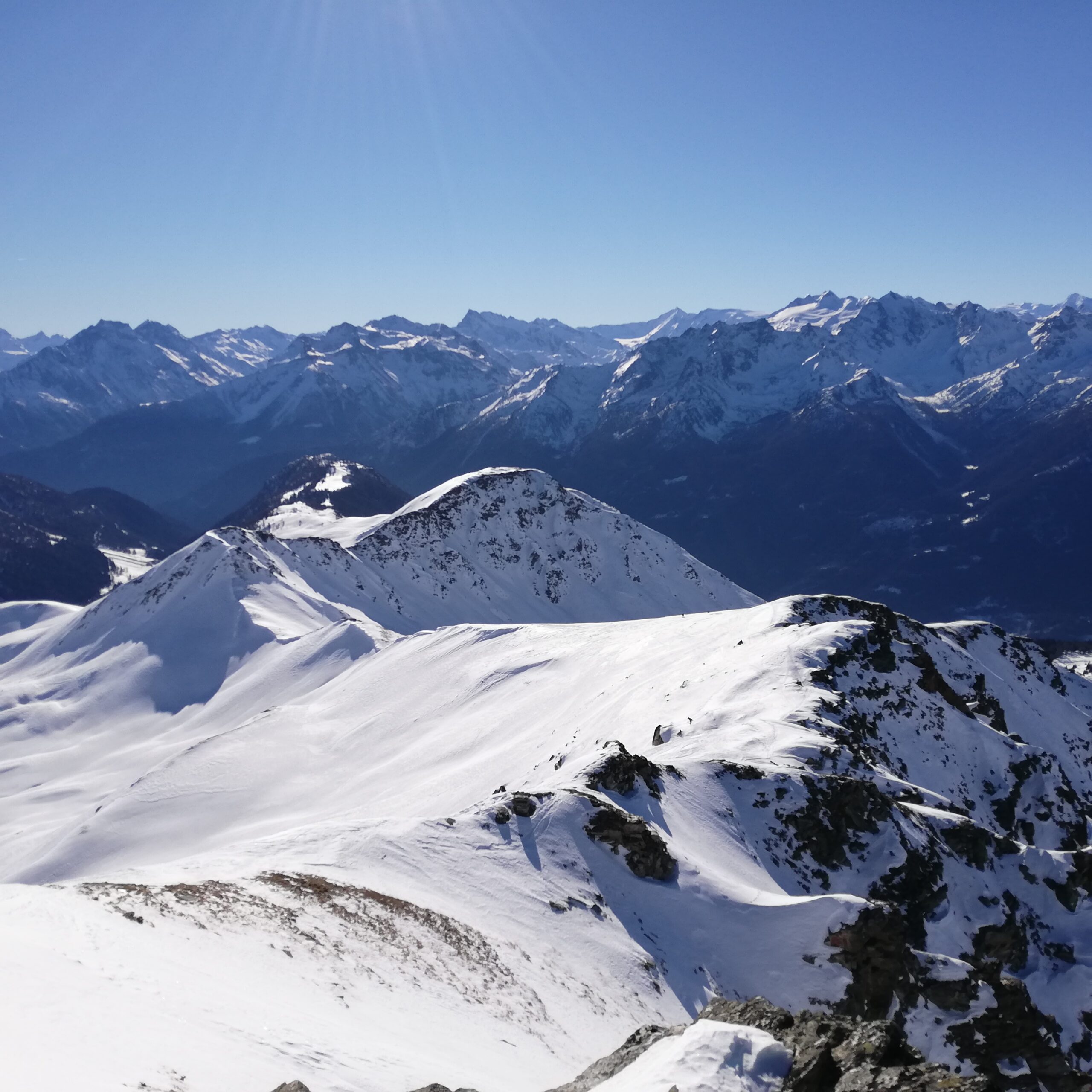
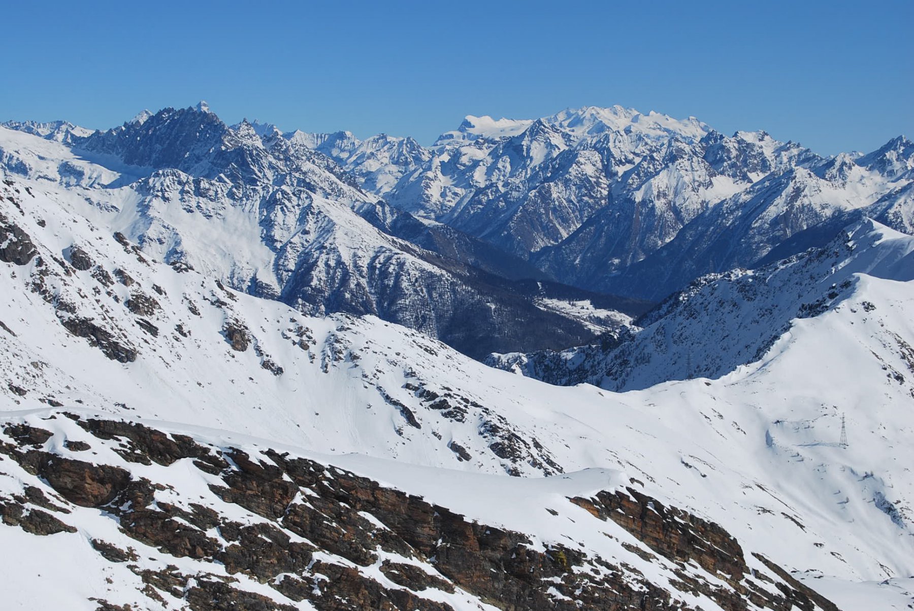
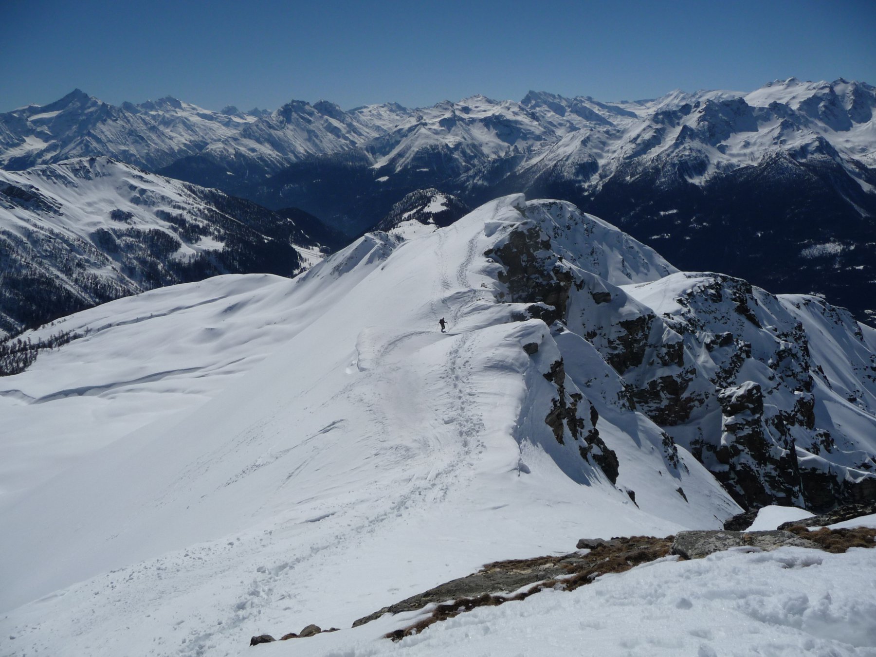
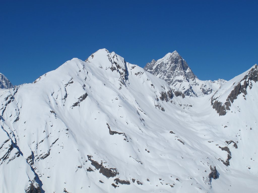
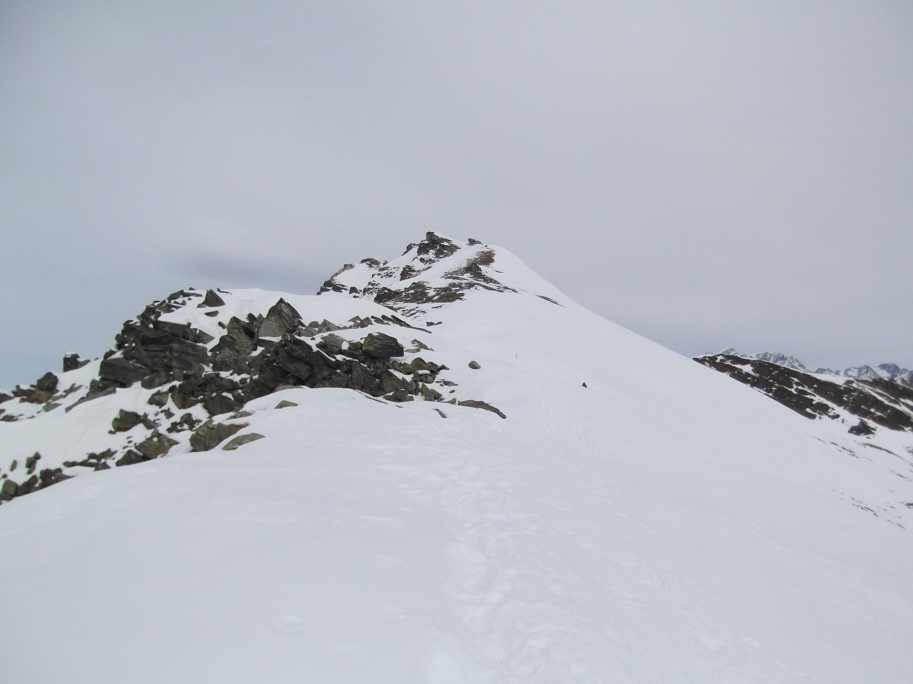
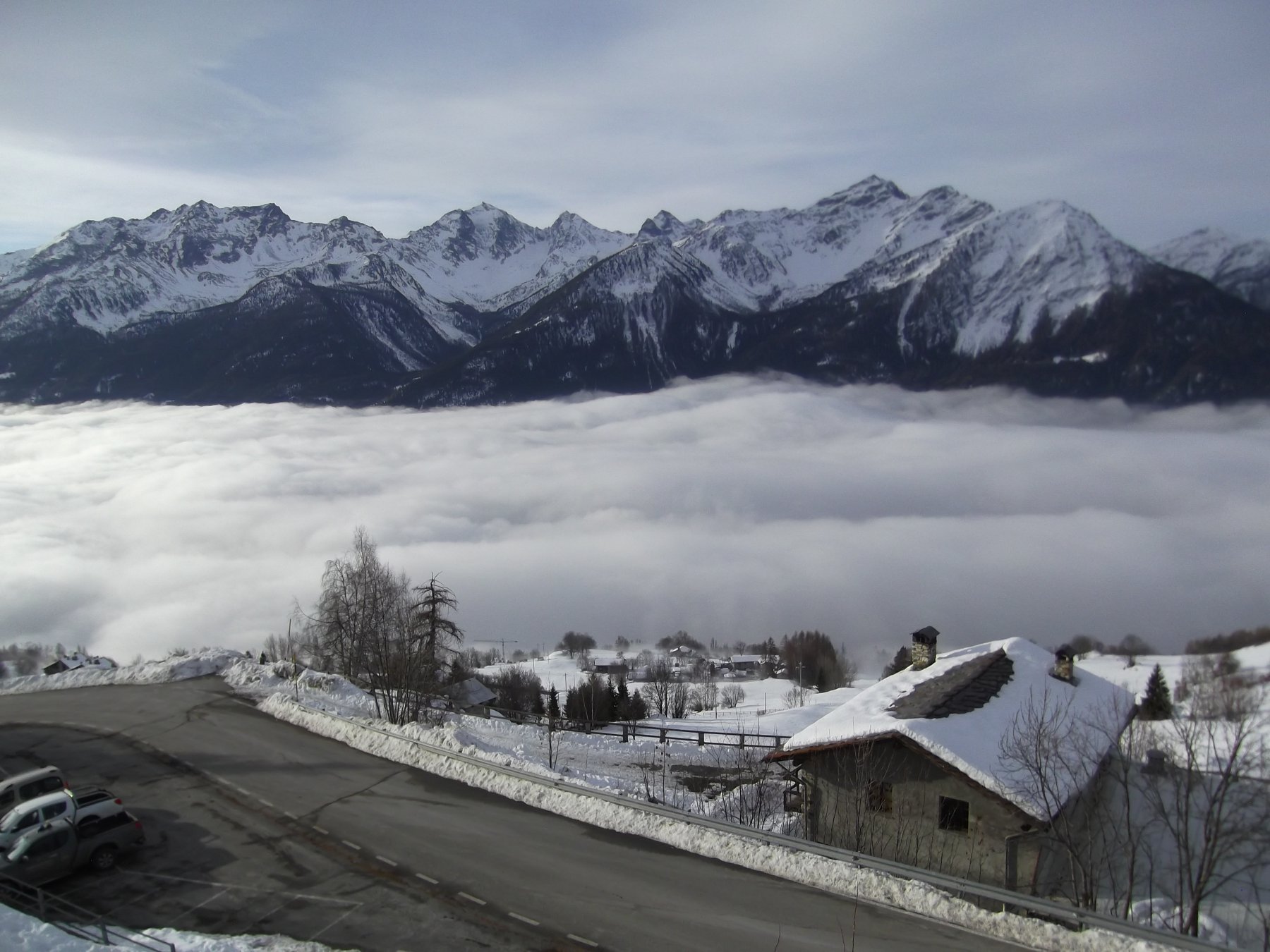
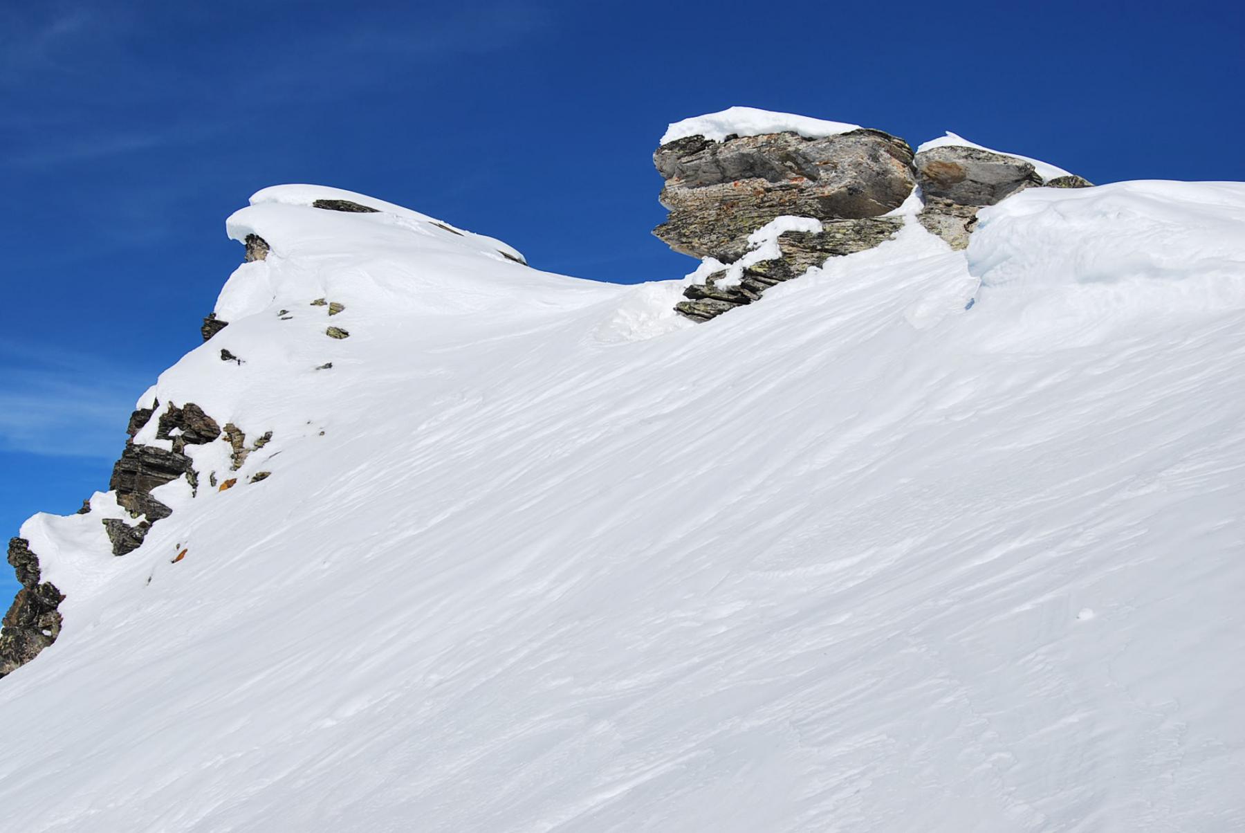
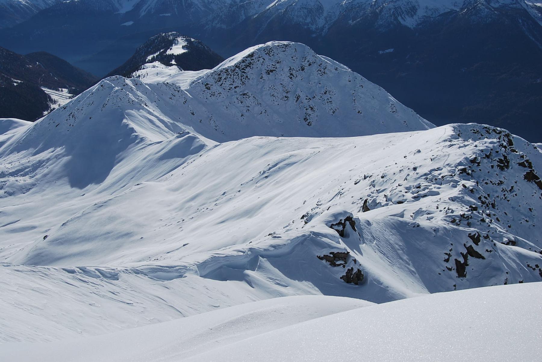
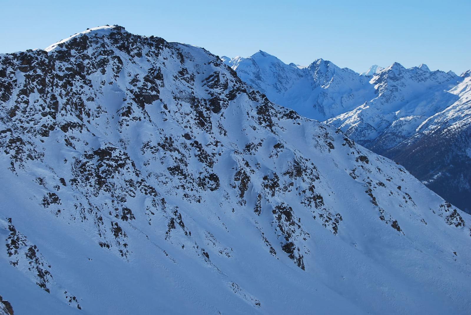
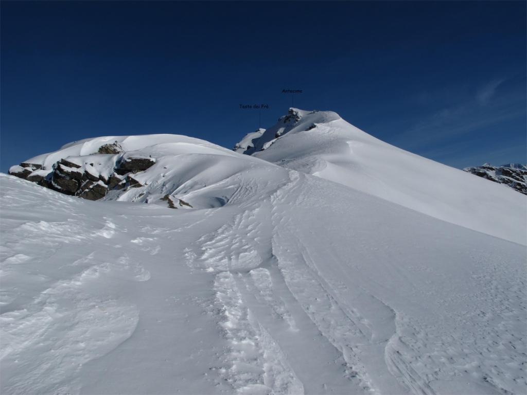
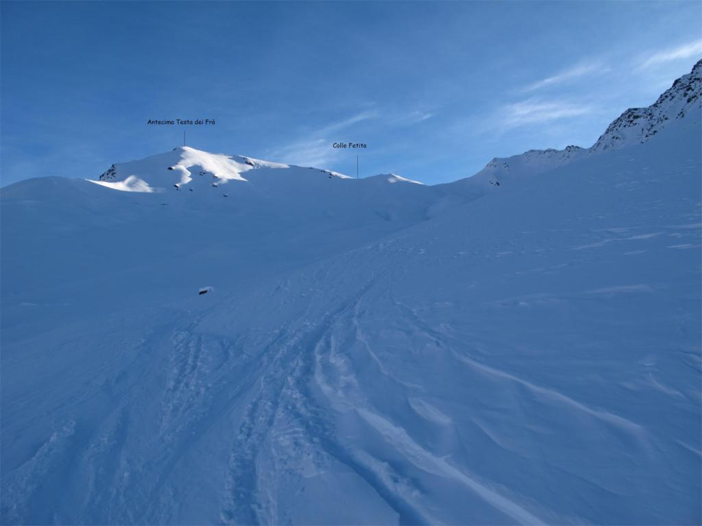
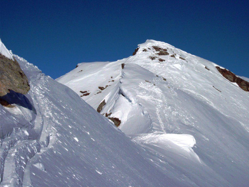
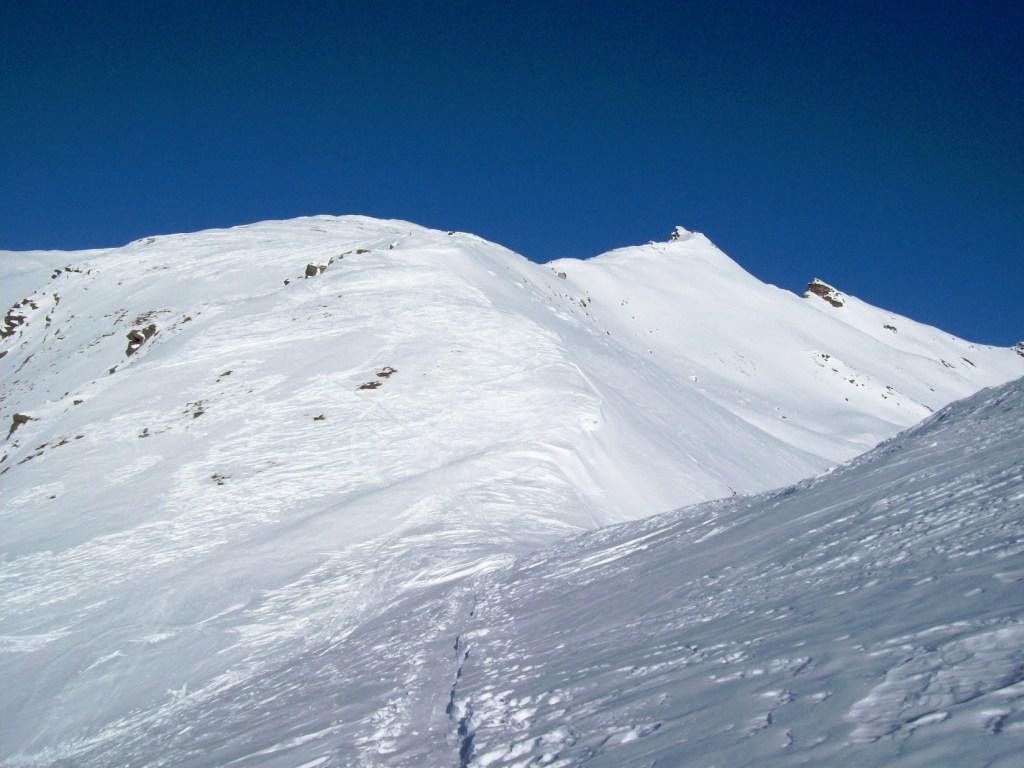
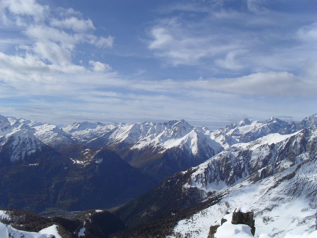
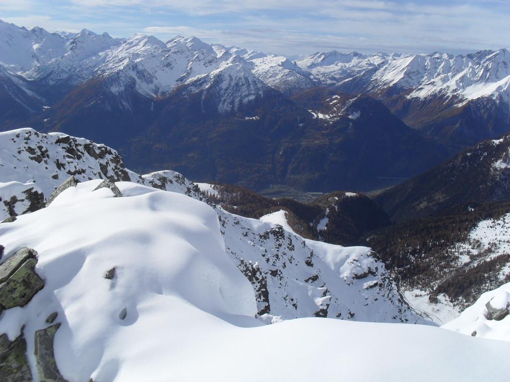
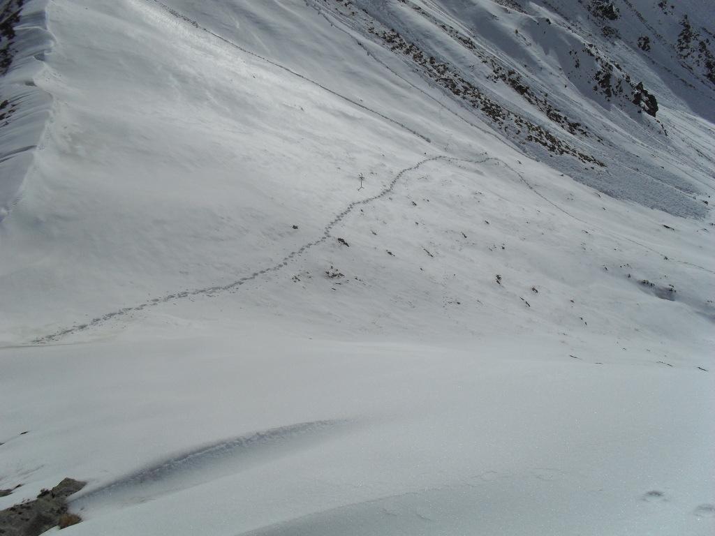
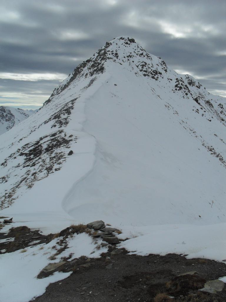
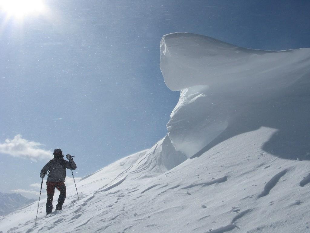
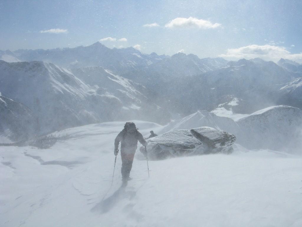
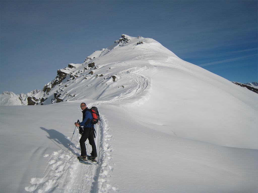
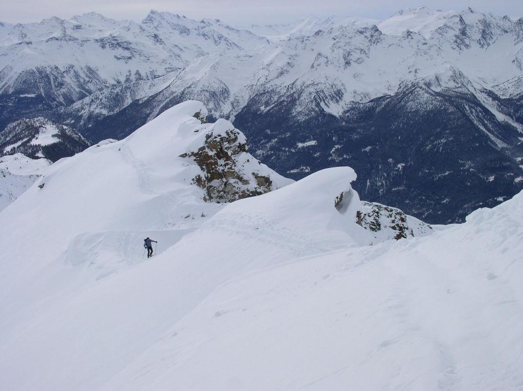
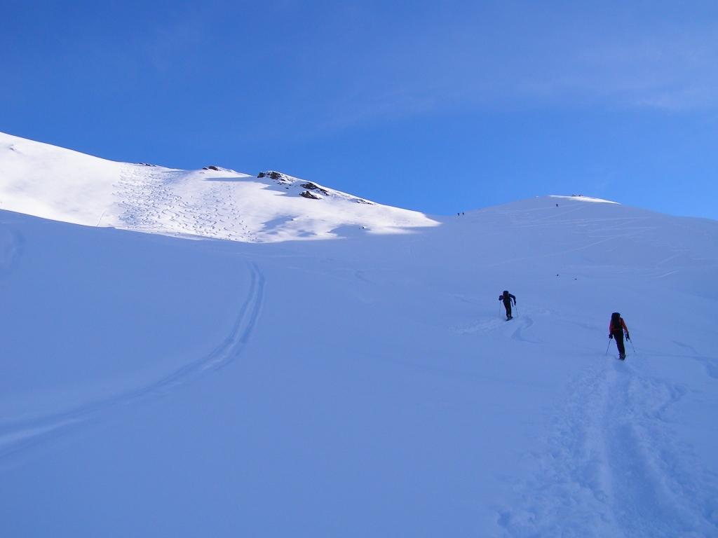
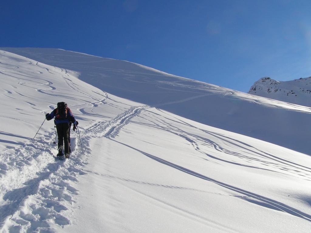
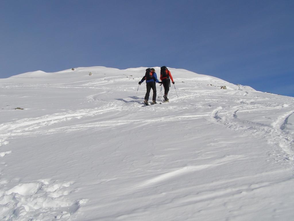
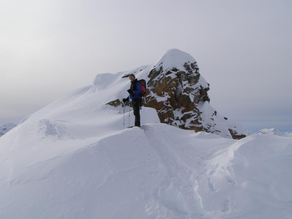
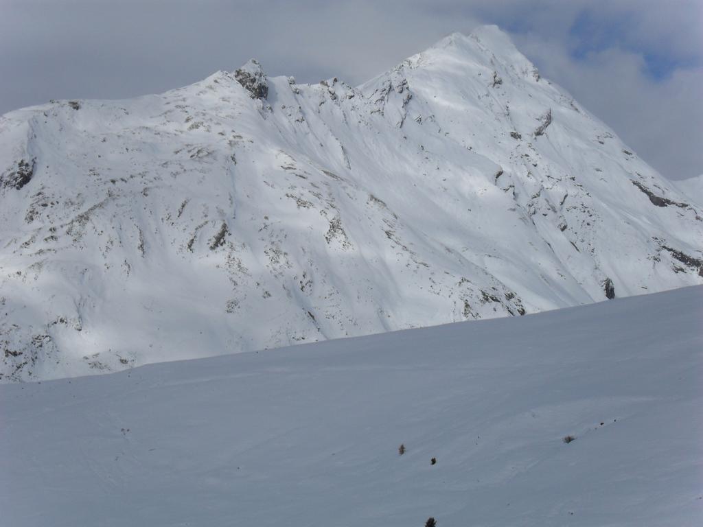
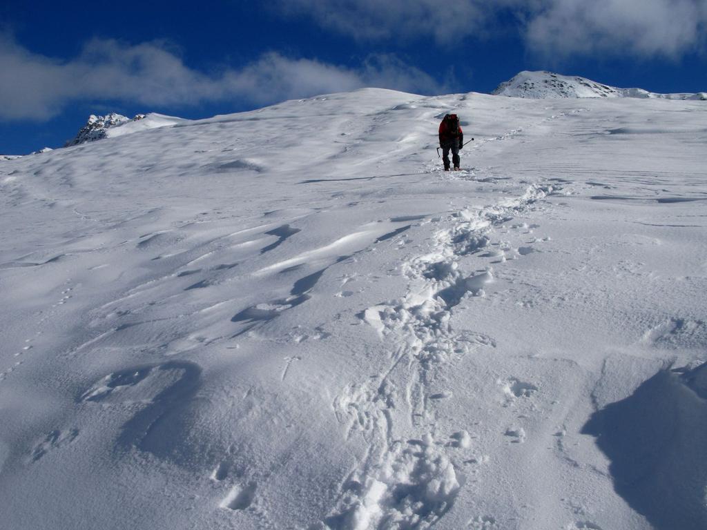
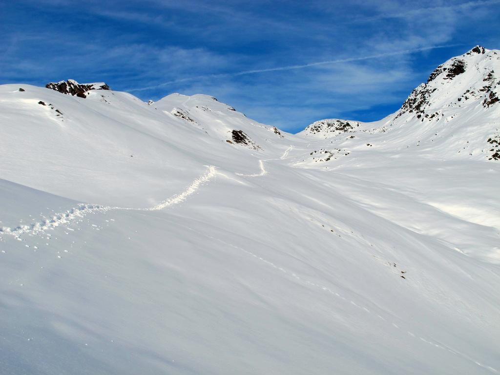
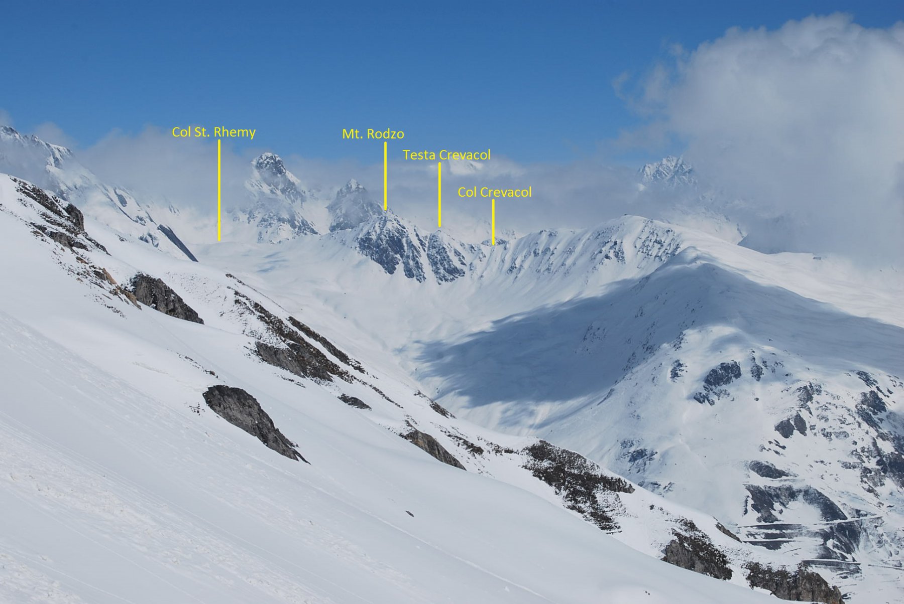
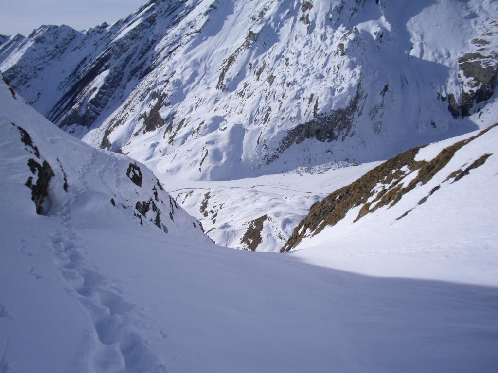
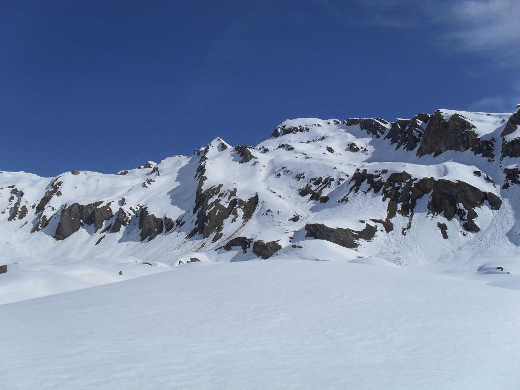
Una bella ciaspolata su una cima molto panoramica, un balcone sul Gruppo del Monte Bianco, ma in generale un notevole punto panoramico su buona parte della Valle d'Aosta. Occorre fare attenzione alla qualità della neve lungo la conca e i pendii che precedono il Colle Felita e lungo la cresta Sud, nel tratto finale un po' esposta ma non difficile.
Avvicinamento
.
Descrizione
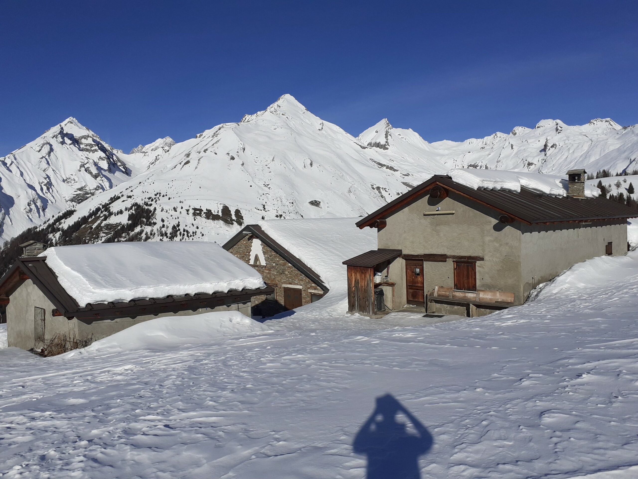
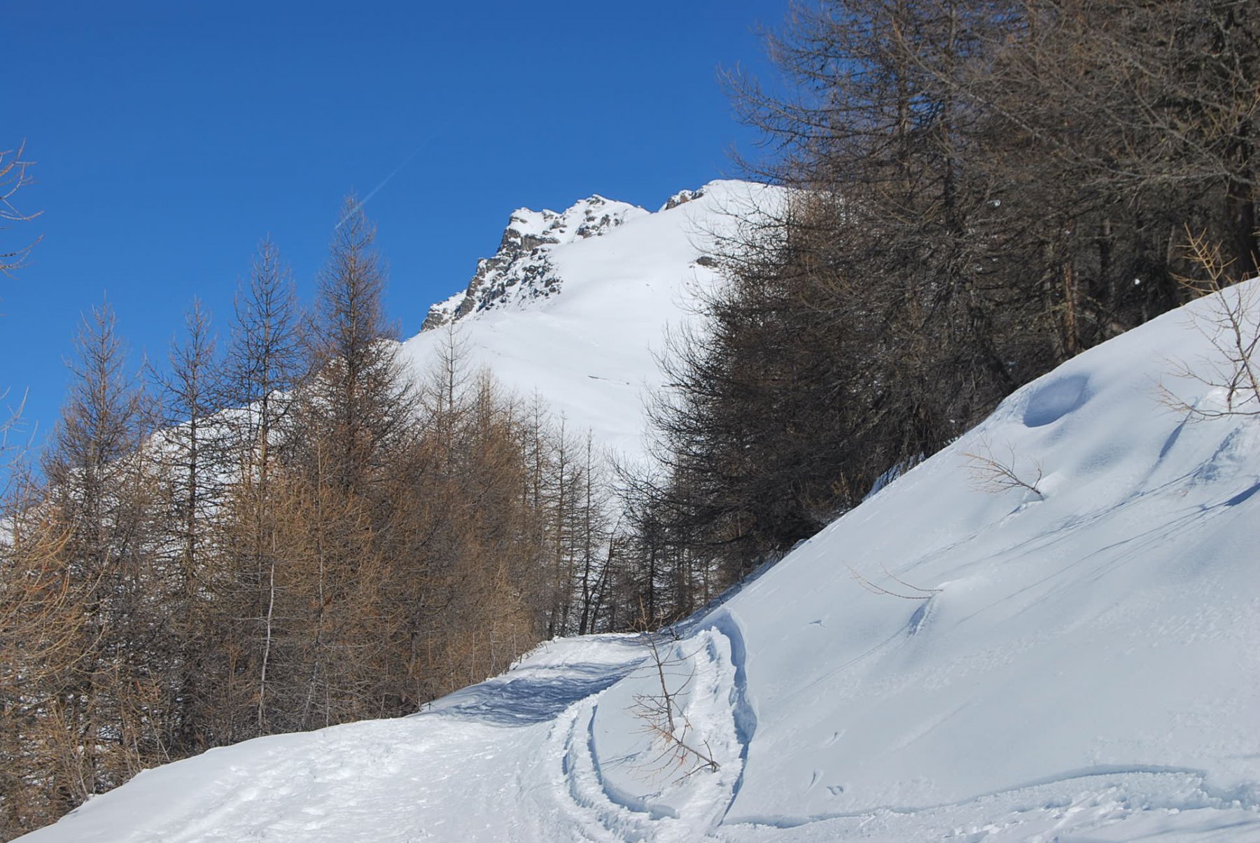
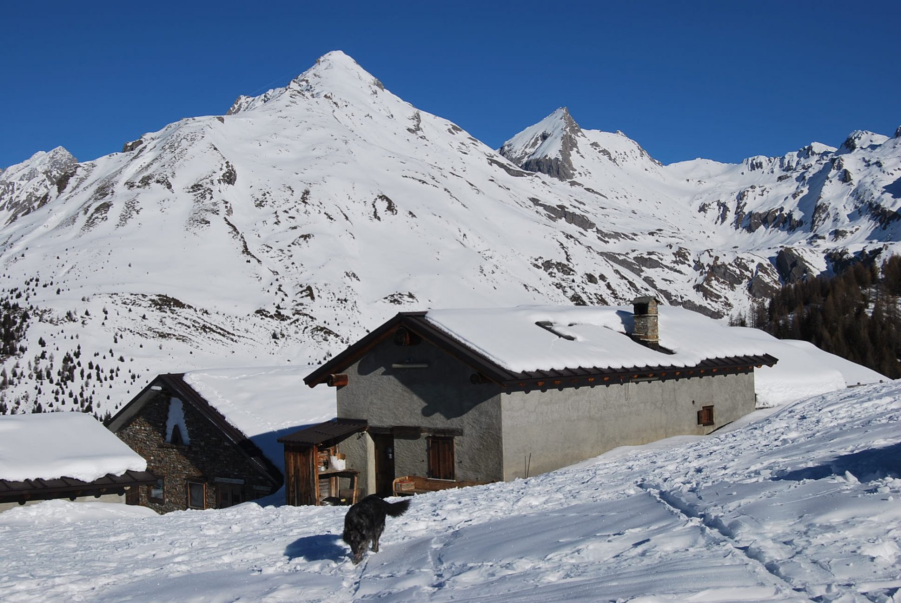
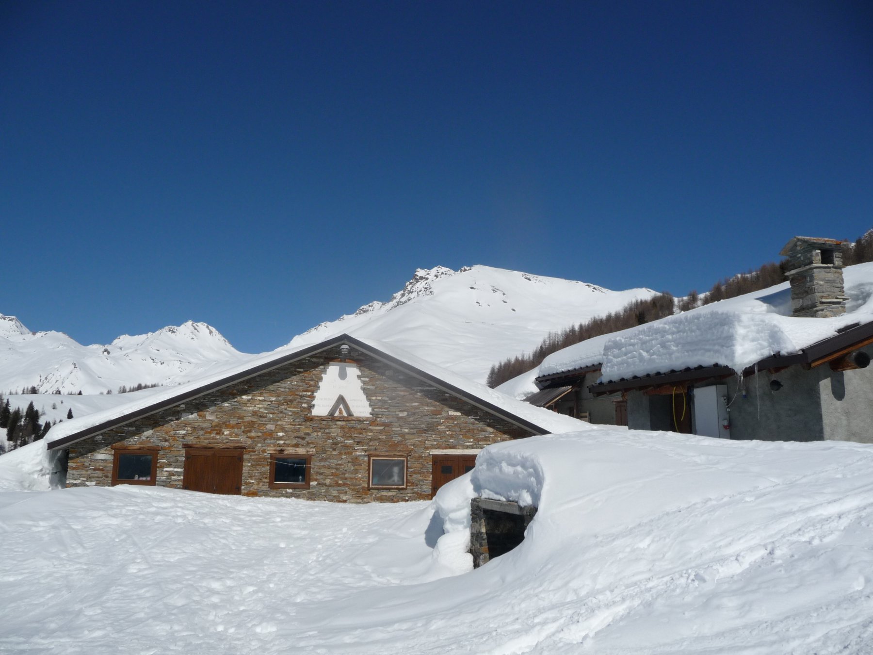
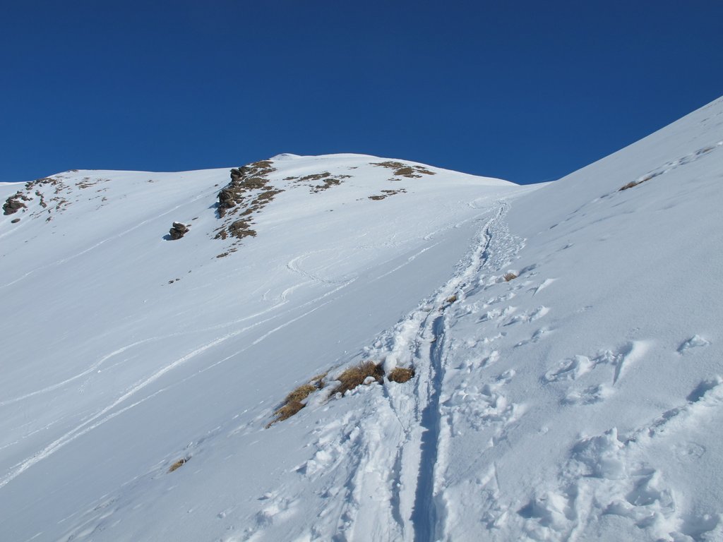
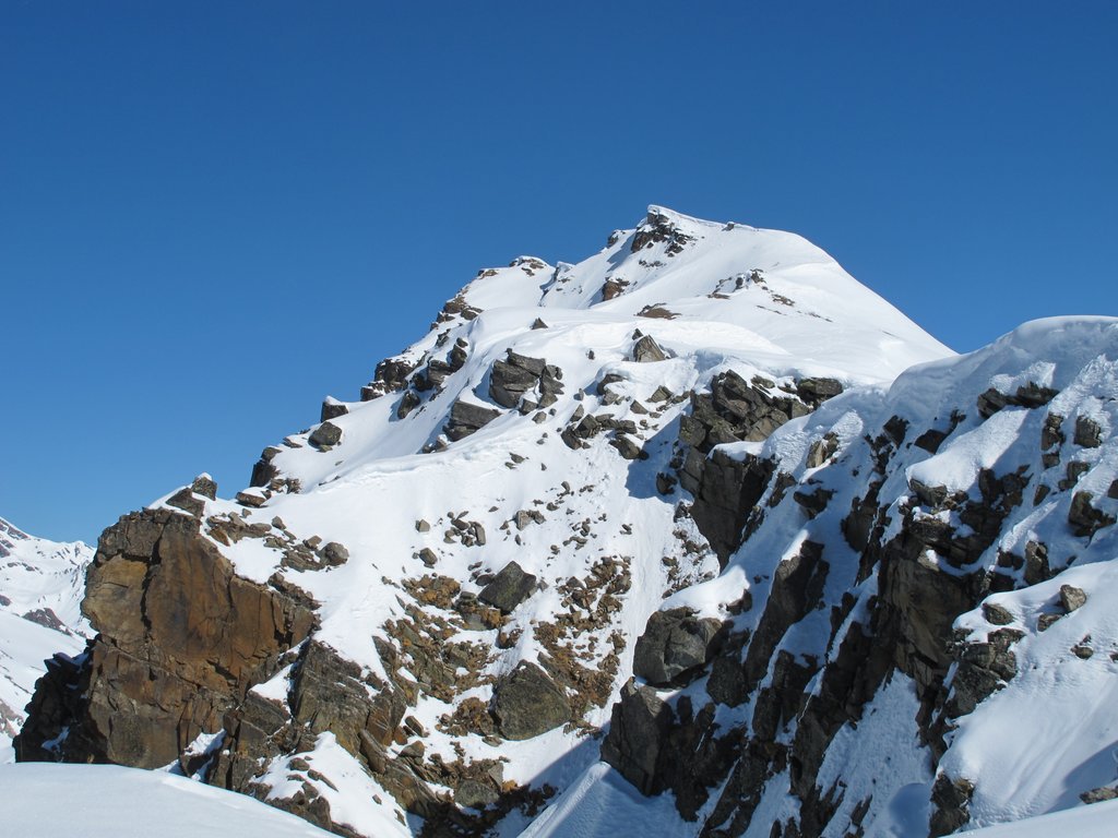
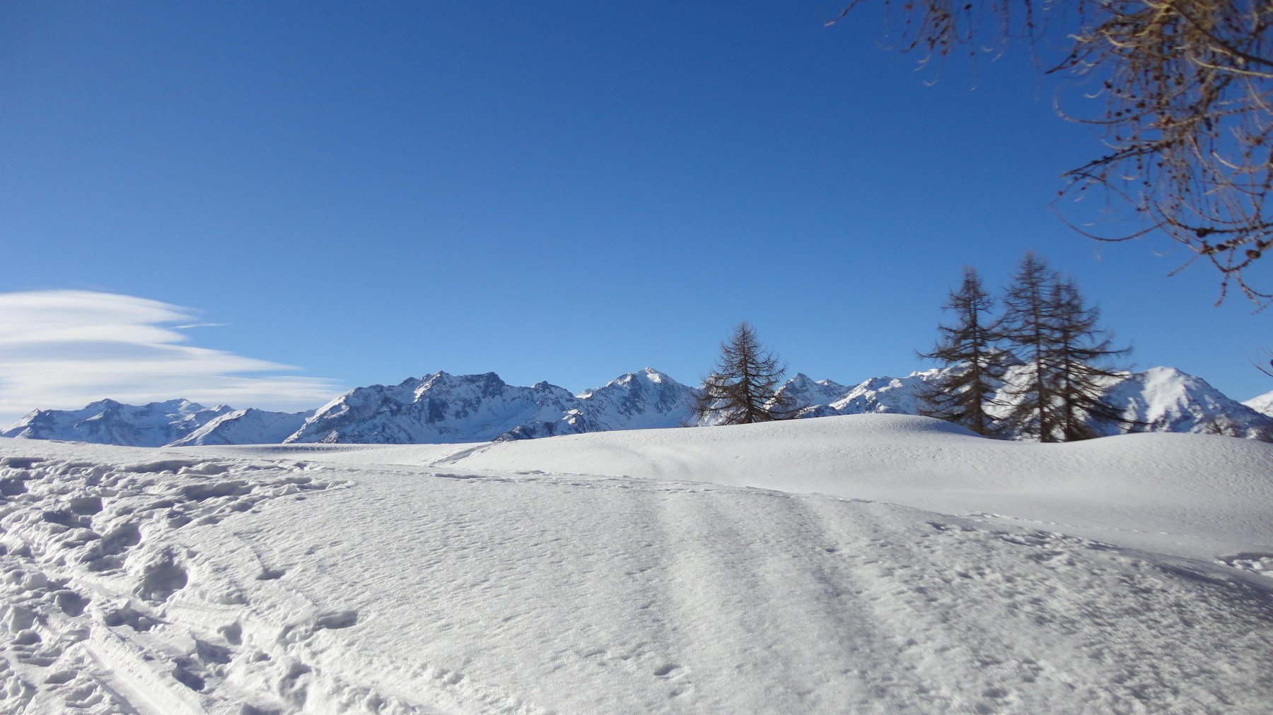
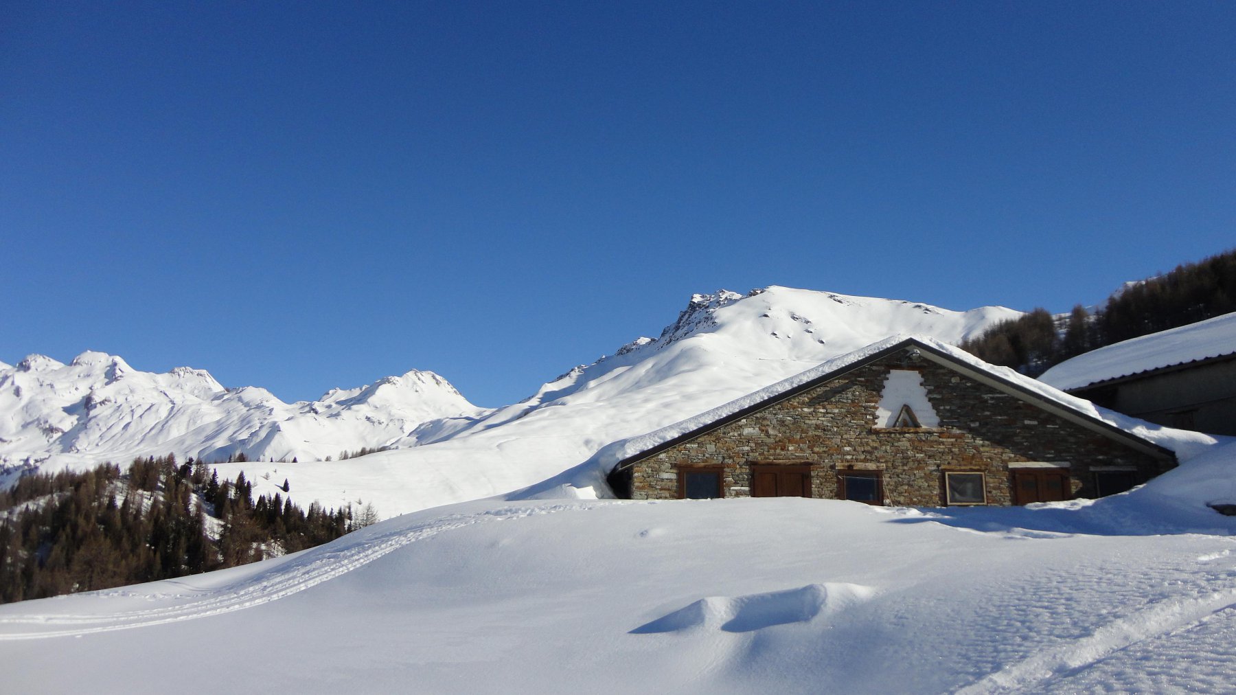
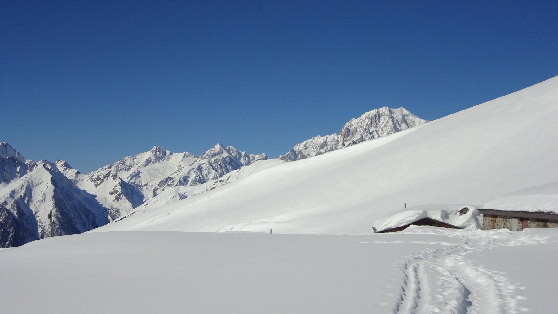
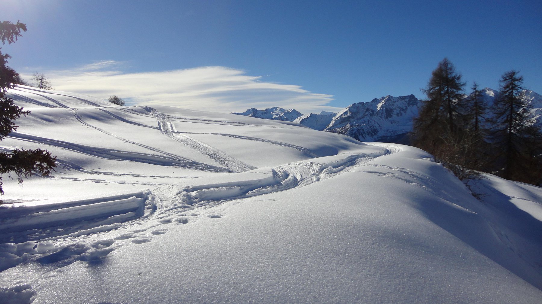
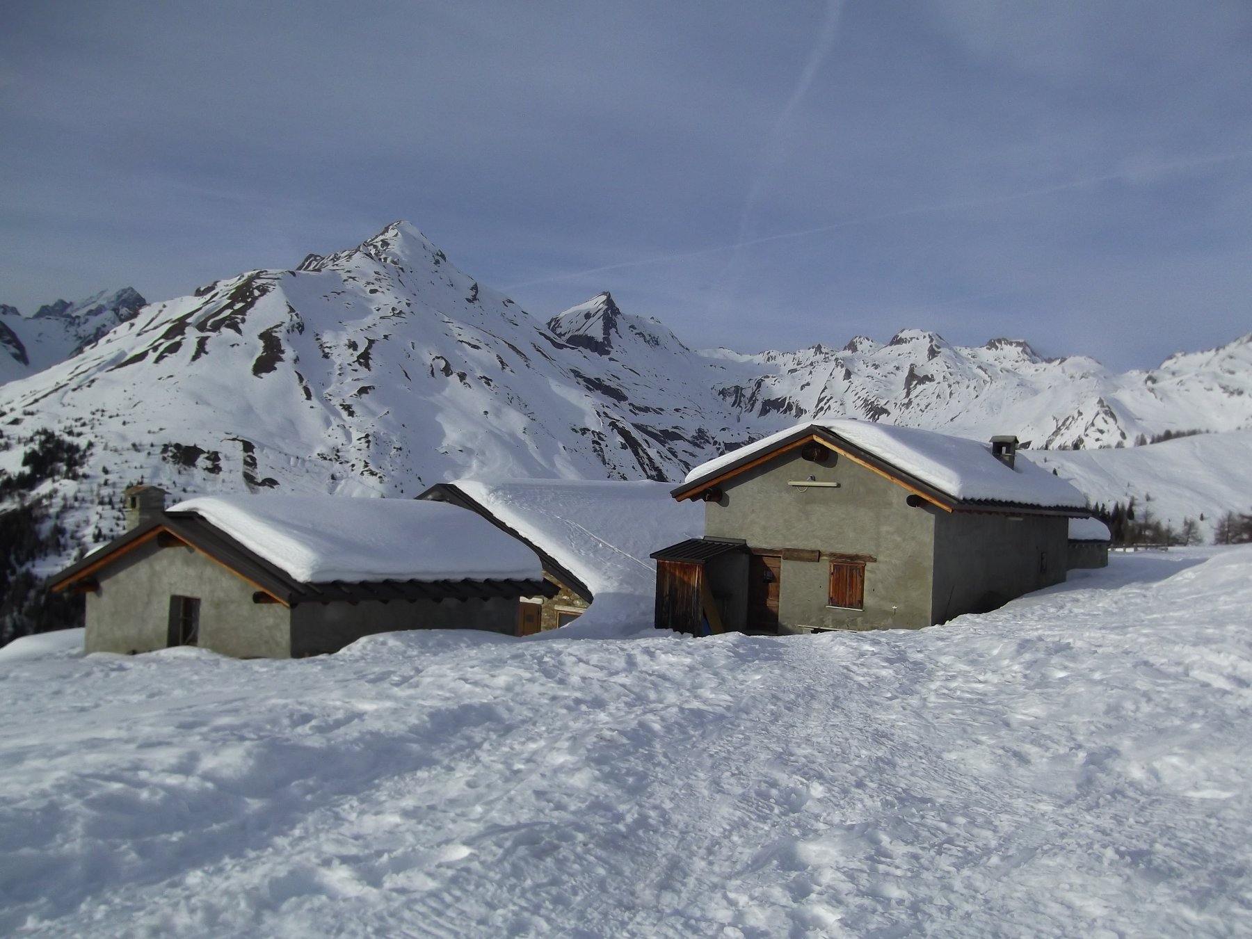
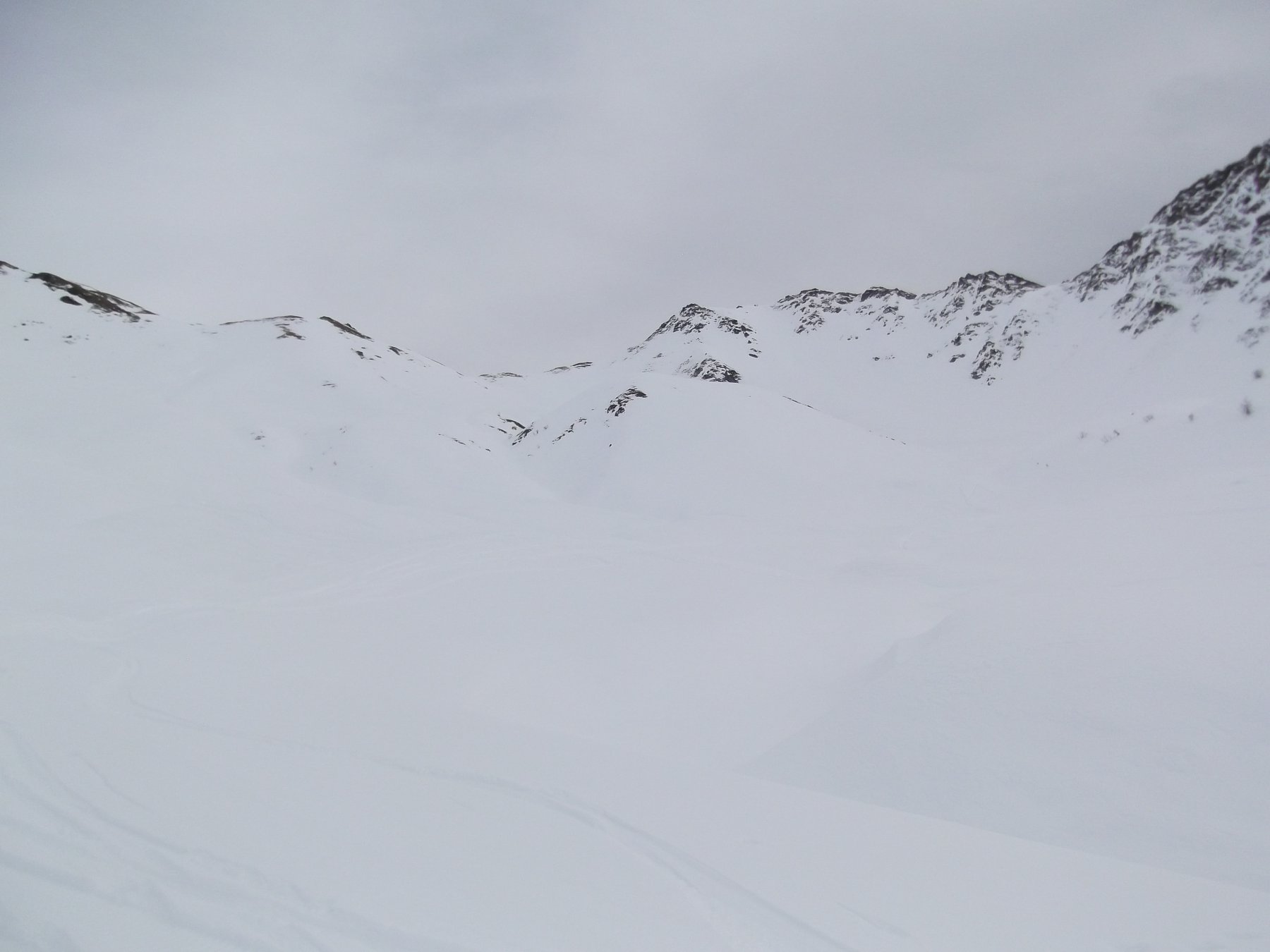
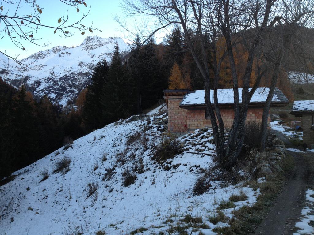
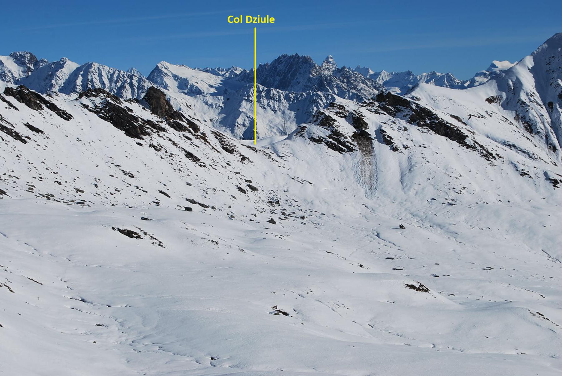
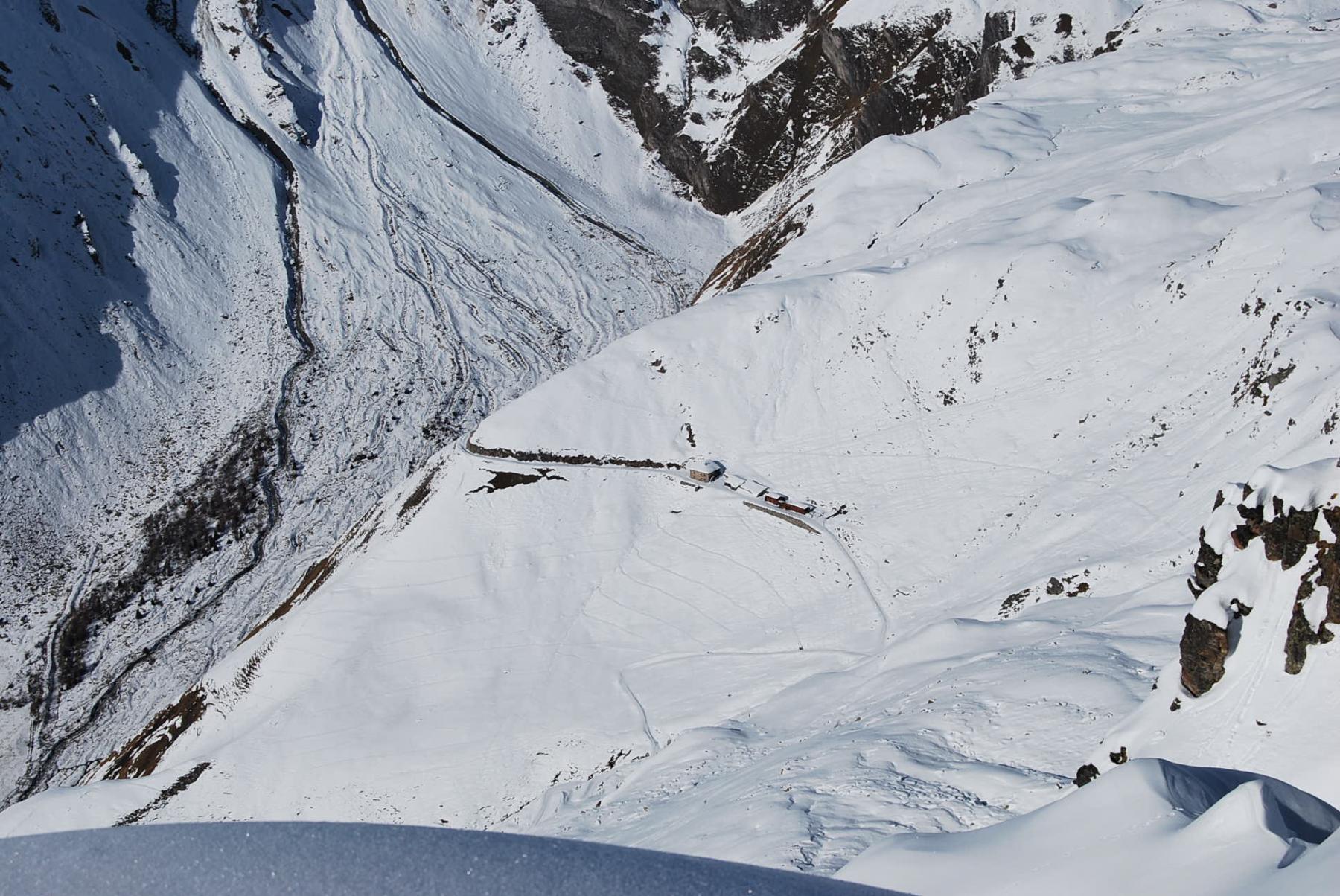
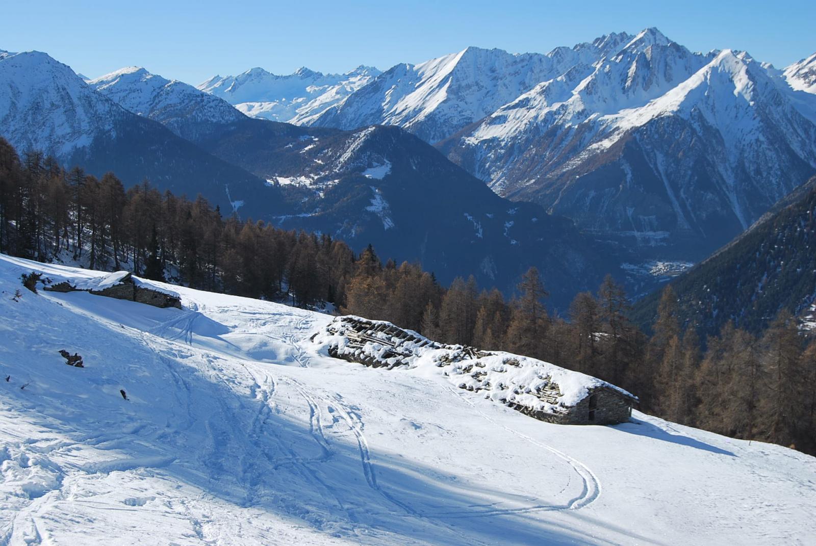
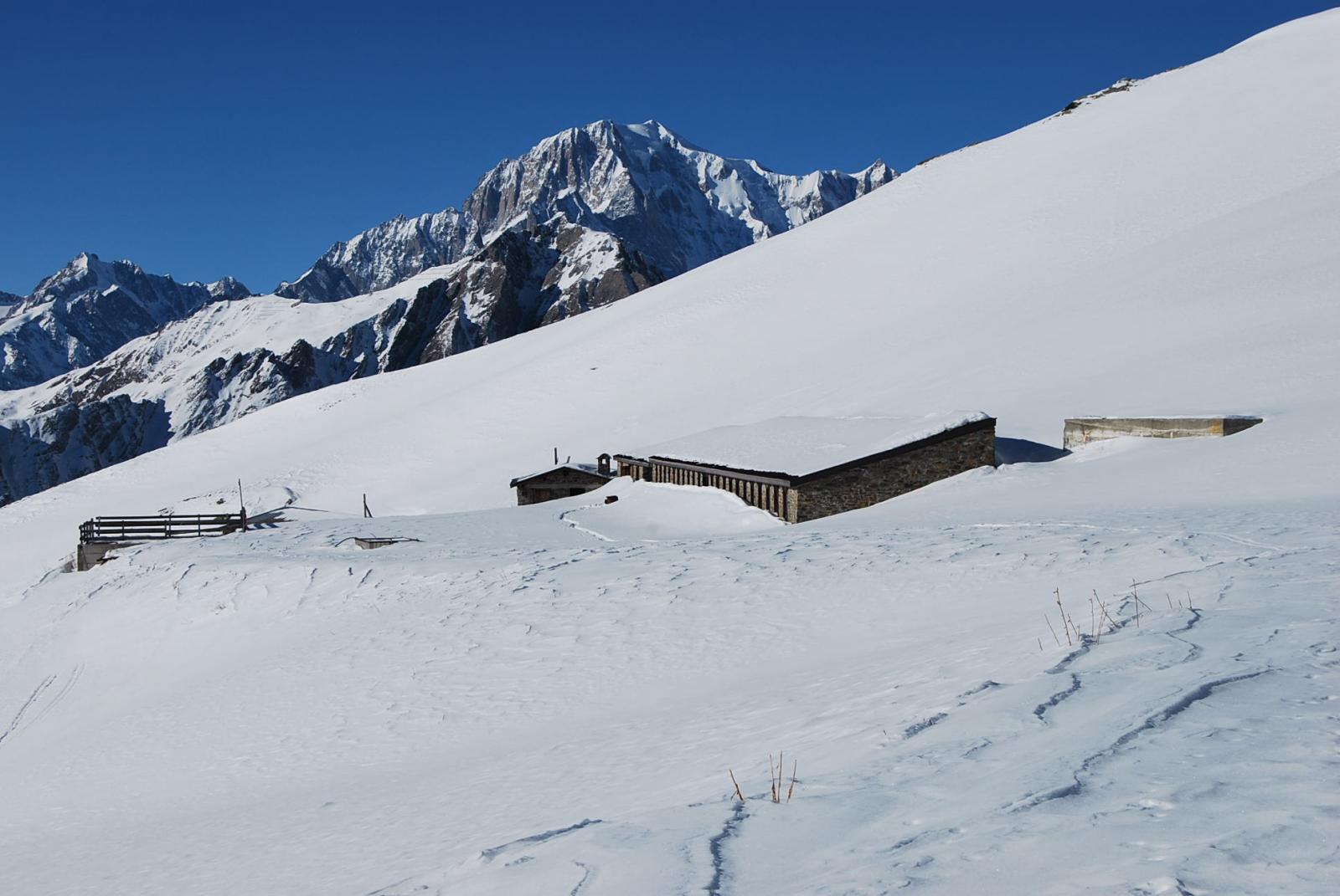
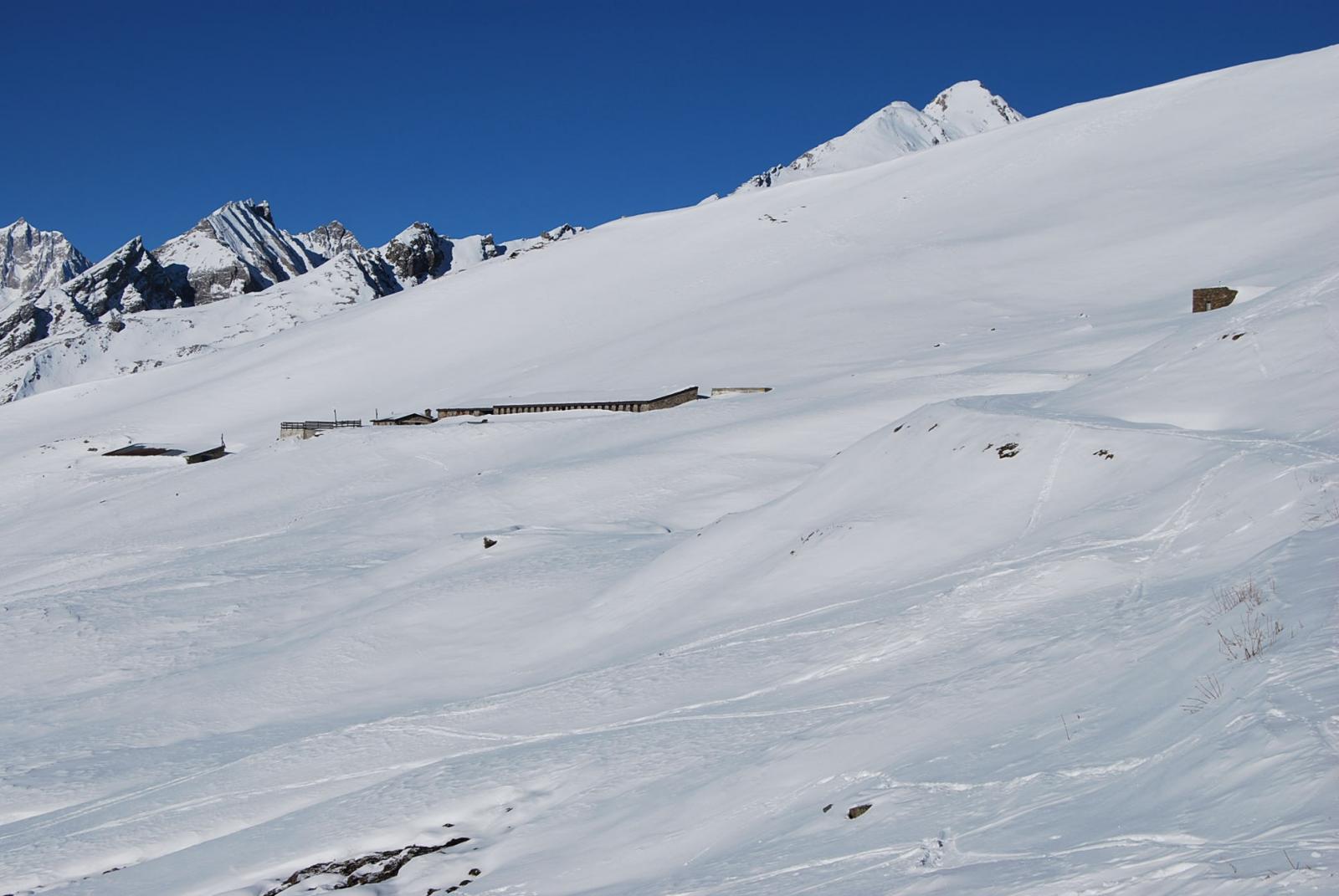
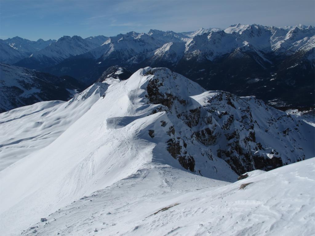
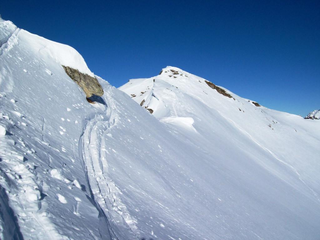
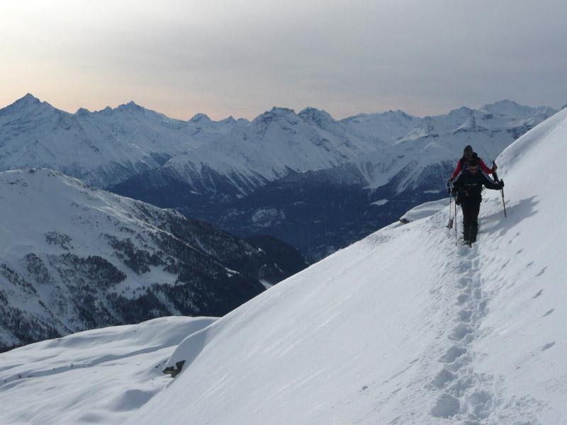
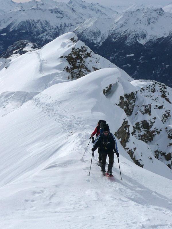
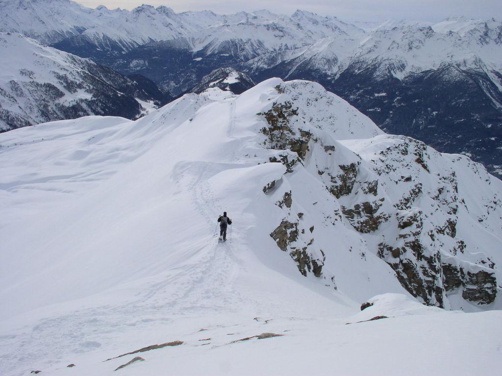
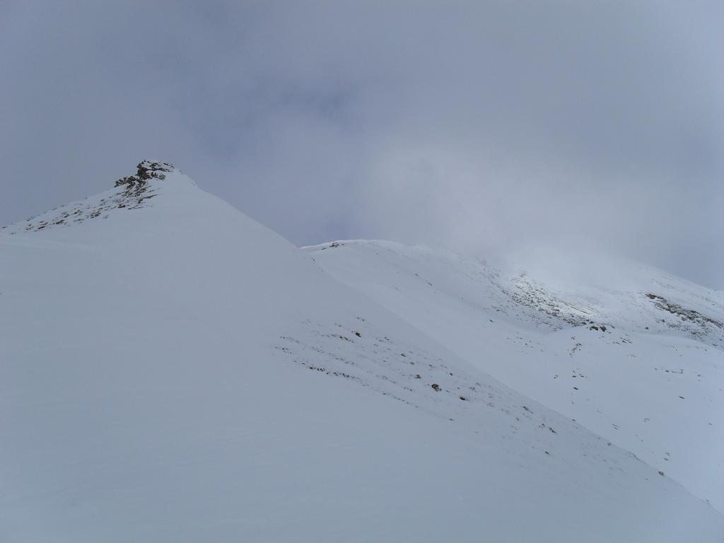
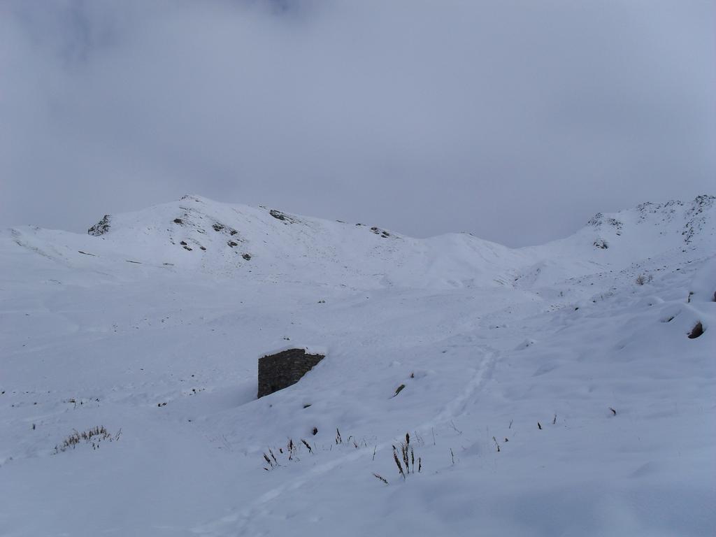
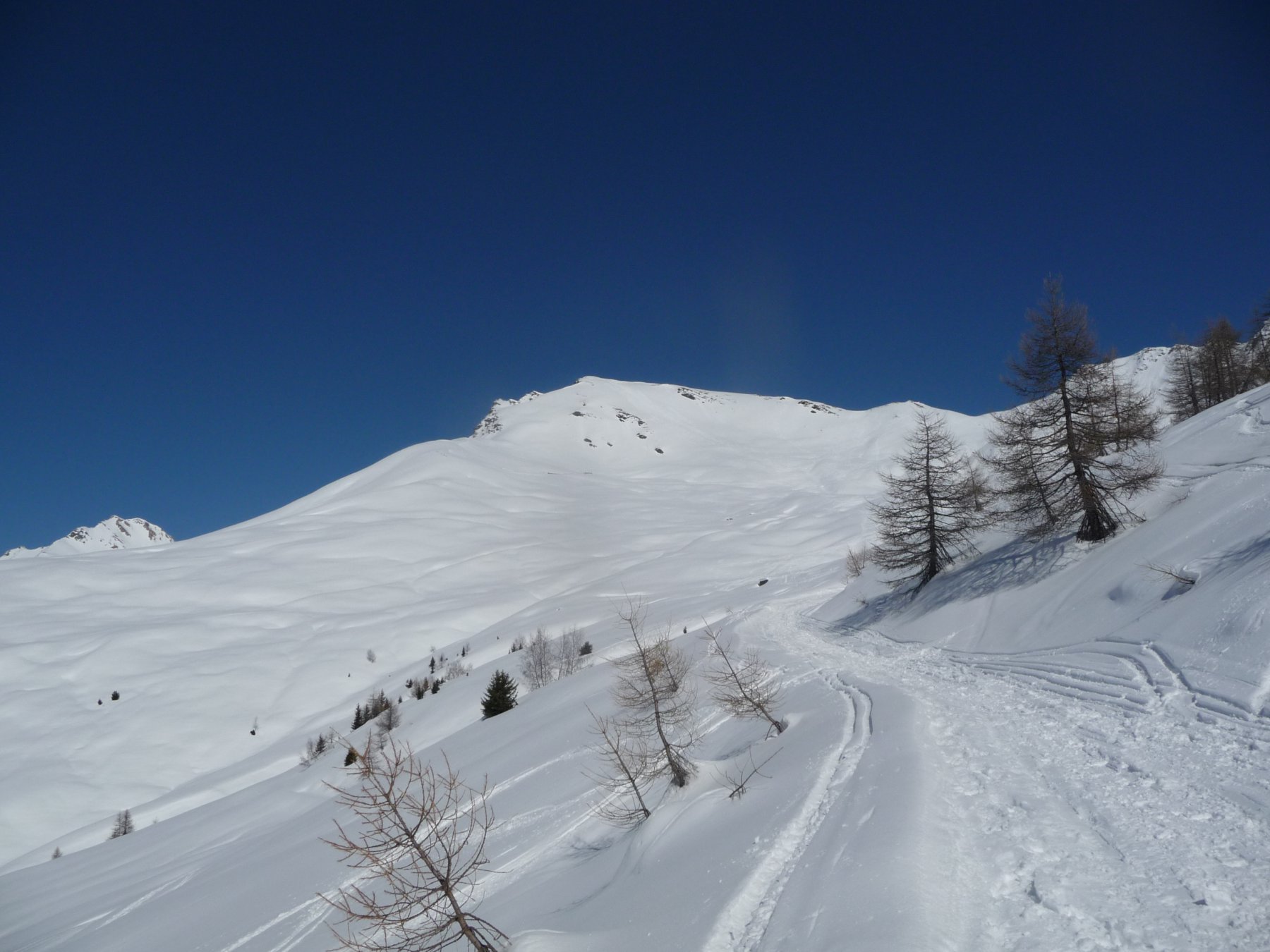
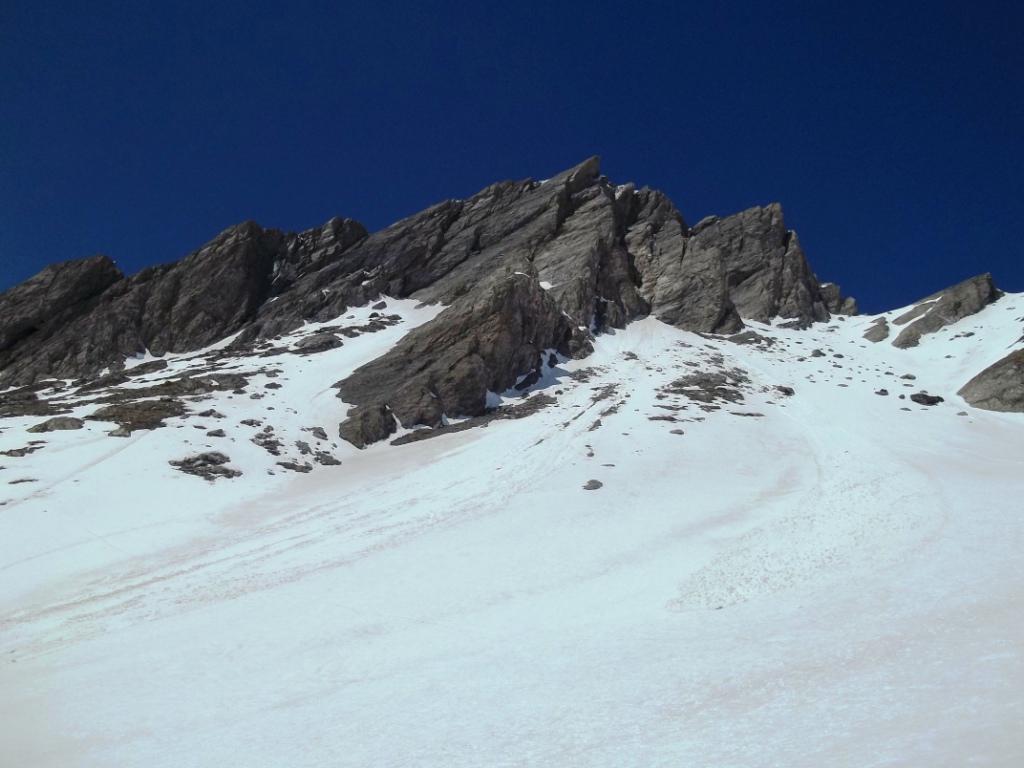
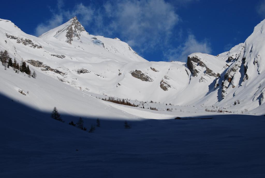
Da Morge 1694 m (frazione di La Salle), il sentiero ha inizio proprio dal parcheggio. Su prende una stradina interpoderale e ci si innalza lungo i prati soprastanti e a tratti lungo le tracce della poderale sino a raggiungere la dorsale che in breve porta alle baite Tramail des Ors, poste a m. 2390. Dalle Baite si vede la Testa dei Frà e la parte restante dell’itinerario che va seguito. Traversare sulla sinistra e salire a mezza costa lungo una stradina. Giunti nella conca sotto il Colle Felita, ci si immette nell’ampio vallone che con percorso evidente e non obbligato conduce al col Felita 2557 m (con percorso più diretto è anche possibile raggiungere il colletto più a sinistra) Svoltare a sinistra e seguire la cresta Sud che conduce all’anticima. Continuare sulla cresta tenendosi il più possibile sul versante est e con lungo traverso raggiungere la cima. La discesa si compie per lo stesso itinerario percorso in salita.
- Cartografia:
- Massiccio del Monte Bianco foglio n. 4 in scala 1:50000
- Bibliografia:
- Guida dei Monti d'Italia CAI-TCI Alpi Pennine vol. 1 di G. Buscaini
Nelle vicinanze Mappa
Itinerari
29/12/2025 AO, La Salle D+ 620 m MR Ovest
Les Ors (Alpeggio) da Cheverel
 900m
900m
05/03/2023 AO, La Salle D+ 1370 m BR, F Sud-Ovest
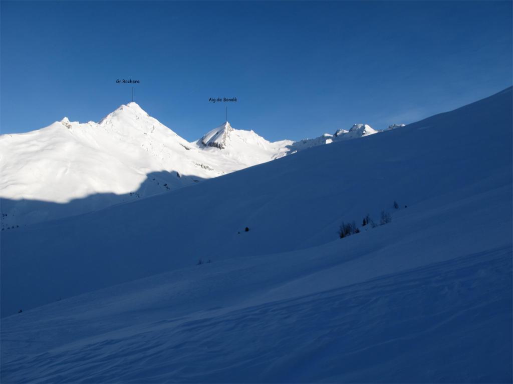
Grand Creton da Planaval per l’alpe Bonalè
1.5Km
17/11/2012 AO, La Salle D+ 1023 m BR Sud-Ovest
Serena (Costa di) quota 2785 m da Planaval
 1.5Km
1.5Km
27/03/2022 AO, La Salle D+ 1320 m BR Sud
Artanavaz (Aiguille d’) da Planaval
 1.5Km
1.5Km
09/02/2014 AO, La Salle D+ 90 m MR Sud
Les Ecules (Alpeggio) da Planaval
 1.5Km
1.5Km
09/04/2016 AO, La Salle D+ 783 m BR Sud-Ovest
Serena (Col) da Planaval
 1.5Km
1.5Km
05/03/2023 AO, La Salle D+ 1200 m BRA, F+ Sud-Ovest
Creton du Midi da Planaval
1.5Km
05/03/2023 AO, La Salle D+ 1300 m BR Sud-Ovest
Grand Creton quota 3047 m da Planaval
 1.5Km
1.5Km
22/04/2010 AO, La Salle D+ 590 m BR Sud-Ovest
Bonalè o Bonalex (Alpe) da Planaval, anello
 1.5Km
1.5Km
26/04/2025 AO, La Salle D+ 1600 m BRA Varie
Grande Rochere e Petite Rochere da Planaval
 1.5Km
1.5Km