1.7Km
1.7Km


Note
 50m
50m
50m
50m
50m
50m
1.5Km
1.5Km
1.5Km
1.5Km
50m
50m
50m
50m
50m
50m
1.5Km
1.5Km
1.5Km
1.5Km
1.7Km
1.7Km
4.1Km
6.4Km
6.4Km
6.4Km
6.4Km
6.5Km
6.5Km
6.5Km
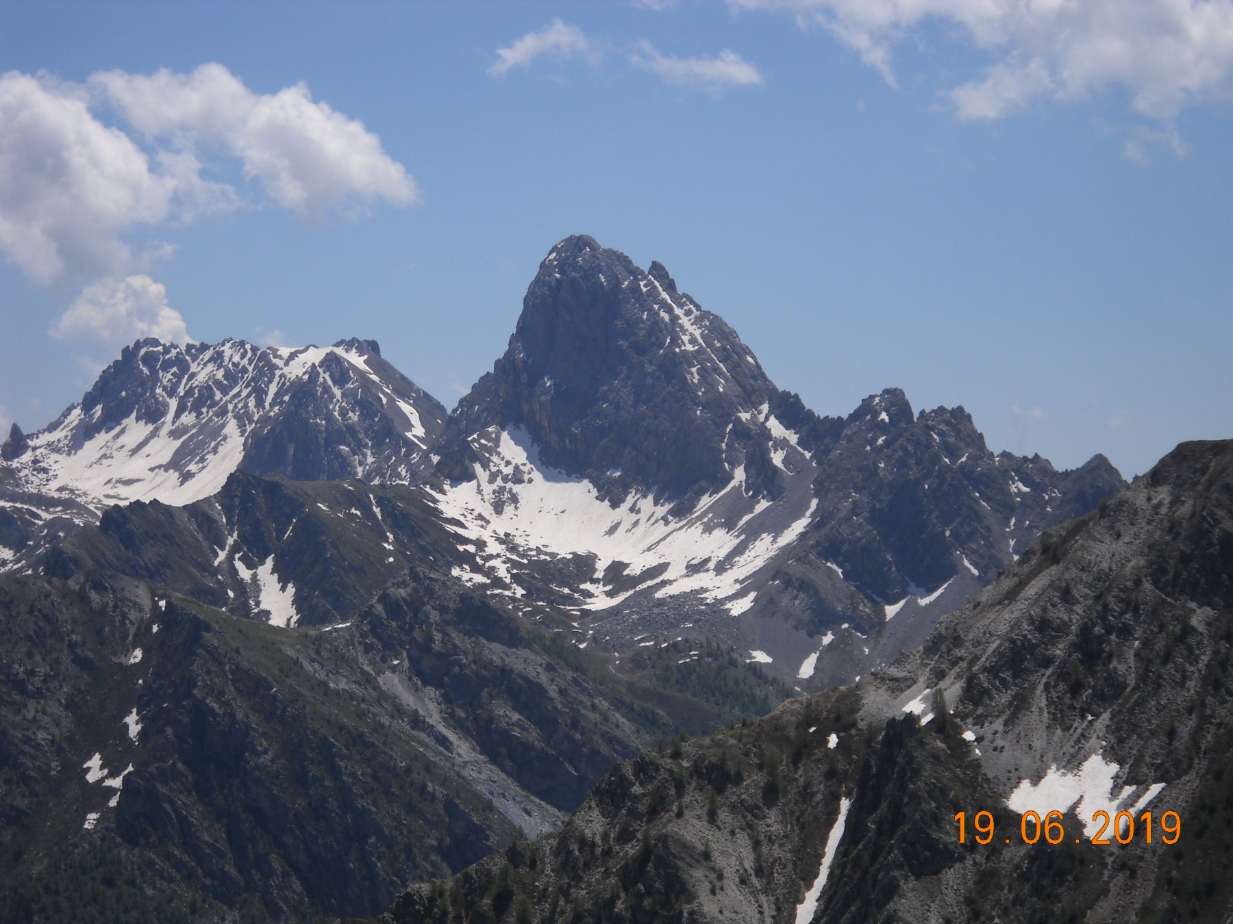
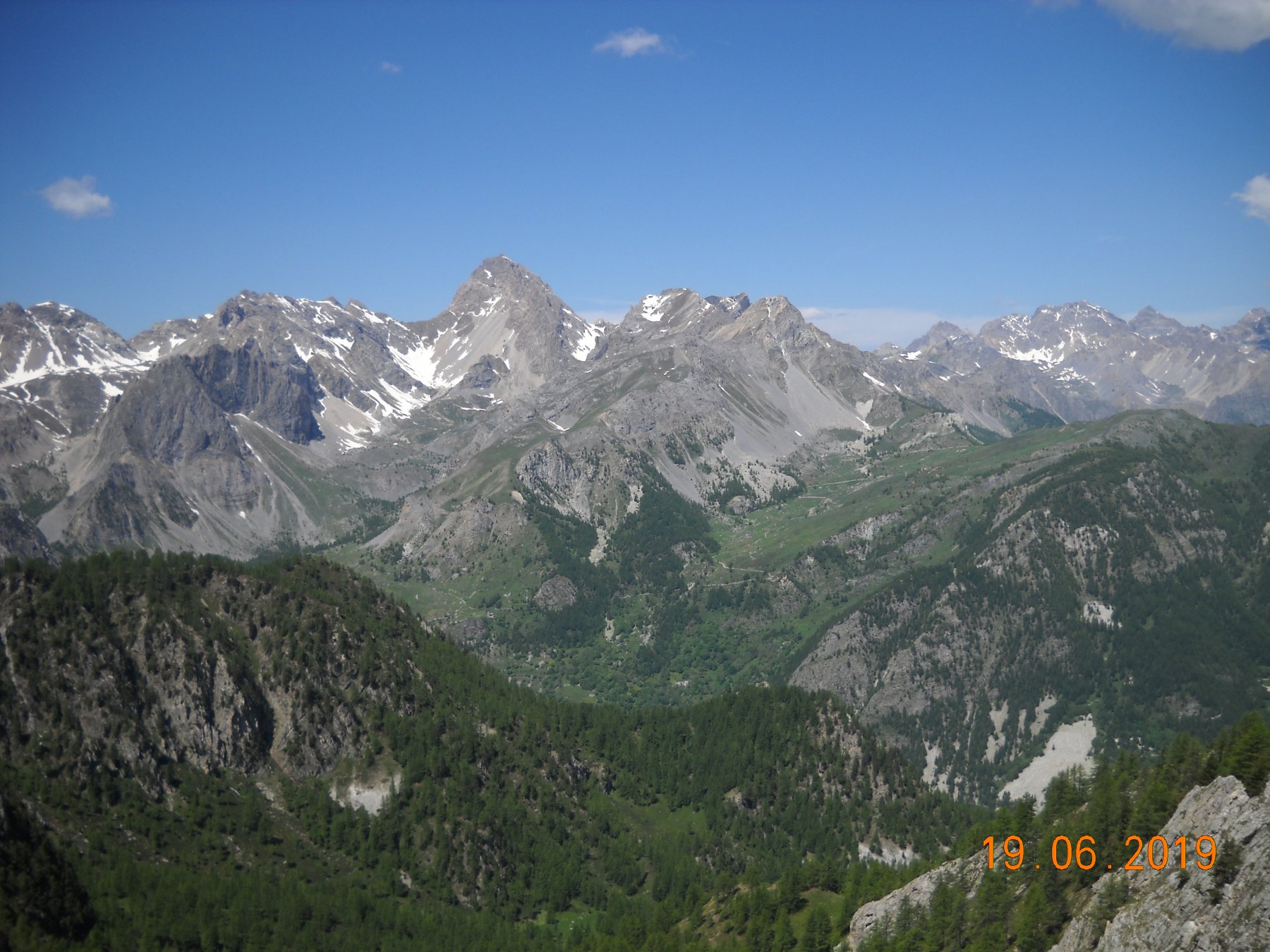
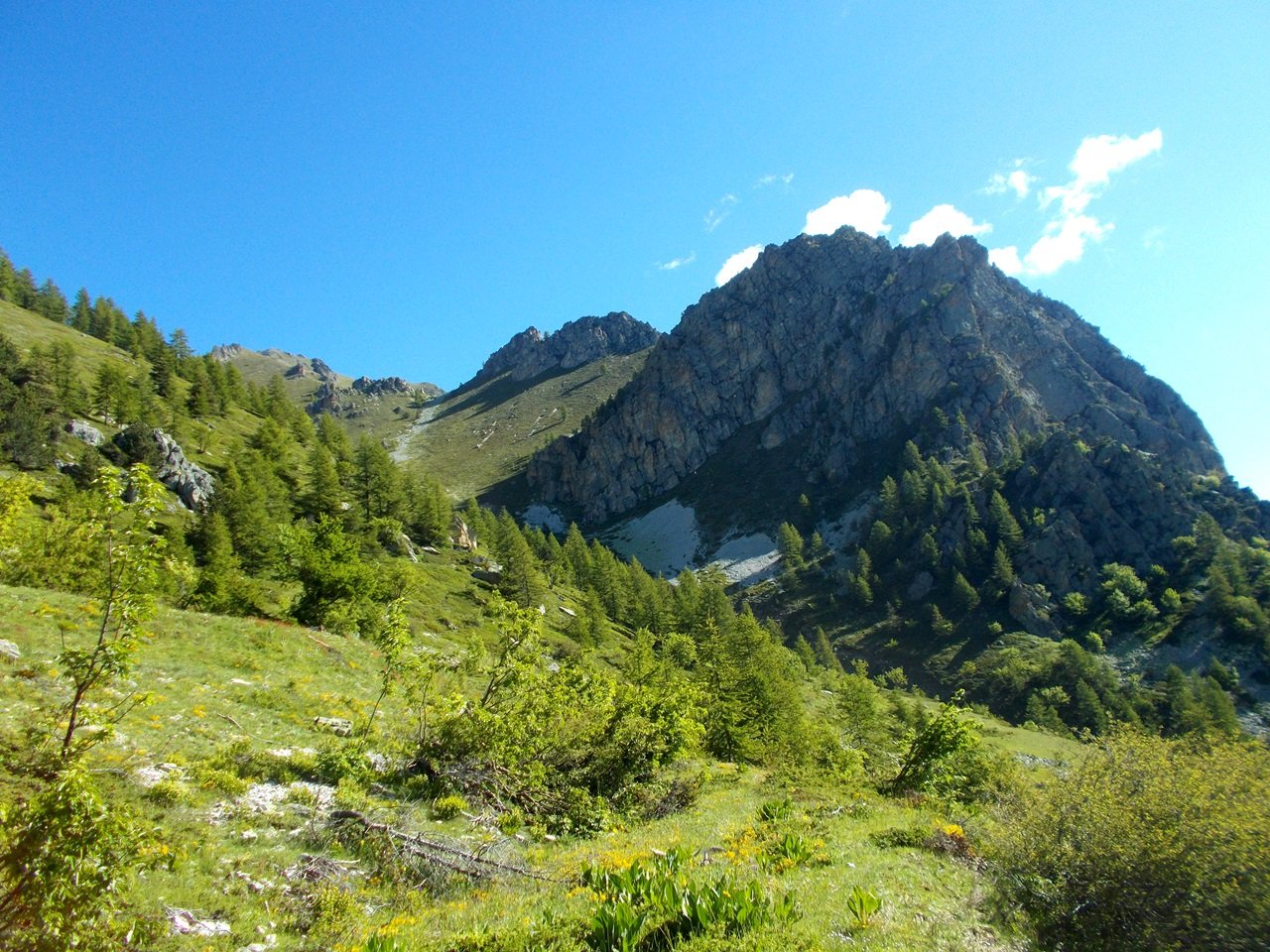
Si tratta di un bel giro ad anello sulla dorsale sopra le grange di Soleglio Bue, che permette una bella vista su entrambi i valloni ( Unerzio e Preit) e sulle montagne della Val Maira.
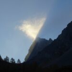
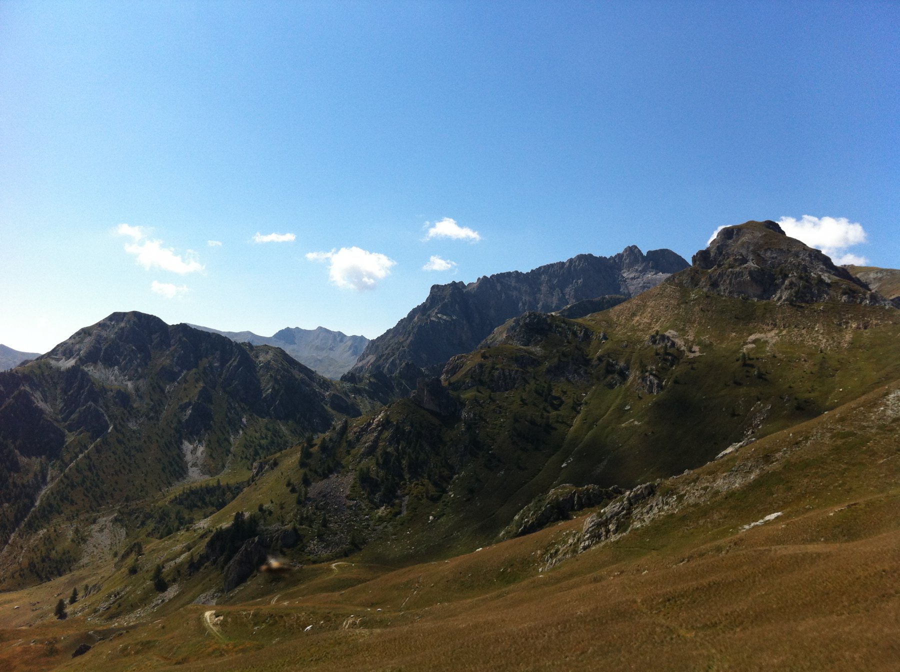
Fino alla Rocca delle Sommette la gita non presenta difficolta' particolari (EE). La traversata fino alla Rocca di Cairi si svolge in ambiente severo su esili tracce di animali che traversano pendii molto ripidi e, sotto la Q.2502, presenta alcuni passaggi rocciosi esposti che richiedono molta attenzione (F).
Avvicinamento
Fino alla Rocca delle Sommette la gita non presenta difficolta' particolari (EE). La traversata fino alla Rocca di Cairi si svolge in ambiente severo su esili tracce di animali che traversano pendii molto ripidi e, sotto la Q.2502, presenta alcuni passaggi rocciosi esposti che richiedono molta attenzione (F).
.
Descrizione
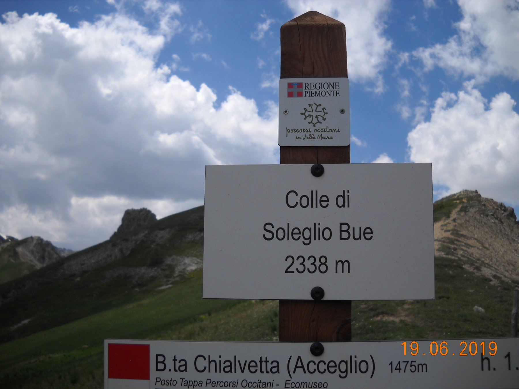
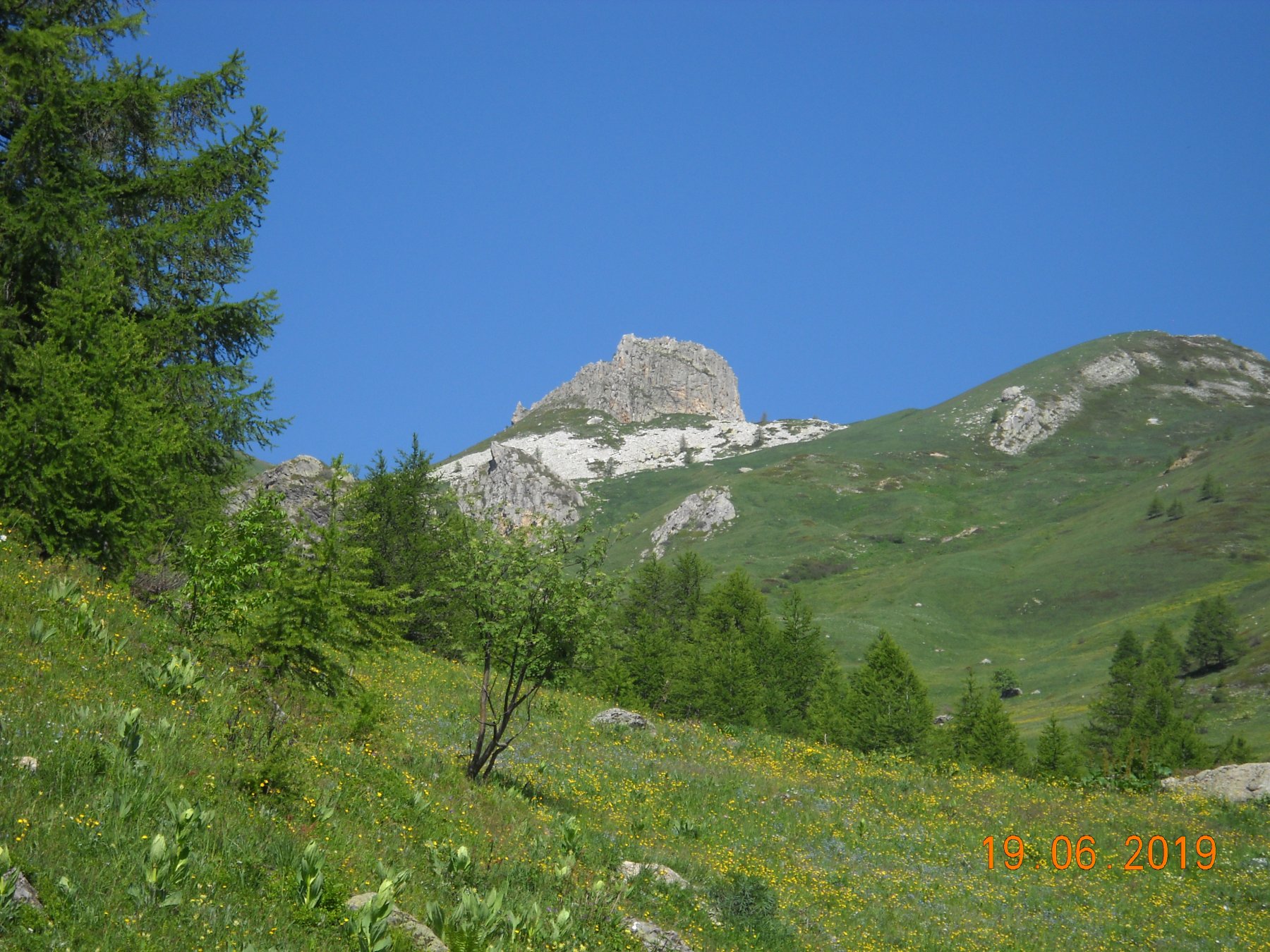
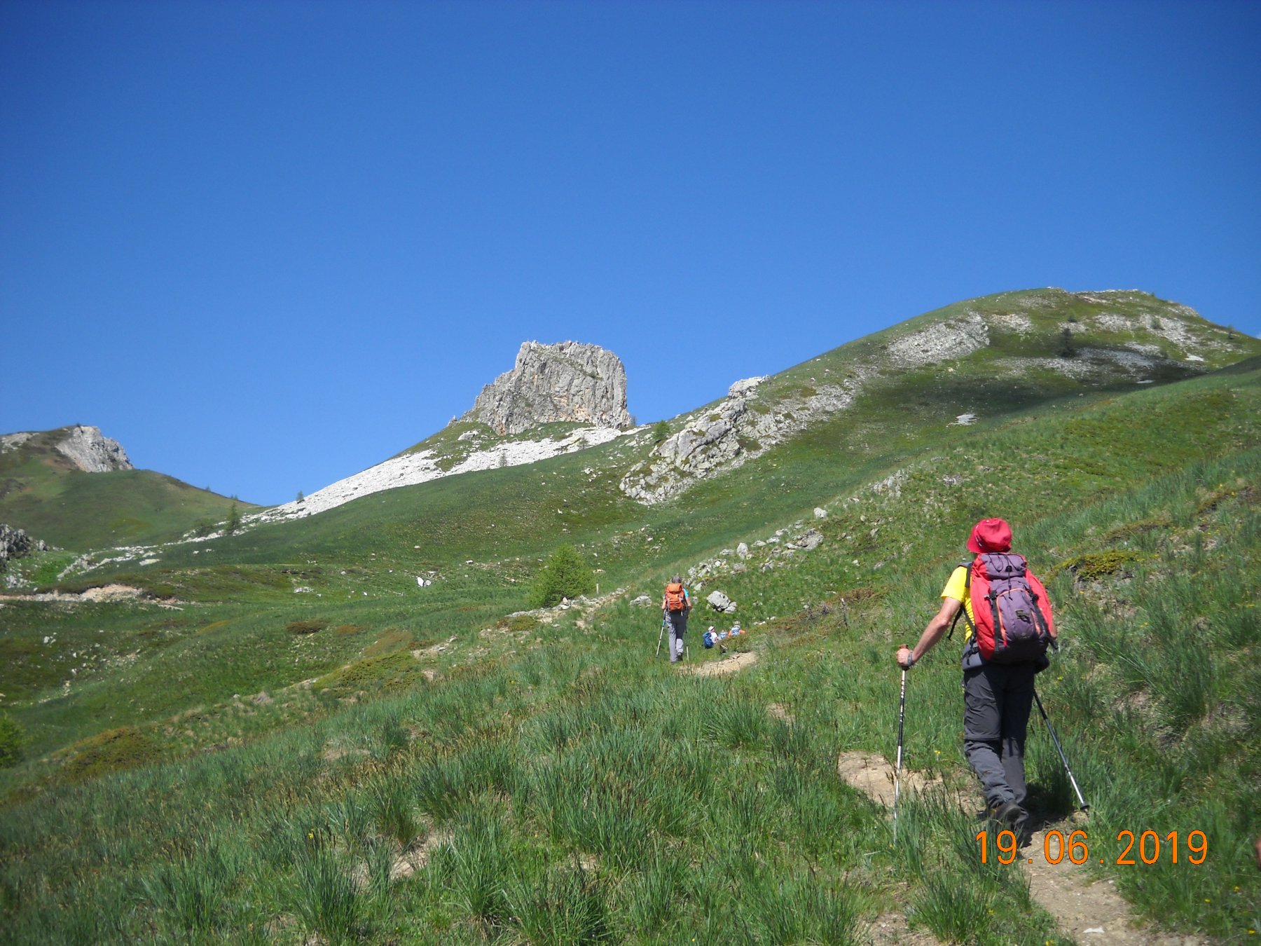
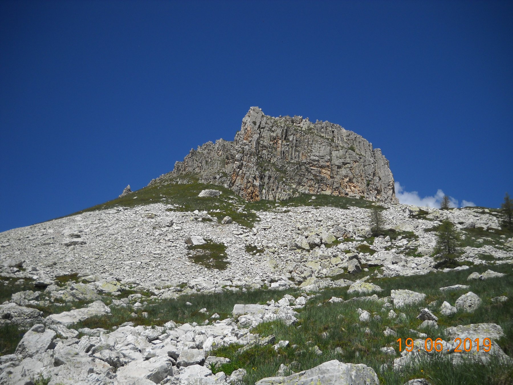
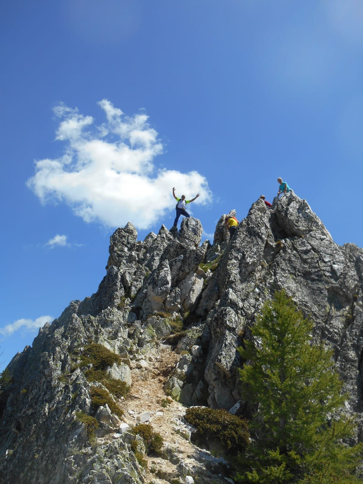
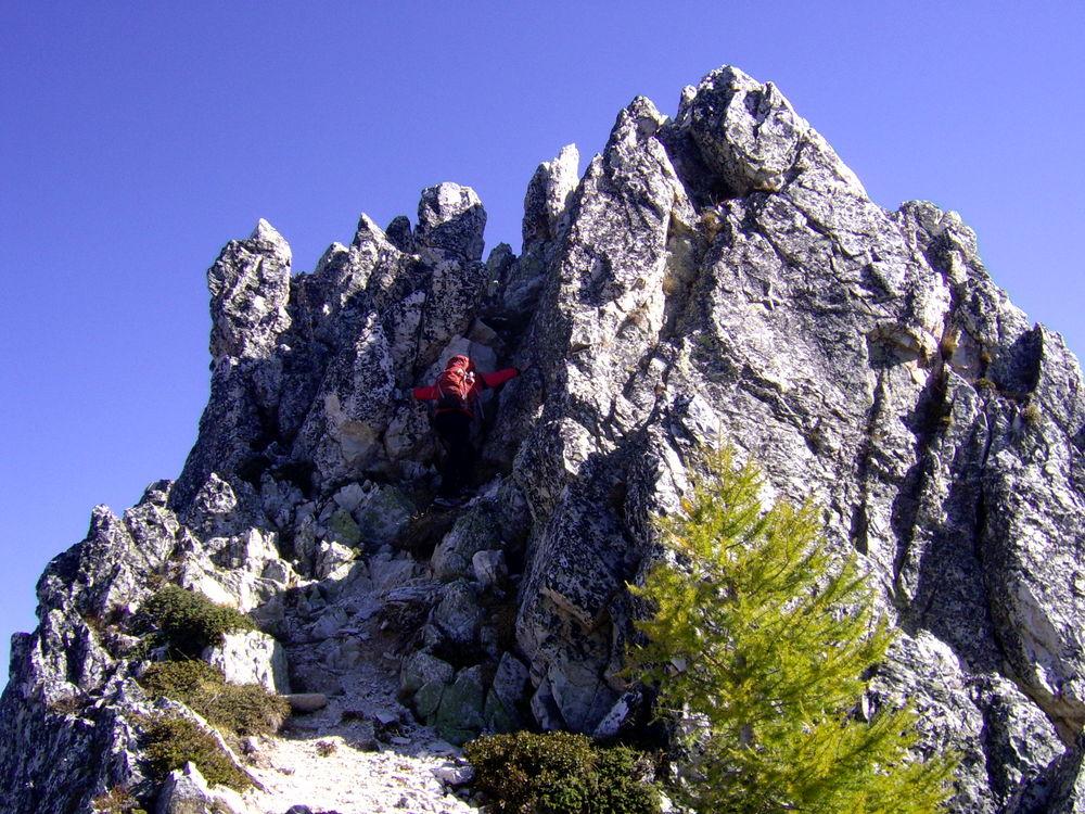
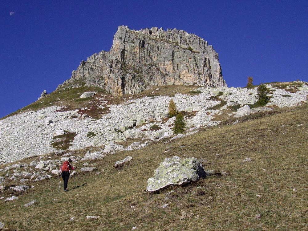
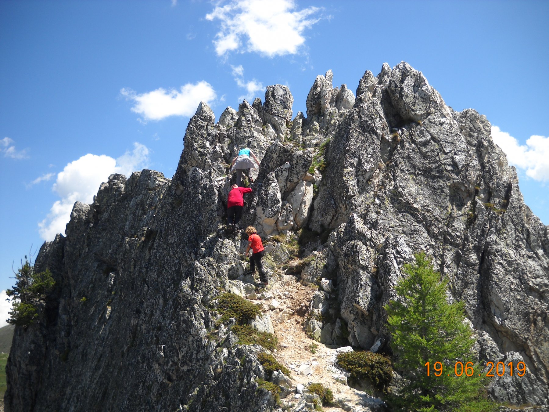
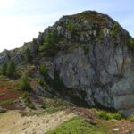
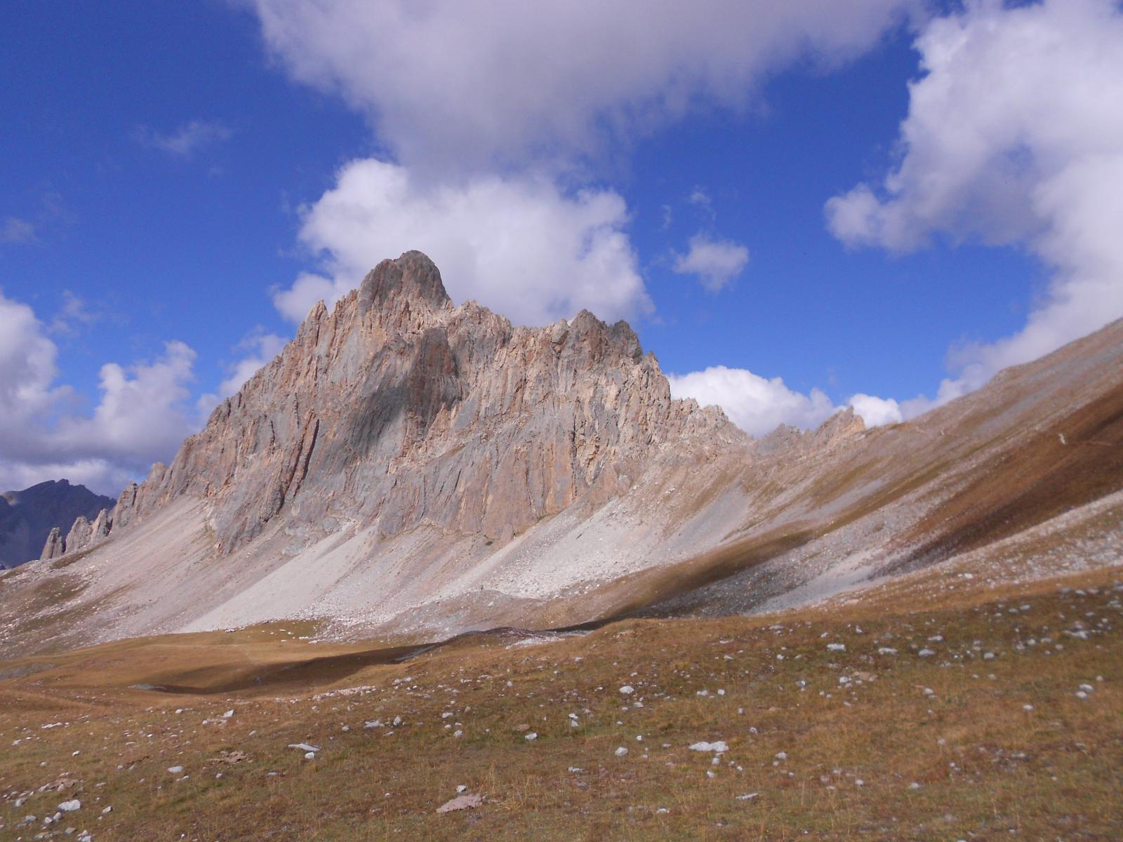
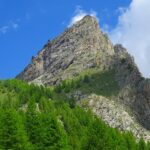
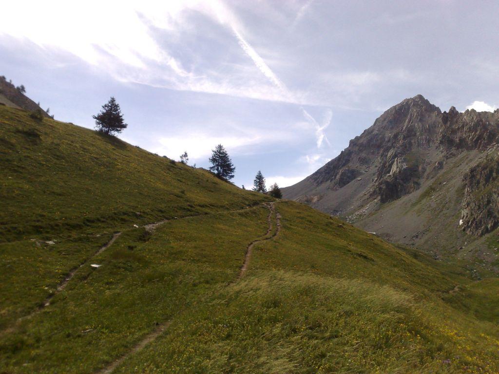
Partenza dalle grange Selvest su sterrata oppure da Preit seguire il sentiero segnalato in giallo-blu (“Percorsi Occitani”) che inizia poco dopo il rudere di un vecchio skilift e conduce alle Grange Soleglio Bue. Salire per il bel sentiero alle spalle delle Grange, recentemente risegnalato (paletti in legno) e ripristinato. Giunti in vista del M.Piutas, traversare a sinistra fin sotto il Colle delle Basse. Dal colle salire al monte Piutas per roccette e un saltino di II. Ridiscendere al Colle delle Basse e traversare per prati fino al Colle Soleglio Bue, scavalcando la Q.2412. Dal Colle Soleglio Bue salire alla Rocca delle Sommette per la cresta SO evitando la torre rocciosa sulla destra (Est) per detriti ripidi e roccette o piu’ facilmente sulla sinistra (Ovest).
Dalla vetta della Rocca delle Sommette e’ possibile:
a) Scendere per roccette lungo la cresta N (esposto) fino ad un colletto dove si trova una traccia che, passando a mezzacosta, prosegue in direzione della Rocca di Cairi. Oppure:
b) In alternativa dalla vetta della Rocca ritornare sui propri passi fin sopra alla torre rocciosa. Da qui scendere in versante Preit (ripido) fino a reperire una traccia che traversa sotto la Rocca e raggiunge il summenzionato colletto (terreno erboso-detritico molto ripido).
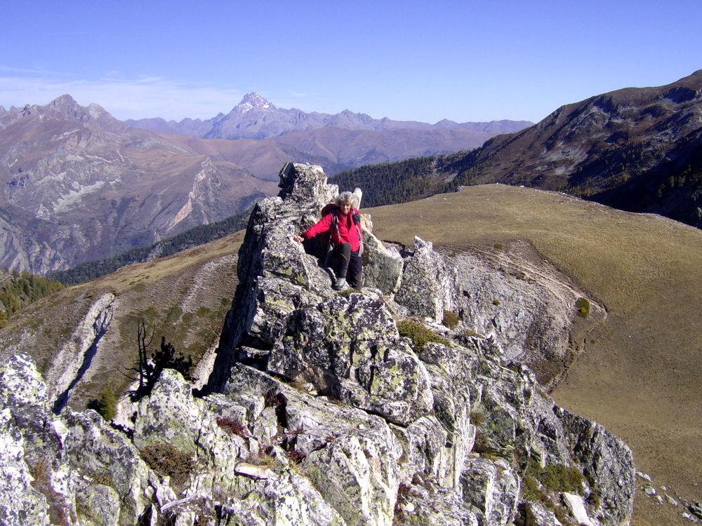
L’esile traccia continua in traverso sotto la groppa successiva della cresta, supera una costola e giunge sotto la rocciosa Q.2502.
Qui ci sono le sole vere difficolta’ del tracciato in quanto si incontrano alcuni tratti rocciosi piuttosto esposti da fare in traverso con molta attenzione.
[ Esiste un’altra traccia molto piu’ in basso che non presenta difficolta’ ma che obbliga a scendere molto dalla Rocca delle Sommette.
Giunti sotto la Q.2502, e’ anche possibile scendere direttamente per un ampio canale erboso molto ripido ma privo di difficolta’ e portarsi direttamente nel vallone della Rocca di Cairi, a monte del Bric Balacorda. ]
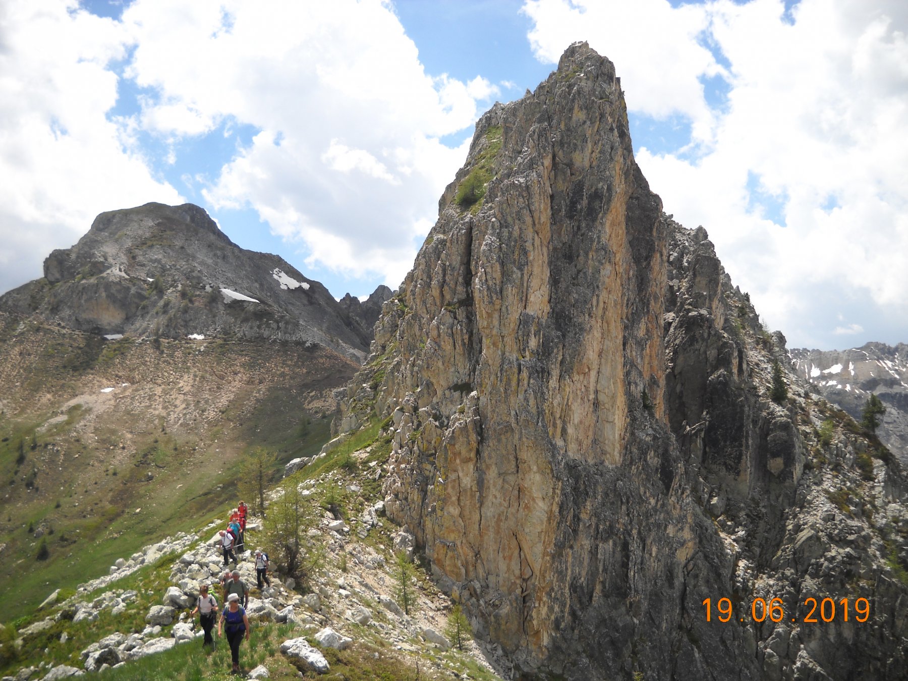
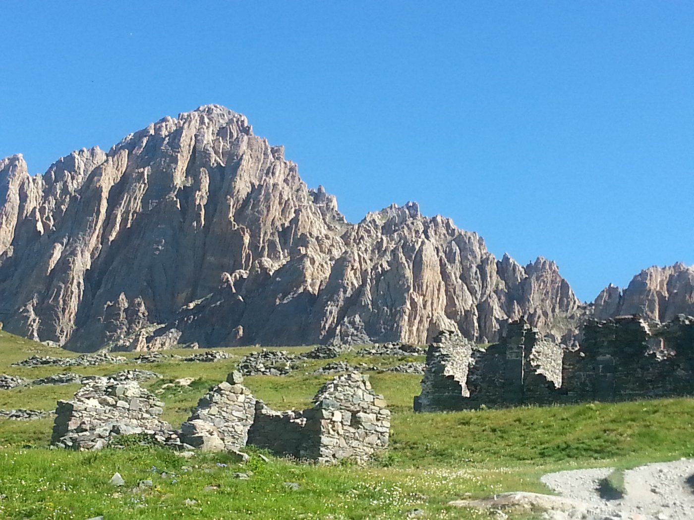
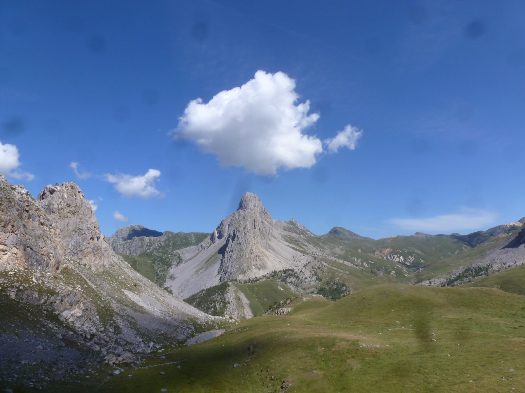
Proseguendo la traversata e superata alla base la rocciosa quota 2502, si arriva ad un colletto e in breve per l’ampia cresta in cima alla Rocca di Cairi. Non resta che scendere verso il Bric Balacorda su ripidi pendii erbosi (risalita opzionale a quest’ultima cima) tenendosi sul lato sin. del vallone (ometti) e, attraversato l’impluvio, reperire le tracce di un vecchio sentiero (ometti) che, via via piu’ evidente e dopo aver attraversato un ruscello, riporta ai pascoli presso le Grange Soleglio Bue. Qui ci si ricollega al bel sentiero che sale da Preit o alla sterrata che scende alla Grange Selvest.
- Cartografia:
- Fraternali 1:25000 n.12 Alta Val Varaita, Alta Val Maira
Nelle vicinanze Mappa
Itinerari
25/09/2024 CN, Canosio D+ 1050 m EE/F Varie
Aquila (Rocca dell’) e Monte Giobert da Grange Selvest, anello per il Monte Piegù
 50m
50m
01/11/2025 CN, Canosio D+ 1000 m EE Varie
Bert (Monte) e Monte Baret da Grange Selvest, anello per il Lago Nero
 50m
50m
14/06/2026 CN, Canosio D+ 600 m E Varie
Nero (Lago) da Grange Selvest, anello
 50m
50m
03/11/2024 CN, Canosio D+ 1083 m EE Ovest
Bianca (Monte la) da Grange Selvest
 50m
50m
19/06/2021 CN, Canosio D+ 1100 m E Tutte
Valletta (Passo della) da Grange Selvest, anello per i colli del Mulo, Ancoccia, Margherina
 50m
50m
15/06/2023 CN, Canosio D+ 1370 m EE/F Varie
Boscasso (Bric), Rocca di Cairi, Rocca delle Sommette, Monte Piutas da Grange Selvest, anello
 50m
50m
21/07/2010 CN, Canosio D+ 1600 m E Nord
Gardetta (Passo della) da Preit, anello per Colle Soleglio Bue e Chialvetta per il Rifugio Gardetta (2 gg)
 1.5Km
1.5Km
03/08/2019 CN, Canosio D+ 675 m E Nord
Gardetta (Rifugio della) da Preit
 1.5Km
1.5Km
29/12/2023 CN, Canosio D+ 1100 m EE Sud
Cairi (Rocca di) e Bric Balacorda da Preit
 1.5Km
1.5Km
07/05/2017 CN, Canosio D+ 870 m E Sud-Est
Soleglio Bue (Cima) o Beau Soleil da Preit
 1.5Km
1.5Km
Servizi
1.7Km
1.7Km
Mascha Parpaja Rifugio
Canosio
4.1Km
Gardetta Rifugio
Canosio
6.4Km
Della Gardetta Rifugio
Acceglio
6.4Km
Rolando Ristorante
Acceglio
6.4Km
La Gardetta Rifugio
Acceglio
6.4Km
Lou Pitavin Ristorante
Marmora
6.5Km
Chialvetta Rifugio
Acceglio
6.5Km
Croce bianca Ristorante
Marmora
6.5Km