1.7Km
1.7Km

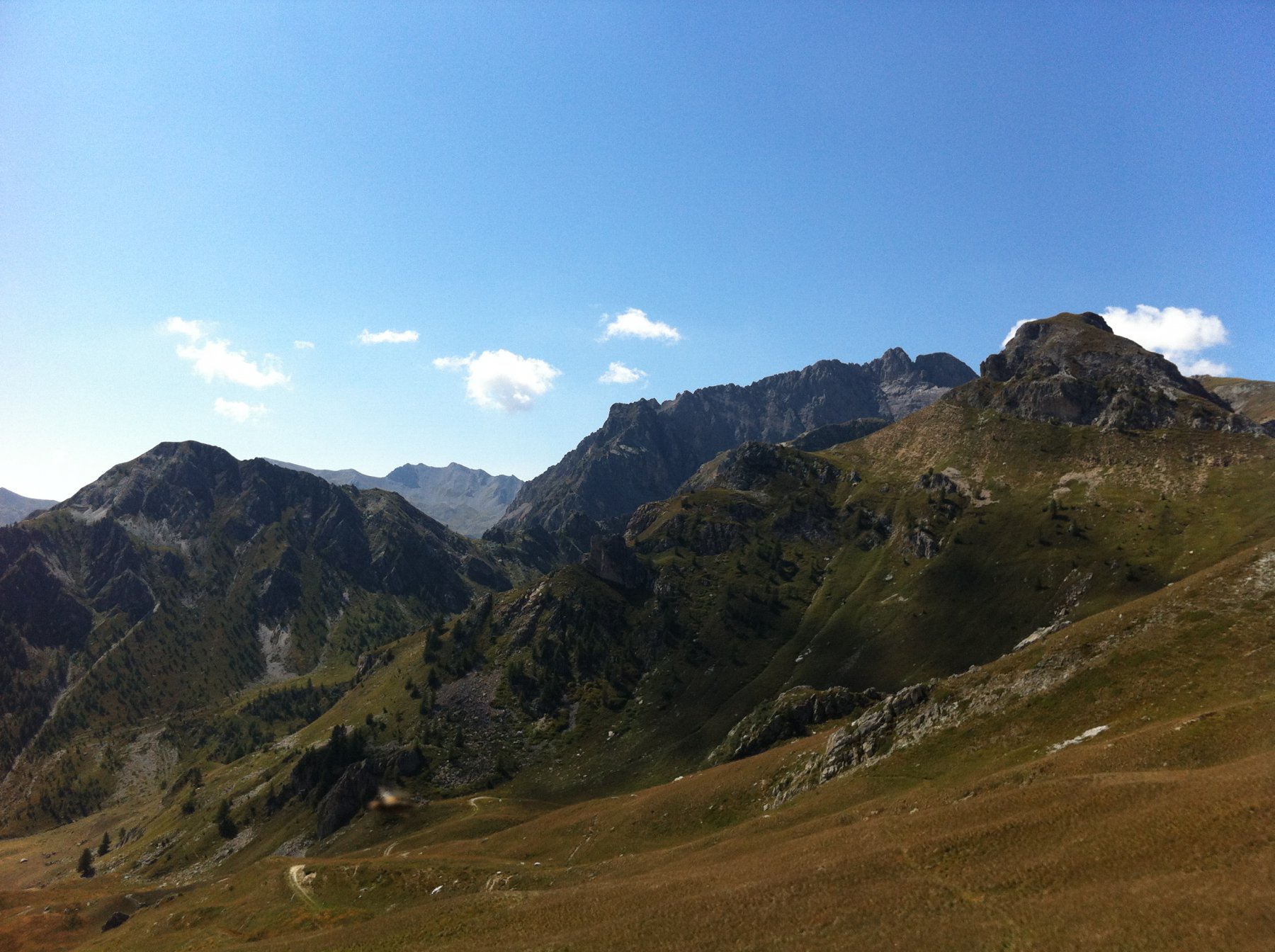
Avvicinamento
 50m
50m
50m
50m
50m
50m
1.5Km
1.5Km
1.5Km
1.5Km
50m
50m
50m
50m
50m
50m
1.5Km
1.5Km
1.5Km
1.5Km
1.7Km
1.7Km
4.1Km
6.4Km
6.4Km
6.4Km
6.4Km
6.5Km
6.5Km
6.5Km
Si risale la valle Maira svoltando a sinistra a Ponte Marmora e poi a destra per Canosio. La strada, sempre asfaltata, supera le borgate di Pian Preit e Preit e raggiunge le grange Selvest, ampi parcheggi.
Descrizione
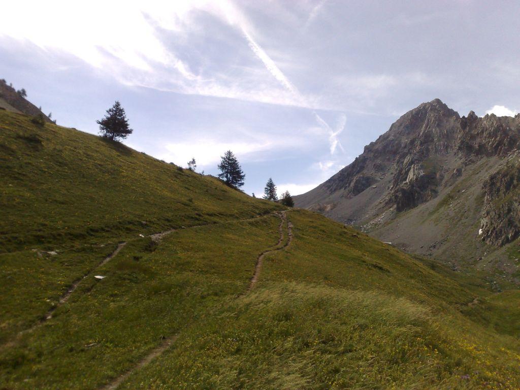
Superato il ponticello si sale per stradina pastorale verso sinistra fino alle grange Convento. Da qui in direzione Nord sfruttando le tracce di bestiame si sale alla costa Crocetta con circa 150 m. di dislivello trovando la traccia segnalata che sale da Pian Preit con frequenti paline indicatrici per il monte Giobert e le grange Ischia.
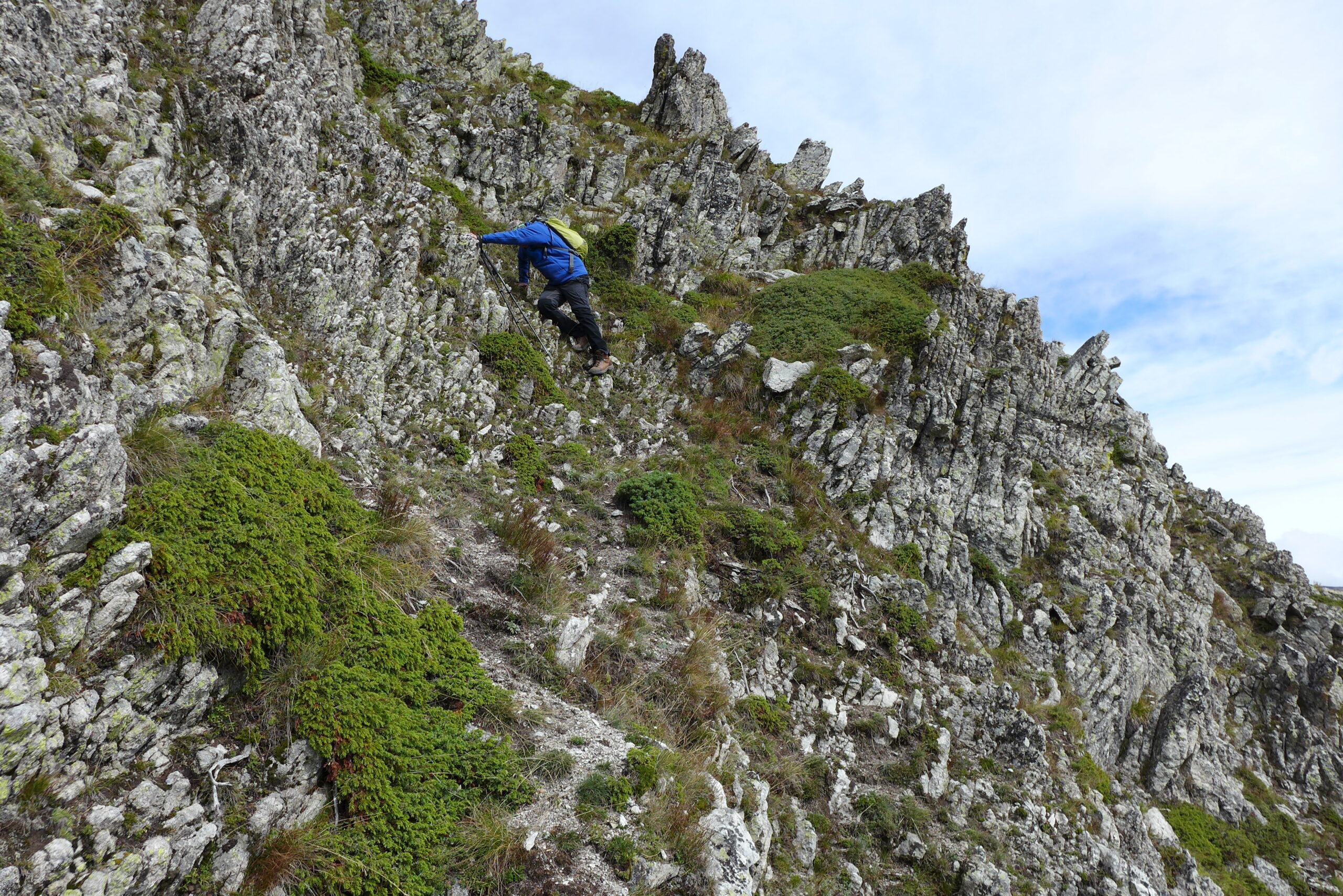
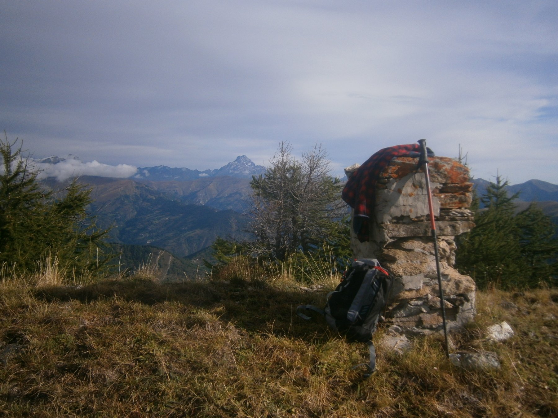
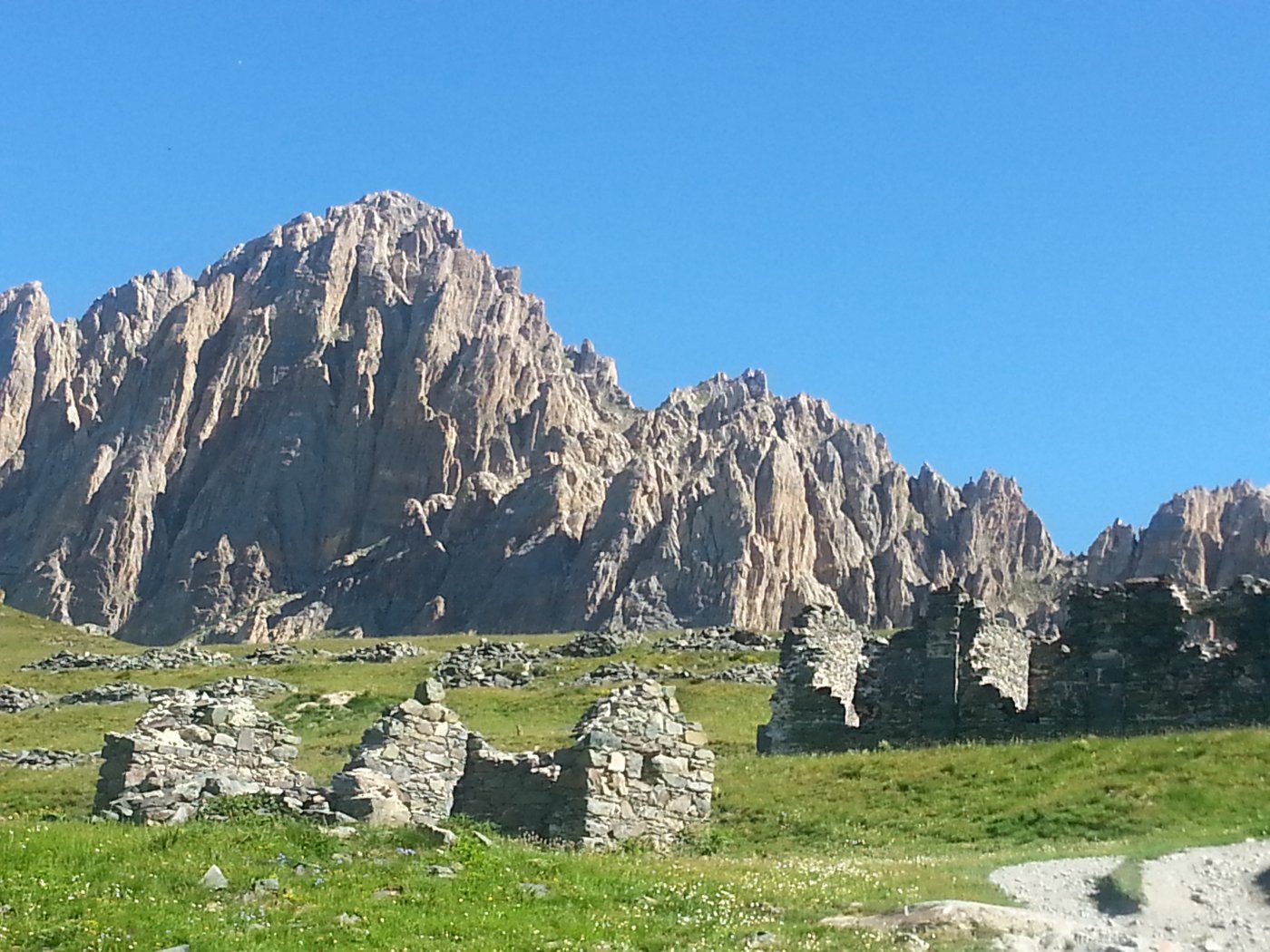
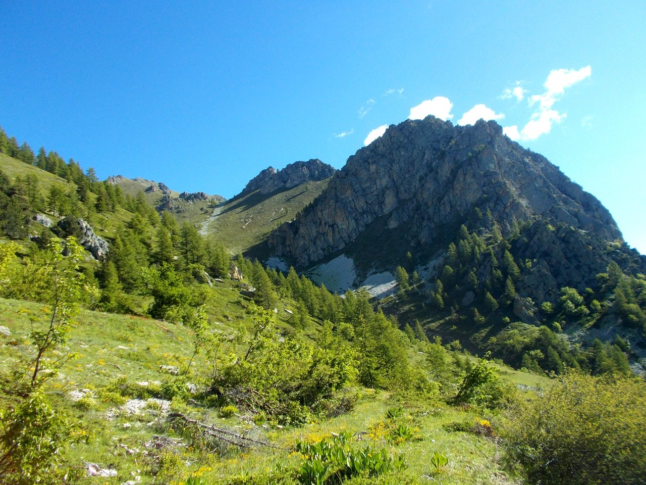
Seguendo la traccia che ogni tanto sparisce ma sempre con le segnalazioni si raggiunge il punto di valico a quota 2290. Per il monte Piegù si svolta a sinistra in discesa per circa 80 m. e si risale il pendio erboso che adduce alla vetta con pilastrino cementato , m. 2305.
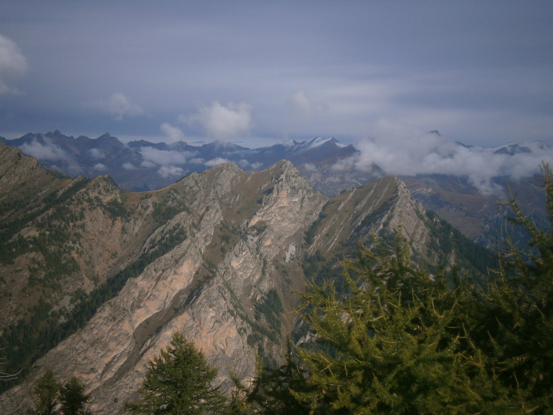
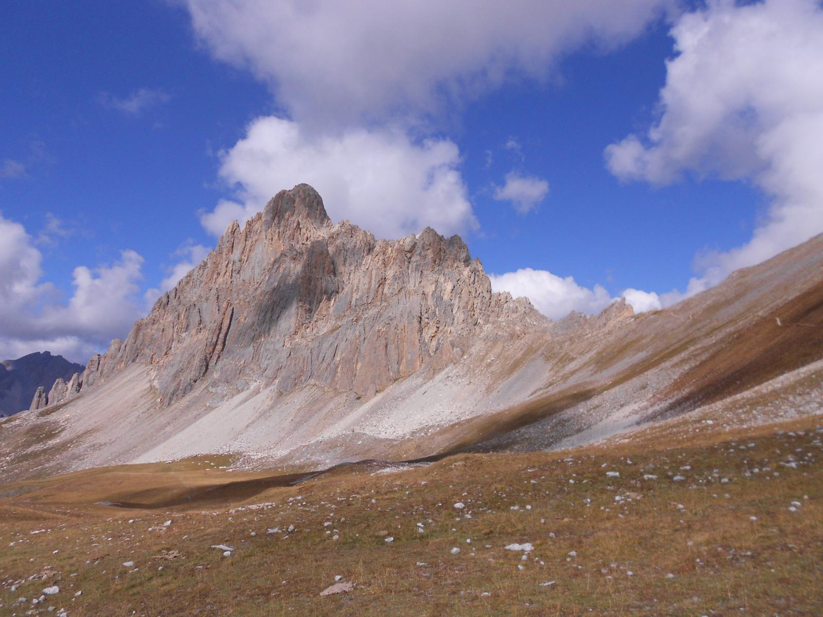
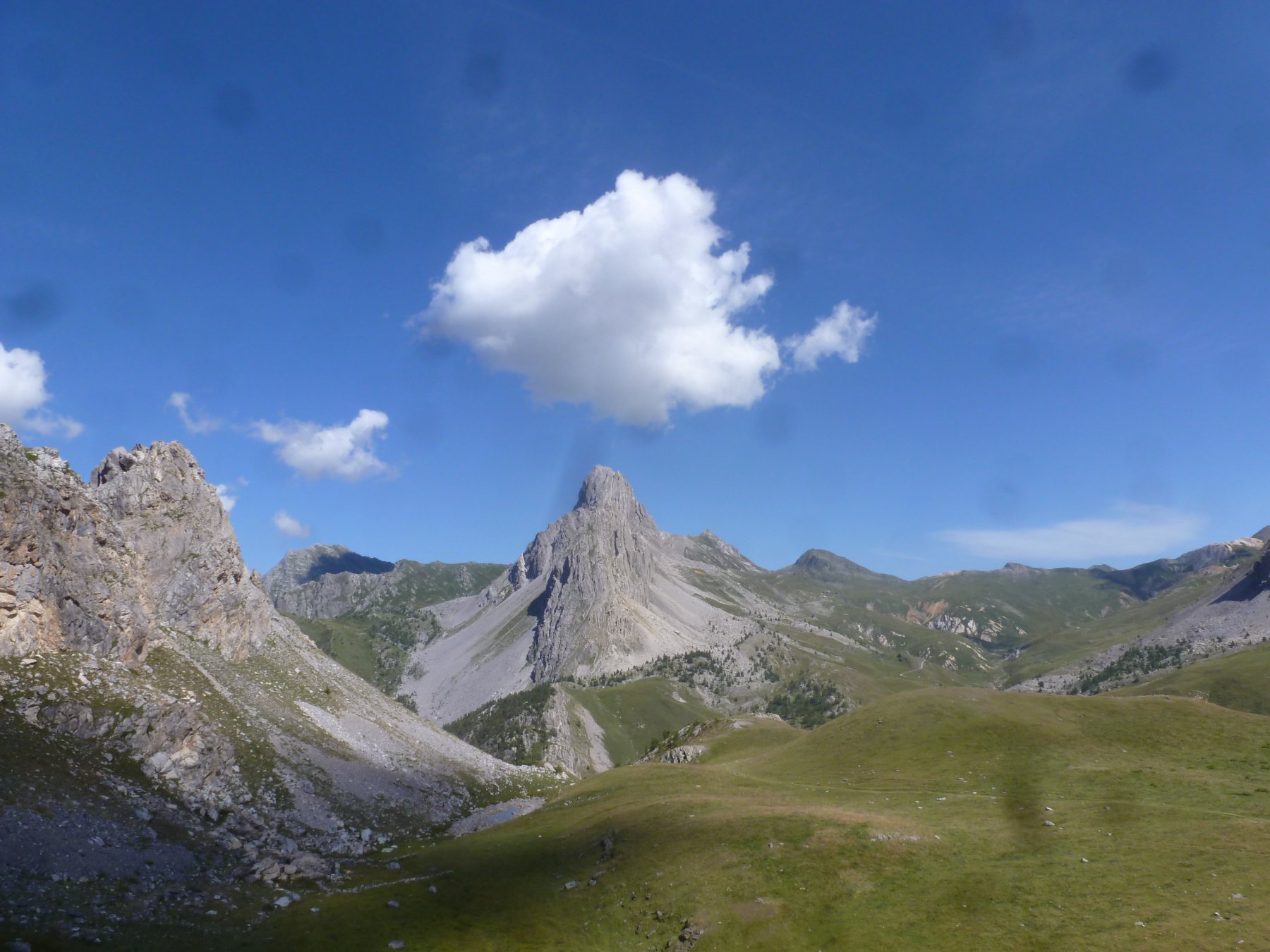
Tornati al punto di valico si prosegue seguendo le indicazioni per il monte Giobert salendo abbastanza ripidamente fino alla due cime, la più elevata a quota 2439.
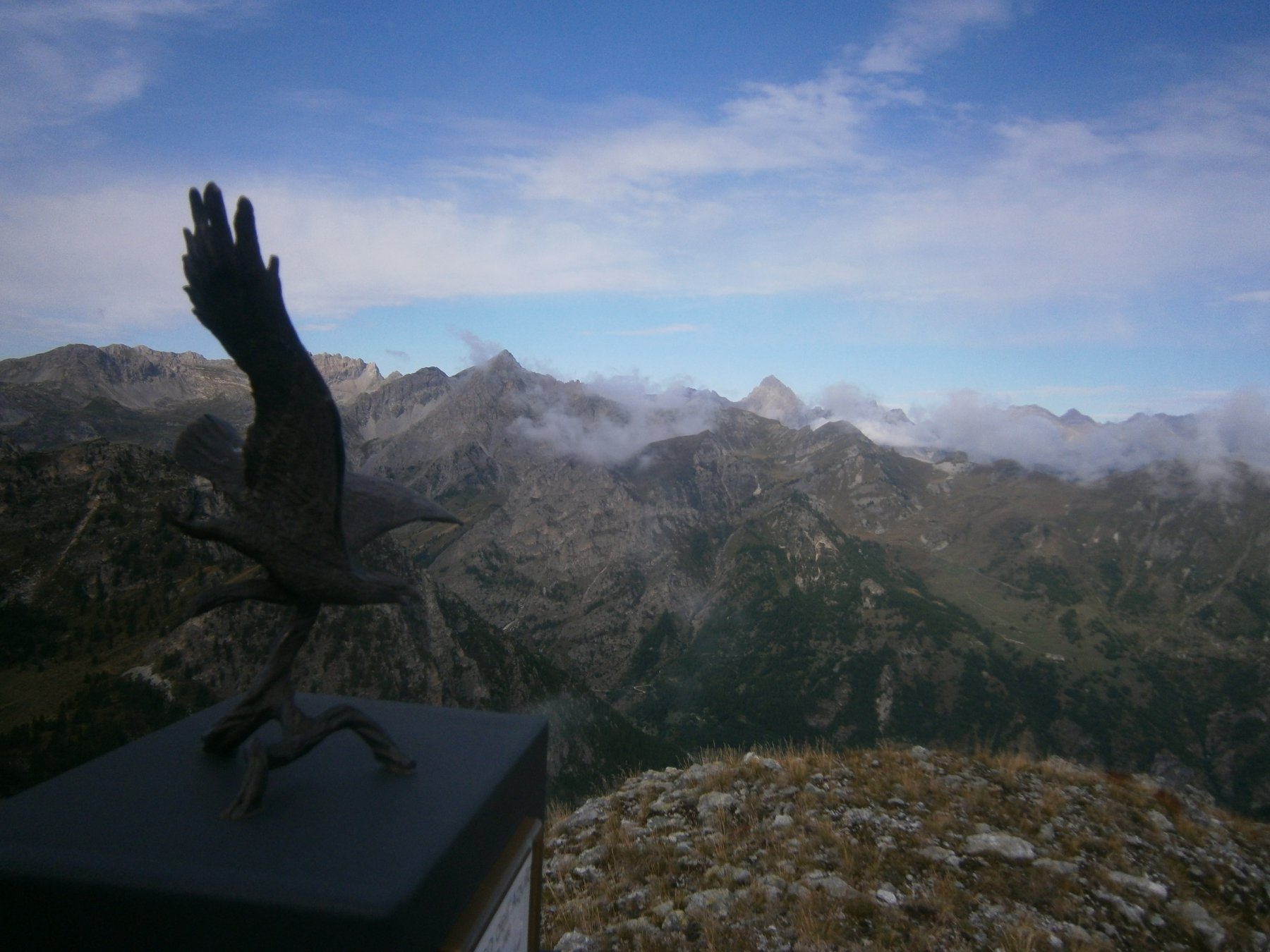
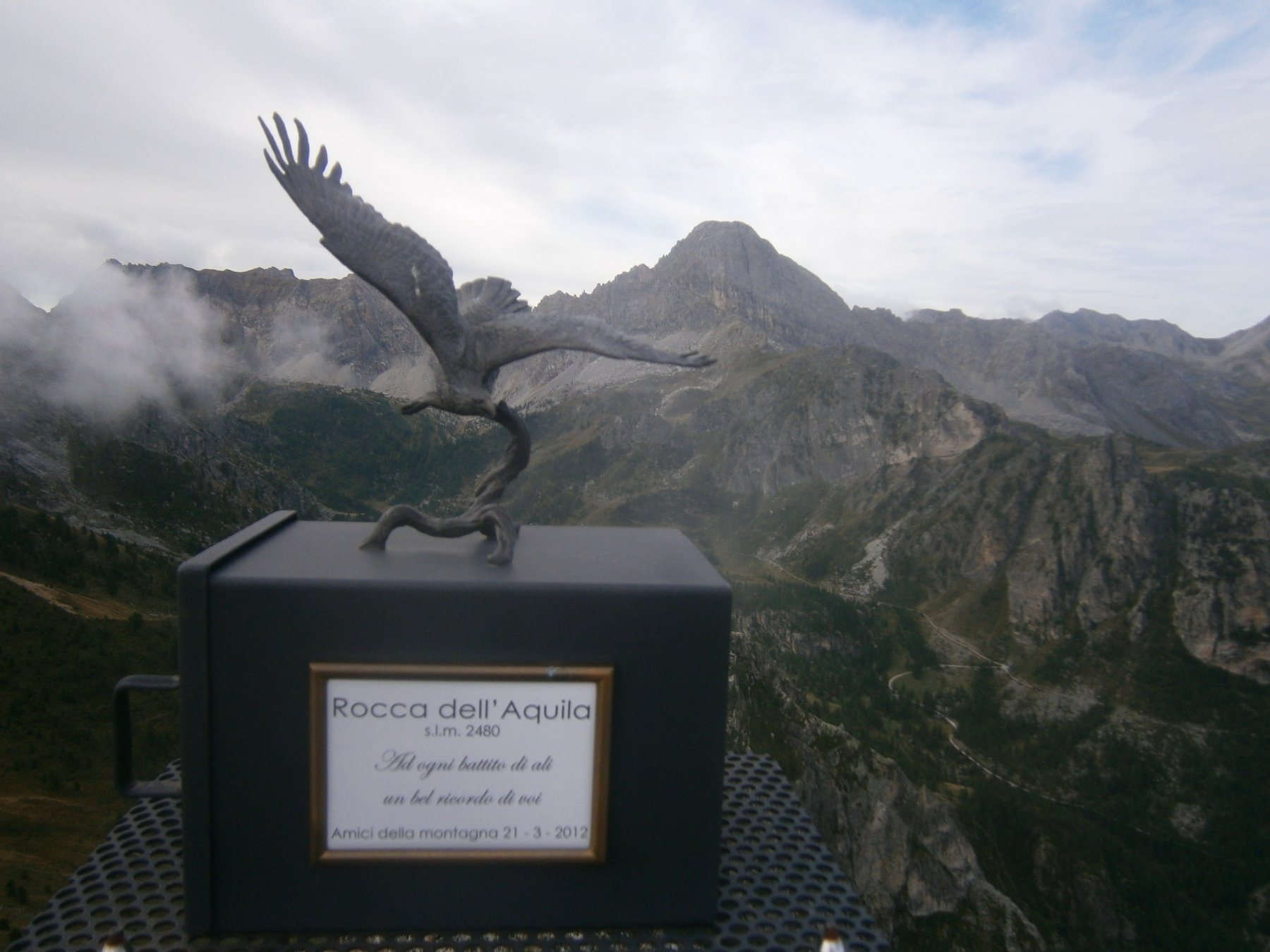
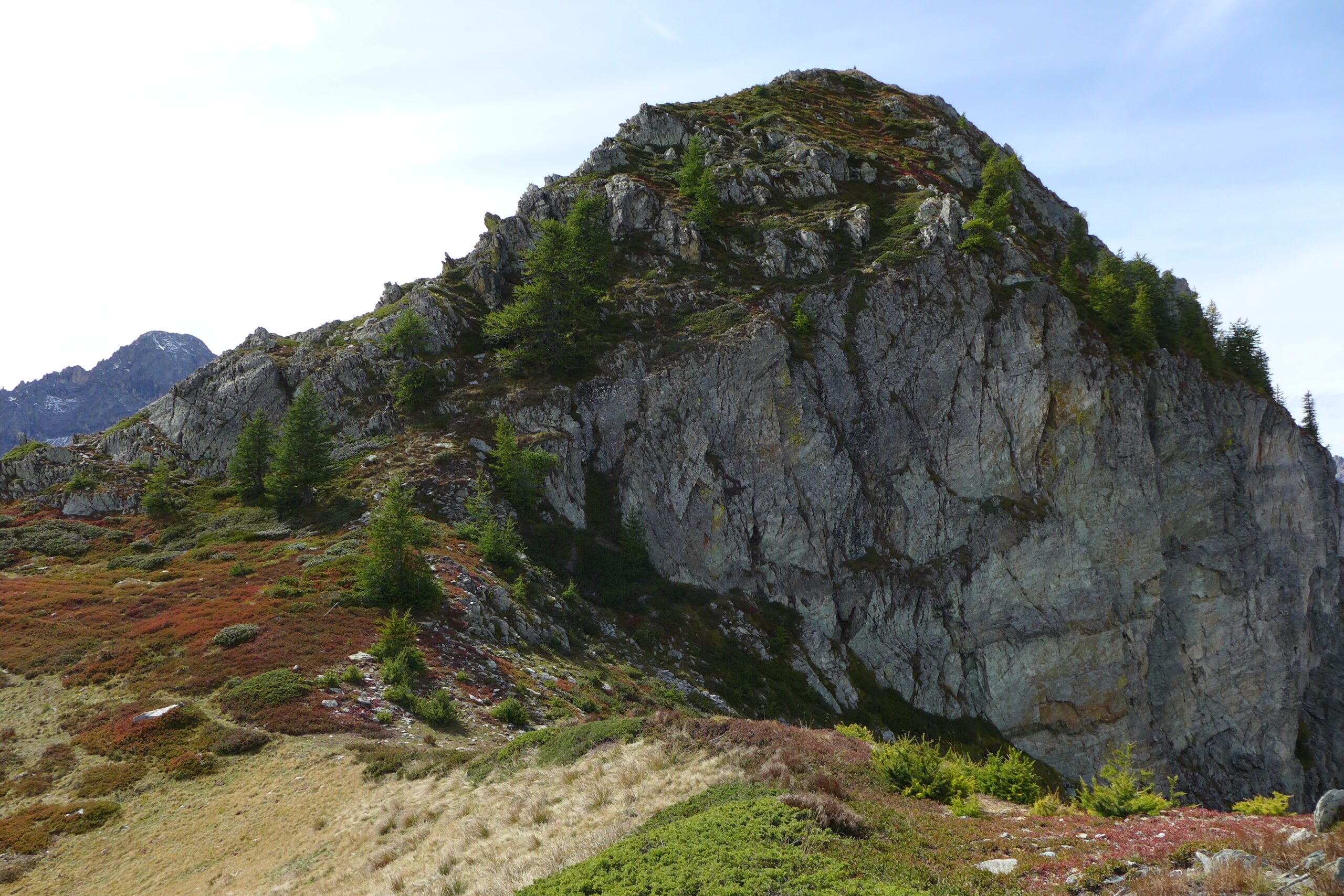
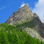
Proseguendo brevemente sulla dorsale si raggiunge la base di rocca dell’Aquila che si vince in pochi minuti per una crestina rocciosa (F), quota 2480 con cassetta del libro di vetta e aquila metallica molto ben fatta.
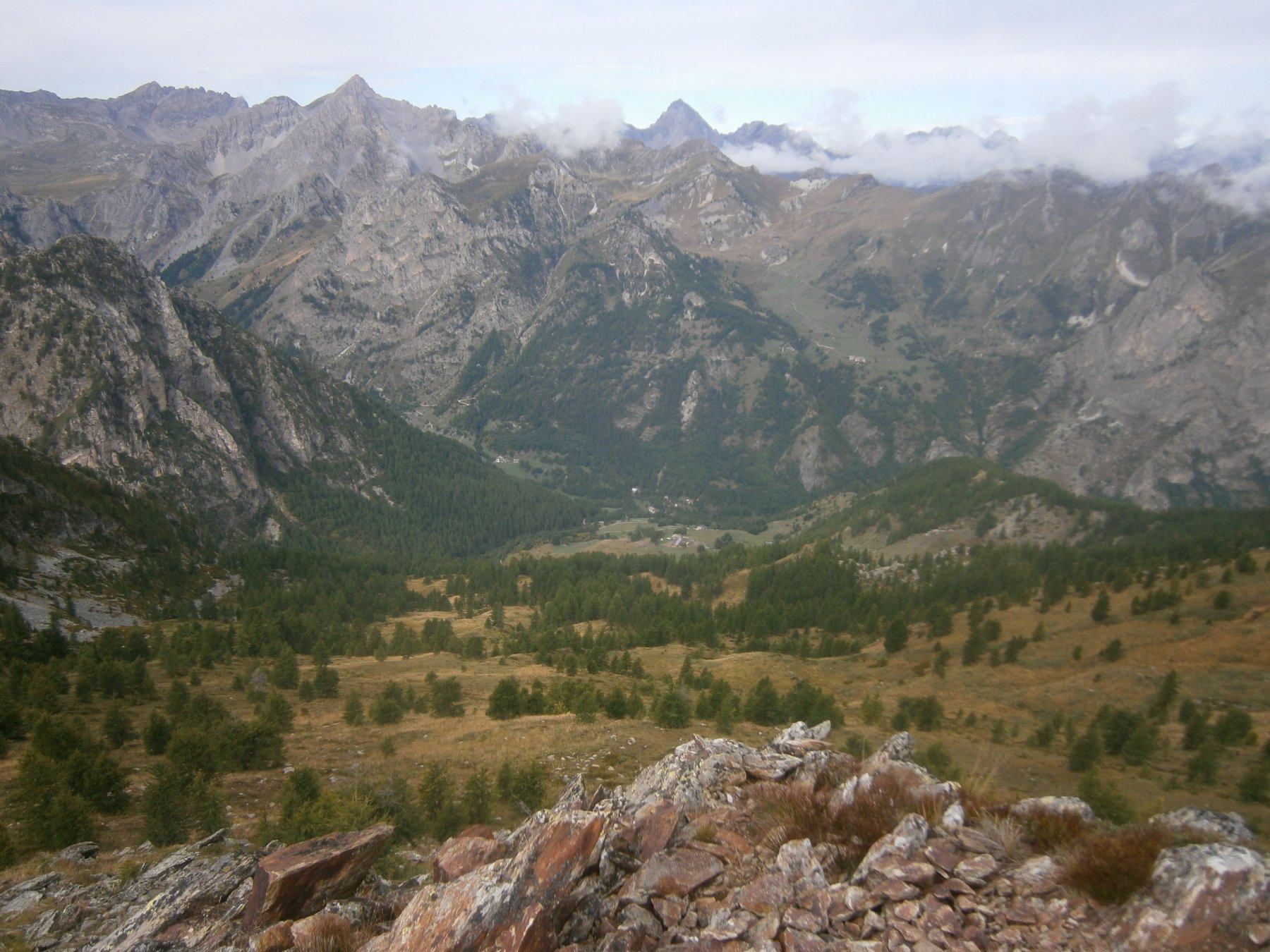
Ritorno: si torna nei pressi del m. Giobert e si scende a vista verso le grange Convento, praticamente sfruttando (per chi lo conosce) l’itinerario di sci alpinismo o di ciaspole. Dalle grange con la stradina dell’andata si torna al park.
- Cartografia:
- Escursionista e Monti editore, valle Maira 1:25000
Nelle vicinanze Mappa
Itinerari
10/11/2022 CN, Canosio D+ 1170 m EE/F Sud-Est
Cairi (Rocca di) Rocca delle Sommette, Monte Piutas da Grange Selvest, anello
 50m
50m
14/06/2026 CN, Canosio D+ 600 m E Varie
Nero (Lago) da Grange Selvest, anello
 50m
50m
01/11/2025 CN, Canosio D+ 1000 m EE Varie
Bert (Monte) e Monte Baret da Grange Selvest, anello per il Lago Nero
 50m
50m
03/11/2024 CN, Canosio D+ 1083 m EE Ovest
Bianca (Monte la) da Grange Selvest
 50m
50m
19/06/2021 CN, Canosio D+ 1100 m E Tutte
Valletta (Passo della) da Grange Selvest, anello per i colli del Mulo, Ancoccia, Margherina
 50m
50m
15/06/2023 CN, Canosio D+ 1370 m EE/F Varie
Boscasso (Bric), Rocca di Cairi, Rocca delle Sommette, Monte Piutas da Grange Selvest, anello
 50m
50m
21/07/2010 CN, Canosio D+ 1600 m E Nord
Gardetta (Passo della) da Preit, anello per Colle Soleglio Bue e Chialvetta per il Rifugio Gardetta (2 gg)
 1.5Km
1.5Km
03/08/2019 CN, Canosio D+ 675 m E Nord
Gardetta (Rifugio della) da Preit
 1.5Km
1.5Km
29/12/2023 CN, Canosio D+ 1100 m EE Sud
Cairi (Rocca di) e Bric Balacorda da Preit
 1.5Km
1.5Km
07/05/2017 CN, Canosio D+ 870 m E Sud-Est
Soleglio Bue (Cima) o Beau Soleil da Preit
 1.5Km
1.5Km
Servizi
1.7Km
1.7Km
Mascha Parpaja Rifugio
Canosio
4.1Km
Gardetta Rifugio
Canosio
6.4Km
Della Gardetta Rifugio
Acceglio
6.4Km
Rolando Ristorante
Acceglio
6.4Km
La Gardetta Rifugio
Acceglio
6.4Km
Lou Pitavin Ristorante
Marmora
6.5Km
Chialvetta Rifugio
Acceglio
6.5Km
Croce bianca Ristorante
Marmora
6.5Km