3.7Km
3.7Km
Avvicinamento
 2.2Km
2.2Km
2.2Km
2.4Km
2.5Km
3.2Km
3.2Km
3.2Km
2.2Km
2.2Km
2.2Km
2.4Km
2.5Km
3.2Km
3.2Km
3.2Km
,
Descrizione
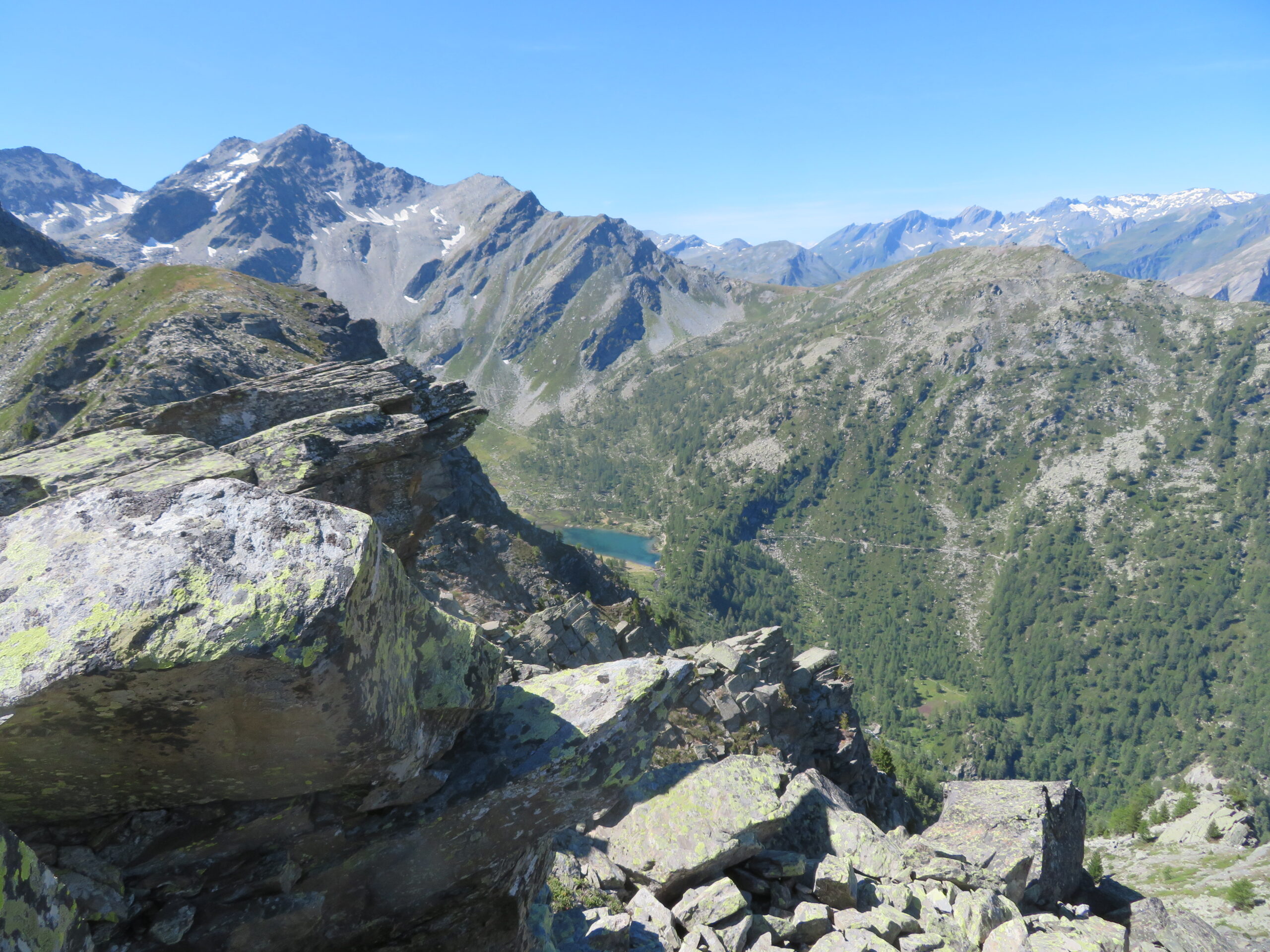
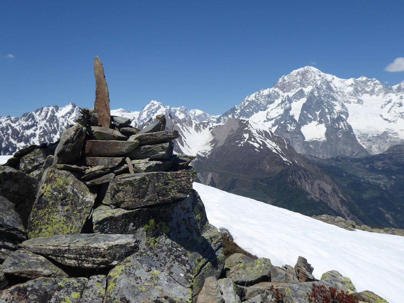
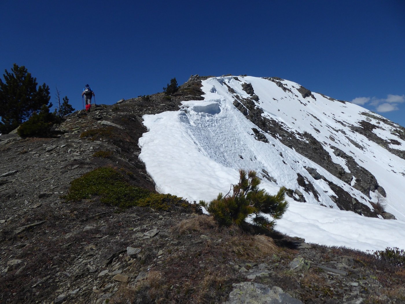
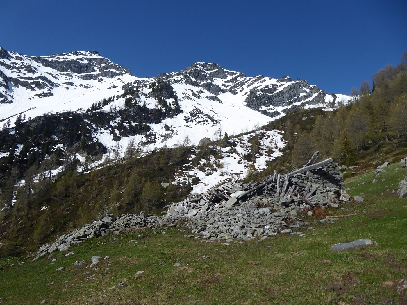
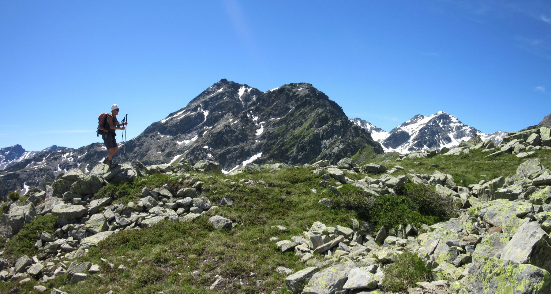
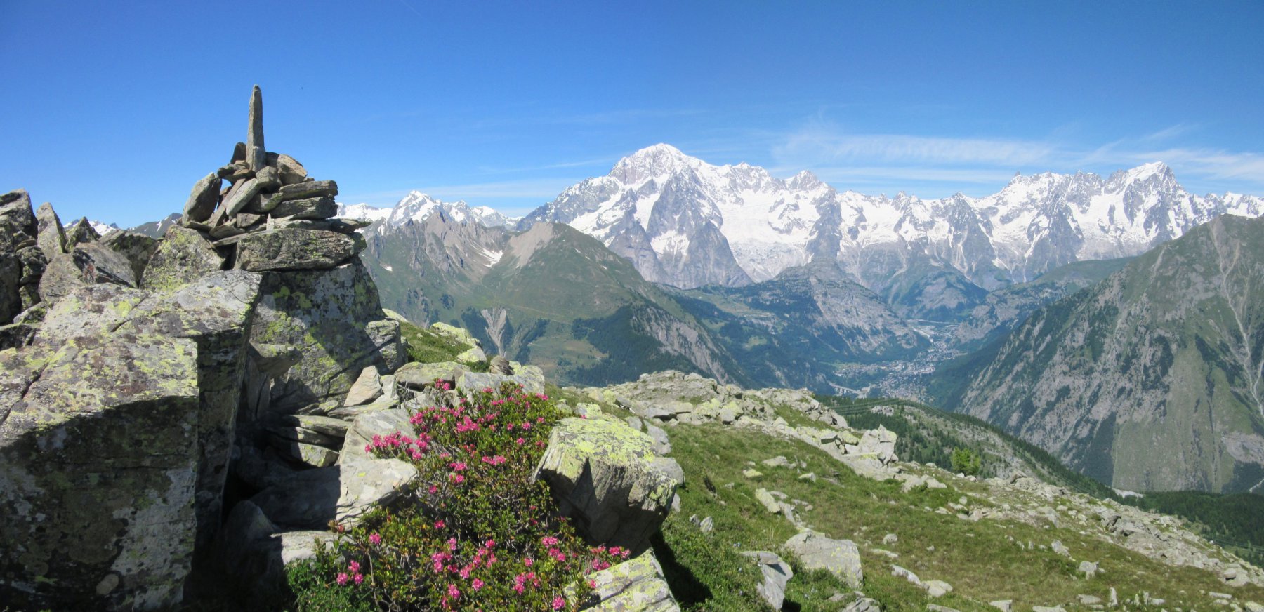
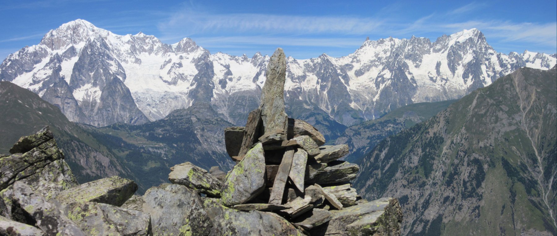
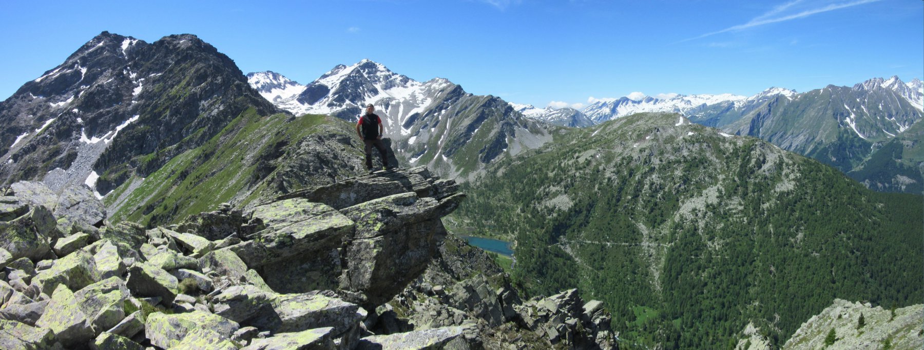
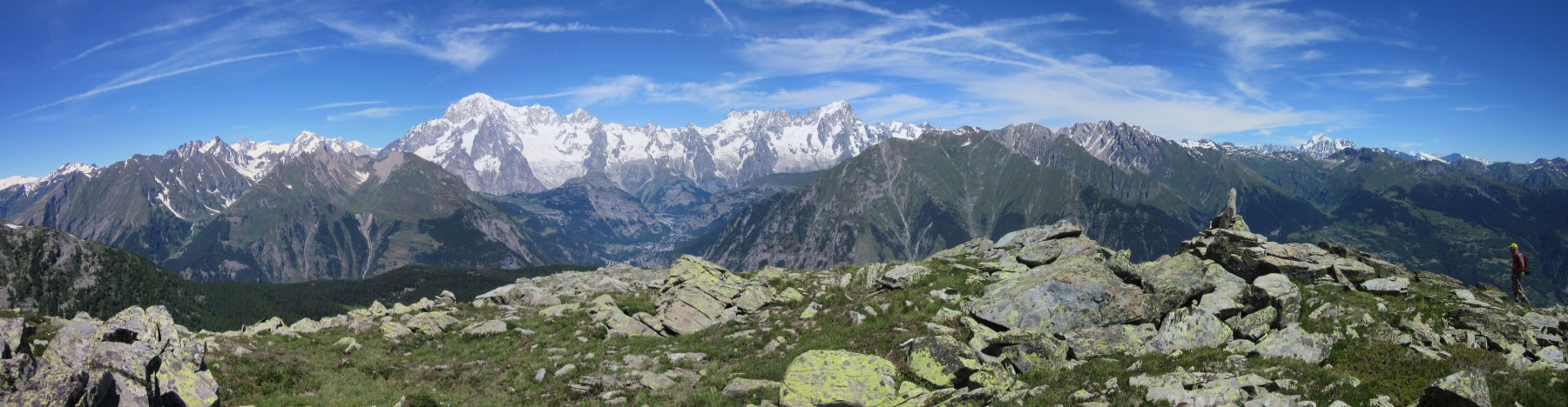
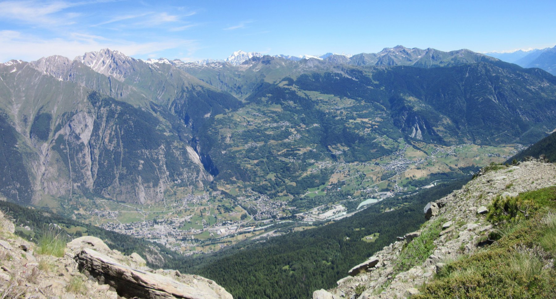
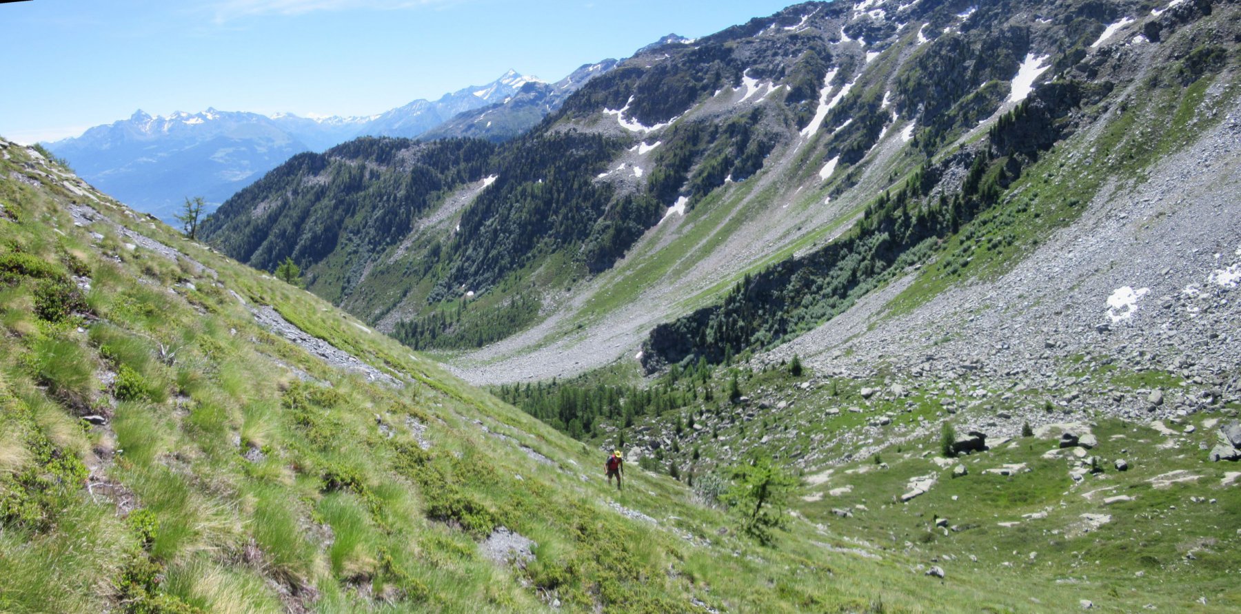
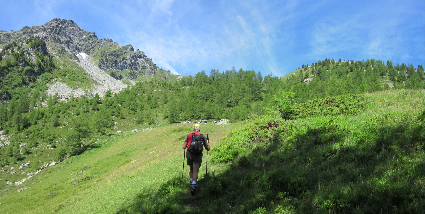
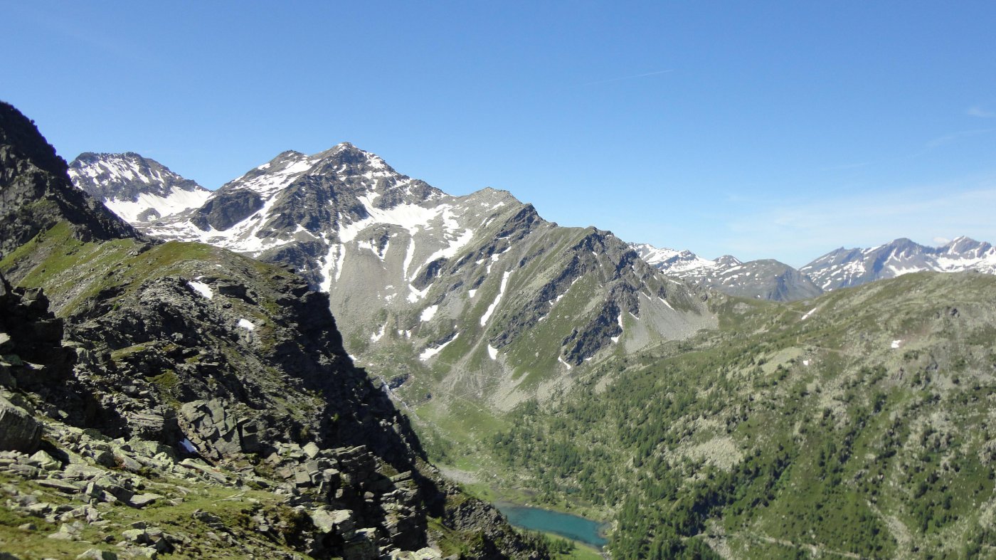
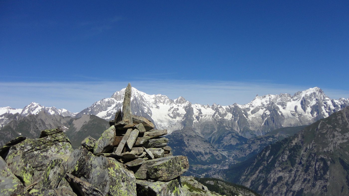
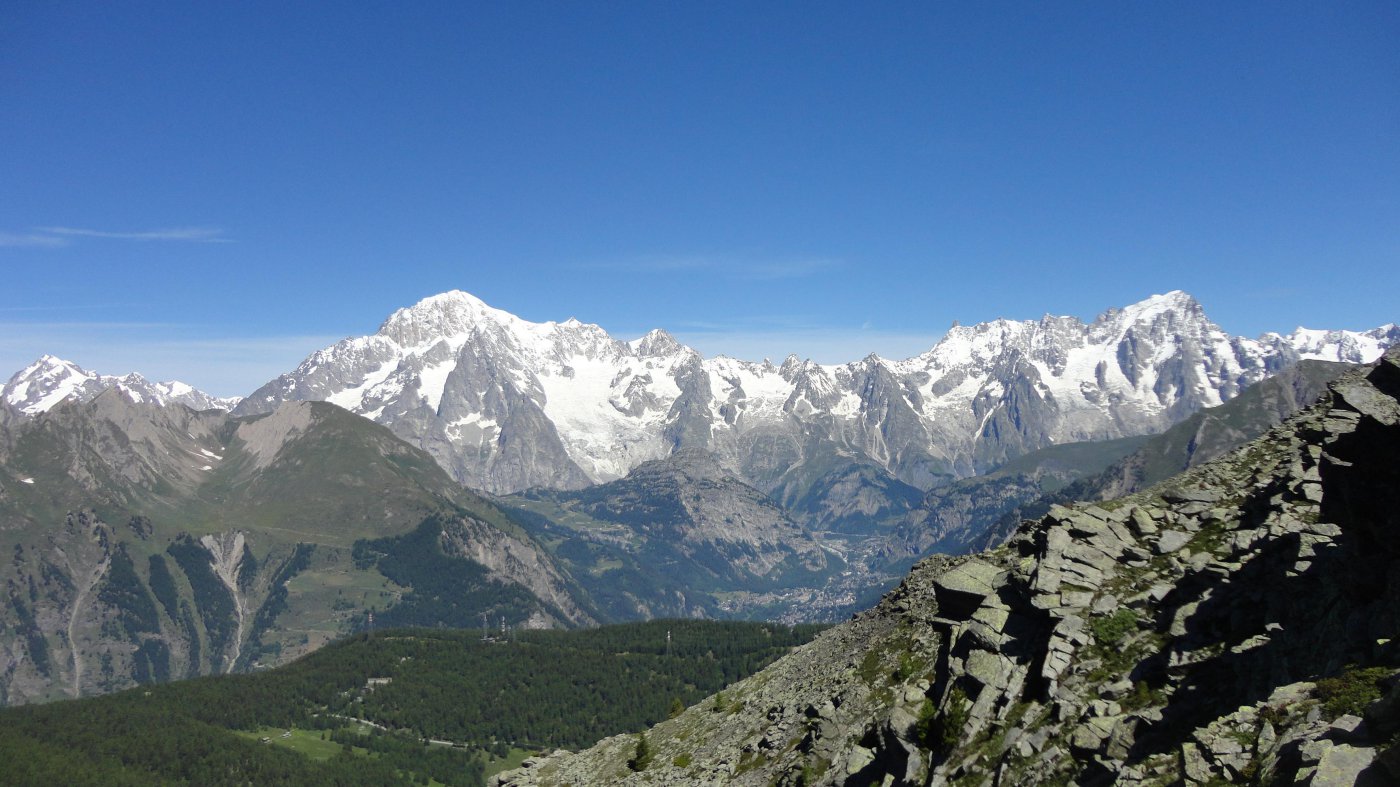
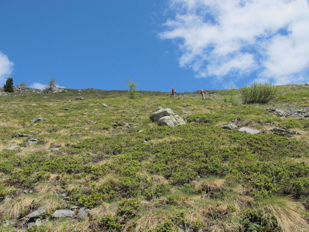
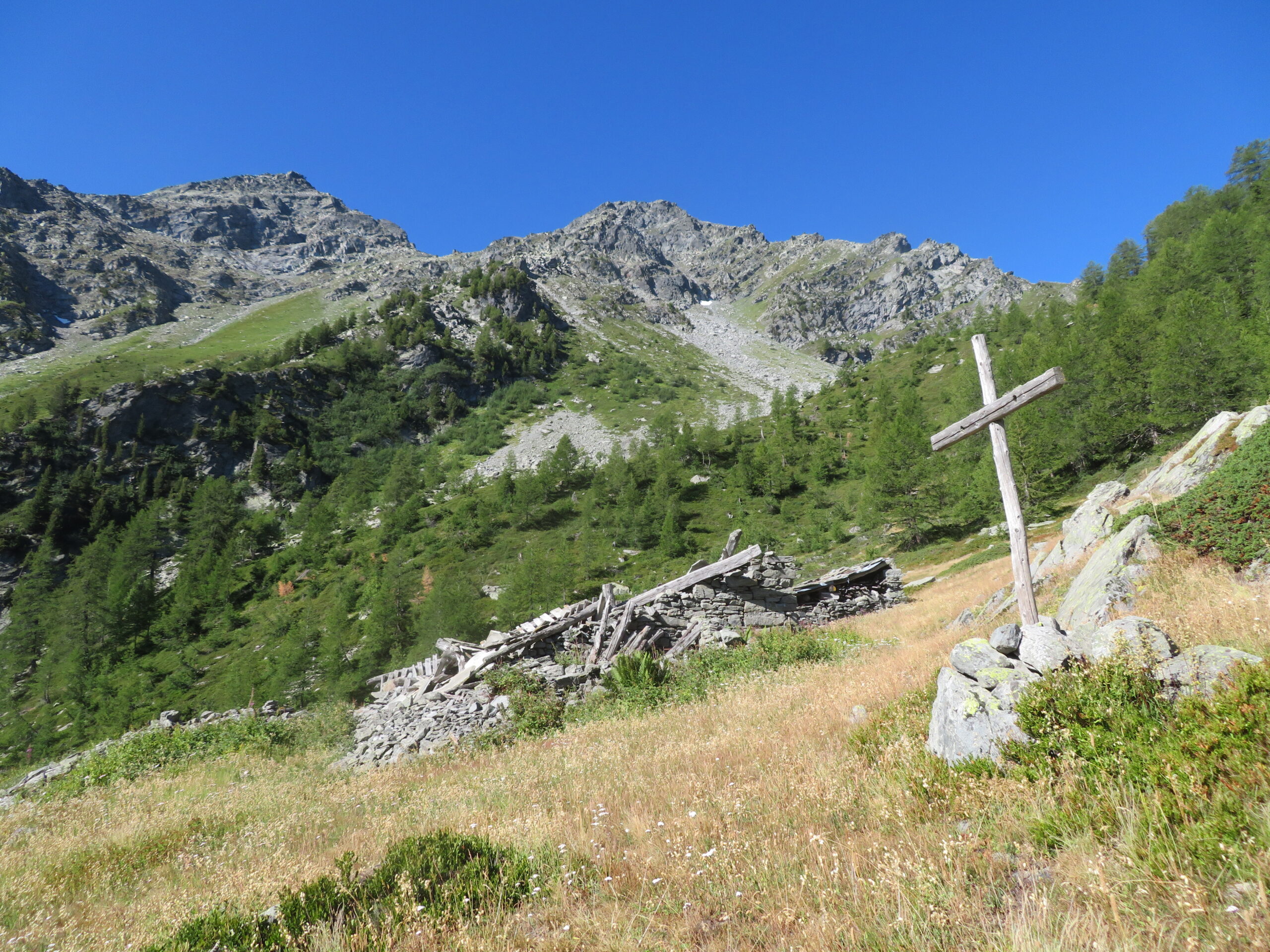
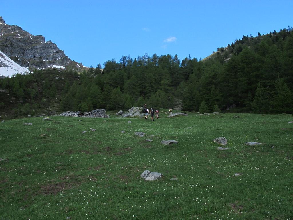
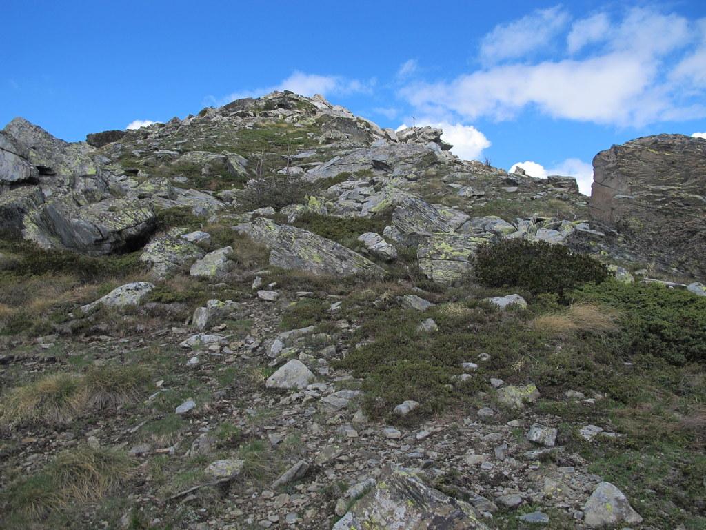
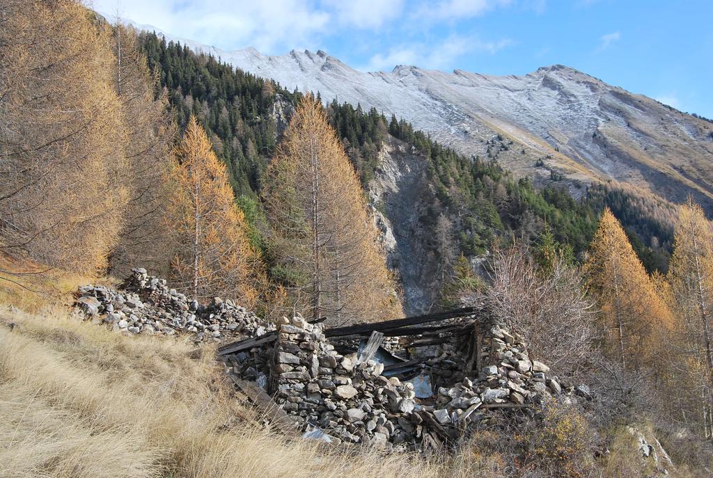
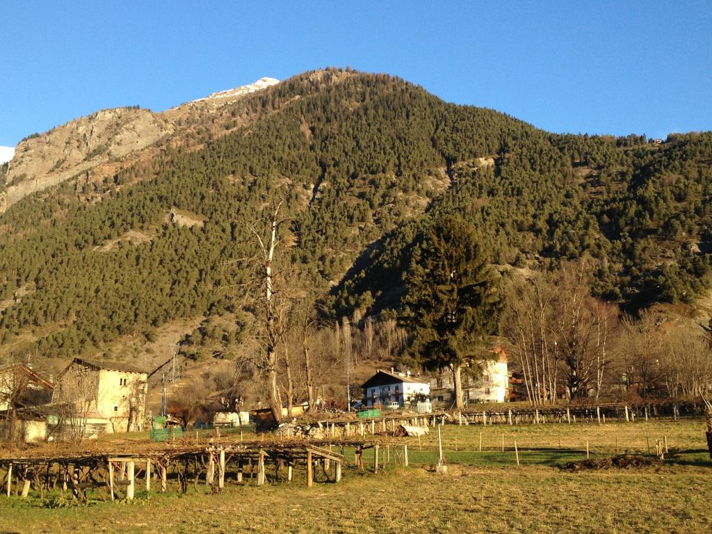
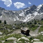
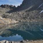
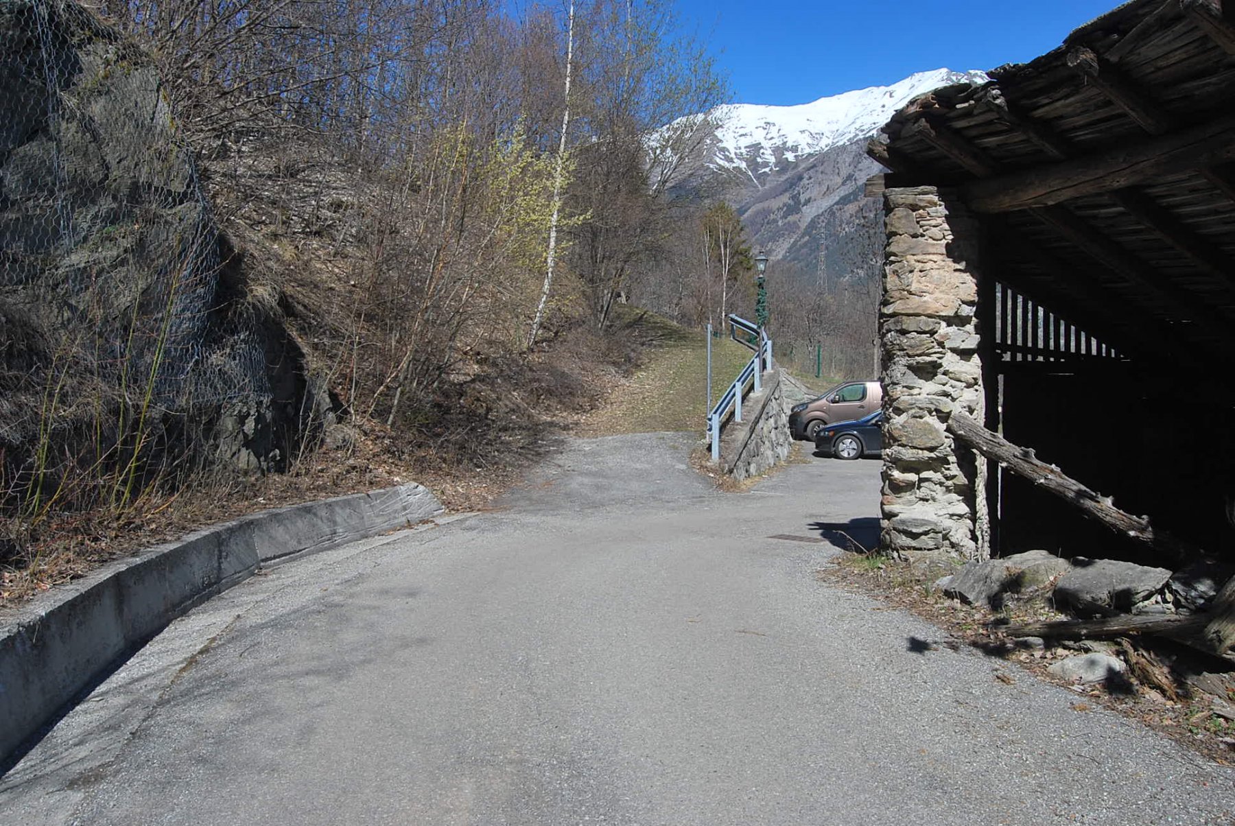
Dal paese di Morgex si salgono i primi 4 km della strada asfaltata che sale al colle di s.Carlo ,quindi si abbandona l’auto in in uno slargo e dalla parte opposta inizia il sentiero n.13 che su sterrata porta alla località Costablina inferiore e poi superiore (mt.1425 )quindi un cartello indica l’inizio del sentiero che sale tutto in pineta fino a raggiungere plan Rancon (mt 2100 )quì un cartello indica la direzione per il monte Charvet (mt.2489)la segnaletica da questo punto in poi è scarsa e sbiadita e bisogna stare attenti ai rari ometti presenti.tempo di salita circa 4 ore.
il ritorno si fà seguendo il percorso inverso
- Cartografia:
- Kompass n.85
Nelle vicinanze Mappa
Itinerari
20/08/2007 AO, Morgex D+ 357 m T Sud-Ovest
Chatelard (Chateau de) da Morgex
1.3Km
24/10/2020 AO, Morgex D+ 1511 m EE Sud
Cormet (Mont) da Lavancher
 2.2Km
2.2Km
11/12/2015 AO, Morgex D+ 1450 m EE Sud
Drumianaz (Tête de) da Lavancher, anello
 2.2Km
2.2Km
05/01/2015 AO, Morgex D+ 1000 m EE Ovest
Lex (Mont de la) da Lavancher, anello
 2.2Km
2.2Km
28/05/2022 AO, Morgex D+ 1735 m E Sud
Suche (Tete de la) da Dailley
2.4Km
26/05/2024 AO, Morgex D+ 1905 m E Sud
Liconi (Testa di) da Dailley per il versante sud
 2.4Km
2.4Km
27/11/2022 AO, Morgex D+ 355 m E Varie
Ru des Côtes da Villair, anello
 2.5Km
2.5Km
20/06/2026 AO, La Salle D+ 1292 m E Nord-Est
Zappelli Cosimo (Bivacco) da Chabodey
 3.2Km
3.2Km
17/10/2022 AO, La Salle D+ 1200 m E Varie
Pouegnenta o Pougnenta (Becca) da Chabodey
 3.2Km
3.2Km
23/03/2019 AO, La Salle D+ 452 m EE Est
Costablina (Alpeggio) da Chabodey, anello
 3.2Km
3.2Km