2.3Km
2.3Km
Note
 1.9Km
1.9Km
2.3Km
2.3Km
2.3Km
2.5Km
2.5Km
2.6Km
2.6Km
1.9Km
1.9Km
2.3Km
2.3Km
2.3Km
2.5Km
2.5Km
2.6Km
2.6Km
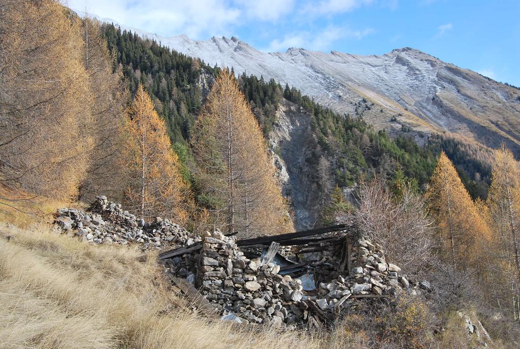
Breve e piacevole escursione a bassa quota, suggerita quando la neve in quota riduce ormai le possibilità di salita. Il percorso raggiunge e poi costeggia il Ru des Côtes, canale scavato nel severo pendio sopra Villair-Lavancher e usato per l’irrigazione nella rinomata area dei vigneti di Morgex-LaSalle. Oggi il Ru è abbandonato, senza manutenzione alcuni tratti del corso sono stati intasati da terreno e vegetazione, tuttavia la sua traccia è sempre visibile e lascia intuire il grande sforzo compiuto per la sua realizzazione.
Avvicinamento
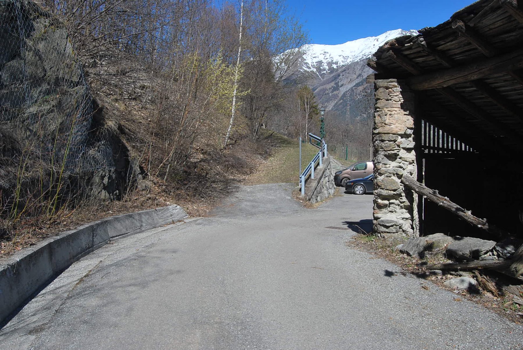
Raggiungere Morgex, alla rotonda sulla SS26 per Col S. Carlo dirigersi verso La Ruine, arrivati dopo breve tratto al torrente Colombaz lo si risale in sponda destra fino al ponte presso l’abitato di Villair dove si parcheggia
Descrizione
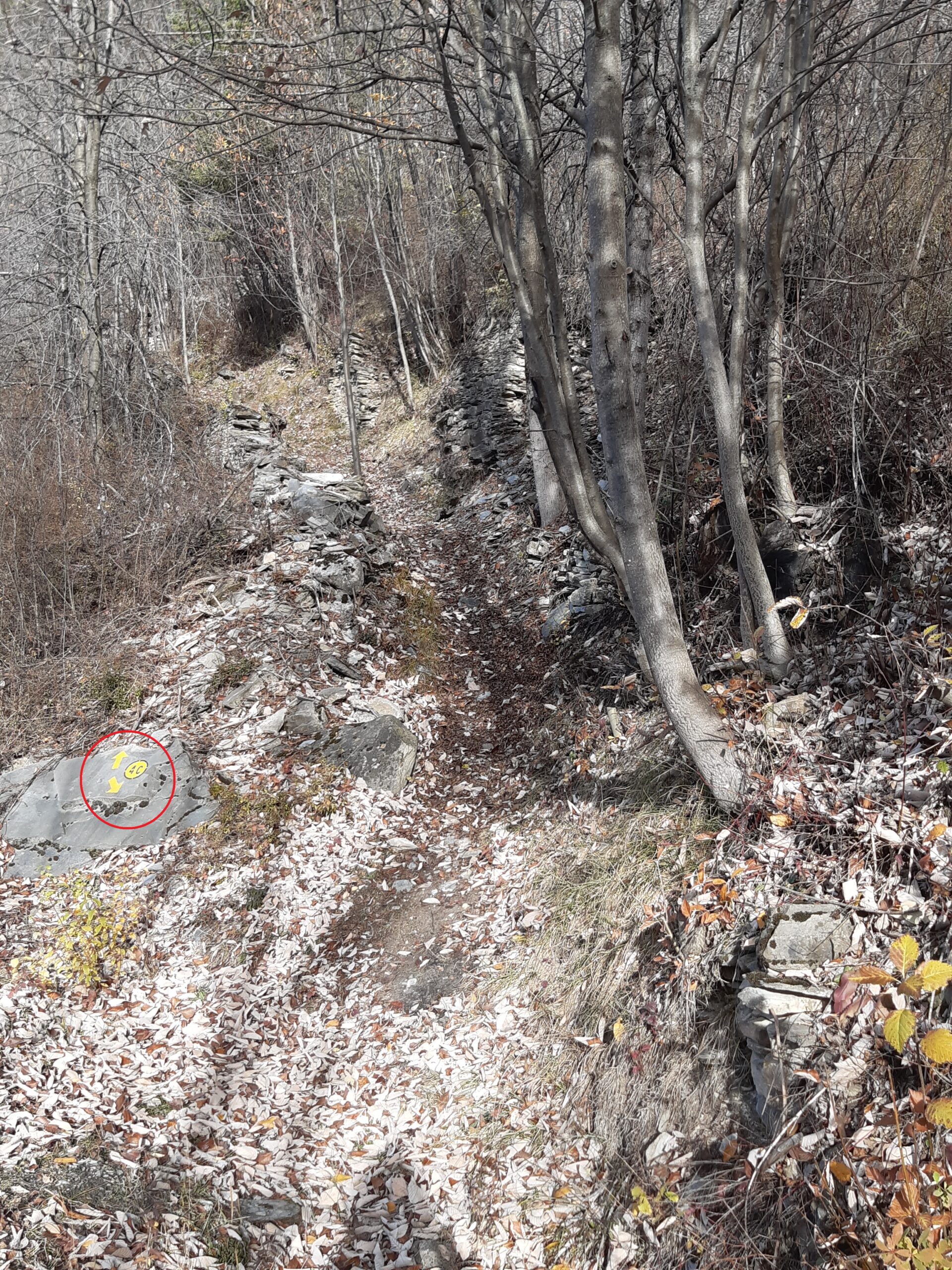
Dal ponte sul Colombaz si risale per un breve tratto il torrente; al cartello di divieto di transito si prende (sinistra) la strada asfaltata per Fenetre-Licony dalla quale, dopo qualche centinaio di metri, si stacca – ben individuato da bollo su masso – il sentiero 4. Il sentiero sale abbastanza ripido, all’inizio su terreno roccioso, e ritorna ad incrociare la sterrata per Fenetre dove si trova una palina.
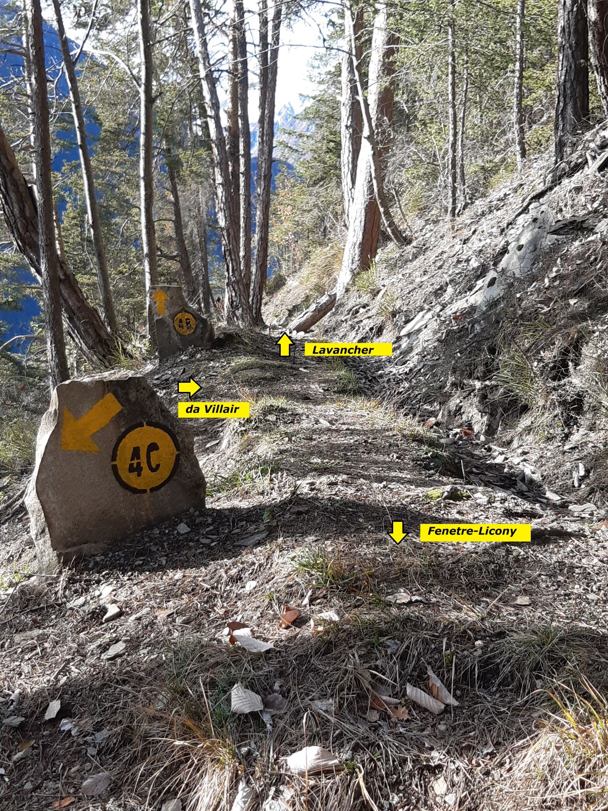
Seguendo l’indicazione per il 4C si svolta a sinistra, si scende per un breve tratto fino ad incontrare il sentiero 4C che, ben indicato dai bolli, si stacca alla propria destra. Il sentiero sale ripido nel bosco, sempre ben visibile a parte l’attraversamento di un tratto roccioso, fino ad incontrare il Ru des Côtes dove incrocia anche il sentiero 4B, ben indicato dai bolli sui massi.
L’itinerario qui descritto prevede di svoltare a destra e di proseguire in salita lungo il 4B, sempre costeggiando il Ru, fino ad incrociare nuovamente la sterrata per Fenetre; il percorso non è difficile, prestare solo attenzione nei tratti su pietraia. Arrivati sulla sterrata una palina indirizza a Villair lungo il sentiero 4; il percorso è sempre facile, a parte un breve tratto su pietraia/detriti dove serve un po’ d’attenzione. Dopo un paio di tagli con la sterrata si ritorna alla palina incontrata all’andata (indicazione 4C) dalla quale si scende in breve al punto di partenza.
Se si vuole invece considerare una variante a questo itinerario, arrivati sul Ru des Côtes al bivio 4B-4C anziché verso destra si può seguire il 4B verso sinistra, ora in discesa. Il sentiero scende sempre costeggiando il Ru, attraversa un canalone dove si trova un tratto un po’ esposto, quindi attraversa il torrente Lavancher e si ricongiunge con il sentiero 3 per Licony lungo il quale si arriva in breve a Lavancher da dove si può rientrare a Villair. Questo ramo del 4B è classificato EE per alcuni punti dove occorre prestare attenzione e un po’ esposti.
- Cartografia:
- Carta L’Escursionista, Fg. 1 Monte Bianco-Courmayeur, Scala 1:25000, L’Escursionista Editore
Nelle vicinanze Mappa
Itinerari
20/08/2007 AO, Morgex D+ 357 m T Sud-Ovest
Chatelard (Chateau de) da Morgex
1.5Km
18/08/2015 AO, La Salle D+ 1350 m EE Varie
Chambave (Colle di) da Grassey per l’Alpe Gran Plan
 1.9Km
1.9Km
26/11/2022 AO, Morgex D+ 322 m E Varie
Liconi (Alpeggi) da Grassey, anello per Villotte
 1.9Km
1.9Km
05/01/2015 AO, Morgex D+ 1000 m EE Ovest
Lex (Mont de la) da Lavancher, anello
 2.3Km
2.3Km
11/12/2015 AO, Morgex D+ 1450 m EE Sud
Drumianaz (Tête de) da Lavancher, anello
 2.3Km
2.3Km
24/10/2020 AO, Morgex D+ 1511 m EE Sud
Cormet (Mont) da Lavancher
 2.3Km
2.3Km
28/10/2024 AO, Morgex D+ 1270 m E Sud
Charvet (Monte) dalla strada per il Colle San Carlo
 2.5Km
2.5Km
07/01/2017 AO, La Salle D+ 1090 m EE Varie
Fetita (Col) o Falita da Cheverel, anello per Vedun e Charvaz
 2.5Km
2.5Km
20/06/2026 AO, La Salle D+ 1292 m E Nord-Est
Zappelli Cosimo (Bivacco) da Chabodey
 2.6Km
2.6Km
23/03/2019 AO, La Salle D+ 452 m EE Est
Costablina (Alpeggio) da Chabodey, anello
 2.6Km
2.6Km