450m
450m
Note
 700m
700m
750m
750m
750m
900m
900m
900m
900m
900m
700m
700m
750m
750m
750m
900m
900m
900m
900m
900m
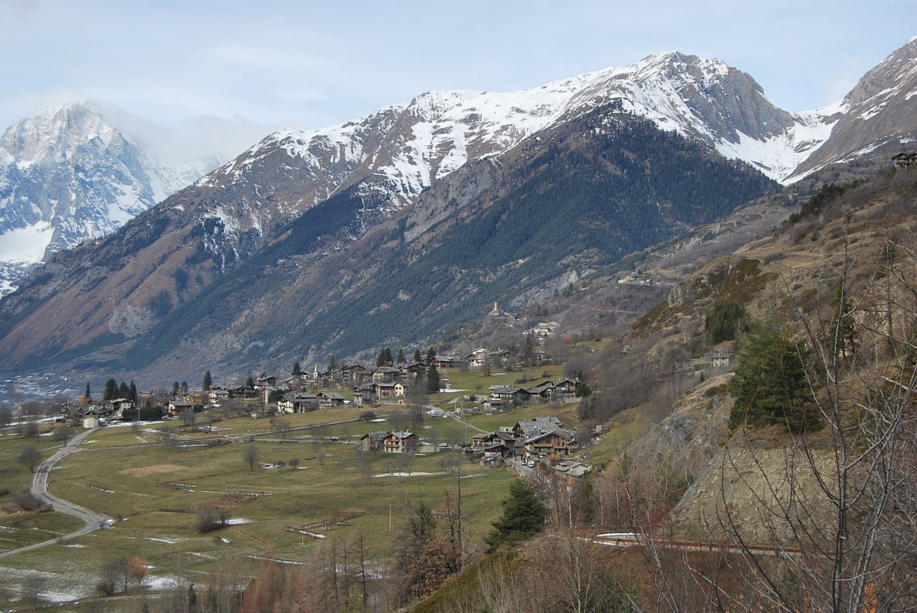
Lungo percorso ad anello, con vari saliscendi, in un ambiente sempre aperto, tra alpeggi, ampi valloni, vecchi villaggi. Unico neo il lunghissimo e noioso tratto su strada sterrata da Jovencan a Vedun, che scoraggia la successiva risalita da Vedun verso Charvaz e Challancin.
Avvicinamento
.
Descrizione
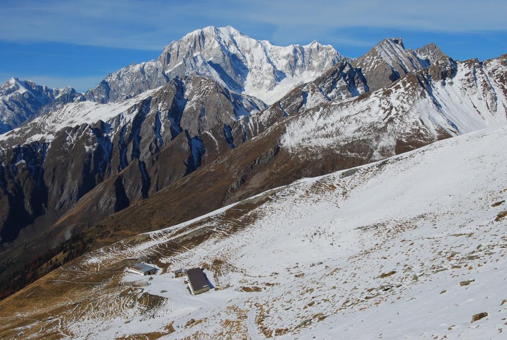
Da Cheverel (1483 m) lungo il sentiero de “L’Home et la Pente” si raggiunge Morge dessous in prossimità della cappelletta, quindi Morge dessus lungo il vicolo interno lastricato. Si esce sulla strada asfaltata, si taglia il tornante e si raggiunge l’alpeggio sovrastante, dal quale si ritorna sulla strada asfaltata. Si prosegue per un breve tratto in direzione Planaval, poi alle indicazioni per Les Ors (palina segnavia n. 3 e scritta pirografata su legno) si imbocca la sterrata che però va lasciata quasi subito per un sentiero che si distacca sulla sinistra e sale nel bosco; quando ne esce incrocia nuovamente la sterrata, che ora va seguita fino all’alpeggio di Les Ors desot (2100 m). Da questo si prosegue per un tratto sulla strada poi per prati si sale al Tramail des Ors (2390 m) e quindi al Col Fetita (2557 m).
Si scende nel Vallone di Vertosan, si raggiunge l’alpeggio l’Or de Frà, dal quale si scende a fondovalle nei pressi di Jovencan, poi per strada fino a Vedun (1512 m). Attraversare il villaggio, seguendo il sentiero 1-1A; al bivio ignorare il ramo di sinistra (n. 1) che scende a Echarlod e proseguire lungo il n. 1A che prima sale fino ad un traliccio, quindi scende all’alpeggio di Montagnoula, dove si trova anche un’edicola a strapiombo la valle e sul capoluogo La Salle. Il sentiero scende a Charvaz, villaggio in fase di ristrutturazione, dal quale si prende il sentiero che sale verso il Col di Bard fino ad incontrare il costone. In prossimità di un albero abbattuto e di un cumulo di sassi, il sentiero (visibile) scavalca il costone e scende verso Challancin, dal quale si ritorna a Cheverel, o lungo la strada asfaltata oppure seguendo il sentiero l”Home et al Pente” che passa presso la chiesetta e scende a Morge.
- Cartografia:
- Carta L’Escursionista, Fg. 1 (Monte Bianco) e Fg. 4 (Conca di Aosta), Scala 1:25000
Nelle vicinanze Mappa
Itinerari
26/11/2022 AO, Morgex D+ 322 m E Varie
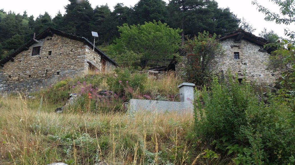
Liconi (Alpeggi) da Grassey, anello per Villotte
 700m
700m
18/08/2015 AO, La Salle D+ 1350 m EE Varie
Chambave (Colle di) da Grassey per l’Alpe Gran Plan
 700m
700m
28/06/2026 AO, La Salle D+ 1500 m E Varie
Liconi (Testa di) da Morge
 750m
750m
17/08/2025 AO, Morgex D+ 1295 m E Varie
Battaglione Aosta (Colle) da Morge, traversata in Val Ferret
 750m
750m
24/09/2015 AO, La Salle D+ 1500 m EE/F Tutte
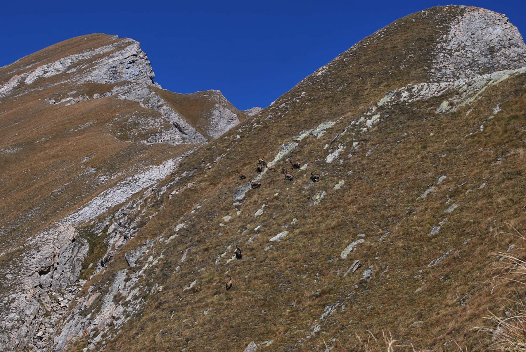
Liconi (Testa di) da Morge, anello per la Testa Drumiana
 750m
750m
10/06/2017 AO, La Salle D+ 1173 m EE Varie
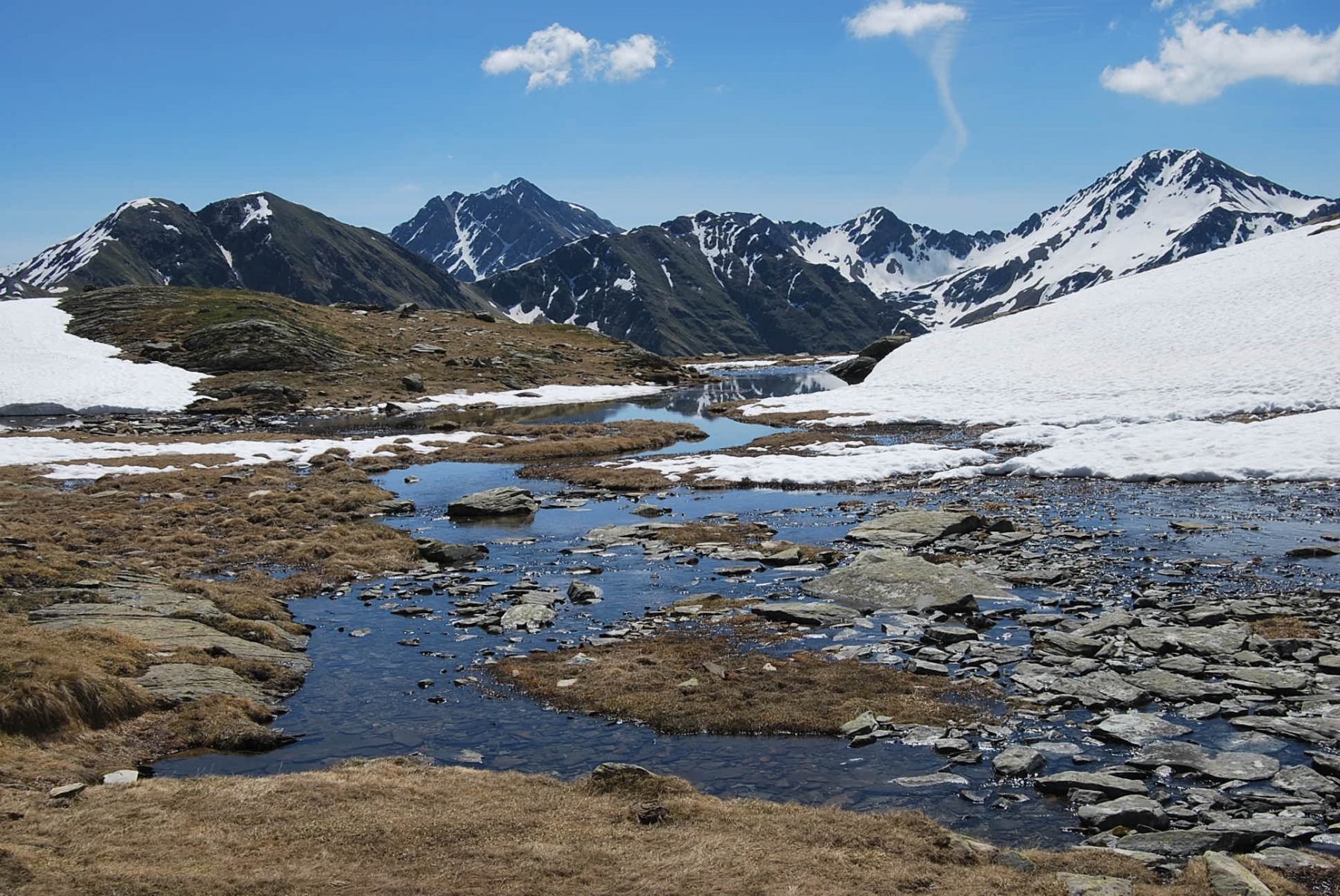
Valletta (Punta) da Morge, traversata a Saint Rhemy per i Laghi di Dzioule
 900m
900m
29/07/2023 AO, La Salle D+ 973 m E Varie
Fetita (Punta) o Falita da Morge
 900m
900m
20/06/2026 AO, La Salle D+ 1174 m EE Sud-Ovest
Frà (Testa dei) da Morge per il Colle Fetita
 900m
900m
25/06/2026 AO, La Salle D+ 1650 m EE Varie
Serena (Testa di), Punta Fetita, Testa dei Frà, Punta di Dzioule da Morge, anello per i Laghi di Dzioule e Bivacco Claudio Bredy
 900m
900m
10/11/2024 AO, La Salle D+ 1000 m EE Varie
Fetita (Punta) o Falita da Morge, anello per crestone SO e Col Fetita
 900m
900m