1.6Km
1.6Km
Note
 800m
800m
800m
800m
1.2Km
1.2Km
1.2Km
1.2Km
2.3Km
2.3Km
800m
800m
800m
800m
1.2Km
1.2Km
1.2Km
1.2Km
2.3Km
2.3Km
1.6Km
1.6Km
2.4Km
2.5Km
2.5Km
3.1Km
3.6Km
3.6Km
5.3Km
6Km
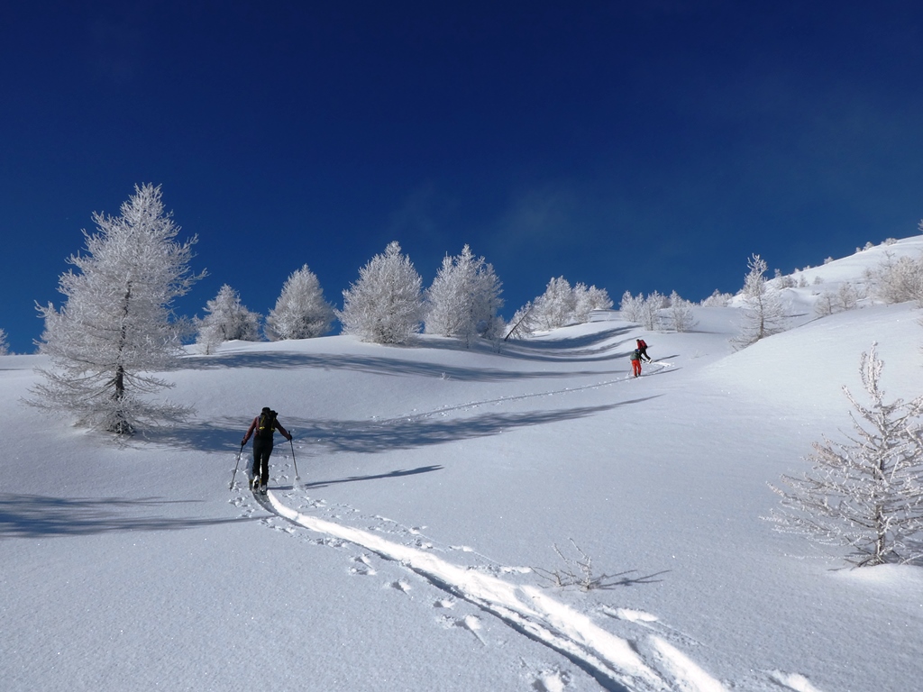
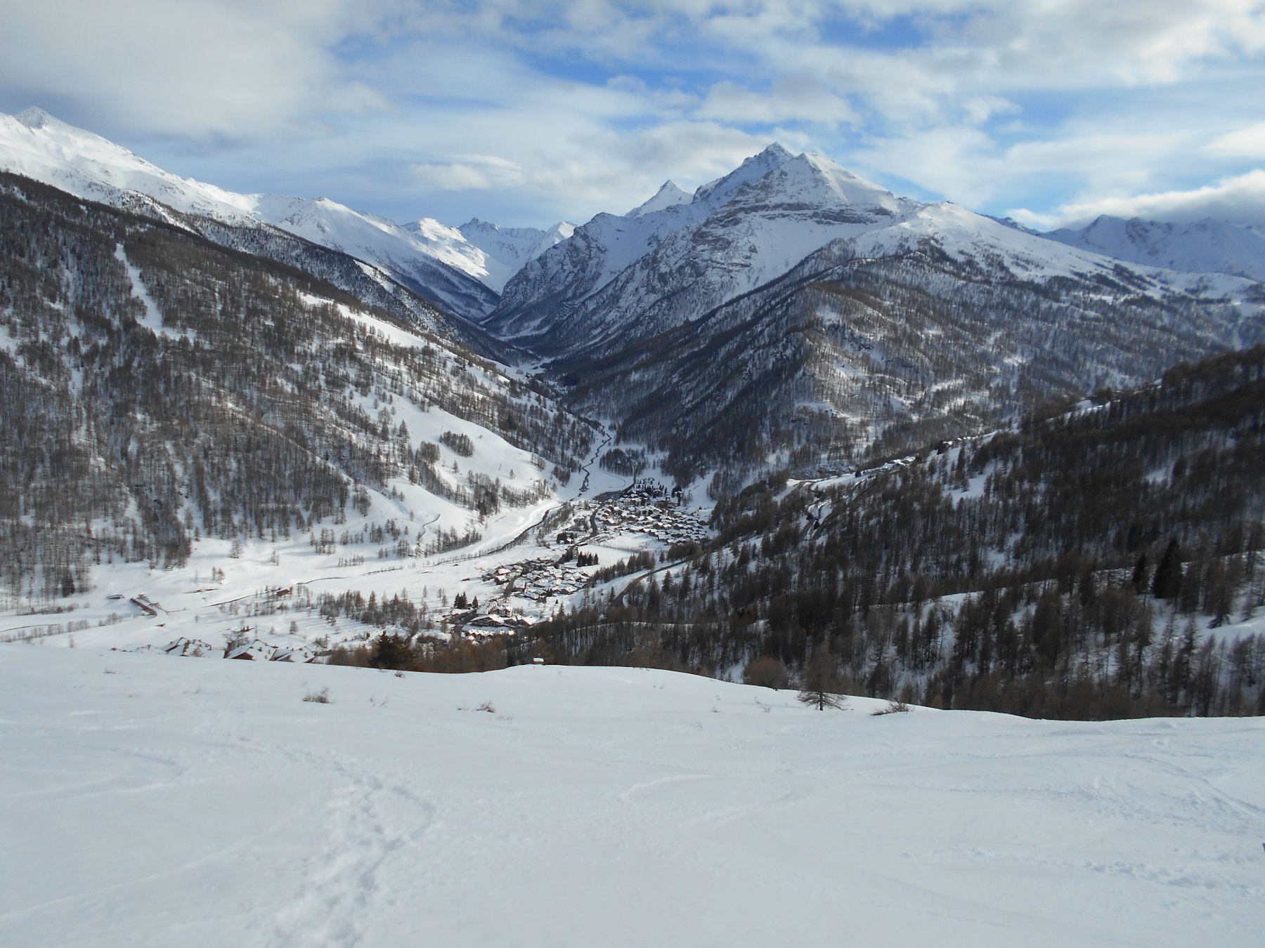
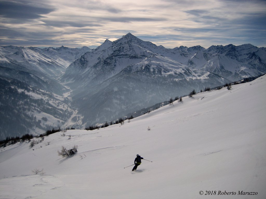
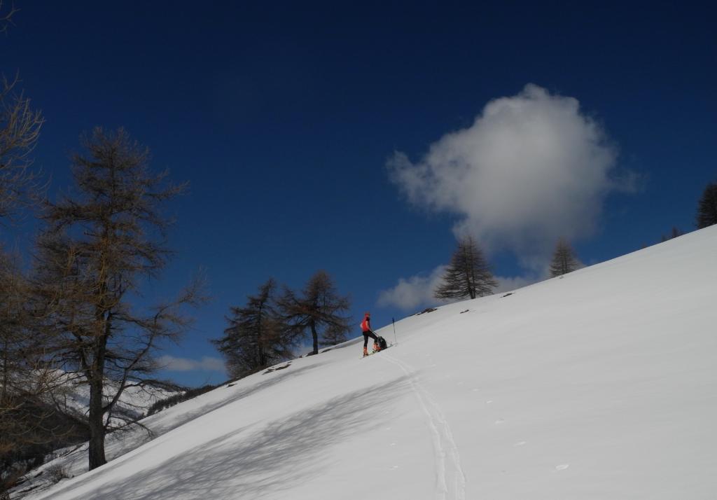
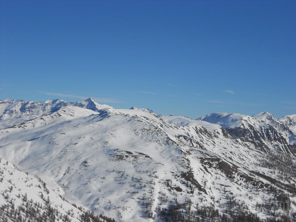
Classico itinerario invernale-primaverile, alternativo alla partenza da Pragelato paese che richiede innevamento abbondante.
Avvicinamento
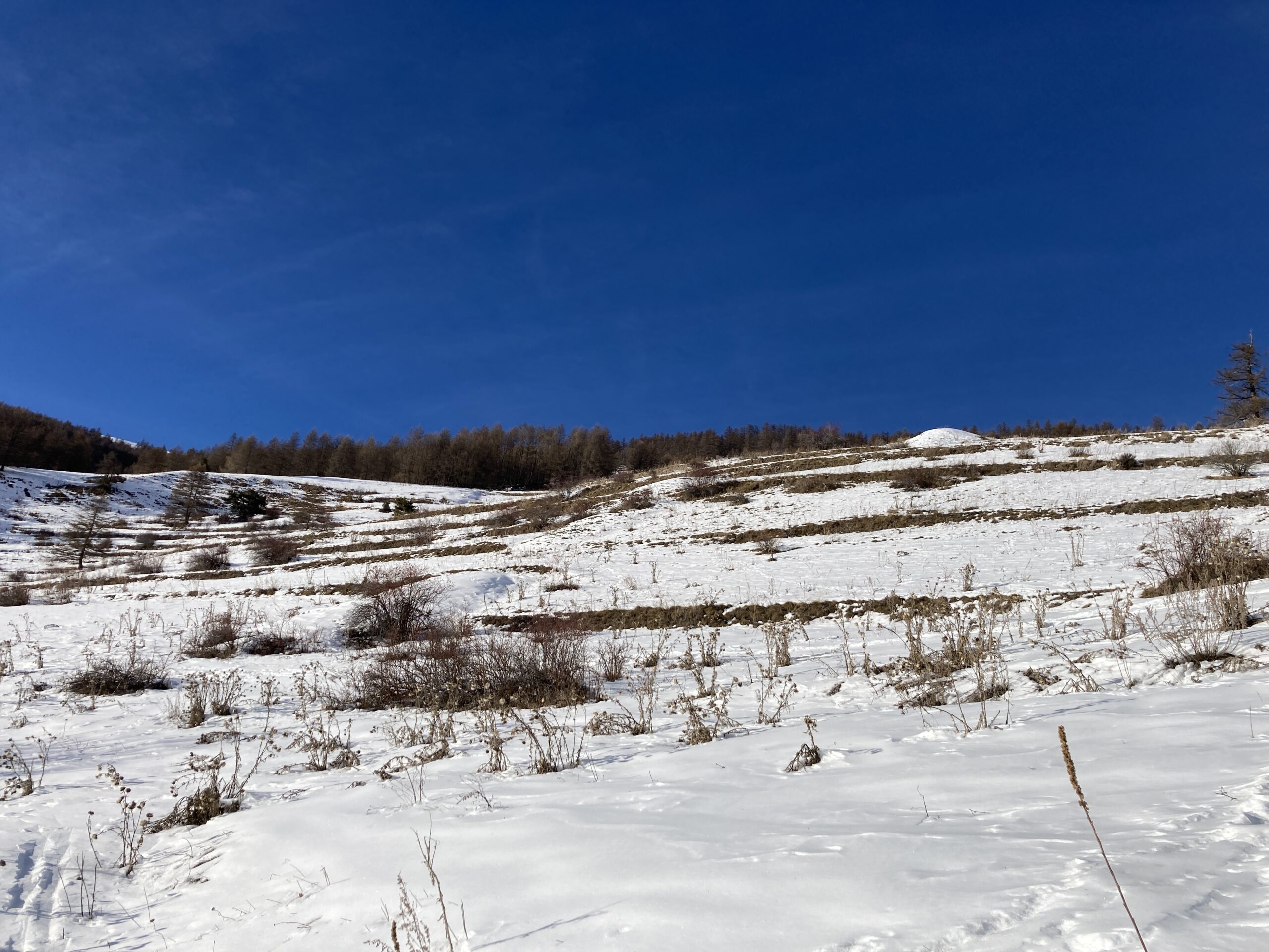
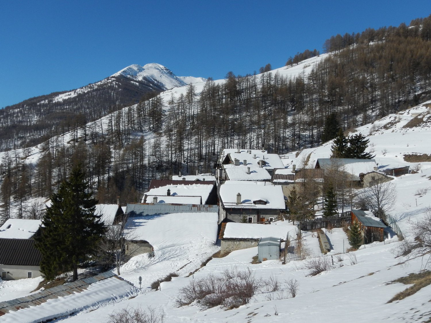
Oltrepassare il paese di Pragelato. Alla rotonda della val Troncea prendere la strada in salita sulla dx (indicazioni Villardamont-Allevé), quindi dopo 5 tornanti al bivio prendere la strada sulla dx (indicazioni per Allevé). Parcheggio nei pressi del Rio prima della frazione o poco prima di entrare in frazione sulla dx.
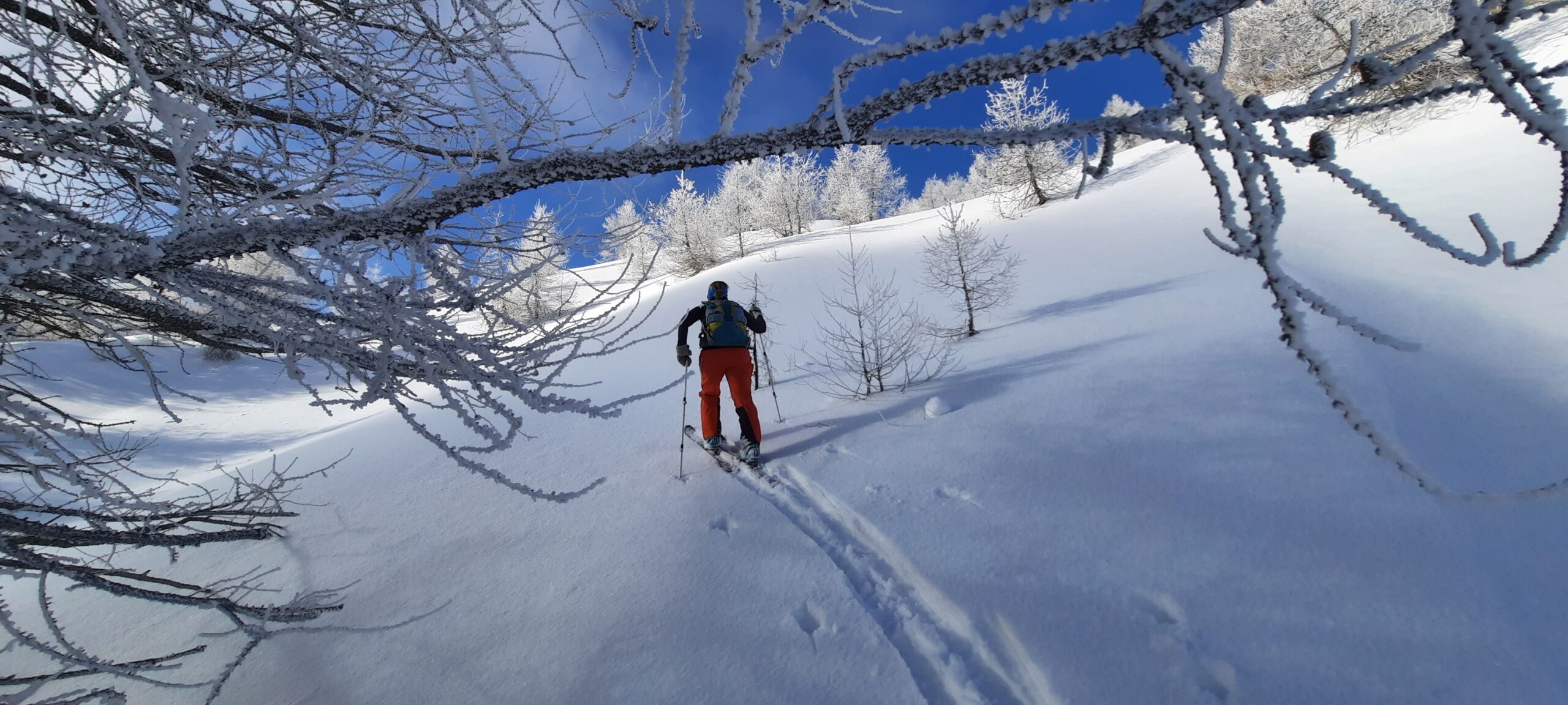
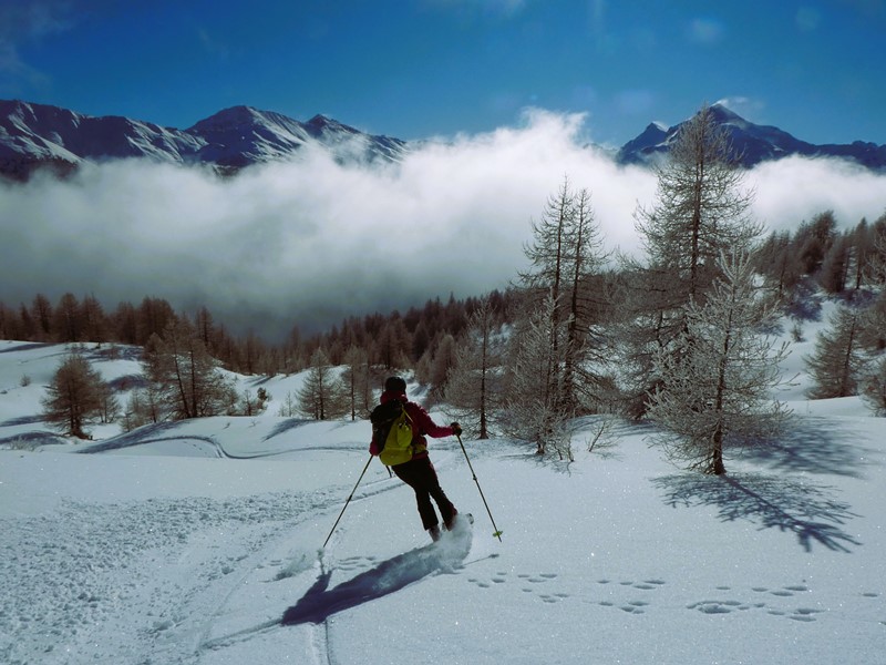
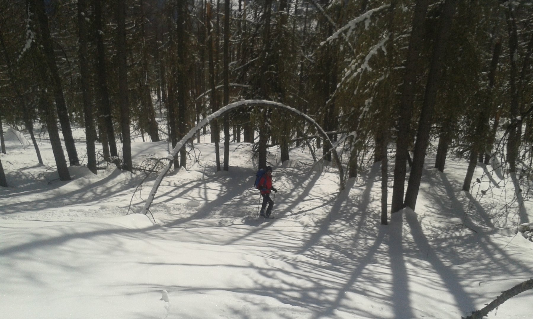
Descrizione
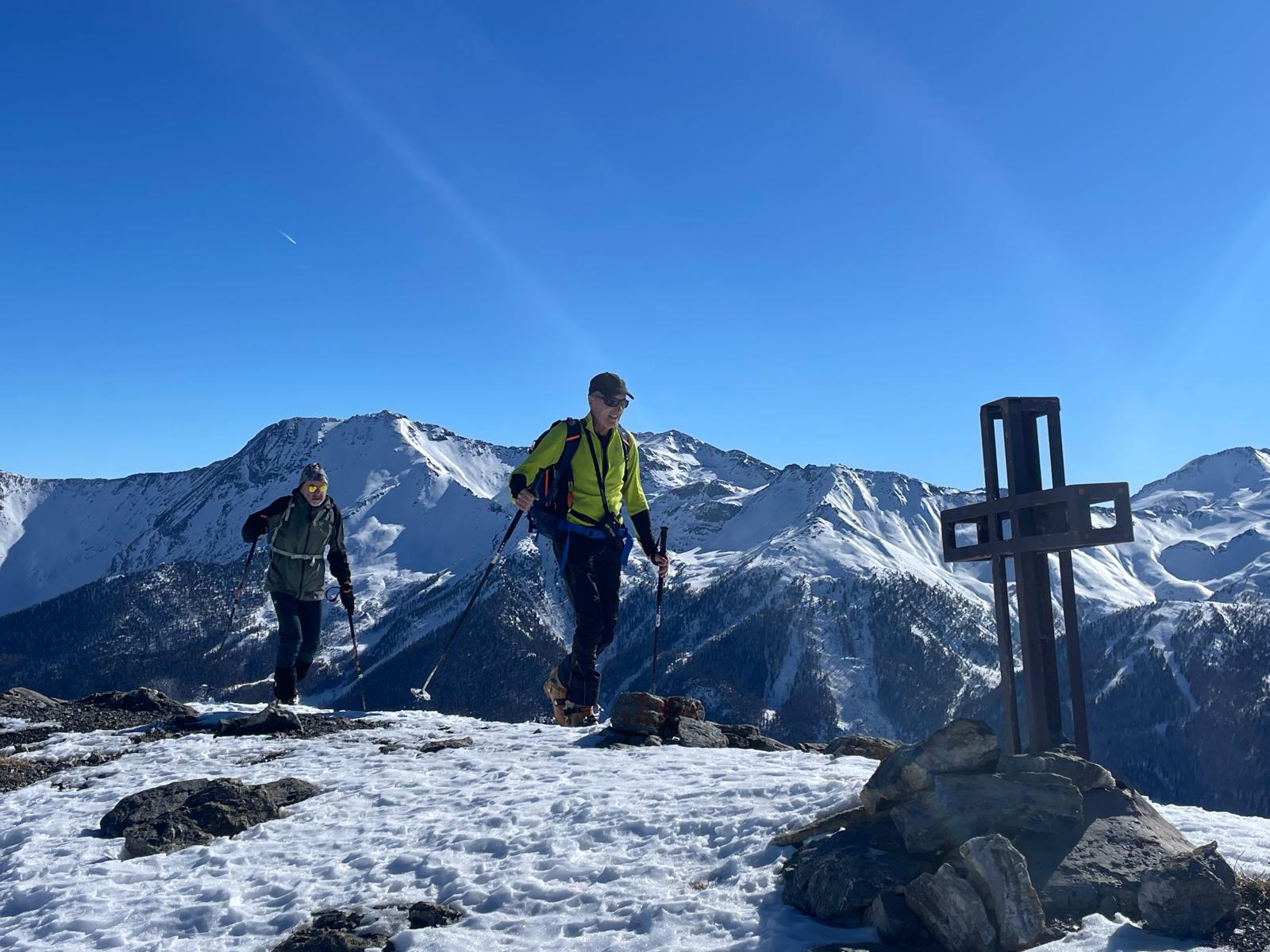
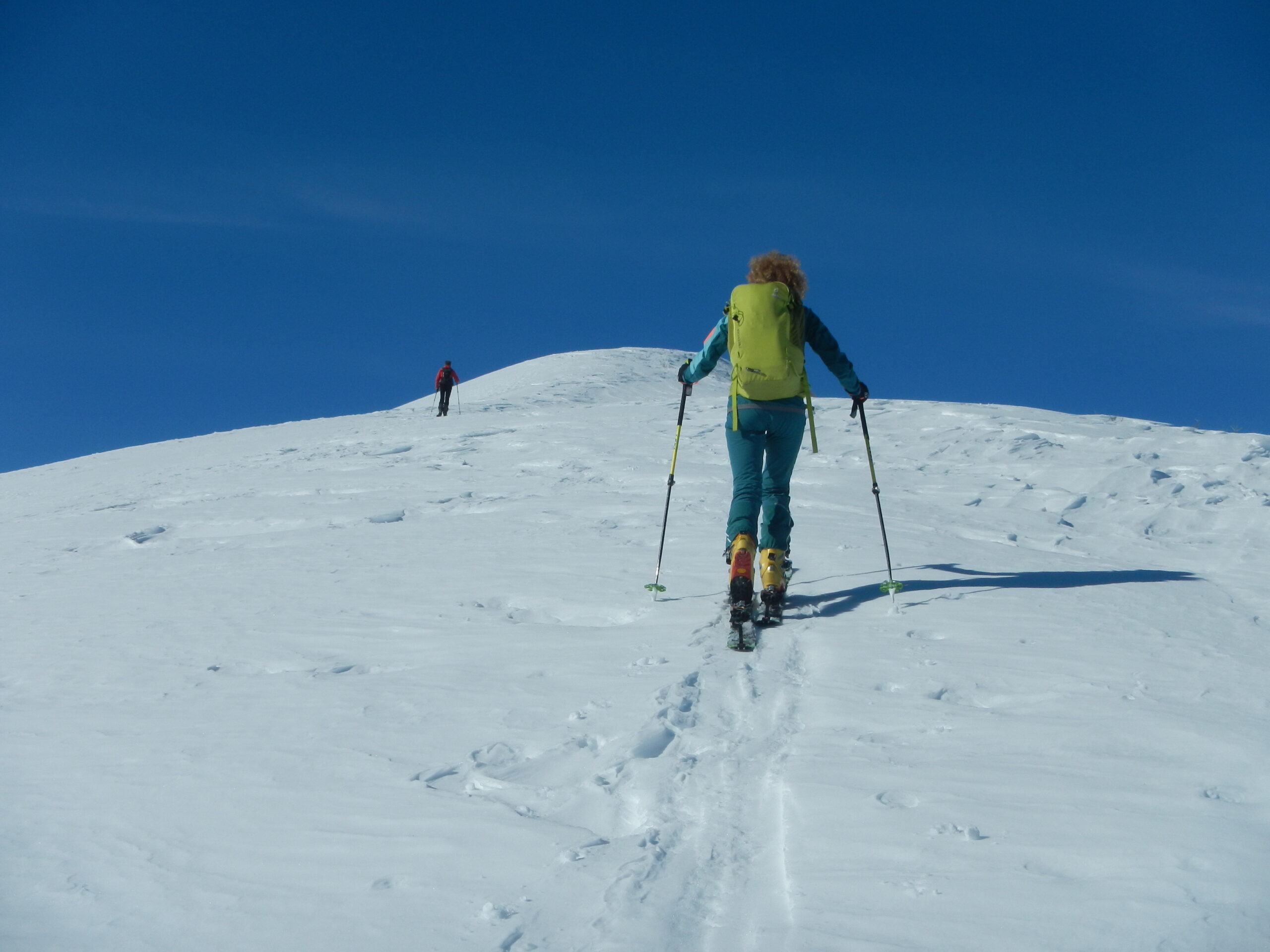
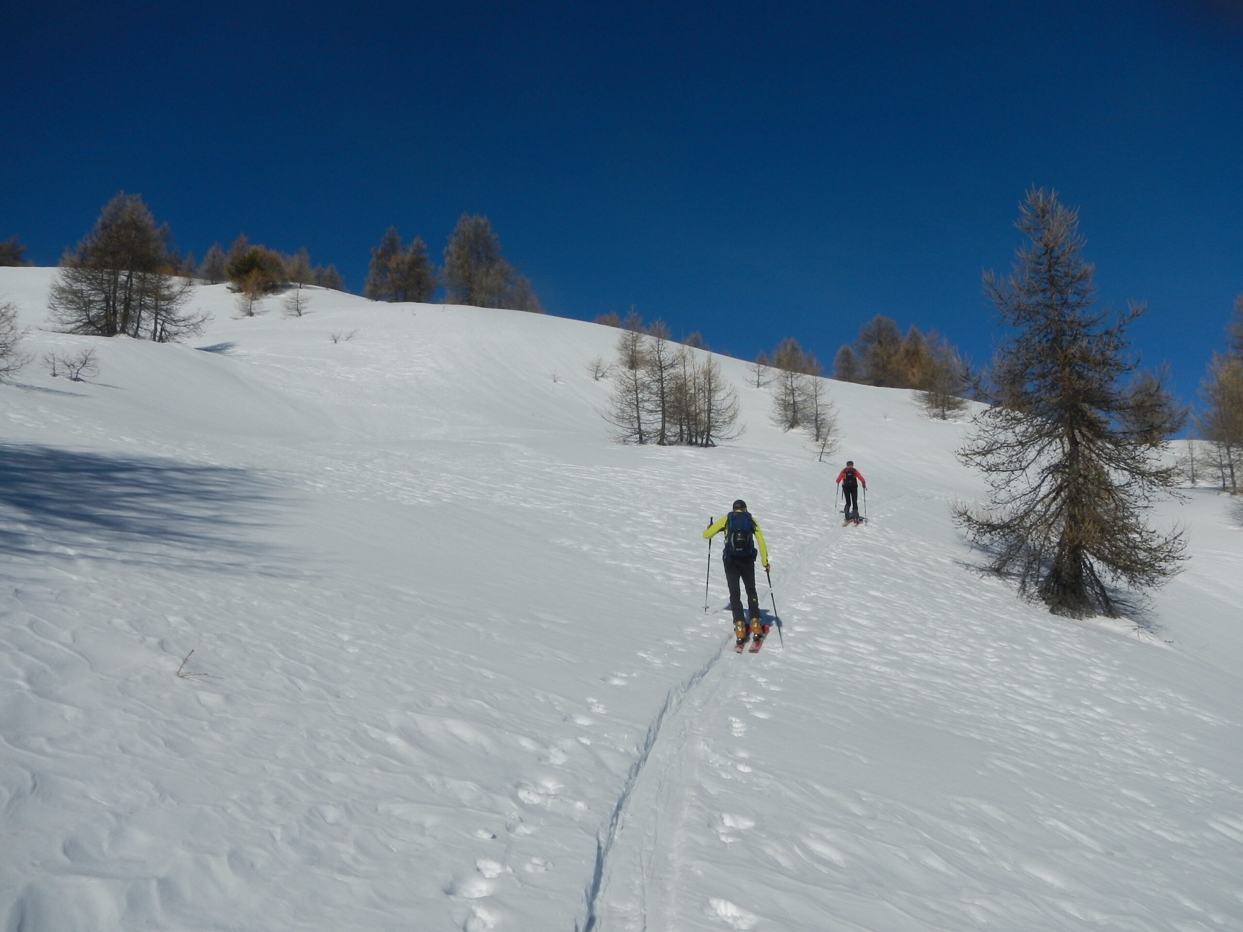
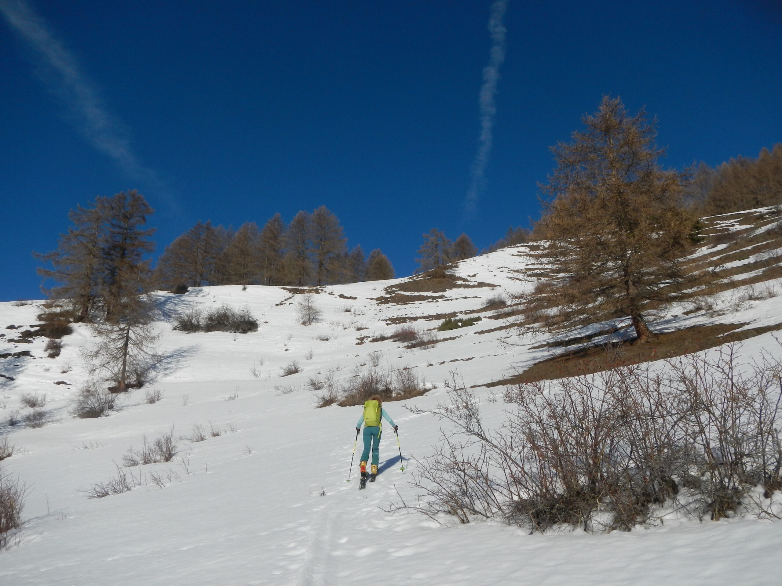
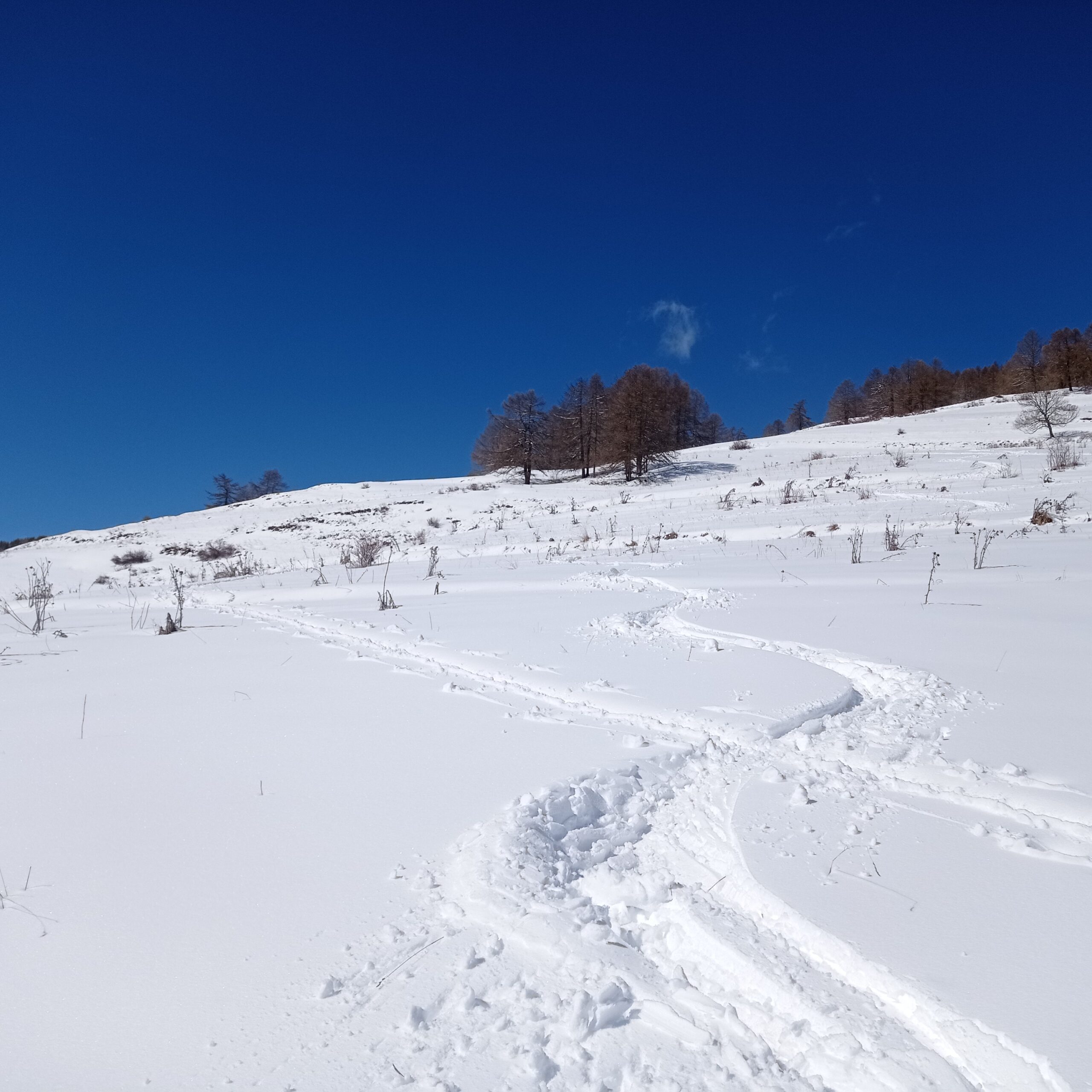
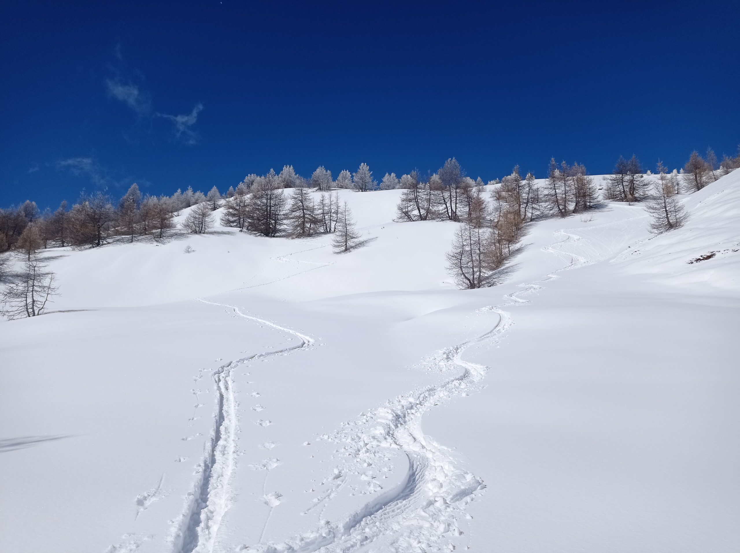
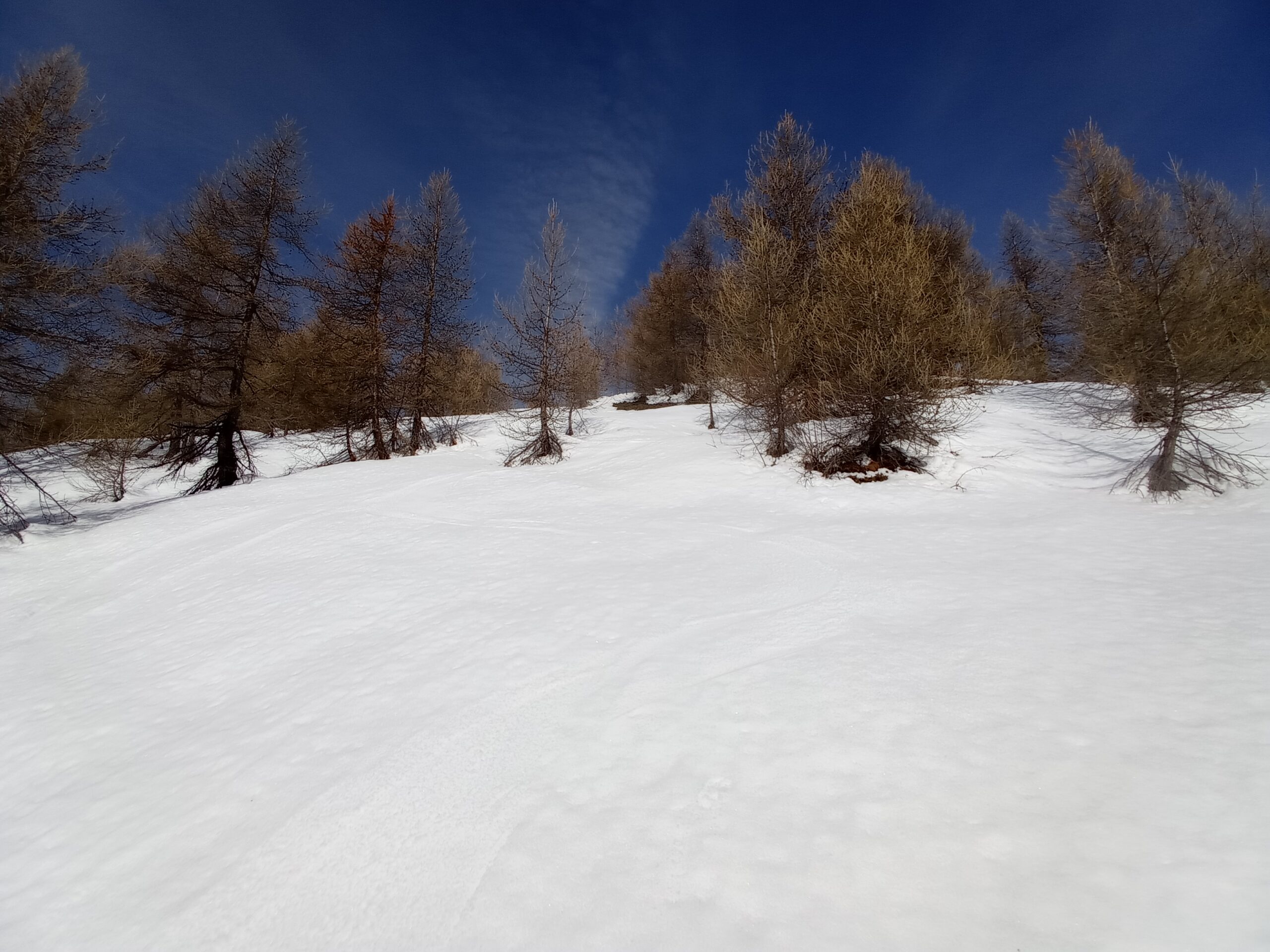
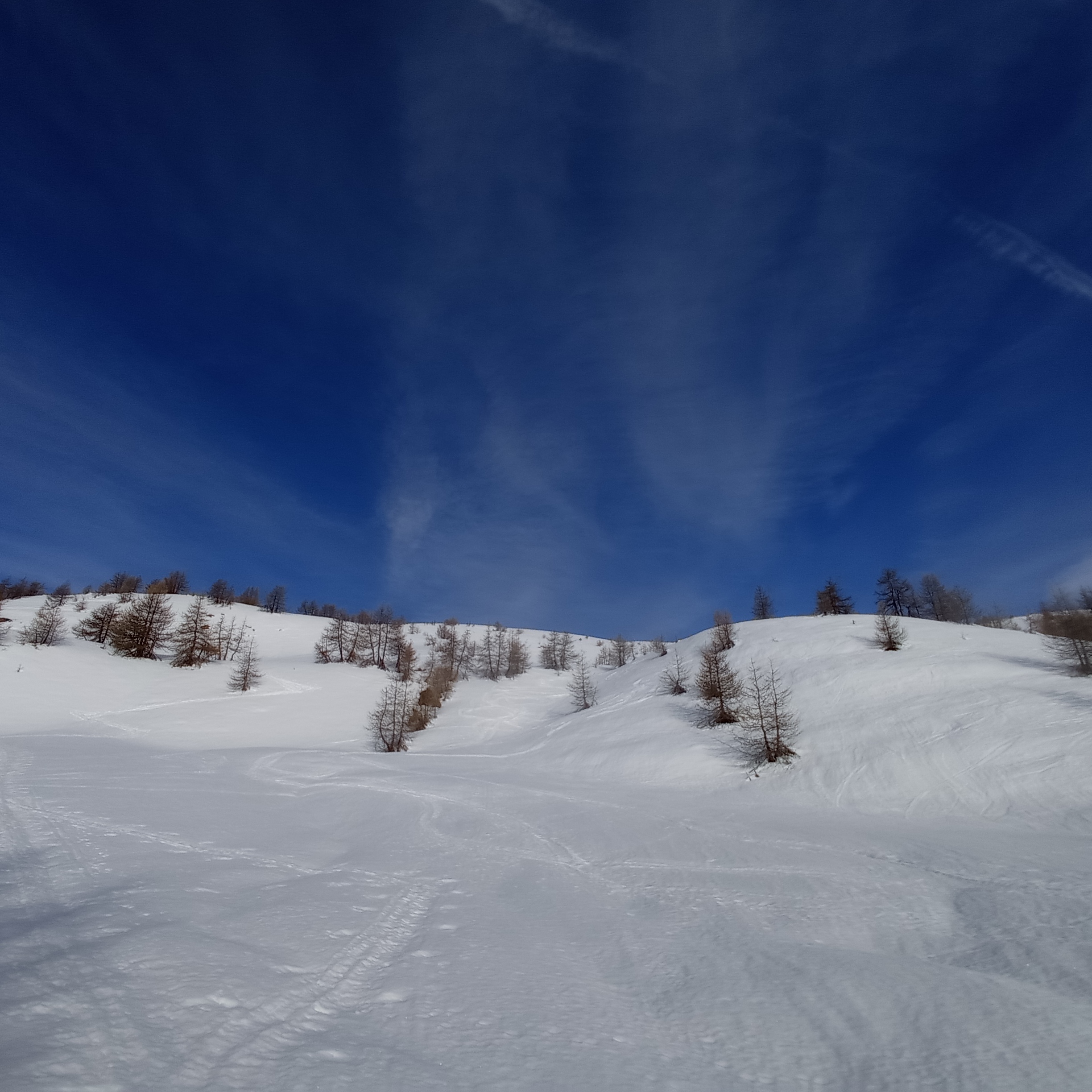
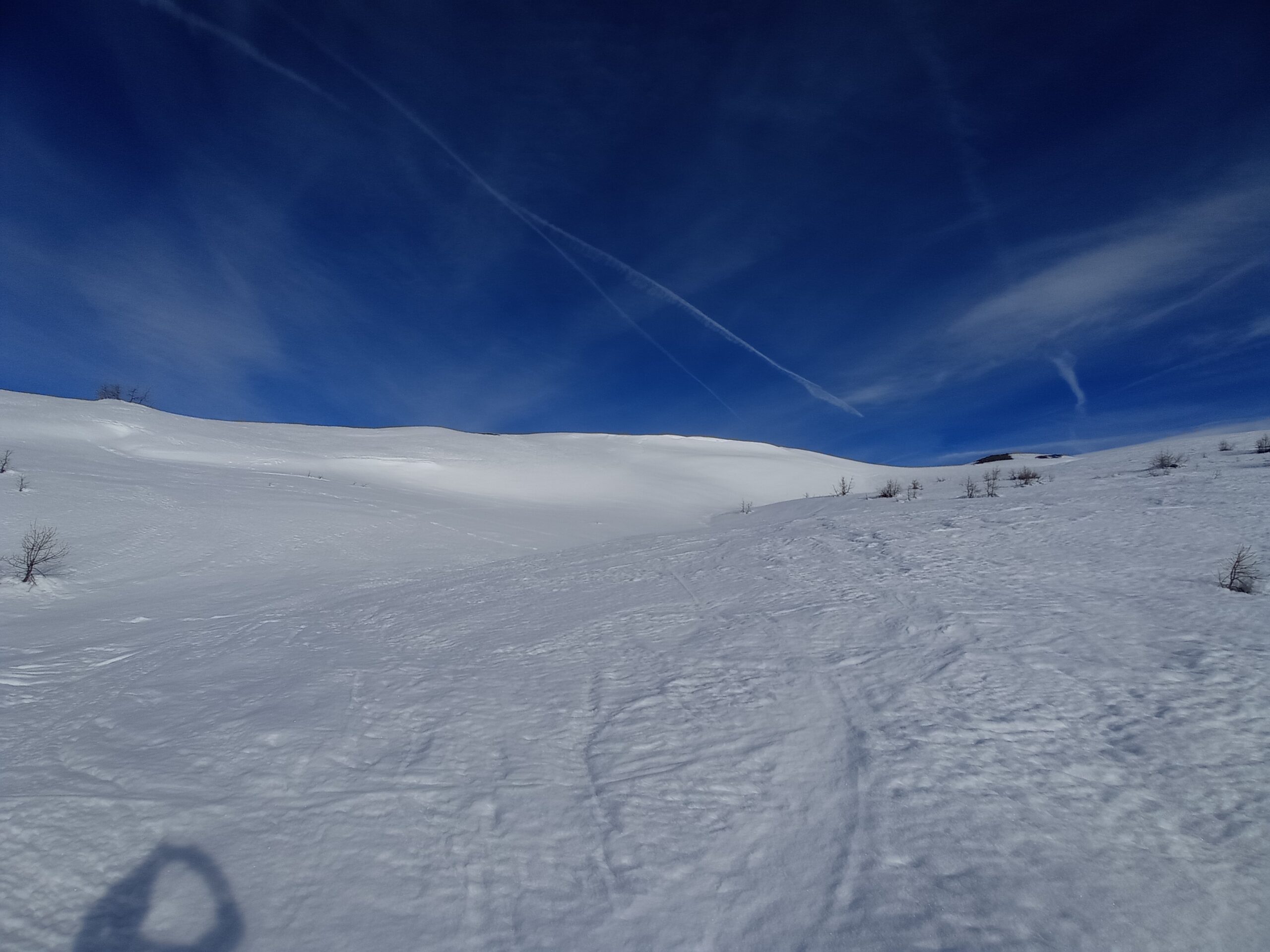
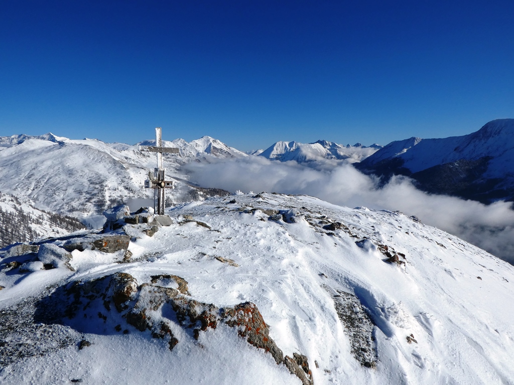
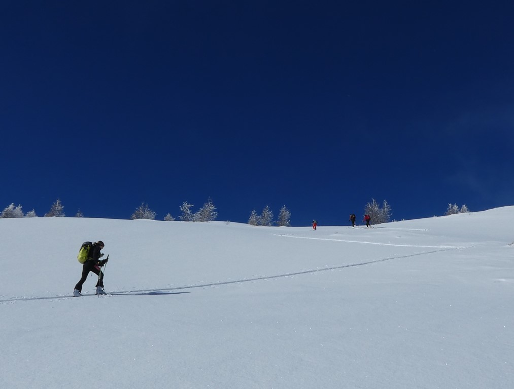
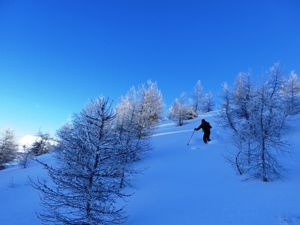
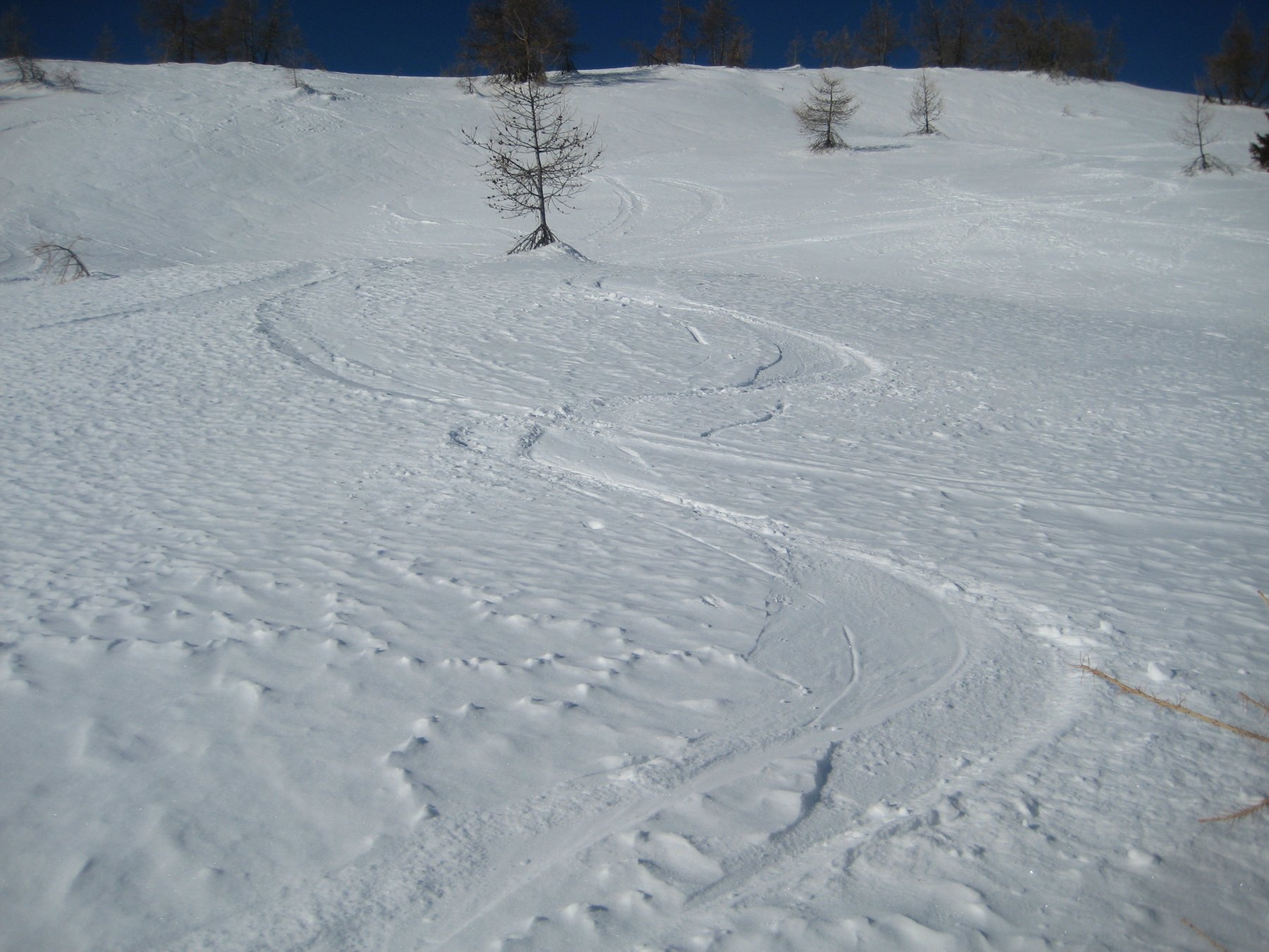
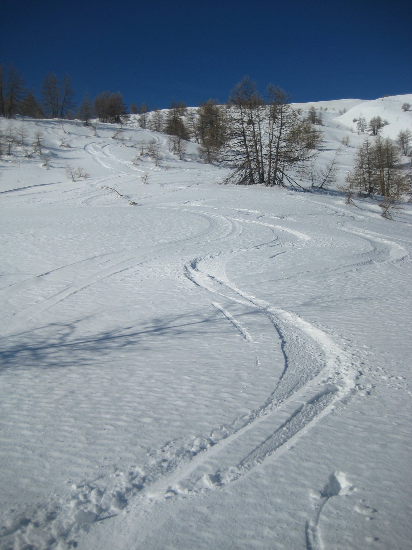
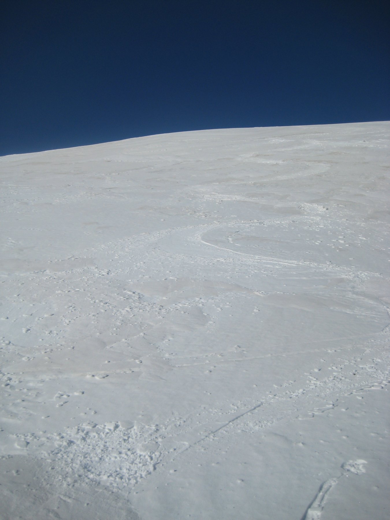
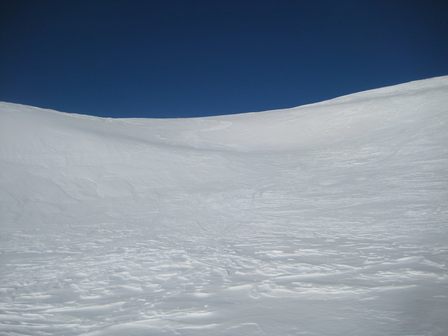
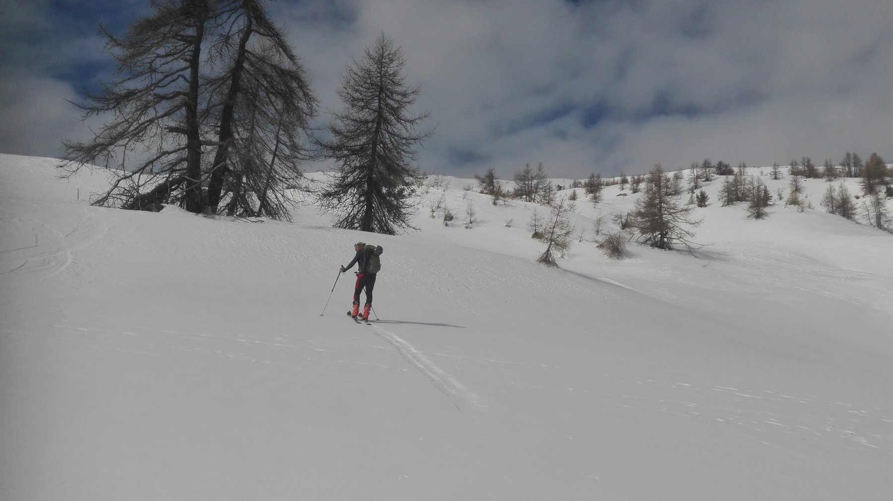
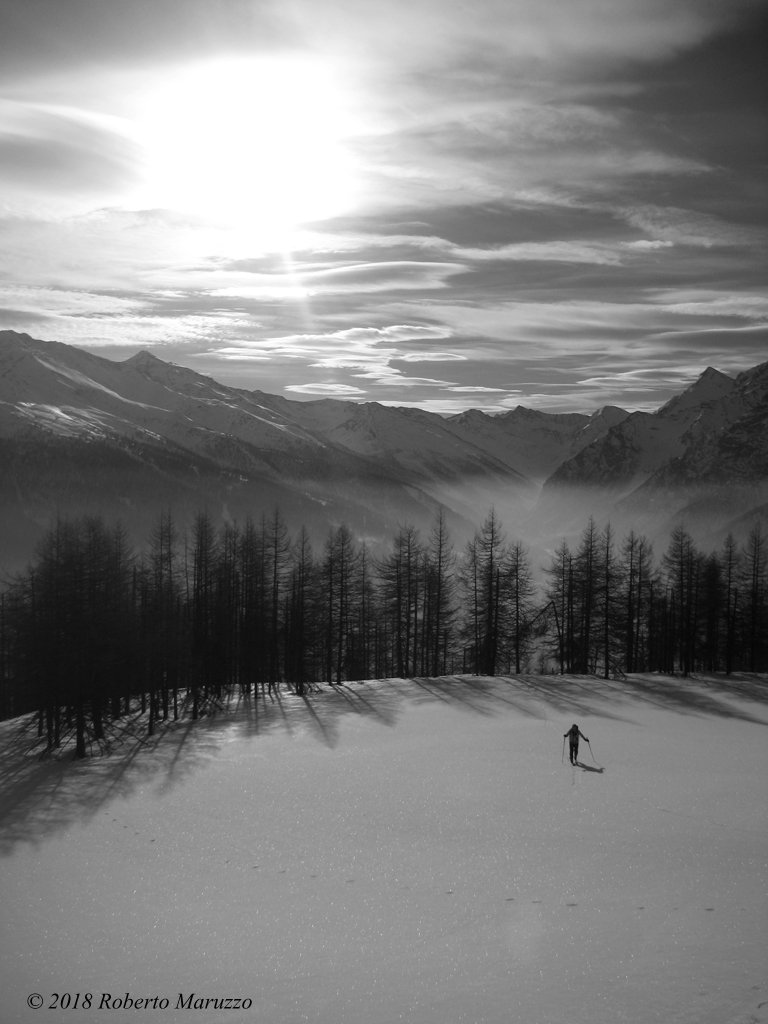
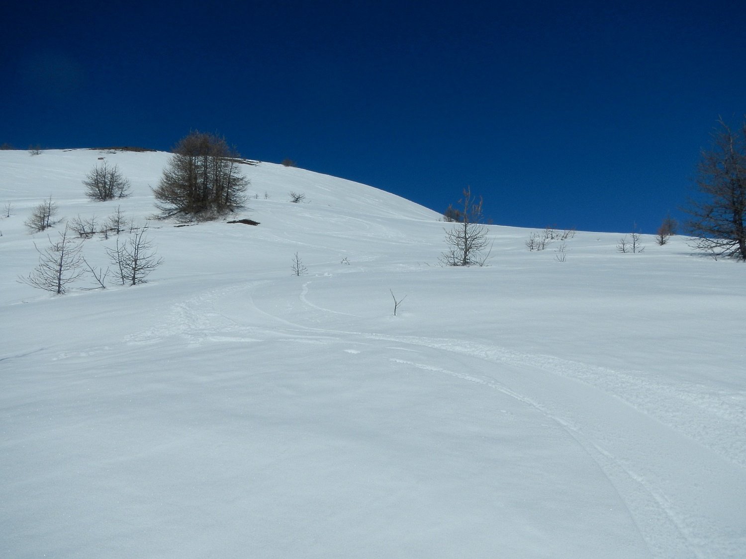
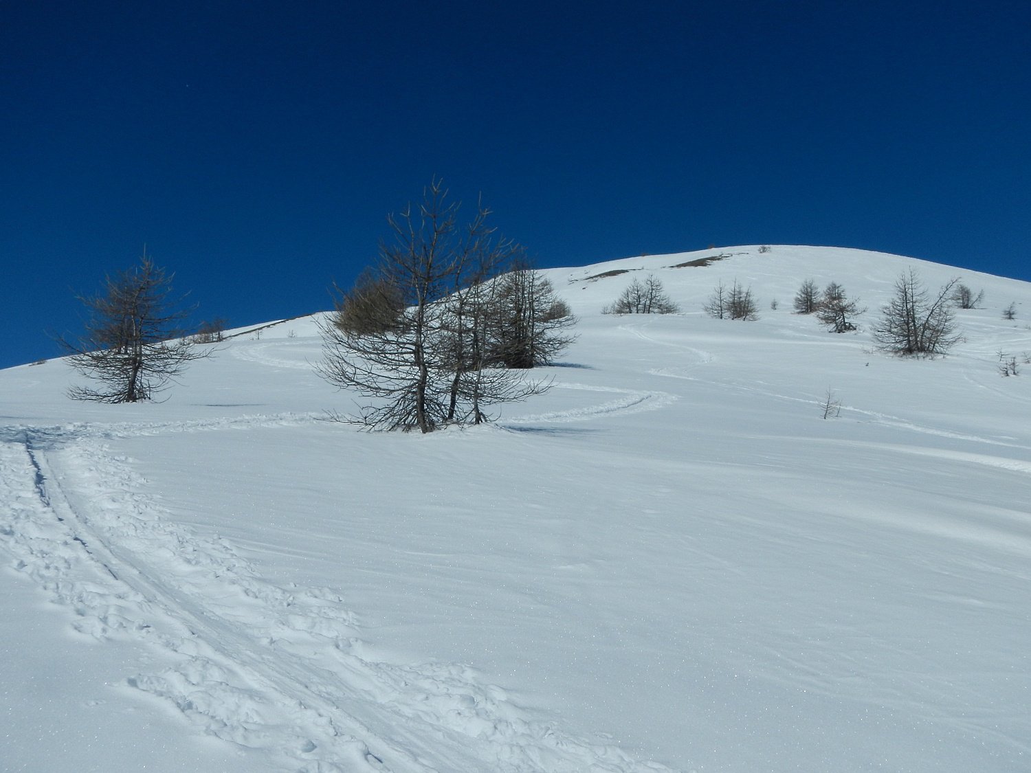
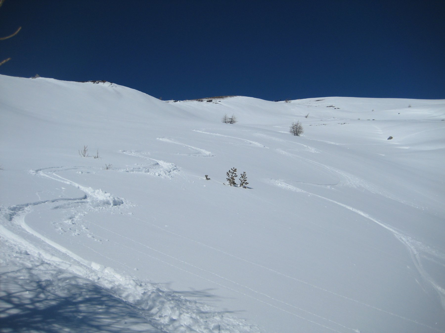
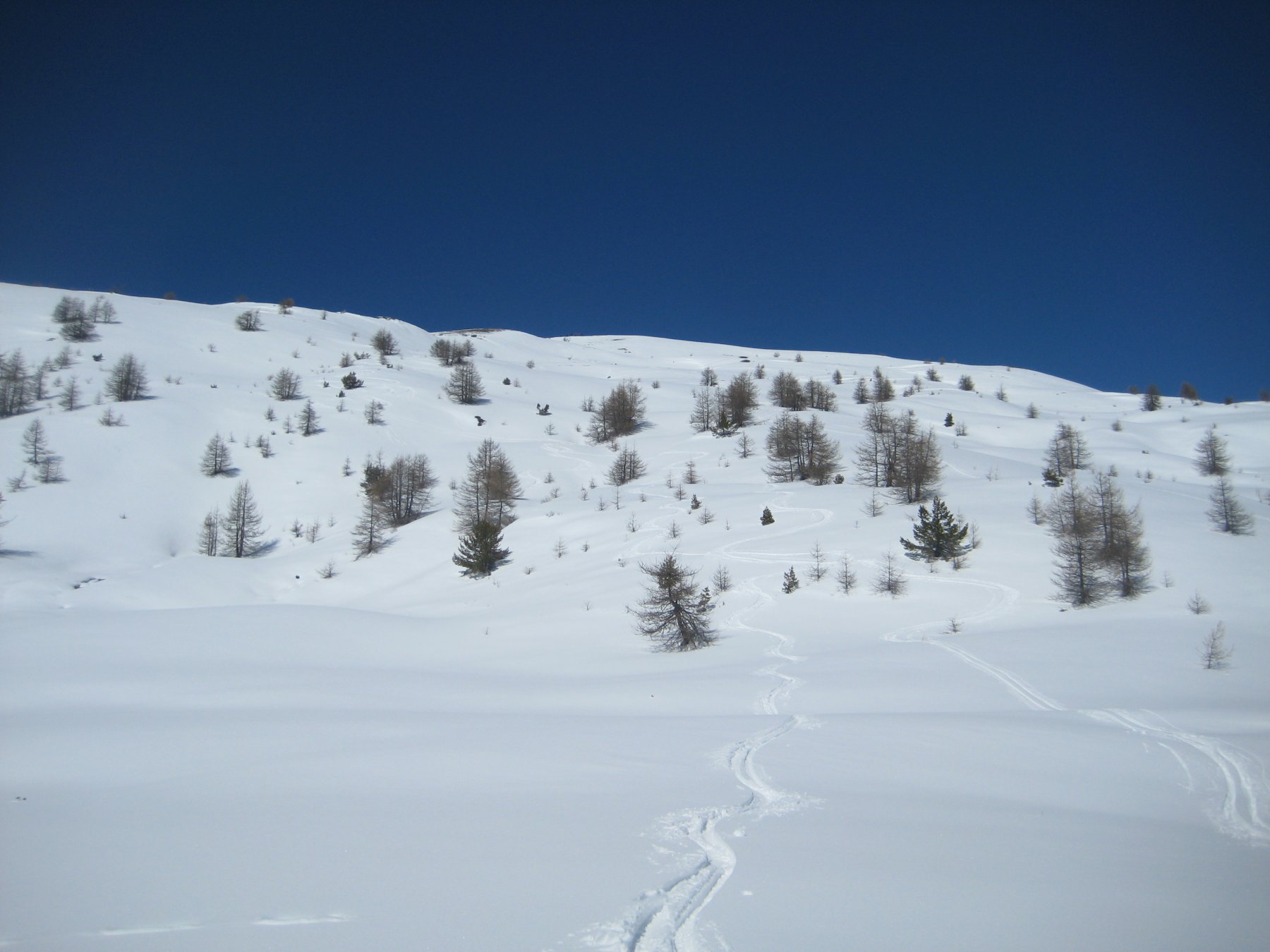
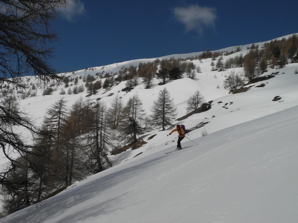
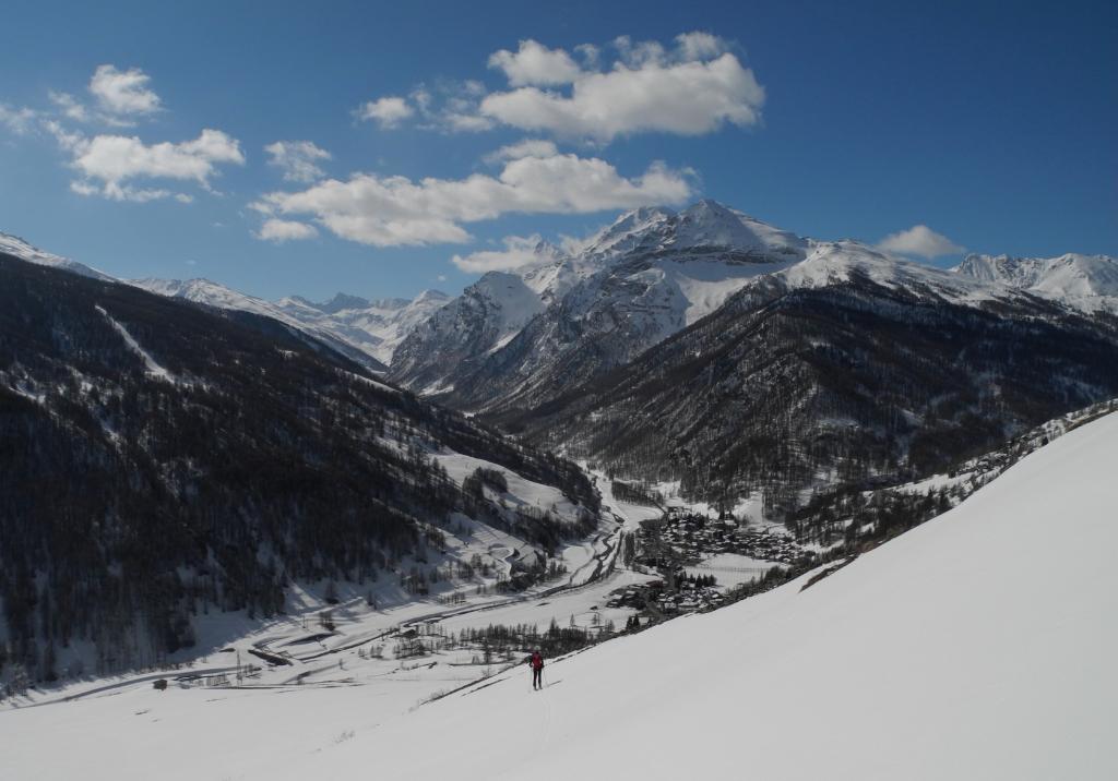
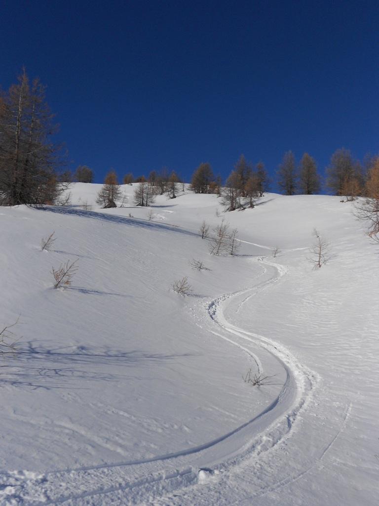
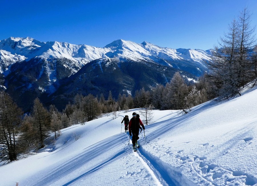
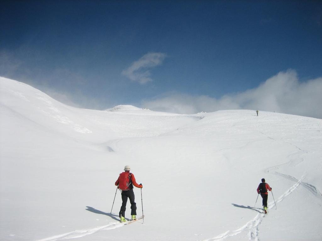
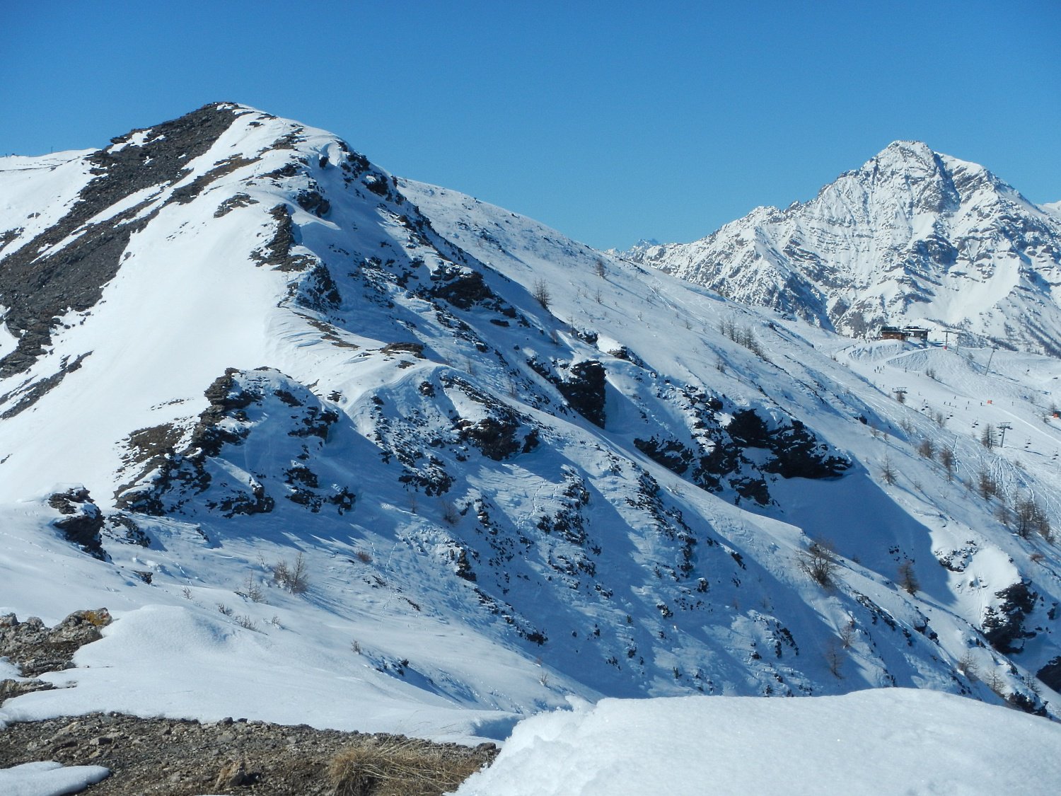
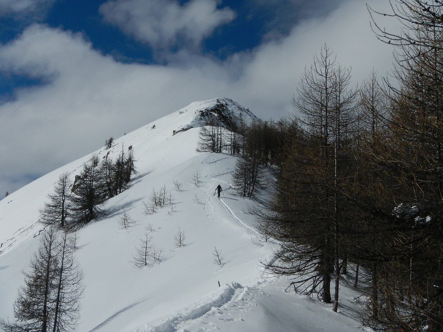
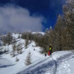
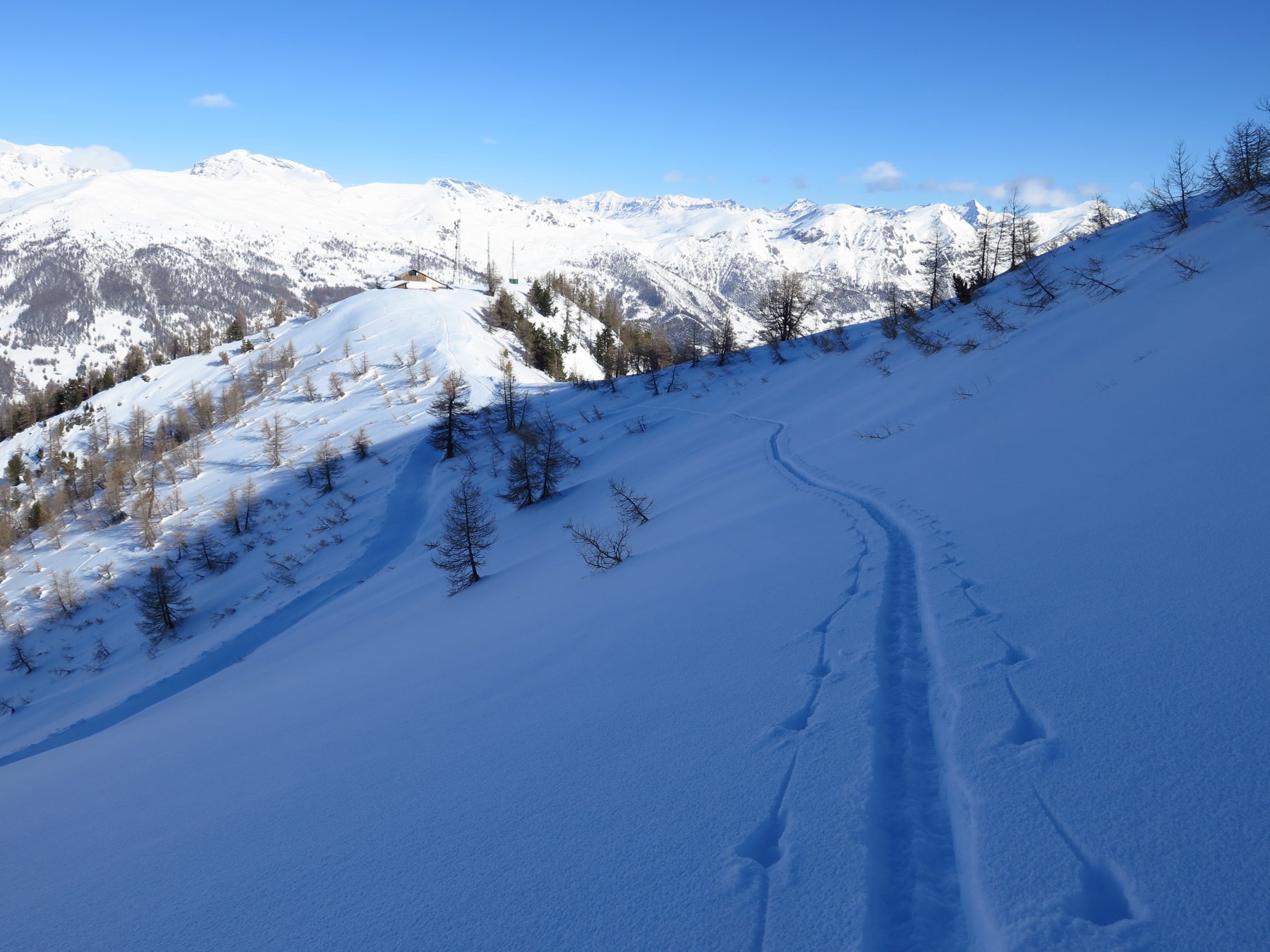
Attraversare la borgata, alla fontana dopo la chiesa imboccare la stradina sulla dx che passa davanti alla locanda Allevè e porta alla mulattiera diretta al Rif. Non seguire la mulattiera ma salire lungo i bei prati sulla sua sx, in direzione del lariceto sovrastante. Attraversare il bosco proseguendo sempre su pendenze moderate in direzione NW, generalmente senza percorso obbligato. Il bosco termina a q. 2250-2300m, si prosegue quindi lungo vallette e pendii aperti puntando alla dorsale principale sulla dx della montagna, che si segue quindi negli ultimi 50m da dx verso sx fino a raggiungere la cima.
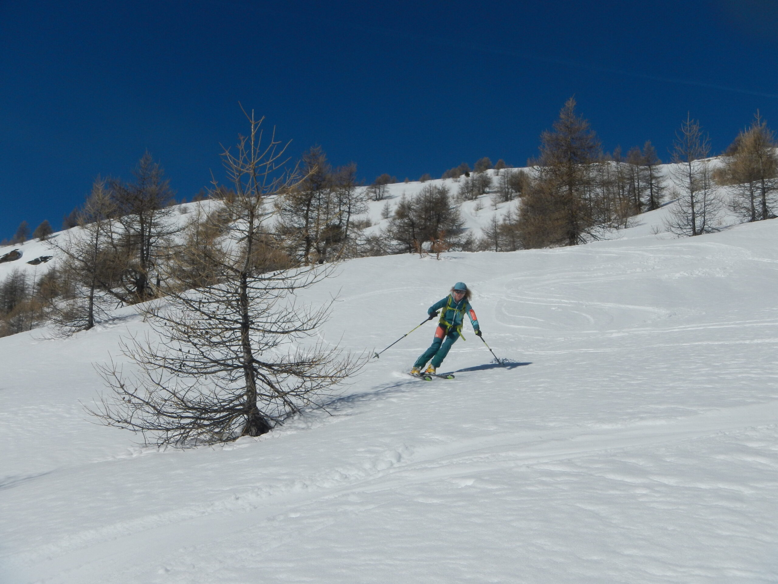
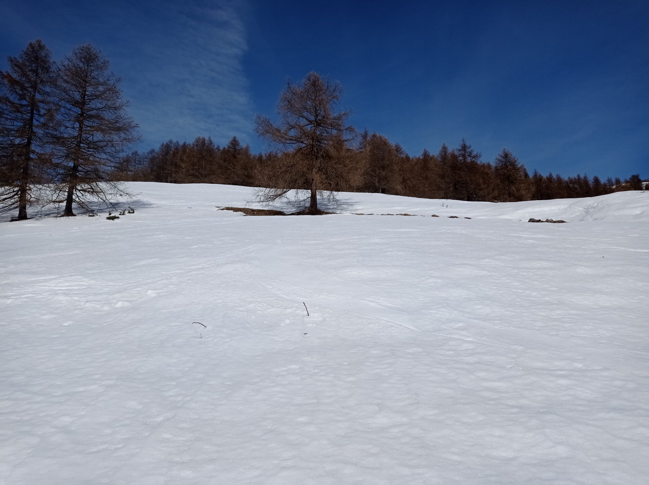
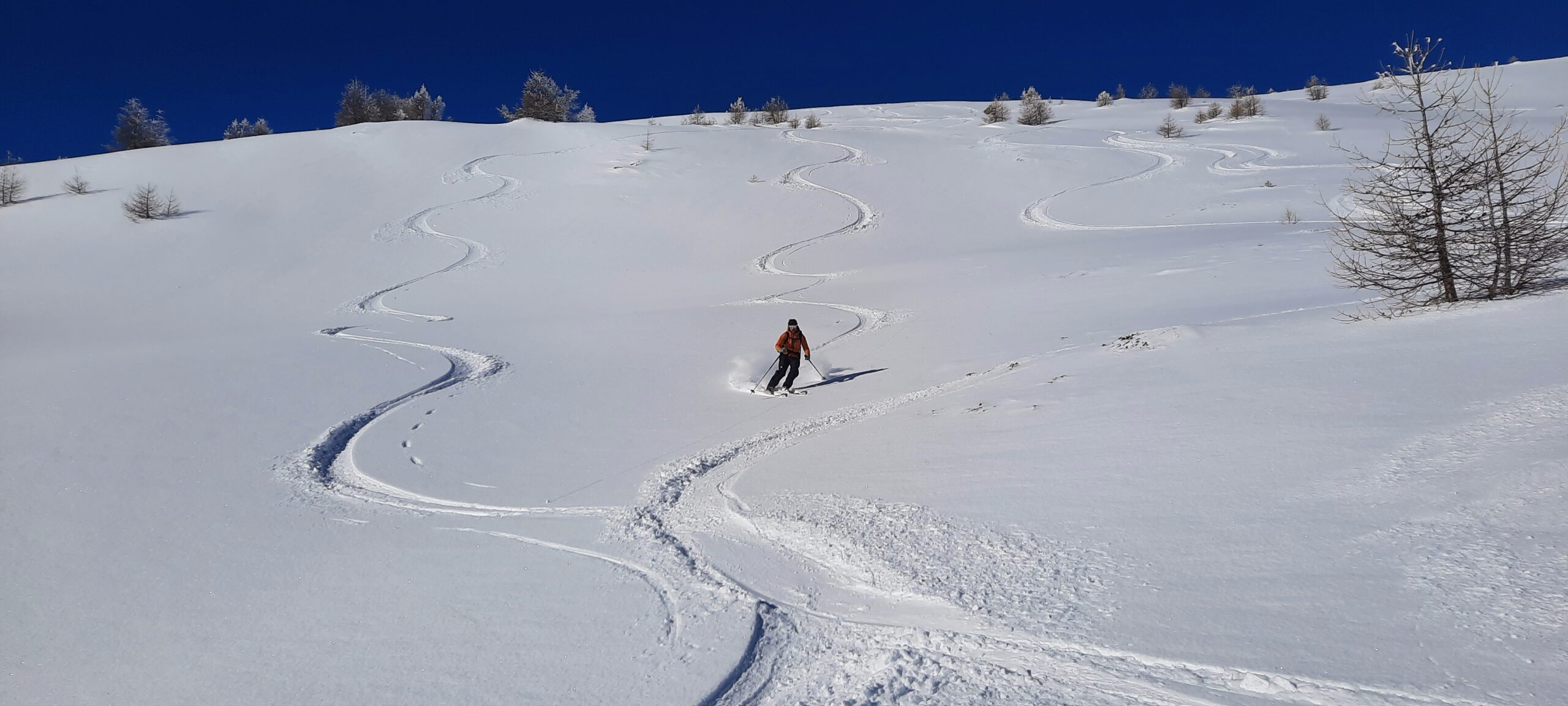
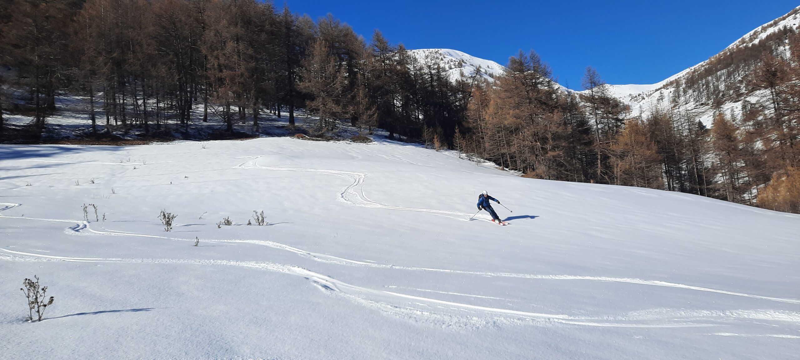
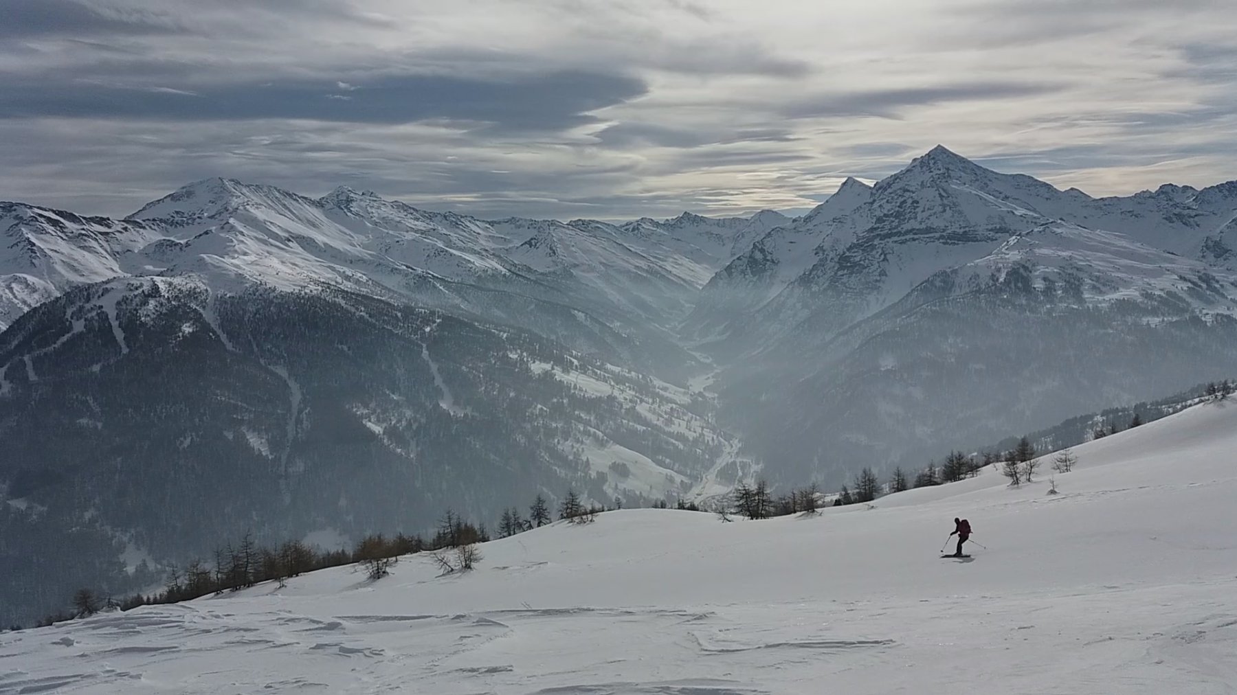
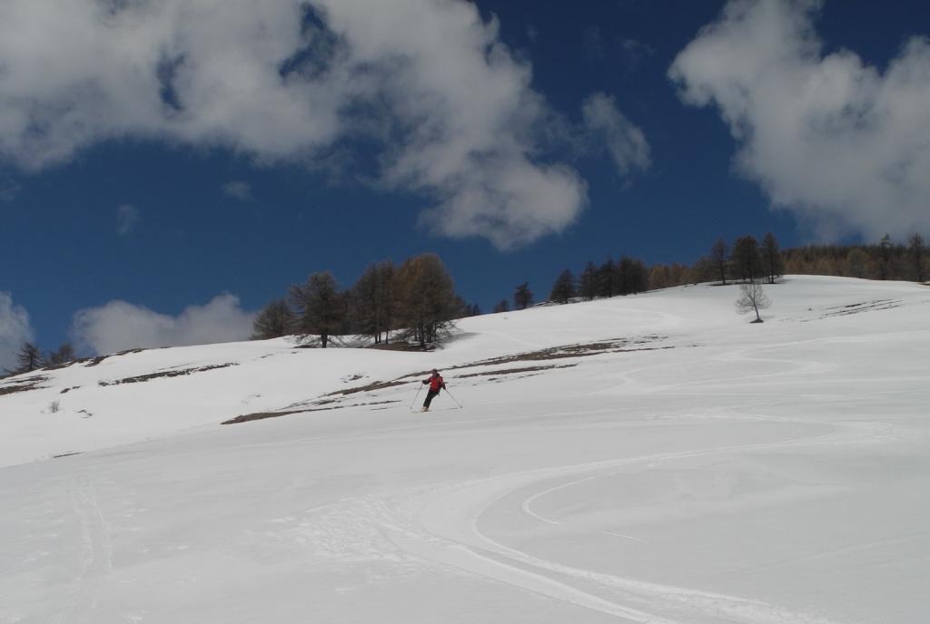
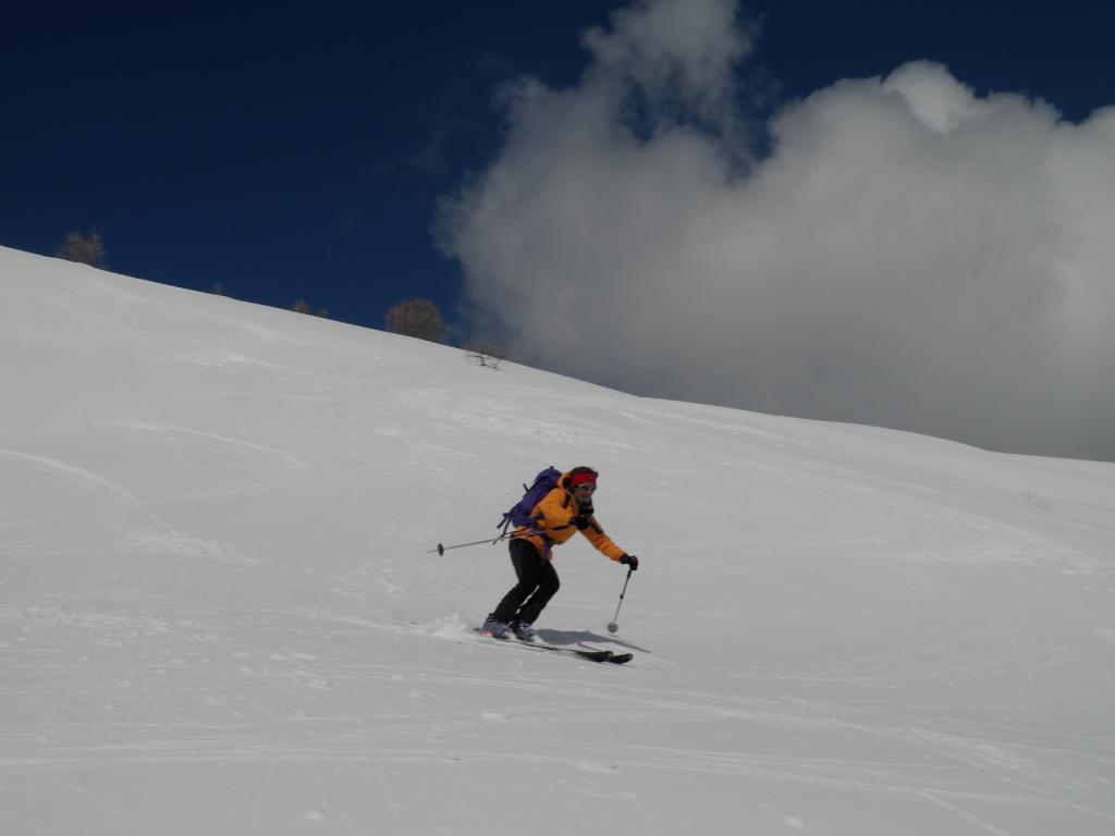
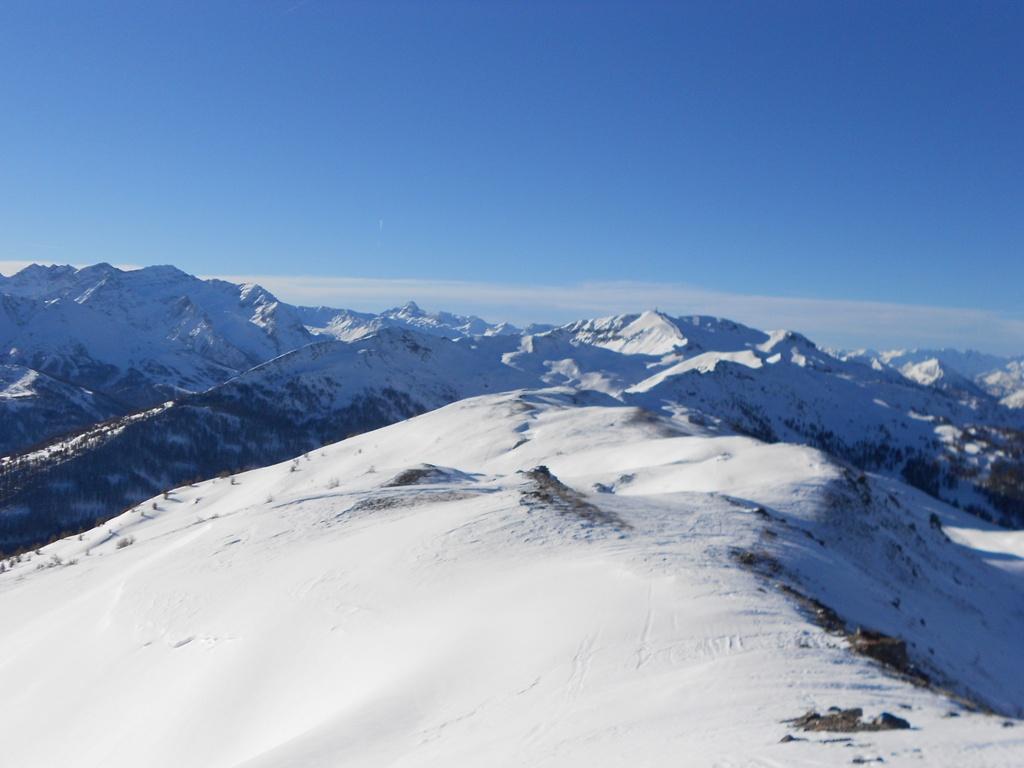
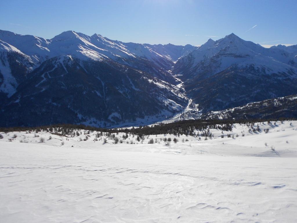
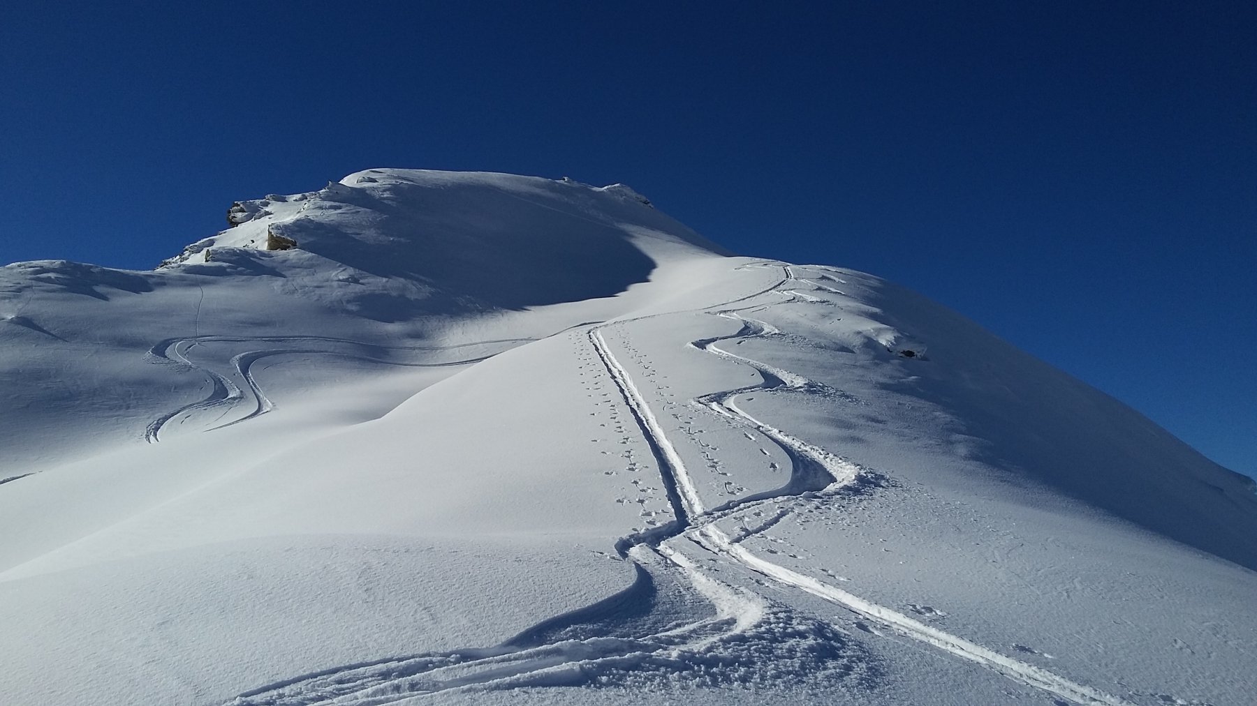
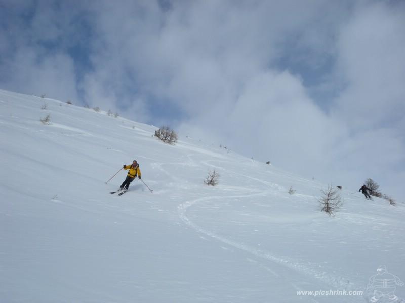
Discesa lungo l’itinerario di salita. Dalla cima si può scendere direttamente verso sud-est per pendii aperti fino a raggiungere il bosco. Per raggiungere direttamente Allevè conviene scendere piegando gradualmente verso dx (senza oltrepassare però il rio Moncrons ben evidente sulla dx). In vista dei prati sopra Allevé conviene tornare quindi gradualmente verso sx fino a raggiungere le case alte della frazione (non piegare nel rio a dx perché salvo innevamento molto abbondante non è possibile raggiungere la strada).
- Cartografia:
- IGM 66 Sestriere 54 Oulx
Nelle vicinanze Mappa
Itinerari
28/12/2022 TO, Pragelato D+ 760 m BS Sud
Triplex (Monte) da Villardamond per il versante sud
 800m
800m
02/02/2026 TO, Pragelato D+ 750 m MS Nord-Est
Treceira (Costa) da Villardamond
 800m
800m
06/12/2025 TO, Pragelato D+ 691 m MS Sud
Nera (Rocca) da Villardamond
 800m
800m
21/03/2026 TO, Pragelato D+ 750 m MS Nord-Est
Aigle (Pitre de l’) da Villardamond
 800m
800m
27/12/2025 TO, Pragelato D+ 915 m BS Sud-Est
Aigle (Pitre de l’) da Traverses per la Costa Zalet
 1.2Km
1.2Km
26/01/2026 TO, Pragelato D+ 926 m MS Nord-Est
Aigle (Pitre de l’) da Traverses
 1.2Km
1.2Km
24/01/2026 TO, Pragelato D+ 1166 m BS Sud-Est
Genevris (Monte) e Punta di Moncrons da Granges, anello
 1.2Km
1.2Km
15/02/2026 TO, Pragelato D+ 932 m MS Sud-Est
Moncrons (Punta di) da Granges
 1.2Km
1.2Km
28/01/2023 TO, Pragelato D+ 1250 m MS Nord-Ovest
Morefreddo (Monte) da Pragelato per il Clot de la Soma e discesa su Seytes
 2.3Km
2.3Km
26/01/2014 TO, Pragelato D+ 940 m MS Nord-Ovest
Saume (Cote de la) quota 2412 m da Soucheres Basses per il vallone del Chardonnet
 2.3Km
2.3Km
Servizi
1.6Km
1.6Km
Al Mulino Ristorante
Pragelato
2.4Km
Casa degli Escartons Alex Berton B&B
Pragelato
2.5Km
Casa Alpina Rifugio
Pragelato
2.5Km
Passet Ristorante
Pragelato
3.1Km
Mulino di Laval Rifugio
Pragelato
3.6Km
Refugium – ex. Rif. Belotte Rifugio
Pragelato
3.6Km
L’itialette Ristorante
Pragelato
5.3Km
1898 Ristorante
Soucheres-basses
6Km