900m
900m


Note
 0m
50m
50m
450m
450m
800m
1.7Km
1.7Km
2.2Km
0m
50m
50m
450m
450m
800m
1.7Km
1.7Km
2.2Km
900m
900m
2.6Km
3Km
3.1Km
3.1Km
3.5Km
4.3Km
5.9Km
6.5Km
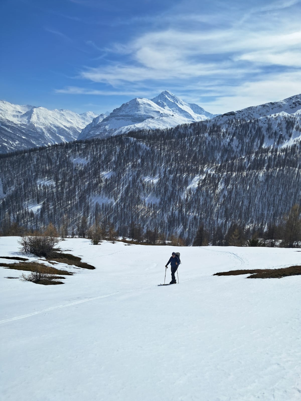
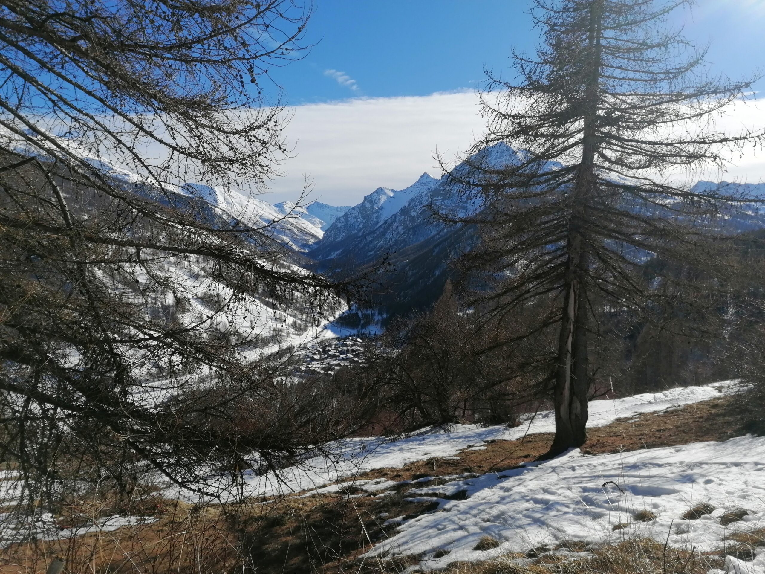
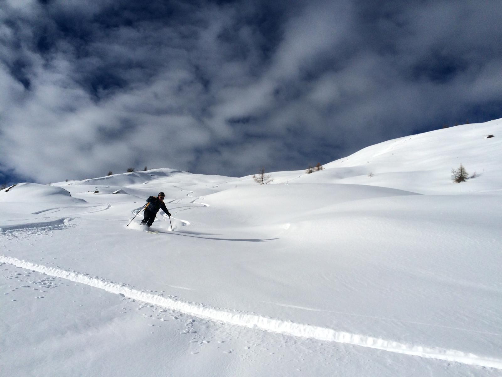
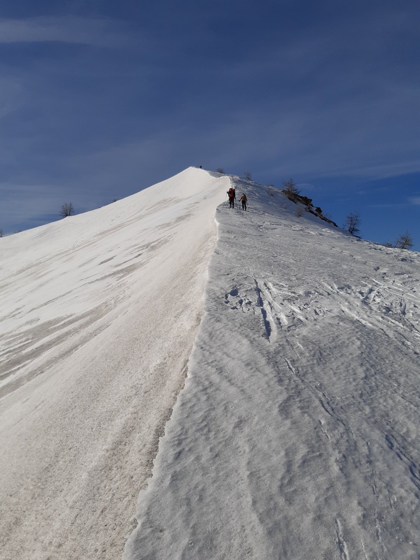
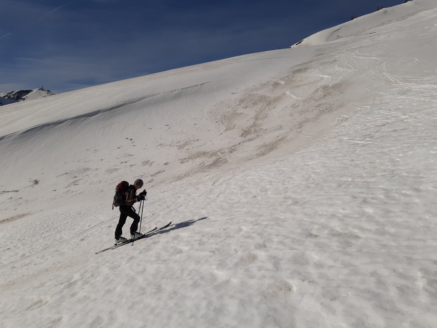
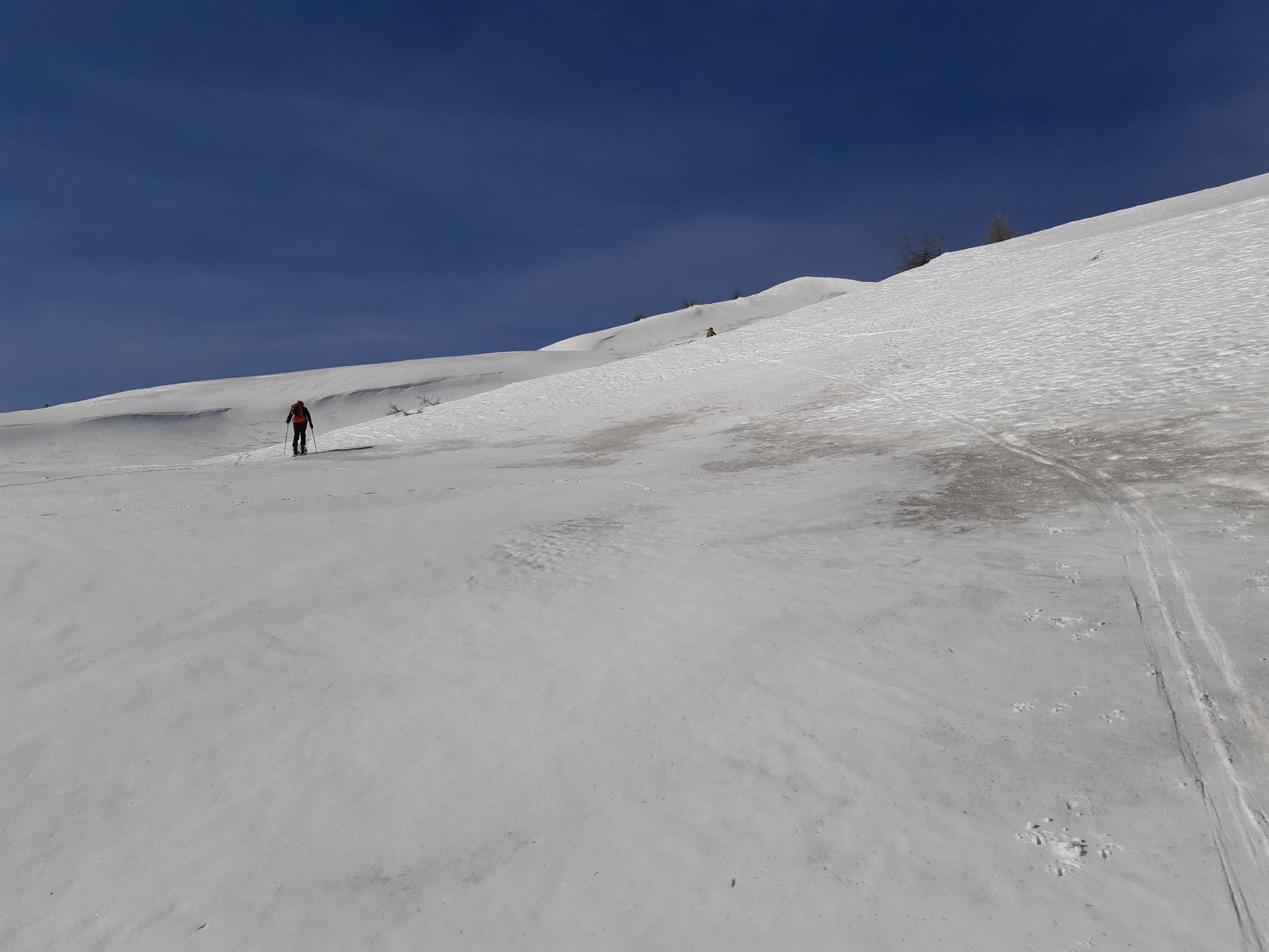
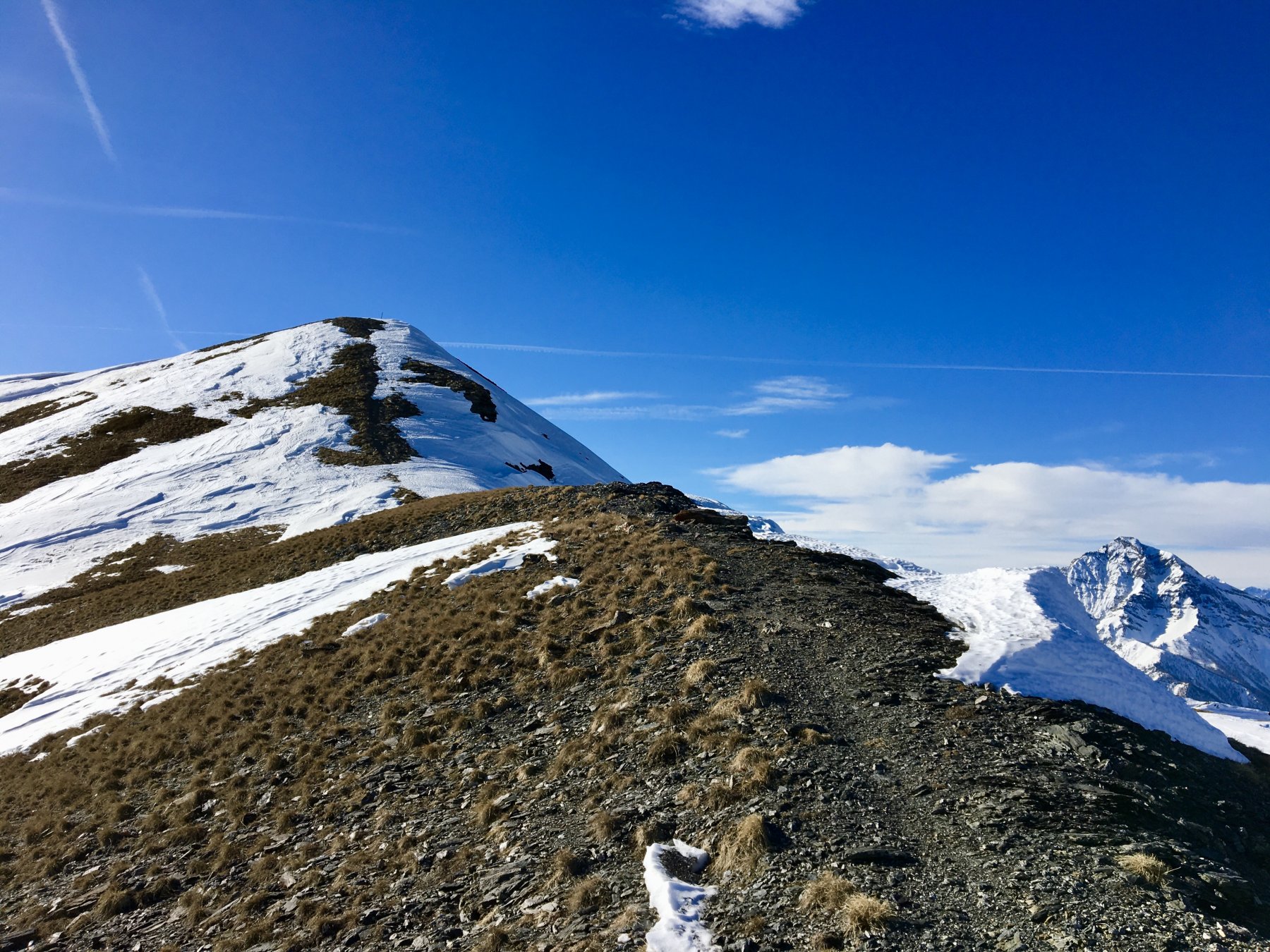
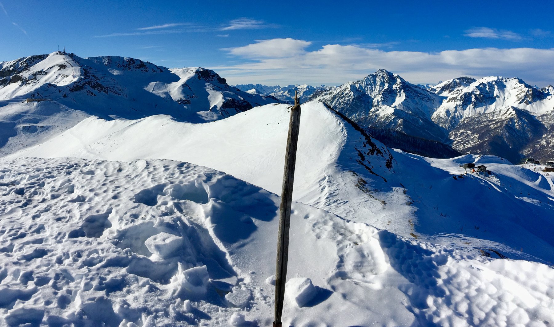
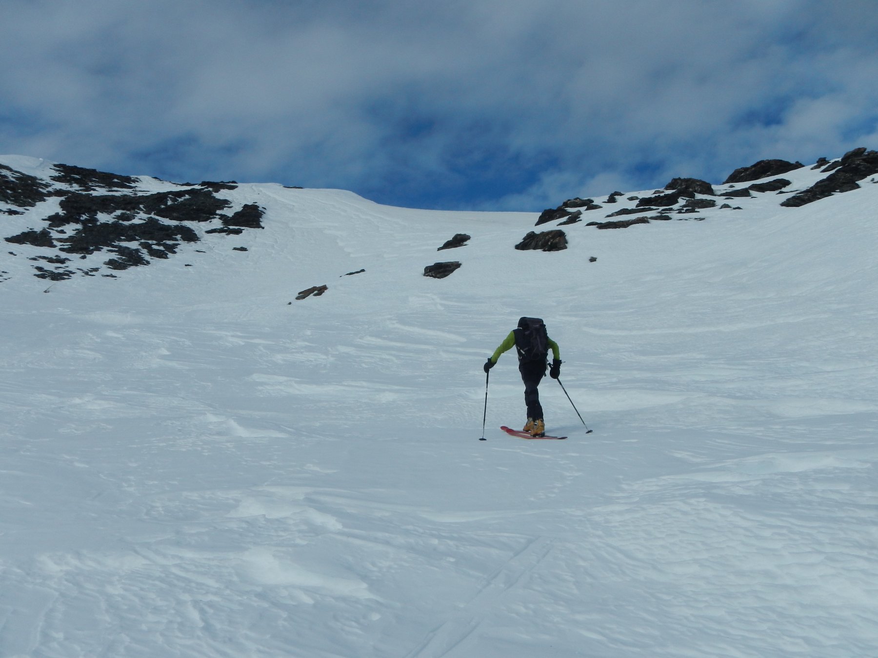
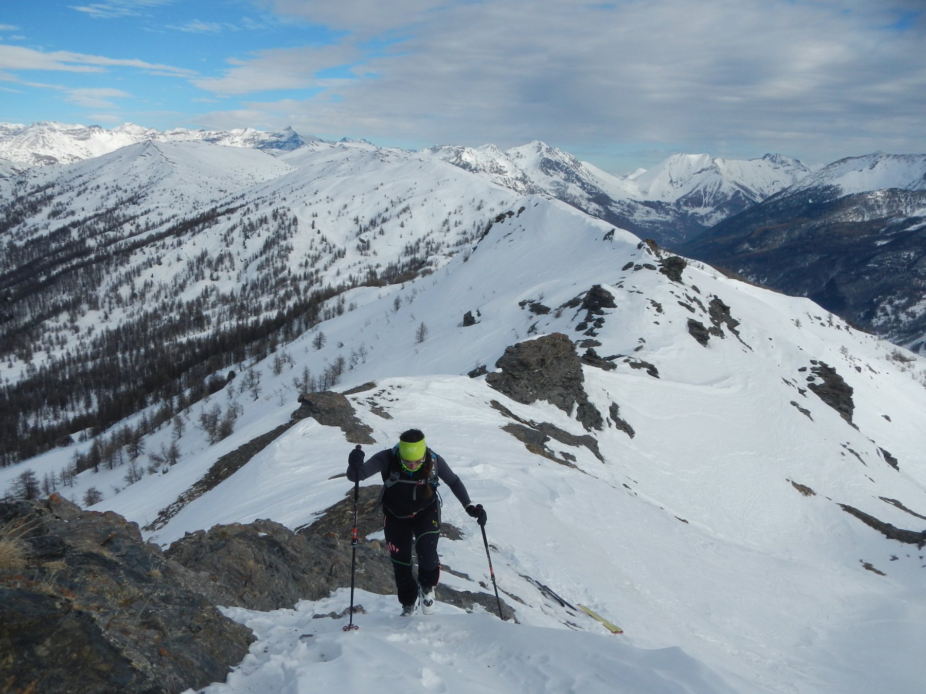
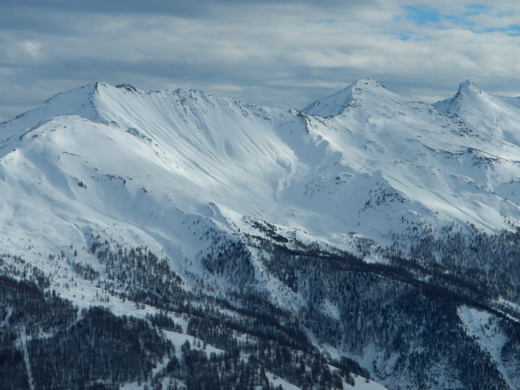
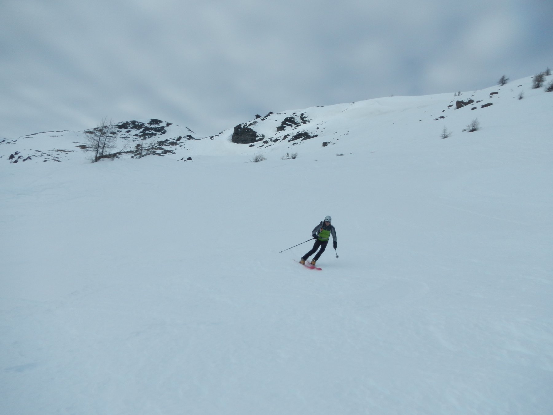
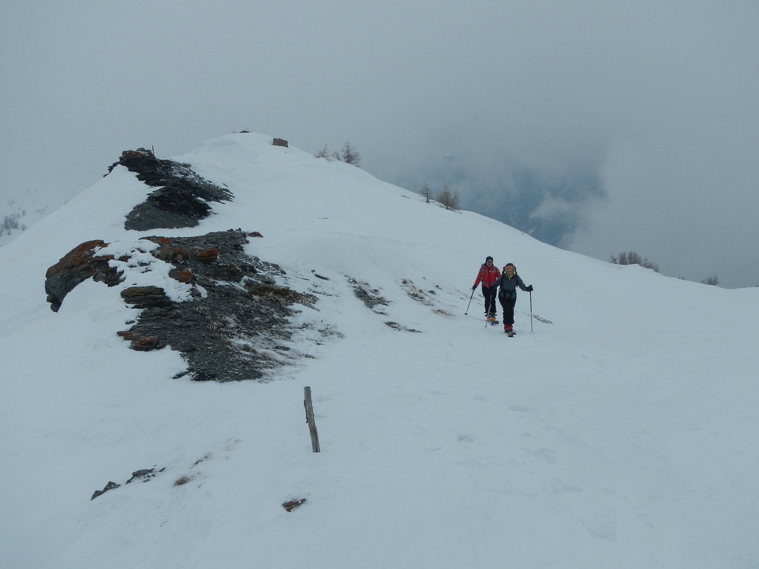
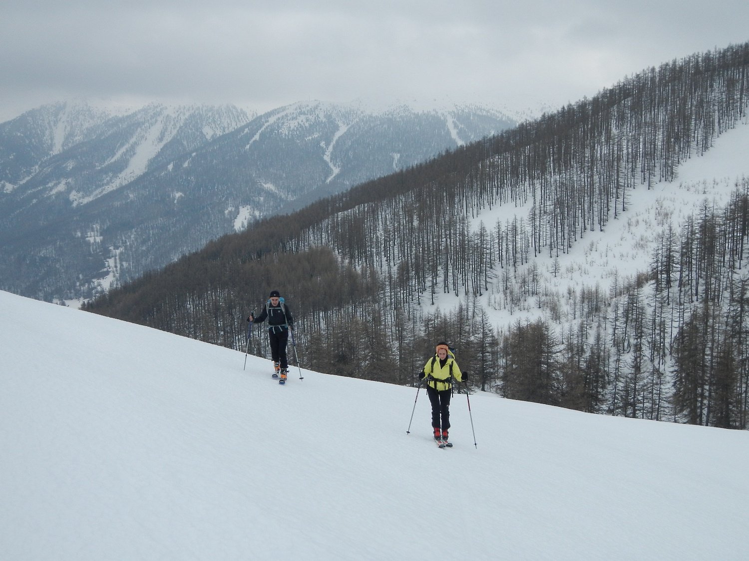
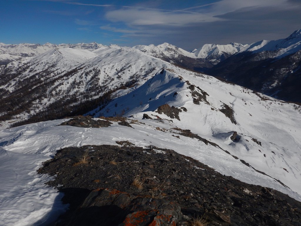
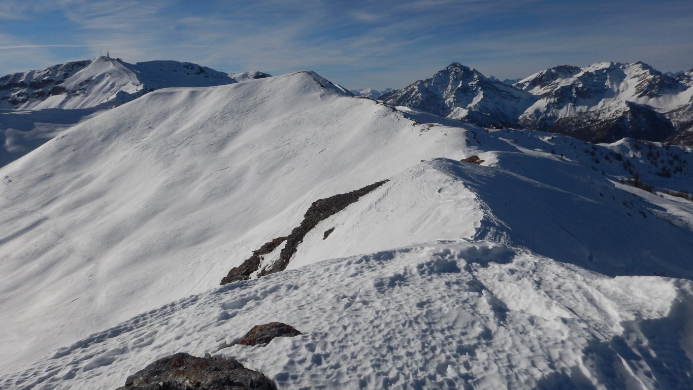
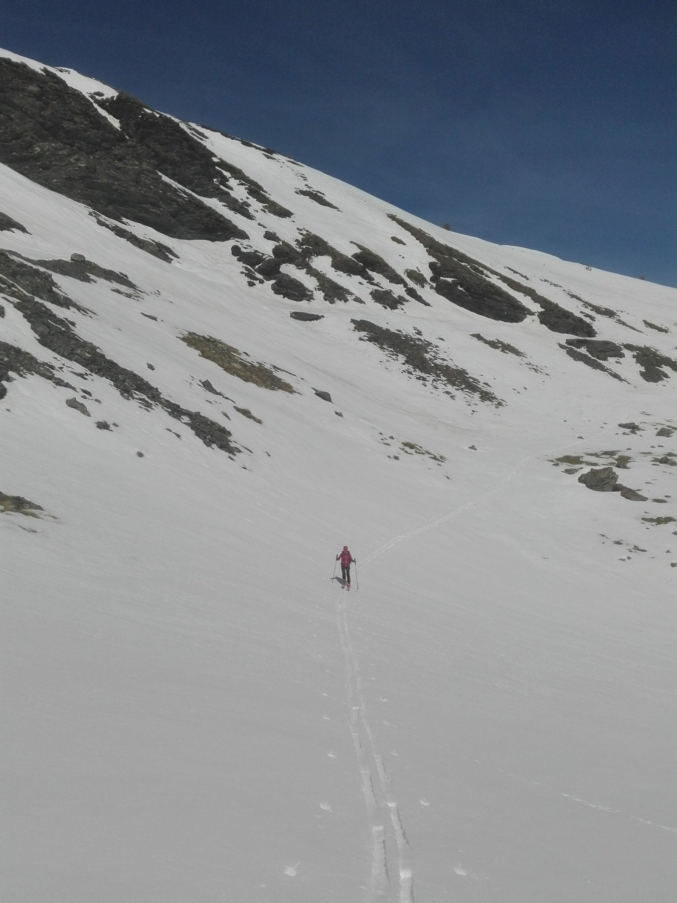
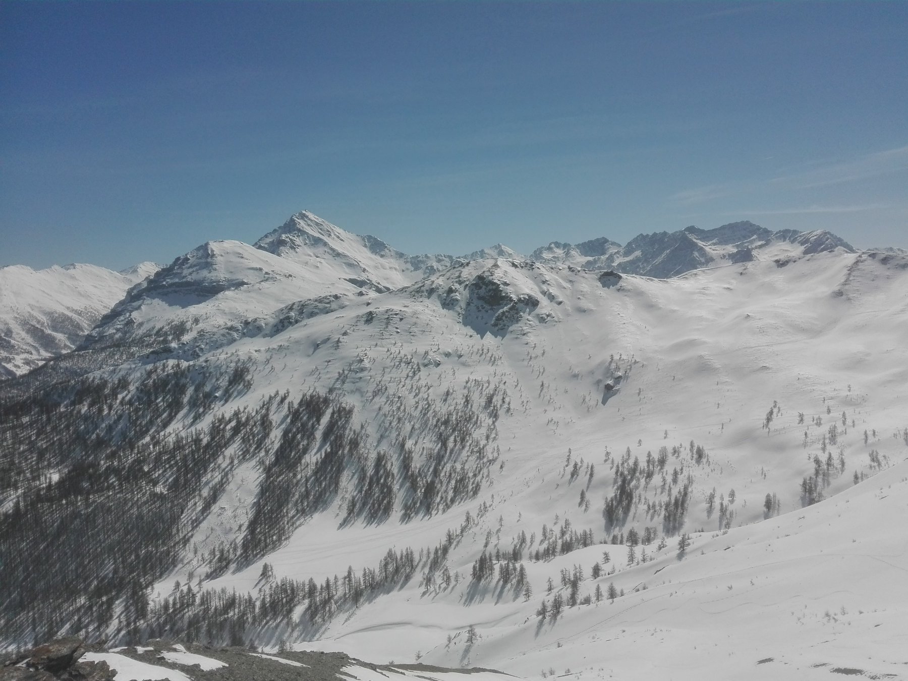
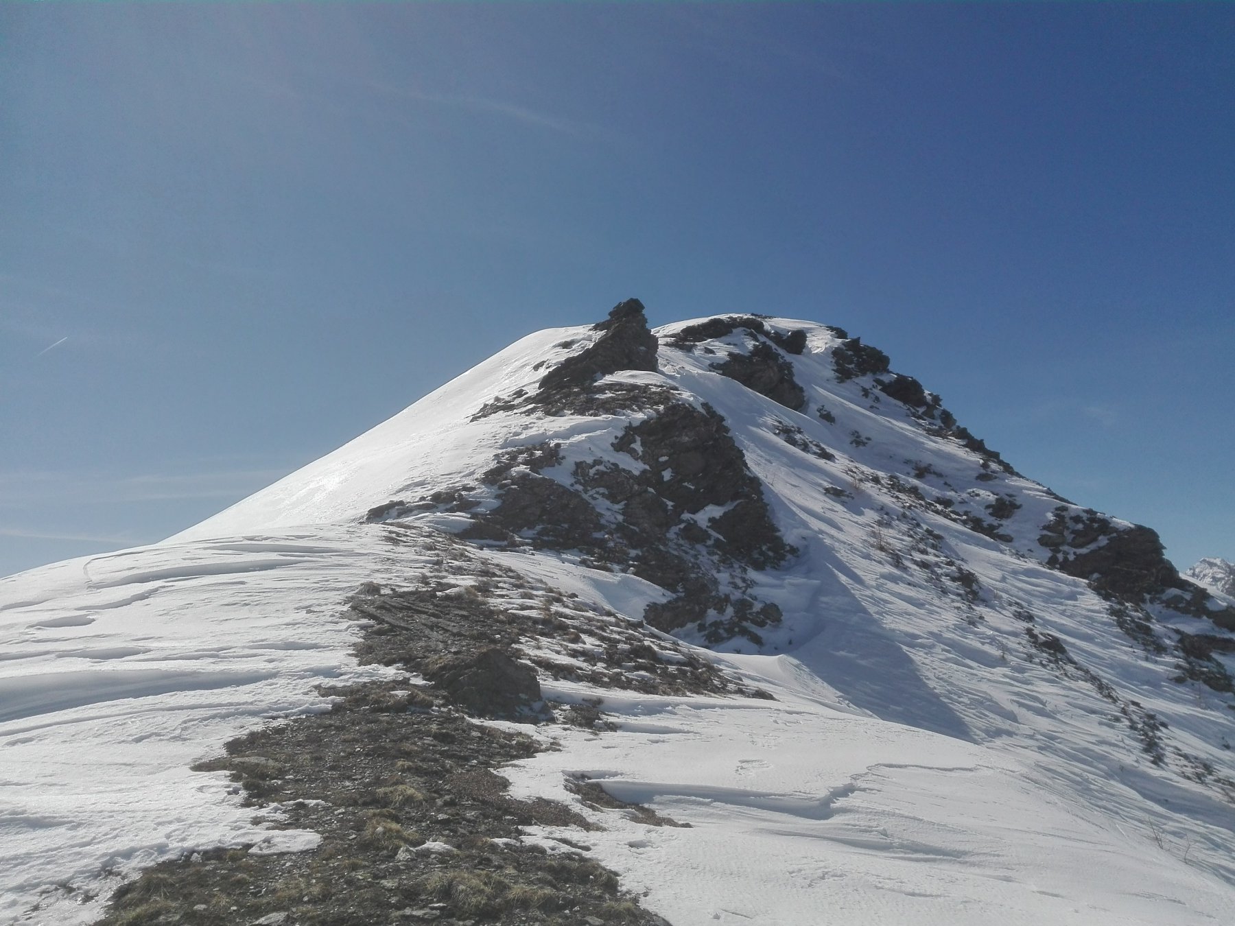
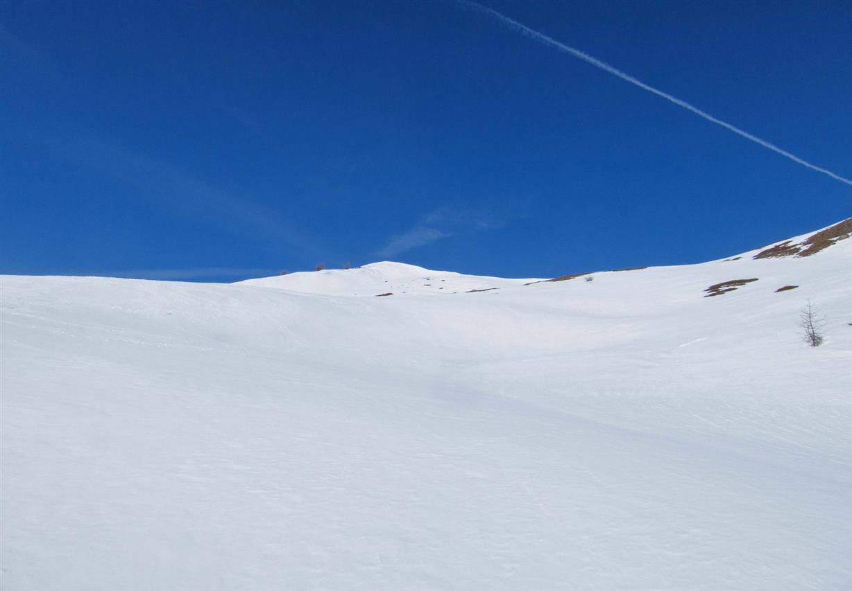
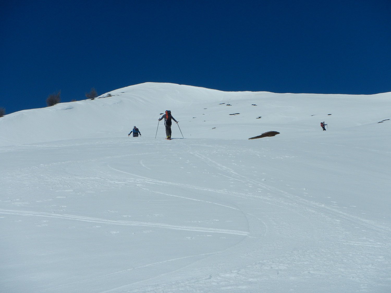
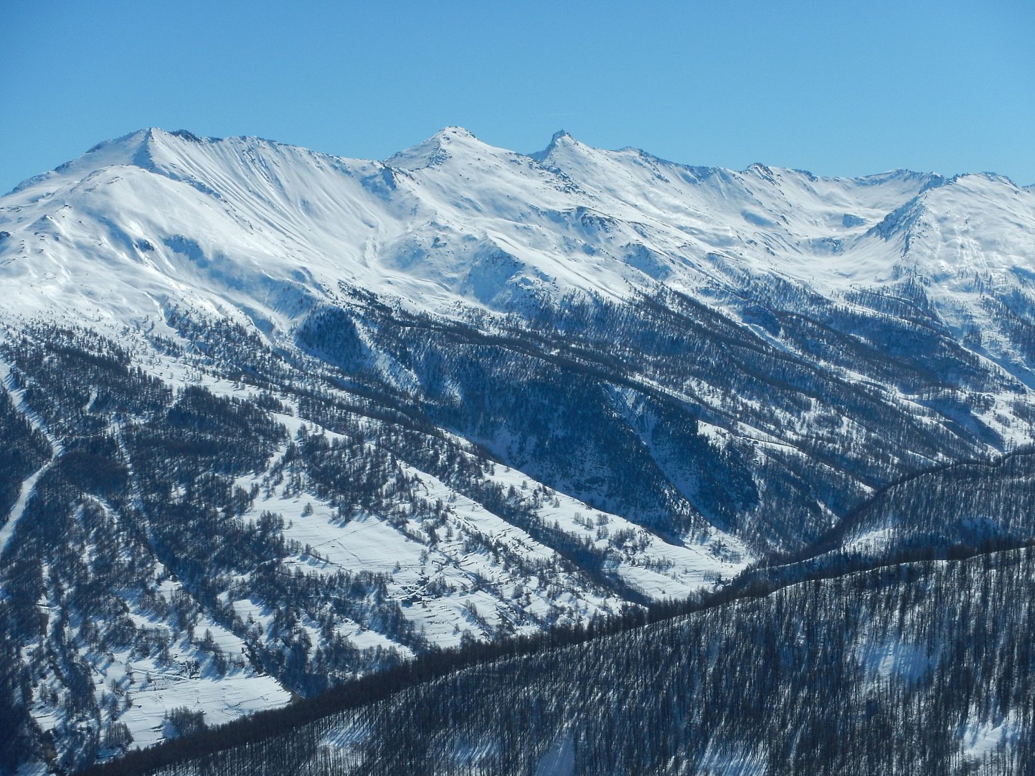
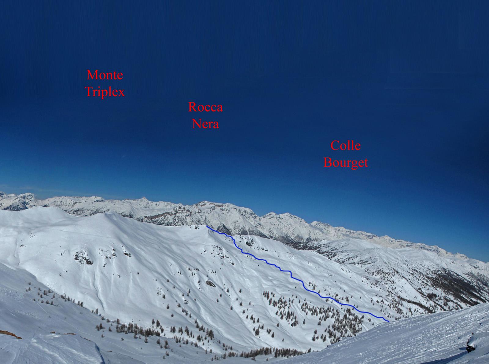
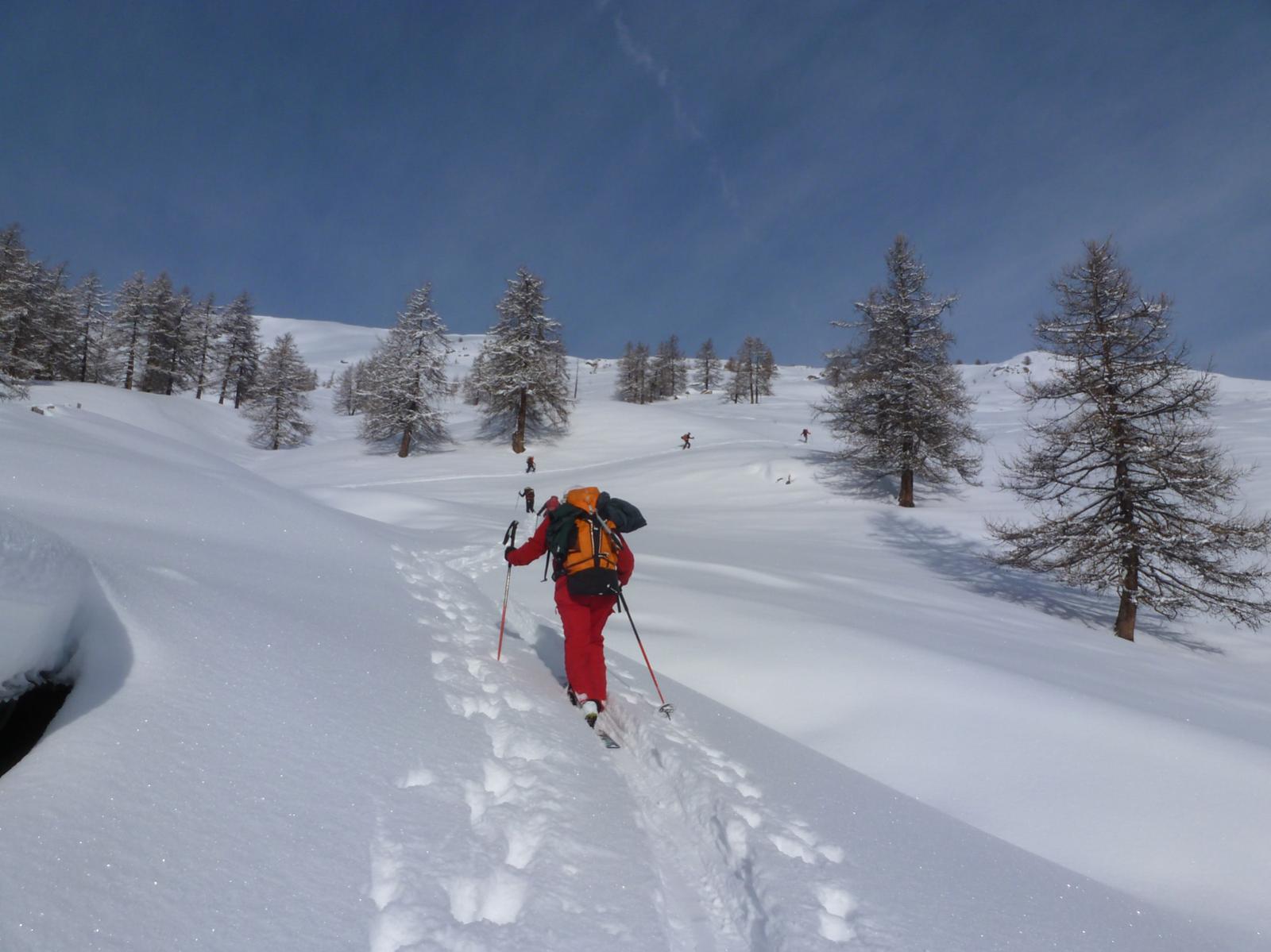
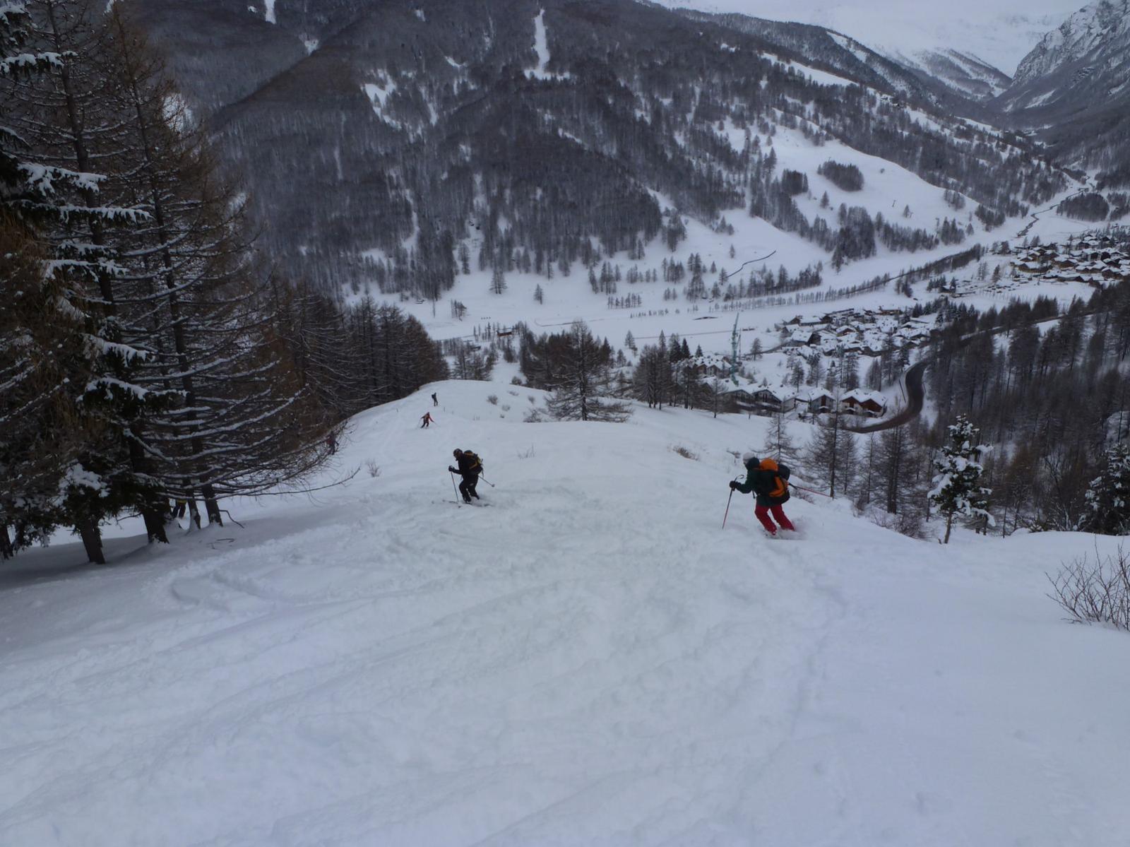
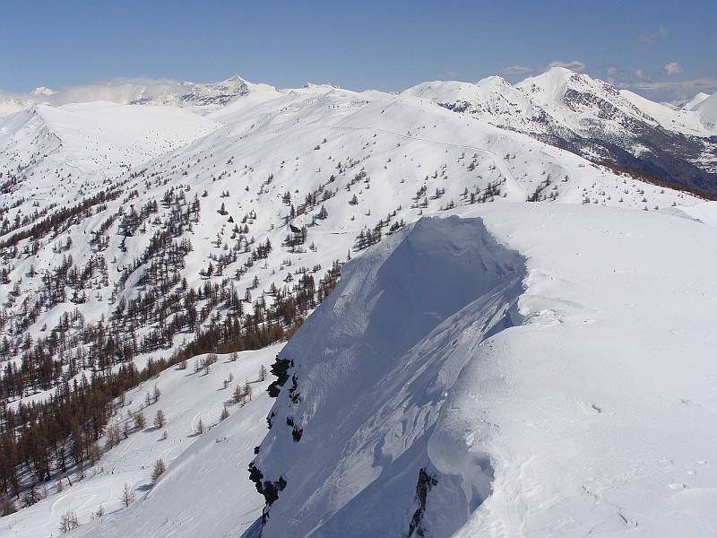
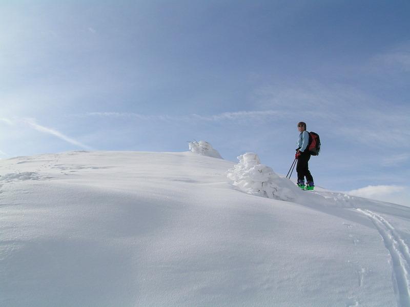
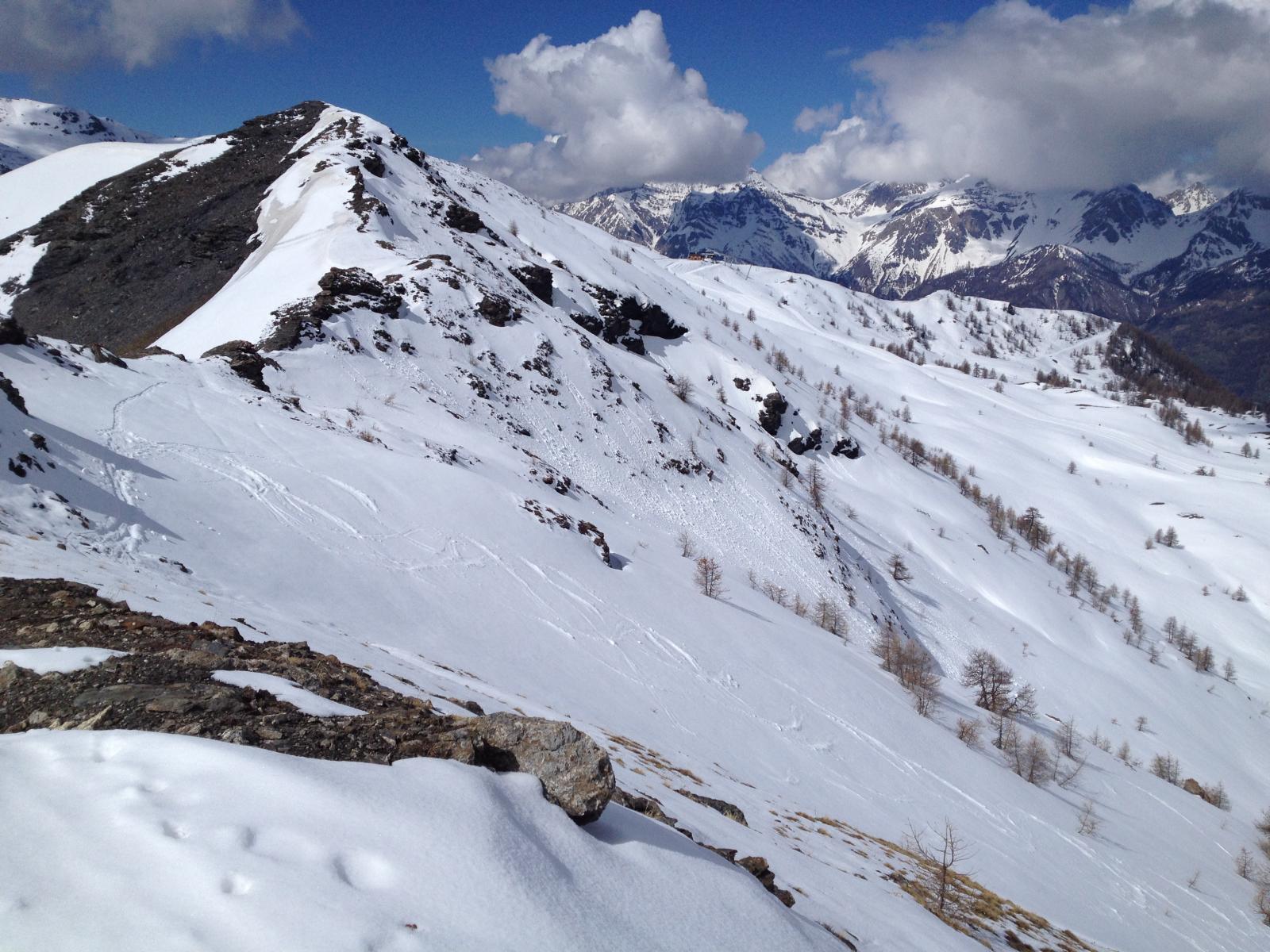
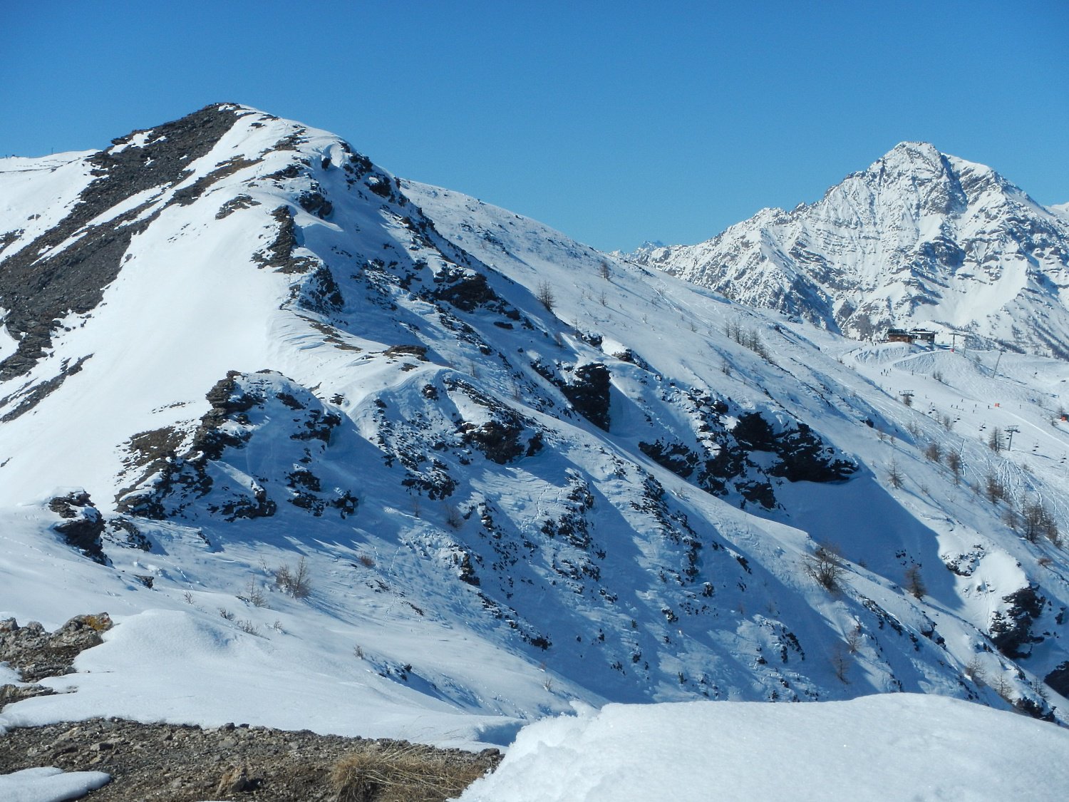
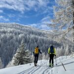
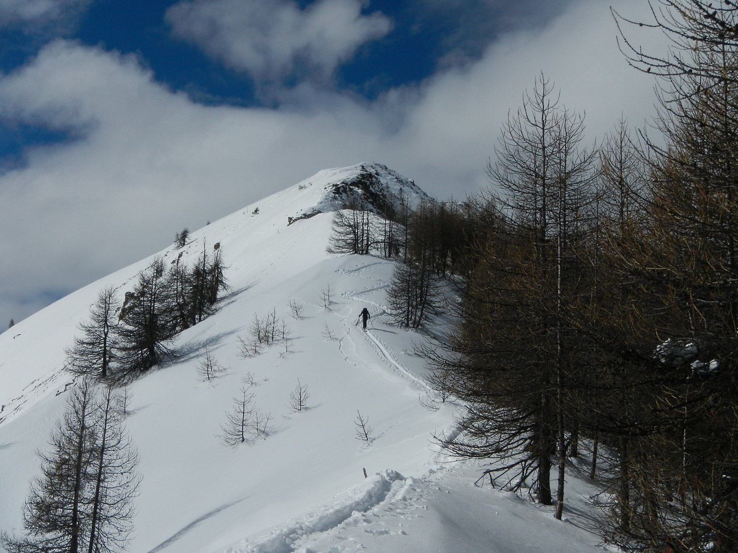
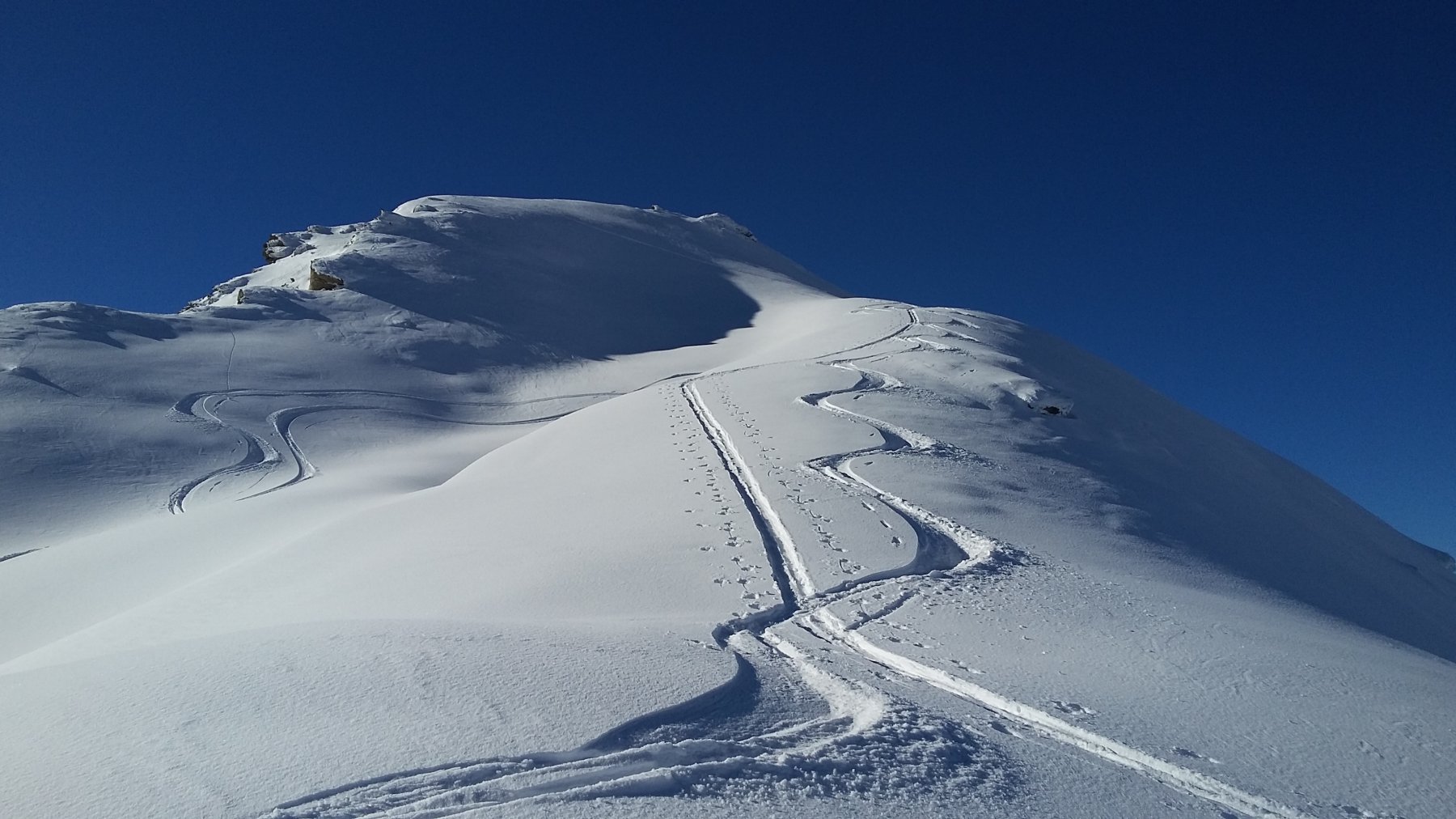
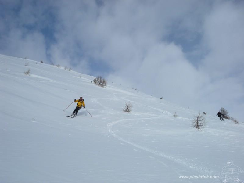
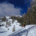
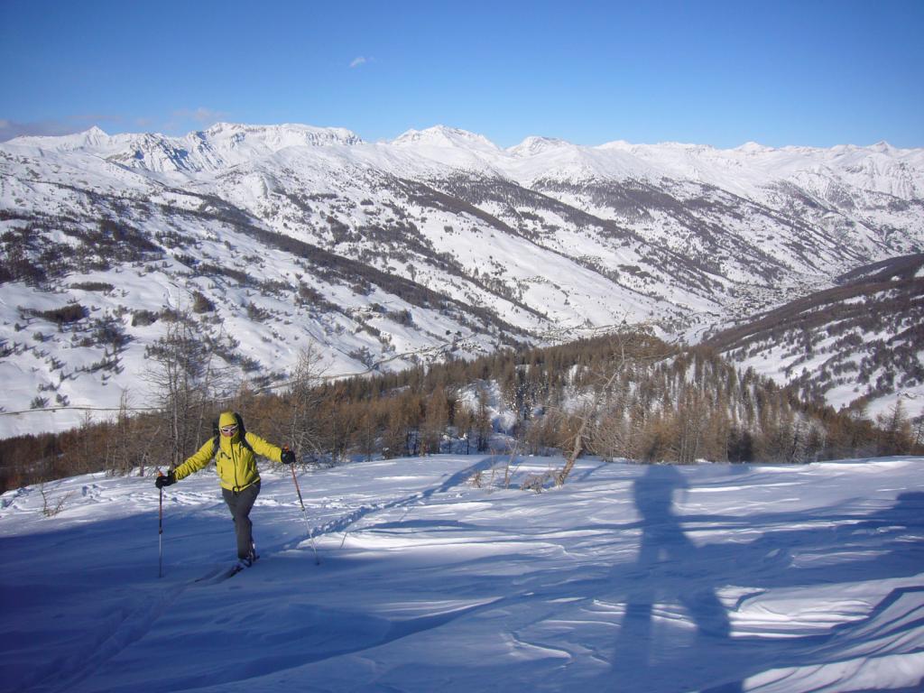
Piacevole itinerario invernale privo di pericoli; dalla cima panorama notevole
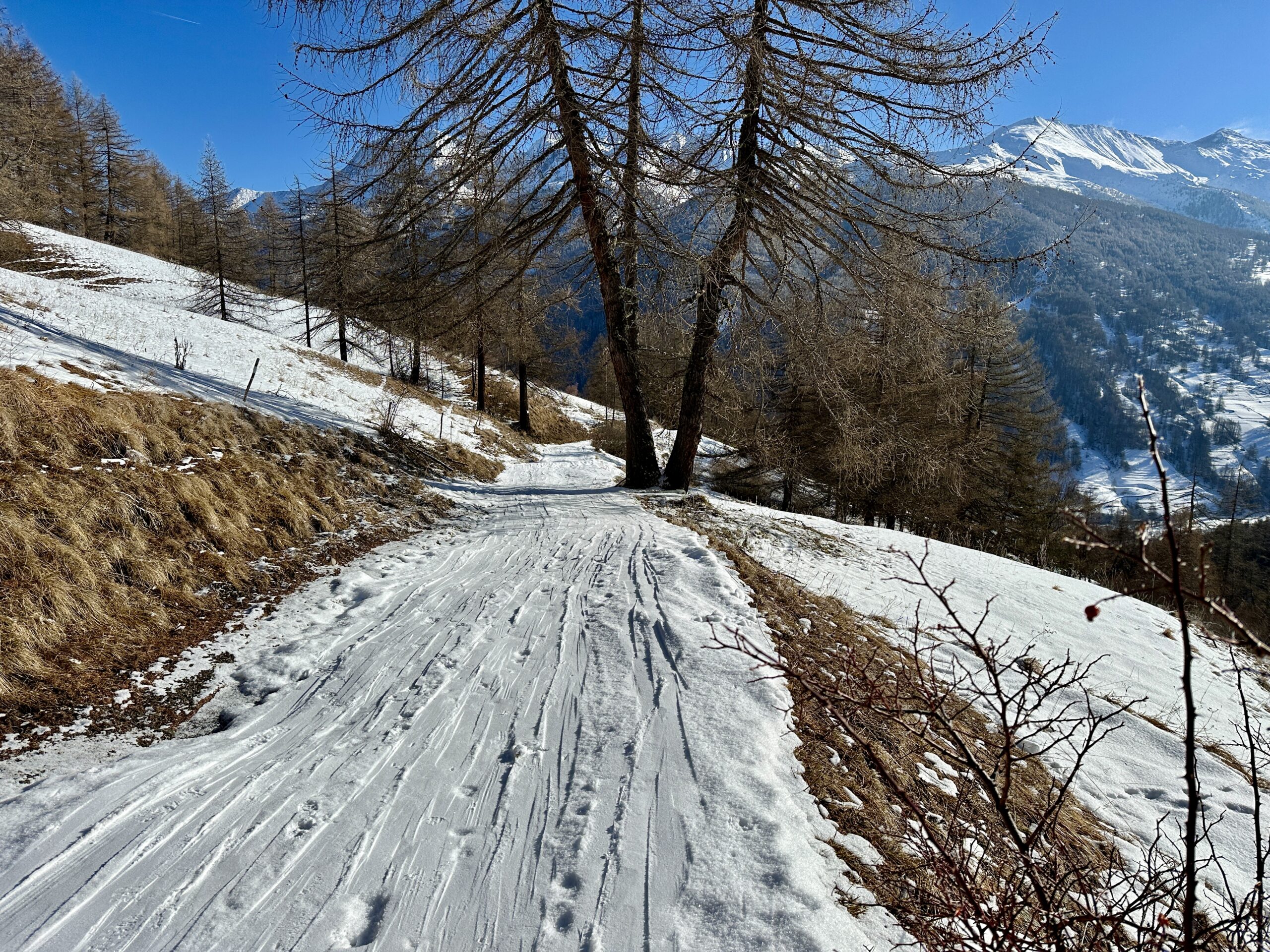
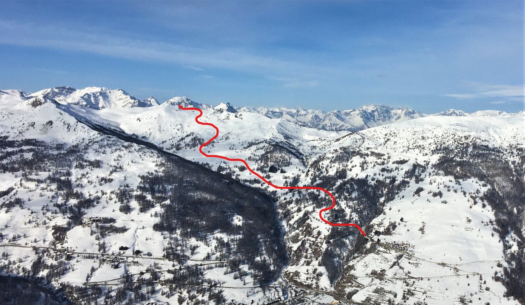
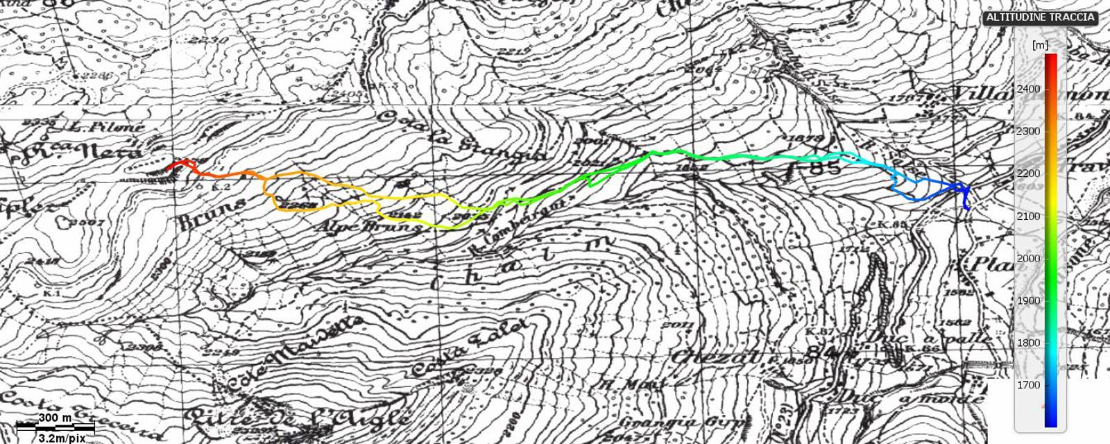
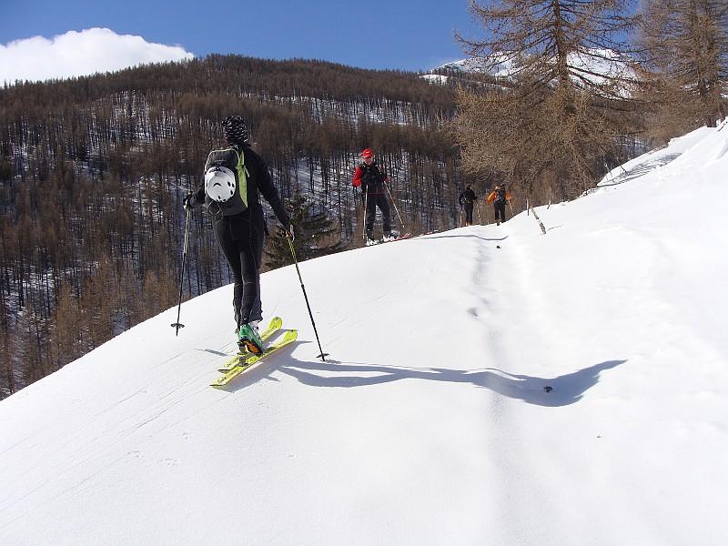
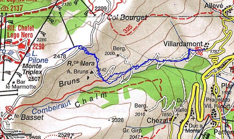
Avvicinamento
.
Descrizione
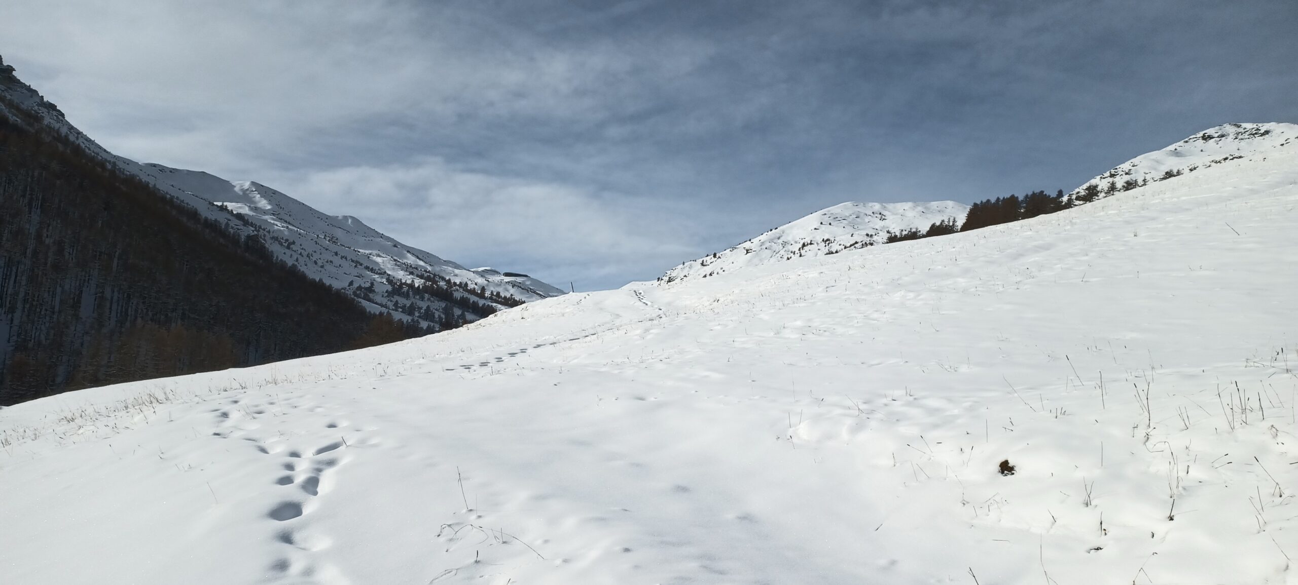
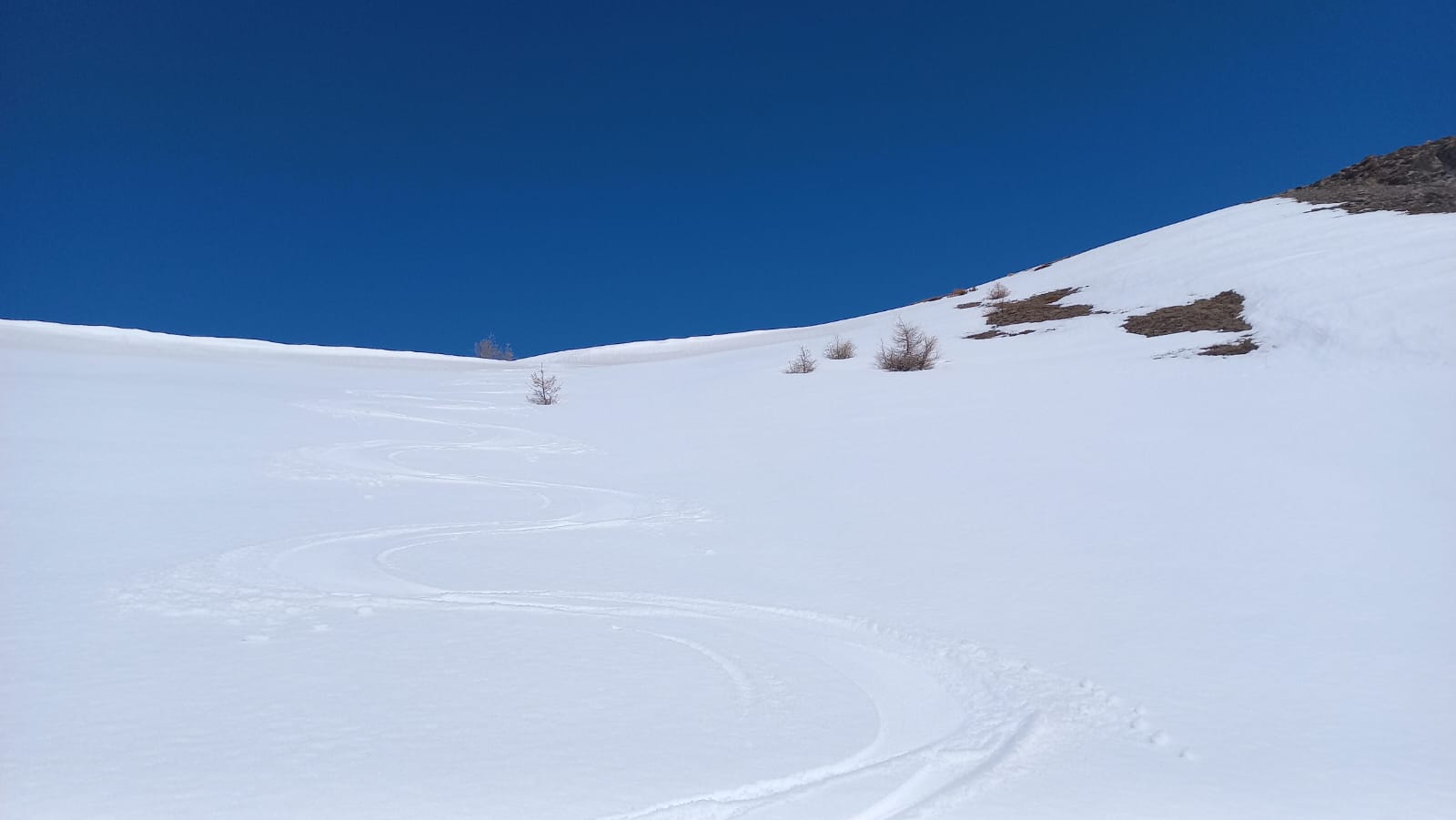
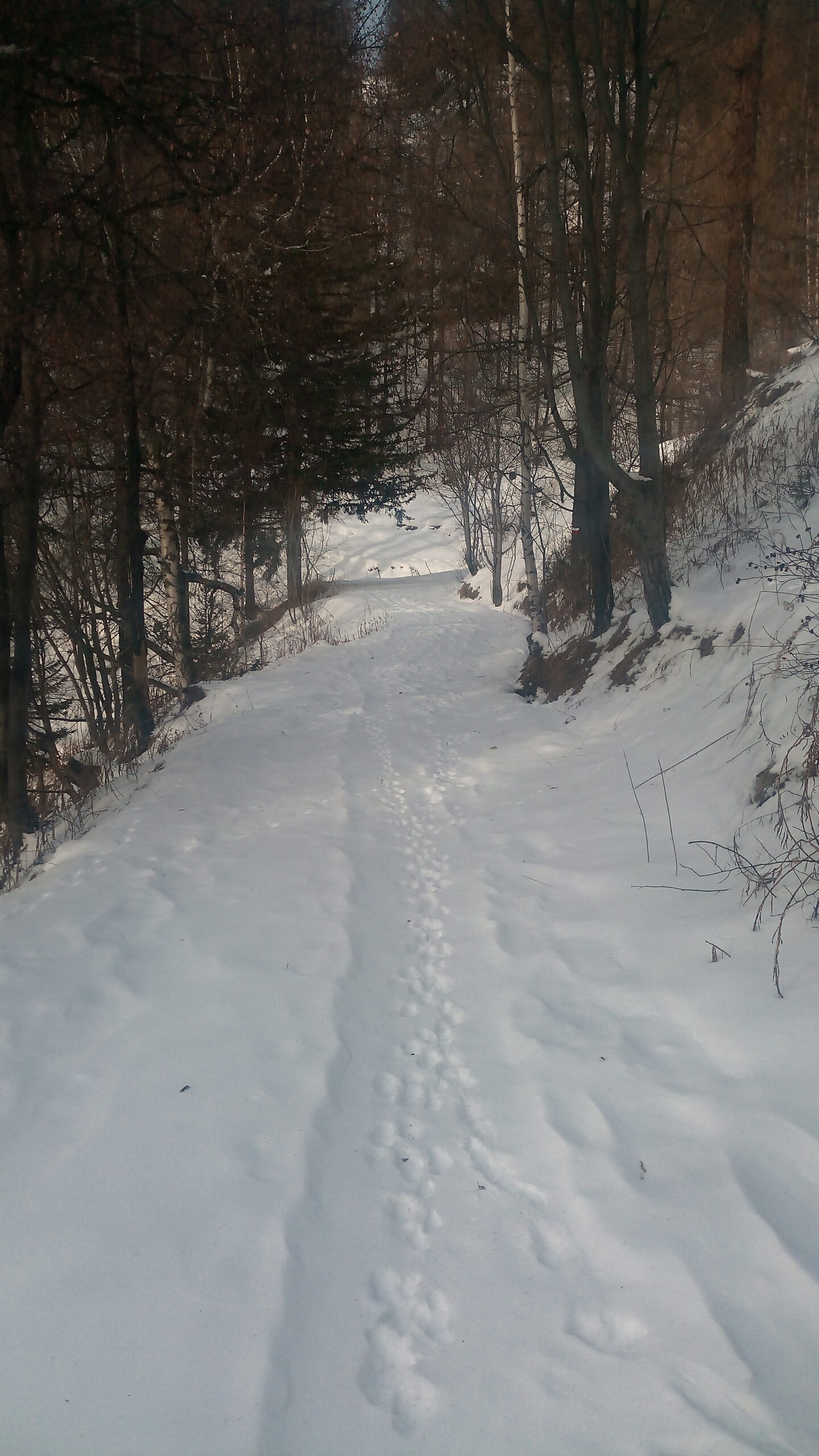
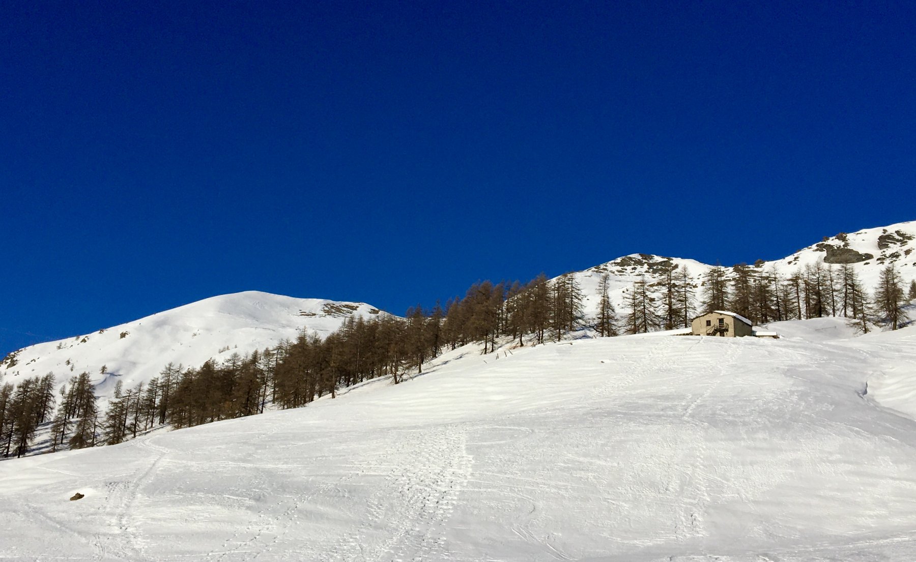
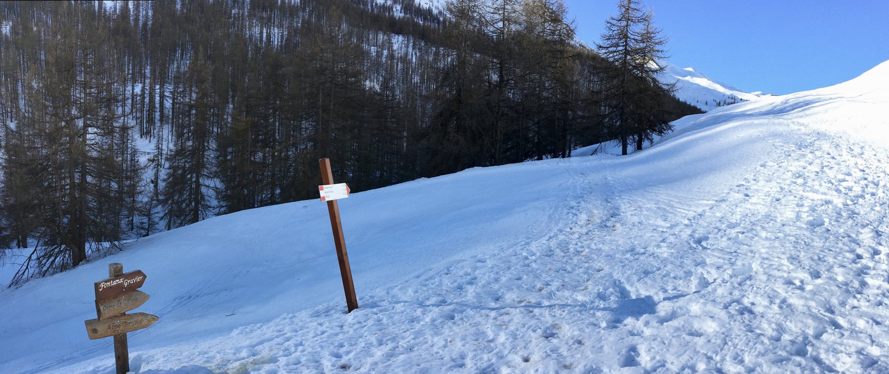
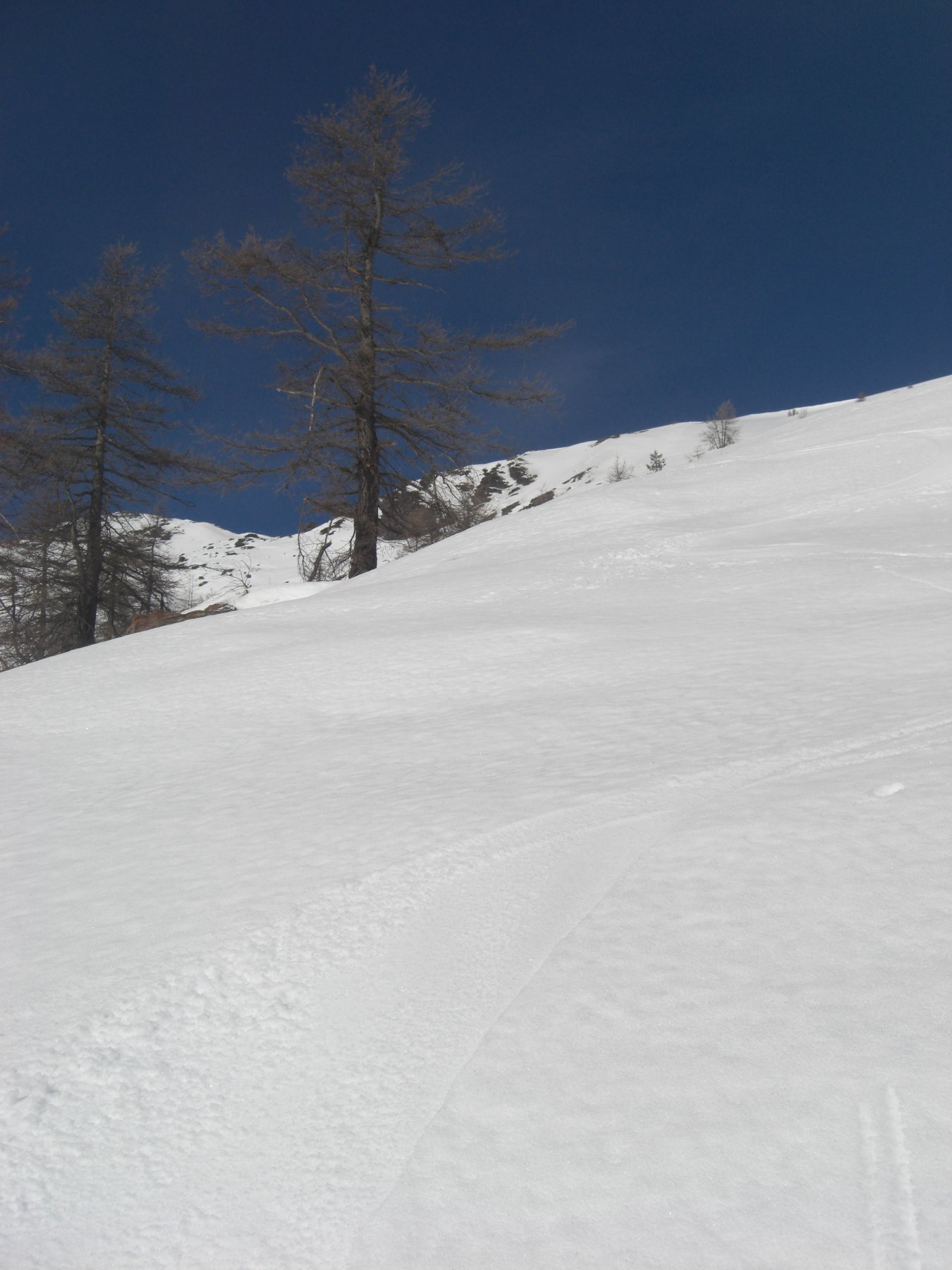
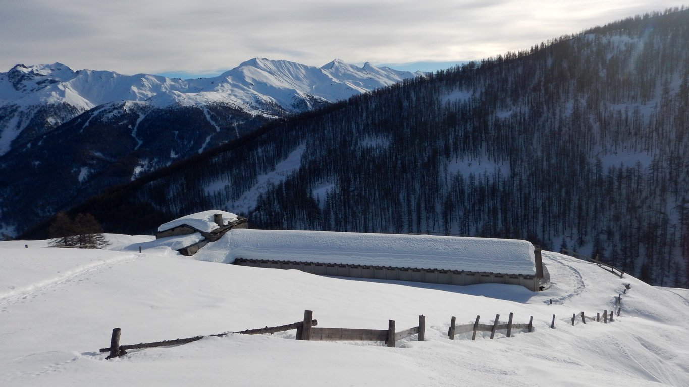
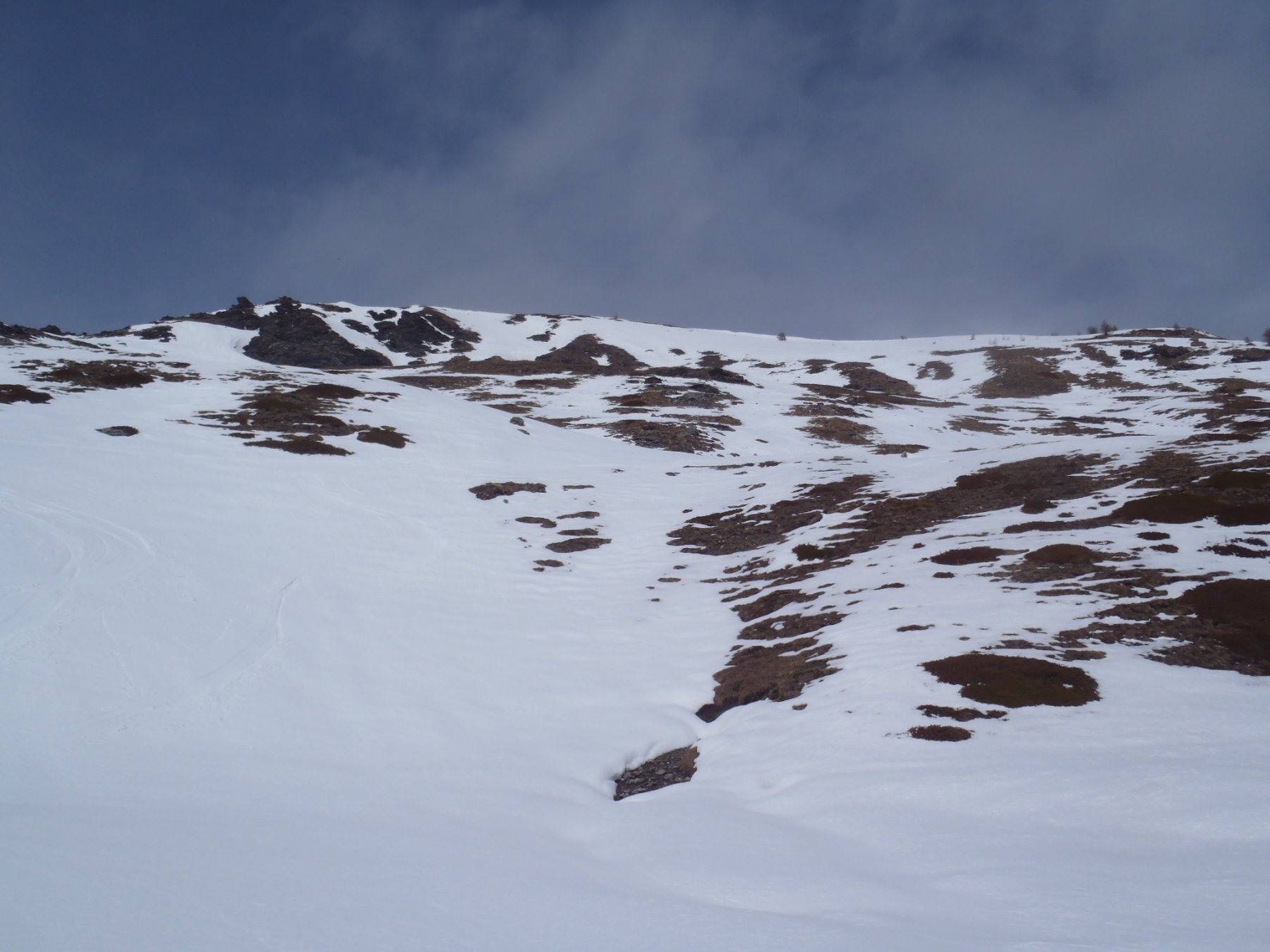
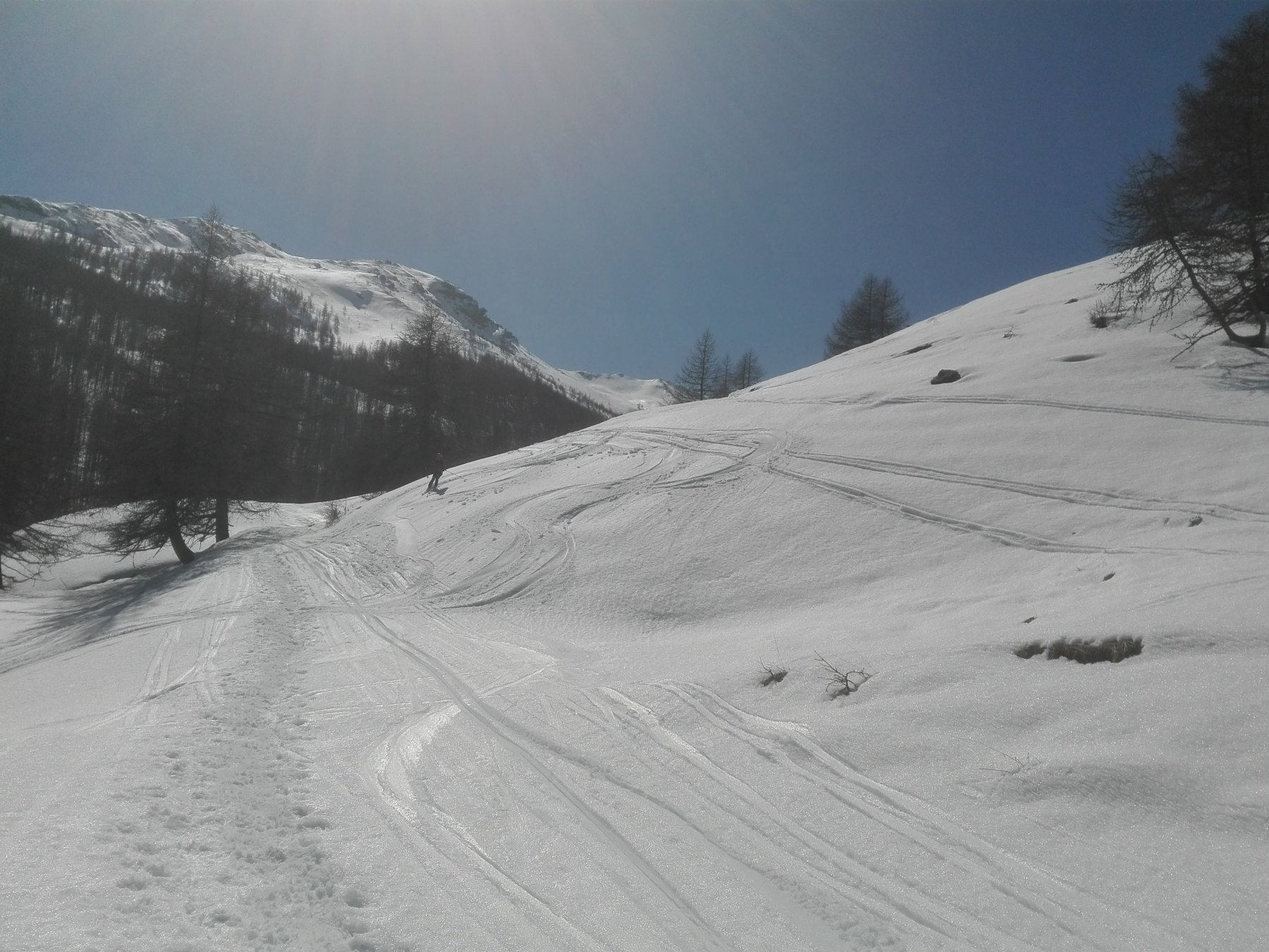
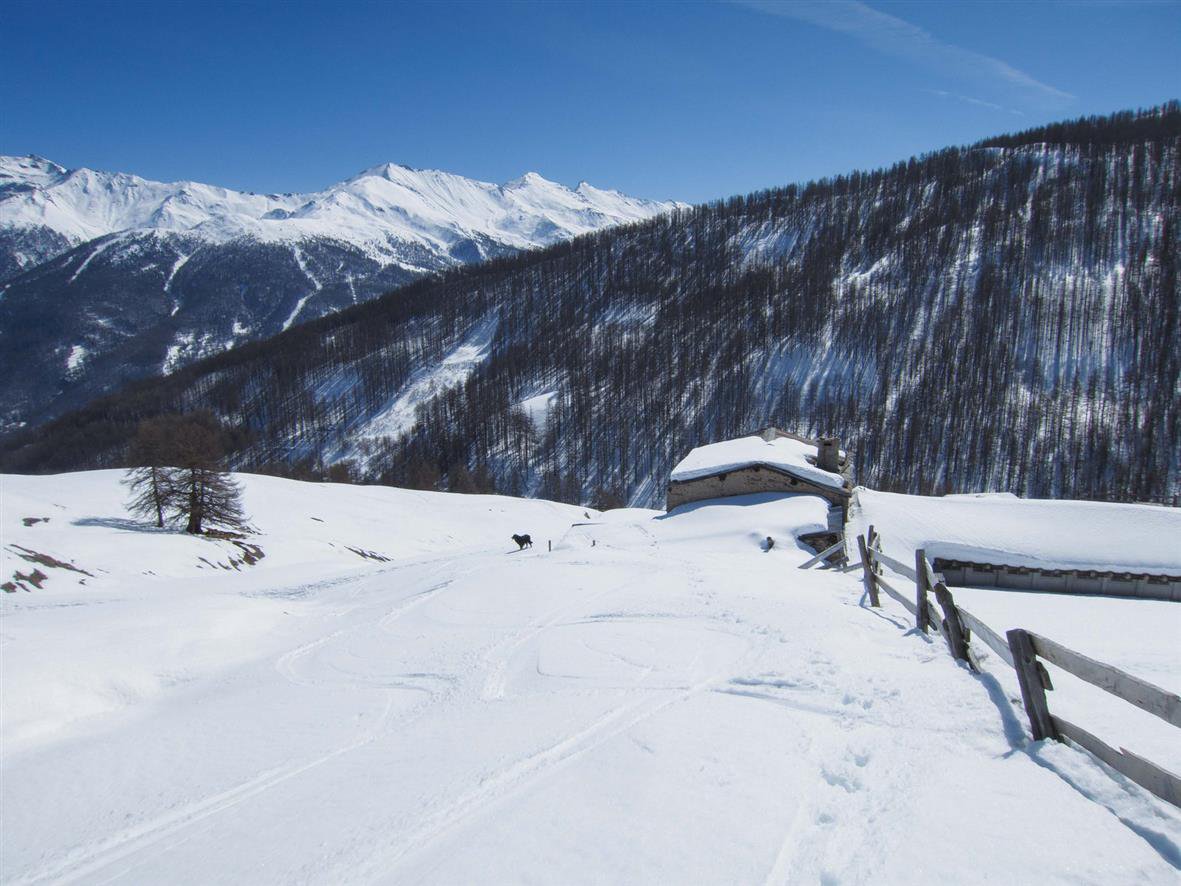
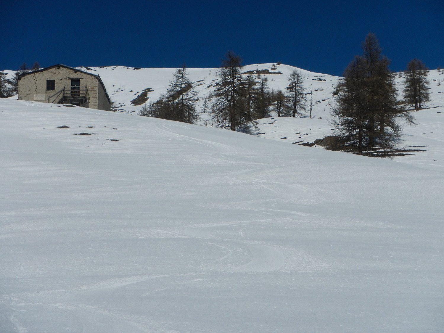
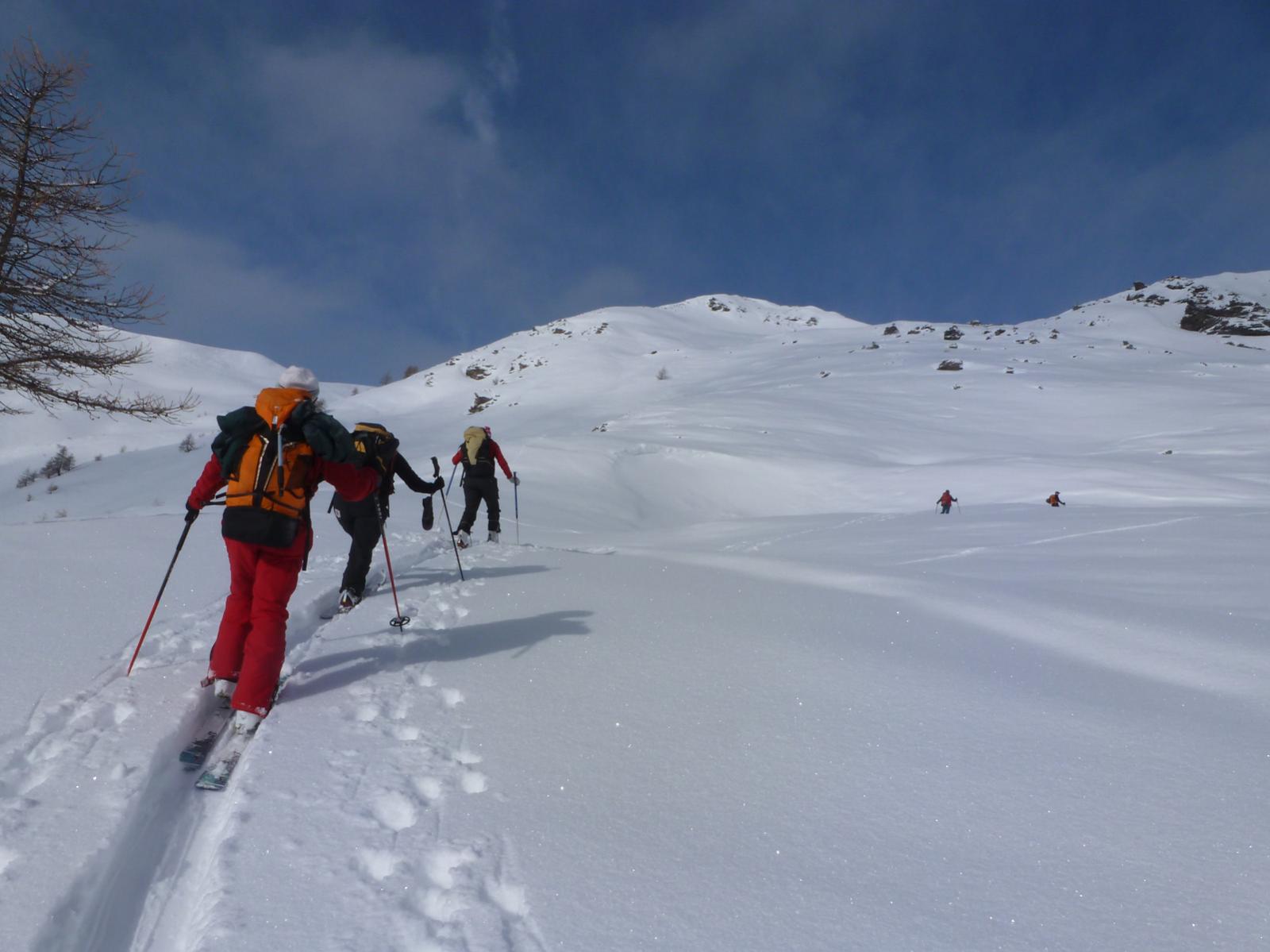
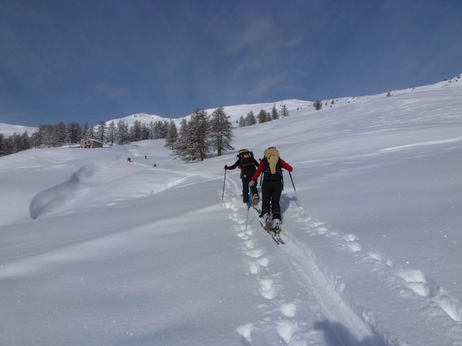
Da Villardamond seguire la stradina innevata che termina all’Alpe Bruns 2142 e risalire gli ampi pendii esposti a Sud sino in vetta
- Cartografia:
- IGC Valli di Susa Chisone e Germanasca
Nelle vicinanze Mappa
Itinerari
21/03/2026 TO, Pragelato D+ 750 m MS Nord-Est
Aigle (Pitre de l’) da Villardamond
 0m
0m
02/02/2026 TO, Pragelato D+ 750 m MS Nord-Est
Treceira (Costa) da Villardamond
 50m
50m
28/12/2022 TO, Pragelato D+ 760 m BS Sud
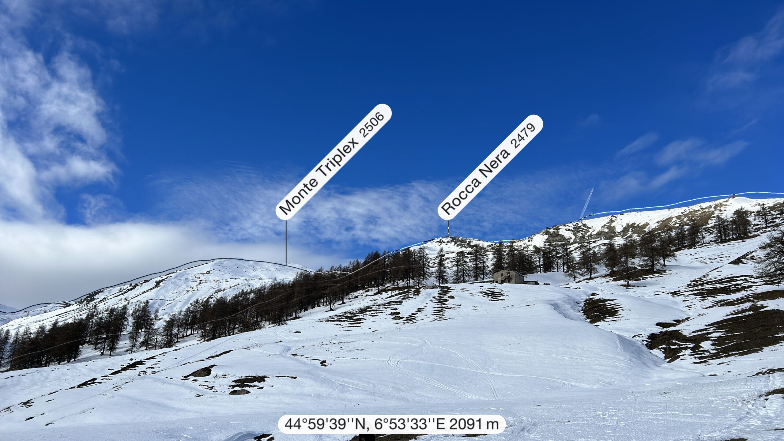
Triplex (Monte) da Villardamond per il versante sud
 50m
50m
27/12/2025 TO, Pragelato D+ 915 m BS Sud-Est
Aigle (Pitre de l’) da Traverses per la Costa Zalet
 450m
450m
26/01/2026 TO, Pragelato D+ 926 m MS Nord-Est
Aigle (Pitre de l’) da Traverses
 450m
450m
25/02/2026 TO, Pragelato D+ 720 m MS Sud-Est
Moncrons (Punta di) da Allevé
 800m
800m
24/01/2026 TO, Pragelato D+ 1166 m BS Sud-Est
Genevris (Monte) e Punta di Moncrons da Granges, anello
 1.7Km
1.7Km
15/02/2026 TO, Pragelato D+ 932 m MS Sud-Est
Moncrons (Punta di) da Granges
 1.7Km
1.7Km
24/01/2026 TO, Pragelato D+ 1214 m BS Nord-Est
Banchetta (Monte) dalla Val Troncea per Serre Bail e Costa Miandetta
 2.2Km
2.2Km
21/01/2017 TO, Pragelato D+ 1500 m OS Tutte
Gran Miuls (Monte) da Pattemouche per il Monte Morefreddo
2.2Km
Servizi
900m
900m
Al Mulino Ristorante
Pragelato
2.6Km
Mulino di Laval Rifugio
Pragelato
3Km
Casa degli Escartons Alex Berton B&B
Pragelato
3.1Km
Casa Alpina Rifugio
Pragelato
3.1Km
Passet Ristorante
Pragelato
3.5Km
Refugium – ex. Rif. Belotte Rifugio
Pragelato
4.3Km
L’itialette Ristorante
Pragelato
5.9Km
1898 Ristorante
Soucheres-basses
6.5Km