3.1Km
3.1Km

Note
Storico
 50m
50m
50m
50m
50m
50m
50m
50m
1.6Km
50m
50m
50m
50m
50m
50m
50m
50m
1.6Km
3.1Km
4.3Km
4.4Km
5.3Km
6.3Km
6.5Km
7.1Km
7.1Km
7.3Km
7.4Km
Bellissimo itinerario che offre diverse possibilita' di rientro, e punta molto panoramica per la sua posizione centrale.
Avvicinamento
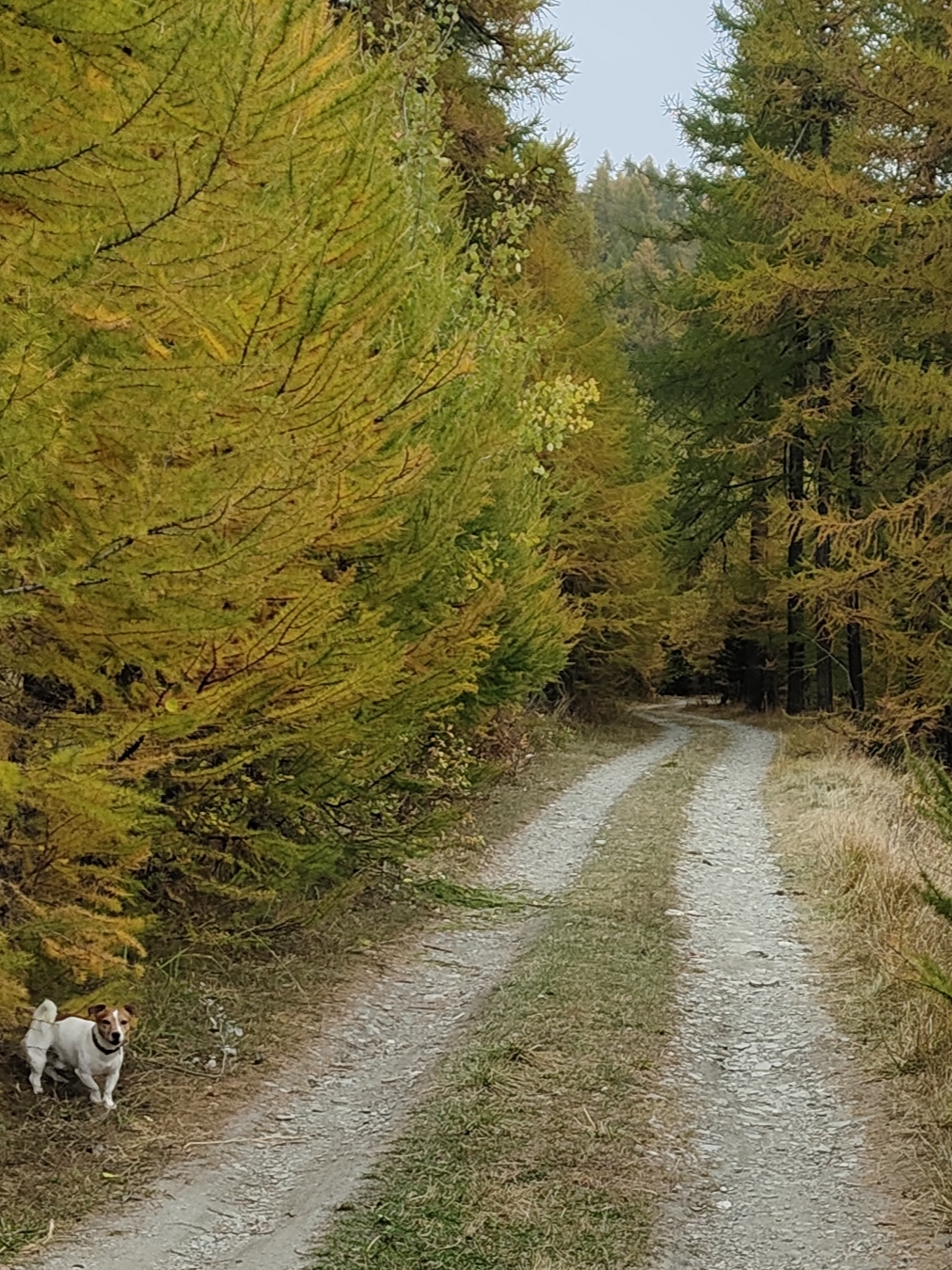
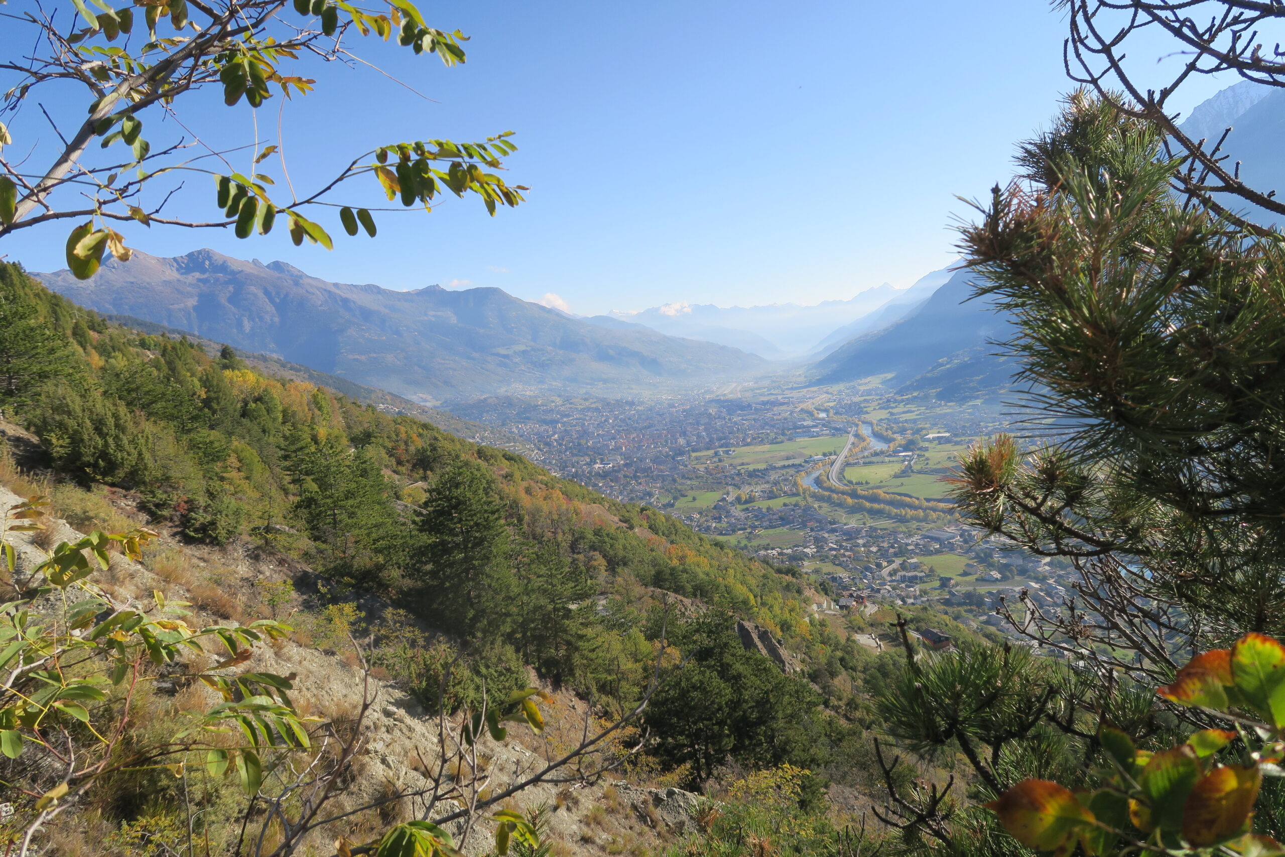
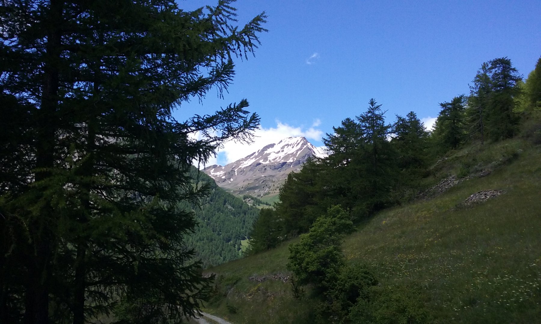
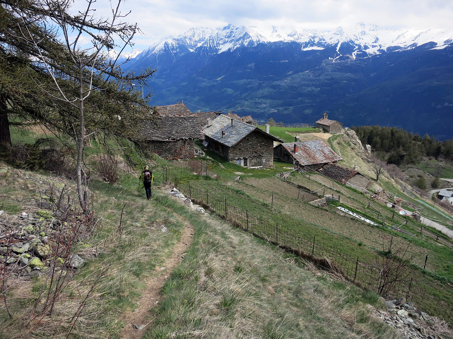
Da Aosta salire a Thouraz passando da Apuilles e lungo la strada dei Salassi; Tornati al bivio con il cartello di divieto d'accesso, lasciare l'auto e proseguire per lo sterrato finche' a destra alcuni segni gialli guidano sul sentiero.
Descrizione
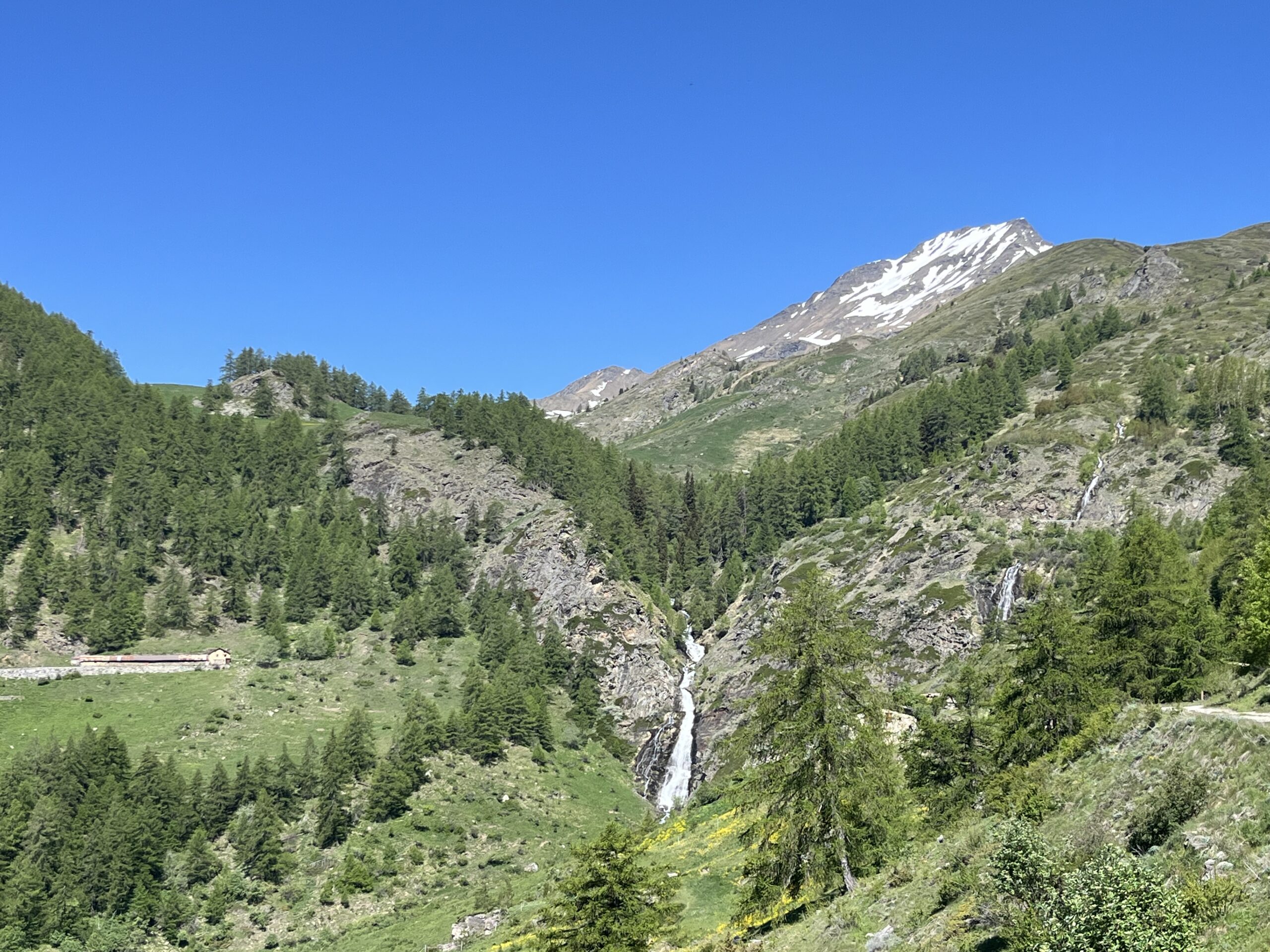
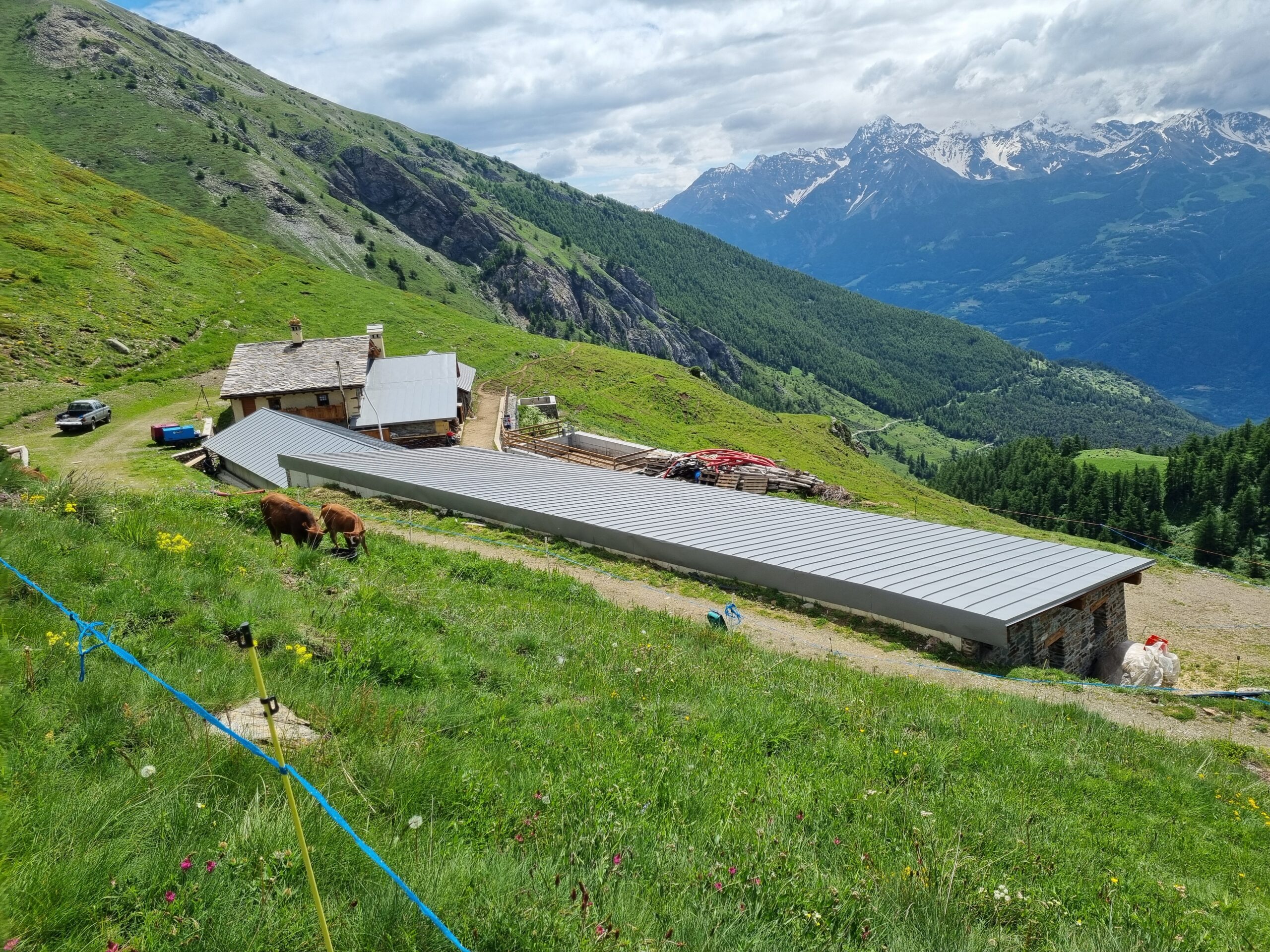
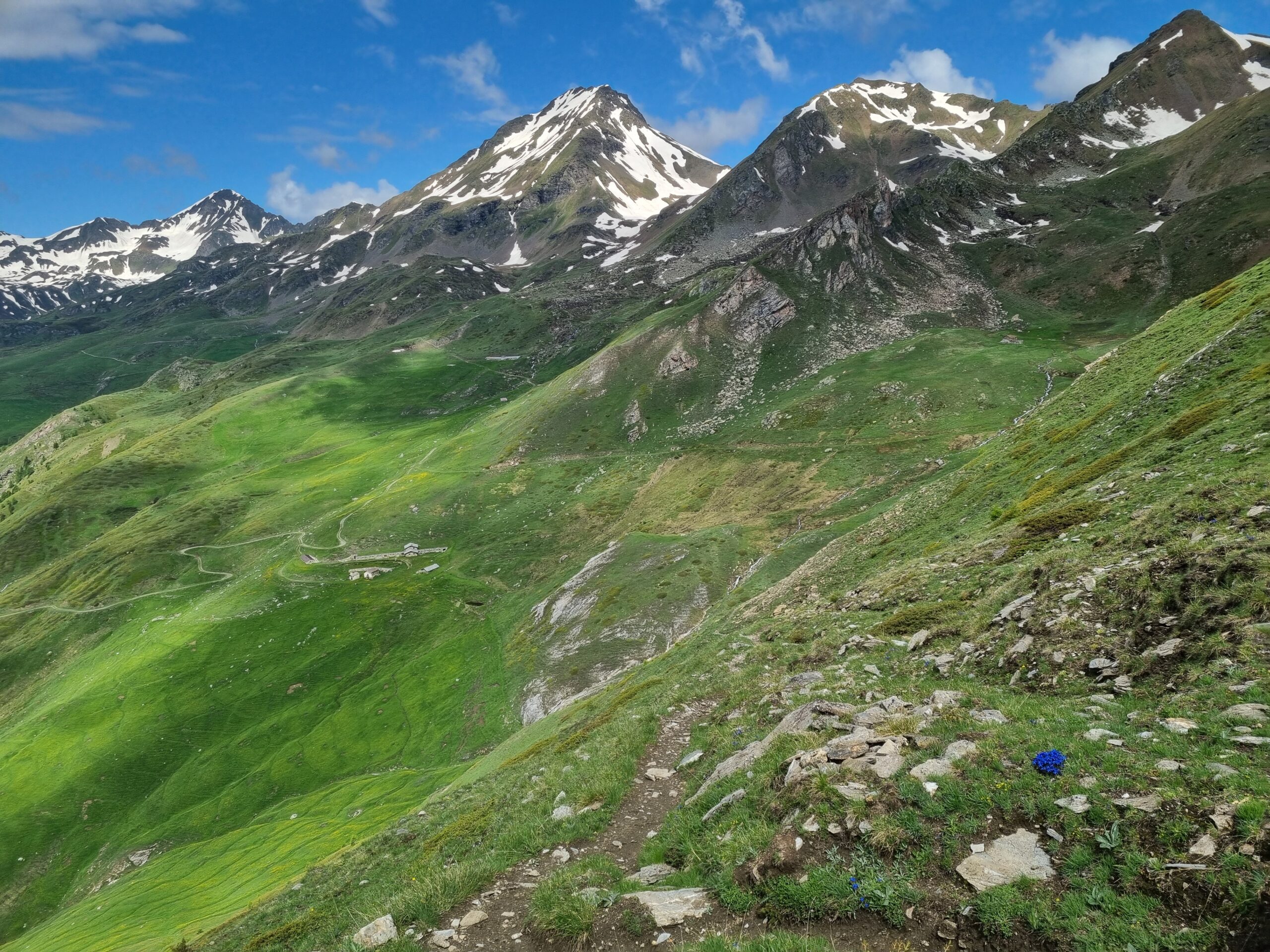
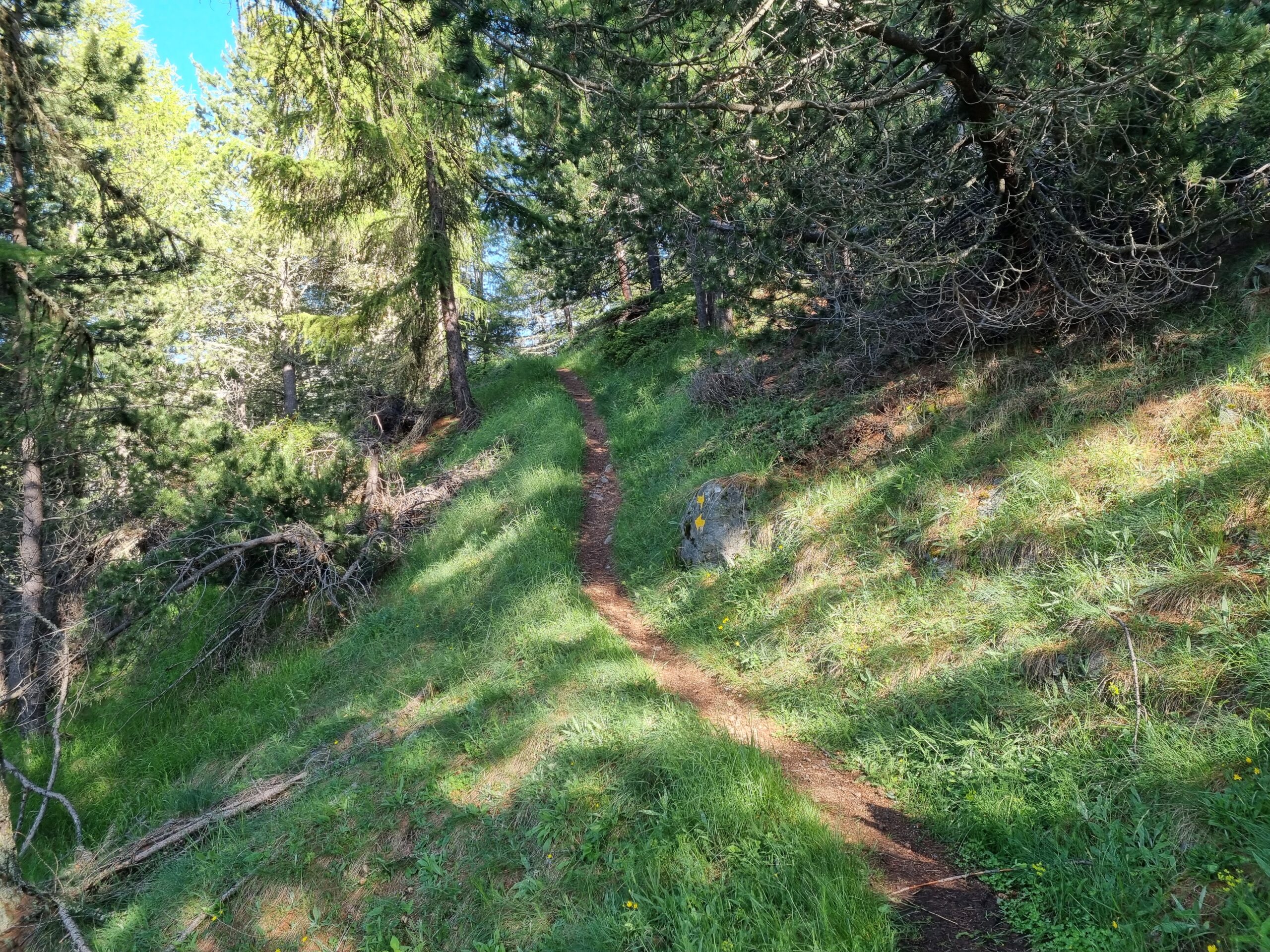
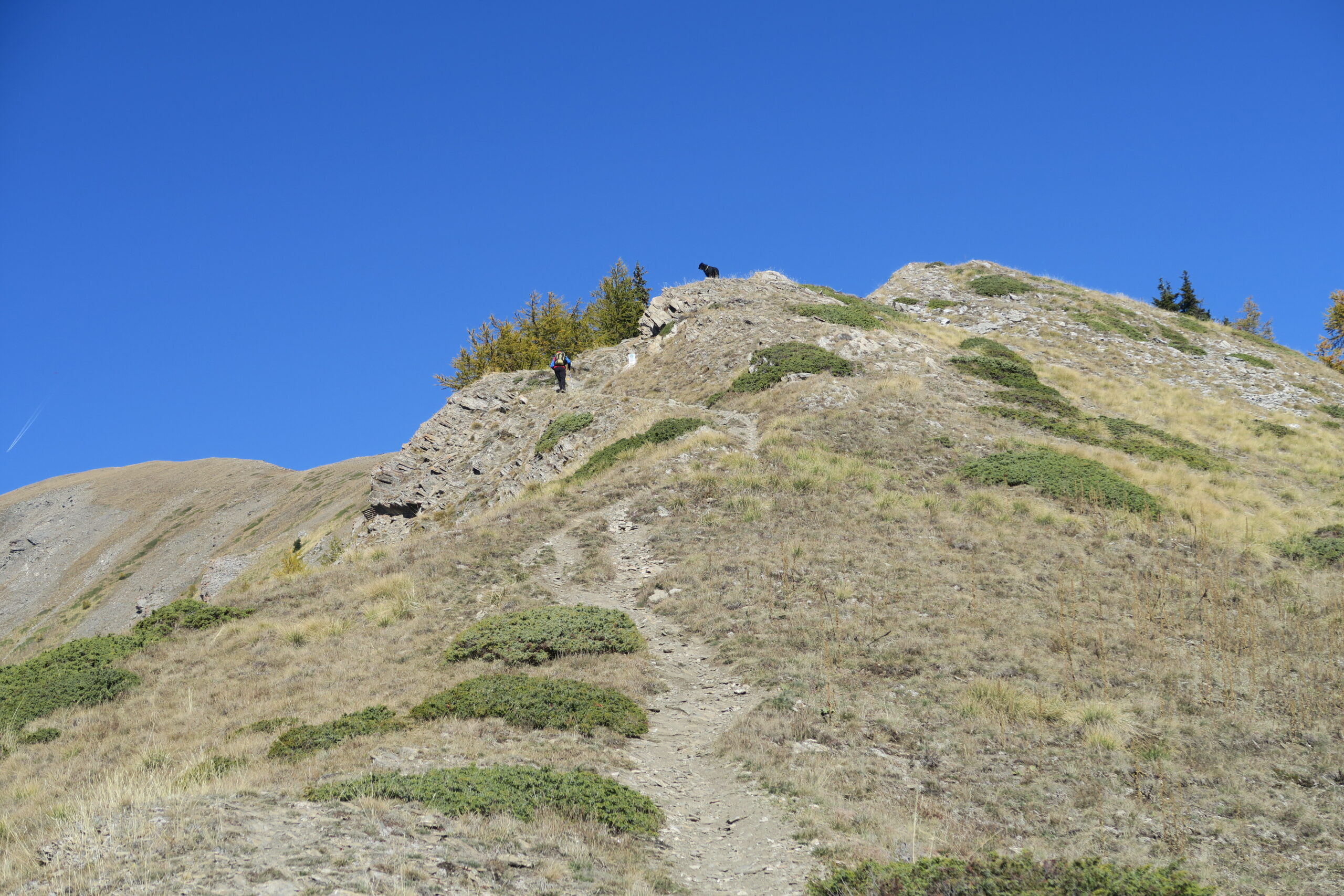
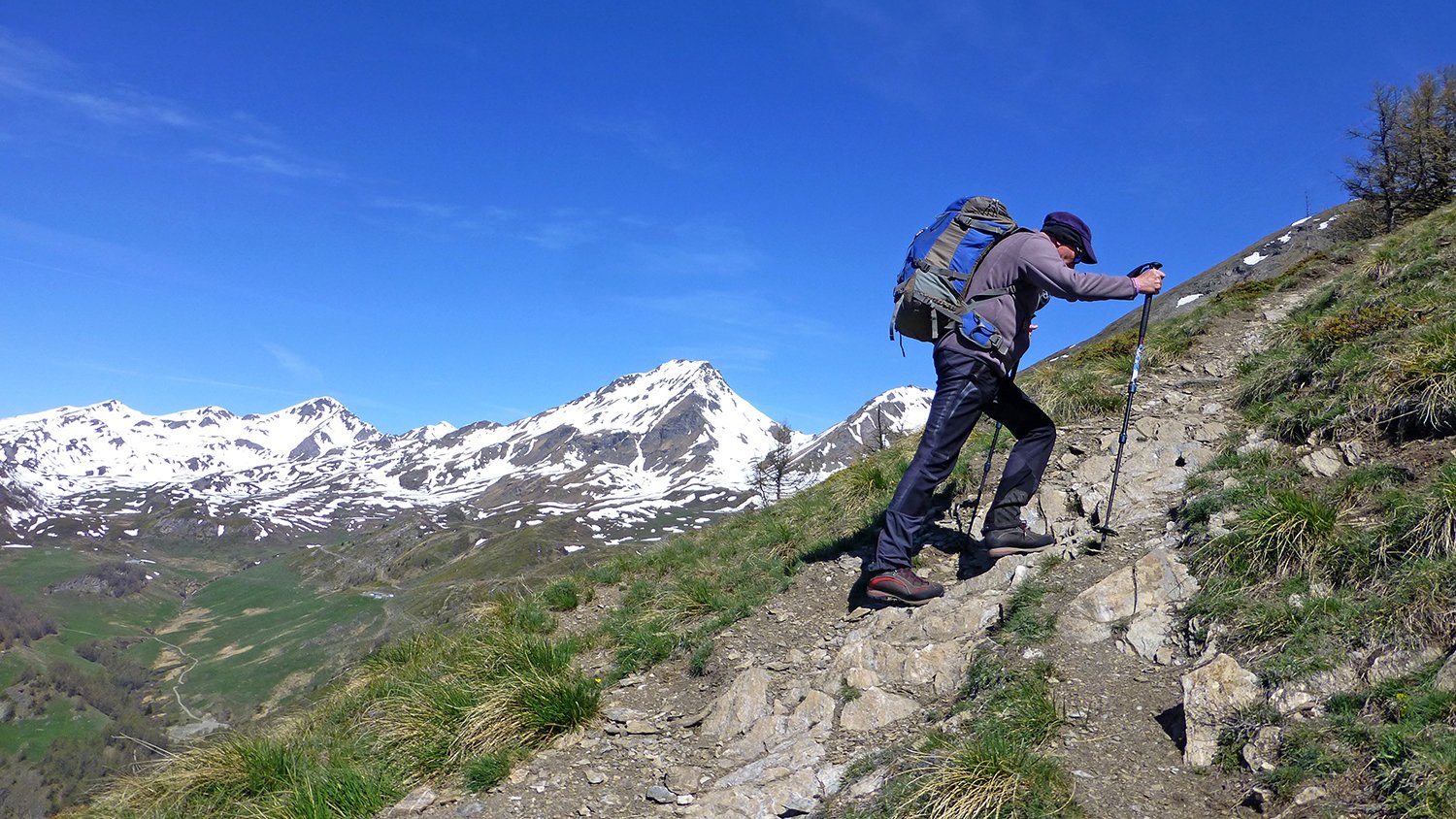
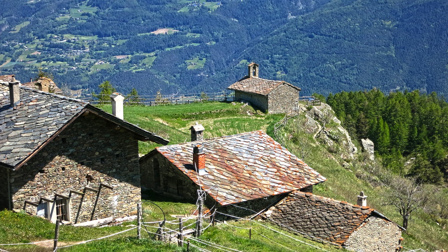
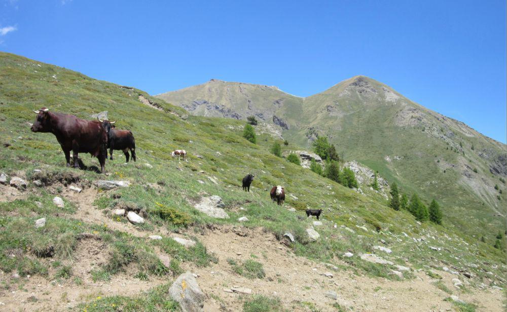
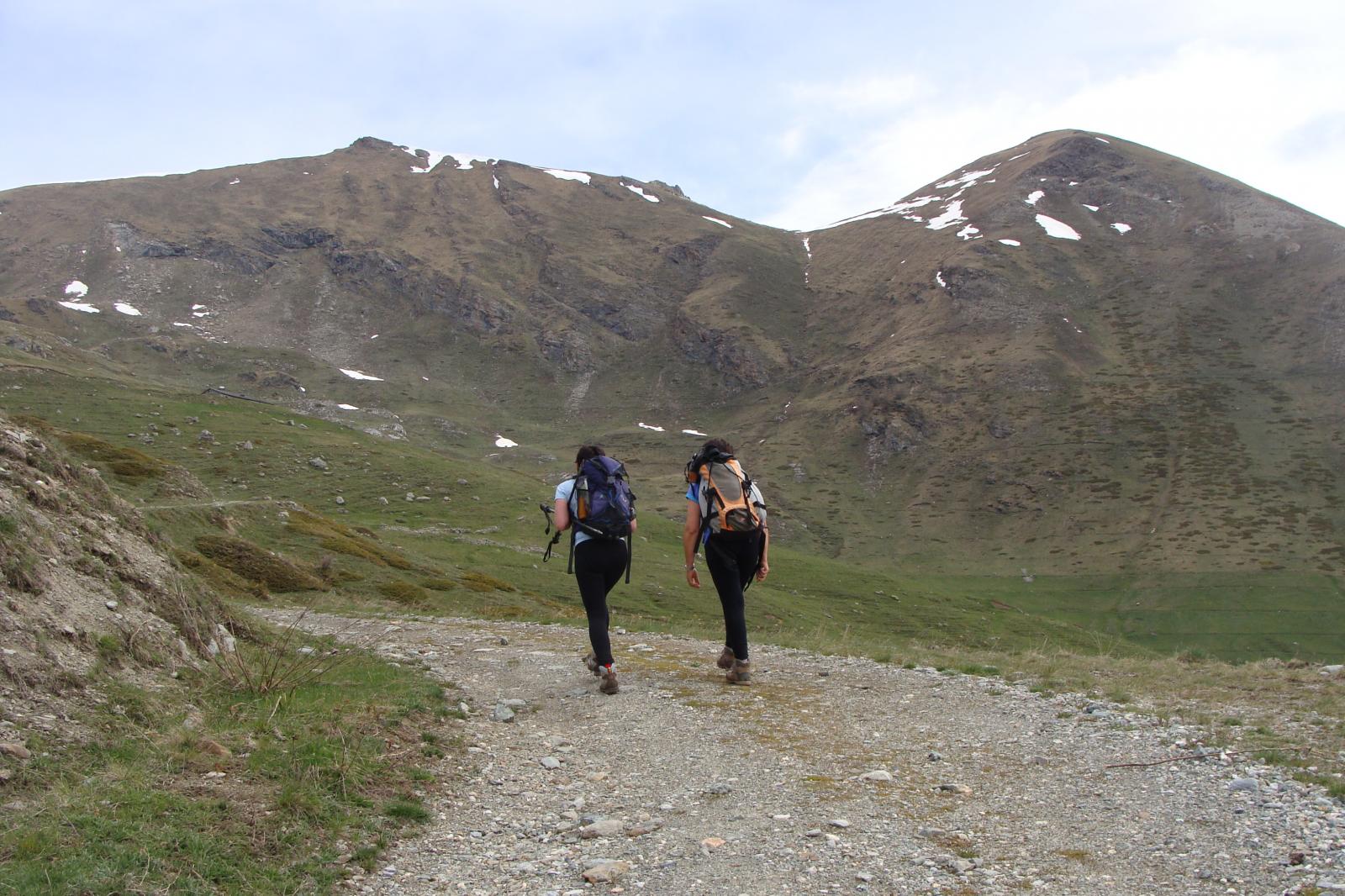
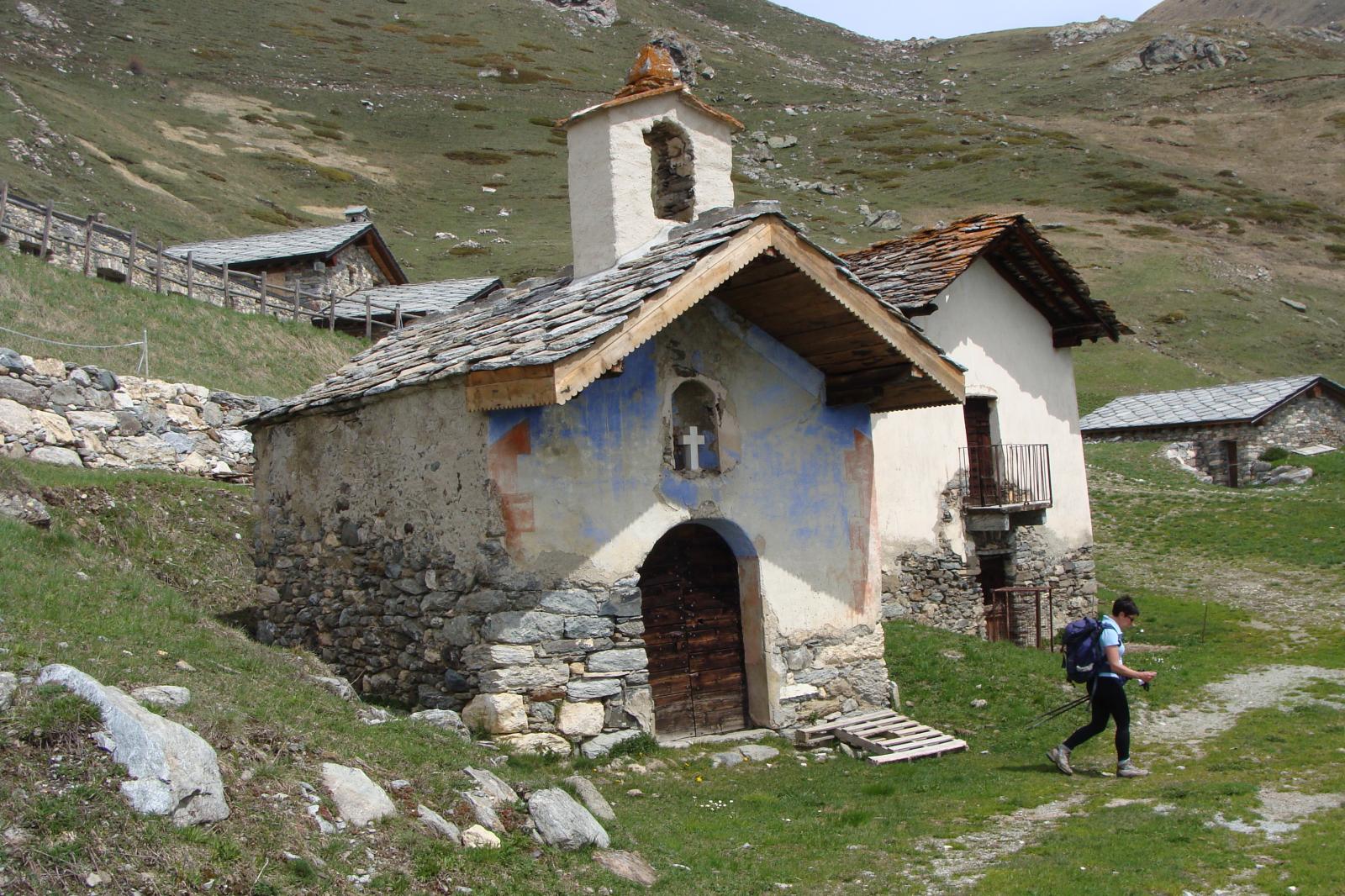
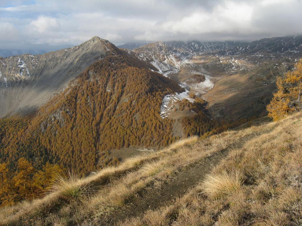
Il segnavia e’ l’8B, che attraversa prima il bosco e poi i pascoli fino all’alpeggio Morgnoz, m. 2057; seguire lo sterrato a destra e passare davanti a quelli che erano gli splendidi alpeggi e chiesina di Chesere; c’e’ ancora la cappellina, visitabile, ma al posto dei vecchi alpeggi per ora c’e’ una colata di cemento e un enorme mucchio di pietre: stanno rifacendo gli alpeggi; anche l’allevamento in montagna ha le sue esigenze…Speriamo che rimettano tutto in ordine come prima….
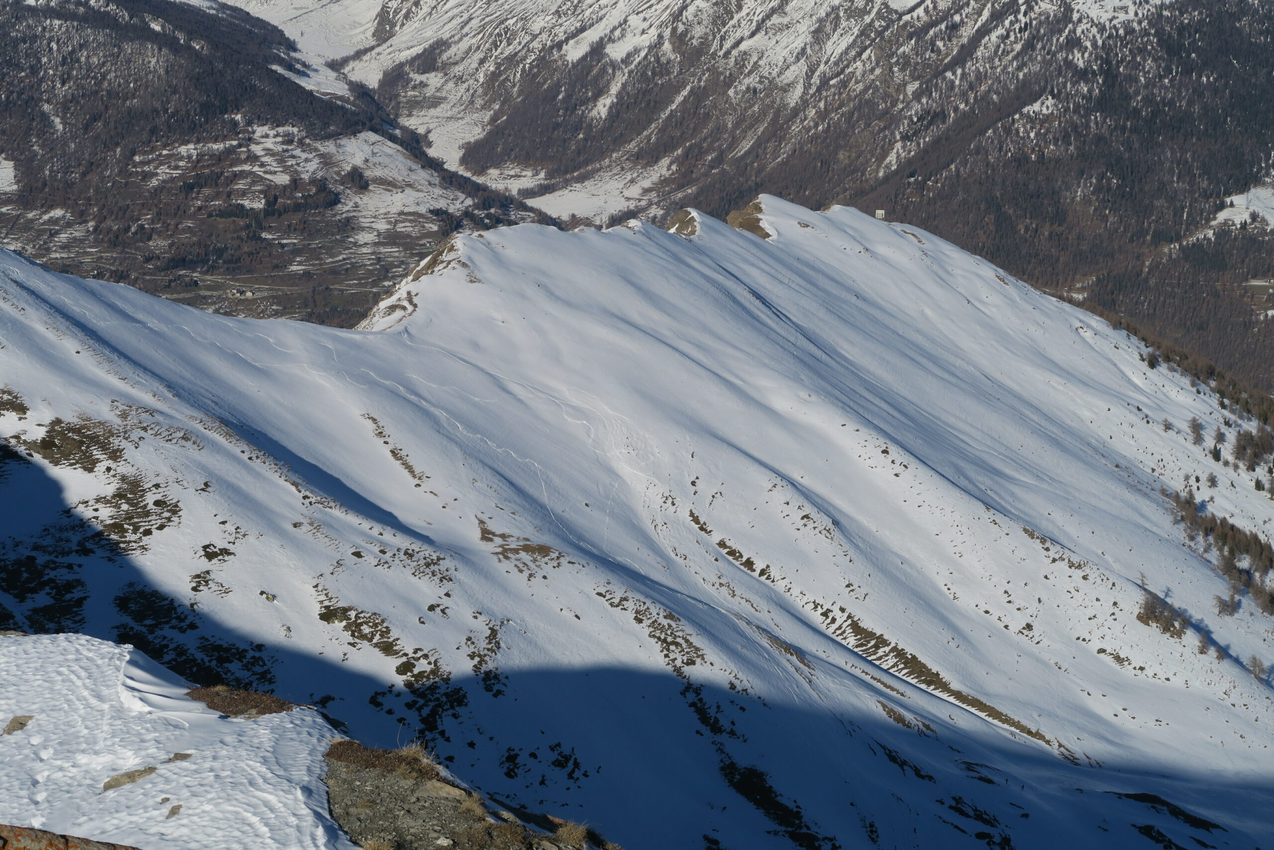
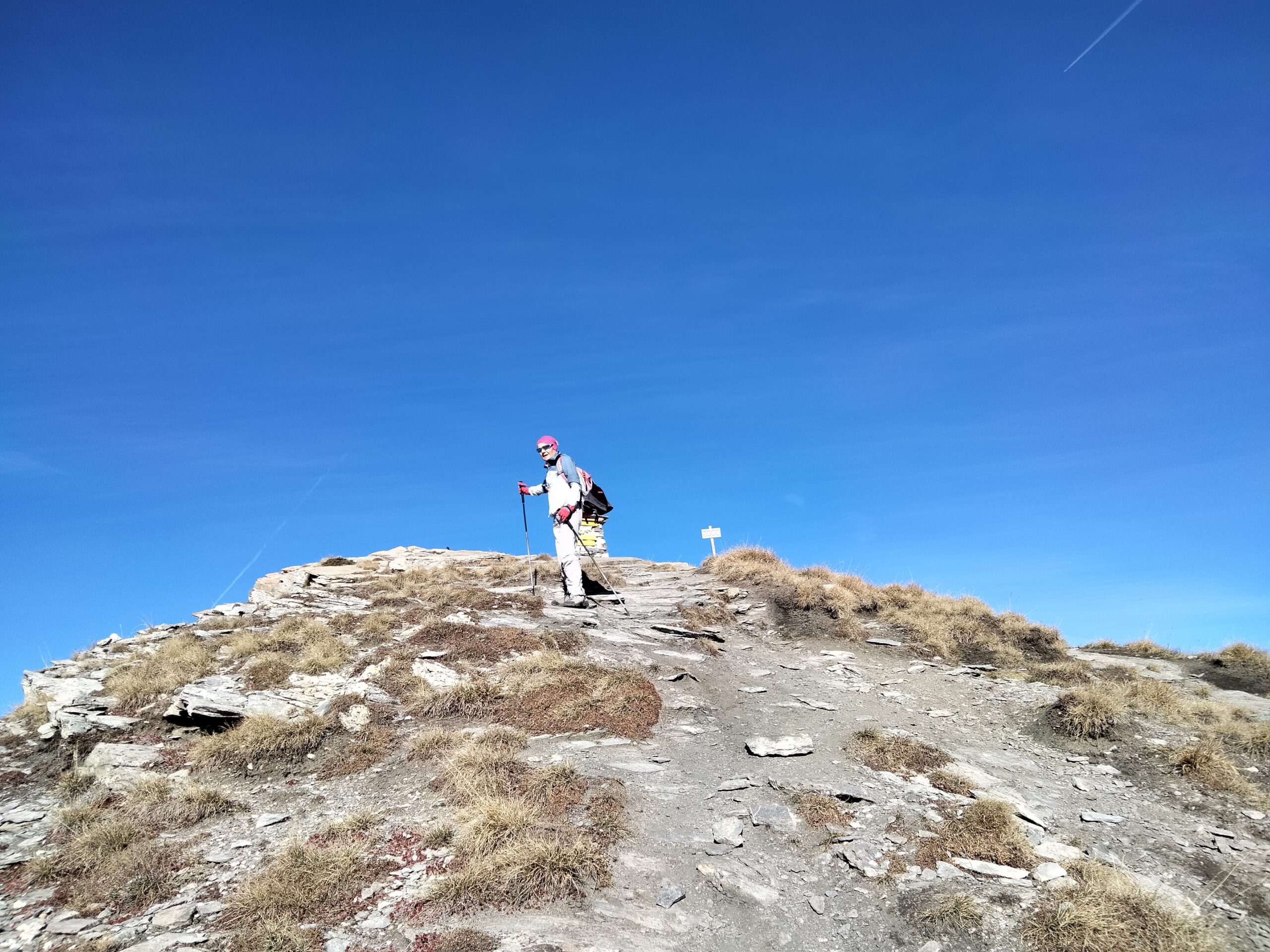
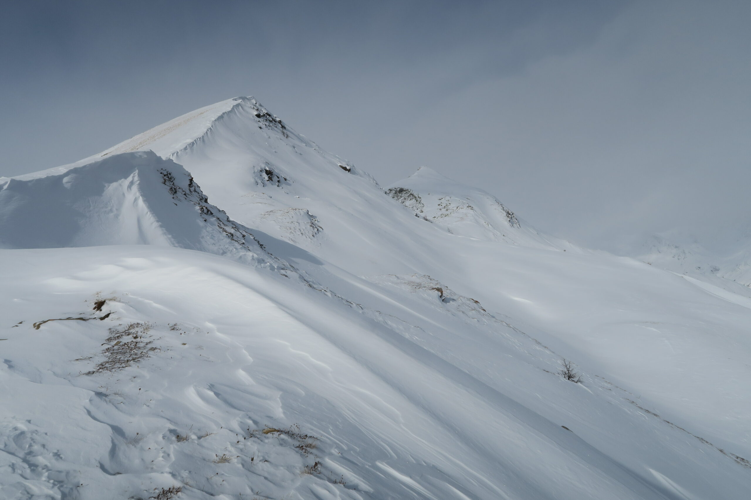
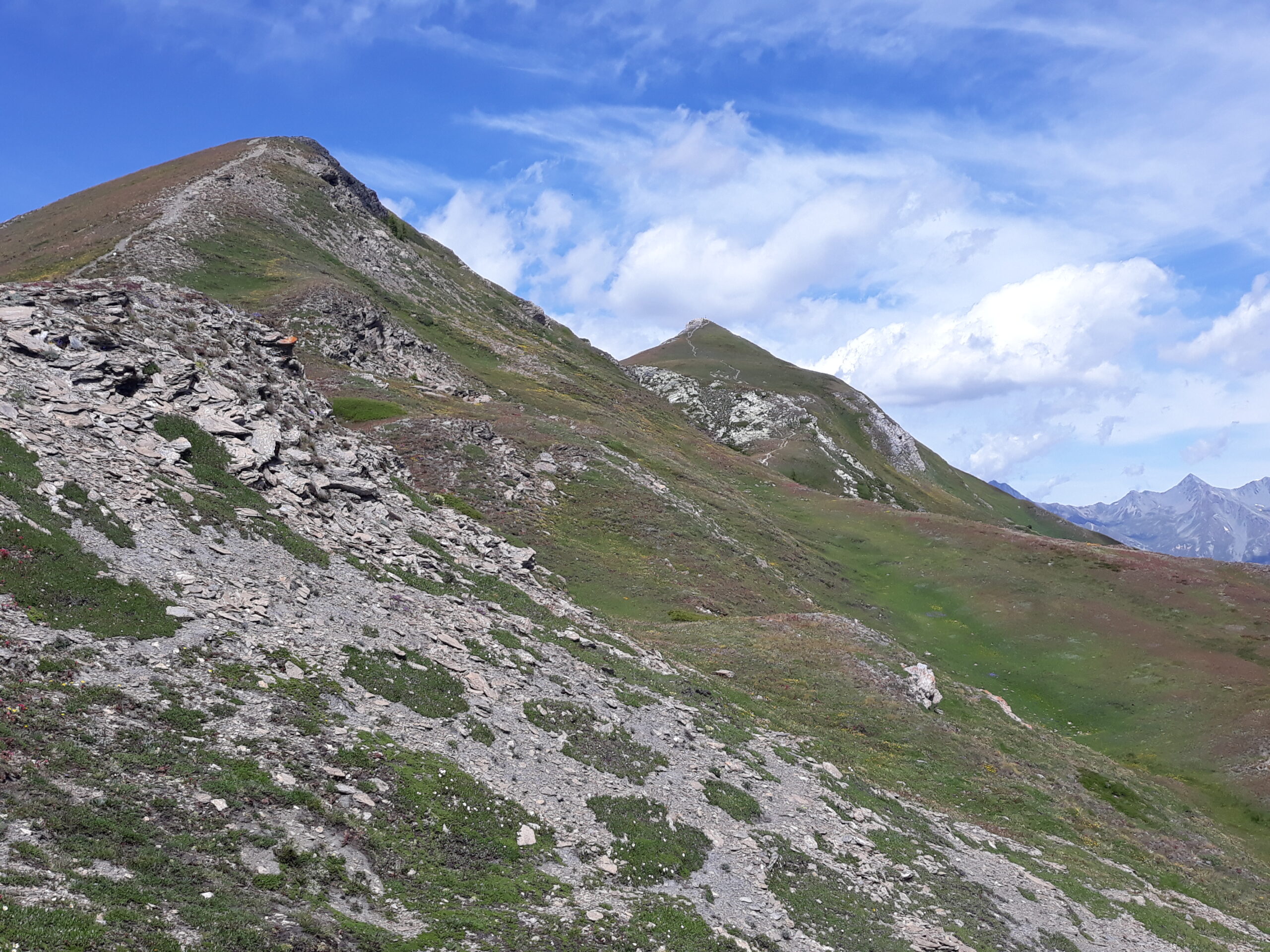
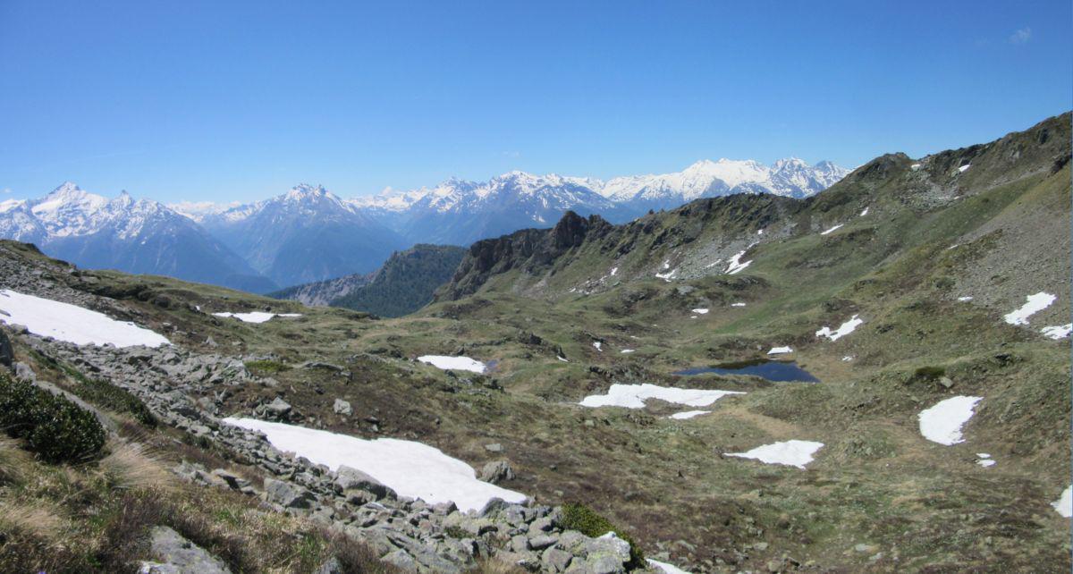
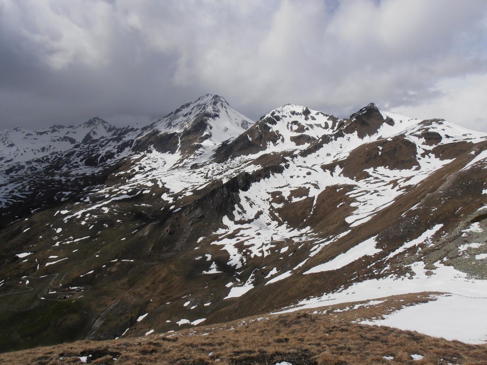
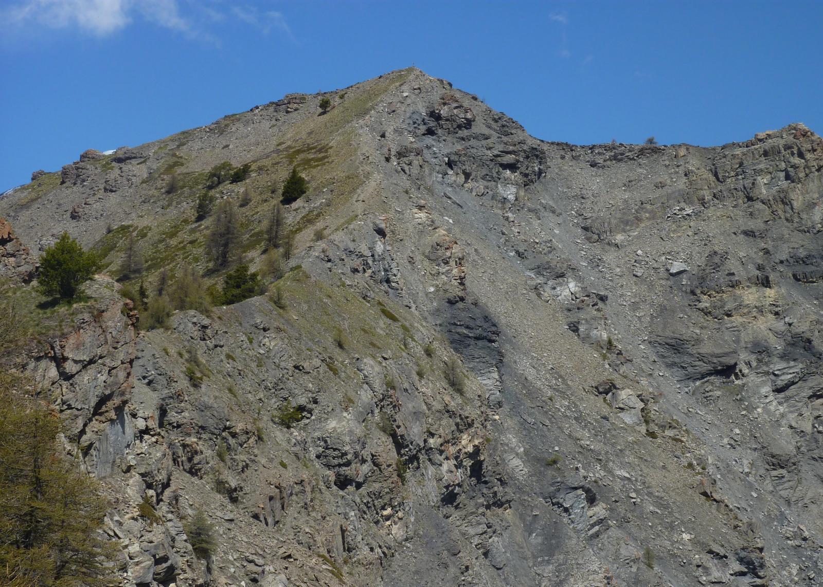
Passare davanti ai caseggiati, il sentiero per via dei lavori e’ sparito, ma c’e’ un pietrone enorme nel prato, con il segno giallo: basta puntarlo…Si sale e si attraversa verso il canale tra le due punte di Metz e di Chaligne.
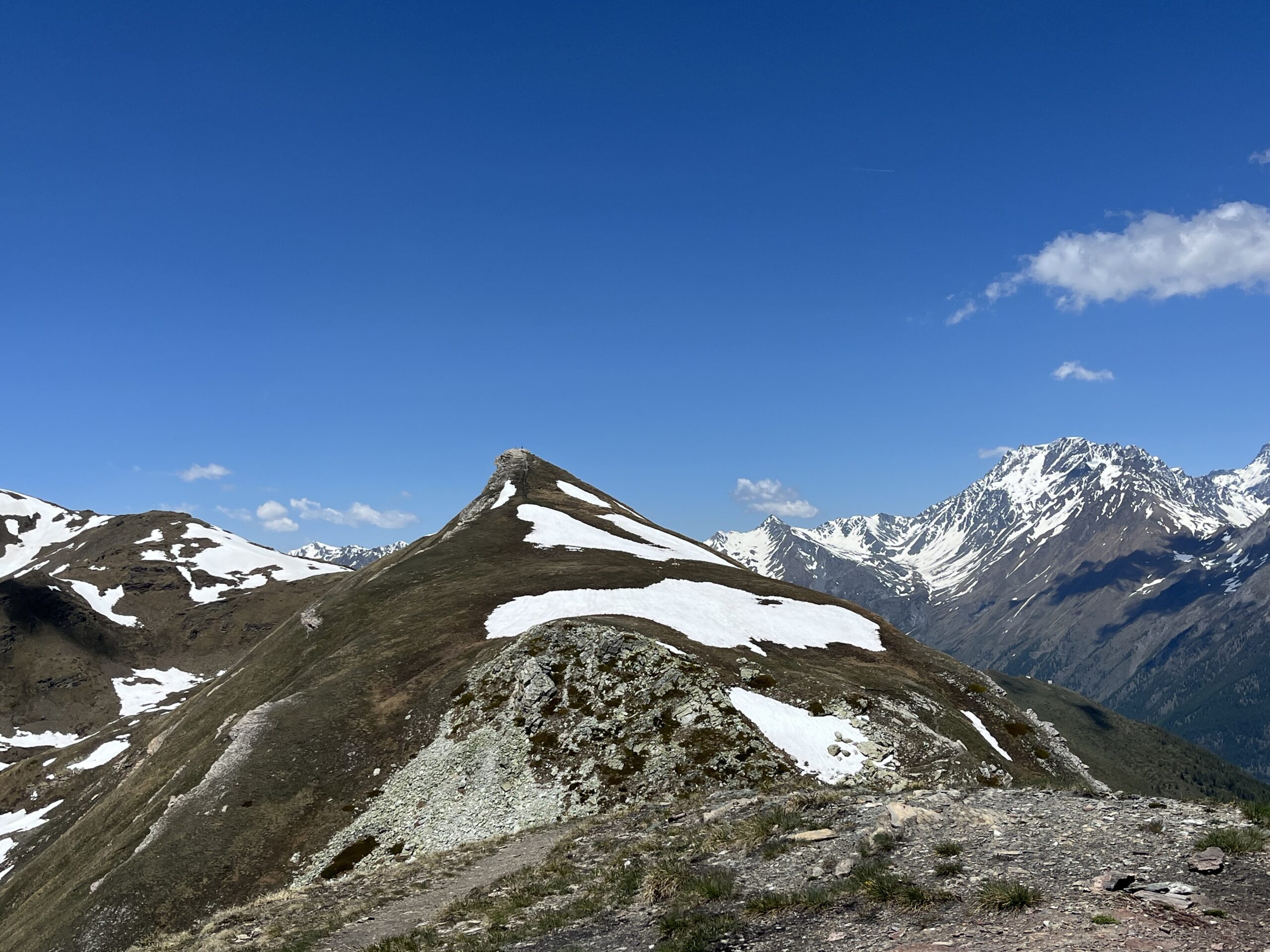
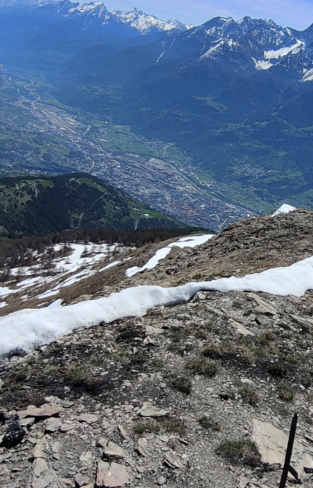
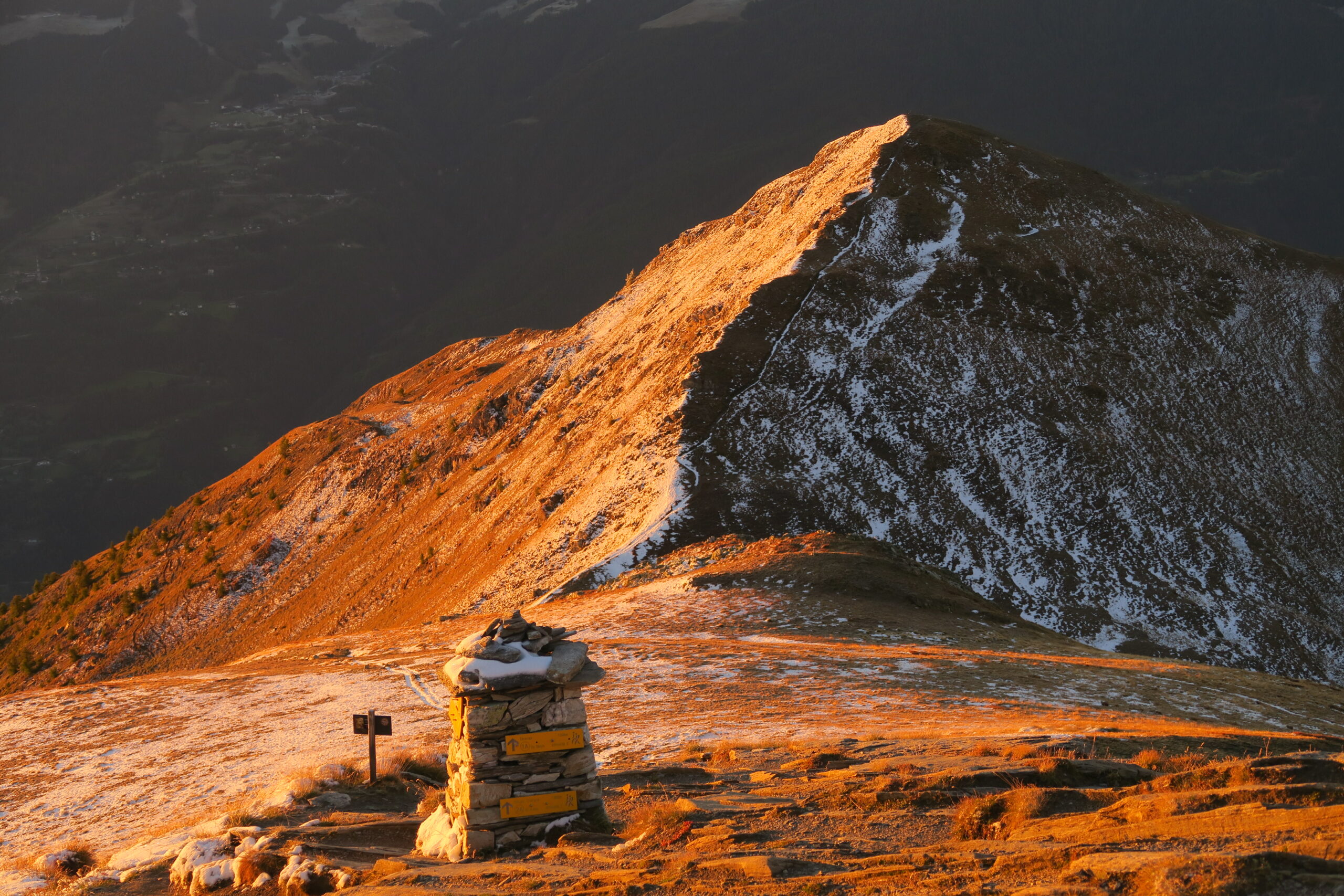
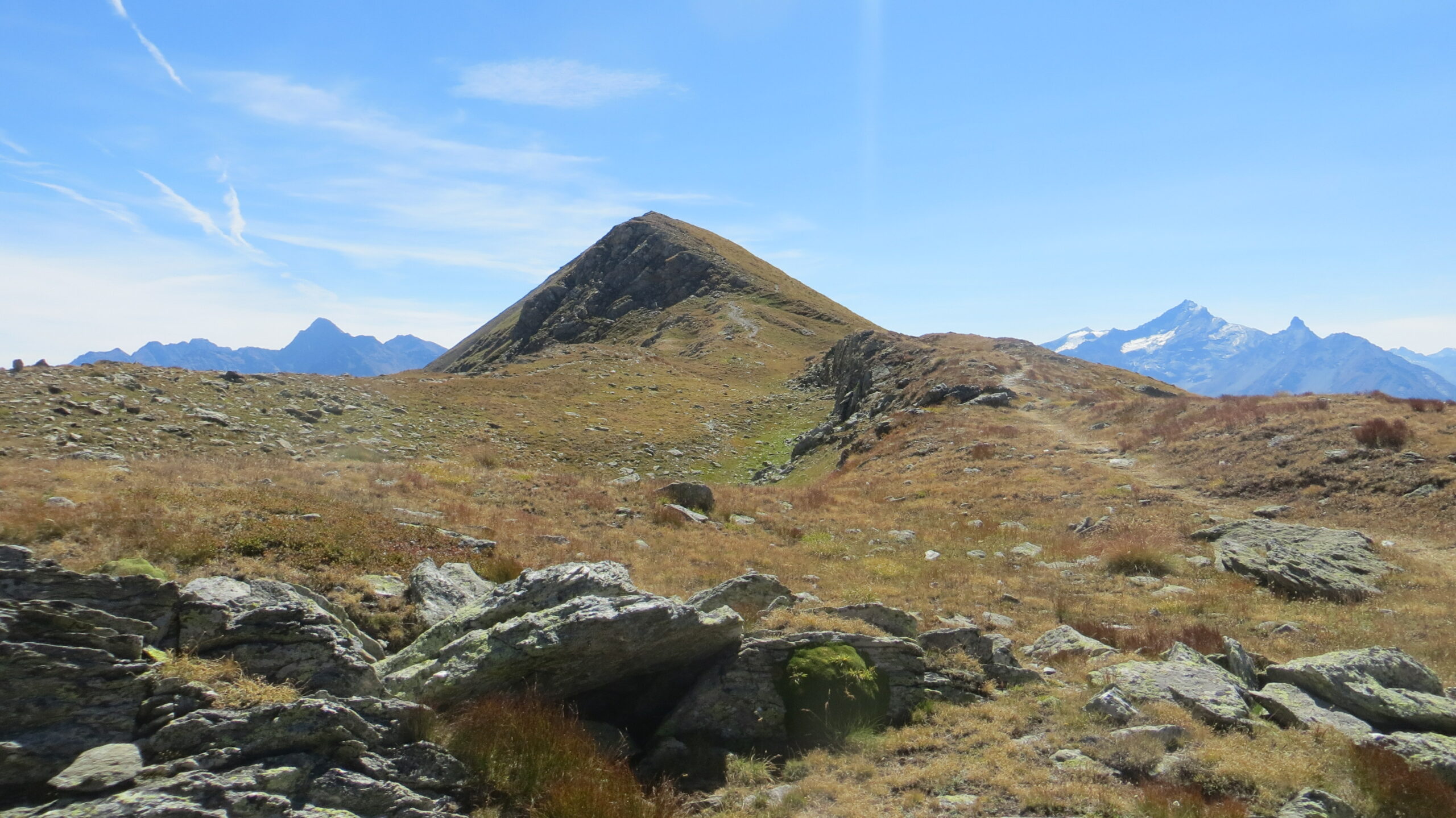
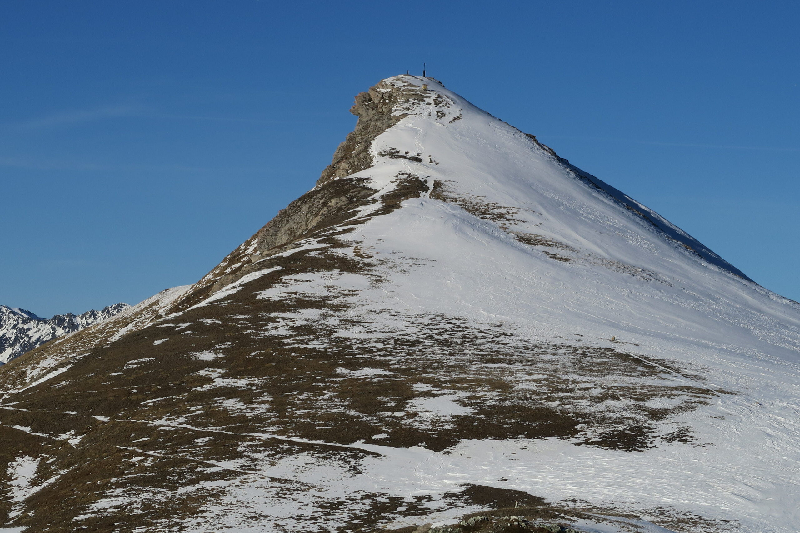
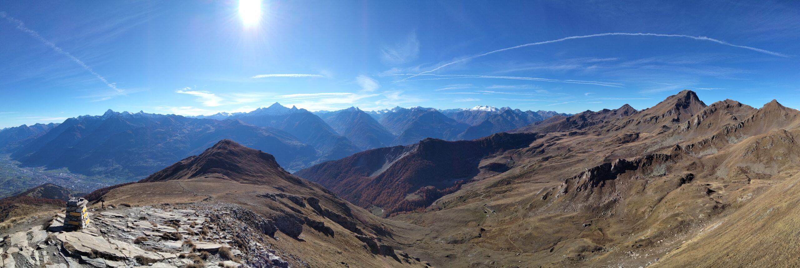
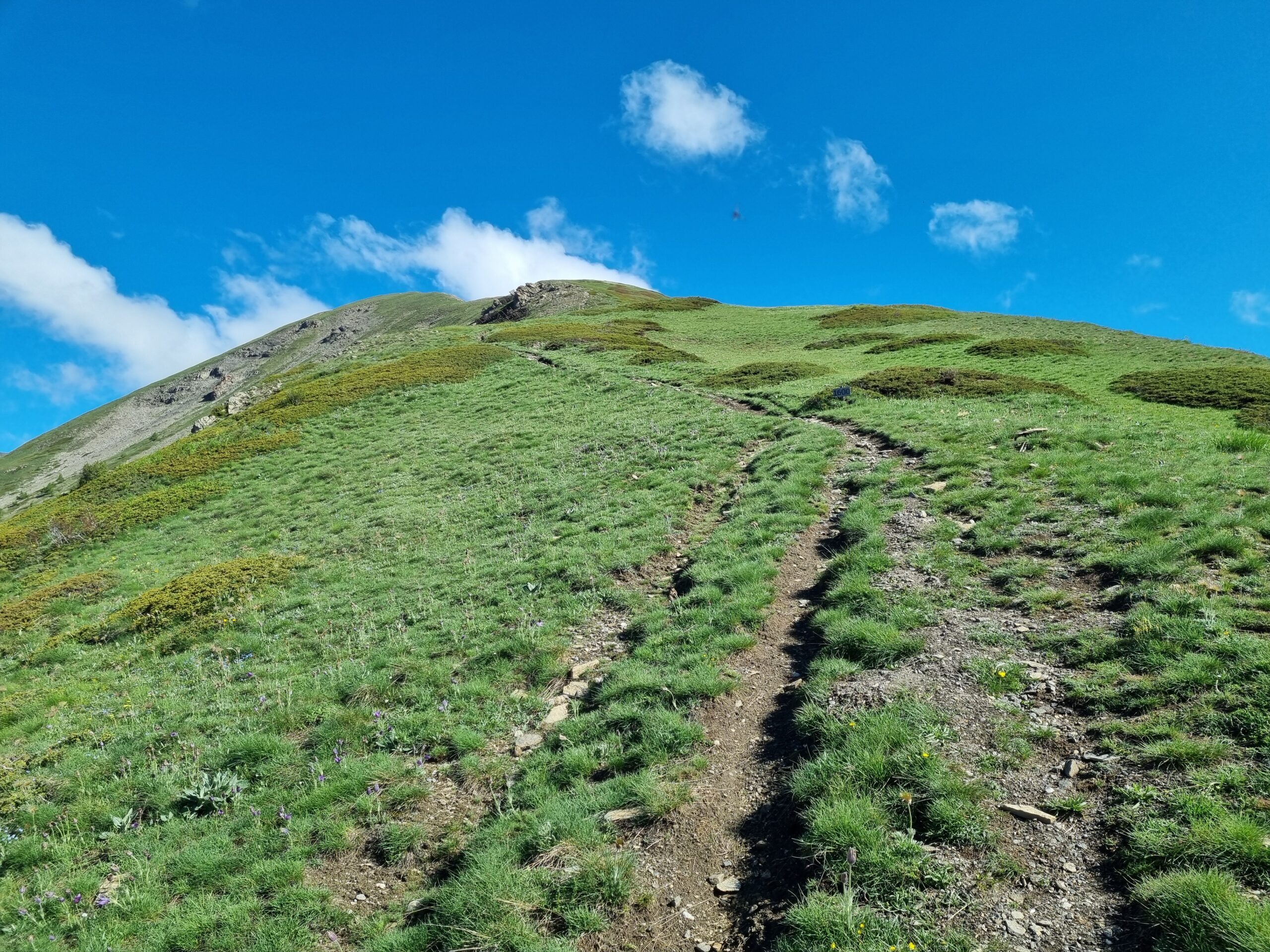
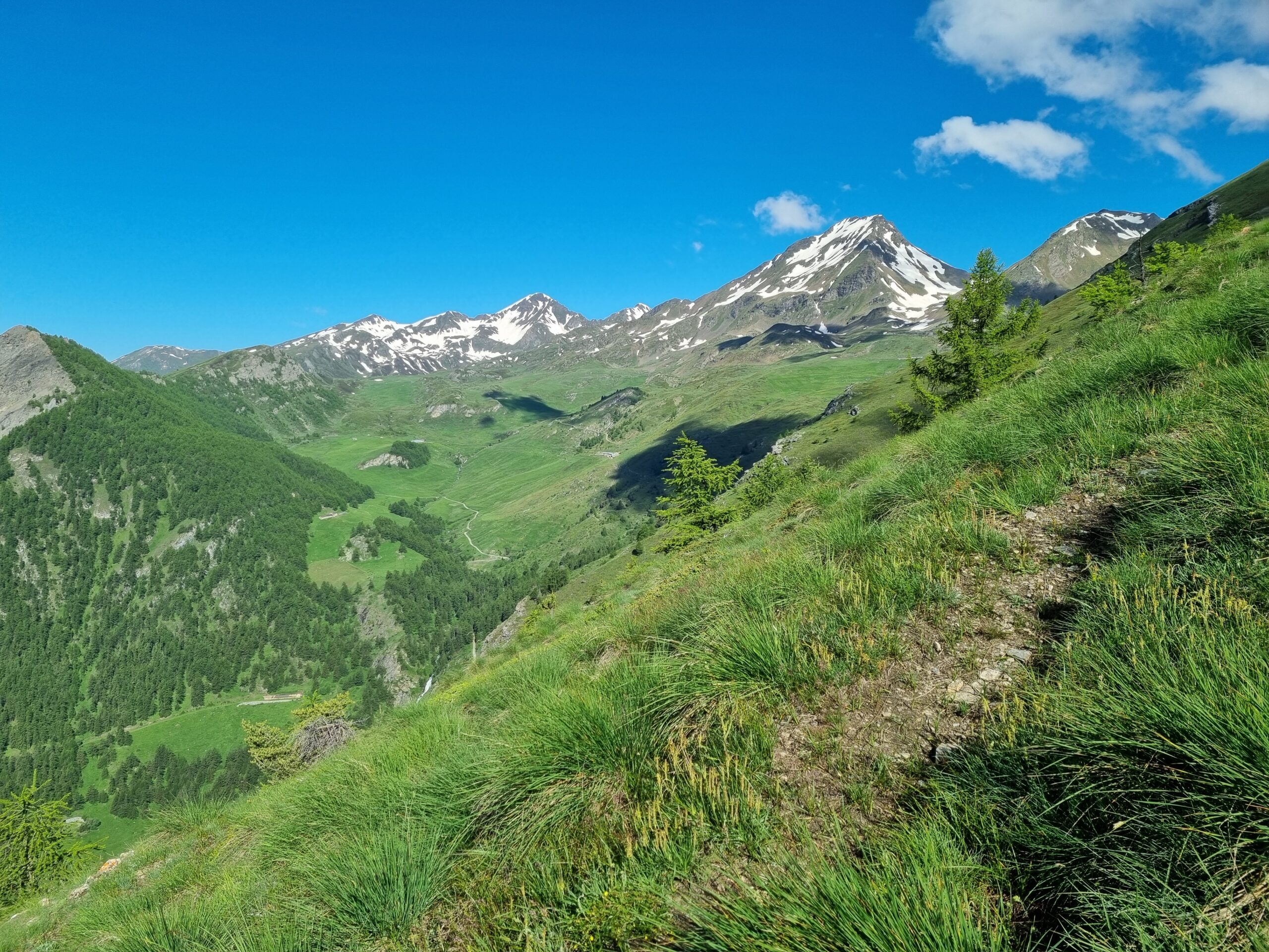
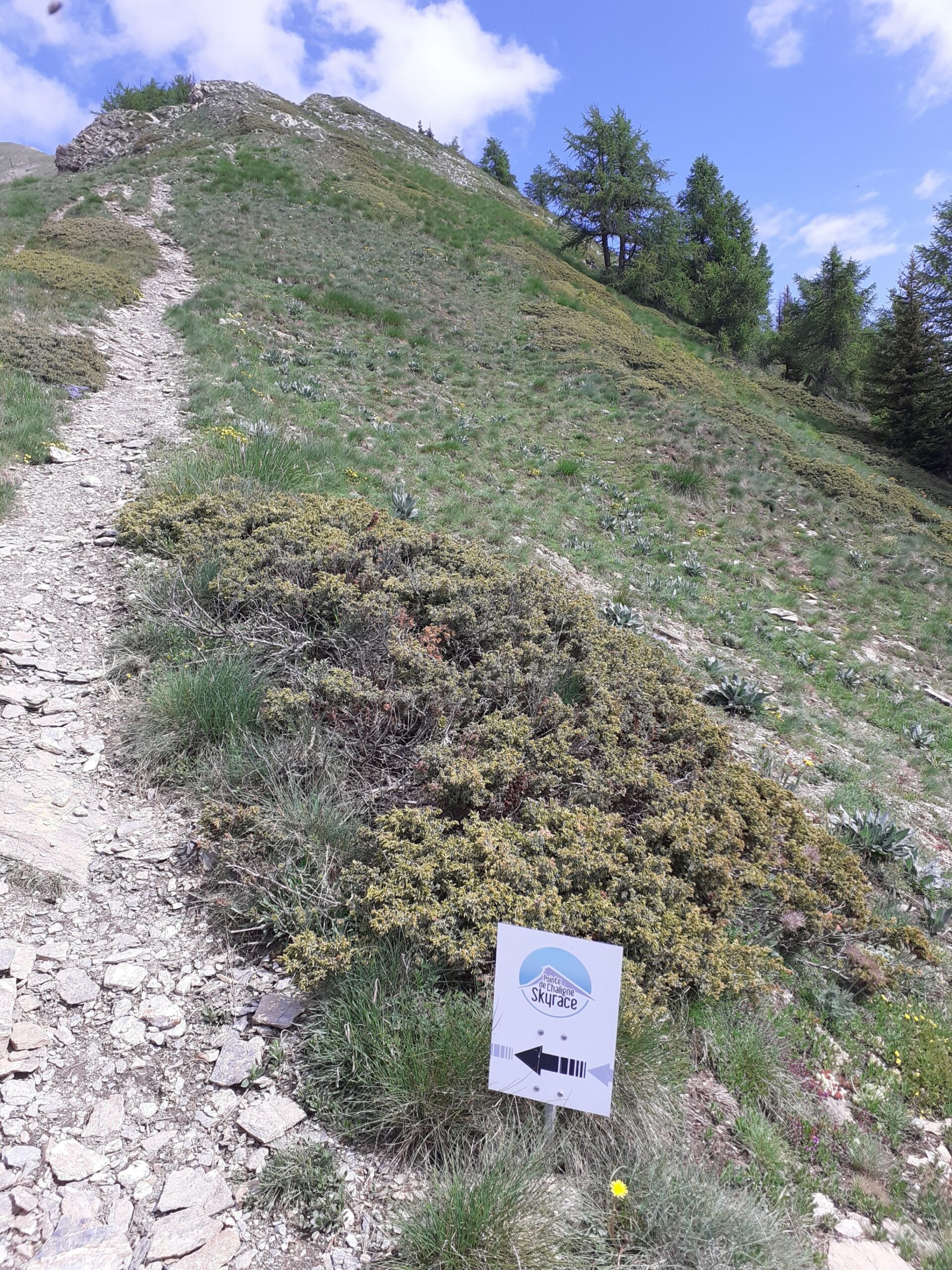
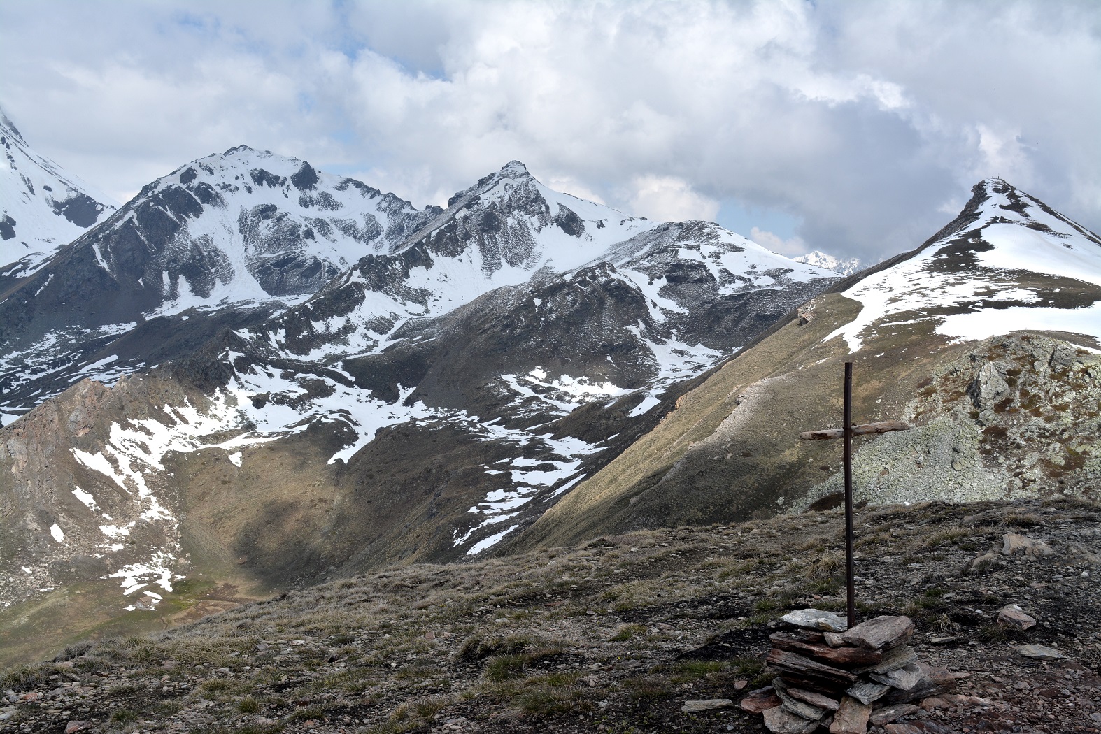
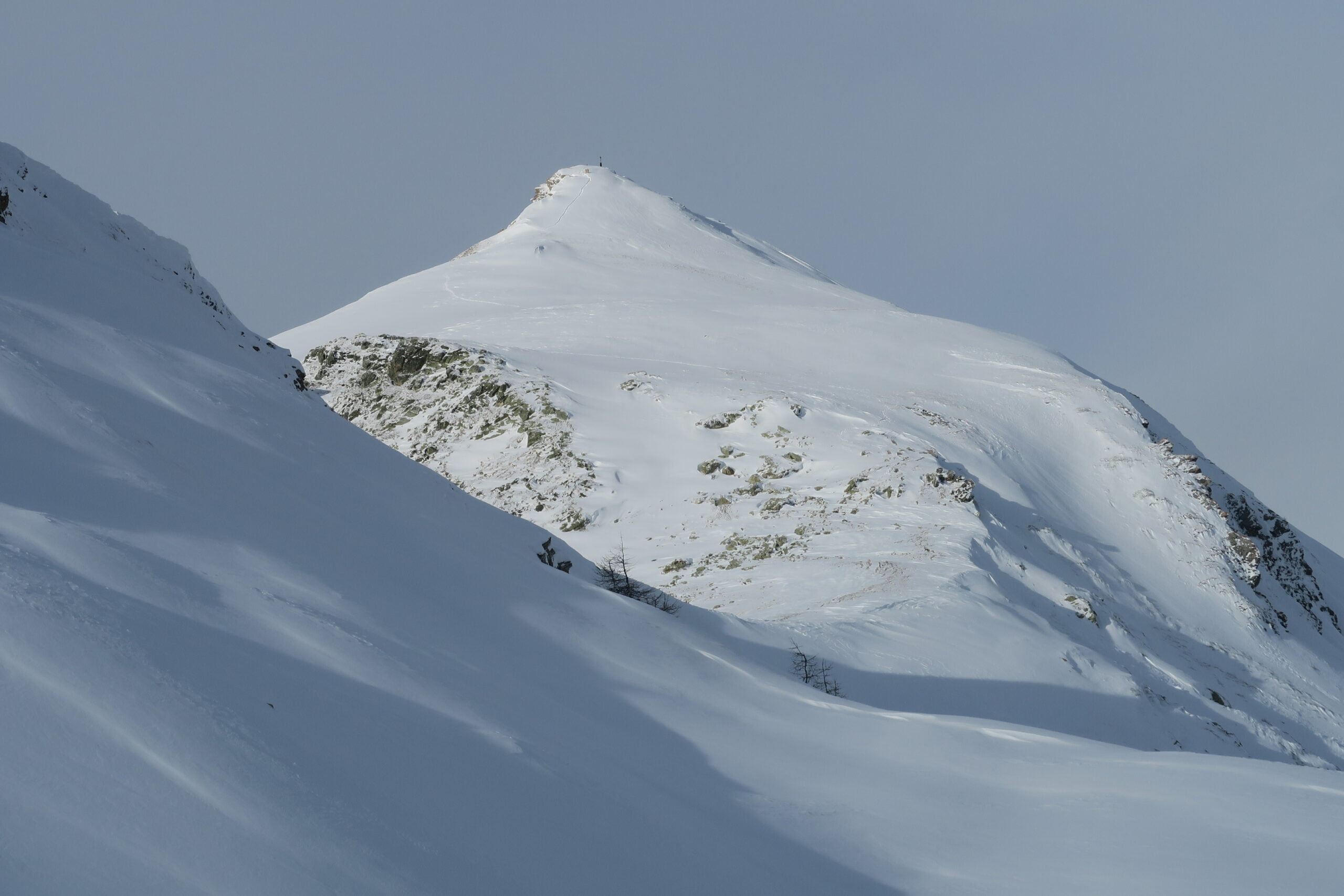
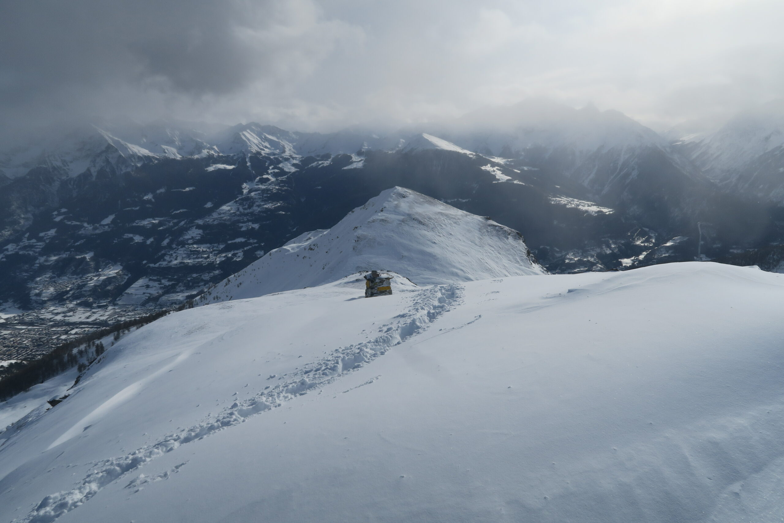
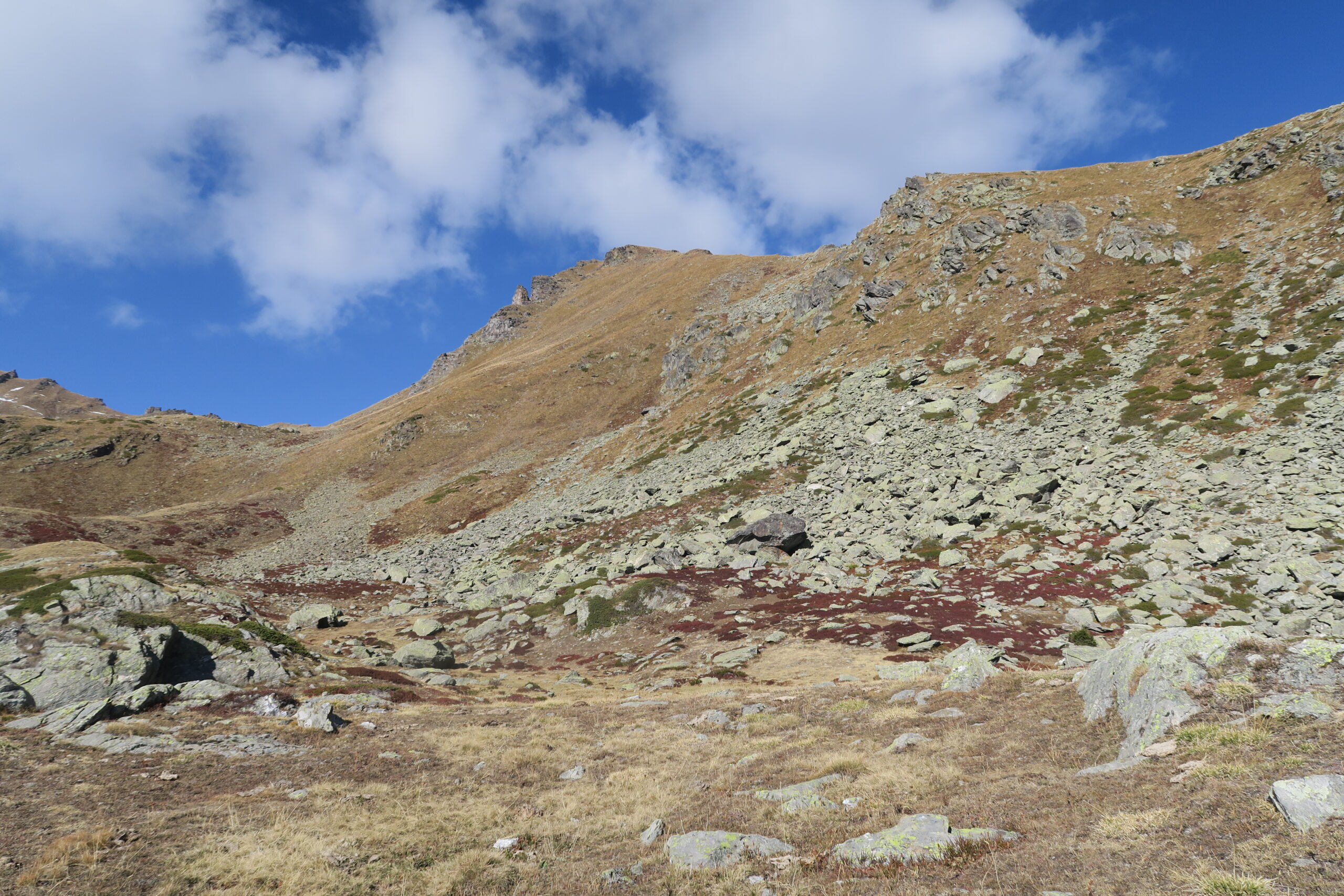
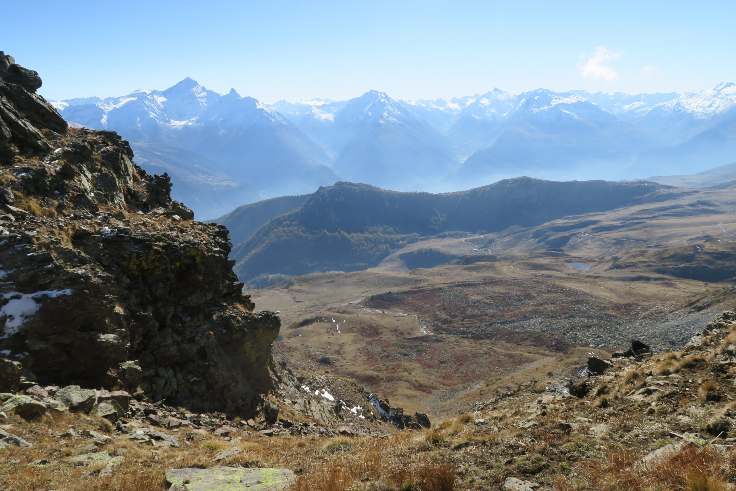
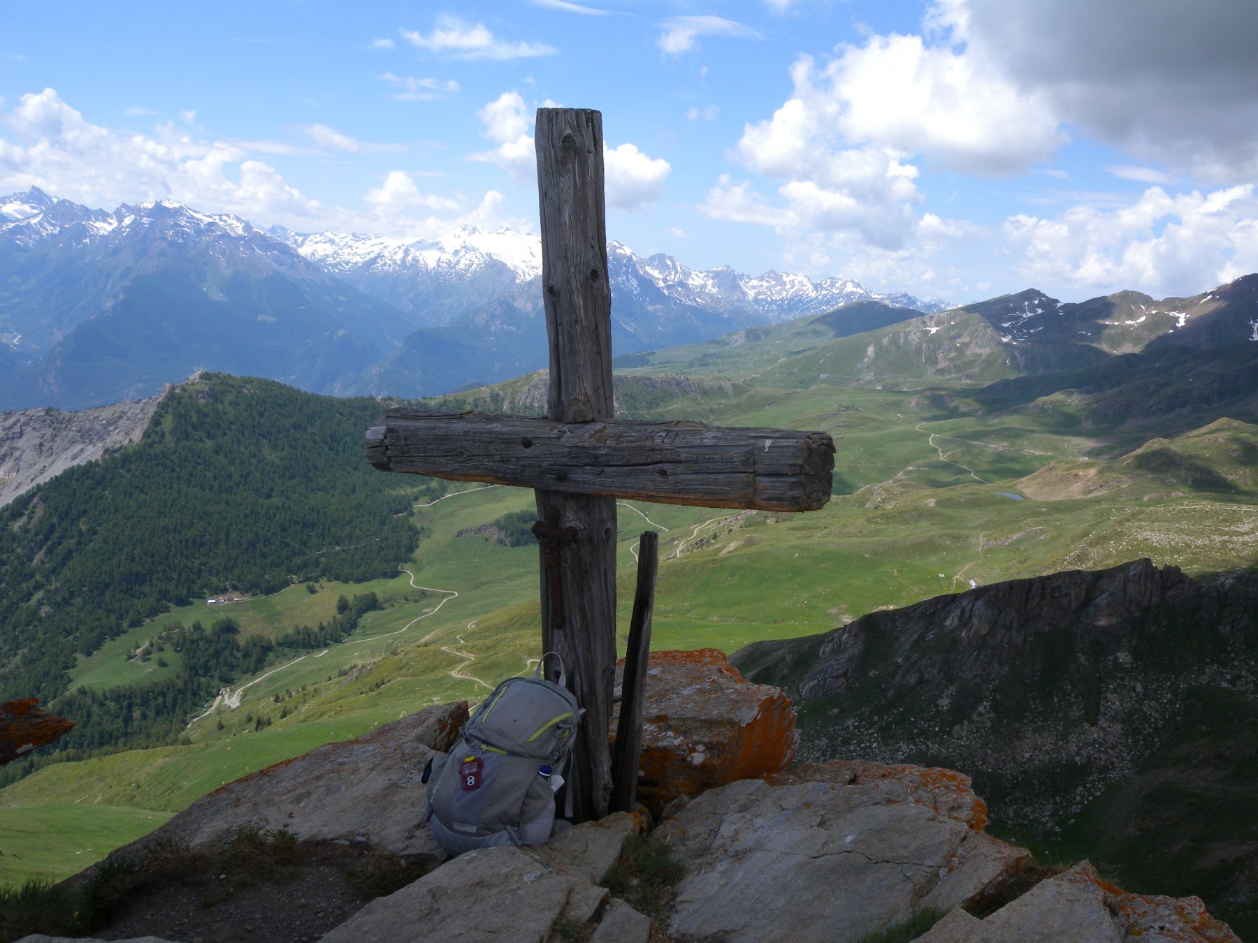
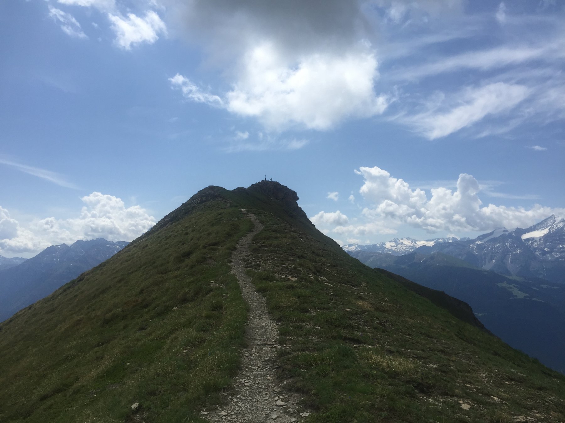
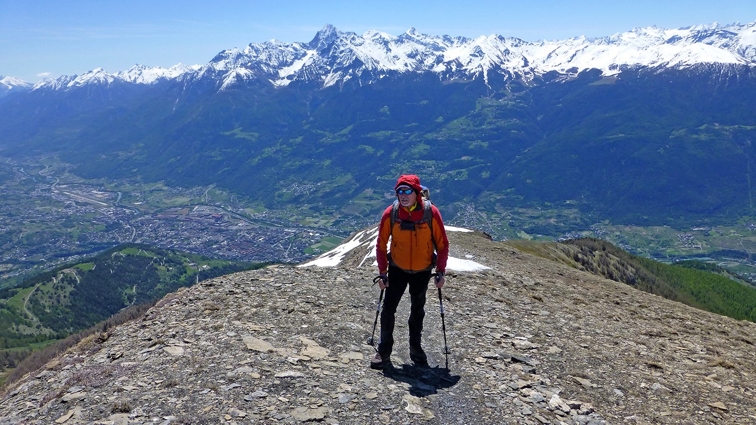
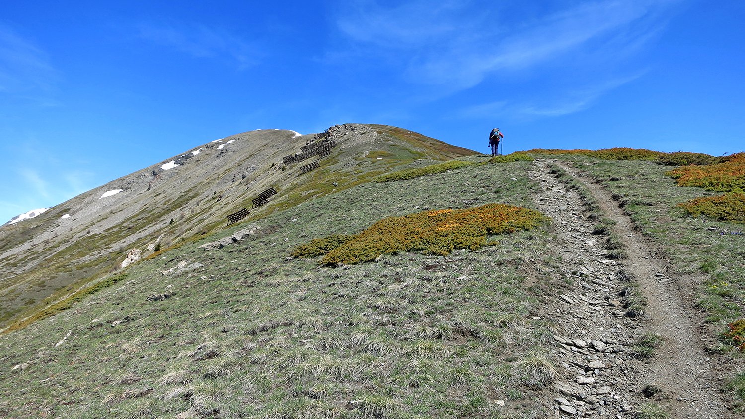
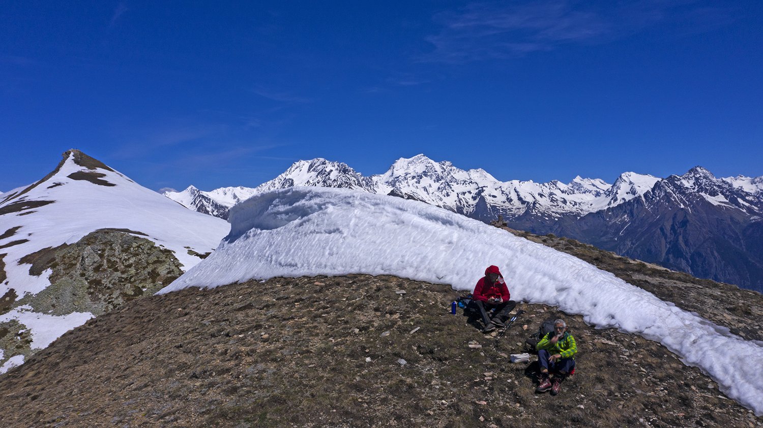
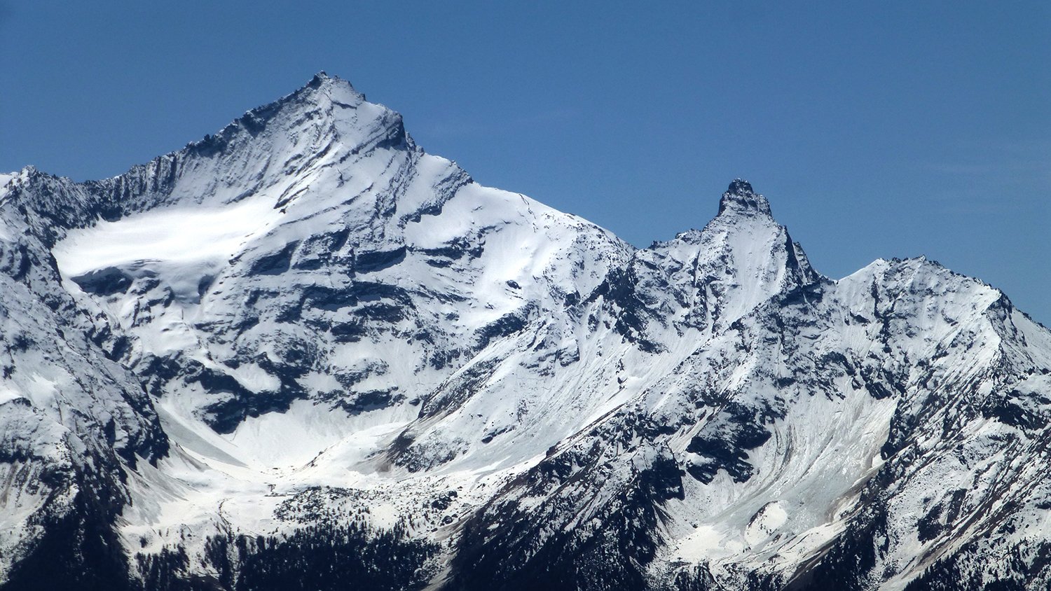
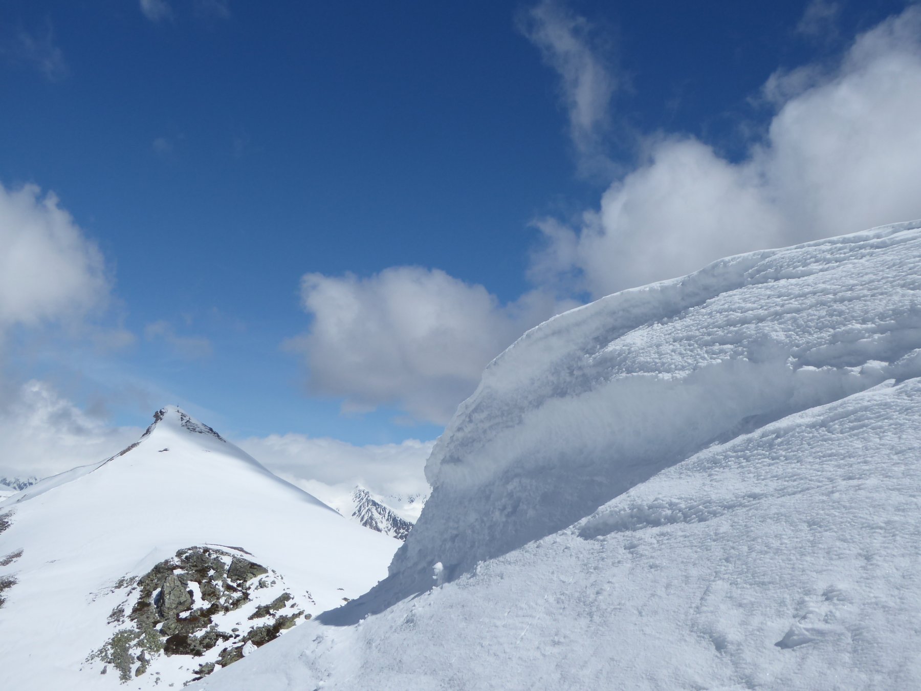
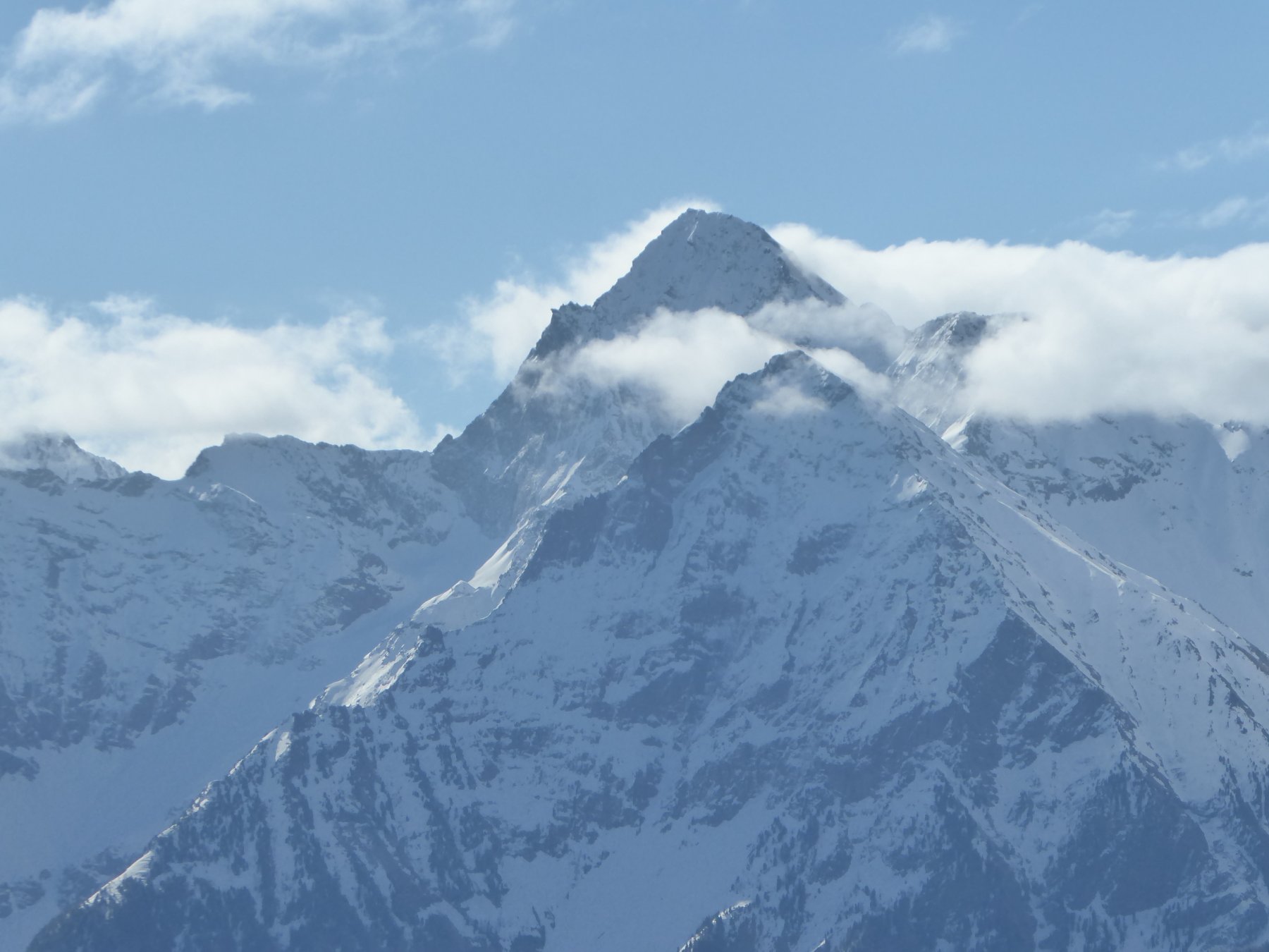
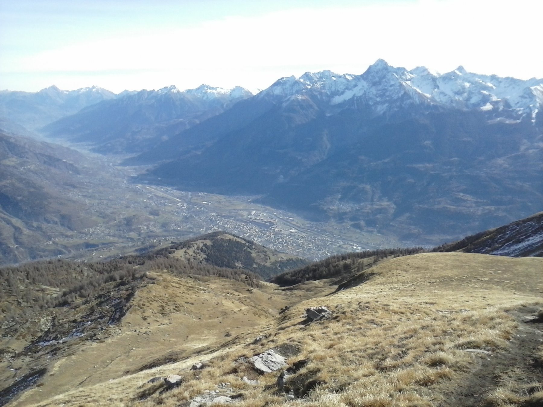
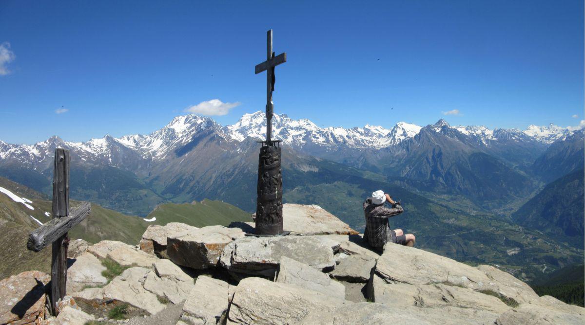
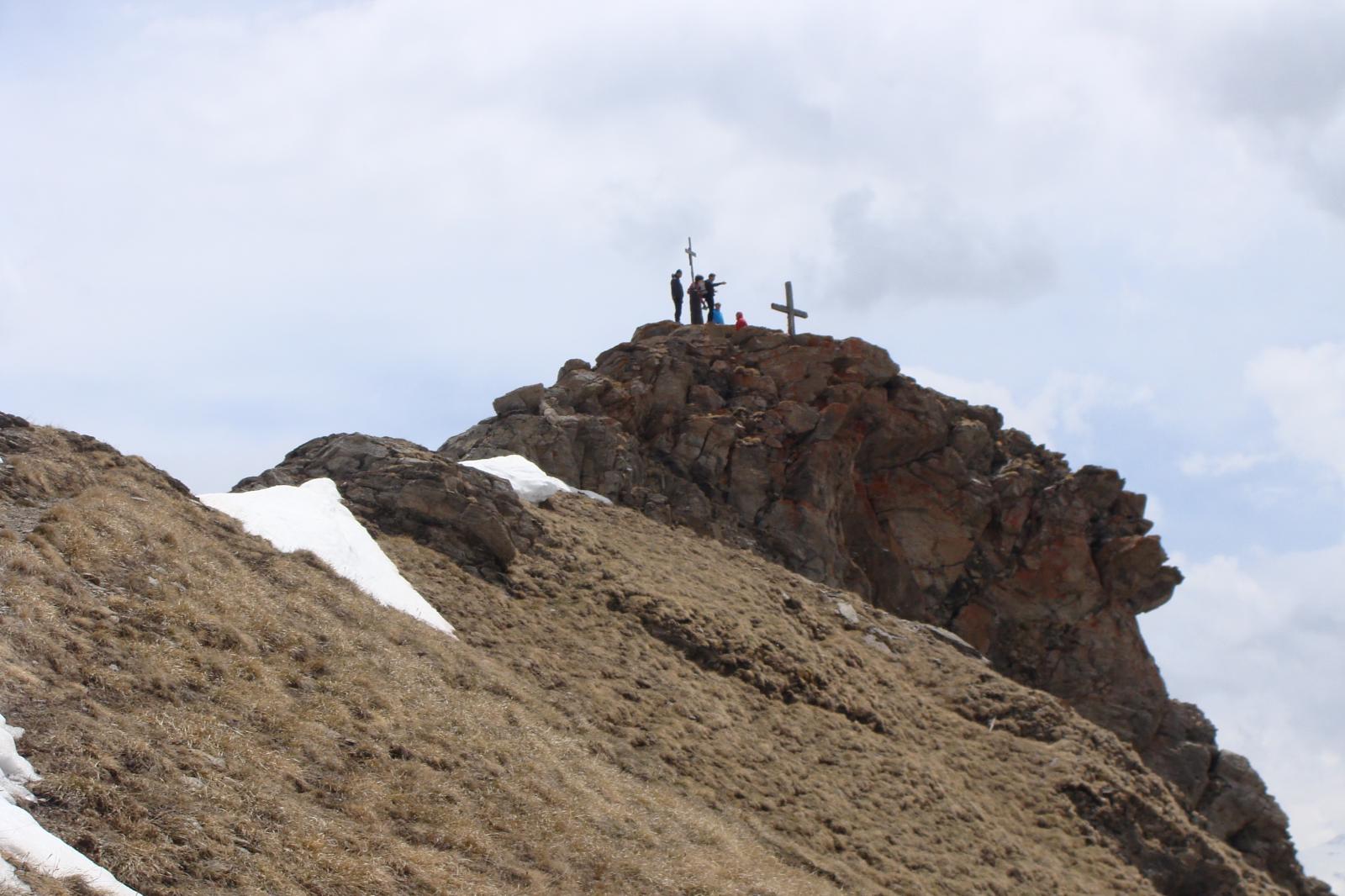
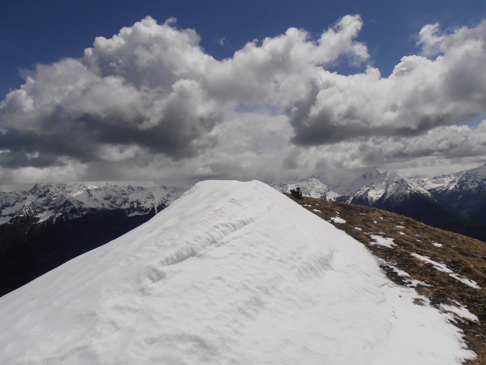
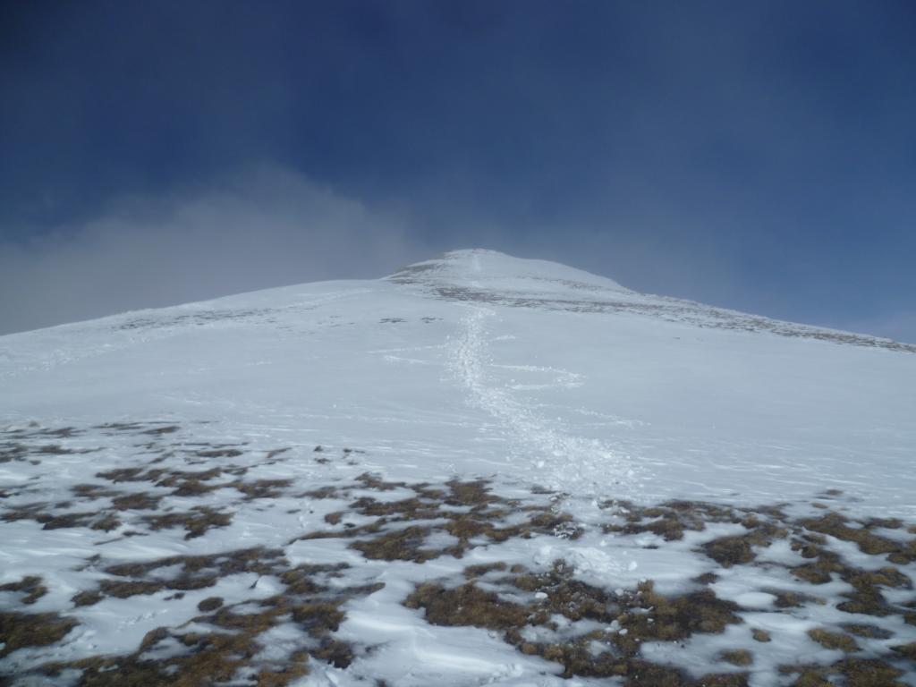
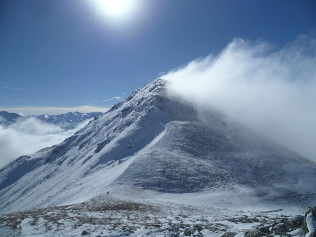
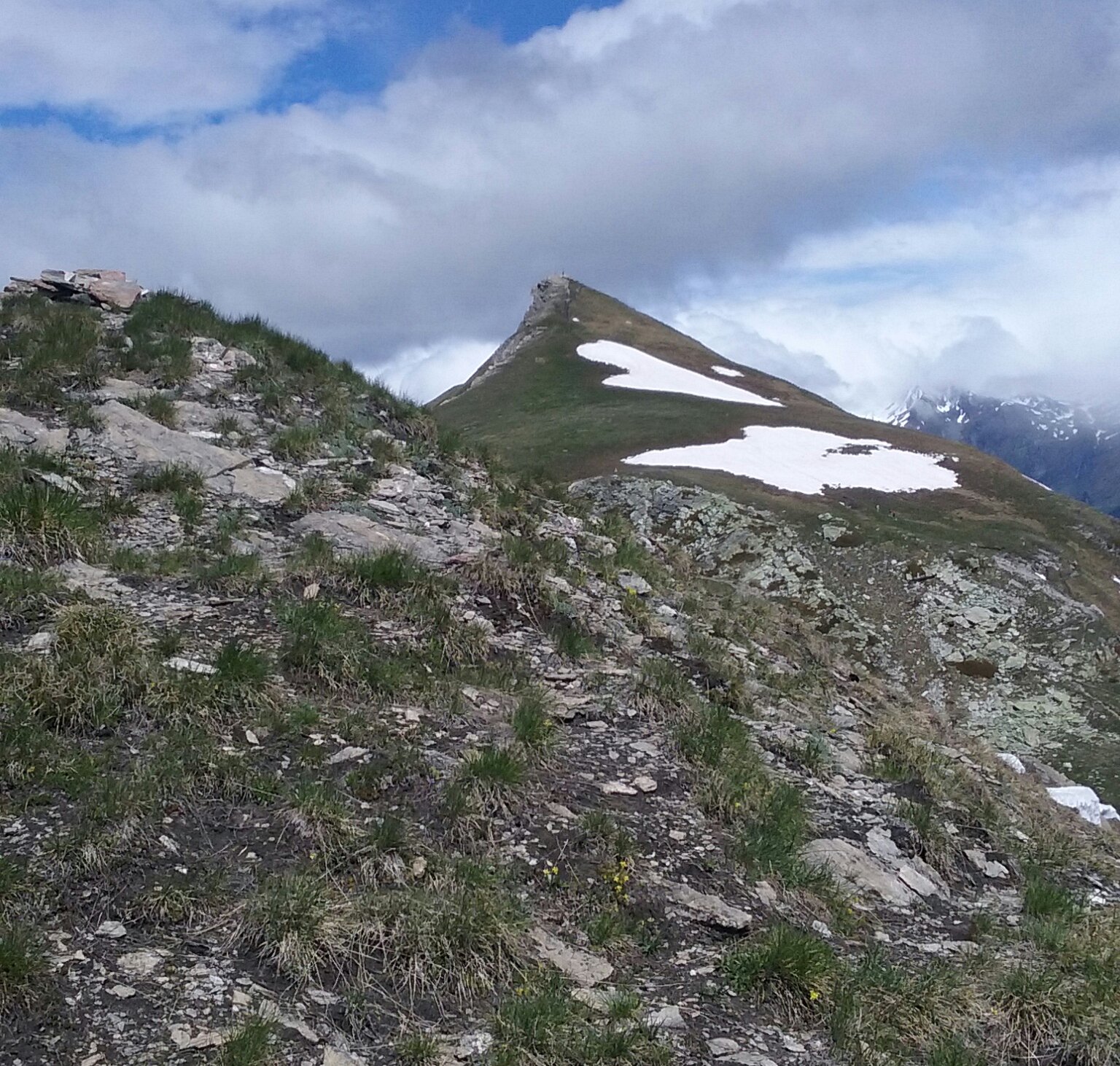
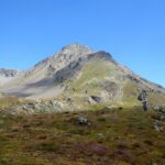
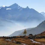
Attenzione a non proseguire il traverso in piano-discesa sotto le due punte, ma prima di un caratteristico affioramento roccioso, abbandonare il traverso e proseguire in salita; da qui non ci sono piu’ problemi di orientamento e si arriva agevolmente al col di Metz, e poi a sinistra alla punta, contrassegnata da due croci una delle quali sostenuta da una splendida scultura raffigurante la processione alla punta che si tiene tutti gli anni il 16 di Agosto. Panorama a 360 gradi.
A questo punto le possibilita’ di discesa sono due.
Itinerario A –
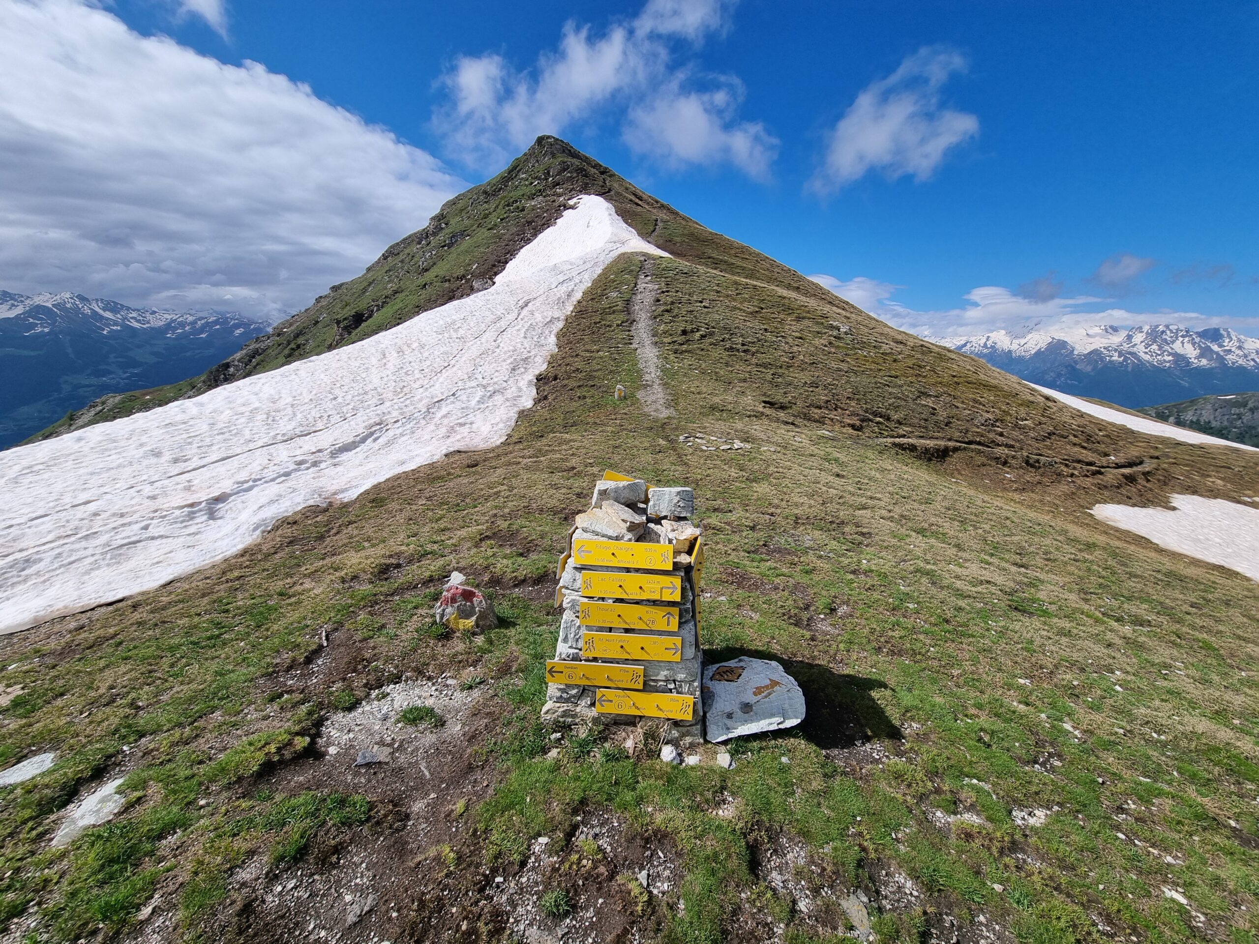
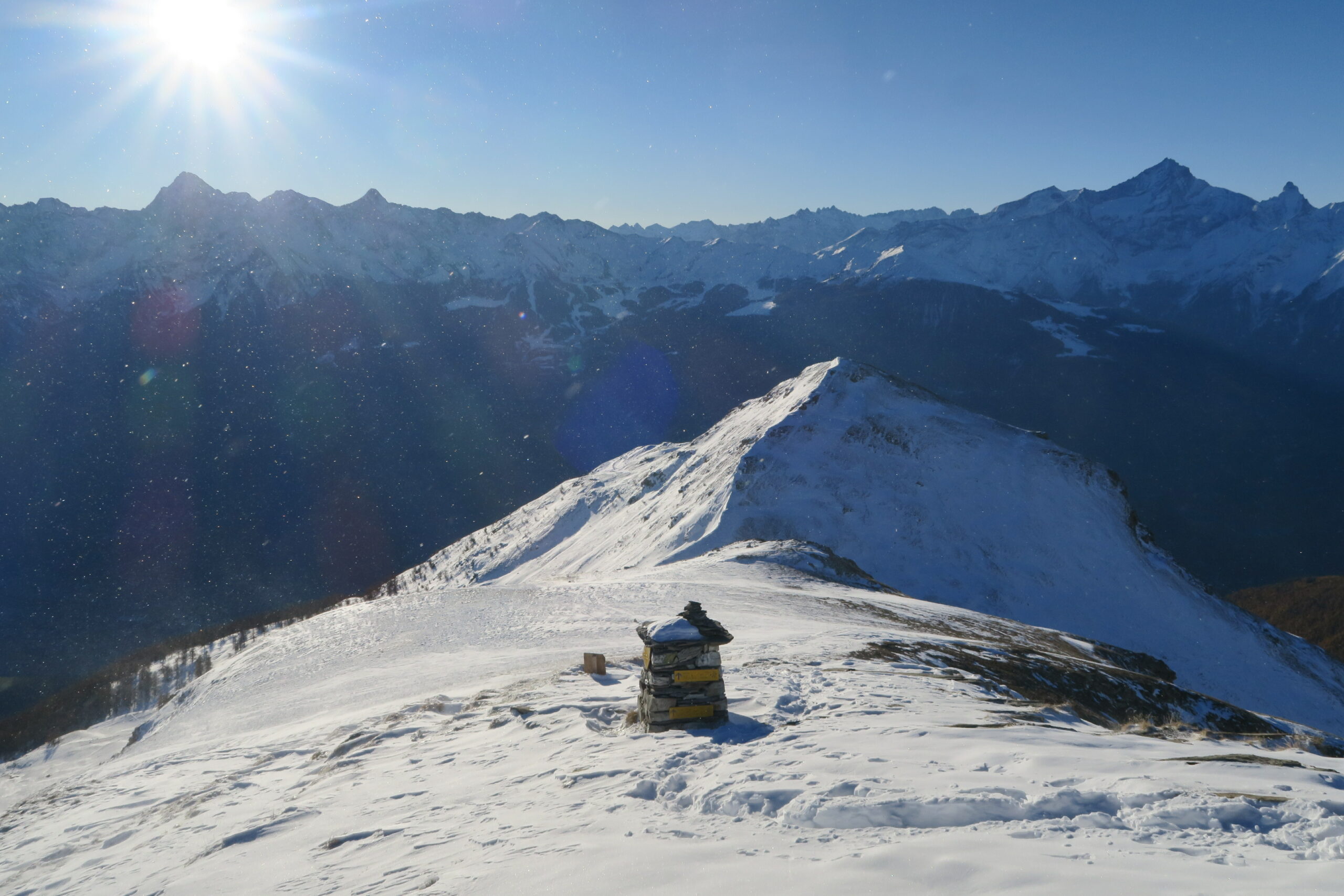
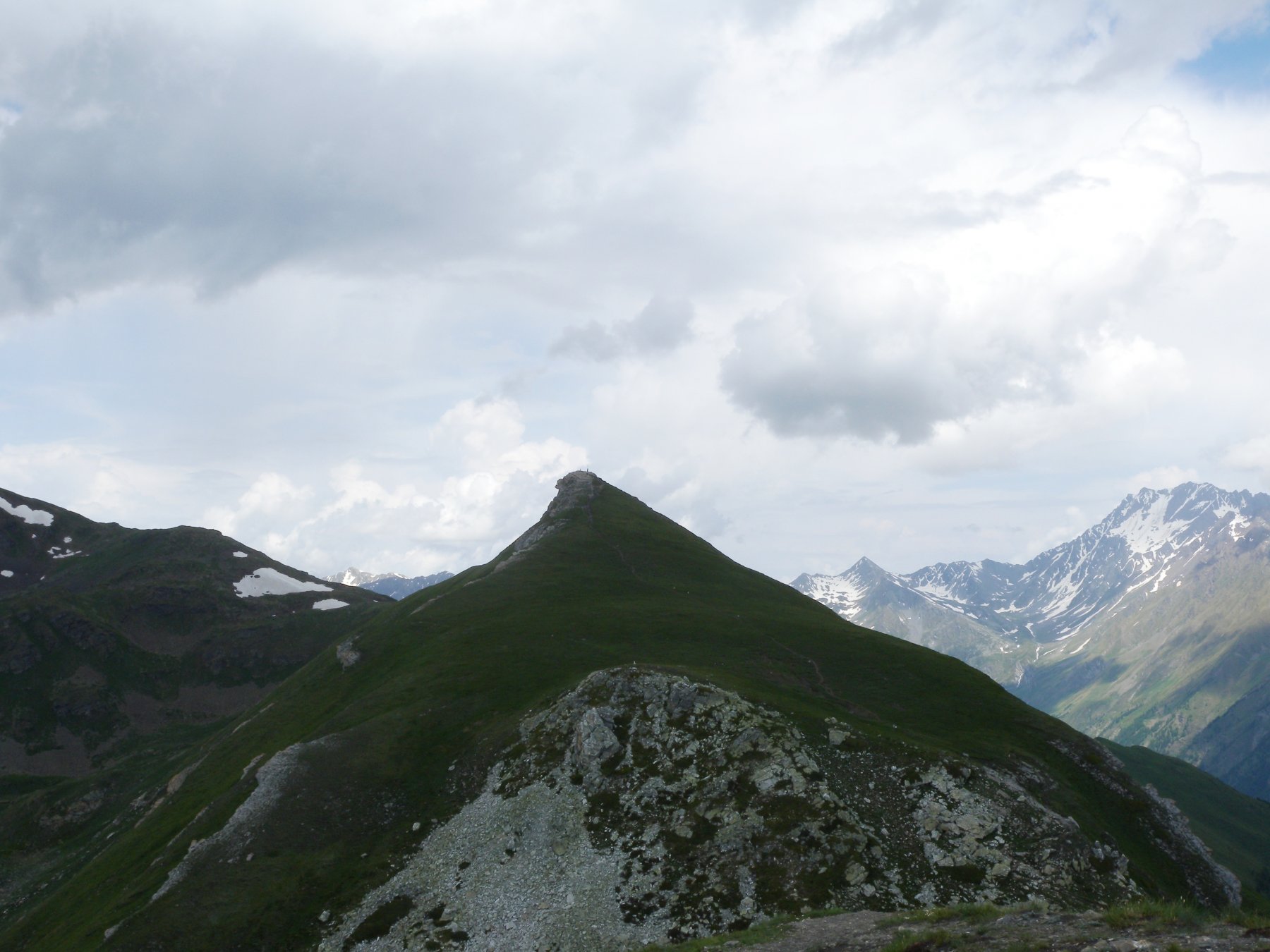
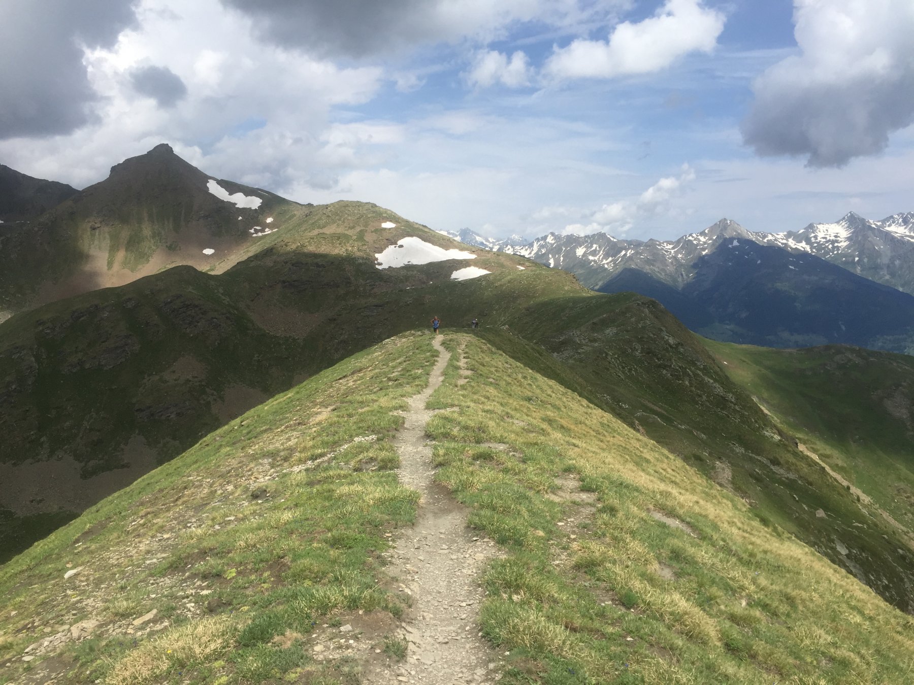
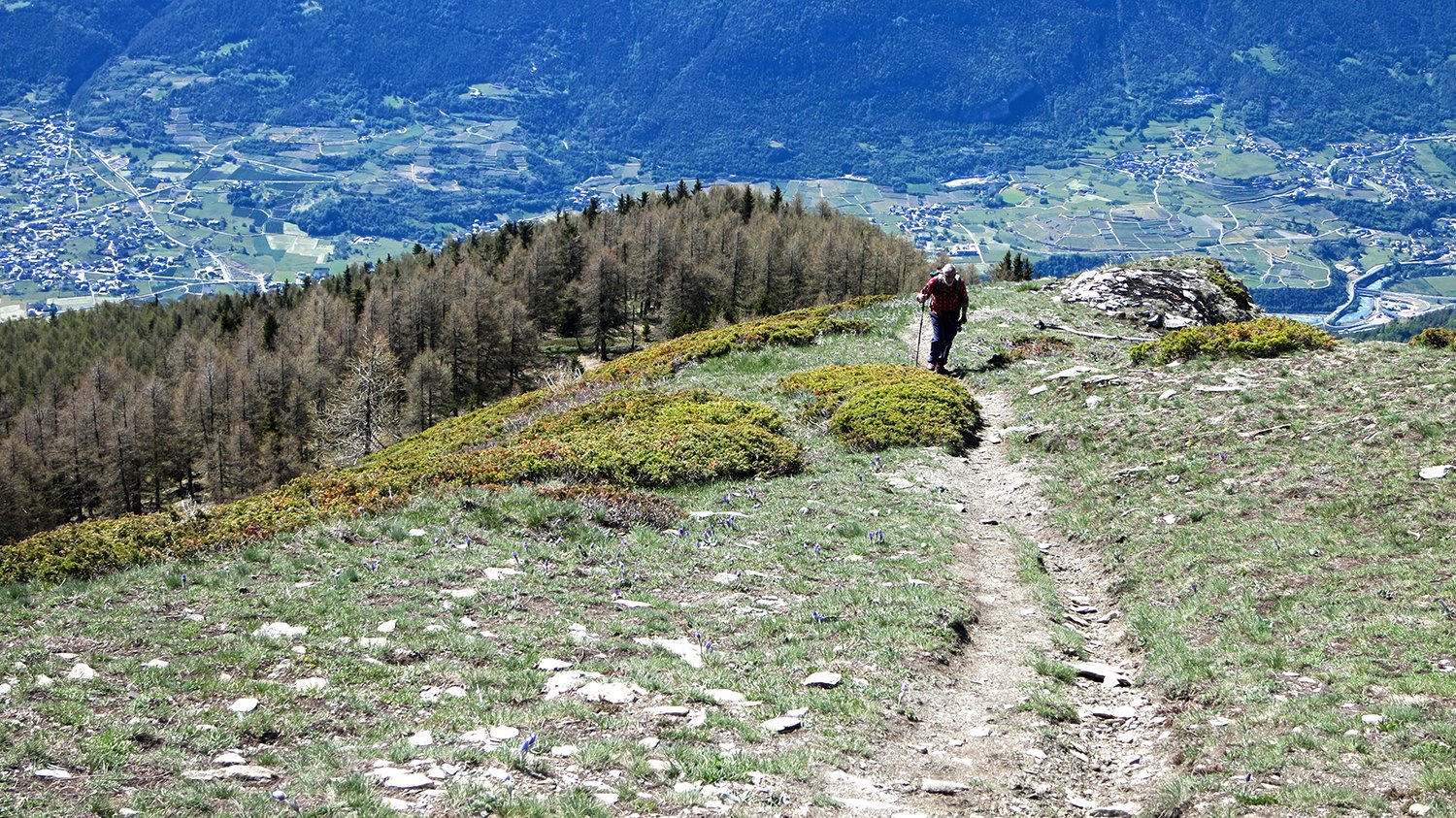
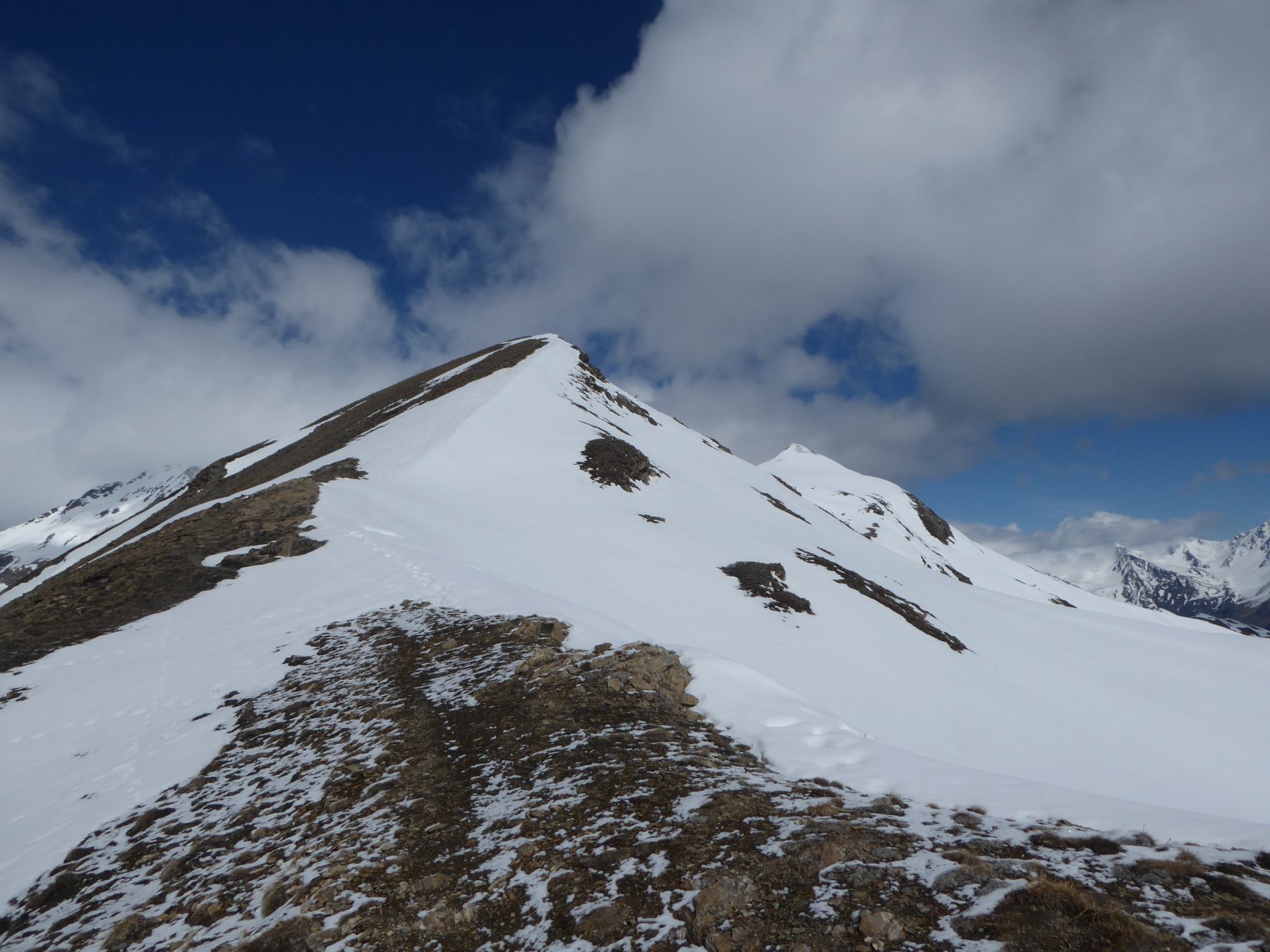
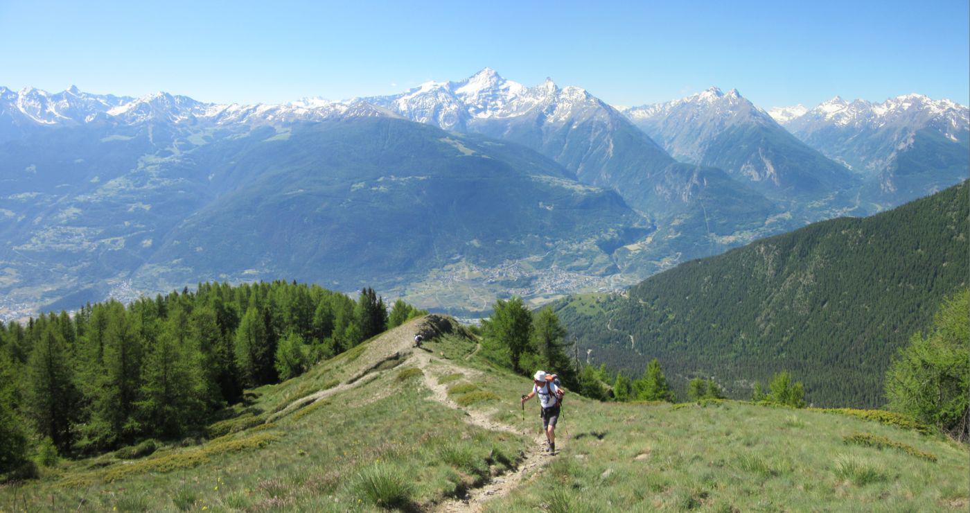
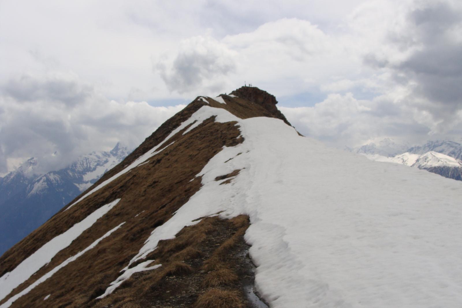
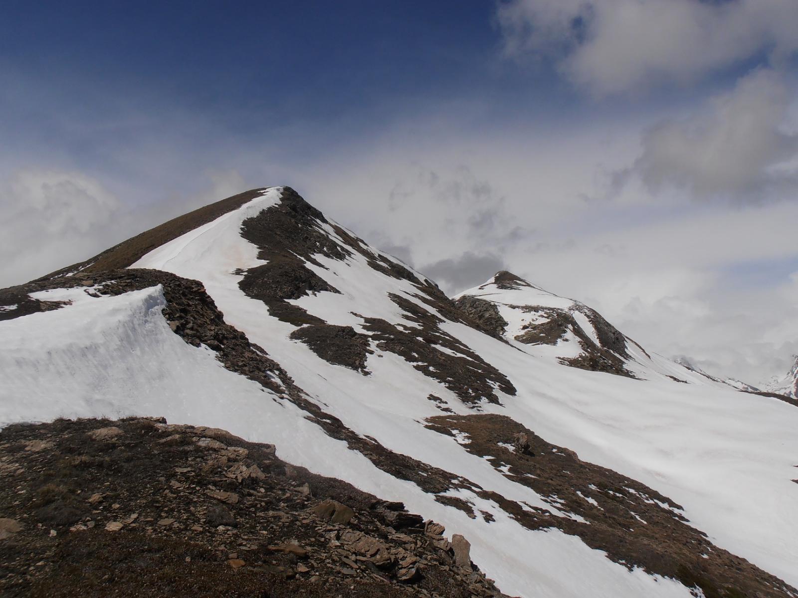
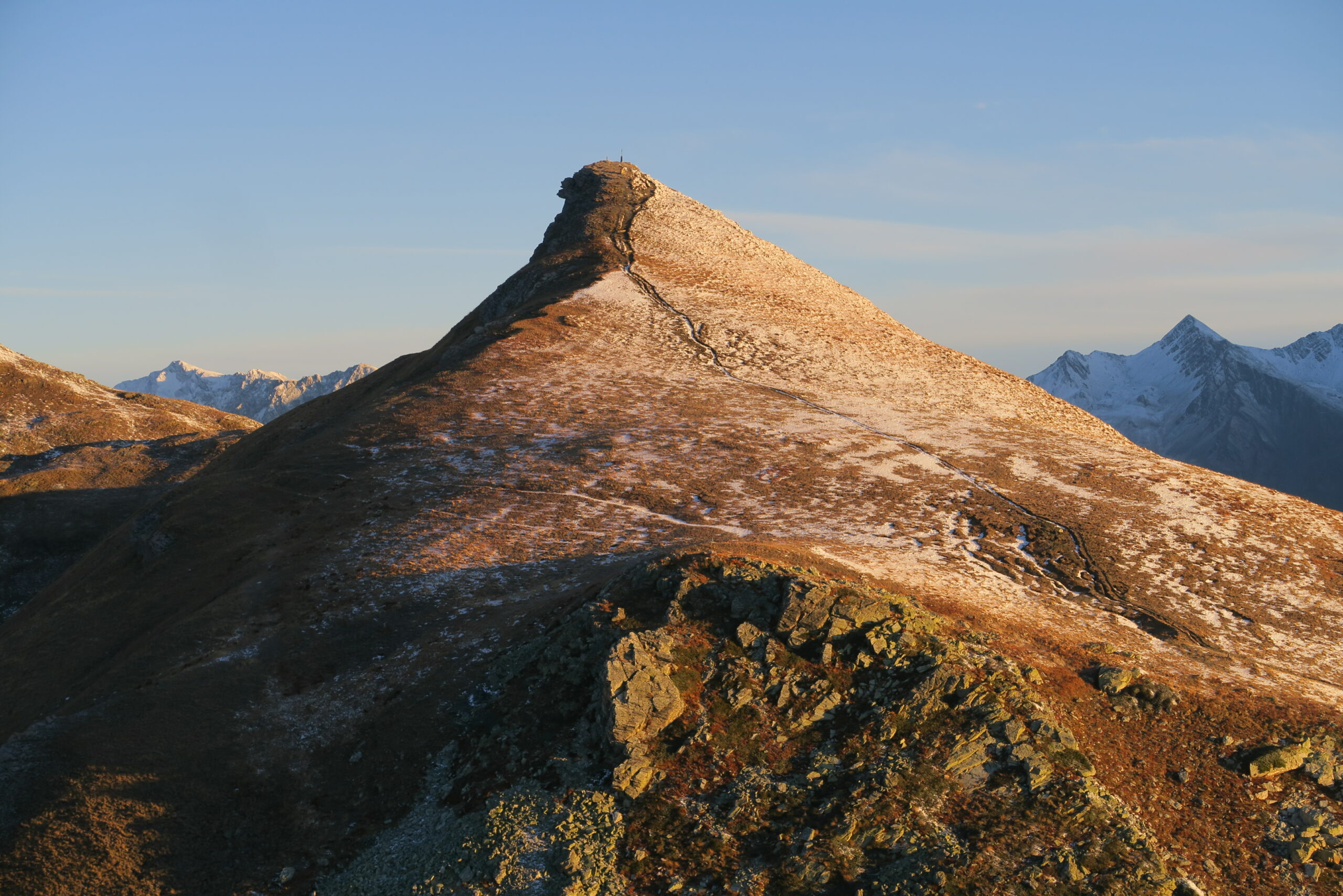
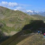
Proseguire per cresta, facile e ampia, fino al colle nord, verso la cesta Tardiva, e per tracce di sentiero scendere a sinistra fino a riportarsi sull’itinerario di salita un po’ sopra Chesere
Itinerario B –
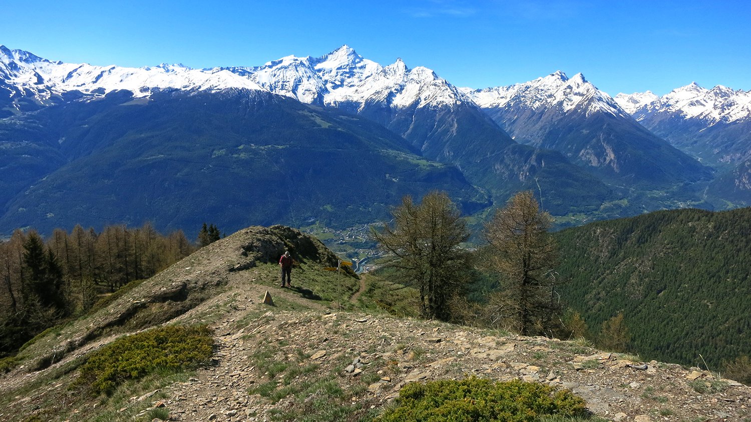
Tornare al col di Metz, e scendere, lato opposto di salita, verso la Valpelline fino a raggiungere lo sterrato visibile dall’alto, e seguirlo sempre a destra fino al bosco, prendere un sentiero segnato a sinistra e raggiungere l’alpeggio Baou de Bouque; l’interpoderale a destra riporta a Thouraz.
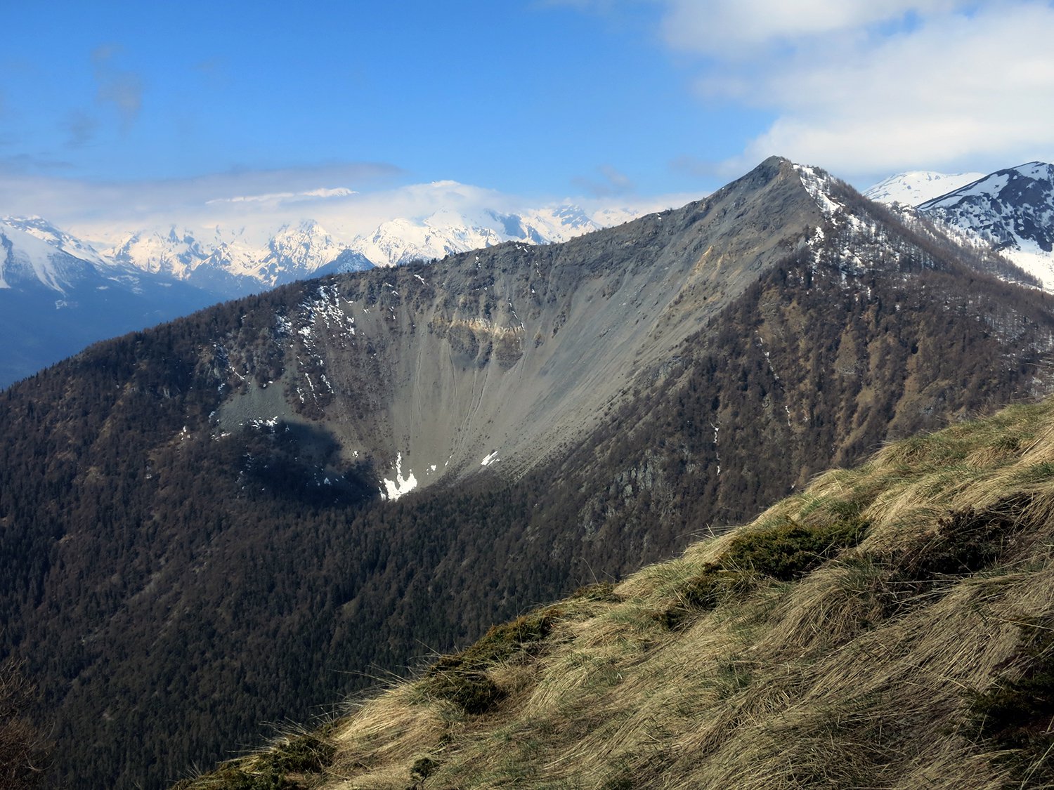
Per la verita’ abbiamo riscontrato problemi in questo tratto nell’individuare il giusto percorso, ma scendendo nel bosco si raggiunge comunque l’interpoderale che compie un ampio semicerchio sotto la punta di Metz e si arriva all’auto.
Itinerario di salita alternativo per cresta molto panoramica:
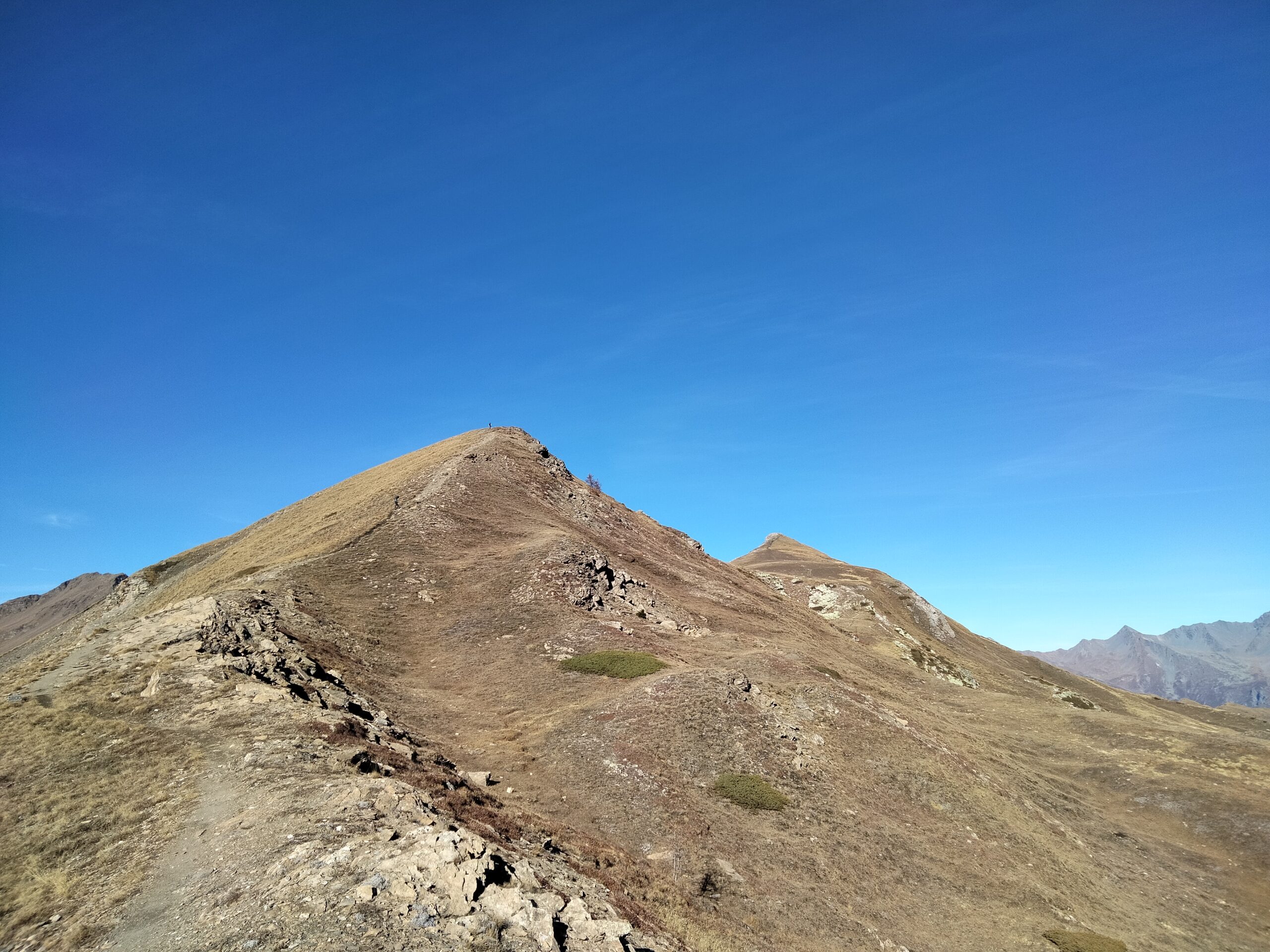
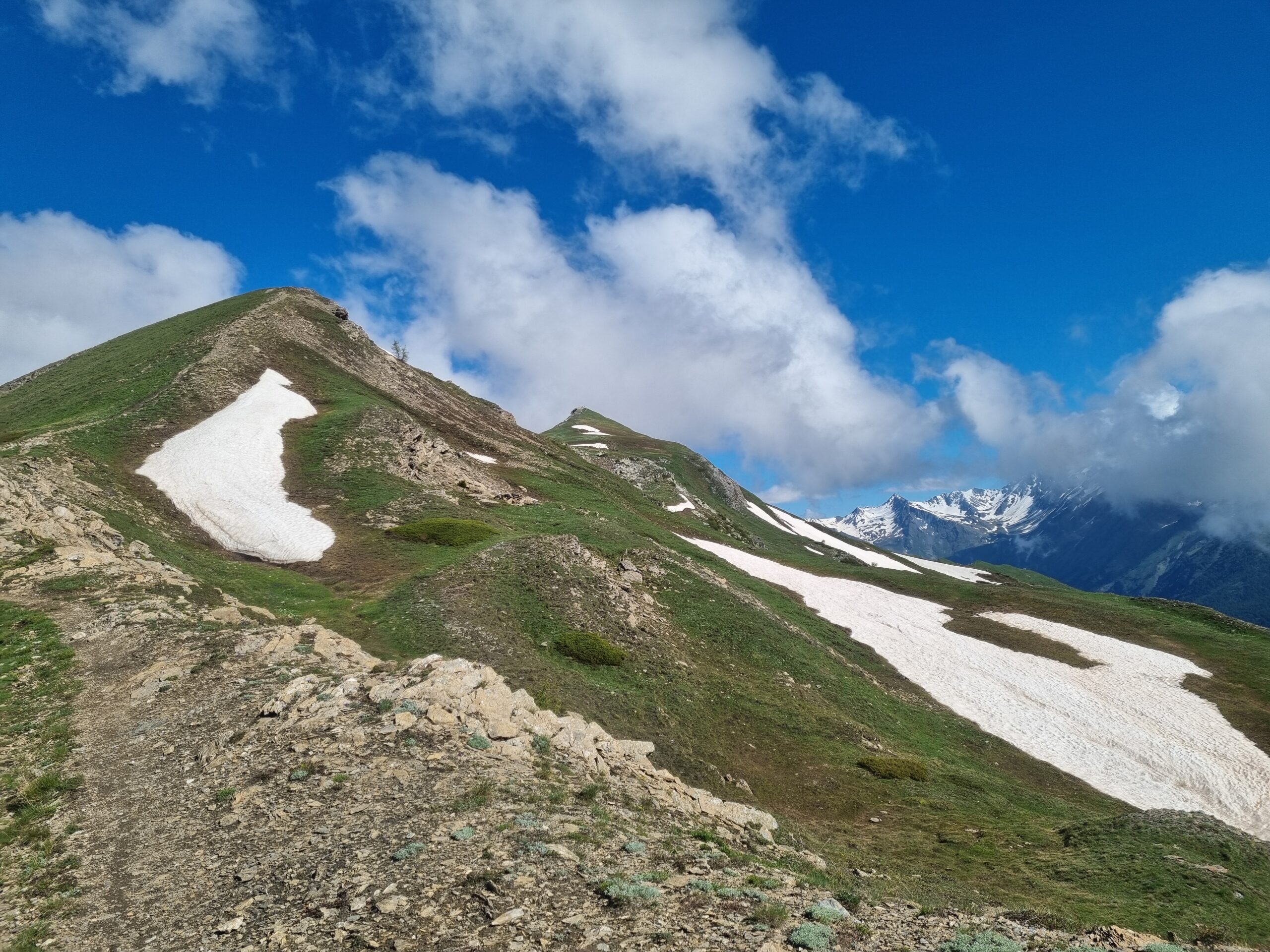
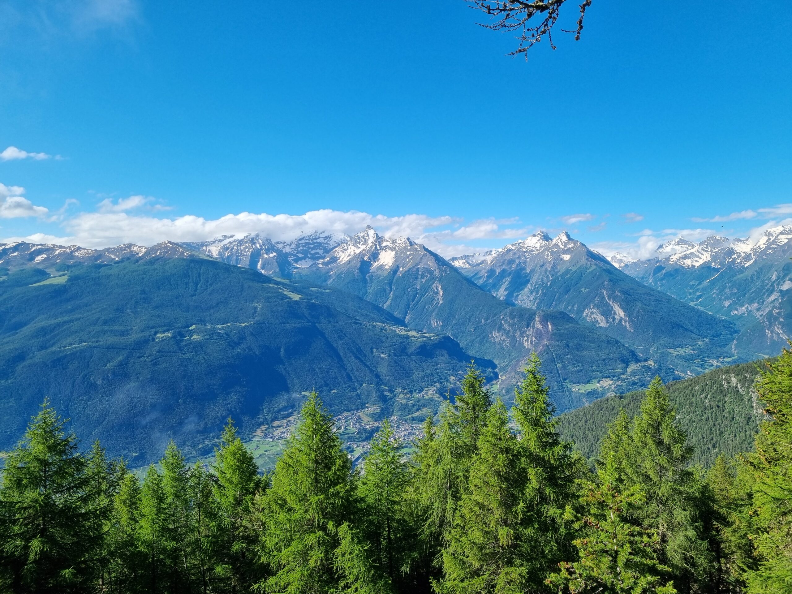
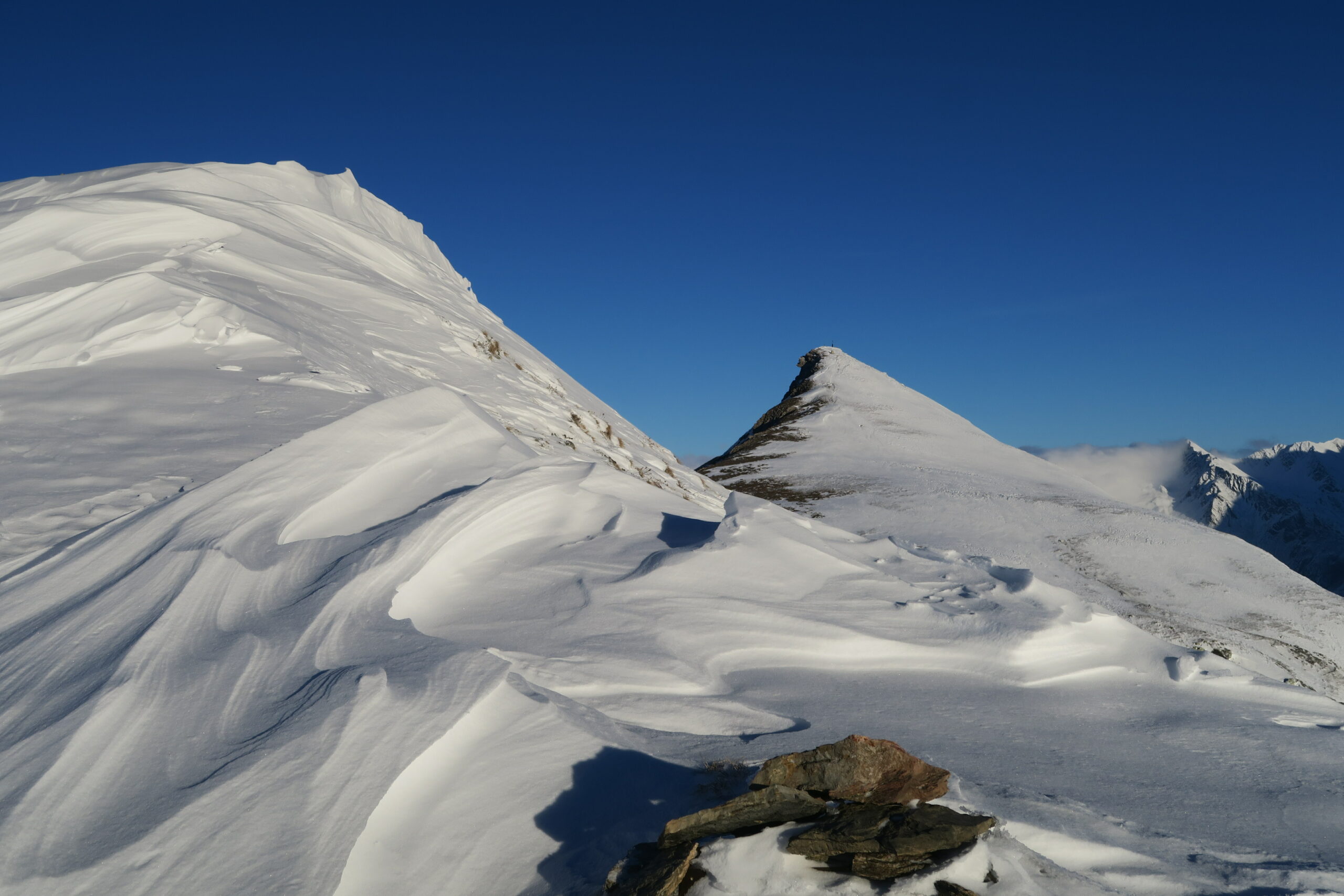
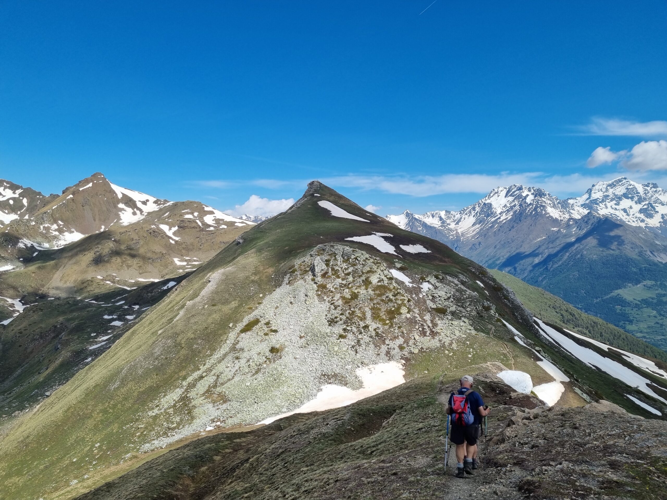
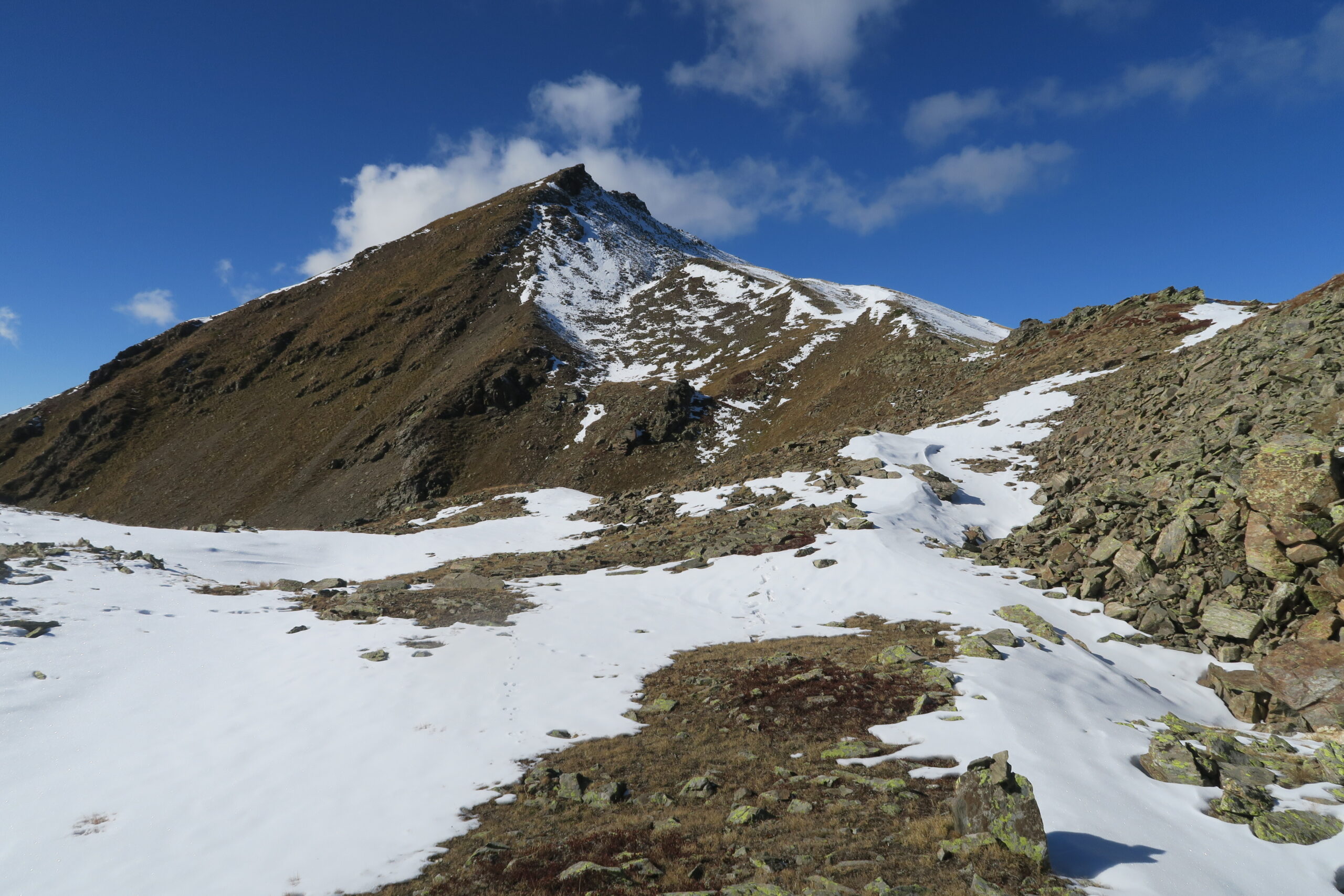
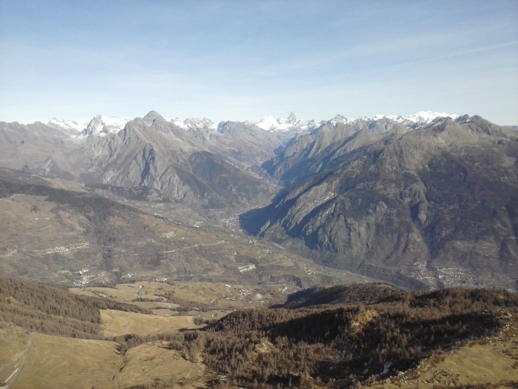
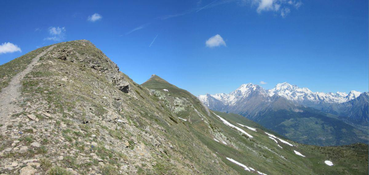
Da Thouraz Dessus seguire il sent.7B verso Nord nel bosco e poi lungo la cresta Sud della Pointe de Metz. Superare la Pointe de Metz, scendere al Col de Metz e salire la cresta Sud della Punta Chaligne fino in vetta.
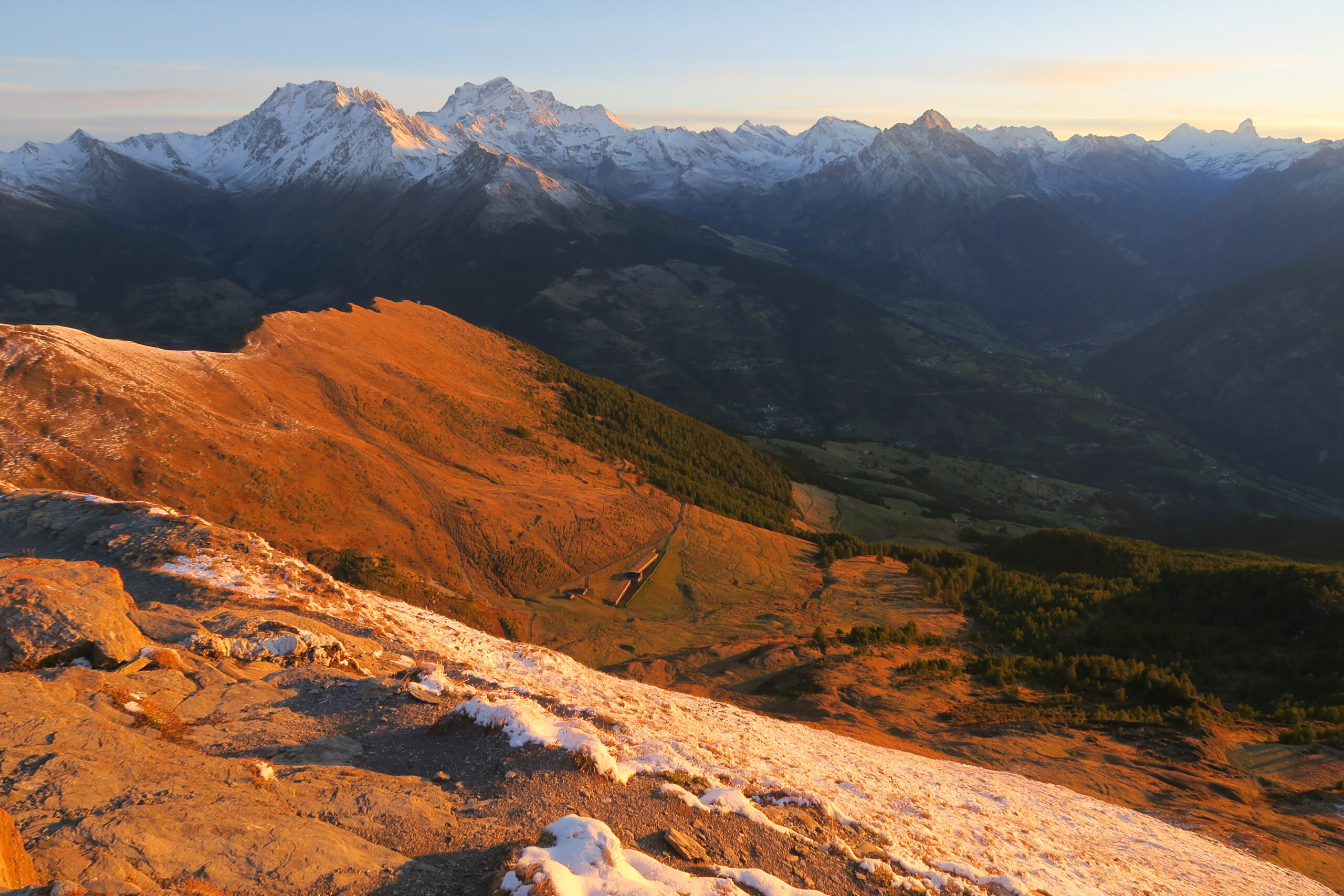
Dalla vetta della Chaligne e’ possibile scendere lato Valpelline tornando al Col de Metz e prendendo il sent.2 e 6 fino ad una poderale che si segue verso sud. Presso il tornante q.2140 un sentiero a destra riporta in due minuti sulla cresta Sud della Pointe de Metz da cui si torna a Thouraz con il sent.7B.
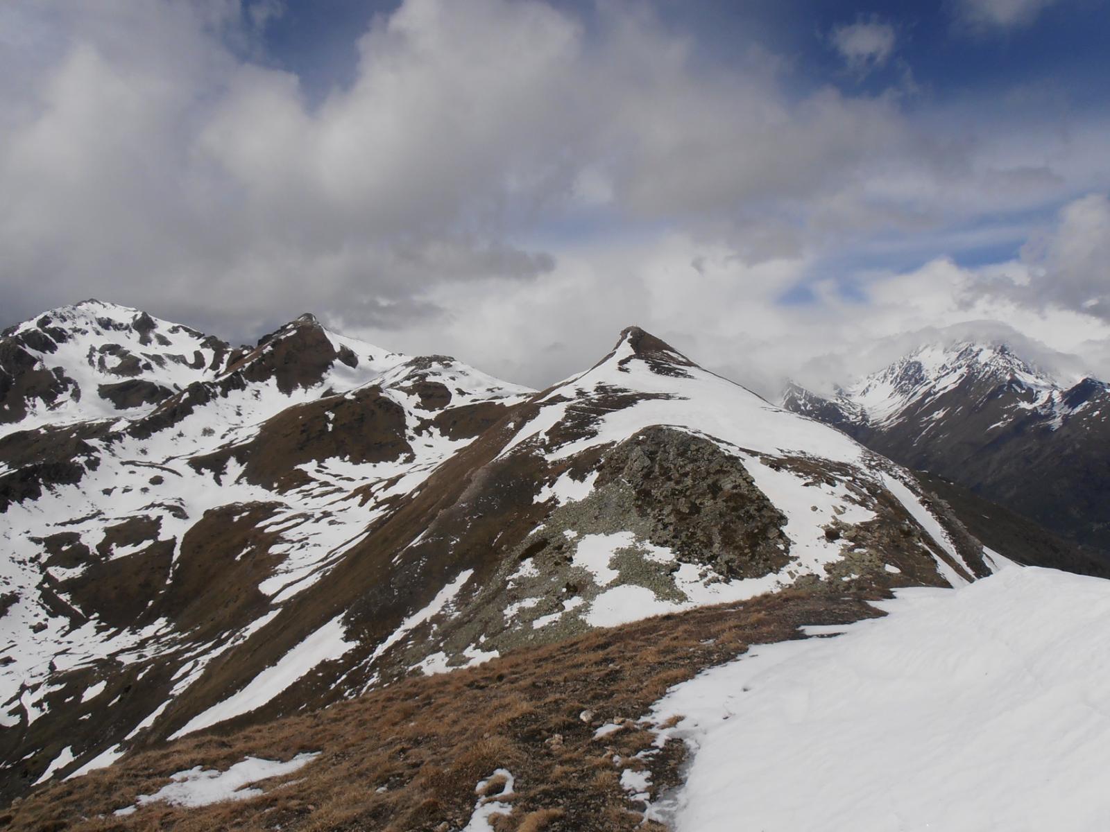
Oppure dalla vetta della Chaligne si puo’ proseguire lungo la cresta verso Nord fino al Passo Tardiva da cui un sentiero a destra (lato Valpelline) scende all’alpe Tsa de Chaligne. Da qui seguendo i sentieri 2 e 6 verso Sud e un tratto di poderale si torna sulla cresta Sud della Pointe de Metz da cui a Thouraz con il sent. 7B.
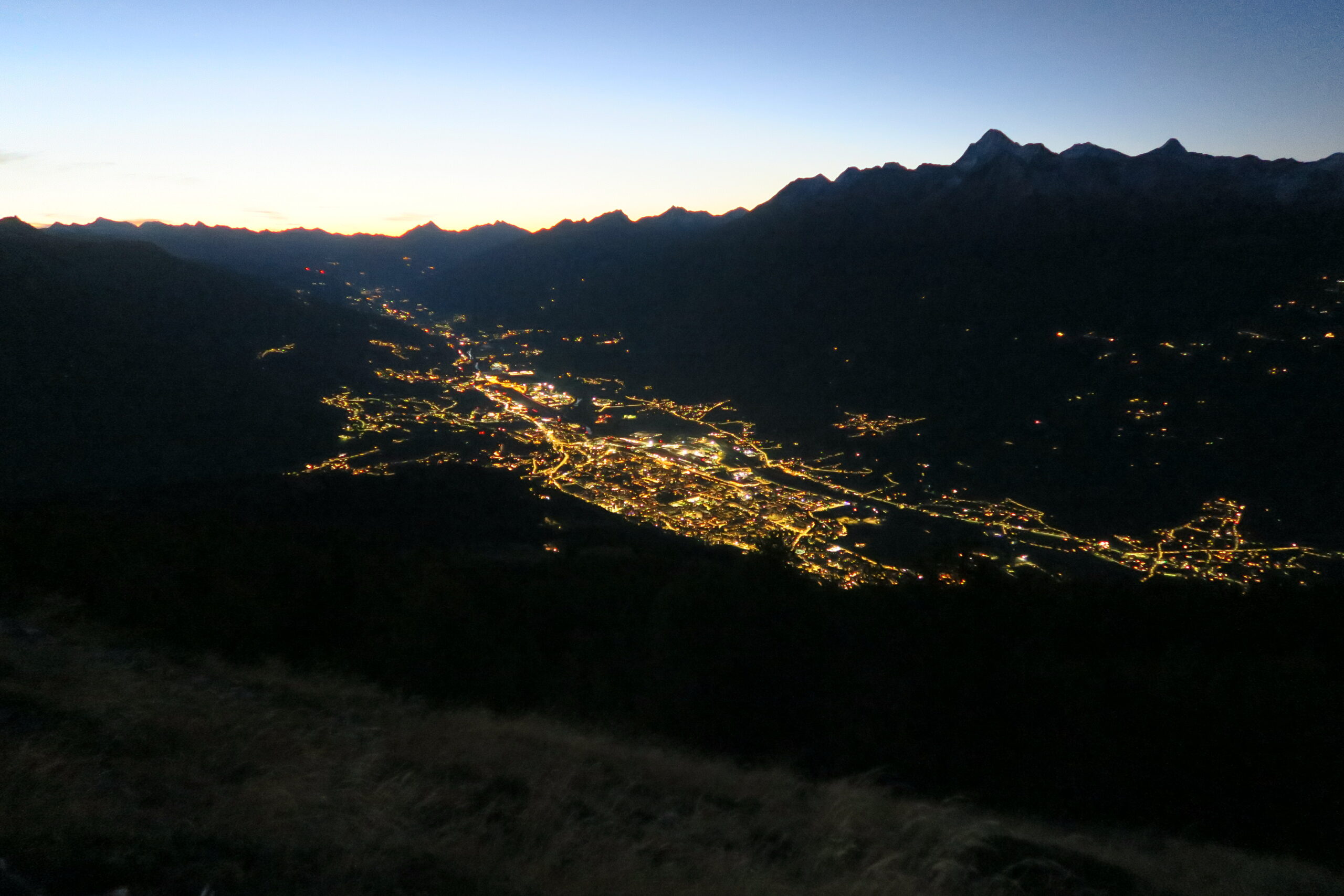
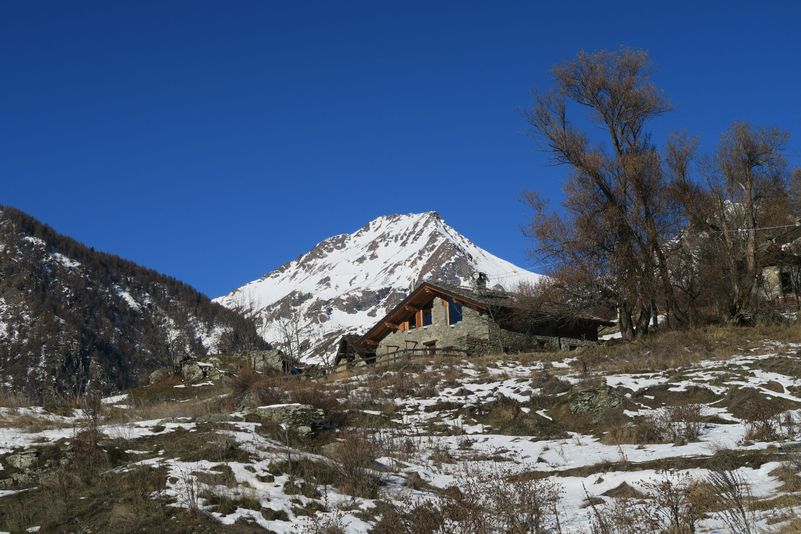
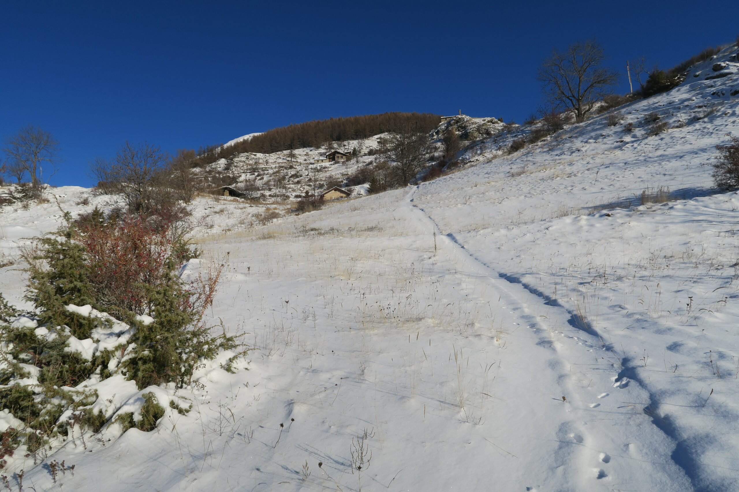
Thouraz e' stata ricostruita in questo punto dopo la frana che staccatasi dalla Becca France ha sepolto il vecchio paese il 6 Luglio 1564. Pare contasse circa 600 abitanti ed avesse molti mulini; solo una famiglia si salvo'.
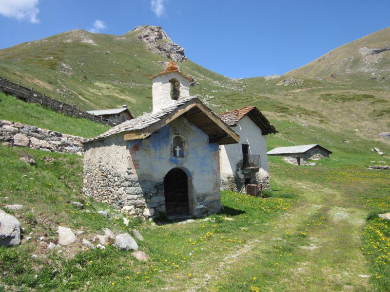
La nuova Thouraz ha una deliziosa chiesina su di un poggio panoramicissimo e val la pena farci una breve visita.
La nuova Thouraz ha una deliziosa chiesina su di un poggio panoramicissimo e val la pena farci una breve visita.
- Cartografia:
- IGC 1:50000 Monte Bianco
- Bibliografia:
- ZAVATTA: Gran San Bernardo,Valpelline...
Nelle vicinanze Mappa
Itinerari
25/06/2026 AO, Sarre D+ 1410 m EE Sud
Fallère (Mont) da Thouraz per il Lago Fallère e il Bivacco Alessandro Pansa
 50m
50m
12/07/2026 AO, Sarre D+ 907 m E Varie
Mont Fallére (Rifugio) da Thouraz
 50m
50m
10/10/2025 AO, Sarre D+ 1650 m EE Sud-Ovest
Fallère (Mont) da Thouraz, anello per le Punte Chaligne e Metz
 50m
50m
12/08/2025 AO, Sarre D+ 674 m E Varie
France (Becca) da Thouraz
 50m
50m
25/06/2011 AO, Sarre D+ 1020 m E Sud-Est
Ars (Col d’) da Thouraz
 50m
50m
18/06/2026 AO, Sarre D+ 824 m E Sud
Fallére (Lago) da Thouraz
 50m
50m
01/07/2026 AO, Sarre D+ 1176 m EE Sud
Arsy o Ars (Mont d’) da Thouraz
 50m
50m
11/08/2020 AO, Sarre D+ 1300 m EE Sud-Ovest
Tsa (Mont de la) e Punta Chaligne da Thouraz, anello per Pointe de Metz
 50m
50m
18/11/2025 AO, Sarre D+ 1050 m EE Tutte
France (Becca) da Bellon, anello
 1.6Km
1.6Km
12/10/2015 AO, Saint-pierre D+ 712 m E Sud
Mont Fallère (Rifugio) da Verrogne
4Km
Servizi
3.1Km
4.3Km
Gran Paradiso B&B
Jovencan
4.4Km
La pineta Rifugio
Aymavilles
5.3Km
Le Vieux Noyer B&B
Saint-Pierre
6.3Km
Vetan Ristorante
Saint-Pierre
6.5Km
Notre Maison Albergo
Saint Pierre
7.1Km
Chez Duclos Ristorante
Gignod
7.1Km
Chez Edi Ristorante
Gignod
7.3Km
Carillon Bar
Aymavilles 7.4Km
7.4Km