3.1Km
3.1Km
Note
 50m
50m
50m
50m
50m
50m
50m
50m
1.6Km
50m
50m
50m
50m
50m
50m
50m
50m
1.6Km
3.1Km
4.3Km
4.4Km
5.3Km
6.3Km
6.5Km
7.1Km
7.1Km
7.3Km
7.4Km
Tratti di percorso senza segnaletica o traccia
Avvicinamento
.
Descrizione
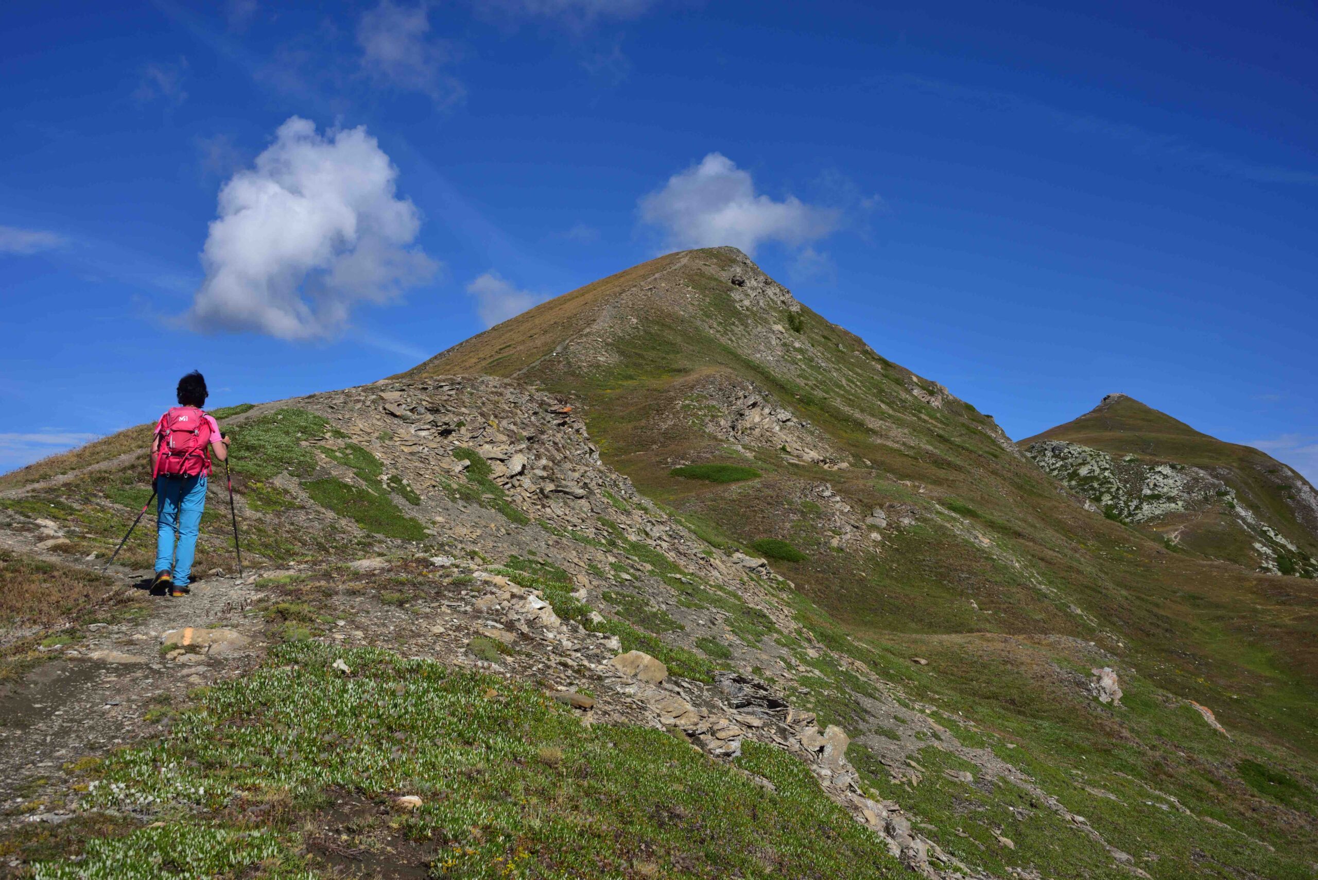
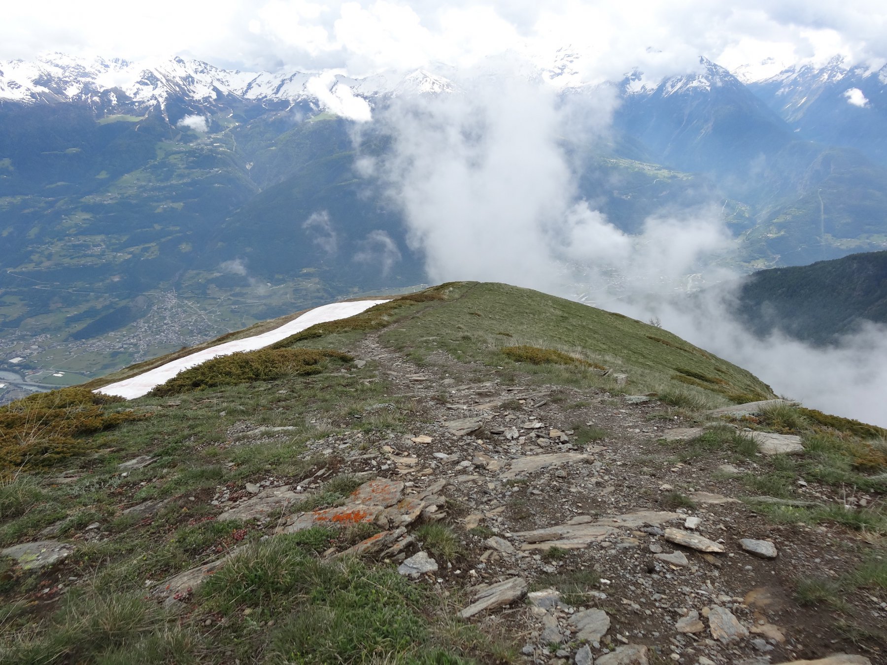
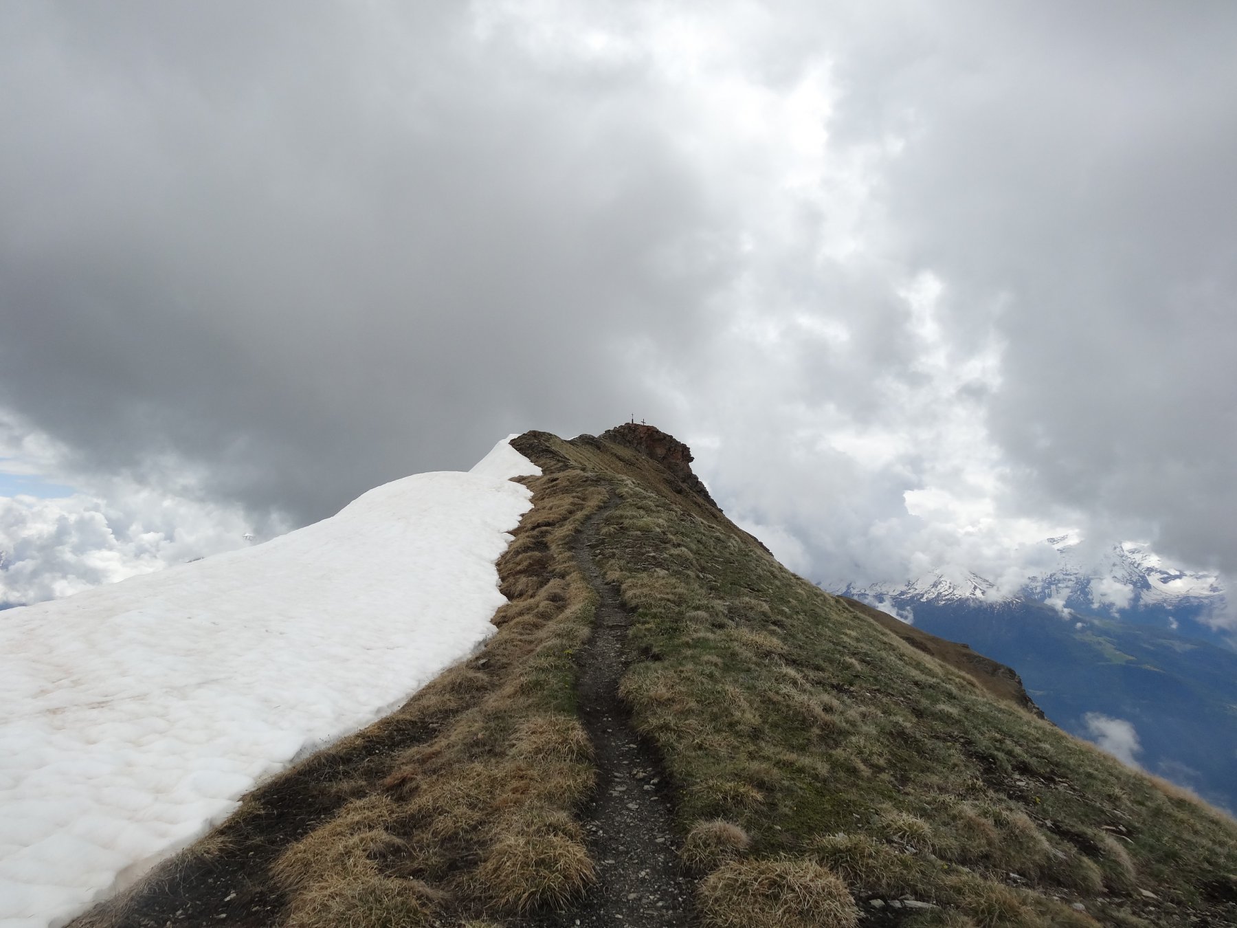
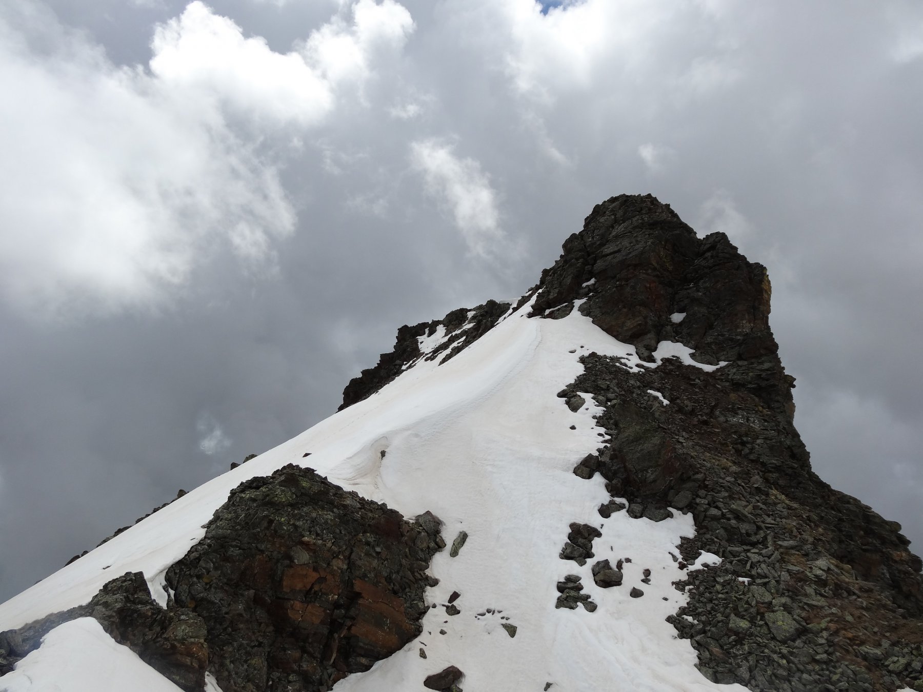
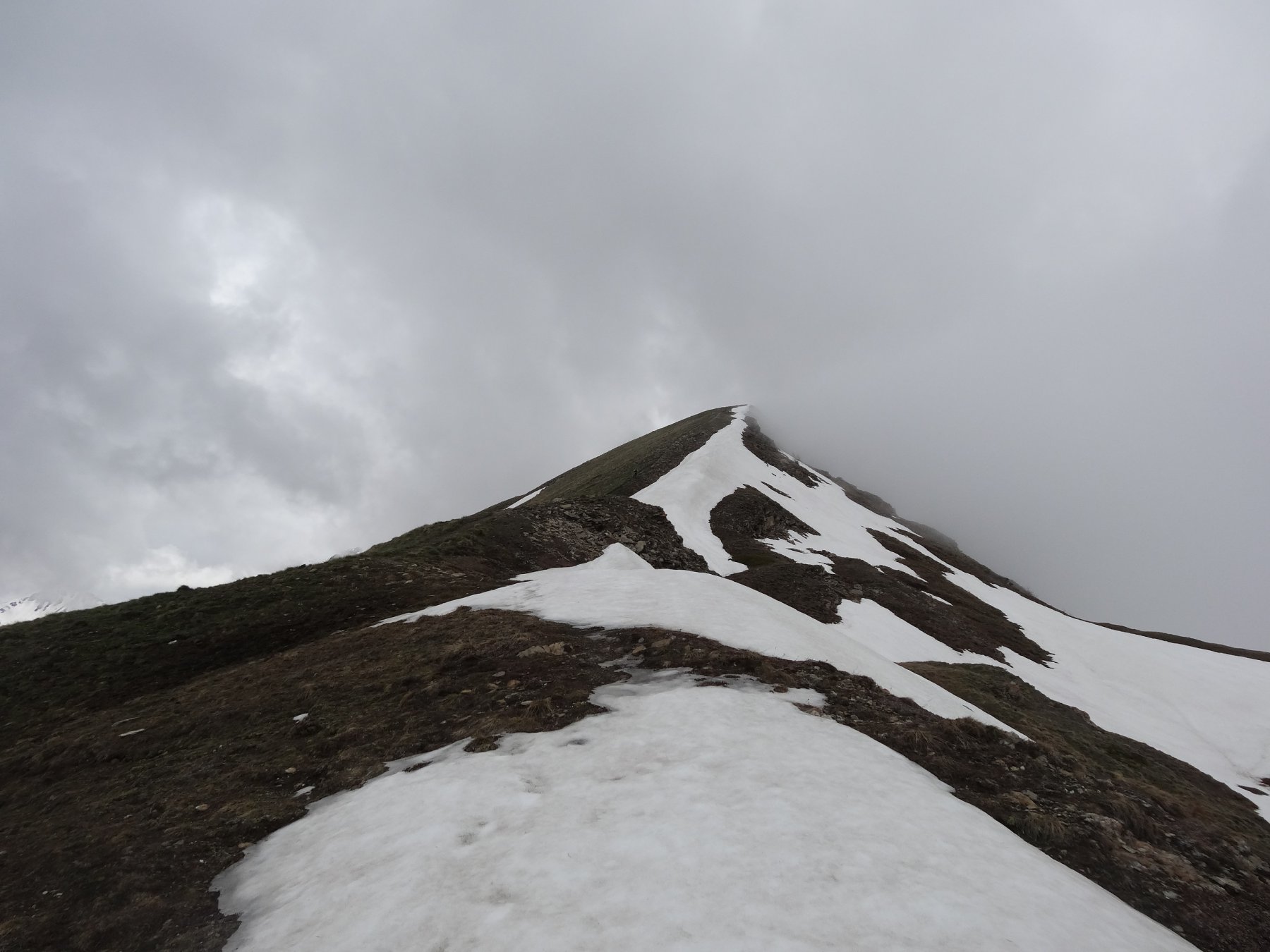
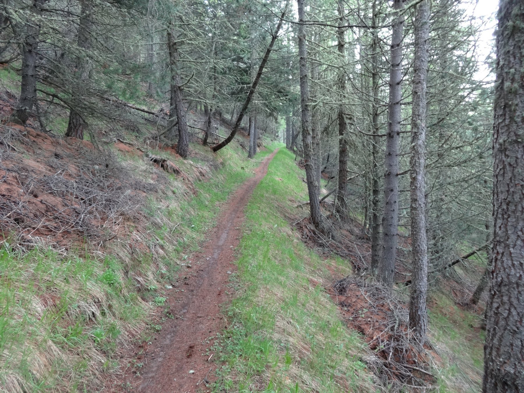
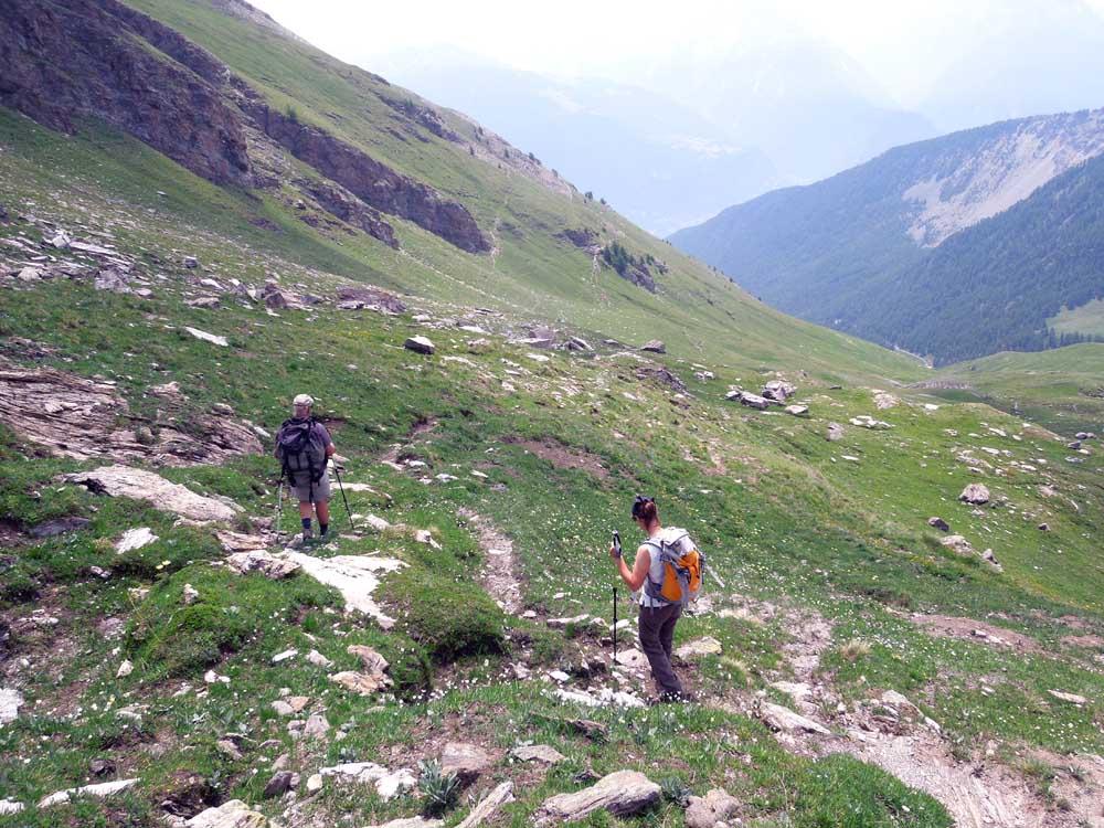
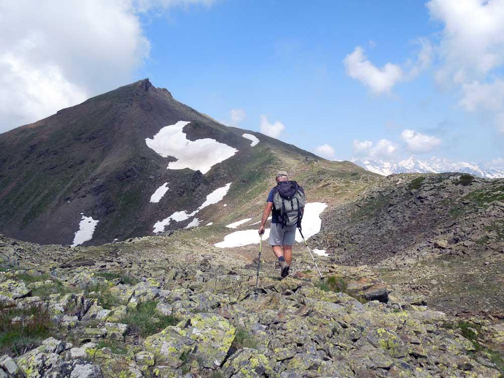
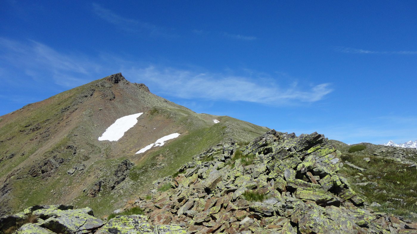
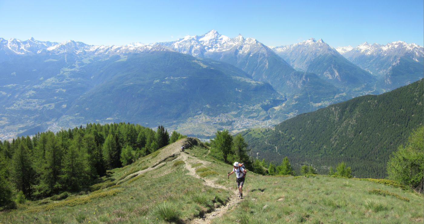
Partenza dalle baite di Thouraz sul sentiero n.7b che risale il bosco di larici,percorre la cresta completa (tratti anche ripidi) della punta Metz(mt. 2553) e prosegue per la punta Chaligne (mt.2608).
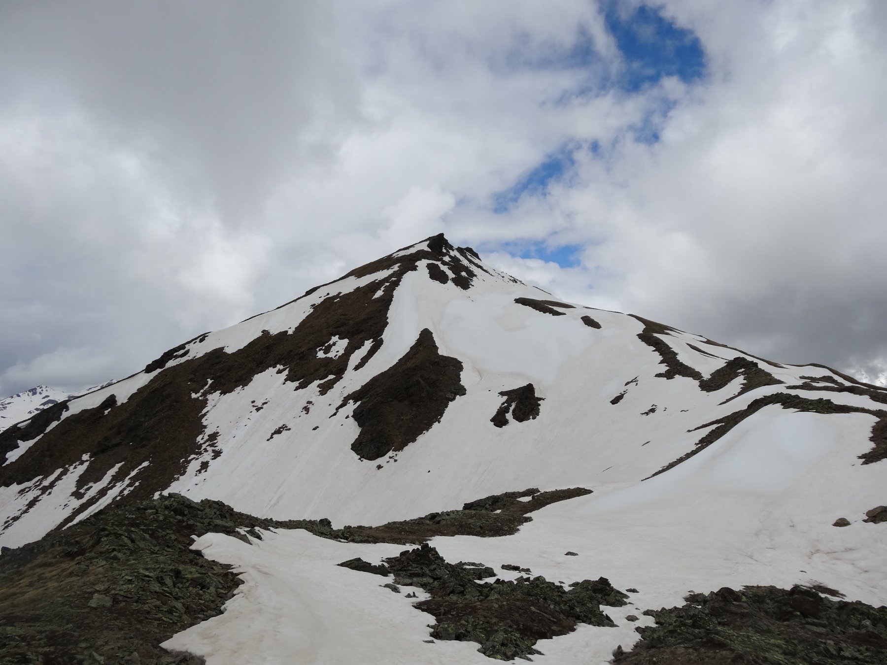
Si prosegue verso il Colle Tardiva sul sentiero n. 3 senza raggiungerlo, si lascia il sentiero e si risalgono i dossi erbosi verso il Monte de la Tsa senza percorso obbligato mirando alla destra delle due punte che costituiscono la vetta.
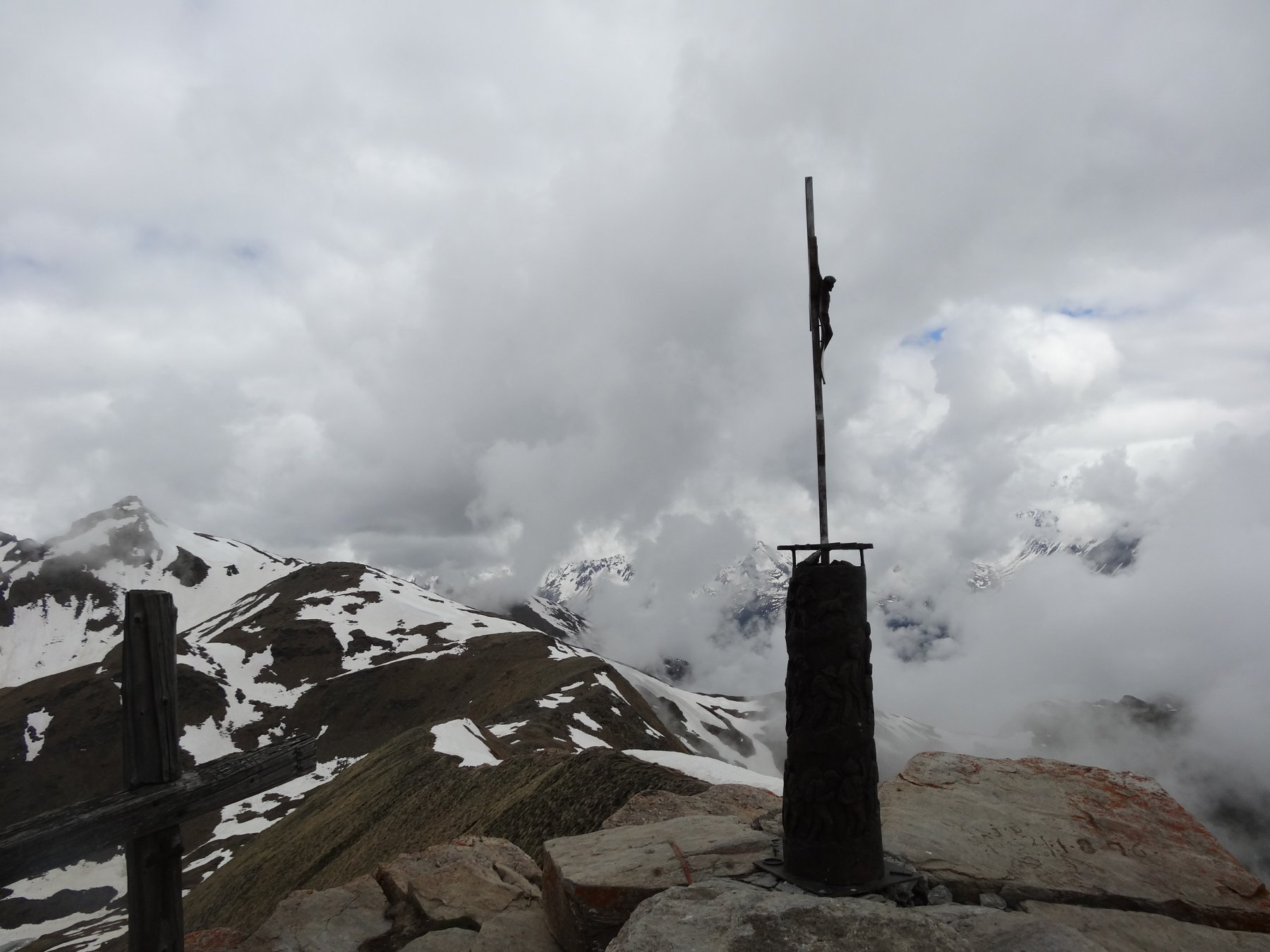
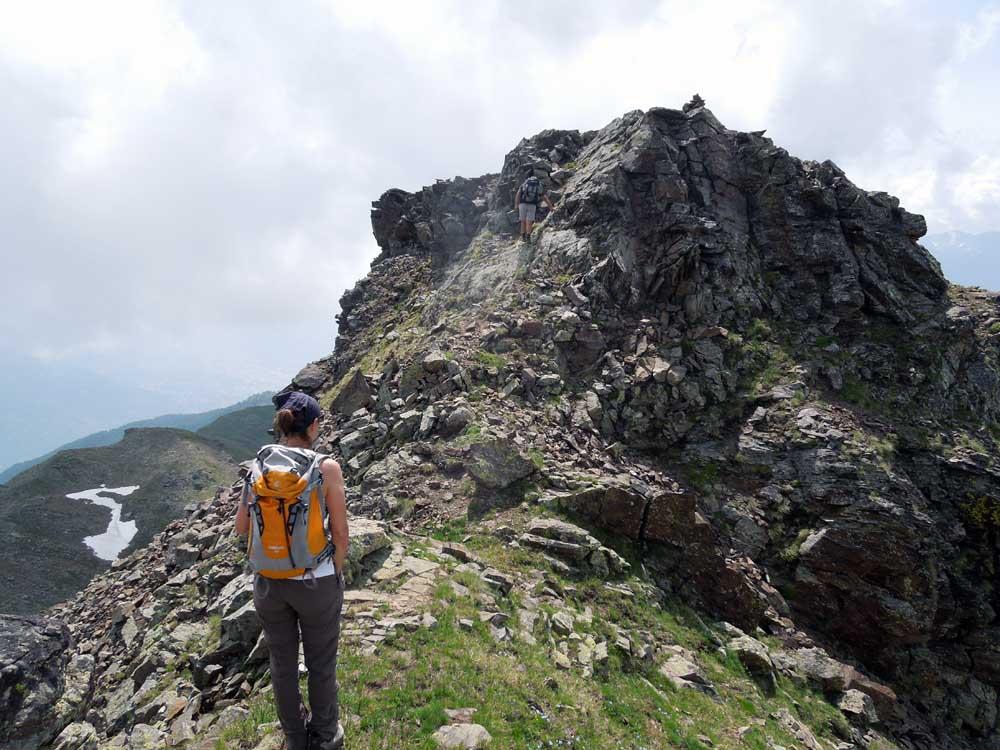
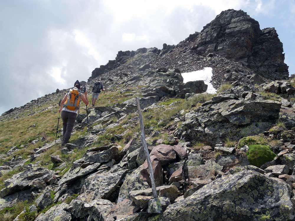
Un ultimo tratto di pietraia e roccette elementari permettono di raggiungerle entrambe.
Discesa ritornando al colletto quota 2500 circa ma proseguendo ,sempre senza percorso obbligato ,nel vallone che scende verso gli alpeggi Chesére senza però raggiungerli e rimanendo sempre sulla sinistra idrografica fino ad incontrare il sentiero che risale alla punta Chaligne .
Ci si trova ad un bivio e si percorre il sentiero di destra (n.8c)che scende con un lungo traverso sul tratto finale della cresta della punta Metz chiudendo cosi l’anello ,ritrovando il sentiero n.7 b che riconduce a Thouraz.
Nelle vicinanze Mappa
Itinerari
01/07/2026 AO, Sarre D+ 1176 m EE Sud
Arsy o Ars (Mont d’) da Thouraz
 50m
50m
12/07/2026 AO, Sarre D+ 907 m E Varie
Mont Fallére (Rifugio) da Thouraz
 50m
50m
10/10/2025 AO, Sarre D+ 1650 m EE Sud-Ovest
Fallère (Mont) da Thouraz, anello per le Punte Chaligne e Metz
 50m
50m
25/06/2011 AO, Sarre D+ 1020 m E Sud-Est
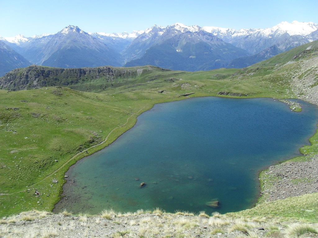
Ars (Col d’) da Thouraz
 50m
50m
24/05/2026 AO, Sarre D+ 953 m E Tutte
Chaligne (Punta) e Punta Metz da Thouraz, anello
 50m
50m
25/06/2026 AO, Sarre D+ 1410 m EE Sud
Fallère (Mont) da Thouraz per il Lago Fallère e il Bivacco Alessandro Pansa
 50m
50m
18/06/2026 AO, Sarre D+ 824 m E Sud
Fallére (Lago) da Thouraz
 50m
50m
12/08/2025 AO, Sarre D+ 674 m E Varie
France (Becca) da Thouraz
 50m
50m
18/11/2025 AO, Sarre D+ 1050 m EE Tutte
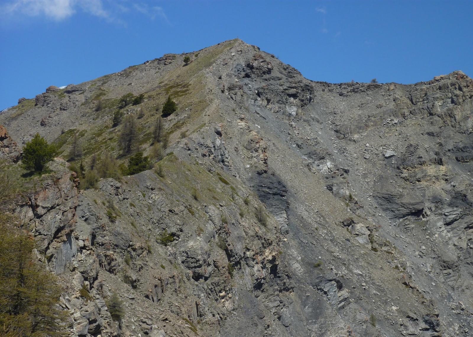
France (Becca) da Bellon, anello
 1.6Km
1.6Km
12/10/2015 AO, Saint-pierre D+ 712 m E Sud
Mont Fallère (Rifugio) da Verrogne
4Km
Servizi
3.1Km
4.3Km
Gran Paradiso B&B
Jovencan
4.4Km
La pineta Rifugio
Aymavilles
5.3Km
Le Vieux Noyer B&B
Saint-Pierre
6.3Km
Vetan Ristorante
Saint-Pierre
6.5Km
Notre Maison Albergo
Saint Pierre
7.1Km
Chez Duclos Ristorante
Gignod
7.1Km
Chez Edi Ristorante
Gignod
7.3Km
Carillon Bar
Aymavilles 7.4Km
7.4Km