100m
100m
Note
 0m
0m
0m
0m
50m
1.7Km
1.7Km
2.2Km
2.2Km
2.4Km
0m
0m
0m
0m
50m
1.7Km
1.7Km
2.2Km
2.2Km
2.4Km
100m
1.5Km
2.6Km
3.2Km
3.4Km
3.4Km
3.4Km
3.4Km
3.4Km
3.4Km
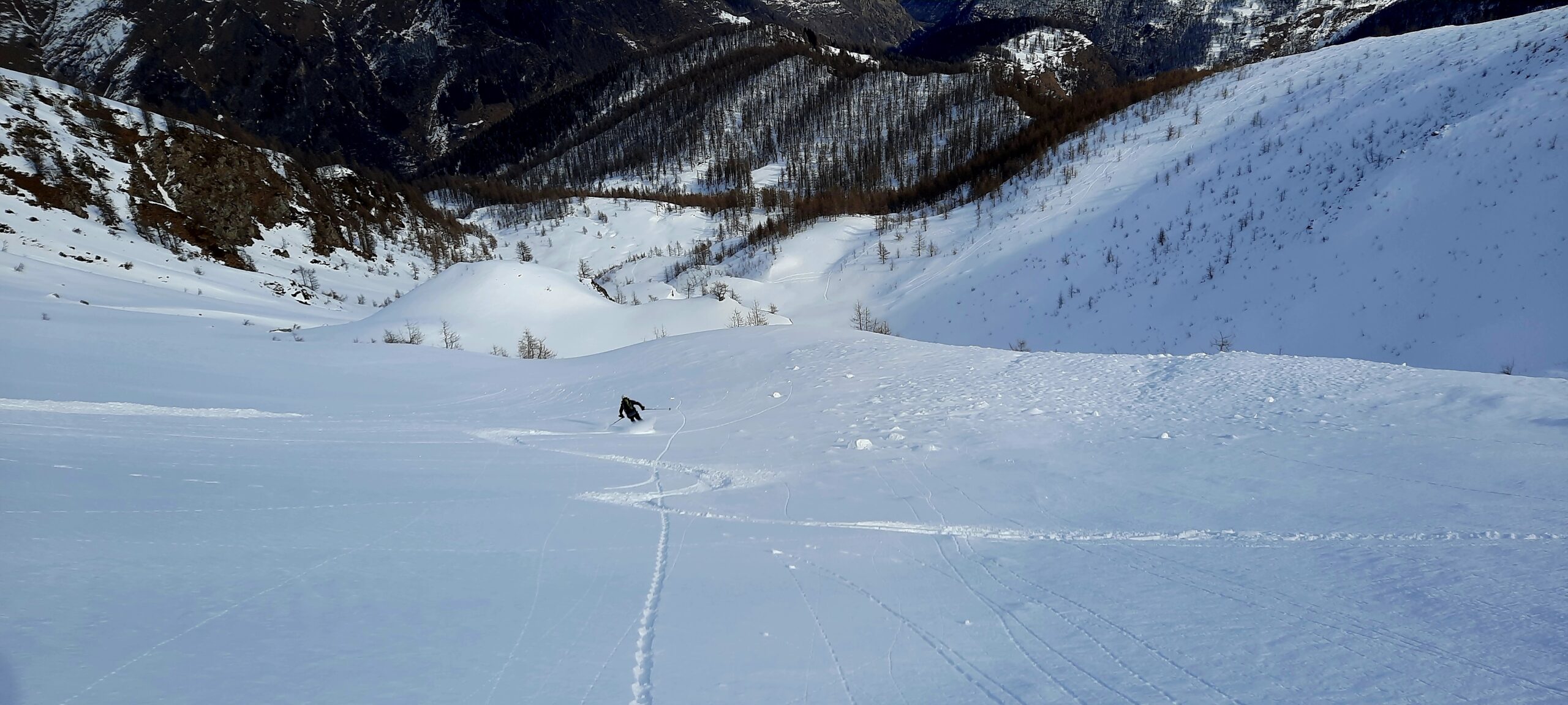
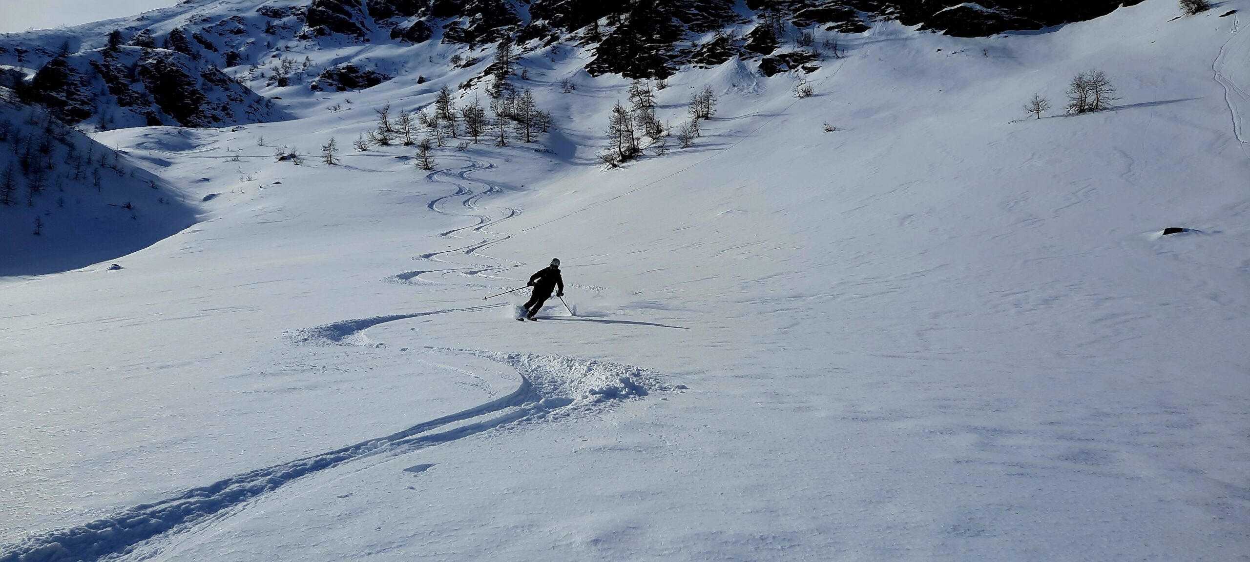
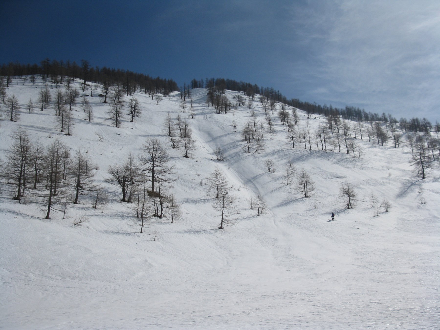
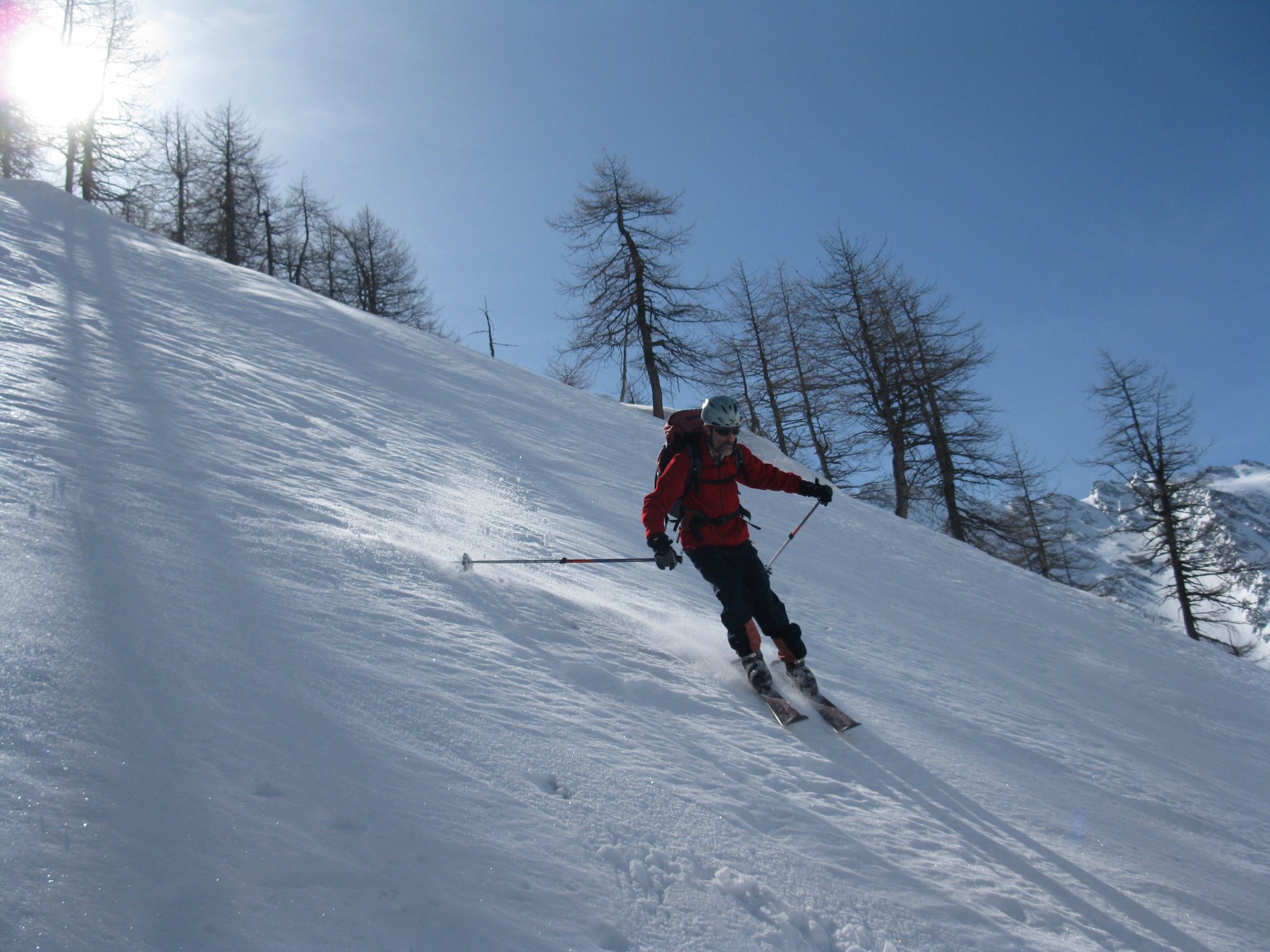
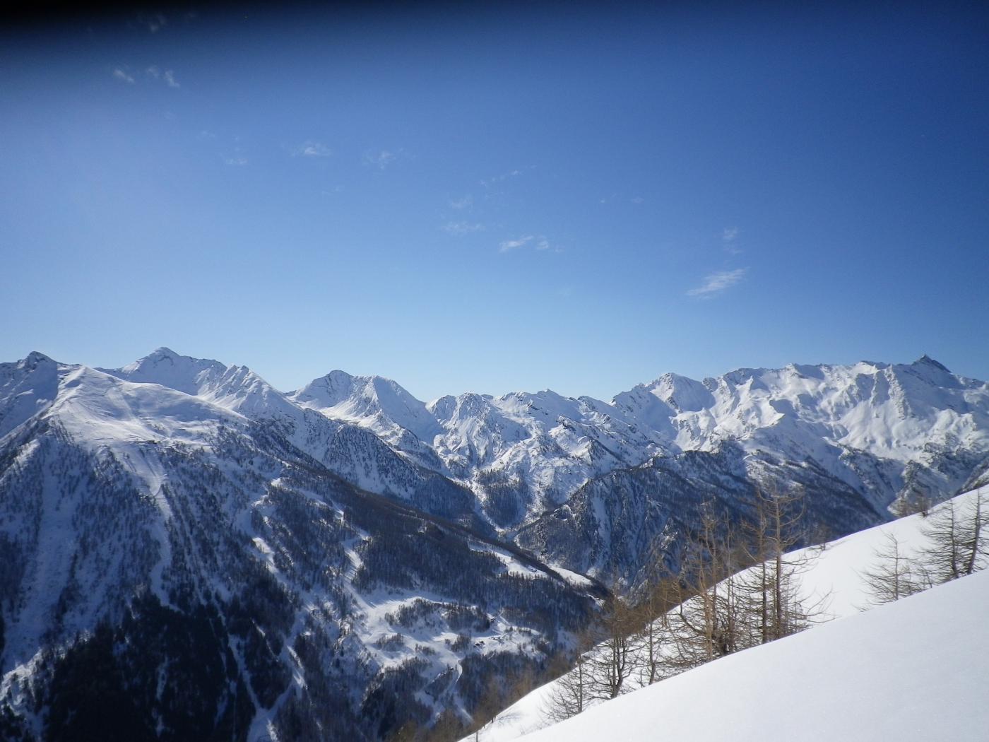
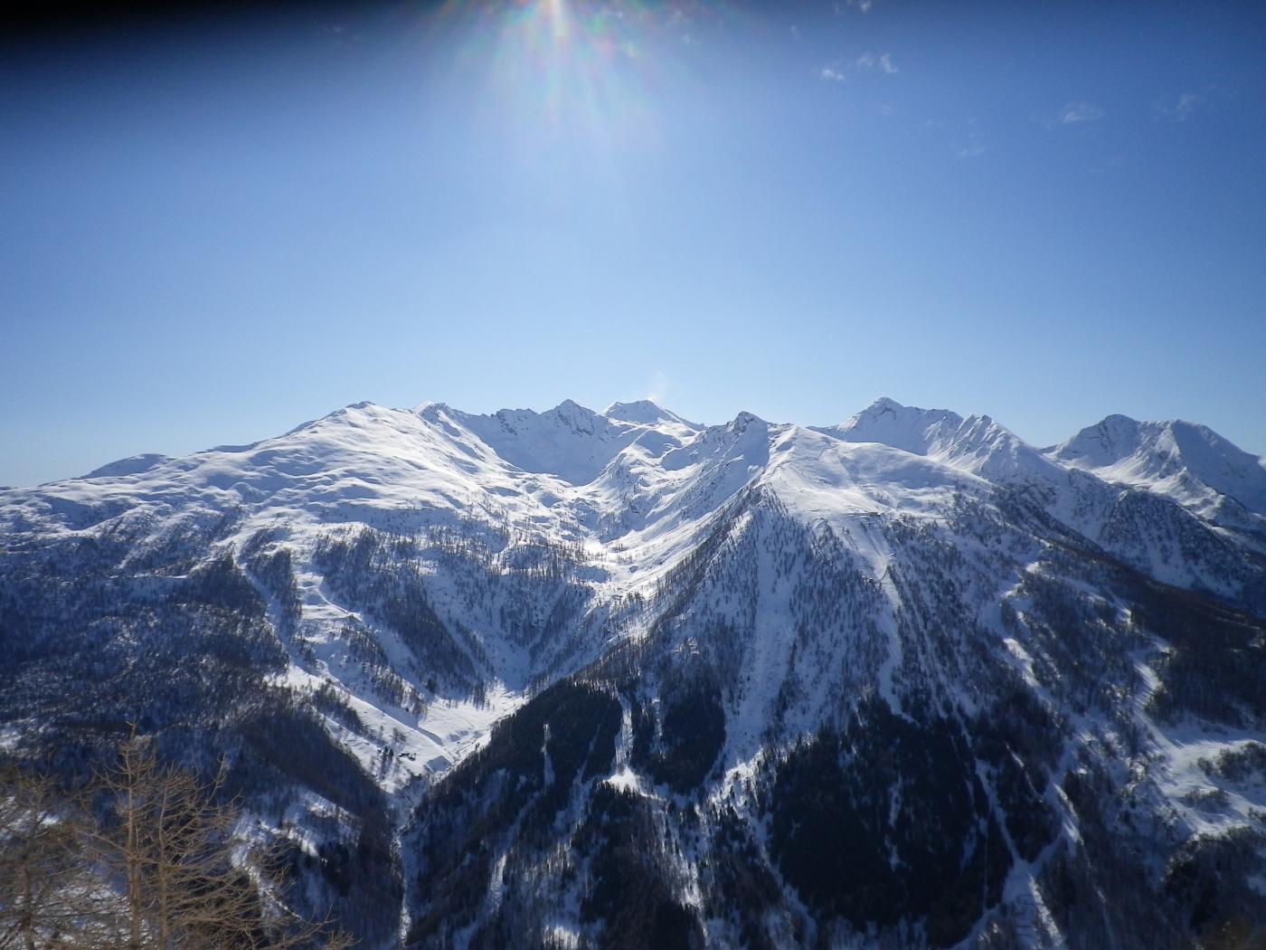
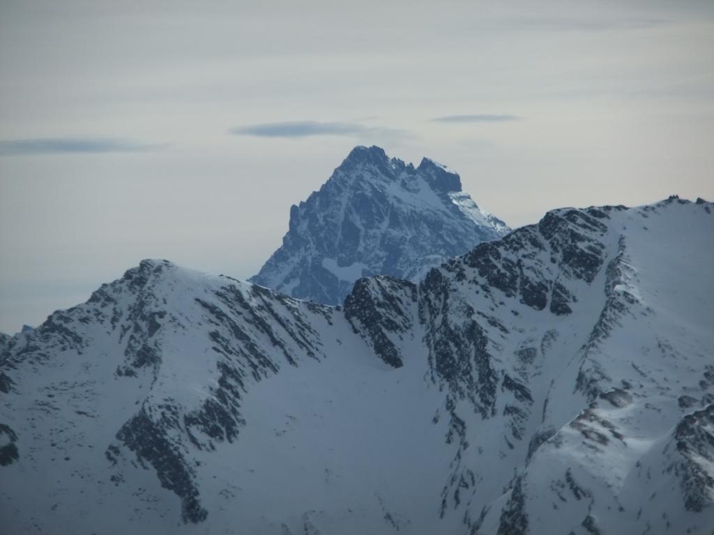
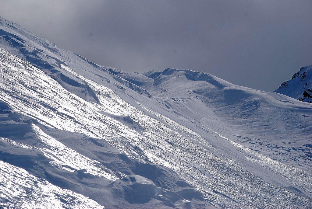
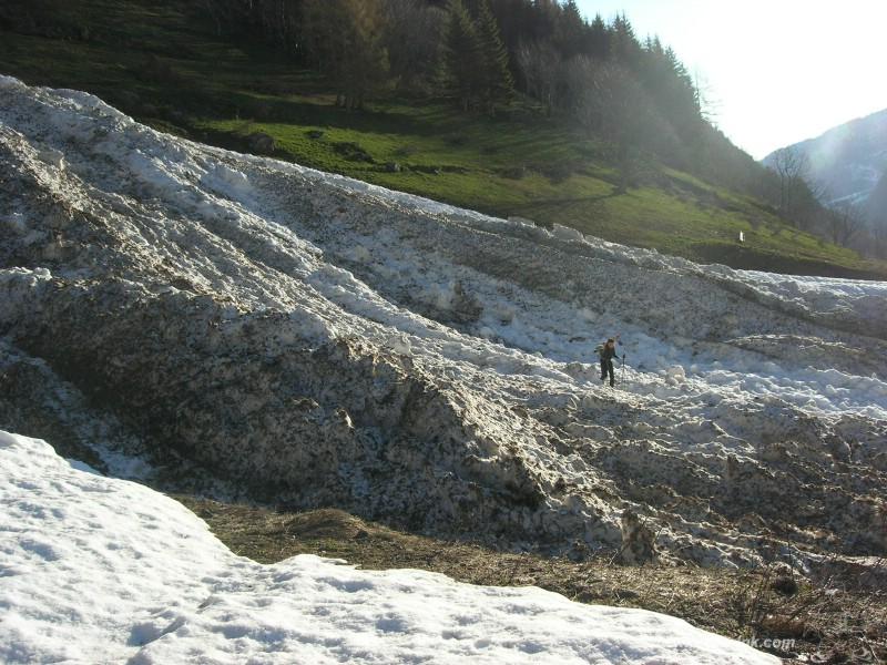
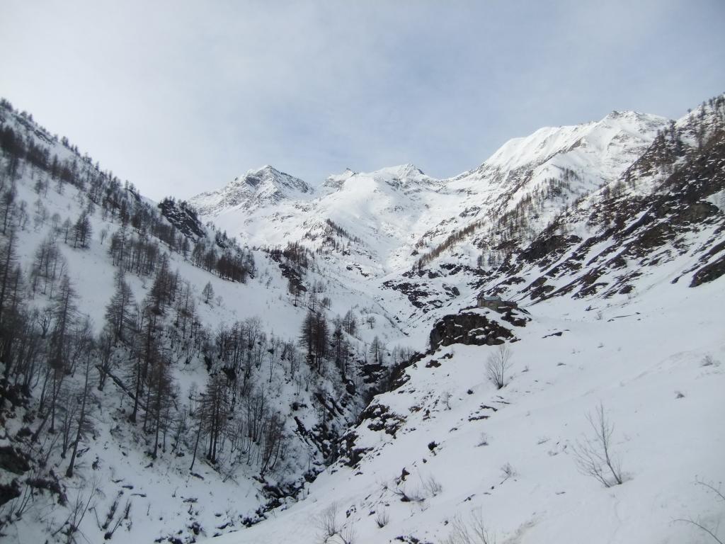
Splendido e severo itinerario nel selvaggio vallone di Rodoretto. Salita per "intenditori" che richiede un'ottima conoscenza della neve e delle condizioni. In annate con copiose precipitazioni, grandiose valanghe raggiungono e tagliano il fondovalle in più punti e già a partire dall'abitato di Arnaud appena dopo Rodoretto. L'itinerario descritto è il più sicuro fra i 5 possibili, occorre comunque essere vigili su tutto il percorso di fondovalle e sull'aerea e lunga cresta finale.
Avvicinamento
.
Descrizione
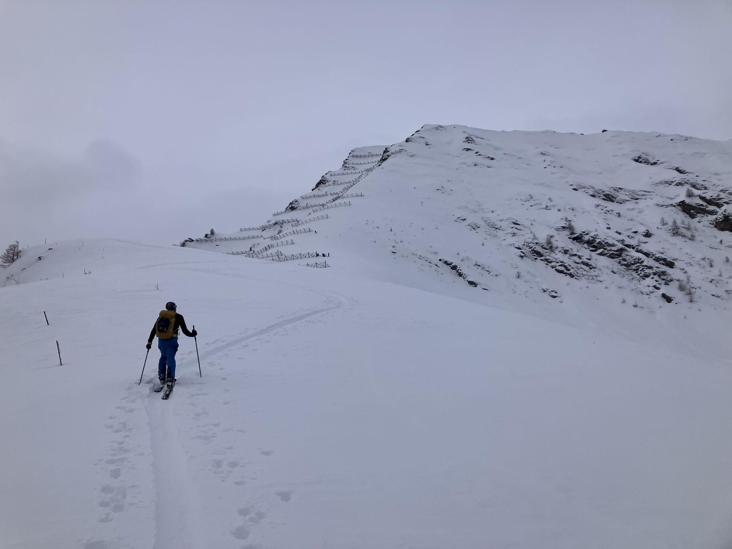
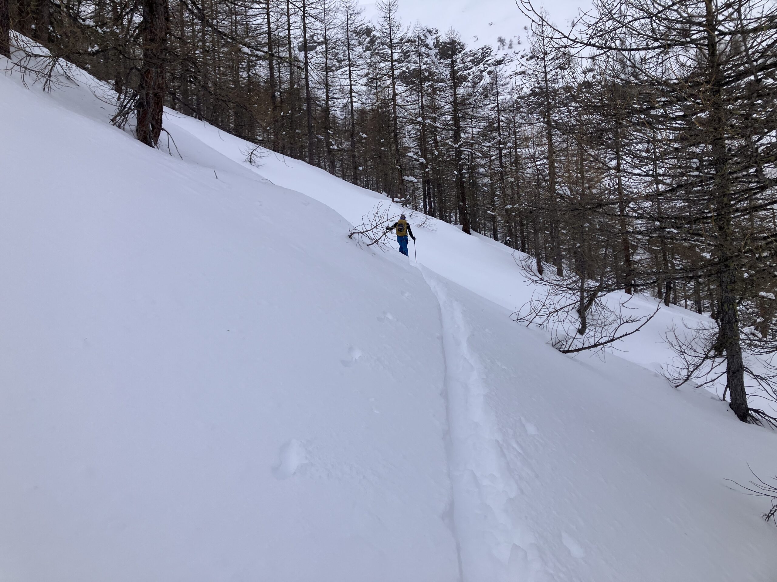
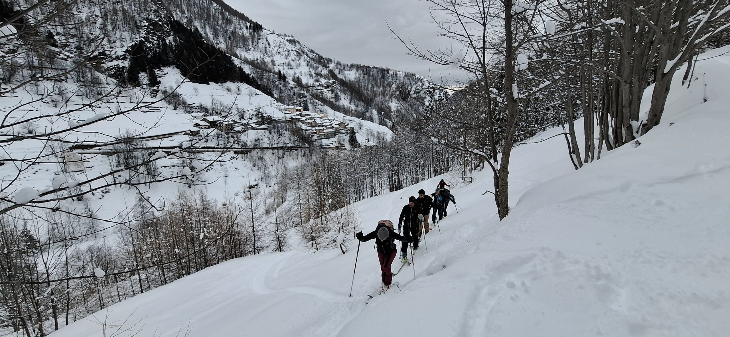
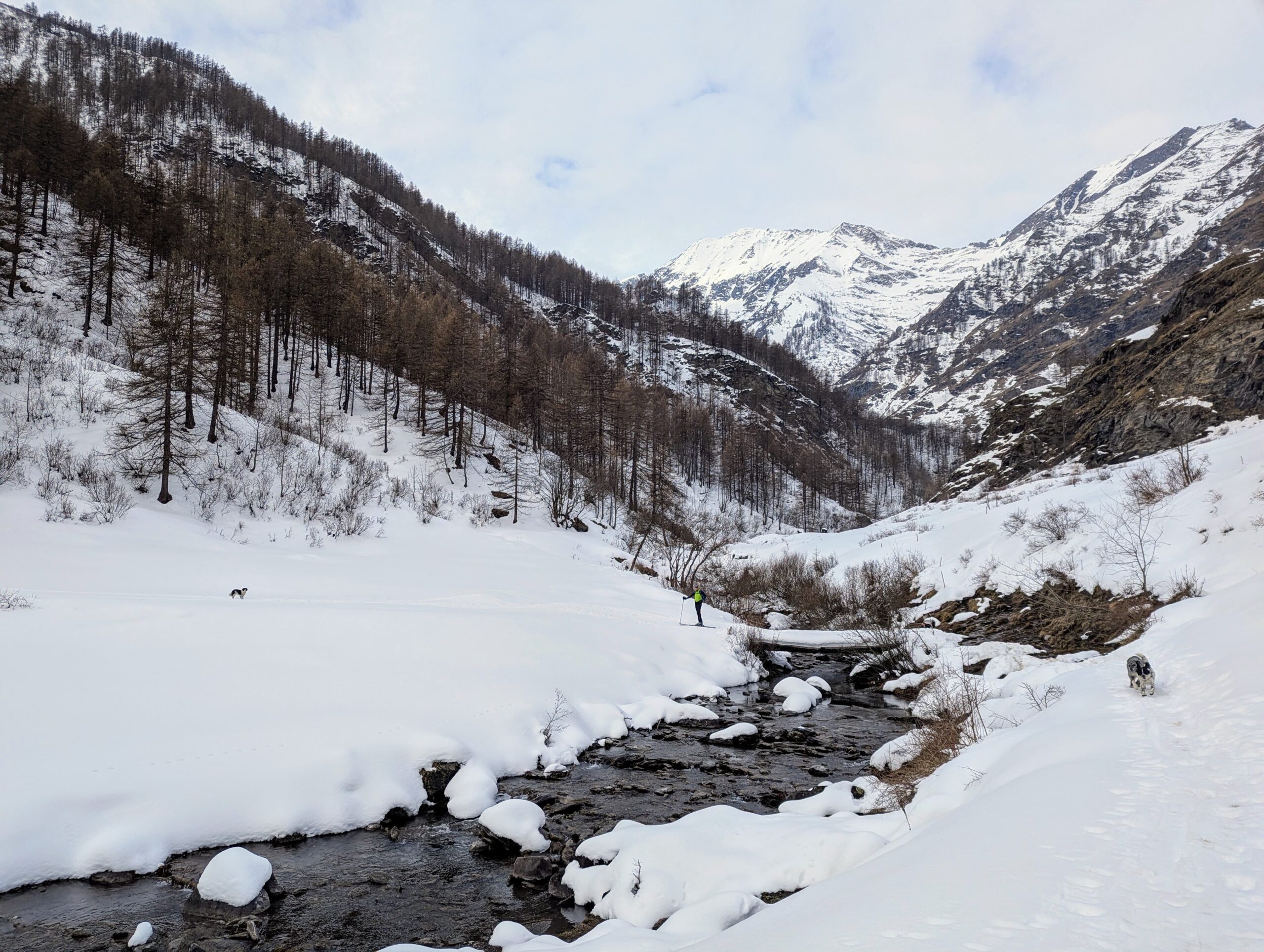
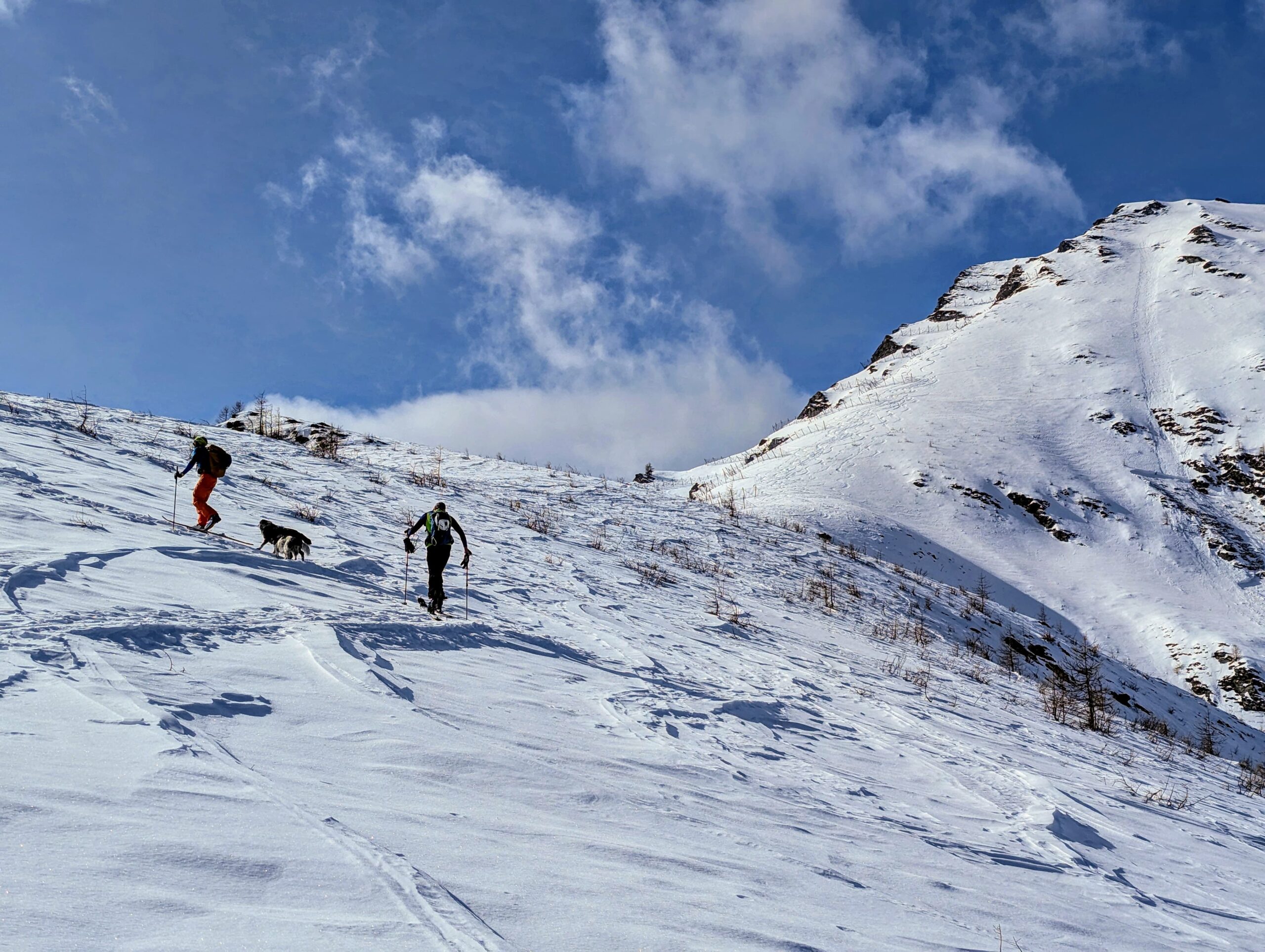
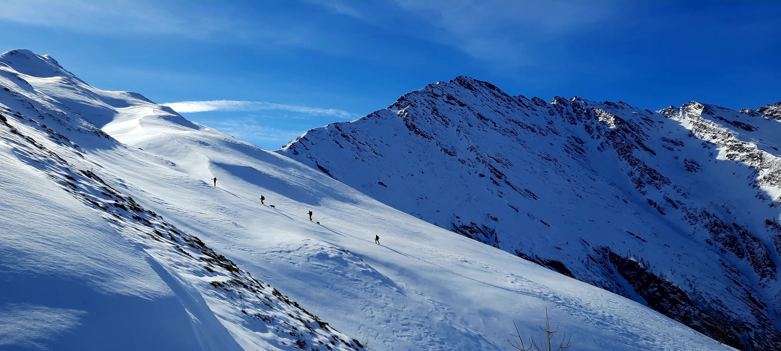
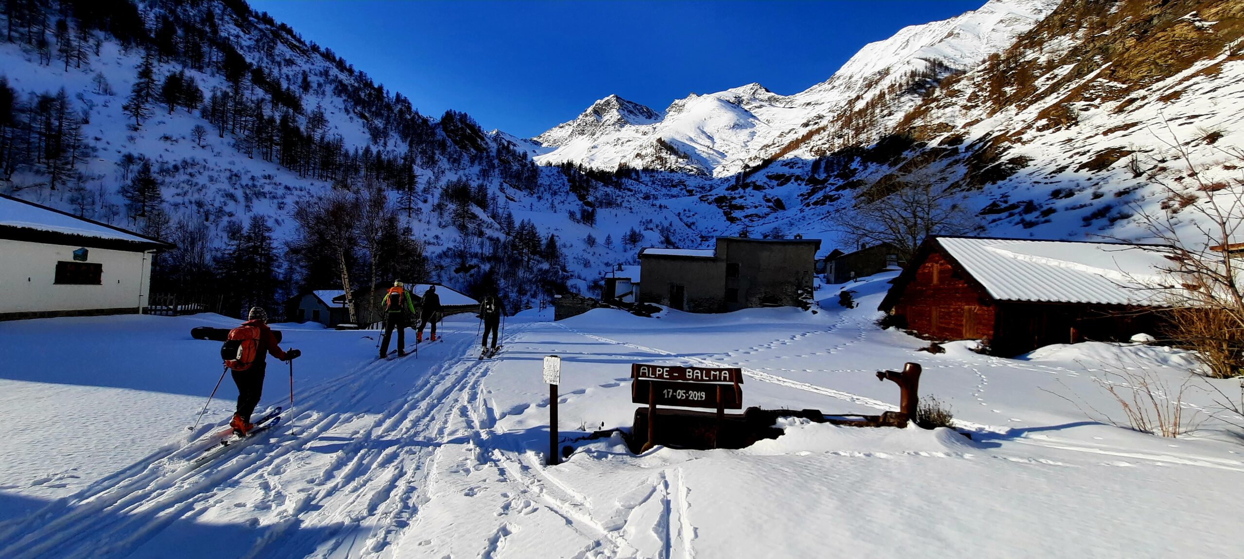
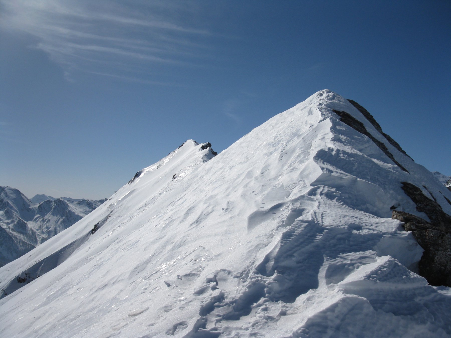
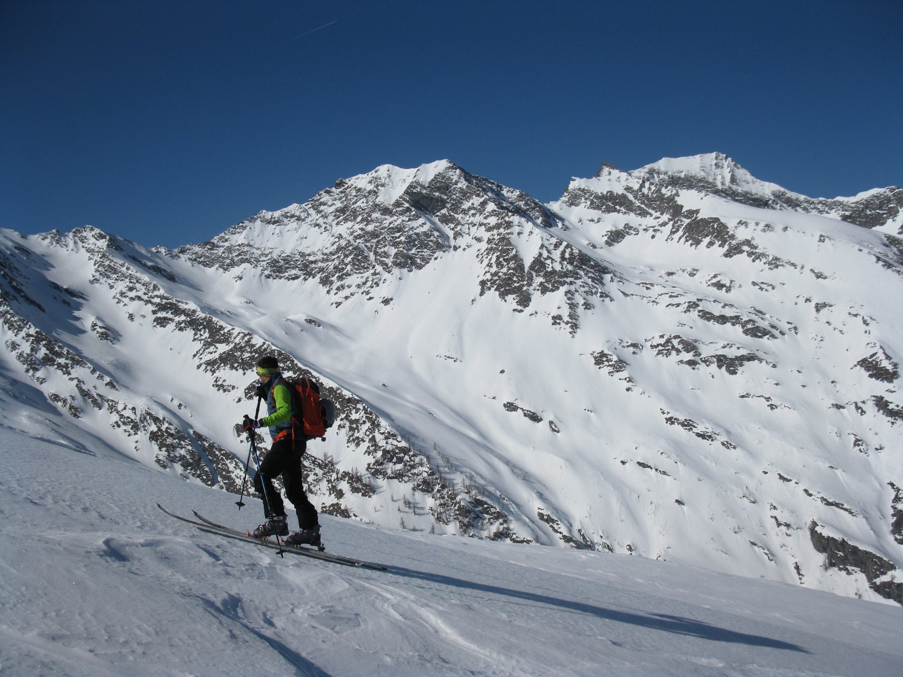
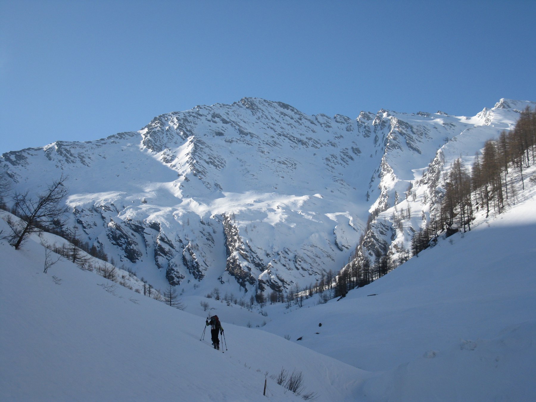
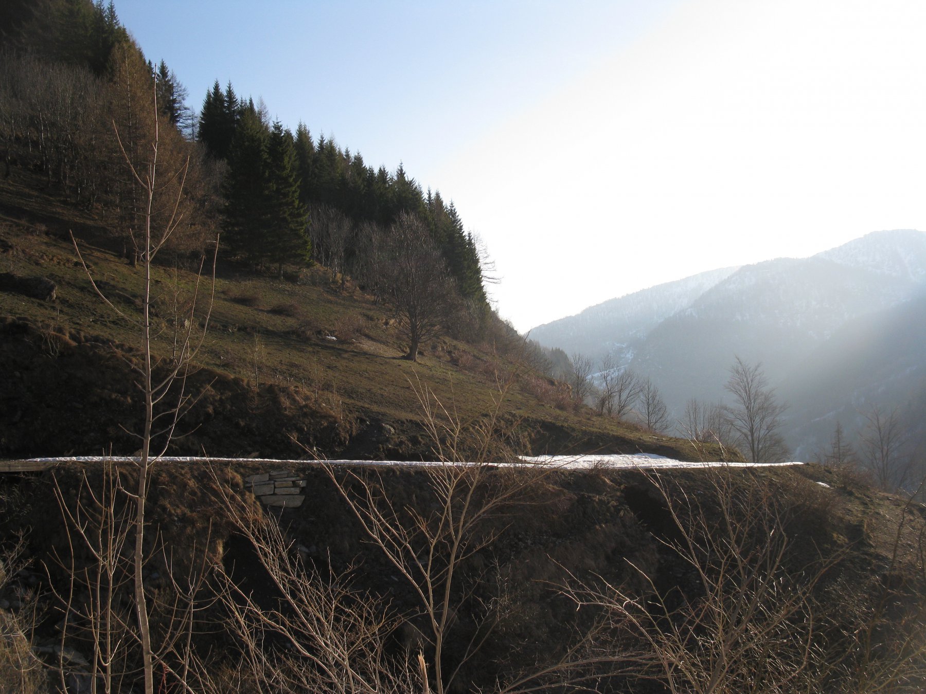
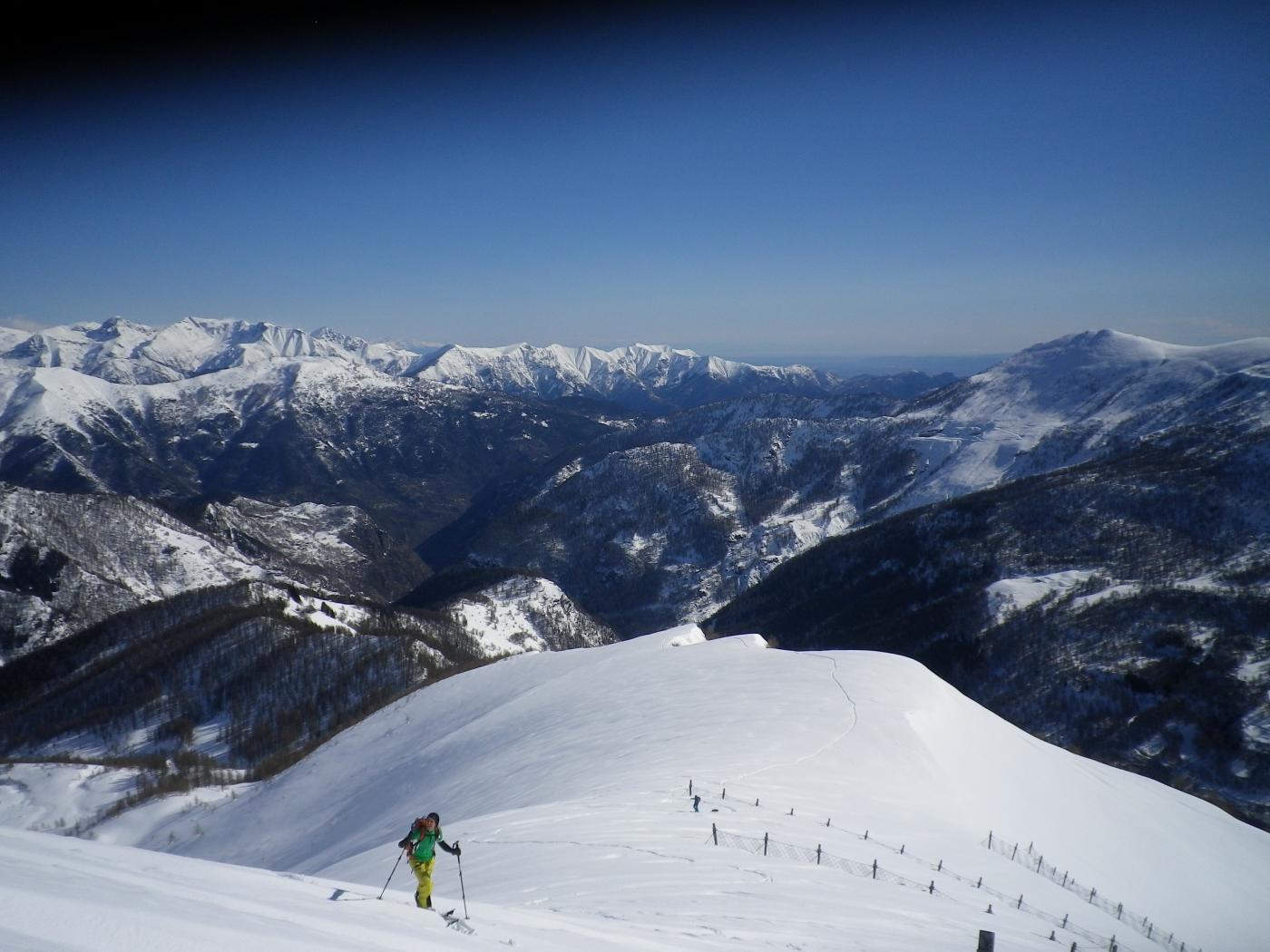
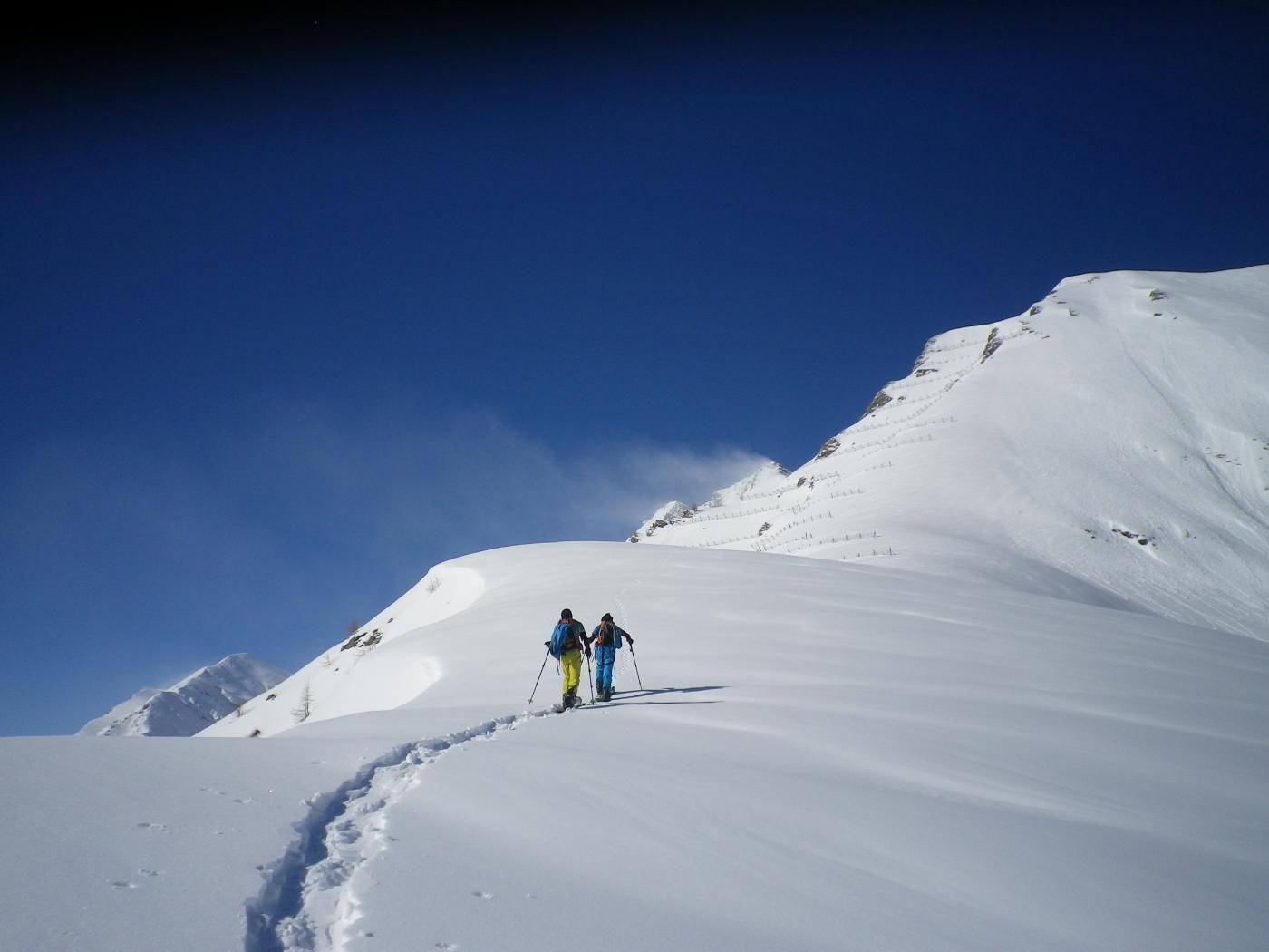
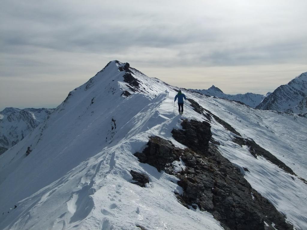
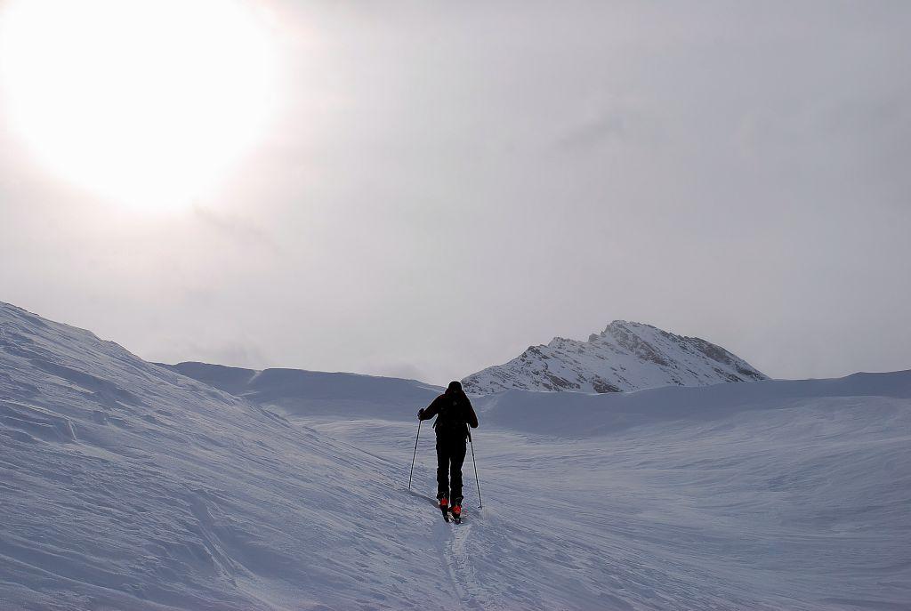
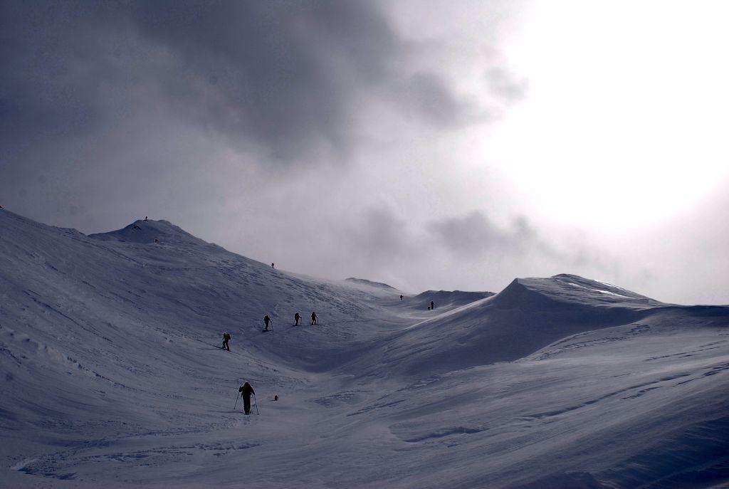
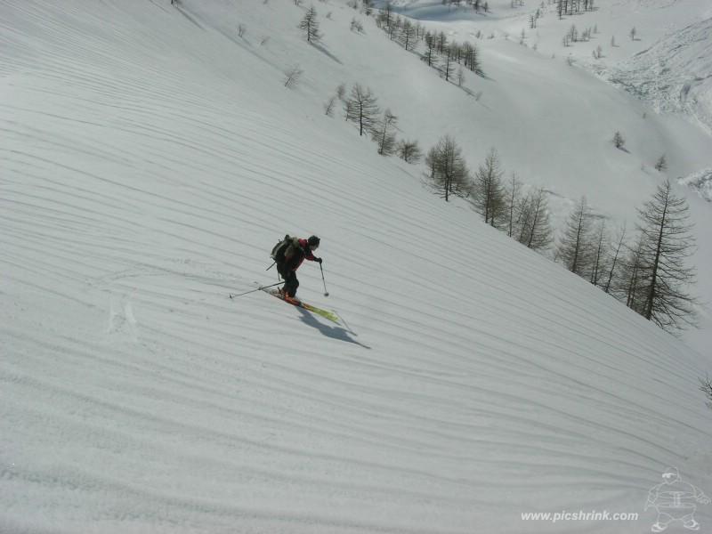
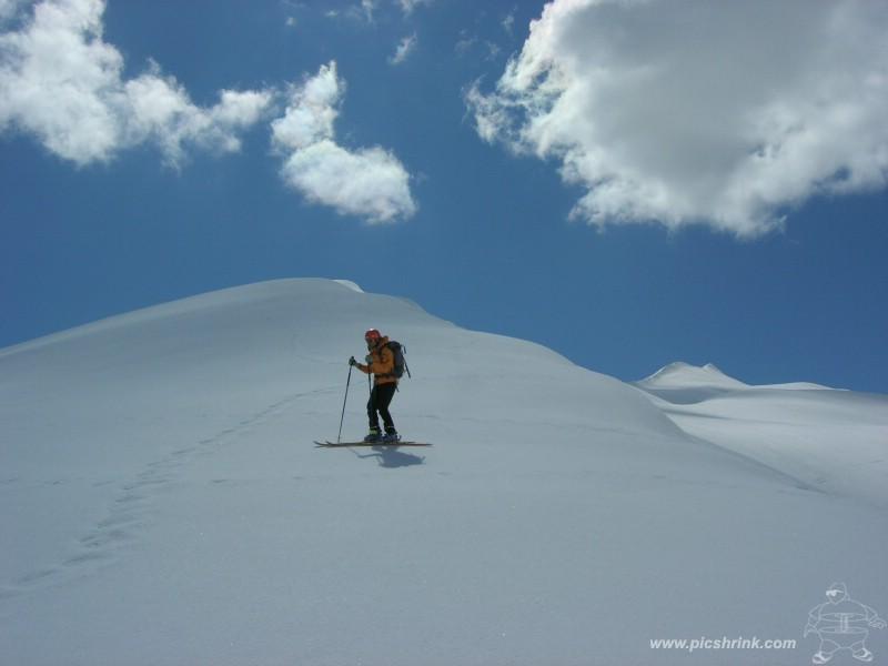
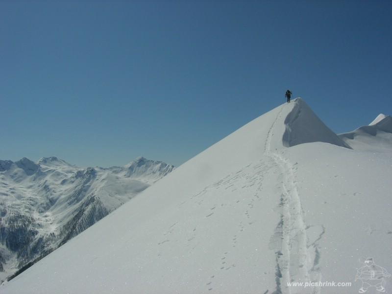
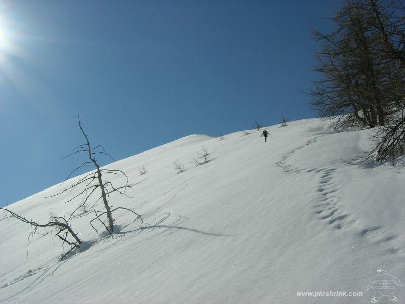
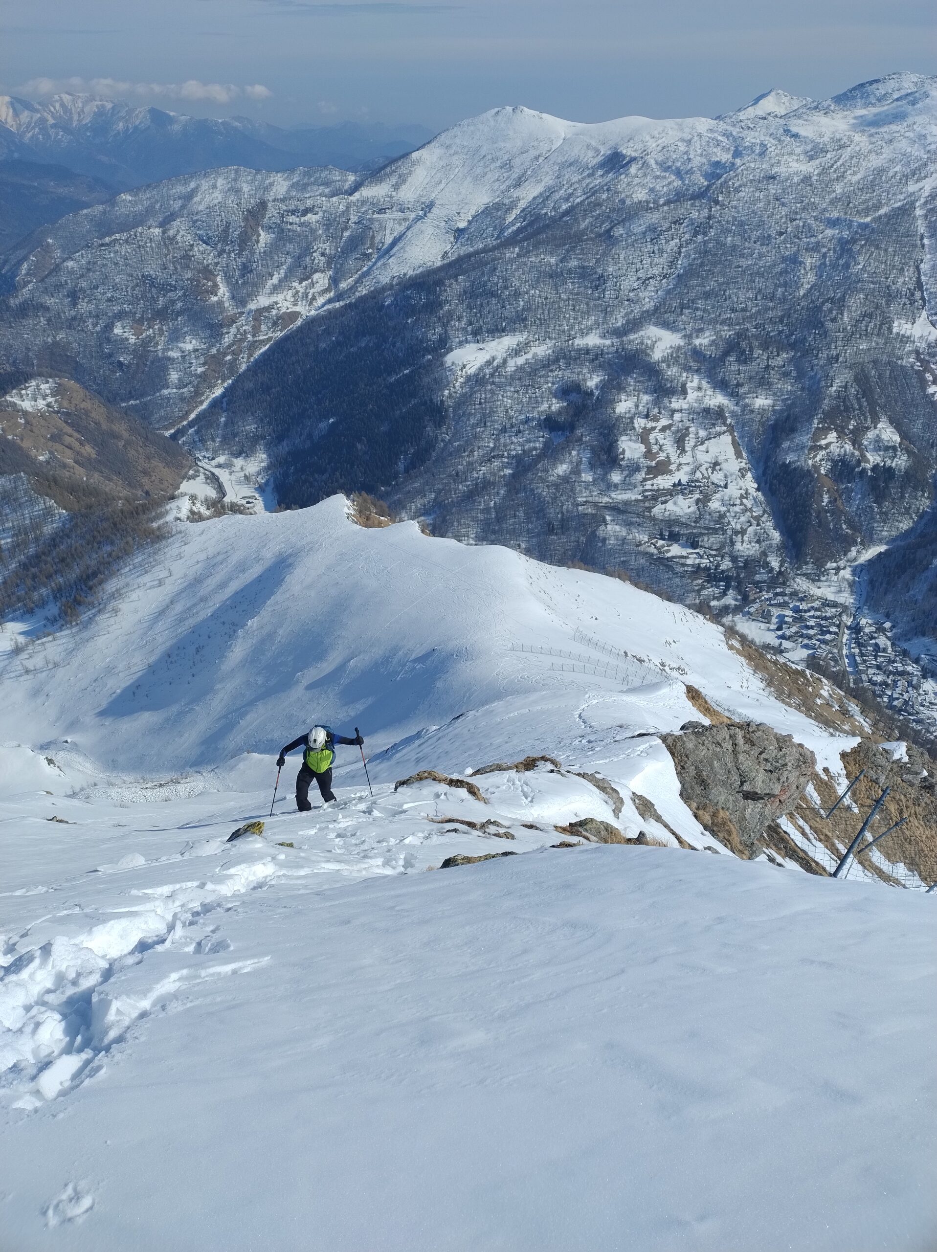
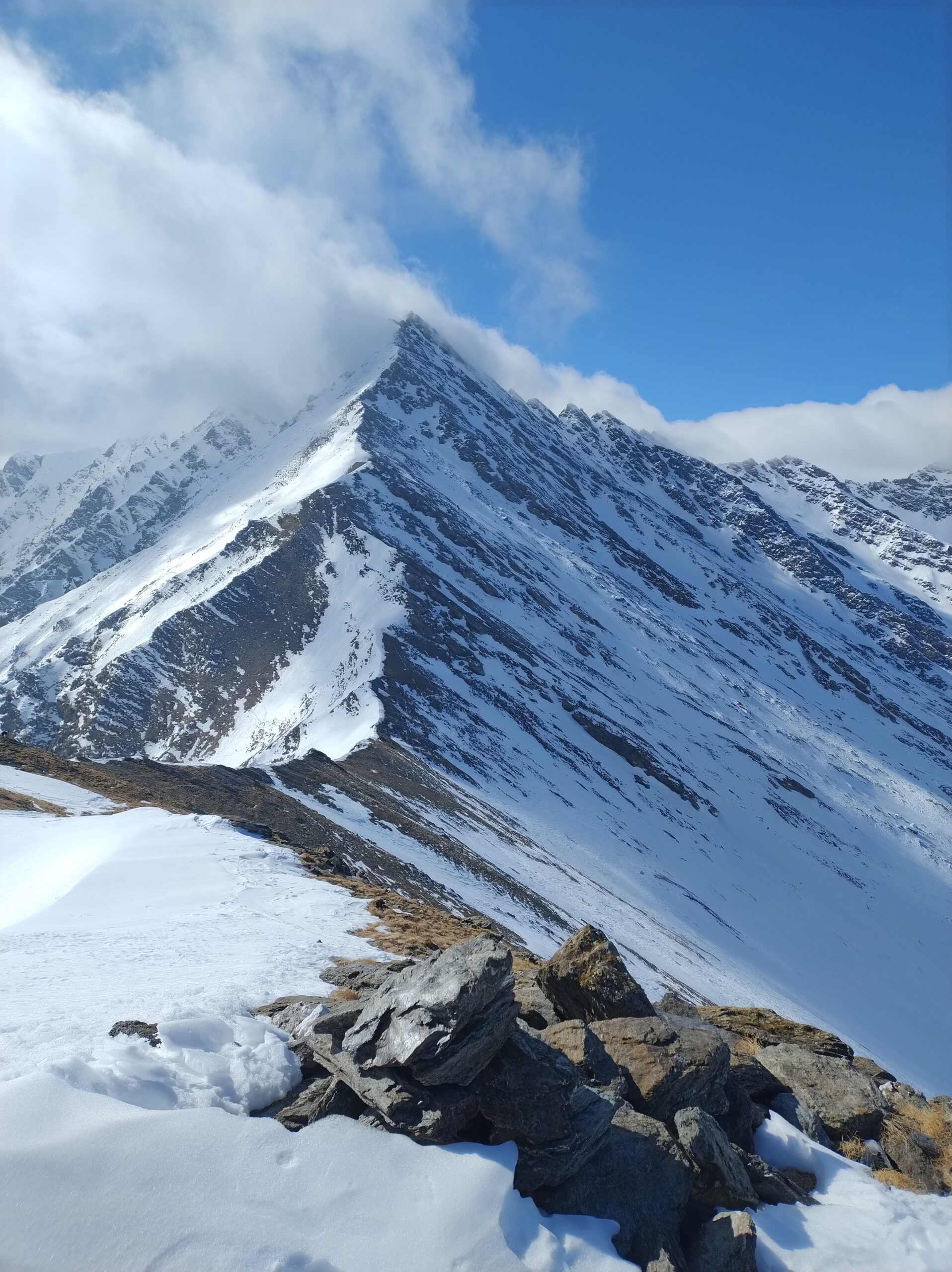
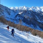
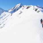
Da Rodoretto, dove solitamente si lascia l’auto, si segue la strada che di fondovalle che tocca le diverse Borgate, Arnaud, Balma ed infine le Bergerie Balma; attenzione in particolare ai ripidi pendii sulla dx. salendo provenienti dal Pignerol, dal Longin, Barifreddo ecc.Si attraversano solitamente in più punti le grandiose valanghe di fondo sino a dove la valle compie una brusca svolta a sx (sud) trovandosi dirimpetto al magnifico versante nord della Vergia. Da quì su pendii sostenuti si sale verso est sino a raggiungere l’apice della bellissima dorsale detta “Cavallo Bianco”, la si segue sino in cima (tratti molto esposti) utili eventualmente i ramponi.
La lunga cresta potrebbe non essere facilmente percorribile con gli sci ai piedi. In tal caso si può salire direttamente al Colle della Fontana e da lì salire a sinistra.
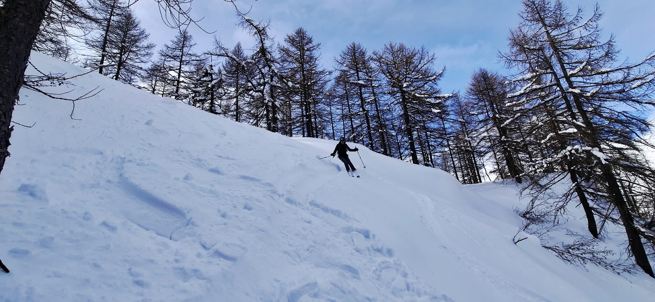
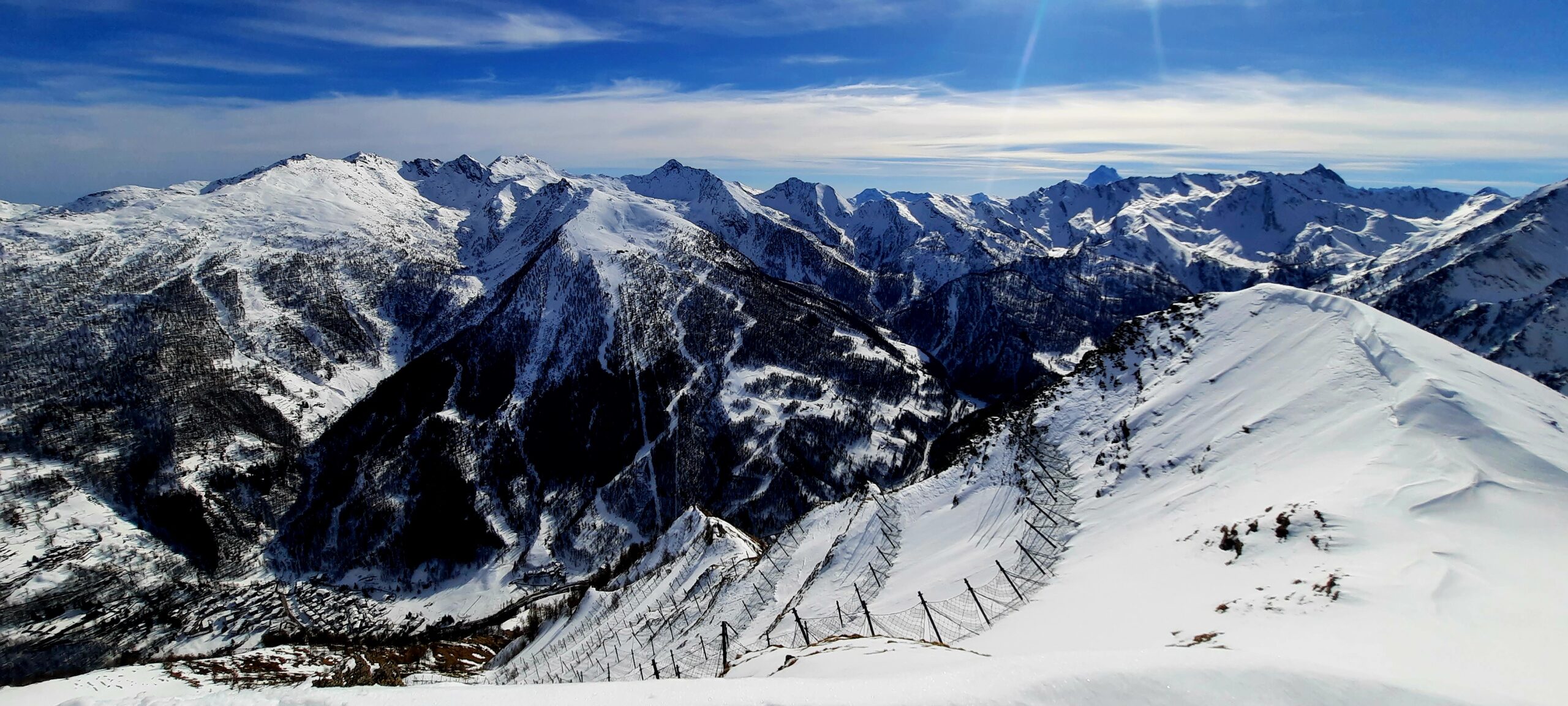
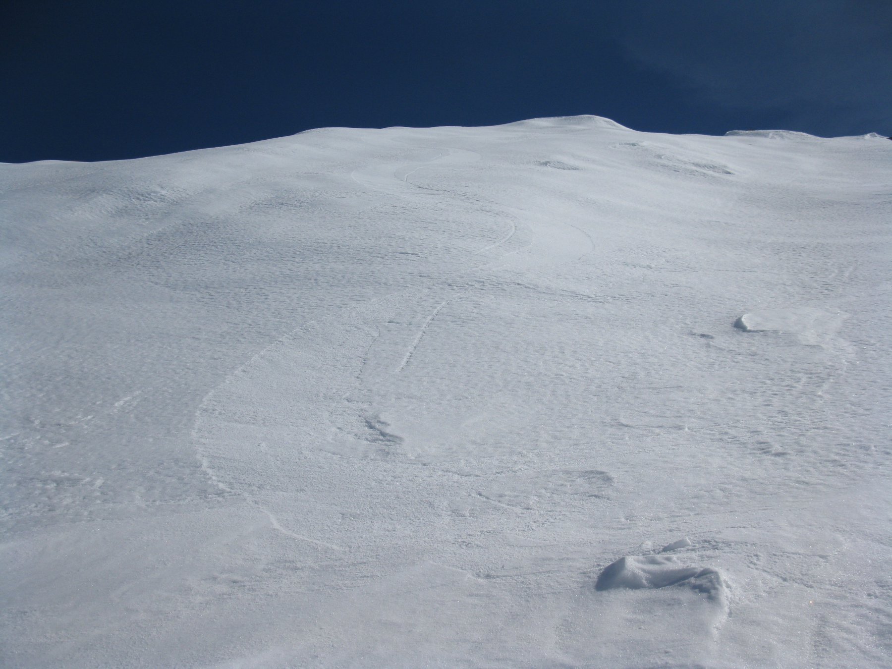
Dalla cima tre possibilità di discesa:
- 1. Colle della Fontana e poi diretti nel Vallone principale.
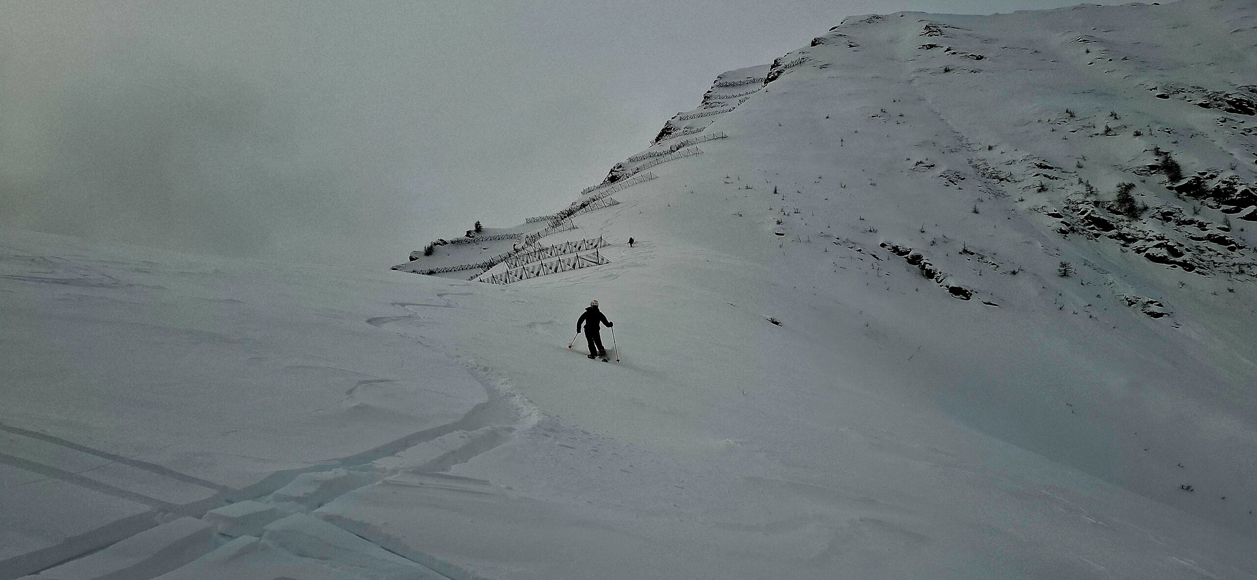
- 2. Ripidissimo tratto iniziale esposto ad Est a sx dei paravalanghe e poi costa nord-est verso Clot della Rama (neve assolutamente assestata).
- 3. A ritroso sulla costa “Cavallo Bianco” delicato all’inizio.
- Cartografia:
- Fraternali 1:25.000 n.5 Val Germanasca, Val Chisone, IGM 1:25.000 Massello-Praly
- Bibliografia:
- Valli Pinerolesi - E.Quero
Nelle vicinanze Mappa
Itinerari
13/04/2023 TO, Prali D+ 1355 m BS Nord-Est
Rodoretto (Colle di) da Rodoretto
 0m
0m
17/05/2026 TO, Prali D+ 1596 m OSA, PD Nord-Est
Barifreddo (Monte) da Rodoretto
 0m
0m
25/05/2025 TO, Prali D+ 1460 m BS Nord
Acuta (Punta) da Rodoretto
 0m
0m
17/05/2026 TO, Prali D+ 1570 m OSA Nord
Vergia (Punta) da Rodoretto
 0m
0m
07/03/2026 TO, Prali D+ 1519 m BS Varie
Lungin (Monte) da Rodoretto
 50m
50m
22/02/2026 TO, Prali D+ 987 m MS Nord
Bianca (Rocca) da Villa
 1.7Km
1.7Km
26/01/2026 TO, Prali D+ 990 m BS Nord-Ovest
Bianca (Rocca) da Villa, traversata a Crosetto
 1.7Km
1.7Km
01/02/2026 TO, Prali D+ 866 m MS Nord
Gavalupo (Bric) da Crosetto
 2.2Km
2.2Km
04/03/2023 TO, Prali D+ 1200 m BS Nord
Bianca (Rocca) dal Vallone di Crosetto
 2.2Km
2.2Km
17/02/2026 TO, Salza di Pinerolo D+ 1050 m BS Nord-Ovest
Mouton (Clot di) dal Vallone di Salza
 2.4Km
2.4Km
Servizi
100m
1.5Km
Charlie Bar Ristorante
Prali
2.6Km
Da Piero Ristorante
Salza di Pinerolo
3.2Km
Nido dell’orso Ristorante
Prali
3.4Km
Agape Rifugio
Prali
3.4Km
Del minatore Ristorante
Prali
3.4Km
Lago Verde Rifugio
Prali
3.4Km
La Brasserie Ristorante
Prali
3.4Km
Miandette di Grill B&B
Prali
3.4Km