1.5Km
1.5Km
Note
 950m
950m
950m
950m
950m
1.7Km
1.7Km
1.7Km
1.7Km
950m
950m
950m
950m
950m
1.7Km
1.7Km
1.7Km
1.7Km
1.5Km
4.2Km
4.4Km
4.4Km
6.2Km
6.2Km
6.3Km
8.6Km
8.8Km
8.9Km
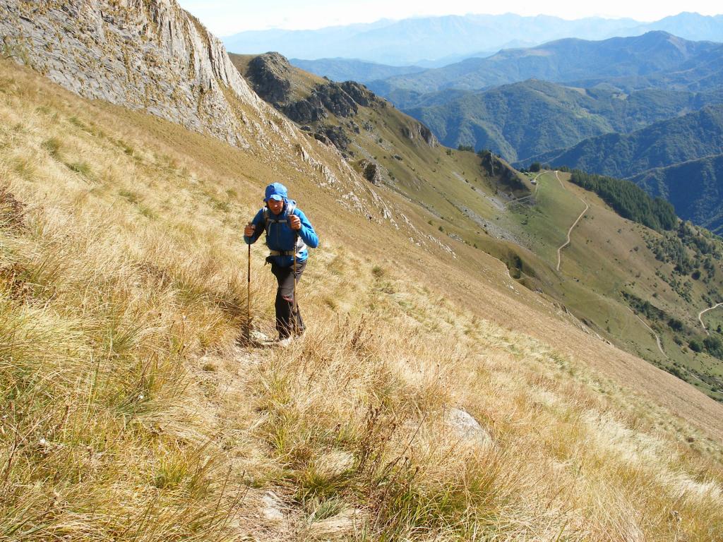
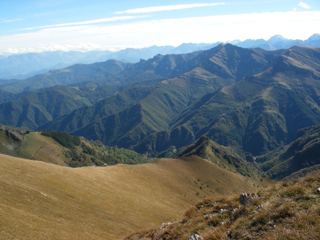
Bell'itinerario da anello per sentieri ben segnati ma poco battuti, da percorrere ad inizio o fine stagione, durante l'incendio di colori autunnali. Si può anche partire da Colletto ma la partenza dalla Strada Provinciale consente di aggiungere dislivello nelle gambe e toglierlo all'automobile!
Descrizione
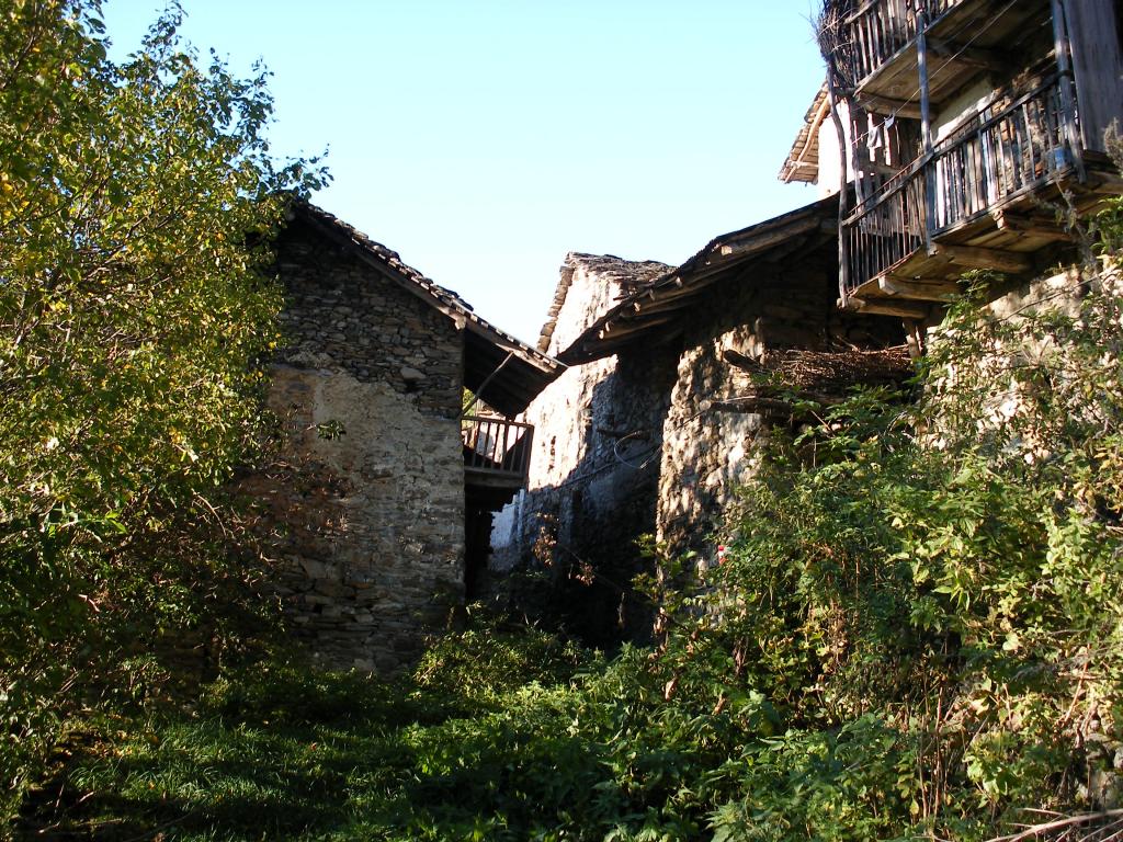
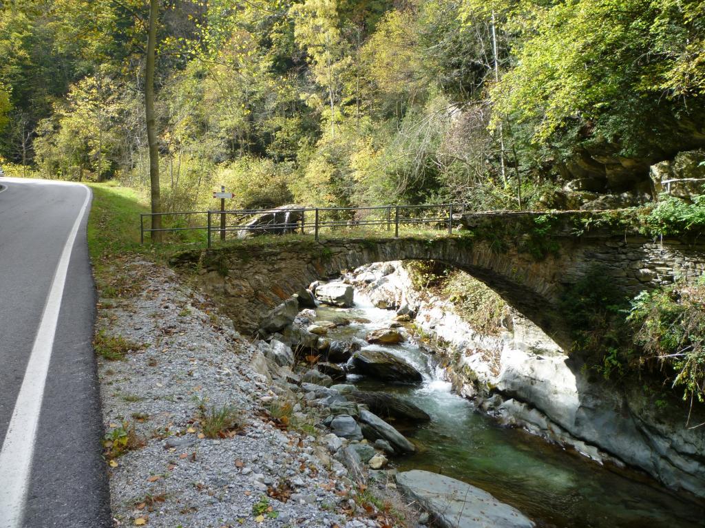
Circa 4,5 km dopo l’uscita dall’abitato di pradleves, dopo un curvone a sinistra si vede bene, sulla destra, un bel ponte con palina indicatrice; si parcheggia l’auto comodamente poco più avanti.
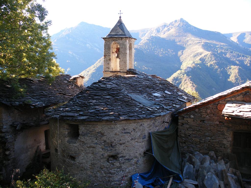
Si inizia a salire per il ripido sentiero, sempre ben segnalato, e si raggiunge la borgata Croce, proseguendo poi per Campofei; da qui occorre seguire le indicazioni per “Colle Margherita” e “Borgata Saria” mediante la via diretta “delle incisioni rupestri” ed evitando di raggiungere Valliera (in ogni caso la via per Valliera comporta pochi minuti supplementeri e dai suoi pressi è possibile ricongiungersi facilmente al percorso). Le indicazioni per il colle della Margherita sono presenti sin dall’inizio del percorso.
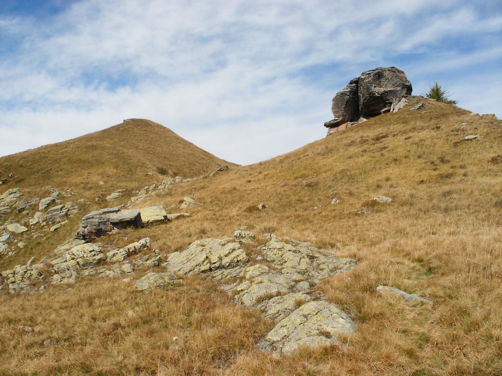
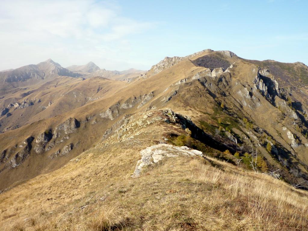
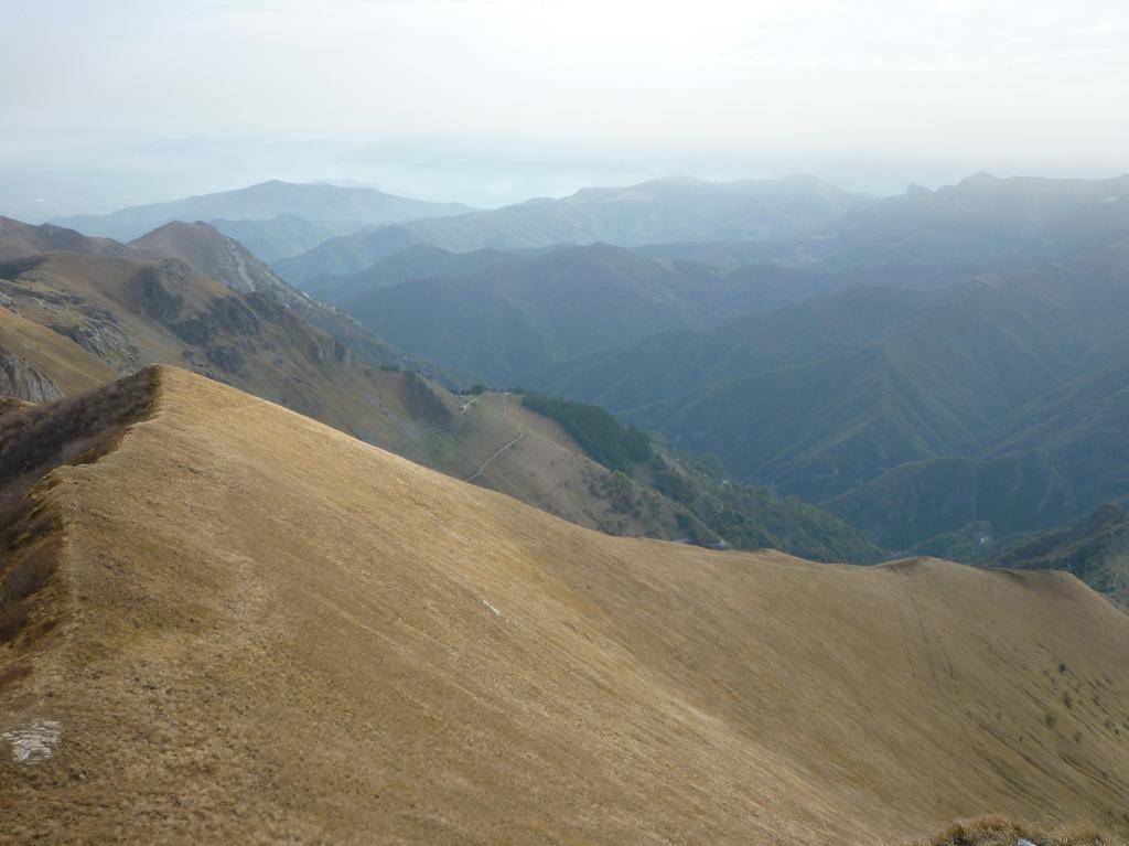
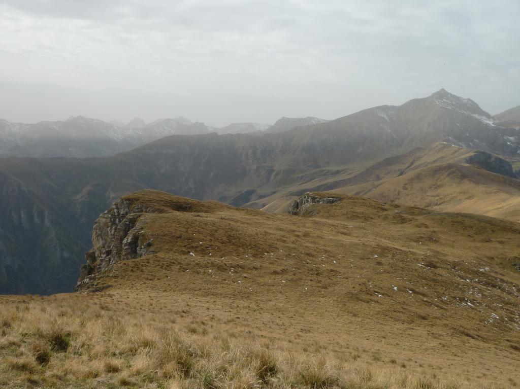
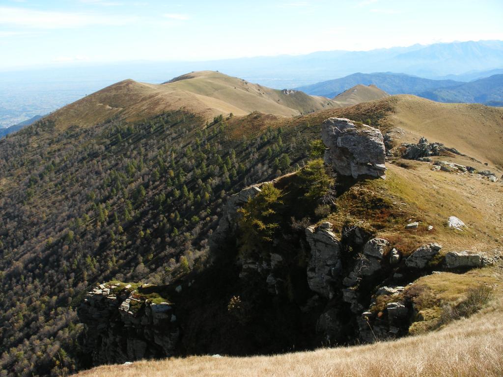
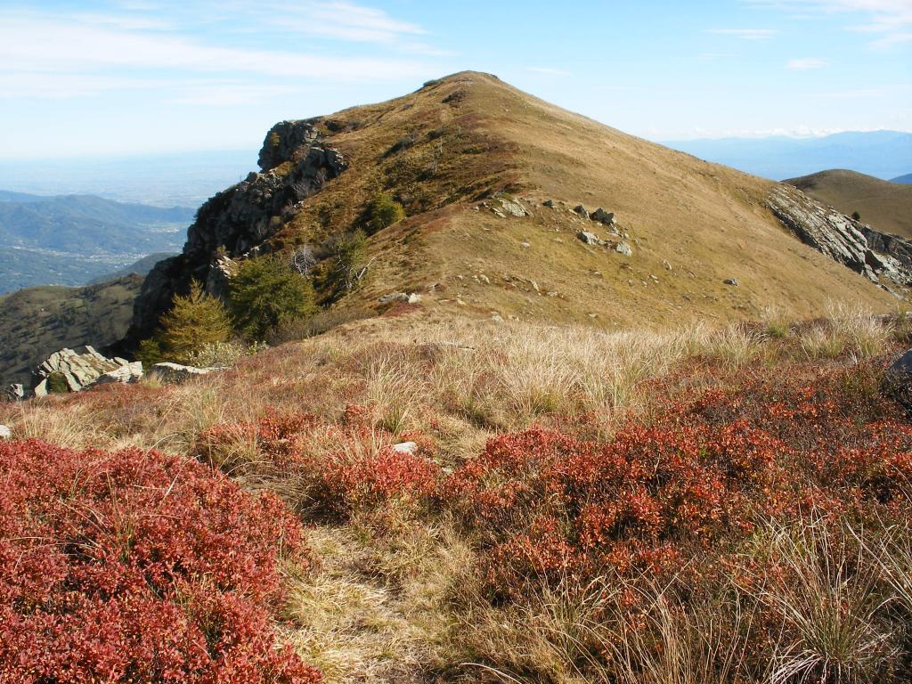
Da Saria si seguono ancora le indicazioni per il colle della Margherita 1984 m, raggiunto il quale sulla destra si può salire in breve sul monte Chialmo 2021 m. Se invece, in prossimità del colle, si abbandona la mulattiera e si prosegue a sinistra per facili prati, si arriva in breve alla cresta divisoria Grana-Maira ed al monte Plum (caratteristico grande masso nei pressi della cima), dal quale si può facilmente proseguire sul crinale sino alla Cresta del Bailu (2170 m, palina), evitando facilmente a sinistra le asperità della Rocca Albert. Dalla Cresta del Bailu si può facilmente raggiungere in pochi minuti la Rocca della Cernauda 2239 m.
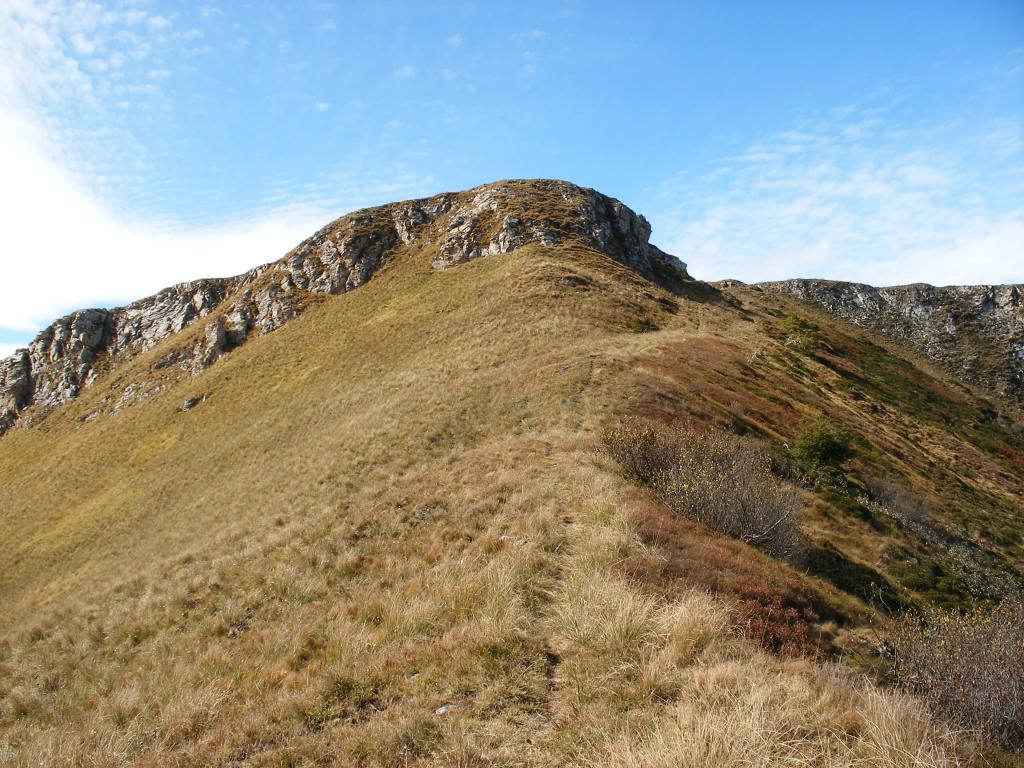
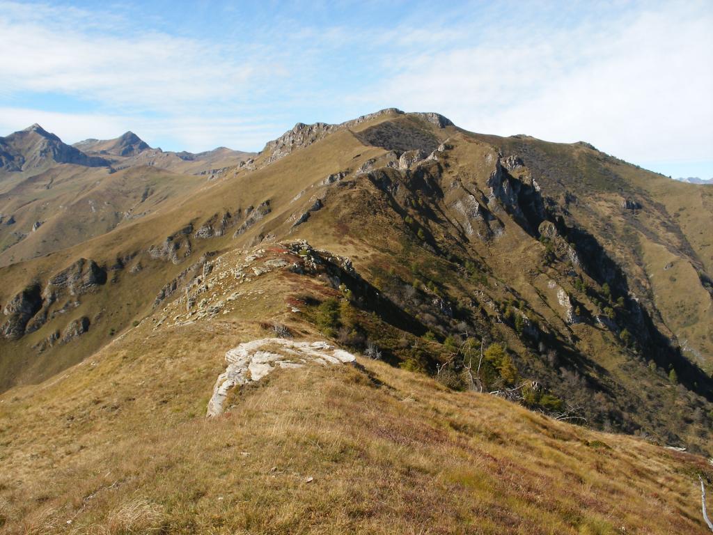
Tornati sulla quota 2170 m, si può completare un bell’anello scendendo a sud sul ripido crinale di cresta sempre ben evidente grazie ai paletti indicatori e ad una traccia, raggiungendo Valliera prima e poi, per strada sterrata,Campofei e chiudendo in breve l’escursione.
- Cartografia:
- IGC 1:50000 n.7 Valli Maira Grana e Stura
Nelle vicinanze Mappa
Itinerari
04/11/2017 CN, Pradleves D+ 1270 m E Sud
Chialmo (Monte) da Praldeves per Borgate Narbona, Batuira e Valliera
900m
10/04/2023 CN, Pradleves D+ 750 m E Sud
Chialmo (Monte) da Colletto per il Colle Margherita
 950m
950m
30/10/2020 CN, Castelmagno D+ 200 m E Sud-Ovest
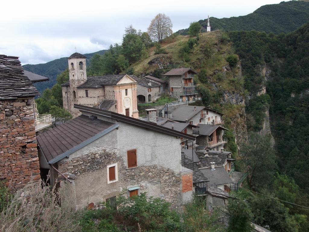
Narbona (Borgata) da Colletto
 950m
950m
10/11/2024 CN, Castelmagno D+ 851 m E Sud-Est
Plum (Monte) da Colletto
 950m
950m
10/11/2024 CN, Castelmagno D+ 1150 m EE Sud
Cernauda (Rocca della) da Colletto per il Colle della Margherita, Monte Plum e cresta del Balou
 950m
950m
27/05/2026 CN, Castelmagno D+ 1012 m E Varie
Cernauda (Rocca della) da Colletto, anello per la cresta del Babon
 950m
950m
28/05/2025 CN, Castelmagno D+ 1044 m E Varie
Cucuja o Cucuia (Rocca) da Campomolino
 1.7Km
1.7Km
04/07/2021 CN, Castelmagno D+ 1054 m E Nord-Ovest
Crosetta (Monte) da Campomolino per il Vallone di Narbona
 1.7Km
1.7Km
27/11/2024 CN, Castelmagno D+ 1250 m E Sud
Chialmo (Monte) per il versante Sud e le Punte Freura, Cauri e Mezzogiorno
 1.7Km
1.7Km
14/05/2012 CN, Castelmagno D+ 850 m EE Sud
Rio (Rocche del) da Pravdleves, anello per Cauri e Campofei
 1.7Km
1.7Km
Servizi
1.5Km
4.2Km
Monte Tibert Rifugio
Castelmagno
4.4Km
La Valliera Rifugio
Castelmagno
4.4Km
Des Martin B&B
Castelmagno
6.2Km
La Font Albergo
Castelmagno
6.2Km
La Pace Locanda del Castelmagno Albergo
Pradleves
6.3Km
Tre verghe d’oro Albergo
Pradleves
8.6Km
La Maison de la Val Mairo Ristorante
San Damiano Macra
8.8Km
La Canonica Ristorante
San Damiano Macra
8.9Km