1Km
1Km

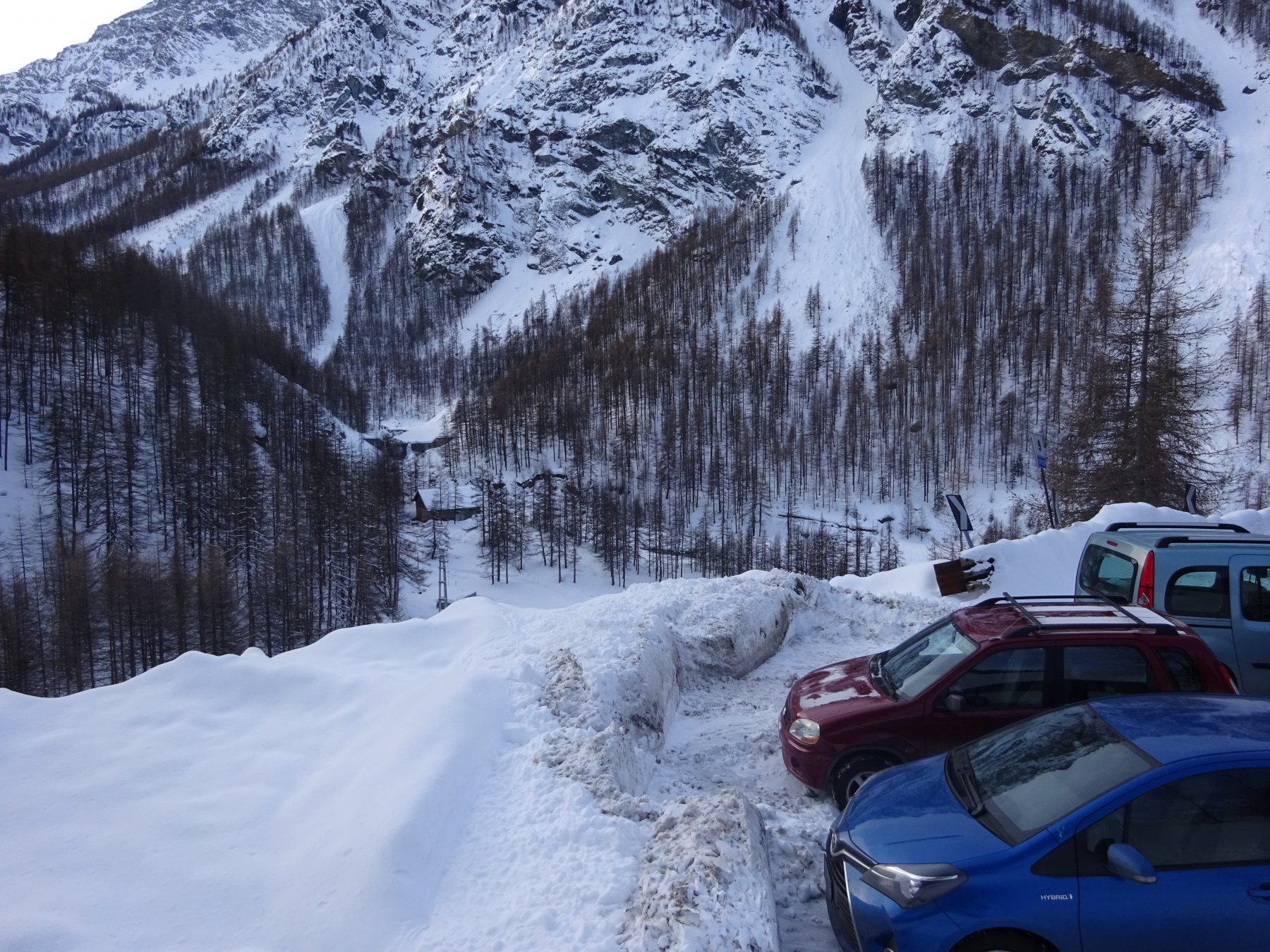
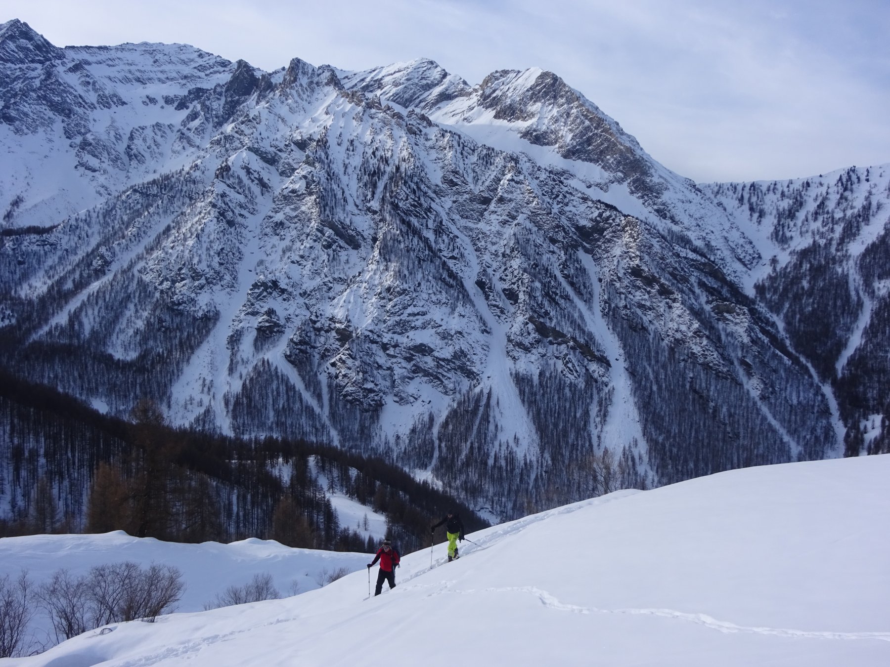
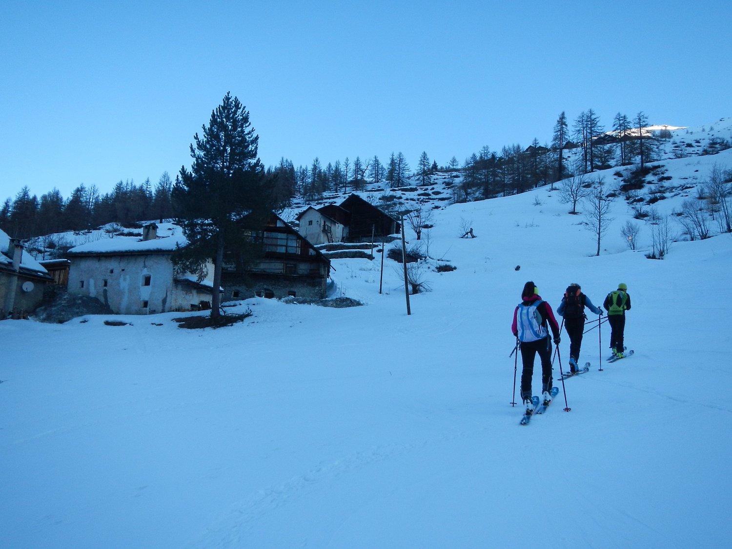
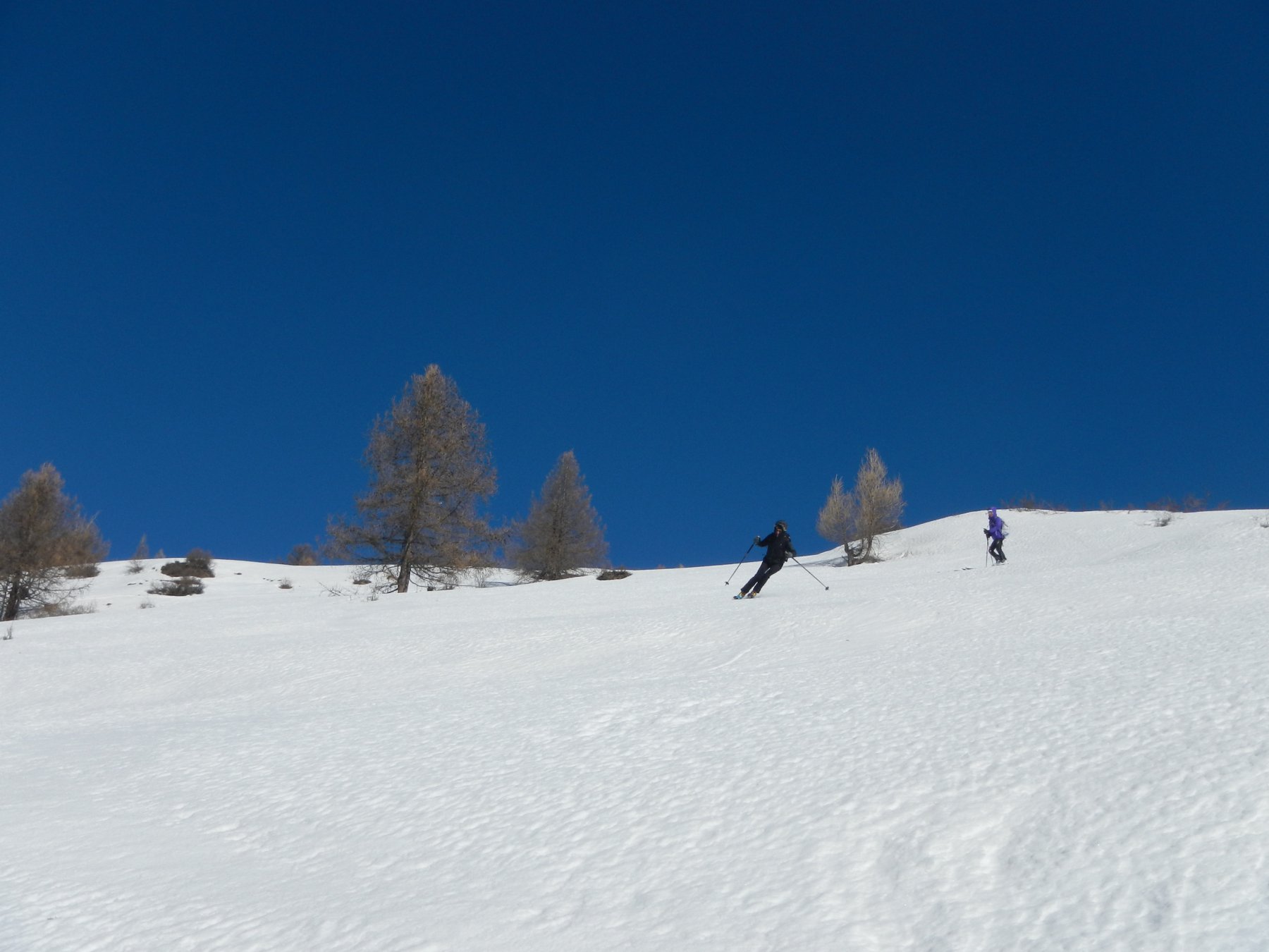
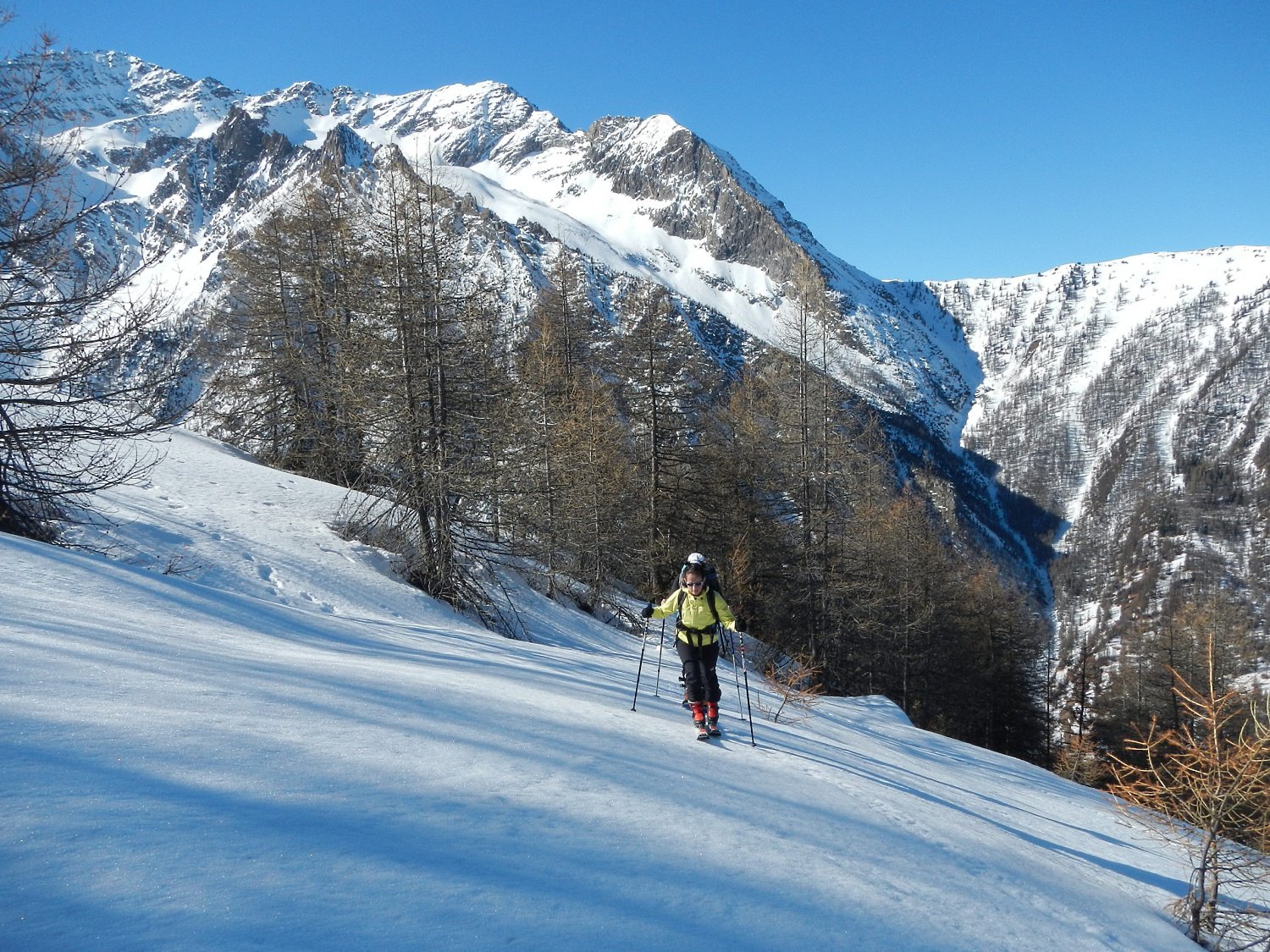
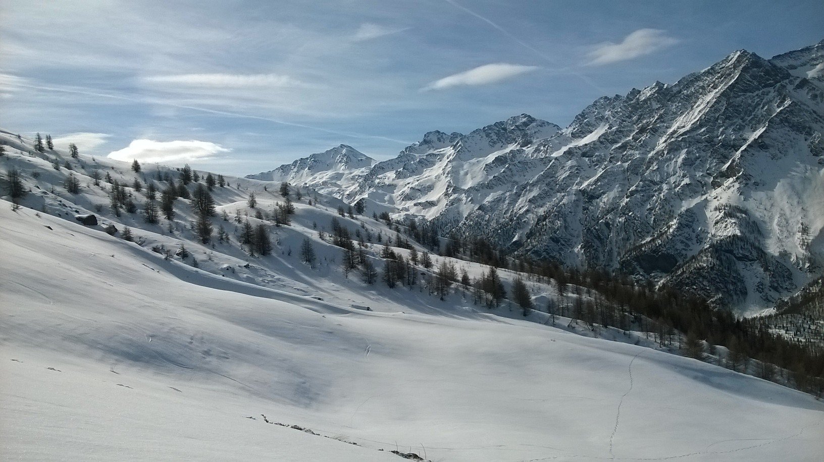
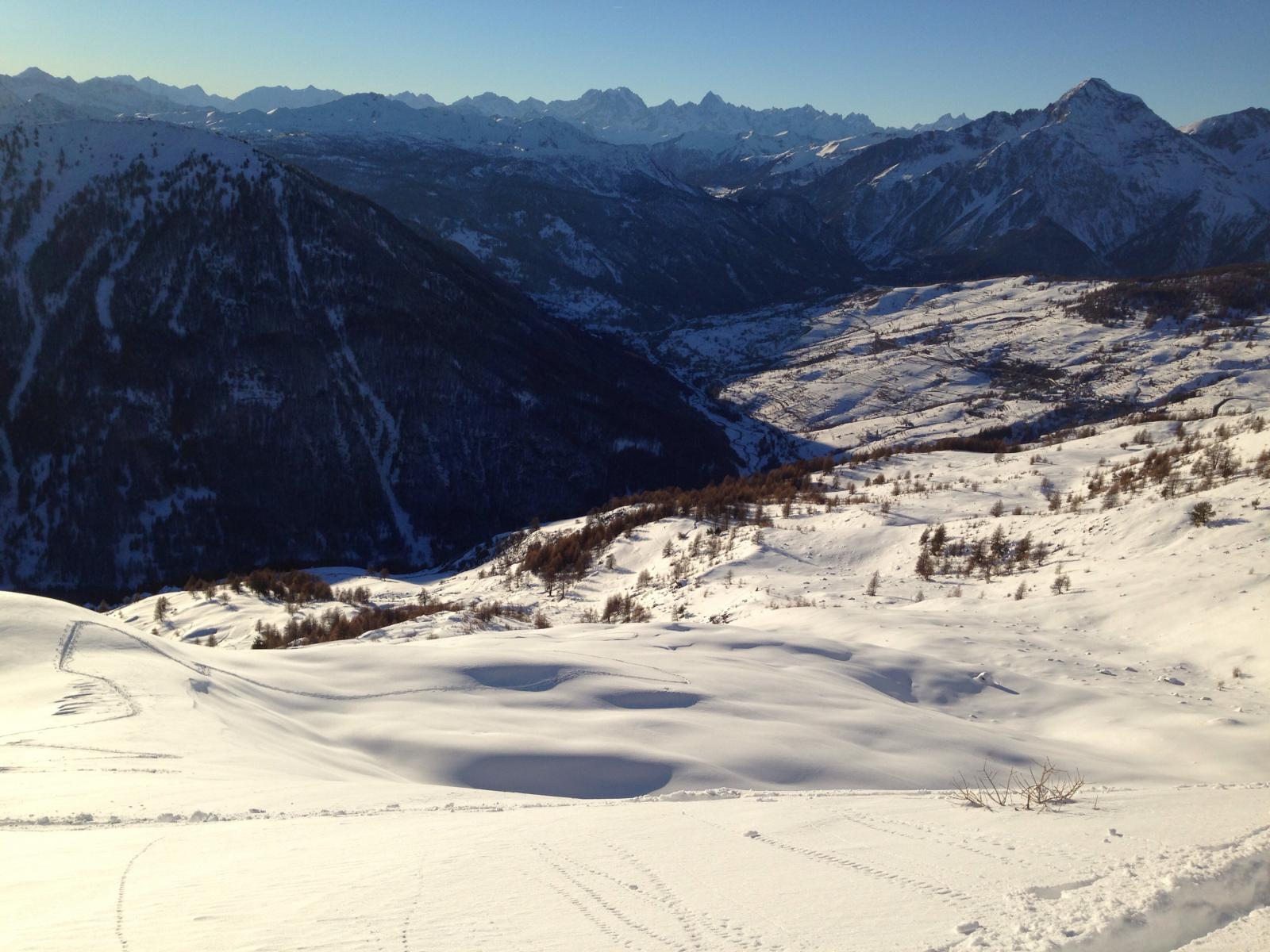
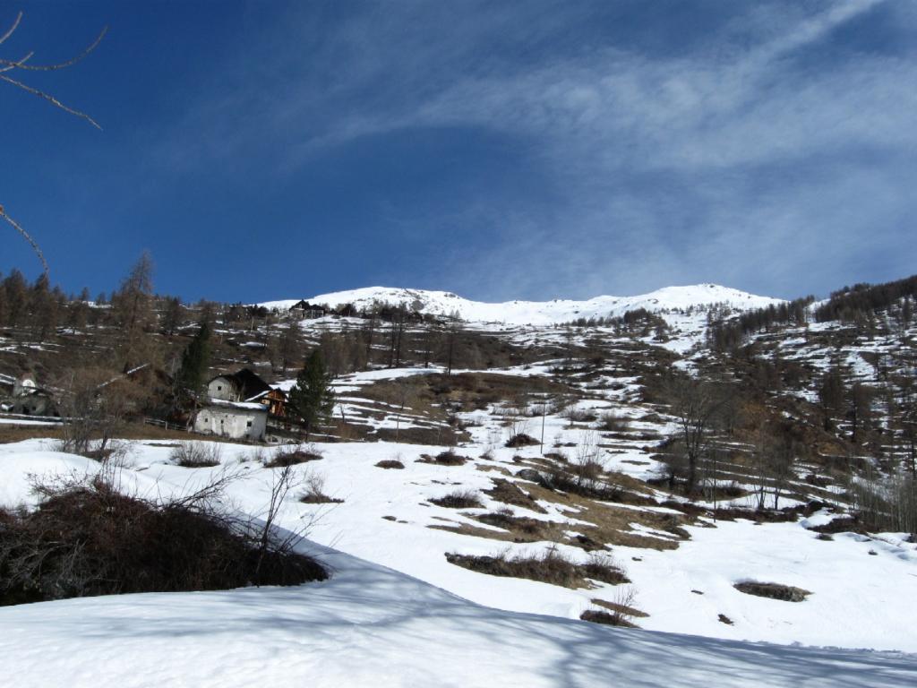
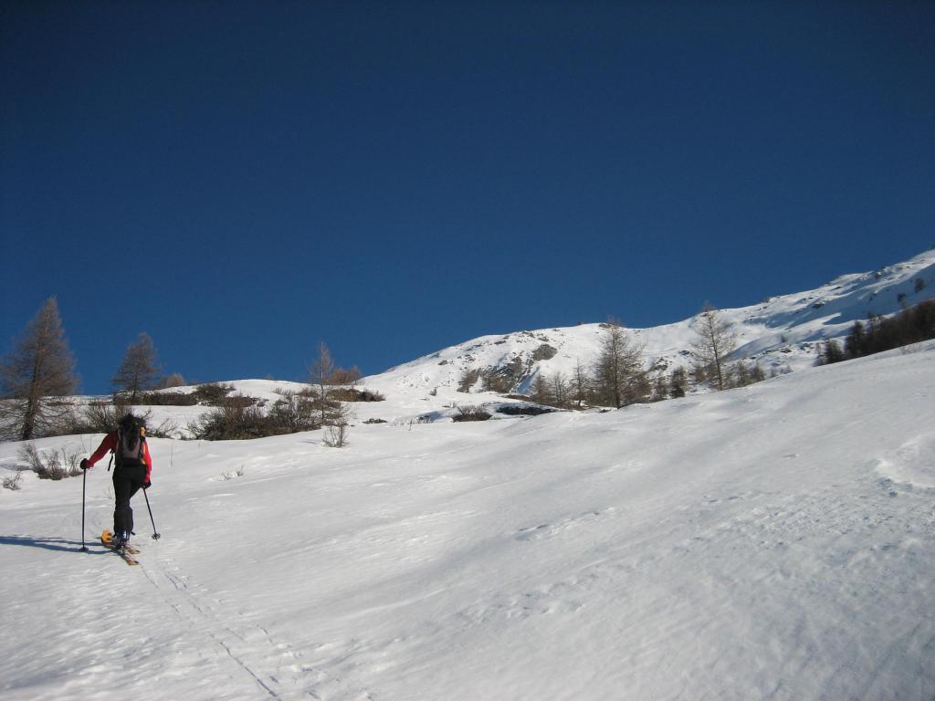
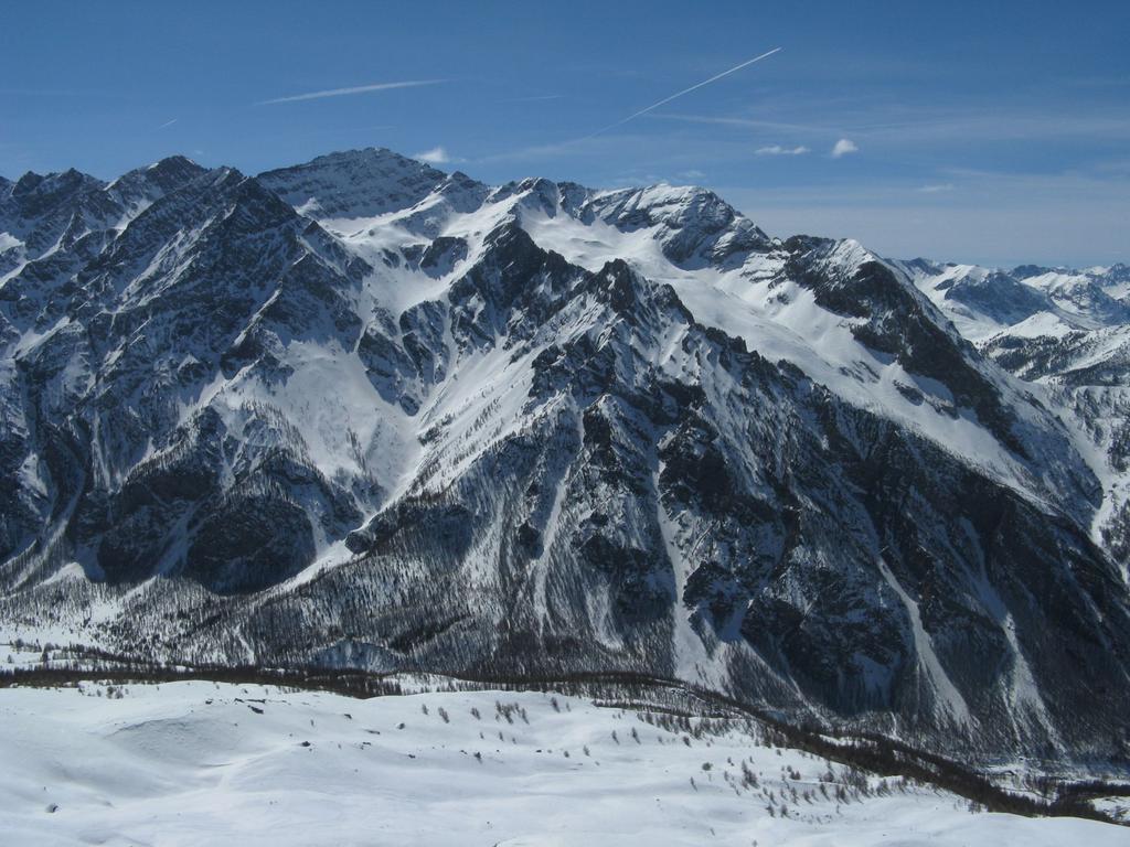
Avvicinamento
 50m
50m
50m
50m
50m
50m
50m
50m
50m
50m
50m
50m
50m
50m
50m
50m
50m
50m
50m
50m
1Km
5.4Km
5.4Km
5.4Km
5.8Km
6.2Km
8.4Km
8.8Km
8.8Km
9Km
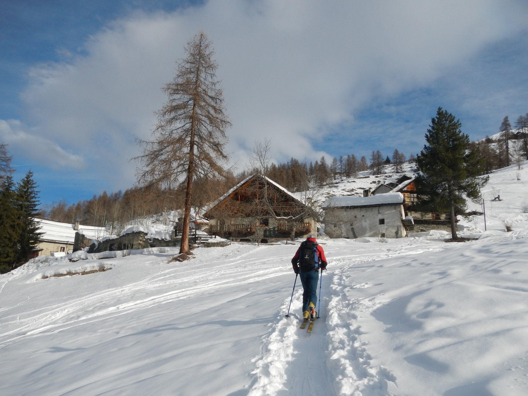
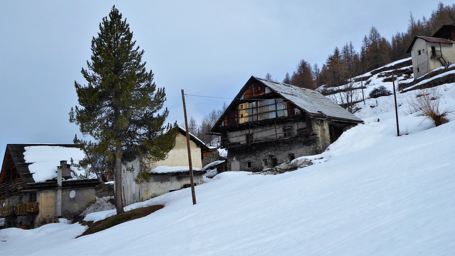
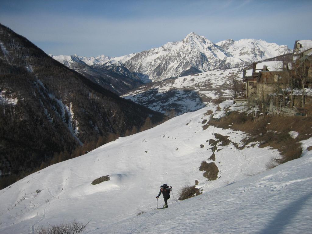
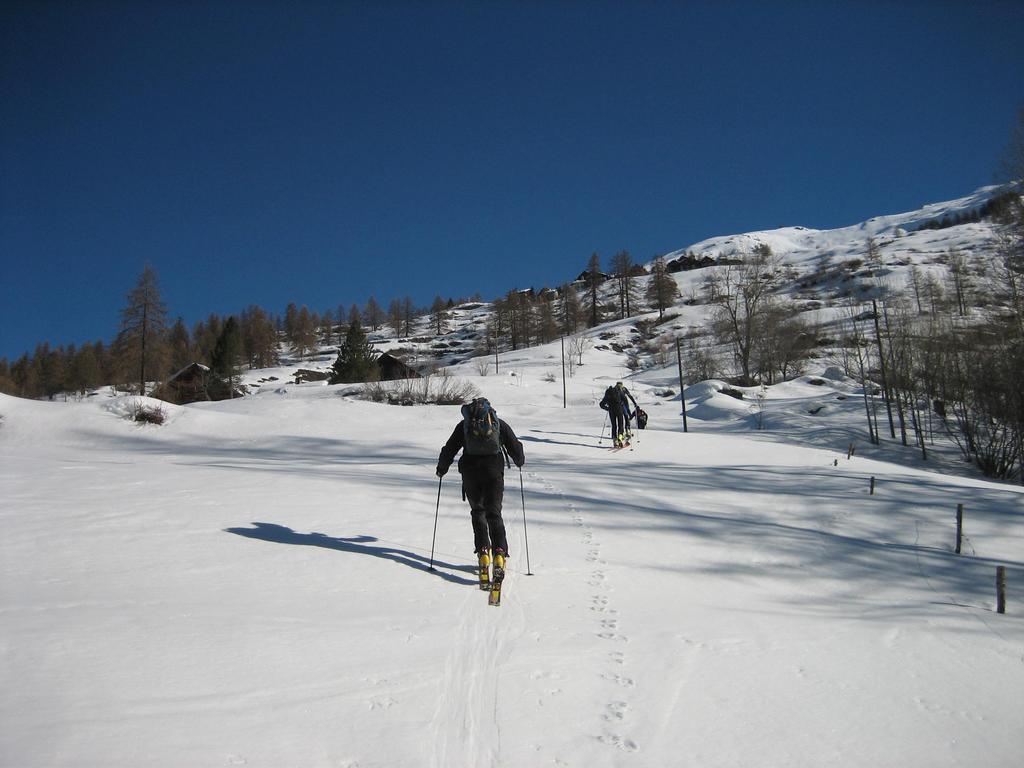
da Cesana si raggiunge Sauze di Cesana, che si supera proseguendo in direzione Sestriere per alcune centinaia di metri fino ad un bivio in discesa sulla destra. Si raggiunge quindi il Ponte Terribile, punto di partenza.
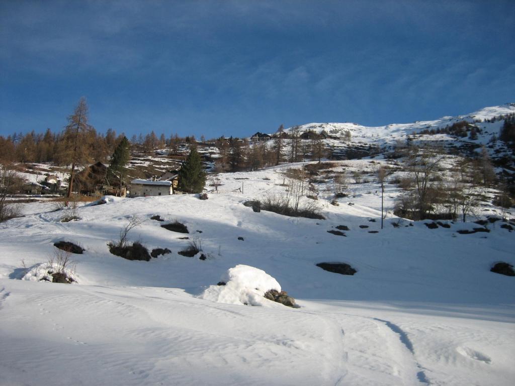
In alternativa è anche possibile partire da Bessen Bas (1751 m) continuando sulla provinciale per 1 tornante e prendendo la deviazione successiva a destra. Per partire da Bessen Haut (1962 m) è necessario superare Grangesises e poi seguire la deviazione a destra.
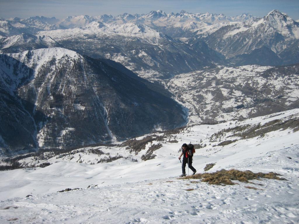
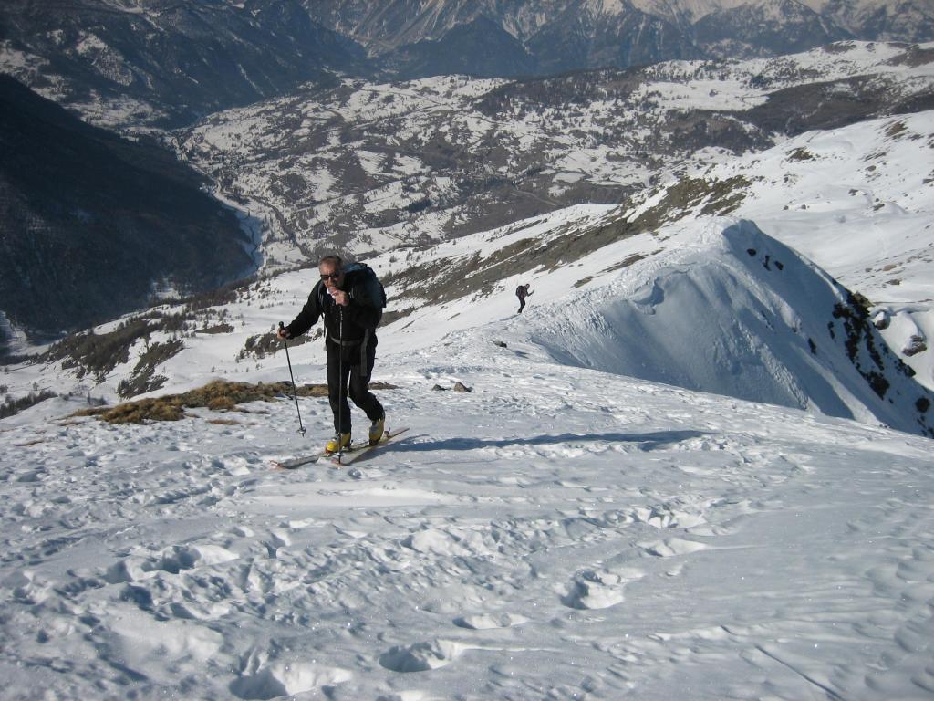
Descrizione
In alternativa è anche possibile partire da Bessen Bas (1751 m) continuando sulla provinciale per 1 tornante e prendendo la deviazione successiva a destra. Per partire da Bessen Haut (1962 m) è necessario superare Grangesises e poi seguire la deviazione a destra.
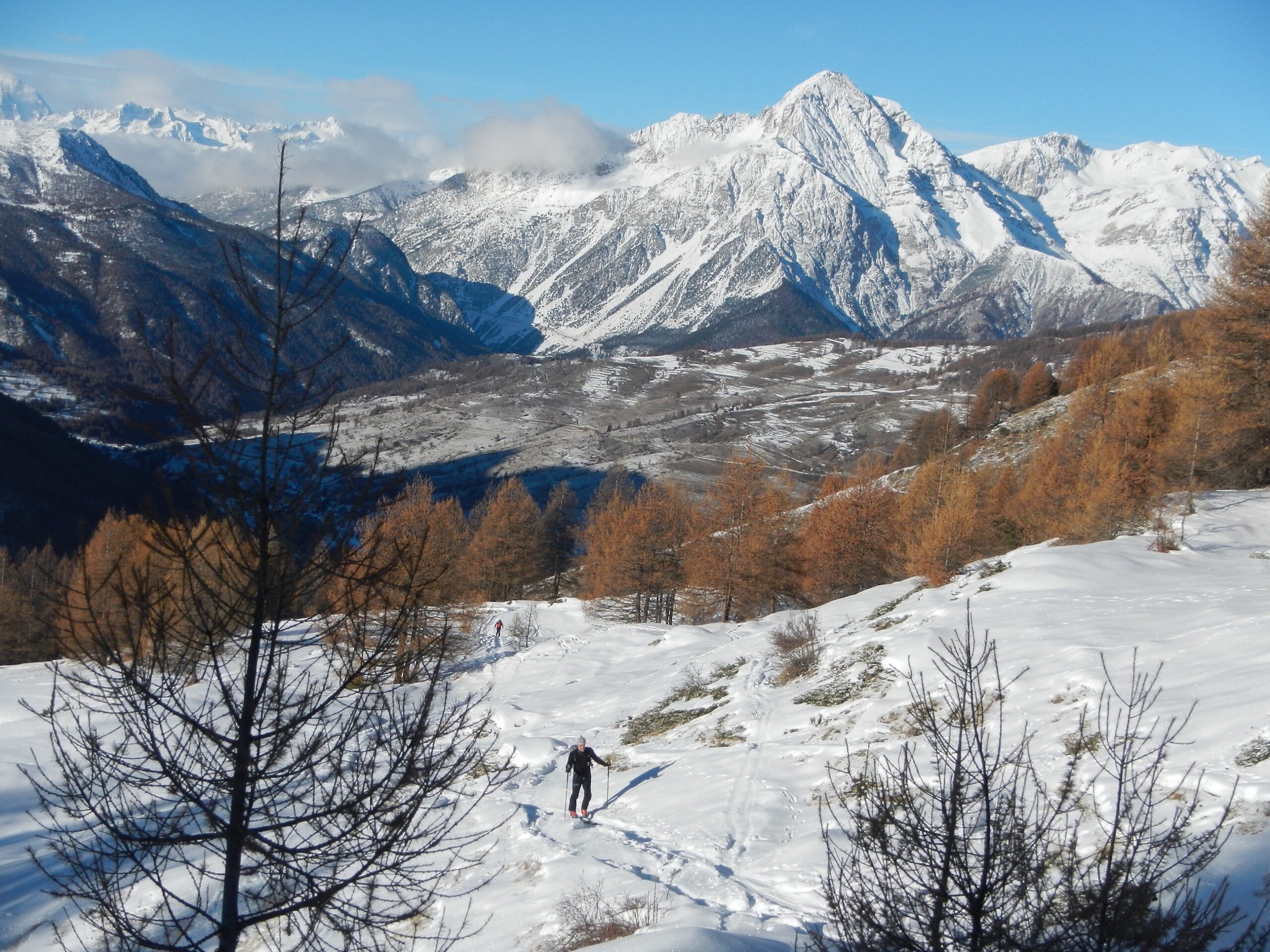
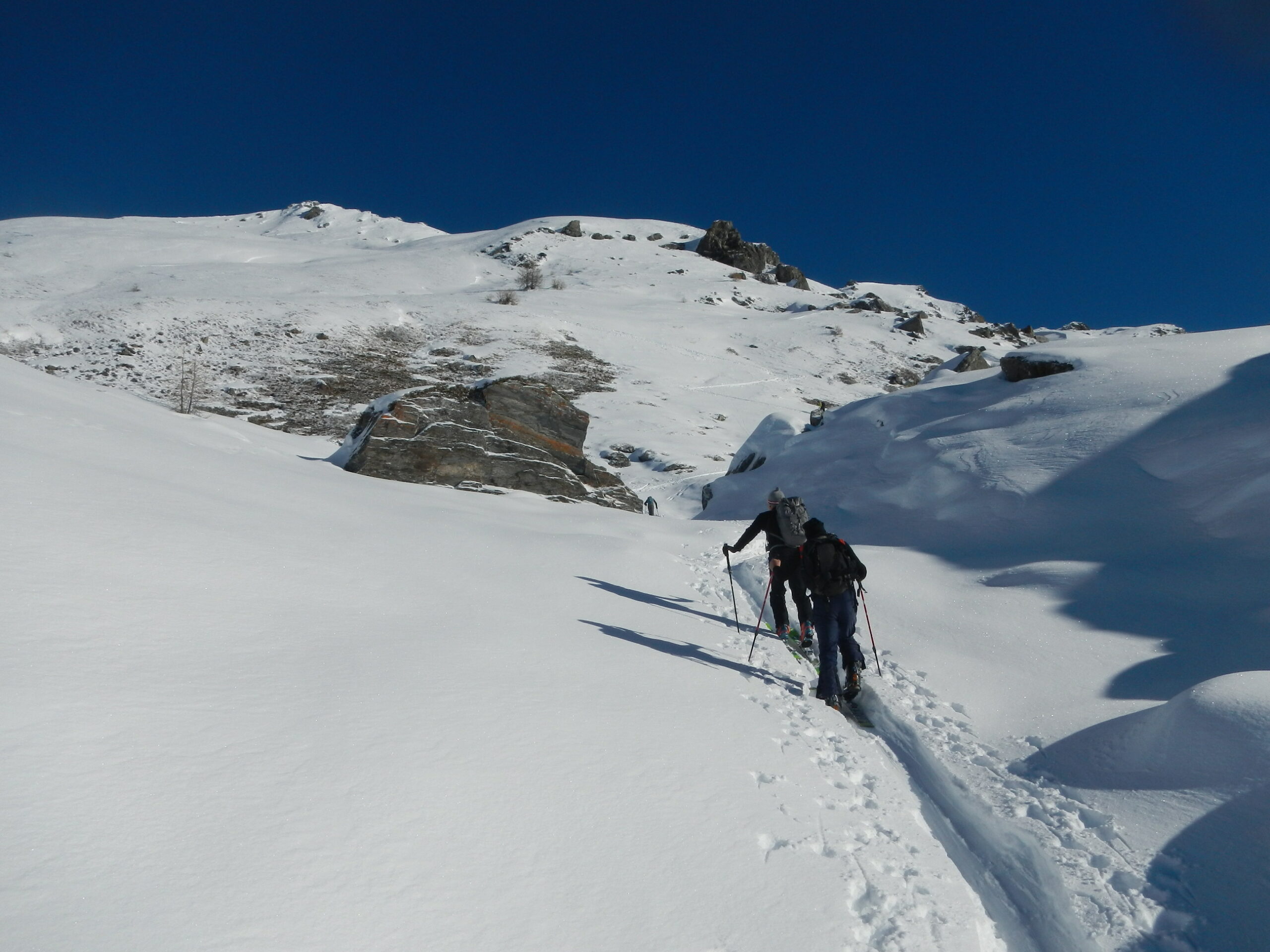
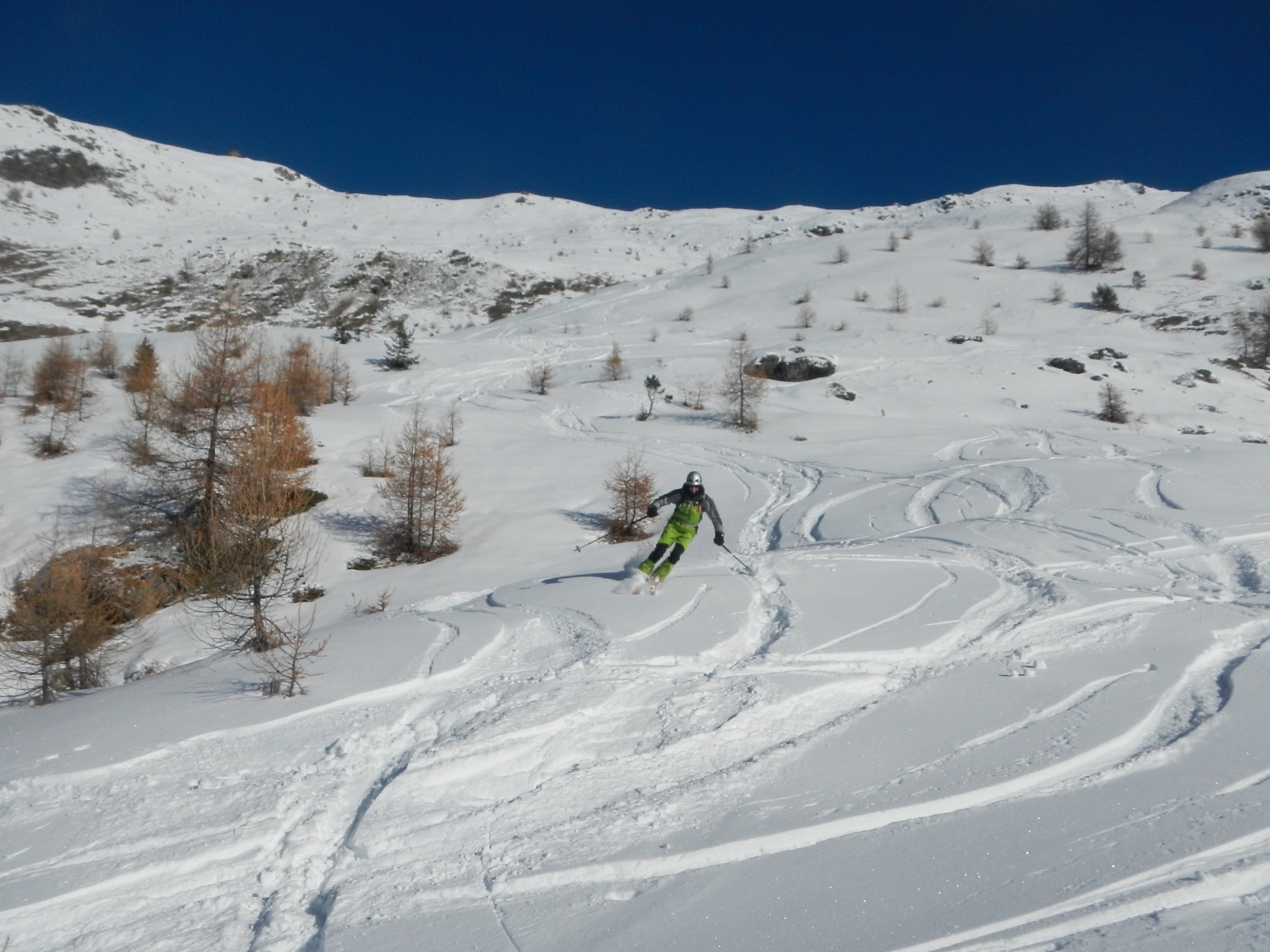
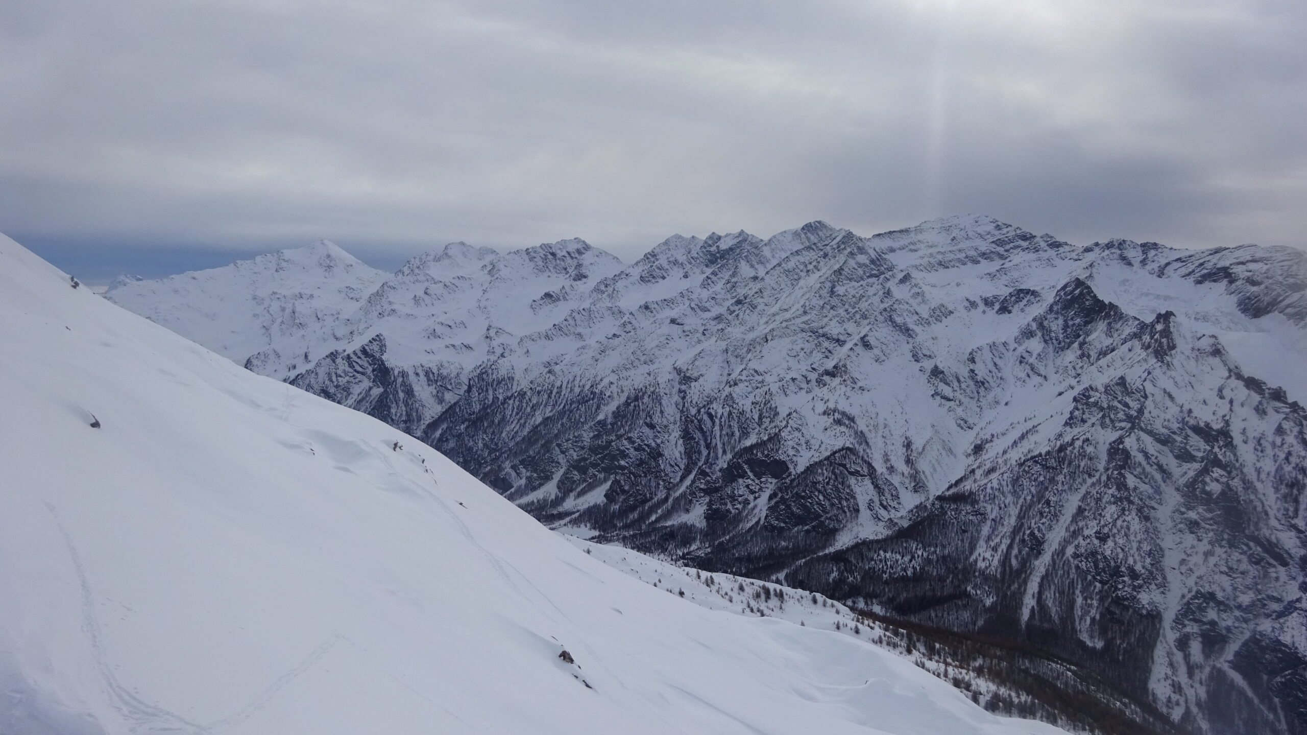
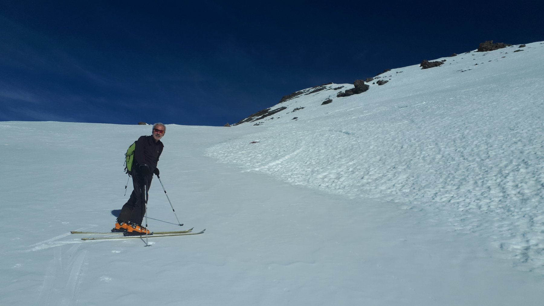
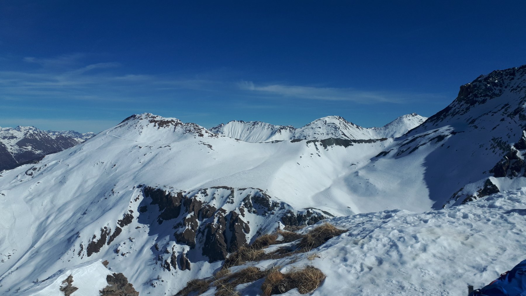
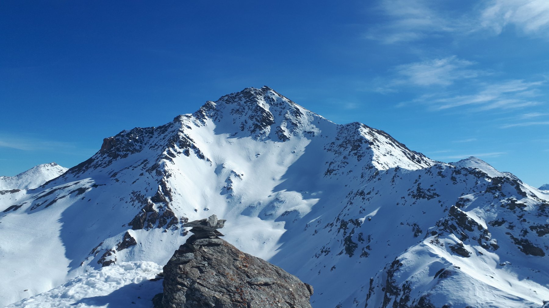
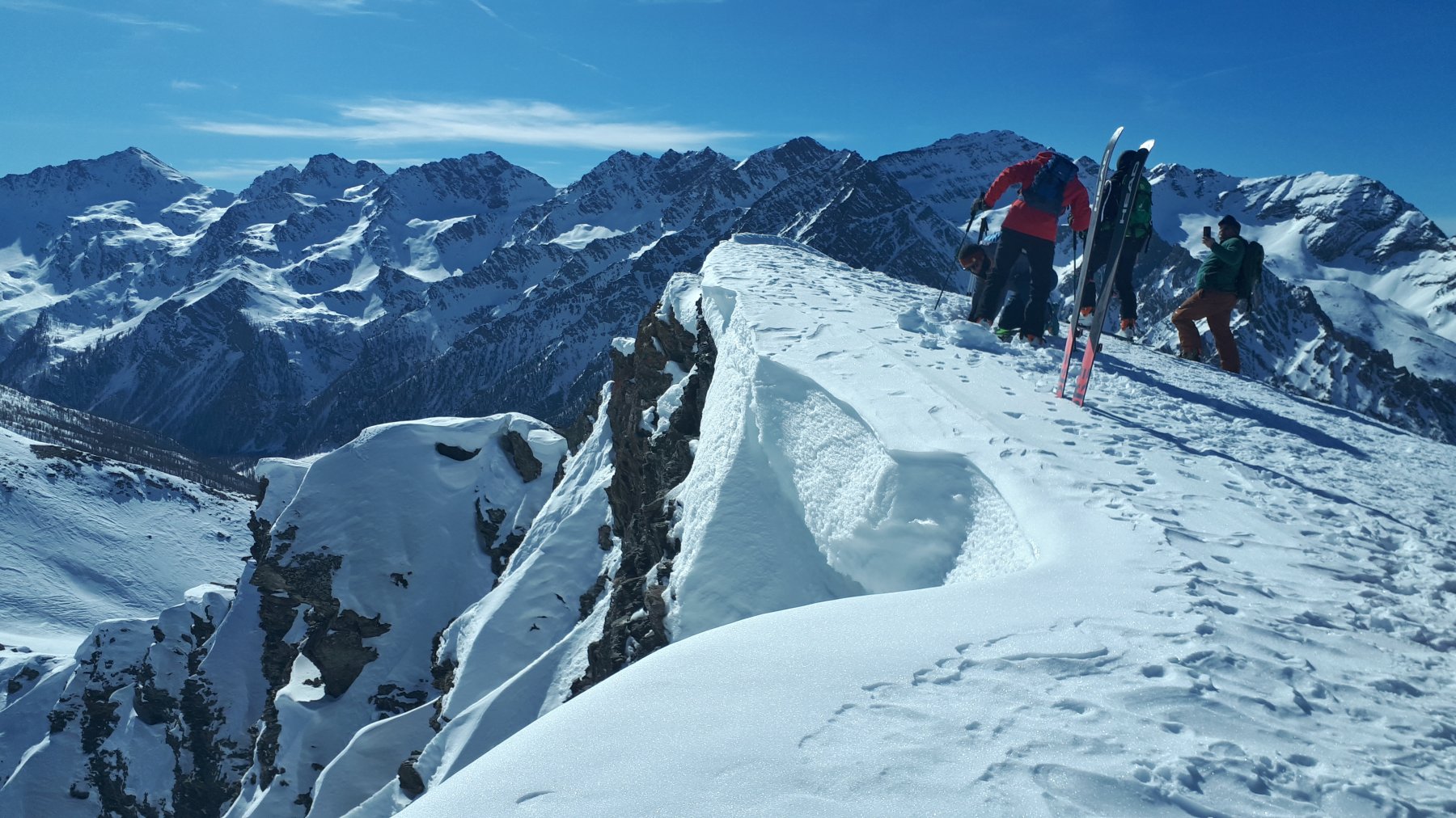
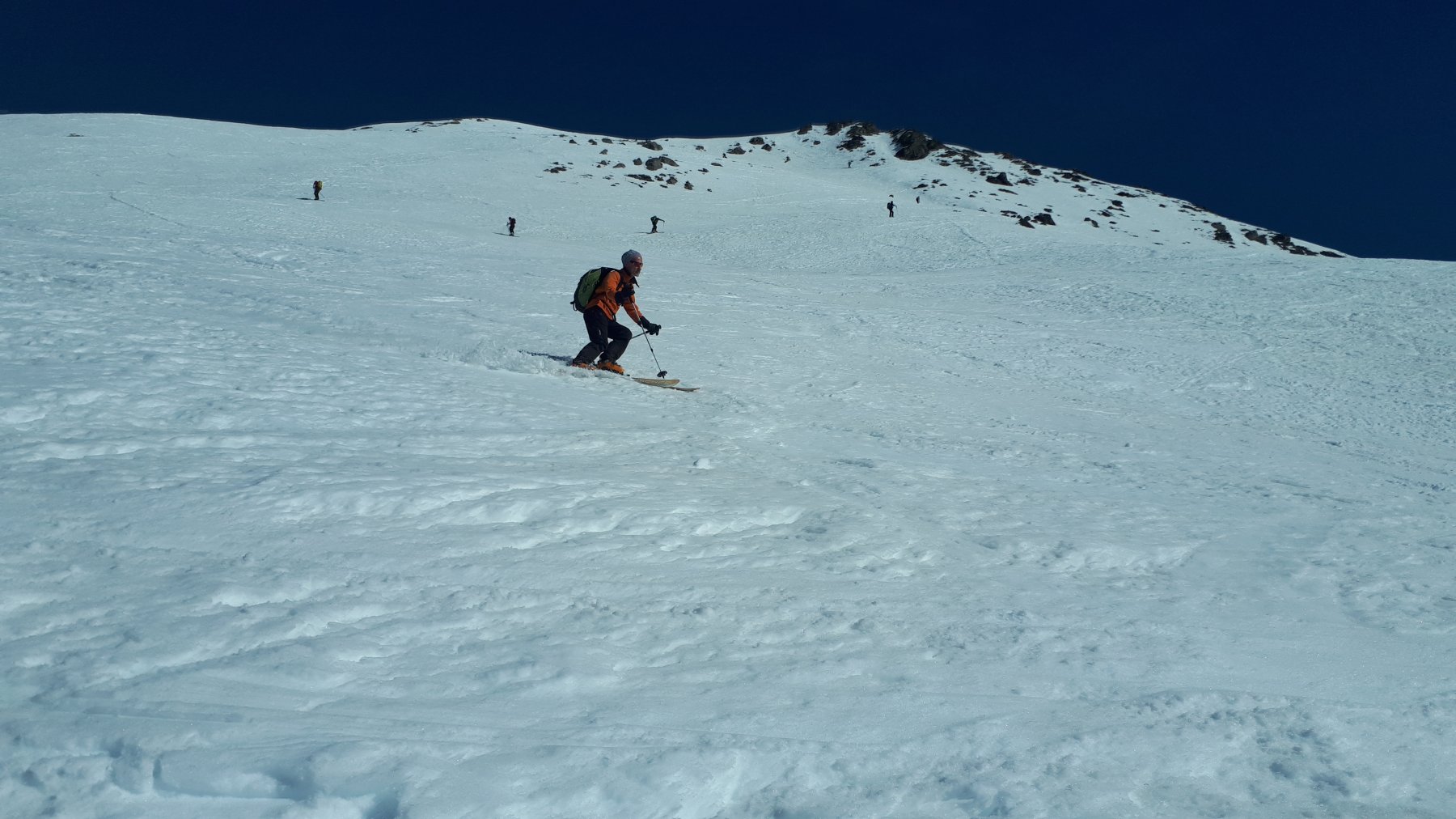
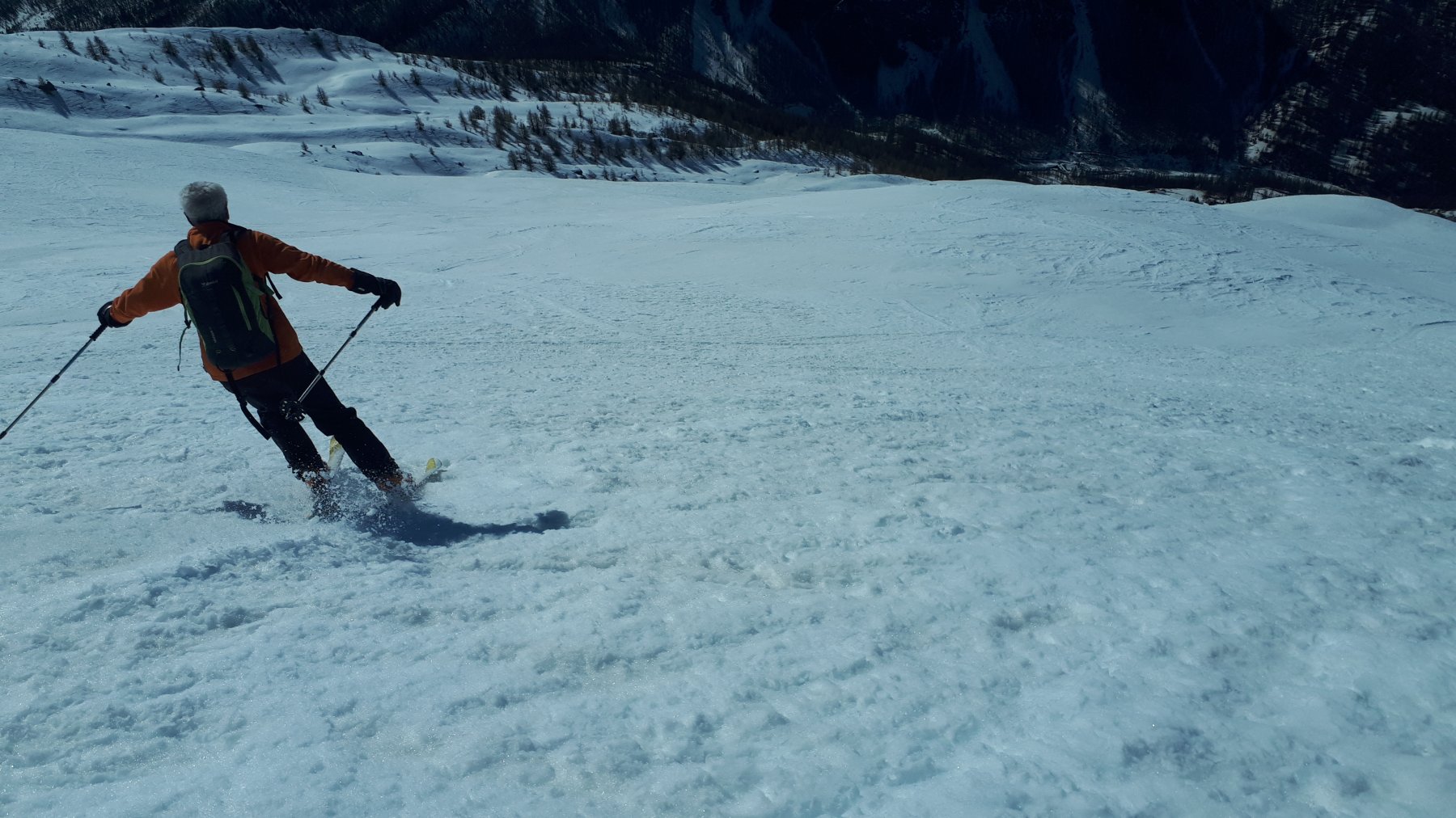
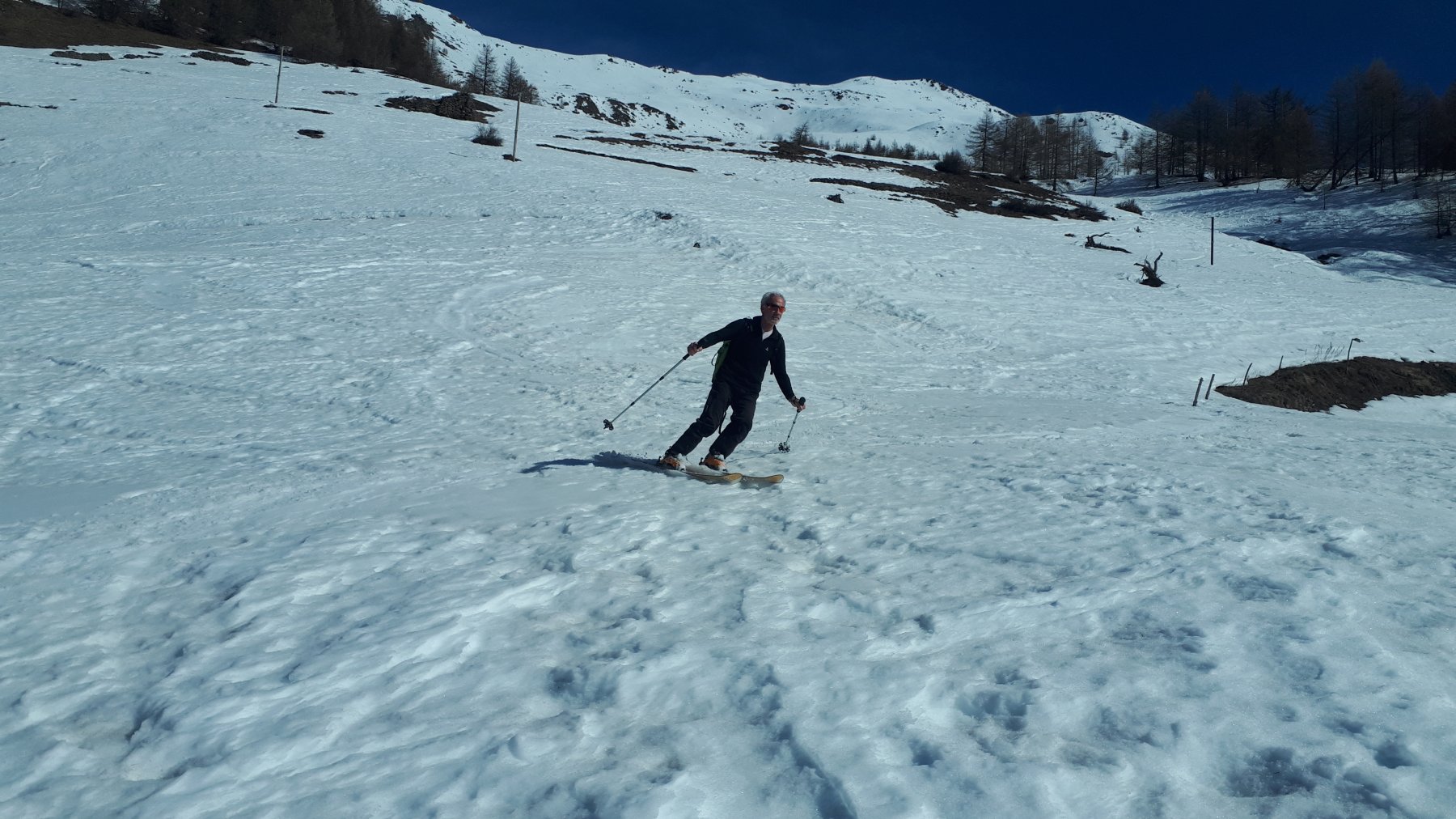
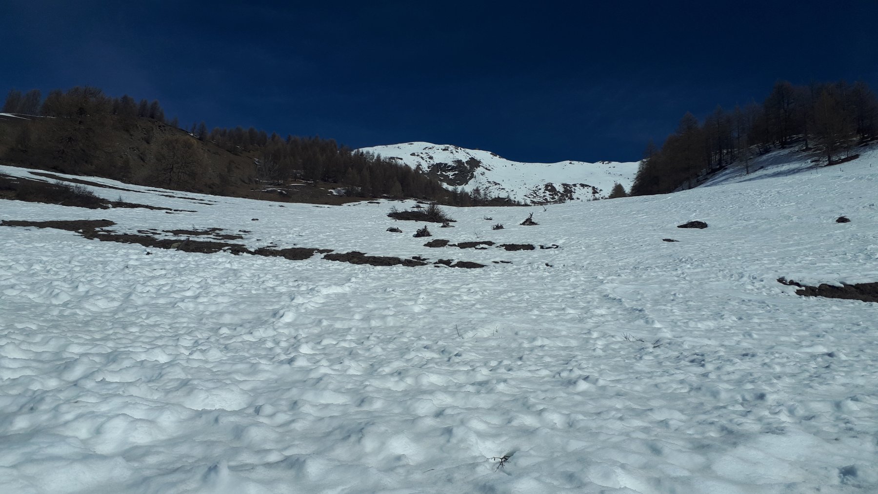
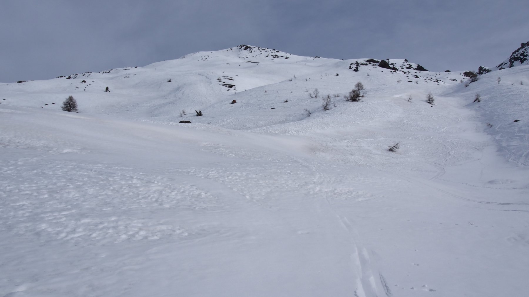
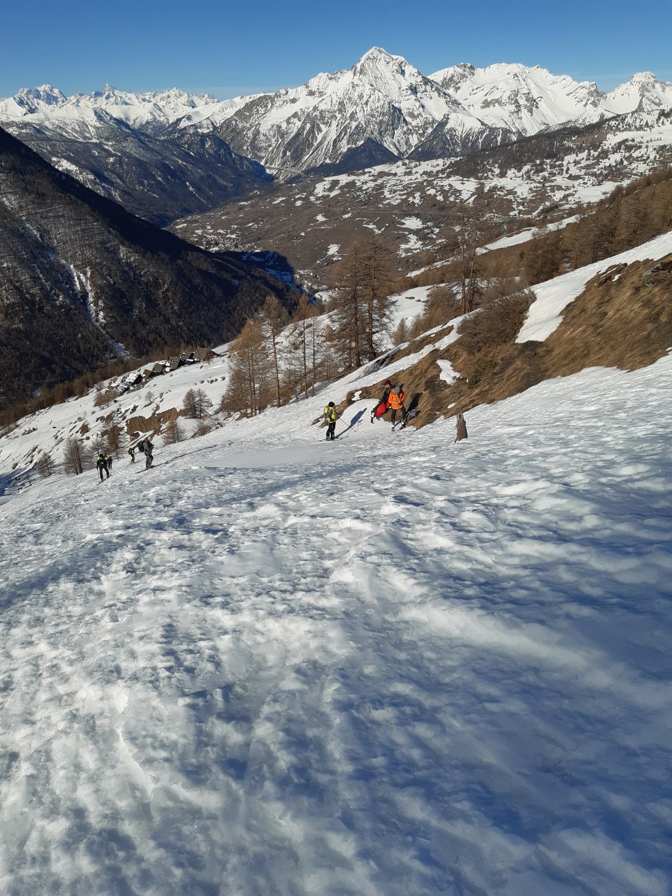
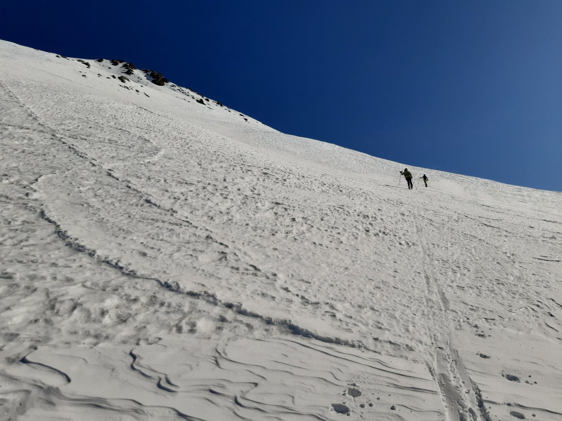
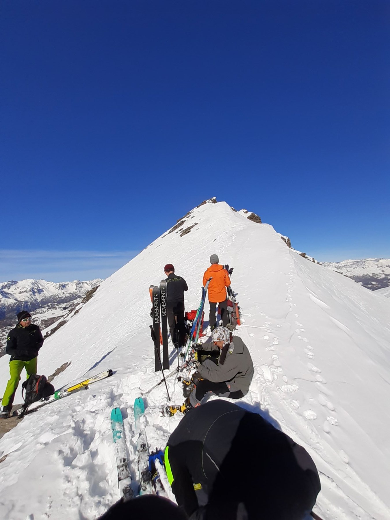
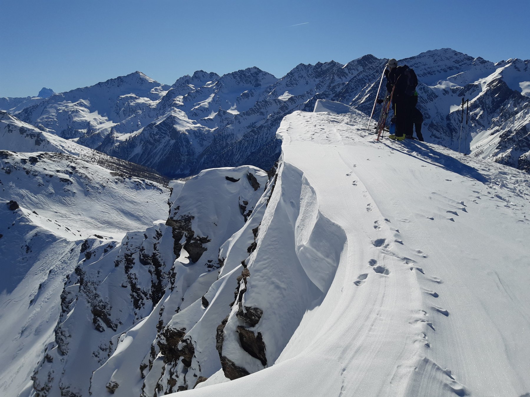
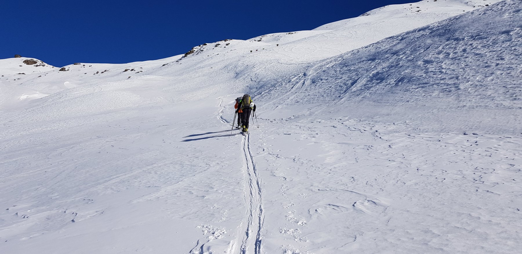
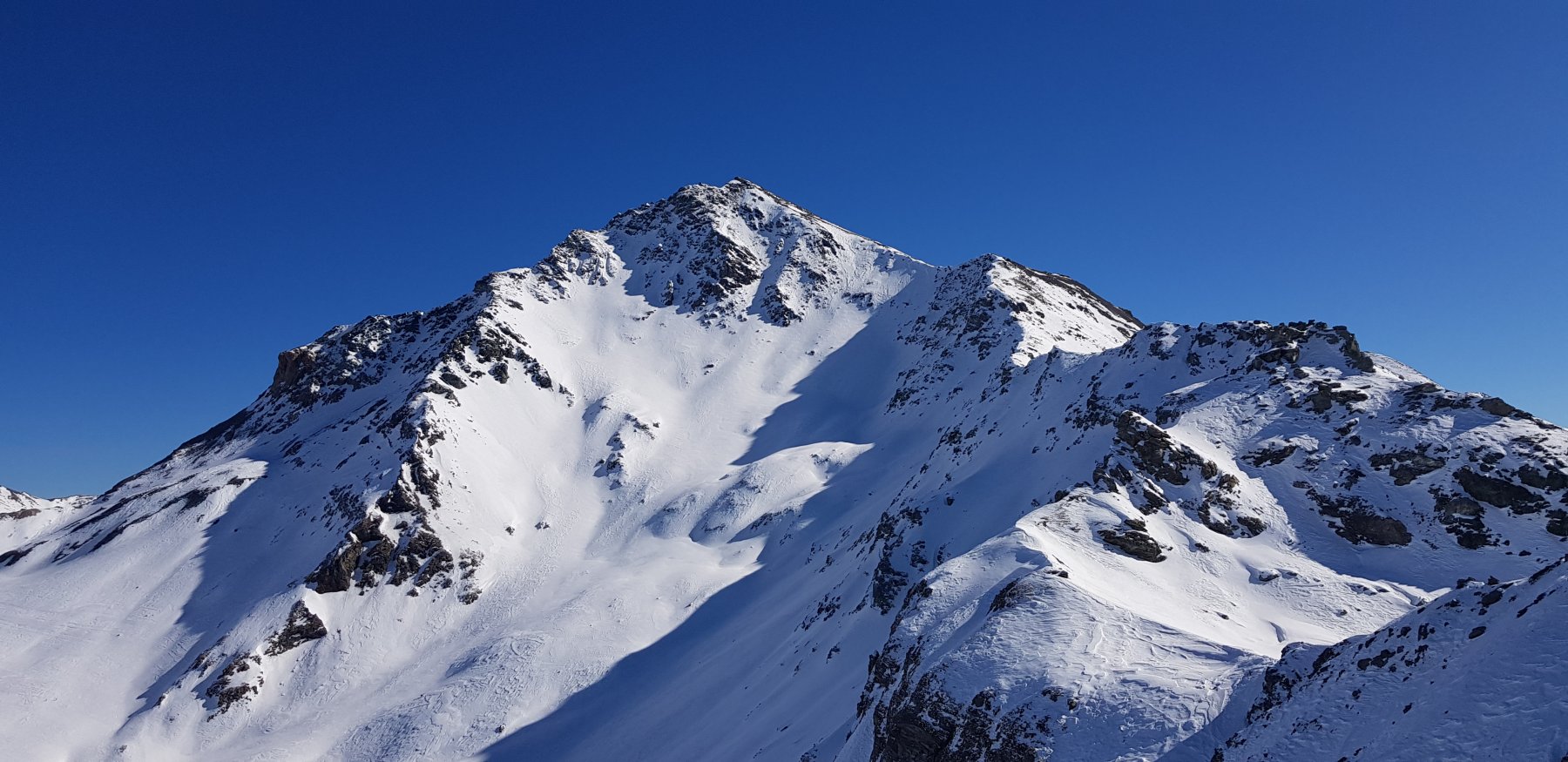
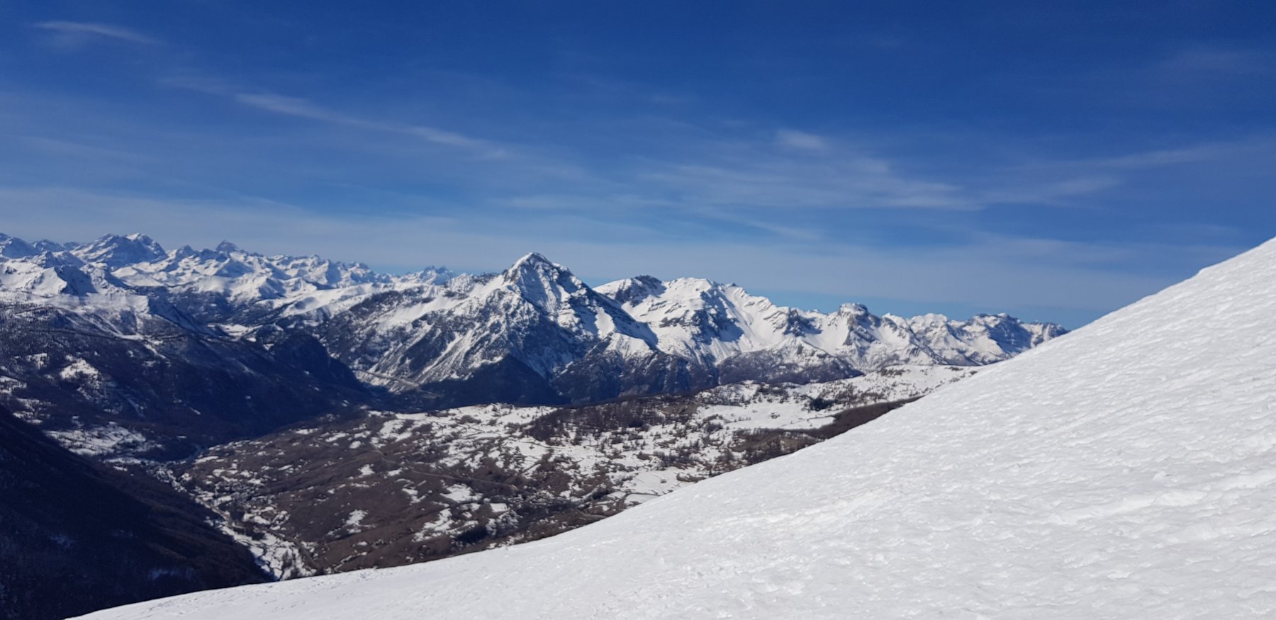
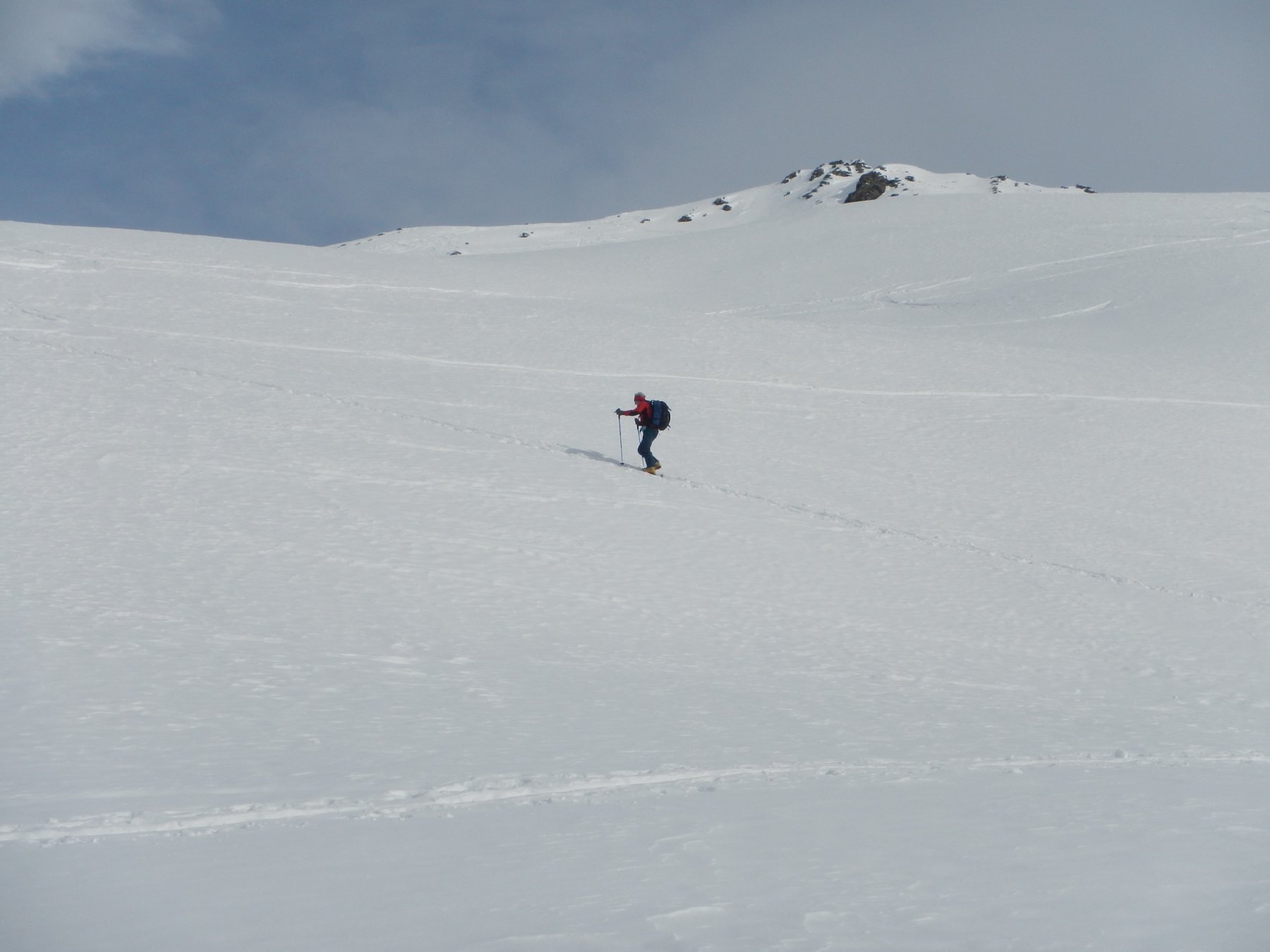
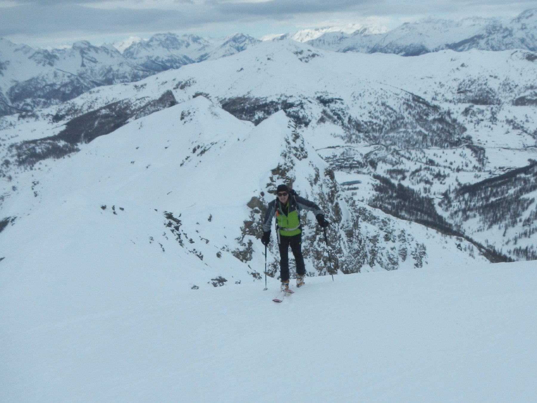
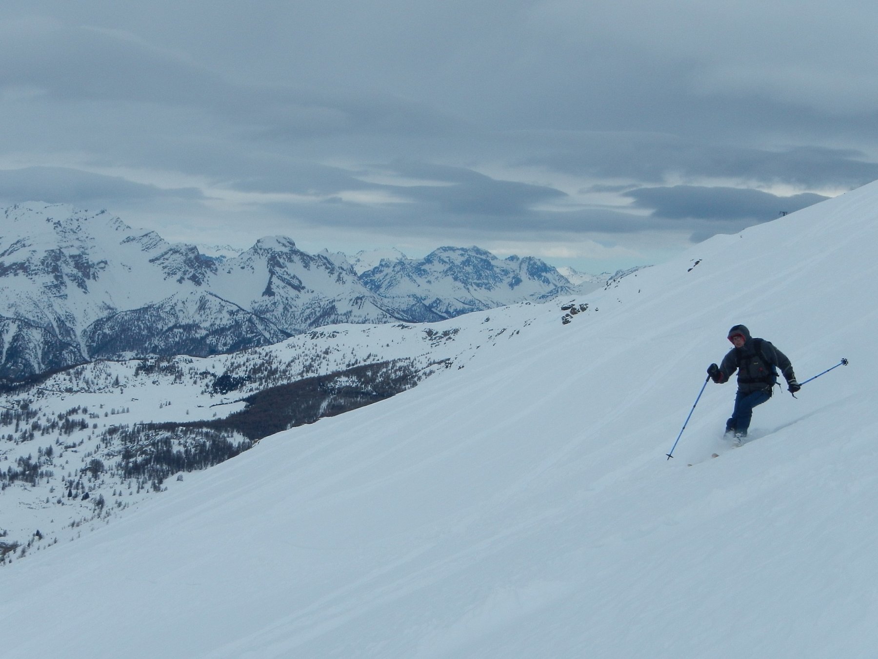
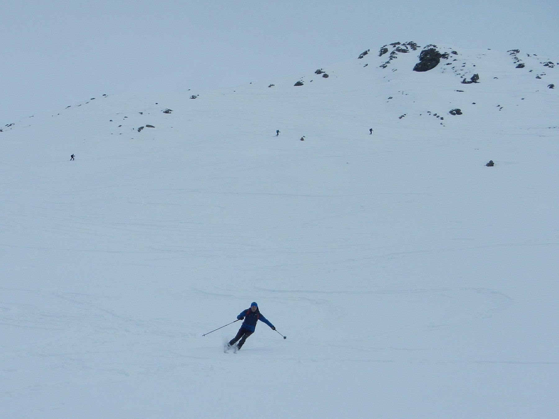
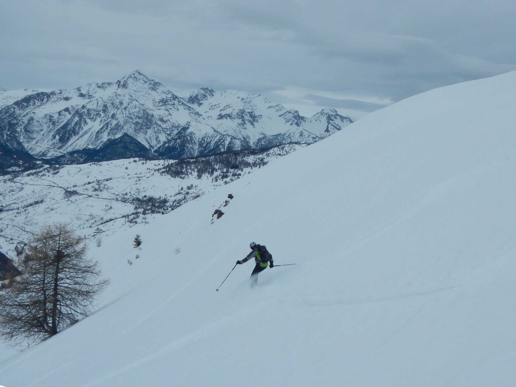
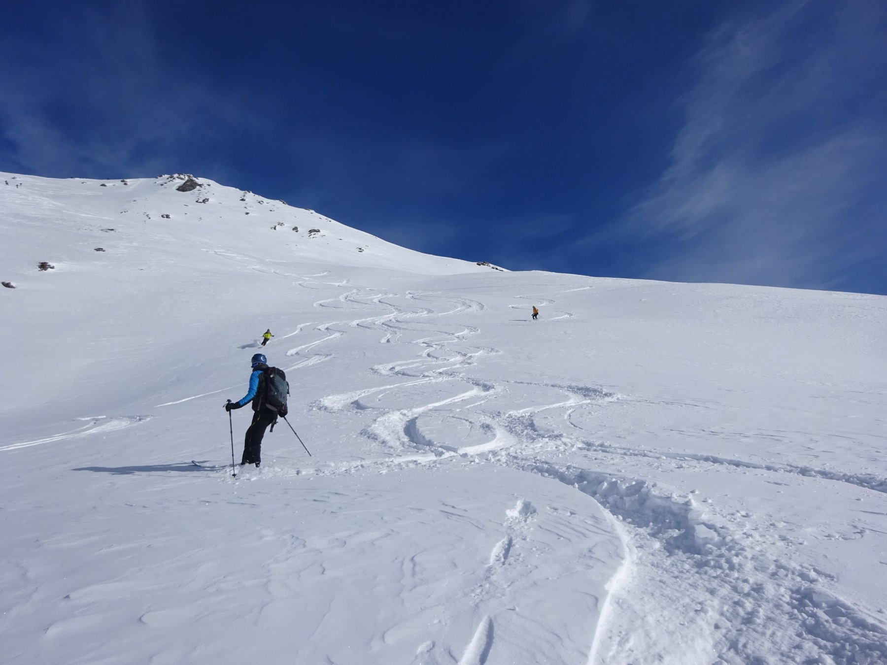
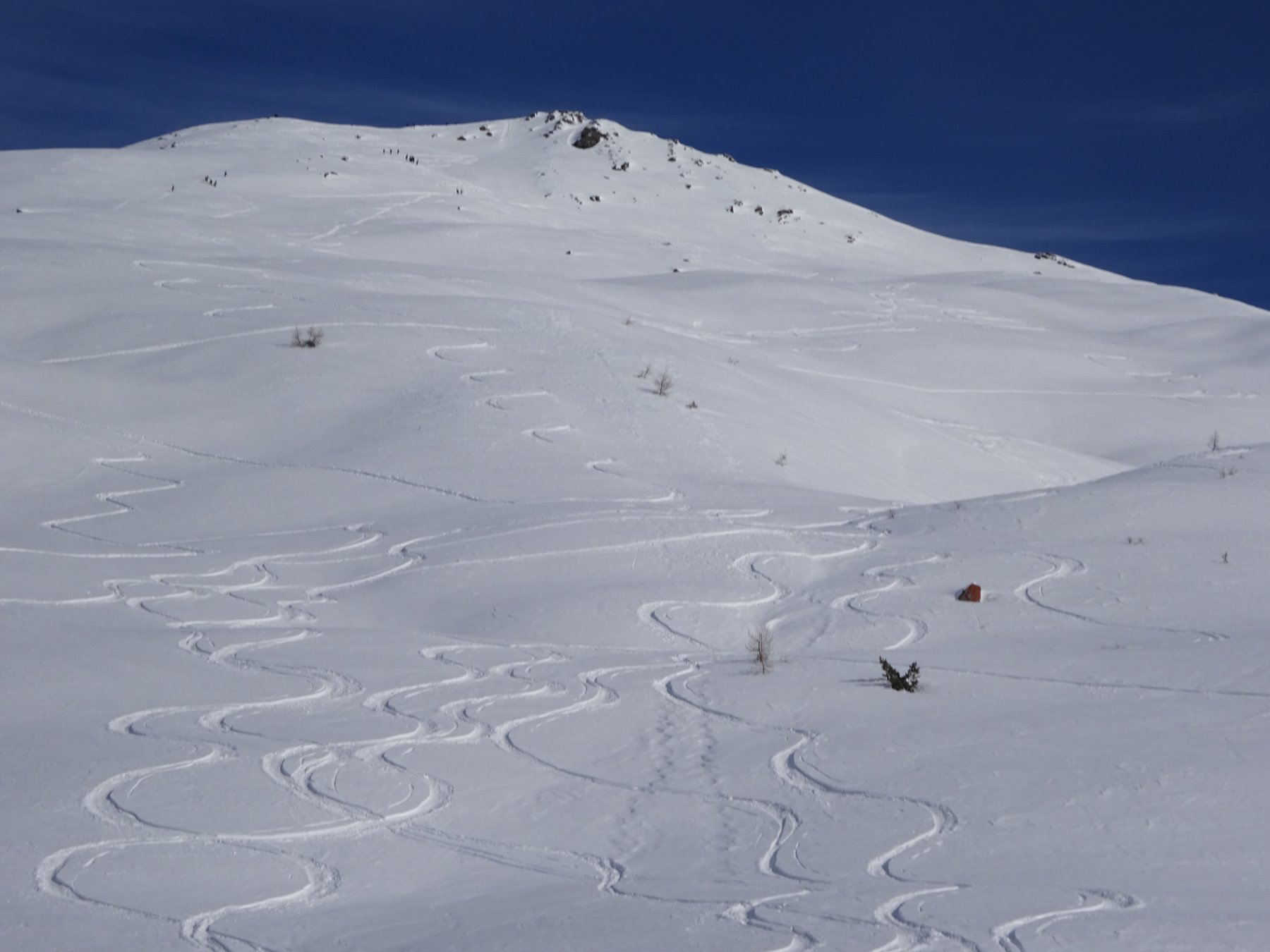
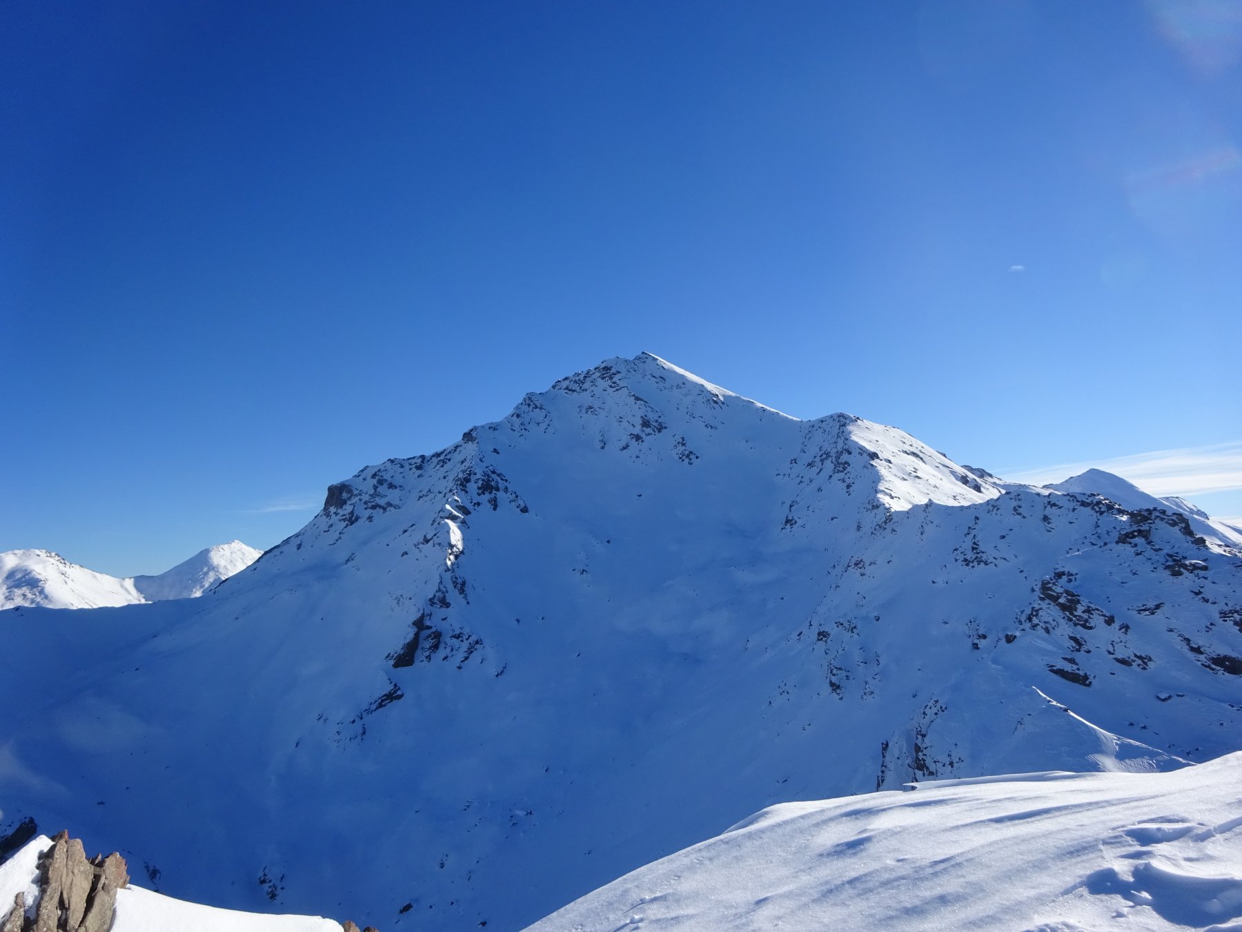
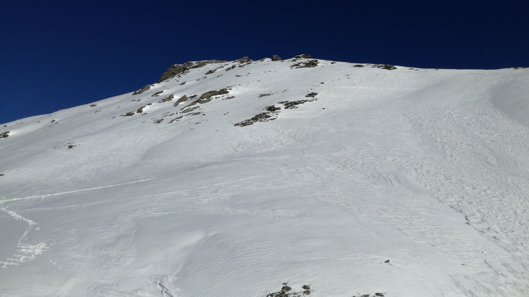
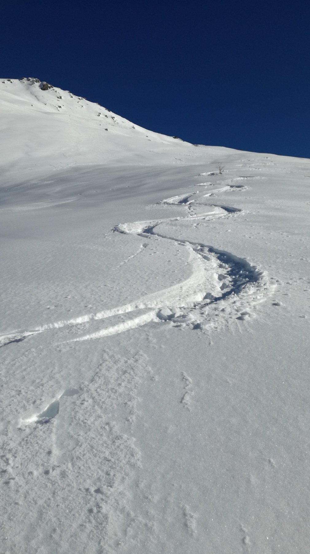
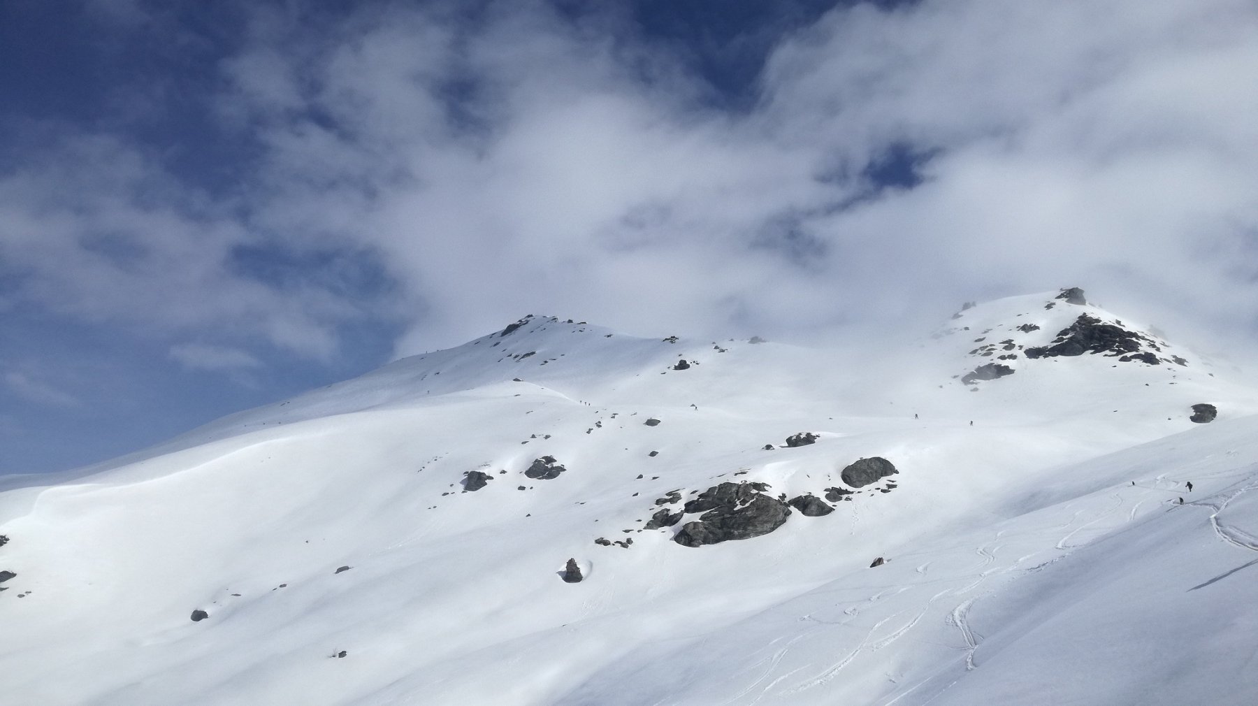
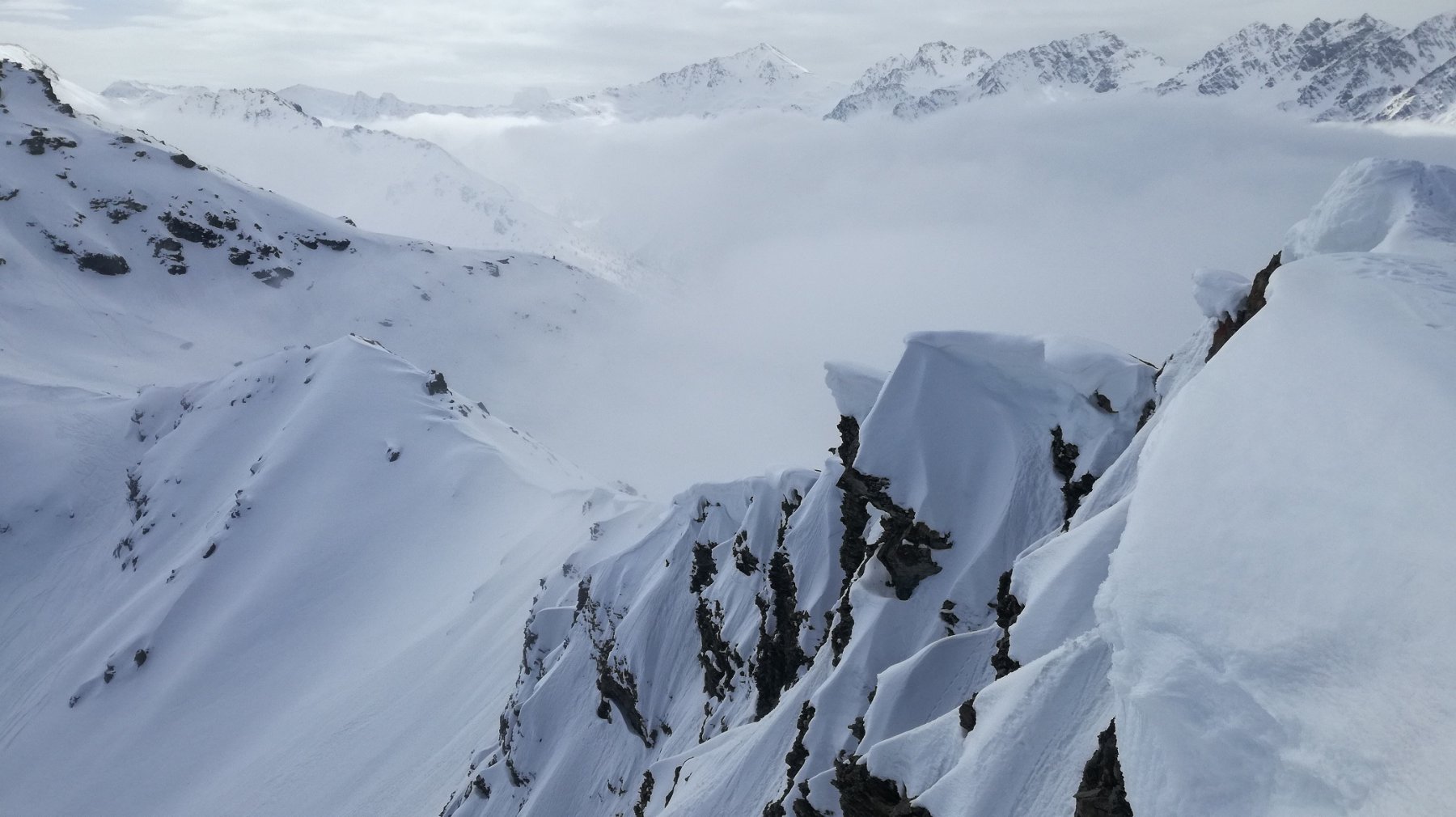
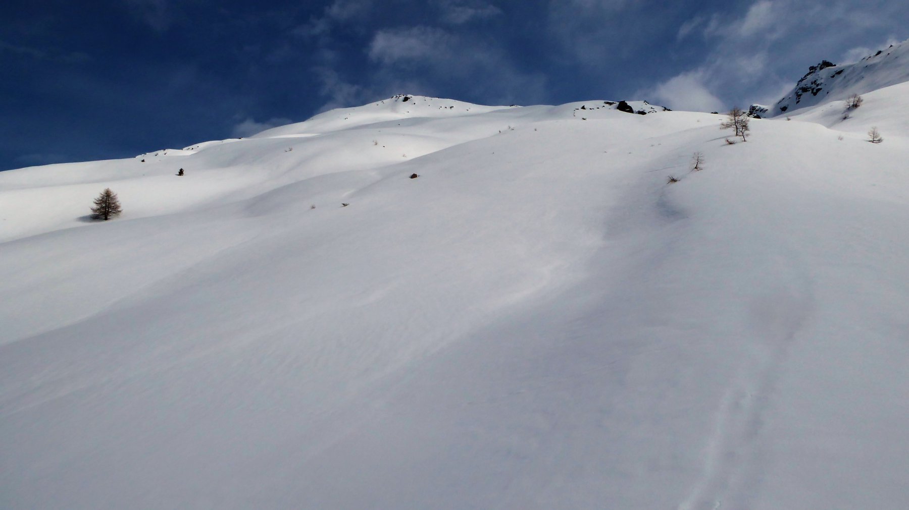
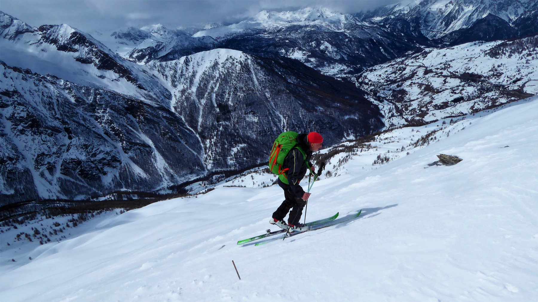
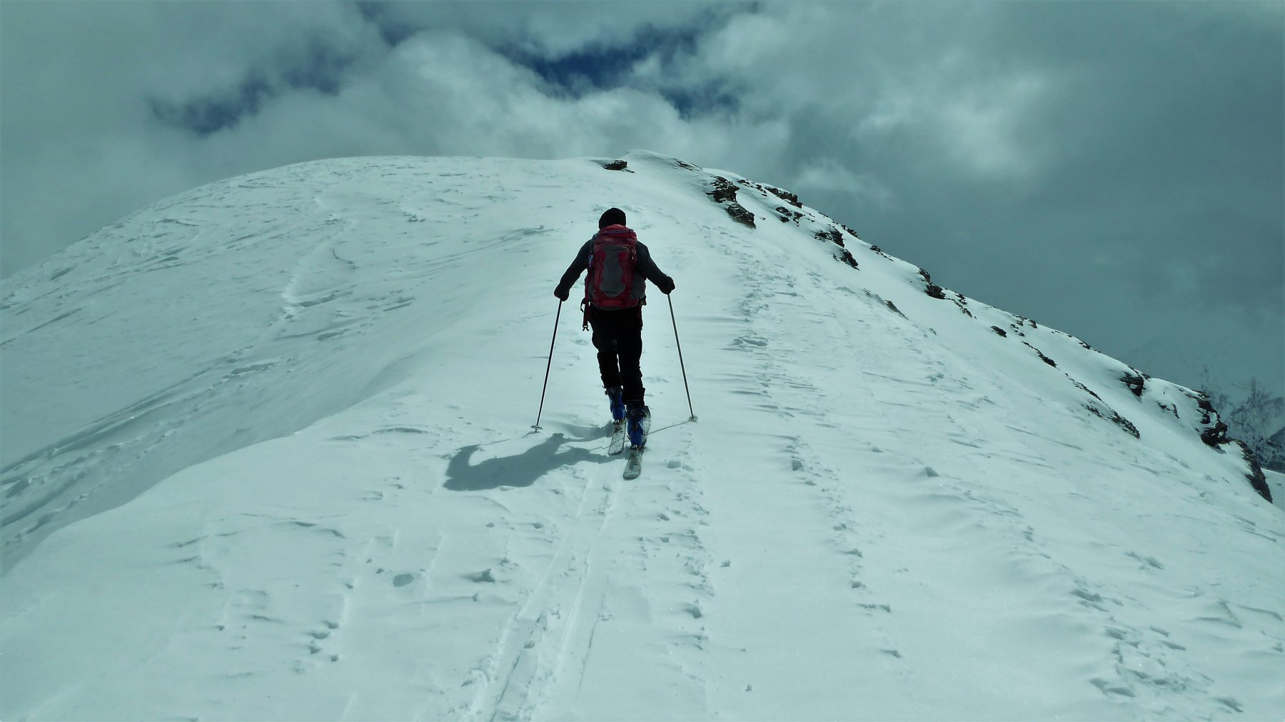
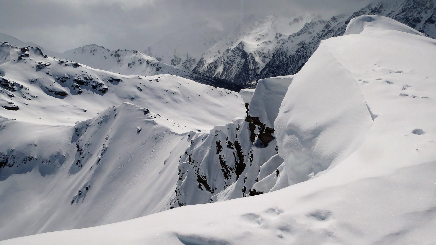
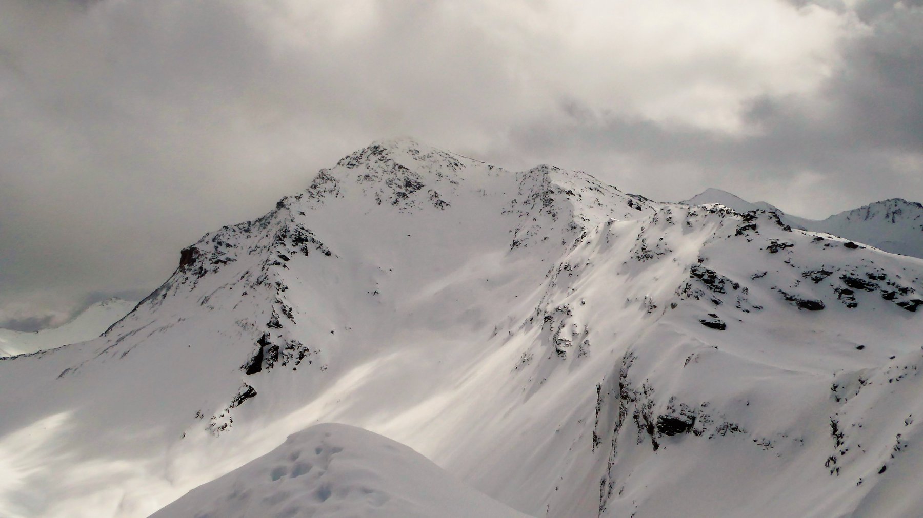
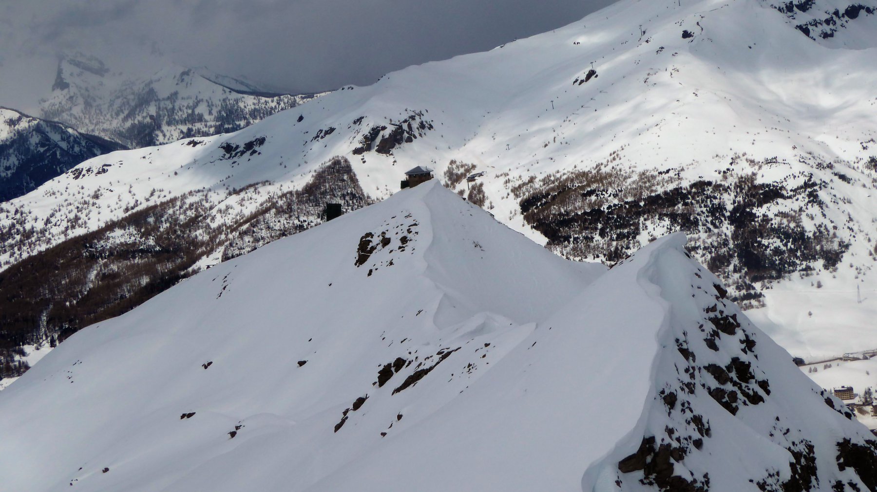
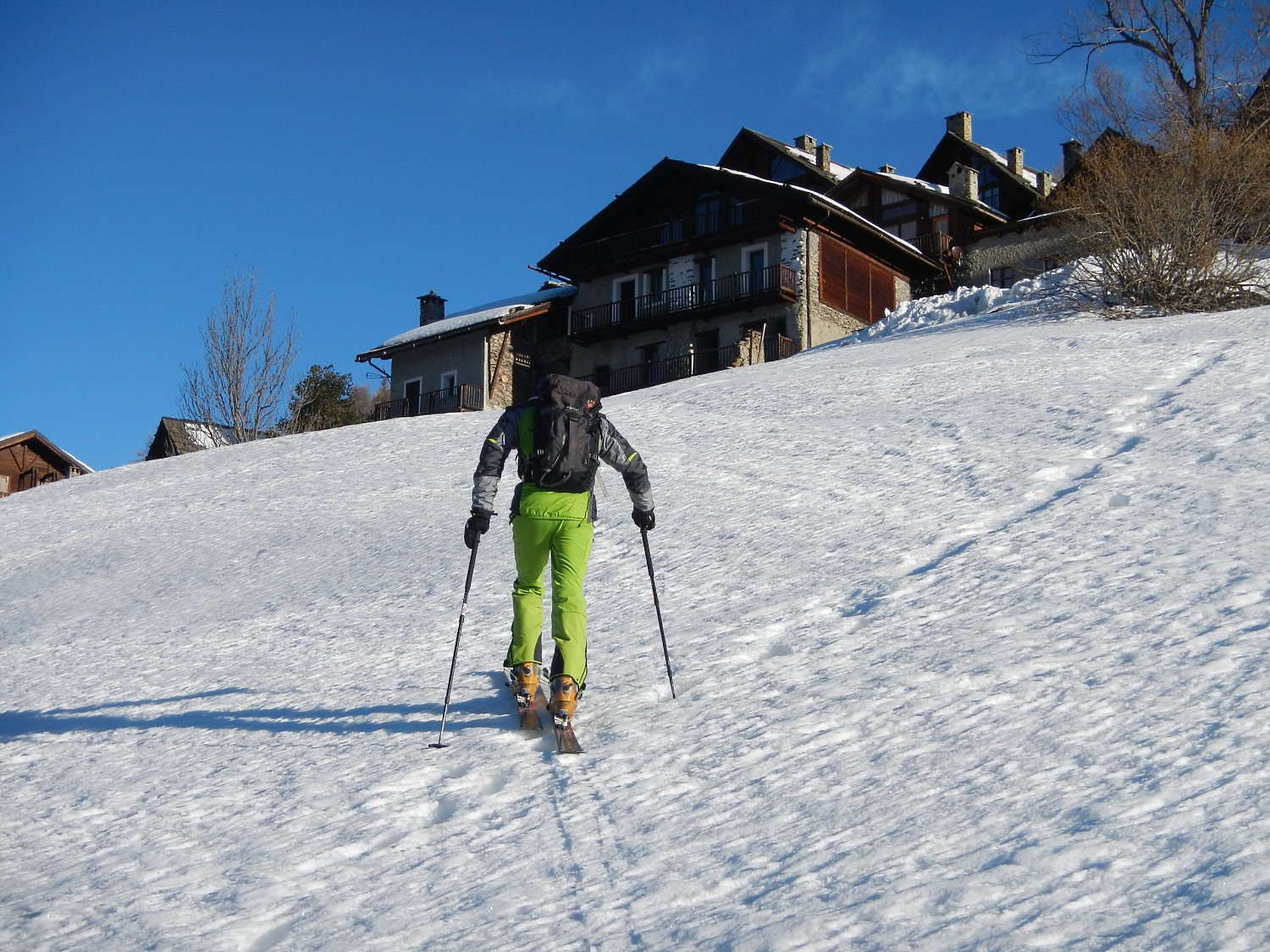
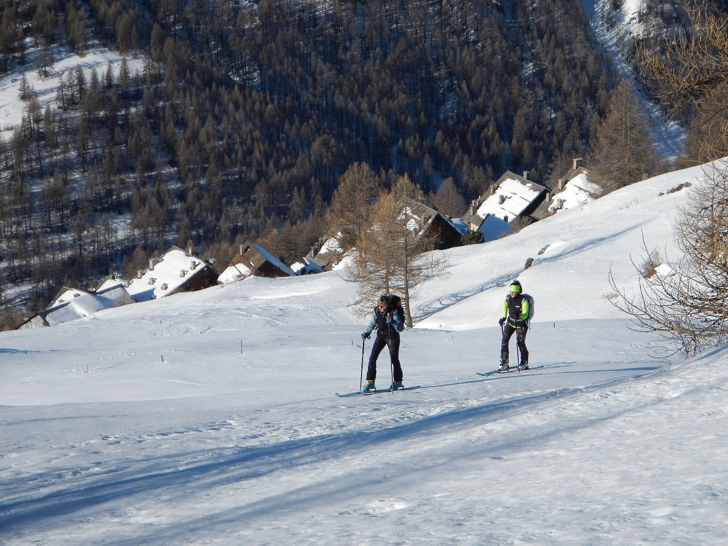
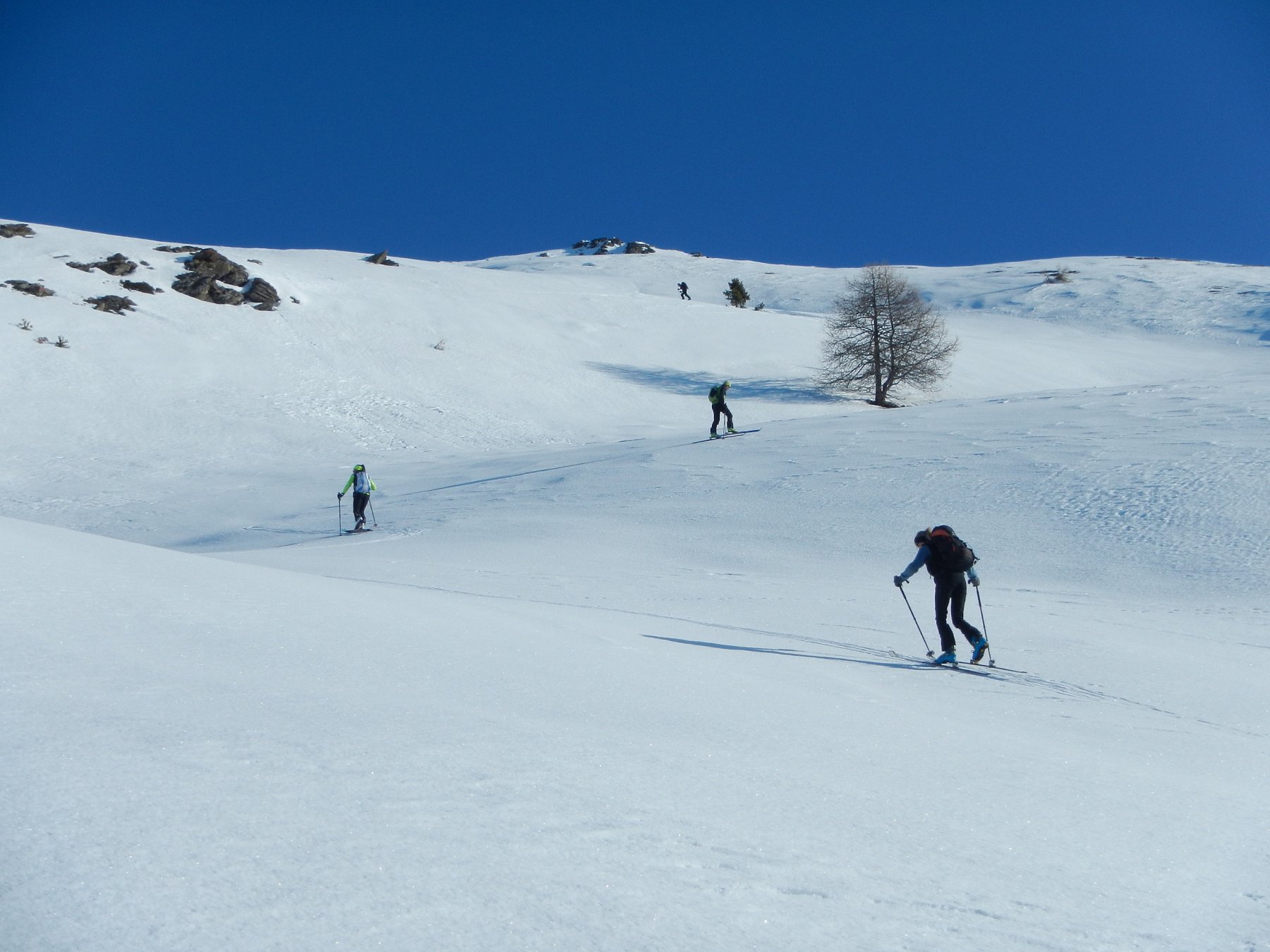
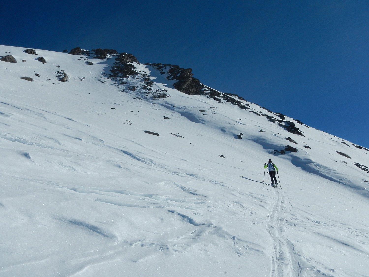
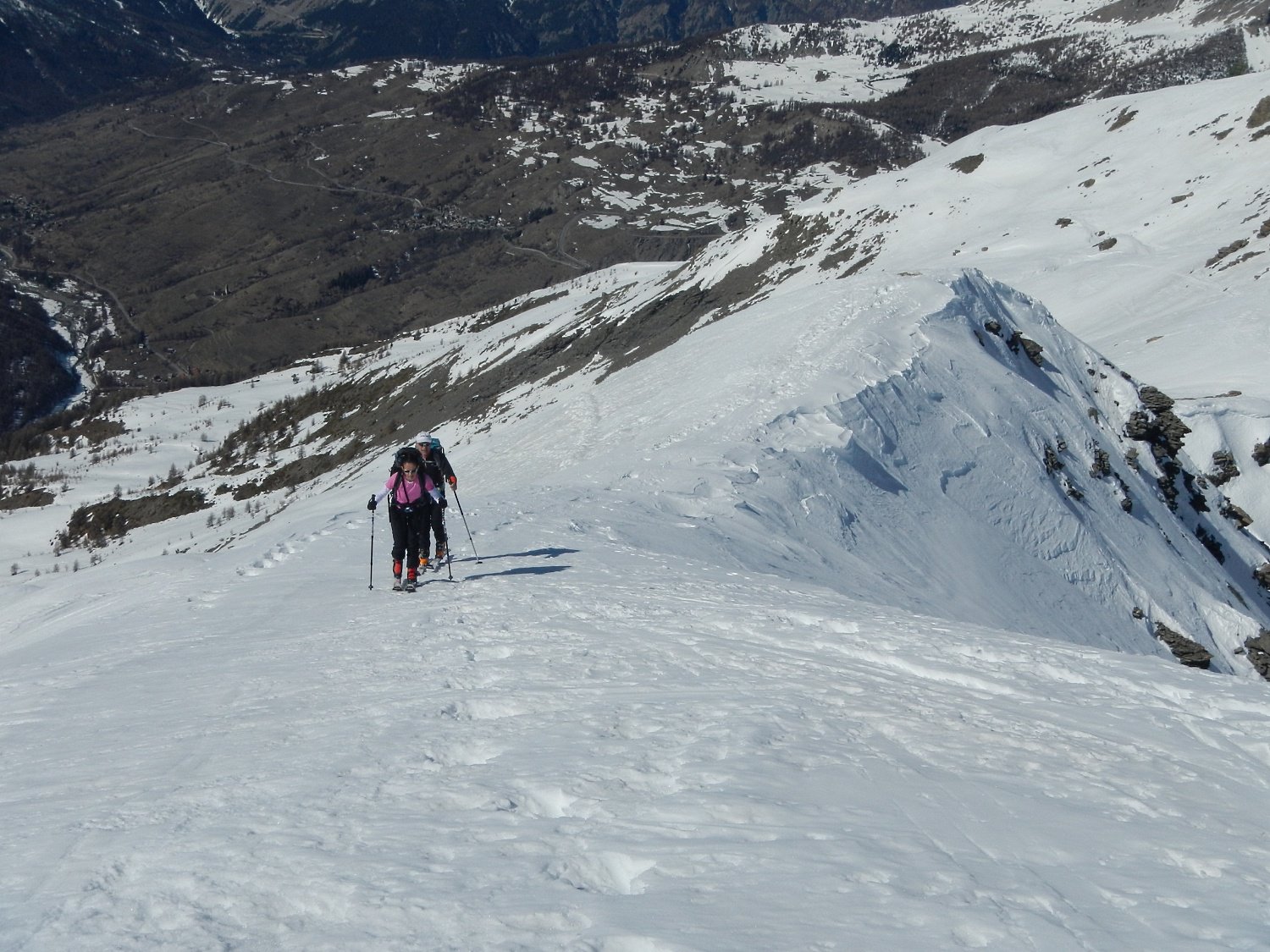
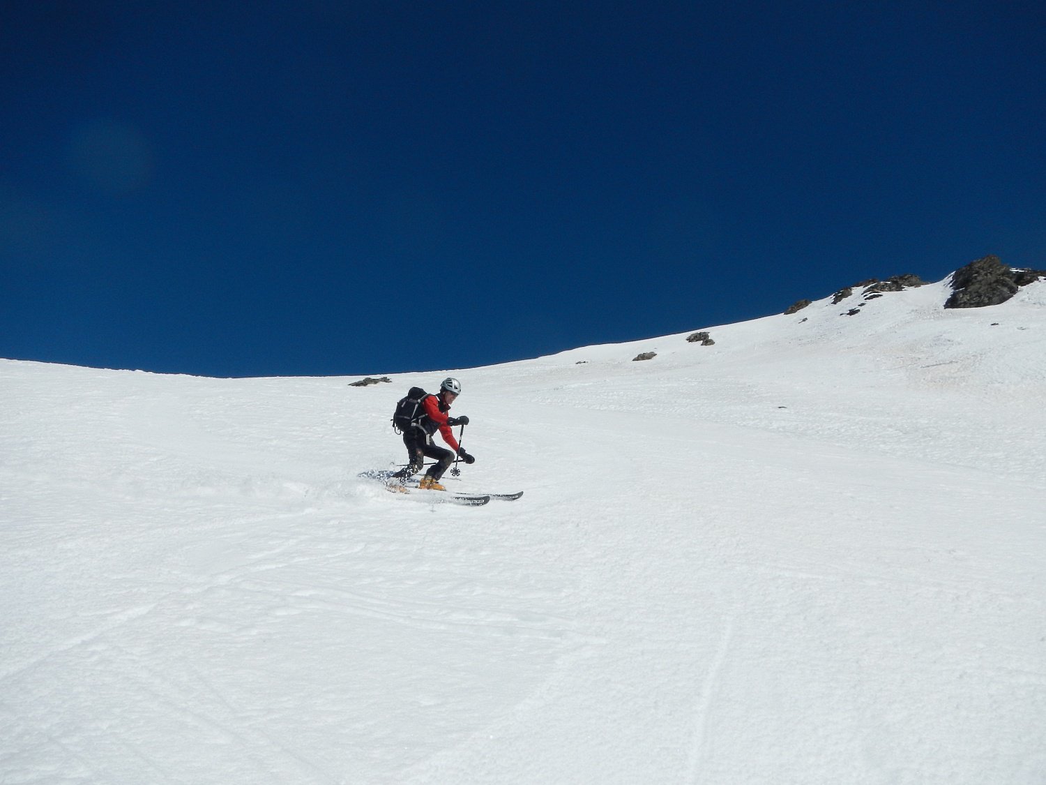
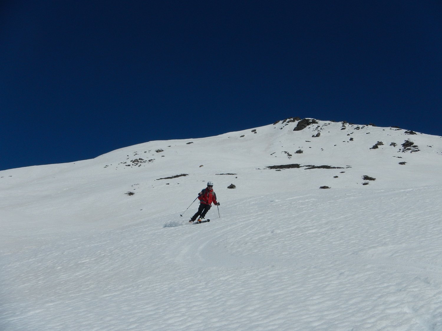
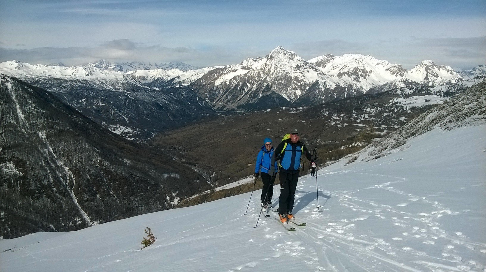
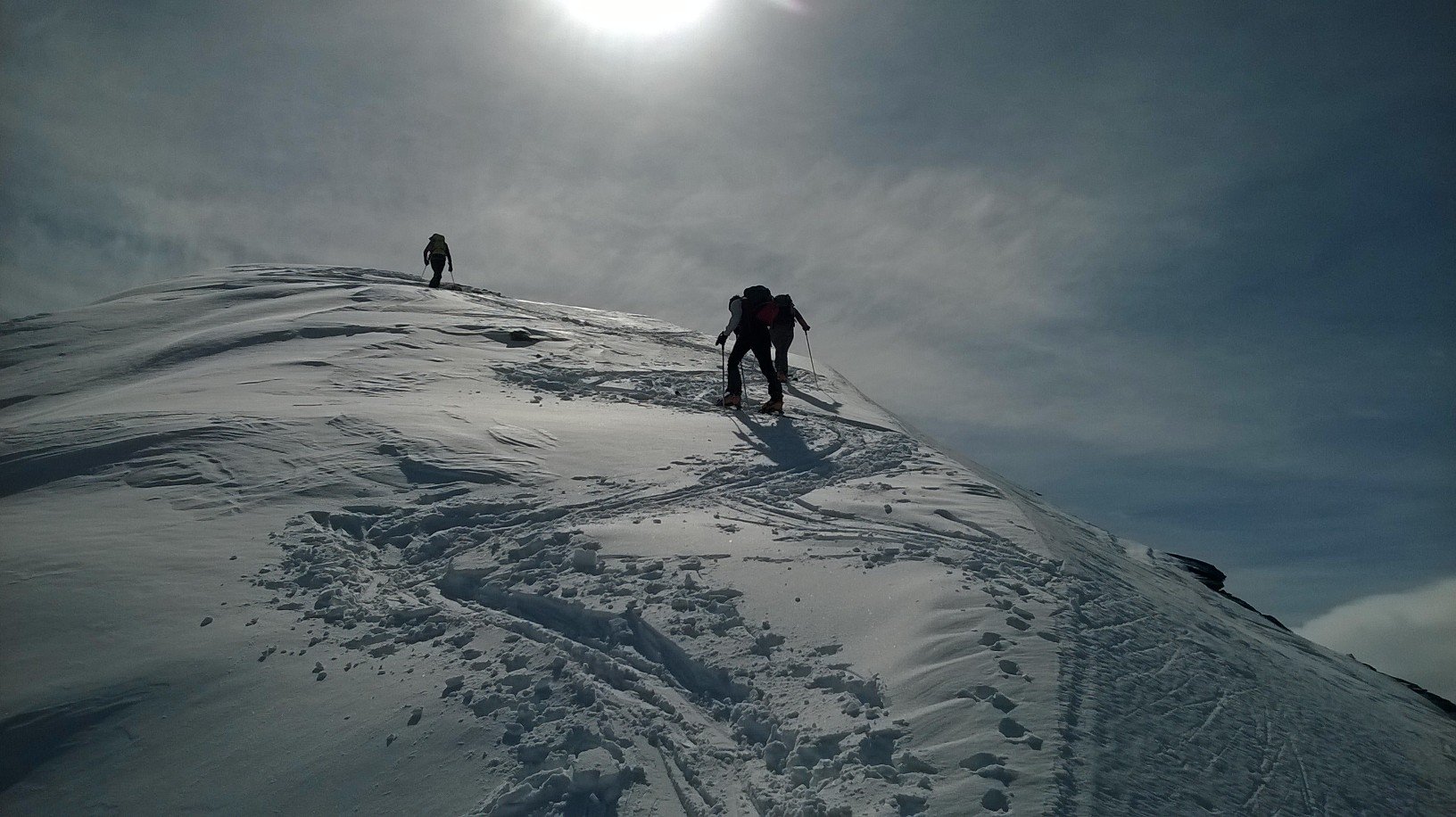
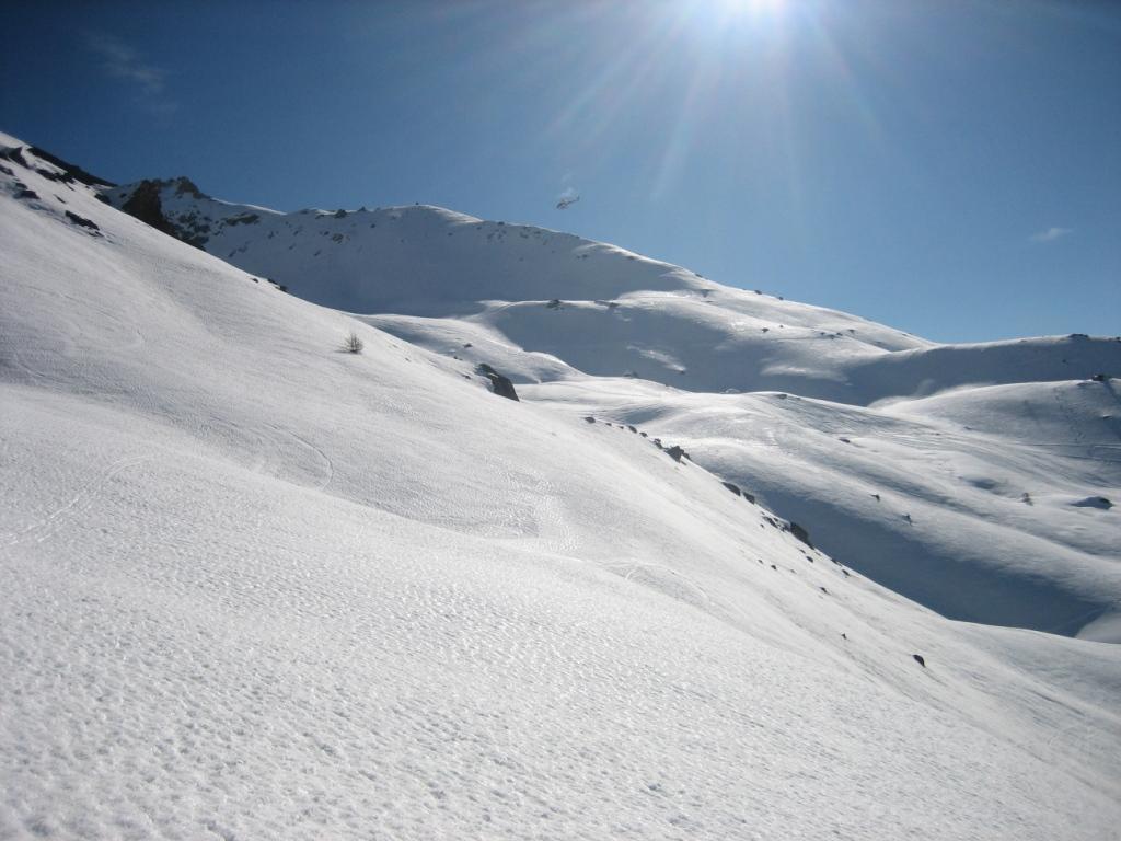
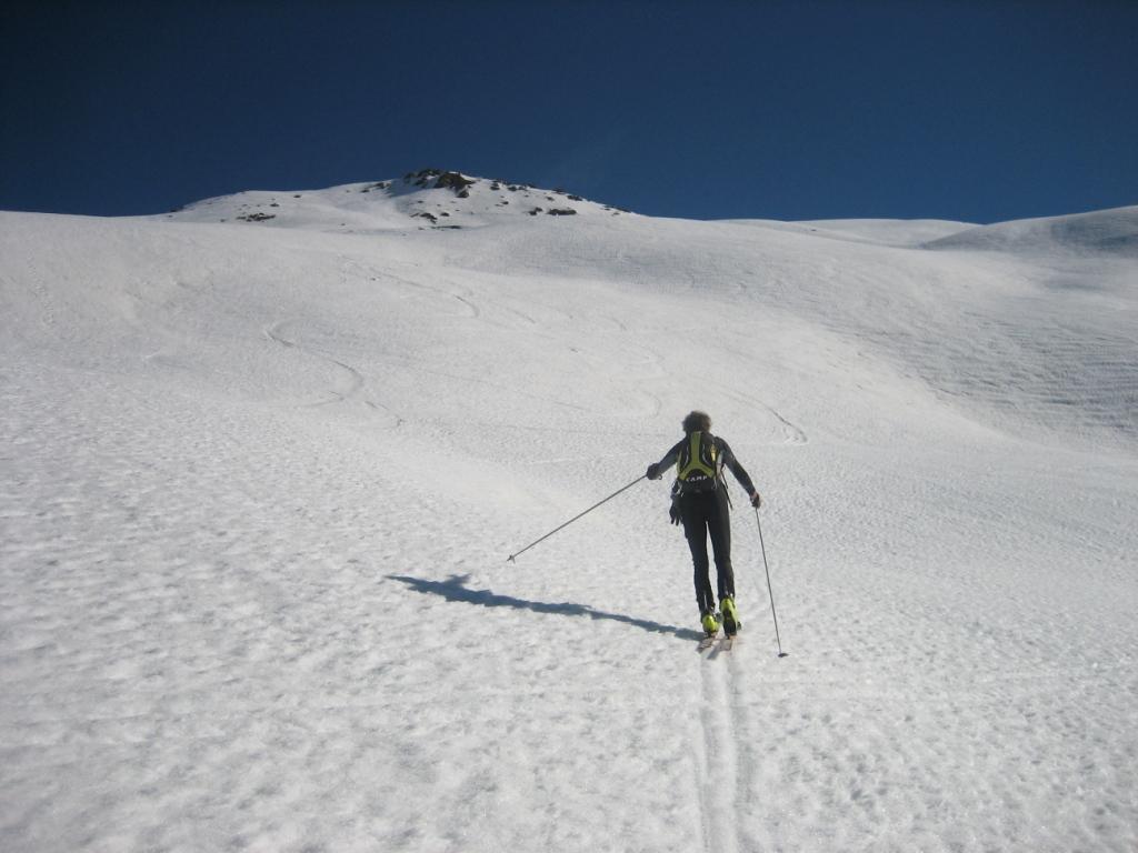
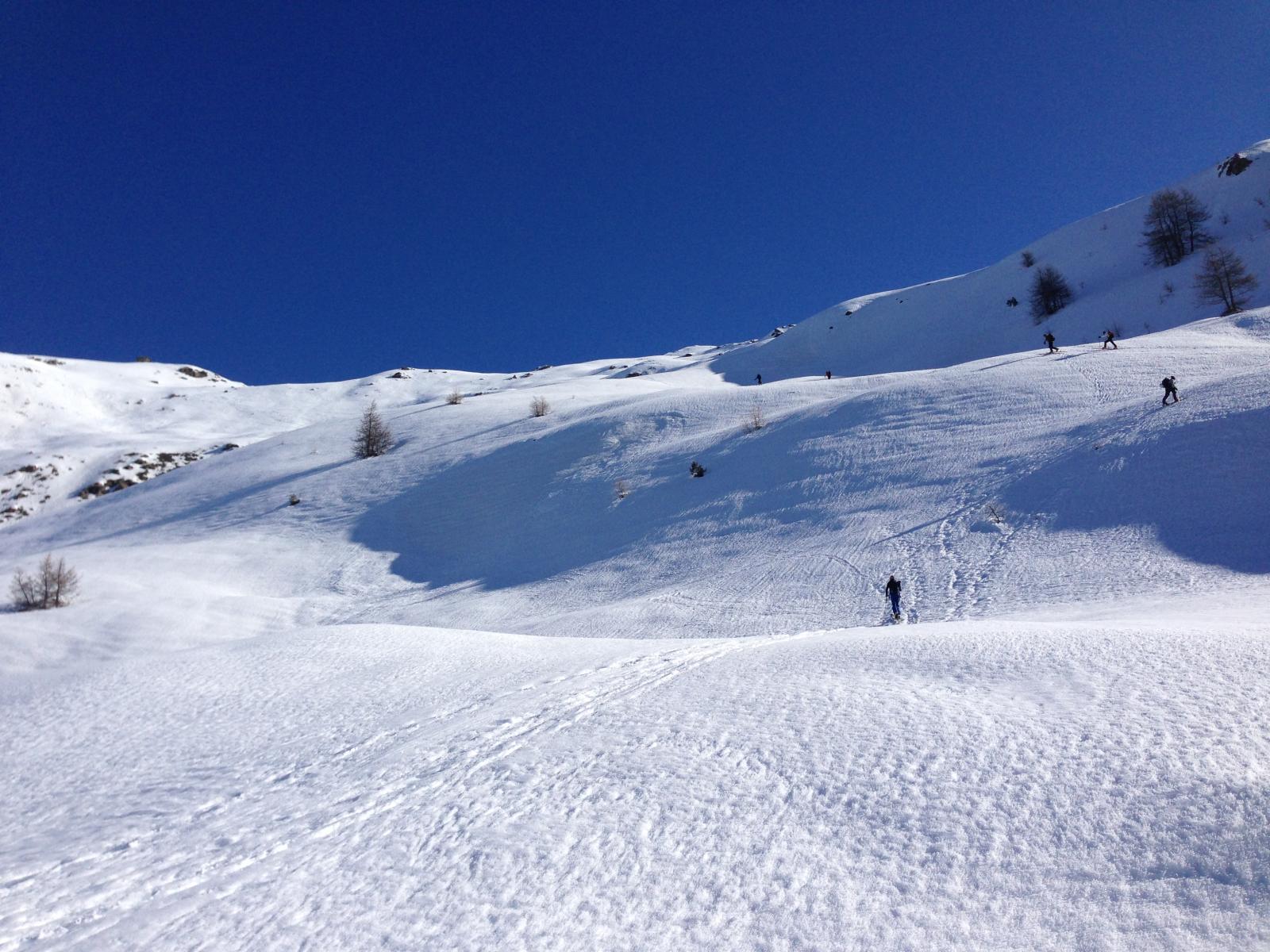
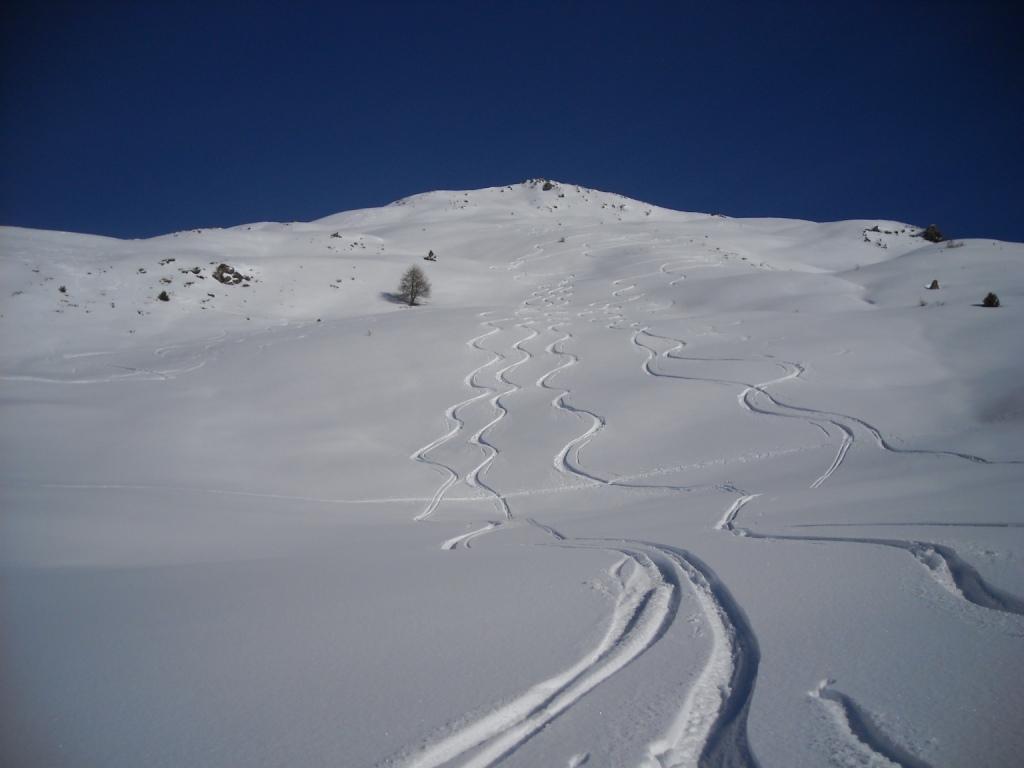
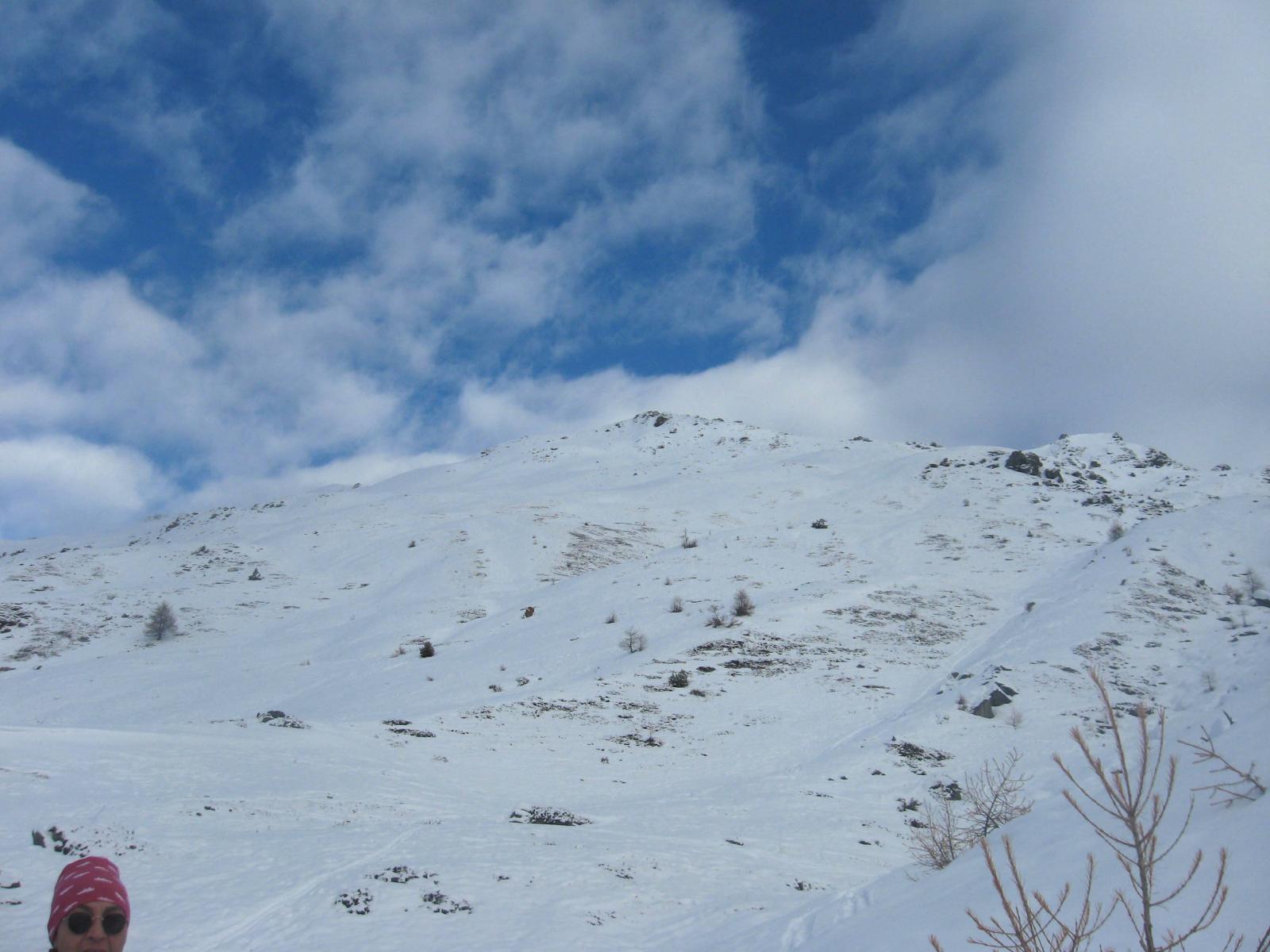
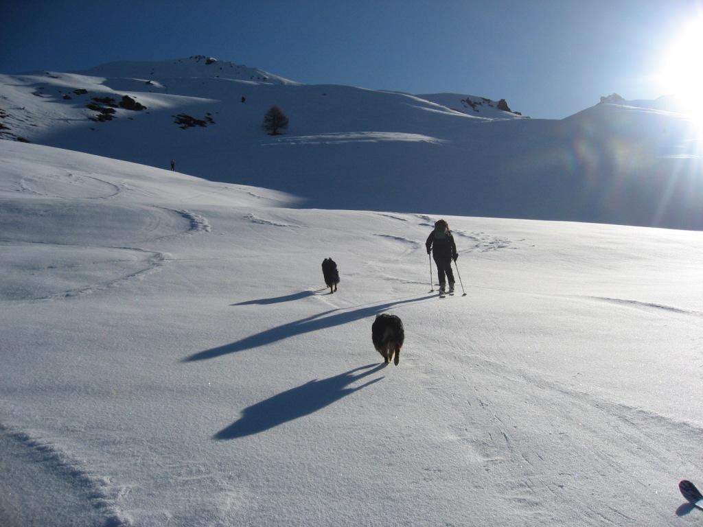
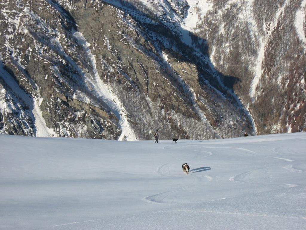
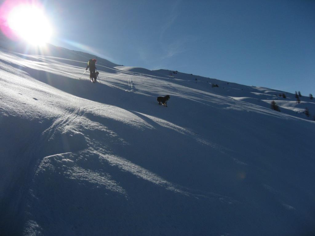
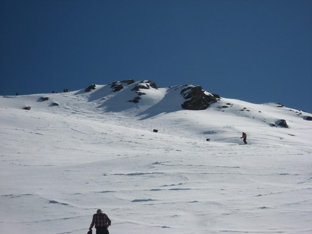
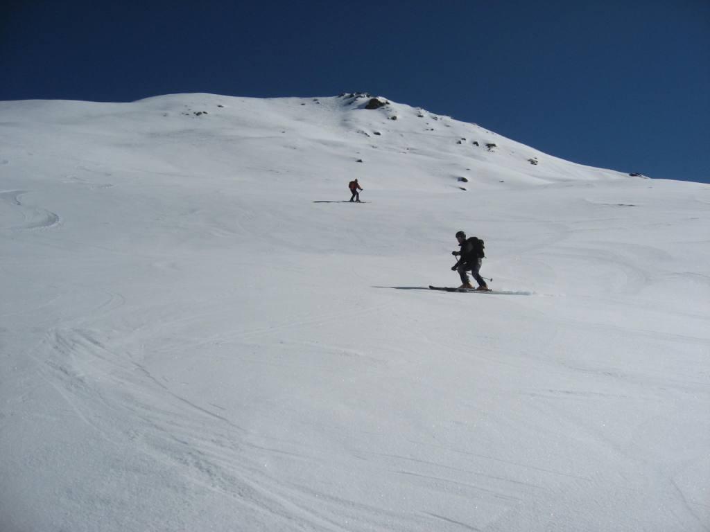
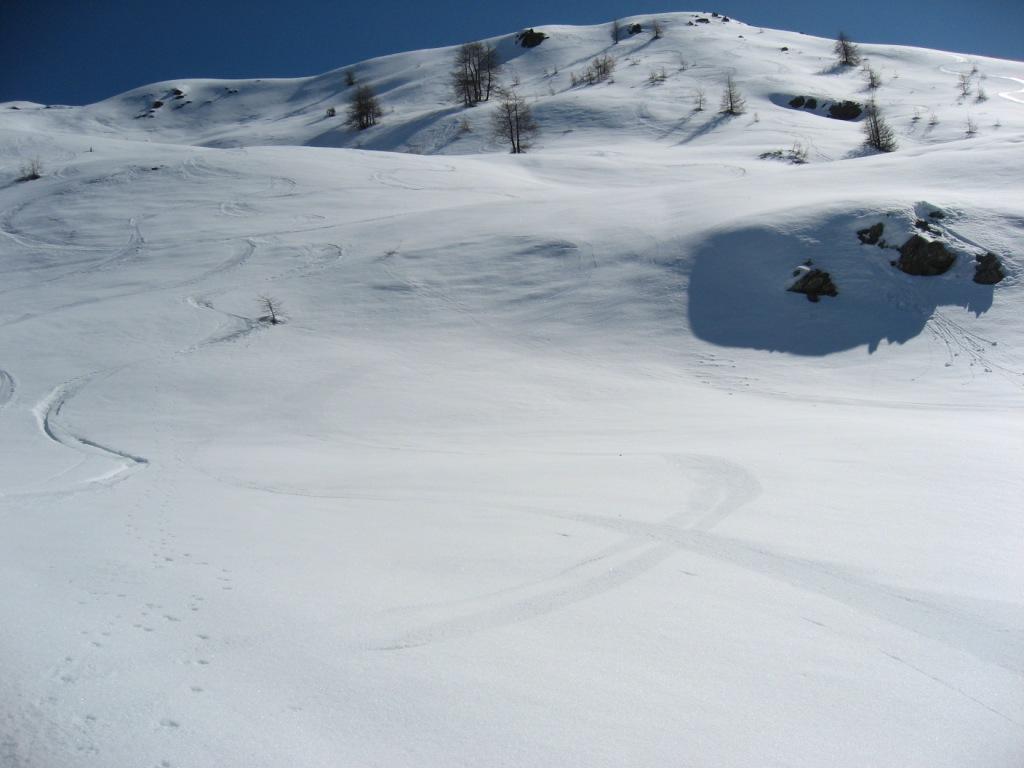
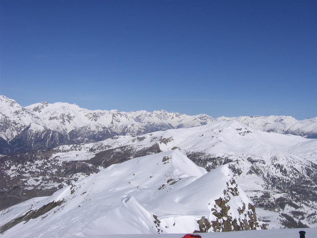
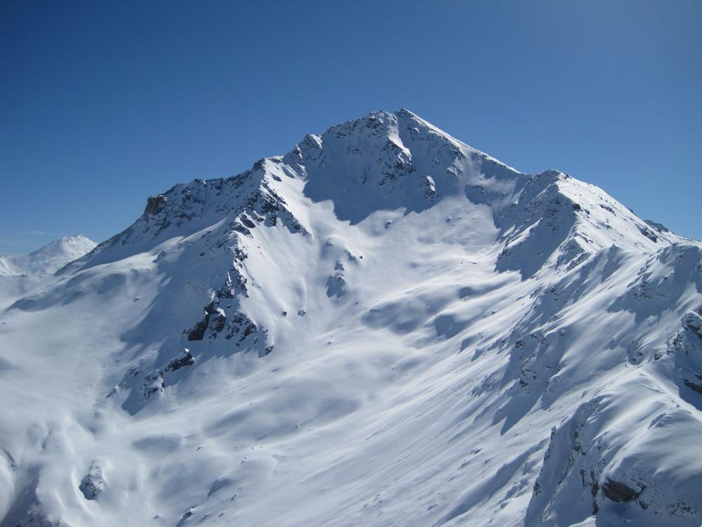
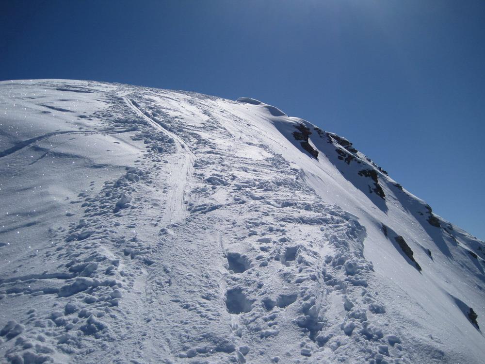
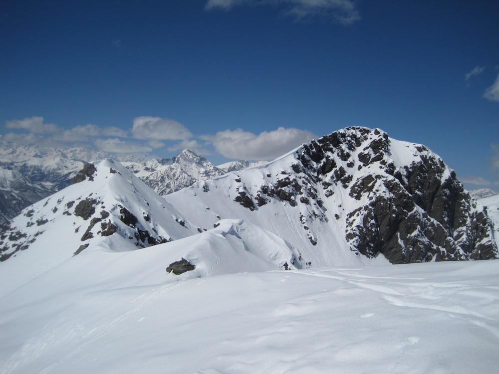
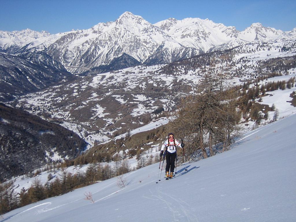
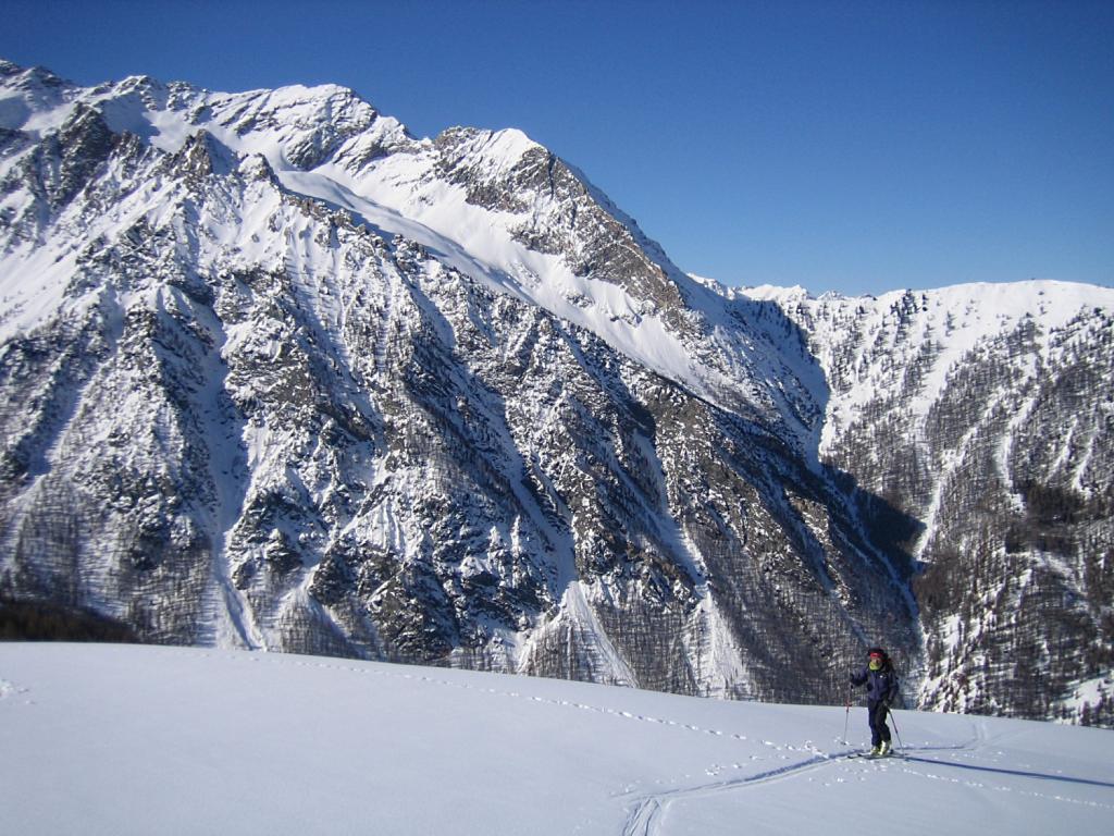
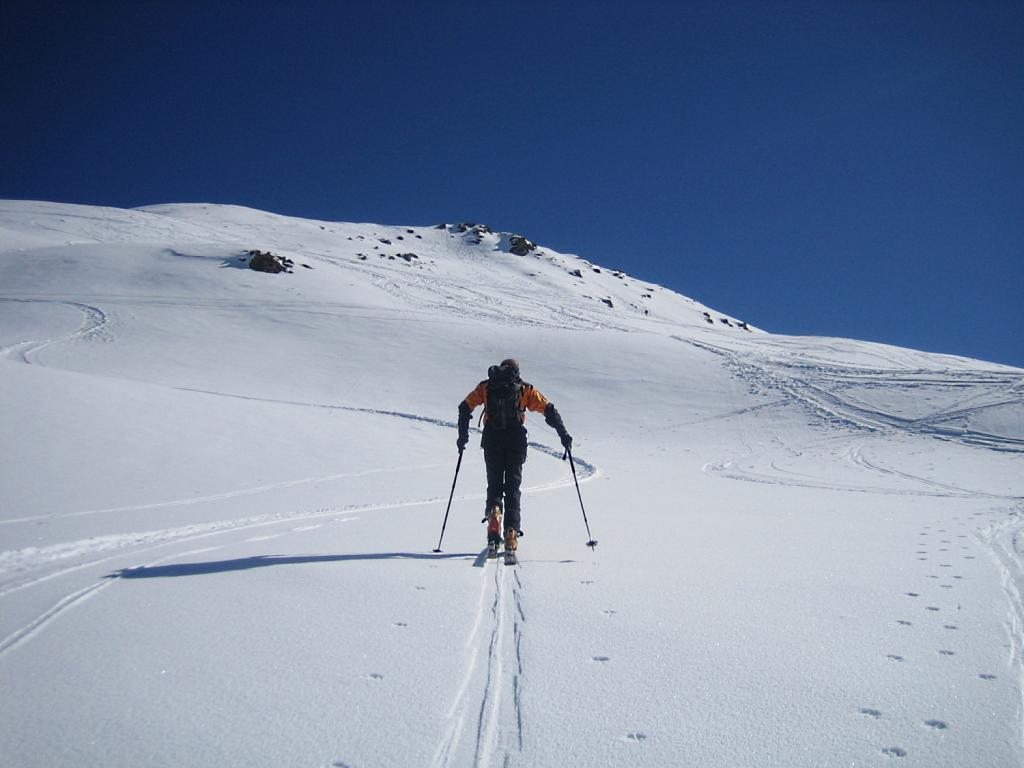
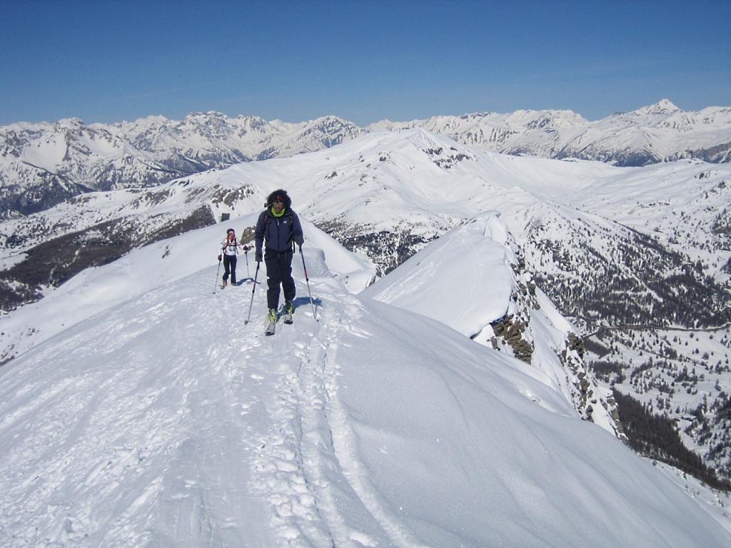
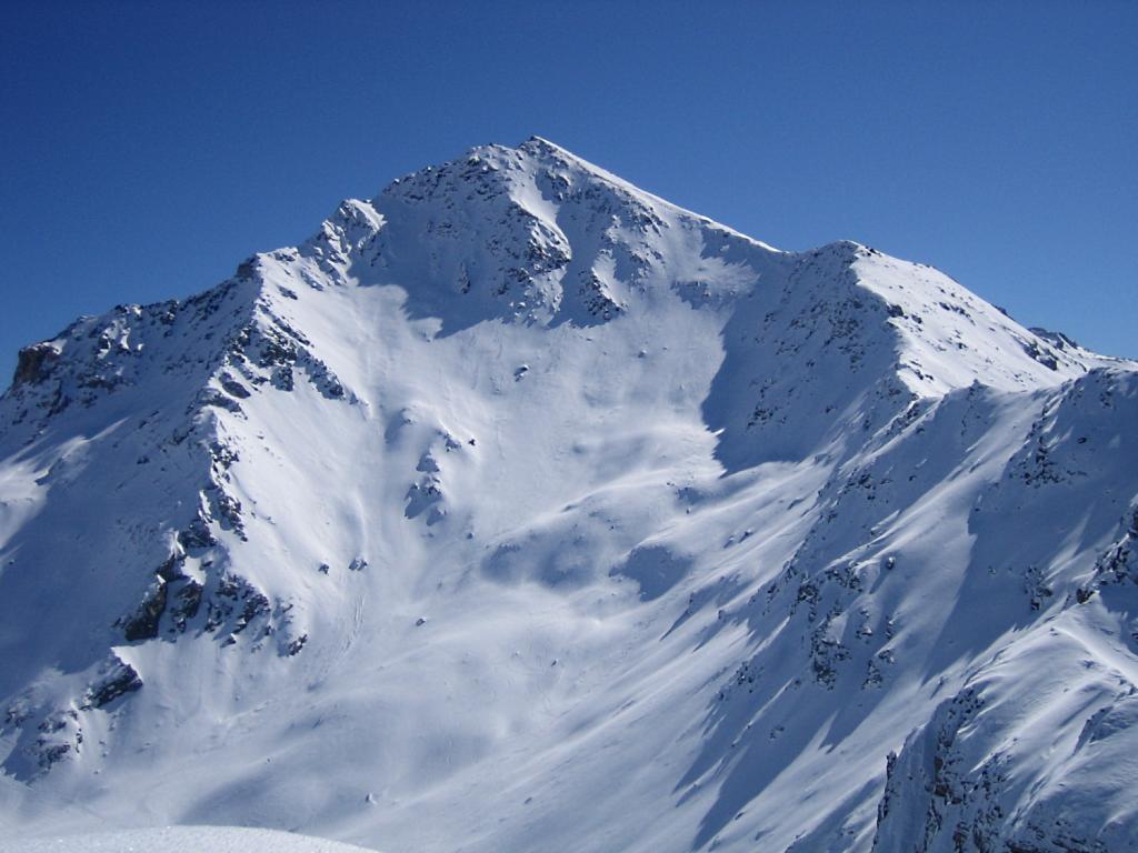
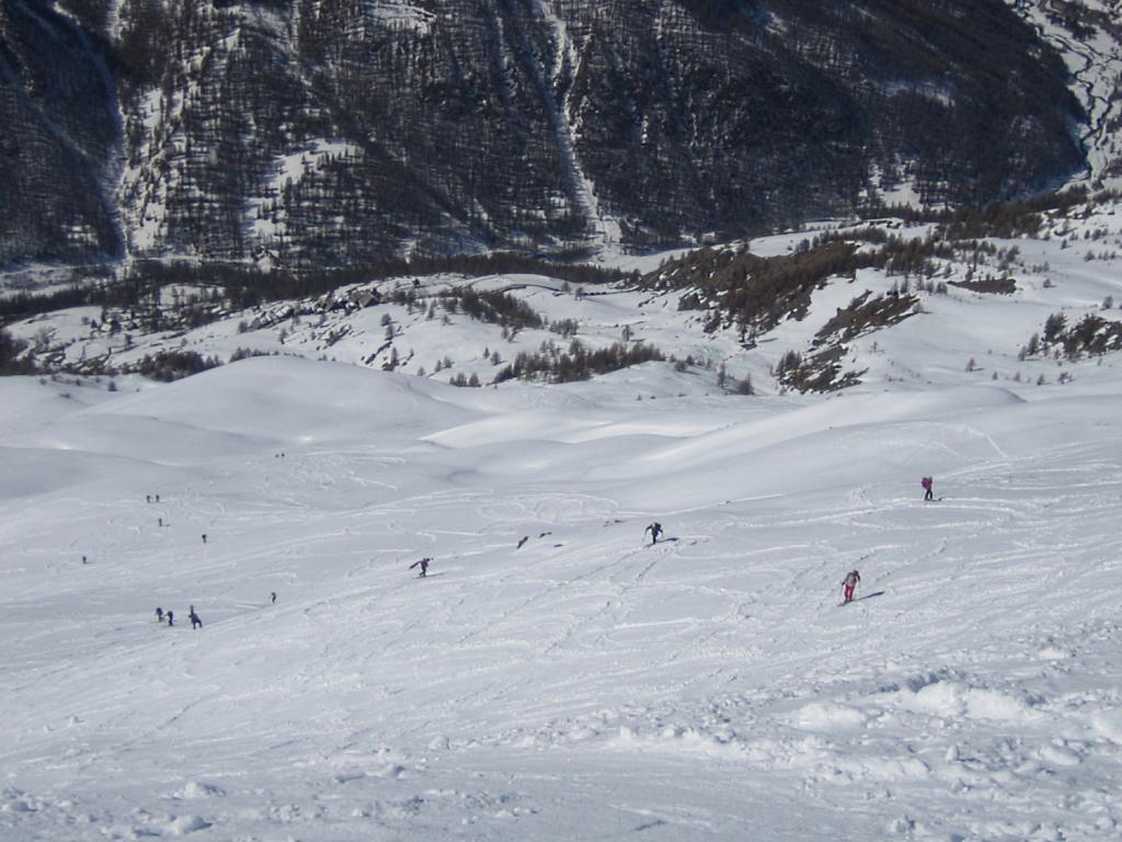
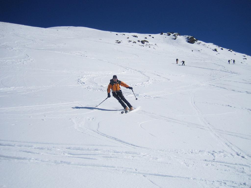
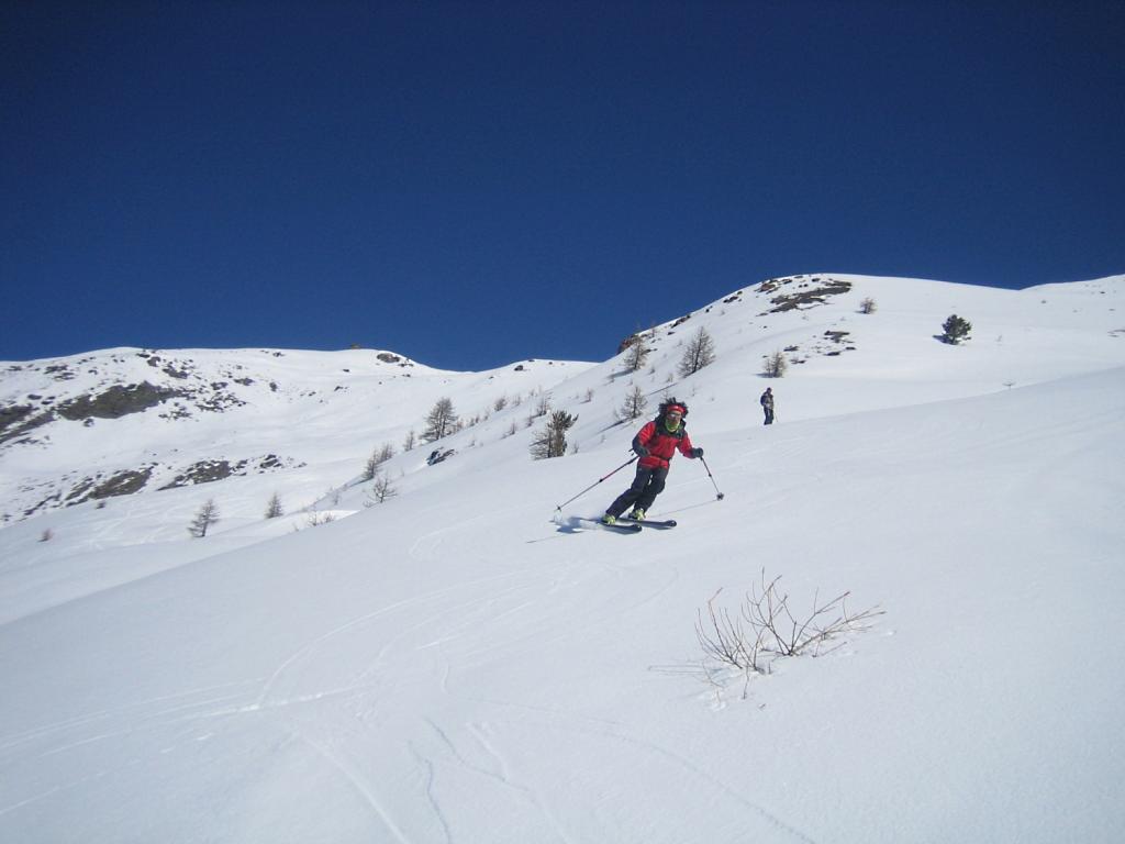
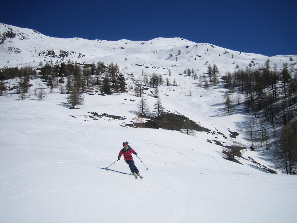
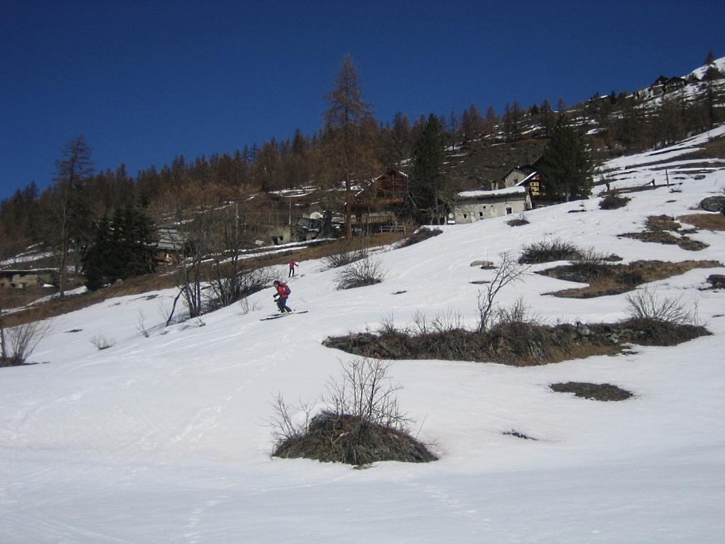
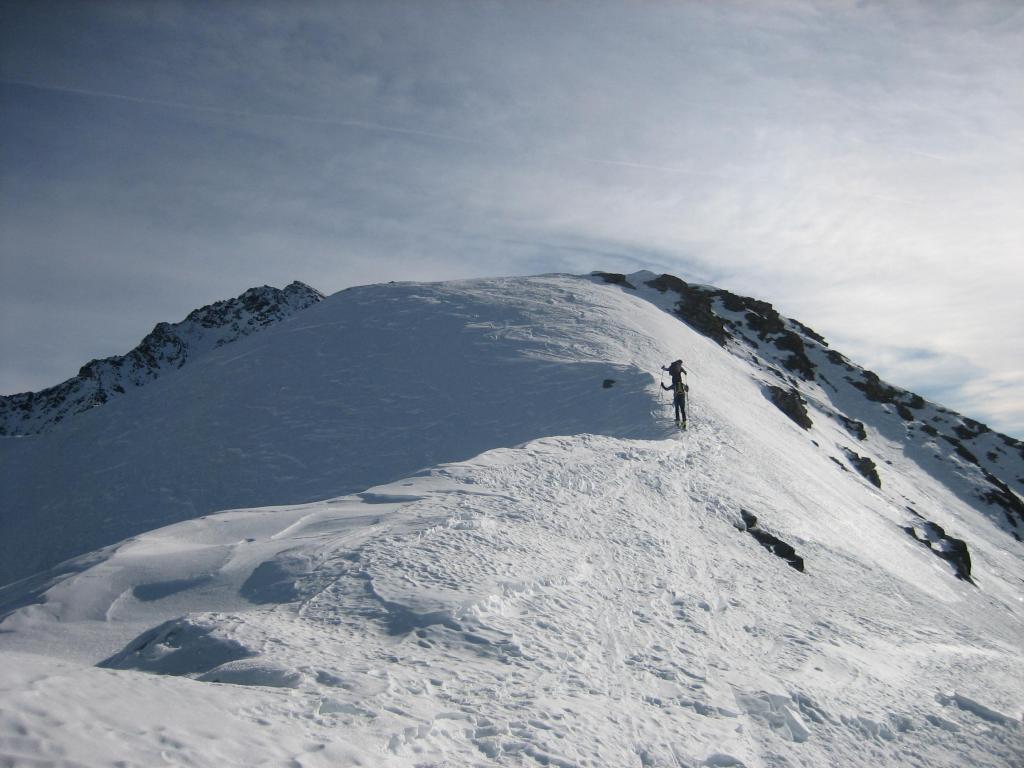
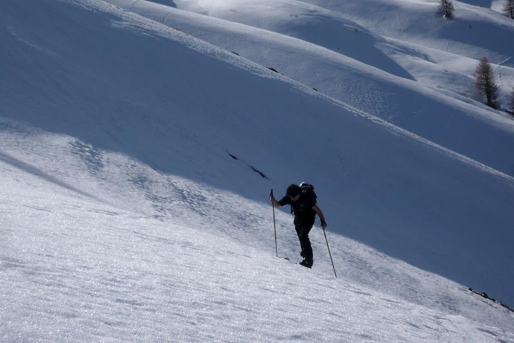
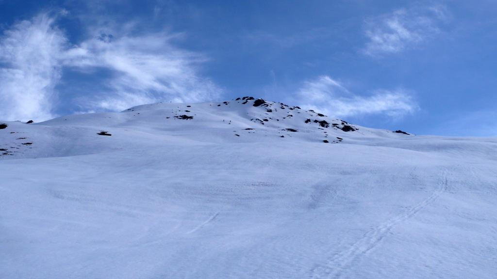
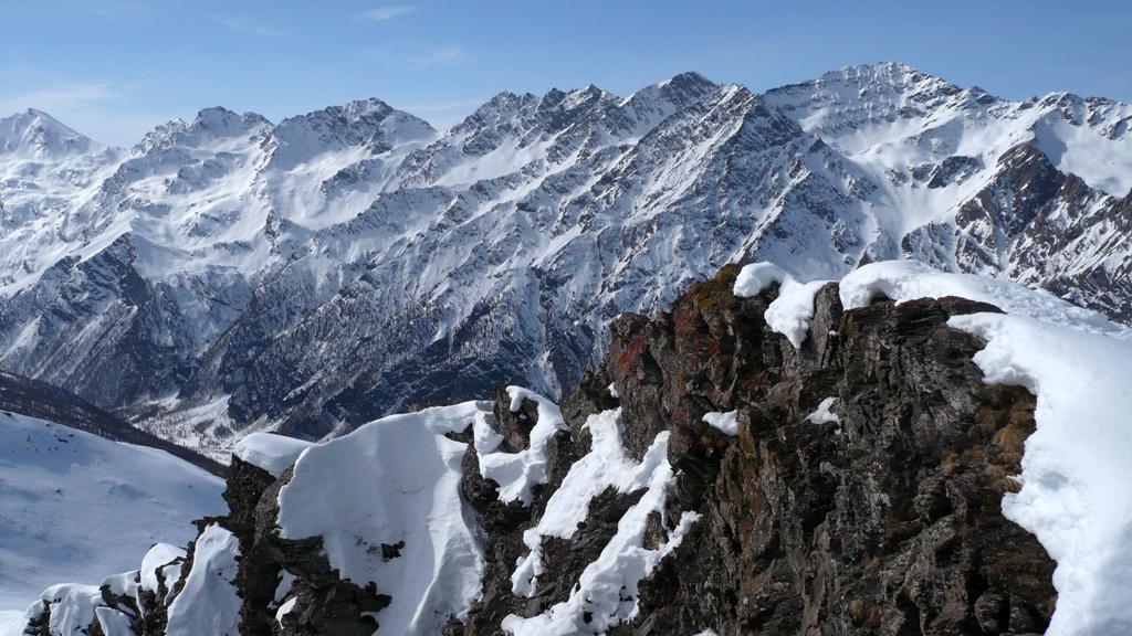
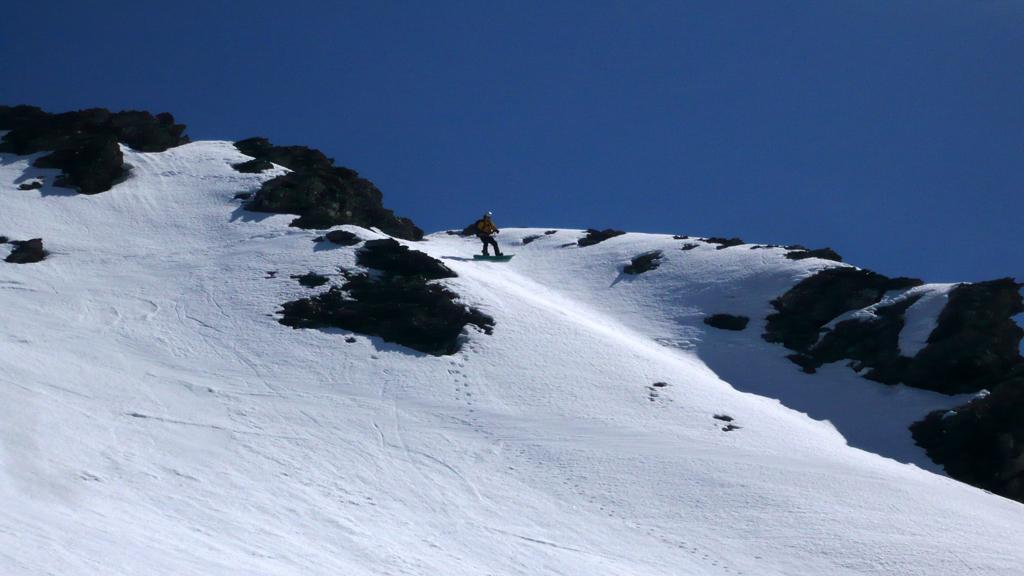
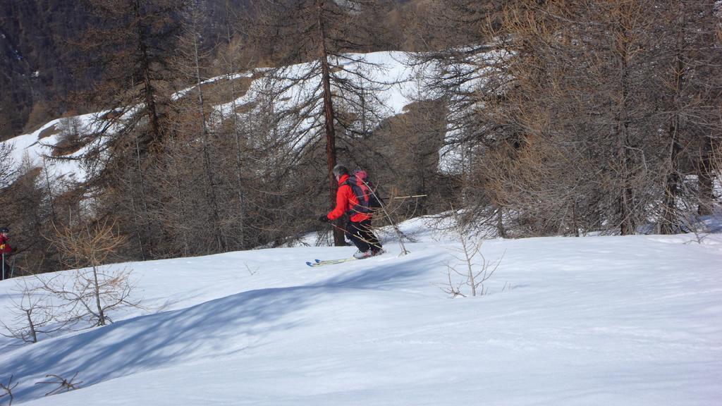
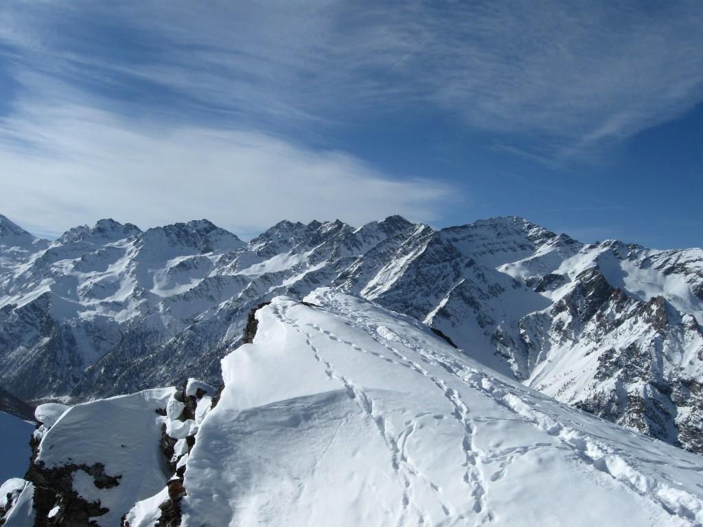
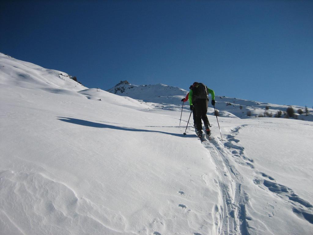
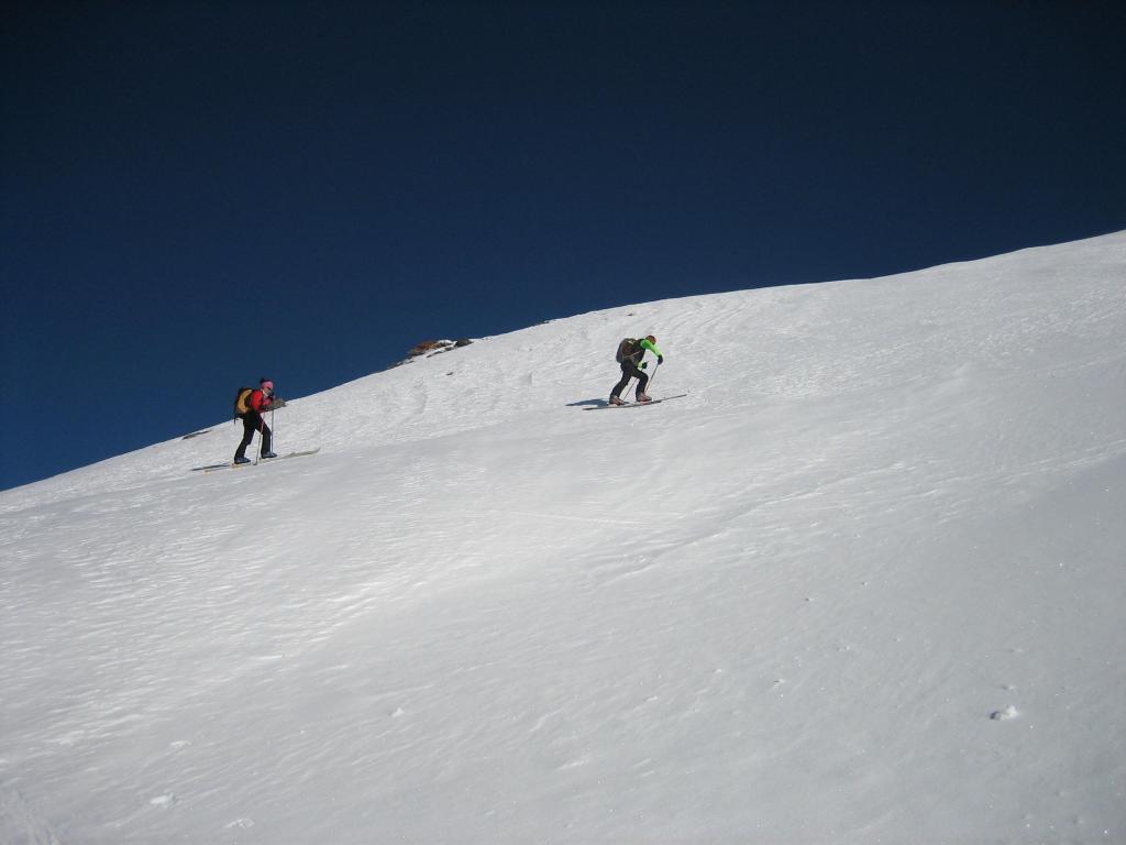
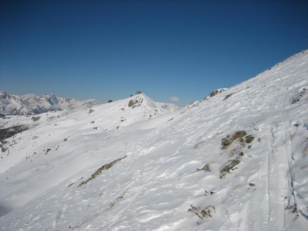
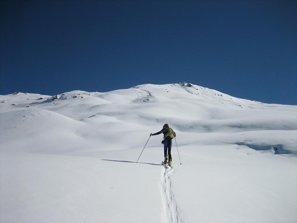
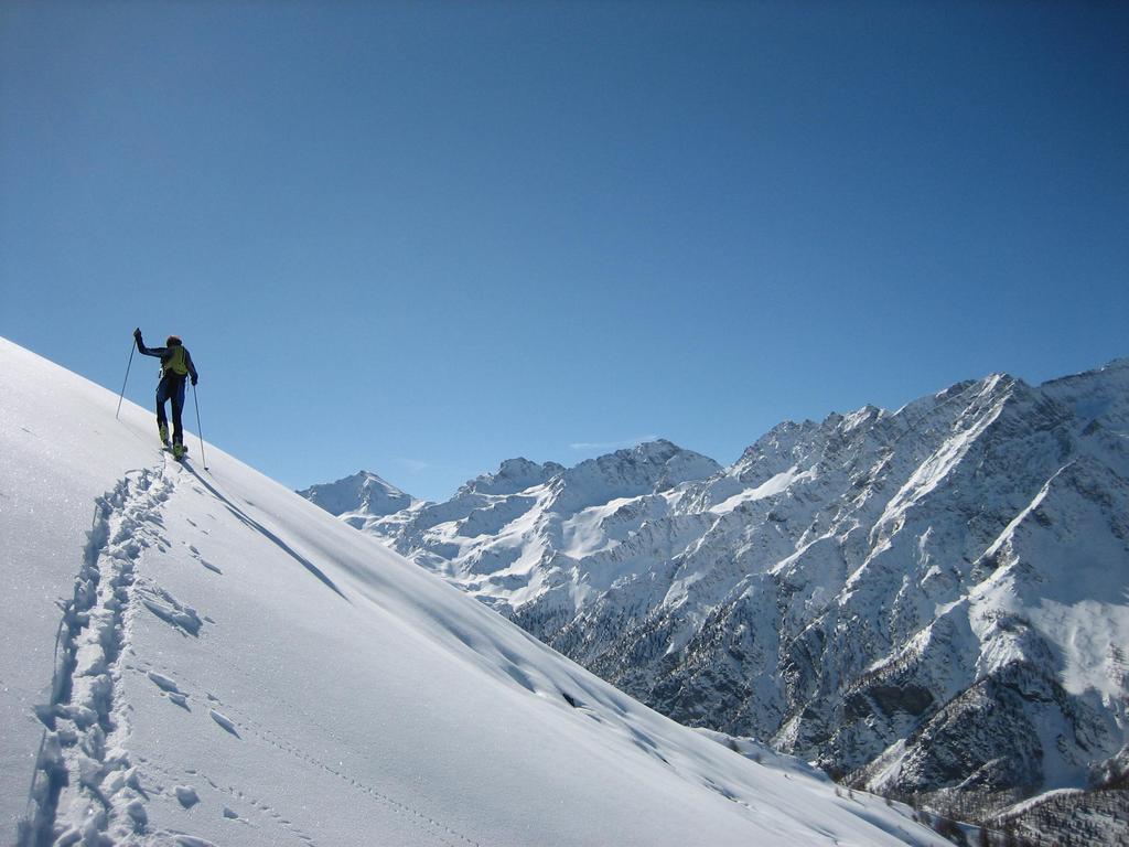
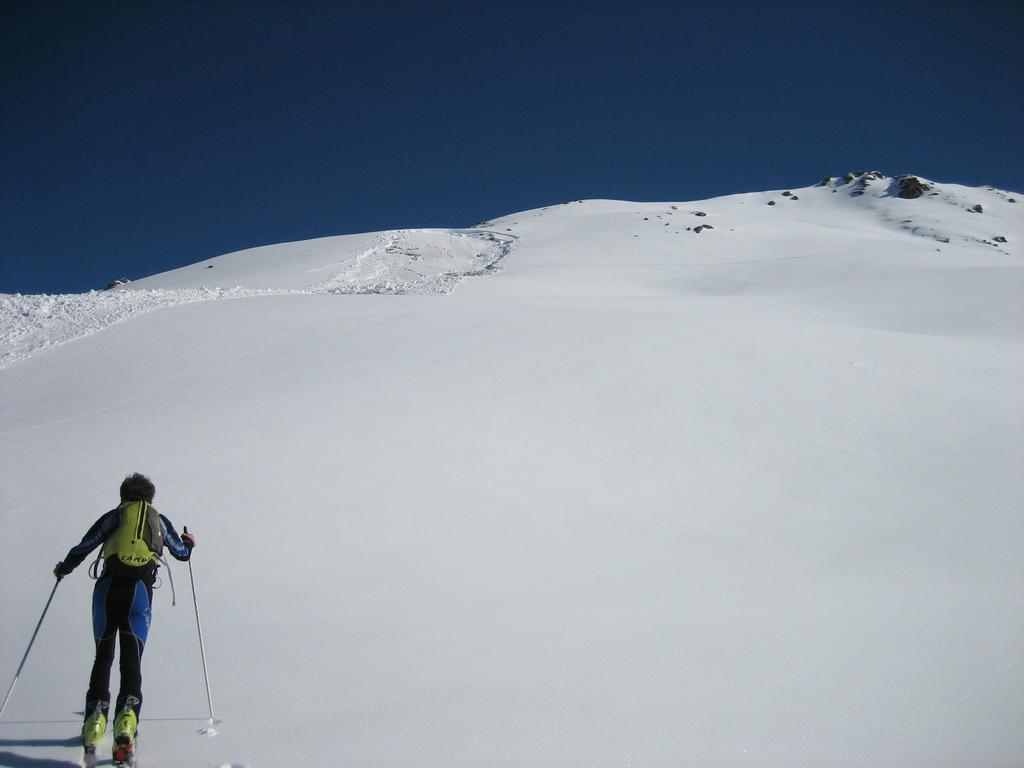
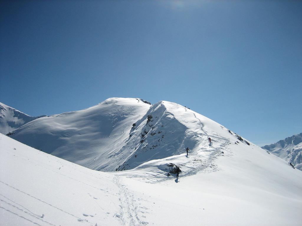
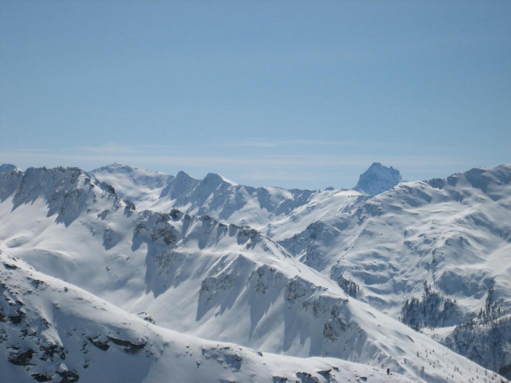
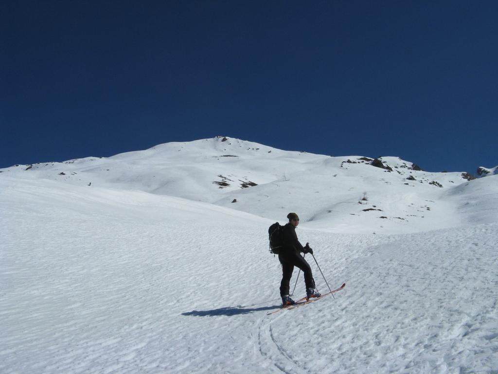
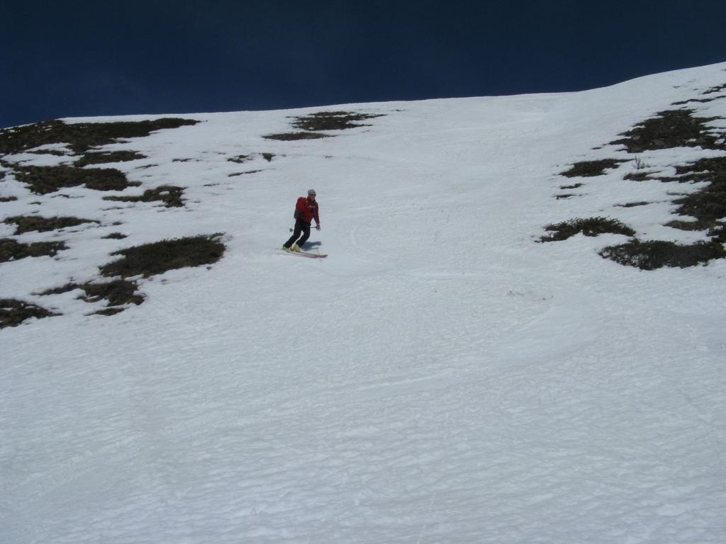
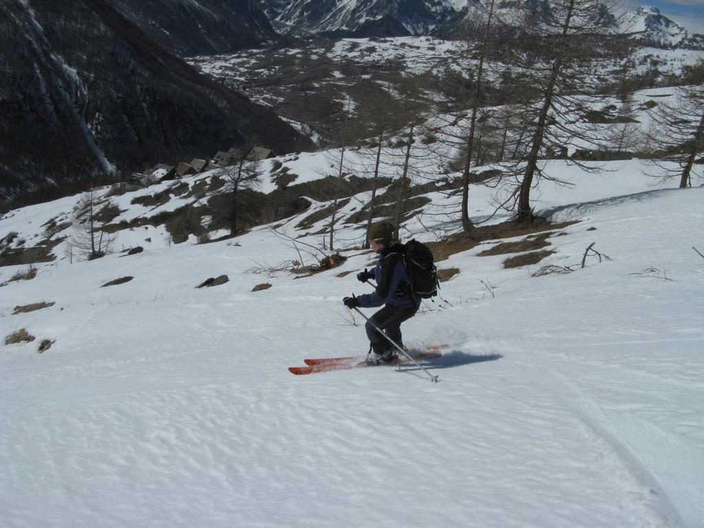
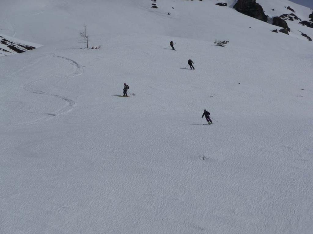
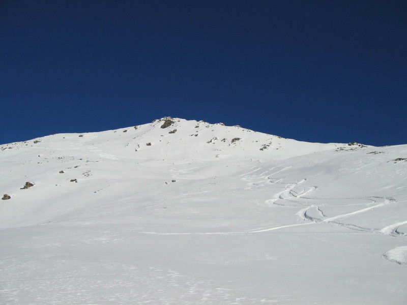
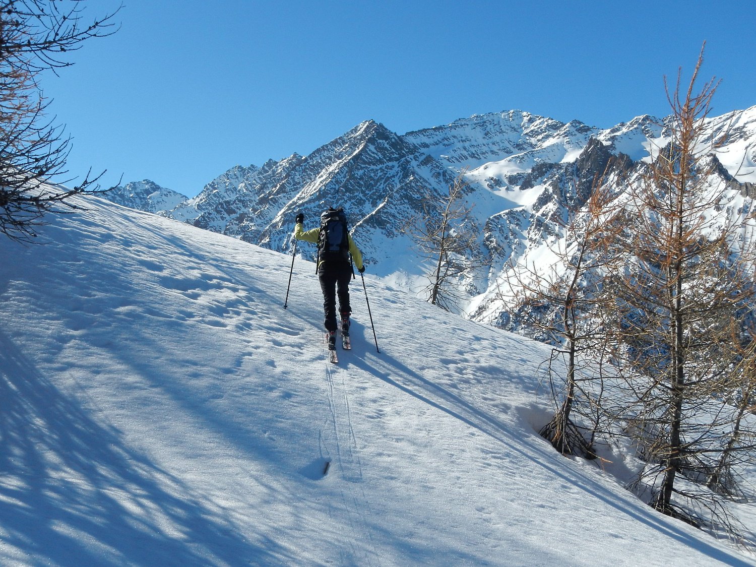
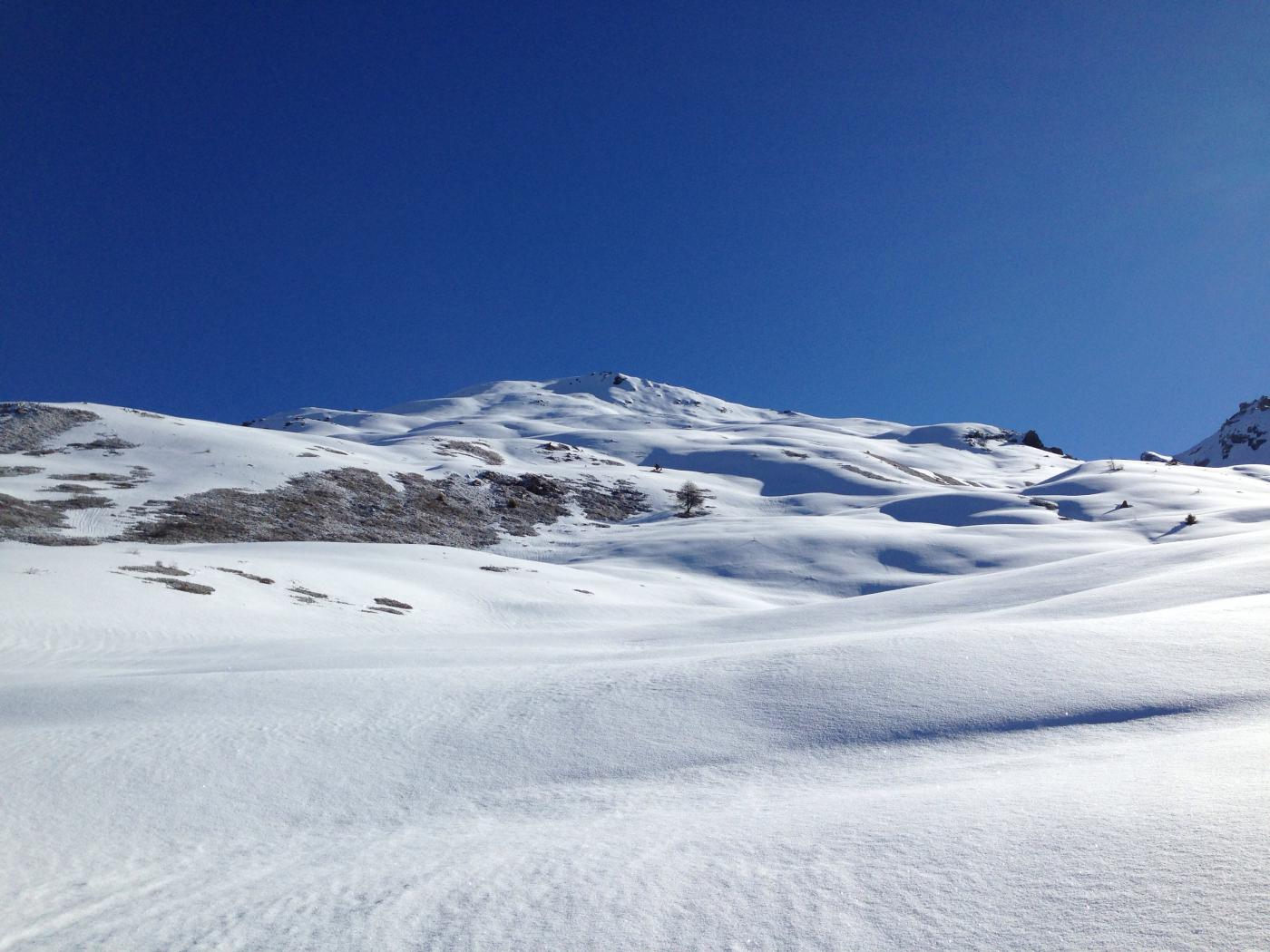
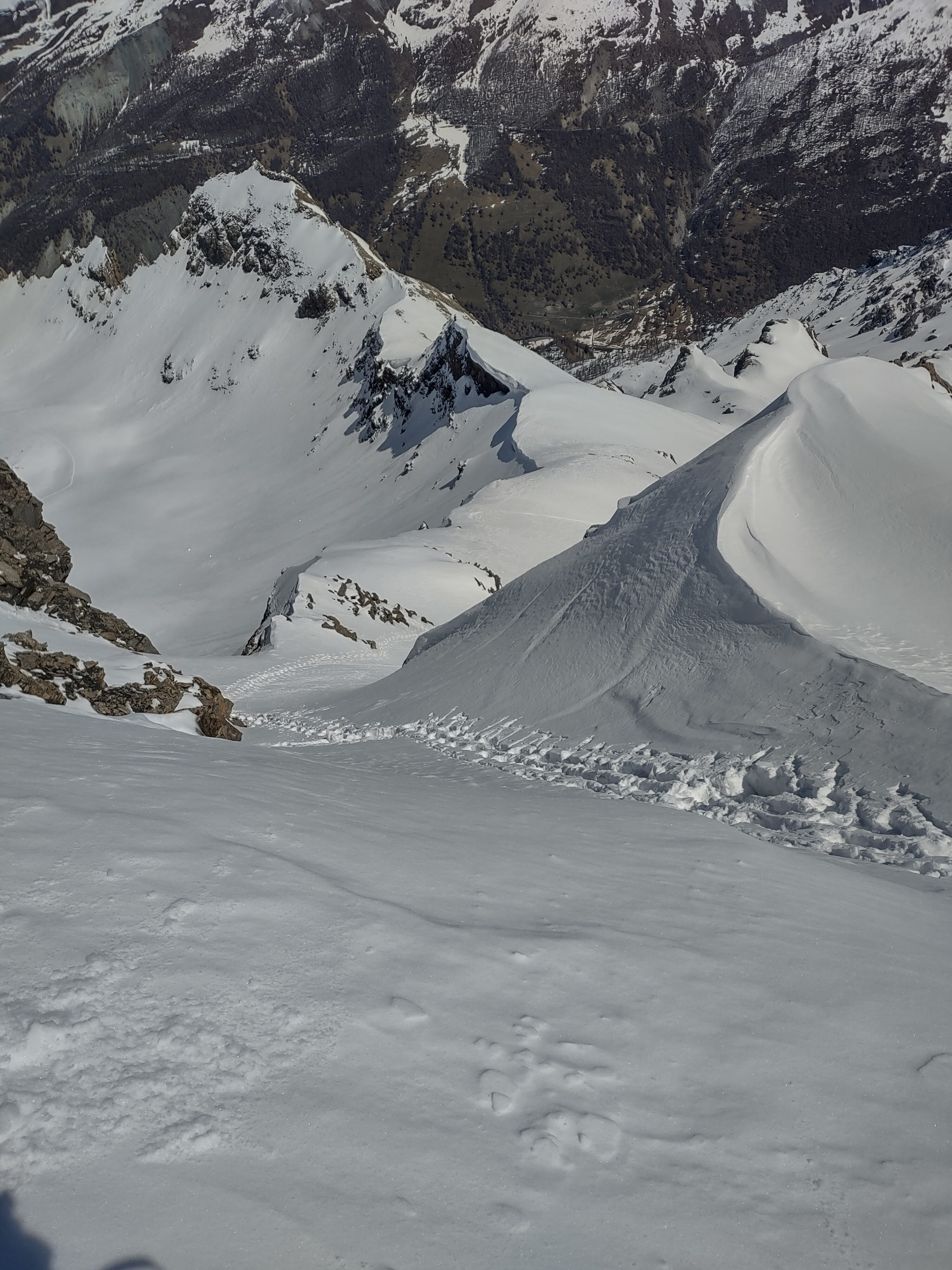
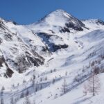
Dal Pont Terrible, imbocco della Valle Argentera (o dal tornante della strada vecchia di Sestriere poco sopra) salire i pendii a fianco degli abitatidi Bessé Bas e Bessé Haut, scegliendo in base alle condizioni se stare sui pendii aperti (sx salendo) o a dx del canale nel bosco. Di qui si giunge all’evidente vetta.
- Cartografia:
- Fraternali 1:25000 n.2 Alta Valle di Susa Alta Val Chisone
Nelle vicinanze Mappa
Itinerari
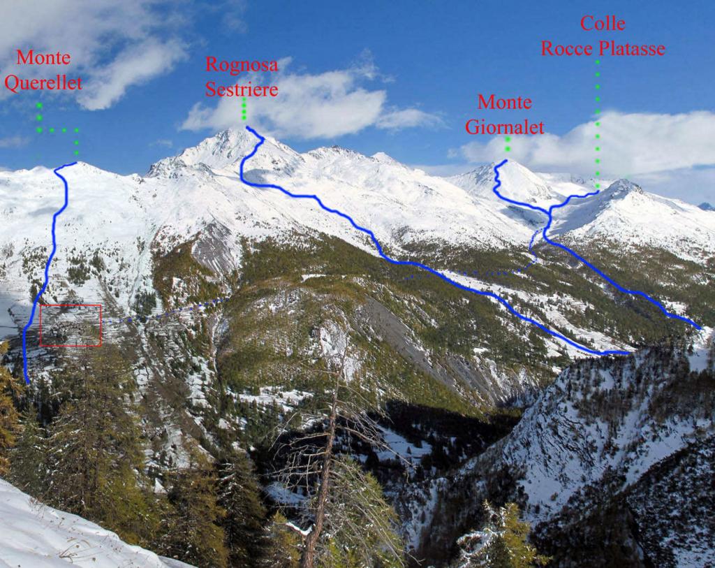
31/05/2026 TO, Sauze di Cesana D+ 1574 m BS Nord-Est
Tre Merli (Punta) anticima NO da Pont Terrible
 50m
50m
07/01/2023 TO, Sauze di Cesana D+ 1130 m MS Sud
San Giacomo (Rocce di) da Ponte Terribile per il Vallone le Cirene
 50m
50m
20/04/2026 TO, Sauze di Cesana D+ 1479 m OS Nord-Est
Gran Roc (Monte) da Ponte Terribile per il versante NE
 50m
50m
25/04/2024 TO, Sauze di Cesana D+ 1487 m OS Nord
Gran Roc (Monte) dalla Valle Argentera per il versante nord
 50m
50m
06/01/2022 TO, Sauze di Cesana D+ 1492 m OSA Sud-Ovest
Rouit (Rocce del) dalla Valle Argentera
 50m
50m
09/04/2026 TO, Sauze di Cesana D+ 1421 m BS Ovest
Giornalet (Monte) da Ponte Terribile
 50m
50m
06/04/2026 TO, Sauze di Cesana D+ 1507 m BSA Sud-Ovest
Platasse (Monte) da Ponte Terribile
 50m
50m
01/03/2026 TO, Sauze di Cesana D+ 1110 m MS Nord-Ovest
Platasse (Rocce, Colle di) da Ponte Terribile
 50m
50m
03/04/2026 TO, Sauze di Cesana D+ 1638 m BS Sud-Ovest
Rognosa del Sestriere (Punta) dalla Valle Argentera per il versante sud-ovest
 50m
50m
28/02/2026 TO, Sauze di Cesana D+ 1300 m MS Ovest
Fauri Nord (Punta) dalla Valle Argentera
 50m
50m
Servizi
1Km
5.4Km
da Carlo Rifugio
Cesana Torinese
5.4Km
La Tana degli Orsi B&B
Cesana Torinese
5.4Km
La Crota B&B
Cesana Torinese
5.8Km
La Fontana del Thures Rifugio
Cesana Torinese
6.2Km
Centro Ristorante
Cesana Torinese
8.4Km
Mulino di Laval Rifugio
Pragelato
8.8Km
La capanna del sole Ristorante
Pragelato
8.8Km
Al Mulino Ristorante
Pragelato
9Km