850m
850m

Avvicinamento
 50m
50m
700m
700m
700m
900m
900m
1.3Km
1.3Km
1.3Km
50m
50m
700m
700m
700m
900m
900m
1.3Km
1.3Km
1.3Km
850m
850m
850m
2.6Km
4.9Km
5.4Km
5.5Km
6Km
6.2Km
8.3Km
.
Descrizione
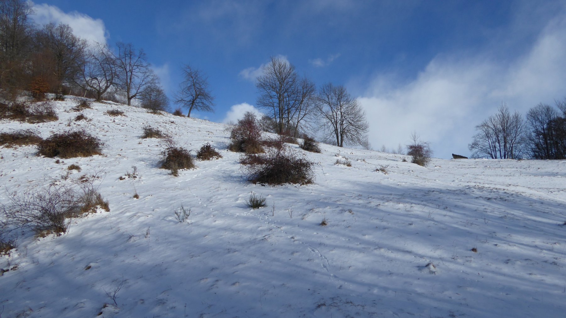
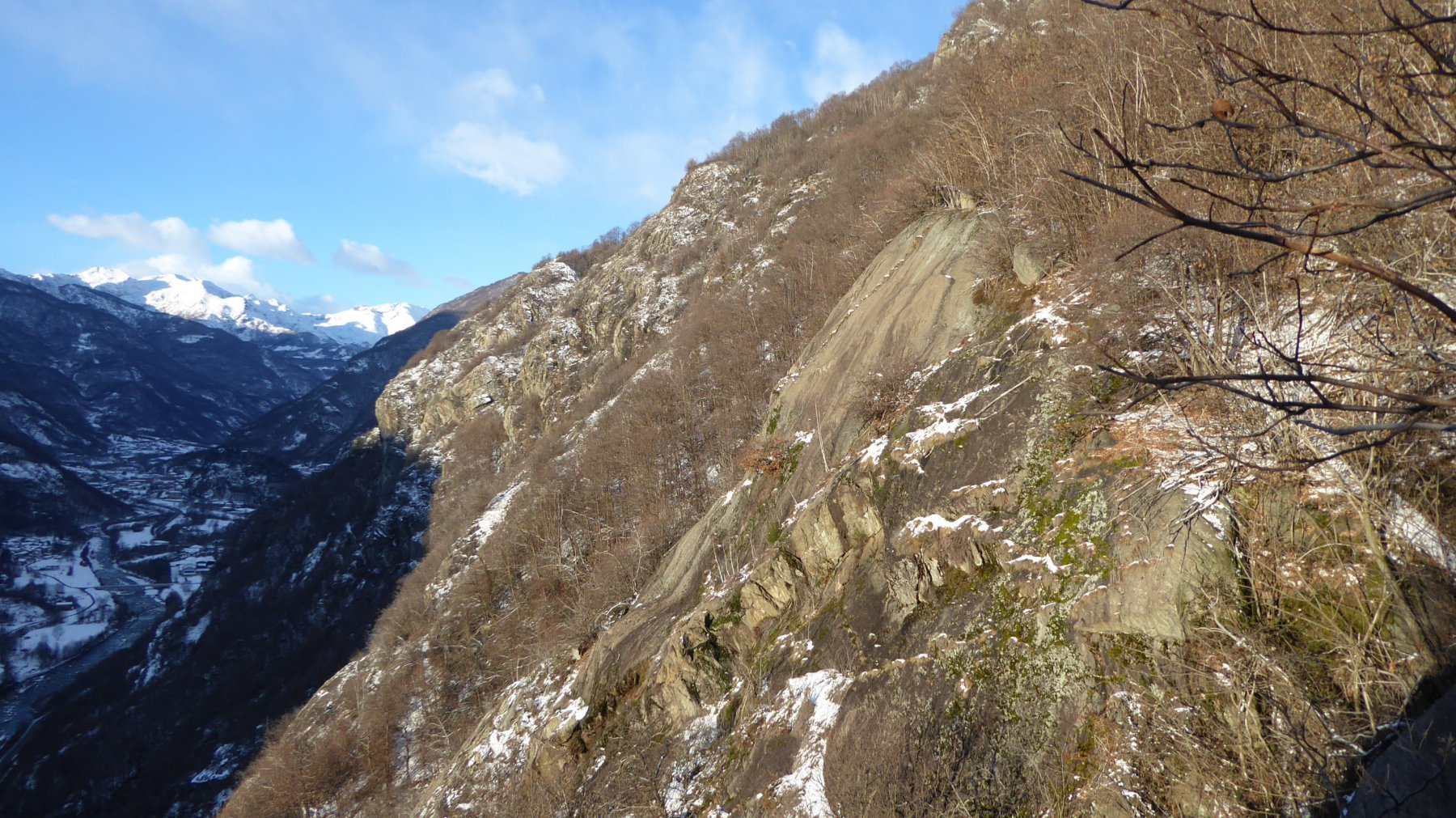
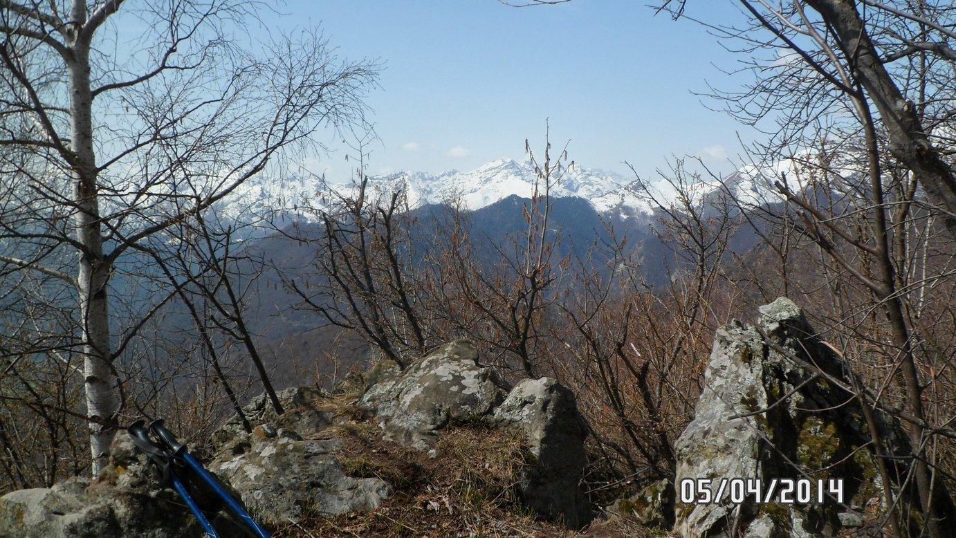
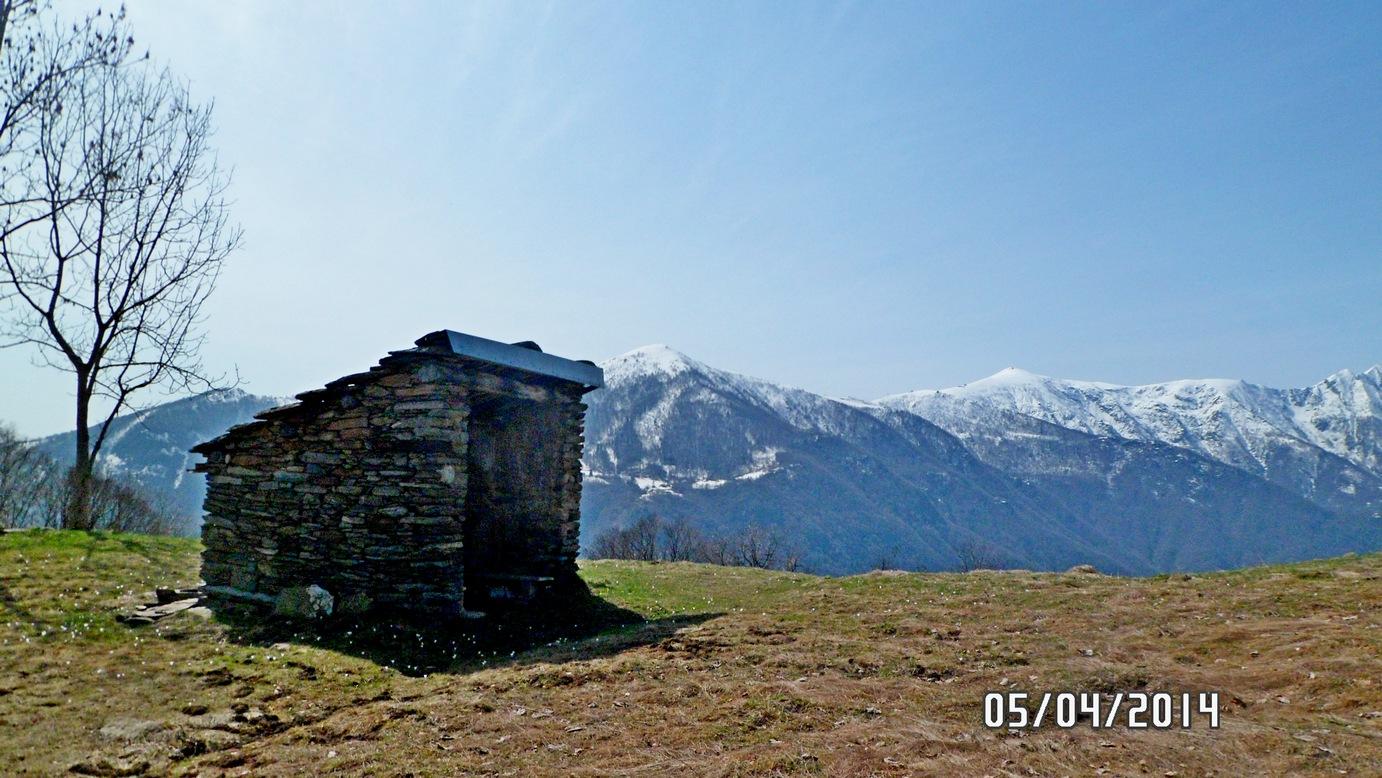
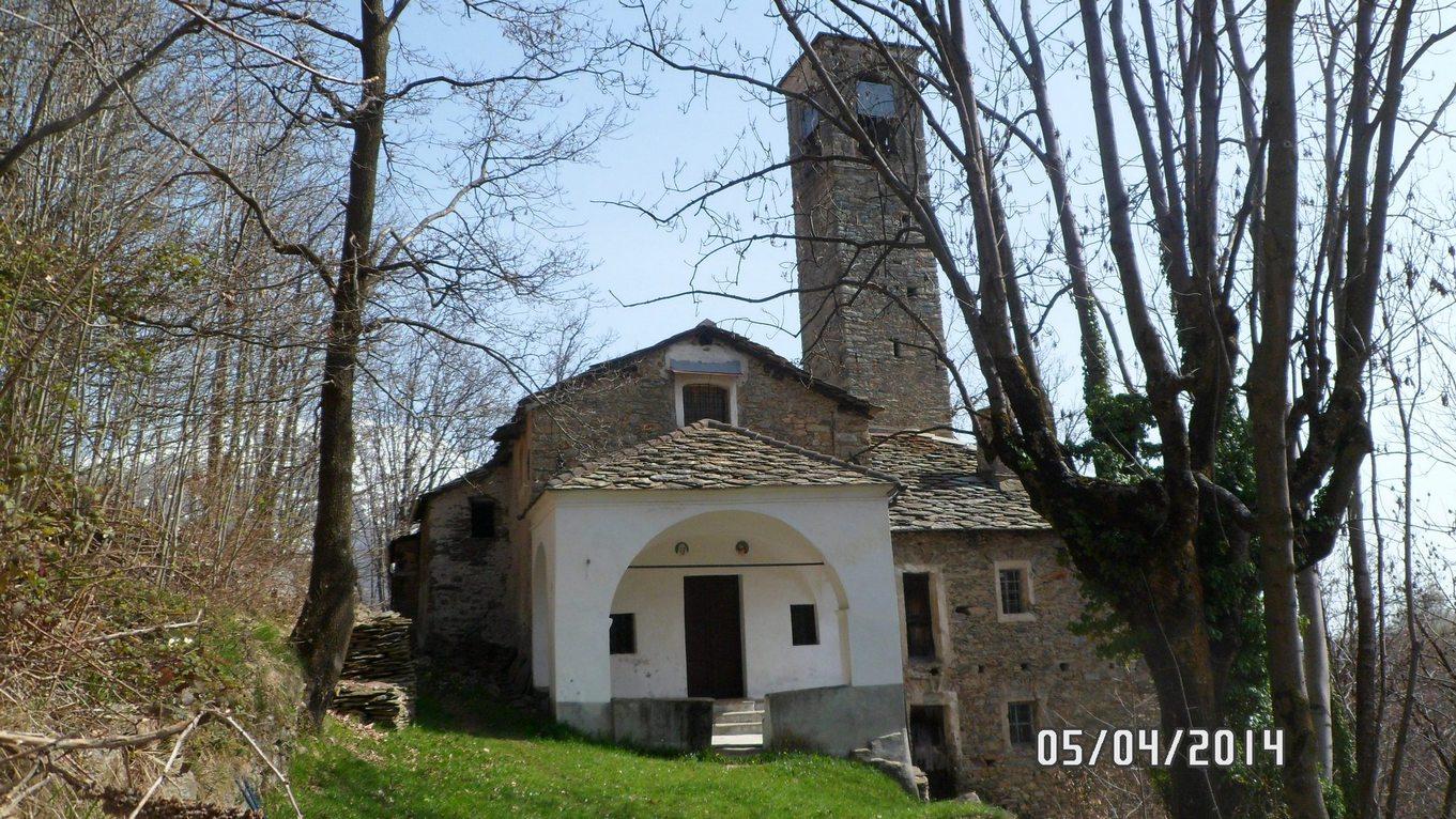
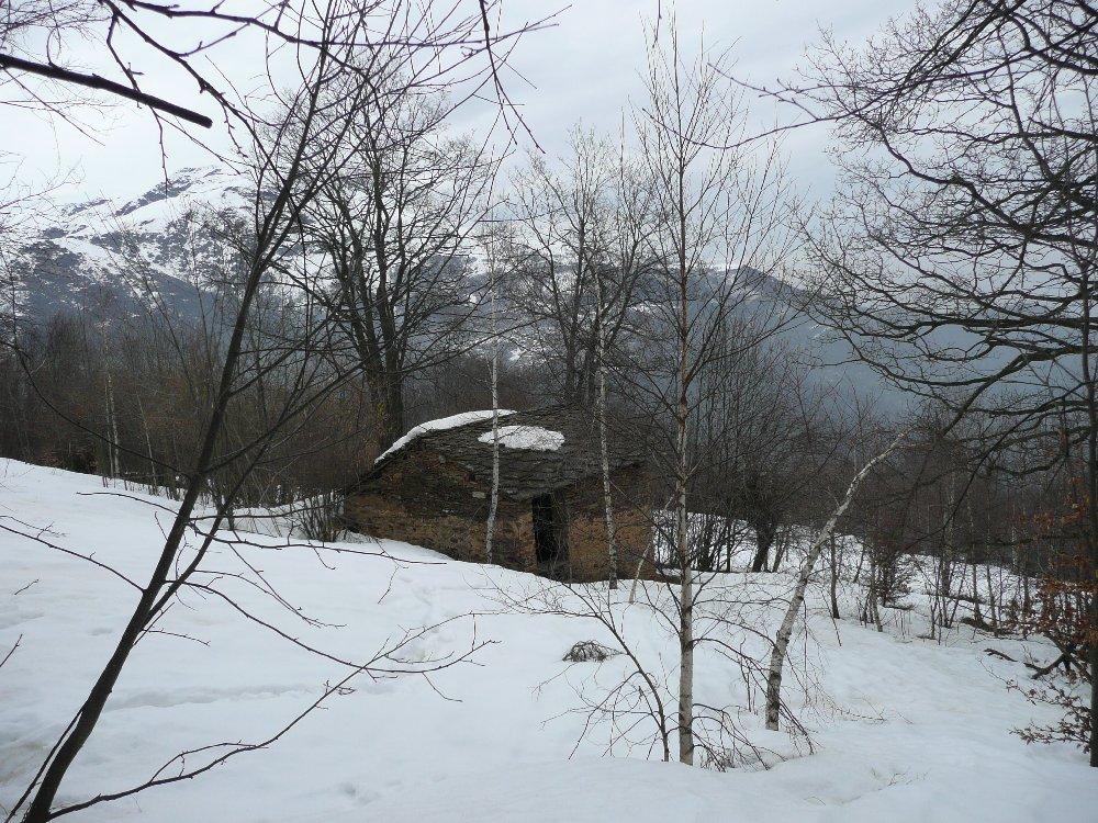
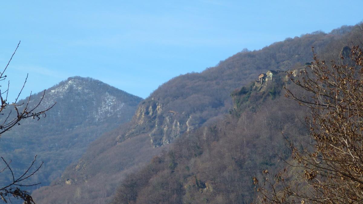
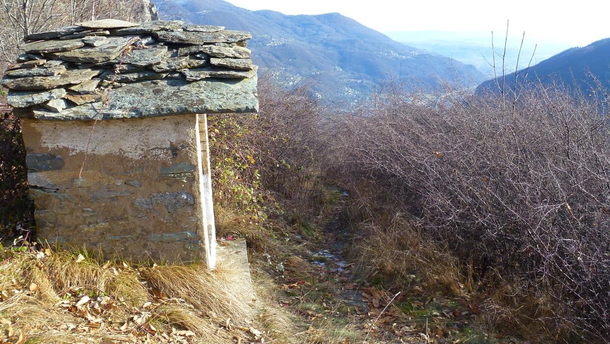
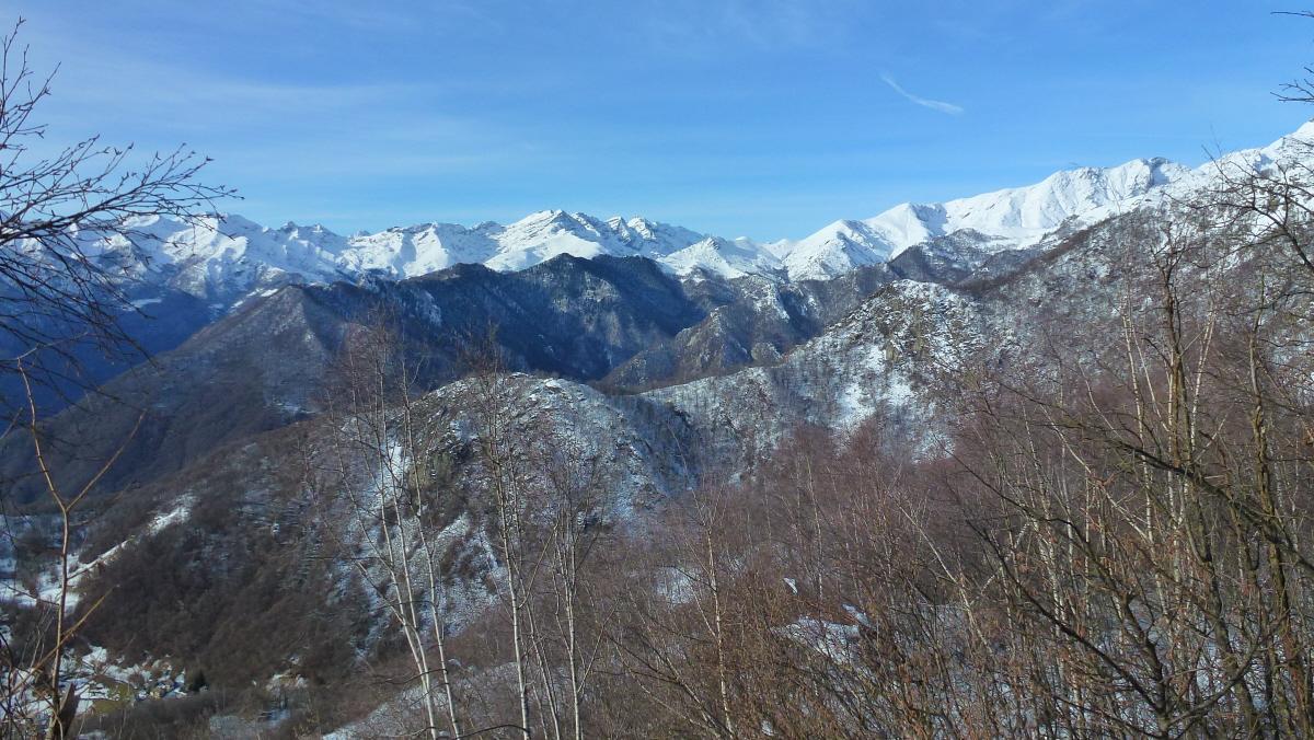
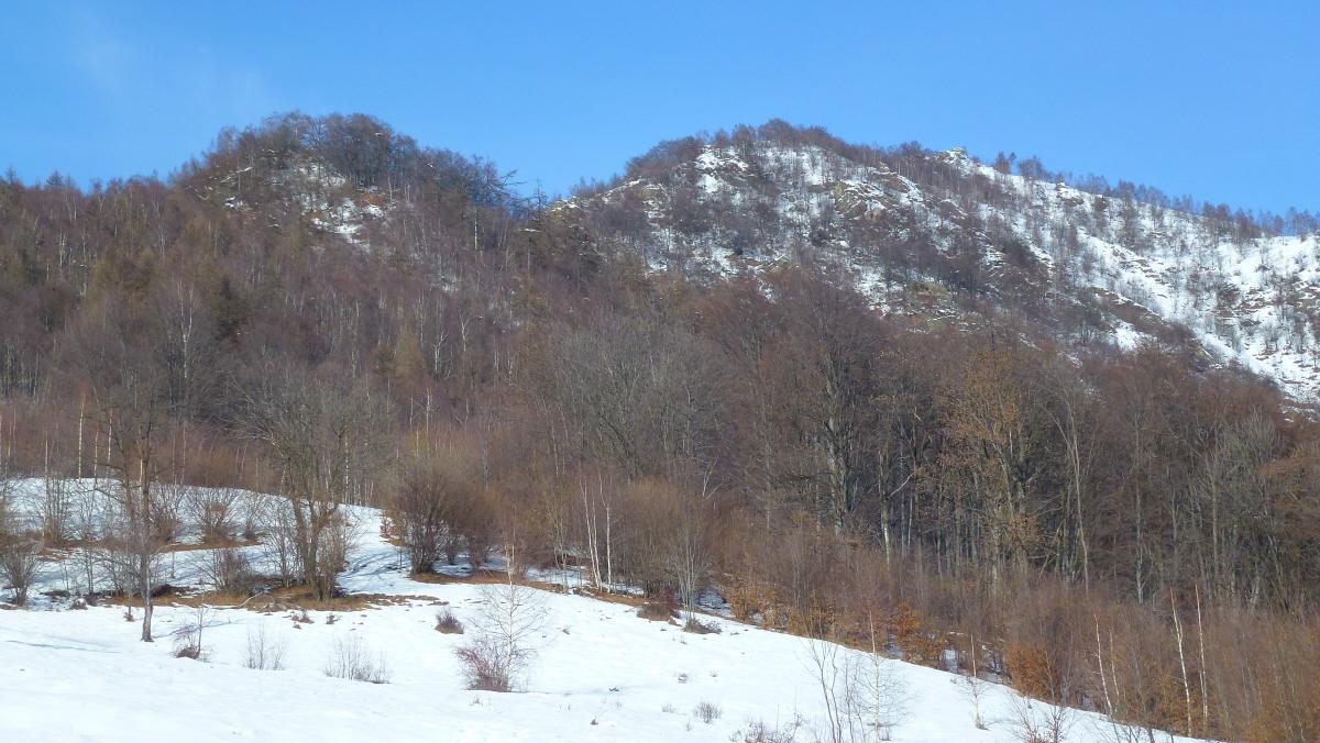
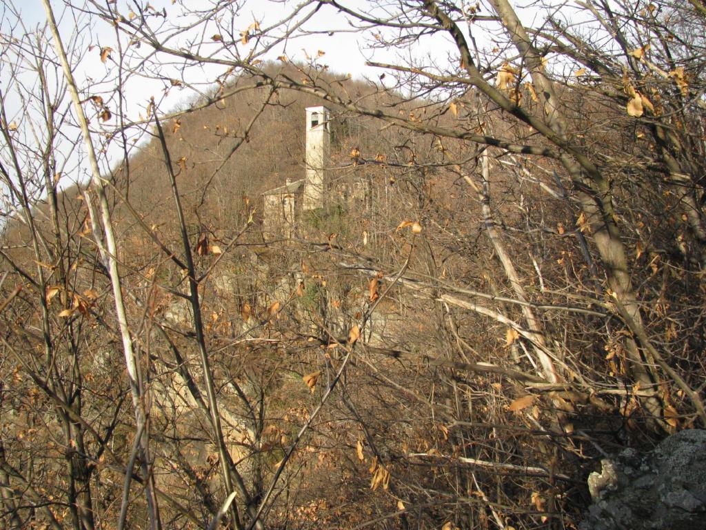
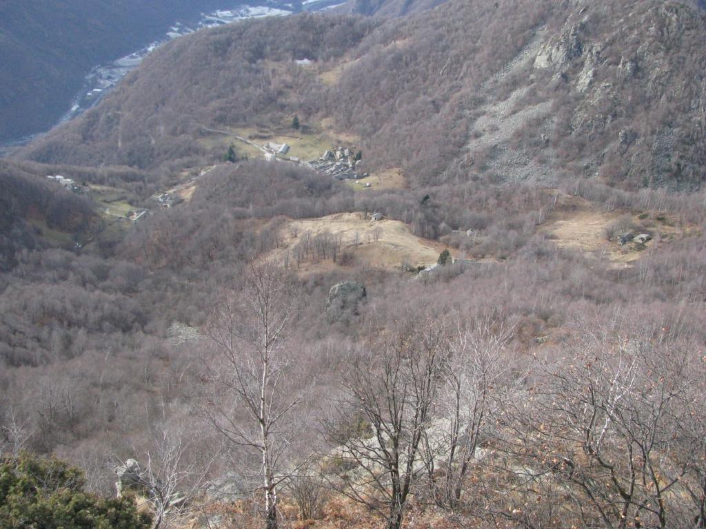
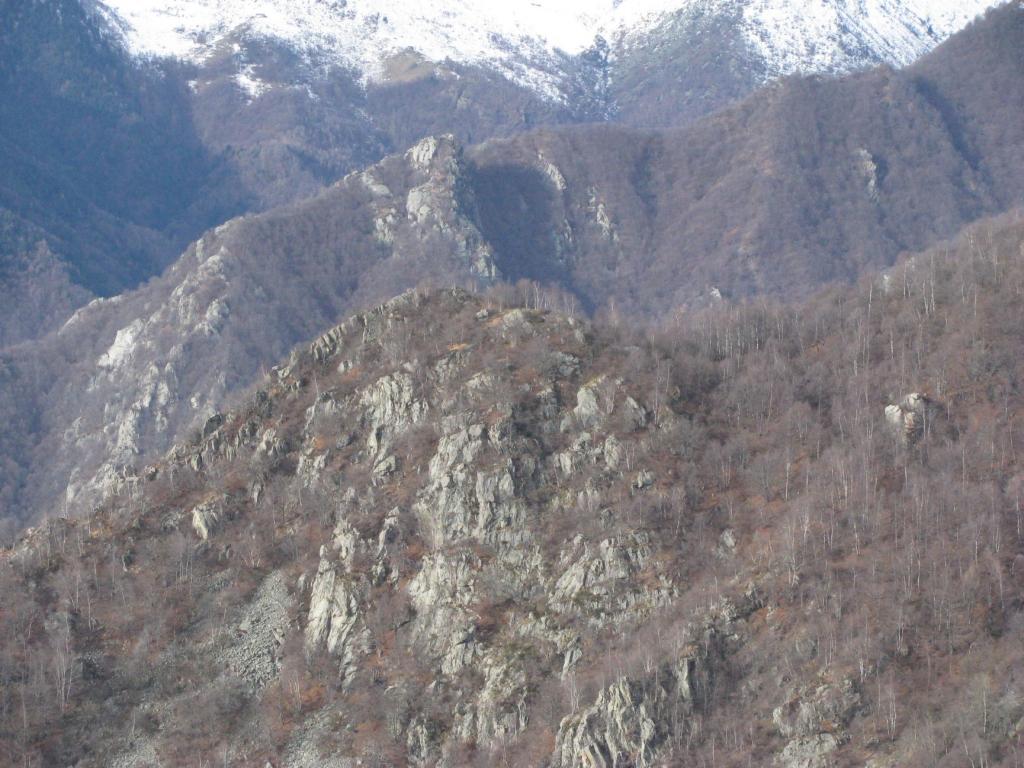
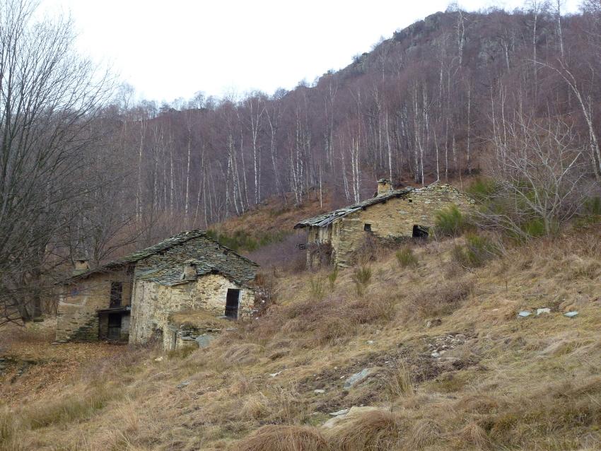
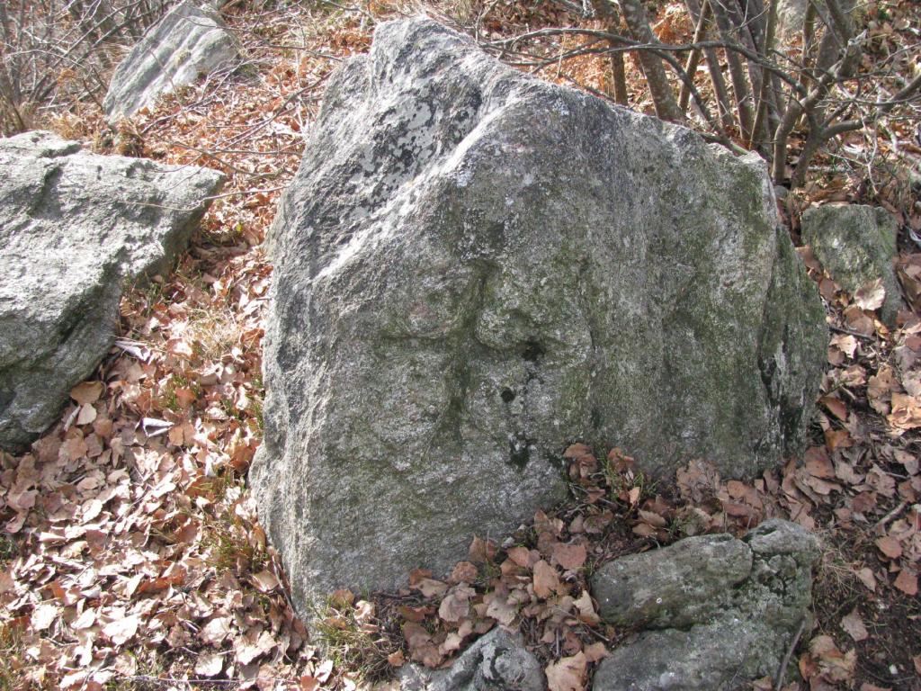
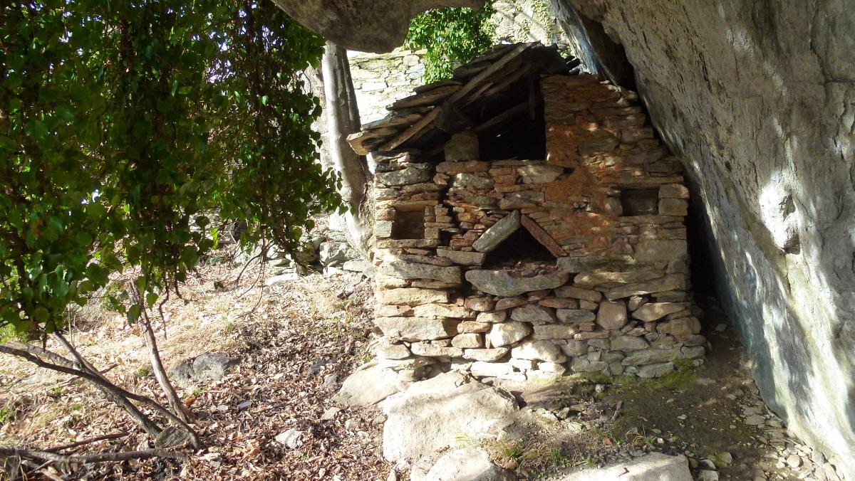
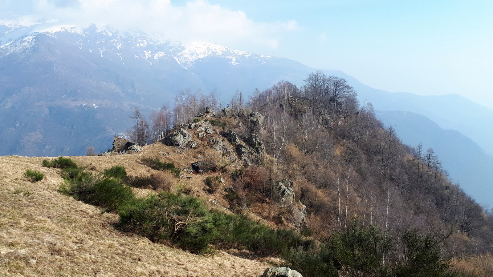
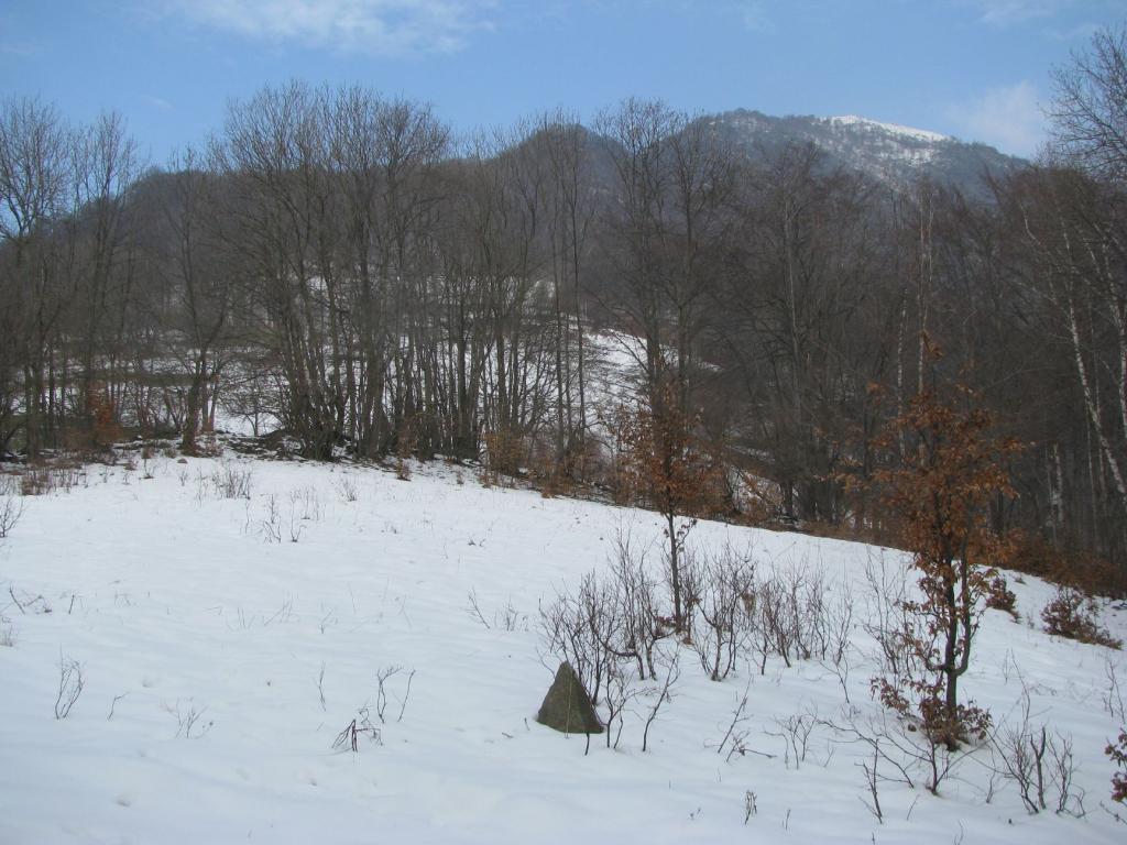
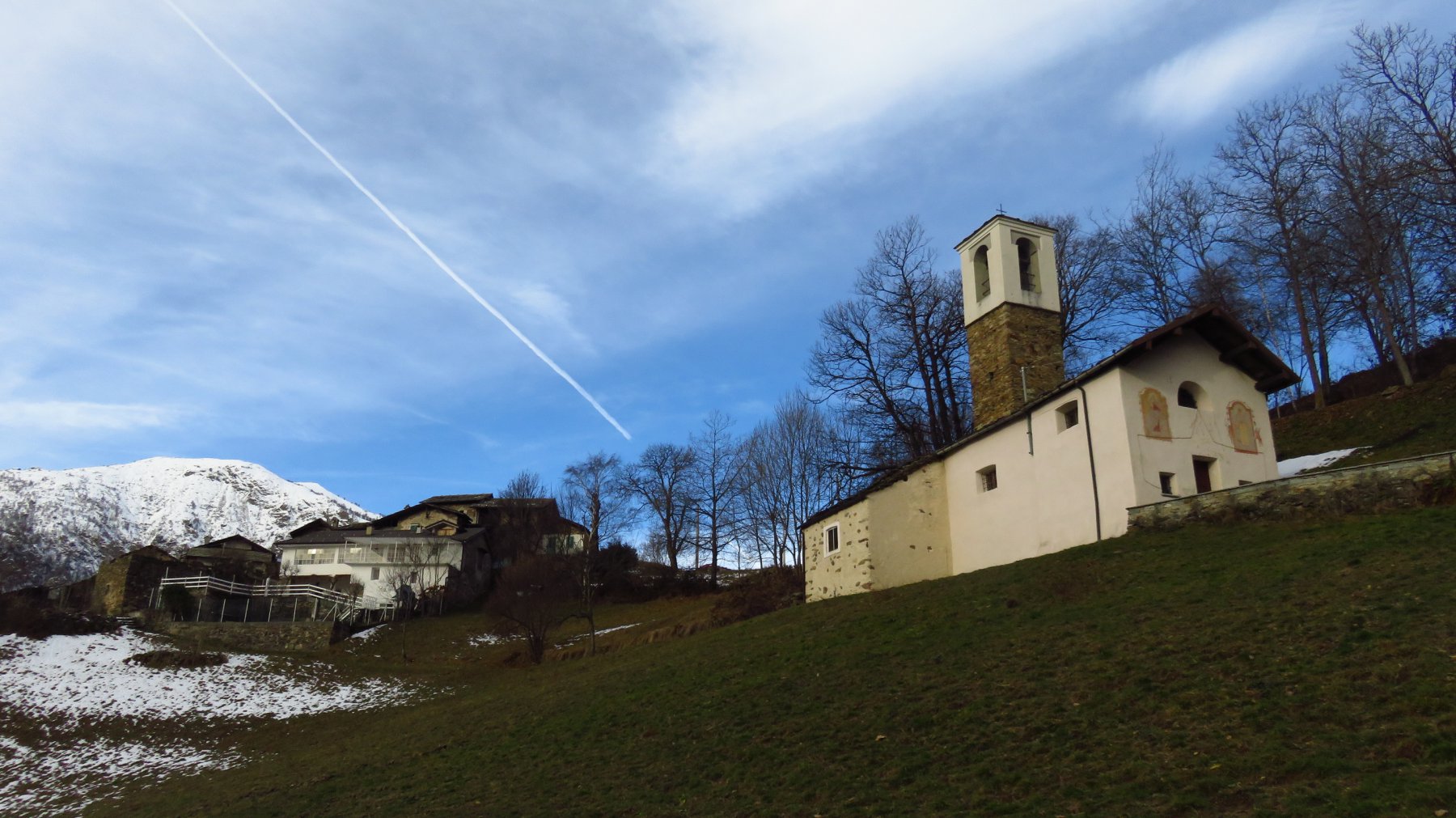
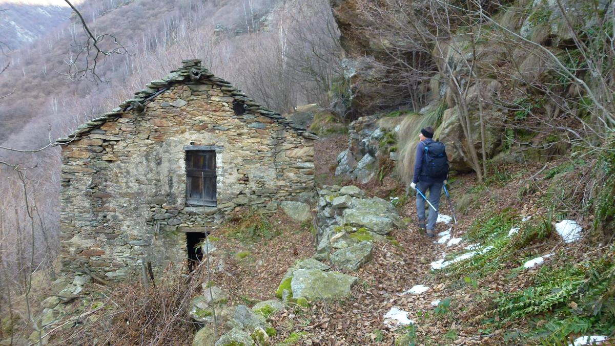
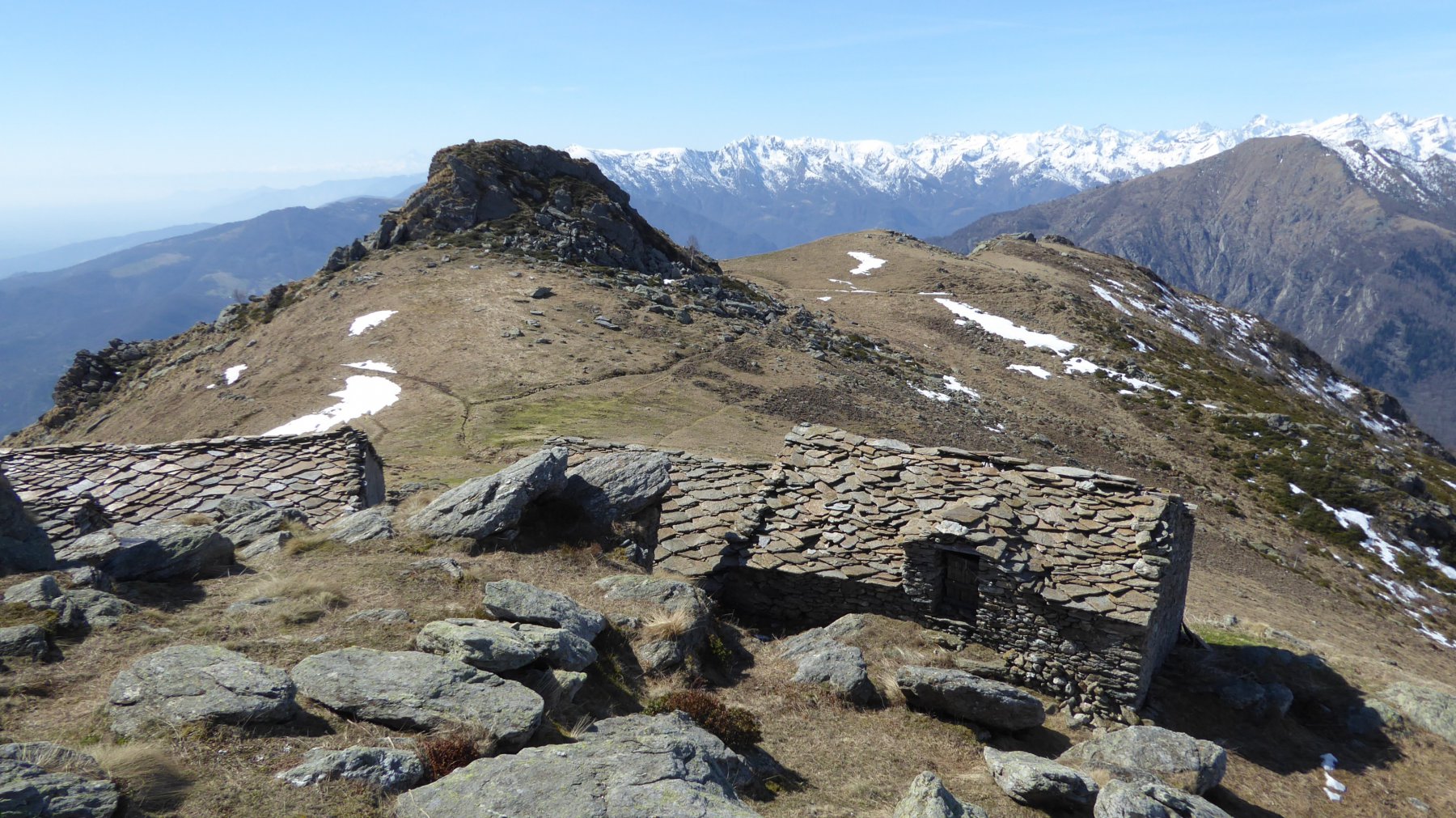
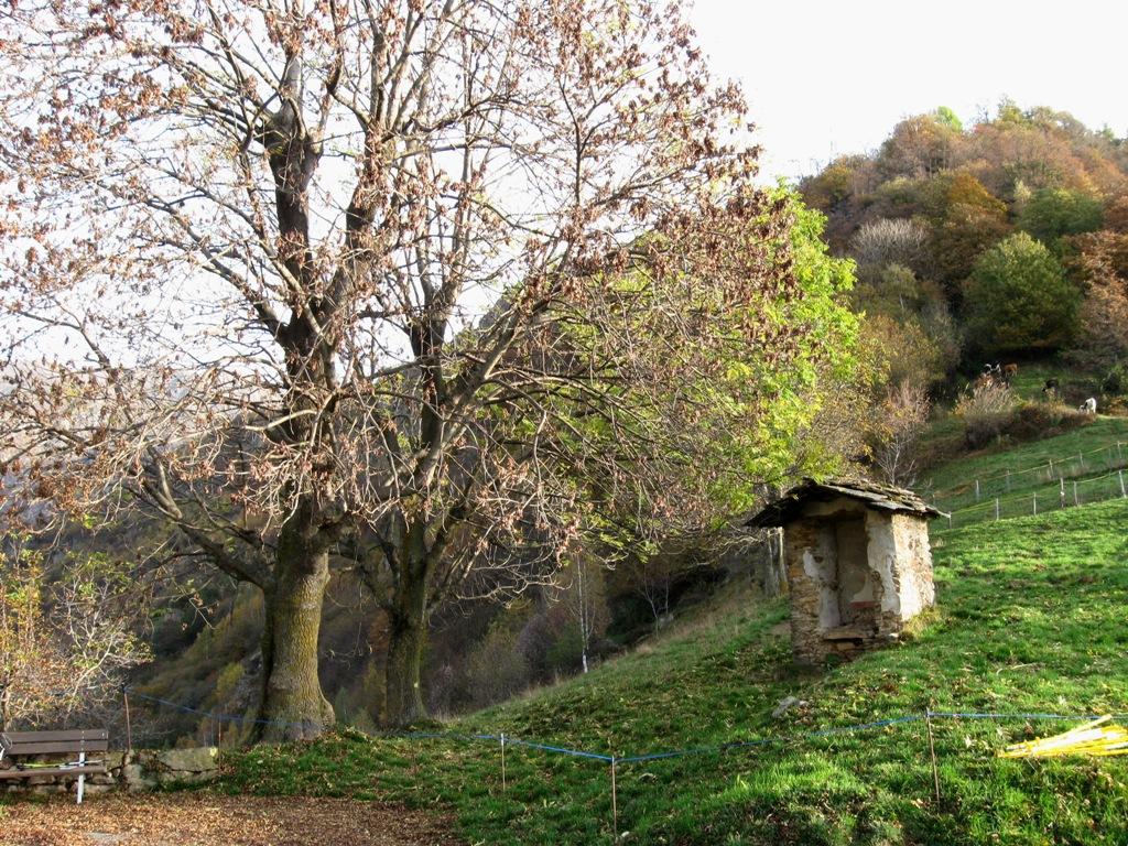
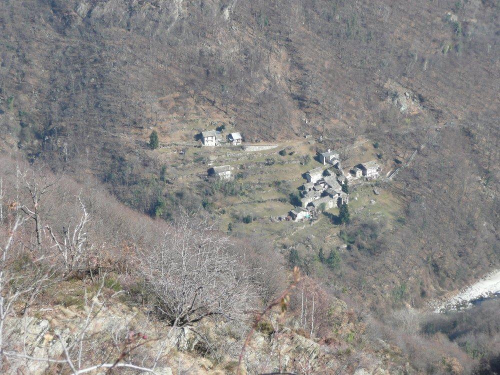
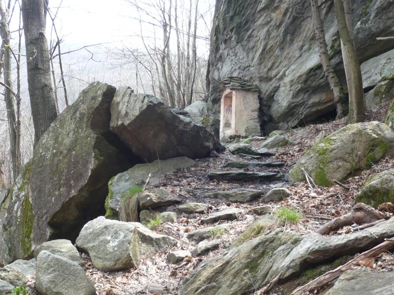
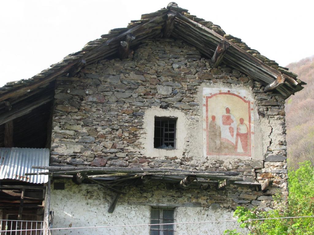
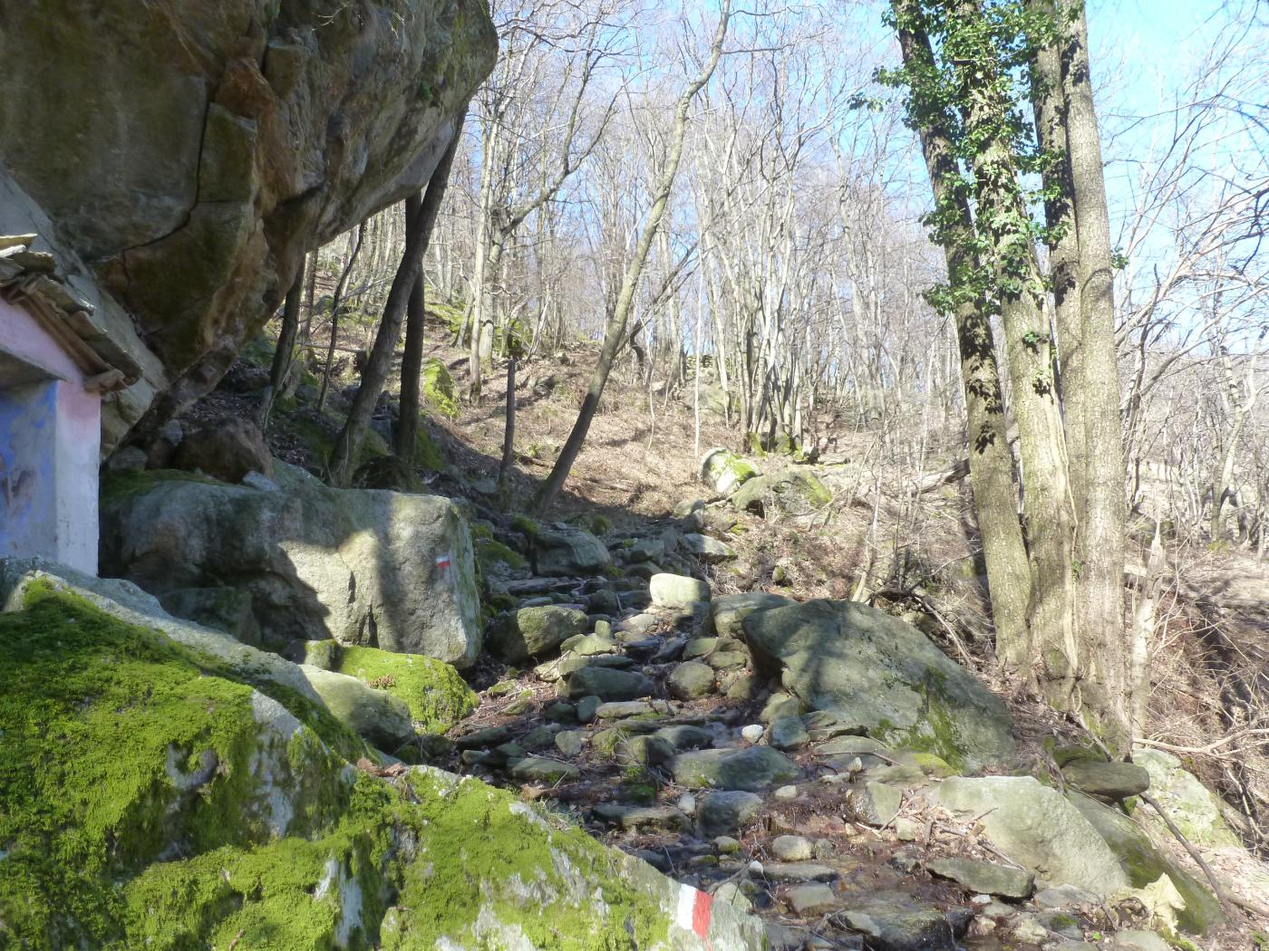
In località Villanuova a Pont Canavese, nella strada per la Valle Soana, sulla curva che svolta a destra, a sinistra, inizia una scalinata in pietra che risale alla borgata Pianrastello, giunti alla chiesa di San Gennaro, a sinistra una stradina passa fra le strutture utilizzate per la tradizionale festa e si trasforma in sentiero pianeggiante che giunge ad un pilone votivo; percorrere ancora pochi passi e si trova la deviazione per il Sentiero della Gola di Nicolé. Risalire il ripido sentiero fino a raggiungere la strada asfaltata nel tornante a quota 846; continuare a salire a sinistra nel bosco e raggiungere il secondo tornate, salire sempre nel bosco e raggiungere la case di Nicolé e proseguendo poco oltre si giunge alla Cappella della Visitazione. Sul retro passa il sentiero che da Poetti va a Piancerese. Risalire su vaga traccia nel bosco seguendo la dorsale passando per le baite Trucco e raggiungere l’ampio pianoro Barca, puntando alla casa Croce Veneria. Risalire dietro la casa nel bosco e sempre tenendo la dorsale raggiungere il cucuzzolo boscoso di Cima Pian della Tola m. 1395. La discesa può avvenire sulla via percorsa in salita, oppure giunti alla cappella del piano di Barca, si può scegliere di scendere verso Campidaglio oppure sul lato opposto verso Ronco di Pont. Terza soluzione si prosegue su cresta dapprima in leggera discesa poi aggirando a destra o a sinistra le asperità rocciose si sale ad intercettare il sentiero di discesa dall’Arbella a Frachiamo, a quota 1500 circa e da Frachiamo si sceglie un sentiero per Piancerese e da questi a Pianrastello a chiusura anello.
- Cartografia:
- MU Edizioni Carta della Valle Sacra
Nelle vicinanze Mappa
Itinerari
22/11/2025 TO, Pont Canavese D+ 1379 m E Sud-Est
Arbella (Punta) da Pont Canavese
 50m
50m
08/03/2012 TO, Pont Canavese D+ 1450 m EE Sud-Est
Arbella (Punta) da Pont Canavese per la gola Nicolè e la cresta SE
 50m
50m
24/12/2016 TO, Pont Canavese D+ 1100 m EE Varie
Parì, Fraschietto, Bech e Stroba da Raje, anello
 700m
700m
31/01/2018 TO, Pont Canavese D+ 1500 m EE Varie
Betassa (Monte) da Raje
 700m
700m
05/12/2018 TO, Pont Canavese D+ 1200 m EE Varie
Peramé (Roc) da Raje per il Punt del Bigio
 700m
700m
07/09/2019 TO, Pont Canavese D+ 1930 m E Sud-Ovest
Quinzeina o Quinseina (Punta Nord e Sud) da Pont Canavese
 900m
900m
09/03/2012 TO, Pont Canavese D+ 400 m EE Sud-Ovest
Raie, Parì, Artà, Rubello (Borgate) da Pont Canavese, anello
 900m
900m
07/07/2009 TO, Pont Canavese D+ 545 m E Nord
Alpette da Pont Canavese
 1.3Km
1.3Km
27/04/2012 TO, Pont Canavese D+ 1100 m E Nord-Est
San Martino (Rocche di) da Pont Canavese, anello per Monte Calmia, Balmassa e Alpette
 1.3Km
1.3Km
28/03/2015 TO, Pont Canavese D+ 700 m EE Nord
Calmia (Monte) da Pont Canavese, anello
 1.3Km
1.3Km
Servizi
850m
850m
Ponte vecchio Ristorante
Pont Canavese
850m
Al Brunet Rifugio
Pont Canavese
2.6Km
Delle Alpi Ristorante
Pont Canavese
4.9Km
Pont viei/Ponte Vecchio Ristorante
Ingria
5.4Km
L’Eva d’or Ristorante
Sparone
5.5Km
La Maddalena B&B
Cuorgnè
6Km
Da Jacopo Ristorante
Cuorgnè
6.2Km
La soce Ristorante
Cuorgnè
8.3Km