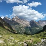
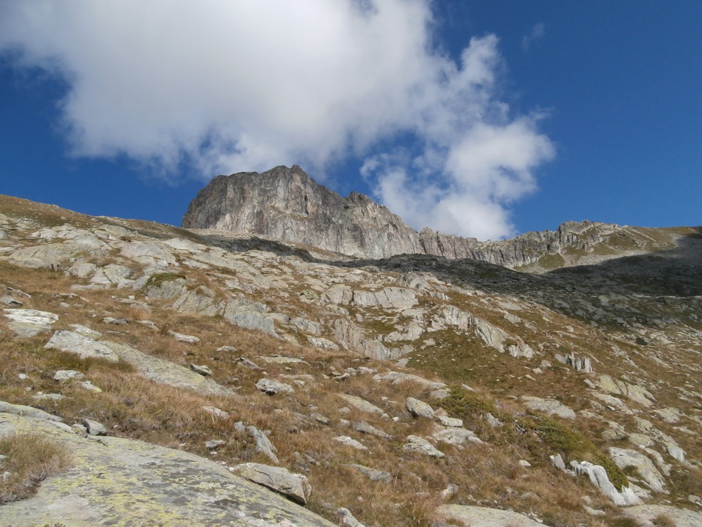
Bella montagna a Sud del monte Cervo, in posizione abbastanza centrale nella Valpelline, permette la visione di grandiosi panorami sulle montagne della valle.
Meta scialpinistica ingiustamente poco frequentata d'estate.
.
Poco dopo Bionaz, sulla strada per place Moulin si devia sulla strada per Chez les Chenaux e subito si parcheggia all’inizio del sentiero.
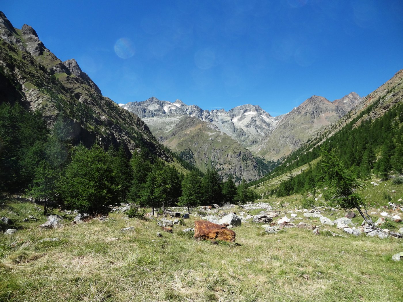
Dal parcheggio si segue il sentiero n.5 che supera un bosco ed arriva ad uno spiazzo dove si trova l’alpeggio Chalon, raggiunto da un’interpoderale che prosegue a destra.
Ignorarla, il sentiero prosegue nel bosco alle spalle dell’alpeggio per arrivare agli spazi aperti dominati dalla Tour dove si trova il grande alpeggio La Tsa che si lascia sulla destra.
Si prosegue tra pascoli, il sentiero si perde tra le tracce di bestiame, ma i segni gialli conducono ad un bivio con palina, a sinistra si va verso l’alpe Berrier.
Si riprende a salire per arrivare ai ruderi dell’alpe Luseney, dove il sentiero e i segni gialli terminano.
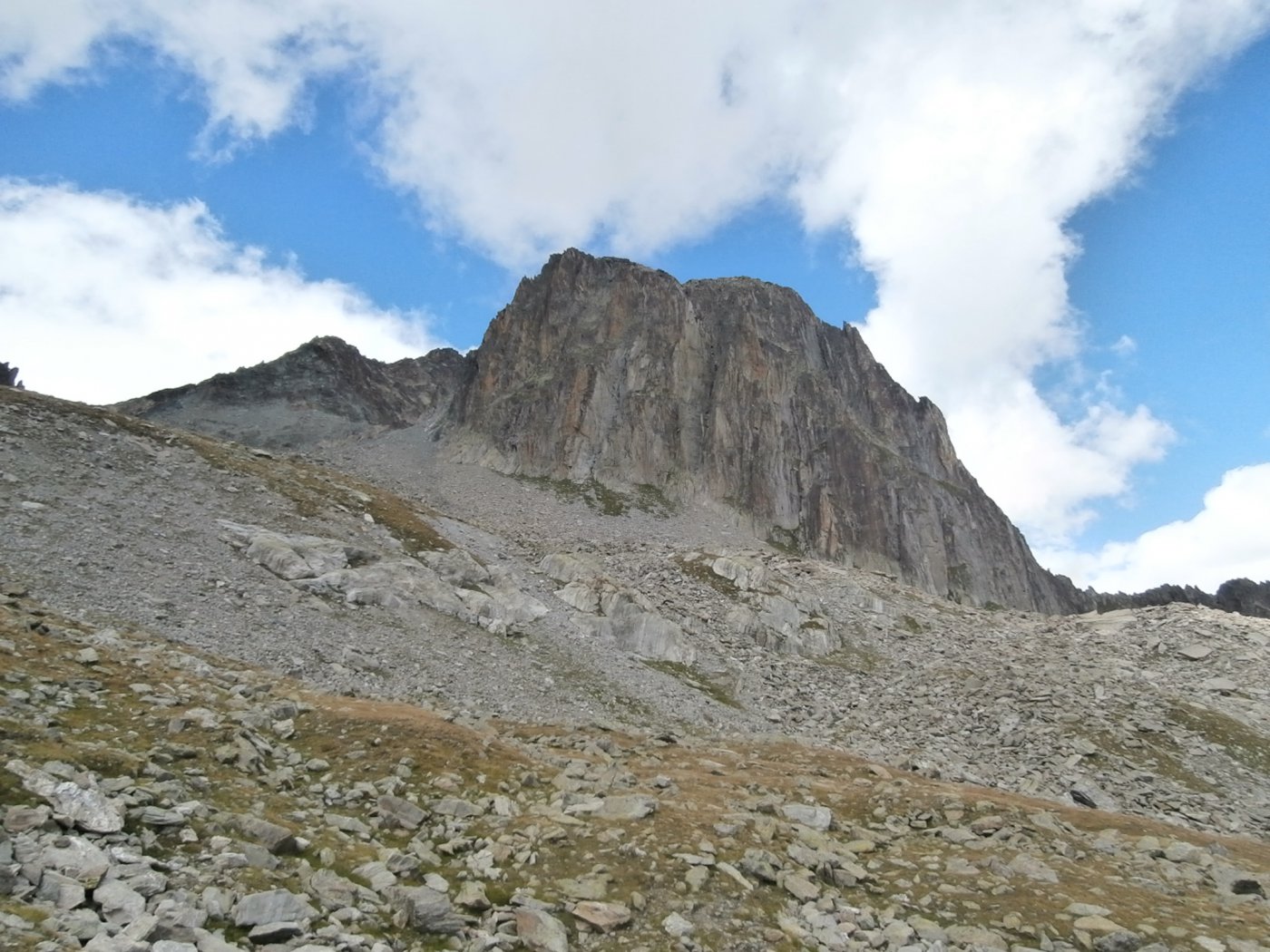
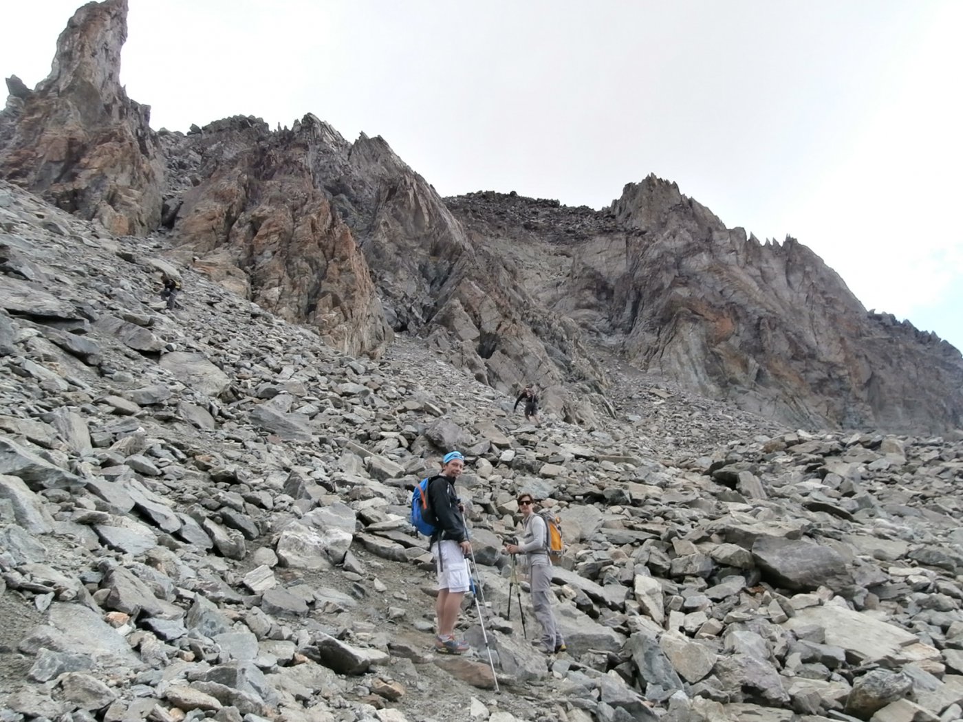
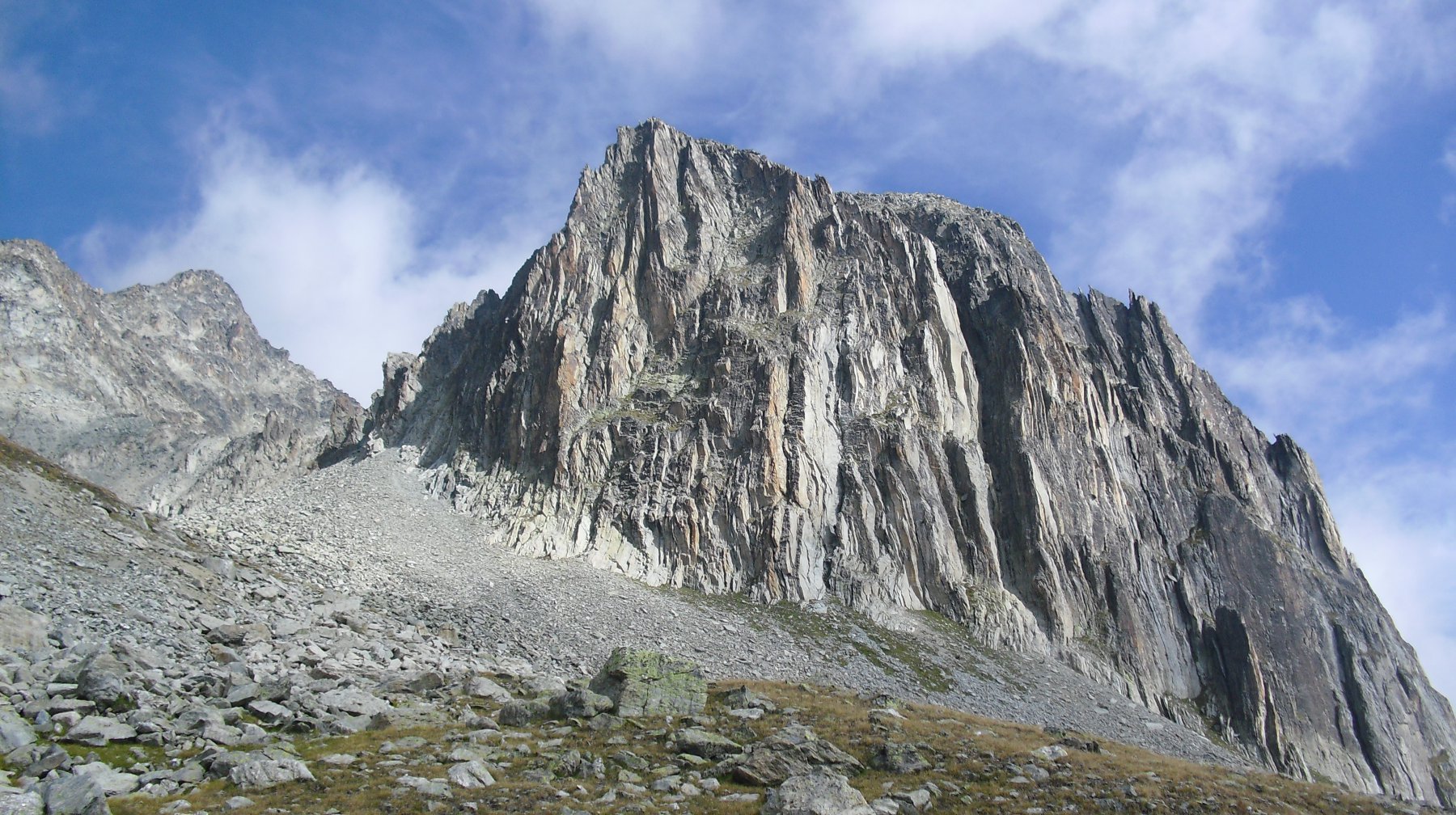
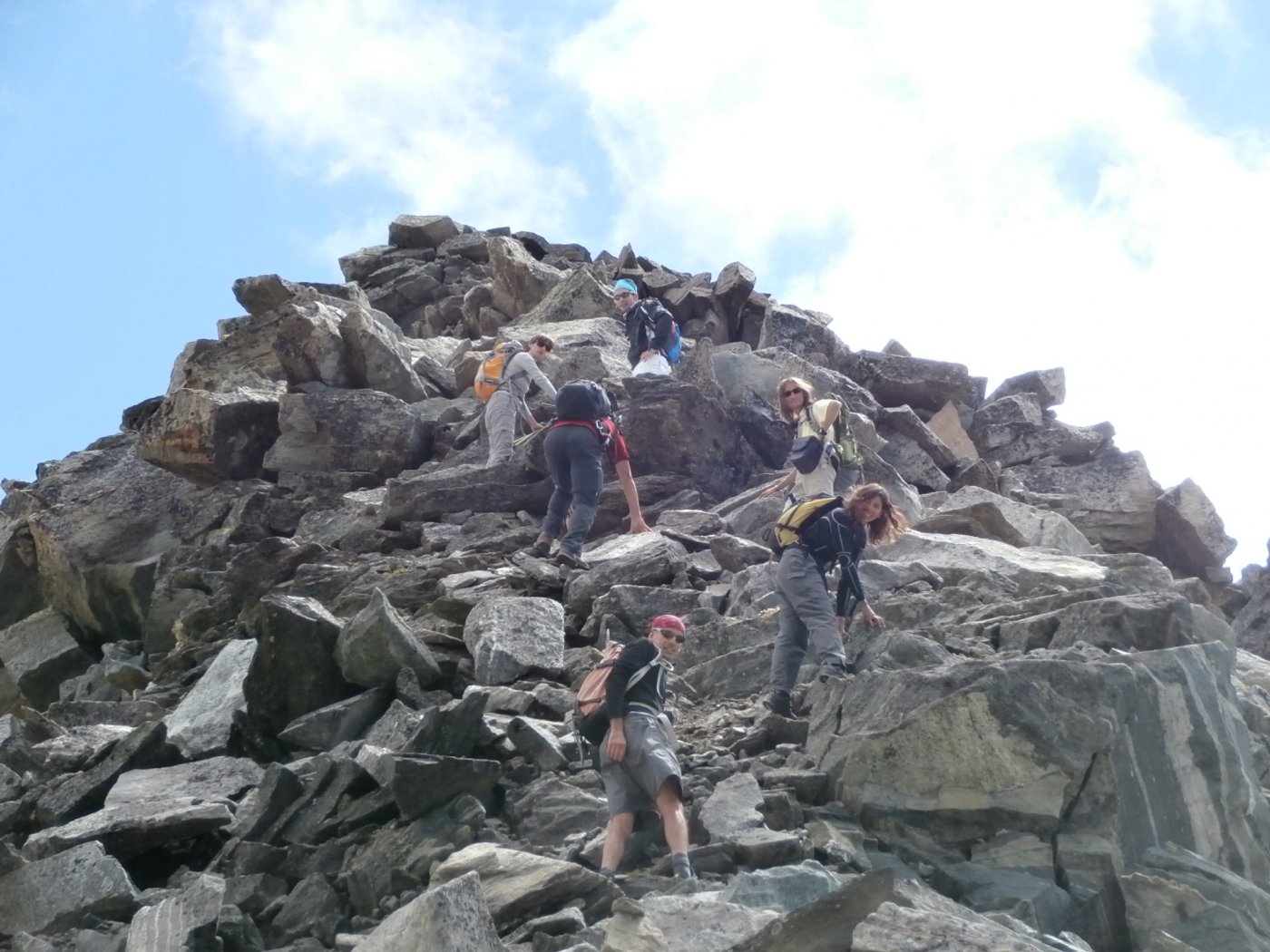
Si seguono ora tracce verso sinistra ed ometti (a volte occorre cercarli) che portano sul Plan de Marmottin, che è¨ tutto tranne che un piano, ma una serie di terrazzoni erbosi che portano verso l’alto in direzione della Tour per arrivare ad un grande macereto che precede l’accesso al Col de la Tsa.
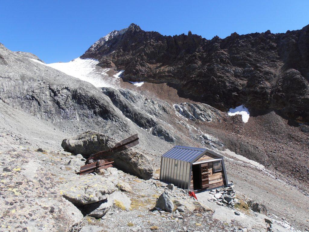
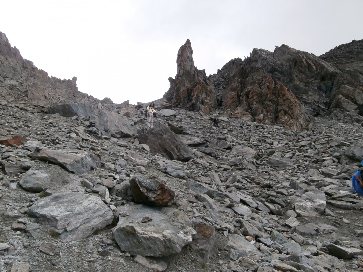
Superato al meglio questo macereto (in discesa la via è più evidente) si supera su tracce l’ultimo pendio detritico e si arriva al colle, affacciandosi così al desolato pianoro dalla parte di Chamen che pochi anni fa conteneva un piccolo ghiacciaio (Glacier du Col de la Tsa).
Al colle si può arrivare anche da Chamen, raggiungendo per interpoderale les Crottes, piegando a sinistra in un ripido canalone detritico ed erboso, che porta dove c’era il ghiacciaio sotto il monte Cervo ed infine al colle per un ripidissimo pendio detritico.
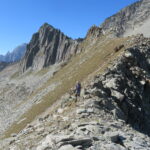
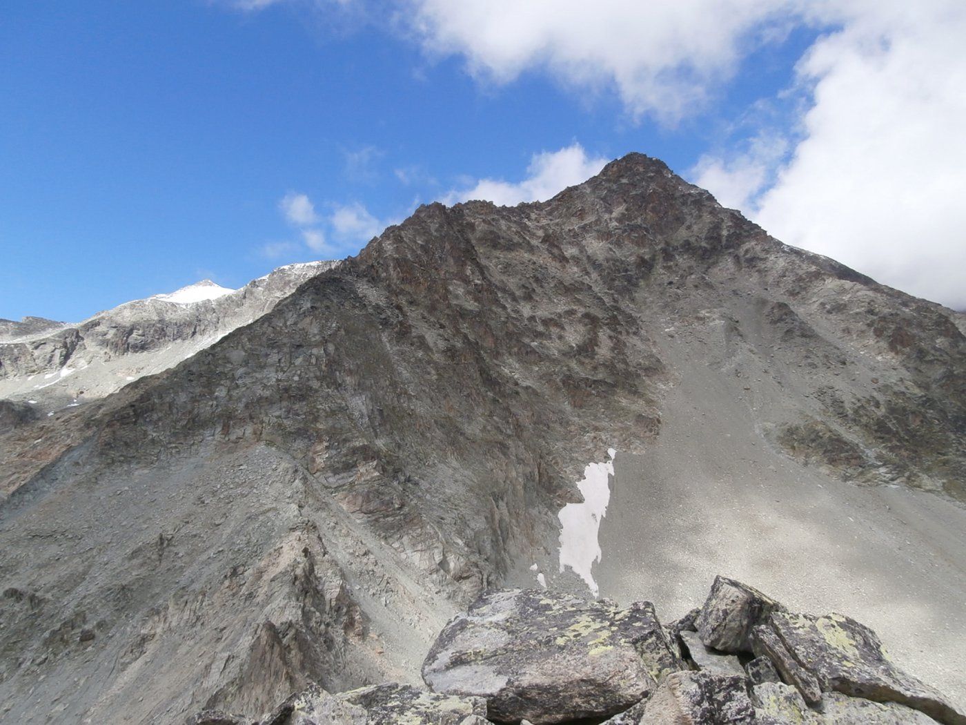
Dal colle appare la cresta finale.
La si raggiunge dal versante di Chamen, la si segue fino ad un intaglio, a sinistra un ripido scivolo a destra un canalone detritico più appoggiato.
Dall’intaglio si poggia sul lato La Tsa per ritornare alla cresta che si segue facilmente sino alla cima.
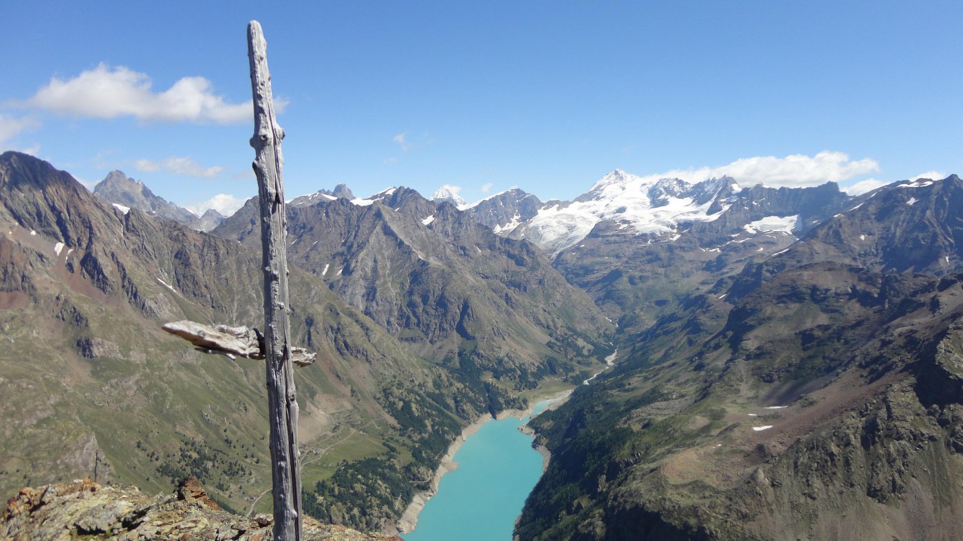
Il panorama si estende dal Cervino a gran parte delle montagne della Valpelline.