1.2Km
1.2Km


Note
 50m
50m
50m
50m
450m
450m
450m
450m
450m
450m
50m
50m
50m
50m
450m
450m
450m
450m
450m
450m
1.2Km
3.6Km
4.7Km
5.3Km
5.5Km
5.6Km
5.7Km
5.8Km
5.8Km
6Km
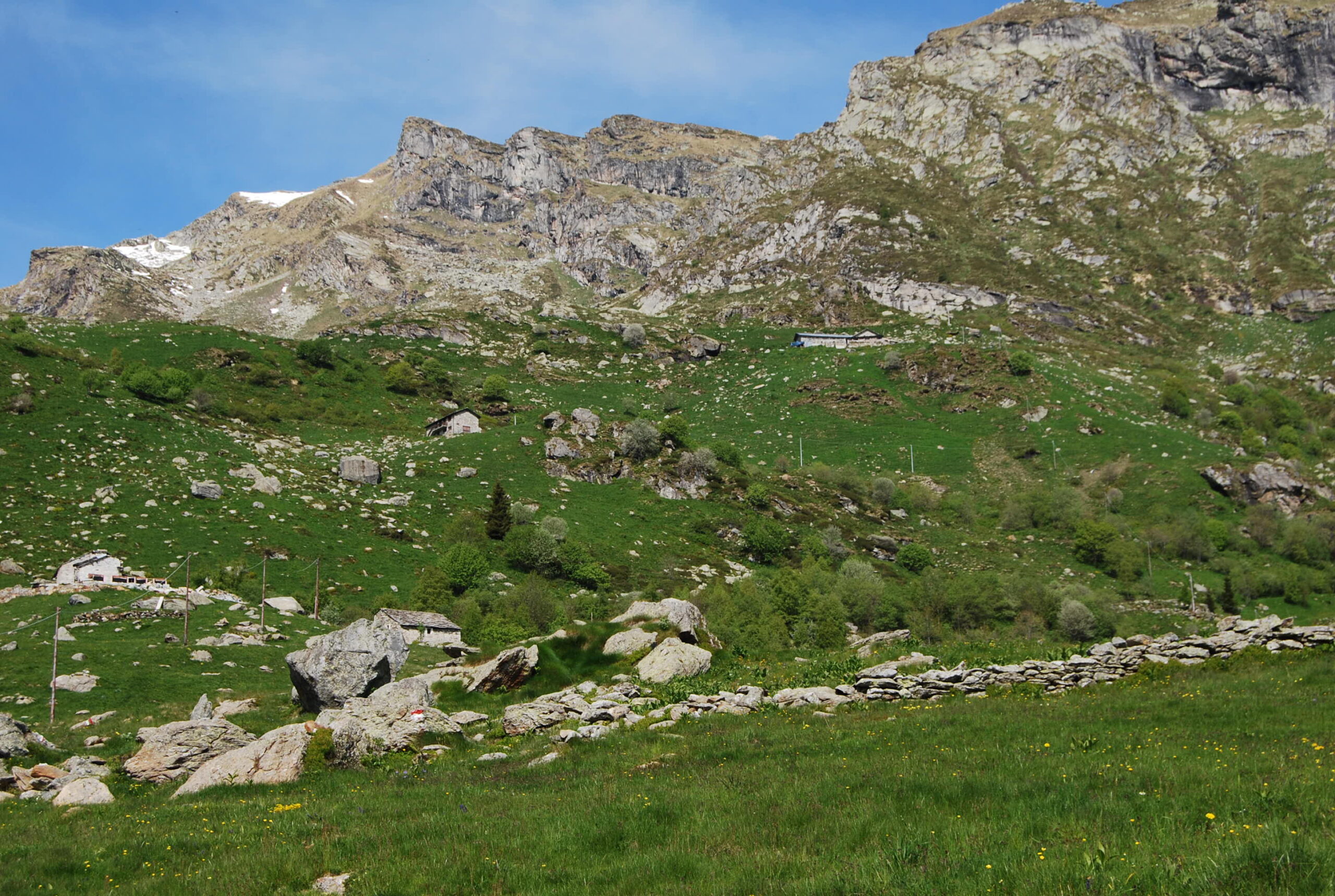
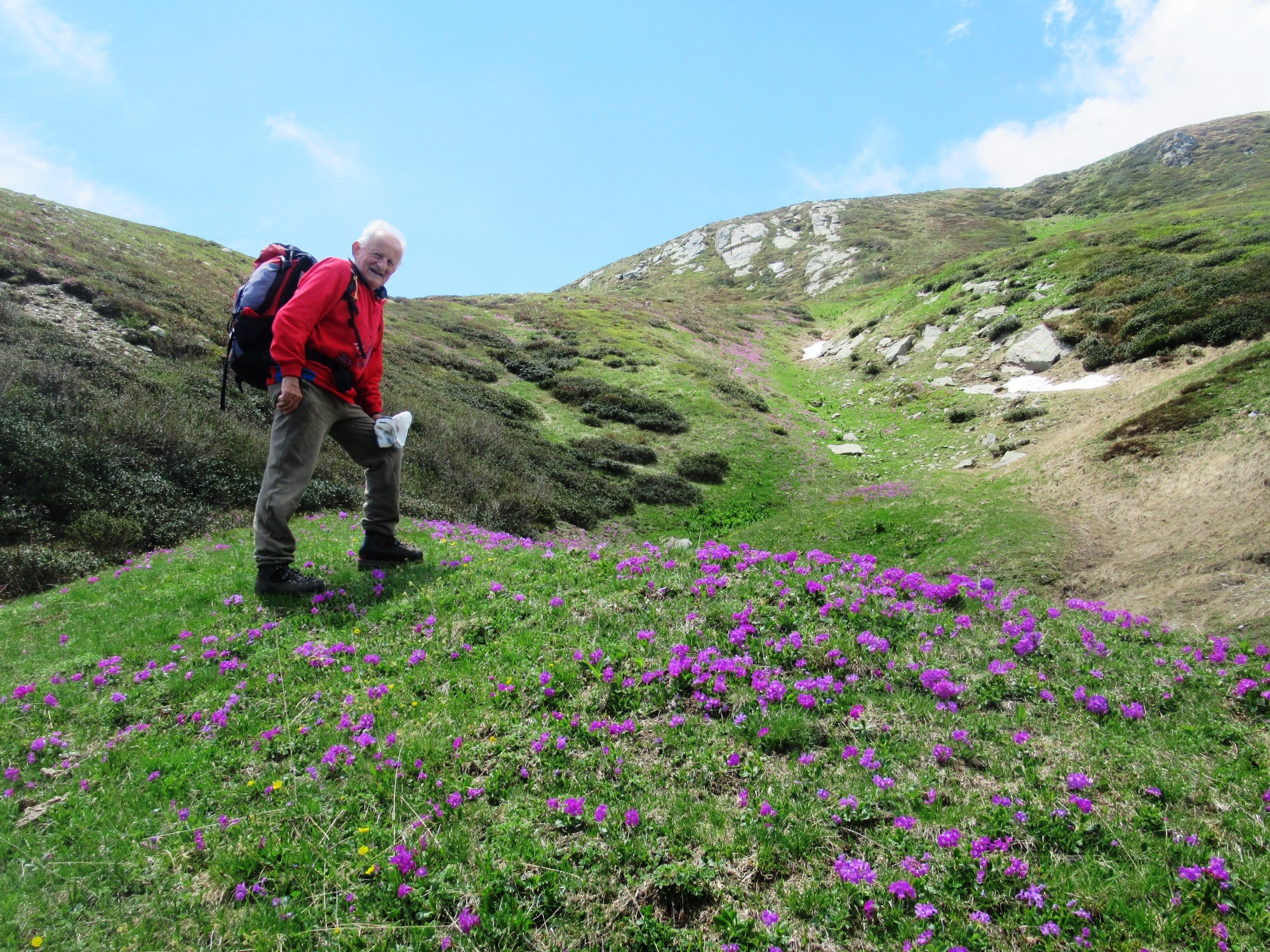
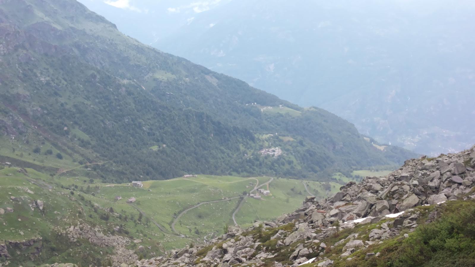
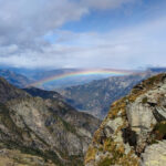
Breve e facile escursione nel vallone di Scalaro, sul percorso del GTA con scavalcamento della dorsale della Cresta Biolley che separa la Valchiusella dal Vallone di Scalaro e raccorda il Gregorio al Bonze, raggiungendo il rifugio Chiaromonte posto sul versante della Valchiusella.
Avvicinamento
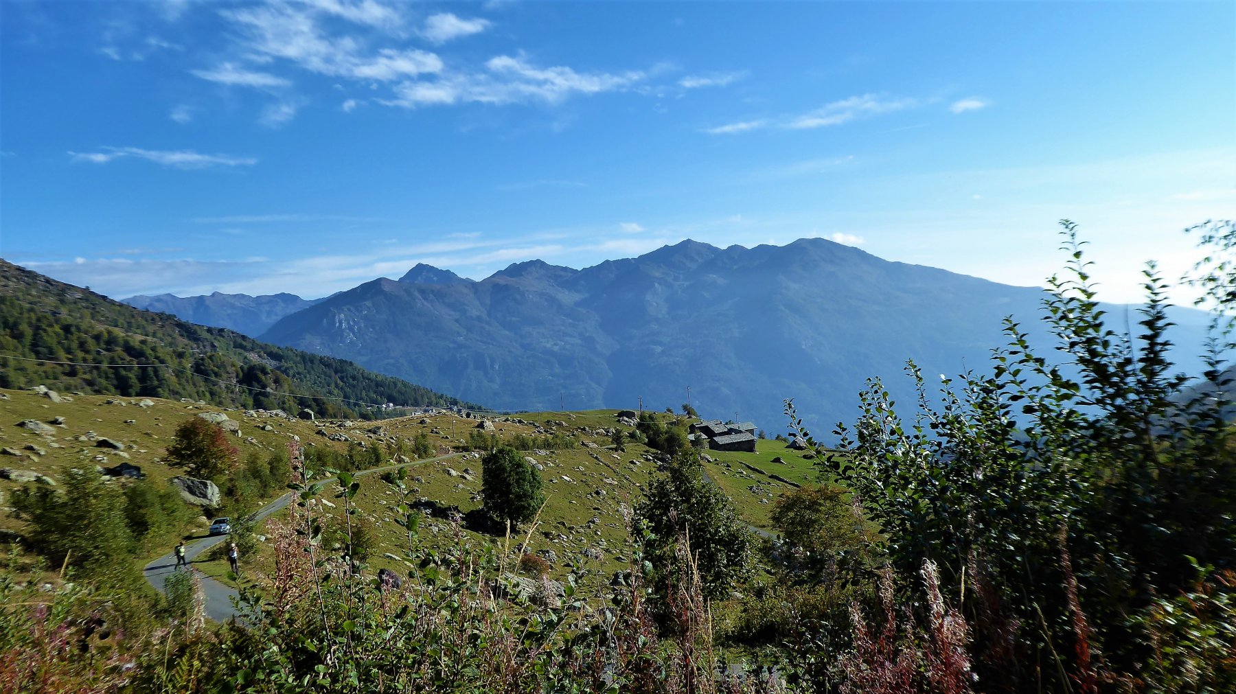
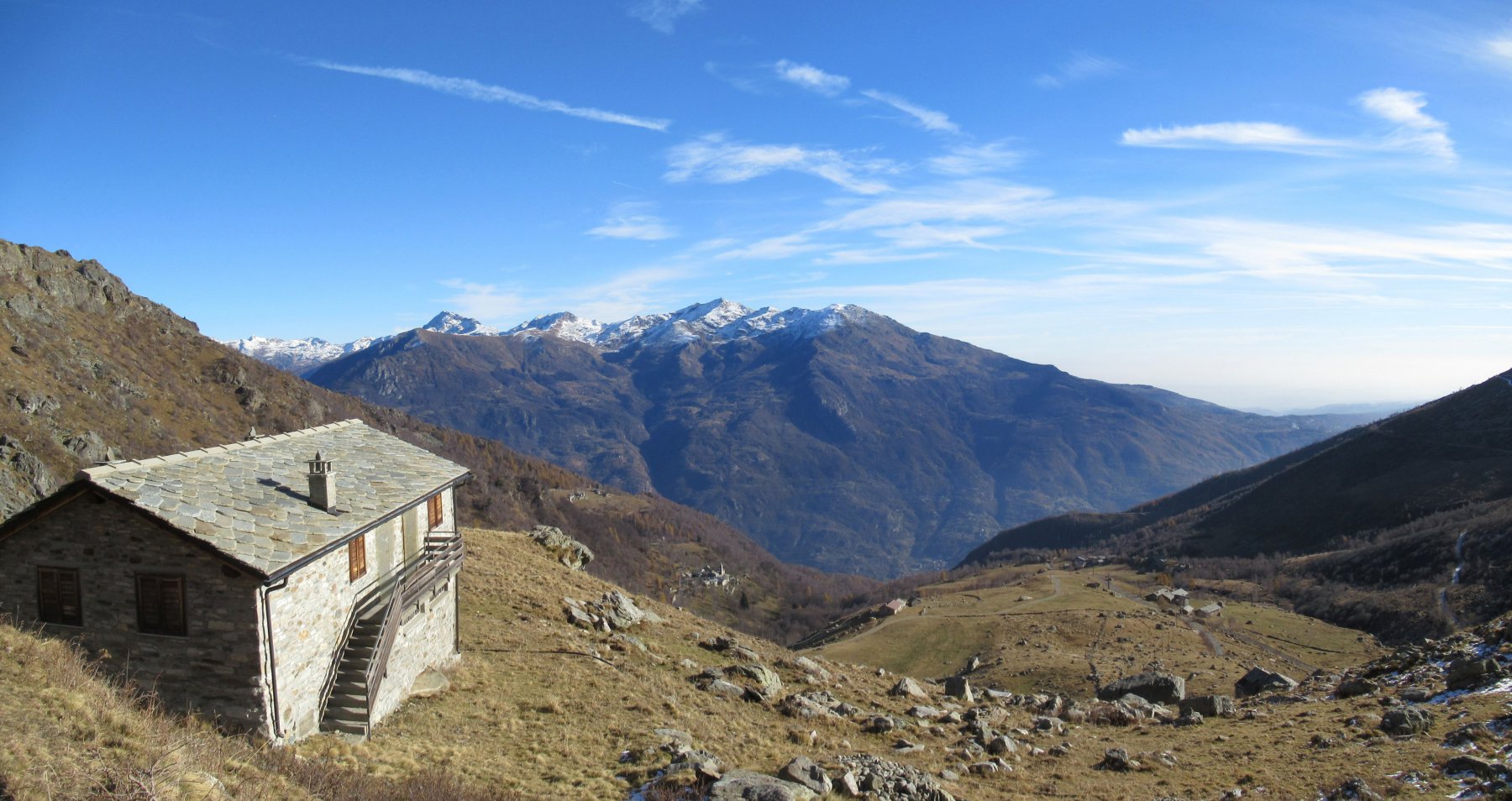
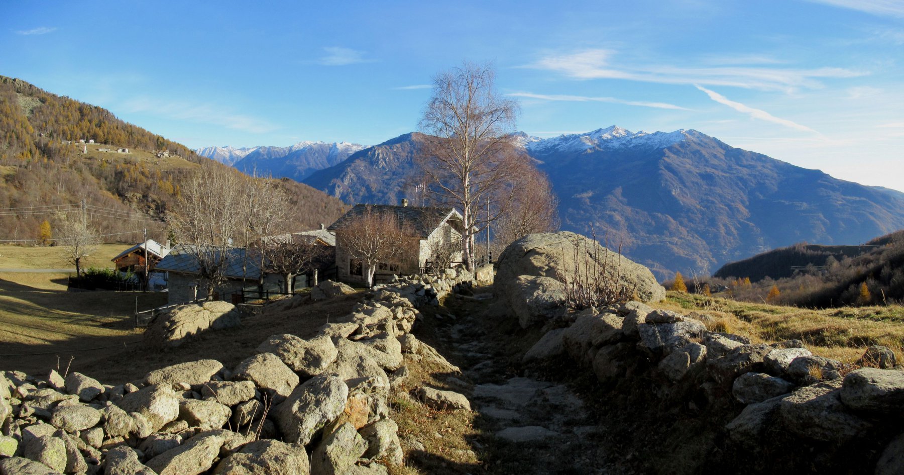
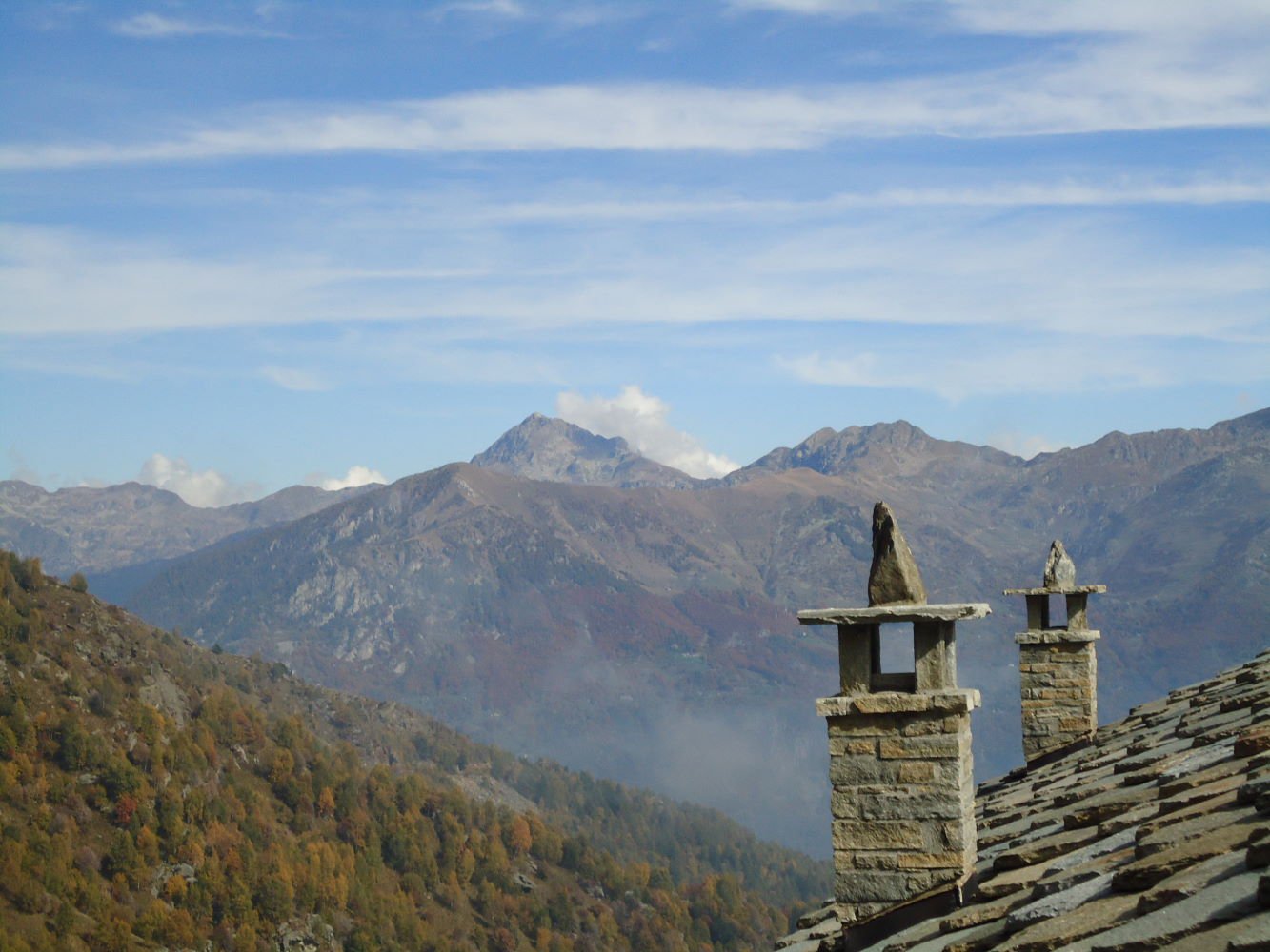
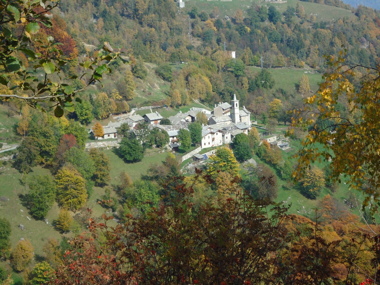
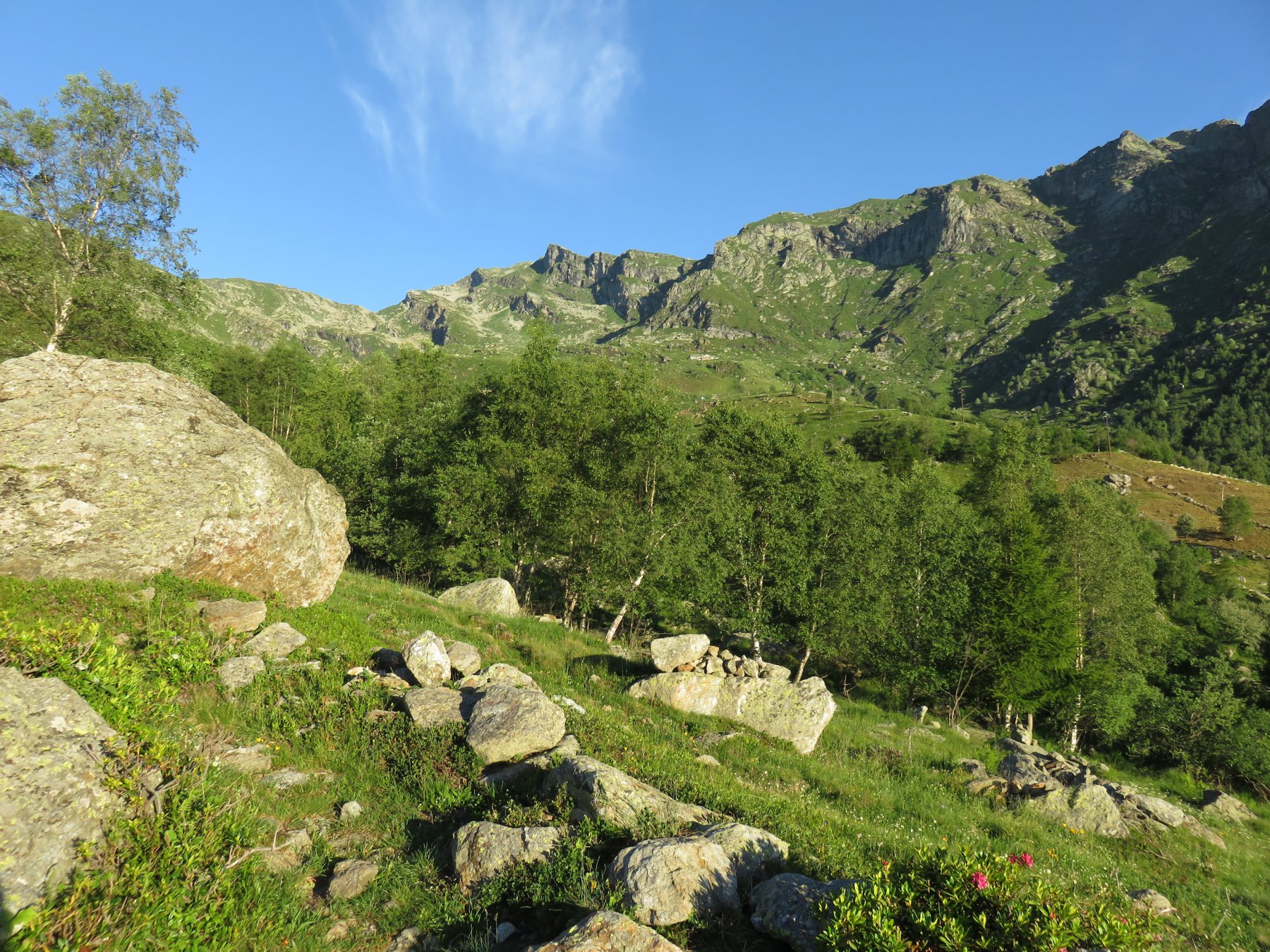
Raggiunto Scalaro salendo da Quincinetto (all’uscita della TO-AO) si parcheggia o nei pressi dell’agriturimo le Capanne 1426m o salendo ancora un po’ a raggiungere l’alpe Fumà inf. 1550m. Superata di poco l’alpe in lieve discesa nei pressi del torrente vi sono comodi posti per parcheggiare.
Descrizione
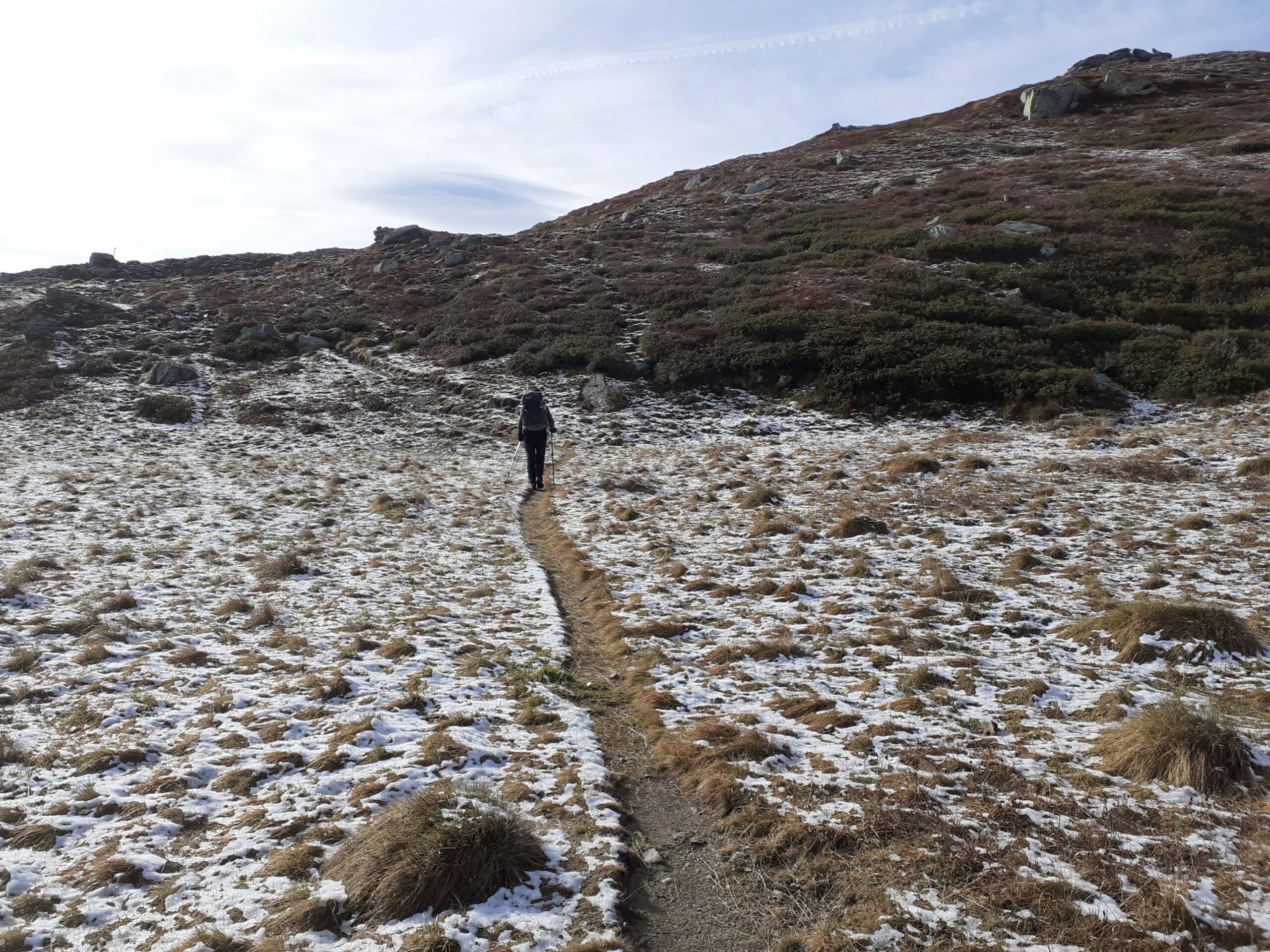
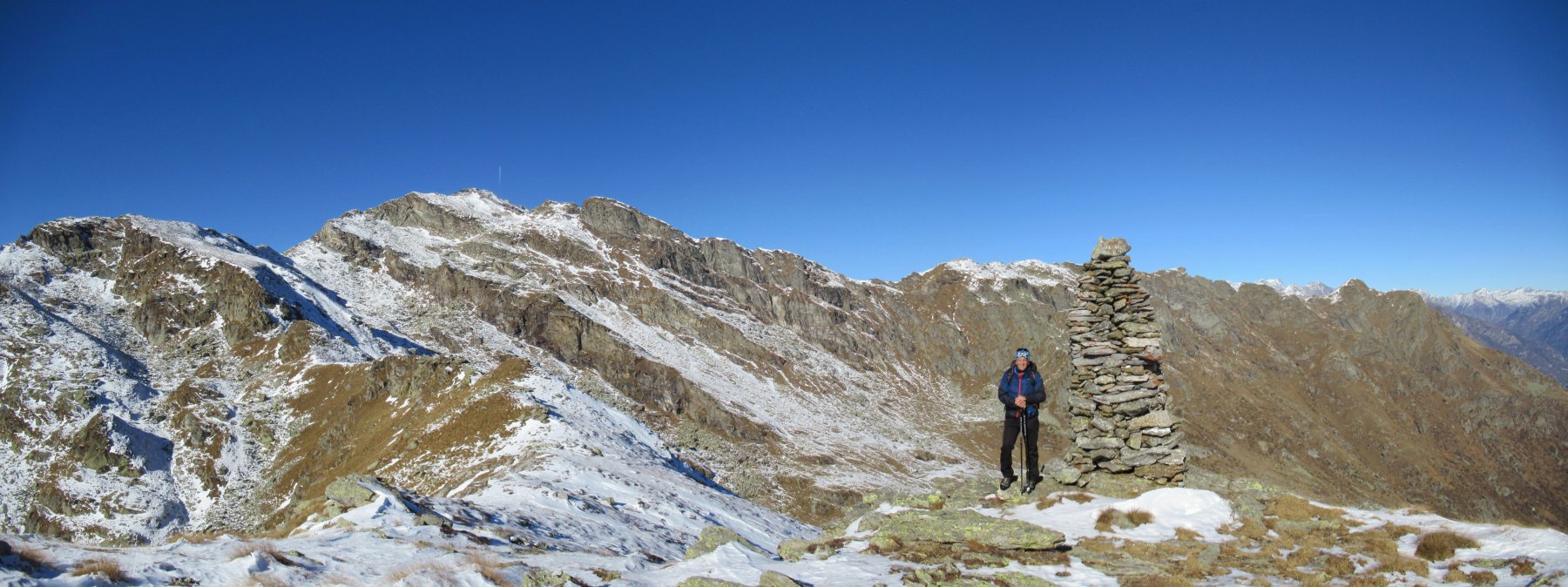
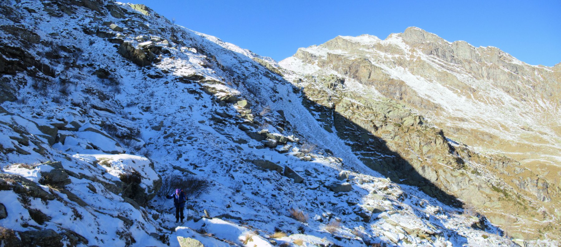
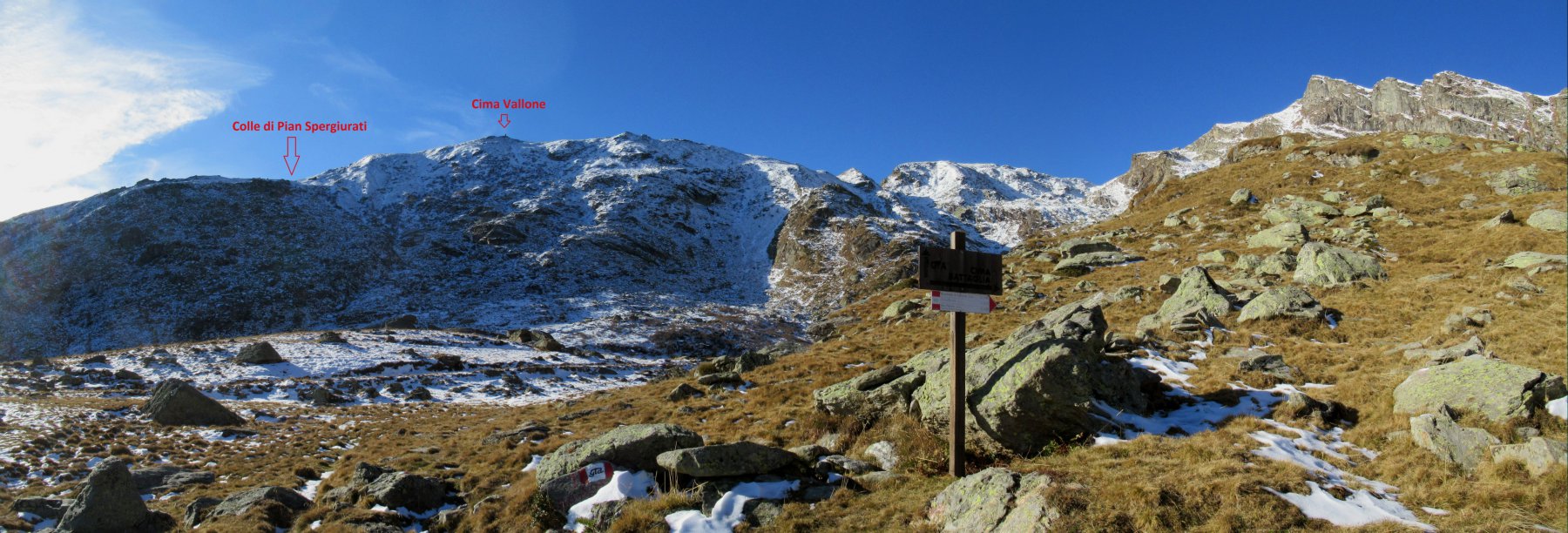
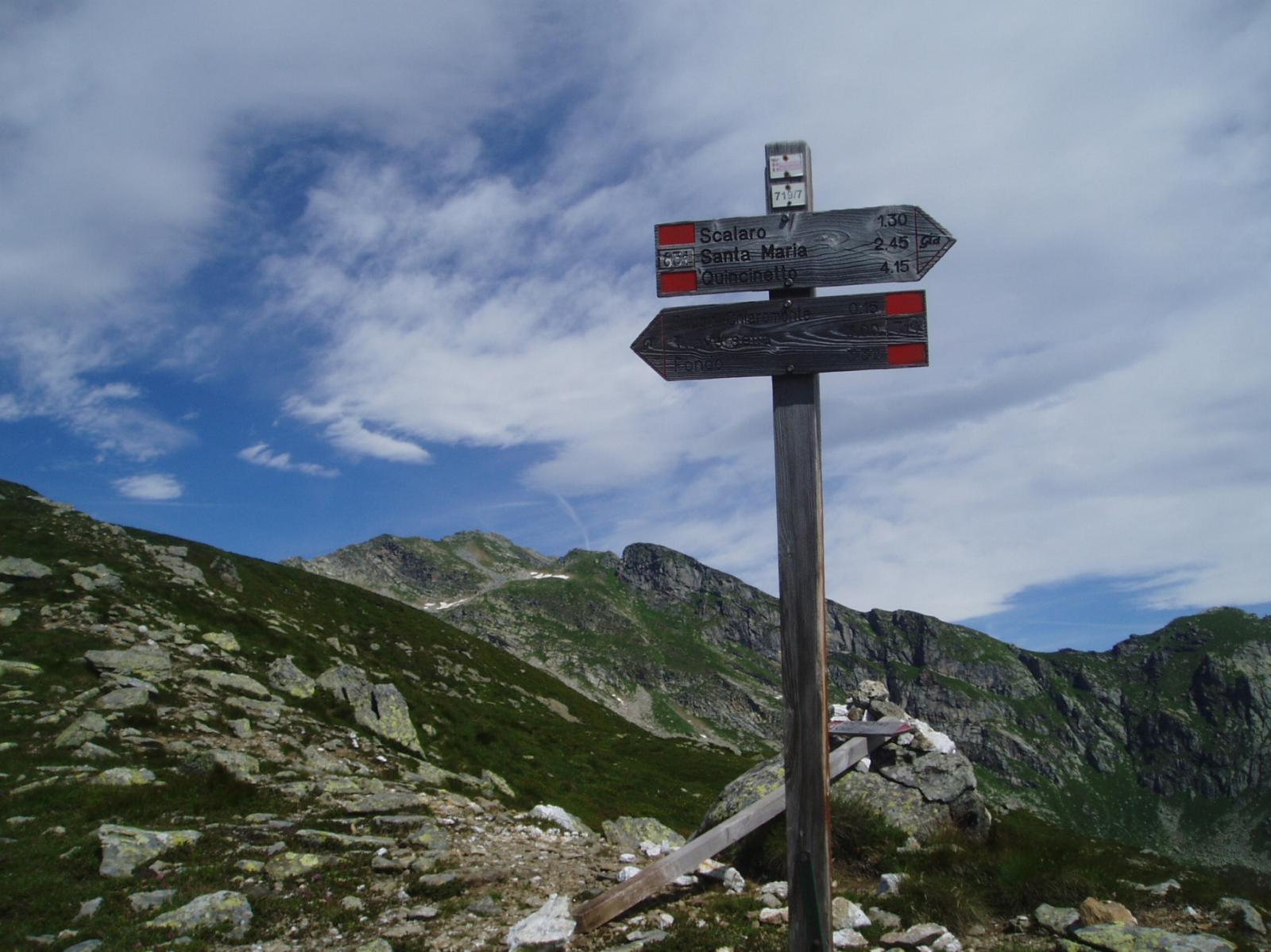
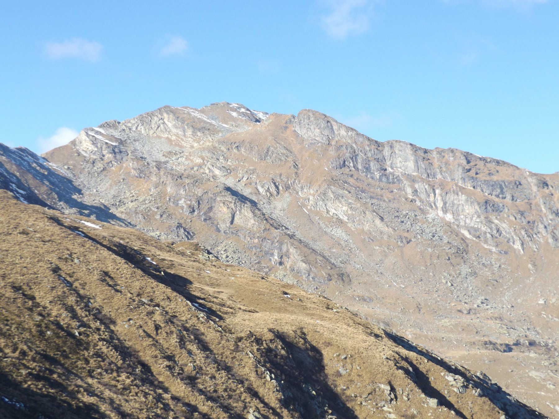
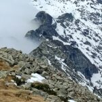
Dall’alpe Fumà si segue il sempre ben marcato (r/b) sentiero del GTA che sale in direzione Ovest all’alpe Fuma sup 1615m e all’alpe Cavanna Nuova 1698m dove si percorre a salire a sx un breve tratto di strada asfaltata sino a ritrovare il sentiero sulla sx che con un brevissimo tratto porta alla palina 1750m che indica a dx la cima Bonze e a proseguire (in direzione sud est) per il rifugio Chiaromonte.
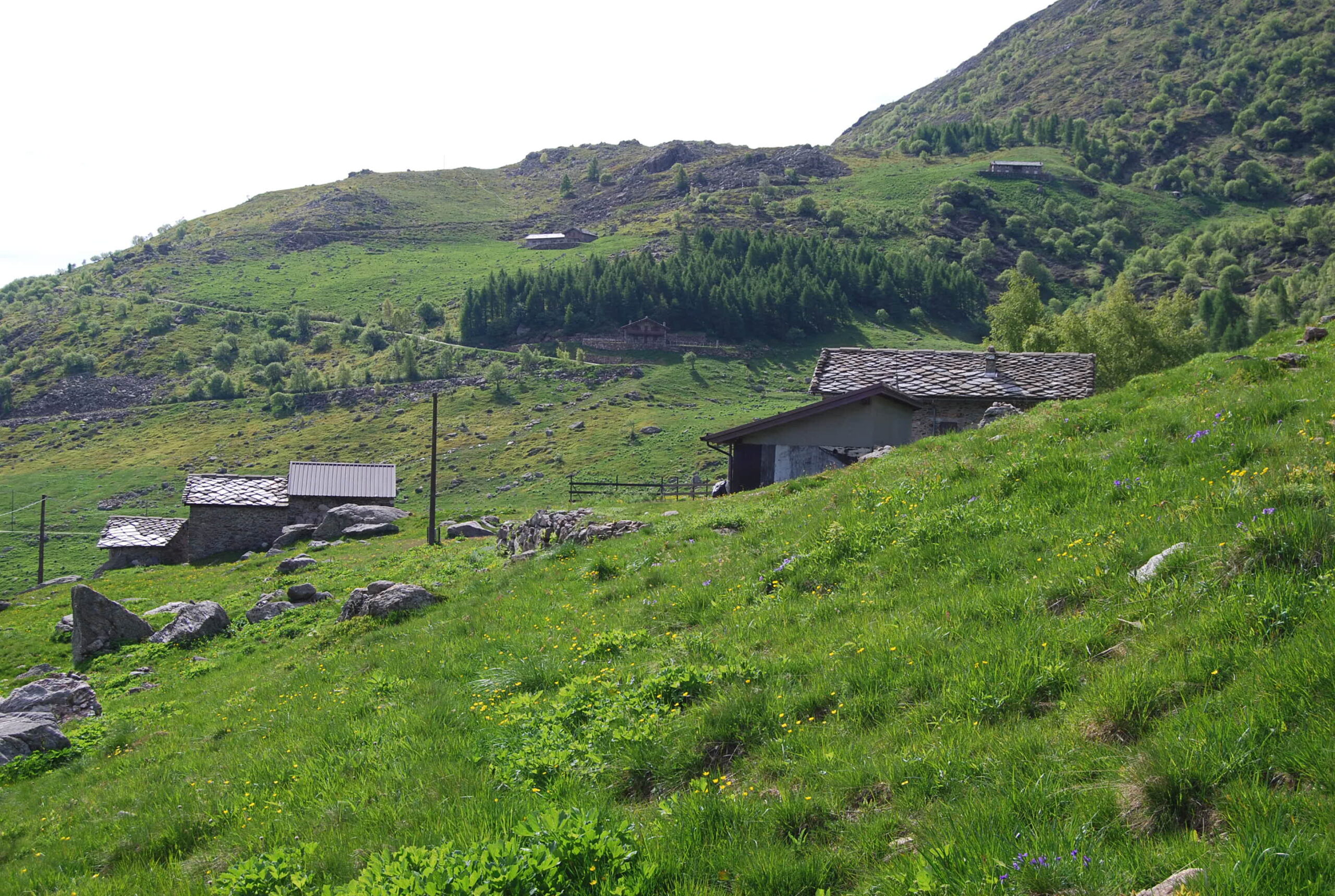
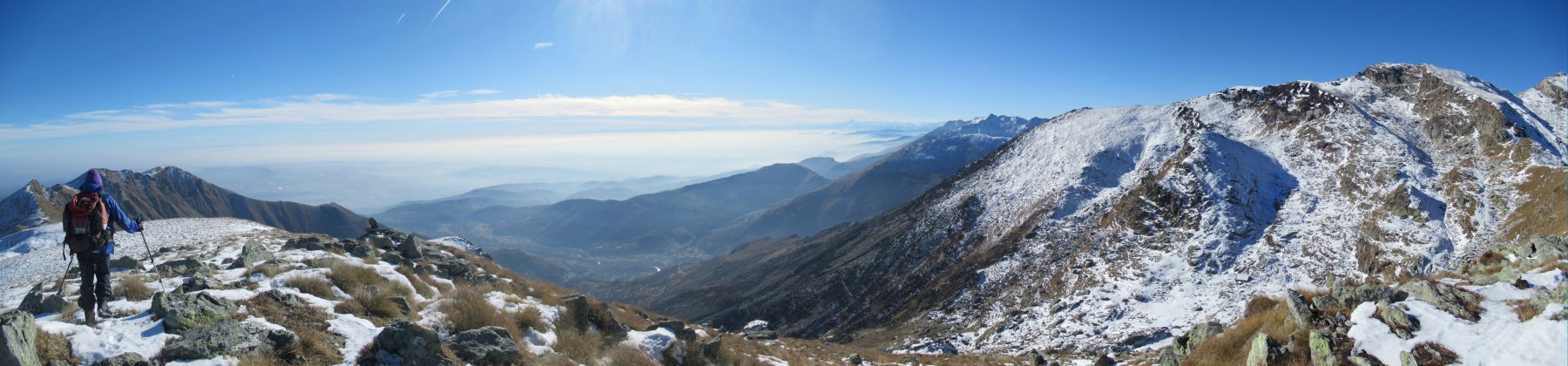
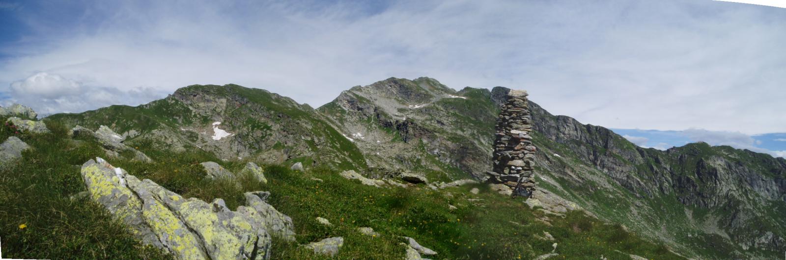
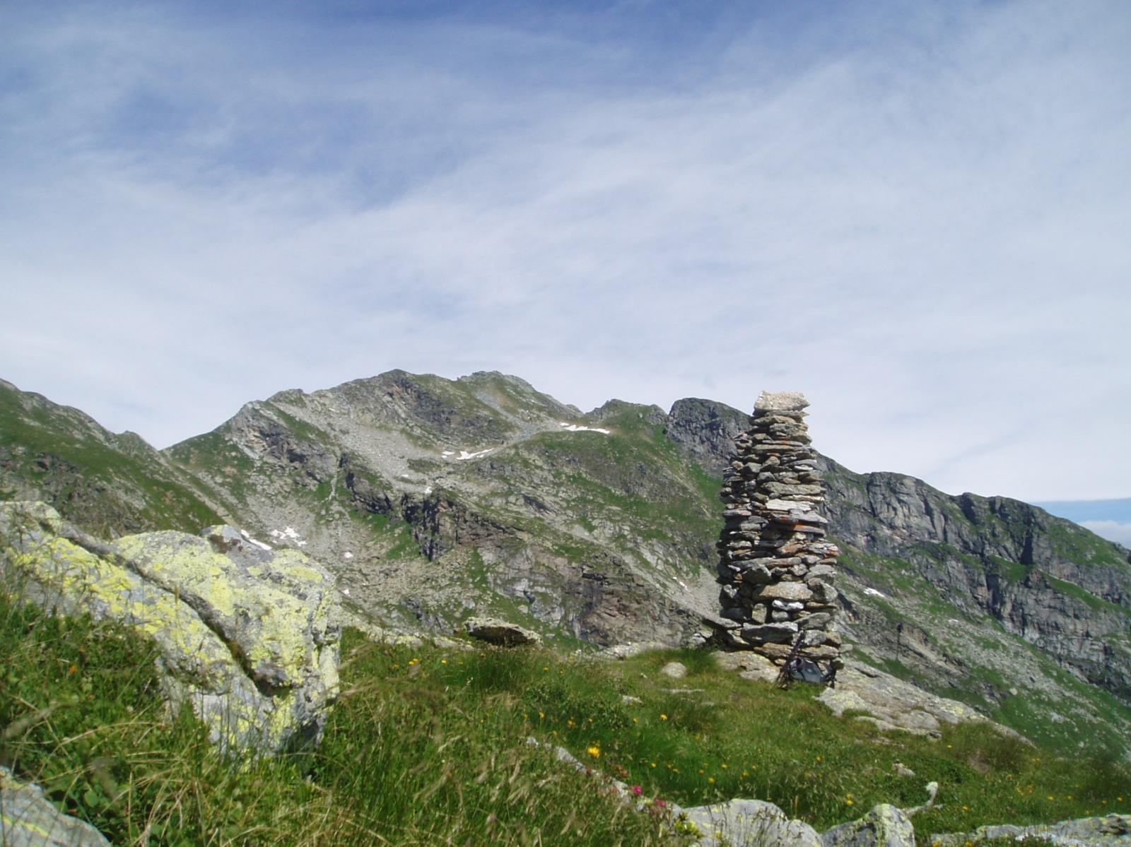
Si prosegue ora in falsopiano (lieve depressione) sino all’alpe Valbona 1774m per raggiungere successivamente i Piani 2014m e il vicino Colle di Pian Spergiurati 2036m.
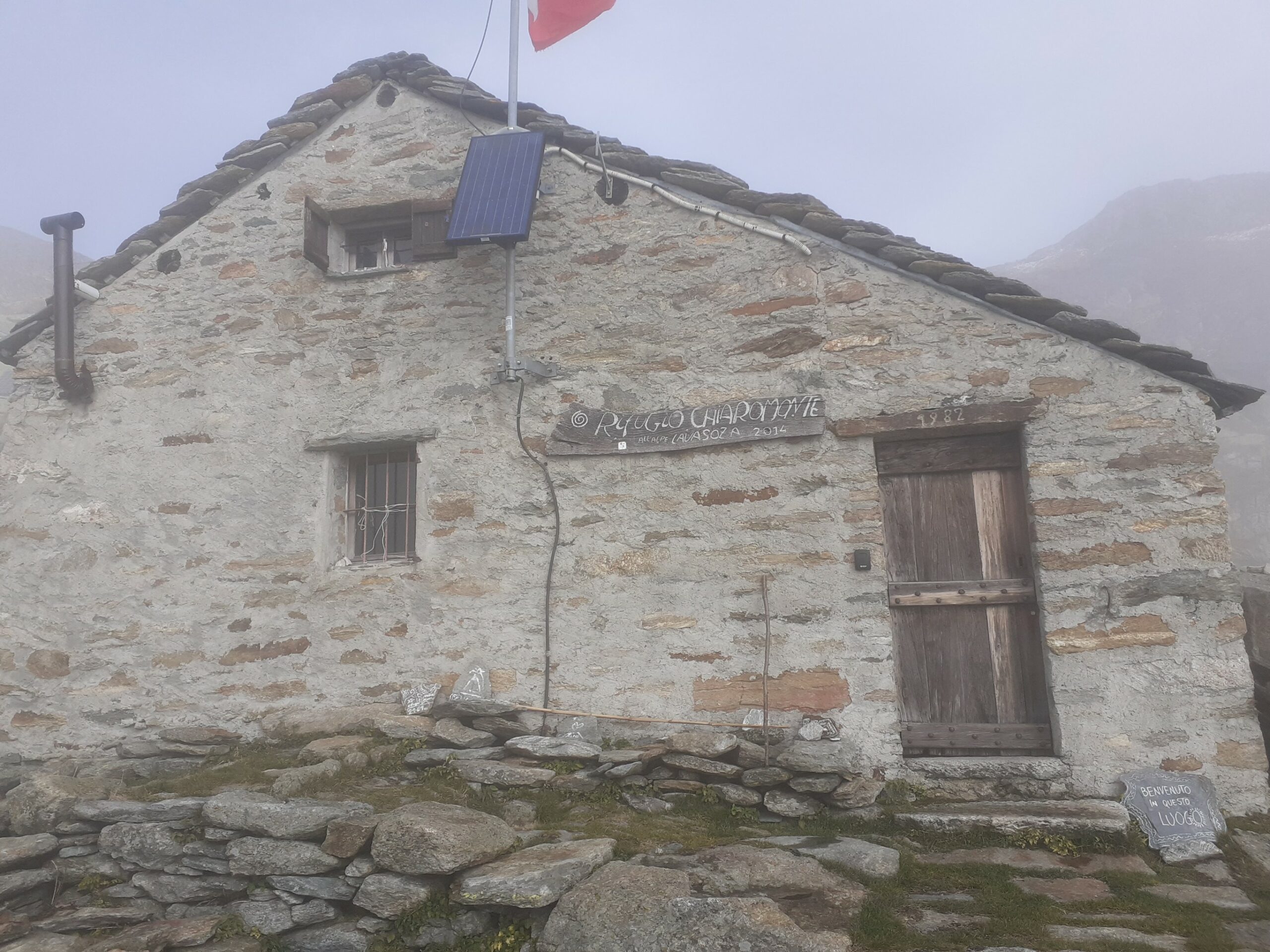
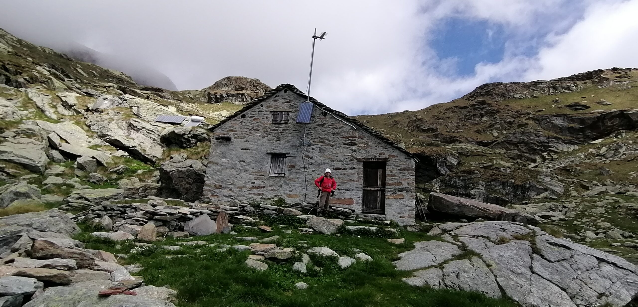
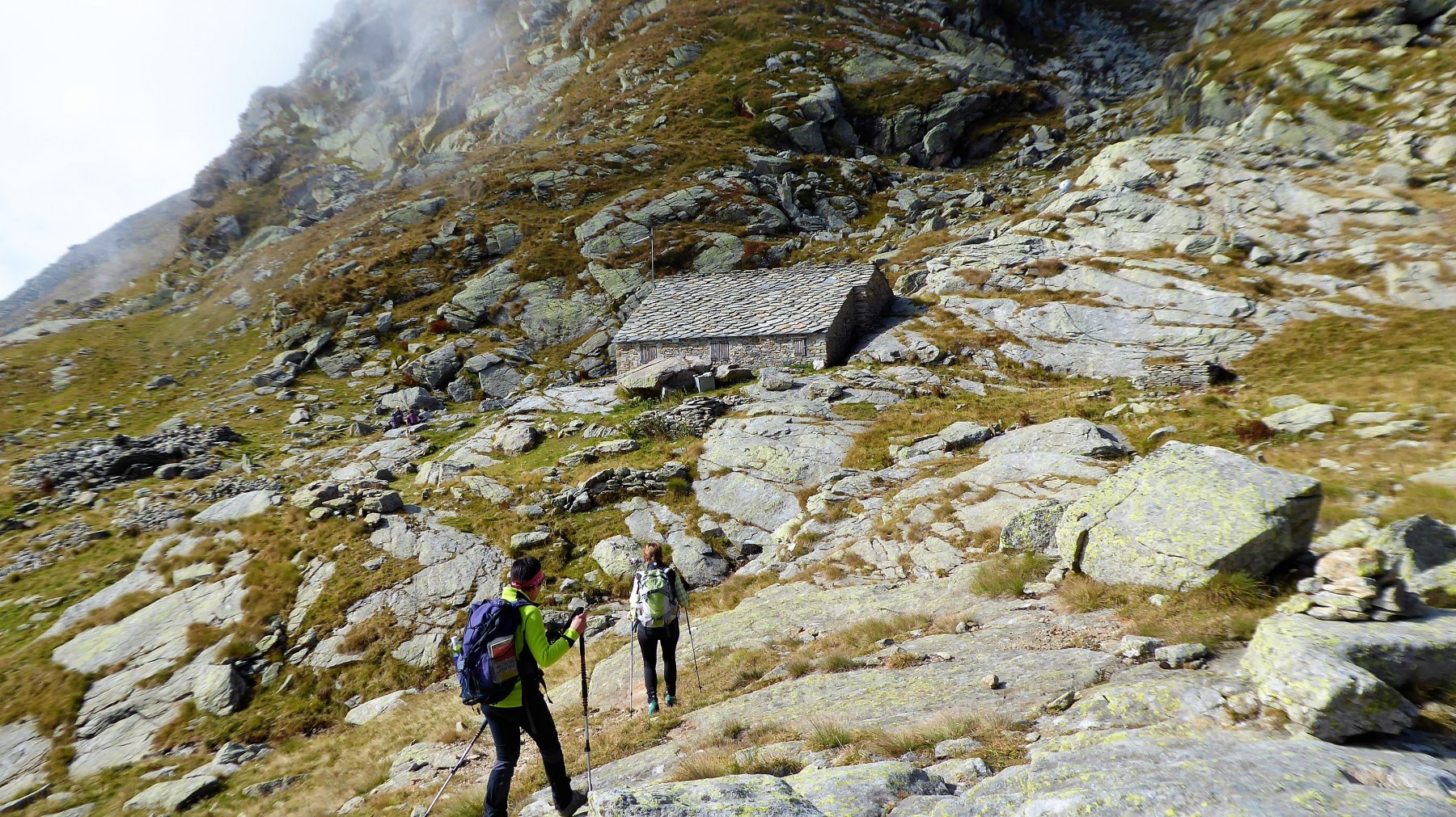
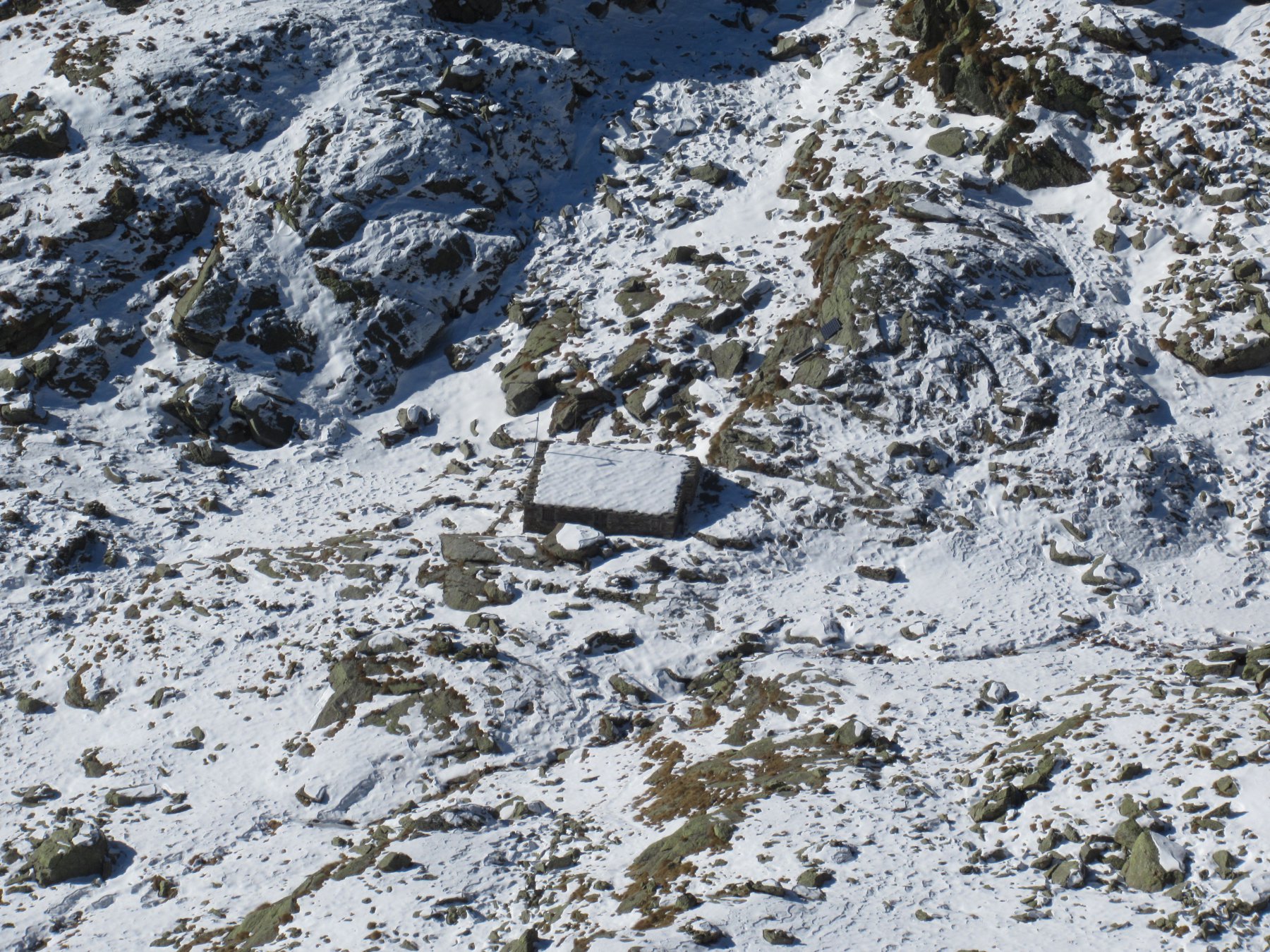
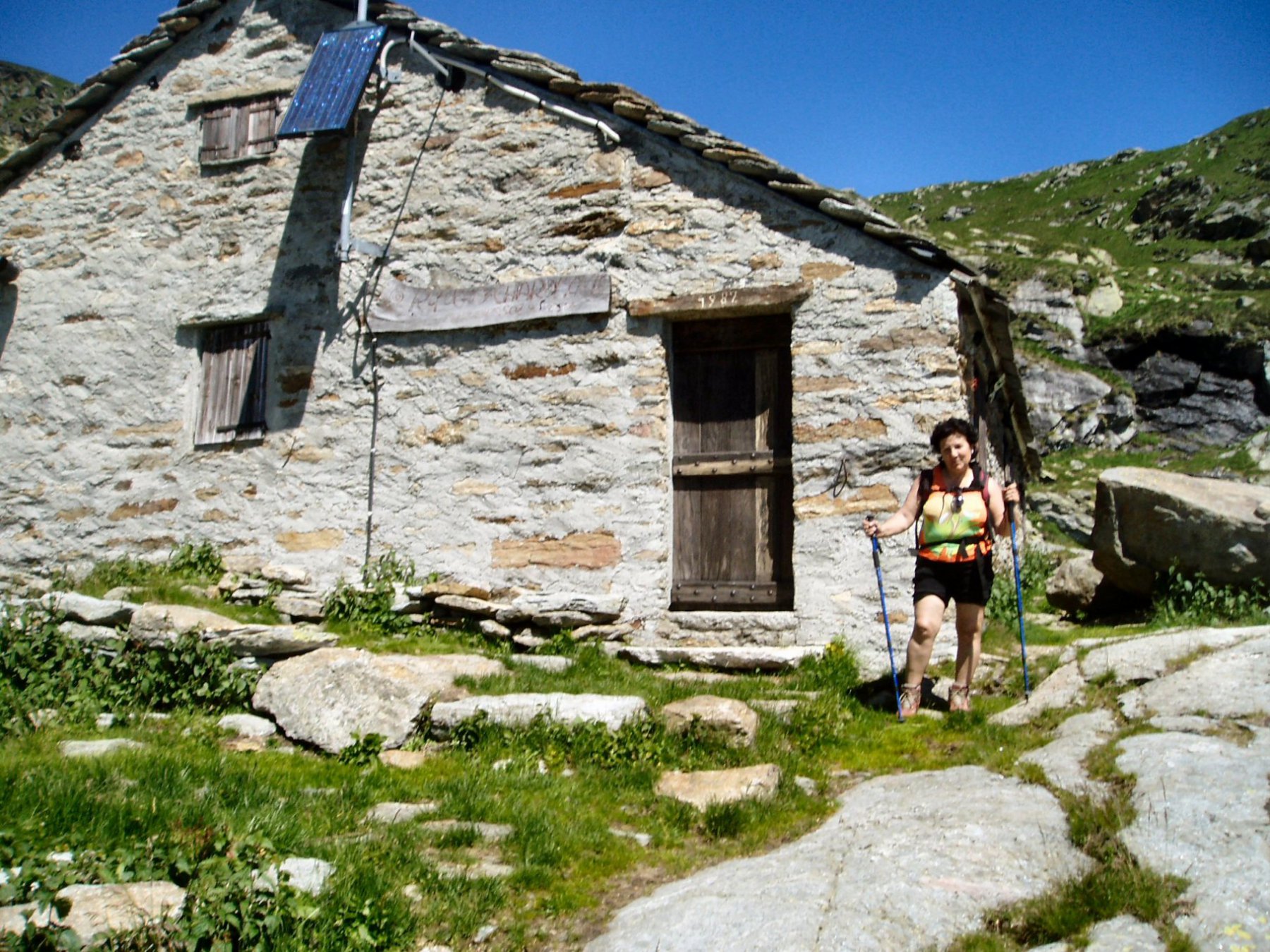
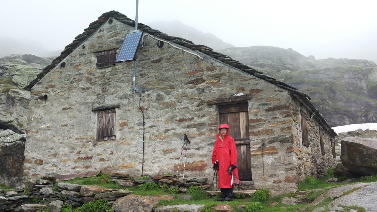
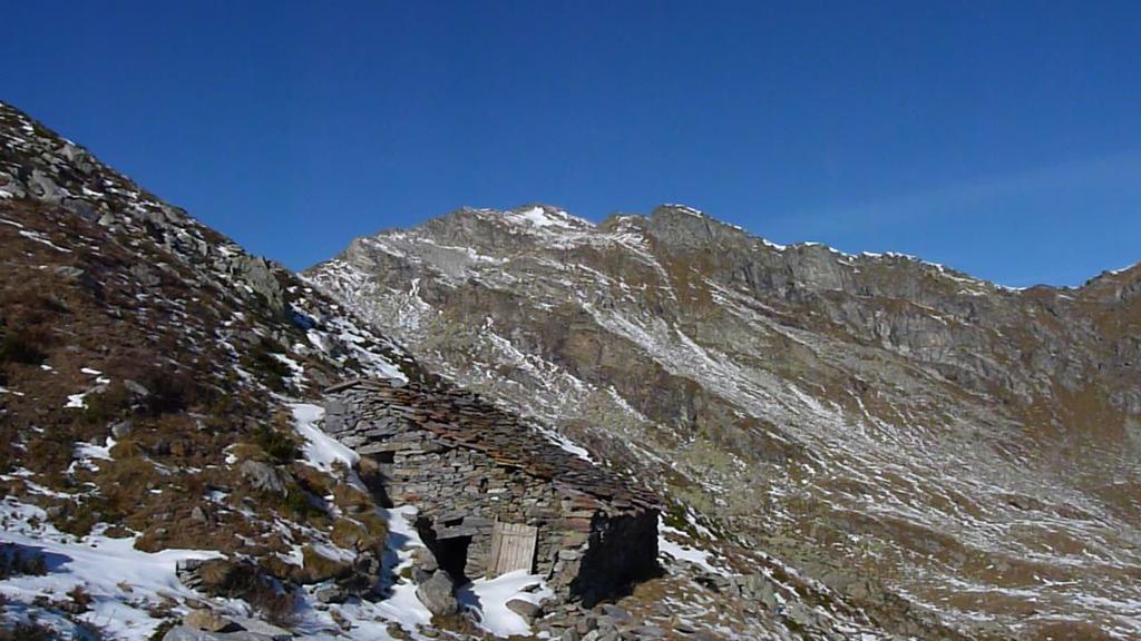
Si scollina nella Valchiusella (seguendo le indicazioni) e in breve si raggiunge il rifugio Chiaromonte 2014m.
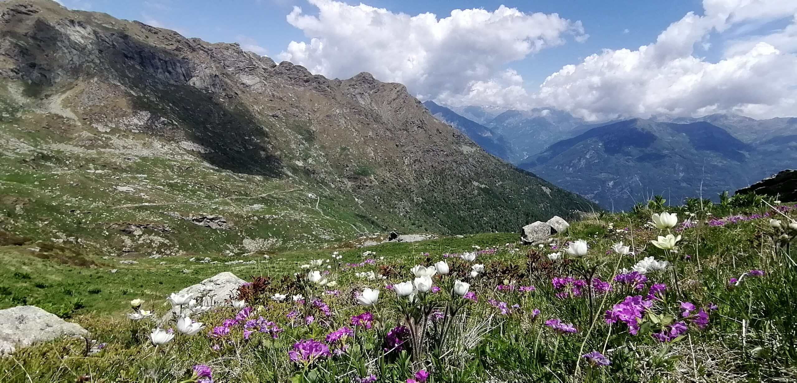
Il ritorno per lo stesso sentiero. Dislivello tot 550m distanza tot 8km tempo medio salita 2h.
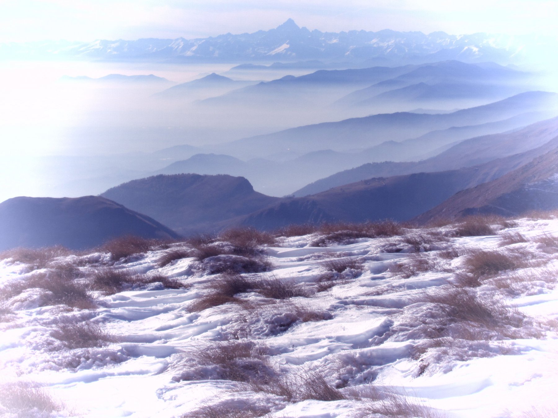
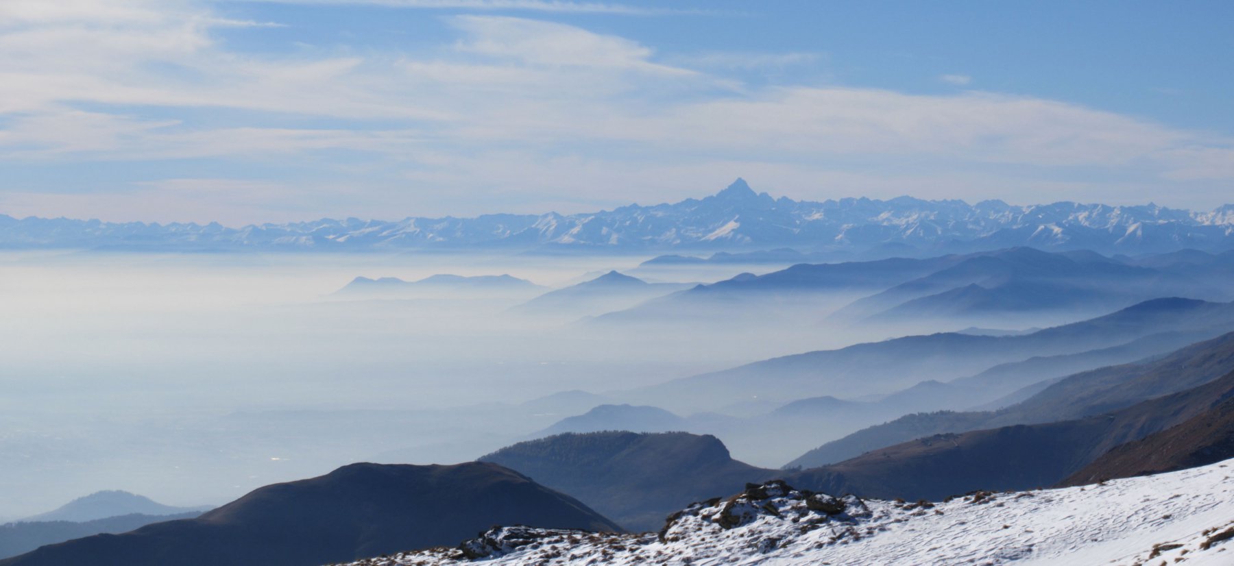
Molte sono le varianti offerte dai sentieri della zona che possono rendere un po’ più impegnativa e con punti panoramici la facile escursione qui descritta (vedi altre relazioni).
- Cartografia:
- Valle Dora Baltea Canavesana Traversella-Oropa-Fontainemore n.02 1/20000 ed:MU edizioni
Nelle vicinanze Mappa
Itinerari
16/07/2026 TO, Quincinetto D+ 1200 m EE Sud-Est
Bonze (Cima) dall’Alpe Fumà, anello per Cima del Vallone, Punta Cavalcurt, Cima Battaglia
 50m
50m
11/11/2025 TO, Quincinetto D+ 800 m EE Varie
Bonze (Cima) dall’Alpe Fumà, anello per Colle di Bonze e Bocchetta di Valbona
 50m
50m
13/10/2024 TO, Quincinetto D+ 524 m EE Sud-Est
Battaglia (Cima) dall’Alpe Vancale
 50m
50m
12/09/2023 TO, Quincinetto D+ 634 m E Nord
Vallone (Cima del) dall’Alpe Fumà
 50m
50m
24/06/2026 TO, Quincinetto D+ 1105 m EEA Varie
Bonze (Cima) da Scalaro, Traversata delle Stelle dal Bec Renon
 450m
450m
20/05/2020 TO, Quincinetto D+ 600 m E Varie
Biolley o Drosit (Cima) e Cima Bracca da Scalaro
 450m
450m
27/06/2016 TO, Quincinetto D+ 1300 m EE/F Varie
Camosci (Cima dei) da Scalaro per il Colle e la Bassa di Bonze
 450m
450m
02/10/2025 TO, Quincinetto D+ 1000 m EE Sud-Est
Cavalcurt (Punta) da Scalaro, anello per Passo Pian del Gallo, Cima Biolley e Bocchetta di Valbona
 450m
450m
24/09/2023 TO, Quincinetto D+ 1200 m EEA Varie
Renon (Bec) e Cima Battaglia da Scalaro, anello
 450m
450m
15/06/2026 TO, Quincinetto D+ 852 m EE Est
Renon (Bec) da Scalaro
 450m
450m
Servizi
1.2Km
3.6Km
Santa Maria Ristorante
Quincinetto
4.7Km
Piazza Rifugio
Traversella
5.3Km
Da Marino Ristorante
Quincinetto
5.5Km
La guja Bar
Donnas
5.6Km
5inchetr3eut (ex La Quiete) Ristorante
Quincinetto
5.7Km
L’Mulin Ristorante
Valchiusa
5.8Km
Maps Ristorante
Vicolo Canavese
5.8Km
Vineria Ristorante
Valchiusa
6Km