5.6Km
5.6Km
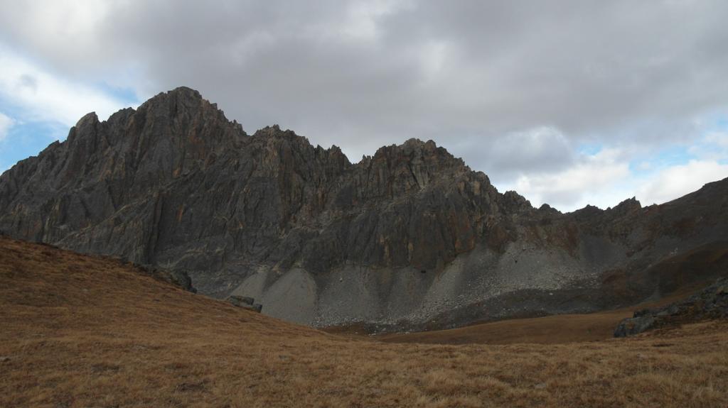
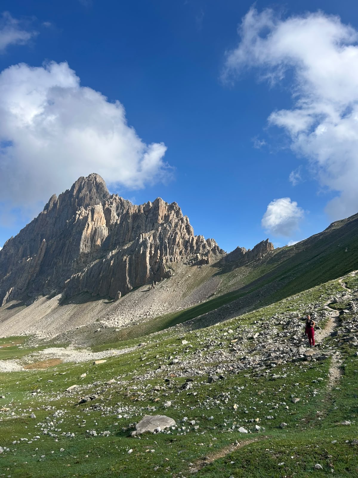
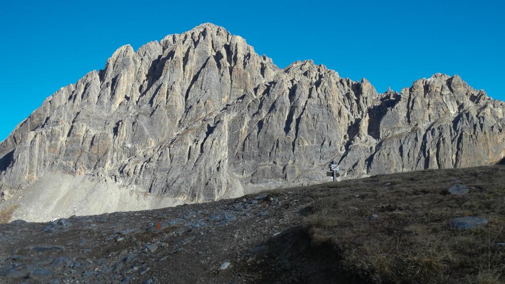
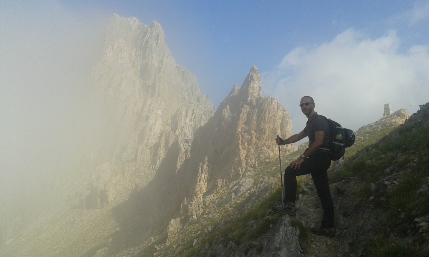
Avvicinamento
 50m
50m
5.7Km
5.7Km
5.7Km
6.3Km
6.9Km
7.5Km
7.5Km
50m
50m
5.7Km
5.7Km
5.7Km
6.3Km
6.9Km
7.5Km
7.5Km
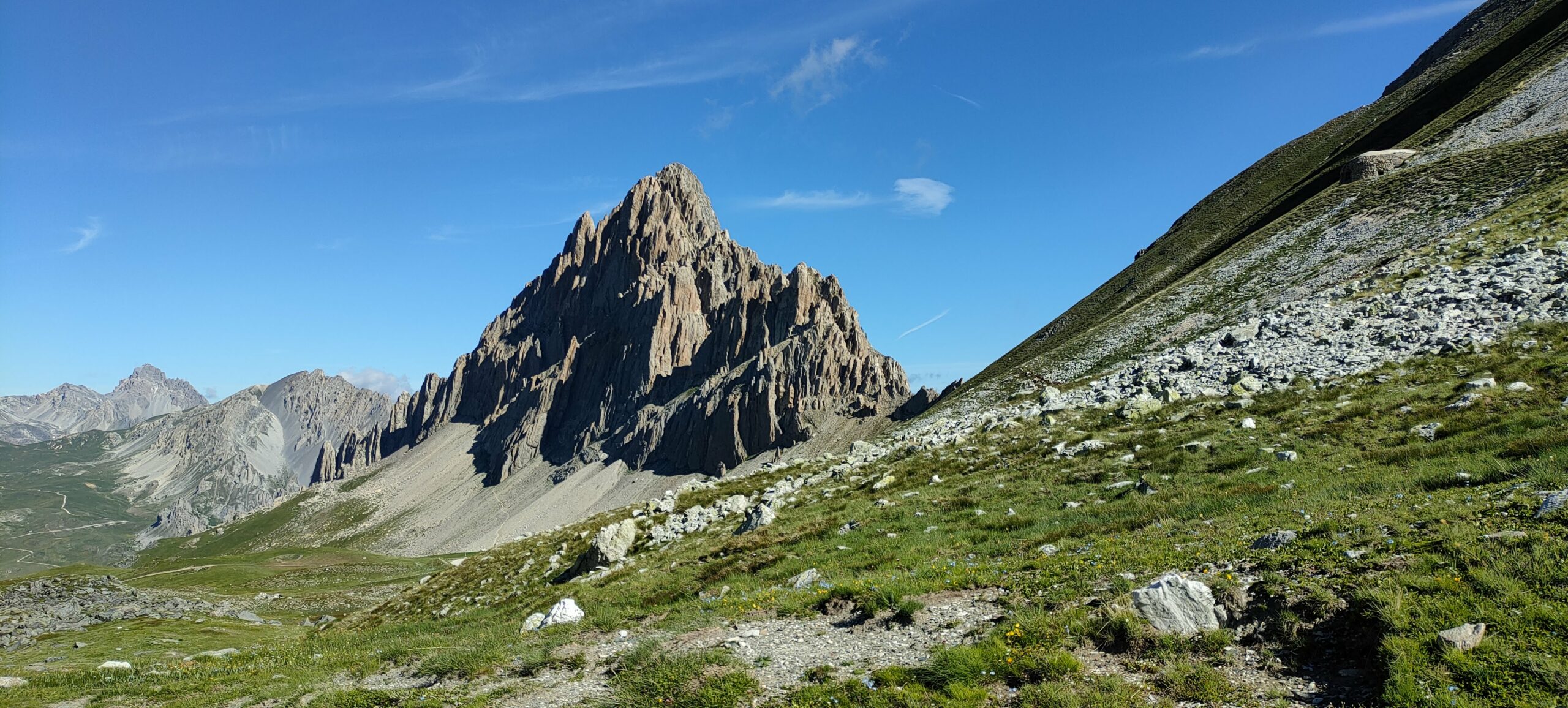
L'accesso può avvenire o dal Colle del Preit, quindi lato Valle Maira, oppure dal Colle di Valcavera lato Valli Stura e Grana, più breve
Descrizione
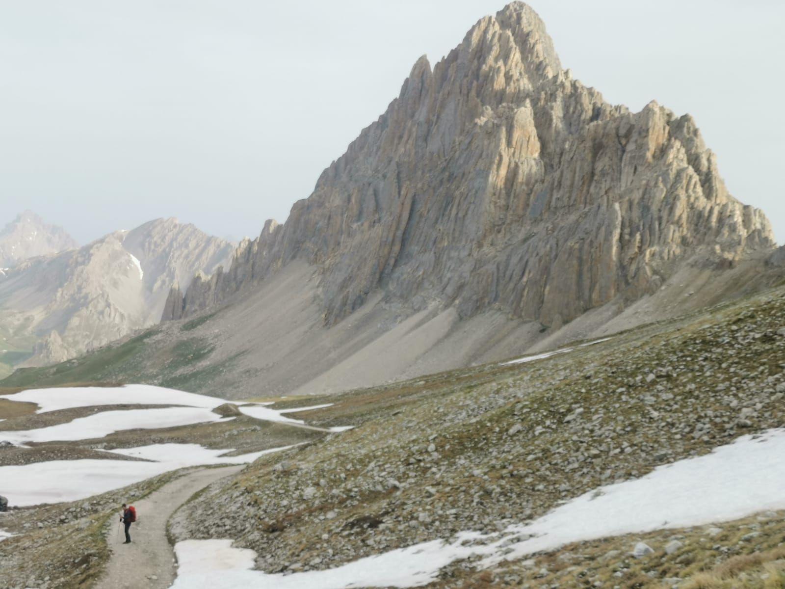
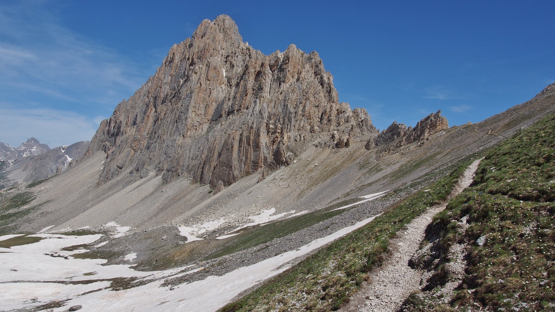
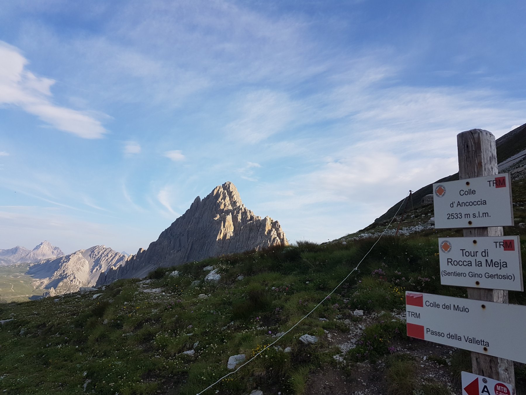
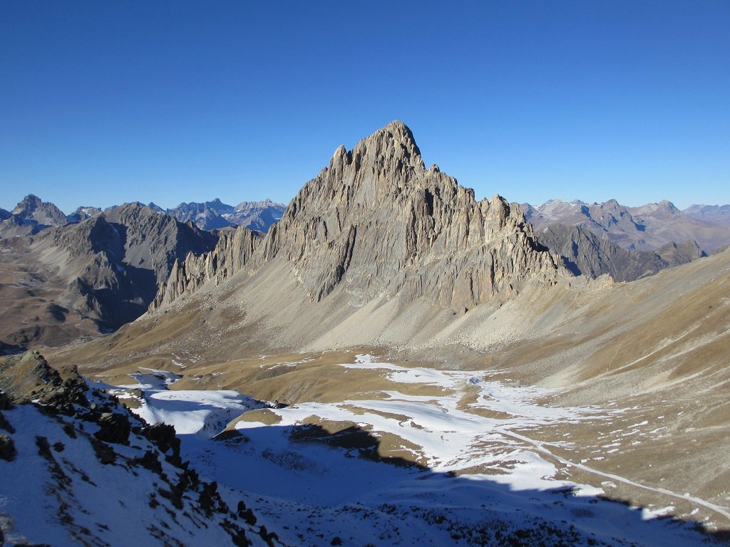
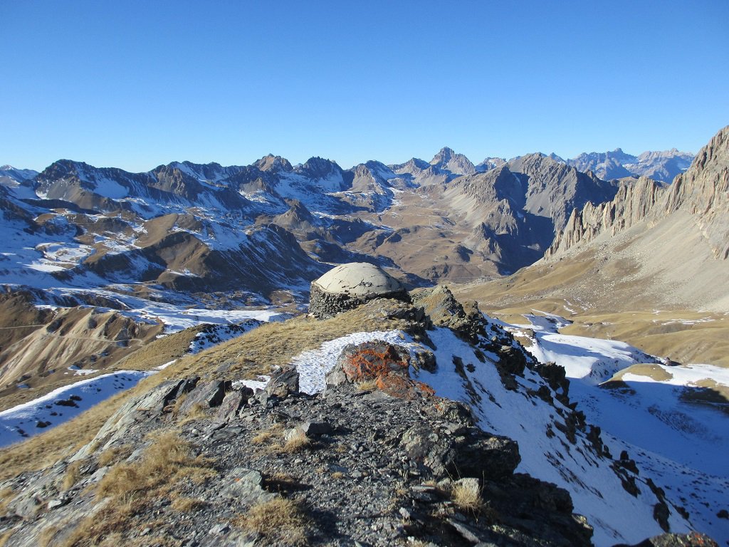
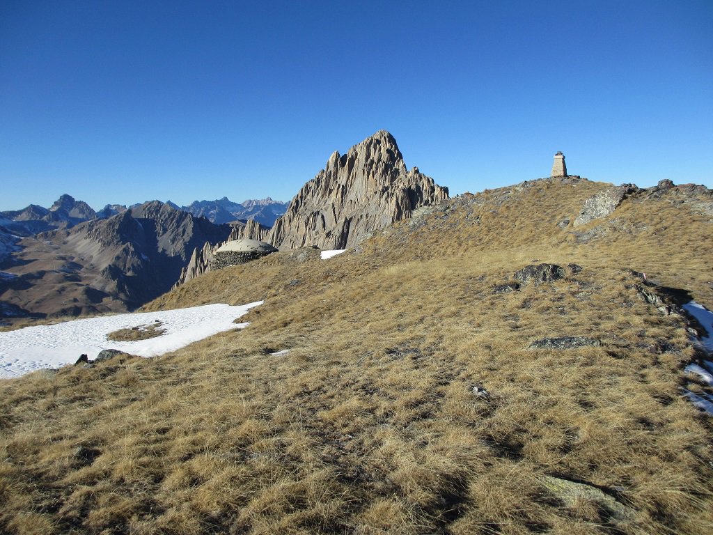
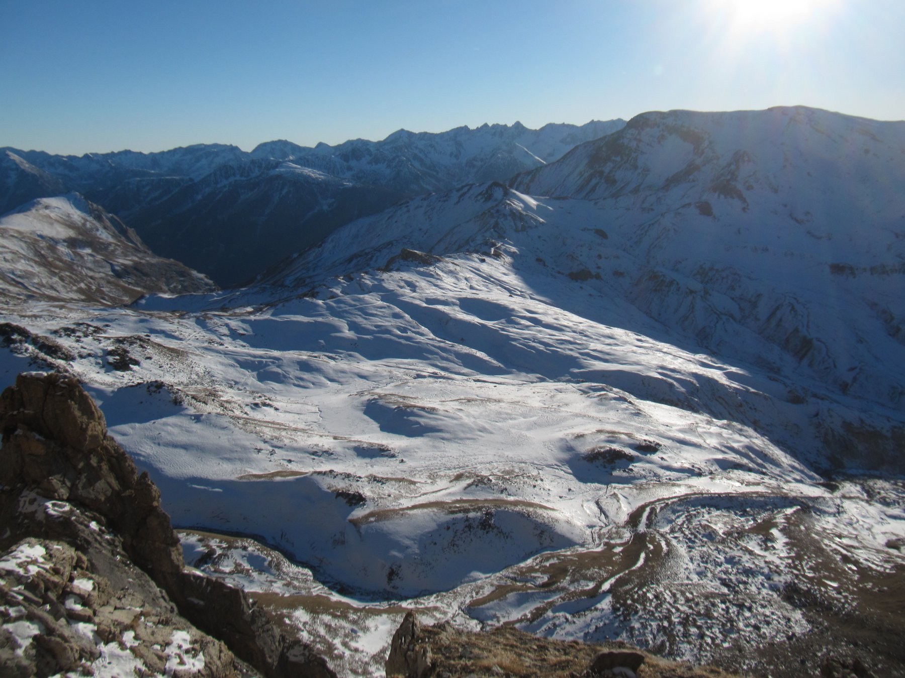
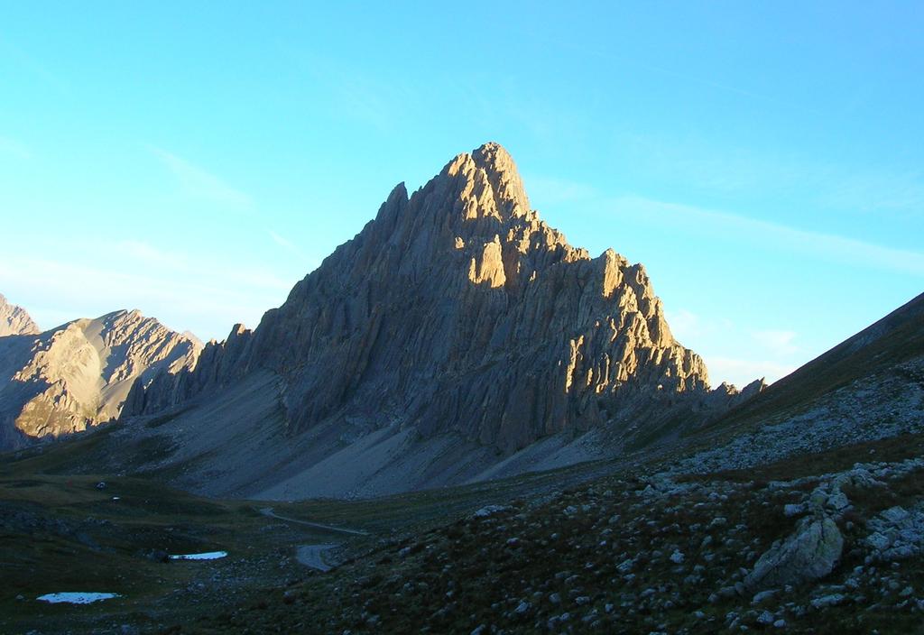
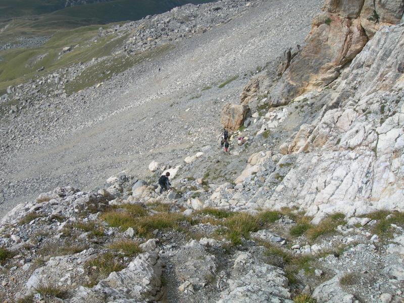
Dal colle di Valcavera si segue la sterrata per il colle Margherina e al primo bivio si svolta a dex su una sterrata che raggiunge il colle d’Ancoccia (2533 m);
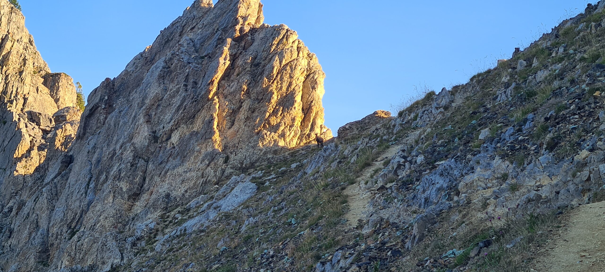
si scende brevemente sul versante opposto, poi si prende a dex una traccia che porta al colletto della Meja (2551 m).Qui comincia la cresta.
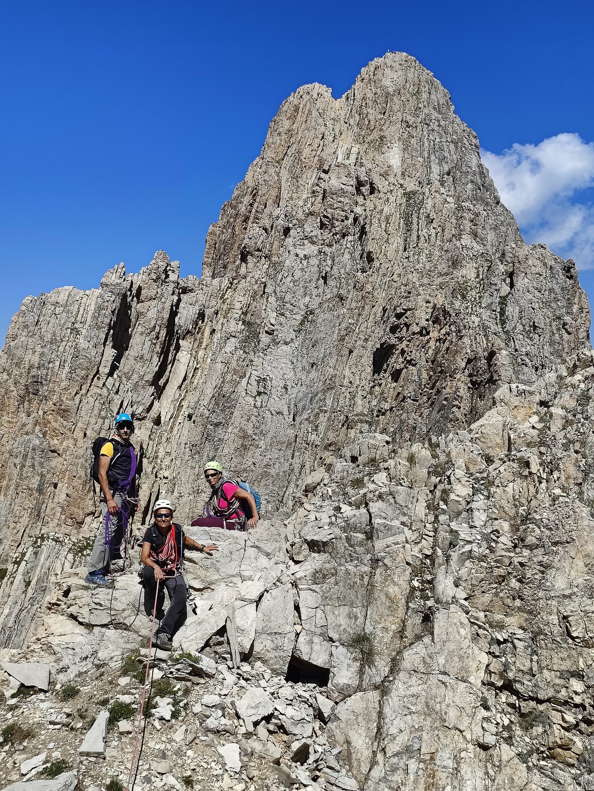
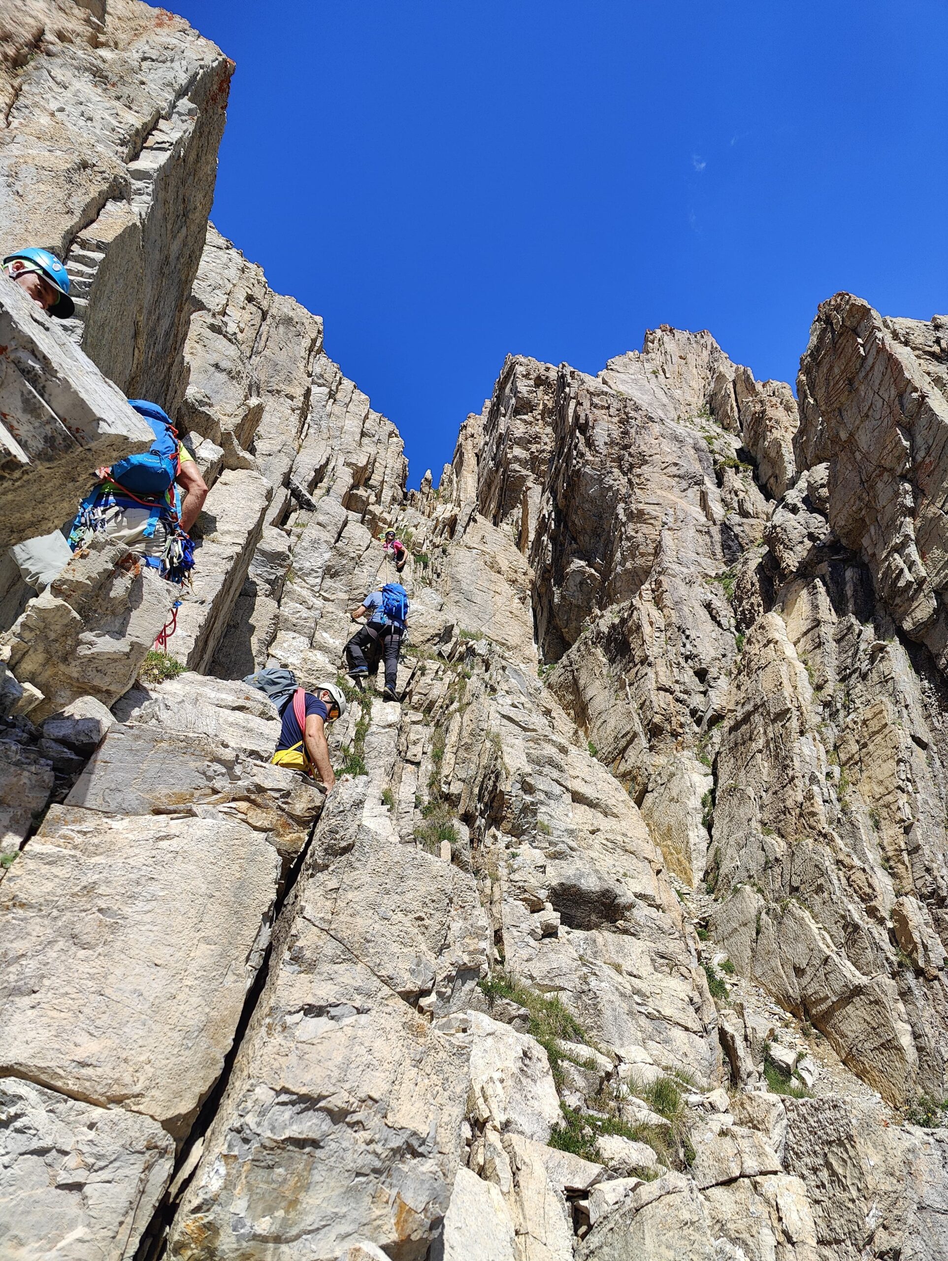
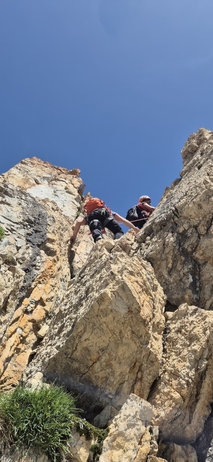
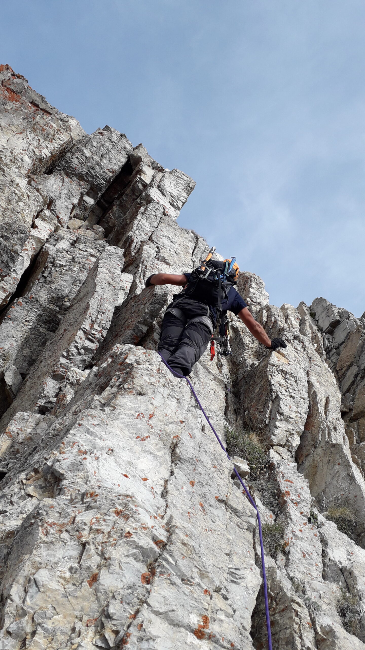
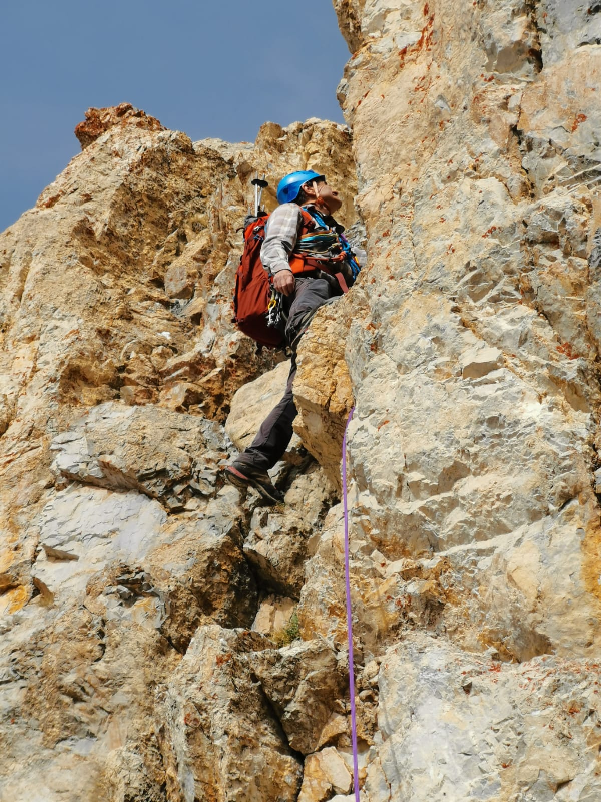
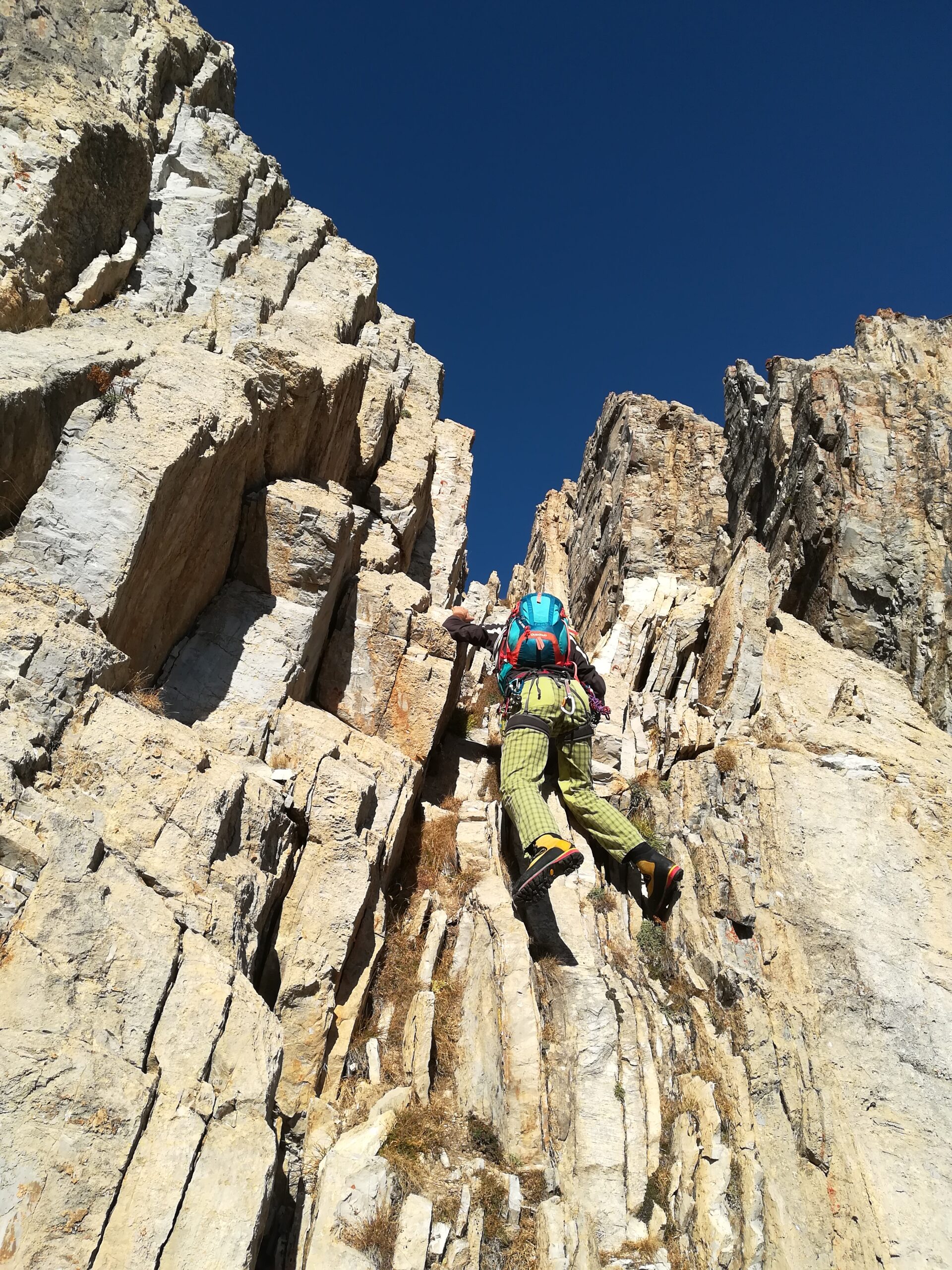
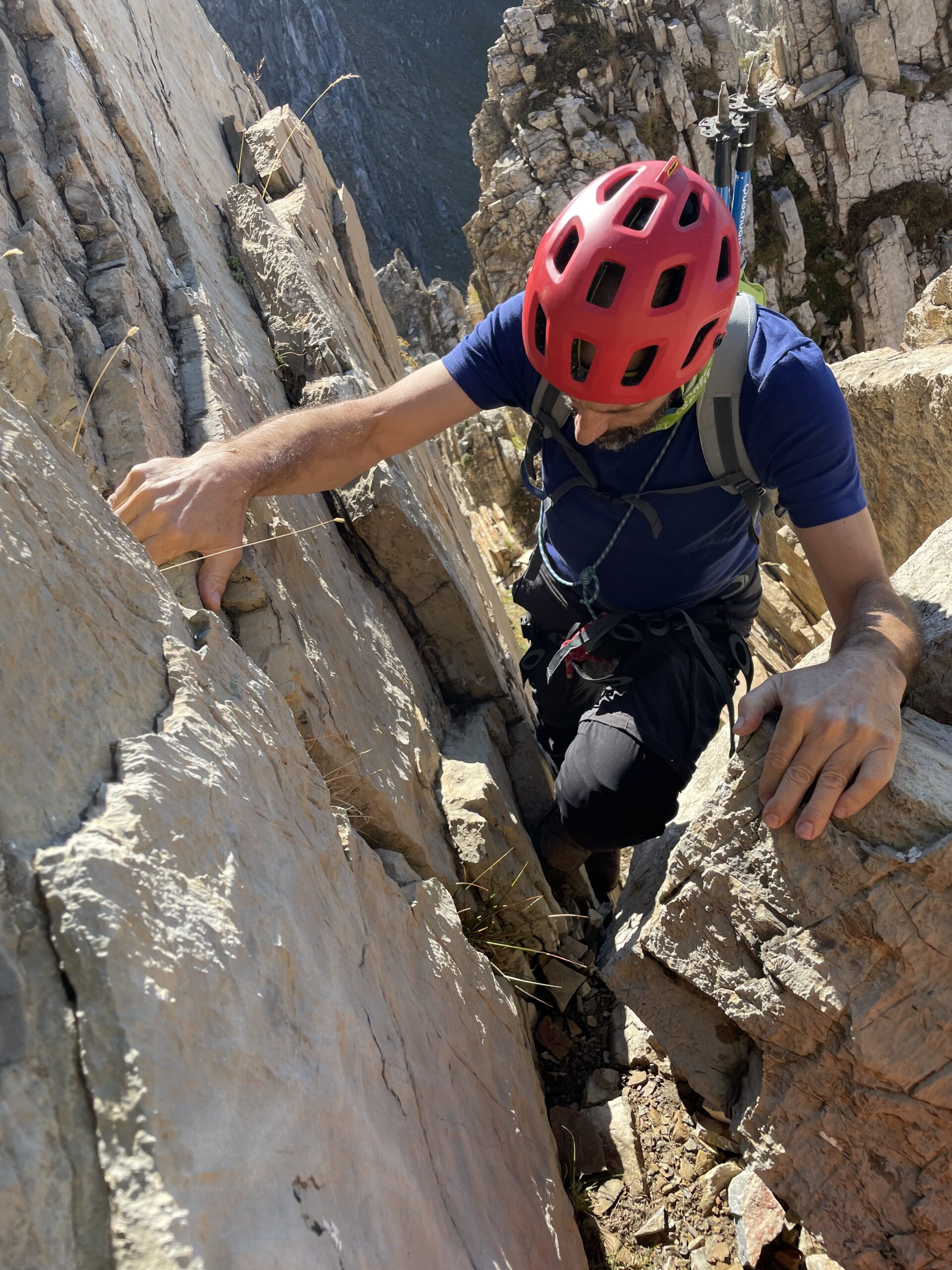
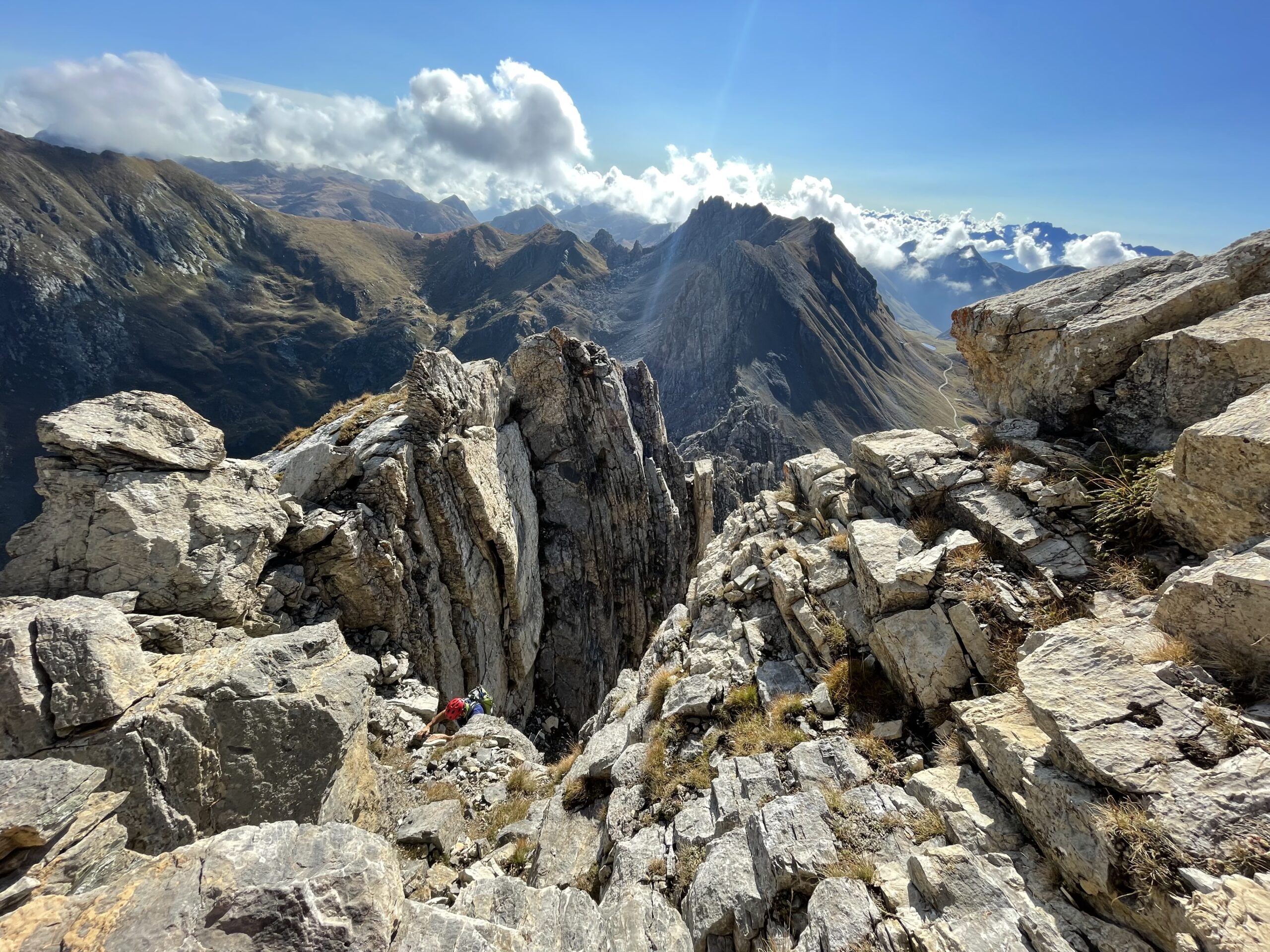
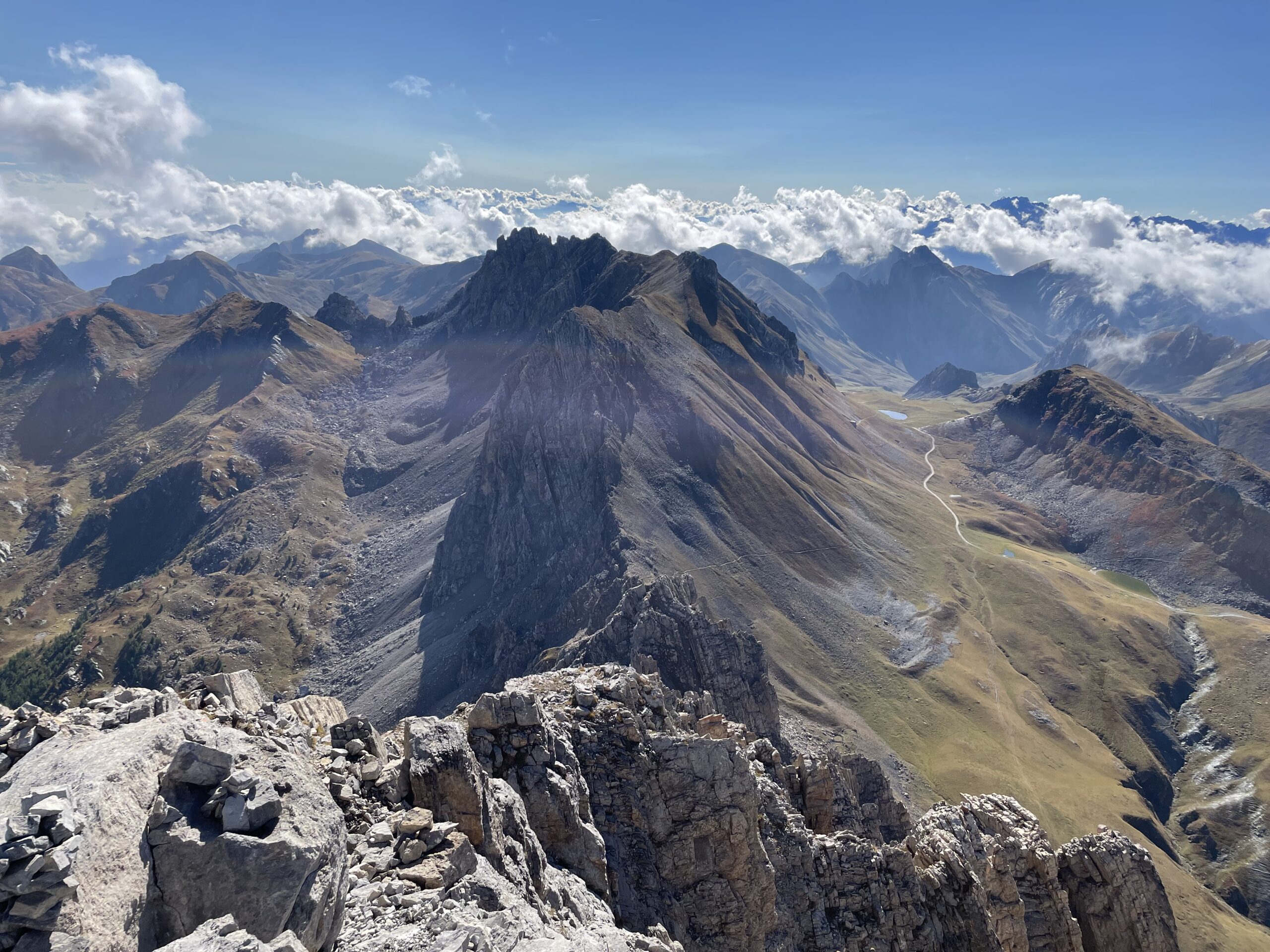
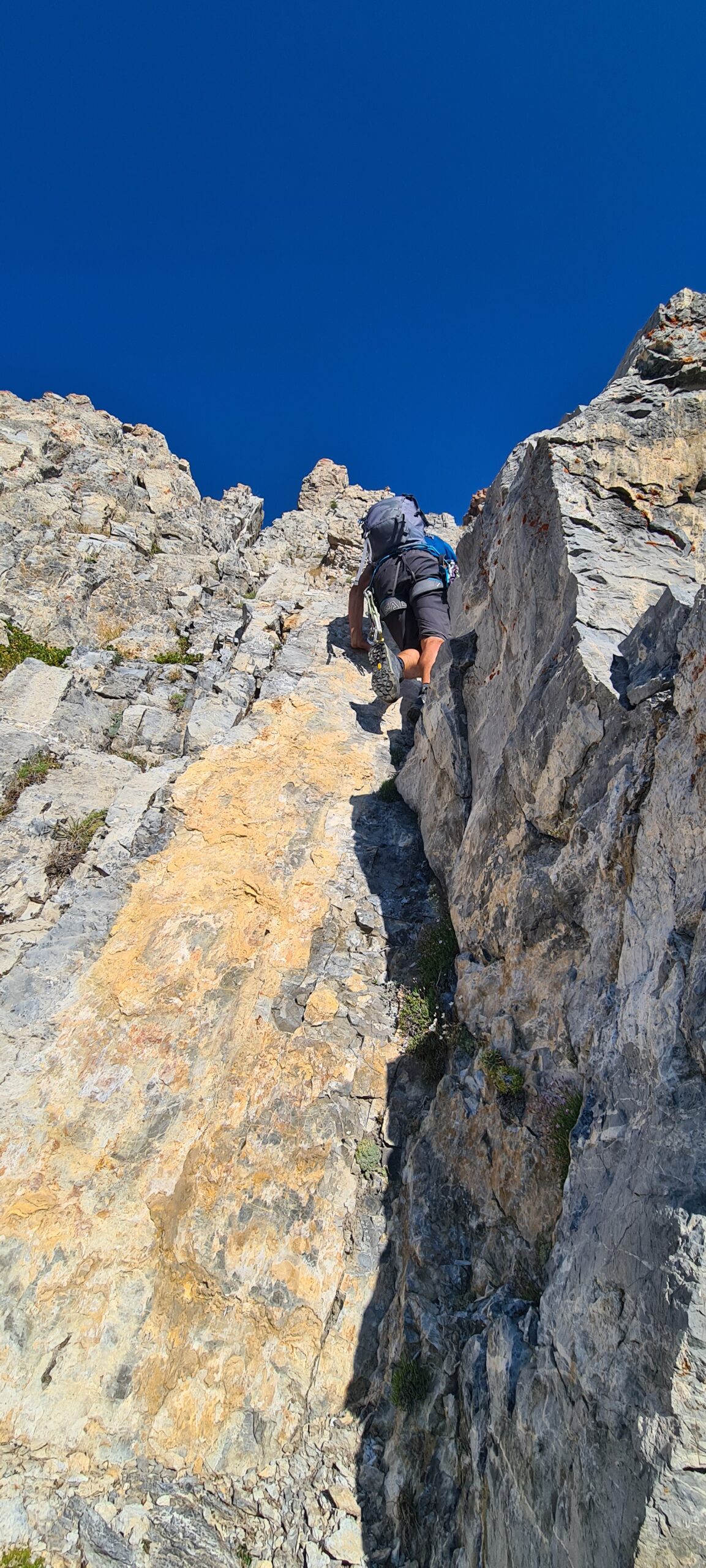
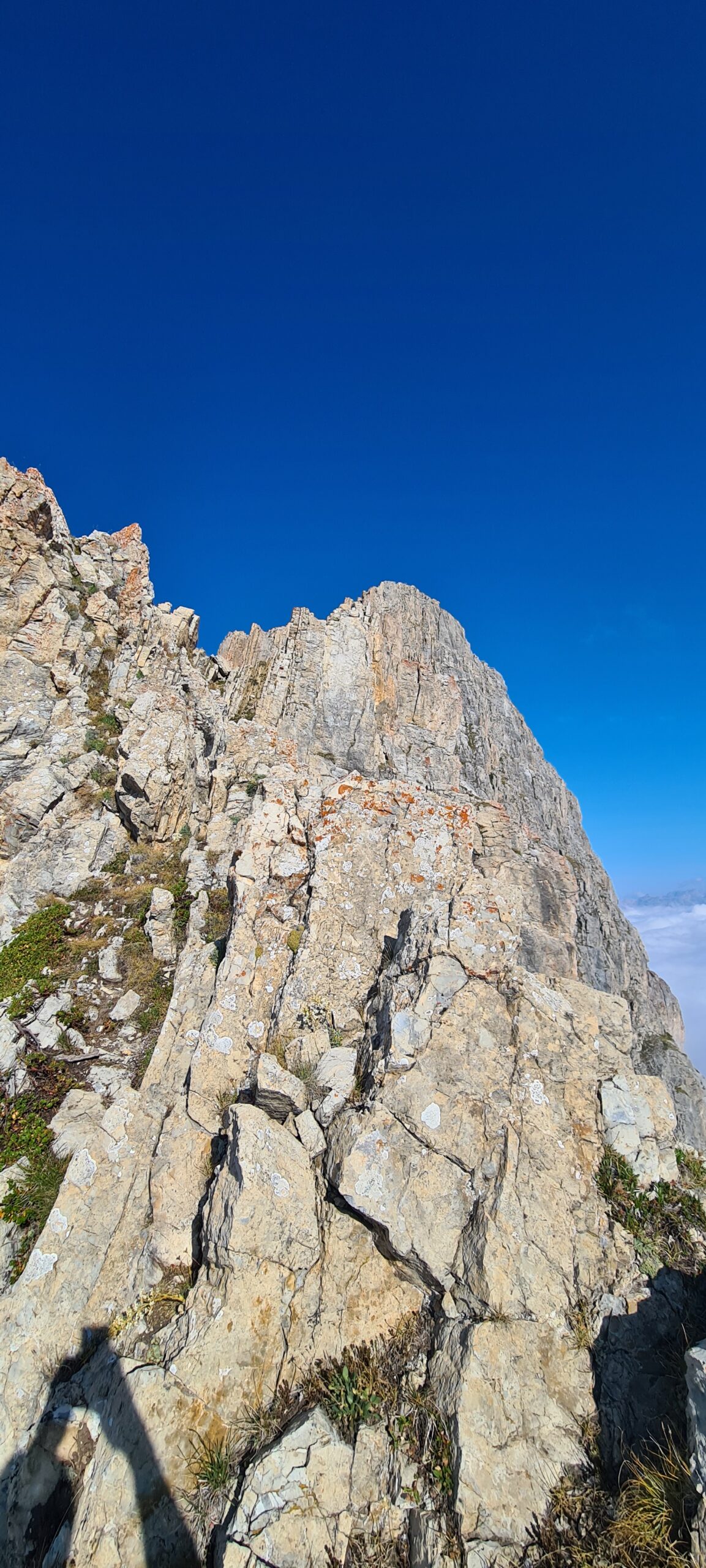
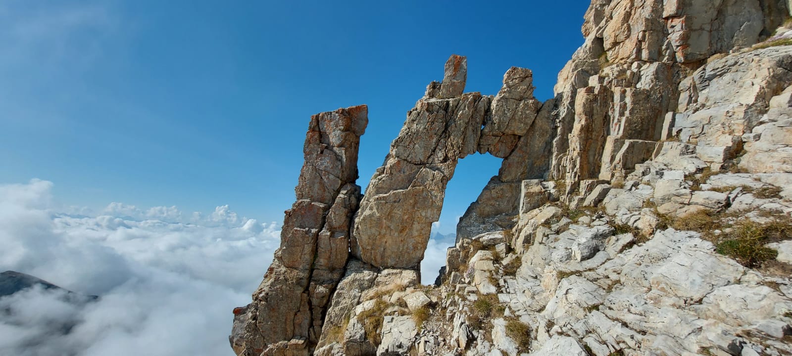
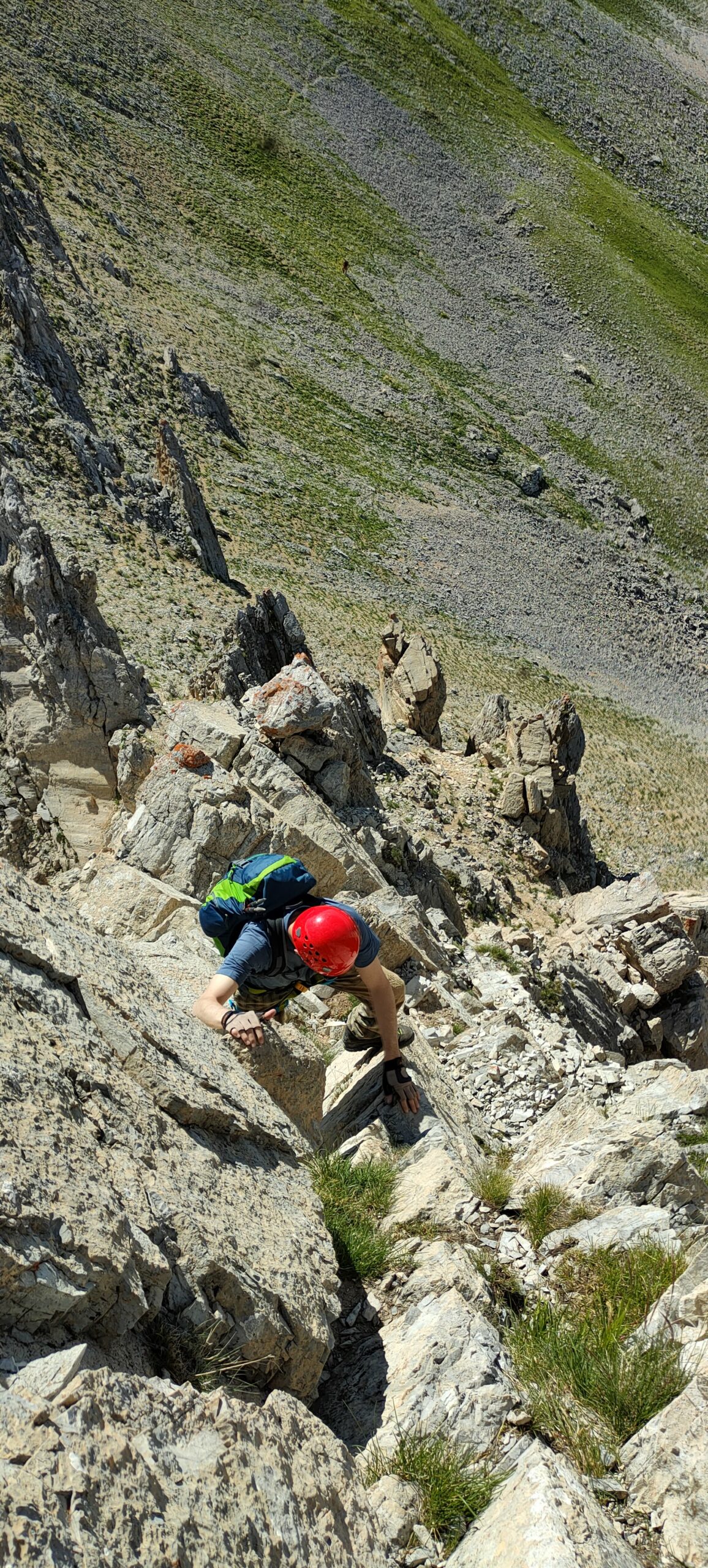
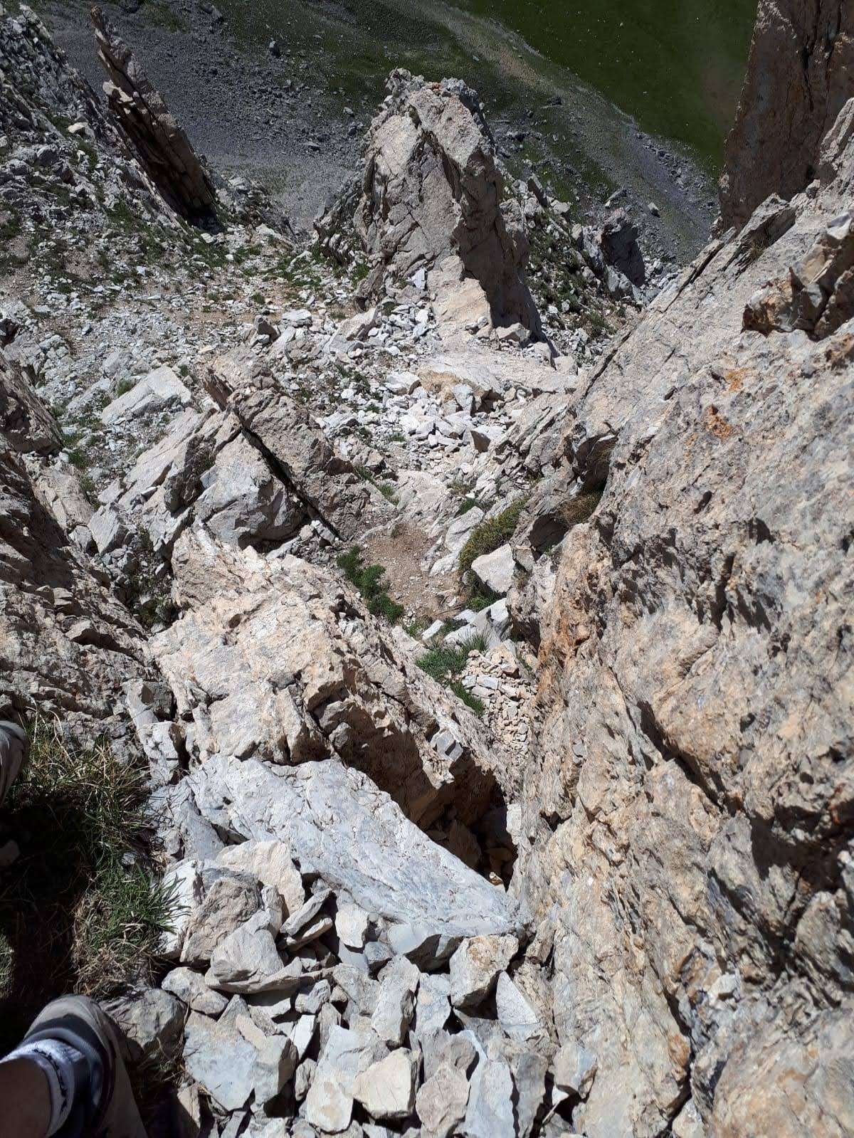
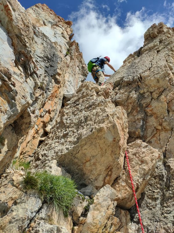
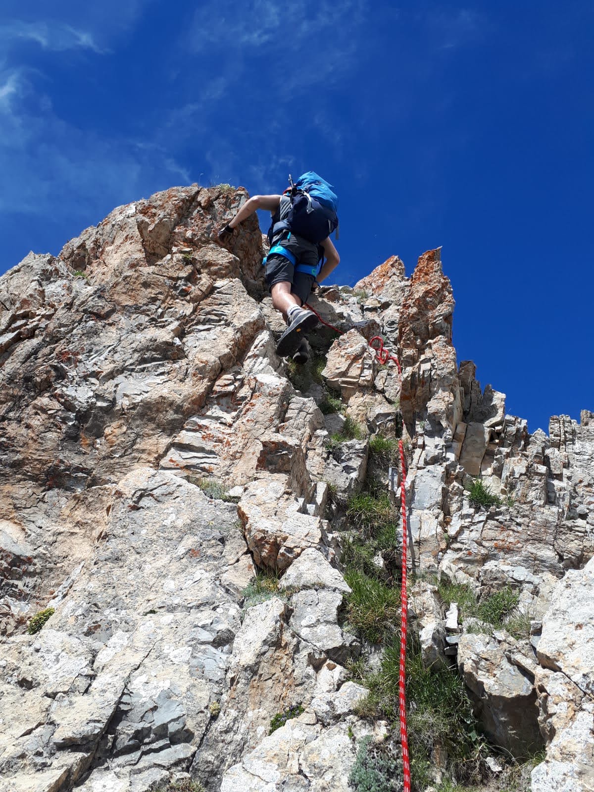
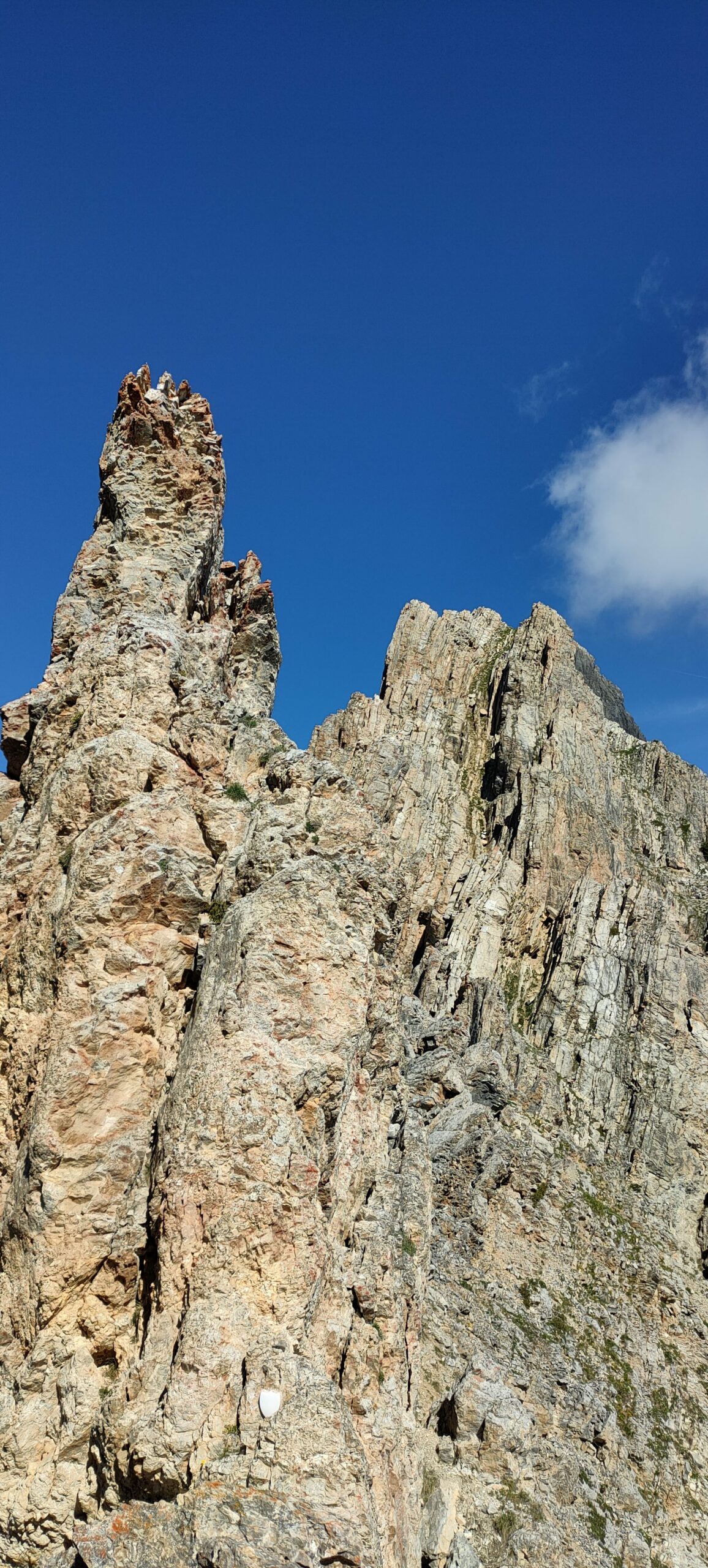
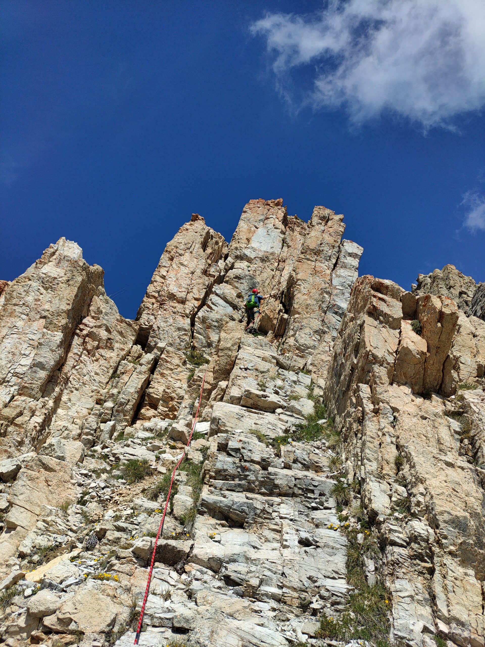
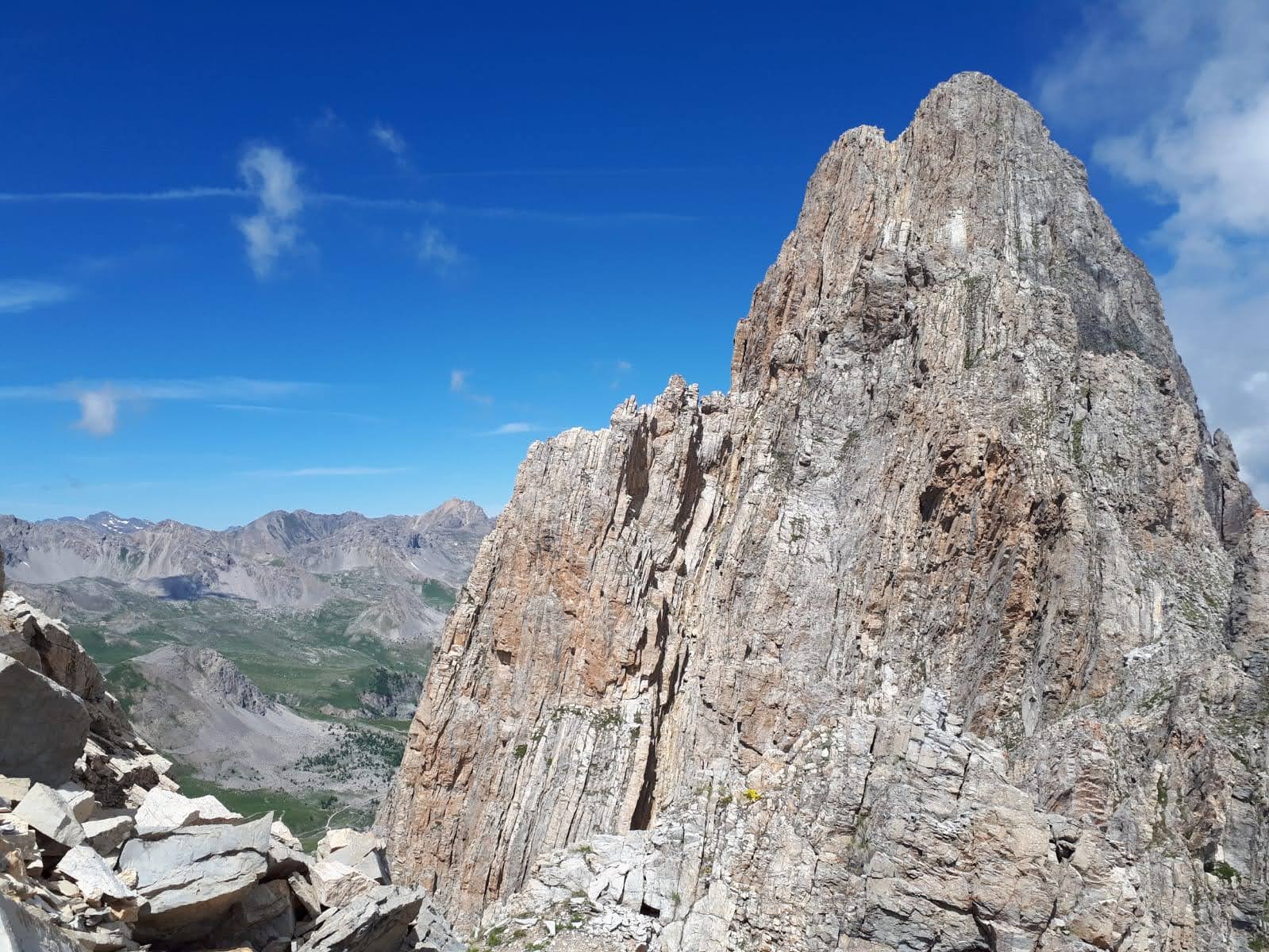
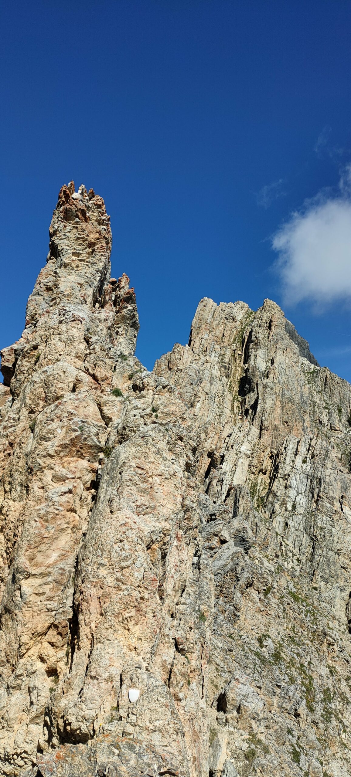
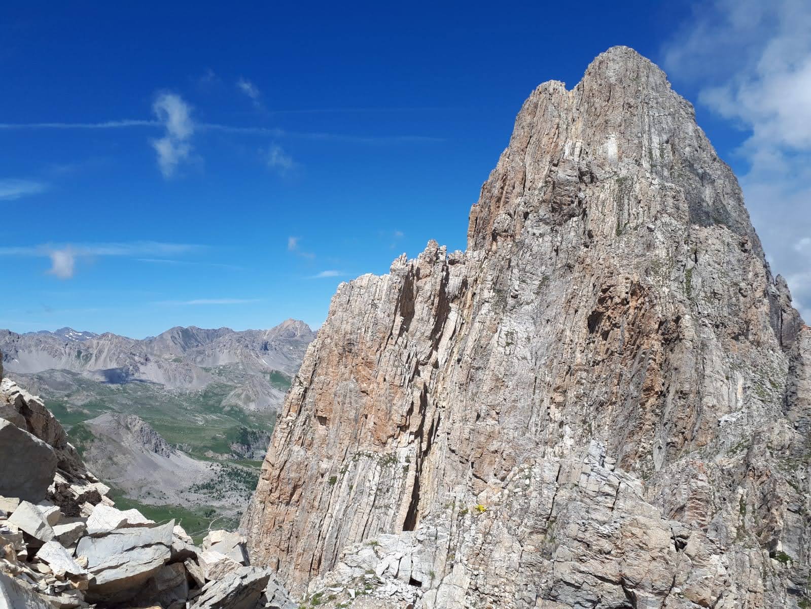
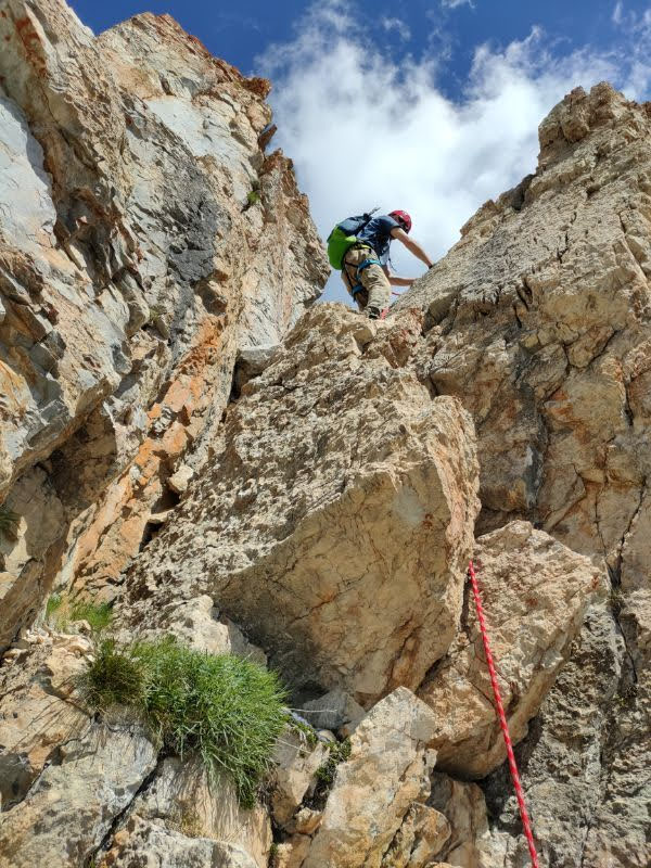
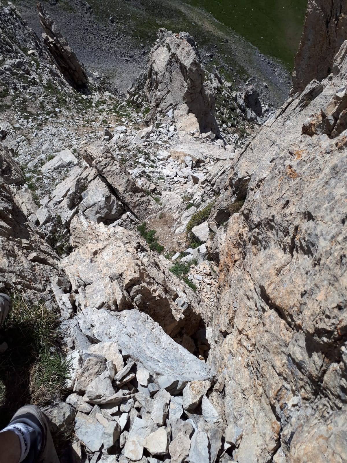
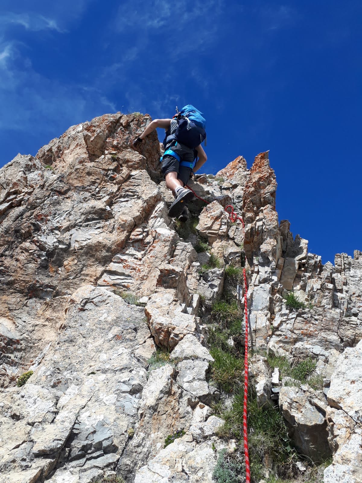
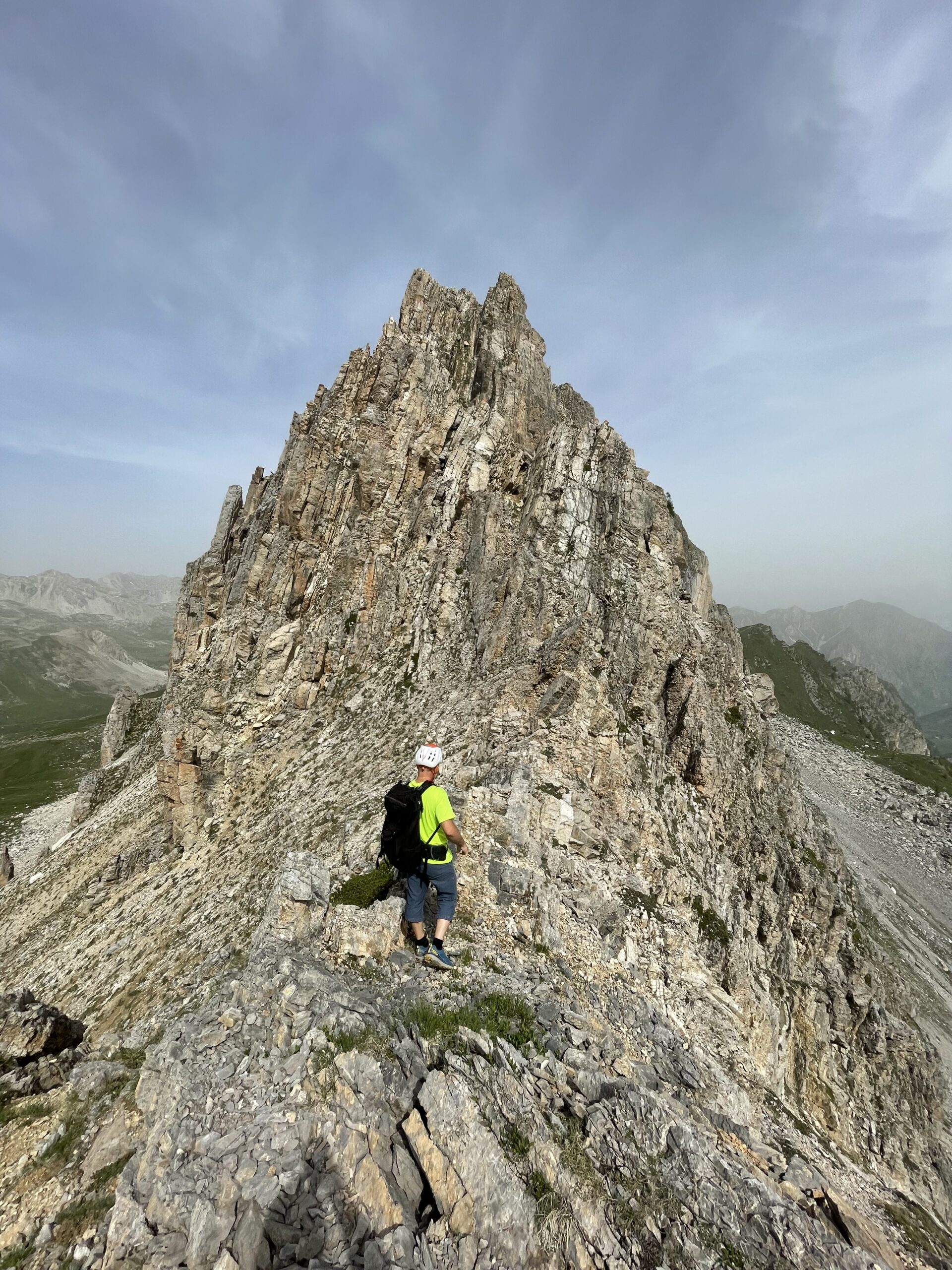
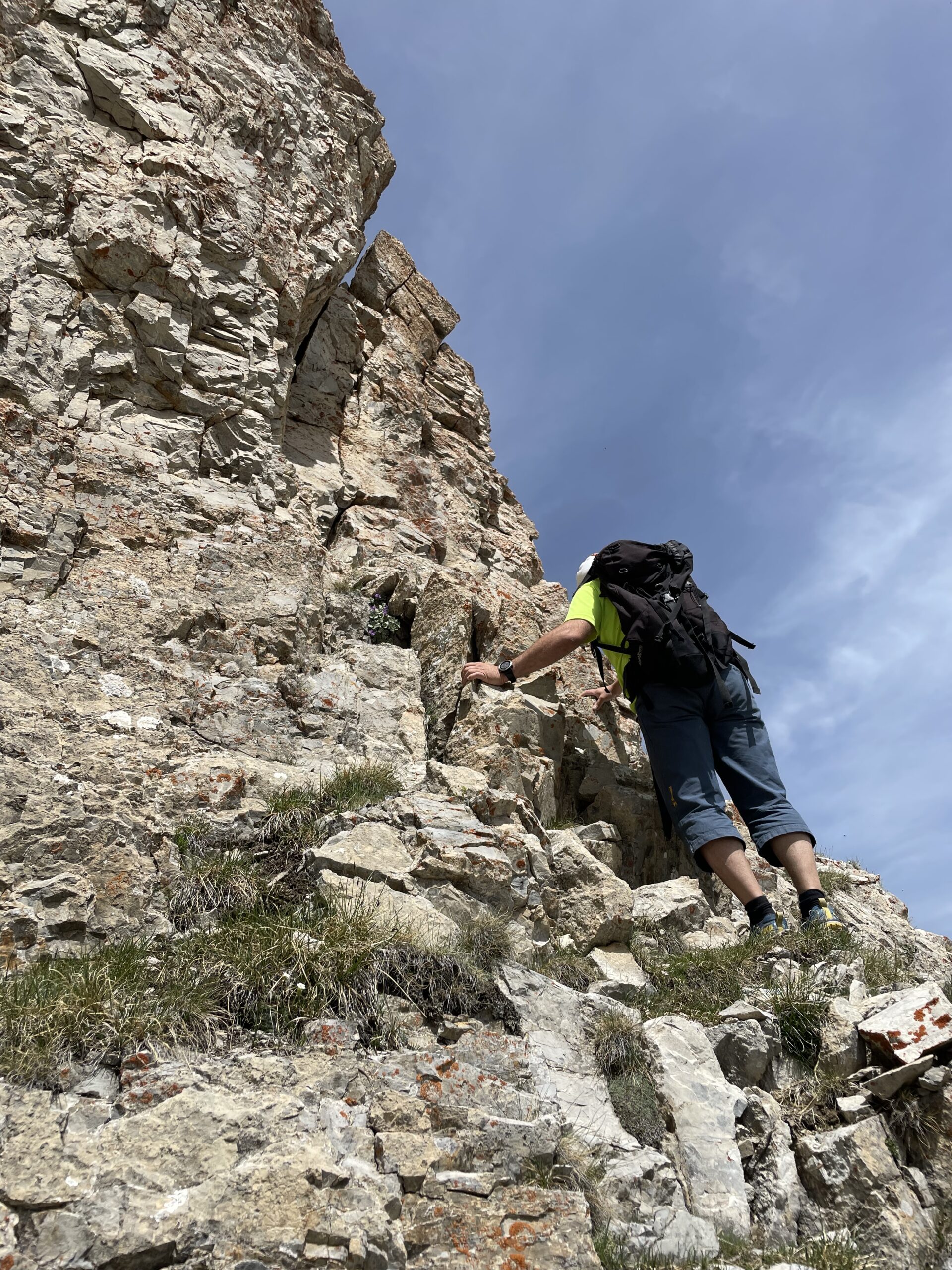
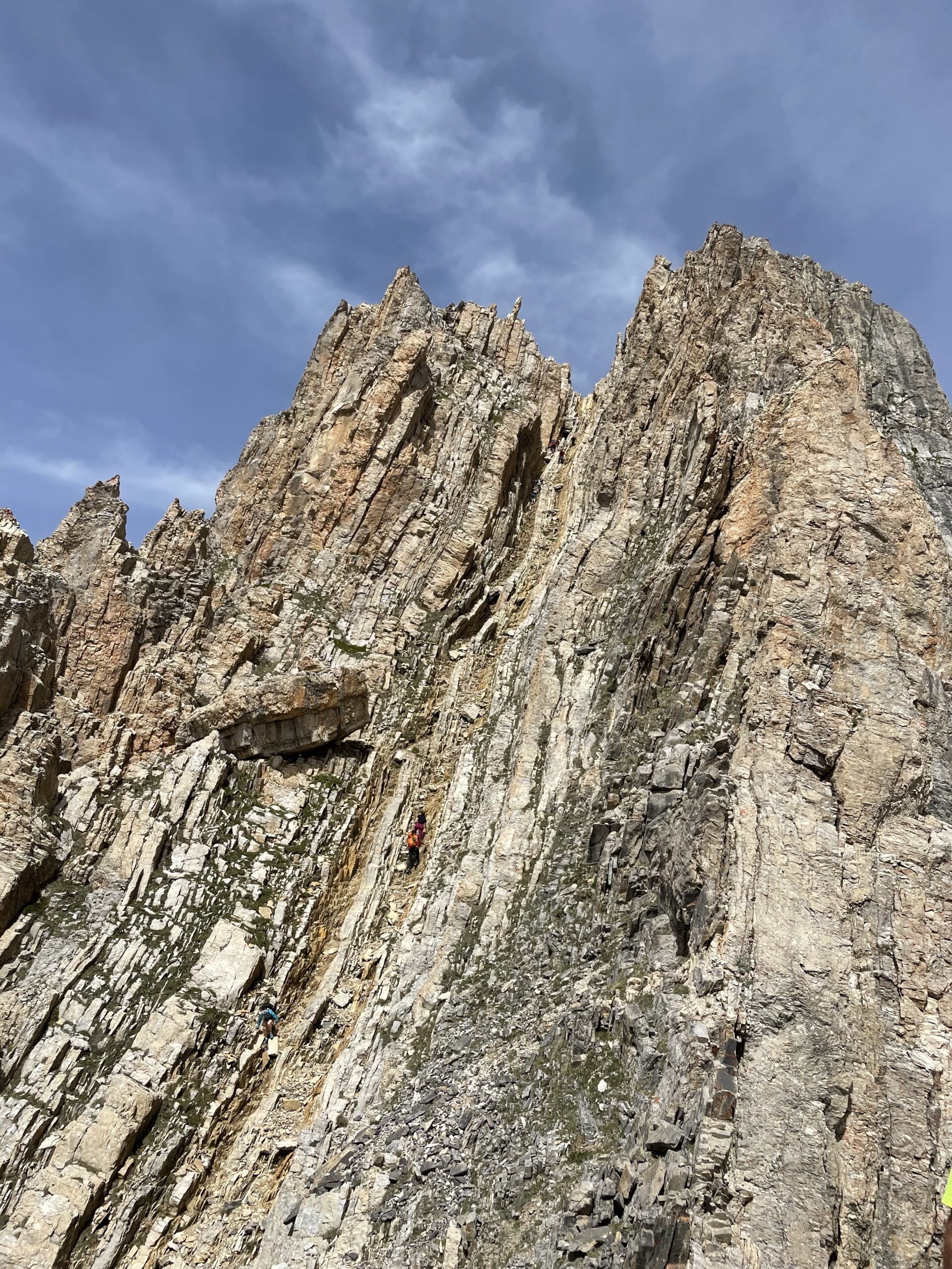
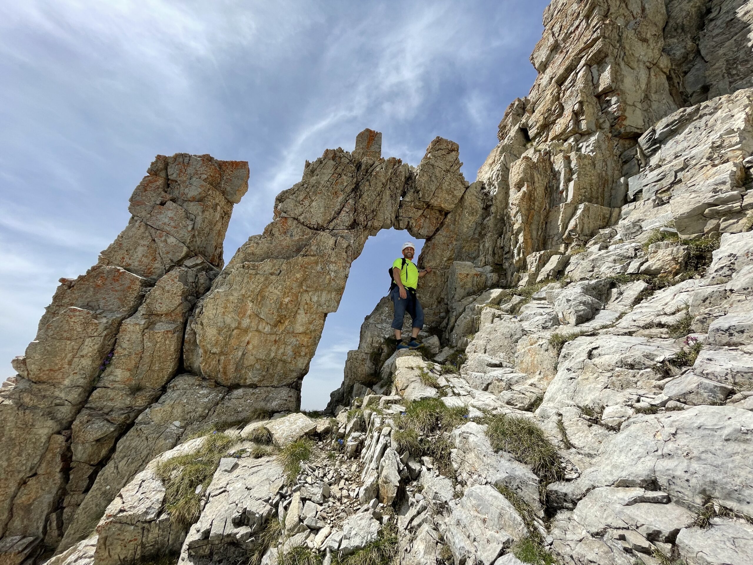
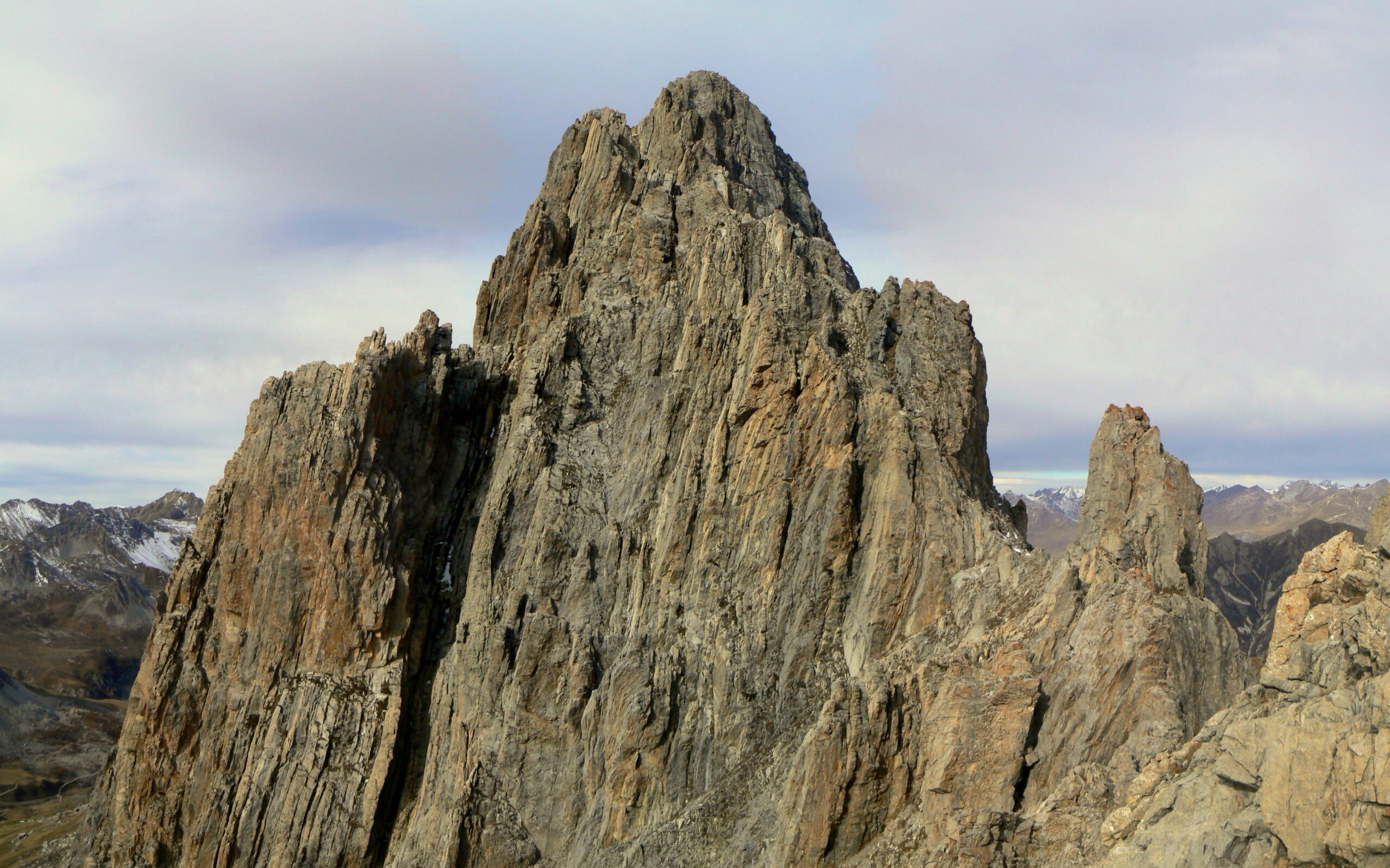
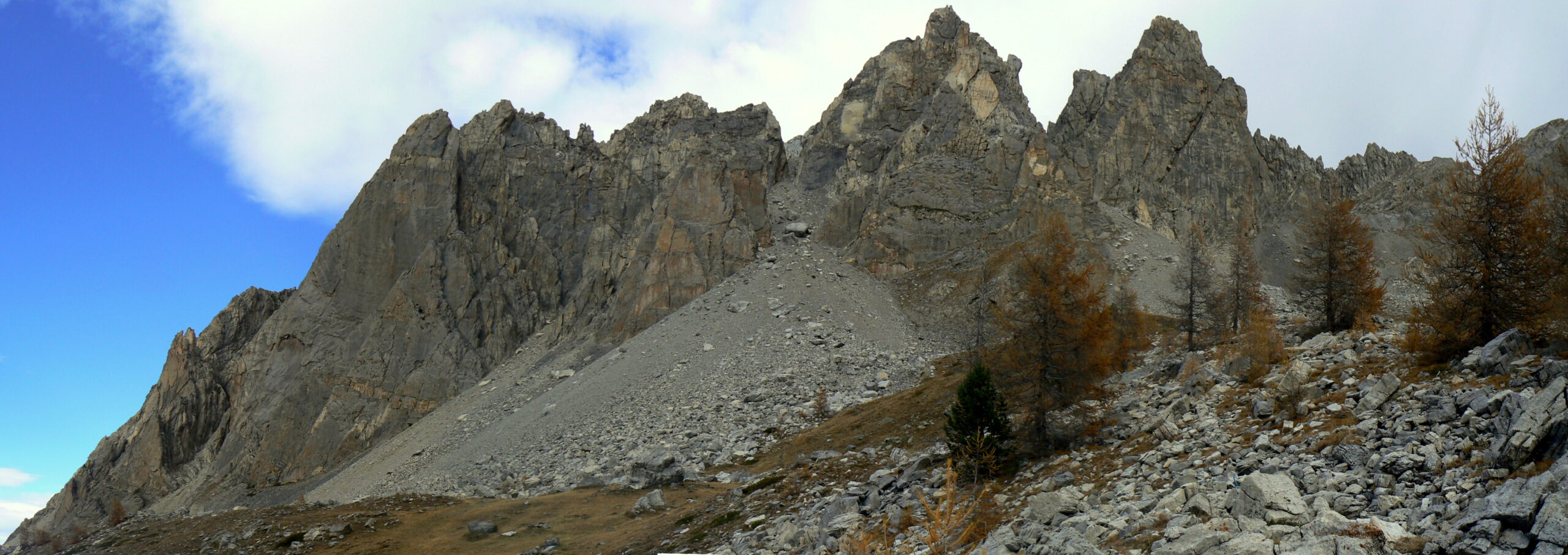
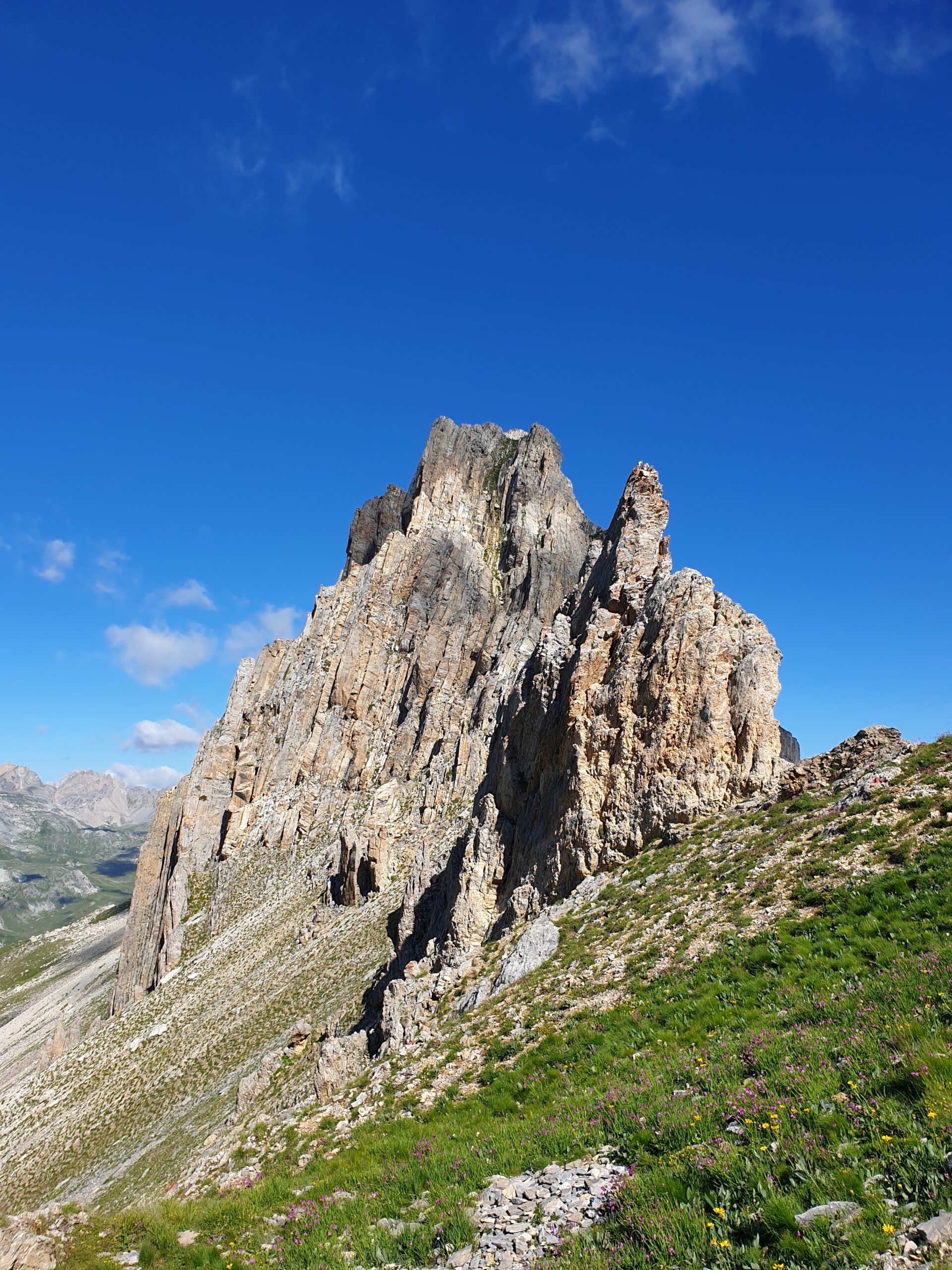
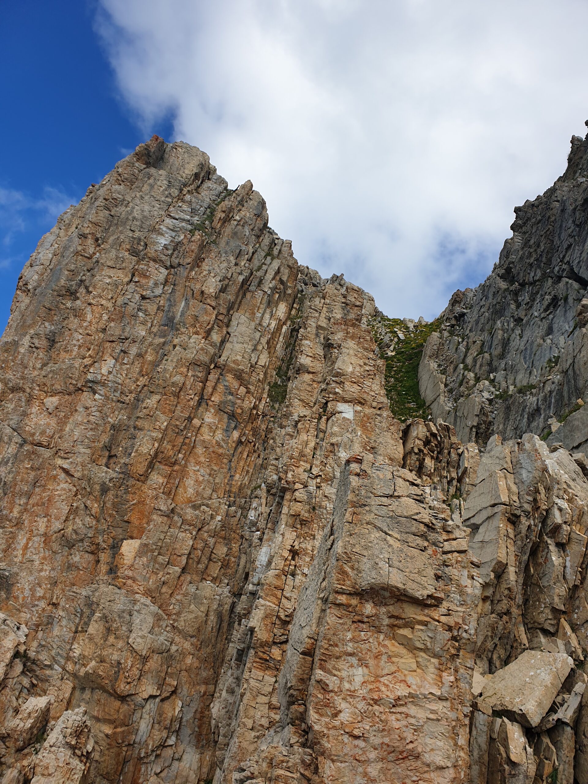
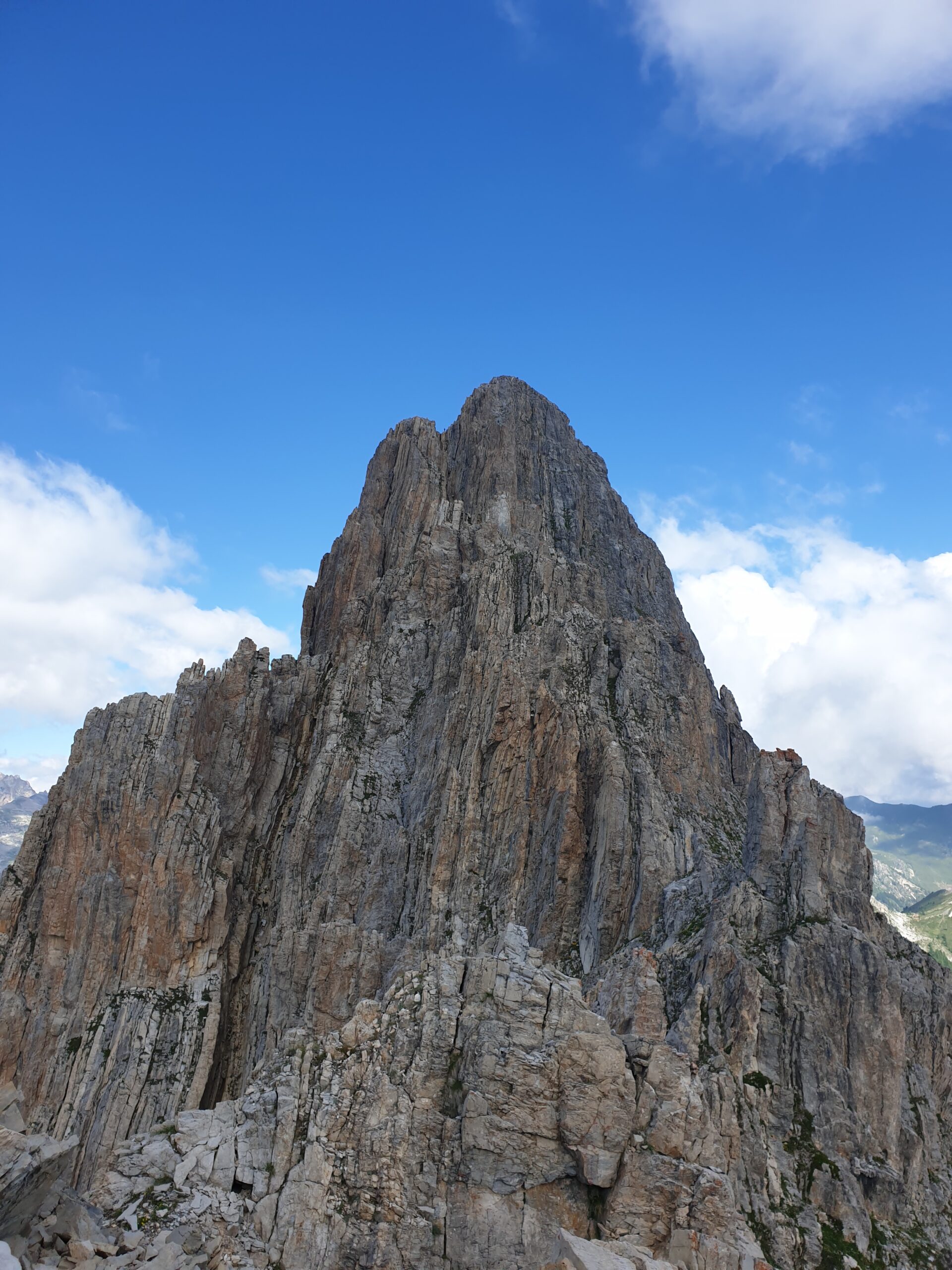
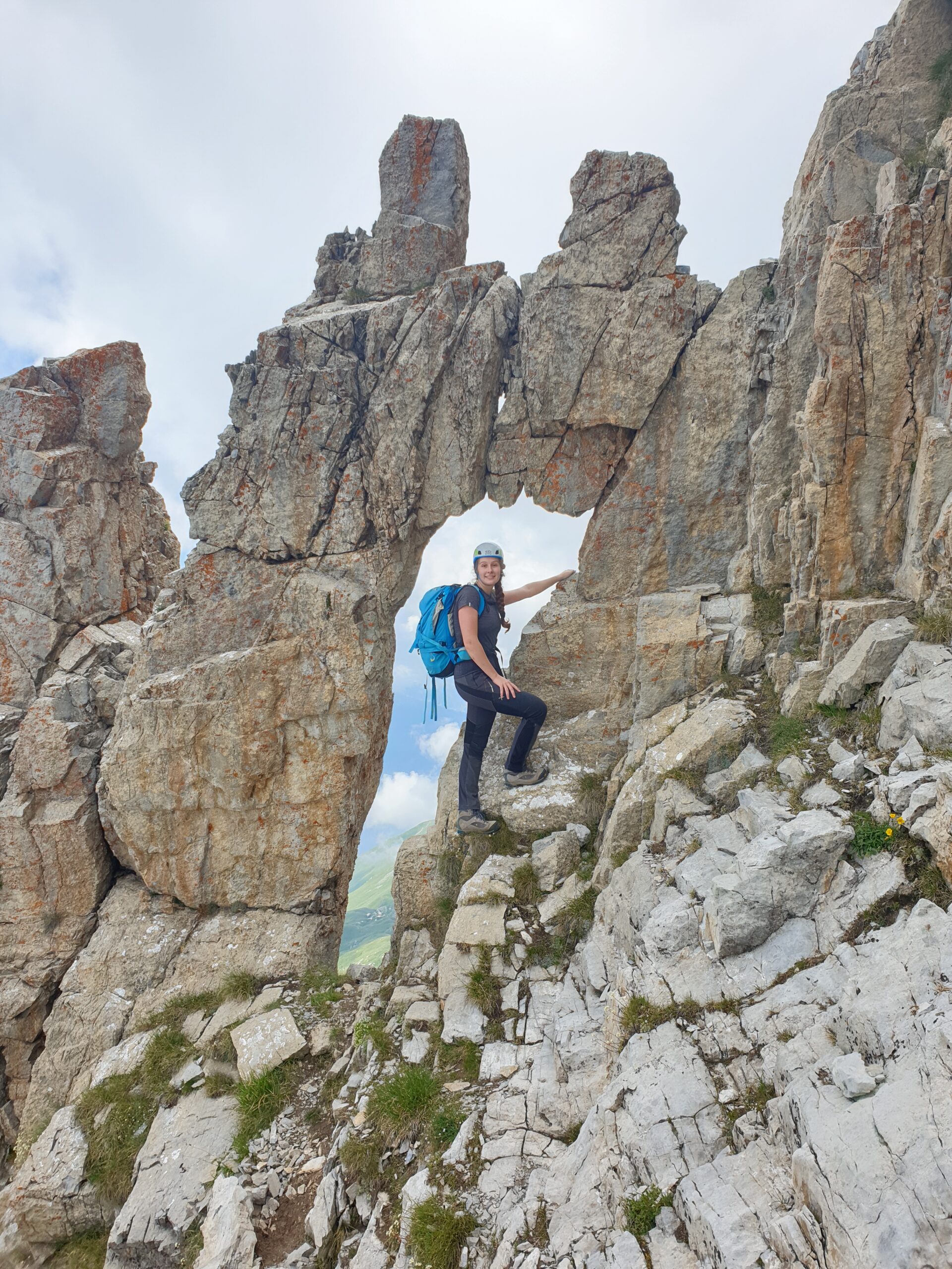
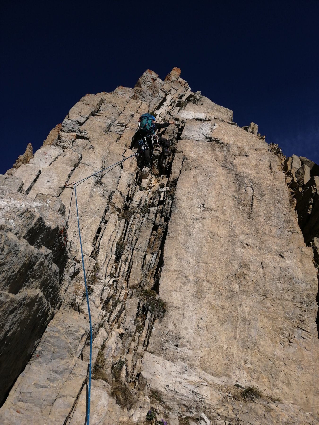
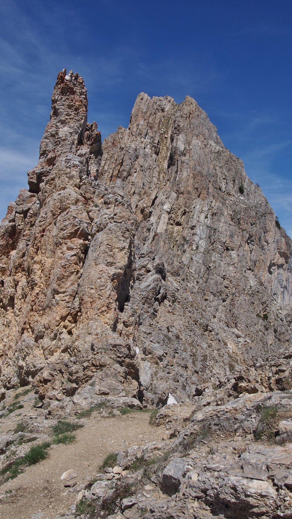
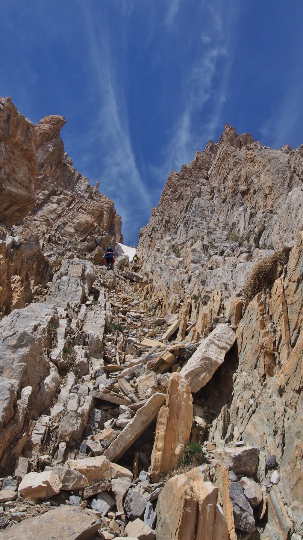
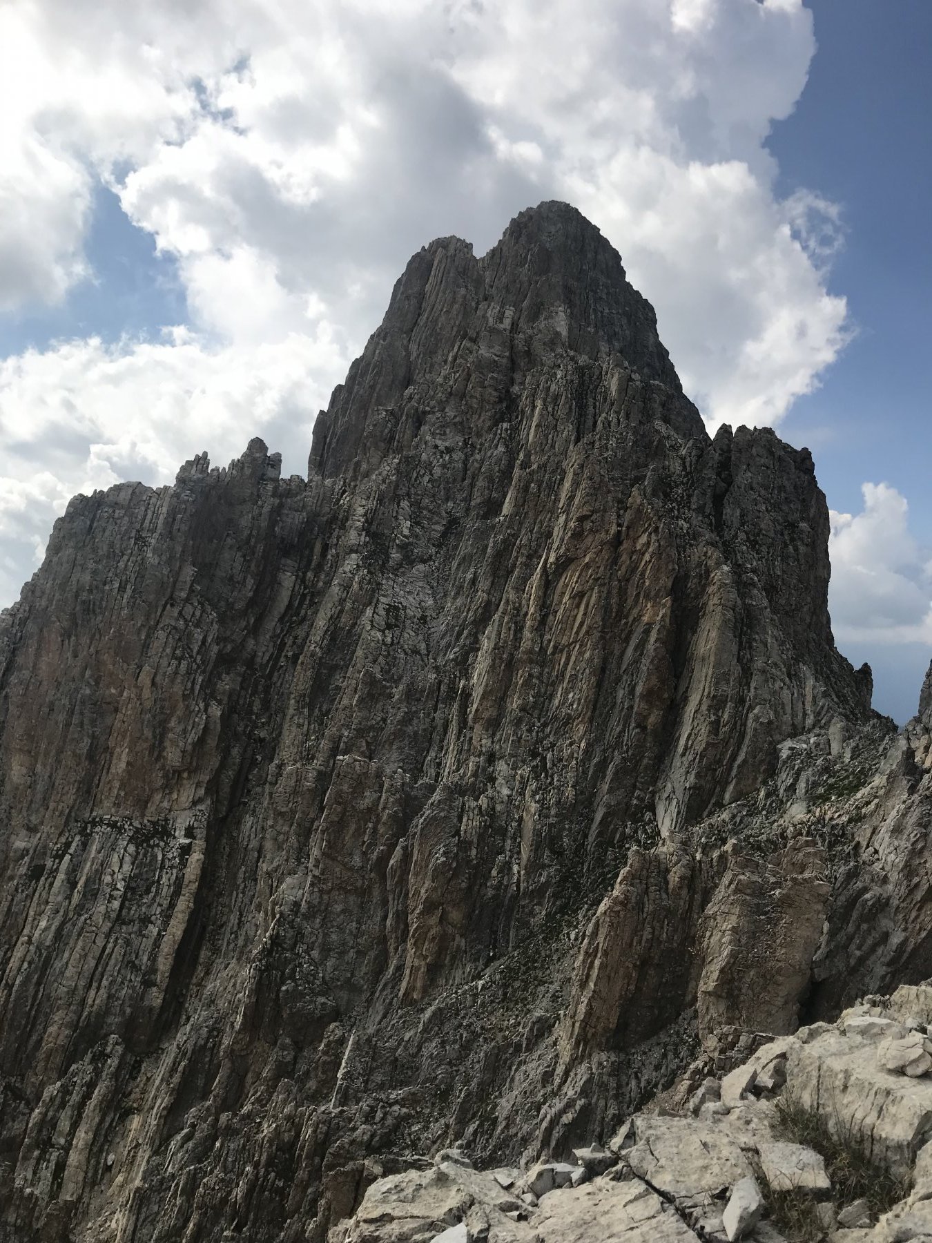
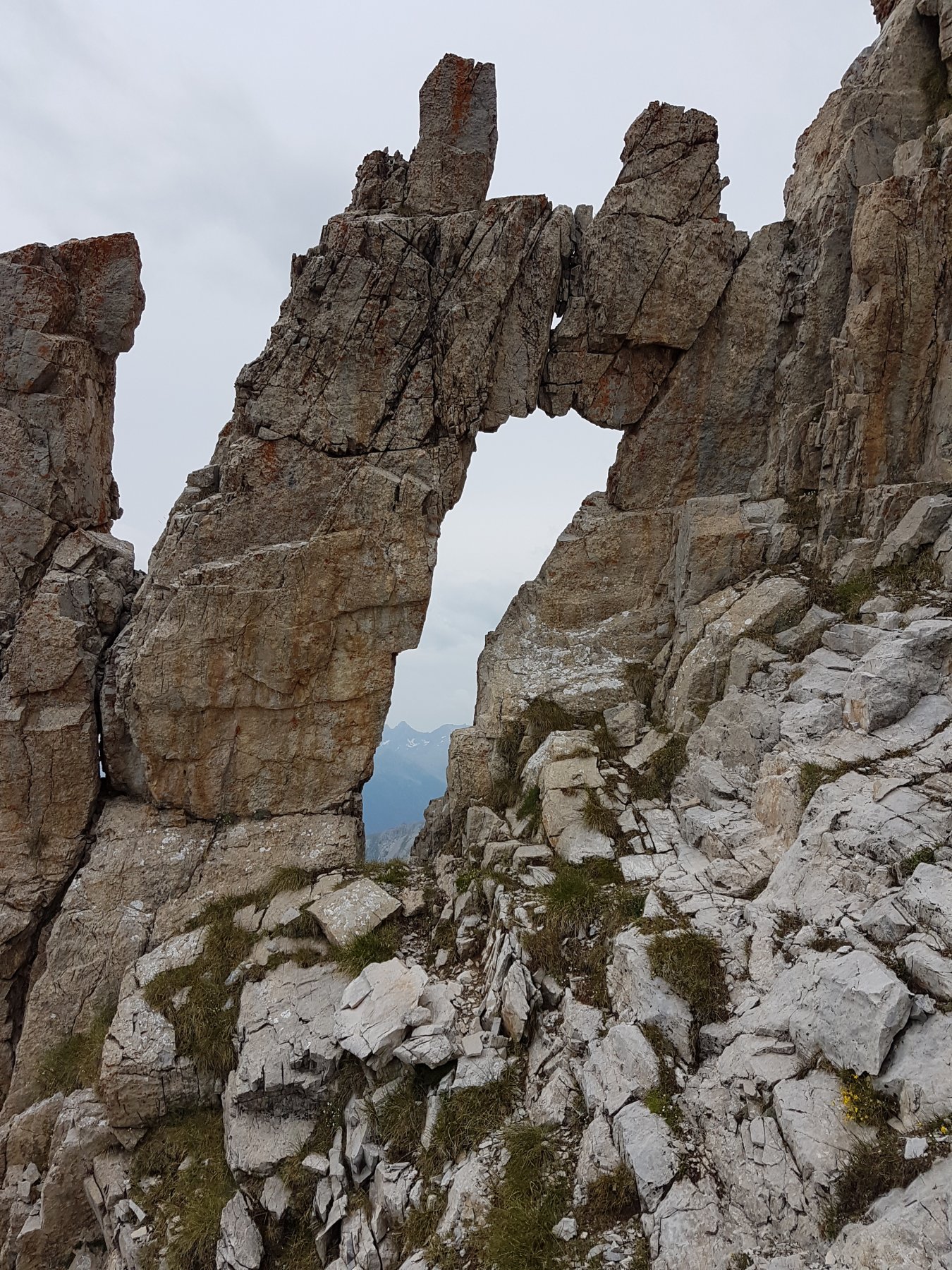
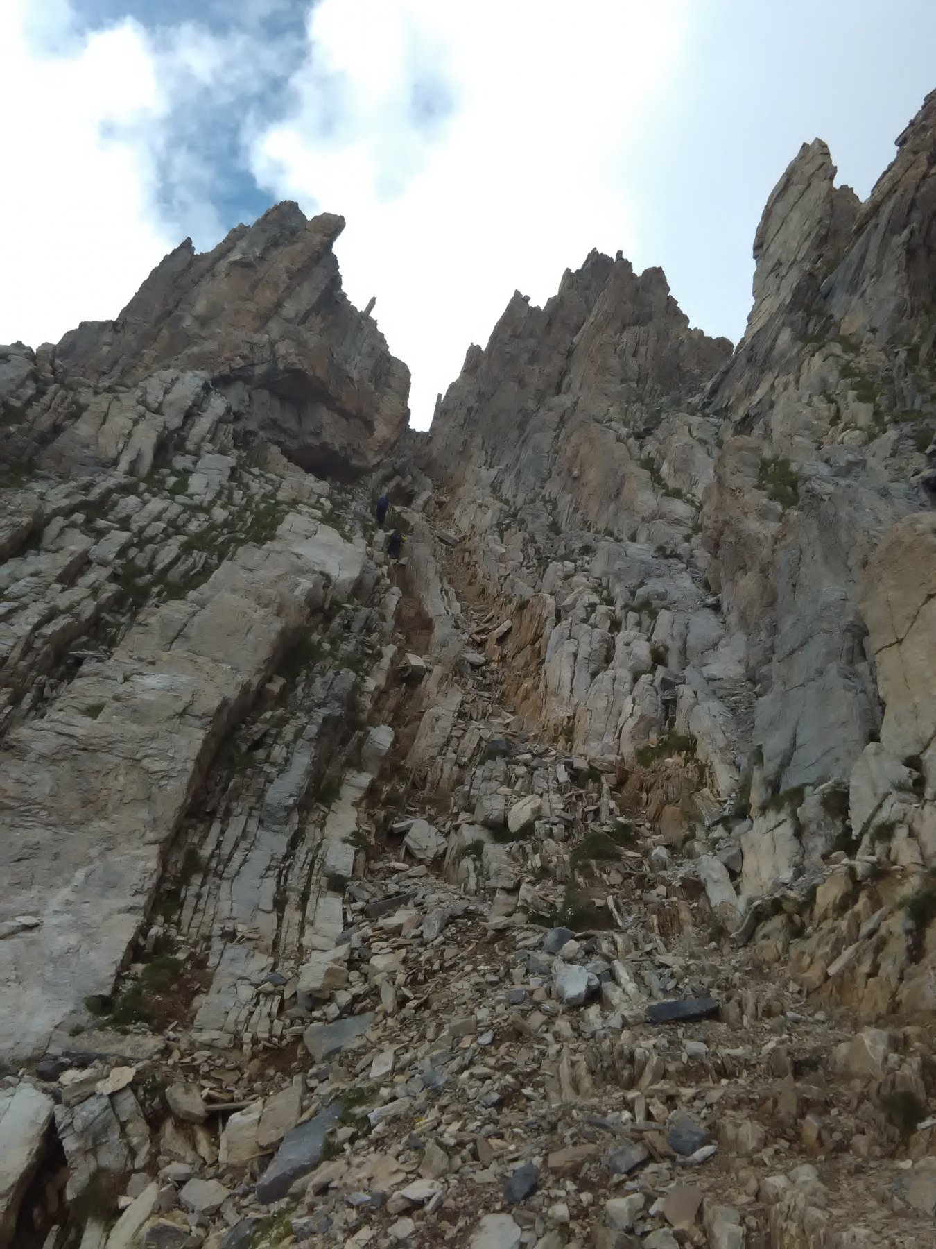
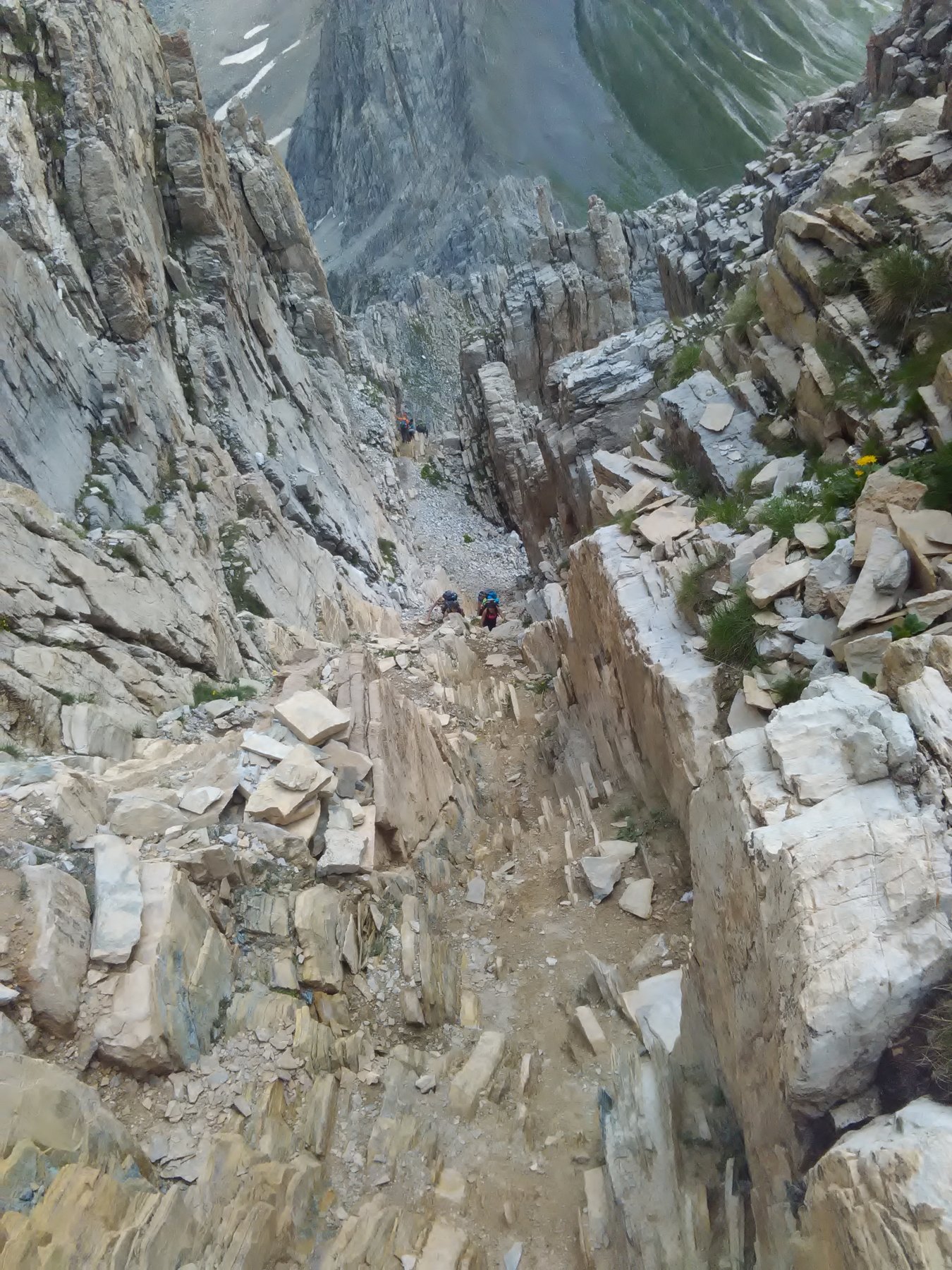
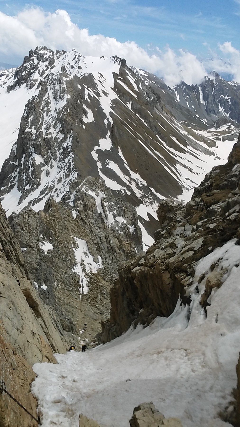
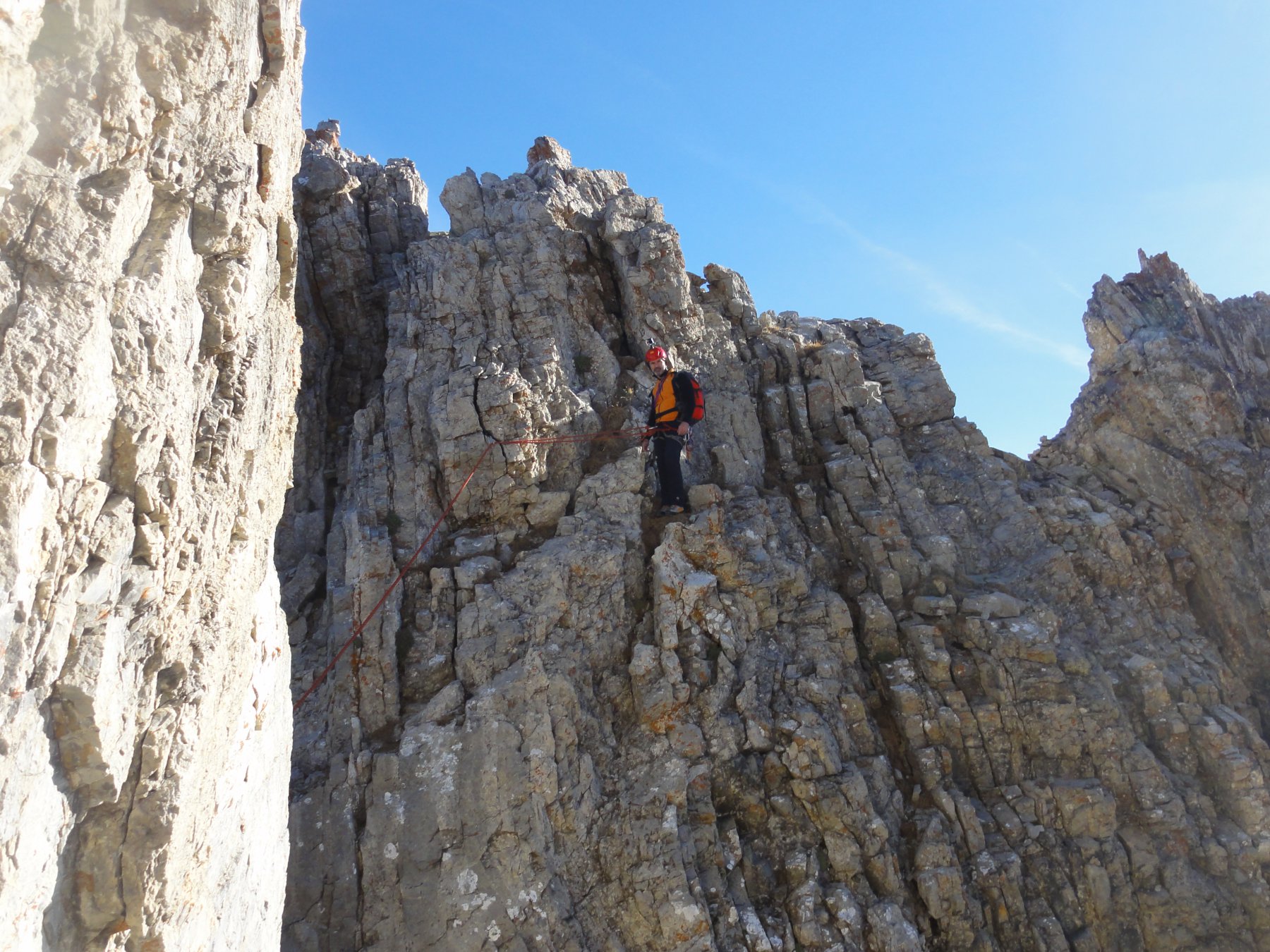
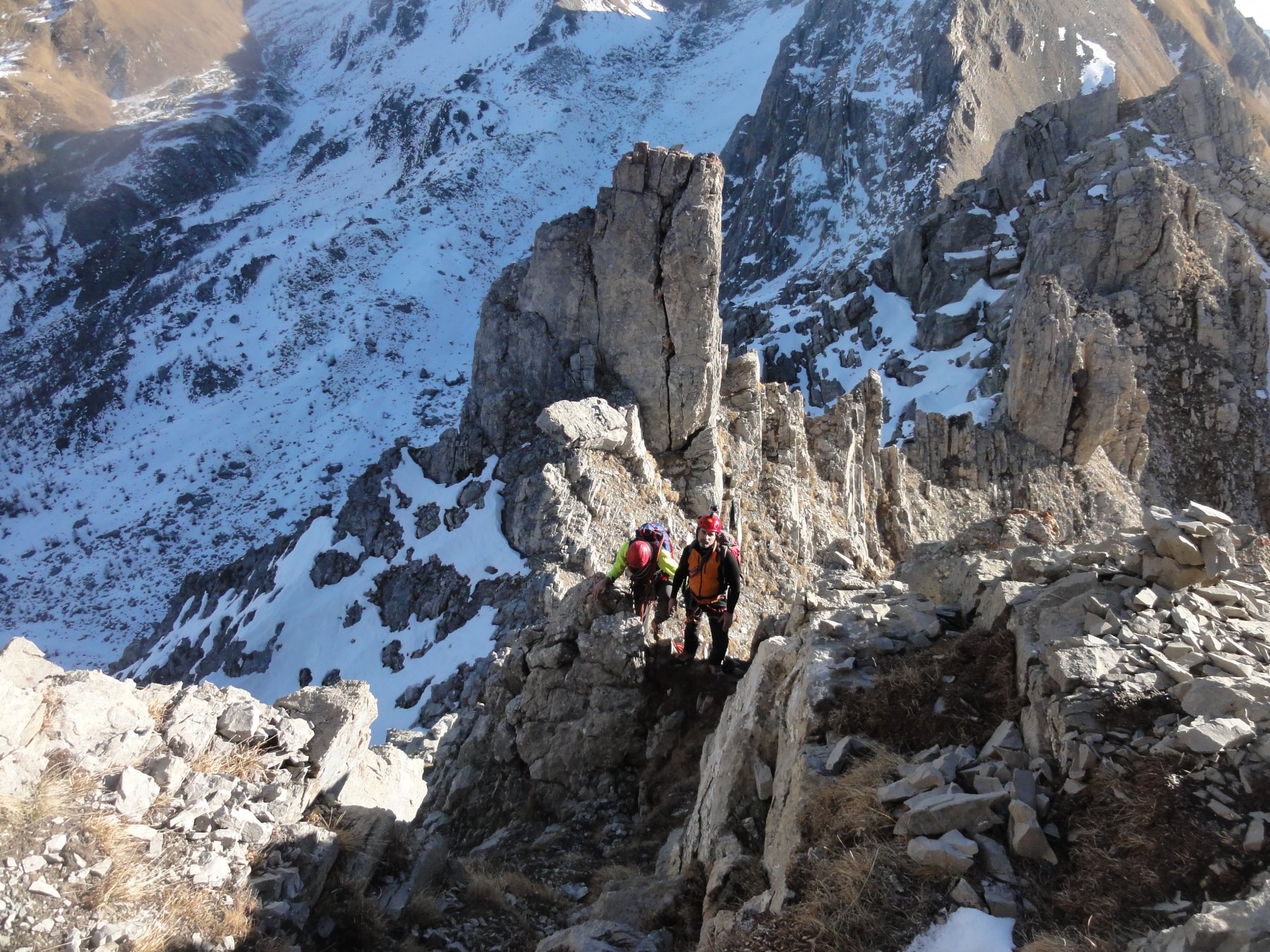
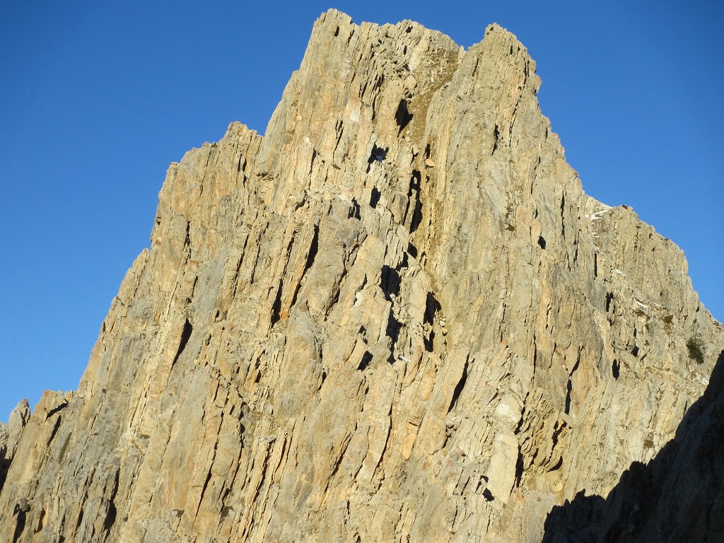
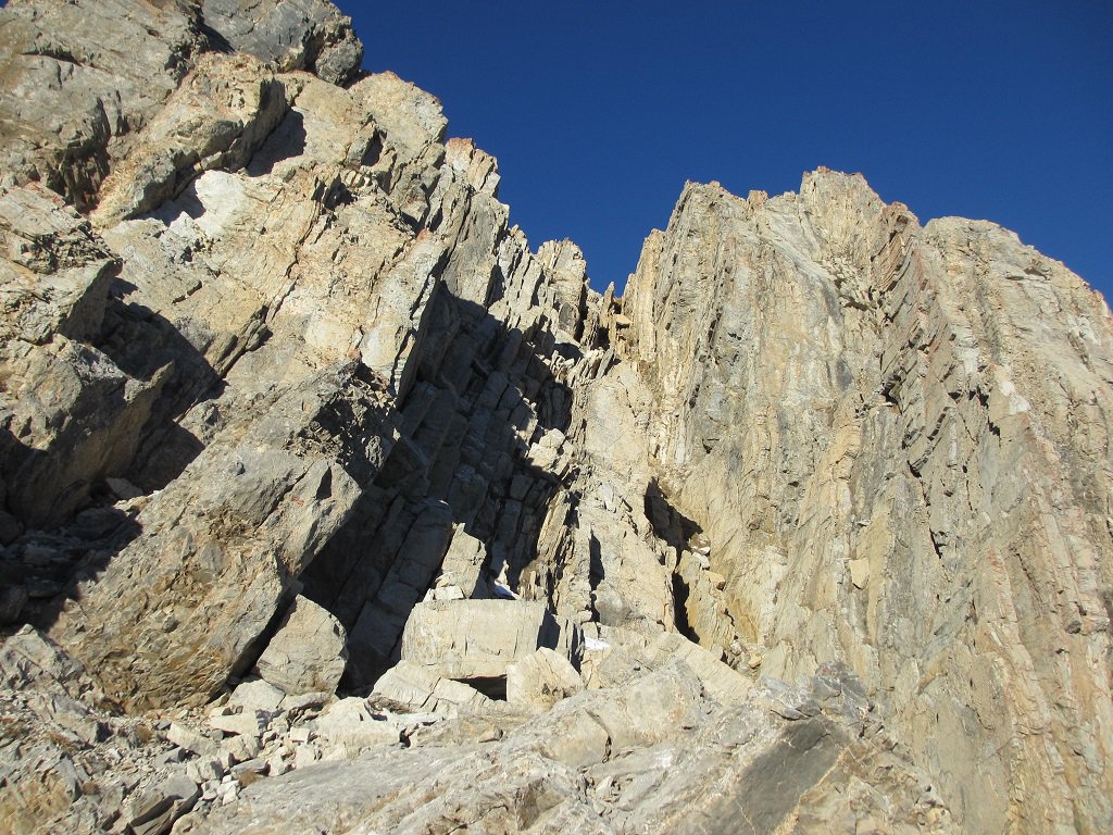
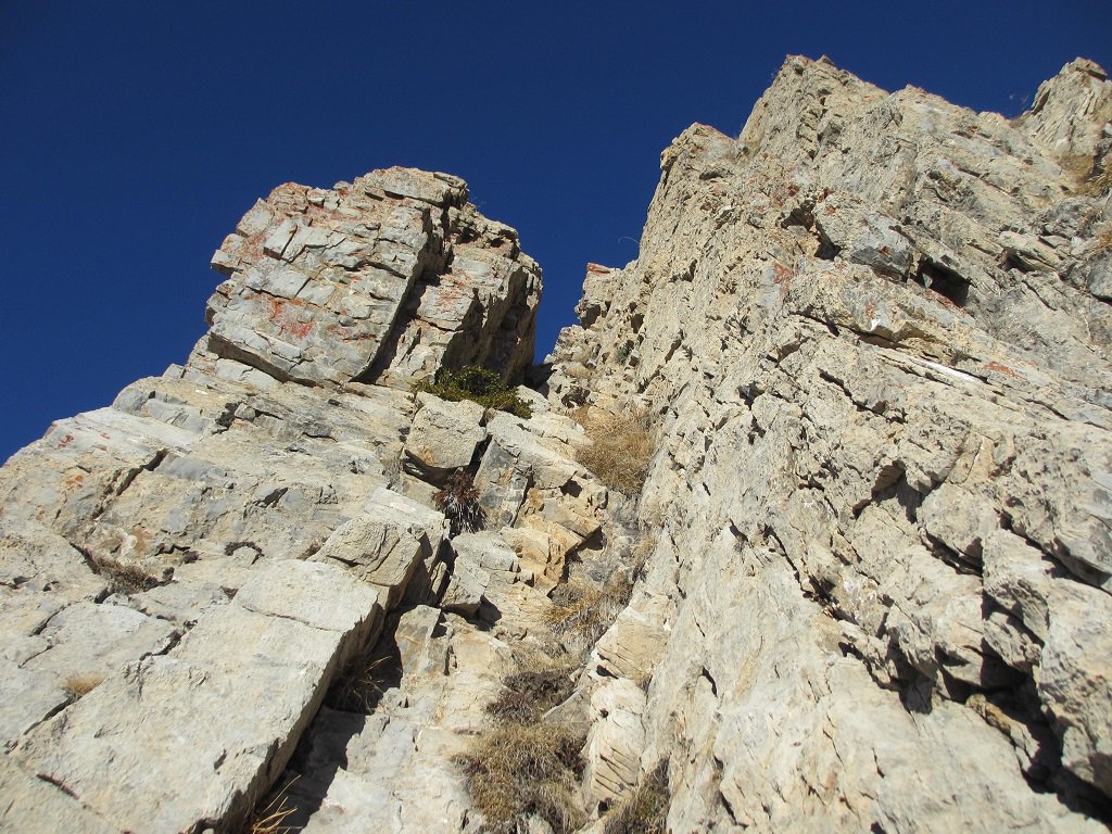
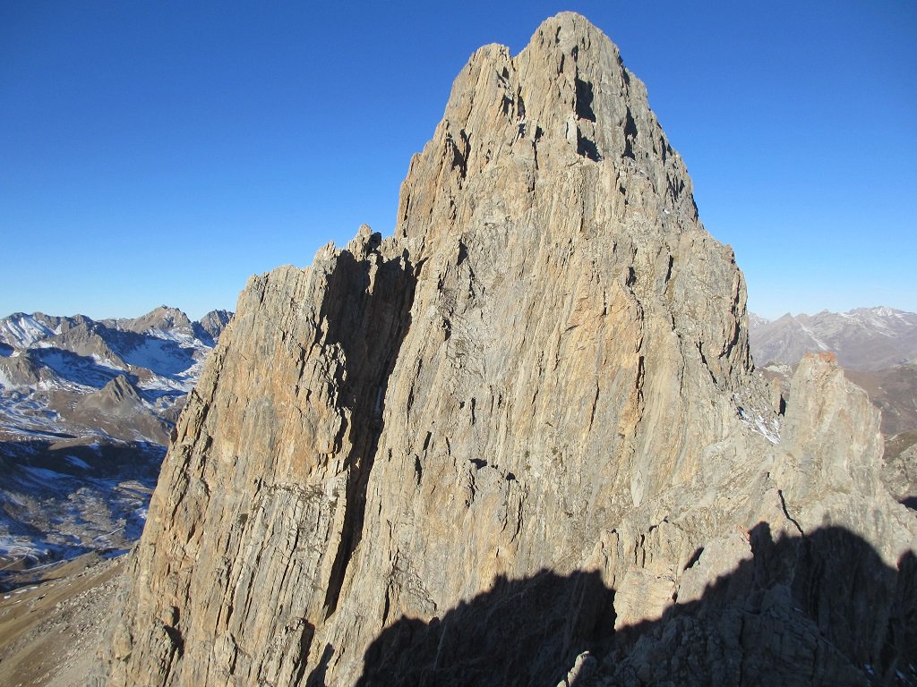
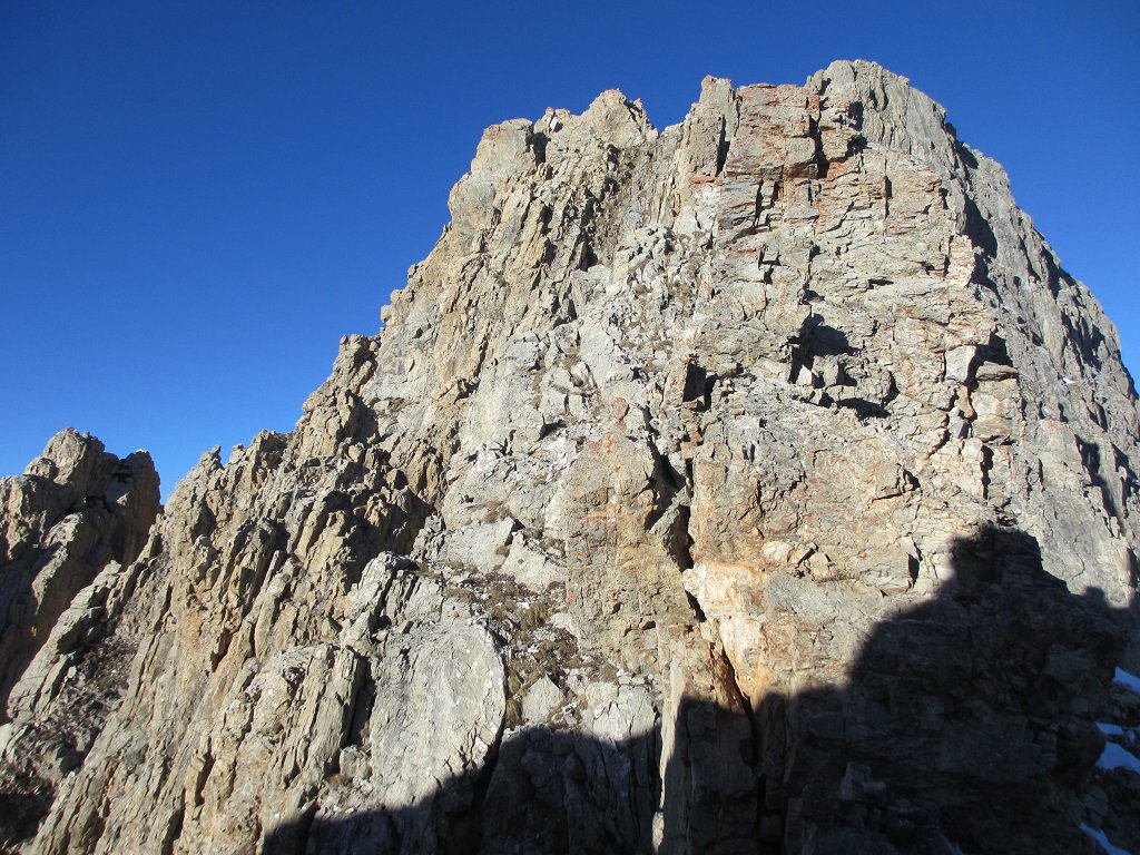
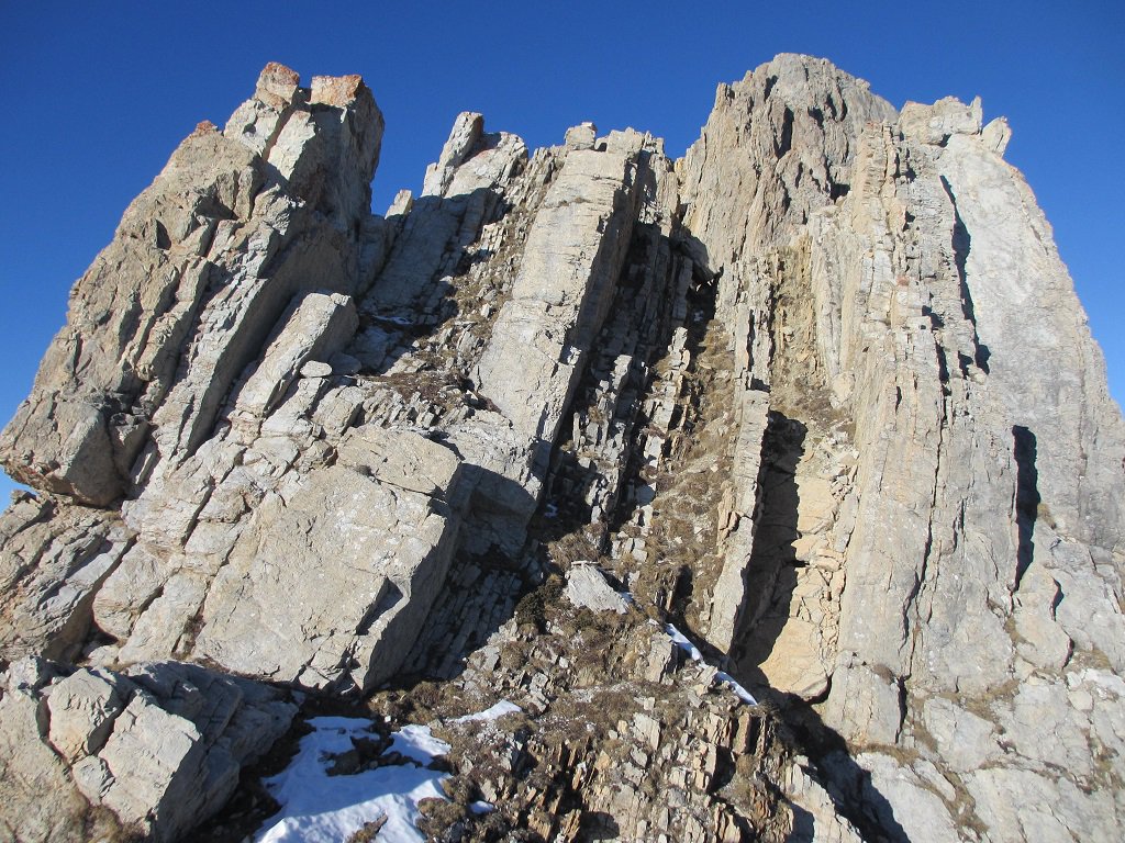
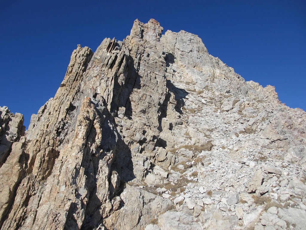
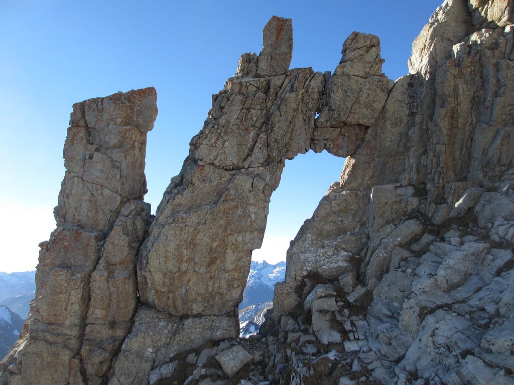
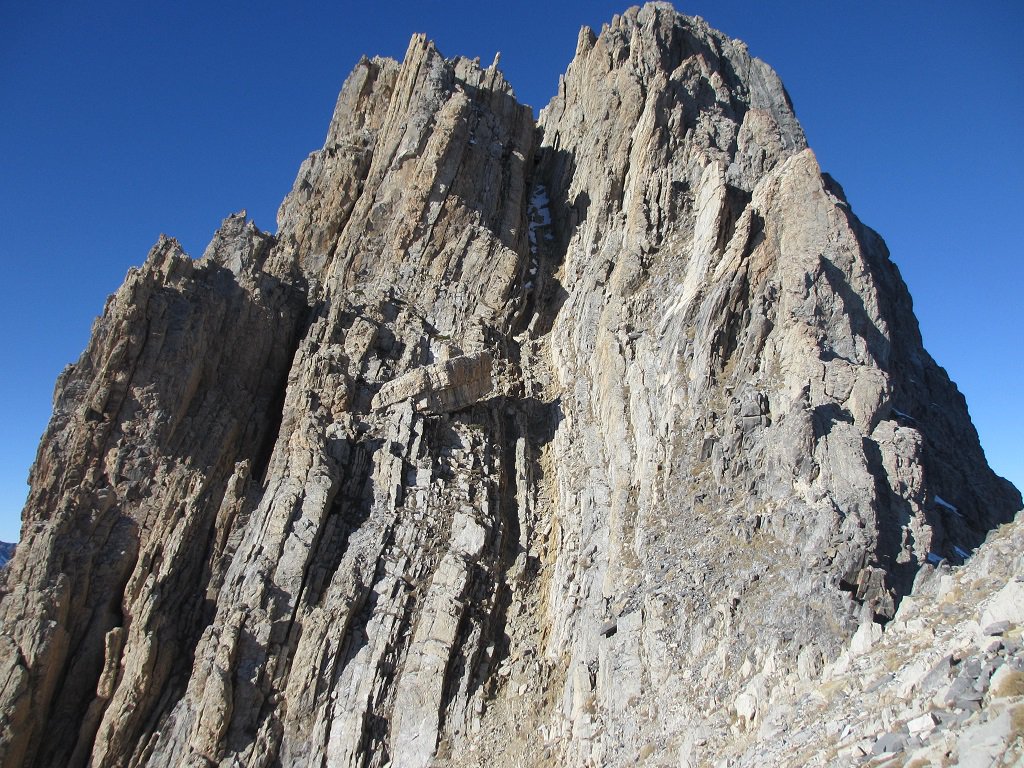
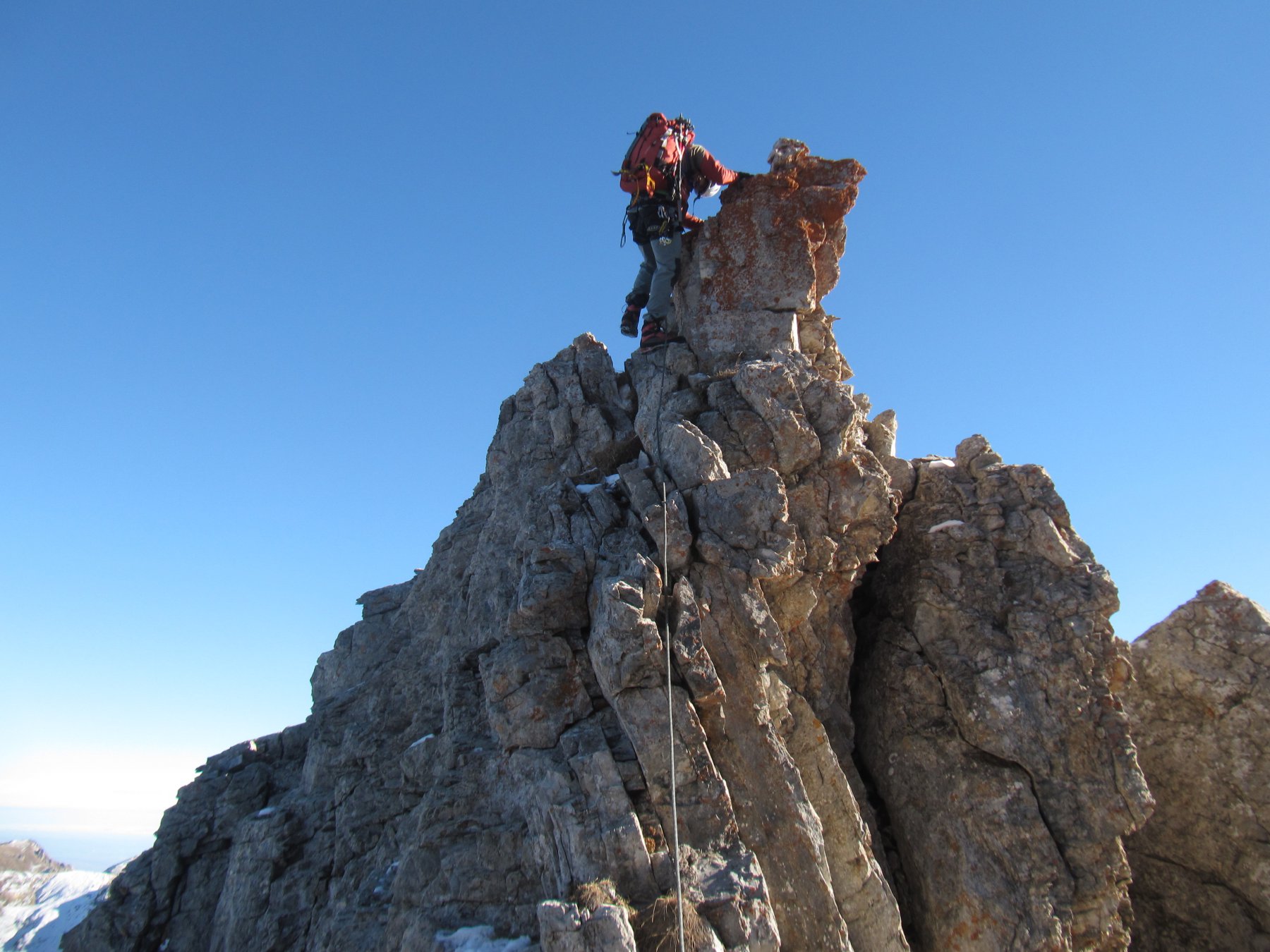
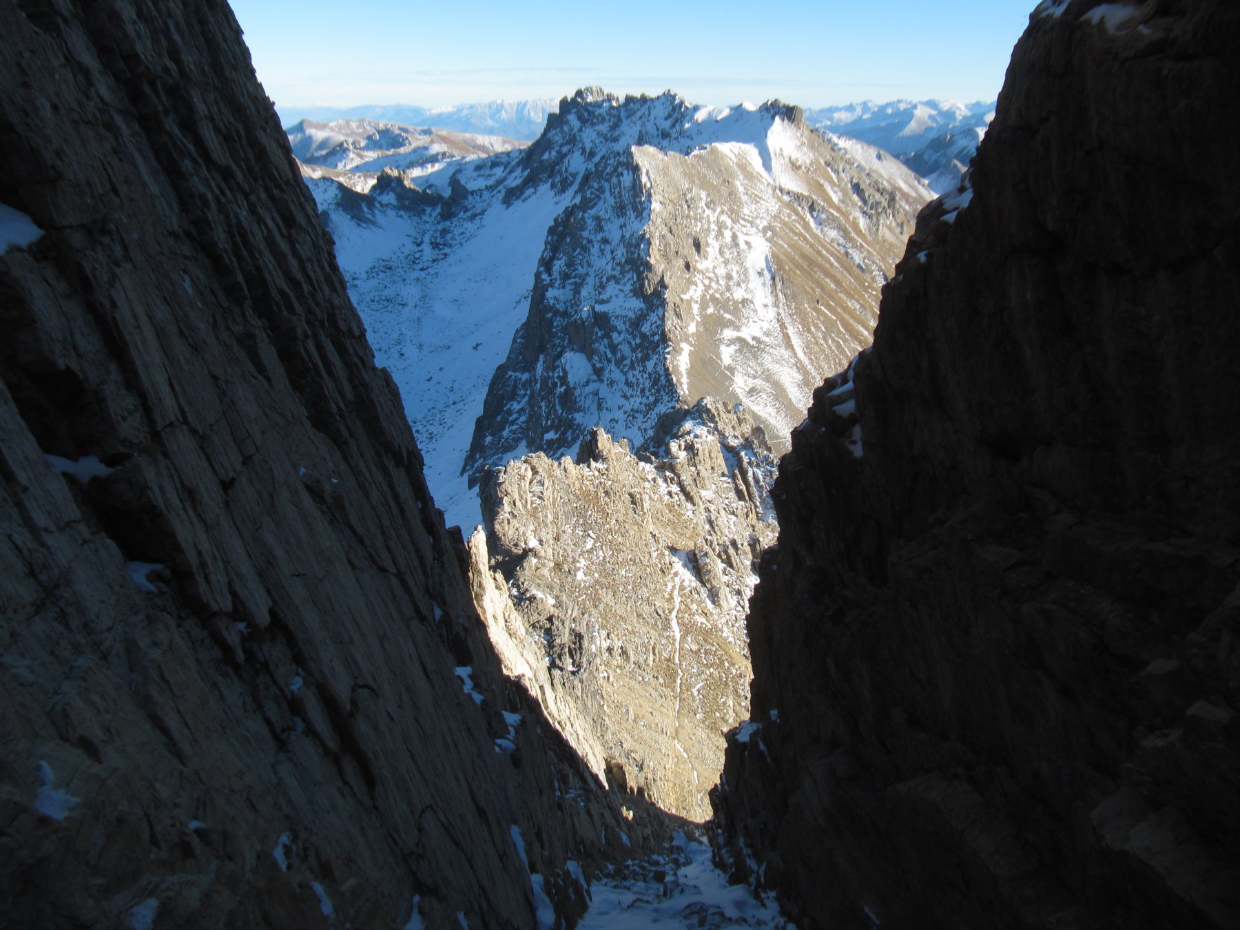
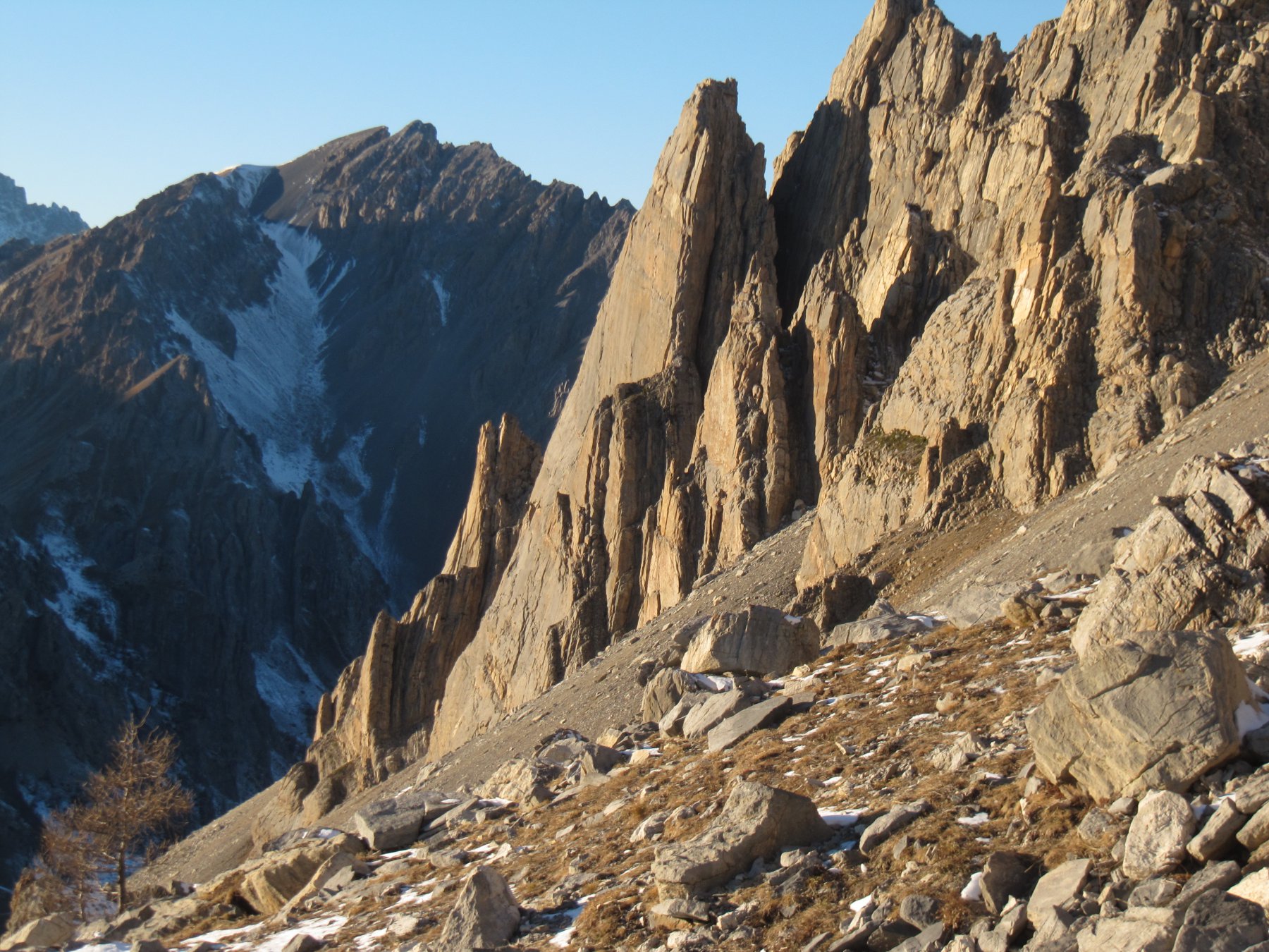
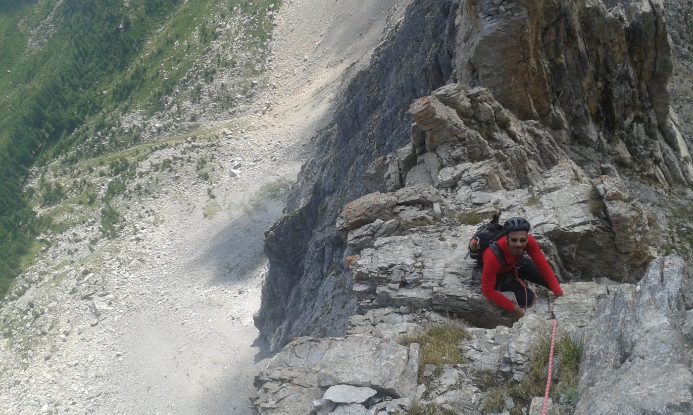
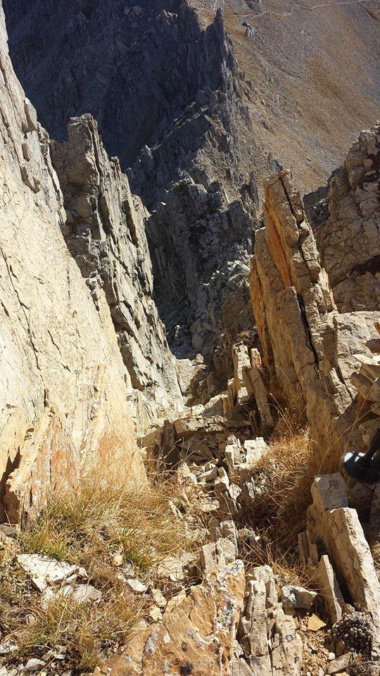
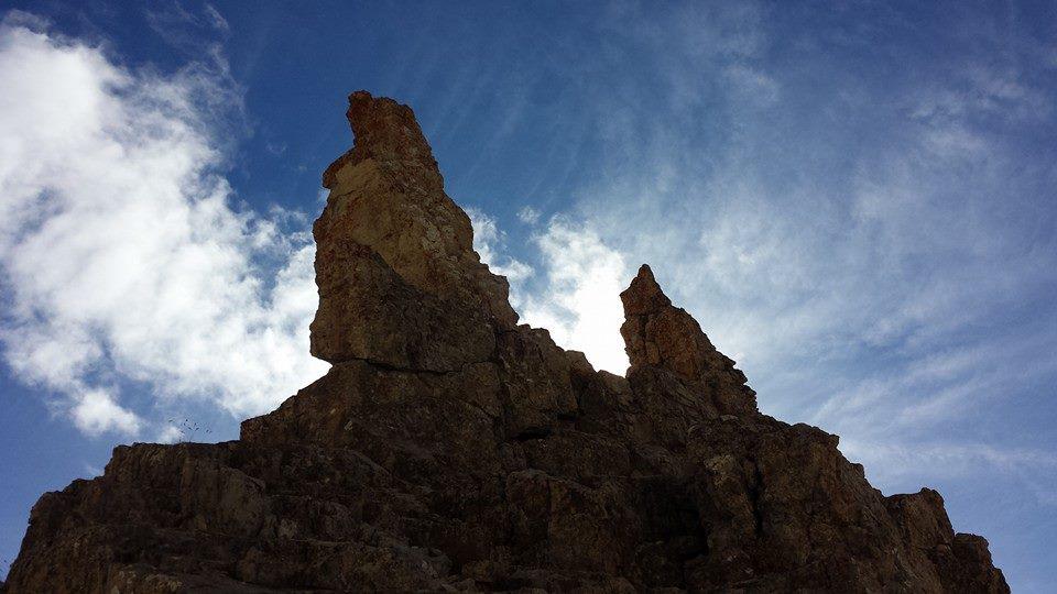
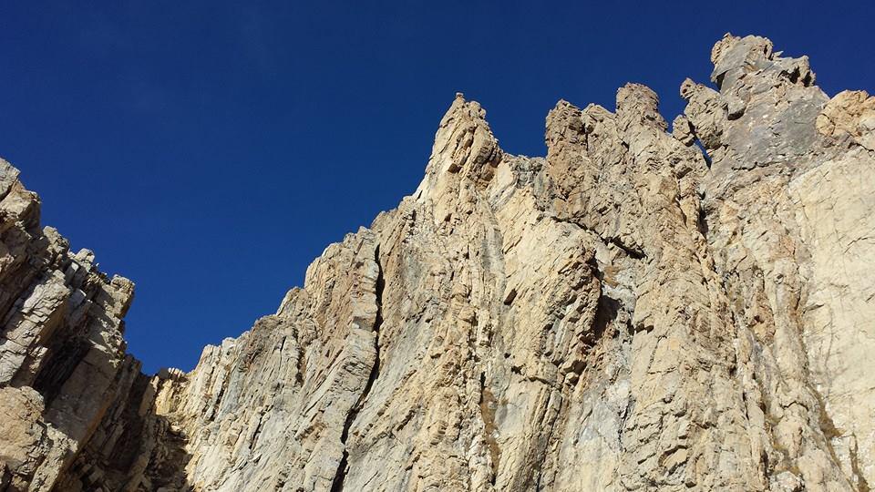
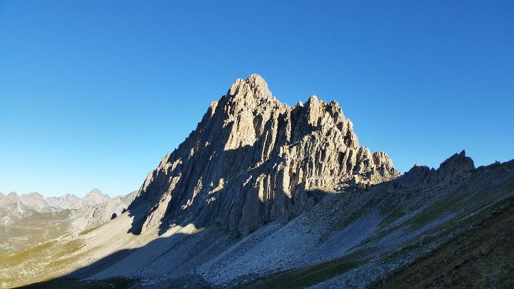
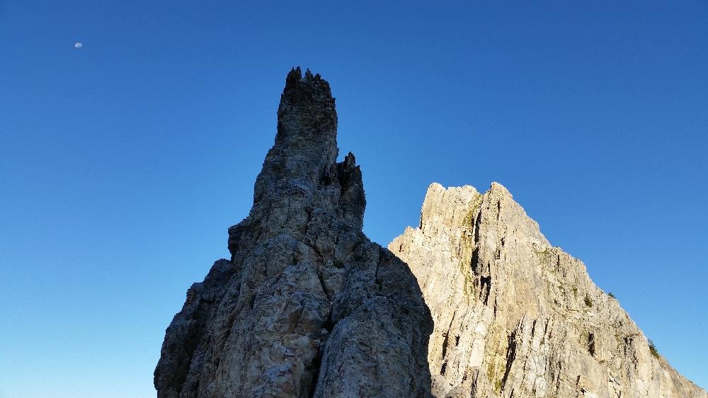
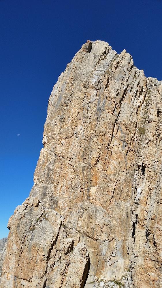
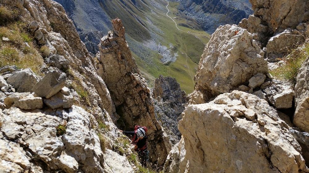
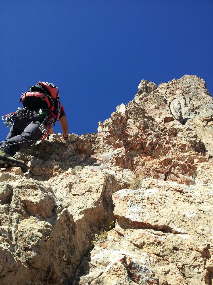
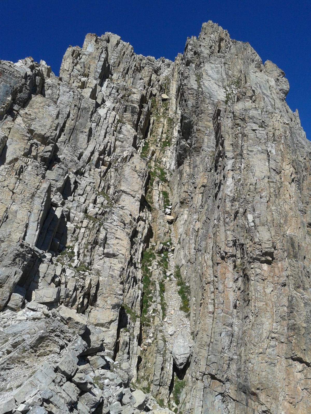
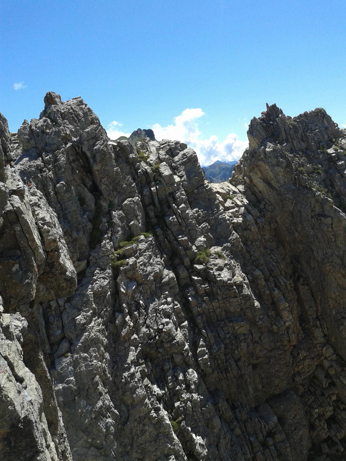
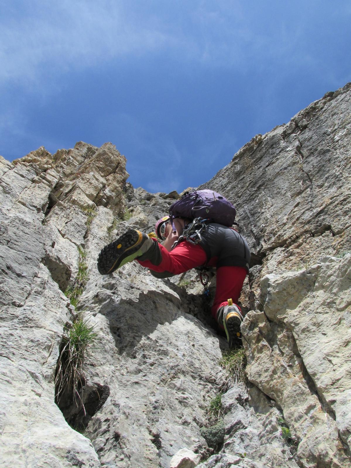
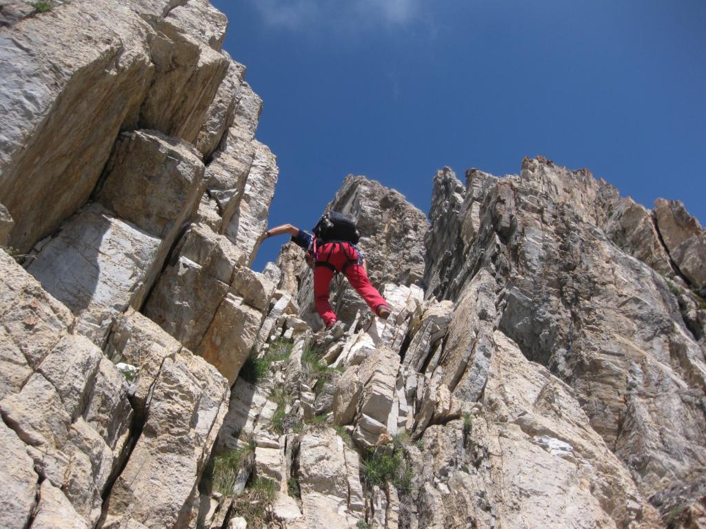
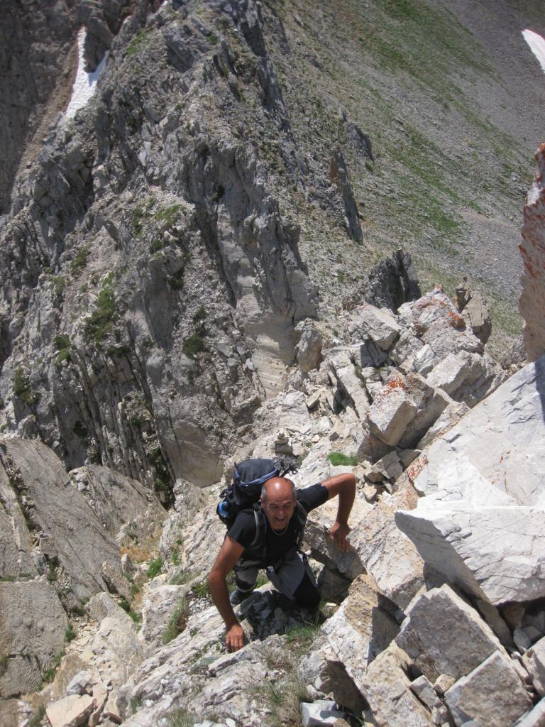
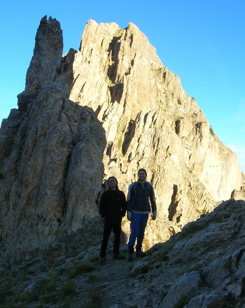
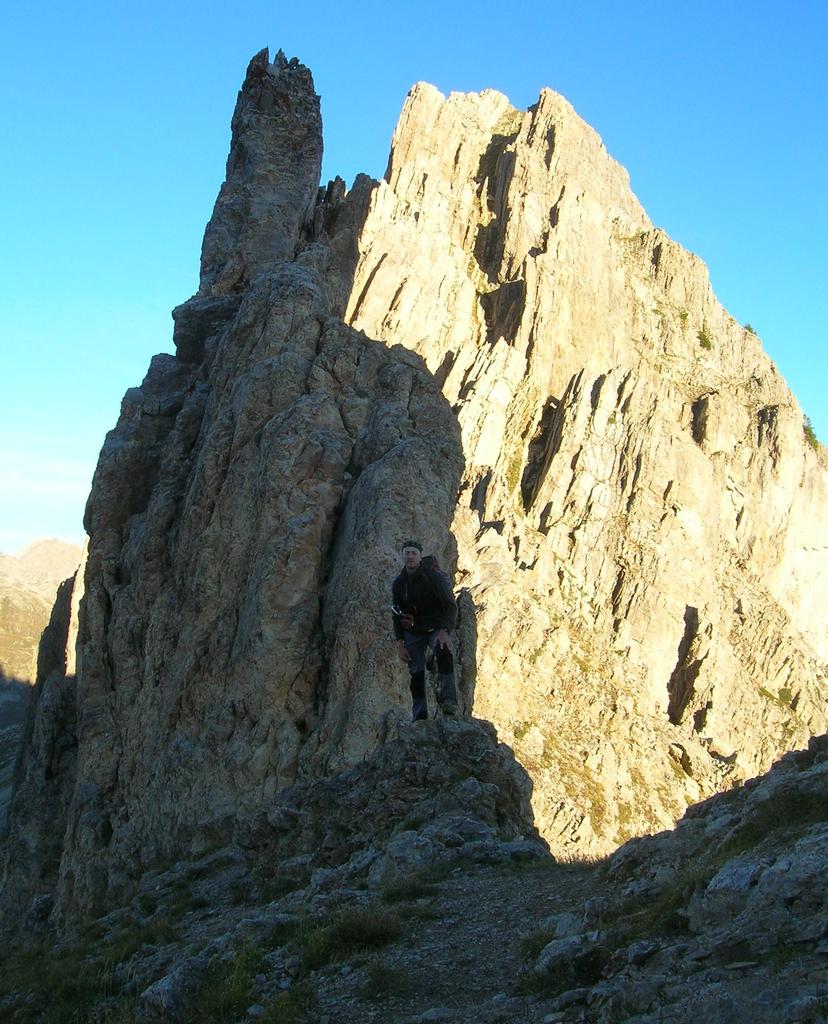
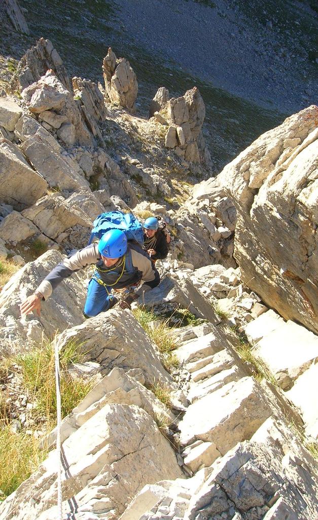
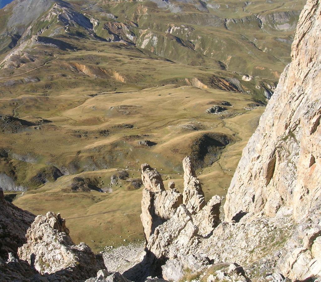
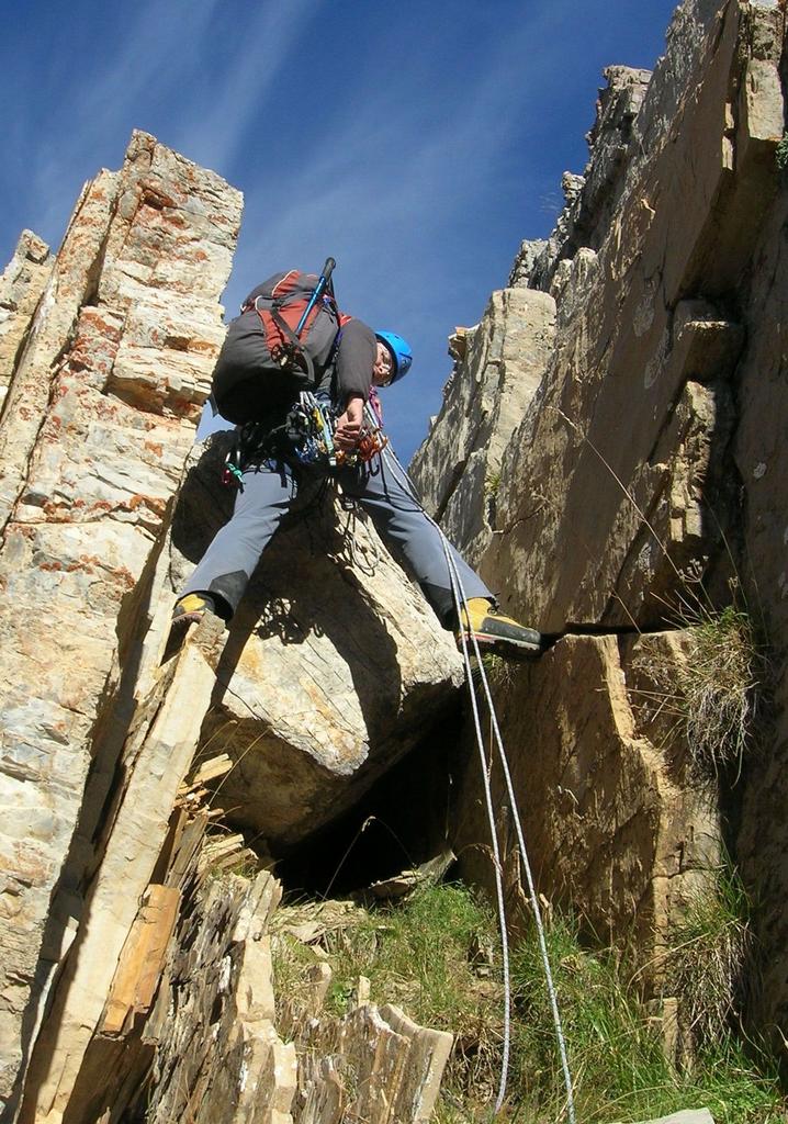
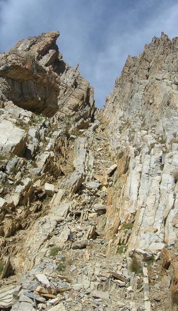
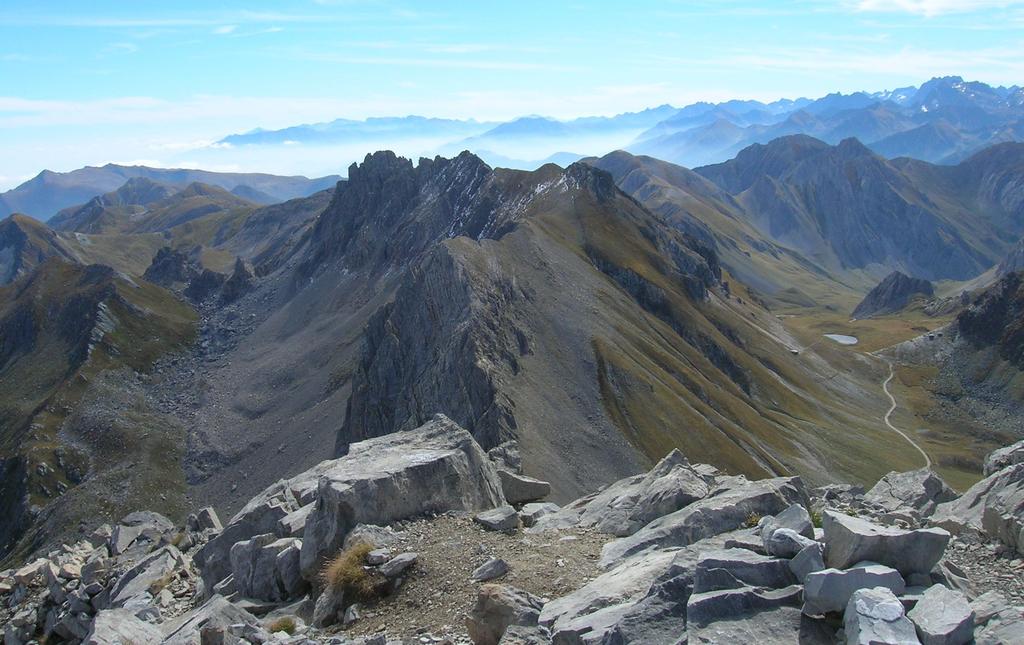
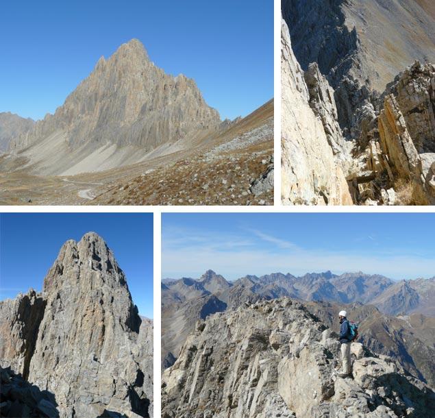
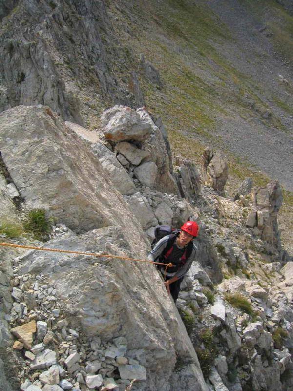
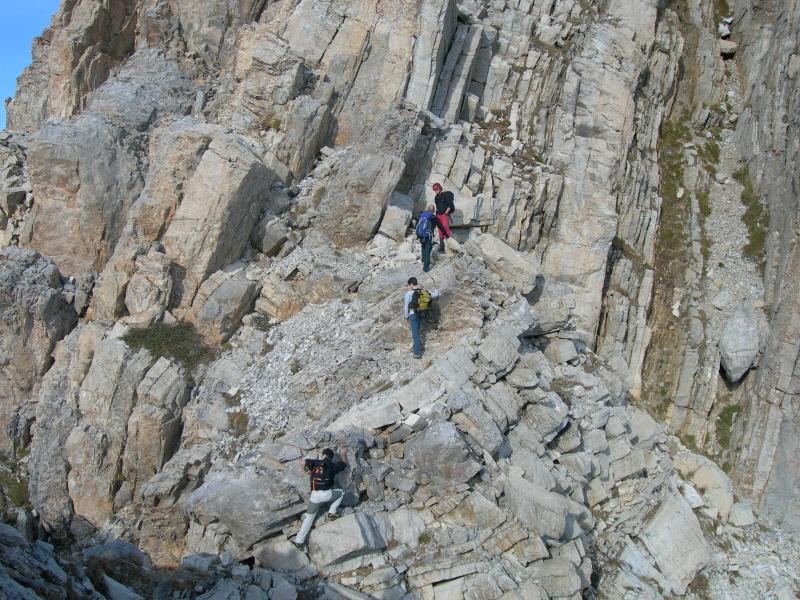
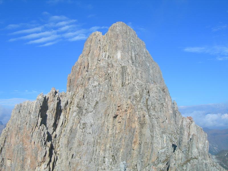
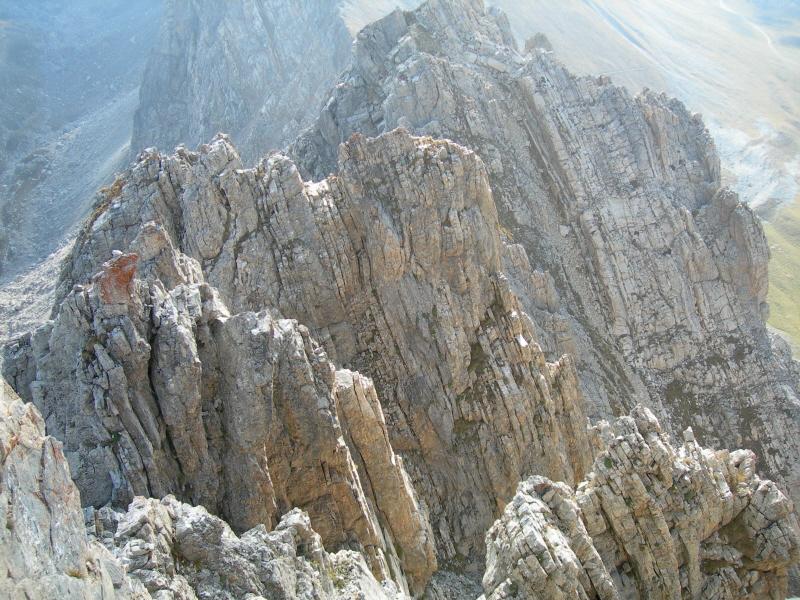
Si aggirano a sinistra i primi due spuntoni poi si supera il primo risalto dapprima direttamente, poi sulla destra; la cresta si fa poi meno ripida ma frastagliata:alcuni torrioni si aggirano, altri si scavalcano.Si arriva così ad un intaglio dove ci si congiunge colla via normale (segnalata in giallo). Da qui 2 possibilità: salire il canalino della via normale oppure con percorso più elegante ed aereo si può continuare a destra lungo la cresta sud-est fino in vetta.
- Bibliografia:
- L.Belliardo F.Bottero - Rocca la Meja AlpClimbing - I libri della Bussola - 2011
Nelle vicinanze Mappa
Itinerari
12/10/2022 CN, Demonte D+ 450 m D+ Sud
Meja (Rocca la) – Via Ghibaudo-Bellone-Peano
 50m
50m
14/10/2025 CN, Demonte D+ 510 m F Varie
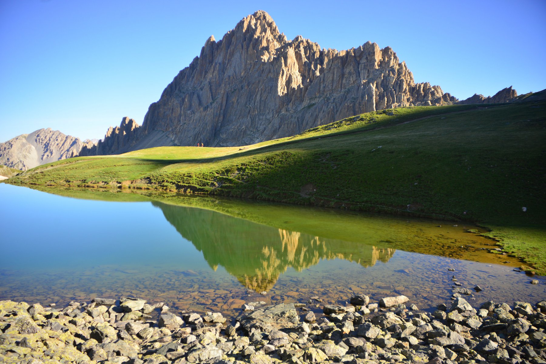
Meja (Rocca la) Via Normale dal Colle di Valcavera
 50m
50m
03/06/2009 CN, Sambuco D+ 1200 m TD- Sud
Bersaio (Monte) – Santi Giocondi
 5.7Km
5.7Km
21/05/2021 CN, Sambuco D+ 1200 m AD Sud
Bersaio (Monte) Canalone San Giuliano
 5.7Km
5.7Km
20/03/2022 CN, Sambuco D+ 1450 m PD+ Varie
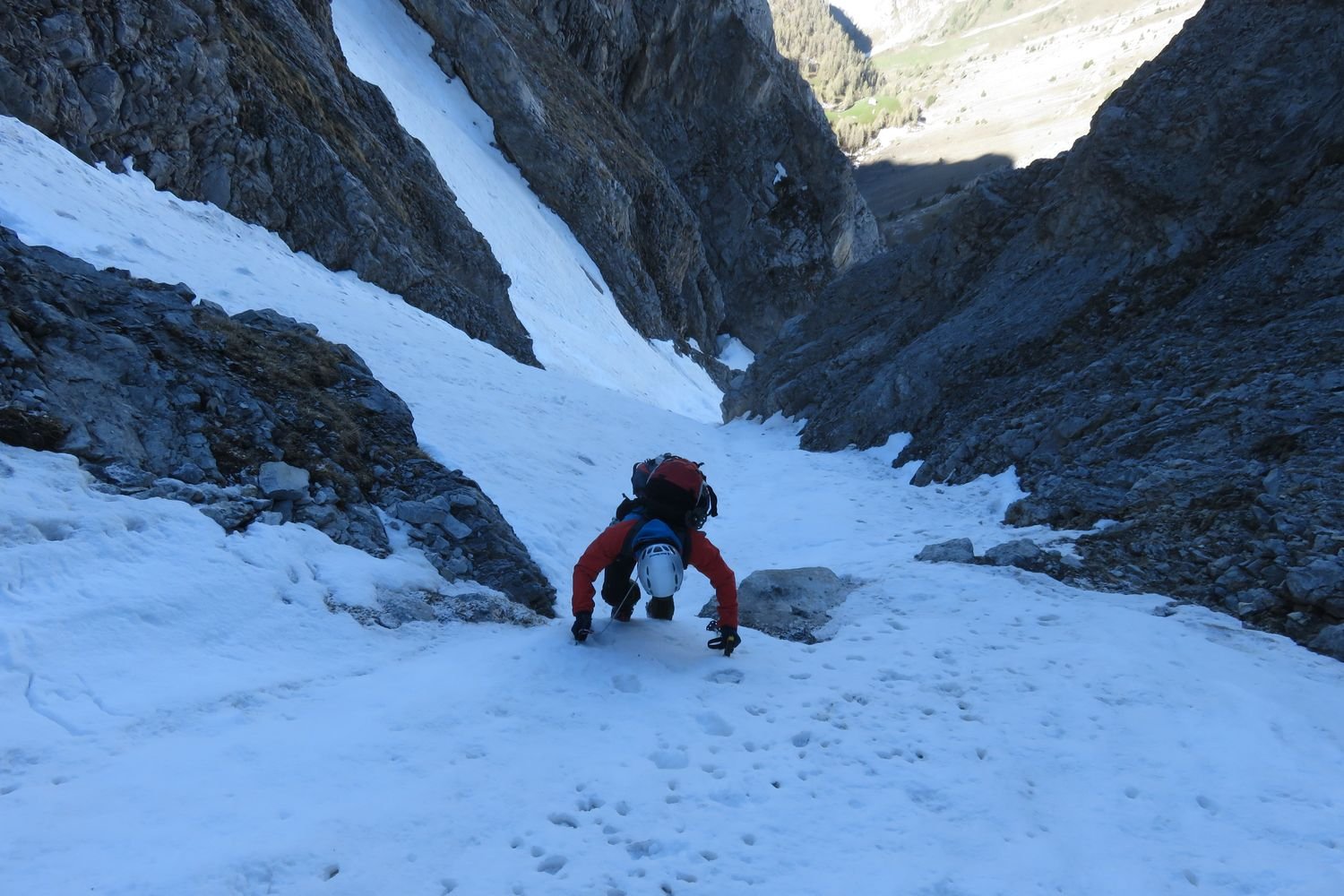
Salè (Rocca di) da Sambuco per il canale Ovest e la cresta S
 5.7Km
5.7Km
24/10/2014 CN, Sambuco D+ 1523 m F Varie
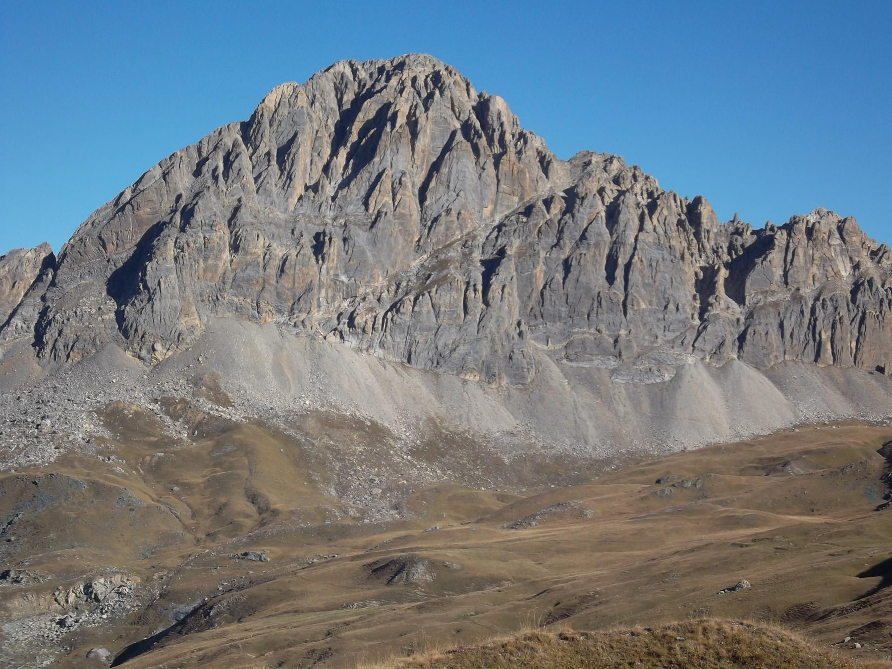
Meja (Rocca la) Via Normale da Moriglione San Lorenzo
 6.3Km
6.3Km
31/03/2017 CN, Marmora D+ 1127 m PD+ Nord
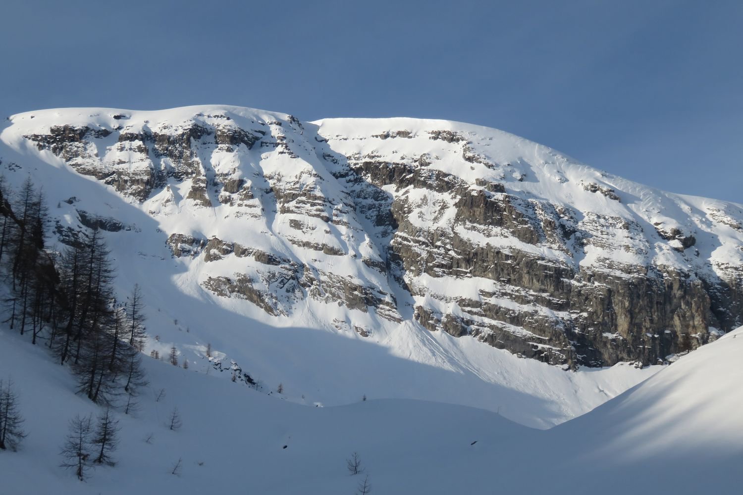
Test (Cima di) Canalino Nord
 6.9Km
6.9Km
27/10/2025 CN, Preit D+ 1400 m F Tutte
Grande (Becco) da Grange Selvest, anello per passaggio del Preit, Colle del Mulo, Lago Nero
7.5Km
01/05/2026 CN, Canosio D+ 1165 m AD- Nord-Ovest
Meja (Rocca la) Canale N/NO
 7.5Km
7.5Km
26/10/2025 CN, Canosio D+ 1700 m F Tutte
Meja (Rocca la) da Grange Selvest, anello per Colle Ancoccia e Passo Valletta
 7.5Km
7.5Km