150m
150m
Note
 0m
50m
50m
2.3Km
2.3Km
2.3Km
2.3Km
2.6Km
4.2Km
0m
50m
50m
2.3Km
2.3Km
2.3Km
2.3Km
2.6Km
4.2Km
150m
2.1Km
2.3Km
5.1Km
6.9Km
8.7Km
9.2Km
9.2Km
9.2Km
9.2Km
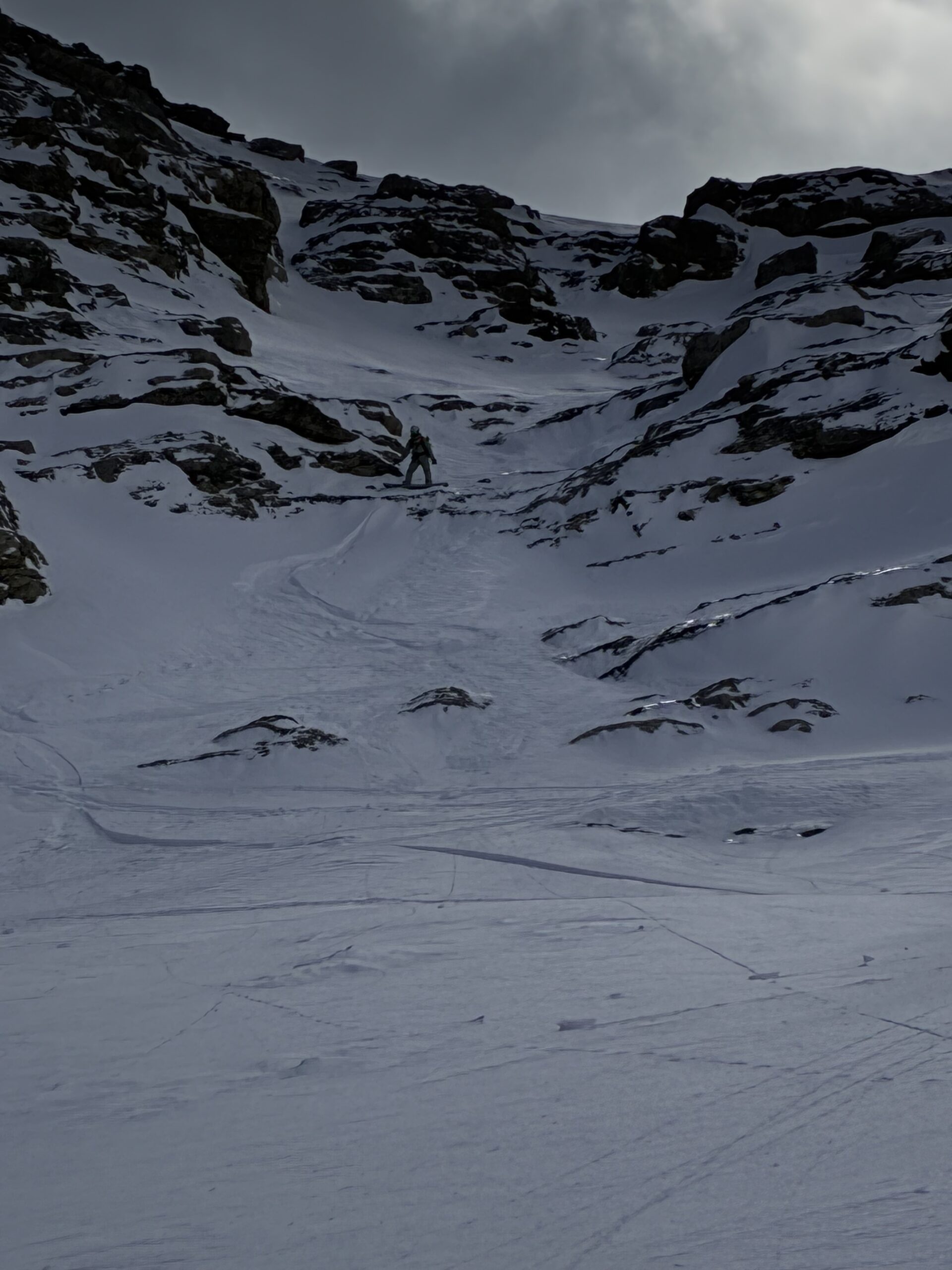
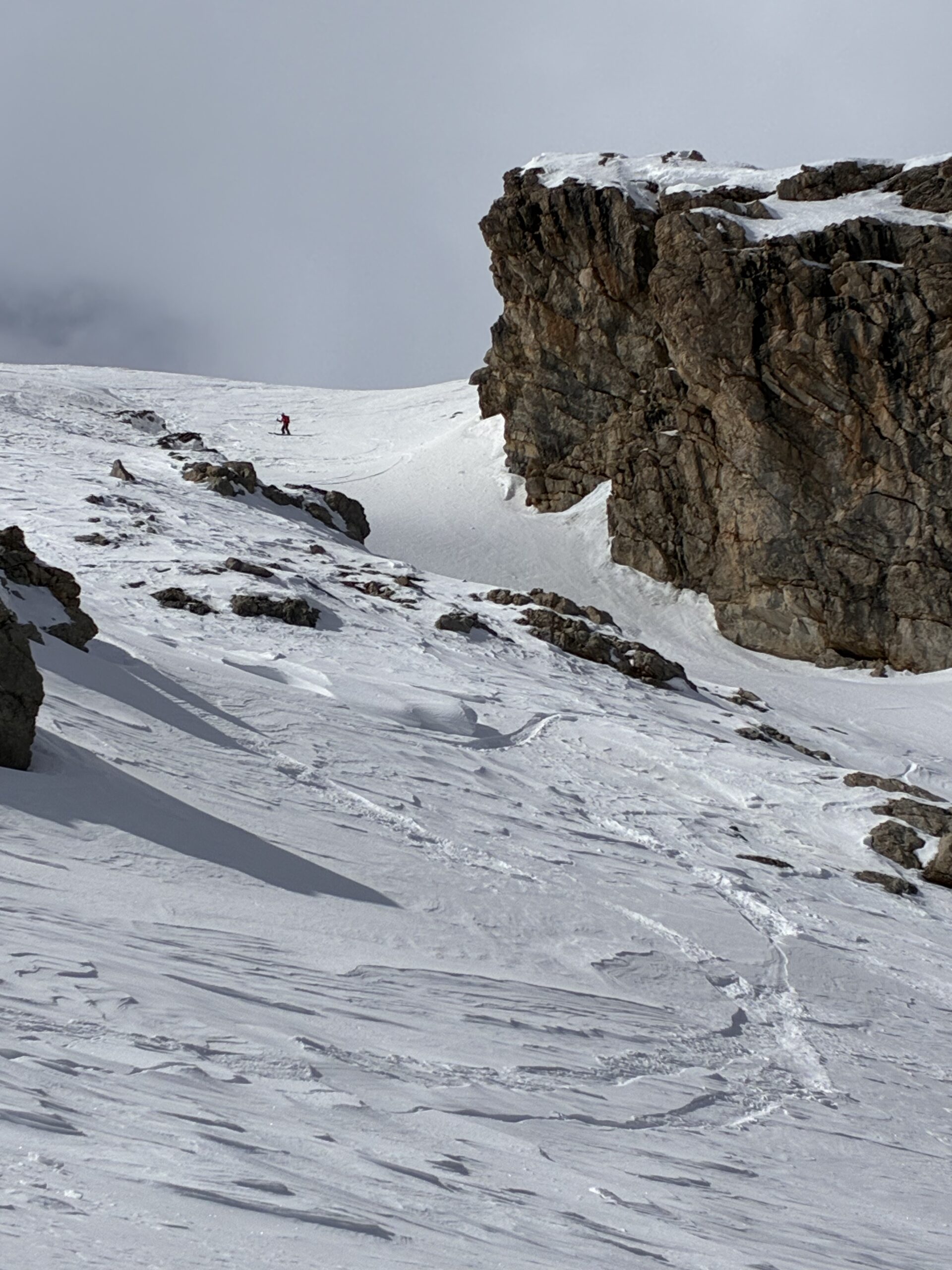
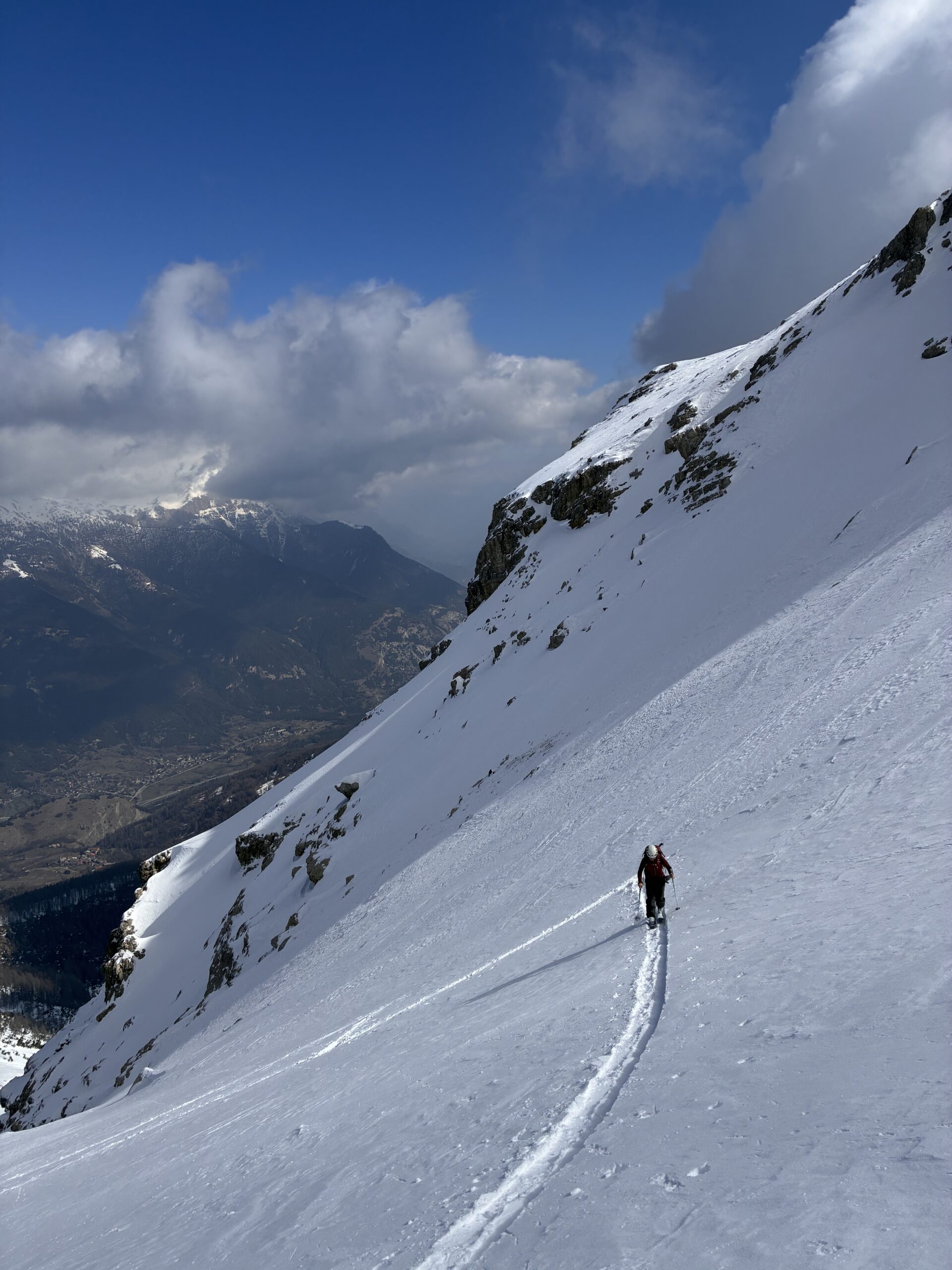
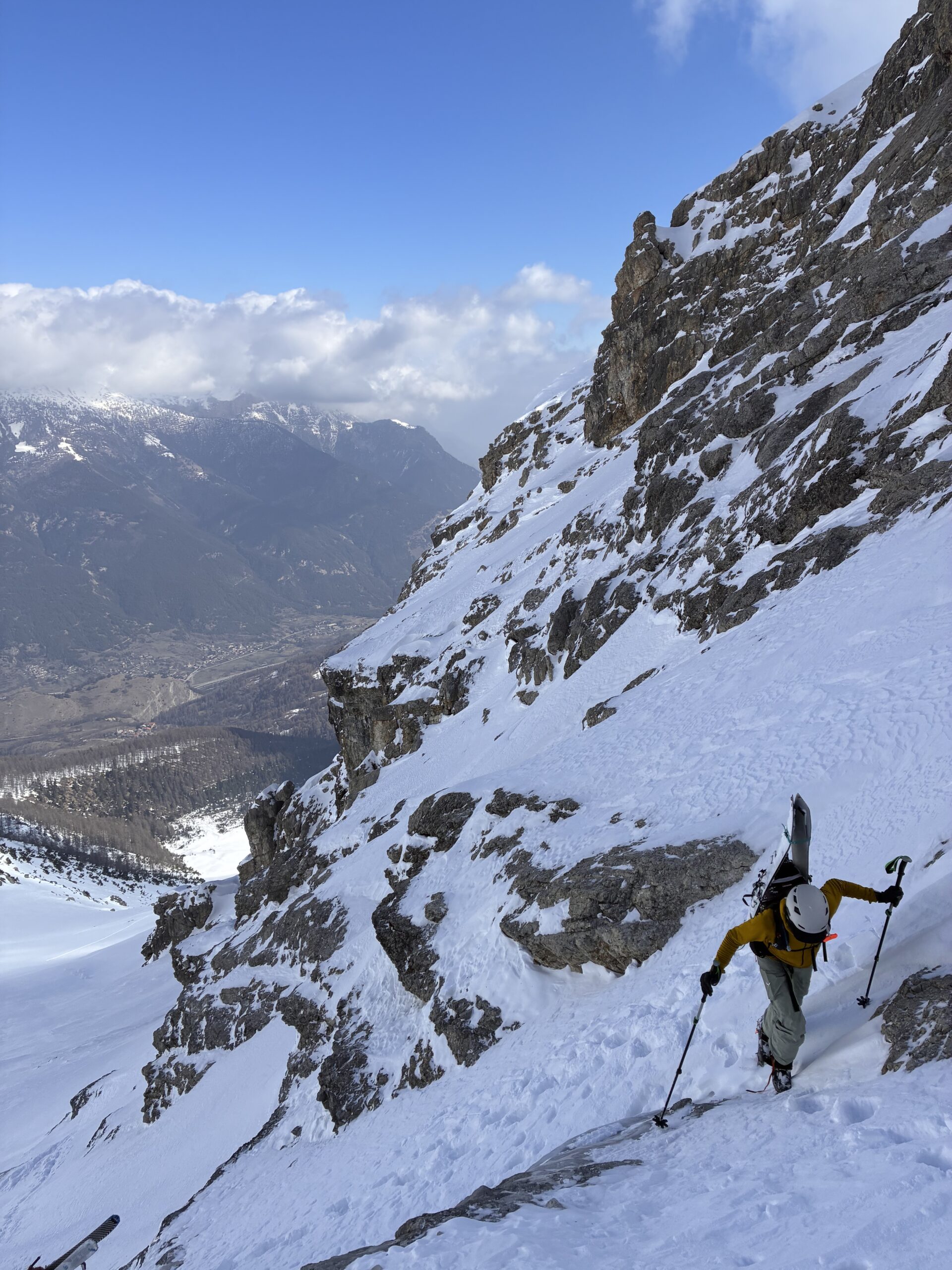
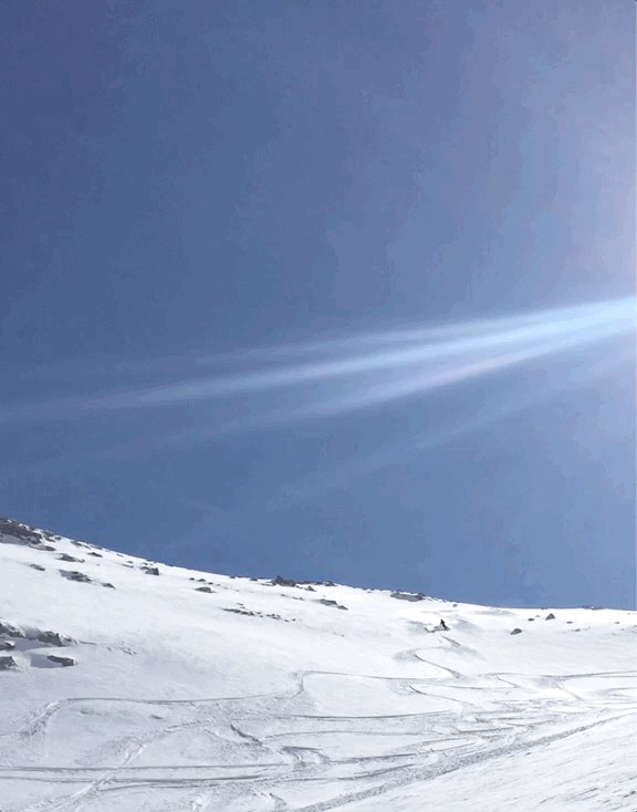
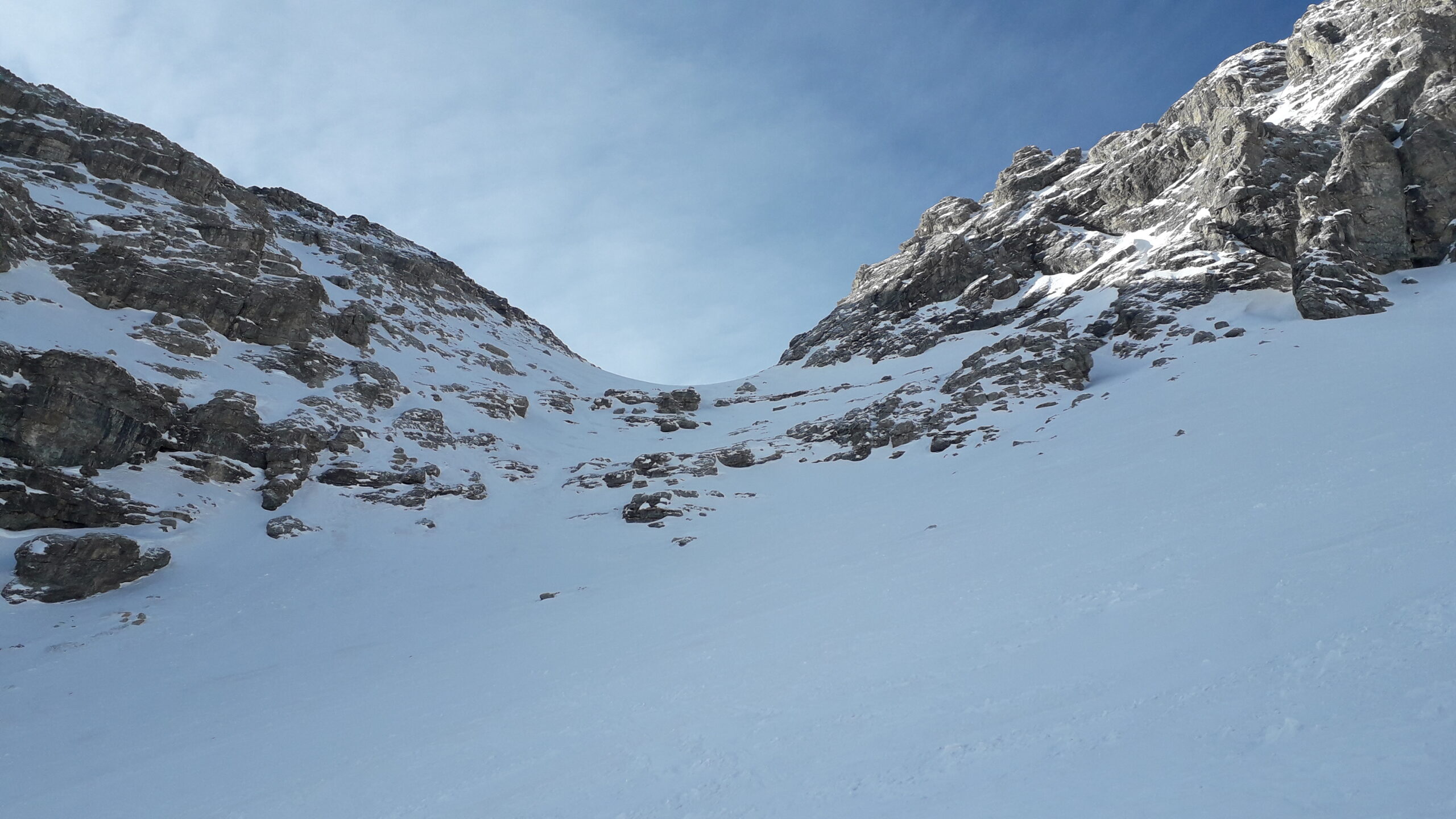
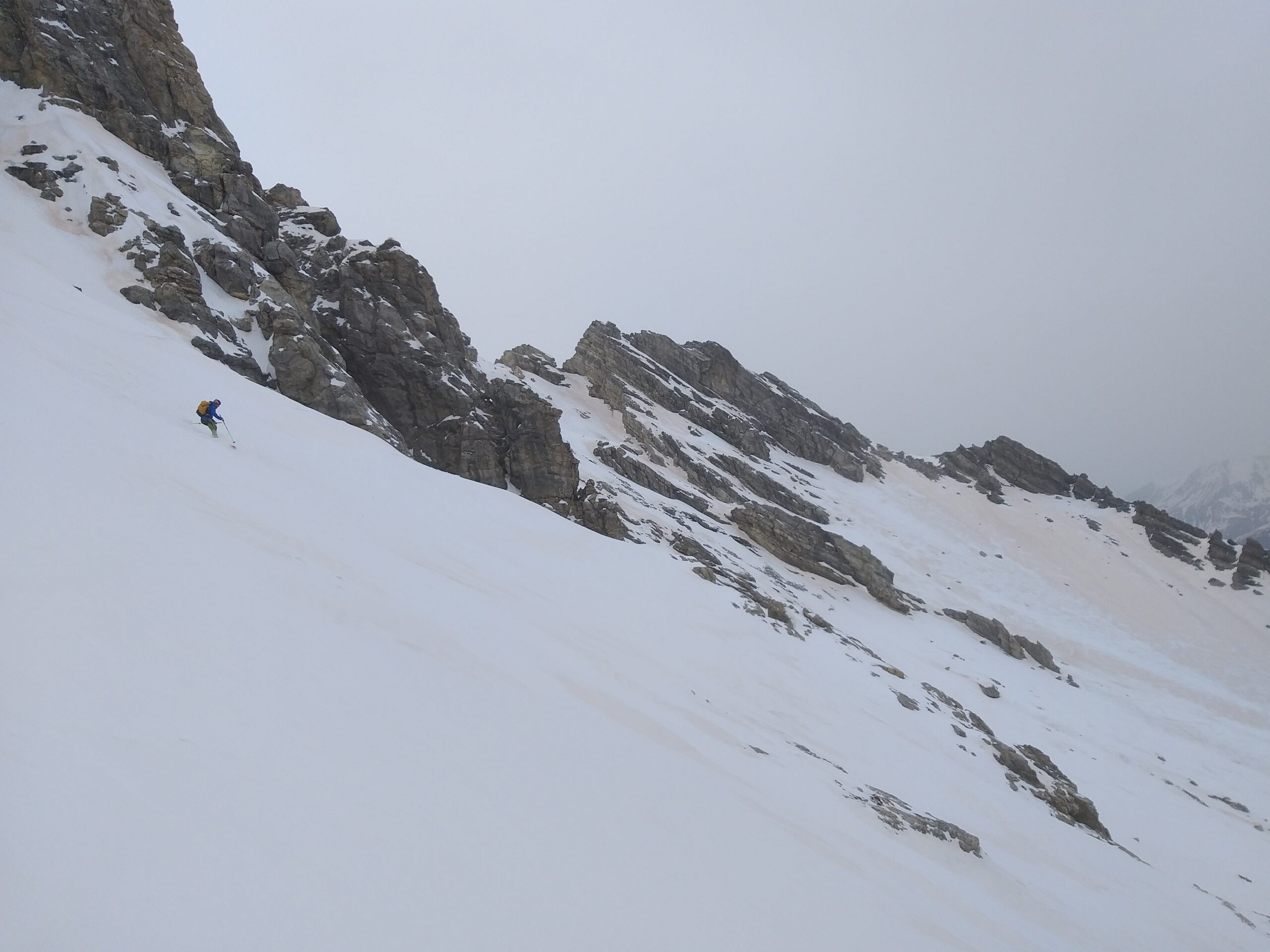
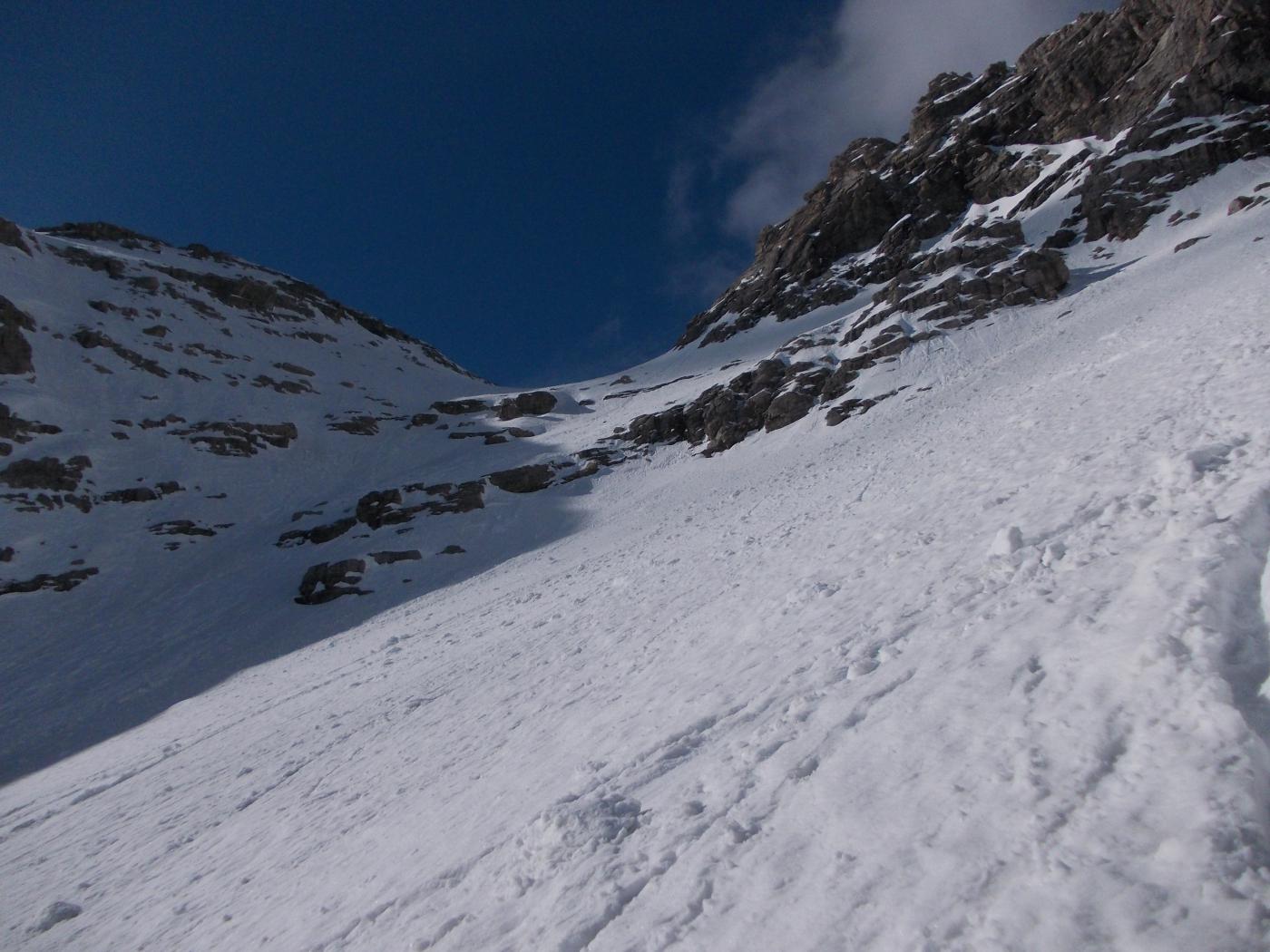
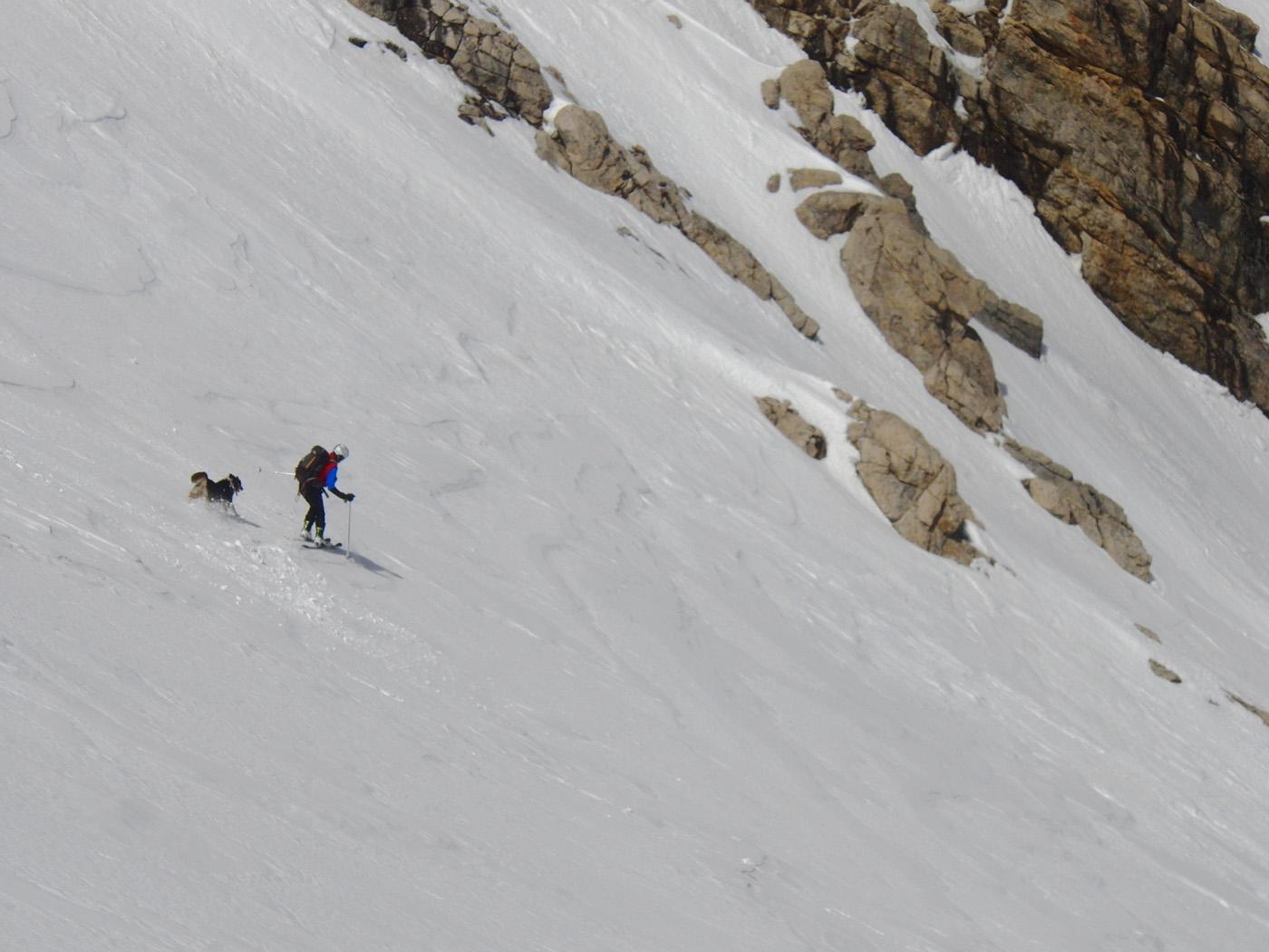
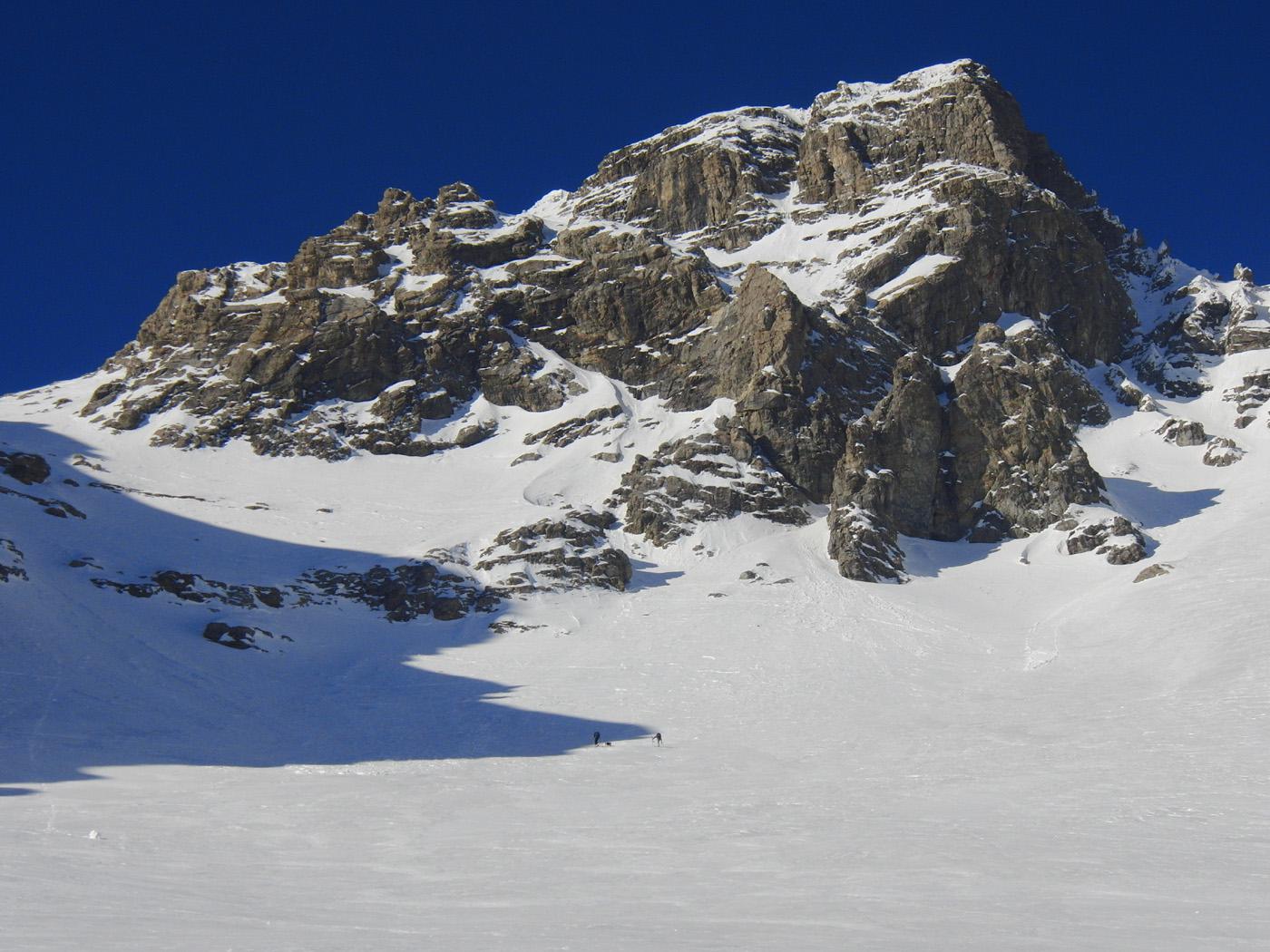
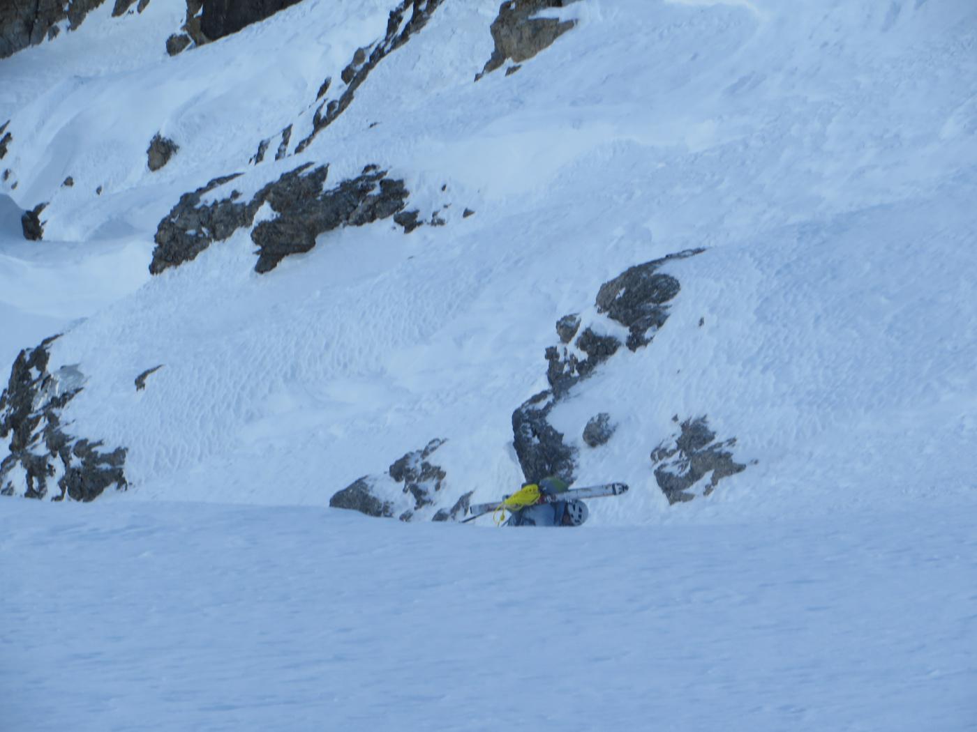
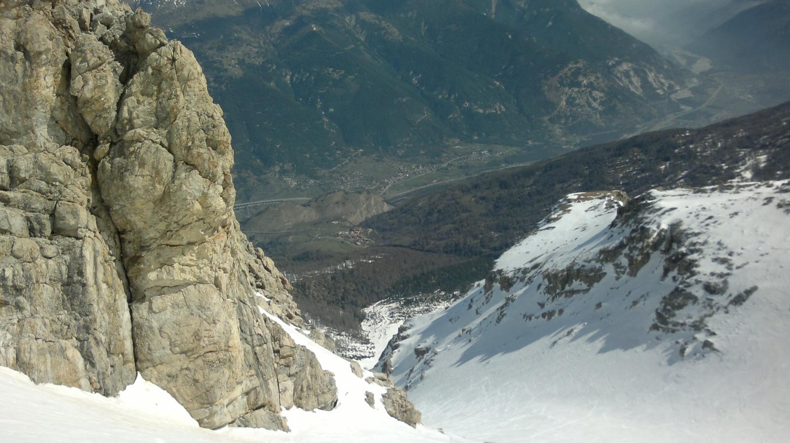
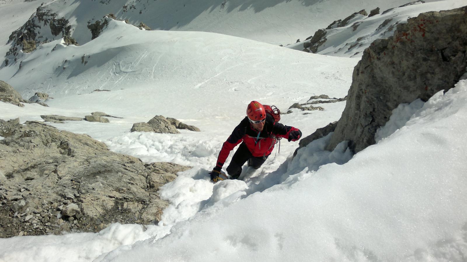
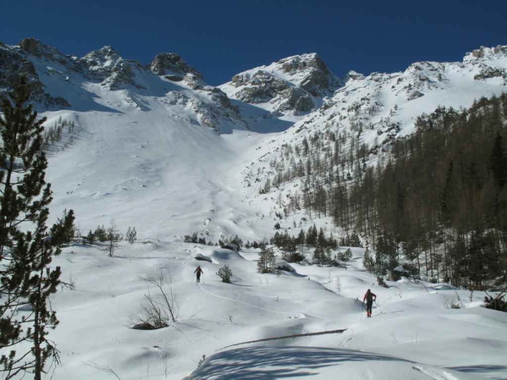
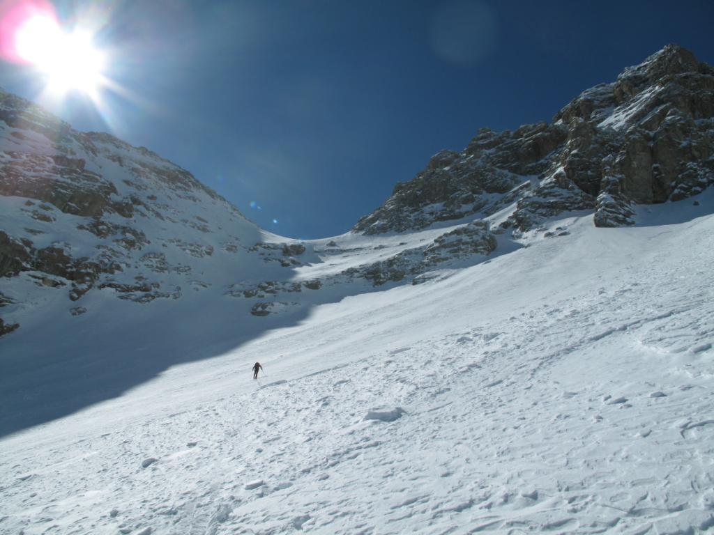
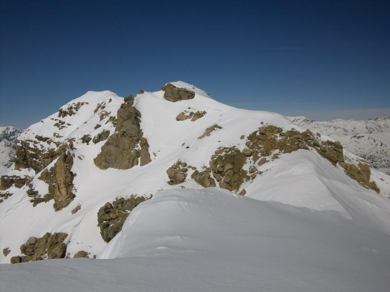
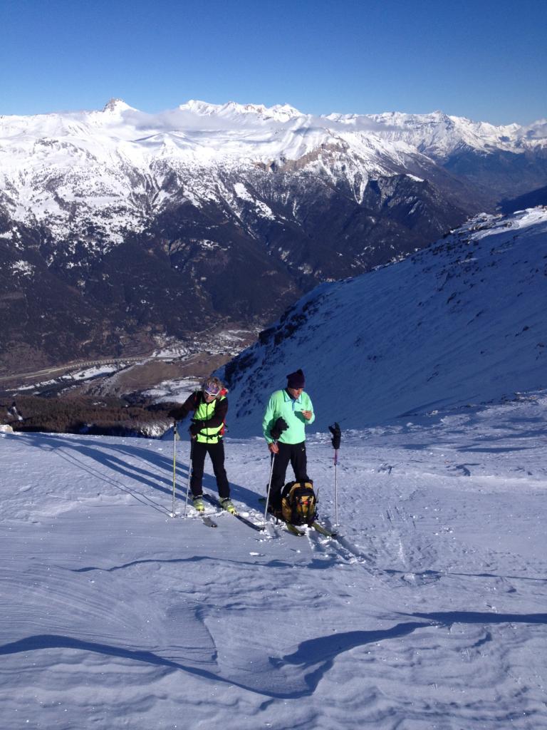
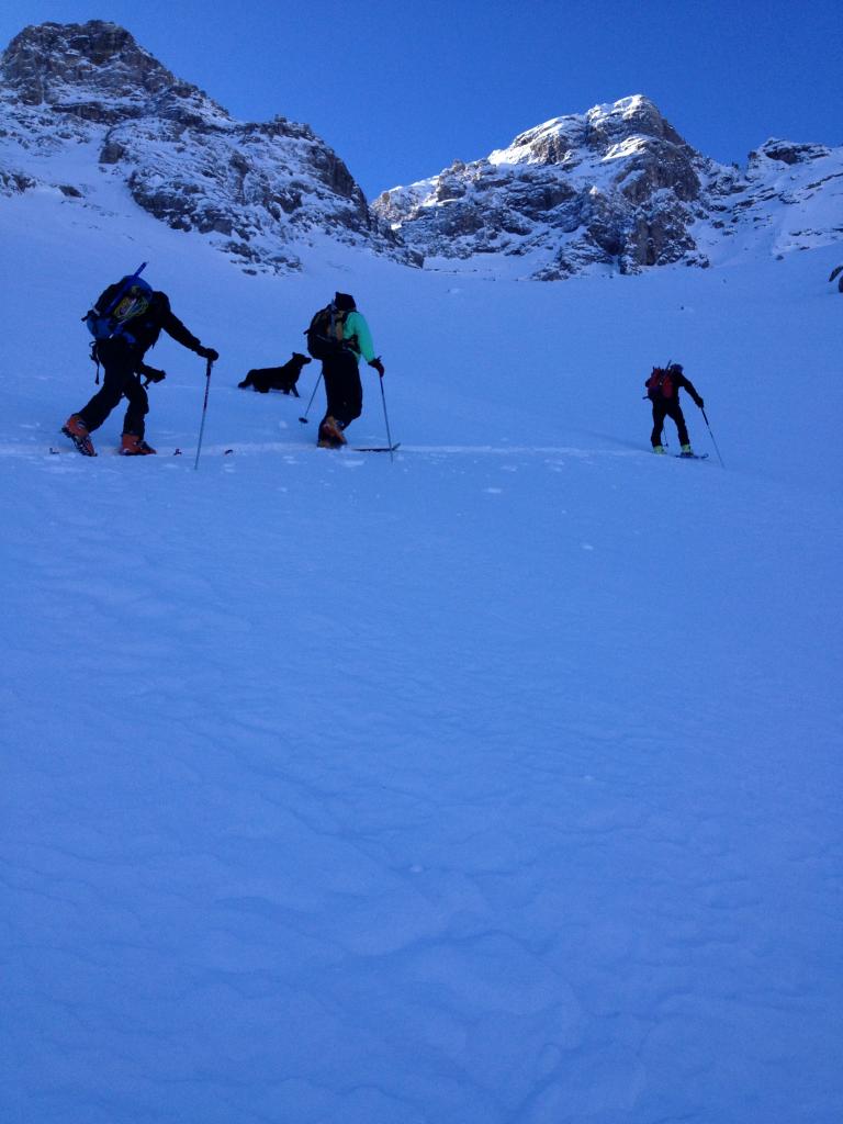
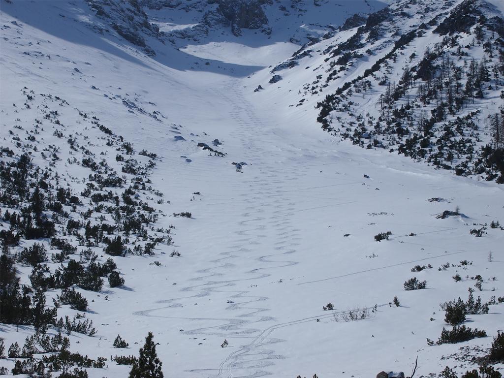
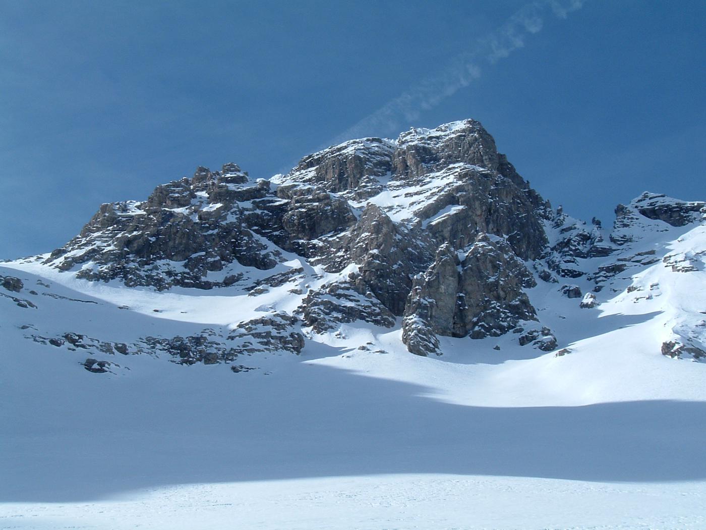
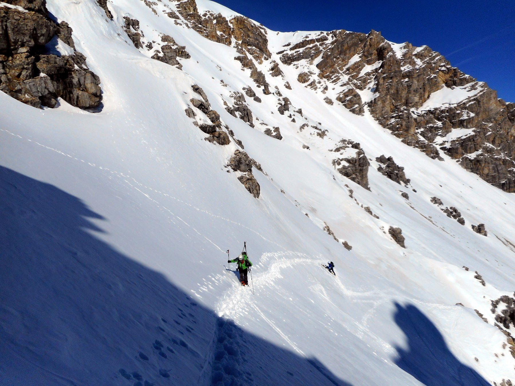
Molto utili i ramponi e la picozza per attraversare i salti di roccia che con sufficiente innevamento non presentano problemi. Con scarsa neve, sulla destra dei salti di roccia si trova un canale incassato che può essere molto utile per salire e scendere.
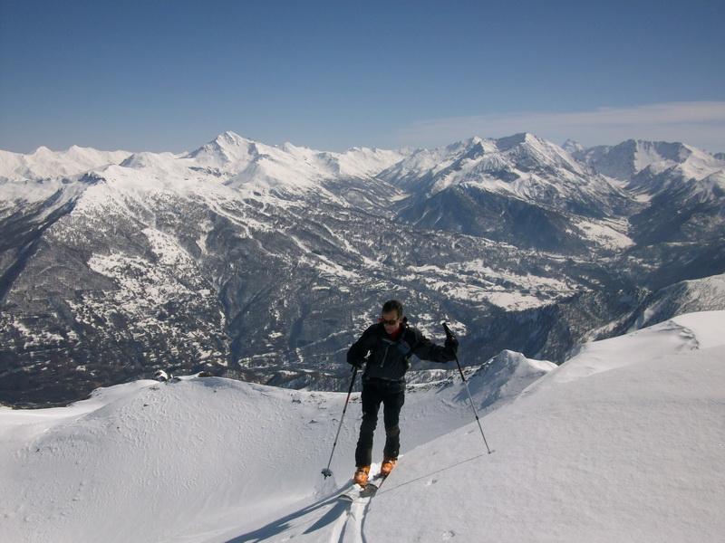
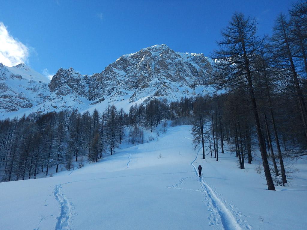
Avvicinamento
.
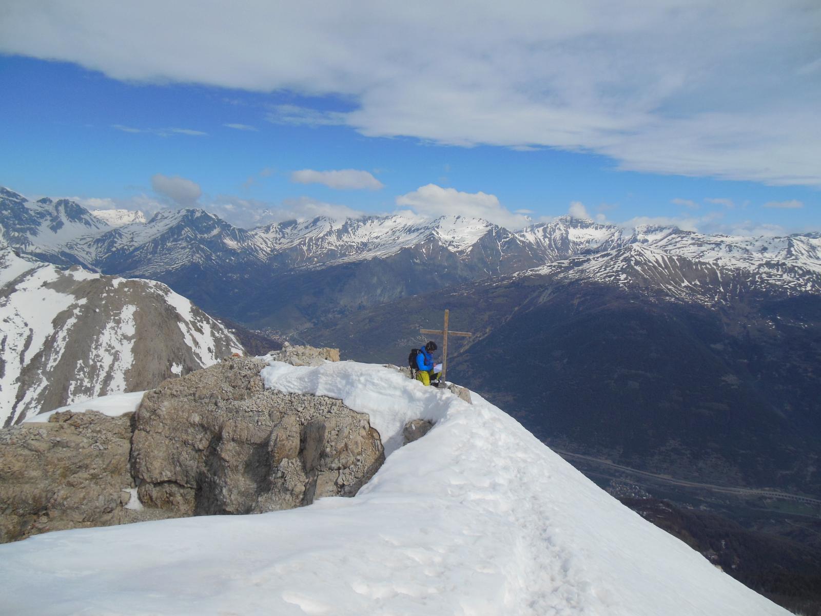
Descrizione
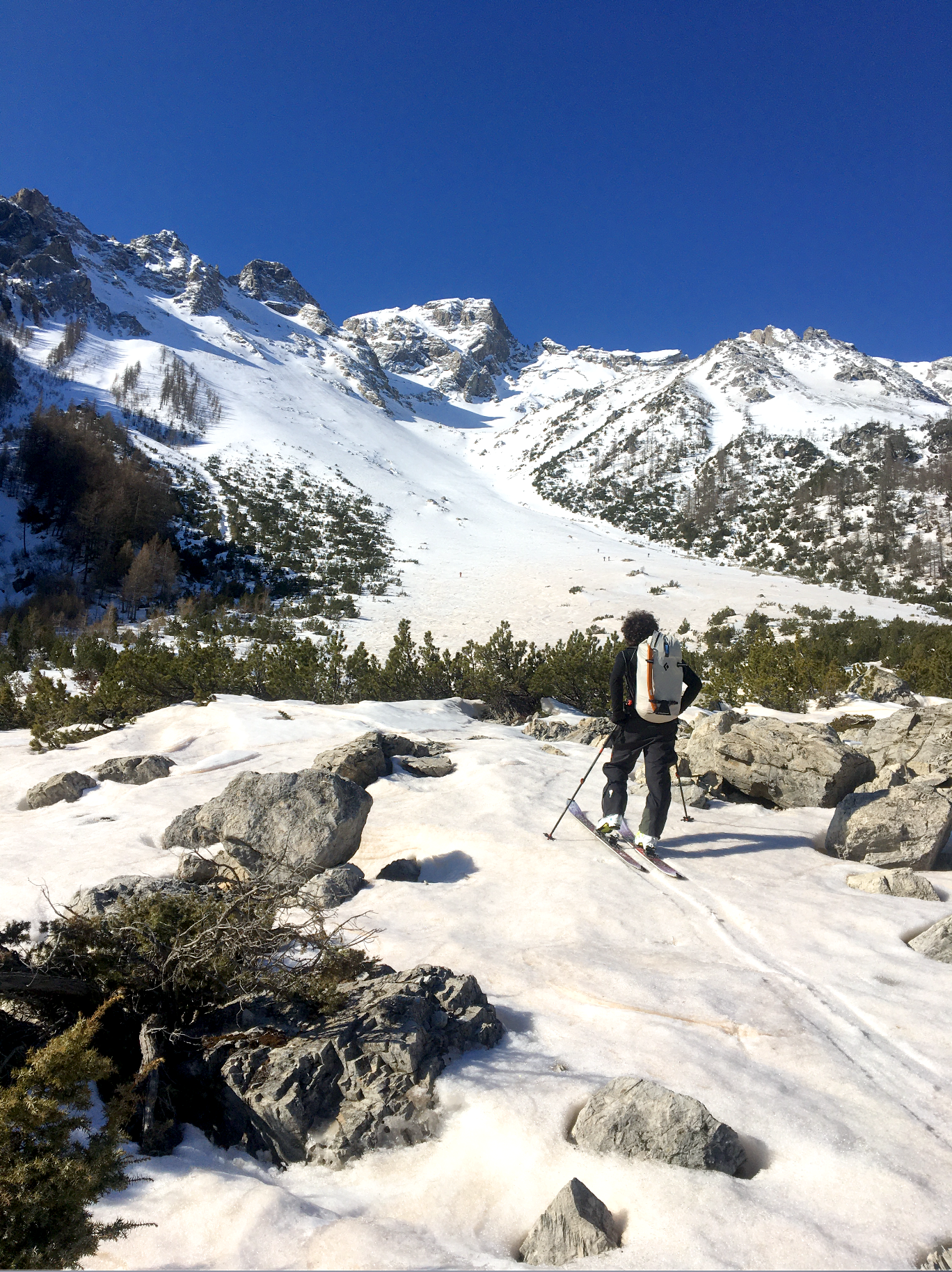
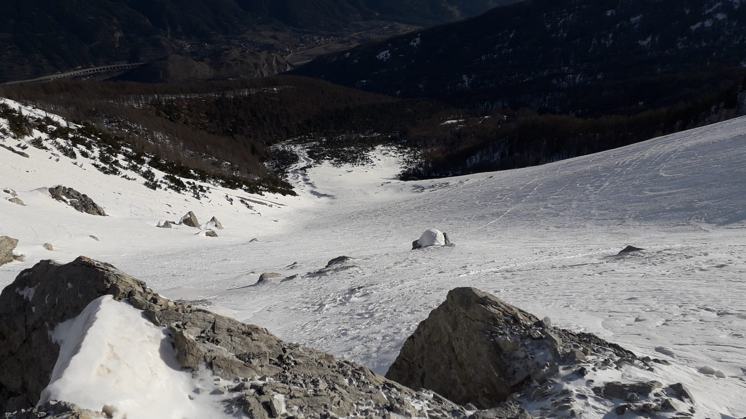
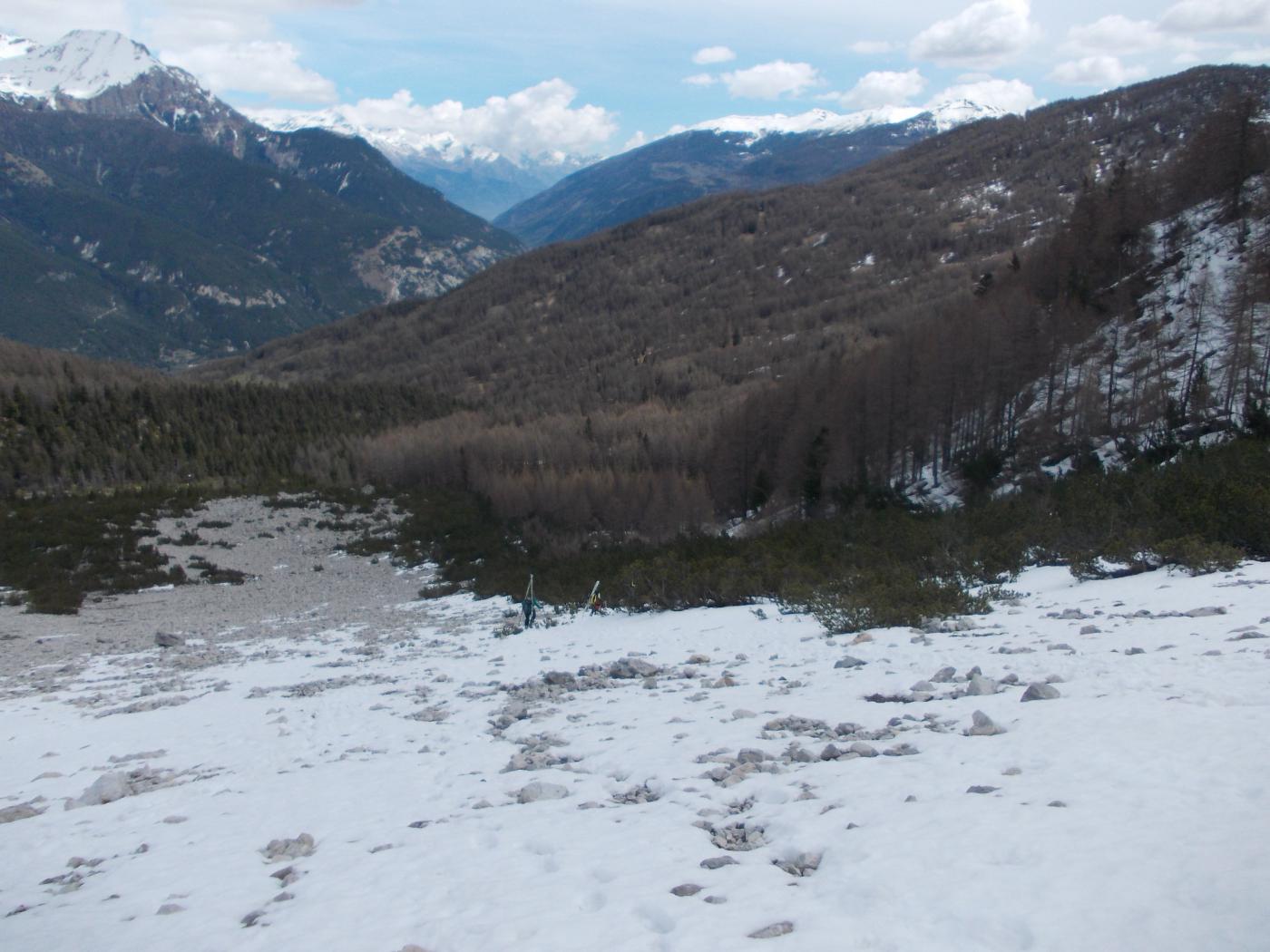
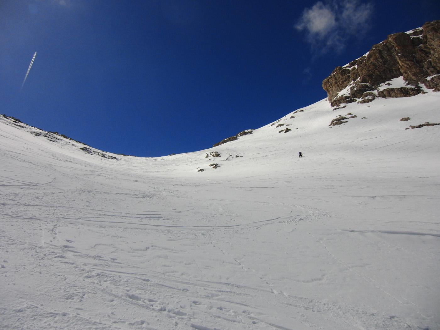
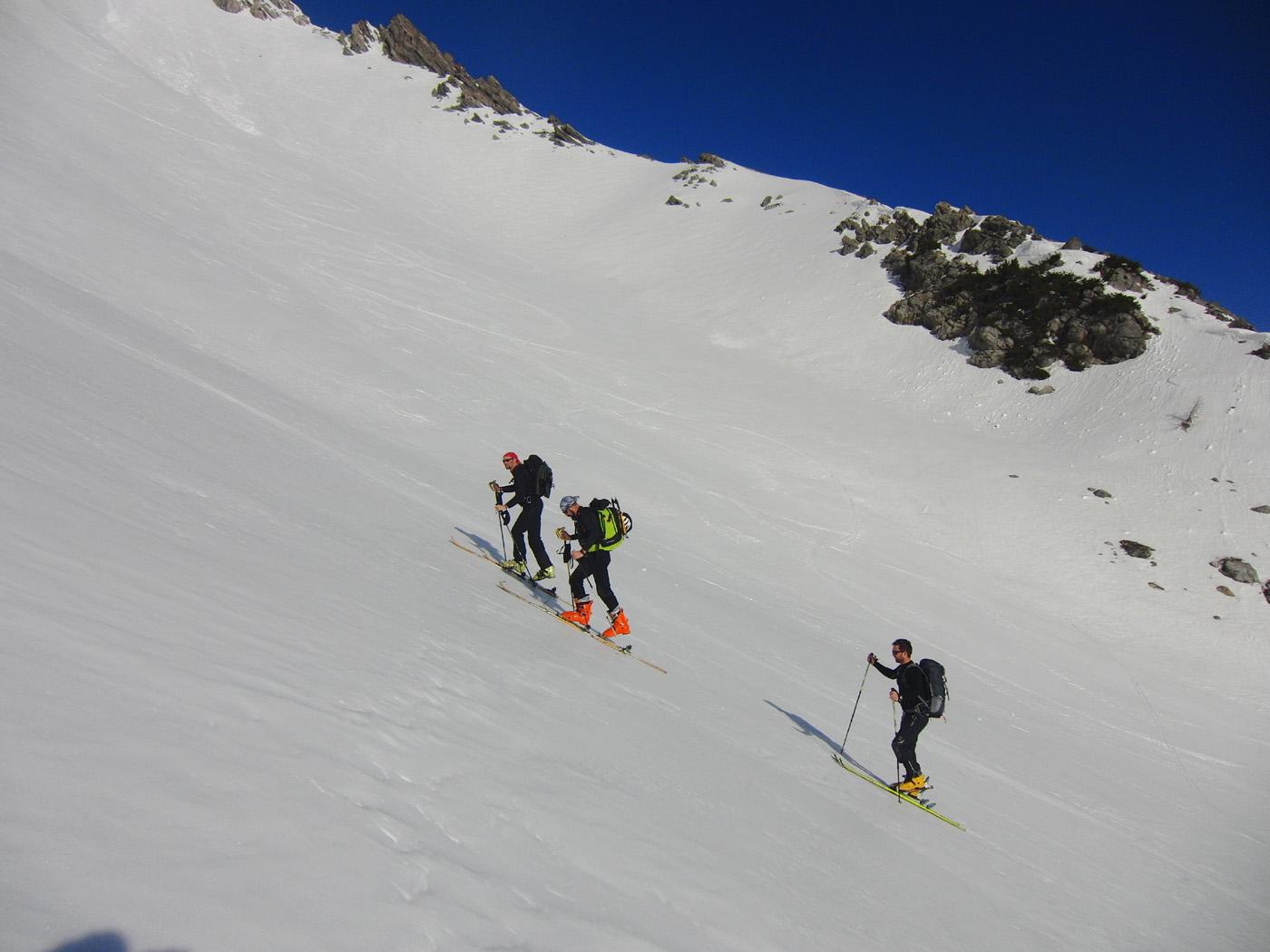
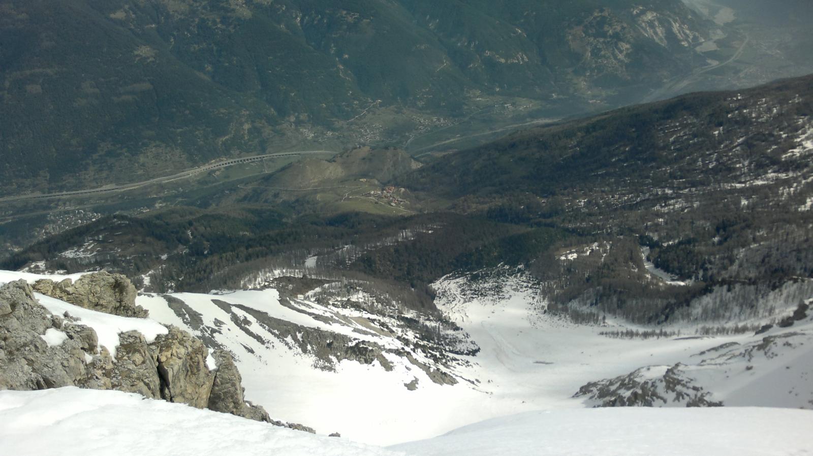
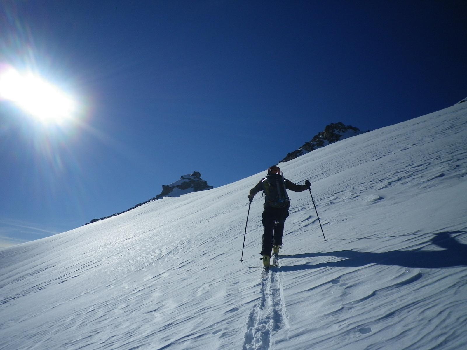
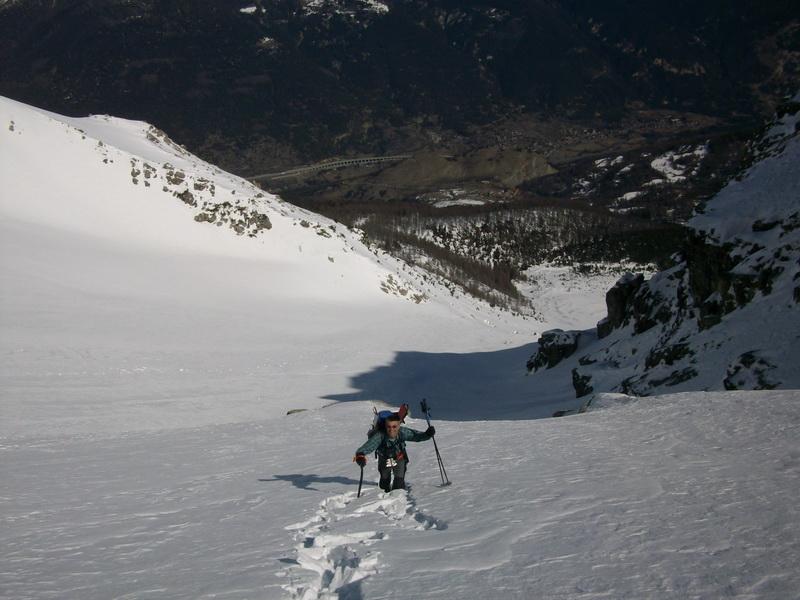
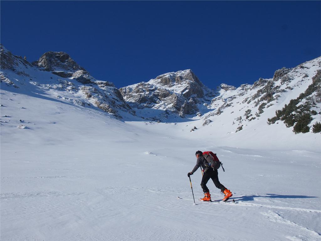
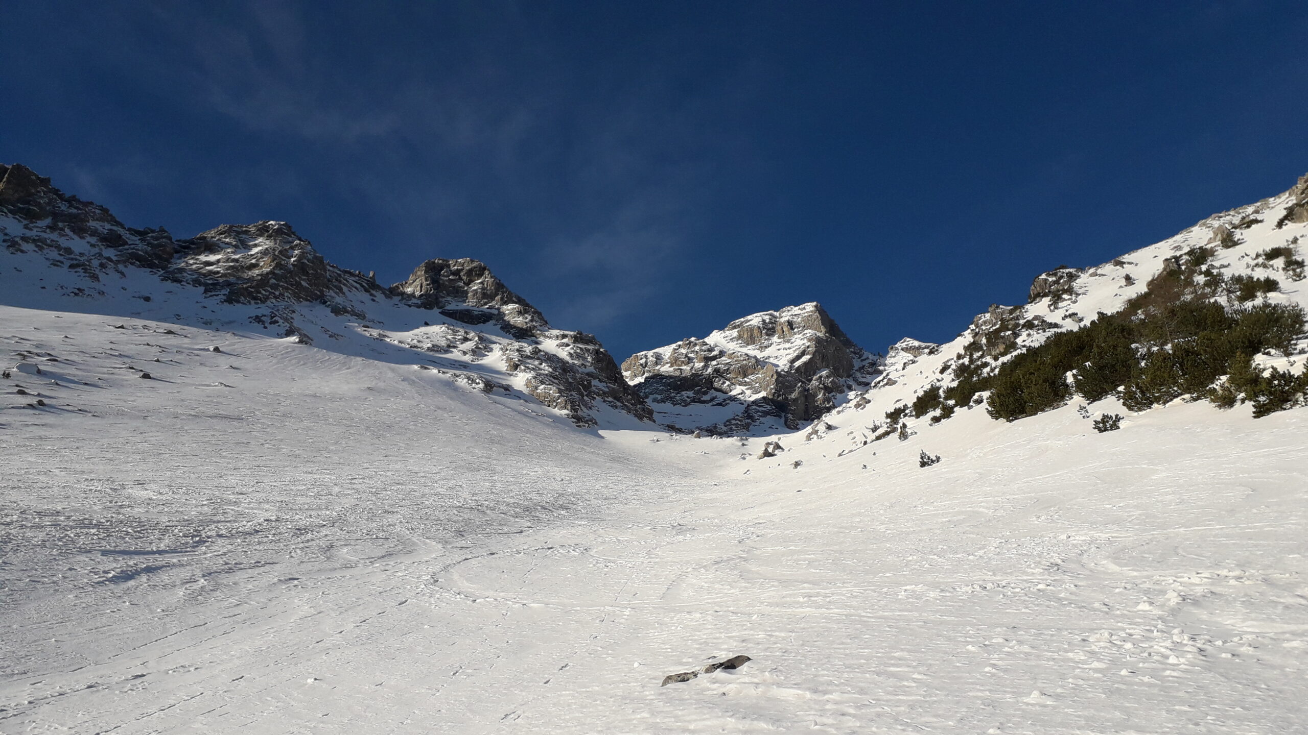
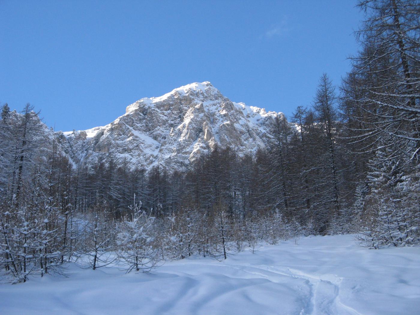
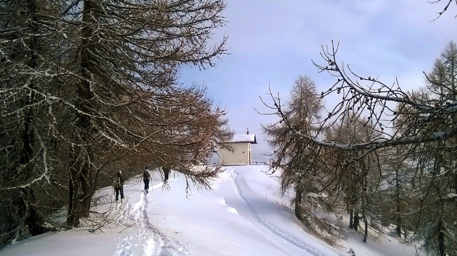
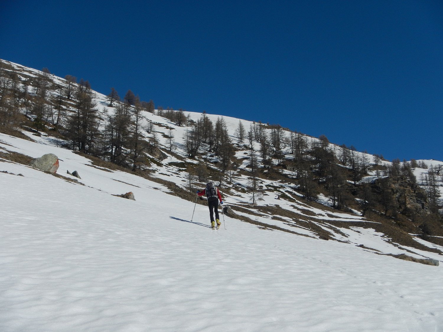
Da Chateau seguire l’itinerario per il Cotolivier per circa 200 metri di dislivello fino ad imboccare una strada che porta verso destra nell’anfiteatro della parete nord-est di Punta Clotesse.
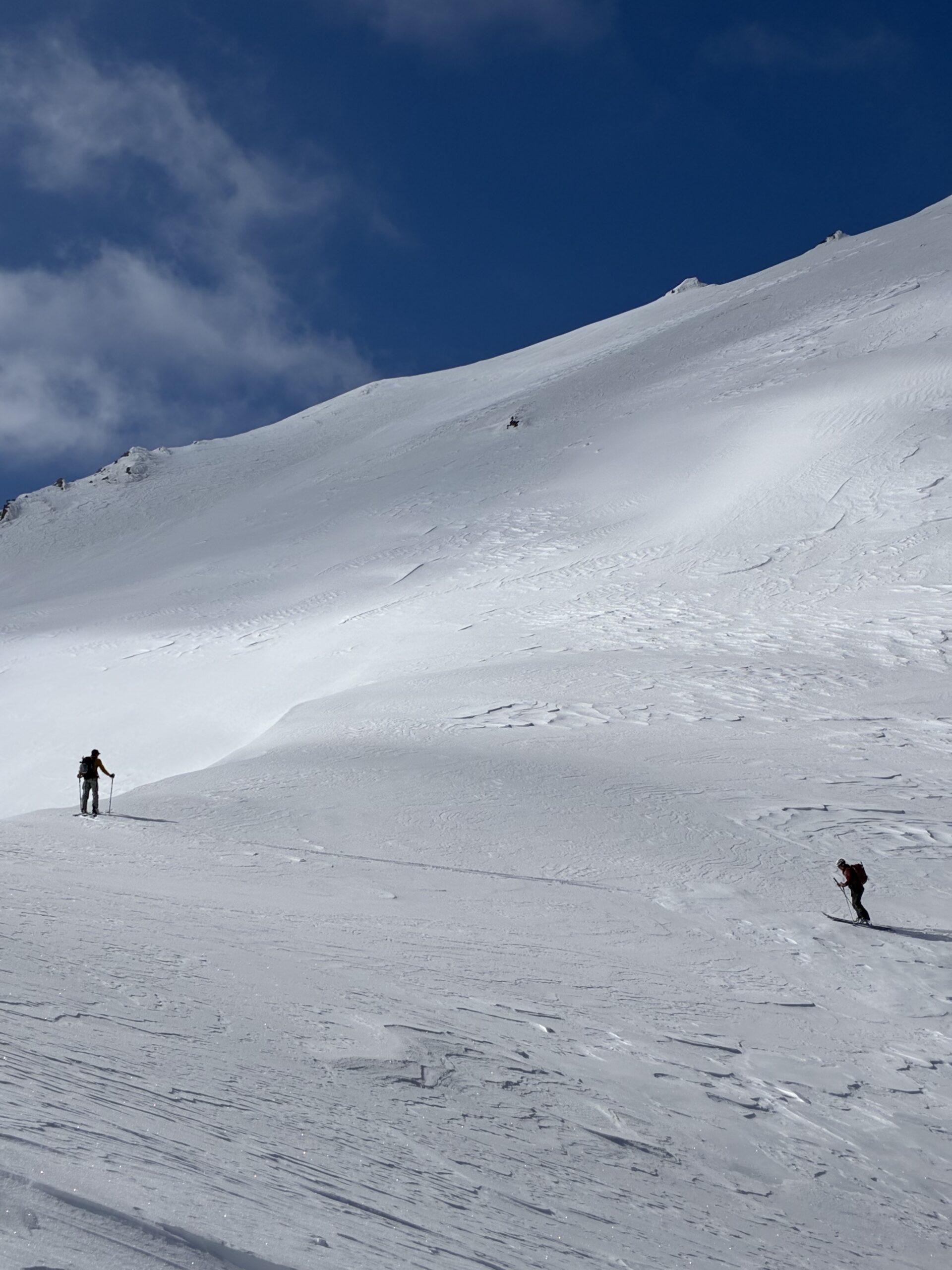
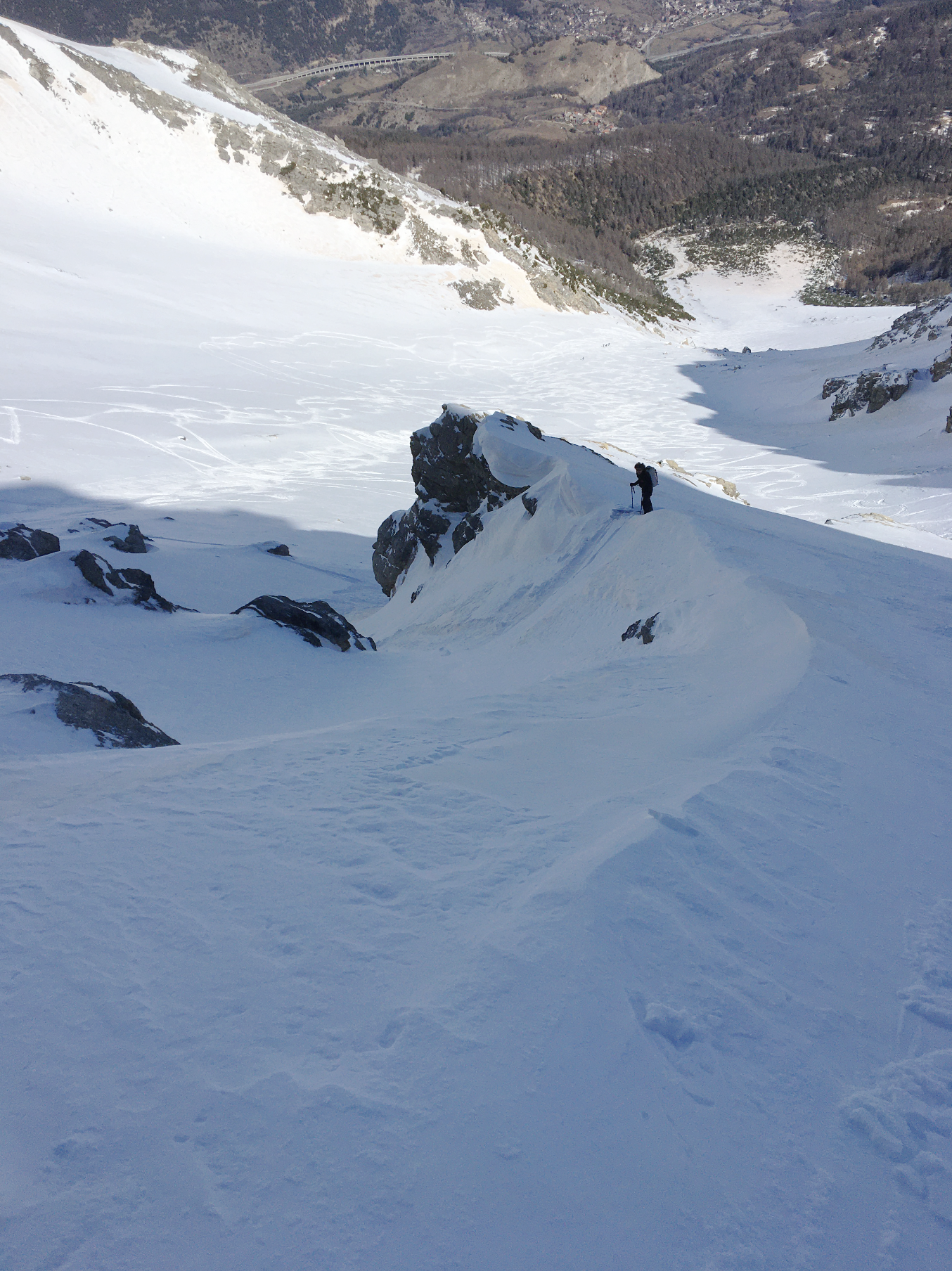
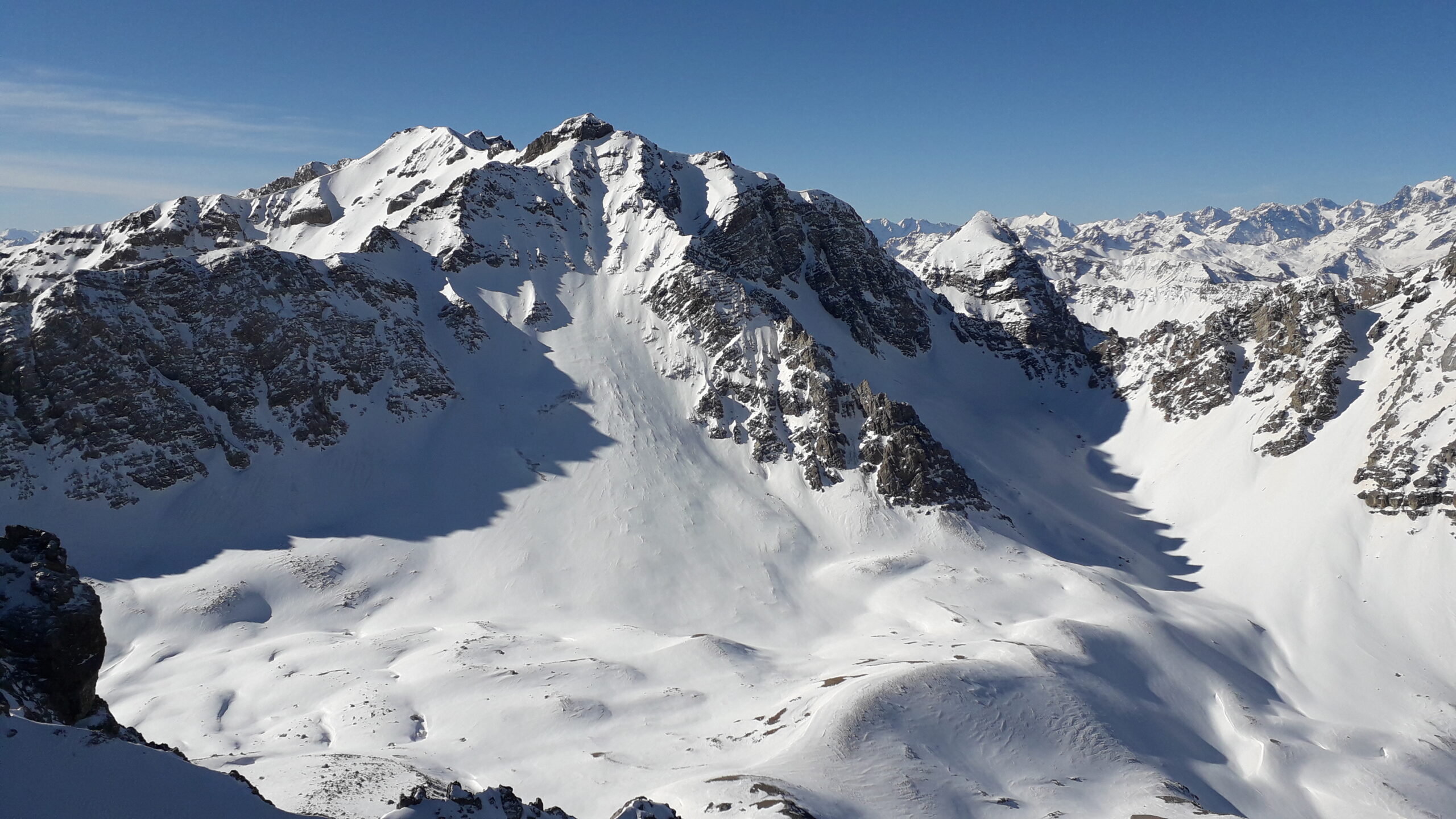
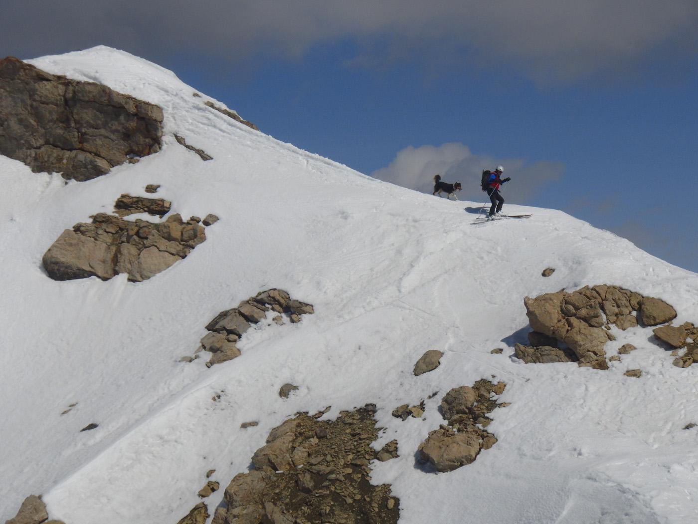
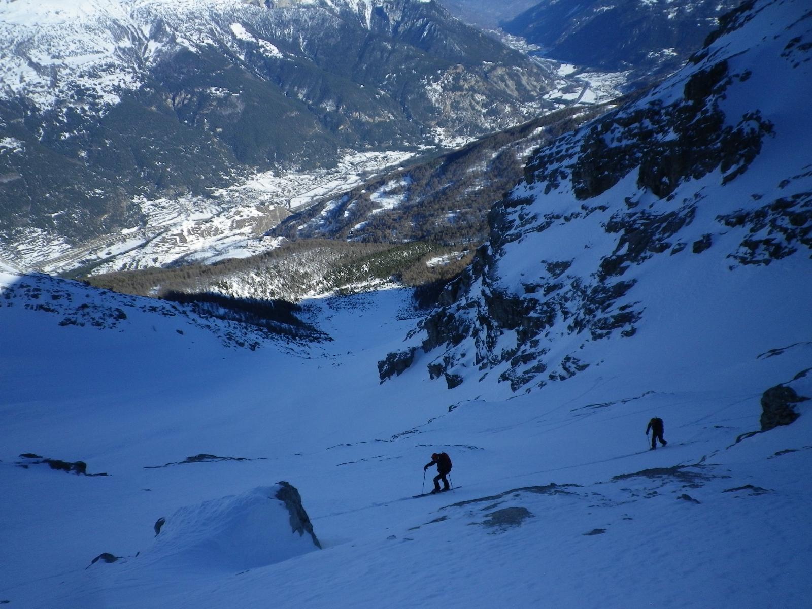
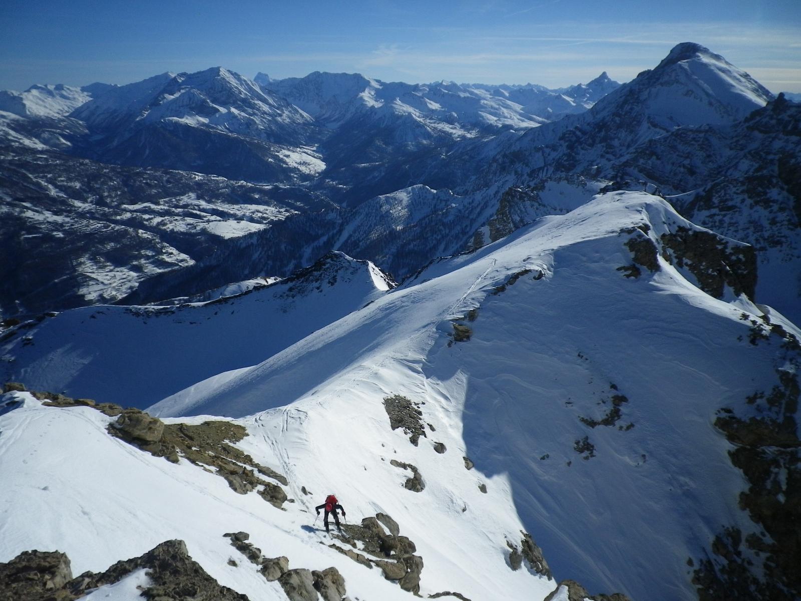
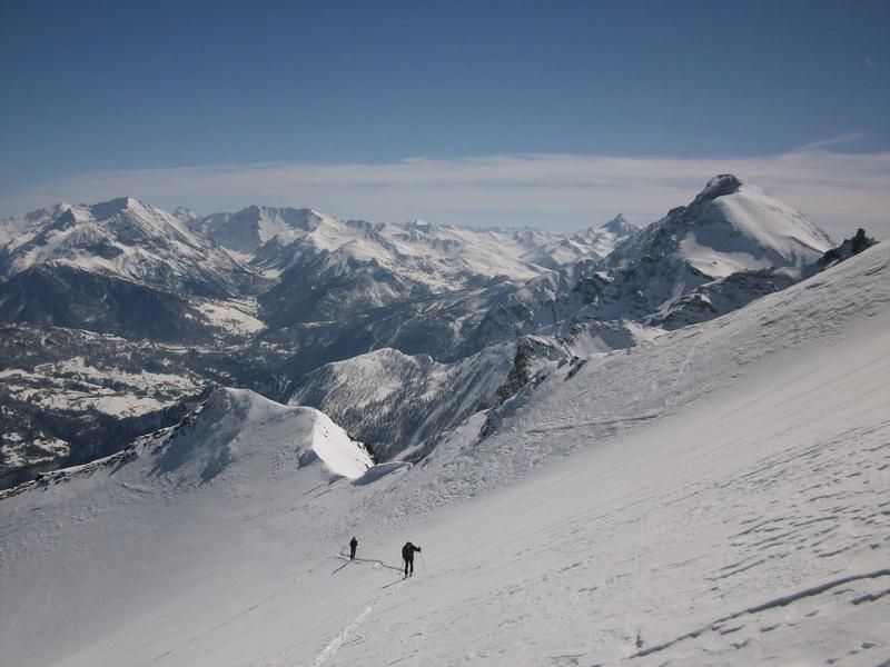
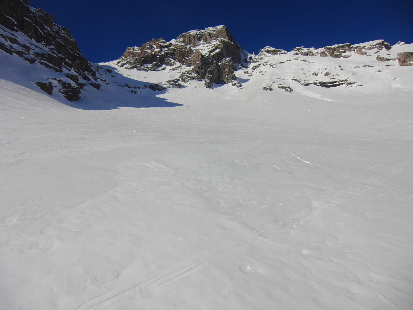
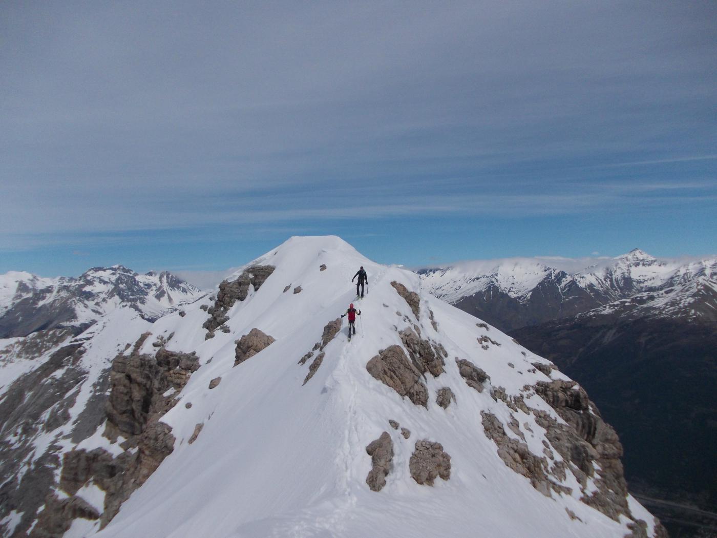
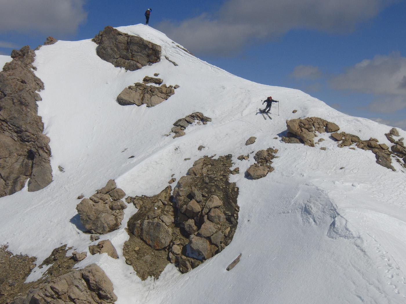
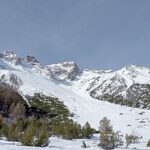
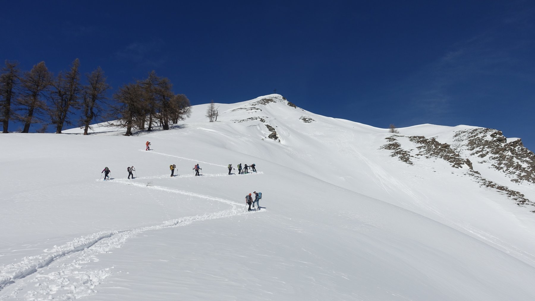
Seguire i pendii fino a dove, sulla sinistra si vedono dei salti di roccia (nord). Cercare l’itinerario migliore per zig-zagarci in mezzo e raggiungere il colle. Da qui si raggiunge la Punta.
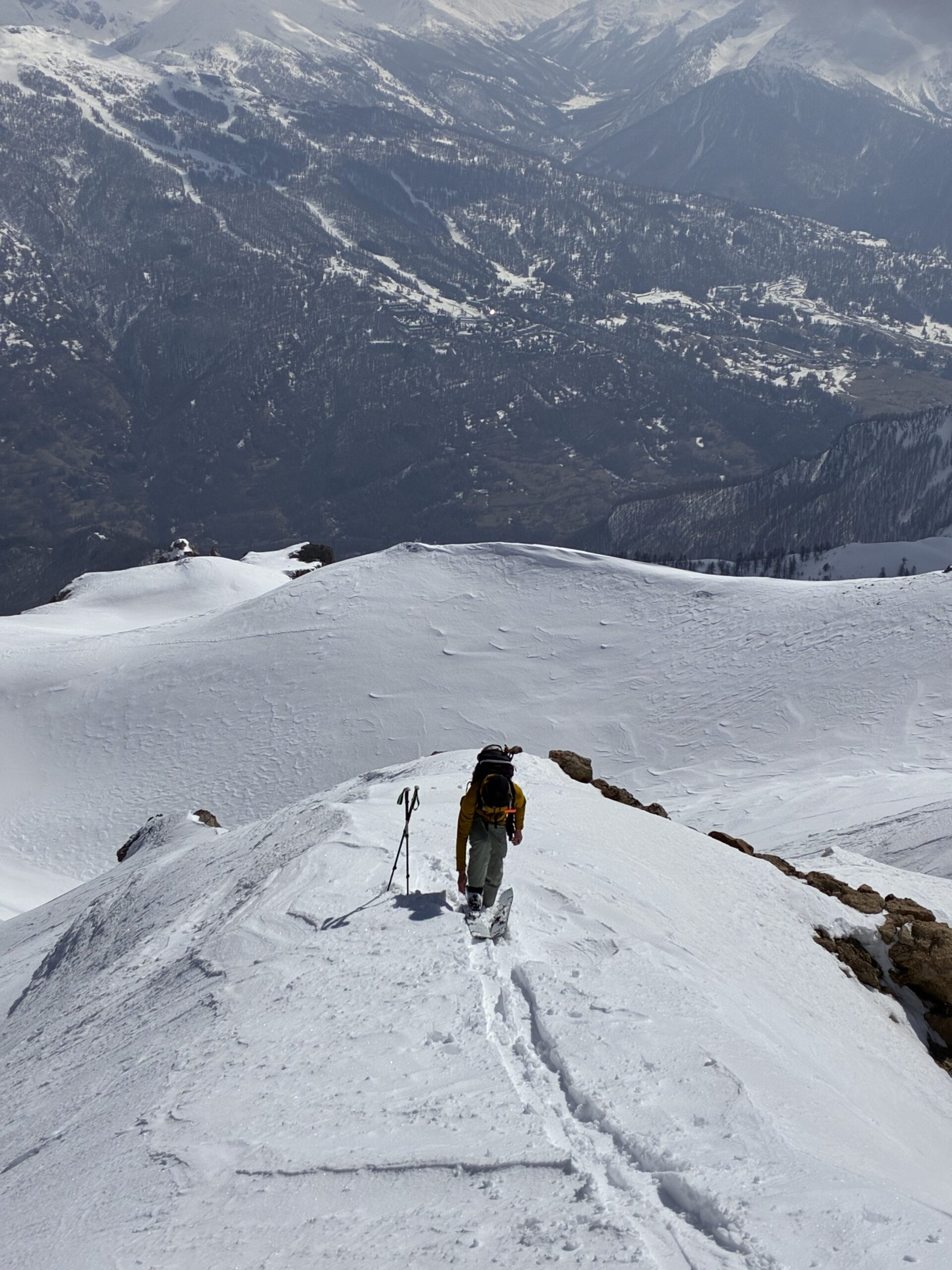
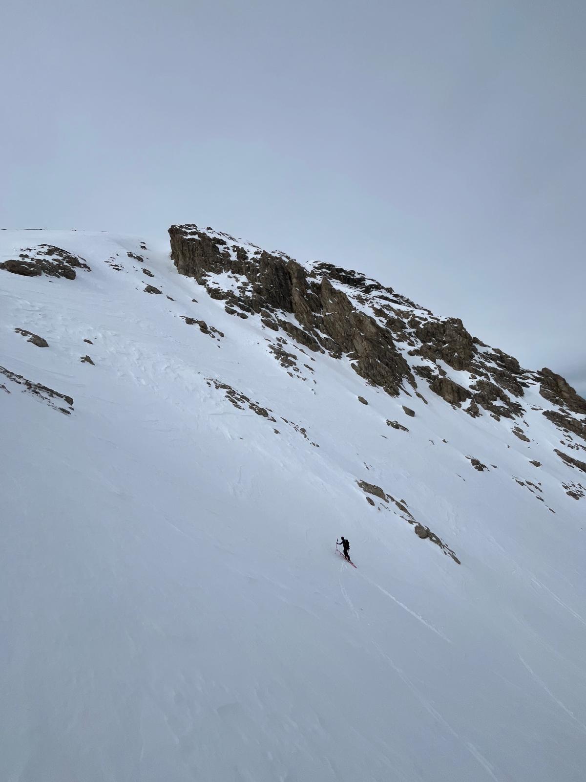
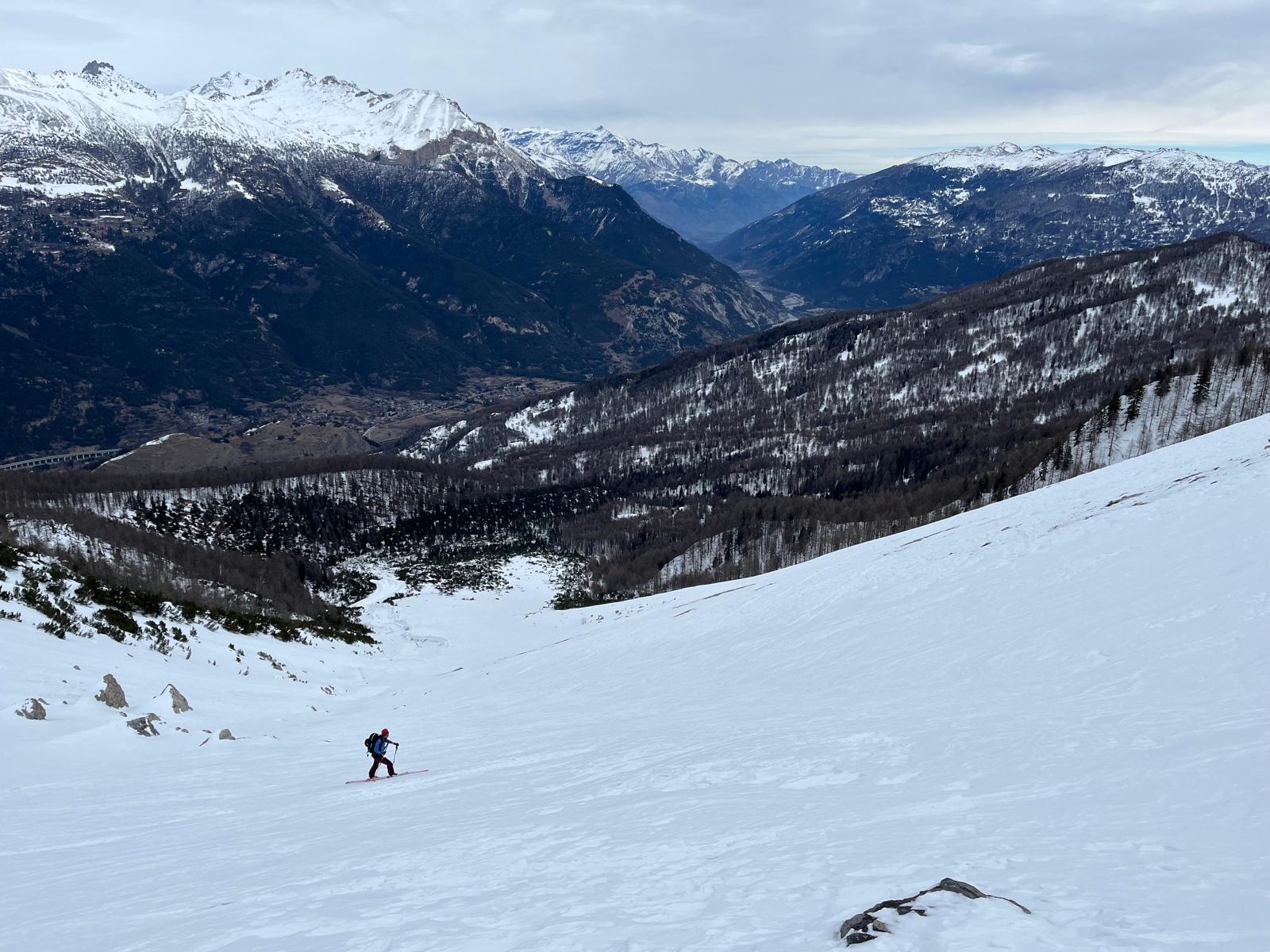
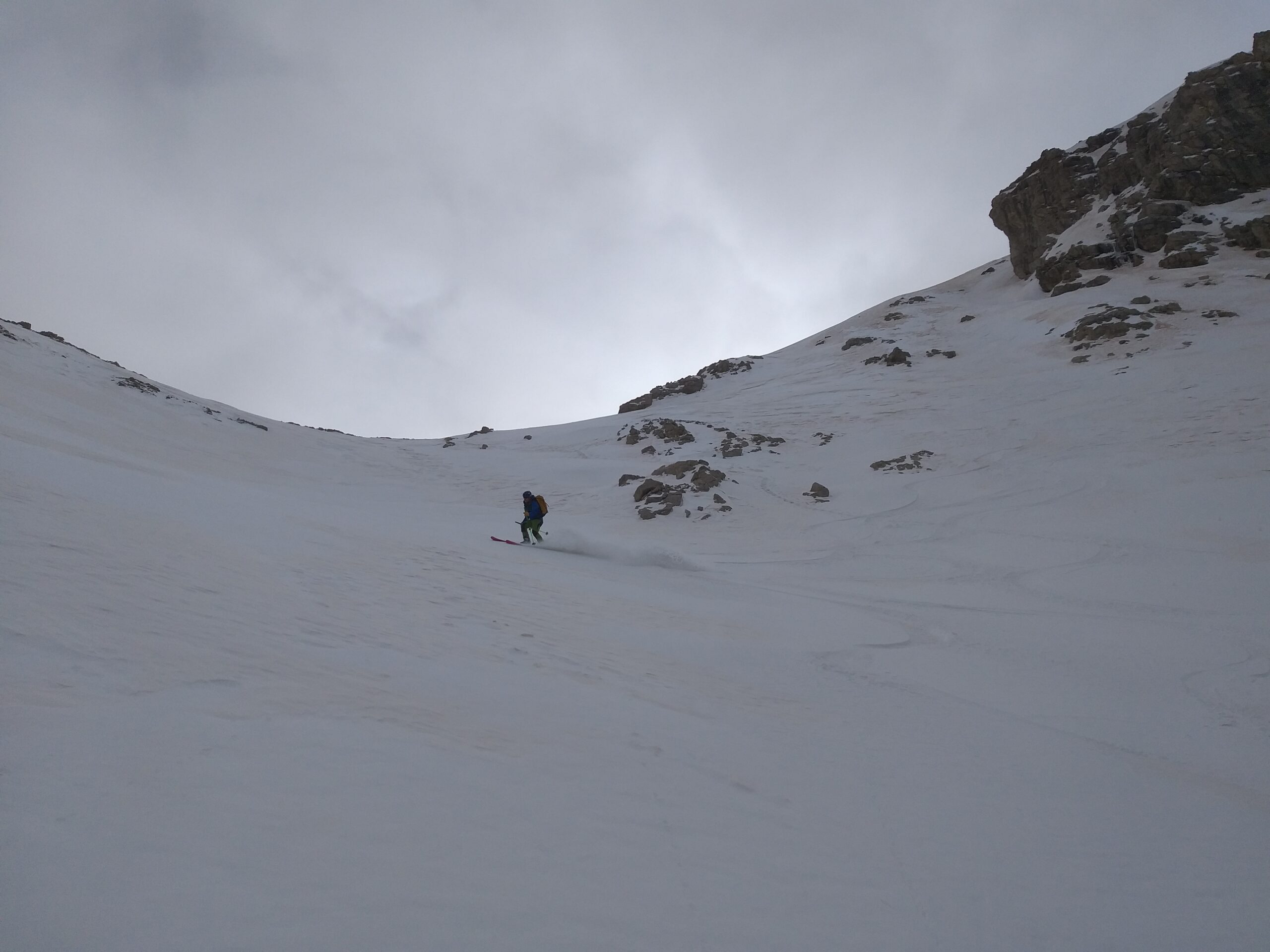
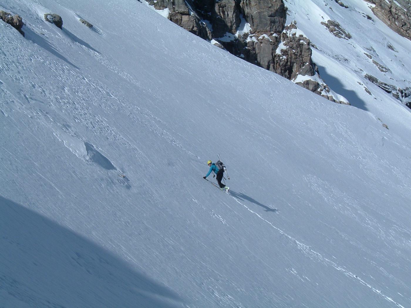
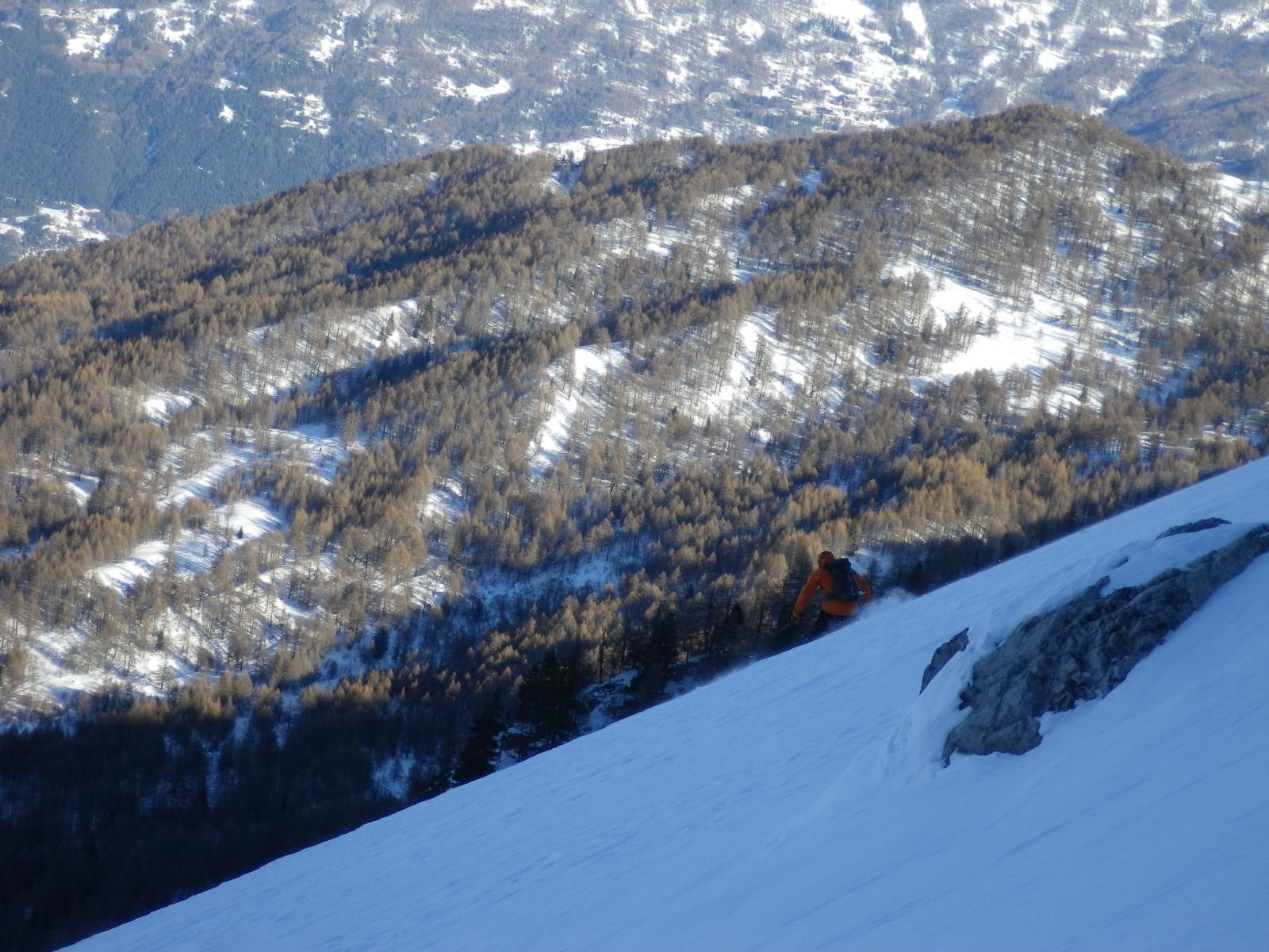
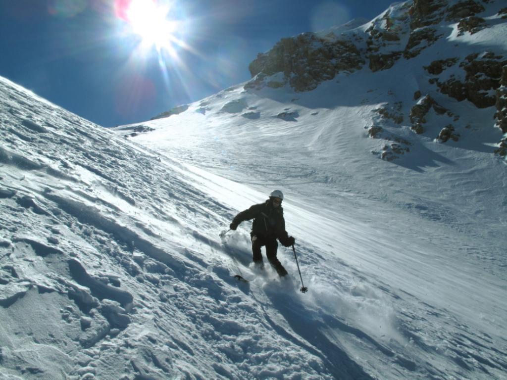
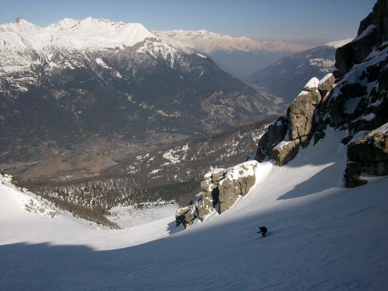
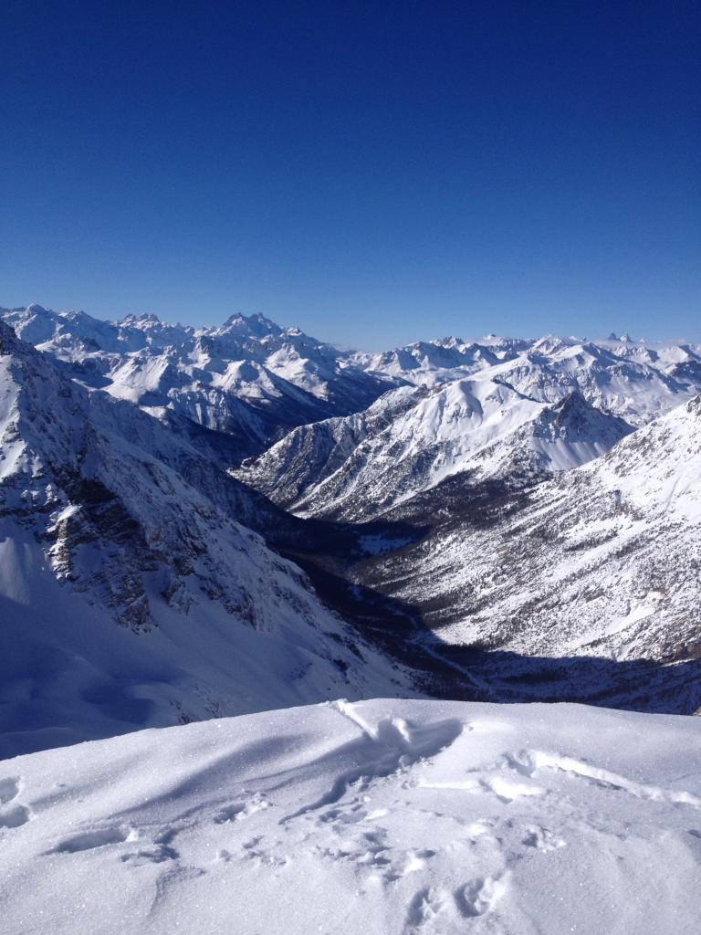
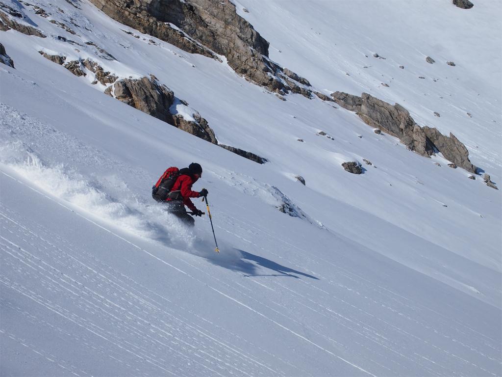
Discesa per l’itinerario di salita.
- Cartografia:
- Valli di Susa Chisone e Germanasca IGC1
Nelle vicinanze Mappa
Itinerari
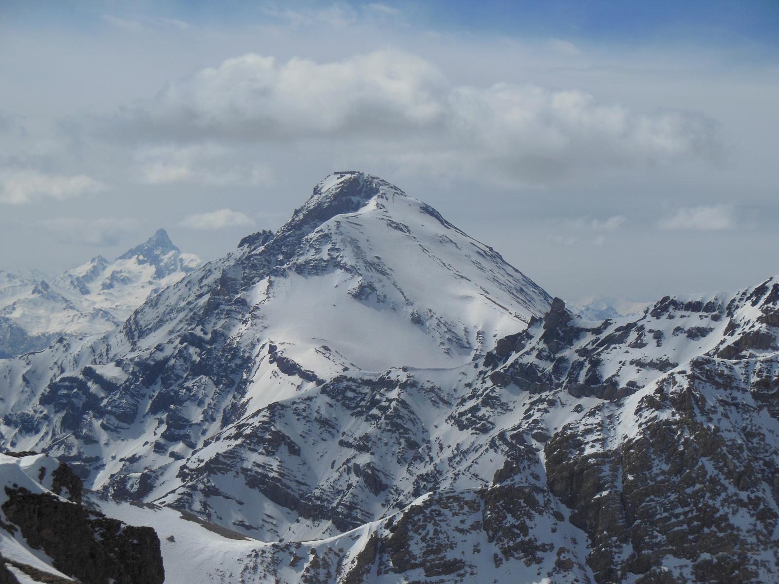
31/01/2026 TO, Oulx D+ 840 m BS Nord
Garde (Rocher de la) da Chateau Beaulard
 0m
0m
17/02/2021 TO, Oulx D+ 1500 m BS Varie
Desertes (Passo) da Chateau Beaulard, giro della Punta Clotesse
 50m
50m
20/02/2025 TO, Oulx D+ 1338 m BS Nord-Est
Gros Vallon (Punta) da Chateau Beaulard per la Canala
 50m
50m
21/02/2026 TO, Oulx D+ 931 m MS Nord
Madonna del Cotolivier (Cappella) da Beaulard
 2.3Km
2.3Km
26/12/2025 TO, Oulx D+ 956 m MS Nord
Beaulard quota 2100 m (ex piste) da Beaulard
 2.3Km
2.3Km
18/12/2022 TO, Oulx D+ 1238 m MS Nord
San Giuseppe (Croce) da Beaulard
 2.3Km
2.3Km
19/04/2018 TO, Oulx D+ 1761 m MS Nord-Ovest
Madonna del Cotolivier (Cappella) da Beaulard, giro per Rocher de la Garde, Chateau Beaulard
 2.3Km
2.3Km
23/02/2017 TO, Oulx D+ 1523 m MS Sud
Aigle (Rochers de l’) da Savoulx
 2.6Km
2.6Km
29/12/2025 TO, Oulx D+ 1401 m BS Sud
Vin Vert (Monte) da Savoulx
2.6Km
22/01/2023 TO, Oulx D+ 1012 m MS Est
Mulattiera (Punta della) da Puys
 4.2Km
4.2Km
Servizi
150m
2.1Km
Dell’Orsa Bar
Oulx
2.3Km
Guido Rey Rifugio
Oulx
5.1Km
La Chardouse Rifugio
Oulx
6.9Km
La Moretta Ristorante
Oulx
8.7Km
Escarton Ristorante
Bardonecchia
9.2Km
Ottima Scelta Ristorante
Cesana Torinese
9.2Km
Da Silvio Ristorante
Bardonecchia
9.2Km
Bardosteria Ristorante
Bardonecchia
9.2Km