1.5Km
1.5Km
Note
 2.3Km
2.8Km
2.8Km
2.8Km
2.8Km
3.3Km
3.5Km
3.5Km
3.5Km
2.3Km
2.8Km
2.8Km
2.8Km
2.8Km
3.3Km
3.5Km
3.5Km
3.5Km
1.5Km
1.6Km
1.6Km
1.6Km
3.3Km
4.7Km
6.3Km
6.5Km
6.5Km
6.5Km
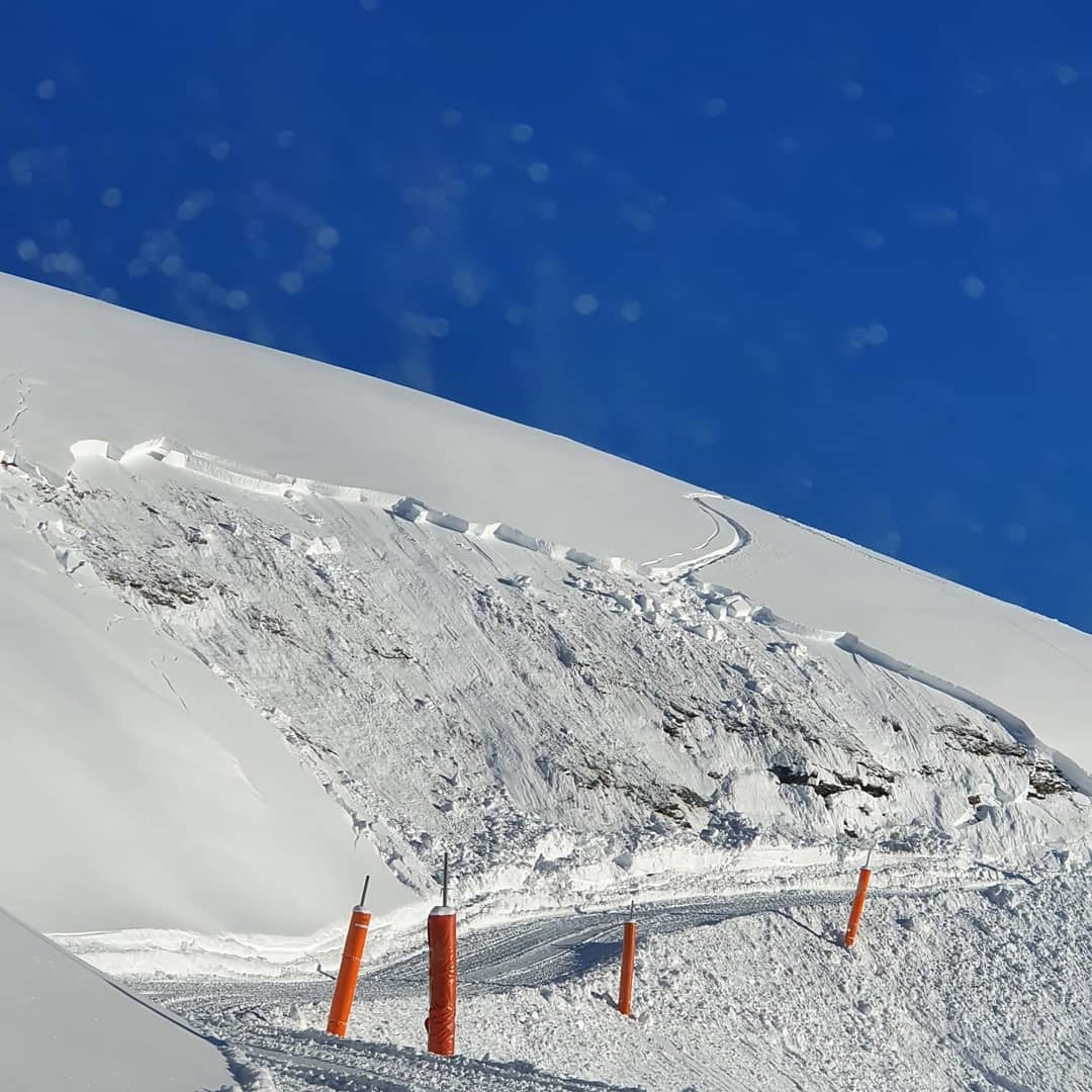
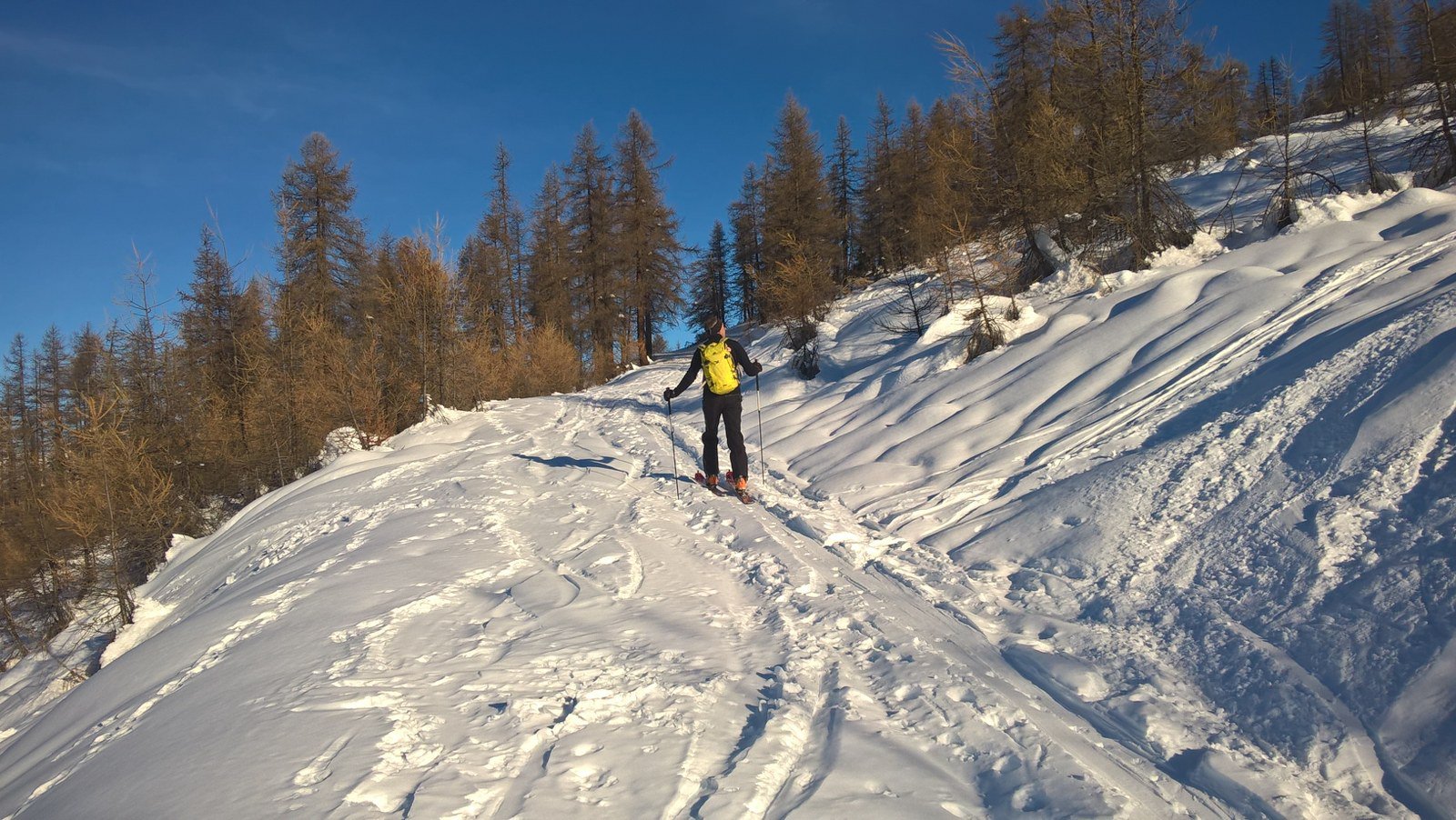
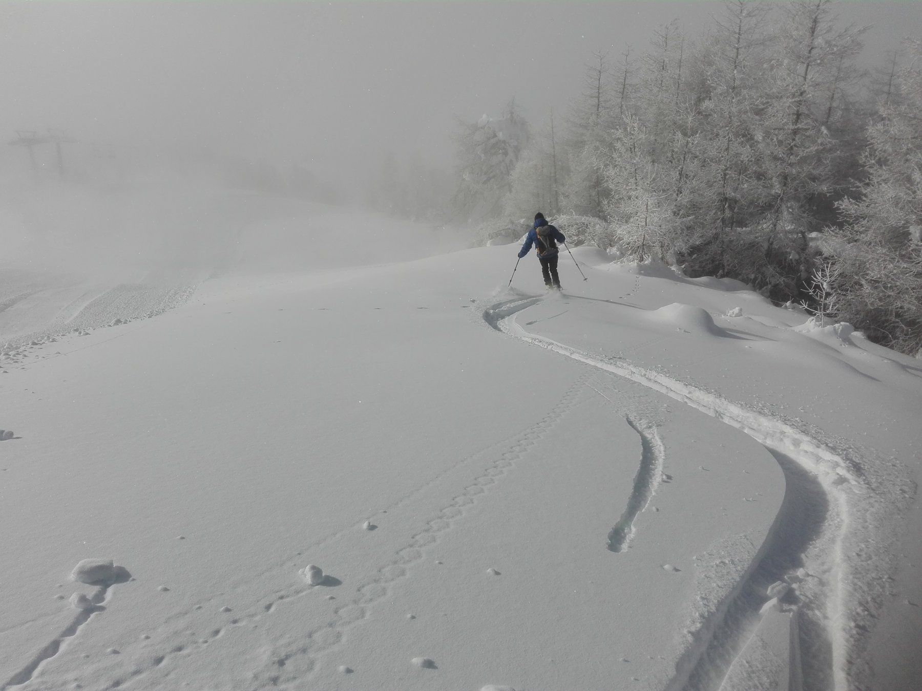
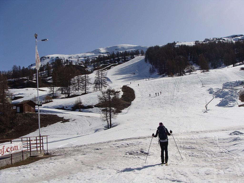
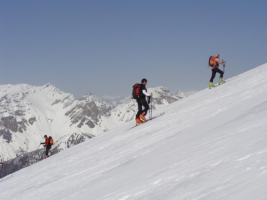
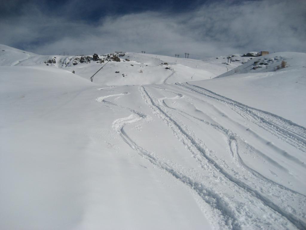
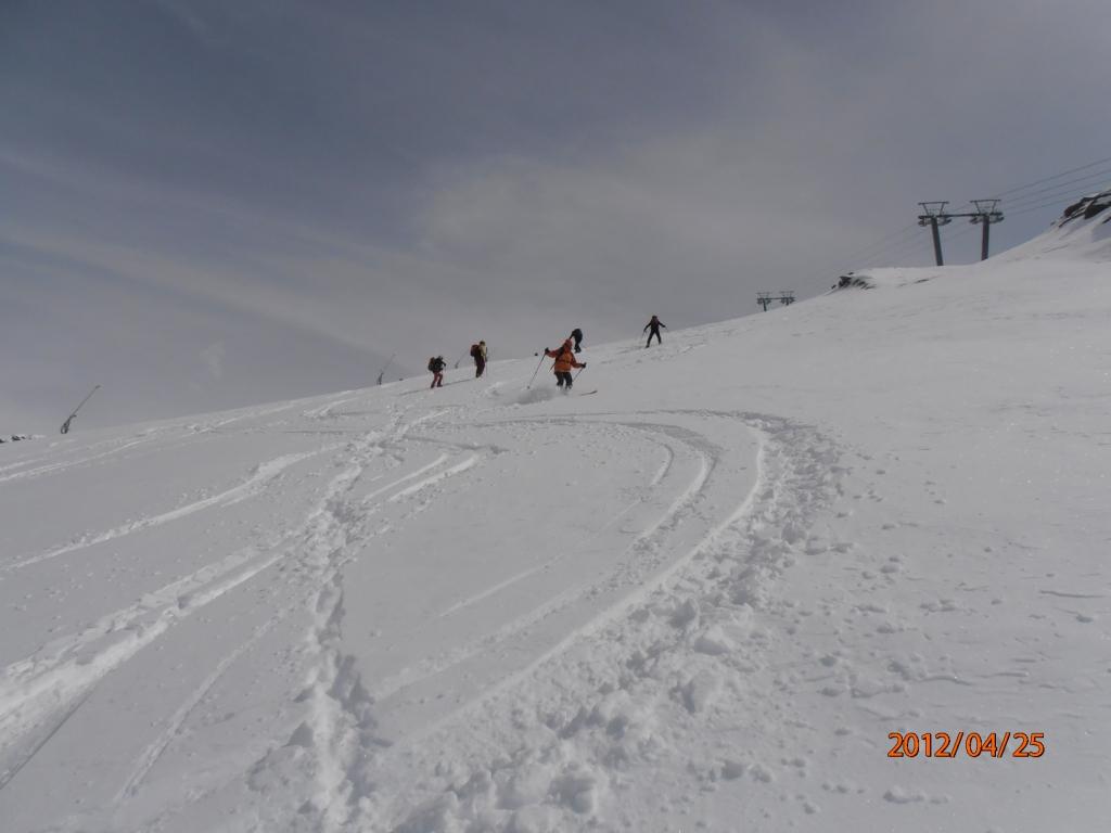
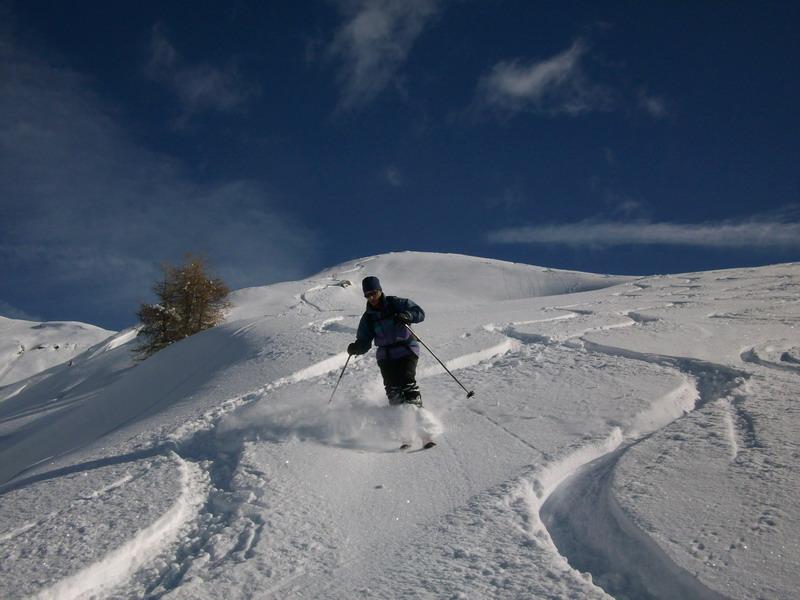
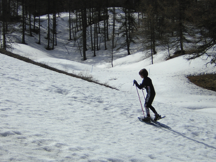
Da effettuarsi a impianti chiusi!
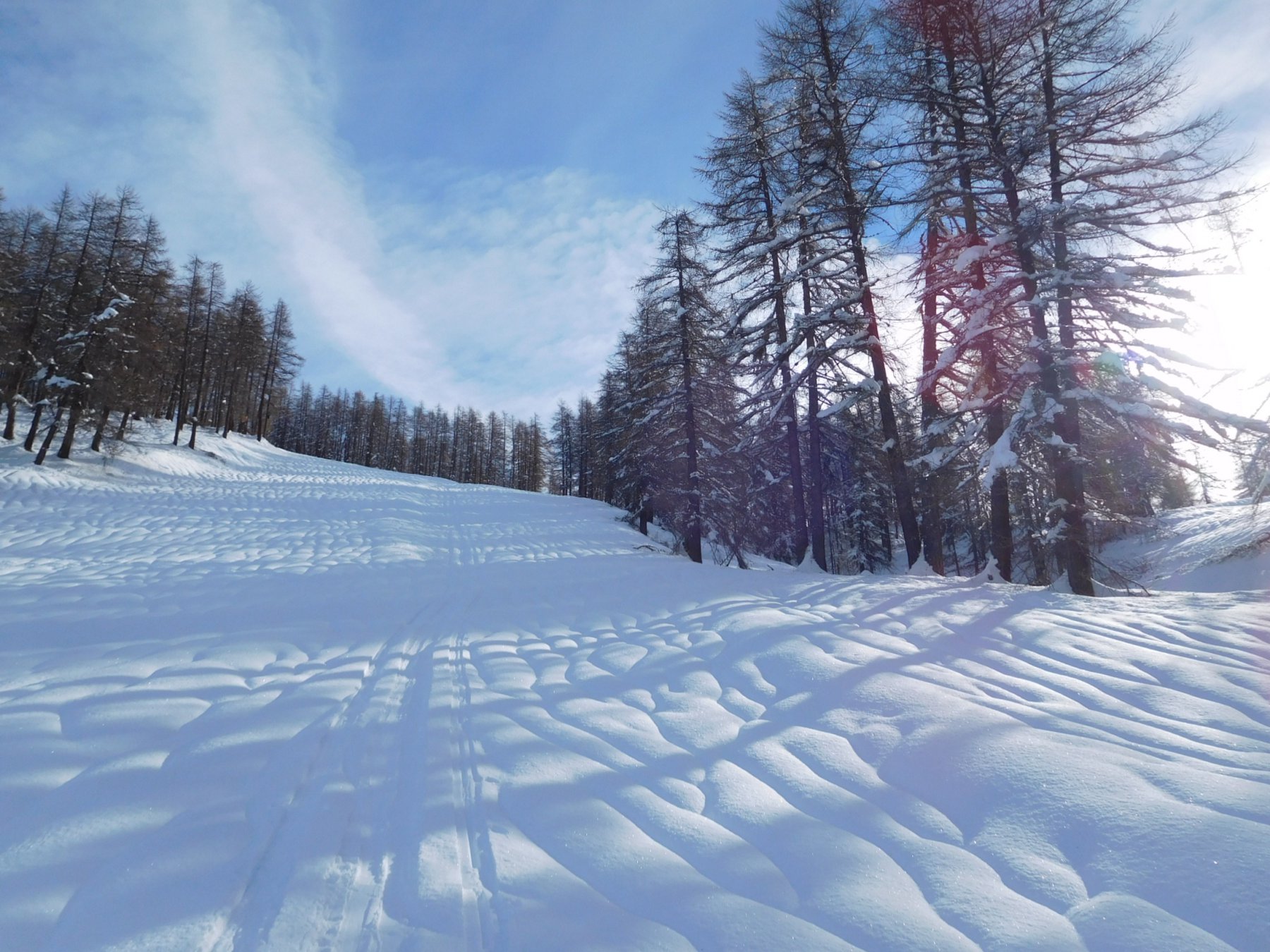
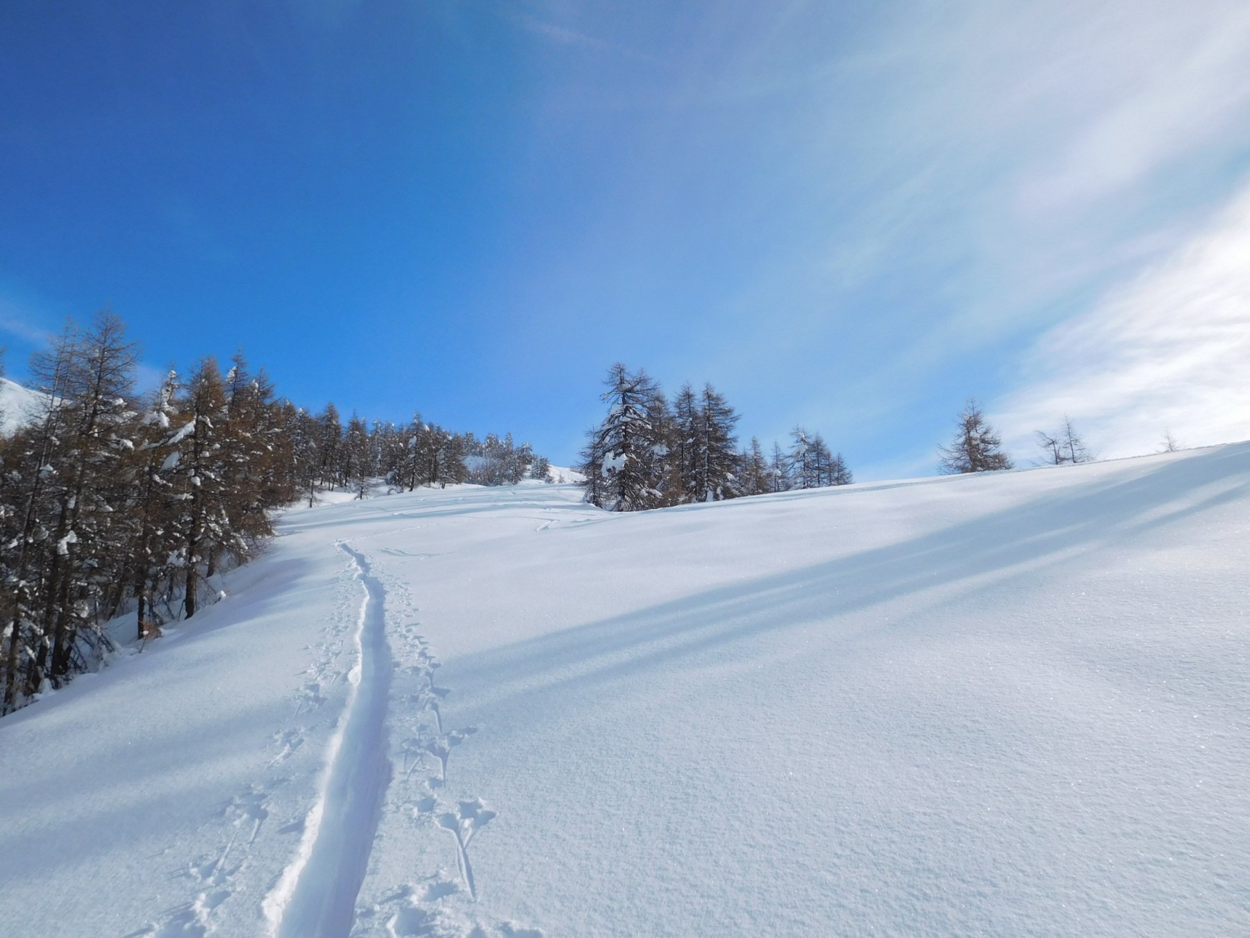
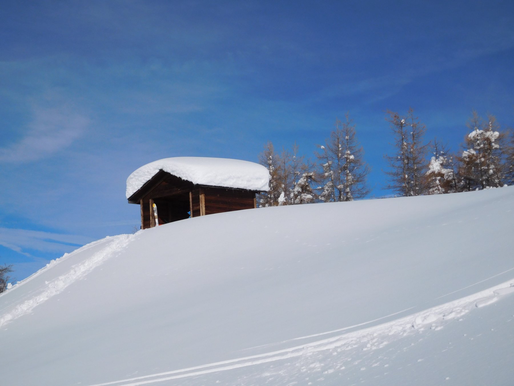
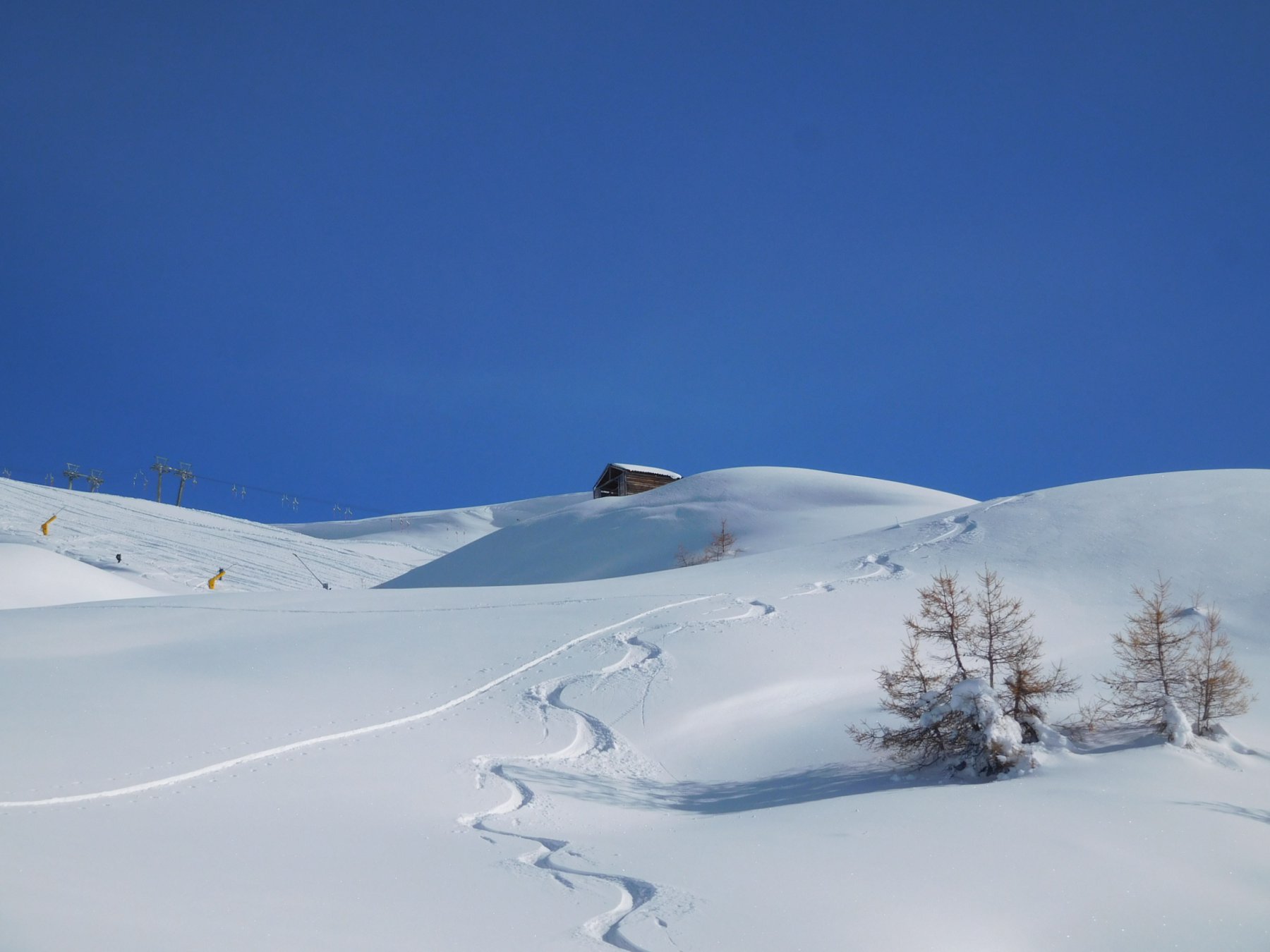
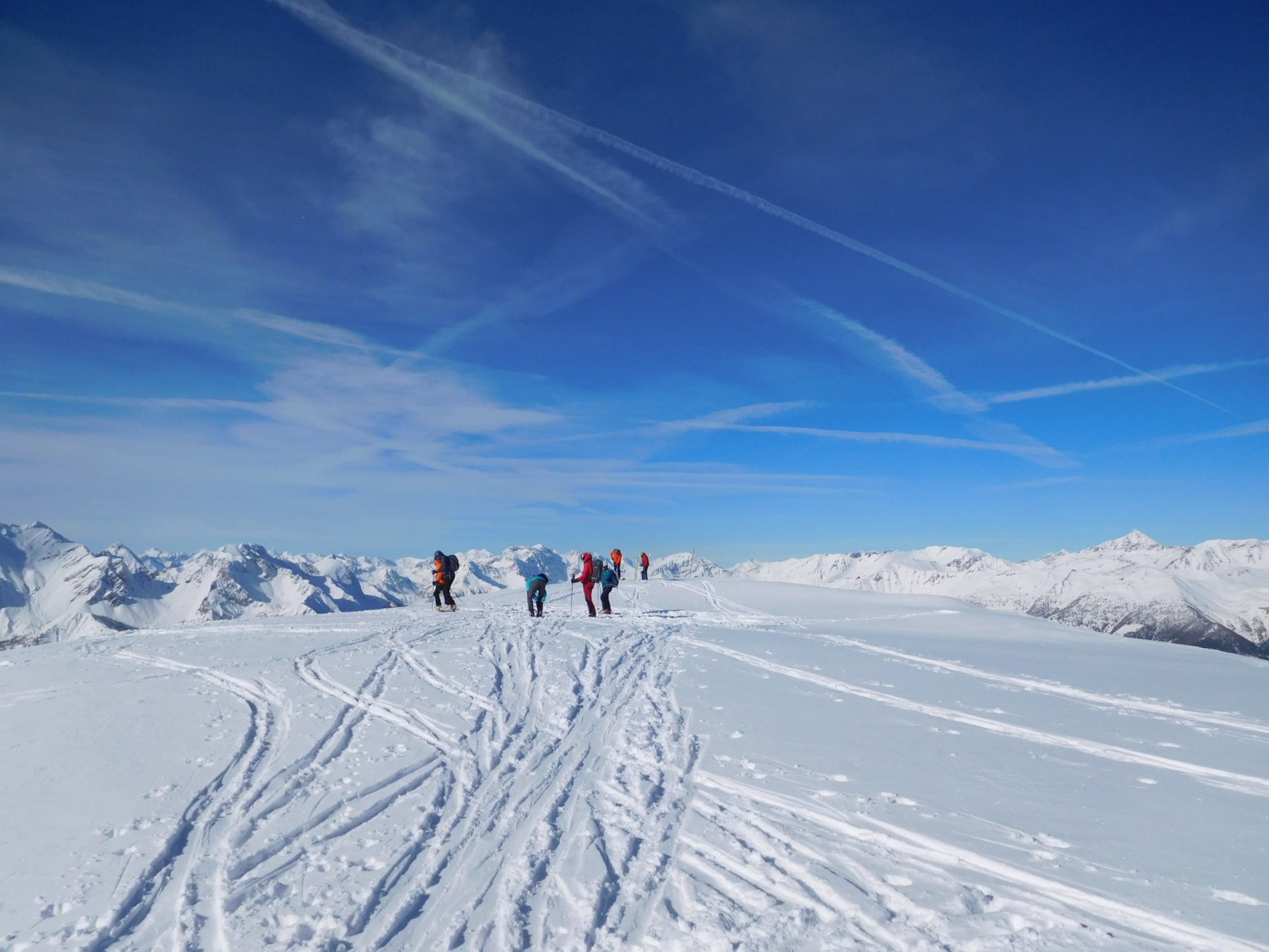
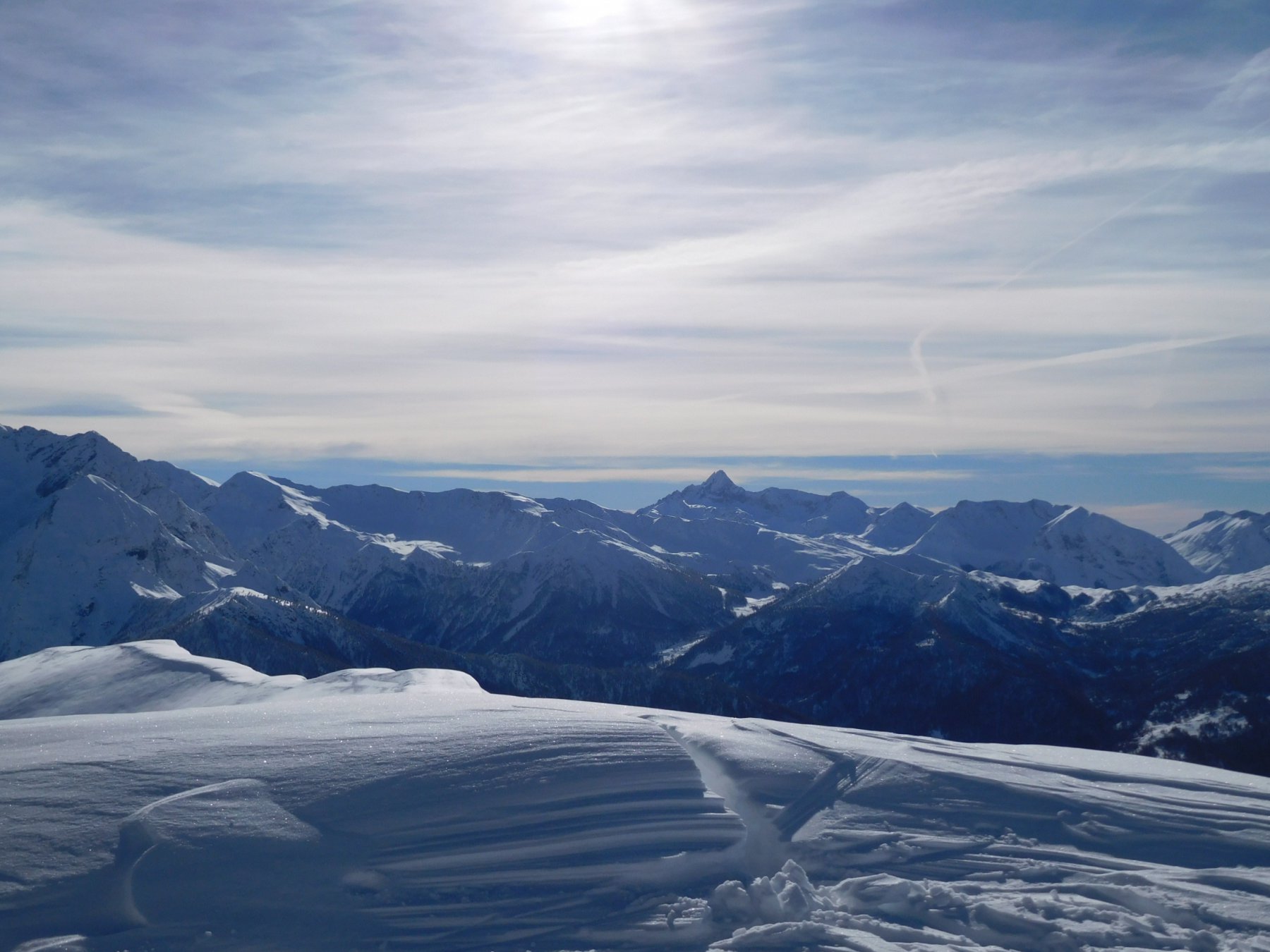
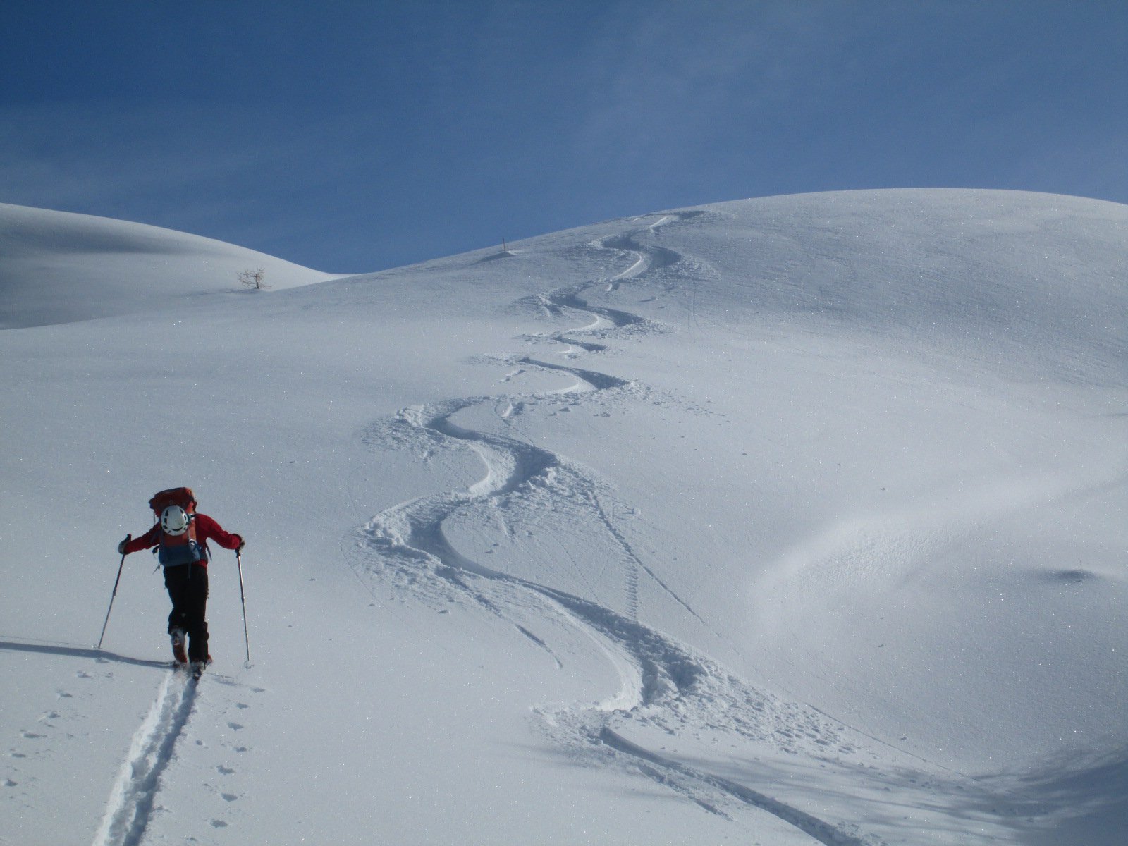
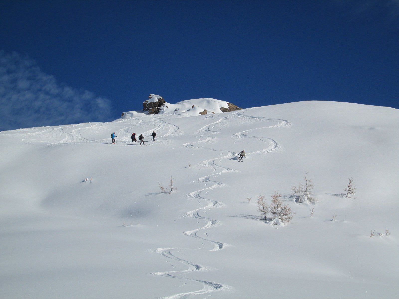
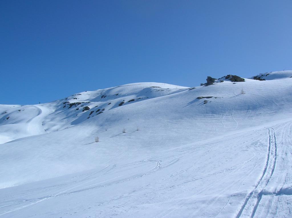
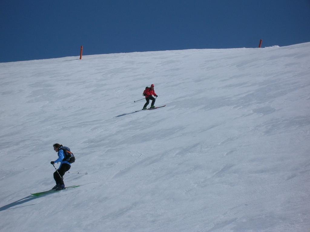
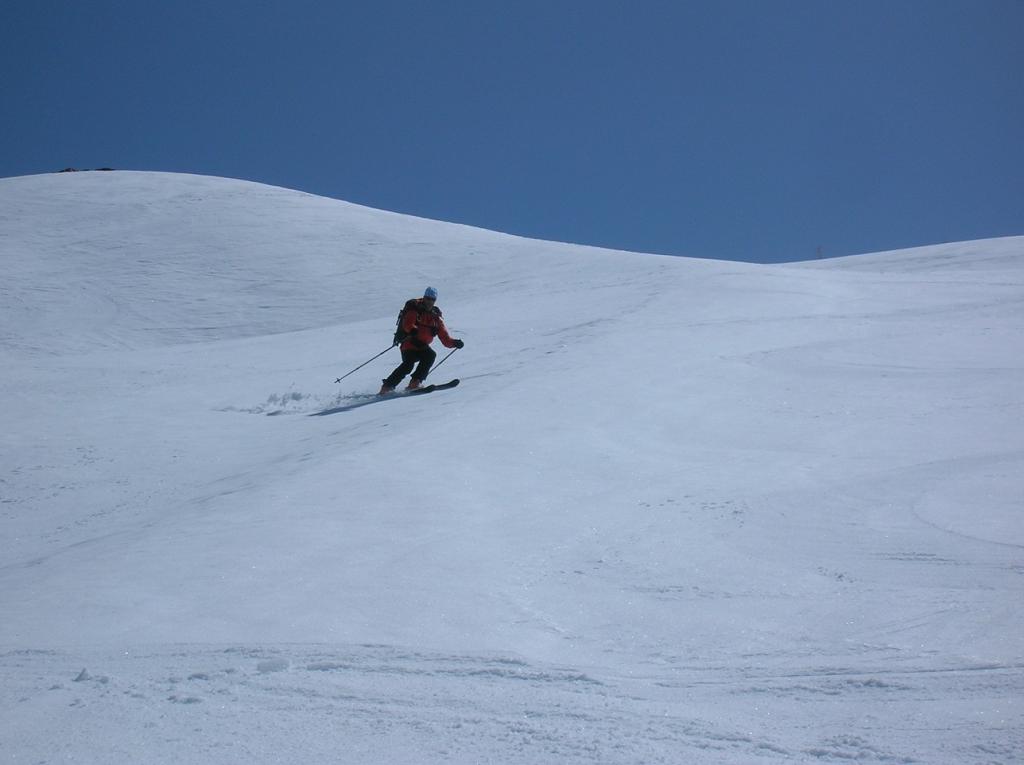
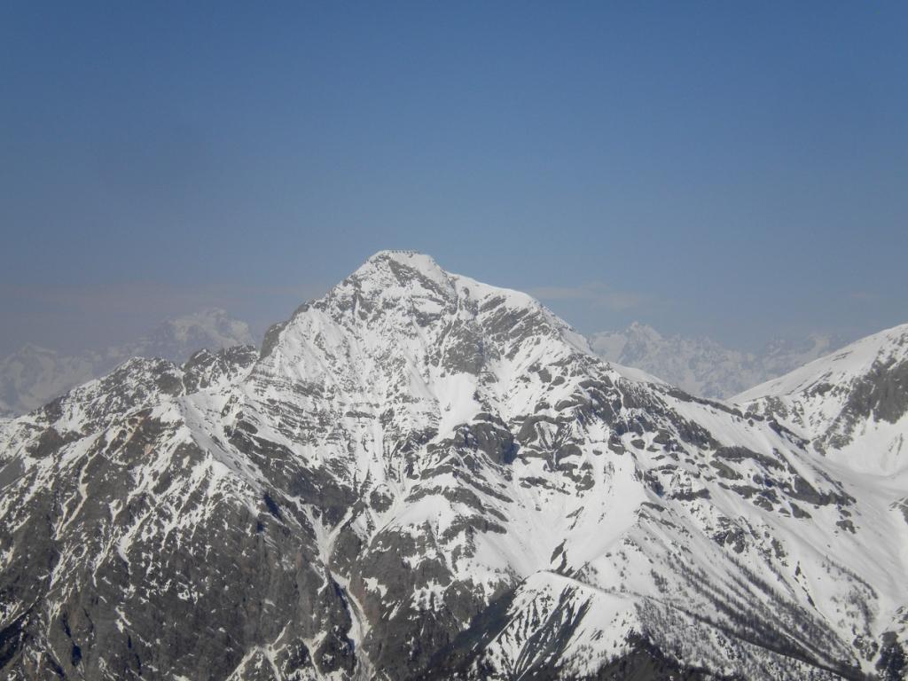
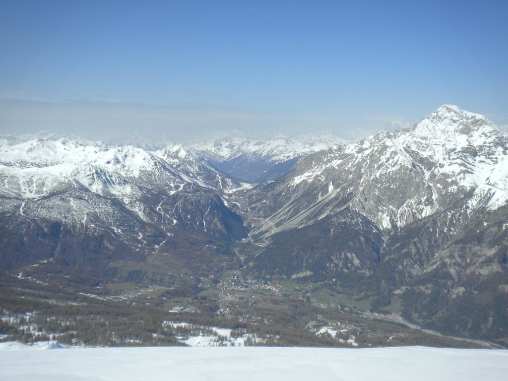
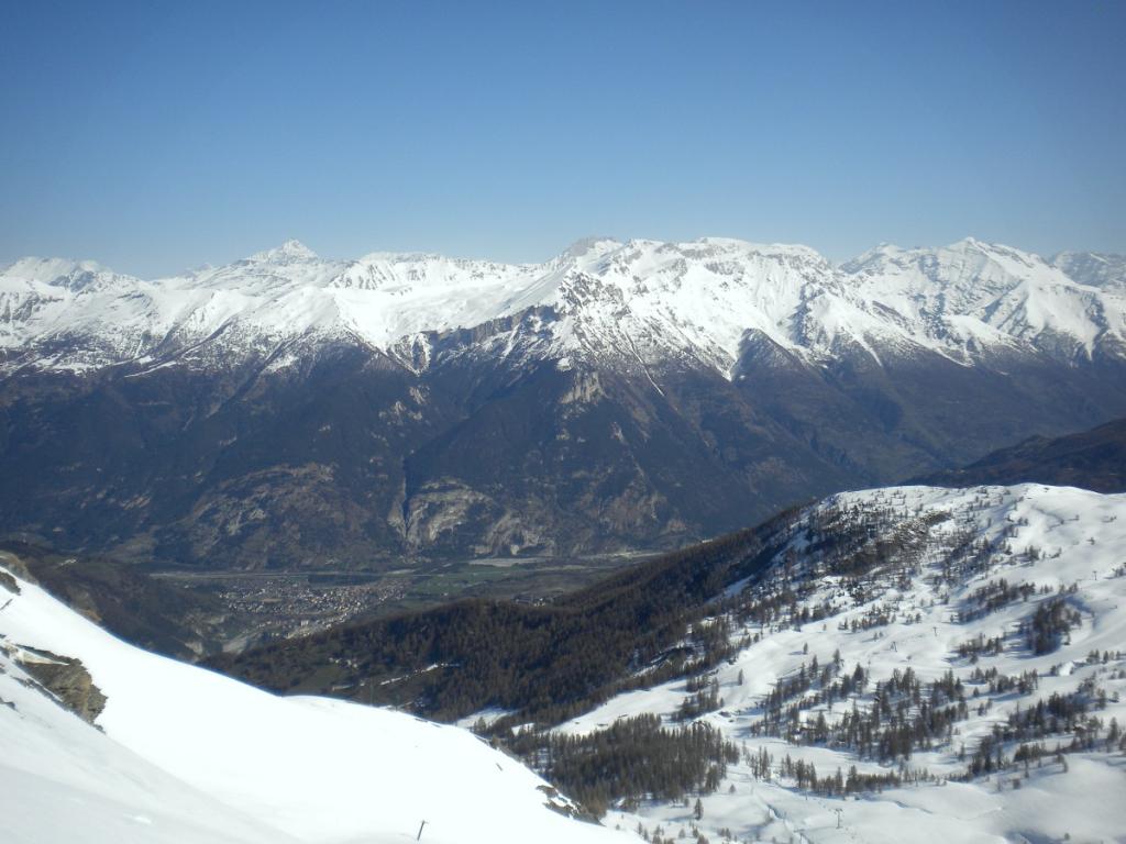
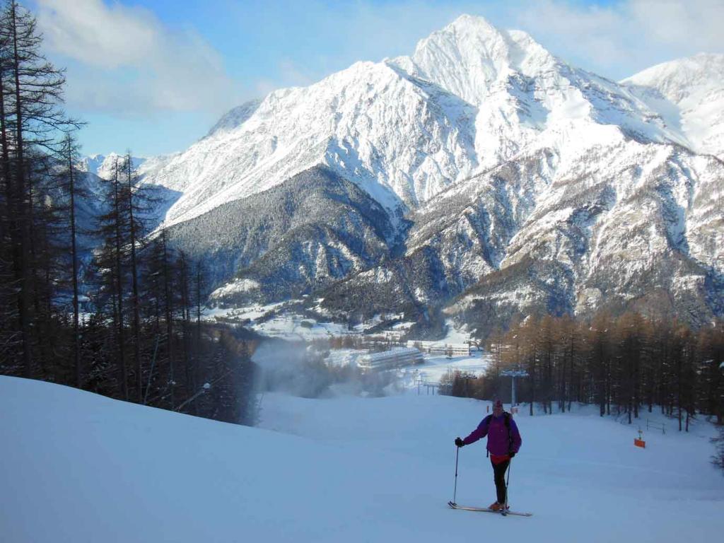
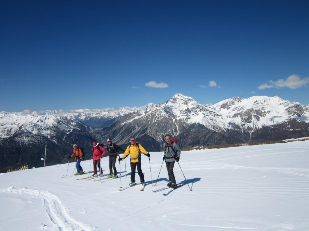
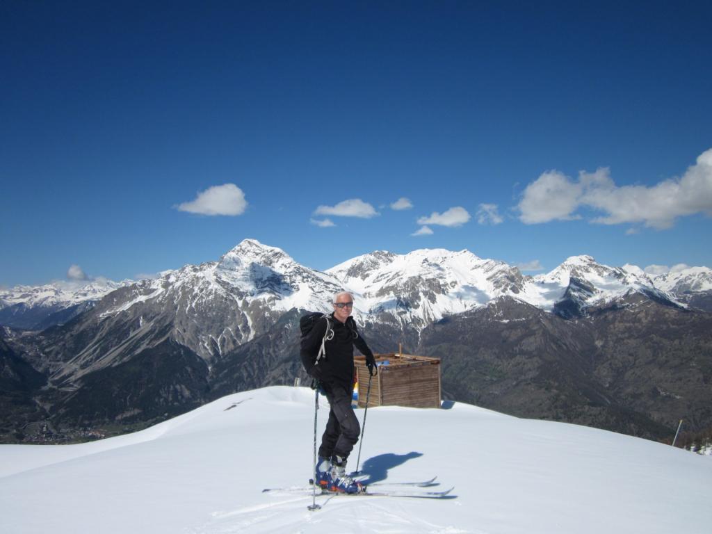
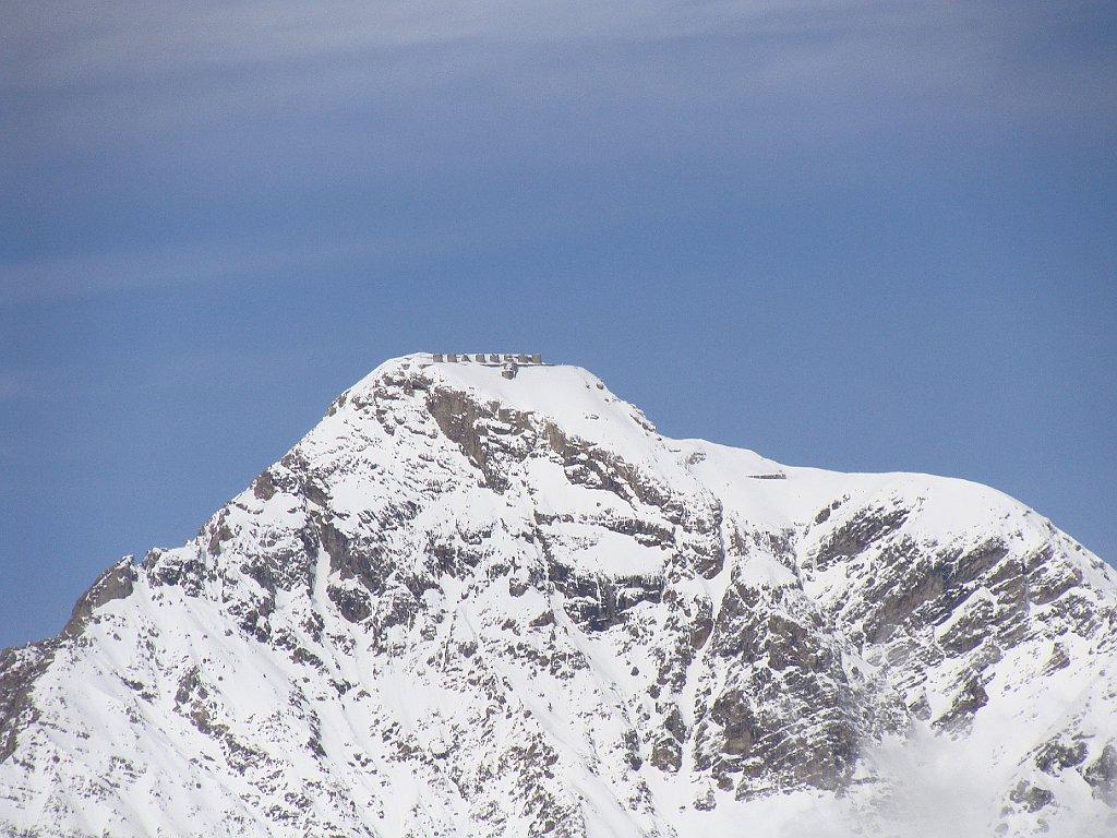
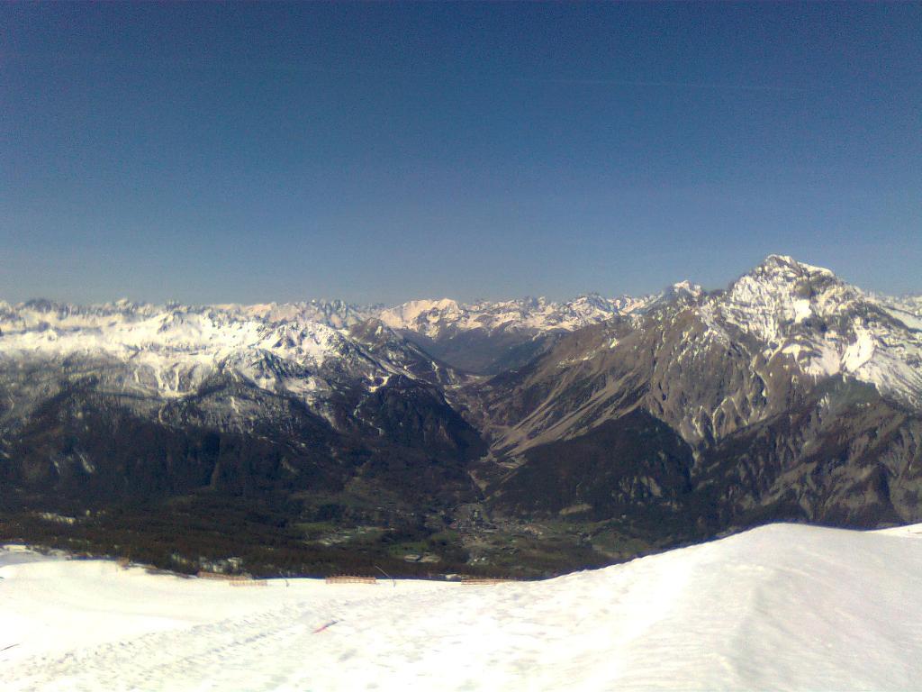
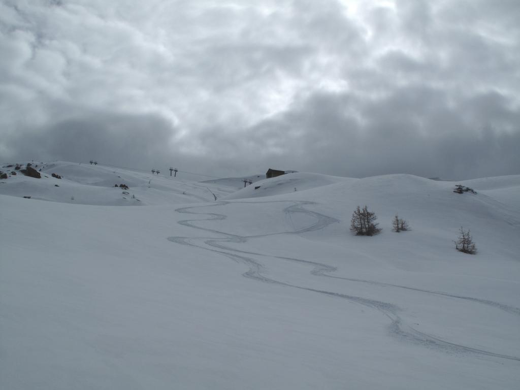
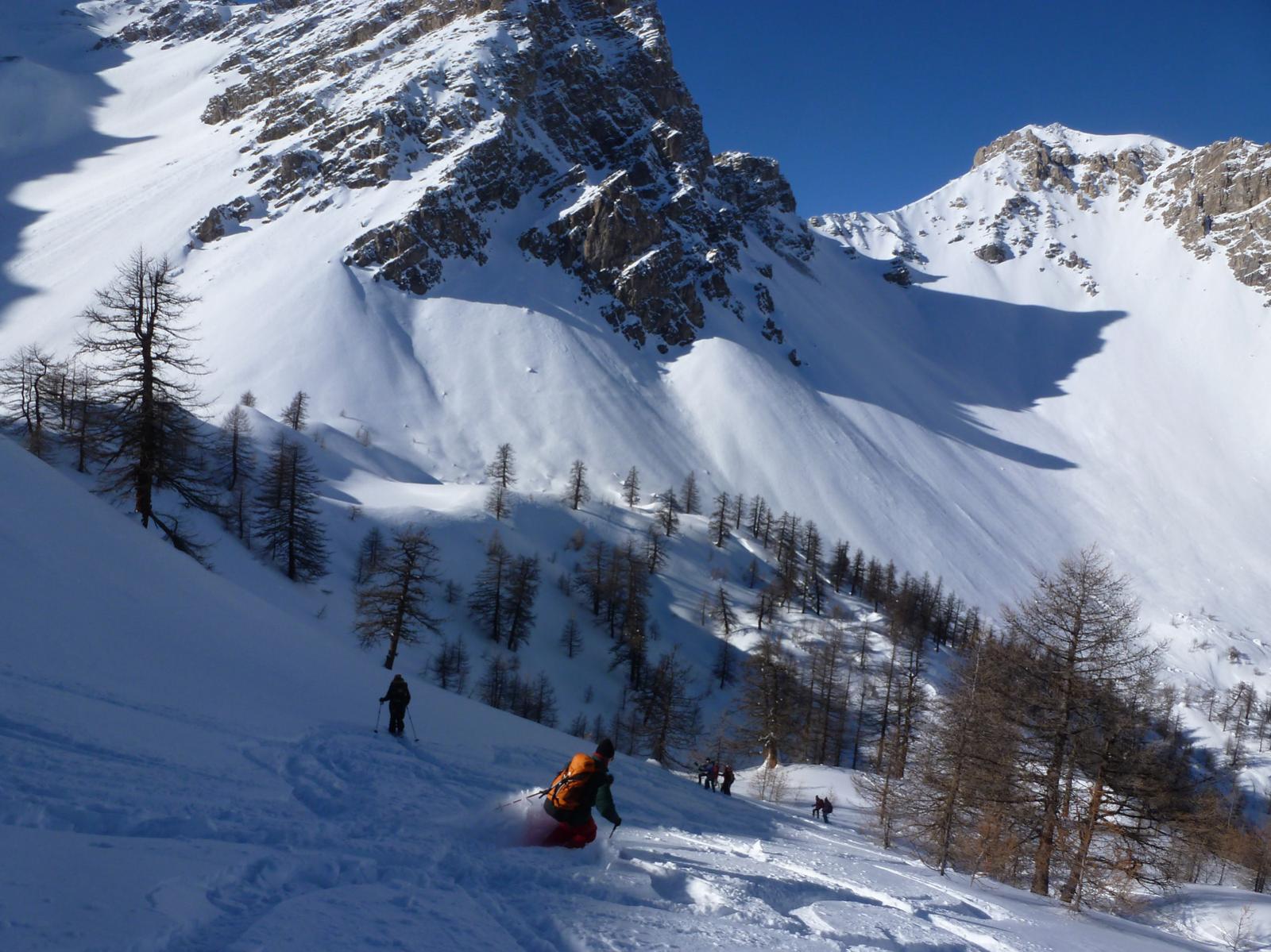
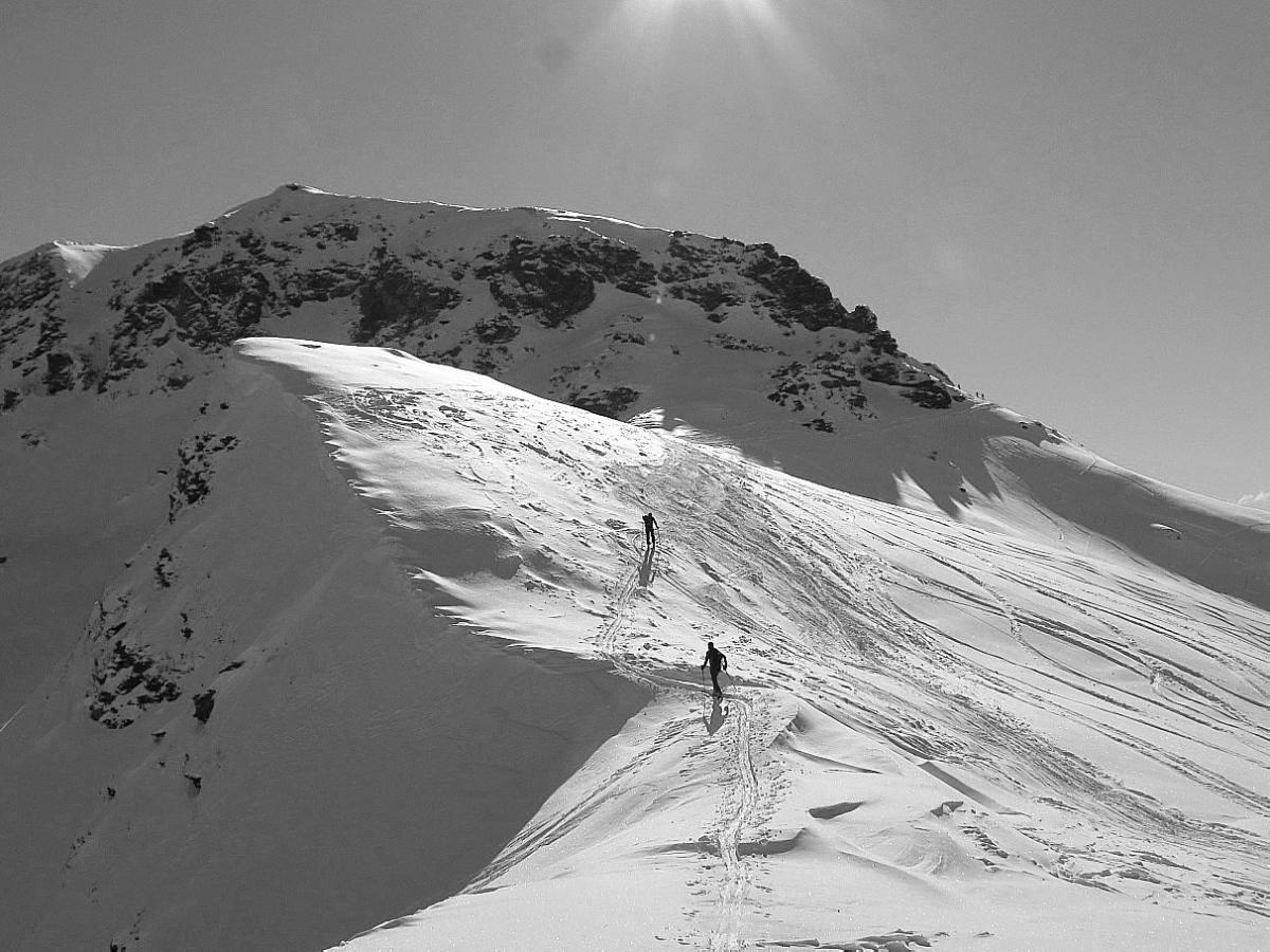
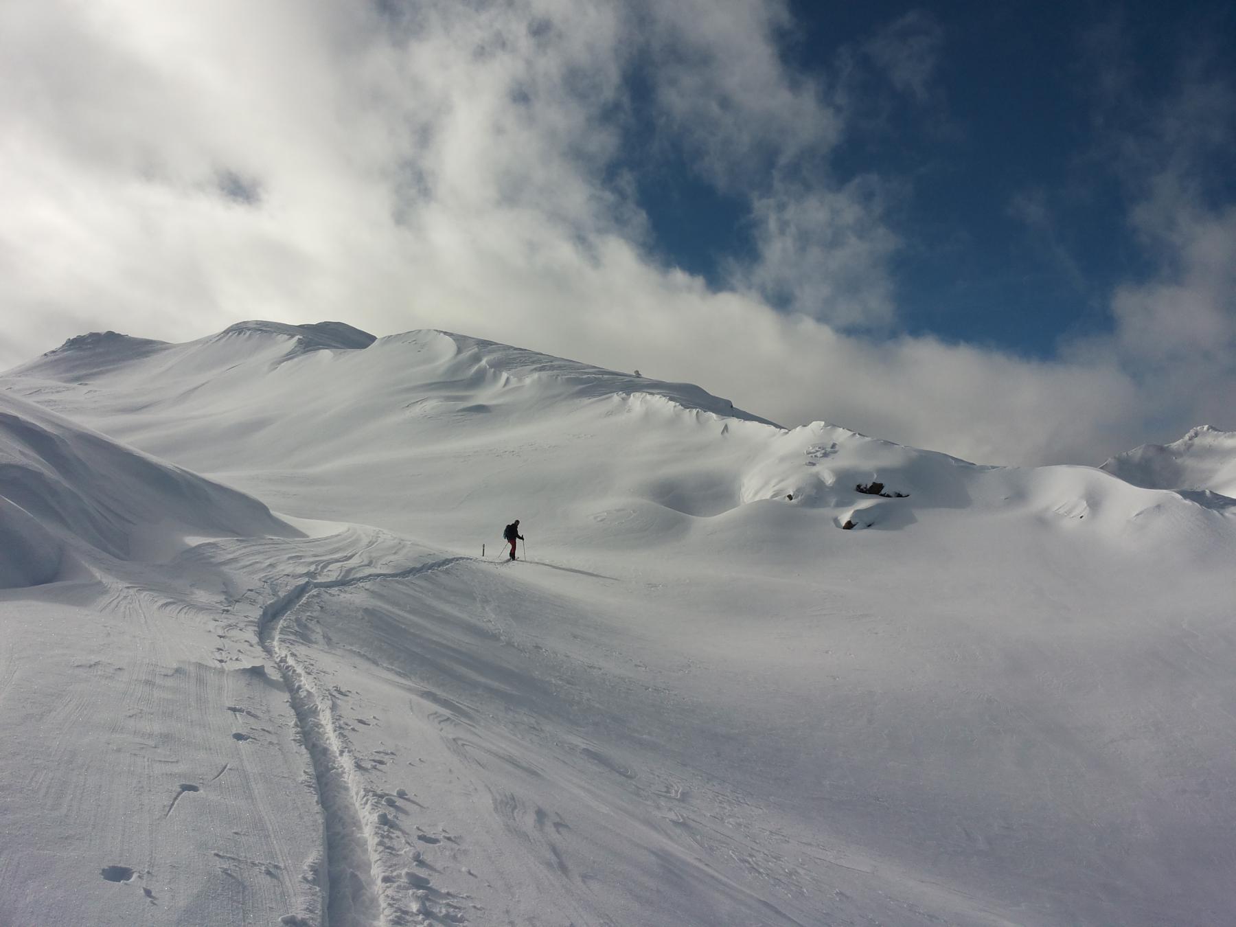
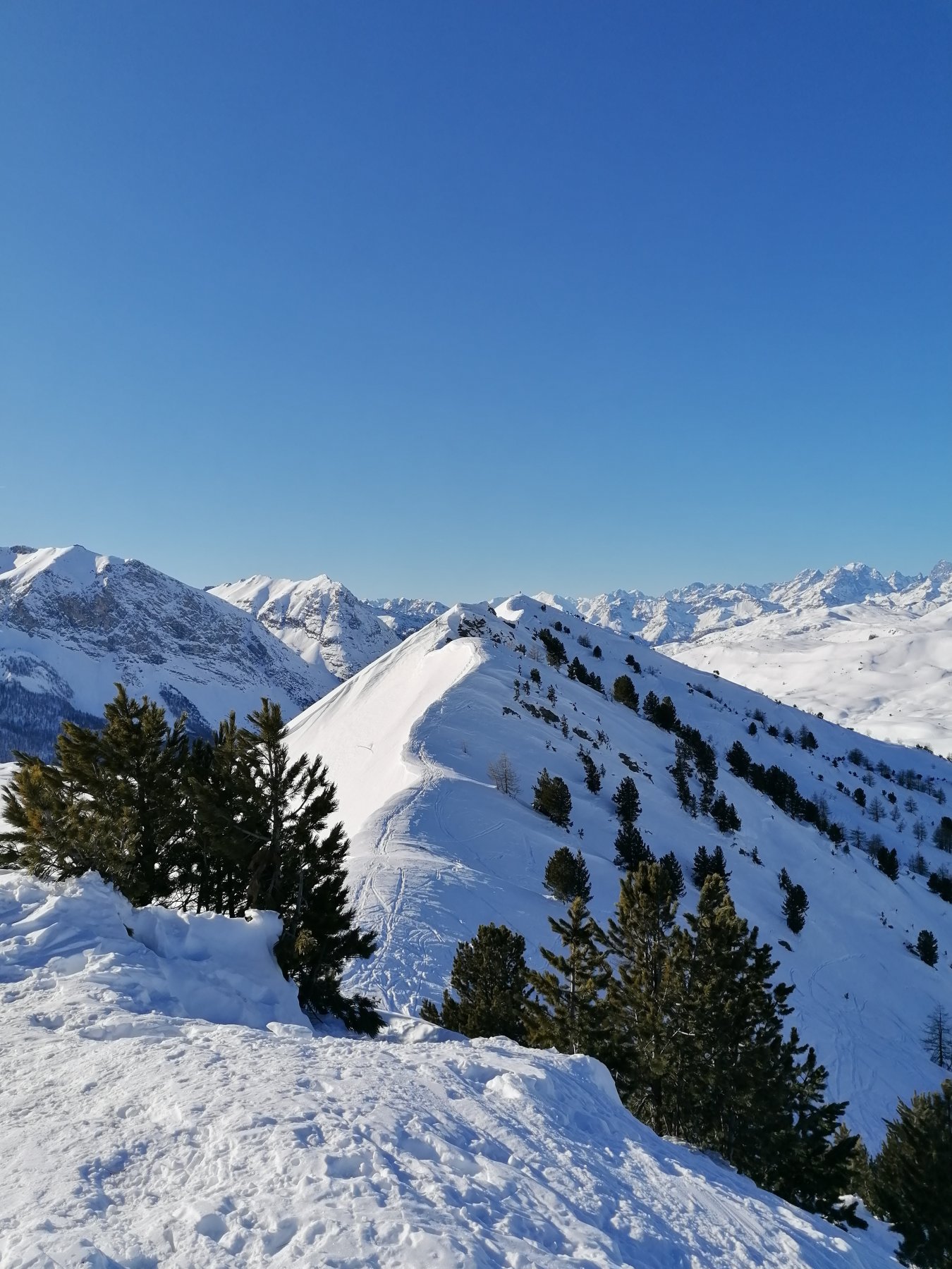
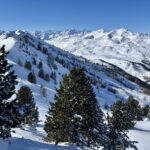
Descrizione
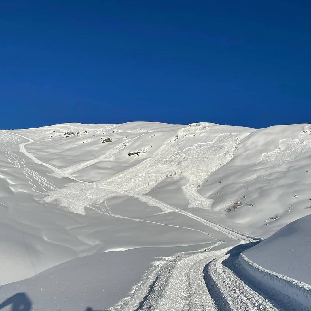
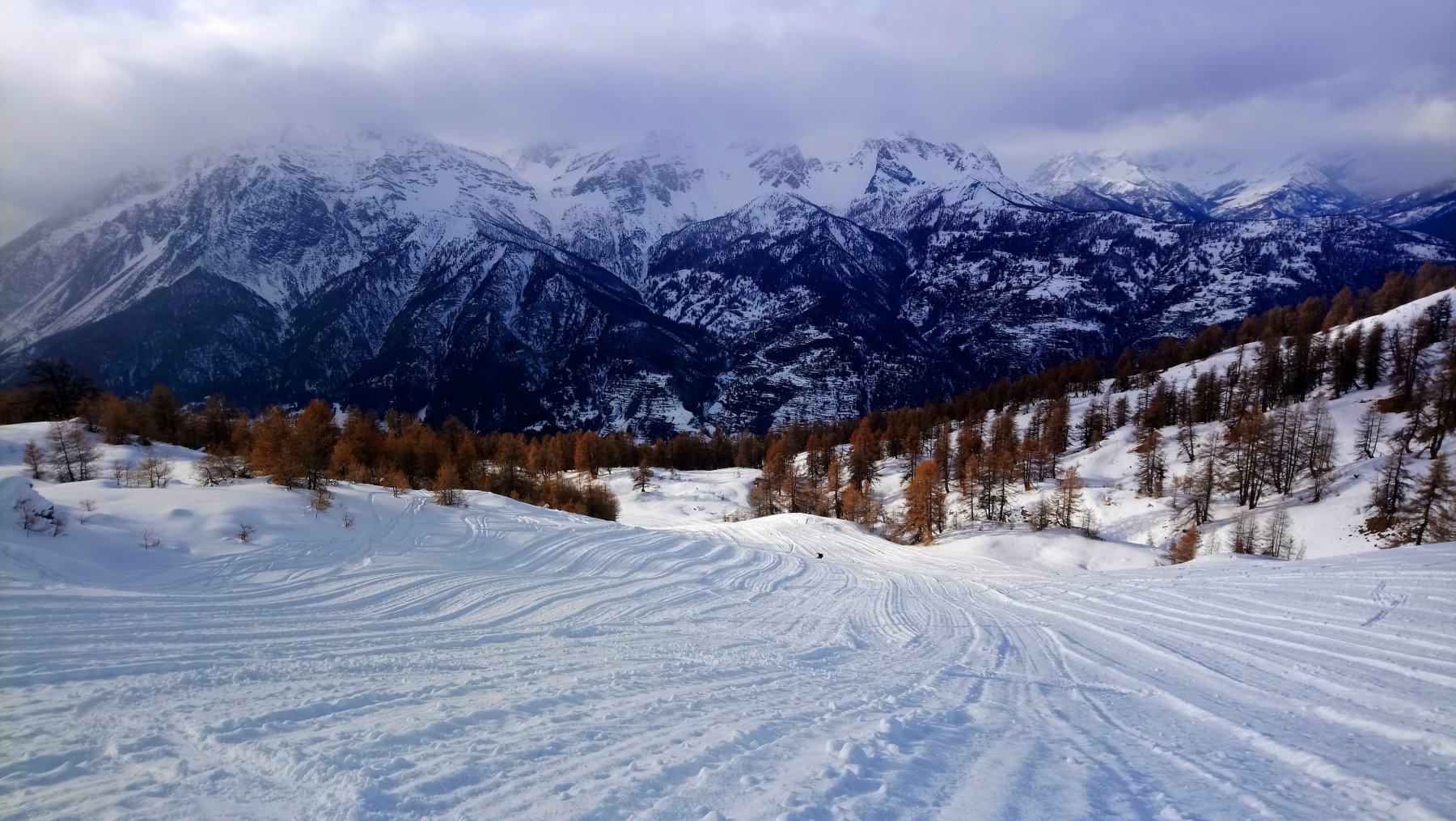
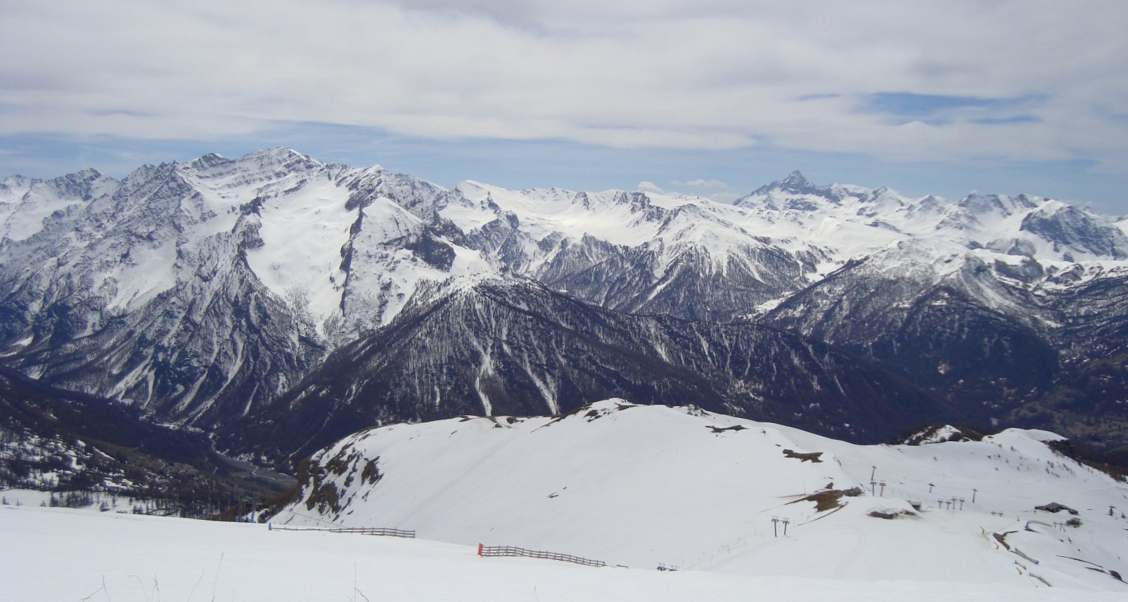
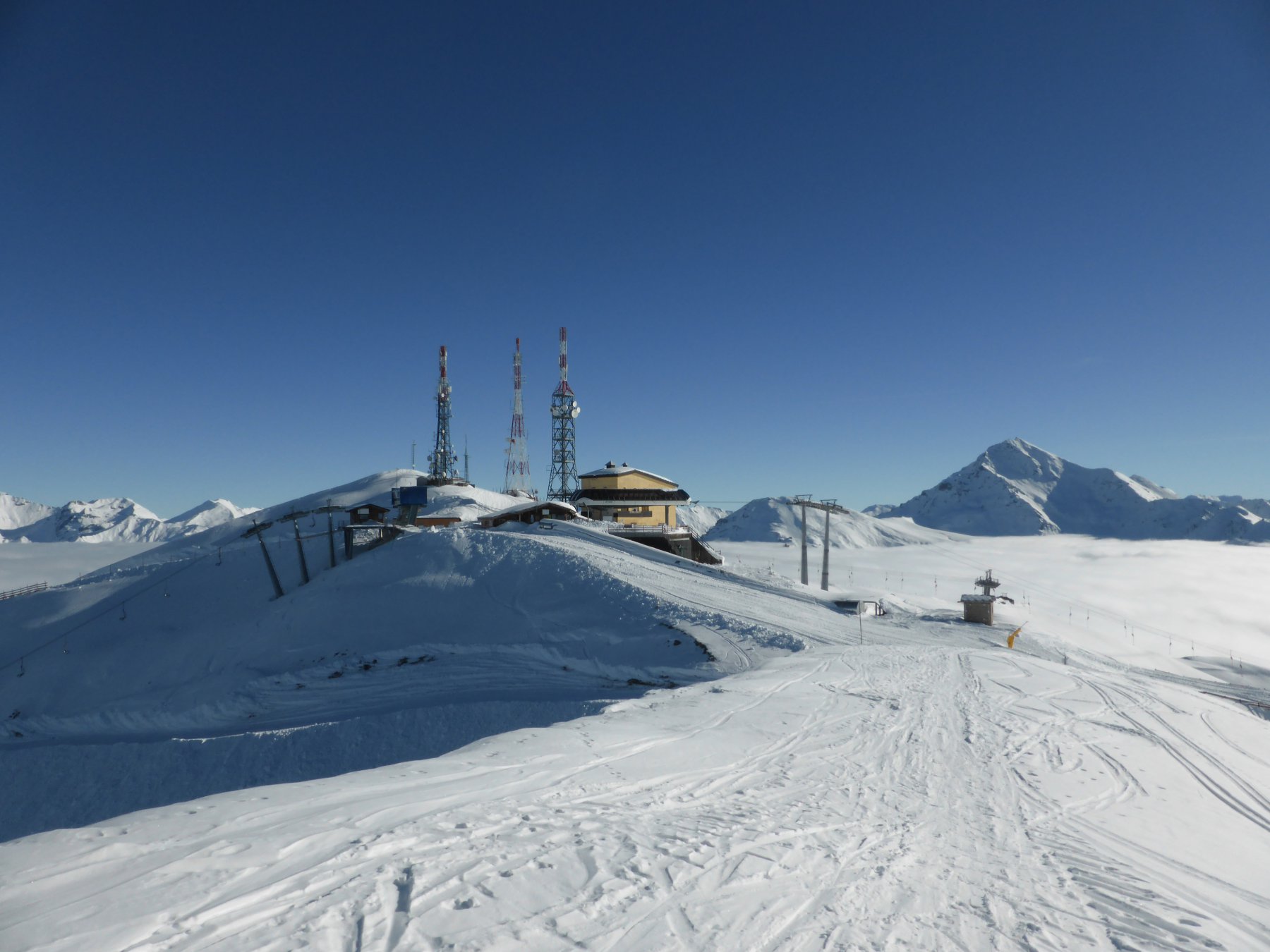
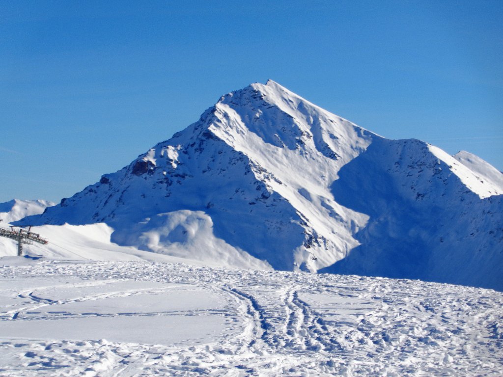
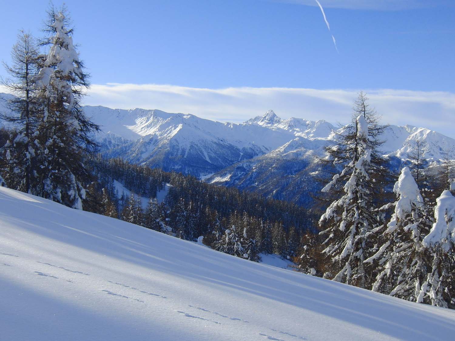
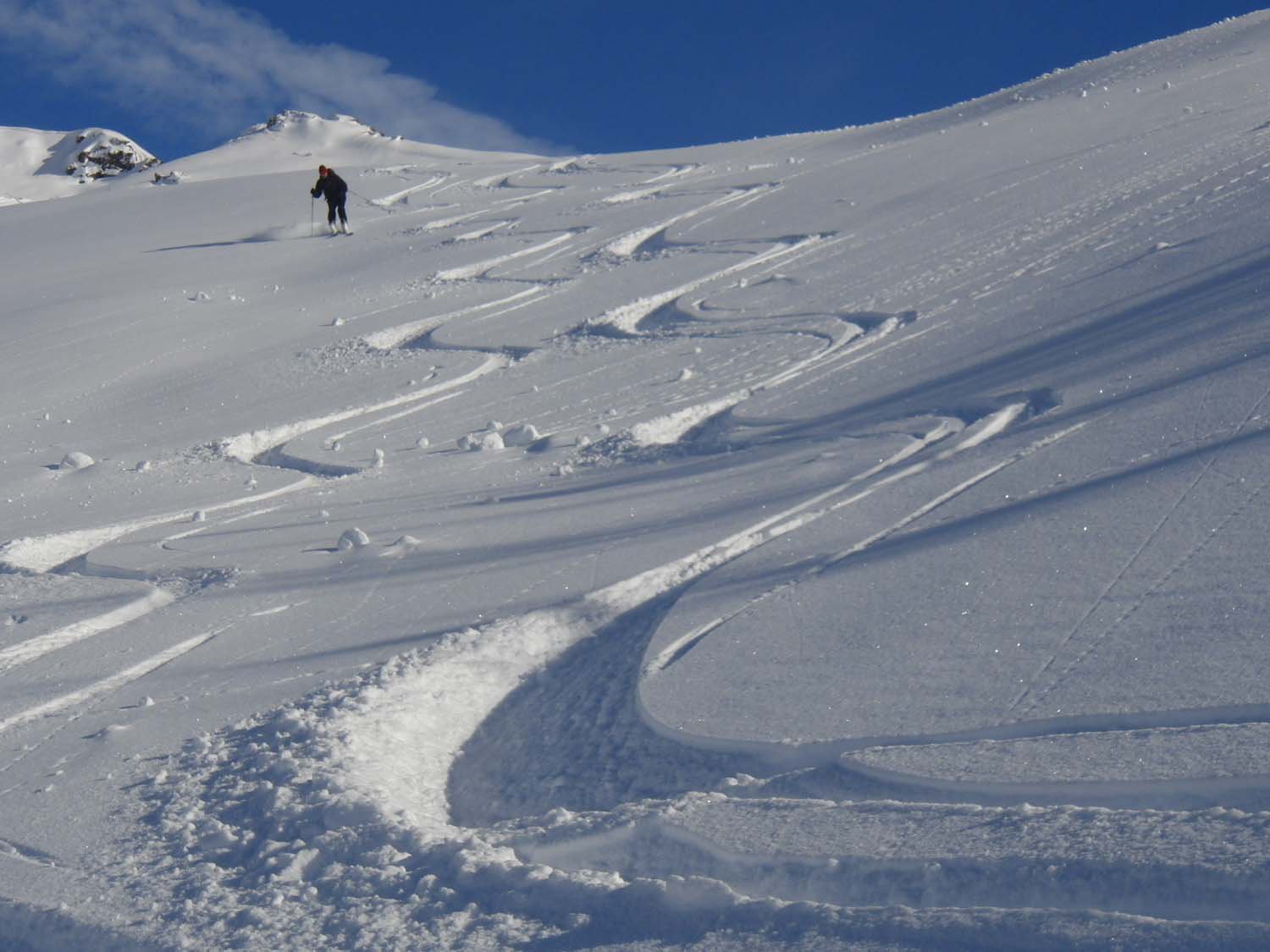
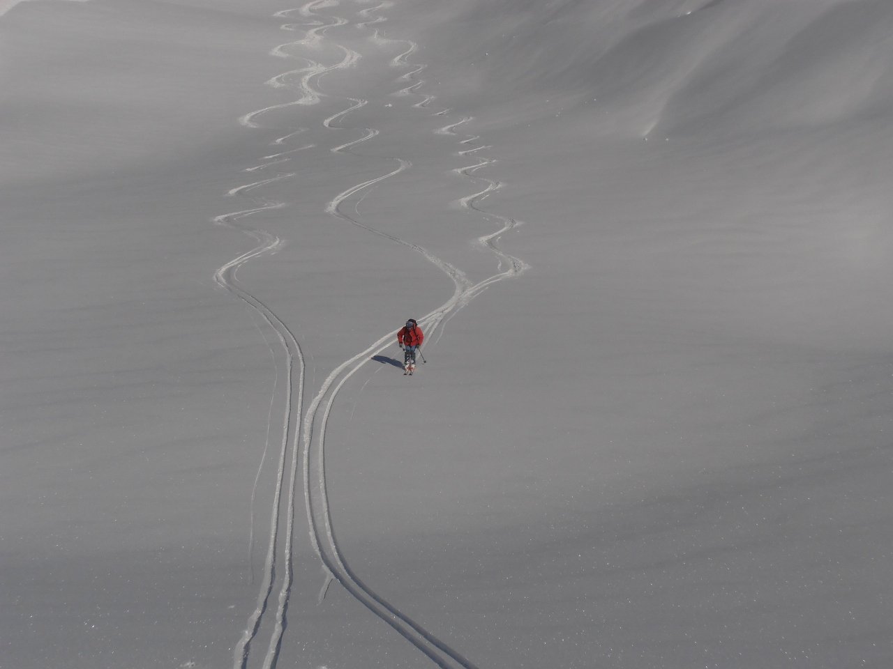
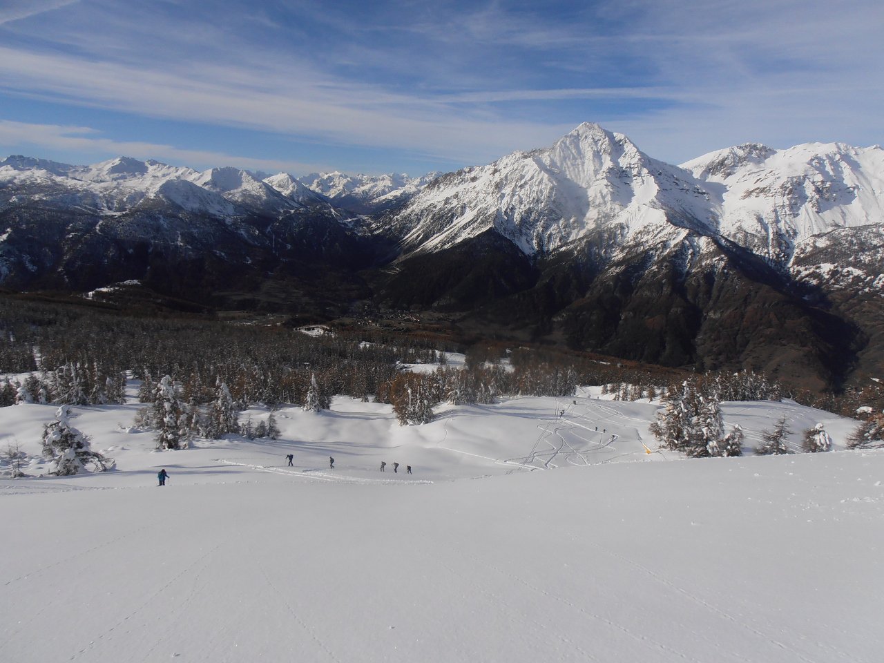
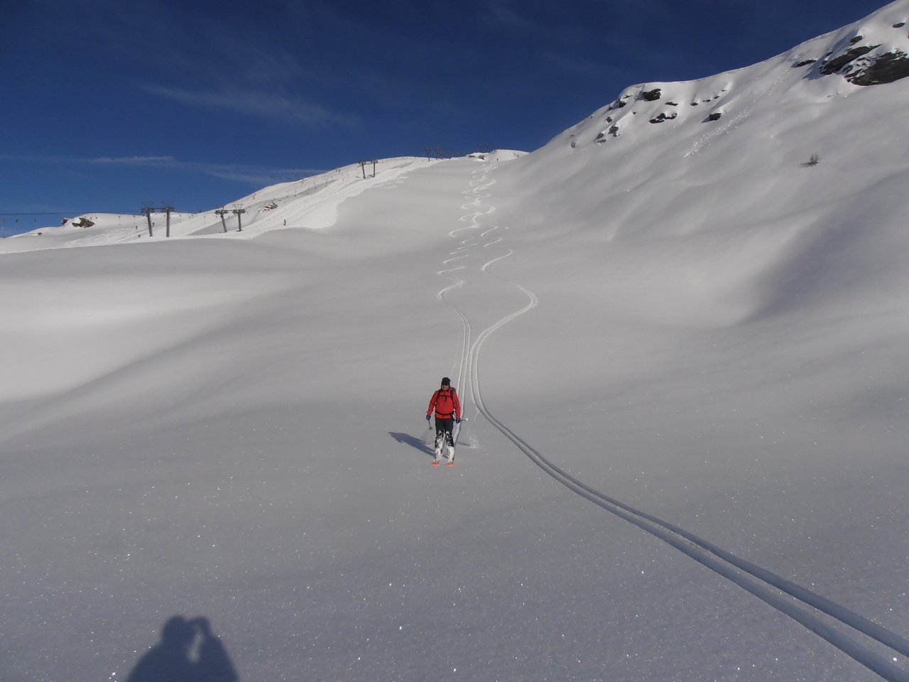
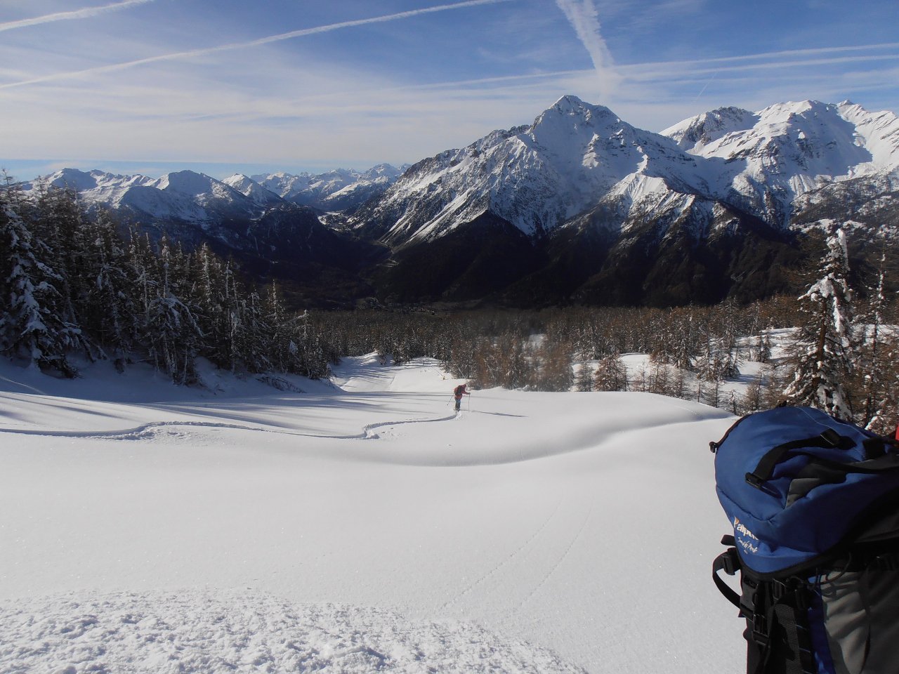
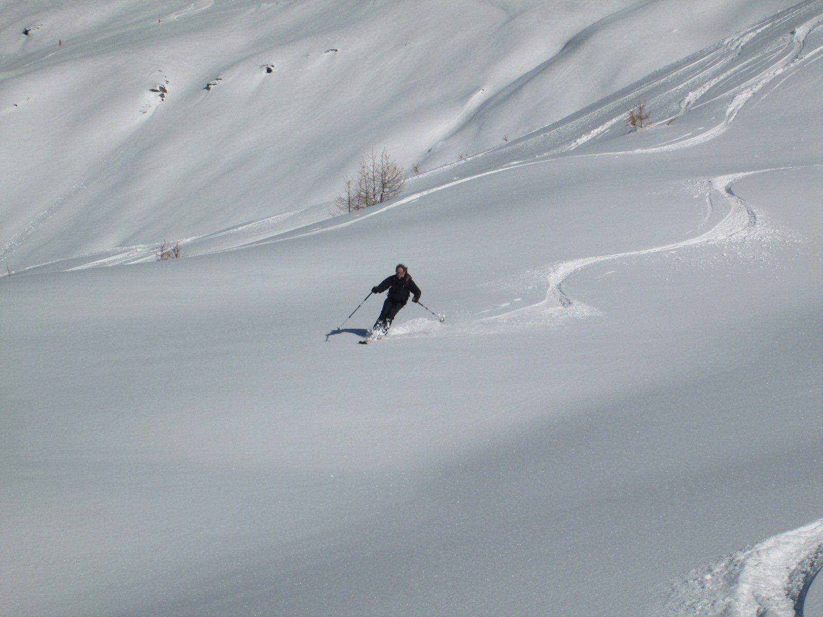
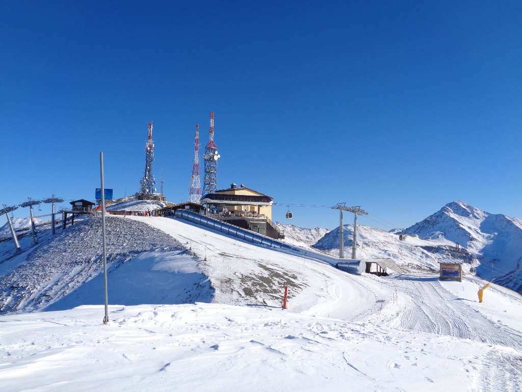
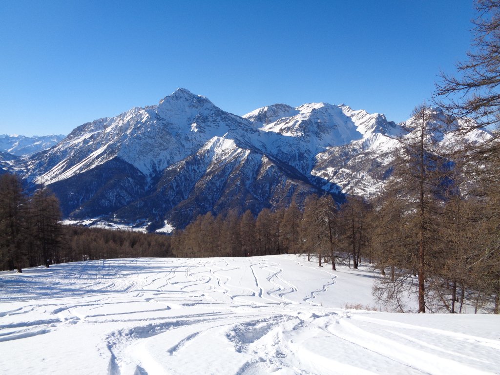
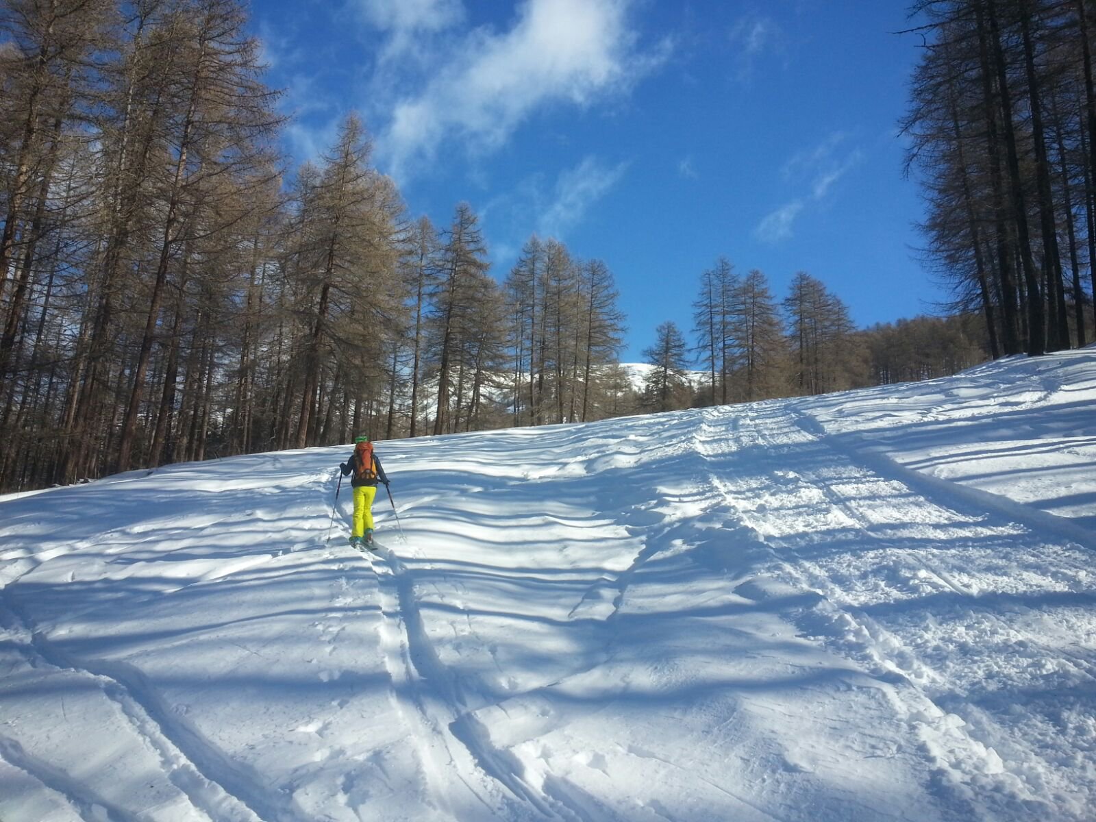
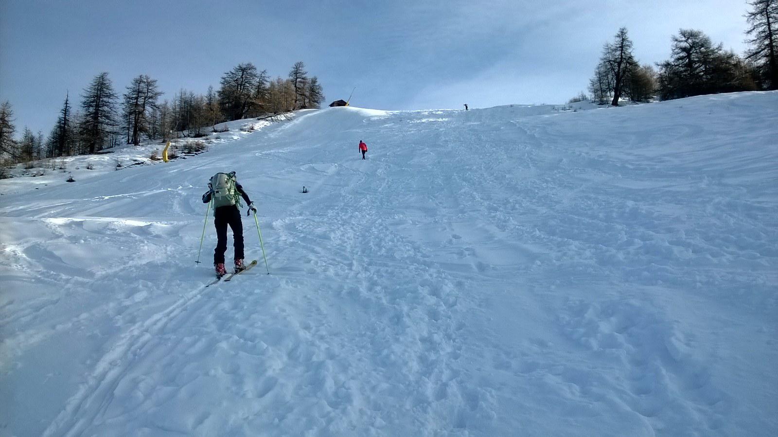
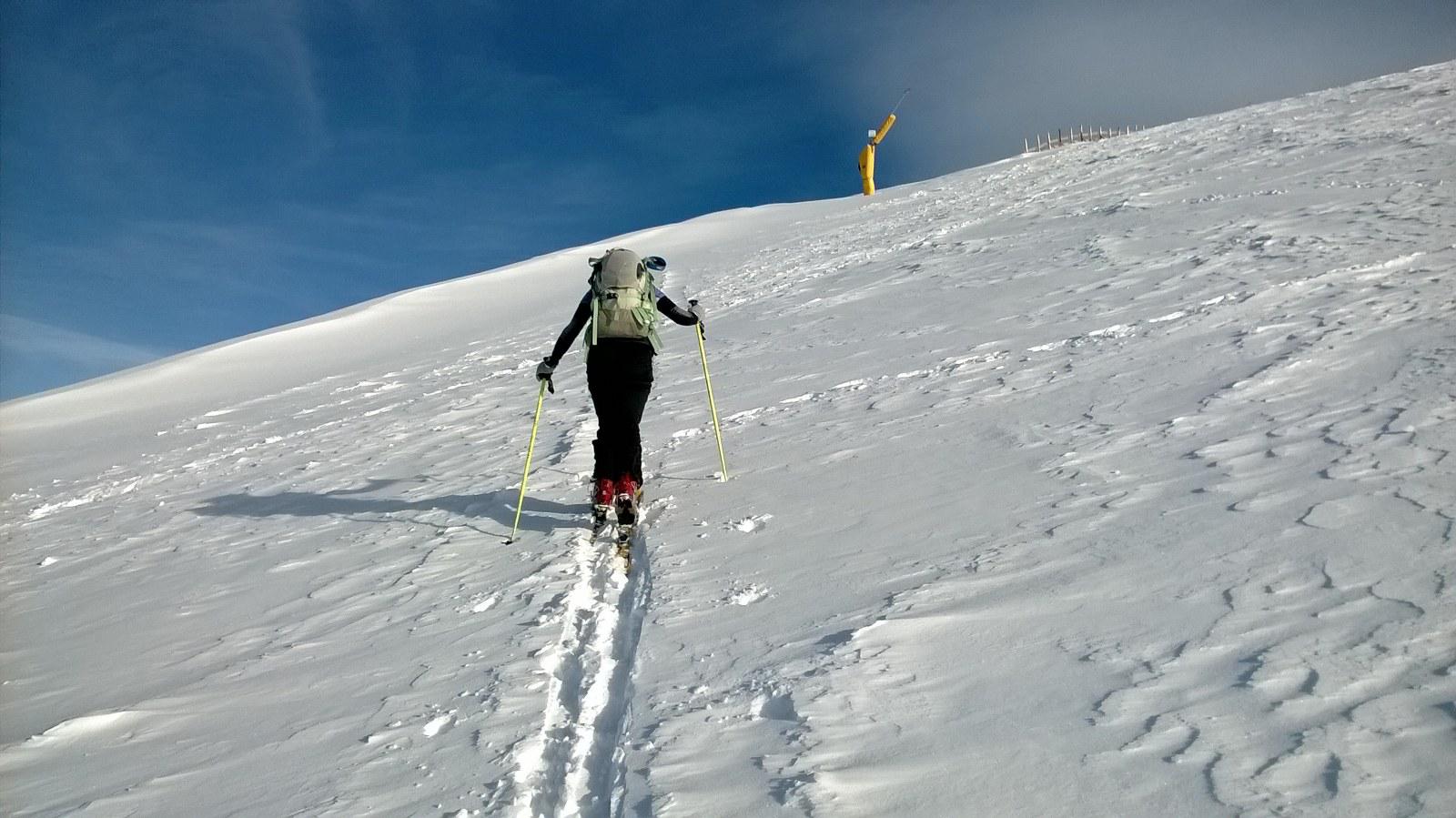
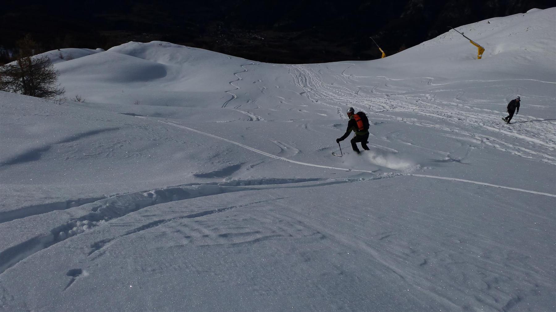
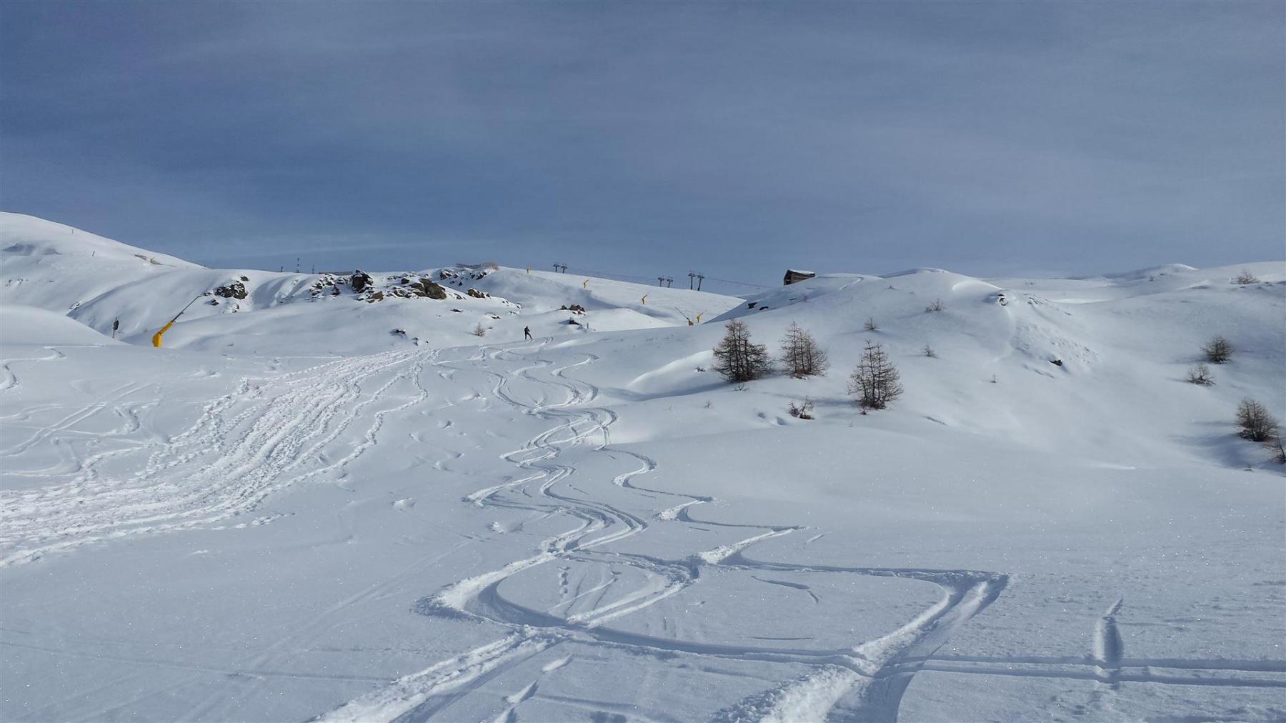
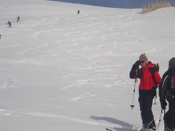
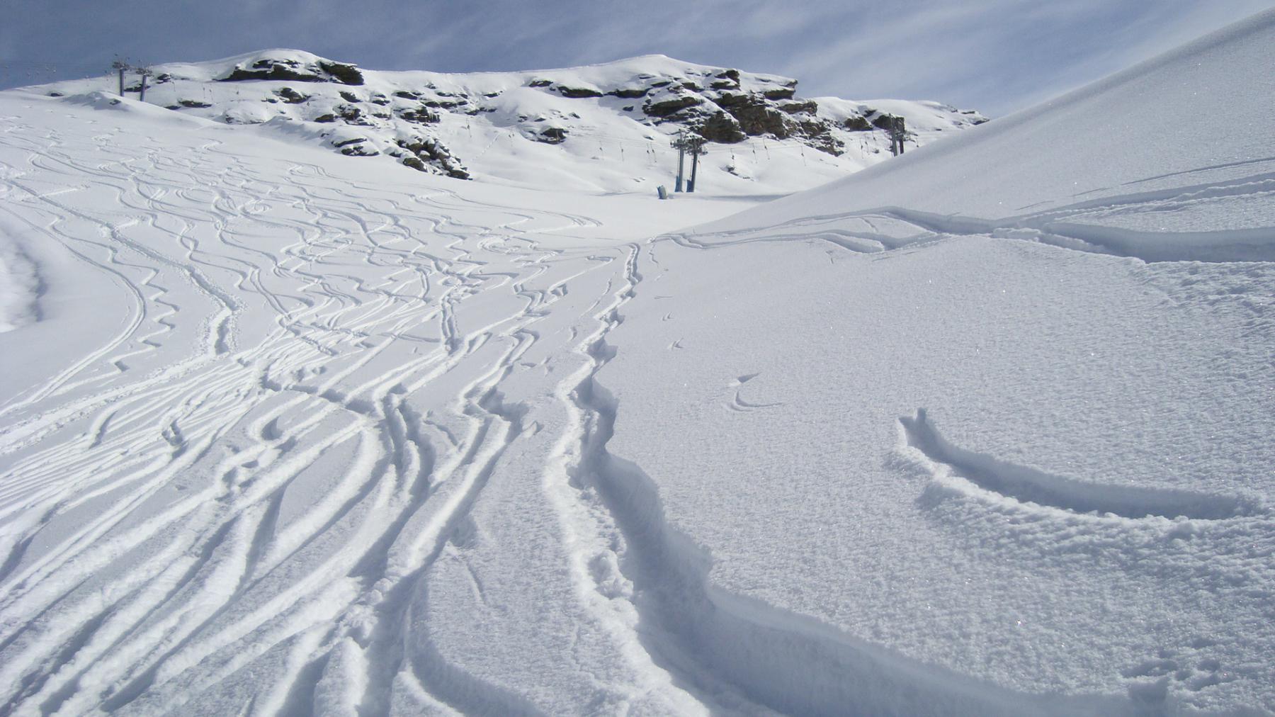
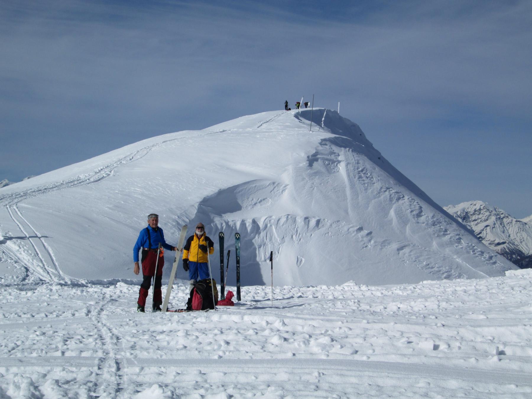
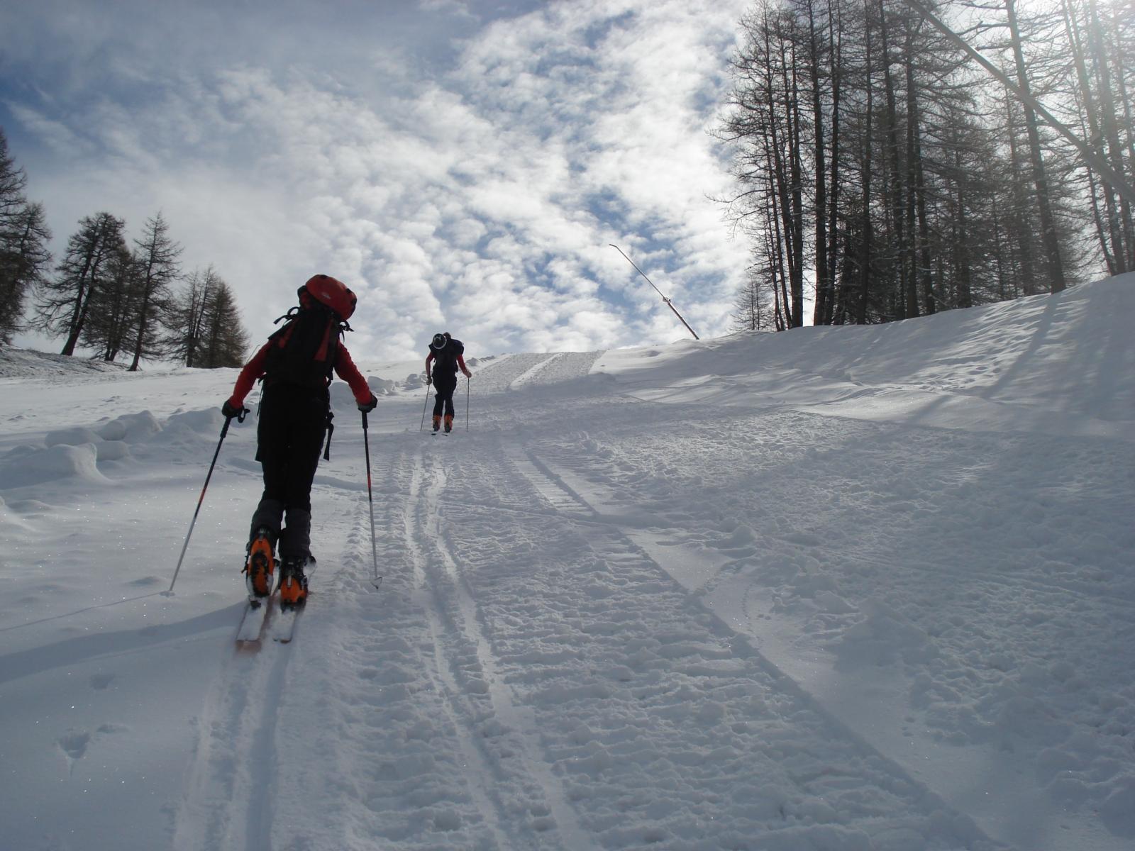
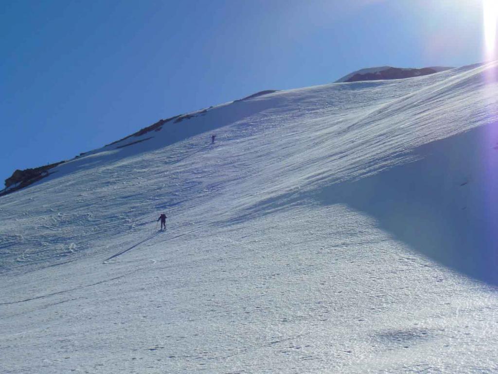
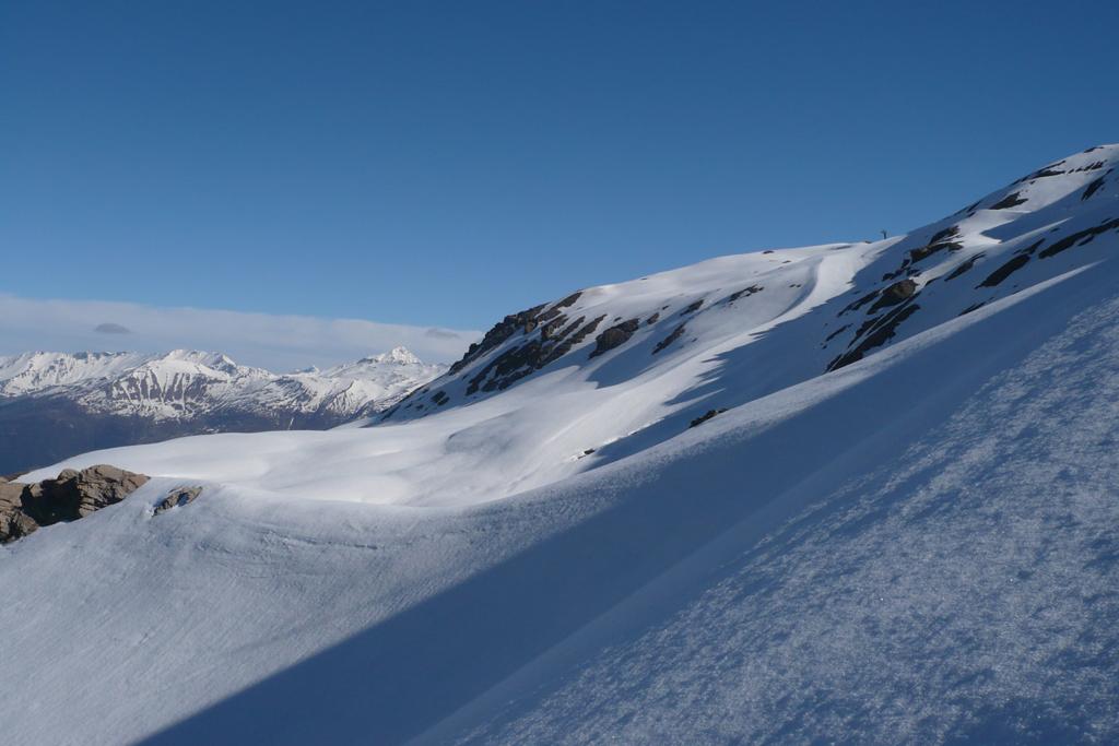
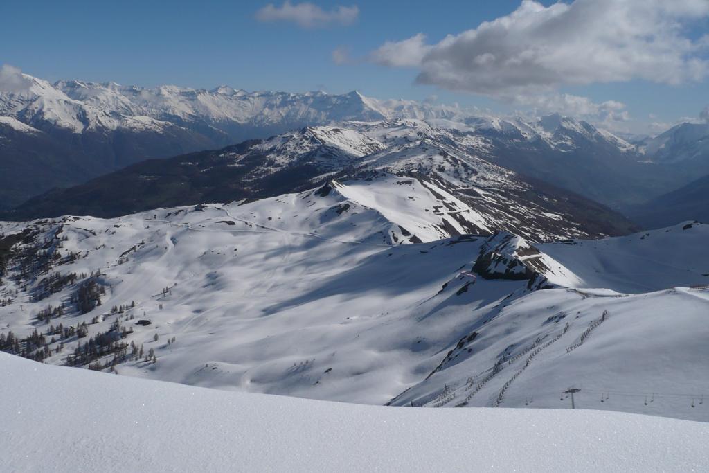
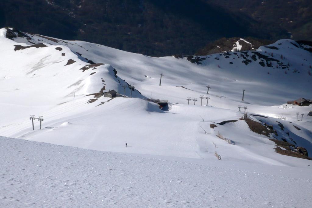
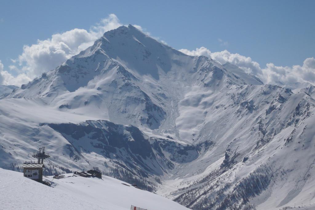
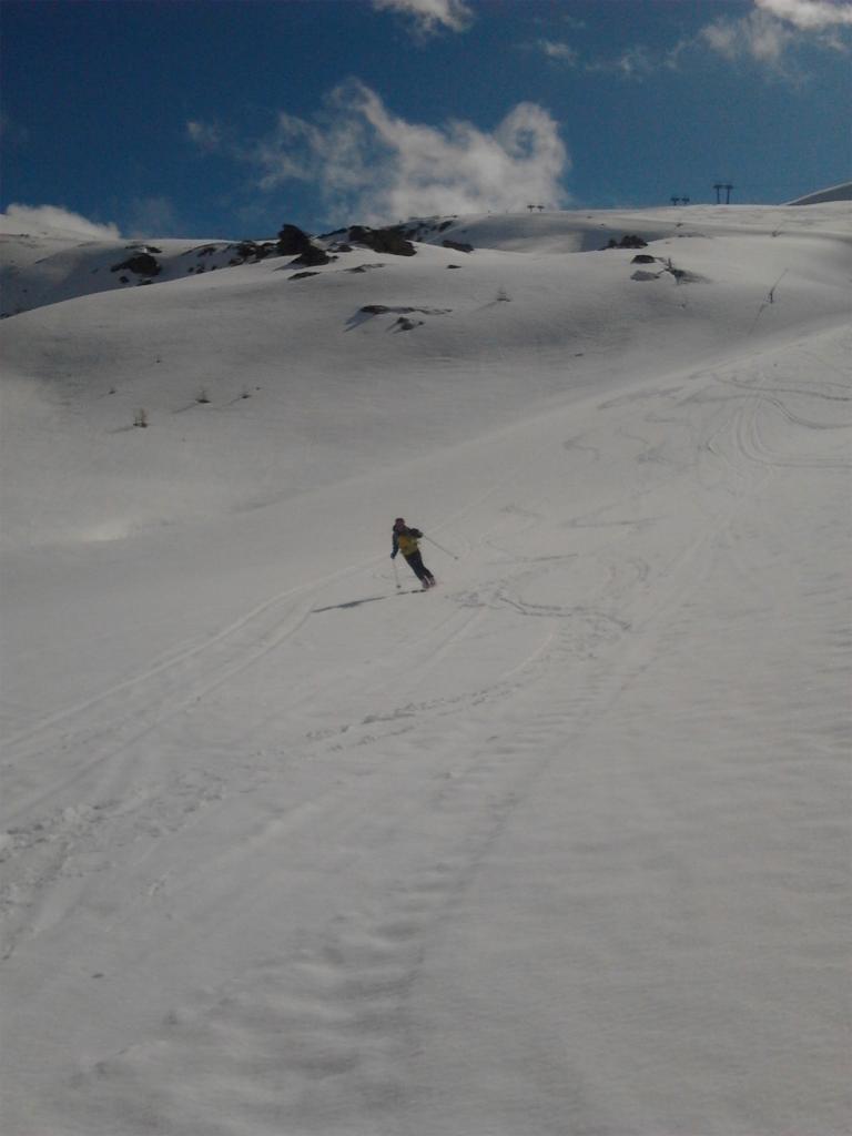
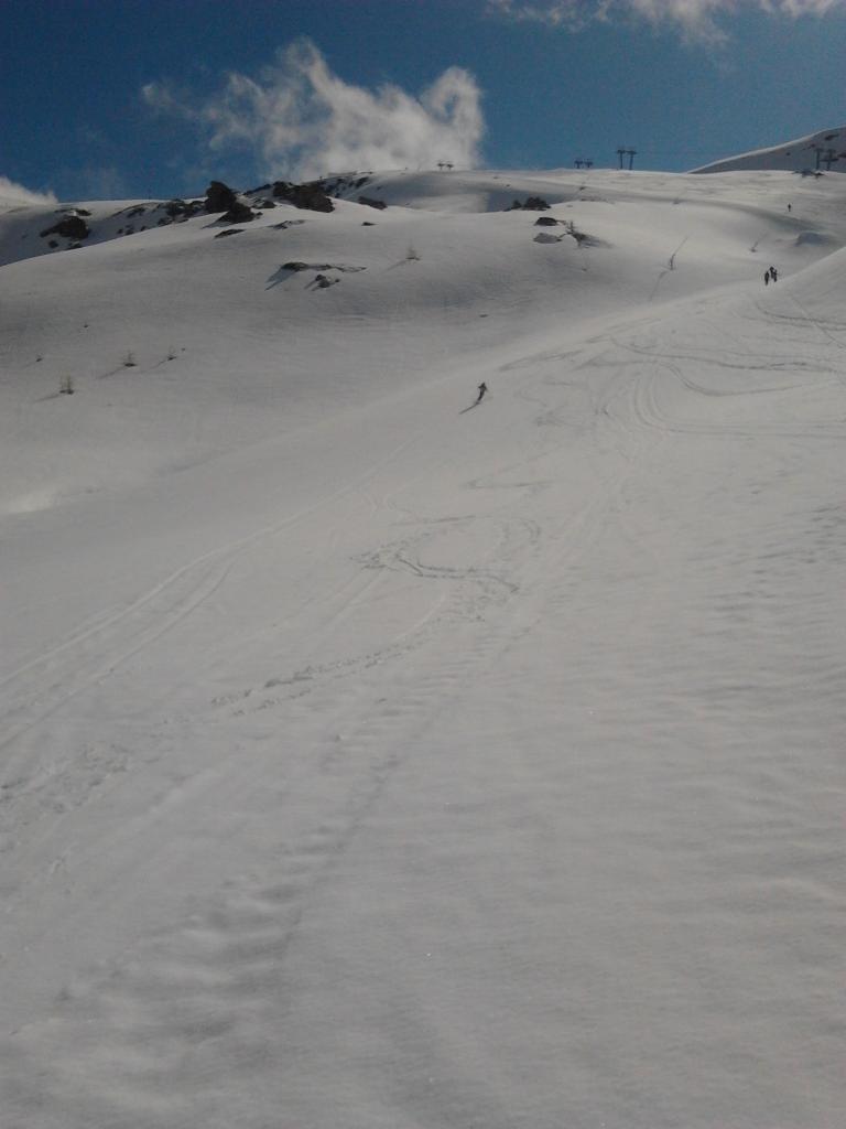
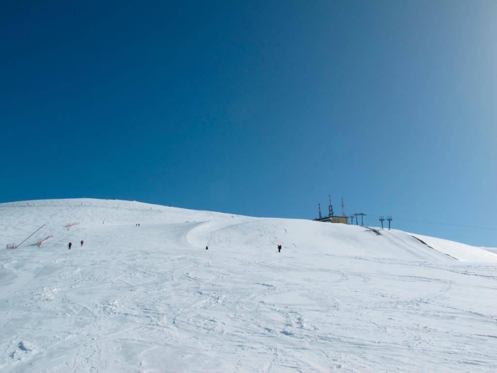
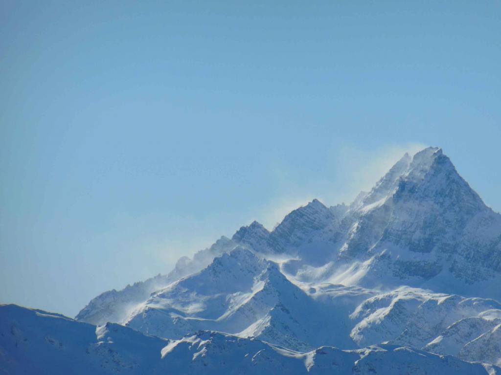
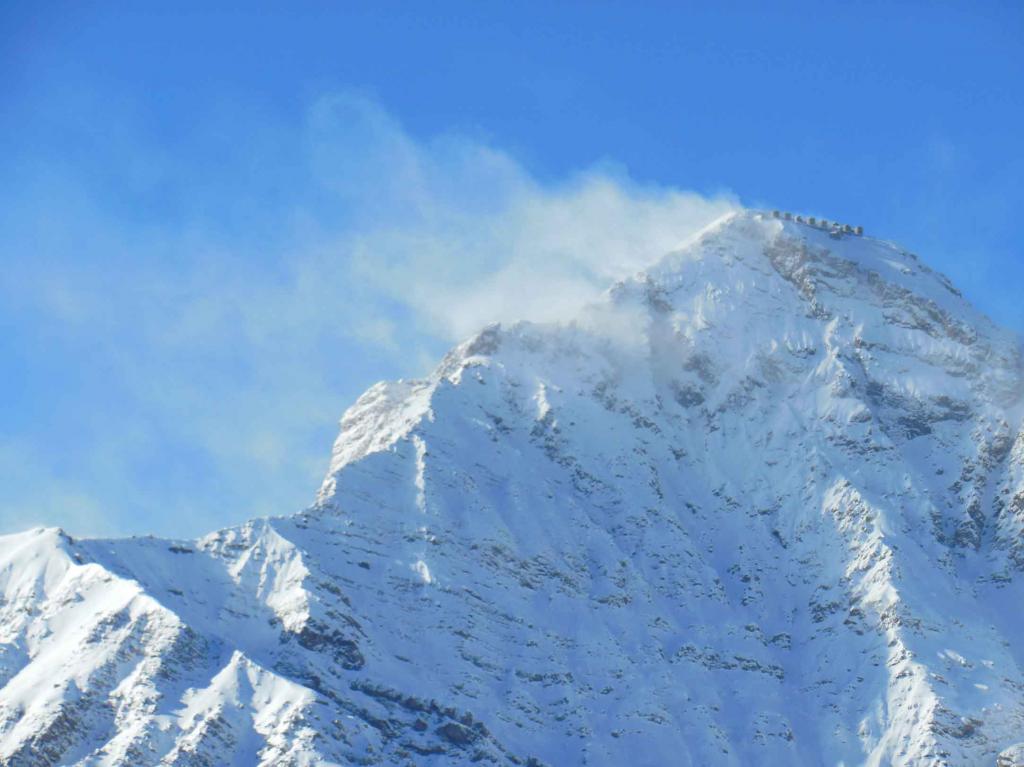
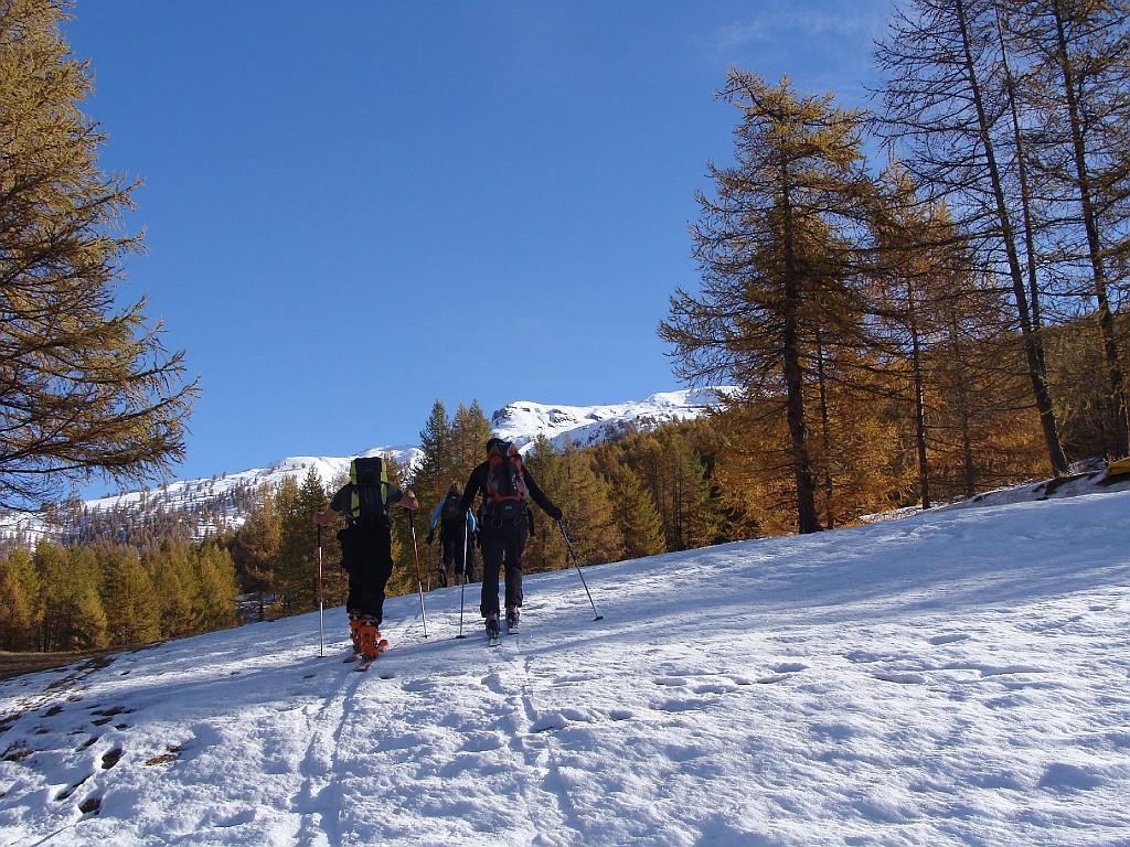
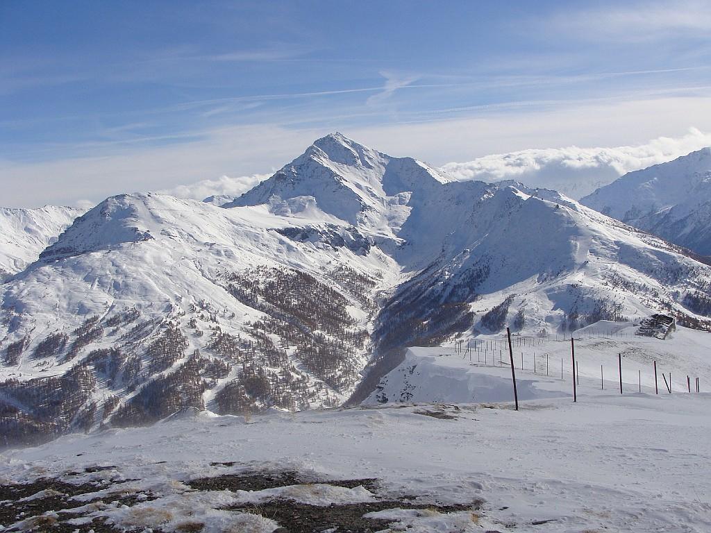
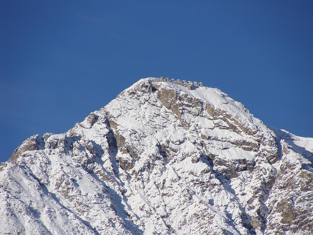
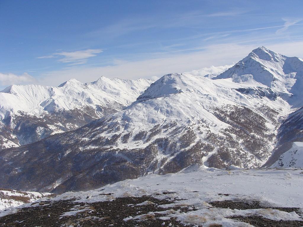
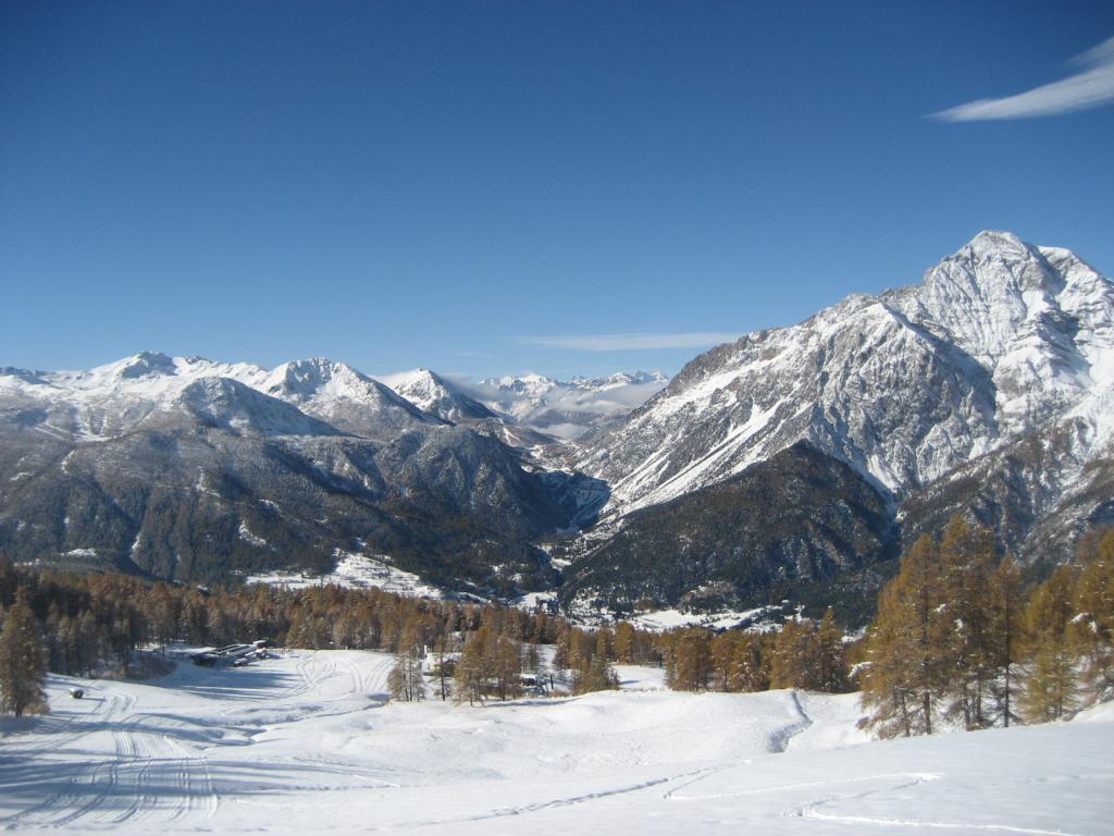
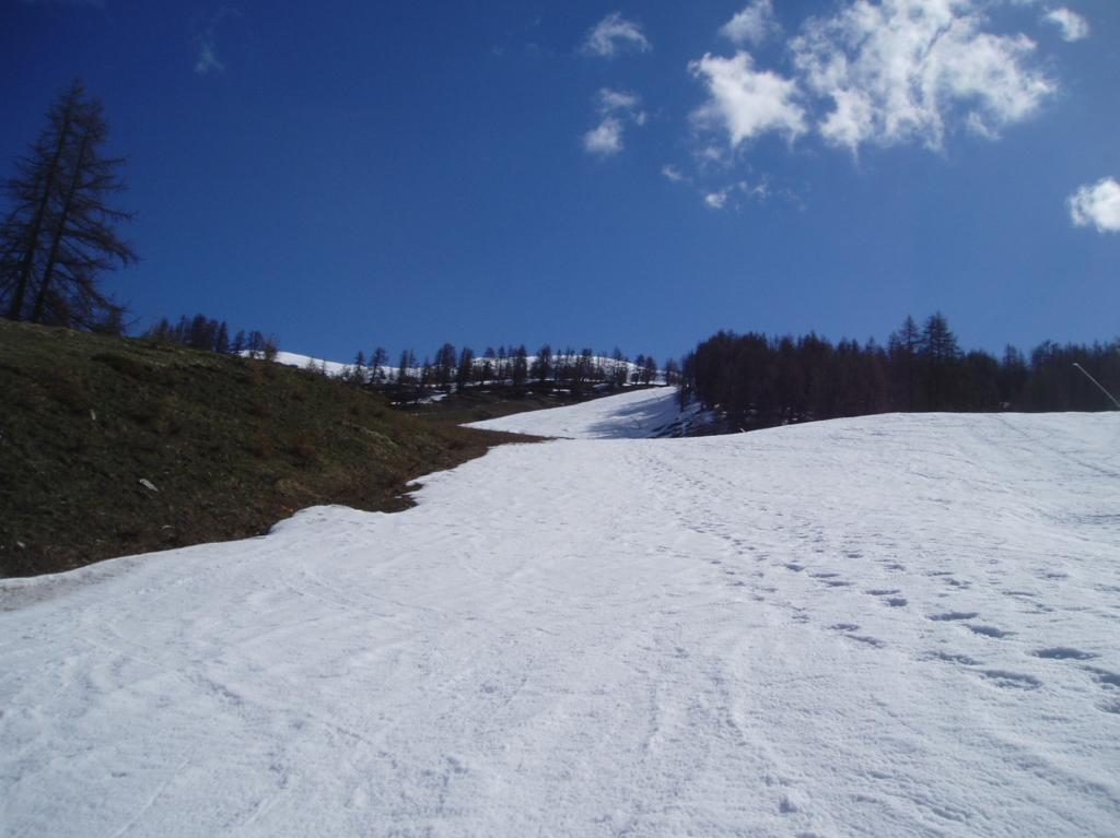
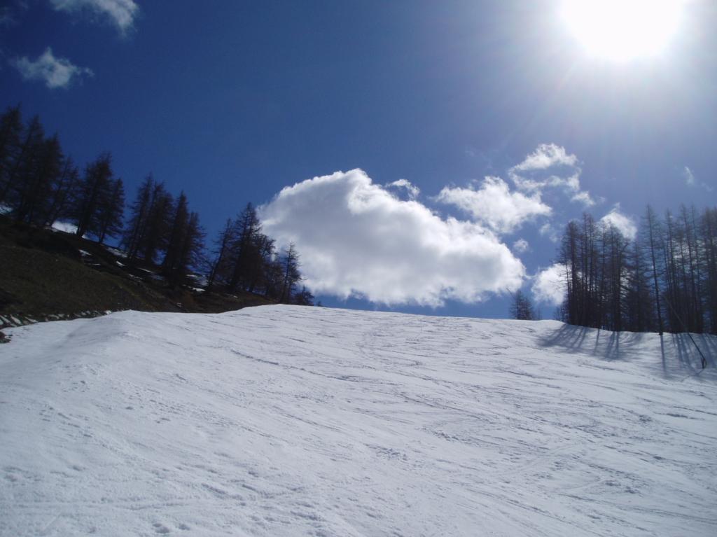
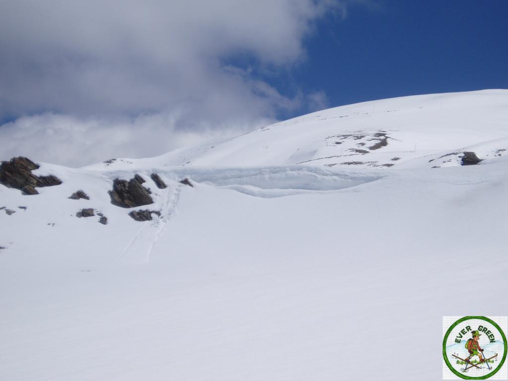
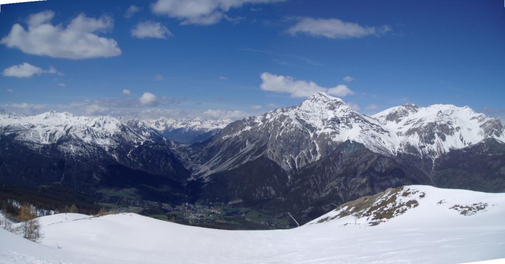
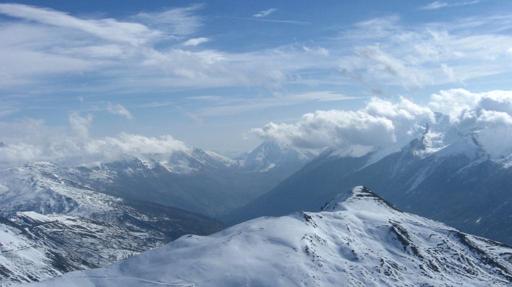
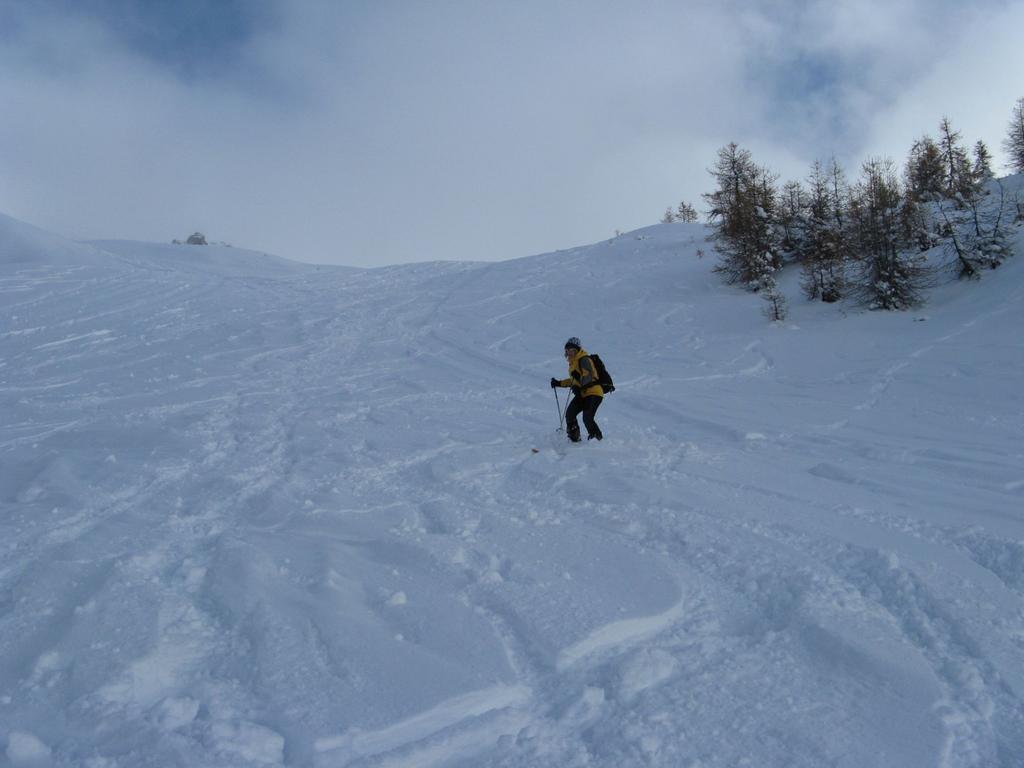
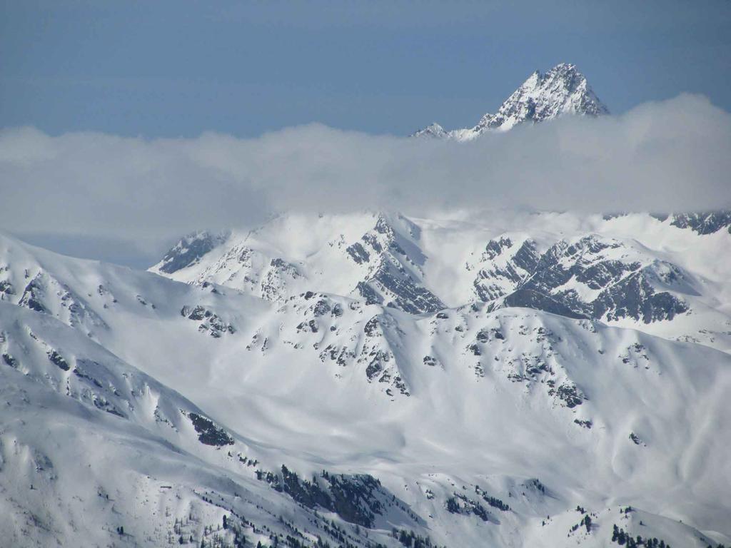
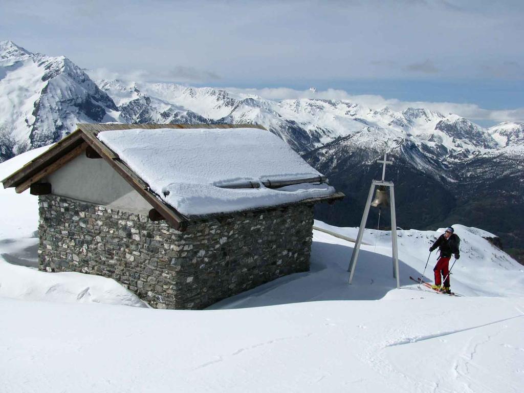
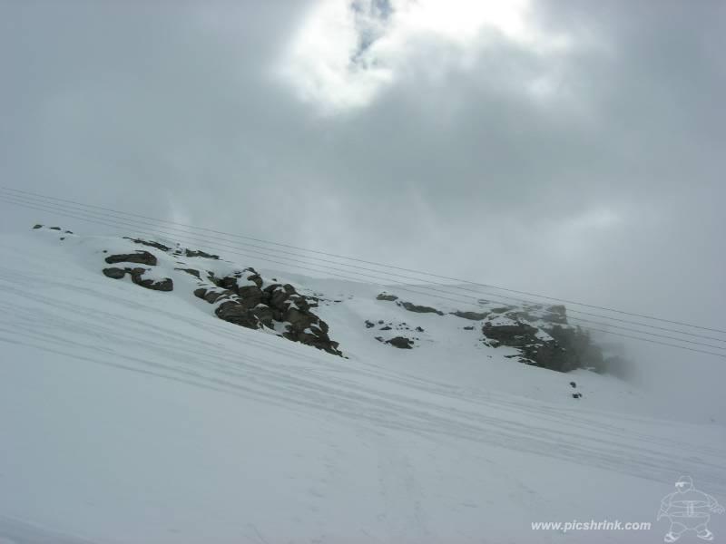
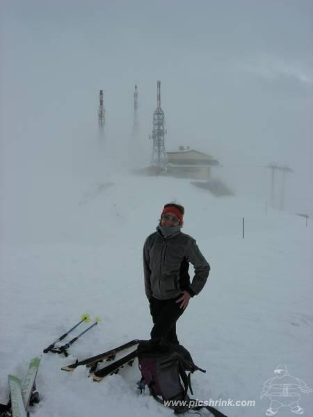
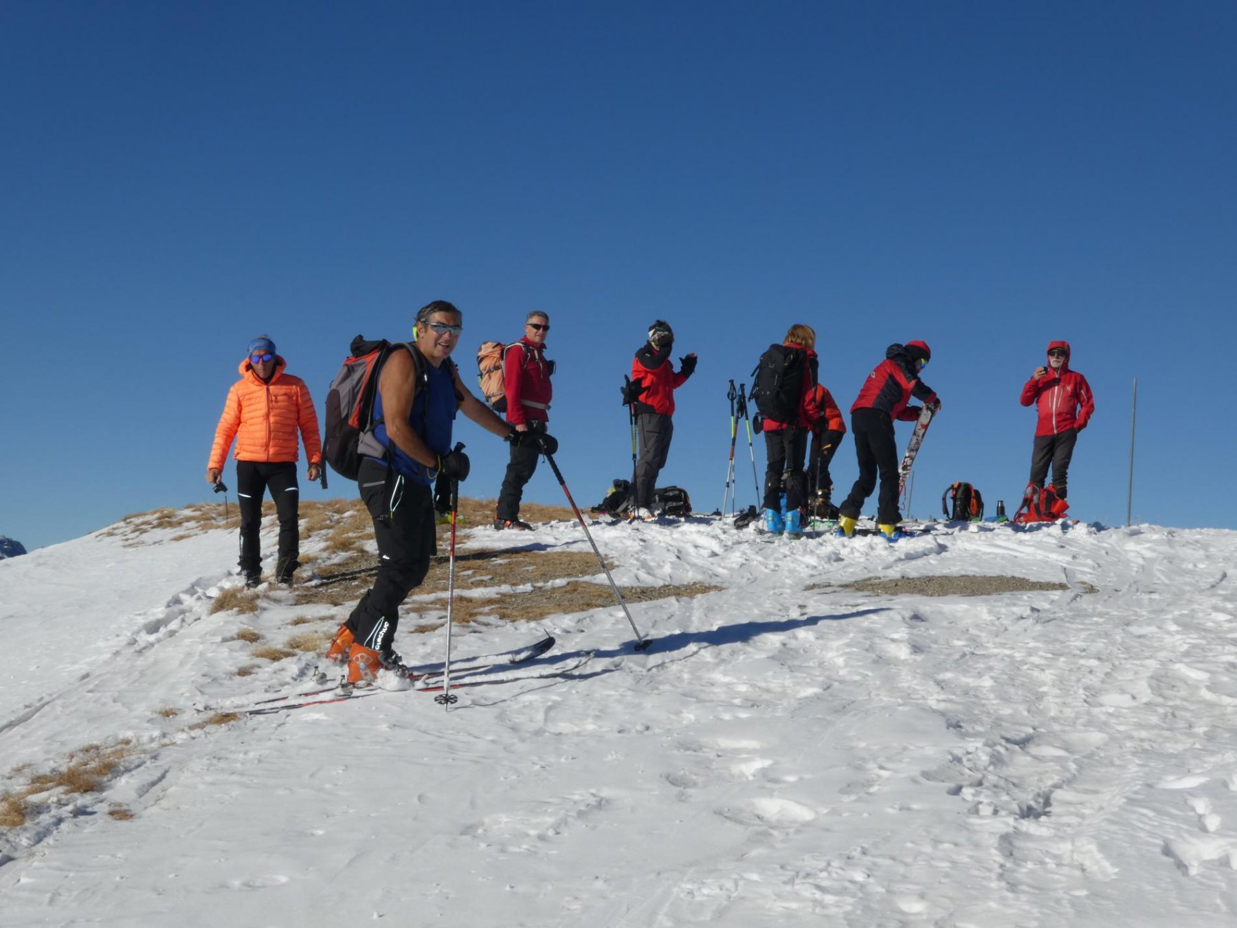
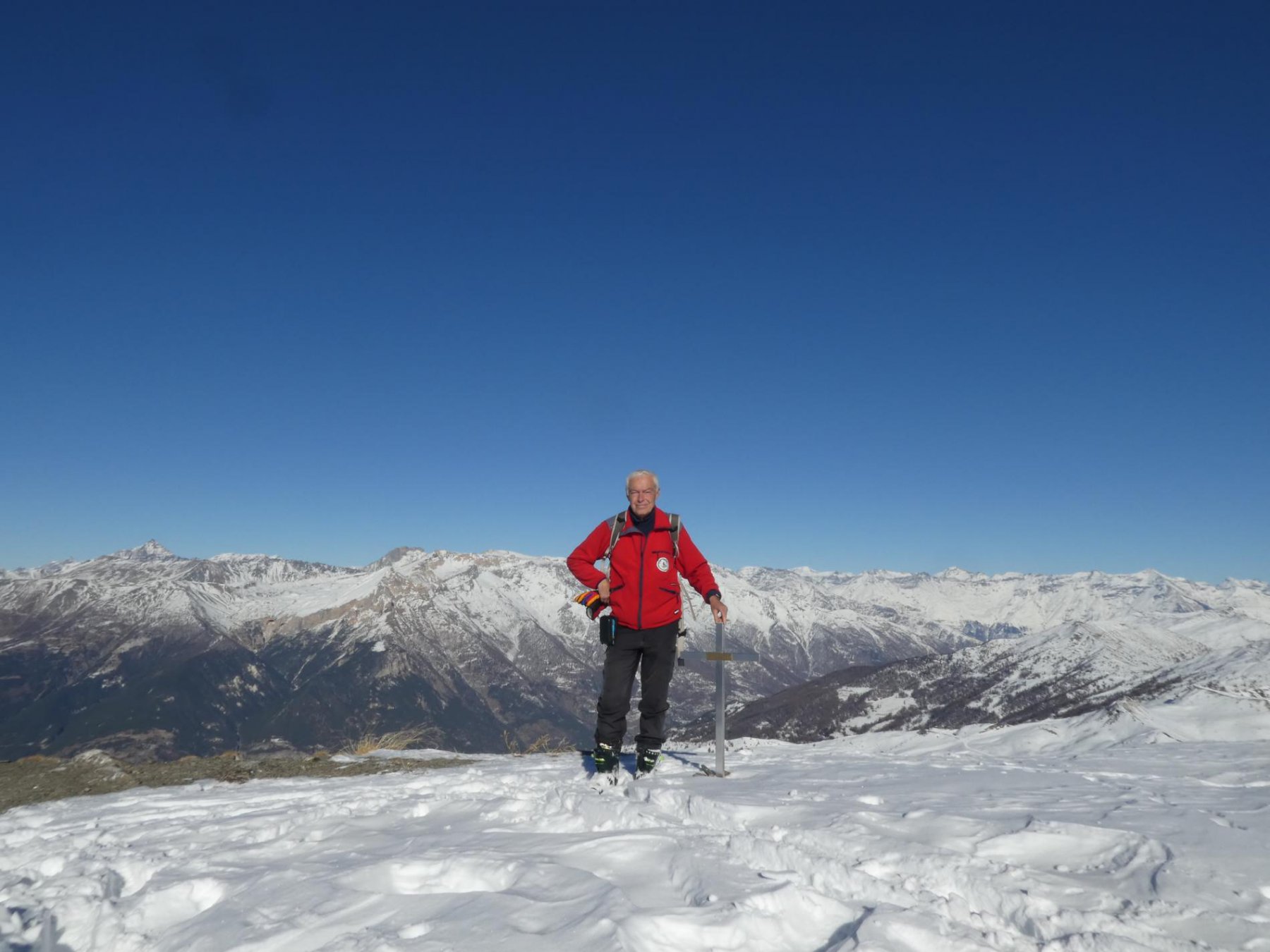
Salire lungo la pista 18, proseguire per la pista 79 o 79bis e raggiungere la cima del Monte Fraiteve contraddistinto dai ripetitori.
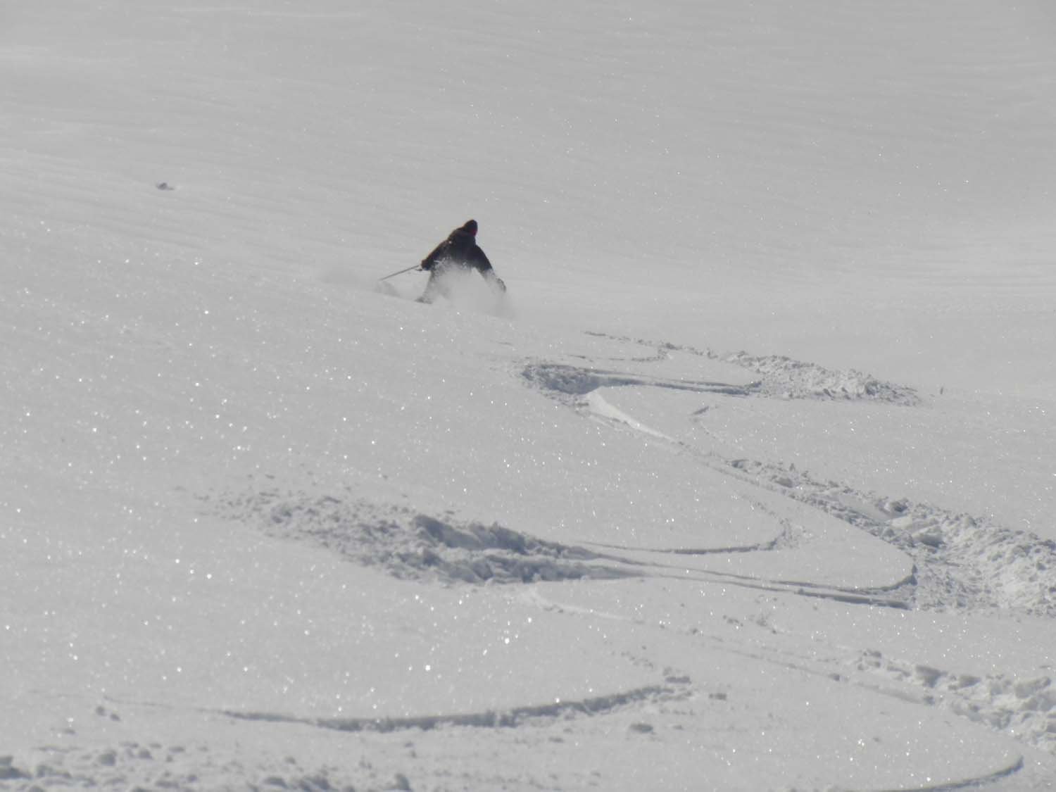
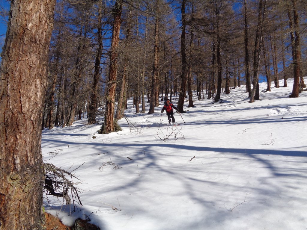
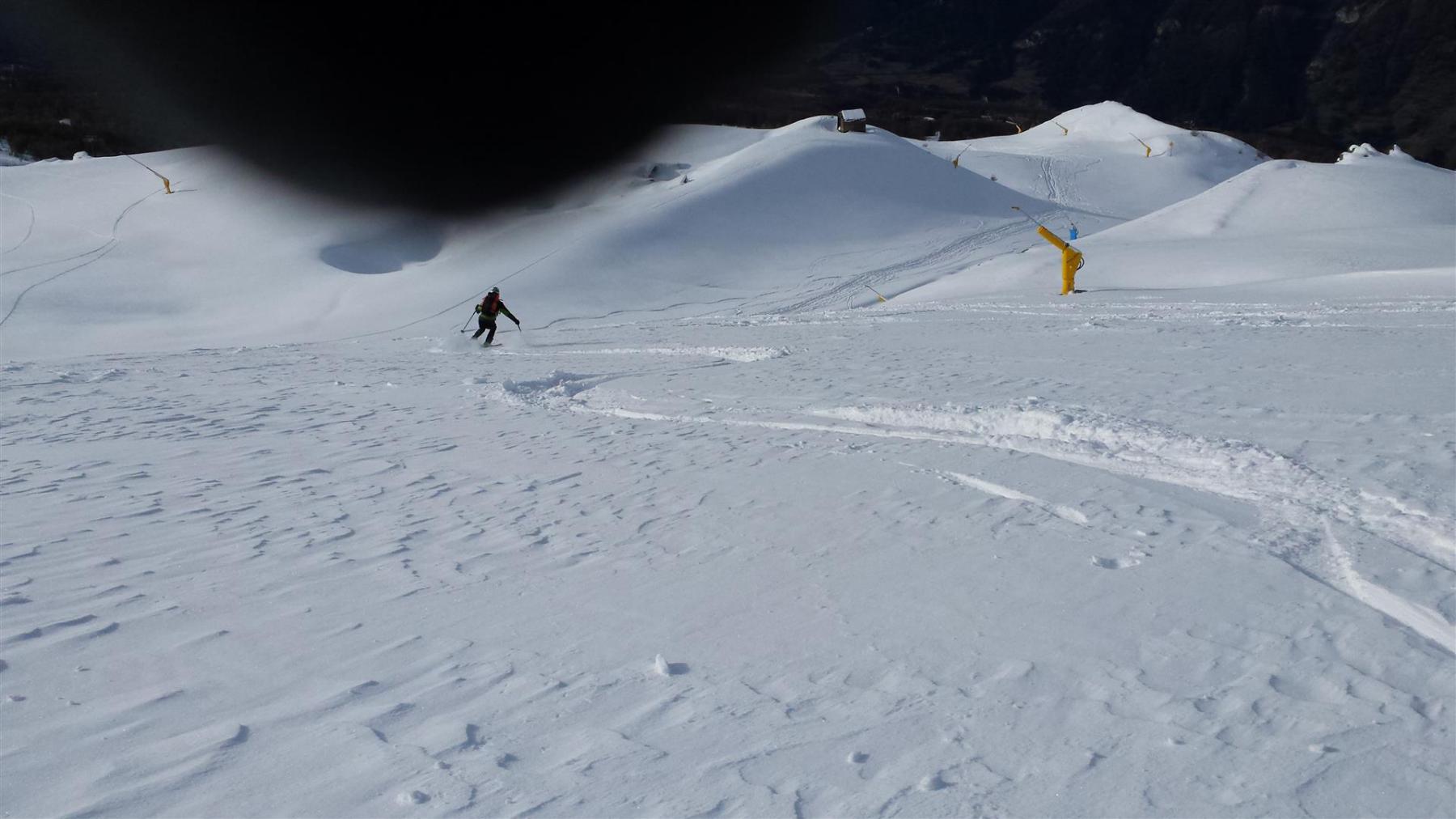
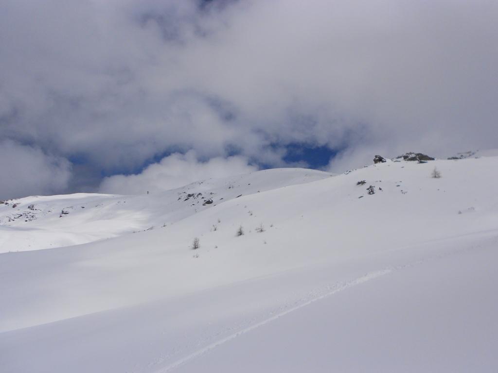
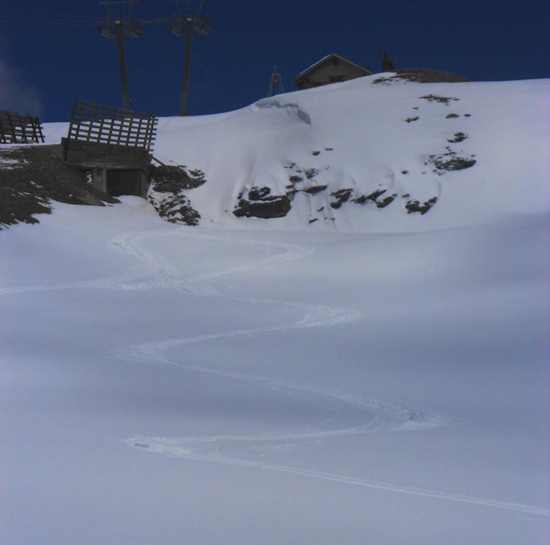
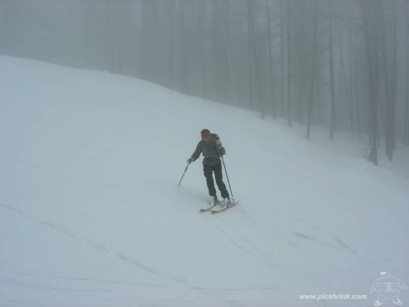
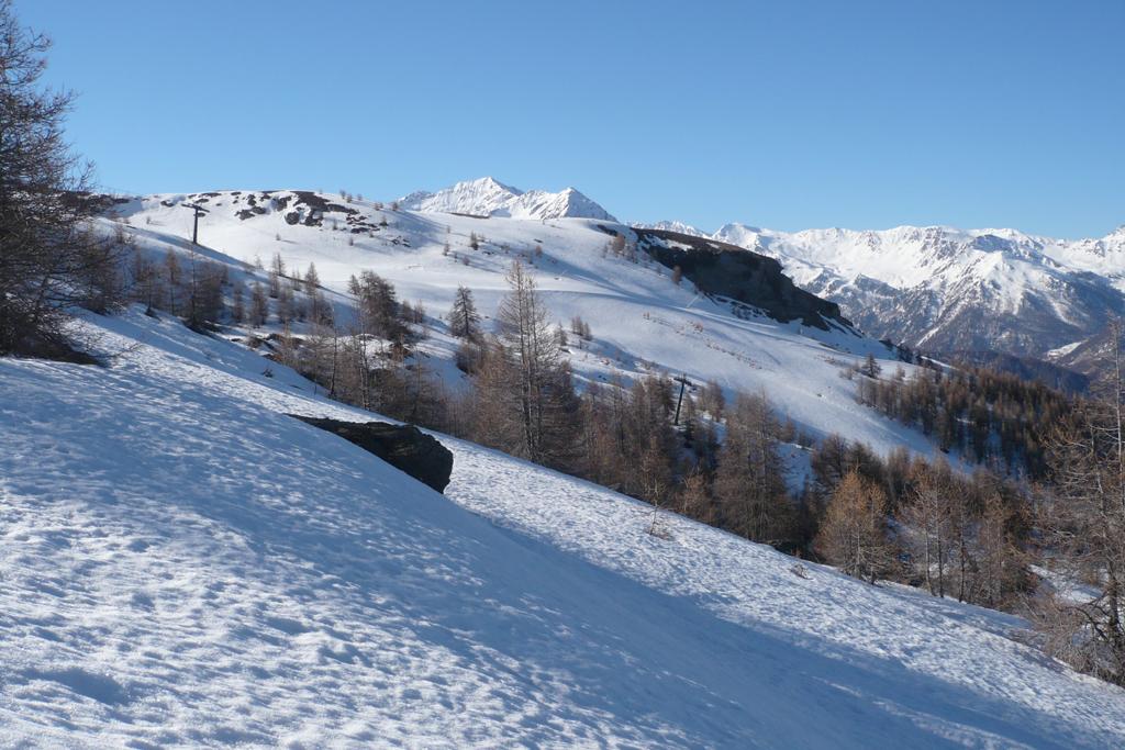
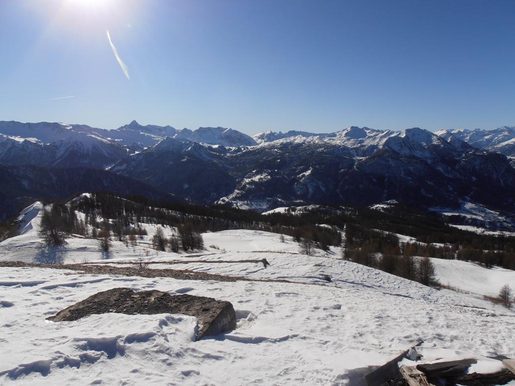
Discesa lungo l’itinerario di salita.
Nelle vicinanze Mappa
Itinerari
08/12/2003 TO, Cesana Torinese D+ 815 m MS Ovest
Platasse (Monte) da San Sicario
0m
03/01/2017 TO, Cesana Torinese D+ 600 m MS Sud-Ovest
Rotta (Monte) da Champlas Seguin
 2.3Km
2.3Km
12/01/2021 TO, Cesana Torinese D+ 1070 m BS Sud
Gardiol (Punta) da Fenils
 2.8Km
2.8Km
31/01/2014 TO, Cesana Torinese D+ 1000 m MS Nord
Sisnieres (Monte) o Cresta Nera da Fenils per il vallone del rio Fenils e la cresta Nord-Est
 2.8Km
2.8Km
31/12/2019 TO, Cesana Torinese D+ 6000 m MS Tutte
Dormillouse (Cima), Monte Fraiteve, Col des Trois Freres Mineurs da Cesana, traversata a Melezet (4 gg)
 2.8Km
2.8Km
10/03/2024 TO, Cesana Torinese D+ 1380 m BS Ovest
Fraiteve (Rocce del) da Solomiac
 2.8Km
2.8Km
07/02/2021 TO, Cesana Torinese D+ 850 m MS Nord-Est
Bercia (Colle) da Cesana
 3.3Km
3.3Km
28/03/2026 TO, Cesana Torinese D+ 1032 m MS Nord-Est
Saurel (Cima) da Bousson
 3.5Km
3.5Km
01/01/2020 TO, Cesana Torinese D+ 1400 m MS Nord-Ovest
Giassiez (Monte) o Giaissez da Bousson, anello per il Monte Begino e il Lago Nero
 3.5Km
3.5Km
09/04/2025 TO, Cesana Torinese D+ 993 m MS Nord
Begino (Monte) da Bousson
 3.5Km
3.5Km
Servizi
1.5Km
1.6Km
L’Ibarus Rifugio
Cesana Torinese
1.6Km
Piergiorgio Frassati B&B
Cesana Torinese
1.6Km
Casa Cesana Bar
Cesana Torinese
3.3Km
Centro Ristorante
Cesana Torinese
4.7Km
La Fontana del Thures Rifugio
Cesana Torinese
6.3Km
Baita Gimont Rifugio
Claviere
6.5Km
La Crota B&B
Cesana Torinese
6.5Km
La Tana degli Orsi B&B
Cesana Torinese
6.5Km