1.7Km
1.7Km


Note
Storico
 1.3Km
1.3Km
1.3Km
1.4Km
1.8Km
2.3Km
2.8Km
4Km
1.3Km
1.3Km
1.3Km
1.4Km
1.8Km
2.3Km
2.8Km
4Km
1.7Km
2.8Km
2.8Km
3Km
3.1Km
4.7Km
6.8Km
6.9Km
7.1Km
7.1Km
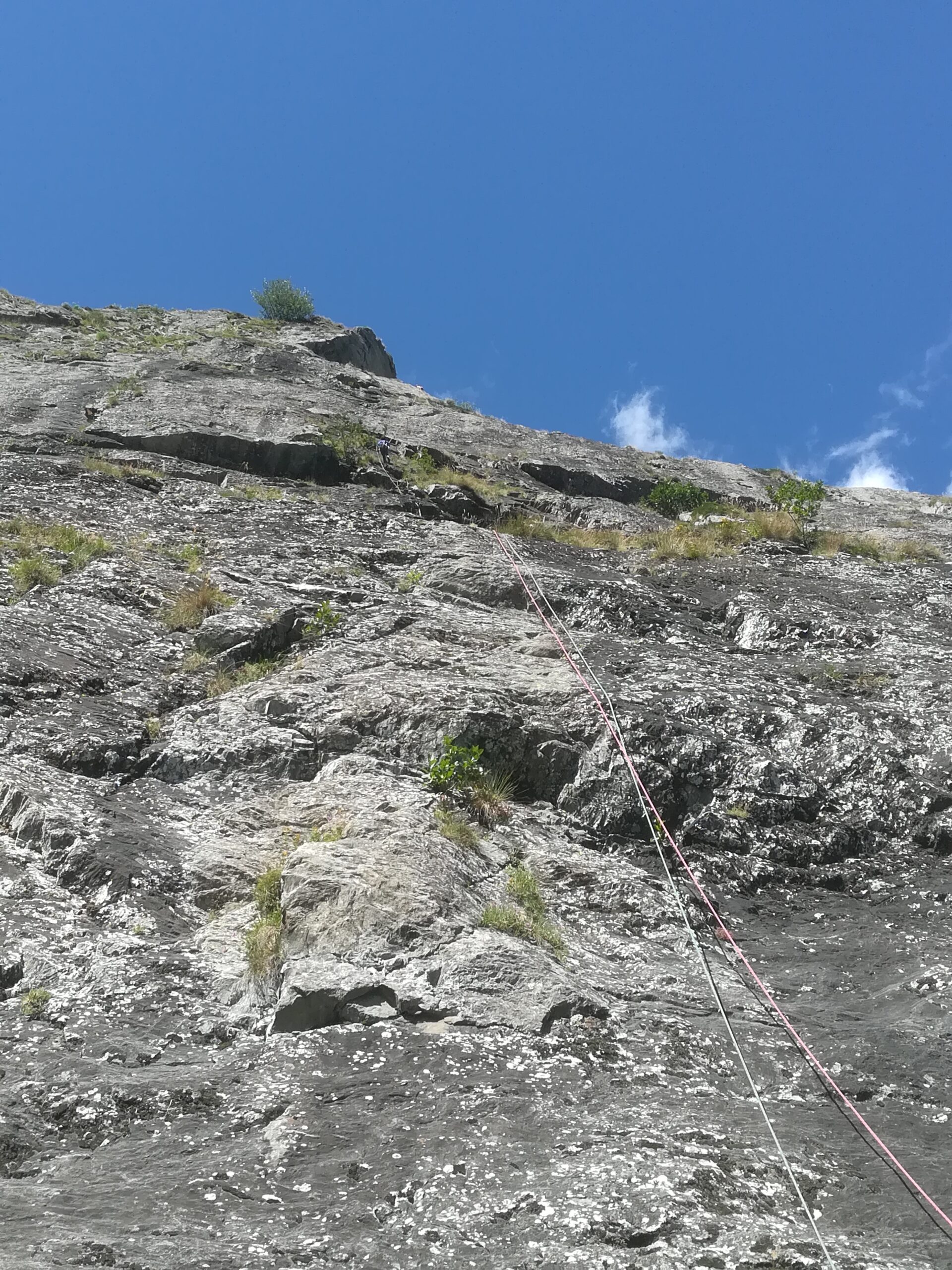
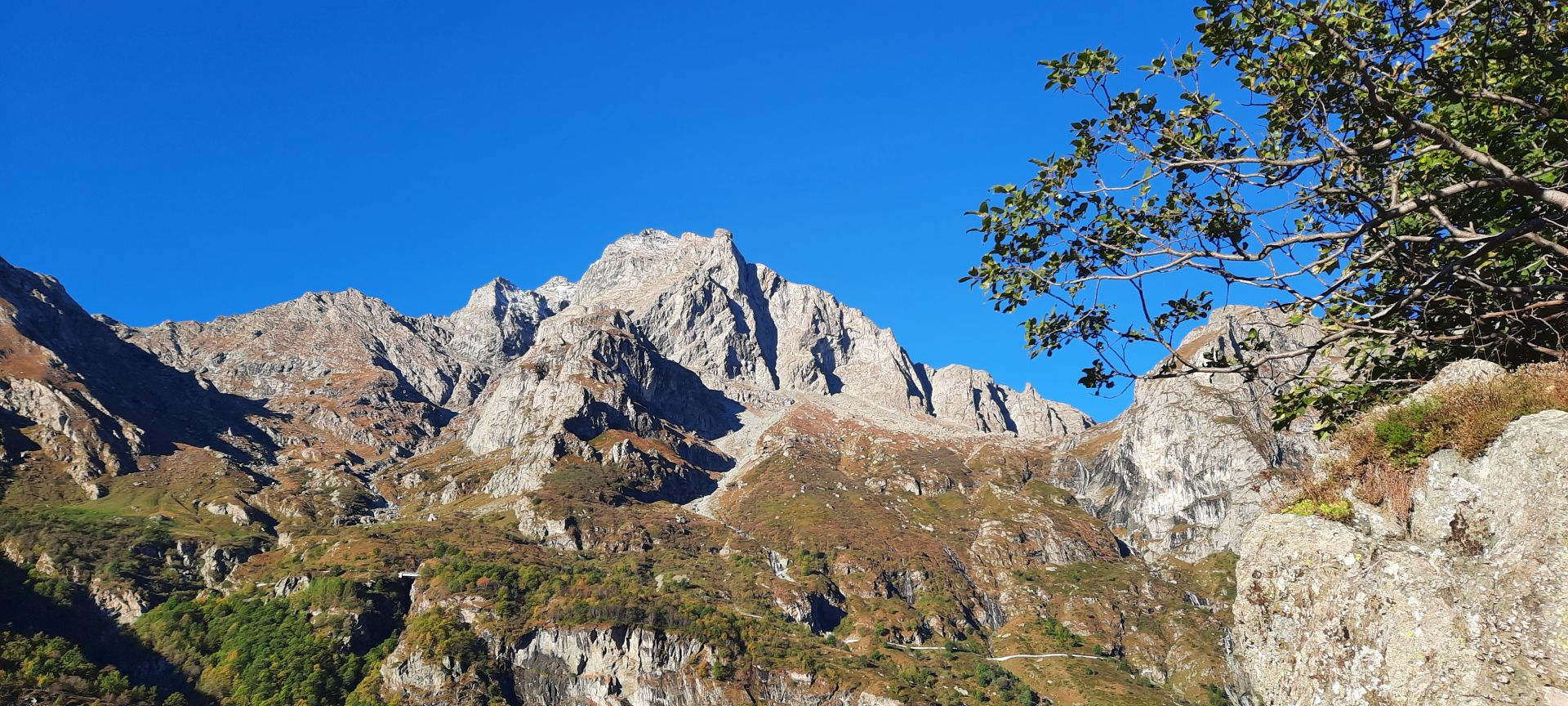
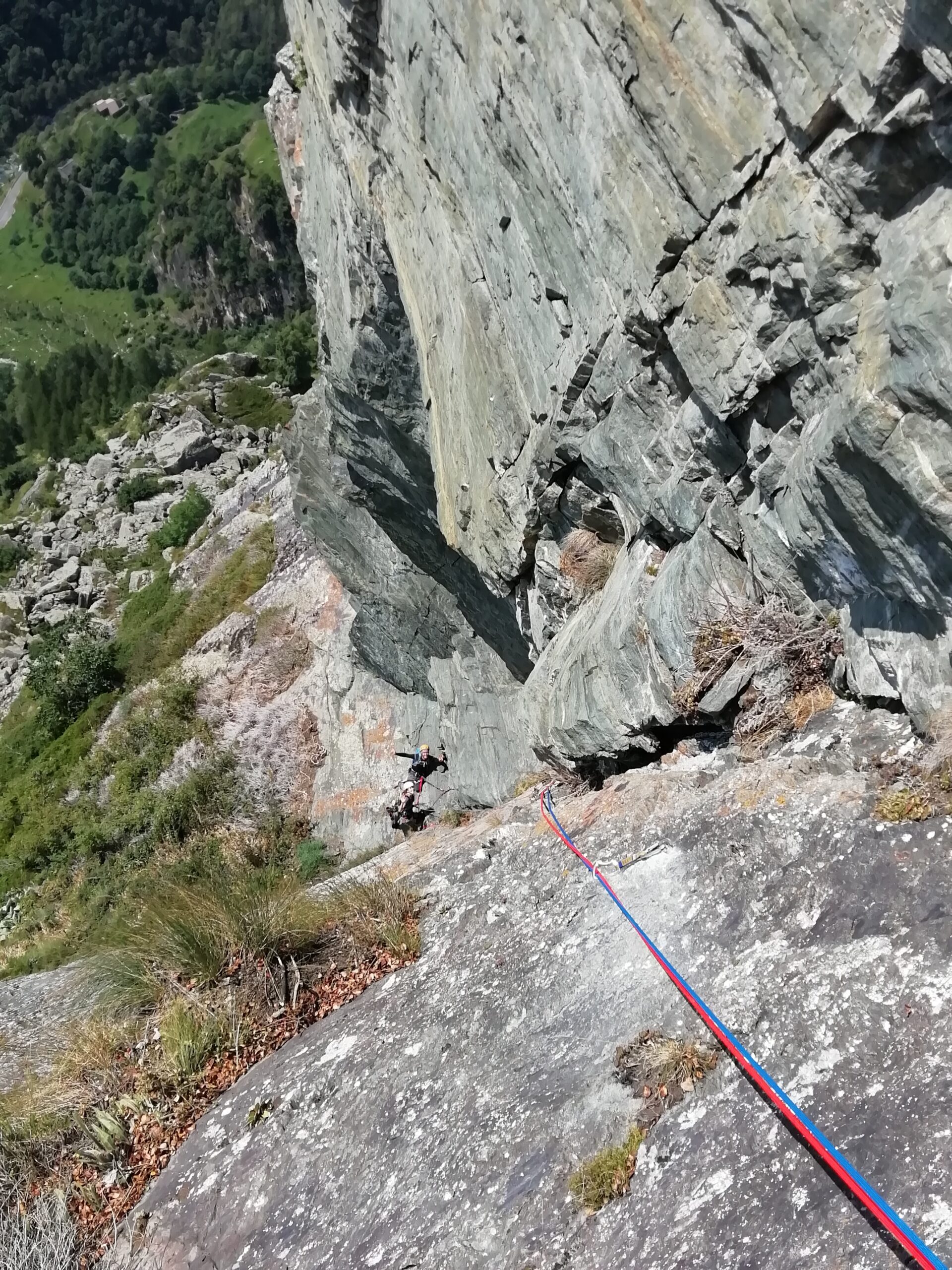
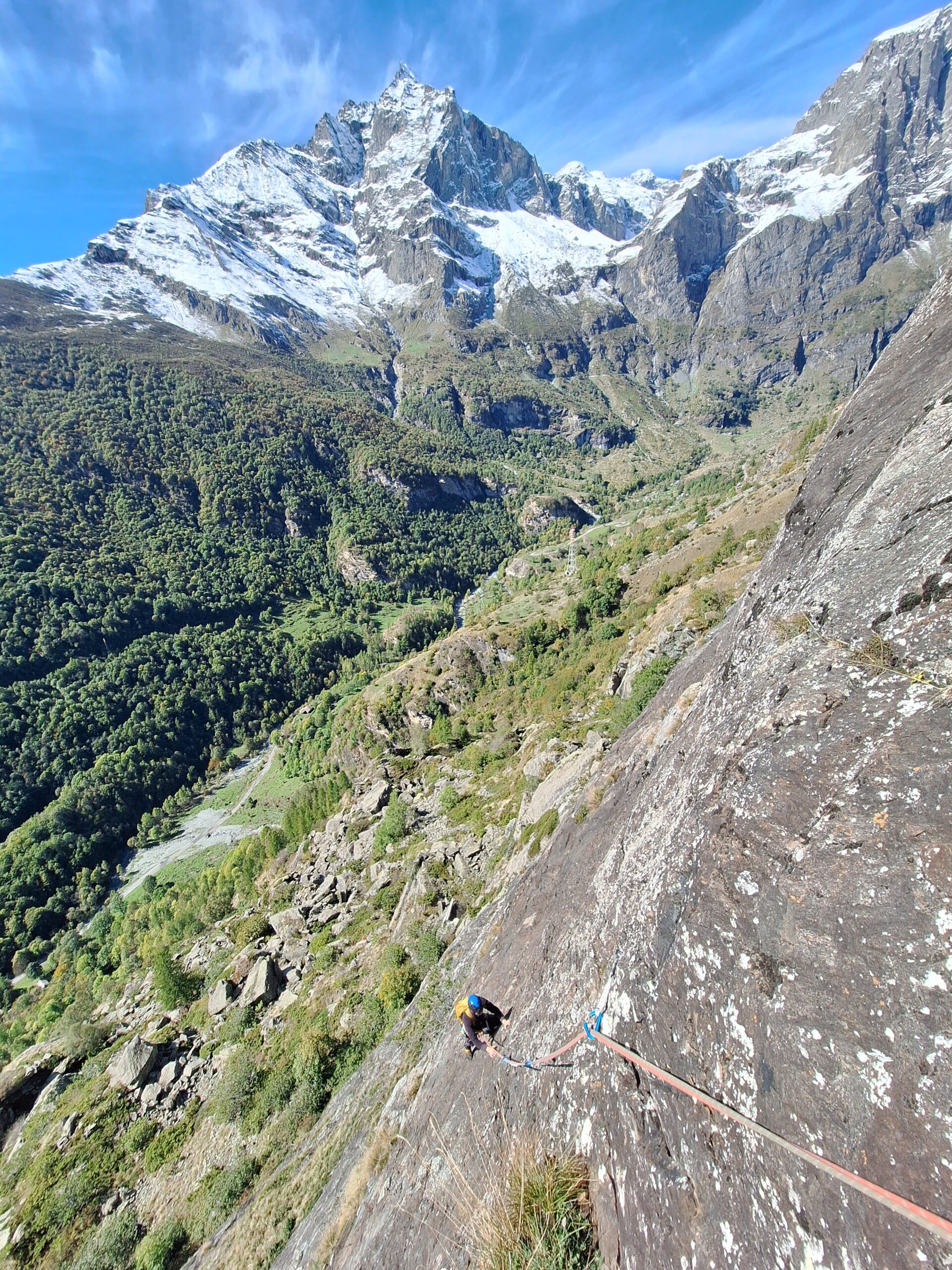
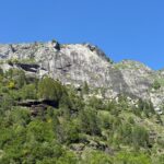
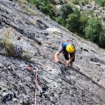
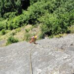
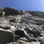
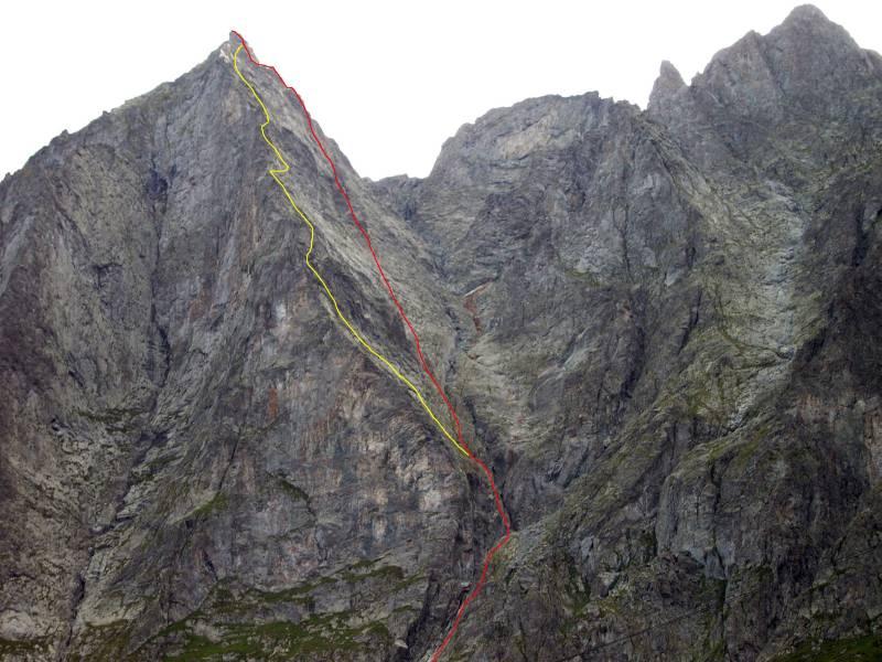
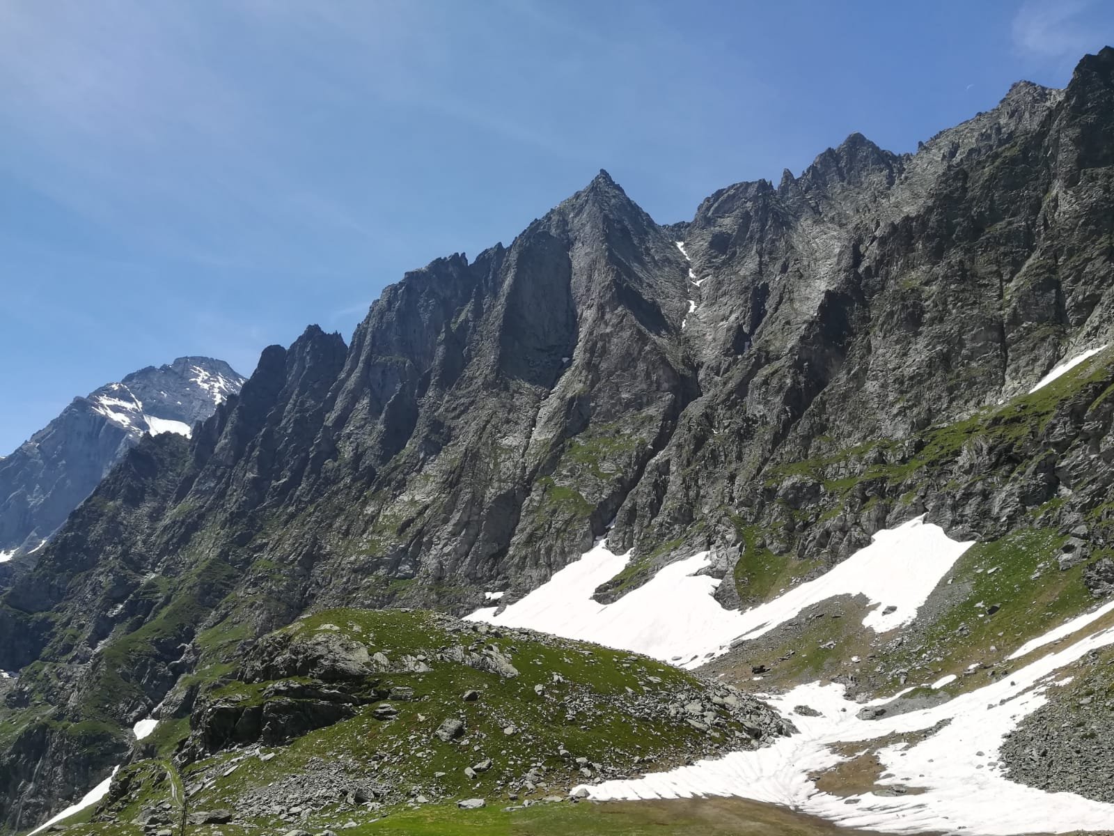
La parete della Losa sovrasta il santuario di Sant'Anna nel Vallone d'Arnas.
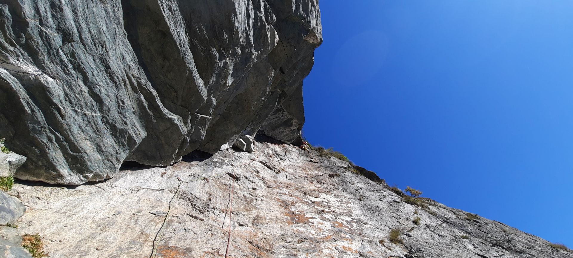
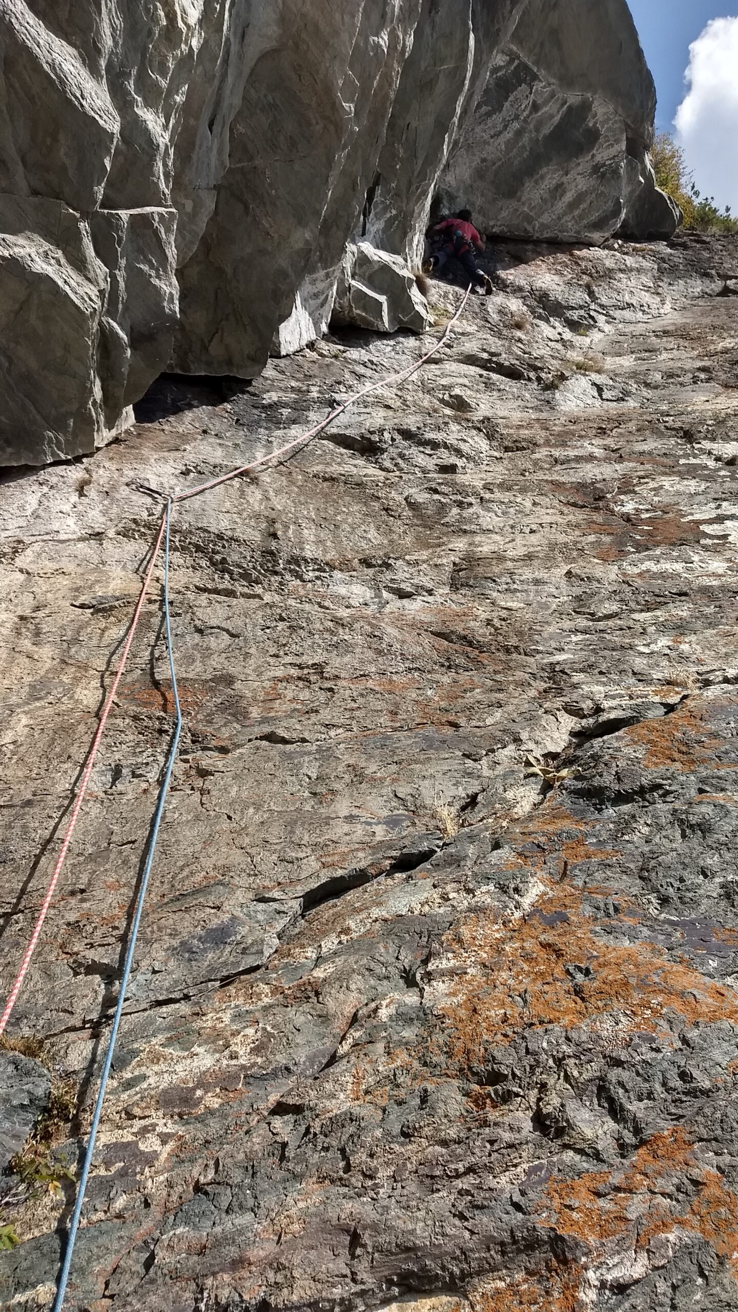
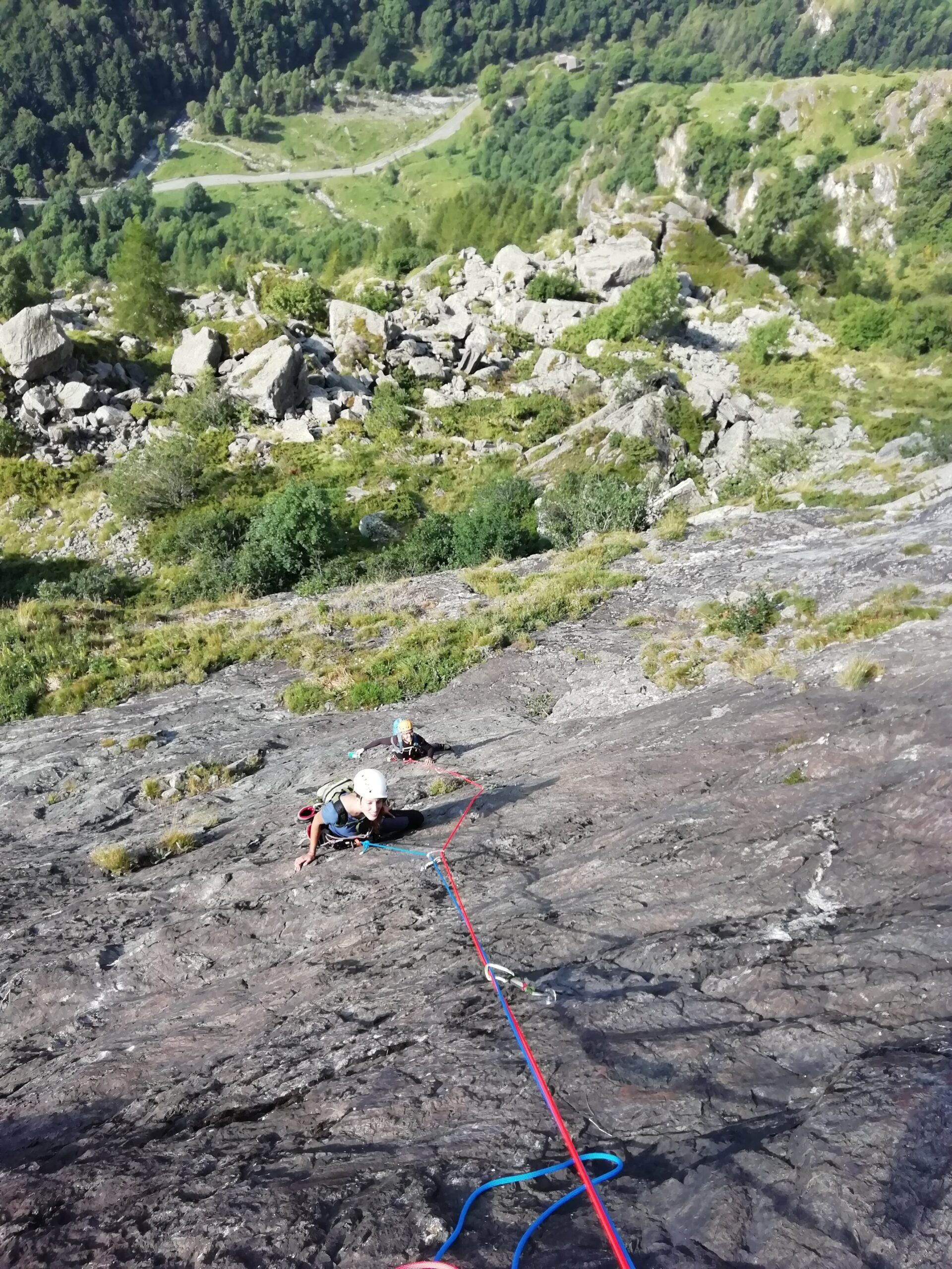
Una placconata di oltre 200 metri di sviluppo, presenta una roccia molto lavorata dall'aderenza strepitosa.
Per una ripetizione portare 14 rinvii oltre alla normale dotazione personale. La salita si può fare utilizzando una corda singola da 70 metri.
La via si svolge sulla verticale del gran diedro posto al termine della parete. Durante il restyling sono stati rimossi massi pericolanti e raddrizzato i tiri per rendere l’arrampicata più omogenea.
La chiodatura, in materiale inox, è stata rivista cercando di mantenere un obbligatorio basso e il vecchio materiale è stato totalmente rimosso.
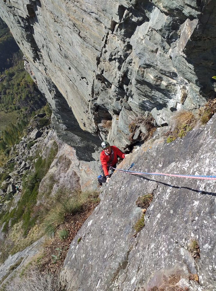
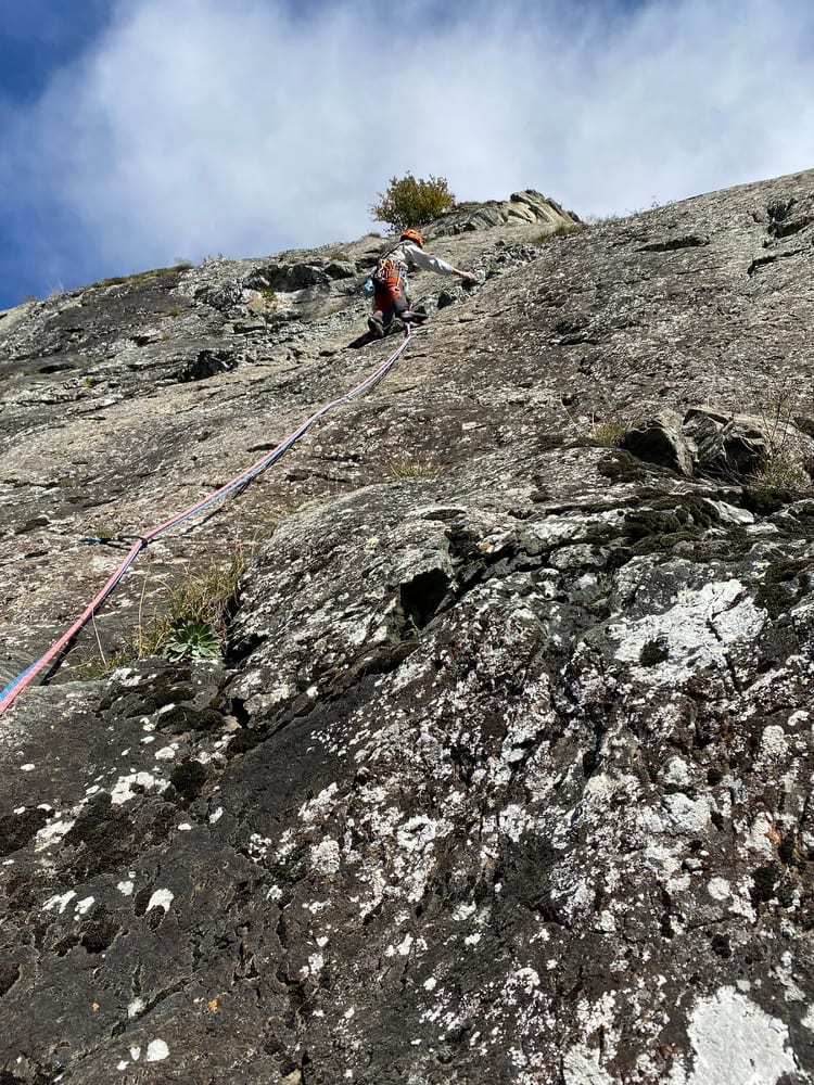
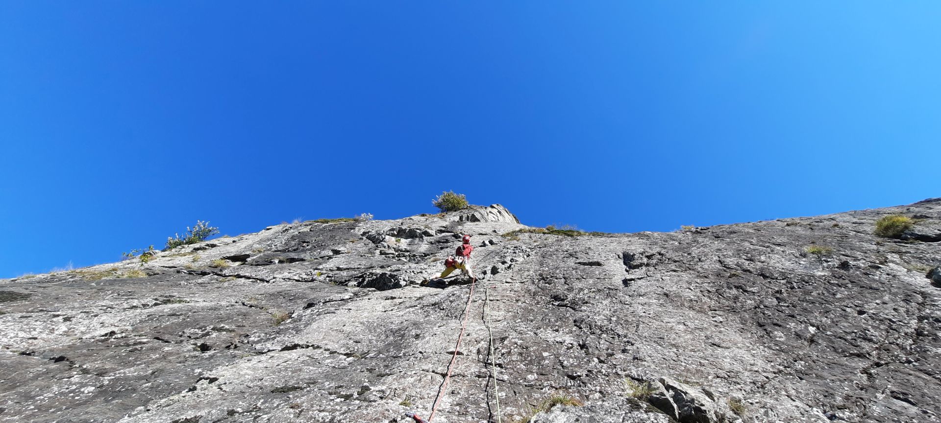
Arrampicata quasi sempre su muri pressoché verticali o leggermente appoggiati, fatta eccezione per l’ultimo tiro, un diedro da salire in opposizione, lungo e continuo.
Avvicinamento
Una placconata di oltre 200 metri di sviluppo, presenta una roccia molto lavorata dall'aderenza strepitosa.
Per una ripetizione portare 14 rinvii oltre alla normale dotazione personale. La salita si può fare utilizzando una corda singola da 70 metri.
La via si svolge sulla verticale del gran diedro posto al termine della parete. Durante il restyling sono stati rimossi massi pericolanti e raddrizzato i tiri per rendere l’arrampicata più omogenea.
La chiodatura, in materiale inox, è stata rivista cercando di mantenere un obbligatorio basso e il vecchio materiale è stato totalmente rimosso.
Arrampicata quasi sempre su muri pressoché verticali o leggermente appoggiati, fatta eccezione per l’ultimo tiro, un diedro da salire in opposizione, lungo e continuo.
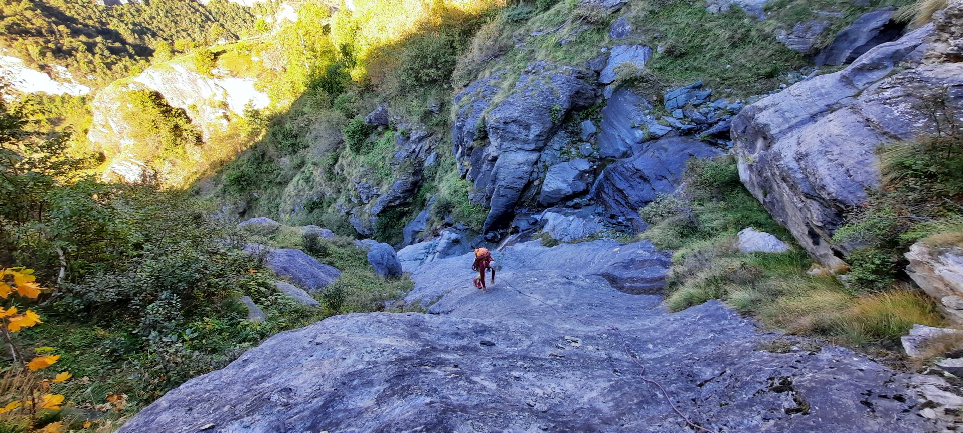
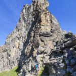
Dal tornante dopo la partenza del sentiero per il Rif. Cibrario nel Vallone d'Arnas (scritta Losa sul muretto) seguire la traccia alquanto marcata che attraversa in piano la distesa prativa fino a raggiungere il pilone della teleferica. Ignorare la freccia di vernice sul basamento del pilone e proseguire in piano lungo il sentiero.
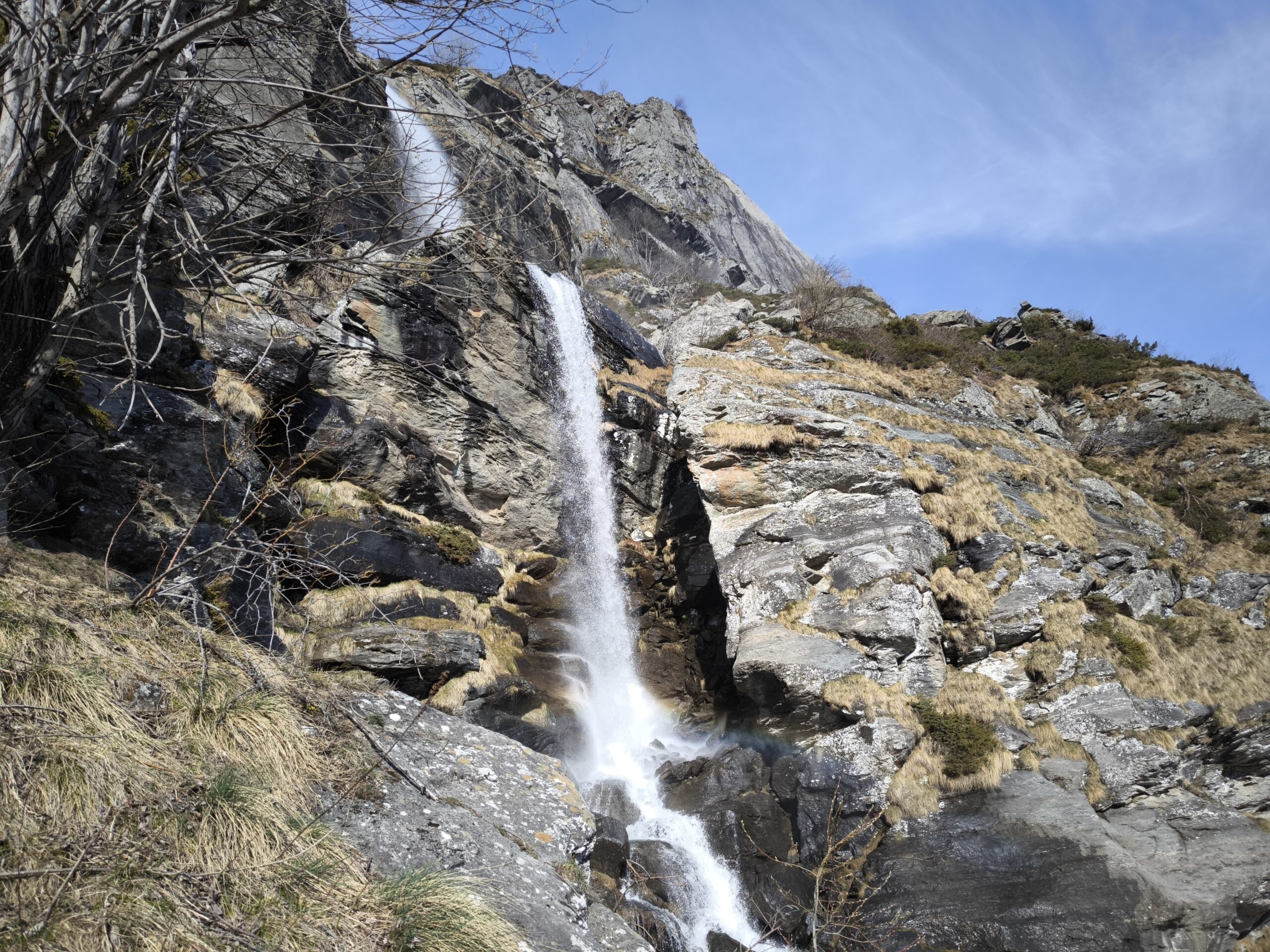
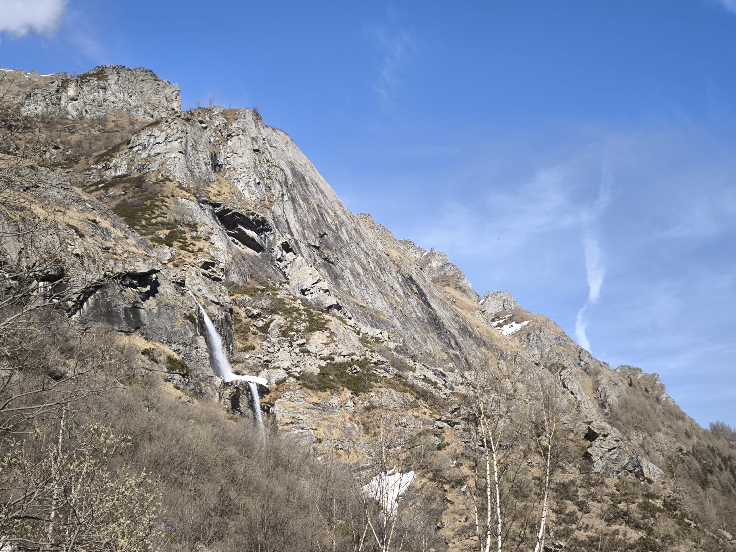
Arrivati al fondo dei prati, cercare degli ometti sulla sx risalendo un po' fino ad immettersi in un boschetto che permette di scendere nel canalone su esile traccia, fino a oltrepassarlo. Si prosegue attraversando il bosco con alcuni brevi sali-scendi uscendo dalla vegetazione in corrispondenza della cascata. Si può facilmente scendere sul greto del torrente utilizzando una cengia provvidenziale sulle rocce alquanto esposta.
Attraversare il torrente e risalire la placca levigata dalla parte opposta. Al suo termine volgere a destra e scendere brevemente verso dx per risalire il dosso erboso fino a incontrare i primi massi della pietraia. Numerosi ometti permettono di salire agevolmente tra i massi incastrati (tenersi prevalentemente verso sinistra). La pietraia termina praticamente alla base della parete in corrispondenza di un masso dove si possono lasciare gli zaini. (40 min)
Descrizione
Arrivati al fondo dei prati, cercare degli ometti sulla sx risalendo un po' fino ad immettersi in un boschetto che permette di scendere nel canalone su esile traccia, fino a oltrepassarlo. Si prosegue attraversando il bosco con alcuni brevi sali-scendi uscendo dalla vegetazione in corrispondenza della cascata. Si può facilmente scendere sul greto del torrente utilizzando una cengia provvidenziale sulle rocce alquanto esposta.
Attraversare il torrente e risalire la placca levigata dalla parte opposta. Al suo termine volgere a destra e scendere brevemente verso dx per risalire il dosso erboso fino a incontrare i primi massi della pietraia. Numerosi ometti permettono di salire agevolmente tra i massi incastrati (tenersi prevalentemente verso sinistra). La pietraia termina praticamente alla base della parete in corrispondenza di un masso dove si possono lasciare gli zaini. (40 min)
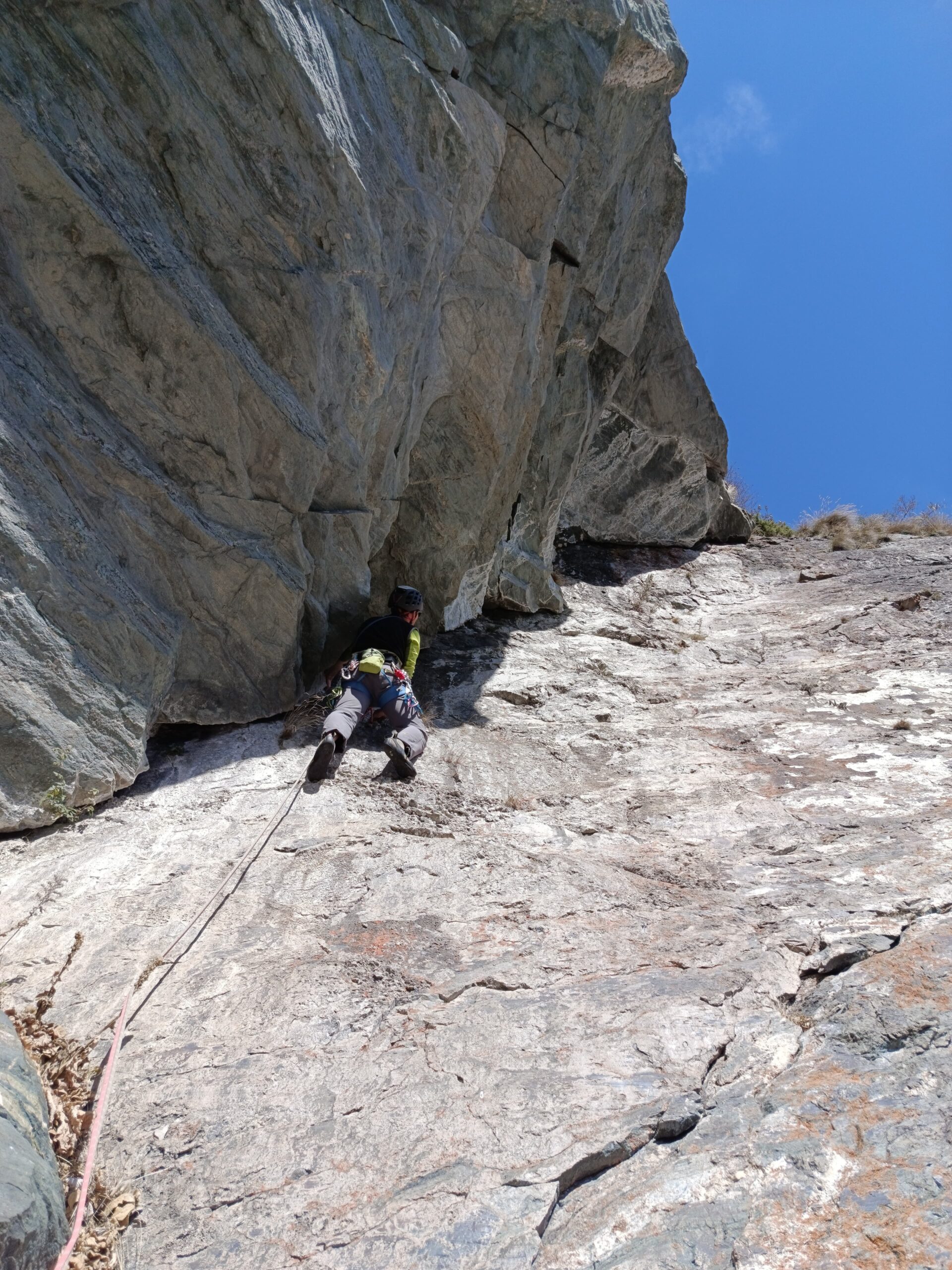
La via presenta 6 tiri da 30-35 metri
- L1 6a, placca e pilastrino
- L2 6a, breve tratto erboso e poi placca nerastra verticale
- L3 6a, muretto aggettante, diedro e infine placca
- L4 6a, placca e traversino
- L5 6a (singolo passo), trasferimento a sx, placca e traversino a dx
- L6 6a/+, diedro con uscita in traverso finale
Discesa con tre doppie sulla via da S6-S4-S2 (55-60-60), tutte leggermente verso sinistra faccia a monte
Attenzione: le corde fisse non ci sono più, rimangono dei maillon marci con residui di corde a cui non appendersi!
La via venne aperta il 29 marzo 1998 da Bosticco Andrea, Molino Fabio e Aristarco Tanya
- Cartografia:
- Valli di Lanzo 1:25000
- Bibliografia:
-
Toccata e Fuga sulle Rocce della Valle di Viù
di Andrea Bosticco
Ed. Marzo 2016
Nelle vicinanze Mappa
Itinerari
04/10/2019 TO, Usseglio 5c, 5a obbl. Sud-Ovest
Vallone d’Arnas, Losa d’Alais – Via dei Gargoille
1.3Km
12/06/2026 TO, Usseglio 6a, 5a obbl. Sud
Vallone d’Arnas, Losa d’Alais – Yaya
 1.3Km
1.3Km
04/11/2025 TO, Usseglio 6a+, 6a obbl. Sud-Ovest
Vallone d’Arnas, Losa d’Alais – Favola Semplice
 1.3Km
1.3Km
19/10/2025 TO, Usseglio 6a, 5c obbl. Sud-Ovest
Vallone d’Arnas, Losa d’Alais – Primi Passi nella Follia
 1.3Km
1.3Km
04/10/2025 TO, Usseglio 6a, 6a obbl. Sud
Crot, Parete Centrale – Cani e Porci
 1.4Km
1.4Km
29/07/2025 TO, Usseglio 6a+, 6a obbl. Sud-Est
Corna (Punta) cima sud – Don Camillo
 1.8Km
1.8Km
05/07/2026 TO, Usseglio 6c, 6a obbl. Sud
Arnas (Torre Inferiore d’) – Sole che Nasce Sole che Muore
 2.3Km
2.3Km
05/08/2017 TO, Usseglio 6a+, 6a+ obbl. Nord-Est
Lera (Monte) – Prigioni Via Manera
2.6Km
05/08/2008 TO, Usseglio 5b, 5b obbl. Est
Cugnì (Cresta de) quota 3006 m – Anime Perse
 2.8Km
2.8Km
08/07/2018 TO, Usseglio 6b, 6a obbl. Est
Cugnì (Cresta de) quota 3006 m – Anime Ribelli
 4Km
4Km
Servizi
1.7Km
2.8Km
Luigi Cibrario Rifugio
Usseglio
2.8Km
Grand’Usselio Albergo
Usseglio
3Km
Il bivacco Ristorante
Usseglio
3.1Km
Il Caminetto Ristorante
Usseglio
4.7Km
Nej e Solei Ristorante
Usseglio
6.8Km
Vulpot Rifugio
Usseglio
6.9Km
Val Servin Ristorante
Balme
7.1Km
Stella Alpina Ristorante
Balme
7.1Km