450m
450m
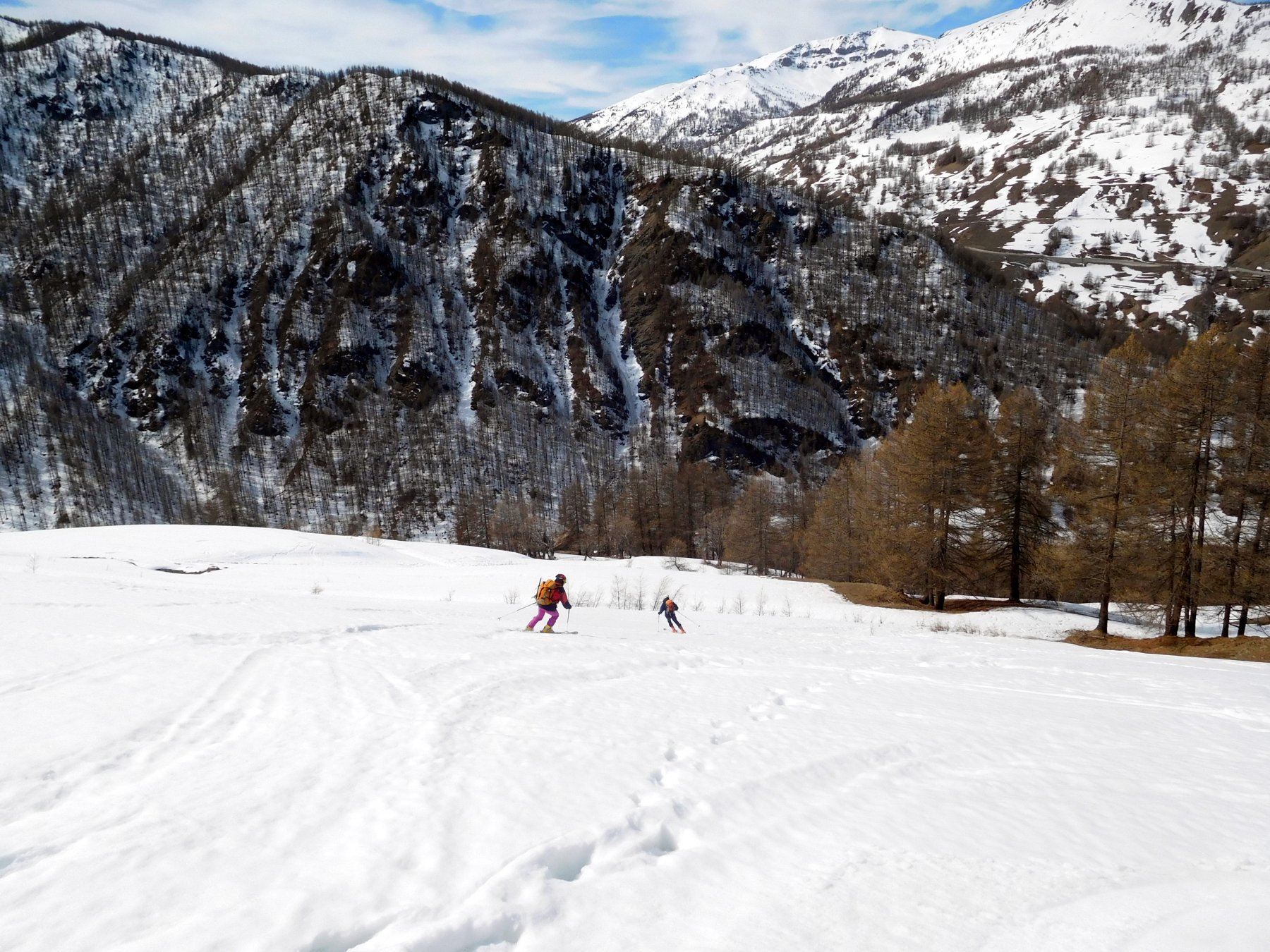
Avvicinamento
 850m
850m
850m
850m
850m
850m
850m
850m
900m
900m
850m
850m
850m
850m
850m
850m
850m
850m
900m
900m
450m
450m
1.5Km
3.2Km
3.7Km
3.9Km
3.9Km
5.2Km
5.4Km
6.7Km
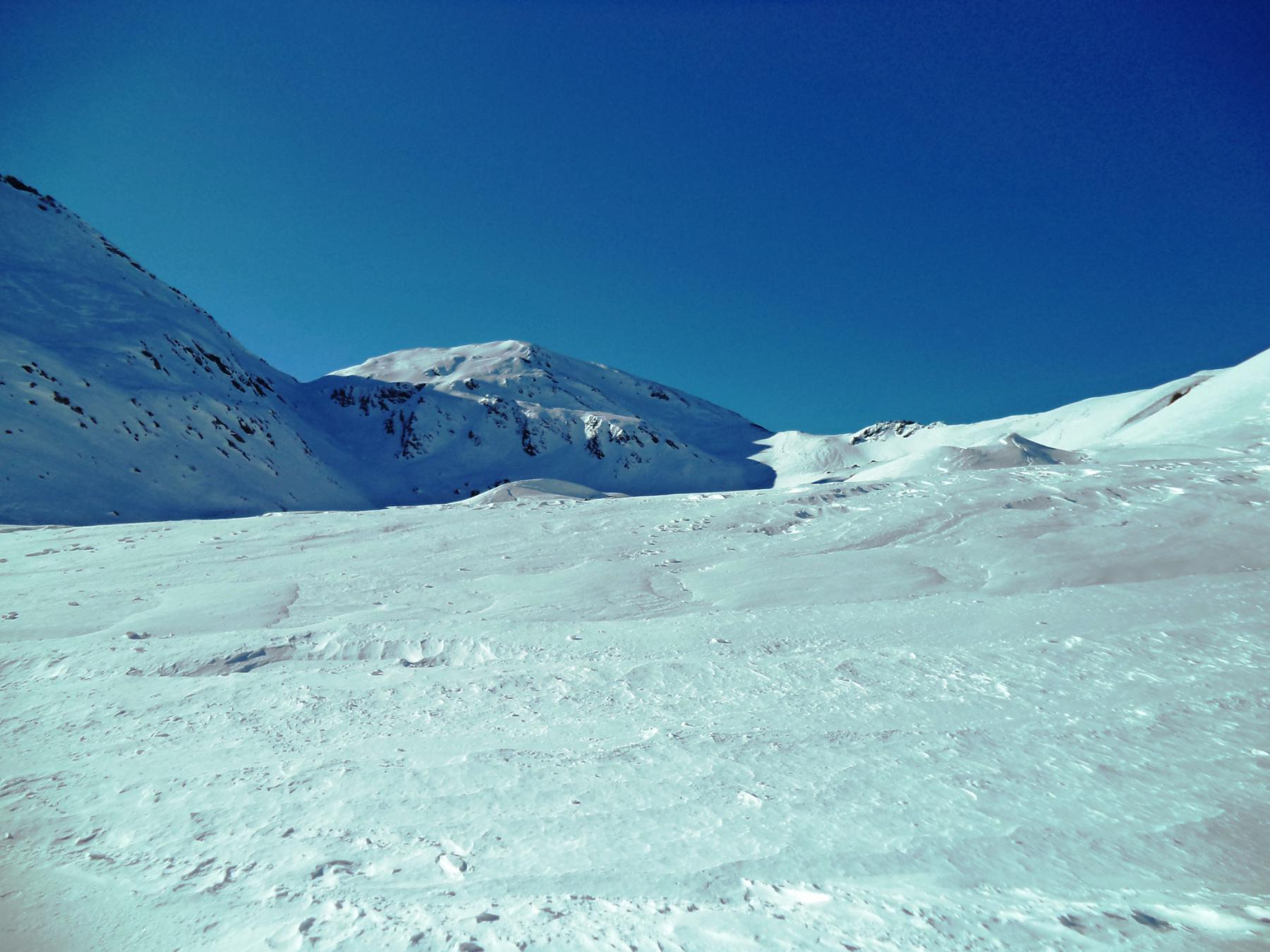
Risalire la Val Chisone fino a Pattemouche.
Descrizione
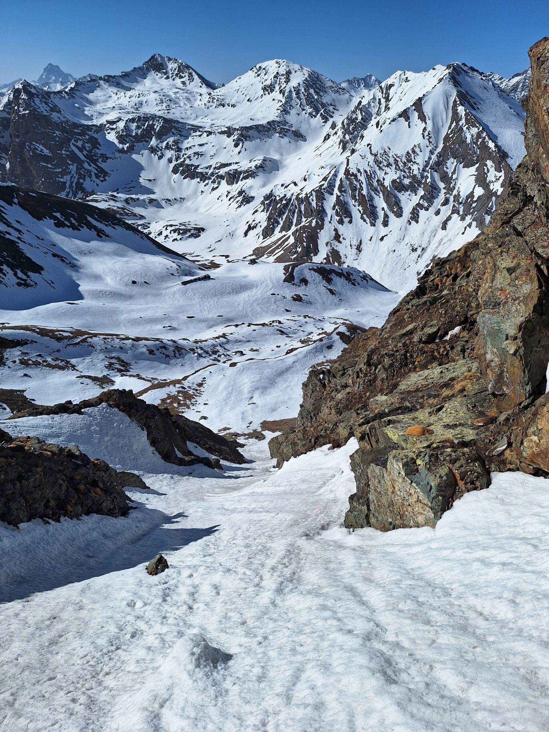
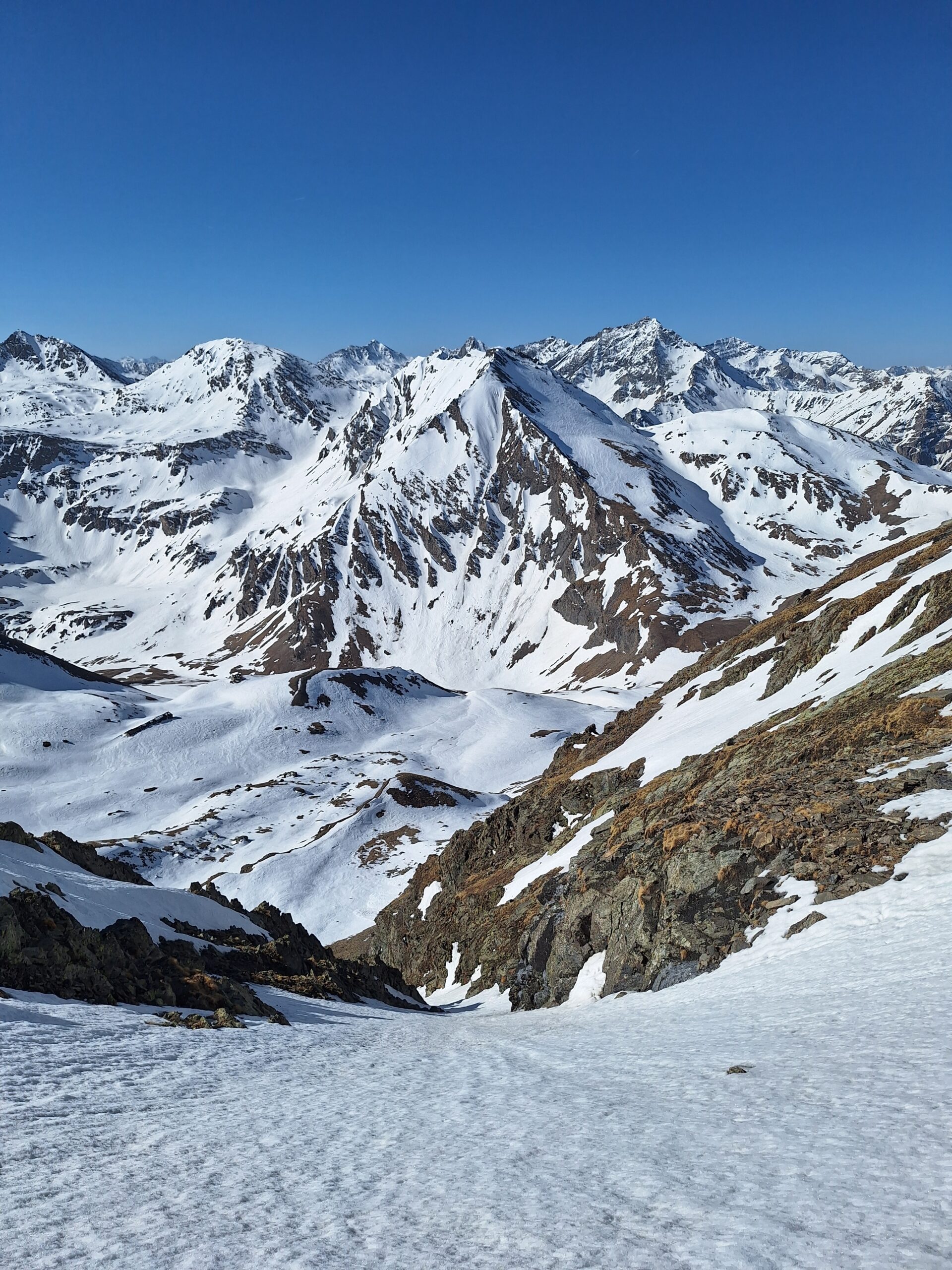
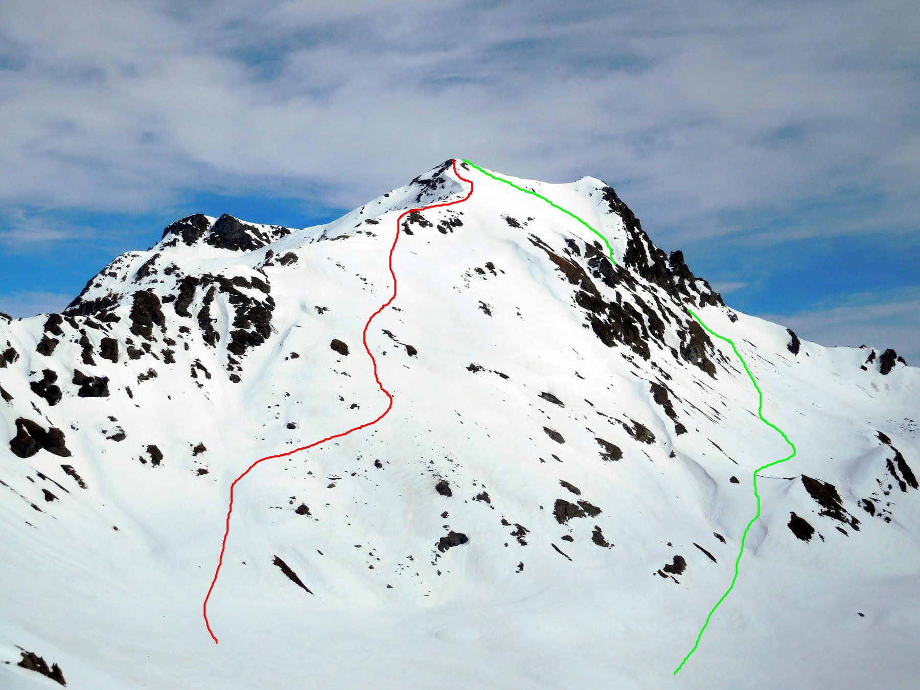
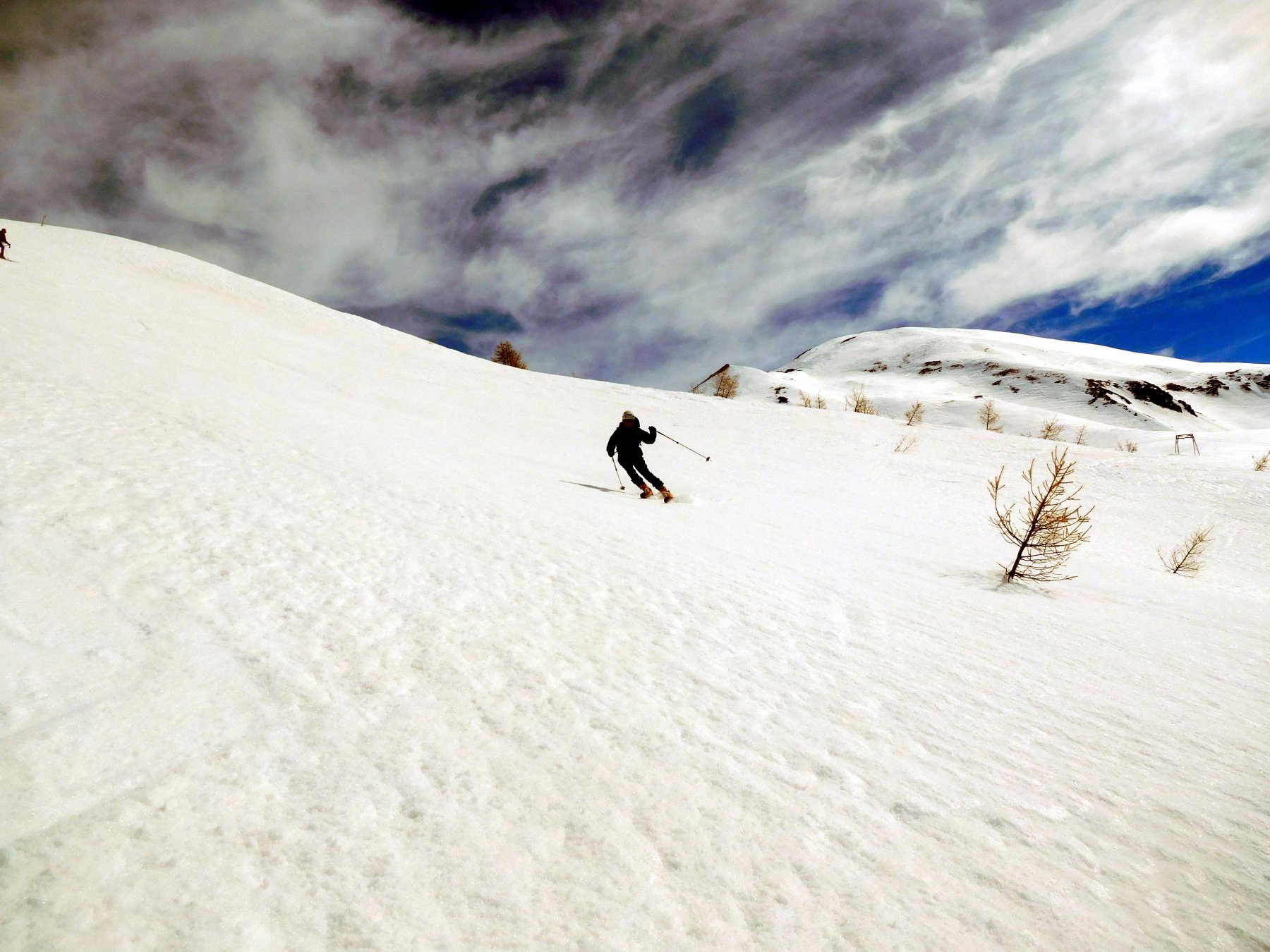
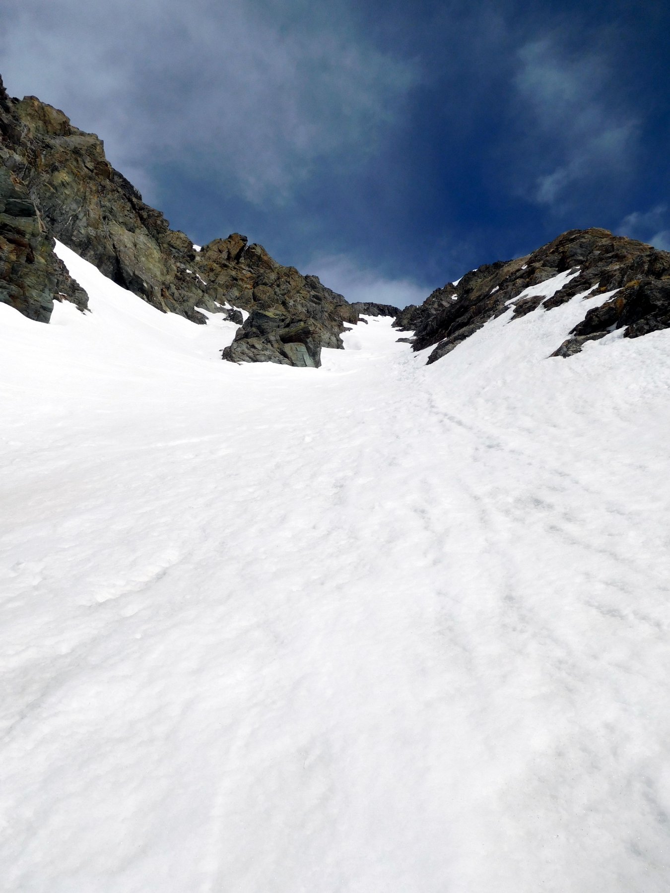
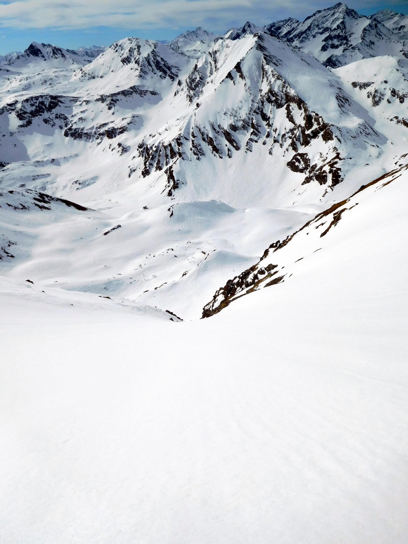
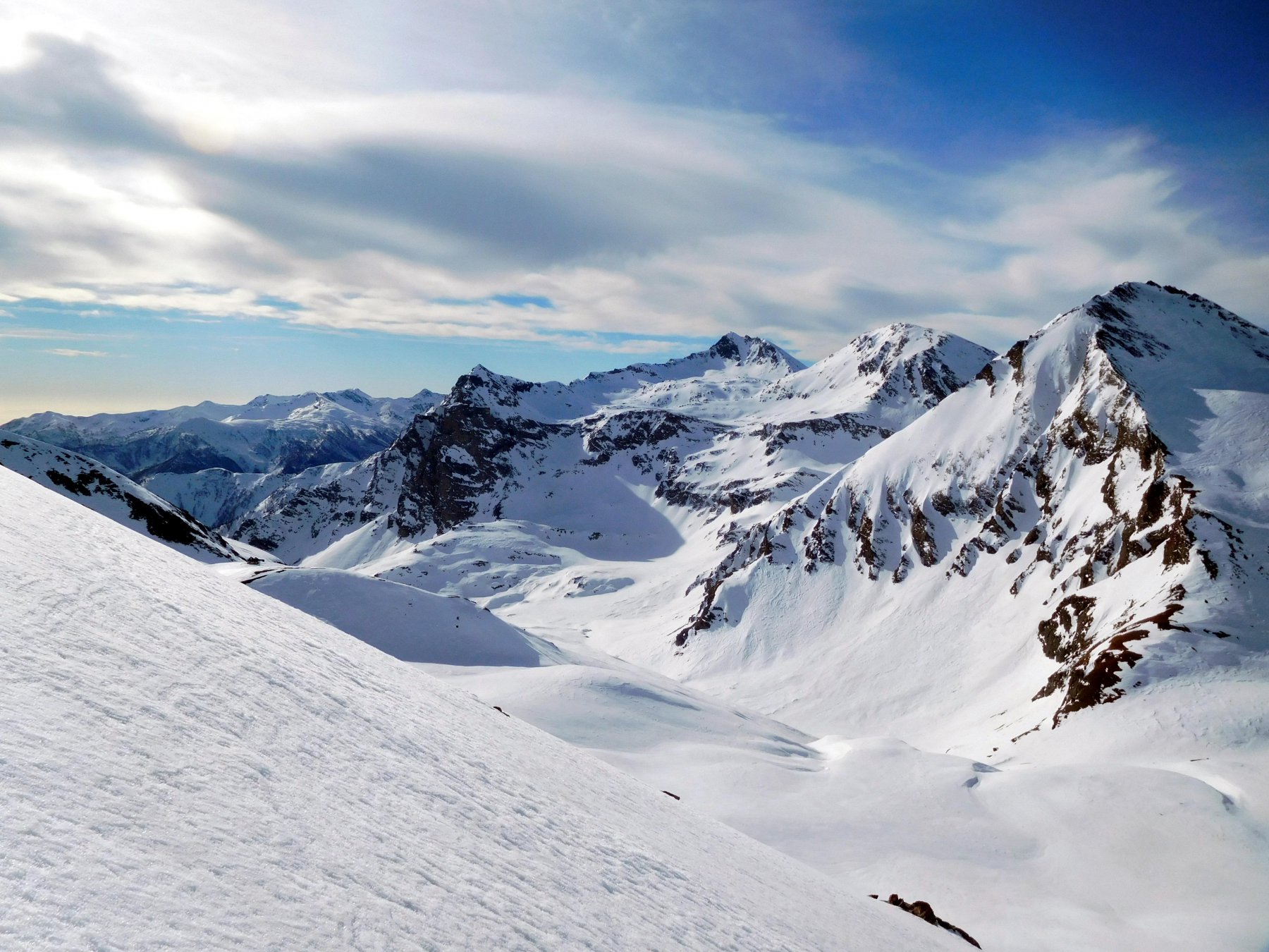
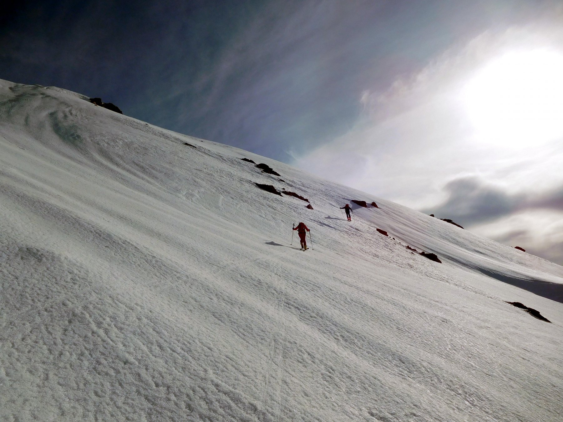
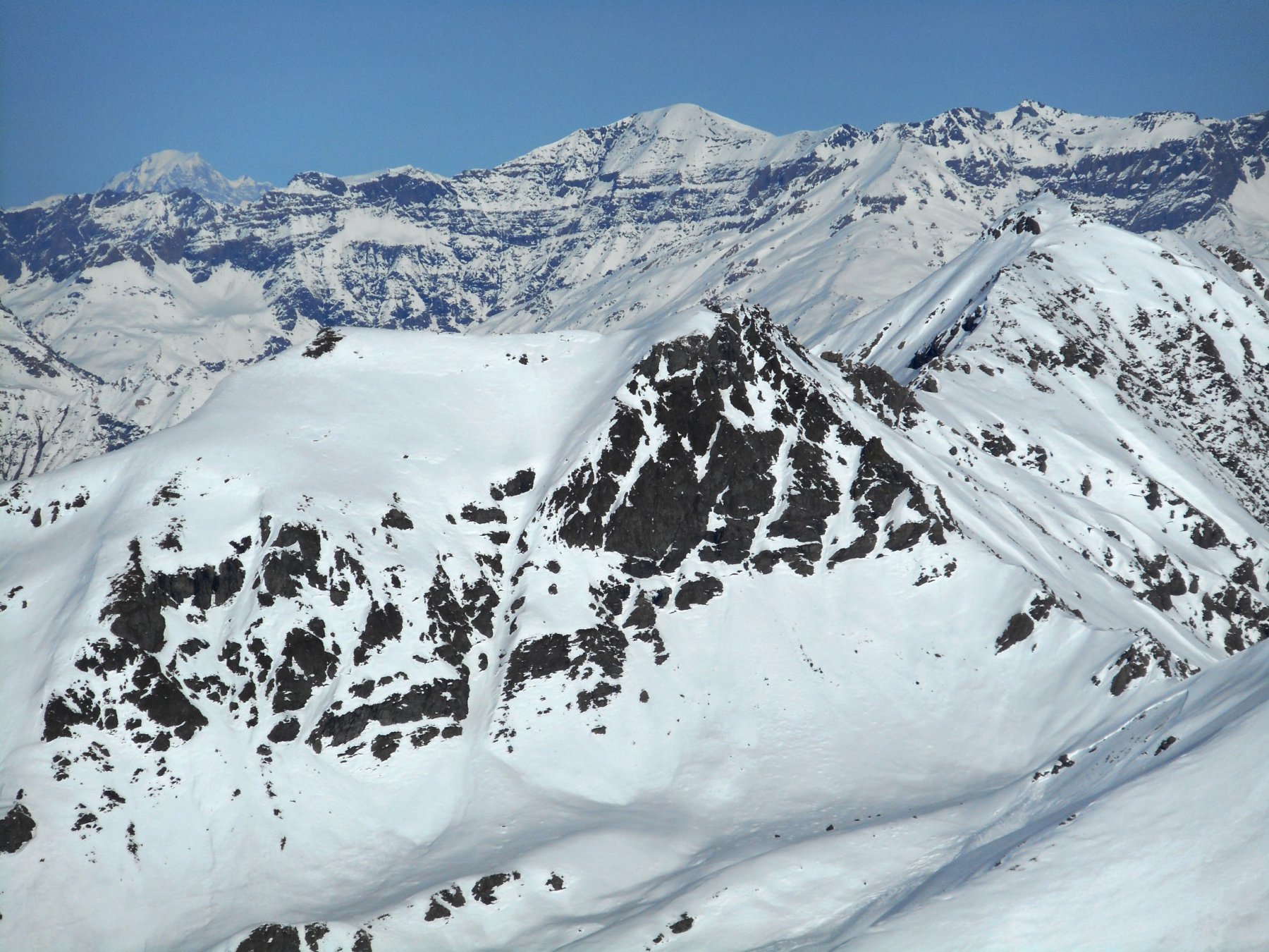
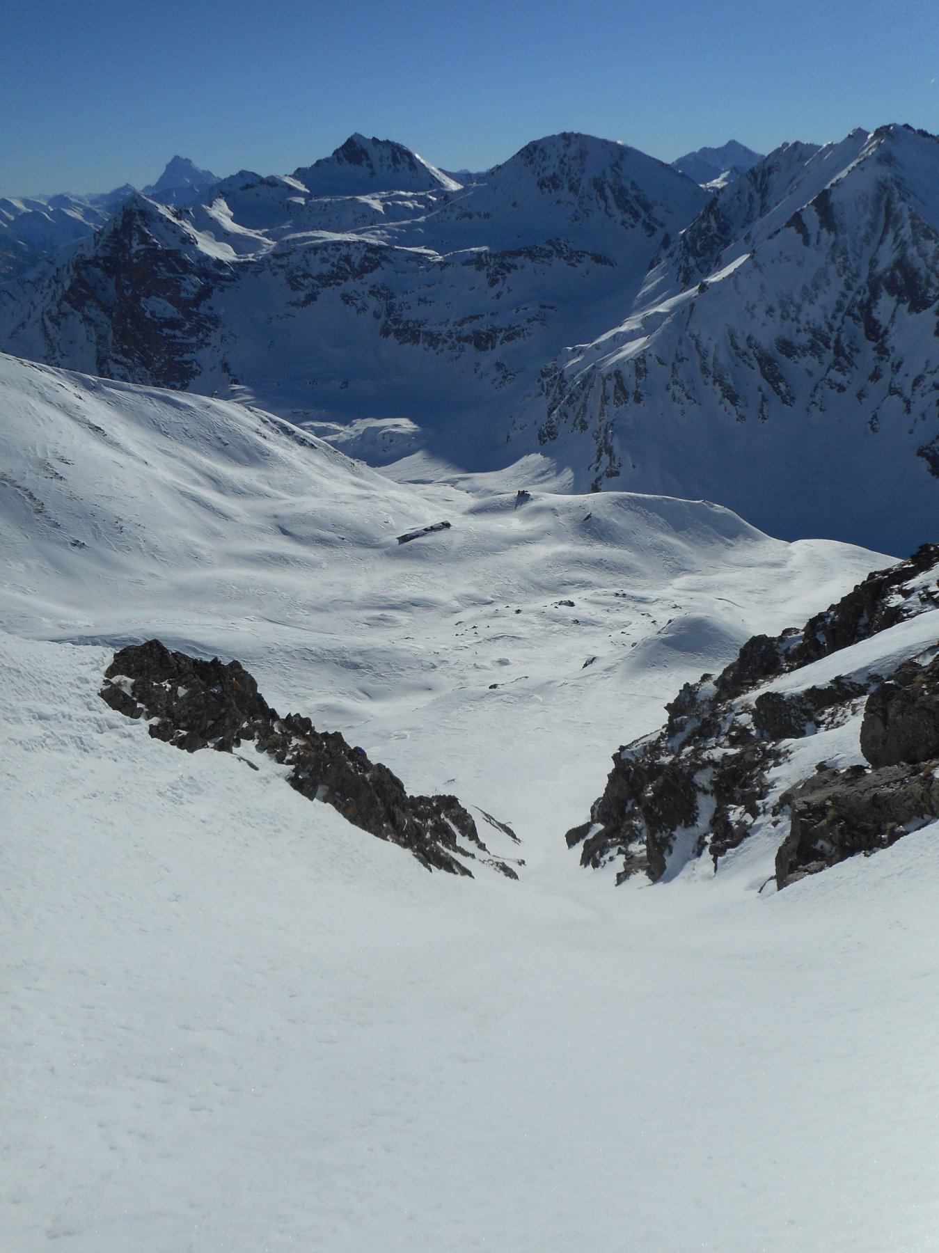
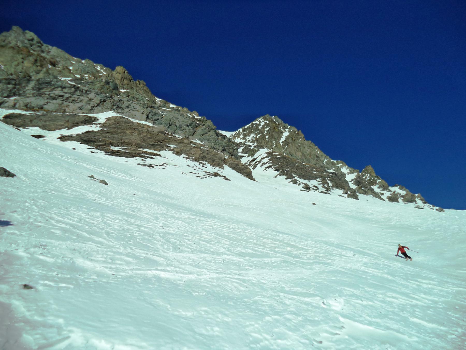
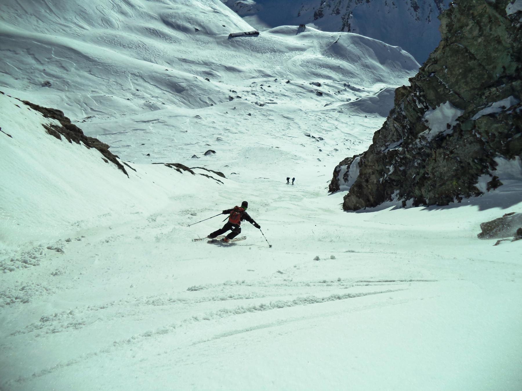
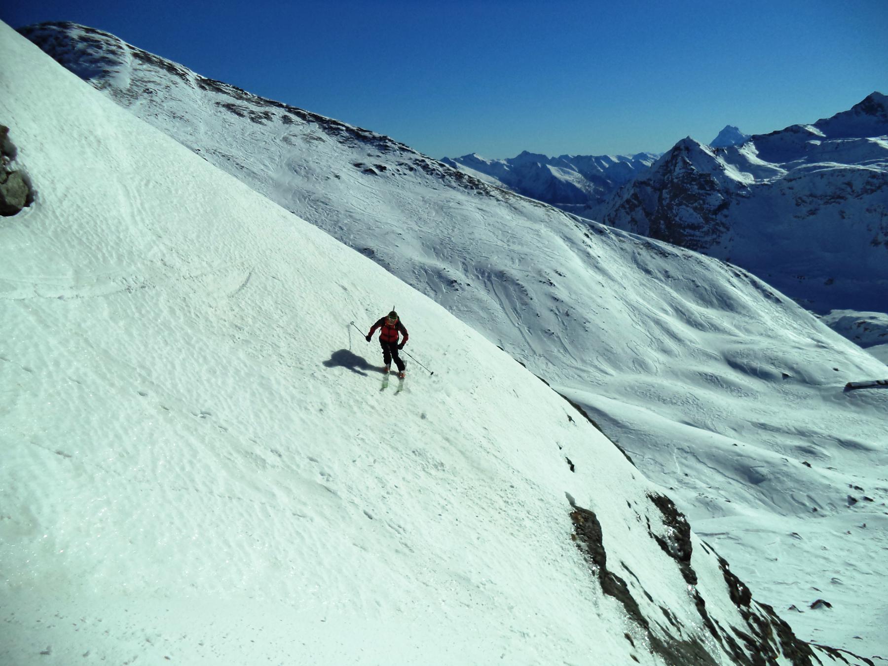
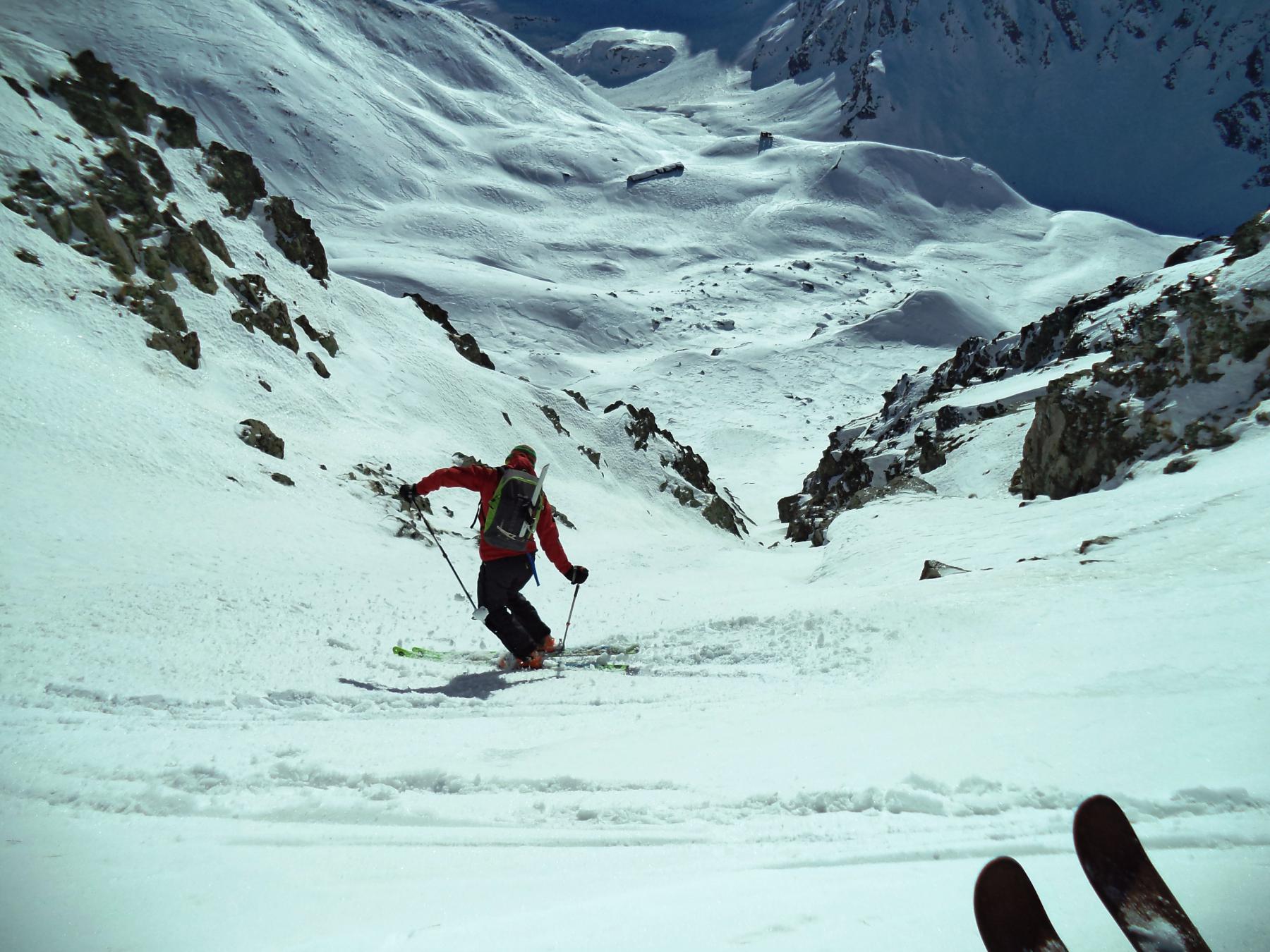
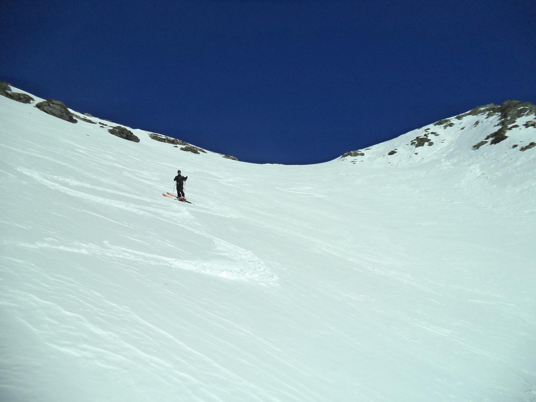
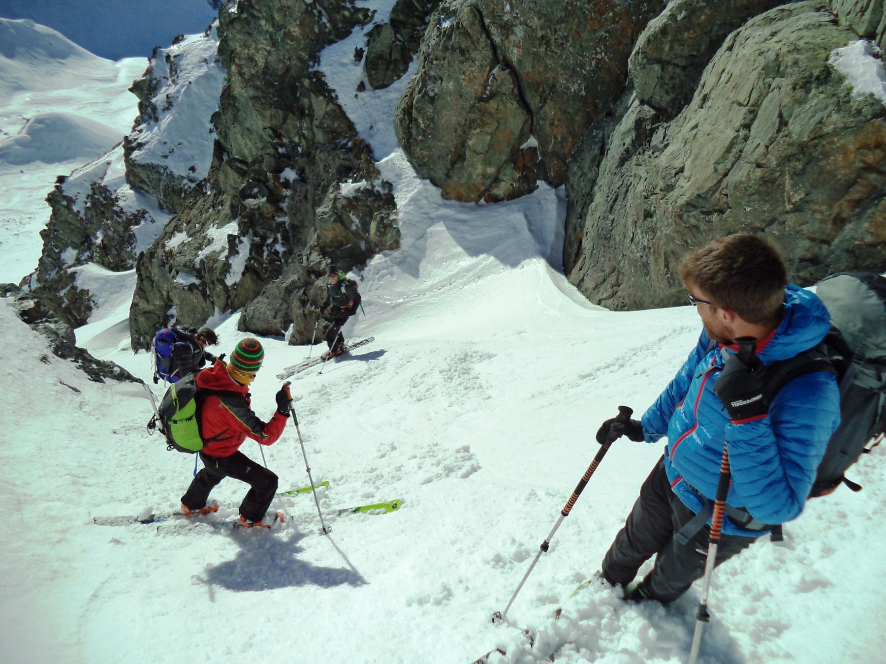
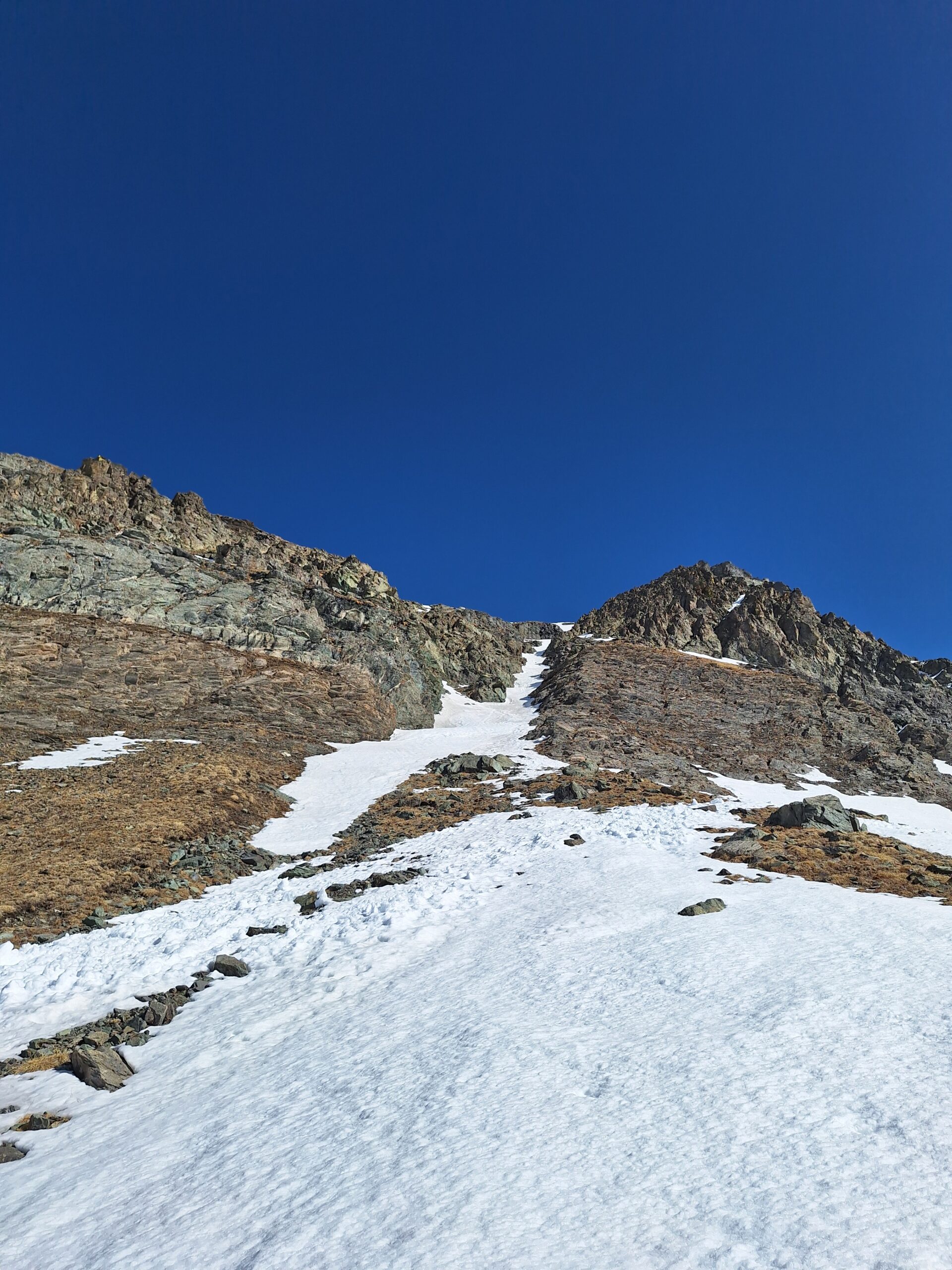
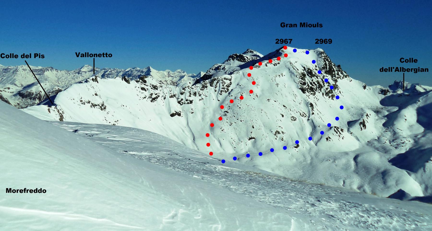
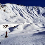
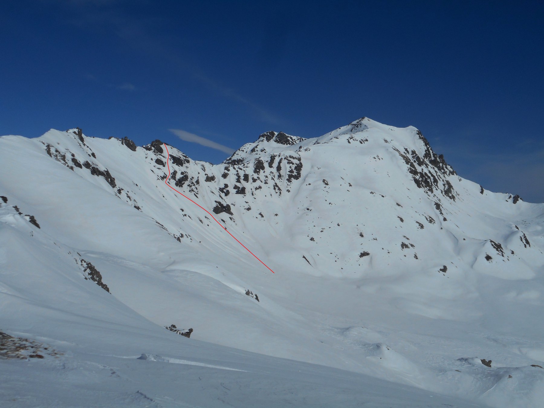
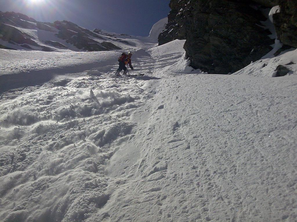
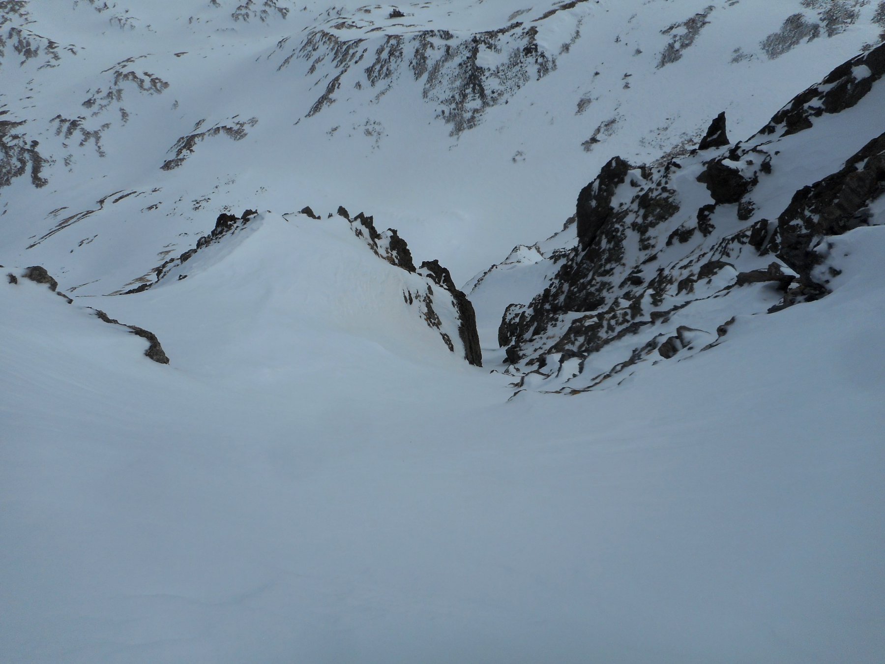
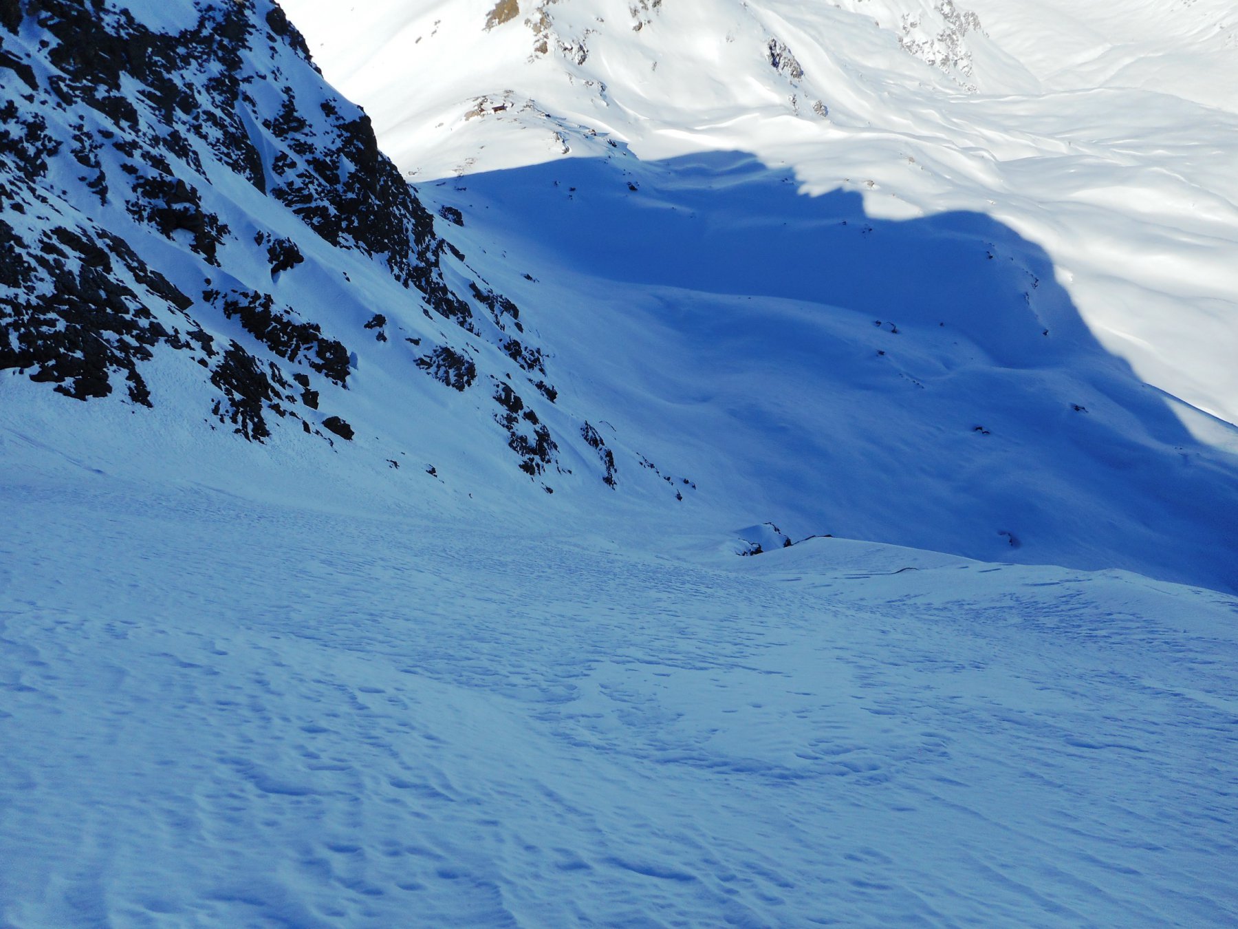
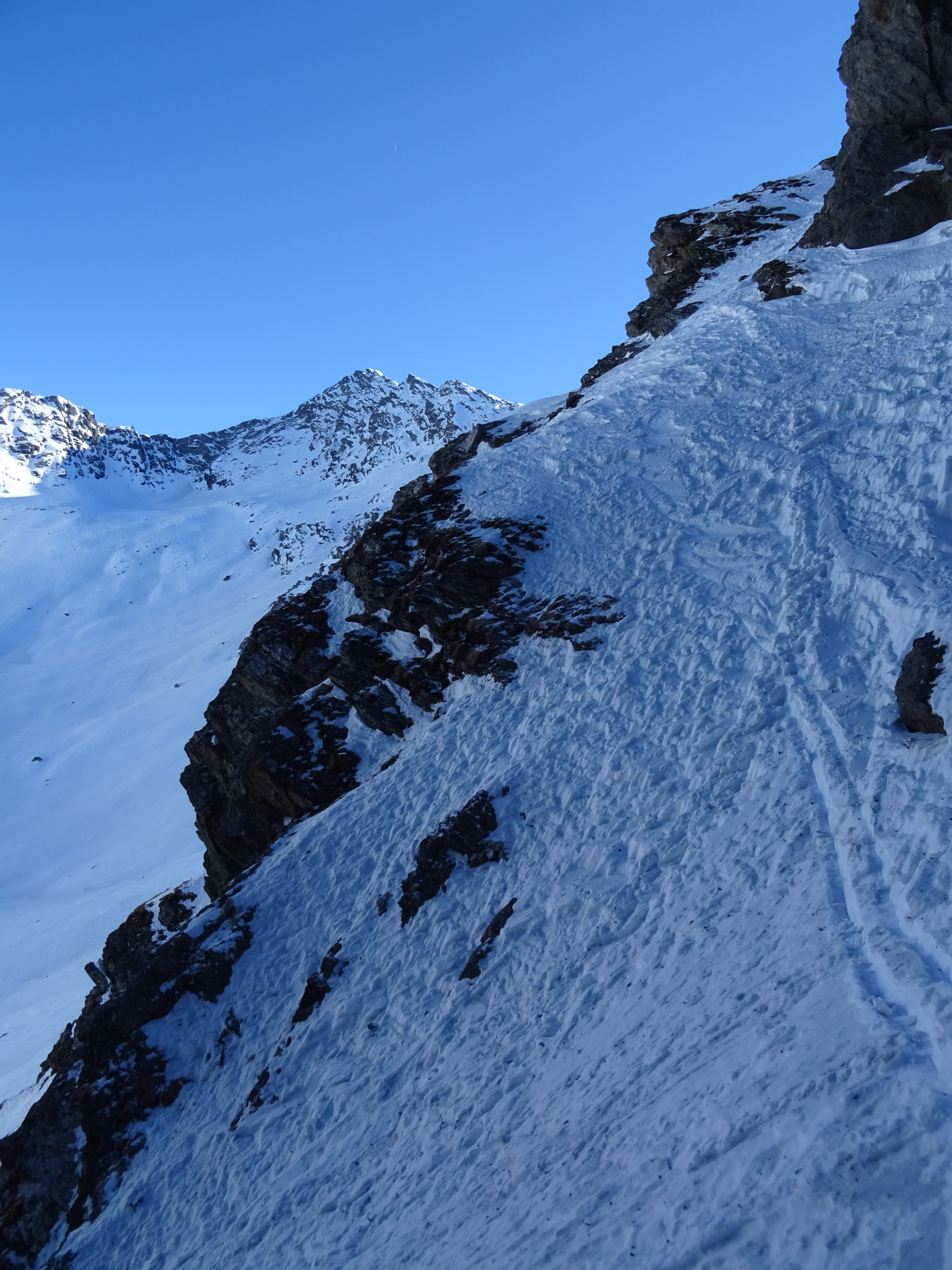
Da Pattemouche si risalgono le ex-piste fino ad arrivare all’arrivo del vecchio skilift Belotte dove si può optare per salire al Morefreddo e da li spellare e portarsi verso la base del Grand Miuls, una alternativa possibile è quella di arrivare al colle del Pis e dirigersi verso la meta evitando il Morefreddo. Dal pianoro di Moremout salire il versante Sud in sci o a piedi (OS) fin quasi in cima, ultimi metri su roccette e poi, percorrendo qualche metro di cresta ci si immette nel canale S-SE, da prima abbastanza largo, dopo un centinaio di metri si stringe leggermente, ma sempre ben sciabile. Più o meno a metà canale si incontra un’unica, ma semplice, strettoia; passata quest’ultima ci si immette nella conoide e si arriva nella conca dove si traversa verso il colle del Pis, qualche metro di risalita e ci si ricollega all’itinerario di salita.
Nelle vicinanze Mappa
Itinerari
11/04/2026 TO, Pragelato D+ 1321 m I, 3.2, E1 Sud-Ovest
Ruetas (Monte) scivolo SO
 850m
850m
15/02/2025 TO, Pragelato D+ 1580 m III, 4.3, E4 Est
Pignerol (Monte) Canalino SE (l’Eiclapeuiro) dalla Val Troncea
 850m
850m
24/02/2017 TO, Pragelato D+ 1430 m II, 4.2, E2 Sud
Vallonetto (Punta) Pendio Sud
 850m
850m
24/05/2025 TO, Pragelato D+ 1228 m II, 4.3, E2 Nord-Ovest
Barifreddo (Monte) Canale NO
 850m
850m
02/04/2018 TO, Pragelato D+ 1480 m II, 4.2, E2 Est
Gran Miuls (Monte) Canale Est
 850m
850m
25/02/2023 TO, Pragelato D+ 1450 m I, 4.1, E1 Nord
Ghinivert (Bric) Canale Nord
 850m
850m
28/02/2021 TO, Pragelato D+ 1800 m II, 4.2, E2 Varie
Ruetas (Monte) Diretta Parete Est
 850m
850m
14/03/2024 TO, Pragelato D+ 1885 m II, 4.2, E2 Sud-Est
Ghinivert (Bric) Canale SE
 850m
850m
05/02/2023 TO, Pragelato D+ 1450 m II, 4.2, E2 Nord
Platasse (Monte) Triangolo Nord
 900m
900m
05/02/2022 TO, Pragelato D+ 1381 m III, 4.2, E3 Nord-Est
Appenna (Monte) Parete Nord
 900m
900m
Servizi
450m
450m
Al Mulino Ristorante
Pragelato
1.5Km
Mulino di Laval Rifugio
Pragelato
3.2Km
Refugium – ex. Rif. Belotte Rifugio
Pragelato
3.7Km
Casa degli Escartons Alex Berton B&B
Pragelato
3.9Km
Casa Alpina Rifugio
Pragelato
3.9Km
Passet Ristorante
Pragelato
5.2Km
L’itialette Ristorante
Pragelato
5.4Km
Troncea Rifugio
Pragelato
6.7Km