800m
800m
Note
 50m
50m
50m
50m
50m
50m
50m
50m
50m
50m
50m
50m
50m
50m
50m
50m
50m
50m
50m
50m
800m
1.3Km
1.3Km
3Km
4.2Km
4.3Km
4.3Km
4.6Km
5.8Km
7.1Km
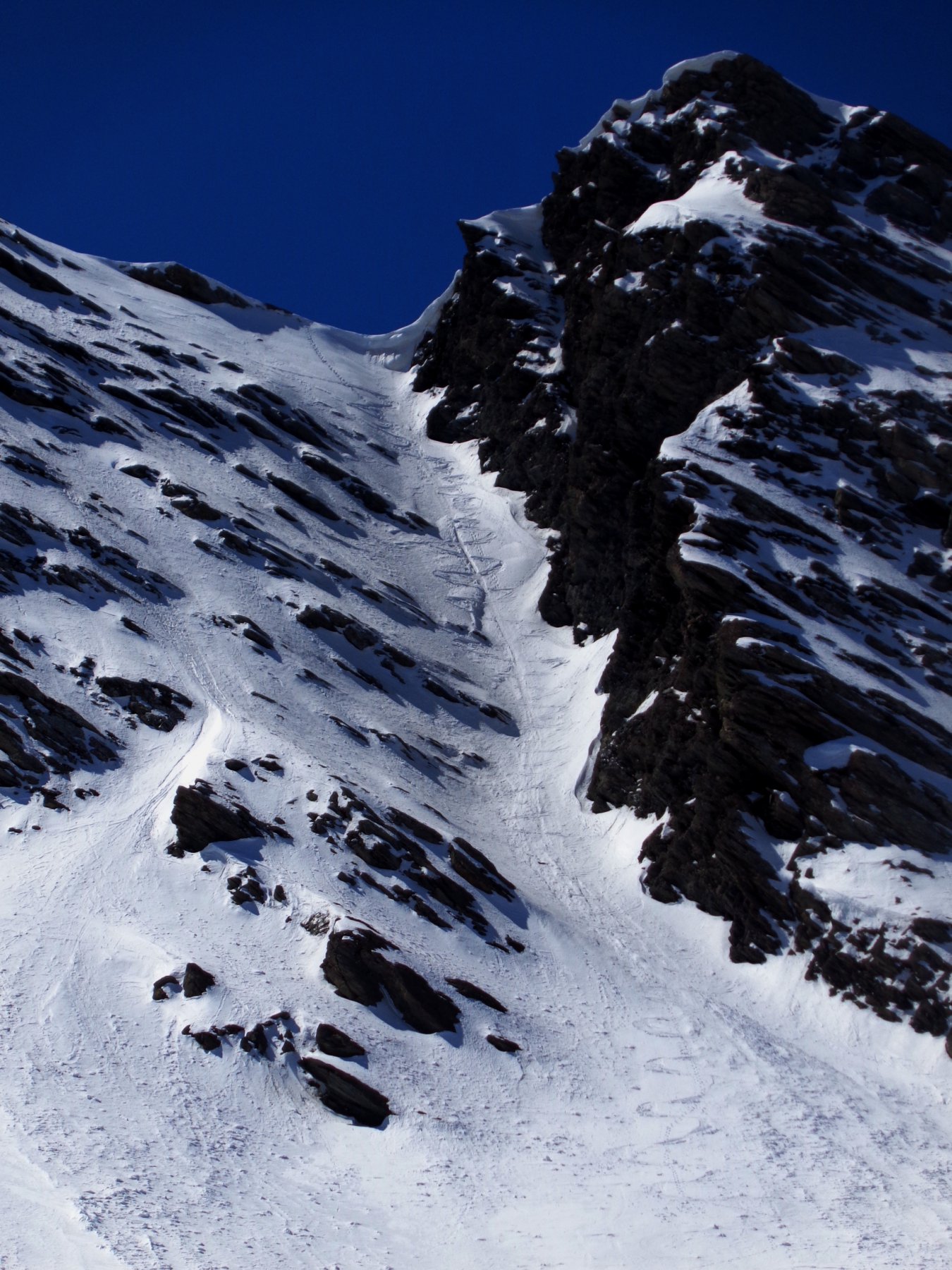
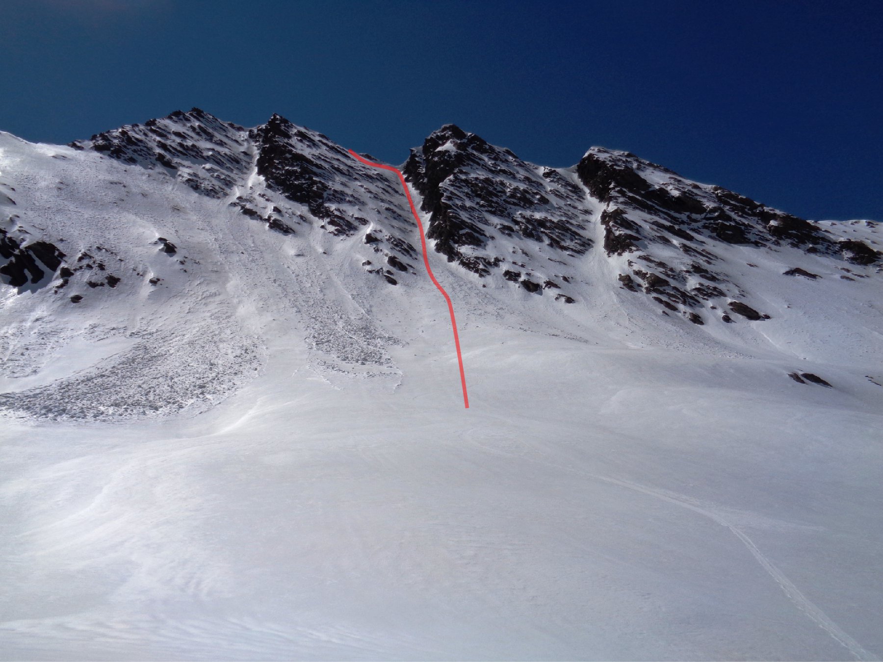
4.3/E2 45°-40° su 250 mt
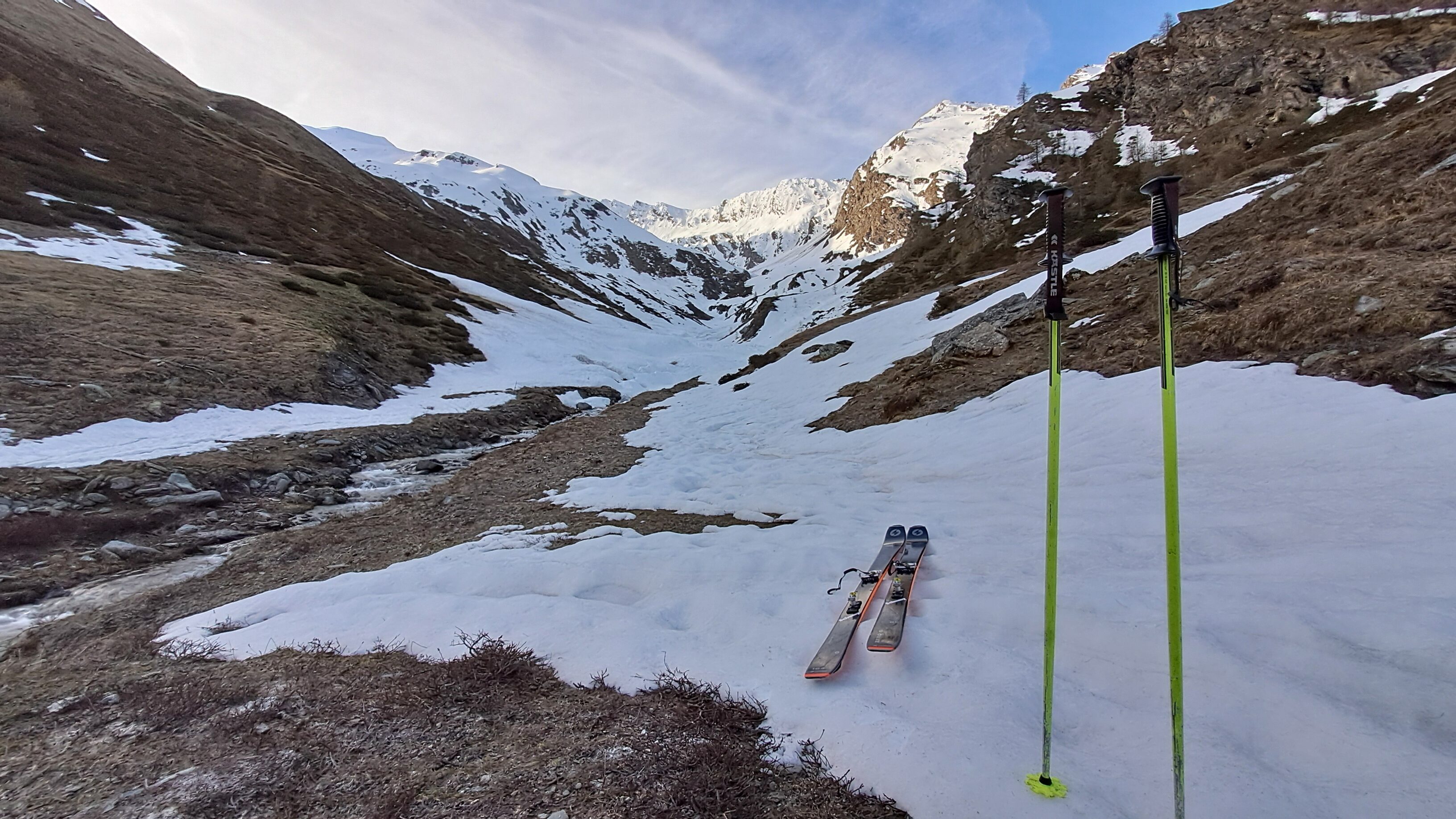
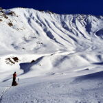
Avvicinamento
.
Descrizione
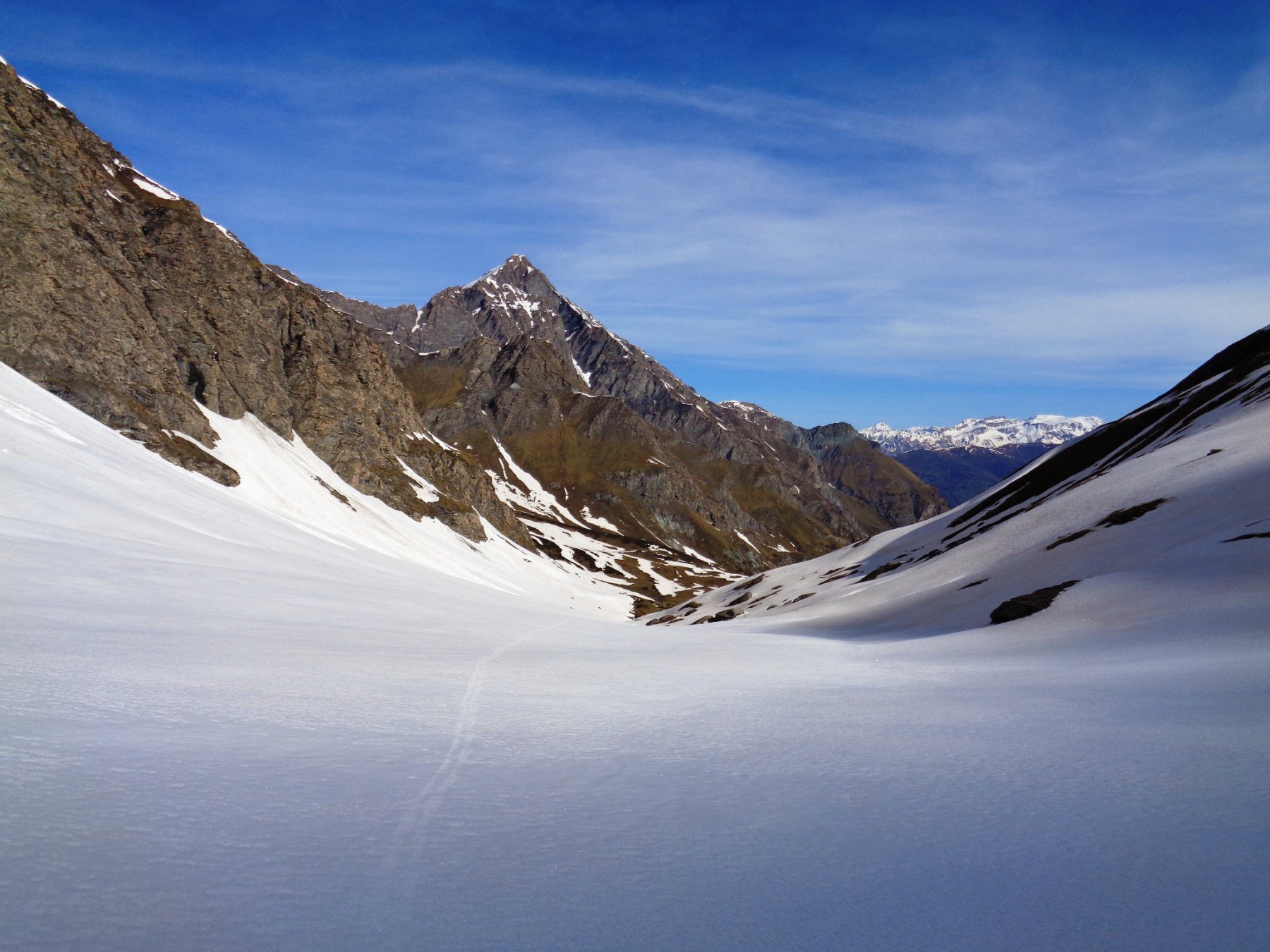
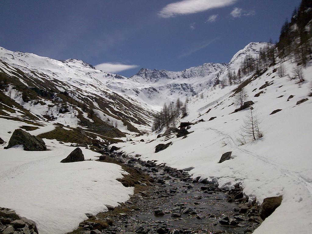
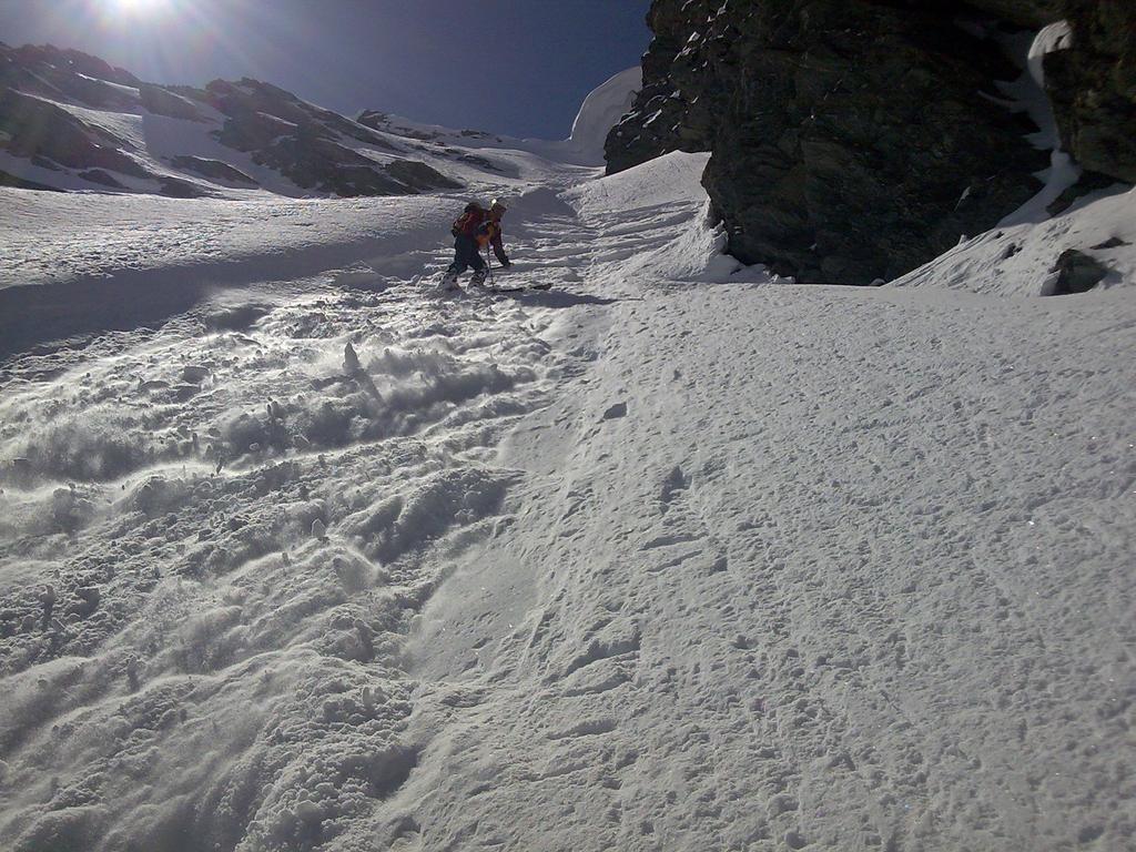
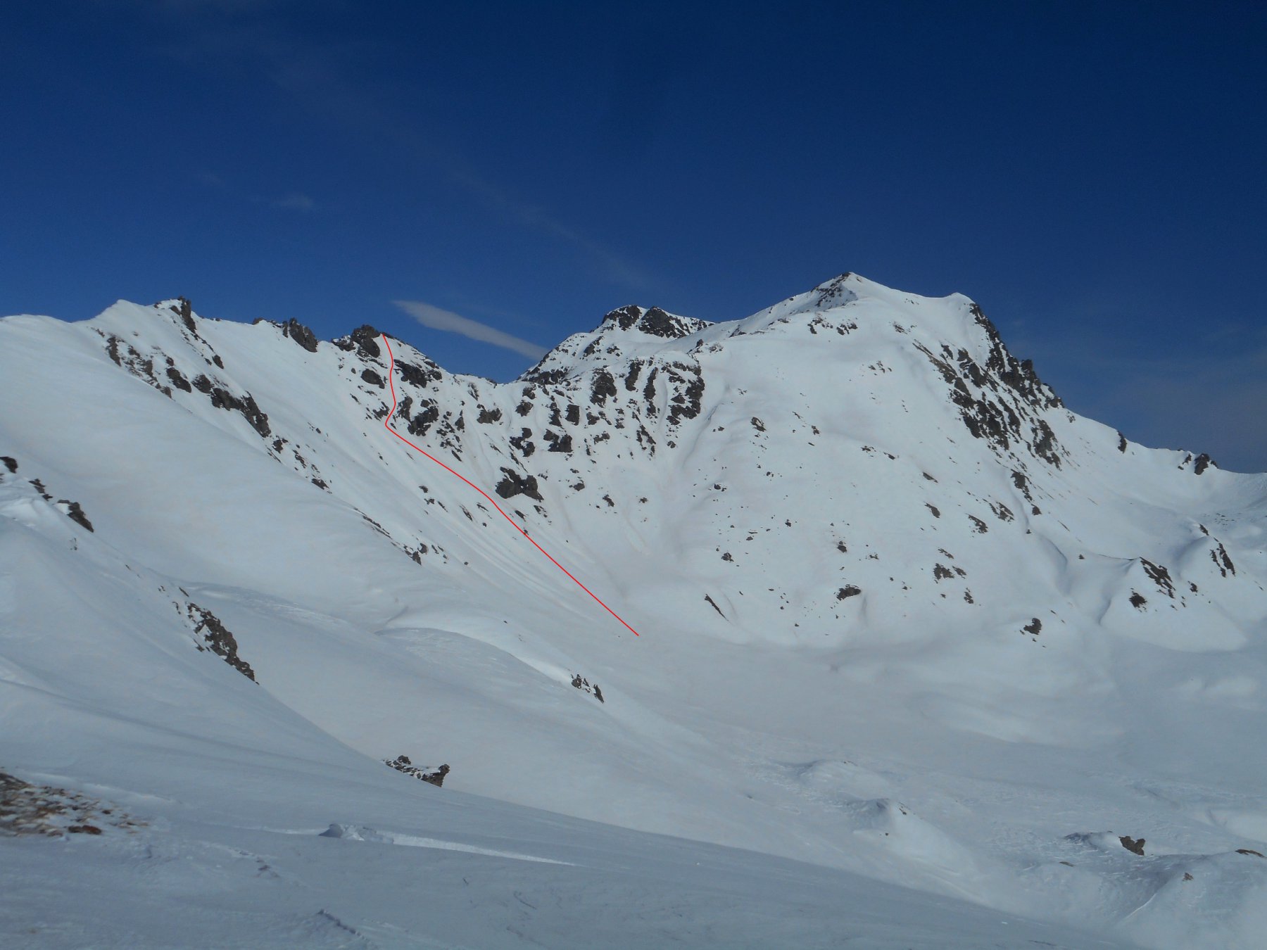
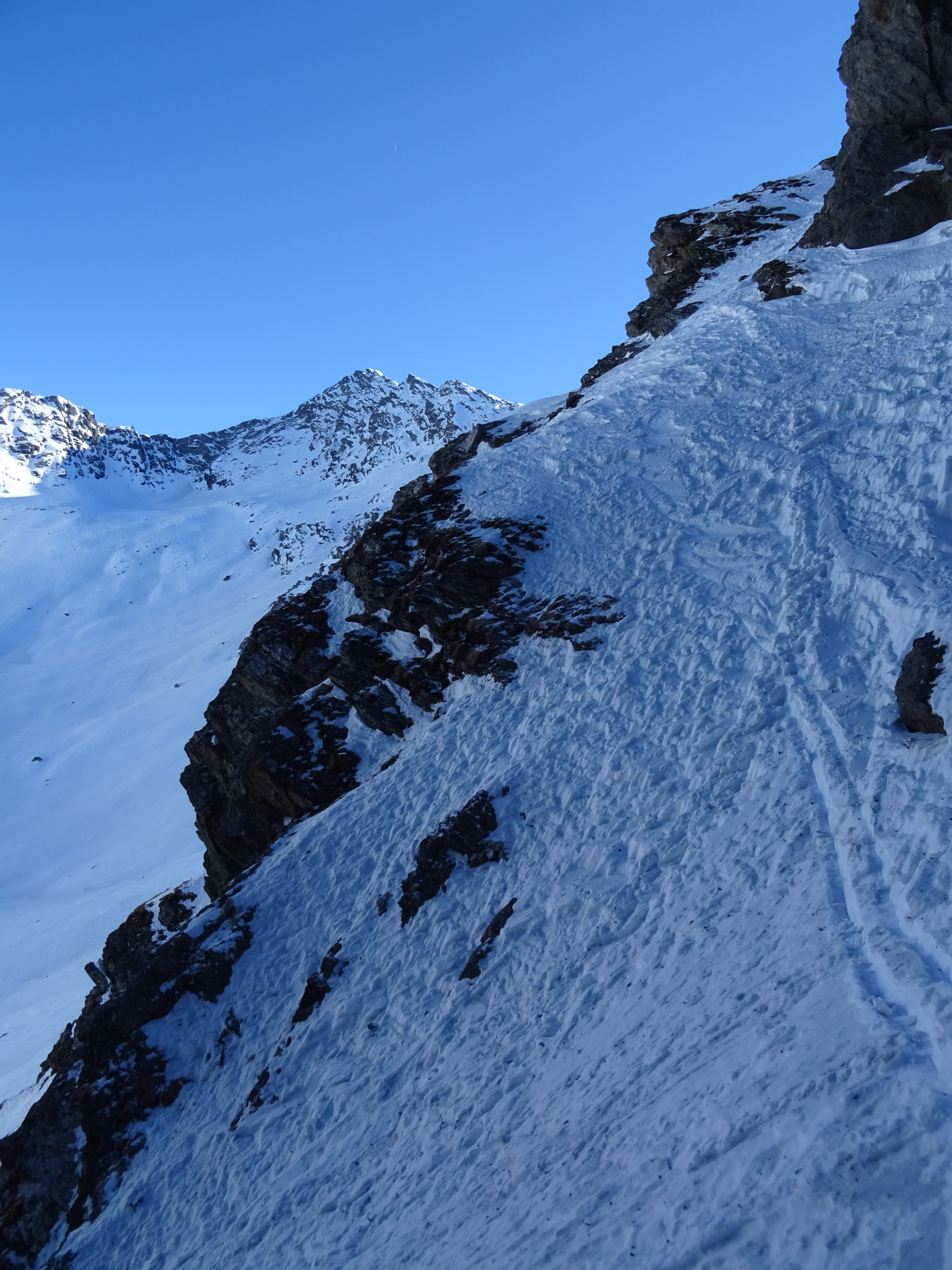
seguire tutta la val Troncea con percorso lunghissimo ed evidente fino alle pendici del monte Barifreddo.Qui portarsi decisamente a sinistra (est) per superare agevolmente la bastionata visibile già da valle. Poi ritornare versi destra (ovest) fin sotto la punta.
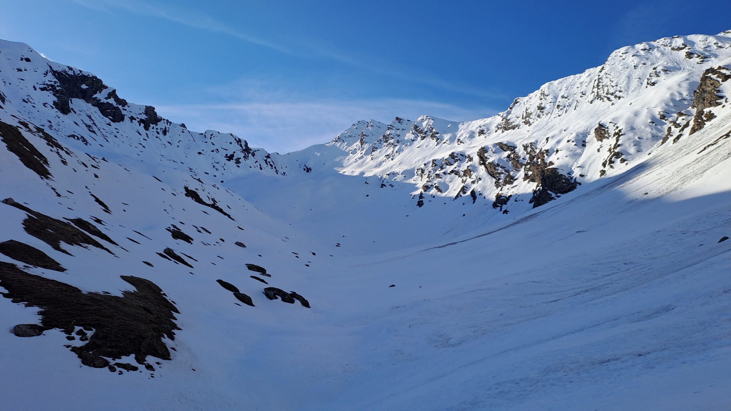
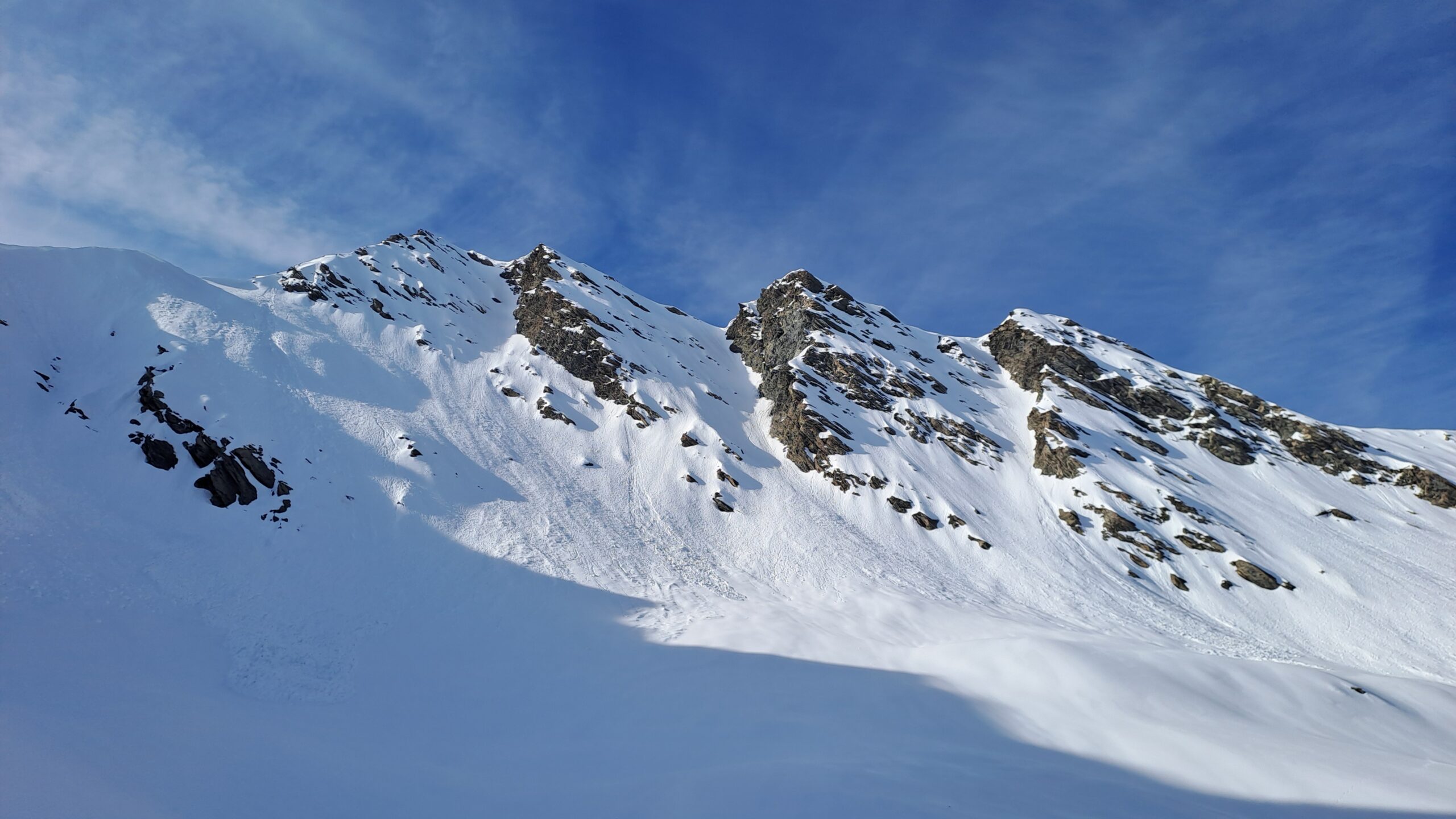
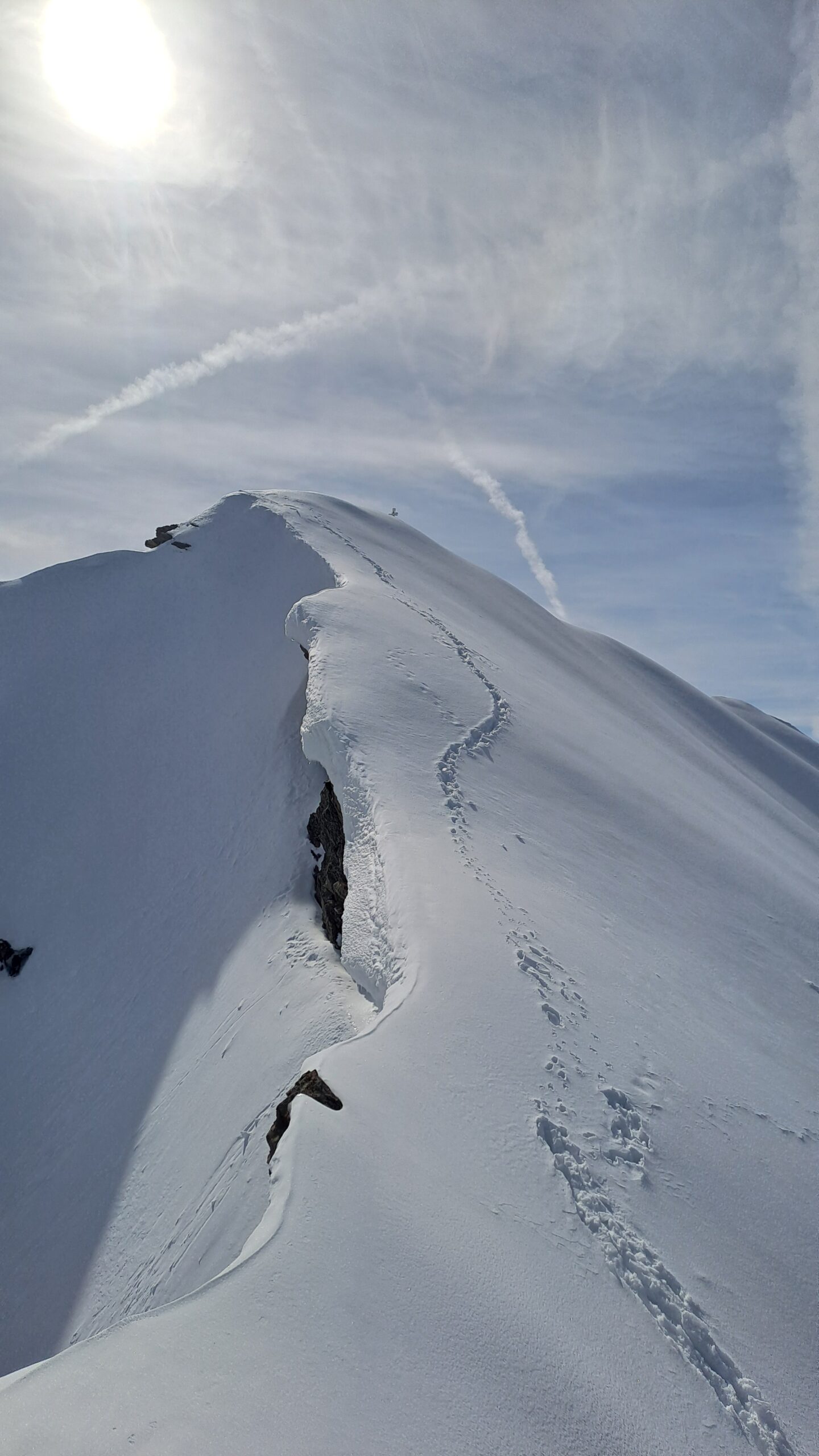
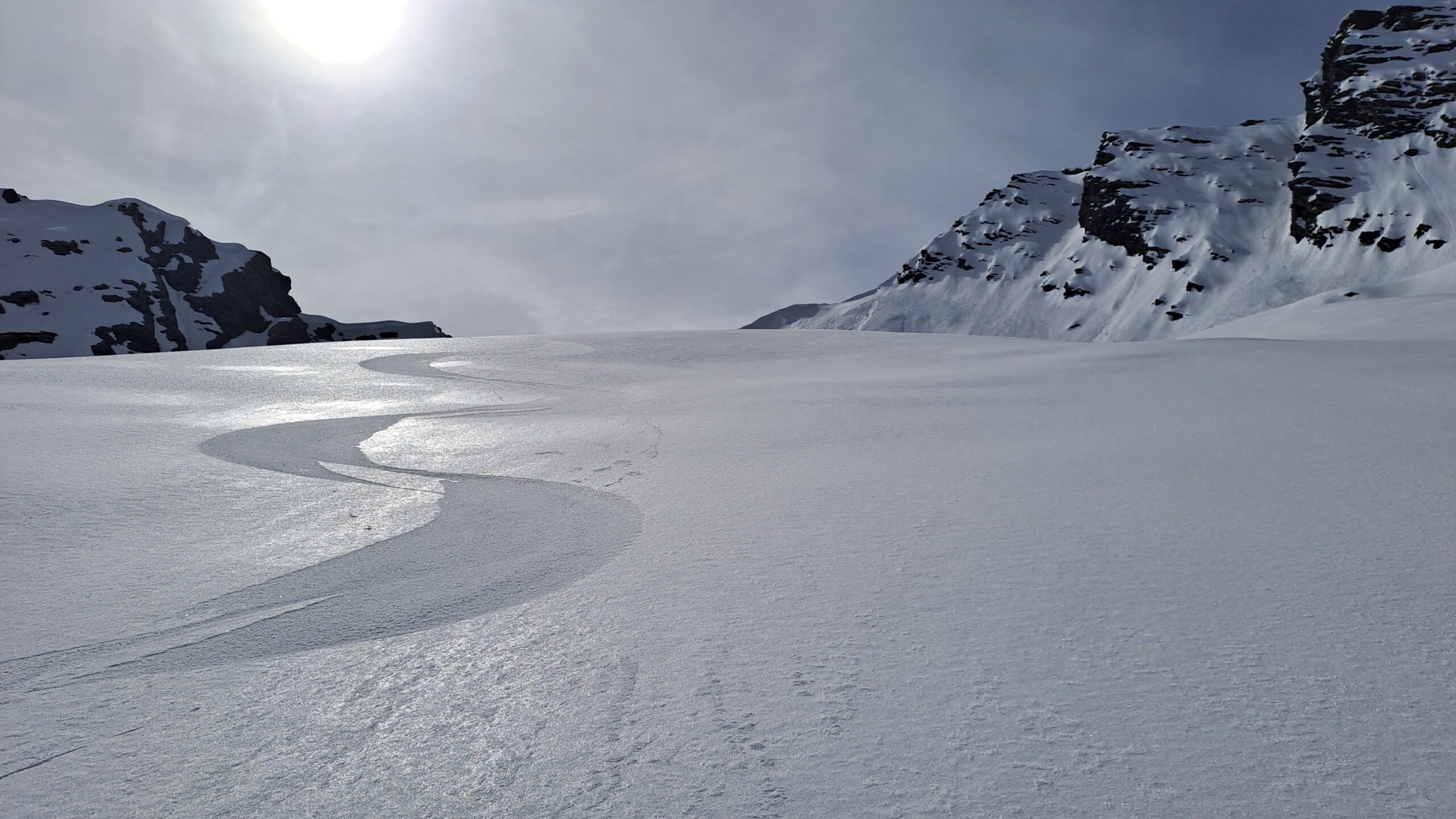
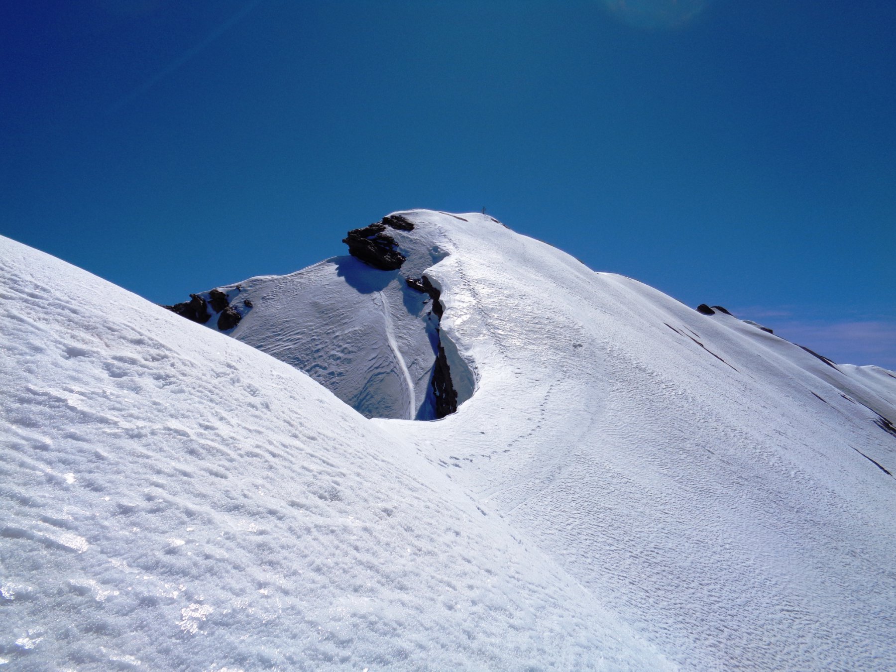
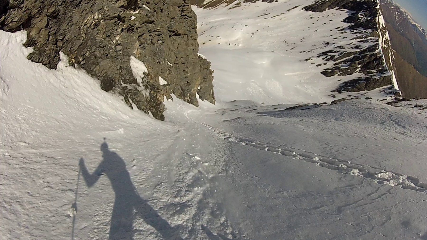
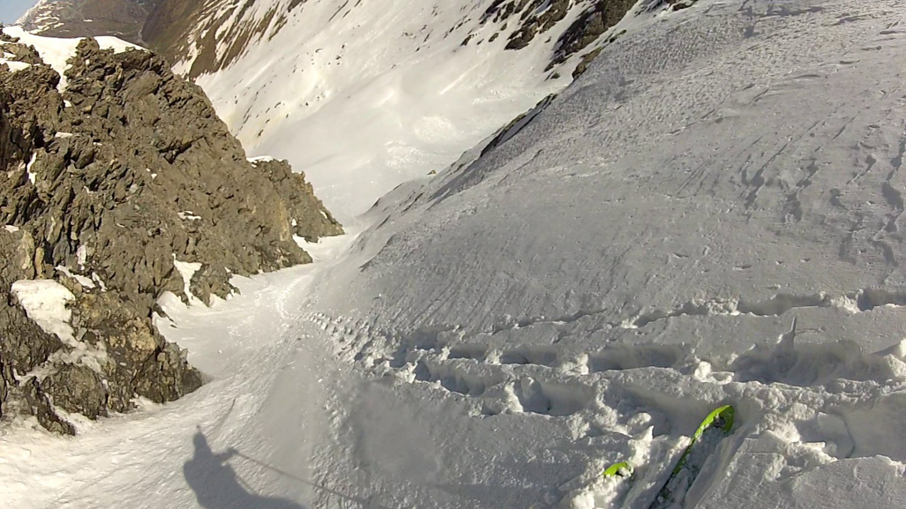
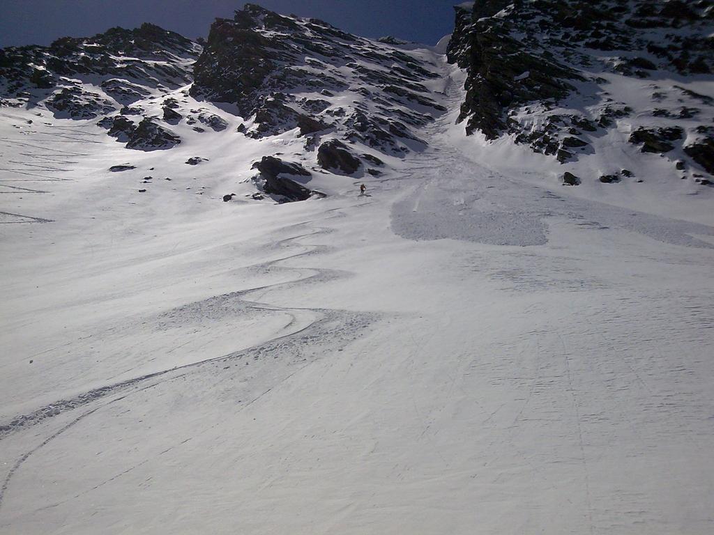
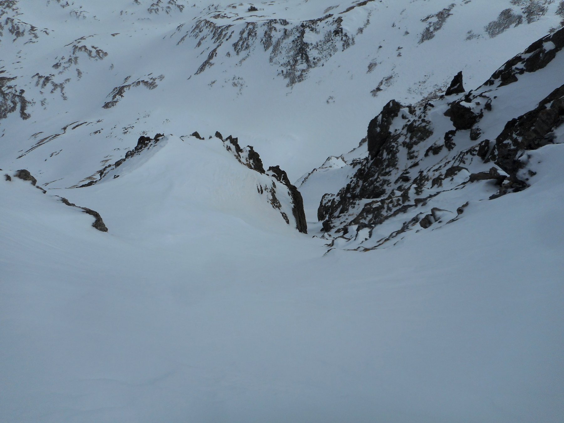
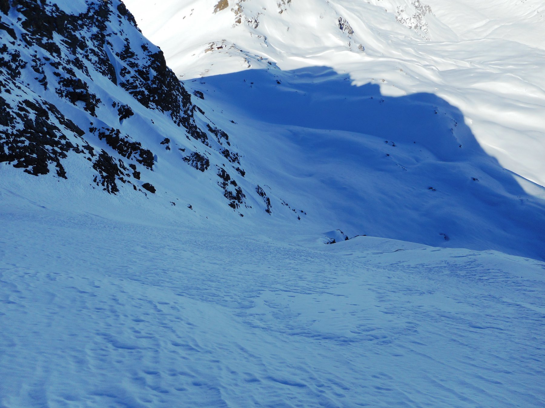
Si individuano tre canali in sequenza. Quello percorso, che appare il più logico. è quello centrale, lungo circa 250 mt. Il canale termina in cresta ca 40 mt sotto la croce di vette facilmente raggiungibile per cresta. In discesa pendenza 45° reali nei primi 80 mt poi 40° e35 nella parte finale.
Bellissima discesa. Caratteristica della gita è naturalmente il lungo avvicinamento che la rende adatta ad intenditori vagamente masochisti
Ultima revisione 22/12/2025
Nelle vicinanze Mappa
Itinerari
02/04/2018 TO, Pragelato D+ 1480 m II, 4.2, E2 Est
Gran Miuls (Monte) Canale Est
 50m
50m
25/02/2023 TO, Pragelato D+ 1450 m I, 4.1, E1 Nord
Ghinivert (Bric) Canale Nord
 50m
50m
24/02/2017 TO, Pragelato D+ 1430 m II, 4.2, E2 Sud
Vallonetto (Punta) Pendio Sud
 50m
50m
14/03/2024 TO, Pragelato D+ 1885 m II, 4.2, E2 Sud-Est
Ghinivert (Bric) Canale SE
 50m
50m
15/02/2025 TO, Pragelato D+ 1580 m III, 4.3, E4 Est
Pignerol (Monte) Canalino SE (l’Eiclapeuiro) dalla Val Troncea
 50m
50m
05/02/2022 TO, Pragelato D+ 1381 m III, 4.2, E3 Nord-Est
Appenna (Monte) Parete Nord
 50m
50m
28/02/2021 TO, Pragelato D+ 1800 m II, 4.2, E2 Varie
Ruetas (Monte) Diretta Parete Est
 50m
50m
05/02/2023 TO, Pragelato D+ 1450 m II, 4.2, E2 Nord
Platasse (Monte) Triangolo Nord
 50m
50m
18/02/2024 TO, Pragelato D+ 1350 m I, 4.1, E1 Nord
Fauri Nord (Punta) Canale N/NE
 50m
50m
11/04/2026 TO, Pragelato D+ 1321 m I, 3.2, E1 Sud-Ovest
Ruetas (Monte) scivolo SO
 50m
50m
Servizi
800m
1.3Km
La capanna del sole Ristorante
Pragelato
1.3Km
Al Mulino Ristorante
Pragelato
3Km
Refugium – ex. Rif. Belotte Rifugio
Pragelato
4.2Km
Casa degli Escartons Alex Berton B&B
Pragelato
4.3Km
Casa Alpina Rifugio
Pragelato
4.3Km
Passet Ristorante
Pragelato
4.6Km
Troncea Rifugio
Pragelato
5.8Km
L’itialette Ristorante
Pragelato
7.1Km