Salita facile seppure un po' ripida a tratti fino al bivacco, dove terminano le tracce e il sentiero.
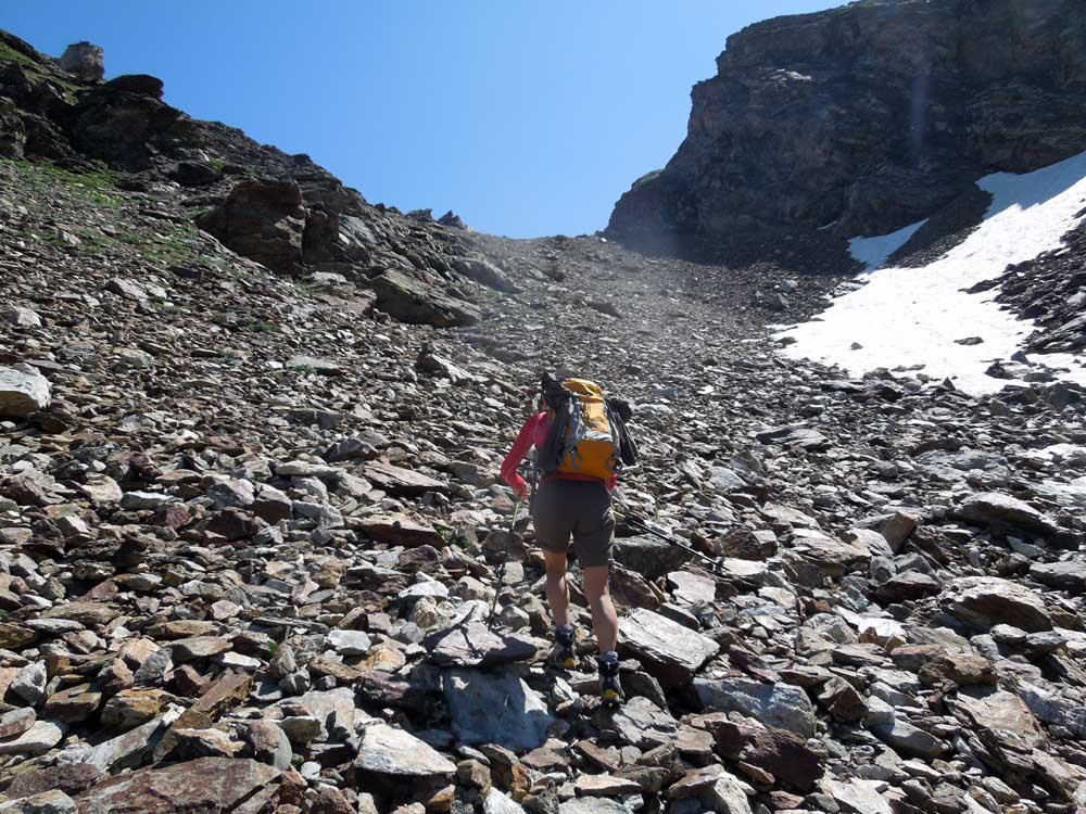
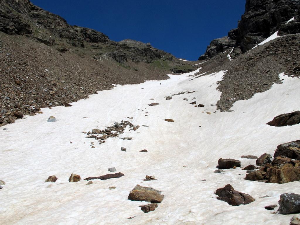
Dal bivacco al colle si deve affrontare un ripido pendio-canalone di pietrame, a inizio stagione e anche a inizio luglio considerata l'esposizione, è possibile trovare neve quindi conviene portare con sè ramponi e piccozza.
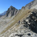
Dal colle alla cima la difficoltà è sempre EE, anche se richiede un minimo di attenzione in più, se si segue il percorso migliore non ci sono particolari difficoltà e non si affrontano passaggi esposti.
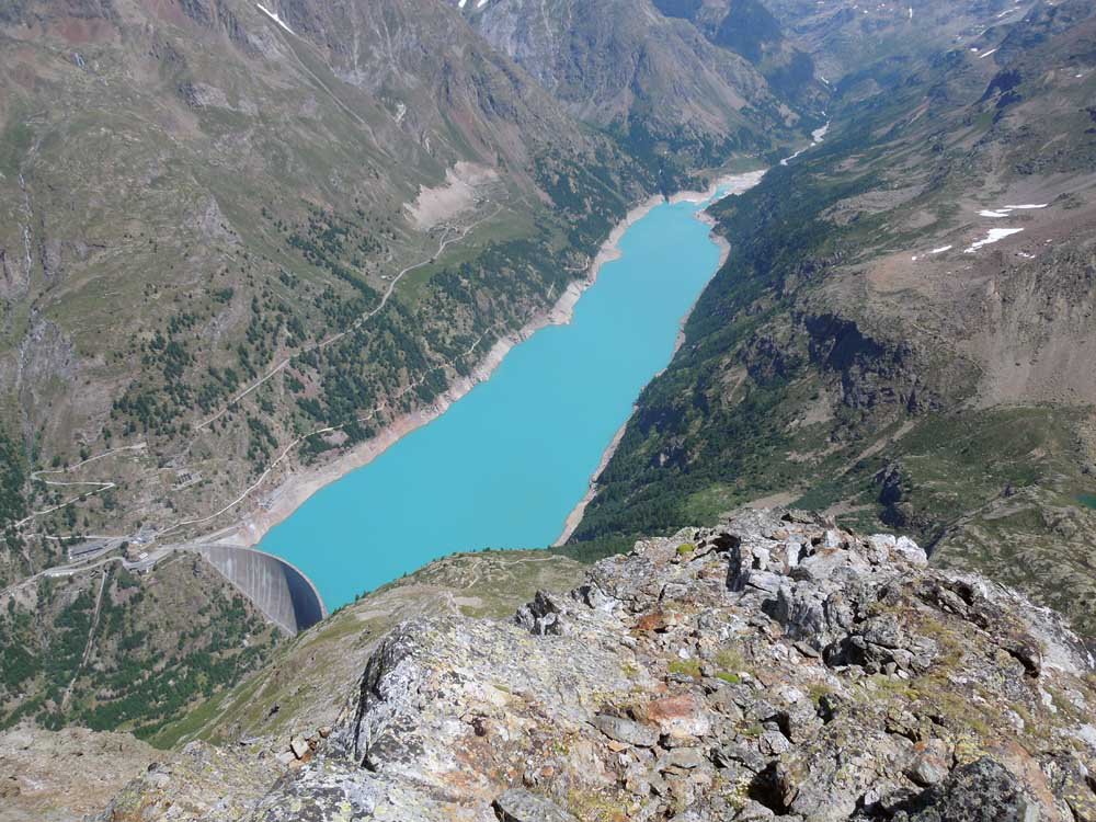
Da Aosta si seguono le indicazioni per il Gran San Bernardo fino a Roisan, quindi si devia a destra per la Valpelline e Valle di Ollomont sino a Valpelline, dove si prosegue dritto ignorando la deviazione per Ollomont superando Oyace e Bionaz. Pochi km dopo in direzione Diga di Place Moulin, a 1700 m circa si incontra il cartello La Ferrera, una decina di posteggi a bordo strada.
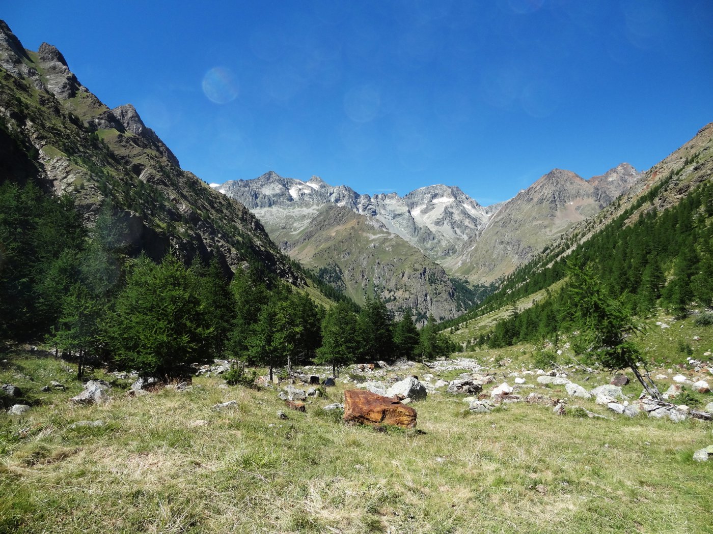
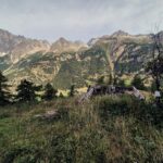
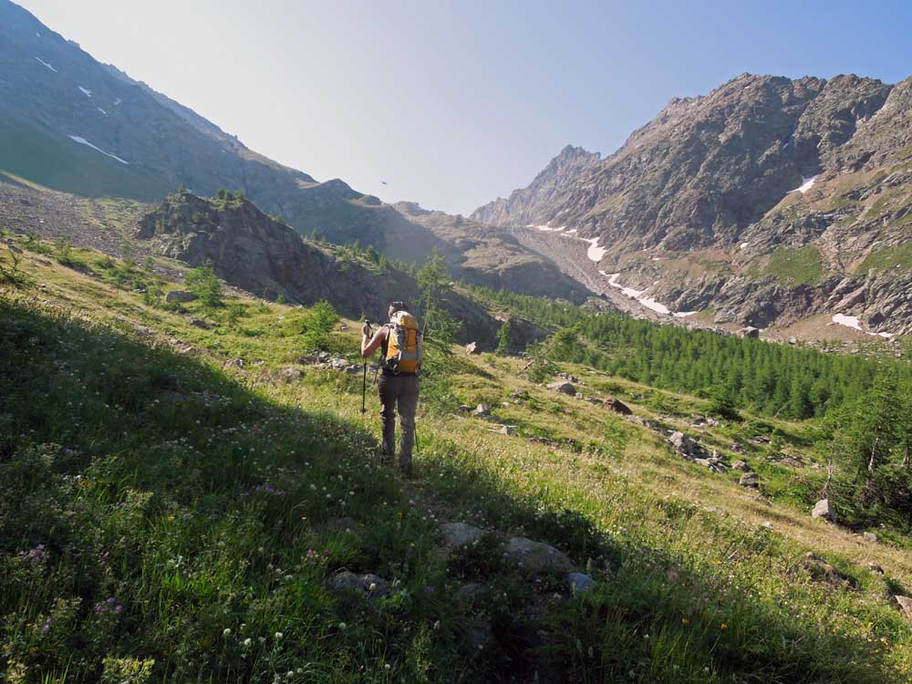
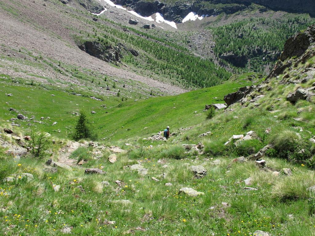
Lasciata la macchina sulla strada regionale per la Diga di Place Moulin, si scende lungo la sterrata (presenti cartelli indicatori per Bivacco Chentre-Bionaz e Colle di Montagnaya, fino al termine della stessa, nei pressi delle case di Pouillay 1622 m. Si oltrepassa il ponte sul torrente Buthier e si segue il sentiero n.14-15 che sale subito decisamente verso destra. Quasi subito occorre ignorare un bivio a sinistra con tacche rosse, proseguendo dritti. Dopo circa un’ora di cammino nel bosco si giunge al bivio per il Vallone d’Arbière, dove si prosegue a sinistra sul sentiero 14 tralasciando il 15 per il Colle di Montagnaya.
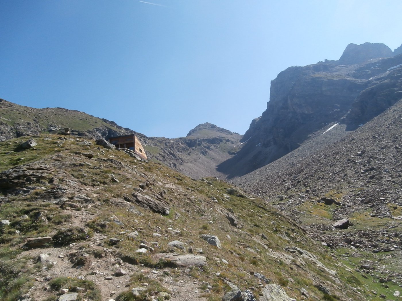
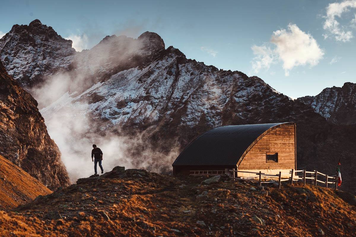
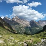
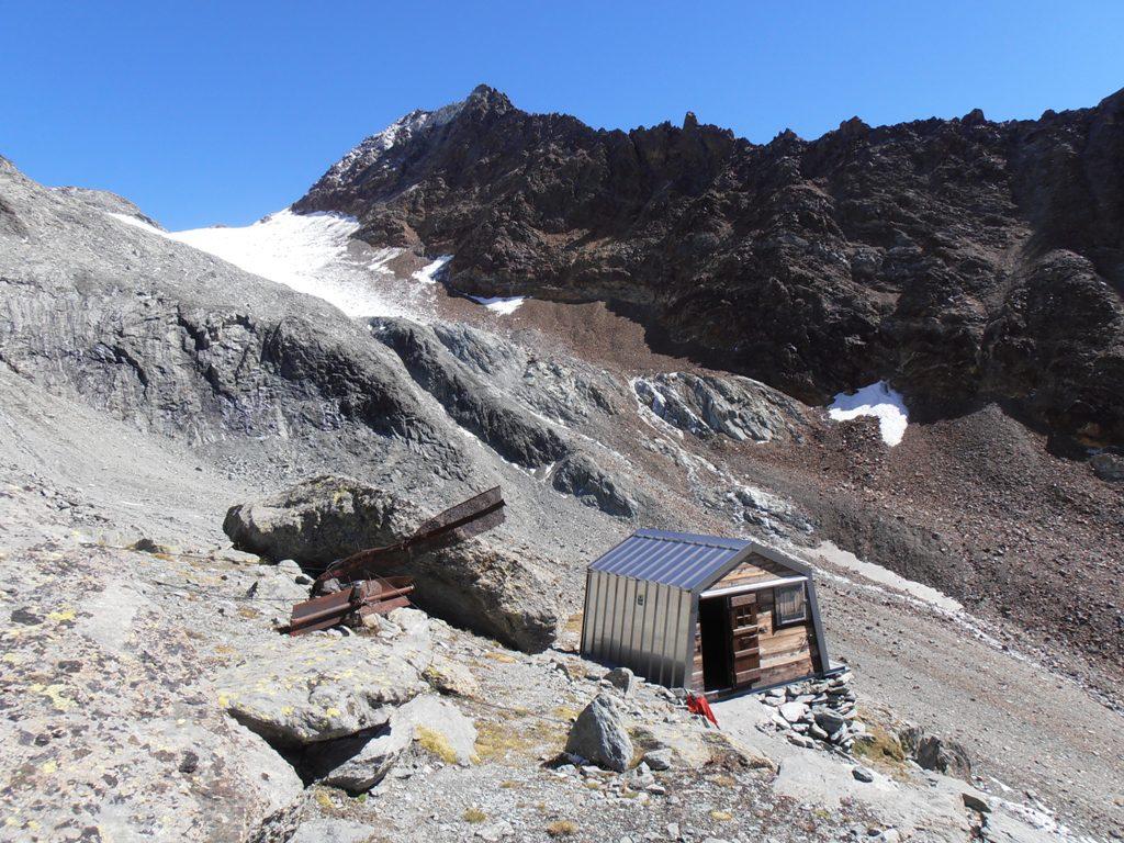
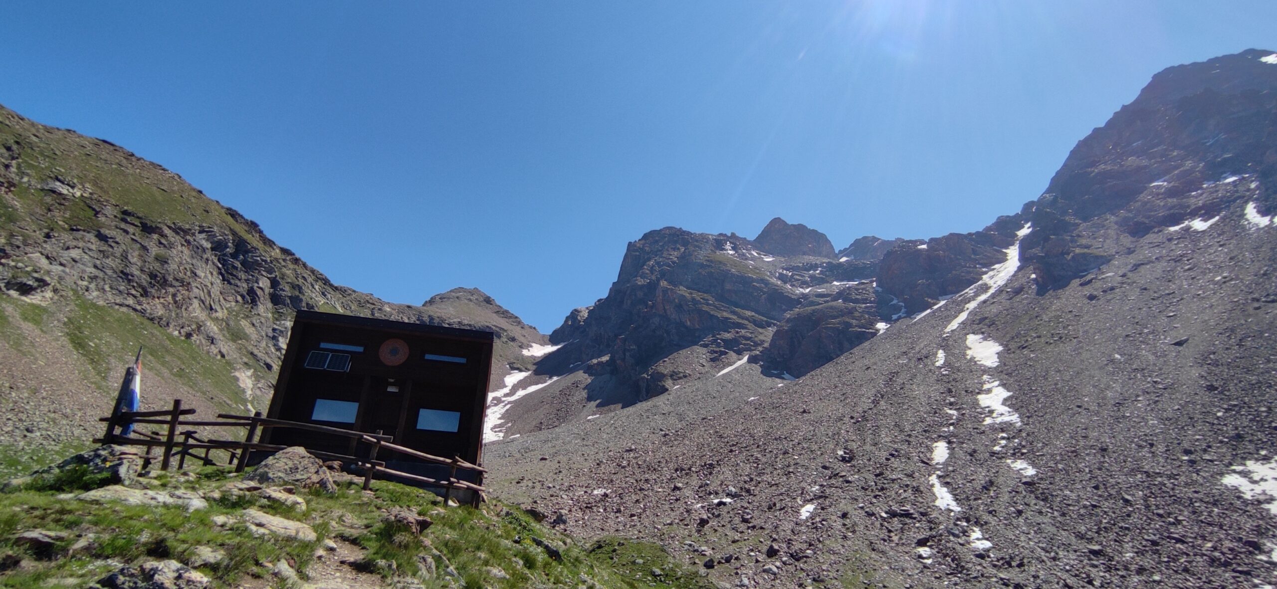
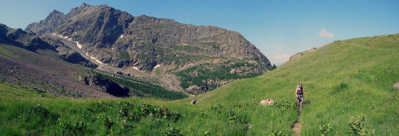
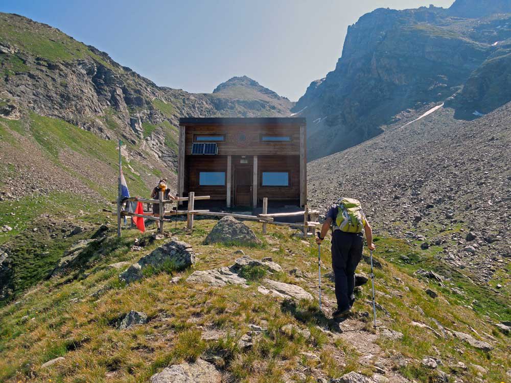
Sempre nel bosco, dopo un falsopiano e una breve discesa, si raggiunge il torrente di Arbière (zona un po’ devastata da recenti alluvioni), lo si attraversa e si prosegue sino a raggiungere i ruderi degli alpeggi Pra de Dieu 2274 m. Si prosegue a monte di essi, raggiungendo una sella che si affaccia sul vallone retrostante, dove il sentiero sale molto ripido sul lato destro, raggiungendo un intaglio sulla destra dal quale finalmente si vede il bellissimo bivacco, posto sul dosso ma leggermente spostato verso il vallone, quindi visibile solo all’ultimo 2530 m (2h – 2h30′ dalla partenza).
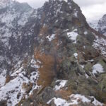
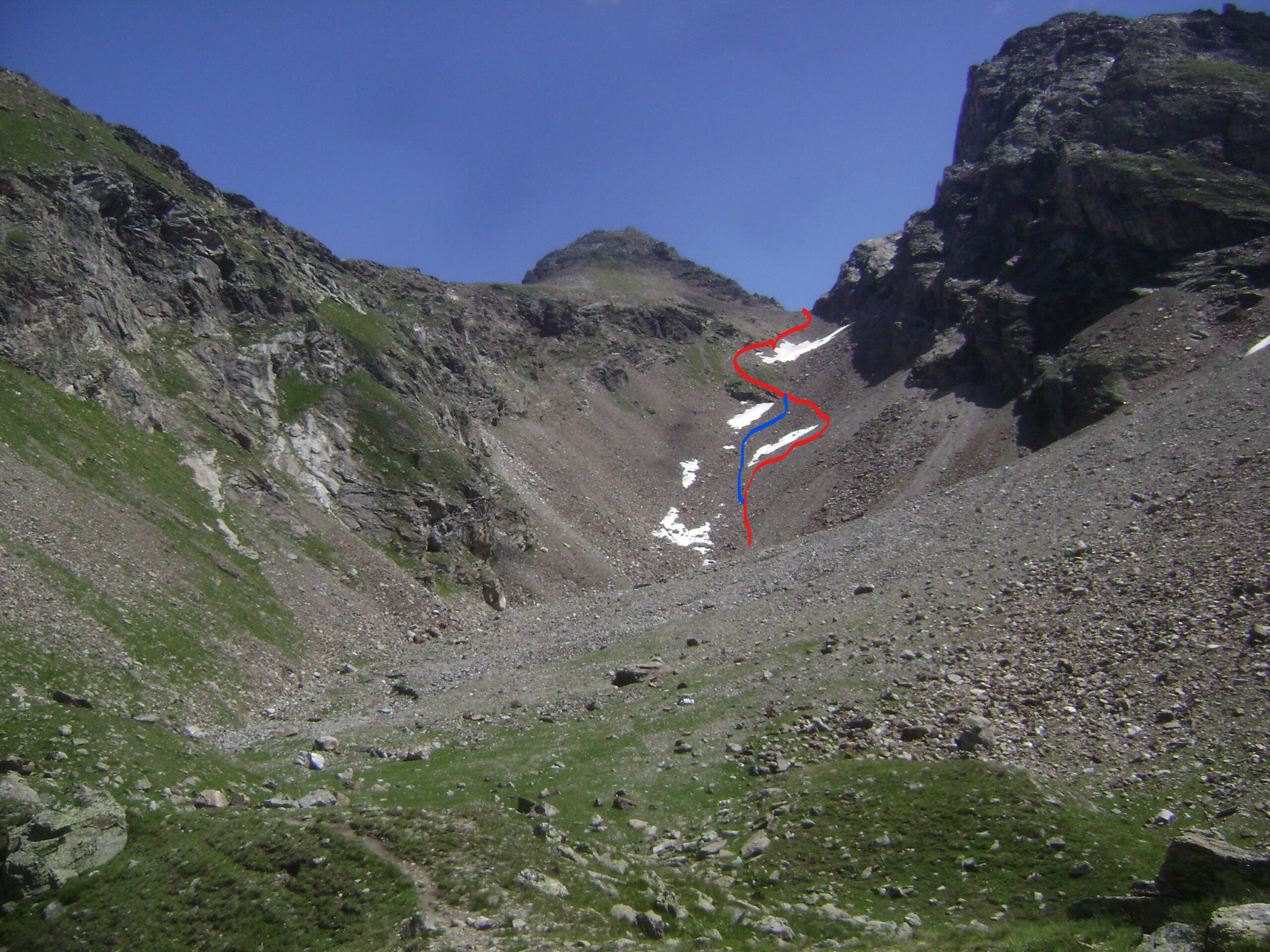
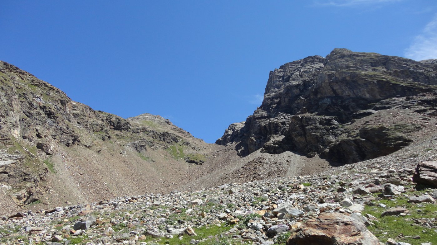
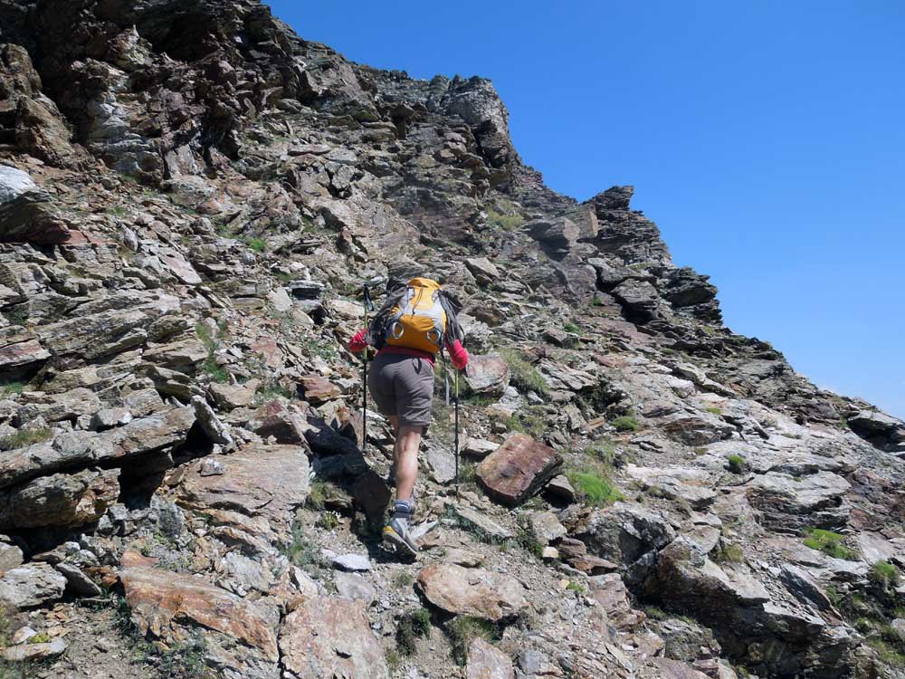
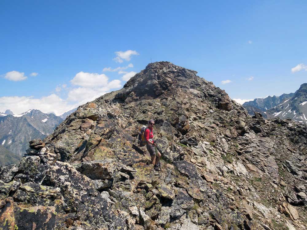
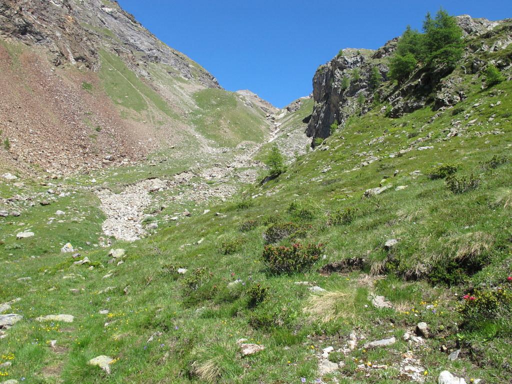
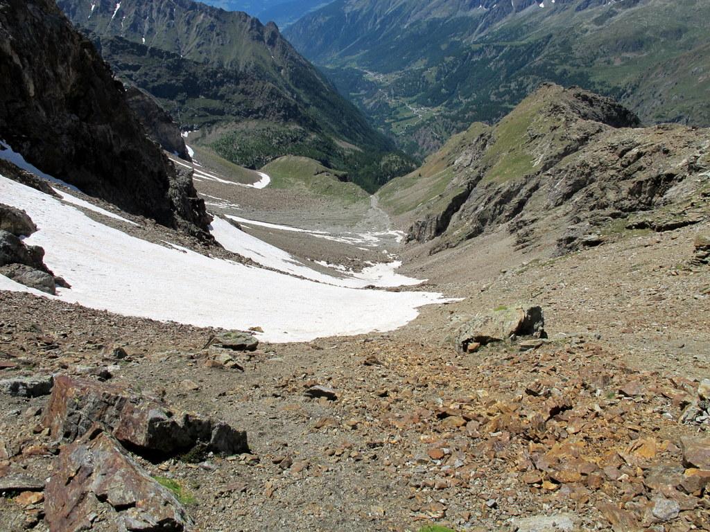
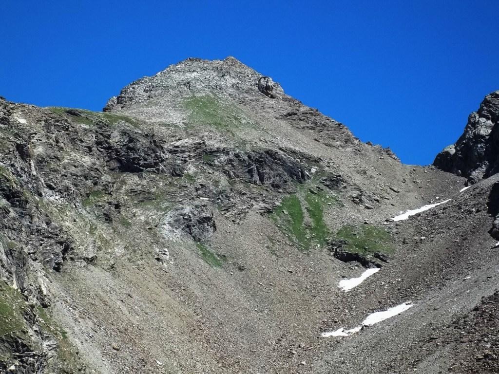
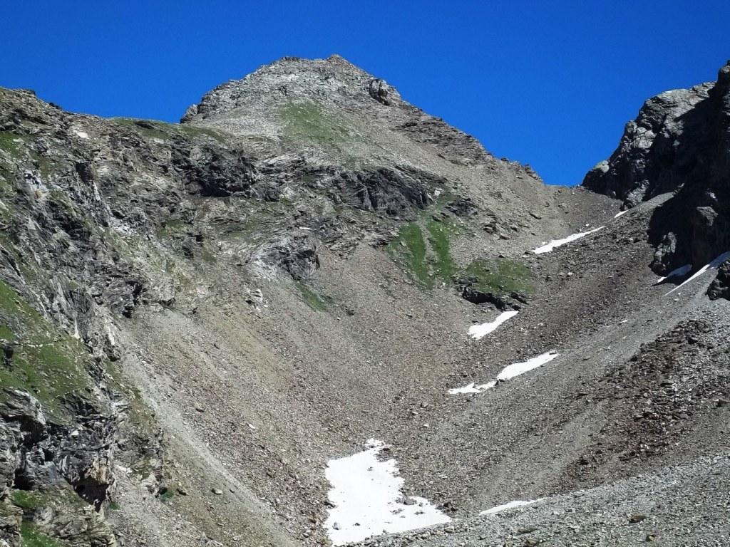
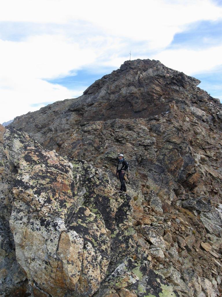
Dal bivacco è ben visibile la restante parte del percorso, che si svolge nel vallone che appare come un ripido pendio di pietrame con il Colle di Mont Dzalou al centro e la cima (anticima) a sinistra.
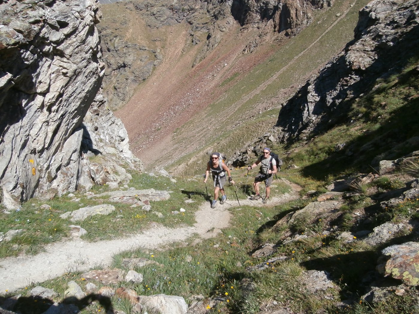
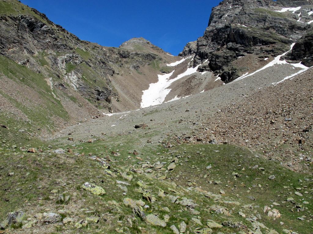
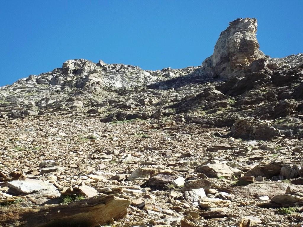
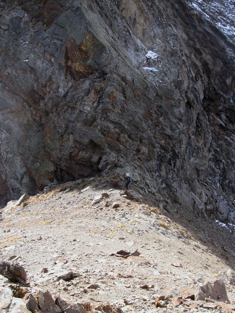
Si inizia a salire inizialmente per gli ultimi magri pendii erbosi, e poi per pietrame portandosi inizialmente sulla destra del vallone, per poi spostarsi al centro dove è presente la traccia migliore, che alterna zone di pietrame medio/piccolo ad altre detritiche. Circa 150 m sotto il colle si aggira un piccolo promontorio sulla destra per poi riprendere l’ultima parte di salita, ripida e su terreno sabbioso fino allo stretto intaglio del Colle di Mont Dzalou 2882 m.
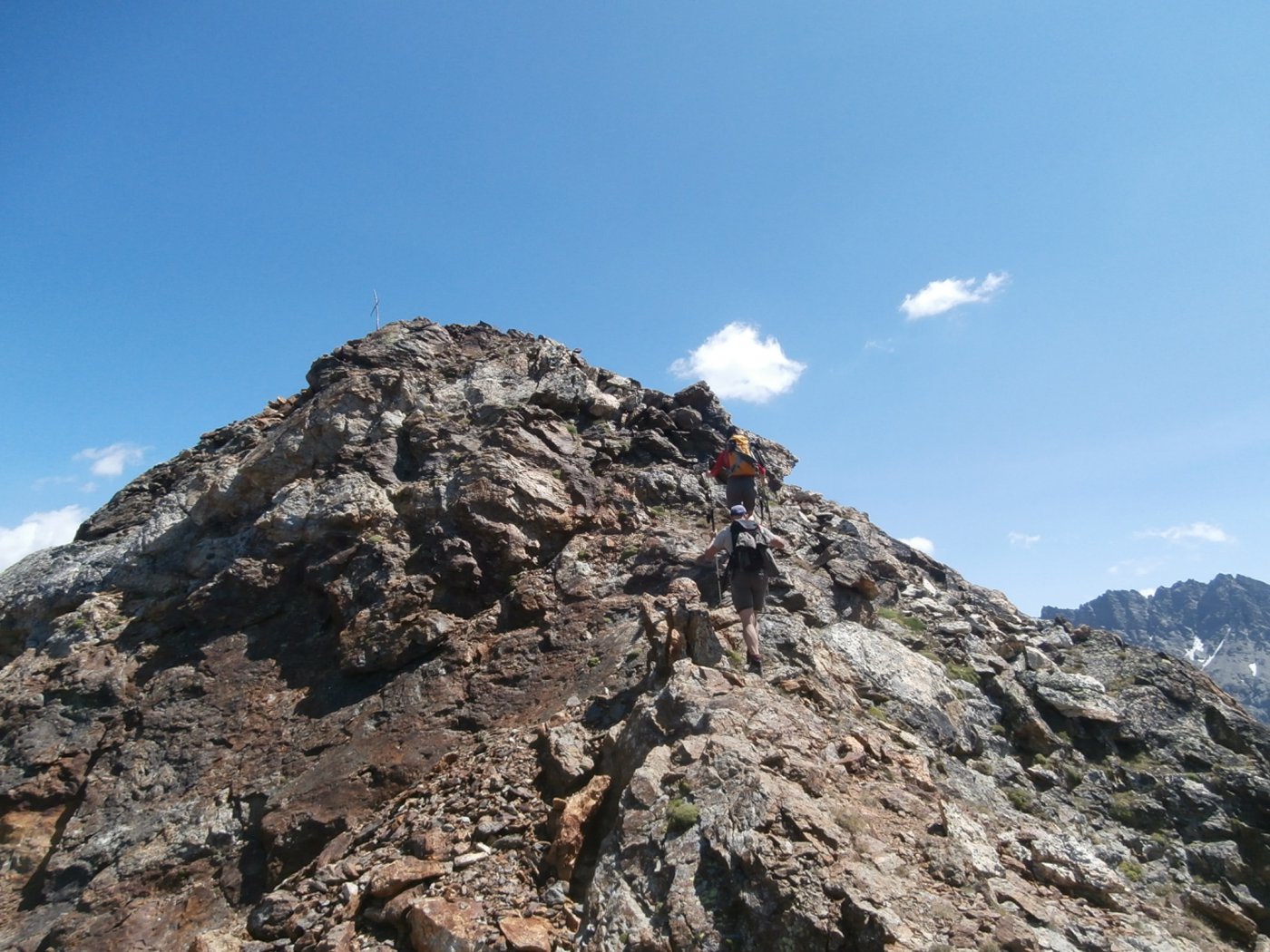
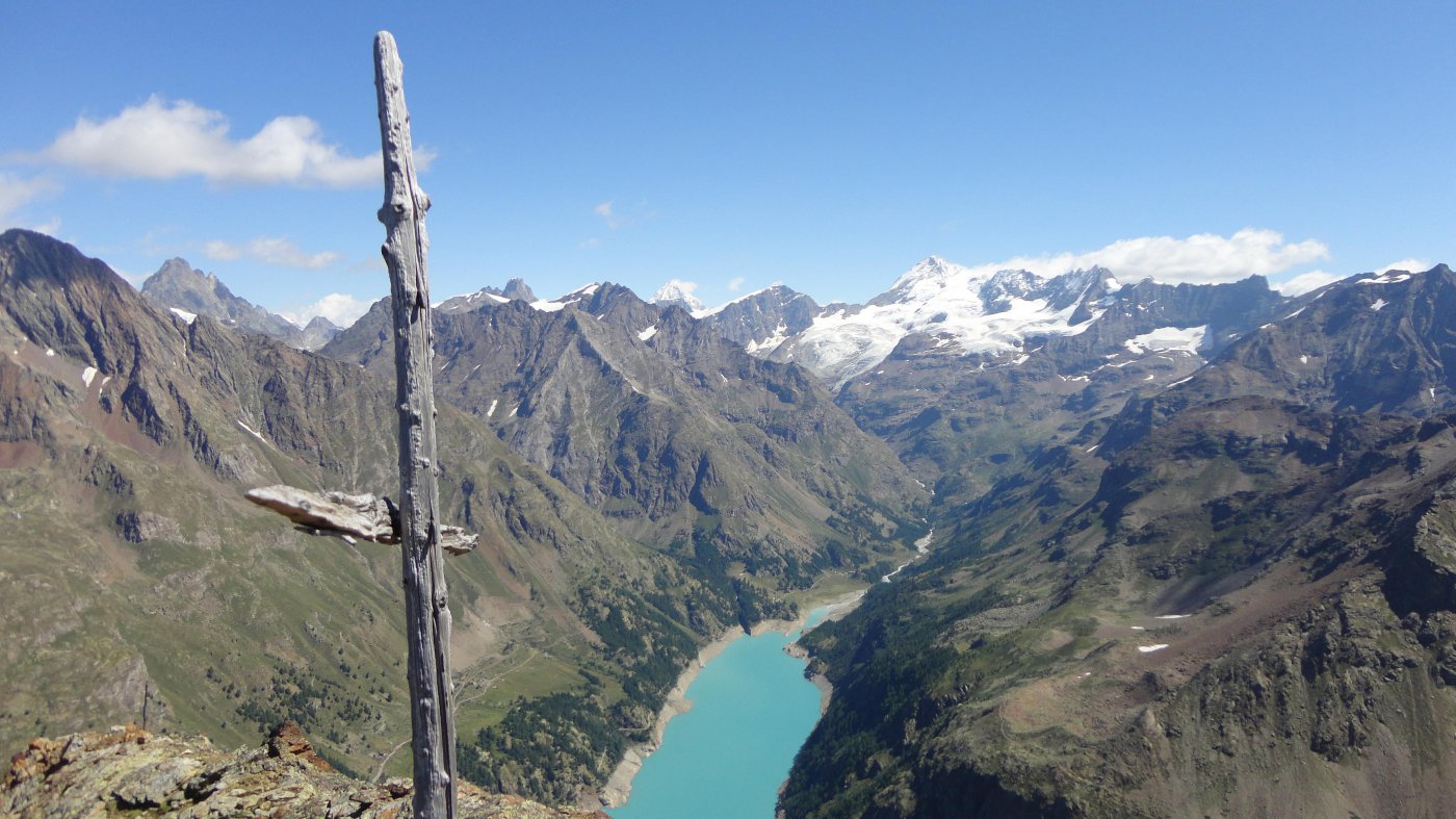
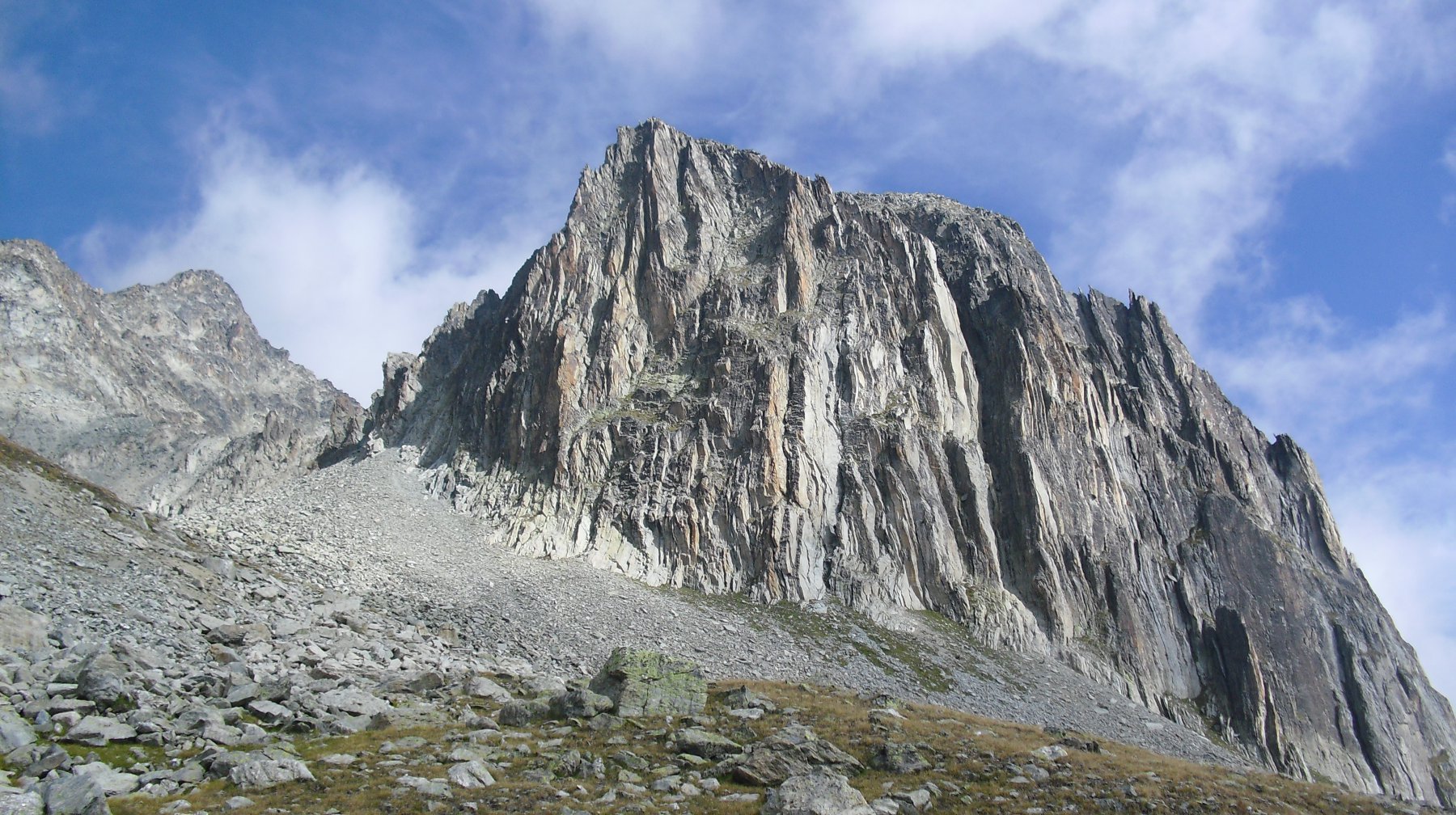
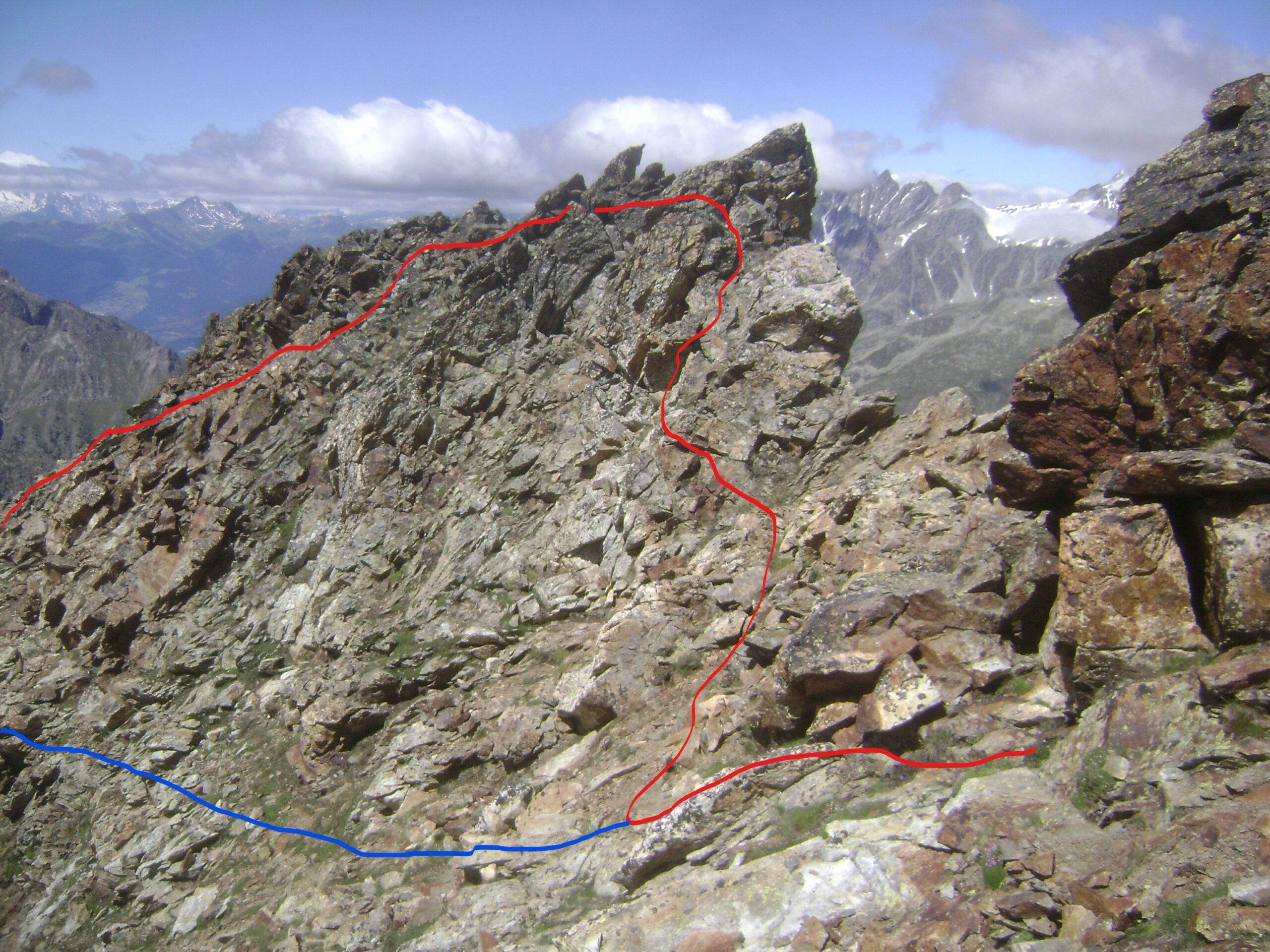
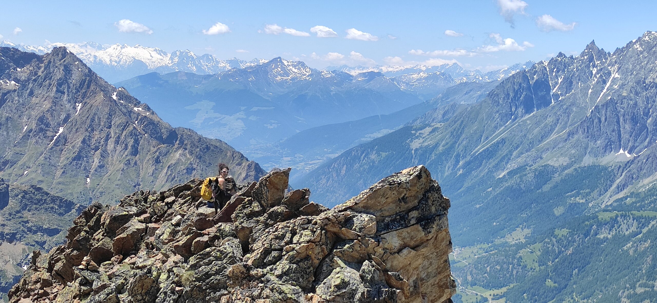
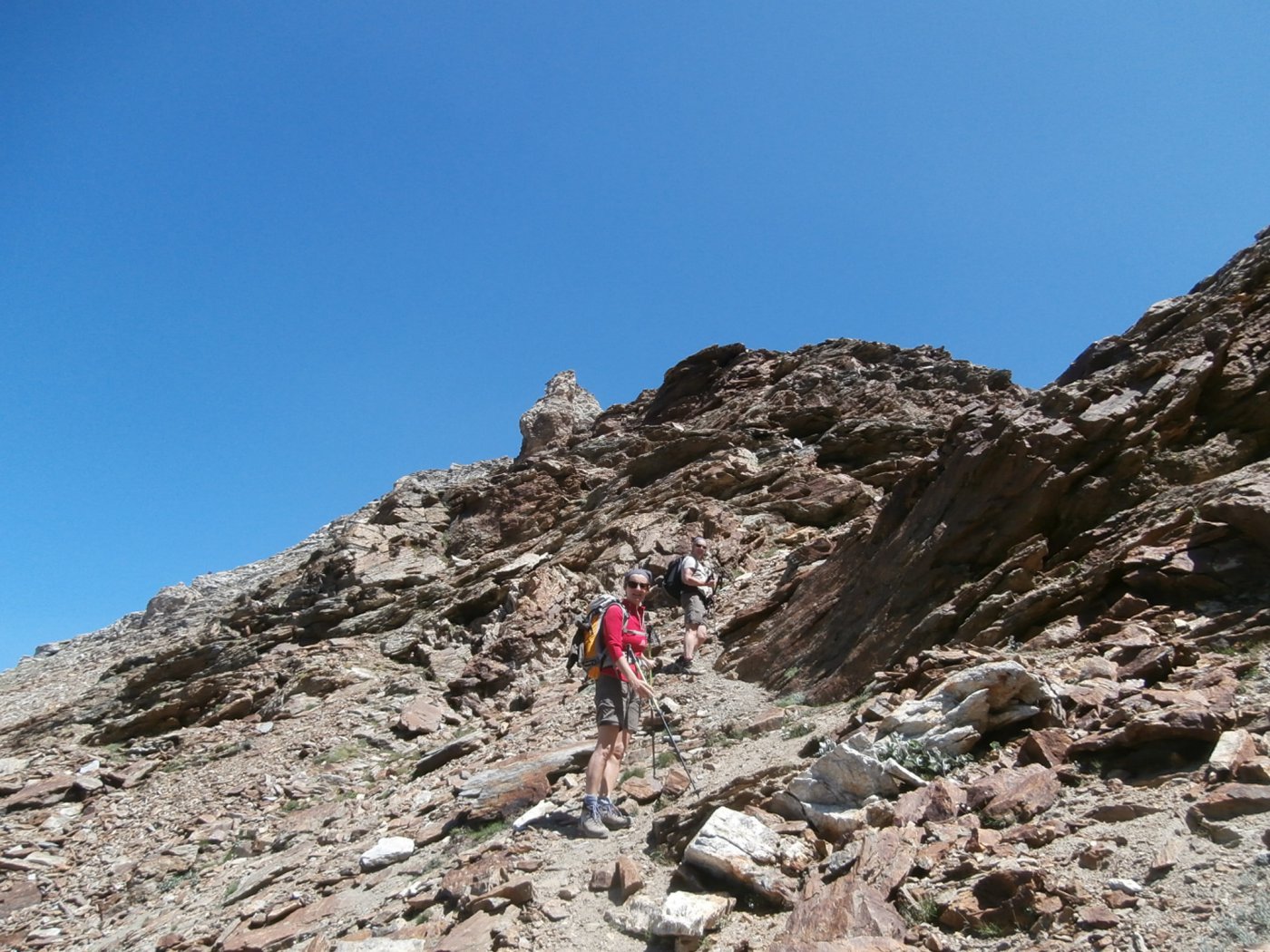
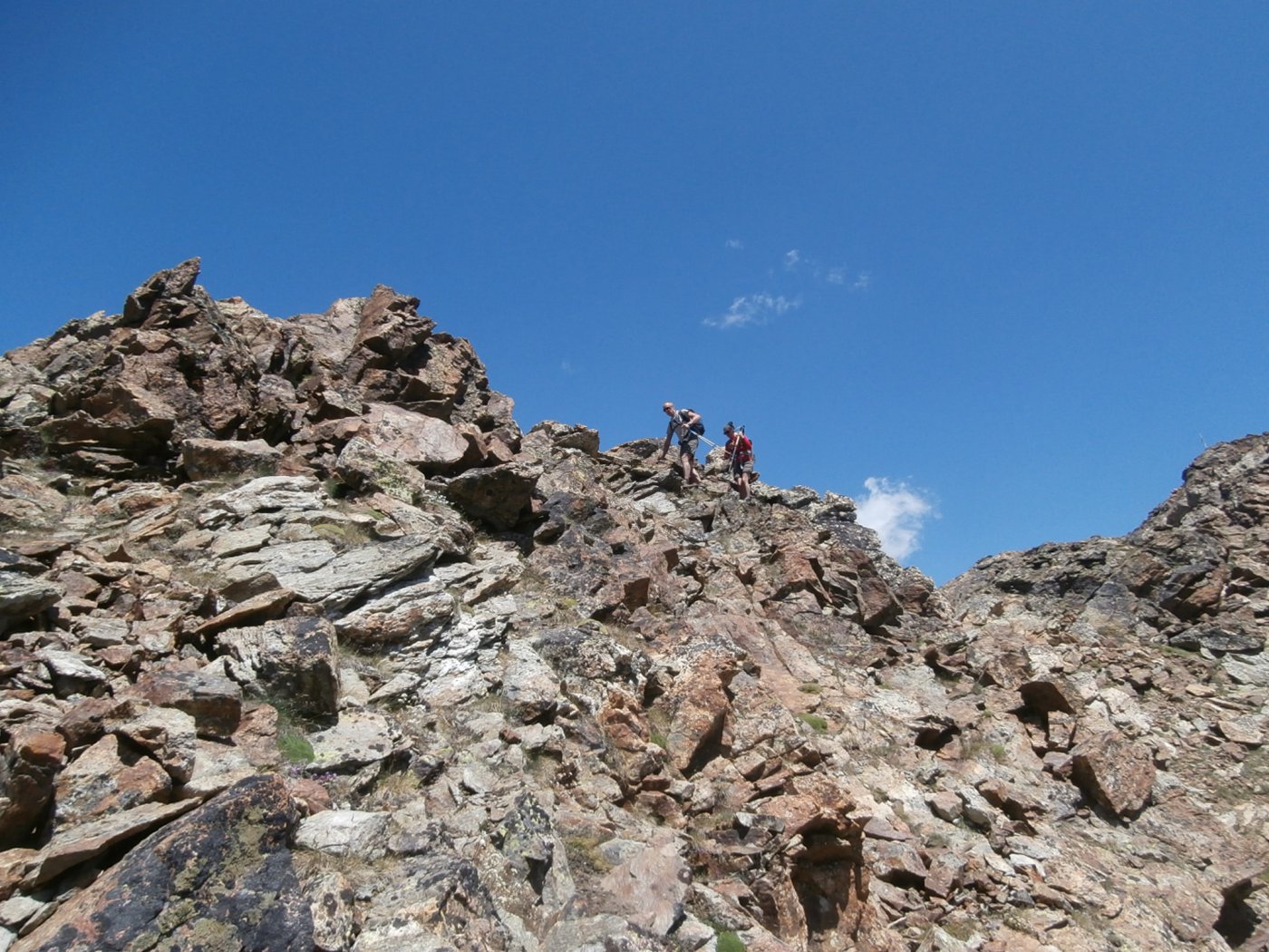
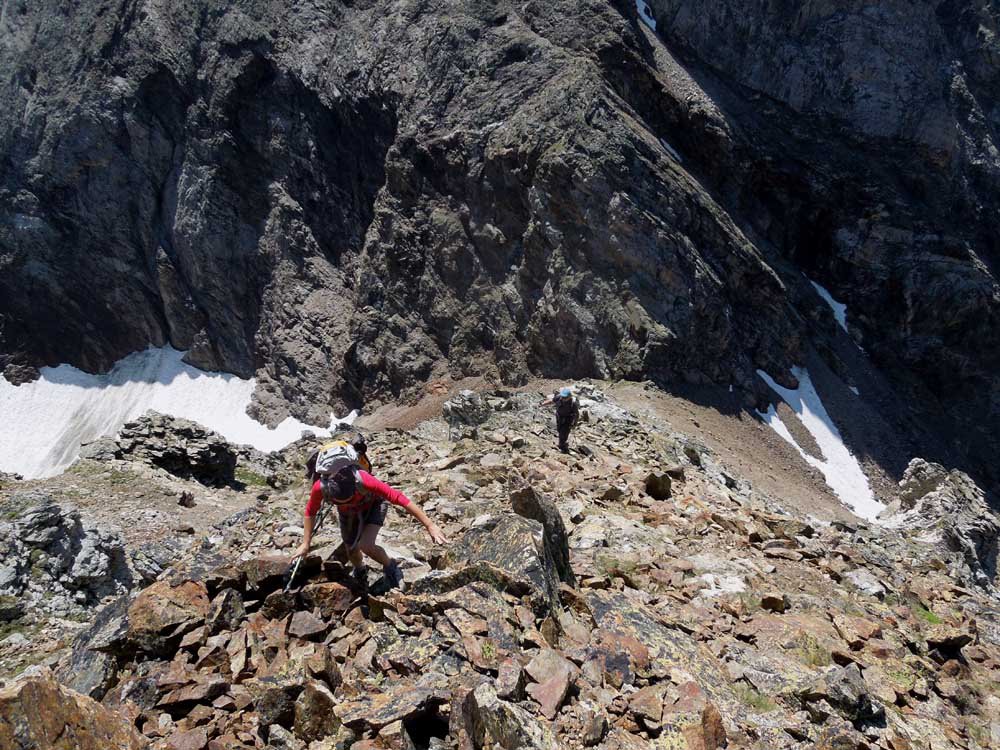
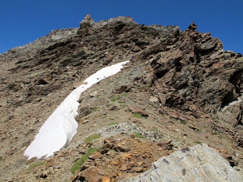
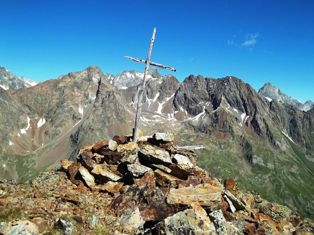
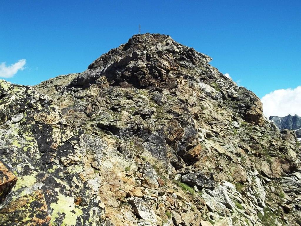
Dal colle si volge a sinistra, lungo il crestone sud che adduce alla cima; inizialmente si sale per evidente traccia nei detriti, poi facendosi aiutare dagli ometti, per evitare una breve zona rocciosa ci si sposta per facili terrazzini di terra e rocce sulla destra, fino a che si può rimontare sul crestone. Con percorso ripido ma facile si prosegue fra pietrame e sfasciumi fino a che si giunge di fronte a un breve camino di roccia chiara, molto facile e ben gradinato. Risalito si continua ancora per poco finchè si incontra la rocciosa cresta ovest (possibile variante di salita con passaggi di I e II); ci si mantiene pochi metri sotto il filo, aiutandosi talvolta con le mani ma non c’è esposizione, finchè si arriva davanti ad un salto della cresta; qui occorre abbassarsi di 5 m sulla destra, su terreno di terriccio, per poi immediatamente risalire ad una selletta posta proprio sotto la cima. Qui seguendo la traccia si vincono le facili roccette finali, cautela solo in un passo leggermente aereo sulla destra. In cima piccola rudimentale croce in legno.
Discesa per lo stesso percorso di salita.