8.4Km
8.4Km
Note
 0m
50m
50m
50m
50m
50m
50m
50m
50m
50m
0m
50m
50m
50m
50m
50m
50m
50m
50m
50m
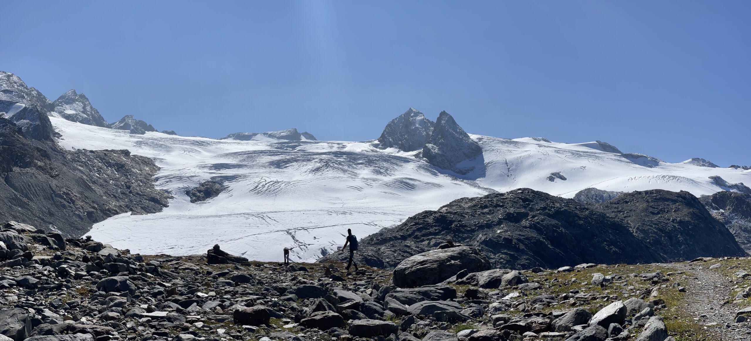
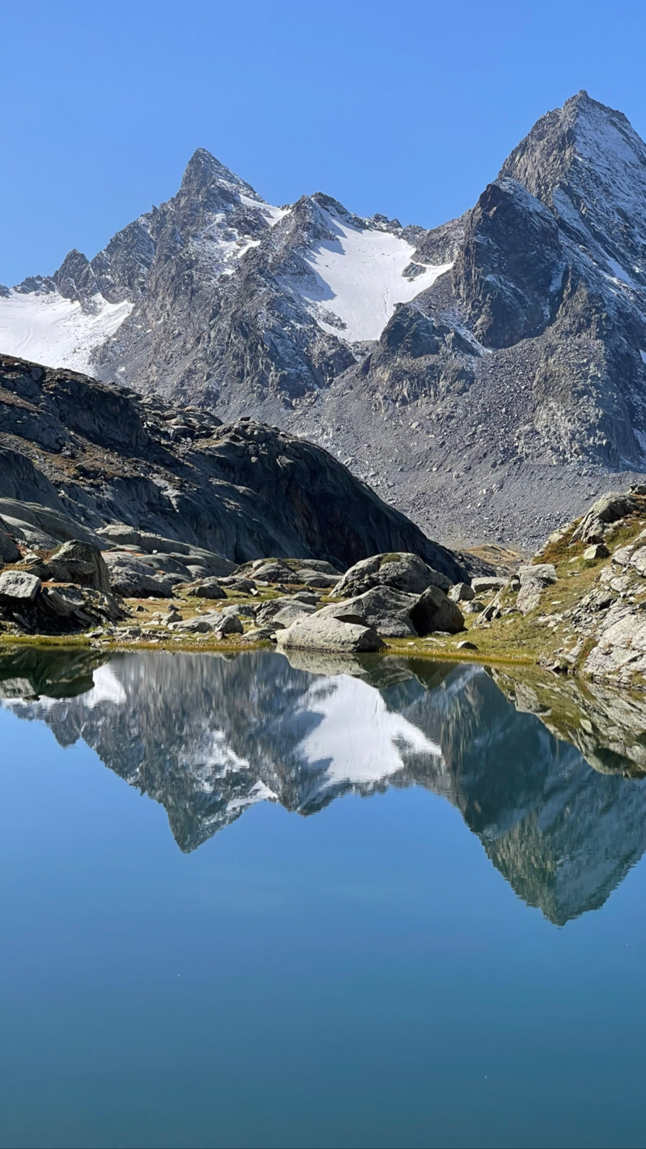
Interessante itinerario in un angolo del Gruppo del Rutor piuttosto dimenticato. Ambiente grandioso, in particolare dalla vetta.
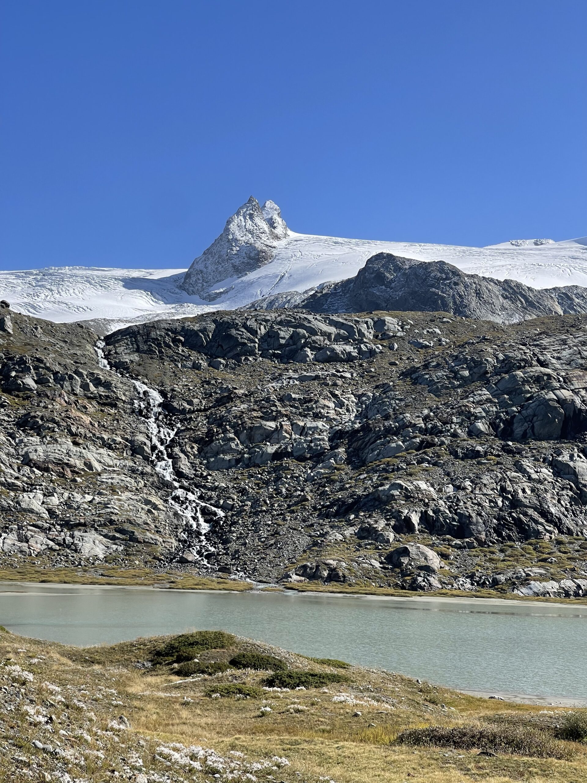
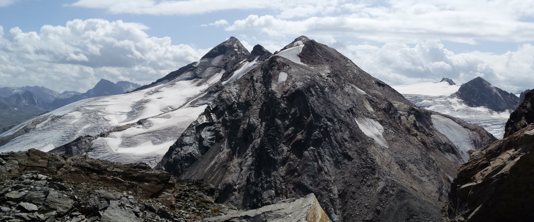
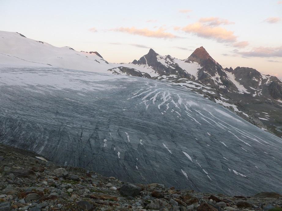
Il ghiacciaio des Invergieurs, una volta segnalato nella conca tra Becca Nera e Punta Chenal, è oggi estinto (rimangono un paio di modestissimi glacio-nevati sulla parte destra (faccia alla vetta)della Chenal.
Nella guida CAI-TCI "Graie Centrali", A. Giorgetta stima la gita EE. Sarò sicuramente smentito, ma si tratta per me più di un F che di un EE (ambiente severo, necessità di leggere attentamente il percorso, la sia pur lieve delicatezza di qualche passaggio). Al massimo siamo sul confine tra EE/F
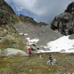
Avvicinamento
Il ghiacciaio des Invergieurs, una volta segnalato nella conca tra Becca Nera e Punta Chenal, è oggi estinto (rimangono un paio di modestissimi glacio-nevati sulla parte destra (faccia alla vetta)della Chenal.
Nella guida CAI-TCI "Graie Centrali", A. Giorgetta stima la gita EE. Sarò sicuramente smentito, ma si tratta per me più di un F che di un EE (ambiente severo, necessità di leggere attentamente il percorso, la sia pur lieve delicatezza di qualche passaggio). Al massimo siamo sul confine tra EE/F
.
Descrizione
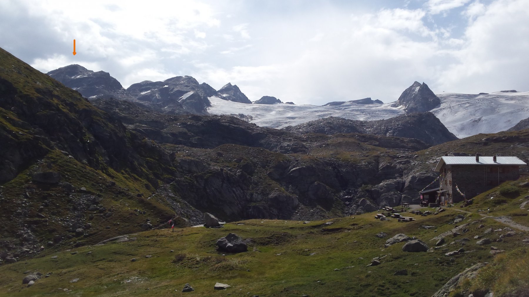
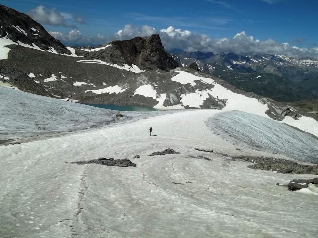
Dal rifugio “Deffeyes” si segue il percorso dell’Alta Via n.2 per il Passo di Planaval.
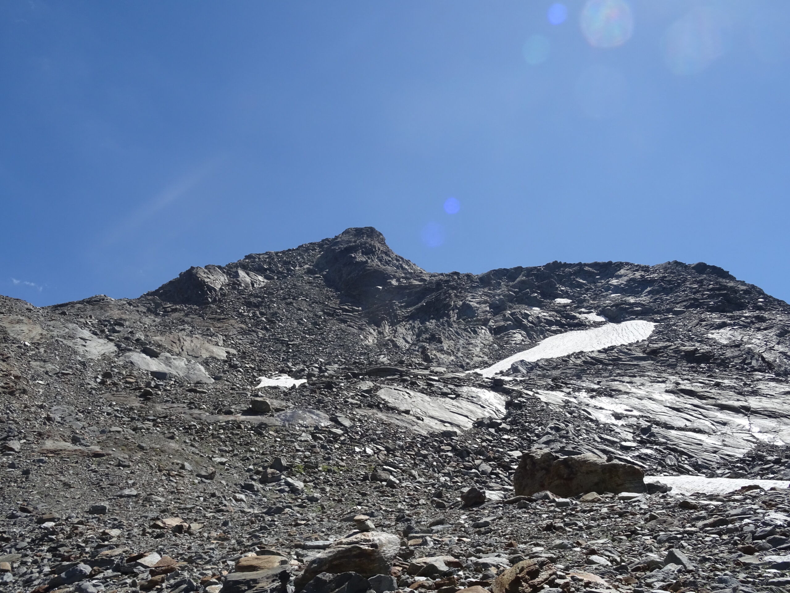
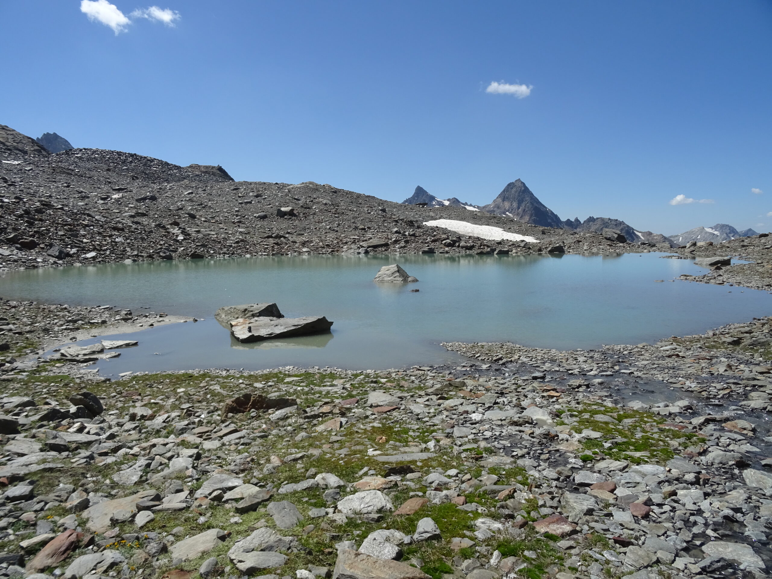
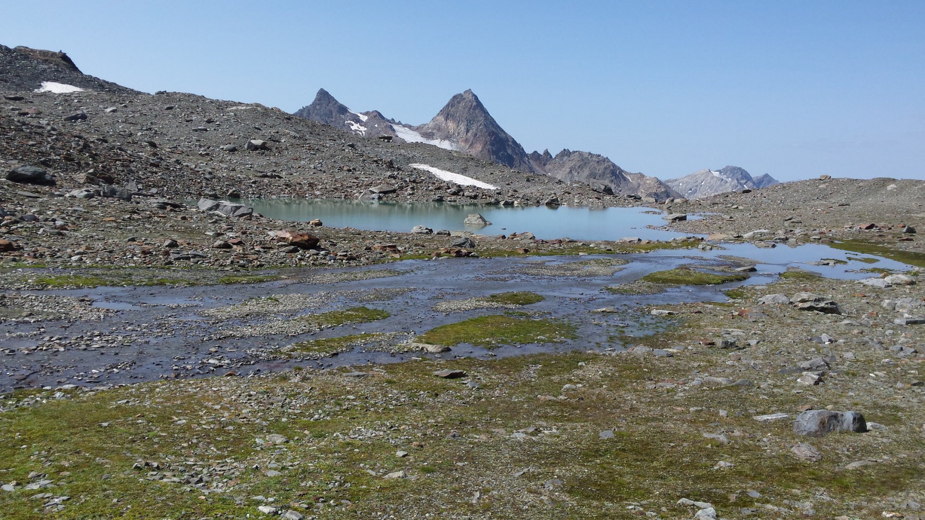
Appena sotto la direttrice della Punta Chenal, si abbandona il sentiero e si sale, un po’ faticosamente, sopra la morena laterale sinistra (orografica) del ghiacciaio del Rutor fino a raggiungere un simpatico laghetto. Da qui in poi il percorso non è segnato, neanche con ometti, e il percorso va indovinato leggendo attentamente il terreno.
Ci sono sostanzialmente 3 possibilità:
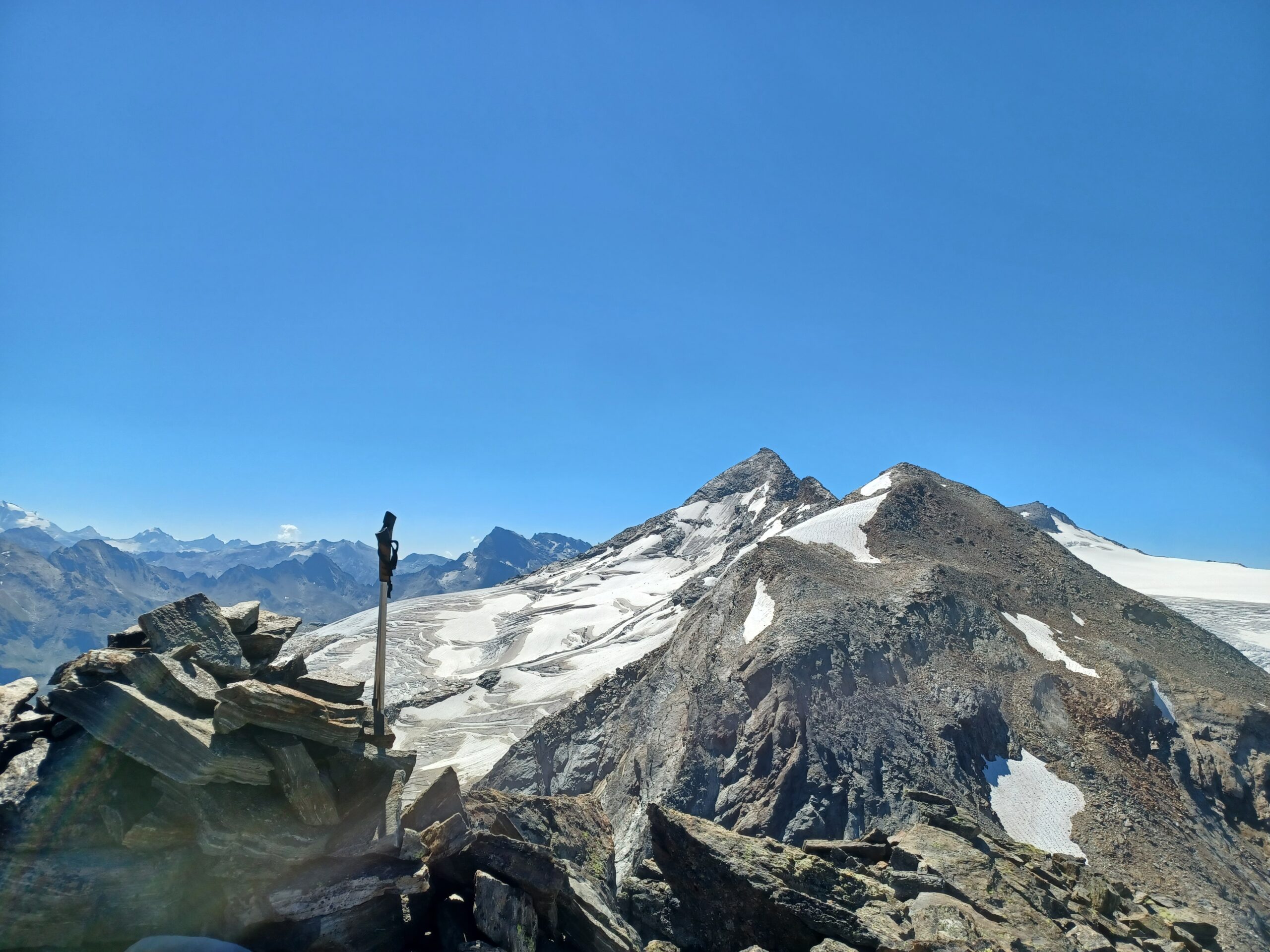
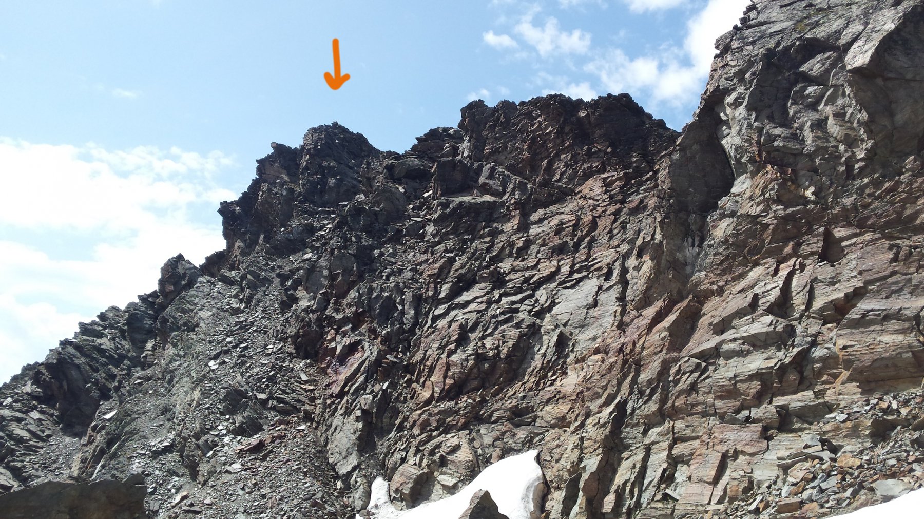
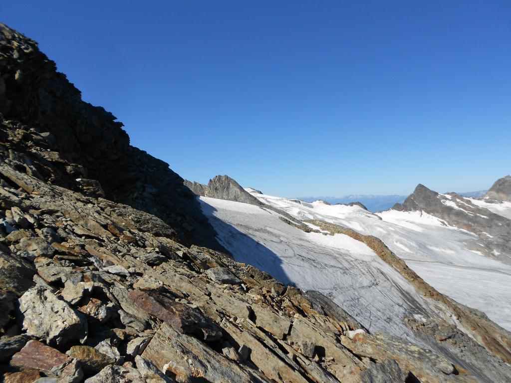
- 1) tenersi tutto a sinistra della vetta e salire al colle che separa la punta Chenal dalla Becca Nera, e seguire quindi il filo della cresta nord (facile arrampicata con un paio di passaggi più impegnativi)
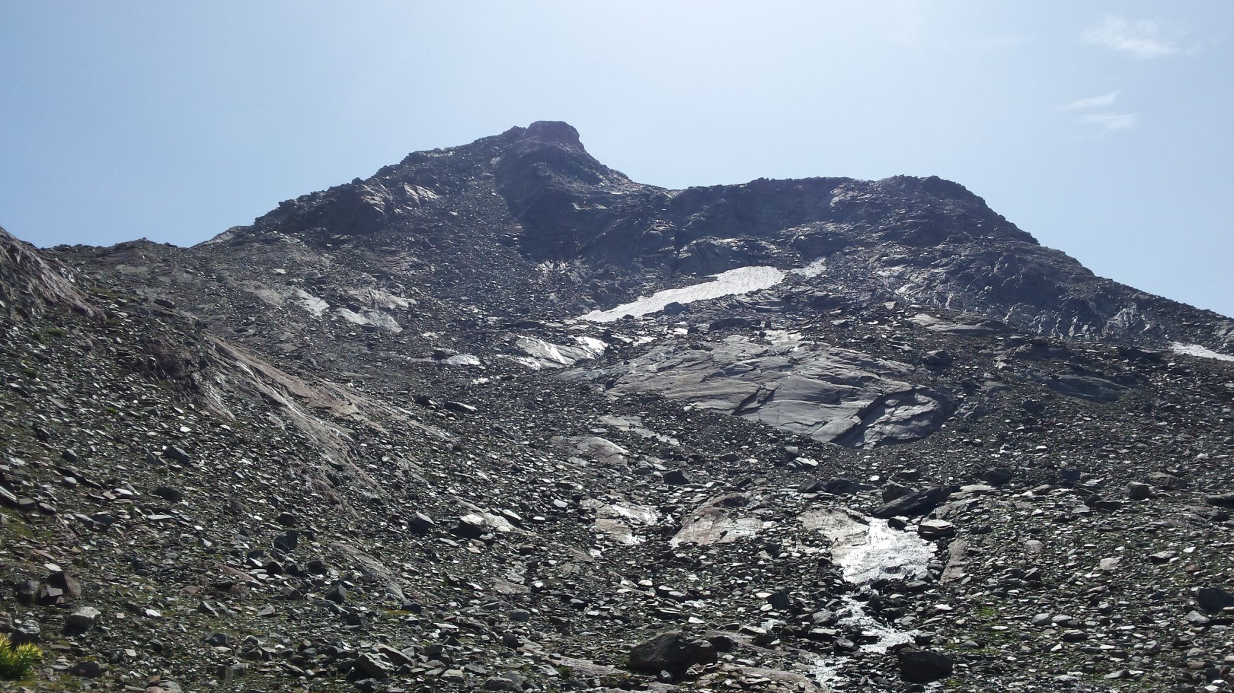
- 2)salire al centro lungo l’evidente e inclinato canalone di scisti scivolosi
- 3) tenere una giusta via di mezzo, a sinistra di 1) e a destra di 2), salendo per un evidente costolone di rocce rotte e grossi blocchi, che si abbandona più o meno a 100 metri dalla vetta per confluire nel percorso 2)
Il vantaggio di questo intermedio percorso è che è più semplice in termini di arrampicata del percorso 1) (I grado al massimo); e che è senz’altro meno fastidioso della penosa avanzata su scisti scivolosi del percorso 2); lo svantaggio è che le rocce che si salgono sono grandi e mobili, e bisogna prestare molta attenzione a non farle franare tirandosele addosso.
Non farsi tentare da un’eventuale quarta opzione, vale a dire quella di tenersi sulla destra salendo (ramponi…) il primo glacio-nevato sulla destra; a dispetto di un’iniziale impressione di maggior solidità e facilità del terreno, porta su un terreno più ostico.
Per la discesa, consiglio di tenersi il più a destra possibile, (faccia a valle) in quanto meglio si “legge” il percorso da scegliere e in quanto di pendenza un po’ più attenuata.
La guida CAI-TCI “Graie Centrali” segnala un tempo di salita dal rifugio di 2h, che va preso con il beneficio del dubbio: come tutti i tempi segnalati da A. Giorgetta, risulta parecchio sottostimato (forse anche a causa della scomparsa del ghiacciaio e di ampi tratti nevati che potrebbero facilitare una più rapida ascesa). Meglio mettere 2h30′-3h in preventivo per la salita, e 2h-2h15′ per la discesa.
- Bibliografia:
- A. Giorgetta, Alpi Graie Centrali - (collana Guide Monti d'Italia CAI-TCI)
Nelle vicinanze Mappa
Itinerari
09/08/2011 AO, La Thuile D+ 1800 m PD- Nord-Ovest
Flambeau per il versante Nord-Ovest
 0m
0m
05/07/2026 AO, La Thuile D+ 2000 m F Nord
Rutor (Testa del) Via Normale da La Joux per il Rifugio Deffejes
 50m
50m
16/08/2023 AO, La Thuile D+ 1800 m F+ Varie
Paramont (Mont) Via Normale da la Joux
 50m
50m
06/08/2024 AO, La Thuile D+ 1700 m PD- Tutte
Grand Assaly Via Normale da La Joux
 50m
50m
10/08/2012 AO, La Thuile D+ 306 m F+ Nord-Est
Flambeau Via delle Lose
 50m
50m
17/08/2018 AO, La Thuile D+ 1900 m F+ Nord-Ovest
Doravidi (Monte, Punta Nord) da La Joux
 50m
50m
16/08/2024 AO, La Thuile D+ 1600 m F+ Varie
Loydon (Pointe) o Petit Assaly da La Joux per il Rifugio Deffeyes
 50m
50m
21/08/2025 AO, La Thuile D+ 1750 m F Nord-Ovest
Paramont (Becca Bianca del) Via Normale da La Joux per il Rifugio Deffeyes
 50m
50m
21/07/2019 AO, La Thuile D+ 2000 m PD Varie
Doravidi (Monte, Punta Nord) e Flambeau traversata sud/nord
 50m
50m
14/08/2025 AO, La Thuile D+ 1580 m F Varie
Paramont (Testa del) da La Joux per il Rifugio Deffeyes
 50m
50m