1.5Km
1.5Km


Note
 50m
50m
50m
50m
50m
50m
50m
50m
50m
50m
50m
50m
50m
50m
50m
50m
1.5Km
2.6Km
2.9Km
3.3Km
3.3Km
5.2Km
5.3Km
5.3Km
6.8Km
7.2Km
Il bivacco Col Clapis, che si trovava 100 m al di sotto del colle, non esiste più in quanto distrutto da una tempesta di vento nel 2020.
Avvicinamento
Da Pinerolo si segue la SS23 del Sestriere risalendo la Val Chisone fino a Pragelato. Dopo le ultime frazioni, si scende alla rotonda a Pattemouche seguendo le indicazioni per la Val Troncea. In corrispondenza del grosso parcheggio di Pattemouche il fondo diventa sterrato. Si attraversa il ponte sul Chisone e si prosegue ancora per alcuni km oltre Laval, dove si trova un grosso piazzale adibito a posteggio dove occorre lasciare l'auto. Nel periodo estivo l'accesso è a pagamento (dalle 8 in poi pagando all'addetto).
E' anche in funzione un bus navetta che collega Pragelato al bivio per il Rifugio Troncea (anno 2025)
Descrizione
E' anche in funzione un bus navetta che collega Pragelato al bivio per il Rifugio Troncea (anno 2025)
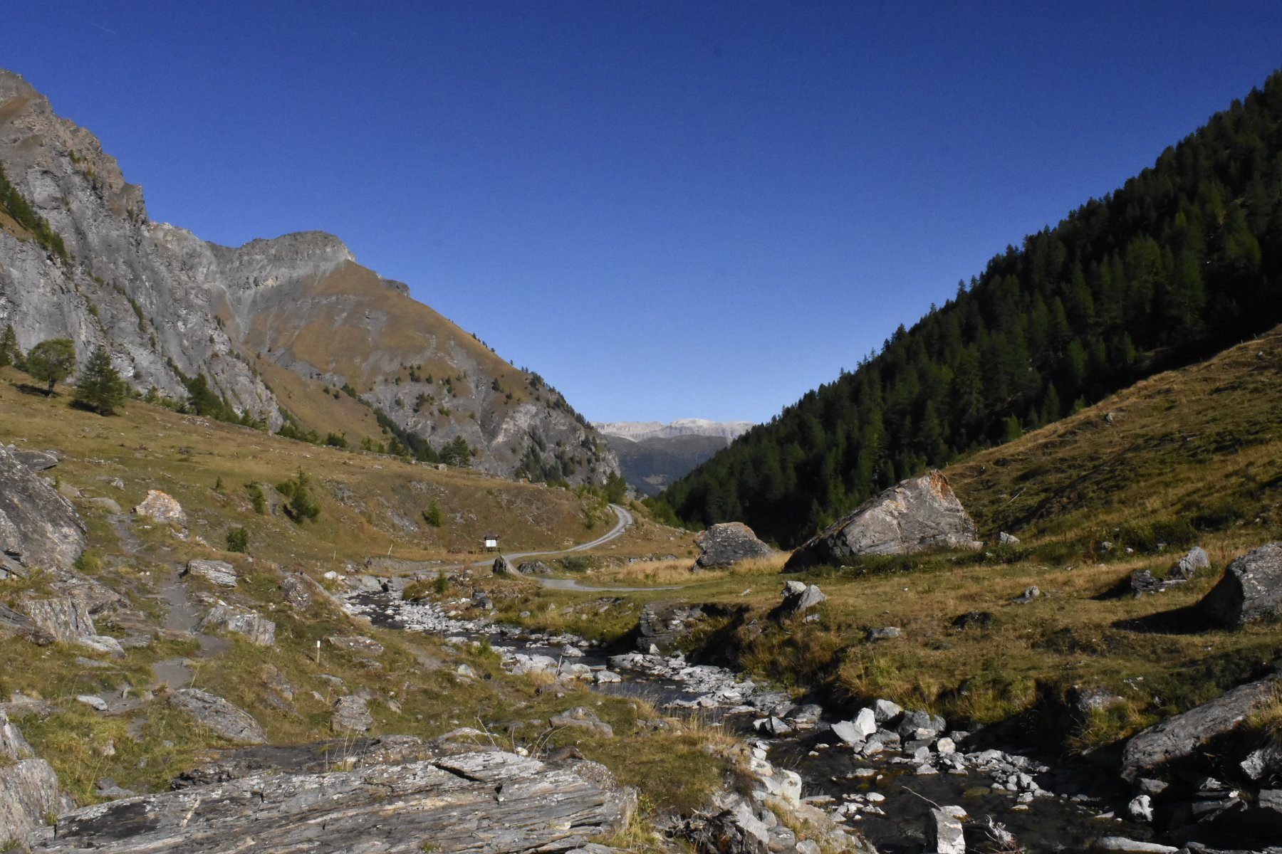
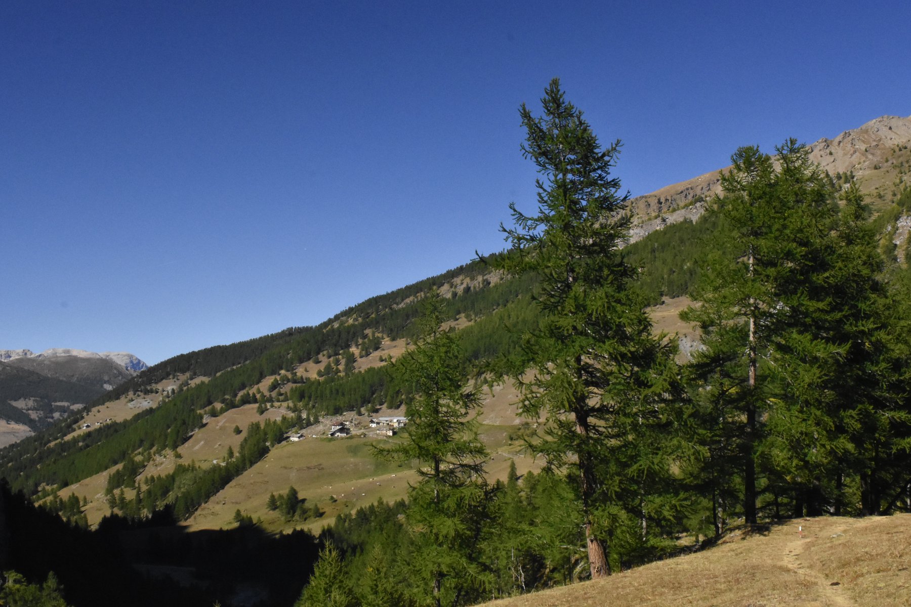
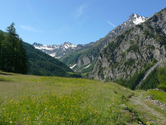
Dal posteggio di Laval, si prosegue seguendo il tracciato della strada sterrata che costeggia il Chisone, si incontrano alcune fontane ed aree picnic. Giunti al bivio per Troncea, lo si lascia a sinistra per proseguire in piano sulla pista di destra, sempre seguendo le varie indicazioni per Colle Fauri, Alpe Mey, Col Clapis.
Superata una fontana, la strada si alza rispetto al corso del torrente per superare una gola più stretta, che precede l’ingresso nella parte mediana della valle, che si allarga in corrispondenza della località Landeniere, dove si trova una sorgente con fontana.
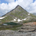
Continuando ancora per la sterrata, si arriva in vista dell’Alpe Mey. Non la si raggiunge attraversando il torrente, ma si prosegue sulla destra seguendo le indicazioni per Col Clapis e Sorgenti del Chisone. Ci si alza gradualmente sul costone con tratti boscosi, fino ad arrivare al bivio dove sulla destra si stacca il sentiero 319 per il Col Clapis in una zona con alcune sorgenti ed un ruscello da attraversare.
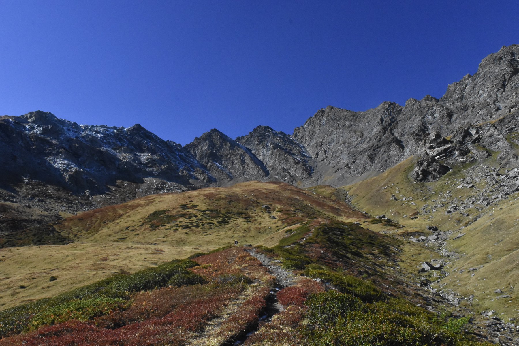
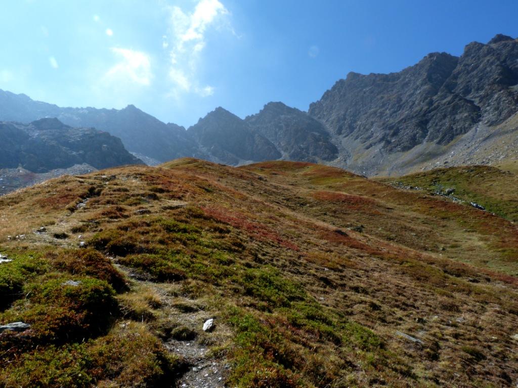
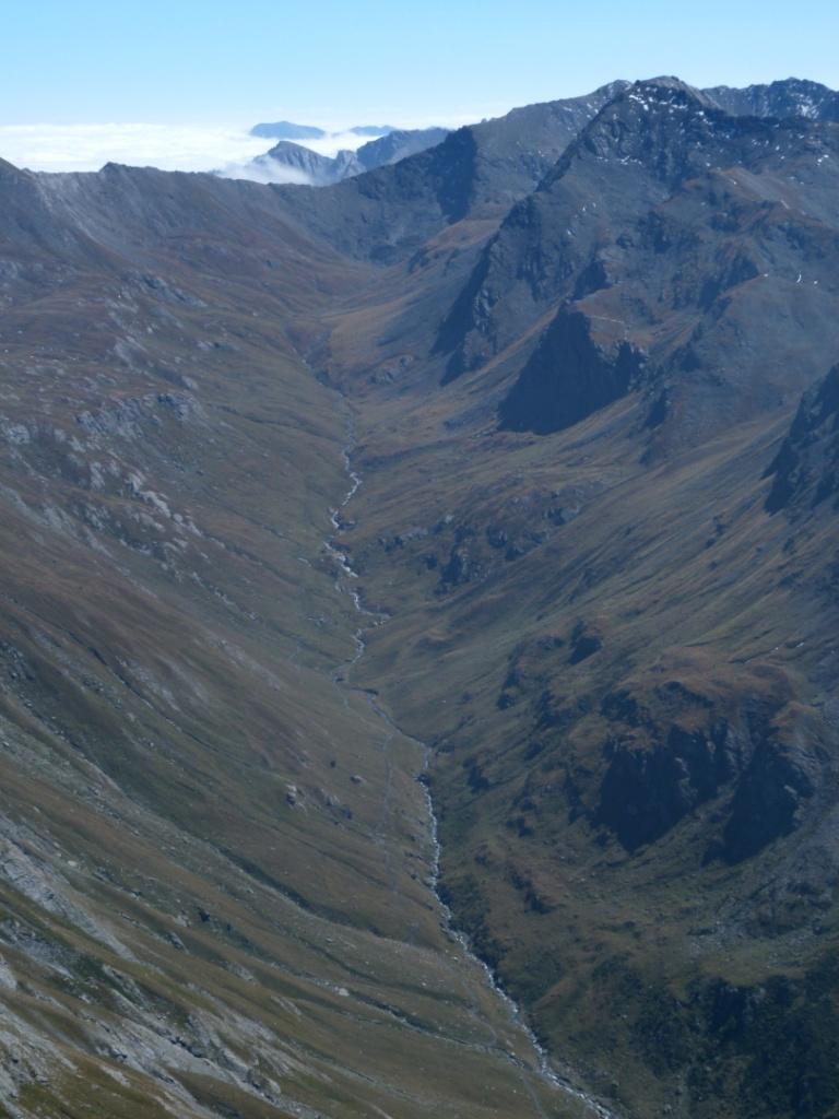
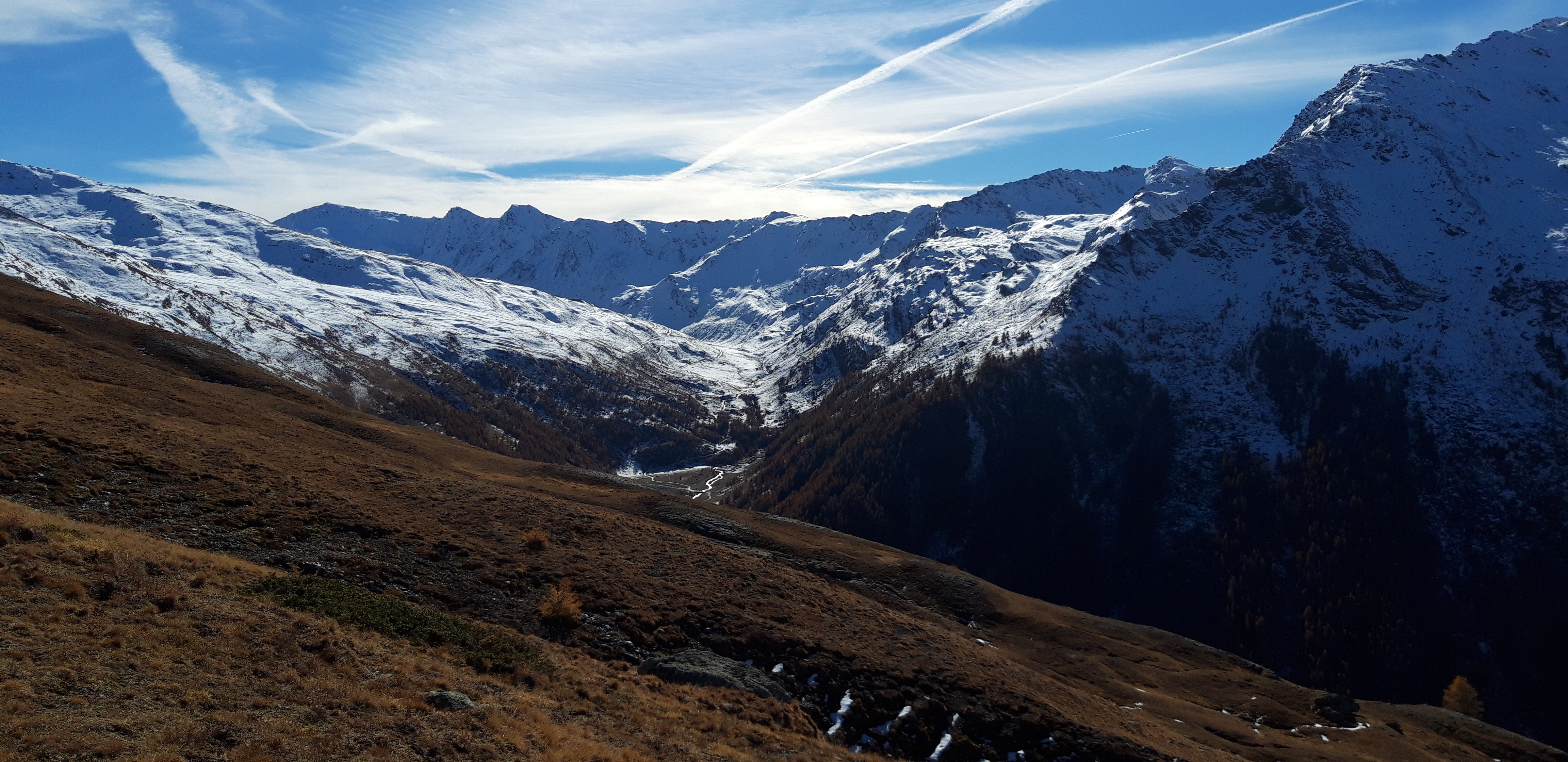
Si supera un crinale erboso abbastanza ripido, al termine del quale il vallone si allarga e diventa più dolce. A 2550 m circa si incontra una sorgente dove è presente una fontana con vasca in legno (ultima acqua “certa”).
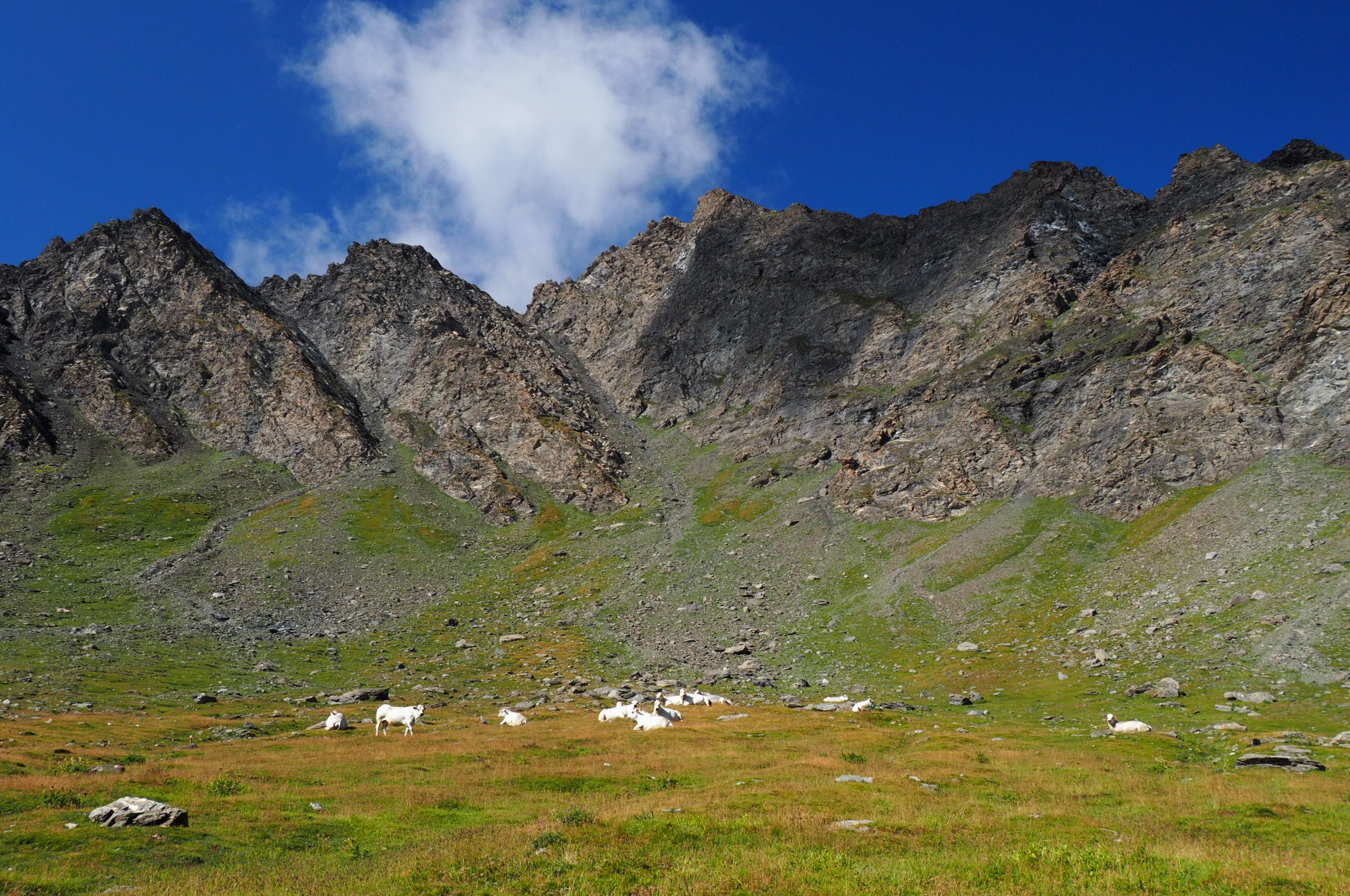
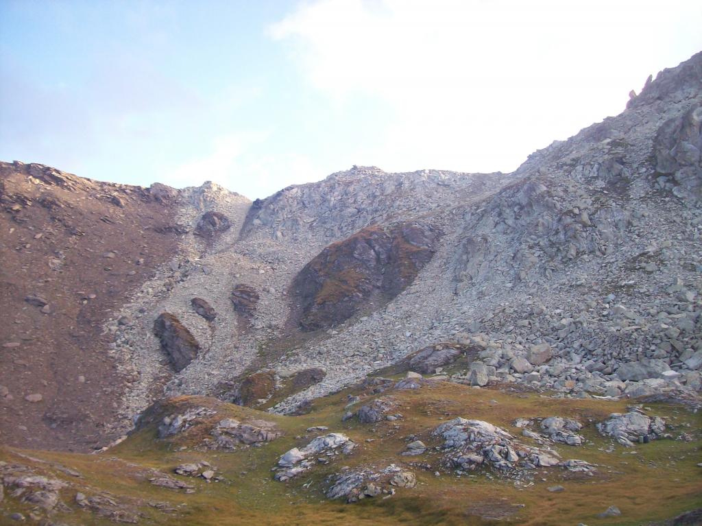
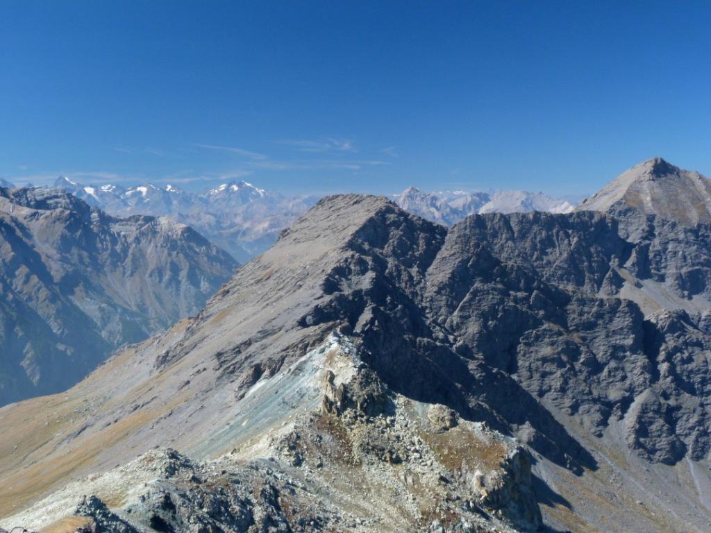
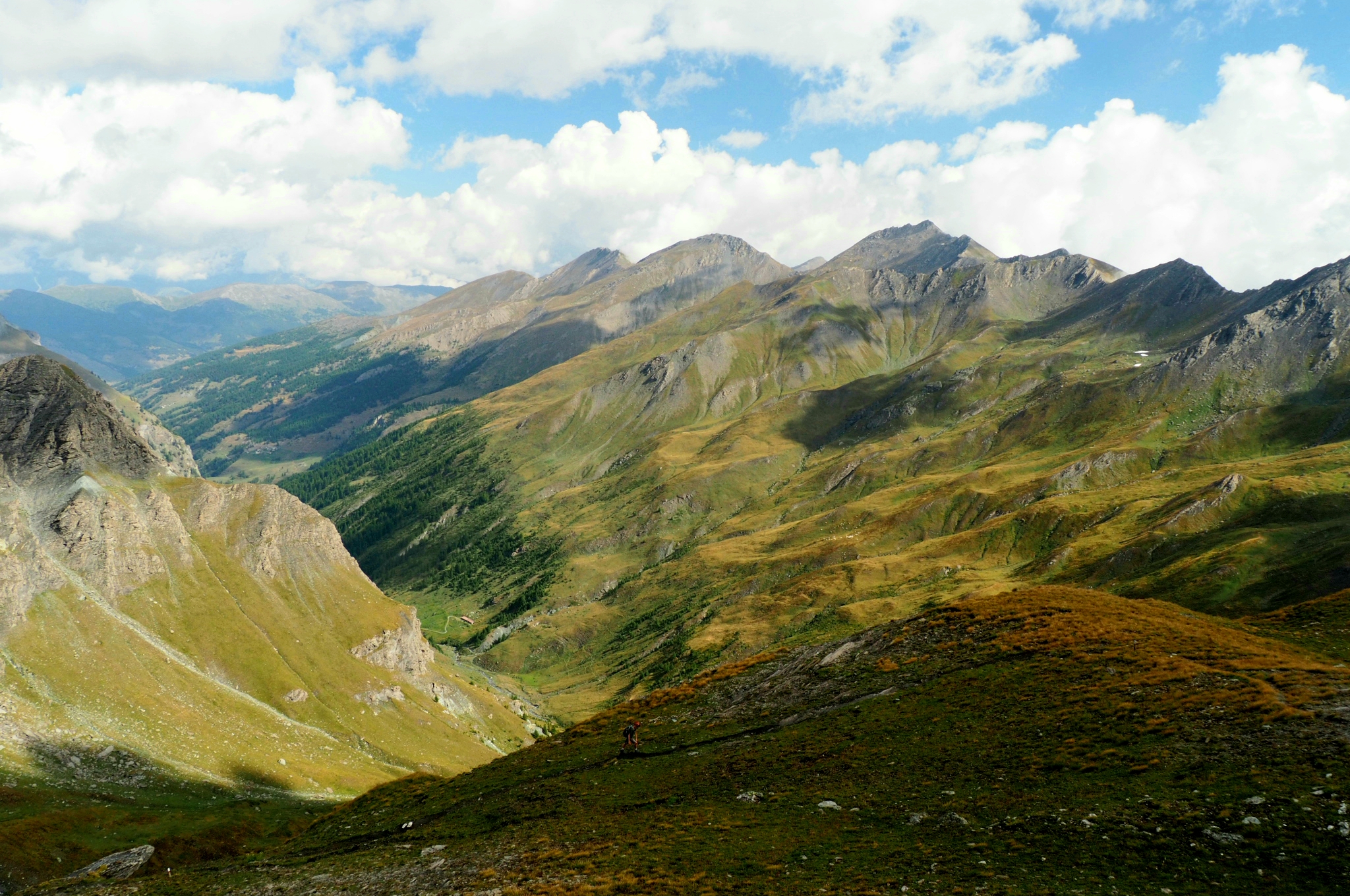
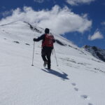
Si compie successivamente un ampio semicerchio da destra verso sinistra per aggirare una zona pietrosa, e poi ci si alza per dossi raggiungendo un bel poggio erboso dove era collocato il Bivacco Clapis 2750 m, di cui resta visibile solo il basamento in cemento. Si affronta ora l’ultimo pendio che adduce al colle, superando una breve rampa su una fascia erbosa in mezzo ai detriti, e poi una piccola valletta superiore fino al colle 2841 m.
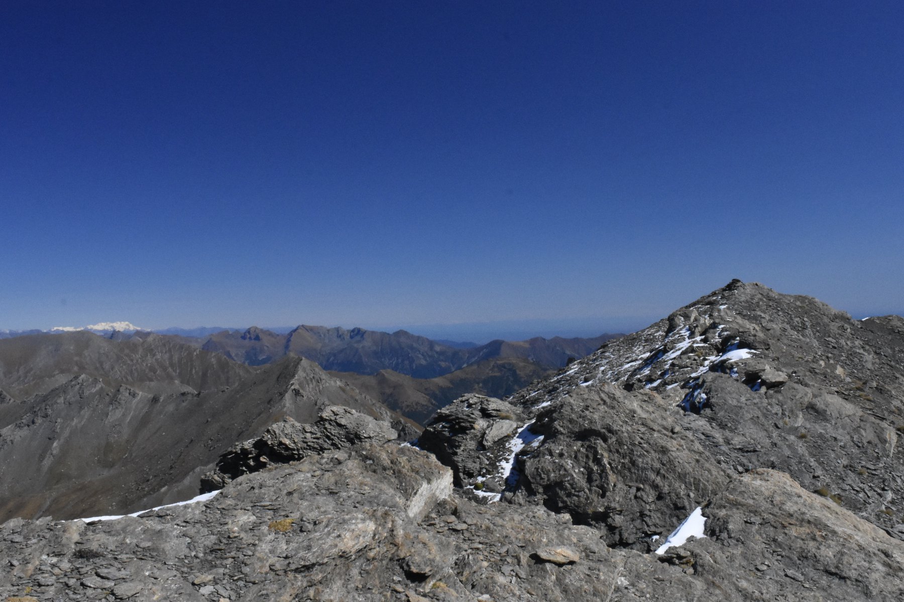
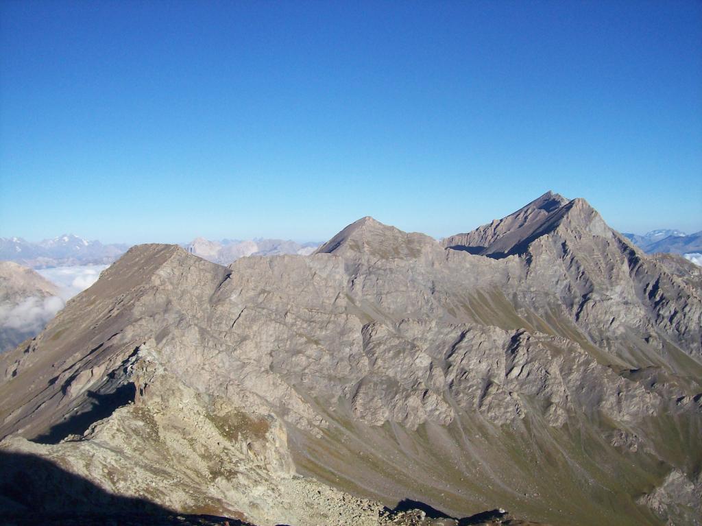
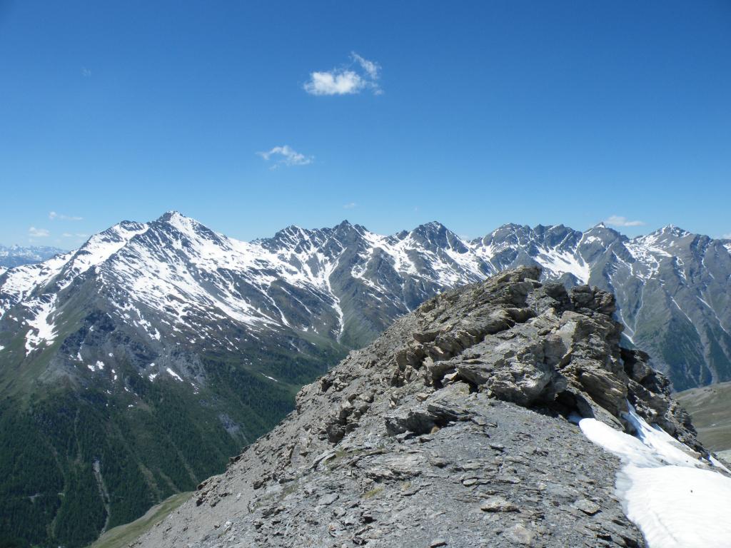
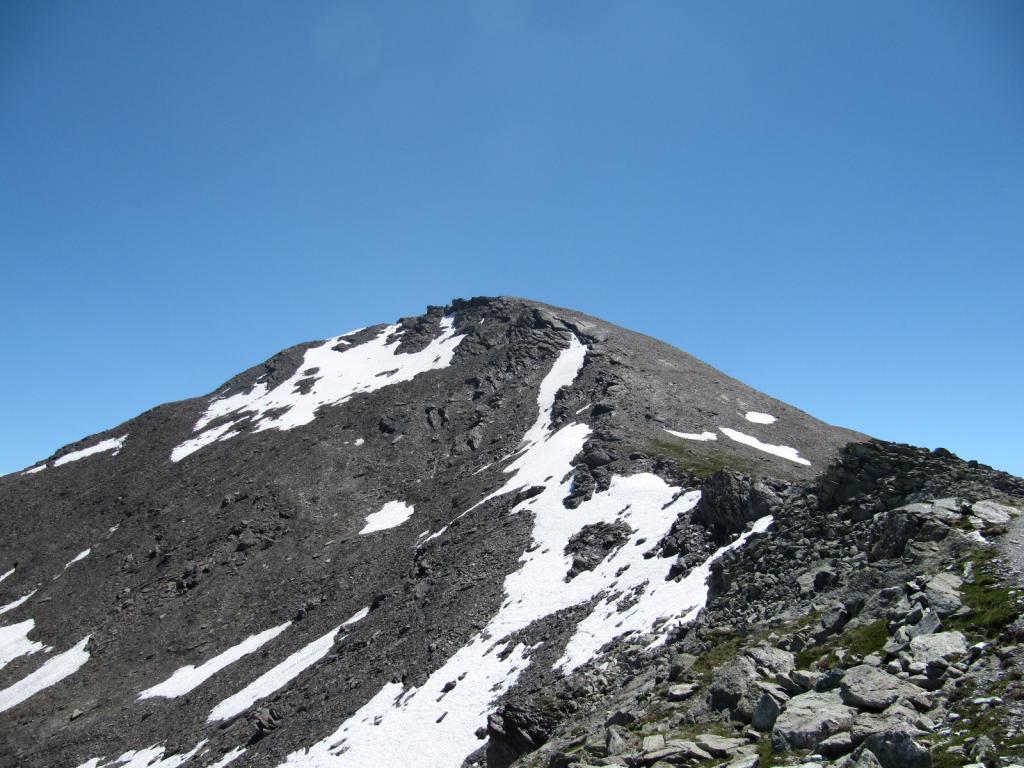
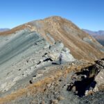
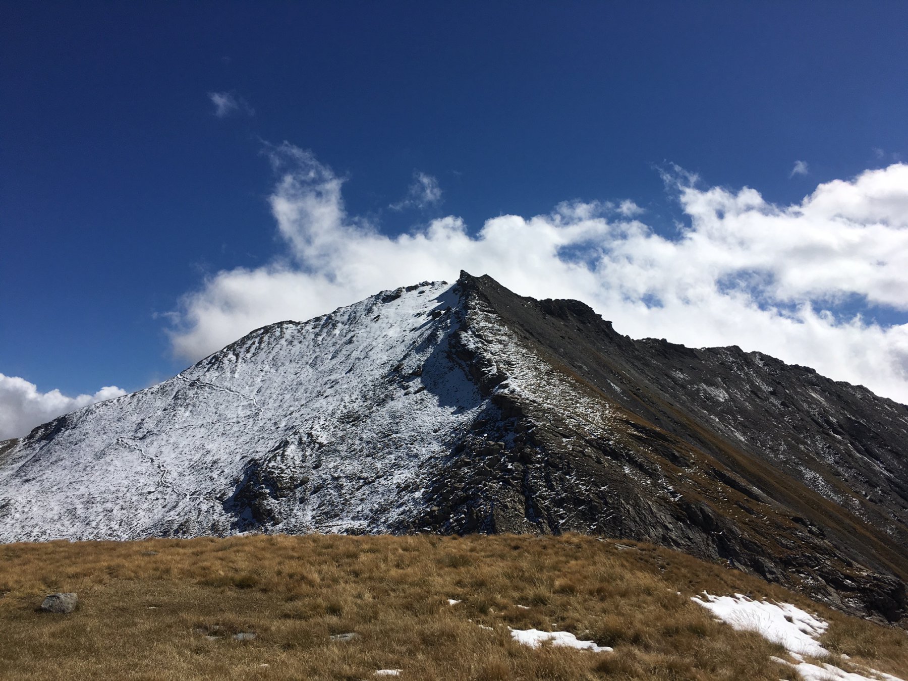
Da qui per salire al Monte Appenna, si segue la facile traccia che si snoda tra i detriti del versante nord-ovest della montagna, intercettando il sentiero proveniente dalla Val Troncea. Giunti ad un ometto che ne segnala l’anticima, non resta che percorrere il crestone con alcuni elementari affioramenti rocciosi fino alla cima 2979 m, protesa verso la testata Val Troncea.
Nelle vicinanze Mappa
Itinerari
12/11/2025 TO, Pragelato D+ 1209 m E Nord
Banchetta (Monte) da Laval per il Vallonetto e il Passo della Banchetta
 50m
50m
26/11/2022 TO, Pragelato D+ 1200 m E Varie
Beth (Colle e laghi del) da Laval
 50m
50m
31/10/2020 TO, Pragelato D+ 800 m E Nord
Clapis (Col) da Laval
 50m
50m
20/10/2013 TO, Pragelato D+ 515 m T Varie
Mey (Bergerie del) dalla Val Troncea
 50m
50m
04/10/2025 TO, Pragelato D+ 1080 m E Ovest
Morefreddo (Monte) da Laval
 50m
50m
17/06/2026 TO, Pragelato D+ 430 m T Nord-Ovest
Troncea (Rifugio) da Laval
 50m
50m
16/05/2026 TO, Pragelato D+ 1440 m EE Varie
Lungin (Monte) e Monte Pignerol da Laval per il Colle della Valletta
 50m
50m
24/06/2026 TO, Pragelato D+ 1336 m E Ovest
Beth (Punta del) o Bric di Mezzogiorno da Laval
 50m
50m
01/11/2025 TO, Pragelato D+ 1150 m EE Nord-Ovest
Pelato (Monte) da Laval
50m
09/10/2021 TO, Pragelato D+ 1219 m EE Ovest
Peolioso (Monte) da Laval per i Colli del Beth e Ghinivert
50m
Servizi
1.5Km
2.6Km
Troncea Rifugio
Pragelato
2.9Km
Refugium – ex. Rif. Belotte Rifugio
Pragelato
3.3Km
La capanna del sole Ristorante
Pragelato
3.3Km
Al Mulino Ristorante
Pragelato
5.2Km
Casa degli Escartons Alex Berton B&B
Pragelato
5.3Km
Casa Alpina Rifugio
Pragelato
5.3Km
Passet Ristorante
Pragelato
6.8Km
L’itialette Ristorante
Pragelato
7.2Km