1.5Km
1.5Km
Note
 50m
50m
50m
50m
50m
50m
50m
50m
50m
50m
50m
50m
50m
50m
50m
50m
1.5Km
2.6Km
2.9Km
3.3Km
3.3Km
5.2Km
5.3Km
5.3Km
6.8Km
7.2Km
Dal Pount das Itrei ,dopo la frazione Pattemouche, si può prendere la navetta estiva che porta fino a Laval e da qui quella su prenotazione che porta sia al Rif. Troncea sia all'Alpe Meys. Se si parte direttamente dal ponte bisogna calcolare 400 m di dislivello in più, quindi quasi due ore su noiosa rotabile polverosa.
Descrizione
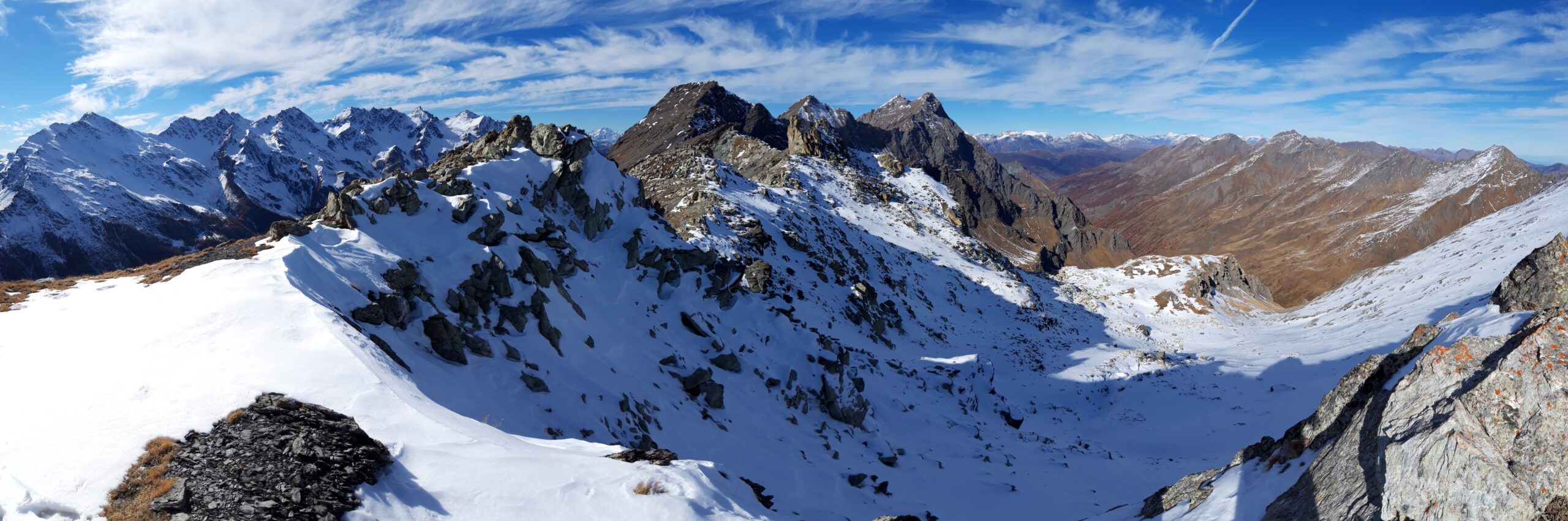
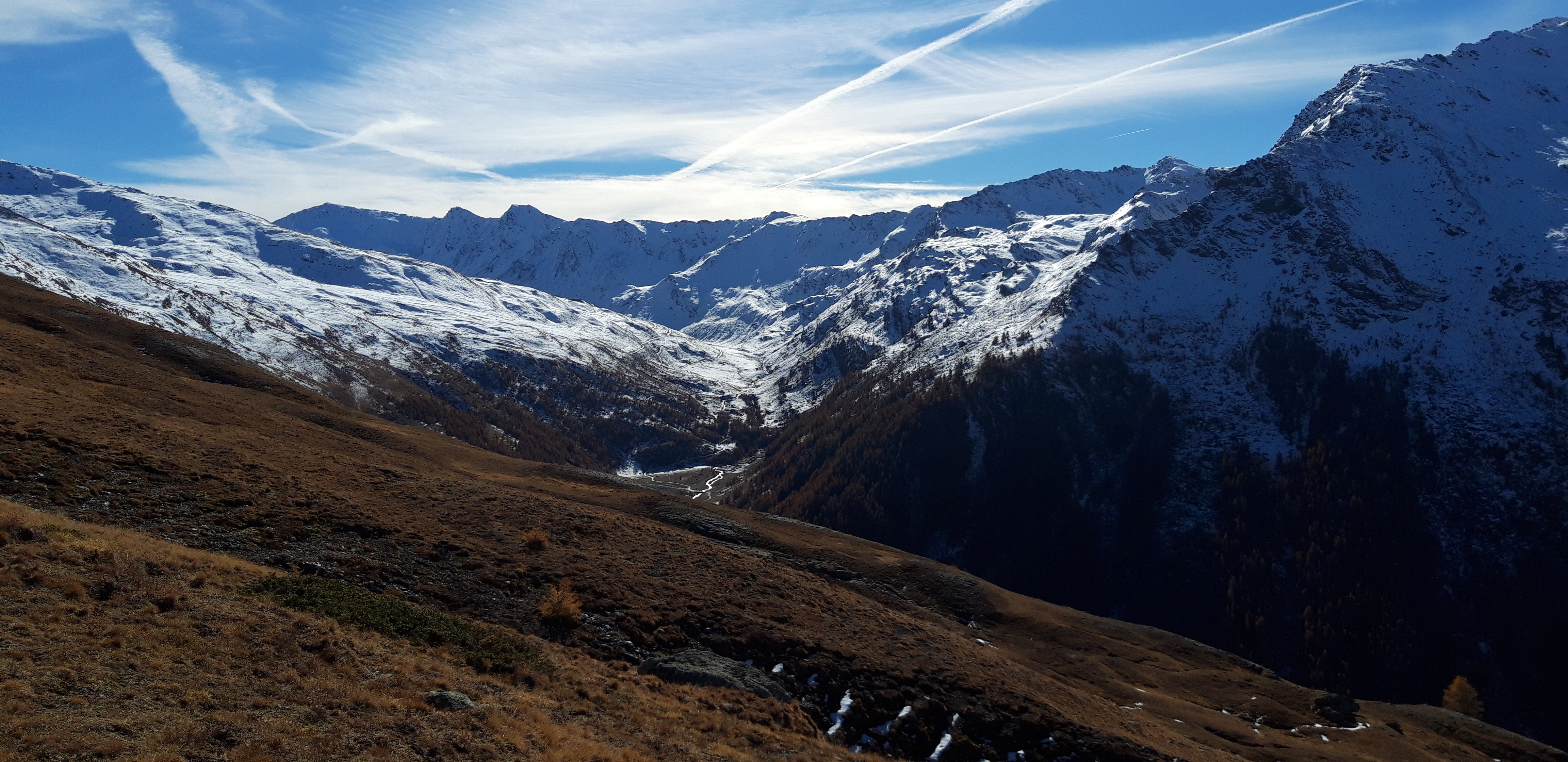
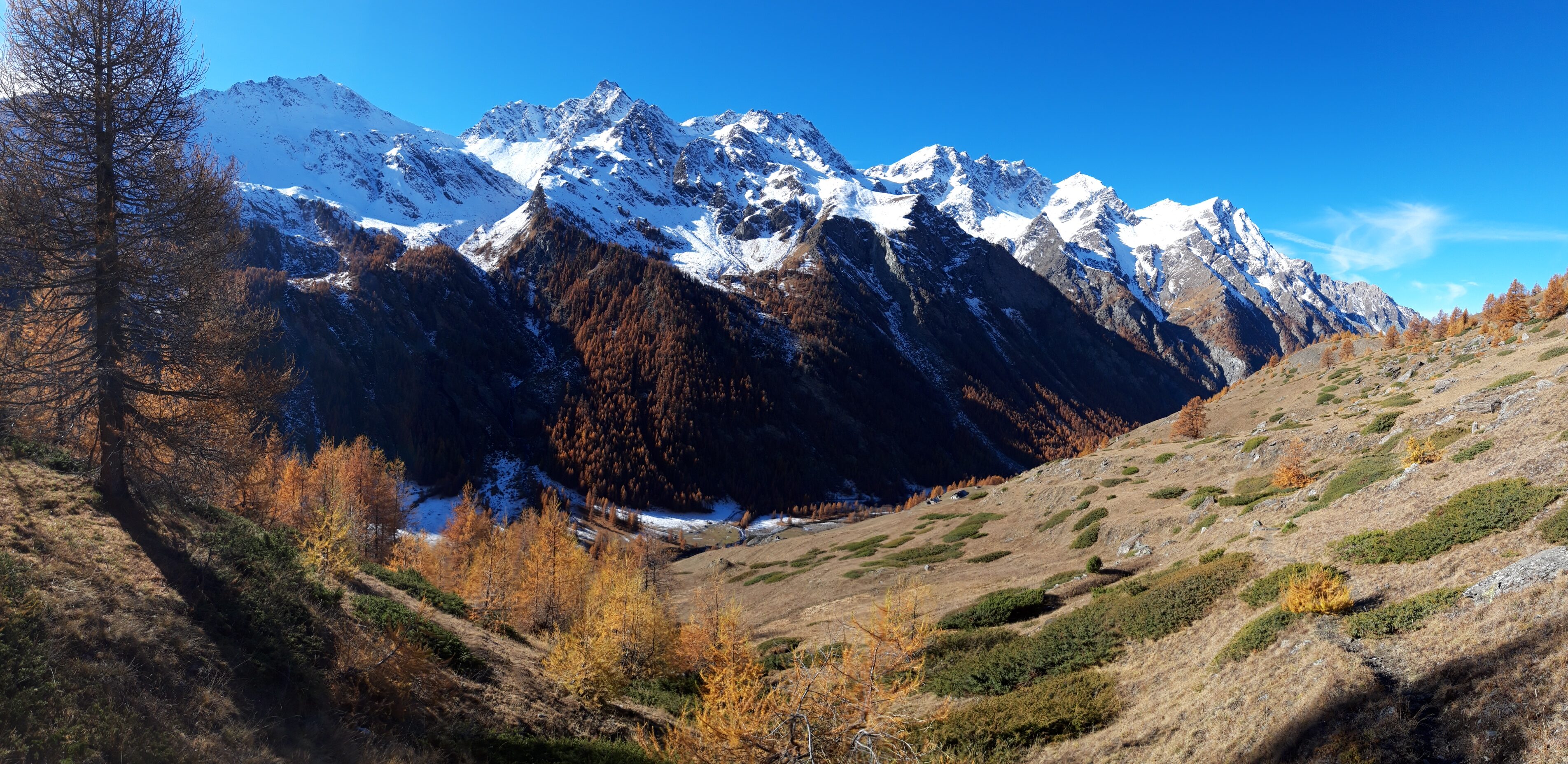
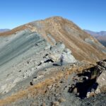
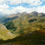
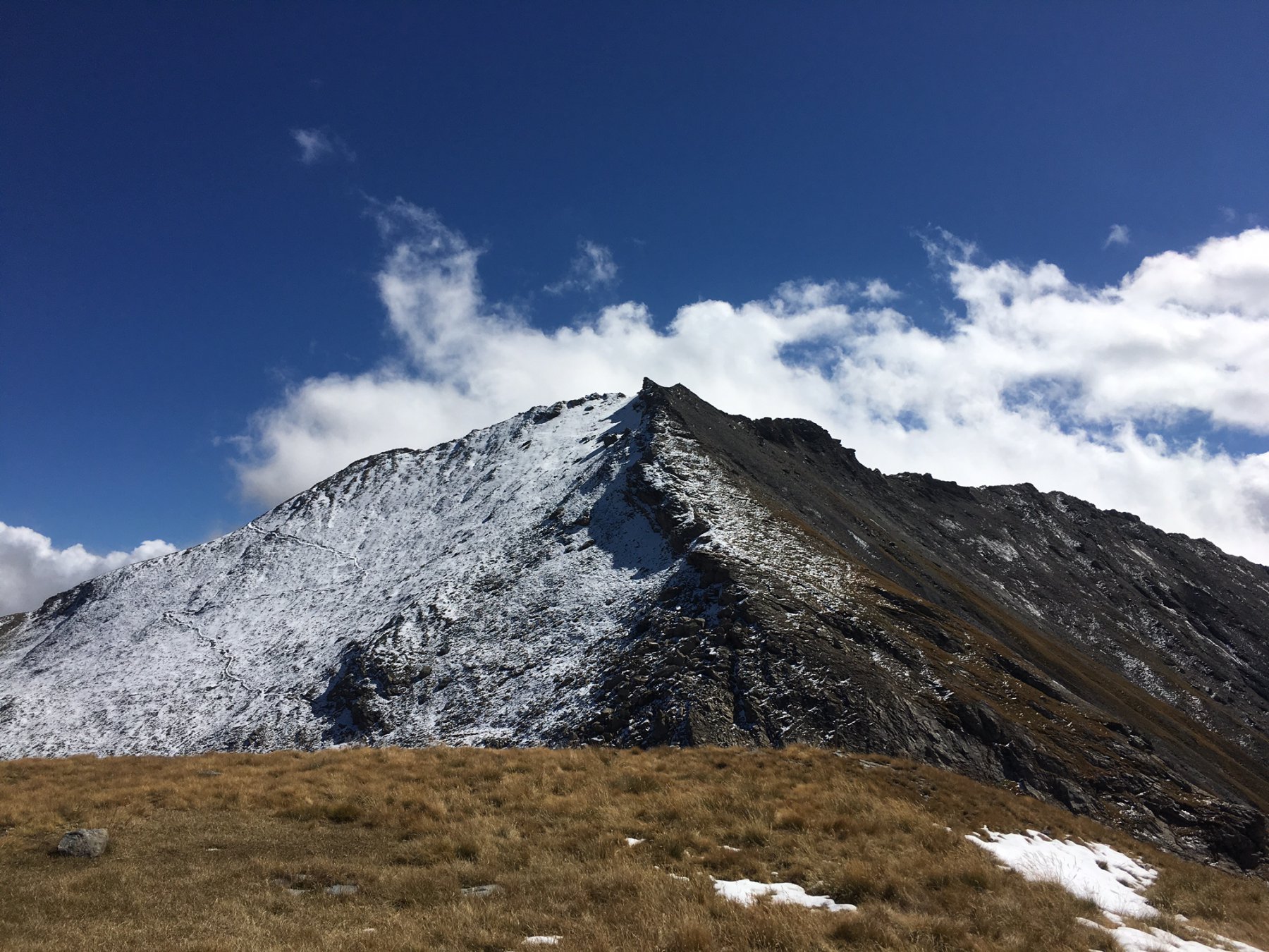
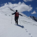
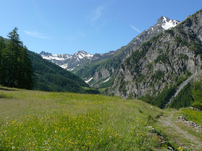
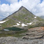
Dall’Alpe Meys seguire i numerosi bolli e paletti rossi e bianchi che delimitano il sentiero che sale sulla sx orografica fino all’incrocio con il sentiero delle Sorgenti del Chisone. Da qui il sentiero 319 del Col Clapis entra nel meraviglioso vallone omonimo prima risalendo un’ampia dorsale di origine glaciale e poi delle conche fino a quella che sembra la fine del vallone. Proprio prima delle pareti rocciose, alla base delle quali è facile avvistare camosci e stambecchi, il sentiero volge a sx (Est) e risale un canale che rimane innevato, sempre a seconda dell’innevamento, fino a stagione inoltrata e poi continua a zig-zag fino alla conca dove è situato il Bivacco del Clapis, dove è possibile pernottare previa prenotazione e ritiro delle chiavi presso la sede del Parco Naturale Val Troncea. Dal bivacco il sentiero sale attraverso sfasciumi e rocce sino al colle situato a 2841 m.
Le informazioni sia per la prenotazione della navetta che per il bivacco sono sul sito del Parco http://www.parconaturalevaltroncea.it/
- Cartografia:
- IGC n°1 - Valli di Susa, Chisone e Germanasca
Nelle vicinanze Mappa
Itinerari
12/11/2025 TO, Pragelato D+ 1209 m E Nord
Banchetta (Monte) da Laval per il Vallonetto e il Passo della Banchetta
 50m
50m
17/08/2020 TO, Pragelato D+ 1367 m E Nord-Est
Appenna (Monte) da Laval per il Col Clapis
 50m
50m
20/10/2013 TO, Pragelato D+ 515 m T Varie
Mey (Bergerie del) dalla Val Troncea
 50m
50m
04/10/2025 TO, Pragelato D+ 1080 m E Ovest
Morefreddo (Monte) da Laval
 50m
50m
17/06/2026 TO, Pragelato D+ 430 m T Nord-Ovest
Troncea (Rifugio) da Laval
 50m
50m
16/05/2026 TO, Pragelato D+ 1440 m EE Varie
Lungin (Monte) e Monte Pignerol da Laval per il Colle della Valletta
 50m
50m
26/11/2022 TO, Pragelato D+ 1200 m E Varie
Beth (Colle e laghi del) da Laval
 50m
50m
24/06/2026 TO, Pragelato D+ 1336 m E Ovest
Beth (Punta del) o Bric di Mezzogiorno da Laval
 50m
50m
01/11/2025 TO, Pragelato D+ 1150 m EE Nord-Ovest
Pelato (Monte) da Laval
50m
09/10/2021 TO, Pragelato D+ 1219 m EE Ovest
Peolioso (Monte) da Laval per i Colli del Beth e Ghinivert
50m
Servizi
1.5Km
2.6Km
Troncea Rifugio
Pragelato
2.9Km
Refugium – ex. Rif. Belotte Rifugio
Pragelato
3.3Km
La capanna del sole Ristorante
Pragelato
3.3Km
Al Mulino Ristorante
Pragelato
5.2Km
Casa degli Escartons Alex Berton B&B
Pragelato
5.3Km
Casa Alpina Rifugio
Pragelato
5.3Km
Passet Ristorante
Pragelato
6.8Km
L’itialette Ristorante
Pragelato
7.2Km