 1.1Km
1.1Km

Note
 50m
50m
50m
800m
1.1Km
1.1Km
3Km
3Km
50m
50m
50m
800m
1.1Km
1.1Km
3Km
3Km
1.1Km
1.1Km
1.3Km
4.3Km
5.7Km
5.8Km
6.1Km
6.7Km
6.7Km
8.2Km
le vecchie piste del comprensorio genevris...
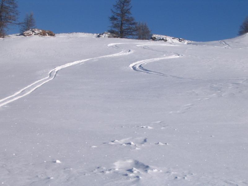
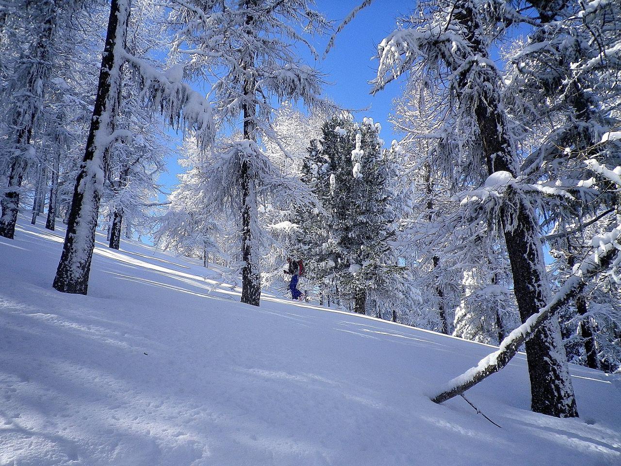
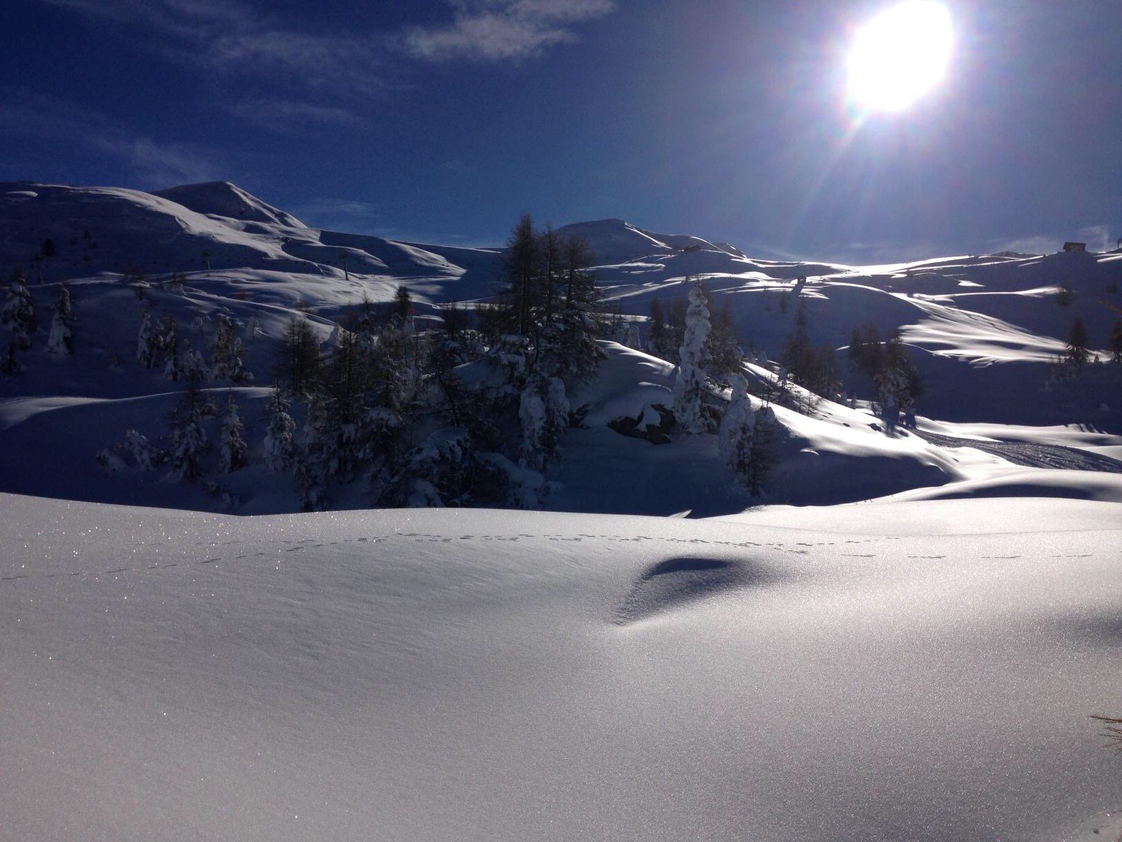
ambiente solitario, carino e sicuro
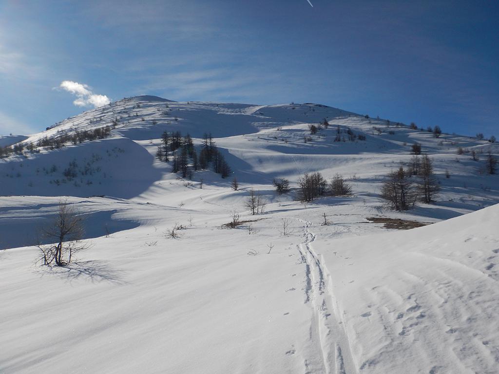
Avvicinamento
ambiente solitario, carino e sicuro
.
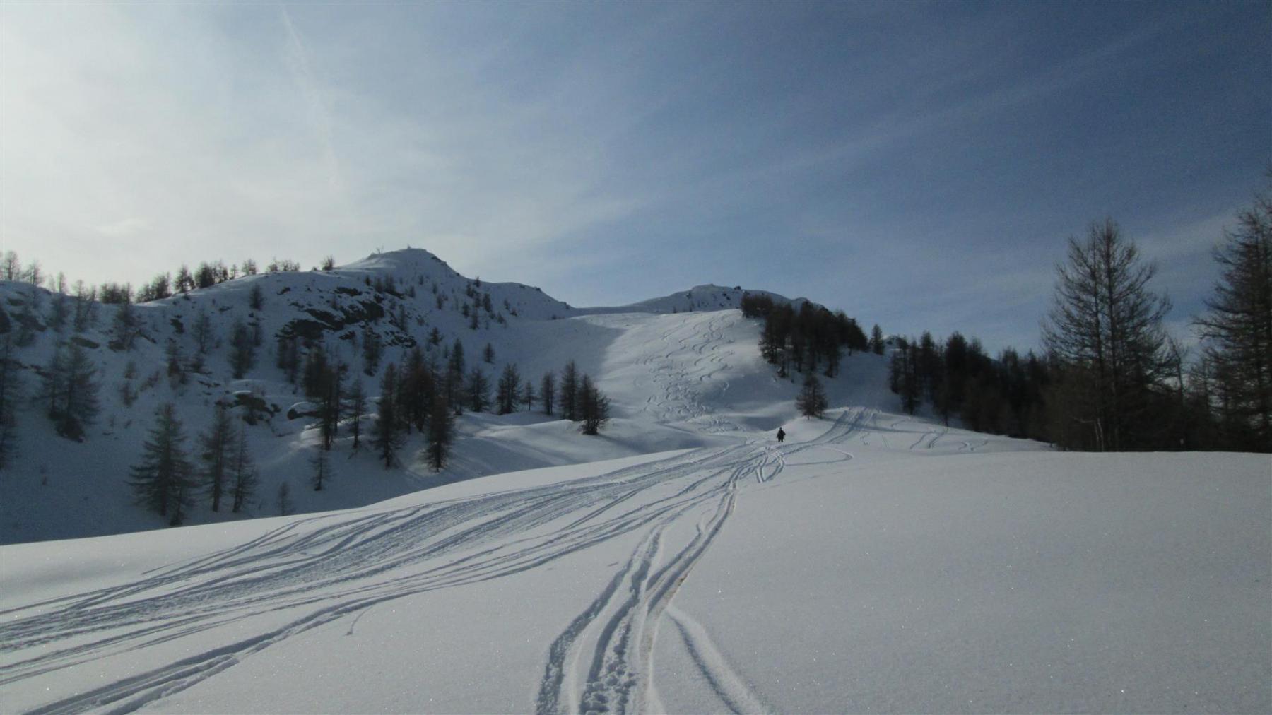
Descrizione
dal bivio 100 mt prima della sperimentale, si prende per pochi minuti la sterrata che porta alla stazione di partenza dei vecchi impianti genevris.
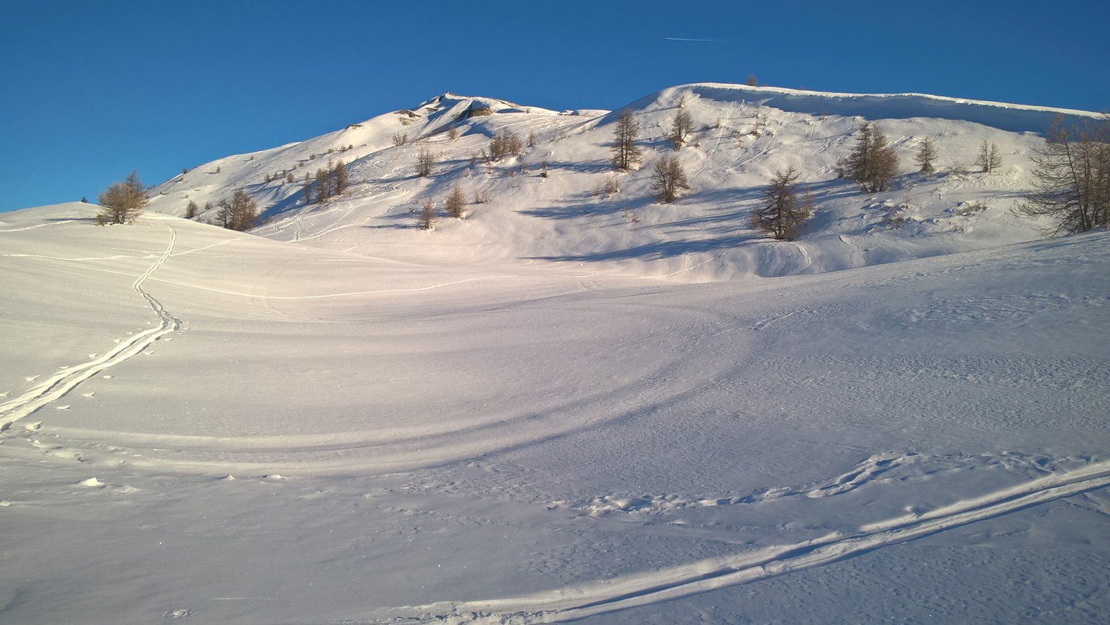
da qui si puo’ salire dalla pista di destra o di sinistra.
raggiunta la stazione a monte, in pochi minuti si arriva al colle costa piana (vista val chisone e troncea)
proseguendo, si può salire al faro degli alpini del genevris
Nelle vicinanze Mappa
Itinerari
09/02/2026 TO, Sauze d'Oulx D+ 995 m MS Ovest
Genevris (Monte) da Sauze d’Oulx
 50m
50m
24/01/2026 TO, Oulx D+ 804 m MS Nord-Ovest
Nera (Rocca) anticima NE 2404 m da Sauze d’Oulx per Pian della Rocca e Capanna Mollino
 50m
50m
04/01/2026 TO, Sauze d'Oulx D+ 857 m MS Nord-Ovest
Moncrons (Punta di) da Sauze d’Oulx
 50m
50m
13/02/2026 TO, Sauze d'Oulx D+ 1027 m BS Nord-Ovest
Genevris (Monte) da Gran Villard
 800m
800m
07/03/2021 TO, Sauze d'Oulx D+ 941 m MS Est
Nera (Rocca) da Sauze d’Oulx
 1.1Km
1.1Km
13/12/2025 TO, Sauze d'Oulx D+ 880 m MS Ovest
Triplex (Monte) da Sauze d’Oulx
 1.1Km
1.1Km
12/12/2019 TO, Sauze d'Oulx D+ 1119 m BS Nord
Triplex (Monte) da Jouvenceaux per il Vallone di Malafosse
2.3Km
02/02/2025 TO, Oulx D+ 870 m MS Nord
Genevris (Monte) da Monfol
 3Km
3Km
16/01/2010 TO, Oulx D+ 1529 m MS Nord-Ovest
Genevris (Monte) da Monfol, traversata a Salbertrand per il Col Blegier
 3Km
3Km
03/01/2010 TO, Oulx D+ 900 m MS Nord
Blegier (Monte) da Monfol
3Km
Servizi
1.1Km
1.1Km
paddy mc ginty Ristorante
Sauze d'Oulx
1.3Km
L’Cantun B&B
Sauze D'oulx
4.3Km
La Moretta Ristorante
Oulx
5.7Km
Il Covo di nord ovest Ristorante
Salbertrand
5.8Km
Arlaud Rifugio
Salbertrand
6.1Km
La Chardouse Rifugio
Oulx
6.7Km
La capanna del sole Ristorante
Pragelato
6.7Km
Al Mulino Ristorante
Pragelato
8.2Km


